Silesia maps Cut Out Stock Images
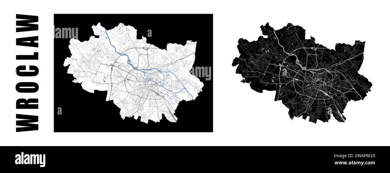
 Wroclaw map. Poland city within administrative municipal borders. Set of black and white vector maps. Streets and Oder river, high resolution. Stock Vectorhttps://www.alamy.com/image-license-details/?v=1https://www.alamy.com/wroclaw-map-poland-city-within-administrative-municipal-borders-set-of-black-and-white-vector-maps-streets-and-oder-river-high-resolution-image591797778.html
RF2WAPM2X–Wroclaw map. Poland city within administrative municipal borders. Set of black and white vector maps. Streets and Oder river, high resolution.
 Silesia, Carbon County, US, United States, Montana, N 45 33' 23'', S 108 50' 29'', map, Cartascapes Map published in 2024. Explore Cartascapes, a map revealing Earth's diverse landscapes, cultures, and ecosystems. Journey through time and space, discovering the interconnectedness of our planet's past, present, and future. Stock Photohttps://www.alamy.com/image-license-details/?v=1https://www.alamy.com/silesia-carbon-county-us-united-states-montana-n-45-33-23-s-108-50-29-map-cartascapes-map-published-in-2024-explore-cartascapes-a-map-revealing-earths-diverse-landscapes-cultures-and-ecosystems-journey-through-time-and-space-discovering-the-interconnectedness-of-our-planets-past-present-and-future-image620888808.html
RM2Y23X08–Silesia, Carbon County, US, United States, Montana, N 45 33' 23'', S 108 50' 29'', map, Cartascapes Map published in 2024. Explore Cartascapes, a map revealing Earth's diverse landscapes, cultures, and ecosystems. Journey through time and space, discovering the interconnectedness of our planet's past, present, and future.
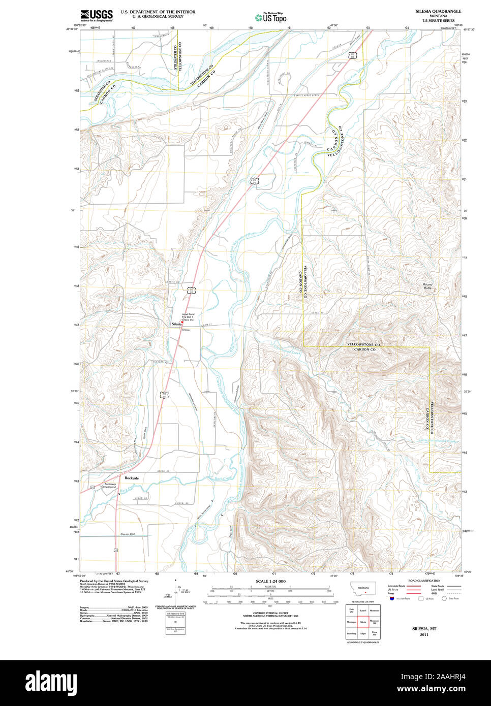
 USGS TOPO Map Montana MT Silesia 20110608 TM geo Restoration Stock Photohttps://www.alamy.com/image-license-details/?v=1https://www.alamy.com/usgs-topo-map-montana-mt-silesia-20110608-tm-geo-restoration-image333535276.html
RM2AAHRJ4–USGS TOPO Map Montana MT Silesia 20110608 TM geo Restoration
 Silesia, Prince George's County, US, United States, Maryland, N 38 44' 32'', S 76 59' 55'', map, Cartascapes Map published in 2024. Explore Cartascapes, a map revealing Earth's diverse landscapes, cultures, and ecosystems. Journey through time and space, discovering the interconnectedness of our planet's past, present, and future. Stock Photohttps://www.alamy.com/image-license-details/?v=1https://www.alamy.com/silesia-prince-georges-county-us-united-states-maryland-n-38-44-32-s-76-59-55-map-cartascapes-map-published-in-2024-explore-cartascapes-a-map-revealing-earths-diverse-landscapes-cultures-and-ecosystems-journey-through-time-and-space-discovering-the-interconnectedness-of-our-planets-past-present-and-future-image620657242.html
RM2Y1NAJ2–Silesia, Prince George's County, US, United States, Maryland, N 38 44' 32'', S 76 59' 55'', map, Cartascapes Map published in 2024. Explore Cartascapes, a map revealing Earth's diverse landscapes, cultures, and ecosystems. Journey through time and space, discovering the interconnectedness of our planet's past, present, and future.
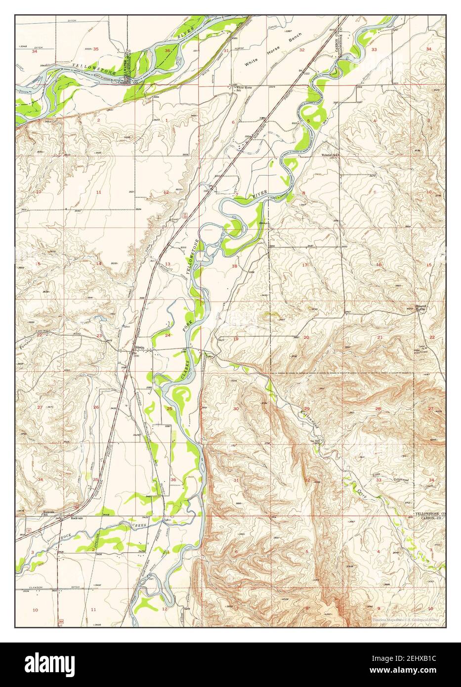
 Silesia, Montana, map 1956, 1:24000, United States of America by Timeless Maps, data U.S. Geological Survey Stock Photohttps://www.alamy.com/image-license-details/?v=1https://www.alamy.com/silesia-montana-map-1956-124000-united-states-of-america-by-timeless-maps-data-us-geological-survey-image406867032.html
RM2EHXB1C–Silesia, Montana, map 1956, 1:24000, United States of America by Timeless Maps, data U.S. Geological Survey