Quick filters:
Silverton washington Stock Photos and Images
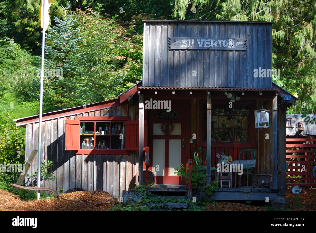 A cabin in the small community of Silverton, WA. Stock Photohttps://www.alamy.com/image-license-details/?v=1https://www.alamy.com/stock-photo-a-cabin-in-the-small-community-of-silverton-wa-20148999.html
RMB4NT73–A cabin in the small community of Silverton, WA.
 Liriodendron tulipifera at the Oregon Garden in Silverton, OR, planted from seeds from a tulip tree at Mount Vernon, planted by George Washington. Stock Photohttps://www.alamy.com/image-license-details/?v=1https://www.alamy.com/liriodendron-tulipifera-at-the-oregon-garden-in-silverton-or-planted-from-seeds-from-a-tulip-tree-at-mount-vernon-planted-by-george-washington-image359462255.html
RM2BTPWNK–Liriodendron tulipifera at the Oregon Garden in Silverton, OR, planted from seeds from a tulip tree at Mount Vernon, planted by George Washington.
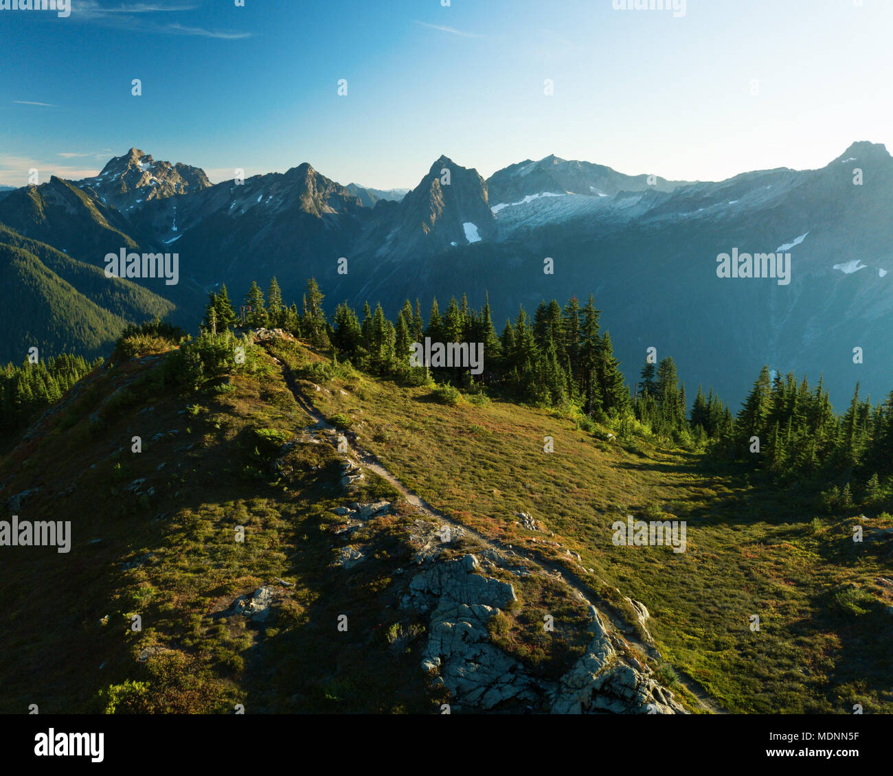 Aerial view of the Mt. Dickerman Trail located near Silverton, Washington. Stock Photohttps://www.alamy.com/image-license-details/?v=1https://www.alamy.com/aerial-view-of-the-mt-dickerman-trail-located-near-silverton-washington-image180571819.html
RFMDNN5F–Aerial view of the Mt. Dickerman Trail located near Silverton, Washington.
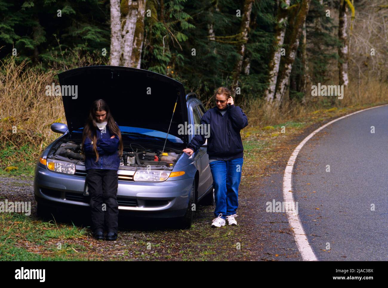 Car breakdown along North Cascades highway, Silverton, Washington Stock Photohttps://www.alamy.com/image-license-details/?v=1https://www.alamy.com/car-breakdown-along-north-cascades-highway-silverton-washington-image471092606.html
RM2JAC3BX–Car breakdown along North Cascades highway, Silverton, Washington
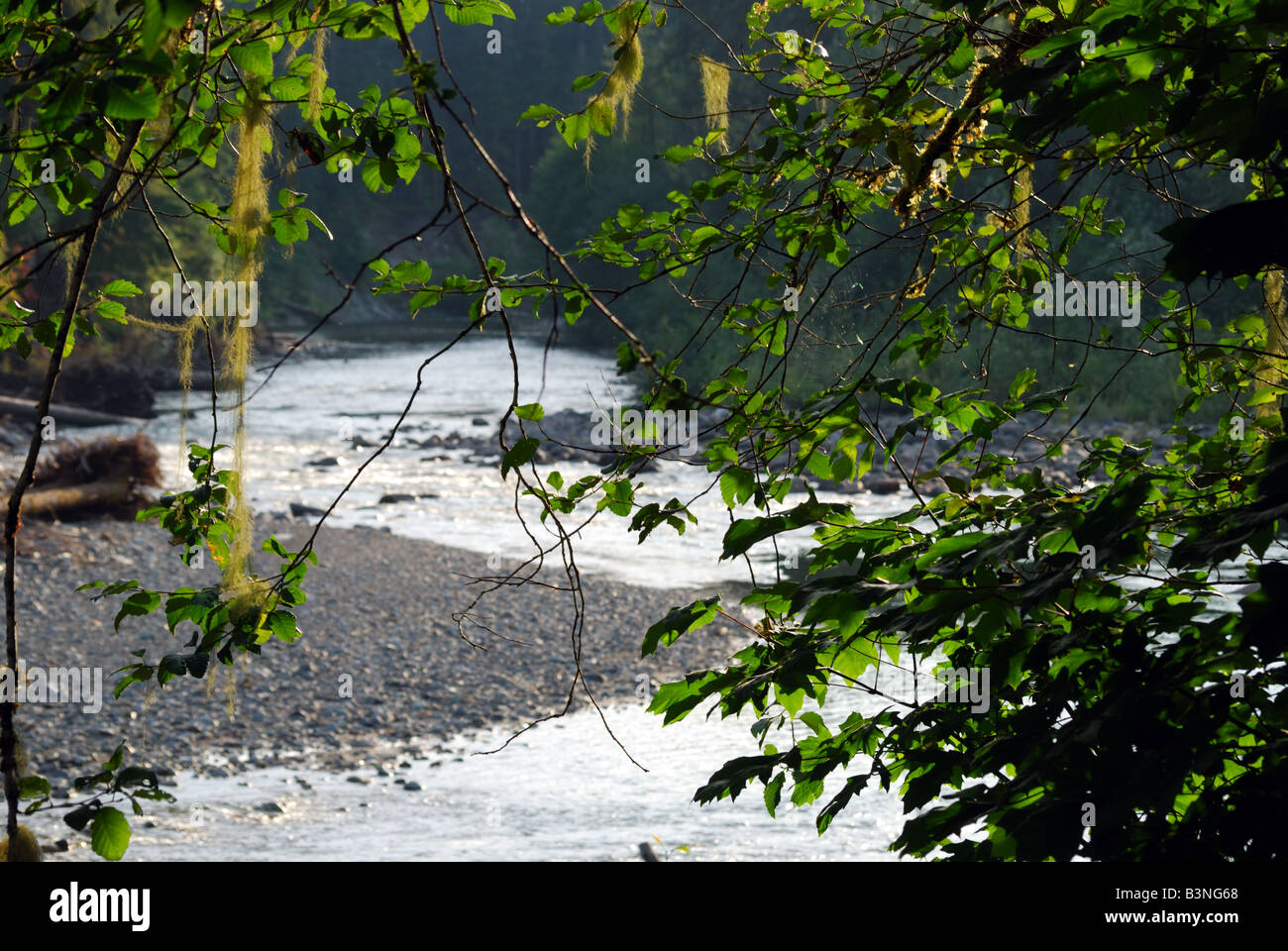 The South Fork Stillaguamish River as seen along the Mountain Loop Highway near Silverton, WA. Stock Photohttps://www.alamy.com/image-license-details/?v=1https://www.alamy.com/stock-photo-the-south-fork-stillaguamish-river-as-seen-along-the-mountain-loop-19528048.html
RMB3NG68–The South Fork Stillaguamish River as seen along the Mountain Loop Highway near Silverton, WA.
 Evening Over Cascade Mountains Stock Photohttps://www.alamy.com/image-license-details/?v=1https://www.alamy.com/evening-over-cascade-mountains-image369119870.html
RM2CCET4E–Evening Over Cascade Mountains
 Bridge 56, spanning the S. Fork of the Stillaguamish River, leads to the old town of Silverton, WA. Stock Photohttps://www.alamy.com/image-license-details/?v=1https://www.alamy.com/stock-photo-bridge-56-spanning-the-s-fork-of-the-stillaguamish-river-leads-to-25432196.html
RFBDAF0M–Bridge 56, spanning the S. Fork of the Stillaguamish River, leads to the old town of Silverton, WA.
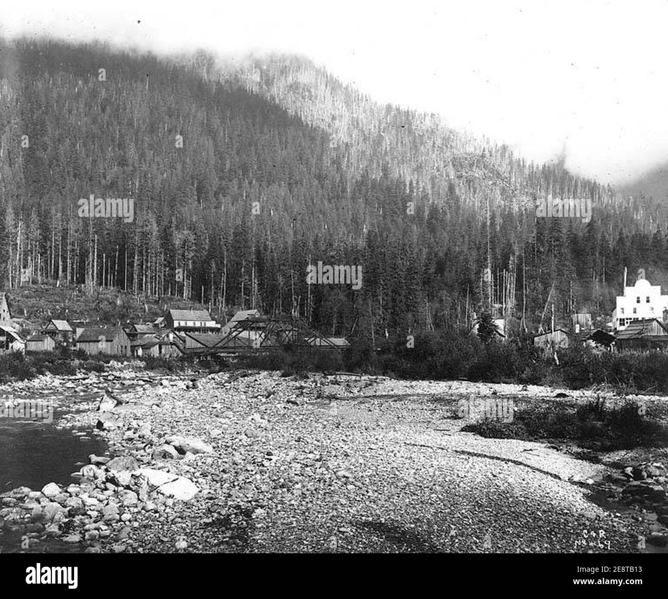 Mining town of Silverton, Washington Stock Photohttps://www.alamy.com/image-license-details/?v=1https://www.alamy.com/mining-town-of-silverton-washington-image401291215.html
RM2E8TB13–Mining town of Silverton, Washington
![360 degree panoramic view of Big Four Ice Caves (interior), Silverton, WA, USA [2] 360 degree panoramic view of Big Four Ice Caves (interior), Silverton, WA, USA [2]](https://l13.alamy.com/360/PN5G3W/big-four-ice-caves-interior-silverton-wa-usa-2-PN5G3W.jpg) 360 degree panoramic view of Big Four Ice Caves (interior), Silverton, WA, USA [2]https://www.alamy.com/image-license-details/?v=1https://www.alamy.com/360-degree-panoramic-view-of-big-four-ice-caves-interior-silverton-wa-usa-2-image219554605.html
360 degree panoramic view of Big Four Ice Caves (interior), Silverton, WA, USA [2]https://www.alamy.com/image-license-details/?v=1https://www.alamy.com/360-degree-panoramic-view-of-big-four-ice-caves-interior-silverton-wa-usa-2-image219554605.htmlRF360°PN5G3W–Big Four Ice Caves (interior), Silverton, WA, USA [2]
 Silverton, Snohomish County, US, United States, Washington, N 48 4' 42'', S 121 34' 1'', map, Cartascapes Map published in 2024. Explore Cartascapes, a map revealing Earth's diverse landscapes, cultures, and ecosystems. Journey through time and space, discovering the interconnectedness of our planet's past, present, and future. Stock Photohttps://www.alamy.com/image-license-details/?v=1https://www.alamy.com/silverton-snohomish-county-us-united-states-washington-n-48-4-42-s-121-34-1-map-cartascapes-map-published-in-2024-explore-cartascapes-a-map-revealing-earths-diverse-landscapes-cultures-and-ecosystems-journey-through-time-and-space-discovering-the-interconnectedness-of-our-planets-past-present-and-future-image621352106.html
RM2Y2W0XJ–Silverton, Snohomish County, US, United States, Washington, N 48 4' 42'', S 121 34' 1'', map, Cartascapes Map published in 2024. Explore Cartascapes, a map revealing Earth's diverse landscapes, cultures, and ecosystems. Journey through time and space, discovering the interconnectedness of our planet's past, present, and future.
 Rendering of a green 3d highway sign for San Juan County Stock Photohttps://www.alamy.com/image-license-details/?v=1https://www.alamy.com/rendering-of-a-green-3d-highway-sign-for-san-juan-county-image338546151.html
RF2AJP31Y–Rendering of a green 3d highway sign for San Juan County
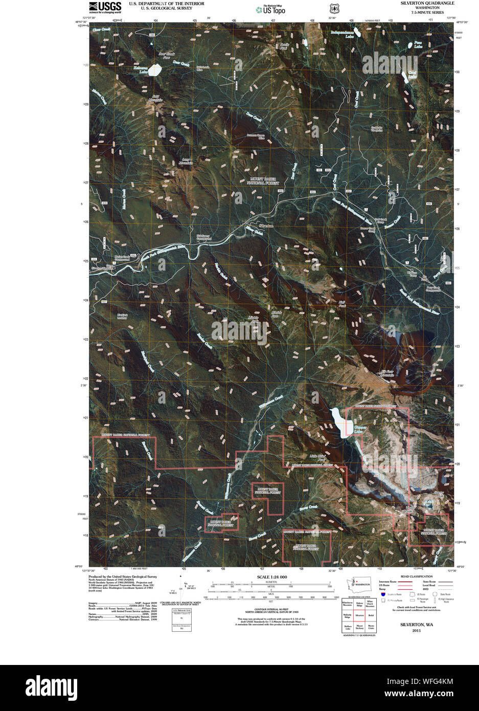 USGS Topo Map Washington State WA Silverton 20110425 TM Restoration Stock Photohttps://www.alamy.com/image-license-details/?v=1https://www.alamy.com/usgs-topo-map-washington-state-wa-silverton-20110425-tm-restoration-image267730280.html
RMWFG4KM–USGS Topo Map Washington State WA Silverton 20110425 TM Restoration
 . The Americana : a universal reference library, comprising the arts and sciences, literature, history, biography, geography, commerce, etc. of the world . reede.Montezuma, Cortez.Montrose, Montrose.Morgan, Fort Morgan.Otero, Lajunta.Ouray, Ouray.Park, Fairplay.Phillips, Holyoke.Pitkin, Aspen.Prowers, Lamar.Pueblo, Pueblo.Rio Grande, Del Norte.Rout, Hahns Peak.Saguache, Saguache.San Juan, Silverton.San Miguel, Telluride.Sedgwick, Julesburg.South Arapahoe, Littleton.Summit, Breckenridge.Teller, Cripple Creek.Washington, Akron.Weld, Greeley.Yuma, Yuma. There are 27 places in Colorado of over 2,0 Stock Photohttps://www.alamy.com/image-license-details/?v=1https://www.alamy.com/the-americana-a-universal-reference-library-comprising-the-arts-and-sciences-literature-history-biography-geography-commerce-etc-of-the-world-reedemontezuma-cortezmontrose-montrosemorgan-fort-morganotero-lajuntaouray-ouraypark-fairplayphillips-holyokepitkin-aspenprowers-lamarpueblo-pueblorio-grande-del-norterout-hahns-peaksaguache-saguachesan-juan-silvertonsan-miguel-telluridesedgwick-julesburgsouth-arapahoe-littletonsummit-breckenridgeteller-cripple-creekwashington-akronweld-greeleyyuma-yuma-there-are-27-places-in-colorado-of-over-20-image372068718.html
RM2CH95CE–. The Americana : a universal reference library, comprising the arts and sciences, literature, history, biography, geography, commerce, etc. of the world . reede.Montezuma, Cortez.Montrose, Montrose.Morgan, Fort Morgan.Otero, Lajunta.Ouray, Ouray.Park, Fairplay.Phillips, Holyoke.Pitkin, Aspen.Prowers, Lamar.Pueblo, Pueblo.Rio Grande, Del Norte.Rout, Hahns Peak.Saguache, Saguache.San Juan, Silverton.San Miguel, Telluride.Sedgwick, Julesburg.South Arapahoe, Littleton.Summit, Breckenridge.Teller, Cripple Creek.Washington, Akron.Weld, Greeley.Yuma, Yuma. There are 27 places in Colorado of over 2,0
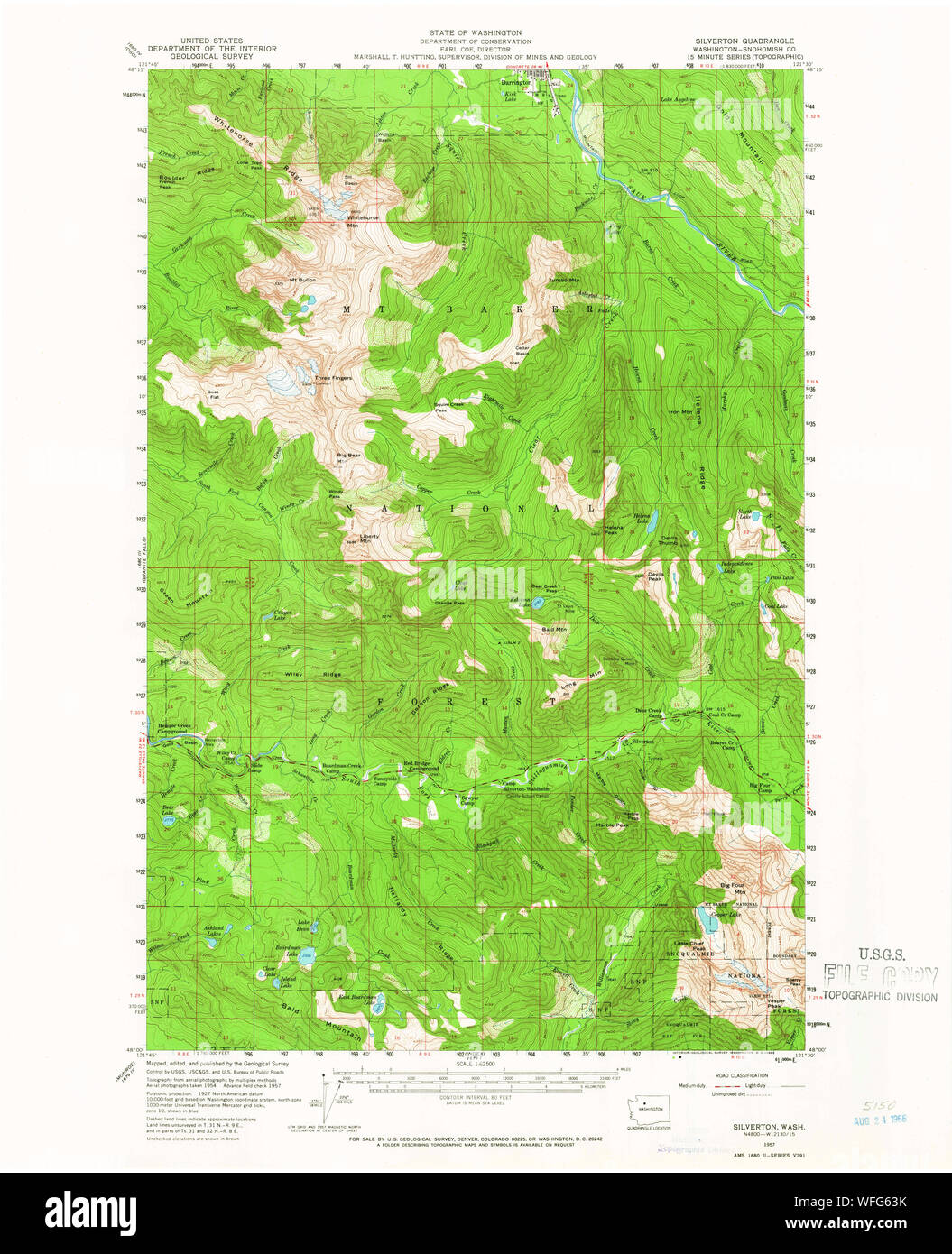 USGS Topo Map Washington State WA Silverton 243725 1957 62500 Restoration Stock Photohttps://www.alamy.com/image-license-details/?v=1https://www.alamy.com/usgs-topo-map-washington-state-wa-silverton-243725-1957-62500-restoration-image267731399.html
RMWFG63K–USGS Topo Map Washington State WA Silverton 243725 1957 62500 Restoration
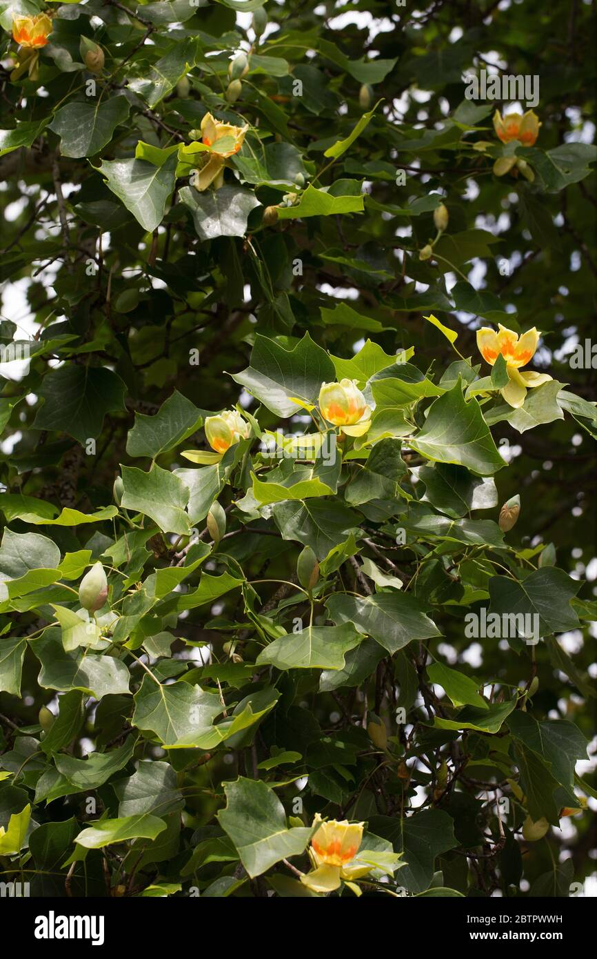 Liriodendron tulipifera at the Oregon Garden in Silverton, OR, planted from seeds from a tulip tree at Mount Vernon, planted by George Washington. Stock Photohttps://www.alamy.com/image-license-details/?v=1https://www.alamy.com/liriodendron-tulipifera-at-the-oregon-garden-in-silverton-or-planted-from-seeds-from-a-tulip-tree-at-mount-vernon-planted-by-george-washington-image359462365.html
RM2BTPWWH–Liriodendron tulipifera at the Oregon Garden in Silverton, OR, planted from seeds from a tulip tree at Mount Vernon, planted by George Washington.
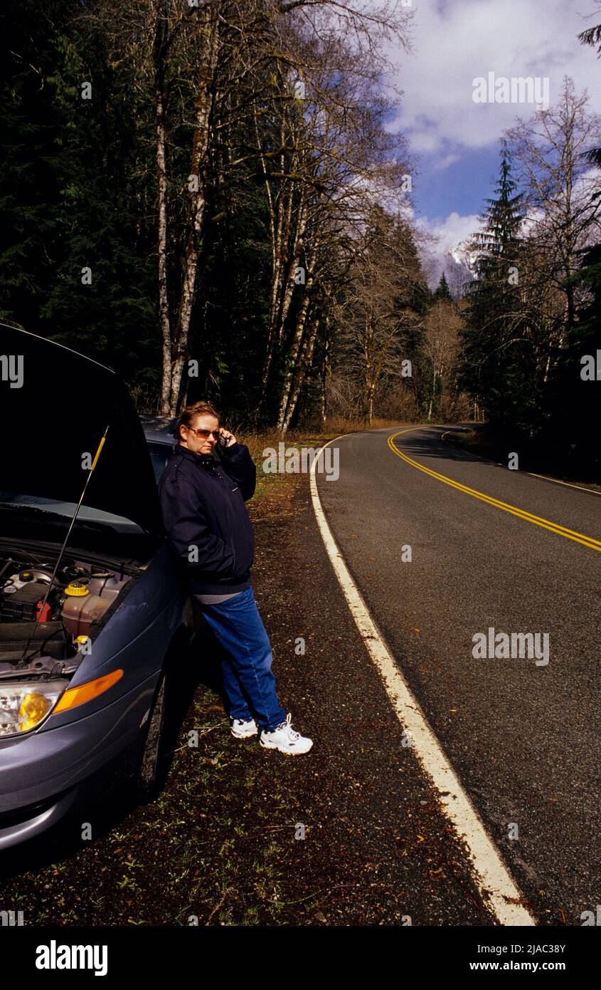 Car breakdown along North Cascades highway, Silverton, Washington Stock Photohttps://www.alamy.com/image-license-details/?v=1https://www.alamy.com/car-breakdown-along-north-cascades-highway-silverton-washington-image471092523.html
RM2JAC38Y–Car breakdown along North Cascades highway, Silverton, Washington
 Bridge 56, spanning the S. Fork of the Stillaguamish River, leads to the old town of Silverton, WA. Stock Photohttps://www.alamy.com/image-license-details/?v=1https://www.alamy.com/stock-photo-bridge-56-spanning-the-s-fork-of-the-stillaguamish-river-leads-to-25430646.html
RFBDAD1A–Bridge 56, spanning the S. Fork of the Stillaguamish River, leads to the old town of Silverton, WA.
![360 degree panoramic view of Big Four Ice Caves (interior), Silverton, WA, USA [1] 360 degree panoramic view of Big Four Ice Caves (interior), Silverton, WA, USA [1]](https://l13.alamy.com/360/PN5G3T/big-four-ice-caves-interior-silverton-wa-usa-1-PN5G3T.jpg) 360 degree panoramic view of Big Four Ice Caves (interior), Silverton, WA, USA [1]https://www.alamy.com/image-license-details/?v=1https://www.alamy.com/360-degree-panoramic-view-of-big-four-ice-caves-interior-silverton-wa-usa-1-image219554604.html
360 degree panoramic view of Big Four Ice Caves (interior), Silverton, WA, USA [1]https://www.alamy.com/image-license-details/?v=1https://www.alamy.com/360-degree-panoramic-view-of-big-four-ice-caves-interior-silverton-wa-usa-1-image219554604.htmlRF360°PN5G3T–Big Four Ice Caves (interior), Silverton, WA, USA [1]
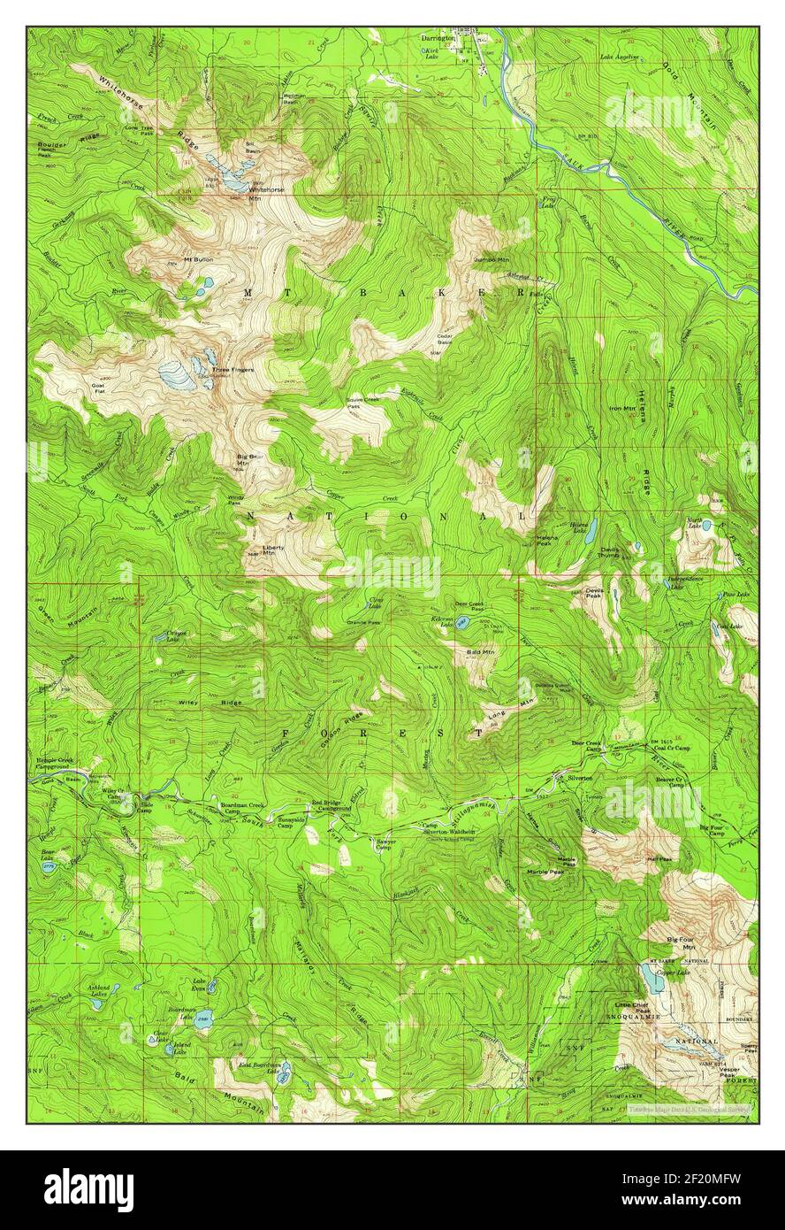 Silverton, Washington, map 1957, 1:62500, United States of America by Timeless Maps, data U.S. Geological Survey Stock Photohttps://www.alamy.com/image-license-details/?v=1https://www.alamy.com/silverton-washington-map-1957-162500-united-states-of-america-by-timeless-maps-data-us-geological-survey-image414294269.html
RM2F20MFW–Silverton, Washington, map 1957, 1:62500, United States of America by Timeless Maps, data U.S. Geological Survey
 Rendering of a green 3d highway sign for San Juan County Stock Photohttps://www.alamy.com/image-license-details/?v=1https://www.alamy.com/rendering-of-a-green-3d-highway-sign-for-san-juan-county-image338546126.html
RF2AJP312–Rendering of a green 3d highway sign for San Juan County
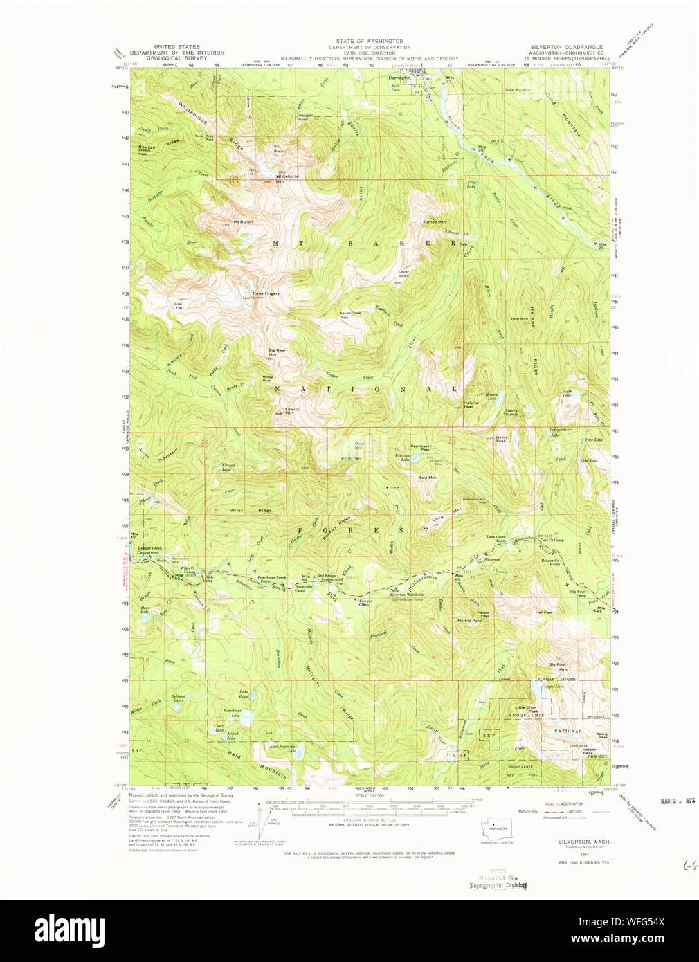 USGS Topo Map Washington State WA Silverton 243724 1957 62500 Restoration Stock Photohttps://www.alamy.com/image-license-details/?v=1https://www.alamy.com/usgs-topo-map-washington-state-wa-silverton-243724-1957-62500-restoration-image267730650.html
RMWFG54X–USGS Topo Map Washington State WA Silverton 243724 1957 62500 Restoration
 Liriodendron tulipifera at the Oregon Garden in Silverton, OR, planted from seeds from a tulip tree at Mount Vernon, planted by George Washington. Stock Photohttps://www.alamy.com/image-license-details/?v=1https://www.alamy.com/liriodendron-tulipifera-at-the-oregon-garden-in-silverton-or-planted-from-seeds-from-a-tulip-tree-at-mount-vernon-planted-by-george-washington-image359462264.html
RM2BTPWP0–Liriodendron tulipifera at the Oregon Garden in Silverton, OR, planted from seeds from a tulip tree at Mount Vernon, planted by George Washington.
 Car breakdown along North Cascades highway, Silverton, Washington Stock Photohttps://www.alamy.com/image-license-details/?v=1https://www.alamy.com/car-breakdown-along-north-cascades-highway-silverton-washington-image471092527.html
RM2JAC393–Car breakdown along North Cascades highway, Silverton, Washington
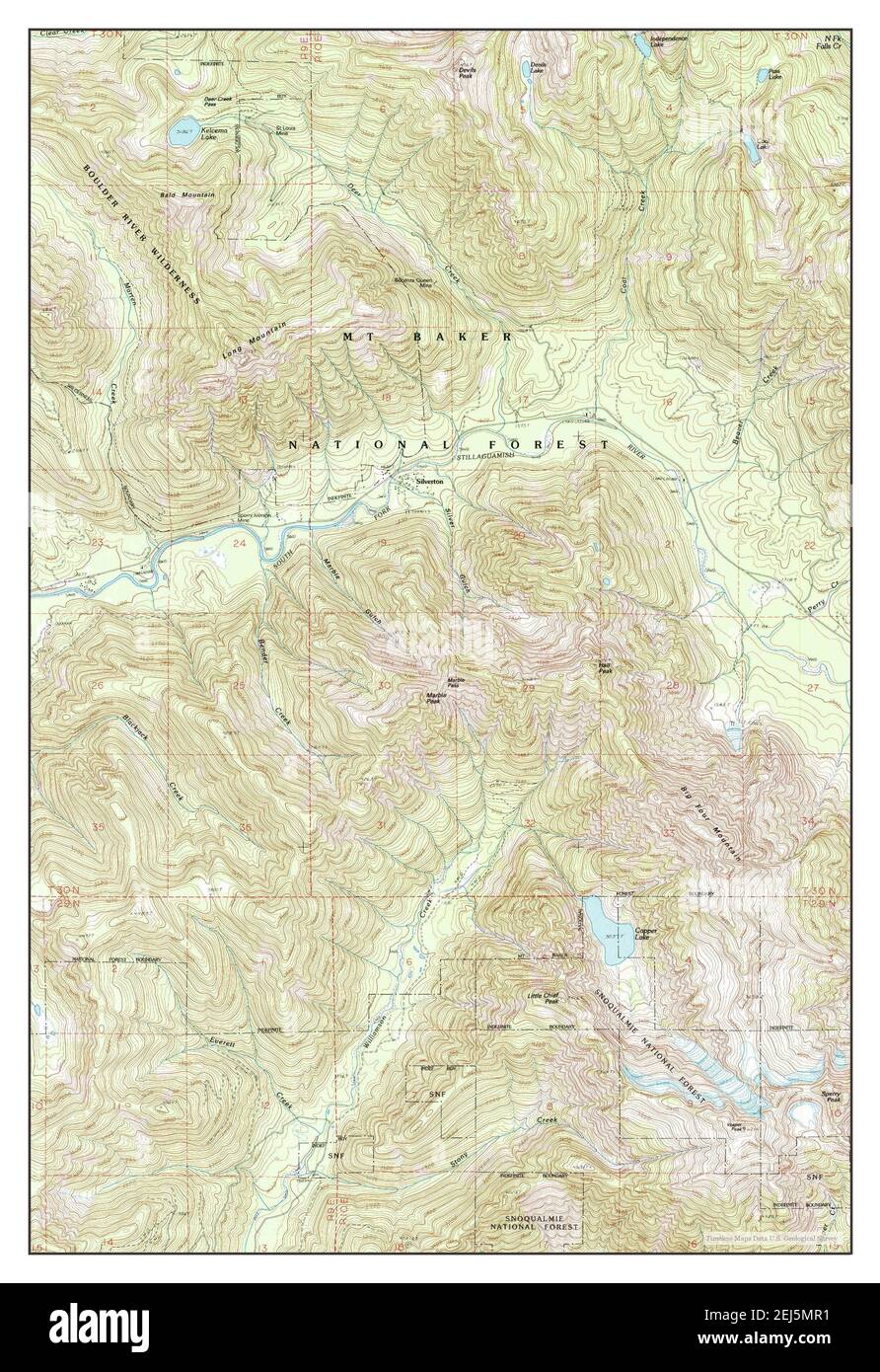 Silverton, Washington, map 1989, 1:24000, United States of America by Timeless Maps, data U.S. Geological Survey Stock Photohttps://www.alamy.com/image-license-details/?v=1https://www.alamy.com/silverton-washington-map-1989-124000-united-states-of-america-by-timeless-maps-data-us-geological-survey-image407028357.html
RM2EJ5MR1–Silverton, Washington, map 1989, 1:24000, United States of America by Timeless Maps, data U.S. Geological Survey
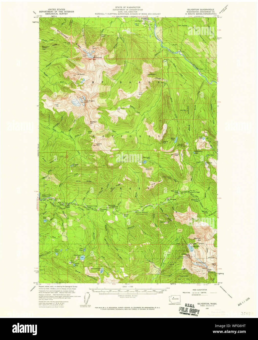 USGS Topo Map Washington State WA Silverton 243726 1957 62500 Restoration Stock Photohttps://www.alamy.com/image-license-details/?v=1https://www.alamy.com/usgs-topo-map-washington-state-wa-silverton-243726-1957-62500-restoration-image267731796.html
RMWFG6HT–USGS Topo Map Washington State WA Silverton 243726 1957 62500 Restoration
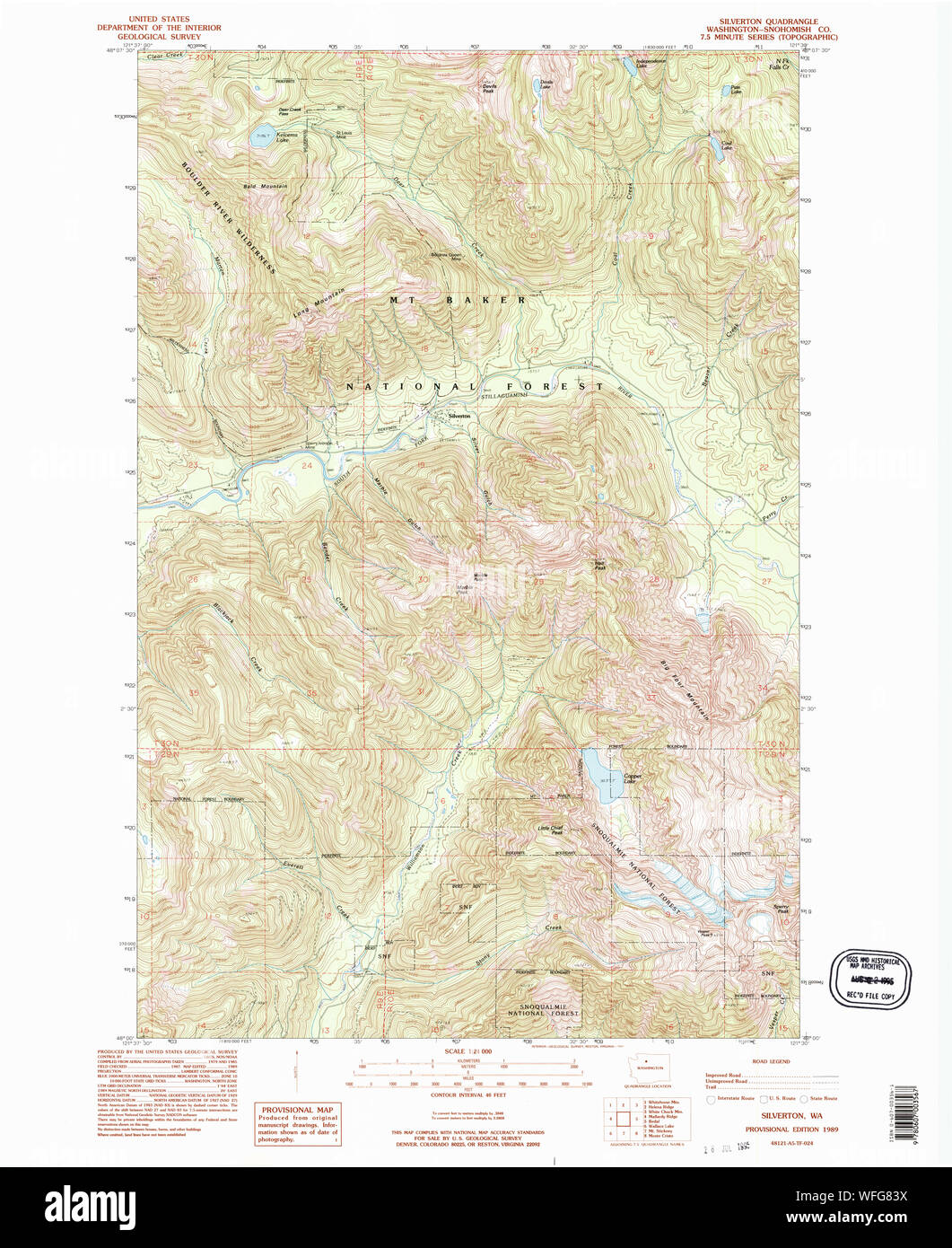 USGS Topo Map Washington State WA Silverton 243727 1989 24000 Restoration Stock Photohttps://www.alamy.com/image-license-details/?v=1https://www.alamy.com/usgs-topo-map-washington-state-wa-silverton-243727-1989-24000-restoration-image267732974.html
RMWFG83X–USGS Topo Map Washington State WA Silverton 243727 1989 24000 Restoration
 Liriodendron tulipifera at the Oregon Garden in Silverton, OR, planted from seeds from a tulip tree at Mount Vernon, planted by George Washington. Stock Photohttps://www.alamy.com/image-license-details/?v=1https://www.alamy.com/liriodendron-tulipifera-at-the-oregon-garden-in-silverton-or-planted-from-seeds-from-a-tulip-tree-at-mount-vernon-planted-by-george-washington-image359462261.html
RM2BTPWNW–Liriodendron tulipifera at the Oregon Garden in Silverton, OR, planted from seeds from a tulip tree at Mount Vernon, planted by George Washington.
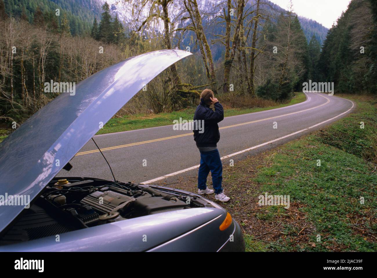 Car breakdown along North Cascades highway, Silverton, Washington Stock Photohttps://www.alamy.com/image-license-details/?v=1https://www.alamy.com/car-breakdown-along-north-cascades-highway-silverton-washington-image471092539.html
RM2JAC39F–Car breakdown along North Cascades highway, Silverton, Washington
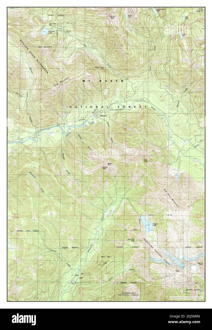 Silverton, Washington, map 1989, 1:24000, United States of America by Timeless Maps, data U.S. Geological Survey Stock Photohttps://www.alamy.com/image-license-details/?v=1https://www.alamy.com/silverton-washington-map-1989-124000-united-states-of-america-by-timeless-maps-data-us-geological-survey-image407028362.html
RM2EJ5MR6–Silverton, Washington, map 1989, 1:24000, United States of America by Timeless Maps, data U.S. Geological Survey
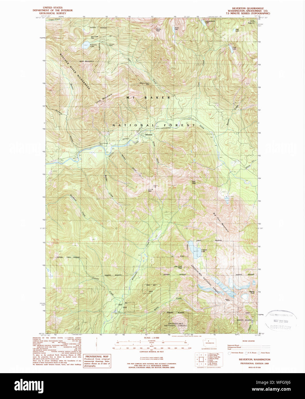 USGS Topo Map Washington State WA Silverton 243728 1989 24000 Restoration Stock Photohttps://www.alamy.com/image-license-details/?v=1https://www.alamy.com/usgs-topo-map-washington-state-wa-silverton-243728-1989-24000-restoration-image267734158.html
RMWFG9J6–USGS Topo Map Washington State WA Silverton 243728 1989 24000 Restoration
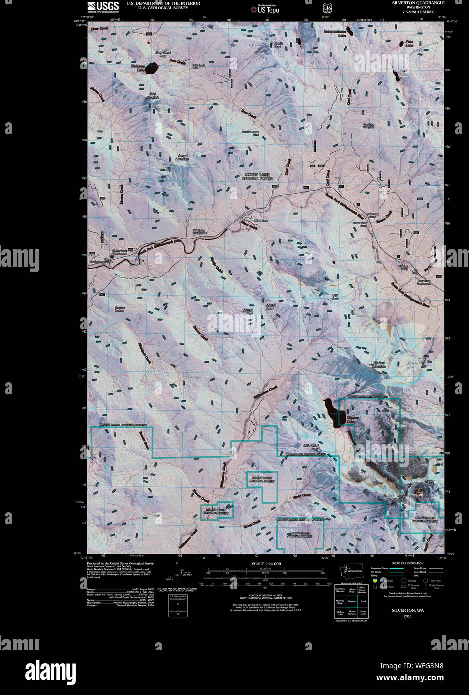 USGS Topo Map Washington State WA Silverton 20110425 TM Inverted Restoration Stock Photohttps://www.alamy.com/image-license-details/?v=1https://www.alamy.com/usgs-topo-map-washington-state-wa-silverton-20110425-tm-inverted-restoration-image267729540.html
RMWFG3N8–USGS Topo Map Washington State WA Silverton 20110425 TM Inverted Restoration
 USGS Topo Map Washington State WA Silverton 243726 1957 62500 Inverted Restoration Stock Photohttps://www.alamy.com/image-license-details/?v=1https://www.alamy.com/usgs-topo-map-washington-state-wa-silverton-243726-1957-62500-inverted-restoration-image267731400.html
RMWFG63M–USGS Topo Map Washington State WA Silverton 243726 1957 62500 Inverted Restoration
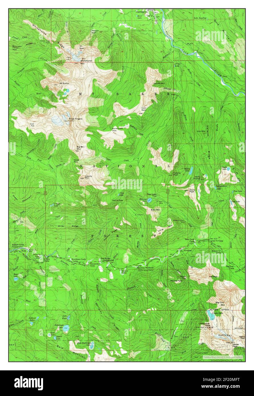 Silverton, Washington, map 1957, 1:62500, United States of America by Timeless Maps, data U.S. Geological Survey Stock Photohttps://www.alamy.com/image-license-details/?v=1https://www.alamy.com/silverton-washington-map-1957-162500-united-states-of-america-by-timeless-maps-data-us-geological-survey-image414294268.html
RM2F20MFT–Silverton, Washington, map 1957, 1:62500, United States of America by Timeless Maps, data U.S. Geological Survey
 USGS Topo Map Washington State WA Silverton 243724 1957 62500 Inverted Restoration Stock Photohttps://www.alamy.com/image-license-details/?v=1https://www.alamy.com/usgs-topo-map-washington-state-wa-silverton-243724-1957-62500-inverted-restoration-image267730630.html
RMWFG546–USGS Topo Map Washington State WA Silverton 243724 1957 62500 Inverted Restoration
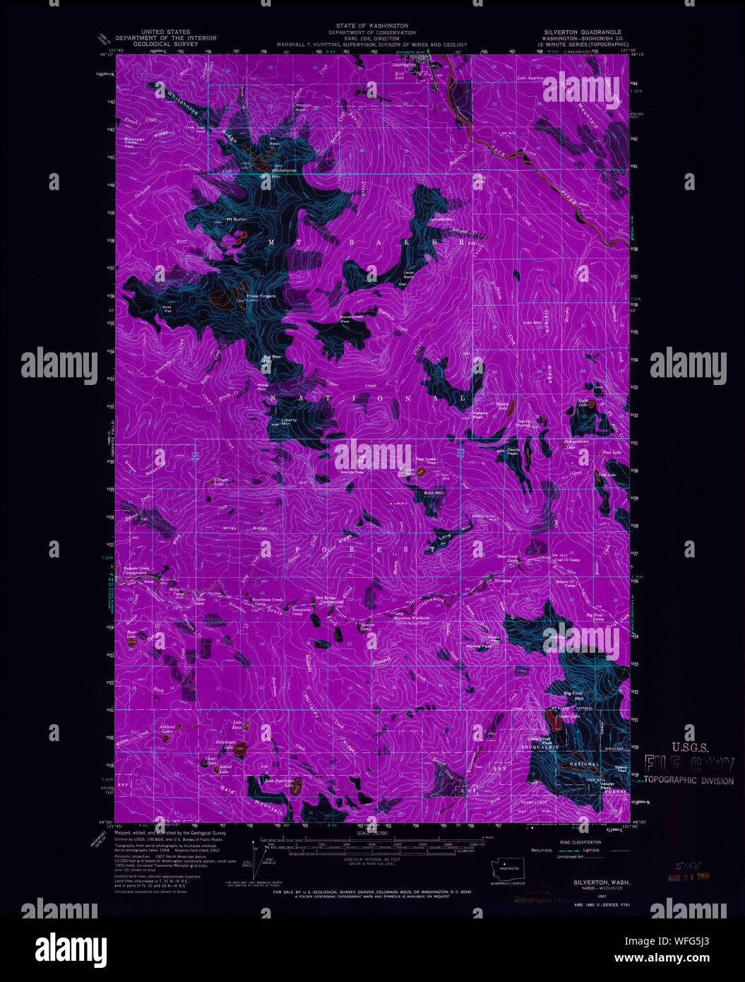 USGS Topo Map Washington State WA Silverton 243725 1957 62500 Inverted Restoration Stock Photohttps://www.alamy.com/image-license-details/?v=1https://www.alamy.com/usgs-topo-map-washington-state-wa-silverton-243725-1957-62500-inverted-restoration-image267731019.html
RMWFG5J3–USGS Topo Map Washington State WA Silverton 243725 1957 62500 Inverted Restoration
 USGS Topo Map Washington State WA Silverton 243727 1989 24000 Inverted Restoration Stock Photohttps://www.alamy.com/image-license-details/?v=1https://www.alamy.com/usgs-topo-map-washington-state-wa-silverton-243727-1989-24000-inverted-restoration-image267732574.html
RMWFG7HJ–USGS Topo Map Washington State WA Silverton 243727 1989 24000 Inverted Restoration
 USGS Topo Map Washington State WA Silverton 243728 1989 24000 Inverted Restoration Stock Photohttps://www.alamy.com/image-license-details/?v=1https://www.alamy.com/usgs-topo-map-washington-state-wa-silverton-243728-1989-24000-inverted-restoration-image267733755.html
RMWFG93R–USGS Topo Map Washington State WA Silverton 243728 1989 24000 Inverted Restoration