South africa grey map vector Stock Photos and Images
(843)See south africa grey map vector stock video clipsQuick filters:
South africa grey map vector Stock Photos and Images
 White World map on grey background Stock Photohttps://www.alamy.com/image-license-details/?v=1https://www.alamy.com/white-world-map-on-grey-background-image503121945.html
RF2M6F54W–White World map on grey background
 White World map on grey background Stock Photohttps://www.alamy.com/image-license-details/?v=1https://www.alamy.com/white-world-map-on-grey-background-image397967471.html
RF2E3CYFY–White World map on grey background
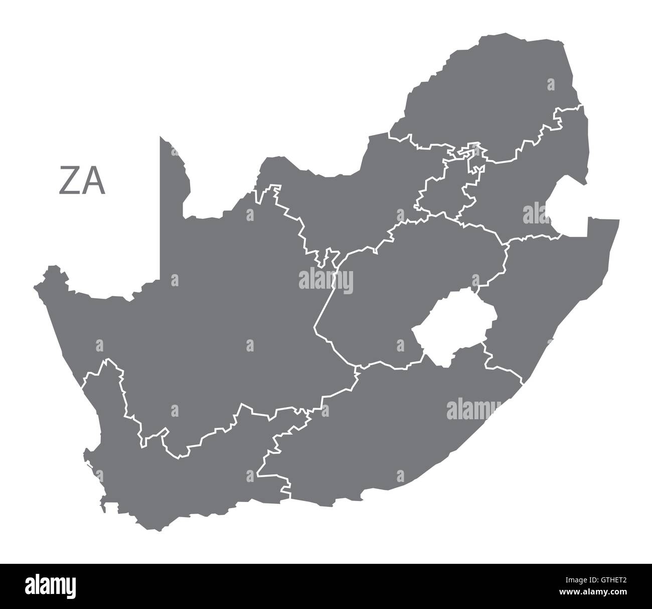 South Africa grey map vector Stock Vectorhttps://www.alamy.com/image-license-details/?v=1https://www.alamy.com/stock-photo-south-africa-grey-map-vector-118398786.html
RFGTHET2–South Africa grey map vector
 a three-dimensional map of the world in the blue background. 3d illustration. Stock Photohttps://www.alamy.com/image-license-details/?v=1https://www.alamy.com/a-three-dimensional-map-of-the-world-in-the-blue-background-3d-illustration-image364429396.html
RF2C4W5BG–a three-dimensional map of the world in the blue background. 3d illustration.
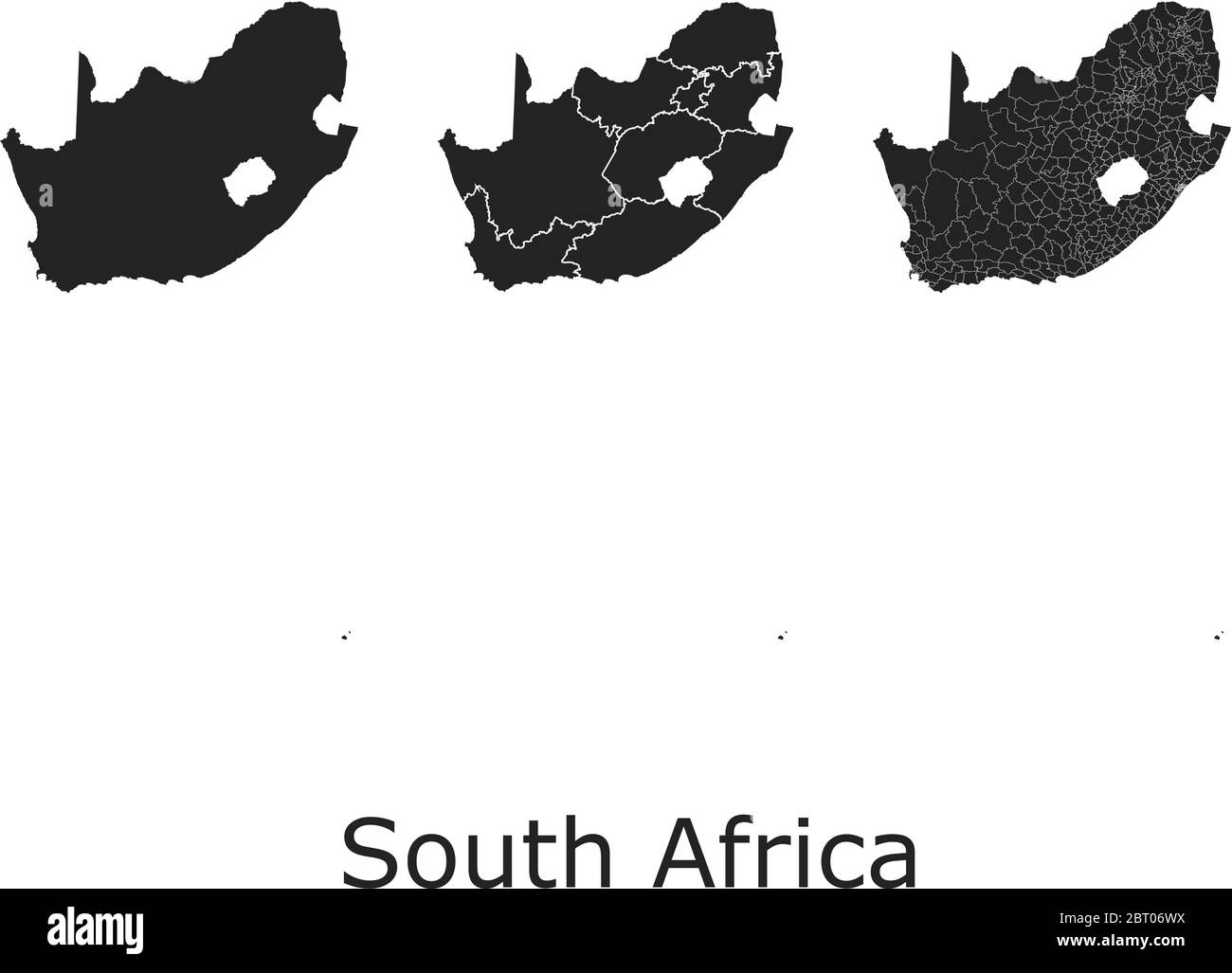 South Africa vector maps with administrative regions, municipalities, departments, borders Stock Vectorhttps://www.alamy.com/image-license-details/?v=1https://www.alamy.com/south-africa-vector-maps-with-administrative-regions-municipalities-departments-borders-image358964534.html
RF2BT06WX–South Africa vector maps with administrative regions, municipalities, departments, borders
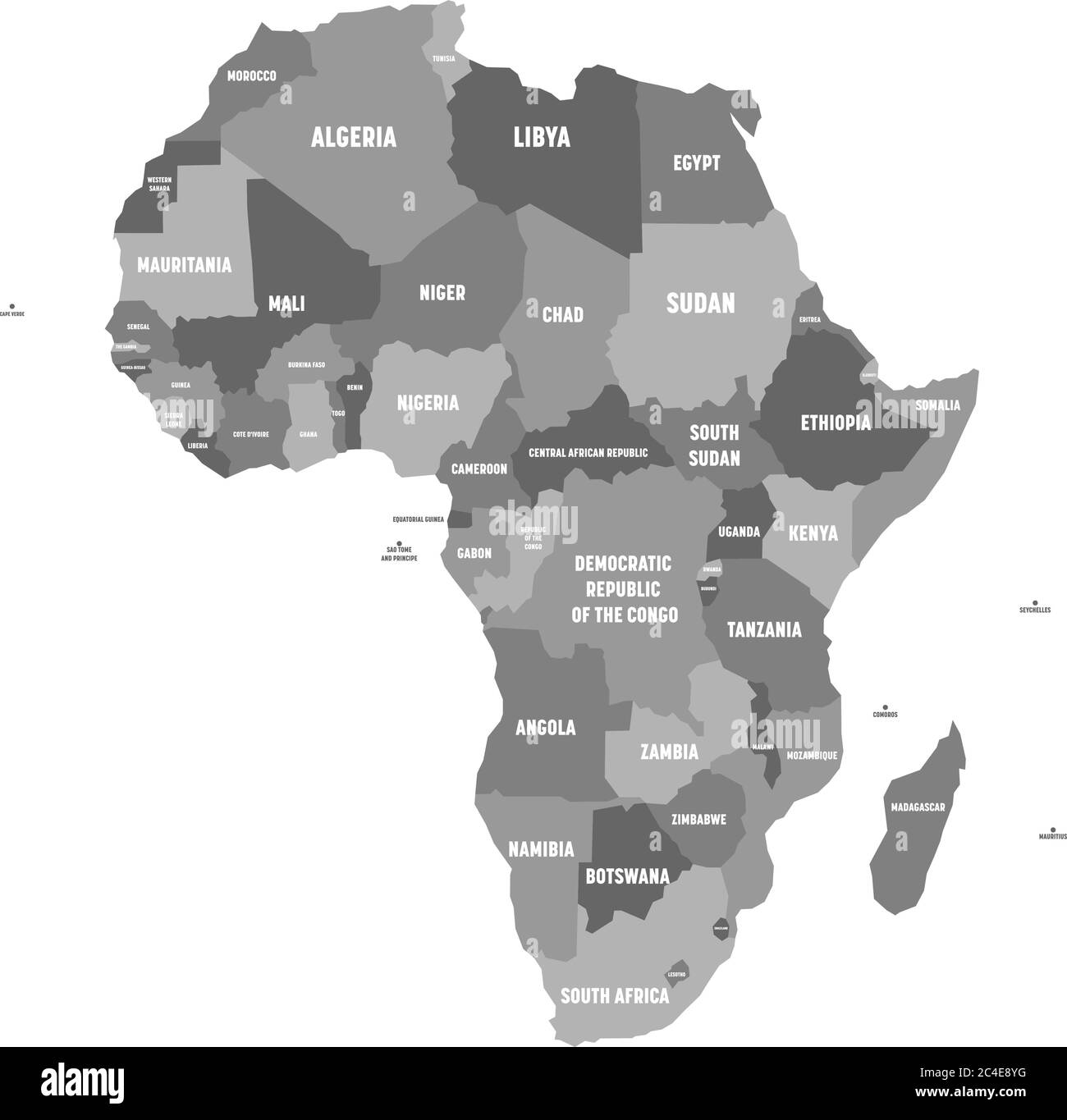 Political map of Africa in four shades of grey with white country name labels on white background. Vector illustration. Stock Vectorhttps://www.alamy.com/image-license-details/?v=1https://www.alamy.com/political-map-of-africa-in-four-shades-of-grey-with-white-country-name-labels-on-white-background-vector-illustration-image364190724.html
RF2C4E8YG–Political map of Africa in four shades of grey with white country name labels on white background. Vector illustration.
 South Africa, Africa. Stock Photohttps://www.alamy.com/image-license-details/?v=1https://www.alamy.com/stock-photo-south-africa-africa-106716400.html
RMG5H9T0–South Africa, Africa.
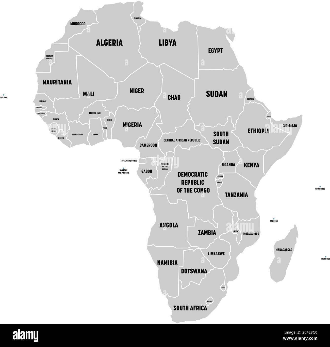 Simple flat grey map of Africa continent with national borders and country name labels on white background. Vector illustration. Stock Vectorhttps://www.alamy.com/image-license-details/?v=1https://www.alamy.com/simple-flat-grey-map-of-africa-continent-with-national-borders-and-country-name-labels-on-white-background-vector-illustration-image364190400.html
RF2C4E8G0–Simple flat grey map of Africa continent with national borders and country name labels on white background. Vector illustration.
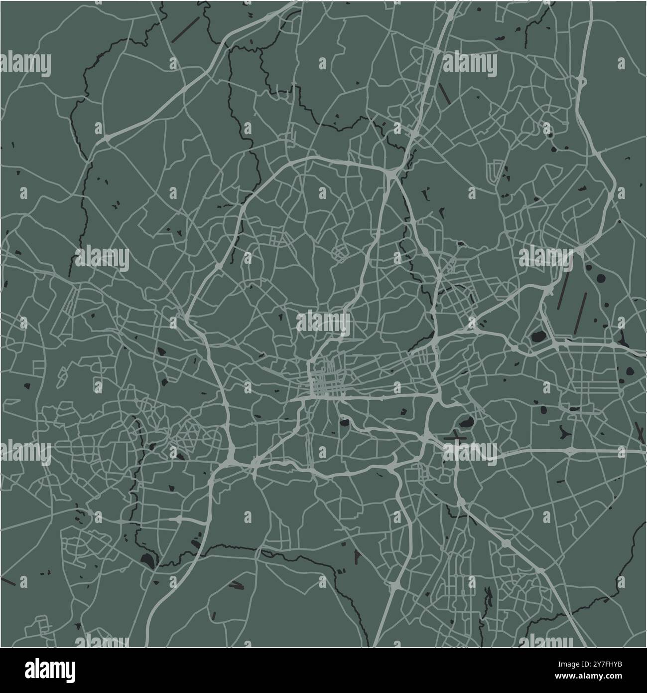 Map of Johannesburg in South Africa in a smooth dark style. Contains layered vector with roads water, parks, etc. Stock Vectorhttps://www.alamy.com/image-license-details/?v=1https://www.alamy.com/map-of-johannesburg-in-south-africa-in-a-smooth-dark-style-contains-layered-vector-with-roads-water-parks-etc-image624219215.html
RF2Y7FHYB–Map of Johannesburg in South Africa in a smooth dark style. Contains layered vector with roads water, parks, etc.
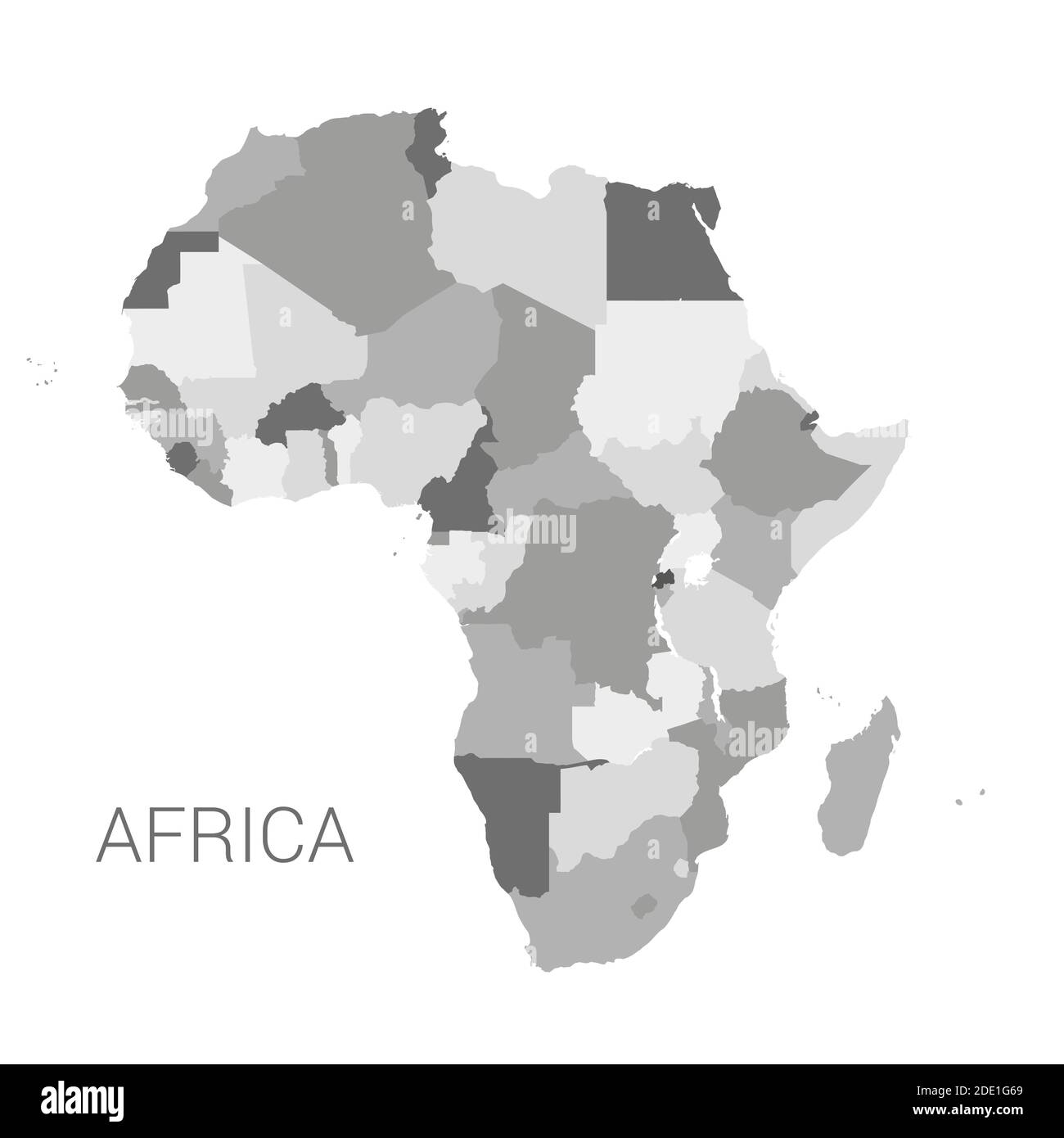 Vectro africa map. Detailed africa map with borders of states isolated on white background vector illustration. Stock Vectorhttps://www.alamy.com/image-license-details/?v=1https://www.alamy.com/vectro-africa-map-detailed-africa-map-with-borders-of-states-isolated-on-white-background-vector-illustration-image387267953.html
RF2DE1G69–Vectro africa map. Detailed africa map with borders of states isolated on white background vector illustration.
 Mpumalanga South Africa Map grey Stock Photohttps://www.alamy.com/image-license-details/?v=1https://www.alamy.com/stock-image-mpumalanga-south-africa-map-grey-169216267.html
RFKR8D23–Mpumalanga South Africa Map grey
 Pakistan VS South Africa flags. Islamic Republic of Pakistan VS South African flags, isolated on grey world map background. Vector illustration. Stock Vectorhttps://www.alamy.com/image-license-details/?v=1https://www.alamy.com/pakistan-vs-south-africa-flags-islamic-republic-of-pakistan-vs-south-african-flags-isolated-on-grey-world-map-background-vector-illustration-image485201027.html
RF2K5APT3–Pakistan VS South Africa flags. Islamic Republic of Pakistan VS South African flags, isolated on grey world map background. Vector illustration.
 Hexagons Grey Color World Map Vector illustration. Stock Vectorhttps://www.alamy.com/image-license-details/?v=1https://www.alamy.com/hexagons-grey-color-world-map-vector-illustration-image345219855.html
RF2B1J3CF–Hexagons Grey Color World Map Vector illustration.
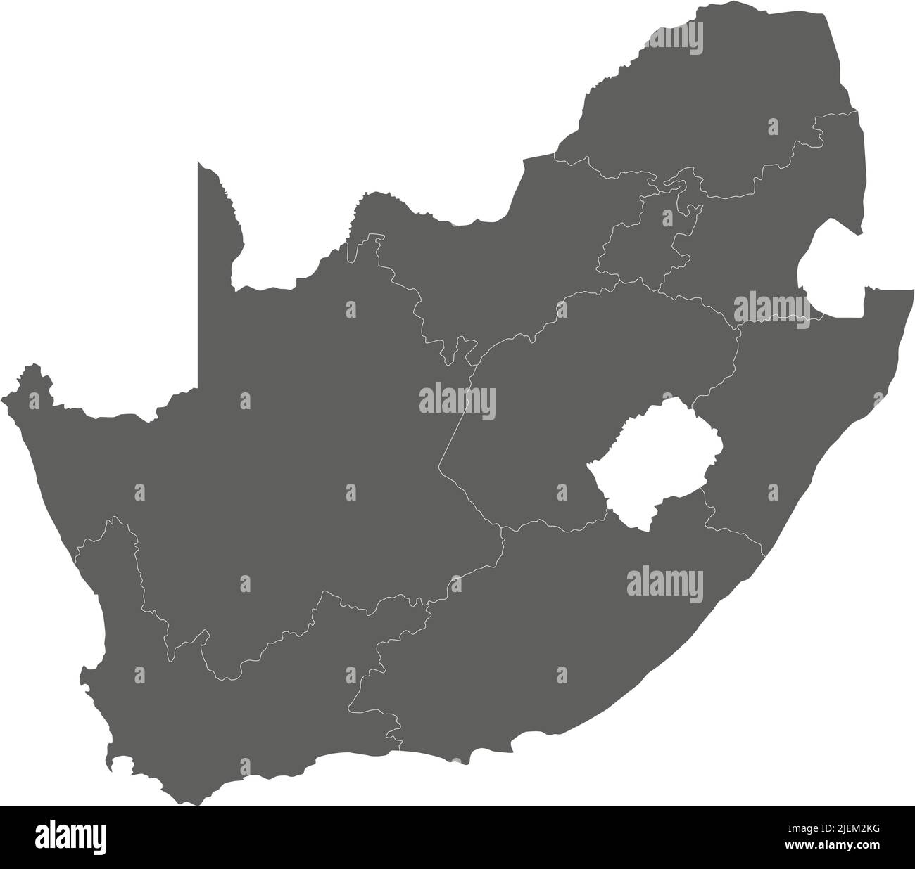 Vector blank map of South Africa with provinces and administrative divisions. Editable and clearly labeled layers. Stock Vectorhttps://www.alamy.com/image-license-details/?v=1https://www.alamy.com/vector-blank-map-of-south-africa-with-provinces-and-administrative-divisions-editable-and-clearly-labeled-layers-image473726276.html
RF2JEM2KG–Vector blank map of South Africa with provinces and administrative divisions. Editable and clearly labeled layers.
 Vector Blank Grey, linear similar World map isolated on white background. Monochrome Worldmap template website design cover, annual reports, infograph Stock Vectorhttps://www.alamy.com/image-license-details/?v=1https://www.alamy.com/stock-photo-vector-blank-grey-linear-similar-world-map-isolated-on-white-background-145157596.html
RFJC4DYT–Vector Blank Grey, linear similar World map isolated on white background. Monochrome Worldmap template website design cover, annual reports, infograph
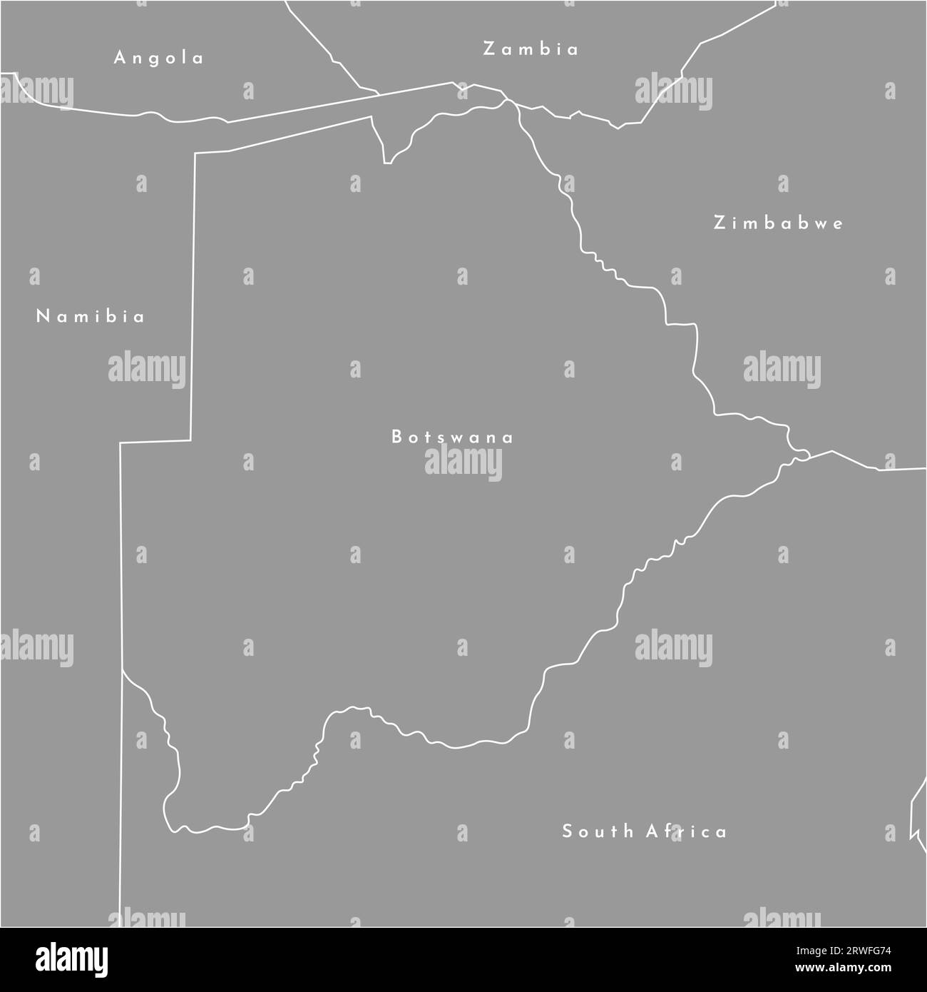 Vector modern illustration. Simplified map of Botswana in the centre and borders with neighboring countries (Namibia, Zimbabwe, Zambia, South Africa). Stock Vectorhttps://www.alamy.com/image-license-details/?v=1https://www.alamy.com/vector-modern-illustration-simplified-map-of-botswana-in-the-centre-and-borders-with-neighboring-countries-namibia-zimbabwe-zambia-south-africa-image566440200.html
RF2RWFG74–Vector modern illustration. Simplified map of Botswana in the centre and borders with neighboring countries (Namibia, Zimbabwe, Zambia, South Africa).
 World map vector, isolated on grey background. Flat Earth, gray map template for web site pattern, annual report, infographics. Globe similar world Stock Vectorhttps://www.alamy.com/image-license-details/?v=1https://www.alamy.com/world-map-vector-isolated-on-grey-background-flat-earth-gray-map-template-for-web-site-pattern-annual-report-infographics-globe-similar-world-image388706522.html
RF2DGB33P–World map vector, isolated on grey background. Flat Earth, gray map template for web site pattern, annual report, infographics. Globe similar world
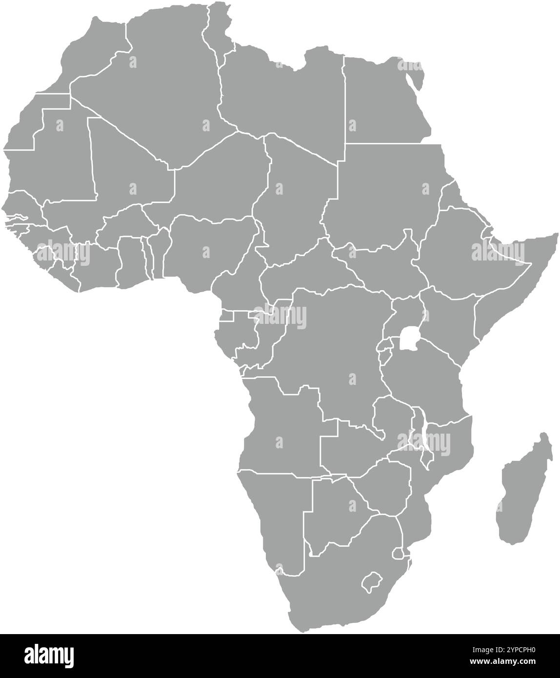 Africa Grey MAP in Blue, Country Border, Africa Grey Map, Border line of Africa Grey, Geographic Map Stock Vectorhttps://www.alamy.com/image-license-details/?v=1https://www.alamy.com/africa-grey-map-in-blue-country-border-africa-grey-map-border-line-of-africa-grey-geographic-map-image633376828.html
RF2YPCPH0–Africa Grey MAP in Blue, Country Border, Africa Grey Map, Border line of Africa Grey, Geographic Map
 UK Great Britain and South Africa flags. The United Kingdom vs South African flags, isolated on grey world map background. Vector illustration. Stock Vectorhttps://www.alamy.com/image-license-details/?v=1https://www.alamy.com/uk-great-britain-and-south-africa-flags-the-united-kingdom-vs-south-african-flags-isolated-on-grey-world-map-background-vector-illustration-image485211142.html
RF2K5B7NA–UK Great Britain and South Africa flags. The United Kingdom vs South African flags, isolated on grey world map background. Vector illustration.
 White World map on green background Stock Photohttps://www.alamy.com/image-license-details/?v=1https://www.alamy.com/white-world-map-on-green-background-image503122012.html
RF2M6F578–White World map on green background
 White World map on grey background Stock Photohttps://www.alamy.com/image-license-details/?v=1https://www.alamy.com/white-world-map-on-grey-background-image397967453.html
RF2E3CYF9–White World map on grey background
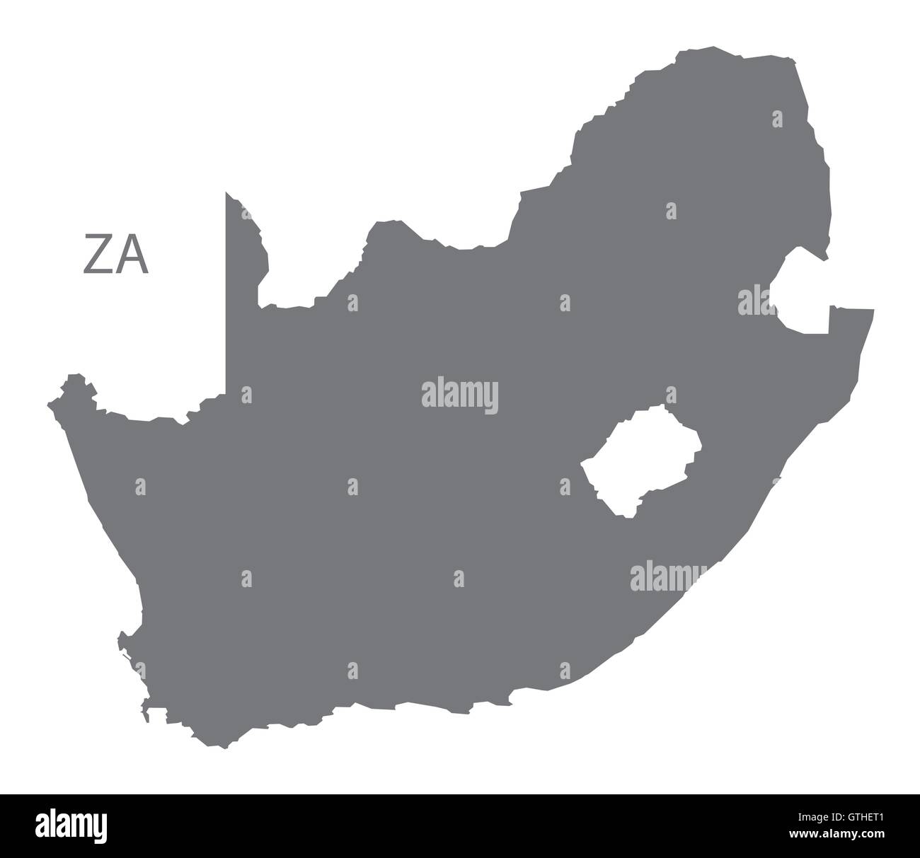 South Africa grey map vector Stock Vectorhttps://www.alamy.com/image-license-details/?v=1https://www.alamy.com/stock-photo-south-africa-grey-map-vector-118398785.html
RFGTHET1–South Africa grey map vector
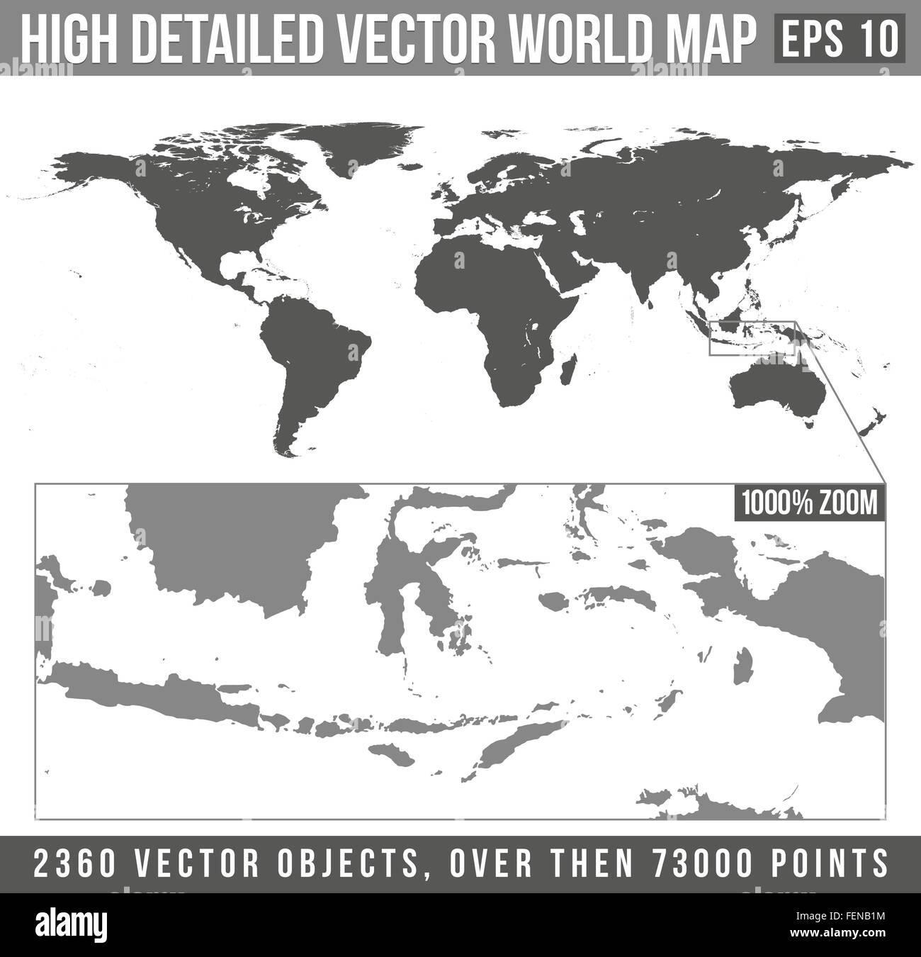 vector high detailed grey world map Stock Vectorhttps://www.alamy.com/image-license-details/?v=1https://www.alamy.com/stock-photo-vector-high-detailed-grey-world-map-95126688.html
RFFENB1M–vector high detailed grey world map
 South Africa metal map on a black metal grid. Stock Vectorhttps://www.alamy.com/image-license-details/?v=1https://www.alamy.com/stock-photo-south-africa-metal-map-on-a-black-metal-grid-101876241.html
RFFWMT55–South Africa metal map on a black metal grid.
 vector dark grey on white world map Stock Vectorhttps://www.alamy.com/image-license-details/?v=1https://www.alamy.com/stock-photo-vector-dark-grey-on-white-world-map-95126671.html
RFFENB13–vector dark grey on white world map
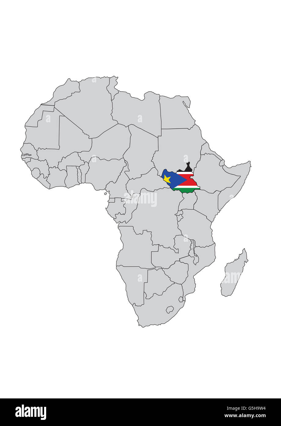 South Sudan, Africa. Stock Photohttps://www.alamy.com/image-license-details/?v=1https://www.alamy.com/stock-photo-south-sudan-africa-106716432.html
RMG5H9W4–South Sudan, Africa.
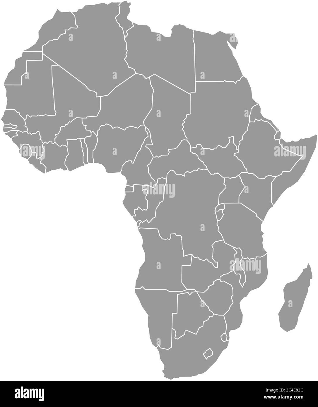 Simple flat grey map of Africa continent with national borders isolated on white background. Vector illustration. Stock Vectorhttps://www.alamy.com/image-license-details/?v=1https://www.alamy.com/simple-flat-grey-map-of-africa-continent-with-national-borders-isolated-on-white-background-vector-illustration-image364190024.html
RF2C4E82G–Simple flat grey map of Africa continent with national borders isolated on white background. Vector illustration.
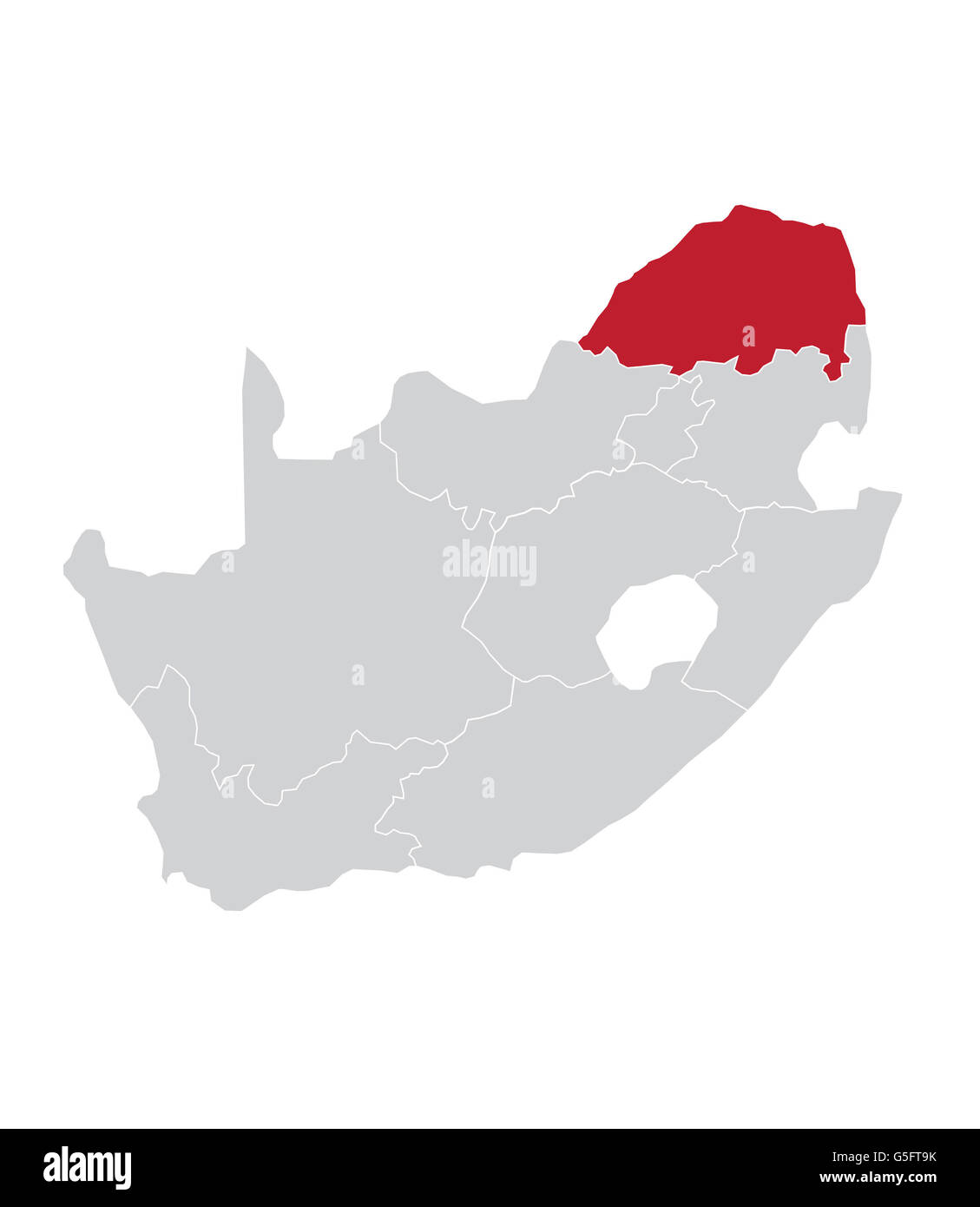 Map of Limpopo, South Africa Stock Photohttps://www.alamy.com/image-license-details/?v=1https://www.alamy.com/stock-photo-map-of-limpopo-south-africa-106683855.html
RMG5FT9K–Map of Limpopo, South Africa
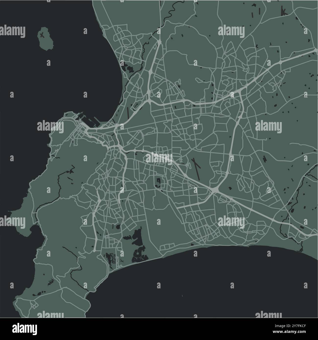 Map of Cape Town in South Africa in a smooth dark style. Contains layered vector with roads water, parks, etc. Stock Vectorhttps://www.alamy.com/image-license-details/?v=1https://www.alamy.com/map-of-cape-town-in-south-africa-in-a-smooth-dark-style-contains-layered-vector-with-roads-water-parks-etc-image624220367.html
RF2Y7FKCF–Map of Cape Town in South Africa in a smooth dark style. Contains layered vector with roads water, parks, etc.
 Limpopo South Africa Map grey Stock Photohttps://www.alamy.com/image-license-details/?v=1https://www.alamy.com/stock-image-limpopo-south-africa-map-grey-169216266.html
RFKR8D22–Limpopo South Africa Map grey
 World map vector, isolated on white background. Flat Earth, gray map template for web site pattern, anual report, inphographics. Globe similar Stock Vectorhttps://www.alamy.com/image-license-details/?v=1https://www.alamy.com/world-map-vector-isolated-on-white-background-flat-earth-gray-map-template-for-web-site-pattern-anual-report-inphographics-globe-similar-image357194926.html
RF2BN3HNJ–World map vector, isolated on white background. Flat Earth, gray map template for web site pattern, anual report, inphographics. Globe similar
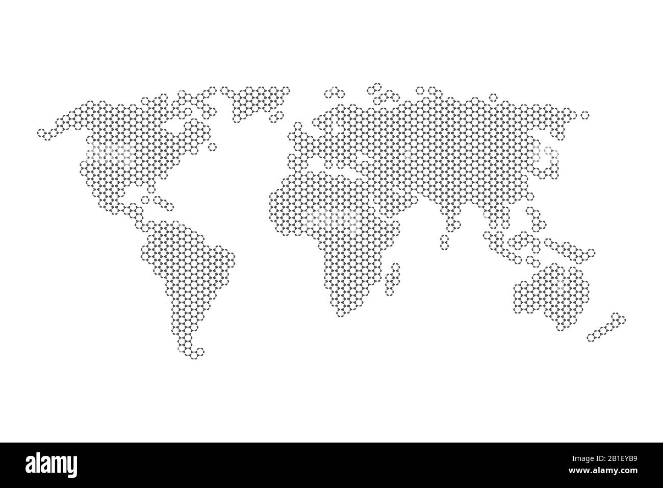 Hexagons Grey Color World Map Vector illustration. Stock Vectorhttps://www.alamy.com/image-license-details/?v=1https://www.alamy.com/hexagons-grey-color-world-map-vector-illustration-image345150829.html
RF2B1EYB9–Hexagons Grey Color World Map Vector illustration.
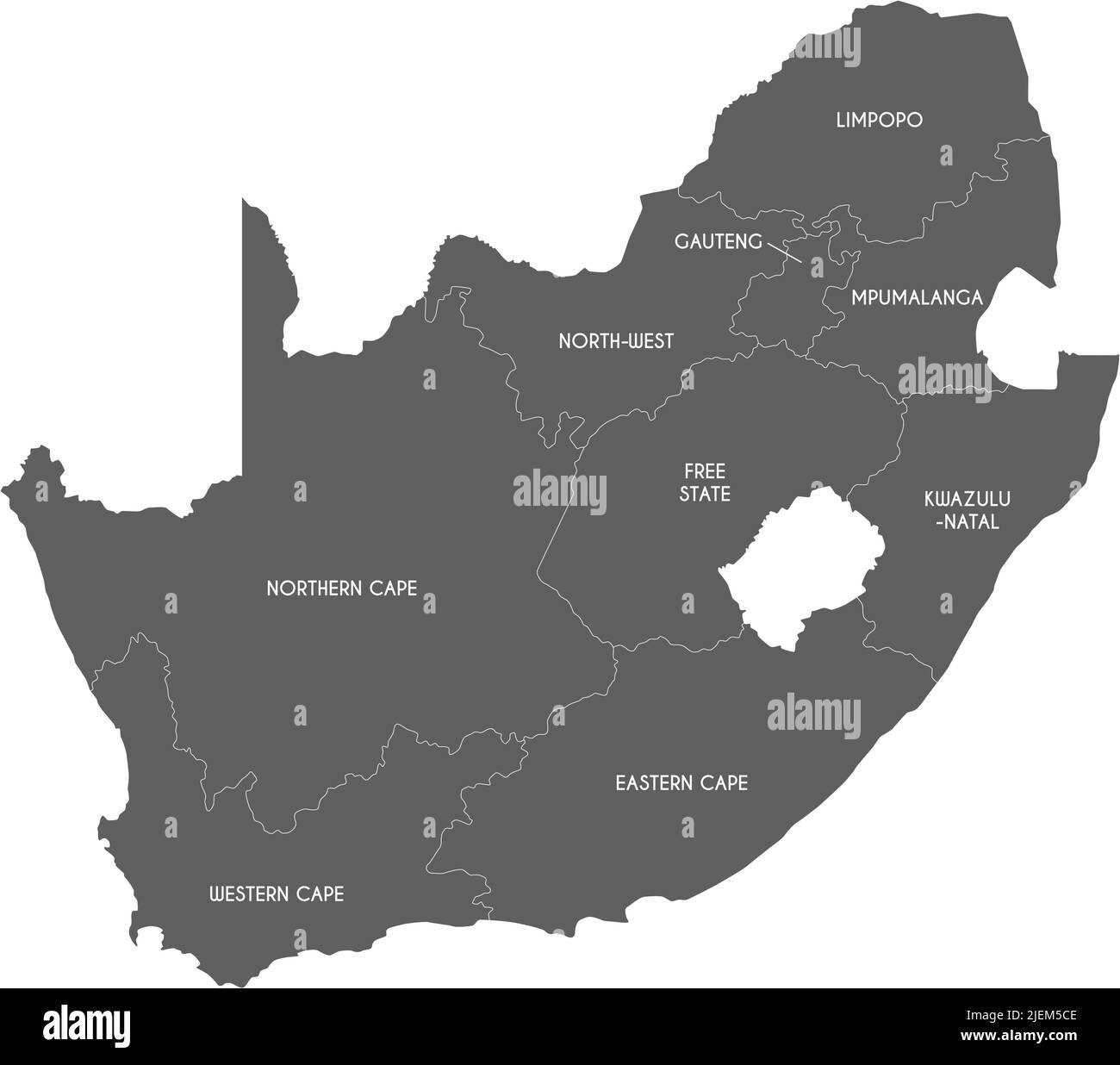 Vector map of South Africa with provinces and administrative divisions. Editable and clearly labeled layers. Stock Vectorhttps://www.alamy.com/image-license-details/?v=1https://www.alamy.com/vector-map-of-south-africa-with-provinces-and-administrative-divisions-editable-and-clearly-labeled-layers-image473728430.html
RF2JEM5CE–Vector map of South Africa with provinces and administrative divisions. Editable and clearly labeled layers.
 Political map of world with in grey. EPS10 vector illustration. Stock Vectorhttps://www.alamy.com/image-license-details/?v=1https://www.alamy.com/political-map-of-world-with-in-grey-eps10-vector-illustration-image365258409.html
RF2C66XR5–Political map of world with in grey. EPS10 vector illustration.
 Abstract dotted black and white halftone effect vector map of South Africa. Country map digital dotted design vector illustration. Stock Vectorhttps://www.alamy.com/image-license-details/?v=1https://www.alamy.com/abstract-dotted-black-and-white-halftone-effect-vector-map-of-south-africa-country-map-digital-dotted-design-vector-illustration-image452222384.html
RF2H7ME7C–Abstract dotted black and white halftone effect vector map of South Africa. Country map digital dotted design vector illustration.
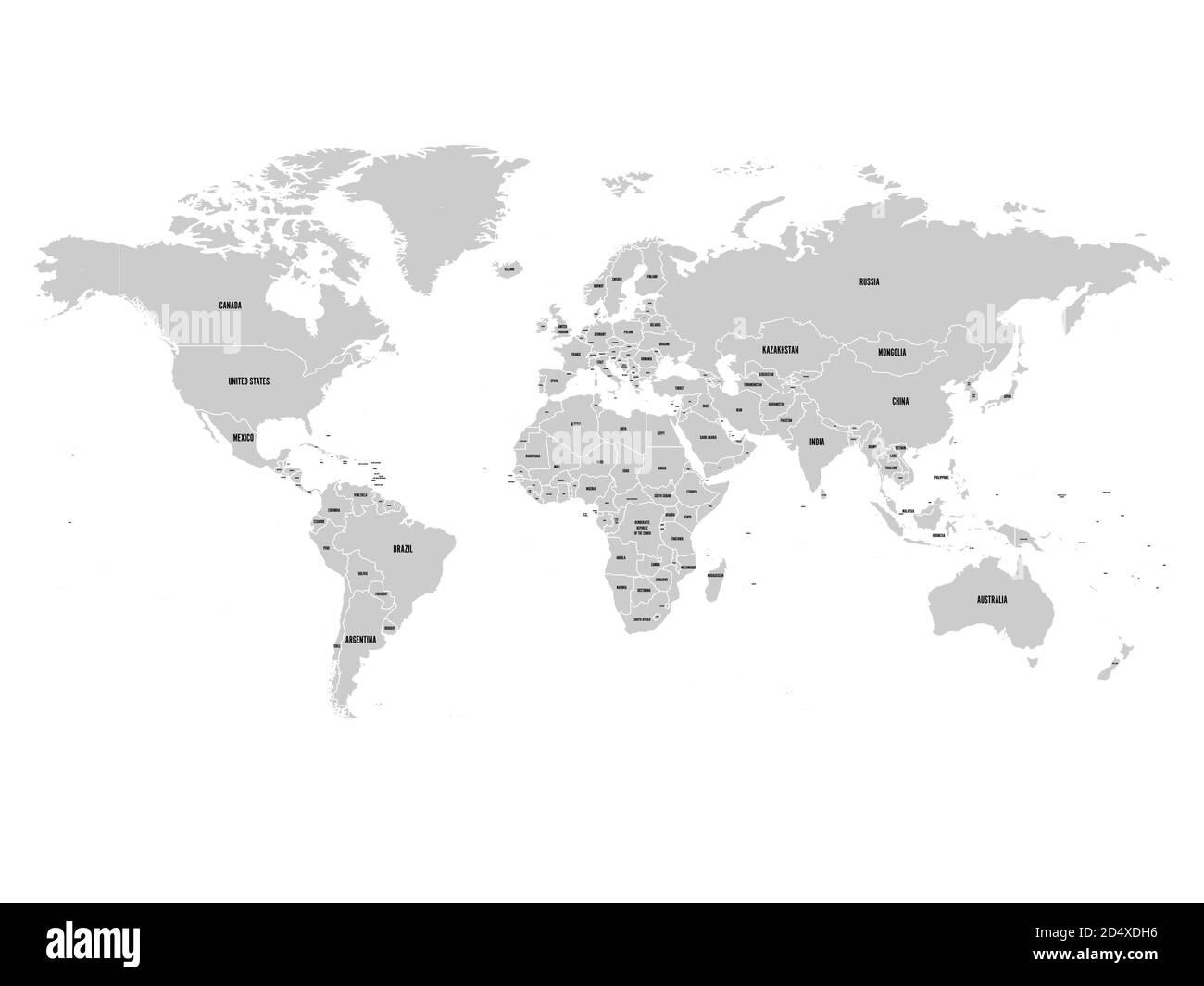 Political map of world with Antarctica. Grey land, white borders on white background. Black labels of states and significant dependent territories names. High detail vector illustration. Stock Vectorhttps://www.alamy.com/image-license-details/?v=1https://www.alamy.com/political-map-of-world-with-antarctica-grey-land-white-borders-on-white-background-black-labels-of-states-and-significant-dependent-territories-names-high-detail-vector-illustration-image381668146.html
RF2D4XDH6–Political map of world with Antarctica. Grey land, white borders on white background. Black labels of states and significant dependent territories names. High detail vector illustration.
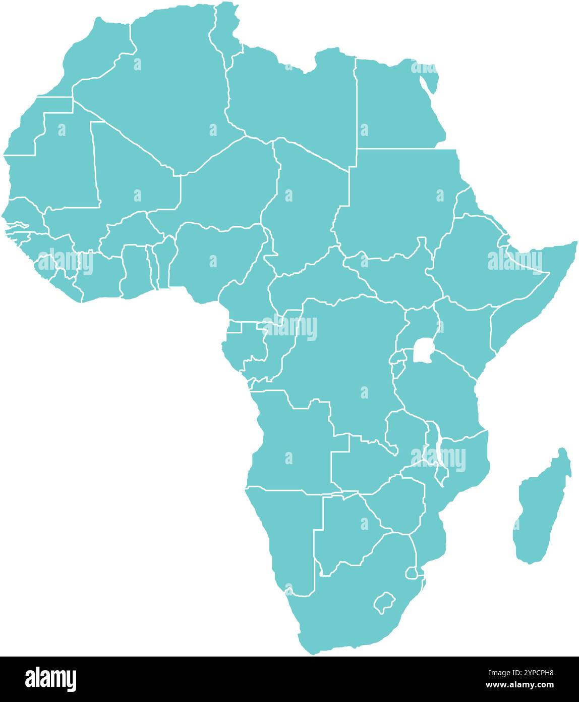 Africa MAP in Blue, Country Border, Africa Map, Border line of Africa, Geographic Map Stock Vectorhttps://www.alamy.com/image-license-details/?v=1https://www.alamy.com/africa-map-in-blue-country-border-africa-map-border-line-of-africa-geographic-map-image633376836.html
RF2YPCPH8–Africa MAP in Blue, Country Border, Africa Map, Border line of Africa, Geographic Map
 Simplified grey silhouette of world map divided to six continents. Simple flat vector illustration on white background. Stock Vectorhttps://www.alamy.com/image-license-details/?v=1https://www.alamy.com/simplified-grey-silhouette-of-world-map-divided-to-six-continents-simple-flat-vector-illustration-on-white-background-image364665085.html
RF2C57X11–Simplified grey silhouette of world map divided to six continents. Simple flat vector illustration on white background.
 White World map on red background Stock Photohttps://www.alamy.com/image-license-details/?v=1https://www.alamy.com/white-world-map-on-red-background-image503122000.html
RF2M6F56T–White World map on red background
 White World map on grey background Stock Photohttps://www.alamy.com/image-license-details/?v=1https://www.alamy.com/white-world-map-on-grey-background-image397967458.html
RF2E3CYFE–White World map on grey background
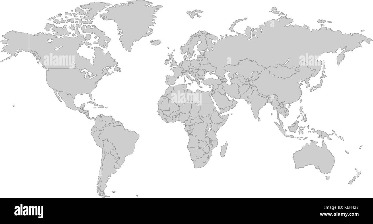 Grey world map, with all country borders in dark grey color Stock Vectorhttps://www.alamy.com/image-license-details/?v=1https://www.alamy.com/stock-image-grey-world-map-with-all-country-borders-in-dark-grey-color-163841168.html
RFKEFH28–Grey world map, with all country borders in dark grey color
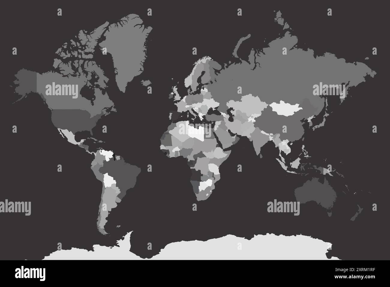 map of the world vector Stock Vectorhttps://www.alamy.com/image-license-details/?v=1https://www.alamy.com/map-of-the-world-vector-image616940451.html
RF2XRM1RF–map of the world vector
RF2H5W91C–World map set on transparent background. Globe vector modern icon
 Grey World Map Vector Illustration Stock Vectorhttps://www.alamy.com/image-license-details/?v=1https://www.alamy.com/stock-photo-grey-world-map-vector-illustration-101063487.html
RFFTBRE7–Grey World Map Vector Illustration
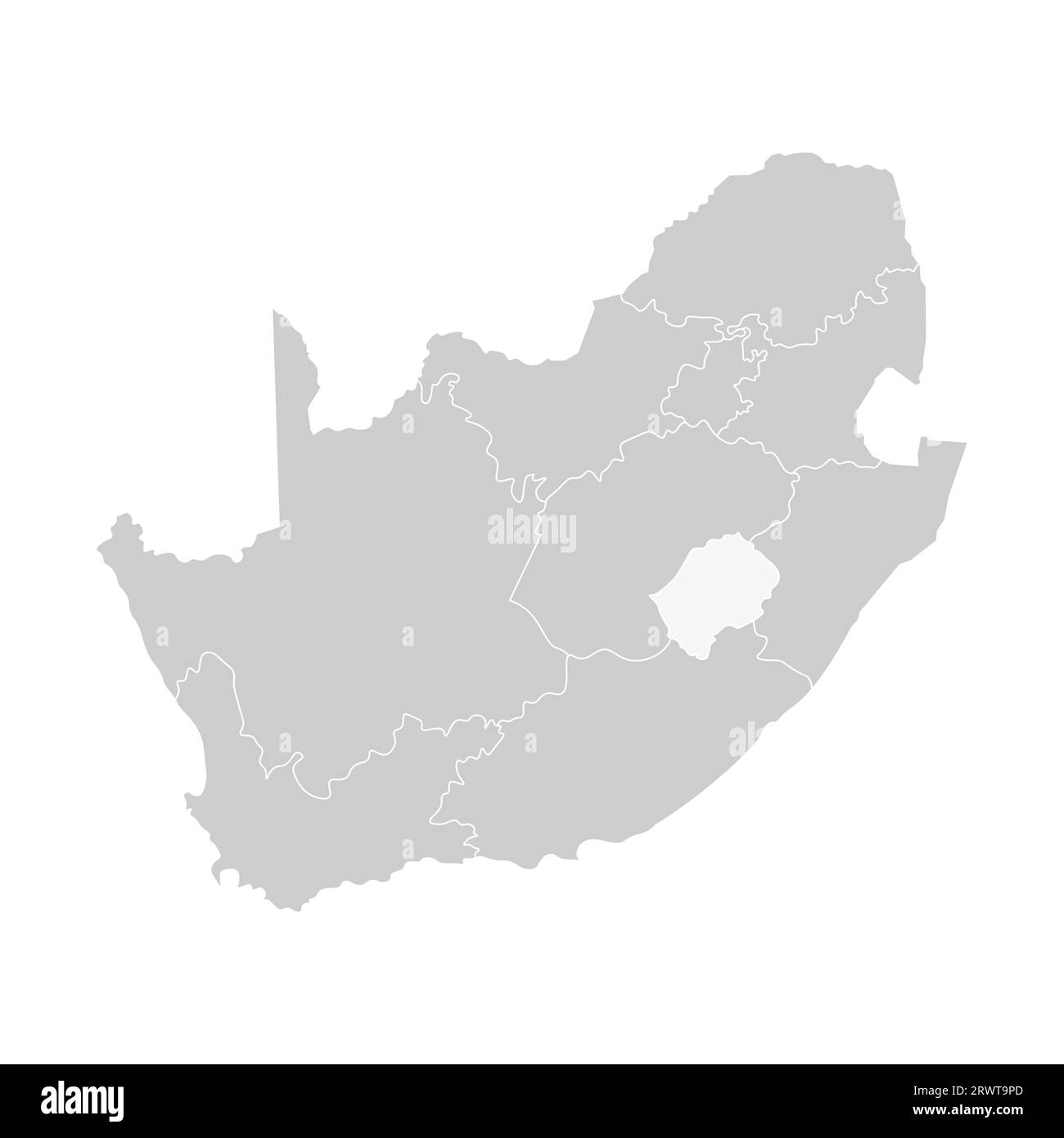 Vector isolated illustration of simplified administrative map of South Africa. Borders of the provinces (regions). Grey silhouettes. White outline. Stock Vectorhttps://www.alamy.com/image-license-details/?v=1https://www.alamy.com/vector-isolated-illustration-of-simplified-administrative-map-of-south-africa-borders-of-the-provinces-regions-grey-silhouettes-white-outline-image566632709.html
RF2RWT9PD–Vector isolated illustration of simplified administrative map of South Africa. Borders of the provinces (regions). Grey silhouettes. White outline.
 Vector Blank Grey linear World map isolated white background. Black white Worldmap template website design. Earth Graph World map illustration. Stock Vectorhttps://www.alamy.com/image-license-details/?v=1https://www.alamy.com/stock-photo-vector-blank-grey-linear-world-map-isolated-white-background-black-145157595.html
RFJC4DYR–Vector Blank Grey linear World map isolated white background. Black white Worldmap template website design. Earth Graph World map illustration.
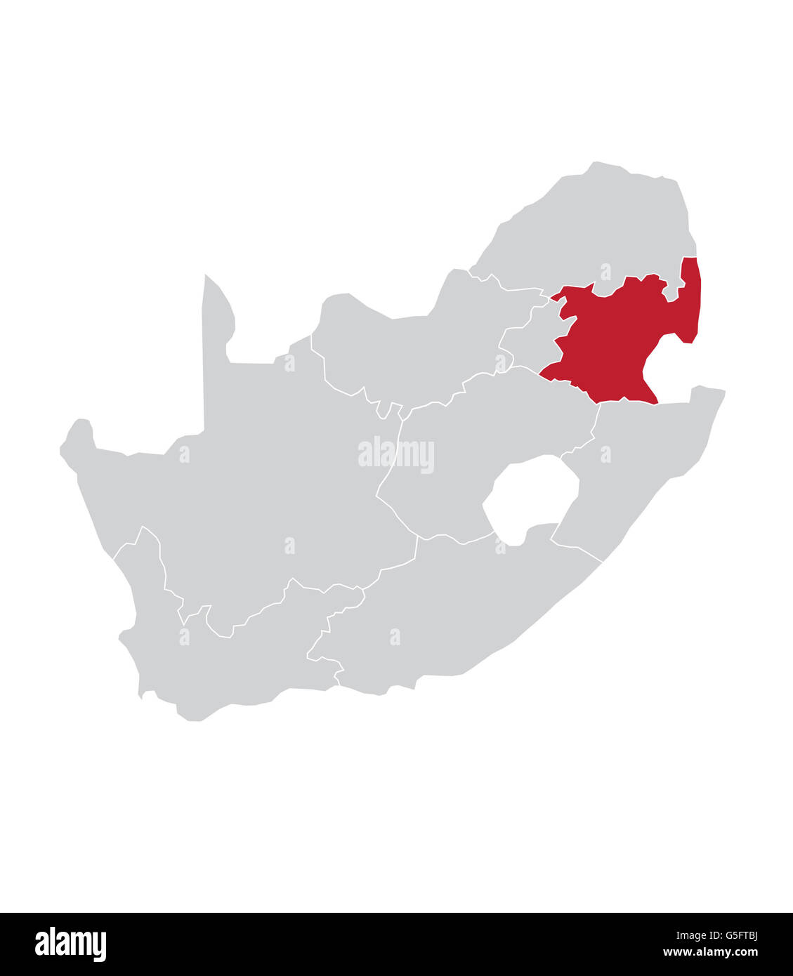 Map of Mpumalanga, South Africa Stock Photohttps://www.alamy.com/image-license-details/?v=1https://www.alamy.com/stock-photo-map-of-mpumalanga-south-africa-106683910.html
RMG5FTBJ–Map of Mpumalanga, South Africa
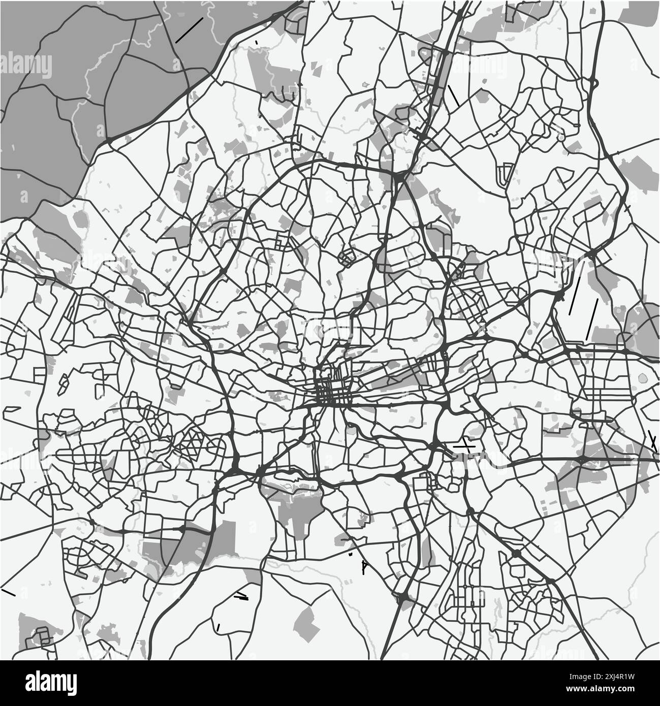 Map of Johannesburg in South Africa in grayscale. Contains layered vector with roads water, parks, etc. Stock Vectorhttps://www.alamy.com/image-license-details/?v=1https://www.alamy.com/map-of-johannesburg-in-south-africa-in-grayscale-contains-layered-vector-with-roads-water-parks-etc-image613532581.html
RF2XJ4R1W–Map of Johannesburg in South Africa in grayscale. Contains layered vector with roads water, parks, etc.
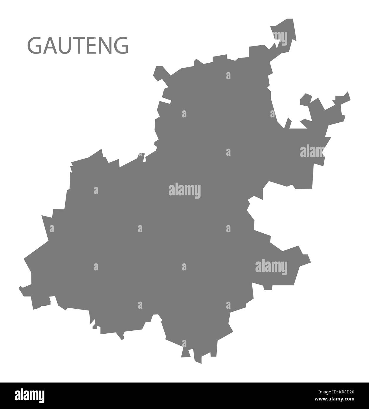 Gauteng South Africa Map grey Stock Photohttps://www.alamy.com/image-license-details/?v=1https://www.alamy.com/stock-image-gauteng-south-africa-map-grey-169216264.html
RFKR8D20–Gauteng South Africa Map grey
 Vector Blank torn crumpled paper cut out white silhouette similar World map Monochrome Worldmap template website design infographics. Detailed, Flat E Stock Vectorhttps://www.alamy.com/image-license-details/?v=1https://www.alamy.com/stock-photo-vector-blank-torn-crumpled-paper-cut-out-white-silhouette-similar-145157613.html
RFJC4E0D–Vector Blank torn crumpled paper cut out white silhouette similar World map Monochrome Worldmap template website design infographics. Detailed, Flat E
 Hexagons Grey Color World Map Vector illustration. Stock Vectorhttps://www.alamy.com/image-license-details/?v=1https://www.alamy.com/hexagons-grey-color-world-map-vector-illustration-image345023002.html
RF2B194A2–Hexagons Grey Color World Map Vector illustration.
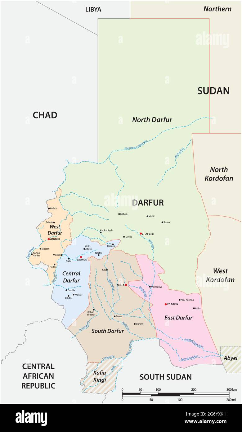 vector map of western Sudanese region of Darfur Stock Vectorhttps://www.alamy.com/image-license-details/?v=1https://www.alamy.com/vector-map-of-western-sudanese-region-of-darfur-image434560773.html
RF2G6YXKH–vector map of western Sudanese region of Darfur
 Grey world map vector flat design, Asia in center. Stock Vectorhttps://www.alamy.com/image-license-details/?v=1https://www.alamy.com/grey-world-map-vector-flat-design-asia-in-center-image227695114.html
RFR6CBCA–Grey world map vector flat design, Asia in center.
 Grey world map vector illustration Stock Vectorhttps://www.alamy.com/image-license-details/?v=1https://www.alamy.com/grey-world-map-vector-illustration-image543471363.html
RF2PG577F–Grey world map vector illustration
 World Map 3d, vector illustration Stock Photohttps://www.alamy.com/image-license-details/?v=1https://www.alamy.com/world-map-3d-vector-illustration-image212672804.html
RFPA0298–World Map 3d, vector illustration
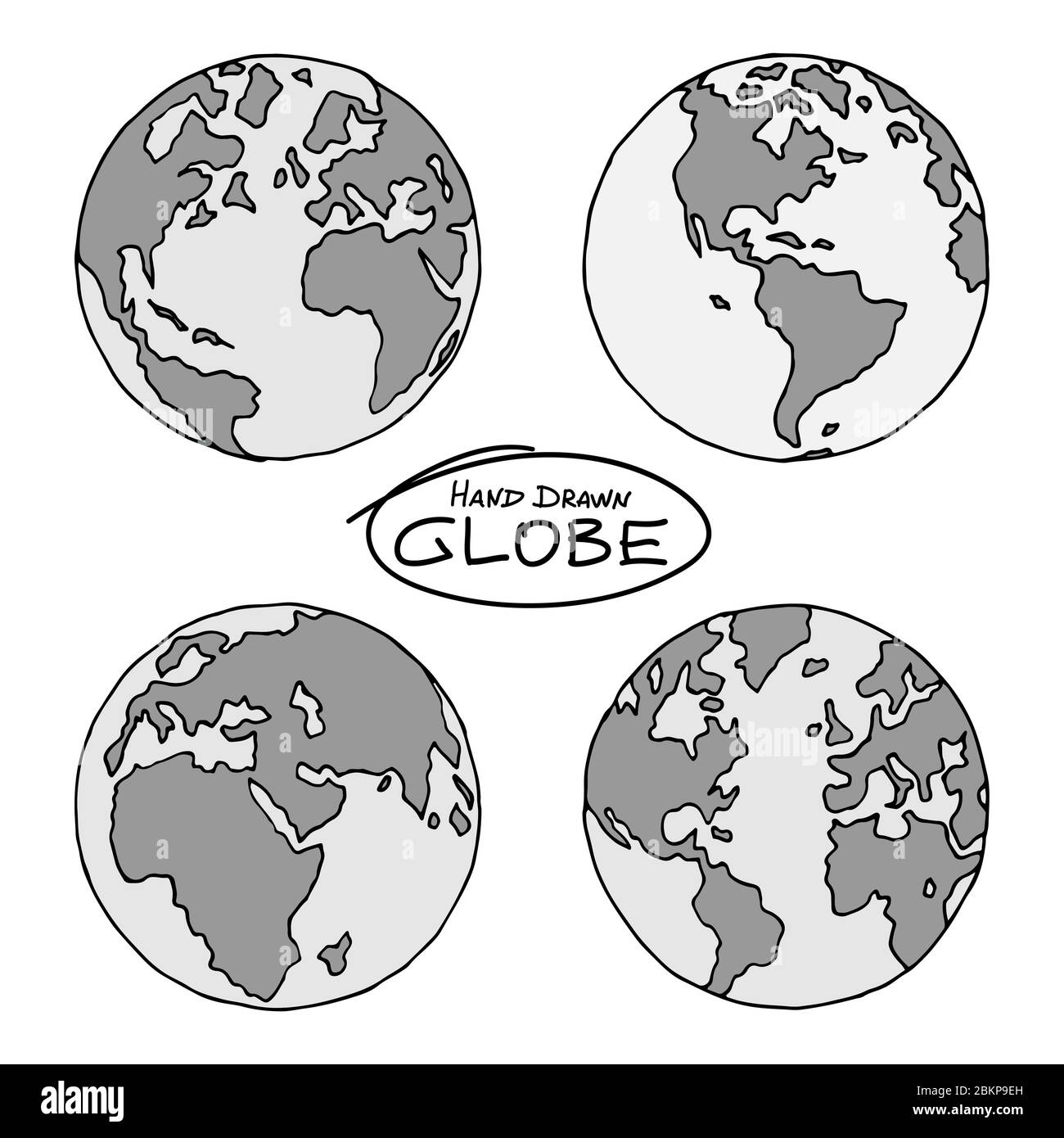 Hand drawn globe in four projections. Western and eastern, north and south hemispheres. Not exactly precision outline drawing of world map in black an Stock Vectorhttps://www.alamy.com/image-license-details/?v=1https://www.alamy.com/hand-drawn-globe-in-four-projections-western-and-eastern-north-and-south-hemispheres-not-exactly-precision-outline-drawing-of-world-map-in-black-an-image356376233.html
RF2BKP9EH–Hand drawn globe in four projections. Western and eastern, north and south hemispheres. Not exactly precision outline drawing of world map in black an
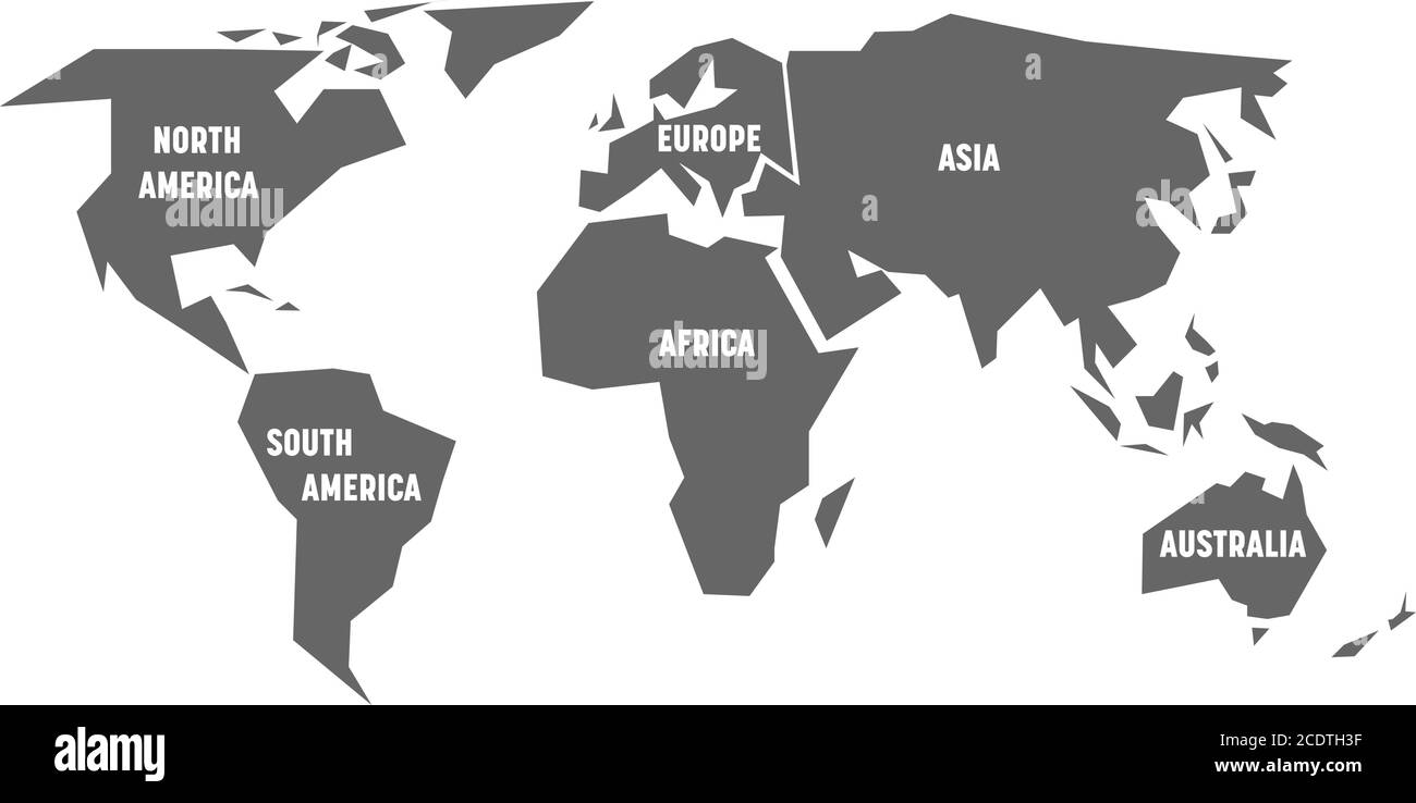 Simplified grey silhouette of world map divided to six continents. Simple flat vector illustration on white background. Stock Vectorhttps://www.alamy.com/image-license-details/?v=1https://www.alamy.com/simplified-grey-silhouette-of-world-map-divided-to-six-continents-simple-flat-vector-illustration-on-white-background-image369948531.html
RF2CDTH3F–Simplified grey silhouette of world map divided to six continents. Simple flat vector illustration on white background.
 world map background simple design Stock Vectorhttps://www.alamy.com/image-license-details/?v=1https://www.alamy.com/world-map-background-simple-design-image360215480.html
RF2BX16EG–world map background simple design
 White World map on green background Stock Photohttps://www.alamy.com/image-license-details/?v=1https://www.alamy.com/white-world-map-on-green-background-image397967573.html
RF2E3CYKH–White World map on green background
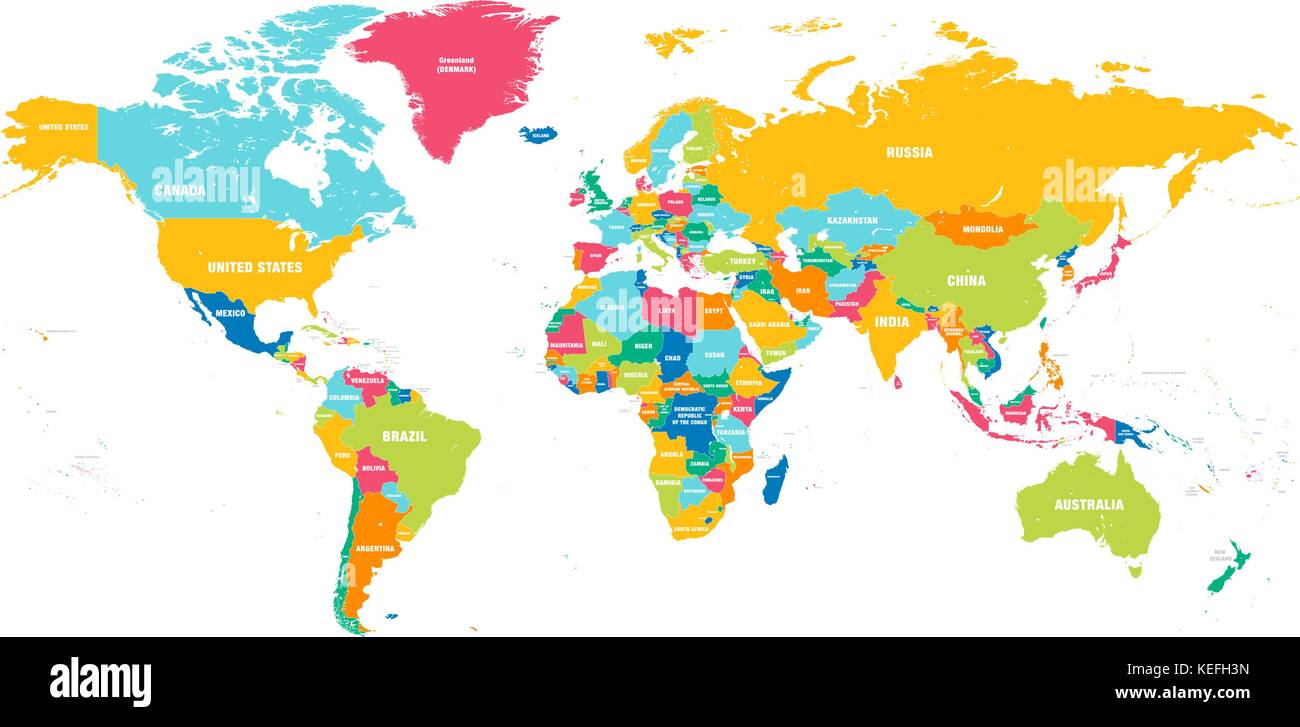 Colorful Hi detailed Vector world map complete with all countries names Stock Vectorhttps://www.alamy.com/image-license-details/?v=1https://www.alamy.com/stock-image-colorful-hi-detailed-vector-world-map-complete-with-all-countries-163841209.html
RFKEFH3N–Colorful Hi detailed Vector world map complete with all countries names
 Map of World dark grey vector silhouette. High detailed map on light background. Stock Vectorhttps://www.alamy.com/image-license-details/?v=1https://www.alamy.com/map-of-world-dark-grey-vector-silhouette-high-detailed-map-on-light-background-image396542633.html
RF2E1424W–Map of World dark grey vector silhouette. High detailed map on light background.
 grey world earth globe vector illustration EPS10 Stock Vectorhttps://www.alamy.com/image-license-details/?v=1https://www.alamy.com/grey-world-earth-globe-vector-illustration-eps10-image216814085.html
RFPGMMG5–grey world earth globe vector illustration EPS10
 White 3D world map with dropped shadow on grey background. EPS10 vector illustration. Stock Vectorhttps://www.alamy.com/image-license-details/?v=1https://www.alamy.com/white-3d-world-map-with-dropped-shadow-on-grey-background-eps10-vector-illustration-image361321392.html
RF2BYRH3C–White 3D world map with dropped shadow on grey background. EPS10 vector illustration.
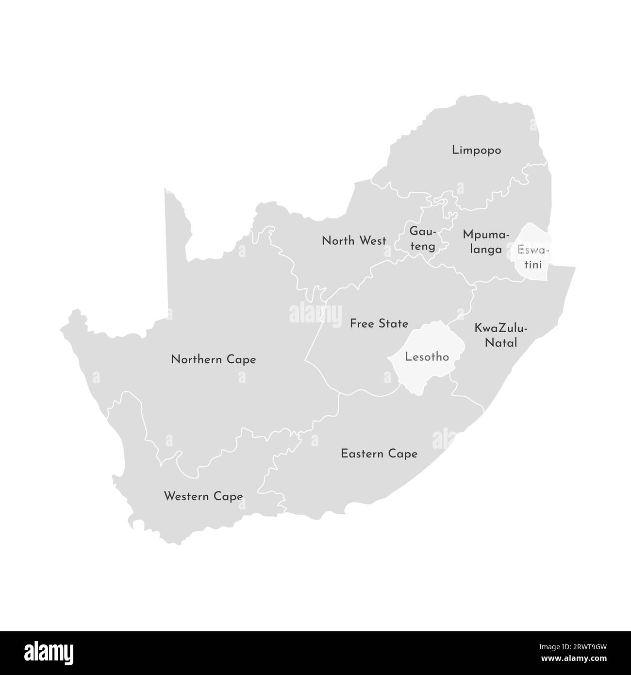 Vector isolated illustration of simplified administrative map of South Africa. Borders and names of the provinces (regions). Grey silhouettes. White o Stock Vectorhttps://www.alamy.com/image-license-details/?v=1https://www.alamy.com/vector-isolated-illustration-of-simplified-administrative-map-of-south-africa-borders-and-names-of-the-provinces-regions-grey-silhouettes-white-o-image566632553.html
RF2RWT9GW–Vector isolated illustration of simplified administrative map of South Africa. Borders and names of the provinces (regions). Grey silhouettes. White o
 Map of World black vector silhouette. White high detailed map on dark grey background. Stock Vectorhttps://www.alamy.com/image-license-details/?v=1https://www.alamy.com/map-of-world-black-vector-silhouette-white-high-detailed-map-on-dark-grey-background-image440611986.html
RF2GGRH2A–Map of World black vector silhouette. White high detailed map on dark grey background.
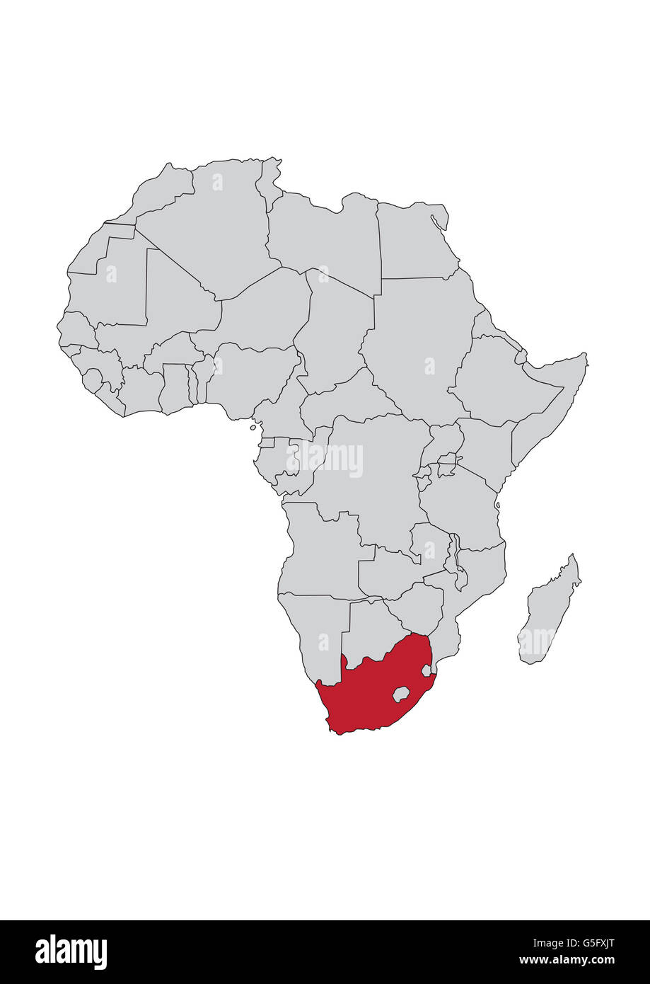 Map of Africa, South Africa Stock Photohttps://www.alamy.com/image-license-details/?v=1https://www.alamy.com/stock-photo-map-of-africa-south-africa-106685680.html
RMG5FXJT–Map of Africa, South Africa
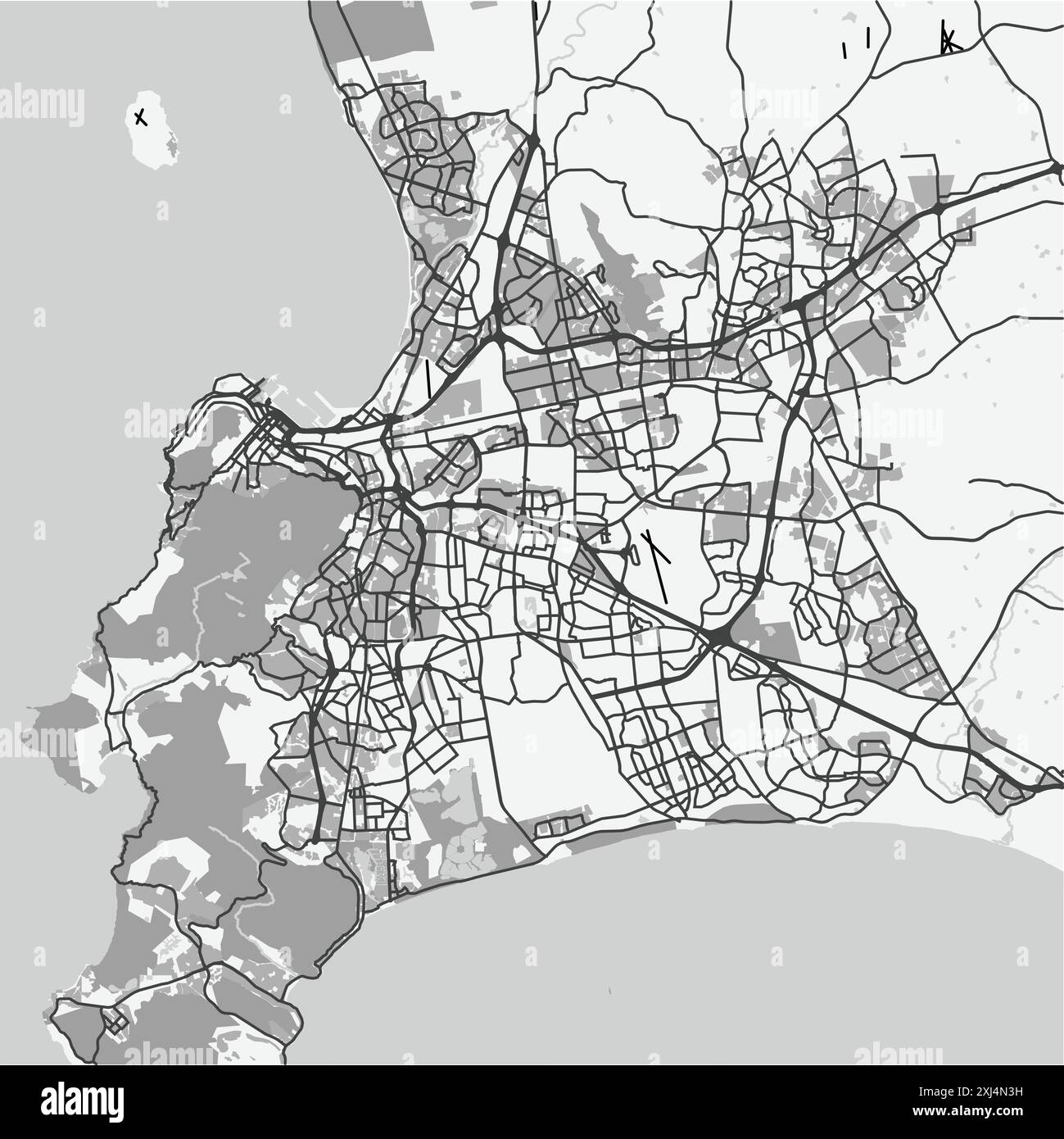 Map of Cape Town in South Africa in grayscale. Contains layered vector with roads water, parks, etc. Stock Vectorhttps://www.alamy.com/image-license-details/?v=1https://www.alamy.com/map-of-cape-town-in-south-africa-in-grayscale-contains-layered-vector-with-roads-water-parks-etc-image613531061.html
RF2XJ4N3H–Map of Cape Town in South Africa in grayscale. Contains layered vector with roads water, parks, etc.
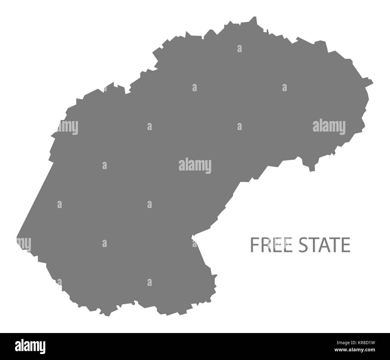 Free State South Africa Map grey Stock Photohttps://www.alamy.com/image-license-details/?v=1https://www.alamy.com/stock-image-free-state-south-africa-map-grey-169216261.html
RFKR8D1W–Free State South Africa Map grey
 Pencil scribble sketch map of World. Hand doodle drawing. Grey vector illustration on white background. Stock Vectorhttps://www.alamy.com/image-license-details/?v=1https://www.alamy.com/pencil-scribble-sketch-map-of-world-hand-doodle-drawing-grey-vector-illustration-on-white-background-image360287721.html
RF2BX4EJH–Pencil scribble sketch map of World. Hand doodle drawing. Grey vector illustration on white background.
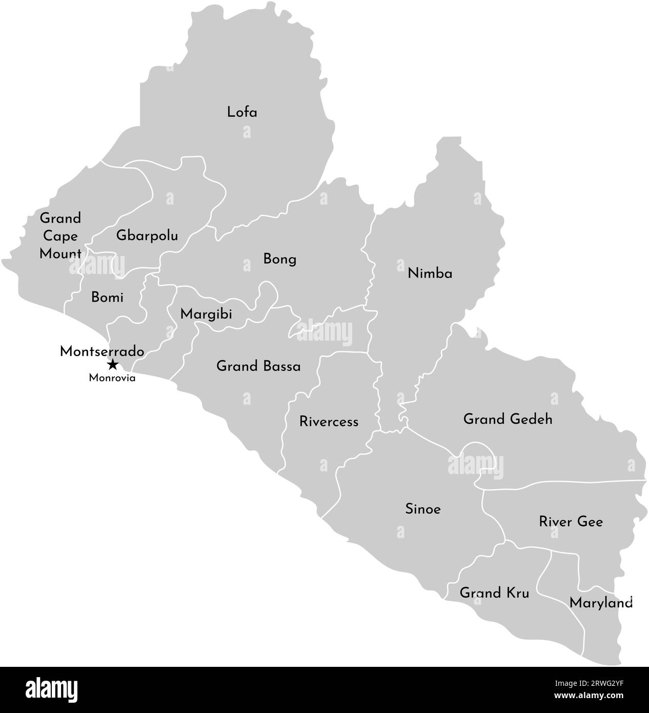 Vector isolated illustration of simplified administrative map Liberia. Borders of the counties and names. Grey silhouettes and white outline. White Stock Vectorhttps://www.alamy.com/image-license-details/?v=1https://www.alamy.com/vector-isolated-illustration-of-simplified-administrative-map-liberia-borders-of-the-counties-and-names-grey-silhouettes-and-white-outline-white-image566451747.html
RF2RWG2YF–Vector isolated illustration of simplified administrative map Liberia. Borders of the counties and names. Grey silhouettes and white outline. White
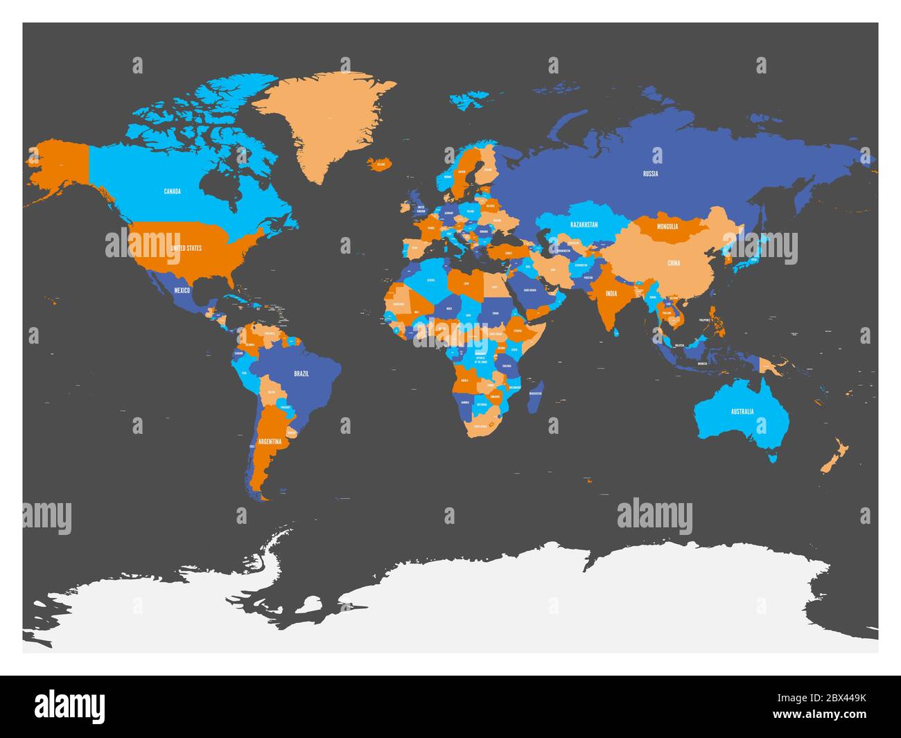 Political map of world with Antarctica. Countries in four different colors without borders on dark grey background. White labels with states and significant dependent territories names. High detail vector illustration. Stock Vectorhttps://www.alamy.com/image-license-details/?v=1https://www.alamy.com/political-map-of-world-with-antarctica-countries-in-four-different-colors-without-borders-on-dark-grey-background-white-labels-with-states-and-significant-dependent-territories-names-high-detail-vector-illustration-image360279631.html
RF2BX449K–Political map of world with Antarctica. Countries in four different colors without borders on dark grey background. White labels with states and significant dependent territories names. High detail vector illustration.
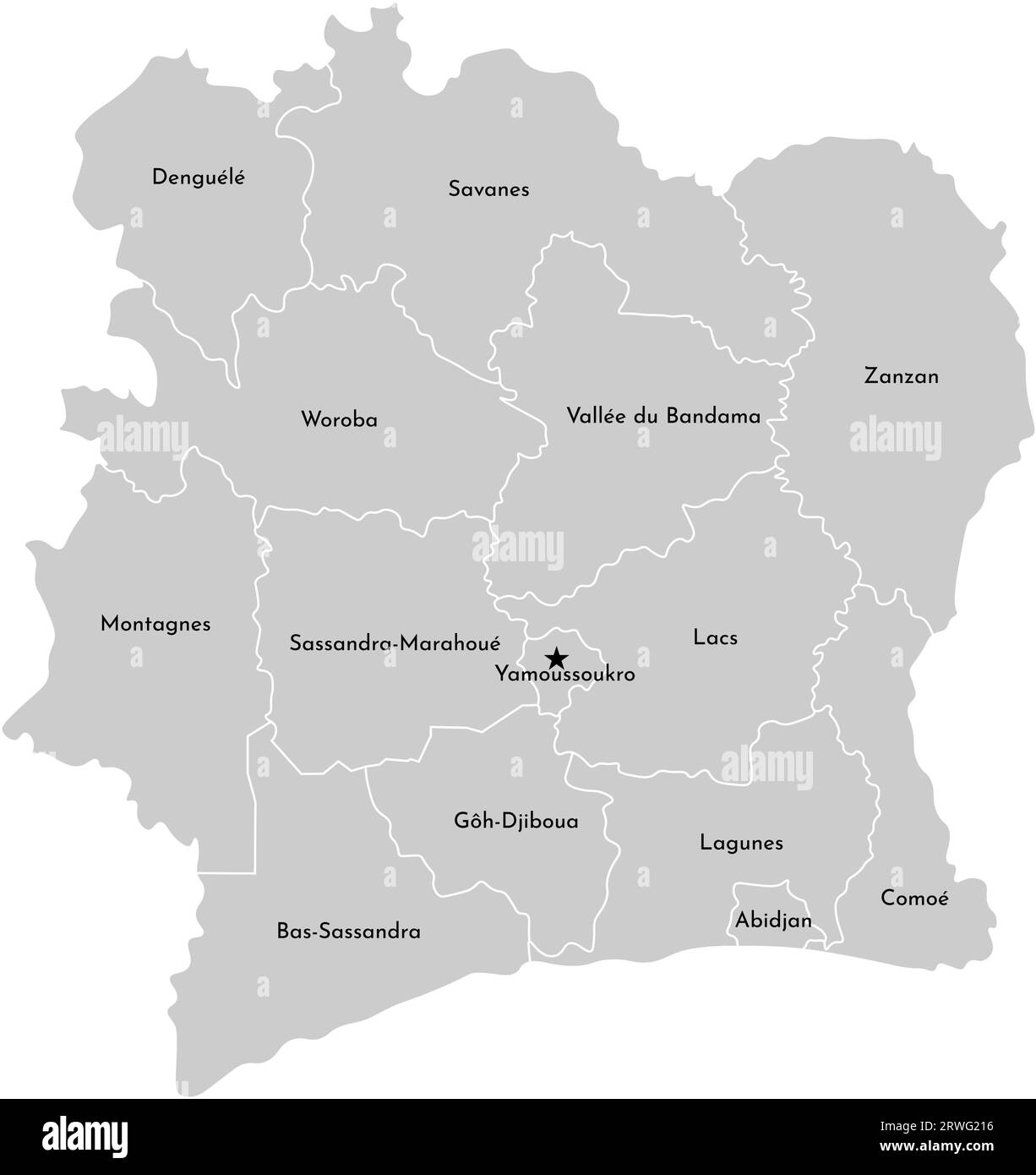 Vector isolated illustration of simplified administrative map Ivory Coast (Côte d'Ivoire). Borders and names of the counties. Grey silhouettes and whi Stock Vectorhttps://www.alamy.com/image-license-details/?v=1https://www.alamy.com/vector-isolated-illustration-of-simplified-administrative-map-ivory-coast-cte-divoire-borders-and-names-of-the-counties-grey-silhouettes-and-whi-image566451010.html
RF2RWG216–Vector isolated illustration of simplified administrative map Ivory Coast (Côte d'Ivoire). Borders and names of the counties. Grey silhouettes and whi
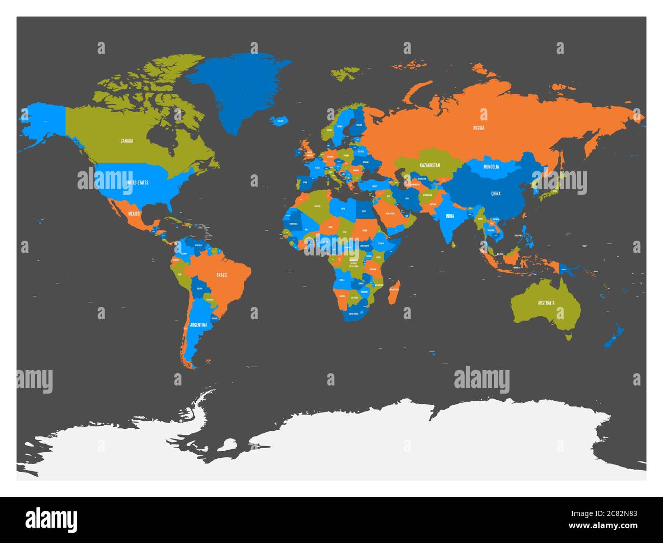 Political map of world with Antarctica. Countries in four different colors without borders on dark grey background. White labels with states and significant dependent territories names. High detail vector illustration. Stock Vectorhttps://www.alamy.com/image-license-details/?v=1https://www.alamy.com/political-map-of-world-with-antarctica-countries-in-four-different-colors-without-borders-on-dark-grey-background-white-labels-with-states-and-significant-dependent-territories-names-high-detail-vector-illustration-image366395571.html
RF2C82N83–Political map of world with Antarctica. Countries in four different colors without borders on dark grey background. White labels with states and significant dependent territories names. High detail vector illustration.
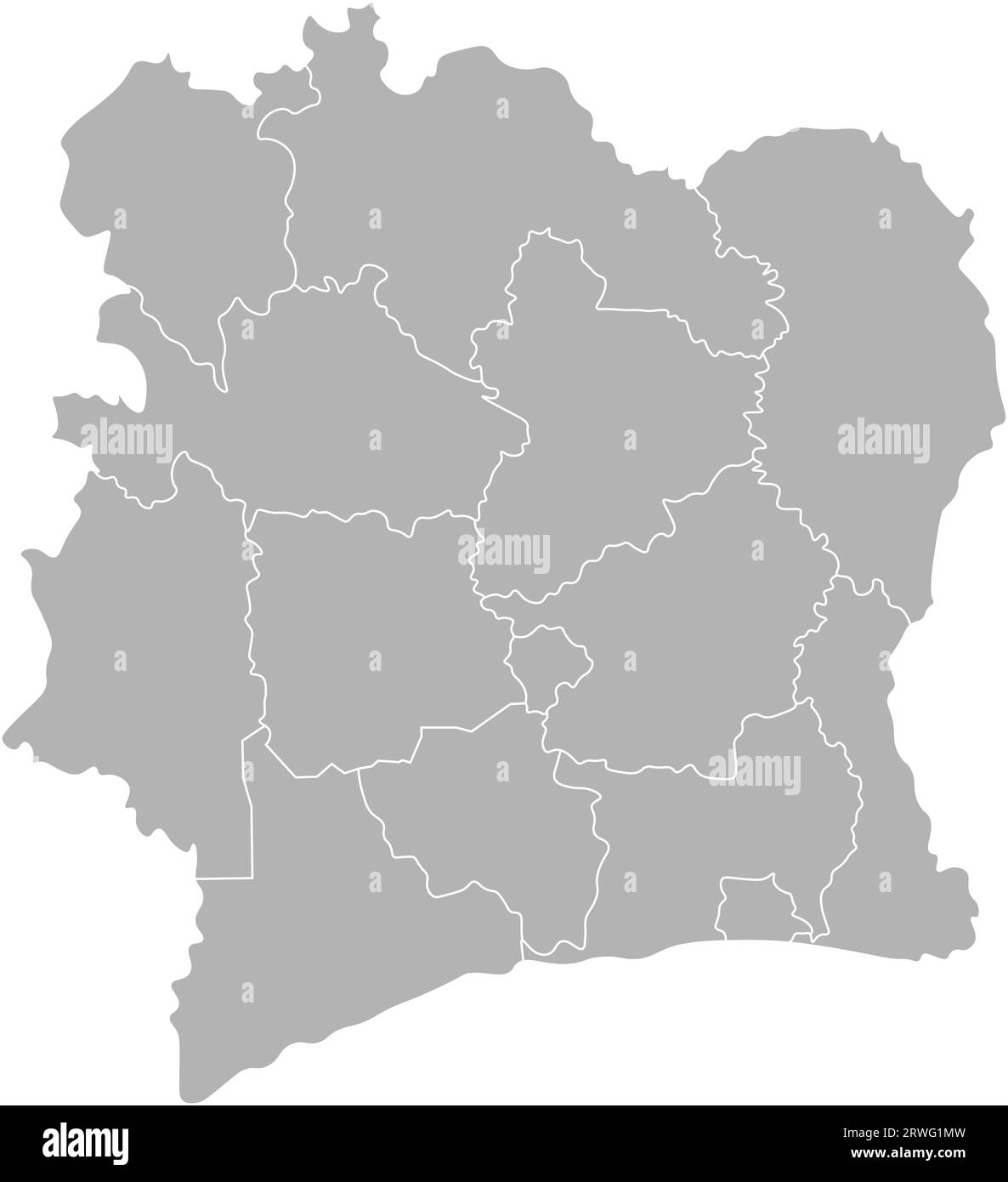 Vector isolated illustration of simplified administrative map Ivory Coast (Cote d'Ivoire). Borders of the counties. Grey silhouettes and white outline Stock Vectorhttps://www.alamy.com/image-license-details/?v=1https://www.alamy.com/vector-isolated-illustration-of-simplified-administrative-map-ivory-coast-cote-divoire-borders-of-the-counties-grey-silhouettes-and-white-outline-image566450777.html
RF2RWG1MW–Vector isolated illustration of simplified administrative map Ivory Coast (Cote d'Ivoire). Borders of the counties. Grey silhouettes and white outline
 Green world map and blue oceans. World Environment day. Eco poster or eco banner. Vector illustration Stock Vectorhttps://www.alamy.com/image-license-details/?v=1https://www.alamy.com/green-world-map-and-blue-oceans-world-environment-day-eco-poster-or-eco-banner-vector-illustration-image209737675.html
RFP56AF7–Green world map and blue oceans. World Environment day. Eco poster or eco banner. Vector illustration
 World map on white background. World map template with continents, North and South America, Europe and Asia, Africa and Australia Stock Vectorhttps://www.alamy.com/image-license-details/?v=1https://www.alamy.com/world-map-on-white-background-world-map-template-with-continents-north-and-south-america-europe-and-asia-africa-and-australia-image417100514.html
RF2F6GFXX–World map on white background. World map template with continents, North and South America, Europe and Asia, Africa and Australia
 world map background simple design Stock Vectorhttps://www.alamy.com/image-license-details/?v=1https://www.alamy.com/world-map-background-simple-design-image360218432.html
RF2BX1A80–world map background simple design
 White World map on blue background Stock Photohttps://www.alamy.com/image-license-details/?v=1https://www.alamy.com/white-world-map-on-blue-background-image397967663.html
RF2E3CYPR–White World map on blue background
 dotted grey world map illustration vector Stock Vectorhttps://www.alamy.com/image-license-details/?v=1https://www.alamy.com/dotted-grey-world-map-illustration-vector-image266838208.html
RFWE3ET0–dotted grey world map illustration vector
 Grey world map vector illustration flat design. Stock Vectorhttps://www.alamy.com/image-license-details/?v=1https://www.alamy.com/grey-world-map-vector-illustration-flat-design-image335841792.html
RF2AEAWHM–Grey world map vector illustration flat design.
 Vector Blank dark Grey, black similar World map isolated on white background. Monochrome Worldmap template website design cover, annual reports, infog Stock Vectorhttps://www.alamy.com/image-license-details/?v=1https://www.alamy.com/stock-photo-vector-blank-dark-grey-black-similar-world-map-isolated-on-white-background-145157555.html
RFJC4DXB–Vector Blank dark Grey, black similar World map isolated on white background. Monochrome Worldmap template website design cover, annual reports, infog
 Grey world map with hexagons vector illustration flat design. Stock Vectorhttps://www.alamy.com/image-license-details/?v=1https://www.alamy.com/grey-world-map-with-hexagons-vector-illustration-flat-design-image351405269.html
RF2BBKW05–Grey world map with hexagons vector illustration flat design.
 Gray Map Vector Illustration Stock Vectorhttps://www.alamy.com/image-license-details/?v=1https://www.alamy.com/stock-photo-gray-map-vector-illustration-101063484.html
RFFTBRE4–Gray Map Vector Illustration
 World map isolated on white background Stock Vectorhttps://www.alamy.com/image-license-details/?v=1https://www.alamy.com/world-map-isolated-on-white-background-image450225218.html
RF2H4DET2–World map isolated on white background
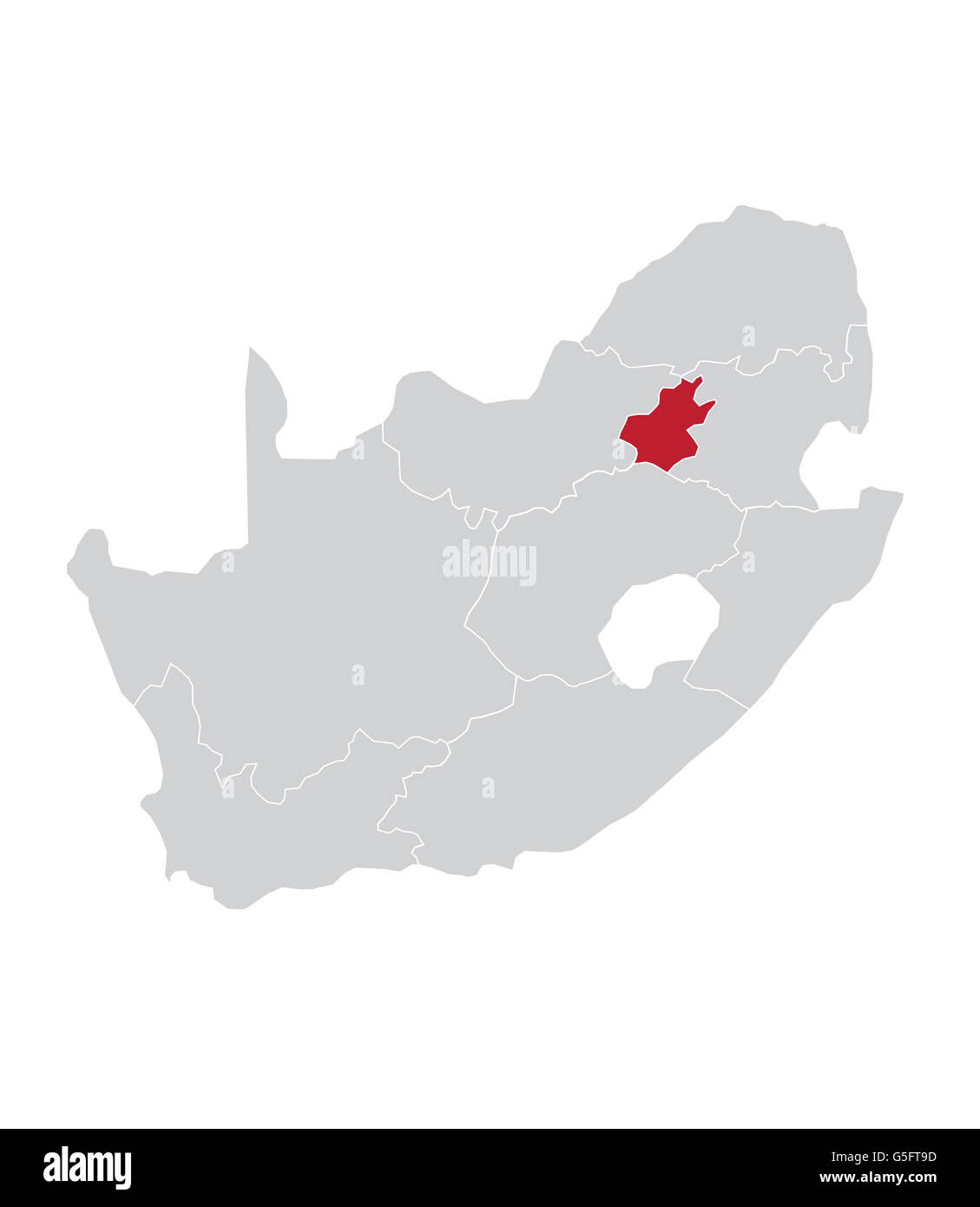 Map of Gauteng, South Africa Stock Photohttps://www.alamy.com/image-license-details/?v=1https://www.alamy.com/stock-photo-map-of-gauteng-south-africa-106683849.html
RMG5FT9D–Map of Gauteng, South Africa
 map of the world stock vector Stock Vectorhttps://www.alamy.com/image-license-details/?v=1https://www.alamy.com/map-of-the-world-stock-vector-image616941438.html
RF2XRM32P–map of the world stock vector
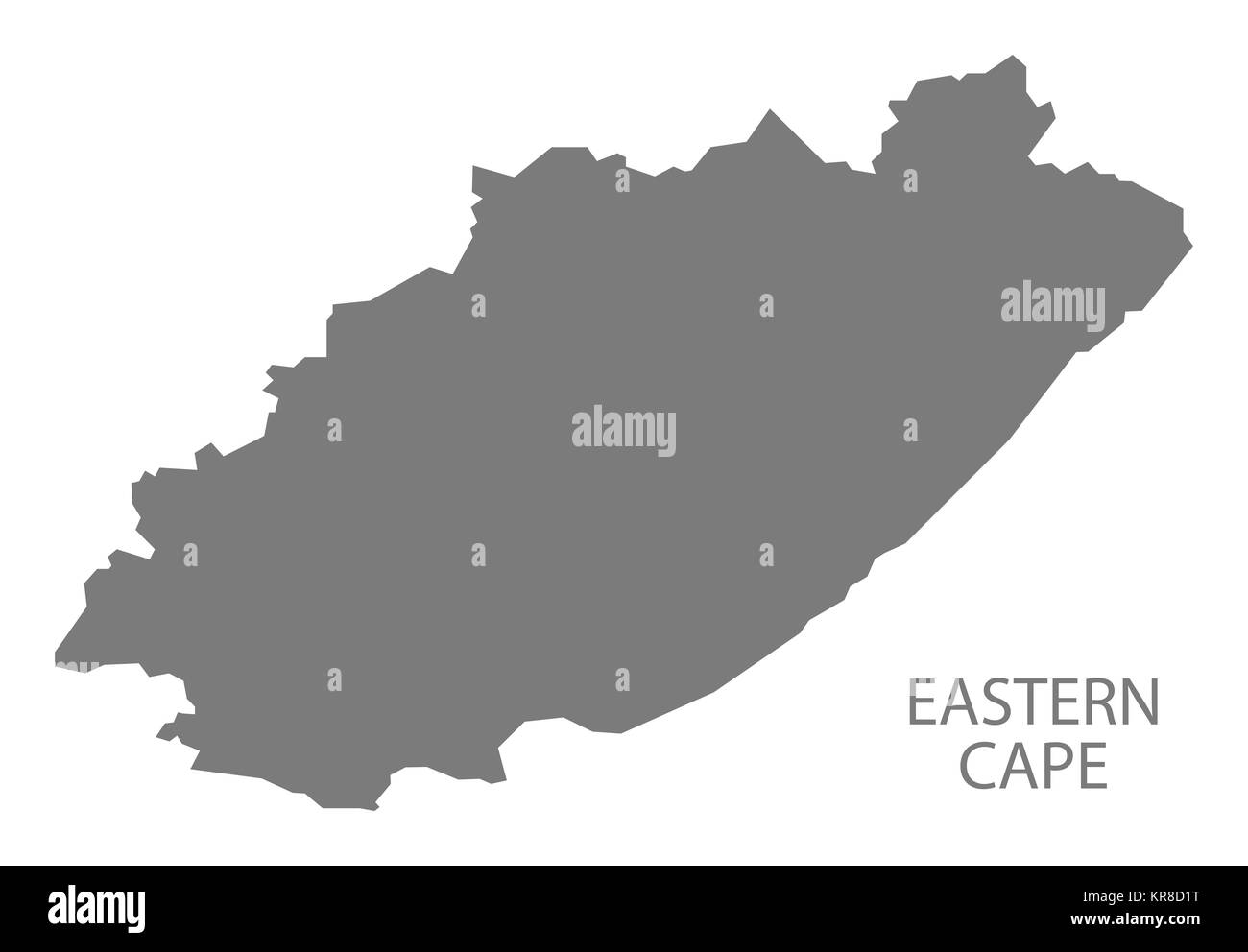 Eastern Cape South Africa Map grey Stock Photohttps://www.alamy.com/image-license-details/?v=1https://www.alamy.com/stock-image-eastern-cape-south-africa-map-grey-169216260.html
RFKR8D1T–Eastern Cape South Africa Map grey
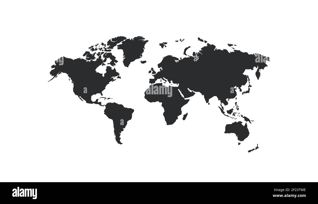 Detailed World map isolated on white background. Vector EPS 10 Stock Vectorhttps://www.alamy.com/image-license-details/?v=1https://www.alamy.com/detailed-world-map-isolated-on-white-background-vector-eps-10-image414363390.html
RF2F23TME–Detailed World map isolated on white background. Vector EPS 10
RF2H5WA96–Globe world map icon on transparent background. Vector flat illustration
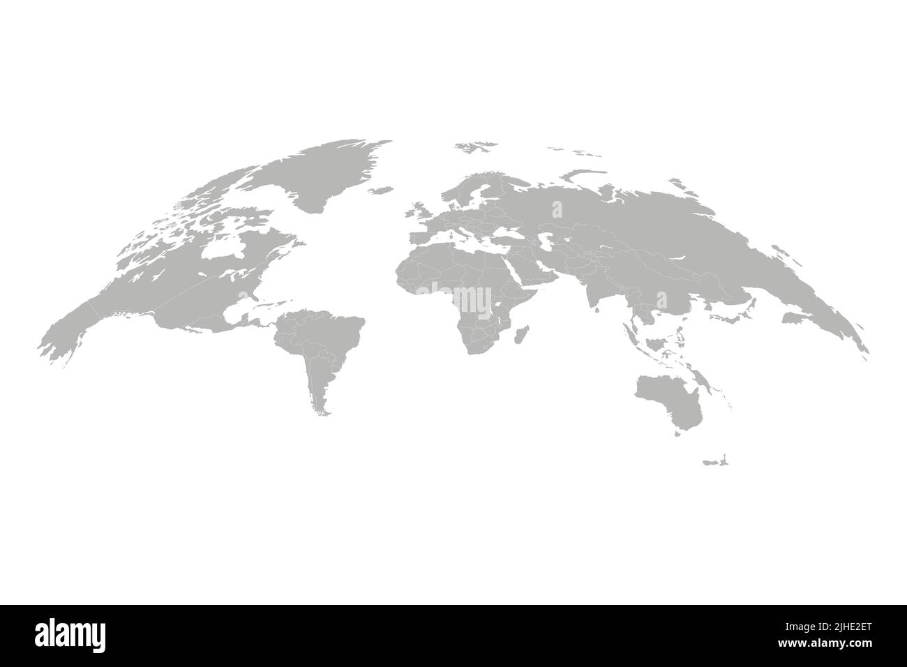 World map vector illustration. 3D globe world map isolated on white background Stock Vectorhttps://www.alamy.com/image-license-details/?v=1https://www.alamy.com/world-map-vector-illustration-3d-globe-world-map-isolated-on-white-background-image475438400.html
RF2JHE2ET–World map vector illustration. 3D globe world map isolated on white background
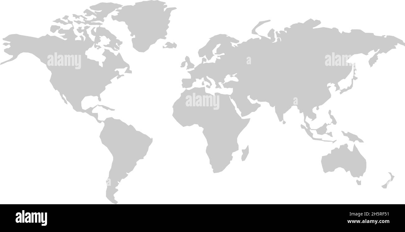 World map silhouette vector australia, asia america europe. Isolated illustration white background. Stock Vectorhttps://www.alamy.com/image-license-details/?v=1https://www.alamy.com/world-map-silhouette-vector-australia-asia-america-europe-isolated-illustration-white-background-image451059645.html
RF2H5RF51–World map silhouette vector australia, asia america europe. Isolated illustration white background.
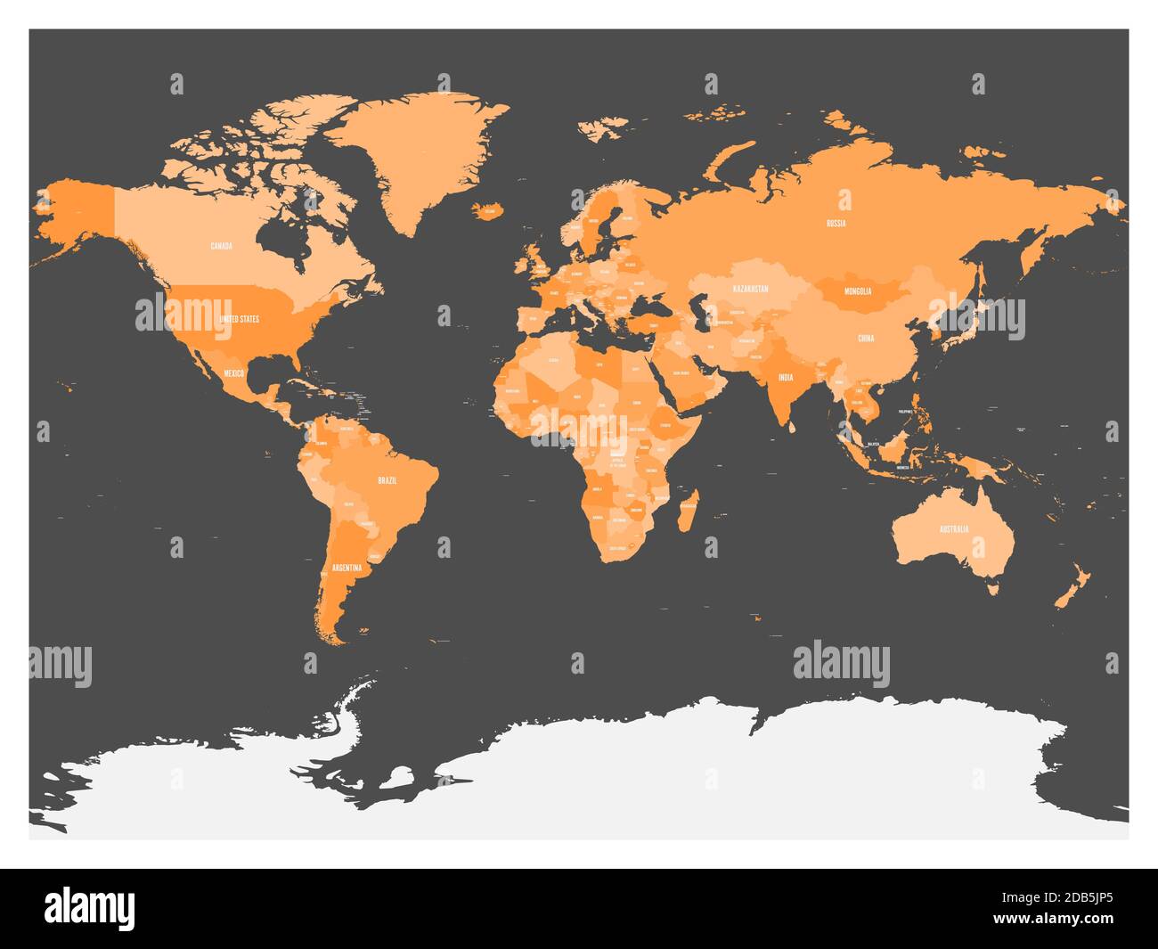 Political map of world with Antarctica. Countries in four shades of orange without borders on dark grey background. White labels with states and significant dependent territories names. High detail vector illustration. Stock Vectorhttps://www.alamy.com/image-license-details/?v=1https://www.alamy.com/political-map-of-world-with-antarctica-countries-in-four-shades-of-orange-without-borders-on-dark-grey-background-white-labels-with-states-and-significant-dependent-territories-names-high-detail-vector-illustration-image385513805.html
RF2DB5JP5–Political map of world with Antarctica. Countries in four shades of orange without borders on dark grey background. White labels with states and significant dependent territories names. High detail vector illustration.
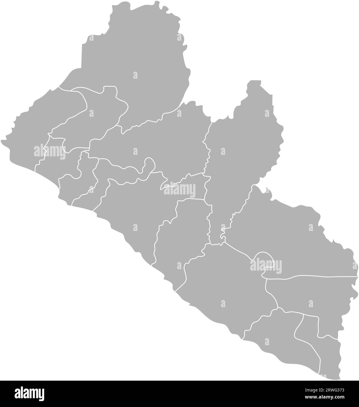 Vector isolated illustration of simplified administrative map Liberia. Borders of the counties. Grey silhouettes and white outline. White background Stock Vectorhttps://www.alamy.com/image-license-details/?v=1https://www.alamy.com/vector-isolated-illustration-of-simplified-administrative-map-liberia-borders-of-the-counties-grey-silhouettes-and-white-outline-white-background-image566451959.html
RF2RWG373–Vector isolated illustration of simplified administrative map Liberia. Borders of the counties. Grey silhouettes and white outline. White background
 Green world map isolated on white background. Green planet. World Environment Day. Vector illustration Stock Vectorhttps://www.alamy.com/image-license-details/?v=1https://www.alamy.com/green-world-map-isolated-on-white-background-green-planet-world-environment-day-vector-illustration-image209737680.html
RFP56AFC–Green world map isolated on white background. Green planet. World Environment Day. Vector illustration
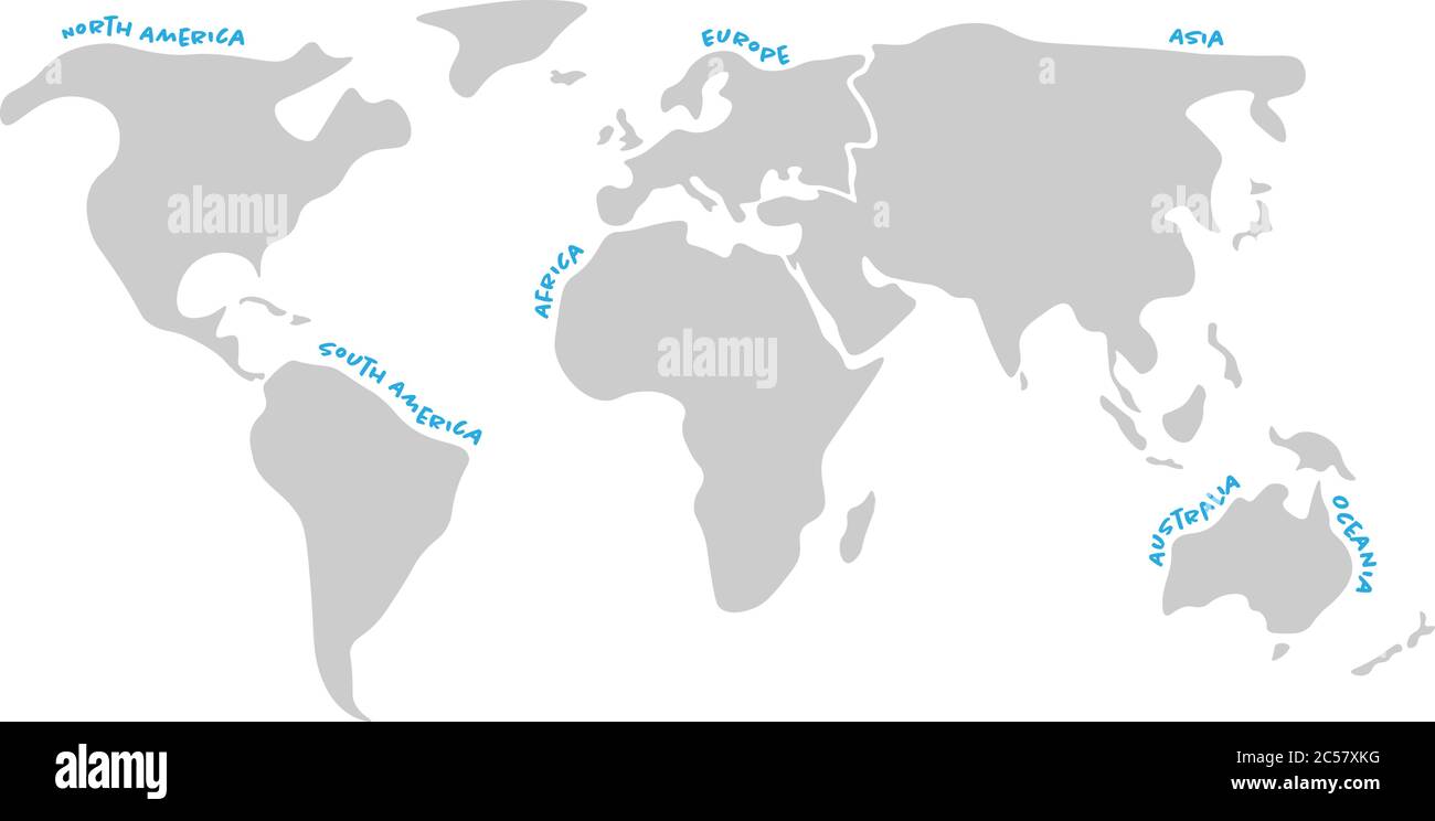 World map divided to six continents in dark grey - North America, South America, Africa, Europe, Asia and Australia Oceania. Simplified silhouette vector map with continent name labels curved by borders. Stock Vectorhttps://www.alamy.com/image-license-details/?v=1https://www.alamy.com/world-map-divided-to-six-continents-in-dark-grey-north-america-south-america-africa-europe-asia-and-australia-oceania-simplified-silhouette-vector-map-with-continent-name-labels-curved-by-borders-image364665604.html
RF2C57XKG–World map divided to six continents in dark grey - North America, South America, Africa, Europe, Asia and Australia Oceania. Simplified silhouette vector map with continent name labels curved by borders.
 world map background simple design Stock Vectorhttps://www.alamy.com/image-license-details/?v=1https://www.alamy.com/world-map-background-simple-design-image360214175.html
RF2BX14RY–world map background simple design
 White World map on red background Stock Photohttps://www.alamy.com/image-license-details/?v=1https://www.alamy.com/white-world-map-on-red-background-image397967545.html
RF2E3CYJH–White World map on red background
 Simplified computer generated world map in black and white dots, vector eps 10. Stock Vectorhttps://www.alamy.com/image-license-details/?v=1https://www.alamy.com/stock-photo-simplified-computer-generated-world-map-in-black-and-white-dots-vector-117558250.html
RFGR76MX–Simplified computer generated world map in black and white dots, vector eps 10.
 White World map on black background. World map template with continents, North and South America, Europe and Asia, Africa and Australia Stock Vectorhttps://www.alamy.com/image-license-details/?v=1https://www.alamy.com/white-world-map-on-black-background-world-map-template-with-continents-north-and-south-america-europe-and-asia-africa-and-australia-image416953272.html
RF2F69T48–White World map on black background. World map template with continents, North and South America, Europe and Asia, Africa and Australia
 Vector Blank dark Grey, black similar World map isolated on white background. Monochrome Worldmap template website design cover, annual reports, infog Stock Vectorhttps://www.alamy.com/image-license-details/?v=1https://www.alamy.com/stock-photo-vector-blank-dark-grey-black-similar-world-map-isolated-on-white-background-145157540.html
RFJC4DWT–Vector Blank dark Grey, black similar World map isolated on white background. Monochrome Worldmap template website design cover, annual reports, infog