South america map satellite Stock Photos and Images
(11,411)See south america map satellite stock video clipsQuick filters:
South america map satellite Stock Photos and Images
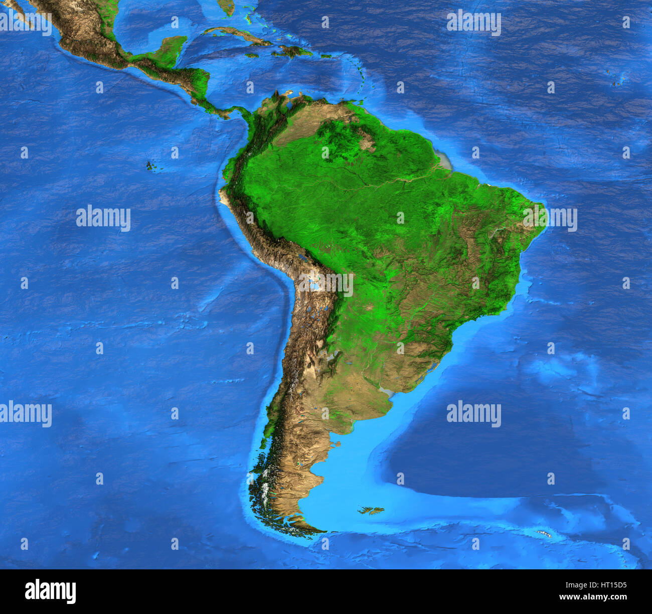 Detailed satellite view of the Earth and its landforms. South America map. Elements of this image furnished by NASA Stock Photohttps://www.alamy.com/image-license-details/?v=1https://www.alamy.com/stock-photo-detailed-satellite-view-of-the-earth-and-its-landforms-south-america-135250561.html
RFHT15D5–Detailed satellite view of the Earth and its landforms. South America map. Elements of this image furnished by NASA
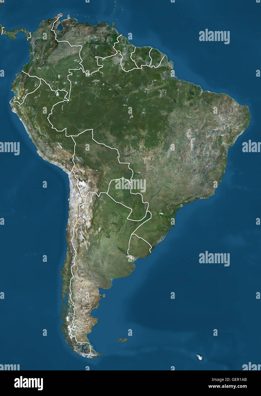 Satellite view of South America (with country boundaries). This image was compiled from data acquired by Landsat 7 & 8 satellites. Stock Photohttps://www.alamy.com/image-license-details/?v=1https://www.alamy.com/stock-photo-satellite-view-of-south-america-with-country-boundaries-this-image-112373363.html
RMGER1AB–Satellite view of South America (with country boundaries). This image was compiled from data acquired by Landsat 7 & 8 satellites.
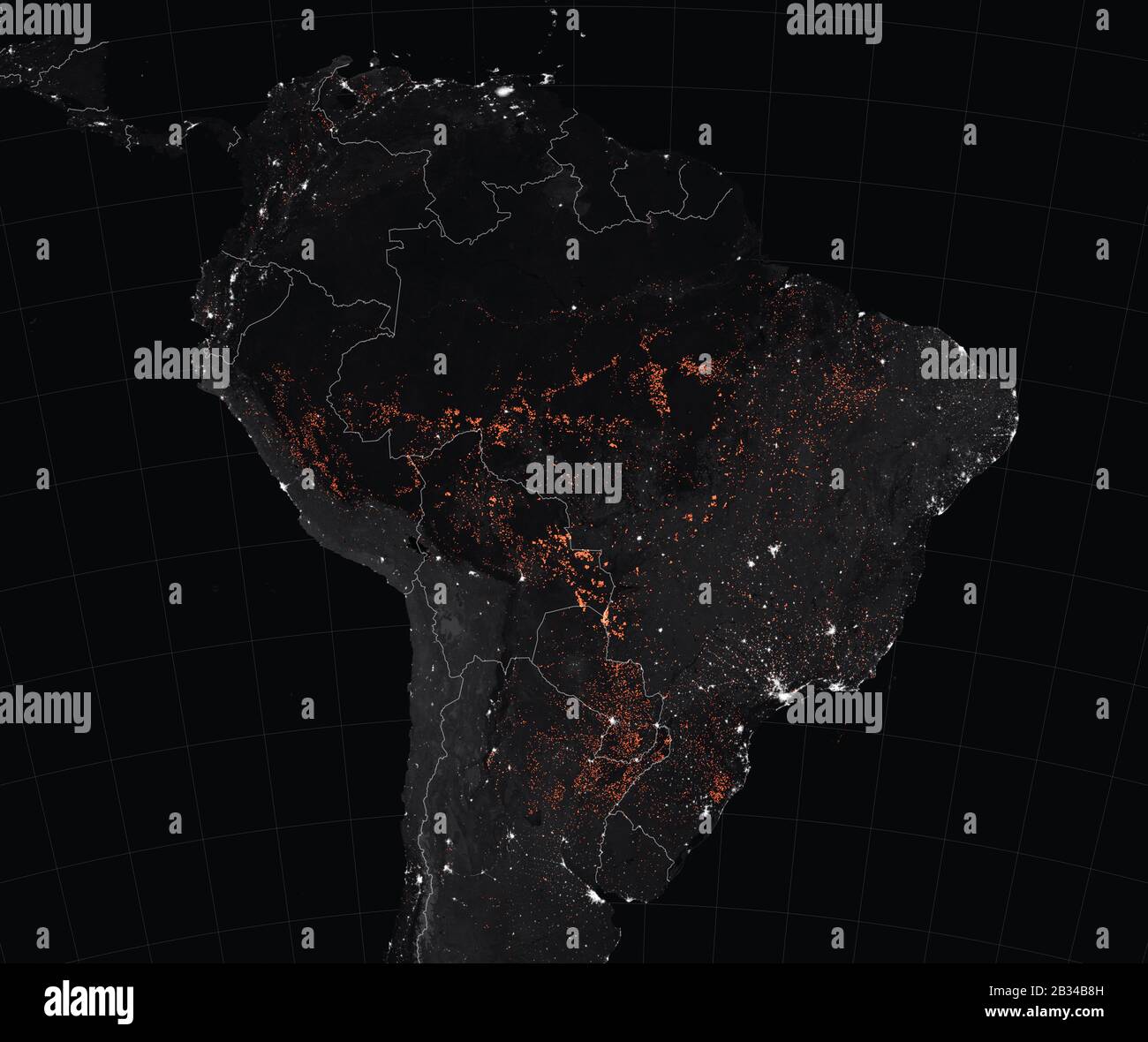 SOUTH AMERICA - 15-22 Aug 2019 - This satellite map shows active fire detections in Brazil as observed by Terra and Aqua MODIS satellite sensors betwe Stock Photohttps://www.alamy.com/image-license-details/?v=1https://www.alamy.com/south-america-15-22-aug-2019-this-satellite-map-shows-active-fire-detections-in-brazil-as-observed-by-terra-and-aqua-modis-satellite-sensors-betwe-image346148001.html
RM2B34B8H–SOUTH AMERICA - 15-22 Aug 2019 - This satellite map shows active fire detections in Brazil as observed by Terra and Aqua MODIS satellite sensors betwe
 Coronavirus disease - Glowing COVID-19 sign on map of South America - Elements of this image furnished by NASA Stock Photohttps://www.alamy.com/image-license-details/?v=1https://www.alamy.com/coronavirus-disease-glowing-covid-19-sign-on-map-of-south-america-elements-of-this-image-furnished-by-nasa-image350651605.html
RF2BADFKH–Coronavirus disease - Glowing COVID-19 sign on map of South America - Elements of this image furnished by NASA
 Satellite view of the Amazon, map, states of South America, reliefs and plains, physical map. Forest deforestation. 3d rendering. Nasa Stock Photohttps://www.alamy.com/image-license-details/?v=1https://www.alamy.com/satellite-view-of-the-amazon-map-states-of-south-america-reliefs-and-plains-physical-map-forest-deforestation-3d-rendering-nasa-image233834457.html
RFRGC26H–Satellite view of the Amazon, map, states of South America, reliefs and plains, physical map. Forest deforestation. 3d rendering. Nasa
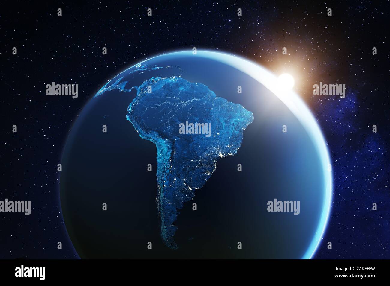 South America viewed from space with sunrise on planet Earth and stars, overview of Amazon river and forest, night lights from cities in Brazil, Argen Stock Photohttps://www.alamy.com/image-license-details/?v=1https://www.alamy.com/south-america-viewed-from-space-with-sunrise-on-planet-earth-and-stars-overview-of-amazon-river-and-forest-night-lights-from-cities-in-brazil-argen-image338994989.html
RF2AKEFFW–South America viewed from space with sunrise on planet Earth and stars, overview of Amazon river and forest, night lights from cities in Brazil, Argen
 Ilha do Andrade in the South Atlantic Ocean on a satellite image taken in December 13, 2022 Stock Photohttps://www.alamy.com/image-license-details/?v=1https://www.alamy.com/ilha-do-andrade-in-the-south-atlantic-ocean-on-a-satellite-image-taken-in-december-13-2022-image619370757.html
RF2XYJNM5–Ilha do Andrade in the South Atlantic Ocean on a satellite image taken in December 13, 2022
 South American Countries Map. Continental Vintage Map 3d Rendering. Stock Photohttps://www.alamy.com/image-license-details/?v=1https://www.alamy.com/south-american-countries-map-continental-vintage-map-3d-rendering-image370756869.html
RF2CF5C4N–South American Countries Map. Continental Vintage Map 3d Rendering.
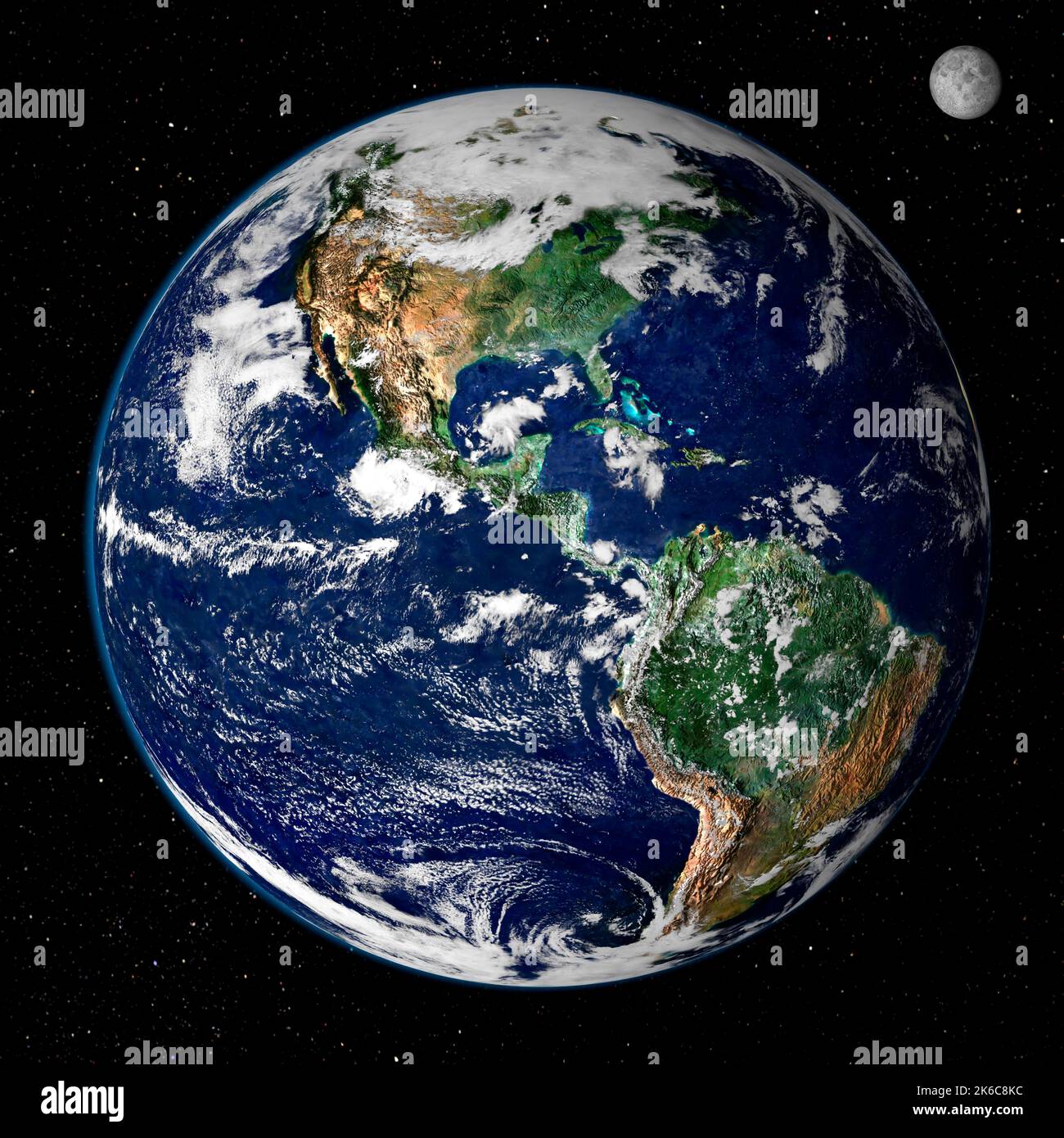 Planet earth America map with the moon on black background. Elements of this image furnished by NASA Stock Photohttps://www.alamy.com/image-license-details/?v=1https://www.alamy.com/planet-earth-america-map-with-the-moon-on-black-background-elements-of-this-image-furnished-by-nasa-image485848480.html
RF2K6C8KC–Planet earth America map with the moon on black background. Elements of this image furnished by NASA
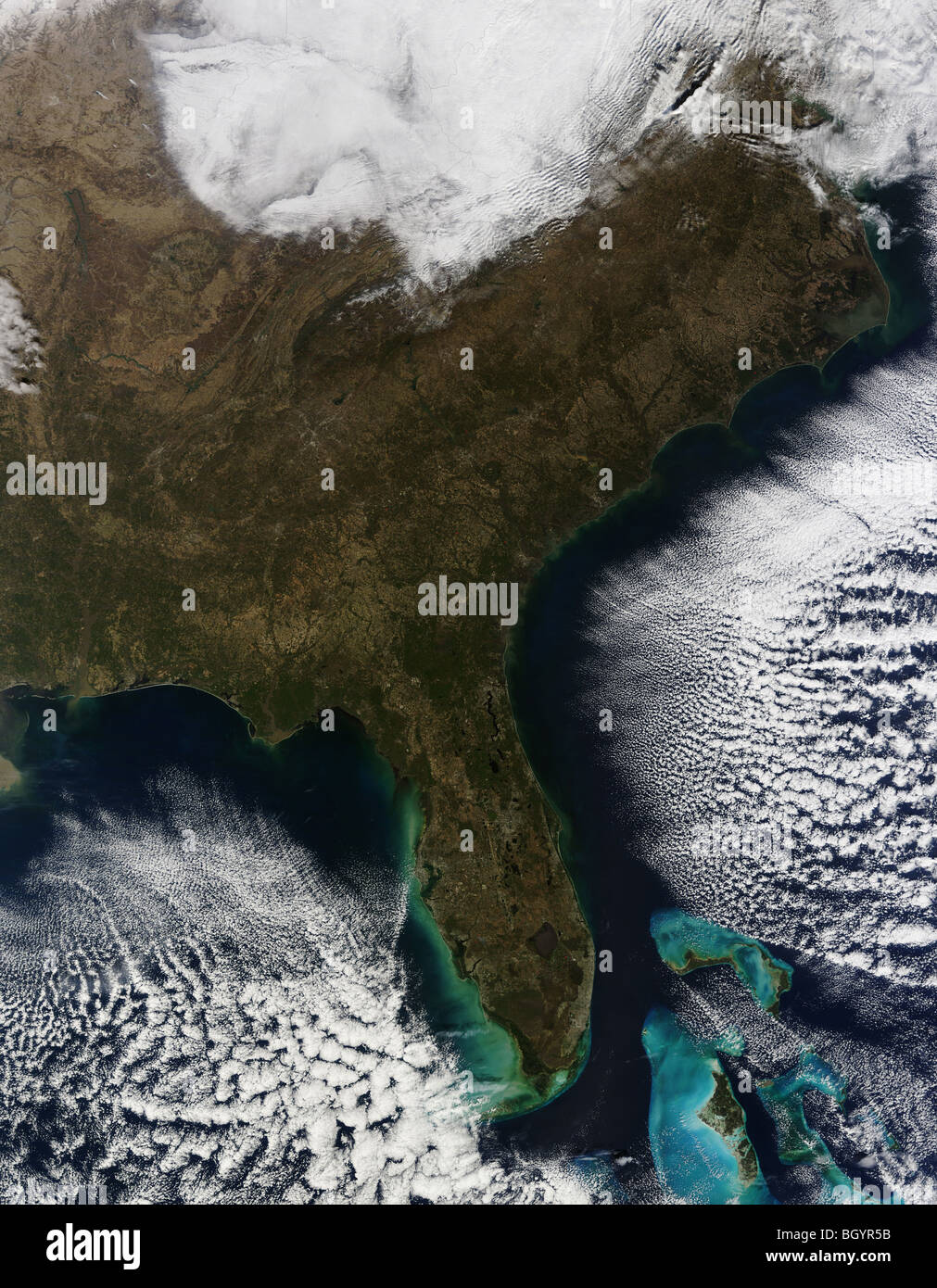 Satellite Terra view of the Southeastern United States,photo taken in 2010. Credit NASA Stock Photohttps://www.alamy.com/image-license-details/?v=1https://www.alamy.com/stock-photo-satellite-terra-view-of-the-southeastern-united-statesphoto-taken-27655751.html
RFBGYR5B–Satellite Terra view of the Southeastern United States,photo taken in 2010. Credit NASA
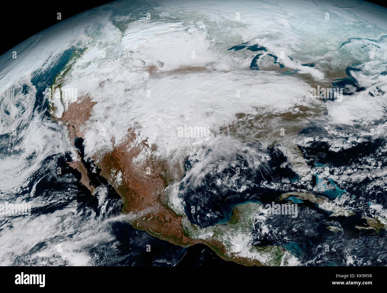 A satellite photo of USA. Elements of this image furnished by NASA Stock Photohttps://www.alamy.com/image-license-details/?v=1https://www.alamy.com/stock-image-a-satellite-photo-of-usa-elements-of-this-image-furnished-by-nasa-166787539.html
RFKK9R5R–A satellite photo of USA. Elements of this image furnished by NASA
RF2XEDJBC–European map satellite image, World Map Image, isolated on white background, Info-graphic, Flat Earth, Globe, world map icon. Travel worldwide
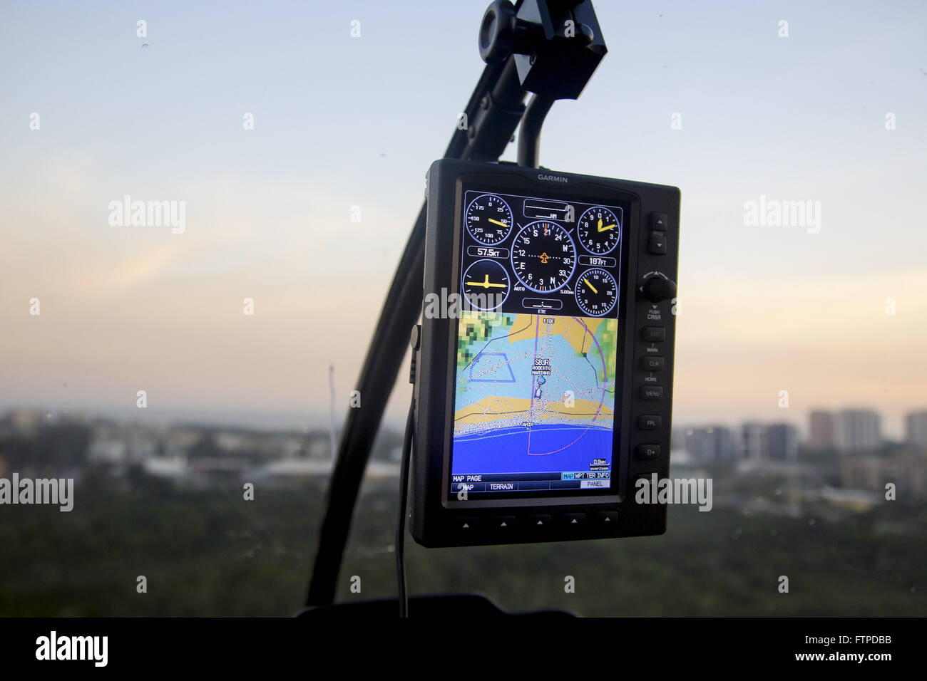 Unit showing satellite map inside the helicopter cabin Stock Photohttps://www.alamy.com/image-license-details/?v=1https://www.alamy.com/stock-photo-unit-showing-satellite-map-inside-the-helicopter-cabin-101297039.html
RMFTPDBB–Unit showing satellite map inside the helicopter cabin
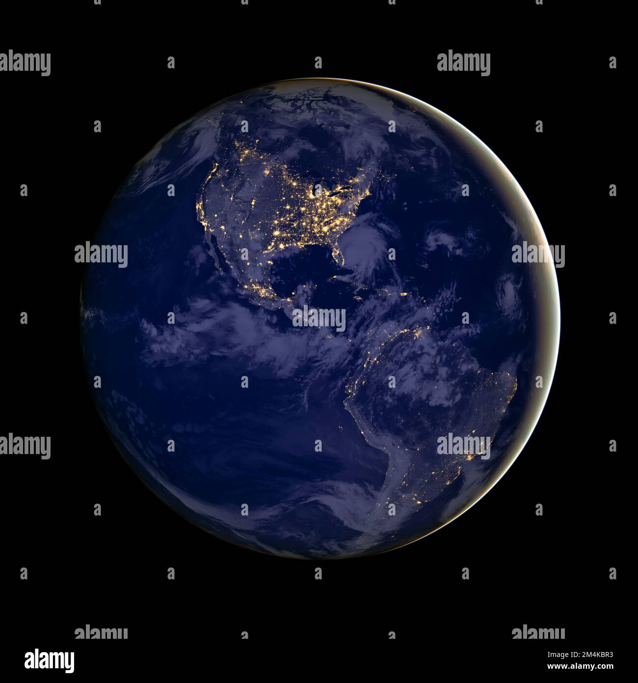 Planet earth with focus on North America and South America at night seen from space. City lights. Digitally enhanced. Elements of this image by NASA Stock Photohttps://www.alamy.com/image-license-details/?v=1https://www.alamy.com/planet-earth-with-focus-on-north-america-and-south-america-at-night-seen-from-space-city-lights-digitally-enhanced-elements-of-this-image-by-nasa-image501985655.html
RF2M4KBR3–Planet earth with focus on North America and South America at night seen from space. City lights. Digitally enhanced. Elements of this image by NASA
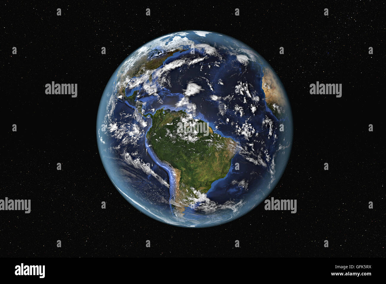 Detailed view of Earth from space, showing South America and The Caribbean. Elements of this image furnished by NASA Stock Photohttps://www.alamy.com/image-license-details/?v=1https://www.alamy.com/stock-photo-detailed-view-of-earth-from-space-showing-south-america-and-the-caribbean-112903726.html
RFGFK5RX–Detailed view of Earth from space, showing South America and The Caribbean. Elements of this image furnished by NASA
 south america seen from space 3D rendering Stock Photohttps://www.alamy.com/image-license-details/?v=1https://www.alamy.com/south-america-seen-from-space-3d-rendering-image380872368.html
RF2D3J6GG–south america seen from space 3D rendering
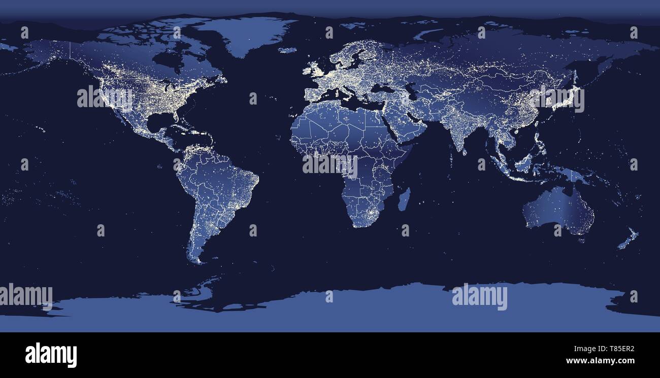 Earth's city lights map with silhouettes of continents Stock Vectorhttps://www.alamy.com/image-license-details/?v=1https://www.alamy.com/earths-city-lights-map-with-silhouettes-of-continents-image245983782.html
RFT85ER2–Earth's city lights map with silhouettes of continents
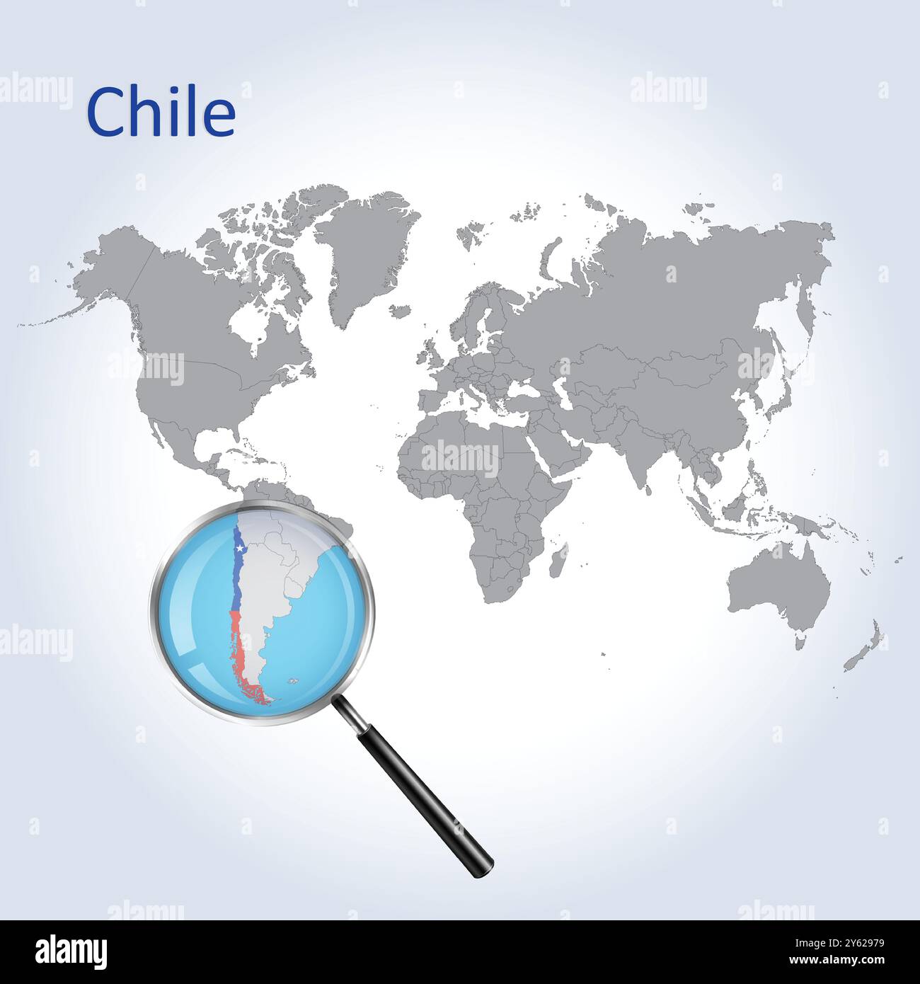 Chile Magnified Map and Flag, Chile Enlargement Maps, Vector Art Stock Vectorhttps://www.alamy.com/image-license-details/?v=1https://www.alamy.com/chile-magnified-map-and-flag-chile-enlargement-maps-vector-art-image623312349.html
RF2Y62979–Chile Magnified Map and Flag, Chile Enlargement Maps, Vector Art
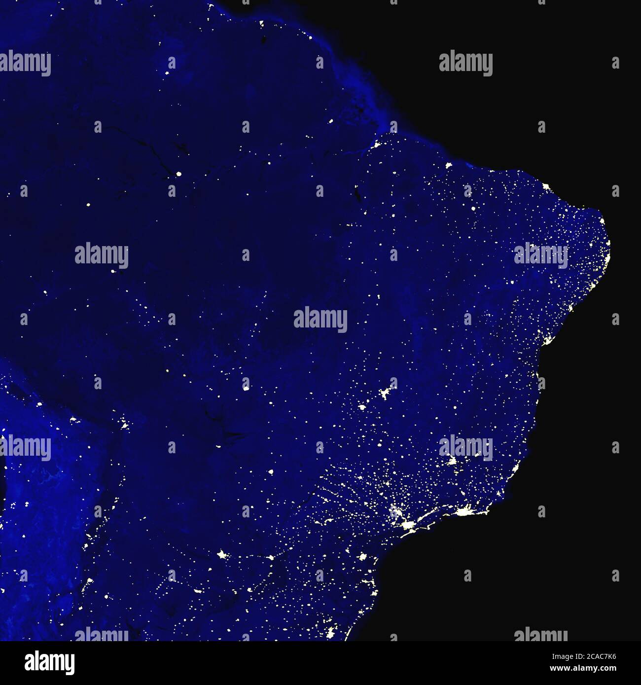 Brazil electric lights map at night. City lights. Map of South America. View from outer space Stock Photohttps://www.alamy.com/image-license-details/?v=1https://www.alamy.com/brazil-electric-lights-map-at-night-city-lights-map-of-south-america-view-from-outer-space-image367833738.html
RF2CAC7K6–Brazil electric lights map at night. City lights. Map of South America. View from outer space
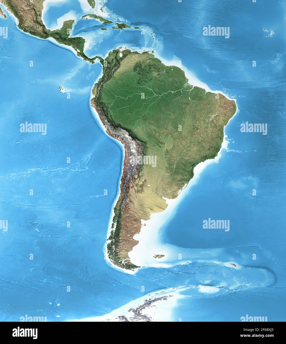 Physical map of South America, with high resolution details. Flattened satellite view of Planet Earth and its geography - Elements furnished by NASA Stock Photohttps://www.alamy.com/image-license-details/?v=1https://www.alamy.com/physical-map-of-south-america-with-high-resolution-details-flattened-satellite-view-of-planet-earth-and-its-geography-elements-furnished-by-nasa-image416999131.html
RF2F6BXJ3–Physical map of South America, with high resolution details. Flattened satellite view of Planet Earth and its geography - Elements furnished by NASA
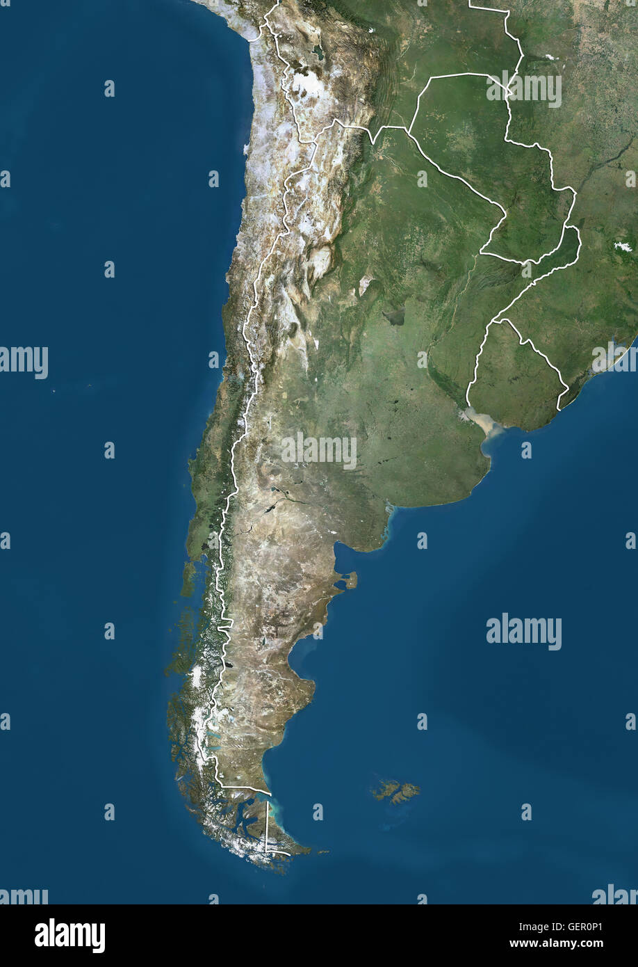 Satellite view of Southern South America (with country boundaries). The image shows Chile, Argentina, Paraguay and Uruguay. This image was compiled from data acquired by Landsat satellites. Stock Photohttps://www.alamy.com/image-license-details/?v=1https://www.alamy.com/stock-photo-satellite-view-of-southern-south-america-with-country-boundaries-the-112372905.html
RMGER0P1–Satellite view of Southern South America (with country boundaries). The image shows Chile, Argentina, Paraguay and Uruguay. This image was compiled from data acquired by Landsat satellites.
 View of the Earth from space showing the location of the country Venezuela in South America. The country is highlighted with a red polygon. Small coun Stock Photohttps://www.alamy.com/image-license-details/?v=1https://www.alamy.com/view-of-the-earth-from-space-showing-the-location-of-the-country-venezuela-in-south-america-the-country-is-highlighted-with-a-red-polygon-small-coun-image610872847.html
RF2XDRJFB–View of the Earth from space showing the location of the country Venezuela in South America. The country is highlighted with a red polygon. Small coun
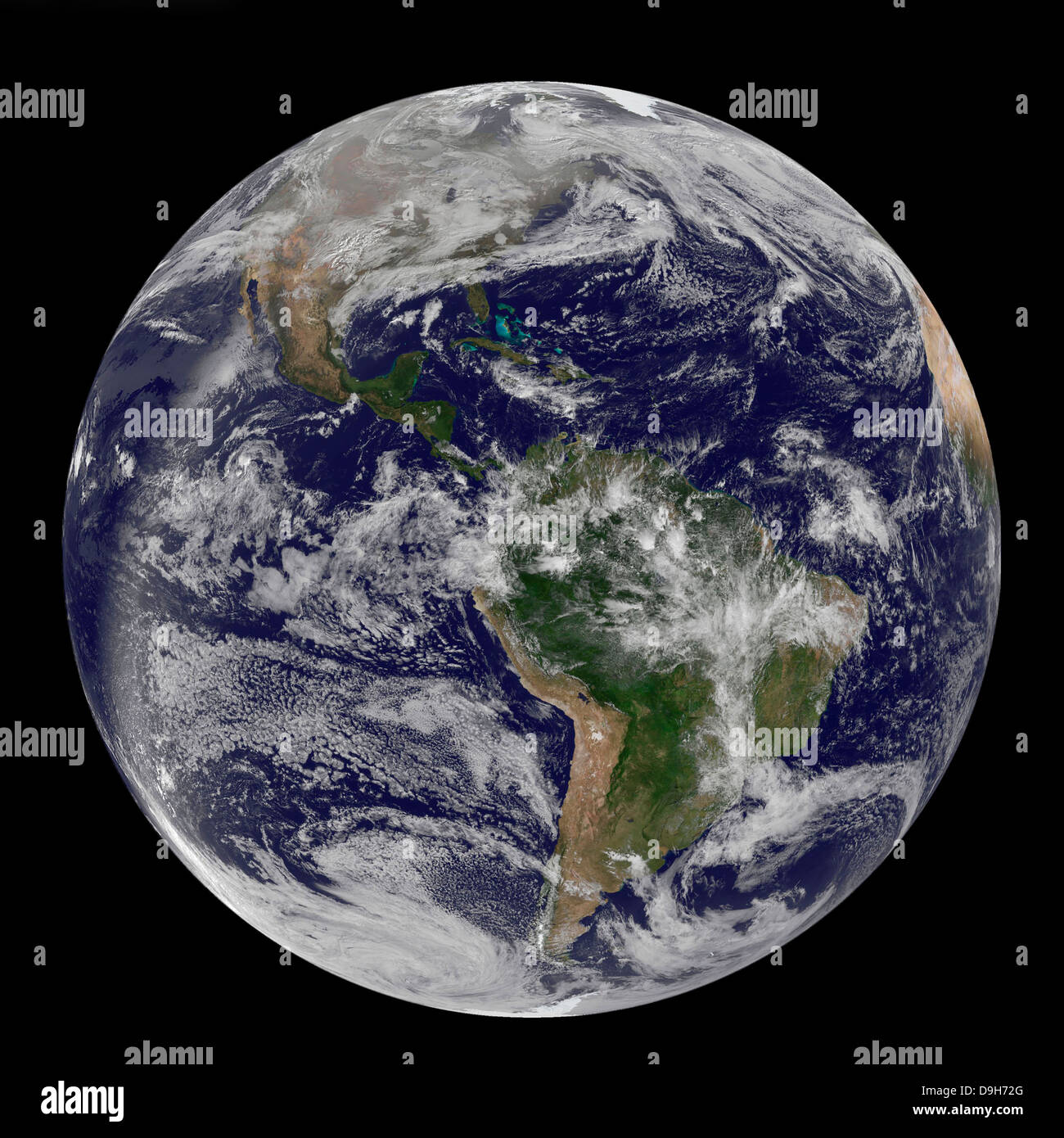 Full Earth showing North and South America on December 17, 2010. Stock Photohttps://www.alamy.com/image-license-details/?v=1https://www.alamy.com/stock-photo-full-earth-showing-north-and-south-america-on-december-17-2010-57541752.html
RFD9H72G–Full Earth showing North and South America on December 17, 2010.
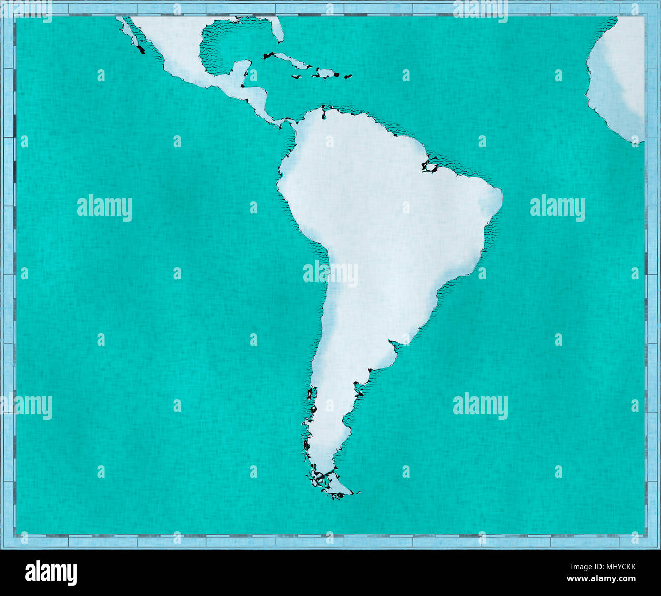 Map of South America, drawn illustrated brush strokes, geographical map, physics. Cartography, geographical atlas Stock Photohttps://www.alamy.com/image-license-details/?v=1https://www.alamy.com/map-of-south-america-drawn-illustrated-brush-strokes-geographical-map-physics-cartography-geographical-atlas-image183155495.html
RFMHYCKK–Map of South America, drawn illustrated brush strokes, geographical map, physics. Cartography, geographical atlas
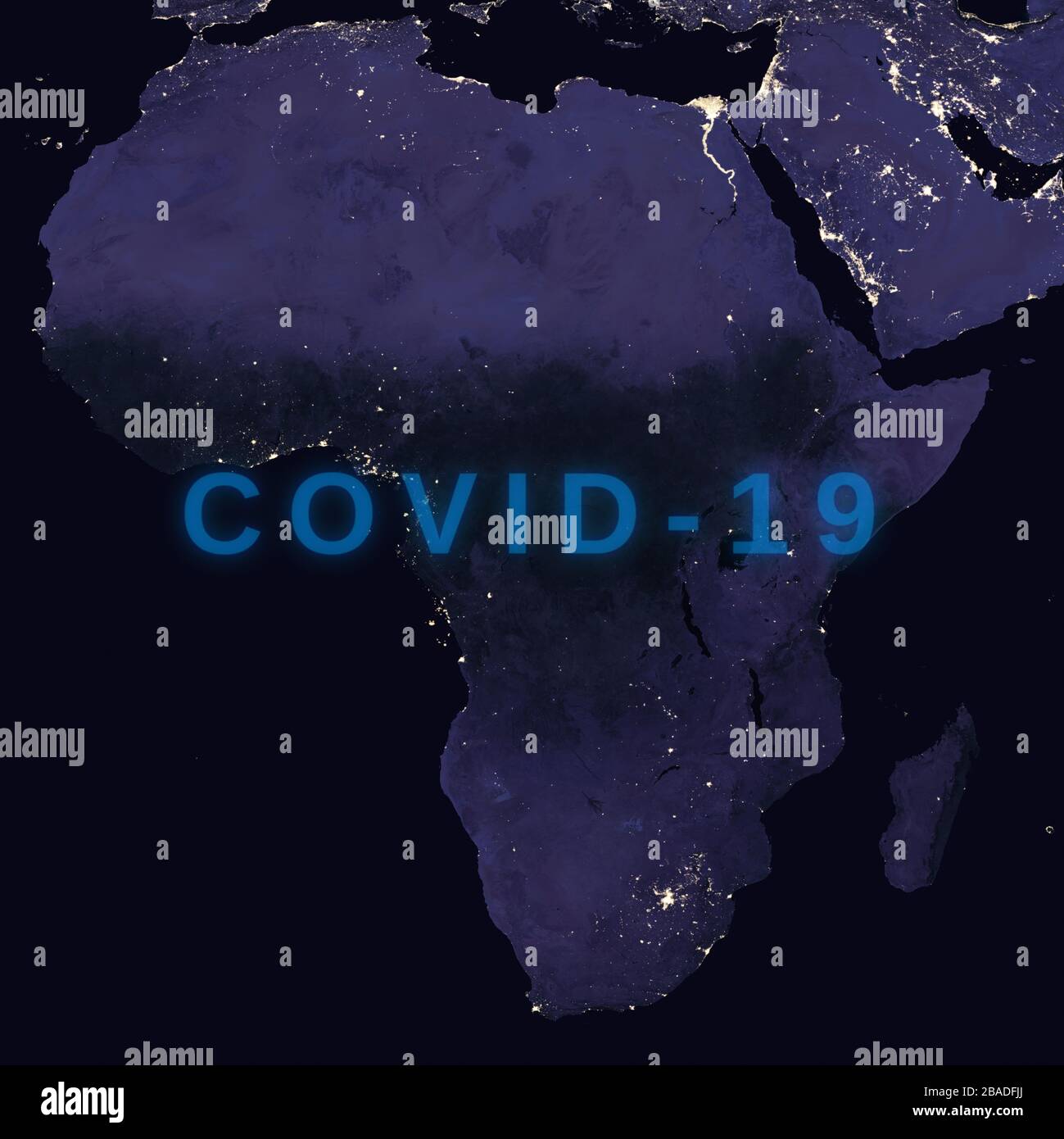 Coronavirus disease - Glowing COVID-19 sign on map of Africa - Elements of this image furnished by NASA Stock Photohttps://www.alamy.com/image-license-details/?v=1https://www.alamy.com/coronavirus-disease-glowing-covid-19-sign-on-map-of-africa-elements-of-this-image-furnished-by-nasa-image350651578.html
RF2BADFJJ–Coronavirus disease - Glowing COVID-19 sign on map of Africa - Elements of this image furnished by NASA
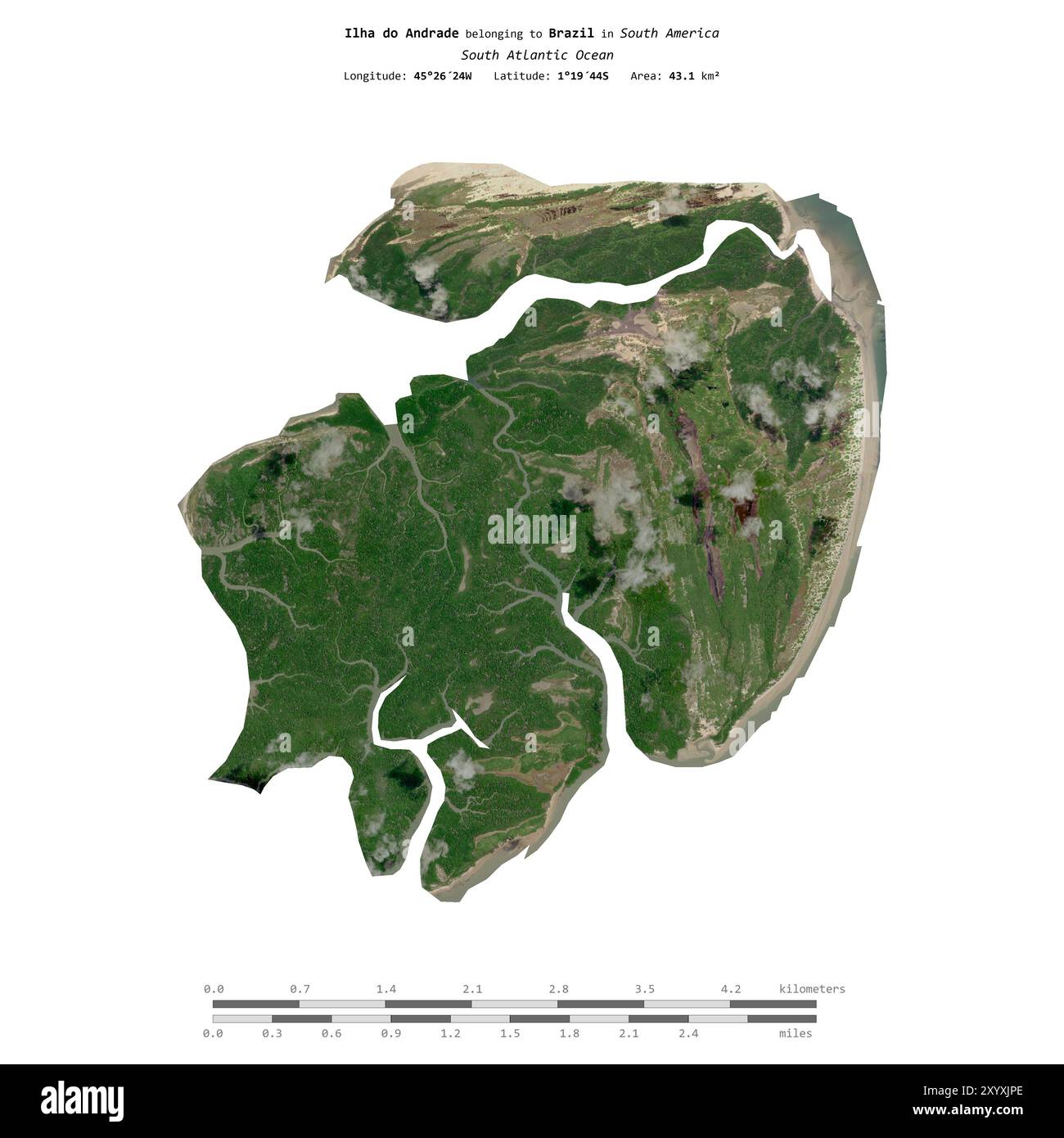 Ilha do Andrade in the South Atlantic Ocean, belonging to Brazil, isolated on a satellite image taken in August 20, 2020, with distance scale Stock Photohttps://www.alamy.com/image-license-details/?v=1https://www.alamy.com/ilha-do-andrade-in-the-south-atlantic-ocean-belonging-to-brazil-isolated-on-a-satellite-image-taken-in-august-20-2020-with-distance-scale-image619544086.html
RF2XYXJPE–Ilha do Andrade in the South Atlantic Ocean, belonging to Brazil, isolated on a satellite image taken in August 20, 2020, with distance scale
 The Earth from space showing North and South America. Isolated on black. Other orientations available. Stock Photohttps://www.alamy.com/image-license-details/?v=1https://www.alamy.com/the-earth-from-space-showing-north-and-south-america-isolated-on-black-image60271535.html
RFDE1GXR–The Earth from space showing North and South America. Isolated on black. Other orientations available.
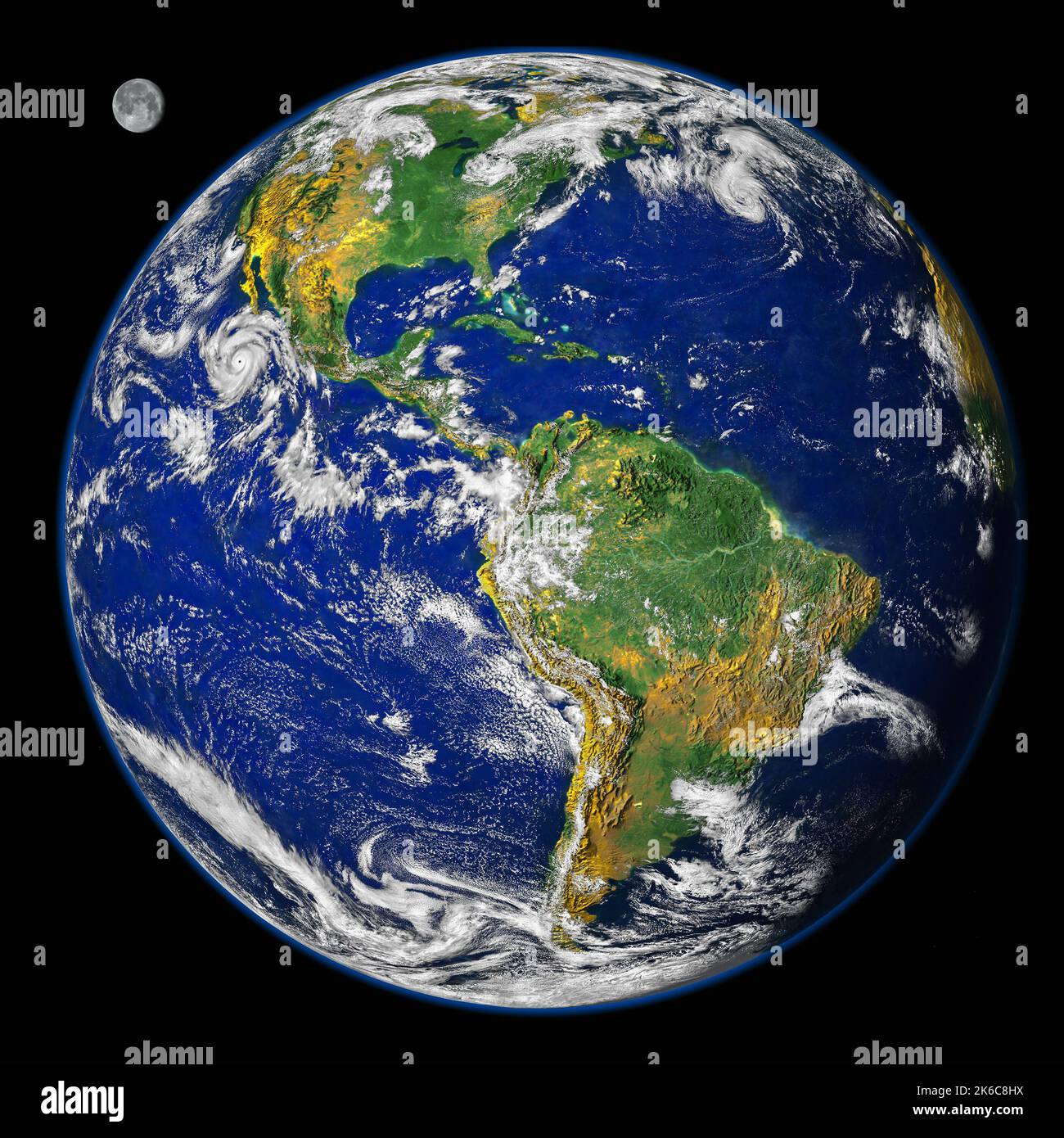 Planet earth America map with the moon on black background. Elements of this image furnished by NASA Stock Photohttps://www.alamy.com/image-license-details/?v=1https://www.alamy.com/planet-earth-america-map-with-the-moon-on-black-background-elements-of-this-image-furnished-by-nasa-image485848438.html
RF2K6C8HX–Planet earth America map with the moon on black background. Elements of this image furnished by NASA
 Nature pattern on satellite photo, delta of tropical river. Aerial top view of green Earth surface as abstract texture background. Landscape taken fro Stock Photohttps://www.alamy.com/image-license-details/?v=1https://www.alamy.com/nature-pattern-on-satellite-photo-delta-of-tropical-river-aerial-top-view-of-green-earth-surface-as-abstract-texture-background-landscape-taken-fro-image441769103.html
RF2GJM8YY–Nature pattern on satellite photo, delta of tropical river. Aerial top view of green Earth surface as abstract texture background. Landscape taken fro
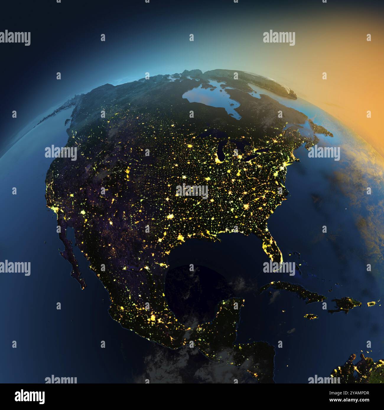 Night view of North America from the satellite to the glowing lights of towns on the sunrise from the east Stock Photohttps://www.alamy.com/image-license-details/?v=1https://www.alamy.com/night-view-of-north-america-from-the-satellite-to-the-glowing-lights-of-towns-on-the-sunrise-from-the-east-image626176483.html
RF2YAMPDR–Night view of North America from the satellite to the glowing lights of towns on the sunrise from the east
RF2XEDJAT–Australian map satellite image map, World Map Image, isolated on white background, Info-graphic, Flat Earth, Globe, world map icon. Travel worldwide
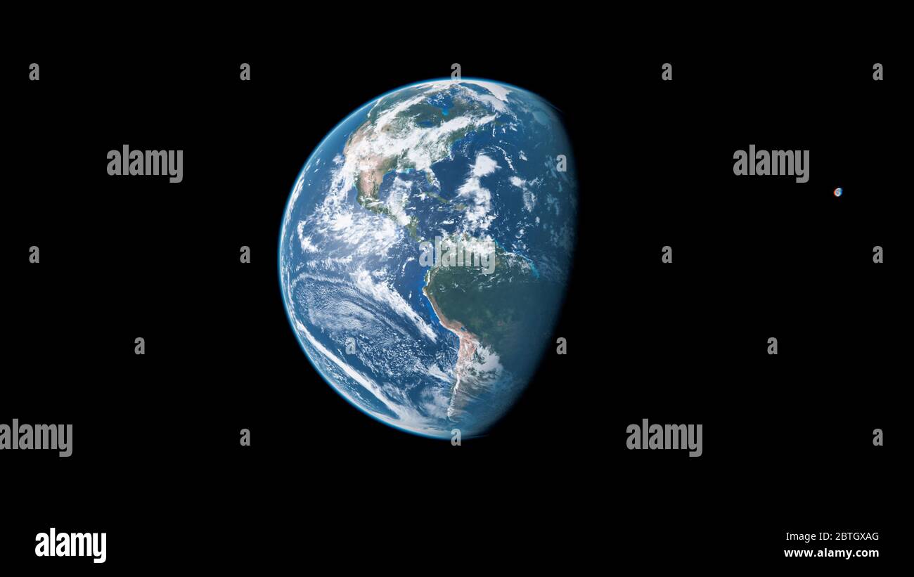 North America from Space During the Day - Planet Earth and Moon - The Blue Marble - 3D Illustration Stock Photohttps://www.alamy.com/image-license-details/?v=1https://www.alamy.com/north-america-from-space-during-the-day-planet-earth-and-moon-the-blue-marble-3d-illustration-image359331016.html
RF2BTGXAG–North America from Space During the Day - Planet Earth and Moon - The Blue Marble - 3D Illustration
 Earth at night showing Africa, Europe and South America Stock Photohttps://www.alamy.com/image-license-details/?v=1https://www.alamy.com/stock-photo-earth-at-night-showing-africa-europe-and-south-america-83517770.html
RFERTFNE–Earth at night showing Africa, Europe and South America
 Image of planet Earth as seen from space with the continent of South America in the center Stock Photohttps://www.alamy.com/image-license-details/?v=1https://www.alamy.com/image-of-planet-earth-as-seen-from-space-with-the-continent-of-south-america-in-the-center-image605408526.html
RF2X4XMN2–Image of planet Earth as seen from space with the continent of South America in the center
 aerial map view above Chatanooga Tennessee Stock Photohttps://www.alamy.com/image-license-details/?v=1https://www.alamy.com/stock-photo-aerial-map-view-above-chatanooga-tennessee-30370527.html
RFBNBDWK–aerial map view above Chatanooga Tennessee
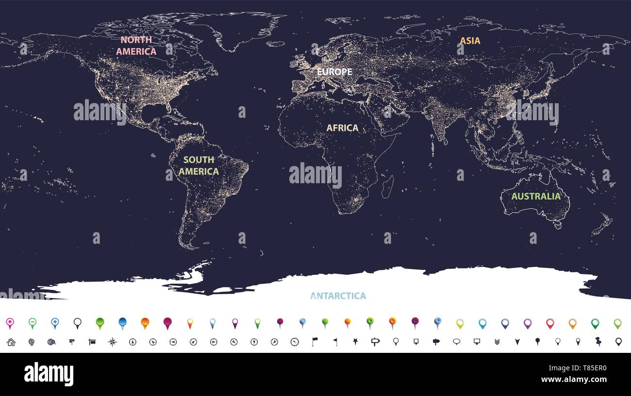 Earth's city lights map with silhouettes of continents Stock Vectorhttps://www.alamy.com/image-license-details/?v=1https://www.alamy.com/earths-city-lights-map-with-silhouettes-of-continents-image245983780.html
RFT85ER0–Earth's city lights map with silhouettes of continents
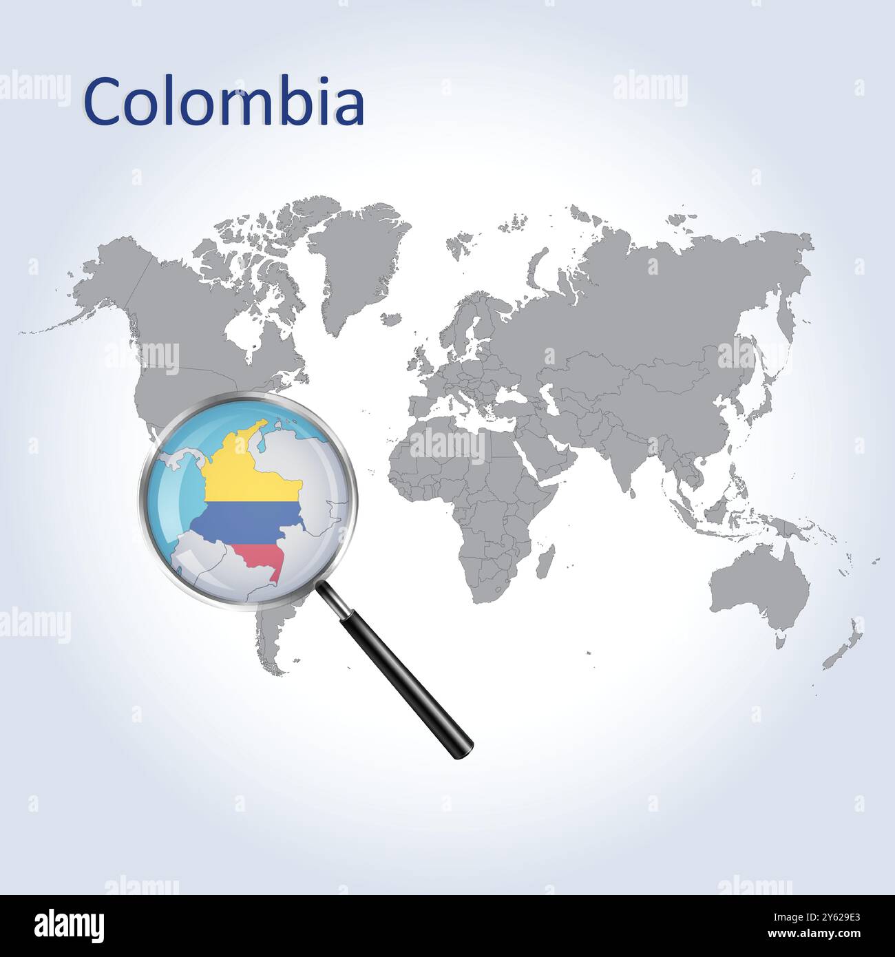 Colombia Magnified Map and Flag, Colombia Enlargement Maps, Vector Art Stock Vectorhttps://www.alamy.com/image-license-details/?v=1https://www.alamy.com/colombia-magnified-map-and-flag-colombia-enlargement-maps-vector-art-image623312539.html
RF2Y629E3–Colombia Magnified Map and Flag, Colombia Enlargement Maps, Vector Art
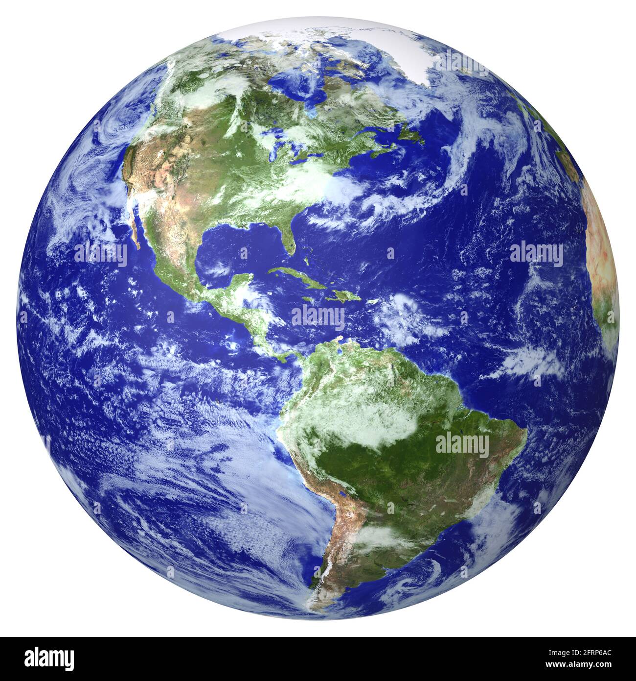 Earth globe cloud map. Side of the North and South America Stock Photohttps://www.alamy.com/image-license-details/?v=1https://www.alamy.com/earth-globe-cloud-map-side-of-the-north-and-south-america-image427673860.html
RF2FRP6AC–Earth globe cloud map. Side of the North and South America
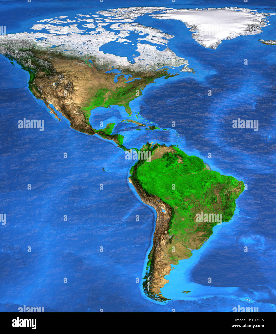 Detailed satellite view of the Earth and its landforms. North and South America map. Elements of this image furnished by NASA Stock Photohttps://www.alamy.com/image-license-details/?v=1https://www.alamy.com/stock-photo-detailed-satellite-view-of-the-earth-and-its-landforms-north-and-south-136498997.html
RFHX21T5–Detailed satellite view of the Earth and its landforms. North and South America map. Elements of this image furnished by NASA
 Satellite view of South America. This image was compiled from data acquired by Landsat 7 & 8 satellites. Stock Photohttps://www.alamy.com/image-license-details/?v=1https://www.alamy.com/stock-photo-satellite-view-of-south-america-this-image-was-compiled-from-data-112373362.html
RMGER1AA–Satellite view of South America. This image was compiled from data acquired by Landsat 7 & 8 satellites.
 View of the Earth from space showing the location of the country Paraguay in South America. The country is highlighted with a red polygon. Small count Stock Photohttps://www.alamy.com/image-license-details/?v=1https://www.alamy.com/view-of-the-earth-from-space-showing-the-location-of-the-country-paraguay-in-south-america-the-country-is-highlighted-with-a-red-polygon-small-count-image610871879.html
RF2XDRH8R–View of the Earth from space showing the location of the country Paraguay in South America. The country is highlighted with a red polygon. Small count
 abstract world map relief Stock Photohttps://www.alamy.com/image-license-details/?v=1https://www.alamy.com/stock-photo-abstract-world-map-relief-50600470.html
RFCX91BJ–abstract world map relief
 Globe map of the south America. Argentina, Chile. Brazil. Cartography, geographical atlas. 3d render. Bathymetry, underwater depth of ocean Stock Photohttps://www.alamy.com/image-license-details/?v=1https://www.alamy.com/globe-map-of-the-south-america-argentina-chile-brazil-cartography-geographical-atlas-3d-render-bathymetry-underwater-depth-of-ocean-image402042201.html
RF2EA2GX1–Globe map of the south America. Argentina, Chile. Brazil. Cartography, geographical atlas. 3d render. Bathymetry, underwater depth of ocean
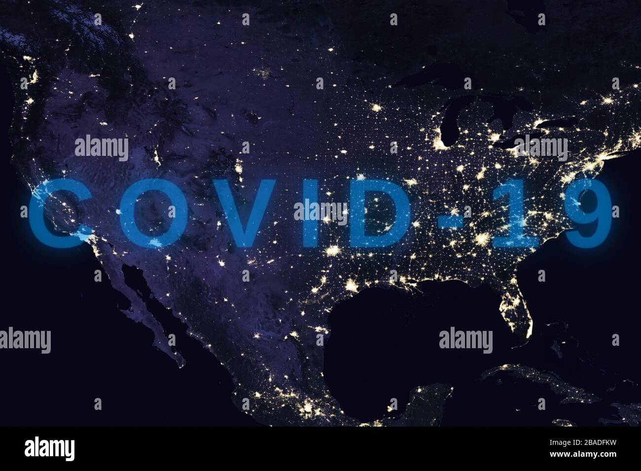 Coronavirus disease - Glowing COVID-19 sign on map of the USA - Elements of this image furnished by NASA Stock Photohttps://www.alamy.com/image-license-details/?v=1https://www.alamy.com/coronavirus-disease-glowing-covid-19-sign-on-map-of-the-usa-elements-of-this-image-furnished-by-nasa-image350651613.html
RF2BADFKW–Coronavirus disease - Glowing COVID-19 sign on map of the USA - Elements of this image furnished by NASA
 Ilha Charapucu in the South Atlantic Ocean on a satellite image taken in September 10, 2020 Stock Photohttps://www.alamy.com/image-license-details/?v=1https://www.alamy.com/ilha-charapucu-in-the-south-atlantic-ocean-on-a-satellite-image-taken-in-september-10-2020-image619372673.html
RF2XYJT4H–Ilha Charapucu in the South Atlantic Ocean on a satellite image taken in September 10, 2020
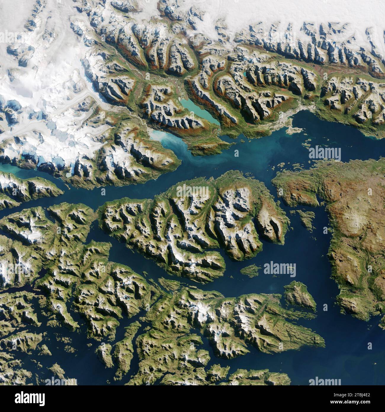 Satellite view of Ushuaia, Argentina. Stock Photohttps://www.alamy.com/image-license-details/?v=1https://www.alamy.com/satellite-view-of-ushuaia-argentina-image575102026.html
RF2TBJ4E2–Satellite view of Ushuaia, Argentina.
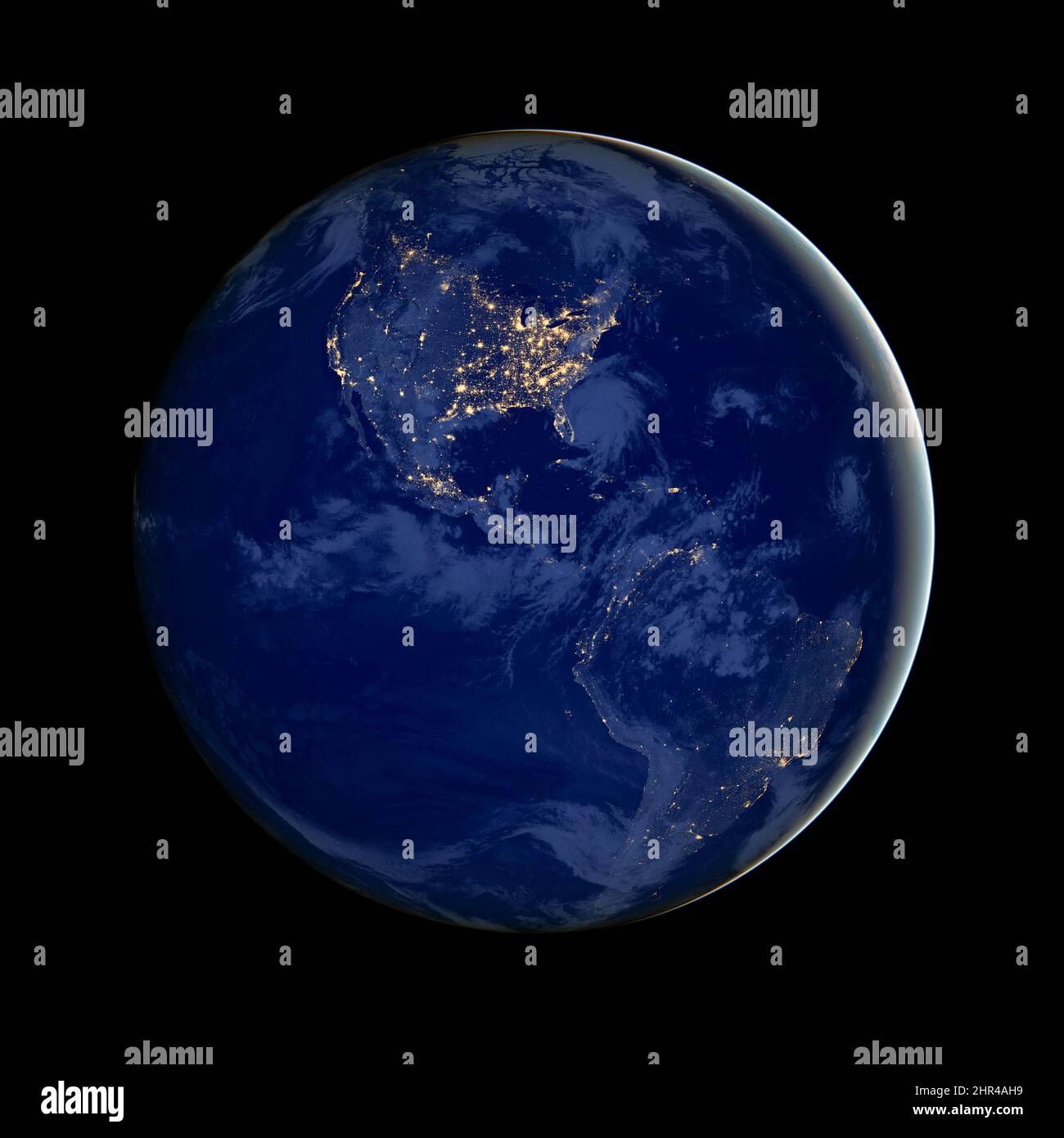 North and South America at night, city lights, satellite image from space, earth photo with black background.Elements of this image furnished by NASA. Stock Photohttps://www.alamy.com/image-license-details/?v=1https://www.alamy.com/north-and-south-america-at-night-city-lights-satellite-image-from-space-earth-photo-with-black-backgroundelements-of-this-image-furnished-by-nasa-image461702789.html
RF2HR4AH9–North and South America at night, city lights, satellite image from space, earth photo with black background.Elements of this image furnished by NASA.
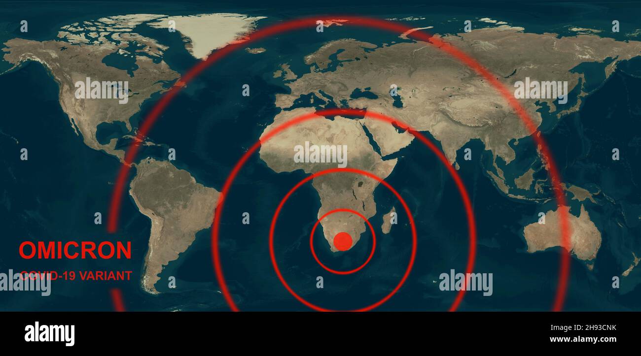 Omicron COVID-19 variant on global map, new coronavirus spreads around World from South Africa. Concept of economy crisis and corona virus pandemic. E Stock Photohttps://www.alamy.com/image-license-details/?v=1https://www.alamy.com/omicron-covid-19-variant-on-global-map-new-coronavirus-spreads-around-world-from-south-africa-concept-of-economy-crisis-and-corona-virus-pandemic-e-image453077343.html
RF2H93CNK–Omicron COVID-19 variant on global map, new coronavirus spreads around World from South Africa. Concept of economy crisis and corona virus pandemic. E
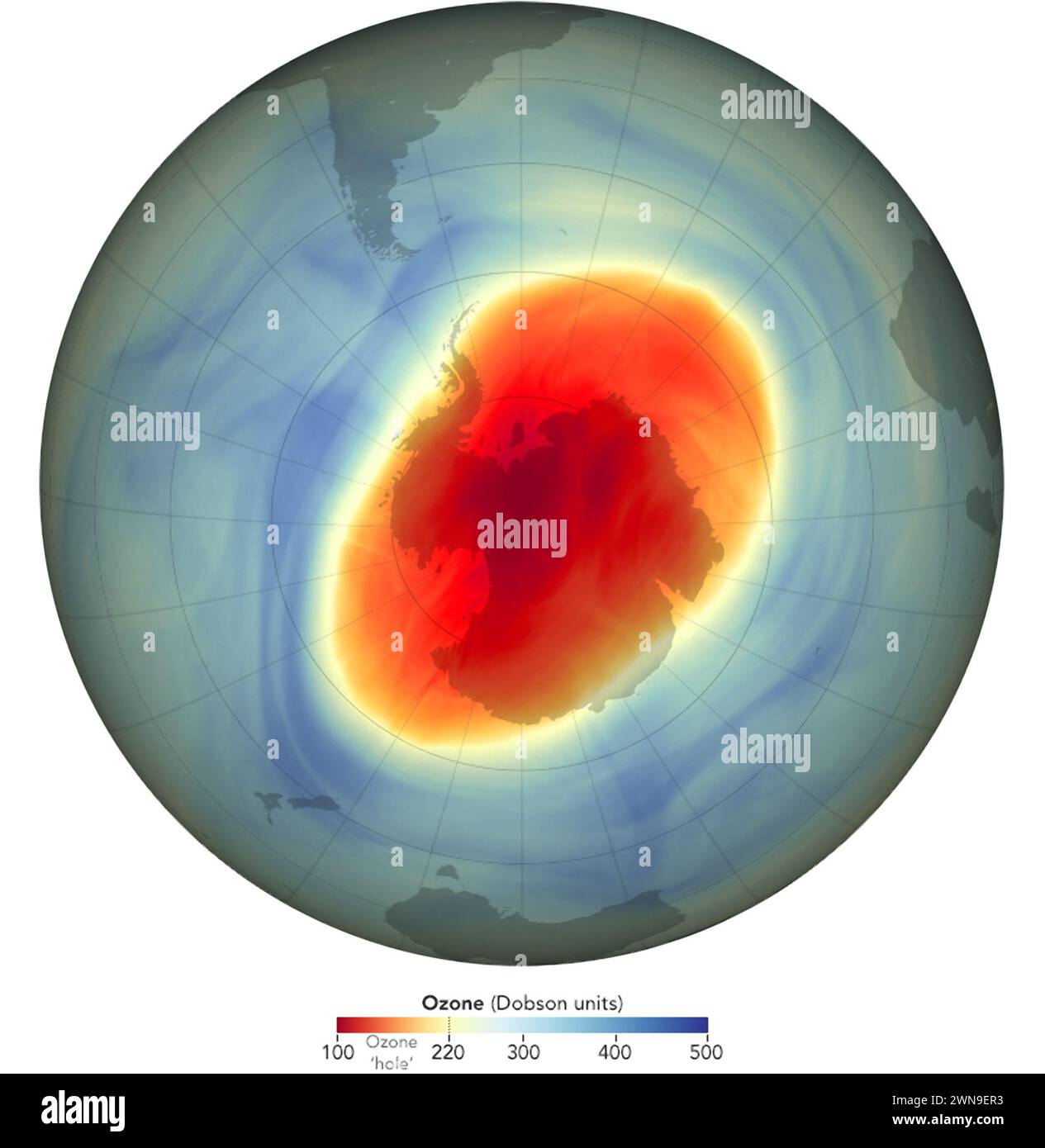 This graphic composed of the NASA GOES-5 satellite data shows the extent of the Ozone Hole over Antarctica in 2022 Stock Photohttps://www.alamy.com/image-license-details/?v=1https://www.alamy.com/this-graphic-composed-of-the-nasa-goes-5-satellite-data-shows-the-extent-of-the-ozone-hole-over-antarctica-in-2022-image598269479.html
RM2WN9ER3–This graphic composed of the NASA GOES-5 satellite data shows the extent of the Ozone Hole over Antarctica in 2022
RF2XEDJB9–Asian map satellite image map, World Map Image, isolated on white background, Info-graphic, Flat Earth, Globe, world map icon. Travel worldwide
 Realistic Earth from space showing North and South America Stock Photohttps://www.alamy.com/image-license-details/?v=1https://www.alamy.com/realistic-earth-from-space-showing-north-and-south-america-image245915888.html
RFT82C68–Realistic Earth from space showing North and South America
 South America on planet Earth Stock Photohttps://www.alamy.com/image-license-details/?v=1https://www.alamy.com/stock-photo-south-america-on-planet-earth-121937634.html
RFH2AMKE–South America on planet Earth
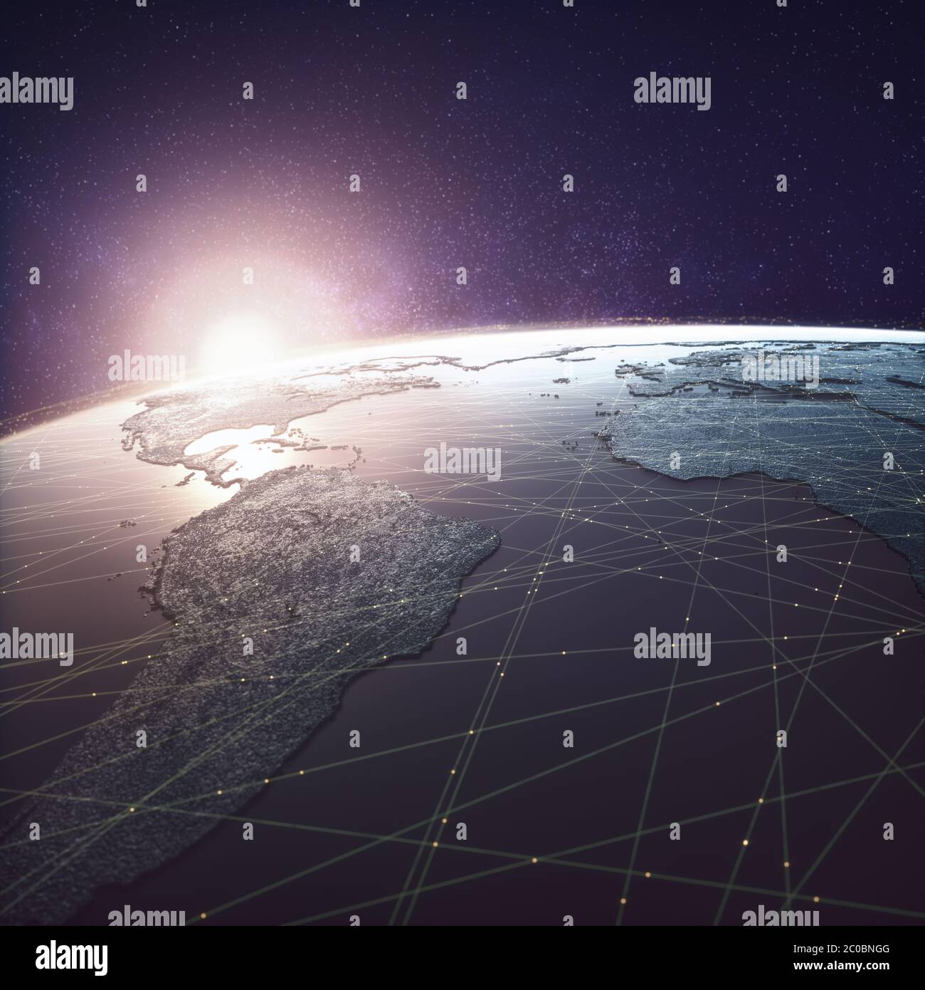 Globalized world, digital technology. Connections and cloud computing in the virtual world. World map with satellite data connections. Connectivity ac Stock Photohttps://www.alamy.com/image-license-details/?v=1https://www.alamy.com/globalized-world-digital-technology-connections-and-cloud-computing-in-the-virtual-world-world-map-with-satellite-data-connections-connectivity-ac-image361676128.html
RF2C0BNGG–Globalized world, digital technology. Connections and cloud computing in the virtual world. World map with satellite data connections. Connectivity ac
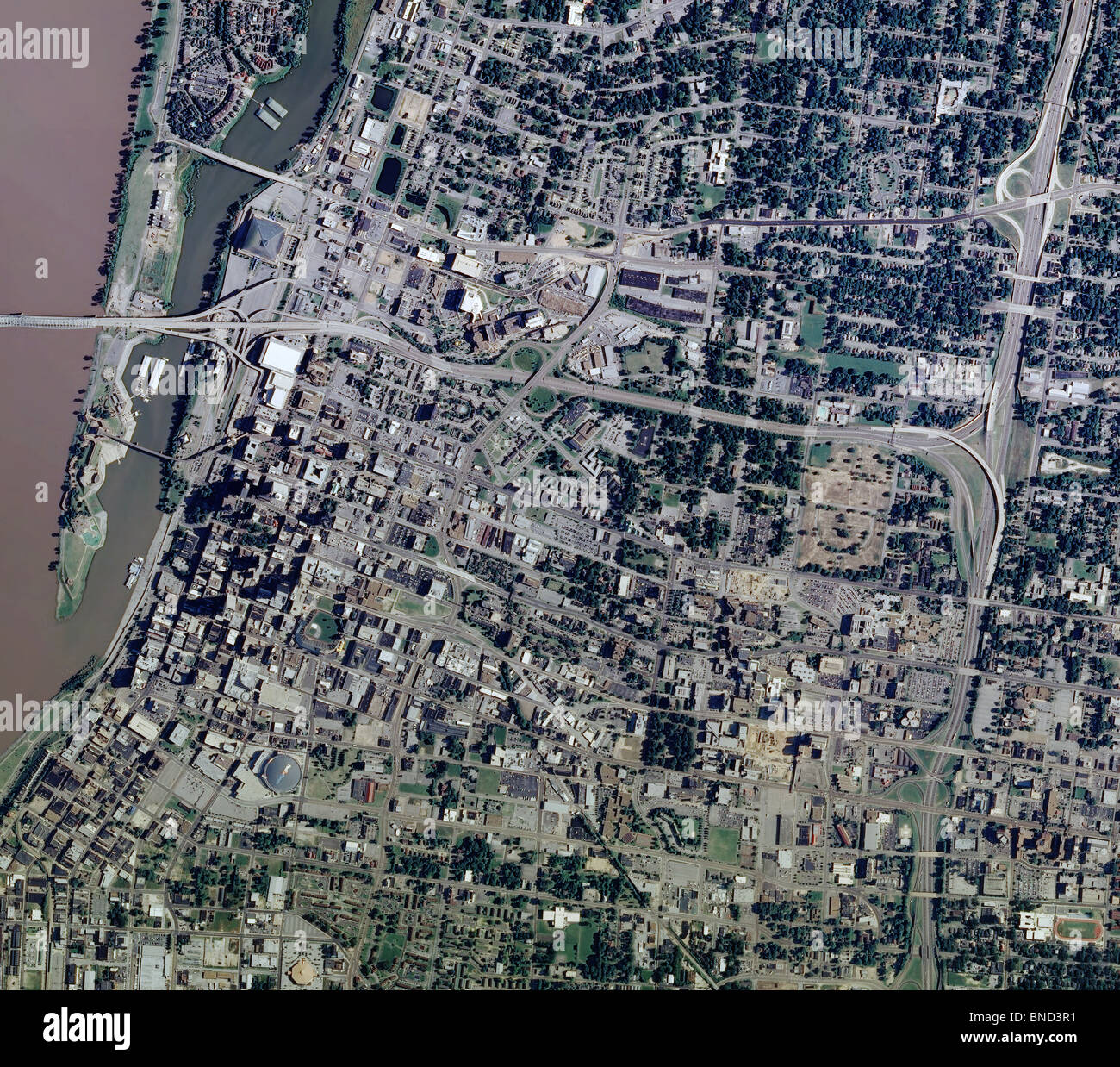 aerial map view above Memphis Tennessee Mississippi river Stock Photohttps://www.alamy.com/image-license-details/?v=1https://www.alamy.com/stock-photo-aerial-map-view-above-memphis-tennessee-mississippi-river-30406517.html
RFBND3R1–aerial map view above Memphis Tennessee Mississippi river
 Dresden, Germany - February 5, 2023: Map of Chile and Argentina in South America on NASA FIRMS satellite wildfire detection service showing wildfires Stock Photohttps://www.alamy.com/image-license-details/?v=1https://www.alamy.com/dresden-germany-february-5-2023-map-of-chile-and-argentina-in-south-america-on-nasa-firms-satellite-wildfire-detection-service-showing-wildfires-image520775597.html
RF2N77AGD–Dresden, Germany - February 5, 2023: Map of Chile and Argentina in South America on NASA FIRMS satellite wildfire detection service showing wildfires
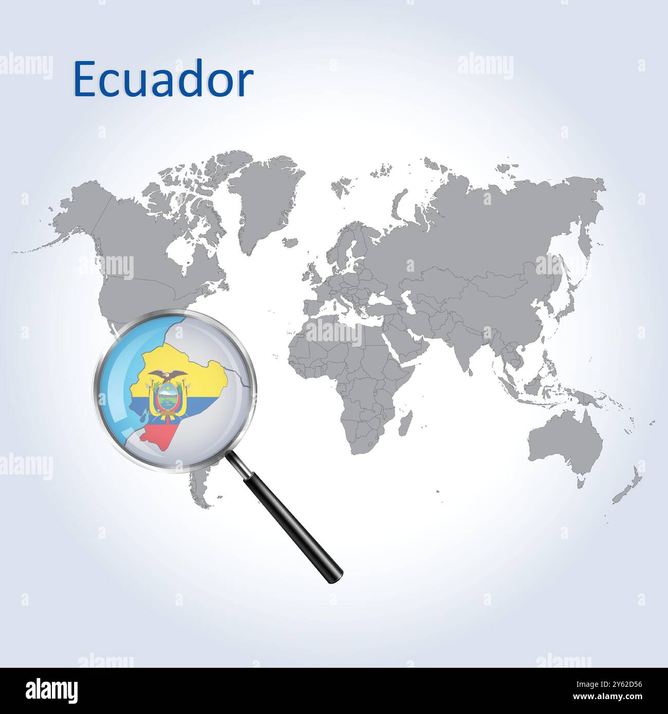 Ecuador Magnified Map and Flag, Ecuador Enlargement Maps, Vector Art Stock Vectorhttps://www.alamy.com/image-license-details/?v=1https://www.alamy.com/ecuador-magnified-map-and-flag-ecuador-enlargement-maps-vector-art-image623315426.html
RF2Y62D56–Ecuador Magnified Map and Flag, Ecuador Enlargement Maps, Vector Art
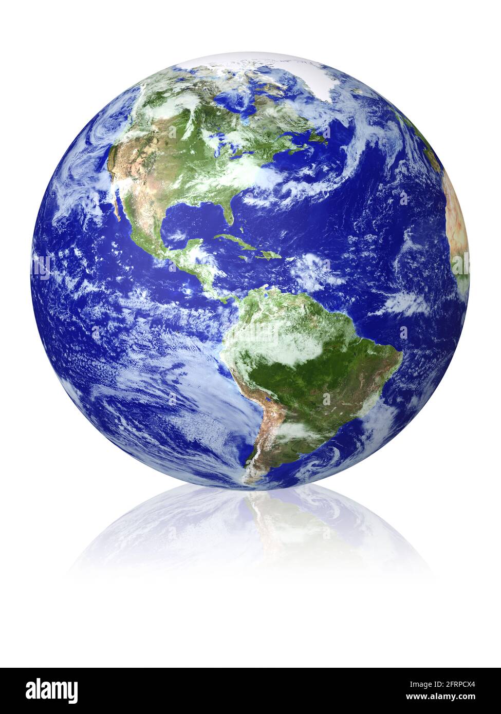 Earth globe cloud map. View of the planet from space. Side of the North and South America. The Earth texture of this image furnished by NASA. (http:// Stock Photohttps://www.alamy.com/image-license-details/?v=1https://www.alamy.com/earth-globe-cloud-map-view-of-the-planet-from-space-side-of-the-north-and-south-america-the-earth-texture-of-this-image-furnished-by-nasa-http-image427679004.html
RF2FRPCX4–Earth globe cloud map. View of the planet from space. Side of the North and South America. The Earth texture of this image furnished by NASA. (http://
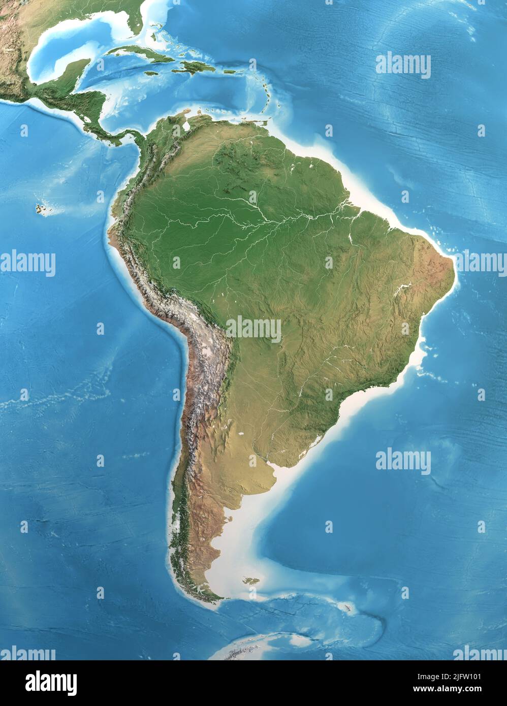 Physical map of South and Central America, with high resolution details. Satellite view of Planet Earth. Elements furnished by NASA Stock Photohttps://www.alamy.com/image-license-details/?v=1https://www.alamy.com/physical-map-of-south-and-central-america-with-high-resolution-details-satellite-view-of-planet-earth-elements-furnished-by-nasa-image474449361.html
RF2JFW101–Physical map of South and Central America, with high resolution details. Satellite view of Planet Earth. Elements furnished by NASA
 Satellite view of Northern South America. This image was compiled from data acquired by Landsat 7 & 8 satellites. Stock Photohttps://www.alamy.com/image-license-details/?v=1https://www.alamy.com/stock-photo-satellite-view-of-northern-south-america-this-image-was-compiled-from-112373254.html
RMGER16E–Satellite view of Northern South America. This image was compiled from data acquired by Landsat 7 & 8 satellites.
 View of the Earth from space showing the location of the country Suriname in South America. The country is highlighted with a red polygon. Small count Stock Photohttps://www.alamy.com/image-license-details/?v=1https://www.alamy.com/view-of-the-earth-from-space-showing-the-location-of-the-country-suriname-in-south-america-the-country-is-highlighted-with-a-red-polygon-small-count-image610872379.html
RF2XDRHXK–View of the Earth from space showing the location of the country Suriname in South America. The country is highlighted with a red polygon. Small count
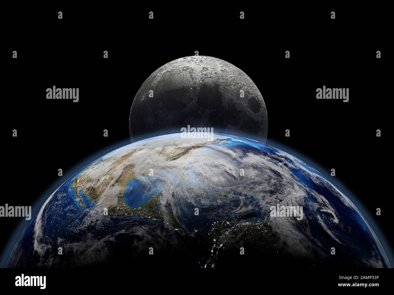 Planet earth close up with sunrise in space, city lights and moon. U.S.A. and South America view. (Original maps provided by NASA.) Stock Photohttps://www.alamy.com/image-license-details/?v=1https://www.alamy.com/planet-earth-close-up-with-sunrise-in-space-city-lights-and-moon-usa-and-south-america-view-original-maps-provided-by-nasa-image339775507.html
RF2AMP33F–Planet earth close up with sunrise in space, city lights and moon. U.S.A. and South America view. (Original maps provided by NASA.)
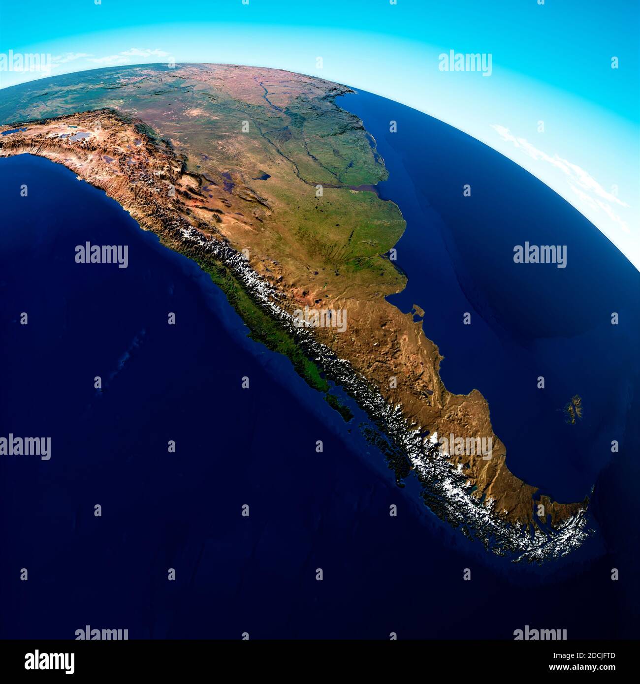 Globe map of South America, geographical map, physics. Cartography, atlas. Map with reliefs and mountains. Argentina, Chile. Satellite view Stock Photohttps://www.alamy.com/image-license-details/?v=1https://www.alamy.com/globe-map-of-south-america-geographical-map-physics-cartography-atlas-map-with-reliefs-and-mountains-argentina-chile-satellite-view-image386411549.html
RF2DCJFTD–Globe map of South America, geographical map, physics. Cartography, atlas. Map with reliefs and mountains. Argentina, Chile. Satellite view
 Coronavirus disease - Glowing COVID-19 sign on map of Southeast Asia - Elements of this image furnished by NASA Stock Photohttps://www.alamy.com/image-license-details/?v=1https://www.alamy.com/coronavirus-disease-glowing-covid-19-sign-on-map-of-southeast-asia-elements-of-this-image-furnished-by-nasa-image350651569.html
RF2BADFJ9–Coronavirus disease - Glowing COVID-19 sign on map of Southeast Asia - Elements of this image furnished by NASA
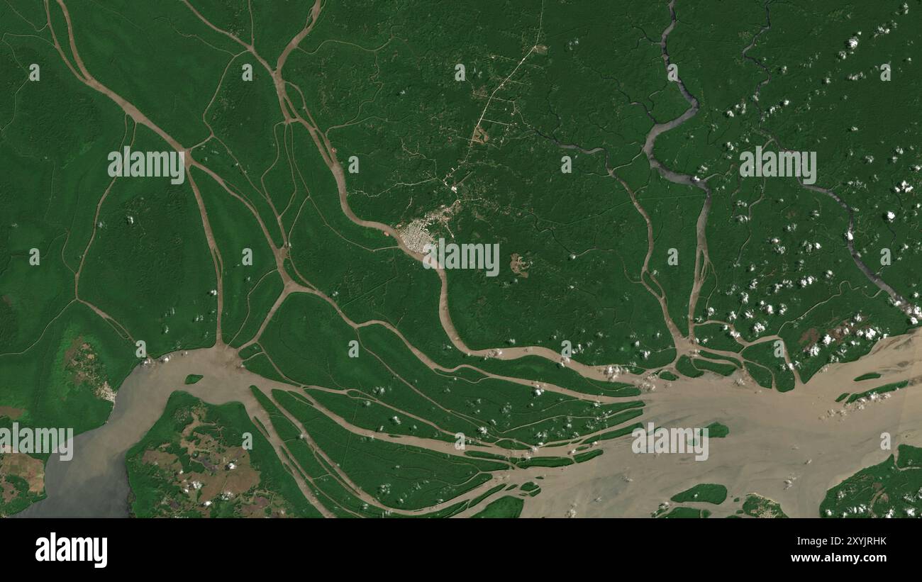 Ilha Buiucu in the South Atlantic Ocean on a satellite image taken in August 31, 2023 Stock Photohttps://www.alamy.com/image-license-details/?v=1https://www.alamy.com/ilha-buiucu-in-the-south-atlantic-ocean-on-a-satellite-image-taken-in-august-31-2023-image619372255.html
RF2XYJRHK–Ilha Buiucu in the South Atlantic Ocean on a satellite image taken in August 31, 2023
 Satellite view of the entire Northern Patagonian Icefield in southern Chile. Stock Photohttps://www.alamy.com/image-license-details/?v=1https://www.alamy.com/satellite-view-of-the-entire-northern-patagonian-icefield-in-southern-chile-image574924479.html
RF2TBA213–Satellite view of the entire Northern Patagonian Icefield in southern Chile.
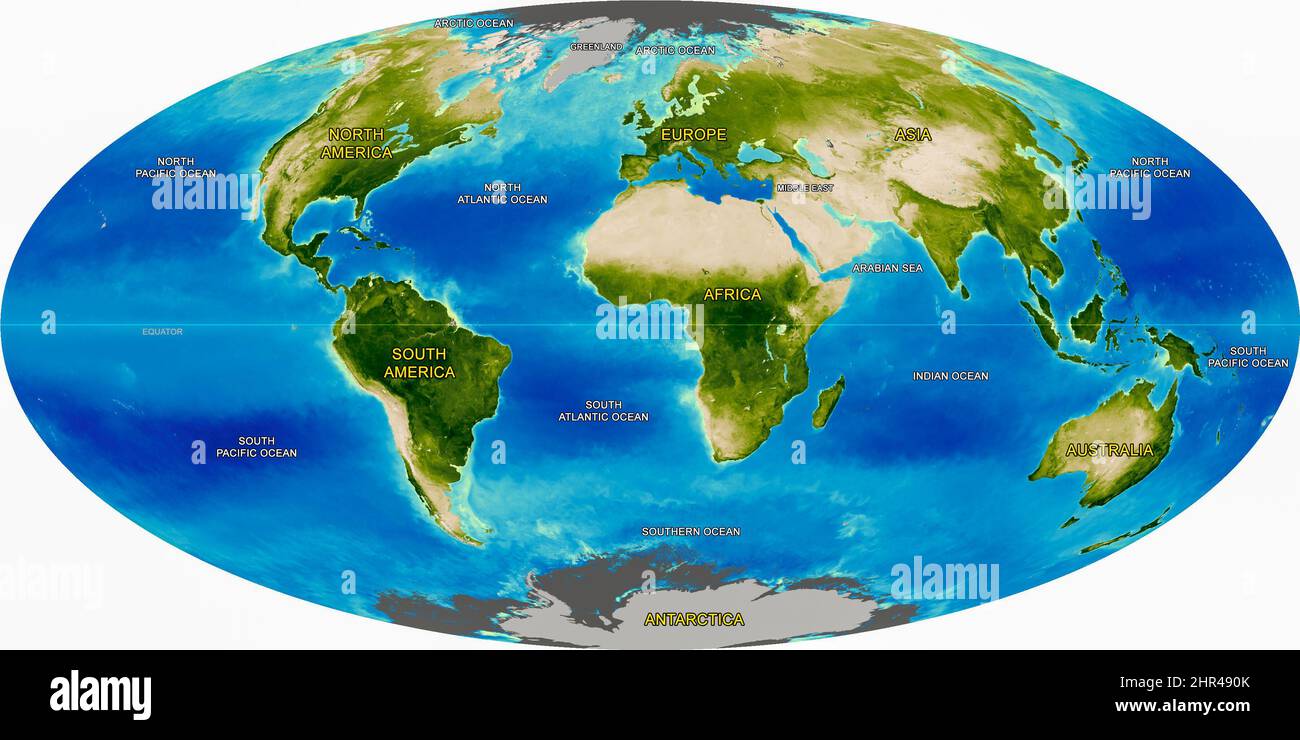 Physical Map of the World's Continents and Oceans, Detailed Earth atlas, satellite space photo, globe image. Elements of this image furnished by NASA. Stock Photohttps://www.alamy.com/image-license-details/?v=1https://www.alamy.com/physical-map-of-the-worlds-continents-and-oceans-detailed-earth-atlas-satellite-space-photo-globe-image-elements-of-this-image-furnished-by-nasa-image461701539.html
RF2HR490K–Physical Map of the World's Continents and Oceans, Detailed Earth atlas, satellite space photo, globe image. Elements of this image furnished by NASA.
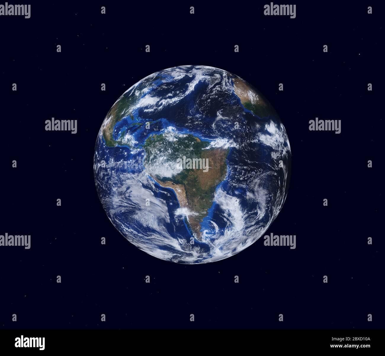 Earth globe, view of the continent of South America. Map furnished by NASA. 3d illustration Stock Photohttps://www.alamy.com/image-license-details/?v=1https://www.alamy.com/earth-globe-view-of-the-continent-of-south-america-map-furnished-by-nasa-3d-illustration-image360474586.html
RF2BXD10A–Earth globe, view of the continent of South America. Map furnished by NASA. 3d illustration
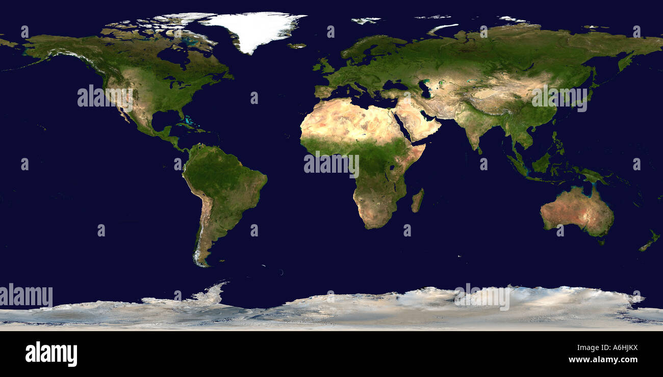 Map of Earth (Satellite Image) Stock Photohttps://www.alamy.com/image-license-details/?v=1https://www.alamy.com/stock-photo-map-of-earth-satellite-image-11581261.html
RMA6HJKX–Map of Earth (Satellite Image)
 World MapColorful style Red BackgroundVector Illustration Abstract Editable image Stock Vectorhttps://www.alamy.com/image-license-details/?v=1https://www.alamy.com/world-mapcolorful-style-red-backgroundvector-illustration-abstract-editable-image-image572170885.html
RF2T6THPD–World MapColorful style Red BackgroundVector Illustration Abstract Editable image
 Realistic Earth from space showing North and South America. Stock Photohttps://www.alamy.com/image-license-details/?v=1https://www.alamy.com/realistic-earth-from-space-showing-north-and-south-america-image245915839.html
RFT82C4F–Realistic Earth from space showing North and South America.
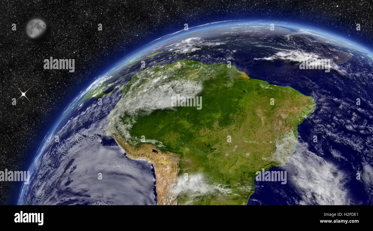 South America on planet Earth Stock Photohttps://www.alamy.com/image-license-details/?v=1https://www.alamy.com/stock-photo-south-america-on-planet-earth-122041753.html
RFH2FDE1–South America on planet Earth
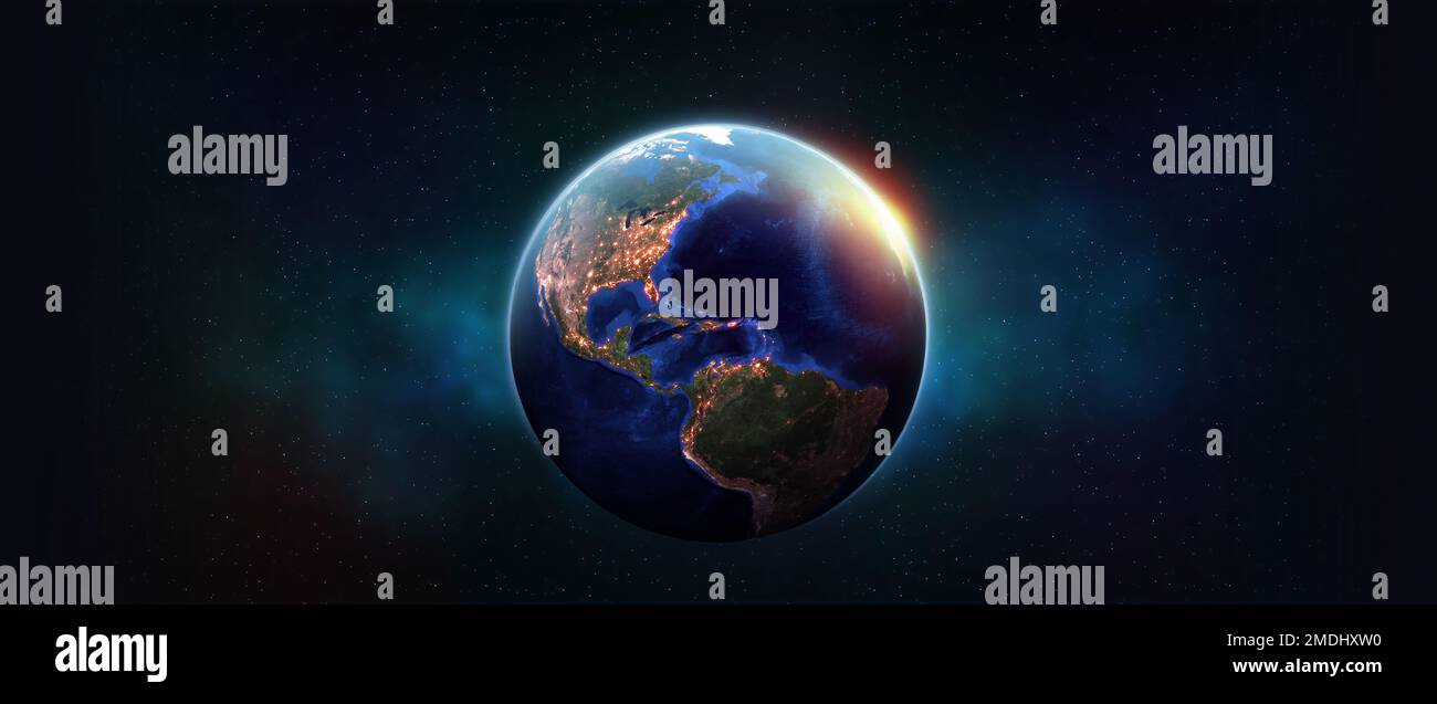 Planet earth in outer space. Night over American continents. Light of night cities in world. Elements of this image furnished by NASA Stock Photohttps://www.alamy.com/image-license-details/?v=1https://www.alamy.com/planet-earth-in-outer-space-night-over-american-continents-light-of-night-cities-in-world-elements-of-this-image-furnished-by-nasa-image507485468.html
RF2MDHXW0–Planet earth in outer space. Night over American continents. Light of night cities in world. Elements of this image furnished by NASA
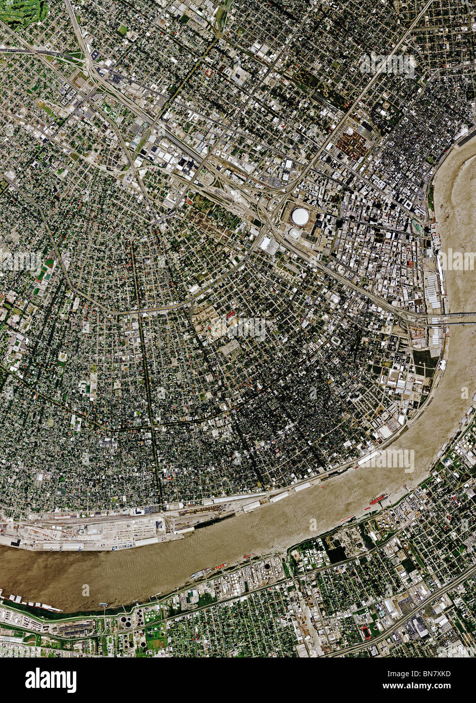 aerial map view above New Orleans Louisiana Mississippi river Stock Photohttps://www.alamy.com/image-license-details/?v=1https://www.alamy.com/stock-photo-aerial-map-view-above-new-orleans-louisiana-mississippi-river-30292737.html
RFBN7XKD–aerial map view above New Orleans Louisiana Mississippi river
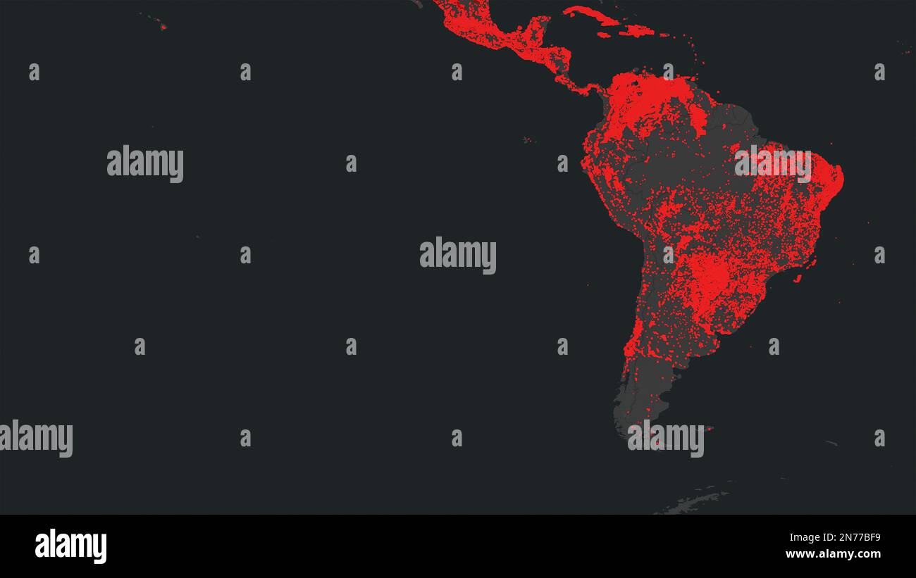 Dresden, Germany - February 2, 2023: Map of South America, Brazil and Amazon river on NASA FIRMS satellite wildfire detection service showing wildfire Stock Photohttps://www.alamy.com/image-license-details/?v=1https://www.alamy.com/dresden-germany-february-2-2023-map-of-south-america-brazil-and-amazon-river-on-nasa-firms-satellite-wildfire-detection-service-showing-wildfire-image520776349.html
RF2N77BF9–Dresden, Germany - February 2, 2023: Map of South America, Brazil and Amazon river on NASA FIRMS satellite wildfire detection service showing wildfire
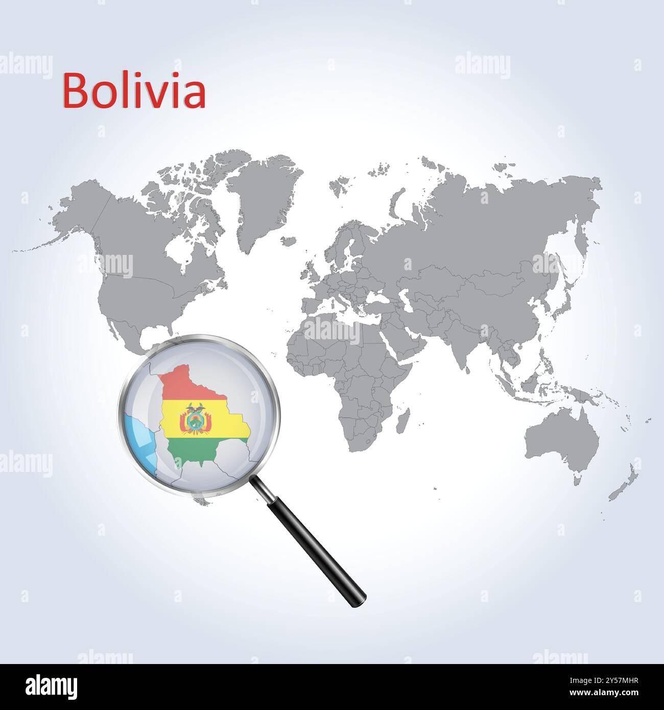 Bolivia Magnified Map and Flag, Bolivia Enlargement Maps, Vector Art Stock Vectorhttps://www.alamy.com/image-license-details/?v=1https://www.alamy.com/bolivia-magnified-map-and-flag-bolivia-enlargement-maps-vector-art-image622816371.html
RF2Y57MHR–Bolivia Magnified Map and Flag, Bolivia Enlargement Maps, Vector Art
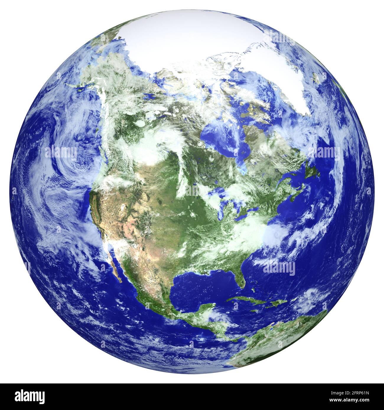 Earth globe cloud map. Side of the North America. The Earth texture of this image furnished by NASA. (http://visibleearth.nasa.gov/view.php?id=57735) Stock Photohttps://www.alamy.com/image-license-details/?v=1https://www.alamy.com/earth-globe-cloud-map-side-of-the-north-america-the-earth-texture-of-this-image-furnished-by-nasa-httpvisibleearthnasagovviewphpid=57735-image427673617.html
RF2FRP61N–Earth globe cloud map. Side of the North America. The Earth texture of this image furnished by NASA. (http://visibleearth.nasa.gov/view.php?id=57735)
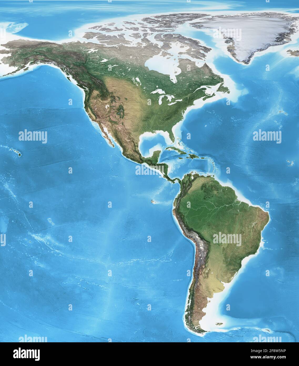 Physical map of America, North, Central and South, with high resolution details. Flattened satellite view of Planet Earth - Elements furnished by NASA Stock Photohttps://www.alamy.com/image-license-details/?v=1https://www.alamy.com/physical-map-of-america-north-central-and-south-with-high-resolution-details-flattened-satellite-view-of-planet-earth-elements-furnished-by-nasa-image418519410.html
RF2F8W5NP–Physical map of America, North, Central and South, with high resolution details. Flattened satellite view of Planet Earth - Elements furnished by NASA
 Satellite view of Northern South America (with country boundaries). This image was compiled from data acquired by Landsat 7 & 8 satellites. Stock Photohttps://www.alamy.com/image-license-details/?v=1https://www.alamy.com/stock-photo-satellite-view-of-northern-south-america-with-country-boundaries-this-112373255.html
RMGER16F–Satellite view of Northern South America (with country boundaries). This image was compiled from data acquired by Landsat 7 & 8 satellites.
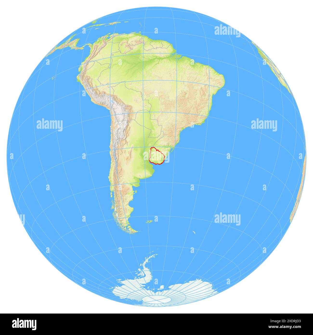 View of the Earth from space showing the location of the country Uruguay in South America. The country is highlighted with a red polygon. Small countr Stock Photohttps://www.alamy.com/image-license-details/?v=1https://www.alamy.com/view-of-the-earth-from-space-showing-the-location-of-the-country-uruguay-in-south-america-the-country-is-highlighted-with-a-red-polygon-small-countr-image610872783.html
RF2XDRJD3–View of the Earth from space showing the location of the country Uruguay in South America. The country is highlighted with a red polygon. Small countr
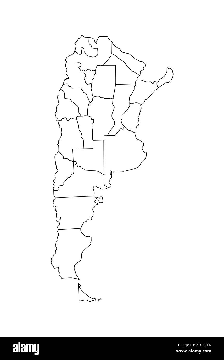 Vector outline map of Argentina Stock Vectorhttps://www.alamy.com/image-license-details/?v=1https://www.alamy.com/vector-outline-map-of-argentina-image575741031.html
RF2TCK7FK–Vector outline map of Argentina
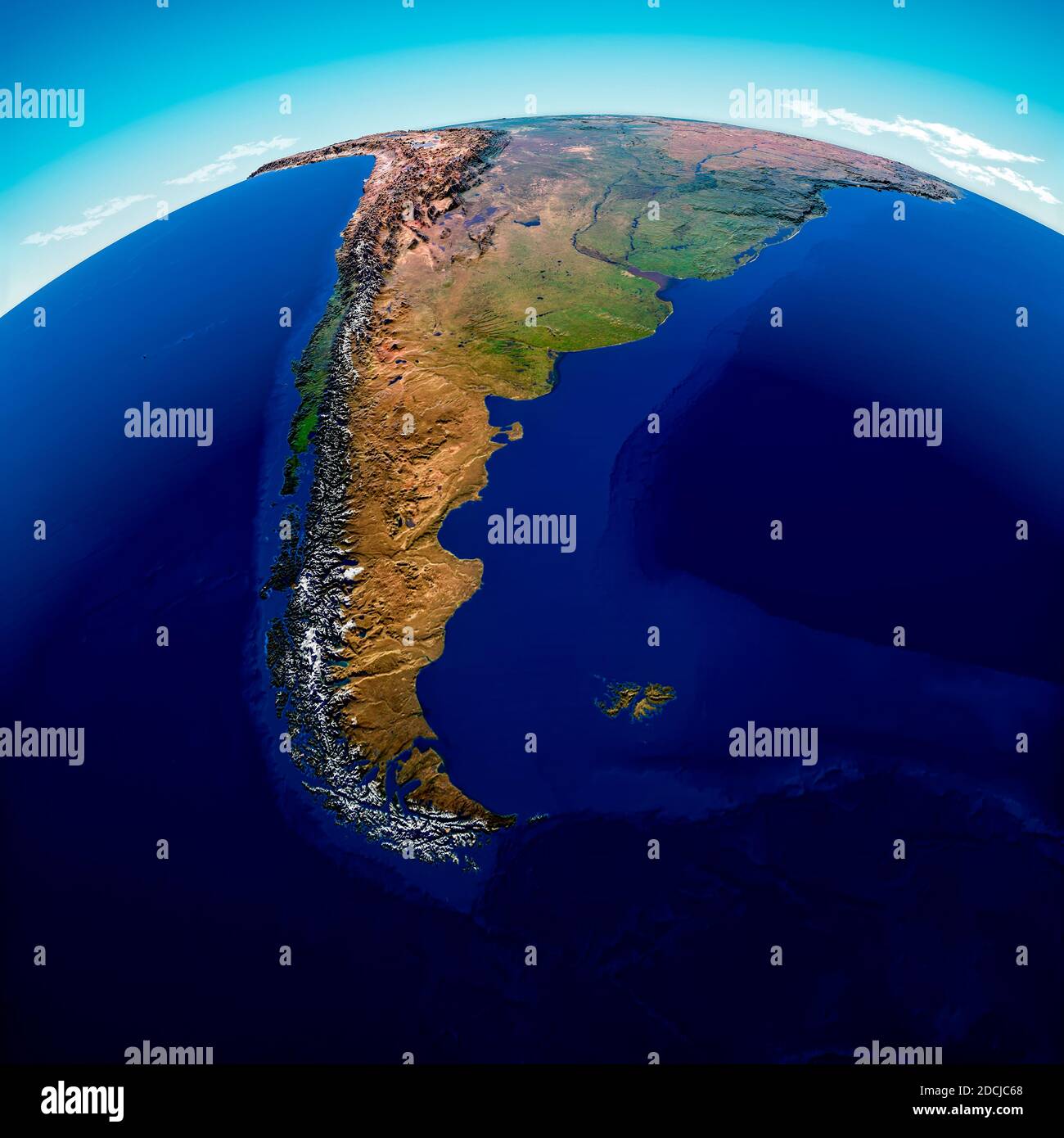 Globe map of South America, geographical map, physics. Cartography, atlas. Map with reliefs and mountains. Argentina, Chile. Satellite view. 3d render Stock Photohttps://www.alamy.com/image-license-details/?v=1https://www.alamy.com/globe-map-of-south-america-geographical-map-physics-cartography-atlas-map-with-reliefs-and-mountains-argentina-chile-satellite-view-3d-render-image386408688.html
RF2DCJC68–Globe map of South America, geographical map, physics. Cartography, atlas. Map with reliefs and mountains. Argentina, Chile. Satellite view. 3d render
 Coronavirus disease - Glowing COVID-19 sign on map of Australia - Elements of this image furnished by NASA Stock Photohttps://www.alamy.com/image-license-details/?v=1https://www.alamy.com/coronavirus-disease-glowing-covid-19-sign-on-map-of-australia-elements-of-this-image-furnished-by-nasa-image350651622.html
RF2BADFM6–Coronavirus disease - Glowing COVID-19 sign on map of Australia - Elements of this image furnished by NASA
 Ilha Carapeba in the South Atlantic Ocean on a satellite image taken in December 27, 2017 Stock Photohttps://www.alamy.com/image-license-details/?v=1https://www.alamy.com/ilha-carapeba-in-the-south-atlantic-ocean-on-a-satellite-image-taken-in-december-27-2017-image619372483.html
RF2XYJRWR–Ilha Carapeba in the South Atlantic Ocean on a satellite image taken in December 27, 2017
 Mosaic of the South Patagonian Icefield in Chile and Argentina. Stock Photohttps://www.alamy.com/image-license-details/?v=1https://www.alamy.com/mosaic-of-the-south-patagonian-icefield-in-chile-and-argentina-image575101811.html
RF2TBJ46B–Mosaic of the South Patagonian Icefield in Chile and Argentina.
 North and South America at night, city lights on Earth, America in the darkness, Satellite photo of Earth at night. Elements of this image furnished b Stock Photohttps://www.alamy.com/image-license-details/?v=1https://www.alamy.com/north-and-south-america-at-night-city-lights-on-earth-america-in-the-darkness-satellite-photo-of-earth-at-night-elements-of-this-image-furnished-b-image592900456.html
RF2WCGXG8–North and South America at night, city lights on Earth, America in the darkness, Satellite photo of Earth at night. Elements of this image furnished b
 stylized Earth with embossed surface showing Africa, Europe, North America and South America Stock Photohttps://www.alamy.com/image-license-details/?v=1https://www.alamy.com/stock-photo-stylized-earth-with-embossed-surface-showing-africa-europe-north-america-138571009.html
RFJ1CCMH–stylized Earth with embossed surface showing Africa, Europe, North America and South America
 Amazing planet Earth at night with continents and city light. North, Central and South America. This image elements furnished by NASA. Stock Photohttps://www.alamy.com/image-license-details/?v=1https://www.alamy.com/amazing-planet-earth-at-night-with-continents-and-city-light-north-central-and-south-america-this-image-elements-furnished-by-nasa-image630719366.html
RF2YJ3MYJ–Amazing planet Earth at night with continents and city light. North, Central and South America. This image elements furnished by NASA.
 World MapRed and Green Colorful styleVector Illustration Abstract Editable image Stock Vectorhttps://www.alamy.com/image-license-details/?v=1https://www.alamy.com/world-mapred-and-green-colorful-stylevector-illustration-abstract-editable-image-image572170888.html
RF2T6THPG–World MapRed and Green Colorful styleVector Illustration Abstract Editable image
 Realistic Earth from space showing North and South America. Stock Photohttps://www.alamy.com/image-license-details/?v=1https://www.alamy.com/realistic-earth-from-space-showing-north-and-south-america-image244233086.html
RFT59NP6–Realistic Earth from space showing North and South America.
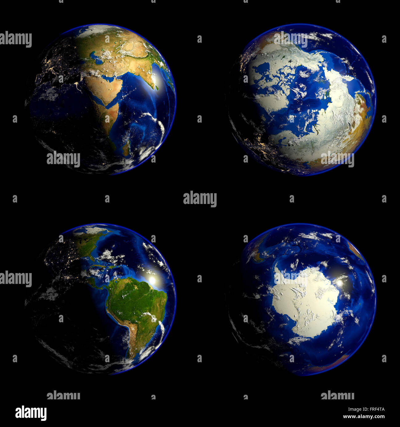 Earth Stock Photohttps://www.alamy.com/image-license-details/?v=1https://www.alamy.com/stock-photo-earth-100522026.html
RFFRF4TA–Earth
 South America at night in the earth planet rotating from space Stock Photohttps://www.alamy.com/image-license-details/?v=1https://www.alamy.com/south-america-at-night-in-the-earth-planet-rotating-from-space-image433401983.html
RF2G534J7–South America at night in the earth planet rotating from space
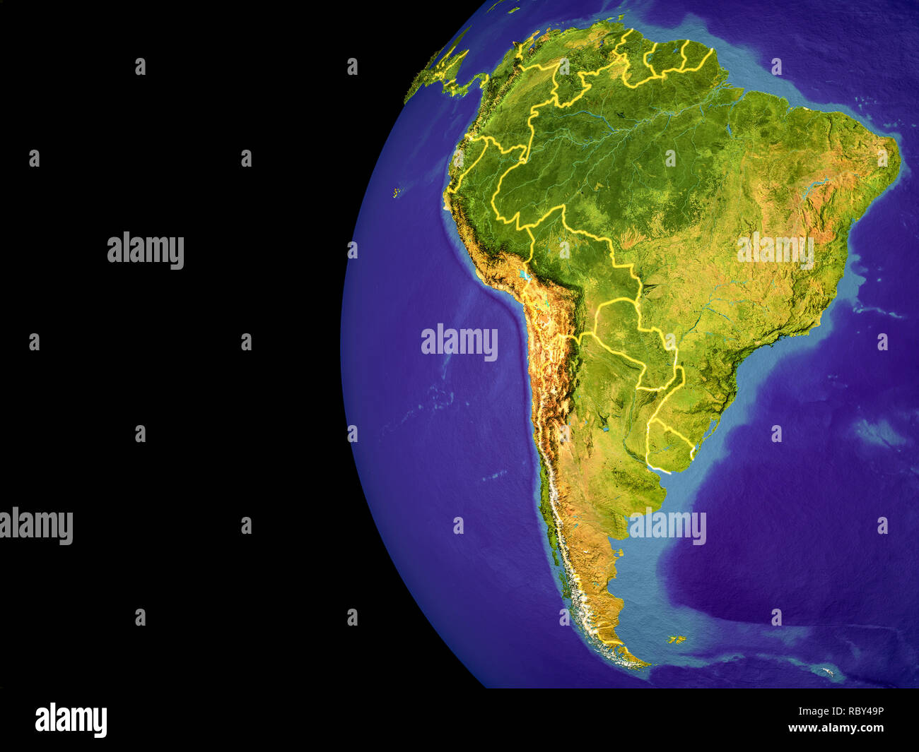 Satellite view of South America from space with country borders. Very detailed planet surface and blue oceans. 3D illustration. Elements of this image Stock Photohttps://www.alamy.com/image-license-details/?v=1https://www.alamy.com/satellite-view-of-south-america-from-space-with-country-borders-very-detailed-planet-surface-and-blue-oceans-3d-illustration-elements-of-this-image-image231092114.html
RFRBY49P–Satellite view of South America from space with country borders. Very detailed planet surface and blue oceans. 3D illustration. Elements of this image
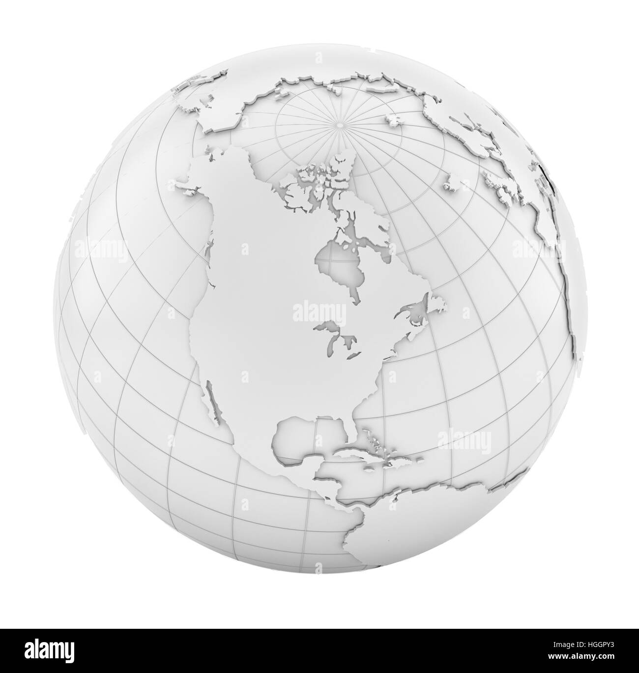 White Earth Globe Stock Photohttps://www.alamy.com/image-license-details/?v=1https://www.alamy.com/stock-photo-white-earth-globe-130676311.html
RFHGGPY3–White Earth Globe
 Peru Magnified Map and Flag, Peru Enlargement Maps, Vector Art Stock Vectorhttps://www.alamy.com/image-license-details/?v=1https://www.alamy.com/peru-magnified-map-and-flag-peru-enlargement-maps-vector-art-image623317482.html
RF2Y62FPJ–Peru Magnified Map and Flag, Peru Enlargement Maps, Vector Art
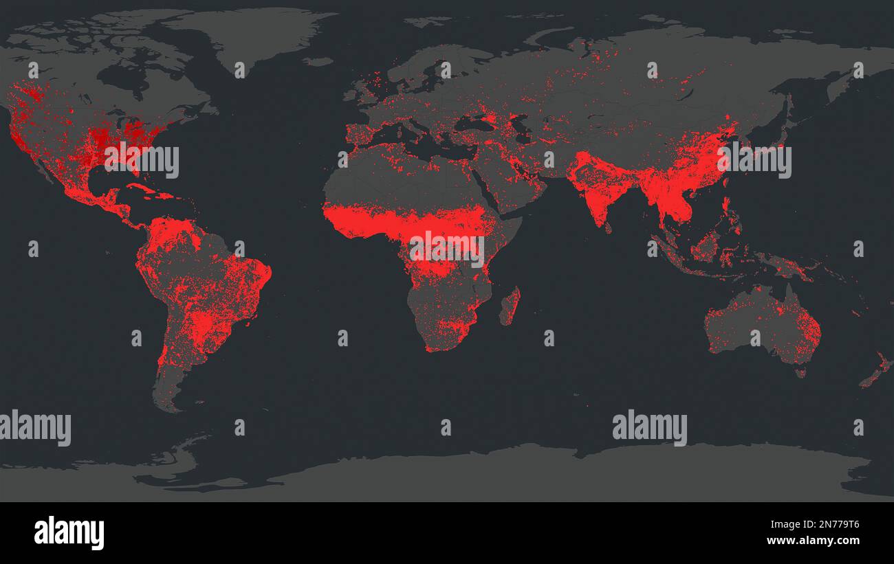 Dresden, Germany - February 2, 2023: World map of all continents showing cumulative wildfires as red dots by NASA FIRMS satellite wildfire detection s Stock Photohttps://www.alamy.com/image-license-details/?v=1https://www.alamy.com/dresden-germany-february-2-2023-world-map-of-all-continents-showing-cumulative-wildfires-as-red-dots-by-nasa-firms-satellite-wildfire-detection-s-image520775030.html
RF2N779T6–Dresden, Germany - February 2, 2023: World map of all continents showing cumulative wildfires as red dots by NASA FIRMS satellite wildfire detection s
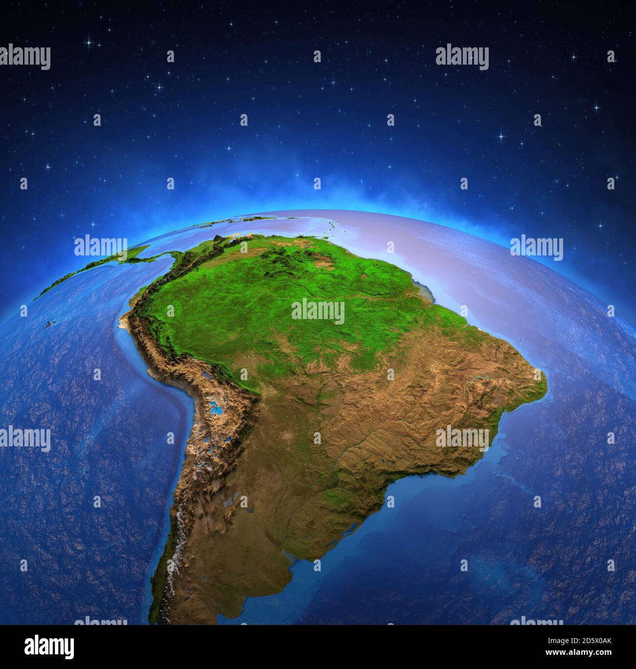 Surface of the Planet Earth viewed from a satellite, focused on South America, Andes cordillera and Amazon rainforest. Physical map of Amazonia. 3D il Stock Photohttps://www.alamy.com/image-license-details/?v=1https://www.alamy.com/surface-of-the-planet-earth-viewed-from-a-satellite-focused-on-south-america-andes-cordillera-and-amazon-rainforest-physical-map-of-amazonia-3d-il-image382272427.html
RF2D5X0AK–Surface of the Planet Earth viewed from a satellite, focused on South America, Andes cordillera and Amazon rainforest. Physical map of Amazonia. 3D il
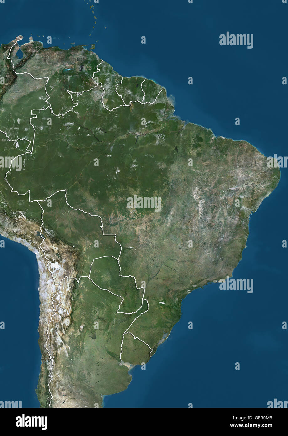 Satellite view of Eastern South America (with country boundaries). The image shows Venezuela, Guyana, Suriname, French Guiana, Brazil, Bolivia, Paraguay and Uruguay. This image was compiled from data acquired by Landsat satellites. Stock Photohttps://www.alamy.com/image-license-details/?v=1https://www.alamy.com/stock-photo-satellite-view-of-eastern-south-america-with-country-boundaries-the-112372853.html
RMGER0M5–Satellite view of Eastern South America (with country boundaries). The image shows Venezuela, Guyana, Suriname, French Guiana, Brazil, Bolivia, Paraguay and Uruguay. This image was compiled from data acquired by Landsat satellites.
 View of the Earth from space showing the location of the country Ecuador in South America. The country is highlighted with a red polygon. Small countr Stock Photohttps://www.alamy.com/image-license-details/?v=1https://www.alamy.com/view-of-the-earth-from-space-showing-the-location-of-the-country-ecuador-in-south-america-the-country-is-highlighted-with-a-red-polygon-small-countr-image610869796.html
RF2XDREJC–View of the Earth from space showing the location of the country Ecuador in South America. The country is highlighted with a red polygon. Small countr
 South America from space at night. Elements of this image furnished by NASA. Stock Photohttps://www.alamy.com/image-license-details/?v=1https://www.alamy.com/south-america-from-space-at-night-elements-of-this-image-furnished-by-nasa-image454700839.html
RF2HBNBFK–South America from space at night. Elements of this image furnished by NASA.
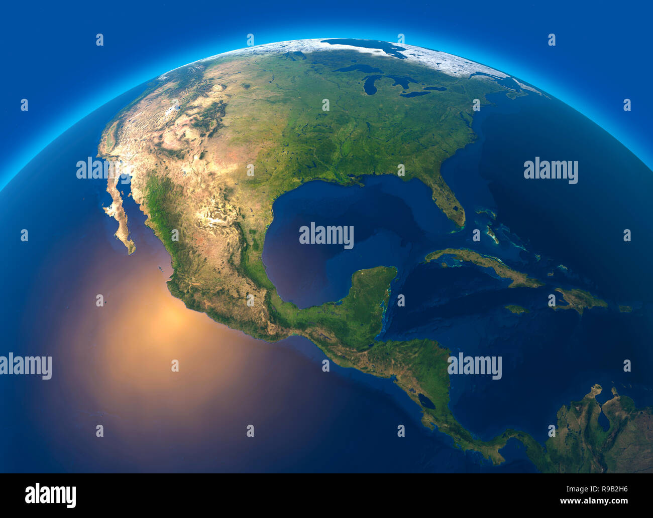 Physical map of the world, satellite view of central America. Globe. Hemisphere. Reliefs and oceans. 3d rendering Stock Photohttps://www.alamy.com/image-license-details/?v=1https://www.alamy.com/physical-map-of-the-world-satellite-view-of-central-america-globe-hemisphere-reliefs-and-oceans-3d-rendering-image229510210.html
RFR9B2H6–Physical map of the world, satellite view of central America. Globe. Hemisphere. Reliefs and oceans. 3d rendering