Quick filters:
South ossetia map Stock Photos and Images
 Round flag of South Ossetia Stock Photohttps://www.alamy.com/image-license-details/?v=1https://www.alamy.com/round-flag-of-south-ossetia-image425906743.html
RF2FMWMB3–Round flag of South Ossetia
 High detailed flag of North Ossetia. National North Ossetia flag. 3D illustration. Stock Photohttps://www.alamy.com/image-license-details/?v=1https://www.alamy.com/high-detailed-flag-of-north-ossetia-national-north-ossetia-flag-3d-illustration-image576372872.html
RF2TDM1DC–High detailed flag of North Ossetia. National North Ossetia flag. 3D illustration.
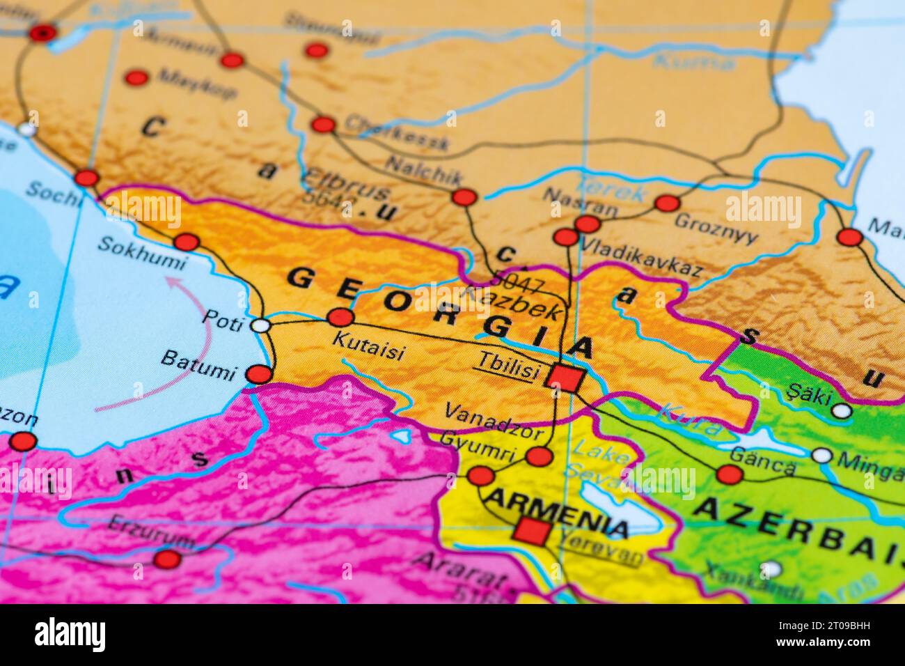 Map or cartography of Georgia with capital Tbilisi and state borders with Russia, Turkey, Armenia and Azerbaijan Stock Photohttps://www.alamy.com/image-license-details/?v=1https://www.alamy.com/map-or-cartography-of-georgia-with-capital-tbilisi-and-state-borders-with-russia-turkey-armenia-and-azerbaijan-image568148829.html
RF2T09BHH–Map or cartography of Georgia with capital Tbilisi and state borders with Russia, Turkey, Armenia and Azerbaijan
 South Ossetia Flag Between Traveler's Accessories on Old Vintage Map. Tourist Destination Concept. Stock Photohttps://www.alamy.com/image-license-details/?v=1https://www.alamy.com/south-ossetia-flag-between-travelers-accessories-on-old-vintage-map-tourist-destination-concept-image335818106.html
RF2AE9RBP–South Ossetia Flag Between Traveler's Accessories on Old Vintage Map. Tourist Destination Concept.
 A metal toy soldier stands on the map of the Republic of South Ossetia. Stock Photohttps://www.alamy.com/image-license-details/?v=1https://www.alamy.com/a-metal-toy-soldier-stands-on-the-map-of-the-republic-of-south-ossetia-image573664829.html
RF2T98K9H–A metal toy soldier stands on the map of the Republic of South Ossetia.
 Georgia with capital Tbilisi, political map. Country in Eastern Europe and West Asia, part of Caucasus region. With autonomous republics. Stock Photohttps://www.alamy.com/image-license-details/?v=1https://www.alamy.com/georgia-with-capital-tbilisi-political-map-country-in-eastern-europe-and-west-asia-part-of-caucasus-region-with-autonomous-republics-image627205036.html
RF2YCBJBT–Georgia with capital Tbilisi, political map. Country in Eastern Europe and West Asia, part of Caucasus region. With autonomous republics.
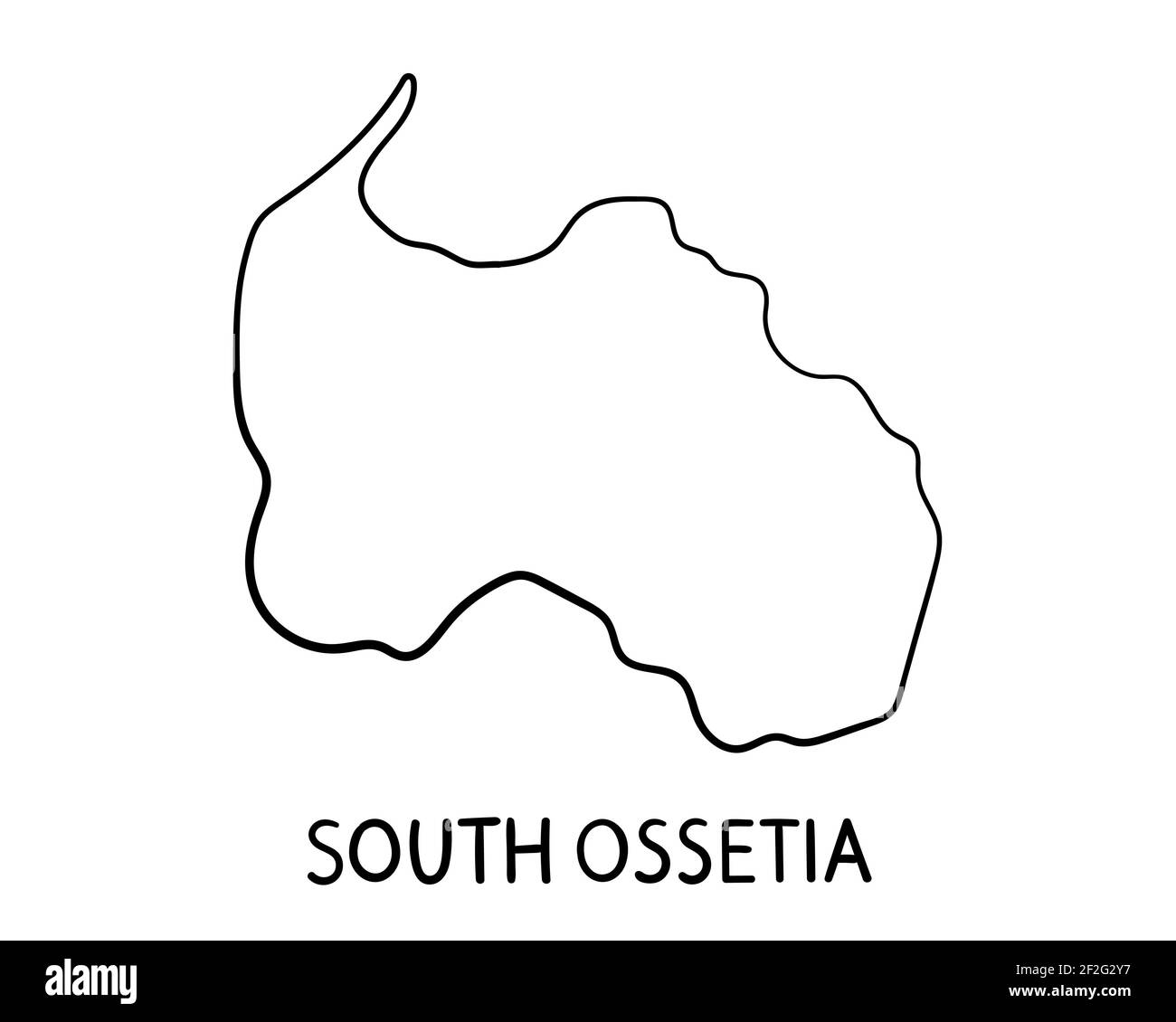 South Ossetia Map - Hand Drawn Illustration Stock Photohttps://www.alamy.com/image-license-details/?v=1https://www.alamy.com/south-ossetia-map-hand-drawn-illustration-image414631707.html
RF2F2G2Y7–South Ossetia Map - Hand Drawn Illustration
 Closeup of Ruffled South Ossetia Flag, South Ossetia Flag Blowing in Wind Stock Photohttps://www.alamy.com/image-license-details/?v=1https://www.alamy.com/closeup-of-ruffled-south-ossetia-flag-south-ossetia-flag-blowing-in-wind-image385601828.html
RF2DB9K1T–Closeup of Ruffled South Ossetia Flag, South Ossetia Flag Blowing in Wind
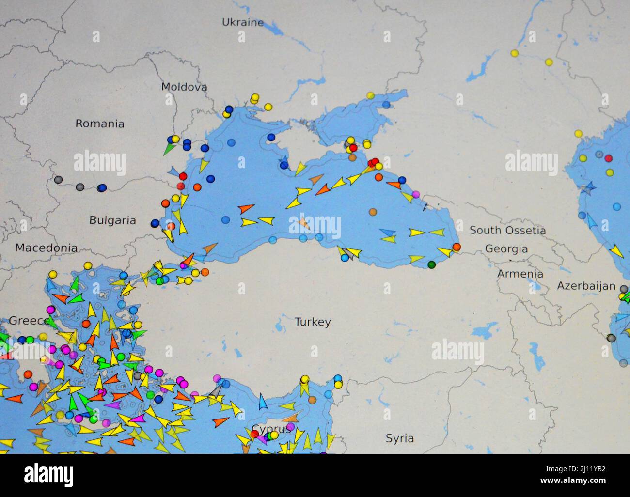 map of maritime traffic in Black Sea on internet site of VesselFinder, (monday march 21, 2022) Stock Photohttps://www.alamy.com/image-license-details/?v=1https://www.alamy.com/map-of-maritime-traffic-in-black-sea-on-internet-site-of-vesselfinder-monday-march-21-2022-image465338022.html
RM2J11YB2–map of maritime traffic in Black Sea on internet site of VesselFinder, (monday march 21, 2022)
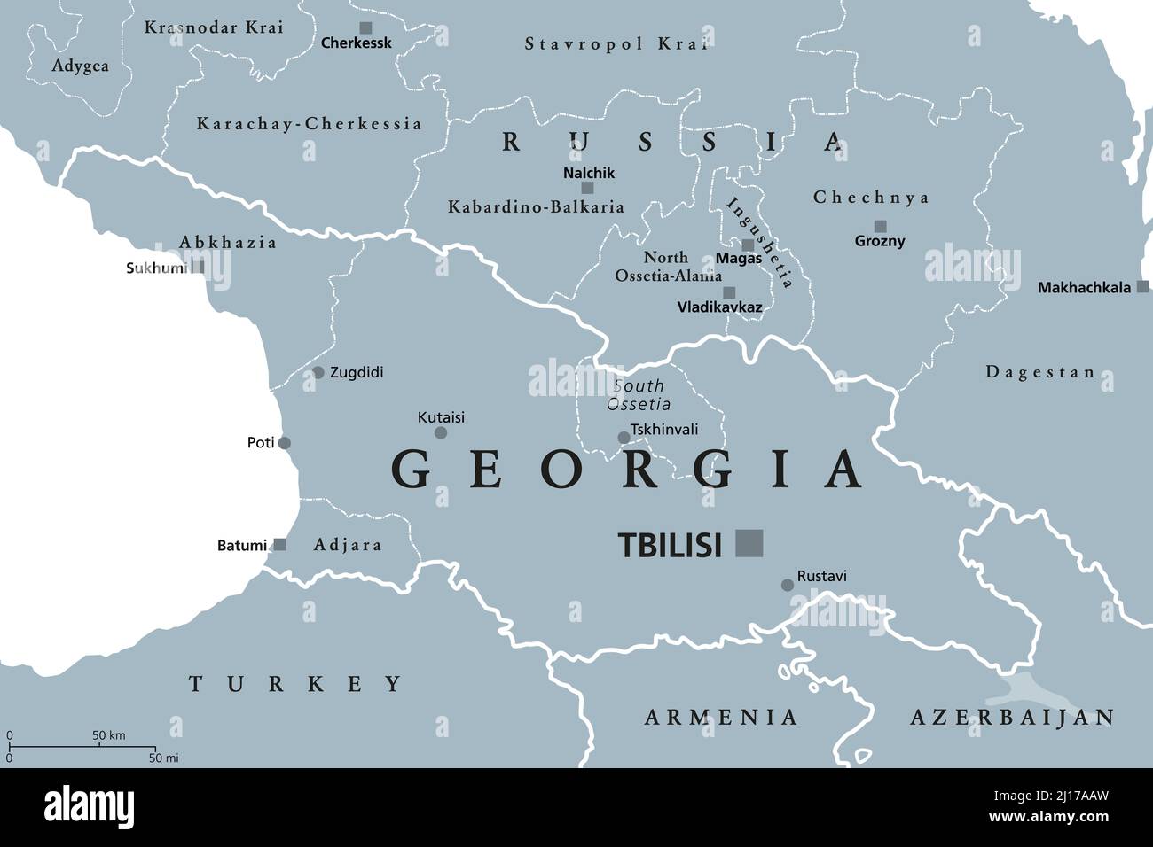 Georgia, gray political map, with capital Tbilisi, and international borders. Republic and transcontinental country in Eurasia. Stock Photohttps://www.alamy.com/image-license-details/?v=1https://www.alamy.com/georgia-gray-political-map-with-capital-tbilisi-and-international-borders-republic-and-transcontinental-country-in-eurasia-image465456401.html
RF2J17AAW–Georgia, gray political map, with capital Tbilisi, and international borders. Republic and transcontinental country in Eurasia.
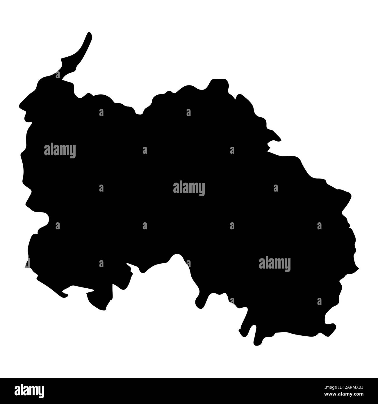 South Ossetia map Silhouette Black vector Stock Vectorhttps://www.alamy.com/image-license-details/?v=1https://www.alamy.com/south-ossetia-map-silhouette-black-vector-image341593815.html
RF2ARMXB3–South Ossetia map Silhouette Black vector
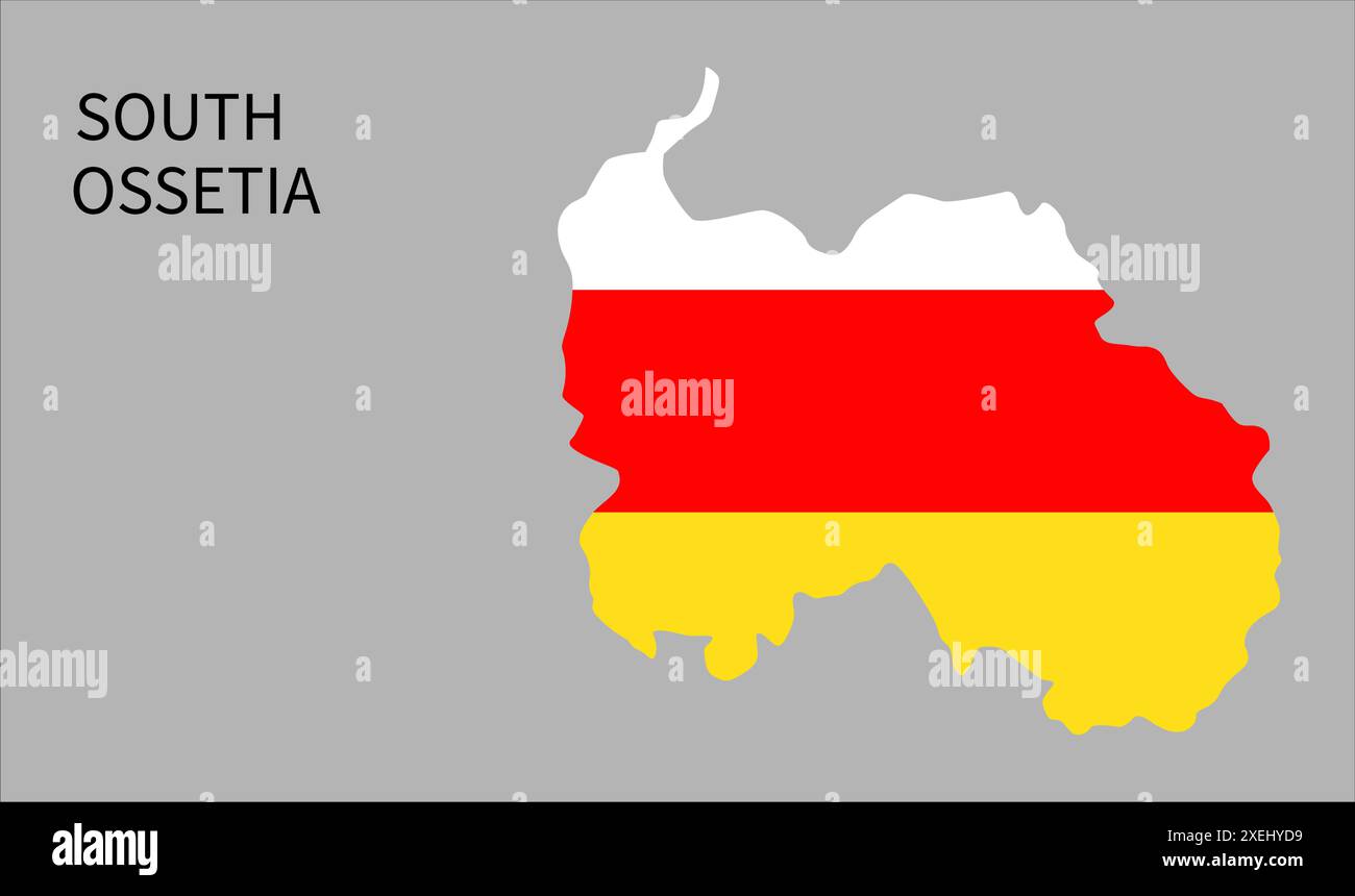 South Ossetia flag map, official color with proportion, fully Editable illustration, vector, flag, government, National flag, patriotism Stock Vectorhttps://www.alamy.com/image-license-details/?v=1https://www.alamy.com/south-ossetia-flag-map-official-color-with-proportion-fully-editable-illustration-vector-flag-government-national-flag-patriotism-image611362789.html
RF2XEHYD9–South Ossetia flag map, official color with proportion, fully Editable illustration, vector, flag, government, National flag, patriotism
 Globe with a world map on a wooden background with the image of the flag of South Ossetia. The concept of travel and leisure abroad. Stock Photohttps://www.alamy.com/image-license-details/?v=1https://www.alamy.com/globe-with-a-world-map-on-a-wooden-background-with-the-image-of-the-flag-of-south-ossetia-the-concept-of-travel-and-leisure-abroad-image239300260.html
RFRW91WT–Globe with a world map on a wooden background with the image of the flag of South Ossetia. The concept of travel and leisure abroad.
 South Ossetia country heart. Love South Ossetia national flag vector illustration Stock Vectorhttps://www.alamy.com/image-license-details/?v=1https://www.alamy.com/south-ossetia-country-heart-love-south-ossetia-national-flag-vector-illustration-image552546198.html
RF2R2XJ8P–South Ossetia country heart. Love South Ossetia national flag vector illustration
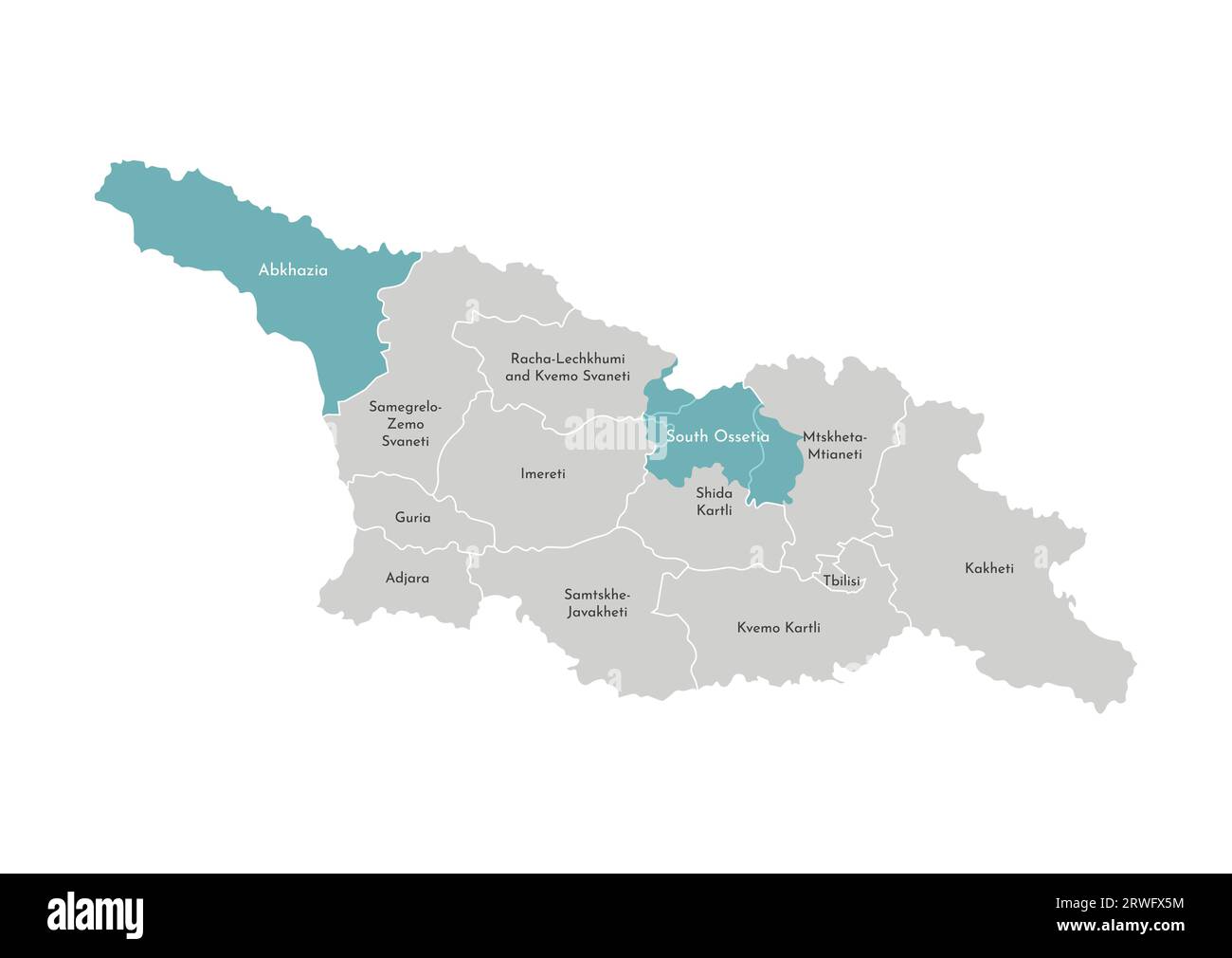 Vector isolated illustration of simplified administrative map of Georgia (country) with blue shape of territories Abkhazia and South Ossetia. Borders Stock Vectorhttps://www.alamy.com/image-license-details/?v=1https://www.alamy.com/vector-isolated-illustration-of-simplified-administrative-map-of-georgia-country-with-blue-shape-of-territories-abkhazia-and-south-ossetia-borders-image566448000.html
RF2RWFX5M–Vector isolated illustration of simplified administrative map of Georgia (country) with blue shape of territories Abkhazia and South Ossetia. Borders
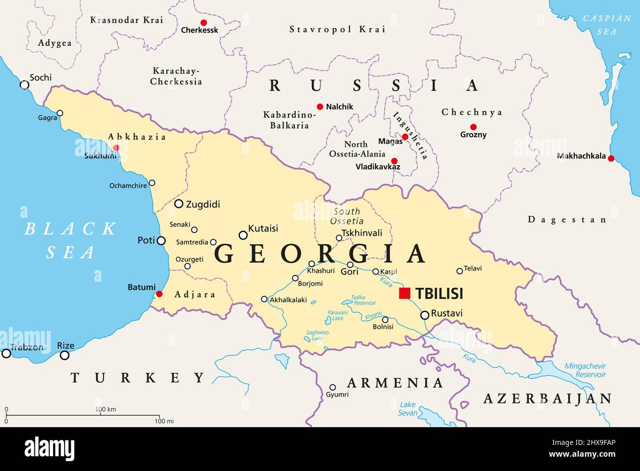 Georgia, political map, with capital Tbilisi, and international borders. Republic and transcontinental country in Eurasia. Stock Photohttps://www.alamy.com/image-license-details/?v=1https://www.alamy.com/georgia-political-map-with-capital-tbilisi-and-international-borders-republic-and-transcontinental-country-in-eurasia-image463660254.html
RF2HX9FAP–Georgia, political map, with capital Tbilisi, and international borders. Republic and transcontinental country in Eurasia.
 South Ossetia country flag pin map marker Stock Vectorhttps://www.alamy.com/image-license-details/?v=1https://www.alamy.com/south-ossetia-country-flag-pin-map-marker-image553579343.html
RF2R4HM2R–South Ossetia country flag pin map marker
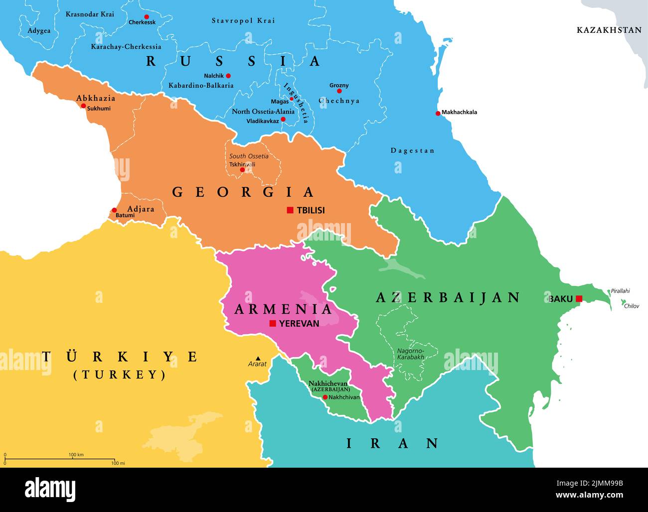 Caucasus, Caucasia, colored political map. Region between Black and Caspian Sea, mainly occupied by Armenia, Azerbaijan, Georgia, and Southern Russia. Stock Photohttps://www.alamy.com/image-license-details/?v=1https://www.alamy.com/caucasus-caucasia-colored-political-map-region-between-black-and-caspian-sea-mainly-occupied-by-armenia-azerbaijan-georgia-and-southern-russia-image477419415.html
RF2JMM99B–Caucasus, Caucasia, colored political map. Region between Black and Caspian Sea, mainly occupied by Armenia, Azerbaijan, Georgia, and Southern Russia.
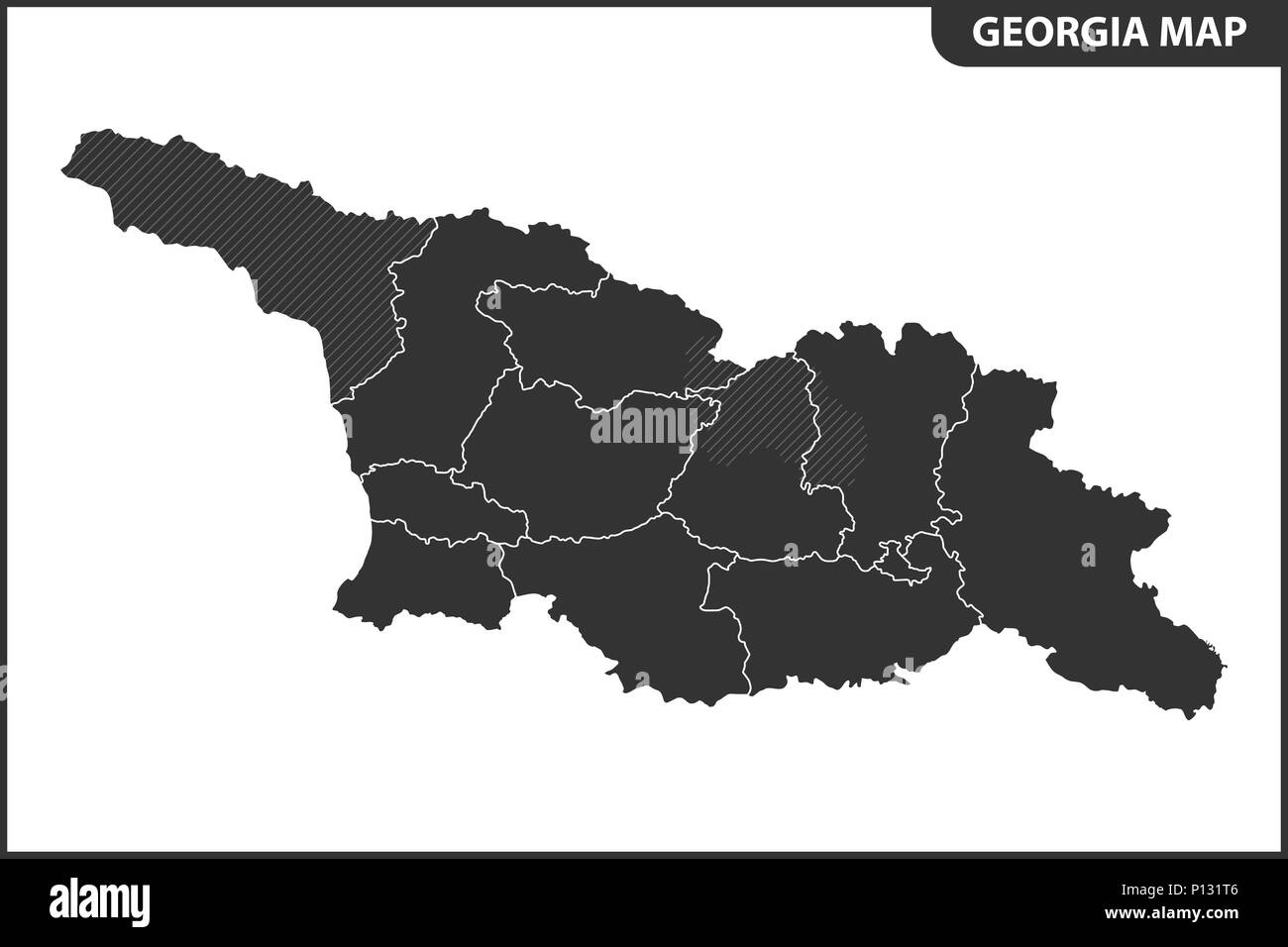 The detailed map of the Georgia with regions or states. Administrative division. South Ossetia and Abkhazia are marked as a disputed territory Stock Vectorhttps://www.alamy.com/image-license-details/?v=1https://www.alamy.com/the-detailed-map-of-the-georgia-with-regions-or-states-administrative-division-south-ossetia-and-abkhazia-are-marked-as-a-disputed-territory-image207206390.html
RFP131T6–The detailed map of the Georgia with regions or states. Administrative division. South Ossetia and Abkhazia are marked as a disputed territory
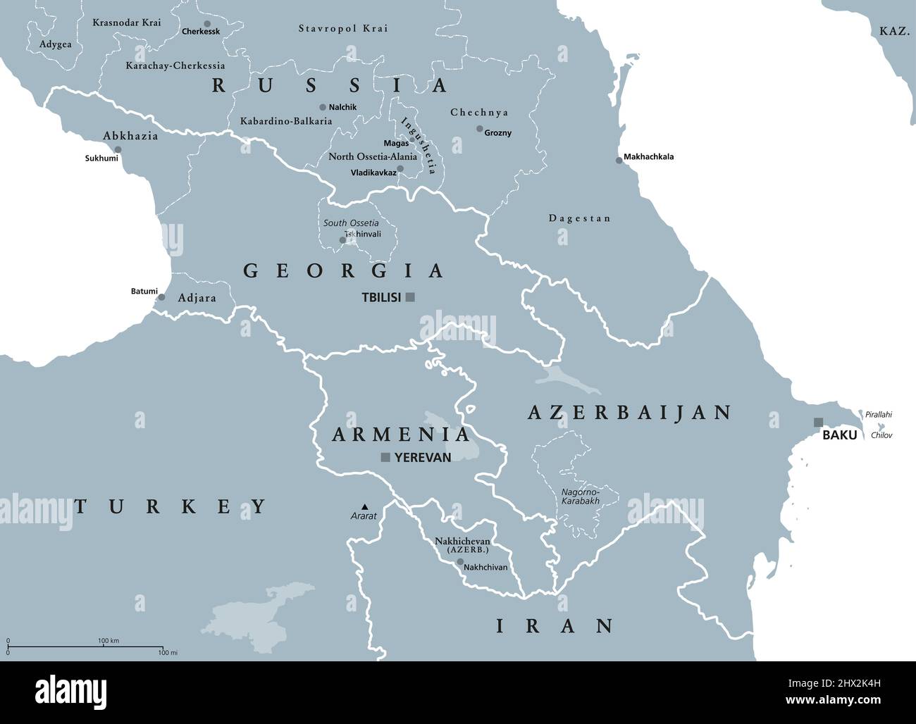 Caucasus, Caucasia, gray political map. Region between the Black Sea and the Caspian Sea, mainly occupied by Armenia, Azerbaijan, Georgia, and Russia. Stock Photohttps://www.alamy.com/image-license-details/?v=1https://www.alamy.com/caucasus-caucasia-gray-political-map-region-between-the-black-sea-and-the-caspian-sea-mainly-occupied-by-armenia-azerbaijan-georgia-and-russia-image463509553.html
RF2HX2K4H–Caucasus, Caucasia, gray political map. Region between the Black Sea and the Caspian Sea, mainly occupied by Armenia, Azerbaijan, Georgia, and Russia.
 High detailed flag of North Ossetia. National North Ossetia flag. 3D illustration. Stock Photohttps://www.alamy.com/image-license-details/?v=1https://www.alamy.com/high-detailed-flag-of-north-ossetia-national-north-ossetia-flag-3d-illustration-image576372826.html
RF2TDM1BP–High detailed flag of North Ossetia. National North Ossetia flag. 3D illustration.
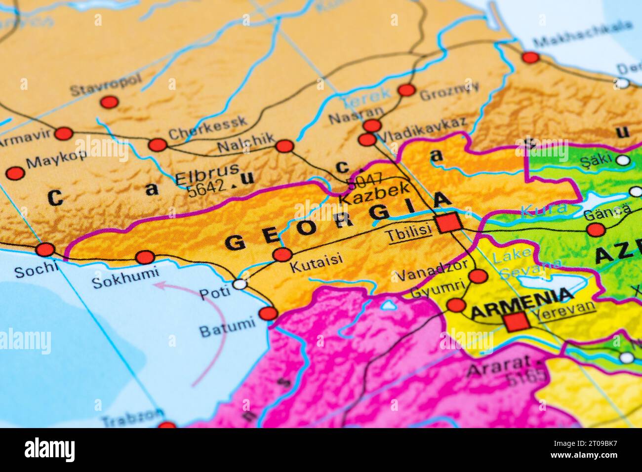 Map or cartography of Georgia with capital Tbilisi and state borders with Russia, Turkey, Armenia and Azerbaijan Stock Photohttps://www.alamy.com/image-license-details/?v=1https://www.alamy.com/map-or-cartography-of-georgia-with-capital-tbilisi-and-state-borders-with-russia-turkey-armenia-and-azerbaijan-image568148875.html
RF2T09BK7–Map or cartography of Georgia with capital Tbilisi and state borders with Russia, Turkey, Armenia and Azerbaijan
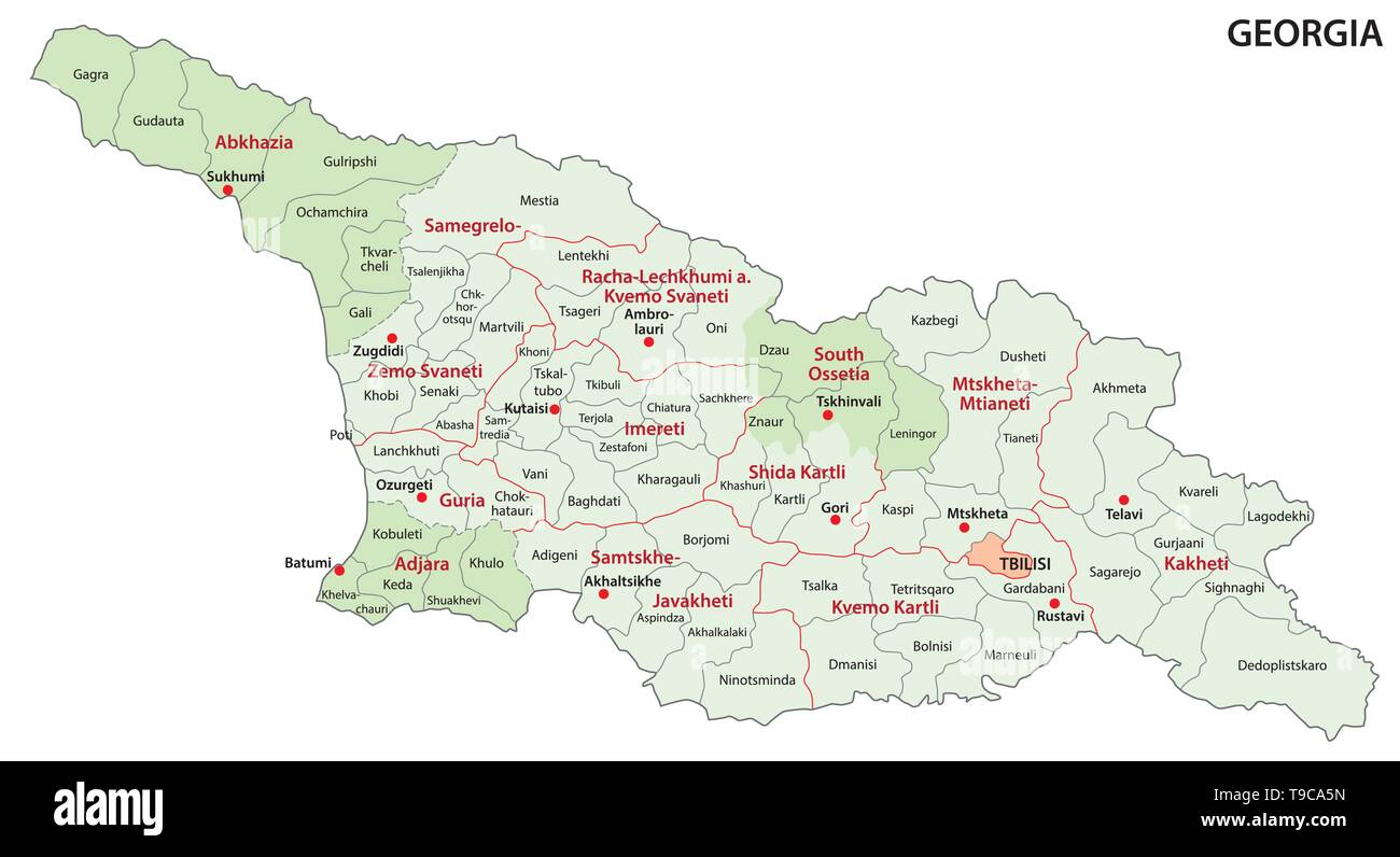 administrative and political vector map of Georgia Stock Vectorhttps://www.alamy.com/image-license-details/?v=1https://www.alamy.com/administrative-and-political-vector-map-of-georgia-image246748481.html
RFT9CA5N–administrative and political vector map of Georgia
 A metal toy soldier stands on the map of the Republic of South Ossetia. Stock Photohttps://www.alamy.com/image-license-details/?v=1https://www.alamy.com/a-metal-toy-soldier-stands-on-the-map-of-the-republic-of-south-ossetia-image569021648.html
RF2T1N4WM–A metal toy soldier stands on the map of the Republic of South Ossetia.
 Vector map South Ossetia and Tskhinval. Country and capital. Isolated vector Illustration. Outline. EPS 10 Illustration. Stock Vectorhttps://www.alamy.com/image-license-details/?v=1https://www.alamy.com/vector-map-south-ossetia-and-tskhinval-country-and-capital-isolated-vector-illustration-outline-eps-10-illustration-image359695873.html
RF2BW5FN5–Vector map South Ossetia and Tskhinval. Country and capital. Isolated vector Illustration. Outline. EPS 10 Illustration.
 Hand drawn South Ossetia map illustration Stock Photohttps://www.alamy.com/image-license-details/?v=1https://www.alamy.com/hand-drawn-south-ossetia-map-illustration-image415457684.html
RF2F3WMEC–Hand drawn South Ossetia map illustration
 Closeup of Ruffled South Ossetia Flag, South Ossetia Flag Blowing in Wind Stock Photohttps://www.alamy.com/image-license-details/?v=1https://www.alamy.com/closeup-of-ruffled-south-ossetia-flag-south-ossetia-flag-blowing-in-wind-image385620954.html
RF2DBAFCX–Closeup of Ruffled South Ossetia Flag, South Ossetia Flag Blowing in Wind
 Vector map South Ossetia and Tskhinval. Country and capital. Isolated vector Illustration. Black on White background. EPS 10 Illustration. Stock Vectorhttps://www.alamy.com/image-license-details/?v=1https://www.alamy.com/vector-map-south-ossetia-and-tskhinval-country-and-capital-isolated-vector-illustration-black-on-white-background-eps-10-illustration-image359697484.html
RF2BW5HPM–Vector map South Ossetia and Tskhinval. Country and capital. Isolated vector Illustration. Black on White background. EPS 10 Illustration.
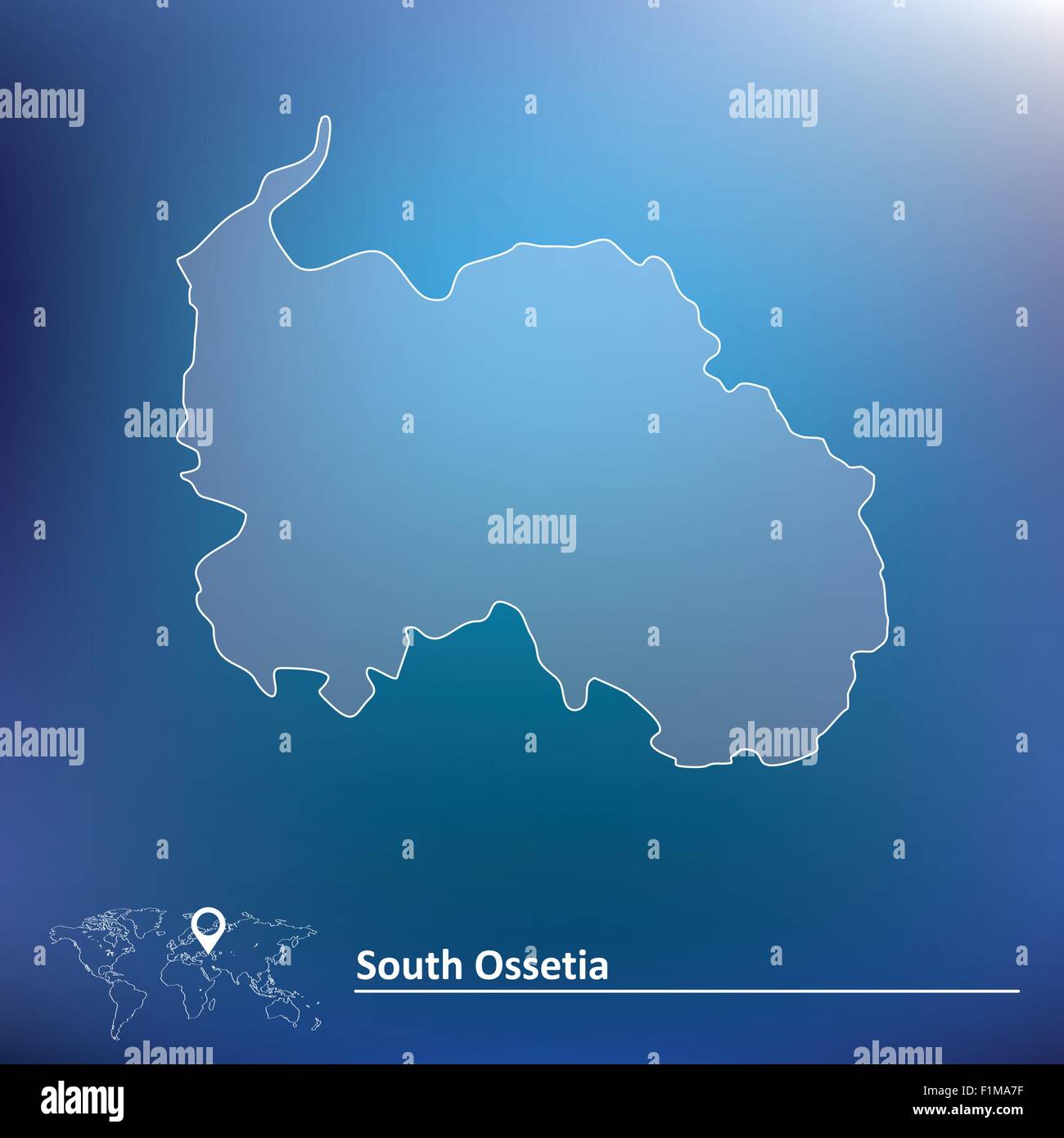 Map of South Ossetia - vector illustration Stock Vectorhttps://www.alamy.com/image-license-details/?v=1https://www.alamy.com/stock-photo-map-of-south-ossetia-vector-illustration-87113587.html
RFF1MA7F–Map of South Ossetia - vector illustration
 South Ossetia map flag vector Stock Vectorhttps://www.alamy.com/image-license-details/?v=1https://www.alamy.com/south-ossetia-map-flag-vector-image341591383.html
RF2ARMR87–South Ossetia map flag vector
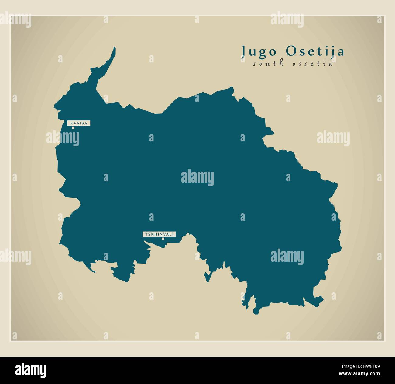 Modern Map - Jugo Osetija GE Stock Vectorhttps://www.alamy.com/image-license-details/?v=1https://www.alamy.com/stock-photo-modern-map-jugo-osetija-ge-136147097.html
RFHWE109–Modern Map - Jugo Osetija GE
RF2K230NJ–Vector isolated geometric illustration with simplified icy blue silhouette of Georgia map. Pixel art style for NFT template. Dotted logo with gradient
RF2R8MKPH–South Ossetia Rectangle flag icon with shadow.
RF2R58CP7–South Ossetia flag bubble circle round shape icon vector illustration
RF2R8MHK5–South Ossetia round flag icon with shadow.
 South ossetia flag. National flag of South ossetia on pole vector Stock Vectorhttps://www.alamy.com/image-license-details/?v=1https://www.alamy.com/south-ossetia-flag-national-flag-of-south-ossetia-on-pole-vector-image360954049.html
RF2BY6TG1–South ossetia flag. National flag of South ossetia on pole vector
 Flag of South Ossetia - Vector illustration. Stock Vectorhttps://www.alamy.com/image-license-details/?v=1https://www.alamy.com/flag-of-south-ossetia-vector-illustration-image558277514.html
RF2RC7MJJ–Flag of South Ossetia - Vector illustration.
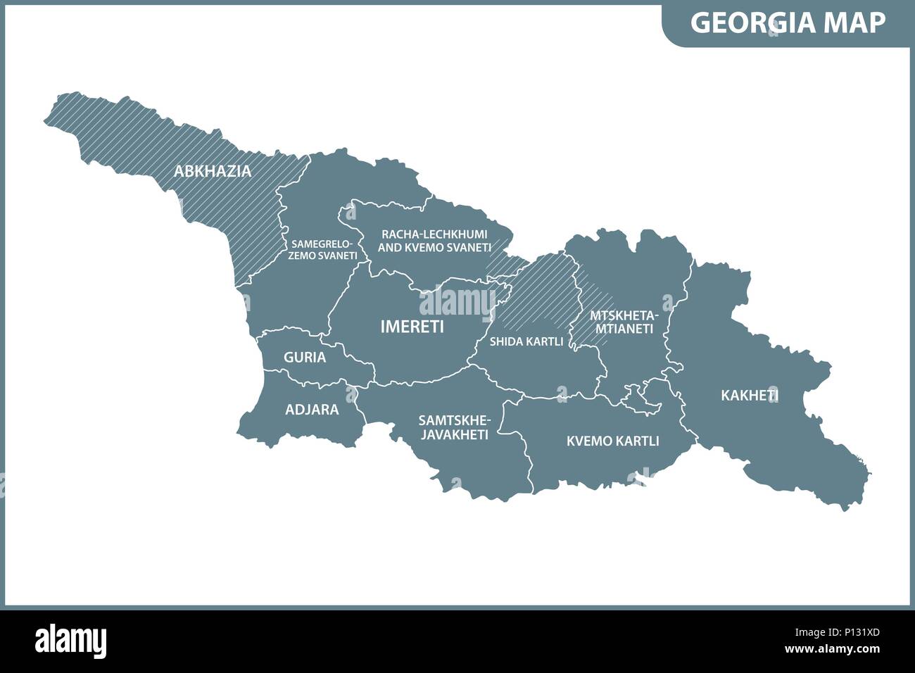 The detailed map of the Georgia with regions or states. Administrative division. South Ossetia and Abkhazia are marked as a disputed territory Stock Vectorhttps://www.alamy.com/image-license-details/?v=1https://www.alamy.com/the-detailed-map-of-the-georgia-with-regions-or-states-administrative-division-south-ossetia-and-abkhazia-are-marked-as-a-disputed-territory-image207206453.html
RFP131XD–The detailed map of the Georgia with regions or states. Administrative division. South Ossetia and Abkhazia are marked as a disputed territory
RF2R8M8FN–South Ossetia flag bubble chat icon
 High detailed flag of North Ossetia. National North Ossetia flag. 3D illustration. Stock Photohttps://www.alamy.com/image-license-details/?v=1https://www.alamy.com/high-detailed-flag-of-north-ossetia-national-north-ossetia-flag-3d-illustration-image576372965.html
RF2TDM1GN–High detailed flag of North Ossetia. National North Ossetia flag. 3D illustration.
 Vector map South Ossetia. Isolated vector Illustration. Black on White background. EPS 10 Illustration. Stock Vectorhttps://www.alamy.com/image-license-details/?v=1https://www.alamy.com/vector-map-south-ossetia-isolated-vector-illustration-black-on-white-background-eps-10-illustration-image359695520.html
RF2BW5F8G–Vector map South Ossetia. Isolated vector Illustration. Black on White background. EPS 10 Illustration.
RF2RAF5T2–South Ossetia flag bubble circle round shape icon colorful vector illustration
 A metal toy soldier stands on the map of the Republic of South Ossetia. Stock Photohttps://www.alamy.com/image-license-details/?v=1https://www.alamy.com/a-metal-toy-soldier-stands-on-the-map-of-the-republic-of-south-ossetia-image569715703.html
RF2T2TP5B–A metal toy soldier stands on the map of the Republic of South Ossetia.
 flag of South Ossetia illustration isolated on white background Stock Photohttps://www.alamy.com/image-license-details/?v=1https://www.alamy.com/stock-photo-flag-of-south-ossetia-illustration-isolated-on-white-background-73415127.html
RFE7C9MR–flag of South Ossetia illustration isolated on white background
 Small Flag of Republic of South Ossetia on a Map Background with Selective Focus. Stock Photohttps://www.alamy.com/image-license-details/?v=1https://www.alamy.com/small-flag-of-republic-of-south-ossetia-on-a-map-background-with-selective-image68858161.html
RFE00N81–Small Flag of Republic of South Ossetia on a Map Background with Selective Focus.
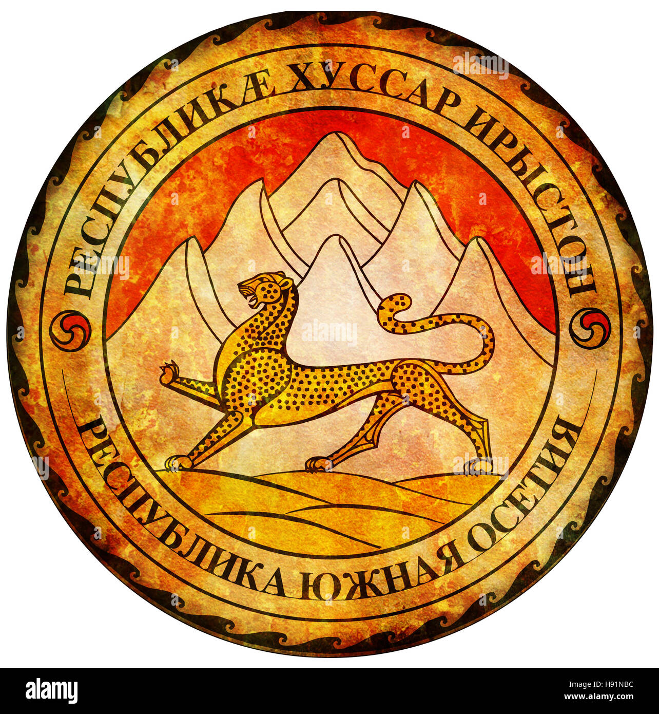 old isolated over white coat of arms of south ossetia Stock Photohttps://www.alamy.com/image-license-details/?v=1https://www.alamy.com/stock-photo-old-isolated-over-white-coat-of-arms-of-south-ossetia-126043216.html
RFH91NBC–old isolated over white coat of arms of south ossetia
 Flag of Ossetia Stock Vectorhttps://www.alamy.com/image-license-details/?v=1https://www.alamy.com/flag-of-ossetia-image488095988.html
RF2KA2KBG–Flag of Ossetia
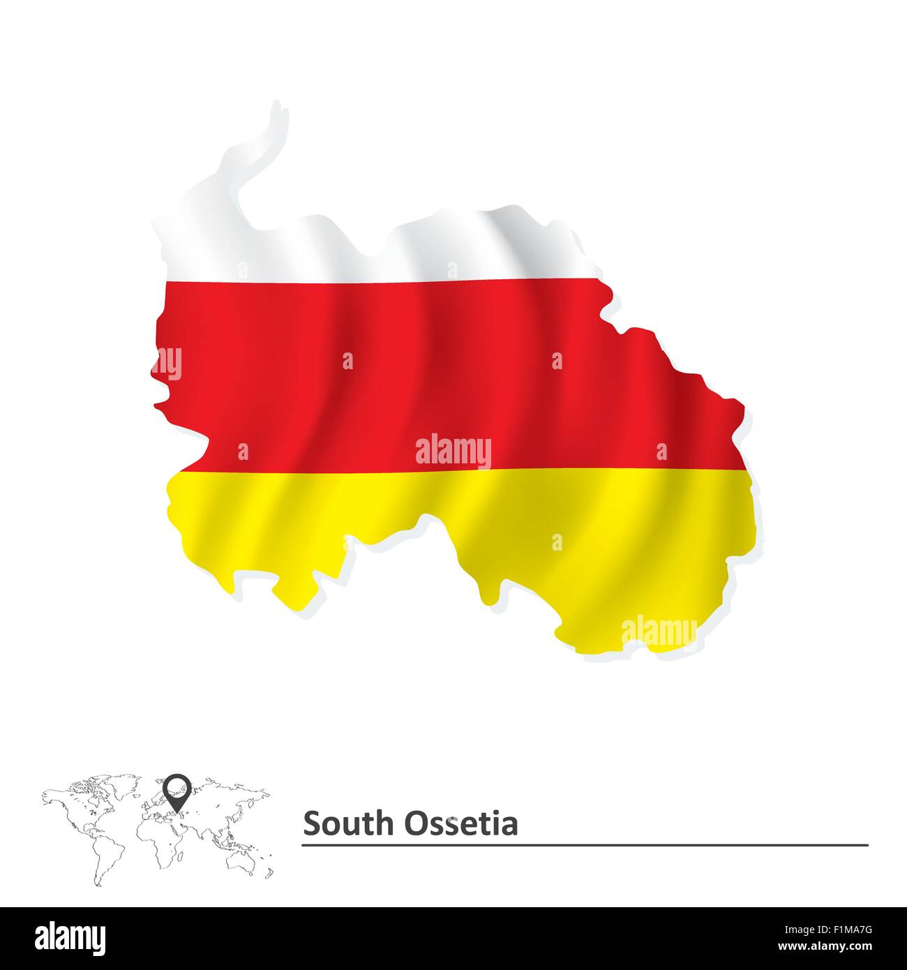 Map of South Ossetia with flag - vector illustration Stock Vectorhttps://www.alamy.com/image-license-details/?v=1https://www.alamy.com/stock-photo-map-of-south-ossetia-with-flag-vector-illustration-87113588.html
RFF1MA7G–Map of South Ossetia with flag - vector illustration
 South Ossetia map flag vector 3D Stock Vectorhttps://www.alamy.com/image-license-details/?v=1https://www.alamy.com/south-ossetia-map-flag-vector-3d-image341593039.html
RF2ARMWBB–South Ossetia map flag vector 3D
 Map pins with flag of South Ossetia - vector illustration Stock Vectorhttps://www.alamy.com/image-license-details/?v=1https://www.alamy.com/stock-photo-map-pins-with-flag-of-south-ossetia-vector-illustration-87113968.html
RFF1MAN4–Map pins with flag of South Ossetia - vector illustration
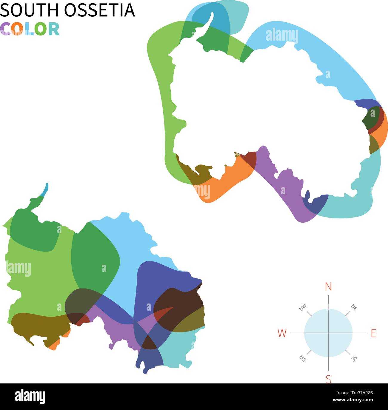 Abstract vector color map of South Ossetia Stock Vectorhttps://www.alamy.com/image-license-details/?v=1https://www.alamy.com/stock-photo-abstract-vector-color-map-of-south-ossetia-107802024.html
RFG7APG8–Abstract vector color map of South Ossetia
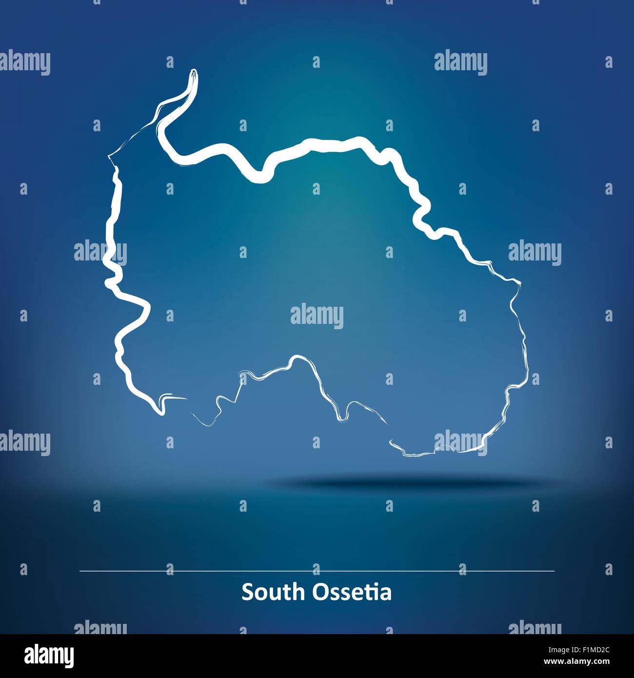 Doodle Map of South Ossetia - vector illustration Stock Vectorhttps://www.alamy.com/image-license-details/?v=1https://www.alamy.com/stock-photo-doodle-map-of-south-ossetia-vector-illustration-87115796.html
RFF1MD2C–Doodle Map of South Ossetia - vector illustration
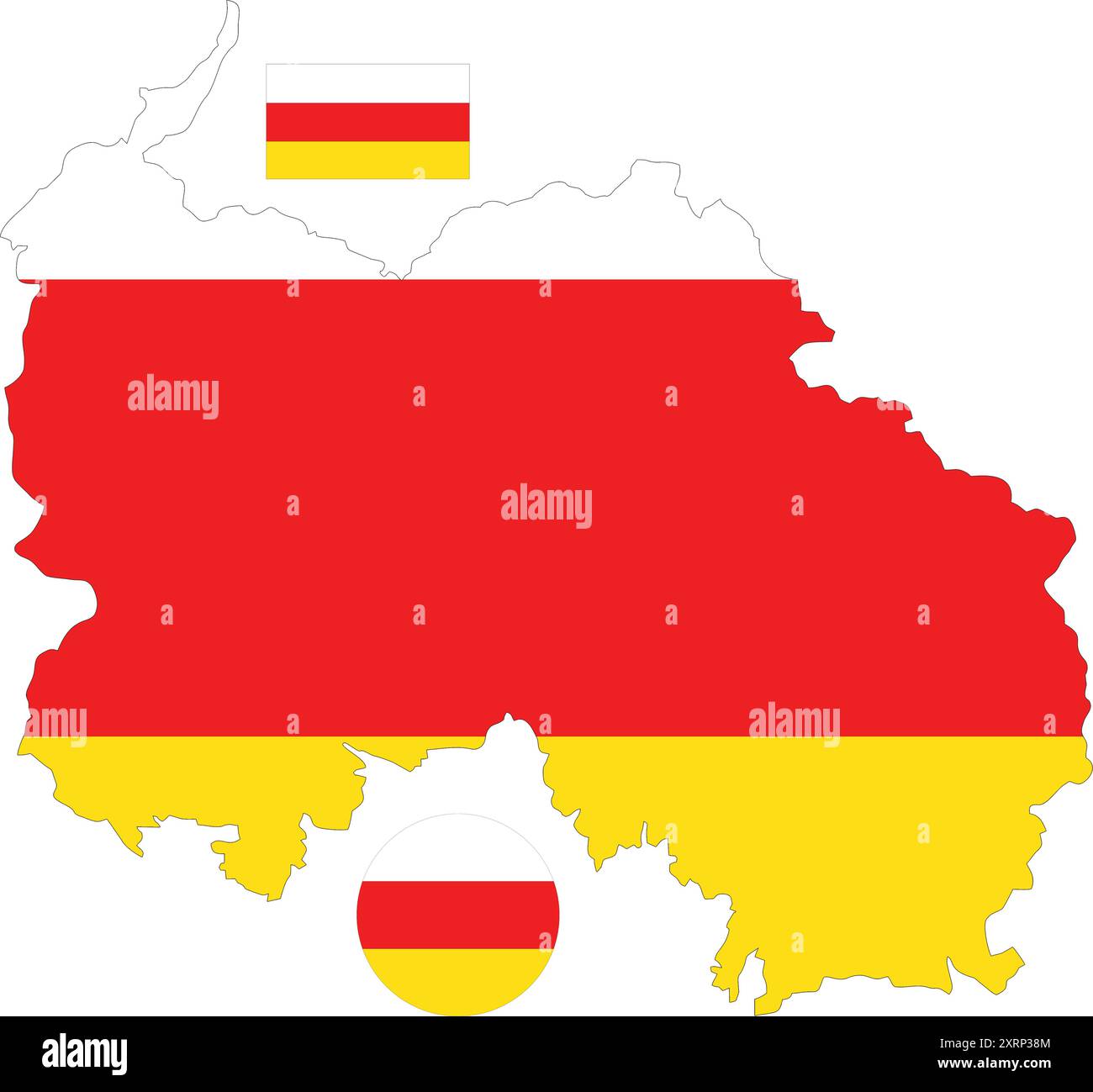 map of South Ossetia and flag Stock Vectorhttps://www.alamy.com/image-license-details/?v=1https://www.alamy.com/map-of-south-ossetia-and-flag-image616985508.html
RF2XRP38M–map of South Ossetia and flag
 3d isometric map of South Ossetia, isolated with shadow vector illustration Stock Vectorhttps://www.alamy.com/image-license-details/?v=1https://www.alamy.com/3d-isometric-map-of-south-ossetia-isolated-with-shadow-vector-illustration-image425030766.html
RF2FKDR26–3d isometric map of South Ossetia, isolated with shadow vector illustration
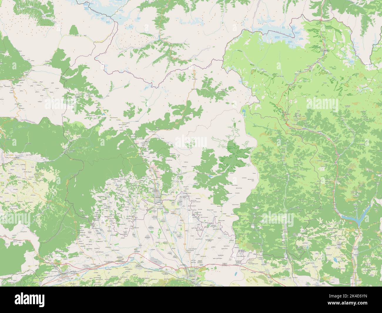 South Ossetia, independent city of Georgia. Open Street Map Stock Photohttps://www.alamy.com/image-license-details/?v=1https://www.alamy.com/south-ossetia-independent-city-of-georgia-open-street-map-image484661737.html
RF2K4E6YN–South Ossetia, independent city of Georgia. Open Street Map
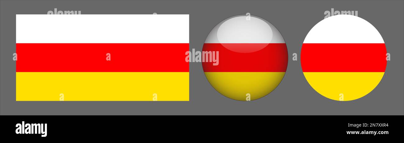 South Ossetia Flag set collection Vector Stock Vectorhttps://www.alamy.com/image-license-details/?v=1https://www.alamy.com/south-ossetia-flag-set-collection-vector-image521205416.html
RF2N7XXR4–South Ossetia Flag set collection Vector
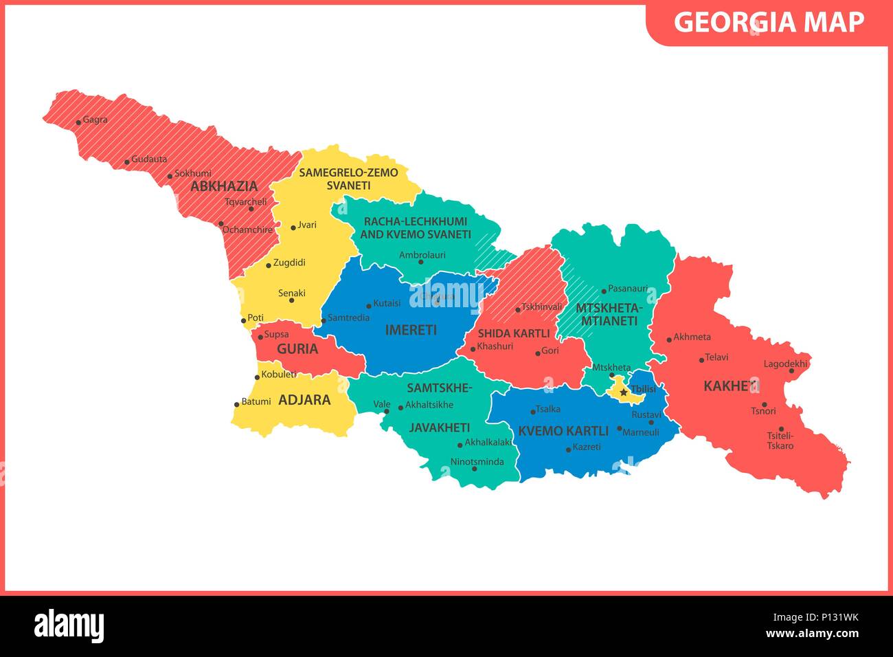 The detailed map of the Georgia with regions or states and cities, capital. Administrative division. South Ossetia and Abkhazia are marked as a disput Stock Vectorhttps://www.alamy.com/image-license-details/?v=1https://www.alamy.com/the-detailed-map-of-the-georgia-with-regions-or-states-and-cities-capital-administrative-division-south-ossetia-and-abkhazia-are-marked-as-a-disput-image207206431.html
RFP131WK–The detailed map of the Georgia with regions or states and cities, capital. Administrative division. South Ossetia and Abkhazia are marked as a disput
 Outline map of South Ossetia marked with red line. Stock Vectorhttps://www.alamy.com/image-license-details/?v=1https://www.alamy.com/outline-map-of-south-ossetia-marked-with-red-line-image531696721.html
RF2NW0TGH–Outline map of South Ossetia marked with red line.
 High detailed flag of South Ossetia. National South Ossetia flag. 3D illustration. Stock Photohttps://www.alamy.com/image-license-details/?v=1https://www.alamy.com/high-detailed-flag-of-south-ossetia-national-south-ossetia-flag-3d-illustration-image576441669.html
RF2TDR56D–High detailed flag of South Ossetia. National South Ossetia flag. 3D illustration.
 South Ossetia Map Pin Stock Vectorhttps://www.alamy.com/image-license-details/?v=1https://www.alamy.com/south-ossetia-map-pin-image222896815.html
RFPXHR4F–South Ossetia Map Pin
RF2R9AX88–South Ossetia glossy flag bubble circle round shape icon vector illustration glass
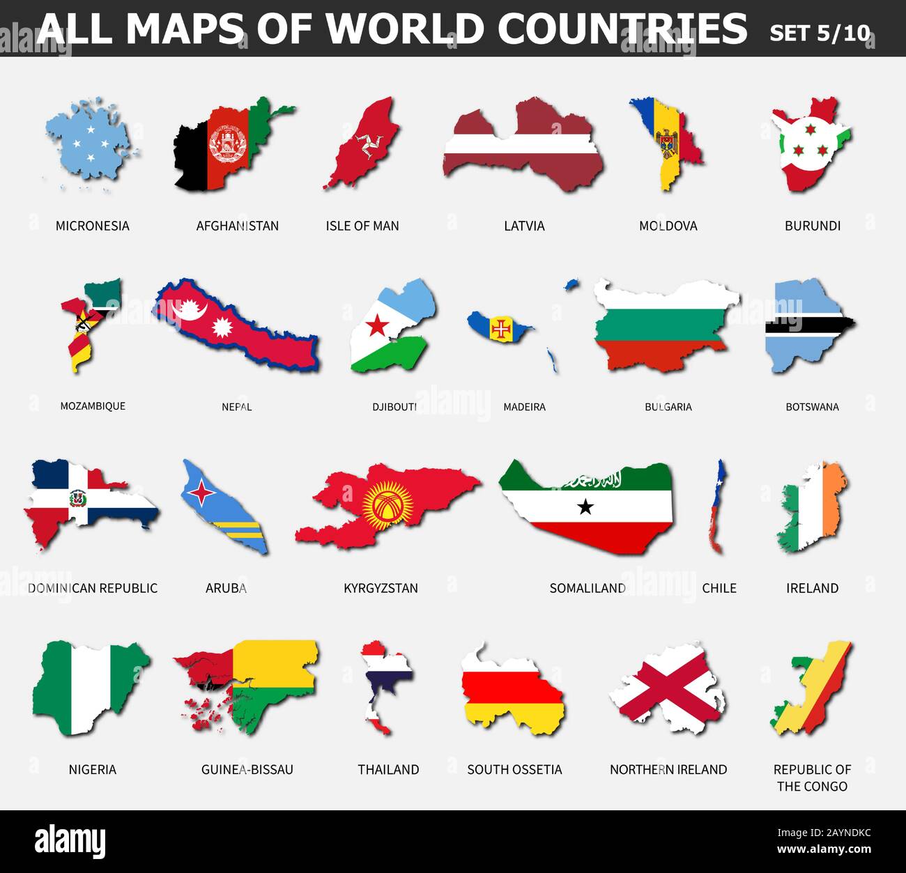 All maps of world countries and flags . Set 5 of 10 . Collection of outline shape of international country map with shadow . Flat design . Vector . Stock Vectorhttps://www.alamy.com/image-license-details/?v=1https://www.alamy.com/all-maps-of-world-countries-and-flags-set-5-of-10-collection-of-outline-shape-of-international-country-map-with-shadow-flat-design-vector-image344064432.html
RF2AYNDKC–All maps of world countries and flags . Set 5 of 10 . Collection of outline shape of international country map with shadow . Flat design . Vector .
 Chechen Republic country Stock Photohttps://www.alamy.com/image-license-details/?v=1https://www.alamy.com/stock-photo-chechen-republic-country-52245206.html
RFD0YY86–Chechen Republic country
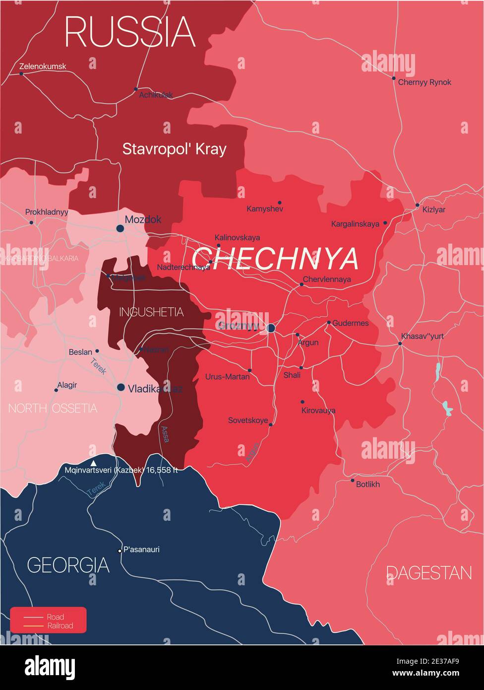 Chechnya region of Russia detailed editable map with regions cities and towns, roads and railways, geographic sites. Vector EPS-10 file Stock Vectorhttps://www.alamy.com/image-license-details/?v=1https://www.alamy.com/chechnya-region-of-russia-detailed-editable-map-with-regions-cities-and-towns-roads-and-railways-geographic-sites-vector-eps-10-file-image397844365.html
RF2E37AF9–Chechnya region of Russia detailed editable map with regions cities and towns, roads and railways, geographic sites. Vector EPS-10 file
 National flag of South Ossetia on a flagpole Stock Photohttps://www.alamy.com/image-license-details/?v=1https://www.alamy.com/national-flag-of-south-ossetia-on-a-flagpole-image471785431.html
RF2JBFK3K–National flag of South Ossetia on a flagpole
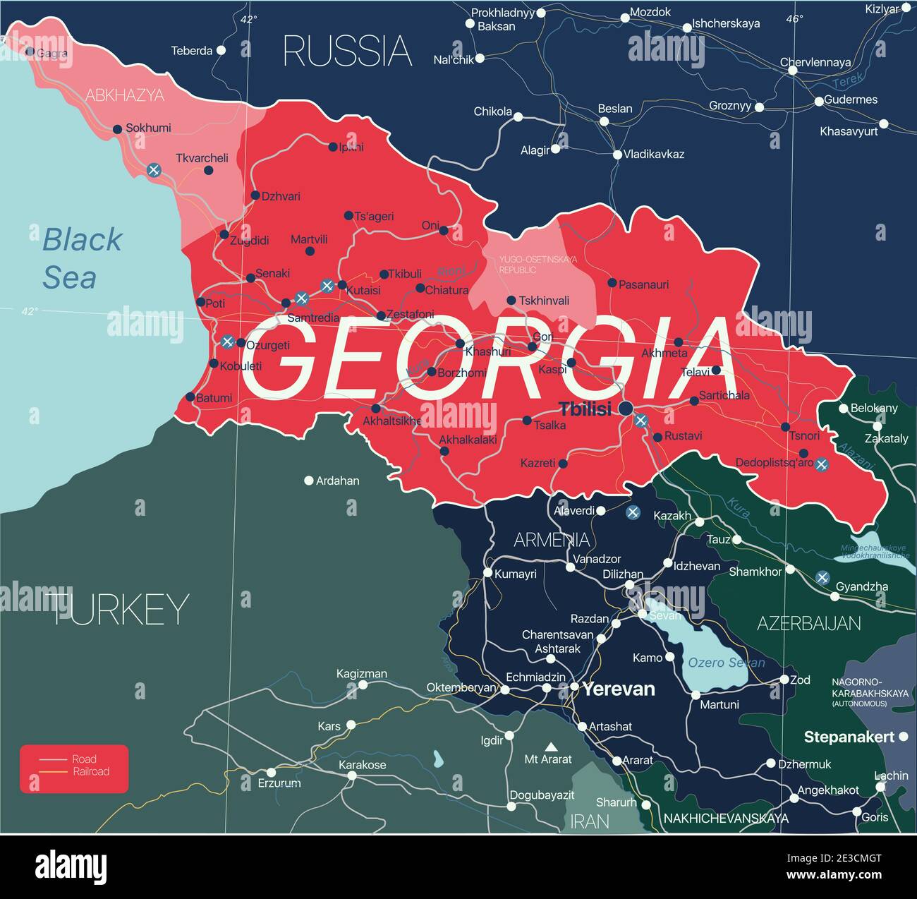 Georgia country detailed editable map with regions cities and towns, roads and railways, geographic sites. Vector EPS-10 file Stock Vectorhttps://www.alamy.com/image-license-details/?v=1https://www.alamy.com/georgia-country-detailed-editable-map-with-regions-cities-and-towns-roads-and-railways-geographic-sites-vector-eps-10-file-image397962008.html
RF2E3CMGT–Georgia country detailed editable map with regions cities and towns, roads and railways, geographic sites. Vector EPS-10 file
 Georgia as member of NATO alliance. Caucasian state and country and membership in the international defense miitary organization. Vector illustration Stock Photohttps://www.alamy.com/image-license-details/?v=1https://www.alamy.com/georgia-as-member-of-nato-alliance-caucasian-state-and-country-and-membership-in-the-international-defense-miitary-organization-vector-illustration-image395848869.html
RF2E00D7H–Georgia as member of NATO alliance. Caucasian state and country and membership in the international defense miitary organization. Vector illustration
RF2ARMTKP–South Ossetia flag icon travel vector
 Map marker with flag-set fourteenth Stock Vectorhttps://www.alamy.com/image-license-details/?v=1https://www.alamy.com/map-marker-with-flag-set-fourteenth-image69675910.html
RFE1A09A–Map marker with flag-set fourteenth
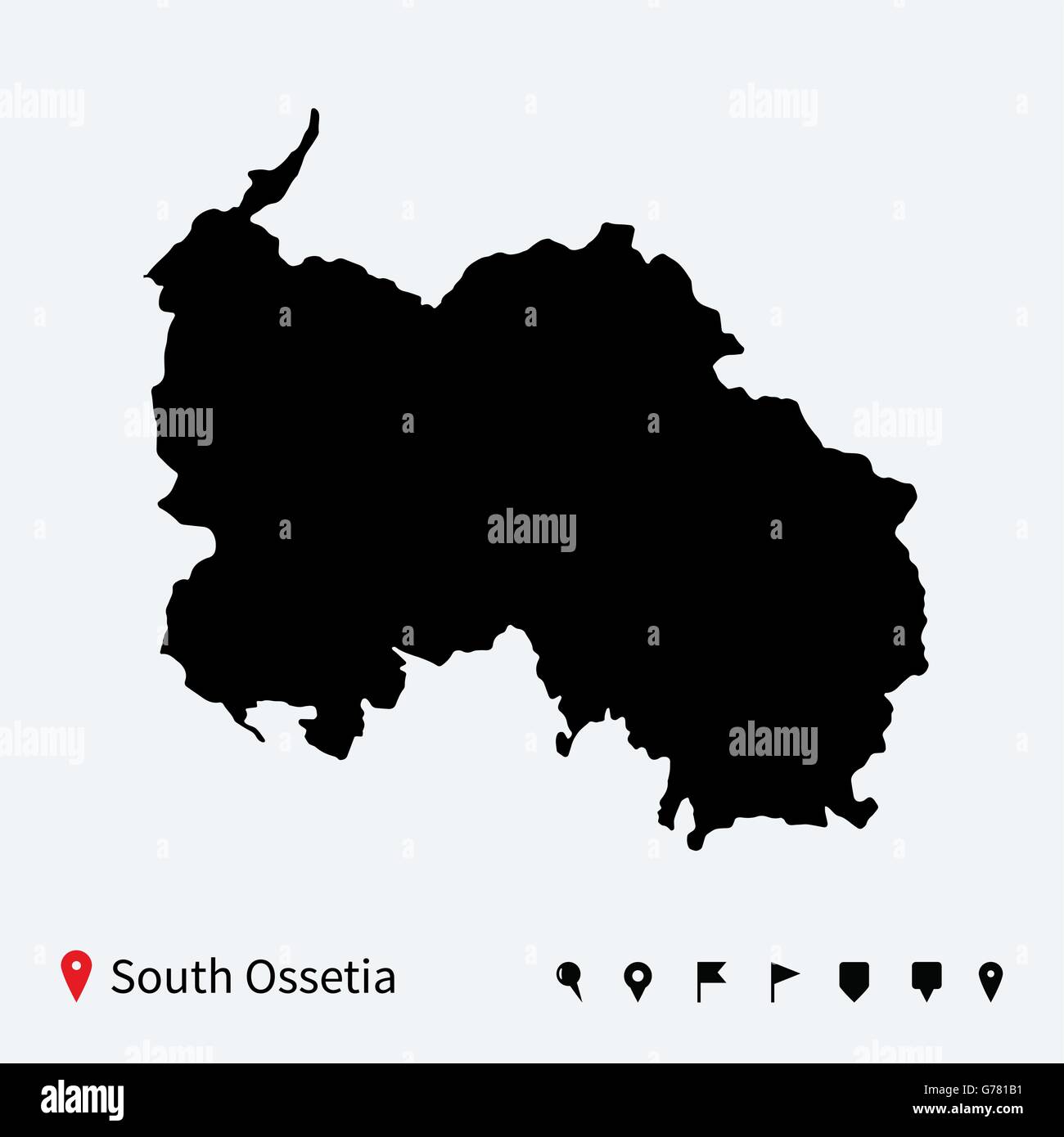 High detailed vector map of South Ossetia with navigation pins. Stock Vectorhttps://www.alamy.com/image-license-details/?v=1https://www.alamy.com/stock-photo-high-detailed-vector-map-of-south-ossetia-with-navigation-pins-107741509.html
RFG781B1–High detailed vector map of South Ossetia with navigation pins.
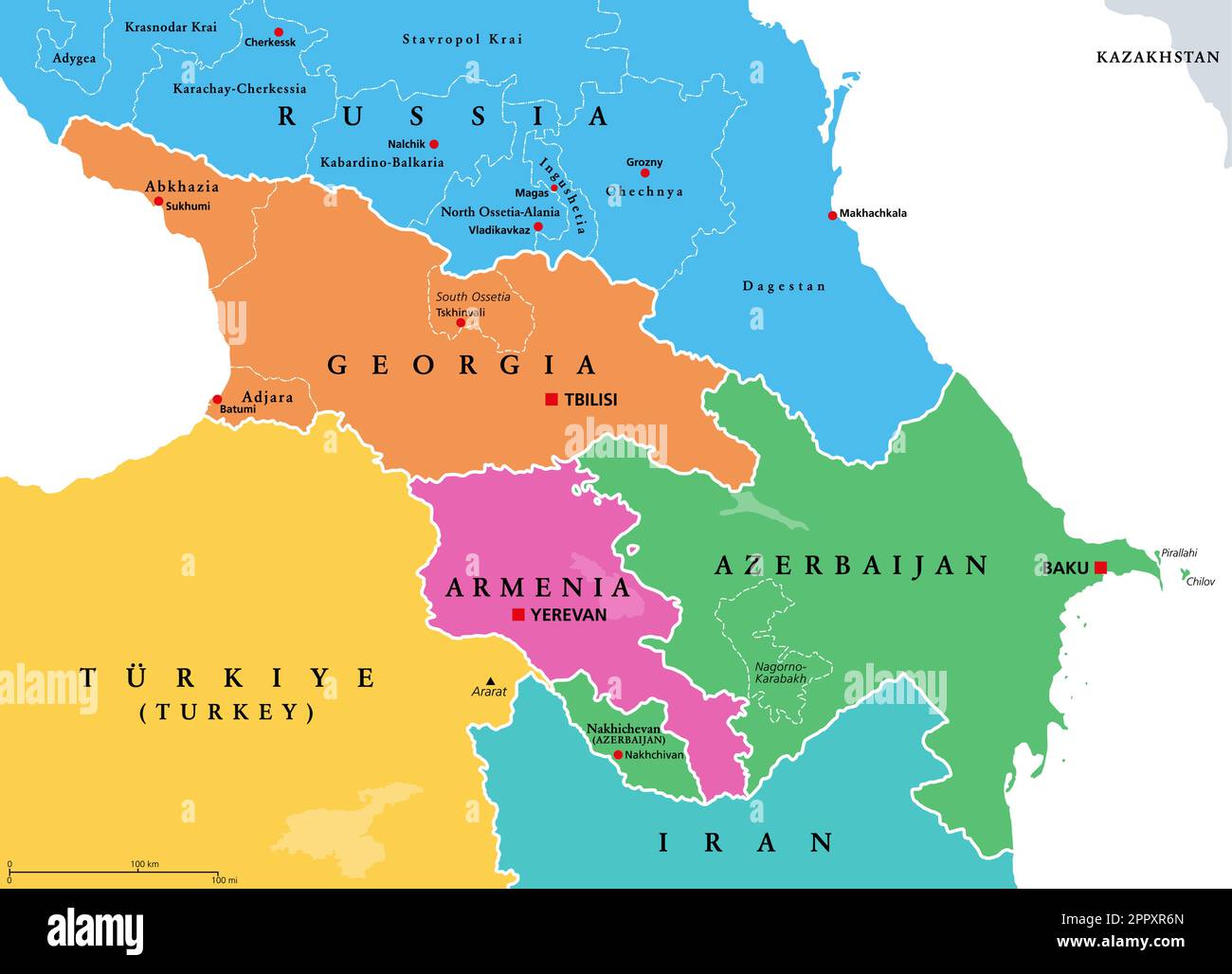 The Caucasus region, Caucasia, colored political map with disputed areas Stock Vectorhttps://www.alamy.com/image-license-details/?v=1https://www.alamy.com/the-caucasus-region-caucasia-colored-political-map-with-disputed-areas-image547632813.html
RF2PPXR6N–The Caucasus region, Caucasia, colored political map with disputed areas
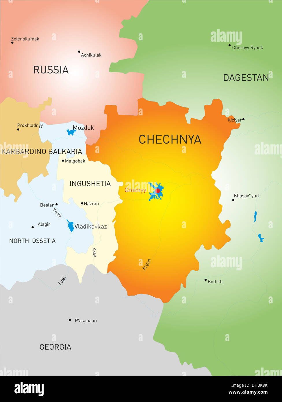 Chechen Republic country Stock Photohttps://www.alamy.com/image-license-details/?v=1https://www.alamy.com/chechen-republic-country-image62336867.html
RFDHBK8K–Chechen Republic country
 2019 Calendar Template. South Ossetia Country Map Golden Typography Header Stock Vectorhttps://www.alamy.com/image-license-details/?v=1https://www.alamy.com/2019-calendar-template-south-ossetia-country-map-golden-typography-header-image228818121.html
RFR87FRN–2019 Calendar Template. South Ossetia Country Map Golden Typography Header
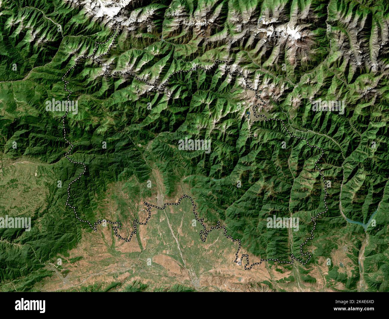 South Ossetia, independent city of Georgia. High resolution satellite map Stock Photohttps://www.alamy.com/image-license-details/?v=1https://www.alamy.com/south-ossetia-independent-city-of-georgia-high-resolution-satellite-map-image484661701.html
RF2K4E6XD–South Ossetia, independent city of Georgia. High resolution satellite map
RF2N591CK–South Ossetia 3D Rounded Flag Icon Button Vector
 The detailed map of the Georgia with regions or states and cities, capital. Administrative division. South Ossetia and Abkhazia are marked as a disput Stock Vectorhttps://www.alamy.com/image-license-details/?v=1https://www.alamy.com/the-detailed-map-of-the-georgia-with-regions-or-states-and-cities-capital-administrative-division-south-ossetia-and-abkhazia-are-marked-as-a-disput-image207206450.html
RFP131XA–The detailed map of the Georgia with regions or states and cities, capital. Administrative division. South Ossetia and Abkhazia are marked as a disput
 Outline map of South Ossetia. Border is marked with ribbon in national colors. The package contains frames in national colors and stamp with flag. Stock Vectorhttps://www.alamy.com/image-license-details/?v=1https://www.alamy.com/outline-map-of-south-ossetia-border-is-marked-with-ribbon-in-national-colors-the-package-contains-frames-in-national-colors-and-stamp-with-flag-image608236561.html
RF2X9FFX9–Outline map of South Ossetia. Border is marked with ribbon in national colors. The package contains frames in national colors and stamp with flag.
 High detailed flag of South Ossetia. National South Ossetia flag. 3D illustration. Stock Photohttps://www.alamy.com/image-license-details/?v=1https://www.alamy.com/high-detailed-flag-of-south-ossetia-national-south-ossetia-flag-3d-illustration-image576442021.html
RF2TDR5K1–High detailed flag of South Ossetia. National South Ossetia flag. 3D illustration.
 Republic of South Ossetia – the State of Alania (Republic of Georgia, Tskhinvali Region) map vector illustration, scribble sketch South Ossetian Auton Stock Vectorhttps://www.alamy.com/image-license-details/?v=1https://www.alamy.com/republic-of-south-ossetia-the-state-of-alania-republic-of-georgia-tskhinvali-region-map-vector-illustration-scribble-sketch-south-ossetian-auton-image338668421.html
RF2AJYK0N–Republic of South Ossetia – the State of Alania (Republic of Georgia, Tskhinvali Region) map vector illustration, scribble sketch South Ossetian Auton
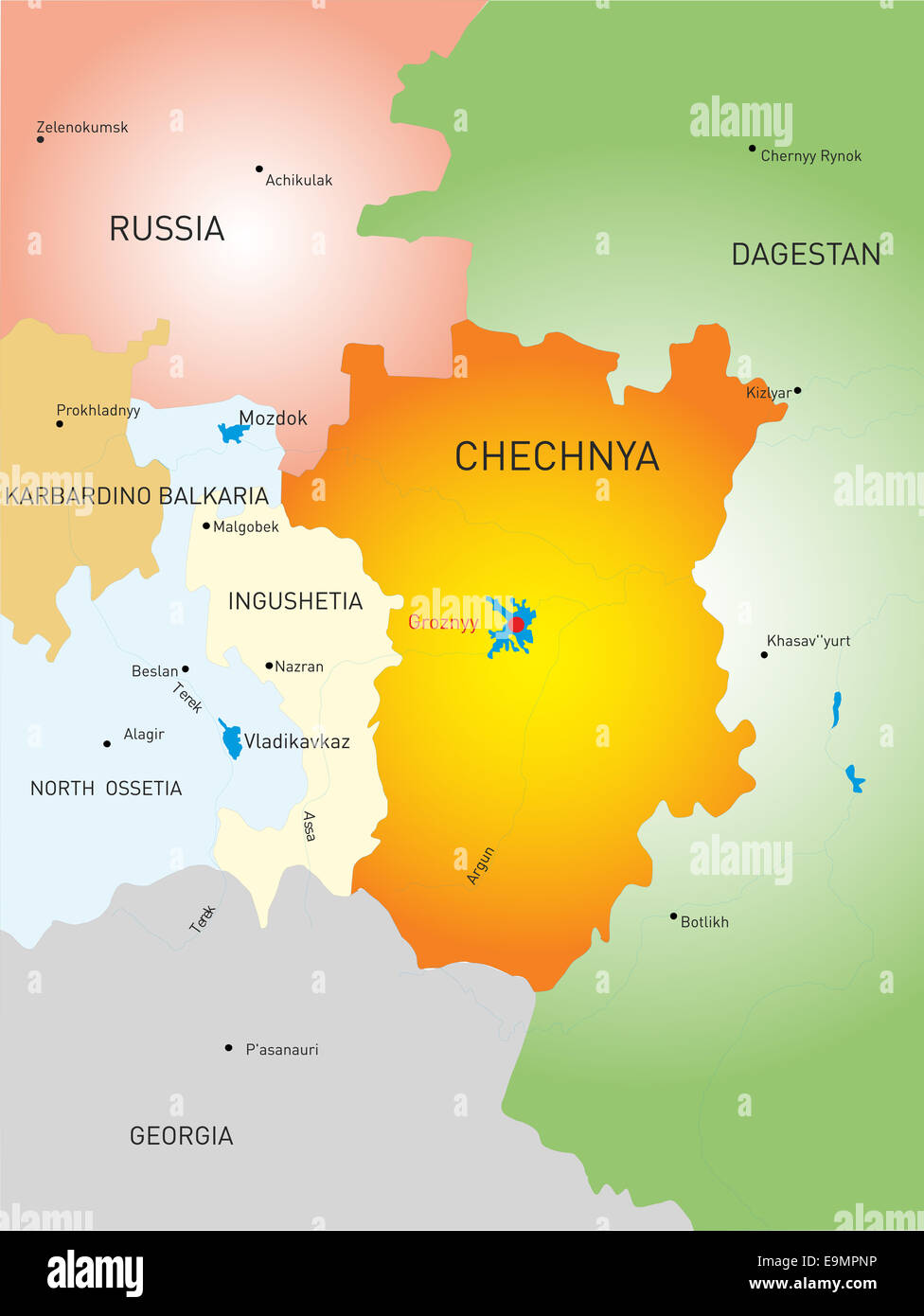 Chechen Republic country Stock Photohttps://www.alamy.com/image-license-details/?v=1https://www.alamy.com/stock-photo-chechen-republic-country-74830274.html
RFE9MPNP–Chechen Republic country
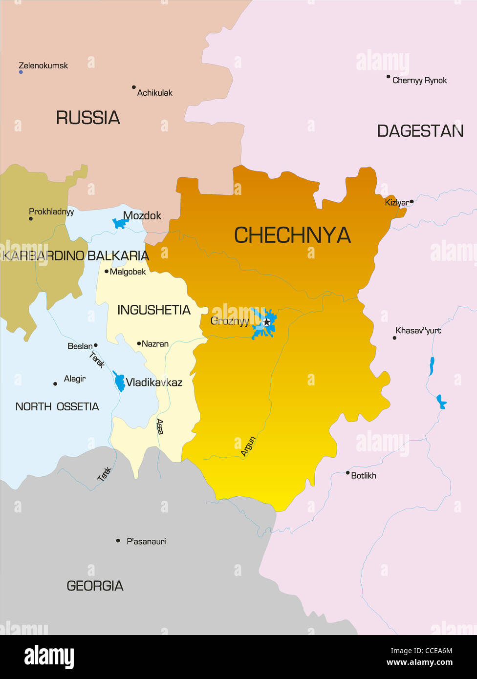 Vector map of Chechen Republic country Stock Photohttps://www.alamy.com/image-license-details/?v=1https://www.alamy.com/stock-photo-vector-map-of-chechen-republic-country-42111964.html
RFCCEA6M–Vector map of Chechen Republic country
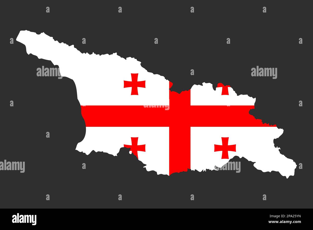 Highly detailed editable political map of Georgia with national flag in the center. Geographical Western Asia country territory borders with the occup Stock Vectorhttps://www.alamy.com/image-license-details/?v=1https://www.alamy.com/highly-detailed-editable-political-map-of-georgia-with-national-flag-in-the-center-geographical-western-asia-country-territory-borders-with-the-occup-image539716569.html
RF2PA25YN–Highly detailed editable political map of Georgia with national flag in the center. Geographical Western Asia country territory borders with the occup
 South Ossetia economic crisis vector illustration Eps 10 Stock Vectorhttps://www.alamy.com/image-license-details/?v=1https://www.alamy.com/south-ossetia-economic-crisis-vector-illustration-eps-10-image341590184.html
RF2ARMNNC–South Ossetia economic crisis vector illustration Eps 10
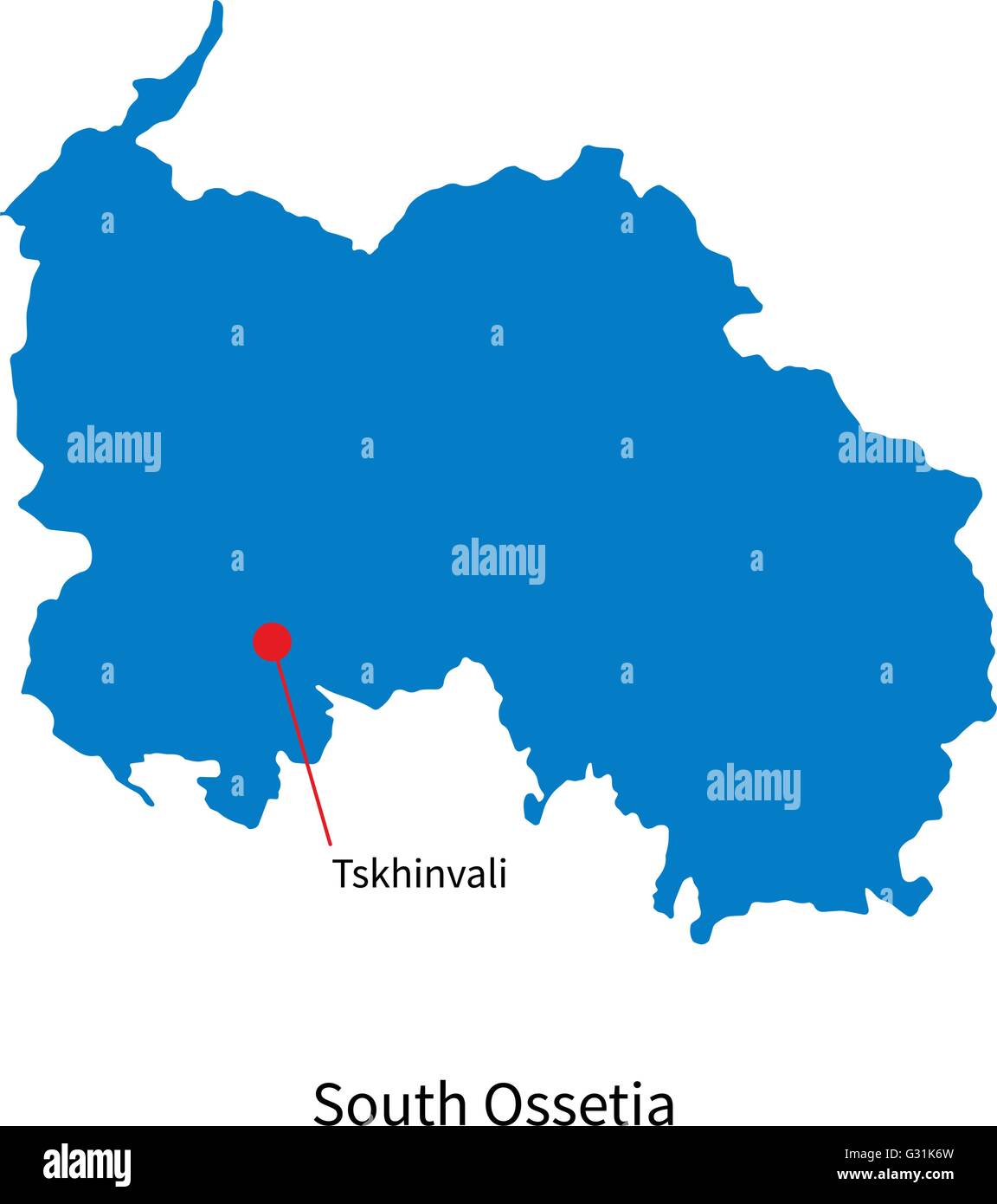 Detailed vector map of South Ossetia and capital city Tskhinvali Stock Vectorhttps://www.alamy.com/image-license-details/?v=1https://www.alamy.com/stock-photo-detailed-vector-map-of-south-ossetia-and-capital-city-tskhinvali-105143217.html
RFG31K6W–Detailed vector map of South Ossetia and capital city Tskhinvali
 city, town, asia, pointer, asiatic, illustration, flag, south, china, Stock Photohttps://www.alamy.com/image-license-details/?v=1https://www.alamy.com/stock-photo-city-town-asia-pointer-asiatic-illustration-flag-south-china-132264651.html
RFHK54WF–city, town, asia, pointer, asiatic, illustration, flag, south, china,
 2019 Calendar Template. Golden Typography with South Ossetia Country Map Golden Typography Header Stock Vectorhttps://www.alamy.com/image-license-details/?v=1https://www.alamy.com/2019-calendar-template-golden-typography-with-south-ossetia-country-map-golden-typography-header-image228812071.html
RFR8783K–2019 Calendar Template. Golden Typography with South Ossetia Country Map Golden Typography Header
 South Ossetia, independent city of Georgia. Low resolution satellite map Stock Photohttps://www.alamy.com/image-license-details/?v=1https://www.alamy.com/south-ossetia-independent-city-of-georgia-low-resolution-satellite-map-image484661721.html
RF2K4E6Y5–South Ossetia, independent city of Georgia. Low resolution satellite map
RF2N5AM2Y–South Ossetia Flat Rounded Flag Icon Button Vector
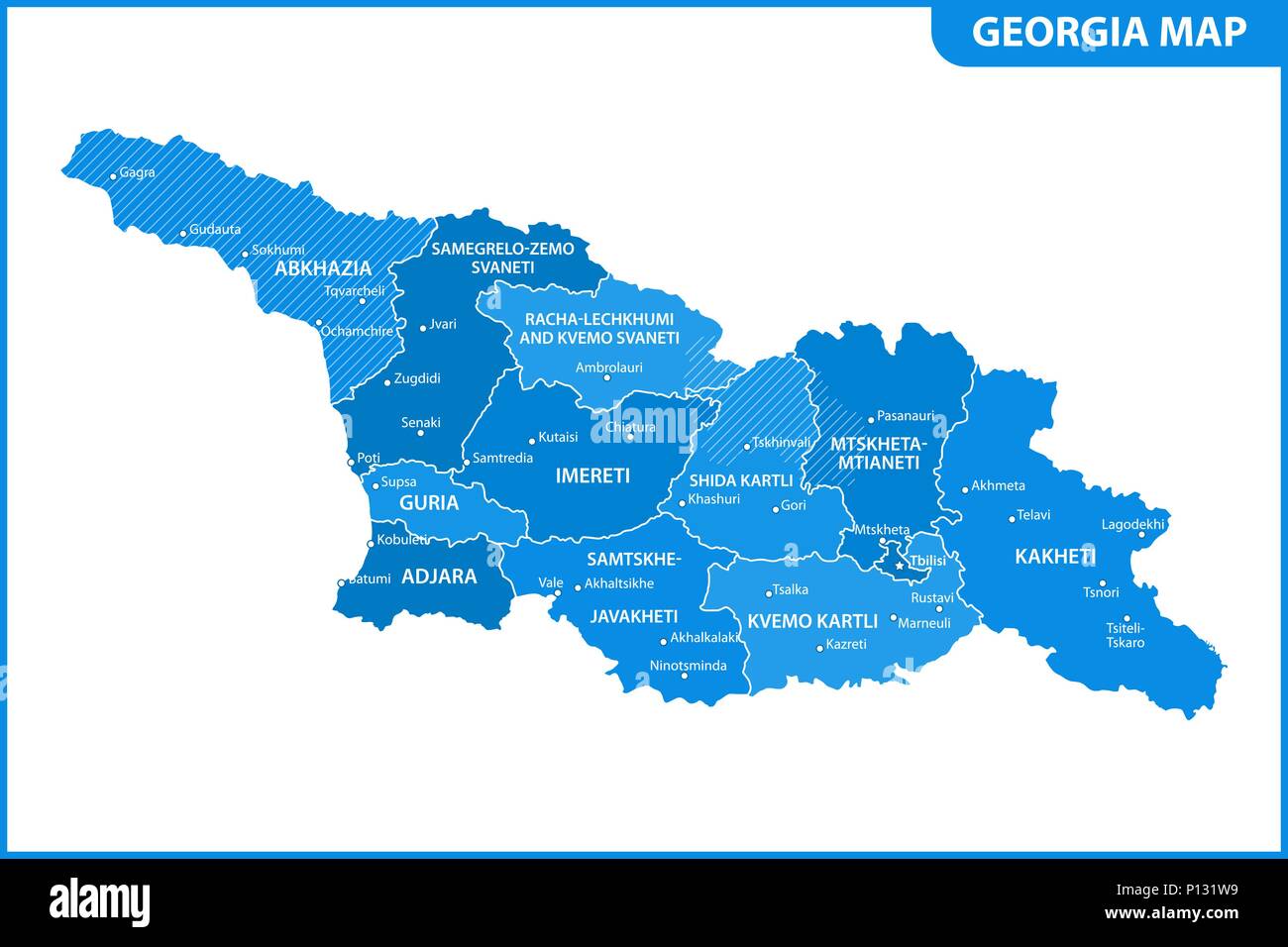 The detailed map of the Georgia with regions or states and cities, capital. Administrative division. South Ossetia and Abkhazia are marked as a disput Stock Vectorhttps://www.alamy.com/image-license-details/?v=1https://www.alamy.com/the-detailed-map-of-the-georgia-with-regions-or-states-and-cities-capital-administrative-division-south-ossetia-and-abkhazia-are-marked-as-a-disput-image207206421.html
RFP131W9–The detailed map of the Georgia with regions or states and cities, capital. Administrative division. South Ossetia and Abkhazia are marked as a disput
 High detailed flag of South Ossetia. National South Ossetia flag. 3D illustration. Stock Photohttps://www.alamy.com/image-license-details/?v=1https://www.alamy.com/high-detailed-flag-of-south-ossetia-national-south-ossetia-flag-3d-illustration-image576443693.html
RF2TDR7PN–High detailed flag of South Ossetia. National South Ossetia flag. 3D illustration.
 Republic of South Ossetia – the State of Alania (Republic of Georgia, Tskhinvali Region) map vector illustration, scribble sketch South Ossetian Auton Stock Vectorhttps://www.alamy.com/image-license-details/?v=1https://www.alamy.com/republic-of-south-ossetia-the-state-of-alania-republic-of-georgia-tskhinvali-region-map-vector-illustration-scribble-sketch-south-ossetian-auton-image335974408.html
RF2AEGXP0–Republic of South Ossetia – the State of Alania (Republic of Georgia, Tskhinvali Region) map vector illustration, scribble sketch South Ossetian Auton
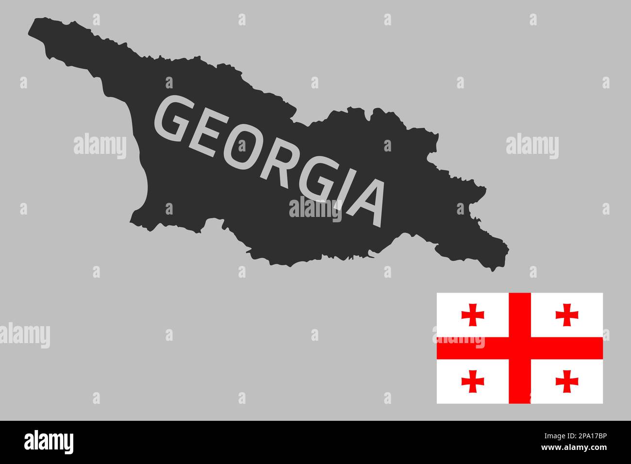 Highly detailed editable political map of Georgia with national flag in the corner. Geographical Western Asia country territory borders with the occup Stock Vectorhttps://www.alamy.com/image-license-details/?v=1https://www.alamy.com/highly-detailed-editable-political-map-of-georgia-with-national-flag-in-the-corner-geographical-western-asia-country-territory-borders-with-the-occup-image539695738.html
RF2PA17BP–Highly detailed editable political map of Georgia with national flag in the corner. Geographical Western Asia country territory borders with the occup
 Detailed map of South Ossetia and capital city Tskhinvali with flag on black background Stock Vectorhttps://www.alamy.com/image-license-details/?v=1https://www.alamy.com/stock-photo-detailed-map-of-south-ossetia-and-capital-city-tskhinvali-with-flag-106968603.html
RFG60RF7–Detailed map of South Ossetia and capital city Tskhinvali with flag on black background
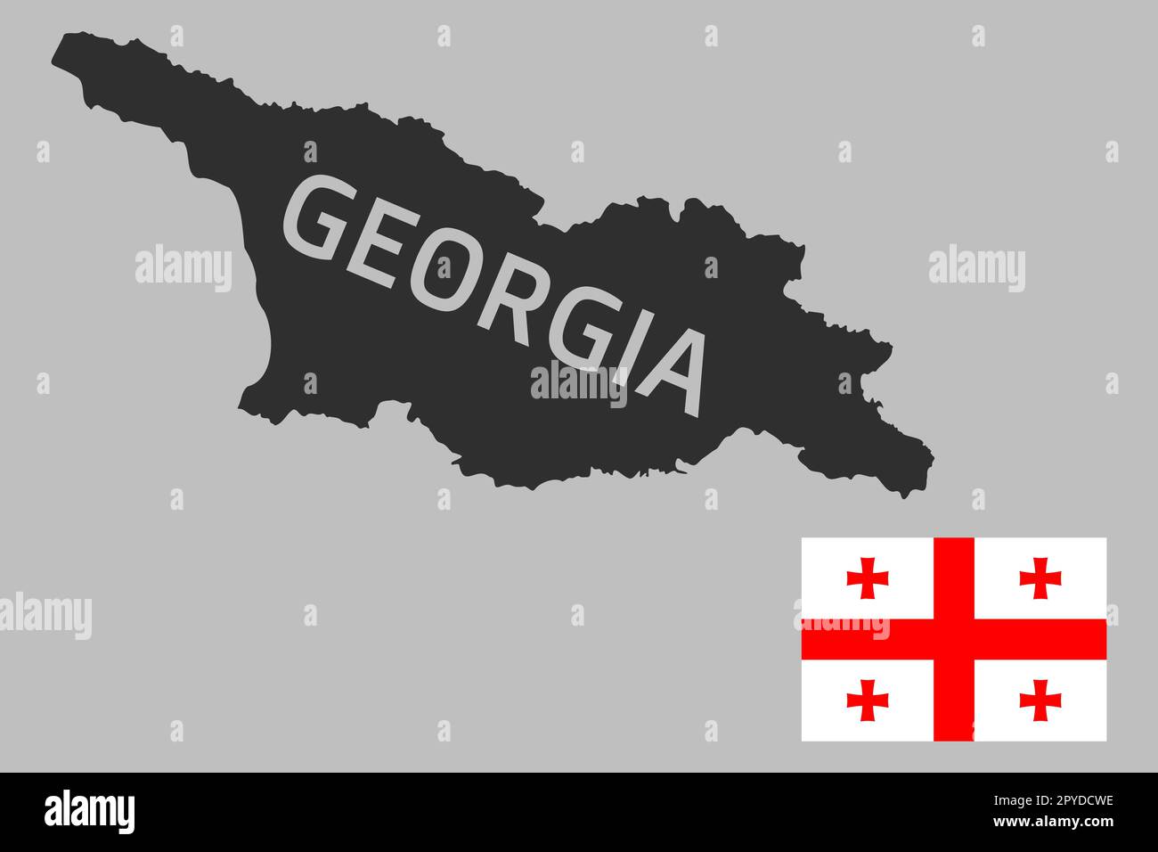 Highly detailed editable political map of Georgia with national flag in the corner. Geographical Western Asia country territory borders with the occup Stock Photohttps://www.alamy.com/image-license-details/?v=1https://www.alamy.com/highly-detailed-editable-political-map-of-georgia-with-national-flag-in-the-corner-geographical-western-asia-country-territory-borders-with-the-occup-image550412618.html
RF2PYDCWE–Highly detailed editable political map of Georgia with national flag in the corner. Geographical Western Asia country territory borders with the occup
 2019 Calendar Template. Grey Typography with South Ossetia Country Map Golden Typography Header Stock Vectorhttps://www.alamy.com/image-license-details/?v=1https://www.alamy.com/2019-calendar-template-grey-typography-with-south-ossetia-country-map-golden-typography-header-image228826744.html
RFR87XRM–2019 Calendar Template. Grey Typography with South Ossetia Country Map Golden Typography Header
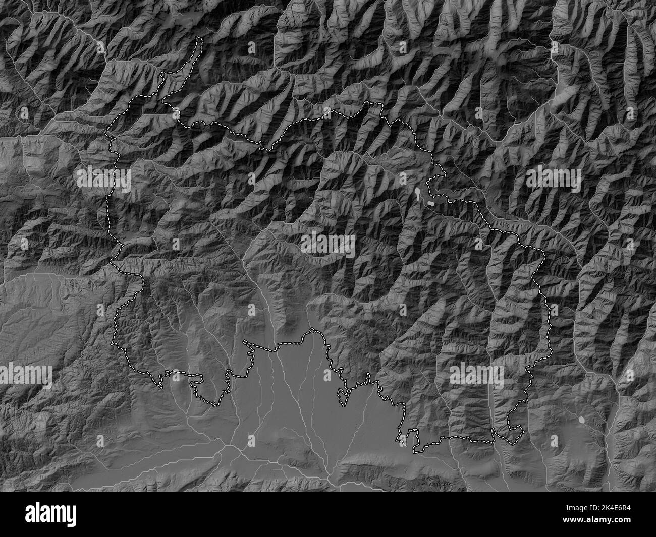 South Ossetia, independent city of Georgia. Grayscale elevation map with lakes and rivers Stock Photohttps://www.alamy.com/image-license-details/?v=1https://www.alamy.com/south-ossetia-independent-city-of-georgia-grayscale-elevation-map-with-lakes-and-rivers-image484661608.html
RF2K4E6R4–South Ossetia, independent city of Georgia. Grayscale elevation map with lakes and rivers
 Republic of South Ossetia – the State of Alania (Republic of Georgia, Tskhinvali Region) map vector illustration, scribble sketch South Ossetian Auton Stock Vectorhttps://www.alamy.com/image-license-details/?v=1https://www.alamy.com/republic-of-south-ossetia-the-state-of-alania-republic-of-georgia-tskhinvali-region-map-vector-illustration-scribble-sketch-south-ossetian-auton-image341589244.html
RF2ARMMFT–Republic of South Ossetia – the State of Alania (Republic of Georgia, Tskhinvali Region) map vector illustration, scribble sketch South Ossetian Auton
 Isometric map of South Ossetia detailed vector illustration Stock Vectorhttps://www.alamy.com/image-license-details/?v=1https://www.alamy.com/stock-photo-isometric-map-of-south-ossetia-detailed-vector-illustration-105721548.html
RFG400WG–Isometric map of South Ossetia detailed vector illustration
 Highly detailed editable political map of Georgia with national flag in the center. Geographical Western Asia country territory borders with the occup Stock Photohttps://www.alamy.com/image-license-details/?v=1https://www.alamy.com/highly-detailed-editable-political-map-of-georgia-with-national-flag-in-the-center-geographical-western-asia-country-territory-borders-with-the-occup-image550412624.html
RF2PYDCWM–Highly detailed editable political map of Georgia with national flag in the center. Geographical Western Asia country territory borders with the occup
 2019 Calendar Template. Grey Typography with South Ossetia Country Map Golden Typography Header Stock Vectorhttps://www.alamy.com/image-license-details/?v=1https://www.alamy.com/2019-calendar-template-grey-typography-with-south-ossetia-country-map-golden-typography-header-image228825203.html
RFR87TTK–2019 Calendar Template. Grey Typography with South Ossetia Country Map Golden Typography Header