Sparta map Black & White Stock Photos
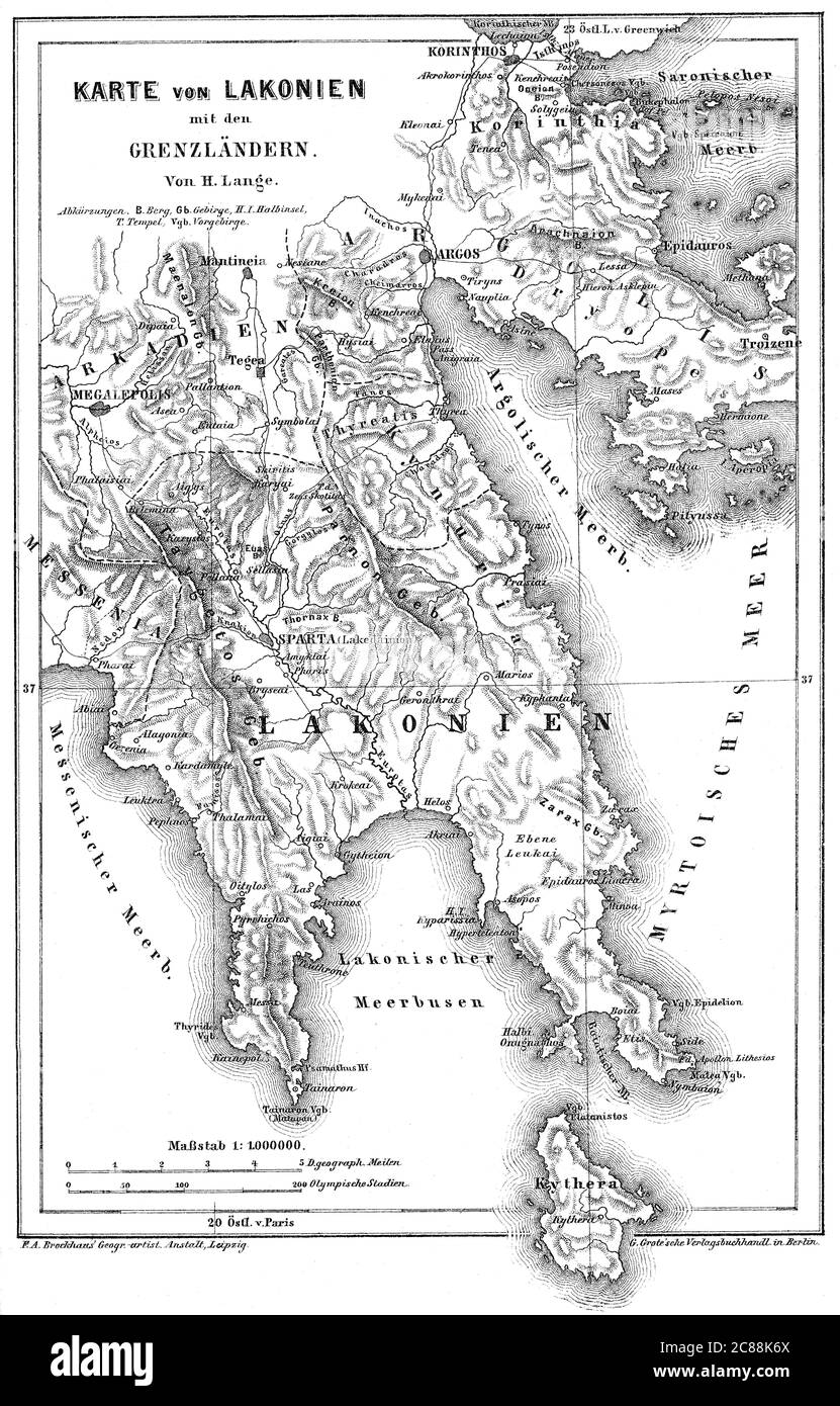 Map of Laconia, a historical and administrative region of Greece Stock Photohttps://www.alamy.com/image-license-details/?v=1https://www.alamy.com/map-of-laconia-a-historical-and-administrative-region-of-greece-image366525682.html
RM2C88K6X–Map of Laconia, a historical and administrative region of Greece
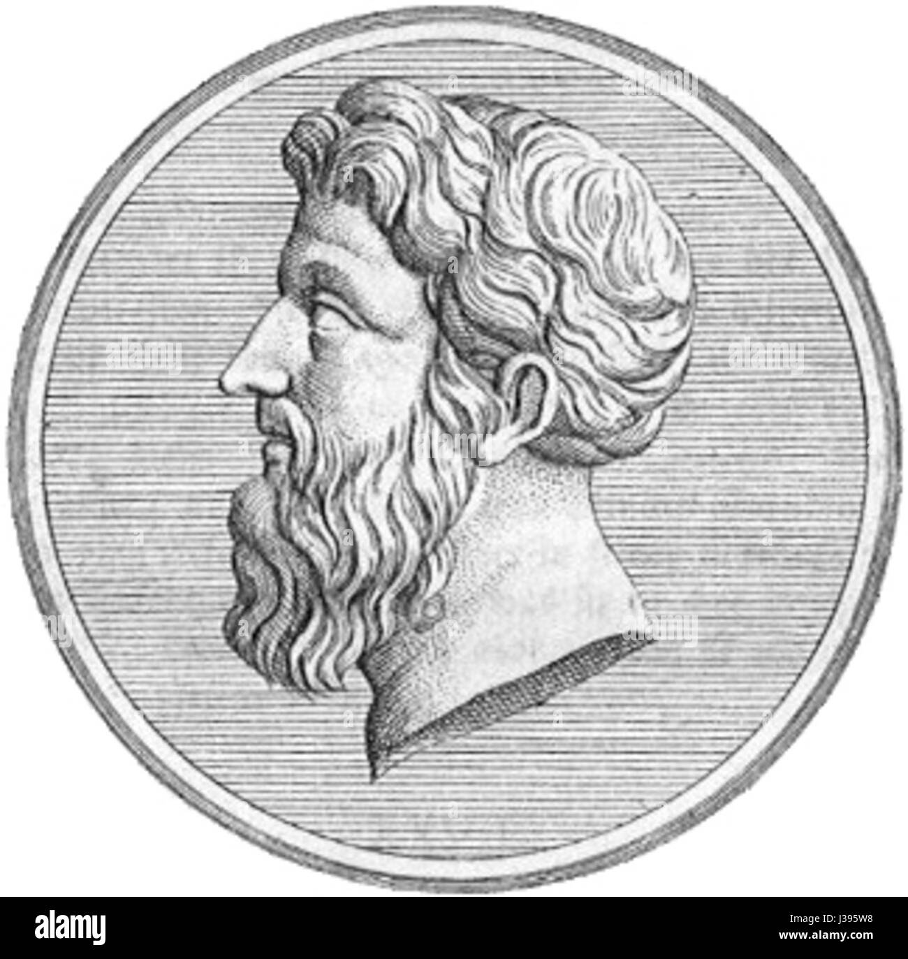 Chilon of Sparta Stock Photohttps://www.alamy.com/image-license-details/?v=1https://www.alamy.com/stock-photo-chilon-of-sparta-139729108.html
RMJ395W8–Chilon of Sparta
 Prague, Baseball MLB Stadium, outline vector map. The baseball statium map was drawn with white areas and lines for main roads, side roads. Stock Vectorhttps://www.alamy.com/image-license-details/?v=1https://www.alamy.com/prague-baseball-mlb-stadium-outline-vector-map-the-baseball-statium-map-was-drawn-with-white-areas-and-lines-for-main-roads-side-roads-image460059072.html
RF2HMDE14–Prague, Baseball MLB Stadium, outline vector map. The baseball statium map was drawn with white areas and lines for main roads, side roads.
 AC Sparta Praha 1908 Stock Photohttps://www.alamy.com/image-license-details/?v=1https://www.alamy.com/stock-photo-ac-sparta-praha-1908-139485910.html
RMJ2X3KJ–AC Sparta Praha 1908
RF2R4YBJK–greece map icon vector illustration design
 Sparta vs. Ajax (16.5.1912) Stock Photohttps://www.alamy.com/image-license-details/?v=1https://www.alamy.com/stock-photo-sparta-vs-ajax-1651912-140511692.html
RMJ4GT2M–Sparta vs. Ajax (16.5.1912)
 Black Greece map Stock Photohttps://www.alamy.com/image-license-details/?v=1https://www.alamy.com/black-greece-map-image61218162.html
RFDFGMAX–Black Greece map
 1888-09 Wilhelm Höffert Princess Sophie of Prussia and Constantine, Duke of Sparta Stock Photohttps://www.alamy.com/image-license-details/?v=1https://www.alamy.com/stock-photo-1888-09-wilhelm-hffert-princess-sophie-of-prussia-and-constantine-147383238.html
RMJFNTR2–1888-09 Wilhelm Höffert Princess Sophie of Prussia and Constantine, Duke of Sparta
 Greece outline map isolated on white background Stock Vectorhttps://www.alamy.com/image-license-details/?v=1https://www.alamy.com/greece-outline-map-isolated-on-white-background-image610378931.html
RF2XD14FF–Greece outline map isolated on white background
 Part of Misitra, the Ancient Sparta engraving by William Miller after H W Williams Stock Photohttps://www.alamy.com/image-license-details/?v=1https://www.alamy.com/part-of-misitra-the-ancient-sparta-engraving-by-william-miller-after-image152779303.html
RMJTFKFK–Part of Misitra, the Ancient Sparta engraving by William Miller after H W Williams
 Greece dark silhouette map isolated on white background Stock Vectorhttps://www.alamy.com/image-license-details/?v=1https://www.alamy.com/greece-dark-silhouette-map-isolated-on-white-background-image425832647.html
RF2FMP9TR–Greece dark silhouette map isolated on white background
 Mystras near Sparta c1850 Stock Photohttps://www.alamy.com/image-license-details/?v=1https://www.alamy.com/stock-photo-mystras-near-sparta-c1850-140290825.html
RMJ46PAH–Mystras near Sparta c1850
 Hancock County, Georgia (U.S. county, United States of America,USA, U.S., US) map vector illustration, scribble sketch Hancock map Stock Vectorhttps://www.alamy.com/image-license-details/?v=1https://www.alamy.com/hancock-county-georgia-us-county-united-states-of-americausa-us-us-map-vector-illustration-scribble-sketch-hancock-map-image354875124.html
RF2BH9XRG–Hancock County, Georgia (U.S. county, United States of America,USA, U.S., US) map vector illustration, scribble sketch Hancock map
RF2WK7EAJ–greece map civilization isometric icon vector illustration
RF2R4YBHC–greece map icon vector illustration design
 Sparta Ephoren (WMH 11 1861 62 S 48 LLoeffler) Stock Photohttps://www.alamy.com/image-license-details/?v=1https://www.alamy.com/sparta-ephoren-wmh-11-1861-62-s-48-lloeffler-image153163039.html
RMJW550F–Sparta Ephoren (WMH 11 1861 62 S 48 LLoeffler)
 Hancock County, Georgia (U.S. county, United States of America,USA, U.S., US) map vector illustration, scribble sketch Hancock map Stock Vectorhttps://www.alamy.com/image-license-details/?v=1https://www.alamy.com/hancock-county-georgia-us-county-united-states-of-americausa-us-us-map-vector-illustration-scribble-sketch-hancock-map-image357949862.html
RF2BPA0KJ–Hancock County, Georgia (U.S. county, United States of America,USA, U.S., US) map vector illustration, scribble sketch Hancock map
RF2GHJJ1E–greece map civilization line icon vector illustration
 Sparta Ephoren (WMH 11 1861 62 S 48 LLoeffler) Stock Photohttps://www.alamy.com/image-license-details/?v=1https://www.alamy.com/sparta-ephoren-wmh-11-1861-62-s-48-lloeffler-image153777477.html
RMJX54MN–Sparta Ephoren (WMH 11 1861 62 S 48 LLoeffler)
 White County, State of Tennessee (U.S. county, United States of America, USA, U.S., US) map vector illustration, scribble sketch White map Stock Vectorhttps://www.alamy.com/image-license-details/?v=1https://www.alamy.com/white-county-state-of-tennessee-us-county-united-states-of-america-usa-us-us-map-vector-illustration-scribble-sketch-white-map-image417116220.html
RF2F6H7YT–White County, State of Tennessee (U.S. county, United States of America, USA, U.S., US) map vector illustration, scribble sketch White map
RF2GHK621–greece map civilization glyph icon vector illustration
 White County, State of Tennessee (U.S. county, United States of America, USA, U.S., US) map vector illustration, scribble sketch White map Stock Vectorhttps://www.alamy.com/image-license-details/?v=1https://www.alamy.com/white-county-state-of-tennessee-us-county-united-states-of-america-usa-us-us-map-vector-illustration-scribble-sketch-white-map-image395899881.html
RF2E02P9D–White County, State of Tennessee (U.S. county, United States of America, USA, U.S., US) map vector illustration, scribble sketch White map
RF2HPH54T–greece map civilization line icon vector illustration
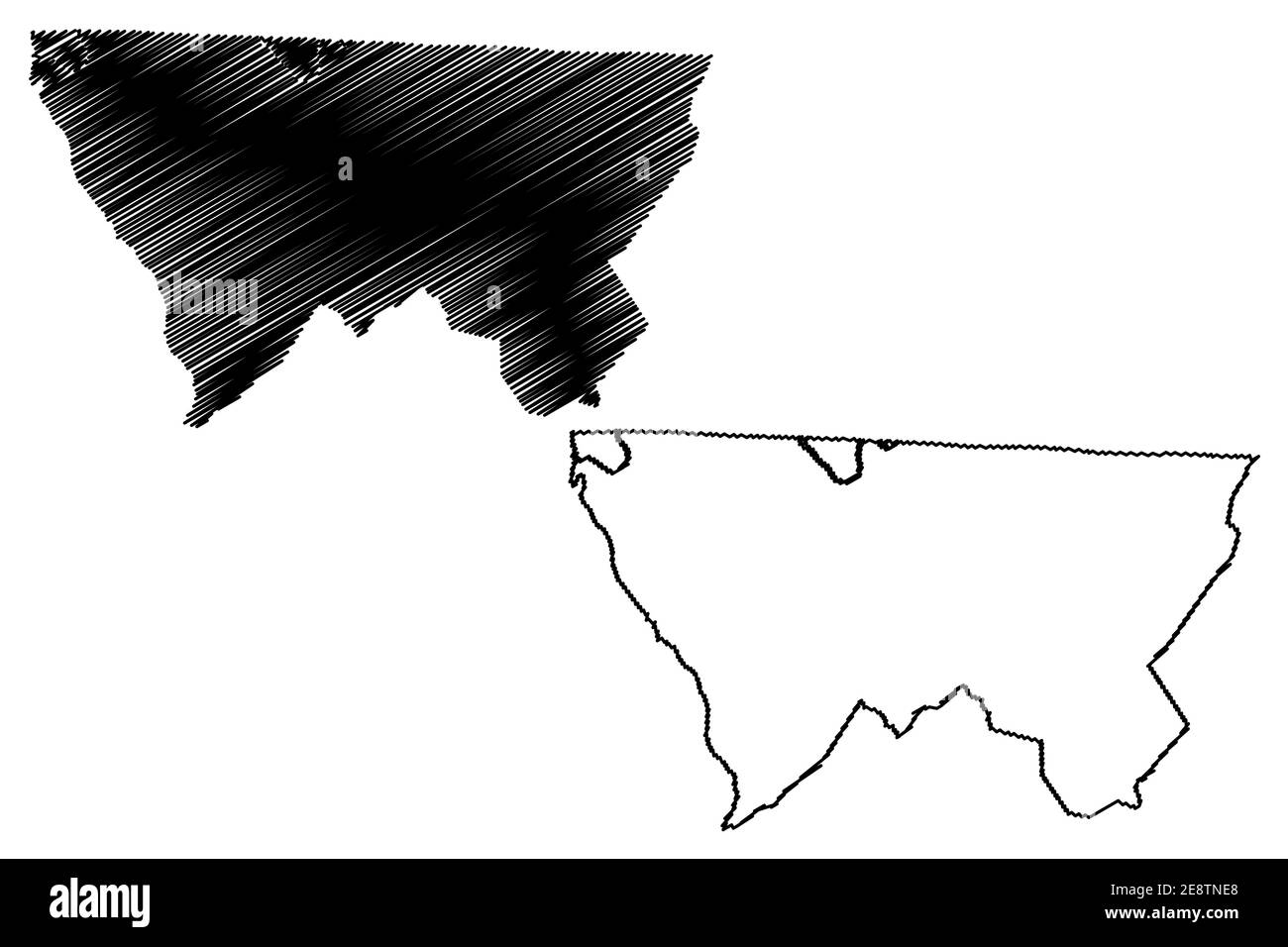 Alleghany County, North Carolina State (U.S. county, United States of America, USA, U.S., US) map vector illustration, scribble sketch Alleghany map Stock Vectorhttps://www.alamy.com/image-license-details/?v=1https://www.alamy.com/alleghany-county-north-carolina-state-us-county-united-states-of-america-usa-us-us-map-vector-illustration-scribble-sketch-alleghany-map-image401299424.html
RF2E8TNE8–Alleghany County, North Carolina State (U.S. county, United States of America, USA, U.S., US) map vector illustration, scribble sketch Alleghany map
 Alleghany County, North Carolina State (U.S. county, United States of America, USA, U.S., US) map vector illustration, scribble sketch Alleghany map Stock Vectorhttps://www.alamy.com/image-license-details/?v=1https://www.alamy.com/alleghany-county-north-carolina-state-us-county-united-states-of-america-usa-us-us-map-vector-illustration-scribble-sketch-alleghany-map-image384490529.html
RF2D9F1GH–Alleghany County, North Carolina State (U.S. county, United States of America, USA, U.S., US) map vector illustration, scribble sketch Alleghany map