Spartanburg county, south carolina Stock Photos and Images
(613)See spartanburg county, south carolina stock video clipsQuick filters:
Spartanburg county, south carolina Stock Photos and Images
 BMW Zentrum Museum in Greer Spartanburg county South Carolina Stock Photohttps://www.alamy.com/image-license-details/?v=1https://www.alamy.com/bmw-zentrum-museum-in-greer-spartanburg-county-south-carolina-image470063629.html
RM2J8N6XN–BMW Zentrum Museum in Greer Spartanburg county South Carolina
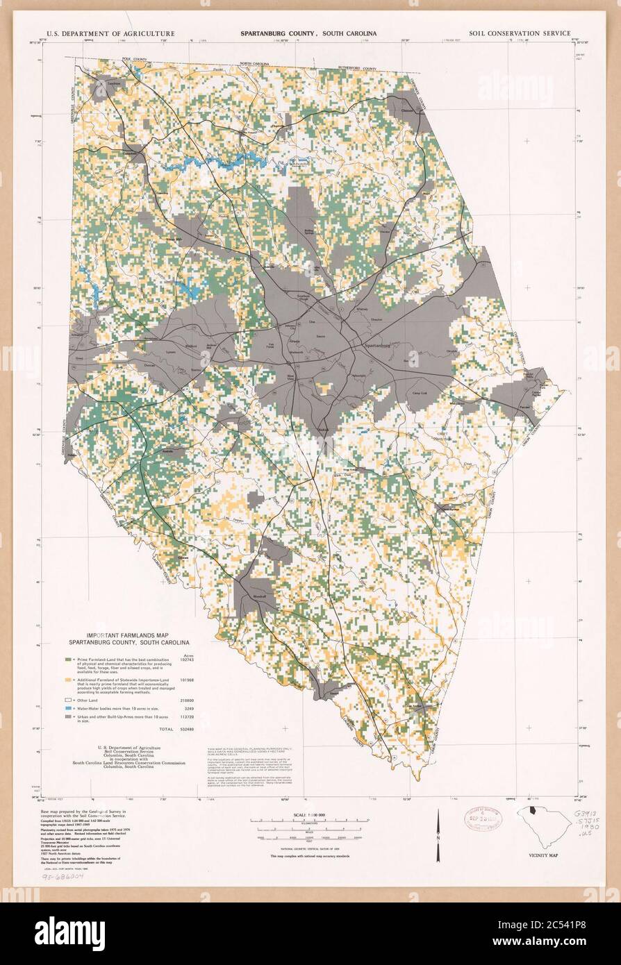 Important farmlands map, Spartanburg County, South Carolina Stock Photohttps://www.alamy.com/image-license-details/?v=1https://www.alamy.com/important-farmlands-map-spartanburg-county-south-carolina-image364580224.html
RM2C541P8–Important farmlands map, Spartanburg County, South Carolina
 Photograph of African-American Family, Spartanburg County, South Carolina Stock Photohttps://www.alamy.com/image-license-details/?v=1https://www.alamy.com/photograph-of-african-american-family-spartanburg-county-south-carolina-image262017726.html
RMW67X7X–Photograph of African-American Family, Spartanburg County, South Carolina
 Woodruff, Spartanburg County, US, United States, South Carolina, N 34 44' 22'', S 82 2' 13'', map, Cartascapes Map published in 2024. Explore Cartascapes, a map revealing Earth's diverse landscapes, cultures, and ecosystems. Journey through time and space, discovering the interconnectedness of our planet's past, present, and future. Stock Photohttps://www.alamy.com/image-license-details/?v=1https://www.alamy.com/woodruff-spartanburg-county-us-united-states-south-carolina-n-34-44-22-s-82-2-13-map-cartascapes-map-published-in-2024-explore-cartascapes-a-map-revealing-earths-diverse-landscapes-cultures-and-ecosystems-journey-through-time-and-space-discovering-the-interconnectedness-of-our-planets-past-present-and-future-image621437228.html
RM2Y30WEM–Woodruff, Spartanburg County, US, United States, South Carolina, N 34 44' 22'', S 82 2' 13'', map, Cartascapes Map published in 2024. Explore Cartascapes, a map revealing Earth's diverse landscapes, cultures, and ecosystems. Journey through time and space, discovering the interconnectedness of our planet's past, present, and future.
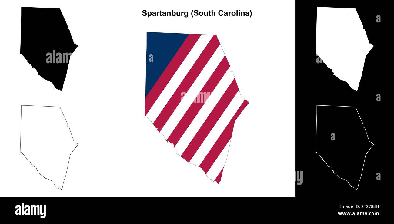 Spartanburg County (South Carolina) outline map set Stock Vectorhttps://www.alamy.com/image-license-details/?v=1https://www.alamy.com/spartanburg-county-south-carolina-outline-map-set-image620962597.html
RF2Y2783H–Spartanburg County (South Carolina) outline map set
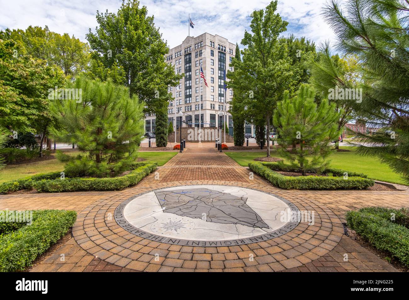 Pocket park with a Spartanburg County map printed in sidewalk, view of Montgomery Building, South Carolina, USA Stock Photohttps://www.alamy.com/image-license-details/?v=1https://www.alamy.com/pocket-park-with-a-spartanburg-county-map-printed-in-sidewalk-view-of-montgomery-building-south-carolina-usa-image477940573.html
RF2JNG225–Pocket park with a Spartanburg County map printed in sidewalk, view of Montgomery Building, South Carolina, USA
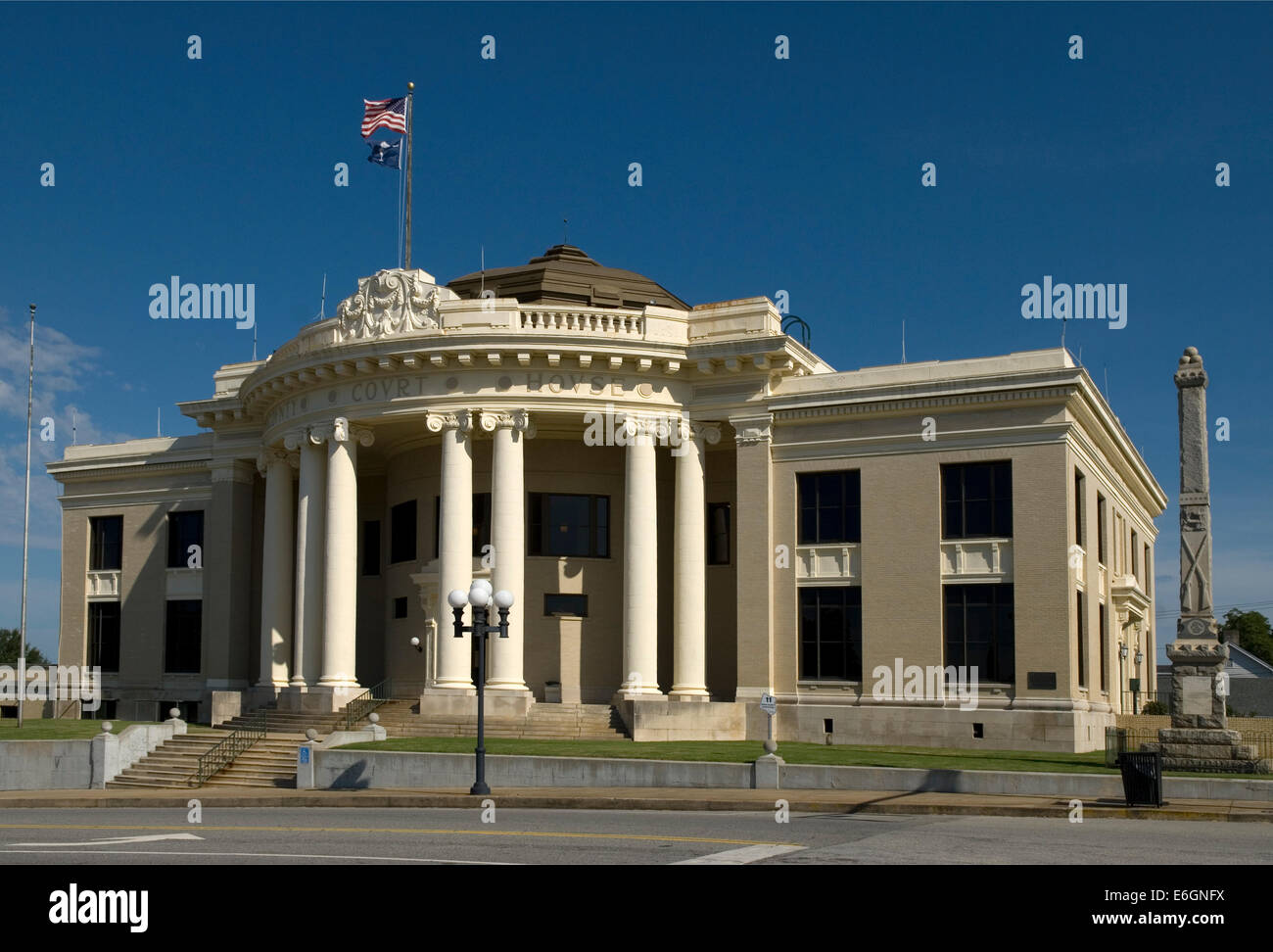 Union County Courthouse South Carolina USA Stock Photohttps://www.alamy.com/image-license-details/?v=1https://www.alamy.com/stock-photo-union-county-courthouse-south-carolina-usa-72897550.html
RME6GNFX–Union County Courthouse South Carolina USA
 Tenant Farmer relocating due to construction of Camp Croft, a U.S. Army Infantry Replacement Training Center, near Pacolet, South Carolina, USA, Jack Delano, U.S. Farm Security Administration, March 1941 Stock Photohttps://www.alamy.com/image-license-details/?v=1https://www.alamy.com/tenant-farmer-relocating-due-to-construction-of-camp-croft-a-us-army-infantry-replacement-training-center-near-pacolet-south-carolina-usa-jack-delano-us-farm-security-administration-march-1941-image556178249.html
RM2R8T30W–Tenant Farmer relocating due to construction of Camp Croft, a U.S. Army Infantry Replacement Training Center, near Pacolet, South Carolina, USA, Jack Delano, U.S. Farm Security Administration, March 1941
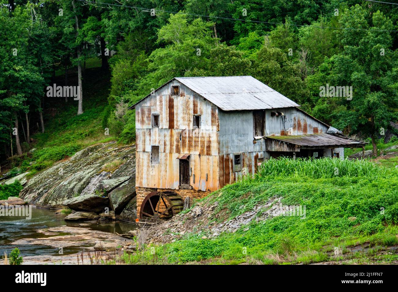 A view of Anderson's Mill, a historic water-powered gristmill on the North Tyger River, South Carolina Stock Photohttps://www.alamy.com/image-license-details/?v=1https://www.alamy.com/a-view-of-andersons-mill-a-historic-water-powered-gristmill-on-the-north-tyger-river-south-carolina-image465636227.html
RF2J1FFN7–A view of Anderson's Mill, a historic water-powered gristmill on the North Tyger River, South Carolina
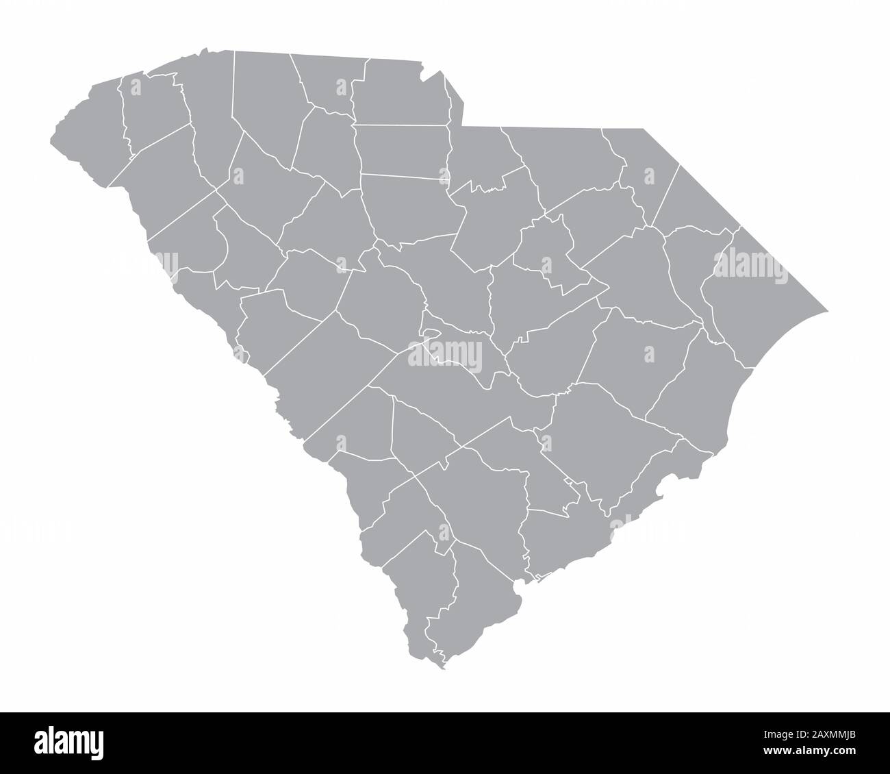 South Carolina Map Stock Vectorhttps://www.alamy.com/image-license-details/?v=1https://www.alamy.com/south-carolina-map-image343433283.html
RF2AXMMJB–South Carolina Map
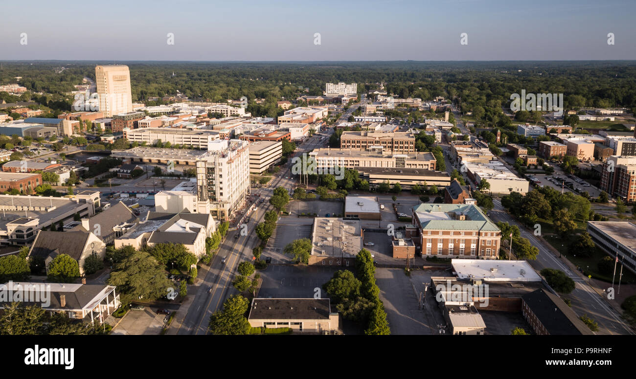 The roads and buildings are seen from this aerial view of Spartanburg SC Stock Photohttps://www.alamy.com/image-license-details/?v=1https://www.alamy.com/the-roads-and-buildings-are-seen-from-this-aerial-view-of-spartanburg-sc-image212575147.html
RFP9RHNF–The roads and buildings are seen from this aerial view of Spartanburg SC
 Woman and attendant driving carriage with Morgan mare along country road in South Carolina Stock Photohttps://www.alamy.com/image-license-details/?v=1https://www.alamy.com/woman-and-attendant-driving-carriage-with-morgan-mare-along-country-image61002692.html
RMDF6WFG–Woman and attendant driving carriage with Morgan mare along country road in South Carolina
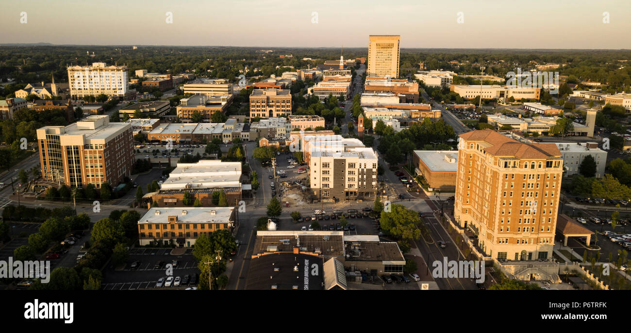 Late afternoon light hits the buildings of downtown Spartanburg North Carolina Stock Photohttps://www.alamy.com/image-license-details/?v=1https://www.alamy.com/late-afternoon-light-hits-the-buildings-of-downtown-spartanburg-north-carolina-image210757671.html
RFP6TRFK–Late afternoon light hits the buildings of downtown Spartanburg North Carolina
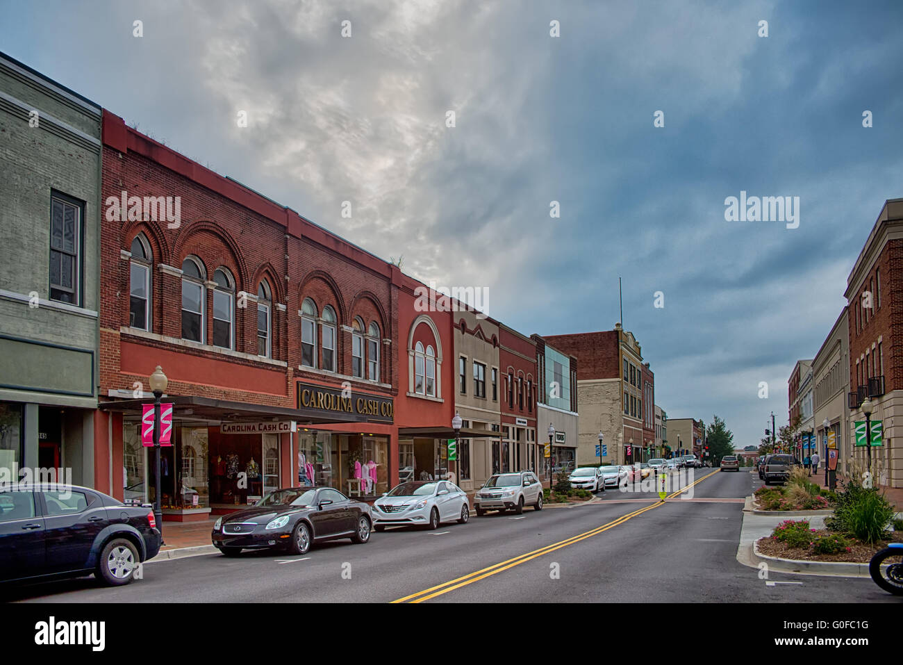 spartanburg south carolina city skyline and downtown surroundings Stock Photohttps://www.alamy.com/image-license-details/?v=1https://www.alamy.com/stock-photo-spartanburg-south-carolina-city-skyline-and-downtown-surroundings-103600940.html
RMG0FC1G–spartanburg south carolina city skyline and downtown surroundings
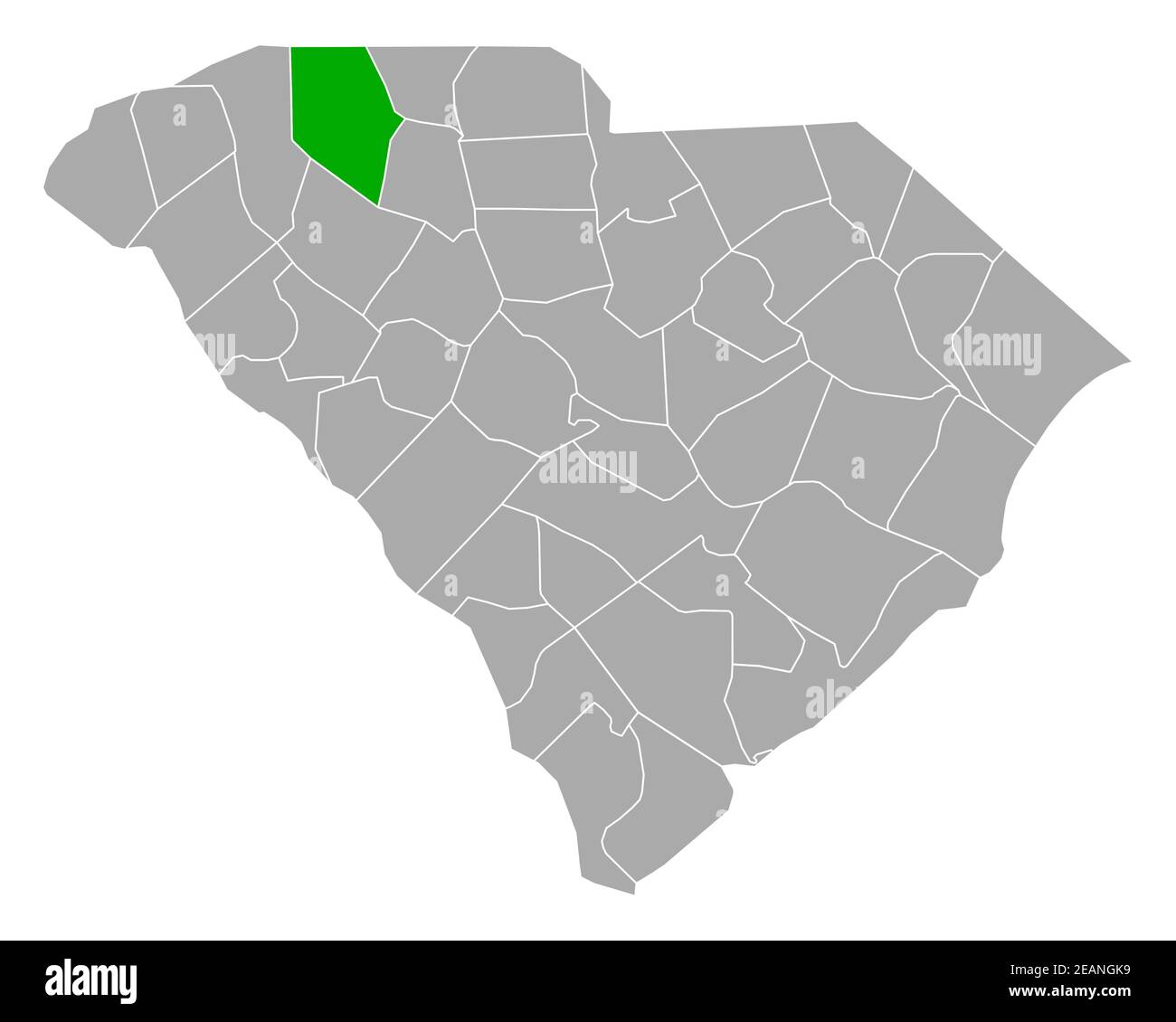 Map of Spartanburg in South Carolina Stock Photohttps://www.alamy.com/image-license-details/?v=1https://www.alamy.com/map-of-spartanburg-in-south-carolina-image402459101.html
RF2EANGK9–Map of Spartanburg in South Carolina
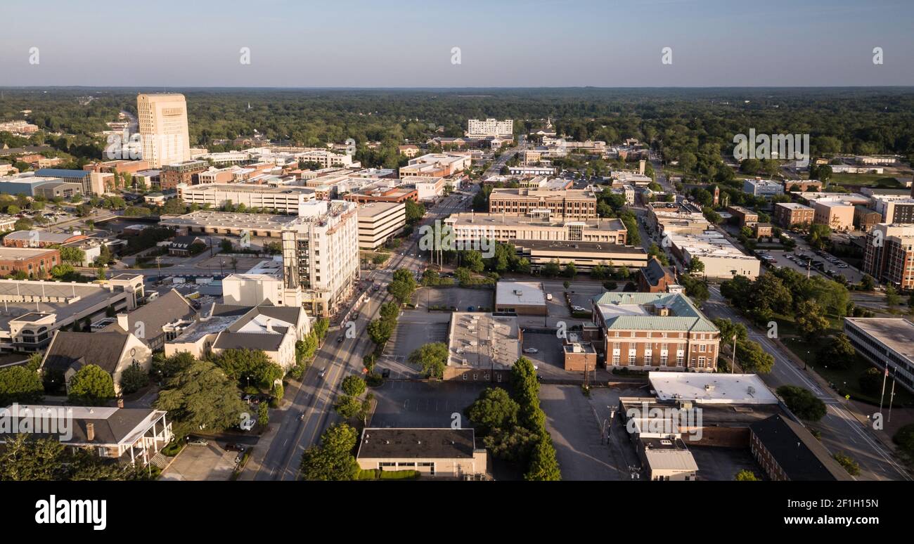 Dusk Comes to Main Street in Spartanburg South Carolina Stock Photohttps://www.alamy.com/image-license-details/?v=1https://www.alamy.com/dusk-comes-to-main-street-in-spartanburg-south-carolina-image414037617.html
RF2F1H15N–Dusk Comes to Main Street in Spartanburg South Carolina
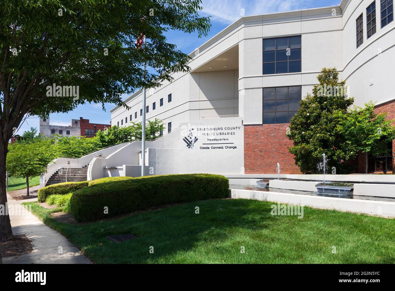 SPARTANBURG, SC, USA-13 JUNE 2021: The Spartenburg County Public Library, and Headquarters. Horizontal image. Stock Photohttps://www.alamy.com/image-license-details/?v=1https://www.alamy.com/spartanburg-sc-usa-13-june-2021-the-spartenburg-county-public-library-and-headquarters-horizontal-image-image432568848.html
RF2G3N5YC–SPARTANBURG, SC, USA-13 JUNE 2021: The Spartenburg County Public Library, and Headquarters. Horizontal image.
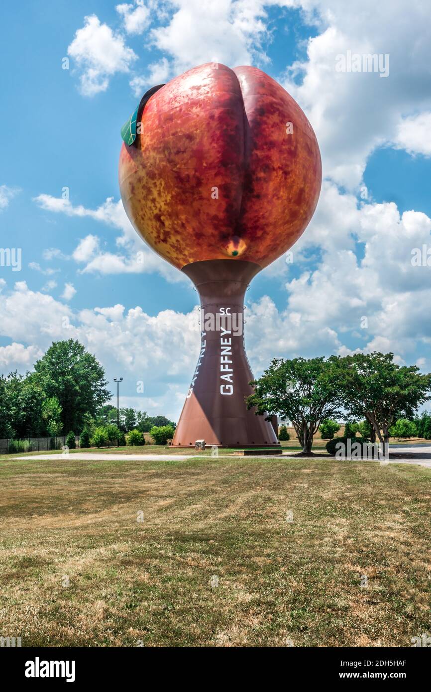 Peachoid Peach Water Tower in Gaffney South Carolina SC along Interstate 85. Stock Photohttps://www.alamy.com/image-license-details/?v=1https://www.alamy.com/peachoid-peach-water-tower-in-gaffney-south-carolina-sc-along-interstate-85-image389200631.html
RM2DH5HAF–Peachoid Peach Water Tower in Gaffney South Carolina SC along Interstate 85.
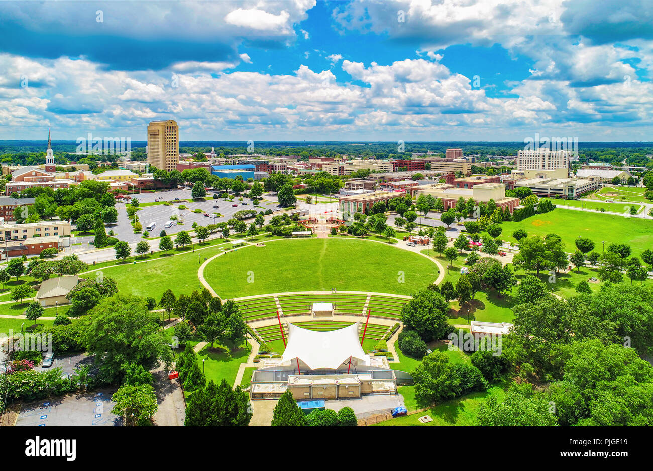 Drone Aerial of Spartanburg South Carolina SC Skyline Stock Photohttps://www.alamy.com/image-license-details/?v=1https://www.alamy.com/drone-aerial-of-spartanburg-south-carolina-sc-skyline-image217950469.html
RFPJGE19–Drone Aerial of Spartanburg South Carolina SC Skyline
 BMW Zentrum Museum in Greer Spartanburg county South Carolina Stock Photohttps://www.alamy.com/image-license-details/?v=1https://www.alamy.com/bmw-zentrum-museum-in-greer-spartanburg-county-south-carolina-image470063639.html
RM2J8N6Y3–BMW Zentrum Museum in Greer Spartanburg county South Carolina
 Price House, Intersection of SC Routes 199, 200 & 86, Moore vicinity (Spartanburg County, South Carolina). Stock Photohttps://www.alamy.com/image-license-details/?v=1https://www.alamy.com/price-house-intersection-of-sc-routes-199-200-86-moore-vicinity-spartanburg-county-south-carolina-image415061406.html
RM2F37K1J–Price House, Intersection of SC Routes 199, 200 & 86, Moore vicinity (Spartanburg County, South Carolina).
 Photograph of African-American Family, Spartanburg County, South Carolina Stock Photohttps://www.alamy.com/image-license-details/?v=1https://www.alamy.com/photograph-of-african-american-family-spartanburg-county-south-carolina-image259159095.html
RMW1HM1Y–Photograph of African-American Family, Spartanburg County, South Carolina
 Glendale, Spartanburg County, US, United States, South Carolina, N 34 56' 41'', S 81 50' 15'', map, Cartascapes Map published in 2024. Explore Cartascapes, a map revealing Earth's diverse landscapes, cultures, and ecosystems. Journey through time and space, discovering the interconnectedness of our planet's past, present, and future. Stock Photohttps://www.alamy.com/image-license-details/?v=1https://www.alamy.com/glendale-spartanburg-county-us-united-states-south-carolina-n-34-56-41-s-81-50-15-map-cartascapes-map-published-in-2024-explore-cartascapes-a-map-revealing-earths-diverse-landscapes-cultures-and-ecosystems-journey-through-time-and-space-discovering-the-interconnectedness-of-our-planets-past-present-and-future-image621231592.html
RM2Y2KF6G–Glendale, Spartanburg County, US, United States, South Carolina, N 34 56' 41'', S 81 50' 15'', map, Cartascapes Map published in 2024. Explore Cartascapes, a map revealing Earth's diverse landscapes, cultures, and ecosystems. Journey through time and space, discovering the interconnectedness of our planet's past, present, and future.
 Peachoid Peach Water Tower in Gaffney South Carolina SC along Interstate 85. Stock Photohttps://www.alamy.com/image-license-details/?v=1https://www.alamy.com/peachoid-peach-water-tower-in-gaffney-south-carolina-sc-along-interstate-85-image389197999.html
RM2DH5E0F–Peachoid Peach Water Tower in Gaffney South Carolina SC along Interstate 85.
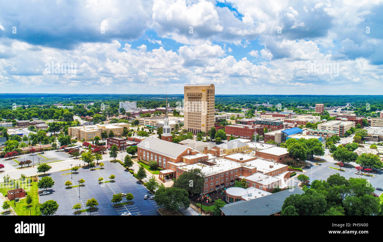 Drone Aerial of Downtown Spartanburg South Carolina Stock Photohttps://www.alamy.com/image-license-details/?v=1https://www.alamy.com/drone-aerial-of-downtown-spartanburg-south-carolina-image217099792.html
RFPH5N00–Drone Aerial of Downtown Spartanburg South Carolina
 Union County Courthouse South Carolina USA Stock Photohttps://www.alamy.com/image-license-details/?v=1https://www.alamy.com/stock-photo-union-county-courthouse-south-carolina-usa-72897540.html
RME6GNFG–Union County Courthouse South Carolina USA
 Family with trailer of belongings being relocated due to construction of Camp Croft, a U.S. Army Infantry Replacement Training Center, near Whitestone, South Carolina, USA, Jack Delano, U.S. Farm Security Administration, March 1941 Stock Photohttps://www.alamy.com/image-license-details/?v=1https://www.alamy.com/family-with-trailer-of-belongings-being-relocated-due-to-construction-of-camp-croft-a-us-army-infantry-replacement-training-center-near-whitestone-south-carolina-usa-jack-delano-us-farm-security-administration-march-1941-image556177983.html
RM2R8T2KB–Family with trailer of belongings being relocated due to construction of Camp Croft, a U.S. Army Infantry Replacement Training Center, near Whitestone, South Carolina, USA, Jack Delano, U.S. Farm Security Administration, March 1941
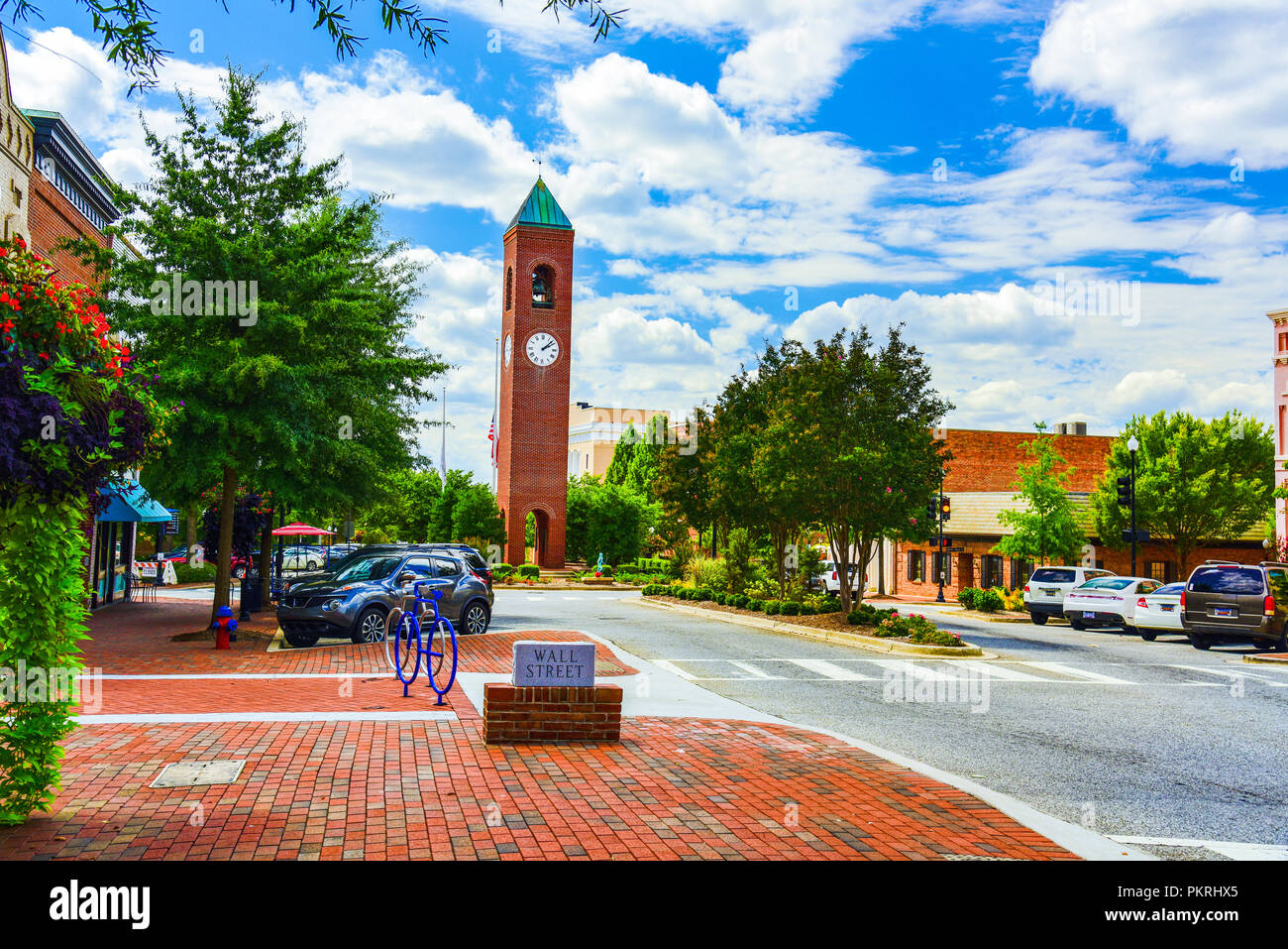 Main Street in Downtown Spartanburg South Carolina SC. Stock Photohttps://www.alamy.com/image-license-details/?v=1https://www.alamy.com/main-street-in-downtown-spartanburg-south-carolina-sc-image218721837.html
RFPKRHX5–Main Street in Downtown Spartanburg South Carolina SC.
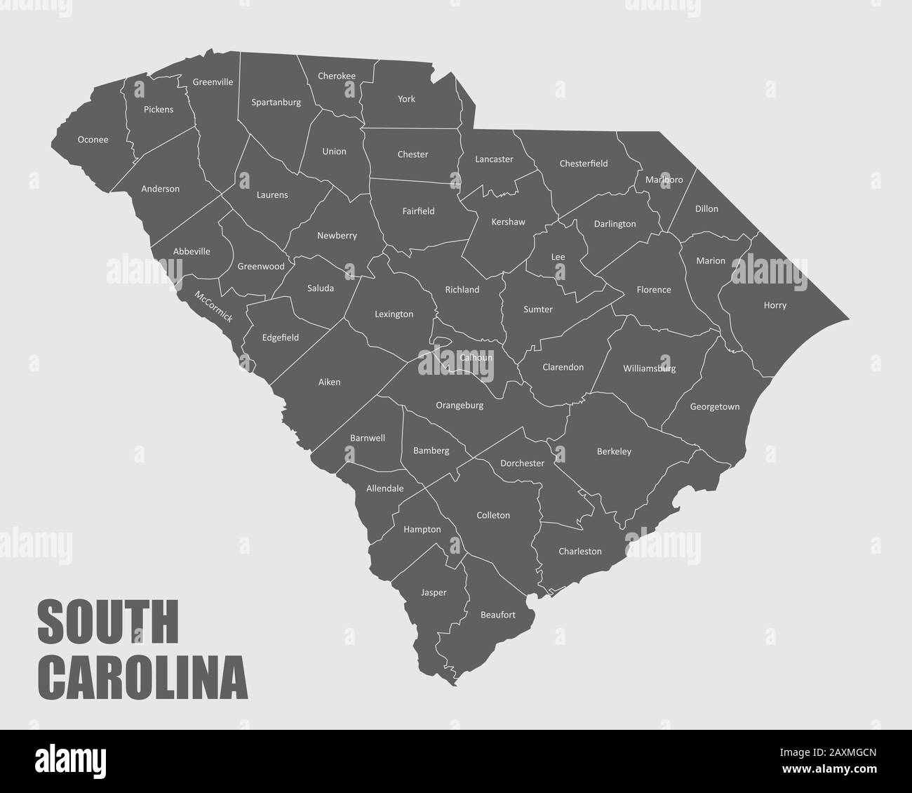 South Carolina Map Stock Vectorhttps://www.alamy.com/image-license-details/?v=1https://www.alamy.com/south-carolina-map-image343429989.html
RF2AXMGCN–South Carolina Map
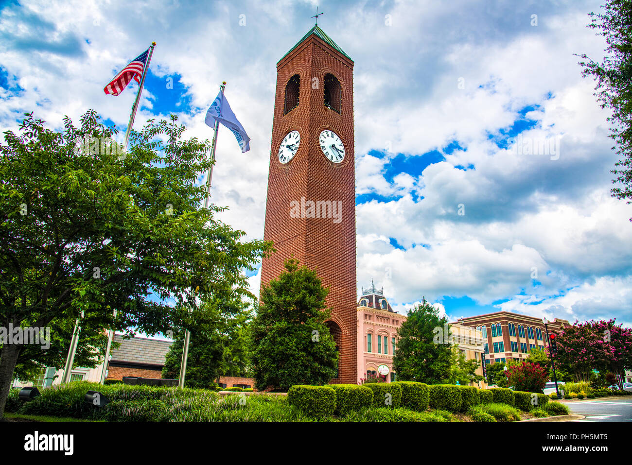 Clock Tower in Downtown Spartanburg South Carolina SC. Stock Photohttps://www.alamy.com/image-license-details/?v=1https://www.alamy.com/clock-tower-in-downtown-spartanburg-south-carolina-sc-image217099685.html
RFPH5MT5–Clock Tower in Downtown Spartanburg South Carolina SC.
 Carriage driver dressed formally in black top hat and suit, South Carolina, USA Stock Photohttps://www.alamy.com/image-license-details/?v=1https://www.alamy.com/stock-photo-carriage-driver-dressed-formally-in-black-top-hat-and-suit-south-carolina-58492599.html
RMDB4FWB–Carriage driver dressed formally in black top hat and suit, South Carolina, USA
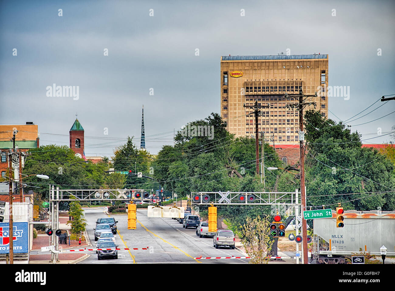 spartanburg south carolina city skyline and downtown surroundings Stock Photohttps://www.alamy.com/image-license-details/?v=1https://www.alamy.com/stock-photo-spartanburg-south-carolina-city-skyline-and-downtown-surroundings-103600595.html
RMG0FBH7–spartanburg south carolina city skyline and downtown surroundings
 Wires visible behind the Camp Headquarters building in Camp Wadsworth, Spartanburg, South Carolina. Photograph taken on September 24, 1919 by an unidentified photographer. The building's number is 62,327. It carries the symbol 'H.' Stock Photohttps://www.alamy.com/image-license-details/?v=1https://www.alamy.com/wires-visible-behind-the-camp-headquarters-building-in-camp-wadsworth-spartanburg-south-carolina-photograph-taken-on-september-24-1919-by-an-unidentified-photographer-the-buildings-number-is-62327-it-carries-the-symbol-h-image558486955.html
RM2RCH7PK–Wires visible behind the Camp Headquarters building in Camp Wadsworth, Spartanburg, South Carolina. Photograph taken on September 24, 1919 by an unidentified photographer. The building's number is 62,327. It carries the symbol 'H.'
 Spartanburg County Police Rifle Drill Team truck parked in front of The Capitol Building in Washington DC, USA on 14 May 2019 Stock Photohttps://www.alamy.com/image-license-details/?v=1https://www.alamy.com/spartanburg-county-police-rifle-drill-team-truck-parked-in-front-of-the-capitol-building-in-washington-dc-usa-on-14-may-2019-image248373752.html
RFTC2B74–Spartanburg County Police Rifle Drill Team truck parked in front of The Capitol Building in Washington DC, USA on 14 May 2019
 Galena. minerals. North America; USA; South Carolina; Spartanburg County; Spartanburg; Cameron Mine Stock Photohttps://www.alamy.com/image-license-details/?v=1https://www.alamy.com/galena-minerals-north-america-usa-south-carolina-spartanburg-county-spartanburg-cameron-mine-image472976088.html
RM2JDDWR4–Galena. minerals. North America; USA; South Carolina; Spartanburg County; Spartanburg; Cameron Mine
 Map of Spartanburg in South Carolina Stock Photohttps://www.alamy.com/image-license-details/?v=1https://www.alamy.com/map-of-spartanburg-in-south-carolina-image385765637.html
RF2DBH405–Map of Spartanburg in South Carolina
 Democratic voters sign in before attending the annual Spartanburg County Democratic BBQ and Rally in Spartanburg, South Carolina on Thursday, August 30, 2007. Stock Photohttps://www.alamy.com/image-license-details/?v=1https://www.alamy.com/stock-photo-democratic-voters-sign-in-before-attending-the-annual-spartanburg-44297055.html
RMCG1W9K–Democratic voters sign in before attending the annual Spartanburg County Democratic BBQ and Rally in Spartanburg, South Carolina on Thursday, August 30, 2007.
 Pinehurst, North Carolina, USA. 17th July, 2021. ANNA MORGAN, of Spartanburg, South Carolina and golfer at Furman University, plays her shot from the fourth tee during the Semifinal at the 119th North & South WomenÃs Amateur Championship, July 17, 2021, at the Pinehurst Resort & Country ClubÃs Course No. 2 in the Village of Pinehurst, N.C. (Credit Image: © Timothy L. Hale/ZUMA Press Wire) Stock Photohttps://www.alamy.com/image-license-details/?v=1https://www.alamy.com/pinehurst-north-carolina-usa-17th-july-2021-anna-morgan-of-spartanburg-south-carolina-and-golfer-at-furman-university-plays-her-shot-from-the-fourth-tee-during-the-semifinal-at-the-119th-north-south-womens-amateur-championship-july-17-2021-at-the-pinehurst-resort-country-clubs-course-no-2-in-the-village-of-pinehurst-nc-credit-image-timothy-l-halezuma-press-wire-image435325896.html
RM2G86PHC–Pinehurst, North Carolina, USA. 17th July, 2021. ANNA MORGAN, of Spartanburg, South Carolina and golfer at Furman University, plays her shot from the fourth tee during the Semifinal at the 119th North & South WomenÃs Amateur Championship, July 17, 2021, at the Pinehurst Resort & Country ClubÃs Course No. 2 in the Village of Pinehurst, N.C. (Credit Image: © Timothy L. Hale/ZUMA Press Wire)
 BMW Zentrum Museum in Greer Spartanburg county South Carolina Stock Photohttps://www.alamy.com/image-license-details/?v=1https://www.alamy.com/bmw-zentrum-museum-in-greer-spartanburg-county-south-carolina-image470063634.html
RM2J8N6XX–BMW Zentrum Museum in Greer Spartanburg county South Carolina
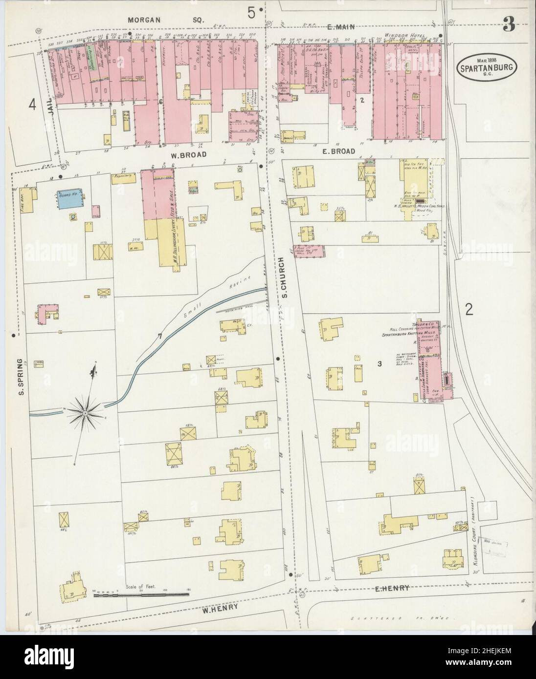 Sanborn Fire Insurance Map from Spartanburg, Spartanburg County, South Carolina. Stock Photohttps://www.alamy.com/image-license-details/?v=1https://www.alamy.com/sanborn-fire-insurance-map-from-spartanburg-spartanburg-county-south-carolina-image456485196.html
RM2HEJKEM–Sanborn Fire Insurance Map from Spartanburg, Spartanburg County, South Carolina.
 Greenville County search and rescue personnel make their way through the old Woodmont High School in search of simulated victims, March 10, in Greenville, S.C. South Carolina National Guard units worked with local emergency management agencies and first responders during a mass casualty exercise that covered both Greenville and Anderson, S.C., Mar. 10, 2015, as part of Vigilant Guard S.C. 2015. Vigilant Guard S.C. was an eight-day field exercise held March 5-12, that took place at numerous locations across South Carolina and was used as a way for the National Guard and its local and federal pa Stock Photohttps://www.alamy.com/image-license-details/?v=1https://www.alamy.com/stock-photo-greenville-county-search-and-rescue-personnel-make-their-way-through-129331102.html
RMHEBF3X–Greenville County search and rescue personnel make their way through the old Woodmont High School in search of simulated victims, March 10, in Greenville, S.C. South Carolina National Guard units worked with local emergency management agencies and first responders during a mass casualty exercise that covered both Greenville and Anderson, S.C., Mar. 10, 2015, as part of Vigilant Guard S.C. 2015. Vigilant Guard S.C. was an eight-day field exercise held March 5-12, that took place at numerous locations across South Carolina and was used as a way for the National Guard and its local and federal pa
 Inman, Spartanburg County, US, United States, South Carolina, N 35 2' 49'', S 82 5' 24'', map, Cartascapes Map published in 2024. Explore Cartascapes, a map revealing Earth's diverse landscapes, cultures, and ecosystems. Journey through time and space, discovering the interconnectedness of our planet's past, present, and future. Stock Photohttps://www.alamy.com/image-license-details/?v=1https://www.alamy.com/inman-spartanburg-county-us-united-states-south-carolina-n-35-2-49-s-82-5-24-map-cartascapes-map-published-in-2024-explore-cartascapes-a-map-revealing-earths-diverse-landscapes-cultures-and-ecosystems-journey-through-time-and-space-discovering-the-interconnectedness-of-our-planets-past-present-and-future-image621295492.html
RM2Y2PCMM–Inman, Spartanburg County, US, United States, South Carolina, N 35 2' 49'', S 82 5' 24'', map, Cartascapes Map published in 2024. Explore Cartascapes, a map revealing Earth's diverse landscapes, cultures, and ecosystems. Journey through time and space, discovering the interconnectedness of our planet's past, present, and future.
 Map of Spartanburg in South Carolina Stock Photohttps://www.alamy.com/image-license-details/?v=1https://www.alamy.com/map-of-spartanburg-in-south-carolina-image359542861.html
RF2BTXGGD–Map of Spartanburg in South Carolina
 Spartanburg County, State of South Carolina (U.S. county, United States of America, USA, U.S., US) map vector illustration, scribble sketch Spartanbur Stock Vectorhttps://www.alamy.com/image-license-details/?v=1https://www.alamy.com/spartanburg-county-state-of-south-carolina-us-county-united-states-of-america-usa-us-us-map-vector-illustration-scribble-sketch-spartanbur-image426510740.html
RF2FNW6PC–Spartanburg County, State of South Carolina (U.S. county, United States of America, USA, U.S., US) map vector illustration, scribble sketch Spartanbur
 Train mural Union South Carolina USA Stock Photohttps://www.alamy.com/image-license-details/?v=1https://www.alamy.com/stock-photo-train-mural-union-south-carolina-usa-72897544.html
RME6GNFM–Train mural Union South Carolina USA
 Tenant family soon to be relocated due to construction of Camp Croft, a U.S. Army Infantry Replacement Training Center, near Whitestone, South Carolina, USA, Jack Delano, U.S. Farm Security Administration, March 1941 Stock Photohttps://www.alamy.com/image-license-details/?v=1https://www.alamy.com/tenant-family-soon-to-be-relocated-due-to-construction-of-camp-croft-a-us-army-infantry-replacement-training-center-near-whitestone-south-carolina-usa-jack-delano-us-farm-security-administration-march-1941-image556177975.html
RM2R8T2K3–Tenant family soon to be relocated due to construction of Camp Croft, a U.S. Army Infantry Replacement Training Center, near Whitestone, South Carolina, USA, Jack Delano, U.S. Farm Security Administration, March 1941
 Sidewalk Displays Cowpens South Carolina USA Stock Photohttps://www.alamy.com/image-license-details/?v=1https://www.alamy.com/stock-photo-sidewalk-displays-cowpens-south-carolina-usa-77445721.html
RMEDYXPH–Sidewalk Displays Cowpens South Carolina USA
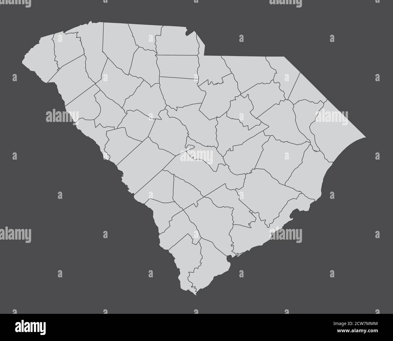 South Carolina counties map Stock Vectorhttps://www.alamy.com/image-license-details/?v=1https://www.alamy.com/south-carolina-counties-map-image376954052.html
RF2CW7MMM–South Carolina counties map
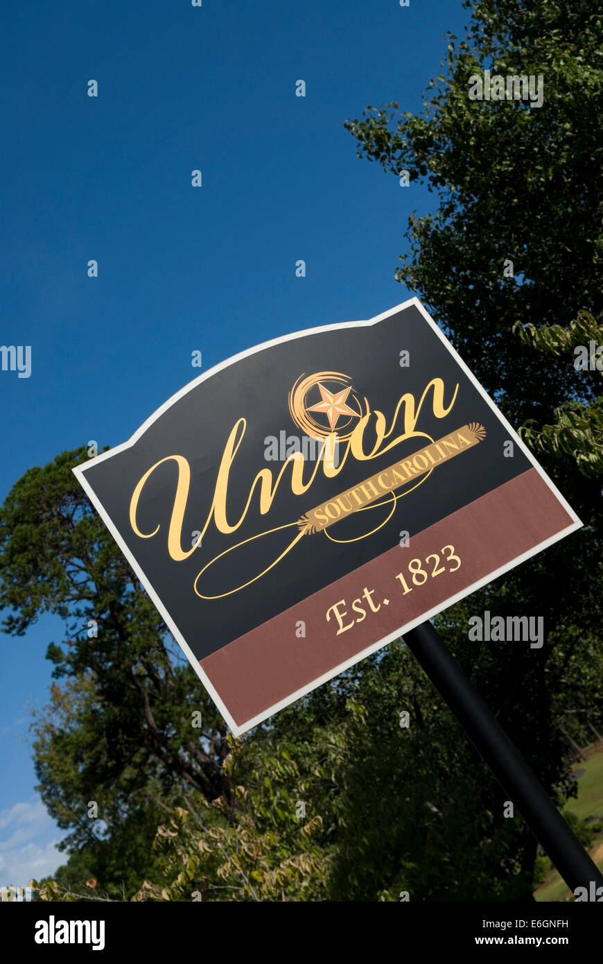 Union South Carolina Welcome Sign USA Stock Photohttps://www.alamy.com/image-license-details/?v=1https://www.alamy.com/stock-photo-union-south-carolina-welcome-sign-usa-72897541.html
RME6GNFH–Union South Carolina Welcome Sign USA
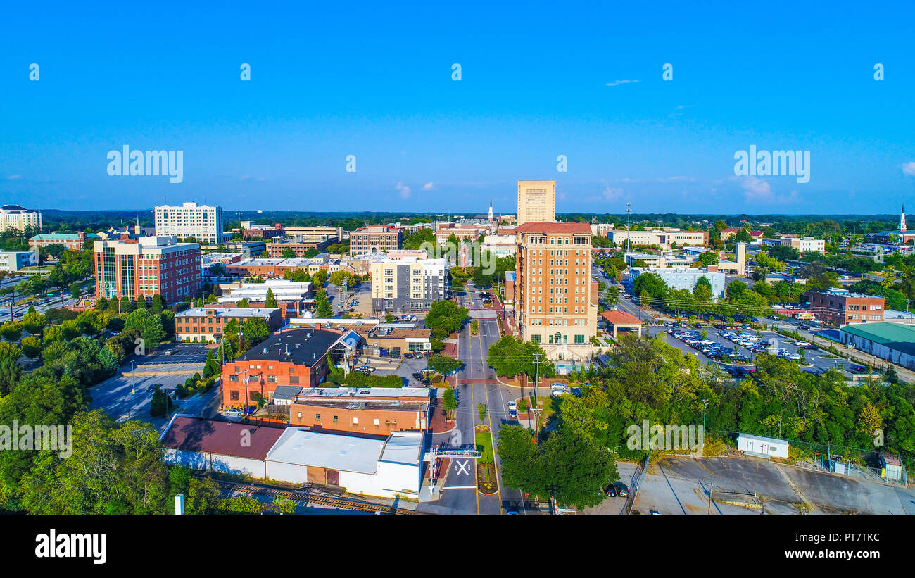 Drone Aerial of the Downtown Spartanburg, South Carolina, USA Skyline Stock Photohttps://www.alamy.com/image-license-details/?v=1https://www.alamy.com/drone-aerial-of-the-downtown-spartanburg-south-carolina-usa-skyline-image221449184.html
RFPT7TKC–Drone Aerial of the Downtown Spartanburg, South Carolina, USA Skyline
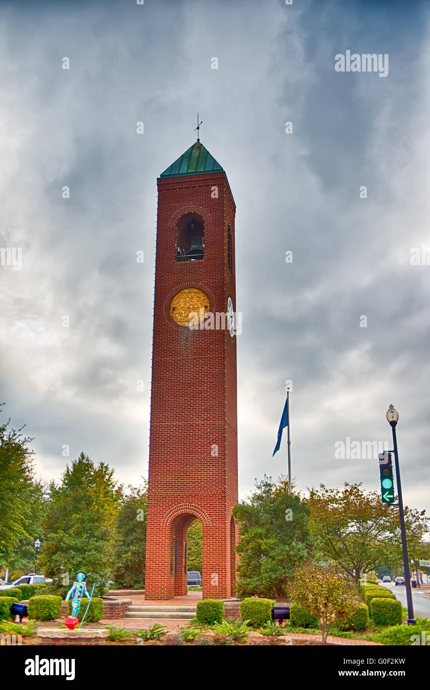 spartanburg south carolina city skyline and downtown surroundings Stock Photohttps://www.alamy.com/image-license-details/?v=1https://www.alamy.com/stock-photo-spartanburg-south-carolina-city-skyline-and-downtown-surroundings-103593613.html
RMG0F2KW–spartanburg south carolina city skyline and downtown surroundings
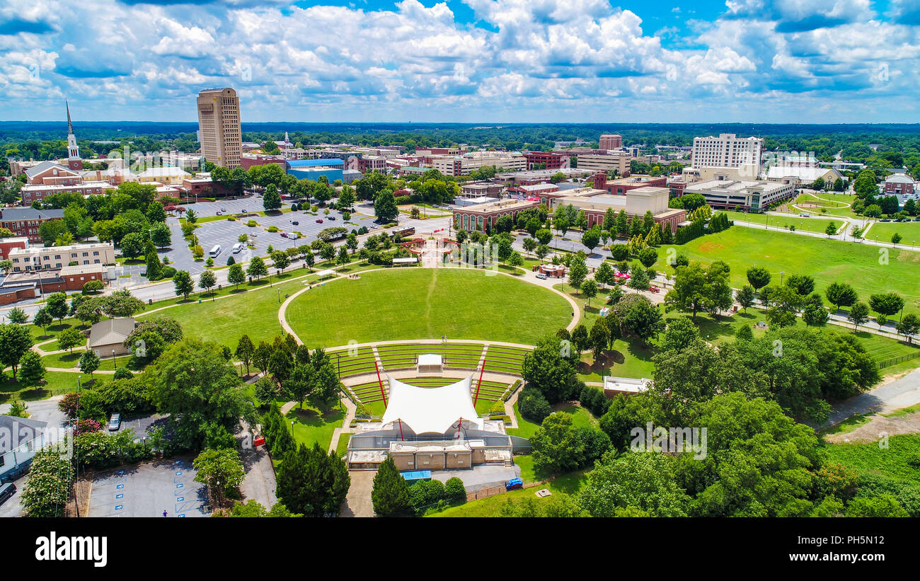 Drone Aerial of Downtown Spartanburg South Carolina Skyline Stock Photohttps://www.alamy.com/image-license-details/?v=1https://www.alamy.com/drone-aerial-of-downtown-spartanburg-south-carolina-skyline-image217099822.html
RFPH5N12–Drone Aerial of Downtown Spartanburg South Carolina Skyline
 Woman and attendant on a drive with Morgan mare with carriage in the countryside Stock Photohttps://www.alamy.com/image-license-details/?v=1https://www.alamy.com/stock-photo-woman-and-attendant-on-a-drive-with-morgan-mare-with-carriage-in-the-126066357.html
RMH92PWW–Woman and attendant on a drive with Morgan mare with carriage in the countryside
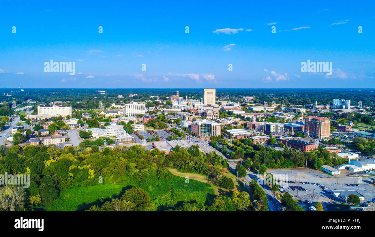 Drone Aerial of Spartanburg, South Carolina, USA Skyline Stock Photohttps://www.alamy.com/image-license-details/?v=1https://www.alamy.com/drone-aerial-of-spartanburg-south-carolina-usa-skyline-image221449190.html
RFPT7TKJ–Drone Aerial of Spartanburg, South Carolina, USA Skyline
 Spartanburg County Police Rifle Drill Team truck parked in front of The Capitol Building in Washington DC, USA on 14 May 2019 Stock Photohttps://www.alamy.com/image-license-details/?v=1https://www.alamy.com/spartanburg-county-police-rifle-drill-team-truck-parked-in-front-of-the-capitol-building-in-washington-dc-usa-on-14-may-2019-image248373750.html
RFTC2B72–Spartanburg County Police Rifle Drill Team truck parked in front of The Capitol Building in Washington DC, USA on 14 May 2019
 Looking toward C&WC Overpass. Original caption: Looking toward C&WC Overpass. South Carolina Project FAGM-108(1) Off., Spartanburg County, May 10, 1950. State: South Carolina. Place: Spartanburg County. Stock Photohttps://www.alamy.com/image-license-details/?v=1https://www.alamy.com/looking-toward-cwc-overpass-original-caption-looking-toward-cwc-overpass-south-carolina-project-fagm-1081-off-spartanburg-county-may-10-1950-state-south-carolina-place-spartanburg-county-image501701980.html
RM2M46DYT–Looking toward C&WC Overpass. Original caption: Looking toward C&WC Overpass. South Carolina Project FAGM-108(1) Off., Spartanburg County, May 10, 1950. State: South Carolina. Place: Spartanburg County.
 Map of Spartanburg in South Carolina Stock Photohttps://www.alamy.com/image-license-details/?v=1https://www.alamy.com/map-of-spartanburg-in-south-carolina-image385815834.html
RF2DBKC0X–Map of Spartanburg in South Carolina
 BMW Zentrum Museum in Greer Spartanburg county South Carolina Stock Photohttps://www.alamy.com/image-license-details/?v=1https://www.alamy.com/bmw-zentrum-museum-in-greer-spartanburg-county-south-carolina-image470063635.html
RM2J8N6XY–BMW Zentrum Museum in Greer Spartanburg county South Carolina
 Sanborn Fire Insurance Map from Spartanburg, Spartanburg County, South Carolina. Stock Photohttps://www.alamy.com/image-license-details/?v=1https://www.alamy.com/sanborn-fire-insurance-map-from-spartanburg-spartanburg-county-south-carolina-image456485188.html
RM2HEJKEC–Sanborn Fire Insurance Map from Spartanburg, Spartanburg County, South Carolina.
 Democratic presidential candidate Sen. John Edwards of North Carolina speaks at the annual Spartanburg County Democratic BBQ and Rally in Spartanburg, South Carolina on Thursday, August 30, 2007. Stock Photohttps://www.alamy.com/image-license-details/?v=1https://www.alamy.com/stock-photo-democratic-presidential-candidate-sen-john-edwards-of-north-carolina-44297058.html
RMCG1W9P–Democratic presidential candidate Sen. John Edwards of North Carolina speaks at the annual Spartanburg County Democratic BBQ and Rally in Spartanburg, South Carolina on Thursday, August 30, 2007.
 Springdale, Spartanburg County, US, United States, South Carolina, N 35 10' 2'', S 82 9' 47'', map, Cartascapes Map published in 2024. Explore Cartascapes, a map revealing Earth's diverse landscapes, cultures, and ecosystems. Journey through time and space, discovering the interconnectedness of our planet's past, present, and future. Stock Photohttps://www.alamy.com/image-license-details/?v=1https://www.alamy.com/springdale-spartanburg-county-us-united-states-south-carolina-n-35-10-2-s-82-9-47-map-cartascapes-map-published-in-2024-explore-cartascapes-a-map-revealing-earths-diverse-landscapes-cultures-and-ecosystems-journey-through-time-and-space-discovering-the-interconnectedness-of-our-planets-past-present-and-future-image621147320.html
RM2Y2FKMT–Springdale, Spartanburg County, US, United States, South Carolina, N 35 10' 2'', S 82 9' 47'', map, Cartascapes Map published in 2024. Explore Cartascapes, a map revealing Earth's diverse landscapes, cultures, and ecosystems. Journey through time and space, discovering the interconnectedness of our planet's past, present, and future.
 Pinehurst, North Carolina, USA. 17th July, 2021. ANNA MORGAN, of Spartanburg, South Carolina and golfer at Furman University, watches her wedge shot from the tenth hole during the Semifinal at the 119th North & South WomenÃs Amateur Championship, July 17, 2021, at the Pinehurst Resort & Country ClubÃs Course No. 2 in the Village of Pinehurst, N.C. (Credit Image: © Timothy L. Hale/ZUMA Press Wire) Stock Photohttps://www.alamy.com/image-license-details/?v=1https://www.alamy.com/pinehurst-north-carolina-usa-17th-july-2021-anna-morgan-of-spartanburg-south-carolina-and-golfer-at-furman-university-watches-her-wedge-shot-from-the-tenth-hole-during-the-semifinal-at-the-119th-north-south-womens-amateur-championship-july-17-2021-at-the-pinehurst-resort-country-clubs-course-no-2-in-the-village-of-pinehurst-nc-credit-image-timothy-l-halezuma-press-wire-image435325392.html
RM2G86NYC–Pinehurst, North Carolina, USA. 17th July, 2021. ANNA MORGAN, of Spartanburg, South Carolina and golfer at Furman University, watches her wedge shot from the tenth hole during the Semifinal at the 119th North & South WomenÃs Amateur Championship, July 17, 2021, at the Pinehurst Resort & Country ClubÃs Course No. 2 in the Village of Pinehurst, N.C. (Credit Image: © Timothy L. Hale/ZUMA Press Wire)
 Haflinger pony grazing in pasture. Stock Photohttps://www.alamy.com/image-license-details/?v=1https://www.alamy.com/haflinger-pony-grazing-in-pasture-image61146918.html
RMDFDDEE–Haflinger pony grazing in pasture.
 Greenville County search and rescue personnel make their way through the old Woodmont High School in search of simulated victims, March 10, in Greenville, S.C. South Carolina National Guard units worked with local emergency management agencies and first responders during a mass casualty exercise that covered both Greenville and Anderson, S.C., Mar. 10, 2015, as part of Vigilant Guard S.C. 2015. Vigilant Guard S.C. was an eight-day field exercise held March 5-12, that took place at numerous locations across South Carolina and was used as a way for the National Guard and its local and federal pa Stock Photohttps://www.alamy.com/image-license-details/?v=1https://www.alamy.com/stock-photo-greenville-county-search-and-rescue-personnel-make-their-way-through-129331101.html
RMHEBF3W–Greenville County search and rescue personnel make their way through the old Woodmont High School in search of simulated victims, March 10, in Greenville, S.C. South Carolina National Guard units worked with local emergency management agencies and first responders during a mass casualty exercise that covered both Greenville and Anderson, S.C., Mar. 10, 2015, as part of Vigilant Guard S.C. 2015. Vigilant Guard S.C. was an eight-day field exercise held March 5-12, that took place at numerous locations across South Carolina and was used as a way for the National Guard and its local and federal pa
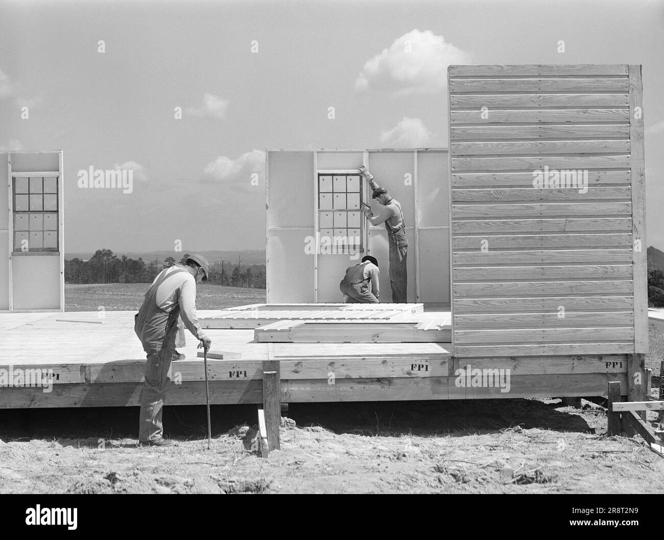 Construction workers building prefabricated houses for tenant farmers being relocated due to construction of Camp Croft, a U.S. Army Infantry Replacement Training Center, near Pacolet, South Carolina, USA, Jack Delano, U.S. Farm Security Administration, March 1941 Stock Photohttps://www.alamy.com/image-license-details/?v=1https://www.alamy.com/construction-workers-building-prefabricated-houses-for-tenant-farmers-being-relocated-due-to-construction-of-camp-croft-a-us-army-infantry-replacement-training-center-near-pacolet-south-carolina-usa-jack-delano-us-farm-security-administration-march-1941-image556178037.html
RM2R8T2N9–Construction workers building prefabricated houses for tenant farmers being relocated due to construction of Camp Croft, a U.S. Army Infantry Replacement Training Center, near Pacolet, South Carolina, USA, Jack Delano, U.S. Farm Security Administration, March 1941
 Draught horses (Clydesdale / Gelderlander cross) in harness Stock Photohttps://www.alamy.com/image-license-details/?v=1https://www.alamy.com/stock-photo-draught-horses-clydesdale-gelderlander-cross-in-harness-58492591.html
RMDB4FW3–Draught horses (Clydesdale / Gelderlander cross) in harness
 The black and white administrative maps of South Carolina State, USA Stock Vectorhttps://www.alamy.com/image-license-details/?v=1https://www.alamy.com/the-black-and-white-administrative-maps-of-south-carolina-state-usa-image601019027.html
RF2WWPNW7–The black and white administrative maps of South Carolina State, USA
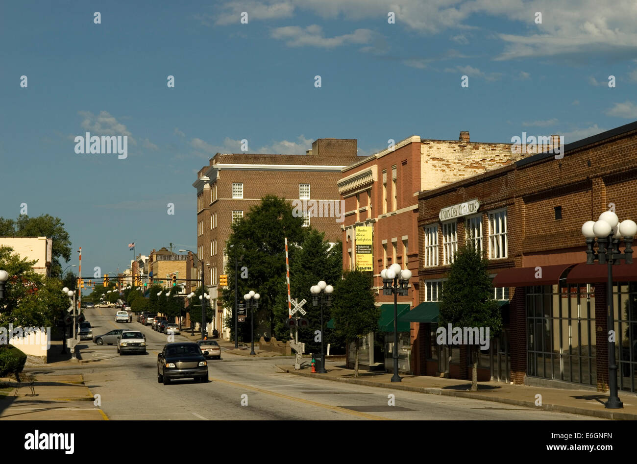 Cityscape Union South Carolina USA Stock Photohttps://www.alamy.com/image-license-details/?v=1https://www.alamy.com/stock-photo-cityscape-union-south-carolina-usa-72897545.html
RME6GNFN–Cityscape Union South Carolina USA
 Haflinger pony grazing in pasture. Stock Photohttps://www.alamy.com/image-license-details/?v=1https://www.alamy.com/stock-photo-haflinger-pony-grazing-in-pasture-58326522.html
RMDAW022–Haflinger pony grazing in pasture.
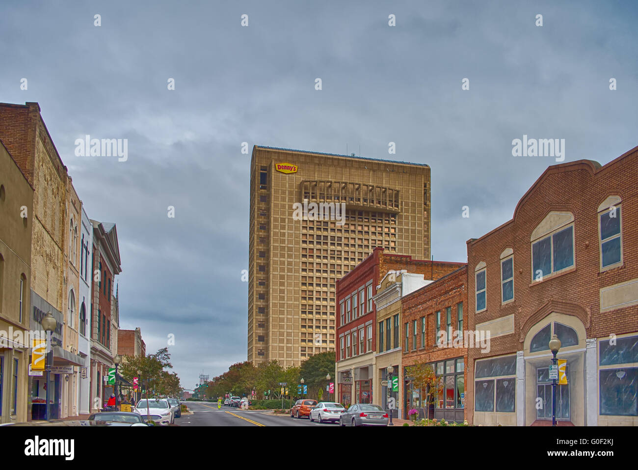 spartanburg south carolina city skyline and downtown surroundings Stock Photohttps://www.alamy.com/image-license-details/?v=1https://www.alamy.com/stock-photo-spartanburg-south-carolina-city-skyline-and-downtown-surroundings-103593606.html
RMG0F2KJ–spartanburg south carolina city skyline and downtown surroundings
 Map of Spartanburg in South Carolina Stock Photohttps://www.alamy.com/image-license-details/?v=1https://www.alamy.com/map-of-spartanburg-in-south-carolina-image358072364.html
RF2BPFGXM–Map of Spartanburg in South Carolina
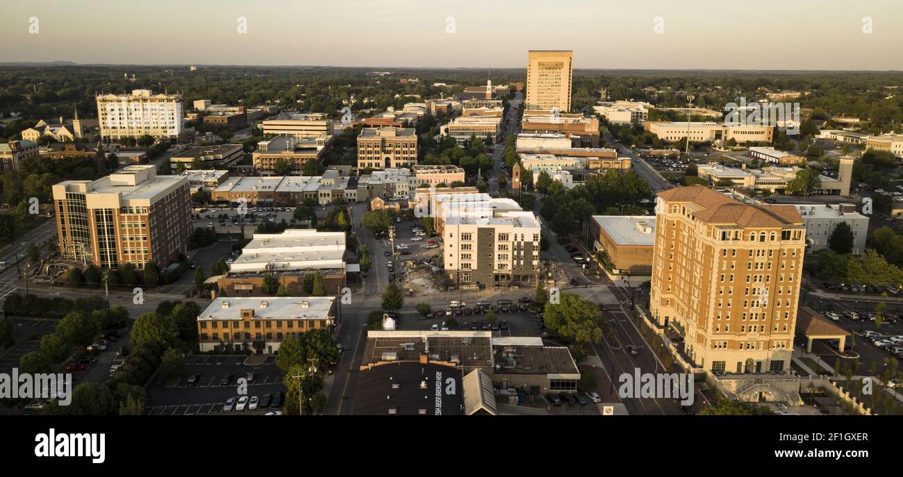 Aerial View Over the Downtown City Skyline and Buildings of Spartanburg NC Stock Photohttps://www.alamy.com/image-license-details/?v=1https://www.alamy.com/aerial-view-over-the-downtown-city-skyline-and-buildings-of-spartanburg-nc-image414035519.html
RF2F1GXER–Aerial View Over the Downtown City Skyline and Buildings of Spartanburg NC
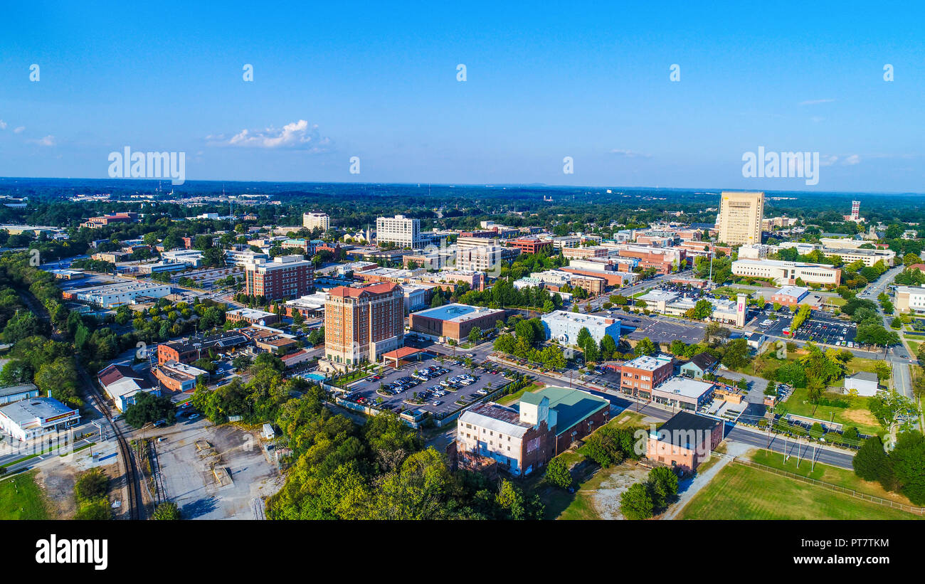 Drone Aerial of Spartanburg, South Carolina, USA Skyline Stock Photohttps://www.alamy.com/image-license-details/?v=1https://www.alamy.com/drone-aerial-of-spartanburg-south-carolina-usa-skyline-image221449192.html
RFPT7TKM–Drone Aerial of Spartanburg, South Carolina, USA Skyline
 Spartanburg County, State of South Carolina (U.S. county, United States of America, USA, U.S., US) map vector illustration, scribble sketch Spartanbur Stock Vectorhttps://www.alamy.com/image-license-details/?v=1https://www.alamy.com/spartanburg-county-state-of-south-carolina-us-county-united-states-of-america-usa-us-us-map-vector-illustration-scribble-sketch-spartanbur-image415487178.html
RF2F3Y23P–Spartanburg County, State of South Carolina (U.S. county, United States of America, USA, U.S., US) map vector illustration, scribble sketch Spartanbur
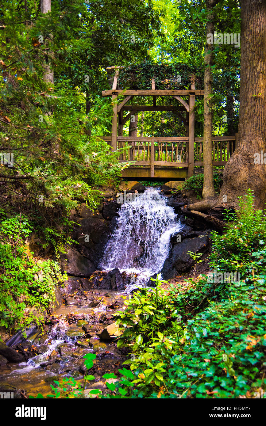 Hatcher Garden and Woodland Preserve in Spartanburg South Carolina SC. Stock Photohttps://www.alamy.com/image-license-details/?v=1https://www.alamy.com/hatcher-garden-and-woodland-preserve-in-spartanburg-south-carolina-sc-image217099771.html
RFPH5MY7–Hatcher Garden and Woodland Preserve in Spartanburg South Carolina SC.
 P&N Overpass in foreground. Original caption: P&N Overpass in foreground. South Carolina Project FAGM-108(1) Off., Spartanburg County, May 10, 1950. State: South Carolina. Place: Spartanburg County. Stock Photohttps://www.alamy.com/image-license-details/?v=1https://www.alamy.com/pn-overpass-in-foreground-original-caption-pn-overpass-in-foreground-south-carolina-project-fagm-1081-off-spartanburg-county-may-10-1950-state-south-carolina-place-spartanburg-county-image501702011.html
RM2M46E0Y–P&N Overpass in foreground. Original caption: P&N Overpass in foreground. South Carolina Project FAGM-108(1) Off., Spartanburg County, May 10, 1950. State: South Carolina. Place: Spartanburg County.
 BMW Zentrum Museum in Greer Spartanburg county South Carolina Stock Photohttps://www.alamy.com/image-license-details/?v=1https://www.alamy.com/bmw-zentrum-museum-in-greer-spartanburg-county-south-carolina-image470063622.html
RM2J8N6XE–BMW Zentrum Museum in Greer Spartanburg county South Carolina
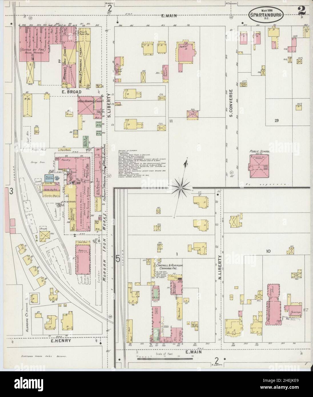 Sanborn Fire Insurance Map from Spartanburg, Spartanburg County, South Carolina. Stock Photohttps://www.alamy.com/image-license-details/?v=1https://www.alamy.com/sanborn-fire-insurance-map-from-spartanburg-spartanburg-county-south-carolina-image456485185.html
RM2HEJKE9–Sanborn Fire Insurance Map from Spartanburg, Spartanburg County, South Carolina.
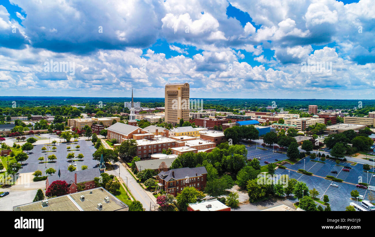 Drone Aerial of Downtown Spartanburg South Carolina SC Skyline. Stock Photohttps://www.alamy.com/image-license-details/?v=1https://www.alamy.com/drone-aerial-of-downtown-spartanburg-south-carolina-sc-skyline-image217040721.html
RFPH31J9–Drone Aerial of Downtown Spartanburg South Carolina SC Skyline.
 Oakwood, Spartanburg County, US, United States, South Carolina, N 34 56' 38'', S 82 12' 9'', map, Cartascapes Map published in 2024. Explore Cartascapes, a map revealing Earth's diverse landscapes, cultures, and ecosystems. Journey through time and space, discovering the interconnectedness of our planet's past, present, and future. Stock Photohttps://www.alamy.com/image-license-details/?v=1https://www.alamy.com/oakwood-spartanburg-county-us-united-states-south-carolina-n-34-56-38-s-82-12-9-map-cartascapes-map-published-in-2024-explore-cartascapes-a-map-revealing-earths-diverse-landscapes-cultures-and-ecosystems-journey-through-time-and-space-discovering-the-interconnectedness-of-our-planets-past-present-and-future-image621230941.html
RM2Y2KEB9–Oakwood, Spartanburg County, US, United States, South Carolina, N 34 56' 38'', S 82 12' 9'', map, Cartascapes Map published in 2024. Explore Cartascapes, a map revealing Earth's diverse landscapes, cultures, and ecosystems. Journey through time and space, discovering the interconnectedness of our planet's past, present, and future.
 Democratic presidential candidate Sen. John Edwards of North Carolina campaigns at the annual Spartanburg County Democratic BBQ and Rally in Spartanburg, South Carolina on Thursday, August 30, 2007. Stock Photohttps://www.alamy.com/image-license-details/?v=1https://www.alamy.com/stock-photo-democratic-presidential-candidate-sen-john-edwards-of-north-carolina-44297044.html
RMCG1W98–Democratic presidential candidate Sen. John Edwards of North Carolina campaigns at the annual Spartanburg County Democratic BBQ and Rally in Spartanburg, South Carolina on Thursday, August 30, 2007.
 Pinehurst, North Carolina, USA. 17th July, 2021. ANNA MORGAN, of Spartanburg, South Carolina and golfer at Furman University, plays a shot from a bunker on the third hole during the Semifinal at the 119th North & South WomenÃs Amateur Championship, July 17, 2021, at the Pinehurst Resort & Country ClubÃs Course No. 2 in the Village of Pinehurst, N.C. (Credit Image: © Timothy L. Hale/ZUMA Press Wire) Stock Photohttps://www.alamy.com/image-license-details/?v=1https://www.alamy.com/pinehurst-north-carolina-usa-17th-july-2021-anna-morgan-of-spartanburg-south-carolina-and-golfer-at-furman-university-plays-a-shot-from-a-bunker-on-the-third-hole-during-the-semifinal-at-the-119th-north-south-womens-amateur-championship-july-17-2021-at-the-pinehurst-resort-country-clubs-course-no-2-in-the-village-of-pinehurst-nc-credit-image-timothy-l-halezuma-press-wire-image435325073.html
RM2G86NG1–Pinehurst, North Carolina, USA. 17th July, 2021. ANNA MORGAN, of Spartanburg, South Carolina and golfer at Furman University, plays a shot from a bunker on the third hole during the Semifinal at the 119th North & South WomenÃs Amateur Championship, July 17, 2021, at the Pinehurst Resort & Country ClubÃs Course No. 2 in the Village of Pinehurst, N.C. (Credit Image: © Timothy L. Hale/ZUMA Press Wire)
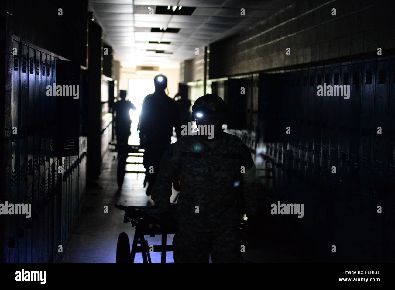 Greenville County search and rescue personnel make their way through the old Woodmont High School in search of simulated victims, March 10, in Greenville, S.C. South Carolina National Guard units worked with local emergency management agencies and first responders during a mass casualty exercise that covered both Greenville and Anderson, S.C., Mar. 10, 2015, as part of Vigilant Guard S.C. 2015. Vigilant Guard S.C. was an eight-day field exercise held March 5-12, that took place at numerous locations across South Carolina and was used as a way for the National Guard and its local and federal pa Stock Photohttps://www.alamy.com/image-license-details/?v=1https://www.alamy.com/stock-photo-greenville-county-search-and-rescue-personnel-make-their-way-through-129331100.html
RMHEBF3T–Greenville County search and rescue personnel make their way through the old Woodmont High School in search of simulated victims, March 10, in Greenville, S.C. South Carolina National Guard units worked with local emergency management agencies and first responders during a mass casualty exercise that covered both Greenville and Anderson, S.C., Mar. 10, 2015, as part of Vigilant Guard S.C. 2015. Vigilant Guard S.C. was an eight-day field exercise held March 5-12, that took place at numerous locations across South Carolina and was used as a way for the National Guard and its local and federal pa
 Three teen boys watching construction of prefabricated houses built by U.S. Farm Security Administration for farmers being relocated due to construction of Camp Croft, a U.S. Army Infantry Replacement Training Center, near Pacolet, South Carolina, USA, Jack Delano, U.S. Farm Security Administration, March 1941 Stock Photohttps://www.alamy.com/image-license-details/?v=1https://www.alamy.com/three-teen-boys-watching-construction-of-prefabricated-houses-built-by-us-farm-security-administration-for-farmers-being-relocated-due-to-construction-of-camp-croft-a-us-army-infantry-replacement-training-center-near-pacolet-south-carolina-usa-jack-delano-us-farm-security-administration-march-1941-image556709547.html
RM2R9M8KR–Three teen boys watching construction of prefabricated houses built by U.S. Farm Security Administration for farmers being relocated due to construction of Camp Croft, a U.S. Army Infantry Replacement Training Center, near Pacolet, South Carolina, USA, Jack Delano, U.S. Farm Security Administration, March 1941
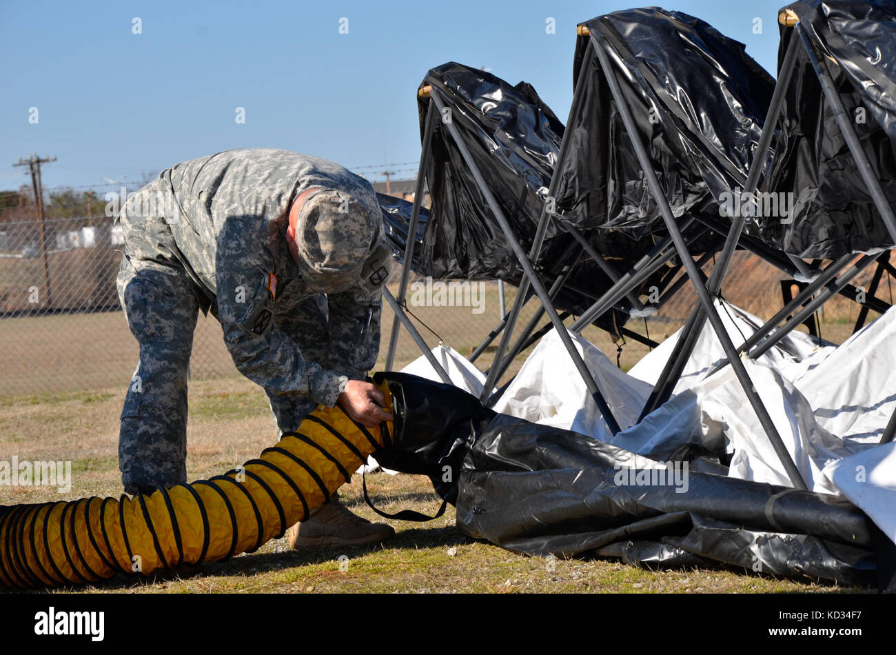 A blower system is attached to the Deployable Rapid Assembly Shelter to inflate the tent at the Anderson County Sheriff's Office Training Center in Anderson, S.C., March 7, as part of Vigilant Guard.Vigilant Guard is a series of federally funded disaster-response drills conducted by National Guard units working wth federal, state and local emergency management agencies and first responders. (U.S. Army National Guard photo by 1st Lt. Jessica Donnelly/Released) Stock Photohttps://www.alamy.com/image-license-details/?v=1https://www.alamy.com/stock-image-a-blower-system-is-attached-to-the-deployable-rapid-assembly-shelter-162953259.html
RMKD34F7–A blower system is attached to the Deployable Rapid Assembly Shelter to inflate the tent at the Anderson County Sheriff's Office Training Center in Anderson, S.C., March 7, as part of Vigilant Guard.Vigilant Guard is a series of federally funded disaster-response drills conducted by National Guard units working wth federal, state and local emergency management agencies and first responders. (U.S. Army National Guard photo by 1st Lt. Jessica Donnelly/Released)
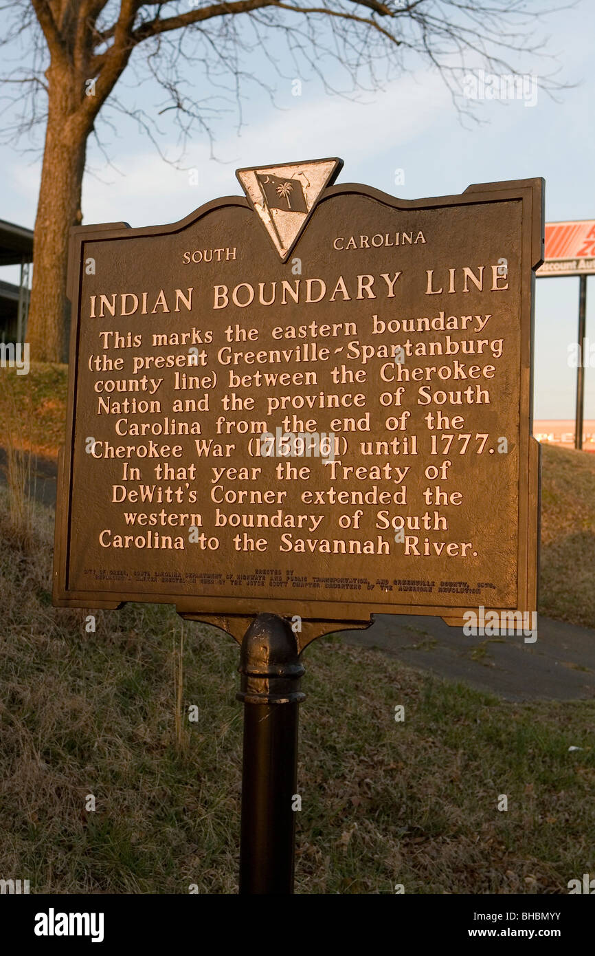 This marks the eastern boundary between the Cherokee Nation and the Province of South Carolina from the end of the Cherokee War Stock Photohttps://www.alamy.com/image-license-details/?v=1https://www.alamy.com/stock-photo-this-marks-the-eastern-boundary-between-the-cherokee-nation-and-the-27917455.html
RMBHBMYY–This marks the eastern boundary between the Cherokee Nation and the Province of South Carolina from the end of the Cherokee War
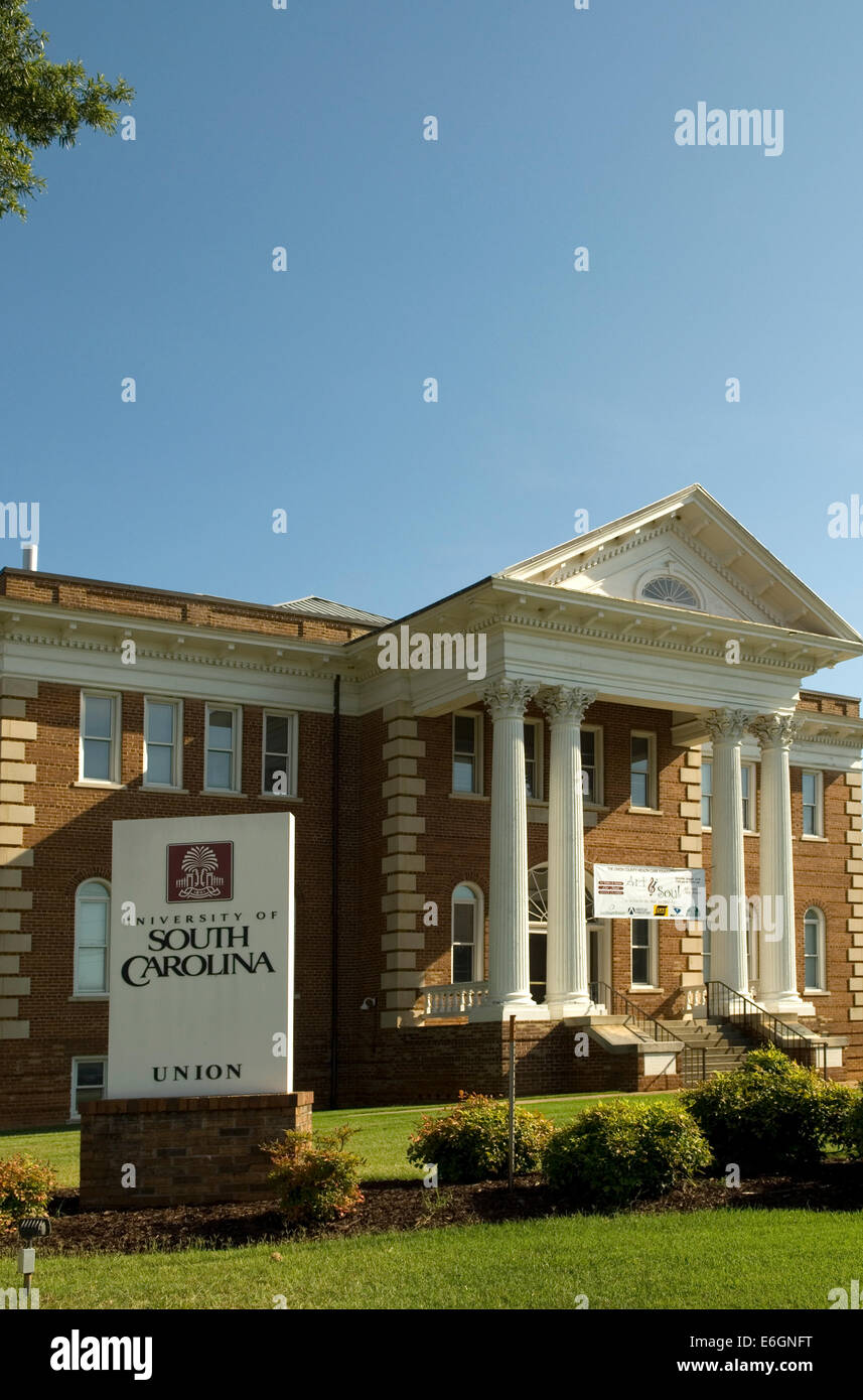 University of South Carolina Union USA Stock Photohttps://www.alamy.com/image-license-details/?v=1https://www.alamy.com/stock-photo-university-of-south-carolina-union-usa-72897548.html
RME6GNFT–University of South Carolina Union USA
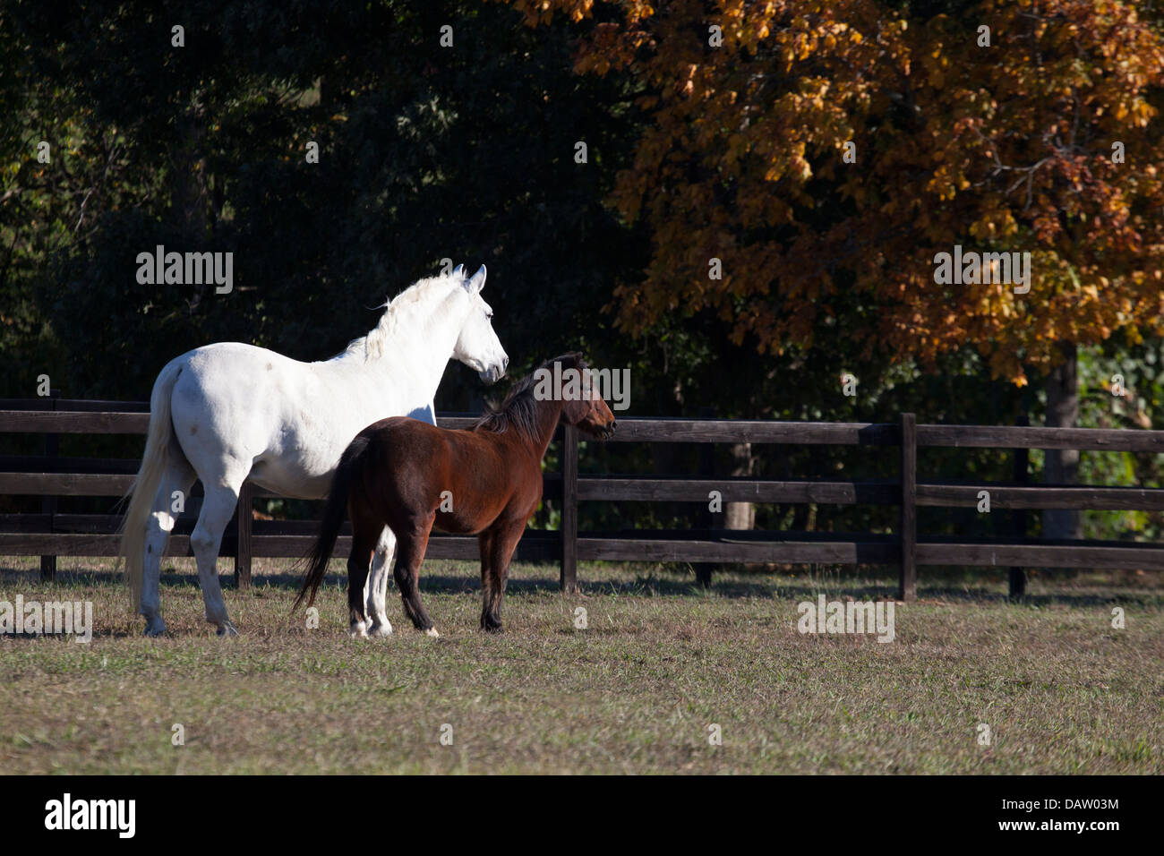 Gray Andalusian horse and bay pony in paddock Stock Photohttps://www.alamy.com/image-license-details/?v=1https://www.alamy.com/stock-photo-gray-andalusian-horse-and-bay-pony-in-paddock-58326568.html
RMDAW03M–Gray Andalusian horse and bay pony in paddock
 Civil government of the United States . PACE2022122l6221223 228236 241246 252 MAPS AND ILLUSTRATIONS The State Capitol at Columbia . Frontispiece Map of a school district .....Map of South Carolina as divided into counties in 1785, showing also the seven judicial districts created in 1769Map of Spartanburg county divided into townshipsPart of a page from the Auditors duplicate .Part of the General Sessions journal, kept by the Clerk of CourtPart of a page from the Court of Common Pleas journal, kept by the Clerk of Court ....Map of the city of Spartanburg divided into wardsCounty and parish re Stock Photohttps://www.alamy.com/image-license-details/?v=1https://www.alamy.com/civil-government-of-the-united-states-pace2022122l6221223-228236-241246-252-maps-and-illustrations-the-state-capitol-at-columbia-frontispiece-map-of-a-school-district-map-of-south-carolina-as-divided-into-counties-in-1785-showing-also-the-seven-judicial-districts-created-in-1769map-of-spartanburg-county-divided-into-townshipspart-of-a-page-from-the-auditors-duplicate-part-of-the-general-sessions-journal-kept-by-the-clerk-of-courtpart-of-a-page-from-the-court-of-common-pleas-journal-kept-by-the-clerk-of-court-map-of-the-city-of-spartanburg-divided-into-wardscounty-and-parish-re-image338139295.html
RM2AJ3G3B–Civil government of the United States . PACE2022122l6221223 228236 241246 252 MAPS AND ILLUSTRATIONS The State Capitol at Columbia . Frontispiece Map of a school district .....Map of South Carolina as divided into counties in 1785, showing also the seven judicial districts created in 1769Map of Spartanburg county divided into townshipsPart of a page from the Auditors duplicate .Part of the General Sessions journal, kept by the Clerk of CourtPart of a page from the Court of Common Pleas journal, kept by the Clerk of Court ....Map of the city of Spartanburg divided into wardsCounty and parish re
 Map of Spartanburg in South Carolina Stock Photohttps://www.alamy.com/image-license-details/?v=1https://www.alamy.com/map-of-spartanburg-in-south-carolina-image358923140.html
RF2BRXA3G–Map of Spartanburg in South Carolina
 HAMPTON HEIGHTS HISTORIC DISTRICT Located one block west, this historic district was entered in the National Register Stock Photohttps://www.alamy.com/image-license-details/?v=1https://www.alamy.com/stock-photo-hampton-heights-historic-district-located-one-block-west-this-historic-33708694.html
RMBXRFNX–HAMPTON HEIGHTS HISTORIC DISTRICT Located one block west, this historic district was entered in the National Register
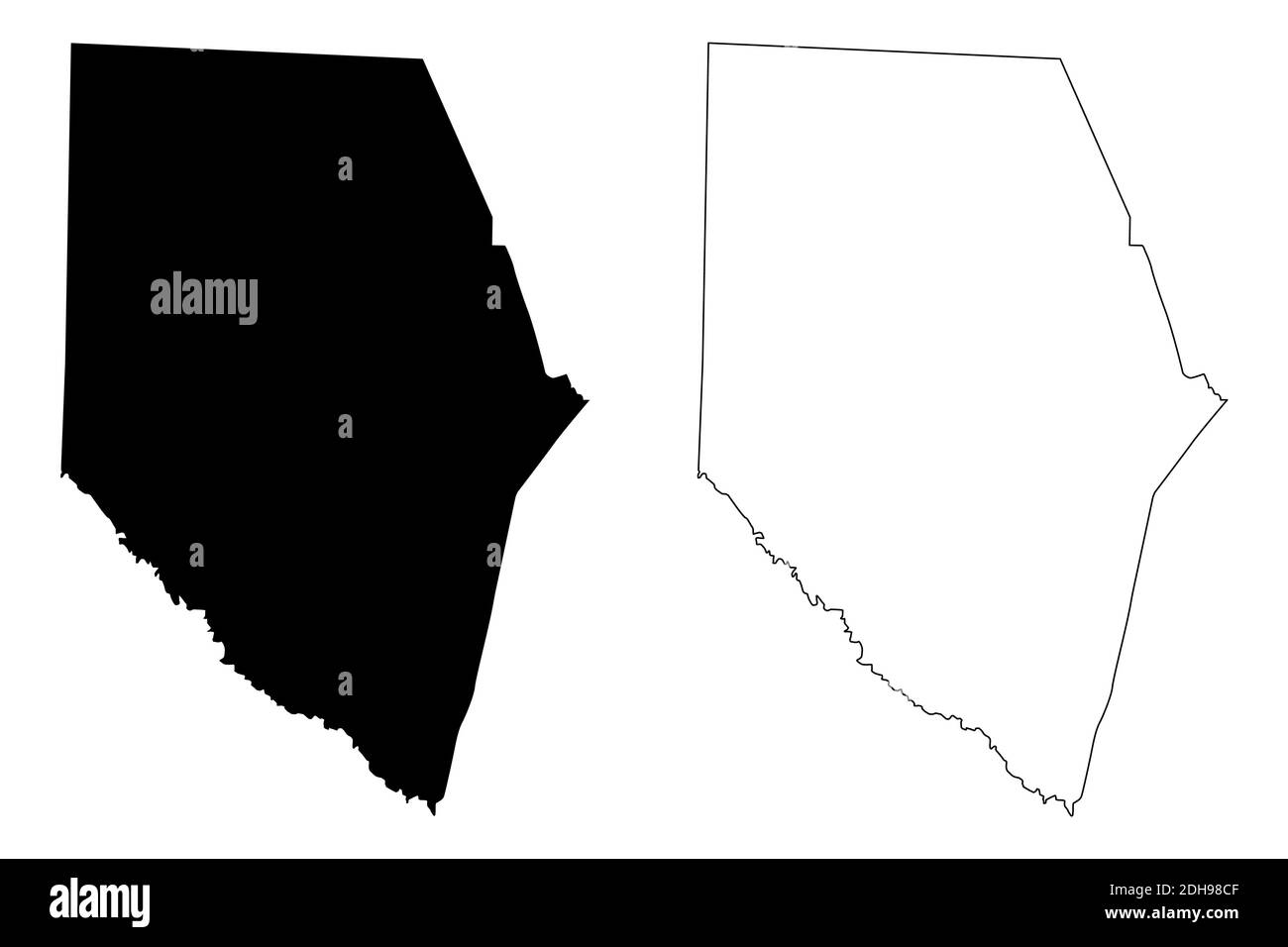 Spartanburg County, State of South Carolina (U.S. county, United States of America, USA, U.S., US) map vector illustration, scribble sketch Spartanbur Stock Vectorhttps://www.alamy.com/image-license-details/?v=1https://www.alamy.com/spartanburg-county-state-of-south-carolina-us-county-united-states-of-america-usa-us-us-map-vector-illustration-scribble-sketch-spartanbur-image389281439.html
RF2DH98CF–Spartanburg County, State of South Carolina (U.S. county, United States of America, USA, U.S., US) map vector illustration, scribble sketch Spartanbur
 Spartanburg, South Carolina : the city of success ; city map and street directory. Oriented with north toward the upper right. Includes street directory and advertisements... City map and street directory of Spartanburg, S.C. City map and street directory of Spartanburg, S.C, South Carolina , Spartanburg ,county , Spartanburg Stock Photohttps://www.alamy.com/image-license-details/?v=1https://www.alamy.com/spartanburg-south-carolina-the-city-of-success-city-map-and-street-directory-oriented-with-north-toward-the-upper-right-includes-street-directory-and-advertisements-city-map-and-street-directory-of-spartanburg-sc-city-map-and-street-directory-of-spartanburg-sc-south-carolina-spartanburg-county-spartanburg-image502743716.html
RM2M5WXMM–Spartanburg, South Carolina : the city of success ; city map and street directory. Oriented with north toward the upper right. Includes street directory and advertisements... City map and street directory of Spartanburg, S.C. City map and street directory of Spartanburg, S.C, South Carolina , Spartanburg ,county , Spartanburg
 BMW Zentrum Museum in Greer Spartanburg county South Carolina Stock Photohttps://www.alamy.com/image-license-details/?v=1https://www.alamy.com/bmw-zentrum-museum-in-greer-spartanburg-county-south-carolina-image470063612.html
RM2J8N6X4–BMW Zentrum Museum in Greer Spartanburg county South Carolina
 Sanborn Fire Insurance Map from Spartanburg, Spartanburg County, South Carolina. Stock Photohttps://www.alamy.com/image-license-details/?v=1https://www.alamy.com/sanborn-fire-insurance-map-from-spartanburg-spartanburg-county-south-carolina-image456485182.html
RM2HEJKE6–Sanborn Fire Insurance Map from Spartanburg, Spartanburg County, South Carolina.
 Drone Aerial of Downtown Spartanburg South Carolina SC Skyline. Stock Photohttps://www.alamy.com/image-license-details/?v=1https://www.alamy.com/drone-aerial-of-downtown-spartanburg-south-carolina-sc-skyline-image217099602.html
RFPH5MN6–Drone Aerial of Downtown Spartanburg South Carolina SC Skyline.
 Northgate, Spartanburg County, US, United States, South Carolina, N 35 4' 5'', S 81 58' 29'', map, Cartascapes Map published in 2024. Explore Cartascapes, a map revealing Earth's diverse landscapes, cultures, and ecosystems. Journey through time and space, discovering the interconnectedness of our planet's past, present, and future. Stock Photohttps://www.alamy.com/image-license-details/?v=1https://www.alamy.com/northgate-spartanburg-county-us-united-states-south-carolina-n-35-4-5-s-81-58-29-map-cartascapes-map-published-in-2024-explore-cartascapes-a-map-revealing-earths-diverse-landscapes-cultures-and-ecosystems-journey-through-time-and-space-discovering-the-interconnectedness-of-our-planets-past-present-and-future-image621429890.html
RM2Y30G4J–Northgate, Spartanburg County, US, United States, South Carolina, N 35 4' 5'', S 81 58' 29'', map, Cartascapes Map published in 2024. Explore Cartascapes, a map revealing Earth's diverse landscapes, cultures, and ecosystems. Journey through time and space, discovering the interconnectedness of our planet's past, present, and future.
 Democratic presidential candidate Sen. John Edwards of North Carolina campaigns at the annual Spartanburg County Democratic BBQ and Rally in Spartanburg, South Carolina on Thursday, August 30, 2007. Stock Photohttps://www.alamy.com/image-license-details/?v=1https://www.alamy.com/stock-photo-democratic-presidential-candidate-sen-john-edwards-of-north-carolina-44297046.html
RMCG1W9A–Democratic presidential candidate Sen. John Edwards of North Carolina campaigns at the annual Spartanburg County Democratic BBQ and Rally in Spartanburg, South Carolina on Thursday, August 30, 2007.
 Pinehurst, North Carolina, USA. 17th July, 2021. The pairing of ANNA MORGAN, of Spartanburg, South Carolina and golfer at Furman University, and MEGAN SCHOFILL, of Monticello, Florida and golfer at Auburn University, make their way down the fourth fairway during the Semifinal at the 119th North & South WomenÃs Amateur Championship, July 17, 2021, at the Pinehurst Resort & Country ClubÃs Course No. 2 in the Village of Pinehurst, N.C. (Credit Image: © Timothy L. Hale/ZUMA Press Wire) Stock Photohttps://www.alamy.com/image-license-details/?v=1https://www.alamy.com/pinehurst-north-carolina-usa-17th-july-2021-the-pairing-of-anna-morgan-of-spartanburg-south-carolina-and-golfer-at-furman-university-and-megan-schofill-of-monticello-florida-and-golfer-at-auburn-university-make-their-way-down-the-fourth-fairway-during-the-semifinal-at-the-119th-north-south-womens-amateur-championship-july-17-2021-at-the-pinehurst-resort-country-clubs-course-no-2-in-the-village-of-pinehurst-nc-credit-image-timothy-l-halezuma-press-wire-image435325845.html
RM2G86PFH–Pinehurst, North Carolina, USA. 17th July, 2021. The pairing of ANNA MORGAN, of Spartanburg, South Carolina and golfer at Furman University, and MEGAN SCHOFILL, of Monticello, Florida and golfer at Auburn University, make their way down the fourth fairway during the Semifinal at the 119th North & South WomenÃs Amateur Championship, July 17, 2021, at the Pinehurst Resort & Country ClubÃs Course No. 2 in the Village of Pinehurst, N.C. (Credit Image: © Timothy L. Hale/ZUMA Press Wire)
 Simulated victims are loaded onto a CH-47 Chinook with the South Carolina Army National Guard after being extracted from the old Woodmont High School, March 10, in Greenville, S.C. South Carolina National Guard units worked with local emergency management agencies and first responders during a mass casualty exercise that covered both Greenville and Anderson, S.C., March 10, 2015, as part of Vigilant Guard S.C. 2015. Vigilant Guard S.C. was an eight-day field exercise held March 5-12, that took place at numerous locations across South Carolina and was used as a way for the National Guard and it Stock Photohttps://www.alamy.com/image-license-details/?v=1https://www.alamy.com/stock-photo-simulated-victims-are-loaded-onto-a-ch-47-chinook-with-the-south-carolina-129331105.html
RMHEBF41–Simulated victims are loaded onto a CH-47 Chinook with the South Carolina Army National Guard after being extracted from the old Woodmont High School, March 10, in Greenville, S.C. South Carolina National Guard units worked with local emergency management agencies and first responders during a mass casualty exercise that covered both Greenville and Anderson, S.C., March 10, 2015, as part of Vigilant Guard S.C. 2015. Vigilant Guard S.C. was an eight-day field exercise held March 5-12, that took place at numerous locations across South Carolina and was used as a way for the National Guard and it