St catharines on a map Stock Photos and Images
 St Catharines Ontario Canada shown on a road map or Geography map Stock Photohttps://www.alamy.com/image-license-details/?v=1https://www.alamy.com/st-catharines-ontario-canada-shown-on-a-road-map-or-geography-map-image439103087.html
RM2GEATD3–St Catharines Ontario Canada shown on a road map or Geography map
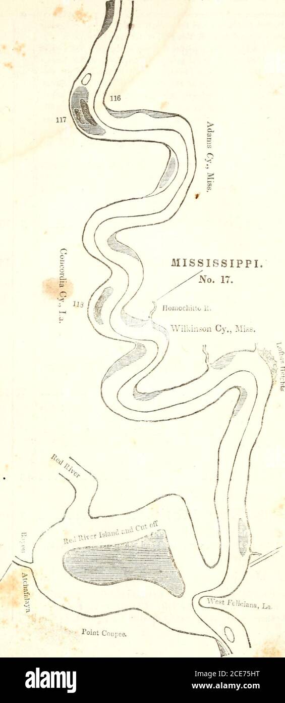
 . The western pilot : containing charts of the Ohio River, and of the Mississippi, from the mouth of the Missouri to the Gulf of Mexico ; accompanied with directions for navigating the same, and a gazetteer ; or description of the towns on their banks, tributary streams, etc., also, a variety of matter interesting to travelers, and all concerned in the navigation of those rivers ; with a table of distances from town to town on all the above rivers . ffs, on the left, Are nearly a mile below St. Catharines creek. Channel about mid-way between the cliffs and right hand point. Directions for Map Stock Photohttps://www.alamy.com/image-license-details/?v=1https://www.alamy.com/the-western-pilot-containing-charts-of-the-ohio-river-and-of-the-mississippi-from-the-mouth-of-the-missouri-to-the-gulf-of-mexico-accompanied-with-directions-for-navigating-the-same-and-a-gazetteer-or-description-of-the-towns-on-their-banks-tributary-streams-etc-also-a-variety-of-matter-interesting-to-travelers-and-all-concerned-in-the-navigation-of-those-rivers-with-a-table-of-distances-from-town-to-town-on-all-the-above-rivers-ffs-on-the-left-are-nearly-a-mile-below-st-catharines-creek-channel-about-mid-way-between-the-cliffs-and-right-hand-point-directions-for-map-image370180996.html
RM2CE75HT–. The western pilot : containing charts of the Ohio River, and of the Mississippi, from the mouth of the Missouri to the Gulf of Mexico ; accompanied with directions for navigating the same, and a gazetteer ; or description of the towns on their banks, tributary streams, etc., also, a variety of matter interesting to travelers, and all concerned in the navigation of those rivers ; with a table of distances from town to town on all the above rivers . ffs, on the left, Are nearly a mile below St. Catharines creek. Channel about mid-way between the cliffs and right hand point. Directions for Map