Quick filters:
Stone distance marker Stock Photos and Images
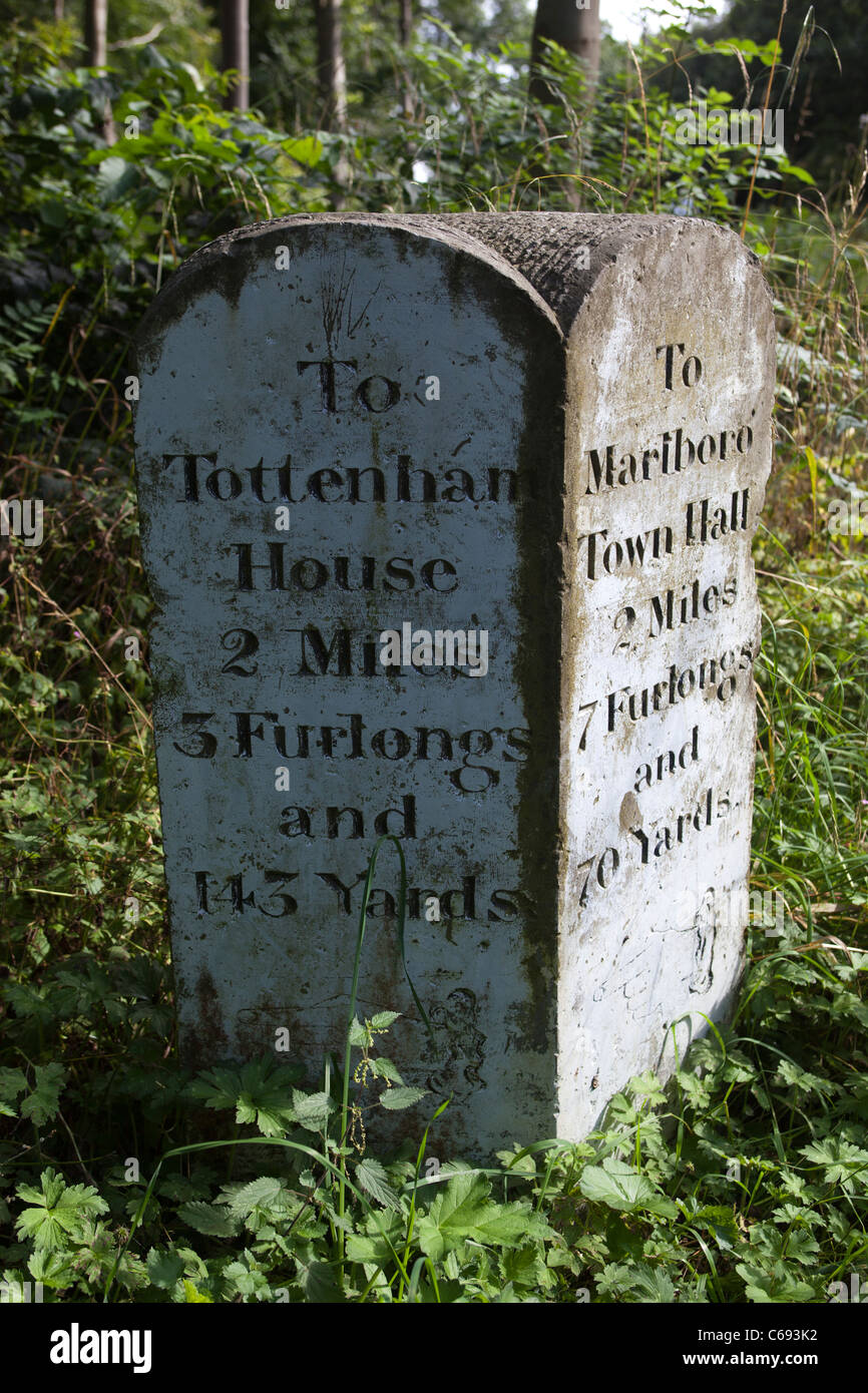 Stone Distance Marker Savernake Forest Wiltshire Stock Photohttps://www.alamy.com/image-license-details/?v=1https://www.alamy.com/stock-photo-stone-distance-marker-savernake-forest-wiltshire-38309126.html
RMC693K2–Stone Distance Marker Savernake Forest Wiltshire
 A stone distance marker near West Bexington along a footpath behind Chesil beach in Dorset England UK indicating a distance of 5 miles to West Bay. Stock Photohttps://www.alamy.com/image-license-details/?v=1https://www.alamy.com/a-stone-distance-marker-near-west-bexington-along-a-footpath-behind-chesil-beach-in-dorset-england-uk-indicating-a-distance-of-5-miles-to-west-bay-image184273268.html
RMMKPAC4–A stone distance marker near West Bexington along a footpath behind Chesil beach in Dorset England UK indicating a distance of 5 miles to West Bay.
 A small stone coastal path marker near Abbotsbury in Dorset, UK. Stock Photohttps://www.alamy.com/image-license-details/?v=1https://www.alamy.com/stock-photo-a-small-stone-coastal-path-marker-near-abbotsbury-in-dorset-uk-40074524.html
RMC95FD0–A small stone coastal path marker near Abbotsbury in Dorset, UK.
 The replica of the Bridgeness Slab, a Roman Legionary distance marker stone, in the town of Bo'Ness, Scotland, UK. It is on part of the Antonine Wall. Stock Photohttps://www.alamy.com/image-license-details/?v=1https://www.alamy.com/the-replica-of-the-bridgeness-slab-a-roman-legionary-distance-marker-stone-in-the-town-of-boness-scotland-uk-it-is-on-part-of-the-antonine-wall-image385089116.html
RM2DAE92M–The replica of the Bridgeness Slab, a Roman Legionary distance marker stone, in the town of Bo'Ness, Scotland, UK. It is on part of the Antonine Wall.
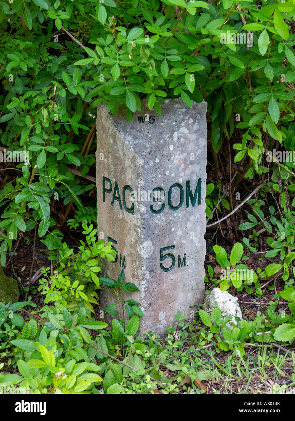 A stone distance marker on the Bermuda Railway Trail surrounded by green undergrowth Stock Photohttps://www.alamy.com/image-license-details/?v=1https://www.alamy.com/a-stone-distance-marker-on-the-bermuda-railway-trail-surrounded-by-green-undergrowth-image274137467.html
RFWX013R–A stone distance marker on the Bermuda Railway Trail surrounded by green undergrowth
 Stone Milestone on the Macclesfield canal saying Marple 23 miles as it passes through Scholar Green in the Cheshire countryside Stock Photohttps://www.alamy.com/image-license-details/?v=1https://www.alamy.com/stone-milestone-on-the-macclesfield-canal-saying-marple-23-miles-as-it-passes-through-scholar-green-in-the-cheshire-countryside-image426185389.html
RM2FNABPN–Stone Milestone on the Macclesfield canal saying Marple 23 miles as it passes through Scholar Green in the Cheshire countryside
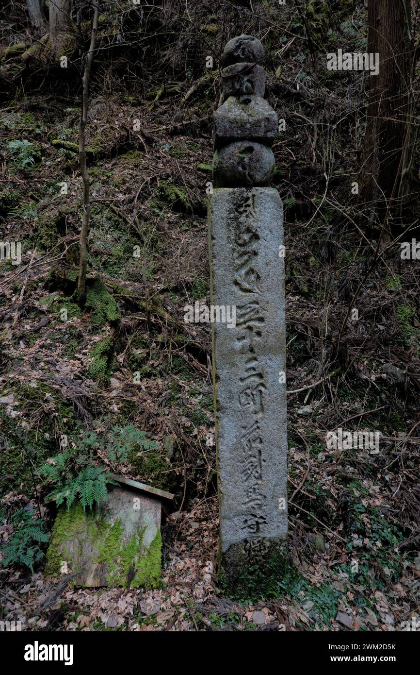 Choishi stone distance marker on the Choishimichi Kumano Kodo pilgrimage route, Mount Koya, Wakayama, Japan Stock Photohttps://www.alamy.com/image-license-details/?v=1https://www.alamy.com/choishi-stone-distance-marker-on-the-choishimichi-kumano-kodo-pilgrimage-route-mount-koya-wakayama-japan-image597499887.html
RF2WM2D5K–Choishi stone distance marker on the Choishimichi Kumano Kodo pilgrimage route, Mount Koya, Wakayama, Japan
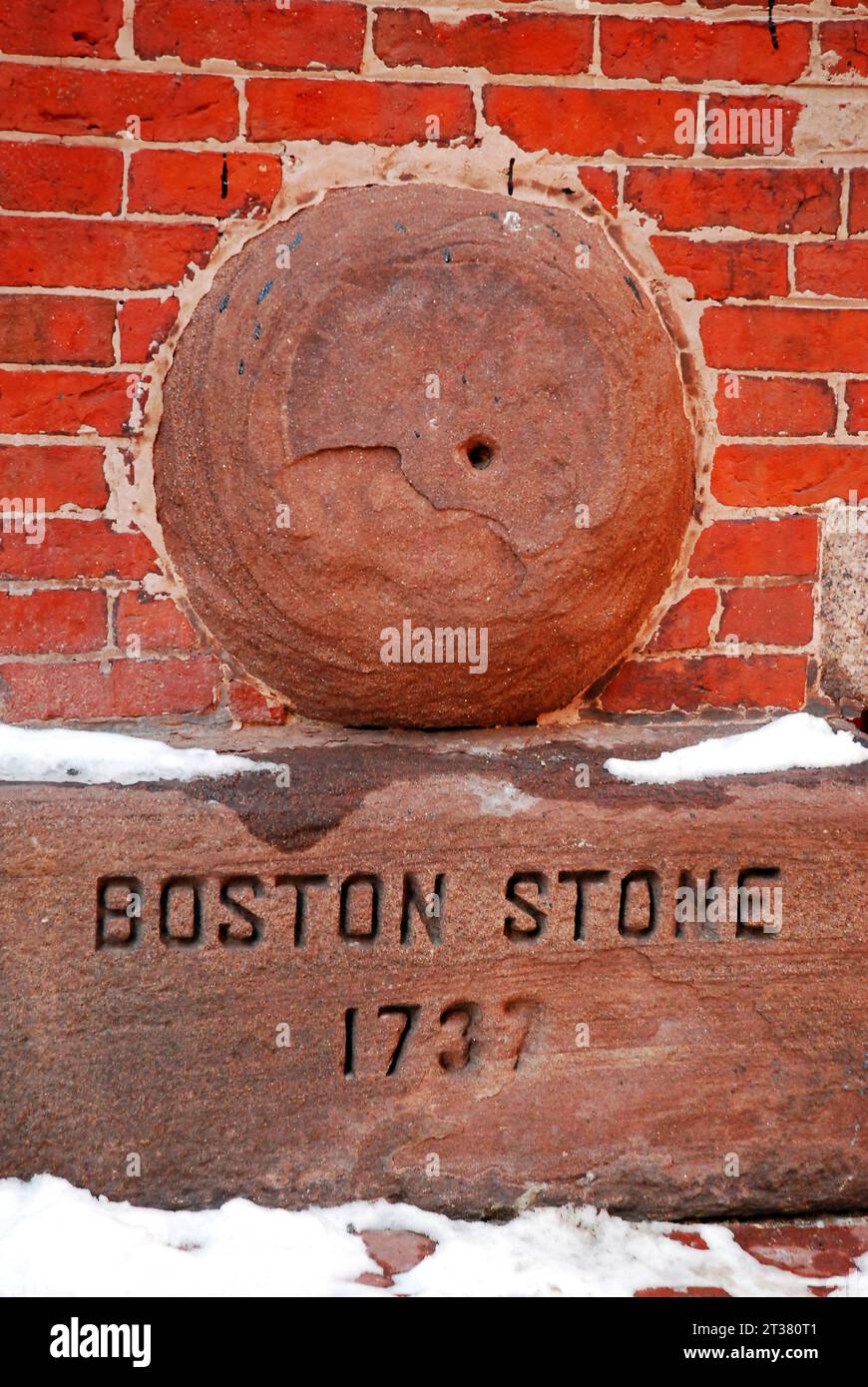 The Boston Stone is embedded in a brick wall and was used to measure distance within the city and in the neighboring towns Stock Photohttps://www.alamy.com/image-license-details/?v=1https://www.alamy.com/the-boston-stone-is-embedded-in-a-brick-wall-and-was-used-to-measure-distance-within-the-city-and-in-the-neighboring-towns-image569962401.html
RF2T380T1–The Boston Stone is embedded in a brick wall and was used to measure distance within the city and in the neighboring towns
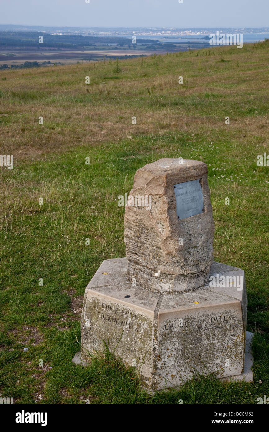 Stone Marker on the top of the Purbeck Hill ridge with Poole Harbour in the distance, Dorset, England Stock Photohttps://www.alamy.com/image-license-details/?v=1https://www.alamy.com/stock-photo-stone-marker-on-the-top-of-the-purbeck-hill-ridge-with-poole-harbour-24865514.html
RMBCCM62–Stone Marker on the top of the Purbeck Hill ridge with Poole Harbour in the distance, Dorset, England
 South West Coastal Path stone way marker, Dorset, England, UK Stock Photohttps://www.alamy.com/image-license-details/?v=1https://www.alamy.com/south-west-coastal-path-stone-way-marker-dorset-england-uk-image256086008.html
RMTTHM8T–South West Coastal Path stone way marker, Dorset, England, UK
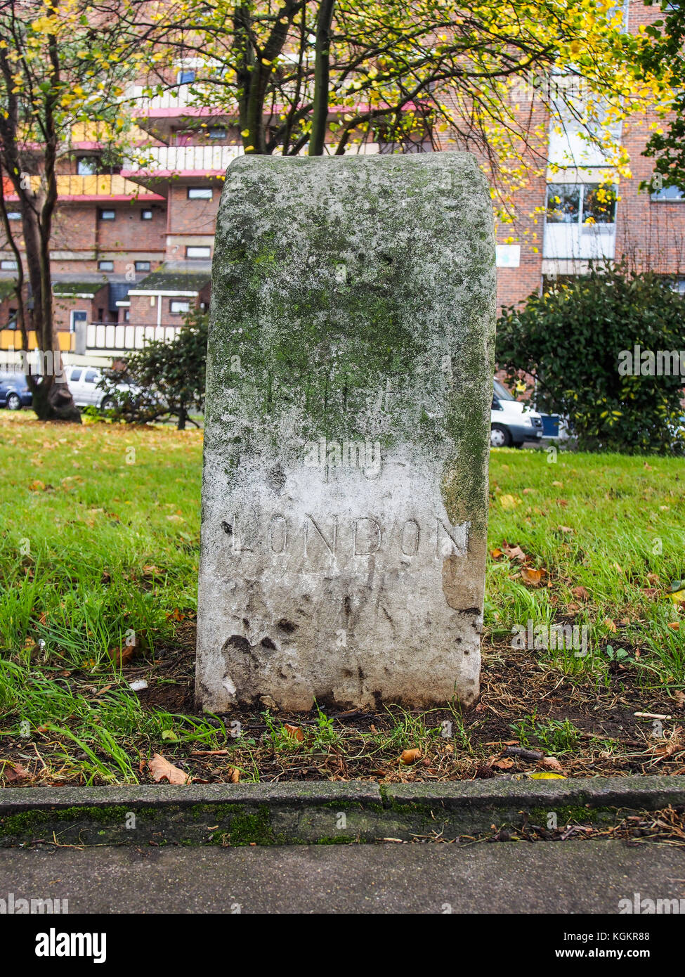 A mile stone marker showing the distance between London and Portsmouth on Mile end road, Portsmouth. Stock Photohttps://www.alamy.com/image-license-details/?v=1https://www.alamy.com/stock-image-a-mile-stone-marker-showing-the-distance-between-london-and-portsmouth-165163160.html
RMKGKR88–A mile stone marker showing the distance between London and Portsmouth on Mile end road, Portsmouth.
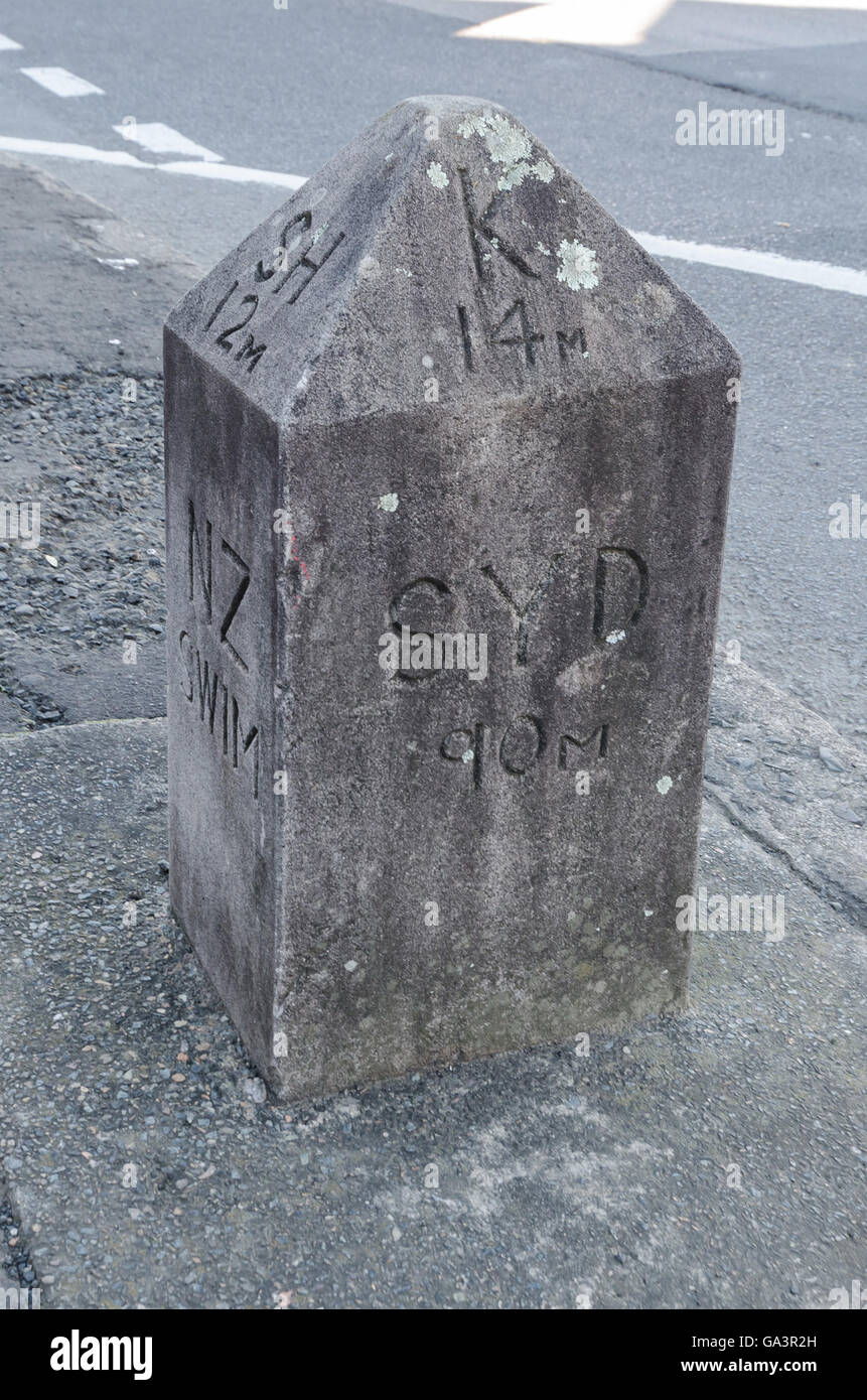 Mile marker in the town of Berry New South Wales Australia. Stock Photohttps://www.alamy.com/image-license-details/?v=1https://www.alamy.com/stock-photo-mile-marker-in-the-town-of-berry-new-south-wales-australia-109492729.html
RMGA3R2H–Mile marker in the town of Berry New South Wales Australia.
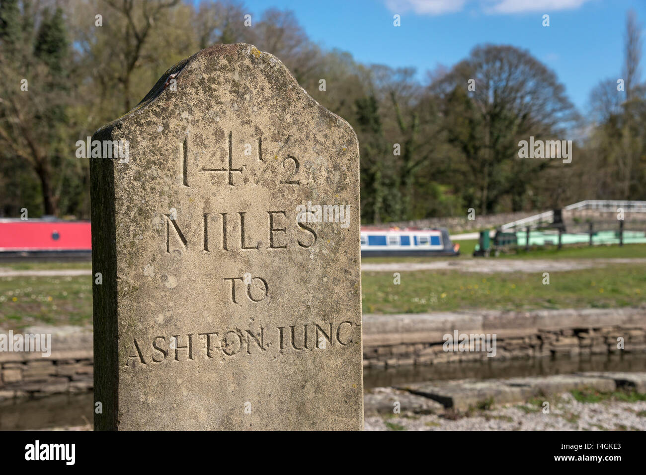 Stone signpost to Ashton Junction on the Peak Forest canal at Bugsworth Basin, Whaley Bridge, Derbyshire, England. Stock Photohttps://www.alamy.com/image-license-details/?v=1https://www.alamy.com/stone-signpost-to-ashton-junction-on-the-peak-forest-canal-at-bugsworth-basin-whaley-bridge-derbyshire-england-image243770299.html
RFT4GKE3–Stone signpost to Ashton Junction on the Peak Forest canal at Bugsworth Basin, Whaley Bridge, Derbyshire, England.
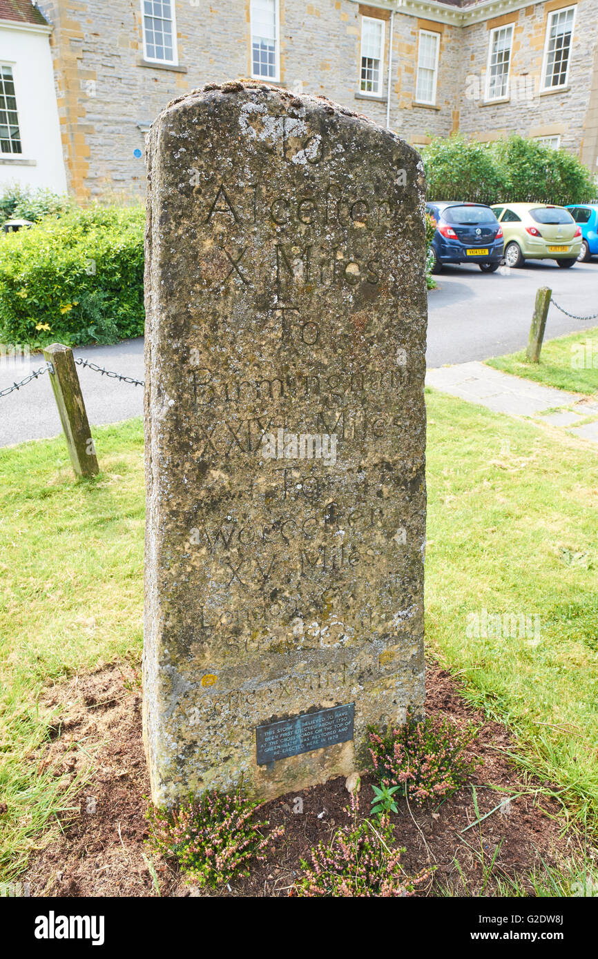 Stone Milestone Marker Dating From 1730 And Used Roman Numerals To Show Distance Vine Street Evesham Wychavon Worcestershire UK Stock Photohttps://www.alamy.com/image-license-details/?v=1https://www.alamy.com/stock-photo-stone-milestone-marker-dating-from-1730-and-used-roman-numerals-to-104796738.html
RMG2DW8J–Stone Milestone Marker Dating From 1730 And Used Roman Numerals To Show Distance Vine Street Evesham Wychavon Worcestershire UK
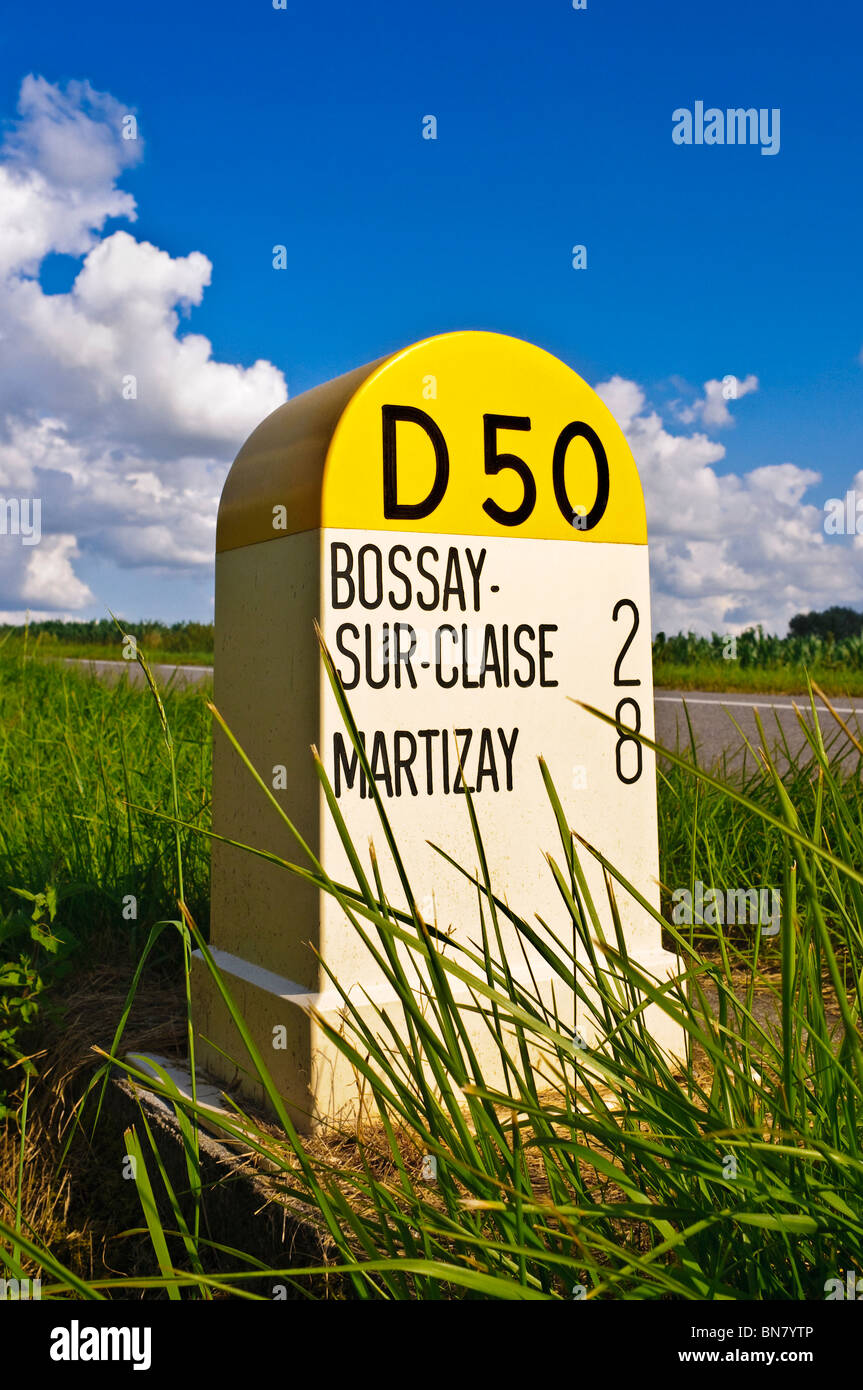 Roadside distance marker - Indre-et-Loire, France. Stock Photohttps://www.alamy.com/image-license-details/?v=1https://www.alamy.com/stock-photo-roadside-distance-marker-indre-et-loire-france-30293670.html
RMBN7YTP–Roadside distance marker - Indre-et-Loire, France.
 Stone marker coast path distance from Golden Cap to Charmouth, Dorset countryside England UK Stock Photohttps://www.alamy.com/image-license-details/?v=1https://www.alamy.com/stock-photo-stone-marker-coast-path-distance-from-golden-cap-to-charmouth-dorset-36583279.html
RMC3EE9K–Stone marker coast path distance from Golden Cap to Charmouth, Dorset countryside England UK
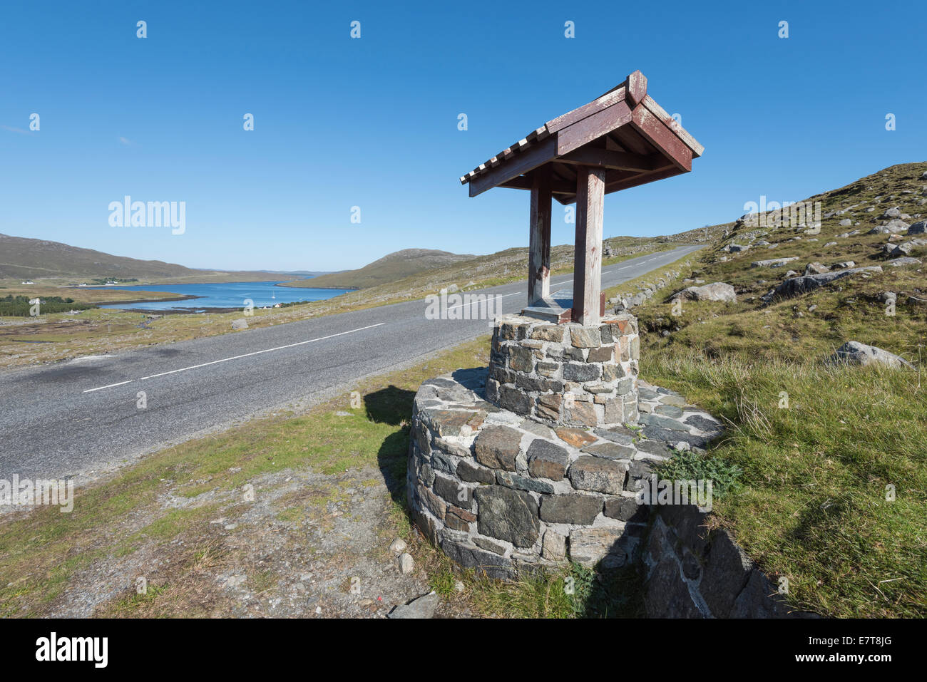 Harris Walkway starting point marker stone, Isle of Harris, Outer Hebrides, Scotland Stock Photohttps://www.alamy.com/image-license-details/?v=1https://www.alamy.com/stock-photo-harris-walkway-starting-point-marker-stone-isle-of-harris-outer-hebrides-73677704.html
RFE7T8JG–Harris Walkway starting point marker stone, Isle of Harris, Outer Hebrides, Scotland
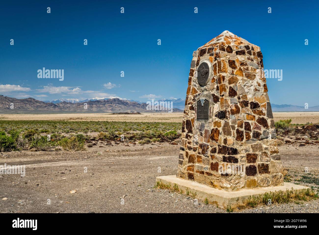 Monument at Black Rock Station, Deep Creek Range in far distance, Pony Express Trail, Back Country Byway, Great Basin, Utah, USA Stock Photohttps://www.alamy.com/image-license-details/?v=1https://www.alamy.com/monument-at-black-rock-station-deep-creek-range-in-far-distance-pony-express-trail-back-country-byway-great-basin-utah-usa-image434603602.html
RF2G71W96–Monument at Black Rock Station, Deep Creek Range in far distance, Pony Express Trail, Back Country Byway, Great Basin, Utah, USA
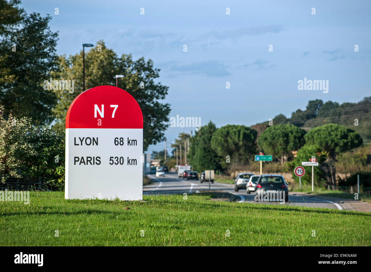 Kilometre marker / kilometer stone along the historic Route Nationale 7 / RN7 in France Stock Photohttps://www.alamy.com/image-license-details/?v=1https://www.alamy.com/stock-photo-kilometre-marker-kilometer-stone-along-the-historic-route-nationale-74807228.html
RME9KNAM–Kilometre marker / kilometer stone along the historic Route Nationale 7 / RN7 in France
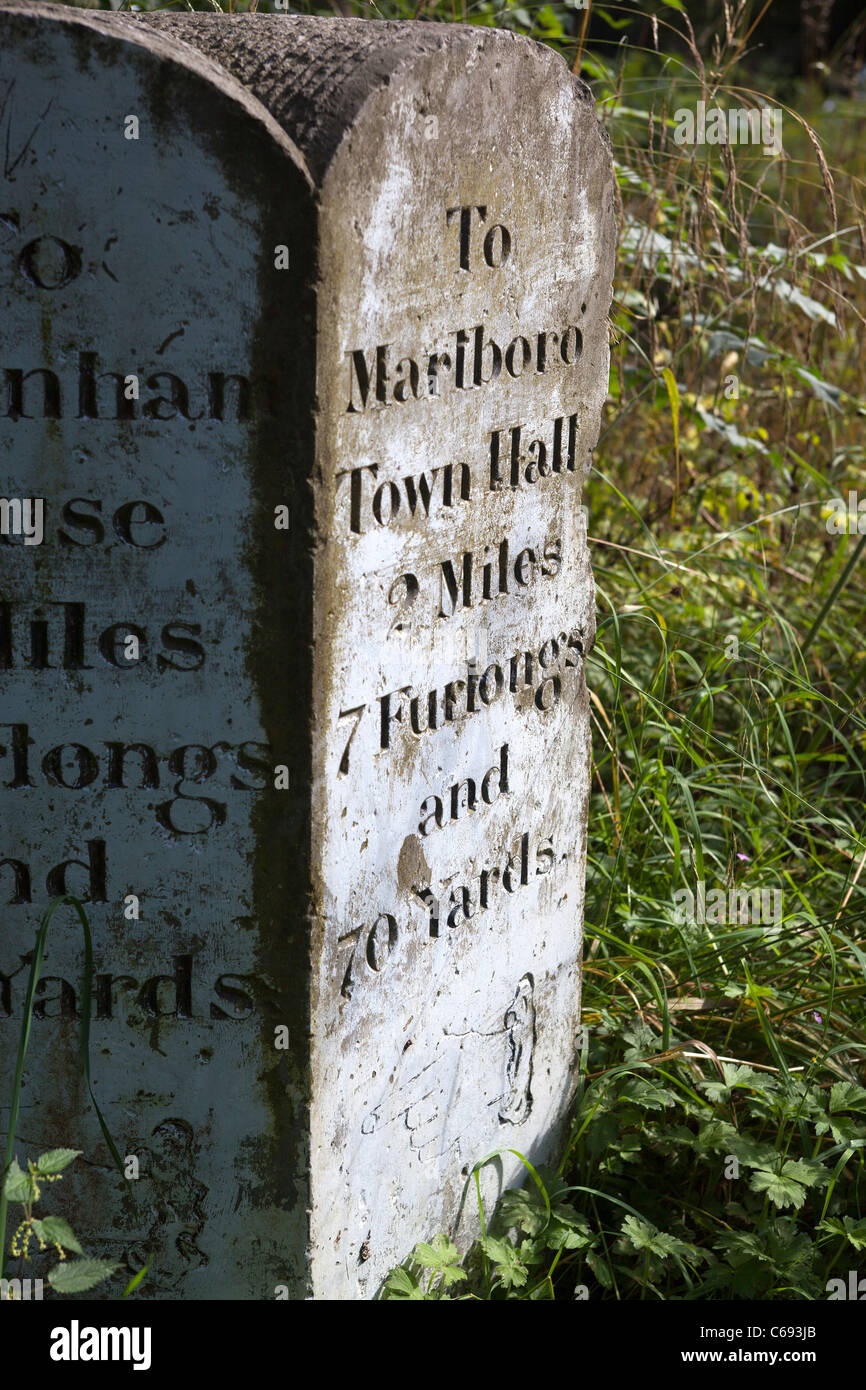 Stone Distance Marker Savernake Forest Wiltshire Stock Photohttps://www.alamy.com/image-license-details/?v=1https://www.alamy.com/stock-photo-stone-distance-marker-savernake-forest-wiltshire-38309107.html
RMC693JB–Stone Distance Marker Savernake Forest Wiltshire
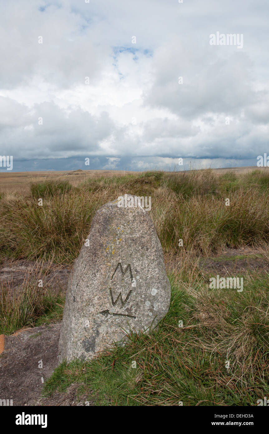 Marker stone on the Two Moors Way long distance footpath on Dartmoor in Devon Stock Photohttps://www.alamy.com/image-license-details/?v=1https://www.alamy.com/marker-stone-on-the-two-moors-way-long-distance-footpath-on-dartmoor-image60619758.html
RMDEHD3A–Marker stone on the Two Moors Way long distance footpath on Dartmoor in Devon
 Ancient distance marker stone (to Salisbury and to Andover) in the market town of Marlborough, Wiltshire, UK. Stock Photohttps://www.alamy.com/image-license-details/?v=1https://www.alamy.com/ancient-distance-marker-stone-to-salisbury-and-to-andover-in-the-market-town-of-marlborough-wiltshire-uk-image401335090.html
RM2E8XB02–Ancient distance marker stone (to Salisbury and to Andover) in the market town of Marlborough, Wiltshire, UK.
 The replica of the Bridgeness Slab, a Roman Legionary distance marker stone, in the town of Bo'Ness, Scotland, UK. It is on part of the Antonine Wall. Stock Photohttps://www.alamy.com/image-license-details/?v=1https://www.alamy.com/the-replica-of-the-bridgeness-slab-a-roman-legionary-distance-marker-stone-in-the-town-of-boness-scotland-uk-it-is-on-part-of-the-antonine-wall-image385089186.html
RM2DAE956–The replica of the Bridgeness Slab, a Roman Legionary distance marker stone, in the town of Bo'Ness, Scotland, UK. It is on part of the Antonine Wall.
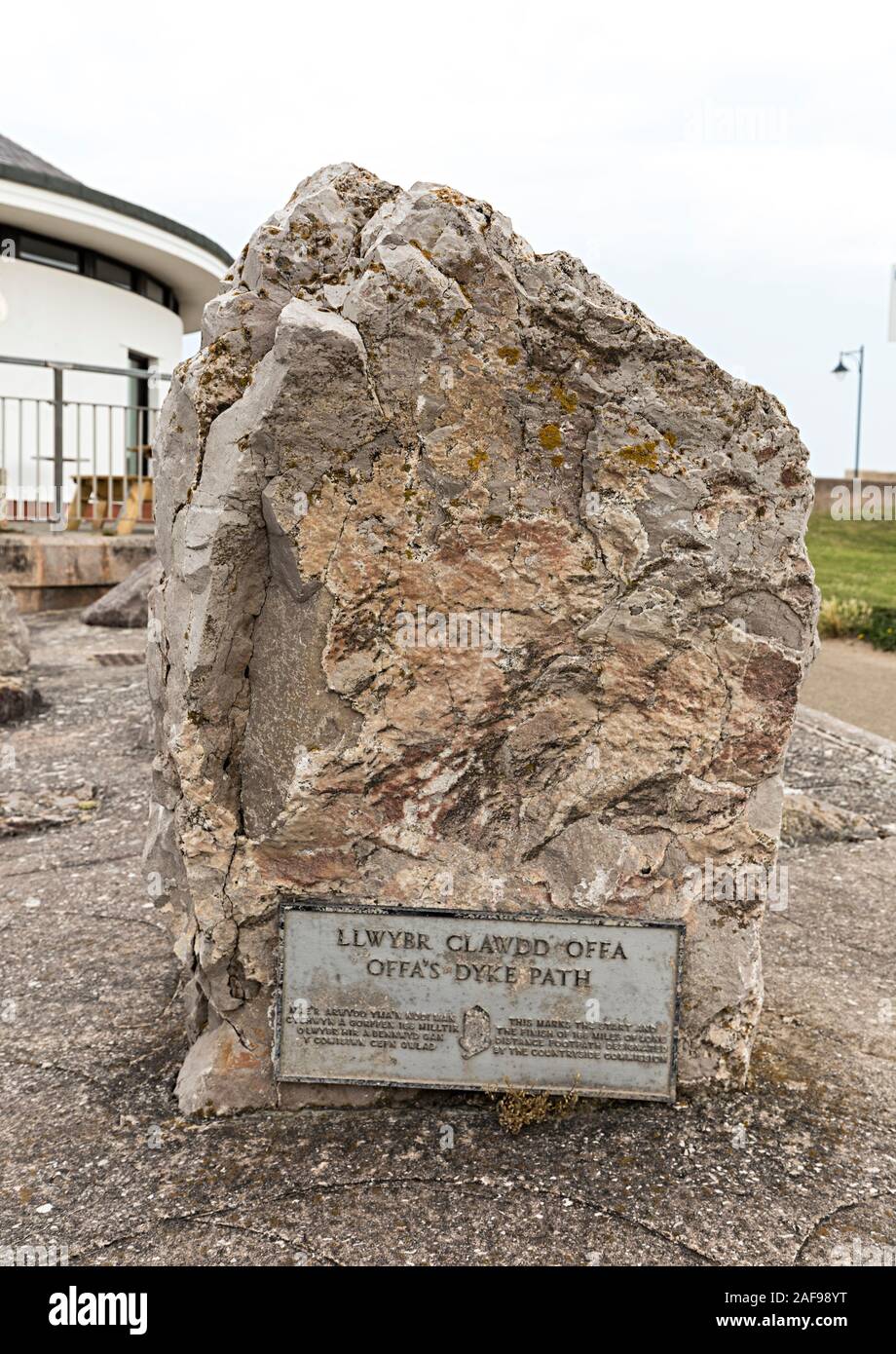 Stone marking the start and finish of the Offa's Dyke Path, Llwybr Clawdd Offa, Prestatyn, Denbighshire, Wales, UK Stock Photohttps://www.alamy.com/image-license-details/?v=1https://www.alamy.com/stone-marking-the-start-and-finish-of-the-offas-dyke-path-llwybr-clawdd-offa-prestatyn-denbighshire-wales-uk-image336421452.html
RM2AF98YT–Stone marking the start and finish of the Offa's Dyke Path, Llwybr Clawdd Offa, Prestatyn, Denbighshire, Wales, UK
 Stone Milestone on the Macclesfield canal saying Marple 23 miles as it passes through Scholar Green in the Cheshire countryside Stock Photohttps://www.alamy.com/image-license-details/?v=1https://www.alamy.com/stone-milestone-on-the-macclesfield-canal-saying-marple-23-miles-as-it-passes-through-scholar-green-in-the-cheshire-countryside-image426185356.html
RM2FNABNG–Stone Milestone on the Macclesfield canal saying Marple 23 miles as it passes through Scholar Green in the Cheshire countryside
 Choishi stone distance marker on the Choishimichi Kumano Kodo pilgrimage route, Mount Koya, Wakayama, Japan Stock Photohttps://www.alamy.com/image-license-details/?v=1https://www.alamy.com/choishi-stone-distance-marker-on-the-choishimichi-kumano-kodo-pilgrimage-route-mount-koya-wakayama-japan-image597499866.html
RF2WM2D4X–Choishi stone distance marker on the Choishimichi Kumano Kodo pilgrimage route, Mount Koya, Wakayama, Japan
 Mile stone between Cardiff, Caerphilly and Merthyr, situated by the roadside in Gabalfa, Cardiff. Taken August 2024 Stock Photohttps://www.alamy.com/image-license-details/?v=1https://www.alamy.com/mile-stone-between-cardiff-caerphilly-and-merthyr-situated-by-the-roadside-in-gabalfa-cardiff-taken-august-2024-image617112014.html
RM2XRYTJP–Mile stone between Cardiff, Caerphilly and Merthyr, situated by the roadside in Gabalfa, Cardiff. Taken August 2024
 Black and withe painted metal Mile marker at Rhu showing the distance to local towns, Dunbarton, Garelochhead and Arrochar, in Argyll, Scotland Stock Photohttps://www.alamy.com/image-license-details/?v=1https://www.alamy.com/black-and-withe-painted-metal-mile-marker-at-rhu-showing-the-distance-to-local-towns-dunbarton-garelochhead-and-arrochar-in-argyll-scotland-image461328389.html
RF2HPF91W–Black and withe painted metal Mile marker at Rhu showing the distance to local towns, Dunbarton, Garelochhead and Arrochar, in Argyll, Scotland
 Stone distance dial at the summit of Mt Buller in Victoria, Australia. Stock Photohttps://www.alamy.com/image-license-details/?v=1https://www.alamy.com/stone-distance-dial-at-the-summit-of-mt-buller-in-victoria-australia-image327389402.html
RF2A0HTEJ–Stone distance dial at the summit of Mt Buller in Victoria, Australia.
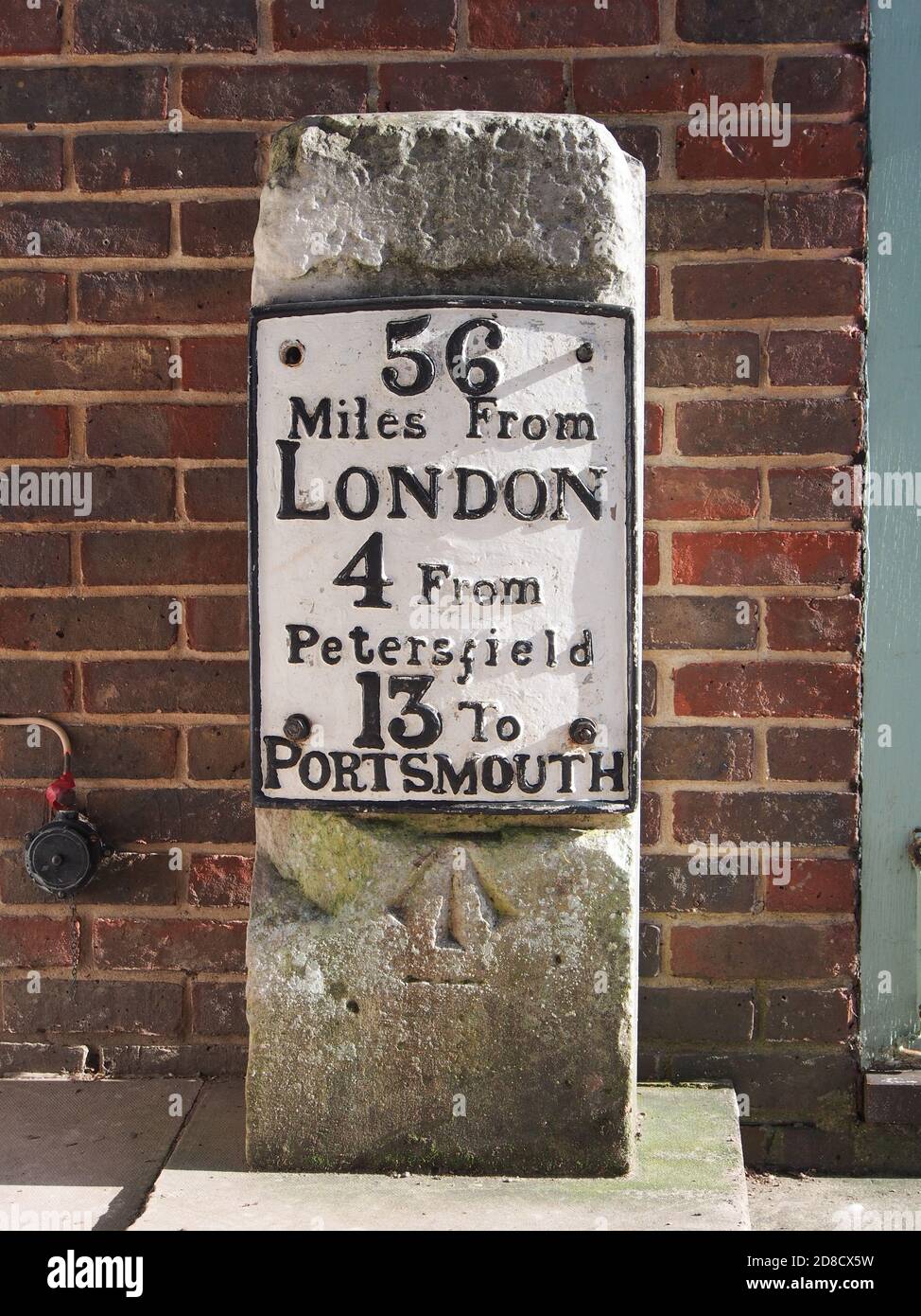 A m ile stone marker at Queen Elizabeth country park, Hampshire, England Stock Photohttps://www.alamy.com/image-license-details/?v=1https://www.alamy.com/a-m-ile-stone-marker-at-queen-elizabeth-country-park-hampshire-england-image383829317.html
RM2D8CX5W–A m ile stone marker at Queen Elizabeth country park, Hampshire, England
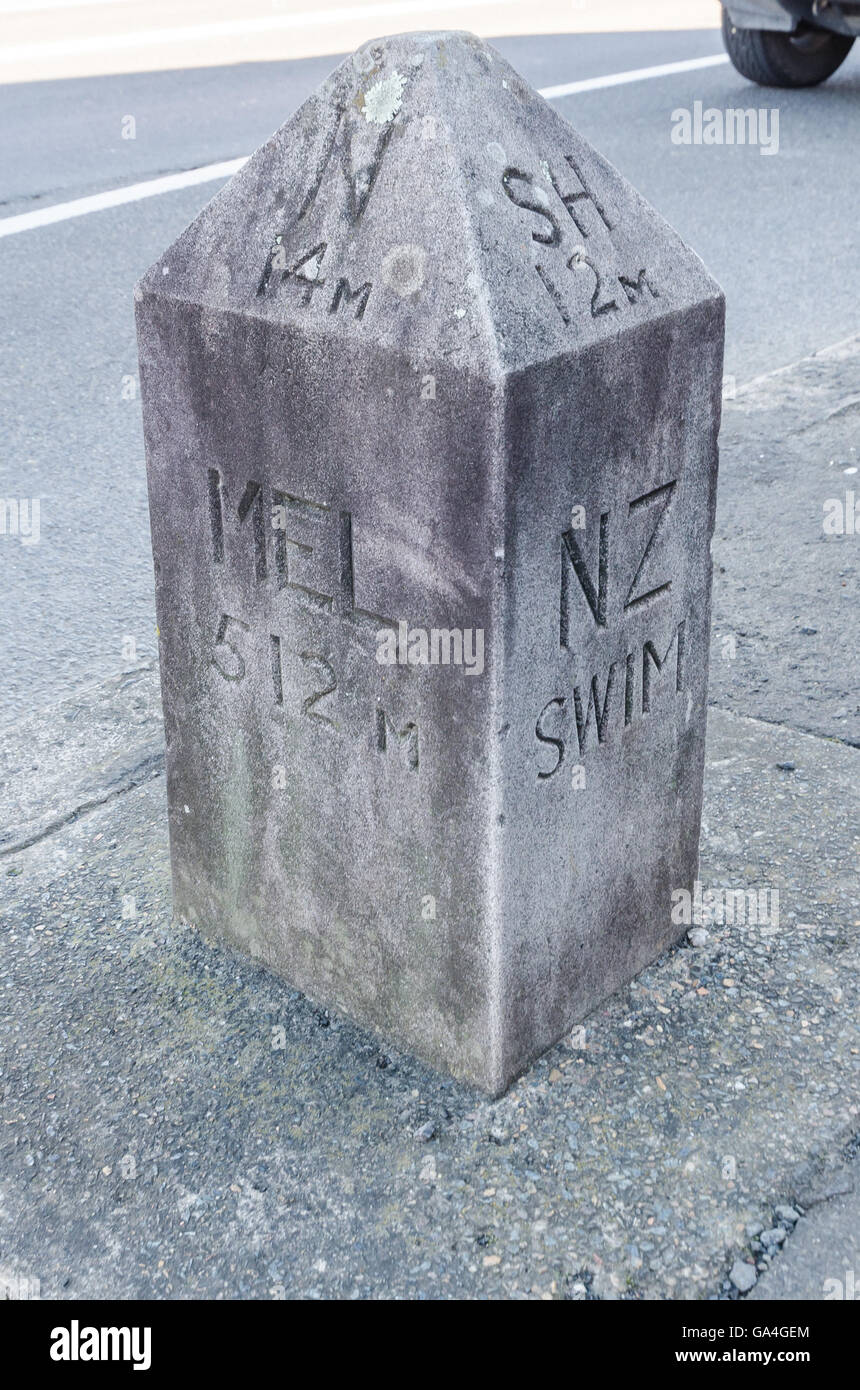 Mile marker in the town of Berry New South Wales Australia. Stock Photohttps://www.alamy.com/image-license-details/?v=1https://www.alamy.com/stock-photo-mile-marker-in-the-town-of-berry-new-south-wales-australia-109509532.html
RMGA4GEM–Mile marker in the town of Berry New South Wales Australia.
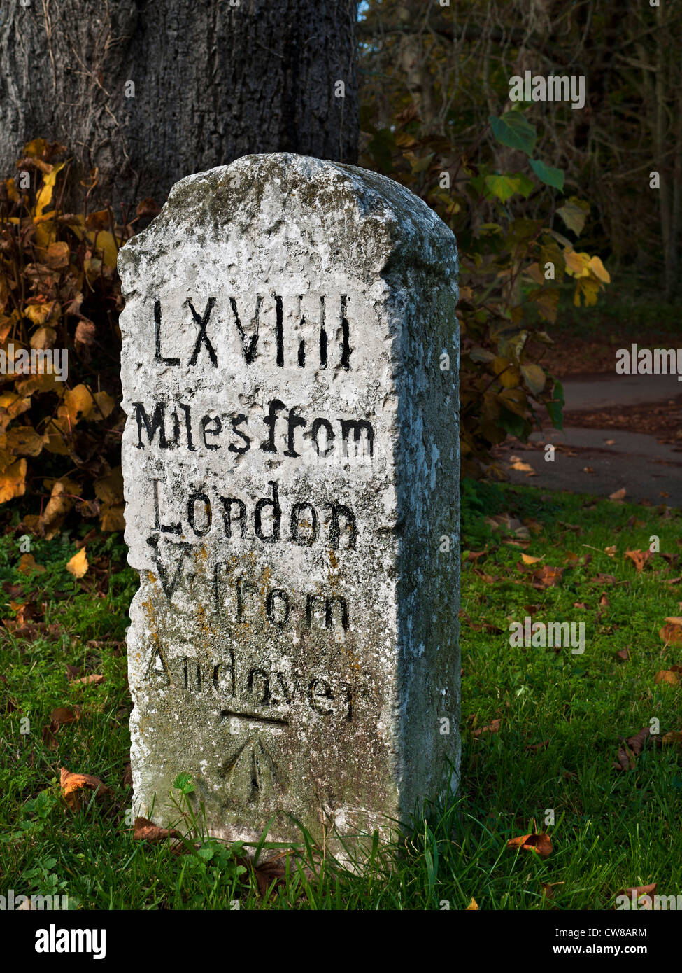 Old weathered stone marker milestone on Thruxton Village green engraved with Roman numerals 69 miles from London 5 miles from Andover Stock Photohttps://www.alamy.com/image-license-details/?v=1https://www.alamy.com/stock-photo-old-weathered-stone-marker-milestone-on-thruxton-village-green-engraved-49971256.html
RMCW8ARM–Old weathered stone marker milestone on Thruxton Village green engraved with Roman numerals 69 miles from London 5 miles from Andover
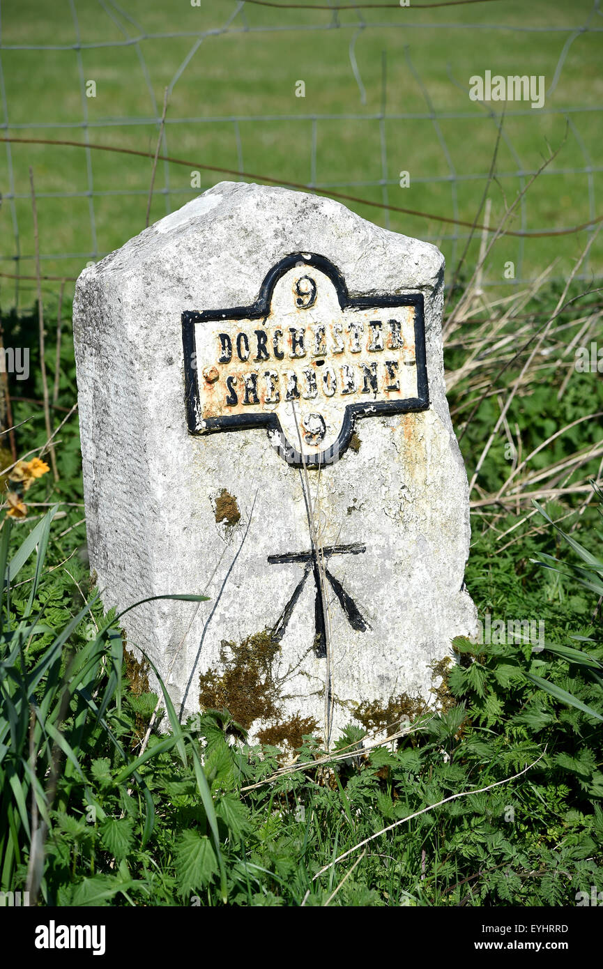 Milestone, boundary marker, border marker, boundary stone, or border stone, Dorset Britain, UK Stock Photohttps://www.alamy.com/image-license-details/?v=1https://www.alamy.com/stock-photo-milestone-boundary-marker-border-marker-boundary-stone-or-border-stone-85829057.html
RFEYHRRD–Milestone, boundary marker, border marker, boundary stone, or border stone, Dorset Britain, UK
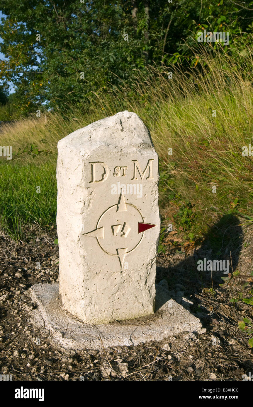 Saint Michel route marker stone, sud-Touraine, France. Stock Photohttps://www.alamy.com/image-license-details/?v=1https://www.alamy.com/stock-photo-saint-michel-route-marker-stone-sud-touraine-france-19638764.html
RMB3XHCC–Saint Michel route marker stone, sud-Touraine, France.
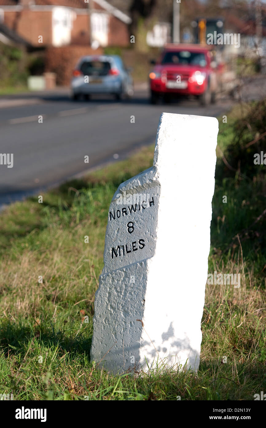 An old stone mile marker on the B1172 at Wymondham, Norfolk, UK Stock Photohttps://www.alamy.com/image-license-details/?v=1https://www.alamy.com/stock-photo-an-old-stone-mile-marker-on-the-b1172-at-wymondham-norfolk-uk-53322303.html
RMD2N13Y–An old stone mile marker on the B1172 at Wymondham, Norfolk, UK
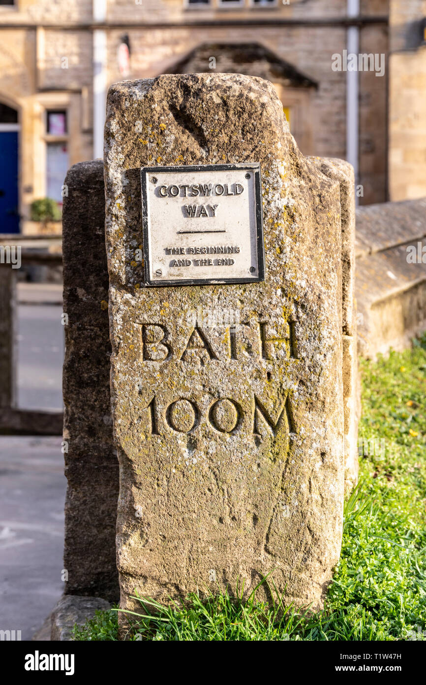 Evening light on the stone marker post depicting the beginning and the end of the Cotswold Way National Trail at Chipping Campden, Gloucestershire UK Stock Photohttps://www.alamy.com/image-license-details/?v=1https://www.alamy.com/evening-light-on-the-stone-marker-post-depicting-the-beginning-and-the-end-of-the-cotswold-way-national-trail-at-chipping-campden-gloucestershire-uk-image242111957.html
RMT1W47H–Evening light on the stone marker post depicting the beginning and the end of the Cotswold Way National Trail at Chipping Campden, Gloucestershire UK
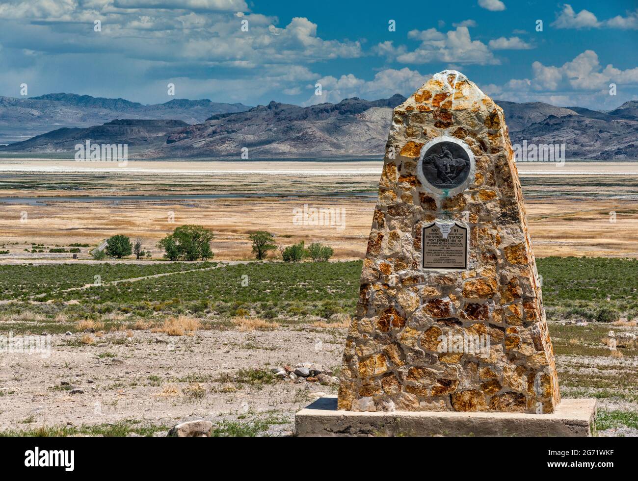 Monument at Fish Springs Station, Fish Springs Flat, Dugway Range in distance, Pony Express Trail, Back Country Byway, Great Basin, Utah, USA Stock Photohttps://www.alamy.com/image-license-details/?v=1https://www.alamy.com/monument-at-fish-springs-station-fish-springs-flat-dugway-range-in-distance-pony-express-trail-back-country-byway-great-basin-utah-usa-image434603891.html
RF2G71WKF–Monument at Fish Springs Station, Fish Springs Flat, Dugway Range in distance, Pony Express Trail, Back Country Byway, Great Basin, Utah, USA
 Stone road marking in the Gran Paradiso National Park near Valnoney, Aosta Valley, Italy Stock Photohttps://www.alamy.com/image-license-details/?v=1https://www.alamy.com/stone-road-marking-in-the-gran-paradiso-national-park-near-valnoney-aosta-valley-italy-image545710668.html
RF2PKR7EM–Stone road marking in the Gran Paradiso National Park near Valnoney, Aosta Valley, Italy
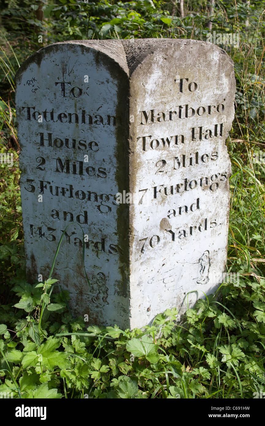 Stone Distance Marker Savernake Forest Wiltshire Stock Photohttps://www.alamy.com/image-license-details/?v=1https://www.alamy.com/stock-photo-stone-distance-marker-savernake-forest-wiltshire-38307525.html
RMC691HW–Stone Distance Marker Savernake Forest Wiltshire
 Marker stone on the Two Moors Way long distance footpath on Dartmoor in Devon Stock Photohttps://www.alamy.com/image-license-details/?v=1https://www.alamy.com/marker-stone-on-the-two-moors-way-long-distance-footpath-on-dartmoor-image60619629.html
RMDEHCXN–Marker stone on the Two Moors Way long distance footpath on Dartmoor in Devon
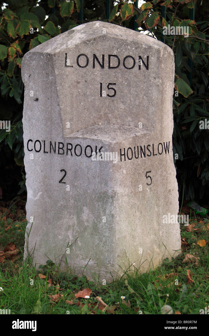 Stone marker showing distances to Central London, Colnbrook and Hounslow on the Bath Road, near Hounslow, UK. Stock Photohttps://www.alamy.com/image-license-details/?v=1https://www.alamy.com/stock-photo-stone-marker-showing-distances-to-central-london-colnbrook-and-hounslow-31365704.html
RMBR0R7M–Stone marker showing distances to Central London, Colnbrook and Hounslow on the Bath Road, near Hounslow, UK.
 The replica of the Bridgeness Slab, a Roman Legionary distance marker stone, in the town of Bo'Ness, Scotland, UK. It is on part of the Antonine Wall. Stock Photohttps://www.alamy.com/image-license-details/?v=1https://www.alamy.com/the-replica-of-the-bridgeness-slab-a-roman-legionary-distance-marker-stone-in-the-town-of-boness-scotland-uk-it-is-on-part-of-the-antonine-wall-image385089157.html
RM2DAE945–The replica of the Bridgeness Slab, a Roman Legionary distance marker stone, in the town of Bo'Ness, Scotland, UK. It is on part of the Antonine Wall.
 An historic milestone in Hindhead, Surrey, originally set up in the mid 18th century on the historic London to Portsmouth turnpike road. Stock Photohttps://www.alamy.com/image-license-details/?v=1https://www.alamy.com/an-historic-milestone-in-hindhead-surrey-originally-set-up-in-the-mid-18th-century-on-the-historic-london-to-portsmouth-turnpike-road-image401198847.html
RF2E8M567–An historic milestone in Hindhead, Surrey, originally set up in the mid 18th century on the historic London to Portsmouth turnpike road.
 Milestone for Ambositra and Antananarivo on the N7 road in Madagascar. Stock Photohttps://www.alamy.com/image-license-details/?v=1https://www.alamy.com/stock-photo-milestone-for-ambositra-and-antananarivo-on-the-n7-road-in-madagascar-34011144.html
RMBY99FM–Milestone for Ambositra and Antananarivo on the N7 road in Madagascar.
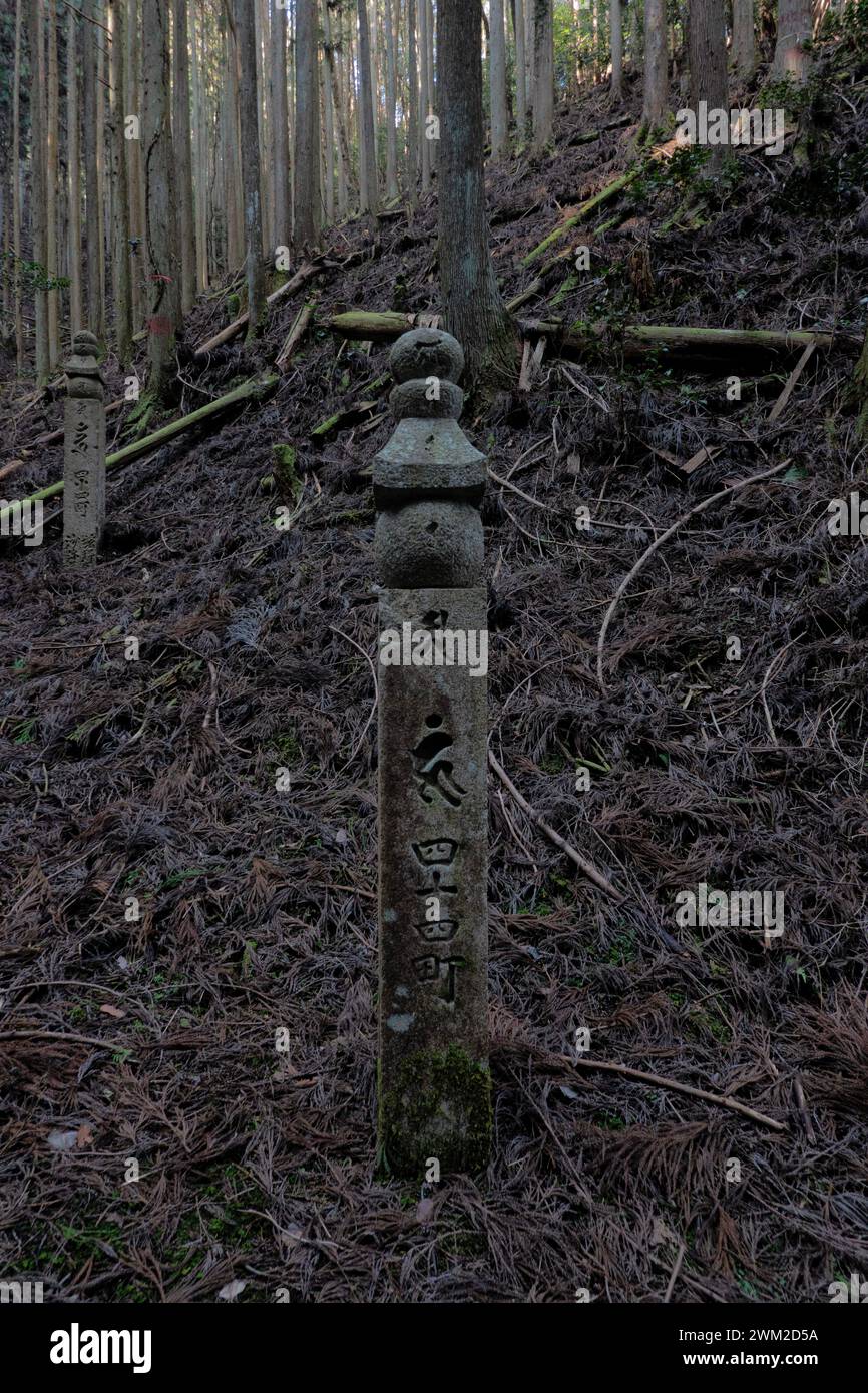 Choishi stone distance marker on the Choishimichi Kumano Kodo pilgrimage route, Mount Koya, Wakayama, Japan Stock Photohttps://www.alamy.com/image-license-details/?v=1https://www.alamy.com/choishi-stone-distance-marker-on-the-choishimichi-kumano-kodo-pilgrimage-route-mount-koya-wakayama-japan-image597499878.html
RF2WM2D5A–Choishi stone distance marker on the Choishimichi Kumano Kodo pilgrimage route, Mount Koya, Wakayama, Japan
 Mile stone between Cardiff, Caerphilly and Merthyr, situated by the roadside in Gabalfa, Cardiff. Taken August 2024 Stock Photohttps://www.alamy.com/image-license-details/?v=1https://www.alamy.com/mile-stone-between-cardiff-caerphilly-and-merthyr-situated-by-the-roadside-in-gabalfa-cardiff-taken-august-2024-image617112007.html
RM2XRYTJF–Mile stone between Cardiff, Caerphilly and Merthyr, situated by the roadside in Gabalfa, Cardiff. Taken August 2024
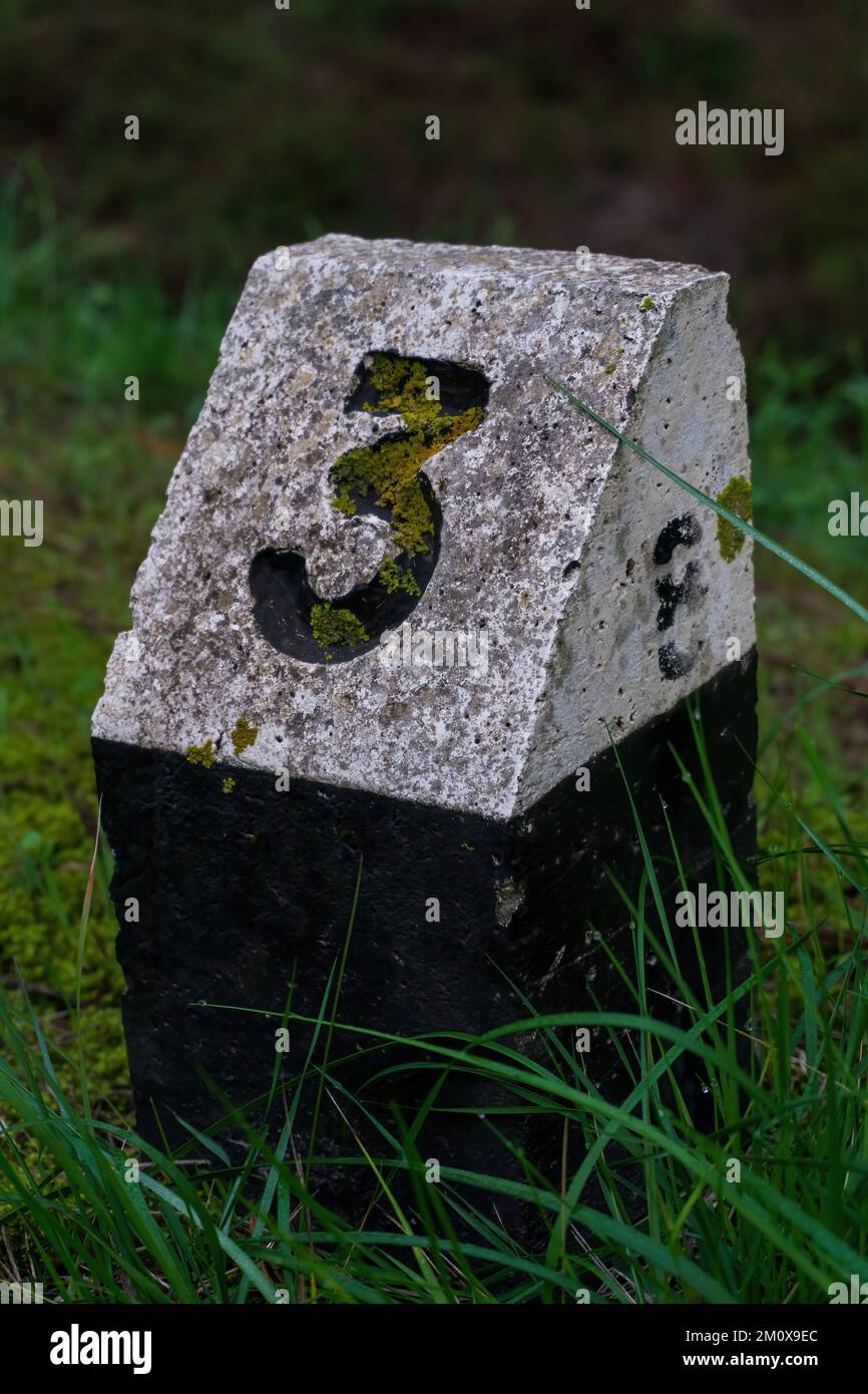 A black and white stone sign with the number three by the road Stock Photohttps://www.alamy.com/image-license-details/?v=1https://www.alamy.com/a-black-and-white-stone-sign-with-the-number-three-by-the-road-image499678884.html
RF2M0X9EC–A black and white stone sign with the number three by the road
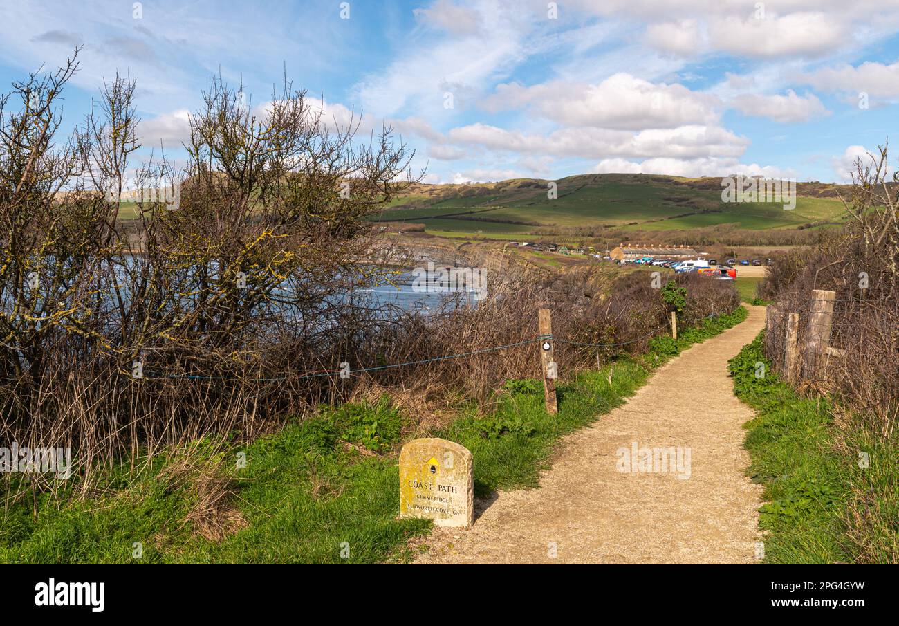 Gravel path leading to Kimmeridge Bay car park with Coastal stone marker showing the distance to Lulworth Cove on the south west coast path Stock Photohttps://www.alamy.com/image-license-details/?v=1https://www.alamy.com/gravel-path-leading-to-kimmeridge-bay-car-park-with-coastal-stone-marker-showing-the-distance-to-lulworth-cove-on-the-south-west-coast-path-image543457037.html
RF2PG4GYW–Gravel path leading to Kimmeridge Bay car park with Coastal stone marker showing the distance to Lulworth Cove on the south west coast path
 Distance marker, Route 6, Cambodia Stock Photohttps://www.alamy.com/image-license-details/?v=1https://www.alamy.com/stock-photo-distance-marker-route-6-cambodia-31543606.html
RMBR8X5A–Distance marker, Route 6, Cambodia
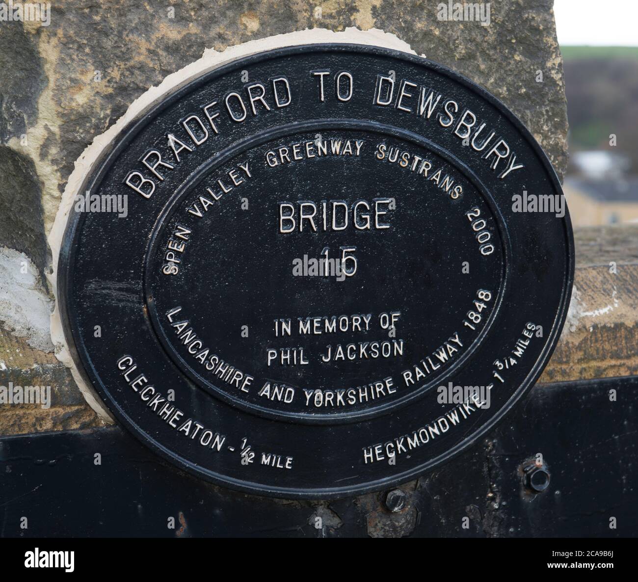 Distance marker sign on the Pen Valley Greenway Sustrans route between Cleckheaton and Heckmonwike Stock Photohttps://www.alamy.com/image-license-details/?v=1https://www.alamy.com/distance-marker-sign-on-the-pen-valley-greenway-sustrans-route-between-cleckheaton-and-heckmonwike-image367770666.html
RM2CA9B6J–Distance marker sign on the Pen Valley Greenway Sustrans route between Cleckheaton and Heckmonwike
 Lyke Wake Walk standing stone marker near Osmotherley, North York Moors, North Yorkshire, England. UK Stock Photohttps://www.alamy.com/image-license-details/?v=1https://www.alamy.com/lyke-wake-walk-standing-stone-marker-near-osmotherley-north-york-moors-north-yorkshire-england-uk-image367828239.html
RF2CAC0JR–Lyke Wake Walk standing stone marker near Osmotherley, North York Moors, North Yorkshire, England. UK
 Spain, Galicia. Ventras de Naron, A distance marker Stock Photohttps://www.alamy.com/image-license-details/?v=1https://www.alamy.com/spain-galicia-ventras-de-naron-a-distance-marker-image605130275.html
RF2X4E1RF–Spain, Galicia. Ventras de Naron, A distance marker
 Saint Michel route marker stone, France. Stock Photohttps://www.alamy.com/image-license-details/?v=1https://www.alamy.com/stock-photo-saint-michel-route-marker-stone-france-17305887.html
RMB049RB–Saint Michel route marker stone, France.
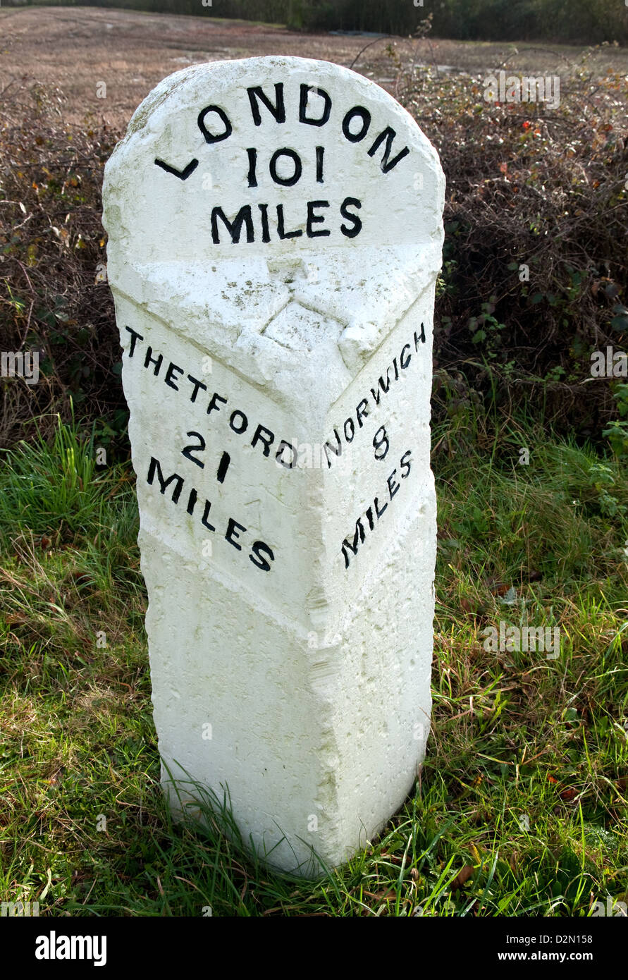 An old stone mile marker on the B1172 at Wymondham, Norfolk, UK Stock Photohttps://www.alamy.com/image-license-details/?v=1https://www.alamy.com/stock-photo-an-old-stone-mile-marker-on-the-b1172-at-wymondham-norfolk-uk-53322340.html
RMD2N158–An old stone mile marker on the B1172 at Wymondham, Norfolk, UK
 White concrete railway distance marker in weed covered countryside near Alora, Andalucia Stock Photohttps://www.alamy.com/image-license-details/?v=1https://www.alamy.com/stock-photo-white-concrete-railway-distance-marker-in-weed-covered-countryside-90973519.html
RFF805J7–White concrete railway distance marker in weed covered countryside near Alora, Andalucia
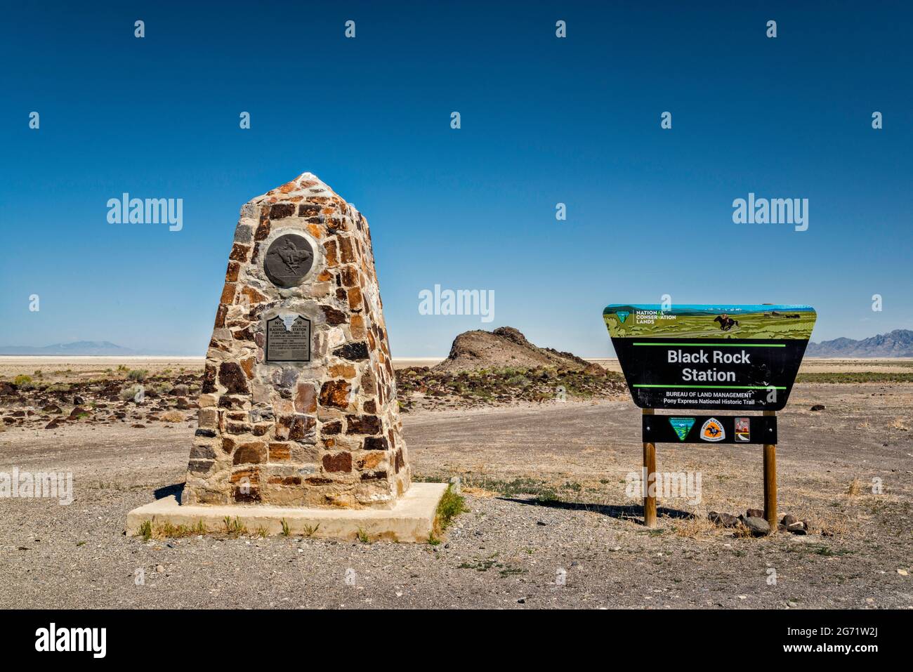 Monument at Black Rock Station, Pony Express Trail, Back Country Byway, Great Basin, Utah, USA Stock Photohttps://www.alamy.com/image-license-details/?v=1https://www.alamy.com/monument-at-black-rock-station-pony-express-trail-back-country-byway-great-basin-utah-usa-image434603418.html
RF2G71W2J–Monument at Black Rock Station, Pony Express Trail, Back Country Byway, Great Basin, Utah, USA
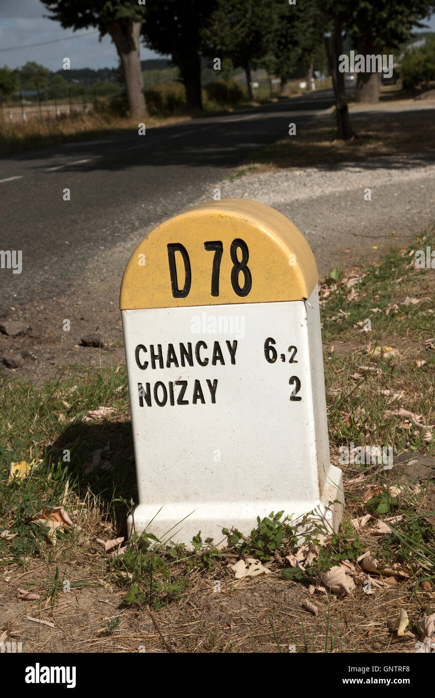 Loire Valley France - A roadside marker sign with place name and distance information Stock Photohttps://www.alamy.com/image-license-details/?v=1https://www.alamy.com/stock-photo-loire-valley-france-a-roadside-marker-sign-with-place-name-and-distance-116715292.html
RMGNTRF8–Loire Valley France - A roadside marker sign with place name and distance information
 Mile Marker Stone Stock Photohttps://www.alamy.com/image-license-details/?v=1https://www.alamy.com/stock-photo-mile-marker-stone-38338124.html
RMC6ACJM–Mile Marker Stone
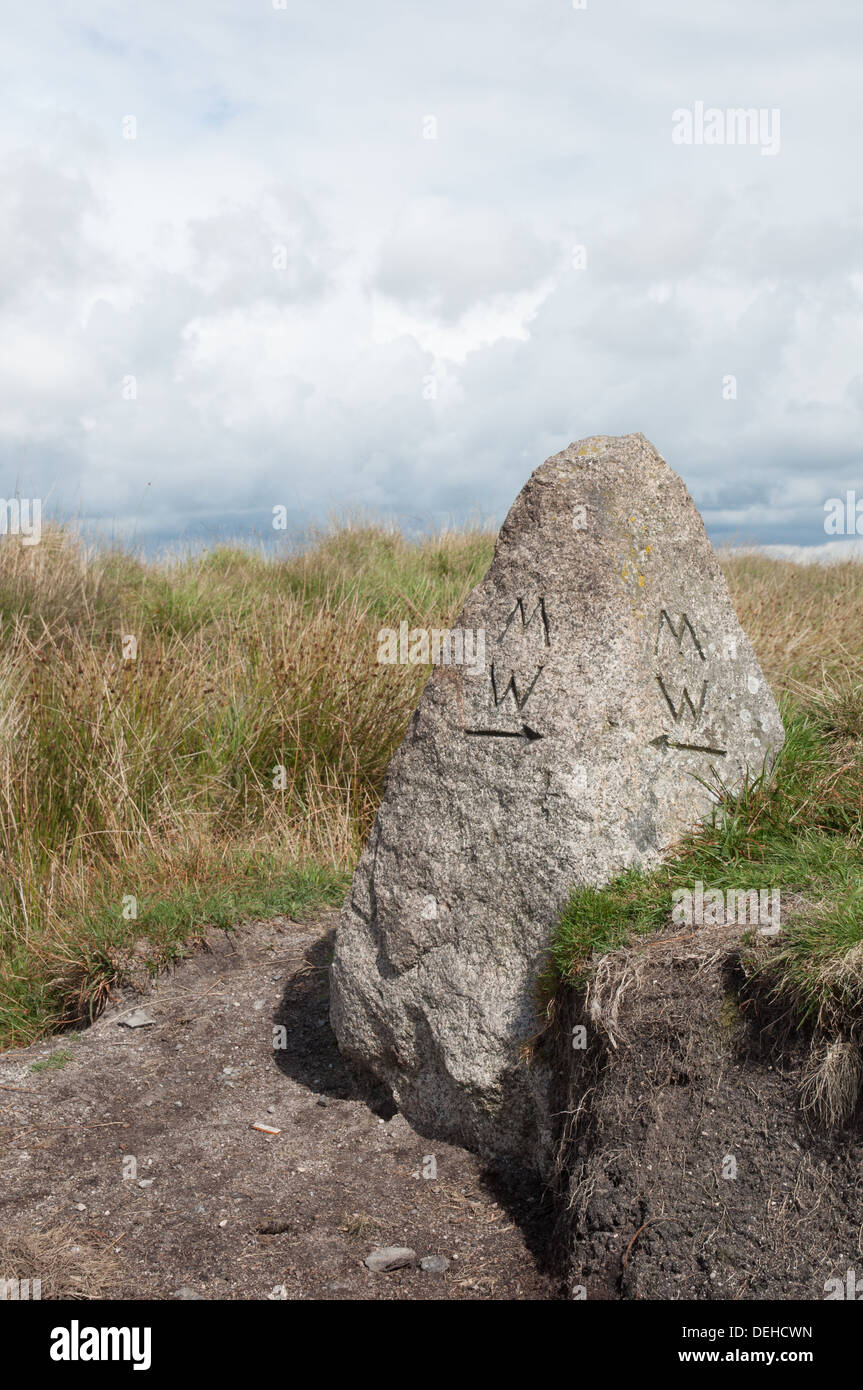 Marker stone on the Two Moors Way long distance footpath on Dartmoor in Devon Stock Photohttps://www.alamy.com/image-license-details/?v=1https://www.alamy.com/marker-stone-on-the-two-moors-way-long-distance-footpath-on-dartmoor-image60619601.html
RMDEHCWN–Marker stone on the Two Moors Way long distance footpath on Dartmoor in Devon
 Mile Stone in Wardown Park, Luton Stock Photohttps://www.alamy.com/image-license-details/?v=1https://www.alamy.com/stock-photo-mile-stone-in-wardown-park-luton-80232058.html
RFEJETPJ–Mile Stone in Wardown Park, Luton
 The replica of the Bridgeness Slab, a Roman Legionary distance marker stone, in the town of Bo'Ness, Scotland, UK. It is on part of the Antonine Wall. Stock Photohttps://www.alamy.com/image-license-details/?v=1https://www.alamy.com/the-replica-of-the-bridgeness-slab-a-roman-legionary-distance-marker-stone-in-the-town-of-boness-scotland-uk-it-is-on-part-of-the-antonine-wall-image385089173.html
RM2DAE94N–The replica of the Bridgeness Slab, a Roman Legionary distance marker stone, in the town of Bo'Ness, Scotland, UK. It is on part of the Antonine Wall.
 Old stone milestone in the Cheshire village of Tarporley Stock Photohttps://www.alamy.com/image-license-details/?v=1https://www.alamy.com/old-stone-milestone-in-the-cheshire-village-of-tarporley-image598760238.html
RM2WP3TP6–Old stone milestone in the Cheshire village of Tarporley
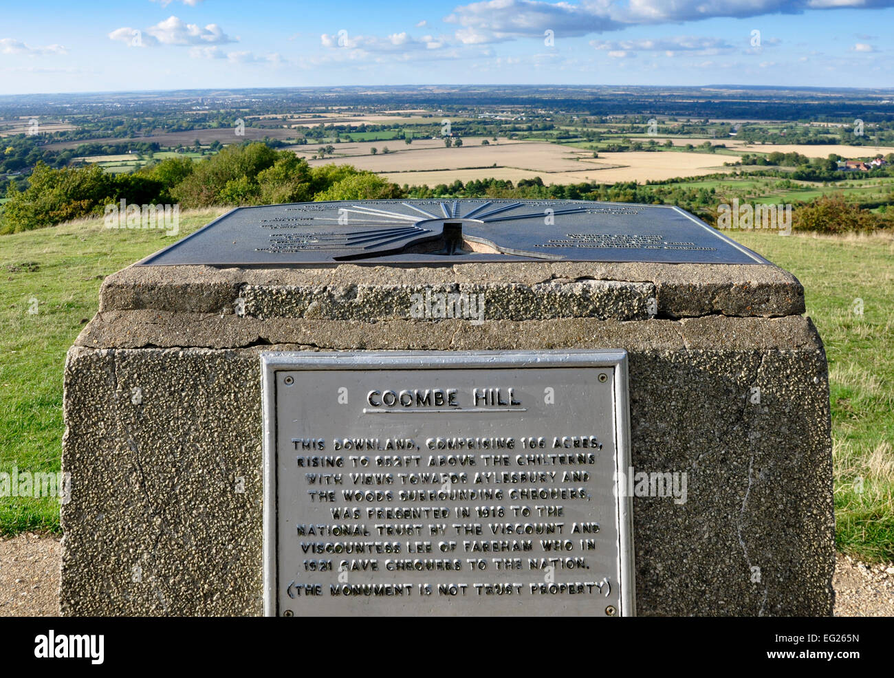 Bucks - Chiltern Hills - Coombe Hill - Aylesbury Plain seen over + beyond stone plinth mounted distance/direction finder plate Stock Photohttps://www.alamy.com/image-license-details/?v=1https://www.alamy.com/stock-photo-bucks-chiltern-hills-coombe-hill-aylesbury-plain-seen-over-beyond-78724737.html
RMEG265N–Bucks - Chiltern Hills - Coombe Hill - Aylesbury Plain seen over + beyond stone plinth mounted distance/direction finder plate
 Chipping Campden: Cotswold Way marker stone Stock Photohttps://www.alamy.com/image-license-details/?v=1https://www.alamy.com/stock-photo-chipping-campden-cotswold-way-marker-stone-49990672.html
RMCW97H4–Chipping Campden: Cotswold Way marker stone
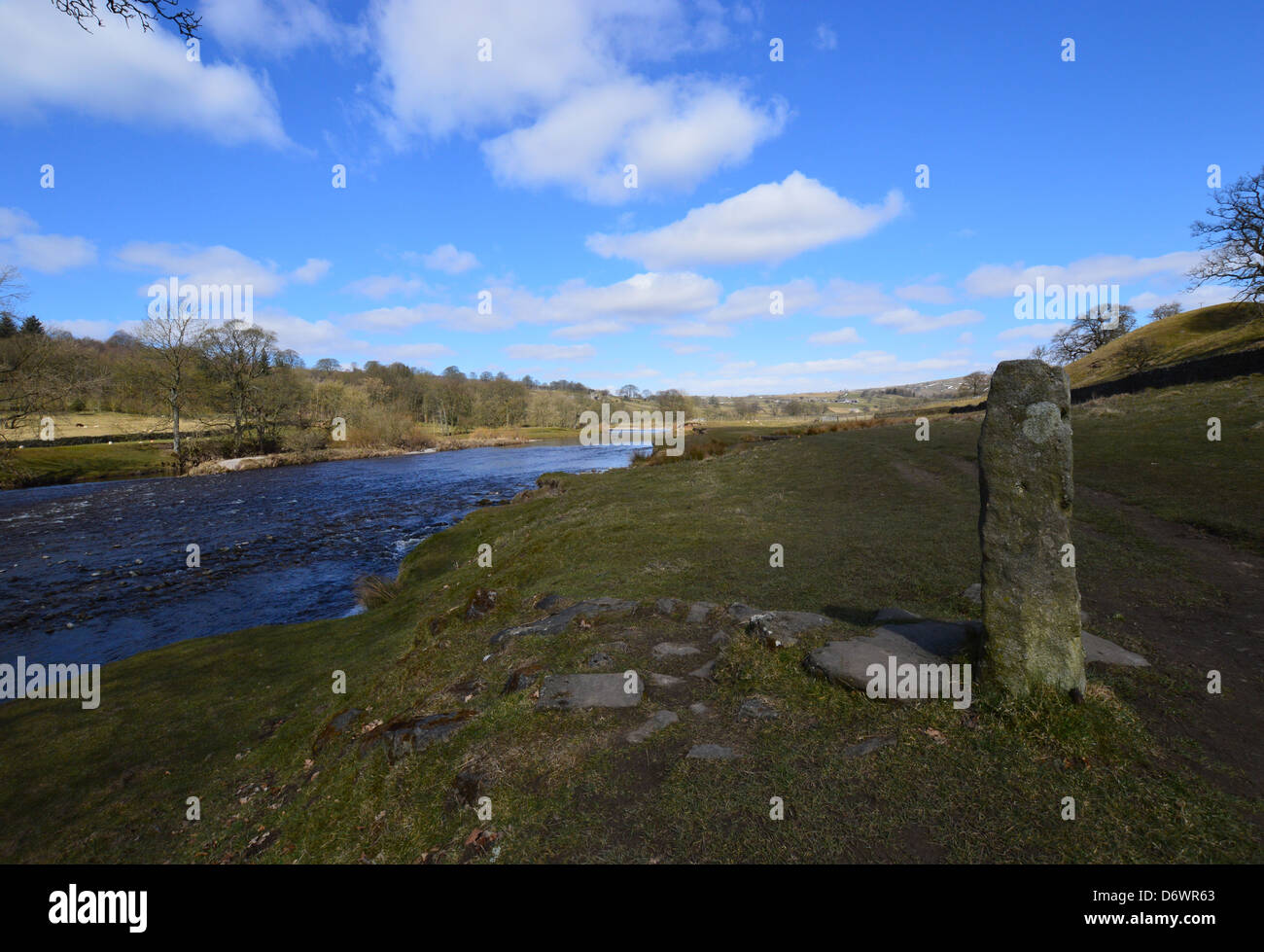 River Wharfe near Barden Bridge on The Dales Way Long Distance Footpath Wharfedale Yorkshire Stock Photohttps://www.alamy.com/image-license-details/?v=1https://www.alamy.com/stock-photo-river-wharfe-near-barden-bridge-on-the-dales-way-long-distance-footpath-55886043.html
RMD6WR63–River Wharfe near Barden Bridge on The Dales Way Long Distance Footpath Wharfedale Yorkshire
 Marker stone at the beginning of the Yorkshire Wolds Way, near the Humber Bridge, Hessle, Hull, Yorkshire Stock Photohttps://www.alamy.com/image-license-details/?v=1https://www.alamy.com/stock-photo-marker-stone-at-the-beginning-of-the-yorkshire-wolds-way-near-the-20043202.html
RMB4H18J–Marker stone at the beginning of the Yorkshire Wolds Way, near the Humber Bridge, Hessle, Hull, Yorkshire
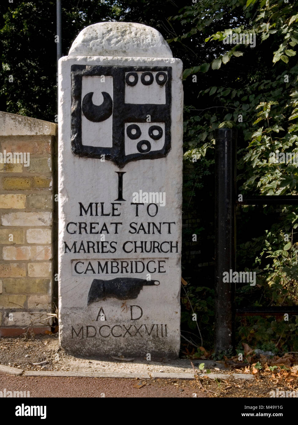 Cambridge to Barkway Milestone Stock Photohttps://www.alamy.com/image-license-details/?v=1https://www.alamy.com/stock-photo-cambridge-to-barkway-milestone-174781084.html
RMM49Y1G–Cambridge to Barkway Milestone
 Distance marker, Route 6, Cambodia Stock Photohttps://www.alamy.com/image-license-details/?v=1https://www.alamy.com/stock-photo-distance-marker-route-6-cambodia-31543828.html
RMBR8XD8–Distance marker, Route 6, Cambodia
 The focus is on the green safety indicator, which reminds us of the importance of keeping the distance between people because of the Covid-19 outbreak Stock Photohttps://www.alamy.com/image-license-details/?v=1https://www.alamy.com/the-focus-is-on-the-green-safety-indicator-which-reminds-us-of-the-importance-of-keeping-the-distance-between-people-because-of-the-covid-19-outbreak-image374125275.html
RF2CMJTGY–The focus is on the green safety indicator, which reminds us of the importance of keeping the distance between people because of the Covid-19 outbreak
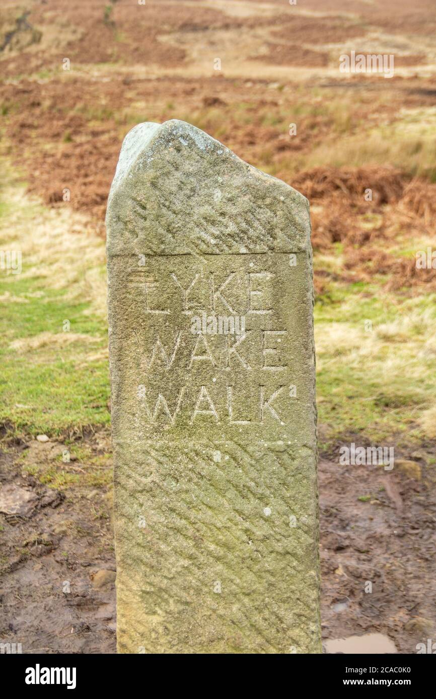 Lyke Wake Walk standing stone marker near Osmotherley, North York Moors, North Yorkshire, England. UK Stock Photohttps://www.alamy.com/image-license-details/?v=1https://www.alamy.com/lyke-wake-walk-standing-stone-marker-near-osmotherley-north-york-moors-north-yorkshire-england-uk-image367828244.html
RF2CAC0K0–Lyke Wake Walk standing stone marker near Osmotherley, North York Moors, North Yorkshire, England. UK
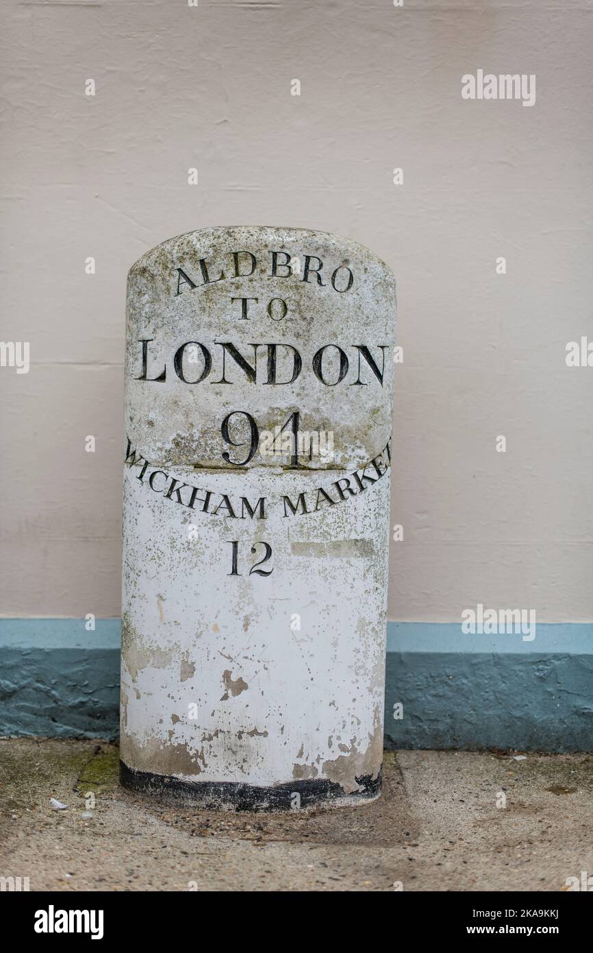 A road mile stone marker, Aldbro to London Stock Photohttps://www.alamy.com/image-license-details/?v=1https://www.alamy.com/a-road-mile-stone-marker-aldbro-to-london-image488249878.html
RM2KA9KKJ–A road mile stone marker, Aldbro to London
 Saint Michel route marker stone, France. Stock Photohttps://www.alamy.com/image-license-details/?v=1https://www.alamy.com/stock-photo-saint-michel-route-marker-stone-france-17308683.html
RMB04DB7–Saint Michel route marker stone, France.
 An old stone mile marker on the B1172 at Wymondham, Norfolk, UK Stock Photohttps://www.alamy.com/image-license-details/?v=1https://www.alamy.com/stock-photo-an-old-stone-mile-marker-on-the-b1172-at-wymondham-norfolk-uk-53322288.html
RMD2N13C–An old stone mile marker on the B1172 at Wymondham, Norfolk, UK
 Spain, Galicia. Distance marker on the Camino de Santiago (Way of St. James) with a pair of well worn shoes Stock Photohttps://www.alamy.com/image-license-details/?v=1https://www.alamy.com/spain-galicia-distance-marker-on-the-camino-de-santiago-way-of-st-james-with-a-pair-of-well-worn-shoes-image605131050.html
RF2X4E2R6–Spain, Galicia. Distance marker on the Camino de Santiago (Way of St. James) with a pair of well worn shoes
 Mile Stone on Margam Road in the Parish of Margam in Port Talbot, Wales, UK, giving the distance to Pyle, Neath and London Stock Photohttps://www.alamy.com/image-license-details/?v=1https://www.alamy.com/stock-photo-mile-stone-on-margam-road-in-the-parish-of-margam-in-port-talbot-wales-79560119.html
RMEHC7MR–Mile Stone on Margam Road in the Parish of Margam in Port Talbot, Wales, UK, giving the distance to Pyle, Neath and London
 Stone milepost distance way marker in a field on the South-West Coast Path on the Heritage Coast near Abbotsbury, Dorset, Stock Photohttps://www.alamy.com/image-license-details/?v=1https://www.alamy.com/stone-milepost-distance-way-marker-in-a-field-on-the-south-west-coast-path-on-the-heritage-coast-near-abbotsbury-dorset-image381621340.html
RM2D4T9WG–Stone milepost distance way marker in a field on the South-West Coast Path on the Heritage Coast near Abbotsbury, Dorset,
 Mile Marker Stone Stock Photohttps://www.alamy.com/image-license-details/?v=1https://www.alamy.com/stock-photo-mile-marker-stone-38315994.html
RMC69CCA–Mile Marker Stone
 Small brown terrier by marker stone on the Two Moors Way long distance footpath on Dartmoor in Devon Stock Photohttps://www.alamy.com/image-license-details/?v=1https://www.alamy.com/small-brown-terrier-by-marker-stone-on-the-two-moors-way-long-distance-image60619473.html
RMDEHCN5–Small brown terrier by marker stone on the Two Moors Way long distance footpath on Dartmoor in Devon
 Coastal footpath between Lulworth Cove, and Durdle Dor showing stone sign. Two people are seen walking in the distance. Stock Photohttps://www.alamy.com/image-license-details/?v=1https://www.alamy.com/coastal-footpath-between-lulworth-cove-and-durdle-dor-showing-stone-sign-two-people-are-seen-walking-in-the-distance-image241727377.html
RMT17HMH–Coastal footpath between Lulworth Cove, and Durdle Dor showing stone sign. Two people are seen walking in the distance.
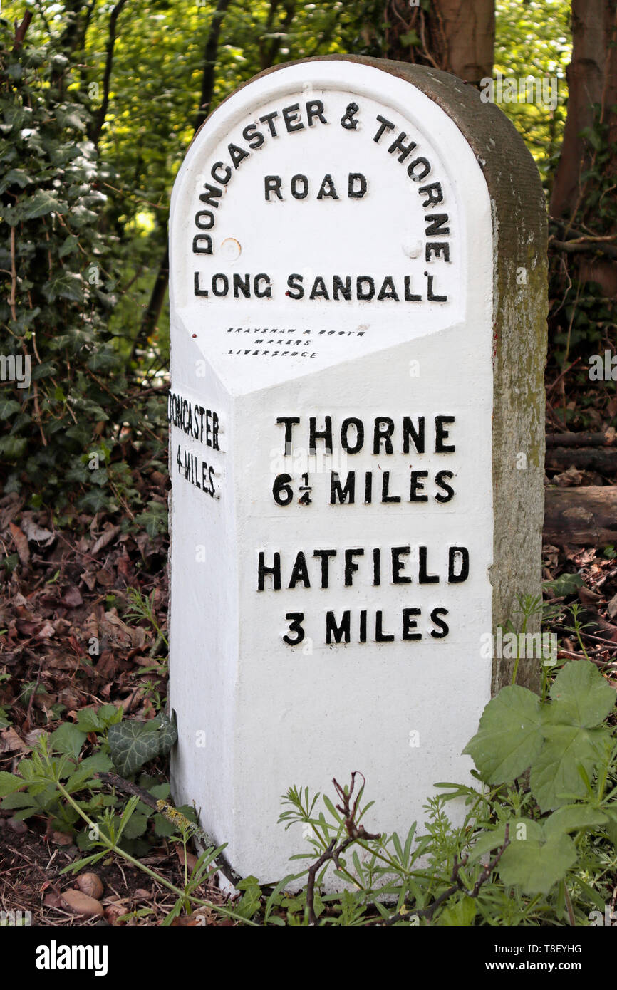 Old 19th century Milestone in Edenthorpe - Doncaster and Thorne Road - 4 miles to Doncaster - 3 miles to Hatfield - 6¼ miles to Thorne Stock Photohttps://www.alamy.com/image-license-details/?v=1https://www.alamy.com/old-19th-century-milestone-in-edenthorpe-doncaster-and-thorne-road-4-miles-to-doncaster-3-miles-to-hatfield-6-miles-to-thorne-image246191388.html
RMT8EYHG–Old 19th century Milestone in Edenthorpe - Doncaster and Thorne Road - 4 miles to Doncaster - 3 miles to Hatfield - 6¼ miles to Thorne
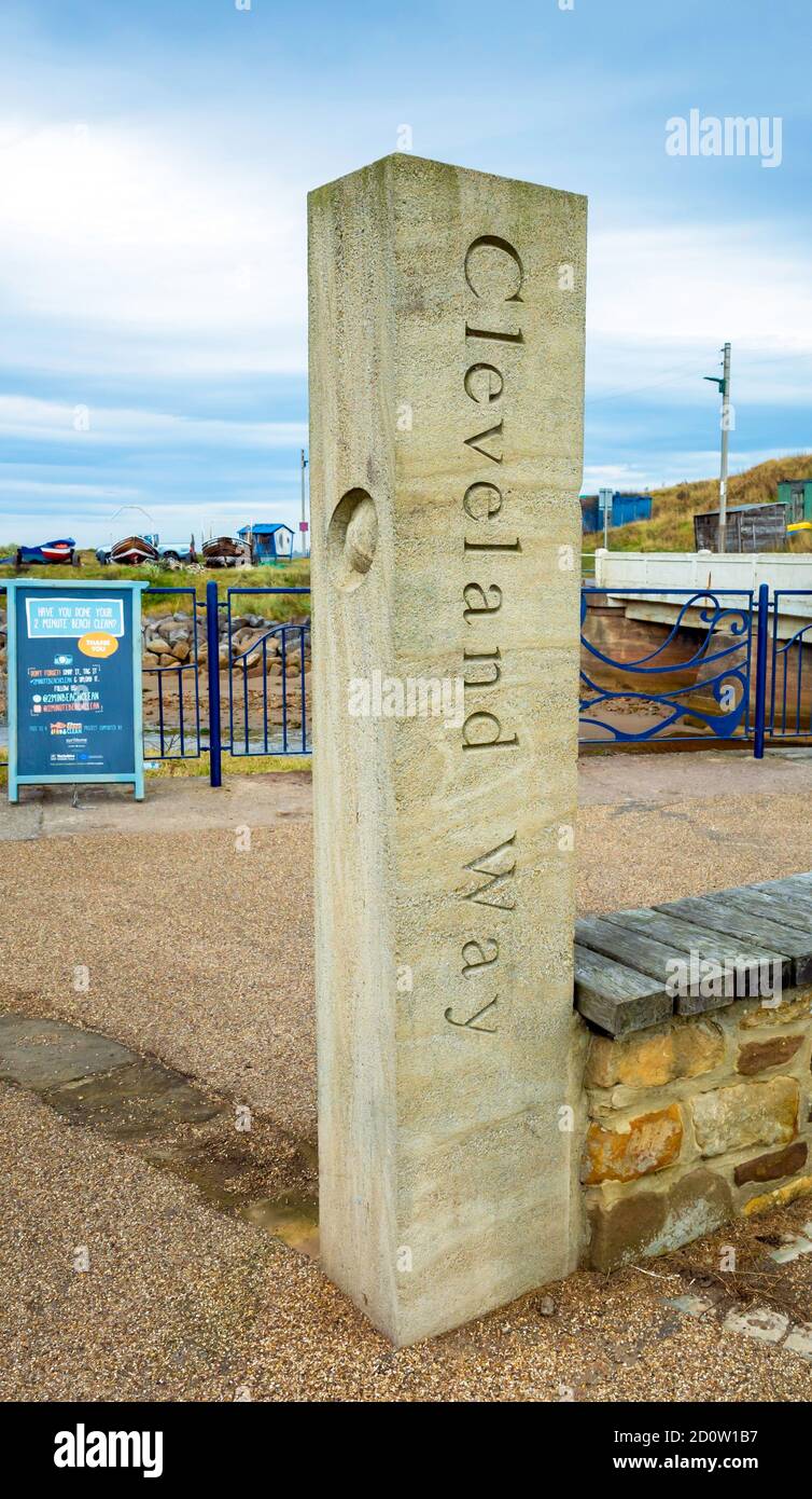 A stone marker post at Skinningrove on the Cleveland Way long distance footpath Stock Photohttps://www.alamy.com/image-license-details/?v=1https://www.alamy.com/a-stone-marker-post-at-skinningrove-on-the-cleveland-way-long-distance-footpath-image379177995.html
RM2D0W1B7–A stone marker post at Skinningrove on the Cleveland Way long distance footpath
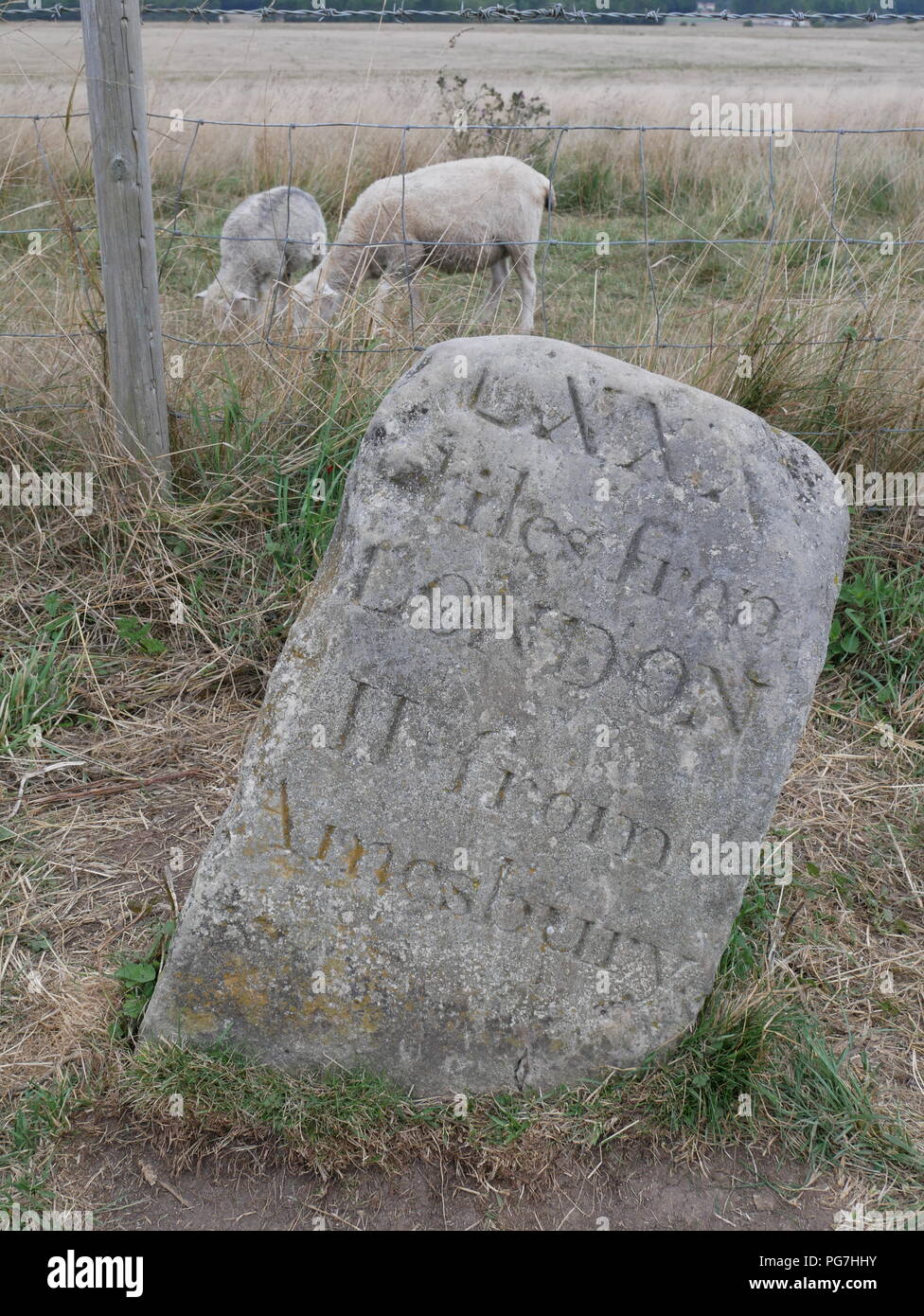 Ancient milestone at Stonehenge, Wiltshire, England. Stock Photohttps://www.alamy.com/image-license-details/?v=1https://www.alamy.com/ancient-milestone-at-stonehenge-wiltshire-england-image216526407.html
RMPG7HHY–Ancient milestone at Stonehenge, Wiltshire, England.
 Chipping Campden: Cotswold Way marker stone Stock Photohttps://www.alamy.com/image-license-details/?v=1https://www.alamy.com/stock-photo-chipping-campden-cotswold-way-marker-stone-49990702.html
RMCW97J6–Chipping Campden: Cotswold Way marker stone
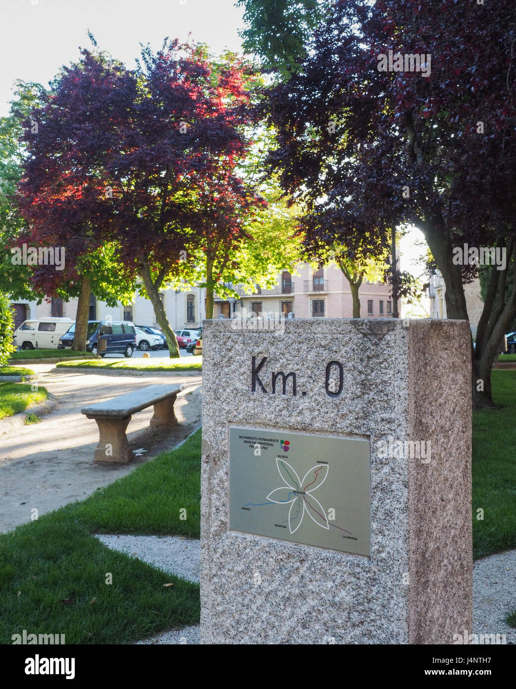 Km 0 kilometre zero ordinance measurement stone geological mark monolith monument statue sculpture historical marker location in park Segovia Spain Stock Photohttps://www.alamy.com/image-license-details/?v=1https://www.alamy.com/stock-photo-km-0-kilometre-zero-ordinance-measurement-stone-geological-mark-monolith-140621859.html
RMJ4NTH7–Km 0 kilometre zero ordinance measurement stone geological mark monolith monument statue sculpture historical marker location in park Segovia Spain
 Old stone mile post near A66, Penruddock, Cumbria Stock Photohttps://www.alamy.com/image-license-details/?v=1https://www.alamy.com/old-stone-mile-post-near-a66-penruddock-cumbria-image243391391.html
RMT3YC5K–Old stone mile post near A66, Penruddock, Cumbria
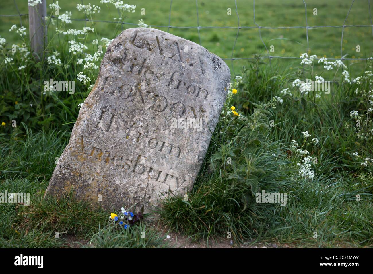 Old milestone at Stonehenge, UK. showing distance to London and Amesbury in roman digits Stock Photohttps://www.alamy.com/image-license-details/?v=1https://www.alamy.com/old-milestone-at-stonehenge-uk-showing-distance-to-london-and-amesbury-in-roman-digits-image366373389.html
RF2C81MYW–Old milestone at Stonehenge, UK. showing distance to London and Amesbury in roman digits
 An ancient mile marker for the Man o War village now in Ardgillen park near Balbriggan, county Dublin, Ireland Stock Photohttps://www.alamy.com/image-license-details/?v=1https://www.alamy.com/stock-photo-an-ancient-mile-marker-for-the-man-o-war-village-now-in-ardgillen-30706315.html
RFBNXP63–An ancient mile marker for the Man o War village now in Ardgillen park near Balbriggan, county Dublin, Ireland
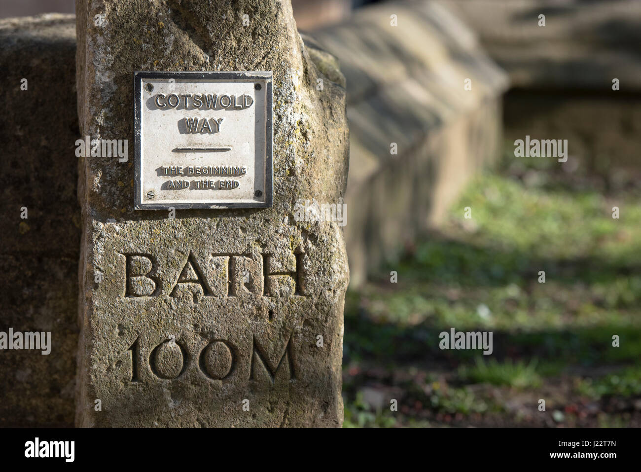 Cotswold Way Beginning & End Stone in the Market Square at Chipping Campden. Cotswolds, Gloucestershire, England Stock Photohttps://www.alamy.com/image-license-details/?v=1https://www.alamy.com/stock-photo-cotswold-way-beginning-end-stone-in-the-market-square-at-chipping-138975193.html
RMJ22T7N–Cotswold Way Beginning & End Stone in the Market Square at Chipping Campden. Cotswolds, Gloucestershire, England
 Two Electoral Saxon mileposts from 1730 in front of the main entrance to Moritzburg Palace in Moritzburg near Dresden, Saxony, Germany. Stock Photohttps://www.alamy.com/image-license-details/?v=1https://www.alamy.com/two-electoral-saxon-mileposts-from-1730-in-front-of-the-main-entrance-to-moritzburg-palace-in-moritzburg-near-dresden-saxony-germany-image470113398.html
RM2J8REC6–Two Electoral Saxon mileposts from 1730 in front of the main entrance to Moritzburg Palace in Moritzburg near Dresden, Saxony, Germany.
 Ancient signpost Corhampton Hampshire England Stock Photohttps://www.alamy.com/image-license-details/?v=1https://www.alamy.com/stock-photo-ancient-signpost-corhampton-hampshire-england-17493979.html
RFB0CWMY–Ancient signpost Corhampton Hampshire England
 Saint Michel route marker stone, France. Stock Photohttps://www.alamy.com/image-license-details/?v=1https://www.alamy.com/stock-photo-saint-michel-route-marker-stone-france-16742082.html
RMAX668K–Saint Michel route marker stone, France.
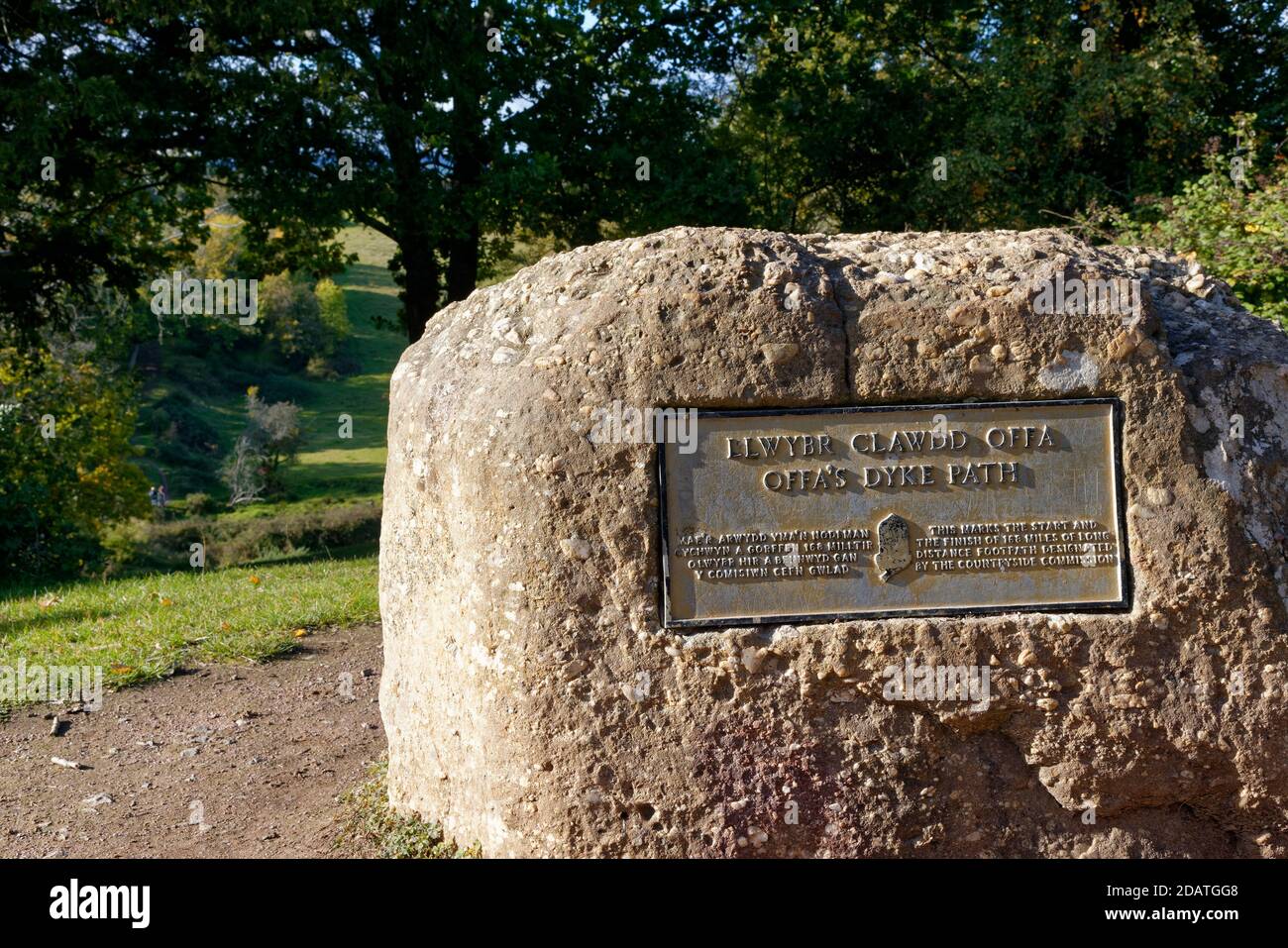 Marker Stone at the southern end of Offa's Dyke long distance footpath, Sedbury Cliffs, Gloucestershire, UK Stock Photohttps://www.alamy.com/image-license-details/?v=1https://www.alamy.com/marker-stone-at-the-southern-end-of-offas-dyke-long-distance-footpath-sedbury-cliffs-gloucestershire-uk-image385314504.html
RF2DATGG8–Marker Stone at the southern end of Offa's Dyke long distance footpath, Sedbury Cliffs, Gloucestershire, UK
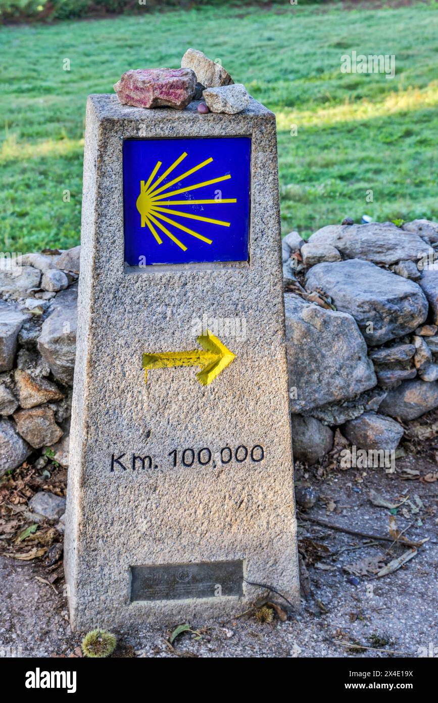 Spain, Galicia. marker which is the minimum distance one must walk In order to receive a Compostela (Certificate) upon arrival in Santiago Stock Photohttps://www.alamy.com/image-license-details/?v=1https://www.alamy.com/spain-galicia-marker-which-is-the-minimum-distance-one-must-walk-in-order-to-receive-a-compostela-certificate-upon-arrival-in-santiago-image605129894.html
RM2X4E19X–Spain, Galicia. marker which is the minimum distance one must walk In order to receive a Compostela (Certificate) upon arrival in Santiago
 Mile Stone on Margam Road in the Parish of Margam in Port Talbot, Wales, UK, giving the distance to Pyle, Neath and London Stock Photohttps://www.alamy.com/image-license-details/?v=1https://www.alamy.com/stock-photo-mile-stone-on-margam-road-in-the-parish-of-margam-in-port-talbot-wales-79560123.html
RMEHC7MY–Mile Stone on Margam Road in the Parish of Margam in Port Talbot, Wales, UK, giving the distance to Pyle, Neath and London
 Stone milepost distance way marker in a field on the South-West Coast Path on the Heritage Coast near Abbotsbury, Dorset, Stock Photohttps://www.alamy.com/image-license-details/?v=1https://www.alamy.com/stone-milepost-distance-way-marker-in-a-field-on-the-south-west-coast-path-on-the-heritage-coast-near-abbotsbury-dorset-image381621307.html
RM2D4T9TB–Stone milepost distance way marker in a field on the South-West Coast Path on the Heritage Coast near Abbotsbury, Dorset,
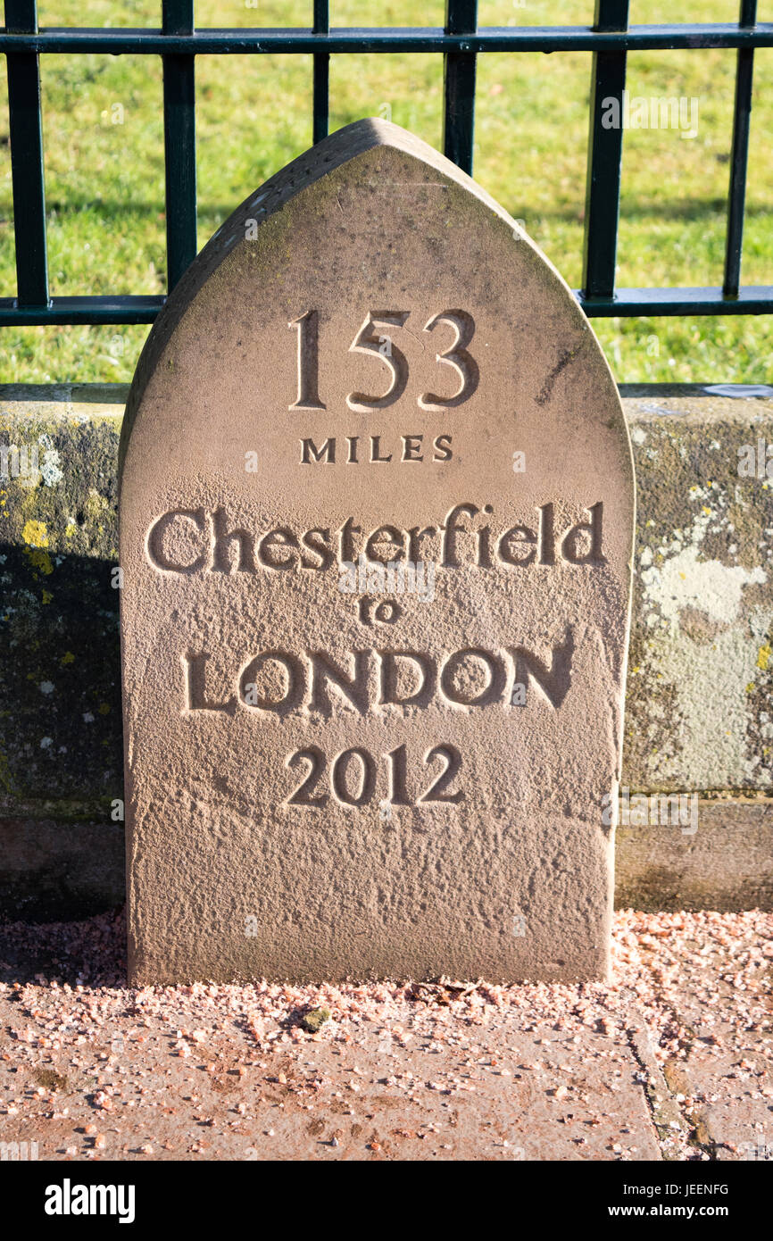 Chesterfield to London signpost Stock Photohttps://www.alamy.com/image-license-details/?v=1https://www.alamy.com/stock-photo-chesterfield-to-london-signpost-146612356.html
RMJEENFG–Chesterfield to London signpost
 A historic milestone near Penybont on the road between Penybont and Knighton in Wales by the England border. Stock Photohttps://www.alamy.com/image-license-details/?v=1https://www.alamy.com/stock-photo-a-historic-milestone-near-penybont-on-the-road-between-penybont-and-81614880.html
RMEMNTH4–A historic milestone near Penybont on the road between Penybont and Knighton in Wales by the England border.
 A stone marker at the section of the Harris Walkway leading from Maraig on Loch Seaforth south to Urgha near Tarbert. Stock Photohttps://www.alamy.com/image-license-details/?v=1https://www.alamy.com/stock-photo-a-stone-marker-at-the-section-of-the-harris-walkway-leading-from-maraig-73942484.html
RME88AB0–A stone marker at the section of the Harris Walkway leading from Maraig on Loch Seaforth south to Urgha near Tarbert.
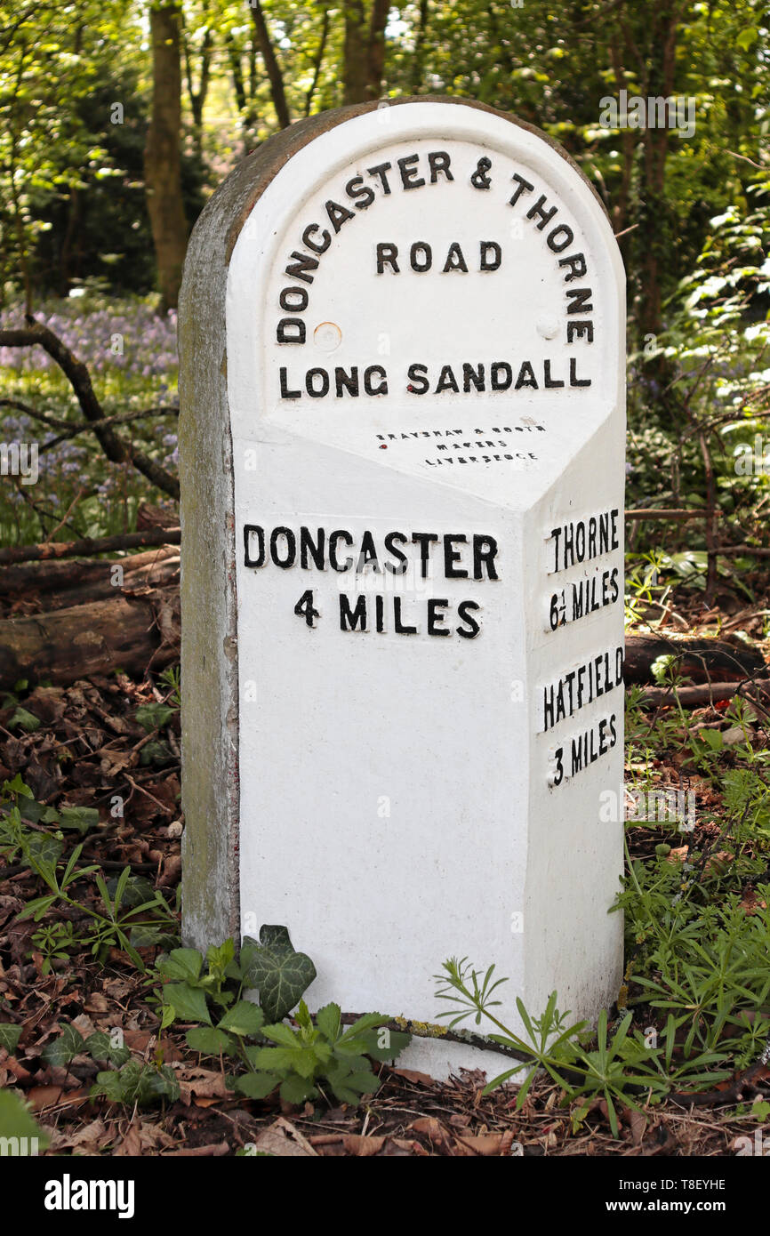 Old 19th century Milestone in Edenthorpe - Doncaster and Thorne Road - 4 miles to Doncaster - 3 miles to Hatfield - 6¼ miles to Thorne Stock Photohttps://www.alamy.com/image-license-details/?v=1https://www.alamy.com/old-19th-century-milestone-in-edenthorpe-doncaster-and-thorne-road-4-miles-to-doncaster-3-miles-to-hatfield-6-miles-to-thorne-image246191386.html
RMT8EYHE–Old 19th century Milestone in Edenthorpe - Doncaster and Thorne Road - 4 miles to Doncaster - 3 miles to Hatfield - 6¼ miles to Thorne
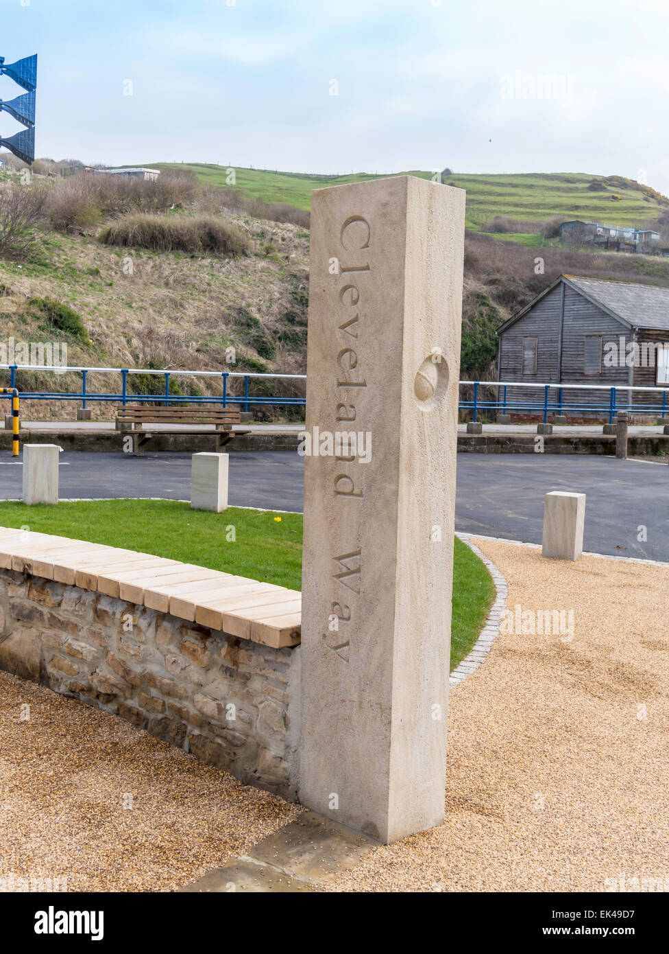 A new stone marker post at Skinningrove on the Cleveland Way long distance footpath Stock Photohttps://www.alamy.com/image-license-details/?v=1https://www.alamy.com/stock-photo-a-new-stone-marker-post-at-skinningrove-on-the-cleveland-way-long-80615171.html
RMEK49D7–A new stone marker post at Skinningrove on the Cleveland Way long distance footpath