Sugar land texas Cut Out Stock Images
 Sugar Land, Fort Bend County, US, United States, Texas, N 29 37' 10'', S 95 38' 5'', map, Cartascapes Map published in 2024. Explore Cartascapes, a map revealing Earth's diverse landscapes, cultures, and ecosystems. Journey through time and space, discovering the interconnectedness of our planet's past, present, and future. Stock Photohttps://www.alamy.com/image-license-details/?v=1https://www.alamy.com/sugar-land-fort-bend-county-us-united-states-texas-n-29-37-10-s-95-38-5-map-cartascapes-map-published-in-2024-explore-cartascapes-a-map-revealing-earths-diverse-landscapes-cultures-and-ecosystems-journey-through-time-and-space-discovering-the-interconnectedness-of-our-planets-past-present-and-future-image621433588.html
RM2Y30MTM–Sugar Land, Fort Bend County, US, United States, Texas, N 29 37' 10'', S 95 38' 5'', map, Cartascapes Map published in 2024. Explore Cartascapes, a map revealing Earth's diverse landscapes, cultures, and ecosystems. Journey through time and space, discovering the interconnectedness of our planet's past, present, and future.
 USGS TOPO Map Texas TX Sugar Land 20130205 TM Restoration Stock Photohttps://www.alamy.com/image-license-details/?v=1https://www.alamy.com/usgs-topo-map-texas-tx-sugar-land-20130205-tm-restoration-image332663810.html
RM2A9642A–USGS TOPO Map Texas TX Sugar Land 20130205 TM Restoration
 Sugar Land City, Texas (United States cities, United States of America, usa city) map vector illustration, scribble sketch City of Sugar Land map Stock Vectorhttps://www.alamy.com/image-license-details/?v=1https://www.alamy.com/sugar-land-city-texas-united-states-cities-united-states-of-america-usa-city-map-vector-illustration-scribble-sketch-city-of-sugar-land-map-image430804738.html
RF2G0TRRE–Sugar Land City, Texas (United States cities, United States of America, usa city) map vector illustration, scribble sketch City of Sugar Land map
 Sugar Land, Fort Bend County, US, United States, Texas, N 29 37' 10'', S 95 38' 5'', map, Cartascapes Map published in 2024. Explore Cartascapes, a map revealing Earth's diverse landscapes, cultures, and ecosystems. Journey through time and space, discovering the interconnectedness of our planet's past, present, and future. Stock Photohttps://www.alamy.com/image-license-details/?v=1https://www.alamy.com/sugar-land-fort-bend-county-us-united-states-texas-n-29-37-10-s-95-38-5-map-cartascapes-map-published-in-2024-explore-cartascapes-a-map-revealing-earths-diverse-landscapes-cultures-and-ecosystems-journey-through-time-and-space-discovering-the-interconnectedness-of-our-planets-past-present-and-future-image620758502.html
RM2Y1WYPE–Sugar Land, Fort Bend County, US, United States, Texas, N 29 37' 10'', S 95 38' 5'', map, Cartascapes Map published in 2024. Explore Cartascapes, a map revealing Earth's diverse landscapes, cultures, and ecosystems. Journey through time and space, discovering the interconnectedness of our planet's past, present, and future.
 USGS TOPO Map Texas TX Sugar Land 20100525 TM Restoration Stock Photohttps://www.alamy.com/image-license-details/?v=1https://www.alamy.com/usgs-topo-map-texas-tx-sugar-land-20100525-tm-restoration-image332663820.html
RM2A9642M–USGS TOPO Map Texas TX Sugar Land 20100525 TM Restoration
 Sugar Land City, Texas (United States cities, United States of America, usa city) map vector illustration, scribble sketch City of Sugar Land map Stock Vectorhttps://www.alamy.com/image-license-details/?v=1https://www.alamy.com/sugar-land-city-texas-united-states-cities-united-states-of-america-usa-city-map-vector-illustration-scribble-sketch-city-of-sugar-land-map-image395957427.html
RF2E05BMK–Sugar Land City, Texas (United States cities, United States of America, usa city) map vector illustration, scribble sketch City of Sugar Land map
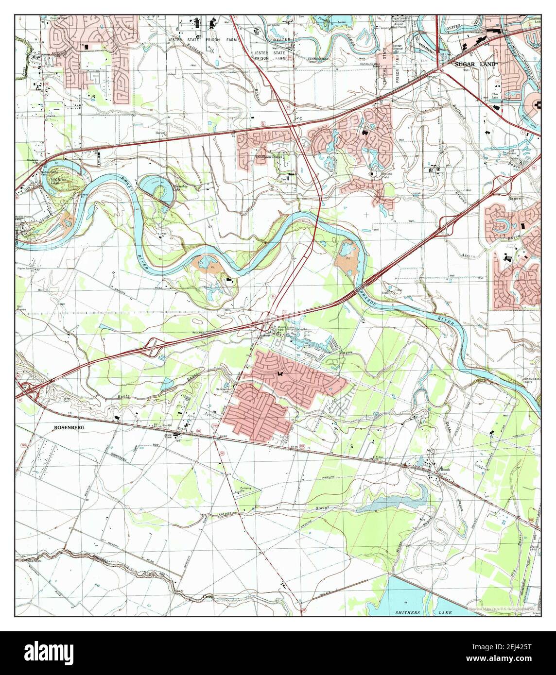 Sugar Land, Texas, map 1995, 1:24000, United States of America by Timeless Maps, data U.S. Geological Survey Stock Photohttps://www.alamy.com/image-license-details/?v=1https://www.alamy.com/sugar-land-texas-map-1995-124000-united-states-of-america-by-timeless-maps-data-us-geological-survey-image406991812.html
RM2EJ425T–Sugar Land, Texas, map 1995, 1:24000, United States of America by Timeless Maps, data U.S. Geological Survey
 USGS TOPO Map Texas TX Sugar Land 123441 1995 24000 Restoration Stock Photohttps://www.alamy.com/image-license-details/?v=1https://www.alamy.com/usgs-topo-map-texas-tx-sugar-land-123441-1995-24000-restoration-image332663742.html
RM2A963YX–USGS TOPO Map Texas TX Sugar Land 123441 1995 24000 Restoration
 Sugar Land City, Texas (United States cities, United States of America, usa city) map vector illustration, scribble sketch City of Sugar Land map Stock Vectorhttps://www.alamy.com/image-license-details/?v=1https://www.alamy.com/sugar-land-city-texas-united-states-cities-united-states-of-america-usa-city-map-vector-illustration-scribble-sketch-city-of-sugar-land-map-image417383360.html
RF2F71CMG–Sugar Land City, Texas (United States cities, United States of America, usa city) map vector illustration, scribble sketch City of Sugar Land map
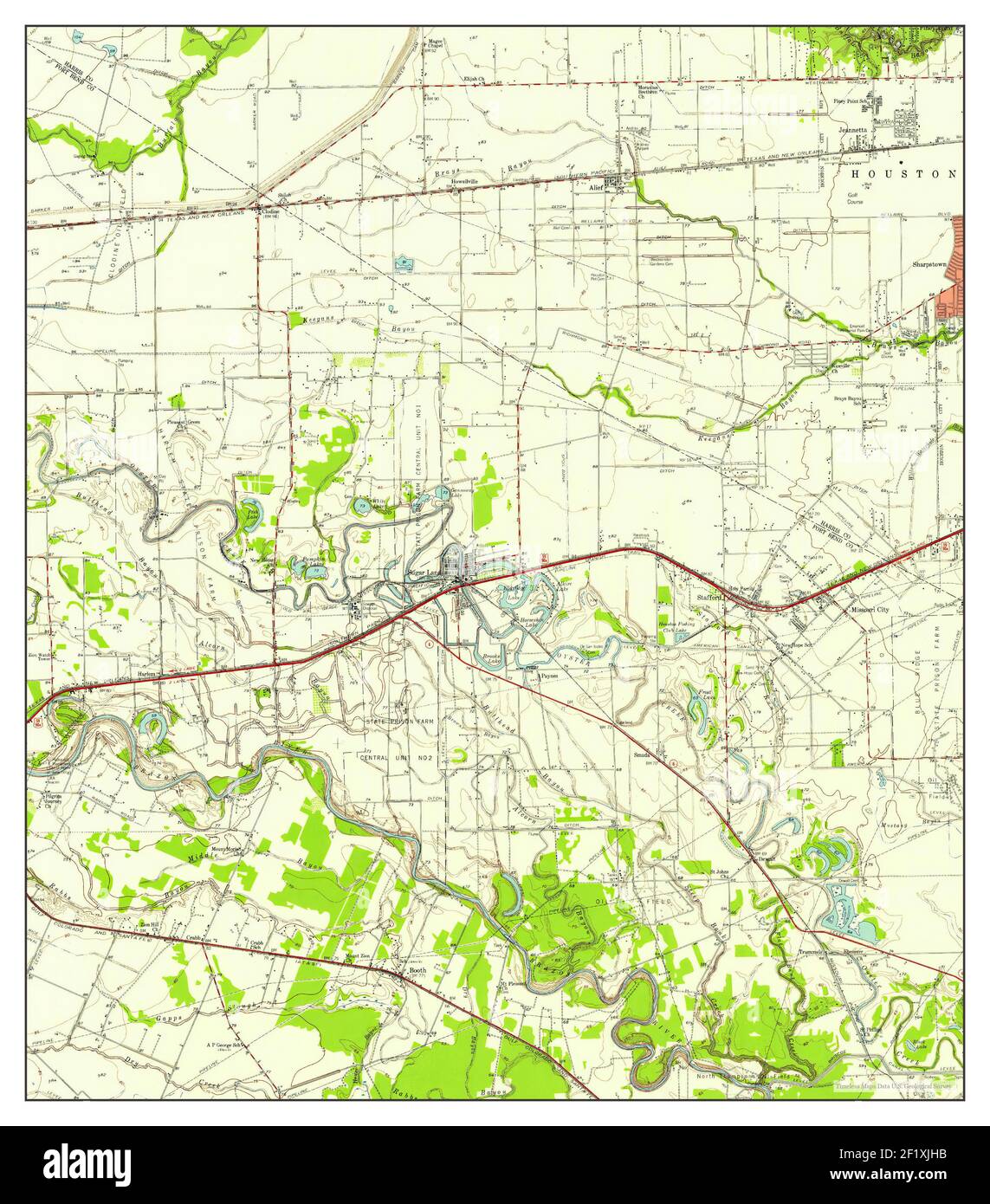 Sugar Land, Texas, map 1955, 1:62500, United States of America by Timeless Maps, data U.S. Geological Survey Stock Photohttps://www.alamy.com/image-license-details/?v=1https://www.alamy.com/sugar-land-texas-map-1955-162500-united-states-of-america-by-timeless-maps-data-us-geological-survey-image414248839.html
RM2F1XJHB–Sugar Land, Texas, map 1955, 1:62500, United States of America by Timeless Maps, data U.S. Geological Survey
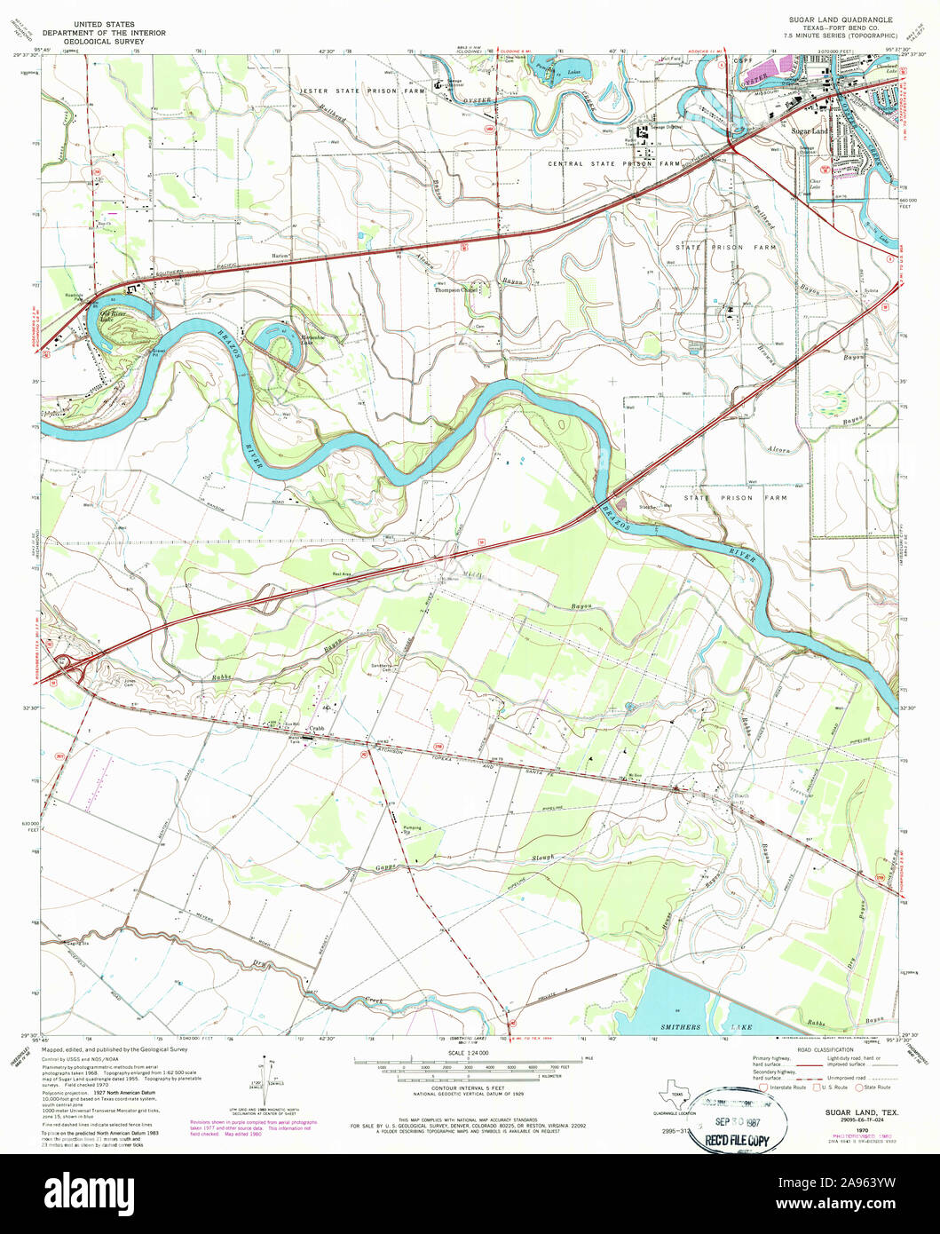 USGS TOPO Map Texas TX Sugar Land 123439 1970 24000 Restoration Stock Photohttps://www.alamy.com/image-license-details/?v=1https://www.alamy.com/usgs-topo-map-texas-tx-sugar-land-123439-1970-24000-restoration-image332663741.html
RM2A963YW–USGS TOPO Map Texas TX Sugar Land 123439 1970 24000 Restoration
 Fort Bend County, Texas (Counties in Texas, United States of America,USA, U.S., US) map vector illustration, scribble sketch Fort Bend map Stock Vectorhttps://www.alamy.com/image-license-details/?v=1https://www.alamy.com/fort-bend-county-texas-counties-in-texas-united-states-of-americausa-us-us-map-vector-illustration-scribble-sketch-fort-bend-map-image257094372.html
RFTX7JDT–Fort Bend County, Texas (Counties in Texas, United States of America,USA, U.S., US) map vector illustration, scribble sketch Fort Bend map
 Sugar Land, Texas, map 1970, 1:24000, United States of America by Timeless Maps, data U.S. Geological Survey Stock Photohttps://www.alamy.com/image-license-details/?v=1https://www.alamy.com/sugar-land-texas-map-1970-124000-united-states-of-america-by-timeless-maps-data-us-geological-survey-image406991819.html
RM2EJ4263–Sugar Land, Texas, map 1970, 1:24000, United States of America by Timeless Maps, data U.S. Geological Survey
 Fort Bend County, Texas (Counties in Texas, United States of America,USA, U.S., US) map vector illustration, scribble sketch Fort Bend map Stock Vectorhttps://www.alamy.com/image-license-details/?v=1https://www.alamy.com/fort-bend-county-texas-counties-in-texas-united-states-of-americausa-us-us-map-vector-illustration-scribble-sketch-fort-bend-map-image627826096.html
RF2YDBXGG–Fort Bend County, Texas (Counties in Texas, United States of America,USA, U.S., US) map vector illustration, scribble sketch Fort Bend map
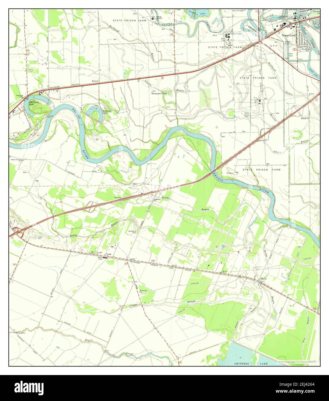 Sugar Land, Texas, map 1970, 1:24000, United States of America by Timeless Maps, data U.S. Geological Survey Stock Photohttps://www.alamy.com/image-license-details/?v=1https://www.alamy.com/sugar-land-texas-map-1970-124000-united-states-of-america-by-timeless-maps-data-us-geological-survey-image406991820.html
RM2EJ4264–Sugar Land, Texas, map 1970, 1:24000, United States of America by Timeless Maps, data U.S. Geological Survey
 Fort Bend County, Texas (Counties in Texas, United States of America,USA, U.S., US) map vector illustration, scribble sketch Fort Bend map Stock Vectorhttps://www.alamy.com/image-license-details/?v=1https://www.alamy.com/fort-bend-county-texas-counties-in-texas-united-states-of-americausa-us-us-map-vector-illustration-scribble-sketch-fort-bend-map-image261360842.html
RFW560BP–Fort Bend County, Texas (Counties in Texas, United States of America,USA, U.S., US) map vector illustration, scribble sketch Fort Bend map
 Fort Bend County, Texas (Counties in Texas, United States of America,USA, U.S., US) map vector illustration, scribble sketch Fort Bend map Stock Vectorhttps://www.alamy.com/image-license-details/?v=1https://www.alamy.com/fort-bend-county-texas-counties-in-texas-united-states-of-americausa-us-us-map-vector-illustration-scribble-sketch-fort-bend-map-image263544828.html
RFW8NE38–Fort Bend County, Texas (Counties in Texas, United States of America,USA, U.S., US) map vector illustration, scribble sketch Fort Bend map