Quick filters:
Sullivan ohio map Stock Photos and Images
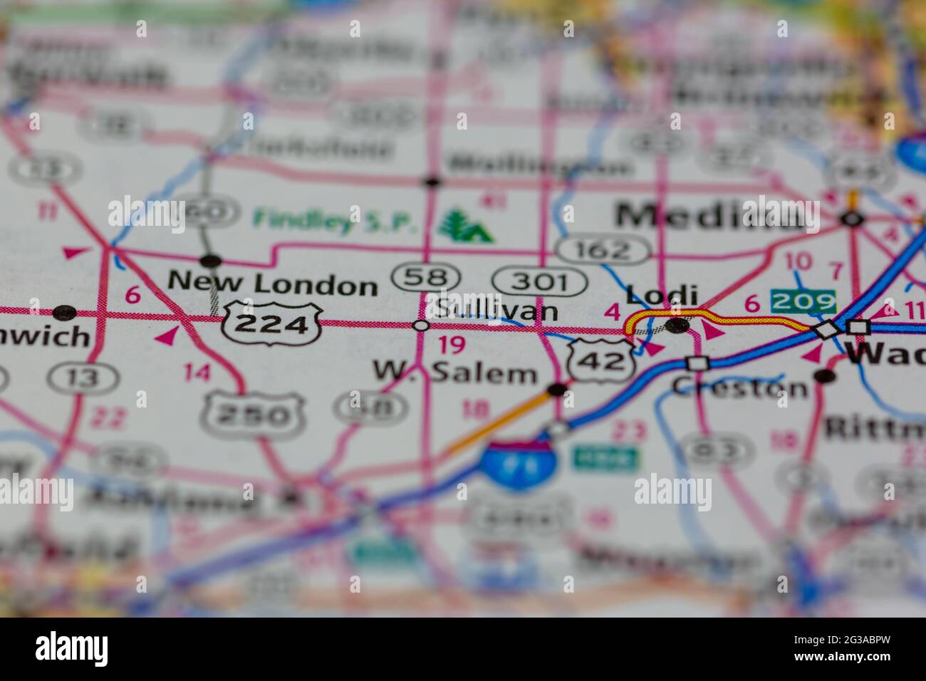 Sullivan Ohio USA shown on a Geography map or Road map Stock Photohttps://www.alamy.com/image-license-details/?v=1https://www.alamy.com/sullivan-ohio-usa-shown-on-a-geography-map-or-road-map-image432331953.html
RM2G3ABPW–Sullivan Ohio USA shown on a Geography map or Road map
 Sullivan, Ashland County, US, United States, Ohio, N 41 1' 41'', S 82 13' 19'', map, Cartascapes Map published in 2024. Explore Cartascapes, a map revealing Earth's diverse landscapes, cultures, and ecosystems. Journey through time and space, discovering the interconnectedness of our planet's past, present, and future. Stock Photohttps://www.alamy.com/image-license-details/?v=1https://www.alamy.com/sullivan-ashland-county-us-united-states-ohio-n-41-1-41-s-82-13-19-map-cartascapes-map-published-in-2024-explore-cartascapes-a-map-revealing-earths-diverse-landscapes-cultures-and-ecosystems-journey-through-time-and-space-discovering-the-interconnectedness-of-our-planets-past-present-and-future-image621239607.html
RM2Y2KWCR–Sullivan, Ashland County, US, United States, Ohio, N 41 1' 41'', S 82 13' 19'', map, Cartascapes Map published in 2024. Explore Cartascapes, a map revealing Earth's diverse landscapes, cultures, and ecosystems. Journey through time and space, discovering the interconnectedness of our planet's past, present, and future.
 Purdue debris . MCONNELL. MCOOL.. MBRIDE. MCONNELL. FLOYD B. MBRIDE, Tim, Sullivan, Ind.Phi Chi. Sydenham. Tim blew into Indianapolis on a coal train from the coalfields of Sullivan County. He stoutly maintained he was aGerman, but the map of Ireland on his face and his cob pipe,revealed his true nationality. The cob was quickly discarded,however, as he came into the uplifting atmosphere of themedics. Expects to form a partnership with his father whois an undertaker. BENJAMIN A. MCONNELL, St. Clairsville, Ohio.D. O. 01. Sydenham. Some years ago Ben learned the gentle art of rubbing itin. He ev Stock Photohttps://www.alamy.com/image-license-details/?v=1https://www.alamy.com/purdue-debris-mconnell-mcool-mbride-mconnell-floyd-b-mbride-tim-sullivan-indphi-chi-sydenham-tim-blew-into-indianapolis-on-a-coal-train-from-the-coalfields-of-sullivan-county-he-stoutly-maintained-he-was-agerman-but-the-map-of-ireland-on-his-face-and-his-cob-piperevealed-his-true-nationality-the-cob-was-quickly-discardedhowever-as-he-came-into-the-uplifting-atmosphere-of-themedics-expects-to-form-a-partnership-with-his-father-whois-an-undertaker-benjamin-a-mconnell-st-clairsville-ohiod-o-01-sydenham-some-years-ago-ben-learned-the-gentle-art-of-rubbing-itin-he-ev-image338426289.html
RM2AJGJ55–Purdue debris . MCONNELL. MCOOL.. MBRIDE. MCONNELL. FLOYD B. MBRIDE, Tim, Sullivan, Ind.Phi Chi. Sydenham. Tim blew into Indianapolis on a coal train from the coalfields of Sullivan County. He stoutly maintained he was aGerman, but the map of Ireland on his face and his cob pipe,revealed his true nationality. The cob was quickly discarded,however, as he came into the uplifting atmosphere of themedics. Expects to form a partnership with his father whois an undertaker. BENJAMIN A. MCONNELL, St. Clairsville, Ohio.D. O. 01. Sydenham. Some years ago Ben learned the gentle art of rubbing itin. He ev
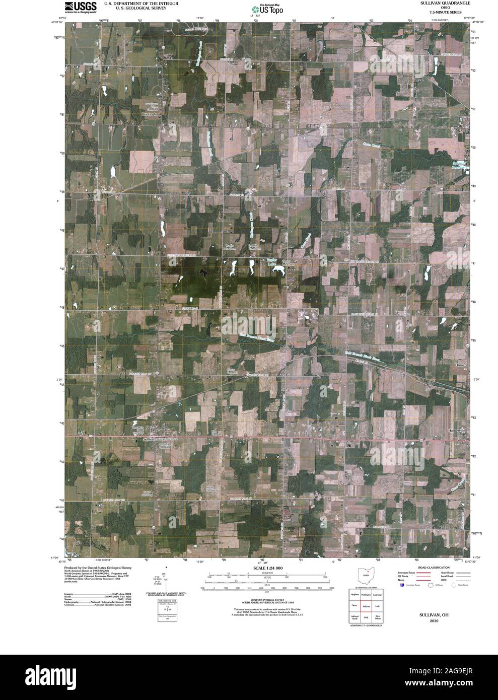 USGS TOPO Map Ohio OH Sullivan 20100809 TM Restoration Stock Photohttps://www.alamy.com/image-license-details/?v=1https://www.alamy.com/usgs-topo-map-ohio-oh-sullivan-20100809-tm-restoration-image337040559.html
RM2AG9EJR–USGS TOPO Map Ohio OH Sullivan 20100809 TM Restoration
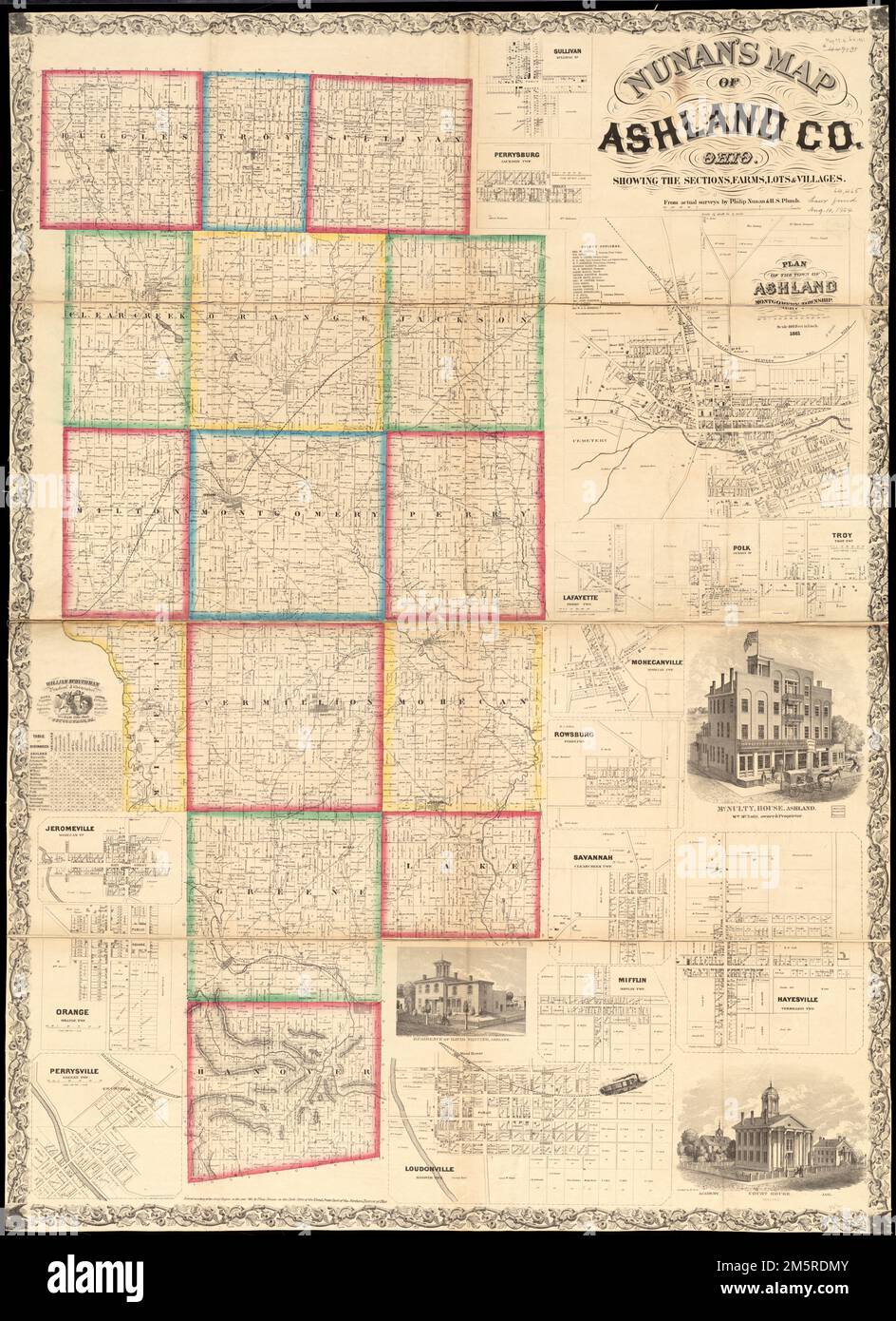 Nunan's map of Ashland Co., Ohio : showing the sections, farms, lots, & villages. Relief shown by hachures. Includes distance table, 15 insets and 3 views of public and residential properties Insets: Sullivan, Sullivan Tp -- Perrysburg, Jackson Twp. -- Plan of the town of Ashland, Montgomery Township -- Lafayette, Perry Twp. -- Polk, Jackson Tp -- Troy, Troy Twp. -- Mohecanville, Mohecan Twp. -- Rowsburg, Perry Twp. -- Savannah, Clearcreek Twp. -- Hayesville, Vermillion Twp. -- Mifflin, Mifflin Twp. -- Loudonville, Hanover Twp. -- Jeromeville, Tp -- Orange, Orange Twp. -- Perrysville, Green Tw Stock Photohttps://www.alamy.com/image-license-details/?v=1https://www.alamy.com/nunans-map-of-ashland-co-ohio-showing-the-sections-farms-lots-villages-relief-shown-by-hachures-includes-distance-table-15-insets-and-3-views-of-public-and-residential-properties-insets-sullivan-sullivan-tp-perrysburg-jackson-twp-plan-of-the-town-of-ashland-montgomery-township-lafayette-perry-twp-polk-jackson-tp-troy-troy-twp-mohecanville-mohecan-twp-rowsburg-perry-twp-savannah-clearcreek-twp-hayesville-vermillion-twp-mifflin-mifflin-twp-loudonville-hanover-twp-jeromeville-tp-orange-orange-twp-perrysville-green-tw-image502689627.html
RM2M5RDMY–Nunan's map of Ashland Co., Ohio : showing the sections, farms, lots, & villages. Relief shown by hachures. Includes distance table, 15 insets and 3 views of public and residential properties Insets: Sullivan, Sullivan Tp -- Perrysburg, Jackson Twp. -- Plan of the town of Ashland, Montgomery Township -- Lafayette, Perry Twp. -- Polk, Jackson Tp -- Troy, Troy Twp. -- Mohecanville, Mohecan Twp. -- Rowsburg, Perry Twp. -- Savannah, Clearcreek Twp. -- Hayesville, Vermillion Twp. -- Mifflin, Mifflin Twp. -- Loudonville, Hanover Twp. -- Jeromeville, Tp -- Orange, Orange Twp. -- Perrysville, Green Tw
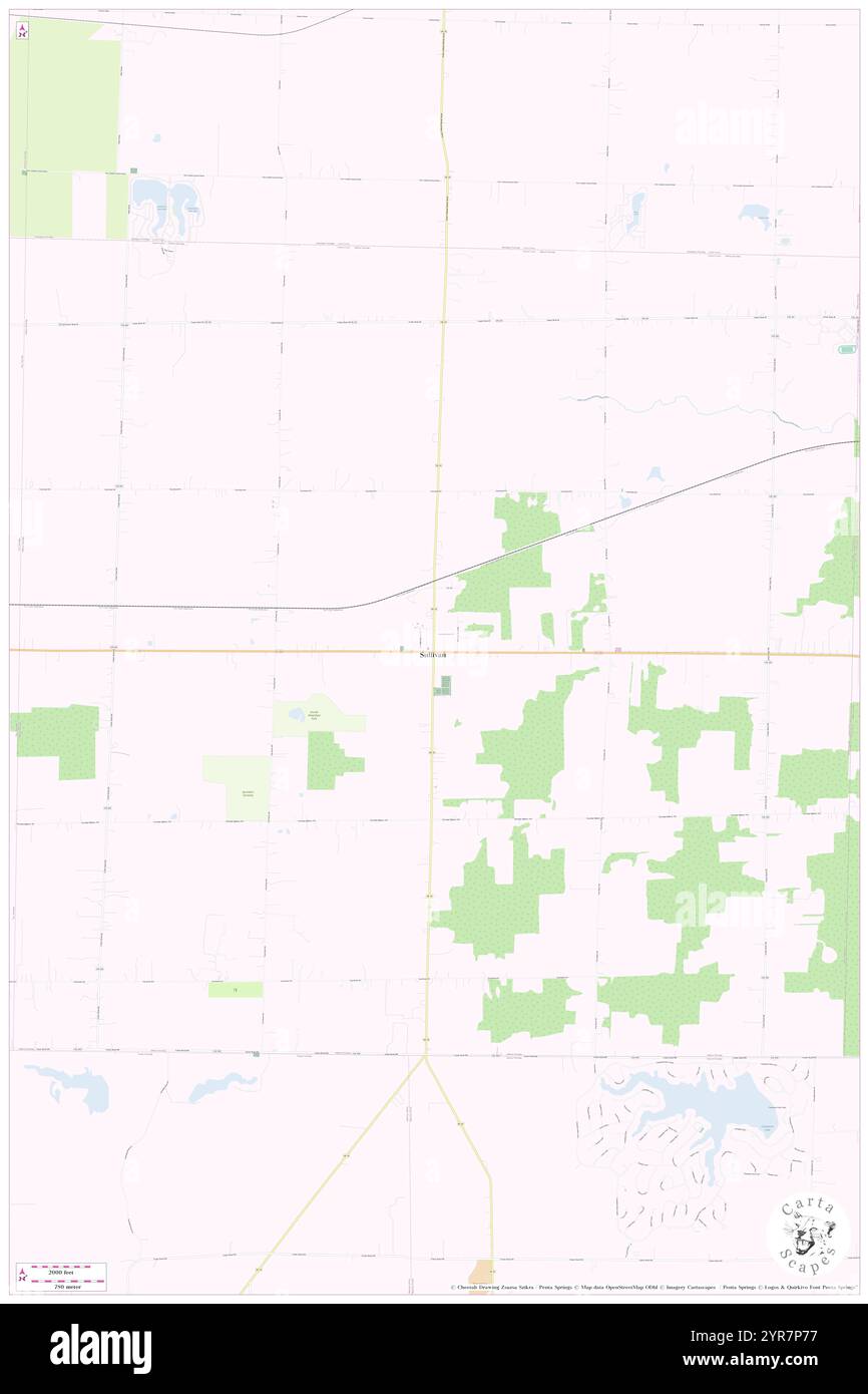 Township of Sullivan, Ashland County, US, United States, Ohio, N 41 1' 41'', S 82 13' 18'', map, Cartascapes Map published in 2024. Explore Cartascapes, a map revealing Earth's diverse landscapes, cultures, and ecosystems. Journey through time and space, discovering the interconnectedness of our planet's past, present, and future. Stock Photohttps://www.alamy.com/image-license-details/?v=1https://www.alamy.com/township-of-sullivan-ashland-county-us-united-states-ohio-n-41-1-41-s-82-13-18-map-cartascapes-map-published-in-2024-explore-cartascapes-a-map-revealing-earths-diverse-landscapes-cultures-and-ecosystems-journey-through-time-and-space-discovering-the-interconnectedness-of-our-planets-past-present-and-future-image633881451.html
RM2YR7P77–Township of Sullivan, Ashland County, US, United States, Ohio, N 41 1' 41'', S 82 13' 18'', map, Cartascapes Map published in 2024. Explore Cartascapes, a map revealing Earth's diverse landscapes, cultures, and ecosystems. Journey through time and space, discovering the interconnectedness of our planet's past, present, and future.
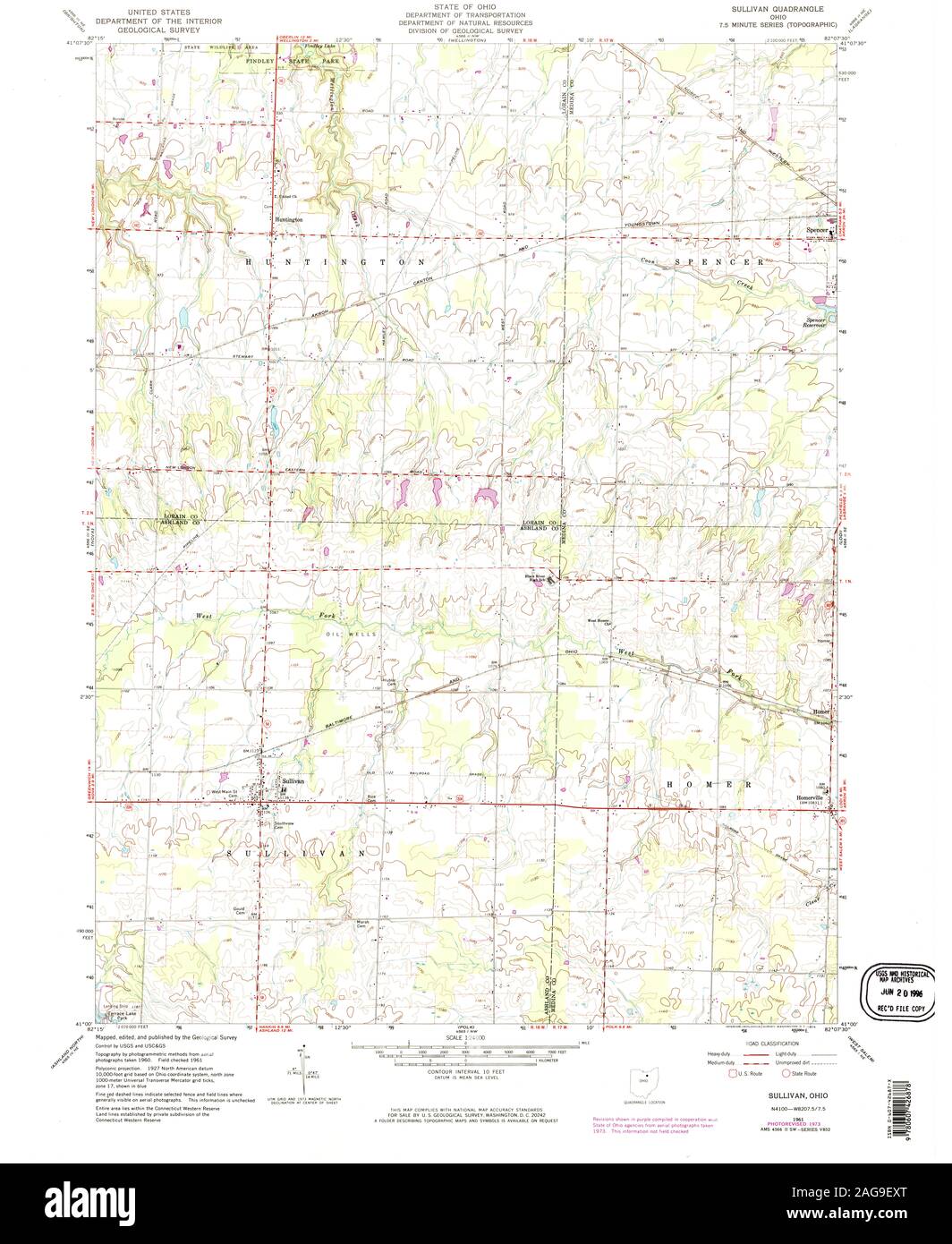 USGS TOPO Map Ohio OH Sullivan 226725 1961 24000 Restoration Stock Photohttps://www.alamy.com/image-license-details/?v=1https://www.alamy.com/usgs-topo-map-ohio-oh-sullivan-226725-1961-24000-restoration-image337040784.html
RM2AG9EXT–USGS TOPO Map Ohio OH Sullivan 226725 1961 24000 Restoration
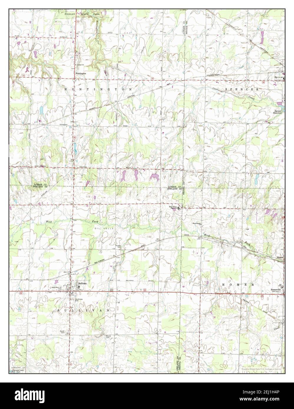 Sullivan, Ohio, map 1961, 1:24000, United States of America by Timeless Maps, data U.S. Geological Survey Stock Photohttps://www.alamy.com/image-license-details/?v=1https://www.alamy.com/sullivan-ohio-map-1961-124000-united-states-of-america-by-timeless-maps-data-us-geological-survey-image406937686.html
RM2EJ1H4P–Sullivan, Ohio, map 1961, 1:24000, United States of America by Timeless Maps, data U.S. Geological Survey
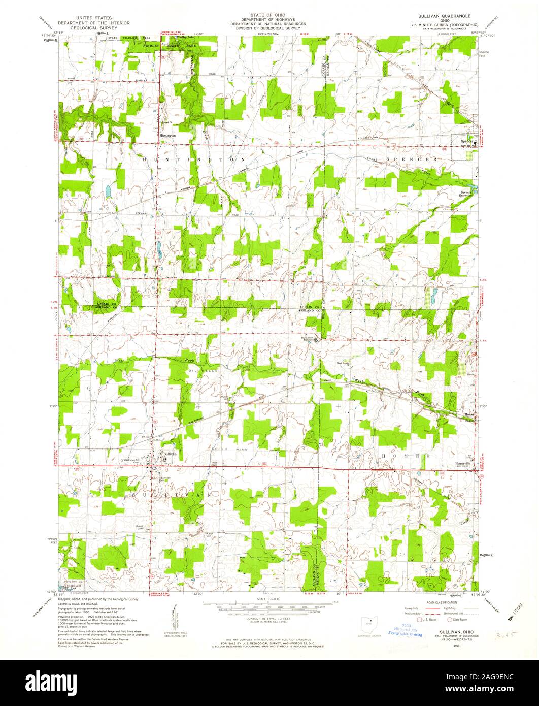 USGS TOPO Map Ohio OH Sullivan 226723 1961 24000 Restoration Stock Photohttps://www.alamy.com/image-license-details/?v=1https://www.alamy.com/usgs-topo-map-ohio-oh-sullivan-226723-1961-24000-restoration-image337040632.html
RM2AG9ENC–USGS TOPO Map Ohio OH Sullivan 226723 1961 24000 Restoration
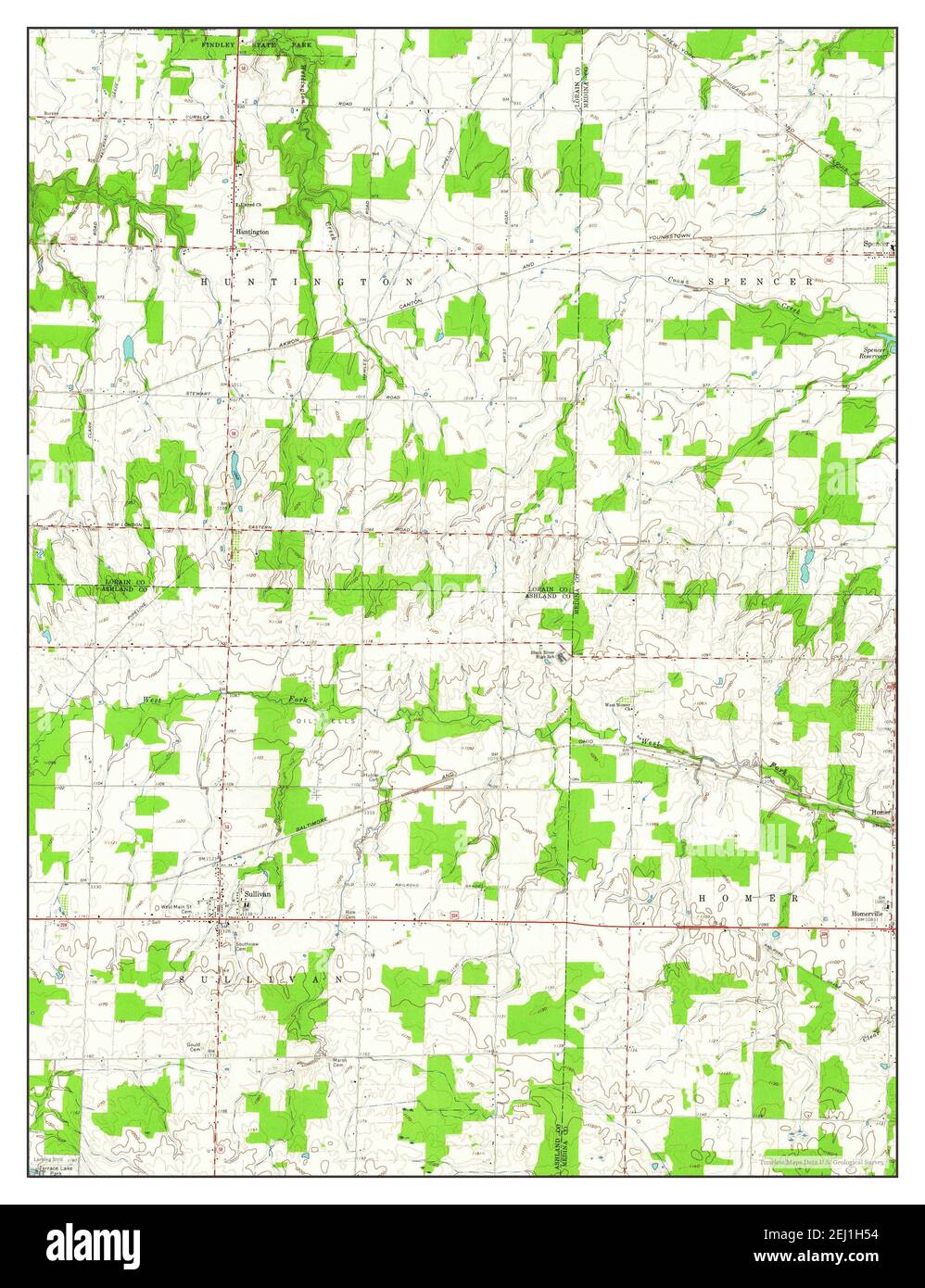 Sullivan, Ohio, map 1961, 1:24000, United States of America by Timeless Maps, data U.S. Geological Survey Stock Photohttps://www.alamy.com/image-license-details/?v=1https://www.alamy.com/sullivan-ohio-map-1961-124000-united-states-of-america-by-timeless-maps-data-us-geological-survey-image406937696.html
RM2EJ1H54–Sullivan, Ohio, map 1961, 1:24000, United States of America by Timeless Maps, data U.S. Geological Survey
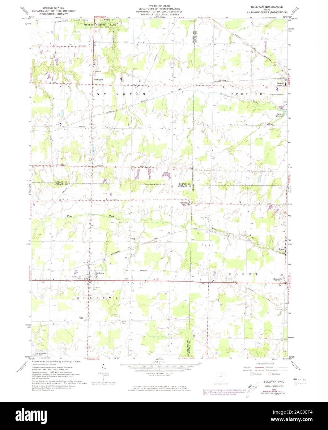 USGS TOPO Map Ohio OH Sullivan 226724 1961 24000 Restoration Stock Photohttps://www.alamy.com/image-license-details/?v=1https://www.alamy.com/usgs-topo-map-ohio-oh-sullivan-226724-1961-24000-restoration-image337040708.html
RM2AG9ET4–USGS TOPO Map Ohio OH Sullivan 226724 1961 24000 Restoration
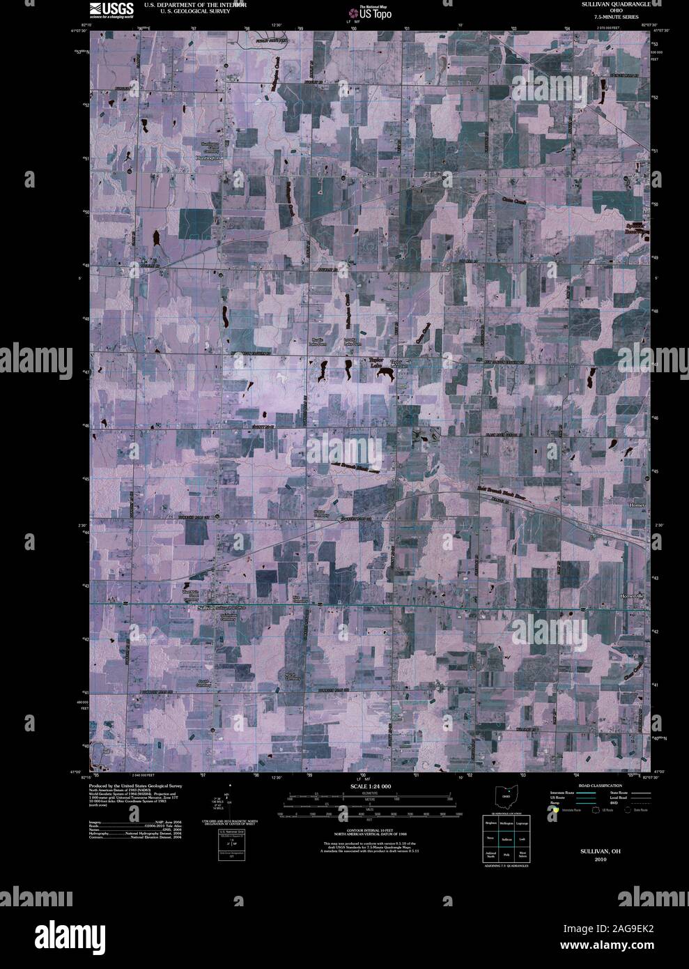 USGS TOPO Map Ohio OH Sullivan 20100809 TM Inverted Restoration Stock Photohttps://www.alamy.com/image-license-details/?v=1https://www.alamy.com/usgs-topo-map-ohio-oh-sullivan-20100809-tm-inverted-restoration-image337040566.html
RM2AG9EK2–USGS TOPO Map Ohio OH Sullivan 20100809 TM Inverted Restoration
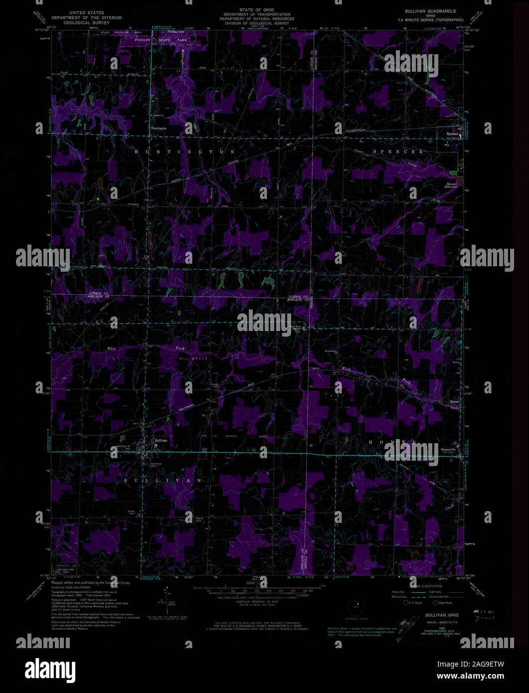 USGS TOPO Map Ohio OH Sullivan 226724 1961 24000 Inverted Restoration Stock Photohttps://www.alamy.com/image-license-details/?v=1https://www.alamy.com/usgs-topo-map-ohio-oh-sullivan-226724-1961-24000-inverted-restoration-image337040729.html
RM2AG9ETW–USGS TOPO Map Ohio OH Sullivan 226724 1961 24000 Inverted Restoration
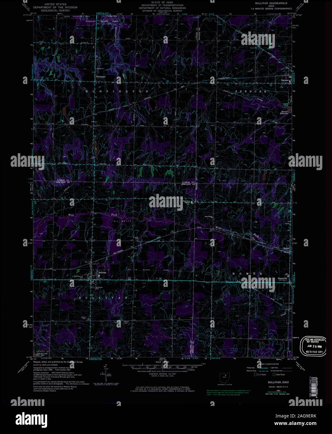 USGS TOPO Map Ohio OH Sullivan 226725 1961 24000 Inverted Restoration Stock Photohttps://www.alamy.com/image-license-details/?v=1https://www.alamy.com/usgs-topo-map-ohio-oh-sullivan-226725-1961-24000-inverted-restoration-image337040695.html
RM2AG9ERK–USGS TOPO Map Ohio OH Sullivan 226725 1961 24000 Inverted Restoration
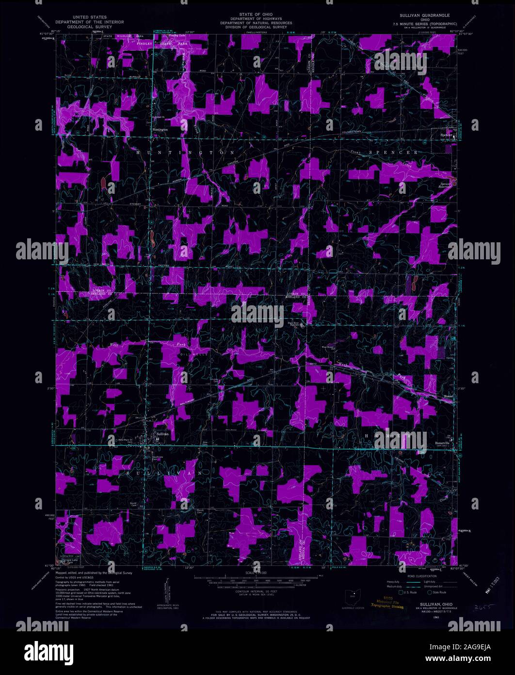 USGS TOPO Map Ohio OH Sullivan 226723 1961 24000 Inverted Restoration Stock Photohttps://www.alamy.com/image-license-details/?v=1https://www.alamy.com/usgs-topo-map-ohio-oh-sullivan-226723-1961-24000-inverted-restoration-image337040546.html
RM2AG9EJA–USGS TOPO Map Ohio OH Sullivan 226723 1961 24000 Inverted Restoration