Quick filters:
Sutherland iowa map Stock Photos and Images
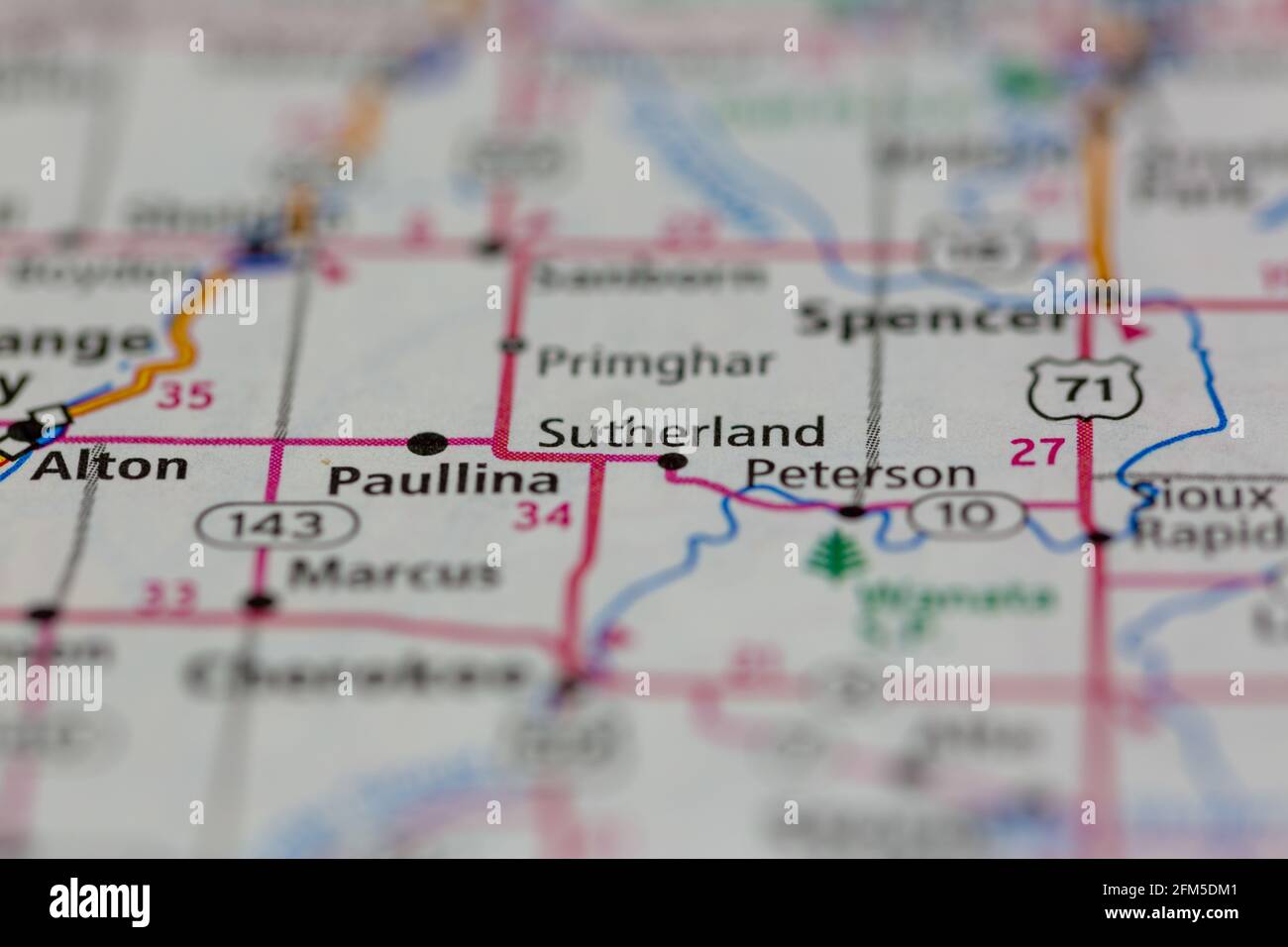 Sutherland Iowa USA Shown on a Geography map or road map Stock Photohttps://www.alamy.com/image-license-details/?v=1https://www.alamy.com/sutherland-iowa-usa-shown-on-a-geography-map-or-road-map-image425462465.html
RM2FM5DM1–Sutherland Iowa USA Shown on a Geography map or road map
 Sutherland, O'Brien County, US, United States, Iowa, N 42 58' 26'', S 95 29' 51'', map, Cartascapes Map published in 2024. Explore Cartascapes, a map revealing Earth's diverse landscapes, cultures, and ecosystems. Journey through time and space, discovering the interconnectedness of our planet's past, present, and future. Stock Photohttps://www.alamy.com/image-license-details/?v=1https://www.alamy.com/sutherland-obrien-county-us-united-states-iowa-n-42-58-26-s-95-29-51-map-cartascapes-map-published-in-2024-explore-cartascapes-a-map-revealing-earths-diverse-landscapes-cultures-and-ecosystems-journey-through-time-and-space-discovering-the-interconnectedness-of-our-planets-past-present-and-future-image621248400.html
RM2Y2M8JT–Sutherland, O'Brien County, US, United States, Iowa, N 42 58' 26'', S 95 29' 51'', map, Cartascapes Map published in 2024. Explore Cartascapes, a map revealing Earth's diverse landscapes, cultures, and ecosystems. Journey through time and space, discovering the interconnectedness of our planet's past, present, and future.
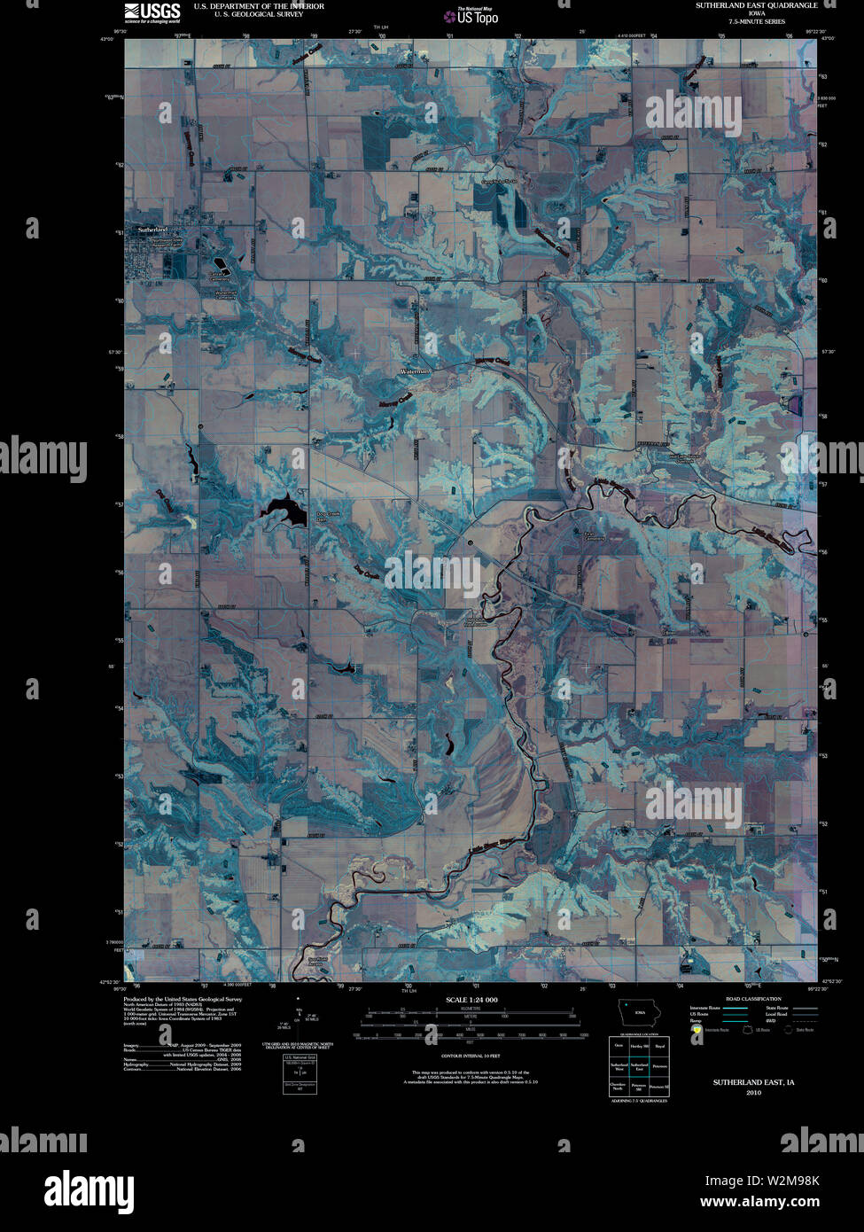 USGS TOPO Map Iowa IA Sutherland East 20100524 TM Inverted Restoration Stock Photohttps://www.alamy.com/image-license-details/?v=1https://www.alamy.com/usgs-topo-map-iowa-ia-sutherland-east-20100524-tm-inverted-restoration-image259831171.html
RMW2M98K–USGS TOPO Map Iowa IA Sutherland East 20100524 TM Inverted Restoration
 Sutherland, O'Brien County, US, United States, Iowa, N 42 58' 26'', S 95 29' 51'', map, Cartascapes Map published in 2024. Explore Cartascapes, a map revealing Earth's diverse landscapes, cultures, and ecosystems. Journey through time and space, discovering the interconnectedness of our planet's past, present, and future. Stock Photohttps://www.alamy.com/image-license-details/?v=1https://www.alamy.com/sutherland-obrien-county-us-united-states-iowa-n-42-58-26-s-95-29-51-map-cartascapes-map-published-in-2024-explore-cartascapes-a-map-revealing-earths-diverse-landscapes-cultures-and-ecosystems-journey-through-time-and-space-discovering-the-interconnectedness-of-our-planets-past-present-and-future-image621369068.html
RM2Y2WPGC–Sutherland, O'Brien County, US, United States, Iowa, N 42 58' 26'', S 95 29' 51'', map, Cartascapes Map published in 2024. Explore Cartascapes, a map revealing Earth's diverse landscapes, cultures, and ecosystems. Journey through time and space, discovering the interconnectedness of our planet's past, present, and future.
 USGS TOPO Map Iowa IA Sutherland West 20130422 TM Inverted Restoration Stock Photohttps://www.alamy.com/image-license-details/?v=1https://www.alamy.com/usgs-topo-map-iowa-ia-sutherland-west-20130422-tm-inverted-restoration-image259831217.html
RMW2M9A9–USGS TOPO Map Iowa IA Sutherland West 20130422 TM Inverted Restoration
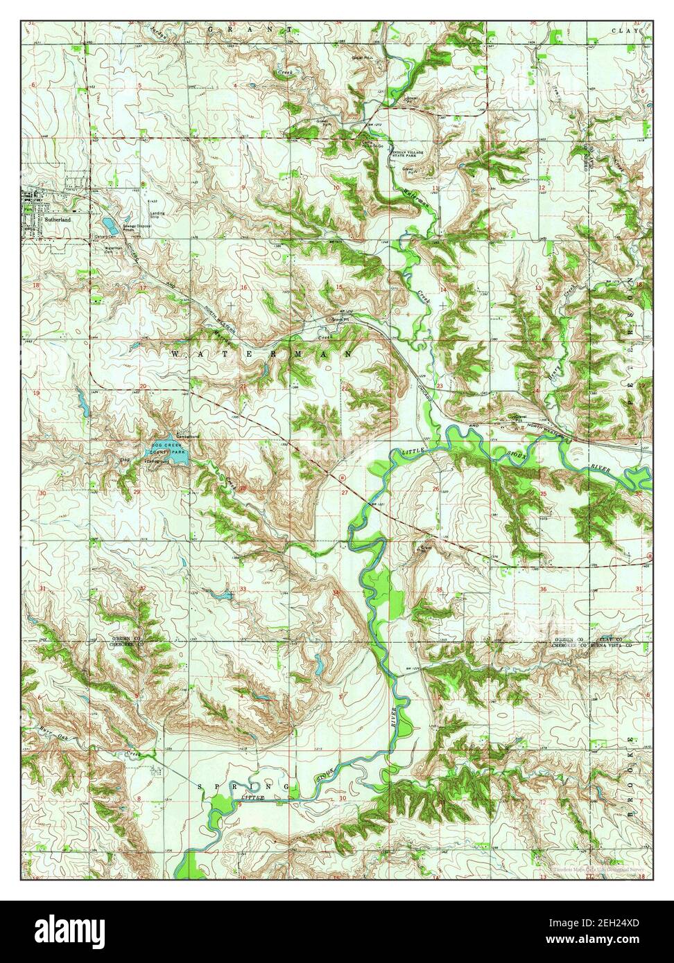 Sutherland East, Iowa, map 1971, 1:24000, United States of America by Timeless Maps, data U.S. Geological Survey Stock Photohttps://www.alamy.com/image-license-details/?v=1https://www.alamy.com/sutherland-east-iowa-map-1971-124000-united-states-of-america-by-timeless-maps-data-us-geological-survey-image406335397.html
RM2EH24XD–Sutherland East, Iowa, map 1971, 1:24000, United States of America by Timeless Maps, data U.S. Geological Survey
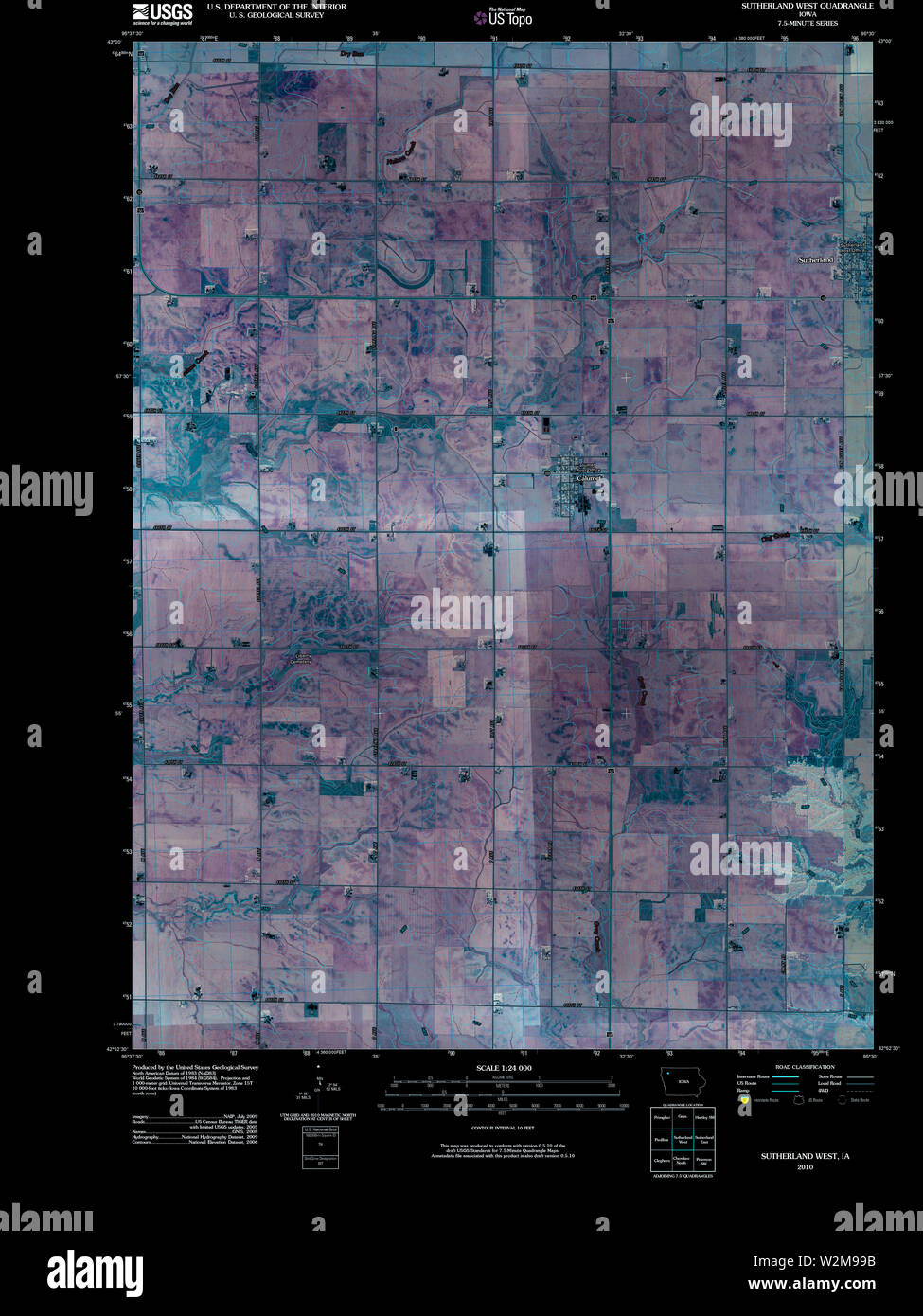 USGS TOPO Map Iowa IA Sutherland West 20100524 TM Inverted Restoration Stock Photohttps://www.alamy.com/image-license-details/?v=1https://www.alamy.com/usgs-topo-map-iowa-ia-sutherland-west-20100524-tm-inverted-restoration-image259831191.html
RMW2M99B–USGS TOPO Map Iowa IA Sutherland West 20100524 TM Inverted Restoration
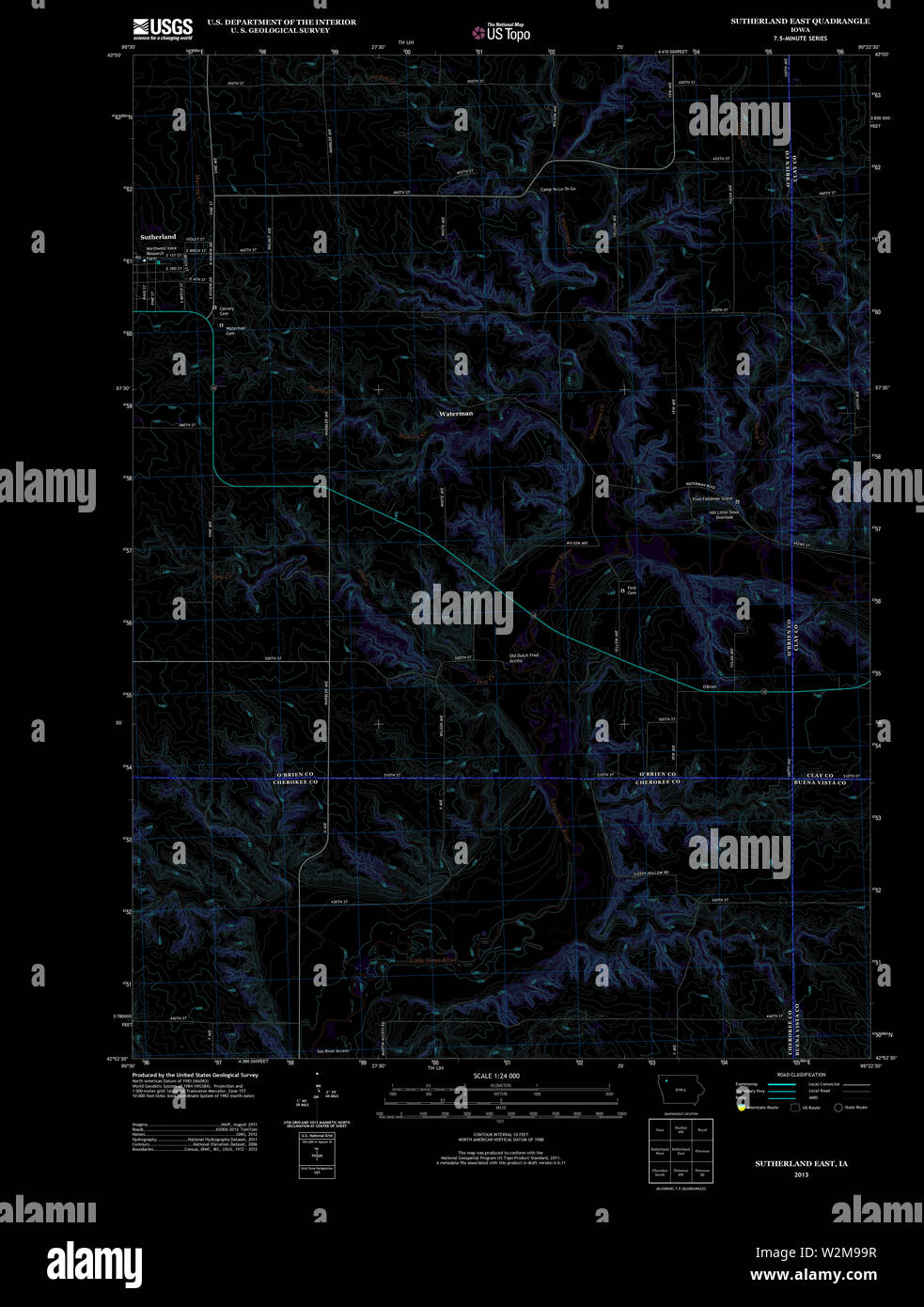 USGS TOPO Map Iowa IA Sutherland East 20130422 TM Inverted Restoration Stock Photohttps://www.alamy.com/image-license-details/?v=1https://www.alamy.com/usgs-topo-map-iowa-ia-sutherland-east-20130422-tm-inverted-restoration-image259831203.html
RMW2M99R–USGS TOPO Map Iowa IA Sutherland East 20130422 TM Inverted Restoration
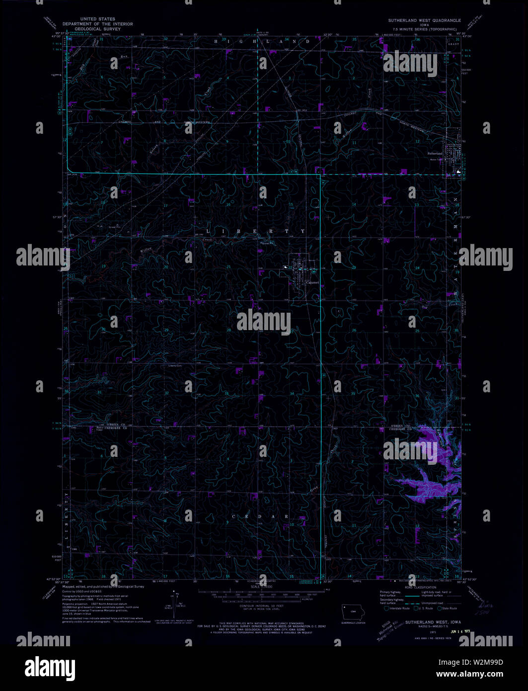 USGS TOPO Map Iowa IA Sutherland West 175604 1971 24000 Inverted Restoration Stock Photohttps://www.alamy.com/image-license-details/?v=1https://www.alamy.com/usgs-topo-map-iowa-ia-sutherland-west-175604-1971-24000-inverted-restoration-image259831193.html
RMW2M99D–USGS TOPO Map Iowa IA Sutherland West 175604 1971 24000 Inverted Restoration
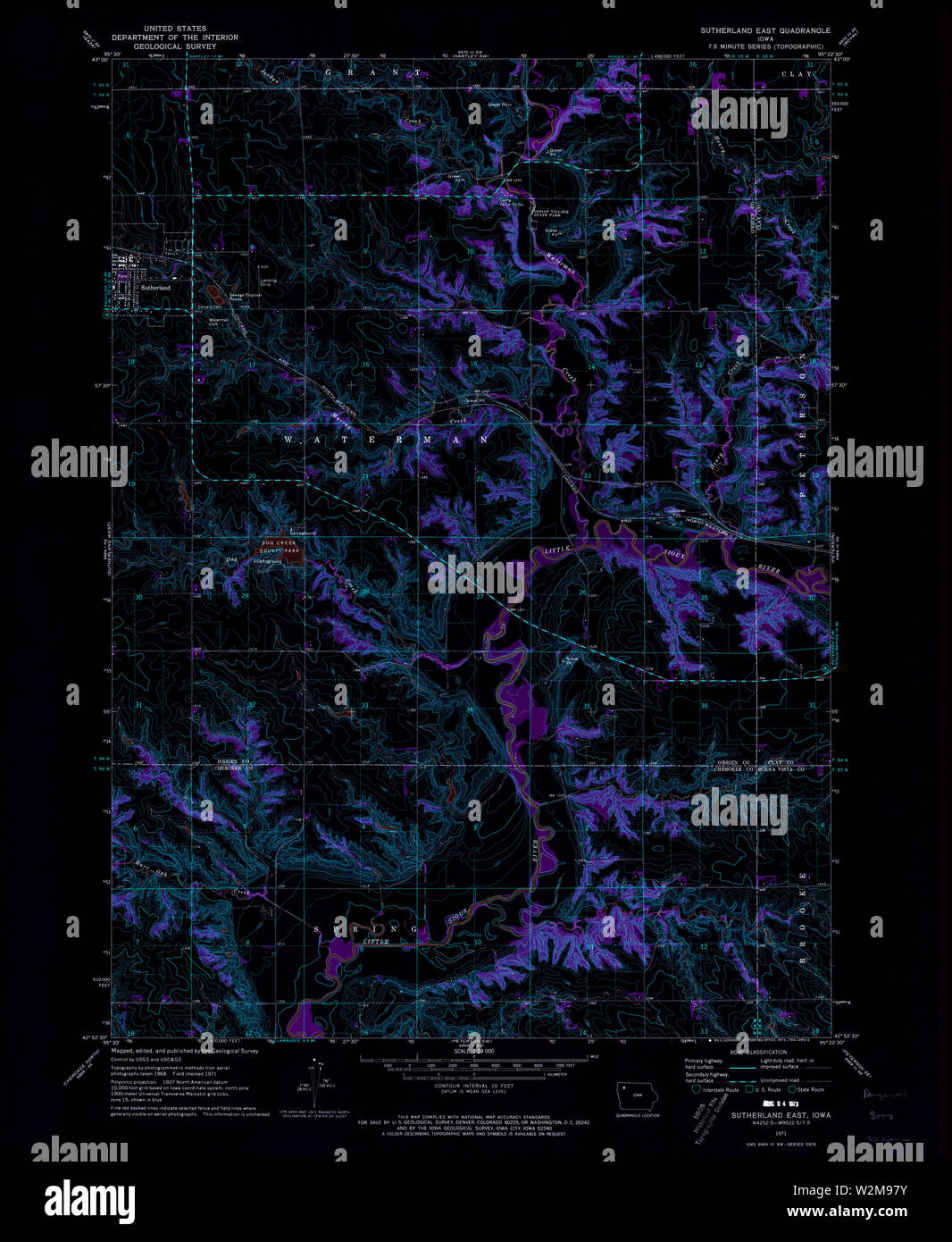 USGS TOPO Map Iowa IA Sutherland East 175603 1971 24000 Inverted Restoration Stock Photohttps://www.alamy.com/image-license-details/?v=1https://www.alamy.com/usgs-topo-map-iowa-ia-sutherland-east-175603-1971-24000-inverted-restoration-image259831151.html
RMW2M97Y–USGS TOPO Map Iowa IA Sutherland East 175603 1971 24000 Inverted Restoration
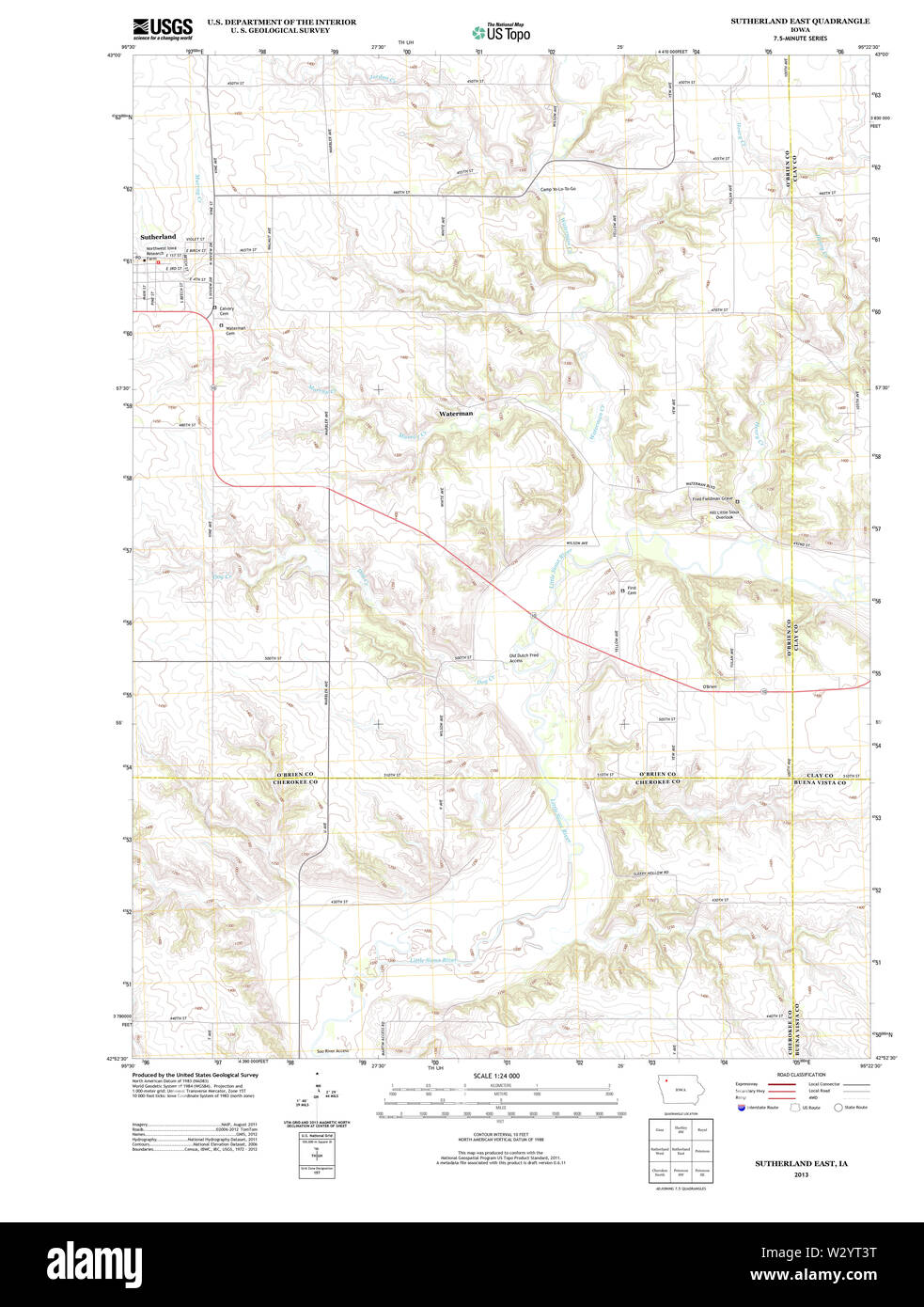 USGS TOPO Maps Iowa IA Sutherland East 20130422 TM Restoration Stock Photohttps://www.alamy.com/image-license-details/?v=1https://www.alamy.com/usgs-topo-maps-iowa-ia-sutherland-east-20130422-tm-restoration-image259996460.html
RMW2YT3T–USGS TOPO Maps Iowa IA Sutherland East 20130422 TM Restoration
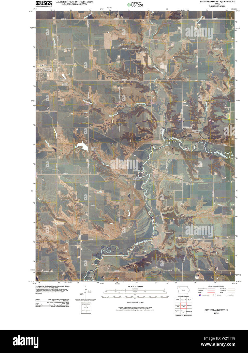 USGS TOPO Maps Iowa IA Sutherland East 20100524 TM Restoration Stock Photohttps://www.alamy.com/image-license-details/?v=1https://www.alamy.com/usgs-topo-maps-iowa-ia-sutherland-east-20100524-tm-restoration-image259996388.html
RMW2YT18–USGS TOPO Maps Iowa IA Sutherland East 20100524 TM Restoration
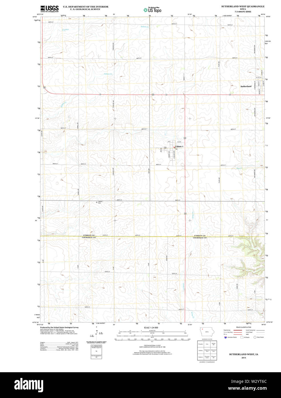 USGS TOPO Maps Iowa IA Sutherland West 20130422 TM Restoration Stock Photohttps://www.alamy.com/image-license-details/?v=1https://www.alamy.com/usgs-topo-maps-iowa-ia-sutherland-west-20130422-tm-restoration-image259996532.html
RMW2YT6C–USGS TOPO Maps Iowa IA Sutherland West 20130422 TM Restoration
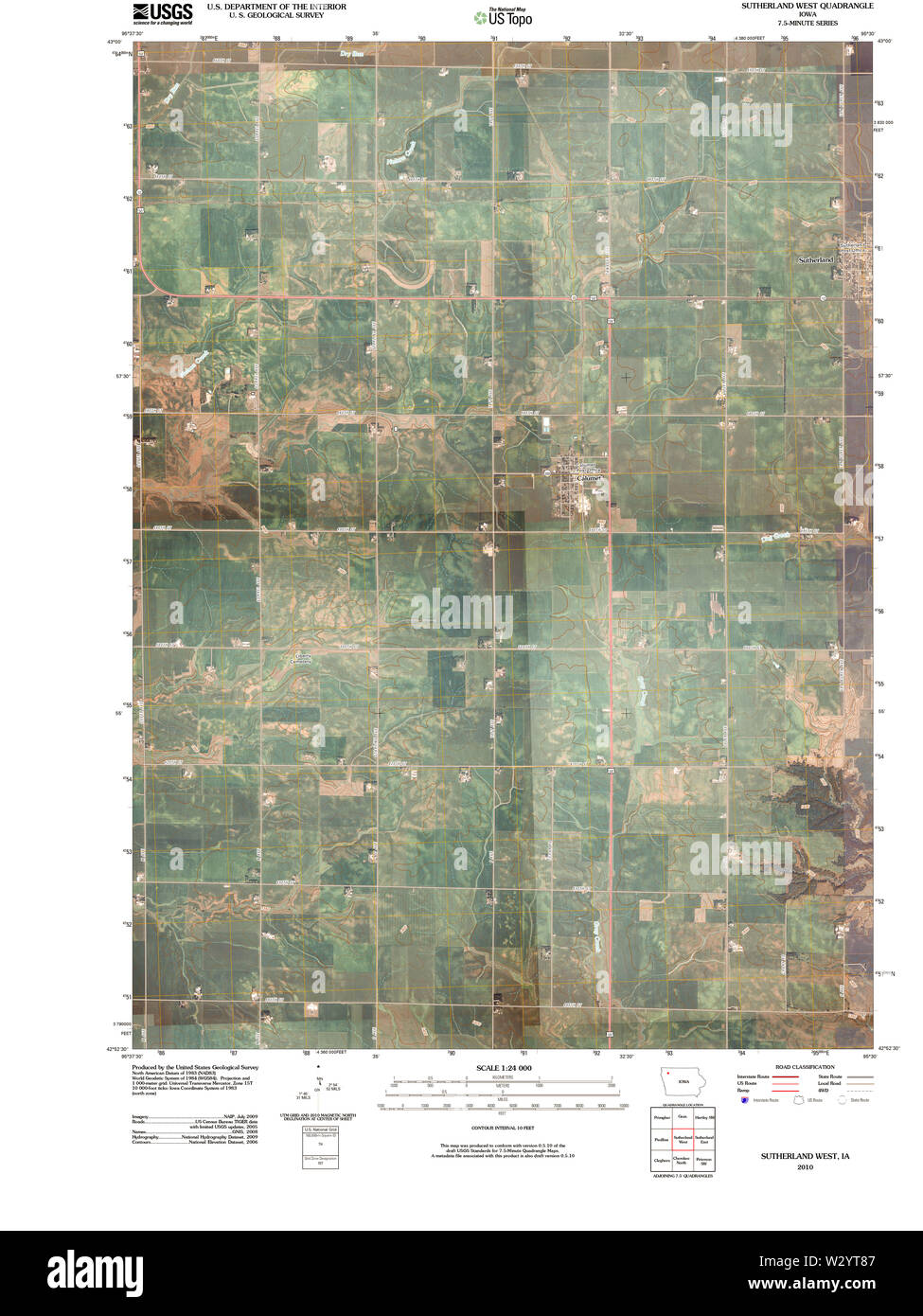 USGS TOPO Maps Iowa IA Sutherland West 20100524 TM Restoration Stock Photohttps://www.alamy.com/image-license-details/?v=1https://www.alamy.com/usgs-topo-maps-iowa-ia-sutherland-west-20100524-tm-restoration-image259996583.html
RMW2YT87–USGS TOPO Maps Iowa IA Sutherland West 20100524 TM Restoration
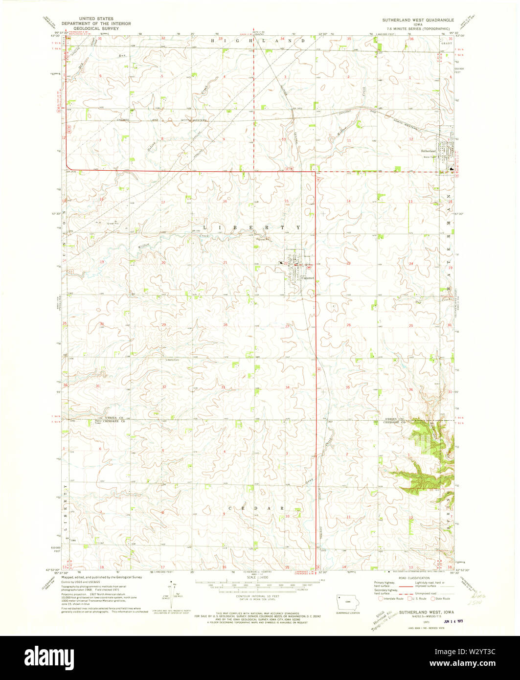 USGS TOPO Maps Iowa IA Sutherland West 175604 1971 24000 Restoration Stock Photohttps://www.alamy.com/image-license-details/?v=1https://www.alamy.com/usgs-topo-maps-iowa-ia-sutherland-west-175604-1971-24000-restoration-image259996448.html
RMW2YT3C–USGS TOPO Maps Iowa IA Sutherland West 175604 1971 24000 Restoration
 USGS TOPO Maps Iowa IA Sutherland East 175603 1971 24000 Restoration Stock Photohttps://www.alamy.com/image-license-details/?v=1https://www.alamy.com/usgs-topo-maps-iowa-ia-sutherland-east-175603-1971-24000-restoration-image259996337.html
RMW2YRYD–USGS TOPO Maps Iowa IA Sutherland East 175603 1971 24000 Restoration