Quick filters:
Sutter map Stock Photos and Images
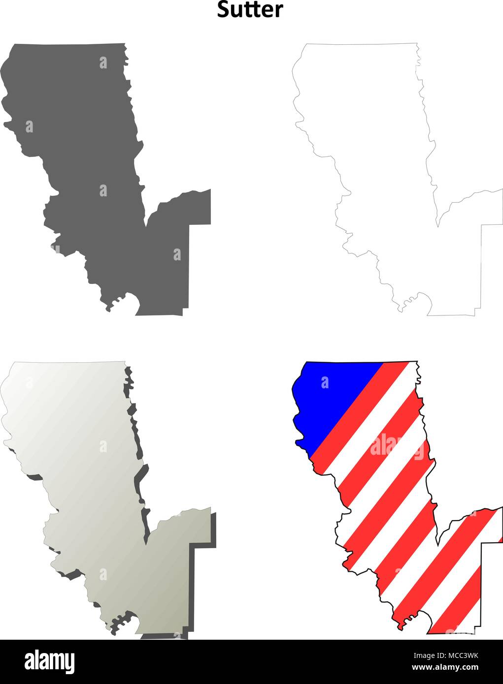 Sutter County, California outline map set Stock Vectorhttps://www.alamy.com/image-license-details/?v=1https://www.alamy.com/sutter-county-california-outline-map-set-image179746047.html
RFMCC3WK–Sutter County, California outline map set
 Joesphine, Sutter County, US, United States, California, N 39 5' 38'', S 121 48' 3'', map, Cartascapes Map published in 2024. Explore Cartascapes, a map revealing Earth's diverse landscapes, cultures, and ecosystems. Journey through time and space, discovering the interconnectedness of our planet's past, present, and future. Stock Photohttps://www.alamy.com/image-license-details/?v=1https://www.alamy.com/joesphine-sutter-county-us-united-states-california-n-39-5-38-s-121-48-3-map-cartascapes-map-published-in-2024-explore-cartascapes-a-map-revealing-earths-diverse-landscapes-cultures-and-ecosystems-journey-through-time-and-space-discovering-the-interconnectedness-of-our-planets-past-present-and-future-image621225794.html
RM2Y2K7RE–Joesphine, Sutter County, US, United States, California, N 39 5' 38'', S 121 48' 3'', map, Cartascapes Map published in 2024. Explore Cartascapes, a map revealing Earth's diverse landscapes, cultures, and ecosystems. Journey through time and space, discovering the interconnectedness of our planet's past, present, and future.
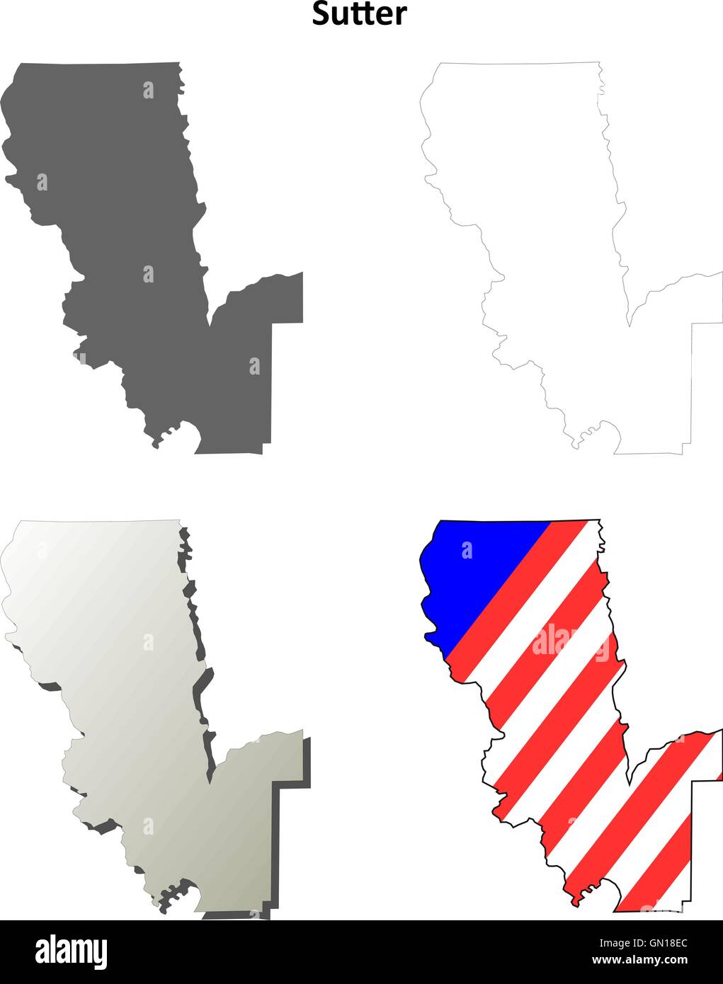 Sutter County, California outline map set Stock Vectorhttps://www.alamy.com/image-license-details/?v=1https://www.alamy.com/stock-photo-sutter-county-california-outline-map-set-116198612.html
RFGN18EC–Sutter County, California outline map set
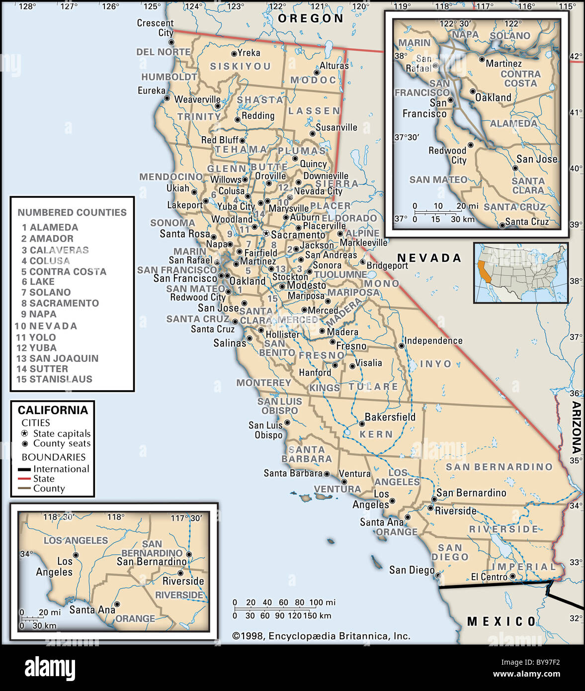 Political map of California Stock Photohttps://www.alamy.com/image-license-details/?v=1https://www.alamy.com/stock-photo-political-map-of-california-34009558.html
RMBY97F2–Political map of California
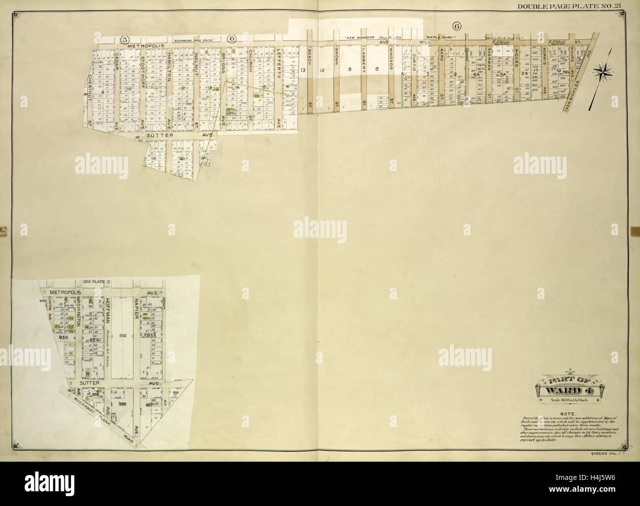 Queens, Vol. 1, Double Page Plate No. 21; Part of Ward 4; Map bounded by Metropolis Ave., Mill St., Vansicklen Ave., Sutter Ave. Stock Photohttps://www.alamy.com/image-license-details/?v=1https://www.alamy.com/stock-photo-queens-vol-1-double-page-plate-no-21-part-of-ward-4-map-bounded-by-123330962.html
RMH4J5W6–Queens, Vol. 1, Double Page Plate No. 21; Part of Ward 4; Map bounded by Metropolis Ave., Mill St., Vansicklen Ave., Sutter Ave.
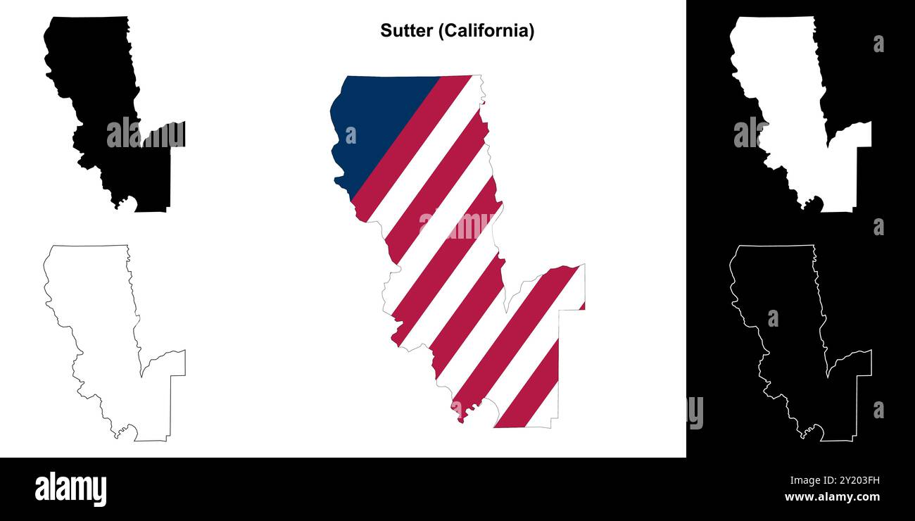 Sutter County (California) outline map set Stock Vectorhttps://www.alamy.com/image-license-details/?v=1https://www.alamy.com/sutter-county-california-outline-map-set-image620805349.html
RF2Y203FH–Sutter County (California) outline map set
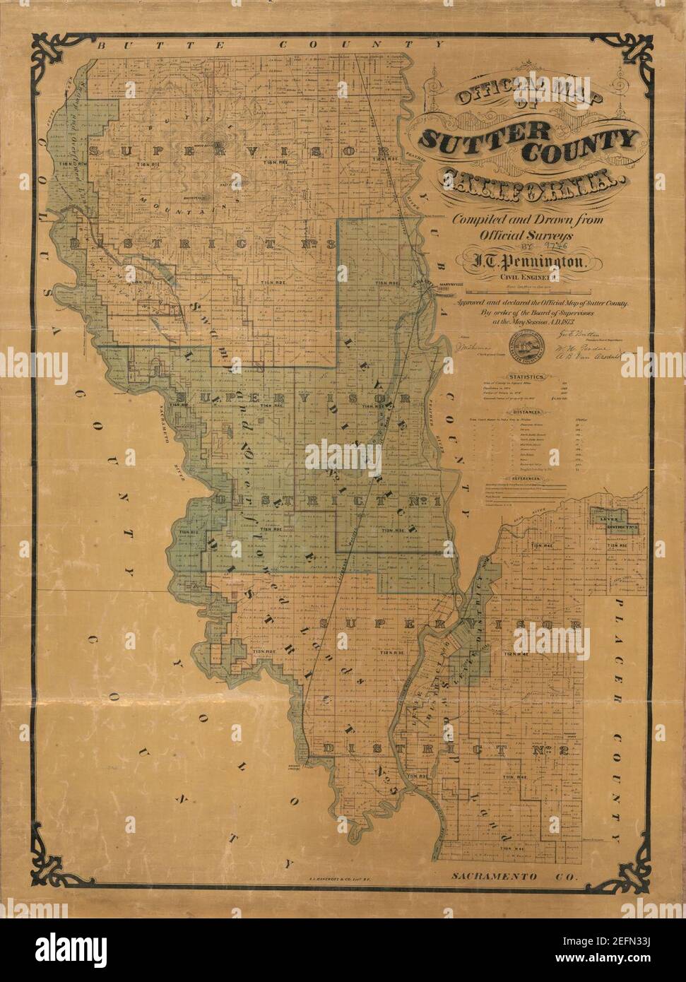 Official map of Sutter County, California Stock Photohttps://www.alamy.com/image-license-details/?v=1https://www.alamy.com/official-map-of-sutter-county-california-image405521750.html
RM2EFN33J–Official map of Sutter County, California
 Soldiers survey a field of caster beans during World War I. The beans were grown for the government on the Sutter Basin Company in Numé, 1918. Behind them is a map showing the distribution of enemy forces on the Piret British Army front in France. The photograph was reproduced for military purposes. Stock Photohttps://www.alamy.com/image-license-details/?v=1https://www.alamy.com/soldiers-survey-a-field-of-caster-beans-during-world-war-i-the-beans-were-grown-for-the-government-on-the-sutter-basin-company-in-num-1918-behind-them-is-a-map-showing-the-distribution-of-enemy-forces-on-the-piret-british-army-front-in-france-the-photograph-was-reproduced-for-military-purposes-image558299040.html
RM2RC8M3C–Soldiers survey a field of caster beans during World War I. The beans were grown for the government on the Sutter Basin Company in Numé, 1918. Behind them is a map showing the distribution of enemy forces on the Piret British Army front in France. The photograph was reproduced for military purposes.
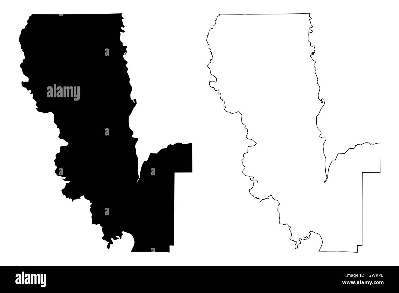 Sutter County, California (Counties in California, United States of America,USA, U.S., US) map vector illustration, scribble sketch Sutter map Stock Vectorhttps://www.alamy.com/image-license-details/?v=1https://www.alamy.com/sutter-county-california-counties-in-california-united-states-of-americausa-us-us-map-vector-illustration-scribble-sketch-sutter-map-image242738787.html
RFT2WKPB–Sutter County, California (Counties in California, United States of America,USA, U.S., US) map vector illustration, scribble sketch Sutter map
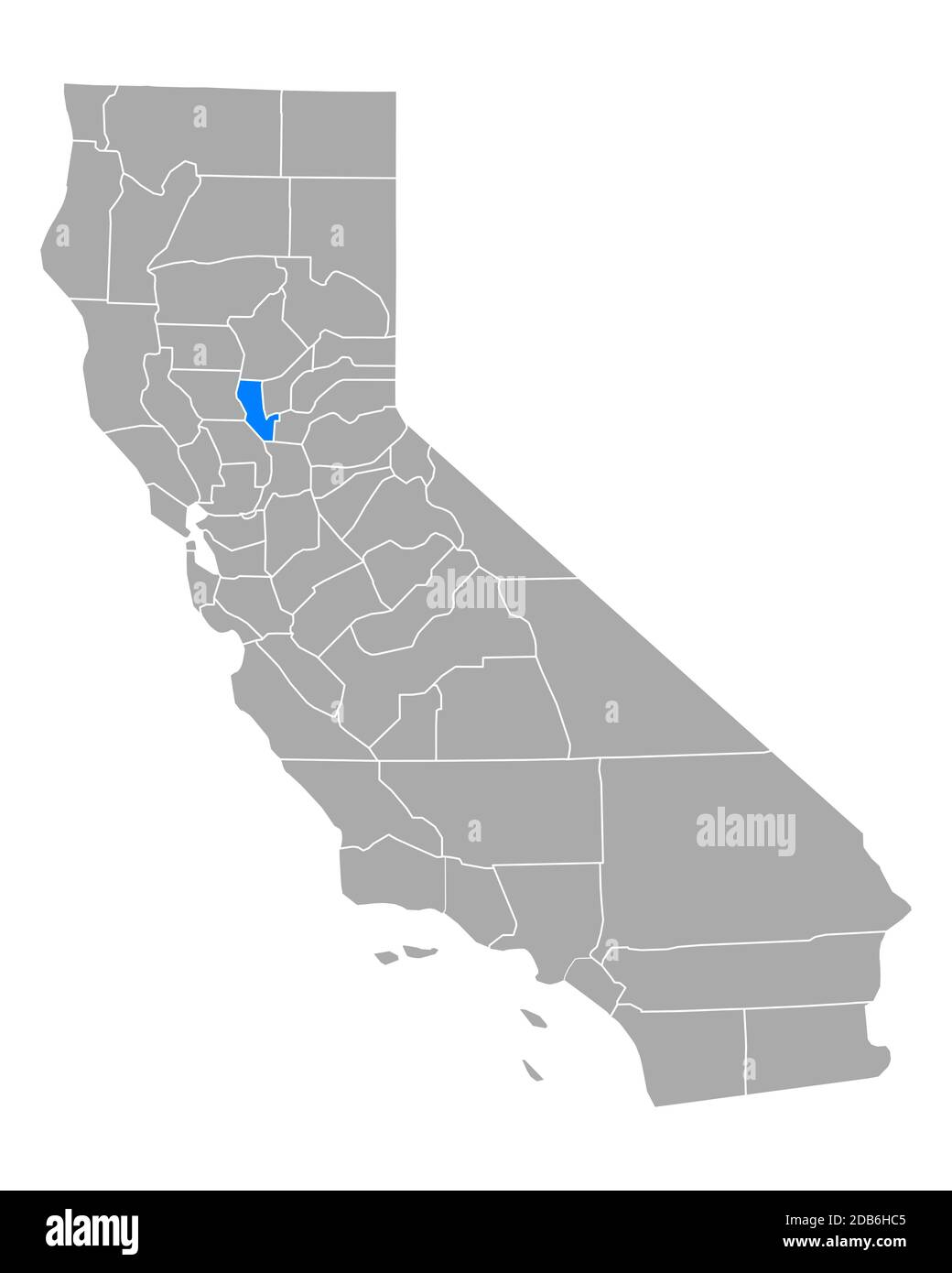 Map of Sutter in California Stock Photohttps://www.alamy.com/image-license-details/?v=1https://www.alamy.com/map-of-sutter-in-california-image385534693.html
RF2DB6HC5–Map of Sutter in California
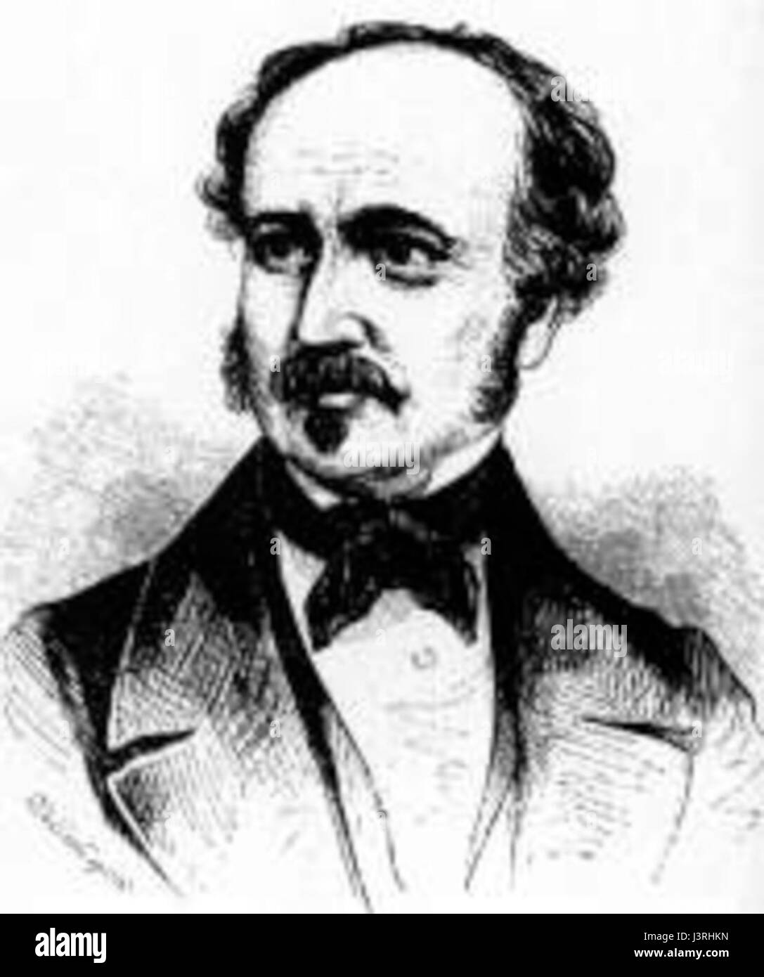 John Sutter Stock Photohttps://www.alamy.com/image-license-details/?v=1https://www.alamy.com/stock-photo-john-sutter-140045689.html
RMJ3RHKN–John Sutter
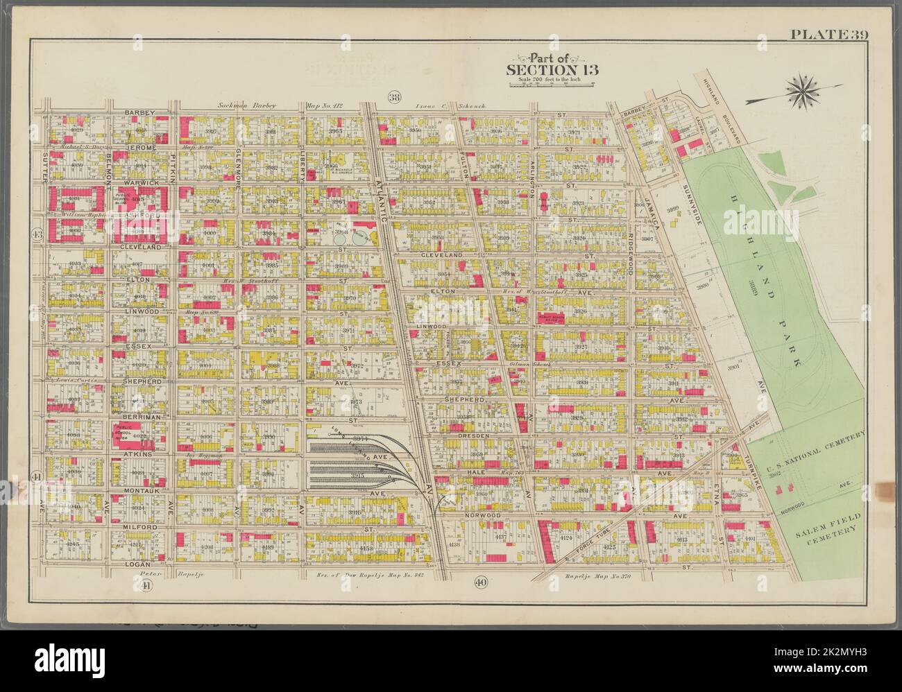 Bromley, George Washington. Cartographic, Maps, Atlases, land surveys. 1908. Lionel Pincus and Princess Firyal Map Division. Brooklyn (New York, N.Y.) , Maps Plate 39: Bounded by Barbey Street, (Highland Park) Sunnyside Avenue, Force Tube Avenue, Jamaica Turnpike, Logan Street and Sutter Street Plate 39 Stock Photohttps://www.alamy.com/image-license-details/?v=1https://www.alamy.com/bromley-george-washington-cartographic-maps-atlases-land-surveys-1908-lionel-pincus-and-princess-firyal-map-division-brooklyn-new-york-ny-maps-plate-39-bounded-by-barbey-street-highland-park-sunnyside-avenue-force-tube-avenue-jamaica-turnpike-logan-street-and-sutter-street-plate-39-image483580303.html
RM2K2MYH3–Bromley, George Washington. Cartographic, Maps, Atlases, land surveys. 1908. Lionel Pincus and Princess Firyal Map Division. Brooklyn (New York, N.Y.) , Maps Plate 39: Bounded by Barbey Street, (Highland Park) Sunnyside Avenue, Force Tube Avenue, Jamaica Turnpike, Logan Street and Sutter Street Plate 39
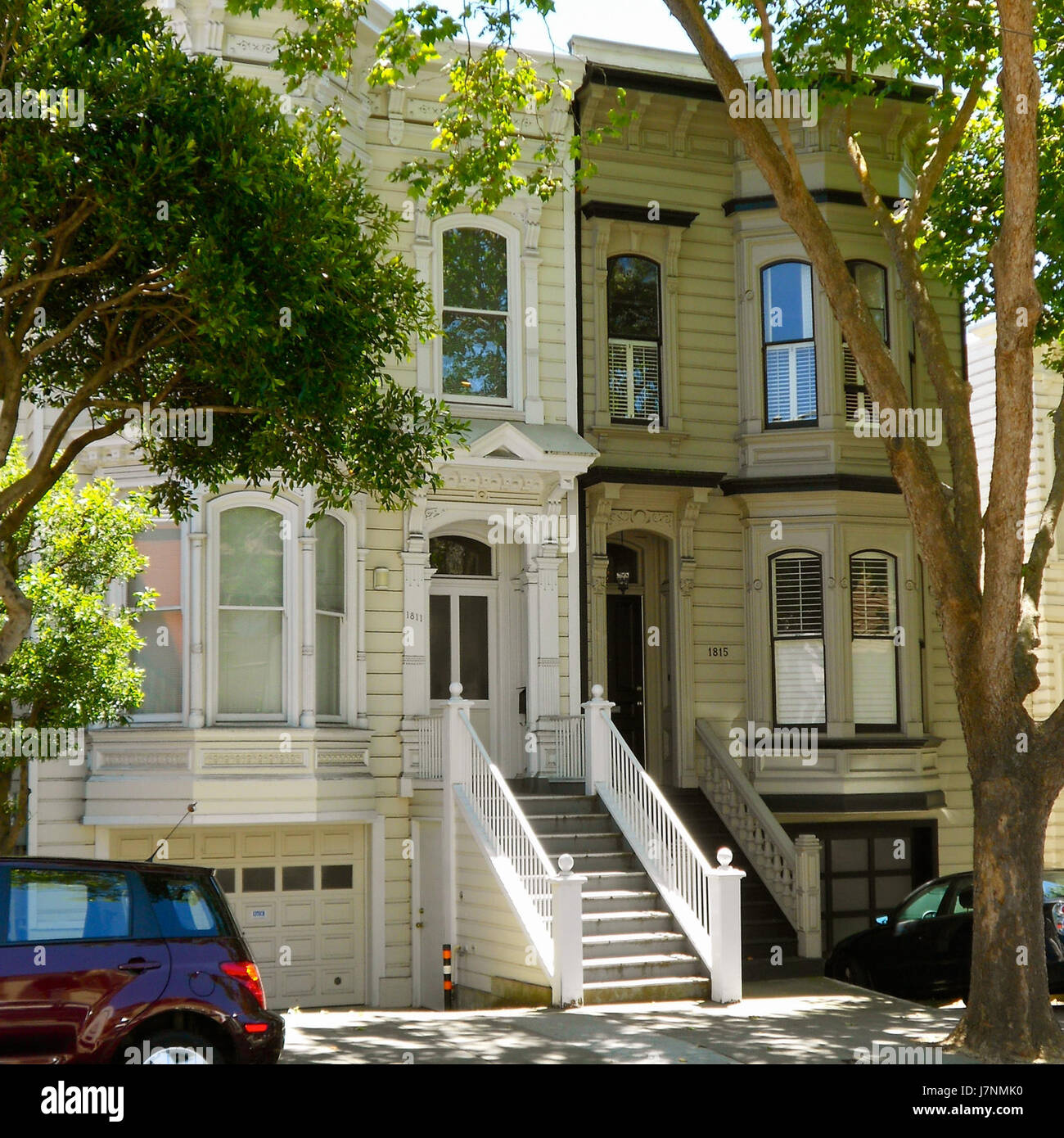 1815 Sutter NRHP SF CA Stock Photohttps://www.alamy.com/image-license-details/?v=1https://www.alamy.com/stock-photo-1815-sutter-nrhp-sf-ca-142462740.html
RMJ7NMK0–1815 Sutter NRHP SF CA
 Cartographic, Maps. 1884 - 1936. Lionel Pincus and Princess Firyal Map Division. Fire insurance , New York (State), Real property , New York (State), Cities & towns , New York (State) Brooklyn V. 8, Plate No. 42 Map bounded by Glenmore Ave., Wyona St., Sutter Ave., Pennsylvania Ave. Stock Photohttps://www.alamy.com/image-license-details/?v=1https://www.alamy.com/cartographic-maps-1884-1936-lionel-pincus-and-princess-firyal-map-division-fire-insurance-new-york-state-real-property-new-york-state-cities-towns-new-york-state-brooklyn-v-8-plate-no-42-map-bounded-by-glenmore-ave-wyona-st-sutter-ave-pennsylvania-ave-image483747372.html
RM2K30GKT–Cartographic, Maps. 1884 - 1936. Lionel Pincus and Princess Firyal Map Division. Fire insurance , New York (State), Real property , New York (State), Cities & towns , New York (State) Brooklyn V. 8, Plate No. 42 Map bounded by Glenmore Ave., Wyona St., Sutter Ave., Pennsylvania Ave.
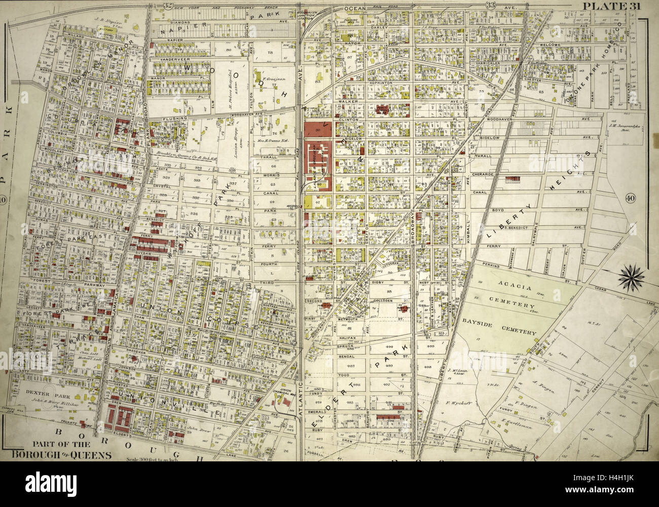 Plate 31: Bounded by New York and Rockaway Beach, Ocean Avenue, Freeland Avenue, Flushing Woodhaven Avenue, Sutter Avenue Stock Photohttps://www.alamy.com/image-license-details/?v=1https://www.alamy.com/stock-photo-plate-31-bounded-by-new-york-and-rockaway-beach-ocean-avenue-freeland-123305691.html
RMH4H1JK–Plate 31: Bounded by New York and Rockaway Beach, Ocean Avenue, Freeland Avenue, Flushing Woodhaven Avenue, Sutter Avenue
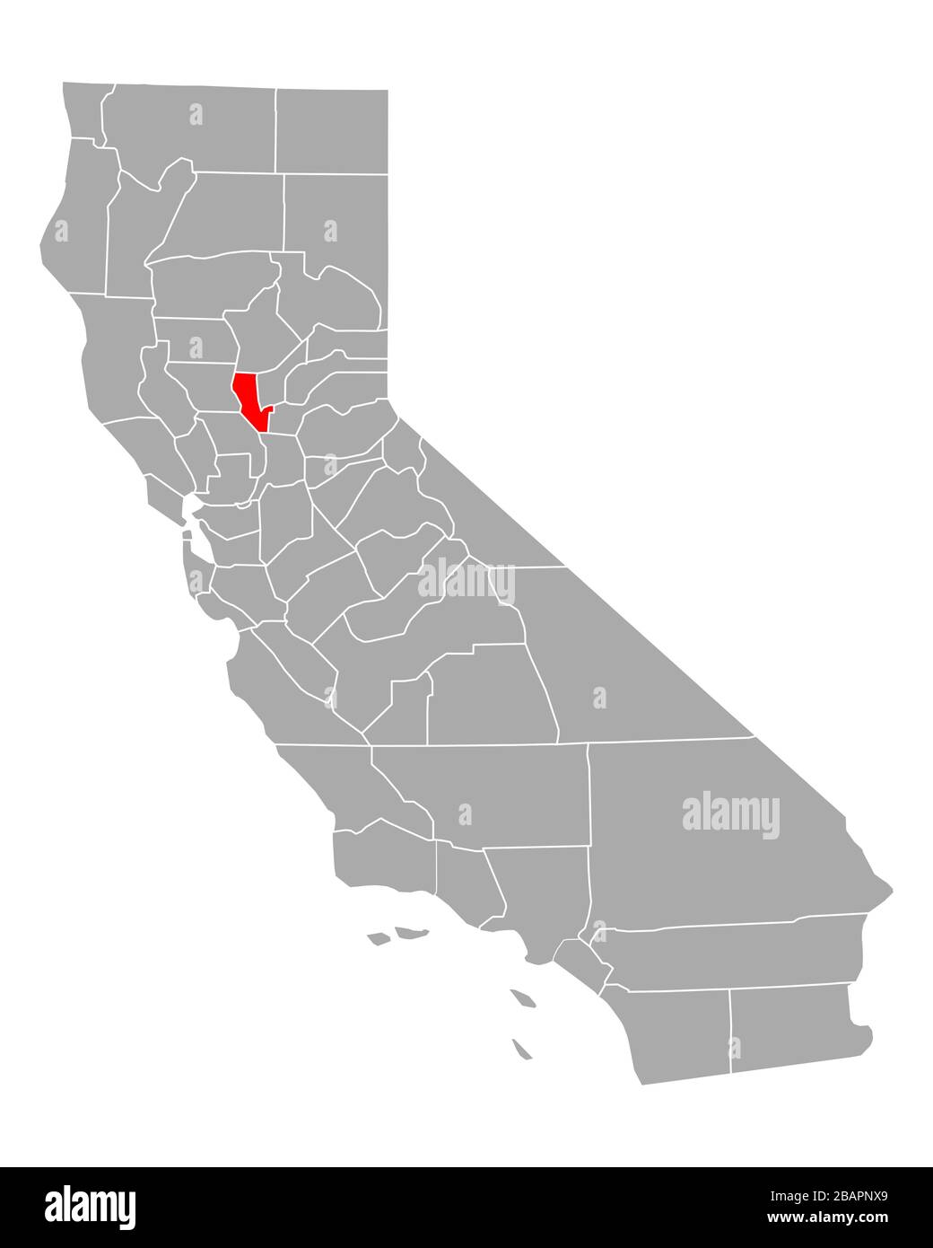 Map of Sutter in California Stock Photohttps://www.alamy.com/image-license-details/?v=1https://www.alamy.com/map-of-sutter-in-california-image350854065.html
RF2BAPNX9–Map of Sutter in California
 Architect and engineer . For ConcreteReinforcement Square, Deformed and Cold Twisted, Plain Rounds and Squares PACIFIC COAST STEEL COMPANY General Office, Rialto Building, San Francisco. Phone Sutter 1564 Sales Office, Rialto Building. SAN FRANCISCO ROLLING MILLS-SOUTH SAN FRANCISCO .. CAL SEATTLE, WASH. PORTLAND, ORE. Sales Office, Union Oil Building, LOS ANGELESSales Office SEATTLE, WASH Architects and Building Contractors : ^^HE Binding of Your Magazines Vmf and Periodicals is Our Specialty. Expert Plate and Map Mounting. The HICKS-JUDD COMPANY, Inc. BOOKBINDERS51-65 First Street San Franci Stock Photohttps://www.alamy.com/image-license-details/?v=1https://www.alamy.com/architect-and-engineer-for-concretereinforcement-square-deformed-and-cold-twisted-plain-rounds-and-squares-pacific-coast-steel-company-general-office-rialto-building-san-francisco-phone-sutter-1564-sales-office-rialto-building-san-francisco-rolling-mills-south-san-francisco-cal-seattle-wash-portland-ore-sales-office-union-oil-building-los-angelessales-office-seattle-wash-architects-and-building-contractors-he-binding-of-your-magazines-vmf-and-periodicals-is-our-specialty-expert-plate-and-map-mounting-the-hicks-judd-company-inc-bookbinders51-65-first-street-san-franci-image338447261.html
RM2AJHGX5–Architect and engineer . For ConcreteReinforcement Square, Deformed and Cold Twisted, Plain Rounds and Squares PACIFIC COAST STEEL COMPANY General Office, Rialto Building, San Francisco. Phone Sutter 1564 Sales Office, Rialto Building. SAN FRANCISCO ROLLING MILLS-SOUTH SAN FRANCISCO .. CAL SEATTLE, WASH. PORTLAND, ORE. Sales Office, Union Oil Building, LOS ANGELESSales Office SEATTLE, WASH Architects and Building Contractors : ^^HE Binding of Your Magazines Vmf and Periodicals is Our Specialty. Expert Plate and Map Mounting. The HICKS-JUDD COMPANY, Inc. BOOKBINDERS51-65 First Street San Franci
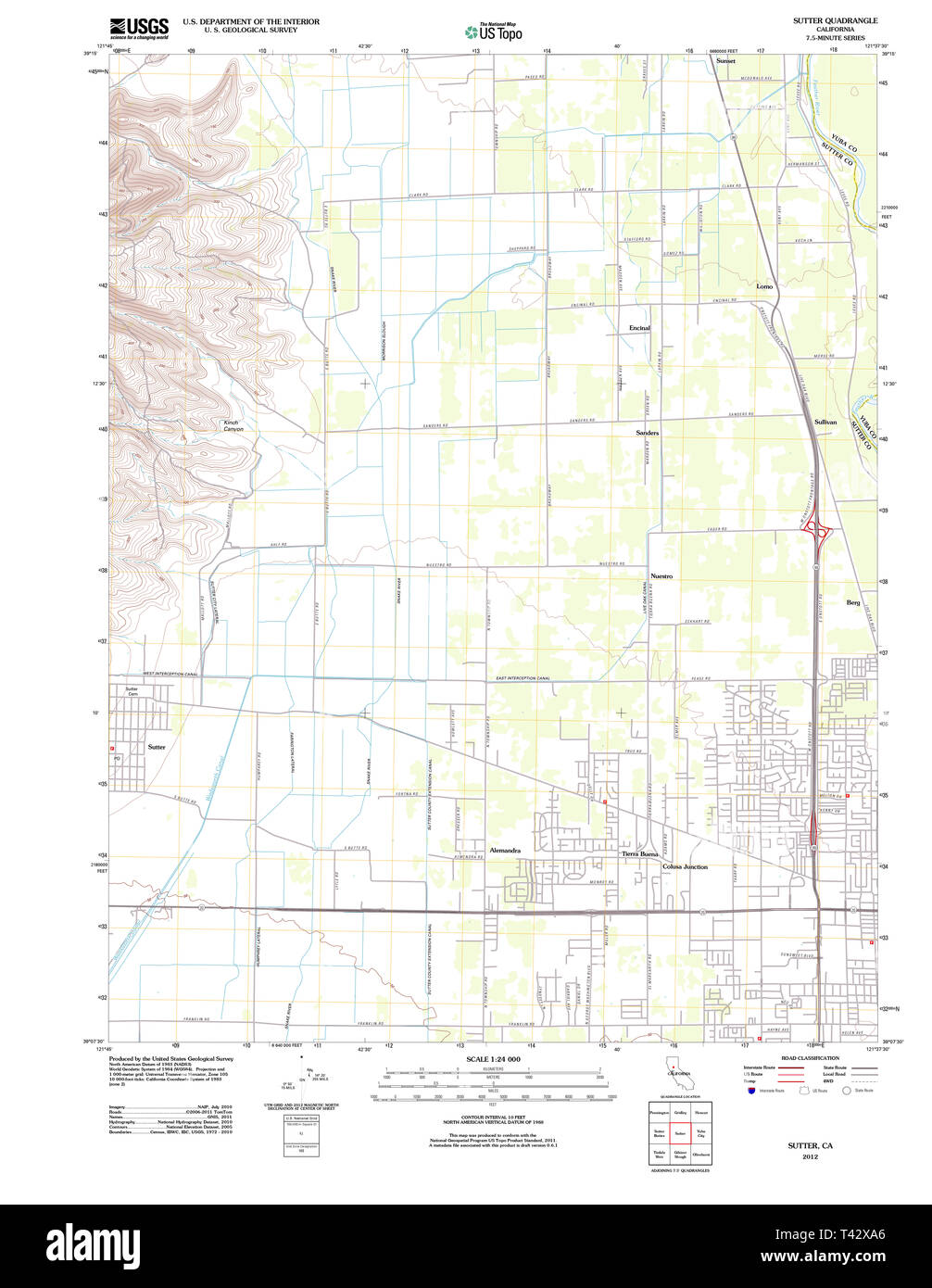 USGS TOPO Map California CA Sutter 20120301 TM Restoration Stock Photohttps://www.alamy.com/image-license-details/?v=1https://www.alamy.com/usgs-topo-map-california-ca-sutter-20120301-tm-restoration-image243468350.html
RMT42XA6–USGS TOPO Map California CA Sutter 20120301 TM Restoration
![Image taken from page 83 of 'American Notes, 1881. [Letters reprinted from the “Edinburgh Courant,” with plates and a map.]' Image taken from page 83 of 'American Notes, 1881 [Letters Stock Photo Image taken from page 83 of 'American Notes, 1881. [Letters reprinted from the “Edinburgh Courant,” with plates and a map.]' Image taken from page 83 of 'American Notes, 1881 [Letters Stock Photo](https://c8.alamy.com/comp/HFPEKG/image-taken-from-page-83-of-american-notes-1881-letters-reprinted-HFPEKG.jpg) Image taken from page 83 of 'American Notes, 1881. [Letters reprinted from the “Edinburgh Courant,” with plates and a map.]' Image taken from page 83 of 'American Notes, 1881 [Letters Stock Photohttps://www.alamy.com/image-license-details/?v=1https://www.alamy.com/stock-photo-image-taken-from-page-83-of-american-notes-1881-letters-reprinted-130186884.html
Image taken from page 83 of 'American Notes, 1881. [Letters reprinted from the “Edinburgh Courant,” with plates and a map.]' Image taken from page 83 of 'American Notes, 1881 [Letters Stock Photohttps://www.alamy.com/image-license-details/?v=1https://www.alamy.com/stock-photo-image-taken-from-page-83-of-american-notes-1881-letters-reprinted-130186884.htmlRMHFPEKG–Image taken from page 83 of 'American Notes, 1881. [Letters reprinted from the “Edinburgh Courant,” with plates and a map.]' Image taken from page 83 of 'American Notes, 1881 [Letters
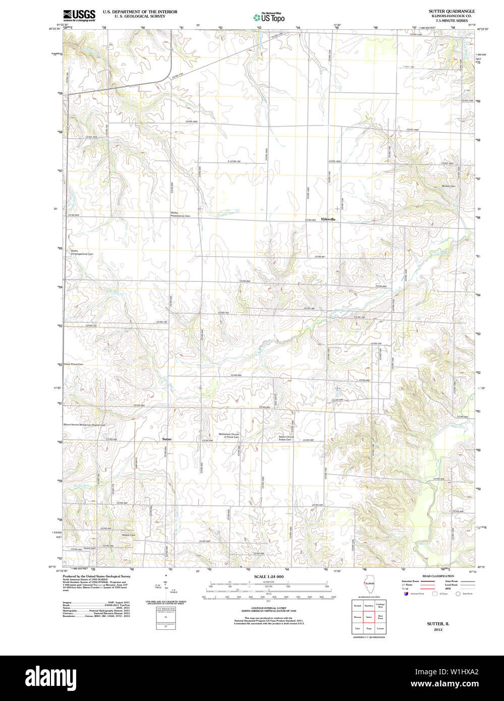 USGS TOPO Map Illinois IL Sutter 20120815 TM Restoration Stock Photohttps://www.alamy.com/image-license-details/?v=1https://www.alamy.com/usgs-topo-map-illinois-il-sutter-20120815-tm-restoration-image259164026.html
RMW1HXA2–USGS TOPO Map Illinois IL Sutter 20120815 TM Restoration
 Tarke, Sutter County, US, United States, California, N 39 8' 42'', S 121 50' 56'', map, Cartascapes Map published in 2024. Explore Cartascapes, a map revealing Earth's diverse landscapes, cultures, and ecosystems. Journey through time and space, discovering the interconnectedness of our planet's past, present, and future. Stock Photohttps://www.alamy.com/image-license-details/?v=1https://www.alamy.com/tarke-sutter-county-us-united-states-california-n-39-8-42-s-121-50-56-map-cartascapes-map-published-in-2024-explore-cartascapes-a-map-revealing-earths-diverse-landscapes-cultures-and-ecosystems-journey-through-time-and-space-discovering-the-interconnectedness-of-our-planets-past-present-and-future-image621250415.html
RM2Y2MB6R–Tarke, Sutter County, US, United States, California, N 39 8' 42'', S 121 50' 56'', map, Cartascapes Map published in 2024. Explore Cartascapes, a map revealing Earth's diverse landscapes, cultures, and ecosystems. Journey through time and space, discovering the interconnectedness of our planet's past, present, and future.
 USGS TOPO Map California CA Sutter 296536 1911 31680 Restoration Stock Photohttps://www.alamy.com/image-license-details/?v=1https://www.alamy.com/usgs-topo-map-california-ca-sutter-296536-1911-31680-restoration-image243468352.html
RMT42XA8–USGS TOPO Map California CA Sutter 296536 1911 31680 Restoration
 Plate 31: Bounded by New York and Rockaway Beach, Ocean Avenue, Freeland Avenue, Flushing Woodhaven Avenue, Sutter reimagined Stock Photohttps://www.alamy.com/image-license-details/?v=1https://www.alamy.com/plate-31-bounded-by-new-york-and-rockaway-beach-ocean-avenue-freeland-avenue-flushing-woodhaven-avenue-sutter-reimagined-image230181974.html
RFRADKCP–Plate 31: Bounded by New York and Rockaway Beach, Ocean Avenue, Freeland Avenue, Flushing Woodhaven Avenue, Sutter reimagined
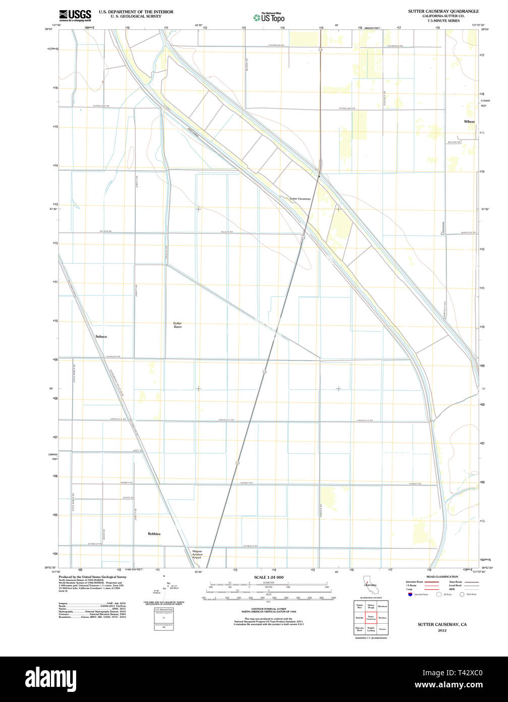 USGS TOPO Map California CA Sutter Causeway 20120308 TM Restoration Stock Photohttps://www.alamy.com/image-license-details/?v=1https://www.alamy.com/usgs-topo-map-california-ca-sutter-causeway-20120308-tm-restoration-image243468400.html
RMT42XC0–USGS TOPO Map California CA Sutter Causeway 20120308 TM Restoration
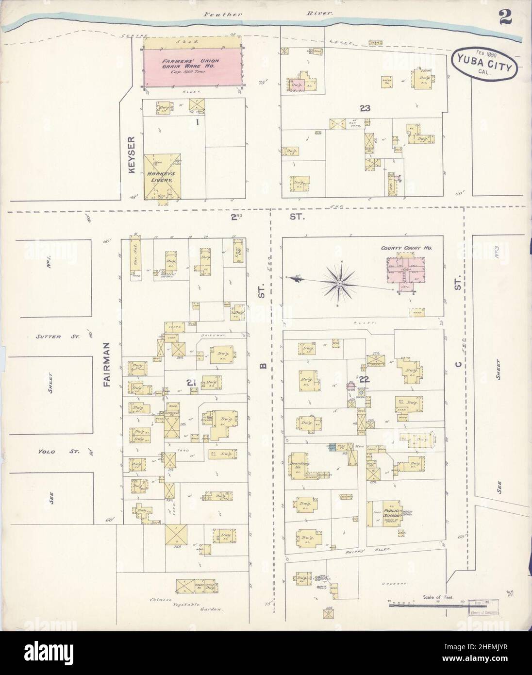 Sanborn Fire Insurance Map from Yuba City, Sutter County, California. Stock Photohttps://www.alamy.com/image-license-details/?v=1https://www.alamy.com/sanborn-fire-insurance-map-from-yuba-city-sutter-county-california-image456528683.html
RM2HEMJYR–Sanborn Fire Insurance Map from Yuba City, Sutter County, California.
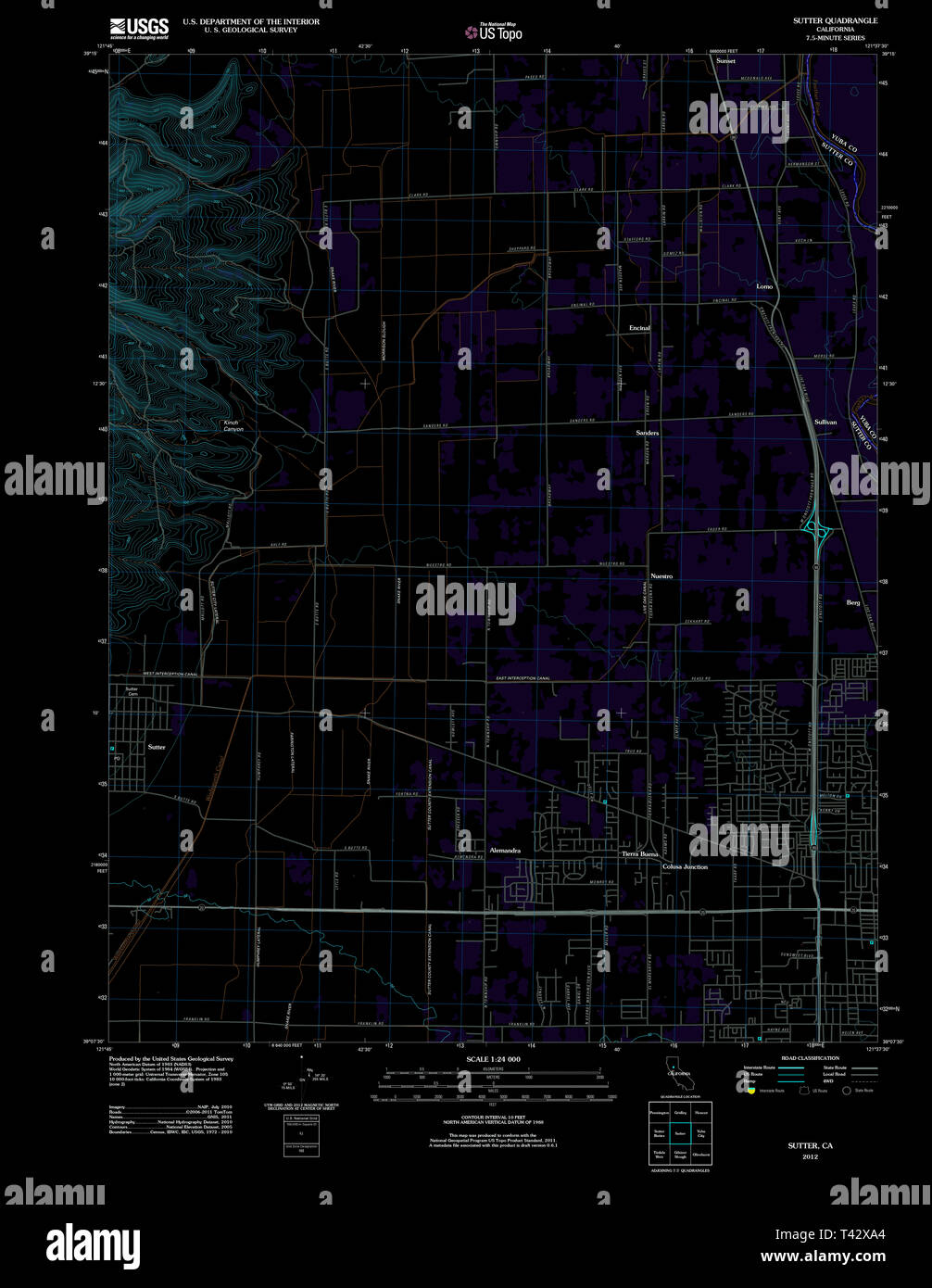 USGS TOPO Map California CA Sutter 20120301 TM Inverted Restoration Stock Photohttps://www.alamy.com/image-license-details/?v=1https://www.alamy.com/usgs-topo-map-california-ca-sutter-20120301-tm-inverted-restoration-image243468348.html
RMT42XA4–USGS TOPO Map California CA Sutter 20120301 TM Inverted Restoration
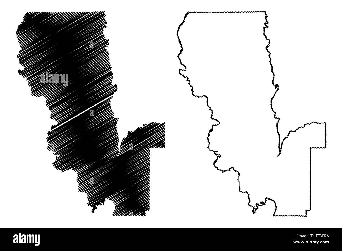 Sutter County, California (Counties in California, United States of America,USA, U.S., US) map vector illustration, scribble sketch Sutter map Stock Vectorhttps://www.alamy.com/image-license-details/?v=1https://www.alamy.com/sutter-county-california-counties-in-california-united-states-of-americausa-us-us-map-vector-illustration-scribble-sketch-sutter-map-image245331502.html
RFT73PRA–Sutter County, California (Counties in California, United States of America,USA, U.S., US) map vector illustration, scribble sketch Sutter map
 Map of Sutter in California Stock Photohttps://www.alamy.com/image-license-details/?v=1https://www.alamy.com/map-of-sutter-in-california-image385555031.html
RF2DB7FAF–Map of Sutter in California
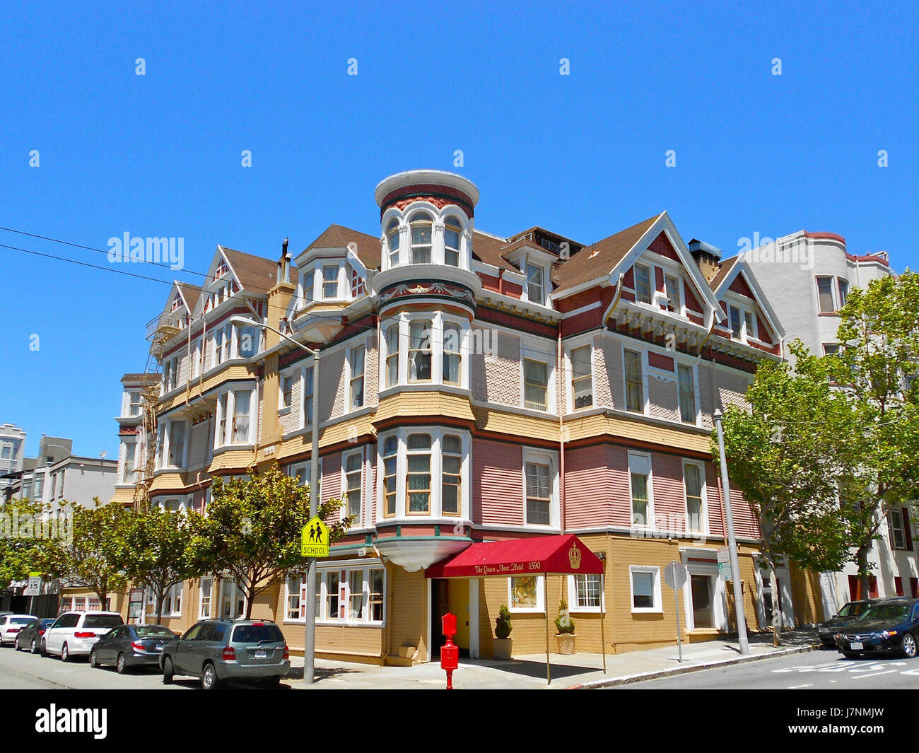 1590 Sutter Queen Anne SF CA Stock Photohttps://www.alamy.com/image-license-details/?v=1https://www.alamy.com/stock-photo-1590-sutter-queen-anne-sf-ca-142462737.html
RMJ7NMJW–1590 Sutter Queen Anne SF CA
 Cartographic, Maps. 1884 - 1936. Lionel Pincus and Princess Firyal Map Division. Fire insurance , New York (State), Real property , New York (State), Cities & towns , New York (State) Brooklyn V. 8, Plate No. 59 Map bounded by Sutter Ave., Pennsylvania Ave., Dumont Ave., Alabama Ave. Stock Photohttps://www.alamy.com/image-license-details/?v=1https://www.alamy.com/cartographic-maps-1884-1936-lionel-pincus-and-princess-firyal-map-division-fire-insurance-new-york-state-real-property-new-york-state-cities-towns-new-york-state-brooklyn-v-8-plate-no-59-map-bounded-by-sutter-ave-pennsylvania-ave-dumont-ave-alabama-ave-image483722305.html
RM2K2YCMH–Cartographic, Maps. 1884 - 1936. Lionel Pincus and Princess Firyal Map Division. Fire insurance , New York (State), Real property , New York (State), Cities & towns , New York (State) Brooklyn V. 8, Plate No. 59 Map bounded by Sutter Ave., Pennsylvania Ave., Dumont Ave., Alabama Ave.
 Lina u Andreas Sutter Gersbach 1915 Stock Photohttps://www.alamy.com/image-license-details/?v=1https://www.alamy.com/stock-photo-lina-u-andreas-sutter-gersbach-1915-140182436.html
RMJ41T3G–Lina u Andreas Sutter Gersbach 1915
 Queens, Vol. 1, Double Page Plate No. 25; Part of Ward 4; Jamaica; Map bounded by LibertyAve., Road to Landing, Whitelaw Ave. Stock Photohttps://www.alamy.com/image-license-details/?v=1https://www.alamy.com/stock-photo-queens-vol-1-double-page-plate-no-25-part-of-ward-4-jamaica-map-bounded-123330968.html
RMH4J5WC–Queens, Vol. 1, Double Page Plate No. 25; Part of Ward 4; Jamaica; Map bounded by LibertyAve., Road to Landing, Whitelaw Ave.
 Map of Sutter in California Stock Photohttps://www.alamy.com/image-license-details/?v=1https://www.alamy.com/map-of-sutter-in-california-image348974528.html
RF2B7N4G0–Map of Sutter in California
 Architect and engineer . For ConcreteReinforcement Square, Deformed and Cold Twisted, Plain Rounds and Squares PACIFIC COAST STEEL COMPANY General Office, Rialto Building, San Francisco. Phone Sutter 1564 Sales Office, Rialto Building, SAN FRANCISCO ROLLING MILLS- Sales Office, Union Oil Building, LOS ANGELES SOUTH SAN FRANCISCO . CAL Sales Office SEATTLE, WASH. SEATTLE, WASH. PORTLAND, oRE Architects and Building Contractors: ^JJ^HE Binding of Your Magazines V/ and Periodicals is Our Specialty. Expert Plate and Map Mounting. The HICKS-JUDD COMPANY, Inc.BOOKBINDERS 51-65 First Street San Franc Stock Photohttps://www.alamy.com/image-license-details/?v=1https://www.alamy.com/architect-and-engineer-for-concretereinforcement-square-deformed-and-cold-twisted-plain-rounds-and-squares-pacific-coast-steel-company-general-office-rialto-building-san-francisco-phone-sutter-1564-sales-office-rialto-building-san-francisco-rolling-mills-sales-office-union-oil-building-los-angeles-south-san-francisco-cal-sales-office-seattle-wash-seattle-wash-portland-ore-architects-and-building-contractors-jjhe-binding-of-your-magazines-v-and-periodicals-is-our-specialty-expert-plate-and-map-mounting-the-hicks-judd-company-incbookbinders-51-65-first-street-san-franc-image338501743.html
RM2AJM2BY–Architect and engineer . For ConcreteReinforcement Square, Deformed and Cold Twisted, Plain Rounds and Squares PACIFIC COAST STEEL COMPANY General Office, Rialto Building, San Francisco. Phone Sutter 1564 Sales Office, Rialto Building, SAN FRANCISCO ROLLING MILLS- Sales Office, Union Oil Building, LOS ANGELES SOUTH SAN FRANCISCO . CAL Sales Office SEATTLE, WASH. SEATTLE, WASH. PORTLAND, oRE Architects and Building Contractors: ^JJ^HE Binding of Your Magazines V/ and Periodicals is Our Specialty. Expert Plate and Map Mounting. The HICKS-JUDD COMPANY, Inc.BOOKBINDERS 51-65 First Street San Franc
![Image taken from page 77 of 'American Notes, 1881. [Letters reprinted from the “Edinburgh Courant,” with plates and a map.]' Image taken from page 77 of 'American Notes, 1881 [Letters Stock Photo Image taken from page 77 of 'American Notes, 1881. [Letters reprinted from the “Edinburgh Courant,” with plates and a map.]' Image taken from page 77 of 'American Notes, 1881 [Letters Stock Photo](https://c8.alamy.com/comp/HFPAFM/image-taken-from-page-77-of-american-notes-1881-letters-reprinted-HFPAFM.jpg) Image taken from page 77 of 'American Notes, 1881. [Letters reprinted from the “Edinburgh Courant,” with plates and a map.]' Image taken from page 77 of 'American Notes, 1881 [Letters Stock Photohttps://www.alamy.com/image-license-details/?v=1https://www.alamy.com/stock-photo-image-taken-from-page-77-of-american-notes-1881-letters-reprinted-130183640.html
Image taken from page 77 of 'American Notes, 1881. [Letters reprinted from the “Edinburgh Courant,” with plates and a map.]' Image taken from page 77 of 'American Notes, 1881 [Letters Stock Photohttps://www.alamy.com/image-license-details/?v=1https://www.alamy.com/stock-photo-image-taken-from-page-77-of-american-notes-1881-letters-reprinted-130183640.htmlRMHFPAFM–Image taken from page 77 of 'American Notes, 1881. [Letters reprinted from the “Edinburgh Courant,” with plates and a map.]' Image taken from page 77 of 'American Notes, 1881 [Letters
 Cunard, Sutter County, US, United States, California, N 38 48' 49'', S 121 41' 8'', map, Cartascapes Map published in 2024. Explore Cartascapes, a map revealing Earth's diverse landscapes, cultures, and ecosystems. Journey through time and space, discovering the interconnectedness of our planet's past, present, and future. Stock Photohttps://www.alamy.com/image-license-details/?v=1https://www.alamy.com/cunard-sutter-county-us-united-states-california-n-38-48-49-s-121-41-8-map-cartascapes-map-published-in-2024-explore-cartascapes-a-map-revealing-earths-diverse-landscapes-cultures-and-ecosystems-journey-through-time-and-space-discovering-the-interconnectedness-of-our-planets-past-present-and-future-image621246503.html
RM2Y2M673–Cunard, Sutter County, US, United States, California, N 38 48' 49'', S 121 41' 8'', map, Cartascapes Map published in 2024. Explore Cartascapes, a map revealing Earth's diverse landscapes, cultures, and ecosystems. Journey through time and space, discovering the interconnectedness of our planet's past, present, and future.
 Plate 31: Bounded by New York and Rockaway Beach, Ocean Avenue, Freeland Avenue, Flushing Woodhaven Avenue, Sutter reimagined Stock Photohttps://www.alamy.com/image-license-details/?v=1https://www.alamy.com/plate-31-bounded-by-new-york-and-rockaway-beach-ocean-avenue-freeland-avenue-flushing-woodhaven-avenue-sutter-reimagined-image230374215.html
RFRAPCJF–Plate 31: Bounded by New York and Rockaway Beach, Ocean Avenue, Freeland Avenue, Flushing Woodhaven Avenue, Sutter reimagined
 Sanborn Fire Insurance Map from Live Oak, Sutter County, California. Stock Photohttps://www.alamy.com/image-license-details/?v=1https://www.alamy.com/sanborn-fire-insurance-map-from-live-oak-sutter-county-california-image456431457.html
RM2HEG6YD–Sanborn Fire Insurance Map from Live Oak, Sutter County, California.
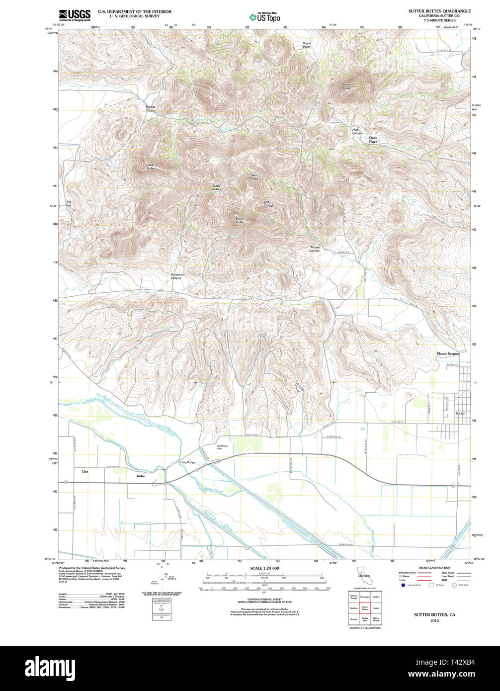 USGS TOPO Map California CA Sutter Buttes 20120301 TM Restoration Stock Photohttps://www.alamy.com/image-license-details/?v=1https://www.alamy.com/usgs-topo-map-california-ca-sutter-buttes-20120301-tm-restoration-image243468376.html
RMT42XB4–USGS TOPO Map California CA Sutter Buttes 20120301 TM Restoration
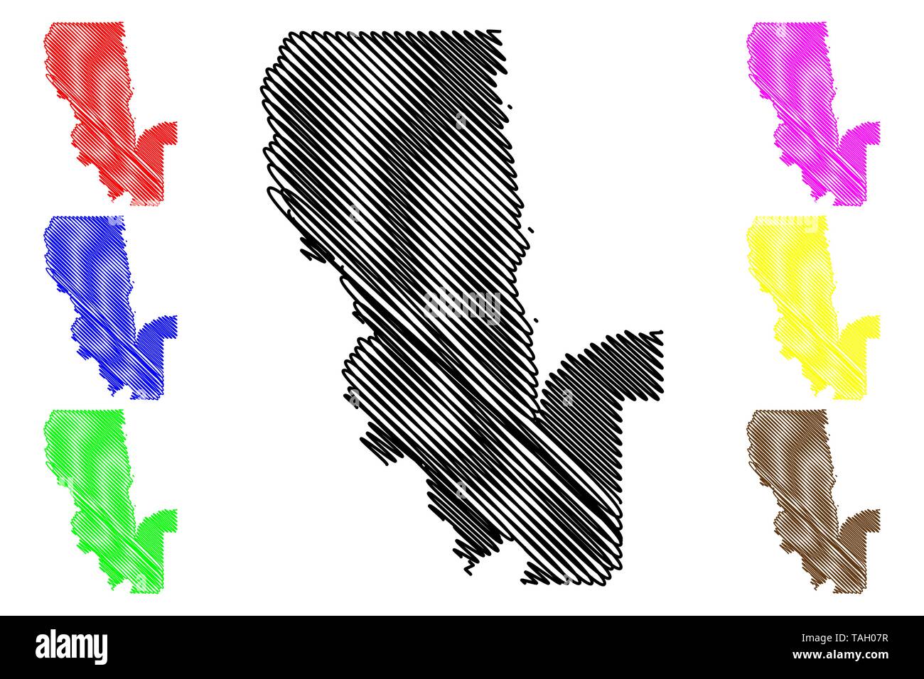 Sutter County, California (Counties in California, United States of America,USA, U.S., US) map vector illustration, scribble sketch Sutter map Stock Vectorhttps://www.alamy.com/image-license-details/?v=1https://www.alamy.com/sutter-county-california-counties-in-california-united-states-of-americausa-us-us-map-vector-illustration-scribble-sketch-sutter-map-image247465115.html
RFTAH07R–Sutter County, California (Counties in California, United States of America,USA, U.S., US) map vector illustration, scribble sketch Sutter map
 Map of Sutter in California Stock Photohttps://www.alamy.com/image-license-details/?v=1https://www.alamy.com/map-of-sutter-in-california-image363423184.html
RF2C379YC–Map of Sutter in California
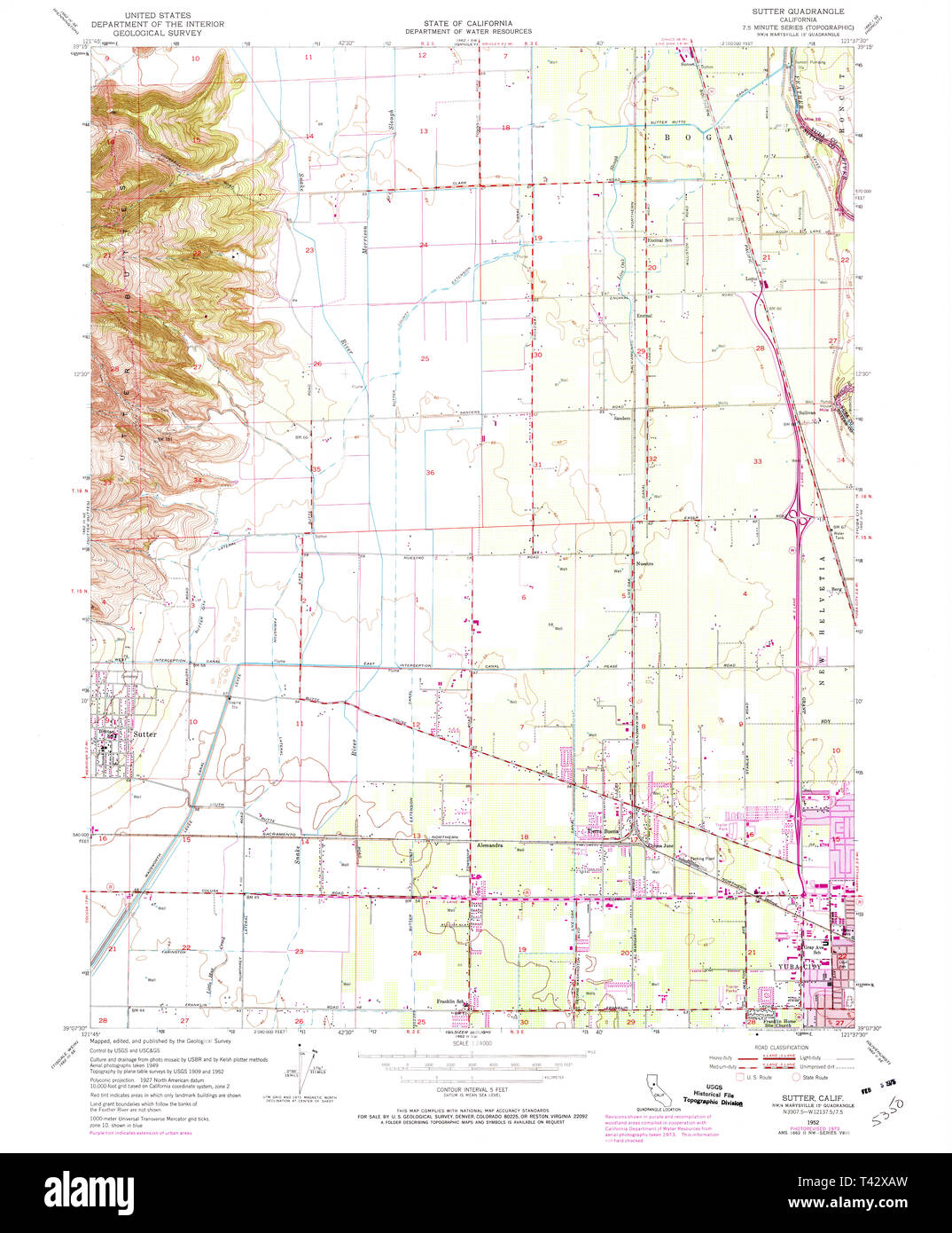 USGS TOPO Map California CA Sutter 300754 1952 24000 Restoration Stock Photohttps://www.alamy.com/image-license-details/?v=1https://www.alamy.com/usgs-topo-map-california-ca-sutter-300754-1952-24000-restoration-image243468369.html
RMT42XAW–USGS TOPO Map California CA Sutter 300754 1952 24000 Restoration
 Cartographic, Maps. 1884 - 1936. Lionel Pincus and Princess Firyal Map Division. Fire insurance , New York (State), Real property , New York (State), Cities & towns , New York (State) Brooklyn V. 8, Plate No. 57 Map bounded by Sutter Ave., Snediker Ave., Dumont Ave., Powell St. Stock Photohttps://www.alamy.com/image-license-details/?v=1https://www.alamy.com/cartographic-maps-1884-1936-lionel-pincus-and-princess-firyal-map-division-fire-insurance-new-york-state-real-property-new-york-state-cities-towns-new-york-state-brooklyn-v-8-plate-no-57-map-bounded-by-sutter-ave-snediker-ave-dumont-ave-powell-st-image483547358.html
RM2K2KDGE–Cartographic, Maps. 1884 - 1936. Lionel Pincus and Princess Firyal Map Division. Fire insurance , New York (State), Real property , New York (State), Cities & towns , New York (State) Brooklyn V. 8, Plate No. 57 Map bounded by Sutter Ave., Snediker Ave., Dumont Ave., Powell St.
 Vickery Atkins and Torrey 550 Sutter Street Stock Photohttps://www.alamy.com/image-license-details/?v=1https://www.alamy.com/stock-photo-vickery-atkins-and-torrey-550-sutter-street-140702801.html
RMJ4WFT1–Vickery Atkins and Torrey 550 Sutter Street
 Double Page Plate No. 20: Bounded by Williams Avenue, Riverdale Avenue, Rockaway Avenue, Hunter Fly Road, Bristol Street Stock Photohttps://www.alamy.com/image-license-details/?v=1https://www.alamy.com/stock-photo-double-page-plate-no-20-bounded-by-williams-avenue-riverdale-avenue-123305840.html
RMH4H1T0–Double Page Plate No. 20: Bounded by Williams Avenue, Riverdale Avenue, Rockaway Avenue, Hunter Fly Road, Bristol Street
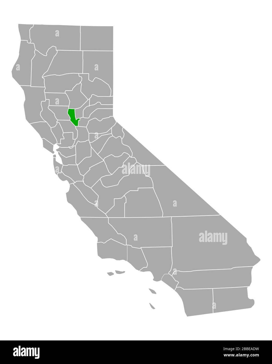 Map of Sutter in California Stock Photohttps://www.alamy.com/image-license-details/?v=1https://www.alamy.com/map-of-sutter-in-california-image351284133.html
RF2BBEADW–Map of Sutter in California
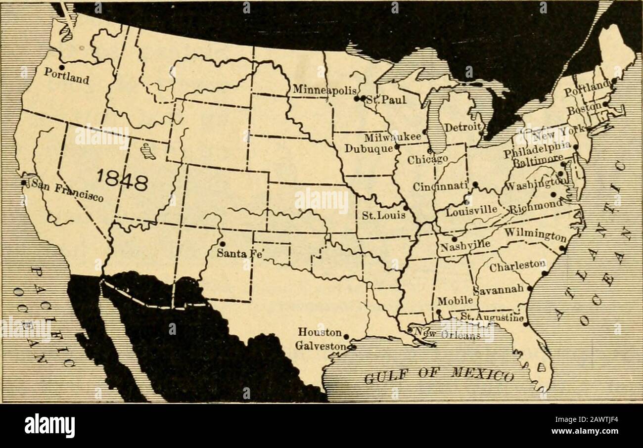 The beginner's American history . 192 Mirror Lake. CAPTAIN SUTTER. 193 land ; Mexico wanted to push it as far east as possible soas to give as little land as she could. This dispute soonbrought on a war between the United States and Mexico.Soon after gold was discovered at Colonia, the war ended(1848); and we got not only all the land the people ofTexas had asked for, but an immense deal more; for we. Map showing the extent of the United States in 1848, after Mexico let us have Californiaand New Mexico. obtained the great territory of California and New Mexico,out of which a number of states a Stock Photohttps://www.alamy.com/image-license-details/?v=1https://www.alamy.com/the-beginners-american-history-192-mirror-lake-captain-sutter-193-land-mexico-wanted-to-push-it-as-far-east-as-possible-soas-to-give-as-little-land-as-she-could-this-dispute-soonbrought-on-a-war-between-the-united-states-and-mexicosoon-after-gold-was-discovered-at-colonia-the-war-ended1848-and-we-got-not-only-all-the-land-the-people-oftexas-had-asked-for-but-an-immense-deal-more-for-we-map-showing-the-extent-of-the-united-states-in-1848-after-mexico-let-us-have-californiaand-new-mexico-obtained-the-great-territory-of-california-and-new-mexicoout-of-which-a-number-of-states-a-image342904776.html
RM2AWTJF4–The beginner's American history . 192 Mirror Lake. CAPTAIN SUTTER. 193 land ; Mexico wanted to push it as far east as possible soas to give as little land as she could. This dispute soonbrought on a war between the United States and Mexico.Soon after gold was discovered at Colonia, the war ended(1848); and we got not only all the land the people ofTexas had asked for, but an immense deal more; for we. Map showing the extent of the United States in 1848, after Mexico let us have Californiaand New Mexico. obtained the great territory of California and New Mexico,out of which a number of states a
![Image taken from page 70 of 'American Notes, 1881. [Letters reprinted from the “Edinburgh Courant,” with plates and a map.]' Image taken from page 70 of 'American Notes, 1881 [Letters Stock Photo Image taken from page 70 of 'American Notes, 1881. [Letters reprinted from the “Edinburgh Courant,” with plates and a map.]' Image taken from page 70 of 'American Notes, 1881 [Letters Stock Photo](https://c8.alamy.com/comp/HFP5M2/image-taken-from-page-70-of-american-notes-1881-letters-reprinted-HFP5M2.jpg) Image taken from page 70 of 'American Notes, 1881. [Letters reprinted from the “Edinburgh Courant,” with plates and a map.]' Image taken from page 70 of 'American Notes, 1881 [Letters Stock Photohttps://www.alamy.com/image-license-details/?v=1https://www.alamy.com/stock-photo-image-taken-from-page-70-of-american-notes-1881-letters-reprinted-130179842.html
Image taken from page 70 of 'American Notes, 1881. [Letters reprinted from the “Edinburgh Courant,” with plates and a map.]' Image taken from page 70 of 'American Notes, 1881 [Letters Stock Photohttps://www.alamy.com/image-license-details/?v=1https://www.alamy.com/stock-photo-image-taken-from-page-70-of-american-notes-1881-letters-reprinted-130179842.htmlRMHFP5M2–Image taken from page 70 of 'American Notes, 1881. [Letters reprinted from the “Edinburgh Courant,” with plates and a map.]' Image taken from page 70 of 'American Notes, 1881 [Letters
 Tisdale, Sutter County, US, United States, California, N 39 2' 25'', S 121 47' 9'', map, Cartascapes Map published in 2024. Explore Cartascapes, a map revealing Earth's diverse landscapes, cultures, and ecosystems. Journey through time and space, discovering the interconnectedness of our planet's past, present, and future. Stock Photohttps://www.alamy.com/image-license-details/?v=1https://www.alamy.com/tisdale-sutter-county-us-united-states-california-n-39-2-25-s-121-47-9-map-cartascapes-map-published-in-2024-explore-cartascapes-a-map-revealing-earths-diverse-landscapes-cultures-and-ecosystems-journey-through-time-and-space-discovering-the-interconnectedness-of-our-planets-past-present-and-future-image621373710.html
RM2Y2X0E6–Tisdale, Sutter County, US, United States, California, N 39 2' 25'', S 121 47' 9'', map, Cartascapes Map published in 2024. Explore Cartascapes, a map revealing Earth's diverse landscapes, cultures, and ecosystems. Journey through time and space, discovering the interconnectedness of our planet's past, present, and future.
 Queens, Vol. 1, Double Page Plate No. 25, Part of Ward 4, Jamaica, Map bounded by LibertyAve., Road to Landing reimagined Stock Photohttps://www.alamy.com/image-license-details/?v=1https://www.alamy.com/queens-vol-1-double-page-plate-no-25-part-of-ward-4-jamaica-map-bounded-by-libertyave-road-to-landing-reimagined-image230183160.html
RFRADMY4–Queens, Vol. 1, Double Page Plate No. 25, Part of Ward 4, Jamaica, Map bounded by LibertyAve., Road to Landing reimagined
 Sanborn Fire Insurance Map from Live Oak, Sutter County, California. Stock Photohttps://www.alamy.com/image-license-details/?v=1https://www.alamy.com/sanborn-fire-insurance-map-from-live-oak-sutter-county-california-image456431475.html
RM2HEG703–Sanborn Fire Insurance Map from Live Oak, Sutter County, California.
 Map of Sutter in California Stock Photohttps://www.alamy.com/image-license-details/?v=1https://www.alamy.com/map-of-sutter-in-california-image363388686.html
RF2C35NYA–Map of Sutter in California
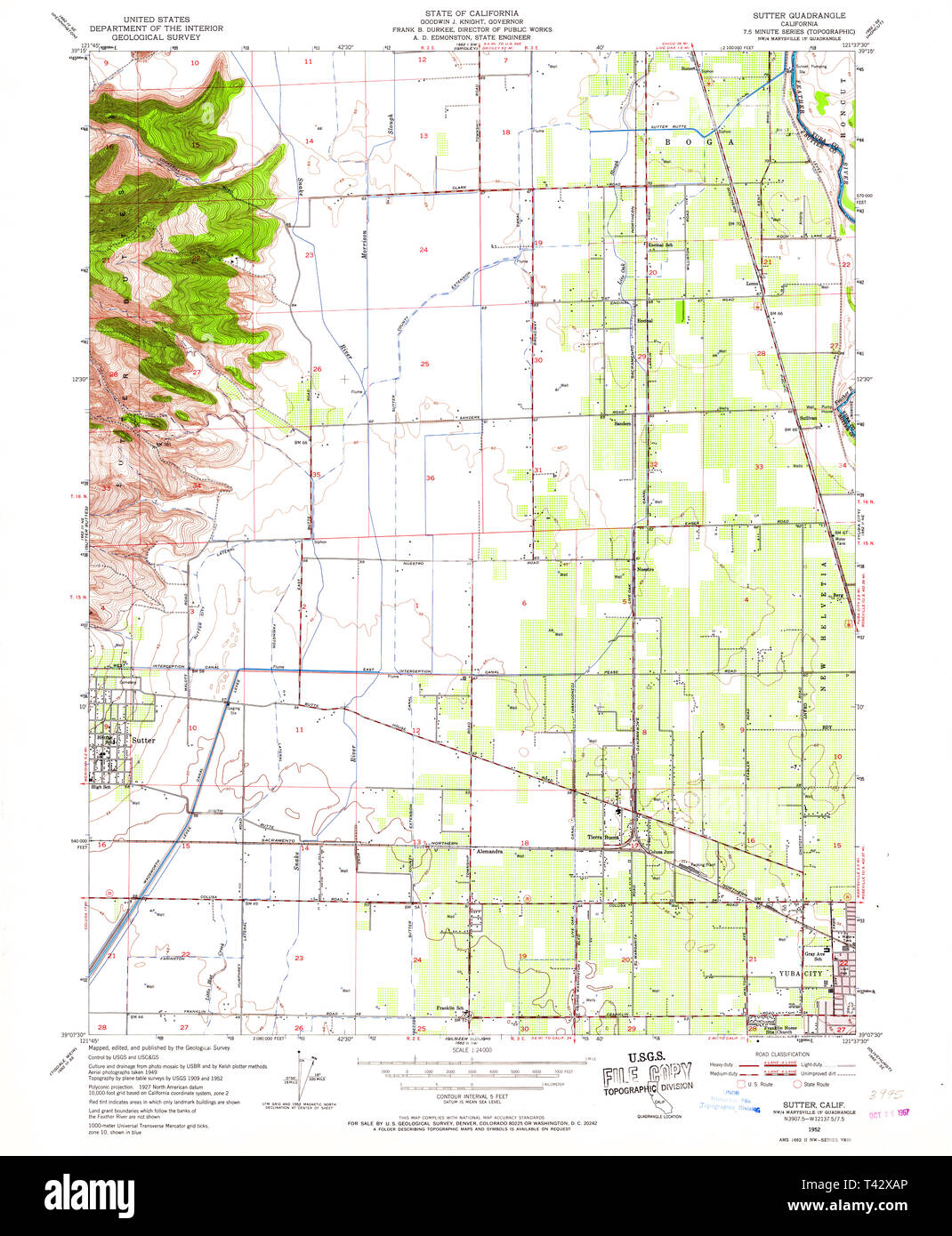 USGS TOPO Map California CA Sutter 300753 1952 24000 Restoration Stock Photohttps://www.alamy.com/image-license-details/?v=1https://www.alamy.com/usgs-topo-map-california-ca-sutter-300753-1952-24000-restoration-image243468366.html
RMT42XAP–USGS TOPO Map California CA Sutter 300753 1952 24000 Restoration
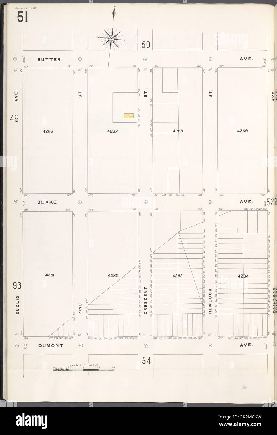 Cartographic, Maps. 1884 - 1936. Lionel Pincus and Princess Firyal Map Division. Fire insurance , New York (State), Real property , New York (State), Cities & towns , New York (State) Brooklyn V. 8, Plate No. 51 Map bounded by Sutter Ave., Railroad Ave., Dumont Ave., Euclid Ave. Stock Photohttps://www.alamy.com/image-license-details/?v=1https://www.alamy.com/cartographic-maps-1884-1936-lionel-pincus-and-princess-firyal-map-division-fire-insurance-new-york-state-real-property-new-york-state-cities-towns-new-york-state-brooklyn-v-8-plate-no-51-map-bounded-by-sutter-ave-railroad-ave-dumont-ave-euclid-ave-image483565485.html
RM2K2M8KW–Cartographic, Maps. 1884 - 1936. Lionel Pincus and Princess Firyal Map Division. Fire insurance , New York (State), Real property , New York (State), Cities & towns , New York (State) Brooklyn V. 8, Plate No. 51 Map bounded by Sutter Ave., Railroad Ave., Dumont Ave., Euclid Ave.
 Appletons' Sutter John Augustus mill Stock Photohttps://www.alamy.com/image-license-details/?v=1https://www.alamy.com/stock-image-appletons-sutter-john-augustus-mill-162717327.html
RMKCMBH3–Appletons' Sutter John Augustus mill
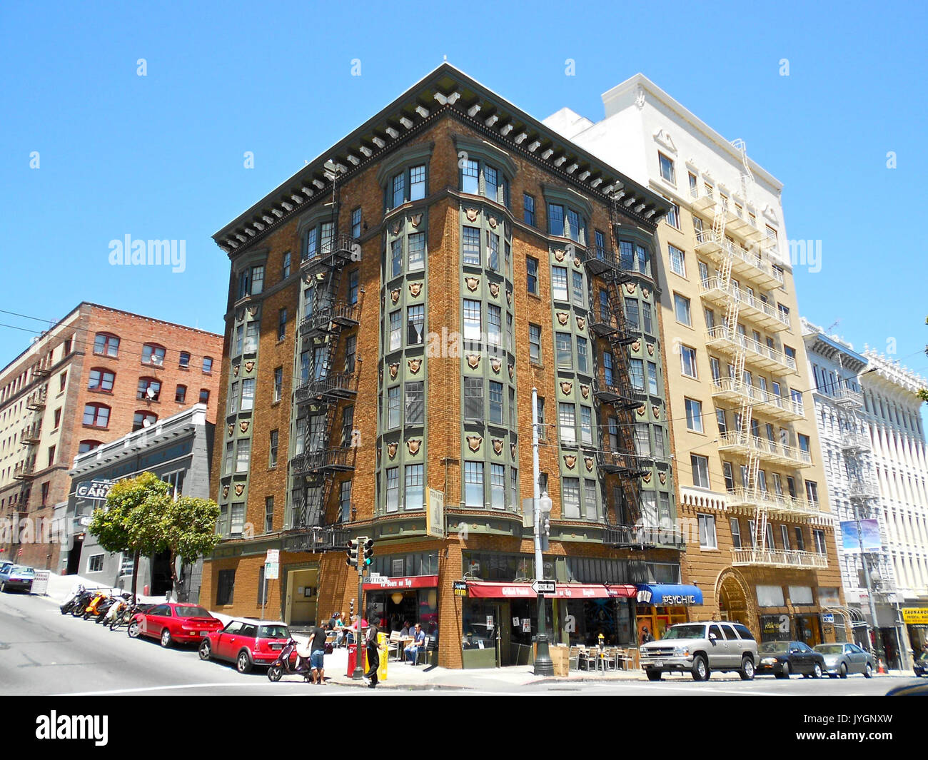 896 Sutter SF CA Stock Photohttps://www.alamy.com/image-license-details/?v=1https://www.alamy.com/896-sutter-sf-ca-image154647105.html
RMJYGNXW–896 Sutter SF CA
 . California and the Oriental: Japanese, Chinese and Hindus. 23,752 acres, of which 458,056 acres are occupied by Japanese. On pages following this relief map are five different maps corre-sponding to the five districts outlined in the relief map, and whichshow extent of Oriental occupancy in each district, as follows: Map No. 1—Rice district of Glenn, Colusa and Butte counties. Map No. 2—Asparagus, Berry, Vegetable, Fruit and Vineyardsections of San Joaquin, Sacramento, Solano, Yolo, Sutter andPlacer counties. Map No. 3—Vineyard and Fruit districts of Fresno, Kings andTulare counties. Map No. Stock Photohttps://www.alamy.com/image-license-details/?v=1https://www.alamy.com/california-and-the-oriental-japanese-chinese-and-hindus-23752-acres-of-which-458056-acres-are-occupied-by-japanese-on-pages-following-this-relief-map-are-five-different-maps-corre-sponding-to-the-five-districts-outlined-in-the-relief-map-and-whichshow-extent-of-oriental-occupancy-in-each-district-as-follows-map-no-1rice-district-of-glenn-colusa-and-butte-counties-map-no-2asparagus-berry-vegetable-fruit-and-vineyardsections-of-san-joaquin-sacramento-solano-yolo-sutter-andplacer-counties-map-no-3vineyard-and-fruit-districts-of-fresno-kings-andtulare-counties-map-no-image337059072.html
RM2AGAA80–. California and the Oriental: Japanese, Chinese and Hindus. 23,752 acres, of which 458,056 acres are occupied by Japanese. On pages following this relief map are five different maps corre-sponding to the five districts outlined in the relief map, and whichshow extent of Oriental occupancy in each district, as follows: Map No. 1—Rice district of Glenn, Colusa and Butte counties. Map No. 2—Asparagus, Berry, Vegetable, Fruit and Vineyardsections of San Joaquin, Sacramento, Solano, Yolo, Sutter andPlacer counties. Map No. 3—Vineyard and Fruit districts of Fresno, Kings andTulare counties. Map No.
 Anna Sutter 1894 Vilimek Stock Photohttps://www.alamy.com/image-license-details/?v=1https://www.alamy.com/anna-sutter-1894-vilimek-image153210477.html
RMJW79EN–Anna Sutter 1894 Vilimek
![Image taken from page 71 of 'American Notes, 1881. [Letters reprinted from the “Edinburgh Courant,” with plates and a map.]' Image taken from page 71 of 'American Notes, 1881 [Letters Stock Photo Image taken from page 71 of 'American Notes, 1881. [Letters reprinted from the “Edinburgh Courant,” with plates and a map.]' Image taken from page 71 of 'American Notes, 1881 [Letters Stock Photo](https://c8.alamy.com/comp/HFP6C6/image-taken-from-page-71-of-american-notes-1881-letters-reprinted-HFP6C6.jpg) Image taken from page 71 of 'American Notes, 1881. [Letters reprinted from the “Edinburgh Courant,” with plates and a map.]' Image taken from page 71 of 'American Notes, 1881 [Letters Stock Photohttps://www.alamy.com/image-license-details/?v=1https://www.alamy.com/stock-photo-image-taken-from-page-71-of-american-notes-1881-letters-reprinted-130180406.html
Image taken from page 71 of 'American Notes, 1881. [Letters reprinted from the “Edinburgh Courant,” with plates and a map.]' Image taken from page 71 of 'American Notes, 1881 [Letters Stock Photohttps://www.alamy.com/image-license-details/?v=1https://www.alamy.com/stock-photo-image-taken-from-page-71-of-american-notes-1881-letters-reprinted-130180406.htmlRMHFP6C6–Image taken from page 71 of 'American Notes, 1881. [Letters reprinted from the “Edinburgh Courant,” with plates and a map.]' Image taken from page 71 of 'American Notes, 1881 [Letters
 Robbins, Sutter County, US, United States, California, N 38 52' 12'', S 121 42' 22'', map, Cartascapes Map published in 2024. Explore Cartascapes, a map revealing Earth's diverse landscapes, cultures, and ecosystems. Journey through time and space, discovering the interconnectedness of our planet's past, present, and future. Stock Photohttps://www.alamy.com/image-license-details/?v=1https://www.alamy.com/robbins-sutter-county-us-united-states-california-n-38-52-12-s-121-42-22-map-cartascapes-map-published-in-2024-explore-cartascapes-a-map-revealing-earths-diverse-landscapes-cultures-and-ecosystems-journey-through-time-and-space-discovering-the-interconnectedness-of-our-planets-past-present-and-future-image621399650.html
RM2Y2Y5GJ–Robbins, Sutter County, US, United States, California, N 38 52' 12'', S 121 42' 22'', map, Cartascapes Map published in 2024. Explore Cartascapes, a map revealing Earth's diverse landscapes, cultures, and ecosystems. Journey through time and space, discovering the interconnectedness of our planet's past, present, and future.
 601 Sutter (Marines) SF CA Stock Photohttps://www.alamy.com/image-license-details/?v=1https://www.alamy.com/601-sutter-marines-sf-ca-image154647080.html
RMJYGNX0–601 Sutter (Marines) SF CA
 Queens, Vol. 1, Double Page Plate No. 25, Part of Ward 4, Jamaica, Map bounded by LibertyAve., Road to Landing reimagined Stock Photohttps://www.alamy.com/image-license-details/?v=1https://www.alamy.com/queens-vol-1-double-page-plate-no-25-part-of-ward-4-jamaica-map-bounded-by-libertyave-road-to-landing-reimagined-image230354033.html
RFRANEWN–Queens, Vol. 1, Double Page Plate No. 25, Part of Ward 4, Jamaica, Map bounded by LibertyAve., Road to Landing reimagined
 Sanborn Fire Insurance Map from Sutter Creek, Amador County, California. Stock Photohttps://www.alamy.com/image-license-details/?v=1https://www.alamy.com/sanborn-fire-insurance-map-from-sutter-creek-amador-county-california-image456493372.html
RM2HEK1XM–Sanborn Fire Insurance Map from Sutter Creek, Amador County, California.
 Map of Sutter in California Stock Photohttps://www.alamy.com/image-license-details/?v=1https://www.alamy.com/map-of-sutter-in-california-image363375657.html
RF2C355A1–Map of Sutter in California
 USGS TOPO Map California CA Sutter 300752 1952 24000 Restoration Stock Photohttps://www.alamy.com/image-license-details/?v=1https://www.alamy.com/usgs-topo-map-california-ca-sutter-300752-1952-24000-restoration-image243468359.html
RMT42XAF–USGS TOPO Map California CA Sutter 300752 1952 24000 Restoration
 Cartographic, Maps. 1884 - 1936. Lionel Pincus and Princess Firyal Map Division. Fire insurance , New York (State), Real property , New York (State), Cities & towns , New York (State) Brooklyn V. 8, Plate No. 50 Map bounded by Glenmore Ave., Railroad Ave., Sutter Ave., Euclid Ave. Stock Photohttps://www.alamy.com/image-license-details/?v=1https://www.alamy.com/cartographic-maps-1884-1936-lionel-pincus-and-princess-firyal-map-division-fire-insurance-new-york-state-real-property-new-york-state-cities-towns-new-york-state-brooklyn-v-8-plate-no-50-map-bounded-by-glenmore-ave-railroad-ave-sutter-ave-euclid-ave-image483556072.html
RM2K2KTKM–Cartographic, Maps. 1884 - 1936. Lionel Pincus and Princess Firyal Map Division. Fire insurance , New York (State), Real property , New York (State), Cities & towns , New York (State) Brooklyn V. 8, Plate No. 50 Map bounded by Glenmore Ave., Railroad Ave., Sutter Ave., Euclid Ave.
 Architect and engineer . uilding, LOS ANGELESSales Office SEATTLE, WASH. ROLLING MILLS: SOUTH SAN FRANCISCO CAL. SEATTLE, WASH. PORTLAND, ORE. Architects and Building Contractors: ^JJ^HE Binding of Your Magazines t/ and Periodicals is Our Specialty. Expert Plate and Map Mounting. The HICKS-JUDD COMPANY, Inc. BOOKBINDERS 51-65 First Street San Francisco, Gal. Robert M.^SJjson^ ( Members of Builders Exchange MacGruer & Simpson CONTRACTING PLASTERERS PLAIN AND ORNAMENTAL Cement, Stucco and Artificial Stone Phone Sutter 5688 540 Call-Post Building, San Francisco Detroit Jewel Gas Ranges FOR HOME, Stock Photohttps://www.alamy.com/image-license-details/?v=1https://www.alamy.com/architect-and-engineer-uilding-los-angelessales-office-seattle-wash-rolling-mills-south-san-francisco-cal-seattle-wash-portland-ore-architects-and-building-contractors-jjhe-binding-of-your-magazines-t-and-periodicals-is-our-specialty-expert-plate-and-map-mounting-the-hicks-judd-company-inc-bookbinders-51-65-first-street-san-francisco-gal-robert-msjjson-members-of-builders-exchange-macgruer-simpson-contracting-plasterers-plain-and-ornamental-cement-stucco-and-artificial-stone-phone-sutter-5688-540-call-post-building-san-francisco-detroit-jewel-gas-ranges-for-home-image338397447.html
RM2AJF9B3–Architect and engineer . uilding, LOS ANGELESSales Office SEATTLE, WASH. ROLLING MILLS: SOUTH SAN FRANCISCO CAL. SEATTLE, WASH. PORTLAND, ORE. Architects and Building Contractors: ^JJ^HE Binding of Your Magazines t/ and Periodicals is Our Specialty. Expert Plate and Map Mounting. The HICKS-JUDD COMPANY, Inc. BOOKBINDERS 51-65 First Street San Francisco, Gal. Robert M.^SJjson^ ( Members of Builders Exchange MacGruer & Simpson CONTRACTING PLASTERERS PLAIN AND ORNAMENTAL Cement, Stucco and Artificial Stone Phone Sutter 5688 540 Call-Post Building, San Francisco Detroit Jewel Gas Ranges FOR HOME,
![Image taken from page 84 of 'American Notes, 1881. [Letters reprinted from the “Edinburgh Courant,” with plates and a map.]' Image taken from page 84 of 'American Notes, 1881 [Letters Stock Photo Image taken from page 84 of 'American Notes, 1881. [Letters reprinted from the “Edinburgh Courant,” with plates and a map.]' Image taken from page 84 of 'American Notes, 1881 [Letters Stock Photo](https://c8.alamy.com/comp/HFPF7T/image-taken-from-page-84-of-american-notes-1881-letters-reprinted-HFPF7T.jpg) Image taken from page 84 of 'American Notes, 1881. [Letters reprinted from the “Edinburgh Courant,” with plates and a map.]' Image taken from page 84 of 'American Notes, 1881 [Letters Stock Photohttps://www.alamy.com/image-license-details/?v=1https://www.alamy.com/stock-photo-image-taken-from-page-84-of-american-notes-1881-letters-reprinted-130187340.html
Image taken from page 84 of 'American Notes, 1881. [Letters reprinted from the “Edinburgh Courant,” with plates and a map.]' Image taken from page 84 of 'American Notes, 1881 [Letters Stock Photohttps://www.alamy.com/image-license-details/?v=1https://www.alamy.com/stock-photo-image-taken-from-page-84-of-american-notes-1881-letters-reprinted-130187340.htmlRMHFPF7T–Image taken from page 84 of 'American Notes, 1881. [Letters reprinted from the “Edinburgh Courant,” with plates and a map.]' Image taken from page 84 of 'American Notes, 1881 [Letters
 Berg, Sutter County, US, United States, California, N 39 10' 50'', S 121 37' 38'', map, Cartascapes Map published in 2024. Explore Cartascapes, a map revealing Earth's diverse landscapes, cultures, and ecosystems. Journey through time and space, discovering the interconnectedness of our planet's past, present, and future. Stock Photohttps://www.alamy.com/image-license-details/?v=1https://www.alamy.com/berg-sutter-county-us-united-states-california-n-39-10-50-s-121-37-38-map-cartascapes-map-published-in-2024-explore-cartascapes-a-map-revealing-earths-diverse-landscapes-cultures-and-ecosystems-journey-through-time-and-space-discovering-the-interconnectedness-of-our-planets-past-present-and-future-image621426369.html
RM2Y30BJW–Berg, Sutter County, US, United States, California, N 39 10' 50'', S 121 37' 38'', map, Cartascapes Map published in 2024. Explore Cartascapes, a map revealing Earth's diverse landscapes, cultures, and ecosystems. Journey through time and space, discovering the interconnectedness of our planet's past, present, and future.
 640 Sutter Womens Athletic SF CA Stock Photohttps://www.alamy.com/image-license-details/?v=1https://www.alamy.com/640-sutter-womens-athletic-sf-ca-image154647092.html
RMJYGNXC–640 Sutter Womens Athletic SF CA
 Queens, Vol. 1, Double Page Plate No. 21, Part of Ward 4, Map bounded by Metropolis Ave., Mill St., Vansicklen Ave reimagined Stock Photohttps://www.alamy.com/image-license-details/?v=1https://www.alamy.com/queens-vol-1-double-page-plate-no-21-part-of-ward-4-map-bounded-by-metropolis-ave-mill-st-vansicklen-ave-reimagined-image230183154.html
RFRADMXX–Queens, Vol. 1, Double Page Plate No. 21, Part of Ward 4, Map bounded by Metropolis Ave., Mill St., Vansicklen Ave reimagined
 250 Sutter Street, San Francisco, CA DSC03365 Stock Photohttps://www.alamy.com/image-license-details/?v=1https://www.alamy.com/250-sutter-street-san-francisco-ca-dsc03365-image154626386.html
RMJYFREX–250 Sutter Street, San Francisco, CA DSC03365
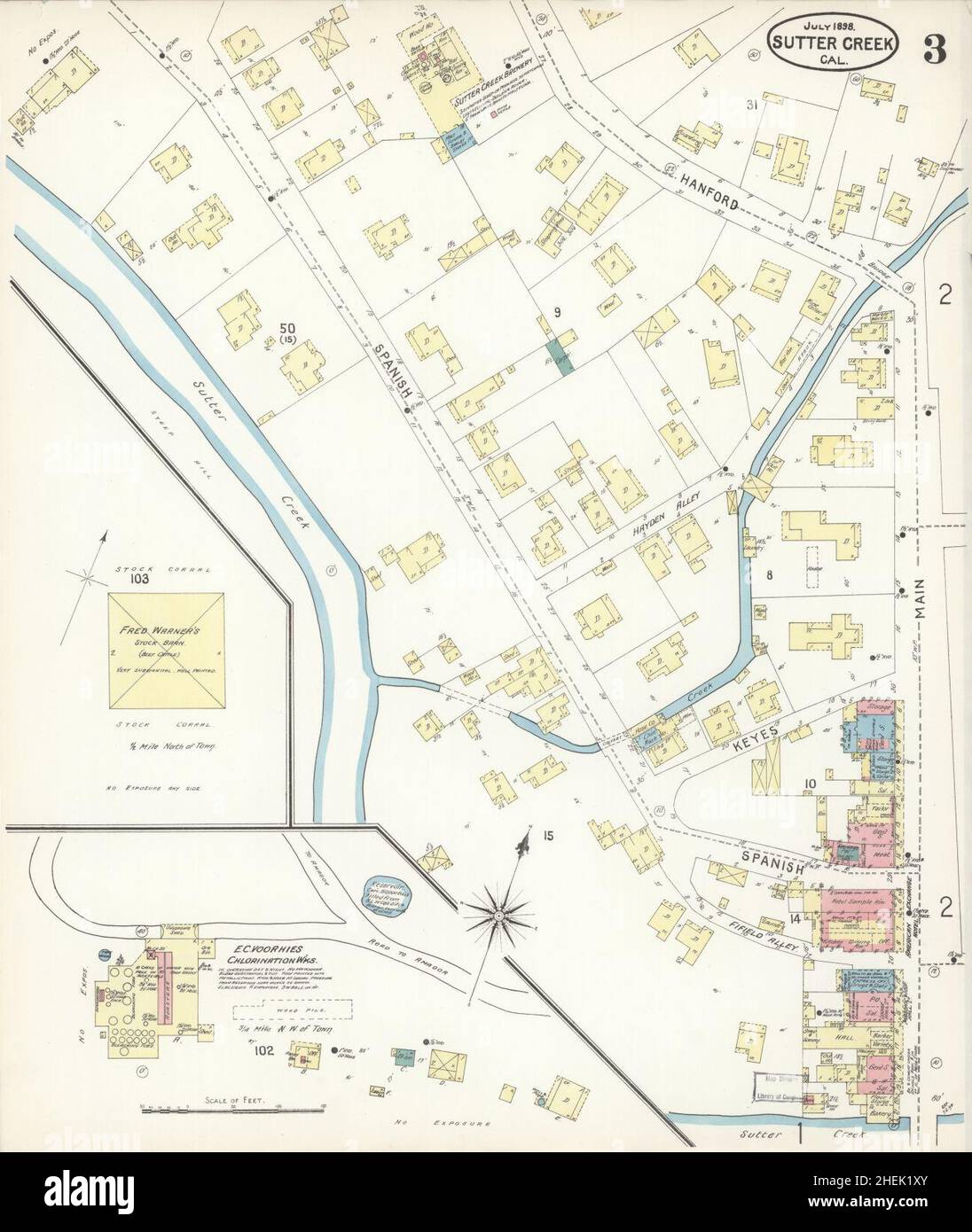 Sanborn Fire Insurance Map from Sutter Creek, Amador County, California. Stock Photohttps://www.alamy.com/image-license-details/?v=1https://www.alamy.com/sanborn-fire-insurance-map-from-sutter-creek-amador-county-california-image456493379.html
RM2HEK1XY–Sanborn Fire Insurance Map from Sutter Creek, Amador County, California.
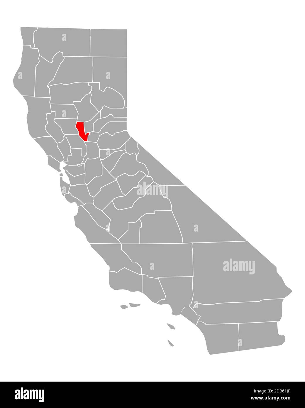 Map of Sutter in California Stock Photohttps://www.alamy.com/image-license-details/?v=1https://www.alamy.com/map-of-sutter-in-california-image385522334.html
RF2DB61JP–Map of Sutter in California
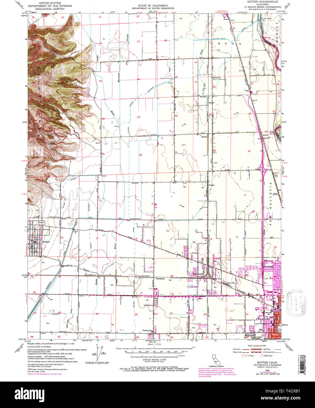 USGS TOPO Map California CA Sutter 300755 1952 24000 Restoration Stock Photohttps://www.alamy.com/image-license-details/?v=1https://www.alamy.com/usgs-topo-map-california-ca-sutter-300755-1952-24000-restoration-image243468373.html
RMT42XB1–USGS TOPO Map California CA Sutter 300755 1952 24000 Restoration
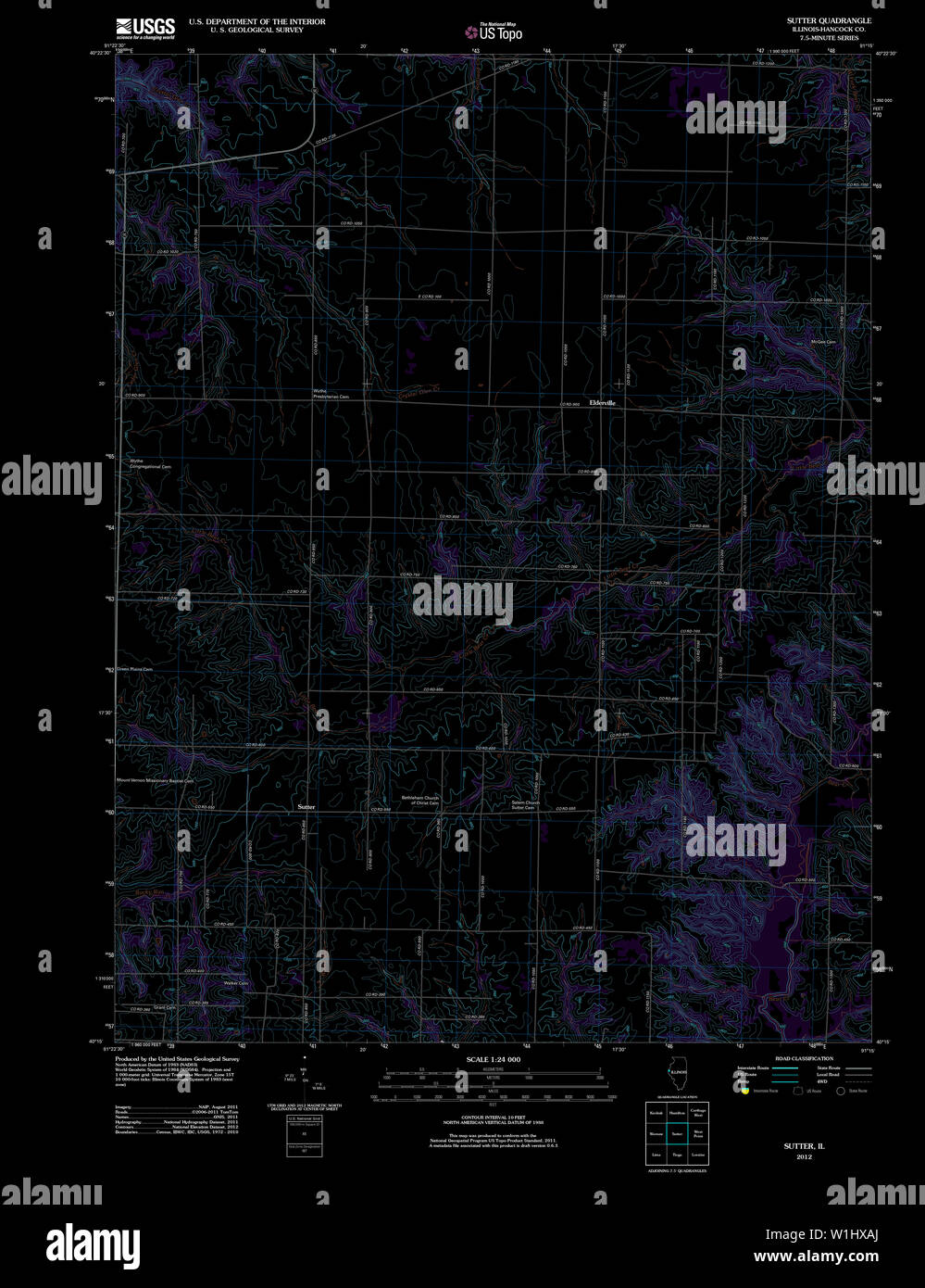 USGS TOPO Map Illinois IL Sutter 20120815 TM Inverted Restoration Stock Photohttps://www.alamy.com/image-license-details/?v=1https://www.alamy.com/usgs-topo-map-illinois-il-sutter-20120815-tm-inverted-restoration-image259164042.html
RMW1HXAJ–USGS TOPO Map Illinois IL Sutter 20120815 TM Inverted Restoration
 Cartographic, Maps. 1884 - 1936. Lionel Pincus and Princess Firyal Map Division. Fire insurance , New York (State), Real property , New York (State), Cities & towns , New York (State) Brooklyn V. 8, Plate No. 39 Map bounded by Glenmore Ave., Snediker Ave., Sutter Ave., Powell St. Stock Photohttps://www.alamy.com/image-license-details/?v=1https://www.alamy.com/cartographic-maps-1884-1936-lionel-pincus-and-princess-firyal-map-division-fire-insurance-new-york-state-real-property-new-york-state-cities-towns-new-york-state-brooklyn-v-8-plate-no-39-map-bounded-by-glenmore-ave-snediker-ave-sutter-ave-powell-st-image483525614.html
RM2K2JDRX–Cartographic, Maps. 1884 - 1936. Lionel Pincus and Princess Firyal Map Division. Fire insurance , New York (State), Real property , New York (State), Cities & towns , New York (State) Brooklyn V. 8, Plate No. 39 Map bounded by Glenmore Ave., Snediker Ave., Sutter Ave., Powell St.
 The Architect & engineer of California and the Pacific Coast . OTEL SAN FRANCISCO VAN EMON ELEVATOR CO. Electric (1-1 and 2-1) Gearless Traction Elevators, Electric Geared Elevators, Full Automatic Electric Elevators and Dumb-Waiters, Hydraulic, Belt and Hand Power Elevators for Every Service Telephone Sutter 3540 54 Natoma Street, San Francisco Architects and Building Contractors THE BINDING OF YOUR MAGAZINESand PERIODICALS IS OUR SPECIALTY Expert Plate and Map Mounting THE HICKS-JUDD COMPANY BOOKBINDERS 5I-6.S FIRST STREET SAN FRANCISCO, CAL. August F. Pick Albert E. Pick PICK BROTHERS PAINT Stock Photohttps://www.alamy.com/image-license-details/?v=1https://www.alamy.com/the-architect-engineer-of-california-and-the-pacific-coast-otel-san-francisco-van-emon-elevator-co-electric-1-1-and-2-1-gearless-traction-elevators-electric-geared-elevators-full-automatic-electric-elevators-and-dumb-waiters-hydraulic-belt-and-hand-power-elevators-for-every-service-telephone-sutter-3540-54-natoma-street-san-francisco-architects-and-building-contractors-the-binding-of-your-magazinesand-periodicals-is-our-specialty-expert-plate-and-map-mounting-the-hicks-judd-company-bookbinders-5i-6s-first-street-san-francisco-cal-august-f-pick-albert-e-pick-pick-brothers-paint-image339365903.html
RM2AM3CJR–The Architect & engineer of California and the Pacific Coast . OTEL SAN FRANCISCO VAN EMON ELEVATOR CO. Electric (1-1 and 2-1) Gearless Traction Elevators, Electric Geared Elevators, Full Automatic Electric Elevators and Dumb-Waiters, Hydraulic, Belt and Hand Power Elevators for Every Service Telephone Sutter 3540 54 Natoma Street, San Francisco Architects and Building Contractors THE BINDING OF YOUR MAGAZINESand PERIODICALS IS OUR SPECIALTY Expert Plate and Map Mounting THE HICKS-JUDD COMPANY BOOKBINDERS 5I-6.S FIRST STREET SAN FRANCISCO, CAL. August F. Pick Albert E. Pick PICK BROTHERS PAINT
 Progress, Sutter County, US, United States, California, N 39 3' 47'', S 121 48' 3'', map, Cartascapes Map published in 2024. Explore Cartascapes, a map revealing Earth's diverse landscapes, cultures, and ecosystems. Journey through time and space, discovering the interconnectedness of our planet's past, present, and future. Stock Photohttps://www.alamy.com/image-license-details/?v=1https://www.alamy.com/progress-sutter-county-us-united-states-california-n-39-3-47-s-121-48-3-map-cartascapes-map-published-in-2024-explore-cartascapes-a-map-revealing-earths-diverse-landscapes-cultures-and-ecosystems-journey-through-time-and-space-discovering-the-interconnectedness-of-our-planets-past-present-and-future-image621428980.html
RM2Y30F04–Progress, Sutter County, US, United States, California, N 39 3' 47'', S 121 48' 3'', map, Cartascapes Map published in 2024. Explore Cartascapes, a map revealing Earth's diverse landscapes, cultures, and ecosystems. Journey through time and space, discovering the interconnectedness of our planet's past, present, and future.
 Queens, Vol. 1, Double Page Plate No. 21, Part of Ward 4, Map bounded by Metropolis Ave., Mill St., Vansicklen Ave reimagined Stock Photohttps://www.alamy.com/image-license-details/?v=1https://www.alamy.com/queens-vol-1-double-page-plate-no-21-part-of-ward-4-map-bounded-by-metropolis-ave-mill-st-vansicklen-ave-reimagined-image230354027.html
RFRANEWF–Queens, Vol. 1, Double Page Plate No. 21, Part of Ward 4, Map bounded by Metropolis Ave., Mill St., Vansicklen Ave reimagined
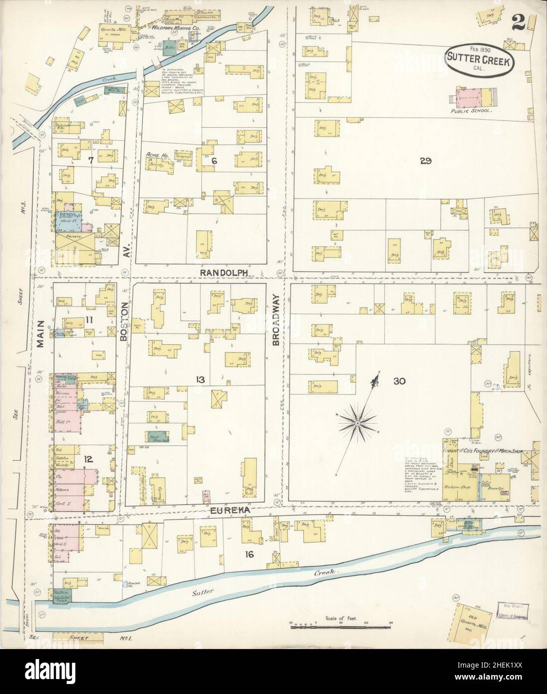 Sanborn Fire Insurance Map from Sutter Creek, Amador County, California. Stock Photohttps://www.alamy.com/image-license-details/?v=1https://www.alamy.com/sanborn-fire-insurance-map-from-sutter-creek-amador-county-california-image456493378.html
RM2HEK1XX–Sanborn Fire Insurance Map from Sutter Creek, Amador County, California.
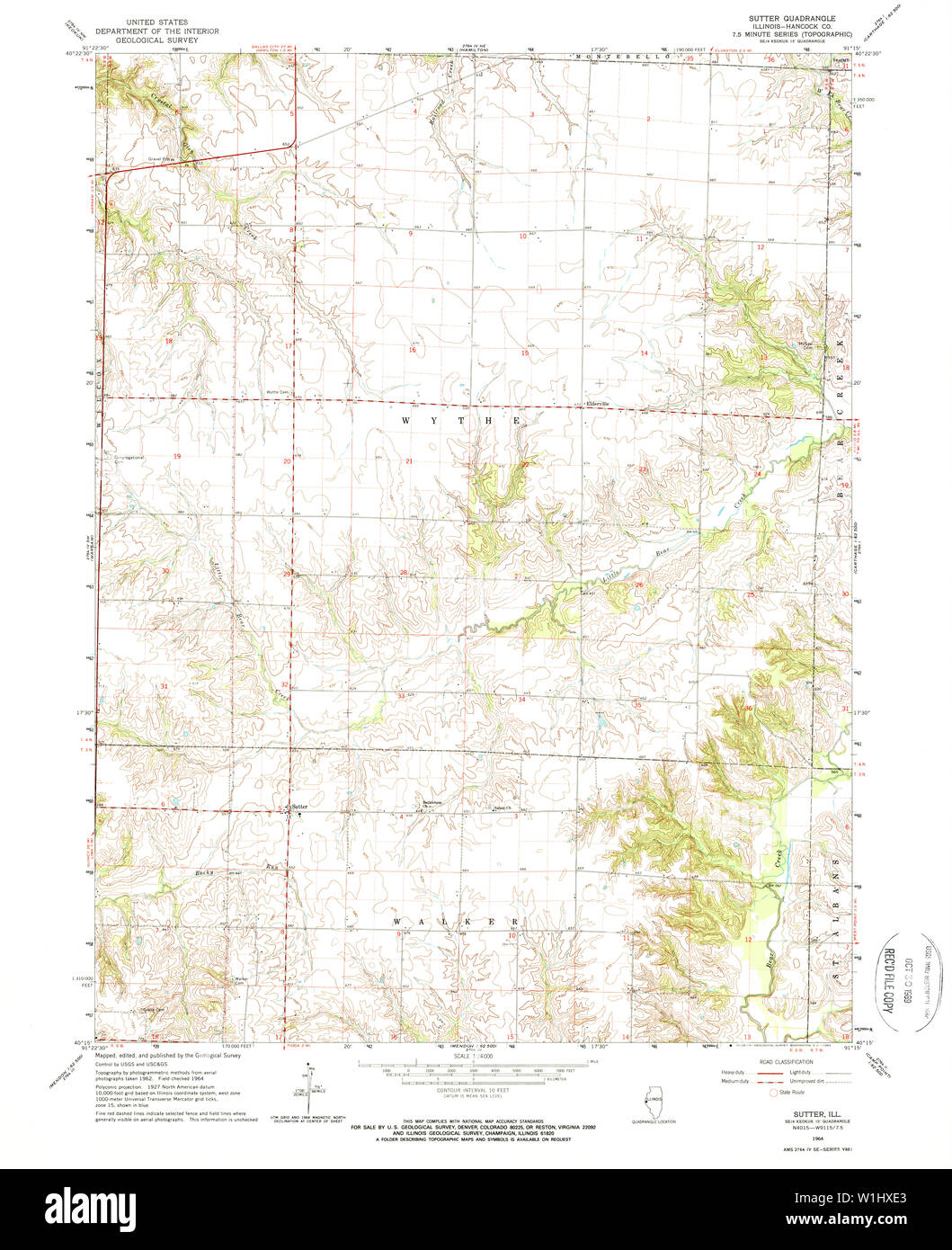 USGS TOPO Map Illinois IL Sutter 309991 1964 24000 Restoration Stock Photohttps://www.alamy.com/image-license-details/?v=1https://www.alamy.com/usgs-topo-map-illinois-il-sutter-309991-1964-24000-restoration-image259164139.html
RMW1HXE3–USGS TOPO Map Illinois IL Sutter 309991 1964 24000 Restoration
 Cartographic, Maps. 1884 - 1936. Lionel Pincus and Princess Firyal Map Division. Fire insurance , New York (State), Real property , New York (State), Cities & towns , New York (State) Brooklyn V. 8, Plate No. 60 Map bounded by Sutter Ave., Wyona St., Dumont Ave., Pennsylvania Ave. Stock Photohttps://www.alamy.com/image-license-details/?v=1https://www.alamy.com/cartographic-maps-1884-1936-lionel-pincus-and-princess-firyal-map-division-fire-insurance-new-york-state-real-property-new-york-state-cities-towns-new-york-state-brooklyn-v-8-plate-no-60-map-bounded-by-sutter-ave-wyona-st-dumont-ave-pennsylvania-ave-image483527829.html
RM2K2JGK1–Cartographic, Maps. 1884 - 1936. Lionel Pincus and Princess Firyal Map Division. Fire insurance , New York (State), Real property , New York (State), Cities & towns , New York (State) Brooklyn V. 8, Plate No. 60 Map bounded by Sutter Ave., Wyona St., Dumont Ave., Pennsylvania Ave.
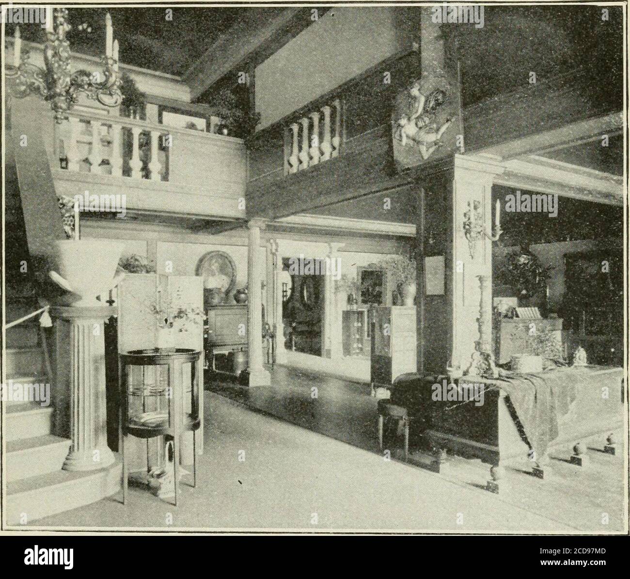 . The Chamber of commerce handbook for San Francisco, historical and descriptive; a guide for visitors .. . anys building, decorated with a large map ofthe Central California counties, in 30 of which this San Fran-cisco enterprise serves over 321,000 people with water, gas,and electricity for light and power. Across Sutter streetis the Temple Emanu El, the citys oldest Jewish house ofworship, the beautiful architecture of which is famous, with theturrets that were surmounted, before the fire of 1906, withthose graceful Oriental domes that became a sort of insigniaof San Francisco. Adjoining th Stock Photohttps://www.alamy.com/image-license-details/?v=1https://www.alamy.com/the-chamber-of-commerce-handbook-for-san-francisco-historical-and-descriptive-a-guide-for-visitors-anys-building-decorated-with-a-large-map-ofthe-central-california-counties-in-30-of-which-this-san-fran-cisco-enterprise-serves-over-321000-people-with-water-gasand-electricity-for-light-and-power-across-sutter-streetis-the-temple-emanu-el-the-citys-oldest-jewish-house-ofworship-the-beautiful-architecture-of-which-is-famous-with-theturrets-that-were-surmounted-before-the-fire-of-1906-withthose-graceful-oriental-domes-that-became-a-sort-of-insigniaof-san-francisco-adjoining-th-image369611885.html
RM2CD97MD–. The Chamber of commerce handbook for San Francisco, historical and descriptive; a guide for visitors .. . anys building, decorated with a large map ofthe Central California counties, in 30 of which this San Fran-cisco enterprise serves over 321,000 people with water, gas,and electricity for light and power. Across Sutter streetis the Temple Emanu El, the citys oldest Jewish house ofworship, the beautiful architecture of which is famous, with theturrets that were surmounted, before the fire of 1906, withthose graceful Oriental domes that became a sort of insigniaof San Francisco. Adjoining th
 Sutter, Sutter County, US, United States, California, N 39 9' 35'', S 121 45' 9'', map, Cartascapes Map published in 2024. Explore Cartascapes, a map revealing Earth's diverse landscapes, cultures, and ecosystems. Journey through time and space, discovering the interconnectedness of our planet's past, present, and future. Stock Photohttps://www.alamy.com/image-license-details/?v=1https://www.alamy.com/sutter-sutter-county-us-united-states-california-n-39-9-35-s-121-45-9-map-cartascapes-map-published-in-2024-explore-cartascapes-a-map-revealing-earths-diverse-landscapes-cultures-and-ecosystems-journey-through-time-and-space-discovering-the-interconnectedness-of-our-planets-past-present-and-future-image621299094.html
RM2Y2PH9A–Sutter, Sutter County, US, United States, California, N 39 9' 35'', S 121 45' 9'', map, Cartascapes Map published in 2024. Explore Cartascapes, a map revealing Earth's diverse landscapes, cultures, and ecosystems. Journey through time and space, discovering the interconnectedness of our planet's past, present, and future.
 Double Page Plate No. 20: Bounded by Williams Avenue, Riverdale Avenue, Rockaway Avenue, Hunter Fly Road, Bristol reimagined Stock Photohttps://www.alamy.com/image-license-details/?v=1https://www.alamy.com/double-page-plate-no-20-bounded-by-williams-avenue-riverdale-avenue-rockaway-avenue-hunter-fly-road-bristol-reimagined-image230374653.html
RFRAPD65–Double Page Plate No. 20: Bounded by Williams Avenue, Riverdale Avenue, Rockaway Avenue, Hunter Fly Road, Bristol reimagined
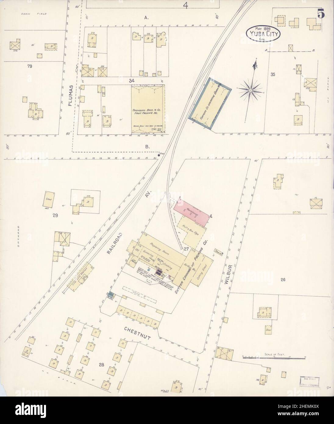 Sanborn Fire Insurance Map from Yuba City, Sutter County, California. Stock Photohttps://www.alamy.com/image-license-details/?v=1https://www.alamy.com/sanborn-fire-insurance-map-from-yuba-city-sutter-county-california-image456528714.html
RM2HEMK0X–Sanborn Fire Insurance Map from Yuba City, Sutter County, California.
 USGS TOPO Map Illinois IL Sutter 308855 1964 24000 Restoration Stock Photohttps://www.alamy.com/image-license-details/?v=1https://www.alamy.com/usgs-topo-map-illinois-il-sutter-308855-1964-24000-restoration-image259164146.html
RMW1HXEA–USGS TOPO Map Illinois IL Sutter 308855 1964 24000 Restoration
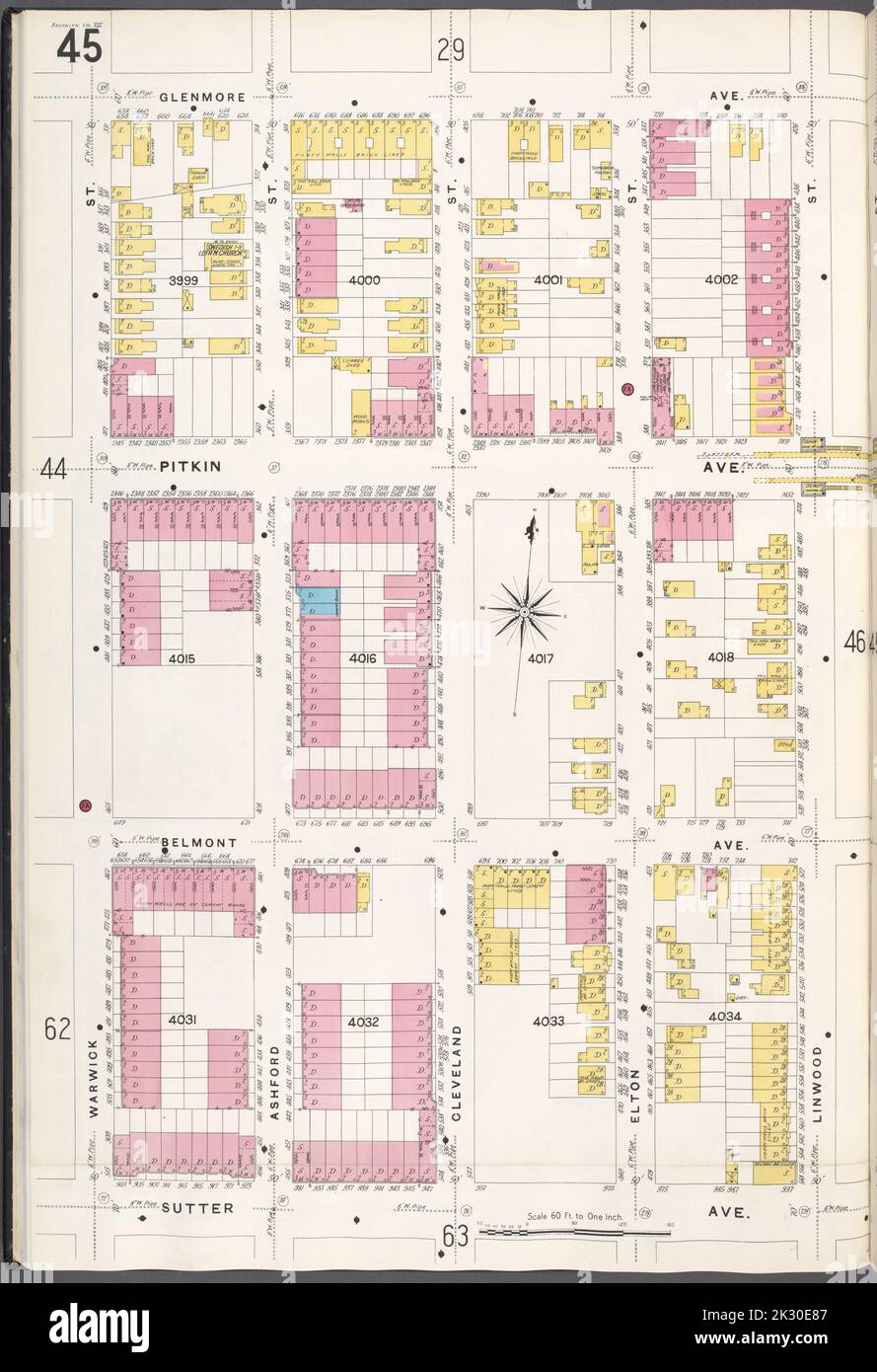 Cartographic, Maps. 1884 - 1936. Lionel Pincus and Princess Firyal Map Division. Fire insurance , New York (State), Real property , New York (State), Cities & towns , New York (State) Brooklyn V. 8, Plate No. 45 Map bounded by Glenmore Ave., Linwood St., Sutter Ave., Warwick St. Stock Photohttps://www.alamy.com/image-license-details/?v=1https://www.alamy.com/cartographic-maps-1884-1936-lionel-pincus-and-princess-firyal-map-division-fire-insurance-new-york-state-real-property-new-york-state-cities-towns-new-york-state-brooklyn-v-8-plate-no-45-map-bounded-by-glenmore-ave-linwood-st-sutter-ave-warwick-st-image483745479.html
RM2K30E87–Cartographic, Maps. 1884 - 1936. Lionel Pincus and Princess Firyal Map Division. Fire insurance , New York (State), Real property , New York (State), Cities & towns , New York (State) Brooklyn V. 8, Plate No. 45 Map bounded by Glenmore Ave., Linwood St., Sutter Ave., Warwick St.
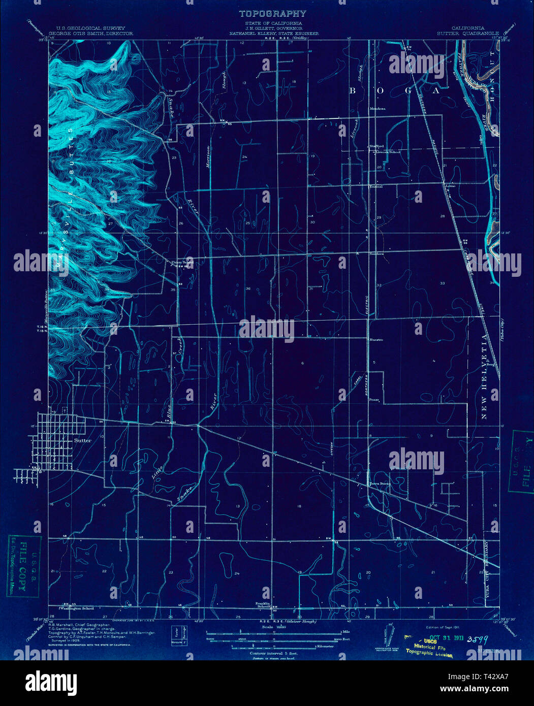 USGS TOPO Map California CA Sutter 296536 1911 31680 Inverted Restoration Stock Photohttps://www.alamy.com/image-license-details/?v=1https://www.alamy.com/usgs-topo-map-california-ca-sutter-296536-1911-31680-inverted-restoration-image243468351.html
RMT42XA7–USGS TOPO Map California CA Sutter 296536 1911 31680 Inverted Restoration
 USGS TOPO Map California CA Sutter Causeway 20120308 TM Inverted Restoration Stock Photohttps://www.alamy.com/image-license-details/?v=1https://www.alamy.com/usgs-topo-map-california-ca-sutter-causeway-20120308-tm-inverted-restoration-image243468398.html
RMT42XBX–USGS TOPO Map California CA Sutter Causeway 20120308 TM Inverted Restoration
 . California fish and game. Fisheries -- California; Game and game-birds -- California; Fishes -- California; Animal Population Groups; Pêches; Gibier; Poissons. SUTTER CO BUTTE SINK"^ â 3. OGridley YubaCity QO Morysville sutter national â wildlife refuge LOCATION MAP No Scale Chistensen -(O*^'^ c"- iRanch COLUSA CO. YOLO CO. Please note that these images are extracted from scanned page images that may have been digitally enhanced for readability - coloration and appearance of these illustrations may not perfectly resemble the original work.. California. Dept. of Fish and Game; Cali Stock Photohttps://www.alamy.com/image-license-details/?v=1https://www.alamy.com/california-fish-and-game-fisheries-california-game-and-game-birds-california-fishes-california-animal-population-groups-pches-gibier-poissons-sutter-co-butte-sinkquot-3-ogridley-yubacity-qo-morysville-sutter-national-wildlife-refuge-location-map-no-scale-chistensen-o-cquot-iranch-colusa-co-yolo-co-please-note-that-these-images-are-extracted-from-scanned-page-images-that-may-have-been-digitally-enhanced-for-readability-coloration-and-appearance-of-these-illustrations-may-not-perfectly-resemble-the-original-work-california-dept-of-fish-and-game-cali-image233683771.html
RMRG560Y–. California fish and game. Fisheries -- California; Game and game-birds -- California; Fishes -- California; Animal Population Groups; Pêches; Gibier; Poissons. SUTTER CO BUTTE SINK"^ â 3. OGridley YubaCity QO Morysville sutter national â wildlife refuge LOCATION MAP No Scale Chistensen -(O*^'^ c"- iRanch COLUSA CO. YOLO CO. Please note that these images are extracted from scanned page images that may have been digitally enhanced for readability - coloration and appearance of these illustrations may not perfectly resemble the original work.. California. Dept. of Fish and Game; Cali
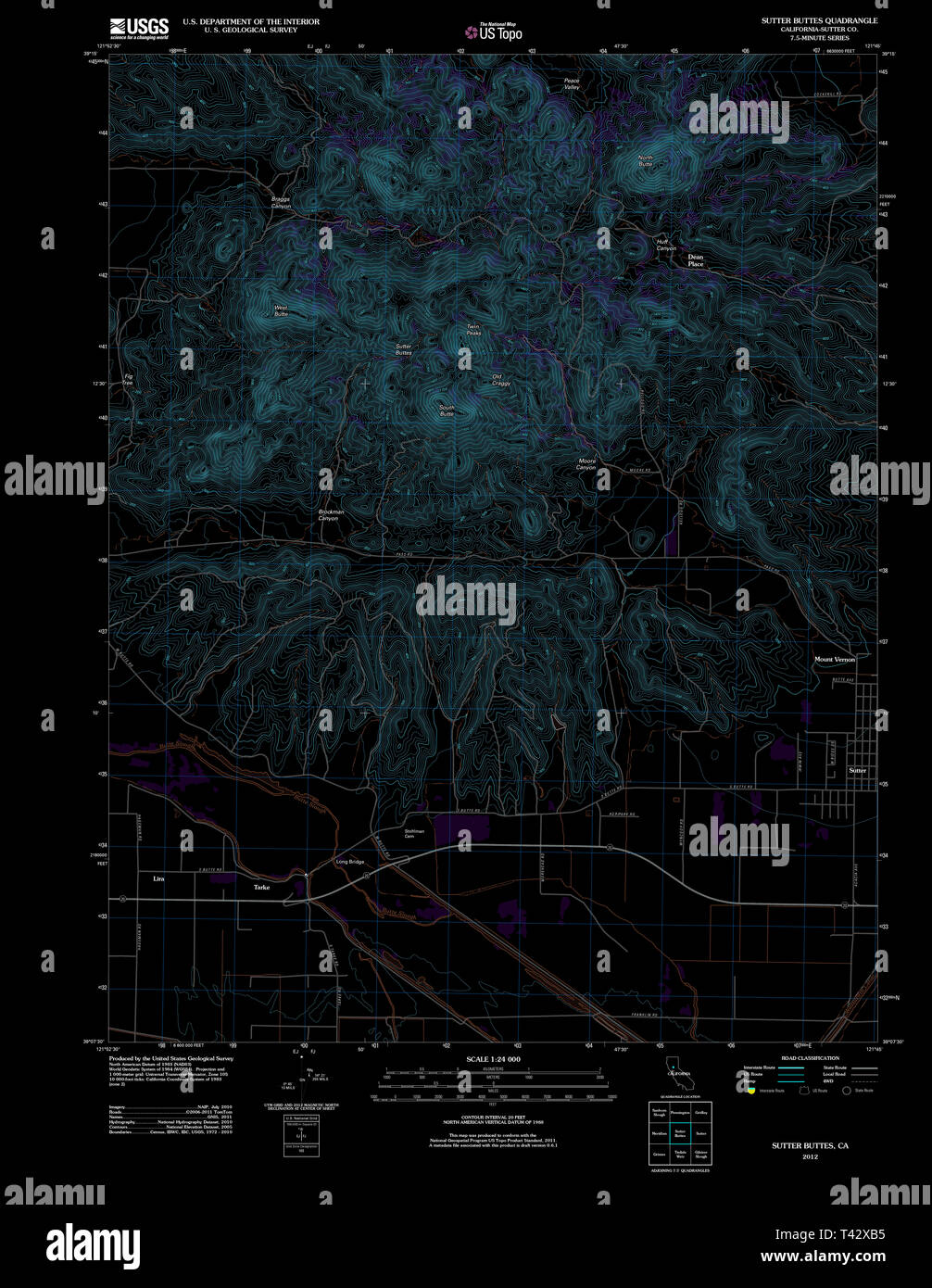 USGS TOPO Map California CA Sutter Buttes 20120301 TM Inverted Restoration Stock Photohttps://www.alamy.com/image-license-details/?v=1https://www.alamy.com/usgs-topo-map-california-ca-sutter-buttes-20120301-tm-inverted-restoration-image243468377.html
RMT42XB5–USGS TOPO Map California CA Sutter Buttes 20120301 TM Inverted Restoration
 Lomo, Sutter County, US, United States, California, N 39 13' 14'', S 121 38' 29'', map, Cartascapes Map published in 2024. Explore Cartascapes, a map revealing Earth's diverse landscapes, cultures, and ecosystems. Journey through time and space, discovering the interconnectedness of our planet's past, present, and future. Stock Photohttps://www.alamy.com/image-license-details/?v=1https://www.alamy.com/lomo-sutter-county-us-united-states-california-n-39-13-14-s-121-38-29-map-cartascapes-map-published-in-2024-explore-cartascapes-a-map-revealing-earths-diverse-landscapes-cultures-and-ecosystems-journey-through-time-and-space-discovering-the-interconnectedness-of-our-planets-past-present-and-future-image621183237.html
RM2Y2H9FH–Lomo, Sutter County, US, United States, California, N 39 13' 14'', S 121 38' 29'', map, Cartascapes Map published in 2024. Explore Cartascapes, a map revealing Earth's diverse landscapes, cultures, and ecosystems. Journey through time and space, discovering the interconnectedness of our planet's past, present, and future.
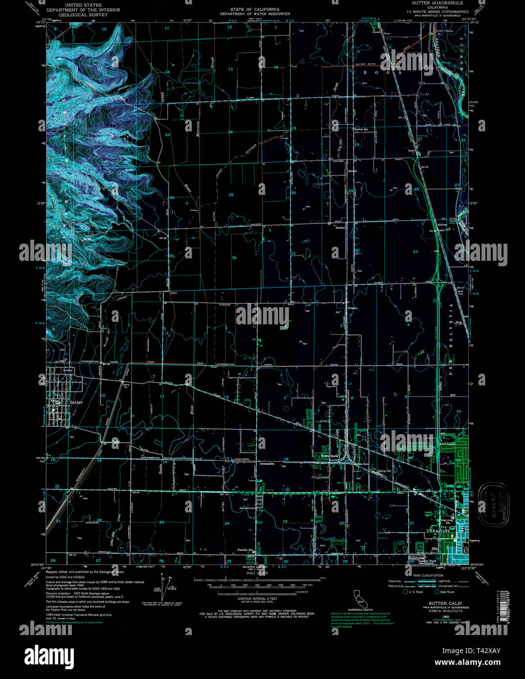 USGS TOPO Map California CA Sutter 300755 1952 24000 Inverted Restoration Stock Photohttps://www.alamy.com/image-license-details/?v=1https://www.alamy.com/usgs-topo-map-california-ca-sutter-300755-1952-24000-inverted-restoration-image243468371.html
RMT42XAY–USGS TOPO Map California CA Sutter 300755 1952 24000 Inverted Restoration
 Double Page Plate No. 20: Bounded by Williams Avenue, Riverdale Avenue, Rockaway Avenue, Hunter Fly Road, Bristol reimagined Stock Photohttps://www.alamy.com/image-license-details/?v=1https://www.alamy.com/double-page-plate-no-20-bounded-by-williams-avenue-riverdale-avenue-rockaway-avenue-hunter-fly-road-bristol-reimagined-image230182154.html
RFRADKK6–Double Page Plate No. 20: Bounded by Williams Avenue, Riverdale Avenue, Rockaway Avenue, Hunter Fly Road, Bristol reimagined
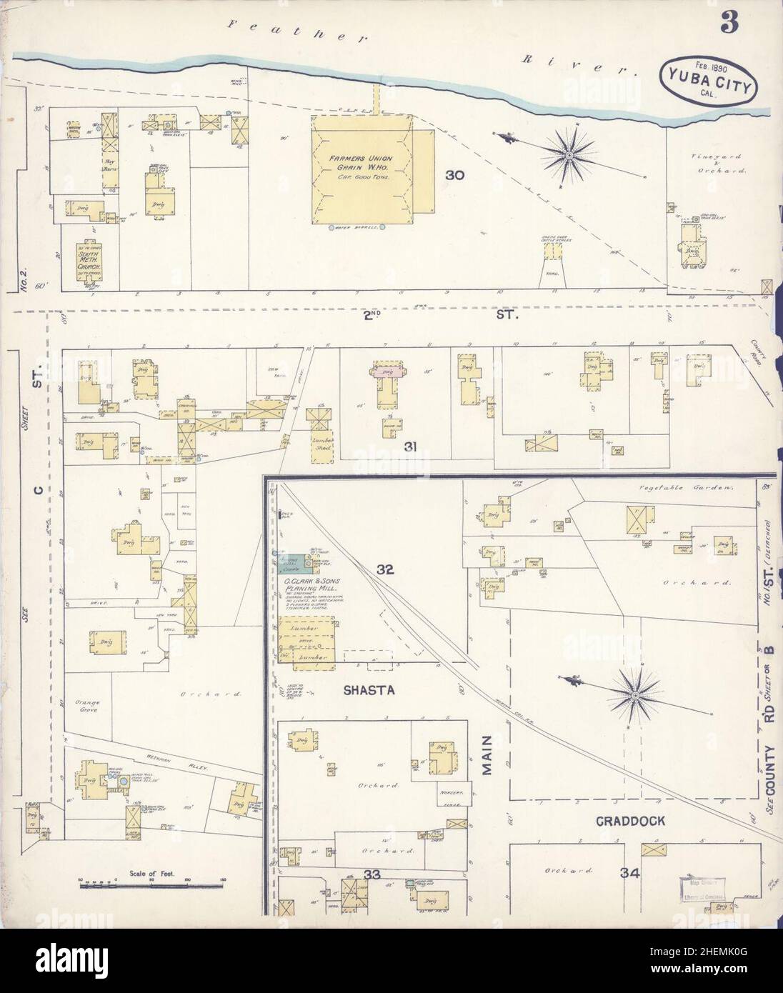 Sanborn Fire Insurance Map from Yuba City, Sutter County, California. Stock Photohttps://www.alamy.com/image-license-details/?v=1https://www.alamy.com/sanborn-fire-insurance-map-from-yuba-city-sutter-county-california-image456528704.html
RM2HEMK0G–Sanborn Fire Insurance Map from Yuba City, Sutter County, California.
 Cartographic, Maps. 1884 - 1936. Lionel Pincus and Princess Firyal Map Division. Fire insurance , New York (State), Real property , New York (State), Cities & towns , New York (State) Brooklyn V. 8, Plate No. 58 Map bounded by Sutter Ave., Alabama Ave., Dumont Ave., Snediker Ave. Stock Photohttps://www.alamy.com/image-license-details/?v=1https://www.alamy.com/cartographic-maps-1884-1936-lionel-pincus-and-princess-firyal-map-division-fire-insurance-new-york-state-real-property-new-york-state-cities-towns-new-york-state-brooklyn-v-8-plate-no-58-map-bounded-by-sutter-ave-alabama-ave-dumont-ave-snediker-ave-image483531013.html
RM2K2JMMN–Cartographic, Maps. 1884 - 1936. Lionel Pincus and Princess Firyal Map Division. Fire insurance , New York (State), Real property , New York (State), Cities & towns , New York (State) Brooklyn V. 8, Plate No. 58 Map bounded by Sutter Ave., Alabama Ave., Dumont Ave., Snediker Ave.
 . California fish and game. Fisheries -- California; Game and game-birds -- California; Fishes -- California; Animal Population Groups; Pêches; Gibier; Poissons. OGridley YubaCity QO Morysville sutter national â wildlife refuge LOCATION MAP No Scale Chistensen -(O*^'^ c"- iRanch COLUSA CO. YOLO CO. -^v- WoodiondO fLACER CO. SACR?M?^^fo CO. Concwoy Ranch YOLO CO. ODavis n OSacromento FIGURE 1. Waterfowl nesting study plots in the Sacramento Valley, 1955. Drawing by Cliffa Corson. DESCRIPTION OF STUDY PLOTS 1. Gray Lodge "Waterfowl ^Management Area, Butte County. This plot consisted o Stock Photohttps://www.alamy.com/image-license-details/?v=1https://www.alamy.com/california-fish-and-game-fisheries-california-game-and-game-birds-california-fishes-california-animal-population-groups-pches-gibier-poissons-ogridley-yubacity-qo-morysville-sutter-national-wildlife-refuge-location-map-no-scale-chistensen-o-cquot-iranch-colusa-co-yolo-co-v-woodiondo-flacer-co-sacrmfo-co-concwoy-ranch-yolo-co-odavis-n-osacromento-figure-1-waterfowl-nesting-study-plots-in-the-sacramento-valley-1955-drawing-by-cliffa-corson-description-of-study-plots-1-gray-lodge-quotwaterfowl-management-area-butte-county-this-plot-consisted-o-image233683757.html
RMRG560D–. California fish and game. Fisheries -- California; Game and game-birds -- California; Fishes -- California; Animal Population Groups; Pêches; Gibier; Poissons. OGridley YubaCity QO Morysville sutter national â wildlife refuge LOCATION MAP No Scale Chistensen -(O*^'^ c"- iRanch COLUSA CO. YOLO CO. -^v- WoodiondO fLACER CO. SACR?M?^^fo CO. Concwoy Ranch YOLO CO. ODavis n OSacromento FIGURE 1. Waterfowl nesting study plots in the Sacramento Valley, 1955. Drawing by Cliffa Corson. DESCRIPTION OF STUDY PLOTS 1. Gray Lodge "Waterfowl ^Management Area, Butte County. This plot consisted o
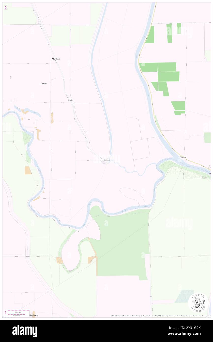 Karnak, Sutter County, US, United States, California, N 38 47' 5'', S 121 39' 19'', map, Cartascapes Map published in 2024. Explore Cartascapes, a map revealing Earth's diverse landscapes, cultures, and ecosystems. Journey through time and space, discovering the interconnectedness of our planet's past, present, and future. Stock Photohttps://www.alamy.com/image-license-details/?v=1https://www.alamy.com/karnak-sutter-county-us-united-states-california-n-38-47-5-s-121-39-19-map-cartascapes-map-published-in-2024-explore-cartascapes-a-map-revealing-earths-diverse-landscapes-cultures-and-ecosystems-journey-through-time-and-space-discovering-the-interconnectedness-of-our-planets-past-present-and-future-image621451983.html
RM2Y31G9K–Karnak, Sutter County, US, United States, California, N 38 47' 5'', S 121 39' 19'', map, Cartascapes Map published in 2024. Explore Cartascapes, a map revealing Earth's diverse landscapes, cultures, and ecosystems. Journey through time and space, discovering the interconnectedness of our planet's past, present, and future.