Quick filters:
Swaffham map Stock Photos and Images
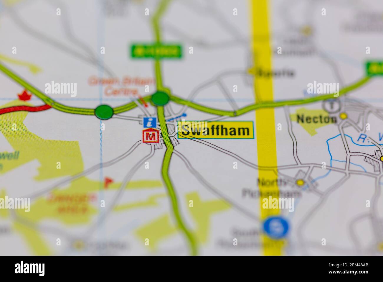 Swaffham shown on a road map or geography map Stock Photohttps://www.alamy.com/image-license-details/?v=1https://www.alamy.com/swaffham-shown-on-a-road-map-or-geography-map-image408225955.html
RM2EM48AB–Swaffham shown on a road map or geography map
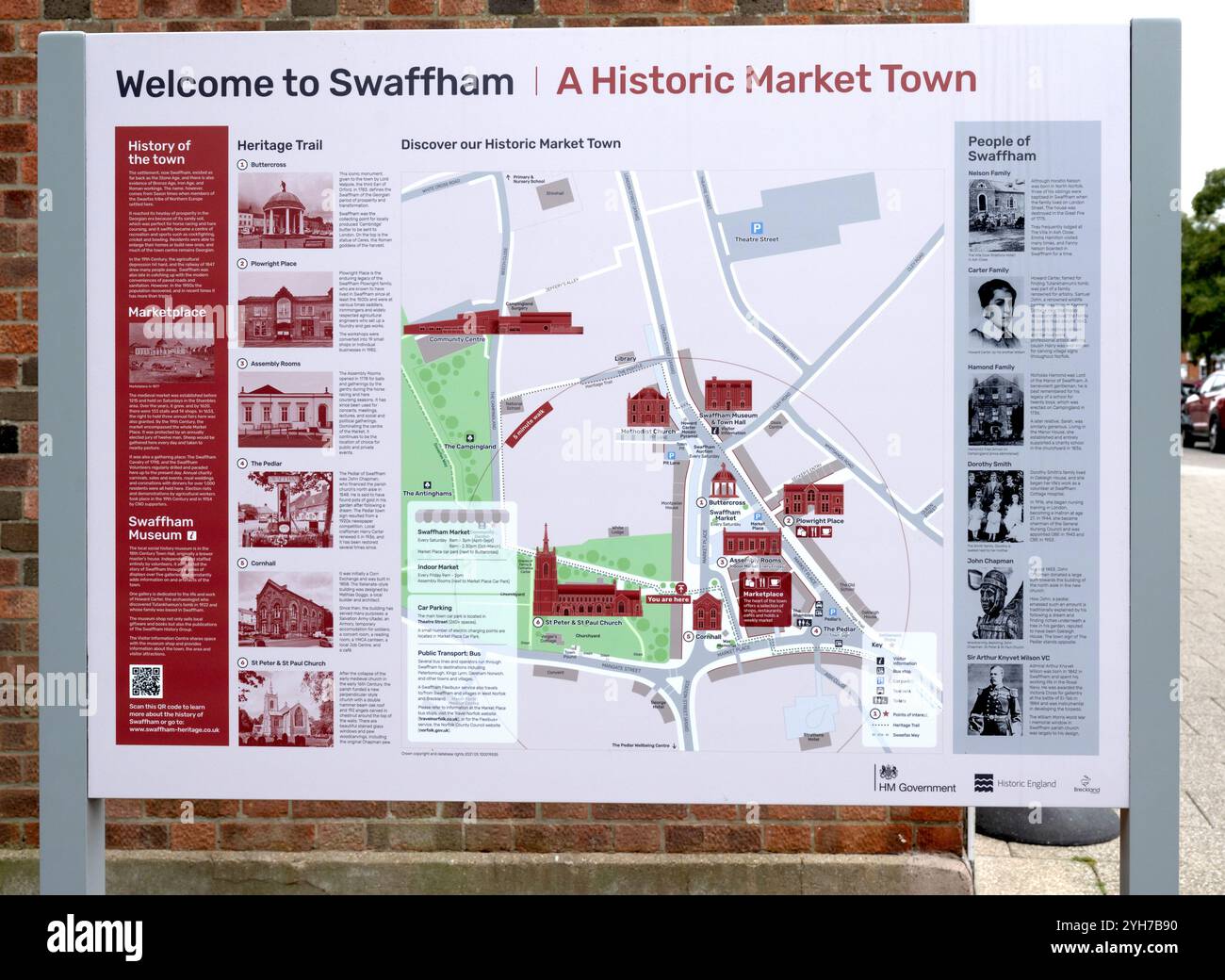 Welcome to sign at Swaffham, a historic market town, Swaffham, North Norfolk, Norfolk, England, UK Stock Photohttps://www.alamy.com/image-license-details/?v=1https://www.alamy.com/welcome-to-sign-at-swaffham-a-historic-market-town-swaffham-north-norfolk-norfolk-england-uk-image630184940.html
RF2YH7B90–Welcome to sign at Swaffham, a historic market town, Swaffham, North Norfolk, Norfolk, England, UK
 2015-04-25 Swaffham RTW - Chloe Saunders Stock Photohttps://www.alamy.com/image-license-details/?v=1https://www.alamy.com/stock-photo-2015-04-25-swaffham-rtw-chloe-saunders-148458139.html
RMJHERTB–2015-04-25 Swaffham RTW - Chloe Saunders
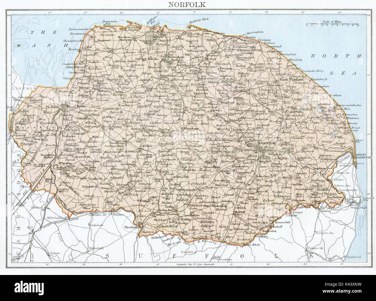 Antique map, circa 1875, of Norfolk Stock Photohttps://www.alamy.com/image-license-details/?v=1https://www.alamy.com/antique-map-circa-1875-of-norfolk-image157438789.html
RMK43XNW–Antique map, circa 1875, of Norfolk
 Swaffham, Norfolk, GB, United Kingdom, England, N 52 38' 51'', N 0 40' 36'', map, Cartascapes Map published in 2024. Explore Cartascapes, a map revealing Earth's diverse landscapes, cultures, and ecosystems. Journey through time and space, discovering the interconnectedness of our planet's past, present, and future. Stock Photohttps://www.alamy.com/image-license-details/?v=1https://www.alamy.com/swaffham-norfolk-gb-united-kingdom-england-n-52-38-51-n-0-40-36-map-cartascapes-map-published-in-2024-explore-cartascapes-a-map-revealing-earths-diverse-landscapes-cultures-and-ecosystems-journey-through-time-and-space-discovering-the-interconnectedness-of-our-planets-past-present-and-future-image604254885.html
RM2X3257H–Swaffham, Norfolk, GB, United Kingdom, England, N 52 38' 51'', N 0 40' 36'', map, Cartascapes Map published in 2024. Explore Cartascapes, a map revealing Earth's diverse landscapes, cultures, and ecosystems. Journey through time and space, discovering the interconnectedness of our planet's past, present, and future.
![A topographical map of the county of Norfolk. A Topographical Map of the County of Norfolk. Surveyed and measured in the years 1790, 91, 92, 93 and 94, by T. Donald, T. Milne, and Assistants. Planned from a scale of one inch to a statute mile. [With Plans of Lynn,Swaffham, and Great Yarmouth]. London : W. Faden, 1797. Source: Maps * 4315.(3.). Language: English. Stock Photo A topographical map of the county of Norfolk. A Topographical Map of the County of Norfolk. Surveyed and measured in the years 1790, 91, 92, 93 and 94, by T. Donald, T. Milne, and Assistants. Planned from a scale of one inch to a statute mile. [With Plans of Lynn,Swaffham, and Great Yarmouth]. London : W. Faden, 1797. Source: Maps * 4315.(3.). Language: English. Stock Photo](https://c8.alamy.com/comp/R5B1DH/a-topographical-map-of-the-county-of-norfolk-a-topographical-map-of-the-county-of-norfolk-surveyed-and-measured-in-the-years-1790-91-92-93-and-94-by-t-donald-t-milne-and-assistants-planned-from-a-scale-of-one-inch-to-a-statute-mile-with-plans-of-lynnswaffham-and-great-yarmouth-london-w-faden-1797-source-maps-43153-language-english-R5B1DH.jpg) A topographical map of the county of Norfolk. A Topographical Map of the County of Norfolk. Surveyed and measured in the years 1790, 91, 92, 93 and 94, by T. Donald, T. Milne, and Assistants. Planned from a scale of one inch to a statute mile. [With Plans of Lynn,Swaffham, and Great Yarmouth]. London : W. Faden, 1797. Source: Maps * 4315.(3.). Language: English. Stock Photohttps://www.alamy.com/image-license-details/?v=1https://www.alamy.com/a-topographical-map-of-the-county-of-norfolk-a-topographical-map-of-the-county-of-norfolk-surveyed-and-measured-in-the-years-1790-91-92-93-and-94-by-t-donald-t-milne-and-assistants-planned-from-a-scale-of-one-inch-to-a-statute-mile-with-plans-of-lynnswaffham-and-great-yarmouth-london-w-faden-1797-source-maps-43153-language-english-image227050701.html
A topographical map of the county of Norfolk. A Topographical Map of the County of Norfolk. Surveyed and measured in the years 1790, 91, 92, 93 and 94, by T. Donald, T. Milne, and Assistants. Planned from a scale of one inch to a statute mile. [With Plans of Lynn,Swaffham, and Great Yarmouth]. London : W. Faden, 1797. Source: Maps * 4315.(3.). Language: English. Stock Photohttps://www.alamy.com/image-license-details/?v=1https://www.alamy.com/a-topographical-map-of-the-county-of-norfolk-a-topographical-map-of-the-county-of-norfolk-surveyed-and-measured-in-the-years-1790-91-92-93-and-94-by-t-donald-t-milne-and-assistants-planned-from-a-scale-of-one-inch-to-a-statute-mile-with-plans-of-lynnswaffham-and-great-yarmouth-london-w-faden-1797-source-maps-43153-language-english-image227050701.htmlRMR5B1DH–A topographical map of the county of Norfolk. A Topographical Map of the County of Norfolk. Surveyed and measured in the years 1790, 91, 92, 93 and 94, by T. Donald, T. Milne, and Assistants. Planned from a scale of one inch to a statute mile. [With Plans of Lynn,Swaffham, and Great Yarmouth]. London : W. Faden, 1797. Source: Maps * 4315.(3.). Language: English.
 Newmarket - Swaffham - Wells/Sea - Bury St Edmunds GARDNER road map #52 1719 Stock Photohttps://www.alamy.com/image-license-details/?v=1https://www.alamy.com/newmarket-swaffham-wellssea-bury-st-edmunds-gardner-road-map-52-1719-image610579219.html
RF2XDA80K–Newmarket - Swaffham - Wells/Sea - Bury St Edmunds GARDNER road map #52 1719
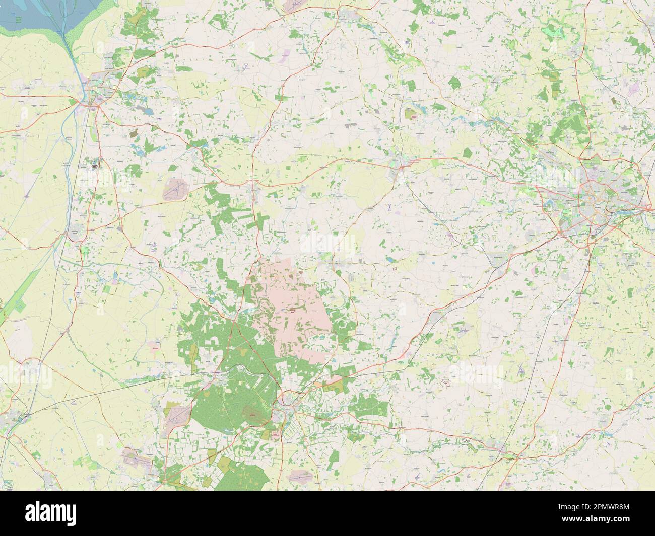 Breckland, non metropolitan district of England - Great Britain. Open Street Map Stock Photohttps://www.alamy.com/image-license-details/?v=1https://www.alamy.com/breckland-non-metropolitan-district-of-england-great-britain-open-street-map-image546381604.html
RF2PMWR8M–Breckland, non metropolitan district of England - Great Britain. Open Street Map
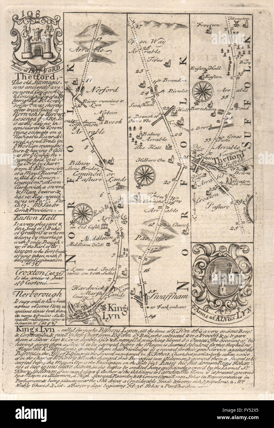 King's Lynn-Narborough-Swaffham-Thetford road map by J. OWEN & E. BOWEN 1753 Stock Photohttps://www.alamy.com/image-license-details/?v=1https://www.alamy.com/stock-photo-kings-lynn-narborough-swaffham-thetford-road-map-by-j-owen-e-bowen-102759613.html
RFFY52X5–King's Lynn-Narborough-Swaffham-Thetford road map by J. OWEN & E. BOWEN 1753
![The architectural history of the University of Cambridge, and of the colleges of Cambridge and Eton . Fig. 2. Ground-plan of the site of the Schools, Senate-House, etc., enlarged fromLoggans Map of Cambridge, 1688. 1 [The full title is : Memoranda Collegii Corporis Christi et beate Marie Cantedita per Magistrum Iohannem Uotwright sancte theorie professorem et capellanumdomini Regis Henrici VP, Rectorem de Swaffham Market, Magistrum siue CustodemCollegii predicti, electron in festo Sancti Marci Evangeliste Anno Domini 1442.] HISTORY OF THE SITE. 5. Fig. 3. Sketch of the site and buildings of th Stock Photo The architectural history of the University of Cambridge, and of the colleges of Cambridge and Eton . Fig. 2. Ground-plan of the site of the Schools, Senate-House, etc., enlarged fromLoggans Map of Cambridge, 1688. 1 [The full title is : Memoranda Collegii Corporis Christi et beate Marie Cantedita per Magistrum Iohannem Uotwright sancte theorie professorem et capellanumdomini Regis Henrici VP, Rectorem de Swaffham Market, Magistrum siue CustodemCollegii predicti, electron in festo Sancti Marci Evangeliste Anno Domini 1442.] HISTORY OF THE SITE. 5. Fig. 3. Sketch of the site and buildings of th Stock Photo](https://c8.alamy.com/comp/2AWJAW0/the-architectural-history-of-the-university-of-cambridge-and-of-the-colleges-of-cambridge-and-eton-fig-2-ground-plan-of-the-site-of-the-schools-senate-house-etc-enlarged-fromloggans-map-of-cambridge-1688-1-the-full-title-is-memoranda-collegii-corporis-christi-et-beate-marie-cantedita-per-magistrum-iohannem-uotwright-sancte-theorie-professorem-et-capellanumdomini-regis-henrici-vp-rectorem-de-swaffham-market-magistrum-siue-custodemcollegii-predicti-electron-in-festo-sancti-marci-evangeliste-anno-domini-1442-history-of-the-site-5-fig-3-sketch-of-the-site-and-buildings-of-th-2AWJAW0.jpg) The architectural history of the University of Cambridge, and of the colleges of Cambridge and Eton . Fig. 2. Ground-plan of the site of the Schools, Senate-House, etc., enlarged fromLoggans Map of Cambridge, 1688. 1 [The full title is : Memoranda Collegii Corporis Christi et beate Marie Cantedita per Magistrum Iohannem Uotwright sancte theorie professorem et capellanumdomini Regis Henrici VP, Rectorem de Swaffham Market, Magistrum siue CustodemCollegii predicti, electron in festo Sancti Marci Evangeliste Anno Domini 1442.] HISTORY OF THE SITE. 5. Fig. 3. Sketch of the site and buildings of th Stock Photohttps://www.alamy.com/image-license-details/?v=1https://www.alamy.com/the-architectural-history-of-the-university-of-cambridge-and-of-the-colleges-of-cambridge-and-eton-fig-2-ground-plan-of-the-site-of-the-schools-senate-house-etc-enlarged-fromloggans-map-of-cambridge-1688-1-the-full-title-is-memoranda-collegii-corporis-christi-et-beate-marie-cantedita-per-magistrum-iohannem-uotwright-sancte-theorie-professorem-et-capellanumdomini-regis-henrici-vp-rectorem-de-swaffham-market-magistrum-siue-custodemcollegii-predicti-electron-in-festo-sancti-marci-evangeliste-anno-domini-1442-history-of-the-site-5-fig-3-sketch-of-the-site-and-buildings-of-th-image342767068.html
The architectural history of the University of Cambridge, and of the colleges of Cambridge and Eton . Fig. 2. Ground-plan of the site of the Schools, Senate-House, etc., enlarged fromLoggans Map of Cambridge, 1688. 1 [The full title is : Memoranda Collegii Corporis Christi et beate Marie Cantedita per Magistrum Iohannem Uotwright sancte theorie professorem et capellanumdomini Regis Henrici VP, Rectorem de Swaffham Market, Magistrum siue CustodemCollegii predicti, electron in festo Sancti Marci Evangeliste Anno Domini 1442.] HISTORY OF THE SITE. 5. Fig. 3. Sketch of the site and buildings of th Stock Photohttps://www.alamy.com/image-license-details/?v=1https://www.alamy.com/the-architectural-history-of-the-university-of-cambridge-and-of-the-colleges-of-cambridge-and-eton-fig-2-ground-plan-of-the-site-of-the-schools-senate-house-etc-enlarged-fromloggans-map-of-cambridge-1688-1-the-full-title-is-memoranda-collegii-corporis-christi-et-beate-marie-cantedita-per-magistrum-iohannem-uotwright-sancte-theorie-professorem-et-capellanumdomini-regis-henrici-vp-rectorem-de-swaffham-market-magistrum-siue-custodemcollegii-predicti-electron-in-festo-sancti-marci-evangeliste-anno-domini-1442-history-of-the-site-5-fig-3-sketch-of-the-site-and-buildings-of-th-image342767068.htmlRM2AWJAW0–The architectural history of the University of Cambridge, and of the colleges of Cambridge and Eton . Fig. 2. Ground-plan of the site of the Schools, Senate-House, etc., enlarged fromLoggans Map of Cambridge, 1688. 1 [The full title is : Memoranda Collegii Corporis Christi et beate Marie Cantedita per Magistrum Iohannem Uotwright sancte theorie professorem et capellanumdomini Regis Henrici VP, Rectorem de Swaffham Market, Magistrum siue CustodemCollegii predicti, electron in festo Sancti Marci Evangeliste Anno Domini 1442.] HISTORY OF THE SITE. 5. Fig. 3. Sketch of the site and buildings of th
 8 of 'The Tinker of Swaffham; a legendary tale. With other poems and translations' Stock Photohttps://www.alamy.com/image-license-details/?v=1https://www.alamy.com/stock-photo-8-of-the-tinker-of-swaffham-a-legendary-tale-with-other-poems-and-95710156.html
RMFFKY7T–8 of 'The Tinker of Swaffham; a legendary tale. With other poems and translations'
 2015-04-25 Swaffham RTW - Malcolm Foskett Stock Photohttps://www.alamy.com/image-license-details/?v=1https://www.alamy.com/stock-photo-2015-04-25-swaffham-rtw-malcolm-foskett-148458124.html
RMJHERRT–2015-04-25 Swaffham RTW - Malcolm Foskett
 Swaffham Bullbeck, Cambridgeshire, GB, United Kingdom, England, N 52 12' 51'', N 0 19' 32'', map, Cartascapes Map published in 2024. Explore Cartascapes, a map revealing Earth's diverse landscapes, cultures, and ecosystems. Journey through time and space, discovering the interconnectedness of our planet's past, present, and future. Stock Photohttps://www.alamy.com/image-license-details/?v=1https://www.alamy.com/swaffham-bullbeck-cambridgeshire-gb-united-kingdom-england-n-52-12-51-n-0-19-32-map-cartascapes-map-published-in-2024-explore-cartascapes-a-map-revealing-earths-diverse-landscapes-cultures-and-ecosystems-journey-through-time-and-space-discovering-the-interconnectedness-of-our-planets-past-present-and-future-image604192364.html
RM2X2Y9EM–Swaffham Bullbeck, Cambridgeshire, GB, United Kingdom, England, N 52 12' 51'', N 0 19' 32'', map, Cartascapes Map published in 2024. Explore Cartascapes, a map revealing Earth's diverse landscapes, cultures, and ecosystems. Journey through time and space, discovering the interconnectedness of our planet's past, present, and future.
 Breckland, non metropolitan district of England - Great Britain. High resolution satellite map Stock Photohttps://www.alamy.com/image-license-details/?v=1https://www.alamy.com/breckland-non-metropolitan-district-of-england-great-britain-high-resolution-satellite-map-image546381444.html
RF2PMWR30–Breckland, non metropolitan district of England - Great Britain. High resolution satellite map
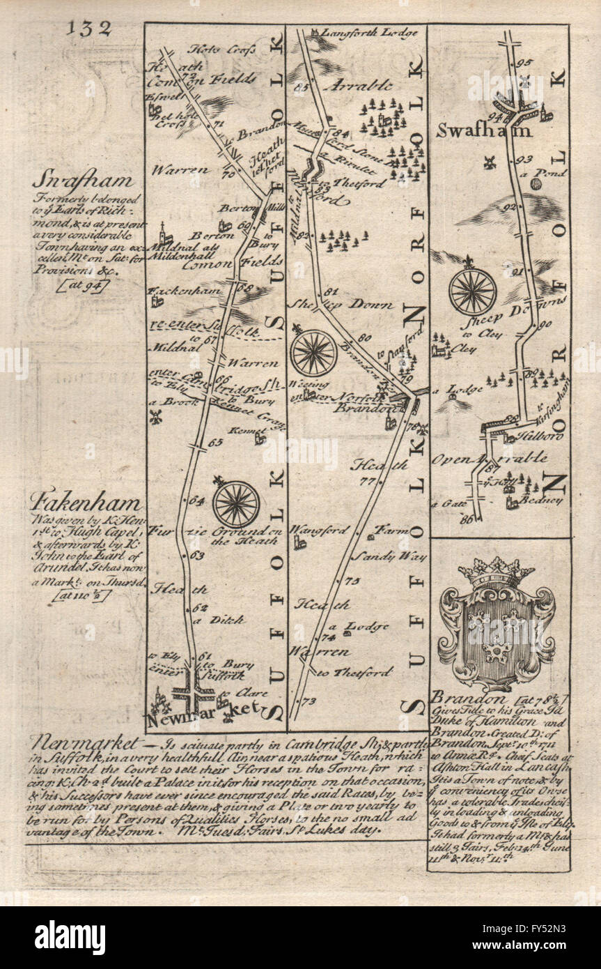 Newmarket-Barton Mills-Brandon-Swaffham road map by J. OWEN & E. BOWEN, 1753 Stock Photohttps://www.alamy.com/image-license-details/?v=1https://www.alamy.com/stock-photo-newmarket-barton-mills-brandon-swaffham-road-map-by-j-owen-e-bowen-102759471.html
RFFY52N3–Newmarket-Barton Mills-Brandon-Swaffham road map by J. OWEN & E. BOWEN, 1753
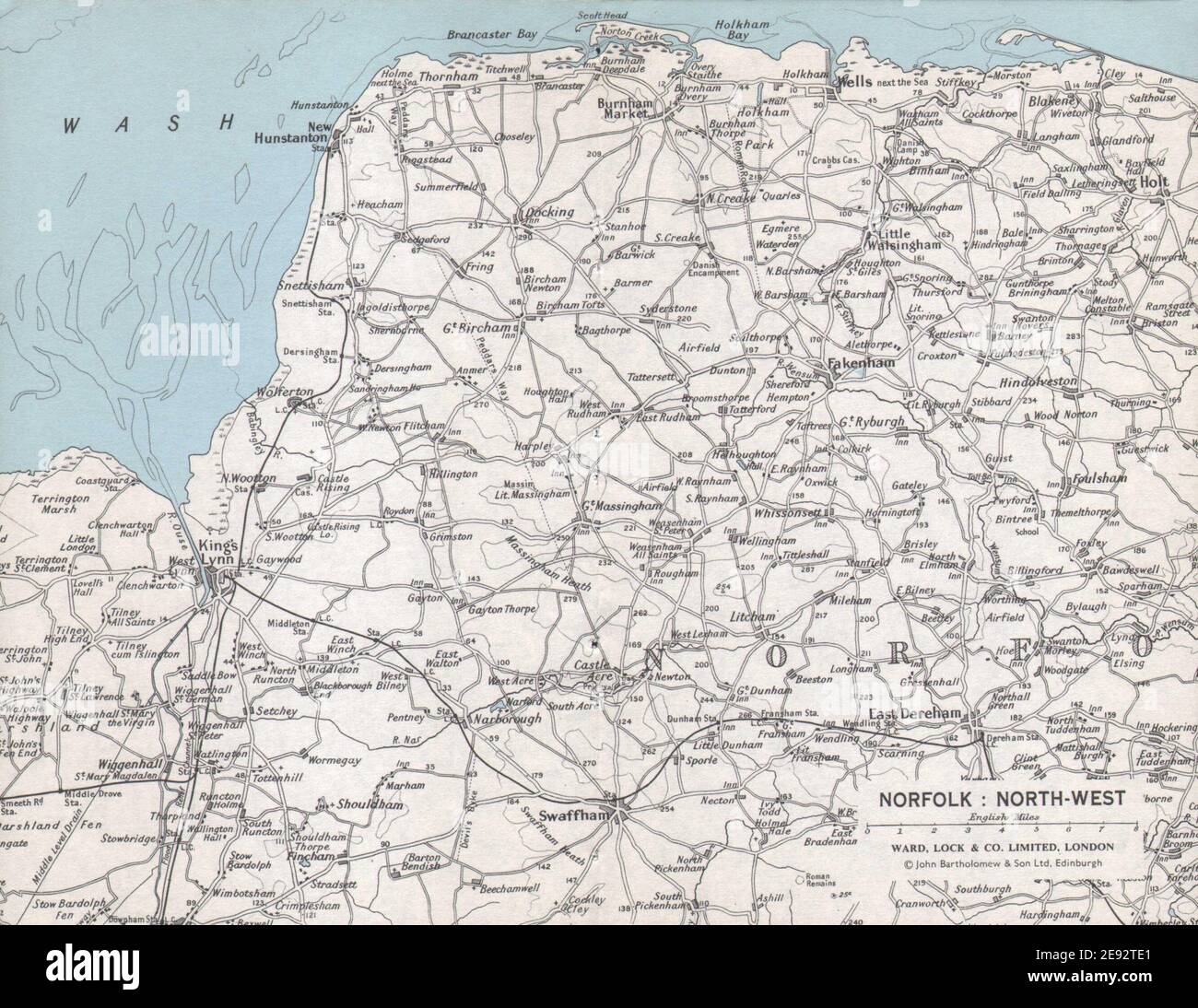 NORFOLK NORTH WEST COAST. King's Lynn Hunstanton Swaffham. WARD LOCK 1971 map Stock Photohttps://www.alamy.com/image-license-details/?v=1https://www.alamy.com/norfolk-north-west-coast-kings-lynn-hunstanton-swaffham-ward-lock-1971-map-image401433481.html
RF2E92TE1–NORFOLK NORTH WEST COAST. King's Lynn Hunstanton Swaffham. WARD LOCK 1971 map
 Image taken from page 38 of 'The Tinker of Swaffham Stock Photohttps://www.alamy.com/image-license-details/?v=1https://www.alamy.com/stock-photo-image-taken-from-page-38-of-the-tinker-of-swaffham-127718361.html
RMHBP221–Image taken from page 38 of 'The Tinker of Swaffham
 OS #65 The Fens & Brecks. King's Lynn Swaffham Norfolk Cambridgeshire 1824 map Stock Photohttps://www.alamy.com/image-license-details/?v=1https://www.alamy.com/os-65-the-fens-brecks-kings-lynn-swaffham-norfolk-cambridgeshire-1824-map-image568765473.html
RF2T19E4H–OS #65 The Fens & Brecks. King's Lynn Swaffham Norfolk Cambridgeshire 1824 map
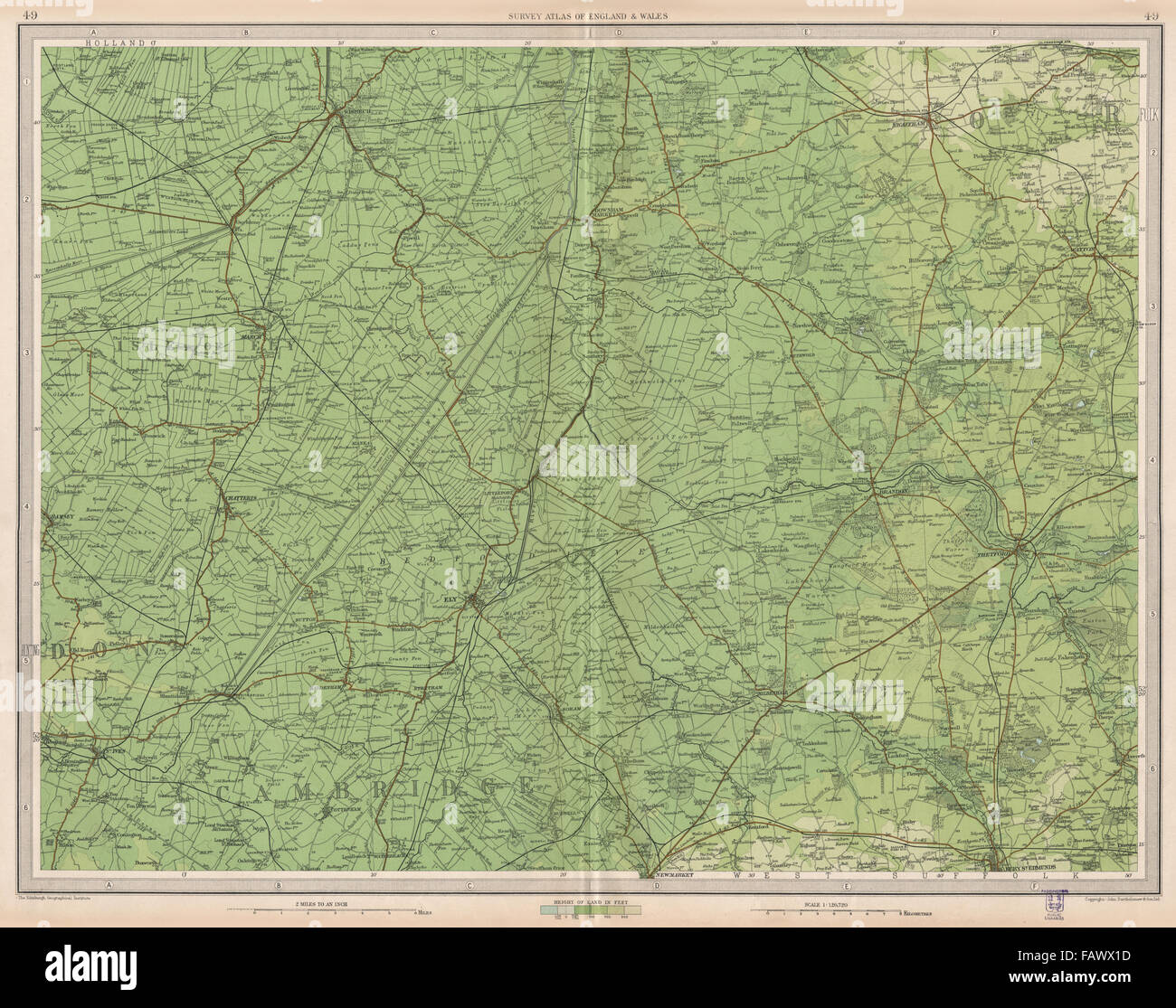 THE FENS: Cambridgeshire Isle of Ely Thetford Swaffham East Anglia, 1939 map Stock Photohttps://www.alamy.com/image-license-details/?v=1https://www.alamy.com/stock-photo-the-fens-cambridgeshire-isle-of-ely-thetford-swaffham-east-anglia-92767625.html
RFFAWX1D–THE FENS: Cambridgeshire Isle of Ely Thetford Swaffham East Anglia, 1939 map
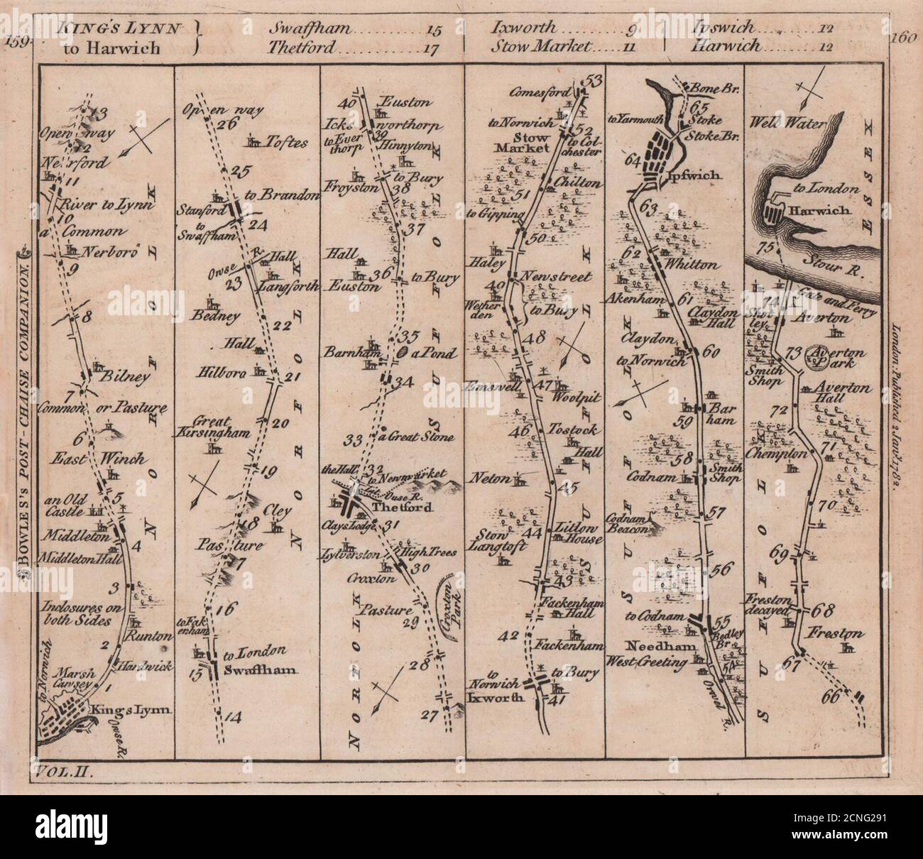 King's Lynn-Swaffham-Thetford-Ipswich-Harwich road strip map. BOWLES 1782 Stock Photohttps://www.alamy.com/image-license-details/?v=1https://www.alamy.com/kings-lynn-swaffham-thetford-ipswich-harwich-road-strip-map-bowles-1782-image374678557.html
RF2CNG291–King's Lynn-Swaffham-Thetford-Ipswich-Harwich road strip map. BOWLES 1782
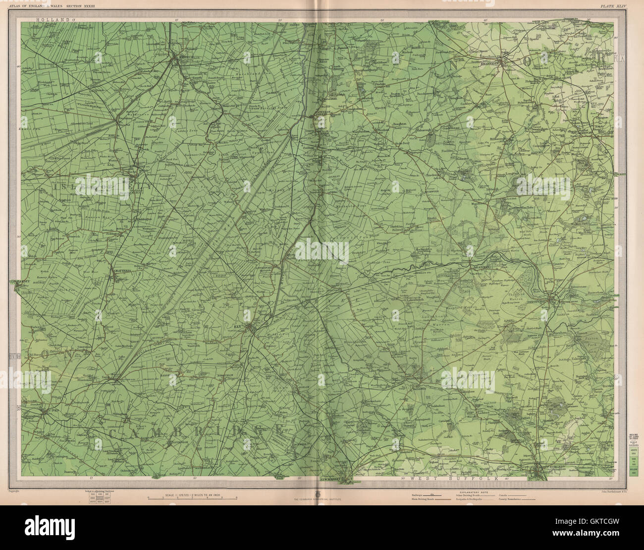 THE FENS. Cambridgeshire Isle of Ely Thetford Swaffham East Anglia, 1903 map Stock Photohttps://www.alamy.com/image-license-details/?v=1https://www.alamy.com/stock-photo-the-fens-cambridgeshire-isle-of-ely-thetford-swaffham-east-anglia-115477401.html
RFGKTCGW–THE FENS. Cambridgeshire Isle of Ely Thetford Swaffham East Anglia, 1903 map
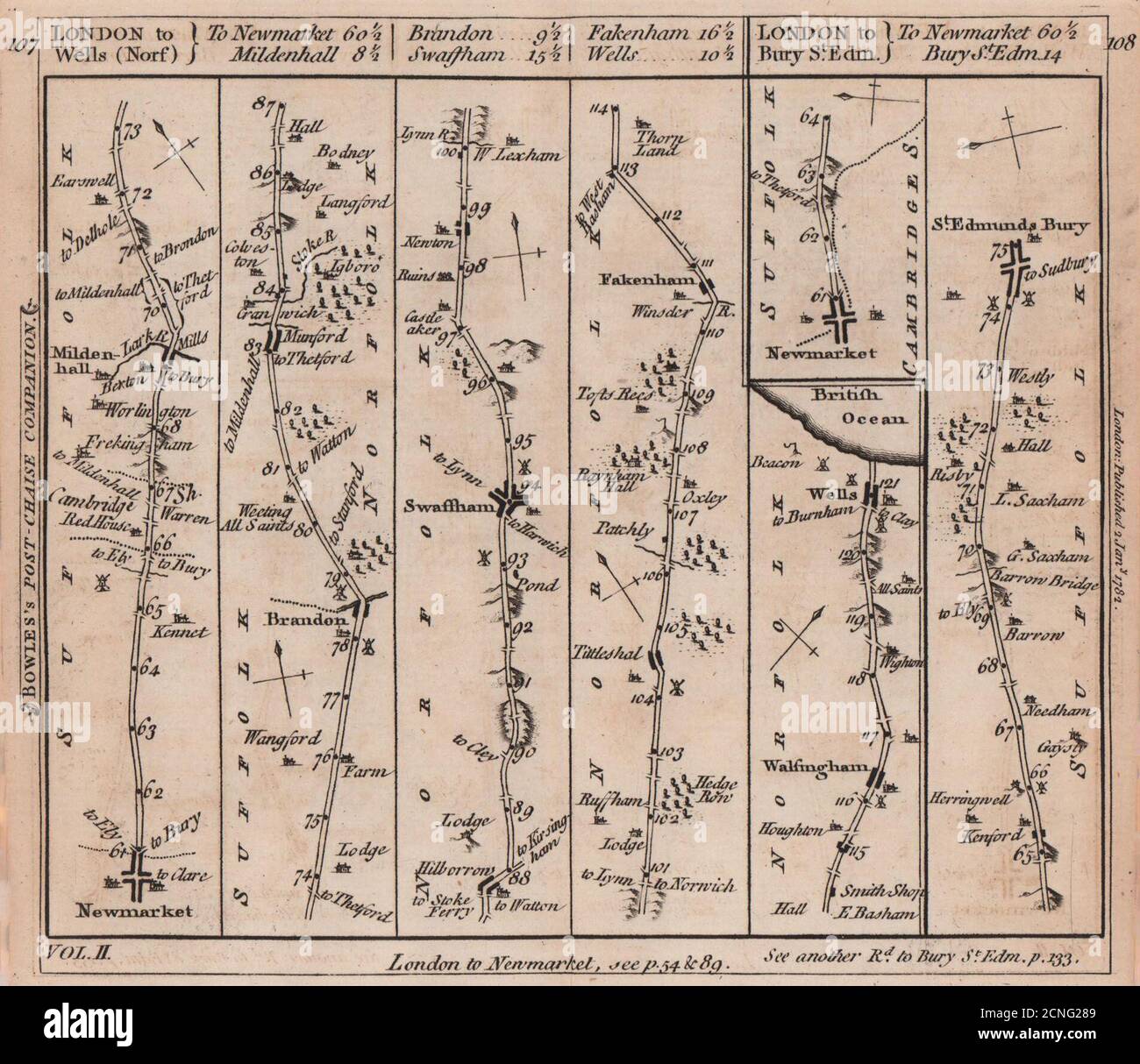 Bury St. Edmunds-Newmarket-Swaffham-Wells road strip map. BOWLES 1782 old Stock Photohttps://www.alamy.com/image-license-details/?v=1https://www.alamy.com/bury-st-edmunds-newmarket-swaffham-wells-road-strip-map-bowles-1782-old-image374678537.html
RF2CNG289–Bury St. Edmunds-Newmarket-Swaffham-Wells road strip map. BOWLES 1782 old
 2015-04-25 Swaffham RTW - Josh Phillips Stock Photohttps://www.alamy.com/image-license-details/?v=1https://www.alamy.com/stock-photo-2015-04-25-swaffham-rtw-josh-phillips-148458141.html
RMJHERTD–2015-04-25 Swaffham RTW - Josh Phillips
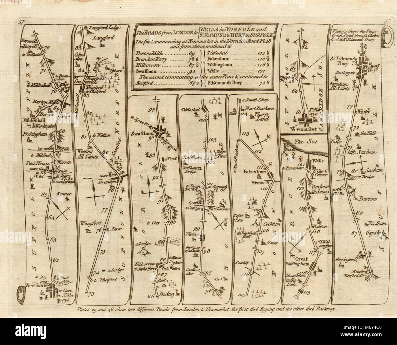 Newmarket Mildenhall Swaffham Bury St Edmunds. KITCHIN road map 1767 old Stock Photohttps://www.alamy.com/image-license-details/?v=1https://www.alamy.com/stock-photo-newmarket-mildenhall-swaffham-bury-st-edmunds-kitchin-road-map-1767-176387904.html
RFM6Y4G0–Newmarket Mildenhall Swaffham Bury St Edmunds. KITCHIN road map 1767 old
 Swaffham Bulbeck, Cambridgeshire, GB, United Kingdom, England, N 52 14' 47'', N 0 17' 3'', map, Cartascapes Map published in 2024. Explore Cartascapes, a map revealing Earth's diverse landscapes, cultures, and ecosystems. Journey through time and space, discovering the interconnectedness of our planet's past, present, and future. Stock Photohttps://www.alamy.com/image-license-details/?v=1https://www.alamy.com/swaffham-bulbeck-cambridgeshire-gb-united-kingdom-england-n-52-14-47-n-0-17-3-map-cartascapes-map-published-in-2024-explore-cartascapes-a-map-revealing-earths-diverse-landscapes-cultures-and-ecosystems-journey-through-time-and-space-discovering-the-interconnectedness-of-our-planets-past-present-and-future-image604267362.html
RM2X32N56–Swaffham Bulbeck, Cambridgeshire, GB, United Kingdom, England, N 52 14' 47'', N 0 17' 3'', map, Cartascapes Map published in 2024. Explore Cartascapes, a map revealing Earth's diverse landscapes, cultures, and ecosystems. Journey through time and space, discovering the interconnectedness of our planet's past, present, and future.
 Breckland, non metropolitan district of England - Great Britain. Low resolution satellite map Stock Photohttps://www.alamy.com/image-license-details/?v=1https://www.alamy.com/breckland-non-metropolitan-district-of-england-great-britain-low-resolution-satellite-map-image546381607.html
RF2PMWR8R–Breckland, non metropolitan district of England - Great Britain. Low resolution satellite map
 2015-04-25 Swaffham RTW - Matthew Lowe Stock Photohttps://www.alamy.com/image-license-details/?v=1https://www.alamy.com/stock-photo-2015-04-25-swaffham-rtw-matthew-lowe-148458132.html
RMJHERT4–2015-04-25 Swaffham RTW - Matthew Lowe
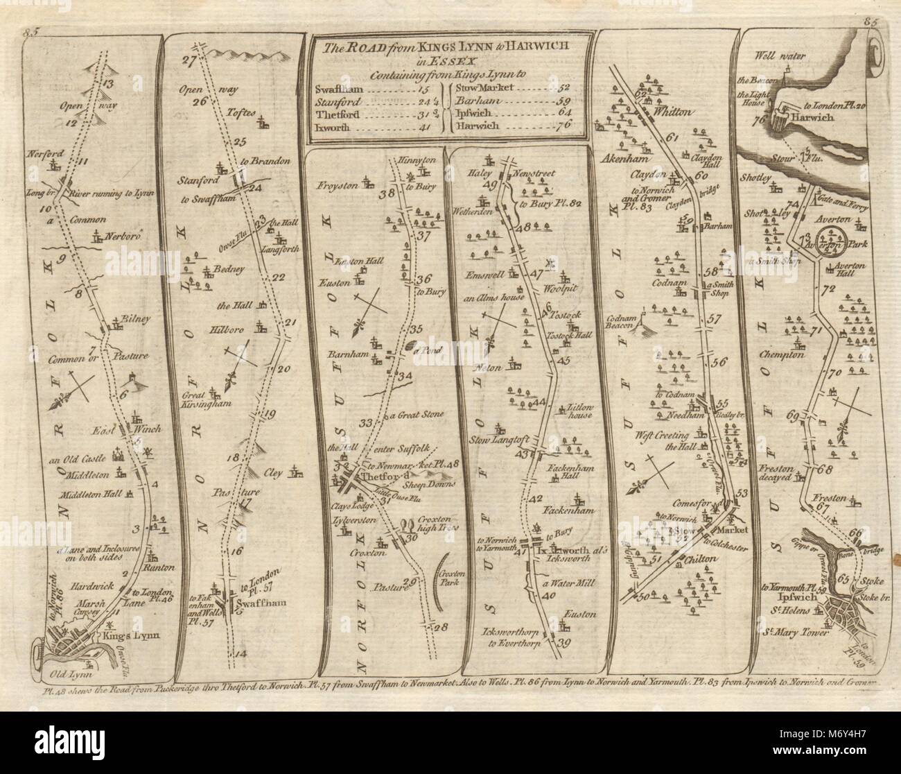 King's Lynn Swaffham Thetford Stowmarket Ipswich Harwich. KITCHIN road map 1767 Stock Photohttps://www.alamy.com/image-license-details/?v=1https://www.alamy.com/stock-photo-kings-lynn-swaffham-thetford-stowmarket-ipswich-harwich-kitchin-road-176387939.html
RFM6Y4H7–King's Lynn Swaffham Thetford Stowmarket Ipswich Harwich. KITCHIN road map 1767
 Swaffham Bulbeck, Cambridgeshire, GB, United Kingdom, England, N 52 14' 47'', N 0 17' 3'', map, Cartascapes Map published in 2024. Explore Cartascapes, a map revealing Earth's diverse landscapes, cultures, and ecosystems. Journey through time and space, discovering the interconnectedness of our planet's past, present, and future. Stock Photohttps://www.alamy.com/image-license-details/?v=1https://www.alamy.com/swaffham-bulbeck-cambridgeshire-gb-united-kingdom-england-n-52-14-47-n-0-17-3-map-cartascapes-map-published-in-2024-explore-cartascapes-a-map-revealing-earths-diverse-landscapes-cultures-and-ecosystems-journey-through-time-and-space-discovering-the-interconnectedness-of-our-planets-past-present-and-future-image604267361.html
RM2X32N55–Swaffham Bulbeck, Cambridgeshire, GB, United Kingdom, England, N 52 14' 47'', N 0 17' 3'', map, Cartascapes Map published in 2024. Explore Cartascapes, a map revealing Earth's diverse landscapes, cultures, and ecosystems. Journey through time and space, discovering the interconnectedness of our planet's past, present, and future.
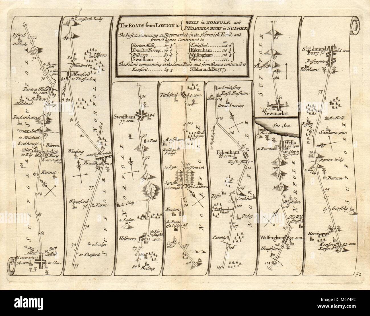 Newmarket Swaffham Wells-next-the-Sea Bury St Edmunds SENEX #52 road map 1719 Stock Photohttps://www.alamy.com/image-license-details/?v=1https://www.alamy.com/stock-photo-newmarket-swaffham-wells-next-the-sea-bury-st-edmunds-senex-52-road-176388074.html
RFM6Y4P2–Newmarket Swaffham Wells-next-the-Sea Bury St Edmunds SENEX #52 road map 1719
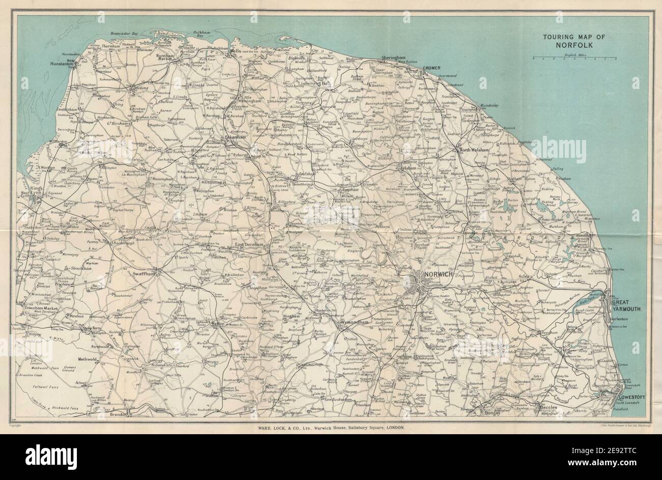 NORFOLK VINTAGE TOURING MAP. Broads. Yarmouth Norwich Cromer. WARD LOCK 1937 Stock Photohttps://www.alamy.com/image-license-details/?v=1https://www.alamy.com/norfolk-vintage-touring-map-broads-yarmouth-norwich-cromer-ward-lock-1937-image401433772.html
RF2E92TTC–NORFOLK VINTAGE TOURING MAP. Broads. Yarmouth Norwich Cromer. WARD LOCK 1937
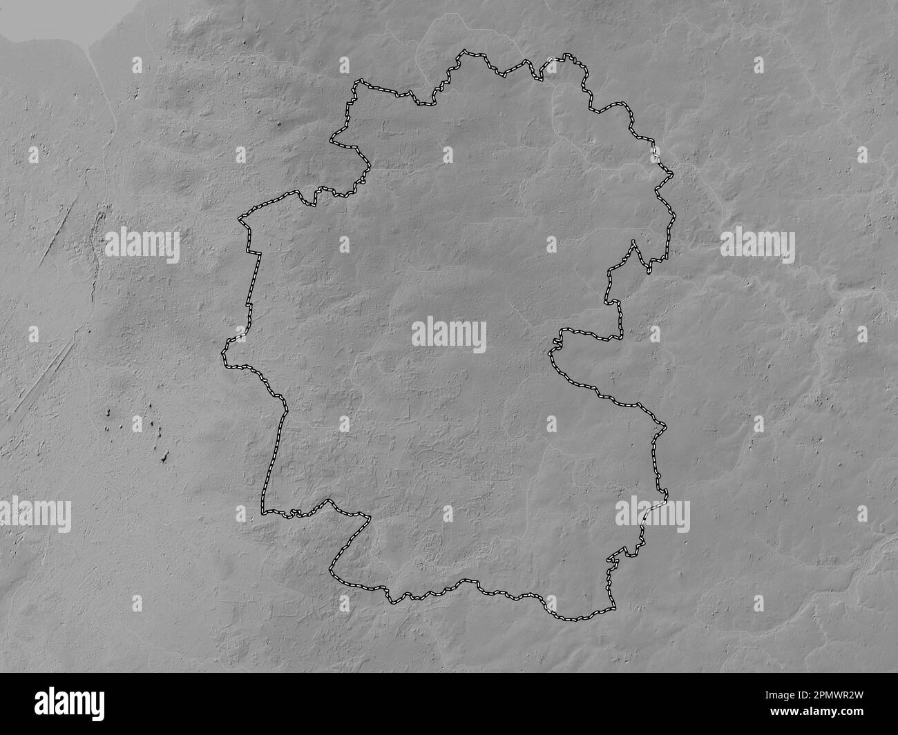 Breckland, non metropolitan district of England - Great Britain. Grayscale elevation map with lakes and rivers Stock Photohttps://www.alamy.com/image-license-details/?v=1https://www.alamy.com/breckland-non-metropolitan-district-of-england-great-britain-grayscale-elevation-map-with-lakes-and-rivers-image546381441.html
RF2PMWR2W–Breckland, non metropolitan district of England - Great Britain. Grayscale elevation map with lakes and rivers
 King's Lynn - Stowmarket - Ipswich - Harwich. GARDNER road map #75 1719 Stock Photohttps://www.alamy.com/image-license-details/?v=1https://www.alamy.com/kings-lynn-stowmarket-ipswich-harwich-gardner-road-map-75-1719-image610579404.html
RF2XDA878–King's Lynn - Stowmarket - Ipswich - Harwich. GARDNER road map #75 1719
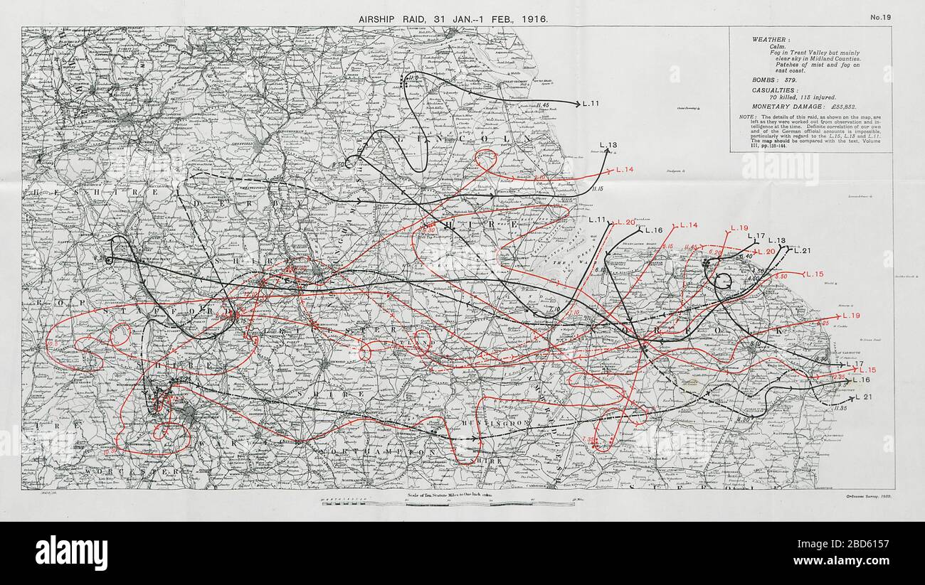 First World War German Airship raid October 1915 Stoke Burton Derby Dudley Walsall 1930 map Stock Photohttps://www.alamy.com/image-license-details/?v=1https://www.alamy.com/first-world-war-german-airship-raid-october-1915-stoke-burton-derby-dudley-walsall-1930-map-image352330531.html
RF2BD6157–First World War German Airship raid October 1915 Stoke Burton Derby Dudley Walsall 1930 map
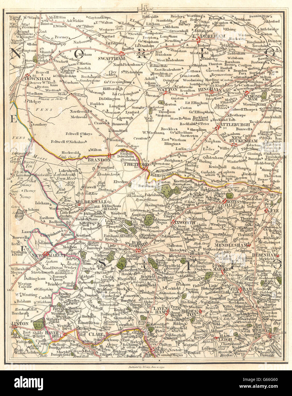 EAST ANGLIA & FENS: Norfolk Suffolk. Ipswich Bury St Edmunds. CARY, 1794 map Stock Photohttps://www.alamy.com/image-license-details/?v=1https://www.alamy.com/stock-photo-east-anglia-fens-norfolk-suffolk-ipswich-bury-st-edmunds-cary-1794-107094568.html
RFG66G60–EAST ANGLIA & FENS: Norfolk Suffolk. Ipswich Bury St Edmunds. CARY, 1794 map
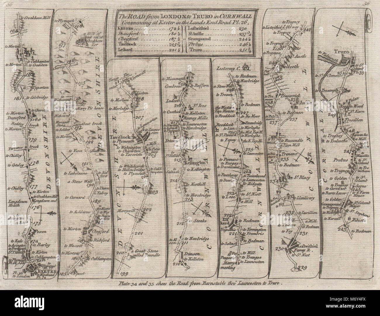 Exeter Chagford Tavistock Liskeard St Austell Truro. KITCHIN road map 1767 Stock Photohttps://www.alamy.com/image-license-details/?v=1https://www.alamy.com/stock-photo-exeter-chagford-tavistock-liskeard-st-austell-truro-kitchin-road-map-176387902.html
RFM6Y4FX–Exeter Chagford Tavistock Liskeard St Austell Truro. KITCHIN road map 1767
 2015-04-25 Swaffham RTW - Ross Barnes Stock Photohttps://www.alamy.com/image-license-details/?v=1https://www.alamy.com/stock-photo-2015-04-25-swaffham-rtw-ross-barnes-148458135.html
RMJHERT7–2015-04-25 Swaffham RTW - Ross Barnes
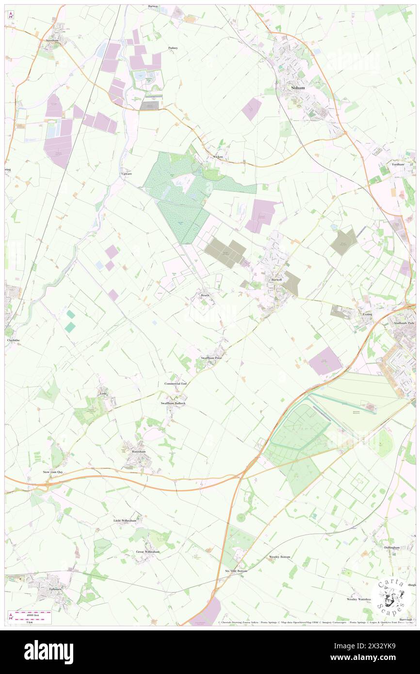 Swaffham Prior, Cambridgeshire, GB, United Kingdom, England, N 52 15' 9'', N 0 17' 59'', map, Cartascapes Map published in 2024. Explore Cartascapes, a map revealing Earth's diverse landscapes, cultures, and ecosystems. Journey through time and space, discovering the interconnectedness of our planet's past, present, and future. Stock Photohttps://www.alamy.com/image-license-details/?v=1https://www.alamy.com/swaffham-prior-cambridgeshire-gb-united-kingdom-england-n-52-15-9-n-0-17-59-map-cartascapes-map-published-in-2024-explore-cartascapes-a-map-revealing-earths-diverse-landscapes-cultures-and-ecosystems-journey-through-time-and-space-discovering-the-interconnectedness-of-our-planets-past-present-and-future-image604272461.html
RM2X32YK9–Swaffham Prior, Cambridgeshire, GB, United Kingdom, England, N 52 15' 9'', N 0 17' 59'', map, Cartascapes Map published in 2024. Explore Cartascapes, a map revealing Earth's diverse landscapes, cultures, and ecosystems. Journey through time and space, discovering the interconnectedness of our planet's past, present, and future.
 Breckland, non metropolitan district of England - Great Britain. Bilevel elevation map with lakes and rivers Stock Photohttps://www.alamy.com/image-license-details/?v=1https://www.alamy.com/breckland-non-metropolitan-district-of-england-great-britain-bilevel-elevation-map-with-lakes-and-rivers-image546381393.html
RF2PMWR15–Breckland, non metropolitan district of England - Great Britain. Bilevel elevation map with lakes and rivers
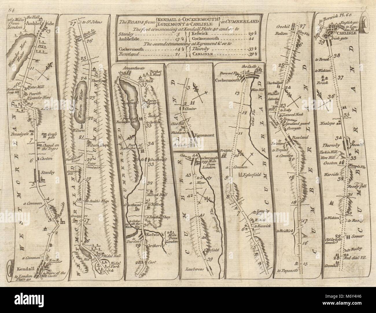 Kendall Ambleside Rydal Keswick Cockermouth Carlisle. KITCHIN road map 1767 Stock Photohttps://www.alamy.com/image-license-details/?v=1https://www.alamy.com/stock-photo-kendall-ambleside-rydal-keswick-cockermouth-carlisle-kitchin-road-176387938.html
RFM6Y4H6–Kendall Ambleside Rydal Keswick Cockermouth Carlisle. KITCHIN road map 1767
 2015-04-25 Swaffham RTW - John Peckham Stock Photohttps://www.alamy.com/image-license-details/?v=1https://www.alamy.com/stock-photo-2015-04-25-swaffham-rtw-john-peckham-148458140.html
RMJHERTC–2015-04-25 Swaffham RTW - John Peckham
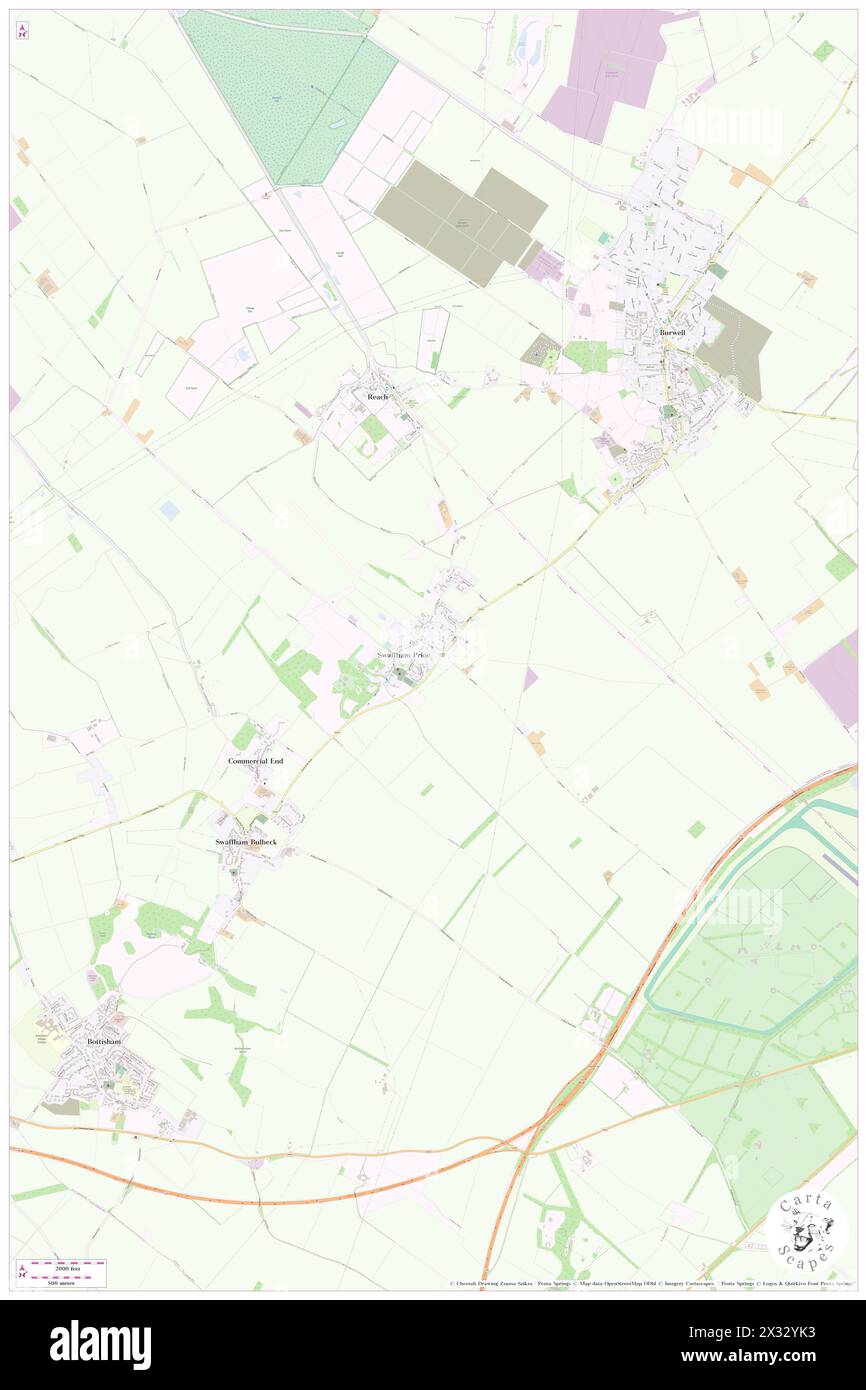 Swaffham Prior, Cambridgeshire, GB, United Kingdom, England, N 52 15' 9'', N 0 17' 59'', map, Cartascapes Map published in 2024. Explore Cartascapes, a map revealing Earth's diverse landscapes, cultures, and ecosystems. Journey through time and space, discovering the interconnectedness of our planet's past, present, and future. Stock Photohttps://www.alamy.com/image-license-details/?v=1https://www.alamy.com/swaffham-prior-cambridgeshire-gb-united-kingdom-england-n-52-15-9-n-0-17-59-map-cartascapes-map-published-in-2024-explore-cartascapes-a-map-revealing-earths-diverse-landscapes-cultures-and-ecosystems-journey-through-time-and-space-discovering-the-interconnectedness-of-our-planets-past-present-and-future-image604272455.html
RM2X32YK3–Swaffham Prior, Cambridgeshire, GB, United Kingdom, England, N 52 15' 9'', N 0 17' 59'', map, Cartascapes Map published in 2024. Explore Cartascapes, a map revealing Earth's diverse landscapes, cultures, and ecosystems. Journey through time and space, discovering the interconnectedness of our planet's past, present, and future.
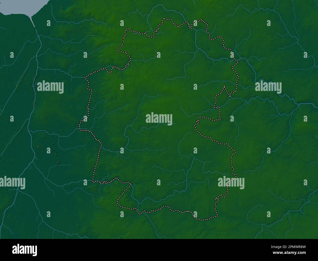 Breckland, non metropolitan district of England - Great Britain. Colored elevation map with lakes and rivers Stock Photohttps://www.alamy.com/image-license-details/?v=1https://www.alamy.com/breckland-non-metropolitan-district-of-england-great-britain-colored-elevation-map-with-lakes-and-rivers-image546381609.html
RF2PMWR8W–Breckland, non metropolitan district of England - Great Britain. Colored elevation map with lakes and rivers
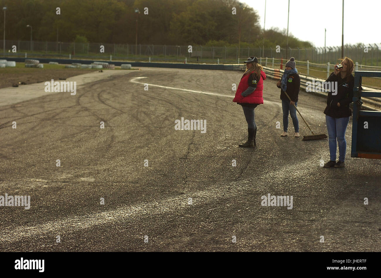 2015-04-25 Swaffham RTW - Oil trail Stock Photohttps://www.alamy.com/image-license-details/?v=1https://www.alamy.com/stock-photo-2015-04-25-swaffham-rtw-oil-trail-148458143.html
RMJHERTF–2015-04-25 Swaffham RTW - Oil trail
 Swaffham, Norfolk, GB, United Kingdom, England, N 52 38' 51'', N 0 41' 8'', map, Cartascapes Map published in 2024. Explore Cartascapes, a map revealing Earth's diverse landscapes, cultures, and ecosystems. Journey through time and space, discovering the interconnectedness of our planet's past, present, and future. Stock Photohttps://www.alamy.com/image-license-details/?v=1https://www.alamy.com/swaffham-norfolk-gb-united-kingdom-england-n-52-38-51-n-0-41-8-map-cartascapes-map-published-in-2024-explore-cartascapes-a-map-revealing-earths-diverse-landscapes-cultures-and-ecosystems-journey-through-time-and-space-discovering-the-interconnectedness-of-our-planets-past-present-and-future-image604148339.html
RM2X2W9AB–Swaffham, Norfolk, GB, United Kingdom, England, N 52 38' 51'', N 0 41' 8'', map, Cartascapes Map published in 2024. Explore Cartascapes, a map revealing Earth's diverse landscapes, cultures, and ecosystems. Journey through time and space, discovering the interconnectedness of our planet's past, present, and future.
 Breckland, non metropolitan district of England - Great Britain. Elevation map colored in sepia tones with lakes and rivers Stock Photohttps://www.alamy.com/image-license-details/?v=1https://www.alamy.com/breckland-non-metropolitan-district-of-england-great-britain-elevation-map-colored-in-sepia-tones-with-lakes-and-rivers-image546381665.html
RF2PMWRAW–Breckland, non metropolitan district of England - Great Britain. Elevation map colored in sepia tones with lakes and rivers
 2015-04-25 Swaffham RTW - Badger waits Stock Photohttps://www.alamy.com/image-license-details/?v=1https://www.alamy.com/stock-photo-2015-04-25-swaffham-rtw-badger-waits-148458136.html
RMJHERT8–2015-04-25 Swaffham RTW - Badger waits
 Swaffham, Norfolk, GB, United Kingdom, England, N 52 38' 51'', N 0 41' 8'', map, Cartascapes Map published in 2024. Explore Cartascapes, a map revealing Earth's diverse landscapes, cultures, and ecosystems. Journey through time and space, discovering the interconnectedness of our planet's past, present, and future. Stock Photohttps://www.alamy.com/image-license-details/?v=1https://www.alamy.com/swaffham-norfolk-gb-united-kingdom-england-n-52-38-51-n-0-41-8-map-cartascapes-map-published-in-2024-explore-cartascapes-a-map-revealing-earths-diverse-landscapes-cultures-and-ecosystems-journey-through-time-and-space-discovering-the-interconnectedness-of-our-planets-past-present-and-future-image604148345.html
RM2X2W9AH–Swaffham, Norfolk, GB, United Kingdom, England, N 52 38' 51'', N 0 41' 8'', map, Cartascapes Map published in 2024. Explore Cartascapes, a map revealing Earth's diverse landscapes, cultures, and ecosystems. Journey through time and space, discovering the interconnectedness of our planet's past, present, and future.
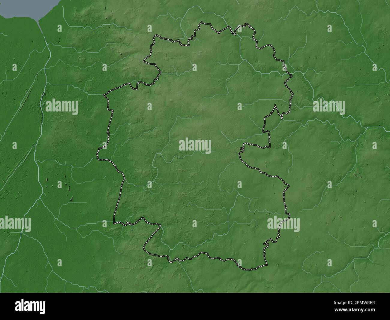 Breckland, non metropolitan district of England - Great Britain. Elevation map colored in wiki style with lakes and rivers Stock Photohttps://www.alamy.com/image-license-details/?v=1https://www.alamy.com/breckland-non-metropolitan-district-of-england-great-britain-elevation-map-colored-in-wiki-style-with-lakes-and-rivers-image546381775.html
RF2PMWRER–Breckland, non metropolitan district of England - Great Britain. Elevation map colored in wiki style with lakes and rivers
 2015-04-25 Swaffham RTW - Ed Winfield Stock Photohttps://www.alamy.com/image-license-details/?v=1https://www.alamy.com/stock-photo-2015-04-25-swaffham-rtw-ed-winfield-148458137.html
RMJHERT9–2015-04-25 Swaffham RTW - Ed Winfield
 Swaffham Park, Norfolk, GB, United Kingdom, England, N 52 38' 33'', N 0 41' 1'', map, Cartascapes Map published in 2024. Explore Cartascapes, a map revealing Earth's diverse landscapes, cultures, and ecosystems. Journey through time and space, discovering the interconnectedness of our planet's past, present, and future. Stock Photohttps://www.alamy.com/image-license-details/?v=1https://www.alamy.com/swaffham-park-norfolk-gb-united-kingdom-england-n-52-38-33-n-0-41-1-map-cartascapes-map-published-in-2024-explore-cartascapes-a-map-revealing-earths-diverse-landscapes-cultures-and-ecosystems-journey-through-time-and-space-discovering-the-interconnectedness-of-our-planets-past-present-and-future-image604066879.html
RM2X2NHD3–Swaffham Park, Norfolk, GB, United Kingdom, England, N 52 38' 33'', N 0 41' 1'', map, Cartascapes Map published in 2024. Explore Cartascapes, a map revealing Earth's diverse landscapes, cultures, and ecosystems. Journey through time and space, discovering the interconnectedness of our planet's past, present, and future.
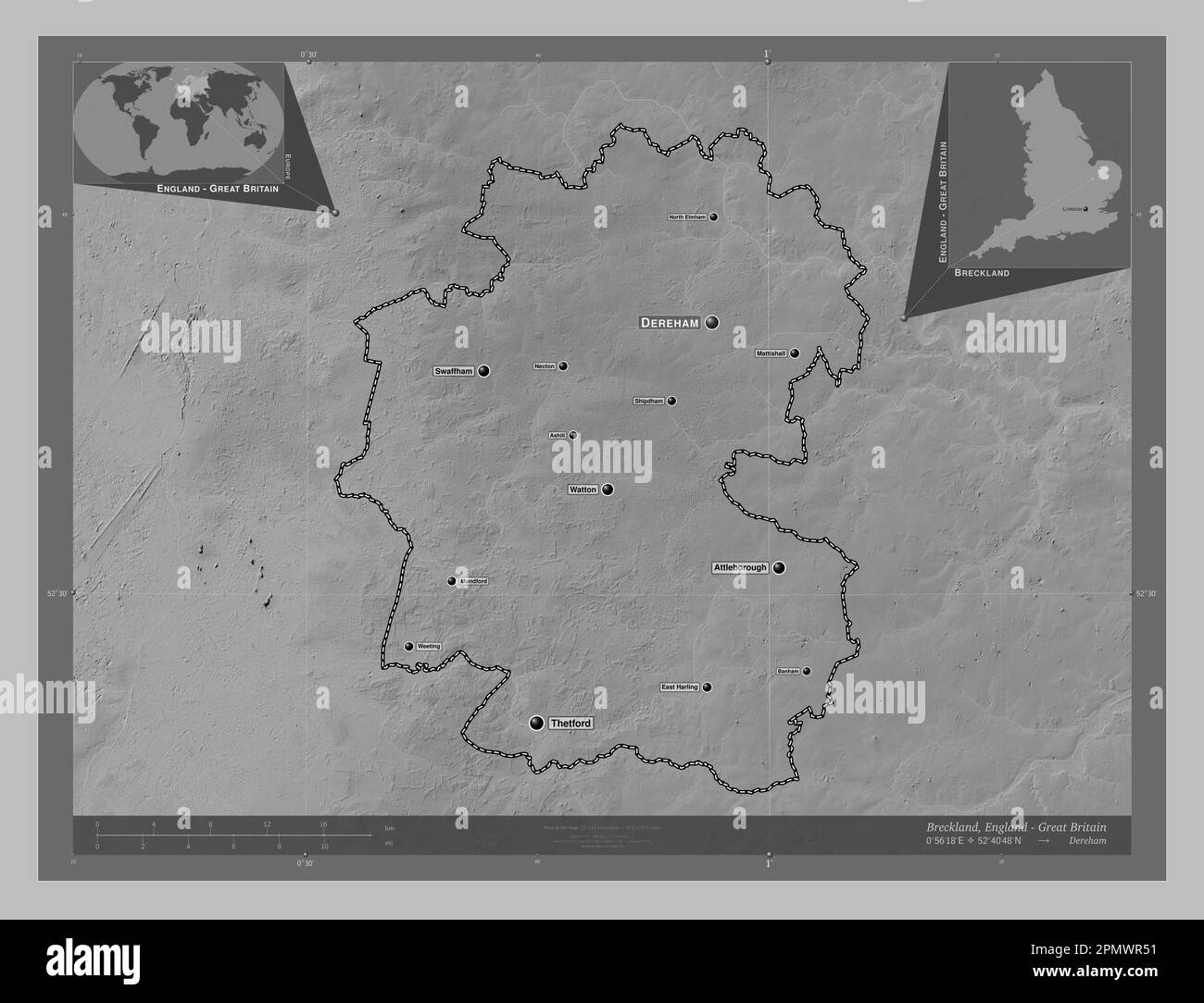 Breckland, non metropolitan district of England - Great Britain. Grayscale elevation map with lakes and rivers. Locations and names of major cities of Stock Photohttps://www.alamy.com/image-license-details/?v=1https://www.alamy.com/breckland-non-metropolitan-district-of-england-great-britain-grayscale-elevation-map-with-lakes-and-rivers-locations-and-names-of-major-cities-of-image546381501.html
RF2PMWR51–Breckland, non metropolitan district of England - Great Britain. Grayscale elevation map with lakes and rivers. Locations and names of major cities of
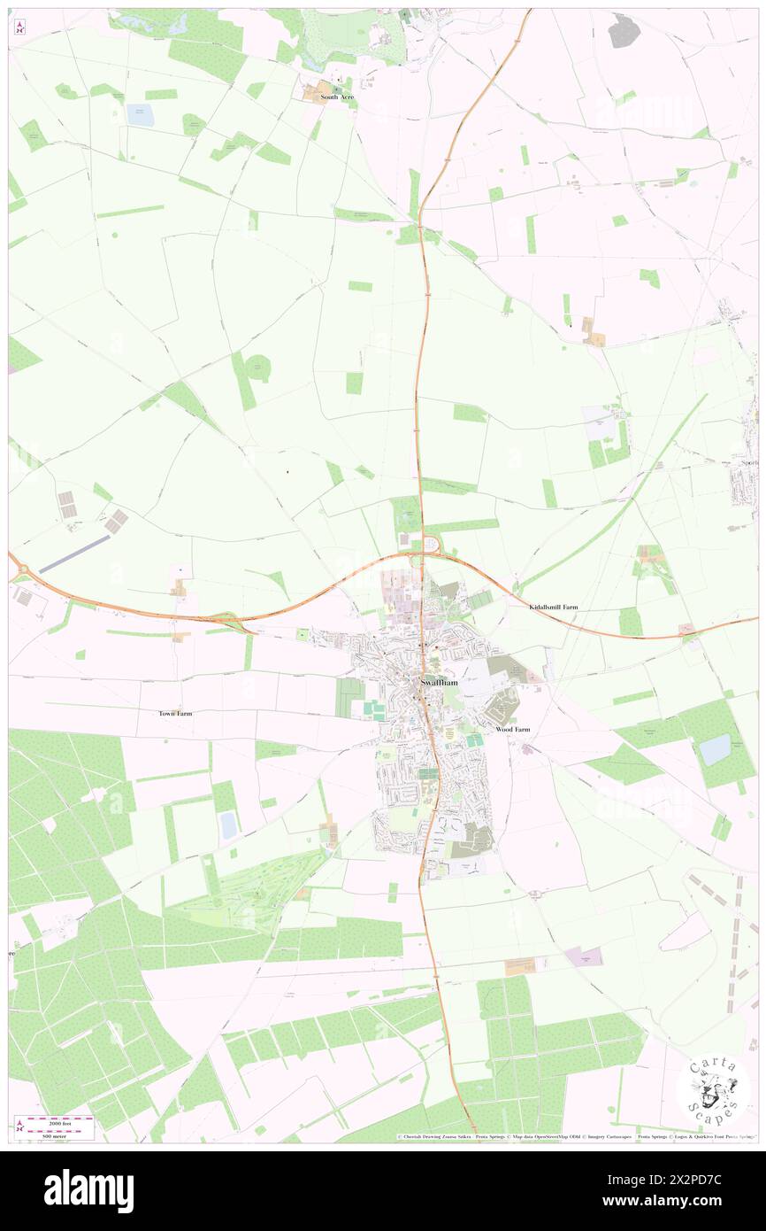 Ecotech Swaffham Wind Turbine, Norfolk, GB, United Kingdom, England, N 52 39' 24'', N 0 41' 0'', map, Cartascapes Map published in 2024. Explore Cartascapes, a map revealing Earth's diverse landscapes, cultures, and ecosystems. Journey through time and space, discovering the interconnectedness of our planet's past, present, and future. Stock Photohttps://www.alamy.com/image-license-details/?v=1https://www.alamy.com/ecotech-swaffham-wind-turbine-norfolk-gb-united-kingdom-england-n-52-39-24-n-0-41-0-map-cartascapes-map-published-in-2024-explore-cartascapes-a-map-revealing-earths-diverse-landscapes-cultures-and-ecosystems-journey-through-time-and-space-discovering-the-interconnectedness-of-our-planets-past-present-and-future-image604085536.html
RM2X2PD7C–Ecotech Swaffham Wind Turbine, Norfolk, GB, United Kingdom, England, N 52 39' 24'', N 0 41' 0'', map, Cartascapes Map published in 2024. Explore Cartascapes, a map revealing Earth's diverse landscapes, cultures, and ecosystems. Journey through time and space, discovering the interconnectedness of our planet's past, present, and future.
 Breckland, non metropolitan district of England - Great Britain. Grayscale elevation map with lakes and rivers. Locations of major cities of the regio Stock Photohttps://www.alamy.com/image-license-details/?v=1https://www.alamy.com/breckland-non-metropolitan-district-of-england-great-britain-grayscale-elevation-map-with-lakes-and-rivers-locations-of-major-cities-of-the-regio-image546381495.html
RF2PMWR4R–Breckland, non metropolitan district of England - Great Britain. Grayscale elevation map with lakes and rivers. Locations of major cities of the regio
 Swaffham, Norfolk, United Kingdom, England, N 52 38' 51'', E 0 41' 8'', map, Timeless Map published in 2021. Travelers, explorers and adventurers like Florence Nightingale, David Livingstone, Ernest Shackleton, Lewis and Clark and Sherlock Holmes relied on maps to plan travels to the world's most remote corners, Timeless Maps is mapping most locations on the globe, showing the achievement of great dreams Stock Photohttps://www.alamy.com/image-license-details/?v=1https://www.alamy.com/swaffham-norfolk-united-kingdom-england-n-52-38-51-e-0-41-8-map-timeless-map-published-in-2021-travelers-explorers-and-adventurers-like-florence-nightingale-david-livingstone-ernest-shackleton-lewis-and-clark-and-sherlock-holmes-relied-on-maps-to-plan-travels-to-the-worlds-most-remote-corners-timeless-maps-is-mapping-most-locations-on-the-globe-showing-the-achievement-of-great-dreams-image439385269.html
RM2GERMB1–Swaffham, Norfolk, United Kingdom, England, N 52 38' 51'', E 0 41' 8'', map, Timeless Map published in 2021. Travelers, explorers and adventurers like Florence Nightingale, David Livingstone, Ernest Shackleton, Lewis and Clark and Sherlock Holmes relied on maps to plan travels to the world's most remote corners, Timeless Maps is mapping most locations on the globe, showing the achievement of great dreams
 Breckland, non metropolitan district of England - Great Britain. Bilevel elevation map with lakes and rivers. Locations of major cities of the region. Stock Photohttps://www.alamy.com/image-license-details/?v=1https://www.alamy.com/breckland-non-metropolitan-district-of-england-great-britain-bilevel-elevation-map-with-lakes-and-rivers-locations-of-major-cities-of-the-region-image546381499.html
RF2PMWR4Y–Breckland, non metropolitan district of England - Great Britain. Bilevel elevation map with lakes and rivers. Locations of major cities of the region.
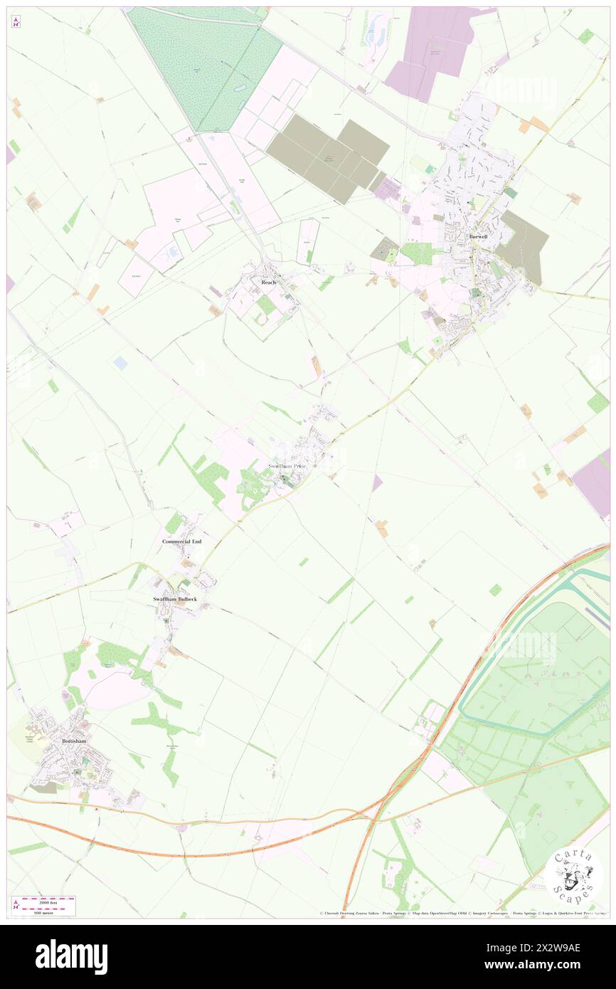 Swaffham Prior, Cambridgeshire, GB, United Kingdom, England, N 52 15' 9'', N 0 17' 59'', map, Cartascapes Map published in 2024. Explore Cartascapes, a map revealing Earth's diverse landscapes, cultures, and ecosystems. Journey through time and space, discovering the interconnectedness of our planet's past, present, and future. Stock Photohttps://www.alamy.com/image-license-details/?v=1https://www.alamy.com/swaffham-prior-cambridgeshire-gb-united-kingdom-england-n-52-15-9-n-0-17-59-map-cartascapes-map-published-in-2024-explore-cartascapes-a-map-revealing-earths-diverse-landscapes-cultures-and-ecosystems-journey-through-time-and-space-discovering-the-interconnectedness-of-our-planets-past-present-and-future-image604148342.html
RM2X2W9AE–Swaffham Prior, Cambridgeshire, GB, United Kingdom, England, N 52 15' 9'', N 0 17' 59'', map, Cartascapes Map published in 2024. Explore Cartascapes, a map revealing Earth's diverse landscapes, cultures, and ecosystems. Journey through time and space, discovering the interconnectedness of our planet's past, present, and future.
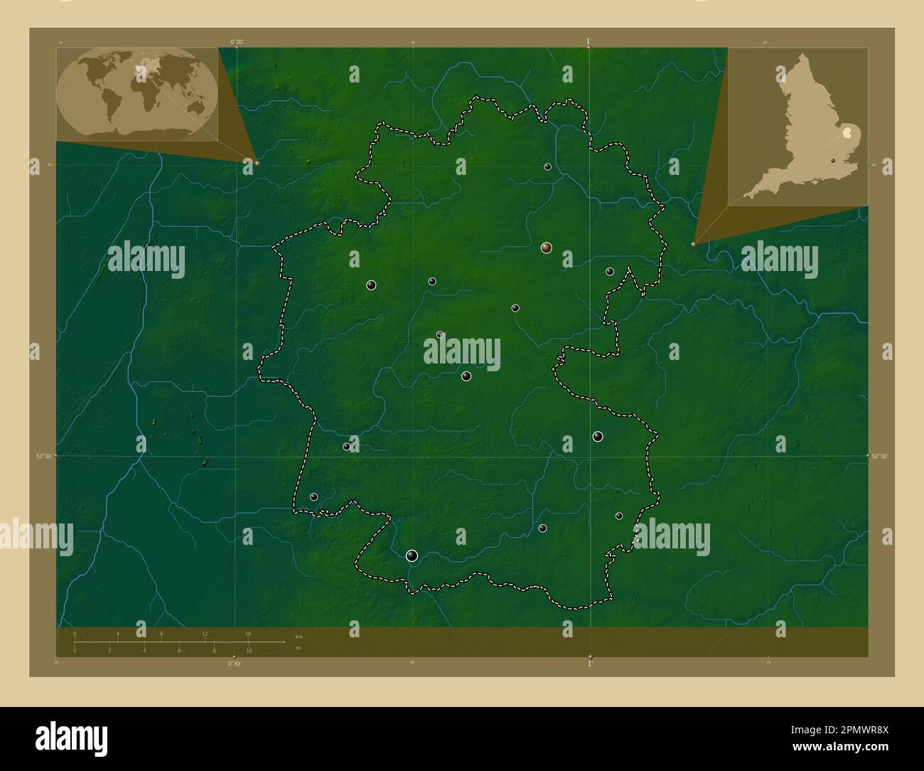 Breckland, non metropolitan district of England - Great Britain. Colored elevation map with lakes and rivers. Locations of major cities of the region. Stock Photohttps://www.alamy.com/image-license-details/?v=1https://www.alamy.com/breckland-non-metropolitan-district-of-england-great-britain-colored-elevation-map-with-lakes-and-rivers-locations-of-major-cities-of-the-region-image546381610.html
RF2PMWR8X–Breckland, non metropolitan district of England - Great Britain. Colored elevation map with lakes and rivers. Locations of major cities of the region.
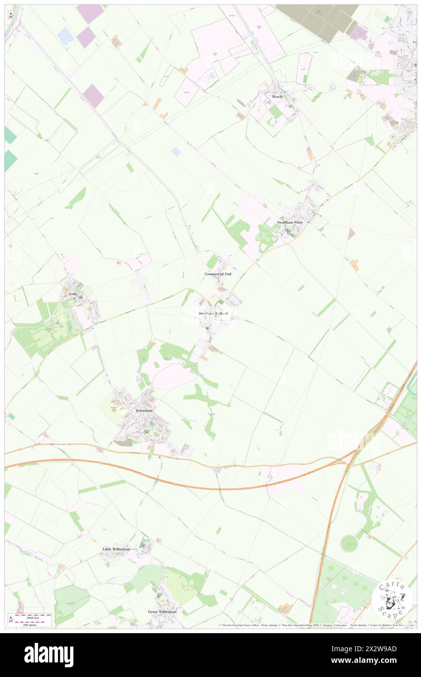 Swaffham Bulbeck, Cambridgeshire, GB, United Kingdom, England, N 52 14' 17'', N 0 16' 37'', map, Cartascapes Map published in 2024. Explore Cartascapes, a map revealing Earth's diverse landscapes, cultures, and ecosystems. Journey through time and space, discovering the interconnectedness of our planet's past, present, and future. Stock Photohttps://www.alamy.com/image-license-details/?v=1https://www.alamy.com/swaffham-bulbeck-cambridgeshire-gb-united-kingdom-england-n-52-14-17-n-0-16-37-map-cartascapes-map-published-in-2024-explore-cartascapes-a-map-revealing-earths-diverse-landscapes-cultures-and-ecosystems-journey-through-time-and-space-discovering-the-interconnectedness-of-our-planets-past-present-and-future-image604148341.html
RM2X2W9AD–Swaffham Bulbeck, Cambridgeshire, GB, United Kingdom, England, N 52 14' 17'', N 0 16' 37'', map, Cartascapes Map published in 2024. Explore Cartascapes, a map revealing Earth's diverse landscapes, cultures, and ecosystems. Journey through time and space, discovering the interconnectedness of our planet's past, present, and future.
 Breckland, non metropolitan district of England - Great Britain. High resolution satellite map. Locations of major cities of the region. Corner auxili Stock Photohttps://www.alamy.com/image-license-details/?v=1https://www.alamy.com/breckland-non-metropolitan-district-of-england-great-britain-high-resolution-satellite-map-locations-of-major-cities-of-the-region-corner-auxili-image546381579.html
RF2PMWR7R–Breckland, non metropolitan district of England - Great Britain. High resolution satellite map. Locations of major cities of the region. Corner auxili
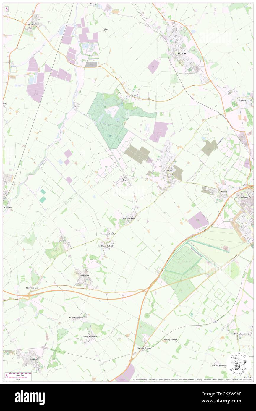 Swaffham Prior, Cambridgeshire, GB, United Kingdom, England, N 52 15' 9'', N 0 17' 59'', map, Cartascapes Map published in 2024. Explore Cartascapes, a map revealing Earth's diverse landscapes, cultures, and ecosystems. Journey through time and space, discovering the interconnectedness of our planet's past, present, and future. Stock Photohttps://www.alamy.com/image-license-details/?v=1https://www.alamy.com/swaffham-prior-cambridgeshire-gb-united-kingdom-england-n-52-15-9-n-0-17-59-map-cartascapes-map-published-in-2024-explore-cartascapes-a-map-revealing-earths-diverse-landscapes-cultures-and-ecosystems-journey-through-time-and-space-discovering-the-interconnectedness-of-our-planets-past-present-and-future-image604148343.html
RM2X2W9AF–Swaffham Prior, Cambridgeshire, GB, United Kingdom, England, N 52 15' 9'', N 0 17' 59'', map, Cartascapes Map published in 2024. Explore Cartascapes, a map revealing Earth's diverse landscapes, cultures, and ecosystems. Journey through time and space, discovering the interconnectedness of our planet's past, present, and future.
 Breckland, non metropolitan district of England - Great Britain. Open Street Map. Locations and names of major cities of the region. Corner auxiliary Stock Photohttps://www.alamy.com/image-license-details/?v=1https://www.alamy.com/breckland-non-metropolitan-district-of-england-great-britain-open-street-map-locations-and-names-of-major-cities-of-the-region-corner-auxiliary-image546381580.html
RF2PMWR7T–Breckland, non metropolitan district of England - Great Britain. Open Street Map. Locations and names of major cities of the region. Corner auxiliary
 Swaffham Prior Fen, GB, United Kingdom, England, N 52 16' 0'', N 0 15' 0'', map, Cartascapes Map published in 2024. Explore Cartascapes, a map revealing Earth's diverse landscapes, cultures, and ecosystems. Journey through time and space, discovering the interconnectedness of our planet's past, present, and future. Stock Photohttps://www.alamy.com/image-license-details/?v=1https://www.alamy.com/swaffham-prior-fen-gb-united-kingdom-england-n-52-16-0-n-0-15-0-map-cartascapes-map-published-in-2024-explore-cartascapes-a-map-revealing-earths-diverse-landscapes-cultures-and-ecosystems-journey-through-time-and-space-discovering-the-interconnectedness-of-our-planets-past-present-and-future-image604148346.html
RM2X2W9AJ–Swaffham Prior Fen, GB, United Kingdom, England, N 52 16' 0'', N 0 15' 0'', map, Cartascapes Map published in 2024. Explore Cartascapes, a map revealing Earth's diverse landscapes, cultures, and ecosystems. Journey through time and space, discovering the interconnectedness of our planet's past, present, and future.
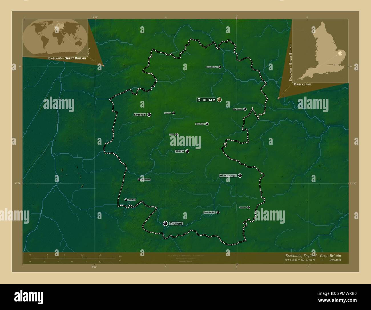 Breckland, non metropolitan district of England - Great Britain. Colored elevation map with lakes and rivers. Locations and names of major cities of t Stock Photohttps://www.alamy.com/image-license-details/?v=1https://www.alamy.com/breckland-non-metropolitan-district-of-england-great-britain-colored-elevation-map-with-lakes-and-rivers-locations-and-names-of-major-cities-of-t-image546381668.html
RF2PMWRB0–Breckland, non metropolitan district of England - Great Britain. Colored elevation map with lakes and rivers. Locations and names of major cities of t
 Swaffham Bulbeck, Cambridgeshire, United Kingdom, England, N 52 14' 17'', E 0 16' 37'', map, Timeless Map published in 2021. Travelers, explorers and adventurers like Florence Nightingale, David Livingstone, Ernest Shackleton, Lewis and Clark and Sherlock Holmes relied on maps to plan travels to the world's most remote corners, Timeless Maps is mapping most locations on the globe, showing the achievement of great dreams Stock Photohttps://www.alamy.com/image-license-details/?v=1https://www.alamy.com/swaffham-bulbeck-cambridgeshire-united-kingdom-england-n-52-14-17-e-0-16-37-map-timeless-map-published-in-2021-travelers-explorers-and-adventurers-like-florence-nightingale-david-livingstone-ernest-shackleton-lewis-and-clark-and-sherlock-holmes-relied-on-maps-to-plan-travels-to-the-worlds-most-remote-corners-timeless-maps-is-mapping-most-locations-on-the-globe-showing-the-achievement-of-great-dreams-image439385268.html
RM2GERMB0–Swaffham Bulbeck, Cambridgeshire, United Kingdom, England, N 52 14' 17'', E 0 16' 37'', map, Timeless Map published in 2021. Travelers, explorers and adventurers like Florence Nightingale, David Livingstone, Ernest Shackleton, Lewis and Clark and Sherlock Holmes relied on maps to plan travels to the world's most remote corners, Timeless Maps is mapping most locations on the globe, showing the achievement of great dreams
 Breckland, non metropolitan district of England - Great Britain. Bilevel elevation map with lakes and rivers. Locations and names of major cities of t Stock Photohttps://www.alamy.com/image-license-details/?v=1https://www.alamy.com/breckland-non-metropolitan-district-of-england-great-britain-bilevel-elevation-map-with-lakes-and-rivers-locations-and-names-of-major-cities-of-t-image546381505.html
RF2PMWR55–Breckland, non metropolitan district of England - Great Britain. Bilevel elevation map with lakes and rivers. Locations and names of major cities of t
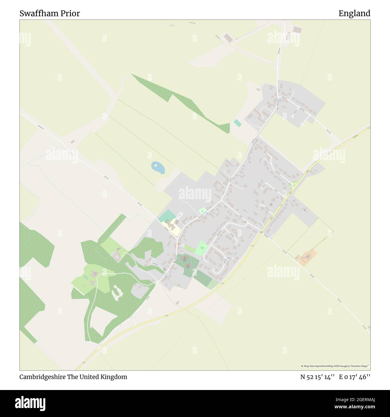 Swaffham Prior, Cambridgeshire, United Kingdom, England, N 52 15' 14'', E 0 17' 46'', map, Timeless Map published in 2021. Travelers, explorers and adventurers like Florence Nightingale, David Livingstone, Ernest Shackleton, Lewis and Clark and Sherlock Holmes relied on maps to plan travels to the world's most remote corners, Timeless Maps is mapping most locations on the globe, showing the achievement of great dreams Stock Photohttps://www.alamy.com/image-license-details/?v=1https://www.alamy.com/swaffham-prior-cambridgeshire-united-kingdom-england-n-52-15-14-e-0-17-46-map-timeless-map-published-in-2021-travelers-explorers-and-adventurers-like-florence-nightingale-david-livingstone-ernest-shackleton-lewis-and-clark-and-sherlock-holmes-relied-on-maps-to-plan-travels-to-the-worlds-most-remote-corners-timeless-maps-is-mapping-most-locations-on-the-globe-showing-the-achievement-of-great-dreams-image439385258.html
RM2GERMAJ–Swaffham Prior, Cambridgeshire, United Kingdom, England, N 52 15' 14'', E 0 17' 46'', map, Timeless Map published in 2021. Travelers, explorers and adventurers like Florence Nightingale, David Livingstone, Ernest Shackleton, Lewis and Clark and Sherlock Holmes relied on maps to plan travels to the world's most remote corners, Timeless Maps is mapping most locations on the globe, showing the achievement of great dreams
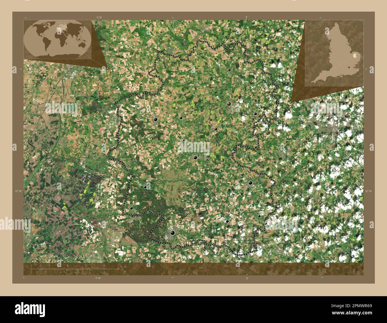 Breckland, non metropolitan district of England - Great Britain. Low resolution satellite map. Locations of major cities of the region. Corner auxilia Stock Photohttps://www.alamy.com/image-license-details/?v=1https://www.alamy.com/breckland-non-metropolitan-district-of-england-great-britain-low-resolution-satellite-map-locations-of-major-cities-of-the-region-corner-auxilia-image546381537.html
RF2PMWR69–Breckland, non metropolitan district of England - Great Britain. Low resolution satellite map. Locations of major cities of the region. Corner auxilia
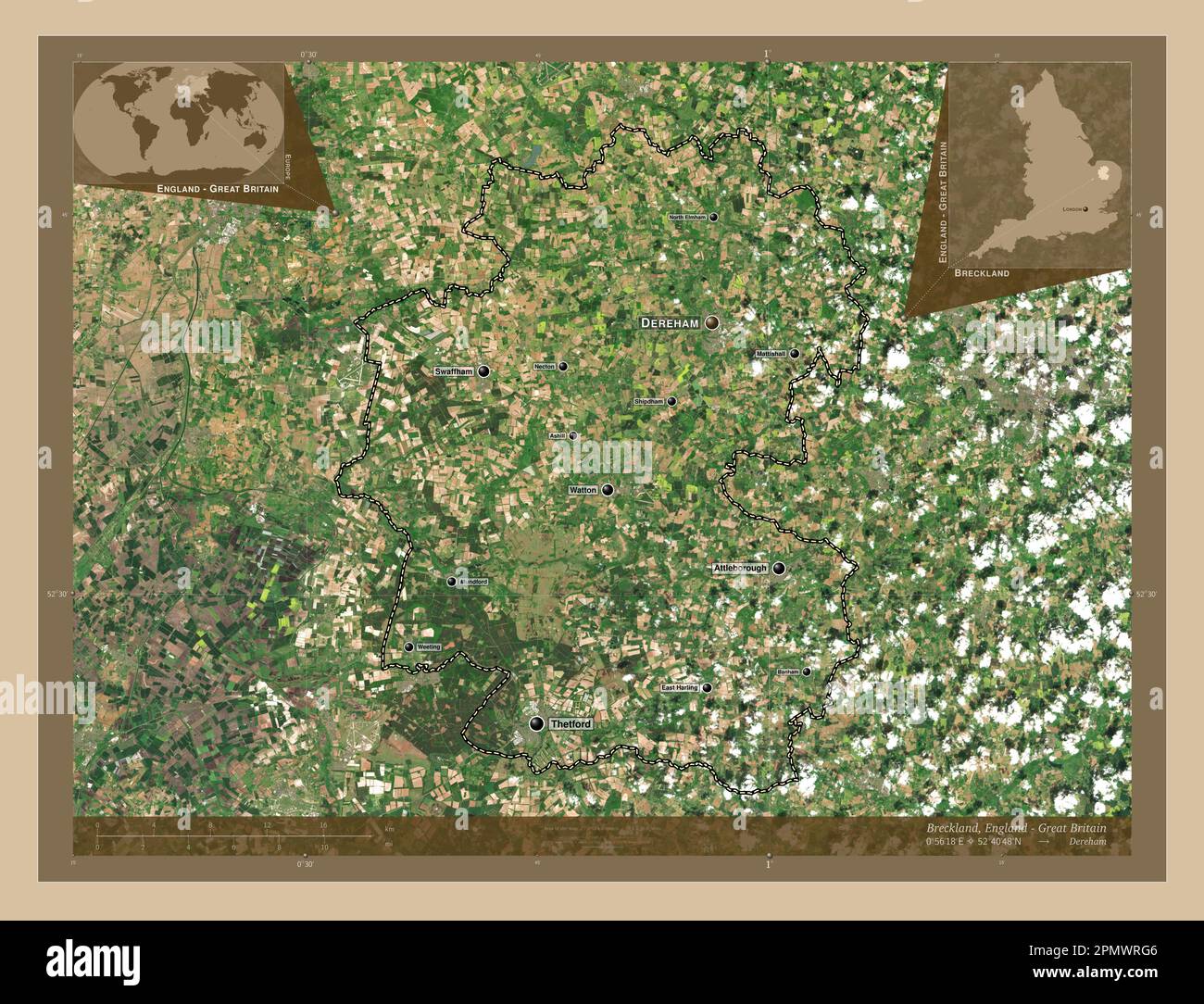 Breckland, non metropolitan district of England - Great Britain. Low resolution satellite map. Locations and names of major cities of the region. Corn Stock Photohttps://www.alamy.com/image-license-details/?v=1https://www.alamy.com/breckland-non-metropolitan-district-of-england-great-britain-low-resolution-satellite-map-locations-and-names-of-major-cities-of-the-region-corn-image546381814.html
RF2PMWRG6–Breckland, non metropolitan district of England - Great Britain. Low resolution satellite map. Locations and names of major cities of the region. Corn
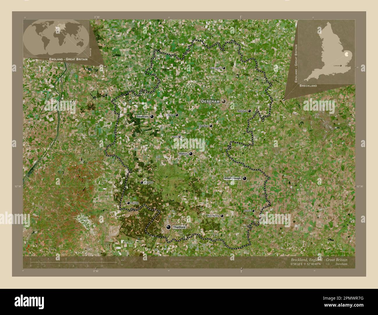 Breckland, non metropolitan district of England - Great Britain. High resolution satellite map. Locations and names of major cities of the region. Cor Stock Photohttps://www.alamy.com/image-license-details/?v=1https://www.alamy.com/breckland-non-metropolitan-district-of-england-great-britain-high-resolution-satellite-map-locations-and-names-of-major-cities-of-the-region-cor-image546381572.html
RF2PMWR7G–Breckland, non metropolitan district of England - Great Britain. High resolution satellite map. Locations and names of major cities of the region. Cor
 Breckland, non metropolitan district of England - Great Britain. Open Street Map. Locations of major cities of the region. Corner auxiliary location m Stock Photohttps://www.alamy.com/image-license-details/?v=1https://www.alamy.com/breckland-non-metropolitan-district-of-england-great-britain-open-street-map-locations-of-major-cities-of-the-region-corner-auxiliary-location-m-image546381574.html
RF2PMWR7J–Breckland, non metropolitan district of England - Great Britain. Open Street Map. Locations of major cities of the region. Corner auxiliary location m
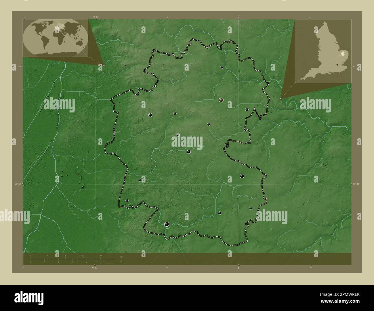 Breckland, non metropolitan district of England - Great Britain. Elevation map colored in wiki style with lakes and rivers. Locations of major cities Stock Photohttps://www.alamy.com/image-license-details/?v=1https://www.alamy.com/breckland-non-metropolitan-district-of-england-great-britain-elevation-map-colored-in-wiki-style-with-lakes-and-rivers-locations-of-major-cities-image546381771.html
RF2PMWREK–Breckland, non metropolitan district of England - Great Britain. Elevation map colored in wiki style with lakes and rivers. Locations of major cities
 Breckland, non metropolitan district of England - Great Britain. Elevation map colored in sepia tones with lakes and rivers. Locations of major cities Stock Photohttps://www.alamy.com/image-license-details/?v=1https://www.alamy.com/breckland-non-metropolitan-district-of-england-great-britain-elevation-map-colored-in-sepia-tones-with-lakes-and-rivers-locations-of-major-cities-image546381661.html
RF2PMWRAN–Breckland, non metropolitan district of England - Great Britain. Elevation map colored in sepia tones with lakes and rivers. Locations of major cities
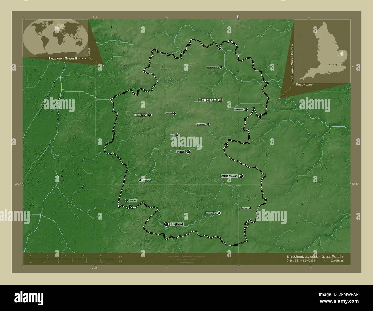 Breckland, non metropolitan district of England - Great Britain. Elevation map colored in wiki style with lakes and rivers. Locations and names of maj Stock Photohttps://www.alamy.com/image-license-details/?v=1https://www.alamy.com/breckland-non-metropolitan-district-of-england-great-britain-elevation-map-colored-in-wiki-style-with-lakes-and-rivers-locations-and-names-of-maj-image546381663.html
RF2PMWRAR–Breckland, non metropolitan district of England - Great Britain. Elevation map colored in wiki style with lakes and rivers. Locations and names of maj
 Breckland, non metropolitan district of England - Great Britain. Elevation map colored in sepia tones with lakes and rivers. Locations and names of ma Stock Photohttps://www.alamy.com/image-license-details/?v=1https://www.alamy.com/breckland-non-metropolitan-district-of-england-great-britain-elevation-map-colored-in-sepia-tones-with-lakes-and-rivers-locations-and-names-of-ma-image546381776.html
RF2PMWRET–Breckland, non metropolitan district of England - Great Britain. Elevation map colored in sepia tones with lakes and rivers. Locations and names of ma
 Breckland, non metropolitan district of England - Great Britain. Solid color shape Stock Photohttps://www.alamy.com/image-license-details/?v=1https://www.alamy.com/breckland-non-metropolitan-district-of-england-great-britain-solid-color-shape-image546381561.html
RF2PMWR75–Breckland, non metropolitan district of England - Great Britain. Solid color shape
 Breckland, non metropolitan district of England - Great Britain. Solid color shape. Locations and names of major cities of the region. Corner auxiliar Stock Photohttps://www.alamy.com/image-license-details/?v=1https://www.alamy.com/breckland-non-metropolitan-district-of-england-great-britain-solid-color-shape-locations-and-names-of-major-cities-of-the-region-corner-auxiliar-image546381578.html
RF2PMWR7P–Breckland, non metropolitan district of England - Great Britain. Solid color shape. Locations and names of major cities of the region. Corner auxiliar
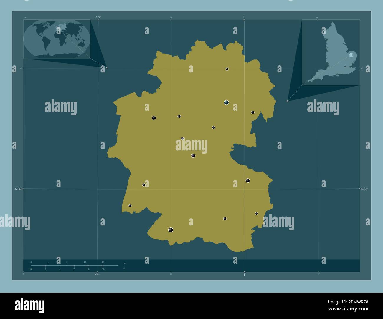 Breckland, non metropolitan district of England - Great Britain. Solid color shape. Locations of major cities of the region. Corner auxiliary location Stock Photohttps://www.alamy.com/image-license-details/?v=1https://www.alamy.com/breckland-non-metropolitan-district-of-england-great-britain-solid-color-shape-locations-of-major-cities-of-the-region-corner-auxiliary-location-image546381564.html
RF2PMWR78–Breckland, non metropolitan district of England - Great Britain. Solid color shape. Locations of major cities of the region. Corner auxiliary location