Quick filters:
Swift current map Stock Photos and Images
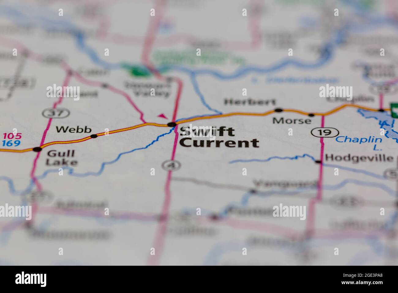 Swift Current Saskatchewan Canada Shown on a road map or Geography map Stock Photohttps://www.alamy.com/image-license-details/?v=1https://www.alamy.com/swift-current-saskatchewan-canada-shown-on-a-road-map-or-geography-map-image438947776.html
RM2GE3PA8–Swift Current Saskatchewan Canada Shown on a road map or Geography map
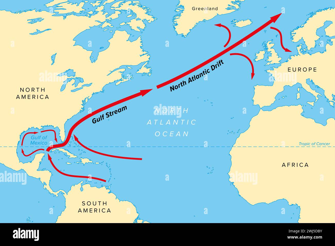 Map of the Gulf Stream with its northern extension North Atlantic Drift. Warm and swift Atlantic Ocean current, originates in Gulf of Mexico. Stock Photohttps://www.alamy.com/image-license-details/?v=1https://www.alamy.com/map-of-the-gulf-stream-with-its-northern-extension-north-atlantic-drift-warm-and-swift-atlantic-ocean-current-originates-in-gulf-of-mexico-image596336607.html
RF2WJ5DBY–Map of the Gulf Stream with its northern extension North Atlantic Drift. Warm and swift Atlantic Ocean current, originates in Gulf of Mexico.
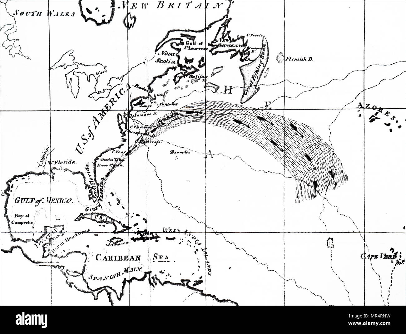 Map depicting a section of the Atlantic Ocean showing the Gulf Stream. The Gulf Stream, together with its northern extension the North Atlantic Drift, is a warm and swift Atlantic ocean current that originates in the Gulf of Mexico and stretches to the tip of Florida, and follows the eastern coastlines of the United States and Newfoundland before crossing the Atlantic Ocean. Dated 18th century Stock Photohttps://www.alamy.com/image-license-details/?v=1https://www.alamy.com/map-depicting-a-section-of-the-atlantic-ocean-showing-the-gulf-stream-the-gulf-stream-together-with-its-northern-extension-the-north-atlantic-drift-is-a-warm-and-swift-atlantic-ocean-current-that-originates-in-the-gulf-of-mexico-and-stretches-to-the-tip-of-florida-and-follows-the-eastern-coastlines-of-the-united-states-and-newfoundland-before-crossing-the-atlantic-ocean-dated-18th-century-image186347221.html
RMMR4RNW–Map depicting a section of the Atlantic Ocean showing the Gulf Stream. The Gulf Stream, together with its northern extension the North Atlantic Drift, is a warm and swift Atlantic ocean current that originates in the Gulf of Mexico and stretches to the tip of Florida, and follows the eastern coastlines of the United States and Newfoundland before crossing the Atlantic Ocean. Dated 18th century
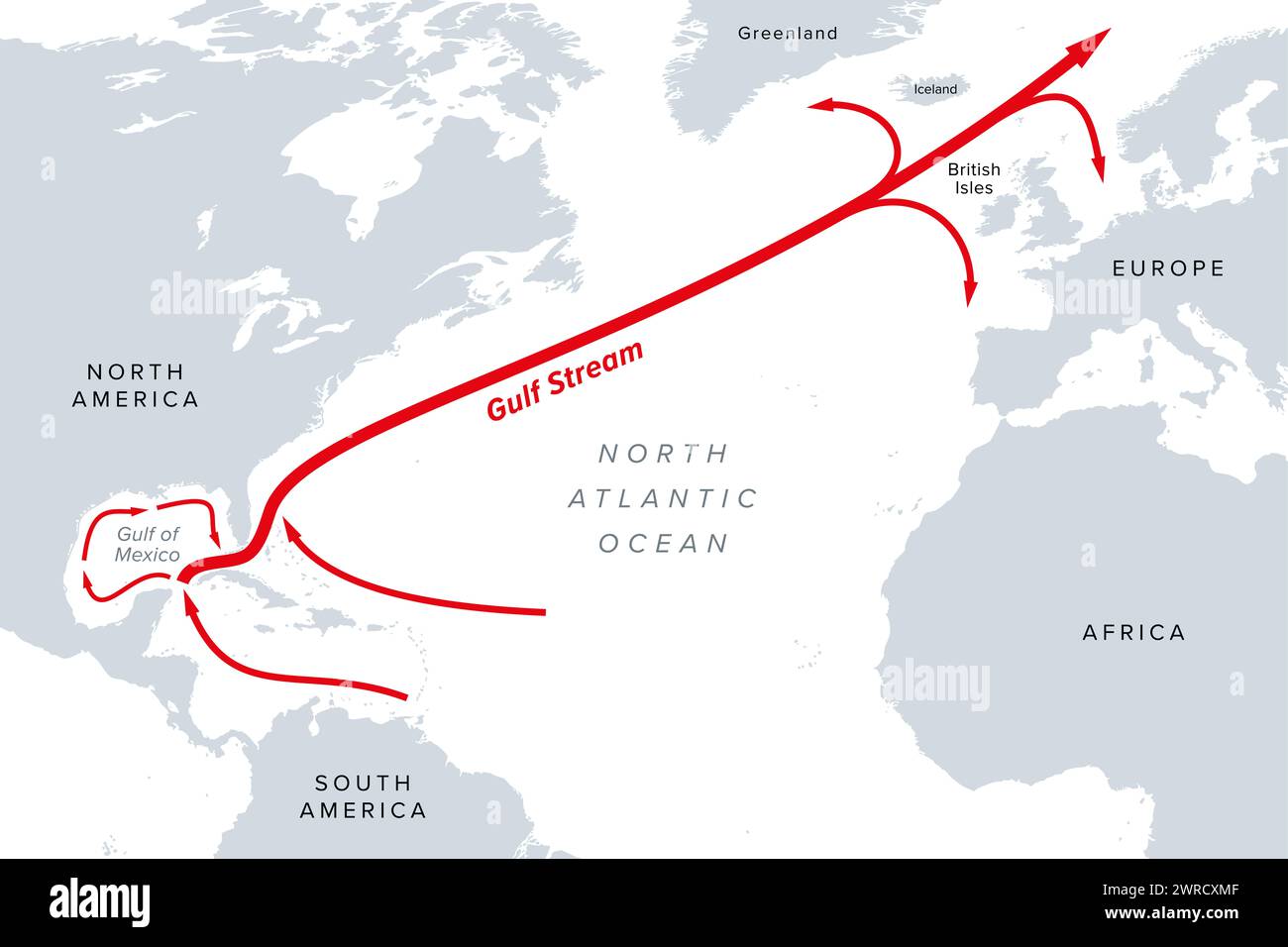 Gulf Stream, gray political map. A warm and swift Atlantic Ocean current, originating in the Gulf of Mexico, flowing up coastlines of USA and Canada. Stock Photohttps://www.alamy.com/image-license-details/?v=1https://www.alamy.com/gulf-stream-gray-political-map-a-warm-and-swift-atlantic-ocean-current-originating-in-the-gulf-of-mexico-flowing-up-coastlines-of-usa-and-canada-image599573983.html
RF2WRCXMF–Gulf Stream, gray political map. A warm and swift Atlantic Ocean current, originating in the Gulf of Mexico, flowing up coastlines of USA and Canada.
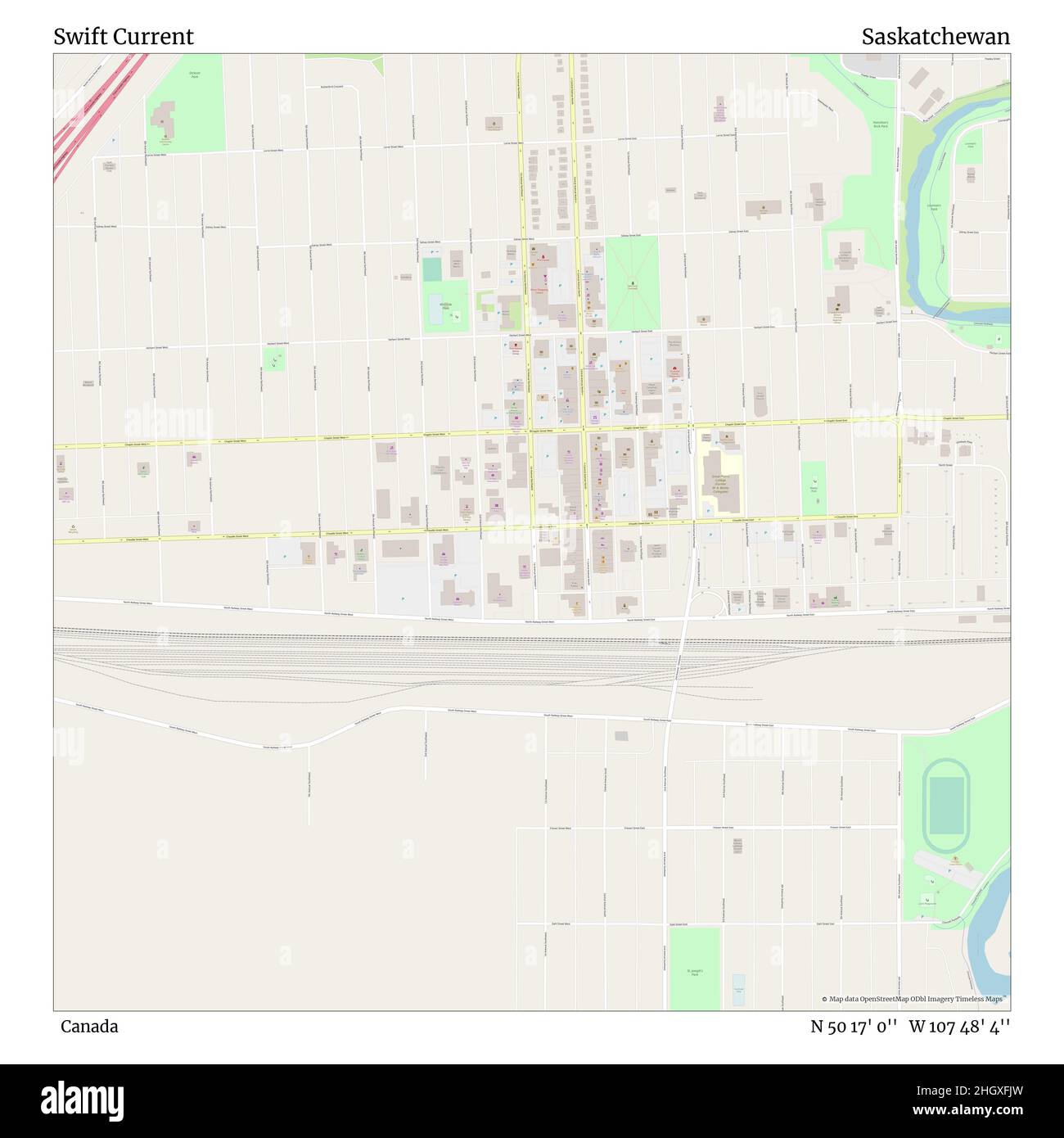 Swift Current, Canada, Saskatchewan, N 50 17' 0'', W 107 48' 4'', map, Timeless Map published in 2021. Travelers, explorers and adventurers like Florence Nightingale, David Livingstone, Ernest Shackleton, Lewis and Clark and Sherlock Holmes relied on maps to plan travels to the world's most remote corners, Timeless Maps is mapping most locations on the globe, showing the achievement of great dreams Stock Photohttps://www.alamy.com/image-license-details/?v=1https://www.alamy.com/swift-current-canada-saskatchewan-n-50-17-0-w-107-48-4-map-timeless-map-published-in-2021-travelers-explorers-and-adventurers-like-florence-nightingale-david-livingstone-ernest-shackleton-lewis-and-clark-and-sherlock-holmes-relied-on-maps-to-plan-travels-to-the-worlds-most-remote-corners-timeless-maps-is-mapping-most-locations-on-the-globe-showing-the-achievement-of-great-dreams-image457887105.html
RM2HGXFJW–Swift Current, Canada, Saskatchewan, N 50 17' 0'', W 107 48' 4'', map, Timeless Map published in 2021. Travelers, explorers and adventurers like Florence Nightingale, David Livingstone, Ernest Shackleton, Lewis and Clark and Sherlock Holmes relied on maps to plan travels to the world's most remote corners, Timeless Maps is mapping most locations on the globe, showing the achievement of great dreams
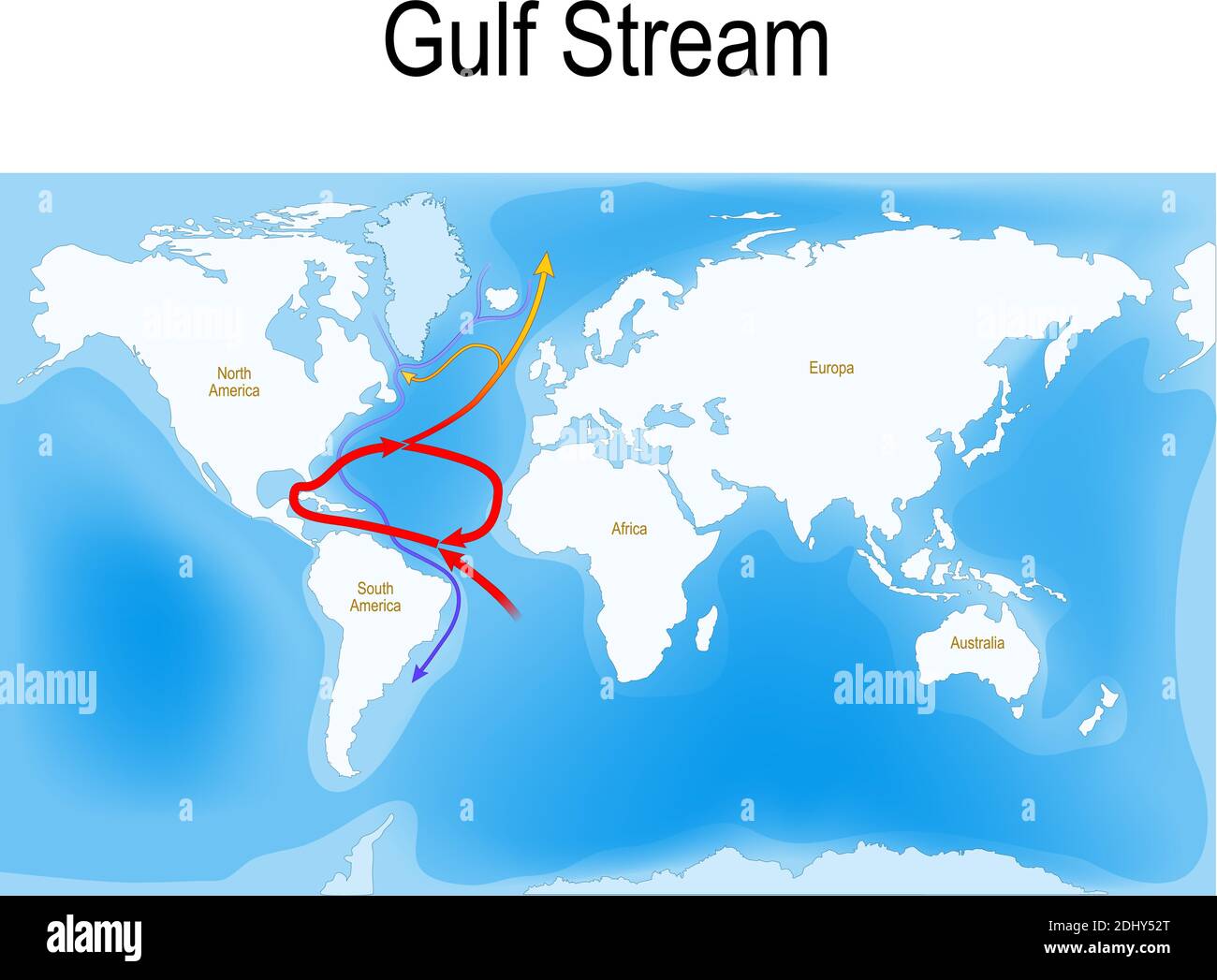 The Gulf Stream is a warm and swift Atlantic ocean current that originates in the Gulf of Mexico. red - warm surface currents Stock Vectorhttps://www.alamy.com/image-license-details/?v=1https://www.alamy.com/the-gulf-stream-is-a-warm-and-swift-atlantic-ocean-current-that-originates-in-the-gulf-of-mexico-red-warm-surface-currents-image389673952.html
RF2DHY52T–The Gulf Stream is a warm and swift Atlantic ocean current that originates in the Gulf of Mexico. red - warm surface currents
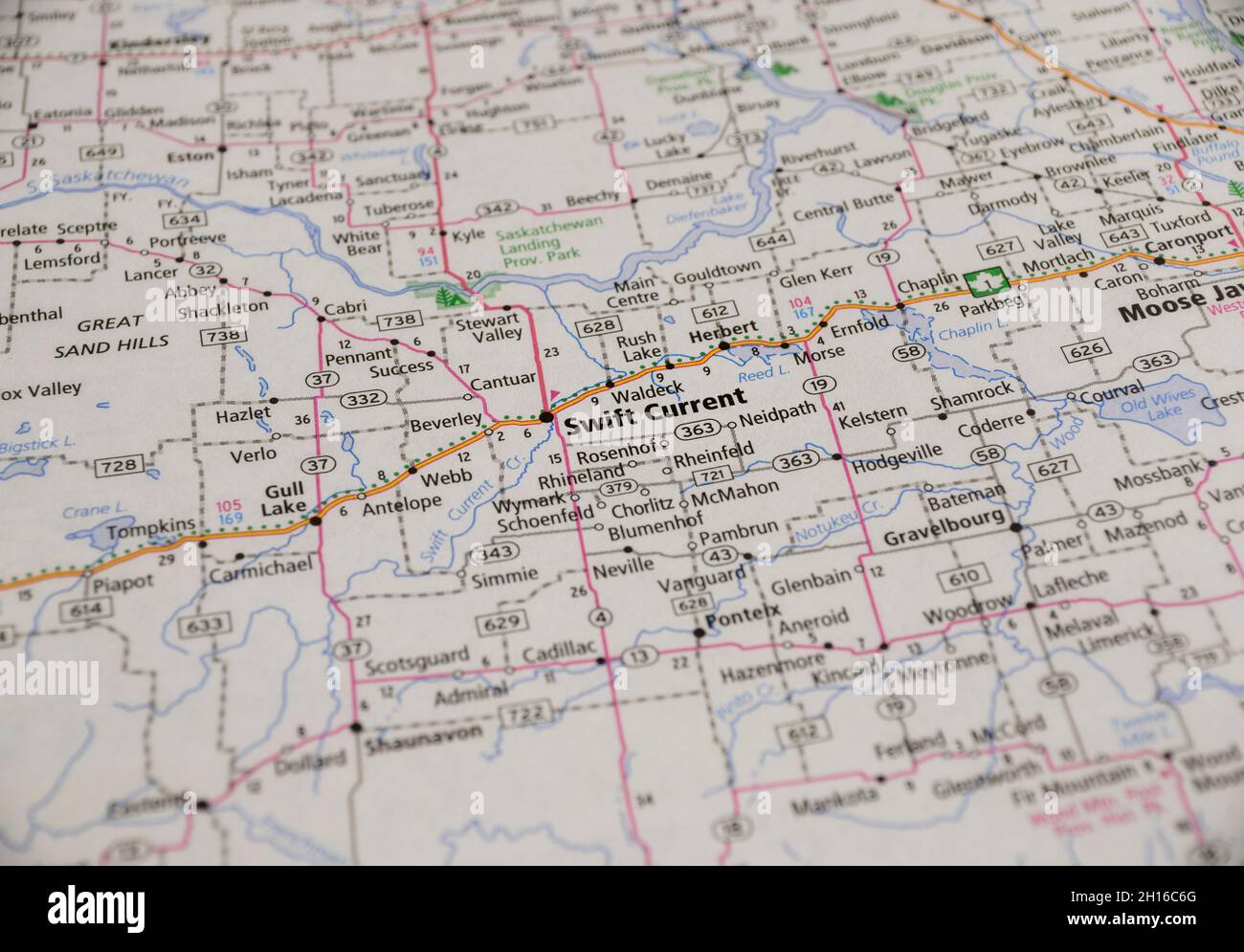 Map of the city of Swift Current, Saskatchewan Stock Photohttps://www.alamy.com/image-license-details/?v=1https://www.alamy.com/map-of-the-city-of-swift-current-saskatchewan-image448225528.html
RF2H16C6G–Map of the city of Swift Current, Saskatchewan
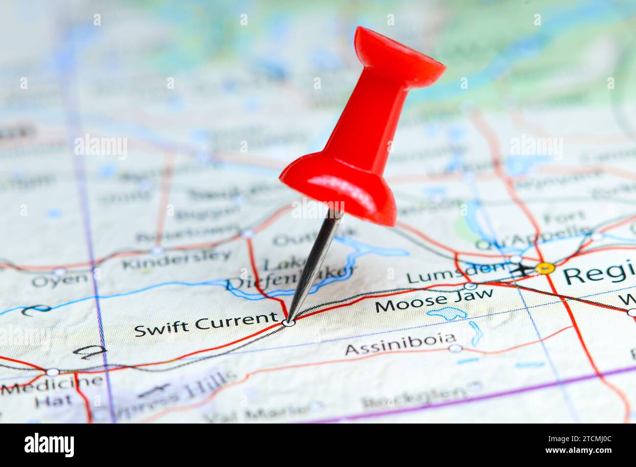 Swift Current, Canada pin on map Stock Photohttps://www.alamy.com/image-license-details/?v=1https://www.alamy.com/swift-current-canada-pin-on-map-image575771180.html
RF2TCMJ0C–Swift Current, Canada pin on map
 Persia past and present; a book of travel and research, with more than two hundred illustrations and a map . subsist. Finally,in the forenoon of Saturday, March 14, I reached Julfa, on theAras, the ancient Araxes. In the classic writers this river wasproverbial for its swift current, whose rushing descent from theArmenian mountains carried away the bridges in the wintertime, so that Vergil calls it the stream intolerant of any span—pontem indignatus Araxes.^ The river is now the boundarybetween Persia and Russia, although historically the confinesof Iran have always extended far beyond the Ara Stock Photohttps://www.alamy.com/image-license-details/?v=1https://www.alamy.com/persia-past-and-present-a-book-of-travel-and-research-with-more-than-two-hundred-illustrations-and-a-map-subsist-finallyin-the-forenoon-of-saturday-march-14-i-reached-julfa-on-thearas-the-ancient-araxes-in-the-classic-writers-this-river-wasproverbial-for-its-swift-current-whose-rushing-descent-from-thearmenian-mountains-carried-away-the-bridges-in-the-wintertime-so-that-vergil-calls-it-the-stream-intolerant-of-any-spanpontem-indignatus-araxes-the-river-is-now-the-boundarybetween-persia-and-russia-although-historically-the-confinesof-iran-have-always-extended-far-beyond-the-ara-image339327336.html
RM2AM1KDC–Persia past and present; a book of travel and research, with more than two hundred illustrations and a map . subsist. Finally,in the forenoon of Saturday, March 14, I reached Julfa, on theAras, the ancient Araxes. In the classic writers this river wasproverbial for its swift current, whose rushing descent from theArmenian mountains carried away the bridges in the wintertime, so that Vergil calls it the stream intolerant of any span—pontem indignatus Araxes.^ The river is now the boundarybetween Persia and Russia, although historically the confinesof Iran have always extended far beyond the Ara
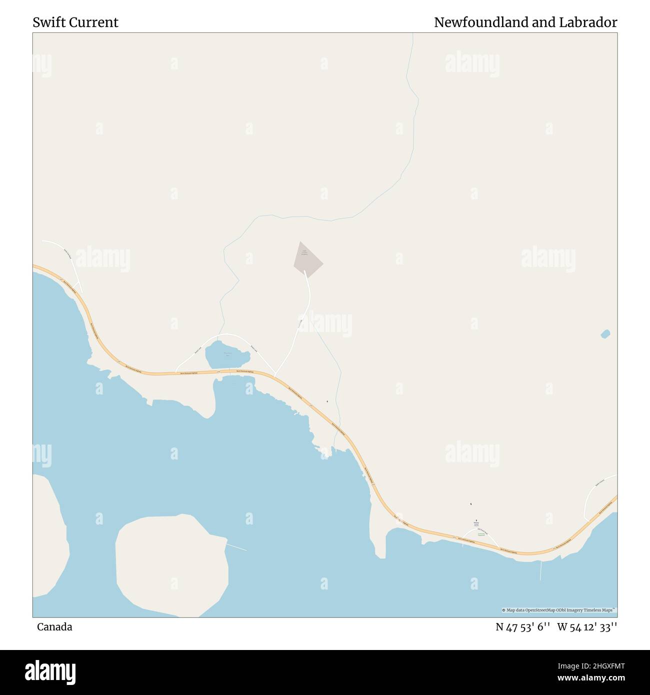 Swift Current, Canada, Newfoundland and Labrador, N 47 53' 6'', W 54 12' 33'', map, Timeless Map published in 2021. Travelers, explorers and adventurers like Florence Nightingale, David Livingstone, Ernest Shackleton, Lewis and Clark and Sherlock Holmes relied on maps to plan travels to the world's most remote corners, Timeless Maps is mapping most locations on the globe, showing the achievement of great dreams Stock Photohttps://www.alamy.com/image-license-details/?v=1https://www.alamy.com/swift-current-canada-newfoundland-and-labrador-n-47-53-6-w-54-12-33-map-timeless-map-published-in-2021-travelers-explorers-and-adventurers-like-florence-nightingale-david-livingstone-ernest-shackleton-lewis-and-clark-and-sherlock-holmes-relied-on-maps-to-plan-travels-to-the-worlds-most-remote-corners-timeless-maps-is-mapping-most-locations-on-the-globe-showing-the-achievement-of-great-dreams-image457887160.html
RM2HGXFMT–Swift Current, Canada, Newfoundland and Labrador, N 47 53' 6'', W 54 12' 33'', map, Timeless Map published in 2021. Travelers, explorers and adventurers like Florence Nightingale, David Livingstone, Ernest Shackleton, Lewis and Clark and Sherlock Holmes relied on maps to plan travels to the world's most remote corners, Timeless Maps is mapping most locations on the globe, showing the achievement of great dreams
 . Persia past and present; a book of travel and research, with more than two hundred illustrations and a map . terward to subsist. Finally,in the forenoon of Saturday, March 14, I reached Julfa, on theAras, the ancient Araxes. In the classic writers this river wasproverbial for its swift current, whose rushing descent from theArmenian mountains carried away the bridges in the wintertime, so that Vergil calls it the stream intolerant of any span—pontem indignatus Araxes.^ The river is now the boundarybetween Persia and Russia, although historically the confinesof Iran have always extended far b Stock Photohttps://www.alamy.com/image-license-details/?v=1https://www.alamy.com/persia-past-and-present-a-book-of-travel-and-research-with-more-than-two-hundred-illustrations-and-a-map-terward-to-subsist-finallyin-the-forenoon-of-saturday-march-14-i-reached-julfa-on-thearas-the-ancient-araxes-in-the-classic-writers-this-river-wasproverbial-for-its-swift-current-whose-rushing-descent-from-thearmenian-mountains-carried-away-the-bridges-in-the-wintertime-so-that-vergil-calls-it-the-stream-intolerant-of-any-spanpontem-indignatus-araxes-the-river-is-now-the-boundarybetween-persia-and-russia-although-historically-the-confinesof-iran-have-always-extended-far-b-image372042066.html
RM2CH7YCJ–. Persia past and present; a book of travel and research, with more than two hundred illustrations and a map . terward to subsist. Finally,in the forenoon of Saturday, March 14, I reached Julfa, on theAras, the ancient Araxes. In the classic writers this river wasproverbial for its swift current, whose rushing descent from theArmenian mountains carried away the bridges in the wintertime, so that Vergil calls it the stream intolerant of any span—pontem indignatus Araxes.^ The river is now the boundarybetween Persia and Russia, although historically the confinesof Iran have always extended far b
 . Bulletin. Natural history; Natuurlijke historie. 82 EVOLUTION OF NORTH AMERICAN TAPIROIDEA. Fig. 17. Map showing localities where late Eocene and Oligocene tapiroids have been found in North America. Circles = late Eocene; squares := Oligocene. Solid circle =r Isectolophus; C =: Colodon; D = Dilophodon. 1 :zz Swift Current; 2 = Cypress Hills; 3 = Toston; 4 =: Thompson's Creek; 5 = McCarty's Mountain; 6 = Sage Creek; 7 = Badwater Creek, Wind River Basin; 8 z= White River group; 9 = Uinta Basin; 10 =: Titus Canyon; 11 zr Sespe; 12 = Clarno.. Please note that these images are extracted from sca Stock Photohttps://www.alamy.com/image-license-details/?v=1https://www.alamy.com/bulletin-natural-history-natuurlijke-historie-82-evolution-of-north-american-tapiroidea-fig-17-map-showing-localities-where-late-eocene-and-oligocene-tapiroids-have-been-found-in-north-america-circles-=-late-eocene-squares-=-oligocene-solid-circle-=r-isectolophus-c-=-colodon-d-=-dilophodon-1-zz-swift-current-2-=-cypress-hills-3-=-toston-4-=-thompsons-creek-5-=-mccartys-mountain-6-=-sage-creek-7-=-badwater-creek-wind-river-basin-8-z=-white-river-group-9-=-uinta-basin-10-=-titus-canyon-11-zr-sespe-12-=-clarno-please-note-that-these-images-are-extracted-from-sca-image234225027.html
RMRH1TBF–. Bulletin. Natural history; Natuurlijke historie. 82 EVOLUTION OF NORTH AMERICAN TAPIROIDEA. Fig. 17. Map showing localities where late Eocene and Oligocene tapiroids have been found in North America. Circles = late Eocene; squares := Oligocene. Solid circle =r Isectolophus; C =: Colodon; D = Dilophodon. 1 :zz Swift Current; 2 = Cypress Hills; 3 = Toston; 4 =: Thompson's Creek; 5 = McCarty's Mountain; 6 = Sage Creek; 7 = Badwater Creek, Wind River Basin; 8 z= White River group; 9 = Uinta Basin; 10 =: Titus Canyon; 11 zr Sespe; 12 = Clarno.. Please note that these images are extracted from sca
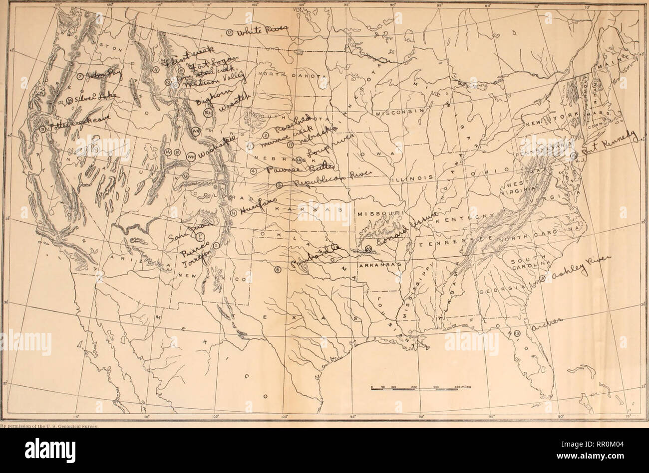 . The age of mammals in Europe, Asia and North America. Mammals, Fossil; Paleontology. KEY TO MAP PT. Puerro, Torrpjon, tind Wasatch of San Juan basin. New Moxico Basal und lower Eocene. BH. Wasatch of Bighorn Baain. Wyoming. Lower Eocene. W. Wasatch (typical). Evanaton. Wy- ominft Lower Eocene. WB. Wind Ilivcr, Wyoming Lower Eocene. H. Huerfano. Colorado Lower and middle Eocene. B. Bridgcr, Wyoming Middle Eocene. "WK. ?? Washakie." Wyoming Middle ami upper Eocene. U. Uinta. Utah Middle and upper Eocene. 12. White River deposits along Swift Current Creek, Assinihoia, Canada Lctwer tH Stock Photohttps://www.alamy.com/image-license-details/?v=1https://www.alamy.com/the-age-of-mammals-in-europe-asia-and-north-america-mammals-fossil-paleontology-key-to-map-pt-puerro-torrpjon-tind-wasatch-of-san-juan-basin-new-moxico-basal-und-lower-eocene-bh-wasatch-of-bighorn-baain-wyoming-lower-eocene-w-wasatch-typical-evanaton-wy-ominft-lower-eocene-wb-wind-ilivcr-wyoming-lower-eocene-h-huerfano-colorado-lower-and-middle-eocene-b-bridgcr-wyoming-middle-eocene-quotwk-washakiequot-wyoming-middle-ami-upper-eocene-u-uinta-utah-middle-and-upper-eocene-12-white-river-deposits-along-swift-current-creek-assinihoia-canada-lctwer-th-image237887556.html
RMRR0M04–. The age of mammals in Europe, Asia and North America. Mammals, Fossil; Paleontology. KEY TO MAP PT. Puerro, Torrpjon, tind Wasatch of San Juan basin. New Moxico Basal und lower Eocene. BH. Wasatch of Bighorn Baain. Wyoming. Lower Eocene. W. Wasatch (typical). Evanaton. Wy- ominft Lower Eocene. WB. Wind Ilivcr, Wyoming Lower Eocene. H. Huerfano. Colorado Lower and middle Eocene. B. Bridgcr, Wyoming Middle Eocene. "WK. ?? Washakie." Wyoming Middle ami upper Eocene. U. Uinta. Utah Middle and upper Eocene. 12. White River deposits along Swift Current Creek, Assinihoia, Canada Lctwer tH