Table rock nebraska map Cut Out Stock Images
 Table Rock, Pawnee County, US, United States, Nebraska, N 40 10' 41'', S 96 5' 48'', map, Cartascapes Map published in 2024. Explore Cartascapes, a map revealing Earth's diverse landscapes, cultures, and ecosystems. Journey through time and space, discovering the interconnectedness of our planet's past, present, and future. Stock Photohttps://www.alamy.com/image-license-details/?v=1https://www.alamy.com/table-rock-pawnee-county-us-united-states-nebraska-n-40-10-41-s-96-5-48-map-cartascapes-map-published-in-2024-explore-cartascapes-a-map-revealing-earths-diverse-landscapes-cultures-and-ecosystems-journey-through-time-and-space-discovering-the-interconnectedness-of-our-planets-past-present-and-future-image621192059.html
RM2Y2HMPK–Table Rock, Pawnee County, US, United States, Nebraska, N 40 10' 41'', S 96 5' 48'', map, Cartascapes Map published in 2024. Explore Cartascapes, a map revealing Earth's diverse landscapes, cultures, and ecosystems. Journey through time and space, discovering the interconnectedness of our planet's past, present, and future.
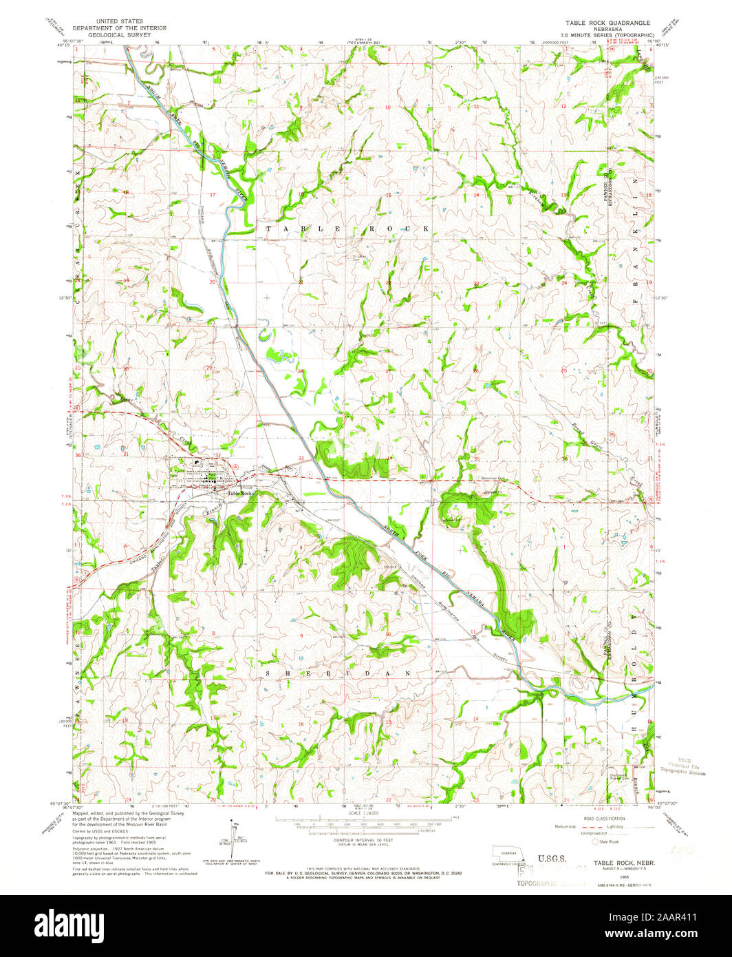
 USGS TOPO Map Nebraska NE Table Rock 317319 1965 24000 Restoration Stock Photohttps://www.alamy.com/image-license-details/?v=1https://www.alamy.com/usgs-topo-map-nebraska-ne-table-rock-317319-1965-24000-restoration-image333651613.html
RM2AAR411–USGS TOPO Map Nebraska NE Table Rock 317319 1965 24000 Restoration
 Table Rock, Pawnee County, US, United States, Nebraska, N 40 10' 41'', S 96 5' 48'', map, Cartascapes Map published in 2024. Explore Cartascapes, a map revealing Earth's diverse landscapes, cultures, and ecosystems. Journey through time and space, discovering the interconnectedness of our planet's past, present, and future. Stock Photohttps://www.alamy.com/image-license-details/?v=1https://www.alamy.com/table-rock-pawnee-county-us-united-states-nebraska-n-40-10-41-s-96-5-48-map-cartascapes-map-published-in-2024-explore-cartascapes-a-map-revealing-earths-diverse-landscapes-cultures-and-ecosystems-journey-through-time-and-space-discovering-the-interconnectedness-of-our-planets-past-present-and-future-image620809281.html
RM2Y208G1–Table Rock, Pawnee County, US, United States, Nebraska, N 40 10' 41'', S 96 5' 48'', map, Cartascapes Map published in 2024. Explore Cartascapes, a map revealing Earth's diverse landscapes, cultures, and ecosystems. Journey through time and space, discovering the interconnectedness of our planet's past, present, and future.
 Village of Table Rock, Pawnee County, US, United States, Nebraska, N 40 10' 41'', S 96 5' 19'', map, Cartascapes Map published in 2024. Explore Cartascapes, a map revealing Earth's diverse landscapes, cultures, and ecosystems. Journey through time and space, discovering the interconnectedness of our planet's past, present, and future. Stock Photohttps://www.alamy.com/image-license-details/?v=1https://www.alamy.com/village-of-table-rock-pawnee-county-us-united-states-nebraska-n-40-10-41-s-96-5-19-map-cartascapes-map-published-in-2024-explore-cartascapes-a-map-revealing-earths-diverse-landscapes-cultures-and-ecosystems-journey-through-time-and-space-discovering-the-interconnectedness-of-our-planets-past-present-and-future-image633782858.html
RM2YR38E2–Village of Table Rock, Pawnee County, US, United States, Nebraska, N 40 10' 41'', S 96 5' 19'', map, Cartascapes Map published in 2024. Explore Cartascapes, a map revealing Earth's diverse landscapes, cultures, and ecosystems. Journey through time and space, discovering the interconnectedness of our planet's past, present, and future.
 Township of Table Rock, Pawnee County, US, United States, Nebraska, N 40 13' 0'', S 96 3' 51'', map, Cartascapes Map published in 2024. Explore Cartascapes, a map revealing Earth's diverse landscapes, cultures, and ecosystems. Journey through time and space, discovering the interconnectedness of our planet's past, present, and future. Stock Photohttps://www.alamy.com/image-license-details/?v=1https://www.alamy.com/township-of-table-rock-pawnee-county-us-united-states-nebraska-n-40-13-0-s-96-3-51-map-cartascapes-map-published-in-2024-explore-cartascapes-a-map-revealing-earths-diverse-landscapes-cultures-and-ecosystems-journey-through-time-and-space-discovering-the-interconnectedness-of-our-planets-past-present-and-future-image633891229.html
RM2YR86MD–Township of Table Rock, Pawnee County, US, United States, Nebraska, N 40 13' 0'', S 96 3' 51'', map, Cartascapes Map published in 2024. Explore Cartascapes, a map revealing Earth's diverse landscapes, cultures, and ecosystems. Journey through time and space, discovering the interconnectedness of our planet's past, present, and future.
 Election Precinct 3, Table Rock, Pawnee County, US, United States, Nebraska, N 40 12' 26'', S 96 4' 0'', map, Cartascapes Map published in 2024. Explore Cartascapes, a map revealing Earth's diverse landscapes, cultures, and ecosystems. Journey through time and space, discovering the interconnectedness of our planet's past, present, and future. Stock Photohttps://www.alamy.com/image-license-details/?v=1https://www.alamy.com/election-precinct-3-table-rock-pawnee-county-us-united-states-nebraska-n-40-12-26-s-96-4-0-map-cartascapes-map-published-in-2024-explore-cartascapes-a-map-revealing-earths-diverse-landscapes-cultures-and-ecosystems-journey-through-time-and-space-discovering-the-interconnectedness-of-our-planets-past-present-and-future-image633842741.html
RM2YR60TN–Election Precinct 3, Table Rock, Pawnee County, US, United States, Nebraska, N 40 12' 26'', S 96 4' 0'', map, Cartascapes Map published in 2024. Explore Cartascapes, a map revealing Earth's diverse landscapes, cultures, and ecosystems. Journey through time and space, discovering the interconnectedness of our planet's past, present, and future.
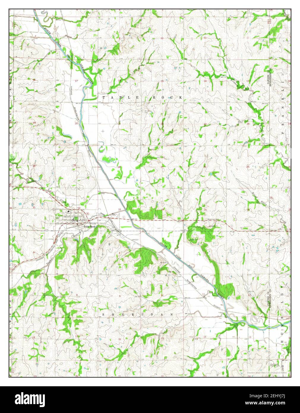
 Table Rock, Nebraska, map 1965, 1:24000, United States of America by Timeless Maps, data U.S. Geological Survey Stock Photohttps://www.alamy.com/image-license-details/?v=1https://www.alamy.com/table-rock-nebraska-map-1965-124000-united-states-of-america-by-timeless-maps-data-us-geological-survey-image406894646.html
RM2EHYJ7J–Table Rock, Nebraska, map 1965, 1:24000, United States of America by Timeless Maps, data U.S. Geological Survey