Quick filters:
Tandridge surrey Stock Photos and Images
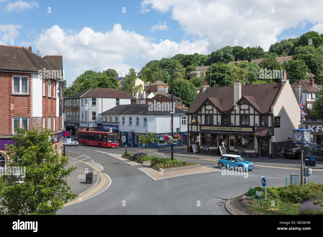 The Square, Caterham, Surrey, England, United Kingdom Stock Photohttps://www.alamy.com/image-license-details/?v=1https://www.alamy.com/stock-photo-the-square-caterham-surrey-england-united-kingdom-112157971.html
RMGED6HR–The Square, Caterham, Surrey, England, United Kingdom
 A View Up To The North Downs From Tandridge Surrey England Stock Photohttps://www.alamy.com/image-license-details/?v=1https://www.alamy.com/stock-photo-a-view-up-to-the-north-downs-from-tandridge-surrey-england-24209993.html
RMBBAT2H–A View Up To The North Downs From Tandridge Surrey England
 st peters parish church tandridge surrey Stock Photohttps://www.alamy.com/image-license-details/?v=1https://www.alamy.com/st-peters-parish-church-tandridge-surrey-image336067305.html
RM2AEN57N–st peters parish church tandridge surrey
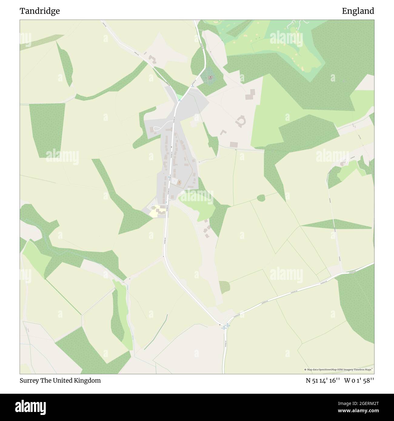 Tandridge, Surrey, United Kingdom, England, N 51 14' 16'', W 0 1' 58'', map, Timeless Map published in 2021. Travelers, explorers and adventurers like Florence Nightingale, David Livingstone, Ernest Shackleton, Lewis and Clark and Sherlock Holmes relied on maps to plan travels to the world's most remote corners, Timeless Maps is mapping most locations on the globe, showing the achievement of great dreams Stock Photohttps://www.alamy.com/image-license-details/?v=1https://www.alamy.com/tandridge-surrey-united-kingdom-england-n-51-14-16-w-0-1-58-map-timeless-map-published-in-2021-travelers-explorers-and-adventurers-like-florence-nightingale-david-livingstone-ernest-shackleton-lewis-and-clark-and-sherlock-holmes-relied-on-maps-to-plan-travels-to-the-worlds-most-remote-corners-timeless-maps-is-mapping-most-locations-on-the-globe-showing-the-achievement-of-great-dreams-image439385040.html
RM2GERM2T–Tandridge, Surrey, United Kingdom, England, N 51 14' 16'', W 0 1' 58'', map, Timeless Map published in 2021. Travelers, explorers and adventurers like Florence Nightingale, David Livingstone, Ernest Shackleton, Lewis and Clark and Sherlock Holmes relied on maps to plan travels to the world's most remote corners, Timeless Maps is mapping most locations on the globe, showing the achievement of great dreams
 Spraying wheat in Godstone, Surrey, uk Stock Photohttps://www.alamy.com/image-license-details/?v=1https://www.alamy.com/stock-photo-spraying-wheat-in-godstone-surrey-uk-35284447.html
RMC1B9JR–Spraying wheat in Godstone, Surrey, uk
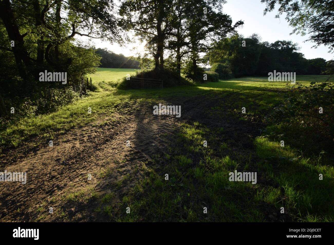 Fields besides Gibbs Brook, Tandridge, Surrey Stock Photohttps://www.alamy.com/image-license-details/?v=1https://www.alamy.com/fields-besides-gibbs-brook-tandridge-surrey-image441332832.html
RF2GJ0CET–Fields besides Gibbs Brook, Tandridge, Surrey
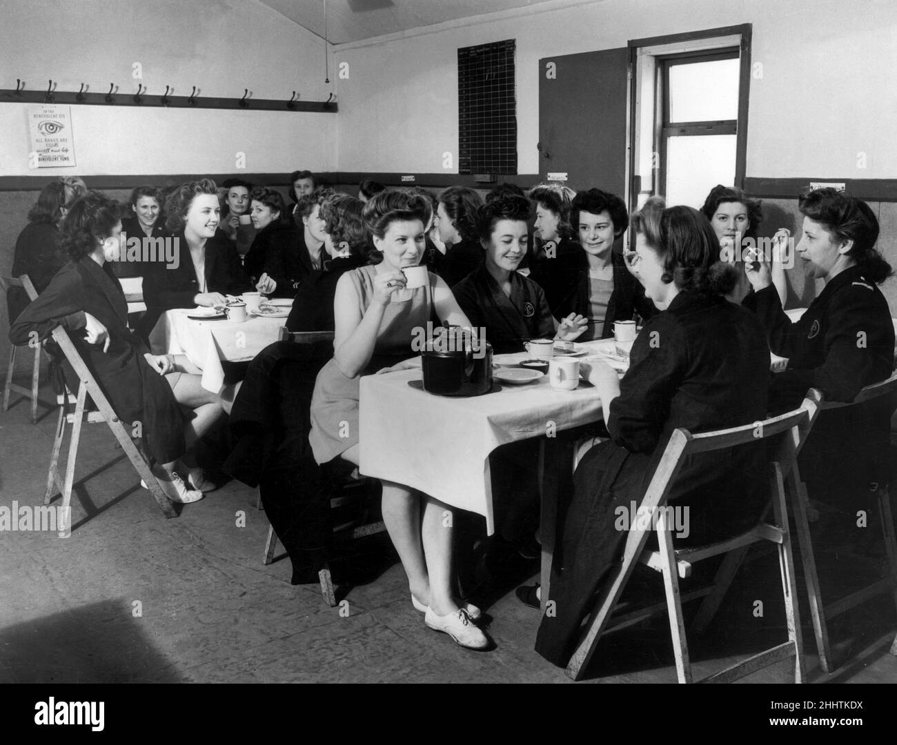 Women attending a National Fire Service Fitness training course for instructors at Number 12 Regional reserve Training Station in Tandridge, Surrey, stop for a welcome tea break. 24th May 1944. Stock Photohttps://www.alamy.com/image-license-details/?v=1https://www.alamy.com/women-attending-a-national-fire-service-fitness-training-course-for-instructors-at-number-12-regional-reserve-training-station-in-tandridge-surrey-stop-for-a-welcome-tea-break-24th-may-1944-image458460854.html
RM2HHTKDX–Women attending a National Fire Service Fitness training course for instructors at Number 12 Regional reserve Training Station in Tandridge, Surrey, stop for a welcome tea break. 24th May 1944.
 WILDERNESS LAKE, TANDRIDGE/UK - JULY 21 : Sunlit house by Wilderness Lake in Tandridge Surrey on July 21, 2020 Stock Photohttps://www.alamy.com/image-license-details/?v=1https://www.alamy.com/wilderness-lake-tandridgeuk-july-21-sunlit-house-by-wilderness-lake-in-tandridge-surrey-on-july-21-2020-image525234984.html
RF2NEEEG8–WILDERNESS LAKE, TANDRIDGE/UK - JULY 21 : Sunlit house by Wilderness Lake in Tandridge Surrey on July 21, 2020
 WILDERNESS LAKE, TANDRIDGE/UK - JULY 21 : Sunlit house by Wilderness Lake in Tandridge Surrey on July 21, 2020 Stock Photohttps://www.alamy.com/image-license-details/?v=1https://www.alamy.com/wilderness-lake-tandridgeuk-july-21-sunlit-house-by-wilderness-lake-in-tandridge-surrey-on-july-21-2020-image366612587.html
RF2C8CJ2K–WILDERNESS LAKE, TANDRIDGE/UK - JULY 21 : Sunlit house by Wilderness Lake in Tandridge Surrey on July 21, 2020
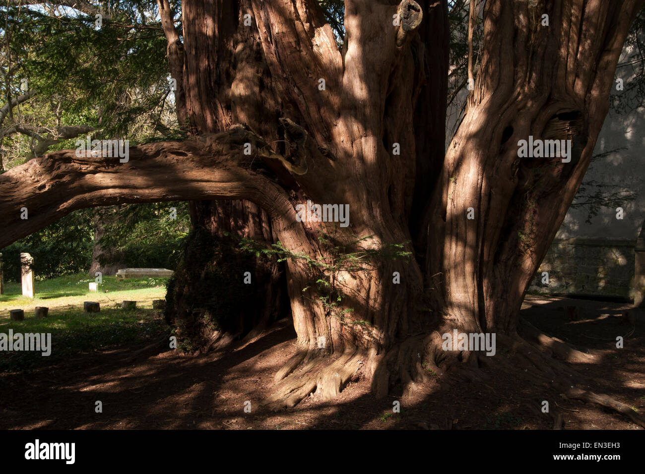 Ancient yew tree at the St. Peter's Church, Tandridge, Surrey, England. Reputed to be at least two thousand years old. Stock Photohttps://www.alamy.com/image-license-details/?v=1https://www.alamy.com/stock-photo-ancient-yew-tree-at-the-st-peters-church-tandridge-surrey-england-81826559.html
RFEN3EH3–Ancient yew tree at the St. Peter's Church, Tandridge, Surrey, England. Reputed to be at least two thousand years old.
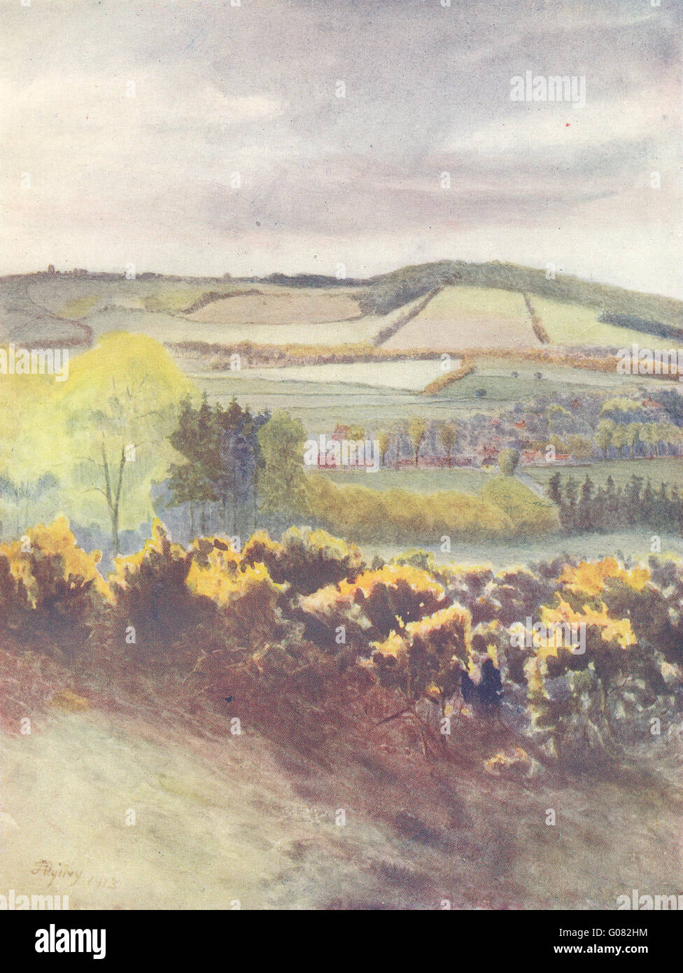 TANDRIDGE: View towards Caterham, from Tilburstow Hill. Surrey, old print 1914 Stock Photohttps://www.alamy.com/image-license-details/?v=1https://www.alamy.com/stock-photo-tandridge-view-towards-caterham-from-tilburstow-hill-surrey-old-print-103439888.html
RFG082HM–TANDRIDGE: View towards Caterham, from Tilburstow Hill. Surrey, old print 1914
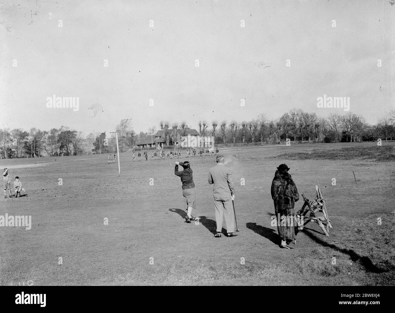 A lady plays a shot at the Tandridge golf course . 1938 Stock Photohttps://www.alamy.com/image-license-details/?v=1https://www.alamy.com/a-lady-plays-a-shot-at-the-tandridge-golf-course-1938-image359770268.html
RM2BW8XJ4–A lady plays a shot at the Tandridge golf course . 1938
 WILDERNESS LAKE, TANDRIDGE/UK - JULY 21 : Sunlit house by Wilderness Lake in Tandridge Surrey on July 21, 2020 Stock Photohttps://www.alamy.com/image-license-details/?v=1https://www.alamy.com/wilderness-lake-tandridgeuk-july-21-sunlit-house-by-wilderness-lake-in-tandridge-surrey-on-july-21-2020-image432778115.html
RF2G42MW7–WILDERNESS LAKE, TANDRIDGE/UK - JULY 21 : Sunlit house by Wilderness Lake in Tandridge Surrey on July 21, 2020
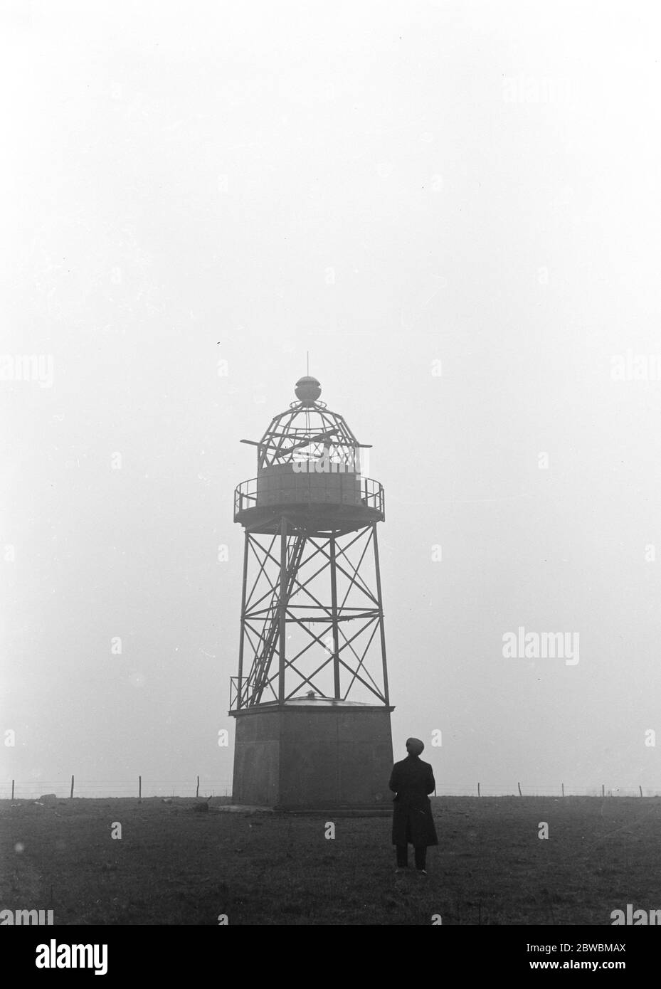 The new land lighthouse at Tatsfield 8 miles South East of Croydon in the Tandridge district of Surrey for the guidance of aerial traffic . the lighthouse is situated on a commanding height 8 April 1922 Stock Photohttps://www.alamy.com/image-license-details/?v=1https://www.alamy.com/the-new-land-lighthouse-at-tatsfield-8-miles-south-east-of-croydon-in-the-tandridge-district-of-surrey-for-the-guidance-of-aerial-traffic-the-lighthouse-is-situated-on-a-commanding-height-8-april-1922-image359831218.html
RM2BWBMAX–The new land lighthouse at Tatsfield 8 miles South East of Croydon in the Tandridge district of Surrey for the guidance of aerial traffic . the lighthouse is situated on a commanding height 8 April 1922
 Poll card for British local Government elections to be held on May 2, 2024. Card shown is for the Police and Crime Commissioner for Surrey and for the Dormansland and Felbridge ward for Tandridge District Council. Stock Photohttps://www.alamy.com/image-license-details/?v=1https://www.alamy.com/poll-card-for-british-local-government-elections-to-be-held-on-may-2-2024-card-shown-is-for-the-police-and-crime-commissioner-for-surrey-and-for-the-dormansland-and-felbridge-ward-for-tandridge-district-council-image603953566.html
RF2X2GCX6–Poll card for British local Government elections to be held on May 2, 2024. Card shown is for the Police and Crime Commissioner for Surrey and for the Dormansland and Felbridge ward for Tandridge District Council.
 Welcome to Tandridge sign at the border of the Tandridge Local Government District, Surrey, England, UK - also the border to the village Felbridge. Stock Photohttps://www.alamy.com/image-license-details/?v=1https://www.alamy.com/welcome-to-tandridge-sign-at-the-border-of-the-tandridge-local-government-district-surrey-england-uk-also-the-border-to-the-village-felbridge-image239588980.html
RFRWP658–Welcome to Tandridge sign at the border of the Tandridge Local Government District, Surrey, England, UK - also the border to the village Felbridge.
 'Old Surrey Hall', 1912, (1914). Artist: James S Ogilvy. Stock Photohttps://www.alamy.com/image-license-details/?v=1https://www.alamy.com/stock-photo-old-surrey-hall-1912-1914-artist-james-s-ogilvy-135280143.html
RMHT2F5K–'Old Surrey Hall', 1912, (1914). Artist: James S Ogilvy.
 flag of Caterham painted on brick wall Stock Photohttps://www.alamy.com/image-license-details/?v=1https://www.alamy.com/flag-of-caterham-painted-on-brick-wall-image407817831.html
RF2EKDKPF–flag of Caterham painted on brick wall
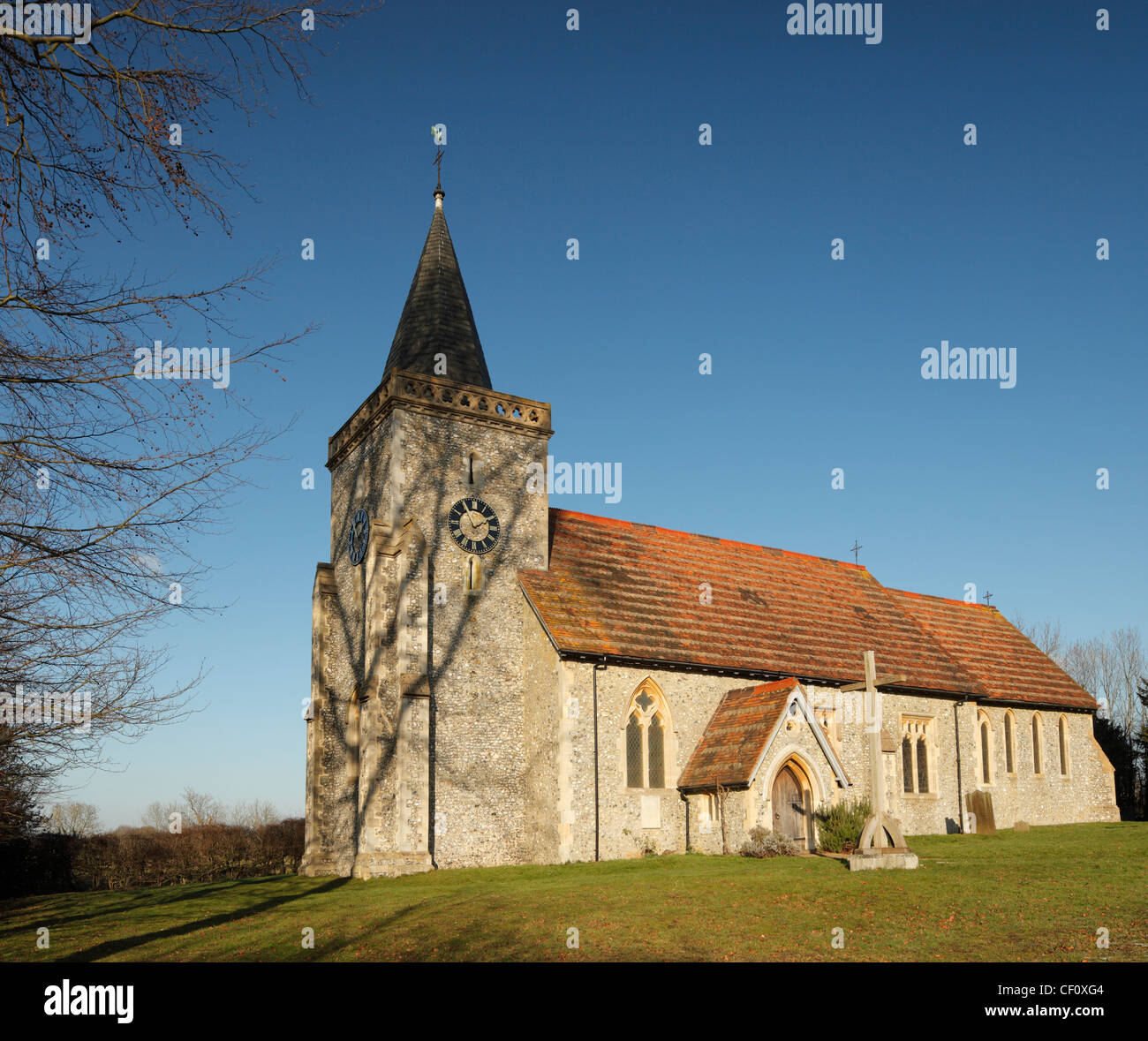 St Leonard s church Chelsham. Stock Photohttps://www.alamy.com/image-license-details/?v=1https://www.alamy.com/stock-photo-st-leonard-s-church-chelsham-43661412.html
RMCF0XG4–St Leonard s church Chelsham.
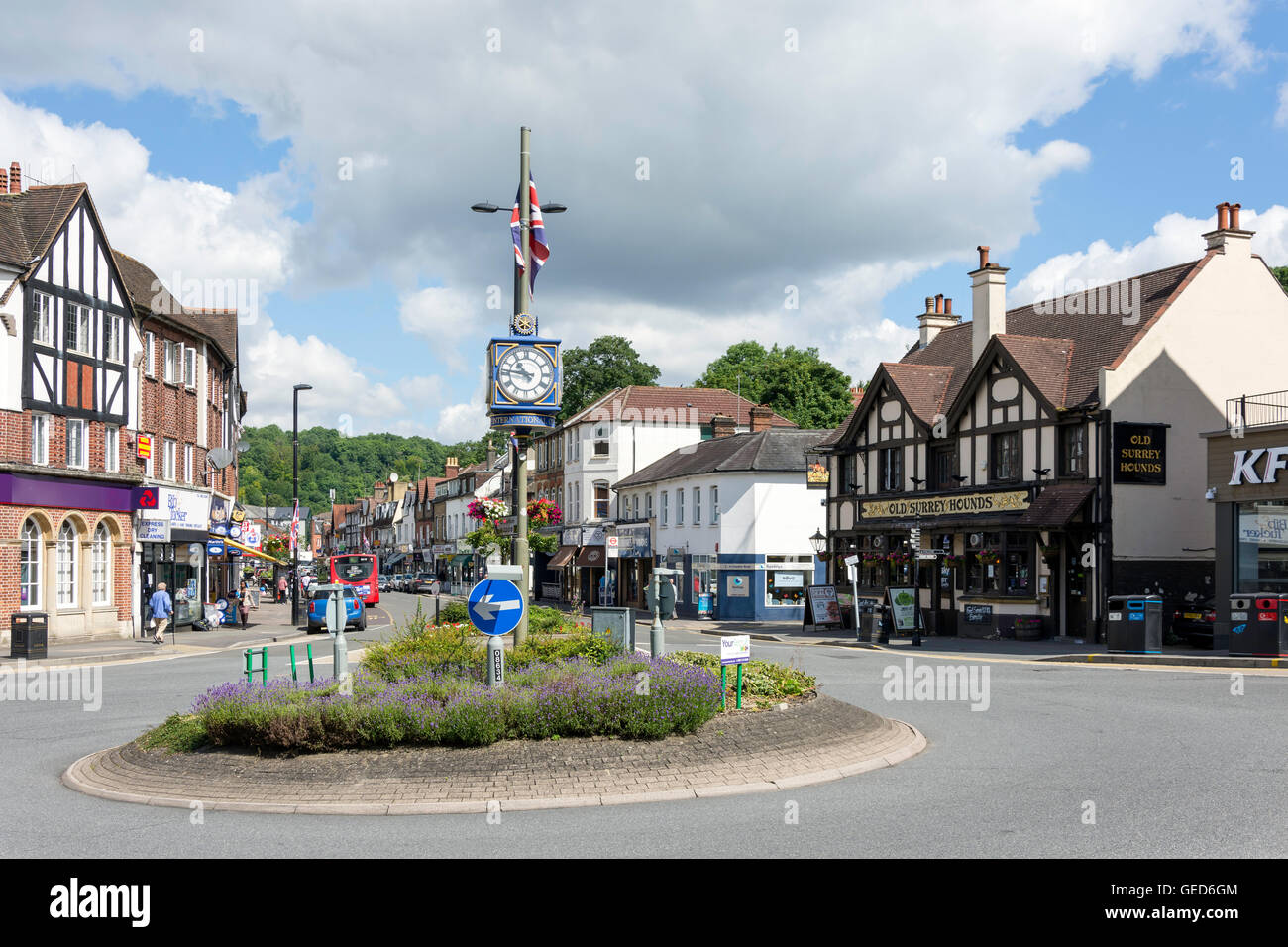 The Square, Caterham, Surrey, England, United Kingdom Stock Photohttps://www.alamy.com/image-license-details/?v=1https://www.alamy.com/stock-photo-the-square-caterham-surrey-england-united-kingdom-112157940.html
RMGED6GM–The Square, Caterham, Surrey, England, United Kingdom
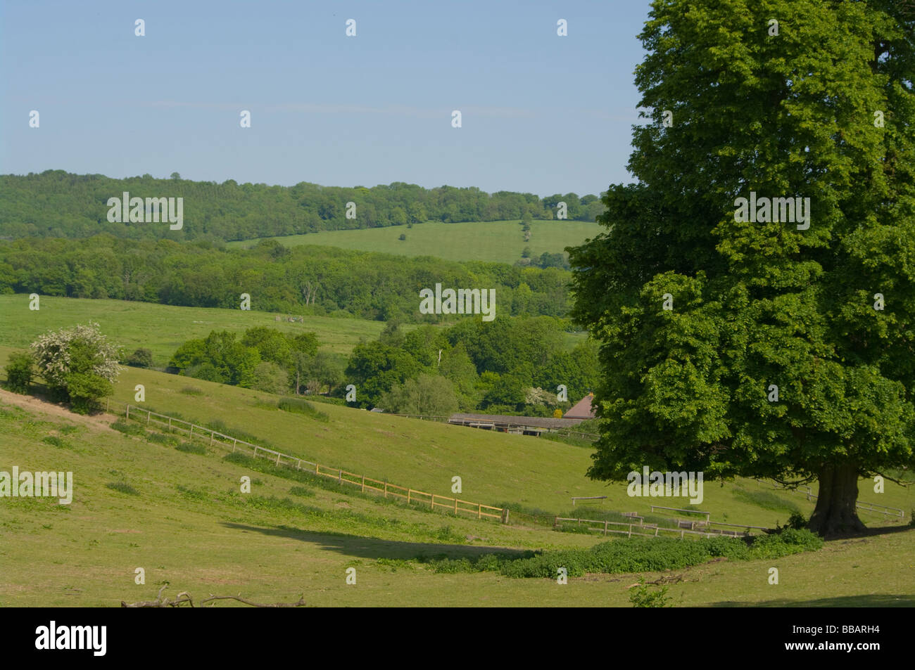 A View Up To The North Downs From Tandridge Surrey England Stock Photohttps://www.alamy.com/image-license-details/?v=1https://www.alamy.com/stock-photo-a-view-up-to-the-north-downs-from-tandridge-surrey-england-24209616.html
RMBBARH4–A View Up To The North Downs From Tandridge Surrey England
 st peters parish church tandridge surrey Stock Photohttps://www.alamy.com/image-license-details/?v=1https://www.alamy.com/st-peters-parish-church-tandridge-surrey-image336067330.html
RM2AEN58J–st peters parish church tandridge surrey
 Tandridge, Surrey, GB, United Kingdom, England, N 51 13' 24'', S 0 2' 4'', map, Cartascapes Map published in 2024. Explore Cartascapes, a map revealing Earth's diverse landscapes, cultures, and ecosystems. Journey through time and space, discovering the interconnectedness of our planet's past, present, and future. Stock Photohttps://www.alamy.com/image-license-details/?v=1https://www.alamy.com/tandridge-surrey-gb-united-kingdom-england-n-51-13-24-s-0-2-4-map-cartascapes-map-published-in-2024-explore-cartascapes-a-map-revealing-earths-diverse-landscapes-cultures-and-ecosystems-journey-through-time-and-space-discovering-the-interconnectedness-of-our-planets-past-present-and-future-image604247147.html
RM2X31RB7–Tandridge, Surrey, GB, United Kingdom, England, N 51 13' 24'', S 0 2' 4'', map, Cartascapes Map published in 2024. Explore Cartascapes, a map revealing Earth's diverse landscapes, cultures, and ecosystems. Journey through time and space, discovering the interconnectedness of our planet's past, present, and future.
 A broken down VW Golf parked in the safety refuge area on the M25 near Godstone Surrey. Stock Photohttps://www.alamy.com/image-license-details/?v=1https://www.alamy.com/a-broken-down-vw-golf-parked-in-the-safety-refuge-area-on-the-m25-near-godstone-surrey-image446374131.html
RM2GX62N7–A broken down VW Golf parked in the safety refuge area on the M25 near Godstone Surrey.
 Wheat fields at Tandridge Surrey Stock Photohttps://www.alamy.com/image-license-details/?v=1https://www.alamy.com/wheat-fields-at-tandridge-surrey-image441332835.html
RF2GJ0CEY–Wheat fields at Tandridge Surrey
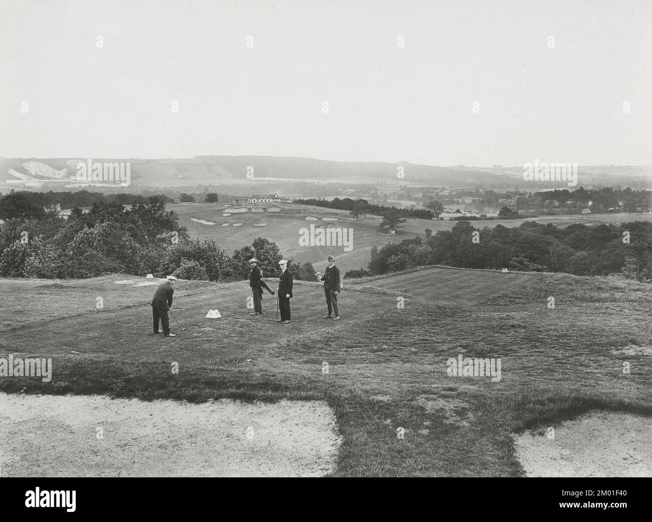 Vintage photograph - 1926 - Golfers, Tandridge, Oxted, Surrey Stock Photohttps://www.alamy.com/image-license-details/?v=1https://www.alamy.com/vintage-photograph-1926-golfers-tandridge-oxted-surrey-image499134496.html
RM2M01F40–Vintage photograph - 1926 - Golfers, Tandridge, Oxted, Surrey
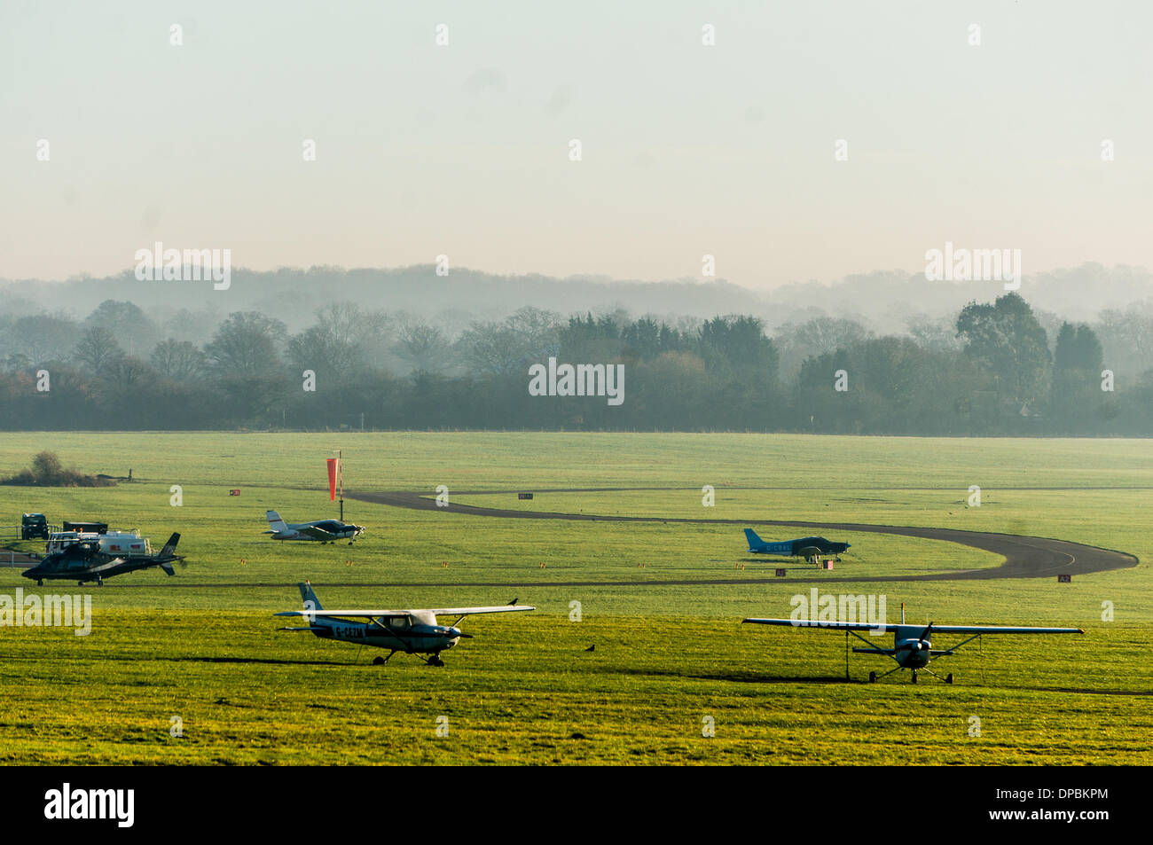 Redhill Aerodrome, Nutfield, Surrey, UK. 10th January 2014. This is a grass Airfieldand the owners want to put a concrete runway down, much to the annoyance of Local residents who Objec. Both Reigate and Banstead and Tandridge councils have refused planning permission and the owners have now gone to the secretary of State to appeal and the hearing is Currently on going. Credit: Malcolm Case-Green/Alamy Live News Stock Photohttps://www.alamy.com/image-license-details/?v=1https://www.alamy.com/redhill-aerodrome-nutfield-surrey-uk-10th-january-2014-this-is-a-grass-image65410540.html
RMDPBKPM–Redhill Aerodrome, Nutfield, Surrey, UK. 10th January 2014. This is a grass Airfieldand the owners want to put a concrete runway down, much to the annoyance of Local residents who Objec. Both Reigate and Banstead and Tandridge councils have refused planning permission and the owners have now gone to the secretary of State to appeal and the hearing is Currently on going. Credit: Malcolm Case-Green/Alamy Live News
 WILDERNESS LAKE, TANDRIDGE/UK - JULY 21 : Train going over the bridge across Wilderness Lake in Tandridge Surrey on July 21, 2020 Stock Photohttps://www.alamy.com/image-license-details/?v=1https://www.alamy.com/wilderness-lake-tandridgeuk-july-21-train-going-over-the-bridge-across-wilderness-lake-in-tandridge-surrey-on-july-21-2020-image366612544.html
RF2C8CJ14–WILDERNESS LAKE, TANDRIDGE/UK - JULY 21 : Train going over the bridge across Wilderness Lake in Tandridge Surrey on July 21, 2020
 Outwood village sign, a civil parish in the Tandridge district of the Surrey weald. England UK Stock Photohttps://www.alamy.com/image-license-details/?v=1https://www.alamy.com/outwood-village-sign-a-civil-parish-in-the-tandridge-district-of-the-surrey-weald-england-uk-image603915527.html
RM2X2EMBK–Outwood village sign, a civil parish in the Tandridge district of the Surrey weald. England UK
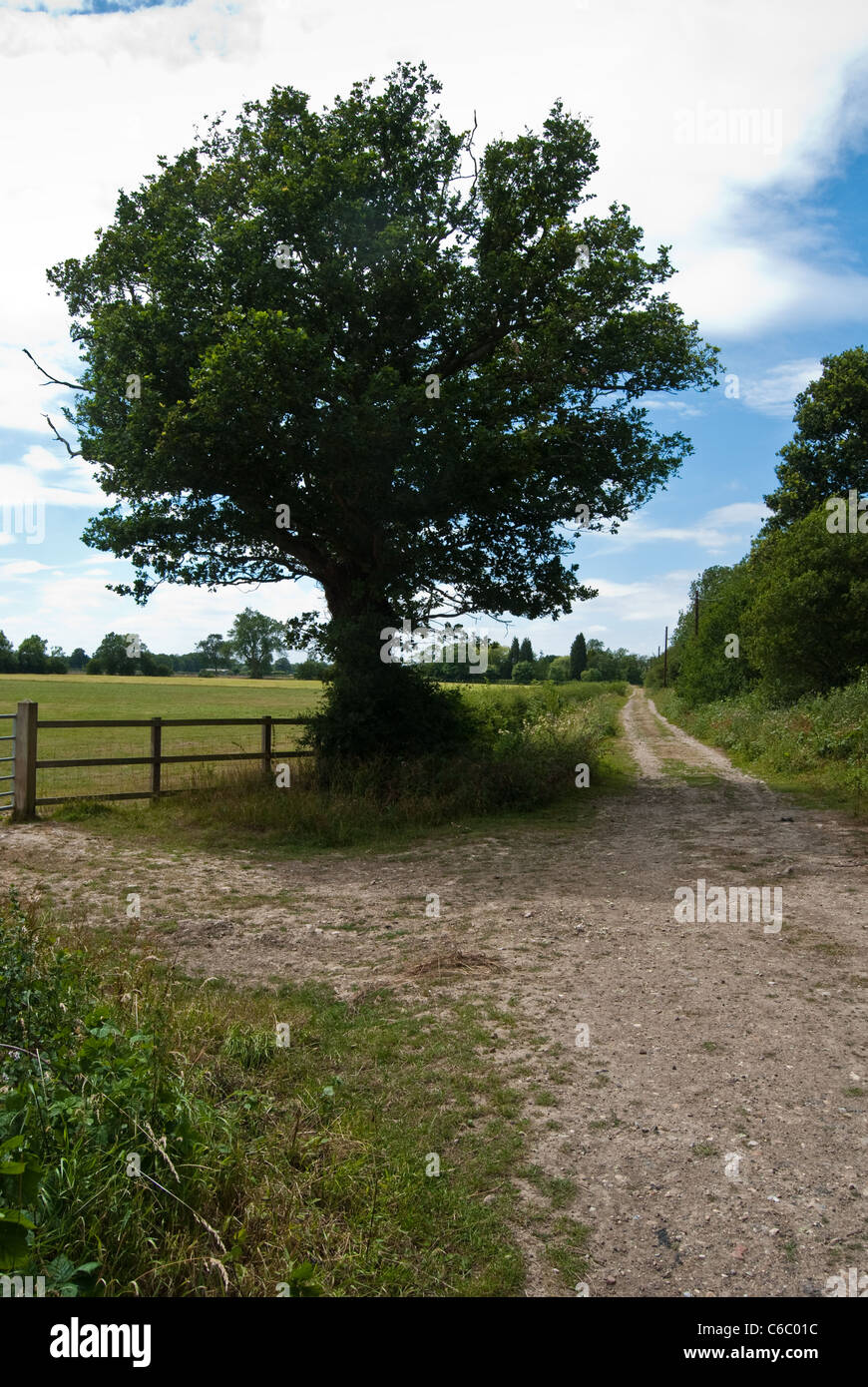 Farm track leading to Tandridge in a remote corner of Surrey Stock Photohttps://www.alamy.com/image-license-details/?v=1https://www.alamy.com/stock-photo-farm-track-leading-to-tandridge-in-a-remote-corner-of-surrey-38372136.html
RFC6C01C–Farm track leading to Tandridge in a remote corner of Surrey
 'Old Surrey Hall', 1912, (1914). Artist: James S Ogilvy. Stock Photohttps://www.alamy.com/image-license-details/?v=1https://www.alamy.com/old-surrey-hall-1912-1914-artist-james-s-ogilvy-image262789002.html
RMW7F21E–'Old Surrey Hall', 1912, (1914). Artist: James S Ogilvy.
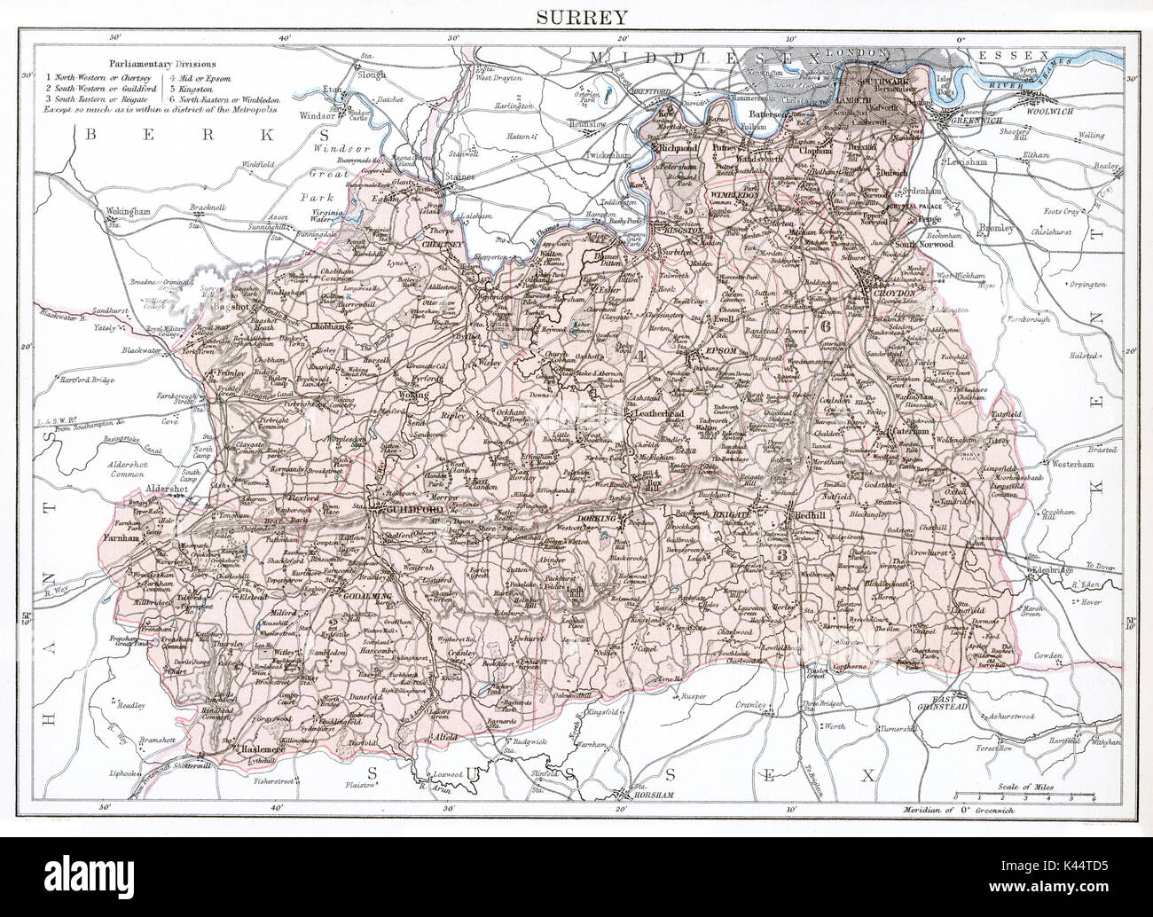 Antique map, circa 1875, of Surrey Stock Photohttps://www.alamy.com/image-license-details/?v=1https://www.alamy.com/antique-map-circa-1875-of-surrey-image157458929.html
RMK44TD5–Antique map, circa 1875, of Surrey
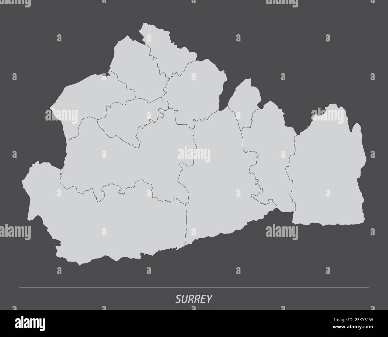 The Surrey county, administrative map isolated on dark background, England Stock Vectorhttps://www.alamy.com/image-license-details/?v=1https://www.alamy.com/the-surrey-county-administrative-map-isolated-on-dark-background-england-image425322405.html
RF2FKY31W–The Surrey county, administrative map isolated on dark background, England
 Winter scene of snow covered trees following heavy snowfall in Caterham, Surrey, England. Stock Photohttps://www.alamy.com/image-license-details/?v=1https://www.alamy.com/stock-photo-winter-scene-of-snow-covered-trees-following-heavy-snowfall-in-caterham-86775372.html
RMF14XTC–Winter scene of snow covered trees following heavy snowfall in Caterham, Surrey, England.
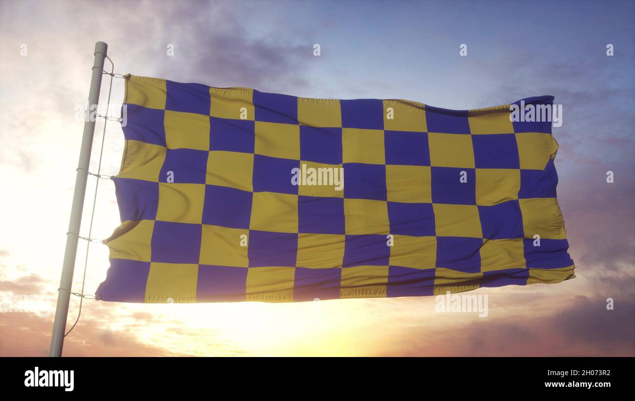 Surrey flag, England, waving in the wind, sky and sun background. 3d rendering Stock Photohttps://www.alamy.com/image-license-details/?v=1https://www.alamy.com/surrey-flag-england-waving-in-the-wind-sky-and-sun-background-3d-rendering-image447626230.html
RF2H073R2–Surrey flag, England, waving in the wind, sky and sun background. 3d rendering
 . Bulletin of the British Museum (Natural History), Geology. ^ 42a. 42b Figs 42a, b Pseudosonneratia (Isohoplites) steinmanni (Jacob), subzonal index fossil of the steinmanni Subzone. BMNH C76480 Author's Coll. figured in Owen (1971, pi. 2, figs la, b) as Hoplites (Isohoplites) eodentatus Casey, Bed 1, Coney Hill sand pit, Tandridge, Surrey. (Isohoplites) show an instability in the ventral arrangement of the rib pattern, which changes from the earlier isometric pattern across the venter to the en-echelon arrangement of the rib terminations across the venter and complete siphonal effacement typ Stock Photohttps://www.alamy.com/image-license-details/?v=1https://www.alamy.com/bulletin-of-the-british-museum-natural-history-geology-42a-42b-figs-42a-b-pseudosonneratia-isohoplites-steinmanni-jacob-subzonal-index-fossil-of-the-steinmanni-subzone-bmnh-c76480-authors-coll-figured-in-owen-1971-pi-2-figs-la-b-as-hoplites-isohoplites-eodentatus-casey-bed-1-coney-hill-sand-pit-tandridge-surrey-isohoplites-show-an-instability-in-the-ventral-arrangement-of-the-rib-pattern-which-changes-from-the-earlier-isometric-pattern-across-the-venter-to-the-en-echelon-arrangement-of-the-rib-terminations-across-the-venter-and-complete-siphonal-effacement-typ-image233928219.html
RMRGG9R7–. Bulletin of the British Museum (Natural History), Geology. ^ 42a. 42b Figs 42a, b Pseudosonneratia (Isohoplites) steinmanni (Jacob), subzonal index fossil of the steinmanni Subzone. BMNH C76480 Author's Coll. figured in Owen (1971, pi. 2, figs la, b) as Hoplites (Isohoplites) eodentatus Casey, Bed 1, Coney Hill sand pit, Tandridge, Surrey. (Isohoplites) show an instability in the ventral arrangement of the rib pattern, which changes from the earlier isometric pattern across the venter to the en-echelon arrangement of the rib terminations across the venter and complete siphonal effacement typ
 Tandridge Non-metropolitan district (United Kingdom of Great Britain and Northern Ireland, ceremonial county Surrey, England) map vector illustration, Stock Vectorhttps://www.alamy.com/image-license-details/?v=1https://www.alamy.com/tandridge-non-metropolitan-district-united-kingdom-of-great-britain-and-northern-ireland-ceremonial-county-surrey-england-map-vector-illustration-image491760474.html
RF2KG1HE2–Tandridge Non-metropolitan district (United Kingdom of Great Britain and Northern Ireland, ceremonial county Surrey, England) map vector illustration,
 Flag of Caterham painted on brick wall Stock Photohttps://www.alamy.com/image-license-details/?v=1https://www.alamy.com/flag-of-caterham-painted-on-brick-wall-image432723323.html
RF2G4070B–Flag of Caterham painted on brick wall
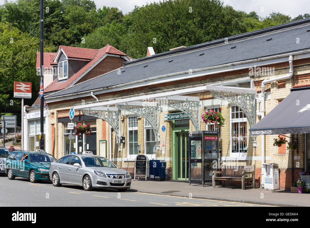 Entrance to Caterham Railway Station, Station Avenue, Caterham, Surrey, England, United Kingdom Stock Photohttps://www.alamy.com/image-license-details/?v=1https://www.alamy.com/stock-photo-entrance-to-caterham-railway-station-station-avenue-caterham-surrey-112158008.html
RMGED6K4–Entrance to Caterham Railway Station, Station Avenue, Caterham, Surrey, England, United Kingdom
 A View Up To The North Downs From Tandridge Surrey England Stock Photohttps://www.alamy.com/image-license-details/?v=1https://www.alamy.com/stock-photo-a-view-up-to-the-north-downs-from-tandridge-surrey-england-24212029.html
RMBBAXK9–A View Up To The North Downs From Tandridge Surrey England
 st peters parish church tandridge surrey Stock Photohttps://www.alamy.com/image-license-details/?v=1https://www.alamy.com/st-peters-parish-church-tandridge-surrey-image336067419.html
RM2AEN5BR–st peters parish church tandridge surrey
 Tandridge, Surrey, GB, United Kingdom, England, N 51 13' 24'', S 0 2' 4'', map, Cartascapes Map published in 2024. Explore Cartascapes, a map revealing Earth's diverse landscapes, cultures, and ecosystems. Journey through time and space, discovering the interconnectedness of our planet's past, present, and future. Stock Photohttps://www.alamy.com/image-license-details/?v=1https://www.alamy.com/tandridge-surrey-gb-united-kingdom-england-n-51-13-24-s-0-2-4-map-cartascapes-map-published-in-2024-explore-cartascapes-a-map-revealing-earths-diverse-landscapes-cultures-and-ecosystems-journey-through-time-and-space-discovering-the-interconnectedness-of-our-planets-past-present-and-future-image604247162.html
RM2X31RBP–Tandridge, Surrey, GB, United Kingdom, England, N 51 13' 24'', S 0 2' 4'', map, Cartascapes Map published in 2024. Explore Cartascapes, a map revealing Earth's diverse landscapes, cultures, and ecosystems. Journey through time and space, discovering the interconnectedness of our planet's past, present, and future.
 A broken down VW Golf parked in the safety refuge area on the M25 near Godstone Surrey. Stock Photohttps://www.alamy.com/image-license-details/?v=1https://www.alamy.com/a-broken-down-vw-golf-parked-in-the-safety-refuge-area-on-the-m25-near-godstone-surrey-image446374262.html
RM2GX62WX–A broken down VW Golf parked in the safety refuge area on the M25 near Godstone Surrey.
 Macro image of wheat in a field at Tandridge Surrey Stock Photohttps://www.alamy.com/image-license-details/?v=1https://www.alamy.com/macro-image-of-wheat-in-a-field-at-tandridge-surrey-image441332838.html
RF2GJ0CF2–Macro image of wheat in a field at Tandridge Surrey
 Man wear black formal and protect face mask, hold Surrey flag card isolated on white background. United Kingdom counties of England coronavirus Covid Stock Photohttps://www.alamy.com/image-license-details/?v=1https://www.alamy.com/man-wear-black-formal-and-protect-face-mask-hold-surrey-flag-card-isolated-on-white-background-united-kingdom-counties-of-england-coronavirus-covid-image386067188.html
RF2DC2THT–Man wear black formal and protect face mask, hold Surrey flag card isolated on white background. United Kingdom counties of England coronavirus Covid
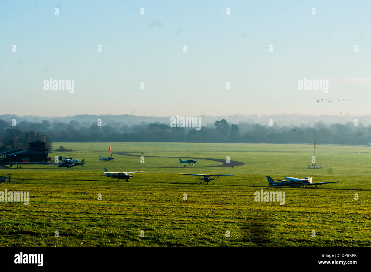 Redhill Aerodrome, Nutfield, Surrey, UK. 10th January 2014. This is a grass Airfield and the owners want to put a concrete runway down, much to the annoyance of Local residents who Objec. Both Reigate and Banstead and Tandridge councils have refused planning permission and the owners have now gone to the secretary of State to appeal and the hearing is Currently on going. Credit: Malcolm Case-Green/Alamy Live News Stock Photohttps://www.alamy.com/image-license-details/?v=1https://www.alamy.com/redhill-aerodrome-nutfield-surrey-uk-10th-january-2014-this-is-a-grass-image65410539.html
RMDPBKPK–Redhill Aerodrome, Nutfield, Surrey, UK. 10th January 2014. This is a grass Airfield and the owners want to put a concrete runway down, much to the annoyance of Local residents who Objec. Both Reigate and Banstead and Tandridge councils have refused planning permission and the owners have now gone to the secretary of State to appeal and the hearing is Currently on going. Credit: Malcolm Case-Green/Alamy Live News
 . The Victoria history of the county of Surrey. Natural history. ^CCV>ES1ASTICAL.,,.J^ OF Surrey Showing Rural Deaneries in 1535 and Religious Housps Scale. RELIGIOUS HOUSES. BENEDICTINE MONKS. 1. Chertsey Abbey. CLUNIAC MONKS. 2. Bermondsey Abbey. CISTERCIAN MONKS. J. Waverley Abbey. CARTHUSIAN MONKS. 4. Sheen Prioi^. AUSTIN CANONS. 5. Merton Priory. 6. Newark Priory, (Guildford.) 7. Reigate Priory. 8. Southwark Priory. 9. Tandridge Priory. FRIARS. 10. Guildford, Dominicans. 11. Richmond, Observants. HOSPITALS. 12. Newington. 13. Sandon. 14. Southwark, St. Thomas the Martyr. 15. Southwark, Stock Photohttps://www.alamy.com/image-license-details/?v=1https://www.alamy.com/the-victoria-history-of-the-county-of-surrey-natural-history-ccvgtes1asticalj-of-surrey-showing-rural-deaneries-in-1535-and-religious-housps-scale-religious-houses-benedictine-monks-1-chertsey-abbey-cluniac-monks-2-bermondsey-abbey-cistercian-monks-j-waverley-abbey-carthusian-monks-4-sheen-prioi-austin-canons-5-merton-priory-6-newark-priory-guildford-7-reigate-priory-8-southwark-priory-9-tandridge-priory-friars-10-guildford-dominicans-11-richmond-observants-hospitals-12-newington-13-sandon-14-southwark-st-thomas-the-martyr-15-southwark-image216361868.html
RMPG03NG–. The Victoria history of the county of Surrey. Natural history. ^CCV>ES1ASTICAL.,,.J^ OF Surrey Showing Rural Deaneries in 1535 and Religious Housps Scale. RELIGIOUS HOUSES. BENEDICTINE MONKS. 1. Chertsey Abbey. CLUNIAC MONKS. 2. Bermondsey Abbey. CISTERCIAN MONKS. J. Waverley Abbey. CARTHUSIAN MONKS. 4. Sheen Prioi^. AUSTIN CANONS. 5. Merton Priory. 6. Newark Priory, (Guildford.) 7. Reigate Priory. 8. Southwark Priory. 9. Tandridge Priory. FRIARS. 10. Guildford, Dominicans. 11. Richmond, Observants. HOSPITALS. 12. Newington. 13. Sandon. 14. Southwark, St. Thomas the Martyr. 15. Southwark,
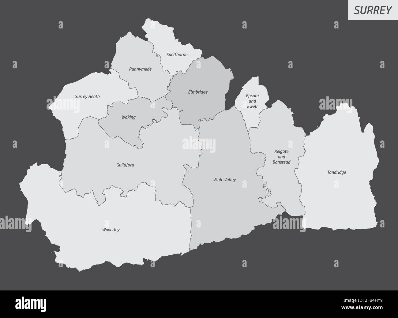 The Surrey county, isolated map divided in districts with labels, England Stock Vectorhttps://www.alamy.com/image-license-details/?v=1https://www.alamy.com/the-surrey-county-isolated-map-divided-in-districts-with-labels-england-image419911949.html
RF2FB4HY9–The Surrey county, isolated map divided in districts with labels, England
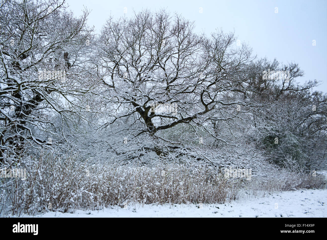 Snow-covered trees, hedges and grass at Manor Park in Caterham, Surrey, England following heavy snowfall Stock Photohttps://www.alamy.com/image-license-details/?v=1https://www.alamy.com/stock-photo-snow-covered-trees-hedges-and-grass-at-manor-park-in-caterham-surrey-86774962.html
RMF14X9P–Snow-covered trees, hedges and grass at Manor Park in Caterham, Surrey, England following heavy snowfall
 Highways and byways in Surrey . anches brush itstower. Over one gravestone he might be puzzled. It hasbeen placed in the grass, I think since his day, near the southdoor, and is an ancient monument of hard sandstone with across carved on it. Legend says that it was brought fromTandridge Priory, but there are others like it at Oxted andTitsey which belong to an older date than the priory. MITTENS AND CORDUROYS 417 Oxted is north-east of Tandridge ; but there are two Oxteds.One is the new village near the station, with new shops, a newinn, and the old church. The other is the old village, set ap Stock Photohttps://www.alamy.com/image-license-details/?v=1https://www.alamy.com/highways-and-byways-in-surrey-anches-brush-itstower-over-one-gravestone-he-might-be-puzzled-it-hasbeen-placed-in-the-grass-i-think-since-his-day-near-the-southdoor-and-is-an-ancient-monument-of-hard-sandstone-with-across-carved-on-it-legend-says-that-it-was-brought-fromtandridge-priory-but-there-are-others-like-it-at-oxted-andtitsey-which-belong-to-an-older-date-than-the-priory-mittens-and-corduroys-417-oxted-is-north-east-of-tandridge-but-there-are-two-oxtedsone-is-the-new-village-near-the-station-with-new-shops-a-newinn-and-the-old-church-the-other-is-the-old-village-set-ap-image339053603.html
RM2AKH697–Highways and byways in Surrey . anches brush itstower. Over one gravestone he might be puzzled. It hasbeen placed in the grass, I think since his day, near the southdoor, and is an ancient monument of hard sandstone with across carved on it. Legend says that it was brought fromTandridge Priory, but there are others like it at Oxted andTitsey which belong to an older date than the priory. MITTENS AND CORDUROYS 417 Oxted is north-east of Tandridge ; but there are two Oxteds.One is the new village near the station, with new shops, a newinn, and the old church. The other is the old village, set ap
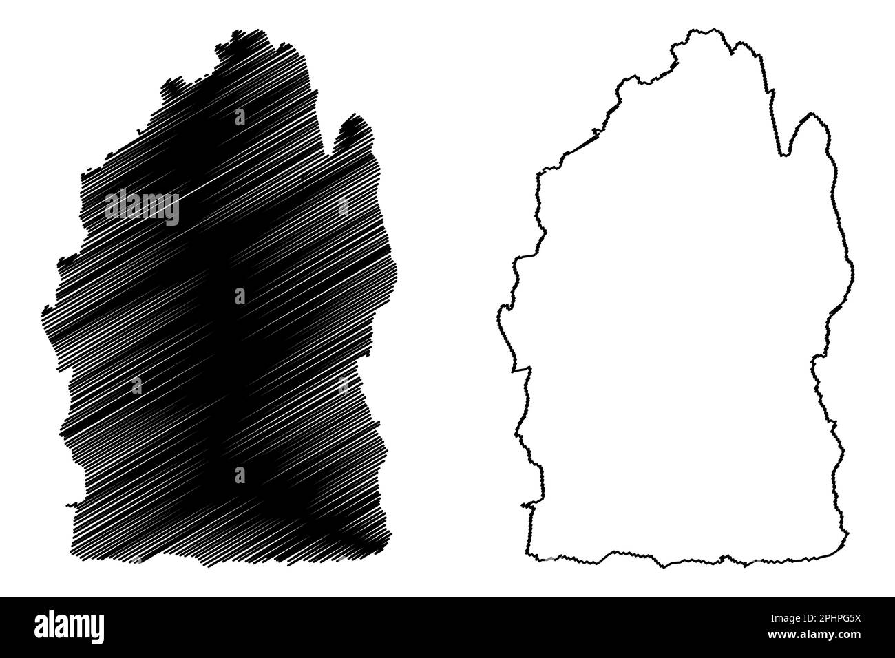 Tandridge Non-metropolitan district (United Kingdom of Great Britain and Northern Ireland, ceremonial county Surrey, England) map vector illustration, Stock Vectorhttps://www.alamy.com/image-license-details/?v=1https://www.alamy.com/tandridge-non-metropolitan-district-united-kingdom-of-great-britain-and-northern-ireland-ceremonial-county-surrey-england-map-vector-illustration-image544466214.html
RF2PHPG5X–Tandridge Non-metropolitan district (United Kingdom of Great Britain and Northern Ireland, ceremonial county Surrey, England) map vector illustration,
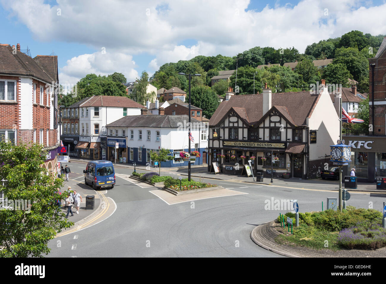 The Square, Caterham, Surrey, England, United Kingdom Stock Photohttps://www.alamy.com/image-license-details/?v=1https://www.alamy.com/stock-photo-the-square-caterham-surrey-england-united-kingdom-112157962.html
RMGED6HE–The Square, Caterham, Surrey, England, United Kingdom
 A View Up To The North Downs From Tandridge Surrey England Stock Photohttps://www.alamy.com/image-license-details/?v=1https://www.alamy.com/stock-photo-a-view-up-to-the-north-downs-from-tandridge-surrey-england-24212636.html
RMBBAYD0–A View Up To The North Downs From Tandridge Surrey England
 Tandridge District, Surrey, GB, United Kingdom, England, N 51 14' 13'', S 0 2' 48'', map, Cartascapes Map published in 2024. Explore Cartascapes, a map revealing Earth's diverse landscapes, cultures, and ecosystems. Journey through time and space, discovering the interconnectedness of our planet's past, present, and future. Stock Photohttps://www.alamy.com/image-license-details/?v=1https://www.alamy.com/tandridge-district-surrey-gb-united-kingdom-england-n-51-14-13-s-0-2-48-map-cartascapes-map-published-in-2024-explore-cartascapes-a-map-revealing-earths-diverse-landscapes-cultures-and-ecosystems-journey-through-time-and-space-discovering-the-interconnectedness-of-our-planets-past-present-and-future-image604230939.html
RM2X312MB–Tandridge District, Surrey, GB, United Kingdom, England, N 51 14' 13'', S 0 2' 48'', map, Cartascapes Map published in 2024. Explore Cartascapes, a map revealing Earth's diverse landscapes, cultures, and ecosystems. Journey through time and space, discovering the interconnectedness of our planet's past, present, and future.
 A broken down VW Golf parked in the safety refuge area on the M25 near Godstone Surrey. Stock Photohttps://www.alamy.com/image-license-details/?v=1https://www.alamy.com/a-broken-down-vw-golf-parked-in-the-safety-refuge-area-on-the-m25-near-godstone-surrey-image446374104.html
RM2GX62M8–A broken down VW Golf parked in the safety refuge area on the M25 near Godstone Surrey.
 Detail of a wheat field at Tandridge Surrey Stock Photohttps://www.alamy.com/image-license-details/?v=1https://www.alamy.com/detail-of-a-wheat-field-at-tandridge-surrey-image441332841.html
RF2GJ0CF5–Detail of a wheat field at Tandridge Surrey
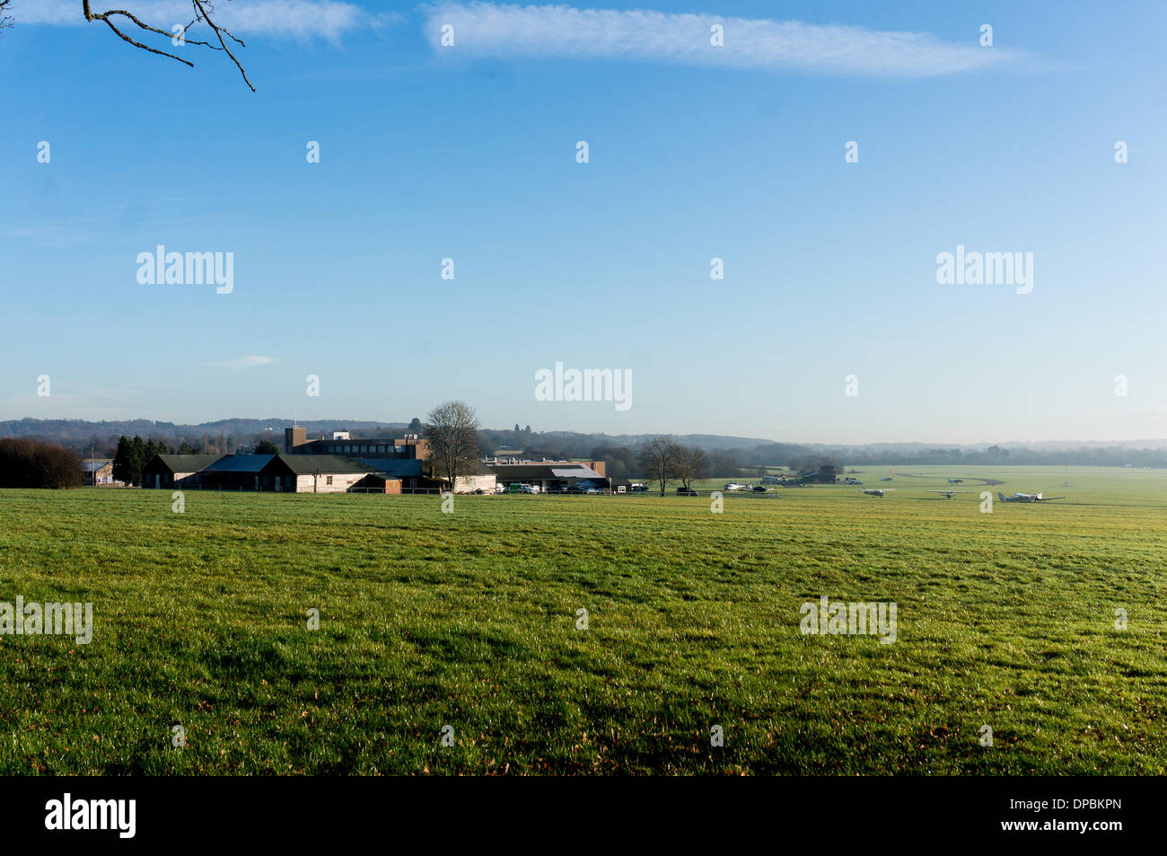 Redhill Aerodrome, Nutfield, Surrey, UK. 10th January 2014. This is a grass Airfieldand the owners want to put a concrete runway down, much to the annoyance of Local residents who Objec. Both Reigate and Banstead and Tandridge councils have refused planning permission and the owners have now gone to the secretary of State to appeal and the hearing is Currently on going. Credit: Malcolm Case-Green/Alamy Live News Stock Photohttps://www.alamy.com/image-license-details/?v=1https://www.alamy.com/redhill-aerodrome-nutfield-surrey-uk-10th-january-2014-this-is-a-grass-image65410541.html
RMDPBKPN–Redhill Aerodrome, Nutfield, Surrey, UK. 10th January 2014. This is a grass Airfieldand the owners want to put a concrete runway down, much to the annoyance of Local residents who Objec. Both Reigate and Banstead and Tandridge councils have refused planning permission and the owners have now gone to the secretary of State to appeal and the hearing is Currently on going. Credit: Malcolm Case-Green/Alamy Live News
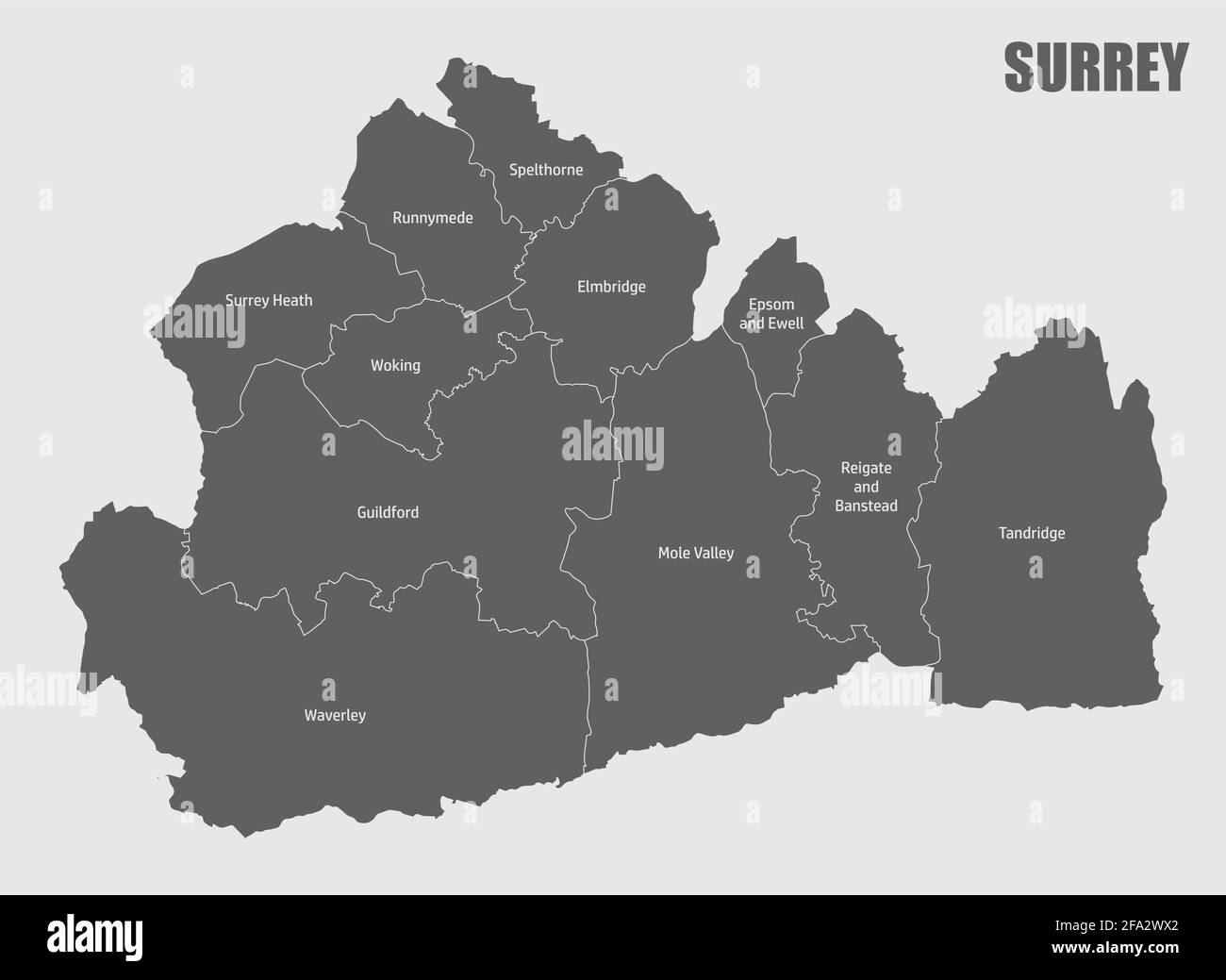 The Surrey county isolated map divided in districts with labels, England Stock Vectorhttps://www.alamy.com/image-license-details/?v=1https://www.alamy.com/the-surrey-county-isolated-map-divided-in-districts-with-labels-england-image419259626.html
RF2FA2WX2–The Surrey county isolated map divided in districts with labels, England
 Highways and byways in Surrey . d silver cups to make a chalice. Theestablishment was less a priory than a small hospice, in whichpoor and needy persons were cared for, and to which wayfarersmight come for refuge ; one of those gentle places for the helpand refreshment of sorrowing men that are set so strangelybefore the days of Tudor cruelties and tortures. The priors WHIPPING STOUT ROGUES 415 hospice welcomed and comforted the tired poor; EHzabcthsage beat them, men and women, for sturdy rogues. Later Tandridge history centres round the church andTandridge Court. Tandridge Court has had nobl Stock Photohttps://www.alamy.com/image-license-details/?v=1https://www.alamy.com/highways-and-byways-in-surrey-d-silver-cups-to-make-a-chalice-theestablishment-was-less-a-priory-than-a-small-hospice-in-whichpoor-and-needy-persons-were-cared-for-and-to-which-wayfarersmight-come-for-refuge-one-of-those-gentle-places-for-the-helpand-refreshment-of-sorrowing-men-that-are-set-so-strangelybefore-the-days-of-tudor-cruelties-and-tortures-the-priors-whipping-stout-rogues-415-hospice-welcomed-and-comforted-the-tired-poor-ehzabcthsage-beat-them-men-and-women-for-sturdy-rogues-later-tandridge-history-centres-round-the-church-andtandridge-court-tandridge-court-has-had-nobl-image339053911.html
RM2AKH6M7–Highways and byways in Surrey . d silver cups to make a chalice. Theestablishment was less a priory than a small hospice, in whichpoor and needy persons were cared for, and to which wayfarersmight come for refuge ; one of those gentle places for the helpand refreshment of sorrowing men that are set so strangelybefore the days of Tudor cruelties and tortures. The priors WHIPPING STOUT ROGUES 415 hospice welcomed and comforted the tired poor; EHzabcthsage beat them, men and women, for sturdy rogues. Later Tandridge history centres round the church andTandridge Court. Tandridge Court has had nobl
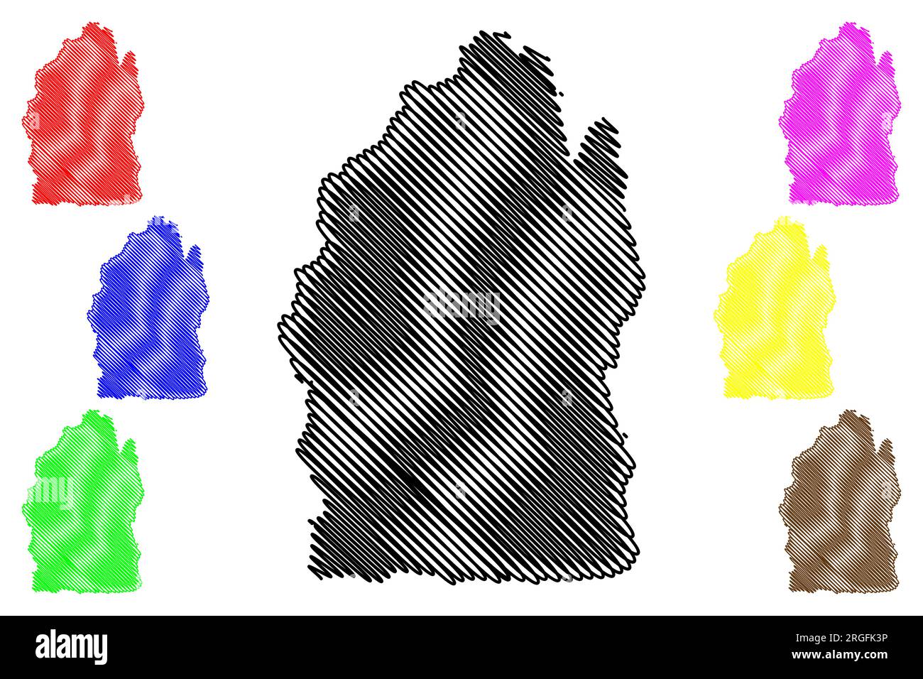 Tandridge Non-metropolitan district (United Kingdom of Great Britain and Northern Ireland, ceremonial county Surrey, England) map vector illustration, Stock Vectorhttps://www.alamy.com/image-license-details/?v=1https://www.alamy.com/tandridge-non-metropolitan-district-united-kingdom-of-great-britain-and-northern-ireland-ceremonial-county-surrey-england-map-vector-illustration-image560910554.html
RF2RGFK3P–Tandridge Non-metropolitan district (United Kingdom of Great Britain and Northern Ireland, ceremonial county Surrey, England) map vector illustration,
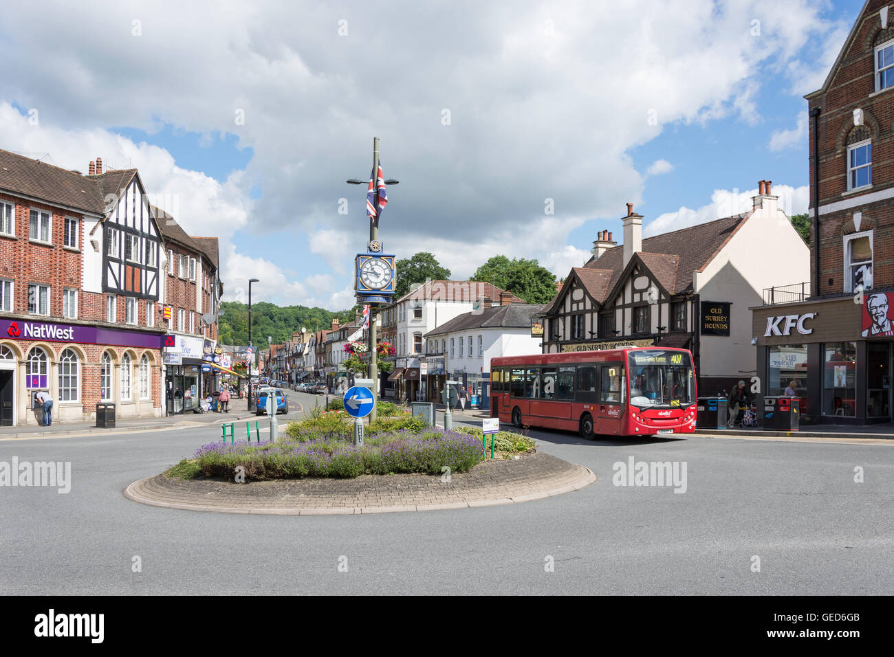 The Square, Caterham, Surrey, England, United Kingdom Stock Photohttps://www.alamy.com/image-license-details/?v=1https://www.alamy.com/stock-photo-the-square-caterham-surrey-england-united-kingdom-112157931.html
RMGED6GB–The Square, Caterham, Surrey, England, United Kingdom
 Tandridge, Surrey, GB, United Kingdom, England, N 51 14' 16'', S 0 1' 58'', map, Cartascapes Map published in 2024. Explore Cartascapes, a map revealing Earth's diverse landscapes, cultures, and ecosystems. Journey through time and space, discovering the interconnectedness of our planet's past, present, and future. Stock Photohttps://www.alamy.com/image-license-details/?v=1https://www.alamy.com/tandridge-surrey-gb-united-kingdom-england-n-51-14-16-s-0-1-58-map-cartascapes-map-published-in-2024-explore-cartascapes-a-map-revealing-earths-diverse-landscapes-cultures-and-ecosystems-journey-through-time-and-space-discovering-the-interconnectedness-of-our-planets-past-present-and-future-image604148020.html
RM2X2W8Y0–Tandridge, Surrey, GB, United Kingdom, England, N 51 14' 16'', S 0 1' 58'', map, Cartascapes Map published in 2024. Explore Cartascapes, a map revealing Earth's diverse landscapes, cultures, and ecosystems. Journey through time and space, discovering the interconnectedness of our planet's past, present, and future.
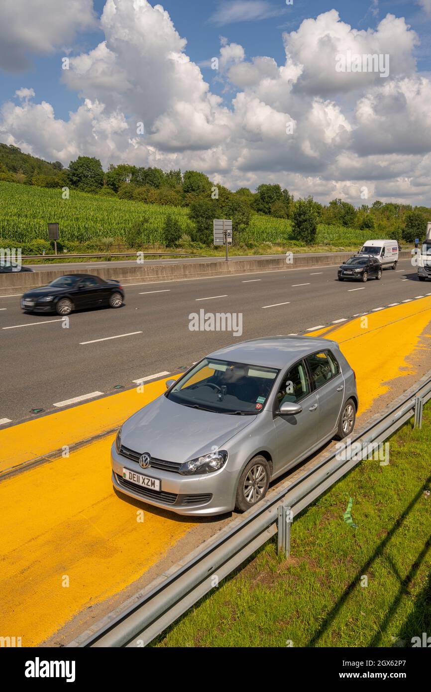 A broken down VW Golf parked in the safety refuge area on the M25 near Godstone Surrey. Stock Photohttps://www.alamy.com/image-license-details/?v=1https://www.alamy.com/a-broken-down-vw-golf-parked-in-the-safety-refuge-area-on-the-m25-near-godstone-surrey-image446374159.html
RM2GX62P7–A broken down VW Golf parked in the safety refuge area on the M25 near Godstone Surrey.
 Macro image of wheat in a field in Tandridge Surrey Stock Photohttps://www.alamy.com/image-license-details/?v=1https://www.alamy.com/macro-image-of-wheat-in-a-field-in-tandridge-surrey-image441332840.html
RF2GJ0CF4–Macro image of wheat in a field in Tandridge Surrey
 The village Cage Lingfield Surrey. The cage, last used in 1882 to hold a poacher, was built in 1773. Stock Photohttps://www.alamy.com/image-license-details/?v=1https://www.alamy.com/the-village-cage-lingfield-surrey-the-cage-last-used-in-1882-to-hold-image6054614.html
RMA2TWH7–The village Cage Lingfield Surrey. The cage, last used in 1882 to hold a poacher, was built in 1773.
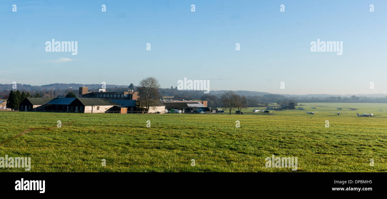 Redhill Aerodrome, Nutfield, Surrey, UK. 10th January 2014. This is a grass Airfield and the owners want to put a concrete runway down, much to the annoyance of Local residents who Objec. Both Reigate and Banstead and Tandridge councils have refused planning permission and the owners have now gone to the secretary of State to appeal and the hearing is Currently on going. please note this is a merged panorama Credit: Malcolm Case-Green/Alamy Live News Stock Photohttps://www.alamy.com/image-license-details/?v=1https://www.alamy.com/redhill-aerodrome-nutfield-surrey-uk-10th-january-2014-this-is-a-grass-image65411169.html
RMDPBMH5–Redhill Aerodrome, Nutfield, Surrey, UK. 10th January 2014. This is a grass Airfield and the owners want to put a concrete runway down, much to the annoyance of Local residents who Objec. Both Reigate and Banstead and Tandridge councils have refused planning permission and the owners have now gone to the secretary of State to appeal and the hearing is Currently on going. please note this is a merged panorama Credit: Malcolm Case-Green/Alamy Live News
 Spraying wheat in Godstone, Surrey, uk Stock Photohttps://www.alamy.com/image-license-details/?v=1https://www.alamy.com/stock-photo-spraying-wheat-in-godstone-surrey-uk-35284412.html
RMC1B9HG–Spraying wheat in Godstone, Surrey, uk
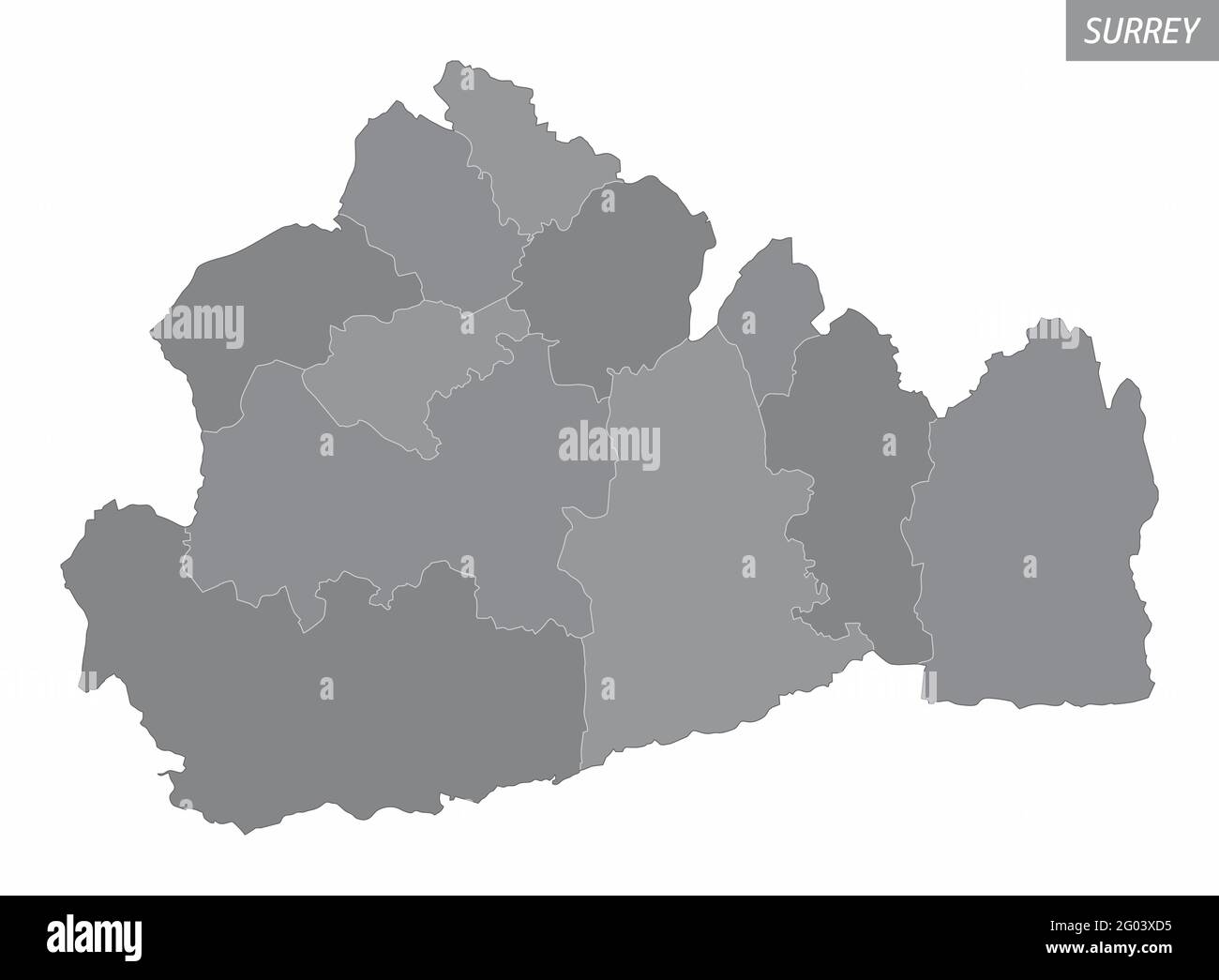 The Surrey County administrative map divided in grayscale and isolated on white background, England Stock Vectorhttps://www.alamy.com/image-license-details/?v=1https://www.alamy.com/the-surrey-county-administrative-map-divided-in-grayscale-and-isolated-on-white-background-england-image430345809.html
RF2G03XD5–The Surrey County administrative map divided in grayscale and isolated on white background, England
 . The Victoria history of the county of Surrey. Natural history. ^CCV>ES1ASTICAL.,,.J^ OF Surrey Showing Rural Deaneries in 1535 and Religious Housps Scale. RELIGIOUS HOUSES. BENEDICTINE MONKS. 1. Chertsey Abbey. CLUNIAC MONKS. 2. Bermondsey Abbey. CISTERCIAN MONKS. J. Waverley Abbey. CARTHUSIAN MONKS. 4. Sheen Prioi^. AUSTIN CANONS. 5. Merton Priory. 6. Newark Priory, (Guildford.) 7. Reigate Priory. 8. Southwark Priory. 9. Tandridge Priory. FRIARS. 10. Guildford, Dominicans. 11. Richmond, Observants. HOSPITALS. 12. Newington. 13. Sandon. 14. Southwark, St. Thomas the Martyr. 15. Southwark, Stock Photohttps://www.alamy.com/image-license-details/?v=1https://www.alamy.com/the-victoria-history-of-the-county-of-surrey-natural-history-ccvgtes1asticalj-of-surrey-showing-rural-deaneries-in-1535-and-religious-housps-scale-religious-houses-benedictine-monks-1-chertsey-abbey-cluniac-monks-2-bermondsey-abbey-cistercian-monks-j-waverley-abbey-carthusian-monks-4-sheen-prioi-austin-canons-5-merton-priory-6-newark-priory-guildford-7-reigate-priory-8-southwark-priory-9-tandridge-priory-friars-10-guildford-dominicans-11-richmond-observants-hospitals-12-newington-13-sandon-14-southwark-st-thomas-the-martyr-15-southwark-image232062304.html
RMRDF9RC–. The Victoria history of the county of Surrey. Natural history. ^CCV>ES1ASTICAL.,,.J^ OF Surrey Showing Rural Deaneries in 1535 and Religious Housps Scale. RELIGIOUS HOUSES. BENEDICTINE MONKS. 1. Chertsey Abbey. CLUNIAC MONKS. 2. Bermondsey Abbey. CISTERCIAN MONKS. J. Waverley Abbey. CARTHUSIAN MONKS. 4. Sheen Prioi^. AUSTIN CANONS. 5. Merton Priory. 6. Newark Priory, (Guildford.) 7. Reigate Priory. 8. Southwark Priory. 9. Tandridge Priory. FRIARS. 10. Guildford, Dominicans. 11. Richmond, Observants. HOSPITALS. 12. Newington. 13. Sandon. 14. Southwark, St. Thomas the Martyr. 15. Southwark,
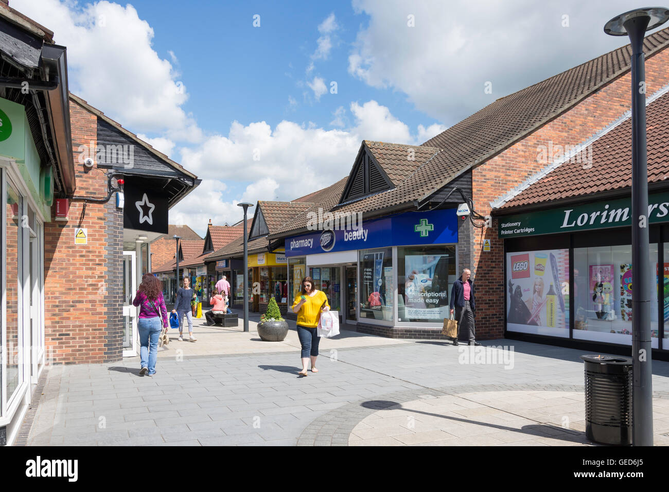 Church Walk Shopping Centre, Caterham, Surrey, England, United Kingdom Stock Photohttps://www.alamy.com/image-license-details/?v=1https://www.alamy.com/stock-photo-church-walk-shopping-centre-caterham-surrey-england-united-kingdom-112157981.html
RMGED6J5–Church Walk Shopping Centre, Caterham, Surrey, England, United Kingdom
 Tandridge, Surrey, GB, United Kingdom, England, N 51 14' 16'', S 0 1' 58'', map, Cartascapes Map published in 2024. Explore Cartascapes, a map revealing Earth's diverse landscapes, cultures, and ecosystems. Journey through time and space, discovering the interconnectedness of our planet's past, present, and future. Stock Photohttps://www.alamy.com/image-license-details/?v=1https://www.alamy.com/tandridge-surrey-gb-united-kingdom-england-n-51-14-16-s-0-1-58-map-cartascapes-map-published-in-2024-explore-cartascapes-a-map-revealing-earths-diverse-landscapes-cultures-and-ecosystems-journey-through-time-and-space-discovering-the-interconnectedness-of-our-planets-past-present-and-future-image604148012.html
RM2X2W8XM–Tandridge, Surrey, GB, United Kingdom, England, N 51 14' 16'', S 0 1' 58'', map, Cartascapes Map published in 2024. Explore Cartascapes, a map revealing Earth's diverse landscapes, cultures, and ecosystems. Journey through time and space, discovering the interconnectedness of our planet's past, present, and future.
 The village Cage Lingfield Surrey. The cage, last used in 1882 to hold a poacher, was built in 1773. Stock Photohttps://www.alamy.com/image-license-details/?v=1https://www.alamy.com/the-village-cage-lingfield-surrey-the-cage-last-used-in-1882-to-hold-image6054617.html
RMA2TWHA–The village Cage Lingfield Surrey. The cage, last used in 1882 to hold a poacher, was built in 1773.
 Spraying wheat in Godstone, Surrey, uk Stock Photohttps://www.alamy.com/image-license-details/?v=1https://www.alamy.com/stock-photo-spraying-wheat-in-godstone-surrey-uk-35284400.html
RMC1B9H4–Spraying wheat in Godstone, Surrey, uk
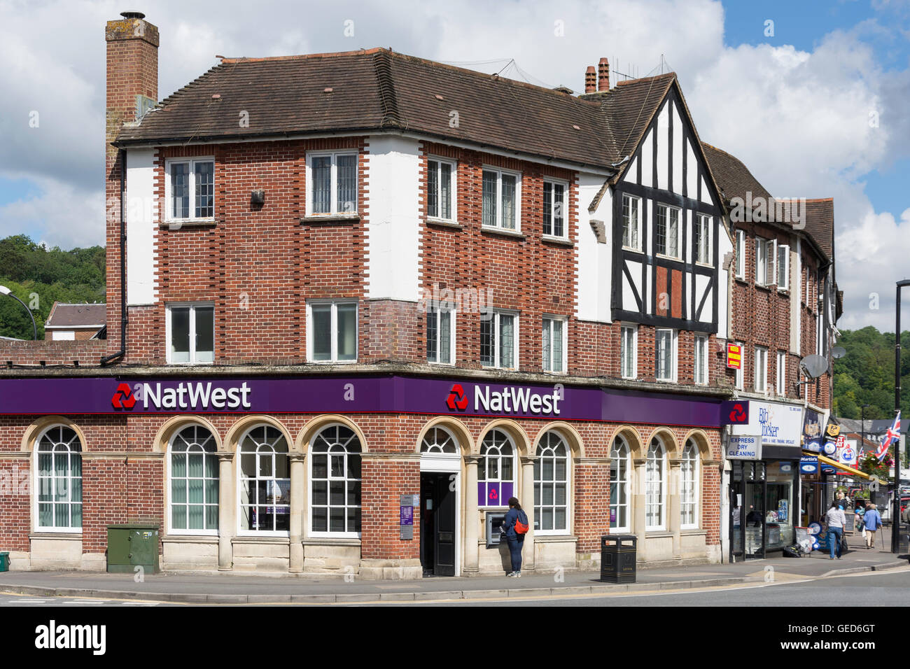 NatWest Bank, The Square, Caterham, Surrey, England, United Kingdom Stock Photohttps://www.alamy.com/image-license-details/?v=1https://www.alamy.com/stock-photo-natwest-bank-the-square-caterham-surrey-england-united-kingdom-112157944.html
RMGED6GT–NatWest Bank, The Square, Caterham, Surrey, England, United Kingdom
 The village Cage Lingfield Surrey. The cage, last used in 1882 to hold a poacher, was built in 1773. Stock Photohttps://www.alamy.com/image-license-details/?v=1https://www.alamy.com/the-village-cage-lingfield-surrey-the-cage-last-used-in-1882-to-hold-image6054612.html
RMA2TWH5–The village Cage Lingfield Surrey. The cage, last used in 1882 to hold a poacher, was built in 1773.
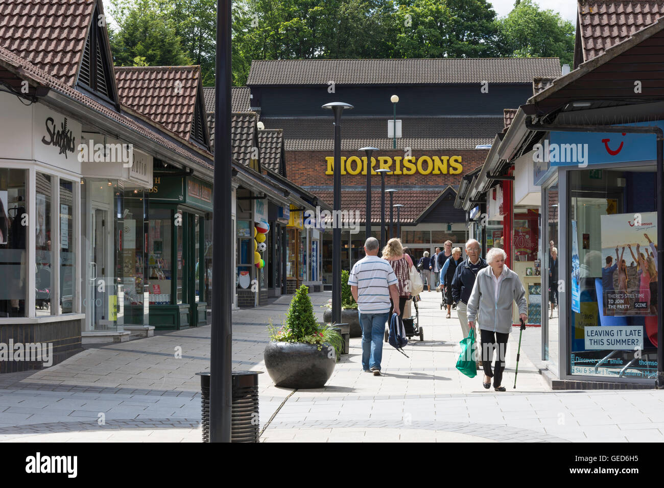 Church Walk Shopping Centre, Caterham, Surrey, England, United Kingdom Stock Photohttps://www.alamy.com/image-license-details/?v=1https://www.alamy.com/stock-photo-church-walk-shopping-centre-caterham-surrey-england-united-kingdom-112157953.html
RMGED6H5–Church Walk Shopping Centre, Caterham, Surrey, England, United Kingdom
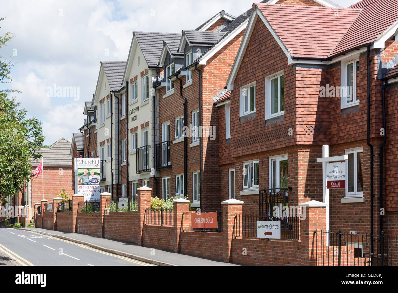 Churchill Retirement Apartments, Stafford Road, Caterham, Surrey, England, United Kingdom Stock Photohttps://www.alamy.com/image-license-details/?v=1https://www.alamy.com/stock-photo-churchill-retirement-apartments-stafford-road-caterham-surrey-england-112158022.html
RMGED6KJ–Churchill Retirement Apartments, Stafford Road, Caterham, Surrey, England, United Kingdom
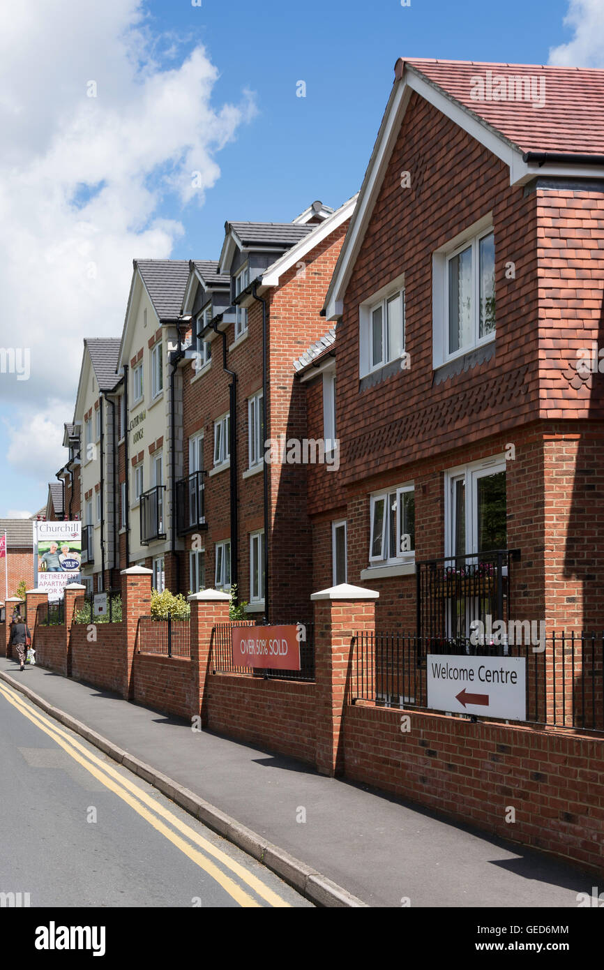 Churchill Retirement Apartments, Stafford Road, Caterham, Surrey, England, United Kingdom Stock Photohttps://www.alamy.com/image-license-details/?v=1https://www.alamy.com/stock-photo-churchill-retirement-apartments-stafford-road-caterham-surrey-england-112158052.html
RMGED6MM–Churchill Retirement Apartments, Stafford Road, Caterham, Surrey, England, United Kingdom
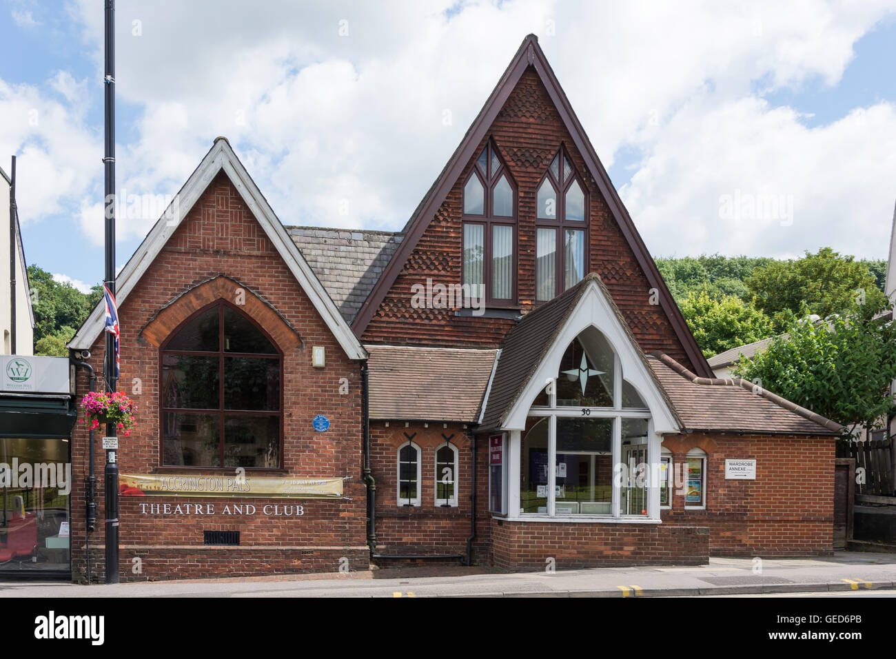 The Miller Centre Theatre, Warwick Road, Caterham, Surrey, England, United Kingdom Stock Photohttps://www.alamy.com/image-license-details/?v=1https://www.alamy.com/stock-photo-the-miller-centre-theatre-warwick-road-caterham-surrey-england-united-112158099.html
RMGED6PB–The Miller Centre Theatre, Warwick Road, Caterham, Surrey, England, United Kingdom
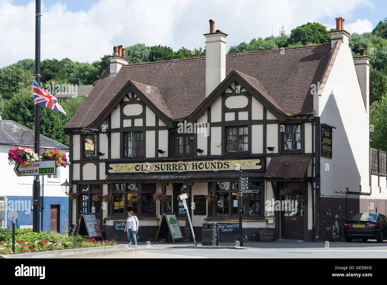 The Old Surrey Hounds Pub, The Square, Caterham, Surrey, England, United Kingdom Stock Photohttps://www.alamy.com/image-license-details/?v=1https://www.alamy.com/stock-photo-the-old-surrey-hounds-pub-the-square-caterham-surrey-england-united-112157950.html
RMGED6H2–The Old Surrey Hounds Pub, The Square, Caterham, Surrey, England, United Kingdom
 Caterham United Reformed Church, Harestone Hill, Caterham, Surrey, England, United Kingdom Stock Photohttps://www.alamy.com/image-license-details/?v=1https://www.alamy.com/stock-photo-caterham-united-reformed-church-harestone-hill-caterham-surrey-england-112158044.html
RMGED6MC–Caterham United Reformed Church, Harestone Hill, Caterham, Surrey, England, United Kingdom
 Sports Direct Store, Church Walk Shopping Centre, Caterham, Surrey, England, United Kingdom Stock Photohttps://www.alamy.com/image-license-details/?v=1https://www.alamy.com/stock-photo-sports-direct-store-church-walk-shopping-centre-caterham-surrey-england-112157976.html
RMGED6J0–Sports Direct Store, Church Walk Shopping Centre, Caterham, Surrey, England, United Kingdom