Quick filters:
Tangier map Stock Photos and Images
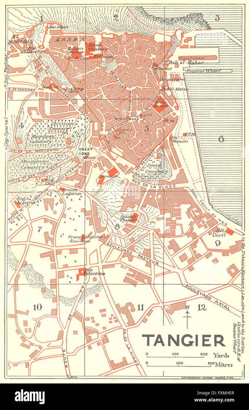 MOROCCO: Tangier, 1929 vintage map Stock Photohttps://www.alamy.com/image-license-details/?v=1https://www.alamy.com/stock-photo-morocco-tangier-1929-vintage-map-102485679.html
RFFXMHER–MOROCCO: Tangier, 1929 vintage map
 View of Tangier and Sale, 1685 Stock Photohttps://www.alamy.com/image-license-details/?v=1https://www.alamy.com/stock-photo-view-of-tangier-and-sale-1685-140691995.html
RMJ4W223–View of Tangier and Sale, 1685
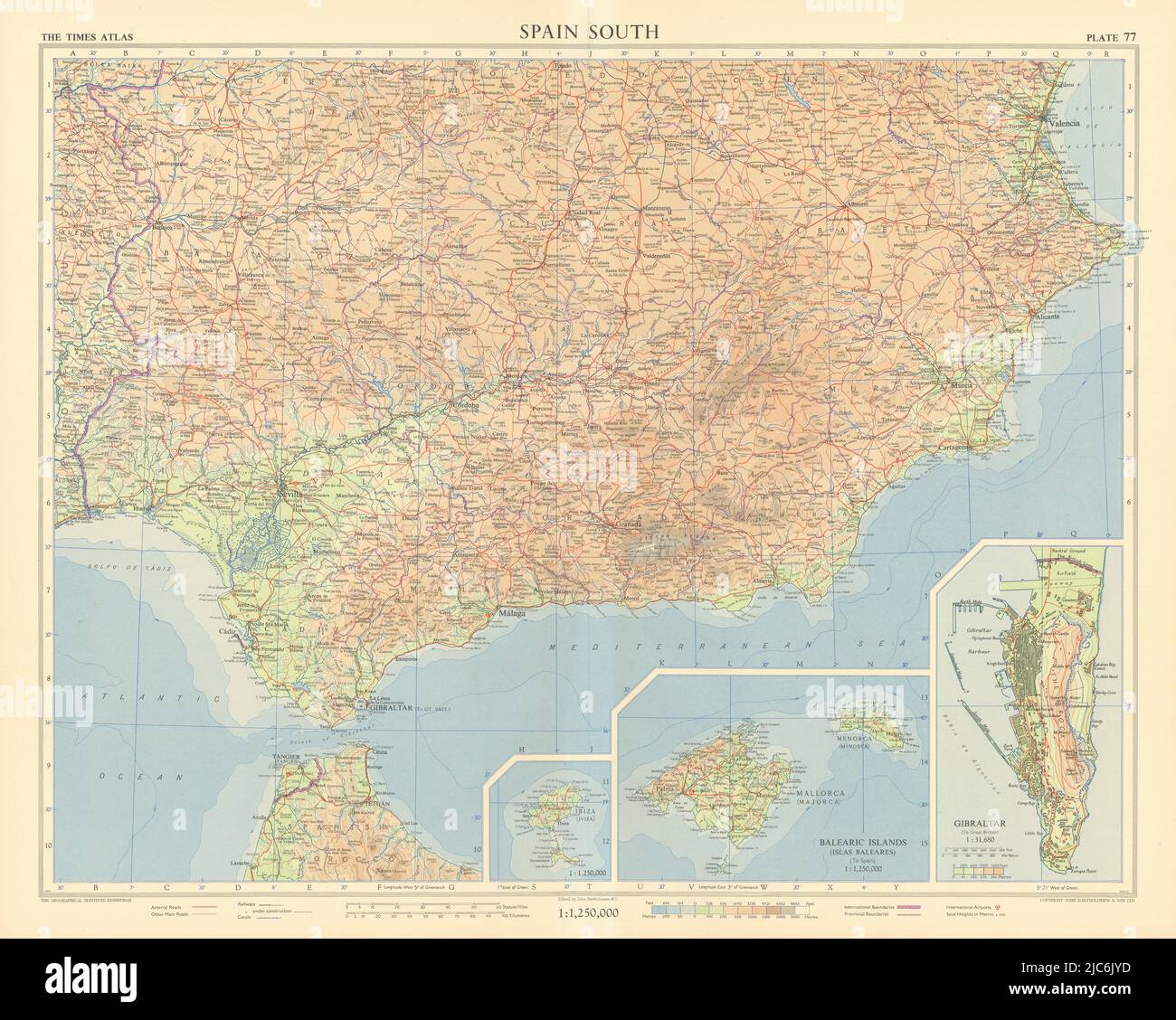 Spain south. Andalucia. Tangier International Zone. Gibraltar. TIMES 1956 map Stock Photohttps://www.alamy.com/image-license-details/?v=1https://www.alamy.com/spain-south-andalucia-tangier-international-zone-gibraltar-times-1956-map-image472202401.html
RF2JC6JYD–Spain south. Andalucia. Tangier International Zone. Gibraltar. TIMES 1956 map
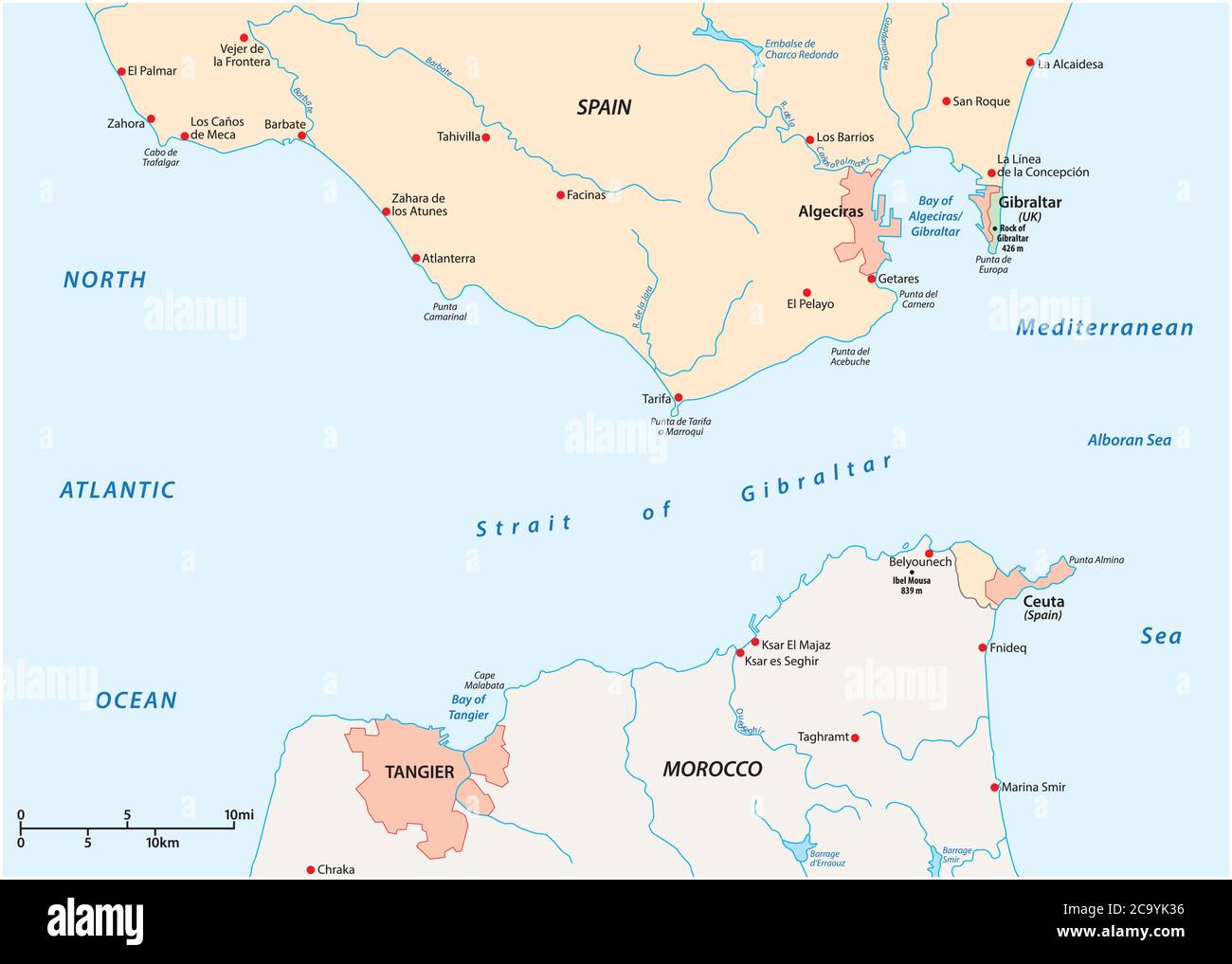 Strait of Gibraltar, waterway between Spain and Morocco vector map Stock Vectorhttps://www.alamy.com/image-license-details/?v=1https://www.alamy.com/strait-of-gibraltar-waterway-between-spain-and-morocco-vector-map-image367557322.html
RF2C9YK36–Strait of Gibraltar, waterway between Spain and Morocco vector map
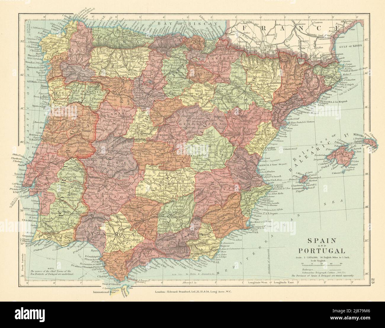 Spain & Portugal. Iberia. Tangier International Zone. STANFORD c1925 old map Stock Photohttps://www.alamy.com/image-license-details/?v=1https://www.alamy.com/spain-portugal-iberia-tangier-international-zone-stanford-c1925-old-map-image469758470.html
RF2J879M6–Spain & Portugal. Iberia. Tangier International Zone. STANFORD c1925 old map
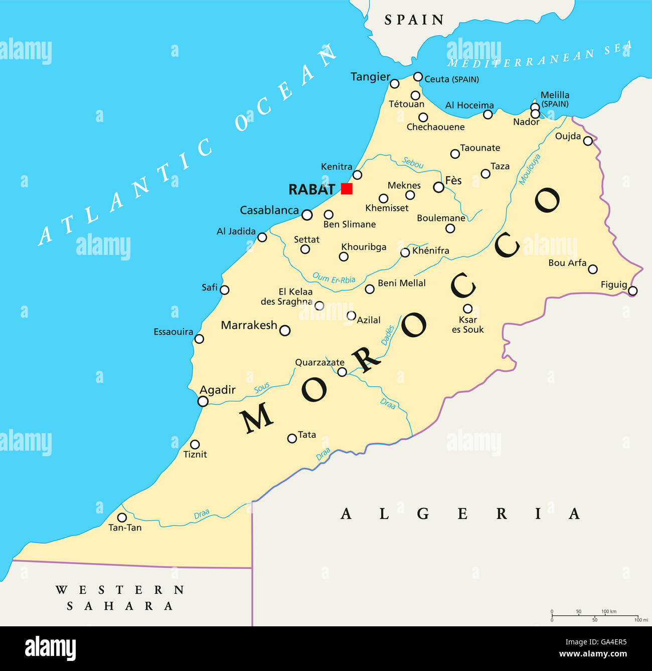 Morocco political map with capital Rabat, national borders, important cities and rivers. Illustration with English labeling. Stock Photohttps://www.alamy.com/image-license-details/?v=1https://www.alamy.com/stock-photo-morocco-political-map-with-capital-rabat-national-borders-important-109508201.html
RFGA4ER5–Morocco political map with capital Rabat, national borders, important cities and rivers. Illustration with English labeling.
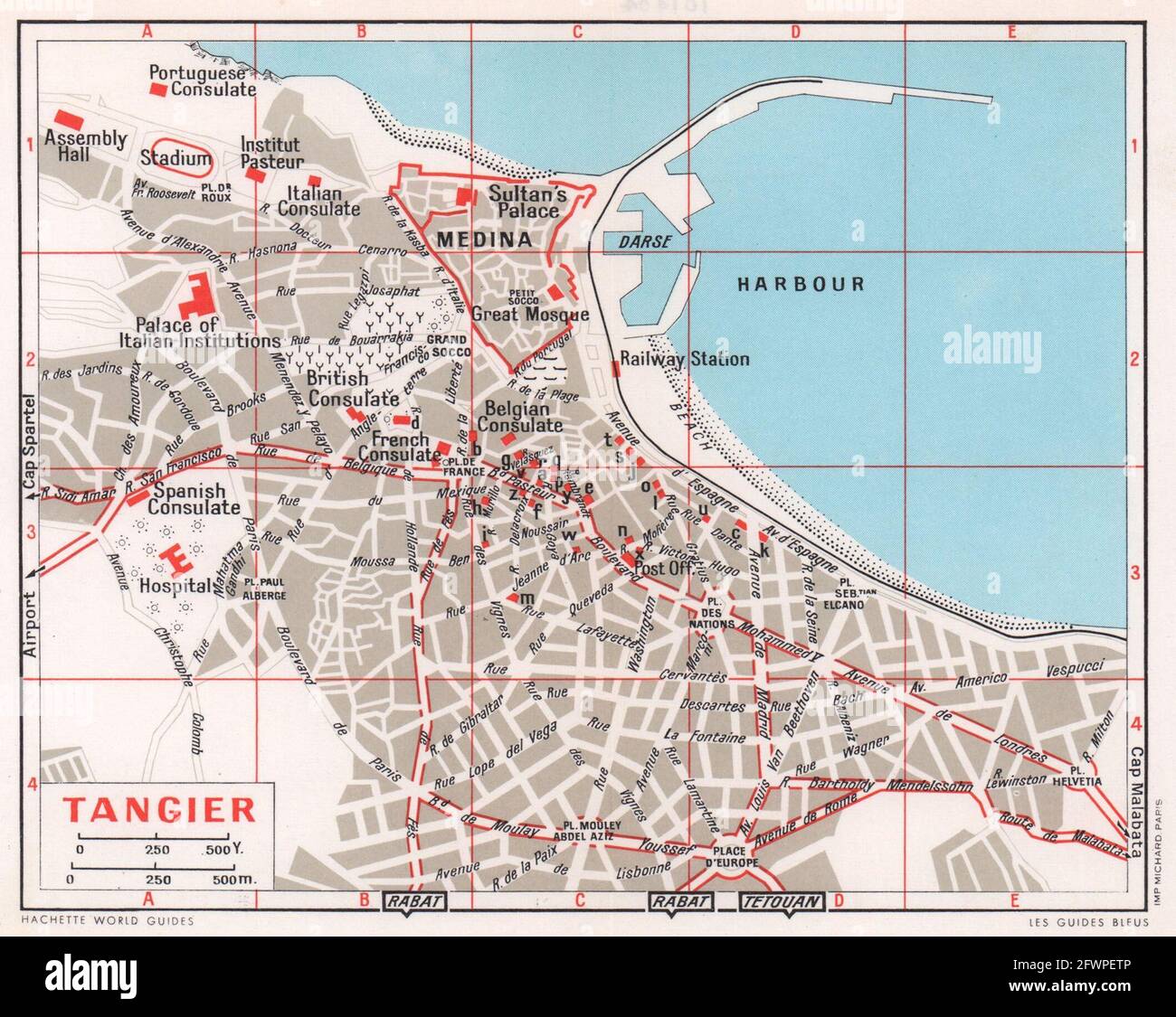 Tangier vintage town city tourist plan. Morocco 1966 old vintage map chart Stock Photohttps://www.alamy.com/image-license-details/?v=1https://www.alamy.com/tangier-vintage-town-city-tourist-plan-morocco-1966-old-vintage-map-chart-image428909846.html
RF2FWPETP–Tangier vintage town city tourist plan. Morocco 1966 old vintage map chart
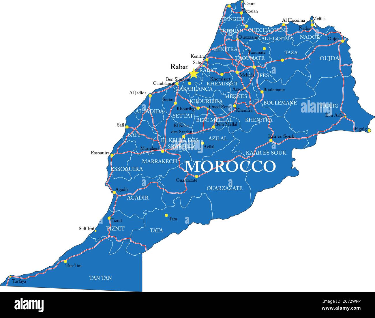 Highly detailed vector map of Morocco with administrative regions, main cities and roads. Stock Vectorhttps://www.alamy.com/image-license-details/?v=1https://www.alamy.com/highly-detailed-vector-map-of-morocco-with-administrative-regions-main-cities-and-roads-image365784462.html
RF2C72WPP–Highly detailed vector map of Morocco with administrative regions, main cities and roads.
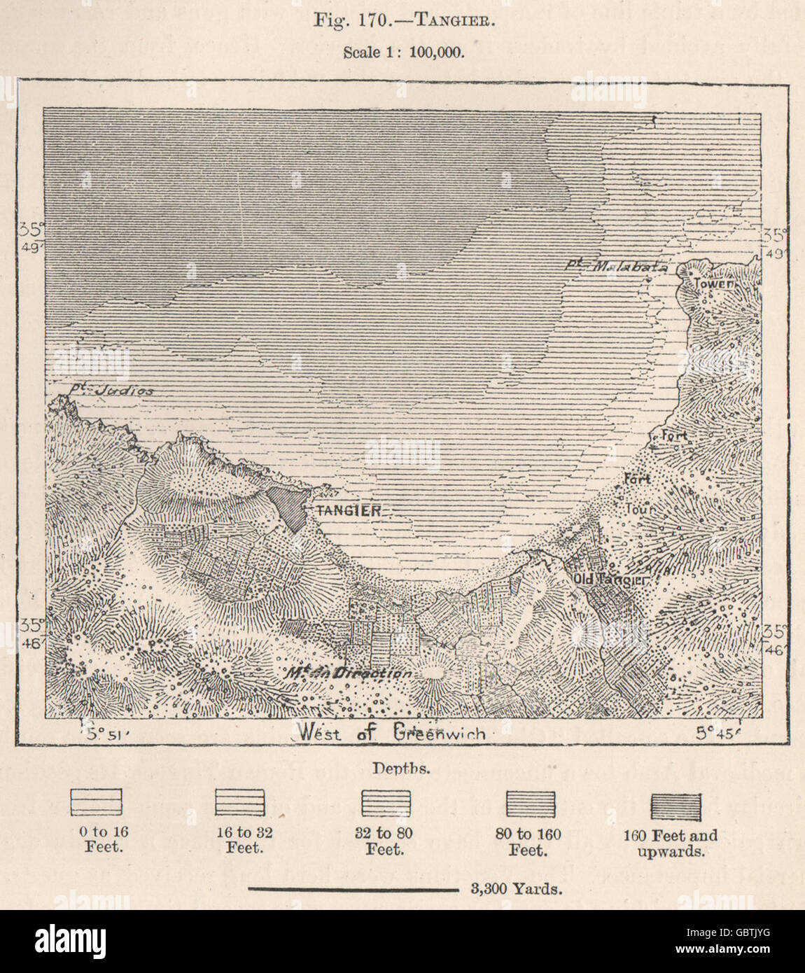 Tangier. Morocco, 1885 antique map Stock Photohttps://www.alamy.com/image-license-details/?v=1https://www.alamy.com/stock-photo-tangier-morocco-1885-antique-map-110565156.html
RFGBTJYG–Tangier. Morocco, 1885 antique map
 Tangier, Accomack County, US, United States, Virginia, N 37 49' 34'', S 75 59' 29'', map, Cartascapes Map published in 2024. Explore Cartascapes, a map revealing Earth's diverse landscapes, cultures, and ecosystems. Journey through time and space, discovering the interconnectedness of our planet's past, present, and future. Stock Photohttps://www.alamy.com/image-license-details/?v=1https://www.alamy.com/tangier-accomack-county-us-united-states-virginia-n-37-49-34-s-75-59-29-map-cartascapes-map-published-in-2024-explore-cartascapes-a-map-revealing-earths-diverse-landscapes-cultures-and-ecosystems-journey-through-time-and-space-discovering-the-interconnectedness-of-our-planets-past-present-and-future-image621217094.html
RM2Y2JTMP–Tangier, Accomack County, US, United States, Virginia, N 37 49' 34'', S 75 59' 29'', map, Cartascapes Map published in 2024. Explore Cartascapes, a map revealing Earth's diverse landscapes, cultures, and ecosystems. Journey through time and space, discovering the interconnectedness of our planet's past, present, and future.
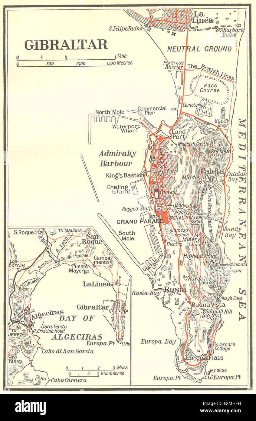 GIBRALTAR: Gibraltar, 1929 vintage map Stock Photohttps://www.alamy.com/image-license-details/?v=1https://www.alamy.com/stock-photo-gibraltar-gibraltar-1929-vintage-map-102485673.html
RFFXMHEH–GIBRALTAR: Gibraltar, 1929 vintage map
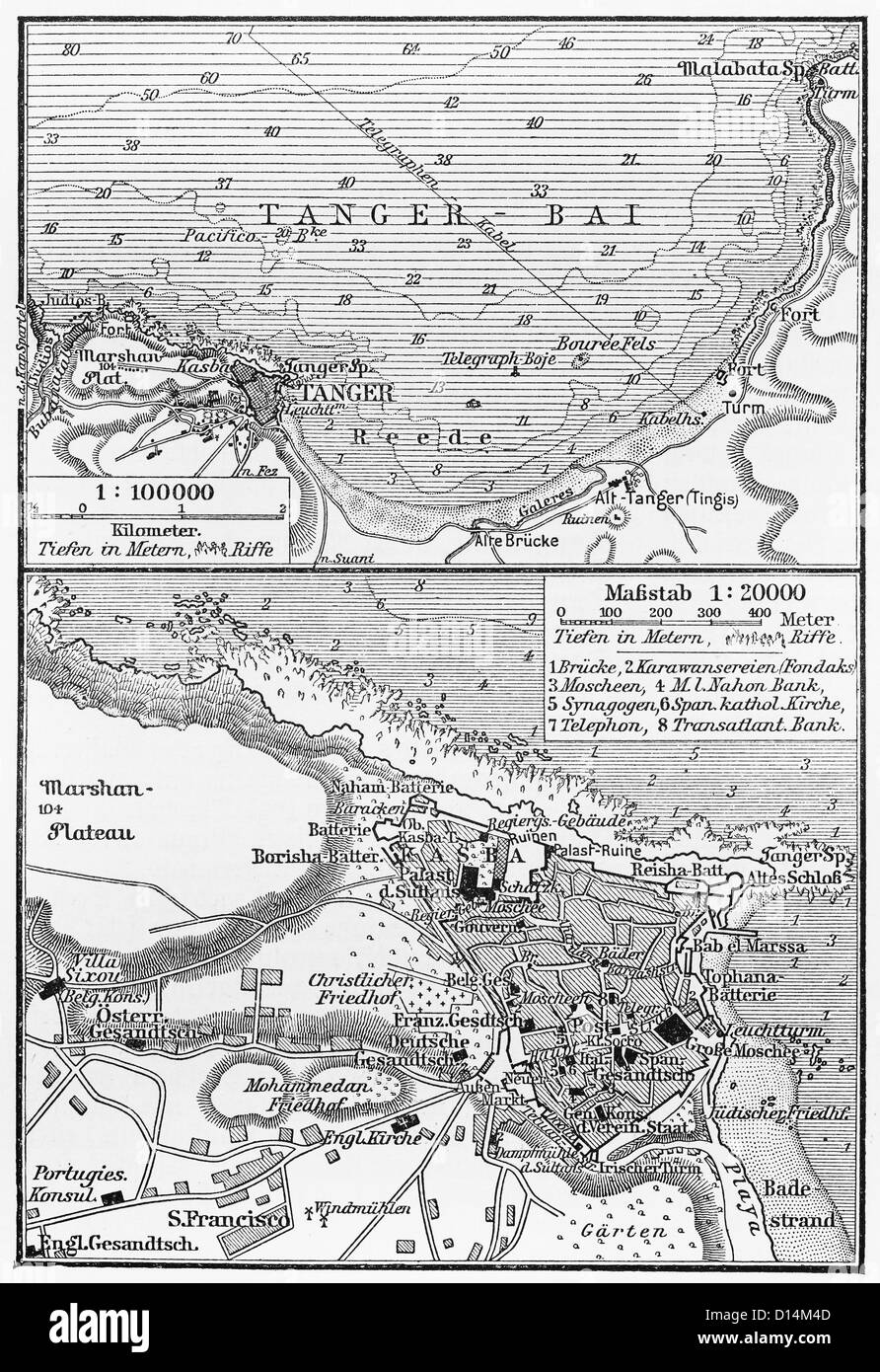 Vintage maps of Tangier at the end of 19th century Stock Photohttps://www.alamy.com/image-license-details/?v=1https://www.alamy.com/stock-photo-vintage-maps-of-tangier-at-the-end-of-19th-century-52349373.html
RFD14M4D–Vintage maps of Tangier at the end of 19th century
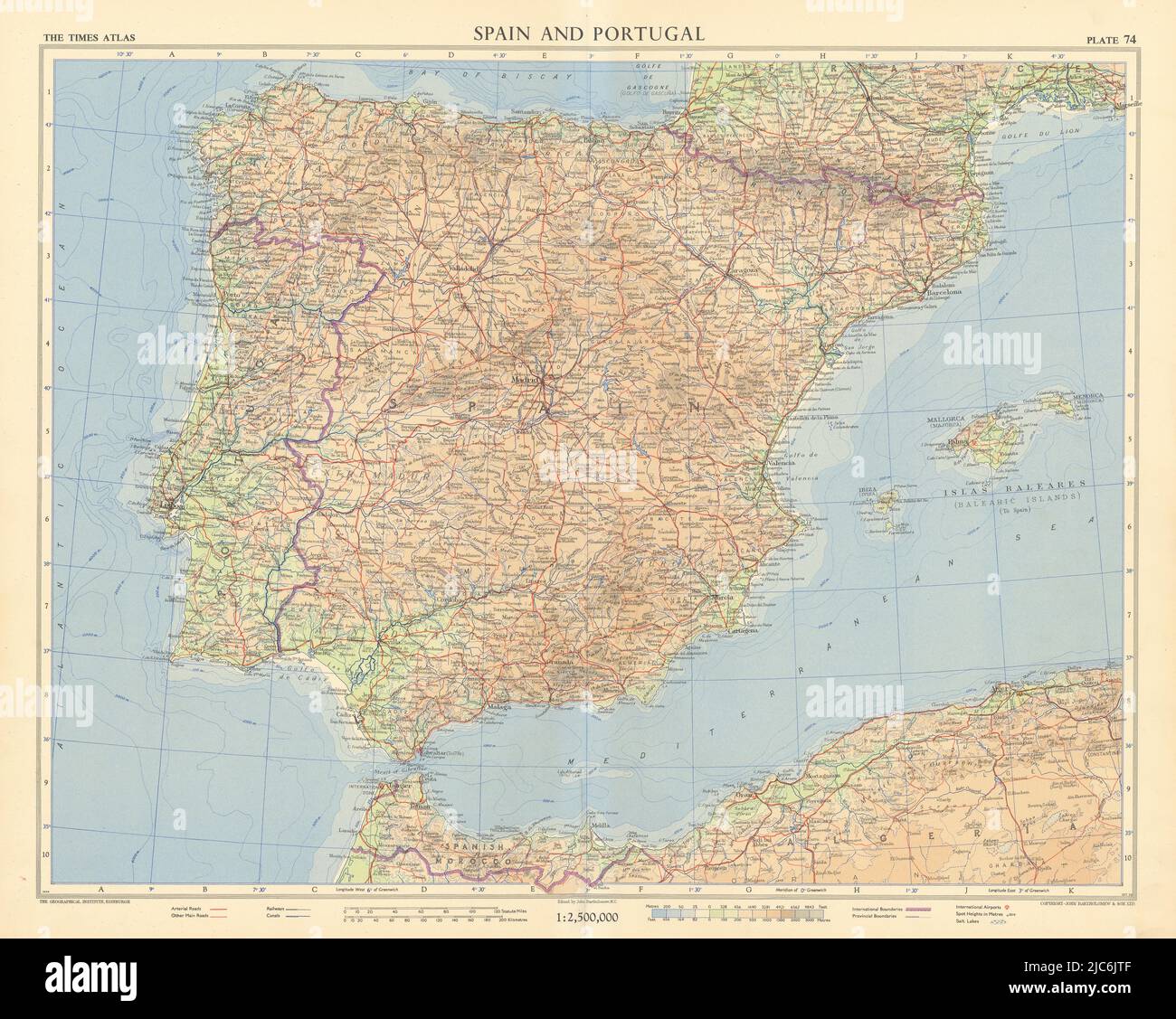 Spain Portugal Iberia Spanish Morocco. Tangier International Zone TIMES 1956 map Stock Photohttps://www.alamy.com/image-license-details/?v=1https://www.alamy.com/spain-portugal-iberia-spanish-morocco-tangier-international-zone-times-1956-map-image472202319.html
RF2JC6JTF–Spain Portugal Iberia Spanish Morocco. Tangier International Zone TIMES 1956 map
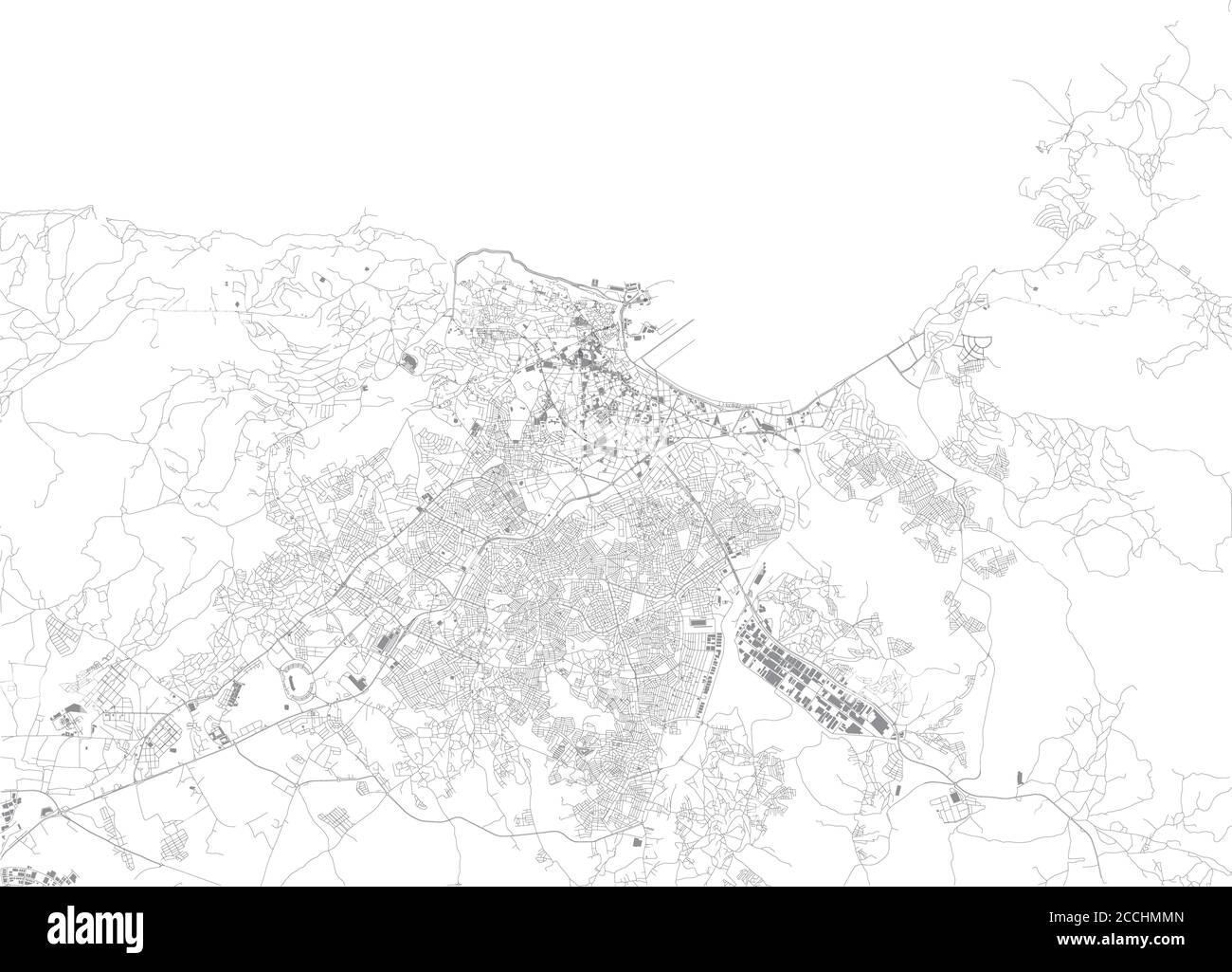 Map of Tangier, satellite view, city, Morocco. Street and building Stock Vectorhttps://www.alamy.com/image-license-details/?v=1https://www.alamy.com/map-of-tangier-satellite-view-city-morocco-street-and-building-image369183045.html
RF2CCHMMN–Map of Tangier, satellite view, city, Morocco. Street and building
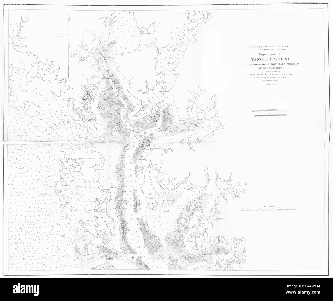 VIRGINIA MARYLAND: USCGS Upper part of Tangier sound chart Oyster beds, 1881 map Stock Photohttps://www.alamy.com/image-license-details/?v=1https://www.alamy.com/stock-photo-virginia-maryland-uscgs-upper-part-of-tangier-sound-chart-oyster-beds-105828804.html
RFG44WM4–VIRGINIA MARYLAND: USCGS Upper part of Tangier sound chart Oyster beds, 1881 map
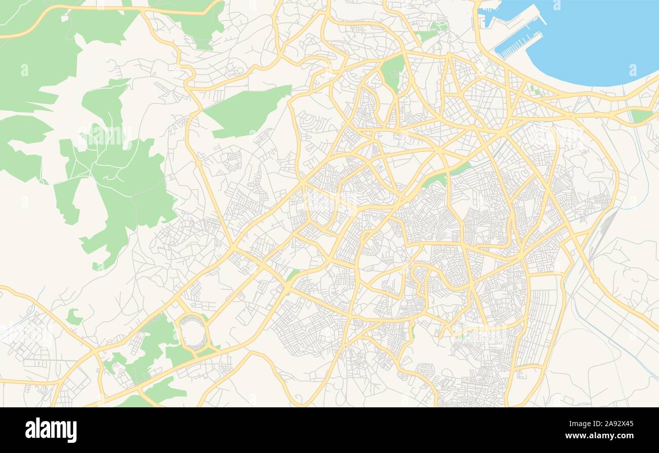 Printable street map of Tangier, Morocco. Map template for business use. Stock Vectorhttps://www.alamy.com/image-license-details/?v=1https://www.alamy.com/printable-street-map-of-tangier-morocco-map-template-for-business-use-image332593301.html
RF2A92X45–Printable street map of Tangier, Morocco. Map template for business use.
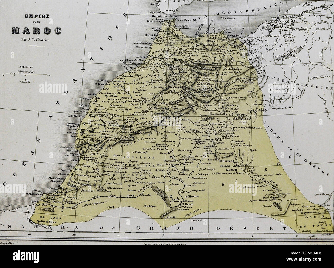 1877 Migeon Map - Morocco - Barbary Coast North Africa Tangier Casa Blanca Fez Marrakech Stock Photohttps://www.alamy.com/image-license-details/?v=1https://www.alamy.com/stock-photo-1877-migeon-map-morocco-barbary-coast-north-africa-tangier-casa-blanca-172919483.html
RFM194FR–1877 Migeon Map - Morocco - Barbary Coast North Africa Tangier Casa Blanca Fez Marrakech
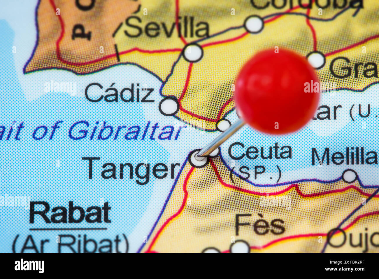 Close-up of a red pushpin in a map of Tanger (Tangier), Morocco. Stock Photohttps://www.alamy.com/image-license-details/?v=1https://www.alamy.com/stock-photo-close-up-of-a-red-pushpin-in-a-map-of-tanger-tangier-morocco-93232371.html
RFFBK2RF–Close-up of a red pushpin in a map of Tanger (Tangier), Morocco.
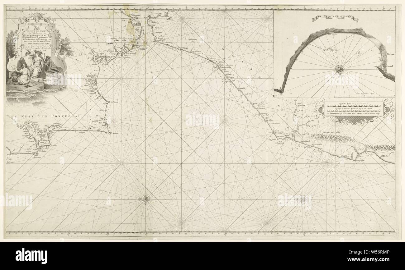 Sea chart of the Strait of Gibraltar and the Bay of Tangier, New pass card of 'the rise of' t Narrow from the Strait, starting on the Spanish coast, from the Barles, and on the Moorish coast, from Sta. Cruz het Naauw (title on object), Sea chart of the Strait of Gibraltar and the Atlantic Ocean and the coasts of Portugal, Spain and the Moorish coast (Morocco). Top right a side map of the Bay of Tangier with compass rose and scale in German miles. Main map itself with North left and two compass roses. On the right two scale sticks in German and English or French miles. On the left a cartouche Stock Photohttps://www.alamy.com/image-license-details/?v=1https://www.alamy.com/sea-chart-of-the-strait-of-gibraltar-and-the-bay-of-tangier-new-pass-card-of-the-rise-of-t-narrow-from-the-strait-starting-on-the-spanish-coast-from-the-barles-and-on-the-moorish-coast-from-sta-cruz-het-naauw-title-on-object-sea-chart-of-the-strait-of-gibraltar-and-the-atlantic-ocean-and-the-coasts-of-portugal-spain-and-the-moorish-coast-morocco-top-right-a-side-map-of-the-bay-of-tangier-with-compass-rose-and-scale-in-german-miles-main-map-itself-with-north-left-and-two-compass-roses-on-the-right-two-scale-sticks-in-german-and-english-or-french-miles-on-the-left-a-cartouche-image261379126.html
RMW56RMP–Sea chart of the Strait of Gibraltar and the Bay of Tangier, New pass card of 'the rise of' t Narrow from the Strait, starting on the Spanish coast, from the Barles, and on the Moorish coast, from Sta. Cruz het Naauw (title on object), Sea chart of the Strait of Gibraltar and the Atlantic Ocean and the coasts of Portugal, Spain and the Moorish coast (Morocco). Top right a side map of the Bay of Tangier with compass rose and scale in German miles. Main map itself with North left and two compass roses. On the right two scale sticks in German and English or French miles. On the left a cartouche
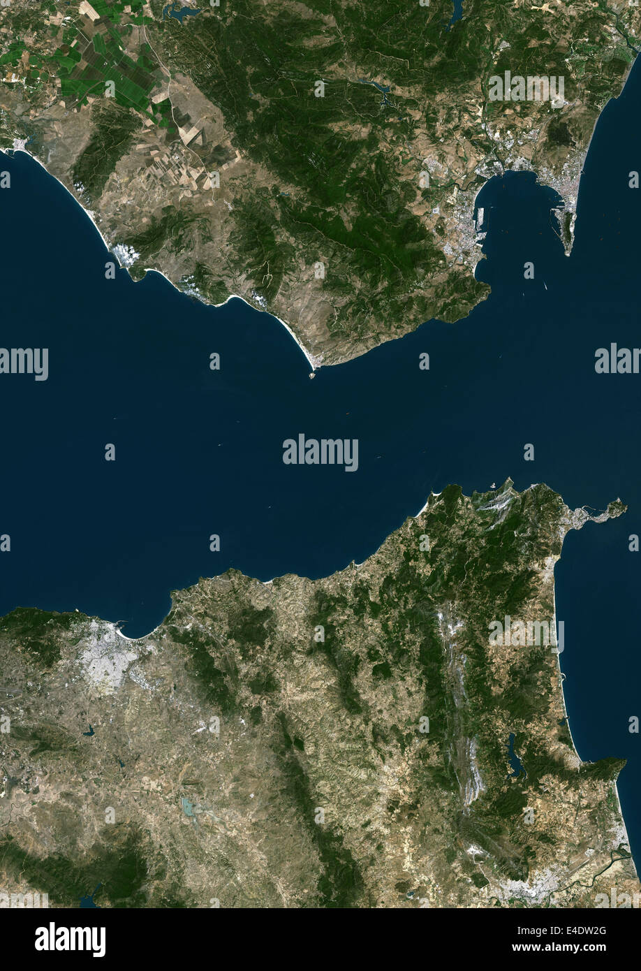 Tangier, Morocco, True Colour Satellite Image. Tangier, Morocco. True colour satellite image of Tangier, a city of northern Moro Stock Photohttps://www.alamy.com/image-license-details/?v=1https://www.alamy.com/stock-photo-tangier-morocco-true-colour-satellite-image-tangier-morocco-true-colour-71605144.html
RME4DW2G–Tangier, Morocco, True Colour Satellite Image. Tangier, Morocco. True colour satellite image of Tangier, a city of northern Moro
 TANGIER MOROCCO Stock Photohttps://www.alamy.com/image-license-details/?v=1https://www.alamy.com/stock-photo-tangier-morocco-85274084.html
RMEXMFY0–TANGIER MOROCCO
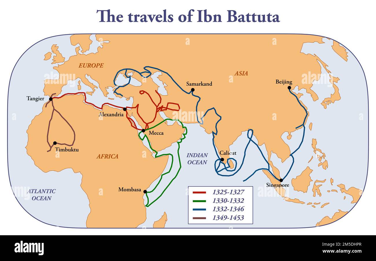 Map of the travels of scholar and explorer Ibn Battuta Stock Photohttps://www.alamy.com/image-license-details/?v=1https://www.alamy.com/map-of-the-travels-of-scholar-and-explorer-ibn-battuta-image502473295.html
RF2M5DHPR–Map of the travels of scholar and explorer Ibn Battuta
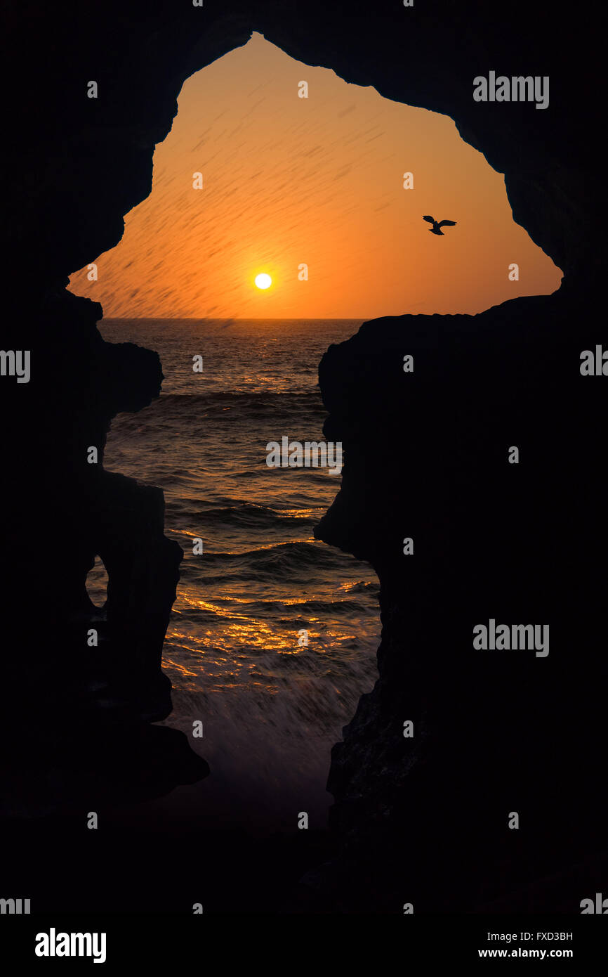 The Caves of Hercules is one of the most popular tourist attractions near Tangier, north of Morocco, representing the map of Afr Stock Photohttps://www.alamy.com/image-license-details/?v=1https://www.alamy.com/stock-photo-the-caves-of-hercules-is-one-of-the-most-popular-tourist-attractions-102320949.html
RFFXD3BH–The Caves of Hercules is one of the most popular tourist attractions near Tangier, north of Morocco, representing the map of Afr
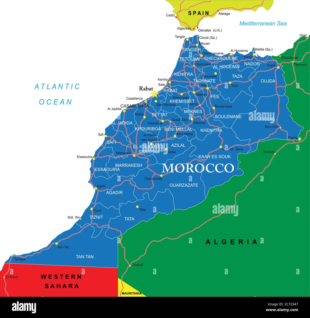 Morocco political map Stock Vectorhttps://www.alamy.com/image-license-details/?v=1https://www.alamy.com/morocco-political-map-image365784727.html
RF2C72X47–Morocco political map
 Views of the medina of the Moroccan city of Tangier Stock Photohttps://www.alamy.com/image-license-details/?v=1https://www.alamy.com/views-of-the-medina-of-the-moroccan-city-of-tangier-image415853533.html
RF2F4FNBW–Views of the medina of the Moroccan city of Tangier
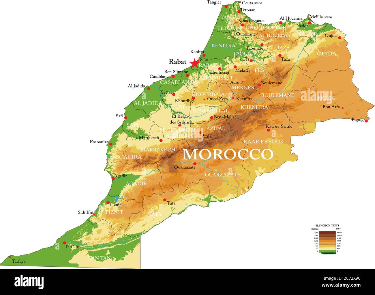 Highly detailed physical map of the Mprocco,in vector format,with all the relief forms,regions and big cities. Stock Vectorhttps://www.alamy.com/image-license-details/?v=1https://www.alamy.com/highly-detailed-physical-map-of-the-mproccoin-vector-formatwith-all-the-relief-formsregions-and-big-cities-image365784872.html
RF2C72X9C–Highly detailed physical map of the Mprocco,in vector format,with all the relief forms,regions and big cities.
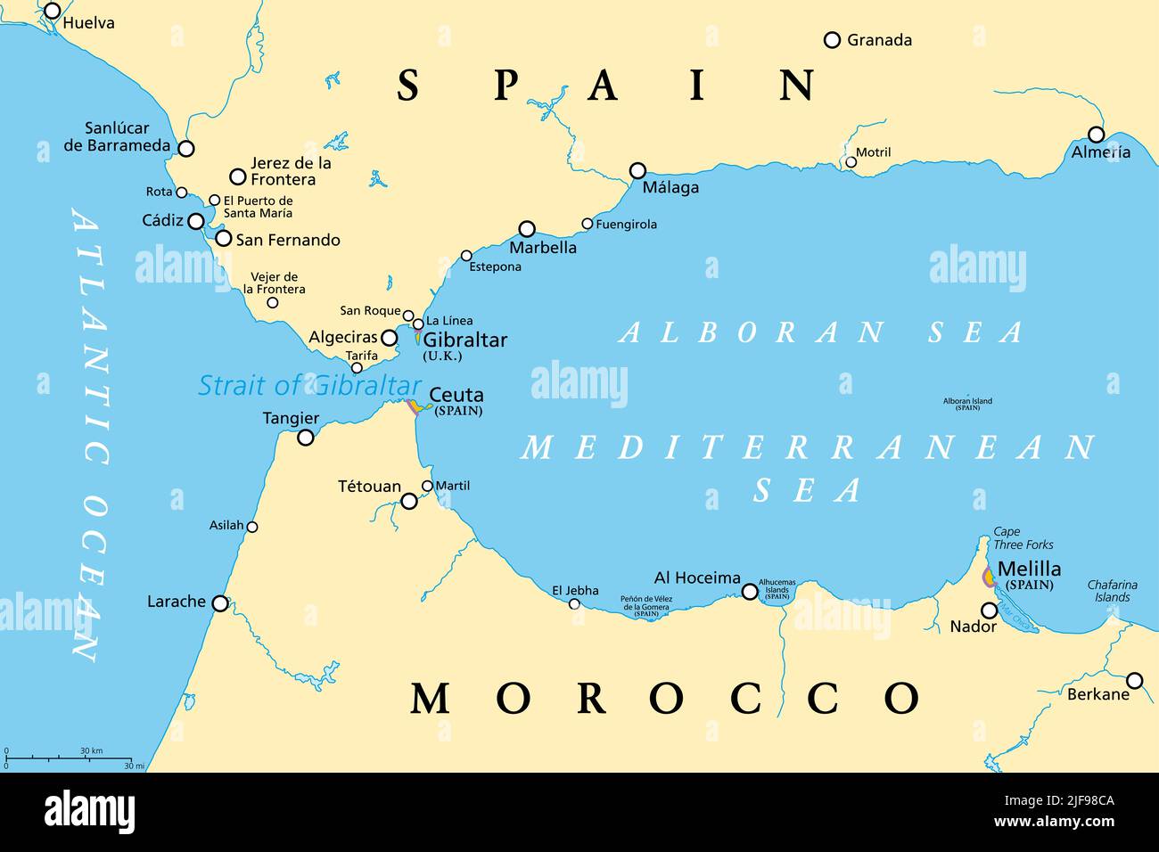 Strait of Gibraltar, political map. Also known as Straits of Gibraltar. Narrow strait, connecting the Atlantic Ocean to the Mediterranean Sea. Stock Photohttps://www.alamy.com/image-license-details/?v=1https://www.alamy.com/strait-of-gibraltar-political-map-also-known-as-straits-of-gibraltar-narrow-strait-connecting-the-atlantic-ocean-to-the-mediterranean-sea-image474103962.html
RF2JF98CA–Strait of Gibraltar, political map. Also known as Straits of Gibraltar. Narrow strait, connecting the Atlantic Ocean to the Mediterranean Sea.
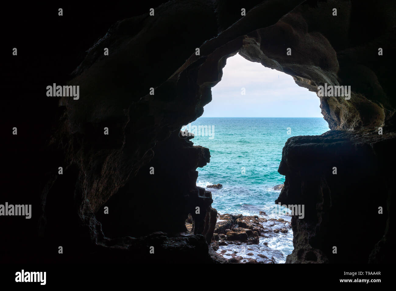 Caves of Hercule in Cape Spartel at the entrance of the strait of Gibraltar near Tangier in Morocco Stock Photohttps://www.alamy.com/image-license-details/?v=1https://www.alamy.com/caves-of-hercule-in-cape-spartel-at-the-entrance-of-the-strait-of-gibraltar-near-tangier-in-morocco-image246704551.html
RFT9AA4R–Caves of Hercule in Cape Spartel at the entrance of the strait of Gibraltar near Tangier in Morocco
 Tangier, Canada, Nova Scotia, N 44 48' 0'', W 62 41' 55'', map, Timeless Map published in 2021. Travelers, explorers and adventurers like Florence Nightingale, David Livingstone, Ernest Shackleton, Lewis and Clark and Sherlock Holmes relied on maps to plan travels to the world's most remote corners, Timeless Maps is mapping most locations on the globe, showing the achievement of great dreams Stock Photohttps://www.alamy.com/image-license-details/?v=1https://www.alamy.com/tangier-canada-nova-scotia-n-44-48-0-w-62-41-55-map-timeless-map-published-in-2021-travelers-explorers-and-adventurers-like-florence-nightingale-david-livingstone-ernest-shackleton-lewis-and-clark-and-sherlock-holmes-relied-on-maps-to-plan-travels-to-the-worlds-most-remote-corners-timeless-maps-is-mapping-most-locations-on-the-globe-showing-the-achievement-of-great-dreams-image457887244.html
RM2HGXFRT–Tangier, Canada, Nova Scotia, N 44 48' 0'', W 62 41' 55'', map, Timeless Map published in 2021. Travelers, explorers and adventurers like Florence Nightingale, David Livingstone, Ernest Shackleton, Lewis and Clark and Sherlock Holmes relied on maps to plan travels to the world's most remote corners, Timeless Maps is mapping most locations on the globe, showing the achievement of great dreams
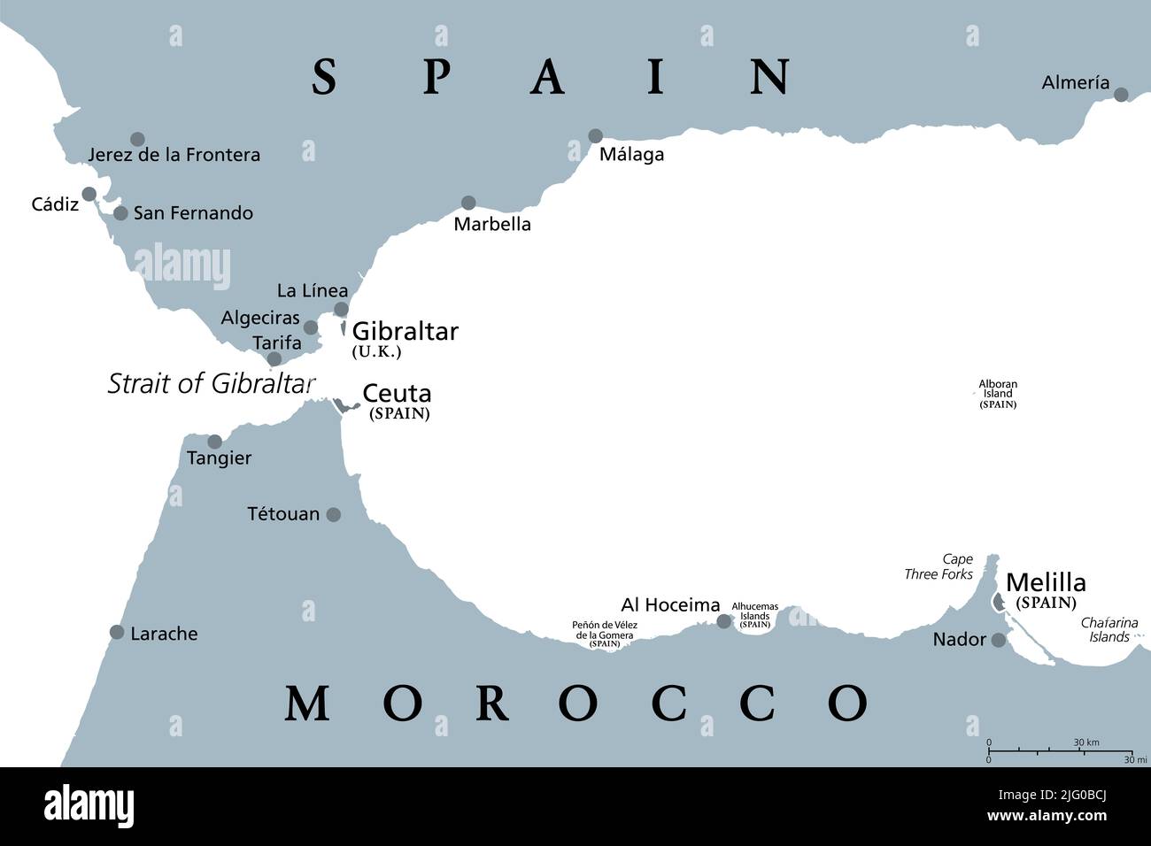 Strait of Gibraltar, gray political map. Also known as Straits of Gibraltar. A narrow strait, connecting Atlantic Ocean to Mediterranean Sea. Stock Photohttps://www.alamy.com/image-license-details/?v=1https://www.alamy.com/strait-of-gibraltar-gray-political-map-also-known-as-straits-of-gibraltar-a-narrow-strait-connecting-atlantic-ocean-to-mediterranean-sea-image474523410.html
RF2JG0BCJ–Strait of Gibraltar, gray political map. Also known as Straits of Gibraltar. A narrow strait, connecting Atlantic Ocean to Mediterranean Sea.
 'Map of Africa', an opening in the Caves of Hercules, Cape Spartel, near Tangier, Morocco Stock Photohttps://www.alamy.com/image-license-details/?v=1https://www.alamy.com/map-of-africa-an-opening-in-the-caves-of-hercules-cape-spartel-near-tangier-morocco-image351283175.html
RM2BBE97K–'Map of Africa', an opening in the Caves of Hercules, Cape Spartel, near Tangier, Morocco
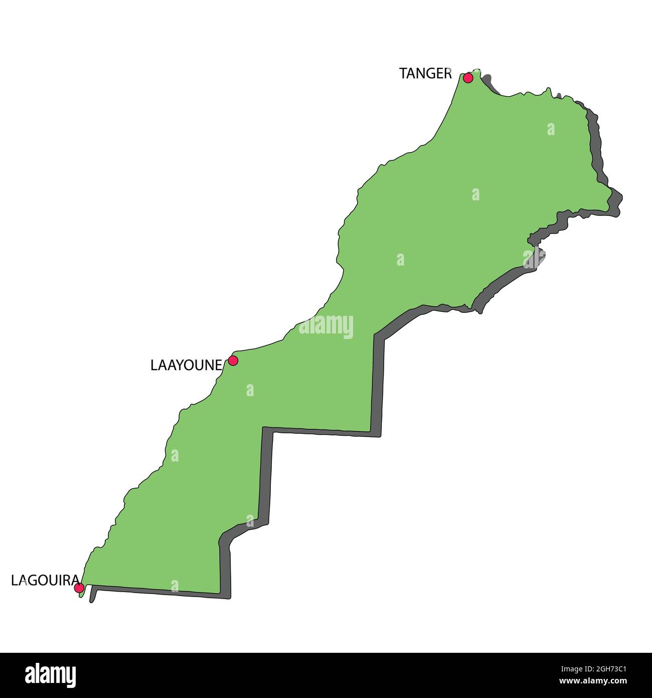 Morocco Map Green Color 3D Showing 3 Cities from North To West...Tangier to Lagouira Stock Vectorhttps://www.alamy.com/image-license-details/?v=1https://www.alamy.com/morocco-map-green-color-3d-showing-3-cities-from-north-to-westtangier-to-lagouira-image440864705.html
RF2GH73C1–Morocco Map Green Color 3D Showing 3 Cities from North To West...Tangier to Lagouira
![A plan of the town of Tangier drawn on vellum, on a scale of 10 rods, of 10 feet each, to an inch . Author Beckman, Martin 117.78. Place of publication: [Tangier] Publisher: [Martin Beckman] Date of publication: [1662.] Item type: 1 map Medium: ink and monochrome wash on vellum Dimensions: 38 x 54 cm Former owner: George III, King of Great Britain, 1738-1820 Stock Photo A plan of the town of Tangier drawn on vellum, on a scale of 10 rods, of 10 feet each, to an inch . Author Beckman, Martin 117.78. Place of publication: [Tangier] Publisher: [Martin Beckman] Date of publication: [1662.] Item type: 1 map Medium: ink and monochrome wash on vellum Dimensions: 38 x 54 cm Former owner: George III, King of Great Britain, 1738-1820 Stock Photo](https://c8.alamy.com/comp/2E9GCW1/a-plan-of-the-town-of-tangier-drawn-on-vellum-on-a-scale-of-10-rods-of-10-feet-each-to-an-inch-author-beckman-martin-11778-place-of-publication-tangier-publisher-martin-beckman-date-of-publication-1662-item-type-1-map-medium-ink-and-monochrome-wash-on-vellum-dimensions-38-x-54-cm-former-owner-george-iii-king-of-great-britain-1738-1820-2E9GCW1.jpg) A plan of the town of Tangier drawn on vellum, on a scale of 10 rods, of 10 feet each, to an inch . Author Beckman, Martin 117.78. Place of publication: [Tangier] Publisher: [Martin Beckman] Date of publication: [1662.] Item type: 1 map Medium: ink and monochrome wash on vellum Dimensions: 38 x 54 cm Former owner: George III, King of Great Britain, 1738-1820 Stock Photohttps://www.alamy.com/image-license-details/?v=1https://www.alamy.com/a-plan-of-the-town-of-tangier-drawn-on-vellum-on-a-scale-of-10-rods-of-10-feet-each-to-an-inch-author-beckman-martin-11778-place-of-publication-tangier-publisher-martin-beckman-date-of-publication-1662-item-type-1-map-medium-ink-and-monochrome-wash-on-vellum-dimensions-38-x-54-cm-former-owner-george-iii-king-of-great-britain-1738-1820-image401731709.html
A plan of the town of Tangier drawn on vellum, on a scale of 10 rods, of 10 feet each, to an inch . Author Beckman, Martin 117.78. Place of publication: [Tangier] Publisher: [Martin Beckman] Date of publication: [1662.] Item type: 1 map Medium: ink and monochrome wash on vellum Dimensions: 38 x 54 cm Former owner: George III, King of Great Britain, 1738-1820 Stock Photohttps://www.alamy.com/image-license-details/?v=1https://www.alamy.com/a-plan-of-the-town-of-tangier-drawn-on-vellum-on-a-scale-of-10-rods-of-10-feet-each-to-an-inch-author-beckman-martin-11778-place-of-publication-tangier-publisher-martin-beckman-date-of-publication-1662-item-type-1-map-medium-ink-and-monochrome-wash-on-vellum-dimensions-38-x-54-cm-former-owner-george-iii-king-of-great-britain-1738-1820-image401731709.htmlRM2E9GCW1–A plan of the town of Tangier drawn on vellum, on a scale of 10 rods, of 10 feet each, to an inch . Author Beckman, Martin 117.78. Place of publication: [Tangier] Publisher: [Martin Beckman] Date of publication: [1662.] Item type: 1 map Medium: ink and monochrome wash on vellum Dimensions: 38 x 54 cm Former owner: George III, King of Great Britain, 1738-1820
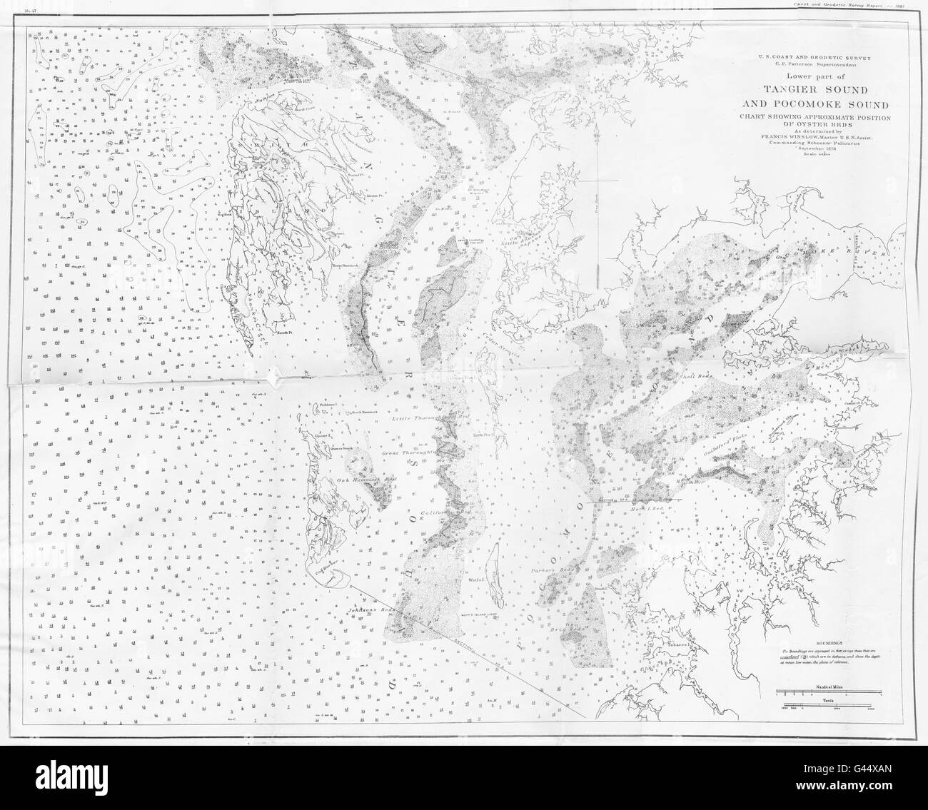 VIRGINIA MARYLAND: USCGS Tangier & Pocomoke sound chart oyster beds, 1881 map Stock Photohttps://www.alamy.com/image-license-details/?v=1https://www.alamy.com/stock-photo-virginia-maryland-uscgs-tangier-pocomoke-sound-chart-oyster-beds-1881-105829325.html
RFG44XAN–VIRGINIA MARYLAND: USCGS Tangier & Pocomoke sound chart oyster beds, 1881 map
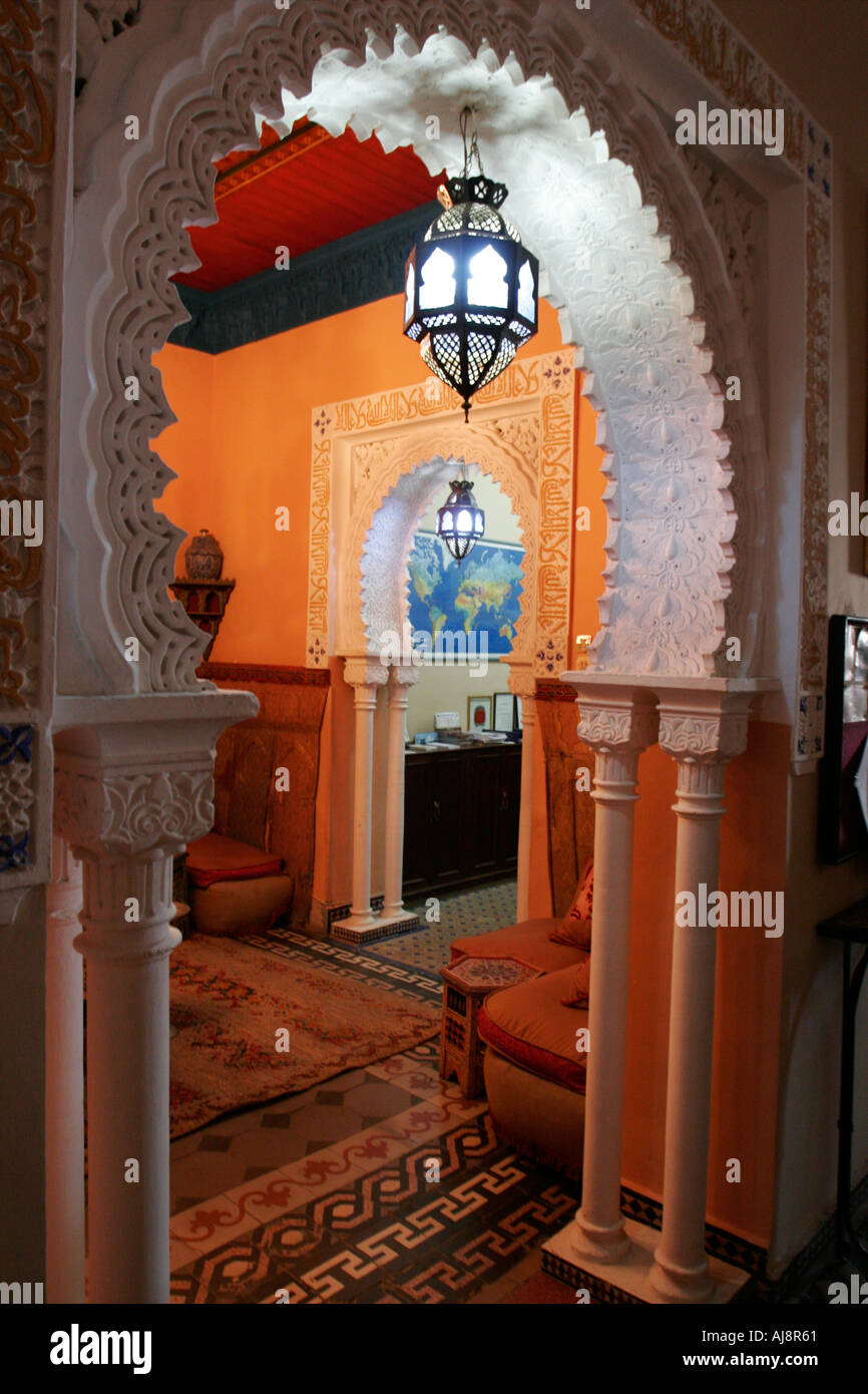 Interior image of a colorful Moroccan restaurant Stock Photohttps://www.alamy.com/image-license-details/?v=1https://www.alamy.com/interior-image-of-a-colorful-moroccan-restaurant-image4786016.html
RMAJ8R61–Interior image of a colorful Moroccan restaurant
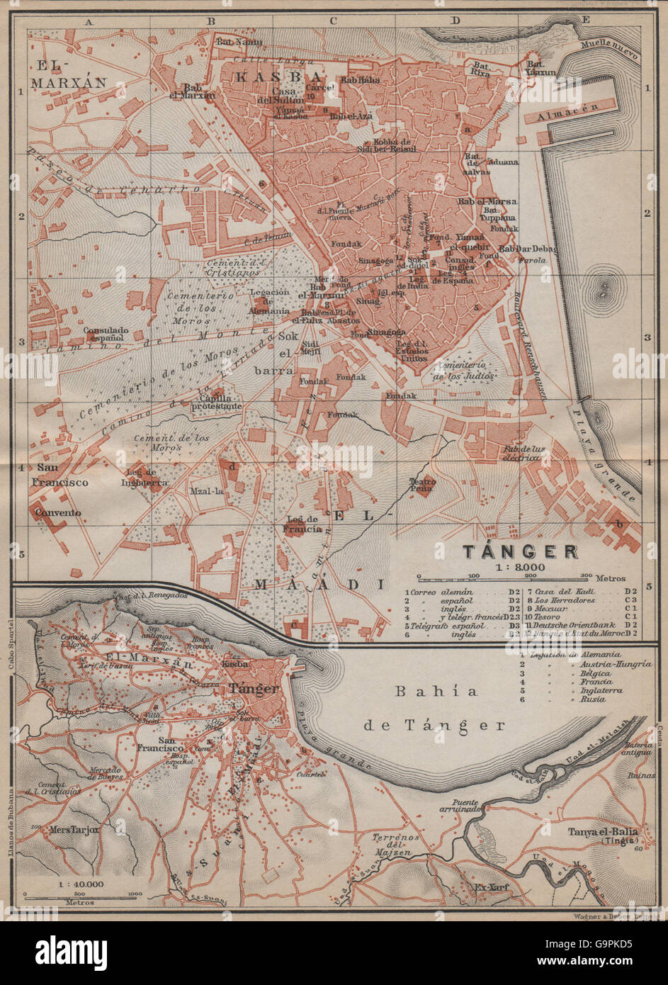 TANGIER TÁNGER antique town city plan & environs. Morocco carte, 1913 old map Stock Photohttps://www.alamy.com/image-license-details/?v=1https://www.alamy.com/stock-photo-tangier-tnger-antique-town-city-plan-environs-morocco-carte-1913-old-109292321.html
RFG9PKD5–TANGIER TÁNGER antique town city plan & environs. Morocco carte, 1913 old map
 1877 Migeon Map - Africa - Cape Colony Guinea Sudan Egypt Morocco Madagascar Angola Stock Photohttps://www.alamy.com/image-license-details/?v=1https://www.alamy.com/stock-photo-1877-migeon-map-africa-cape-colony-guinea-sudan-egypt-morocco-madagascar-172919477.html
RFM194FH–1877 Migeon Map - Africa - Cape Colony Guinea Sudan Egypt Morocco Madagascar Angola
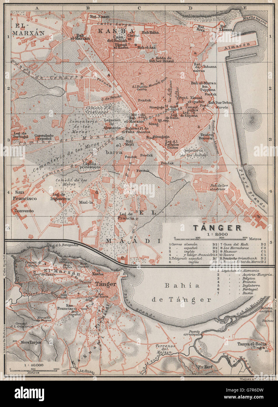 TANGIER TÁNGER antique town city plan & environs. Morocco carte, 1911 old map Stock Photohttps://www.alamy.com/image-license-details/?v=1https://www.alamy.com/stock-photo-tangier-tnger-antique-town-city-plan-environs-morocco-carte-1911-old-108074789.html
RFG7R6DW–TANGIER TÁNGER antique town city plan & environs. Morocco carte, 1911 old map
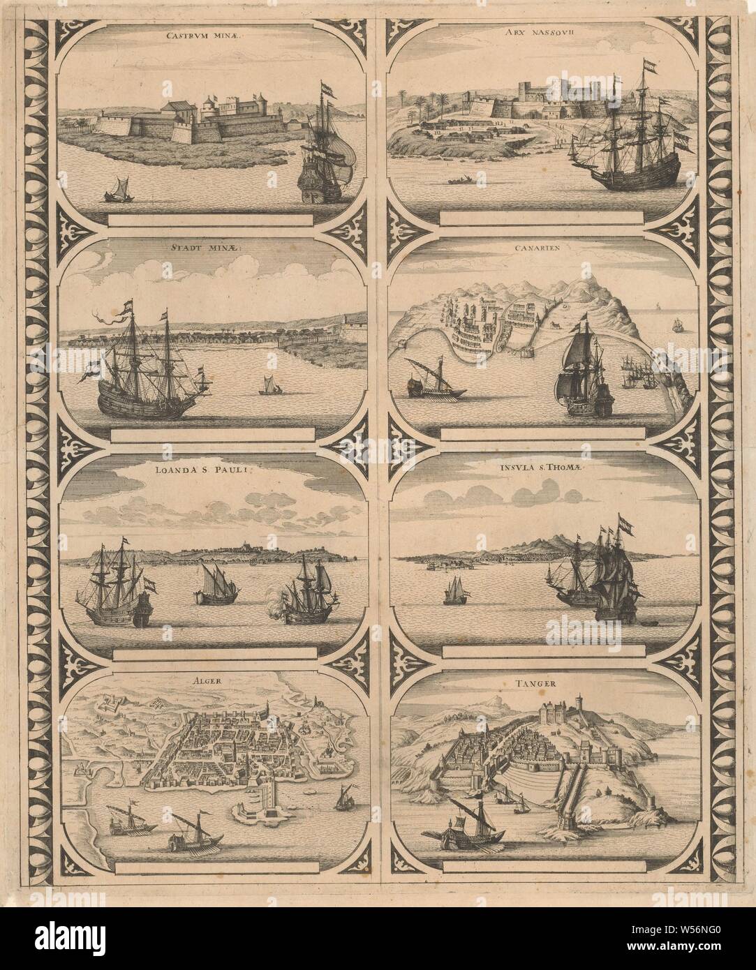 Castrvm Minae / Stadt Minae / Loanda S. Pauli / Alger / Arx Nassovii / Canarien / Insvla S. Thomae / Tanger (title on object), Sheet with two vertical strips, each with four views of the cities in Africa: Elmina, Fort Elmina, Luanda, Algiers, Fort Nassau on the Gold Coast, Canary Islands, Sao Tome and Tangier. Uncut leaf with eight peripheral figures intended to be glued in strips as a frame around a map of a continent, maps of cities, prospect of city, town panorama, silhouette of city, Elmina, Fort Nassau, Sao Tome, Tangier, anonymous, Amsterdam, 1670 - 1672, paper, etching, h 520 mm × w 435 Stock Photohttps://www.alamy.com/image-license-details/?v=1https://www.alamy.com/castrvm-minae-stadt-minae-loanda-s-pauli-alger-arx-nassovii-canarien-insvla-s-thomae-tanger-title-on-object-sheet-with-two-vertical-strips-each-with-four-views-of-the-cities-in-africa-elmina-fort-elmina-luanda-algiers-fort-nassau-on-the-gold-coast-canary-islands-sao-tome-and-tangier-uncut-leaf-with-eight-peripheral-figures-intended-to-be-glued-in-strips-as-a-frame-around-a-map-of-a-continent-maps-of-cities-prospect-of-city-town-panorama-silhouette-of-city-elmina-fort-nassau-sao-tome-tangier-anonymous-amsterdam-1670-1672-paper-etching-h-520-mm-w-435-image261377424.html
RMW56NG0–Castrvm Minae / Stadt Minae / Loanda S. Pauli / Alger / Arx Nassovii / Canarien / Insvla S. Thomae / Tanger (title on object), Sheet with two vertical strips, each with four views of the cities in Africa: Elmina, Fort Elmina, Luanda, Algiers, Fort Nassau on the Gold Coast, Canary Islands, Sao Tome and Tangier. Uncut leaf with eight peripheral figures intended to be glued in strips as a frame around a map of a continent, maps of cities, prospect of city, town panorama, silhouette of city, Elmina, Fort Nassau, Sao Tome, Tangier, anonymous, Amsterdam, 1670 - 1672, paper, etching, h 520 mm × w 435
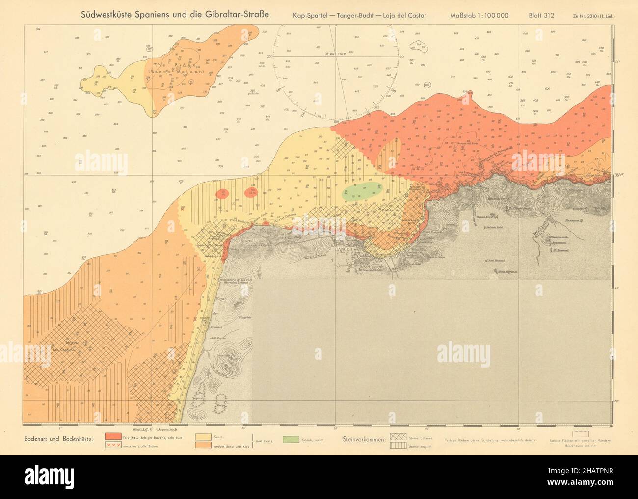 North Morocco Coast. Cap Spartel Tangiers KRIEGSMARINE Nazi map 1943 old Stock Photohttps://www.alamy.com/image-license-details/?v=1https://www.alamy.com/north-morocco-coast-cap-spartel-tangiers-kriegsmarine-nazi-map-1943-old-image454160835.html
RF2HATPNR–North Morocco Coast. Cap Spartel Tangiers KRIEGSMARINE Nazi map 1943 old
 . English: Fleuron from book: A new account of Spain: being a description of that country and people; and of the sea-ports along the Mediterranean: Of Ceuta, Tangier, &c. With a new and exact map of the city and harbour of Cadiz. To which is added, a large preface concerning the establishment of the Spanish Crown, on the Duke of Anjou. 138 A new account of Spain- being a description of that country and people; and of the sea-ports along the Mediterranean- Of Ceuta, Tangier, etc Fleuron N009994-1 Stock Photohttps://www.alamy.com/image-license-details/?v=1https://www.alamy.com/english-fleuron-from-book-a-new-account-of-spain-being-a-description-of-that-country-and-people-and-of-the-sea-ports-along-the-mediterranean-of-ceuta-tangier-c-with-a-new-and-exact-map-of-the-city-and-harbour-of-cadiz-to-which-is-added-a-large-preface-concerning-the-establishment-of-the-spanish-crown-on-the-duke-of-anjou-138-a-new-account-of-spain-being-a-description-of-that-country-and-people-and-of-the-sea-ports-along-the-mediterranean-of-ceuta-tangier-etc-fleuron-n009994-1-image206739044.html
RMP09NN8–. English: Fleuron from book: A new account of Spain: being a description of that country and people; and of the sea-ports along the Mediterranean: Of Ceuta, Tangier, &c. With a new and exact map of the city and harbour of Cadiz. To which is added, a large preface concerning the establishment of the Spanish Crown, on the Duke of Anjou. 138 A new account of Spain- being a description of that country and people; and of the sea-ports along the Mediterranean- Of Ceuta, Tangier, etc Fleuron N009994-1
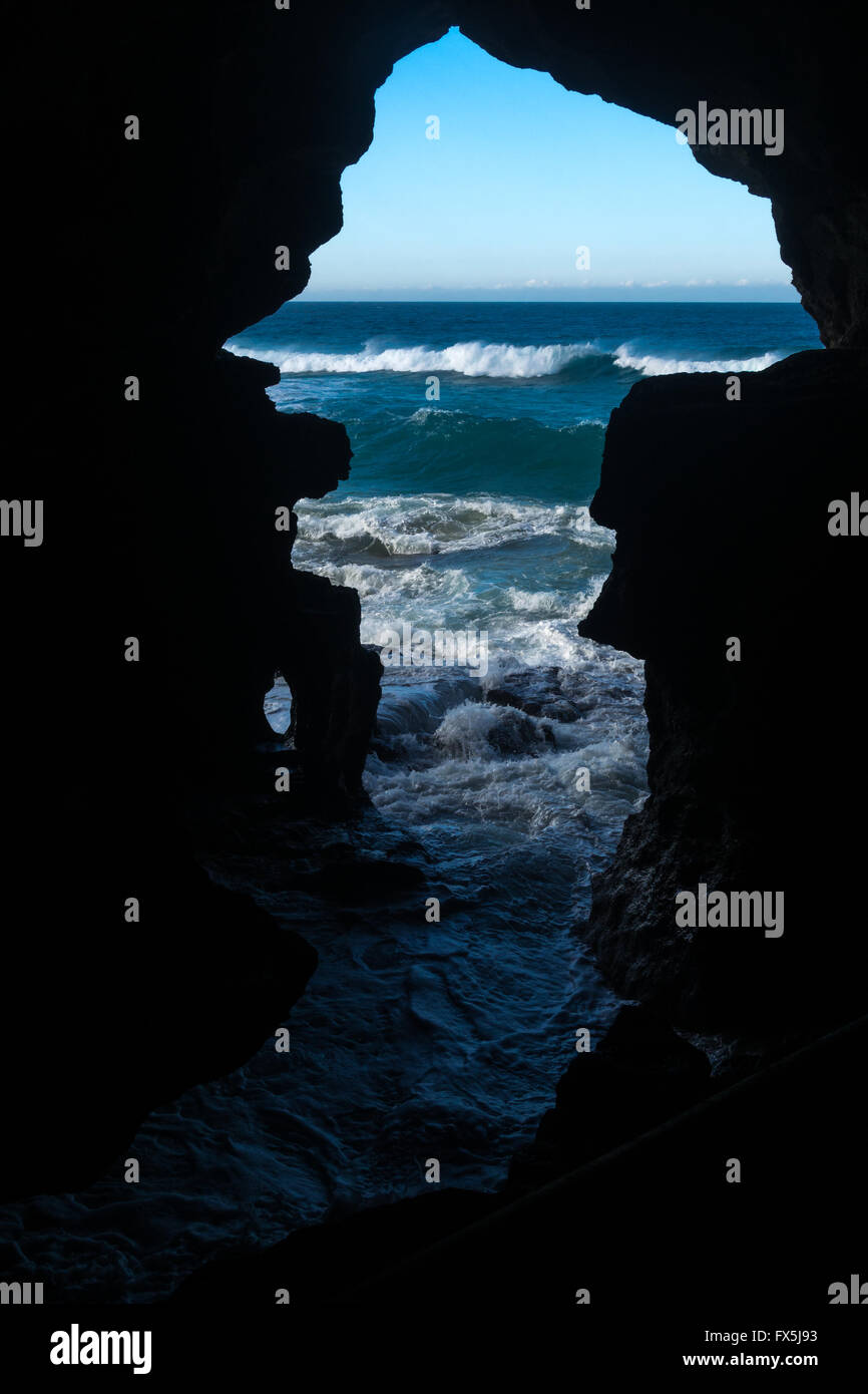 The Caves of Hercules is one of the most popular tourist attractions near Tangier, north of Morocco Stock Photohttps://www.alamy.com/image-license-details/?v=1https://www.alamy.com/stock-photo-the-caves-of-hercules-is-one-of-the-most-popular-tourist-attractions-102157023.html
RFFX5J93–The Caves of Hercules is one of the most popular tourist attractions near Tangier, north of Morocco
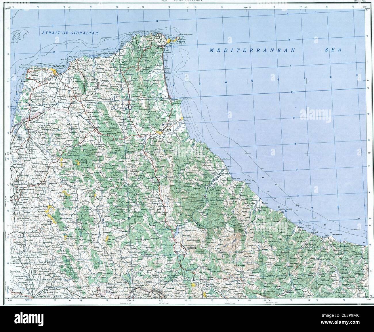 Map of Tangier Zone (Morocco). Stock Photohttps://www.alamy.com/image-license-details/?v=1https://www.alamy.com/map-of-tangier-zone-morocco-image398173004.html
RM2E3P9MC–Map of Tangier Zone (Morocco).
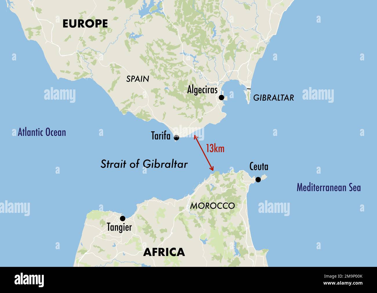 Map of the Gibraltar Strait showing the distance between Europe and Africa Stock Photohttps://www.alamy.com/image-license-details/?v=1https://www.alamy.com/map-of-the-gibraltar-strait-showing-the-distance-between-europe-and-africa-image505115539.html
RF2M9P00K–Map of the Gibraltar Strait showing the distance between Europe and Africa
 An aerial photograph of the city of Tangier in Morocco with many buildings Stock Photohttps://www.alamy.com/image-license-details/?v=1https://www.alamy.com/an-aerial-photograph-of-the-city-of-tangier-in-morocco-with-many-buildings-image417718240.html
RF2F7GKTG–An aerial photograph of the city of Tangier in Morocco with many buildings
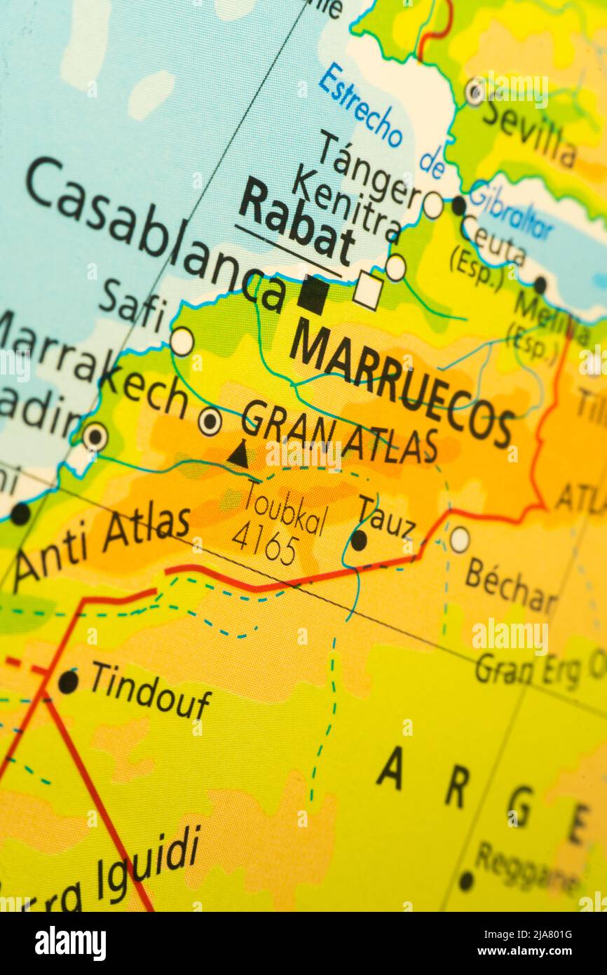 Orographic map of Maruecos. With references in Spanish. Concept of cartography, travel, geography. Differential approach Stock Photohttps://www.alamy.com/image-license-details/?v=1https://www.alamy.com/orographic-map-of-maruecos-with-references-in-spanish-concept-of-cartography-travel-geography-differential-approach-image471002156.html
RF2JA801G–Orographic map of Maruecos. With references in Spanish. Concept of cartography, travel, geography. Differential approach
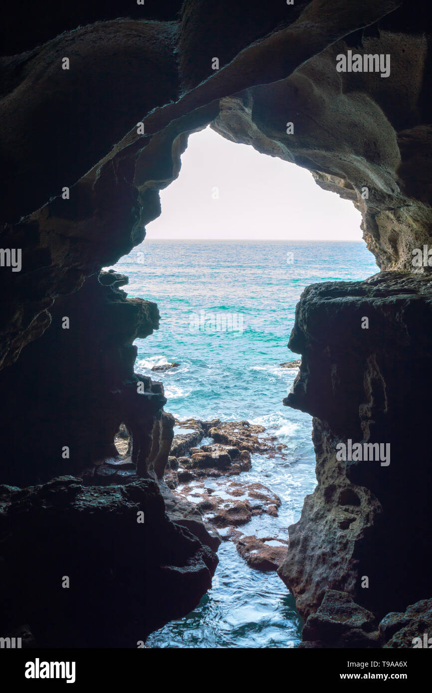 Caves of Hercule in Cape Spartel at the entrance of the strait of Gibraltar near Tangier in Morocco Stock Photohttps://www.alamy.com/image-license-details/?v=1https://www.alamy.com/caves-of-hercule-in-cape-spartel-at-the-entrance-of-the-strait-of-gibraltar-near-tangier-in-morocco-image246704610.html
RFT9AA6X–Caves of Hercule in Cape Spartel at the entrance of the strait of Gibraltar near Tangier in Morocco
 Tangier Shoals, , AU, Australia, Western Australia, S 17 3' 0'', N 122 15' 0'', map, Cartascapes Map published in 2024. Explore Cartascapes, a map revealing Earth's diverse landscapes, cultures, and ecosystems. Journey through time and space, discovering the interconnectedness of our planet's past, present, and future. Stock Photohttps://www.alamy.com/image-license-details/?v=1https://www.alamy.com/tangier-shoals-au-australia-western-australia-s-17-3-0-n-122-15-0-map-cartascapes-map-published-in-2024-explore-cartascapes-a-map-revealing-earths-diverse-landscapes-cultures-and-ecosystems-journey-through-time-and-space-discovering-the-interconnectedness-of-our-planets-past-present-and-future-image625831649.html
RM2YA52J9–Tangier Shoals, , AU, Australia, Western Australia, S 17 3' 0'', N 122 15' 0'', map, Cartascapes Map published in 2024. Explore Cartascapes, a map revealing Earth's diverse landscapes, cultures, and ecosystems. Journey through time and space, discovering the interconnectedness of our planet's past, present, and future.
 Tangier City (Kingdom of Morocco, Tanger-Tetouan-Al Hoceima Region) map vector illustration, scribble sketch City of Tangier map Stock Vectorhttps://www.alamy.com/image-license-details/?v=1https://www.alamy.com/tangier-city-kingdom-of-morocco-tanger-tetouan-al-hoceima-region-map-vector-illustration-scribble-sketch-city-of-tangier-map-image376369429.html
RF2CT9319–Tangier City (Kingdom of Morocco, Tanger-Tetouan-Al Hoceima Region) map vector illustration, scribble sketch City of Tangier map
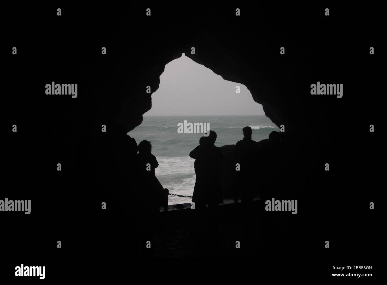 'Map of Africa', an opening in the Caves of Hercules, Cape Spartel, near Tangier, Morocco Stock Photohttps://www.alamy.com/image-license-details/?v=1https://www.alamy.com/map-of-africa-an-opening-in-the-caves-of-hercules-cape-spartel-near-tangier-morocco-image351282645.html
RM2BBE8GN–'Map of Africa', an opening in the Caves of Hercules, Cape Spartel, near Tangier, Morocco
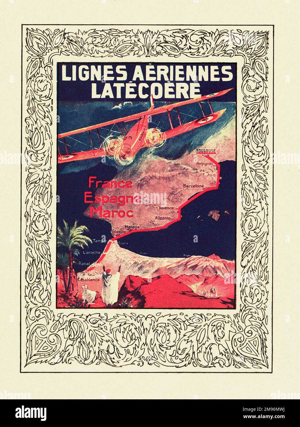 Cover design, Latecoere Airlines timetable, serving France, Spain and Morocco. The Latecoere company was founded in 1917, and is based in Toulouse. Showing a map with routes. Stock Photohttps://www.alamy.com/image-license-details/?v=1https://www.alamy.com/cover-design-latecoere-airlines-timetable-serving-france-spain-and-morocco-the-latecoere-company-was-founded-in-1917-and-is-based-in-toulouse-showing-a-map-with-routes-image504780686.html
RM2M96MWJ–Cover design, Latecoere Airlines timetable, serving France, Spain and Morocco. The Latecoere company was founded in 1917, and is based in Toulouse. Showing a map with routes.
![A plan of the harbour and road of Tangier, shewing the spot wher ye Royall James rode at ancor in Novemeber, 1661, with the bearings of different places from that point drawn by Martin Beckman? on vellum, o Author Beckman, Martin 117.77. Place of publication: [Tangier] Publisher: [Martin Beckman] Date of publication: [1662.] Item type: 1 map Medium: ink and monochrome wash on vellum Dimensions: 38 x 54 cm Former owner: George III, King of Great Britain, 1738-1820 Stock Photo A plan of the harbour and road of Tangier, shewing the spot wher ye Royall James rode at ancor in Novemeber, 1661, with the bearings of different places from that point drawn by Martin Beckman? on vellum, o Author Beckman, Martin 117.77. Place of publication: [Tangier] Publisher: [Martin Beckman] Date of publication: [1662.] Item type: 1 map Medium: ink and monochrome wash on vellum Dimensions: 38 x 54 cm Former owner: George III, King of Great Britain, 1738-1820 Stock Photo](https://c8.alamy.com/comp/2E9GCWJ/a-plan-of-the-harbour-and-road-of-tangier-shewing-the-spot-wher-ye-royall-james-rode-at-ancor-in-novemeber-1661-with-the-bearings-of-different-places-from-that-point-drawn-by-martin-beckman-on-vellum-o-author-beckman-martin-11777-place-of-publication-tangier-publisher-martin-beckman-date-of-publication-1662-item-type-1-map-medium-ink-and-monochrome-wash-on-vellum-dimensions-38-x-54-cm-former-owner-george-iii-king-of-great-britain-1738-1820-2E9GCWJ.jpg) A plan of the harbour and road of Tangier, shewing the spot wher ye Royall James rode at ancor in Novemeber, 1661, with the bearings of different places from that point drawn by Martin Beckman? on vellum, o Author Beckman, Martin 117.77. Place of publication: [Tangier] Publisher: [Martin Beckman] Date of publication: [1662.] Item type: 1 map Medium: ink and monochrome wash on vellum Dimensions: 38 x 54 cm Former owner: George III, King of Great Britain, 1738-1820 Stock Photohttps://www.alamy.com/image-license-details/?v=1https://www.alamy.com/a-plan-of-the-harbour-and-road-of-tangier-shewing-the-spot-wher-ye-royall-james-rode-at-ancor-in-novemeber-1661-with-the-bearings-of-different-places-from-that-point-drawn-by-martin-beckman-on-vellum-o-author-beckman-martin-11777-place-of-publication-tangier-publisher-martin-beckman-date-of-publication-1662-item-type-1-map-medium-ink-and-monochrome-wash-on-vellum-dimensions-38-x-54-cm-former-owner-george-iii-king-of-great-britain-1738-1820-image401731726.html
A plan of the harbour and road of Tangier, shewing the spot wher ye Royall James rode at ancor in Novemeber, 1661, with the bearings of different places from that point drawn by Martin Beckman? on vellum, o Author Beckman, Martin 117.77. Place of publication: [Tangier] Publisher: [Martin Beckman] Date of publication: [1662.] Item type: 1 map Medium: ink and monochrome wash on vellum Dimensions: 38 x 54 cm Former owner: George III, King of Great Britain, 1738-1820 Stock Photohttps://www.alamy.com/image-license-details/?v=1https://www.alamy.com/a-plan-of-the-harbour-and-road-of-tangier-shewing-the-spot-wher-ye-royall-james-rode-at-ancor-in-novemeber-1661-with-the-bearings-of-different-places-from-that-point-drawn-by-martin-beckman-on-vellum-o-author-beckman-martin-11777-place-of-publication-tangier-publisher-martin-beckman-date-of-publication-1662-item-type-1-map-medium-ink-and-monochrome-wash-on-vellum-dimensions-38-x-54-cm-former-owner-george-iii-king-of-great-britain-1738-1820-image401731726.htmlRM2E9GCWJ–A plan of the harbour and road of Tangier, shewing the spot wher ye Royall James rode at ancor in Novemeber, 1661, with the bearings of different places from that point drawn by Martin Beckman? on vellum, o Author Beckman, Martin 117.77. Place of publication: [Tangier] Publisher: [Martin Beckman] Date of publication: [1662.] Item type: 1 map Medium: ink and monochrome wash on vellum Dimensions: 38 x 54 cm Former owner: George III, King of Great Britain, 1738-1820
 Morocco, Tangier Tetouan region, Tangier, the old city (medina), Kasbah, Dar-el-Makhzen or Sultan palace, Kasbah Museum of Mediterranean cultures, South-North directed world map realized by the geographer of Tangier Charif Al-Idrissi in 1154 for Roger II de Sicile Stock Photohttps://www.alamy.com/image-license-details/?v=1https://www.alamy.com/morocco-tangier-tetouan-region-tangier-the-old-city-medina-kasbah-dar-el-makhzen-or-sultan-palace-kasbah-museum-of-mediterranean-cultures-south-north-directed-world-map-realized-by-the-geographer-of-tangier-charif-al-idrissi-in-1154-for-roger-ii-de-sicile-image246101069.html
RMT8ATBW–Morocco, Tangier Tetouan region, Tangier, the old city (medina), Kasbah, Dar-el-Makhzen or Sultan palace, Kasbah Museum of Mediterranean cultures, South-North directed world map realized by the geographer of Tangier Charif Al-Idrissi in 1154 for Roger II de Sicile
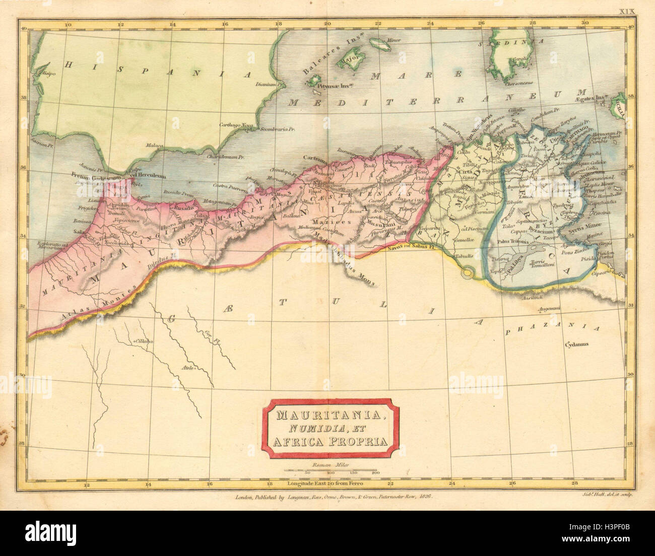 'Mauritania, Numidia, et Africa Propria'. HALL. North Africa Maghreb 1826 map Stock Photohttps://www.alamy.com/image-license-details/?v=1https://www.alamy.com/stock-photo-mauritania-numidia-et-africa-propria-hall-north-africa-maghreb-1826-122811259.html
RFH3PF0B–'Mauritania, Numidia, et Africa Propria'. HALL. North Africa Maghreb 1826 map
 A Map of the City of Tangier, with the Straits of Gibraltar. A Map of the City of Tangier, with the Straits of Gibraltar. 1664. Source: Maps K.Top.117.79.11.TAB. Language: English. Author: Hollar, Wenceslaus. Stock Photohttps://www.alamy.com/image-license-details/?v=1https://www.alamy.com/a-map-of-the-city-of-tangier-with-the-straits-of-gibraltar-a-map-of-the-city-of-tangier-with-the-straits-of-gibraltar-1664-source-maps-ktop1177911tab-language-english-author-hollar-wenceslaus-image227084439.html
RMR5CGEF–A Map of the City of Tangier, with the Straits of Gibraltar. A Map of the City of Tangier, with the Straits of Gibraltar. 1664. Source: Maps K.Top.117.79.11.TAB. Language: English. Author: Hollar, Wenceslaus.
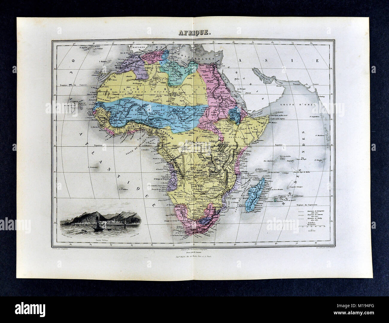 1877 Migeon Map - Africa - Cape Colony Guinea Sudan Egypt Morocco Madagascar Angola Stock Photohttps://www.alamy.com/image-license-details/?v=1https://www.alamy.com/stock-photo-1877-migeon-map-africa-cape-colony-guinea-sudan-egypt-morocco-madagascar-172919476.html
RFM194FG–1877 Migeon Map - Africa - Cape Colony Guinea Sudan Egypt Morocco Madagascar Angola
 The Caves of Hercules (Grottes d'Hercule) in Tangier (Tangiers), Morocco, Africa. The sea opening of the cave is known as 'The Map of Africa' as it is shaped like the of continent of Africa. The Caves of Hercules are an archaeological cave complex located in Cape Spartel, Morocco. Legend holds that the Roman God Hercules stayed and slept in this cave before doing his 11th labour, (one of the 12 labours which King Eurystheus of Tiryns had given to him) which was to get golden apples from the Hesperides Garden. (Photo by Creative Touch Imaging Ltd./NurPhoto) Stock Photohttps://www.alamy.com/image-license-details/?v=1https://www.alamy.com/the-caves-of-hercules-grottes-dhercule-in-tangier-tangiers-morocco-africa-the-sea-opening-of-the-cave-is-known-as-the-map-of-africa-as-it-is-shaped-like-the-of-continent-of-africa-the-caves-of-hercules-are-an-archaeological-cave-complex-located-in-cape-spartel-morocco-legend-holds-that-the-roman-god-hercules-stayed-and-slept-in-this-cave-before-doing-his-11th-labour-one-of-the-12-labours-which-king-eurystheus-of-tiryns-had-given-to-him-which-was-to-get-golden-apples-from-the-hesperides-garden-photo-by-creative-touch-imaging-ltdnurphoto-image489461576.html
RM2KC8W6G–The Caves of Hercules (Grottes d'Hercule) in Tangier (Tangiers), Morocco, Africa. The sea opening of the cave is known as 'The Map of Africa' as it is shaped like the of continent of Africa. The Caves of Hercules are an archaeological cave complex located in Cape Spartel, Morocco. Legend holds that the Roman God Hercules stayed and slept in this cave before doing his 11th labour, (one of the 12 labours which King Eurystheus of Tiryns had given to him) which was to get golden apples from the Hesperides Garden. (Photo by Creative Touch Imaging Ltd./NurPhoto)
 Threats Threats Bates City CASTRVM S Paul Alger warfare Cankrien Insvla Thomae Tanger (op title object) Sheet with two vertical strips, each with four faces on the cities in Africa: Elmina, Elmina Castle, Luanda, Algiers, Fort Nassau on the Gold Coast, Canary Islands, Sao Tome and Tangier. Mere sheet with eight fringes intended strips as a backdrop to a map of the continent to plakken. Manufacturer : printmaker: anonymous printer: Frederick Wituitgever: Frederick the WitPlaats manufacture: Amsterdam Date: 1670 - 1672 Physical features: etching material: paper Technique: etching Dimensions: pla Stock Photohttps://www.alamy.com/image-license-details/?v=1https://www.alamy.com/threats-threats-bates-city-castrvm-s-paul-alger-warfare-cankrien-insvla-thomae-tanger-op-title-object-sheet-with-two-vertical-strips-each-with-four-faces-on-the-cities-in-africa-elmina-elmina-castle-luanda-algiers-fort-nassau-on-the-gold-coast-canary-islands-sao-tome-and-tangier-mere-sheet-with-eight-fringes-intended-strips-as-a-backdrop-to-a-map-of-the-continent-to-plakken-manufacturer-printmaker-anonymous-printer-frederick-wituitgever-frederick-the-witplaats-manufacture-amsterdam-date-1670-1672-physical-features-etching-material-paper-technique-etching-dimensions-pla-image348250596.html
RM2B6G558–Threats Threats Bates City CASTRVM S Paul Alger warfare Cankrien Insvla Thomae Tanger (op title object) Sheet with two vertical strips, each with four faces on the cities in Africa: Elmina, Elmina Castle, Luanda, Algiers, Fort Nassau on the Gold Coast, Canary Islands, Sao Tome and Tangier. Mere sheet with eight fringes intended strips as a backdrop to a map of the continent to plakken. Manufacturer : printmaker: anonymous printer: Frederick Wituitgever: Frederick the WitPlaats manufacture: Amsterdam Date: 1670 - 1672 Physical features: etching material: paper Technique: etching Dimensions: pla
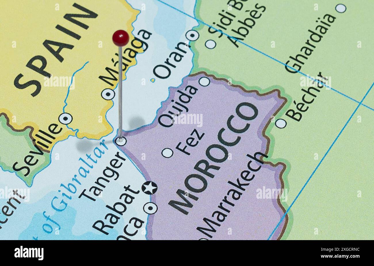 Close up to a Tangier city with a red pin needle into Morocco country political map Stock Photohttps://www.alamy.com/image-license-details/?v=1https://www.alamy.com/close-up-to-a-tangier-city-with-a-red-pin-needle-into-morocco-country-political-map-image612479432.html
RF2XGCRNC–Close up to a Tangier city with a red pin needle into Morocco country political map
 . English: Fleuron from book: A new account of Spain: being a description of that country and people; and of the sea-ports along the Mediterranean: Of Ceuta, Tangier, &c. With a new and exact map of the city and harbour of Cadiz. To which is added, a large preface concerning the establishment of the Spanish Crown, on the Duke of Anjou. 138 A new account of Spain- being a description of that country and people; and of the sea-ports along the Mediterranean- Of Ceuta, Tangier, etc Fleuron N009994-4 Stock Photohttps://www.alamy.com/image-license-details/?v=1https://www.alamy.com/english-fleuron-from-book-a-new-account-of-spain-being-a-description-of-that-country-and-people-and-of-the-sea-ports-along-the-mediterranean-of-ceuta-tangier-c-with-a-new-and-exact-map-of-the-city-and-harbour-of-cadiz-to-which-is-added-a-large-preface-concerning-the-establishment-of-the-spanish-crown-on-the-duke-of-anjou-138-a-new-account-of-spain-being-a-description-of-that-country-and-people-and-of-the-sea-ports-along-the-mediterranean-of-ceuta-tangier-etc-fleuron-n009994-4-image206739056.html
RMP09NNM–. English: Fleuron from book: A new account of Spain: being a description of that country and people; and of the sea-ports along the Mediterranean: Of Ceuta, Tangier, &c. With a new and exact map of the city and harbour of Cadiz. To which is added, a large preface concerning the establishment of the Spanish Crown, on the Duke of Anjou. 138 A new account of Spain- being a description of that country and people; and of the sea-ports along the Mediterranean- Of Ceuta, Tangier, etc Fleuron N009994-4
 Fall of Tangier Stock Photohttps://www.alamy.com/image-license-details/?v=1https://www.alamy.com/stock-photo-fall-of-tangier-142965343.html
RMJ8GHN3–Fall of Tangier
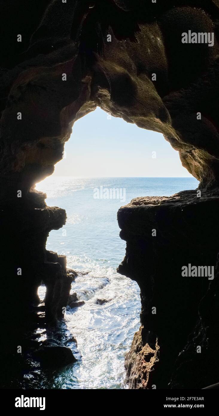 The Map of Africa, in the Caves of Hercules at Cape Spartel, Morocco Stock Photohttps://www.alamy.com/image-license-details/?v=1https://www.alamy.com/the-map-of-africa-in-the-caves-of-hercules-at-cape-spartel-morocco-image417661407.html
RM2F7E3AR–The Map of Africa, in the Caves of Hercules at Cape Spartel, Morocco
 Alexander Mann - Tangier Stock Photohttps://www.alamy.com/image-license-details/?v=1https://www.alamy.com/stock-photo-alexander-mann-tangier-139508521.html
RMJ2Y4F5–Alexander Mann - Tangier
 Capture of a Moorish Standard at Tangier Stock Photohttps://www.alamy.com/image-license-details/?v=1https://www.alamy.com/stock-photo-capture-of-a-moorish-standard-at-tangier-146502300.html
RMJE9N50–Capture of a Moorish Standard at Tangier
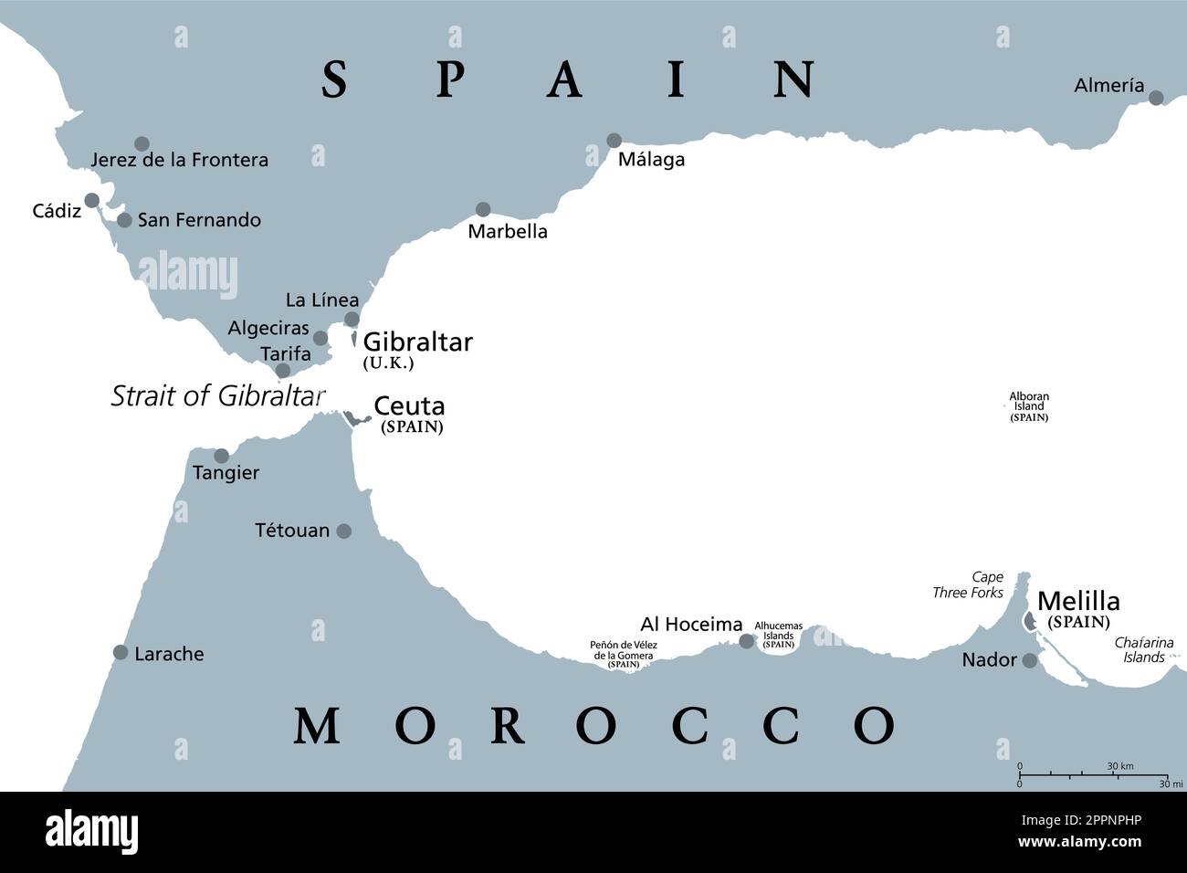 Strait of Gibraltar, also Straits of Gibraltar, gray political map Stock Vectorhttps://www.alamy.com/image-license-details/?v=1https://www.alamy.com/strait-of-gibraltar-also-straits-of-gibraltar-gray-political-map-image547522578.html
RF2PPNPHP–Strait of Gibraltar, also Straits of Gibraltar, gray political map
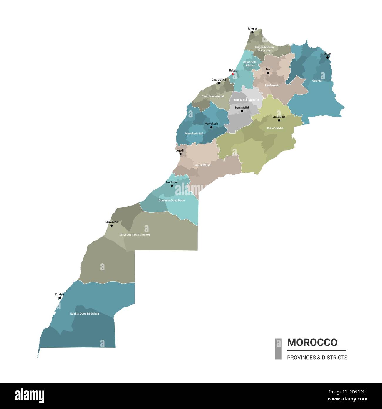 Morocco higt detailed map with subdivisions. Administrative map of Morocco with districts and cities name, colored by states and administrative distri Stock Vectorhttps://www.alamy.com/image-license-details/?v=1https://www.alamy.com/morocco-higt-detailed-map-with-subdivisions-administrative-map-of-morocco-with-districts-and-cities-name-colored-by-states-and-administrative-distri-image384462653.html
RF2D9DP11–Morocco higt detailed map with subdivisions. Administrative map of Morocco with districts and cities name, colored by states and administrative distri
 Tangier, Parke County, US, United States, Indiana, N 39 55' 9'', S 87 19' 5'', map, Cartascapes Map published in 2024. Explore Cartascapes, a map revealing Earth's diverse landscapes, cultures, and ecosystems. Journey through time and space, discovering the interconnectedness of our planet's past, present, and future. Stock Photohttps://www.alamy.com/image-license-details/?v=1https://www.alamy.com/tangier-parke-county-us-united-states-indiana-n-39-55-9-s-87-19-5-map-cartascapes-map-published-in-2024-explore-cartascapes-a-map-revealing-earths-diverse-landscapes-cultures-and-ecosystems-journey-through-time-and-space-discovering-the-interconnectedness-of-our-planets-past-present-and-future-image620855445.html
RM2Y22BCN–Tangier, Parke County, US, United States, Indiana, N 39 55' 9'', S 87 19' 5'', map, Cartascapes Map published in 2024. Explore Cartascapes, a map revealing Earth's diverse landscapes, cultures, and ecosystems. Journey through time and space, discovering the interconnectedness of our planet's past, present, and future.
 Tangier City (Kingdom of Morocco, Tanger-Tetouan-Al Hoceima Region) map vector illustration, scribble sketch City of Tangier map Stock Vectorhttps://www.alamy.com/image-license-details/?v=1https://www.alamy.com/tangier-city-kingdom-of-morocco-tanger-tetouan-al-hoceima-region-map-vector-illustration-scribble-sketch-city-of-tangier-map-image385017422.html
RF2DAB1J6–Tangier City (Kingdom of Morocco, Tanger-Tetouan-Al Hoceima Region) map vector illustration, scribble sketch City of Tangier map
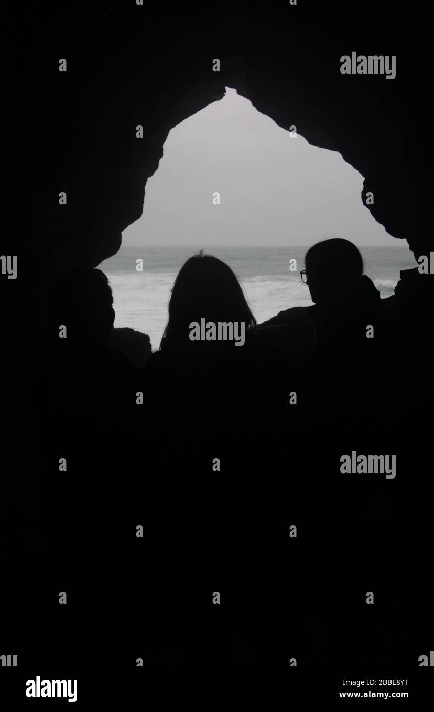 'Map of Africa', an opening in the Caves of Hercules, Cape Spartel, near Tangier, Morocco Stock Photohttps://www.alamy.com/image-license-details/?v=1https://www.alamy.com/map-of-africa-an-opening-in-the-caves-of-hercules-cape-spartel-near-tangier-morocco-image351282956.html
RM2BBE8YT–'Map of Africa', an opening in the Caves of Hercules, Cape Spartel, near Tangier, Morocco
 TANGIERS MOROCCO Stock Photohttps://www.alamy.com/image-license-details/?v=1https://www.alamy.com/tangiers-morocco-image257910724.html
RFTYGRN8–TANGIERS MOROCCO
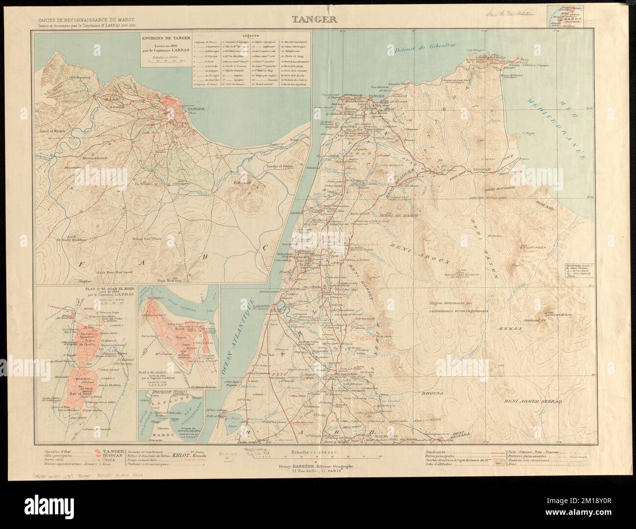 Tanger , Tangier Morocco, Maps Norman B. Leventhal Map Center Collection Stock Photohttps://www.alamy.com/image-license-details/?v=1https://www.alamy.com/tanger-tangier-morocco-maps-norman-b-leventhal-map-center-collection-image499912135.html
RM2M18Y0R–Tanger , Tangier Morocco, Maps Norman B. Leventhal Map Center Collection
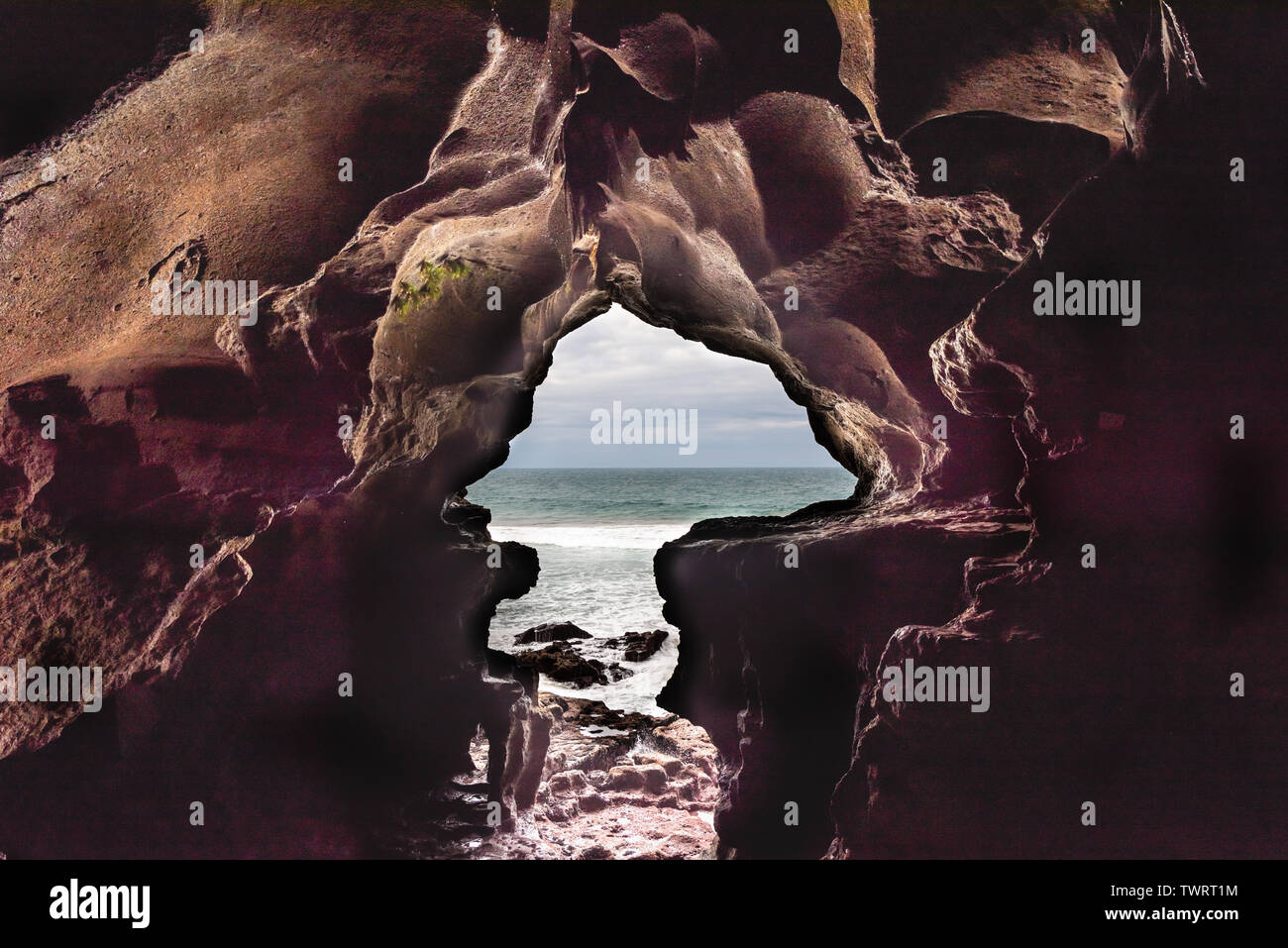 Caves of Hercule in Cape Spartel at the entrance of the strait of Gibraltar near Tangier in Morocco Stock Photohttps://www.alamy.com/image-license-details/?v=1https://www.alamy.com/caves-of-hercule-in-cape-spartel-at-the-entrance-of-the-strait-of-gibraltar-near-tangier-in-morocco-image256835312.html
RFTWRT1M–Caves of Hercule in Cape Spartel at the entrance of the strait of Gibraltar near Tangier in Morocco
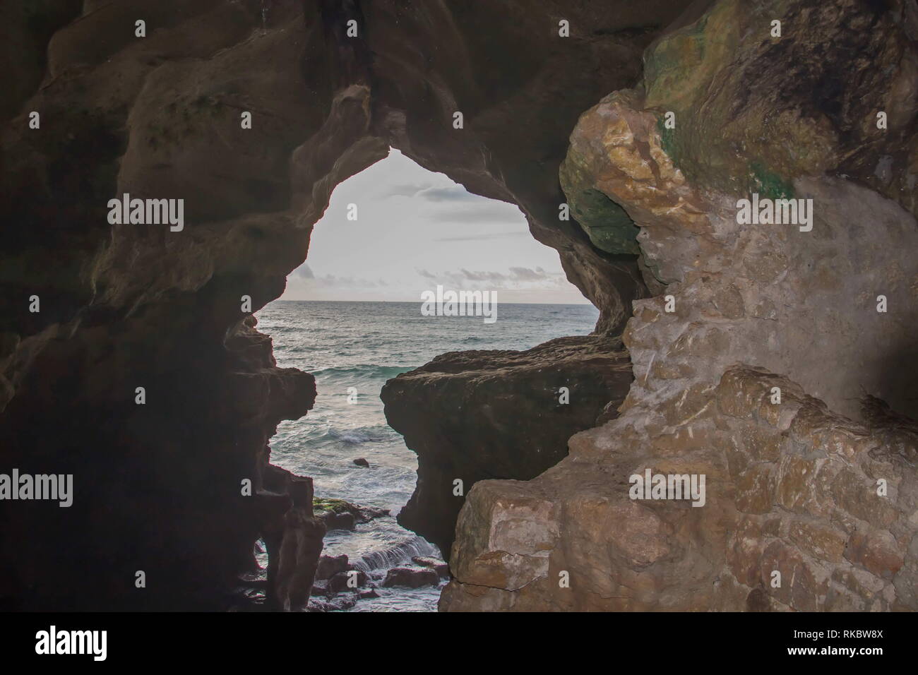 Caves of Hercules Cape Spartel, Tangier, Morocco Stock Photohttps://www.alamy.com/image-license-details/?v=1https://www.alamy.com/caves-of-hercules-cape-spartel-tangier-morocco-image235674570.html
RFRKBW8X–Caves of Hercules Cape Spartel, Tangier, Morocco
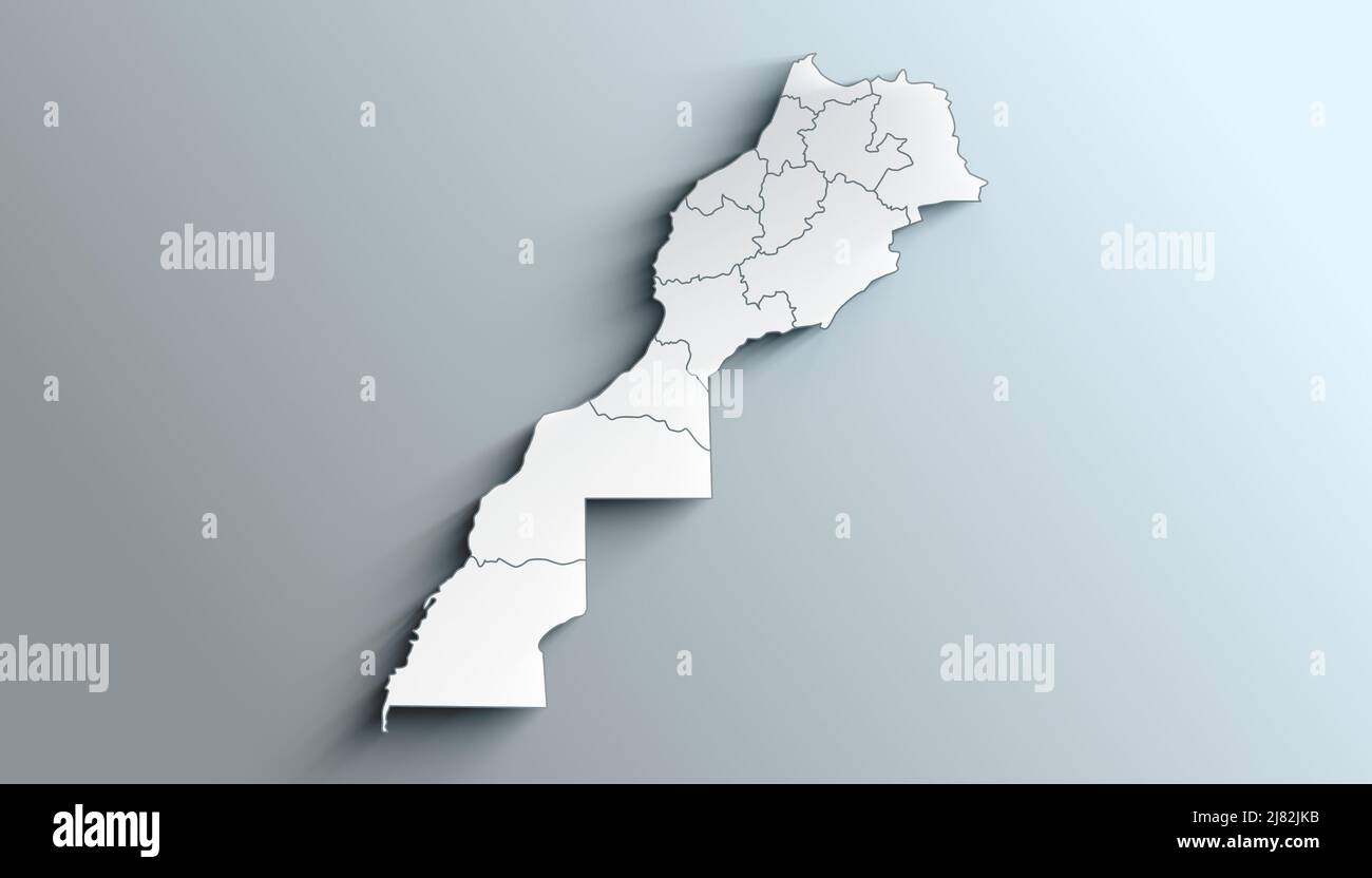 Country Political Geographical Map of Morocco with region with Shadows Stock Photohttps://www.alamy.com/image-license-details/?v=1https://www.alamy.com/country-political-geographical-map-of-morocco-with-region-with-shadows-image469655743.html
RF2J82JKB–Country Political Geographical Map of Morocco with region with Shadows
 Sea chart of the Strait of Gibraltar and the Bay of Tangier, New pass card of 'the rise of' t Narrow from the Strait, starting on the Spanish coast, from the Barles, and on the Moorish coast, from Sta. Cruz het Naauw (title on object), Sea chart of the Strait of Gibraltar and the Atlantic Ocean and the coasts of Portugal, Spain and the Moorish coast (Morocco). Top right a side map of the Bay of Tangier with compass rose and scale in German miles. Main map itself with North left and two compass roses. On the right two scale sticks in German and English or French miles. On the left a cartouche w Stock Photohttps://www.alamy.com/image-license-details/?v=1https://www.alamy.com/sea-chart-of-the-strait-of-gibraltar-and-the-bay-of-tangier-new-pass-card-of-the-rise-of-t-narrow-from-the-strait-starting-on-the-spanish-coast-from-the-barles-and-on-the-moorish-coast-from-sta-cruz-het-naauw-title-on-object-sea-chart-of-the-strait-of-gibraltar-and-the-atlantic-ocean-and-the-coasts-of-portugal-spain-and-the-moorish-coast-morocco-top-right-a-side-map-of-the-bay-of-tangier-with-compass-rose-and-scale-in-german-miles-main-map-itself-with-north-left-and-two-compass-roses-on-the-right-two-scale-sticks-in-german-and-english-or-french-miles-on-the-left-a-cartouche-w-image349982951.html
RF2B9B2R3–Sea chart of the Strait of Gibraltar and the Bay of Tangier, New pass card of 'the rise of' t Narrow from the Strait, starting on the Spanish coast, from the Barles, and on the Moorish coast, from Sta. Cruz het Naauw (title on object), Sea chart of the Strait of Gibraltar and the Atlantic Ocean and the coasts of Portugal, Spain and the Moorish coast (Morocco). Top right a side map of the Bay of Tangier with compass rose and scale in German miles. Main map itself with North left and two compass roses. On the right two scale sticks in German and English or French miles. On the left a cartouche w
 Sea chart of the Strait of Gibraltar and the Bay of Tangier, vintage engraving. Stock Photohttps://www.alamy.com/image-license-details/?v=1https://www.alamy.com/sea-chart-of-the-strait-of-gibraltar-and-the-bay-of-tangier-vintage-engraving-image417567378.html
RF2F79RCJ–Sea chart of the Strait of Gibraltar and the Bay of Tangier, vintage engraving.
 TANGIER, Va. – James “Ooker” Eskridge, mayor of Tangier, points out some areas of concern to Col. Paul Olsen, Norfolk District commander, on a map at the Tangier Island history museum here November 3, 2014. The district is working on a jetty project for the island as well as dredging the island’s navigation channel. (U.S. Army photo/Patrick Bloodgood) 141103-A-OI229-011 by norfolkdistrict Stock Photohttps://www.alamy.com/image-license-details/?v=1https://www.alamy.com/stock-photo-tangier-va-james-ooker-eskridge-mayor-of-tangier-points-out-some-areas-174041365.html
RMM347F1–TANGIER, Va. – James “Ooker” Eskridge, mayor of Tangier, points out some areas of concern to Col. Paul Olsen, Norfolk District commander, on a map at the Tangier Island history museum here November 3, 2014. The district is working on a jetty project for the island as well as dredging the island’s navigation channel. (U.S. Army photo/Patrick Bloodgood) 141103-A-OI229-011 by norfolkdistrict
 The Atlas Maior is the final version of Joan Blaeu's atlas, published in Amsterdam between 1662 and 1672, in Latin (11 volumes), French (12 volumes), Dutch (9 volumes), German (10 volumes) and Spanish (10 volumes), containing 594 maps and around 3000 pages of text. It was the largest and most expensive book published in the seventeenth century. Earlier, much smaller versions, titled Theatrum Orbis Terrarum, sive, Atlas Novus, were published from 1634 onwards. Stock Photohttps://www.alamy.com/image-license-details/?v=1https://www.alamy.com/the-atlas-maior-is-the-final-version-of-joan-blaeus-atlas-published-in-amsterdam-between-1662-and-1672-in-latin-11-volumes-french-12-volumes-dutch-9-volumes-german-10-volumes-and-spanish-10-volumes-containing-594-maps-and-around-3000-pages-of-text-it-was-the-largest-and-most-expensive-book-published-in-the-seventeenth-century-earlier-much-smaller-versions-titled-theatrum-orbis-terrarum-sive-atlas-novus-were-published-from-1634-onwards-image344264194.html
RM2B02GDP–The Atlas Maior is the final version of Joan Blaeu's atlas, published in Amsterdam between 1662 and 1672, in Latin (11 volumes), French (12 volumes), Dutch (9 volumes), German (10 volumes) and Spanish (10 volumes), containing 594 maps and around 3000 pages of text. It was the largest and most expensive book published in the seventeenth century. Earlier, much smaller versions, titled Theatrum Orbis Terrarum, sive, Atlas Novus, were published from 1634 onwards.
 . English: Fleuron from book: A new account of Spain: being a description of that country and people; and of the sea-ports along the Mediterranean: Of Ceuta, Tangier, &c. With a new and exact map of the city and harbour of Cadiz. To which is added, a large preface concerning the establishment of the Spanish Crown, on the Duke of Anjou. 138 A new account of Spain- being a description of that country and people; and of the sea-ports along the Mediterranean- Of Ceuta, Tangier, etc Fleuron N009994-2 Stock Photohttps://www.alamy.com/image-license-details/?v=1https://www.alamy.com/english-fleuron-from-book-a-new-account-of-spain-being-a-description-of-that-country-and-people-and-of-the-sea-ports-along-the-mediterranean-of-ceuta-tangier-c-with-a-new-and-exact-map-of-the-city-and-harbour-of-cadiz-to-which-is-added-a-large-preface-concerning-the-establishment-of-the-spanish-crown-on-the-duke-of-anjou-138-a-new-account-of-spain-being-a-description-of-that-country-and-people-and-of-the-sea-ports-along-the-mediterranean-of-ceuta-tangier-etc-fleuron-n009994-2-image206739046.html
RMP09NNA–. English: Fleuron from book: A new account of Spain: being a description of that country and people; and of the sea-ports along the Mediterranean: Of Ceuta, Tangier, &c. With a new and exact map of the city and harbour of Cadiz. To which is added, a large preface concerning the establishment of the Spanish Crown, on the Duke of Anjou. 138 A new account of Spain- being a description of that country and people; and of the sea-ports along the Mediterranean- Of Ceuta, Tangier, etc Fleuron N009994-2
 Morocco map and list of cities word cloud concept on white background. Stock Photohttps://www.alamy.com/image-license-details/?v=1https://www.alamy.com/morocco-map-and-list-of-cities-word-cloud-concept-on-white-background-image356734578.html
RF2BMAJGJ–Morocco map and list of cities word cloud concept on white background.
 The Burton Holmes lectures; . AIU 111-- Dl;SOI.ATI().N map shows that Tangier,although a Moorish port, is placed onthe north side of the Mediterranean, while Spain, apparently,is next door to Morocco, on the coast of Africa. The resultsof Stanleys explorations are outlined with remarkable angu-larity and distinctness around the sources of the Nile and theMountains of the Moon. England, though not named, isrej)resented by one of the islands just north of India andThibet ; moreover, the latest Moorish expedition to the northpole has evidently reported that Gog and Magog abide amidthe frop^en sea Stock Photohttps://www.alamy.com/image-license-details/?v=1https://www.alamy.com/the-burton-holmes-lectures-aiu-111-dlsoiatin-map-shows-that-tangieralthough-a-moorish-port-is-placed-onthe-north-side-of-the-mediterranean-while-spain-apparentlyis-next-door-to-morocco-on-the-coast-of-africa-the-resultsof-stanleys-explorations-are-outlined-with-remarkable-angu-larity-and-distinctness-around-the-sources-of-the-nile-and-themountains-of-the-moon-england-though-not-named-isrejresented-by-one-of-the-islands-just-north-of-india-andthibet-moreover-the-latest-moorish-expedition-to-the-northpole-has-evidently-reported-that-gog-and-magog-abide-amidthe-fropen-sea-image339065794.html
RM2AKHNTJ–The Burton Holmes lectures; . AIU 111-- Dl;SOI.ATI().N map shows that Tangier,although a Moorish port, is placed onthe north side of the Mediterranean, while Spain, apparently,is next door to Morocco, on the coast of Africa. The resultsof Stanleys explorations are outlined with remarkable angu-larity and distinctness around the sources of the Nile and theMountains of the Moon. England, though not named, isrej)resented by one of the islands just north of India andThibet ; moreover, the latest Moorish expedition to the northpole has evidently reported that Gog and Magog abide amidthe frop^en sea
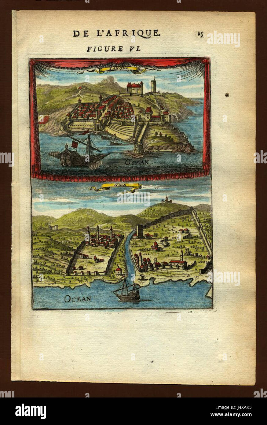 View of Tangier and Sale, 1683 Stock Photohttps://www.alamy.com/image-license-details/?v=1https://www.alamy.com/stock-photo-view-of-tangier-and-sale-1683-140720697.html
RMJ4XAK5–View of Tangier and Sale, 1683
 Image taken from page 222 of 'Homeward Bound after Thirty Years. A colonist's impressions of New Zealand, Australia, Tangier and Spain ... With ... illustrations' Image taken from page 222 of 'Homeward Bound after Thirty Stock Photohttps://www.alamy.com/image-license-details/?v=1https://www.alamy.com/stock-photo-image-taken-from-page-222-of-homeward-bound-after-thirty-years-a-colonists-85964722.html
RMEYT0TJ–Image taken from page 222 of 'Homeward Bound after Thirty Years. A colonist's impressions of New Zealand, Australia, Tangier and Spain ... With ... illustrations' Image taken from page 222 of 'Homeward Bound after Thirty
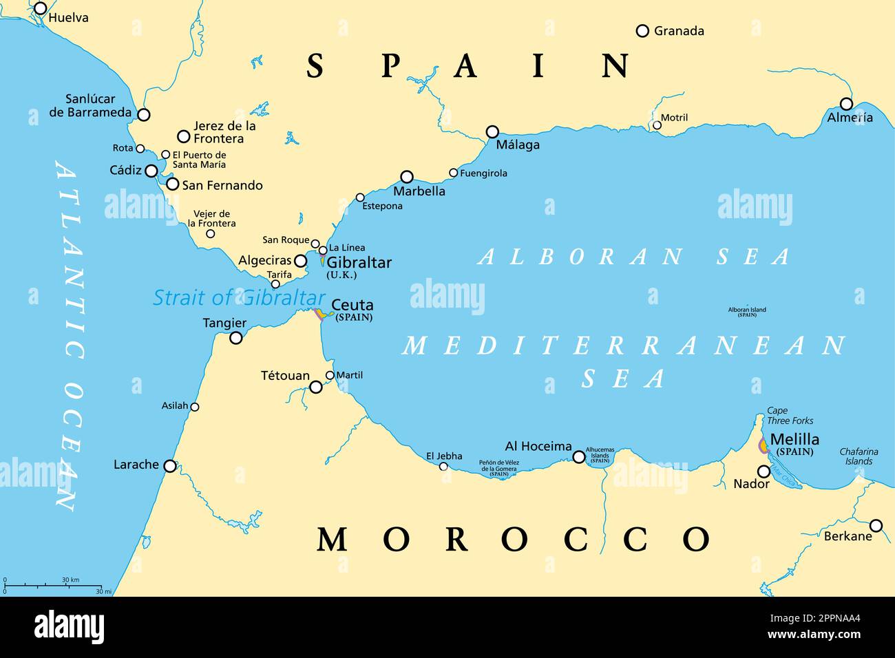 Strait of Gibraltar, also known as Straits of Gibraltar, political map Stock Vectorhttps://www.alamy.com/image-license-details/?v=1https://www.alamy.com/strait-of-gibraltar-also-known-as-straits-of-gibraltar-political-map-image547512956.html
RF2PPNAA4–Strait of Gibraltar, also known as Straits of Gibraltar, political map
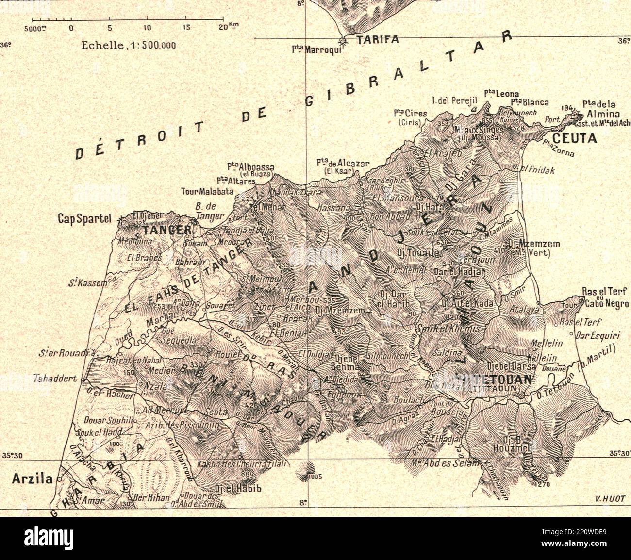 ''Environs de Tanger; Afrique du nord', 1914. From "Grande Geographie Bong Illustree", 1914. Stock Photohttps://www.alamy.com/image-license-details/?v=1https://www.alamy.com/environs-de-tanger-afrique-du-nord-1914-from-quotgrande-geographie-bong-illustreequot-1914-image534080801.html
RM2P0WDE9–''Environs de Tanger; Afrique du nord', 1914. From "Grande Geographie Bong Illustree", 1914.
 Tangier, Woodward County, US, United States, Oklahoma, N 36 25' 15'', S 99 32' 0'', map, Cartascapes Map published in 2024. Explore Cartascapes, a map revealing Earth's diverse landscapes, cultures, and ecosystems. Journey through time and space, discovering the interconnectedness of our planet's past, present, and future. Stock Photohttps://www.alamy.com/image-license-details/?v=1https://www.alamy.com/tangier-woodward-county-us-united-states-oklahoma-n-36-25-15-s-99-32-0-map-cartascapes-map-published-in-2024-explore-cartascapes-a-map-revealing-earths-diverse-landscapes-cultures-and-ecosystems-journey-through-time-and-space-discovering-the-interconnectedness-of-our-planets-past-present-and-future-image620679491.html
RM2Y1PB0K–Tangier, Woodward County, US, United States, Oklahoma, N 36 25' 15'', S 99 32' 0'', map, Cartascapes Map published in 2024. Explore Cartascapes, a map revealing Earth's diverse landscapes, cultures, and ecosystems. Journey through time and space, discovering the interconnectedness of our planet's past, present, and future.
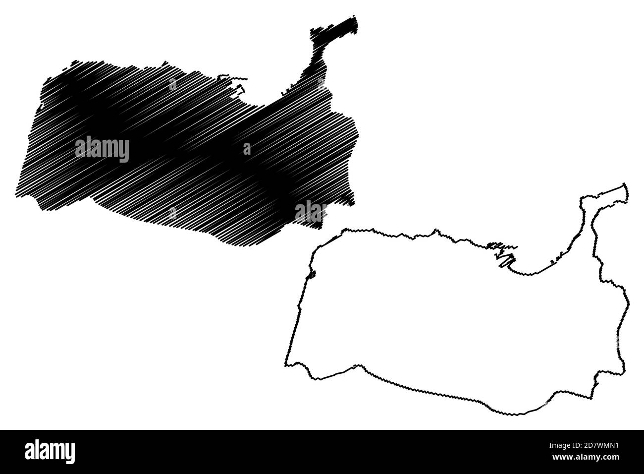 Tangier City (Kingdom of Morocco, Tanger-Tetouan-Al Hoceima Region) map vector illustration, scribble sketch City of Tangier map Stock Vectorhttps://www.alamy.com/image-license-details/?v=1https://www.alamy.com/tangier-city-kingdom-of-morocco-tanger-tetouan-al-hoceima-region-map-vector-illustration-scribble-sketch-city-of-tangier-map-image383495757.html
RF2D7WMN1–Tangier City (Kingdom of Morocco, Tanger-Tetouan-Al Hoceima Region) map vector illustration, scribble sketch City of Tangier map
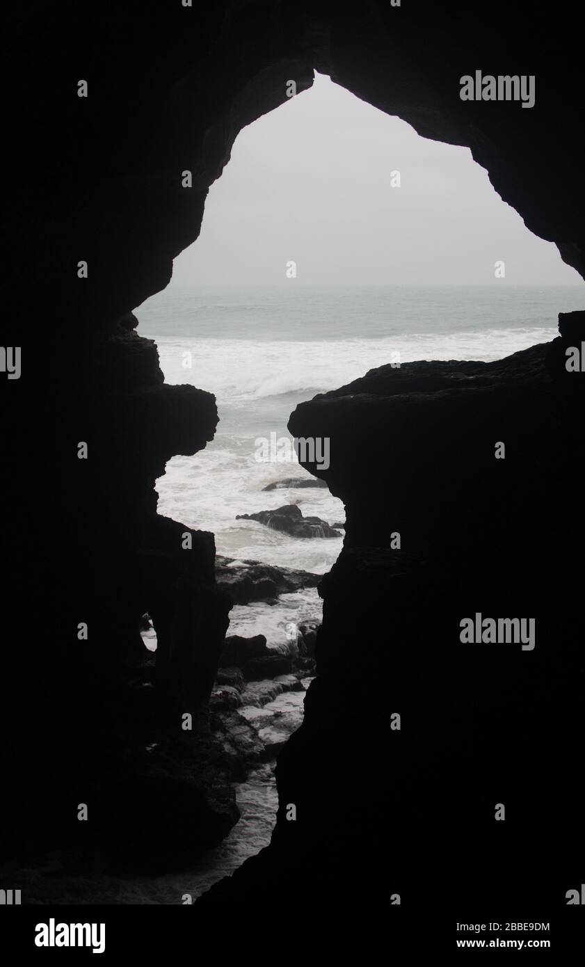 'Map of Africa', an opening in the Caves of Hercules, Cape Spartel, near Tangier, Morocco Stock Photohttps://www.alamy.com/image-license-details/?v=1https://www.alamy.com/map-of-africa-an-opening-in-the-caves-of-hercules-cape-spartel-near-tangier-morocco-image351283344.html
RM2BBE9DM–'Map of Africa', an opening in the Caves of Hercules, Cape Spartel, near Tangier, Morocco
 TANGIERS MOROCCO Stock Photohttps://www.alamy.com/image-license-details/?v=1https://www.alamy.com/tangiers-morocco-image257910842.html
RFTYGRWE–TANGIERS MOROCCO
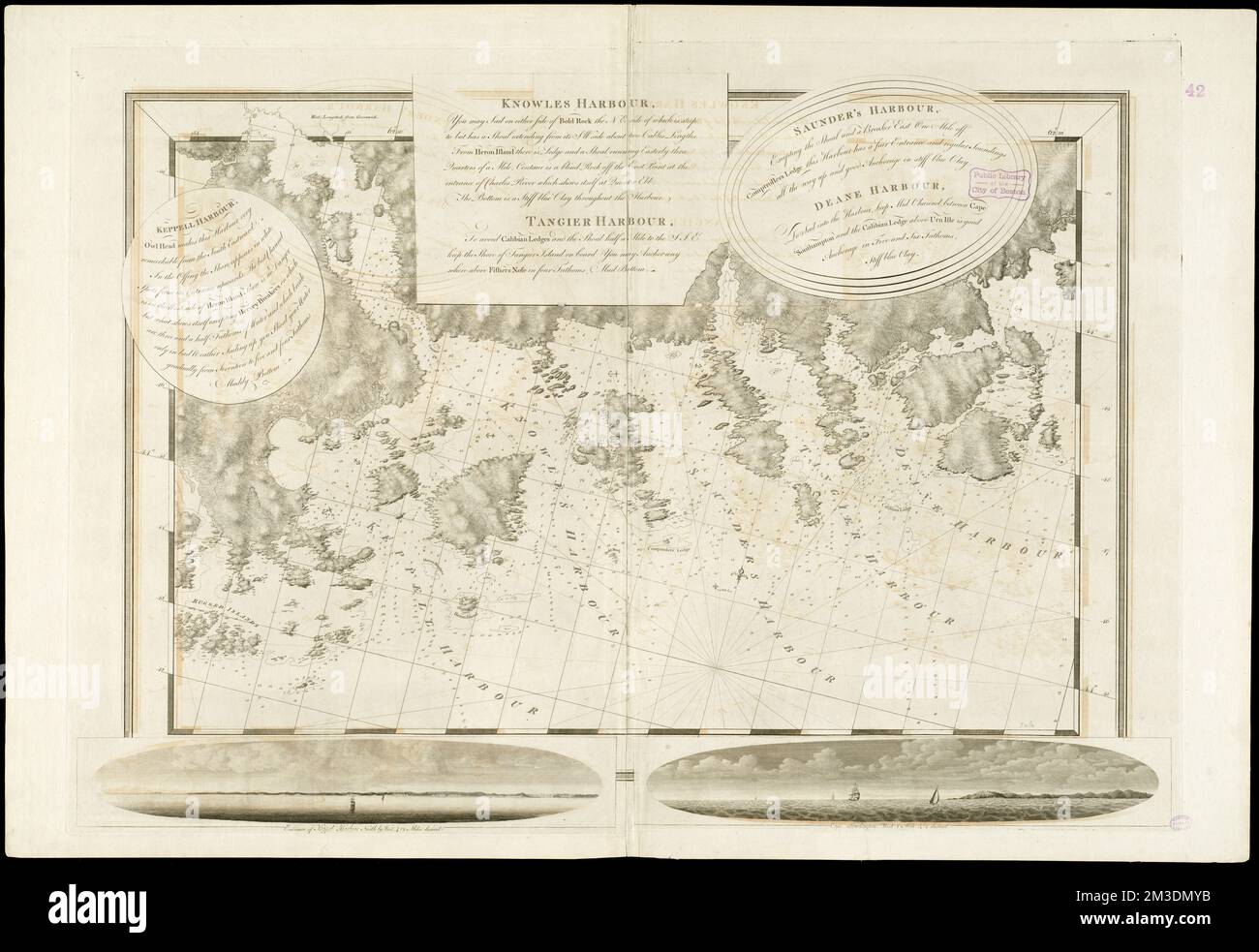 Keppell Harbour : Knowles Harbour ; Tangier Harbour ; Saunder's Harbour ; Deane Harbour , Nautical charts, Nova Scotia, Early works to 1800, Coasts, Nova Scotia, Maps, Early works to 1800, Nova Scotia, Maps, Early works to 1800 Norman B. Leventhal Map Center Collection Stock Photohttps://www.alamy.com/image-license-details/?v=1https://www.alamy.com/keppell-harbour-knowles-harbour-tangier-harbour-saunders-harbour-deane-harbour-nautical-charts-nova-scotia-early-works-to-1800-coasts-nova-scotia-maps-early-works-to-1800-nova-scotia-maps-early-works-to-1800-norman-b-leventhal-map-center-collection-image501246463.html
RM2M3DMYB–Keppell Harbour : Knowles Harbour ; Tangier Harbour ; Saunder's Harbour ; Deane Harbour , Nautical charts, Nova Scotia, Early works to 1800, Coasts, Nova Scotia, Maps, Early works to 1800, Nova Scotia, Maps, Early works to 1800 Norman B. Leventhal Map Center Collection
 Caves of Hercule in Cape Spartel at the entrance of the strait of Gibraltar near Tangier in Morocco Stock Photohttps://www.alamy.com/image-license-details/?v=1https://www.alamy.com/caves-of-hercule-in-cape-spartel-at-the-entrance-of-the-strait-of-gibraltar-near-tangier-in-morocco-image265130298.html
RFWB9MB6–Caves of Hercule in Cape Spartel at the entrance of the strait of Gibraltar near Tangier in Morocco
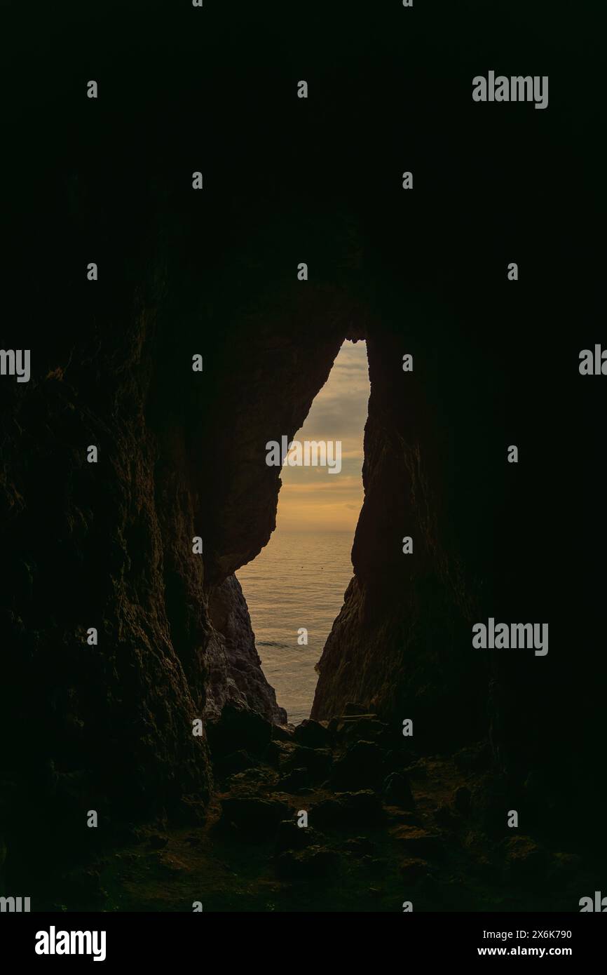 A cave with a small opening in the wall. The cave is dark and the sky is cloudy. Stock Photohttps://www.alamy.com/image-license-details/?v=1https://www.alamy.com/a-cave-with-a-small-opening-in-the-wall-the-cave-is-dark-and-the-sky-is-cloudy-image606473644.html
RF2X6K790–A cave with a small opening in the wall. The cave is dark and the sky is cloudy.
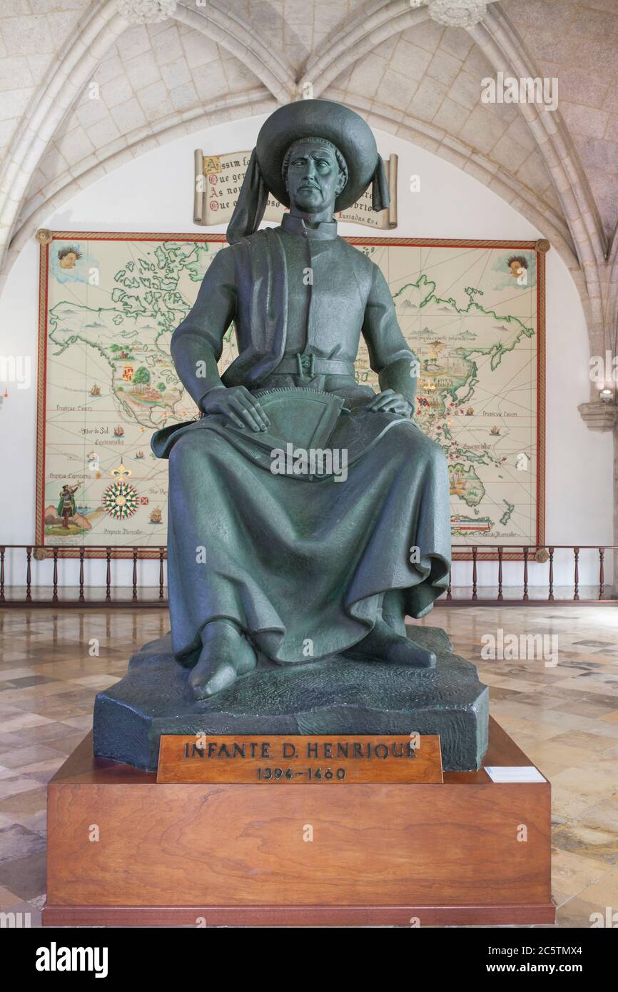 Lisbon, Portugal - March the 1st, 2020: Prince Henry the Navigator sculpture. Unknown artist. Navy Museum, Lisbon, Portugal Stock Photohttps://www.alamy.com/image-license-details/?v=1https://www.alamy.com/lisbon-portugal-march-the-1st-2020-prince-henry-the-navigator-sculpture-unknown-artist-navy-museum-lisbon-portugal-image365034268.html
RF2C5TMX4–Lisbon, Portugal - March the 1st, 2020: Prince Henry the Navigator sculpture. Unknown artist. Navy Museum, Lisbon, Portugal
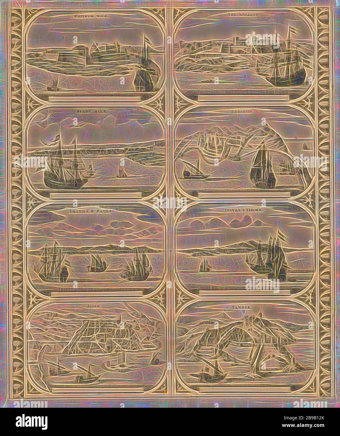 Castrvm Minae / Stadt Minae / Loanda S. Pauli / Alger / Arx Nassovii / Canarien / Insvla S. Thomae / Tanger (title on object), Sheet with two vertical strips, each with four views of the cities in Africa: Elmina, Fort Elmina, Luanda, Algiers, Fort Nassau on the Gold Coast, Canary Islands, Sao Tome and Tangier. Uncut leaf with eight peripheral figures intended to be glued in strips as a frame around a map of a continent, maps of cities, prospect of city, town panorama, silhouette of city, Elmina, Fort Nassau, Sao Tome, Tangier, anonymous, Amsterdam, 1670 - 1672, paper, etching, h 520 mm × w 435 Stock Photohttps://www.alamy.com/image-license-details/?v=1https://www.alamy.com/castrvm-minae-stadt-minae-loanda-s-pauli-alger-arx-nassovii-canarien-insvla-s-thomae-tanger-title-on-object-sheet-with-two-vertical-strips-each-with-four-views-of-the-cities-in-africa-elmina-fort-elmina-luanda-algiers-fort-nassau-on-the-gold-coast-canary-islands-sao-tome-and-tangier-uncut-leaf-with-eight-peripheral-figures-intended-to-be-glued-in-strips-as-a-frame-around-a-map-of-a-continent-maps-of-cities-prospect-of-city-town-panorama-silhouette-of-city-elmina-fort-nassau-sao-tome-tangier-anonymous-amsterdam-1670-1672-paper-etching-h-520-mm-w-435-image349981595.html
RF2B9B12K–Castrvm Minae / Stadt Minae / Loanda S. Pauli / Alger / Arx Nassovii / Canarien / Insvla S. Thomae / Tanger (title on object), Sheet with two vertical strips, each with four views of the cities in Africa: Elmina, Fort Elmina, Luanda, Algiers, Fort Nassau on the Gold Coast, Canary Islands, Sao Tome and Tangier. Uncut leaf with eight peripheral figures intended to be glued in strips as a frame around a map of a continent, maps of cities, prospect of city, town panorama, silhouette of city, Elmina, Fort Nassau, Sao Tome, Tangier, anonymous, Amsterdam, 1670 - 1672, paper, etching, h 520 mm × w 435
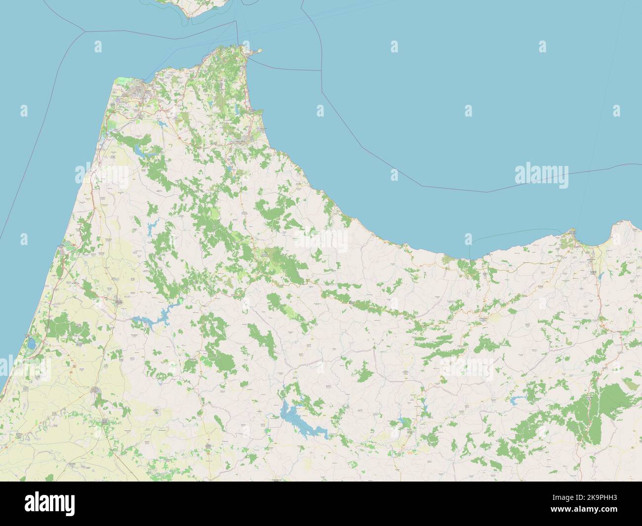 Tanger-Tetouan-Al Hoceima, region of Morocco. Open Street Map Stock Photohttps://www.alamy.com/image-license-details/?v=1https://www.alamy.com/tanger-tetouan-al-hoceima-region-of-morocco-open-street-map-image487918959.html
RF2K9PHH3–Tanger-Tetouan-Al Hoceima, region of Morocco. Open Street Map
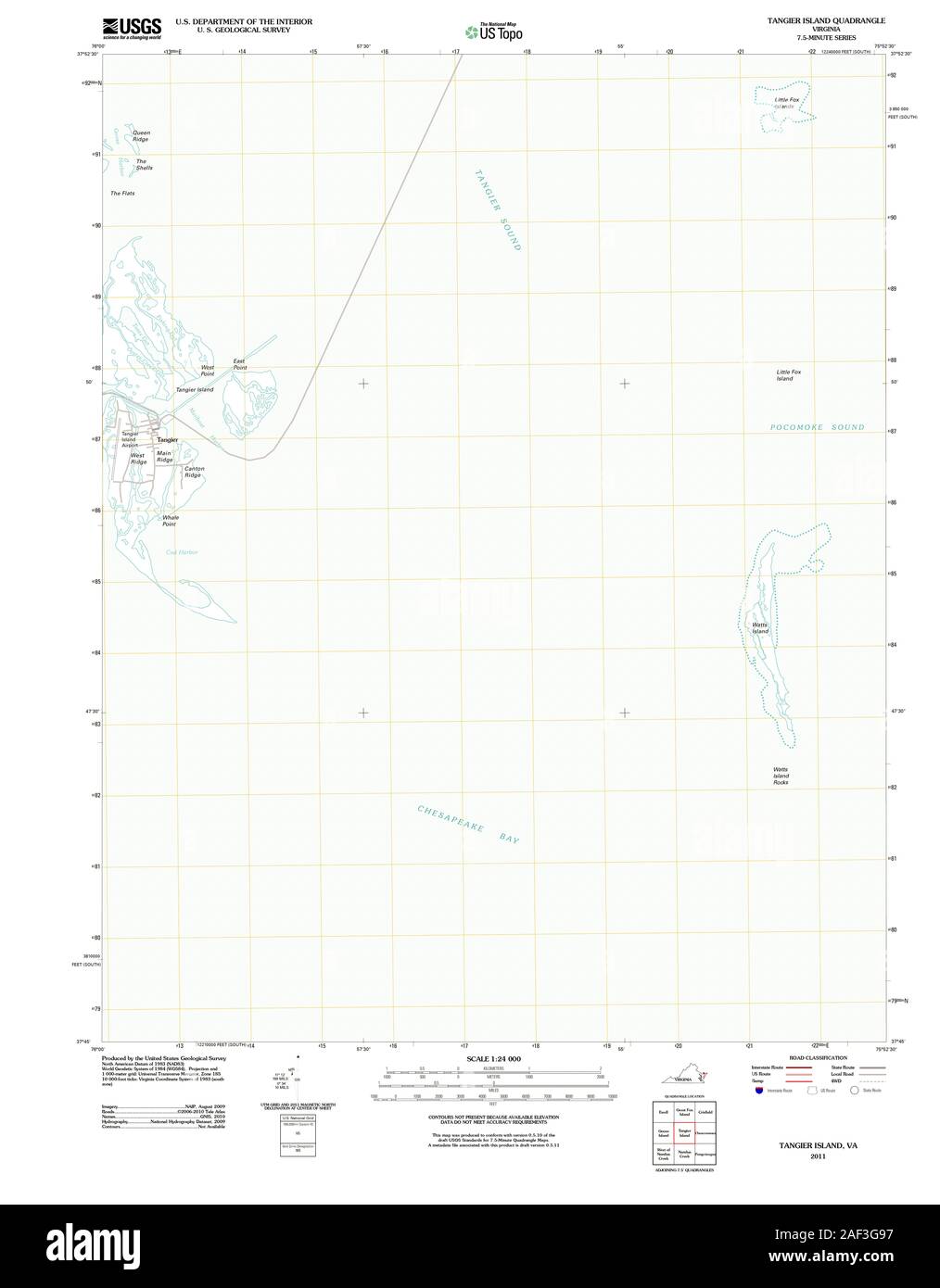 VA Tangier Island 20110929 TM Stock Photohttps://www.alamy.com/image-license-details/?v=1https://www.alamy.com/va-tangier-island-20110929-tm-image336295491.html
RM2AF3G97–VA Tangier Island 20110929 TM
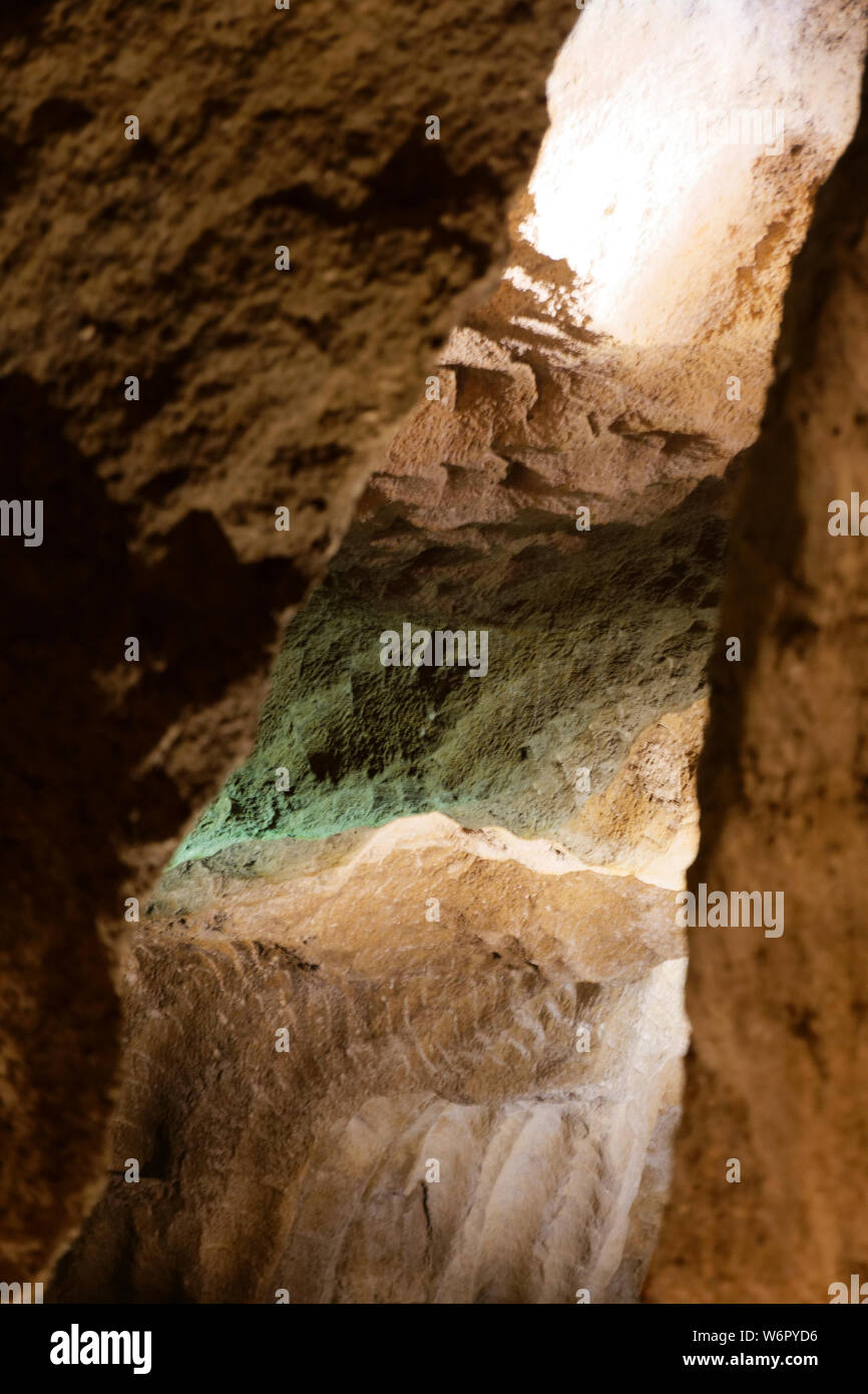 Caves of Hercules in Morocco is Caverns where Hercules allegedly rested during his labors, with an opening in the shape of Africa. Stock Photohttps://www.alamy.com/image-license-details/?v=1https://www.alamy.com/caves-of-hercules-in-morocco-is-caverns-where-hercules-allegedly-rested-during-his-labors-with-an-opening-in-the-shape-of-africa-image262347938.html
RFW6PYD6–Caves of Hercules in Morocco is Caverns where Hercules allegedly rested during his labors, with an opening in the shape of Africa.
 . English: Fleuron from book: A new account of Spain: being a description of that country and people; and of the sea-ports along the Mediterranean: Of Ceuta, Tangier, &c. With a new and exact map of the city and harbour of Cadiz. To which is added, a large preface concerning the establishment of the Spanish Crown, on the Duke of Anjou. 138 A new account of Spain- being a description of that country and people; and of the sea-ports along the Mediterranean- Of Ceuta, Tangier, etc Fleuron N009994-3 Stock Photohttps://www.alamy.com/image-license-details/?v=1https://www.alamy.com/english-fleuron-from-book-a-new-account-of-spain-being-a-description-of-that-country-and-people-and-of-the-sea-ports-along-the-mediterranean-of-ceuta-tangier-c-with-a-new-and-exact-map-of-the-city-and-harbour-of-cadiz-to-which-is-added-a-large-preface-concerning-the-establishment-of-the-spanish-crown-on-the-duke-of-anjou-138-a-new-account-of-spain-being-a-description-of-that-country-and-people-and-of-the-sea-ports-along-the-mediterranean-of-ceuta-tangier-etc-fleuron-n009994-3-image206739051.html
RMP09NNF–. English: Fleuron from book: A new account of Spain: being a description of that country and people; and of the sea-ports along the Mediterranean: Of Ceuta, Tangier, &c. With a new and exact map of the city and harbour of Cadiz. To which is added, a large preface concerning the establishment of the Spanish Crown, on the Duke of Anjou. 138 A new account of Spain- being a description of that country and people; and of the sea-ports along the Mediterranean- Of Ceuta, Tangier, etc Fleuron N009994-3
 Infante Dom Henrique statue from the Santa Catherine Park in Funchal, Madeira, Portugal, European Union Stock Photohttps://www.alamy.com/image-license-details/?v=1https://www.alamy.com/infante-dom-henrique-statue-from-the-santa-catherine-park-in-funchal-madeira-portugal-european-union-image257535158.html
RMTXYMM6–Infante Dom Henrique statue from the Santa Catherine Park in Funchal, Madeira, Portugal, European Union
![Marocco and the Moors: being an account of travels, with a general description of the country and its people . ort ...... 297 APPE]NDICES. A. The Site of the Pioman City Volubilis .... 821 B. The Sultans Passport ....... 330 C. The Drugs in use amongst the Moors .... 333 LIST OF ILLUSTRATIONS. The Sultan going to Mosque Map of Marocco sho^ang Authors Route Tangier, the Landing-place. Old Map of Country about Tangier Village of Conical-shaped Huts . Plan of the Tovrn. of Mogador Mogador fiom the Sea Tattoo Mark Moorish Costume—full dress City of Marocco . Snake-charmer ..... Map of the City of Stock Photo Marocco and the Moors: being an account of travels, with a general description of the country and its people . ort ...... 297 APPE]NDICES. A. The Site of the Pioman City Volubilis .... 821 B. The Sultans Passport ....... 330 C. The Drugs in use amongst the Moors .... 333 LIST OF ILLUSTRATIONS. The Sultan going to Mosque Map of Marocco sho^ang Authors Route Tangier, the Landing-place. Old Map of Country about Tangier Village of Conical-shaped Huts . Plan of the Tovrn. of Mogador Mogador fiom the Sea Tattoo Mark Moorish Costume—full dress City of Marocco . Snake-charmer ..... Map of the City of Stock Photo](https://c8.alamy.com/comp/2AJGYH7/marocco-and-the-moors-being-an-account-of-travels-with-a-general-description-of-the-country-and-its-people-ort-297-appe-ndices-a-the-site-of-the-pioman-city-volubilis-821-b-the-sultans-passport-330-c-the-drugs-in-use-amongst-the-moors-333-list-of-illustrations-the-sultan-going-to-mosque-map-of-marocco-shoang-authors-route-tangier-the-landing-place-old-map-of-country-about-tangier-village-of-conical-shaped-huts-plan-of-the-tovrn-of-mogador-mogador-fiom-the-sea-tattoo-mark-moorish-costumefull-dress-city-of-marocco-snake-charmer-map-of-the-city-of-2AJGYH7.jpg) Marocco and the Moors: being an account of travels, with a general description of the country and its people . ort ...... 297 APPE]NDICES. A. The Site of the Pioman City Volubilis .... 821 B. The Sultans Passport ....... 330 C. The Drugs in use amongst the Moors .... 333 LIST OF ILLUSTRATIONS. The Sultan going to Mosque Map of Marocco sho^ang Authors Route Tangier, the Landing-place. Old Map of Country about Tangier Village of Conical-shaped Huts . Plan of the Tovrn. of Mogador Mogador fiom the Sea Tattoo Mark Moorish Costume—full dress City of Marocco . Snake-charmer ..... Map of the City of Stock Photohttps://www.alamy.com/image-license-details/?v=1https://www.alamy.com/marocco-and-the-moors-being-an-account-of-travels-with-a-general-description-of-the-country-and-its-people-ort-297-appe-ndices-a-the-site-of-the-pioman-city-volubilis-821-b-the-sultans-passport-330-c-the-drugs-in-use-amongst-the-moors-333-list-of-illustrations-the-sultan-going-to-mosque-map-of-marocco-shoang-authors-route-tangier-the-landing-place-old-map-of-country-about-tangier-village-of-conical-shaped-huts-plan-of-the-tovrn-of-mogador-mogador-fiom-the-sea-tattoo-mark-moorish-costumefull-dress-city-of-marocco-snake-charmer-map-of-the-city-of-image338433683.html
Marocco and the Moors: being an account of travels, with a general description of the country and its people . ort ...... 297 APPE]NDICES. A. The Site of the Pioman City Volubilis .... 821 B. The Sultans Passport ....... 330 C. The Drugs in use amongst the Moors .... 333 LIST OF ILLUSTRATIONS. The Sultan going to Mosque Map of Marocco sho^ang Authors Route Tangier, the Landing-place. Old Map of Country about Tangier Village of Conical-shaped Huts . Plan of the Tovrn. of Mogador Mogador fiom the Sea Tattoo Mark Moorish Costume—full dress City of Marocco . Snake-charmer ..... Map of the City of Stock Photohttps://www.alamy.com/image-license-details/?v=1https://www.alamy.com/marocco-and-the-moors-being-an-account-of-travels-with-a-general-description-of-the-country-and-its-people-ort-297-appe-ndices-a-the-site-of-the-pioman-city-volubilis-821-b-the-sultans-passport-330-c-the-drugs-in-use-amongst-the-moors-333-list-of-illustrations-the-sultan-going-to-mosque-map-of-marocco-shoang-authors-route-tangier-the-landing-place-old-map-of-country-about-tangier-village-of-conical-shaped-huts-plan-of-the-tovrn-of-mogador-mogador-fiom-the-sea-tattoo-mark-moorish-costumefull-dress-city-of-marocco-snake-charmer-map-of-the-city-of-image338433683.htmlRM2AJGYH7–Marocco and the Moors: being an account of travels, with a general description of the country and its people . ort ...... 297 APPE]NDICES. A. The Site of the Pioman City Volubilis .... 821 B. The Sultans Passport ....... 330 C. The Drugs in use amongst the Moors .... 333 LIST OF ILLUSTRATIONS. The Sultan going to Mosque Map of Marocco sho^ang Authors Route Tangier, the Landing-place. Old Map of Country about Tangier Village of Conical-shaped Huts . Plan of the Tovrn. of Mogador Mogador fiom the Sea Tattoo Mark Moorish Costume—full dress City of Marocco . Snake-charmer ..... Map of the City of