Quick filters:
Tapini Stock Photos and Images
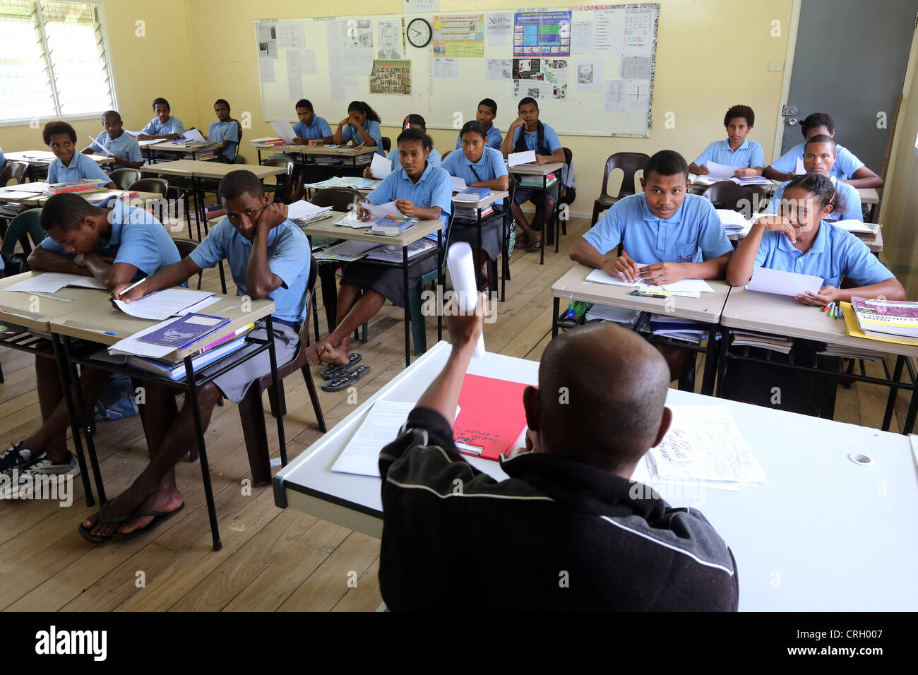 Lessons in the Sacred Heart High School in Tapini, Papua New Guinea Stock Photohttps://www.alamy.com/image-license-details/?v=1https://www.alamy.com/stock-photo-lessons-in-the-sacred-heart-high-school-in-tapini-papua-new-guinea-48931015.html
RMCRH007–Lessons in the Sacred Heart High School in Tapini, Papua New Guinea
 . Bulletin of the Museum of Comparative Zoology at Harvard College. Zoology. 496 Bulletin Museum of Comparative Zoology, Vol. 157, No. 6. Figures 209-212. Pristomyrmex inermis sp. n. 209: Worker head, full-face view; 210: Worker, lateral view; 211: Queen head, full-face view; 212: Queen, lateral view. seum Station, 1,200 m, rainforest, rotten log (R. W. Taylor); Wau, 4,000 ft, forest litter (S. Peck); N. Wau, on Bulolo Rd., 650 m (S. Peck); Wau, Kunai Creek, rain- forest, ca. 1,400 m, berlesate (R. W Tay- lor); Tapini, 1,000 to 1,200 m, rainforest, rotten log (R. W. Taylor). Pristomyrmex inerm Stock Photohttps://www.alamy.com/image-license-details/?v=1https://www.alamy.com/bulletin-of-the-museum-of-comparative-zoology-at-harvard-college-zoology-496-bulletin-museum-of-comparative-zoology-vol-157-no-6-figures-209-212-pristomyrmex-inermis-sp-n-209-worker-head-full-face-view-210-worker-lateral-view-211-queen-head-full-face-view-212-queen-lateral-view-seum-station-1200-m-rainforest-rotten-log-r-w-taylor-wau-4000-ft-forest-litter-s-peck-n-wau-on-bulolo-rd-650-m-s-peck-wau-kunai-creek-rain-forest-ca-1400-m-berlesate-r-w-tay-lor-tapini-1000-to-1200-m-rainforest-rotten-log-r-w-taylor-pristomyrmex-inerm-image233894694.html
RMRGER1X–. Bulletin of the Museum of Comparative Zoology at Harvard College. Zoology. 496 Bulletin Museum of Comparative Zoology, Vol. 157, No. 6. Figures 209-212. Pristomyrmex inermis sp. n. 209: Worker head, full-face view; 210: Worker, lateral view; 211: Queen head, full-face view; 212: Queen, lateral view. seum Station, 1,200 m, rainforest, rotten log (R. W. Taylor); Wau, 4,000 ft, forest litter (S. Peck); N. Wau, on Bulolo Rd., 650 m (S. Peck); Wau, Kunai Creek, rain- forest, ca. 1,400 m, berlesate (R. W Tay- lor); Tapini, 1,000 to 1,200 m, rainforest, rotten log (R. W. Taylor). Pristomyrmex inerm
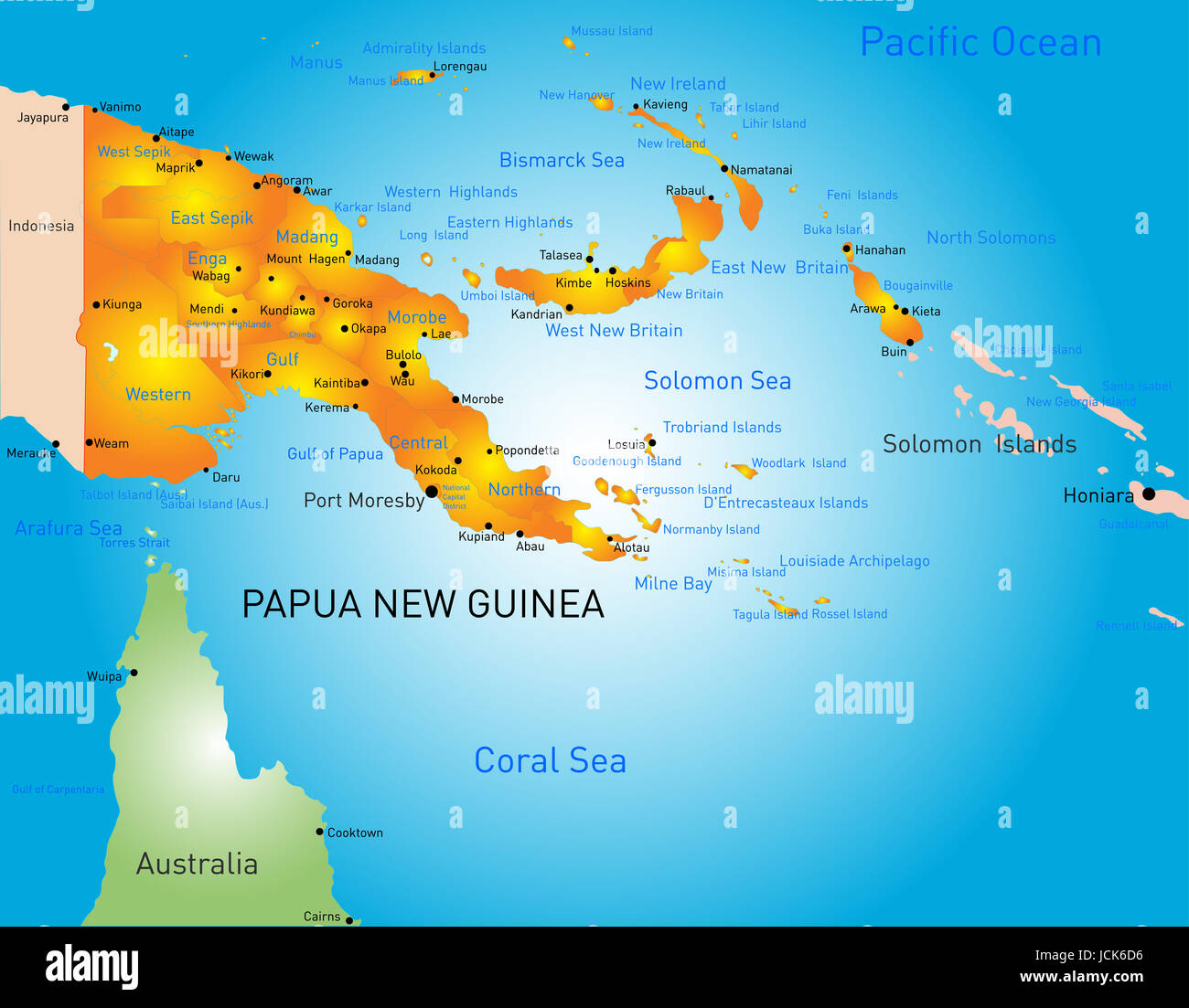 Vector color map of Papua New Guinea country Stock Photohttps://www.alamy.com/image-license-details/?v=1https://www.alamy.com/stock-photo-vector-color-map-of-papua-new-guinea-country-145480978.html
RFJCK6D6–Vector color map of Papua New Guinea country
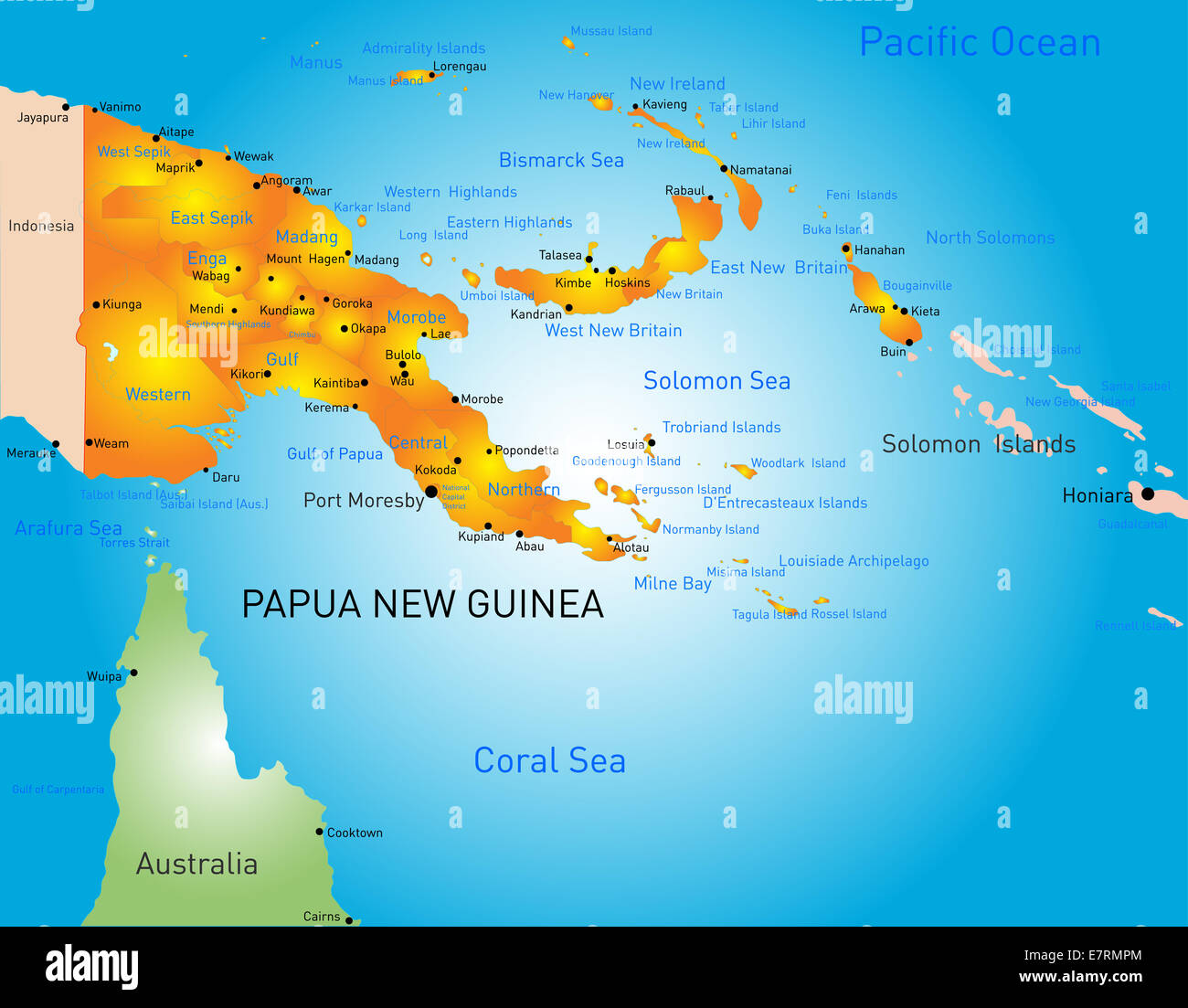 Papua New Guinea Stock Photohttps://www.alamy.com/image-license-details/?v=1https://www.alamy.com/stock-photo-papua-new-guinea-73665276.html
RFE7RMPM–Papua New Guinea
 Central Province, province of Papua New Guinea. Open Street Map. Locations of major cities of the region. Corner auxiliary location maps Stock Photohttps://www.alamy.com/image-license-details/?v=1https://www.alamy.com/central-province-province-of-papua-new-guinea-open-street-map-locations-of-major-cities-of-the-region-corner-auxiliary-location-maps-image516614562.html
RF2N0DR42–Central Province, province of Papua New Guinea. Open Street Map. Locations of major cities of the region. Corner auxiliary location maps
 Papua New Guinea Stock Photohttps://www.alamy.com/image-license-details/?v=1https://www.alamy.com/stock-photo-papua-new-guinea-80133675.html
RFEJAB8Y–Papua New Guinea
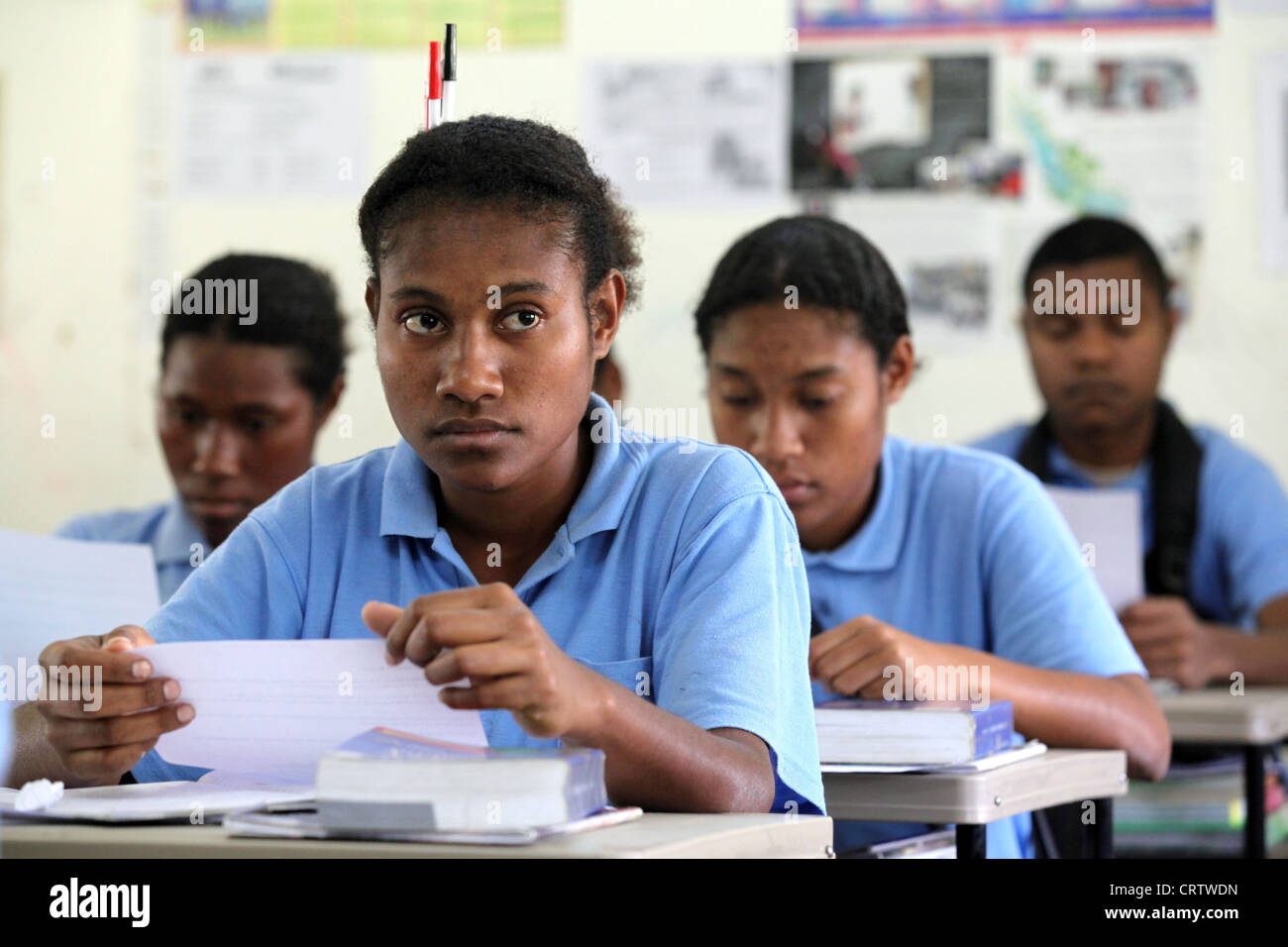 students in the Sacred Heart High School in Tapini, Papua New Guinea Stock Photohttps://www.alamy.com/image-license-details/?v=1https://www.alamy.com/stock-photo-students-in-the-sacred-heart-high-school-in-tapini-papua-new-guinea-49104657.html
RMCRTWDN–students in the Sacred Heart High School in Tapini, Papua New Guinea
 Central Province, province of Papua New Guinea. Grayscale elevation map with lakes and rivers. Locations and names of major cities of the region. Corn Stock Photohttps://www.alamy.com/image-license-details/?v=1https://www.alamy.com/central-province-province-of-papua-new-guinea-grayscale-elevation-map-with-lakes-and-rivers-locations-and-names-of-major-cities-of-the-region-corn-image516614551.html
RF2N0DR3K–Central Province, province of Papua New Guinea. Grayscale elevation map with lakes and rivers. Locations and names of major cities of the region. Corn
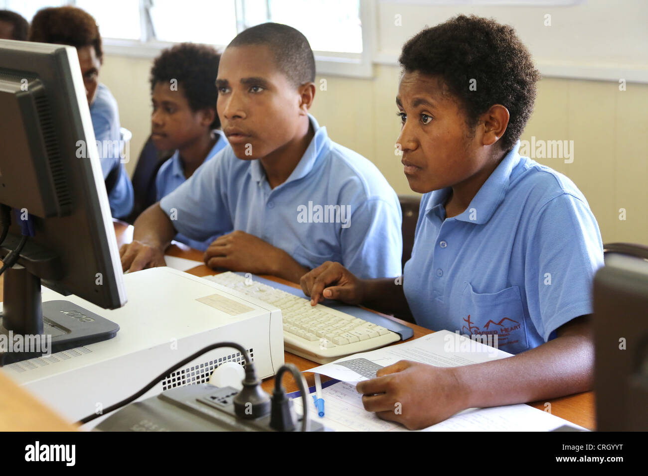 Computer lessons in the Sacred Heart High School in Tapini, Papua New Guinea Stock Photohttps://www.alamy.com/image-license-details/?v=1https://www.alamy.com/stock-photo-computer-lessons-in-the-sacred-heart-high-school-in-tapini-papua-new-48931004.html
RMCRGYYT–Computer lessons in the Sacred Heart High School in Tapini, Papua New Guinea
 Central Province, province of Papua New Guinea. Colored elevation map with lakes and rivers. Locations of major cities of the region. Corner auxiliary Stock Photohttps://www.alamy.com/image-license-details/?v=1https://www.alamy.com/central-province-province-of-papua-new-guinea-colored-elevation-map-with-lakes-and-rivers-locations-of-major-cities-of-the-region-corner-auxiliary-image516614620.html
RF2N0DR64–Central Province, province of Papua New Guinea. Colored elevation map with lakes and rivers. Locations of major cities of the region. Corner auxiliary
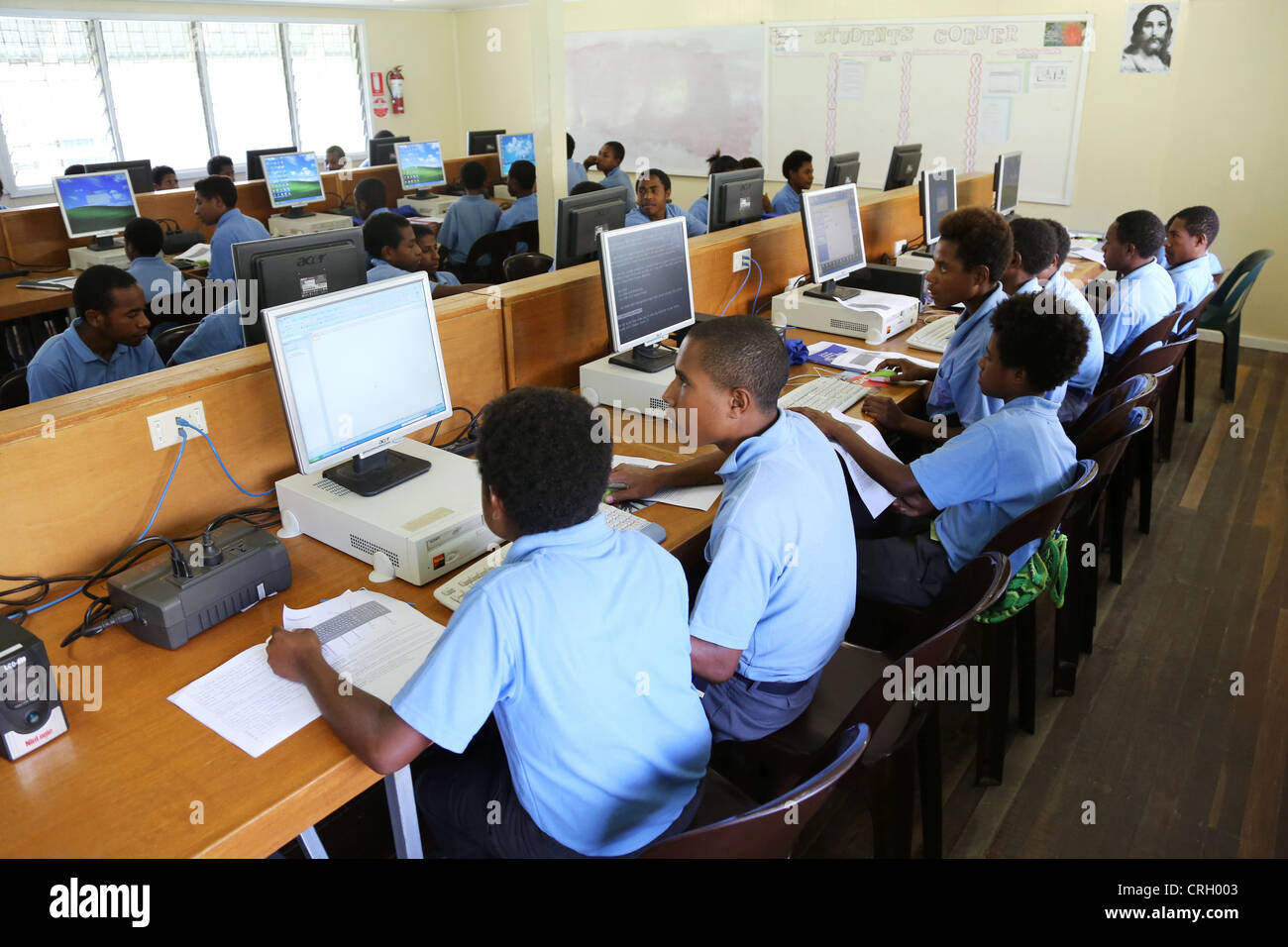 Computer lessons in the Sacred Heart High School in Tapini, Papua New Guinea Stock Photohttps://www.alamy.com/image-license-details/?v=1https://www.alamy.com/stock-photo-computer-lessons-in-the-sacred-heart-high-school-in-tapini-papua-new-48931011.html
RMCRH003–Computer lessons in the Sacred Heart High School in Tapini, Papua New Guinea
 Central Province, province of Papua New Guinea. Solid color shape. Locations of major cities of the region. Corner auxiliary location maps Stock Photohttps://www.alamy.com/image-license-details/?v=1https://www.alamy.com/central-province-province-of-papua-new-guinea-solid-color-shape-locations-of-major-cities-of-the-region-corner-auxiliary-location-maps-image516614586.html
RF2N0DR4X–Central Province, province of Papua New Guinea. Solid color shape. Locations of major cities of the region. Corner auxiliary location maps
 Computer lessons in the Sacred Heart High School in Tapini, Papua New Guinea Stock Photohttps://www.alamy.com/image-license-details/?v=1https://www.alamy.com/stock-photo-computer-lessons-in-the-sacred-heart-high-school-in-tapini-papua-new-48931007.html
RMCRGYYY–Computer lessons in the Sacred Heart High School in Tapini, Papua New Guinea
 Central Province, province of Papua New Guinea. Low resolution satellite map Stock Photohttps://www.alamy.com/image-license-details/?v=1https://www.alamy.com/central-province-province-of-papua-new-guinea-low-resolution-satellite-map-image516614566.html
RF2N0DR46–Central Province, province of Papua New Guinea. Low resolution satellite map
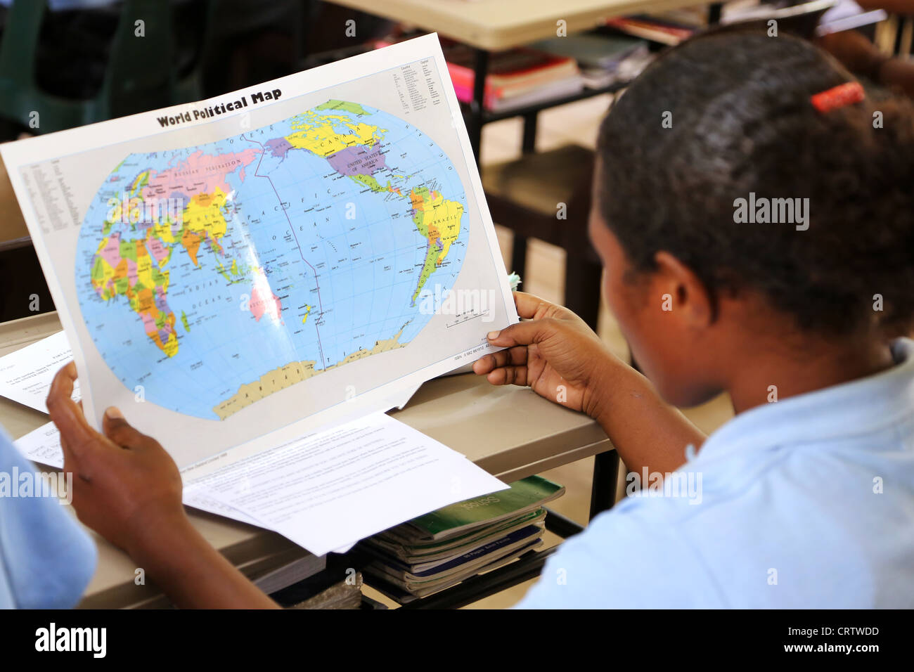 student reading the world map in the Sacred Heart High School in Tapini, Papua New Guinea Stock Photohttps://www.alamy.com/image-license-details/?v=1https://www.alamy.com/stock-photo-student-reading-the-world-map-in-the-sacred-heart-high-school-in-tapini-49104649.html
RMCRTWDD–student reading the world map in the Sacred Heart High School in Tapini, Papua New Guinea
 Central Province, province of Papua New Guinea. Open Street Map. Locations and names of major cities of the region. Corner auxiliary location maps Stock Photohttps://www.alamy.com/image-license-details/?v=1https://www.alamy.com/central-province-province-of-papua-new-guinea-open-street-map-locations-and-names-of-major-cities-of-the-region-corner-auxiliary-location-maps-image516614600.html
RF2N0DR5C–Central Province, province of Papua New Guinea. Open Street Map. Locations and names of major cities of the region. Corner auxiliary location maps
 students of the Sacred Heart High School in the mountain village of Tapini digging in the schools garden, Papua New Guinea Stock Photohttps://www.alamy.com/image-license-details/?v=1https://www.alamy.com/stock-photo-students-of-the-sacred-heart-high-school-in-the-mountain-village-of-49289267.html
RMCT58XY–students of the Sacred Heart High School in the mountain village of Tapini digging in the schools garden, Papua New Guinea
 Central Province, province of Papua New Guinea. High resolution satellite map. Locations of major cities of the region. Corner auxiliary location maps Stock Photohttps://www.alamy.com/image-license-details/?v=1https://www.alamy.com/central-province-province-of-papua-new-guinea-high-resolution-satellite-map-locations-of-major-cities-of-the-region-corner-auxiliary-location-maps-image516614561.html
RF2N0DR41–Central Province, province of Papua New Guinea. High resolution satellite map. Locations of major cities of the region. Corner auxiliary location maps
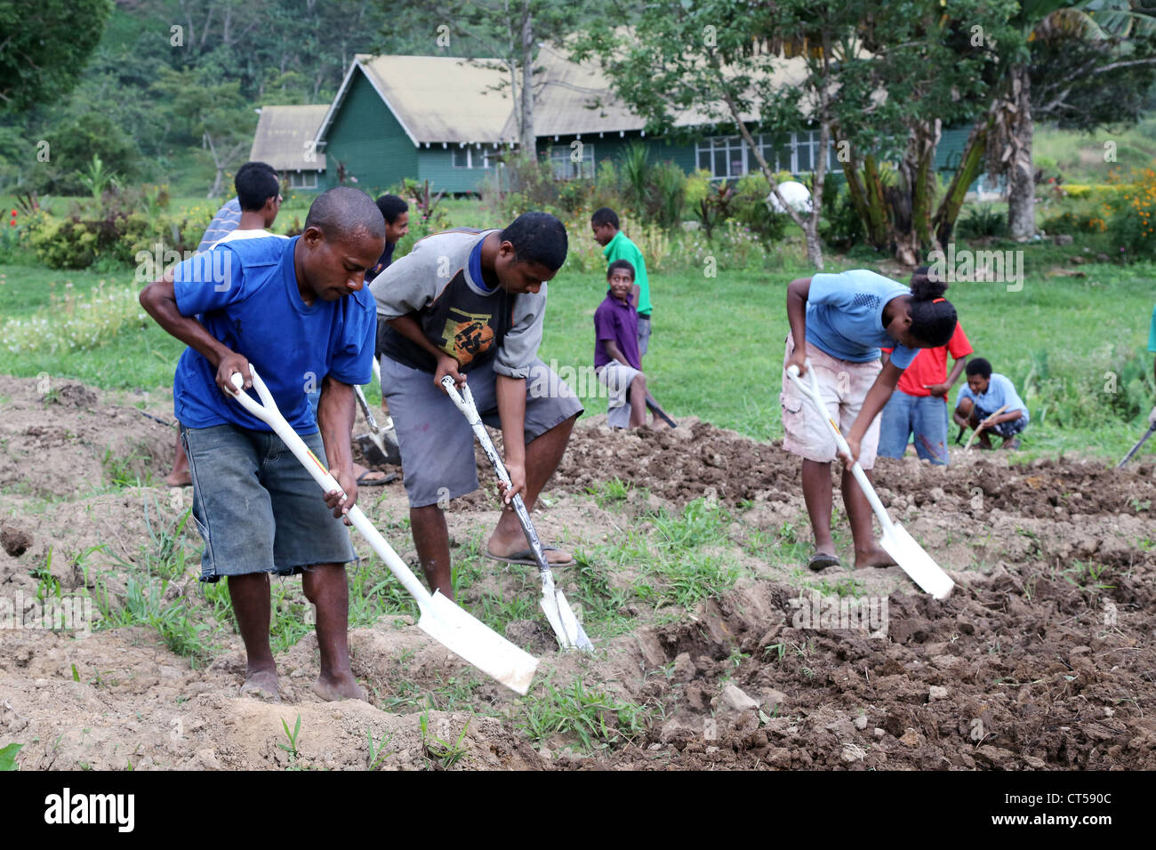 students of the Sacred Heart High School digging in the schools garden in the mountain village of Tapini, Papua New Guinea Stock Photohttps://www.alamy.com/image-license-details/?v=1https://www.alamy.com/stock-photo-students-of-the-sacred-heart-high-school-digging-in-the-schools-garden-49289308.html
RMCT590C–students of the Sacred Heart High School digging in the schools garden in the mountain village of Tapini, Papua New Guinea
 Central Province, province of Papua New Guinea. Solid color shape. Locations and names of major cities of the region. Corner auxiliary location maps Stock Photohttps://www.alamy.com/image-license-details/?v=1https://www.alamy.com/central-province-province-of-papua-new-guinea-solid-color-shape-locations-and-names-of-major-cities-of-the-region-corner-auxiliary-location-maps-image516614563.html
RF2N0DR43–Central Province, province of Papua New Guinea. Solid color shape. Locations and names of major cities of the region. Corner auxiliary location maps
 Catholic sister and trained nurse examines young kid patients in a hospital in Tapini Village, Papua New Guinea Stock Photohttps://www.alamy.com/image-license-details/?v=1https://www.alamy.com/stock-photo-catholic-sister-and-trained-nurse-examines-young-kid-patients-in-a-48930993.html
RMCRGYYD–Catholic sister and trained nurse examines young kid patients in a hospital in Tapini Village, Papua New Guinea
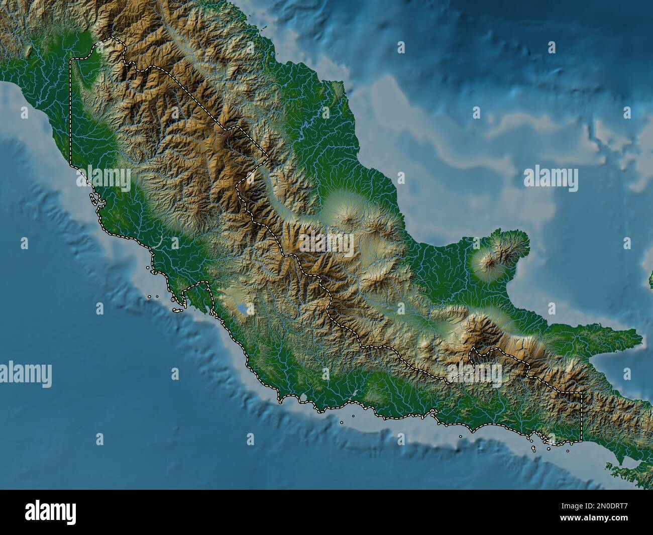 Central Province, province of Papua New Guinea. Colored elevation map with lakes and rivers Stock Photohttps://www.alamy.com/image-license-details/?v=1https://www.alamy.com/central-province-province-of-papua-new-guinea-colored-elevation-map-with-lakes-and-rivers-image516615127.html
RF2N0DRT7–Central Province, province of Papua New Guinea. Colored elevation map with lakes and rivers
 students planting carrots, school garden of the Sacred Heart High School in the mountain village of Tapini, Papua New Guinea Stock Photohttps://www.alamy.com/image-license-details/?v=1https://www.alamy.com/stock-photo-students-planting-carrots-school-garden-of-the-sacred-heart-high-school-49289177.html
RMCT58RN–students planting carrots, school garden of the Sacred Heart High School in the mountain village of Tapini, Papua New Guinea
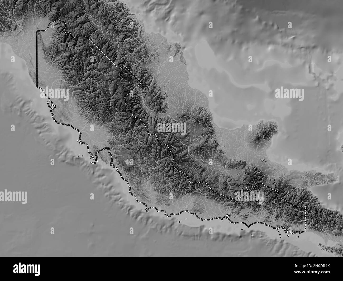 Central Province, province of Papua New Guinea. Grayscale elevation map with lakes and rivers Stock Photohttps://www.alamy.com/image-license-details/?v=1https://www.alamy.com/central-province-province-of-papua-new-guinea-grayscale-elevation-map-with-lakes-and-rivers-image516614579.html
RF2N0DR4K–Central Province, province of Papua New Guinea. Grayscale elevation map with lakes and rivers
 students planting carrots, school garden of the Sacred Heart High School in the mountain village of Tapini, Papua New Guinea Stock Photohttps://www.alamy.com/image-license-details/?v=1https://www.alamy.com/stock-photo-students-planting-carrots-school-garden-of-the-sacred-heart-high-school-49289222.html
RMCT58WA–students planting carrots, school garden of the Sacred Heart High School in the mountain village of Tapini, Papua New Guinea
 Central Province, province of Papua New Guinea. Colored elevation map with lakes and rivers. Locations and names of major cities of the region. Corner Stock Photohttps://www.alamy.com/image-license-details/?v=1https://www.alamy.com/central-province-province-of-papua-new-guinea-colored-elevation-map-with-lakes-and-rivers-locations-and-names-of-major-cities-of-the-region-corner-image516615141.html
RF2N0DRTN–Central Province, province of Papua New Guinea. Colored elevation map with lakes and rivers. Locations and names of major cities of the region. Corner
 women wasging her vegatables at a market stall. Papua New Guinea Stock Photohttps://www.alamy.com/image-license-details/?v=1https://www.alamy.com/stock-photo-women-wasging-her-vegatables-at-a-market-stall-papua-new-guinea-49104718.html
RMCRTWFX–women wasging her vegatables at a market stall. Papua New Guinea
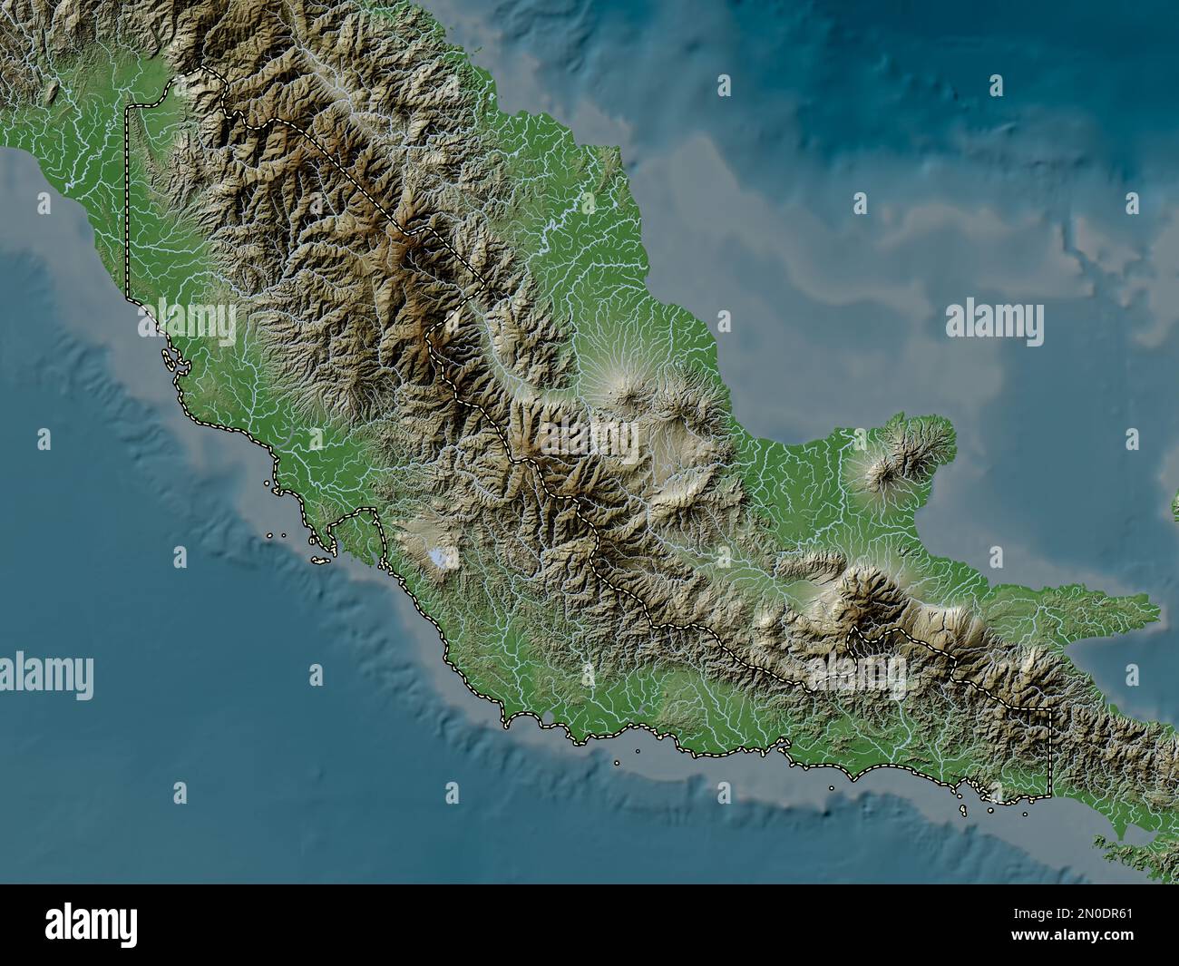 Central Province, province of Papua New Guinea. Elevation map colored in wiki style with lakes and rivers Stock Photohttps://www.alamy.com/image-license-details/?v=1https://www.alamy.com/central-province-province-of-papua-new-guinea-elevation-map-colored-in-wiki-style-with-lakes-and-rivers-image516614617.html
RF2N0DR61–Central Province, province of Papua New Guinea. Elevation map colored in wiki style with lakes and rivers
 Catholic sister and trained midwife examines heavily pregnant woman patient in the maternity ward of a hospital in PNG Stock Photohttps://www.alamy.com/image-license-details/?v=1https://www.alamy.com/stock-photo-catholic-sister-and-trained-midwife-examines-heavily-pregnant-woman-48930996.html
RMCRGYYG–Catholic sister and trained midwife examines heavily pregnant woman patient in the maternity ward of a hospital in PNG
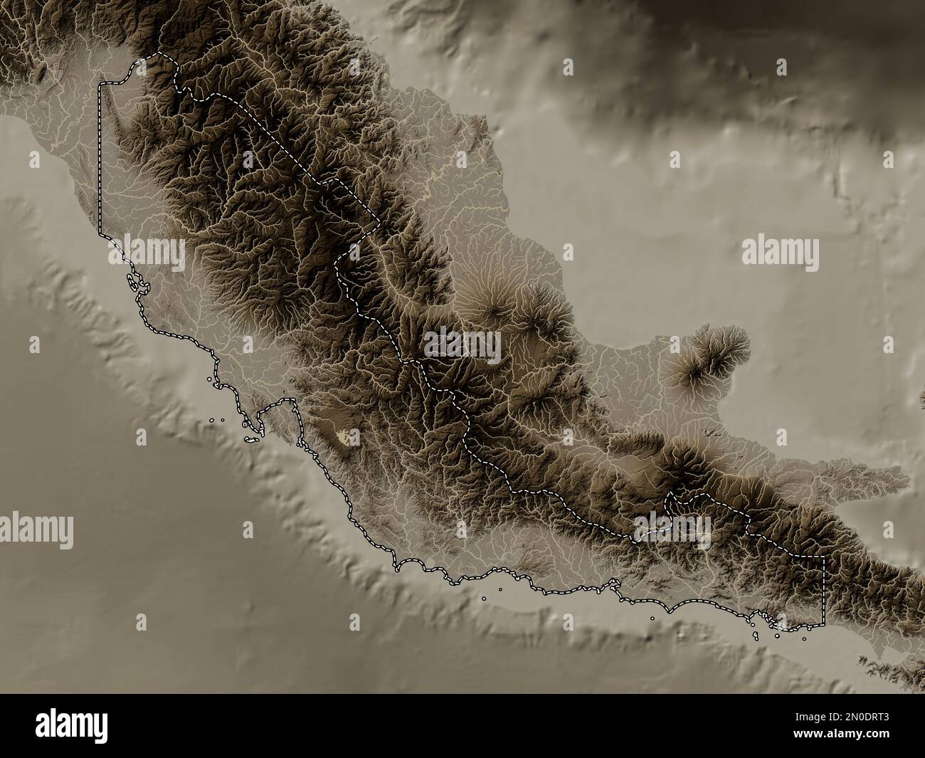 Central Province, province of Papua New Guinea. Elevation map colored in sepia tones with lakes and rivers Stock Photohttps://www.alamy.com/image-license-details/?v=1https://www.alamy.com/central-province-province-of-papua-new-guinea-elevation-map-colored-in-sepia-tones-with-lakes-and-rivers-image516615123.html
RF2N0DRT3–Central Province, province of Papua New Guinea. Elevation map colored in sepia tones with lakes and rivers
 women behind her vegatables at a market stall. Papua New Guinea Stock Photohttps://www.alamy.com/image-license-details/?v=1https://www.alamy.com/stock-photo-women-behind-her-vegatables-at-a-market-stall-papua-new-guinea-49104700.html
RMCRTWF8–women behind her vegatables at a market stall. Papua New Guinea
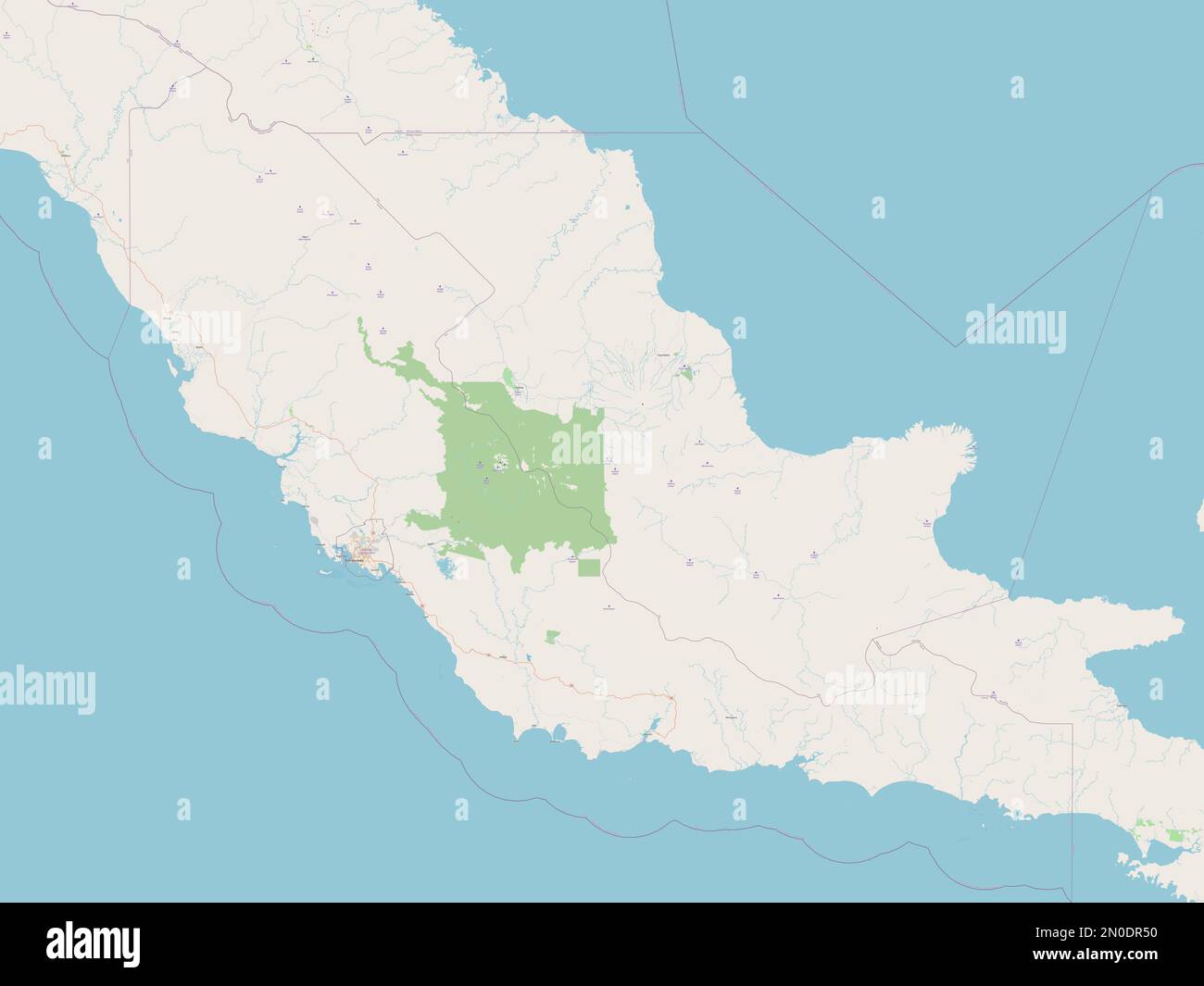 Central Province, province of Papua New Guinea. Open Street Map Stock Photohttps://www.alamy.com/image-license-details/?v=1https://www.alamy.com/central-province-province-of-papua-new-guinea-open-street-map-image516614588.html
RF2N0DR50–Central Province, province of Papua New Guinea. Open Street Map
 women behind her vegatables at a market stall. Papua New Guinea Stock Photohttps://www.alamy.com/image-license-details/?v=1https://www.alamy.com/stock-photo-women-behind-her-vegatables-at-a-market-stall-papua-new-guinea-49104678.html
RMCRTWEE–women behind her vegatables at a market stall. Papua New Guinea
 Central Province, province of Papua New Guinea. Elevation map colored in sepia tones with lakes and rivers. Locations and names of major cities of the Stock Photohttps://www.alamy.com/image-license-details/?v=1https://www.alamy.com/central-province-province-of-papua-new-guinea-elevation-map-colored-in-sepia-tones-with-lakes-and-rivers-locations-and-names-of-major-cities-of-the-image516615158.html
RF2N0DRWA–Central Province, province of Papua New Guinea. Elevation map colored in sepia tones with lakes and rivers. Locations and names of major cities of the
 Catholic sister and trained midwife examines heavily pregnant woman patient in the maternity ward of a hospital in PNG Stock Photohttps://www.alamy.com/image-license-details/?v=1https://www.alamy.com/stock-photo-catholic-sister-and-trained-midwife-examines-heavily-pregnant-woman-48930999.html
RMCRGYYK–Catholic sister and trained midwife examines heavily pregnant woman patient in the maternity ward of a hospital in PNG
 Central Province, province of Papua New Guinea. Low resolution satellite map. Locations and names of major cities of the region. Corner auxiliary loca Stock Photohttps://www.alamy.com/image-license-details/?v=1https://www.alamy.com/central-province-province-of-papua-new-guinea-low-resolution-satellite-map-locations-and-names-of-major-cities-of-the-region-corner-auxiliary-loca-image516614550.html
RF2N0DR3J–Central Province, province of Papua New Guinea. Low resolution satellite map. Locations and names of major cities of the region. Corner auxiliary loca
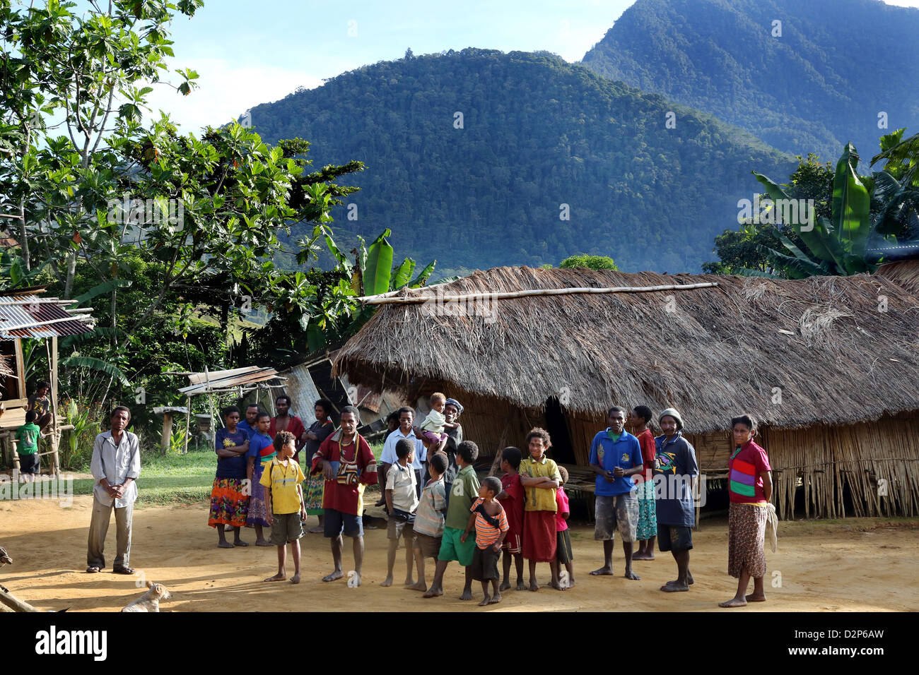 Villagers in Lamina in the highlands of Bereina District, Papua New Guinea Stock Photohttps://www.alamy.com/image-license-details/?v=1https://www.alamy.com/stock-photo-villagers-in-lamina-in-the-highlands-of-bereina-district-papua-new-53348369.html
RMD2P6AW–Villagers in Lamina in the highlands of Bereina District, Papua New Guinea
 Central Province, province of Papua New Guinea. Bilevel elevation map with lakes and rivers. Locations and names of major cities of the region. Corner Stock Photohttps://www.alamy.com/image-license-details/?v=1https://www.alamy.com/central-province-province-of-papua-new-guinea-bilevel-elevation-map-with-lakes-and-rivers-locations-and-names-of-major-cities-of-the-region-corner-image516614567.html
RF2N0DR47–Central Province, province of Papua New Guinea. Bilevel elevation map with lakes and rivers. Locations and names of major cities of the region. Corner
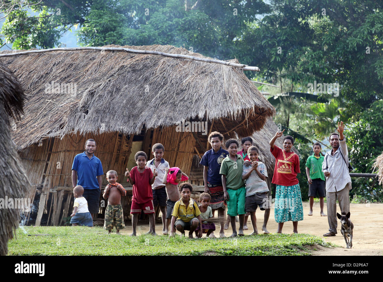 Villagers in Lamina in the highlands of Bereina District, Papua New Guinea Stock Photohttps://www.alamy.com/image-license-details/?v=1https://www.alamy.com/stock-photo-villagers-in-lamina-in-the-highlands-of-bereina-district-papua-new-53348351.html
RMD2P6A7–Villagers in Lamina in the highlands of Bereina District, Papua New Guinea
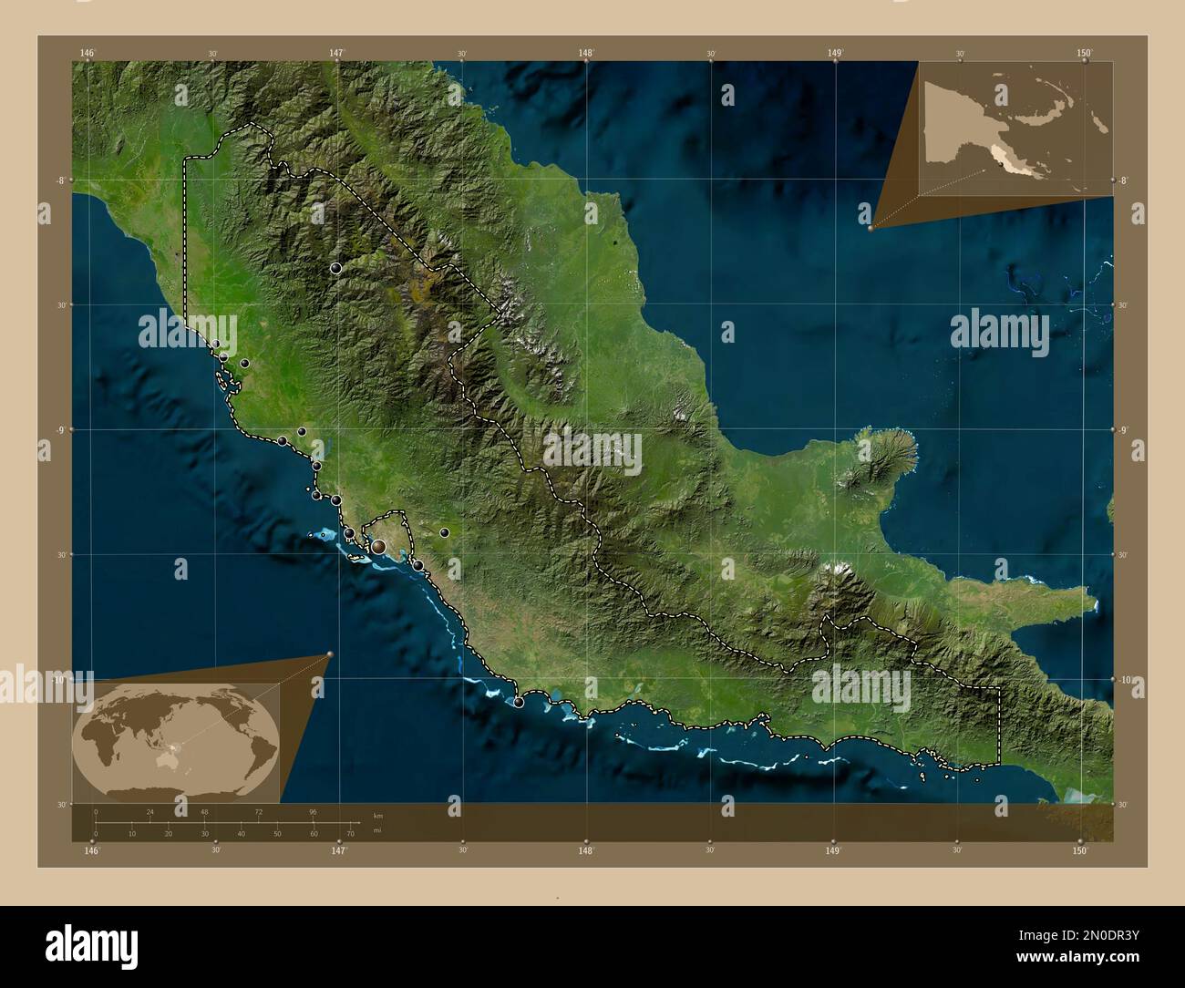 Central Province, province of Papua New Guinea. Low resolution satellite map. Locations of major cities of the region. Corner auxiliary location maps Stock Photohttps://www.alamy.com/image-license-details/?v=1https://www.alamy.com/central-province-province-of-papua-new-guinea-low-resolution-satellite-map-locations-of-major-cities-of-the-region-corner-auxiliary-location-maps-image516614559.html
RF2N0DR3Y–Central Province, province of Papua New Guinea. Low resolution satellite map. Locations of major cities of the region. Corner auxiliary location maps
 Mother with her child waits in a hospital of a village in Papua New Guinea Stock Photohttps://www.alamy.com/image-license-details/?v=1https://www.alamy.com/stock-photo-mother-with-her-child-waits-in-a-hospital-of-a-village-in-papua-new-49148680.html
RMCRXWJ0–Mother with her child waits in a hospital of a village in Papua New Guinea
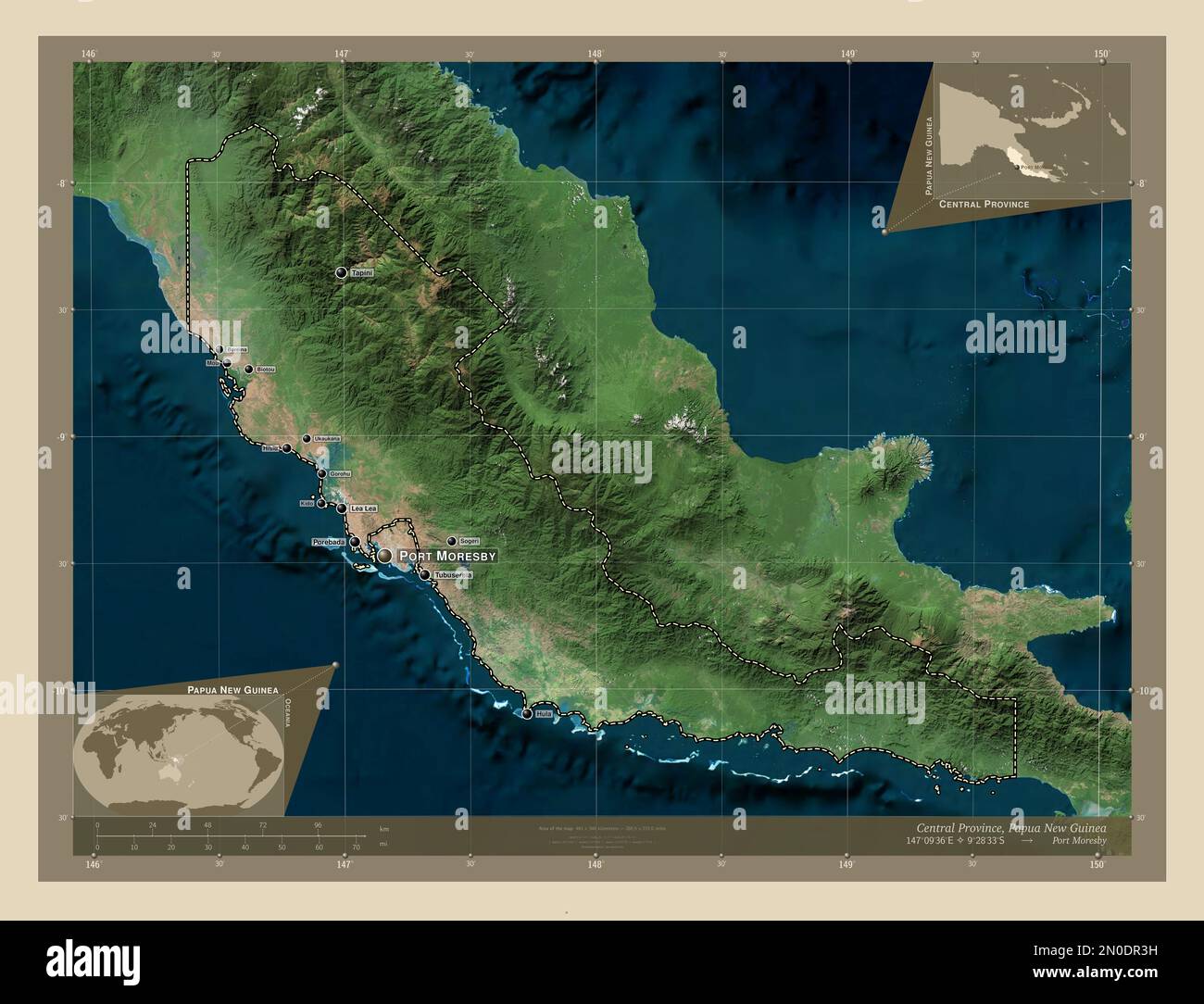 Central Province, province of Papua New Guinea. High resolution satellite map. Locations and names of major cities of the region. Corner auxiliary loc Stock Photohttps://www.alamy.com/image-license-details/?v=1https://www.alamy.com/central-province-province-of-papua-new-guinea-high-resolution-satellite-map-locations-and-names-of-major-cities-of-the-region-corner-auxiliary-loc-image516614549.html
RF2N0DR3H–Central Province, province of Papua New Guinea. High resolution satellite map. Locations and names of major cities of the region. Corner auxiliary loc
 Mothers with their children wait in a hospital of a village in Papua New Guinea Stock Photohttps://www.alamy.com/image-license-details/?v=1https://www.alamy.com/stock-photo-mothers-with-their-children-wait-in-a-hospital-of-a-village-in-papua-49148788.html
RMCRXWNT–Mothers with their children wait in a hospital of a village in Papua New Guinea
 Central Province, province of Papua New Guinea. Bilevel elevation map with lakes and rivers. Locations of major cities of the region. Corner auxiliary Stock Photohttps://www.alamy.com/image-license-details/?v=1https://www.alamy.com/central-province-province-of-papua-new-guinea-bilevel-elevation-map-with-lakes-and-rivers-locations-of-major-cities-of-the-region-corner-auxiliary-image516614544.html
RF2N0DR3C–Central Province, province of Papua New Guinea. Bilevel elevation map with lakes and rivers. Locations of major cities of the region. Corner auxiliary
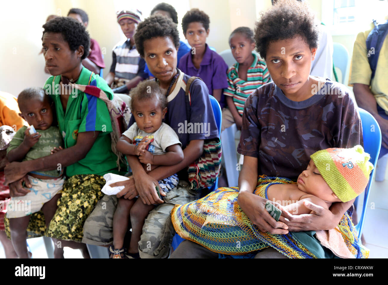 Mothers with their children wait in a hospital of a village in Papua New Guinea Stock Photohttps://www.alamy.com/image-license-details/?v=1https://www.alamy.com/stock-photo-mothers-with-their-children-wait-in-a-hospital-of-a-village-in-papua-49148733.html
RMCRXWKW–Mothers with their children wait in a hospital of a village in Papua New Guinea
 Central Province, province of Papua New Guinea. Grayscale elevation map with lakes and rivers. Locations of major cities of the region. Corner auxilia Stock Photohttps://www.alamy.com/image-license-details/?v=1https://www.alamy.com/central-province-province-of-papua-new-guinea-grayscale-elevation-map-with-lakes-and-rivers-locations-of-major-cities-of-the-region-corner-auxilia-image516614571.html
RF2N0DR4B–Central Province, province of Papua New Guinea. Grayscale elevation map with lakes and rivers. Locations of major cities of the region. Corner auxilia
 Mother with her child waits in a hospital of a village in Papua New Guinea Stock Photohttps://www.alamy.com/image-license-details/?v=1https://www.alamy.com/stock-photo-mother-with-her-child-waits-in-a-hospital-of-a-village-in-papua-new-49148712.html
RMCRXWK4–Mother with her child waits in a hospital of a village in Papua New Guinea
 Central Province, province of Papua New Guinea. Elevation map colored in wiki style with lakes and rivers. Locations and names of major cities of the Stock Photohttps://www.alamy.com/image-license-details/?v=1https://www.alamy.com/central-province-province-of-papua-new-guinea-elevation-map-colored-in-wiki-style-with-lakes-and-rivers-locations-and-names-of-major-cities-of-the-image516615152.html
RF2N0DRW4–Central Province, province of Papua New Guinea. Elevation map colored in wiki style with lakes and rivers. Locations and names of major cities of the
 Mothers with their children wait in a hospital of a village in Papua New Guinea Stock Photohttps://www.alamy.com/image-license-details/?v=1https://www.alamy.com/stock-photo-mothers-with-their-children-wait-in-a-hospital-of-a-village-in-papua-49148760.html
RMCRXWMT–Mothers with their children wait in a hospital of a village in Papua New Guinea
 Central Province, province of Papua New Guinea. Bilevel elevation map with lakes and rivers Stock Photohttps://www.alamy.com/image-license-details/?v=1https://www.alamy.com/central-province-province-of-papua-new-guinea-bilevel-elevation-map-with-lakes-and-rivers-image516614522.html
RF2N0DR2J–Central Province, province of Papua New Guinea. Bilevel elevation map with lakes and rivers
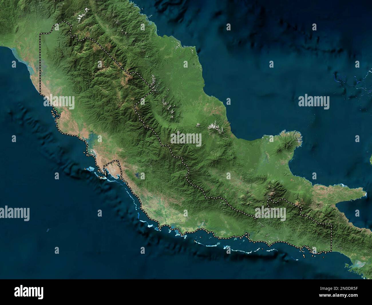 Central Province, province of Papua New Guinea. High resolution satellite map Stock Photohttps://www.alamy.com/image-license-details/?v=1https://www.alamy.com/central-province-province-of-papua-new-guinea-high-resolution-satellite-map-image516614603.html
RF2N0DR5F–Central Province, province of Papua New Guinea. High resolution satellite map
 Central Province, province of Papua New Guinea. Elevation map colored in wiki style with lakes and rivers. Locations of major cities of the region. Co Stock Photohttps://www.alamy.com/image-license-details/?v=1https://www.alamy.com/central-province-province-of-papua-new-guinea-elevation-map-colored-in-wiki-style-with-lakes-and-rivers-locations-of-major-cities-of-the-region-co-image516615137.html
RF2N0DRTH–Central Province, province of Papua New Guinea. Elevation map colored in wiki style with lakes and rivers. Locations of major cities of the region. Co
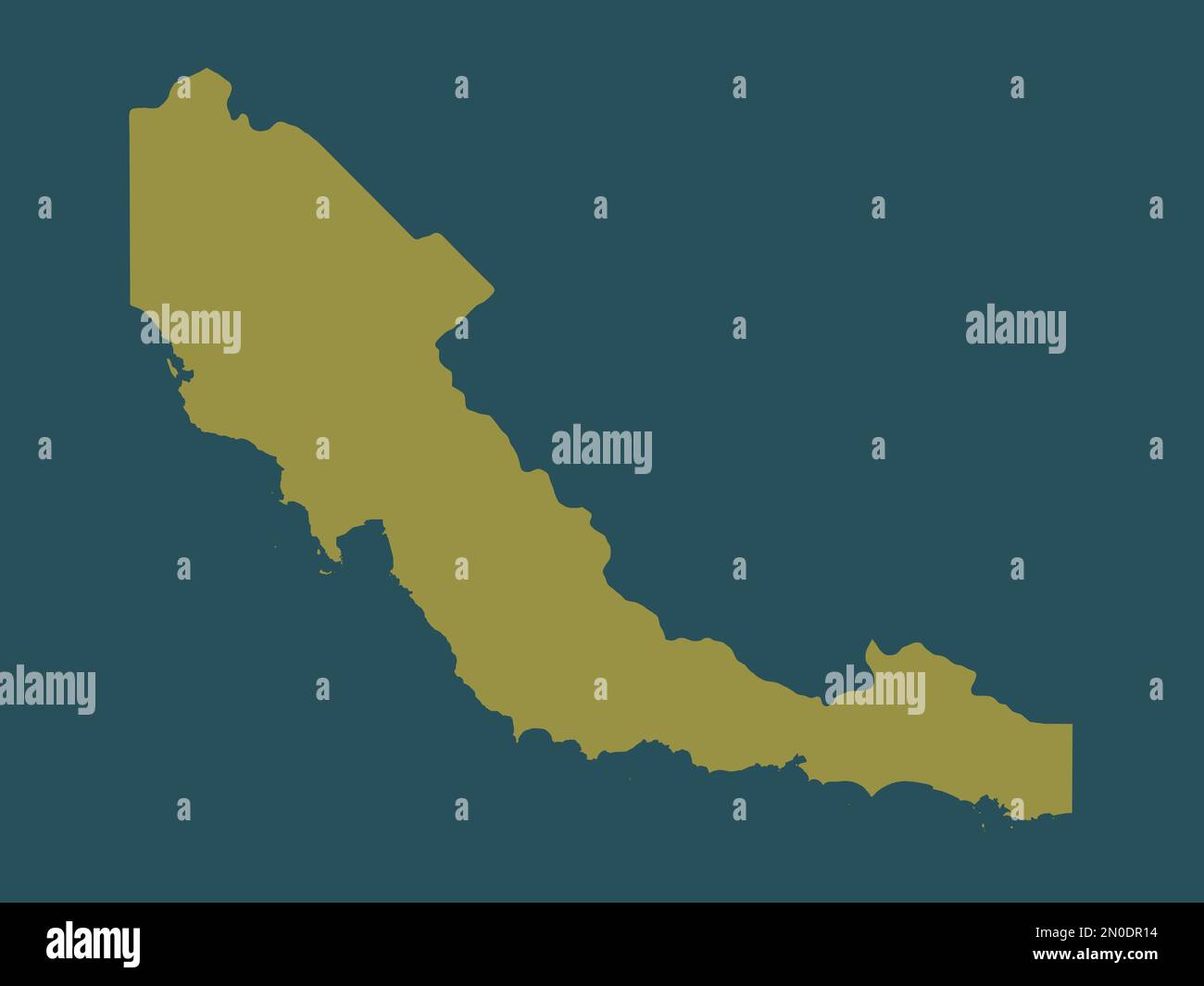 Central Province, province of Papua New Guinea. Solid color shape Stock Photohttps://www.alamy.com/image-license-details/?v=1https://www.alamy.com/central-province-province-of-papua-new-guinea-solid-color-shape-image516614480.html
RF2N0DR14–Central Province, province of Papua New Guinea. Solid color shape
 Central Province, province of Papua New Guinea. Elevation map colored in sepia tones with lakes and rivers. Locations of major cities of the region. C Stock Photohttps://www.alamy.com/image-license-details/?v=1https://www.alamy.com/central-province-province-of-papua-new-guinea-elevation-map-colored-in-sepia-tones-with-lakes-and-rivers-locations-of-major-cities-of-the-region-c-image516614574.html
RF2N0DR4E–Central Province, province of Papua New Guinea. Elevation map colored in sepia tones with lakes and rivers. Locations of major cities of the region. C