Quick filters:
Tarn outline Stock Photos and Images
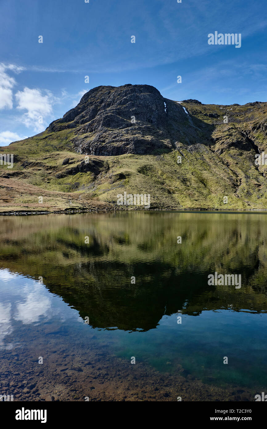 Harrison Stickle reflected in Stickle Tarn, Lake District, Cumbria Stock Photohttps://www.alamy.com/image-license-details/?v=1https://www.alamy.com/harrison-stickle-reflected-in-stickle-tarn-lake-district-cumbria-image242440996.html
RMT2C3Y0–Harrison Stickle reflected in Stickle Tarn, Lake District, Cumbria
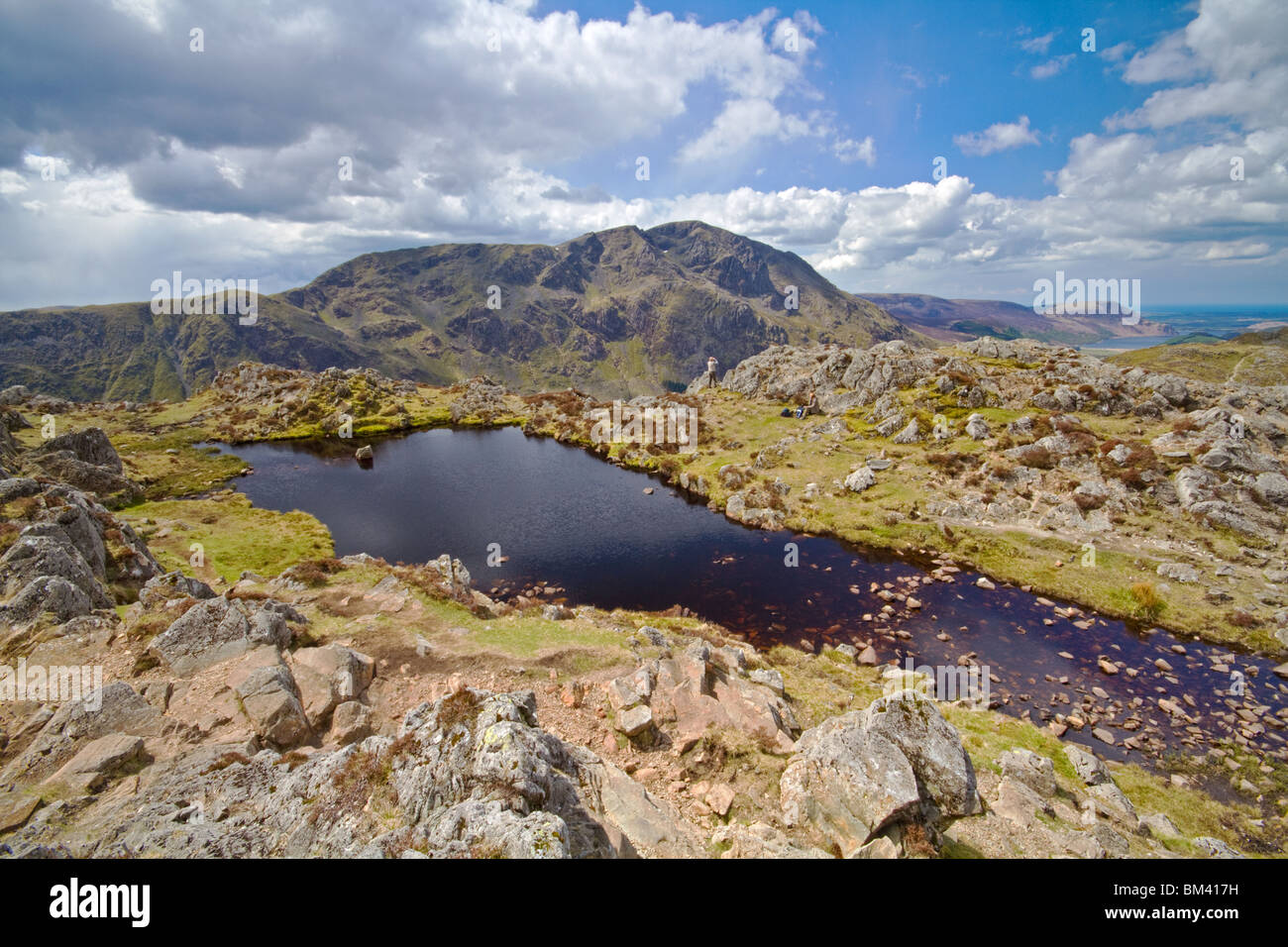 The magnificent outline of Pillar provides a backdrop to the 'un-named' tarn on the summit of Haystacks Stock Photohttps://www.alamy.com/image-license-details/?v=1https://www.alamy.com/stock-photo-the-magnificent-outline-of-pillar-provides-a-backdrop-to-the-un-named-29592293.html
RMBM417H–The magnificent outline of Pillar provides a backdrop to the 'un-named' tarn on the summit of Haystacks
 Red sunrise over Greenham park Stock Photohttps://www.alamy.com/image-license-details/?v=1https://www.alamy.com/stock-photo-red-sunrise-over-greenham-park-13367965.html
RFADBG7X–Red sunrise over Greenham park
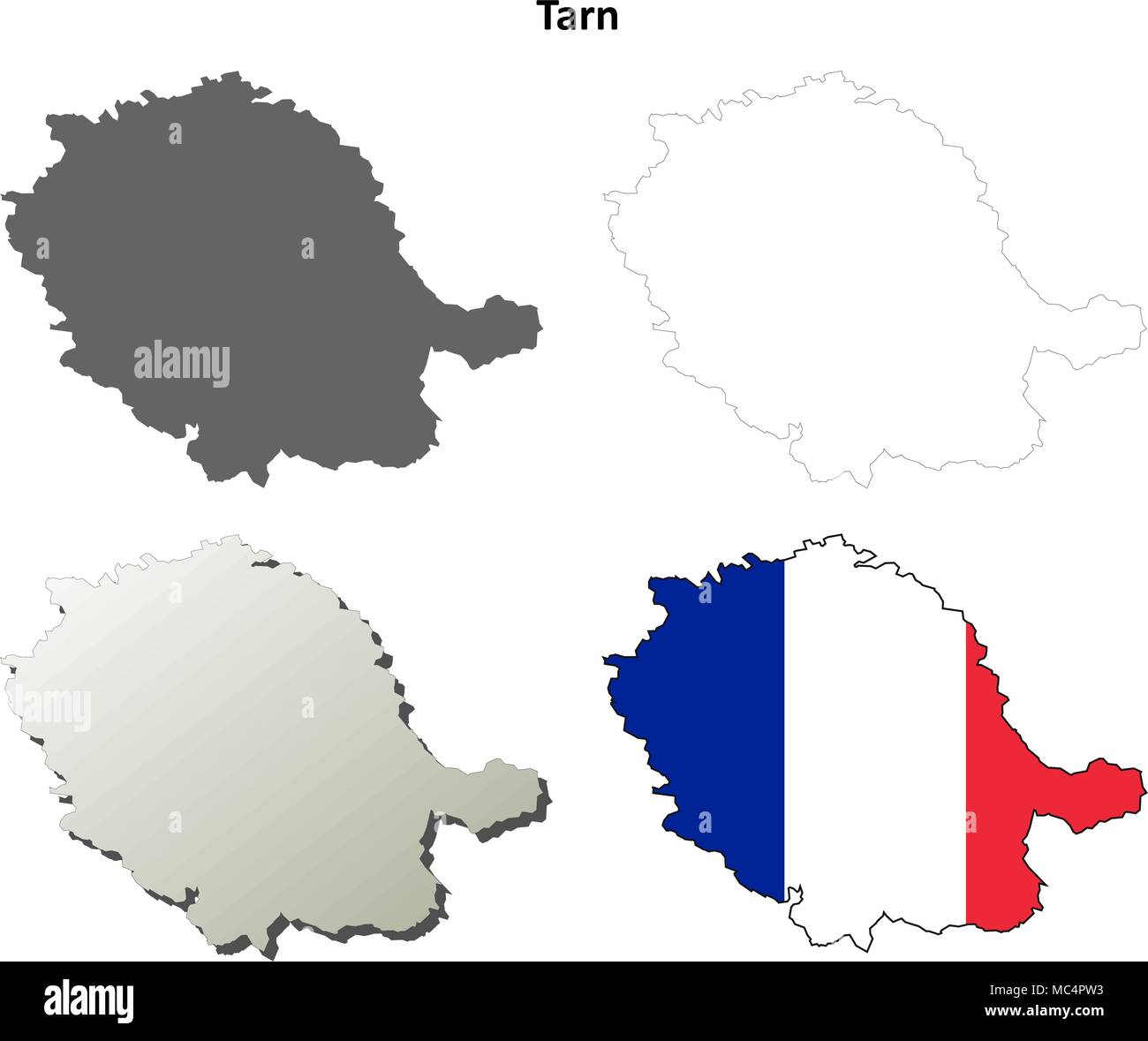 Tarn, Midi-Pyrenees outline map set Stock Vectorhttps://www.alamy.com/image-license-details/?v=1https://www.alamy.com/tarn-midi-pyrenees-outline-map-set-image179585311.html
RFMC4PW3–Tarn, Midi-Pyrenees outline map set
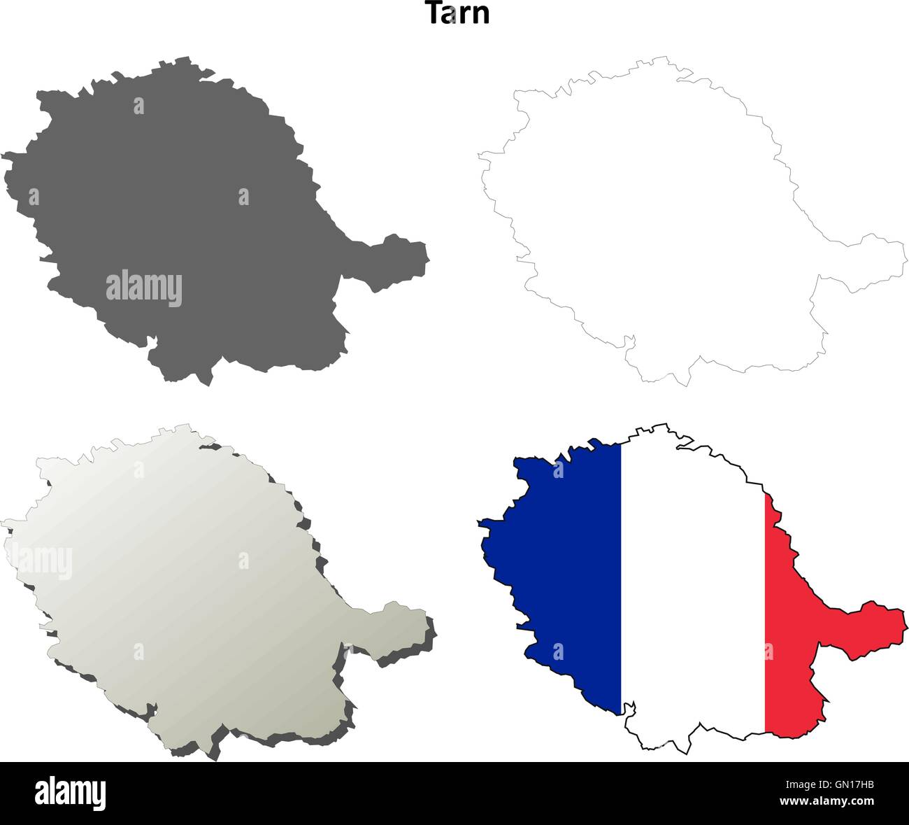 Tarn, Midi-Pyrenees outline map set Stock Vectorhttps://www.alamy.com/image-license-details/?v=1https://www.alamy.com/stock-photo-tarn-midi-pyrenees-outline-map-set-116197911.html
RFGN17HB–Tarn, Midi-Pyrenees outline map set
 Wooded hillsides in the Cevennes mountains, Lozere, Languedoc-Rousillon, France Stock Photohttps://www.alamy.com/image-license-details/?v=1https://www.alamy.com/wooded-hillsides-in-the-cevennes-mountains-lozere-languedoc-rousillon-image7372957.html
RFABJ3NE–Wooded hillsides in the Cevennes mountains, Lozere, Languedoc-Rousillon, France
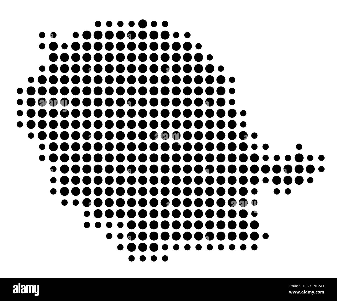 Symbol Map of the Département Tarn (France) showing the state/province with a pattern of black circles Stock Vectorhttps://www.alamy.com/image-license-details/?v=1https://www.alamy.com/symbol-map-of-the-dpartement-tarn-france-showing-the-stateprovince-with-a-pattern-of-black-circles-image612052899.html
RF2XFNBM3–Symbol Map of the Département Tarn (France) showing the state/province with a pattern of black circles
 Département du TARN. Decorative antique map/carte by Victor LEVASSEUR 1856 Stock Photohttps://www.alamy.com/image-license-details/?v=1https://www.alamy.com/dpartement-du-tarn-decorative-antique-mapcarte-by-victor-levasseur-1856-image599828664.html
RF2WRTFG8–Département du TARN. Decorative antique map/carte by Victor LEVASSEUR 1856
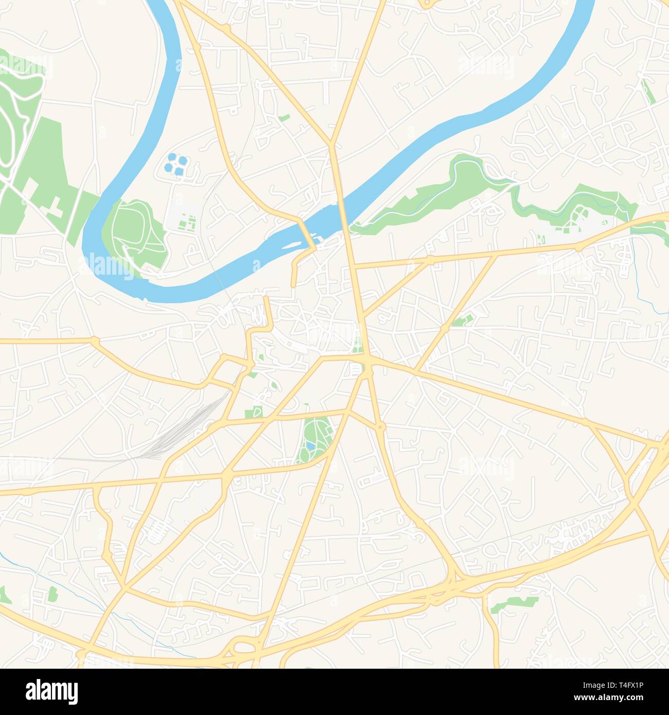 Printable map of Albi, France with main and secondary roads and larger railways. This map is carefully designed for routing and placing individual dat Stock Vectorhttps://www.alamy.com/image-license-details/?v=1https://www.alamy.com/printable-map-of-albi-france-with-main-and-secondary-roads-and-larger-railways-this-map-is-carefully-designed-for-routing-and-placing-individual-dat-image243753490.html
RFT4FX1P–Printable map of Albi, France with main and secondary roads and larger railways. This map is carefully designed for routing and placing individual dat
 Occitanie administrative map isolated on white background, France Stock Vectorhttps://www.alamy.com/image-license-details/?v=1https://www.alamy.com/occitanie-administrative-map-isolated-on-white-background-france-image433903763.html
RF2G5X0JY–Occitanie administrative map isolated on white background, France
 Australia Tasmania Cradle Mountain Lake St Clair National Park Stock Photohttps://www.alamy.com/image-license-details/?v=1https://www.alamy.com/stock-photo-australia-tasmania-cradle-mountain-lake-st-clair-national-park-13231559.html
RFACW28T–Australia Tasmania Cradle Mountain Lake St Clair National Park
 France, Albi line travel skyline set. France, Albi outline city vector illustration, symbol, travel sights, landmarks. Stock Vectorhttps://www.alamy.com/image-license-details/?v=1https://www.alamy.com/france-albi-line-travel-skyline-set-france-albi-outline-city-vector-illustration-symbol-travel-sights-landmarks-image243092330.html
RFT3DPMX–France, Albi line travel skyline set. France, Albi outline city vector illustration, symbol, travel sights, landmarks.
 3d isometric map of Tarn is a department in France, vector illustration Stock Vectorhttps://www.alamy.com/image-license-details/?v=1https://www.alamy.com/3d-isometric-map-of-tarn-is-a-department-in-france-vector-illustration-image449730782.html
RF2H3K05J–3d isometric map of Tarn is a department in France, vector illustration
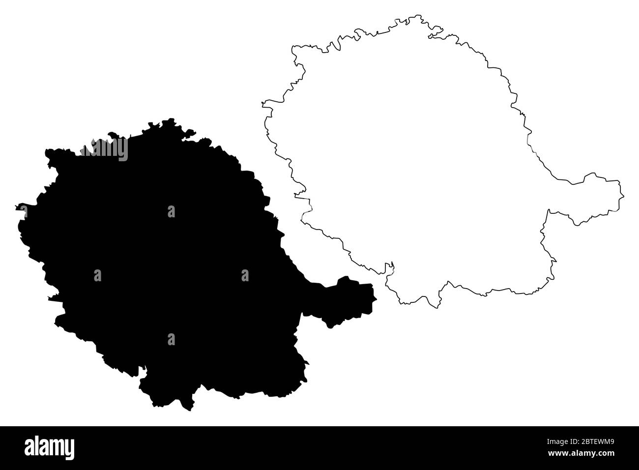 Tarn Department (France, French Republic, Occitanie or Occitania region) map vector illustration, scribble sketch Tarn map Stock Vectorhttps://www.alamy.com/image-license-details/?v=1https://www.alamy.com/tarn-department-france-french-republic-occitanie-or-occitania-region-map-vector-illustration-scribble-sketch-tarn-map-image359286601.html
RF2BTEWM9–Tarn Department (France, French Republic, Occitanie or Occitania region) map vector illustration, scribble sketch Tarn map
 Occitanie dark silhouette map isolated on white background, France Stock Vectorhttps://www.alamy.com/image-license-details/?v=1https://www.alamy.com/occitanie-dark-silhouette-map-isolated-on-white-background-france-image434865171.html
RF2G7DPXY–Occitanie dark silhouette map isolated on white background, France
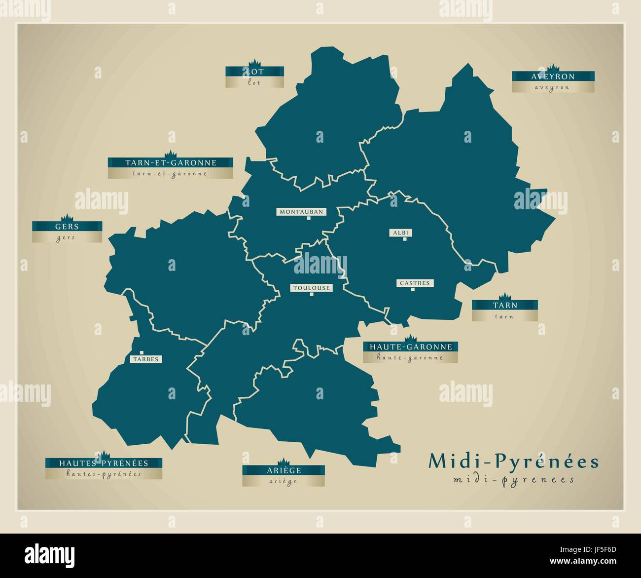 modern map - midi-pyrenees fr Stock Vectorhttps://www.alamy.com/image-license-details/?v=1https://www.alamy.com/stock-photo-modern-map-midi-pyrenees-fr-147024485.html
RFJF5F6D–modern map - midi-pyrenees fr
 Minimalist line art illustration featuring a small mountain lake reflecting clouds in the sky Stock Vectorhttps://www.alamy.com/image-license-details/?v=1https://www.alamy.com/minimalist-line-art-illustration-featuring-a-small-mountain-lake-reflecting-clouds-in-the-sky-image616000550.html
RF2XP56YJ–Minimalist line art illustration featuring a small mountain lake reflecting clouds in the sky
 Harrison Stickle reflected in Stickle Tarn, Lake District, Cumbria Stock Photohttps://www.alamy.com/image-license-details/?v=1https://www.alamy.com/harrison-stickle-reflected-in-stickle-tarn-lake-district-cumbria-image242440938.html
RMT2C3TX–Harrison Stickle reflected in Stickle Tarn, Lake District, Cumbria
 The distinct outline of Great Gable commands centre stage, in this view from the summit of Haystacks Stock Photohttps://www.alamy.com/image-license-details/?v=1https://www.alamy.com/stock-photo-the-distinct-outline-of-great-gable-commands-centre-stage-in-this-29592312.html
RMBM4188–The distinct outline of Great Gable commands centre stage, in this view from the summit of Haystacks
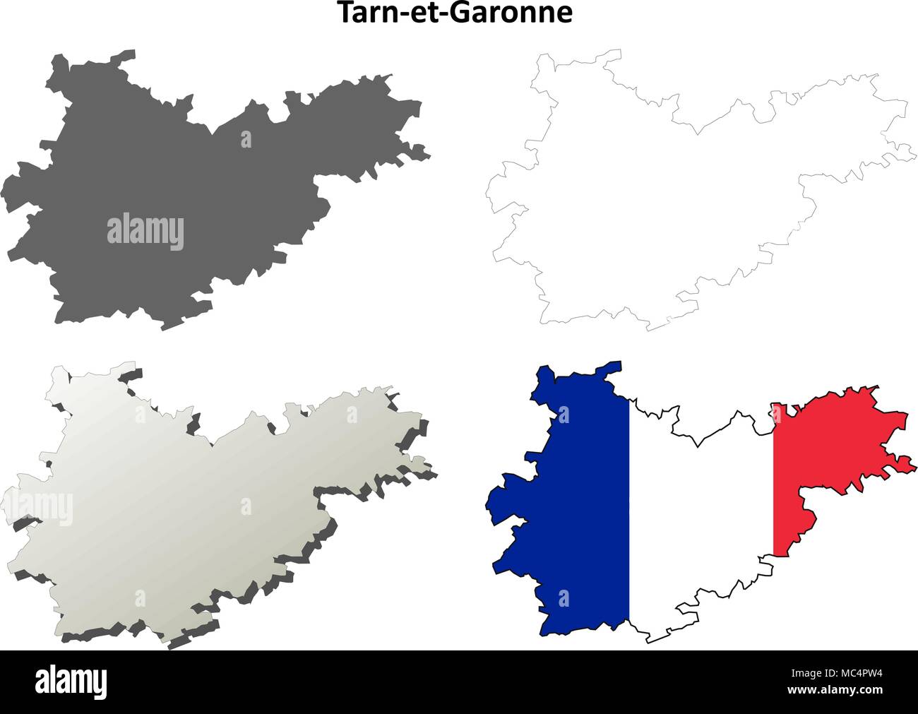 Tarn-et-Garonne, Midi-Pyrenees outline map set Stock Vectorhttps://www.alamy.com/image-license-details/?v=1https://www.alamy.com/tarn-et-garonne-midi-pyrenees-outline-map-set-image179585312.html
RFMC4PW4–Tarn-et-Garonne, Midi-Pyrenees outline map set
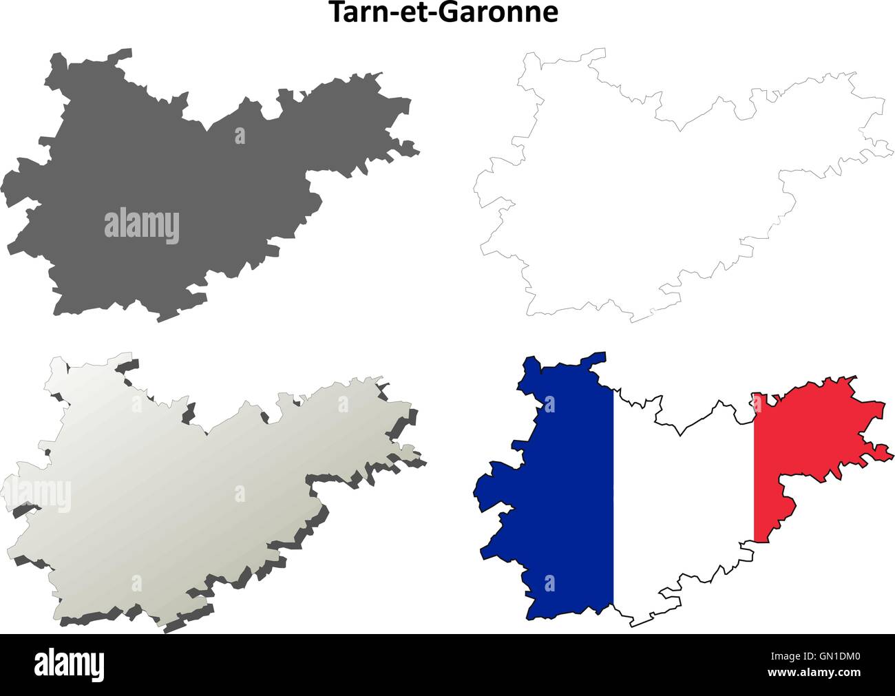 Tarn-et-Garonne, Midi-Pyrenees outline map set Stock Vectorhttps://www.alamy.com/image-license-details/?v=1https://www.alamy.com/stock-photo-tarn-et-garonne-midi-pyrenees-outline-map-set-116202688.html
RFGN1DM0–Tarn-et-Garonne, Midi-Pyrenees outline map set
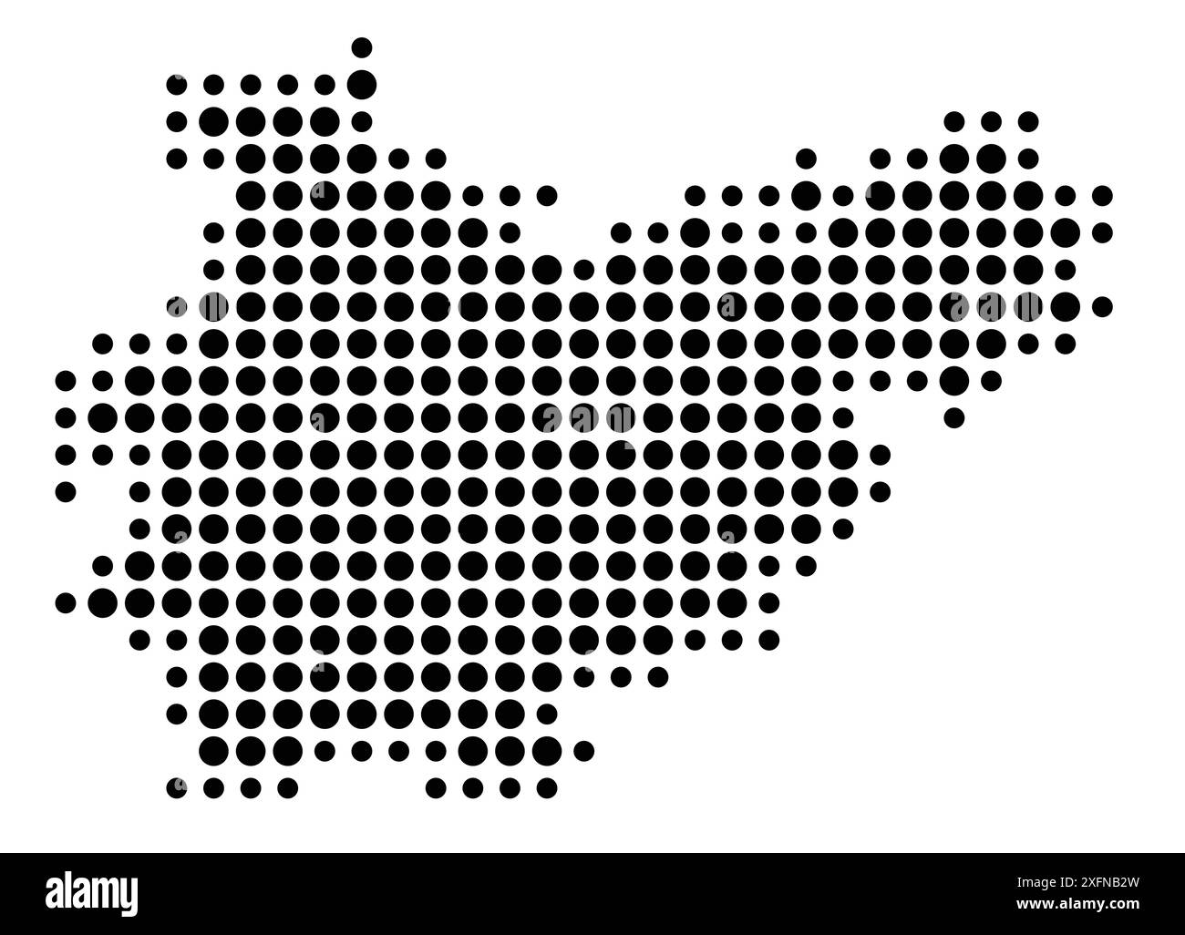 Symbol Map of the Département Tarn-et-Garonne (France) showing the state/province with a pattern of black circles Stock Vectorhttps://www.alamy.com/image-license-details/?v=1https://www.alamy.com/symbol-map-of-the-dpartement-tarn-et-garonne-france-showing-the-stateprovince-with-a-pattern-of-black-circles-image612052417.html
RF2XFNB2W–Symbol Map of the Département Tarn-et-Garonne (France) showing the state/province with a pattern of black circles
 Département de TARN-ET-GARONNE. Decorative antique map/carte. LEVASSEUR 1856 Stock Photohttps://www.alamy.com/image-license-details/?v=1https://www.alamy.com/dpartement-de-tarn-et-garonne-decorative-antique-mapcarte-levasseur-1856-image599828669.html
RF2WRTFGD–Département de TARN-ET-GARONNE. Decorative antique map/carte. LEVASSEUR 1856
 Printable map of Montauban, France with main and secondary roads and larger railways. This map is carefully designed for routing and placing individua Stock Vectorhttps://www.alamy.com/image-license-details/?v=1https://www.alamy.com/printable-map-of-montauban-france-with-main-and-secondary-roads-and-larger-railways-this-map-is-carefully-designed-for-routing-and-placing-individua-image243753246.html
RFT4FWN2–Printable map of Montauban, France with main and secondary roads and larger railways. This map is carefully designed for routing and placing individua
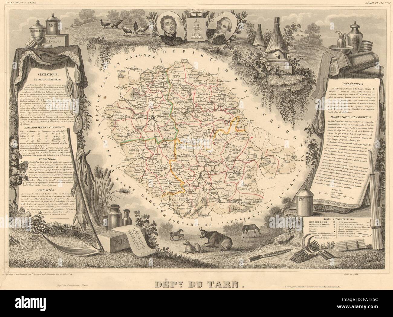 Département du TARN. Decorative antique map/carte by Victor LEVASSEUR, 1852 Stock Photohttps://www.alamy.com/image-license-details/?v=1https://www.alamy.com/stock-photo-dpartement-du-tarn-decorative-antique-mapcarte-by-victor-levasseur-92726968.html
RFFAT25C–Département du TARN. Decorative antique map/carte by Victor LEVASSEUR, 1852
 Australia Tasmania Cradle Mountain Lake St Clair National Park Stock Photohttps://www.alamy.com/image-license-details/?v=1https://www.alamy.com/stock-photo-australia-tasmania-cradle-mountain-lake-st-clair-national-park-13295996.html
RFAD3X2N–Australia Tasmania Cradle Mountain Lake St Clair National Park
 TARN département. Scarce antique map/carte by A.M. PERROT 1823 old Stock Photohttps://www.alamy.com/image-license-details/?v=1https://www.alamy.com/tarn-dpartement-scarce-antique-mapcarte-by-am-perrot-1823-old-image184808063.html
RFMMJMFY–TARN département. Scarce antique map/carte by A.M. PERROT 1823 old
 France, Causses line travel skyline set. France, Causses outline city vector illustration, symbol, travel sights, landmarks. Stock Vectorhttps://www.alamy.com/image-license-details/?v=1https://www.alamy.com/france-causses-line-travel-skyline-set-france-causses-outline-city-vector-illustration-symbol-travel-sights-landmarks-image243092389.html
RFT3DPR1–France, Causses line travel skyline set. France, Causses outline city vector illustration, symbol, travel sights, landmarks.
 Département de TARN-ET-GARONNE. Decorative antique map/carte. LEVASSEUR 1852 Stock Photohttps://www.alamy.com/image-license-details/?v=1https://www.alamy.com/stock-photo-dpartement-de-tarn-et-garonne-decorative-antique-mapcarte-levasseur-92730411.html
RFFAT6GB–Département de TARN-ET-GARONNE. Decorative antique map/carte. LEVASSEUR 1852
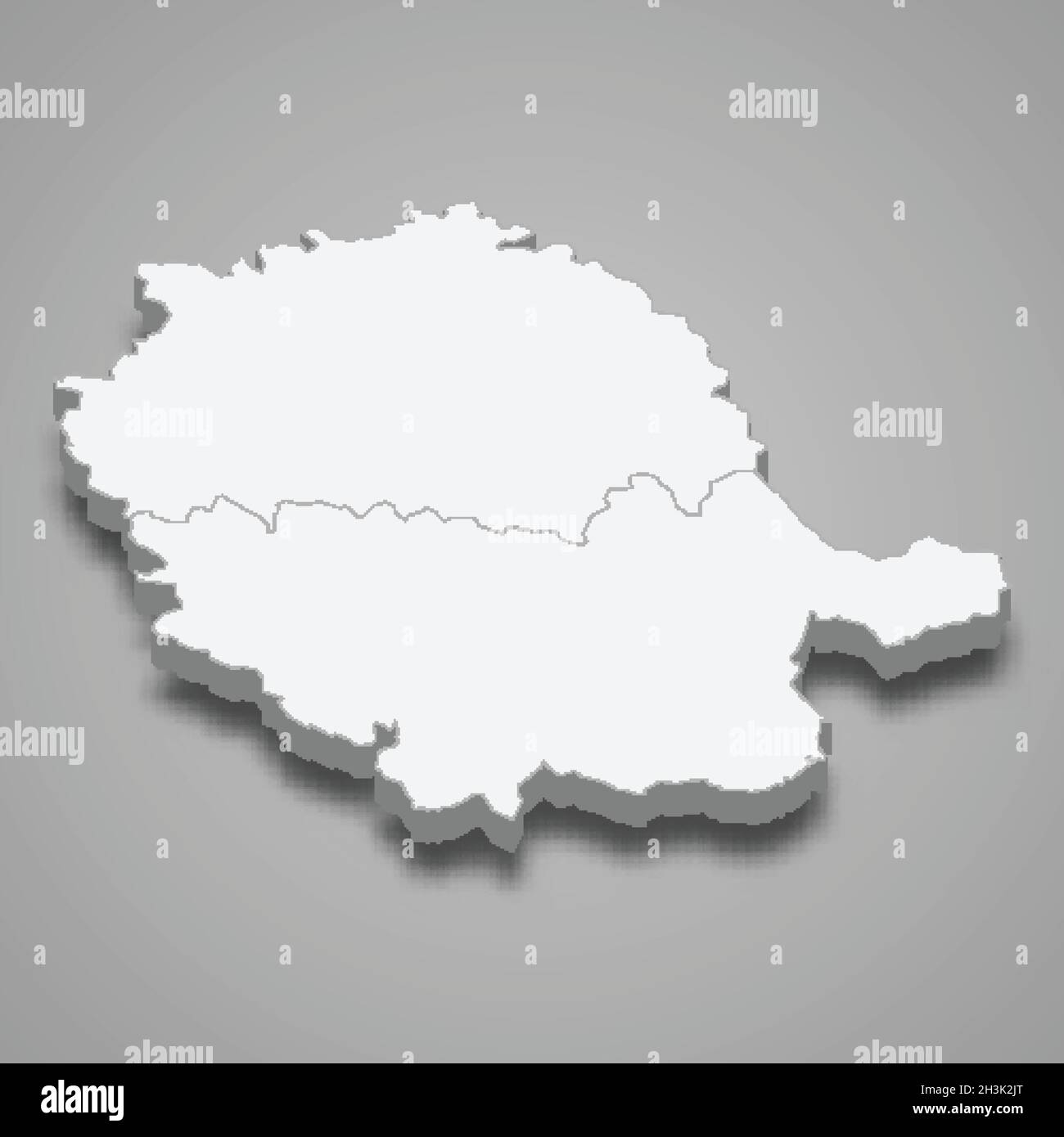 3d isometric map of Tarn is a department in France, vector illustration Stock Vectorhttps://www.alamy.com/image-license-details/?v=1https://www.alamy.com/3d-isometric-map-of-tarn-is-a-department-in-france-vector-illustration-image449732720.html
RF2H3K2JT–3d isometric map of Tarn is a department in France, vector illustration
 TARN-ET-GARONNE département. Scarce antique map/carte by A.M. PERROT 1823 Stock Photohttps://www.alamy.com/image-license-details/?v=1https://www.alamy.com/tarn-et-garonne-dpartement-scarce-antique-mapcarte-by-am-perrot-1823-image184808065.html
RFMMJMG1–TARN-ET-GARONNE département. Scarce antique map/carte by A.M. PERROT 1823
 Tarn Taran district (Punjab State, Republic of India) map vector illustration, scribble sketch Tarn Taran map Stock Vectorhttps://www.alamy.com/image-license-details/?v=1https://www.alamy.com/tarn-taran-district-punjab-state-republic-of-india-map-vector-illustration-scribble-sketch-tarn-taran-map-image450972649.html
RF2H5KG61–Tarn Taran district (Punjab State, Republic of India) map vector illustration, scribble sketch Tarn Taran map
 Occitanie silhouette map isolated on white background, France Stock Vectorhttps://www.alamy.com/image-license-details/?v=1https://www.alamy.com/occitanie-silhouette-map-isolated-on-white-background-france-image436273292.html
RF2G9NY10–Occitanie silhouette map isolated on white background, France
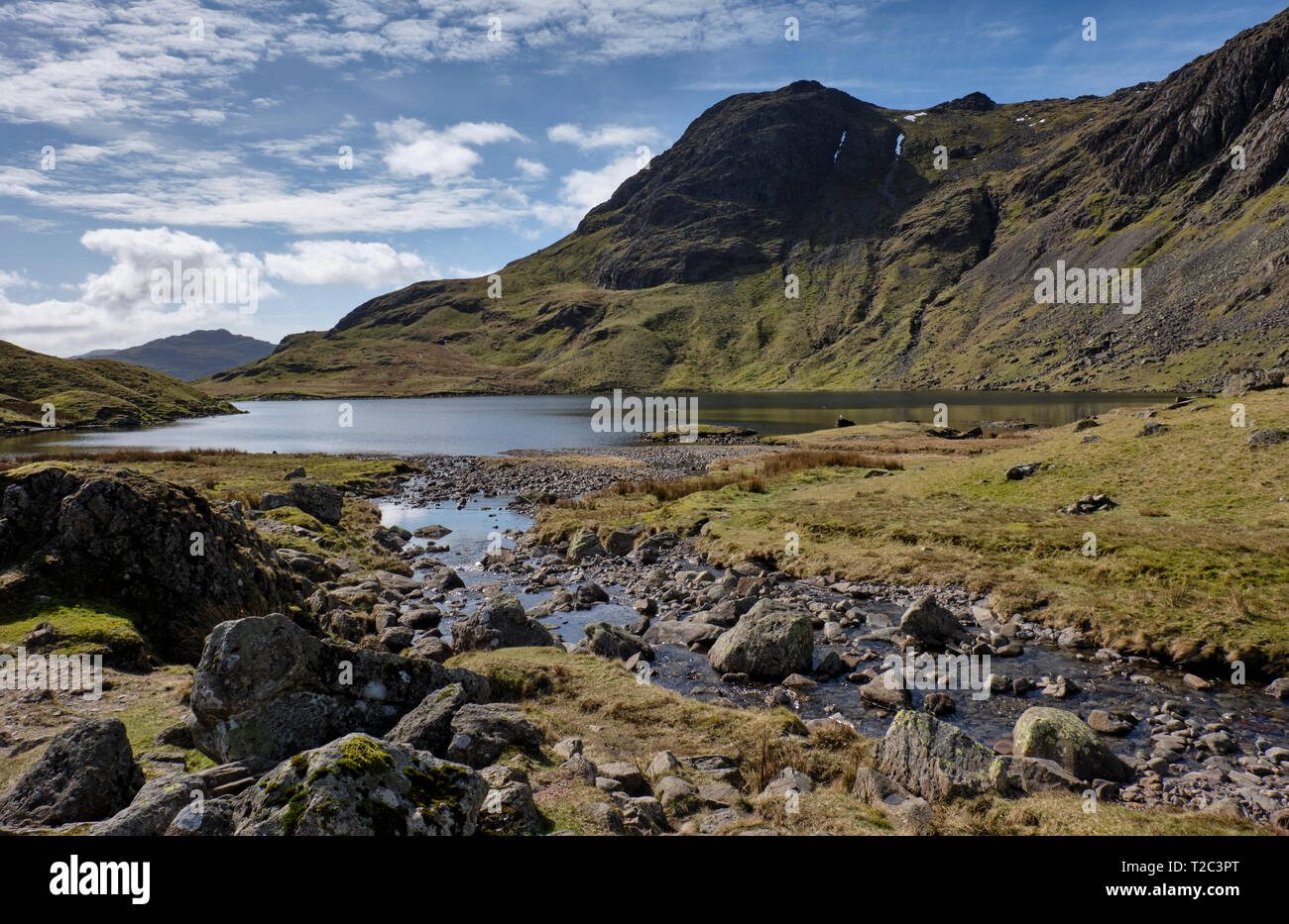 Pike O'Blisco, Harrison Stickle and Stickle Tarn, Langdale, Lake District, Cumbria Stock Photohttps://www.alamy.com/image-license-details/?v=1https://www.alamy.com/pike-oblisco-harrison-stickle-and-stickle-tarn-langdale-lake-district-cumbria-image242440880.html
RMT2C3PT–Pike O'Blisco, Harrison Stickle and Stickle Tarn, Langdale, Lake District, Cumbria
 Australia Tasmania Cradle Mountain Lake St Clair National Park Stock Photohttps://www.alamy.com/image-license-details/?v=1https://www.alamy.com/stock-photo-australia-tasmania-cradle-mountain-lake-st-clair-national-park-13252551.html
RMACY8PG–Australia Tasmania Cradle Mountain Lake St Clair National Park
 France, Albi Landmark line travel skyline set. France, Albi Landmark outline city vector illustration, symbol, travel sights, landmarks. Stock Vectorhttps://www.alamy.com/image-license-details/?v=1https://www.alamy.com/france-albi-landmark-line-travel-skyline-set-france-albi-landmark-outline-city-vector-illustration-symbol-travel-sights-landmarks-image243092339.html
RFT3DPN7–France, Albi Landmark line travel skyline set. France, Albi Landmark outline city vector illustration, symbol, travel sights, landmarks.
 3d isometric map of Tarn-et-Garonne is a department in France, vector illustration Stock Vectorhttps://www.alamy.com/image-license-details/?v=1https://www.alamy.com/3d-isometric-map-of-tarn-et-garonne-is-a-department-in-france-vector-illustration-image449730863.html
RF2H3K08F–3d isometric map of Tarn-et-Garonne is a department in France, vector illustration
RF2DBP49E–France, Albi line cityscape, flat vector. Travel city landmark, oultine illustration, line world icons
 Tarn Taran district (Punjab State, Republic of India) map vector illustration, scribble sketch Tarn Taran map Stock Vectorhttps://www.alamy.com/image-license-details/?v=1https://www.alamy.com/tarn-taran-district-punjab-state-republic-of-india-map-vector-illustration-scribble-sketch-tarn-taran-map-image434612162.html
RF2G7286X–Tarn Taran district (Punjab State, Republic of India) map vector illustration, scribble sketch Tarn Taran map
 Australia Tasmania Cradle Mountain Lake St Clair National Park Stock Photohttps://www.alamy.com/image-license-details/?v=1https://www.alamy.com/stock-photo-australia-tasmania-cradle-mountain-lake-st-clair-national-park-13231572.html
RFACW29W–Australia Tasmania Cradle Mountain Lake St Clair National Park
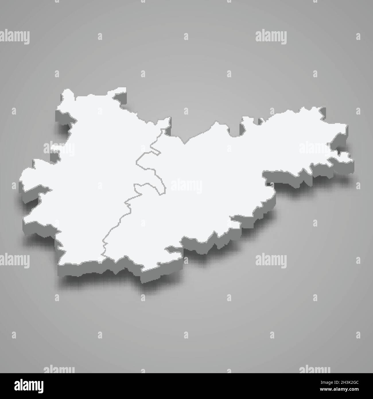 3d isometric map of Tarn-et-Garonne is a department in France, vector illustration Stock Vectorhttps://www.alamy.com/image-license-details/?v=1https://www.alamy.com/3d-isometric-map-of-tarn-et-garonne-is-a-department-in-france-vector-illustration-image449732652.html
RF2H3K2GC–3d isometric map of Tarn-et-Garonne is a department in France, vector illustration
RF2JMXH2D–France, Causses city skyline isolated vector illustration, icons
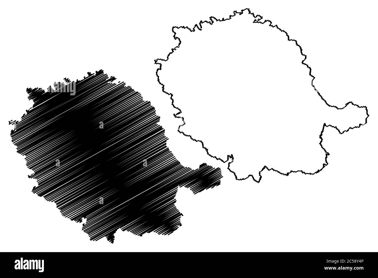 Tarn Department (France, French Republic, Occitanie or Occitania region) map vector illustration, scribble sketch Tarn map Stock Vectorhttps://www.alamy.com/image-license-details/?v=1https://www.alamy.com/tarn-department-france-french-republic-occitanie-or-occitania-region-map-vector-illustration-scribble-sketch-tarn-map-image364687926.html
RF2C58Y4P–Tarn Department (France, French Republic, Occitanie or Occitania region) map vector illustration, scribble sketch Tarn map
 Australia Tasmania Cradle Mountain Lake St Clair National Park Stock Photohttps://www.alamy.com/image-license-details/?v=1https://www.alamy.com/stock-photo-australia-tasmania-cradle-mountain-lake-st-clair-national-park-13296049.html
RMAD3X6X–Australia Tasmania Cradle Mountain Lake St Clair National Park
 Tarn Department (France, French Republic, Occitanie or Occitania region) map vector illustration, scribble sketch Tarn map Stock Vectorhttps://www.alamy.com/image-license-details/?v=1https://www.alamy.com/tarn-department-france-french-republic-occitanie-or-occitania-region-map-vector-illustration-scribble-sketch-tarn-map-image368423821.html
RF2CBB49H–Tarn Department (France, French Republic, Occitanie or Occitania region) map vector illustration, scribble sketch Tarn map
 Tarn Taran district (Punjab State, Republic of India) map vector illustration, scribble sketch Tarn Taran map Stock Vectorhttps://www.alamy.com/image-license-details/?v=1https://www.alamy.com/tarn-taran-district-punjab-state-republic-of-india-map-vector-illustration-scribble-sketch-tarn-taran-map-image456071192.html
RF2HDYRCT–Tarn Taran district (Punjab State, Republic of India) map vector illustration, scribble sketch Tarn Taran map
 Tarn-et-Garonne Department (France, French Republic, Occitanie or Occitania region) map vector illustration, scribble sketch Tarn et Garonne map Stock Vectorhttps://www.alamy.com/image-license-details/?v=1https://www.alamy.com/tarn-et-garonne-department-france-french-republic-occitanie-or-occitania-region-map-vector-illustration-scribble-sketch-tarn-et-garonne-map-image364687784.html
RF2C58XYM–Tarn-et-Garonne Department (France, French Republic, Occitanie or Occitania region) map vector illustration, scribble sketch Tarn et Garonne map
 Tarn-et-Garonne Department (France, French Republic, Occitanie or Occitania region) map vector illustration, scribble sketch Tarn et Garonne map Stock Vectorhttps://www.alamy.com/image-license-details/?v=1https://www.alamy.com/tarn-et-garonne-department-france-french-republic-occitanie-or-occitania-region-map-vector-illustration-scribble-sketch-tarn-et-garonne-map-image368423655.html
RF2CBB43K–Tarn-et-Garonne Department (France, French Republic, Occitanie or Occitania region) map vector illustration, scribble sketch Tarn et Garonne map
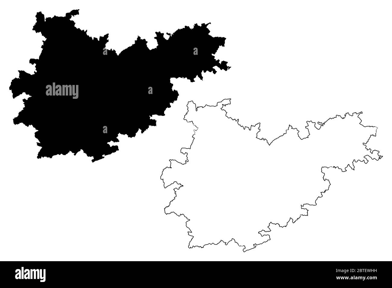 Tarn-et-Garonne Department (France, French Republic, Occitanie or Occitania region) map vector illustration, scribble sketch Tarn et Garonne map Stock Vectorhttps://www.alamy.com/image-license-details/?v=1https://www.alamy.com/tarn-et-garonne-department-france-french-republic-occitanie-or-occitania-region-map-vector-illustration-scribble-sketch-tarn-et-garonne-map-image359286525.html
RF2BTEWHH–Tarn-et-Garonne Department (France, French Republic, Occitanie or Occitania region) map vector illustration, scribble sketch Tarn et Garonne map