Quick filters:
Teculutan Stock Photos and Images
 Zacapa, Guatemala. 7th Dec, 2014. Residents take part in the commemoration of the 'Burn of the Devil', in Teculutan Municipality, Guatemala, on Dec. 7, 2014. Credit: Luis Echeverria/Xinhua/Alamy Live News Stock Photohttps://www.alamy.com/image-license-details/?v=1https://www.alamy.com/stock-photo-zacapa-guatemala-7th-dec-2014-residents-take-part-in-the-commemoration-76245136.html
RMEC17CG–Zacapa, Guatemala. 7th Dec, 2014. Residents take part in the commemoration of the 'Burn of the Devil', in Teculutan Municipality, Guatemala, on Dec. 7, 2014. Credit: Luis Echeverria/Xinhua/Alamy Live News
 Residents take part in the commemoration of the Burn of the Devil , in Teculutan Municipality, Guatemala, on Dec. 7, 2014. Luis Echeverria) GUATEMALA-ZACAPA-SOCIETY-COMMEMORATION e LuisxEcheverria PUBLICATIONxNOTxINxCHN Residents Take Part in The Commemoration of The Burn of The Devil in Municipality Guatemala ON DEC 7 2014 Luis Echeverria Guatemala Zacapa Society Commemoration e PUBLICATIONxNOTxINxCHN Stock Photohttps://www.alamy.com/image-license-details/?v=1https://www.alamy.com/residents-take-part-in-the-commemoration-of-the-burn-of-the-devil-in-teculutan-municipality-guatemala-on-dec-7-2014-luis-echeverria-guatemala-zacapa-society-commemoration-e-luisxecheverria-publicationxnotxinxchn-residents-take-part-in-the-commemoration-of-the-burn-of-the-devil-in-municipality-guatemala-on-dec-7-2014-luis-echeverria-guatemala-zacapa-society-commemoration-e-publicationxnotxinxchn-image563668876.html
RM2RN19B8–Residents take part in the commemoration of the Burn of the Devil , in Teculutan Municipality, Guatemala, on Dec. 7, 2014. Luis Echeverria) GUATEMALA-ZACAPA-SOCIETY-COMMEMORATION e LuisxEcheverria PUBLICATIONxNOTxINxCHN Residents Take Part in The Commemoration of The Burn of The Devil in Municipality Guatemala ON DEC 7 2014 Luis Echeverria Guatemala Zacapa Society Commemoration e PUBLICATIONxNOTxINxCHN
 Guatemala, department of Guatemala. Elevation map colored in wiki style with lakes and rivers Stock Photohttps://www.alamy.com/image-license-details/?v=1https://www.alamy.com/guatemala-department-of-guatemala-elevation-map-colored-in-wiki-style-with-lakes-and-rivers-image484670364.html
RF2K4EHYT–Guatemala, department of Guatemala. Elevation map colored in wiki style with lakes and rivers
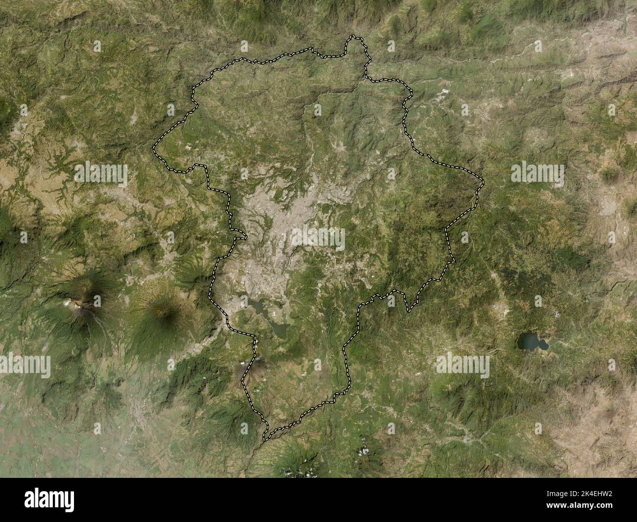 Guatemala, department of Guatemala. Low resolution satellite map Stock Photohttps://www.alamy.com/image-license-details/?v=1https://www.alamy.com/guatemala-department-of-guatemala-low-resolution-satellite-map-image484670286.html
RF2K4EHW2–Guatemala, department of Guatemala. Low resolution satellite map
 Guatemala, department of Guatemala. High resolution satellite map. Locations of major cities of the region. Corner auxiliary location maps Stock Photohttps://www.alamy.com/image-license-details/?v=1https://www.alamy.com/guatemala-department-of-guatemala-high-resolution-satellite-map-locations-of-major-cities-of-the-region-corner-auxiliary-location-maps-image484670279.html
RF2K4EHTR–Guatemala, department of Guatemala. High resolution satellite map. Locations of major cities of the region. Corner auxiliary location maps
 Guatemala, department of Guatemala. Elevation map colored in sepia tones with lakes and rivers. Locations of major cities of the region. Corner auxili Stock Photohttps://www.alamy.com/image-license-details/?v=1https://www.alamy.com/guatemala-department-of-guatemala-elevation-map-colored-in-sepia-tones-with-lakes-and-rivers-locations-of-major-cities-of-the-region-corner-auxili-image484670350.html
RF2K4EHYA–Guatemala, department of Guatemala. Elevation map colored in sepia tones with lakes and rivers. Locations of major cities of the region. Corner auxili
 Guatemala, department of Guatemala. Open Street Map. Locations of major cities of the region. Corner auxiliary location maps Stock Photohttps://www.alamy.com/image-license-details/?v=1https://www.alamy.com/guatemala-department-of-guatemala-open-street-map-locations-of-major-cities-of-the-region-corner-auxiliary-location-maps-image484670291.html
RF2K4EHW7–Guatemala, department of Guatemala. Open Street Map. Locations of major cities of the region. Corner auxiliary location maps
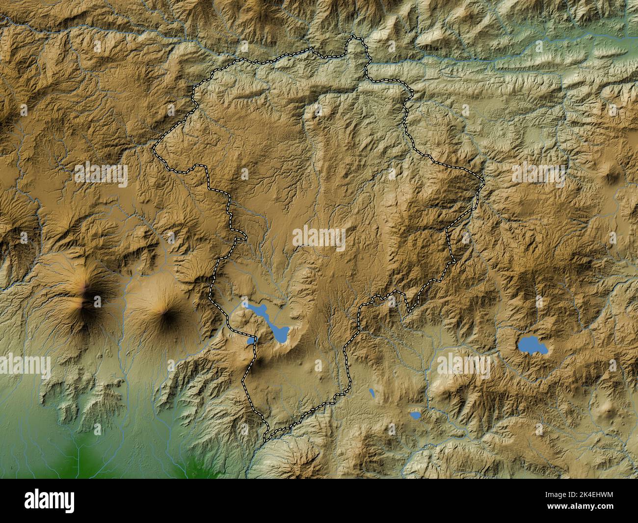 Guatemala, department of Guatemala. Colored elevation map with lakes and rivers Stock Photohttps://www.alamy.com/image-license-details/?v=1https://www.alamy.com/guatemala-department-of-guatemala-colored-elevation-map-with-lakes-and-rivers-image484670304.html
RF2K4EHWM–Guatemala, department of Guatemala. Colored elevation map with lakes and rivers
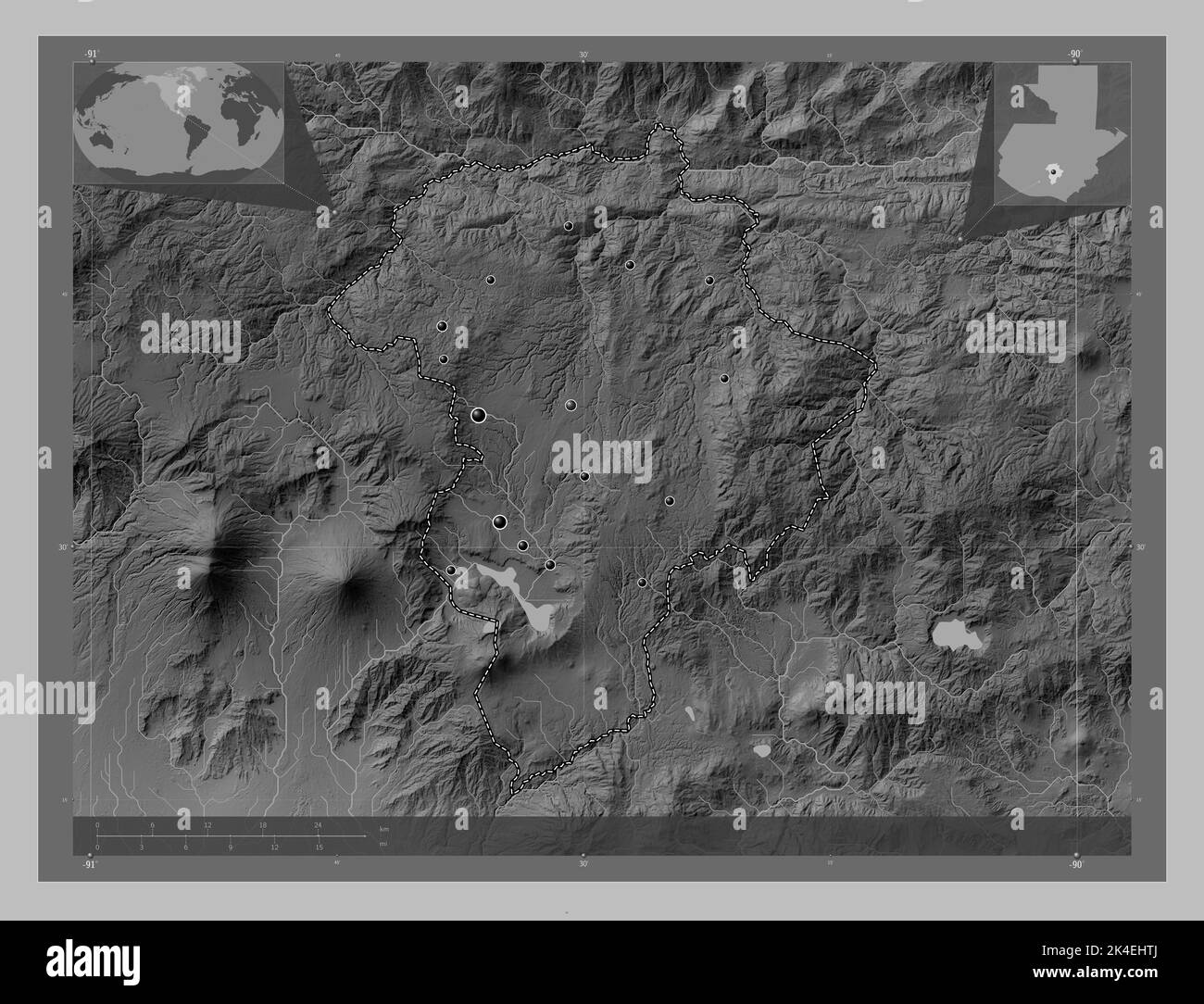 Guatemala, department of Guatemala. Grayscale elevation map with lakes and rivers. Locations of major cities of the region. Corner auxiliary location Stock Photohttps://www.alamy.com/image-license-details/?v=1https://www.alamy.com/guatemala-department-of-guatemala-grayscale-elevation-map-with-lakes-and-rivers-locations-of-major-cities-of-the-region-corner-auxiliary-location-image484670274.html
RF2K4EHTJ–Guatemala, department of Guatemala. Grayscale elevation map with lakes and rivers. Locations of major cities of the region. Corner auxiliary location
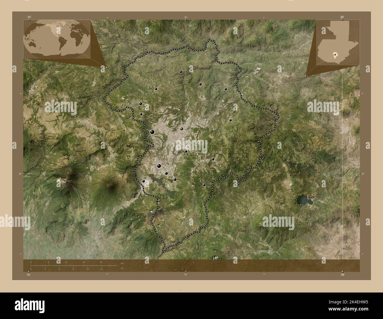 Guatemala, department of Guatemala. Low resolution satellite map. Locations of major cities of the region. Corner auxiliary location maps Stock Photohttps://www.alamy.com/image-license-details/?v=1https://www.alamy.com/guatemala-department-of-guatemala-low-resolution-satellite-map-locations-of-major-cities-of-the-region-corner-auxiliary-location-maps-image484670289.html
RF2K4EHW5–Guatemala, department of Guatemala. Low resolution satellite map. Locations of major cities of the region. Corner auxiliary location maps
 Guatemala, department of Guatemala. High resolution satellite map. Locations and names of major cities of the region. Corner auxiliary location maps Stock Photohttps://www.alamy.com/image-license-details/?v=1https://www.alamy.com/guatemala-department-of-guatemala-high-resolution-satellite-map-locations-and-names-of-major-cities-of-the-region-corner-auxiliary-location-maps-image484670288.html
RF2K4EHW4–Guatemala, department of Guatemala. High resolution satellite map. Locations and names of major cities of the region. Corner auxiliary location maps
 Guatemala, department of Guatemala. Bilevel elevation map with lakes and rivers. Locations of major cities of the region. Corner auxiliary location ma Stock Photohttps://www.alamy.com/image-license-details/?v=1https://www.alamy.com/guatemala-department-of-guatemala-bilevel-elevation-map-with-lakes-and-rivers-locations-of-major-cities-of-the-region-corner-auxiliary-location-ma-image484670258.html
RF2K4EHT2–Guatemala, department of Guatemala. Bilevel elevation map with lakes and rivers. Locations of major cities of the region. Corner auxiliary location ma
 Guatemala, department of Guatemala. Bilevel elevation map with lakes and rivers. Locations and names of major cities of the region. Corner auxiliary l Stock Photohttps://www.alamy.com/image-license-details/?v=1https://www.alamy.com/guatemala-department-of-guatemala-bilevel-elevation-map-with-lakes-and-rivers-locations-and-names-of-major-cities-of-the-region-corner-auxiliary-l-image484670283.html
RF2K4EHTY–Guatemala, department of Guatemala. Bilevel elevation map with lakes and rivers. Locations and names of major cities of the region. Corner auxiliary l
 Guatemala, department of Guatemala. Solid color shape Stock Photohttps://www.alamy.com/image-license-details/?v=1https://www.alamy.com/guatemala-department-of-guatemala-solid-color-shape-image484670296.html
RF2K4EHWC–Guatemala, department of Guatemala. Solid color shape
 Guatemala, department of Guatemala. Solid color shape. Locations and names of major cities of the region. Corner auxiliary location maps Stock Photohttps://www.alamy.com/image-license-details/?v=1https://www.alamy.com/guatemala-department-of-guatemala-solid-color-shape-locations-and-names-of-major-cities-of-the-region-corner-auxiliary-location-maps-image484670301.html
RF2K4EHWH–Guatemala, department of Guatemala. Solid color shape. Locations and names of major cities of the region. Corner auxiliary location maps
 Guatemala, department of Guatemala. Colored elevation map with lakes and rivers. Locations of major cities of the region. Corner auxiliary location ma Stock Photohttps://www.alamy.com/image-license-details/?v=1https://www.alamy.com/guatemala-department-of-guatemala-colored-elevation-map-with-lakes-and-rivers-locations-of-major-cities-of-the-region-corner-auxiliary-location-ma-image484670341.html
RF2K4EHY1–Guatemala, department of Guatemala. Colored elevation map with lakes and rivers. Locations of major cities of the region. Corner auxiliary location ma
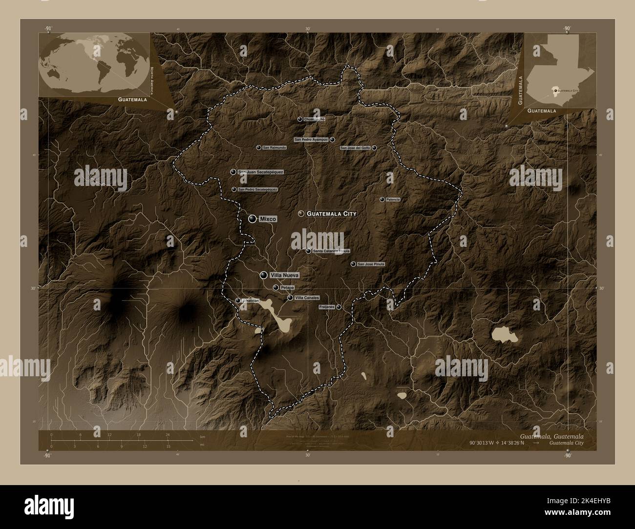 Guatemala, department of Guatemala. Elevation map colored in sepia tones with lakes and rivers. Locations and names of major cities of the region. Cor Stock Photohttps://www.alamy.com/image-license-details/?v=1https://www.alamy.com/guatemala-department-of-guatemala-elevation-map-colored-in-sepia-tones-with-lakes-and-rivers-locations-and-names-of-major-cities-of-the-region-cor-image484670351.html
RF2K4EHYB–Guatemala, department of Guatemala. Elevation map colored in sepia tones with lakes and rivers. Locations and names of major cities of the region. Cor
 Guatemala, department of Guatemala. Elevation map colored in sepia tones with lakes and rivers Stock Photohttps://www.alamy.com/image-license-details/?v=1https://www.alamy.com/guatemala-department-of-guatemala-elevation-map-colored-in-sepia-tones-with-lakes-and-rivers-image484670300.html
RF2K4EHWG–Guatemala, department of Guatemala. Elevation map colored in sepia tones with lakes and rivers
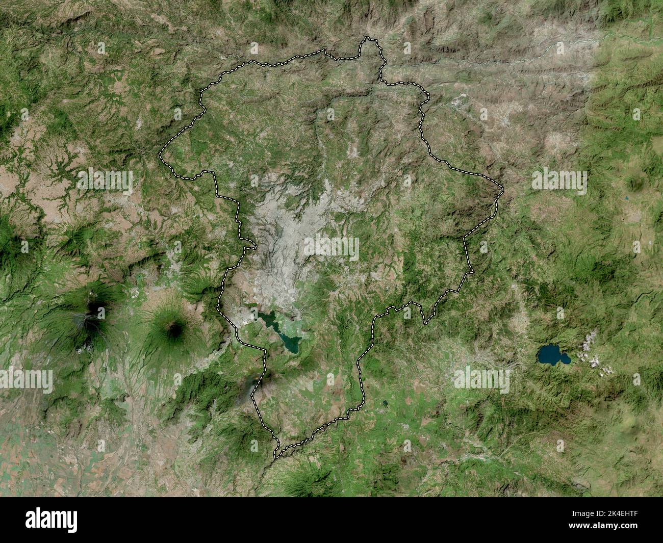 Guatemala, department of Guatemala. High resolution satellite map Stock Photohttps://www.alamy.com/image-license-details/?v=1https://www.alamy.com/guatemala-department-of-guatemala-high-resolution-satellite-map-image484670271.html
RF2K4EHTF–Guatemala, department of Guatemala. High resolution satellite map
 Guatemala, department of Guatemala. Elevation map colored in wiki style with lakes and rivers. Locations of major cities of the region. Corner auxilia Stock Photohttps://www.alamy.com/image-license-details/?v=1https://www.alamy.com/guatemala-department-of-guatemala-elevation-map-colored-in-wiki-style-with-lakes-and-rivers-locations-of-major-cities-of-the-region-corner-auxilia-image484670363.html
RF2K4EHYR–Guatemala, department of Guatemala. Elevation map colored in wiki style with lakes and rivers. Locations of major cities of the region. Corner auxilia
 Guatemala, department of Guatemala. Low resolution satellite map. Locations and names of major cities of the region. Corner auxiliary location maps Stock Photohttps://www.alamy.com/image-license-details/?v=1https://www.alamy.com/guatemala-department-of-guatemala-low-resolution-satellite-map-locations-and-names-of-major-cities-of-the-region-corner-auxiliary-location-maps-image484670292.html
RF2K4EHW8–Guatemala, department of Guatemala. Low resolution satellite map. Locations and names of major cities of the region. Corner auxiliary location maps
 Guatemala, department of Guatemala. Bilevel elevation map with lakes and rivers Stock Photohttps://www.alamy.com/image-license-details/?v=1https://www.alamy.com/guatemala-department-of-guatemala-bilevel-elevation-map-with-lakes-and-rivers-image484670262.html
RF2K4EHT6–Guatemala, department of Guatemala. Bilevel elevation map with lakes and rivers
 Guatemala, department of Guatemala. Elevation map colored in wiki style with lakes and rivers. Locations and names of major cities of the region. Corn Stock Photohttps://www.alamy.com/image-license-details/?v=1https://www.alamy.com/guatemala-department-of-guatemala-elevation-map-colored-in-wiki-style-with-lakes-and-rivers-locations-and-names-of-major-cities-of-the-region-corn-image484670360.html
RF2K4EHYM–Guatemala, department of Guatemala. Elevation map colored in wiki style with lakes and rivers. Locations and names of major cities of the region. Corn
 Guatemala, department of Guatemala. Open Street Map. Locations and names of major cities of the region. Corner auxiliary location maps Stock Photohttps://www.alamy.com/image-license-details/?v=1https://www.alamy.com/guatemala-department-of-guatemala-open-street-map-locations-and-names-of-major-cities-of-the-region-corner-auxiliary-location-maps-image484670295.html
RF2K4EHWB–Guatemala, department of Guatemala. Open Street Map. Locations and names of major cities of the region. Corner auxiliary location maps
 Guatemala, department of Guatemala. Solid color shape. Locations of major cities of the region. Corner auxiliary location maps Stock Photohttps://www.alamy.com/image-license-details/?v=1https://www.alamy.com/guatemala-department-of-guatemala-solid-color-shape-locations-of-major-cities-of-the-region-corner-auxiliary-location-maps-image484670298.html
RF2K4EHWE–Guatemala, department of Guatemala. Solid color shape. Locations of major cities of the region. Corner auxiliary location maps
 Guatemala, department of Guatemala. Grayscale elevation map with lakes and rivers. Locations and names of major cities of the region. Corner auxiliary Stock Photohttps://www.alamy.com/image-license-details/?v=1https://www.alamy.com/guatemala-department-of-guatemala-grayscale-elevation-map-with-lakes-and-rivers-locations-and-names-of-major-cities-of-the-region-corner-auxiliary-image484670294.html
RF2K4EHWA–Guatemala, department of Guatemala. Grayscale elevation map with lakes and rivers. Locations and names of major cities of the region. Corner auxiliary
 Guatemala, department of Guatemala. Colored elevation map with lakes and rivers. Locations and names of major cities of the region. Corner auxiliary l Stock Photohttps://www.alamy.com/image-license-details/?v=1https://www.alamy.com/guatemala-department-of-guatemala-colored-elevation-map-with-lakes-and-rivers-locations-and-names-of-major-cities-of-the-region-corner-auxiliary-l-image484670302.html
RF2K4EHWJ–Guatemala, department of Guatemala. Colored elevation map with lakes and rivers. Locations and names of major cities of the region. Corner auxiliary l
 Guatemala, department of Guatemala. Open Street Map Stock Photohttps://www.alamy.com/image-license-details/?v=1https://www.alamy.com/guatemala-department-of-guatemala-open-street-map-image484670287.html
RF2K4EHW3–Guatemala, department of Guatemala. Open Street Map
 Guatemala, department of Guatemala. Grayscale elevation map with lakes and rivers Stock Photohttps://www.alamy.com/image-license-details/?v=1https://www.alamy.com/guatemala-department-of-guatemala-grayscale-elevation-map-with-lakes-and-rivers-image484670265.html
RF2K4EHT9–Guatemala, department of Guatemala. Grayscale elevation map with lakes and rivers
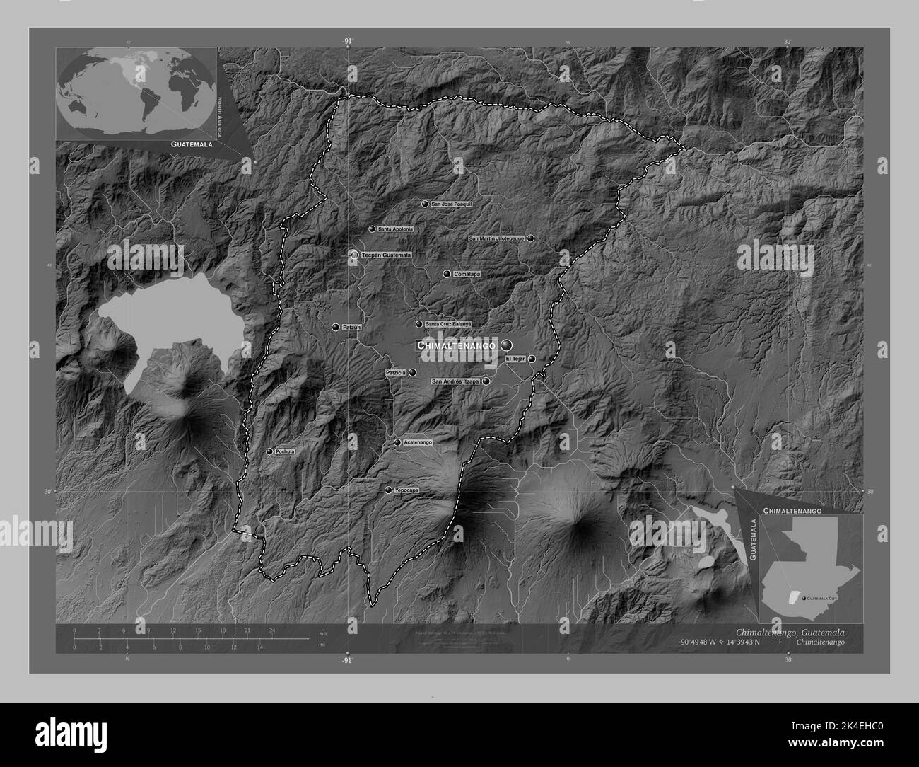 Chimaltenango, department of Guatemala. Grayscale elevation map with lakes and rivers. Locations and names of major cities of the region. Corner auxil Stock Photohttps://www.alamy.com/image-license-details/?v=1https://www.alamy.com/chimaltenango-department-of-guatemala-grayscale-elevation-map-with-lakes-and-rivers-locations-and-names-of-major-cities-of-the-region-corner-auxil-image484669920.html
RF2K4EHC0–Chimaltenango, department of Guatemala. Grayscale elevation map with lakes and rivers. Locations and names of major cities of the region. Corner auxil
 Jutiapa, department of Guatemala. Low resolution satellite map. Locations of major cities of the region. Corner auxiliary location maps Stock Photohttps://www.alamy.com/image-license-details/?v=1https://www.alamy.com/jutiapa-department-of-guatemala-low-resolution-satellite-map-locations-of-major-cities-of-the-region-corner-auxiliary-location-maps-image484670668.html
RF2K4EJAM–Jutiapa, department of Guatemala. Low resolution satellite map. Locations of major cities of the region. Corner auxiliary location maps
 Suchitepequez, department of Guatemala. Grayscale elevation map with lakes and rivers. Locations and names of major cities of the region. Corner auxil Stock Photohttps://www.alamy.com/image-license-details/?v=1https://www.alamy.com/suchitepequez-department-of-guatemala-grayscale-elevation-map-with-lakes-and-rivers-locations-and-names-of-major-cities-of-the-region-corner-auxil-image484671586.html
RF2K4EKFE–Suchitepequez, department of Guatemala. Grayscale elevation map with lakes and rivers. Locations and names of major cities of the region. Corner auxil
 Chimaltenango, department of Guatemala. Low resolution satellite map. Locations and names of major cities of the region. Corner auxiliary location map Stock Photohttps://www.alamy.com/image-license-details/?v=1https://www.alamy.com/chimaltenango-department-of-guatemala-low-resolution-satellite-map-locations-and-names-of-major-cities-of-the-region-corner-auxiliary-location-map-image484669963.html
RF2K4EHDF–Chimaltenango, department of Guatemala. Low resolution satellite map. Locations and names of major cities of the region. Corner auxiliary location map
 Escuintla, department of Guatemala. Bilevel elevation map with lakes and rivers. Locations of major cities of the region. Corner auxiliary location ma Stock Photohttps://www.alamy.com/image-license-details/?v=1https://www.alamy.com/escuintla-department-of-guatemala-bilevel-elevation-map-with-lakes-and-rivers-locations-of-major-cities-of-the-region-corner-auxiliary-location-ma-image484670175.html
RF2K4EHN3–Escuintla, department of Guatemala. Bilevel elevation map with lakes and rivers. Locations of major cities of the region. Corner auxiliary location ma
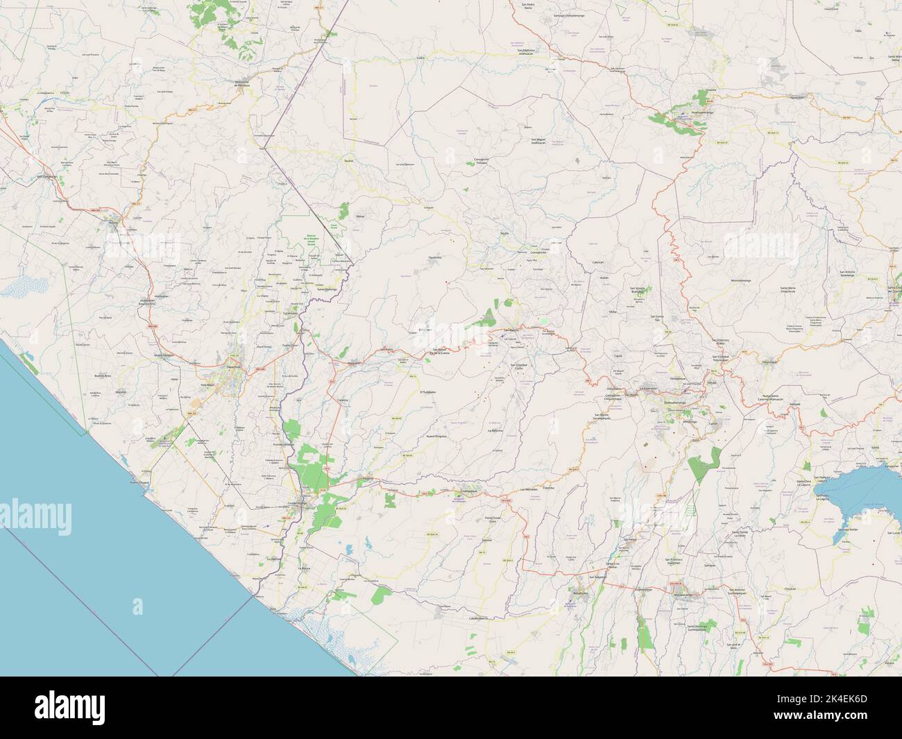 San Marcos, department of Guatemala. Open Street Map Stock Photohttps://www.alamy.com/image-license-details/?v=1https://www.alamy.com/san-marcos-department-of-guatemala-open-street-map-image484671333.html
RF2K4EK6D–San Marcos, department of Guatemala. Open Street Map
 Jutiapa, department of Guatemala. Bilevel elevation map with lakes and rivers. Locations of major cities of the region. Corner auxiliary location maps Stock Photohttps://www.alamy.com/image-license-details/?v=1https://www.alamy.com/jutiapa-department-of-guatemala-bilevel-elevation-map-with-lakes-and-rivers-locations-of-major-cities-of-the-region-corner-auxiliary-location-maps-image484670643.html
RF2K4EJ9R–Jutiapa, department of Guatemala. Bilevel elevation map with lakes and rivers. Locations of major cities of the region. Corner auxiliary location maps
 Peten, department of Guatemala. Elevation map colored in wiki style with lakes and rivers Stock Photohttps://www.alamy.com/image-license-details/?v=1https://www.alamy.com/peten-department-of-guatemala-elevation-map-colored-in-wiki-style-with-lakes-and-rivers-image484670824.html
RF2K4EJG8–Peten, department of Guatemala. Elevation map colored in wiki style with lakes and rivers
 Peten, department of Guatemala. Elevation map colored in sepia tones with lakes and rivers. Locations of major cities of the region. Corner auxiliary Stock Photohttps://www.alamy.com/image-license-details/?v=1https://www.alamy.com/peten-department-of-guatemala-elevation-map-colored-in-sepia-tones-with-lakes-and-rivers-locations-of-major-cities-of-the-region-corner-auxiliary-image484670821.html
RF2K4EJG5–Peten, department of Guatemala. Elevation map colored in sepia tones with lakes and rivers. Locations of major cities of the region. Corner auxiliary
 Chiquimula, department of Guatemala. Bilevel elevation map with lakes and rivers Stock Photohttps://www.alamy.com/image-license-details/?v=1https://www.alamy.com/chiquimula-department-of-guatemala-bilevel-elevation-map-with-lakes-and-rivers-image484670024.html
RF2K4EHFM–Chiquimula, department of Guatemala. Bilevel elevation map with lakes and rivers
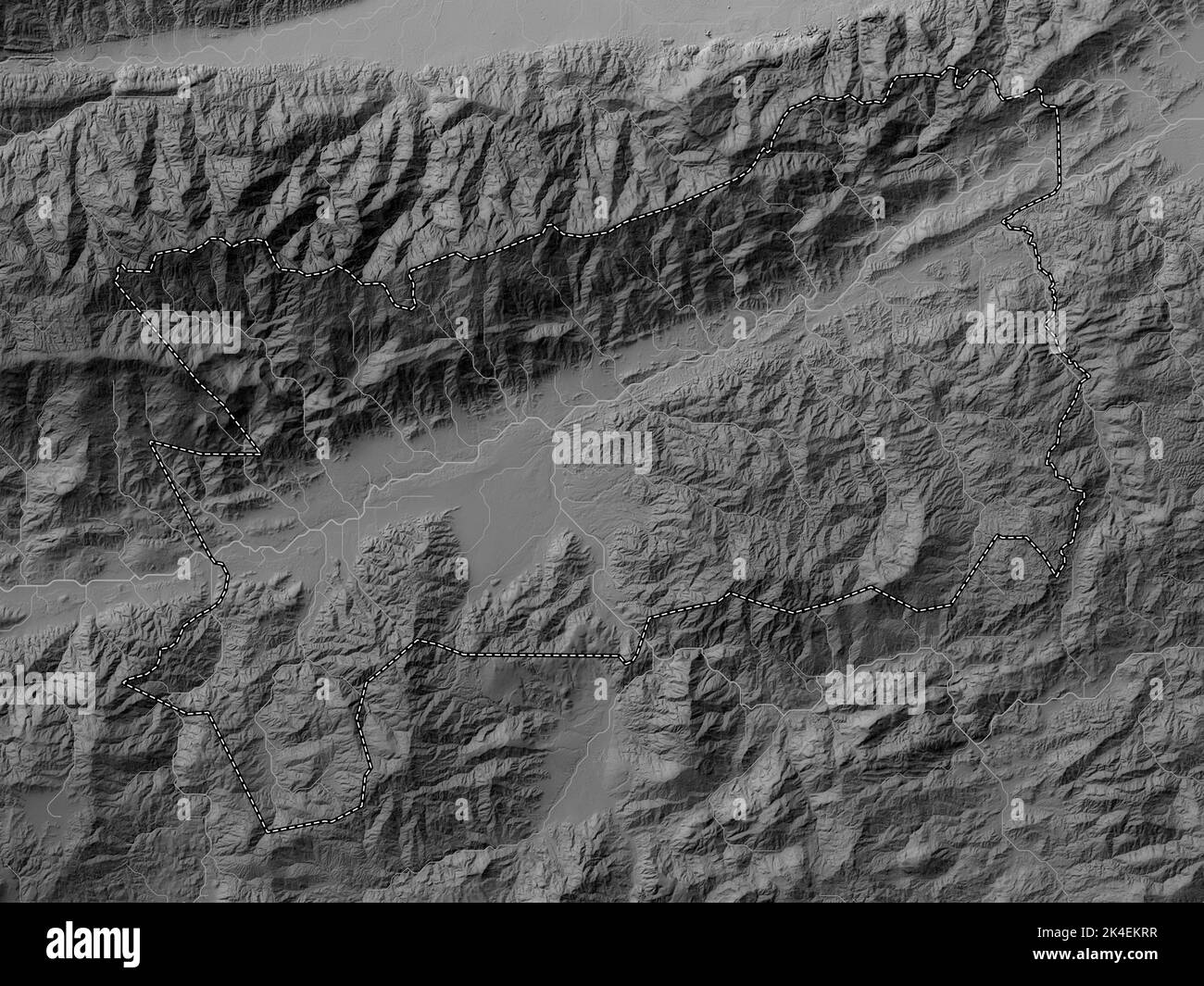 Zacapa, department of Guatemala. Grayscale elevation map with lakes and rivers Stock Photohttps://www.alamy.com/image-license-details/?v=1https://www.alamy.com/zacapa-department-of-guatemala-grayscale-elevation-map-with-lakes-and-rivers-image484671819.html
RF2K4EKRR–Zacapa, department of Guatemala. Grayscale elevation map with lakes and rivers
 Suchitepequez, department of Guatemala. Solid color shape. Locations of major cities of the region. Corner auxiliary location maps Stock Photohttps://www.alamy.com/image-license-details/?v=1https://www.alamy.com/suchitepequez-department-of-guatemala-solid-color-shape-locations-of-major-cities-of-the-region-corner-auxiliary-location-maps-image484671590.html
RF2K4EKFJ–Suchitepequez, department of Guatemala. Solid color shape. Locations of major cities of the region. Corner auxiliary location maps
 Solola, department of Guatemala. Bilevel elevation map with lakes and rivers. Locations of major cities of the region. Corner auxiliary location maps Stock Photohttps://www.alamy.com/image-license-details/?v=1https://www.alamy.com/solola-department-of-guatemala-bilevel-elevation-map-with-lakes-and-rivers-locations-of-major-cities-of-the-region-corner-auxiliary-location-maps-image484671494.html
RF2K4EKC6–Solola, department of Guatemala. Bilevel elevation map with lakes and rivers. Locations of major cities of the region. Corner auxiliary location maps
 Jalapa, department of Guatemala. Bilevel elevation map with lakes and rivers. Locations and names of major cities of the region. Corner auxiliary loca Stock Photohttps://www.alamy.com/image-license-details/?v=1https://www.alamy.com/jalapa-department-of-guatemala-bilevel-elevation-map-with-lakes-and-rivers-locations-and-names-of-major-cities-of-the-region-corner-auxiliary-loca-image484670551.html
RF2K4EJ6F–Jalapa, department of Guatemala. Bilevel elevation map with lakes and rivers. Locations and names of major cities of the region. Corner auxiliary loca
 Zacapa, department of Guatemala. Low resolution satellite map Stock Photohttps://www.alamy.com/image-license-details/?v=1https://www.alamy.com/zacapa-department-of-guatemala-low-resolution-satellite-map-image484671835.html
RF2K4EKTB–Zacapa, department of Guatemala. Low resolution satellite map
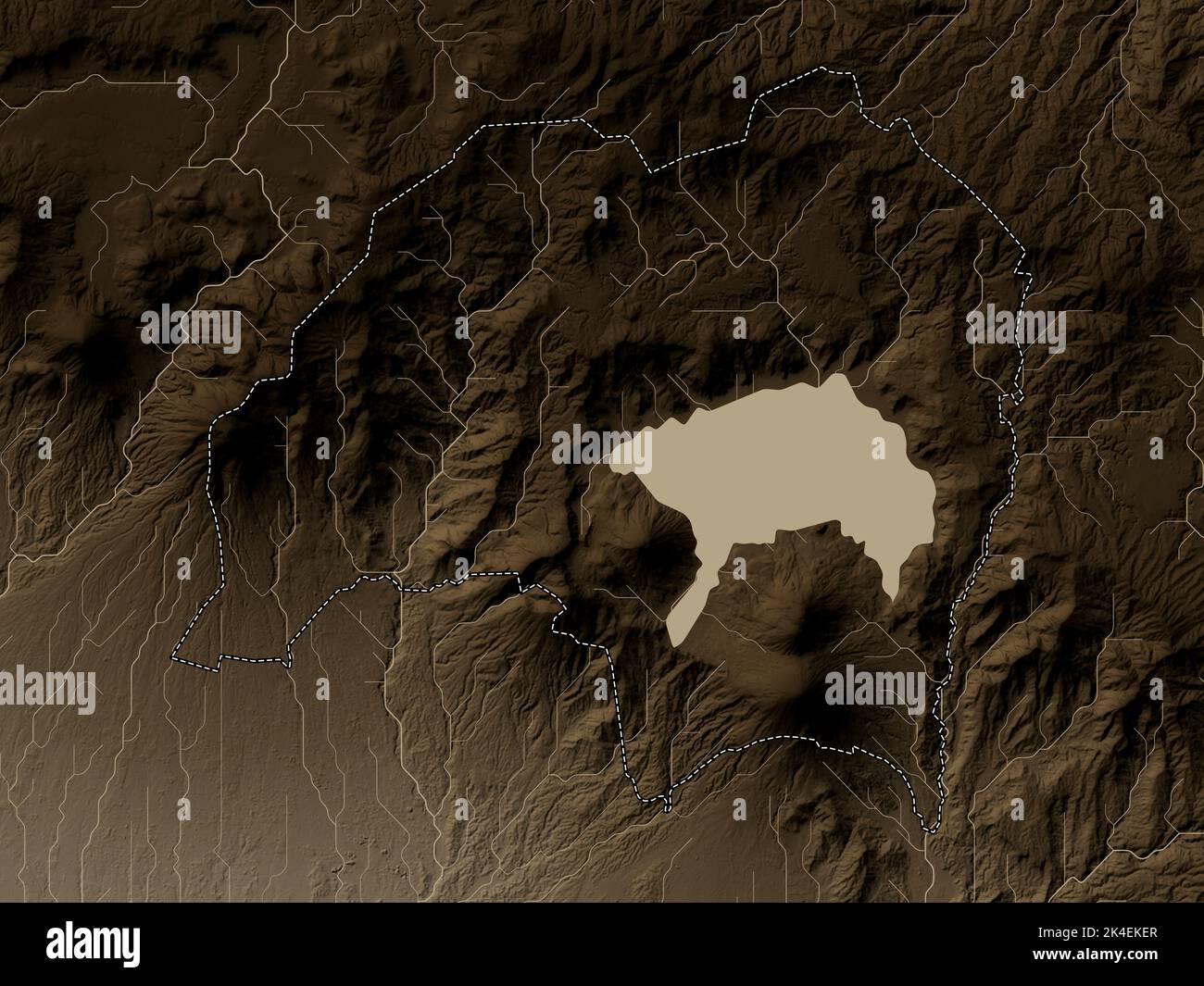 Solola, department of Guatemala. Elevation map colored in sepia tones with lakes and rivers Stock Photohttps://www.alamy.com/image-license-details/?v=1https://www.alamy.com/solola-department-of-guatemala-elevation-map-colored-in-sepia-tones-with-lakes-and-rivers-image484671567.html
RF2K4EKER–Solola, department of Guatemala. Elevation map colored in sepia tones with lakes and rivers
 Quezaltenango, department of Guatemala. Solid color shape. Locations and names of major cities of the region. Corner auxiliary location maps Stock Photohttps://www.alamy.com/image-license-details/?v=1https://www.alamy.com/quezaltenango-department-of-guatemala-solid-color-shape-locations-and-names-of-major-cities-of-the-region-corner-auxiliary-location-maps-image484670906.html
RF2K4EJK6–Quezaltenango, department of Guatemala. Solid color shape. Locations and names of major cities of the region. Corner auxiliary location maps
 Suchitepequez, department of Guatemala. High resolution satellite map Stock Photohttps://www.alamy.com/image-license-details/?v=1https://www.alamy.com/suchitepequez-department-of-guatemala-high-resolution-satellite-map-image484671657.html
RF2K4EKJ1–Suchitepequez, department of Guatemala. High resolution satellite map
 Totonicapan, department of Guatemala. Low resolution satellite map. Locations and names of major cities of the region. Corner auxiliary location maps Stock Photohttps://www.alamy.com/image-license-details/?v=1https://www.alamy.com/totonicapan-department-of-guatemala-low-resolution-satellite-map-locations-and-names-of-major-cities-of-the-region-corner-auxiliary-location-maps-image484671715.html
RF2K4EKM3–Totonicapan, department of Guatemala. Low resolution satellite map. Locations and names of major cities of the region. Corner auxiliary location maps
 Totonicapan, department of Guatemala. Open Street Map. Locations of major cities of the region. Corner auxiliary location maps Stock Photohttps://www.alamy.com/image-license-details/?v=1https://www.alamy.com/totonicapan-department-of-guatemala-open-street-map-locations-of-major-cities-of-the-region-corner-auxiliary-location-maps-image484671700.html
RF2K4EKKG–Totonicapan, department of Guatemala. Open Street Map. Locations of major cities of the region. Corner auxiliary location maps
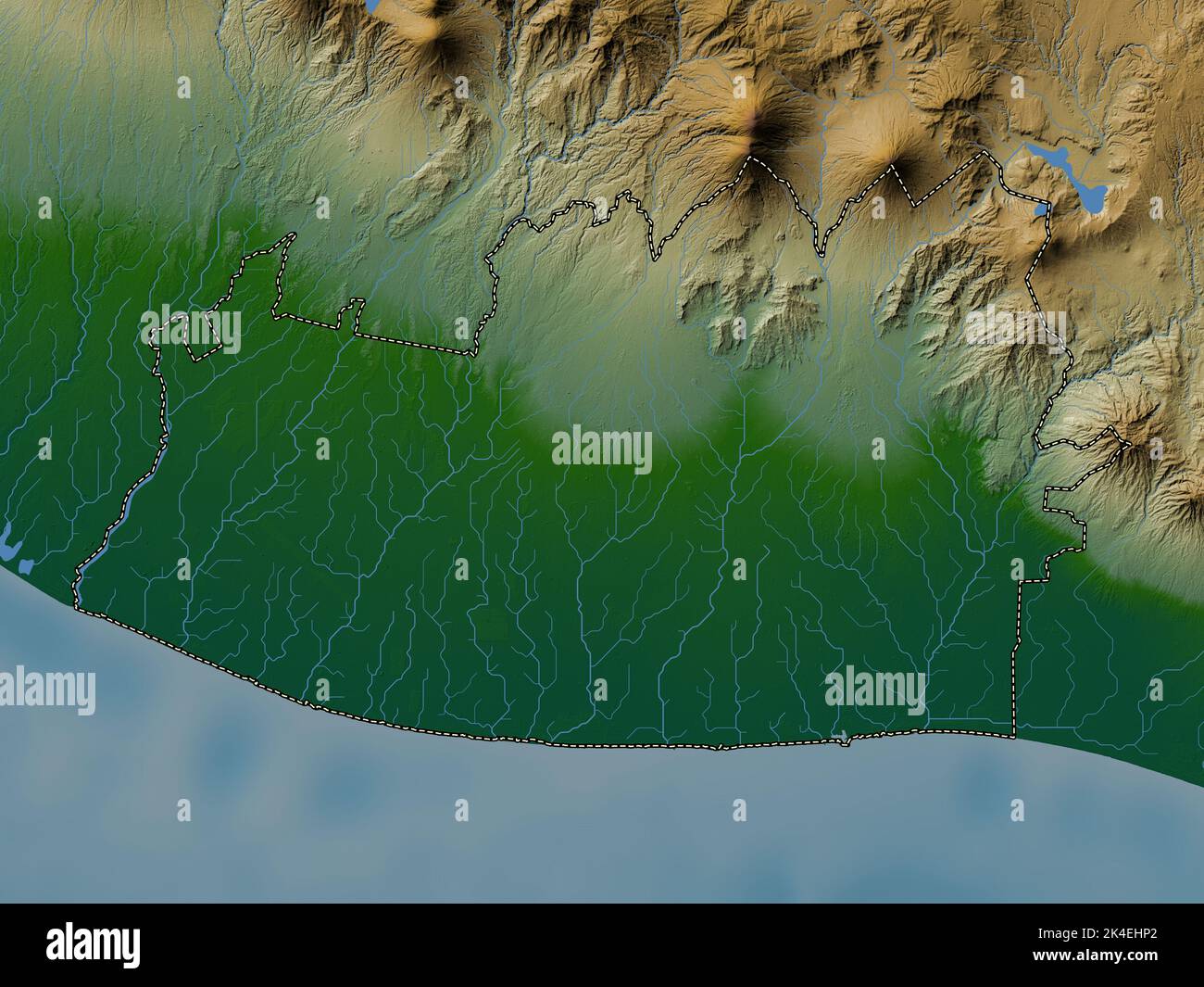 Escuintla, department of Guatemala. Colored elevation map with lakes and rivers Stock Photohttps://www.alamy.com/image-license-details/?v=1https://www.alamy.com/escuintla-department-of-guatemala-colored-elevation-map-with-lakes-and-rivers-image484670202.html
RF2K4EHP2–Escuintla, department of Guatemala. Colored elevation map with lakes and rivers
 Huehuetenango, department of Guatemala. Open Street Map. Locations of major cities of the region. Corner auxiliary location maps Stock Photohttps://www.alamy.com/image-license-details/?v=1https://www.alamy.com/huehuetenango-department-of-guatemala-open-street-map-locations-of-major-cities-of-the-region-corner-auxiliary-location-maps-image484670369.html
RF2K4EJ01–Huehuetenango, department of Guatemala. Open Street Map. Locations of major cities of the region. Corner auxiliary location maps
 Chimaltenango, department of Guatemala. Colored elevation map with lakes and rivers. Locations and names of major cities of the region. Corner auxilia Stock Photohttps://www.alamy.com/image-license-details/?v=1https://www.alamy.com/chimaltenango-department-of-guatemala-colored-elevation-map-with-lakes-and-rivers-locations-and-names-of-major-cities-of-the-region-corner-auxilia-image484670013.html
RF2K4EHF9–Chimaltenango, department of Guatemala. Colored elevation map with lakes and rivers. Locations and names of major cities of the region. Corner auxilia
 Suchitepequez, department of Guatemala. Elevation map colored in sepia tones with lakes and rivers. Locations and names of major cities of the region. Stock Photohttps://www.alamy.com/image-license-details/?v=1https://www.alamy.com/suchitepequez-department-of-guatemala-elevation-map-colored-in-sepia-tones-with-lakes-and-rivers-locations-and-names-of-major-cities-of-the-region-image484671673.html
RF2K4EKJH–Suchitepequez, department of Guatemala. Elevation map colored in sepia tones with lakes and rivers. Locations and names of major cities of the region.
 Chimaltenango, department of Guatemala. Grayscale elevation map with lakes and rivers. Locations of major cities of the region. Corner auxiliary locat Stock Photohttps://www.alamy.com/image-license-details/?v=1https://www.alamy.com/chimaltenango-department-of-guatemala-grayscale-elevation-map-with-lakes-and-rivers-locations-of-major-cities-of-the-region-corner-auxiliary-locat-image484669965.html
RF2K4EHDH–Chimaltenango, department of Guatemala. Grayscale elevation map with lakes and rivers. Locations of major cities of the region. Corner auxiliary locat
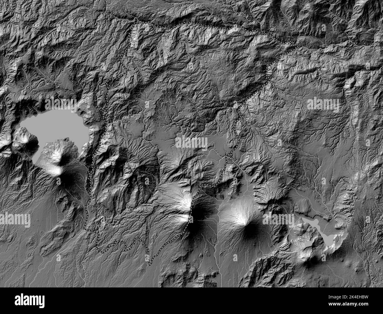 Chimaltenango, department of Guatemala. Bilevel elevation map with lakes and rivers Stock Photohttps://www.alamy.com/image-license-details/?v=1https://www.alamy.com/chimaltenango-department-of-guatemala-bilevel-elevation-map-with-lakes-and-rivers-image484669917.html
RF2K4EHBW–Chimaltenango, department of Guatemala. Bilevel elevation map with lakes and rivers
 Jutiapa, department of Guatemala. Solid color shape. Locations of major cities of the region. Corner auxiliary location maps Stock Photohttps://www.alamy.com/image-license-details/?v=1https://www.alamy.com/jutiapa-department-of-guatemala-solid-color-shape-locations-of-major-cities-of-the-region-corner-auxiliary-location-maps-image484670665.html
RF2K4EJAH–Jutiapa, department of Guatemala. Solid color shape. Locations of major cities of the region. Corner auxiliary location maps
 Solola, department of Guatemala. Elevation map colored in wiki style with lakes and rivers Stock Photohttps://www.alamy.com/image-license-details/?v=1https://www.alamy.com/solola-department-of-guatemala-elevation-map-colored-in-wiki-style-with-lakes-and-rivers-image484671577.html
RF2K4EKF5–Solola, department of Guatemala. Elevation map colored in wiki style with lakes and rivers
 Jutiapa, department of Guatemala. Colored elevation map with lakes and rivers. Locations and names of major cities of the region. Corner auxiliary loc Stock Photohttps://www.alamy.com/image-license-details/?v=1https://www.alamy.com/jutiapa-department-of-guatemala-colored-elevation-map-with-lakes-and-rivers-locations-and-names-of-major-cities-of-the-region-corner-auxiliary-loc-image484670744.html
RF2K4EJDC–Jutiapa, department of Guatemala. Colored elevation map with lakes and rivers. Locations and names of major cities of the region. Corner auxiliary loc
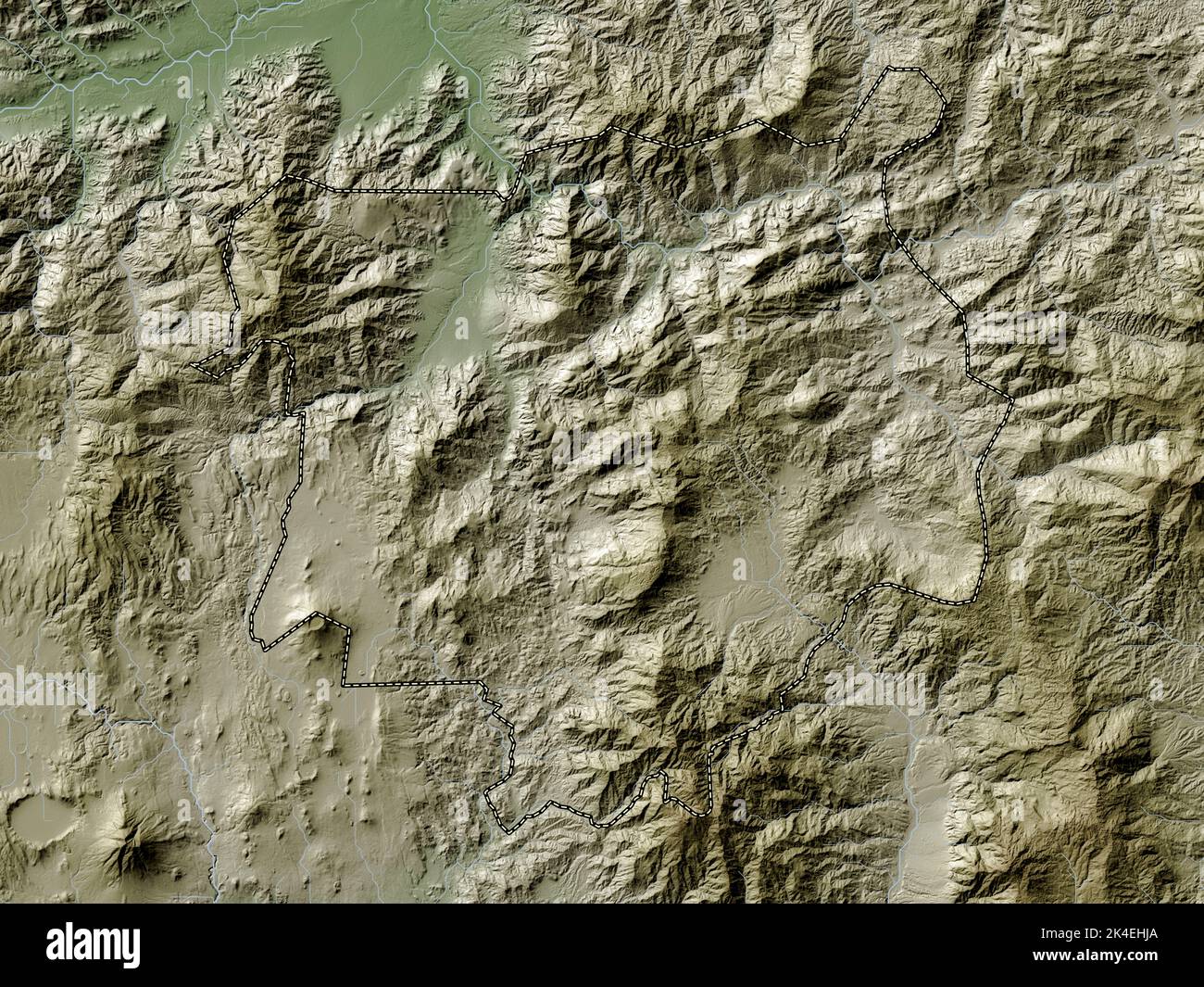 Chiquimula, department of Guatemala. Elevation map colored in wiki style with lakes and rivers Stock Photohttps://www.alamy.com/image-license-details/?v=1https://www.alamy.com/chiquimula-department-of-guatemala-elevation-map-colored-in-wiki-style-with-lakes-and-rivers-image484670098.html
RF2K4EHJA–Chiquimula, department of Guatemala. Elevation map colored in wiki style with lakes and rivers
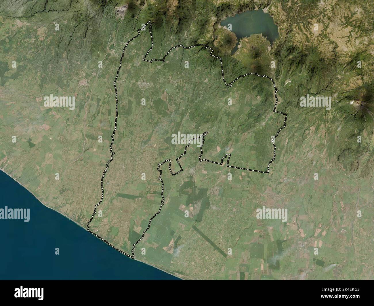 Suchitepequez, department of Guatemala. Low resolution satellite map Stock Photohttps://www.alamy.com/image-license-details/?v=1https://www.alamy.com/suchitepequez-department-of-guatemala-low-resolution-satellite-map-image484671603.html
RF2K4EKG3–Suchitepequez, department of Guatemala. Low resolution satellite map
 Zacapa, department of Guatemala. Colored elevation map with lakes and rivers Stock Photohttps://www.alamy.com/image-license-details/?v=1https://www.alamy.com/zacapa-department-of-guatemala-colored-elevation-map-with-lakes-and-rivers-image484671892.html
RF2K4EKXC–Zacapa, department of Guatemala. Colored elevation map with lakes and rivers
 Quezaltenango, department of Guatemala. Elevation map colored in wiki style with lakes and rivers. Locations and names of major cities of the region. Stock Photohttps://www.alamy.com/image-license-details/?v=1https://www.alamy.com/quezaltenango-department-of-guatemala-elevation-map-colored-in-wiki-style-with-lakes-and-rivers-locations-and-names-of-major-cities-of-the-region-image484670920.html
RF2K4EJKM–Quezaltenango, department of Guatemala. Elevation map colored in wiki style with lakes and rivers. Locations and names of major cities of the region.
 Quezaltenango, department of Guatemala. High resolution satellite map. Locations and names of major cities of the region. Corner auxiliary location ma Stock Photohttps://www.alamy.com/image-license-details/?v=1https://www.alamy.com/quezaltenango-department-of-guatemala-high-resolution-satellite-map-locations-and-names-of-major-cities-of-the-region-corner-auxiliary-location-ma-image484670834.html
RF2K4EJGJ–Quezaltenango, department of Guatemala. High resolution satellite map. Locations and names of major cities of the region. Corner auxiliary location ma
 Zacapa, department of Guatemala. Elevation map colored in wiki style with lakes and rivers. Locations and names of major cities of the region. Corner Stock Photohttps://www.alamy.com/image-license-details/?v=1https://www.alamy.com/zacapa-department-of-guatemala-elevation-map-colored-in-wiki-style-with-lakes-and-rivers-locations-and-names-of-major-cities-of-the-region-corner-image484671894.html
RF2K4EKXE–Zacapa, department of Guatemala. Elevation map colored in wiki style with lakes and rivers. Locations and names of major cities of the region. Corner
 Solola, department of Guatemala. Elevation map colored in sepia tones with lakes and rivers. Locations and names of major cities of the region. Corner Stock Photohttps://www.alamy.com/image-license-details/?v=1https://www.alamy.com/solola-department-of-guatemala-elevation-map-colored-in-sepia-tones-with-lakes-and-rivers-locations-and-names-of-major-cities-of-the-region-corner-image484671566.html
RF2K4EKEP–Solola, department of Guatemala. Elevation map colored in sepia tones with lakes and rivers. Locations and names of major cities of the region. Corner
 Huehuetenango, department of Guatemala. Elevation map colored in sepia tones with lakes and rivers. Locations of major cities of the region. Corner au Stock Photohttps://www.alamy.com/image-license-details/?v=1https://www.alamy.com/huehuetenango-department-of-guatemala-elevation-map-colored-in-sepia-tones-with-lakes-and-rivers-locations-of-major-cities-of-the-region-corner-au-image484670453.html
RF2K4EJ31–Huehuetenango, department of Guatemala. Elevation map colored in sepia tones with lakes and rivers. Locations of major cities of the region. Corner au
 Jalapa, department of Guatemala. Elevation map colored in wiki style with lakes and rivers. Locations of major cities of the region. Corner auxiliary Stock Photohttps://www.alamy.com/image-license-details/?v=1https://www.alamy.com/jalapa-department-of-guatemala-elevation-map-colored-in-wiki-style-with-lakes-and-rivers-locations-of-major-cities-of-the-region-corner-auxiliary-image484670636.html
RF2K4EJ9G–Jalapa, department of Guatemala. Elevation map colored in wiki style with lakes and rivers. Locations of major cities of the region. Corner auxiliary
 Quezaltenango, department of Guatemala. Grayscale elevation map with lakes and rivers. Locations of major cities of the region. Corner auxiliary locat Stock Photohttps://www.alamy.com/image-license-details/?v=1https://www.alamy.com/quezaltenango-department-of-guatemala-grayscale-elevation-map-with-lakes-and-rivers-locations-of-major-cities-of-the-region-corner-auxiliary-locat-image484670827.html
RF2K4EJGB–Quezaltenango, department of Guatemala. Grayscale elevation map with lakes and rivers. Locations of major cities of the region. Corner auxiliary locat
 Chiquimula, department of Guatemala. Colored elevation map with lakes and rivers. Locations of major cities of the region. Corner auxiliary location m Stock Photohttps://www.alamy.com/image-license-details/?v=1https://www.alamy.com/chiquimula-department-of-guatemala-colored-elevation-map-with-lakes-and-rivers-locations-of-major-cities-of-the-region-corner-auxiliary-location-m-image484670090.html
RF2K4EHJ2–Chiquimula, department of Guatemala. Colored elevation map with lakes and rivers. Locations of major cities of the region. Corner auxiliary location m
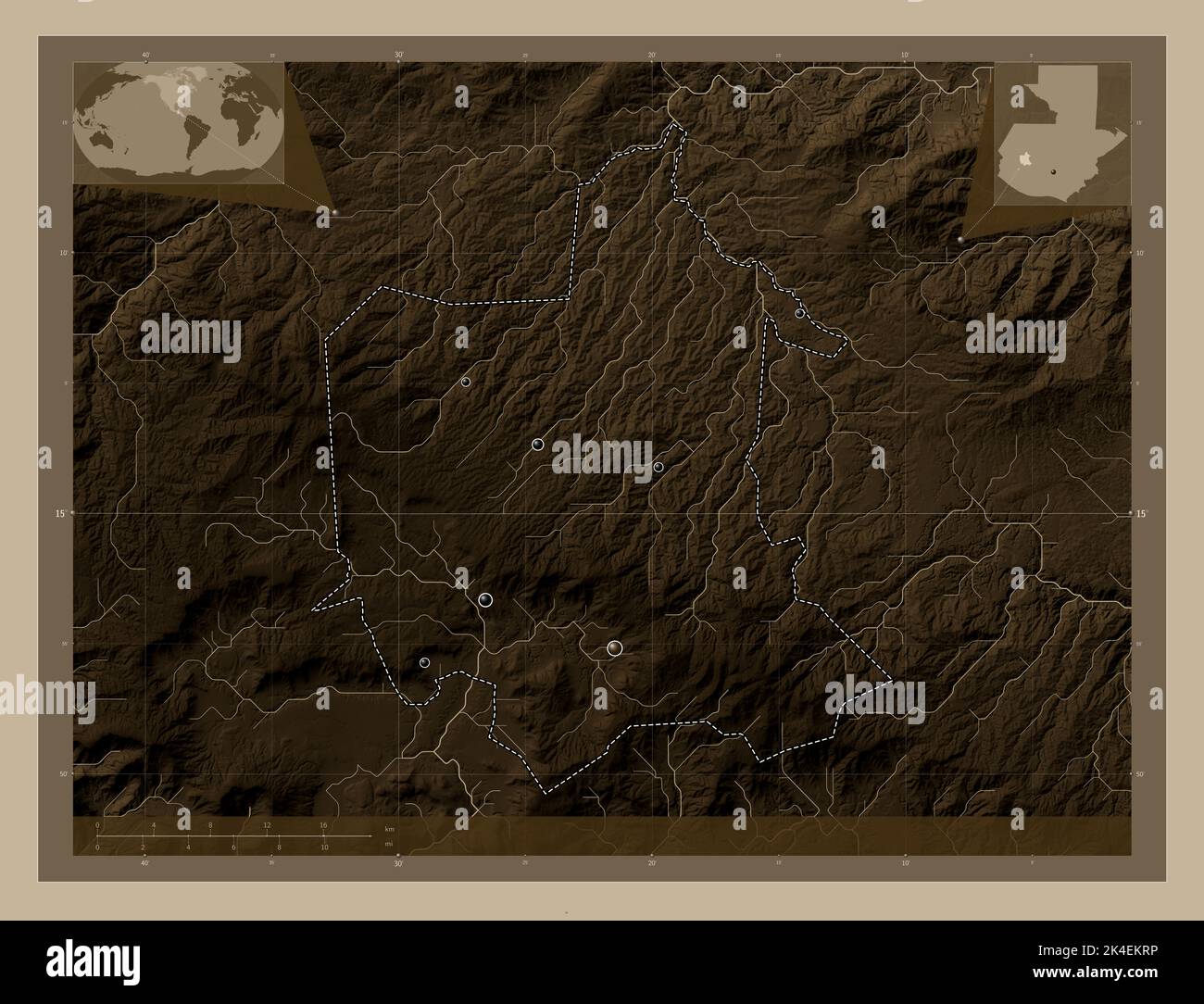 Totonicapan, department of Guatemala. Elevation map colored in sepia tones with lakes and rivers. Locations of major cities of the region. Corner auxi Stock Photohttps://www.alamy.com/image-license-details/?v=1https://www.alamy.com/totonicapan-department-of-guatemala-elevation-map-colored-in-sepia-tones-with-lakes-and-rivers-locations-of-major-cities-of-the-region-corner-auxi-image484671818.html
RF2K4EKRP–Totonicapan, department of Guatemala. Elevation map colored in sepia tones with lakes and rivers. Locations of major cities of the region. Corner auxi
 Retalhuleu, department of Guatemala. High resolution satellite map. Locations and names of major cities of the region. Corner auxiliary location maps Stock Photohttps://www.alamy.com/image-license-details/?v=1https://www.alamy.com/retalhuleu-department-of-guatemala-high-resolution-satellite-map-locations-and-names-of-major-cities-of-the-region-corner-auxiliary-location-maps-image484671096.html
RF2K4EJX0–Retalhuleu, department of Guatemala. High resolution satellite map. Locations and names of major cities of the region. Corner auxiliary location maps
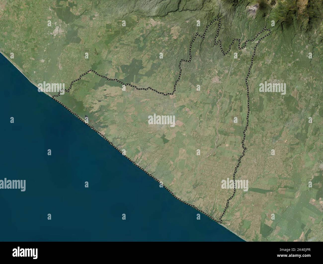 Retalhuleu, department of Guatemala. Low resolution satellite map Stock Photohttps://www.alamy.com/image-license-details/?v=1https://www.alamy.com/retalhuleu-department-of-guatemala-low-resolution-satellite-map-image484671007.html
RF2K4EJPR–Retalhuleu, department of Guatemala. Low resolution satellite map
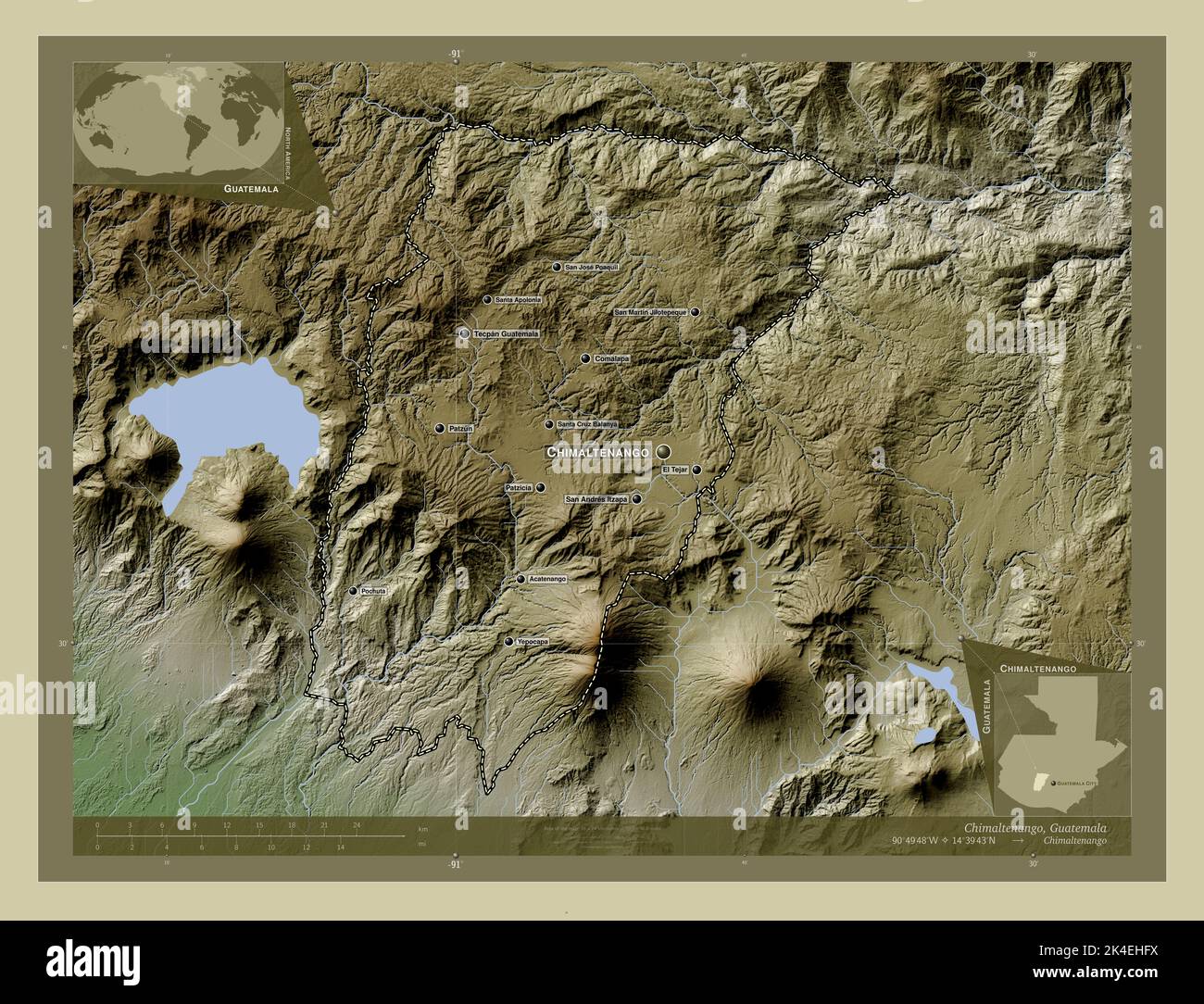 Chimaltenango, department of Guatemala. Elevation map colored in wiki style with lakes and rivers. Locations and names of major cities of the region. Stock Photohttps://www.alamy.com/image-license-details/?v=1https://www.alamy.com/chimaltenango-department-of-guatemala-elevation-map-colored-in-wiki-style-with-lakes-and-rivers-locations-and-names-of-major-cities-of-the-region-image484670030.html
RF2K4EHFX–Chimaltenango, department of Guatemala. Elevation map colored in wiki style with lakes and rivers. Locations and names of major cities of the region.
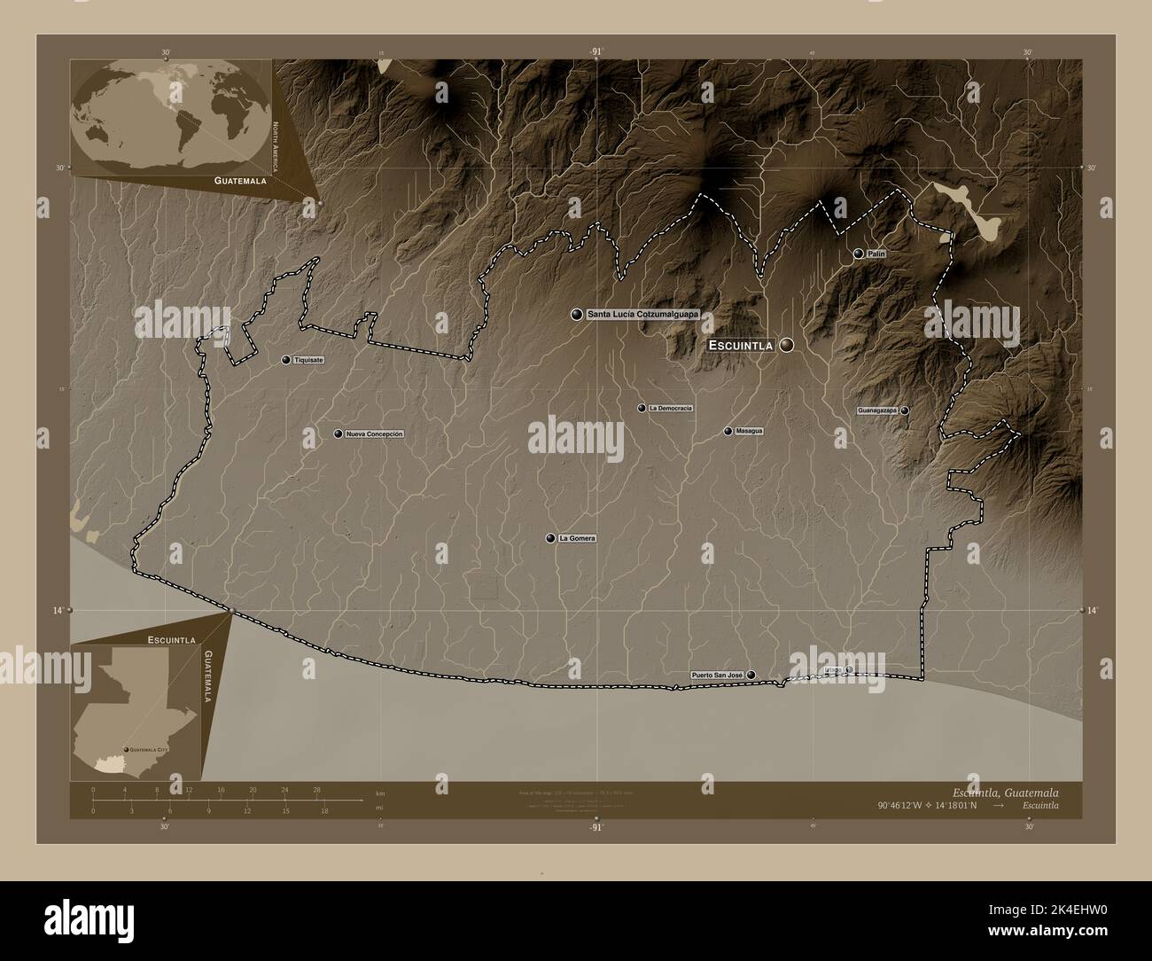 Escuintla, department of Guatemala. Elevation map colored in sepia tones with lakes and rivers. Locations and names of major cities of the region. Cor Stock Photohttps://www.alamy.com/image-license-details/?v=1https://www.alamy.com/escuintla-department-of-guatemala-elevation-map-colored-in-sepia-tones-with-lakes-and-rivers-locations-and-names-of-major-cities-of-the-region-cor-image484670284.html
RF2K4EHW0–Escuintla, department of Guatemala. Elevation map colored in sepia tones with lakes and rivers. Locations and names of major cities of the region. Cor
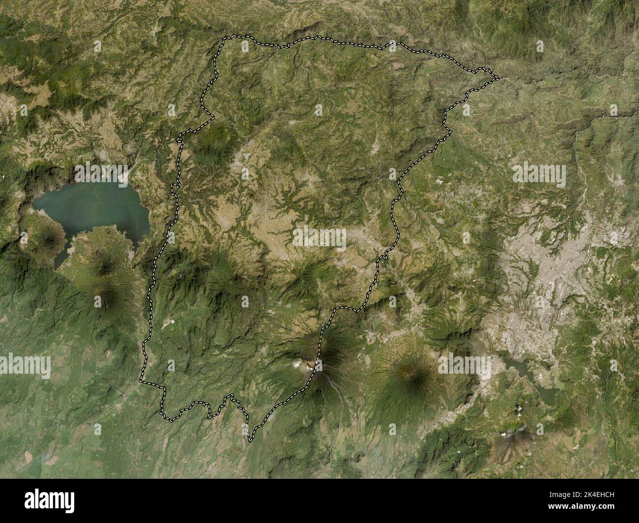 Chimaltenango, department of Guatemala. Low resolution satellite map Stock Photohttps://www.alamy.com/image-license-details/?v=1https://www.alamy.com/chimaltenango-department-of-guatemala-low-resolution-satellite-map-image484669937.html
RF2K4EHCH–Chimaltenango, department of Guatemala. Low resolution satellite map
 Quezaltenango, department of Guatemala. Bilevel elevation map with lakes and rivers Stock Photohttps://www.alamy.com/image-license-details/?v=1https://www.alamy.com/quezaltenango-department-of-guatemala-bilevel-elevation-map-with-lakes-and-rivers-image484670830.html
RF2K4EJGE–Quezaltenango, department of Guatemala. Bilevel elevation map with lakes and rivers
 Jutiapa, department of Guatemala. Low resolution satellite map. Locations and names of major cities of the region. Corner auxiliary location maps Stock Photohttps://www.alamy.com/image-license-details/?v=1https://www.alamy.com/jutiapa-department-of-guatemala-low-resolution-satellite-map-locations-and-names-of-major-cities-of-the-region-corner-auxiliary-location-maps-image484670666.html
RF2K4EJAJ–Jutiapa, department of Guatemala. Low resolution satellite map. Locations and names of major cities of the region. Corner auxiliary location maps
 Retalhuleu, department of Guatemala. Open Street Map. Locations and names of major cities of the region. Corner auxiliary location maps Stock Photohttps://www.alamy.com/image-license-details/?v=1https://www.alamy.com/retalhuleu-department-of-guatemala-open-street-map-locations-and-names-of-major-cities-of-the-region-corner-auxiliary-location-maps-image484671102.html
RF2K4EJX6–Retalhuleu, department of Guatemala. Open Street Map. Locations and names of major cities of the region. Corner auxiliary location maps
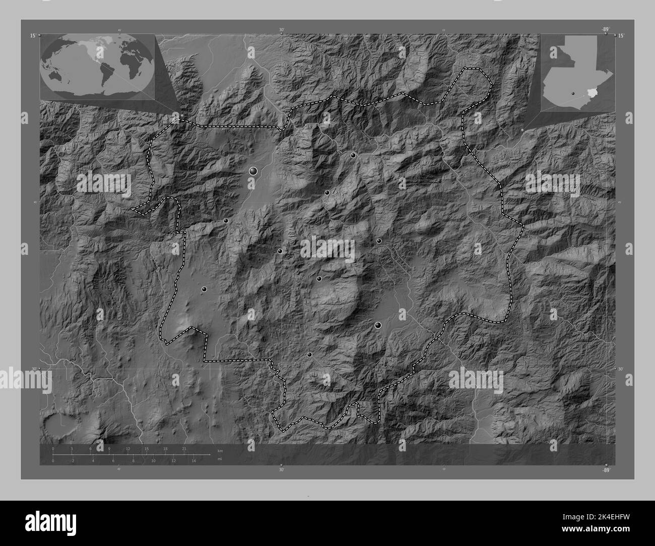 Chiquimula, department of Guatemala. Grayscale elevation map with lakes and rivers. Locations of major cities of the region. Corner auxiliary location Stock Photohttps://www.alamy.com/image-license-details/?v=1https://www.alamy.com/chiquimula-department-of-guatemala-grayscale-elevation-map-with-lakes-and-rivers-locations-of-major-cities-of-the-region-corner-auxiliary-location-image484670029.html
RF2K4EHFW–Chiquimula, department of Guatemala. Grayscale elevation map with lakes and rivers. Locations of major cities of the region. Corner auxiliary location
 Suchitepequez, department of Guatemala. Elevation map colored in sepia tones with lakes and rivers Stock Photohttps://www.alamy.com/image-license-details/?v=1https://www.alamy.com/suchitepequez-department-of-guatemala-elevation-map-colored-in-sepia-tones-with-lakes-and-rivers-image484671646.html
RF2K4EKHJ–Suchitepequez, department of Guatemala. Elevation map colored in sepia tones with lakes and rivers
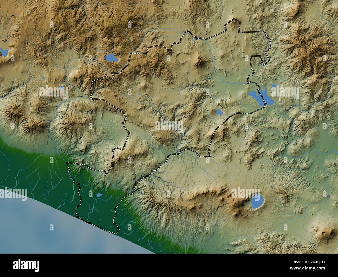 Jutiapa, department of Guatemala. Colored elevation map with lakes and rivers Stock Photohttps://www.alamy.com/image-license-details/?v=1https://www.alamy.com/jutiapa-department-of-guatemala-colored-elevation-map-with-lakes-and-rivers-image484670735.html
RF2K4EJD3–Jutiapa, department of Guatemala. Colored elevation map with lakes and rivers
 Chiquimula, department of Guatemala. Open Street Map. Locations of major cities of the region. Corner auxiliary location maps Stock Photohttps://www.alamy.com/image-license-details/?v=1https://www.alamy.com/chiquimula-department-of-guatemala-open-street-map-locations-of-major-cities-of-the-region-corner-auxiliary-location-maps-image484670041.html
RF2K4EHG9–Chiquimula, department of Guatemala. Open Street Map. Locations of major cities of the region. Corner auxiliary location maps
 Solola, department of Guatemala. Elevation map colored in wiki style with lakes and rivers. Locations of major cities of the region. Corner auxiliary Stock Photohttps://www.alamy.com/image-license-details/?v=1https://www.alamy.com/solola-department-of-guatemala-elevation-map-colored-in-wiki-style-with-lakes-and-rivers-locations-of-major-cities-of-the-region-corner-auxiliary-image484671581.html
RF2K4EKF9–Solola, department of Guatemala. Elevation map colored in wiki style with lakes and rivers. Locations of major cities of the region. Corner auxiliary
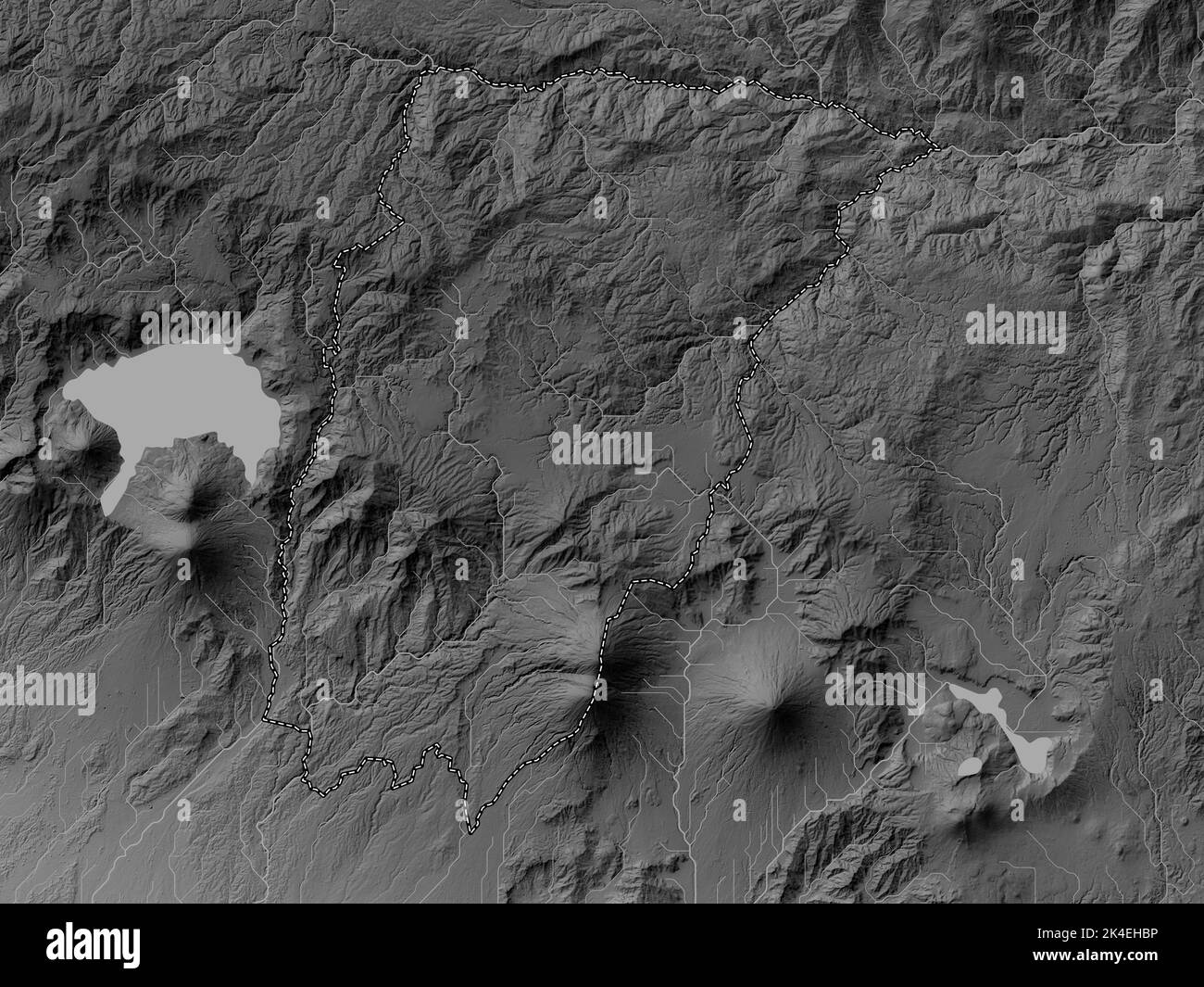 Chimaltenango, department of Guatemala. Grayscale elevation map with lakes and rivers Stock Photohttps://www.alamy.com/image-license-details/?v=1https://www.alamy.com/chimaltenango-department-of-guatemala-grayscale-elevation-map-with-lakes-and-rivers-image484669914.html
RF2K4EHBP–Chimaltenango, department of Guatemala. Grayscale elevation map with lakes and rivers
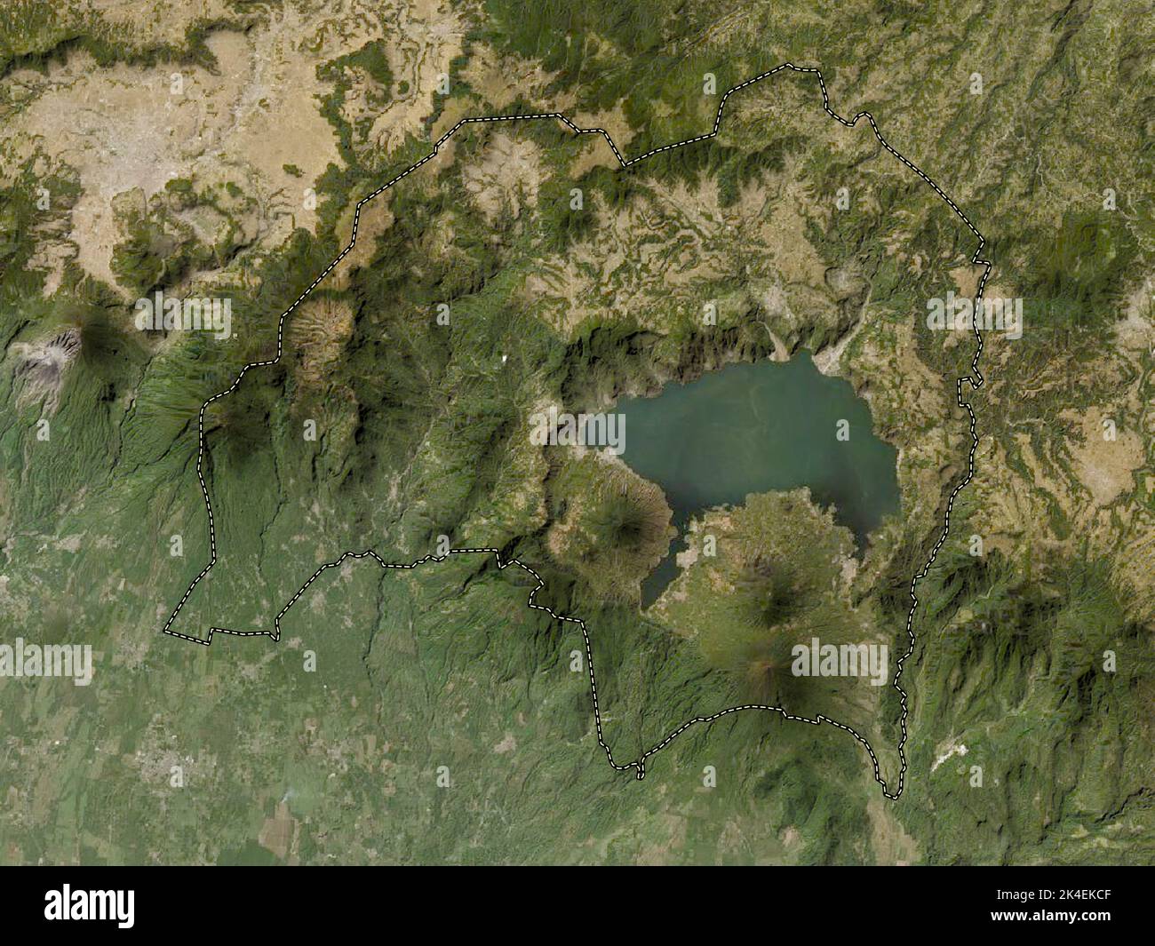 Solola, department of Guatemala. Low resolution satellite map Stock Photohttps://www.alamy.com/image-license-details/?v=1https://www.alamy.com/solola-department-of-guatemala-low-resolution-satellite-map-image484671503.html
RF2K4EKCF–Solola, department of Guatemala. Low resolution satellite map
 Chiquimula, department of Guatemala. Bilevel elevation map with lakes and rivers. Locations and names of major cities of the region. Corner auxiliary Stock Photohttps://www.alamy.com/image-license-details/?v=1https://www.alamy.com/chiquimula-department-of-guatemala-bilevel-elevation-map-with-lakes-and-rivers-locations-and-names-of-major-cities-of-the-region-corner-auxiliary-image484670022.html
RF2K4EHFJ–Chiquimula, department of Guatemala. Bilevel elevation map with lakes and rivers. Locations and names of major cities of the region. Corner auxiliary
 Huehuetenango, department of Guatemala. Elevation map colored in wiki style with lakes and rivers. Locations and names of major cities of the region. Stock Photohttps://www.alamy.com/image-license-details/?v=1https://www.alamy.com/huehuetenango-department-of-guatemala-elevation-map-colored-in-wiki-style-with-lakes-and-rivers-locations-and-names-of-major-cities-of-the-region-image484670461.html
RF2K4EJ39–Huehuetenango, department of Guatemala. Elevation map colored in wiki style with lakes and rivers. Locations and names of major cities of the region.
 Huehuetenango, department of Guatemala. Low resolution satellite map Stock Photohttps://www.alamy.com/image-license-details/?v=1https://www.alamy.com/huehuetenango-department-of-guatemala-low-resolution-satellite-map-image484670376.html
RF2K4EJ08–Huehuetenango, department of Guatemala. Low resolution satellite map
 Chiquimula, department of Guatemala. Colored elevation map with lakes and rivers Stock Photohttps://www.alamy.com/image-license-details/?v=1https://www.alamy.com/chiquimula-department-of-guatemala-colored-elevation-map-with-lakes-and-rivers-image484670079.html
RF2K4EHHK–Chiquimula, department of Guatemala. Colored elevation map with lakes and rivers
 Quezaltenango, department of Guatemala. Open Street Map Stock Photohttps://www.alamy.com/image-license-details/?v=1https://www.alamy.com/quezaltenango-department-of-guatemala-open-street-map-image484670887.html
RF2K4EJJF–Quezaltenango, department of Guatemala. Open Street Map
 Quezaltenango, department of Guatemala. High resolution satellite map Stock Photohttps://www.alamy.com/image-license-details/?v=1https://www.alamy.com/quezaltenango-department-of-guatemala-high-resolution-satellite-map-image484670889.html
RF2K4EJJH–Quezaltenango, department of Guatemala. High resolution satellite map
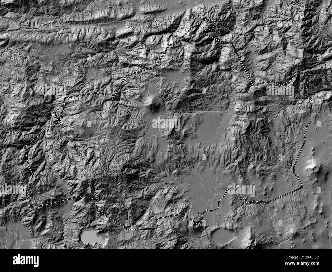 Jalapa, department of Guatemala. Bilevel elevation map with lakes and rivers Stock Photohttps://www.alamy.com/image-license-details/?v=1https://www.alamy.com/jalapa-department-of-guatemala-bilevel-elevation-map-with-lakes-and-rivers-image484670549.html
RF2K4EJ6D–Jalapa, department of Guatemala. Bilevel elevation map with lakes and rivers
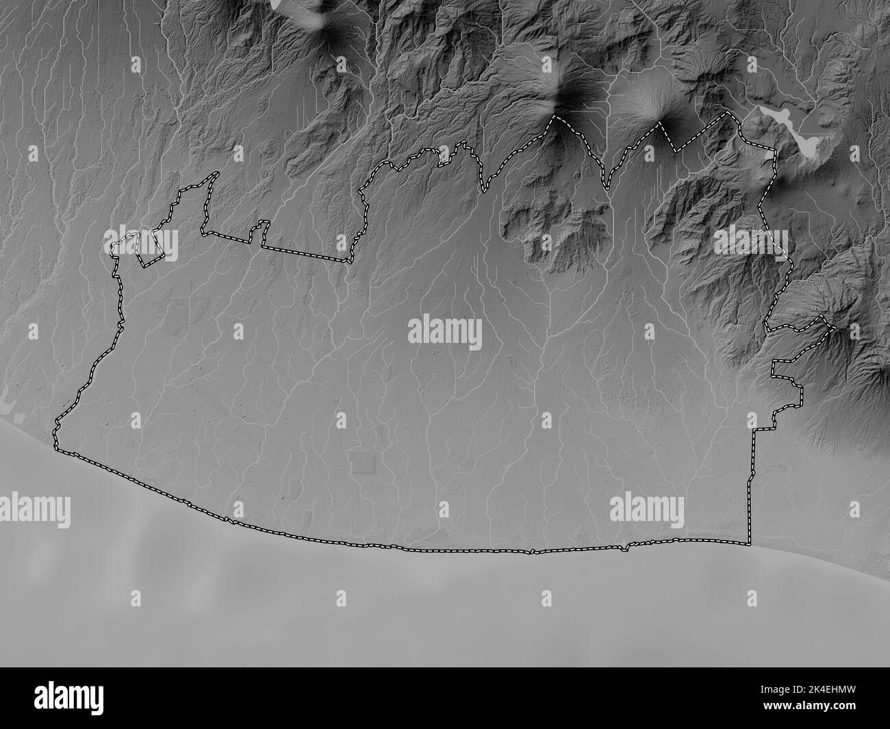 Escuintla, department of Guatemala. Grayscale elevation map with lakes and rivers Stock Photohttps://www.alamy.com/image-license-details/?v=1https://www.alamy.com/escuintla-department-of-guatemala-grayscale-elevation-map-with-lakes-and-rivers-image484670169.html
RF2K4EHMW–Escuintla, department of Guatemala. Grayscale elevation map with lakes and rivers
 Huehuetenango, department of Guatemala. Elevation map colored in sepia tones with lakes and rivers Stock Photohttps://www.alamy.com/image-license-details/?v=1https://www.alamy.com/huehuetenango-department-of-guatemala-elevation-map-colored-in-sepia-tones-with-lakes-and-rivers-image484670458.html
RF2K4EJ36–Huehuetenango, department of Guatemala. Elevation map colored in sepia tones with lakes and rivers
 Jutiapa, department of Guatemala. Open Street Map. Locations and names of major cities of the region. Corner auxiliary location maps Stock Photohttps://www.alamy.com/image-license-details/?v=1https://www.alamy.com/jutiapa-department-of-guatemala-open-street-map-locations-and-names-of-major-cities-of-the-region-corner-auxiliary-location-maps-image484670670.html
RF2K4EJAP–Jutiapa, department of Guatemala. Open Street Map. Locations and names of major cities of the region. Corner auxiliary location maps
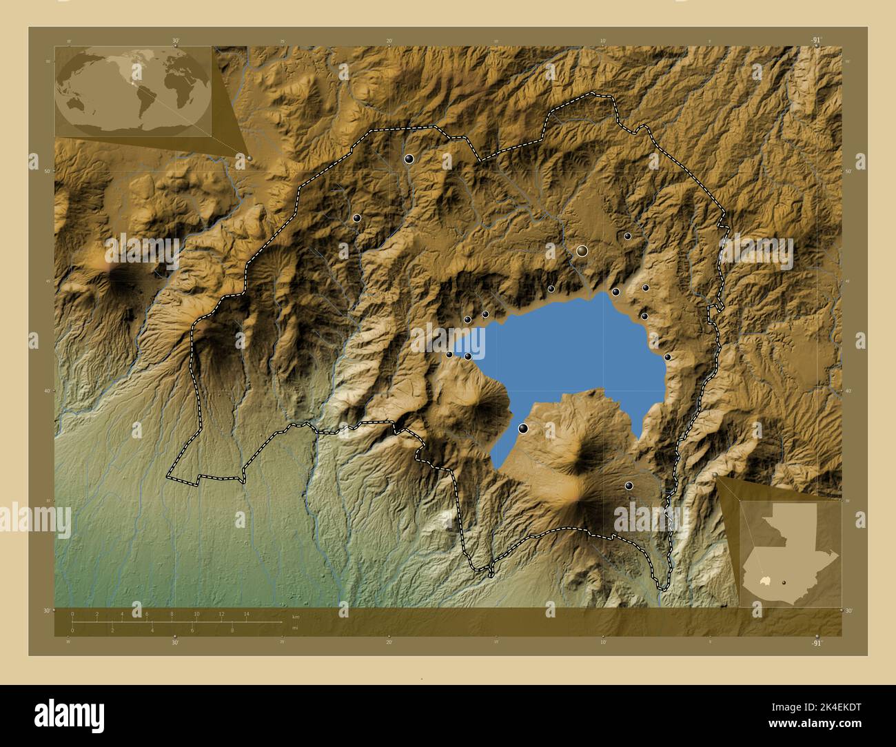 Solola, department of Guatemala. Colored elevation map with lakes and rivers. Locations of major cities of the region. Corner auxiliary location maps Stock Photohttps://www.alamy.com/image-license-details/?v=1https://www.alamy.com/solola-department-of-guatemala-colored-elevation-map-with-lakes-and-rivers-locations-of-major-cities-of-the-region-corner-auxiliary-location-maps-image484671540.html
RF2K4EKDT–Solola, department of Guatemala. Colored elevation map with lakes and rivers. Locations of major cities of the region. Corner auxiliary location maps
 Suchitepequez, department of Guatemala. Elevation map colored in wiki style with lakes and rivers Stock Photohttps://www.alamy.com/image-license-details/?v=1https://www.alamy.com/suchitepequez-department-of-guatemala-elevation-map-colored-in-wiki-style-with-lakes-and-rivers-image484671688.html
RF2K4EKK4–Suchitepequez, department of Guatemala. Elevation map colored in wiki style with lakes and rivers
 Zacapa, department of Guatemala. High resolution satellite map. Locations of major cities of the region. Corner auxiliary location maps Stock Photohttps://www.alamy.com/image-license-details/?v=1https://www.alamy.com/zacapa-department-of-guatemala-high-resolution-satellite-map-locations-of-major-cities-of-the-region-corner-auxiliary-location-maps-image484671822.html
RF2K4EKRX–Zacapa, department of Guatemala. High resolution satellite map. Locations of major cities of the region. Corner auxiliary location maps
 Chimaltenango, department of Guatemala. Bilevel elevation map with lakes and rivers. Locations and names of major cities of the region. Corner auxilia Stock Photohttps://www.alamy.com/image-license-details/?v=1https://www.alamy.com/chimaltenango-department-of-guatemala-bilevel-elevation-map-with-lakes-and-rivers-locations-and-names-of-major-cities-of-the-region-corner-auxilia-image484669919.html
RF2K4EHBY–Chimaltenango, department of Guatemala. Bilevel elevation map with lakes and rivers. Locations and names of major cities of the region. Corner auxilia
 Jalapa, department of Guatemala. Bilevel elevation map with lakes and rivers. Locations of major cities of the region. Corner auxiliary location maps Stock Photohttps://www.alamy.com/image-license-details/?v=1https://www.alamy.com/jalapa-department-of-guatemala-bilevel-elevation-map-with-lakes-and-rivers-locations-of-major-cities-of-the-region-corner-auxiliary-location-maps-image484670552.html
RF2K4EJ6G–Jalapa, department of Guatemala. Bilevel elevation map with lakes and rivers. Locations of major cities of the region. Corner auxiliary location maps