Quick filters:
Texas oklahoma map Stock Photos and Images
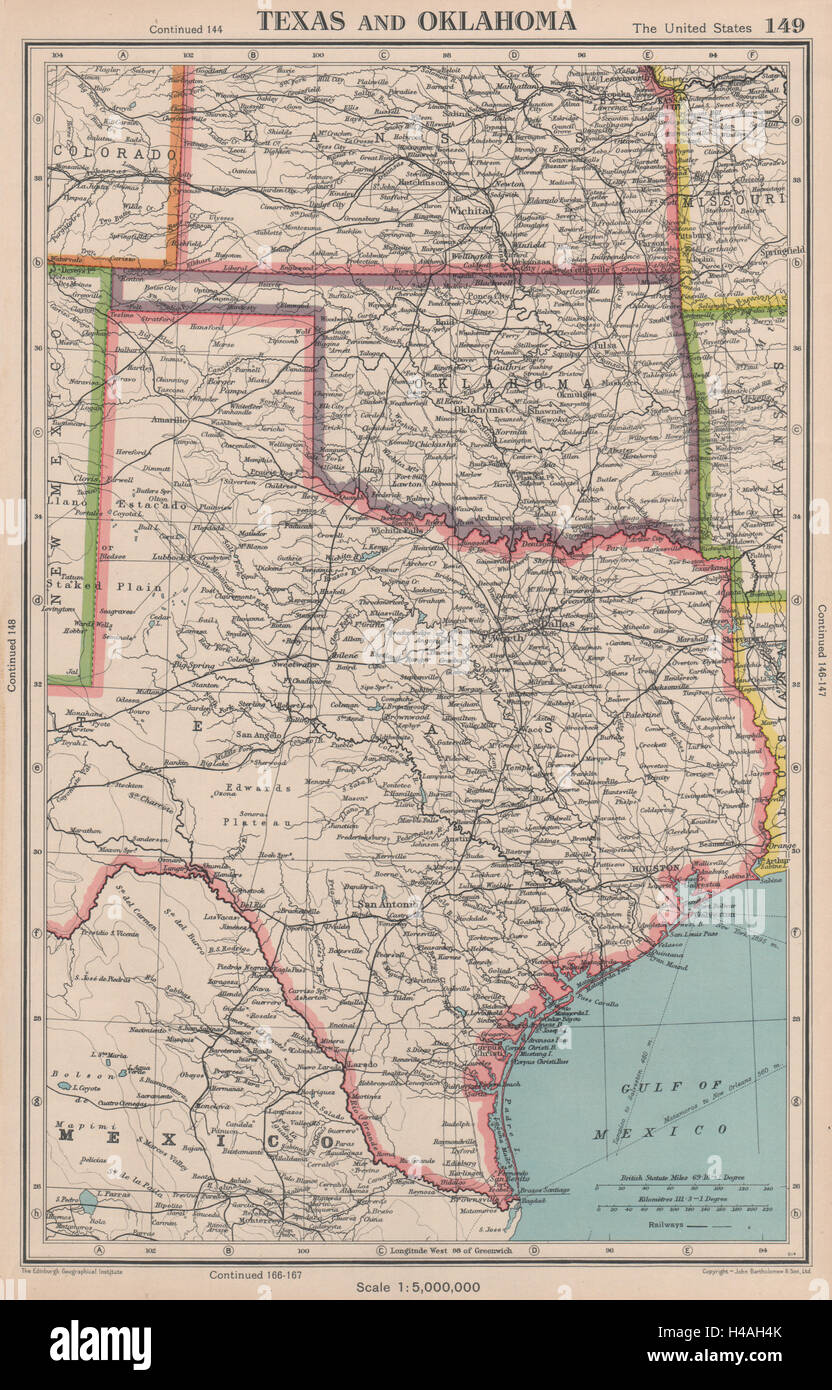 TEXAS AND OKLAHOMA. USA state map. BARTHOLOMEW 1944 old vintage plan chart Stock Photohttps://www.alamy.com/image-license-details/?v=1https://www.alamy.com/stock-photo-texas-and-oklahoma-usa-state-map-bartholomew-1944-old-vintage-plan-123164179.html
RFH4AH4K–TEXAS AND OKLAHOMA. USA state map. BARTHOLOMEW 1944 old vintage plan chart
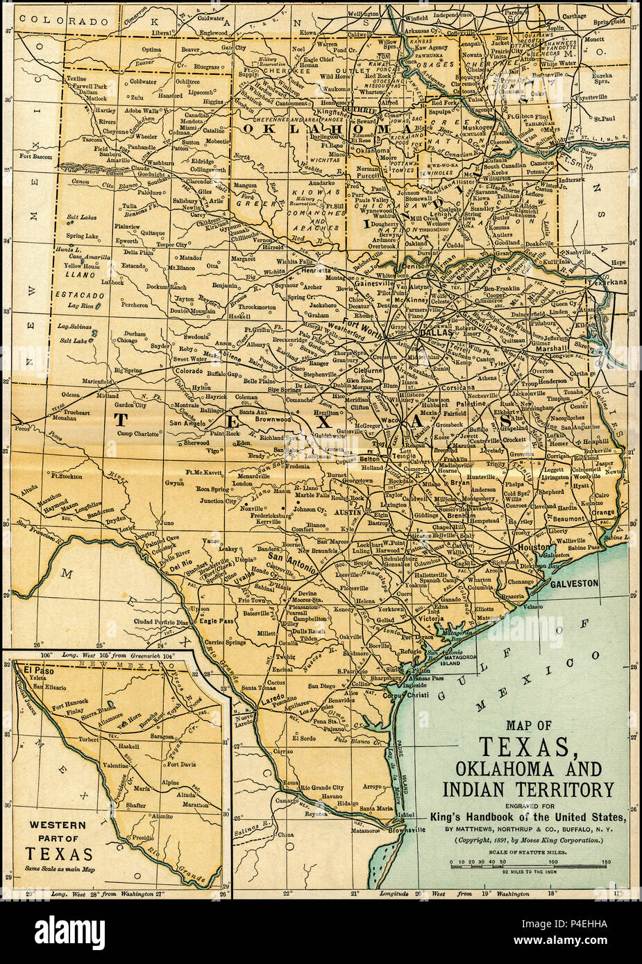 Texas Oklahoma Indian Territory Antique Map 1891: Map of Oklahoma and Texas from an 1891 guidebook: 'King's Hand-Book of the United States.' Date of Publishing: 1891. Moses King (1853 1909) was an American editor and publisher of travel books. Original spanned two pages., and these were combined into a single map for this reproduction. Stock Photohttps://www.alamy.com/image-license-details/?v=1https://www.alamy.com/texas-oklahoma-indian-territory-antique-map-1891-map-of-oklahoma-and-texas-from-an-1891-guidebook-kings-hand-book-of-the-united-states-date-of-publishing-1891-moses-king-1853-1909-was-an-american-editor-and-publisher-of-travel-books-original-spanned-two-pages-and-these-were-combined-into-a-single-map-for-this-reproduction-image209304182.html
RFP4EHHA–Texas Oklahoma Indian Territory Antique Map 1891: Map of Oklahoma and Texas from an 1891 guidebook: 'King's Hand-Book of the United States.' Date of Publishing: 1891. Moses King (1853 1909) was an American editor and publisher of travel books. Original spanned two pages., and these were combined into a single map for this reproduction.
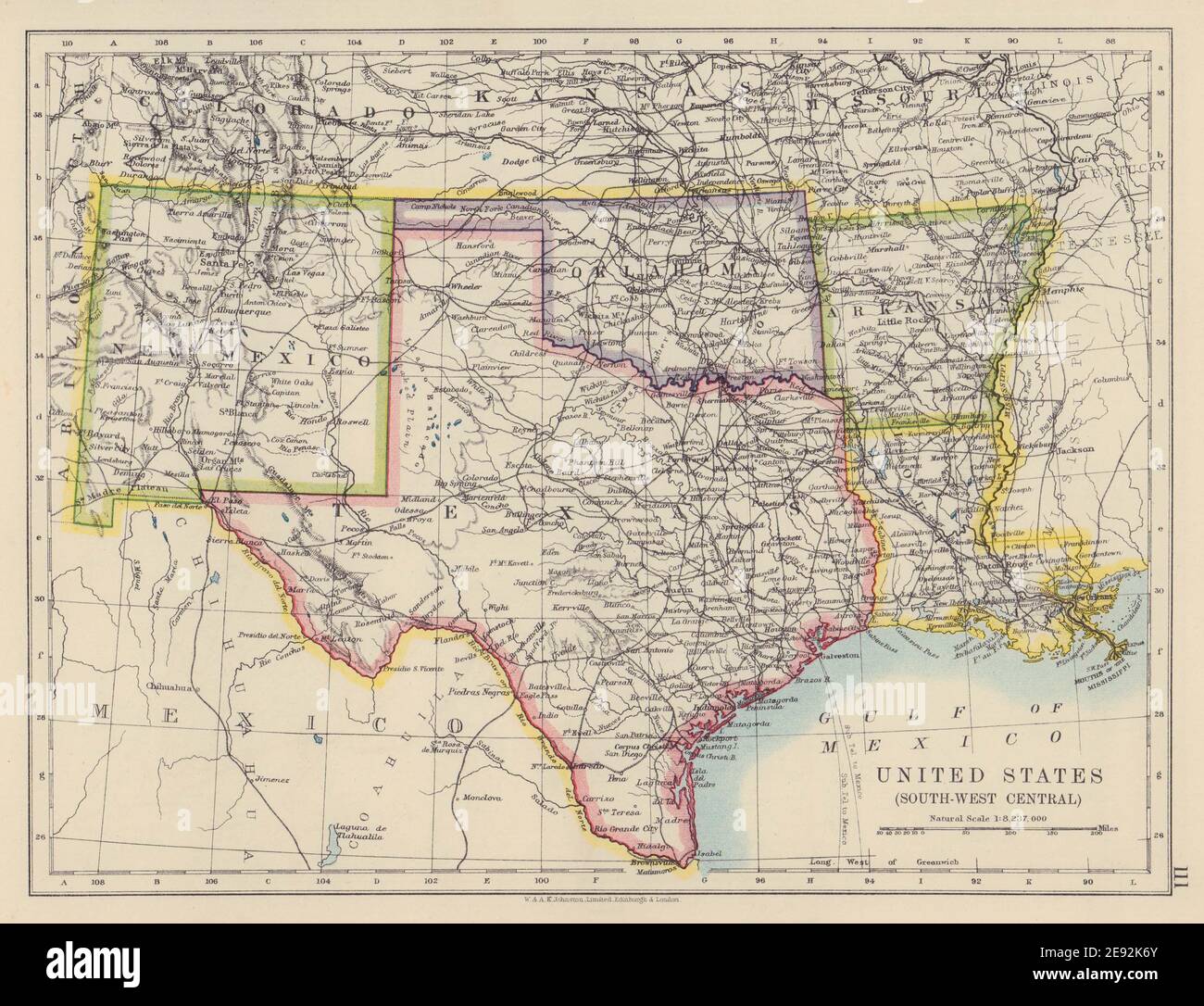 USA SOUTH CENTRAL Texas Oklahoma New Mexico Arkansas Louisiana JOHNSTON 1910 map Stock Photohttps://www.alamy.com/image-license-details/?v=1https://www.alamy.com/usa-south-central-texas-oklahoma-new-mexico-arkansas-louisiana-johnston-1910-map-image401429363.html
RF2E92K6Y–USA SOUTH CENTRAL Texas Oklahoma New Mexico Arkansas Louisiana JOHNSTON 1910 map
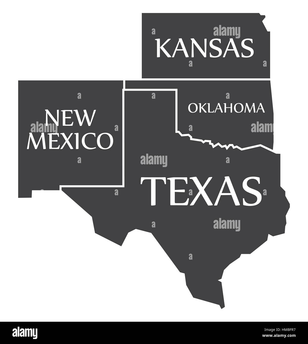 New Mexico - Kansas - Oklahoma - Texas labelled black illustration Stock Vectorhttps://www.alamy.com/image-license-details/?v=1https://www.alamy.com/stock-photo-new-mexico-kansas-oklahoma-texas-labelled-black-illustration-133019579.html
RFHMBFR7–New Mexico - Kansas - Oklahoma - Texas labelled black illustration
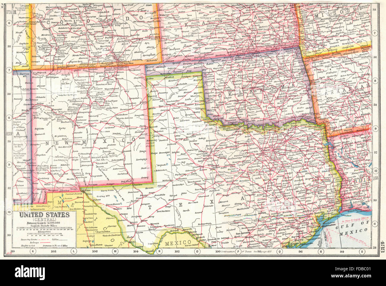 USA SOUTH CENTRE: New Mexico Oklahoma North Texas. HARMSWORTH, 1920 old map Stock Photohttps://www.alamy.com/image-license-details/?v=1https://www.alamy.com/stock-photo-usa-south-centre-new-mexico-oklahoma-north-texas-harmsworth-1920-old-94293249.html
RFFDBC01–USA SOUTH CENTRE: New Mexico Oklahoma North Texas. HARMSWORTH, 1920 old map
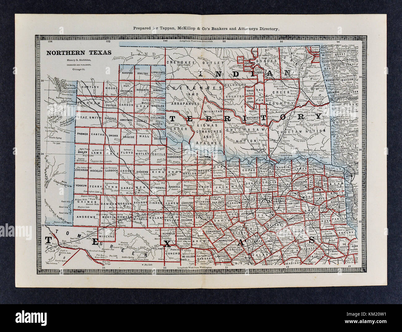 George Cram Antique Map from 1866 Atlas for Attorneys and Bankers: United States - North Texas & Indian Territory Oklahoma - Dallas Fort Worth Denton Tulsa Stock Photohttps://www.alamy.com/image-license-details/?v=1https://www.alamy.com/stock-image-george-cram-antique-map-from-1866-atlas-for-attorneys-and-bankers-167231037.html
RFKM20W1–George Cram Antique Map from 1866 Atlas for Attorneys and Bankers: United States - North Texas & Indian Territory Oklahoma - Dallas Fort Worth Denton Tulsa
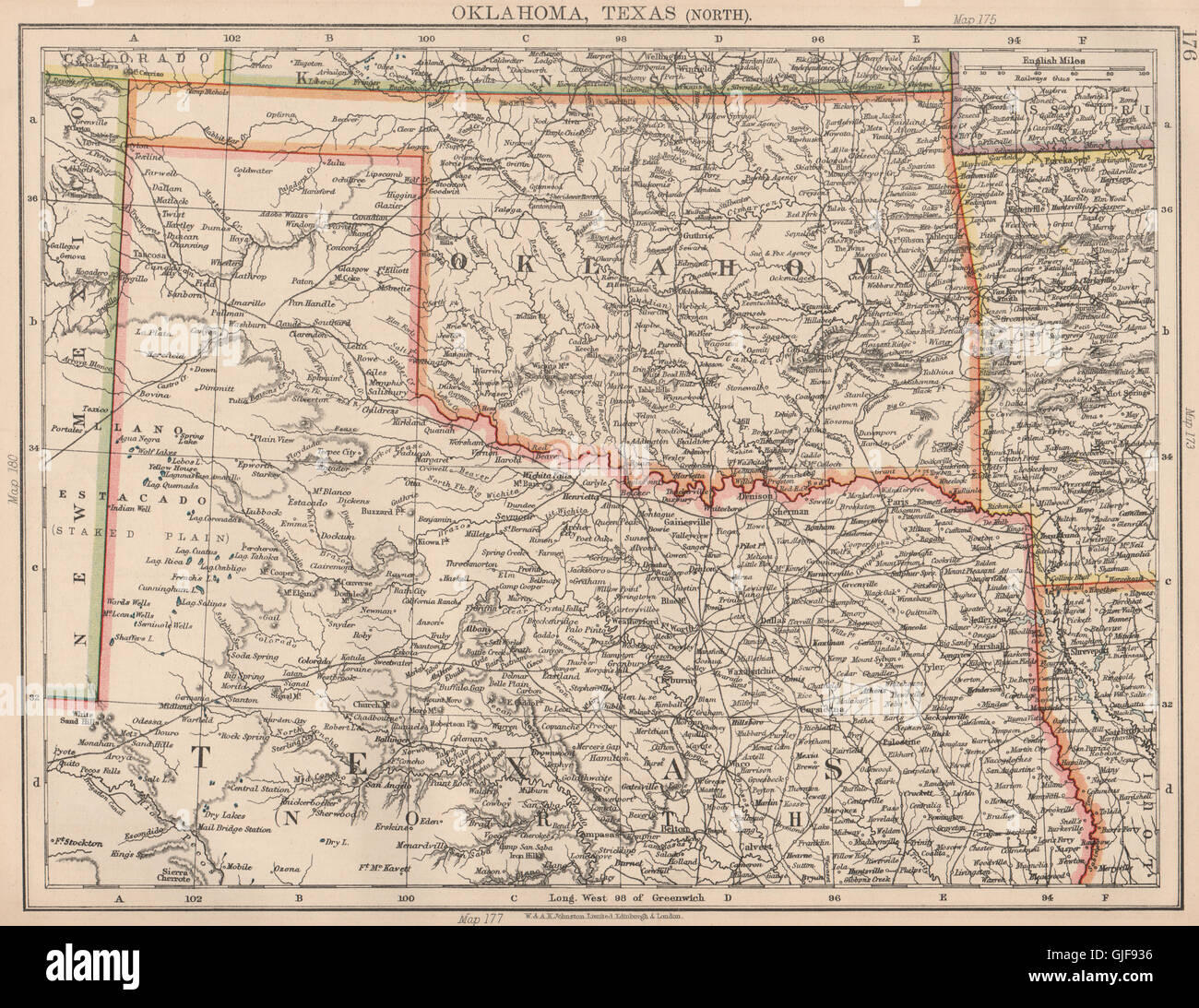 USA SOUTH CENTRAL. Oklahoma & North Texas. Railroads. JOHNSTON, 1906 old map Stock Photohttps://www.alamy.com/image-license-details/?v=1https://www.alamy.com/stock-photo-usa-south-central-oklahoma-north-texas-railroads-johnston-1906-old-114662442.html
RFGJF936–USA SOUTH CENTRAL. Oklahoma & North Texas. Railroads. JOHNSTON, 1906 old map
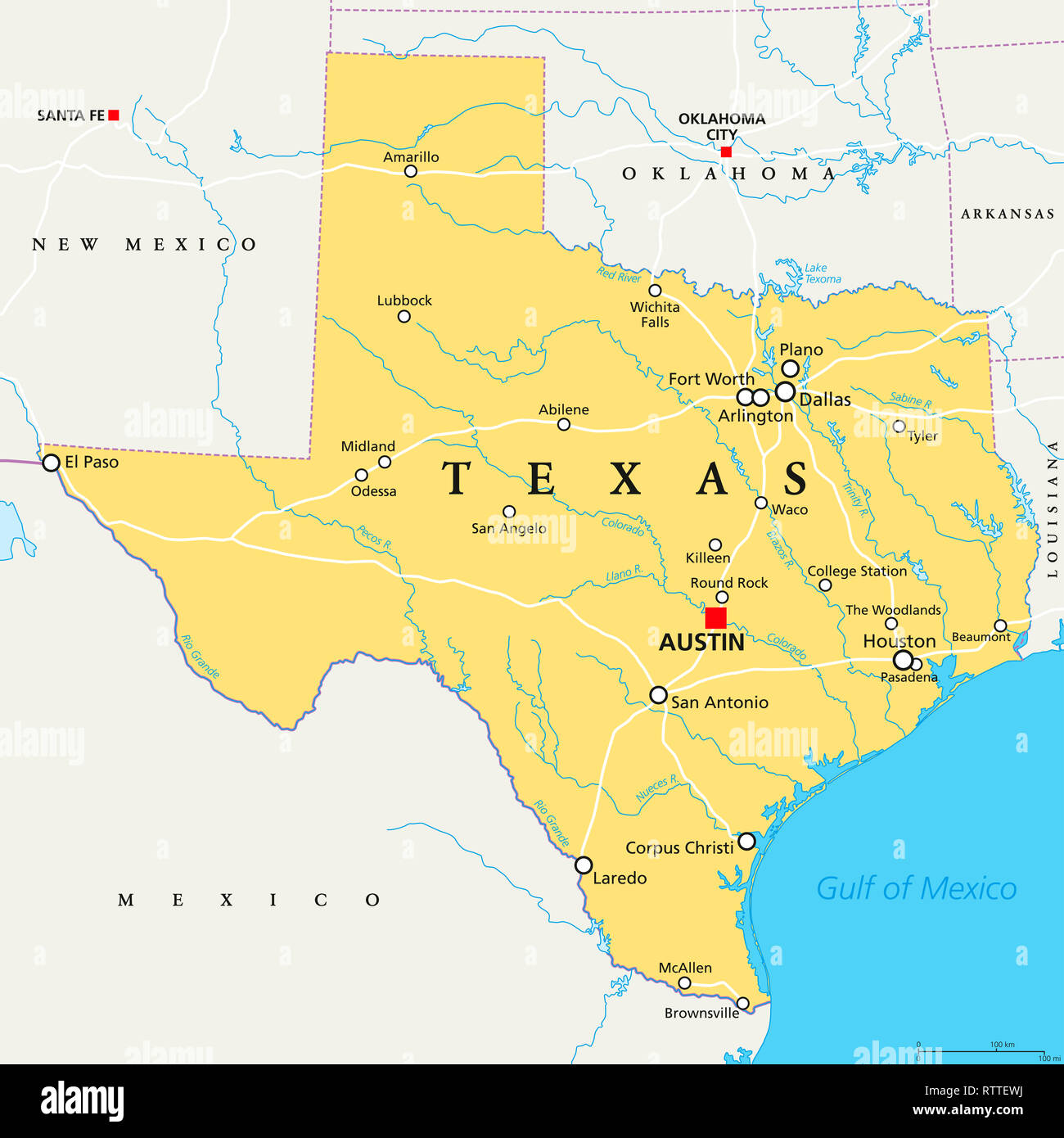 Texas, political map, with capital Austin, borders, important cities, rivers and lakes. State in the South Central region of the United States. Stock Photohttps://www.alamy.com/image-license-details/?v=1https://www.alamy.com/texas-political-map-with-capital-austin-borders-important-cities-rivers-and-lakes-state-in-the-south-central-region-of-the-united-states-image239025070.html
RFRTTEWJ–Texas, political map, with capital Austin, borders, important cities, rivers and lakes. State in the South Central region of the United States.
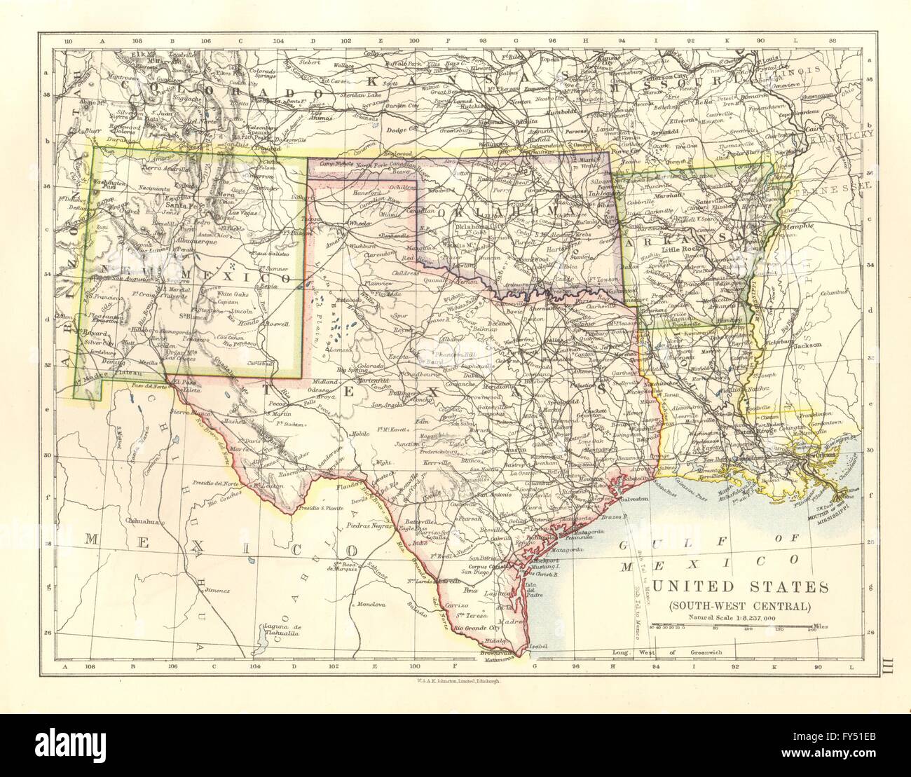 USA SOUTH CENTRAL.Texas Oklahoma Arkansas New Mexico Louisiana, 1920 old map Stock Photohttps://www.alamy.com/image-license-details/?v=1https://www.alamy.com/stock-photo-usa-south-centraltexas-oklahoma-arkansas-new-mexico-louisiana-1920-102758499.html
RFFY51EB–USA SOUTH CENTRAL.Texas Oklahoma Arkansas New Mexico Louisiana, 1920 old map
 Range, Texas County, US, United States, Oklahoma, N 36 32' 38'', S 101 4' 59'', map, Cartascapes Map published in 2024. Explore Cartascapes, a map revealing Earth's diverse landscapes, cultures, and ecosystems. Journey through time and space, discovering the interconnectedness of our planet's past, present, and future. Stock Photohttps://www.alamy.com/image-license-details/?v=1https://www.alamy.com/range-texas-county-us-united-states-oklahoma-n-36-32-38-s-101-4-59-map-cartascapes-map-published-in-2024-explore-cartascapes-a-map-revealing-earths-diverse-landscapes-cultures-and-ecosystems-journey-through-time-and-space-discovering-the-interconnectedness-of-our-planets-past-present-and-future-image621457111.html
RM2Y31PTR–Range, Texas County, US, United States, Oklahoma, N 36 32' 38'', S 101 4' 59'', map, Cartascapes Map published in 2024. Explore Cartascapes, a map revealing Earth's diverse landscapes, cultures, and ecosystems. Journey through time and space, discovering the interconnectedness of our planet's past, present, and future.
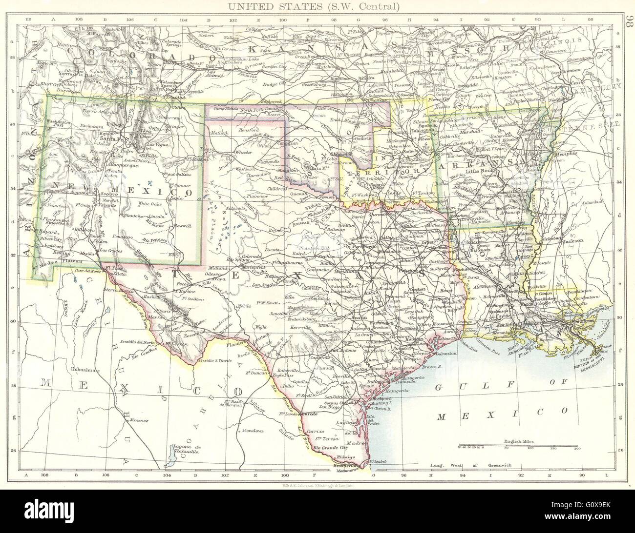 USA: SW Central: New Mexico Texas Oklahoma Arkansas Louisiana , 1897 old map Stock Photohttps://www.alamy.com/image-license-details/?v=1https://www.alamy.com/stock-photo-usa-sw-central-new-mexico-texas-oklahoma-arkansas-louisiana-1897-old-103840427.html
RFG0X9EK–USA: SW Central: New Mexico Texas Oklahoma Arkansas Louisiana , 1897 old map
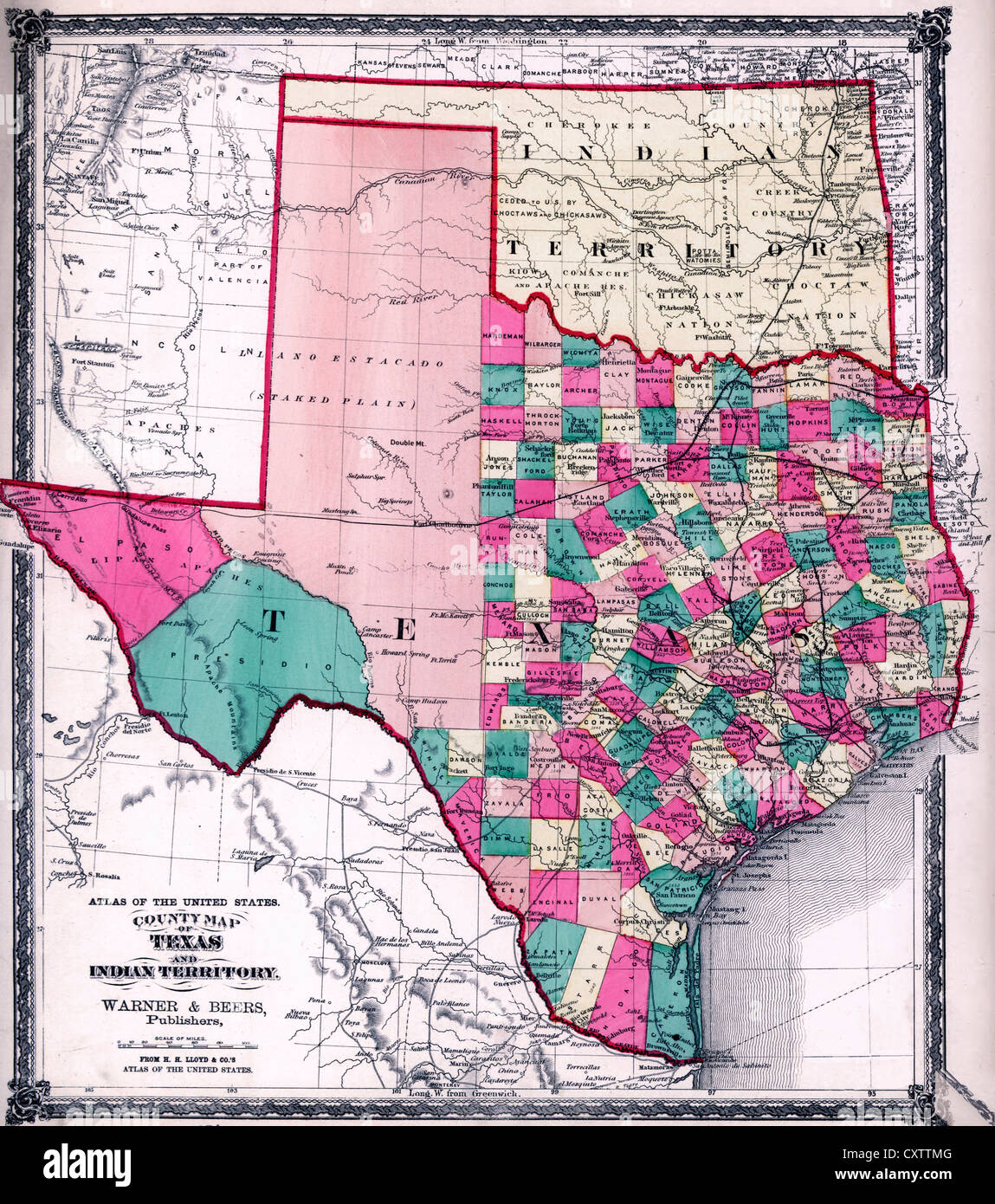 County map of Texas, and Indian Territory., 1875 Stock Photohttps://www.alamy.com/image-license-details/?v=1https://www.alamy.com/stock-photo-county-map-of-texas-and-indian-territory-1875-50948032.html
RMCXTTMG–County map of Texas, and Indian Territory., 1875
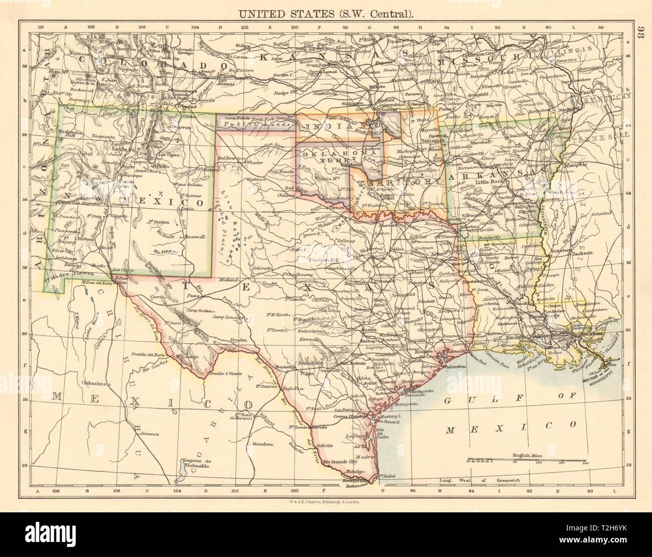 USA SOUTH CENTRAL Texas Oklahoma & Indian Territory & Public lands 1892 map Stock Photohttps://www.alamy.com/image-license-details/?v=1https://www.alamy.com/usa-south-central-texas-oklahoma-indian-territory-public-lands-1892-map-image242553127.html
RFT2H6YK–USA SOUTH CENTRAL Texas Oklahoma & Indian Territory & Public lands 1892 map
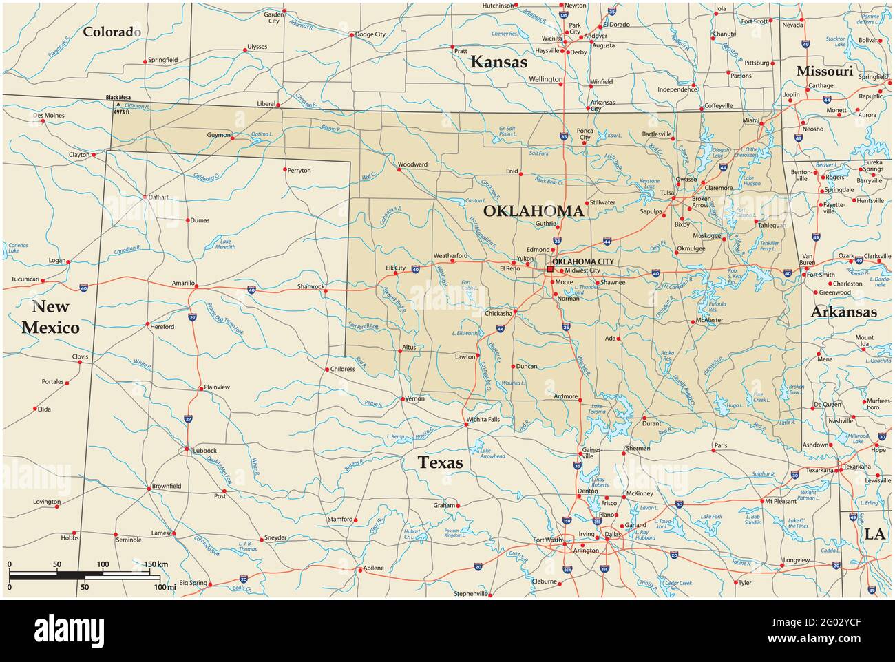 vector road map of the US state of Oklahoma Stock Vectorhttps://www.alamy.com/image-license-details/?v=1https://www.alamy.com/vector-road-map-of-the-us-state-of-oklahoma-image430324623.html
RF2G02YCF–vector road map of the US state of Oklahoma
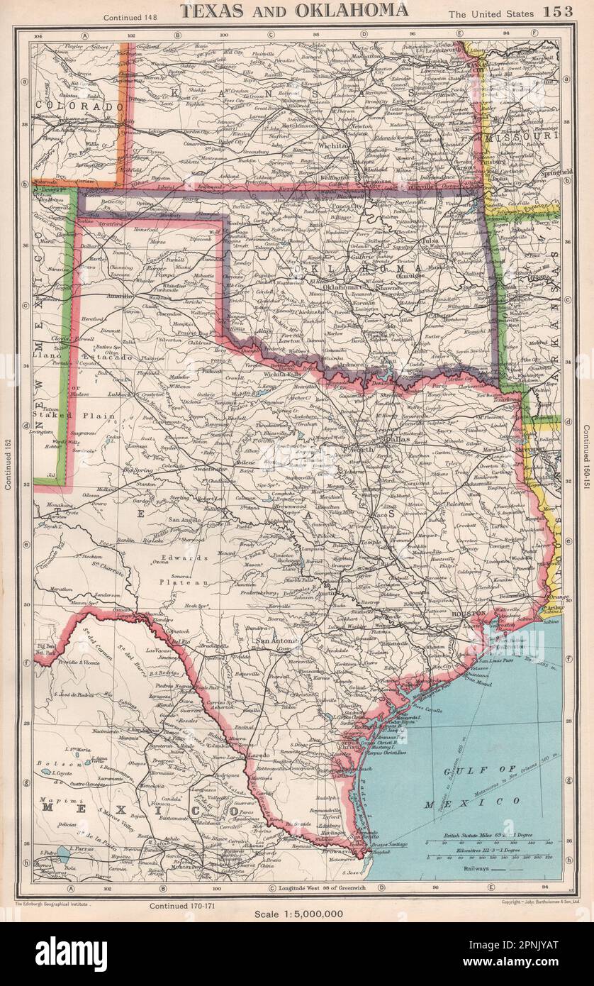 TEXAS AND OKLAHOMA. USA state map. BARTHOLOMEW 1952 old vintage plan chart Stock Photohttps://www.alamy.com/image-license-details/?v=1https://www.alamy.com/texas-and-oklahoma-usa-state-map-bartholomew-1952-old-vintage-plan-chart-image546845792.html
RF2PNJYAT–TEXAS AND OKLAHOMA. USA state map. BARTHOLOMEW 1952 old vintage plan chart
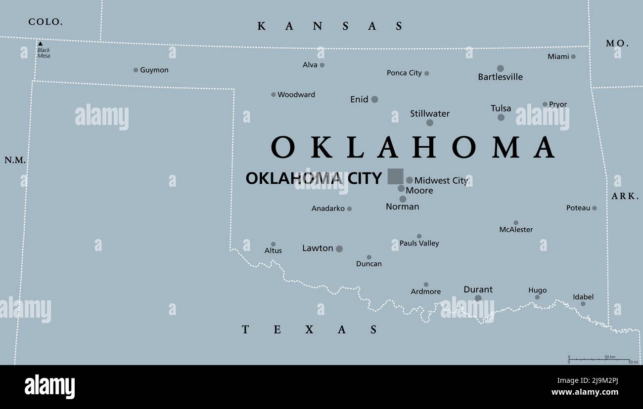 Oklahoma, OK, gray political map, with capital Oklahoma City and the most important cities. US State in the South Central region Stock Photohttps://www.alamy.com/image-license-details/?v=1https://www.alamy.com/oklahoma-ok-gray-political-map-with-capital-oklahoma-city-and-the-most-important-cities-us-state-in-the-south-central-region-image470653082.html
RF2J9M2PJ–Oklahoma, OK, gray political map, with capital Oklahoma City and the most important cities. US State in the South Central region
 USA SOUTH: Texas Louisiana Oklahoma Arkansas Mississippi. BARTHOLOMEW, 1924 map Stock Photohttps://www.alamy.com/image-license-details/?v=1https://www.alamy.com/stock-photo-usa-south-texas-louisiana-oklahoma-arkansas-mississippi-bartholomew-93985930.html
RFFCWC0A–USA SOUTH: Texas Louisiana Oklahoma Arkansas Mississippi. BARTHOLOMEW, 1924 map
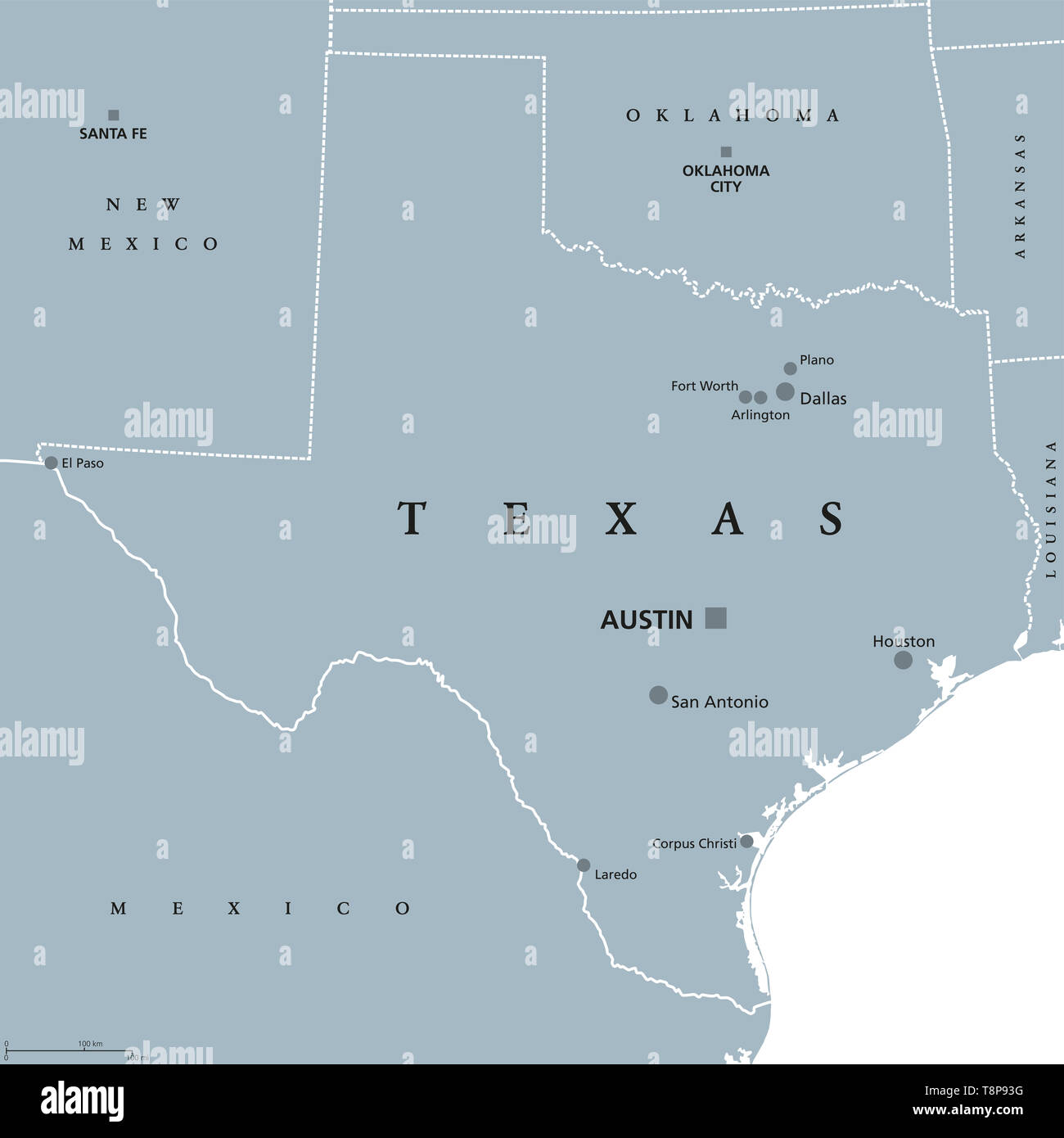 Texas political map with capital Austin. State in the South Central region of the United States of America, bordered by Gulf of Mexico. Stock Photohttps://www.alamy.com/image-license-details/?v=1https://www.alamy.com/texas-political-map-with-capital-austin-state-in-the-south-central-region-of-the-united-states-of-america-bordered-by-gulf-of-mexico-image246352500.html
RFT8P93G–Texas political map with capital Austin. State in the South Central region of the United States of America, bordered by Gulf of Mexico.
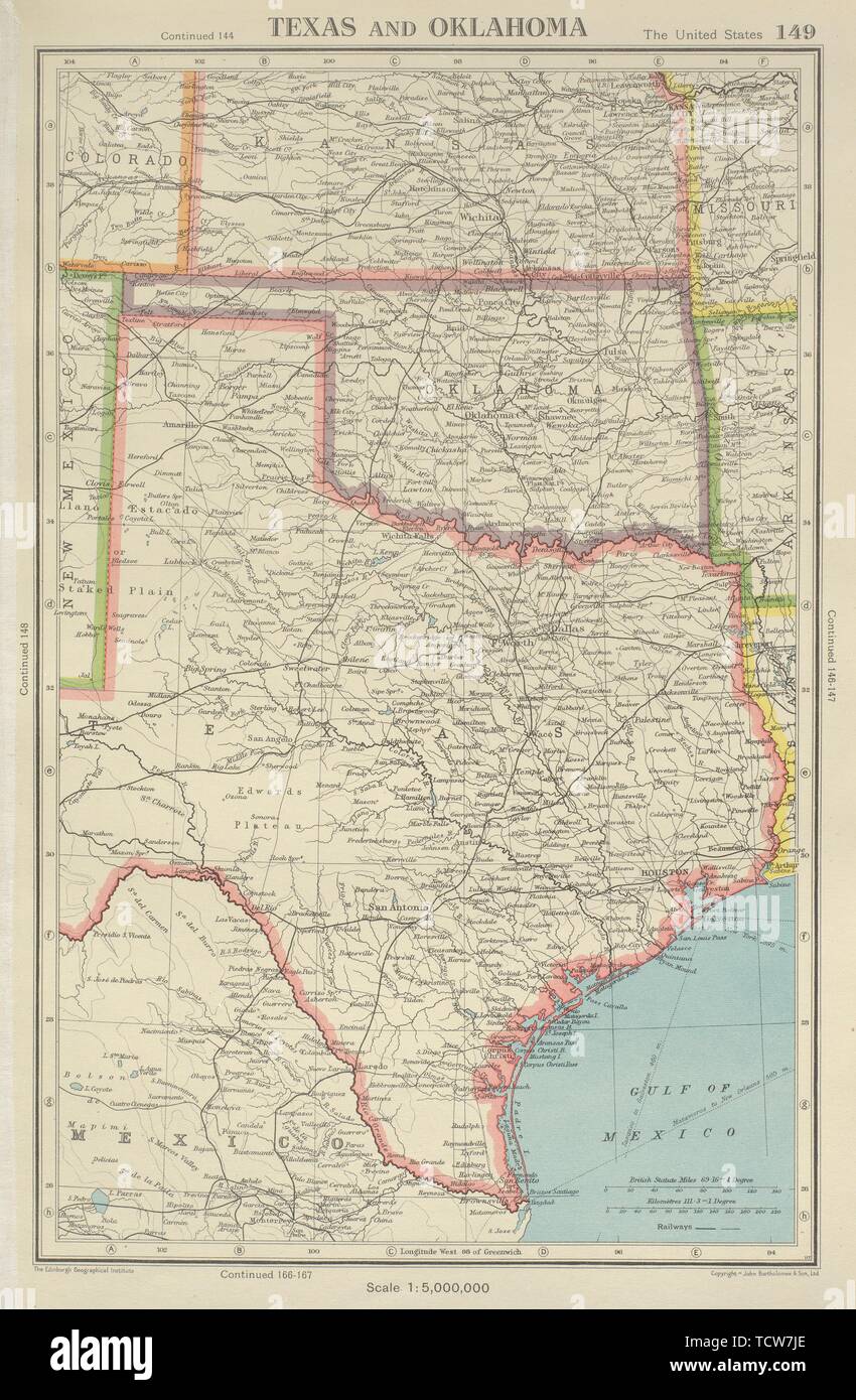 TEXAS AND OKLAHOMA. USA state map. BARTHOLOMEW 1947 old vintage plan chart Stock Photohttps://www.alamy.com/image-license-details/?v=1https://www.alamy.com/texas-and-oklahoma-usa-state-map-bartholomew-1947-old-vintage-plan-chart-image248875830.html
RFTCW7JE–TEXAS AND OKLAHOMA. USA state map. BARTHOLOMEW 1947 old vintage plan chart
 oklahoma road map Stock Vectorhttps://www.alamy.com/image-license-details/?v=1https://www.alamy.com/stock-photo-oklahoma-road-map-130872742.html
RFHGWNEE–oklahoma road map
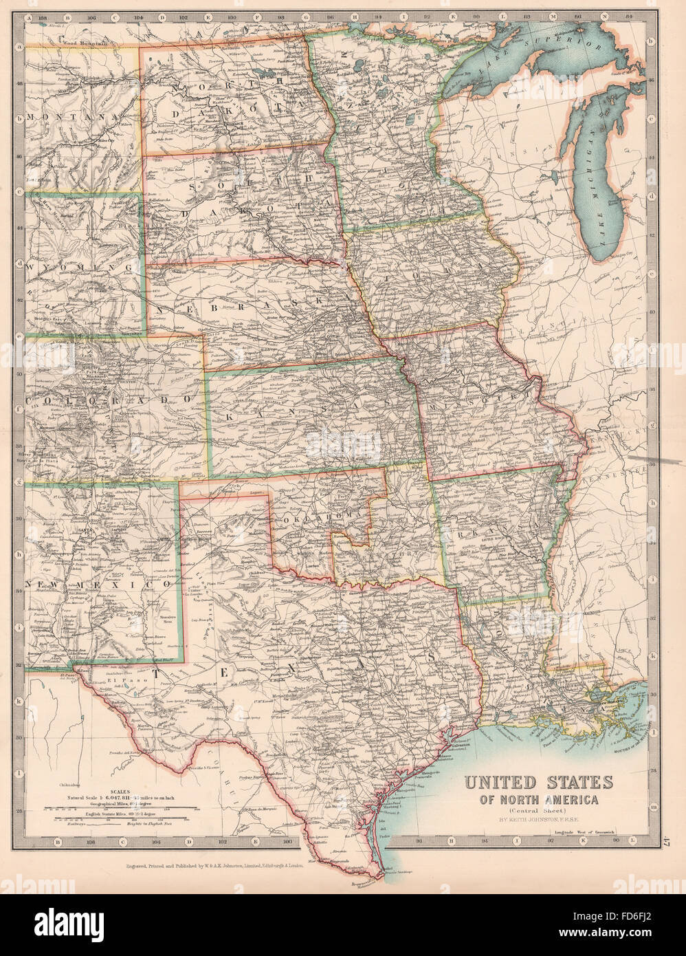 USA CENTRAL: Shows 'Indian Territory' within Oklahoma. Texas. JOHNSTON, 1906 map Stock Photohttps://www.alamy.com/image-license-details/?v=1https://www.alamy.com/stock-photo-usa-central-shows-indian-territory-within-oklahoma-texas-johnston-94186346.html
RFFD6FJ2–USA CENTRAL: Shows 'Indian Territory' within Oklahoma. Texas. JOHNSTON, 1906 map
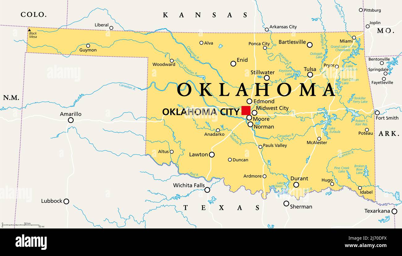 Oklahoma, OK, political map with capital Oklahoma City, important cities, rivers and lakes. US State in the South Central region, Native America. Stock Photohttps://www.alamy.com/image-license-details/?v=1https://www.alamy.com/oklahoma-ok-political-map-with-capital-oklahoma-city-important-cities-rivers-and-lakes-us-state-in-the-south-central-region-native-america-image468993166.html
RF2J70DFX–Oklahoma, OK, political map with capital Oklahoma City, important cities, rivers and lakes. US State in the South Central region, Native America.
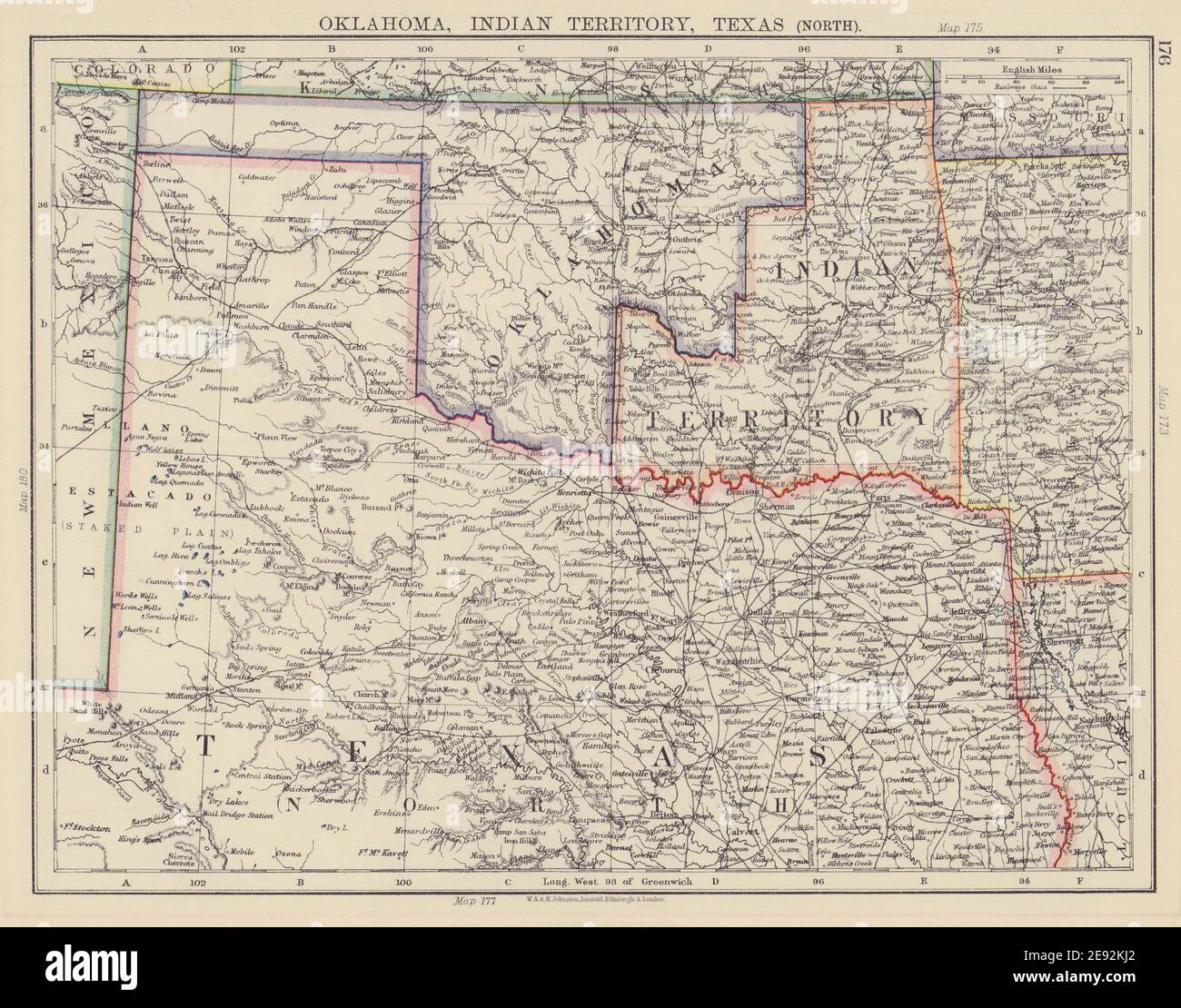 SOUTH CENTRAL USA. Oklahoma, Indian Territory & North Texas. JOHNSTON 1901 map Stock Photohttps://www.alamy.com/image-license-details/?v=1https://www.alamy.com/south-central-usa-oklahoma-indian-territory-north-texas-johnston-1901-map-image401429674.html
RF2E92KJ2–SOUTH CENTRAL USA. Oklahoma, Indian Territory & North Texas. JOHNSTON 1901 map
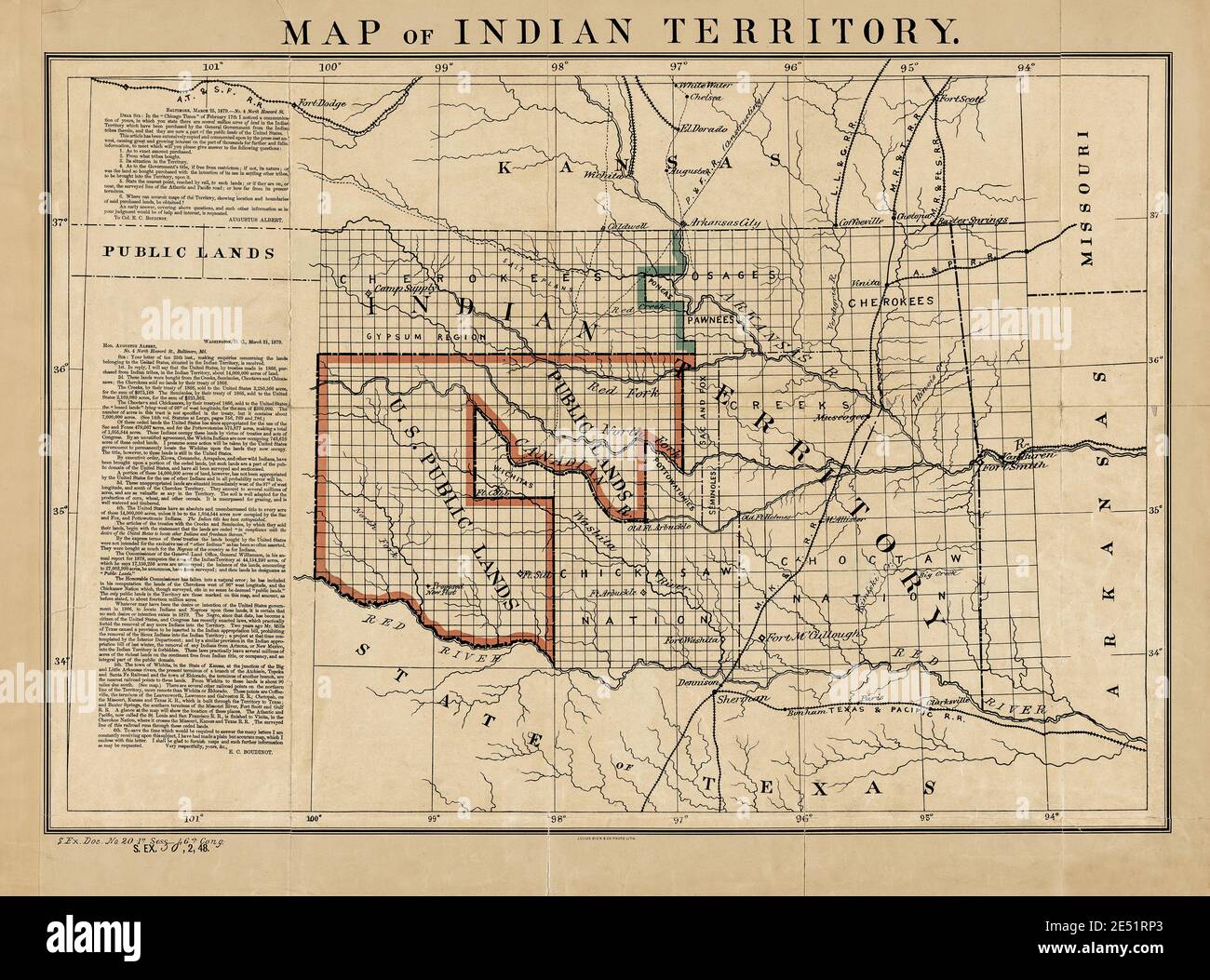 Indian Territory and Public Land Map 1879 with Historic Letters. Original title: 'Map of Indian Territory.' Shows Indian Reservations. This is an enhanced, restored reproduction of an old map showing Indian Reservations and Public Land as of 1876. Note the two letters on the side that discuss the disposition of land in the area that would eventually become Oklahoma. The first letter is from Congressman Augustus Albert with inquiries. The second is a reply from Col. E.C. Boudinot. He describes historical events about the acquisition of the land. He wrote he wanted to 'set the records straight.' Stock Photohttps://www.alamy.com/image-license-details/?v=1https://www.alamy.com/indian-territory-and-public-land-map-1879-with-historic-letters-original-title-map-of-indian-territory-shows-indian-reservations-this-is-an-enhanced-restored-reproduction-of-an-old-map-showing-indian-reservations-and-public-land-as-of-1876-note-the-two-letters-on-the-side-that-discuss-the-disposition-of-land-in-the-area-that-would-eventually-become-oklahoma-the-first-letter-is-from-congressman-augustus-albert-with-inquiries-the-second-is-a-reply-from-col-ec-boudinot-he-describes-historical-events-about-the-acquisition-of-the-land-he-wrote-he-wanted-to-set-the-records-straight-image398952347.html
RM2E51RP3–Indian Territory and Public Land Map 1879 with Historic Letters. Original title: 'Map of Indian Territory.' Shows Indian Reservations. This is an enhanced, restored reproduction of an old map showing Indian Reservations and Public Land as of 1876. Note the two letters on the side that discuss the disposition of land in the area that would eventually become Oklahoma. The first letter is from Congressman Augustus Albert with inquiries. The second is a reply from Col. E.C. Boudinot. He describes historical events about the acquisition of the land. He wrote he wanted to 'set the records straight.'
 Amér. Sep. Partie des États-Unis #55. North Texas Oklahoma VANDERMAELEN 1827 map Stock Photohttps://www.alamy.com/image-license-details/?v=1https://www.alamy.com/amr-sep-partie-des-tats-unis-55-north-texas-oklahoma-vandermaelen-1827-map-image446969206.html
RF2GY55NX–Amér. Sep. Partie des États-Unis #55. North Texas Oklahoma VANDERMAELEN 1827 map
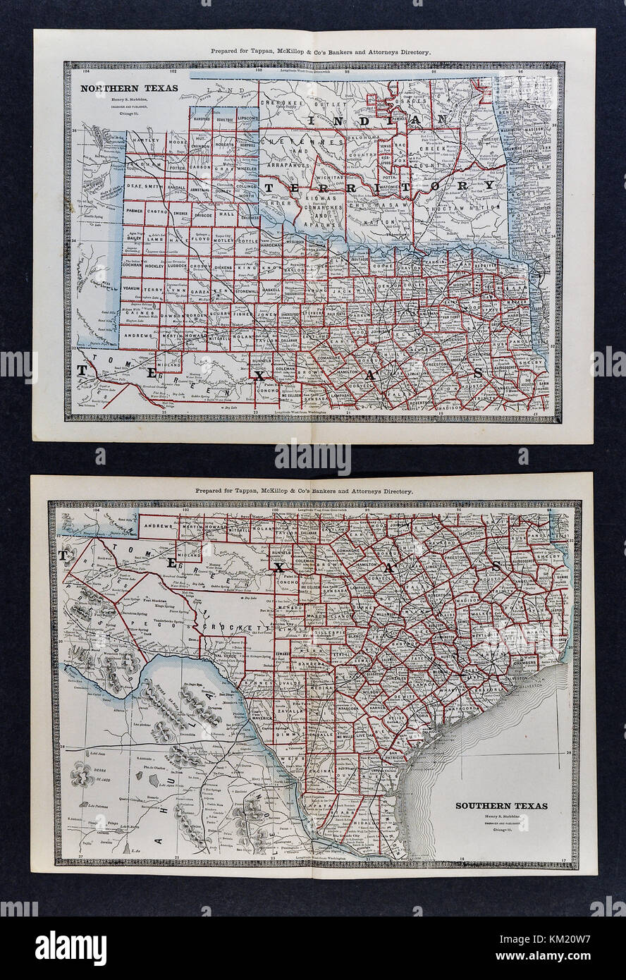 George Cram Antique Map from 1866 Atlas for Attorneys and Bankers: United States - Texas - Austin San Antonio Houston Dallas Fort Worth Galveston Stock Photohttps://www.alamy.com/image-license-details/?v=1https://www.alamy.com/stock-image-george-cram-antique-map-from-1866-atlas-for-attorneys-and-bankers-167231043.html
RFKM20W7–George Cram Antique Map from 1866 Atlas for Attorneys and Bankers: United States - Texas - Austin San Antonio Houston Dallas Fort Worth Galveston
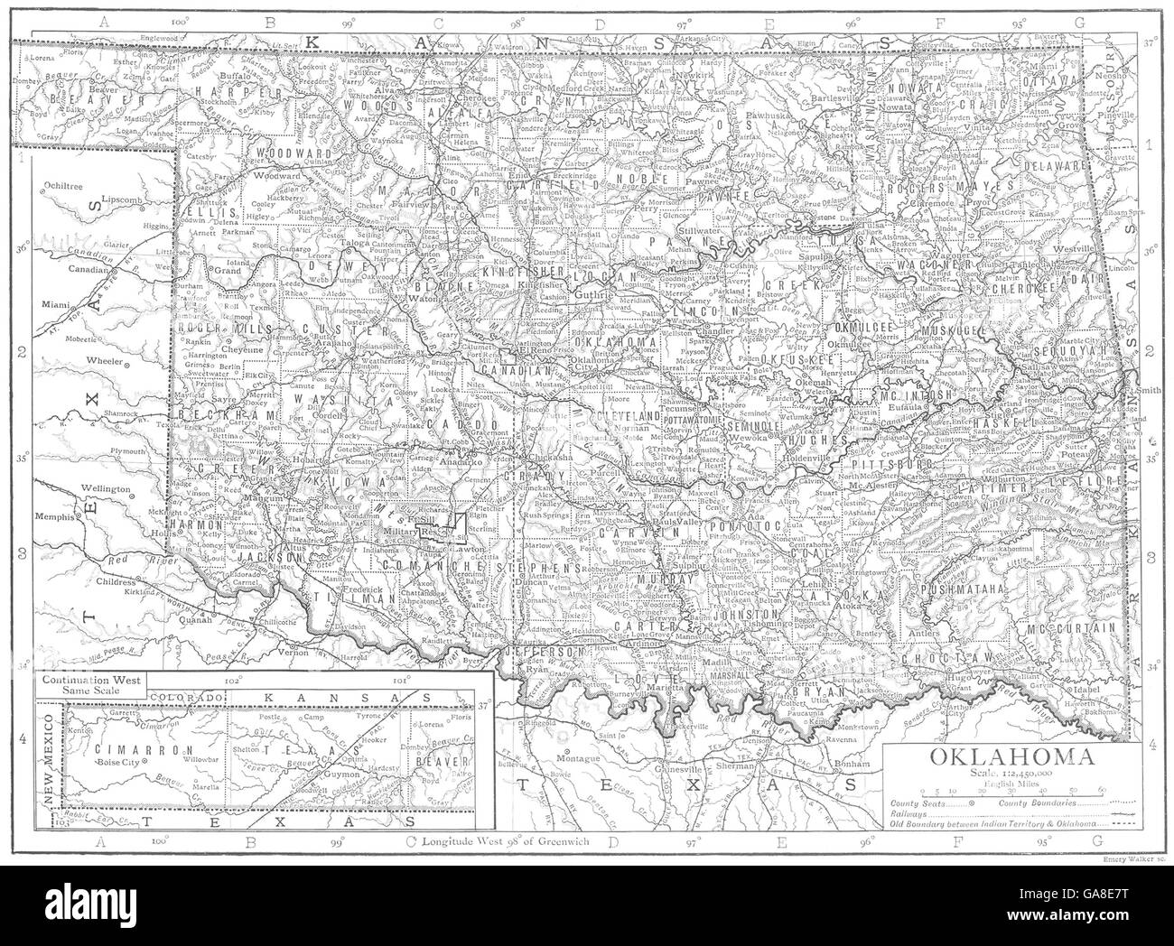 OKLAHOMA: Oklahoma state map showing counties, 1910 Stock Photohttps://www.alamy.com/image-license-details/?v=1https://www.alamy.com/stock-photo-oklahoma-oklahoma-state-map-showing-counties-1910-109595580.html
RFGA8E7T–OKLAHOMA: Oklahoma state map showing counties, 1910
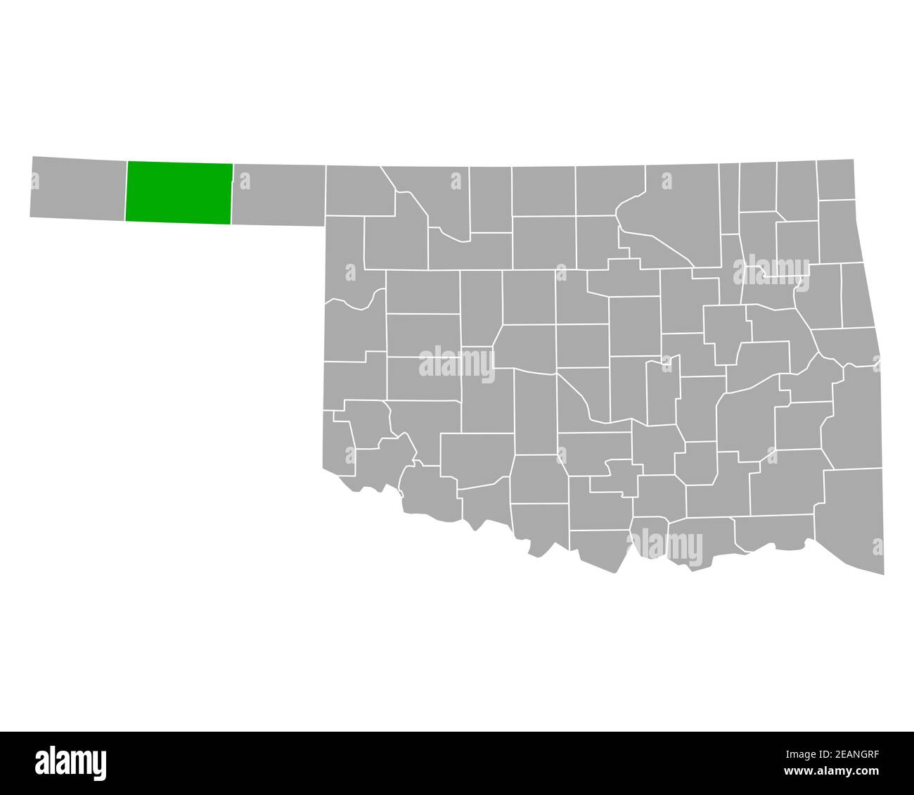 Map of Texas in Oklahoma Stock Photohttps://www.alamy.com/image-license-details/?v=1https://www.alamy.com/map-of-texas-in-oklahoma-image402459219.html
RF2EANGRF–Map of Texas in Oklahoma
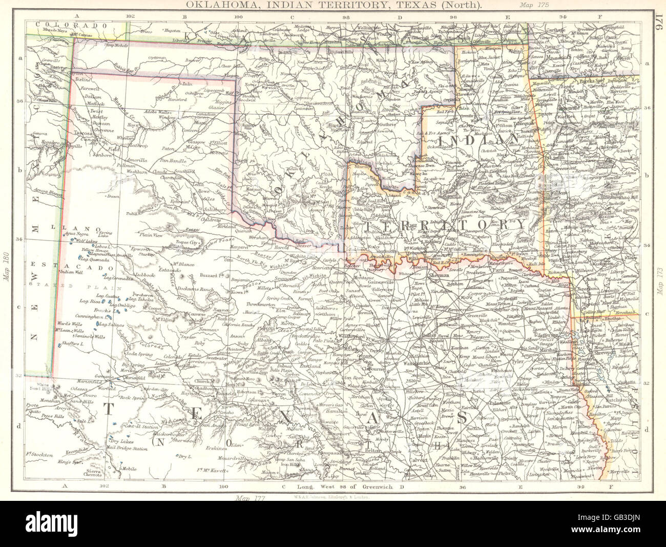 USA: Oklahoma, Indian territory, Texas (North) , 1897 antique map Stock Photohttps://www.alamy.com/image-license-details/?v=1https://www.alamy.com/stock-photo-usa-oklahoma-indian-territory-texas-north-1897-antique-map-110099997.html
RFGB3DJN–USA: Oklahoma, Indian territory, Texas (North) , 1897 antique map
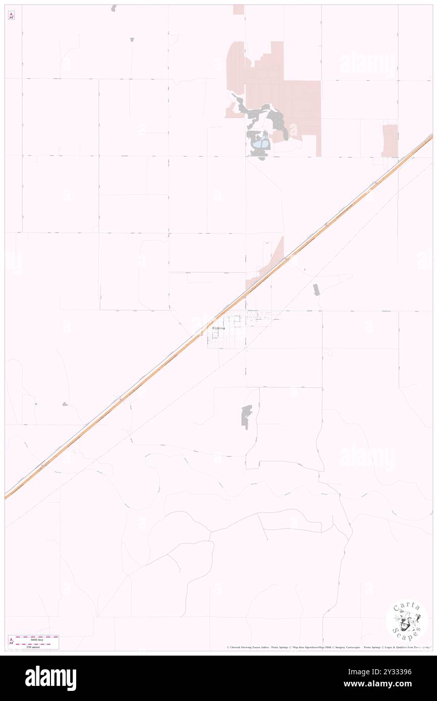 Optima, Texas County, US, United States, Oklahoma, N 36 45' 30'', S 101 21' 22'', map, Cartascapes Map published in 2024. Explore Cartascapes, a map revealing Earth's diverse landscapes, cultures, and ecosystems. Journey through time and space, discovering the interconnectedness of our planet's past, present, and future. Stock Photohttps://www.alamy.com/image-license-details/?v=1https://www.alamy.com/optima-texas-county-us-united-states-oklahoma-n-36-45-30-s-101-21-22-map-cartascapes-map-published-in-2024-explore-cartascapes-a-map-revealing-earths-diverse-landscapes-cultures-and-ecosystems-journey-through-time-and-space-discovering-the-interconnectedness-of-our-planets-past-present-and-future-image621485682.html
RM2Y33396–Optima, Texas County, US, United States, Oklahoma, N 36 45' 30'', S 101 21' 22'', map, Cartascapes Map published in 2024. Explore Cartascapes, a map revealing Earth's diverse landscapes, cultures, and ecosystems. Journey through time and space, discovering the interconnectedness of our planet's past, present, and future.
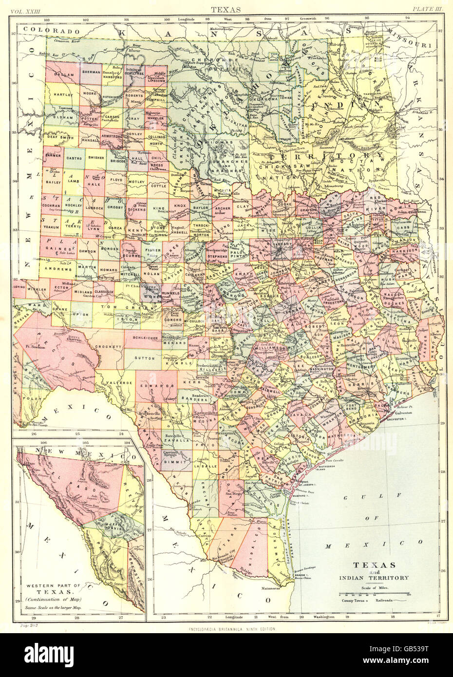 TEXAS:Showing counties.Indian Territory;Oklahoma.Britannica 9th edition 1898 map Stock Photohttps://www.alamy.com/image-license-details/?v=1https://www.alamy.com/stock-photo-texasshowing-countiesindian-territoryoklahomabritannica-9th-edition-110135812.html
RFGB539T–TEXAS:Showing counties.Indian Territory;Oklahoma.Britannica 9th edition 1898 map
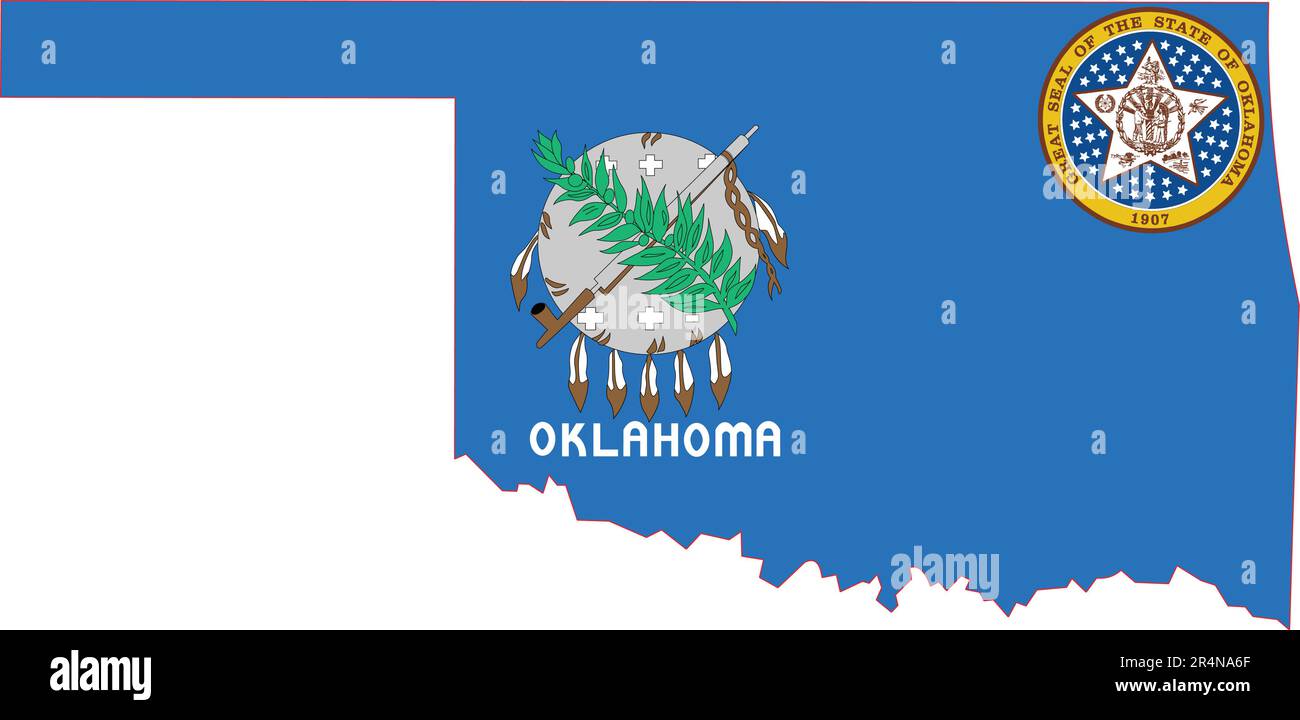 Map of Oklahoma State USA Stock Vectorhttps://www.alamy.com/image-license-details/?v=1https://www.alamy.com/map-of-oklahoma-state-usa-image553659415.html
RF2R4NA6F–Map of Oklahoma State USA
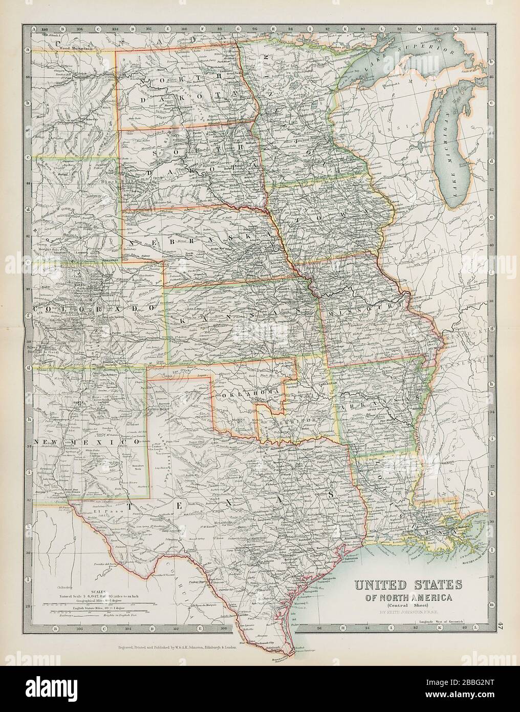 USA CENTRAL Shows 'Indian Territory' within Oklahoma Texas JOHNSTON 1901 map Stock Photohttps://www.alamy.com/image-license-details/?v=1https://www.alamy.com/usa-central-shows-indian-territory-within-oklahoma-texas-johnston-1901-map-image351321988.html
RF2BBG2NT–USA CENTRAL Shows 'Indian Territory' within Oklahoma Texas JOHNSTON 1901 map
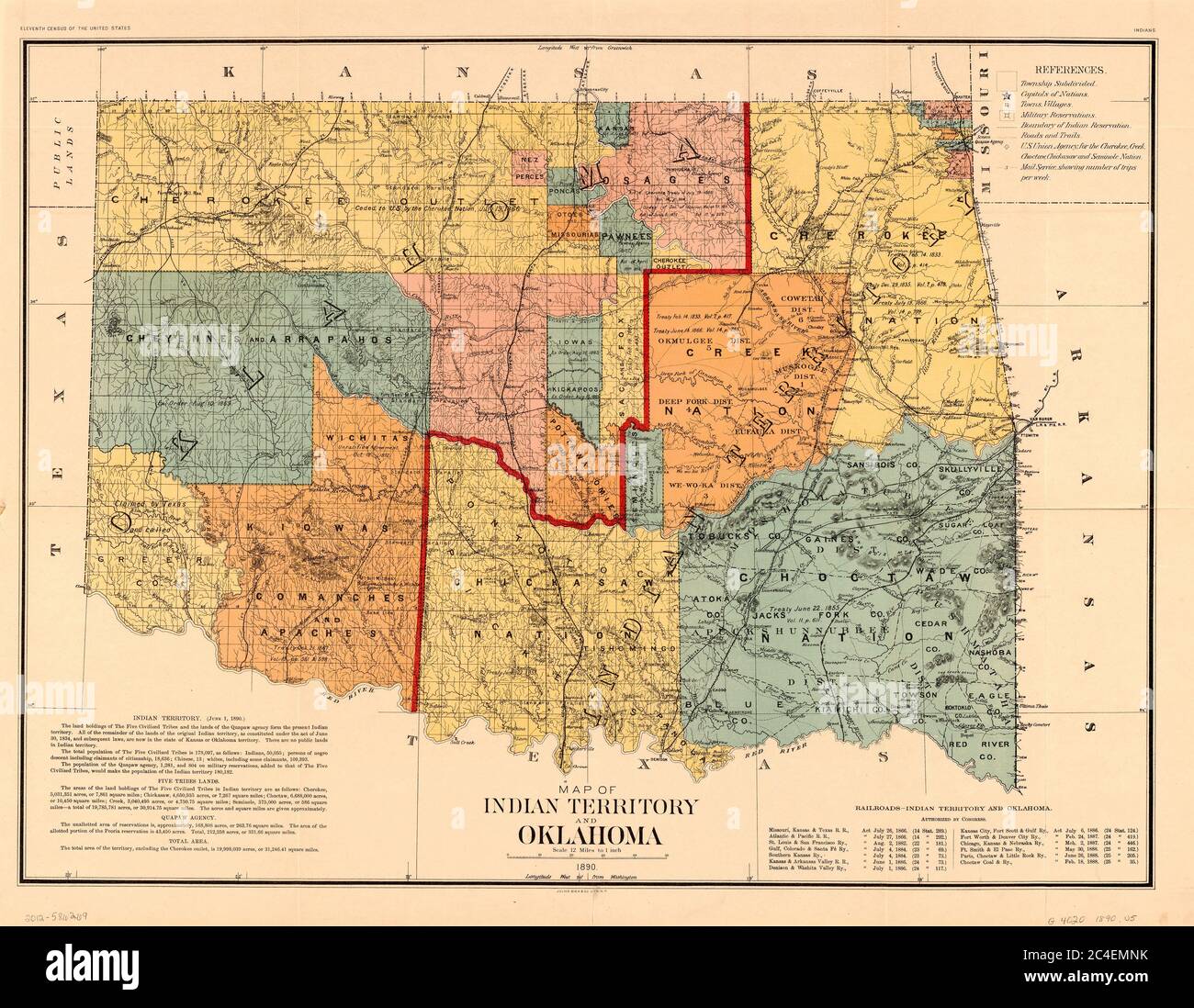 Map of Indian Territory and Oklahoma, U.S. Bureau of the Census, 1890 Stock Photohttps://www.alamy.com/image-license-details/?v=1https://www.alamy.com/map-of-indian-territory-and-oklahoma-us-bureau-of-the-census-1890-image364199967.html
RM2C4EMNK–Map of Indian Territory and Oklahoma, U.S. Bureau of the Census, 1890
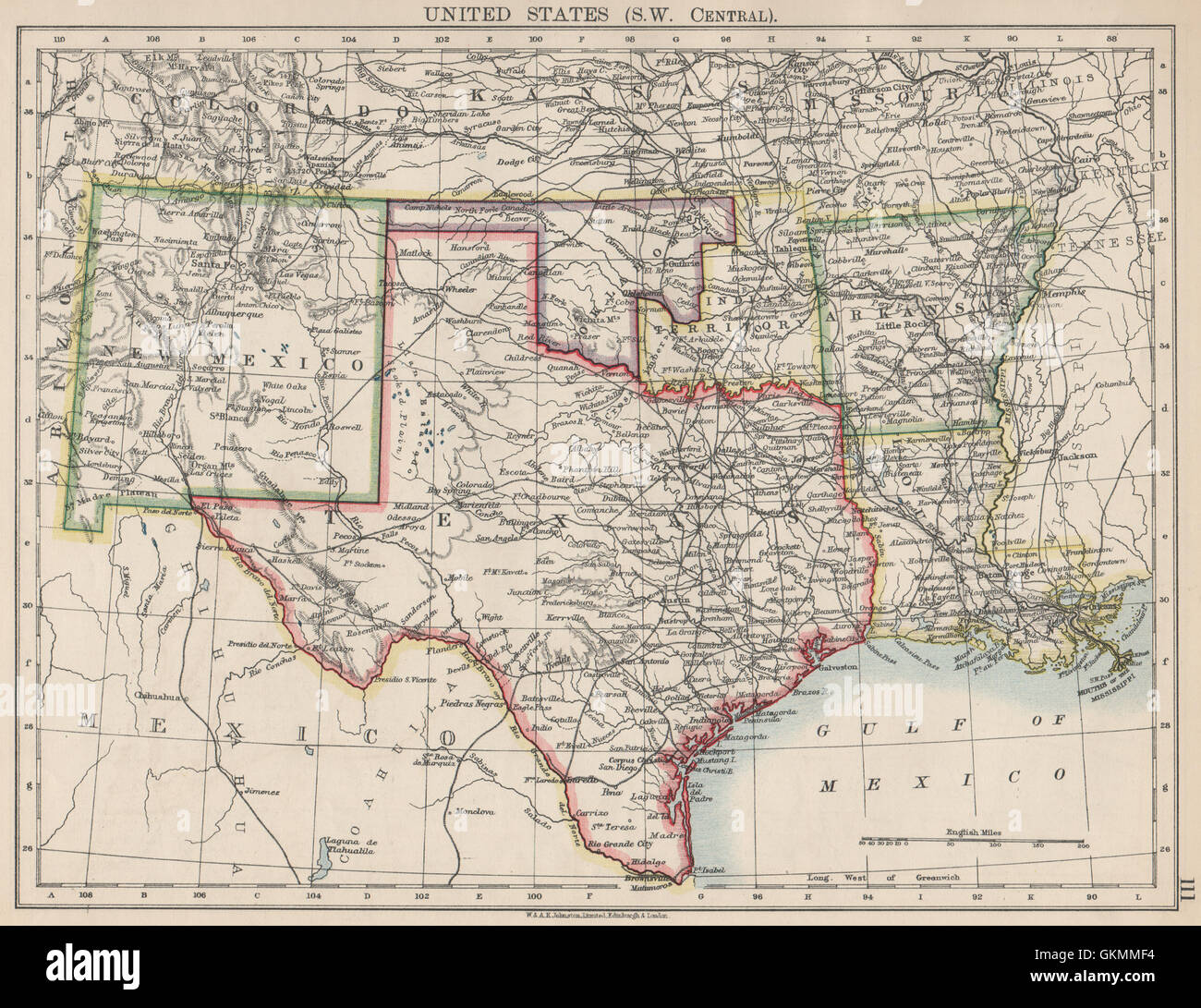 USA SOUTH CENTRAL.Texas.Proposed state of Oklahoma inc Indian Territory 1903 map Stock Photohttps://www.alamy.com/image-license-details/?v=1https://www.alamy.com/stock-photo-usa-south-centraltexasproposed-state-of-oklahoma-inc-indian-territory-115395816.html
RFGKMMF4–USA SOUTH CENTRAL.Texas.Proposed state of Oklahoma inc Indian Territory 1903 map
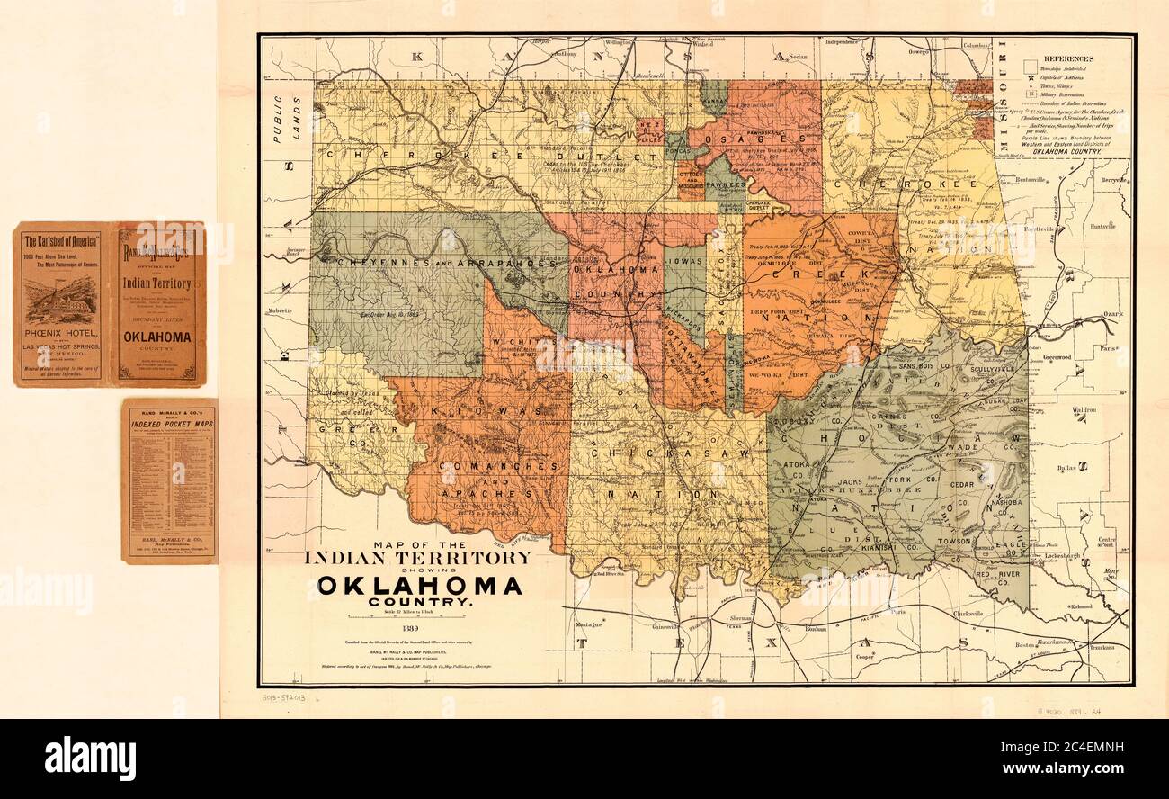 Map of the Indian Territory showing Oklahoma Country, Rand, McNally & Co's., 1889 Stock Photohttps://www.alamy.com/image-license-details/?v=1https://www.alamy.com/map-of-the-indian-territory-showing-oklahoma-country-rand-mcnally-cos-1889-image364199965.html
RM2C4EMNH–Map of the Indian Territory showing Oklahoma Country, Rand, McNally & Co's., 1889
 USA SOUTH CENTRAL.Texas.Proposed state of Oklahoma inc Indian Territory 1900 map Stock Photohttps://www.alamy.com/image-license-details/?v=1https://www.alamy.com/stock-photo-usa-south-centraltexasproposed-state-of-oklahoma-inc-indian-territory-115389039.html
RFGKMBW3–USA SOUTH CENTRAL.Texas.Proposed state of Oklahoma inc Indian Territory 1900 map
 Texas - Arbuckel Bros. Stock Photohttps://www.alamy.com/image-license-details/?v=1https://www.alamy.com/texas-arbuckel-bros-image469575270.html
RM2J7Y01A–Texas - Arbuckel Bros.
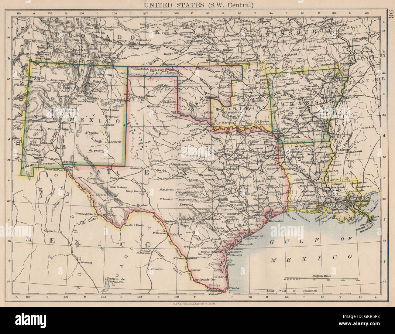 USA SOUTH CENTRAL.Texas.Proposed state of Oklahoma inc Indian Territory 1895 map Stock Photohttps://www.alamy.com/image-license-details/?v=1https://www.alamy.com/stock-photo-usa-south-centraltexasproposed-state-of-oklahoma-inc-indian-territory-115450112.html
RFGKR5P8–USA SOUTH CENTRAL.Texas.Proposed state of Oklahoma inc Indian Territory 1895 map
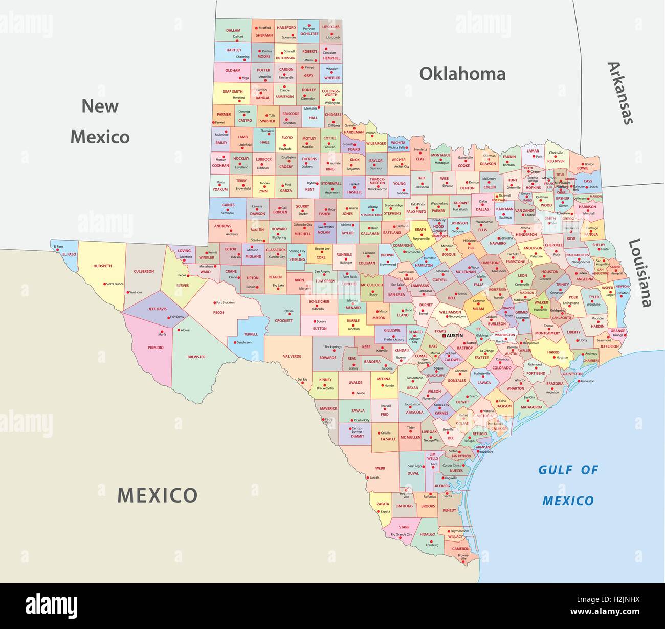 texas administrative map Stock Vectorhttps://www.alamy.com/image-license-details/?v=1https://www.alamy.com/stock-photo-texas-administrative-map-122113990.html
RFH2JNHX–texas administrative map
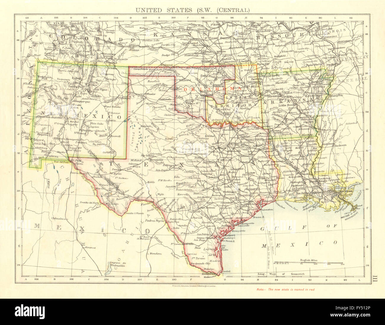 USA SOUTH CENTRAL.Texas.Proposed state of Oklahoma inc Indian Territory 1906 map Stock Photohttps://www.alamy.com/image-license-details/?v=1https://www.alamy.com/stock-photo-usa-south-centraltexasproposed-state-of-oklahoma-inc-indian-territory-102758174.html
RFFY512P–USA SOUTH CENTRAL.Texas.Proposed state of Oklahoma inc Indian Territory 1906 map
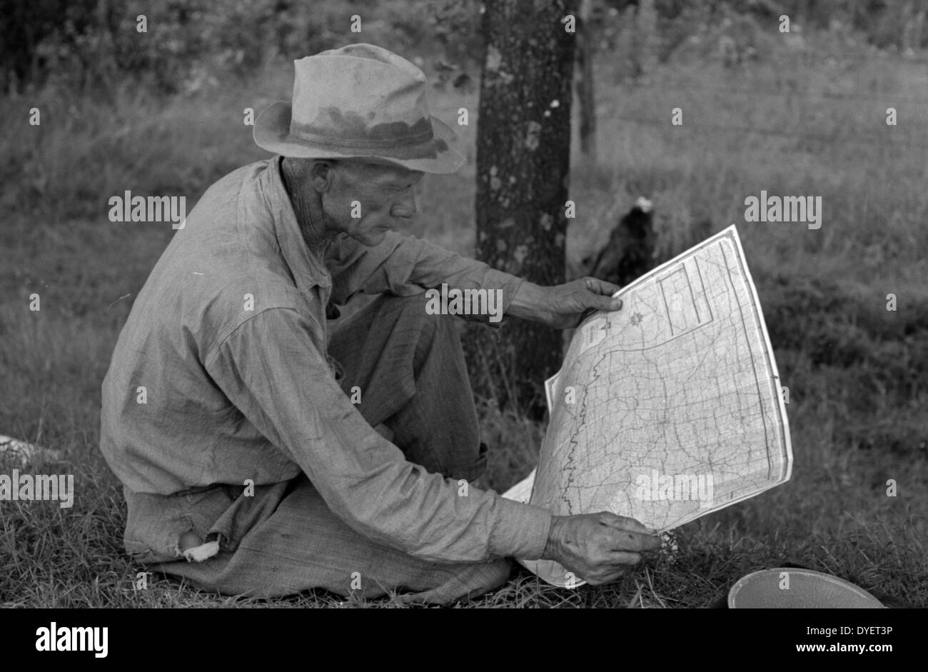 White migrant agricultural worker from Texas studying the map while stopped for lunch on the roadside east of Fort Gibson, Oklahoma By Russell Lee, 1903-1986, Published: 19390101 June. Stock Photohttps://www.alamy.com/image-license-details/?v=1https://www.alamy.com/white-migrant-agricultural-worker-from-texas-studying-the-map-while-image68553066.html
RMDYET3P–White migrant agricultural worker from Texas studying the map while stopped for lunch on the roadside east of Fort Gibson, Oklahoma By Russell Lee, 1903-1986, Published: 19390101 June.
 Texas & Oklahoma state maps. BARTHOLOMEW 1949 old vintage plan chart Stock Photohttps://www.alamy.com/image-license-details/?v=1https://www.alamy.com/texas-oklahoma-state-maps-bartholomew-1949-old-vintage-plan-chart-image428910640.html
RF2FWPFW4–Texas & Oklahoma state maps. BARTHOLOMEW 1949 old vintage plan chart
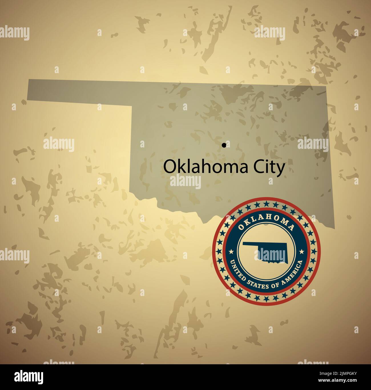 Oklahoma map with stamp vintage vector background Stock Photohttps://www.alamy.com/image-license-details/?v=1https://www.alamy.com/oklahoma-map-with-stamp-vintage-vector-background-image477469103.html
RF2JMPGKY–Oklahoma map with stamp vintage vector background
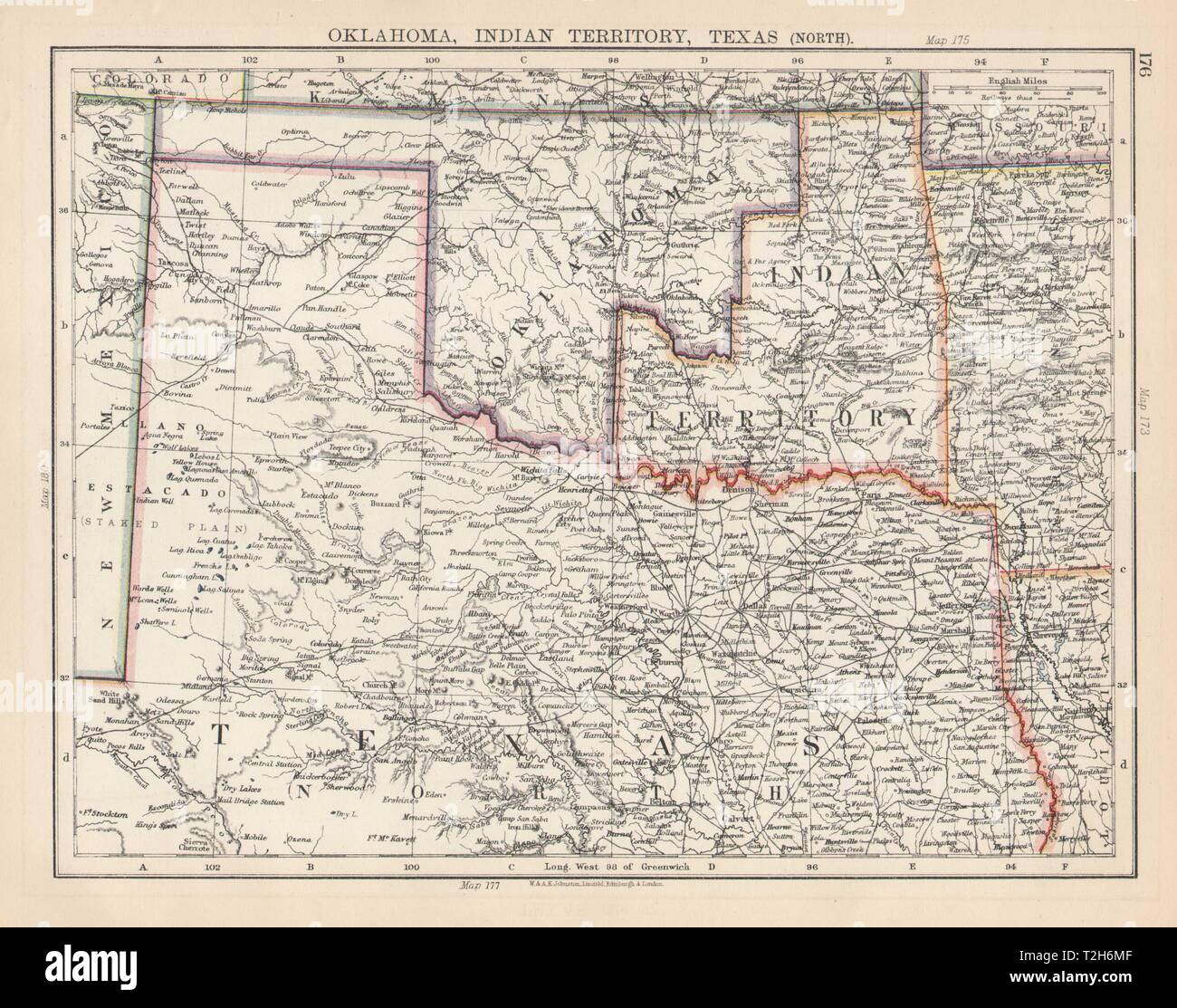 USA SOUTH CENTRAL. Oklahoma, Indian Territory & North Texas. JOHNSTON 1901 map Stock Photohttps://www.alamy.com/image-license-details/?v=1https://www.alamy.com/usa-south-central-oklahoma-indian-territory-north-texas-johnston-1901-map-image242552927.html
RFT2H6MF–USA SOUTH CENTRAL. Oklahoma, Indian Territory & North Texas. JOHNSTON 1901 map
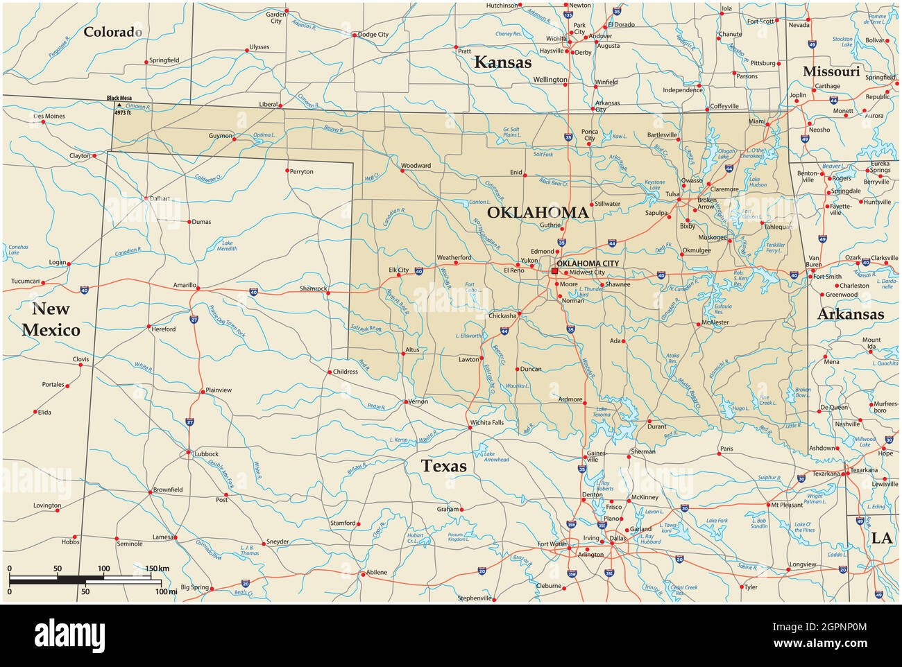 vector road map of the US state of Oklahoma Stock Vectorhttps://www.alamy.com/image-license-details/?v=1https://www.alamy.com/vector-road-map-of-the-us-state-of-oklahoma-image444259892.html
RF2GPNP0M–vector road map of the US state of Oklahoma
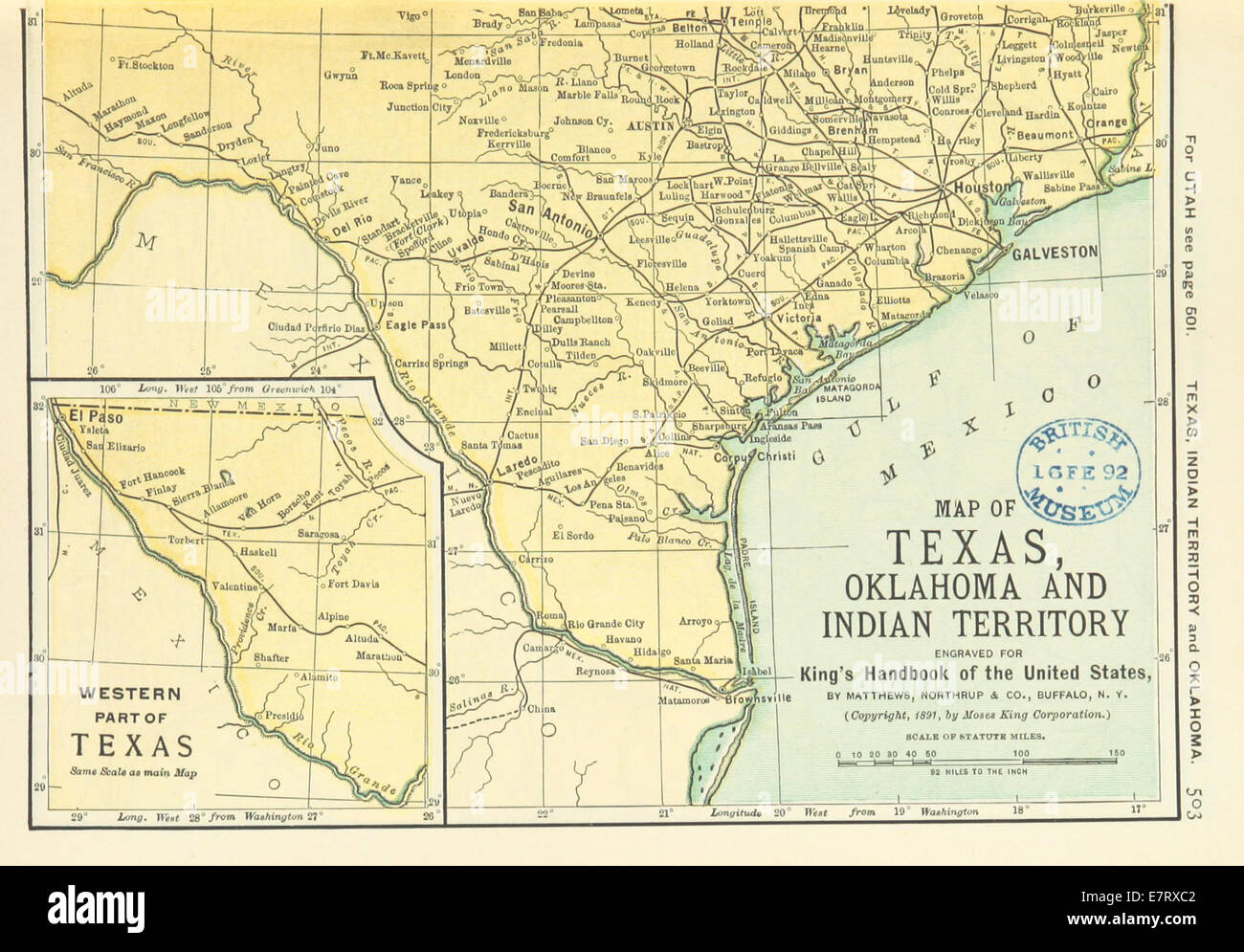 US-MAPS(1891) p505 - MAP OF TEXAS, OKLAHOMA AND INDIAN TERRITORY (r) Stock Photohttps://www.alamy.com/image-license-details/?v=1https://www.alamy.com/stock-photo-us-maps1891-p505-map-of-texas-oklahoma-and-indian-territory-r-73669682.html
RME7RXC2–US-MAPS(1891) p505 - MAP OF TEXAS, OKLAHOMA AND INDIAN TERRITORY (r)
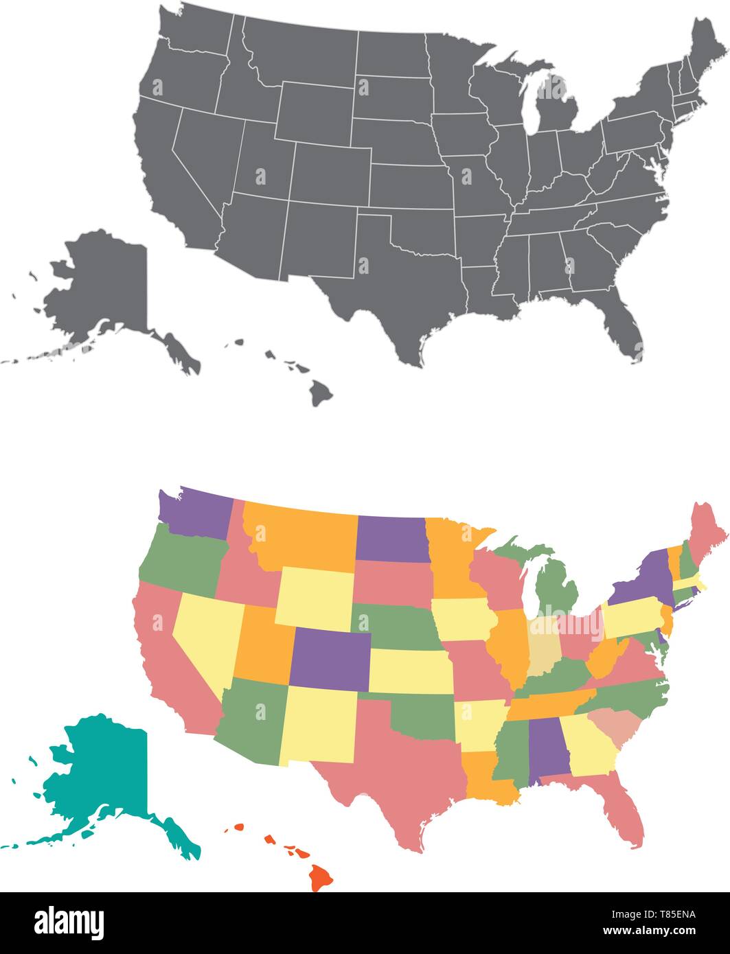 Silhouette and colored united states map Stock Vectorhttps://www.alamy.com/image-license-details/?v=1https://www.alamy.com/silhouette-and-colored-united-states-map-image245983734.html
RFT85ENA–Silhouette and colored united states map
 Hardesty, Texas County, US, United States, Oklahoma, N 36 36' 59'', S 101 11' 26'', map, Cartascapes Map published in 2024. Explore Cartascapes, a map revealing Earth's diverse landscapes, cultures, and ecosystems. Journey through time and space, discovering the interconnectedness of our planet's past, present, and future. Stock Photohttps://www.alamy.com/image-license-details/?v=1https://www.alamy.com/hardesty-texas-county-us-united-states-oklahoma-n-36-36-59-s-101-11-26-map-cartascapes-map-published-in-2024-explore-cartascapes-a-map-revealing-earths-diverse-landscapes-cultures-and-ecosystems-journey-through-time-and-space-discovering-the-interconnectedness-of-our-planets-past-present-and-future-image621155068.html
RM2Y2G1HG–Hardesty, Texas County, US, United States, Oklahoma, N 36 36' 59'', S 101 11' 26'', map, Cartascapes Map published in 2024. Explore Cartascapes, a map revealing Earth's diverse landscapes, cultures, and ecosystems. Journey through time and space, discovering the interconnectedness of our planet's past, present, and future.
 Oklahoma on USA map Stock Photohttps://www.alamy.com/image-license-details/?v=1https://www.alamy.com/oklahoma-on-usa-map-image477470326.html
RF2JMPJ7J–Oklahoma on USA map
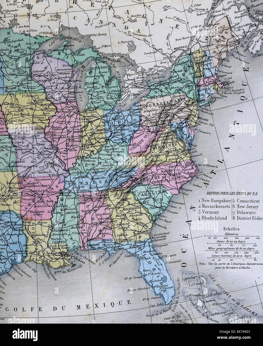 1877 Migeon Map United States North America Stock Photohttps://www.alamy.com/image-license-details/?v=1https://www.alamy.com/stock-photo-1877-migeon-map-united-states-north-america-172919489.html
RFM194G1–1877 Migeon Map United States North America
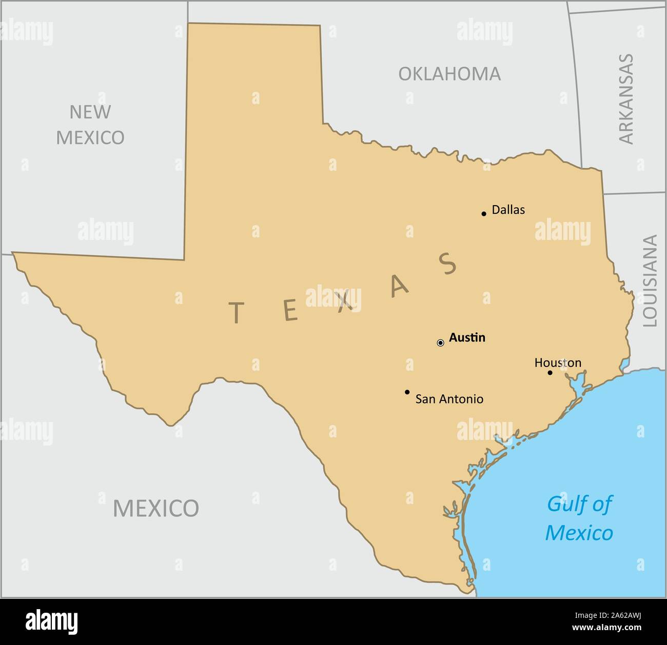 Texas region map Stock Vectorhttps://www.alamy.com/image-license-details/?v=1https://www.alamy.com/texas-region-map-image330737390.html
RF2A62AWJ–Texas region map
 Flat style map of State of Oklahoma, USA. Oklahoma outline. Vector illustration Stock Vectorhttps://www.alamy.com/image-license-details/?v=1https://www.alamy.com/flat-style-map-of-state-of-oklahoma-usa-oklahoma-outline-vector-illustration-image472685834.html
RF2JD0KGX–Flat style map of State of Oklahoma, USA. Oklahoma outline. Vector illustration
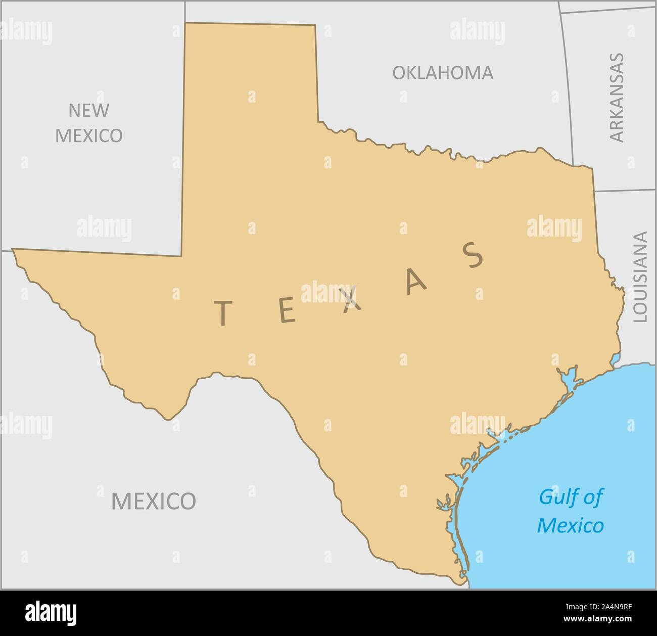 Texas region map Stock Vectorhttps://www.alamy.com/image-license-details/?v=1https://www.alamy.com/texas-region-map-image329924323.html
RF2A4N9RF–Texas region map
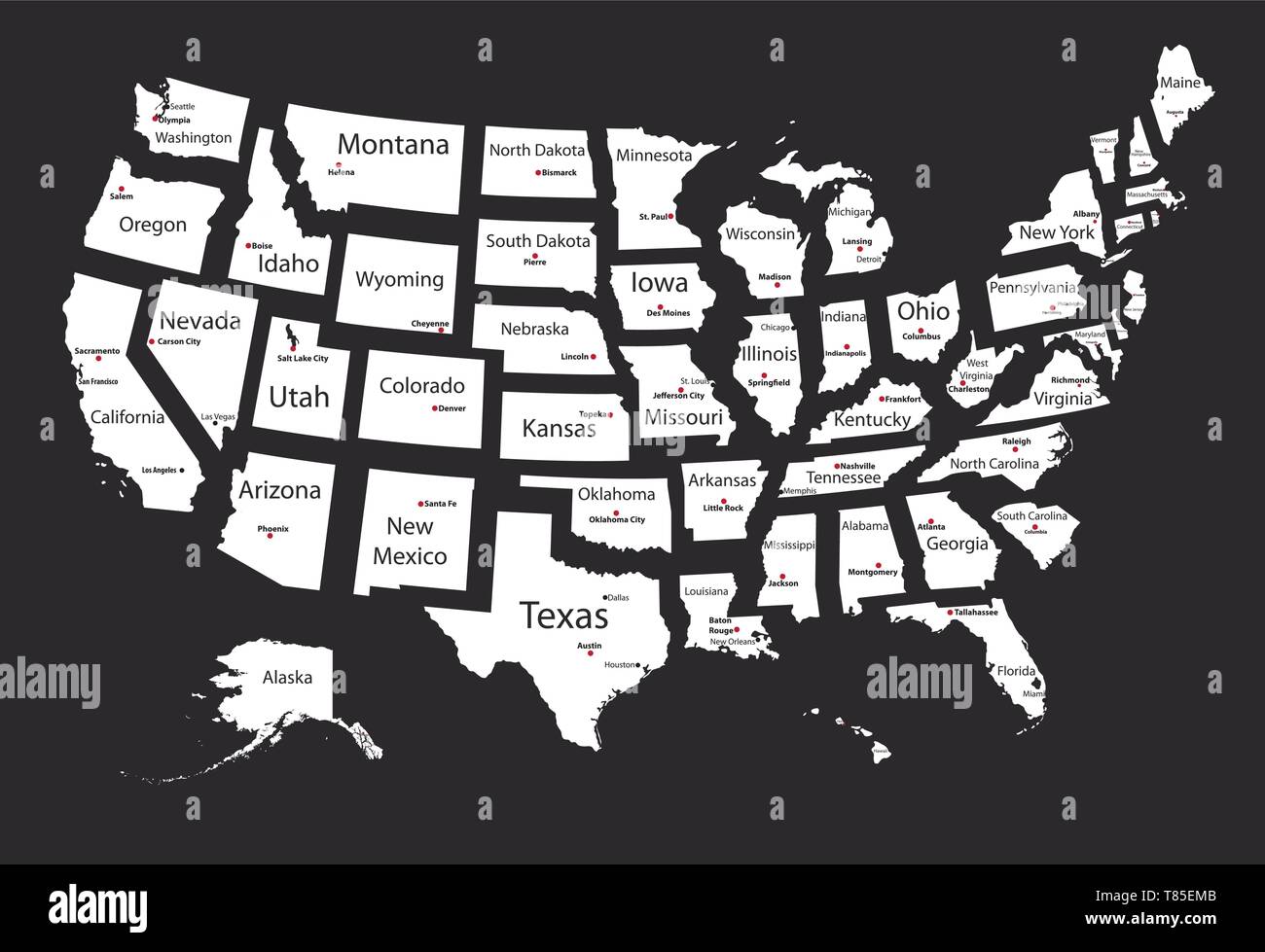 United States map of isolated states Stock Vectorhttps://www.alamy.com/image-license-details/?v=1https://www.alamy.com/united-states-map-of-isolated-states-image245983707.html
RFT85EMB–United States map of isolated states
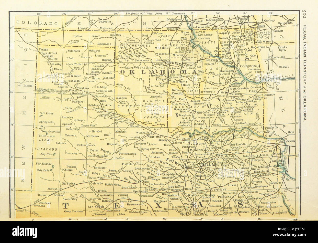 US MAPS(1891) p504 MAP OF TEXAS, OKLAHOMA AND INDIAN TERRITORY (l) Stock Photohttps://www.alamy.com/image-license-details/?v=1https://www.alamy.com/us-maps1891-p504-map-of-texas-oklahoma-and-indian-territory-l-image154604941.html
RMJYET51–US MAPS(1891) p504 MAP OF TEXAS, OKLAHOMA AND INDIAN TERRITORY (l)
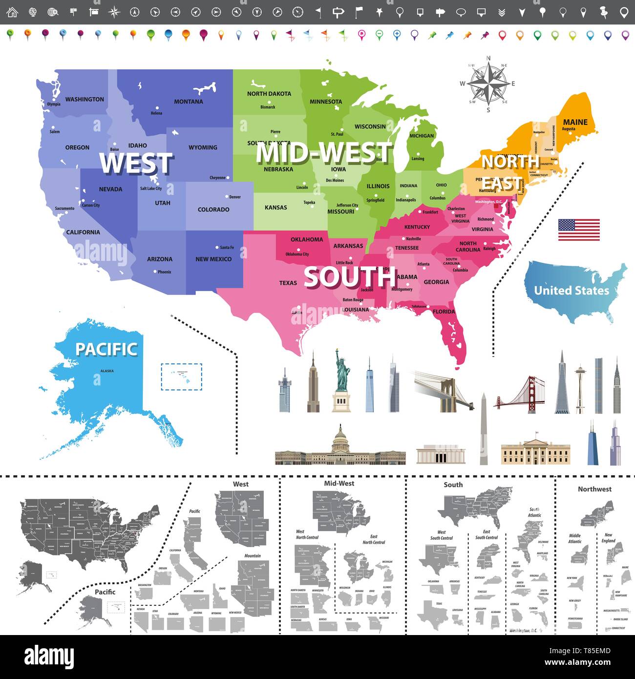 United States of America map colored by regions Stock Vectorhttps://www.alamy.com/image-license-details/?v=1https://www.alamy.com/united-states-of-america-map-colored-by-regions-image245983709.html
RFT85EMD–United States of America map colored by regions
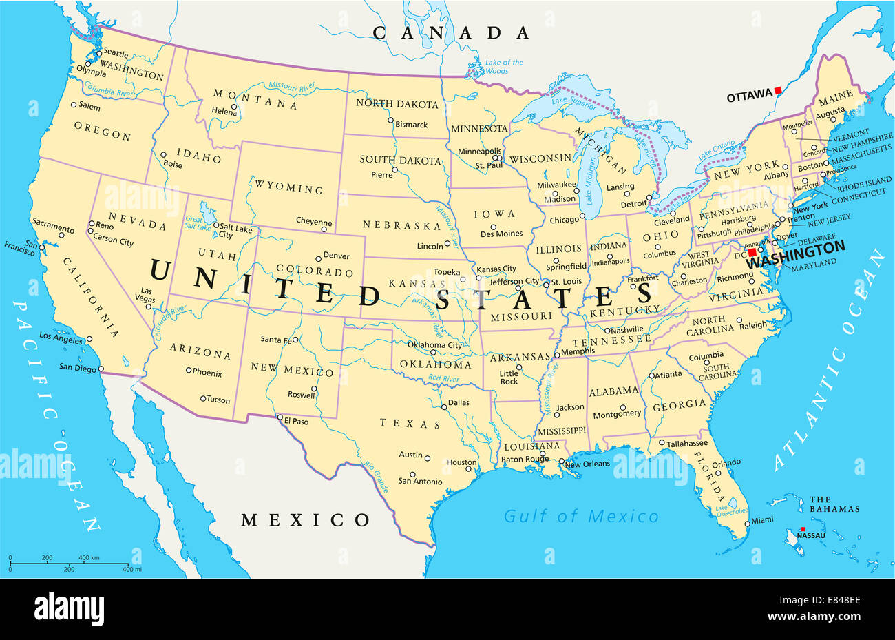 United States of America Political Map Stock Photohttps://www.alamy.com/image-license-details/?v=1https://www.alamy.com/stock-photo-united-states-of-america-political-map-73853206.html
RFE848EE–United States of America Political Map
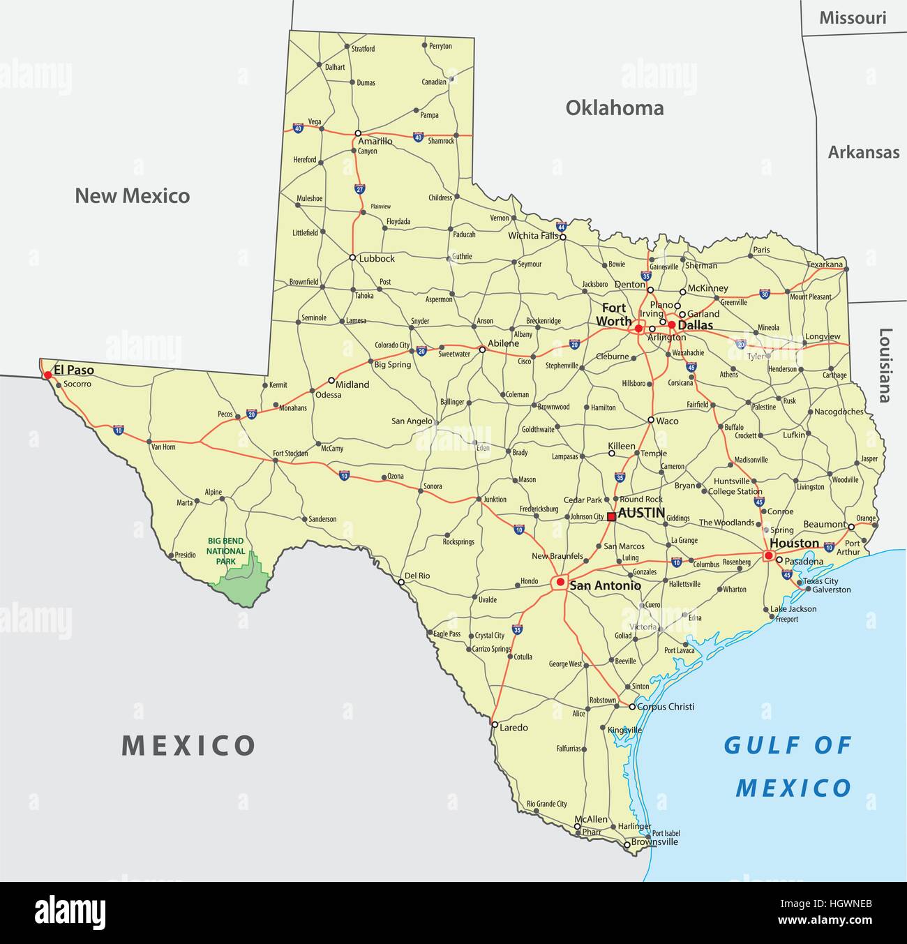 texas road map Stock Vectorhttps://www.alamy.com/image-license-details/?v=1https://www.alamy.com/stock-photo-texas-road-map-130872739.html
RFHGWNEB–texas road map
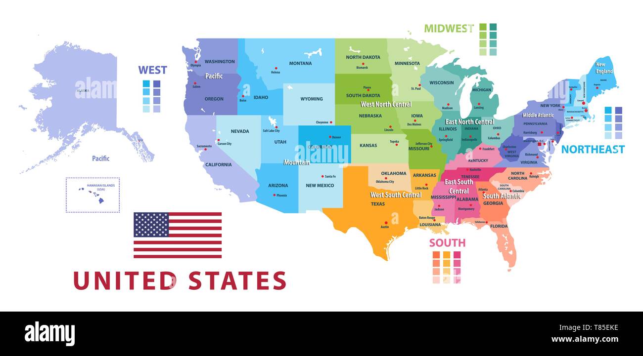 United States census bureau regions and divisions vector map Stock Vectorhttps://www.alamy.com/image-license-details/?v=1https://www.alamy.com/united-states-census-bureau-regions-and-divisions-vector-map-image245983682.html
RFT85EKE–United States census bureau regions and divisions vector map
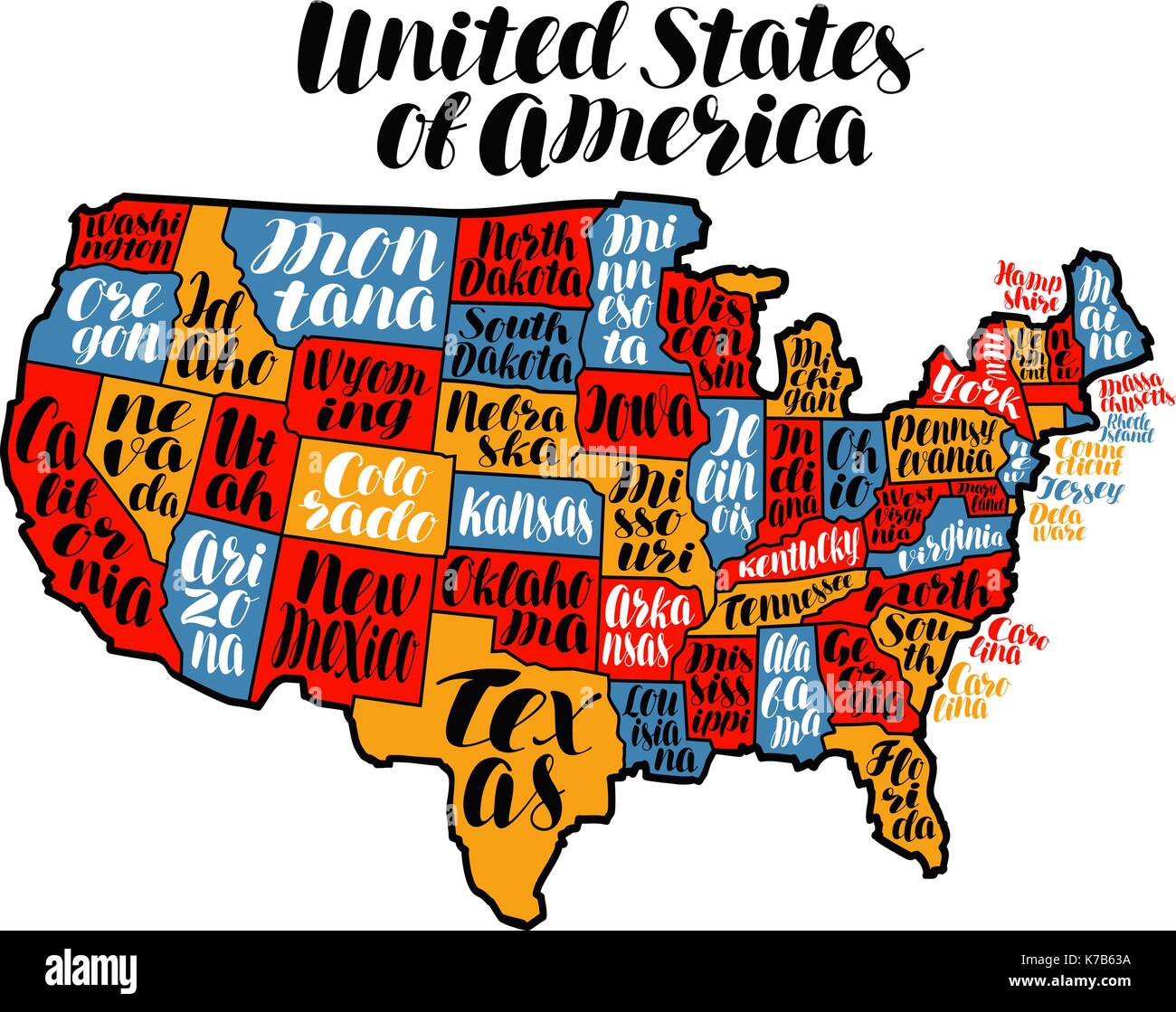 USA map country, United States of America. Lettering vector illustration Stock Vectorhttps://www.alamy.com/image-license-details/?v=1https://www.alamy.com/usa-map-country-united-states-of-america-lettering-vector-illustration-image159442174.html
RFK7B63A–USA map country, United States of America. Lettering vector illustration
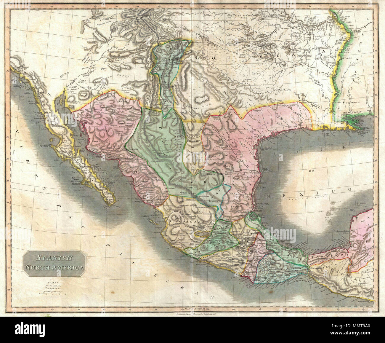 . English: This beautiful 1814 map, along with Pinkerton’s similar map, is most likely the most important large format English atlas map of the American Southwest to be produced in the 19th century. The map depicts Mexico from the Yucatan north to what would soon become the Republic of Texas, the Louisiana Territory, and what would eventually be the U.S. States of New Mexico, Arizona, Texas, California, Nevada, Utah, Louisiana, Oklahoma and Colorado. This map is based largely on the maps of Alexander von Humboldt and Zebulon Pike. The general treatment of the Rocky Mountains is drawn directly Stock Photohttps://www.alamy.com/image-license-details/?v=1https://www.alamy.com/english-this-beautiful-1814-map-along-with-pinkertons-similar-map-is-most-likely-the-most-important-large-format-english-atlas-map-of-the-american-southwest-to-be-produced-in-the-19th-century-the-map-depicts-mexico-from-the-yucatan-north-to-what-would-soon-become-the-republic-of-texas-the-louisiana-territory-and-what-would-eventually-be-the-us-states-of-new-mexico-arizona-texas-california-nevada-utah-louisiana-oklahoma-and-colorado-this-map-is-based-largely-on-the-maps-of-alexander-von-humboldt-and-zebulon-pike-the-general-treatment-of-the-rocky-mountains-is-drawn-directly-image184930984.html
RMMMT9A0–. English: This beautiful 1814 map, along with Pinkerton’s similar map, is most likely the most important large format English atlas map of the American Southwest to be produced in the 19th century. The map depicts Mexico from the Yucatan north to what would soon become the Republic of Texas, the Louisiana Territory, and what would eventually be the U.S. States of New Mexico, Arizona, Texas, California, Nevada, Utah, Louisiana, Oklahoma and Colorado. This map is based largely on the maps of Alexander von Humboldt and Zebulon Pike. The general treatment of the Rocky Mountains is drawn directly
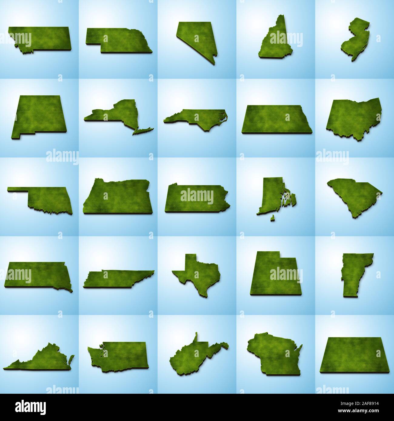 3D grass US State Maps Set II Stock Photohttps://www.alamy.com/image-license-details/?v=1https://www.alamy.com/3d-grass-us-state-maps-set-ii-image336399536.html
RF2AF8914–3D grass US State Maps Set II
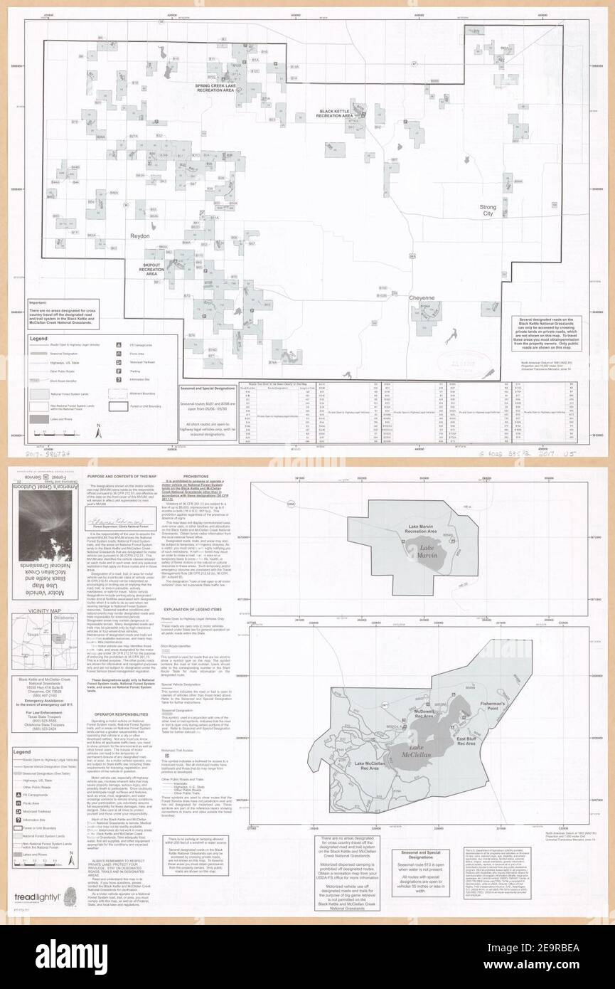 Motor vehicle use map, Black Kettle and McClellan Creek National Grasslands, Oklahoma and Texas. Stock Photohttps://www.alamy.com/image-license-details/?v=1https://www.alamy.com/motor-vehicle-use-map-black-kettle-and-mcclellan-creek-national-grasslands-oklahoma-and-texas-image401884290.html
RM2E9RBEA–Motor vehicle use map, Black Kettle and McClellan Creek National Grasslands, Oklahoma and Texas.
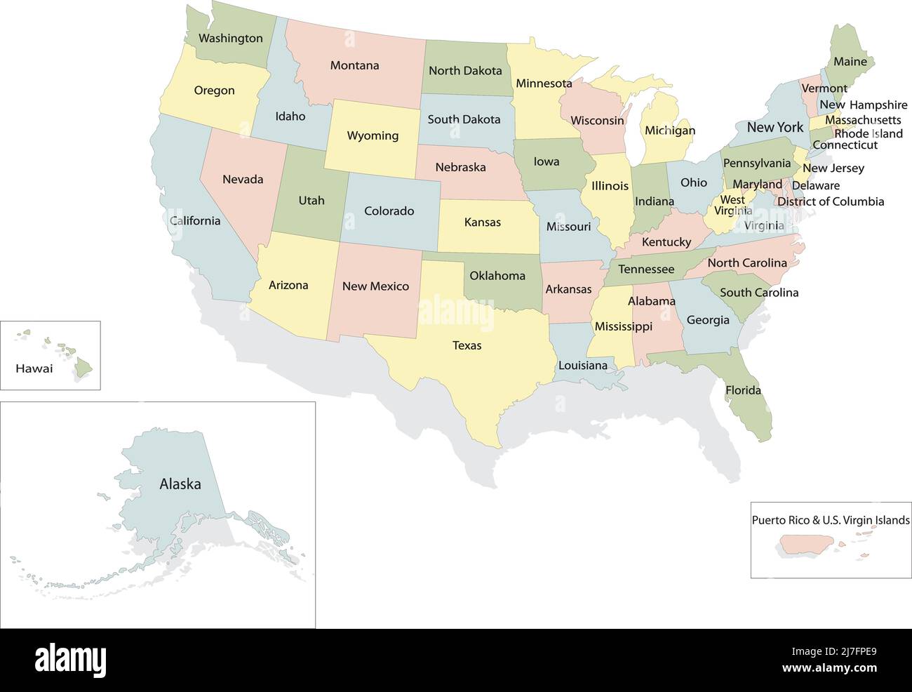 United states of America political map with drop shadow on white background Stock Vectorhttps://www.alamy.com/image-license-details/?v=1https://www.alamy.com/united-states-of-america-political-map-with-drop-shadow-on-white-background-image469329457.html
RF2J7FPE9–United states of America political map with drop shadow on white background
 US-MAPS(1891) p504 - MAP OF TEXAS, OKLAHOMA AND INDIAN TERRITORY (l) Stock Photohttps://www.alamy.com/image-license-details/?v=1https://www.alamy.com/stock-photo-us-maps1891-p504-map-of-texas-oklahoma-and-indian-territory-l-73669680.html
RME7RXC0–US-MAPS(1891) p504 - MAP OF TEXAS, OKLAHOMA AND INDIAN TERRITORY (l)
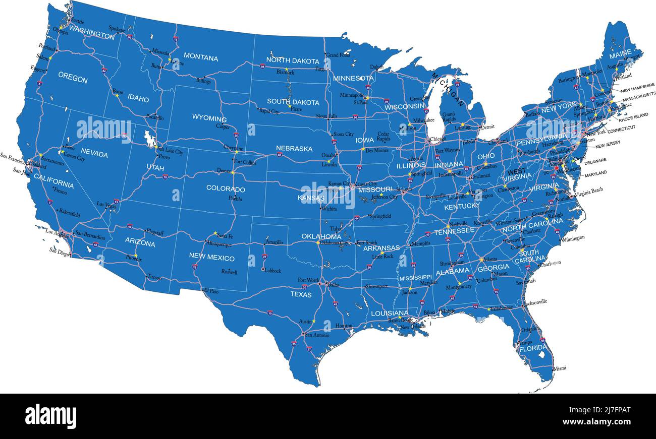 U.S.A. highly detailed vector map with administrative regions,main cities and roads. Stock Vectorhttps://www.alamy.com/image-license-details/?v=1https://www.alamy.com/usa-highly-detailed-vector-map-with-administrative-regionsmain-cities-and-roads-image469329360.html
RF2J7FPAT–U.S.A. highly detailed vector map with administrative regions,main cities and roads.
 Unity, Texas County, US, United States, Oklahoma, N 36 45' 43'', S 101 42' 31'', map, Cartascapes Map published in 2024. Explore Cartascapes, a map revealing Earth's diverse landscapes, cultures, and ecosystems. Journey through time and space, discovering the interconnectedness of our planet's past, present, and future. Stock Photohttps://www.alamy.com/image-license-details/?v=1https://www.alamy.com/unity-texas-county-us-united-states-oklahoma-n-36-45-43-s-101-42-31-map-cartascapes-map-published-in-2024-explore-cartascapes-a-map-revealing-earths-diverse-landscapes-cultures-and-ecosystems-journey-through-time-and-space-discovering-the-interconnectedness-of-our-planets-past-present-and-future-image621244263.html
RM2Y2M3B3–Unity, Texas County, US, United States, Oklahoma, N 36 45' 43'', S 101 42' 31'', map, Cartascapes Map published in 2024. Explore Cartascapes, a map revealing Earth's diverse landscapes, cultures, and ecosystems. Journey through time and space, discovering the interconnectedness of our planet's past, present, and future.
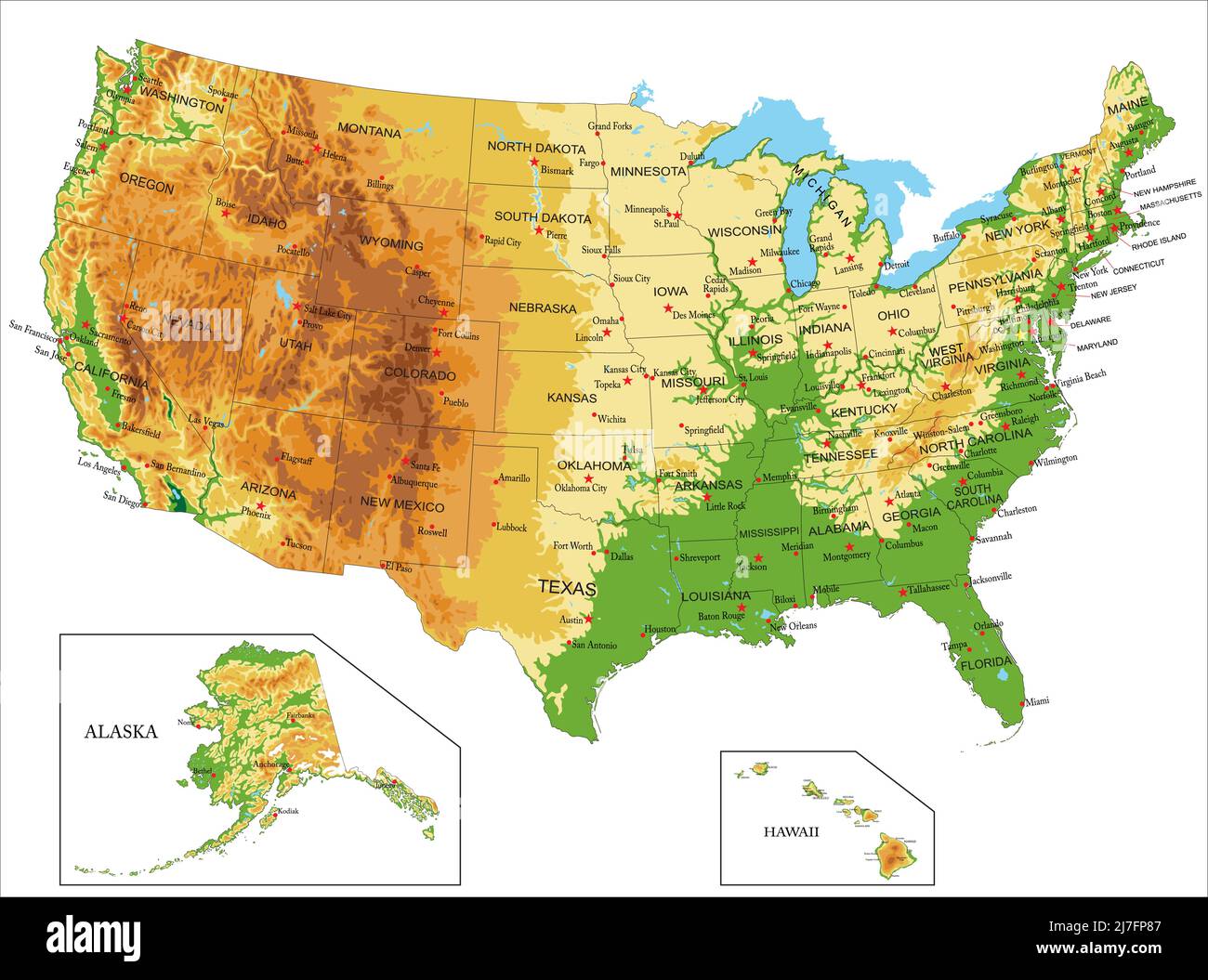 Highly detailed physical map of United States of America,in vector format,with all the relief forms,states and big cities. Stock Vectorhttps://www.alamy.com/image-license-details/?v=1https://www.alamy.com/highly-detailed-physical-map-of-united-states-of-americain-vector-formatwith-all-the-relief-formsstates-and-big-cities-image469329287.html
RF2J7FP87–Highly detailed physical map of United States of America,in vector format,with all the relief forms,states and big cities.
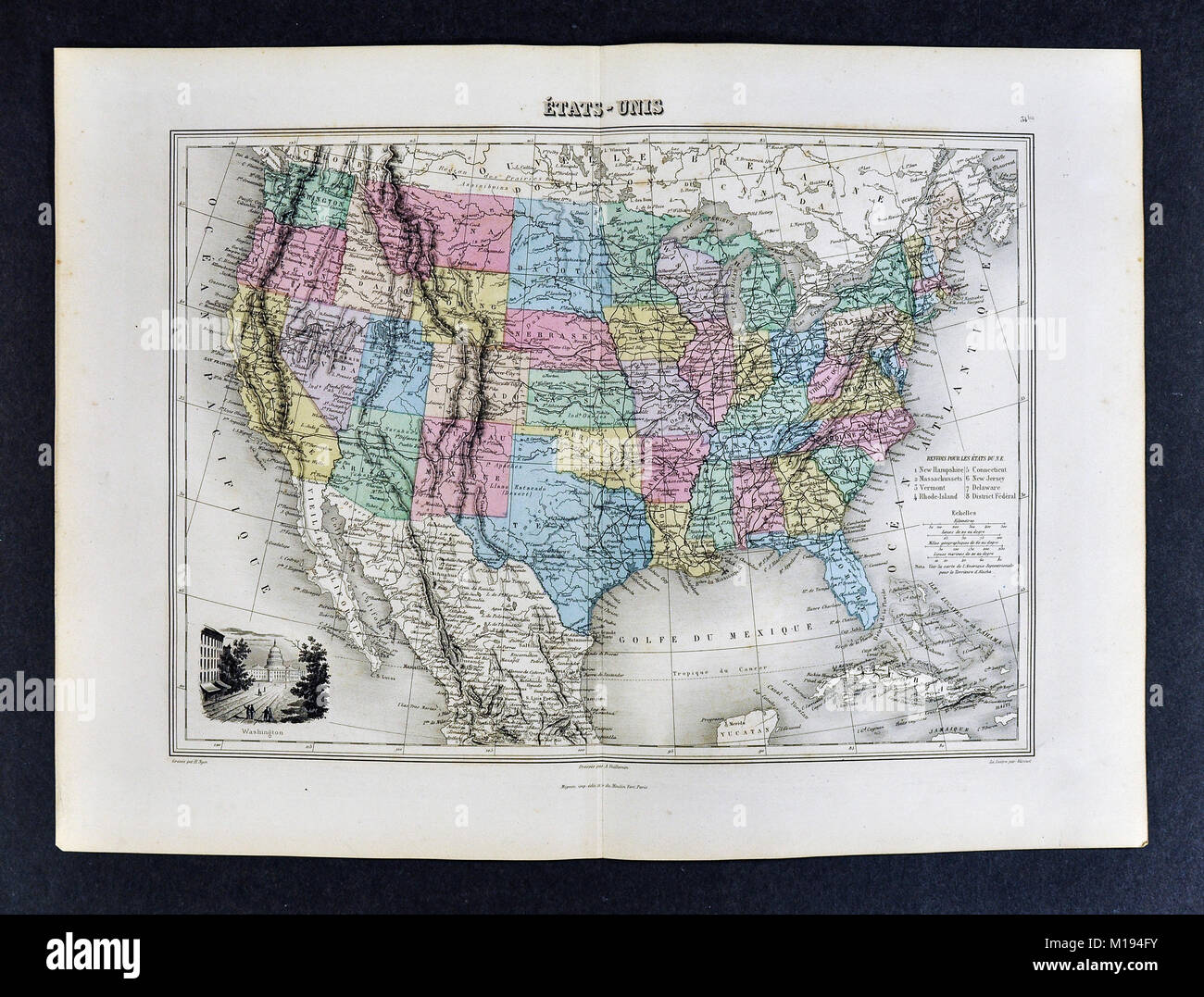 1877 Migeon Map United States North America Stock Photohttps://www.alamy.com/image-license-details/?v=1https://www.alamy.com/stock-photo-1877-migeon-map-united-states-north-america-172919487.html
RFM194FY–1877 Migeon Map United States North America
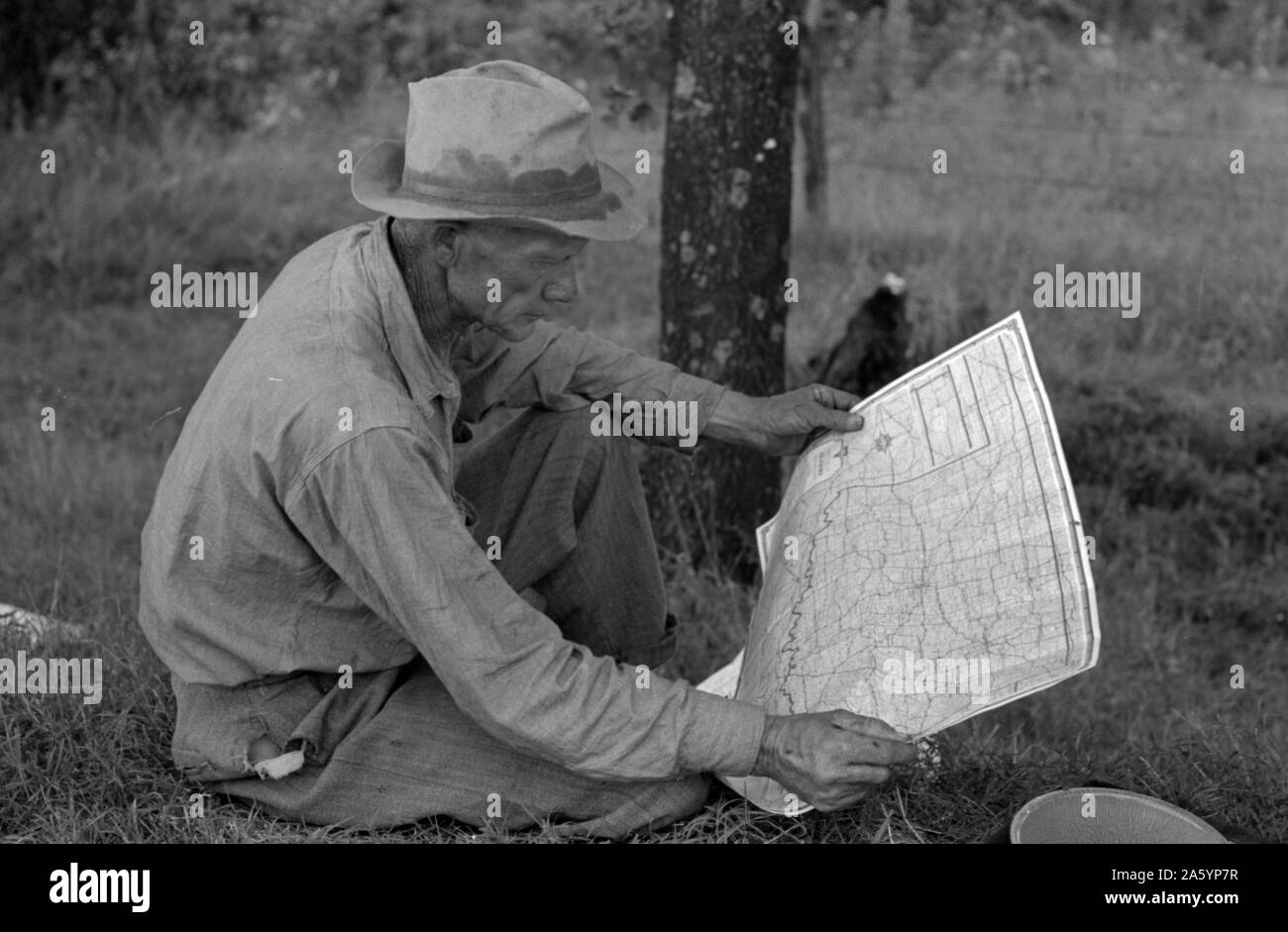 White migrant agricultural worker from Texas studying the map while stopped for lunch on the roadside east of Fort Gibson, Oklahoma By Russell Lee, 1903-1986, Published: 19390101 June. Stock Photohttps://www.alamy.com/image-license-details/?v=1https://www.alamy.com/white-migrant-agricultural-worker-from-texas-studying-the-map-while-stopped-for-lunch-on-the-roadside-east-of-fort-gibson-oklahoma-by-russell-lee-1903-1986-published-19390101-june-image330680443.html
RM2A5YP7R–White migrant agricultural worker from Texas studying the map while stopped for lunch on the roadside east of Fort Gibson, Oklahoma By Russell Lee, 1903-1986, Published: 19390101 June.
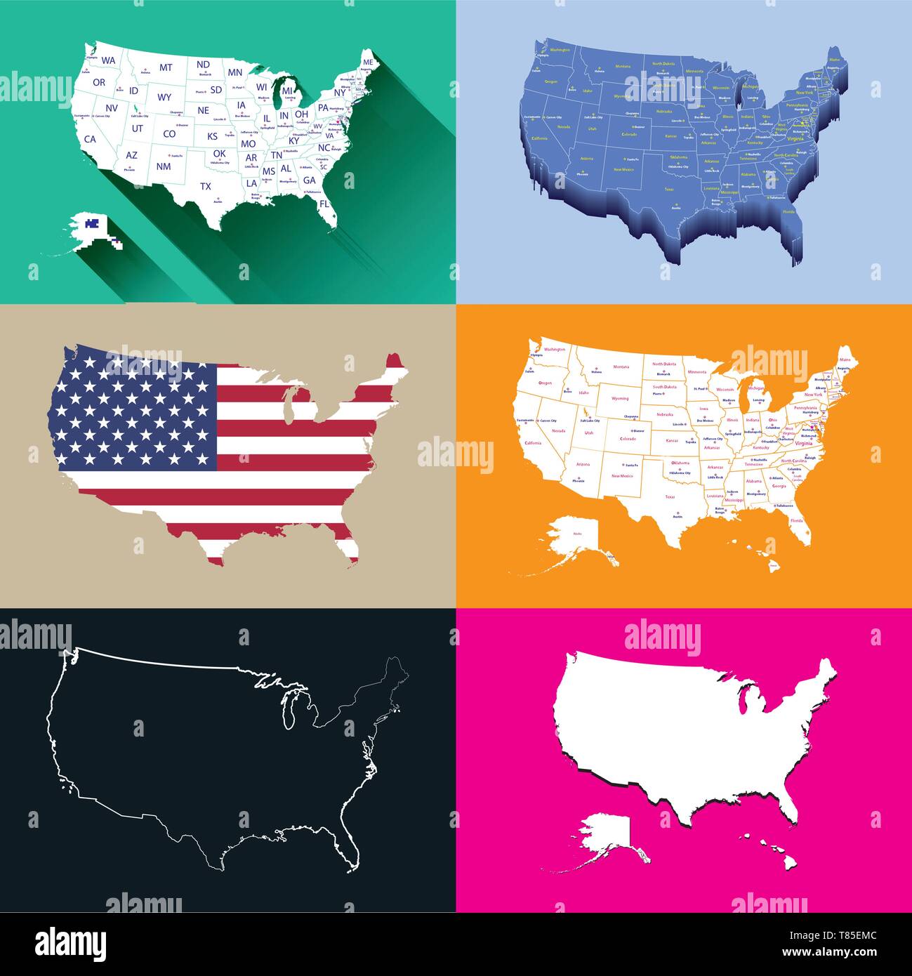 United States vector isolated maps set Stock Vectorhttps://www.alamy.com/image-license-details/?v=1https://www.alamy.com/united-states-vector-isolated-maps-set-image245983708.html
RFT85EMC–United States vector isolated maps set
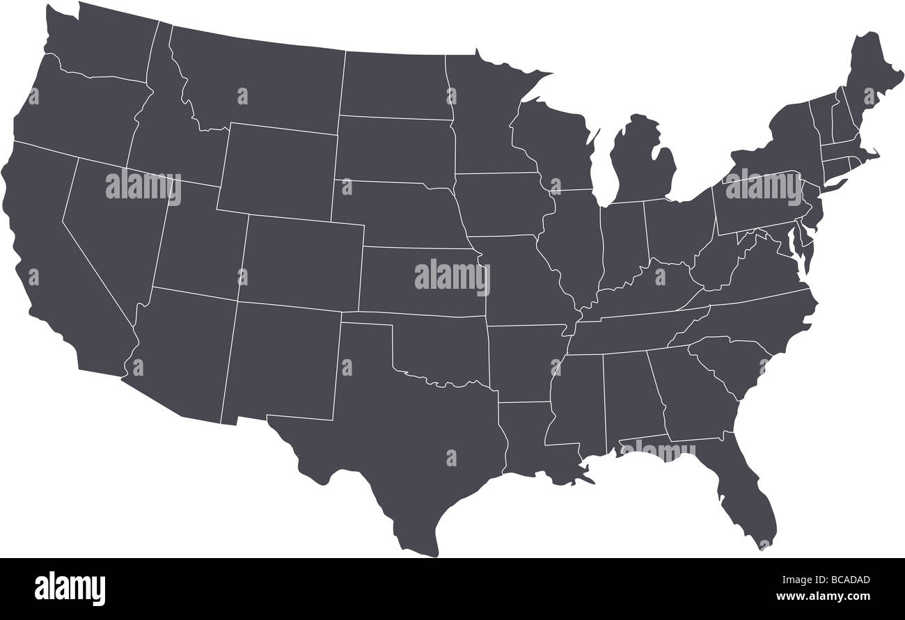 There is a map of USA country Stock Photohttps://www.alamy.com/image-license-details/?v=1https://www.alamy.com/stock-photo-there-is-a-map-of-usa-country-24816245.html
RFBCADAD–There is a map of USA country
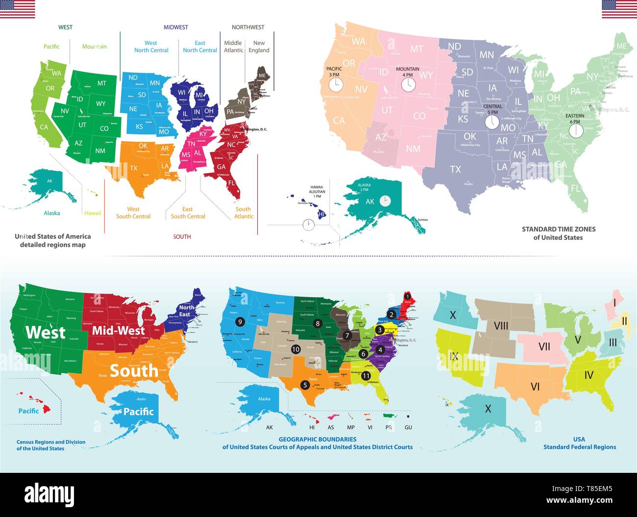 United States detailed maps set Stock Vectorhttps://www.alamy.com/image-license-details/?v=1https://www.alamy.com/united-states-detailed-maps-set-image245983701.html
RFT85EM5–United States detailed maps set
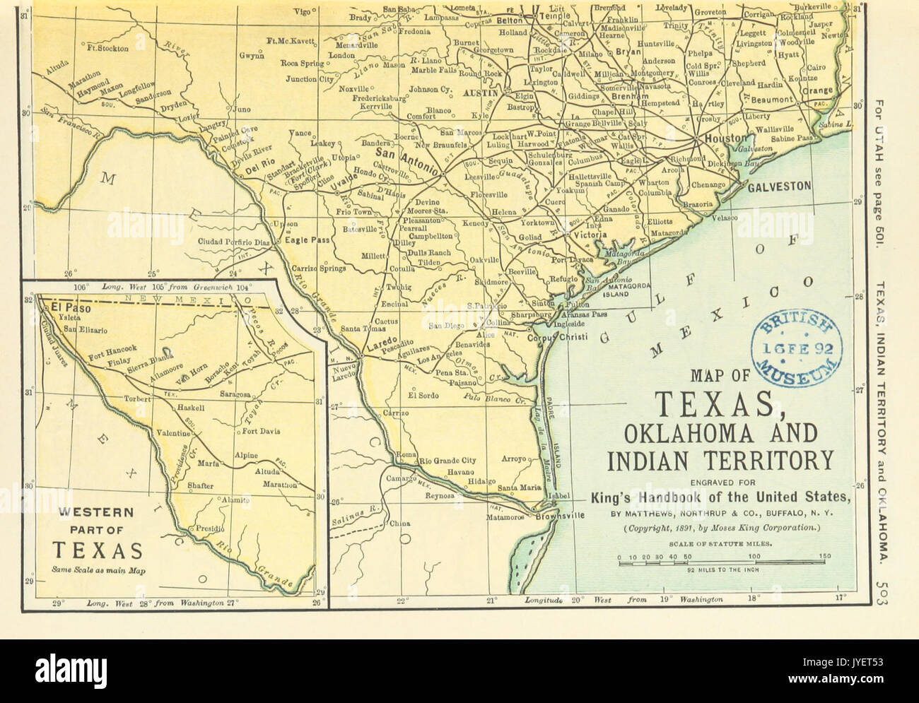 US MAPS(1891) p505 MAP OF TEXAS, OKLAHOMA AND INDIAN TERRITORY (r) Stock Photohttps://www.alamy.com/image-license-details/?v=1https://www.alamy.com/us-maps1891-p505-map-of-texas-oklahoma-and-indian-territory-r-image154604943.html
RMJYET53–US MAPS(1891) p505 MAP OF TEXAS, OKLAHOMA AND INDIAN TERRITORY (r)
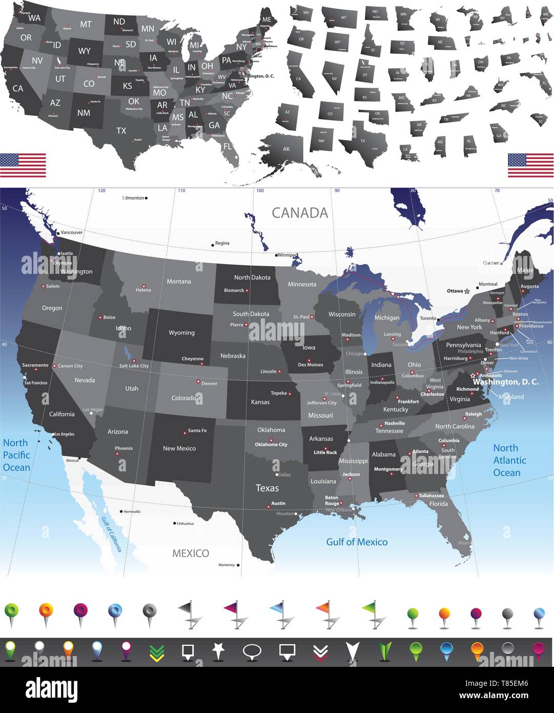 United States of America vector set Stock Vectorhttps://www.alamy.com/image-license-details/?v=1https://www.alamy.com/united-states-of-america-vector-set-image245983702.html
RFT85EM6–United States of America vector set
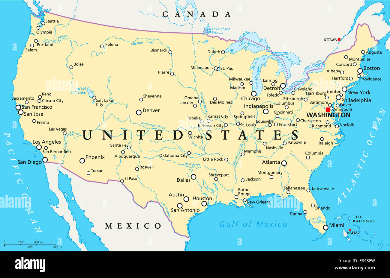 United States of America Political Map Stock Photohttps://www.alamy.com/image-license-details/?v=1https://www.alamy.com/stock-photo-united-states-of-america-political-map-73853245.html
RFE848FW–United States of America Political Map
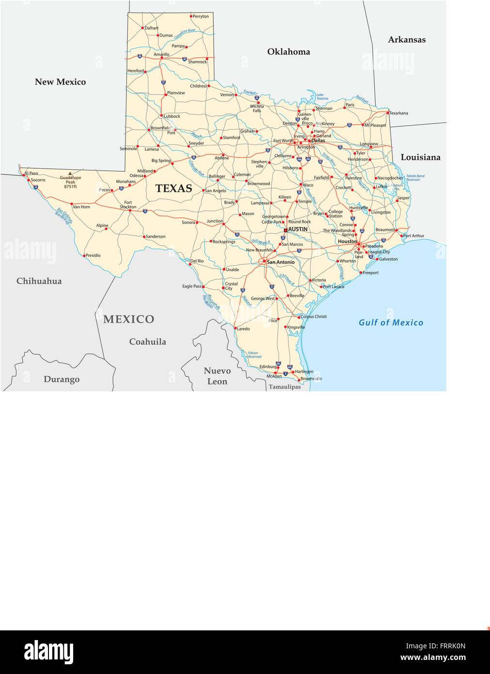 road map of the US American Federal State Texas Stock Vectorhttps://www.alamy.com/image-license-details/?v=1https://www.alamy.com/stock-photo-road-map-of-the-us-american-federal-state-texas-100708741.html
RFFRRK0N–road map of the US American Federal State Texas
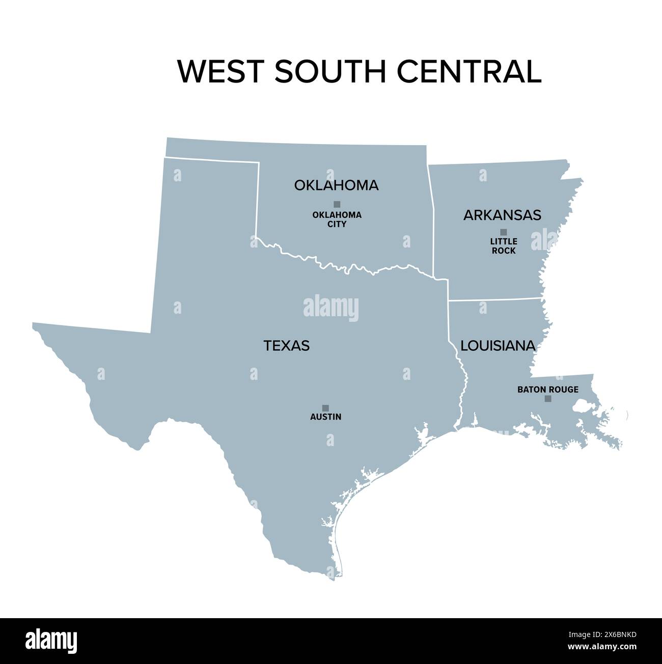 West South Central states, gray political map. United States Census division of the South region. Stock Photohttps://www.alamy.com/image-license-details/?v=1https://www.alamy.com/west-south-central-states-gray-political-map-united-states-census-division-of-the-south-region-image606309297.html
RF2X6BNKD–West South Central states, gray political map. United States Census division of the South region.
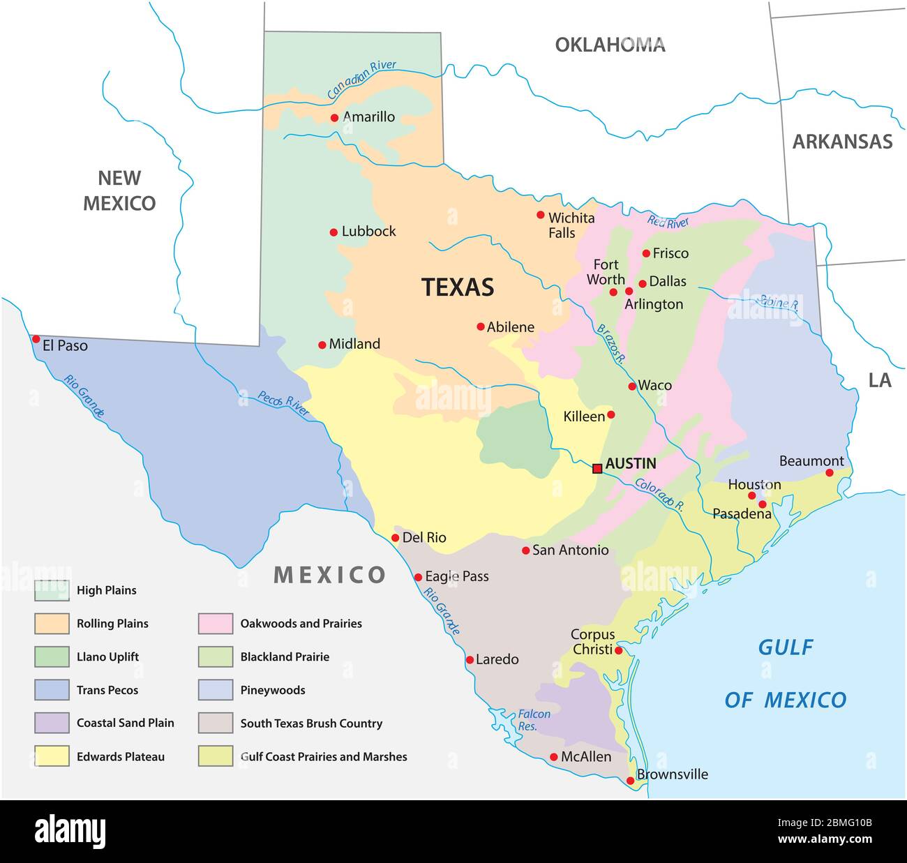 Vector map of the physical regions of Texas Stock Vectorhttps://www.alamy.com/image-license-details/?v=1https://www.alamy.com/vector-map-of-the-physical-regions-of-texas-image356852507.html
RF2BMG10B–Vector map of the physical regions of Texas
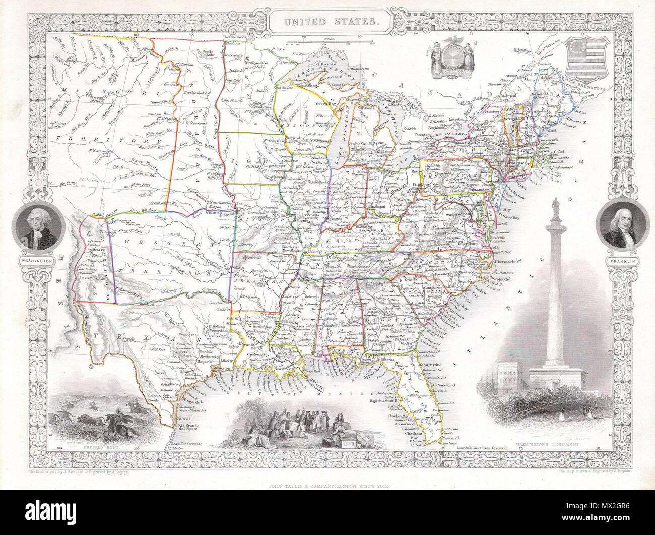 . United States. English: This is a fascinating 1850 map of the United States. Covers the United States from Texas (shown at fullest extant) and Santa Fe north through the Missouri Territory to Canada and east to the Atlantic. The Trans-Mississippi region is exceptionally interesting with a fascinating (if somewhat inaccurate even ate the time) depiction of the political geography. A long Narrow Nebraska territory extends to Canada. There is a large “Western Territory roughly where Oklahoma is today. New Mexico Territory is alternatively called Santa Fe territory. Missouri Territory occupies Stock Photohttps://www.alamy.com/image-license-details/?v=1https://www.alamy.com/united-states-english-this-is-a-fascinating-1850-map-of-the-united-states-covers-the-united-states-from-texas-shown-at-fullest-extant-and-santa-fe-north-through-the-missouri-territory-to-canada-and-east-to-the-atlantic-the-trans-mississippi-region-is-exceptionally-interesting-with-a-fascinating-if-somewhat-inaccurate-even-ate-the-time-depiction-of-the-political-geography-a-long-narrow-nebraska-territory-extends-to-canada-there-is-a-large-western-territory-roughly-where-oklahoma-is-today-new-mexico-territory-is-alternatively-called-santa-fe-territory-missouri-territory-occupies-image188141834.html
RMMX2GR6–. United States. English: This is a fascinating 1850 map of the United States. Covers the United States from Texas (shown at fullest extant) and Santa Fe north through the Missouri Territory to Canada and east to the Atlantic. The Trans-Mississippi region is exceptionally interesting with a fascinating (if somewhat inaccurate even ate the time) depiction of the political geography. A long Narrow Nebraska territory extends to Canada. There is a large “Western Territory roughly where Oklahoma is today. New Mexico Territory is alternatively called Santa Fe territory. Missouri Territory occupies
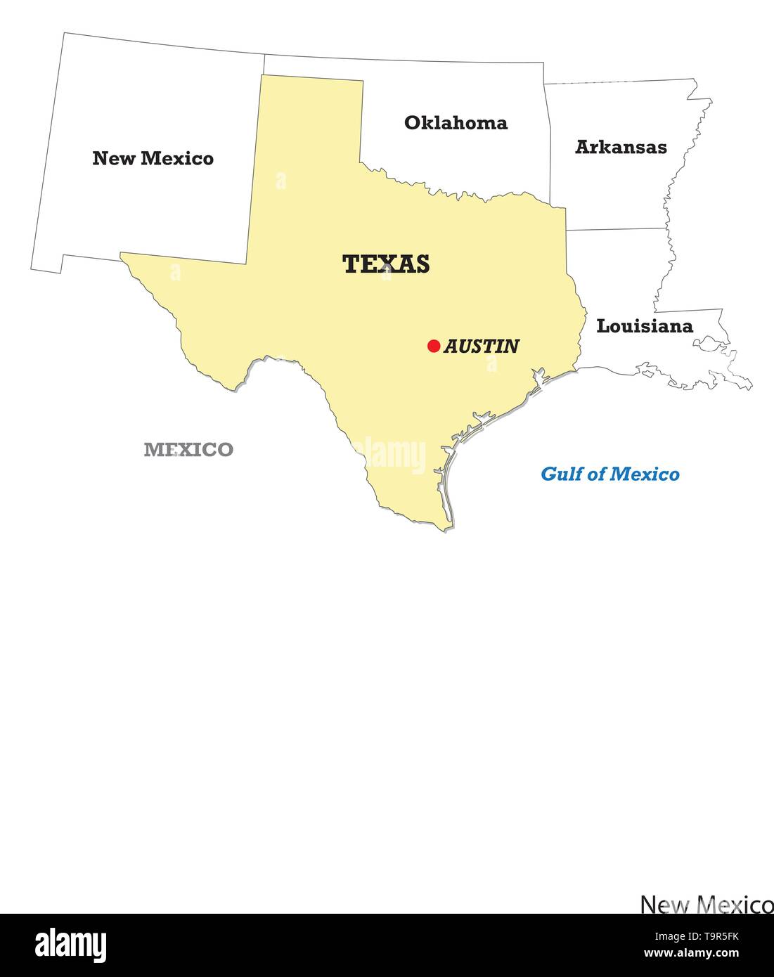 Texas state map with neighboring states Stock Vectorhttps://www.alamy.com/image-license-details/?v=1https://www.alamy.com/texas-state-map-with-neighboring-states-image246986311.html
RFT9R5FK–Texas state map with neighboring states
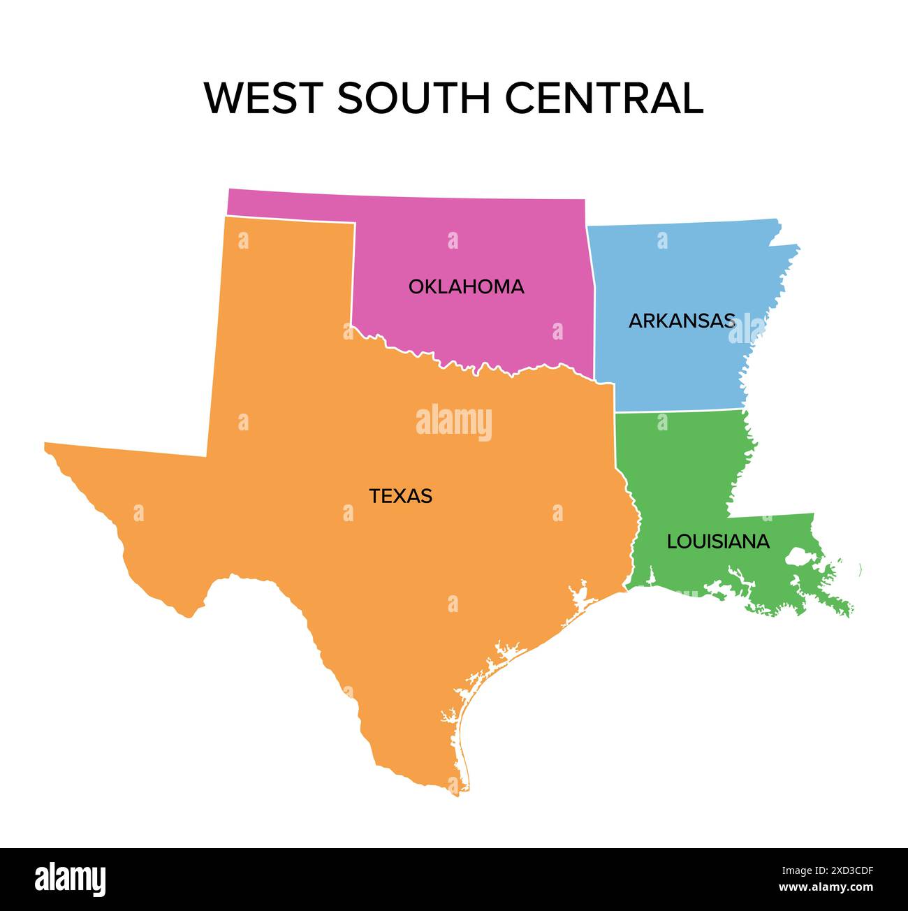 West South Central states, multi colored political map. United States Census division of the South region. Stock Photohttps://www.alamy.com/image-license-details/?v=1https://www.alamy.com/west-south-central-states-multi-colored-political-map-united-states-census-division-of-the-south-region-image610429051.html
RF2XD3CDF–West South Central states, multi colored political map. United States Census division of the South region.
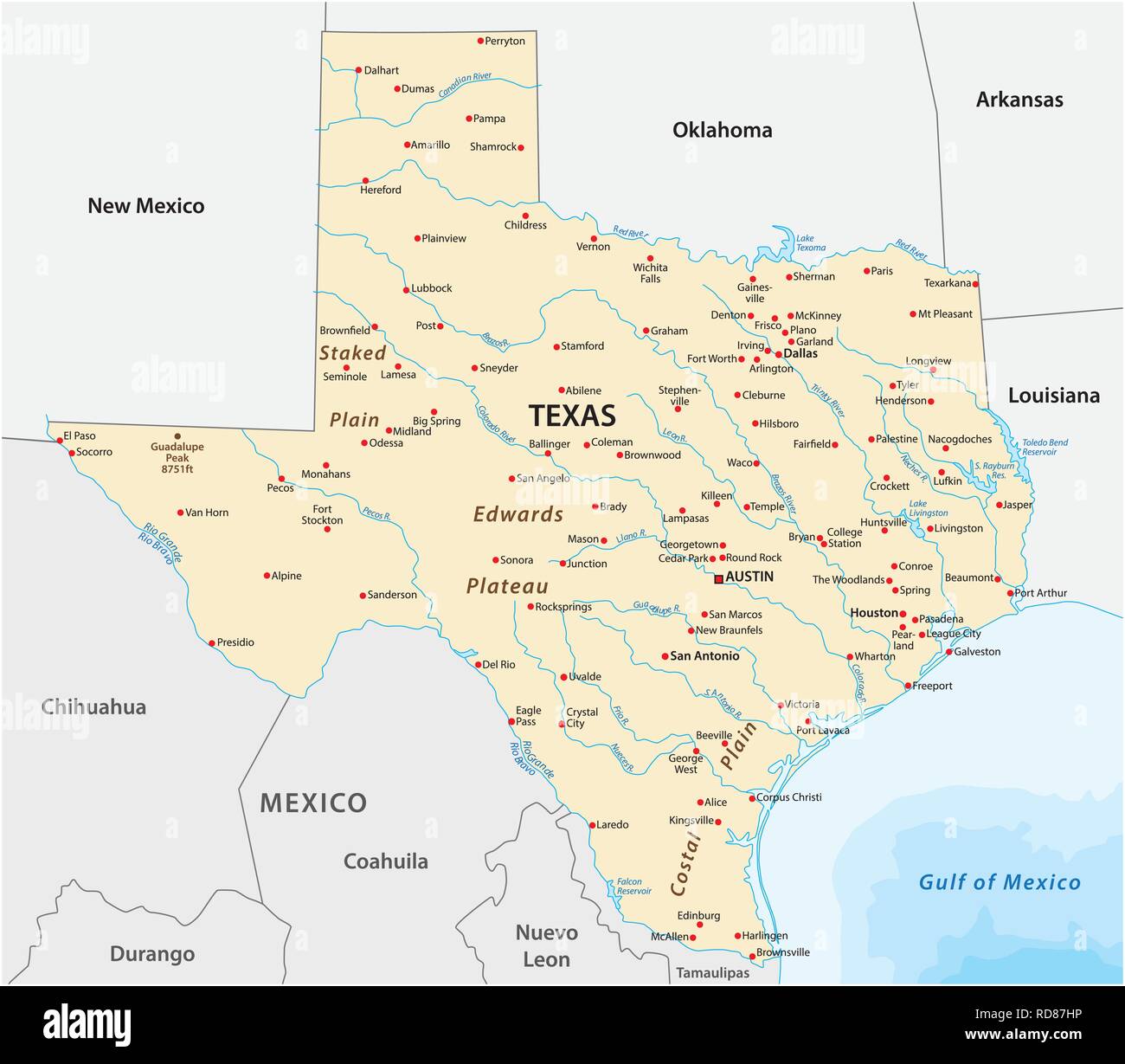 Vector Map of the U.S. state of Texas Stock Vectorhttps://www.alamy.com/image-license-details/?v=1https://www.alamy.com/vector-map-of-the-us-state-of-texas-image231906914.html
RFRD87HP–Vector Map of the U.S. state of Texas
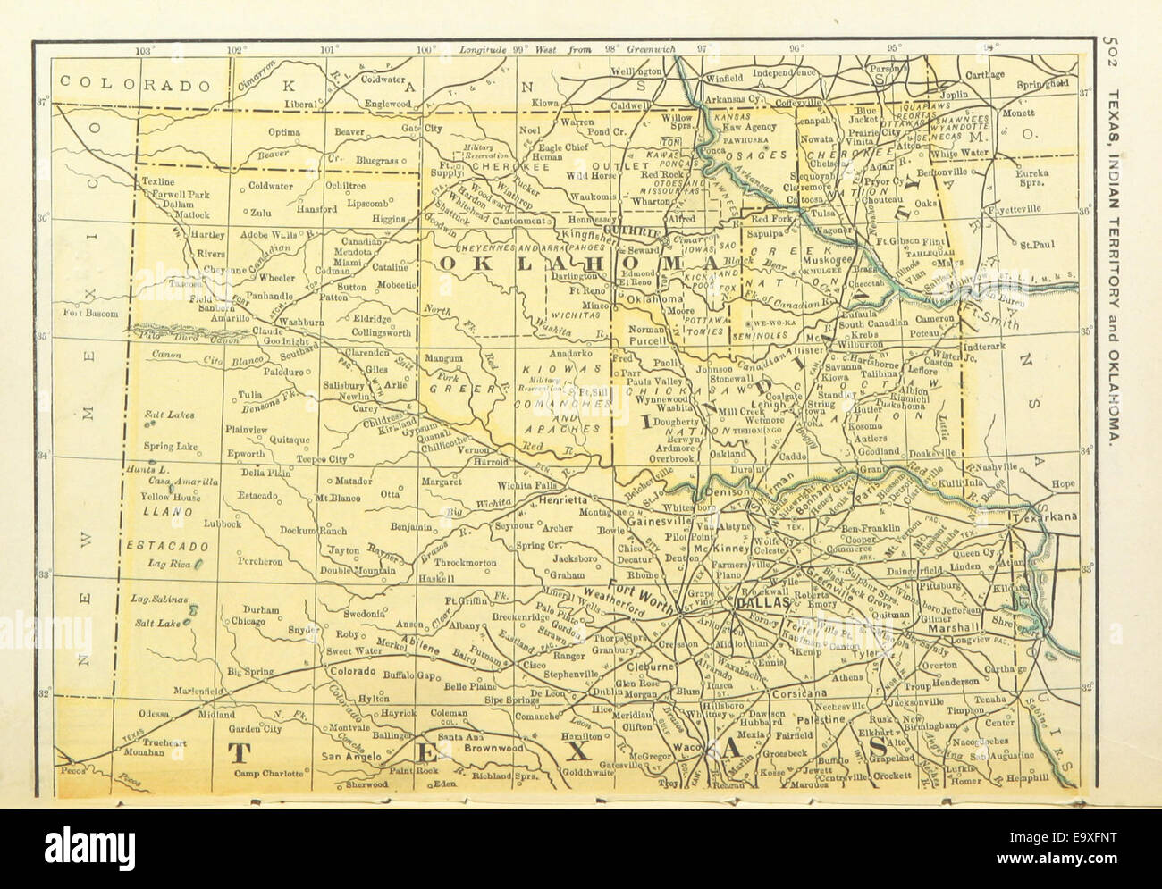 US-MAPS(1891) p504 - MAP OF TEXAS, OKLAHOMA AND INDIAN TERRITORY (l) Stock Photohttps://www.alamy.com/image-license-details/?v=1https://www.alamy.com/stock-photo-us-maps1891-p504-map-of-texas-oklahoma-and-indian-territory-l-74956500.html
RME9XFNT–US-MAPS(1891) p504 - MAP OF TEXAS, OKLAHOMA AND INDIAN TERRITORY (l)
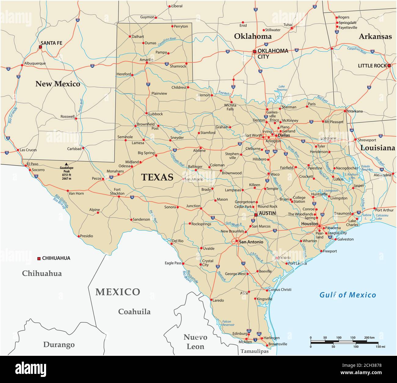 vector road map of the US state of Texas Stock Vectorhttps://www.alamy.com/image-license-details/?v=1https://www.alamy.com/vector-road-map-of-the-us-state-of-texas-image371939212.html
RF2CH3878–vector road map of the US state of Texas
 Eva, Texas County, US, United States, Oklahoma, N 36 47' 54'', S 101 54' 24'', map, Cartascapes Map published in 2024. Explore Cartascapes, a map revealing Earth's diverse landscapes, cultures, and ecosystems. Journey through time and space, discovering the interconnectedness of our planet's past, present, and future. Stock Photohttps://www.alamy.com/image-license-details/?v=1https://www.alamy.com/eva-texas-county-us-united-states-oklahoma-n-36-47-54-s-101-54-24-map-cartascapes-map-published-in-2024-explore-cartascapes-a-map-revealing-earths-diverse-landscapes-cultures-and-ecosystems-journey-through-time-and-space-discovering-the-interconnectedness-of-our-planets-past-present-and-future-image621483034.html
RM2Y32YXJ–Eva, Texas County, US, United States, Oklahoma, N 36 47' 54'', S 101 54' 24'', map, Cartascapes Map published in 2024. Explore Cartascapes, a map revealing Earth's diverse landscapes, cultures, and ecosystems. Journey through time and space, discovering the interconnectedness of our planet's past, present, and future.
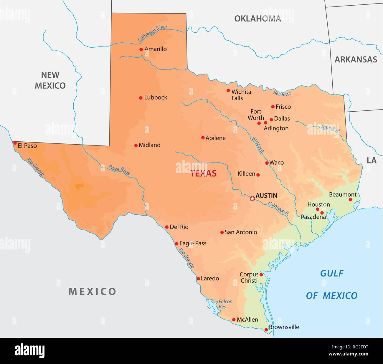 simple colored texas state physical vector map Stock Vectorhttps://www.alamy.com/image-license-details/?v=1https://www.alamy.com/simple-colored-texas-state-physical-vector-map-image233624548.html
RFRG2EDT–simple colored texas state physical vector map
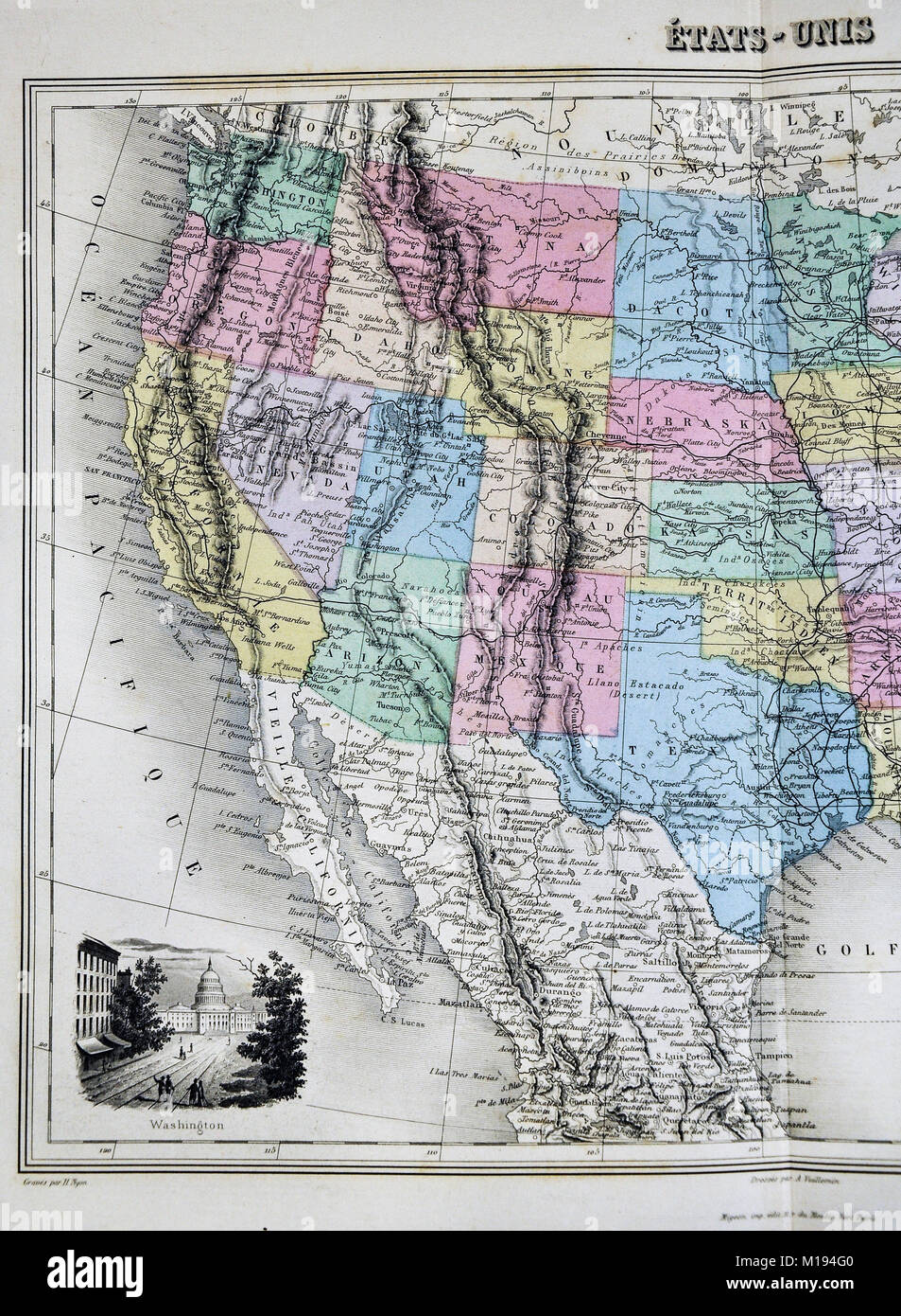 1877 Migeon Map United States North America Stock Photohttps://www.alamy.com/image-license-details/?v=1https://www.alamy.com/stock-photo-1877-migeon-map-united-states-north-america-172919488.html
RFM194G0–1877 Migeon Map United States North America
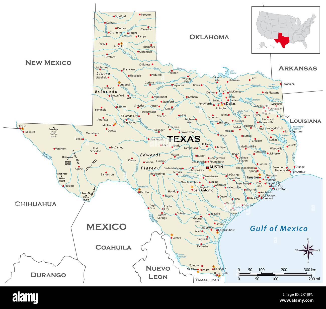 Highly detailed physical map of the US state of Texas Stock Photohttps://www.alamy.com/image-license-details/?v=1https://www.alamy.com/highly-detailed-physical-map-of-the-us-state-of-texas-image482914649.html
RF2K1JJFN–Highly detailed physical map of the US state of Texas
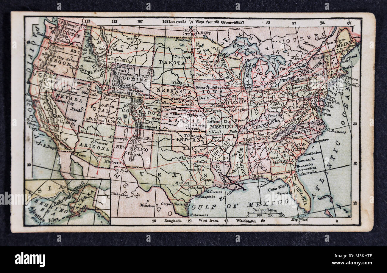 1882 Bradstreet Atlas Map - United States of America Stock Photohttps://www.alamy.com/image-license-details/?v=1https://www.alamy.com/stock-photo-1882-bradstreet-atlas-map-united-states-of-america-174378750.html
RFM3KHTE–1882 Bradstreet Atlas Map - United States of America
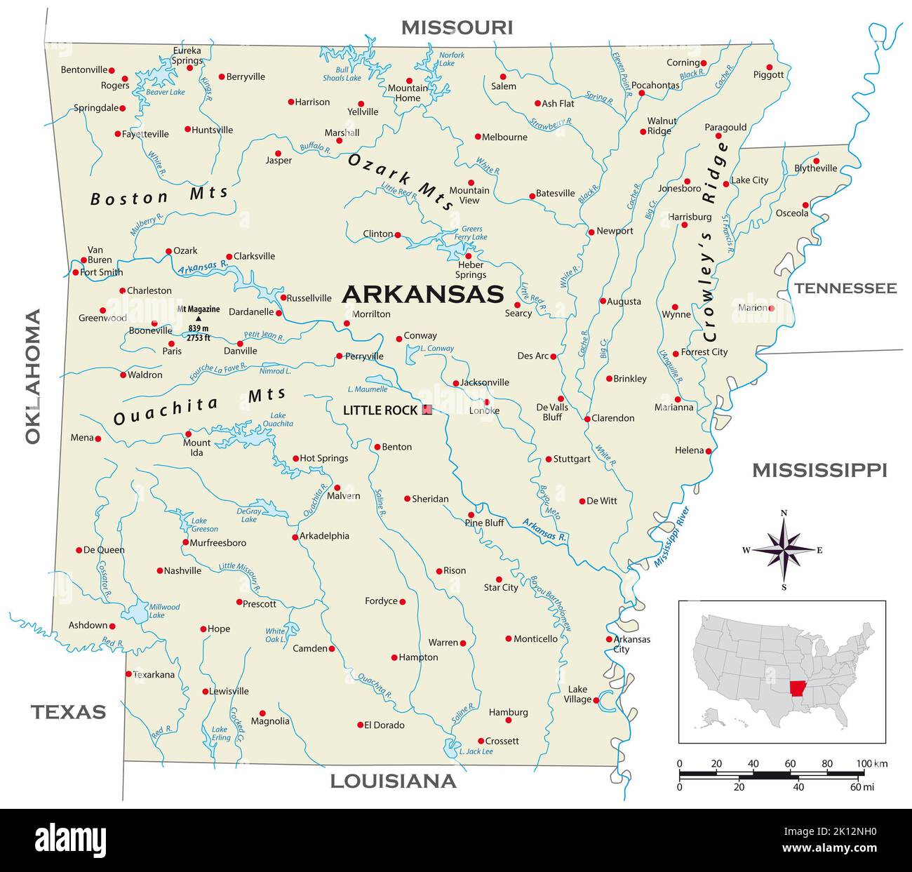 Highly detailed physical map of the US state of Arkansas Stock Photohttps://www.alamy.com/image-license-details/?v=1https://www.alamy.com/highly-detailed-physical-map-of-the-us-state-of-arkansas-image482565804.html
RF2K12NH0–Highly detailed physical map of the US state of Arkansas
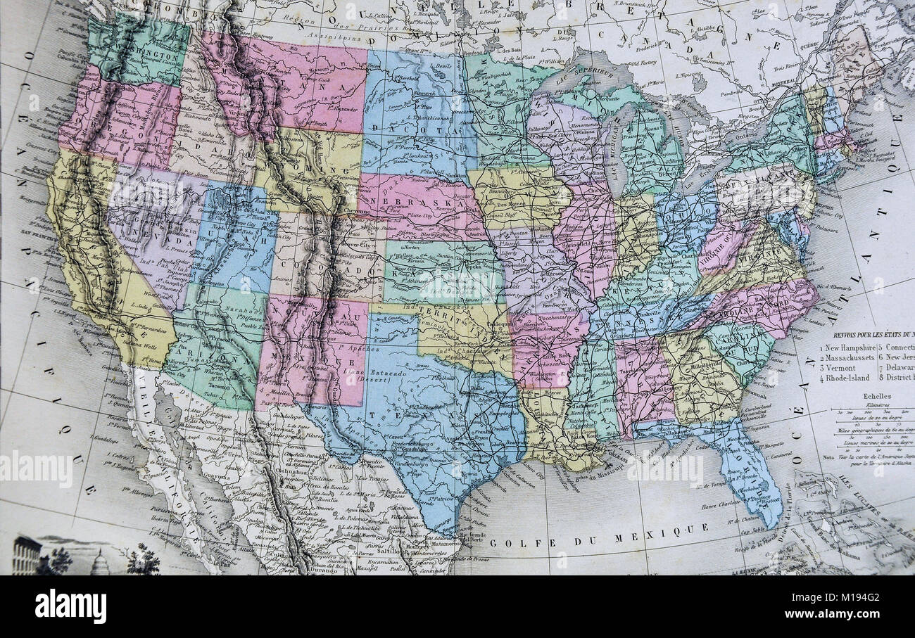 1877 Migeon Map - North America - United States Canada Mexico West Indies Alaska Stock Photohttps://www.alamy.com/image-license-details/?v=1https://www.alamy.com/stock-photo-1877-migeon-map-north-america-united-states-canada-mexico-west-indies-172919490.html
RFM194G2–1877 Migeon Map - North America - United States Canada Mexico West Indies Alaska
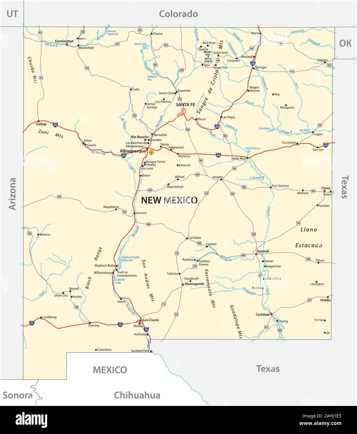 road map of the US American State of New Mexico Stock Vectorhttps://www.alamy.com/image-license-details/?v=1https://www.alamy.com/road-map-of-the-us-american-state-of-new-mexico-image337842461.html
RF2AHJ1E5–road map of the US American State of New Mexico
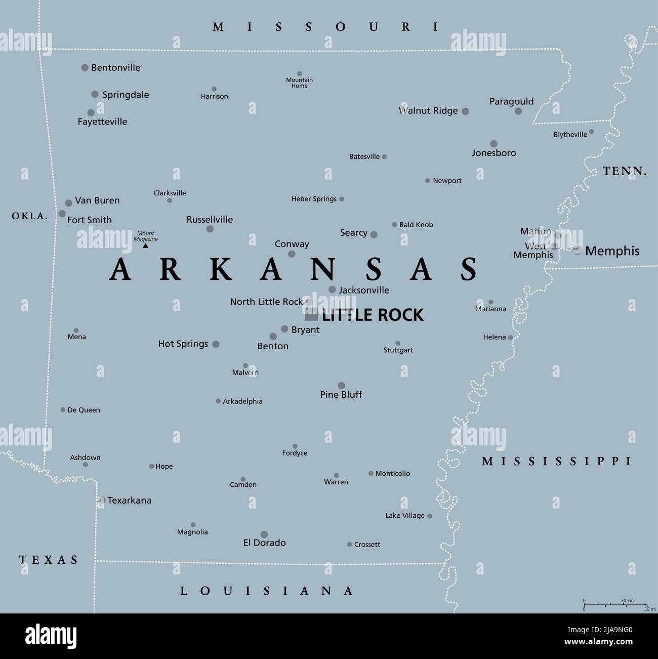 Arkansas, AR, gray political map, with the capital Little Rock and large, important cities. Landlocked state in the South Central United States. Stock Photohttps://www.alamy.com/image-license-details/?v=1https://www.alamy.com/arkansas-ar-gray-political-map-with-the-capital-little-rock-and-large-important-cities-landlocked-state-in-the-south-central-united-states-image471040976.html
RF2JA9NG0–Arkansas, AR, gray political map, with the capital Little Rock and large, important cities. Landlocked state in the South Central United States.
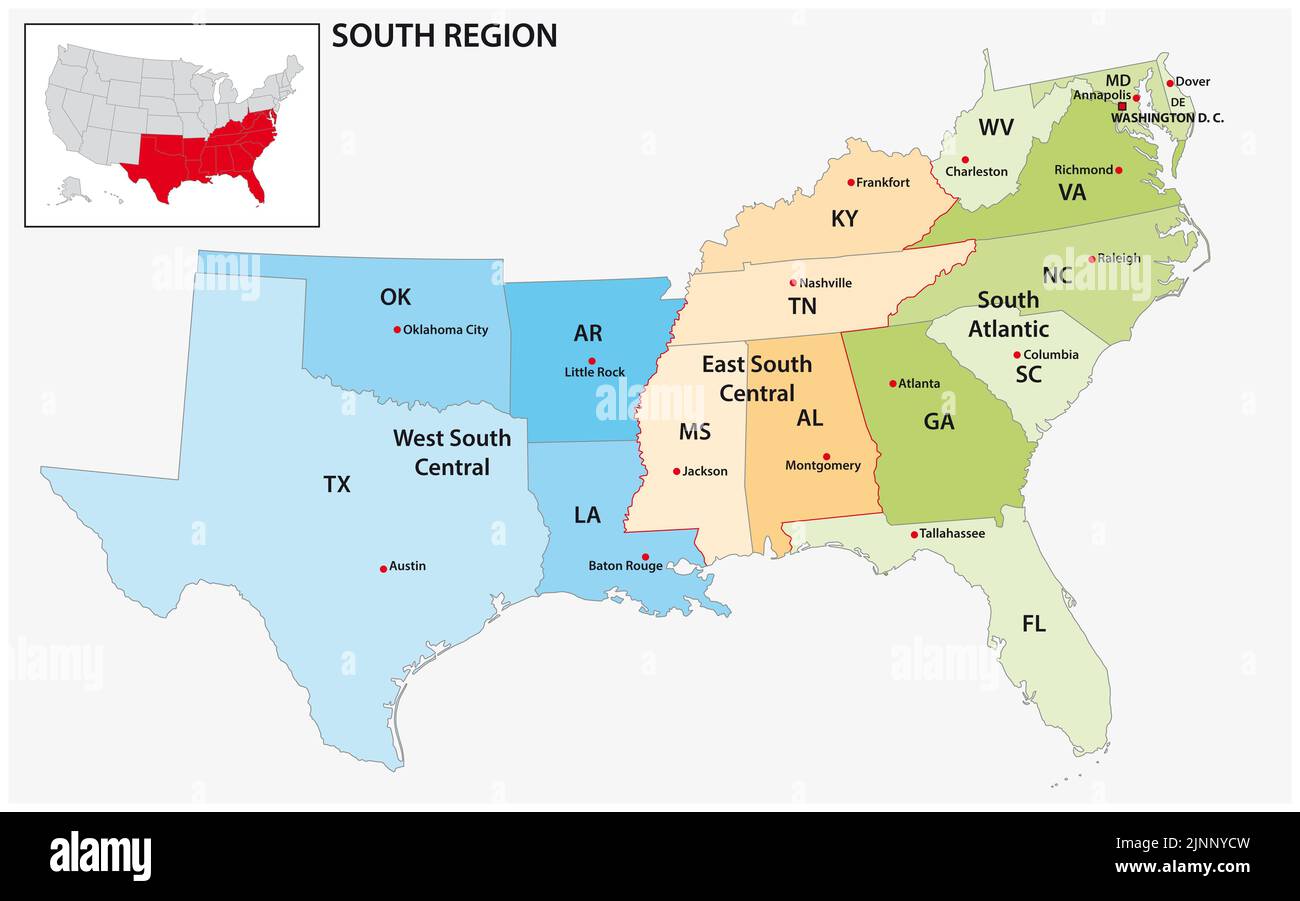 Administrative vector map of the US Census Region South Stock Photohttps://www.alamy.com/image-license-details/?v=1https://www.alamy.com/administrative-vector-map-of-the-us-census-region-south-image478070233.html
RF2JNNYCW–Administrative vector map of the US Census Region South
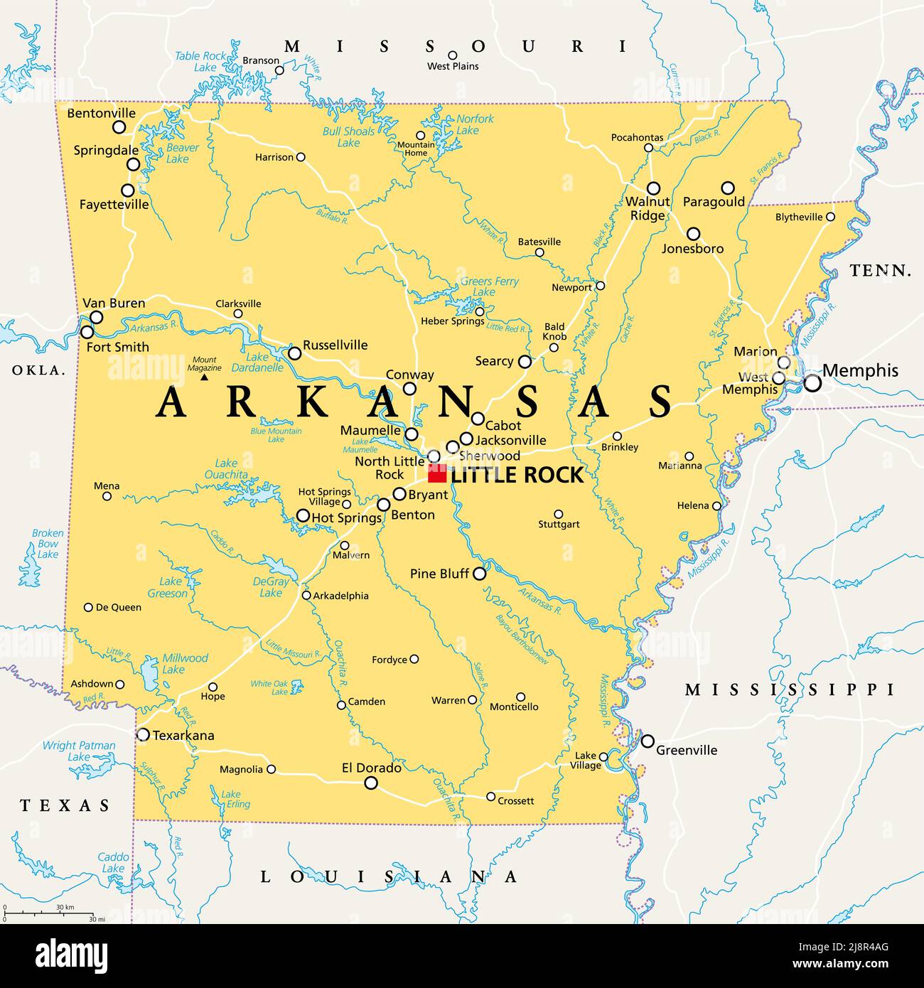 Arkansas, AR, political map, with capital Little Rock, and largest cities, lakes and rivers. Landlocked state in the South Central United States. Stock Photohttps://www.alamy.com/image-license-details/?v=1https://www.alamy.com/arkansas-ar-political-map-with-capital-little-rock-and-largest-cities-lakes-and-rivers-landlocked-state-in-the-south-central-united-states-image470105512.html
RF2J8R4AG–Arkansas, AR, political map, with capital Little Rock, and largest cities, lakes and rivers. Landlocked state in the South Central United States.
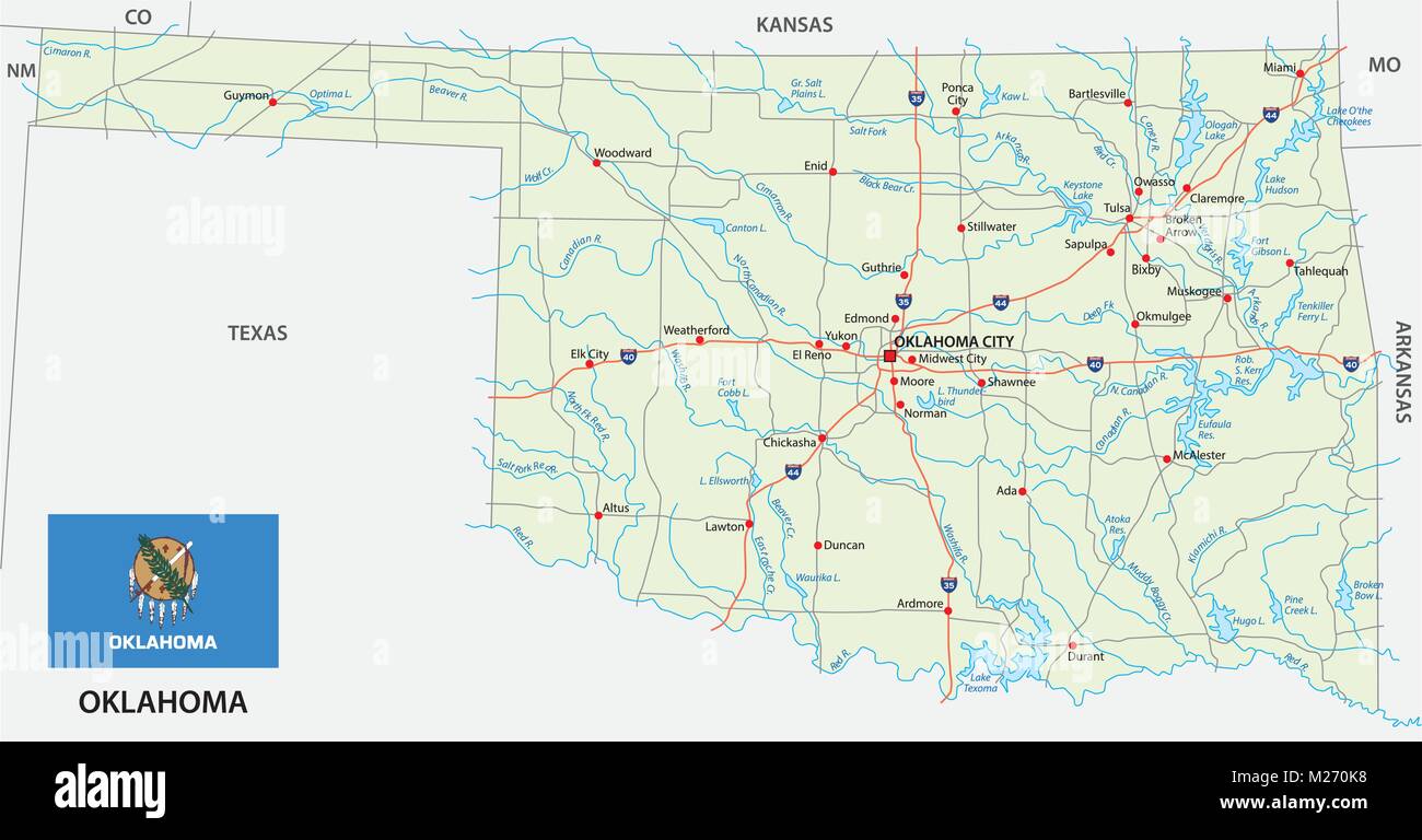 oklahoma road vector map with flag Stock Vectorhttps://www.alamy.com/image-license-details/?v=1https://www.alamy.com/stock-photo-oklahoma-road-vector-map-with-flag-173487196.html
RFM270K8–oklahoma road vector map with flag
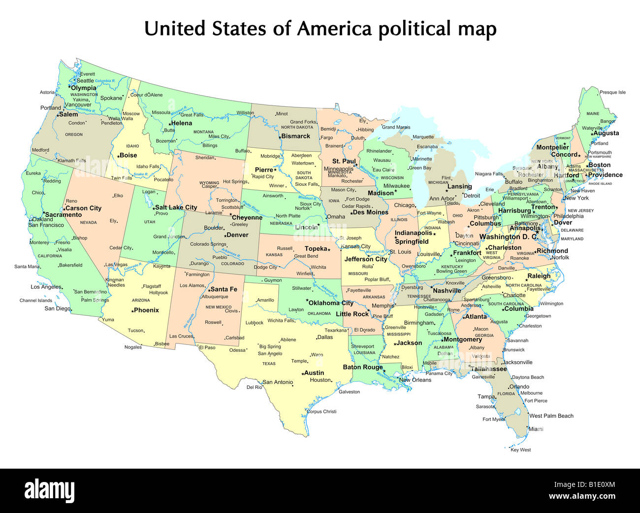 United States of America political map with states and capital city Stock Photohttps://www.alamy.com/image-license-details/?v=1https://www.alamy.com/stock-photo-united-states-of-america-political-map-with-states-and-capital-city-18133100.html
RFB1E0XM–United States of America political map with states and capital city
 . United States. English: This is a fascinating 1850 map of the United States. Covers the United States from Texas (shown at fullest extant) and Santa Fe north through the Missouri Territory to Canada and east to the Atlantic. The Trans-Mississippi region is exceptionally interesting with a fascinating (if somewhat inaccurate even ate the time) depiction of the political geography. A long Narrow Nebraska territory extends to Canada. There is a large “Western Territory roughly where Oklahoma is today. New Mexico Territory is alternatively called Santa Fe territory. Missouri Territory occupies Stock Photohttps://www.alamy.com/image-license-details/?v=1https://www.alamy.com/united-states-english-this-is-a-fascinating-1850-map-of-the-united-states-covers-the-united-states-from-texas-shown-at-fullest-extant-and-santa-fe-north-through-the-missouri-territory-to-canada-and-east-to-the-atlantic-the-trans-mississippi-region-is-exceptionally-interesting-with-a-fascinating-if-somewhat-inaccurate-even-ate-the-time-depiction-of-the-political-geography-a-long-narrow-nebraska-territory-extends-to-canada-there-is-a-large-western-territory-roughly-where-oklahoma-is-today-new-mexico-territory-is-alternatively-called-santa-fe-territory-missouri-territory-occupies-image187621646.html
RMMW6W92–. United States. English: This is a fascinating 1850 map of the United States. Covers the United States from Texas (shown at fullest extant) and Santa Fe north through the Missouri Territory to Canada and east to the Atlantic. The Trans-Mississippi region is exceptionally interesting with a fascinating (if somewhat inaccurate even ate the time) depiction of the political geography. A long Narrow Nebraska territory extends to Canada. There is a large “Western Territory roughly where Oklahoma is today. New Mexico Territory is alternatively called Santa Fe territory. Missouri Territory occupies