Quick filters:
The bronx aerial Stock Photos and Images
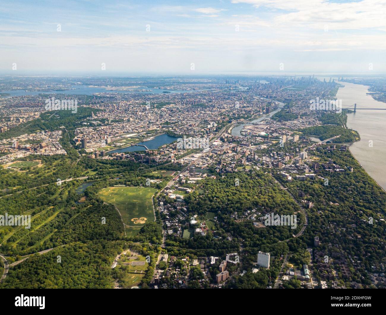 Aerial view of Bronx, New York City with Manhattan and Brooklyn in the distance, facing south Stock Photohttps://www.alamy.com/image-license-details/?v=1https://www.alamy.com/aerial-view-of-bronx-new-york-city-with-manhattan-and-brooklyn-in-the-distance-facing-south-image394994569.html
RF2DXHFGW–Aerial view of Bronx, New York City with Manhattan and Brooklyn in the distance, facing south
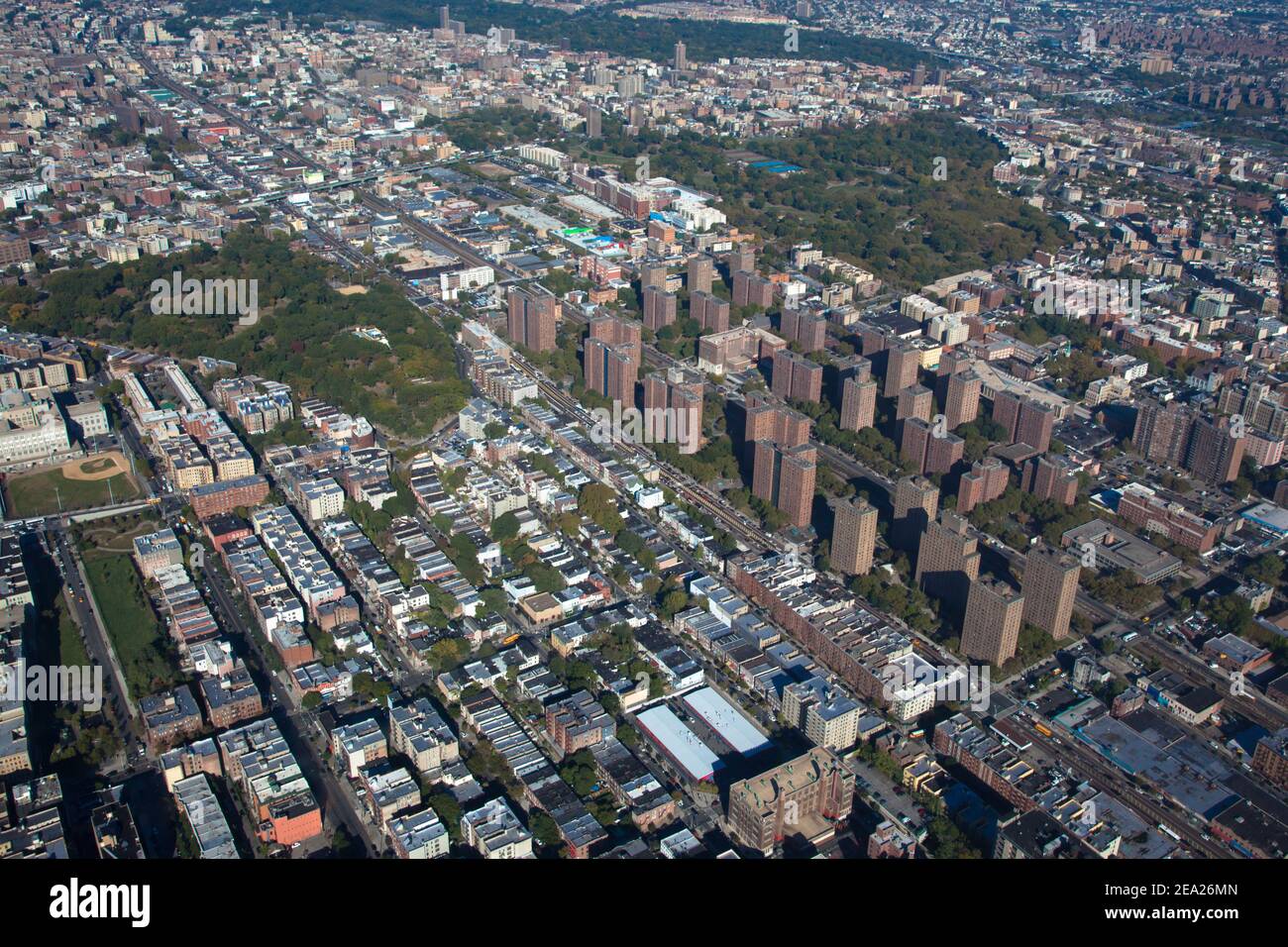 Claremont village. New York. Bronx. Helicopter view Stock Photohttps://www.alamy.com/image-license-details/?v=1https://www.alamy.com/claremont-village-new-york-bronx-helicopter-view-image402034213.html
RF2EA26MN–Claremont village. New York. Bronx. Helicopter view
RM2A6W5WG–Manhattan Bronx NYC Aerial - View from above to the Manhattan and the Bronx NY Skyline with the the iconic landmark of Yankee Stadium.
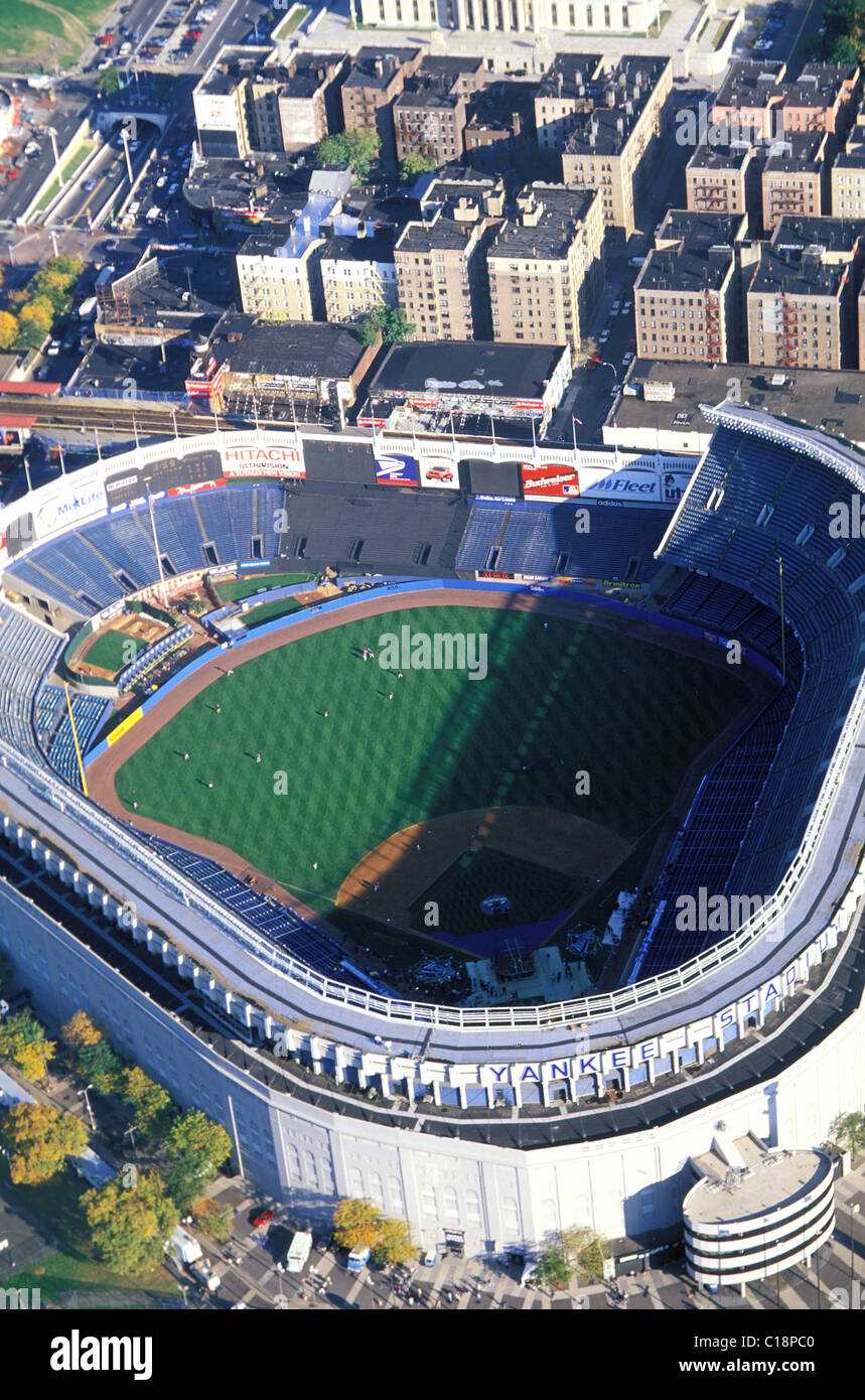 United States, New York City, the Bronx (aerial view) of the Yankee Stadium Stock Photohttps://www.alamy.com/image-license-details/?v=1https://www.alamy.com/stock-photo-united-states-new-york-city-the-bronx-aerial-view-of-the-yankee-stadium-35228592.html
RMC18PC0–United States, New York City, the Bronx (aerial view) of the Yankee Stadium
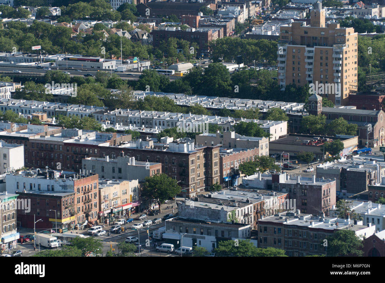 Aerial establishing photo of Brooklyn NY on a bright clear summer weather day. Birds eye view of typical urban city area Stock Photohttps://www.alamy.com/image-license-details/?v=1https://www.alamy.com/stock-photo-aerial-establishing-photo-of-brooklyn-ny-on-a-bright-clear-summer-176280517.html
RFM6P7GN–Aerial establishing photo of Brooklyn NY on a bright clear summer weather day. Birds eye view of typical urban city area
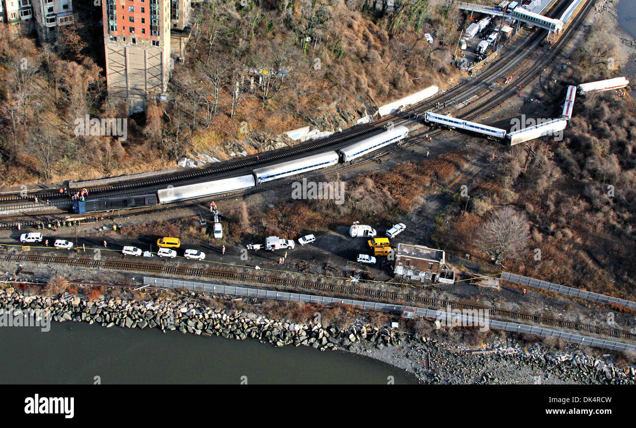 Aerial view of the Metro North train derailment accident that killed four people and injured dozens December 1, 2013 in Bronx, N.Y. Investigators from the NTSB said the train was traveling at 82 mph in a 30 mph zone. Stock Photohttps://www.alamy.com/image-license-details/?v=1https://www.alamy.com/aerial-view-of-the-metro-north-train-derailment-accident-that-killed-image63415769.html
RMDK4RCW–Aerial view of the Metro North train derailment accident that killed four people and injured dozens December 1, 2013 in Bronx, N.Y. Investigators from the NTSB said the train was traveling at 82 mph in a 30 mph zone.
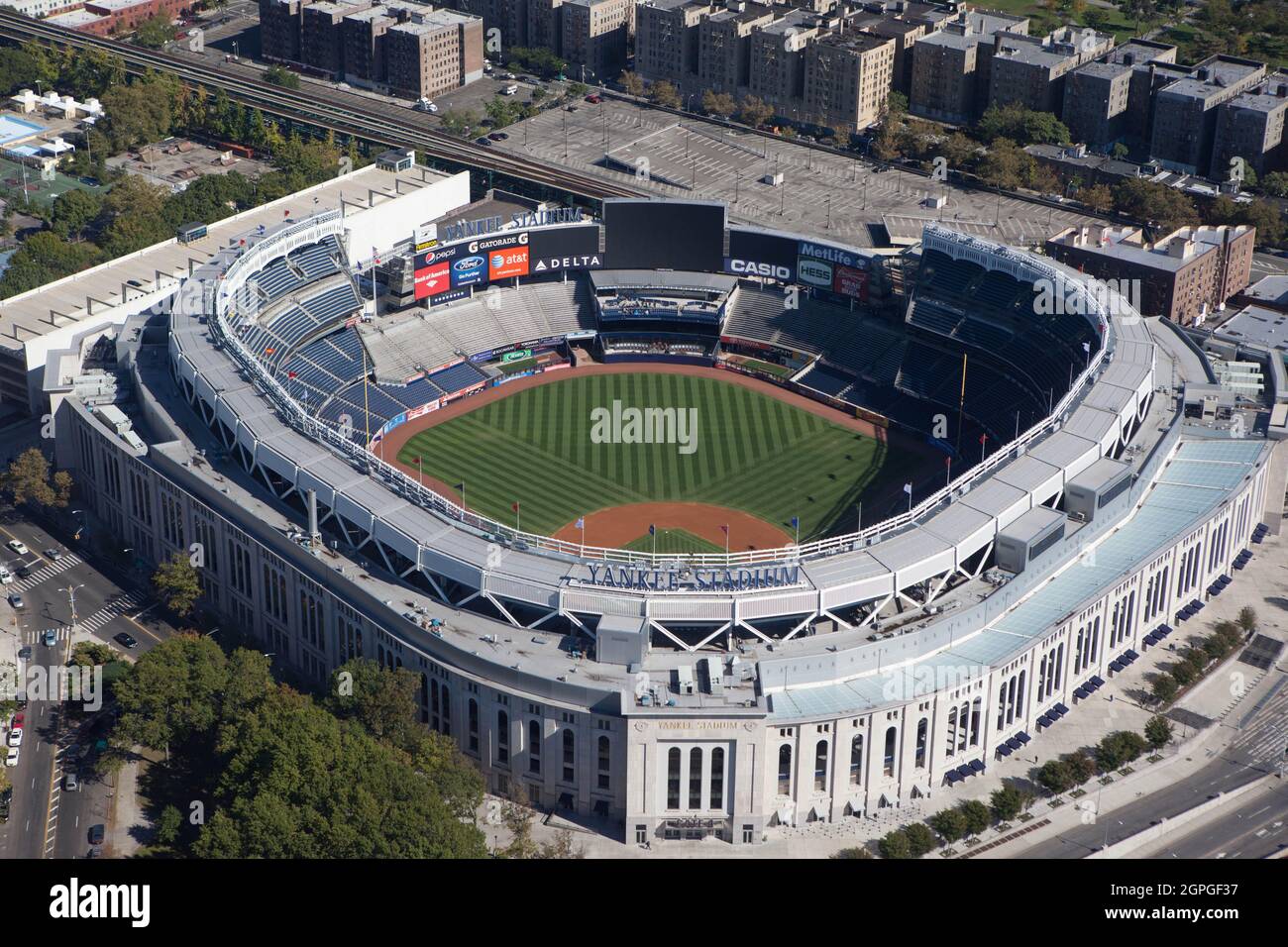 New Yankee Stadium from a helicopter on a sunny day in New York City, USA Stock Photohttps://www.alamy.com/image-license-details/?v=1https://www.alamy.com/new-yankee-stadium-from-a-helicopter-on-a-sunny-day-in-new-york-city-usa-image444144715.html
RF2GPGF37–New Yankee Stadium from a helicopter on a sunny day in New York City, USA
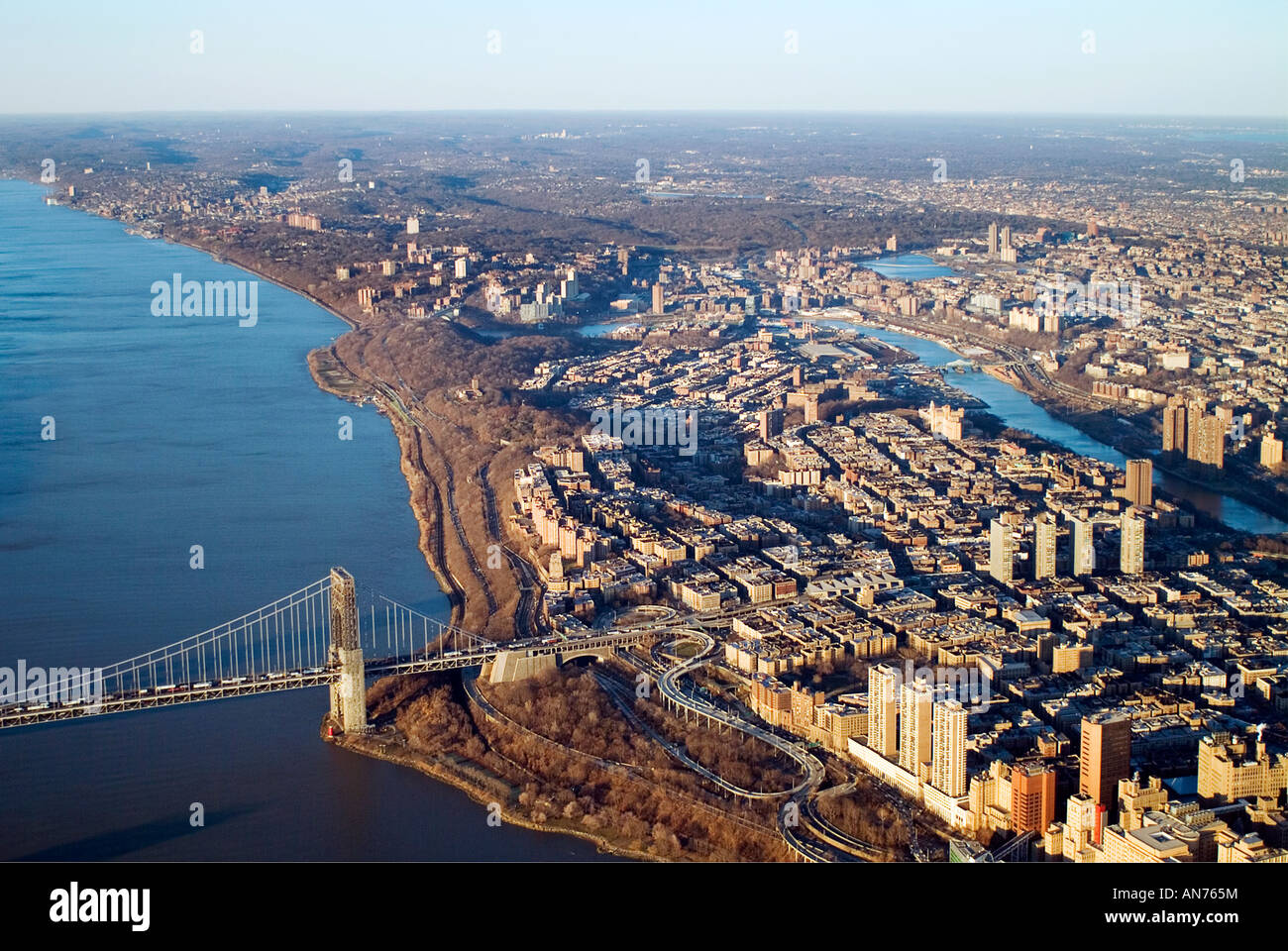 aerial view above George Washington bridge, Bronx, Manhattan, New York city Stock Photohttps://www.alamy.com/image-license-details/?v=1https://www.alamy.com/stock-photo-aerial-view-above-george-washington-bridge-bronx-manhattan-new-york-15434335.html
RMAN765M–aerial view above George Washington bridge, Bronx, Manhattan, New York city
 New York - Bronx, Aerial Photograph. Stock Photohttps://www.alamy.com/image-license-details/?v=1https://www.alamy.com/new-york-bronx-aerial-photograph-image534313423.html
RM2P18267–New York - Bronx, Aerial Photograph.
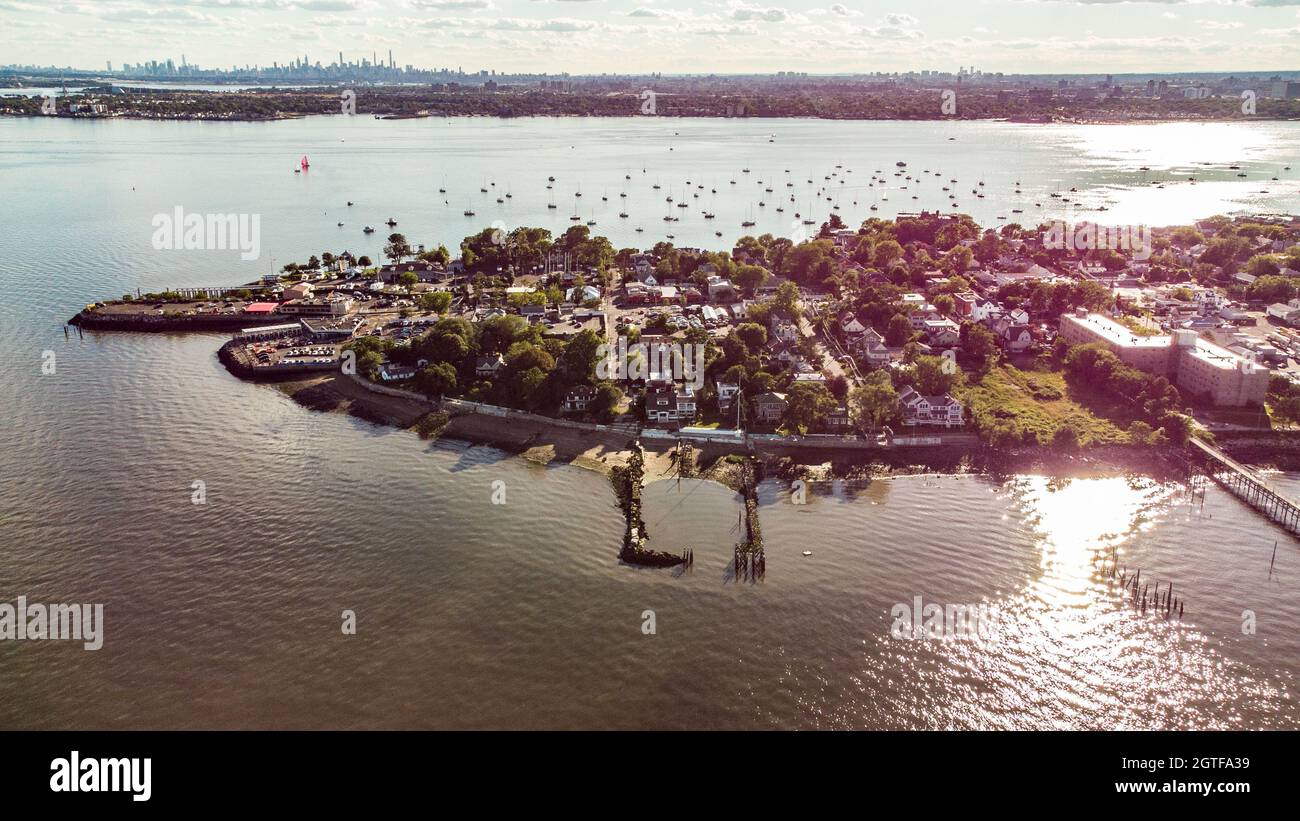 City Island, Bronx, New York City, NY, USA Stock Photohttps://www.alamy.com/image-license-details/?v=1https://www.alamy.com/city-island-bronx-new-york-city-ny-usa-image445348157.html
RM2GTFA39–City Island, Bronx, New York City, NY, USA
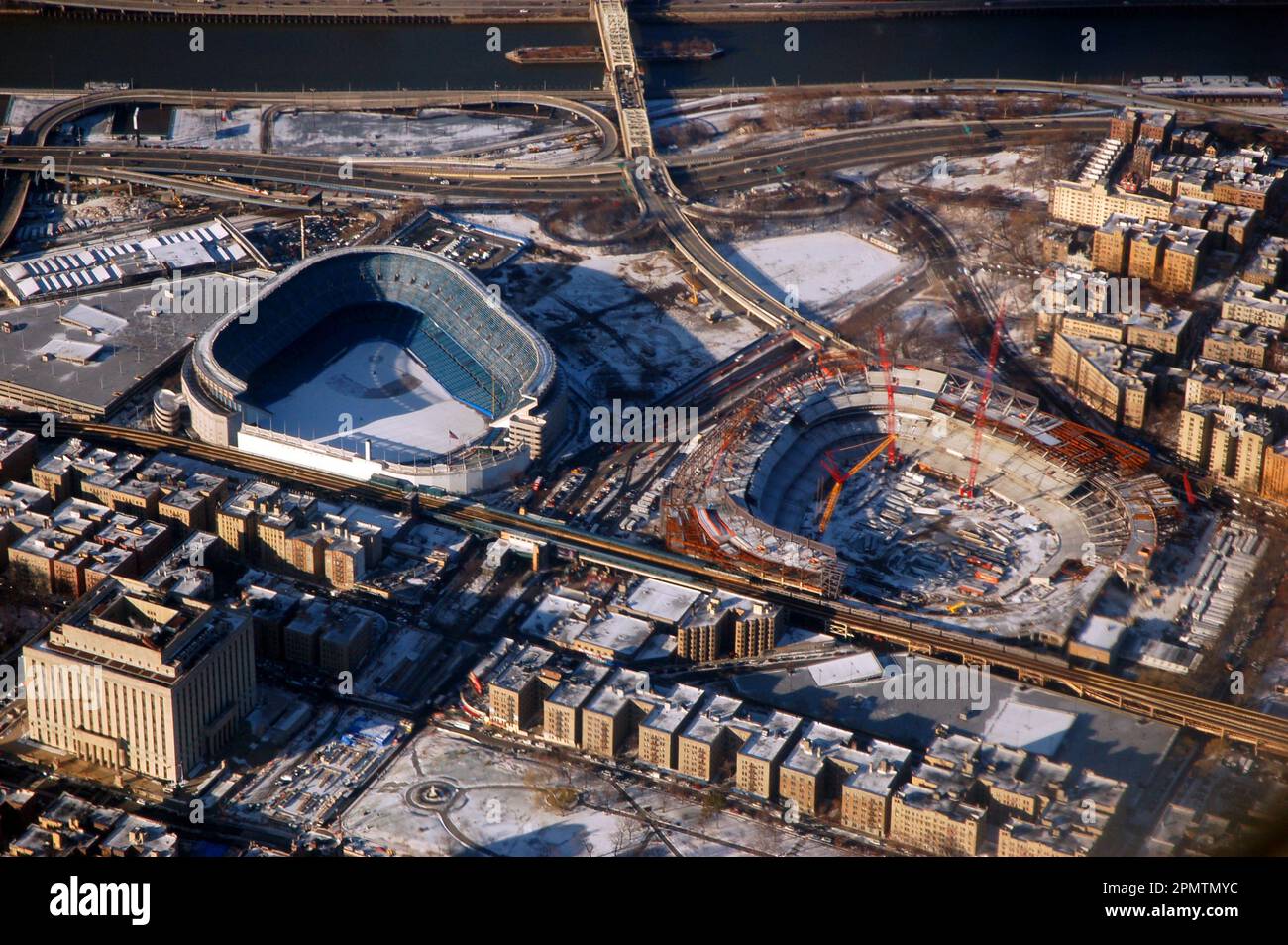 An aerial position gives a view of old Yankee Stadium standing next to the construction of the new ballpark, for the New York Yankees baseball team Stock Photohttps://www.alamy.com/image-license-details/?v=1https://www.alamy.com/an-aerial-position-gives-a-view-of-old-yankee-stadium-standing-next-to-the-construction-of-the-new-ballpark-for-the-new-york-yankees-baseball-team-image546357824.html
RF2PMTMYC–An aerial position gives a view of old Yankee Stadium standing next to the construction of the new ballpark, for the New York Yankees baseball team
 An aerial panoramic shot of City Island in the Bronx, NY Stock Photohttps://www.alamy.com/image-license-details/?v=1https://www.alamy.com/an-aerial-panoramic-shot-of-city-island-in-the-bronx-ny-image549933360.html
RF2PXKHH4–An aerial panoramic shot of City Island in the Bronx, NY
 bridges between Manhattan and the Bronx. New York NYC. Stock Photohttps://www.alamy.com/image-license-details/?v=1https://www.alamy.com/bridges-between-manhattan-and-the-bronx-new-york-nyc-image402034207.html
RF2EA26MF–bridges between Manhattan and the Bronx. New York NYC.
 Densely packed apartment buildings in the NYC borough of the Bronx Stock Photohttps://www.alamy.com/image-license-details/?v=1https://www.alamy.com/stock-photo-densely-packed-apartment-buildings-in-the-nyc-borough-of-the-bronx-14792352.html
RMAJPYEW–Densely packed apartment buildings in the NYC borough of the Bronx
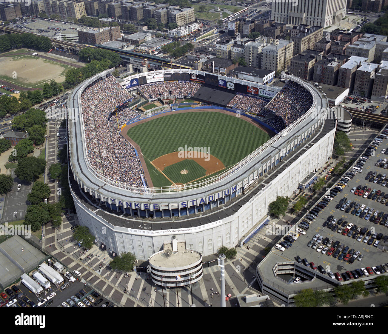 Aerial view of Yankee Stadium located in Bronx, New York. usa united states of America USA American League Major league baseball Stock Photohttps://www.alamy.com/image-license-details/?v=1https://www.alamy.com/aerial-view-of-yankee-stadium-located-in-bronx-new-york-usa-united-image6922907.html
RMA8JBNC–Aerial view of Yankee Stadium located in Bronx, New York. usa united states of America USA American League Major league baseball
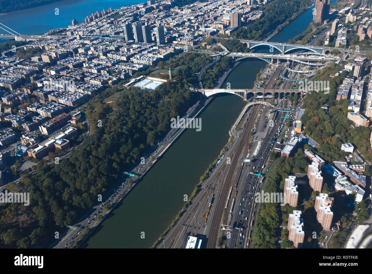 Harlem river. Bridges between Manhattan and the Bronx in New York NYC in USA. Upper Manhattan. Aerial helicopter view Stock Photohttps://www.alamy.com/image-license-details/?v=1https://www.alamy.com/harlem-river-bridges-between-manhattan-and-the-bronx-in-new-york-nyc-in-usa-upper-manhattan-aerial-helicopter-view-image232264463.html
RFRDTFKB–Harlem river. Bridges between Manhattan and the Bronx in New York NYC in USA. Upper Manhattan. Aerial helicopter view
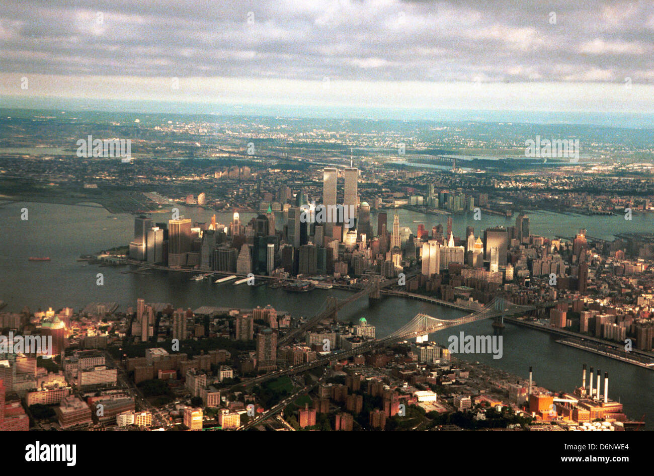 Aerial Manhattan most densely populated borough New York CIty,World Trade Center, twin towers Manhattan,Sept 11 2001, Stock Photohttps://www.alamy.com/image-license-details/?v=1https://www.alamy.com/stock-photo-aerial-manhattan-most-densely-populated-borough-new-york-cityworld-55800028.html
RMD6NWE4–Aerial Manhattan most densely populated borough New York CIty,World Trade Center, twin towers Manhattan,Sept 11 2001,
 New York City From Above Stock Photohttps://www.alamy.com/image-license-details/?v=1https://www.alamy.com/stock-photo-new-york-city-from-above-135016216.html
RMHRJEFM–New York City From Above
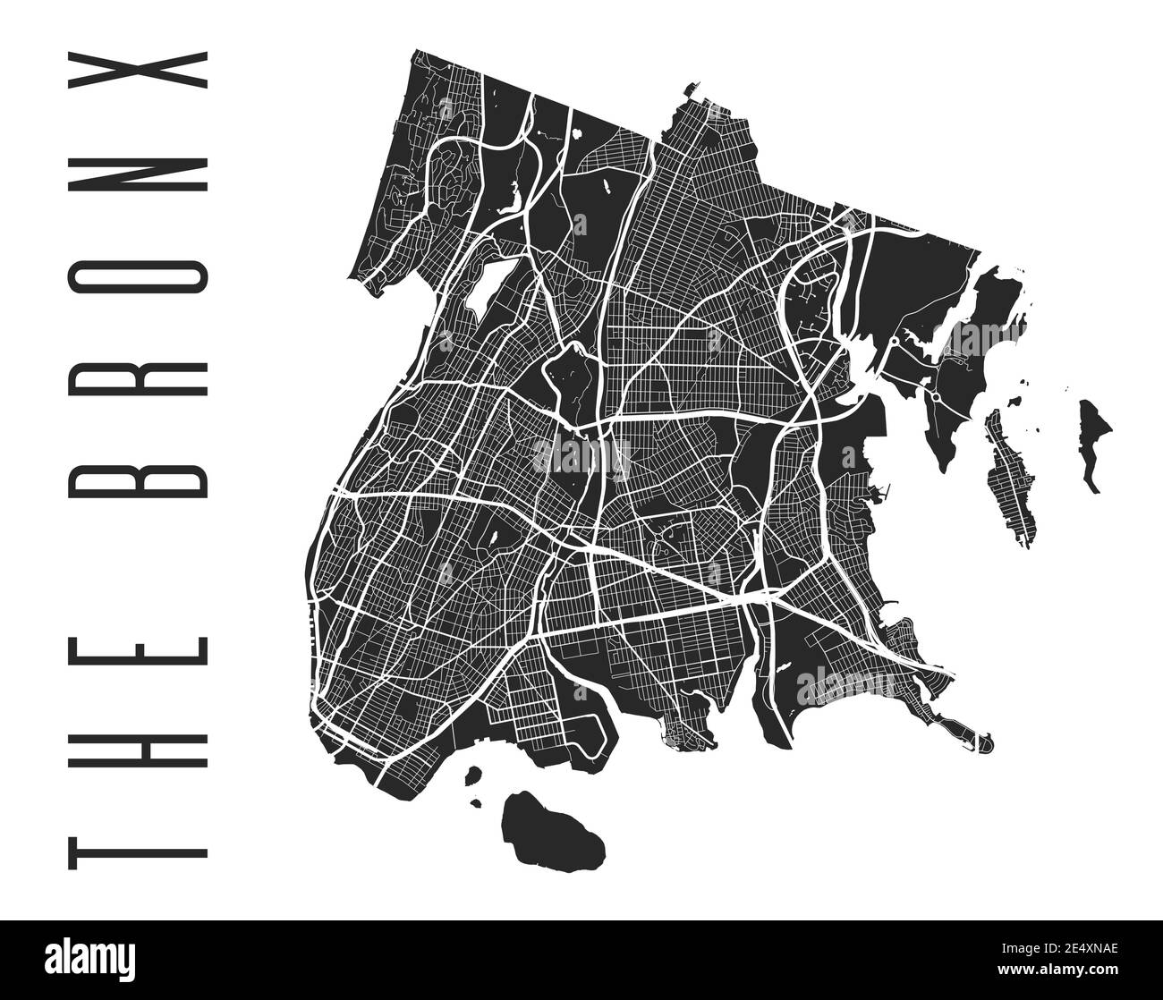 The Bronx map poster. New York city borough street map. Cityscape aria panorama silhouette aerial view, typography style. Jerome, Woodlawn Cemetery, V Stock Vectorhttps://www.alamy.com/image-license-details/?v=1https://www.alamy.com/the-bronx-map-poster-new-york-city-borough-street-map-cityscape-aria-panorama-silhouette-aerial-view-typography-style-jerome-woodlawn-cemetery-v-image398884598.html
RF2E4XNAE–The Bronx map poster. New York city borough street map. Cityscape aria panorama silhouette aerial view, typography style. Jerome, Woodlawn Cemetery, V
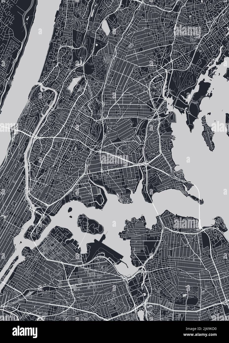 Detailed borough map of The Bronx New York city, monochrome vector poster or postcard city street plan aerial view Stock Vectorhttps://www.alamy.com/image-license-details/?v=1https://www.alamy.com/detailed-borough-map-of-the-bronx-new-york-city-monochrome-vector-poster-or-postcard-city-street-plan-aerial-view-image468580700.html
RF2J69KD0–Detailed borough map of The Bronx New York city, monochrome vector poster or postcard city street plan aerial view
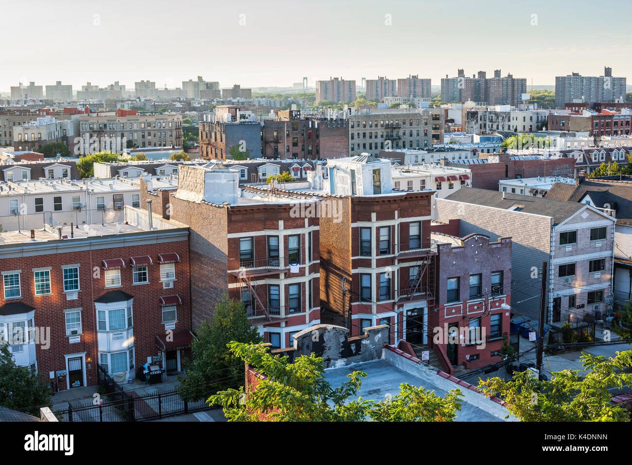 Bronx skyline, New York City Stock Photohttps://www.alamy.com/image-license-details/?v=1https://www.alamy.com/bronx-skyline-new-york-city-image157654385.html
RMK4DNNN–Bronx skyline, New York City
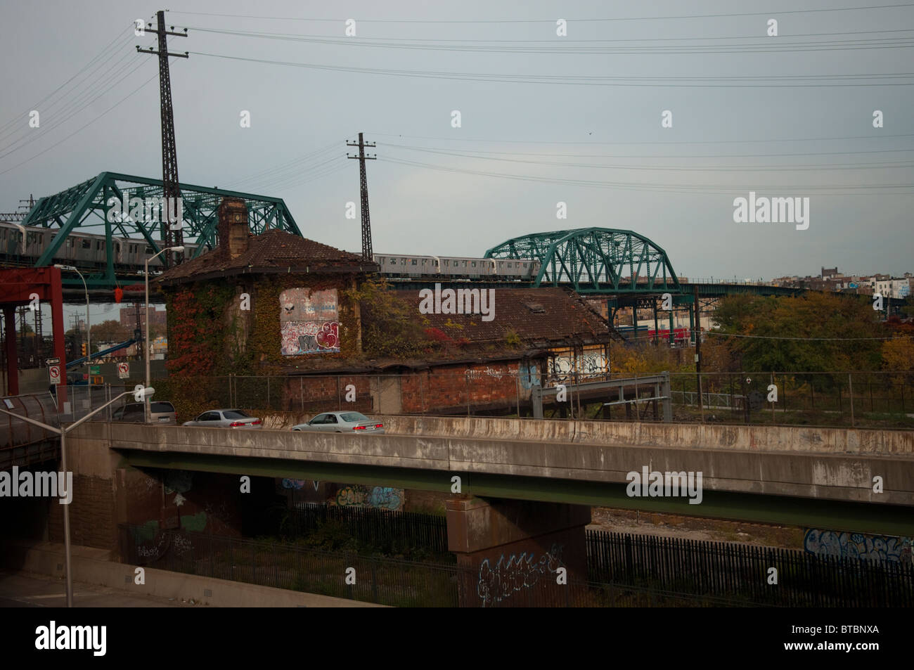 Industrial landscape in the New York borough of the Bronx Stock Photohttps://www.alamy.com/image-license-details/?v=1https://www.alamy.com/stock-photo-industrial-landscape-in-the-new-york-borough-of-the-bronx-32220786.html
RMBTBNXA–Industrial landscape in the New York borough of the Bronx
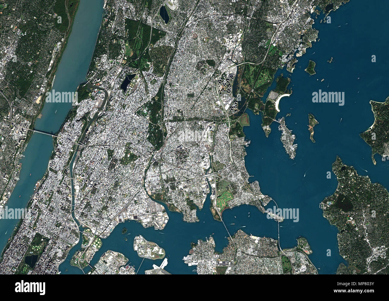 Bronx, New York, United States Stock Photohttps://www.alamy.com/image-license-details/?v=1https://www.alamy.com/bronx-new-york-united-states-image185801839.html
RMMP803Y–Bronx, New York, United States
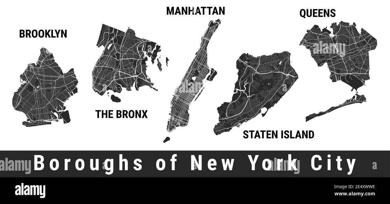 New York city boroughs map set. Manhattan, Brooklyn, The Bronx, Staten Island, Queens. Detailed street maps. Silhouette aerial view. Stock Vectorhttps://www.alamy.com/image-license-details/?v=1https://www.alamy.com/new-york-city-boroughs-map-set-manhattan-brooklyn-the-bronx-staten-island-queens-detailed-street-maps-silhouette-aerial-view-image398888154.html
RF2E4XWWE–New York city boroughs map set. Manhattan, Brooklyn, The Bronx, Staten Island, Queens. Detailed street maps. Silhouette aerial view.
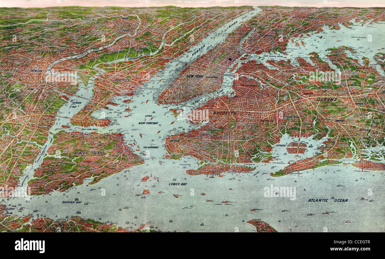 Overview map of New York City, 1912 Stock Photohttps://www.alamy.com/image-license-details/?v=1https://www.alamy.com/stock-photo-overview-map-of-new-york-city-1912-42117175.html
RMCCEGTR–Overview map of New York City, 1912
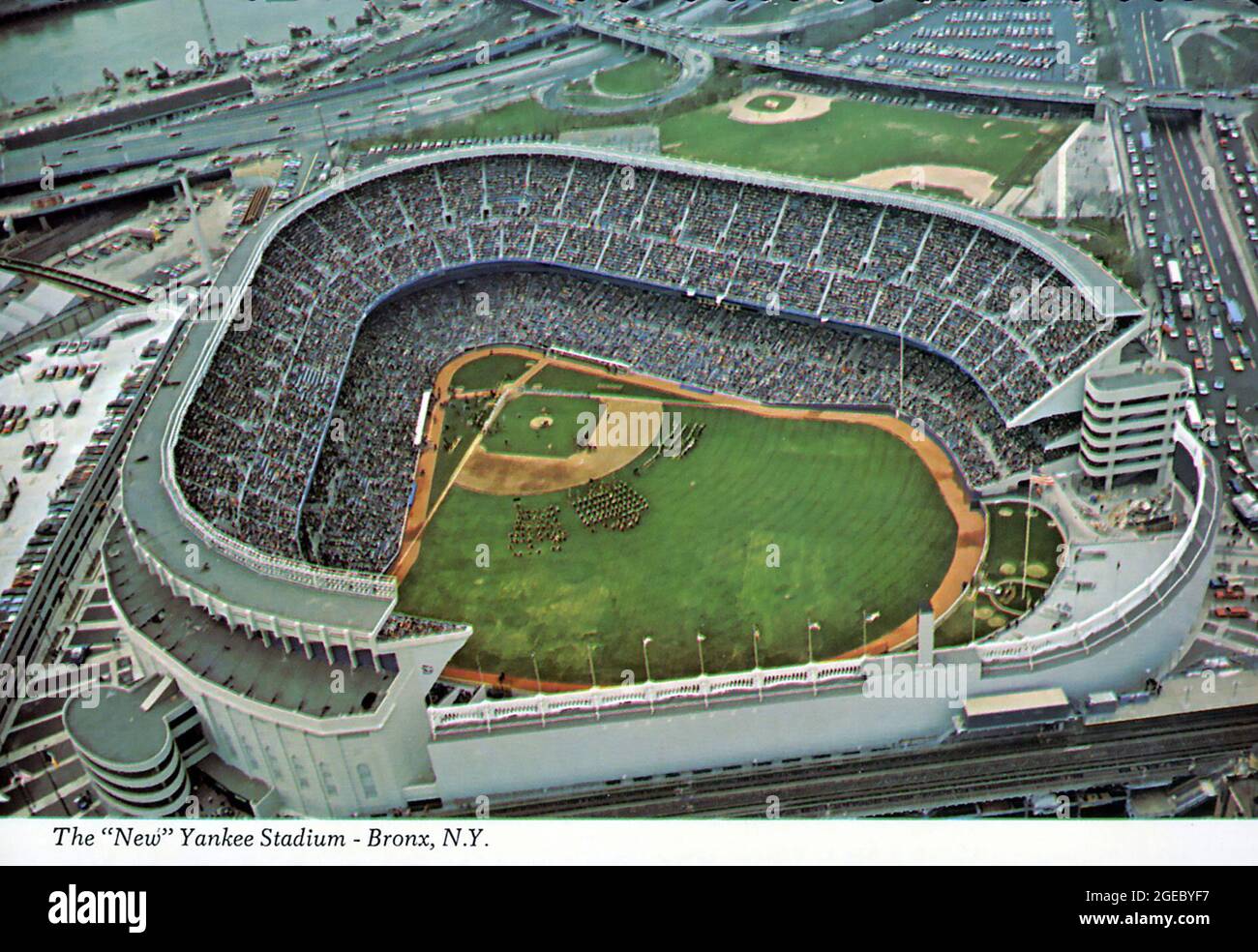 Vintage postcard of the 'New' Yankee Stadium in the Bronx, New York Stock Photohttps://www.alamy.com/image-license-details/?v=1https://www.alamy.com/vintage-postcard-of-the-new-yankee-stadium-in-the-bronx-new-york-image439127451.html
RM2GEBYF7–Vintage postcard of the 'New' Yankee Stadium in the Bronx, New York
 Apartment buildings in lower Bronx ca. 1973 Stock Photohttps://www.alamy.com/image-license-details/?v=1https://www.alamy.com/apartment-buildings-in-lower-bronx-ca-1973-image384034879.html
RM2D8P8BB–Apartment buildings in lower Bronx ca. 1973
 New York - Bronx, Aerial Photograph. Stock Photohttps://www.alamy.com/image-license-details/?v=1https://www.alamy.com/new-york-bronx-aerial-photograph-image534314032.html
RM2P18300–New York - Bronx, Aerial Photograph.
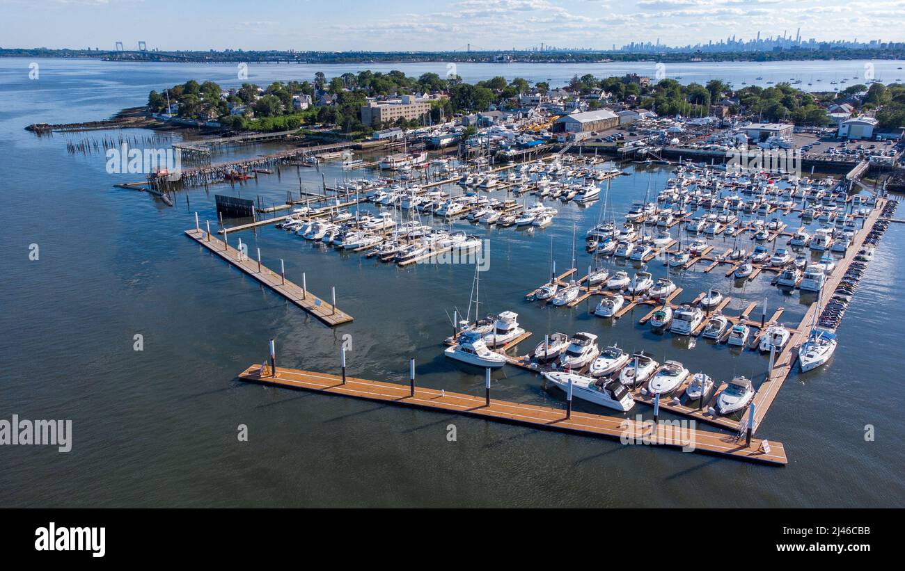 City Island Harbor, City Island, Bronx, New York City, NY, USA Stock Photohttps://www.alamy.com/image-license-details/?v=1https://www.alamy.com/city-island-harbor-city-island-bronx-new-york-city-ny-usa-image467279999.html
RM2J46CBB–City Island Harbor, City Island, Bronx, New York City, NY, USA
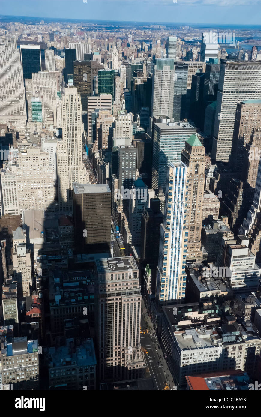 The New York City Uptown with Bronx Stock Photohttps://www.alamy.com/image-license-details/?v=1https://www.alamy.com/stock-photo-the-new-york-city-uptown-with-bronx-40202100.html
RFC9BA58–The New York City Uptown with Bronx
 An aerial view of the Yankee stadium located in the center of Bronx with lots of buildings around it Stock Photohttps://www.alamy.com/image-license-details/?v=1https://www.alamy.com/an-aerial-view-of-the-yankee-stadium-located-in-the-center-of-bronx-with-lots-of-buildings-around-it-image544628447.html
RF2PJ1Y3Y–An aerial view of the Yankee stadium located in the center of Bronx with lots of buildings around it
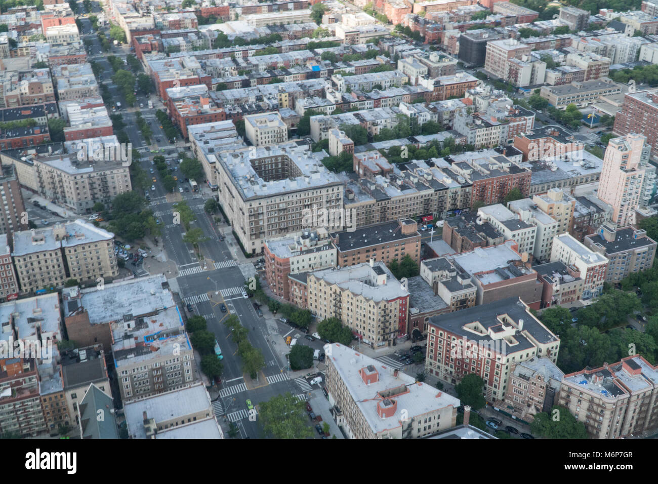 Aerial establishing photo of typical New York City borough neighborhood area during the day. Stock Photohttps://www.alamy.com/image-license-details/?v=1https://www.alamy.com/stock-photo-aerial-establishing-photo-of-typical-new-york-city-borough-neighborhood-176280519.html
RFM6P7GR–Aerial establishing photo of typical New York City borough neighborhood area during the day.
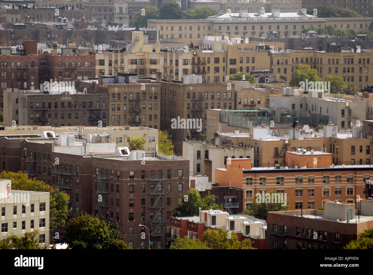 Densely packed apartment buildings in the NYC borough of the Bronx Stock Photohttps://www.alamy.com/image-license-details/?v=1https://www.alamy.com/stock-photo-densely-packed-apartment-buildings-in-the-nyc-borough-of-the-bronx-14792348.html
RMAJPYEN–Densely packed apartment buildings in the NYC borough of the Bronx
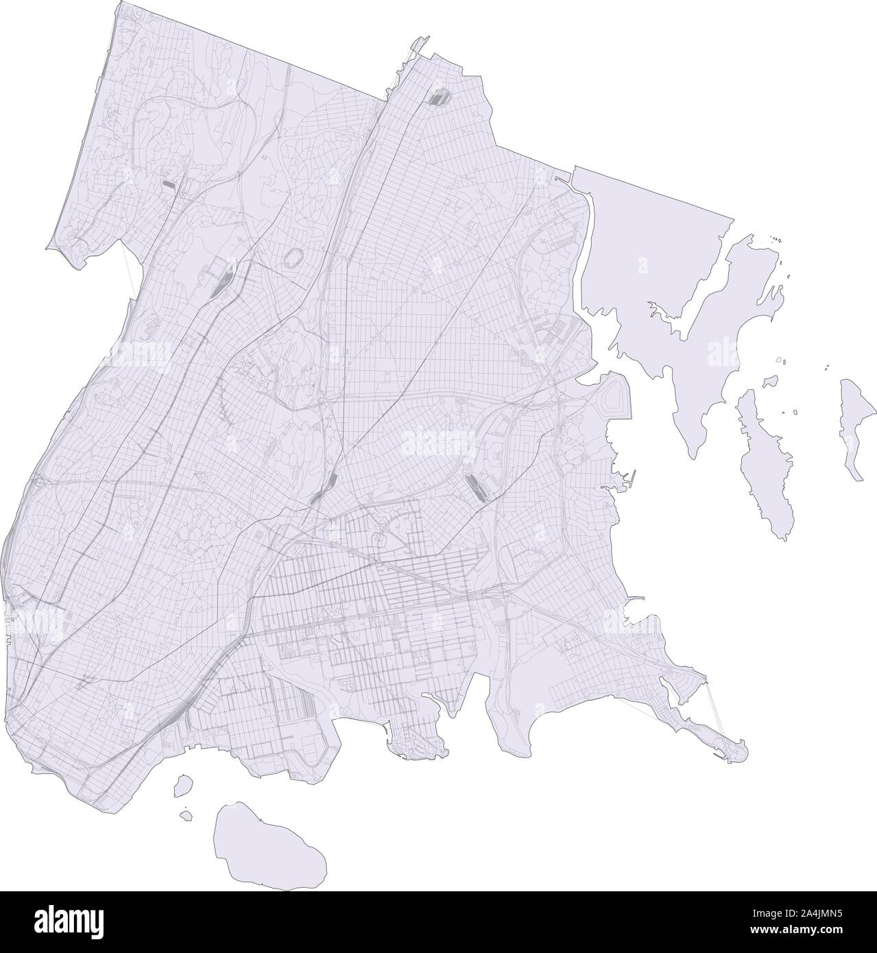 Satellite map of New York City, The Bronx, Usa. Map roads, ring roads and highways, rivers, railway lines. Transportation map Stock Vectorhttps://www.alamy.com/image-license-details/?v=1https://www.alamy.com/satellite-map-of-new-york-city-the-bronx-usa-map-roads-ring-roads-and-highways-rivers-railway-lines-transportation-map-image329867025.html
RF2A4JMN5–Satellite map of New York City, The Bronx, Usa. Map roads, ring roads and highways, rivers, railway lines. Transportation map
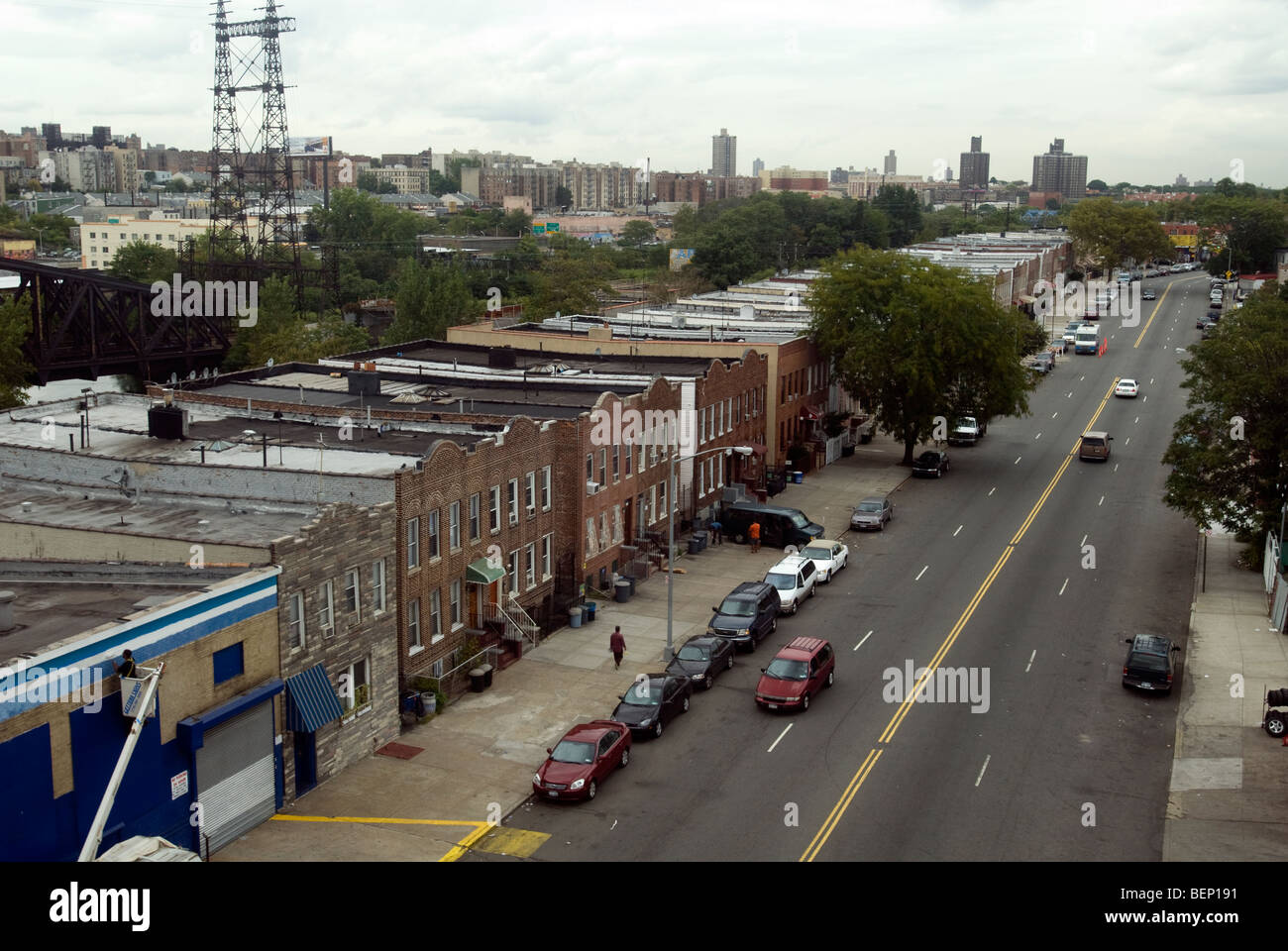 The Bronx neighborhood of Bronx River in New York seen from the elevated subway Stock Photohttps://www.alamy.com/image-license-details/?v=1https://www.alamy.com/stock-photo-the-bronx-neighborhood-of-bronx-river-in-new-york-seen-from-the-elevated-26299533.html
RMBEP191–The Bronx neighborhood of Bronx River in New York seen from the elevated subway
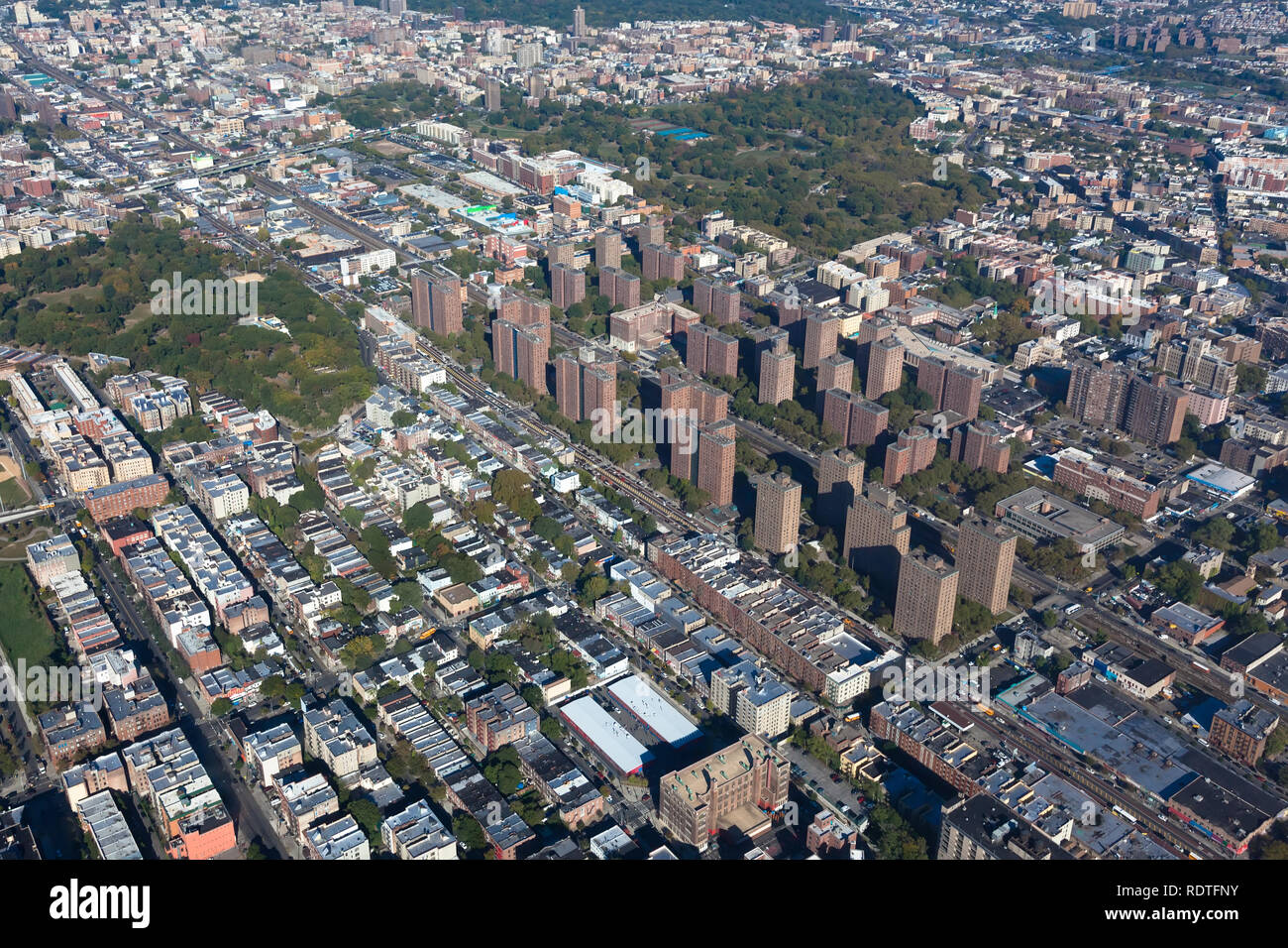 Claremont village in New York city. Borough Bronx. Helicopter view Stock Photohttps://www.alamy.com/image-license-details/?v=1https://www.alamy.com/claremont-village-in-new-york-city-borough-bronx-helicopter-view-image232264535.html
RFRDTFNY–Claremont village in New York city. Borough Bronx. Helicopter view
 New York City Stock Photohttps://www.alamy.com/image-license-details/?v=1https://www.alamy.com/stock-photo-new-york-city-135016941.html
RMHRJFDH–New York City
 The Harlem River separating the Bronx L and Washington Heights in Upper Manhattan R Stock Photohttps://www.alamy.com/image-license-details/?v=1https://www.alamy.com/stock-photo-the-harlem-river-separating-the-bronx-l-and-washington-heights-in-14792375.html
RMAJPYGT–The Harlem River separating the Bronx L and Washington Heights in Upper Manhattan R
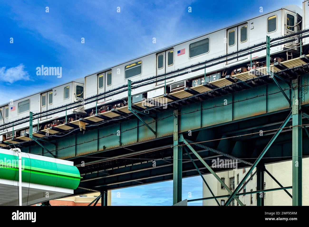 The aerial tramway running on the rails of The Bronx, which is a borough of New York City (USA), under a clear blue sky. Stock Photohttps://www.alamy.com/image-license-details/?v=1https://www.alamy.com/the-aerial-tramway-running-on-the-rails-of-the-bronx-which-is-a-borough-of-new-york-city-usa-under-a-clear-blue-sky-image594574504.html
RF2WF95RM–The aerial tramway running on the rails of The Bronx, which is a borough of New York City (USA), under a clear blue sky.
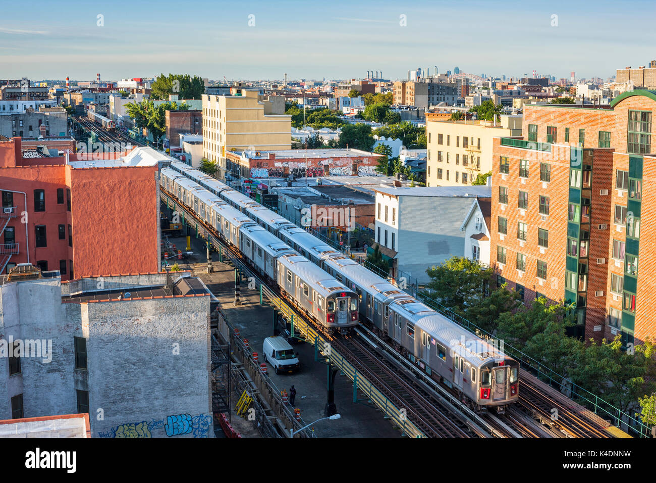 Bronx skyline, Southern Boulevard, New York City Stock Photohttps://www.alamy.com/image-license-details/?v=1https://www.alamy.com/bronx-skyline-southern-boulevard-new-york-city-image157654389.html
RMK4DNNW–Bronx skyline, Southern Boulevard, New York City
 A view of the Crotona Park neighborhood in the Bronx in New York Stock Photohttps://www.alamy.com/image-license-details/?v=1https://www.alamy.com/stock-photo-a-view-of-the-crotona-park-neighborhood-in-the-bronx-in-new-york-32227961.html
RMBTC32H–A view of the Crotona Park neighborhood in the Bronx in New York
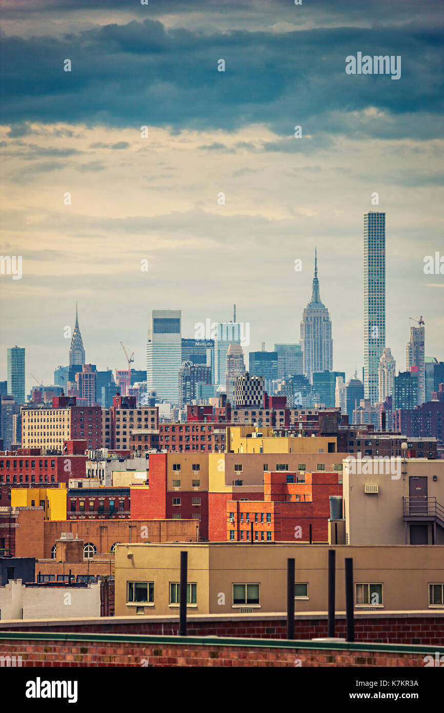 New York City skyline.Bronx rooftops and Manhattan on the background Stock Photohttps://www.alamy.com/image-license-details/?v=1https://www.alamy.com/new-york-city-skylinebronx-rooftops-and-manhattan-on-the-background-image159631118.html
RMK7KR3A–New York City skyline.Bronx rooftops and Manhattan on the background
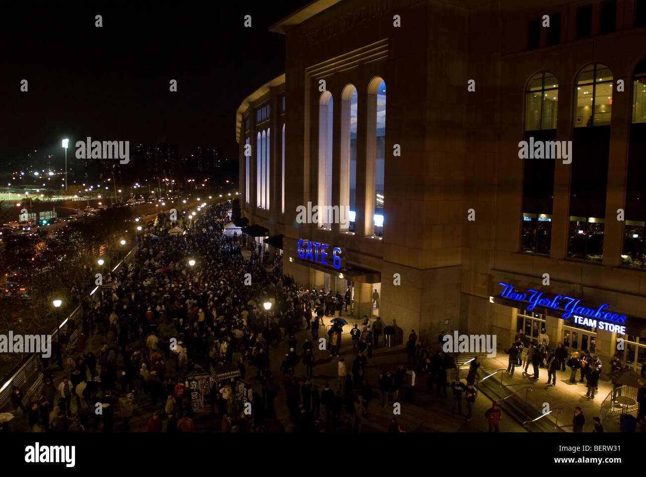 Fans arrive at Yankee Stadium in the New York borough of The Bronx Stock Photohttps://www.alamy.com/image-license-details/?v=1https://www.alamy.com/stock-photo-fans-arrive-at-yankee-stadium-in-the-new-york-borough-of-the-bronx-26340133.html
RMBERW31–Fans arrive at Yankee Stadium in the New York borough of The Bronx
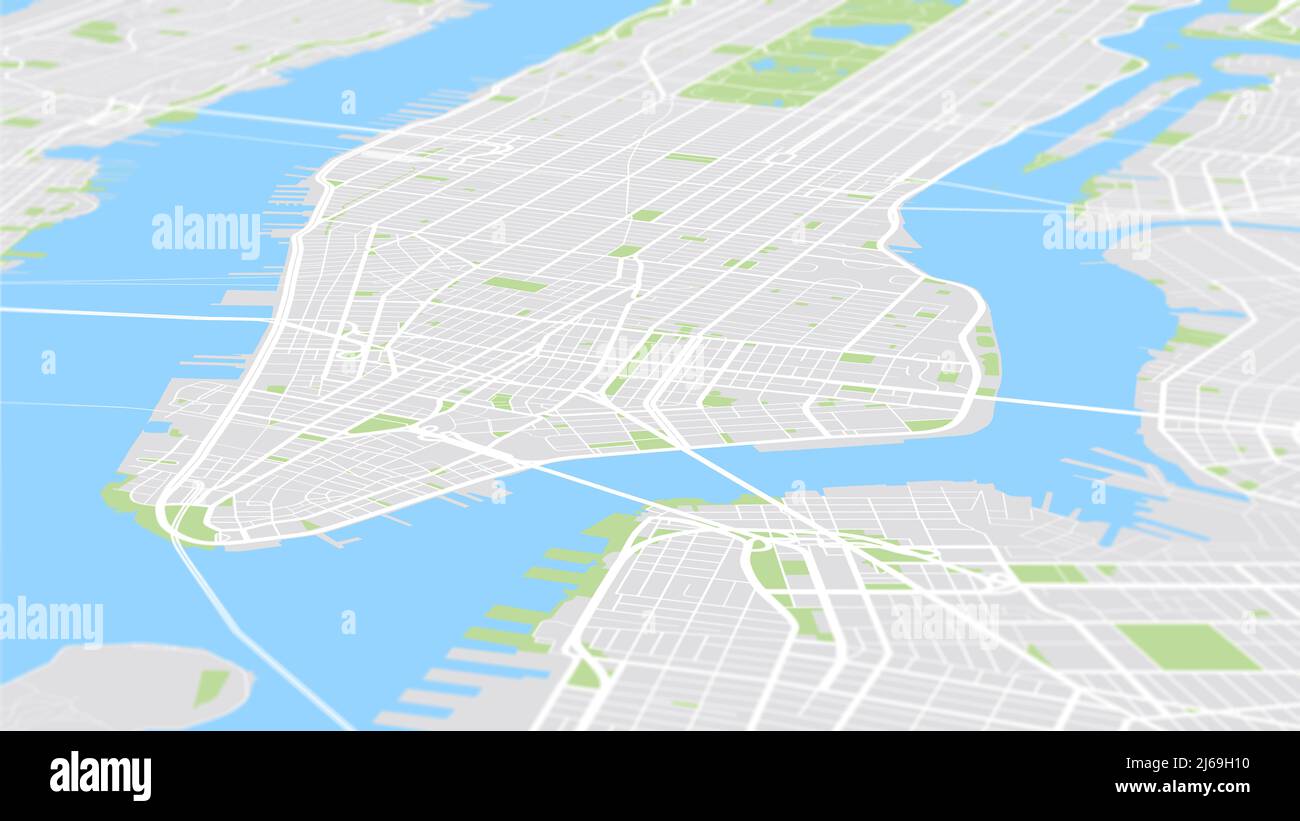 Aerial view City map New York, color detailed plan, urban grid in perspective Stock Photohttps://www.alamy.com/image-license-details/?v=1https://www.alamy.com/aerial-view-city-map-new-york-color-detailed-plan-urban-grid-in-perspective-image468578796.html
RF2J69H10–Aerial view City map New York, color detailed plan, urban grid in perspective
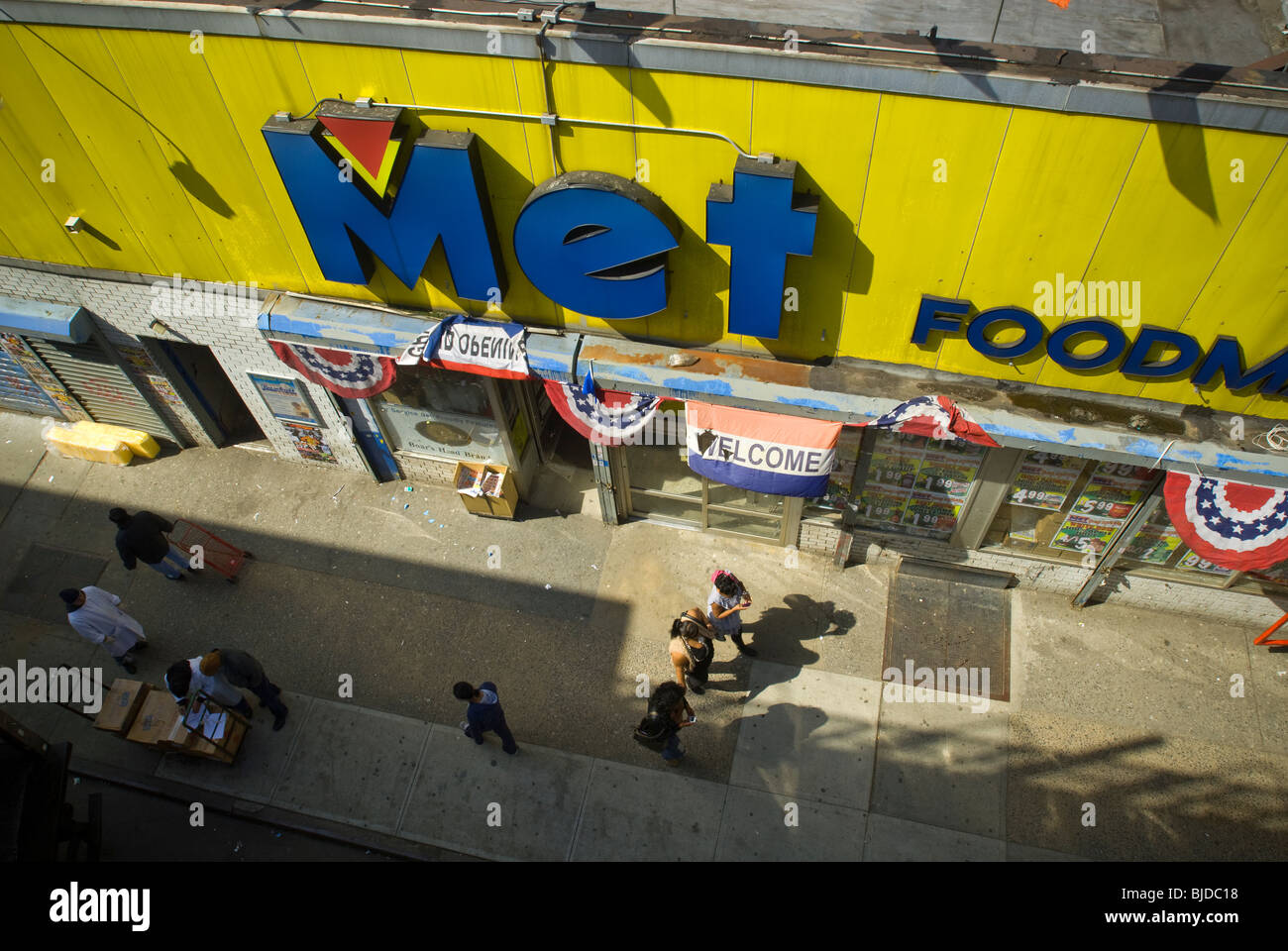 A Met Foods supermarket in the Bronxdale neighborhood of the New York borough of the Bronx Stock Photohttps://www.alamy.com/image-license-details/?v=1https://www.alamy.com/stock-photo-a-met-foods-supermarket-in-the-bronxdale-neighborhood-of-the-new-york-28568996.html
RMBJDC18–A Met Foods supermarket in the Bronxdale neighborhood of the New York borough of the Bronx
 Aerial View of East River and Triborough Bridge, New York City, U.S.A. Stock Photohttps://www.alamy.com/image-license-details/?v=1https://www.alamy.com/aerial-view-of-east-river-and-triborough-bridge-new-york-city-usa-image6922890.html
RMA8JBMB–Aerial View of East River and Triborough Bridge, New York City, U.S.A.
 New York - Bronx, Aerial Photograph. Stock Photohttps://www.alamy.com/image-license-details/?v=1https://www.alamy.com/new-york-bronx-aerial-photograph-image534313455.html
RM2P1827B–New York - Bronx, Aerial Photograph.
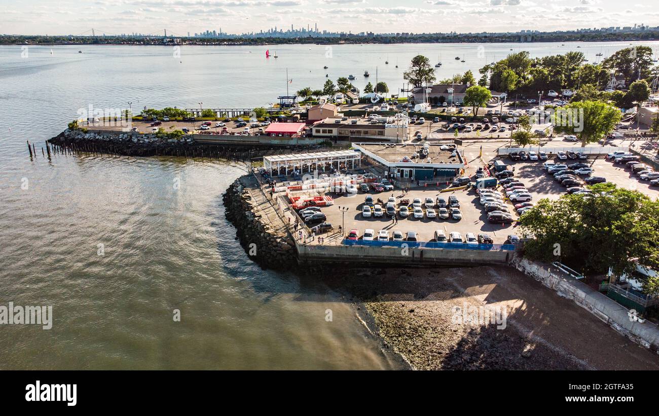 Johnny's Reef Restaurant, City Island, Bronx, New York City, NY, USA Stock Photohttps://www.alamy.com/image-license-details/?v=1https://www.alamy.com/johnnys-reef-restaurant-city-island-bronx-new-york-city-ny-usa-image445348153.html
RM2GTFA35–Johnny's Reef Restaurant, City Island, Bronx, New York City, NY, USA
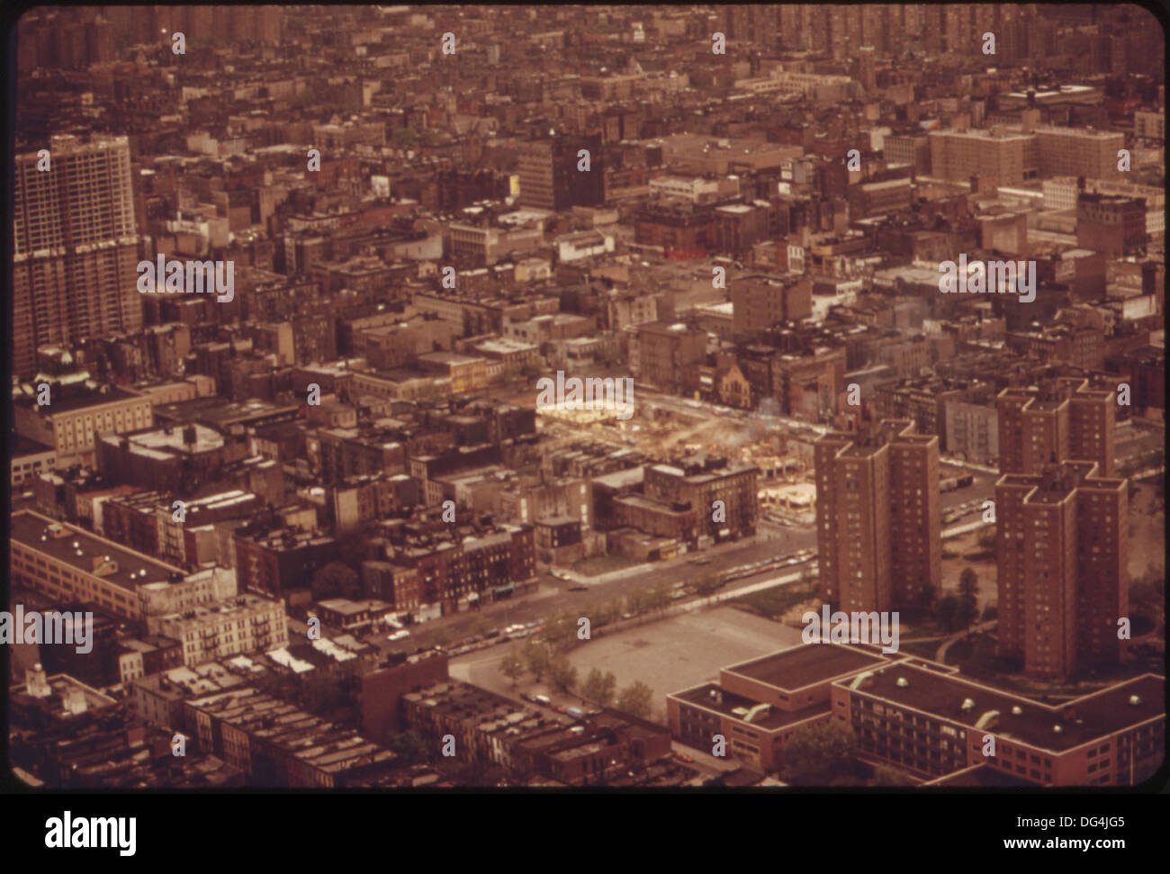 AERIAL VIEW OF LOWER BRONX 548424 Stock Photohttps://www.alamy.com/image-license-details/?v=1https://www.alamy.com/aerial-view-of-lower-bronx-548424-image61567973.html
RMDG4JG5–AERIAL VIEW OF LOWER BRONX 548424
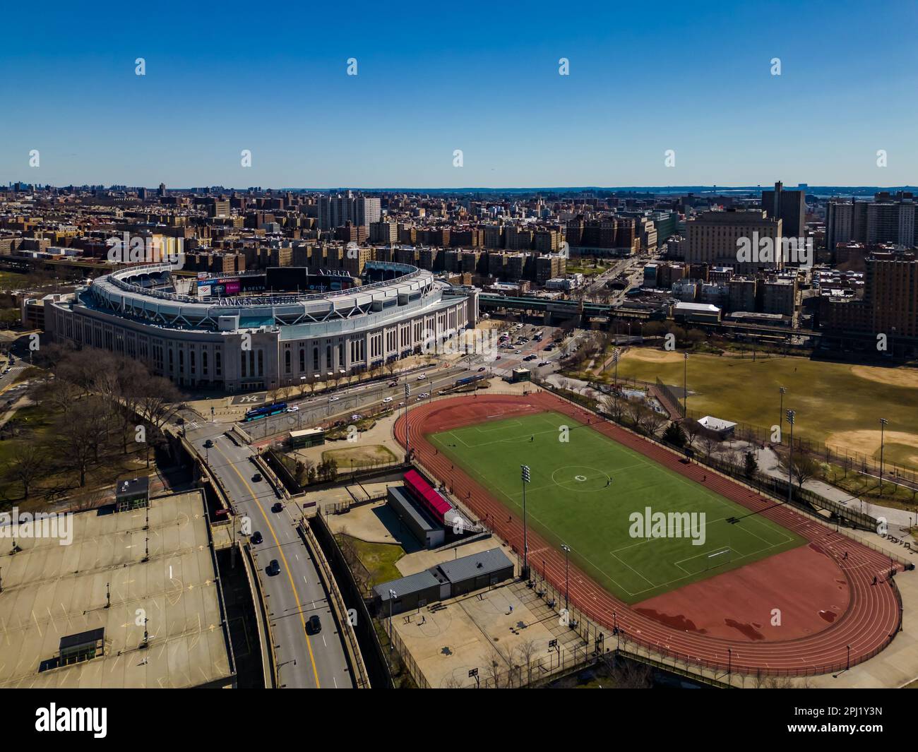 An aerial view of the Yankee stadium located in the center of Bronx with lots of buildings around it Stock Photohttps://www.alamy.com/image-license-details/?v=1https://www.alamy.com/an-aerial-view-of-the-yankee-stadium-located-in-the-center-of-bronx-with-lots-of-buildings-around-it-image544628441.html
RF2PJ1Y3N–An aerial view of the Yankee stadium located in the center of Bronx with lots of buildings around it
 Aerial view of lower Bronx ca. 1973 Stock Photohttps://www.alamy.com/image-license-details/?v=1https://www.alamy.com/aerial-view-of-lower-bronx-ca-1973-image384034883.html
RM2D8P8BF–Aerial view of lower Bronx ca. 1973
 New York City (NYC), USA seen from space - contains modified Copernicus Sentinel Data (2018) Stock Photohttps://www.alamy.com/image-license-details/?v=1https://www.alamy.com/new-york-city-nyc-usa-seen-from-space-contains-modified-copernicus-sentinel-data-2018-image330144726.html
RF2A53AY2–New York City (NYC), USA seen from space - contains modified Copernicus Sentinel Data (2018)
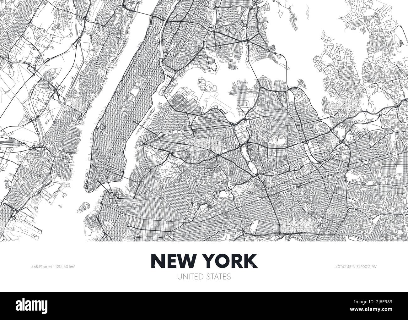 City map New York USA, travel poster detailed urban street plan, vector illustration Stock Vectorhttps://www.alamy.com/image-license-details/?v=1https://www.alamy.com/city-map-new-york-usa-travel-poster-detailed-urban-street-plan-vector-illustration-image468682483.html
RF2J6E983–City map New York USA, travel poster detailed urban street plan, vector illustration
 The view of Manhatten from the roof of the World Trade Center New York Stock Photohttps://www.alamy.com/image-license-details/?v=1https://www.alamy.com/the-view-of-manhatten-from-the-roof-of-the-world-trade-center-new-image4563281.html
RMAFMH52–The view of Manhatten from the roof of the World Trade Center New York
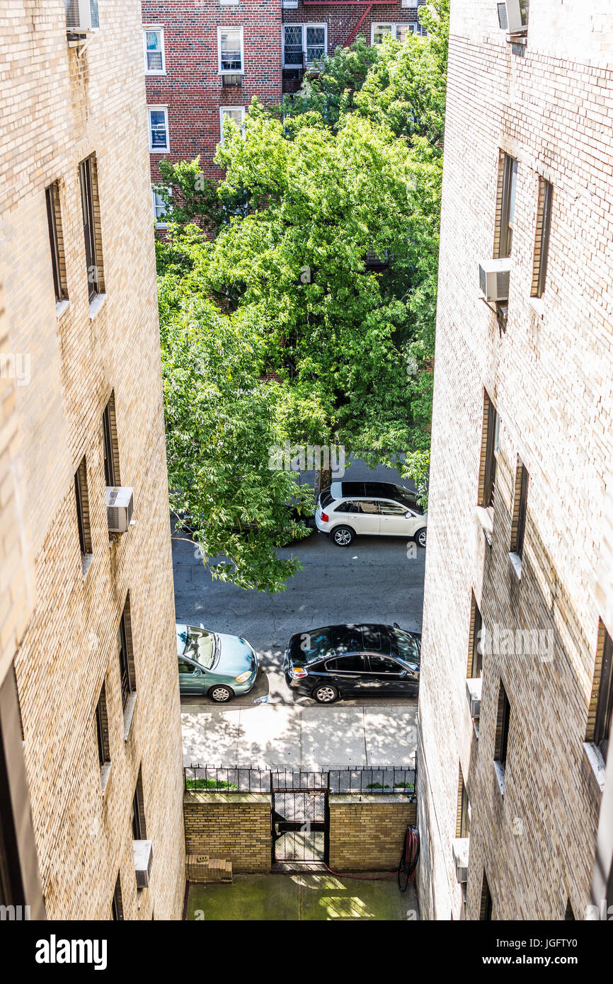 Bronx, USA - June 11, 2017: Aerial view of residential apartment building and street road with sidewalk in downtown Fordham area Stock Photohttps://www.alamy.com/image-license-details/?v=1https://www.alamy.com/stock-photo-bronx-usa-june-11-2017-aerial-view-of-residential-apartment-building-147866292.html
RFJGFTY0–Bronx, USA - June 11, 2017: Aerial view of residential apartment building and street road with sidewalk in downtown Fordham area
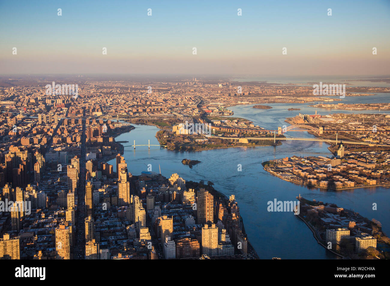 East River looking north to the Bronx, Manhattan, New York City, New York, USA Stock Photohttps://www.alamy.com/image-license-details/?v=1https://www.alamy.com/east-river-looking-north-to-the-bronx-manhattan-new-york-city-new-york-usa-image259662322.html
RMW2CHXA–East River looking north to the Bronx, Manhattan, New York City, New York, USA
 The Harlem River separating the Bronx L and Washington Heights in Upper Manhattan R Stock Photohttps://www.alamy.com/image-license-details/?v=1https://www.alamy.com/stock-photo-the-harlem-river-separating-the-bronx-l-and-washington-heights-in-14792362.html
RMAJPYFR–The Harlem River separating the Bronx L and Washington Heights in Upper Manhattan R
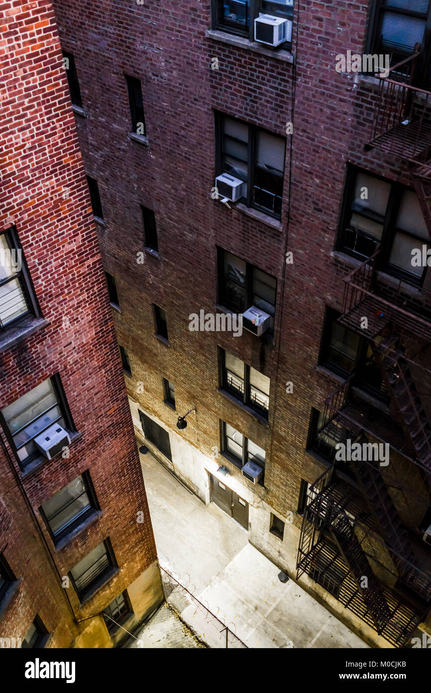 Aerial view down of illuminated brick apartment condo building architecture in Fordham Heights center, Bronx, NYC, Manhattan, New York City with fire Stock Photohttps://www.alamy.com/image-license-details/?v=1https://www.alamy.com/stock-photo-aerial-view-down-of-illuminated-brick-apartment-condo-building-architecture-172381759.html
RFM0CJKB–Aerial view down of illuminated brick apartment condo building architecture in Fordham Heights center, Bronx, NYC, Manhattan, New York City with fire
 Schoolyard basketball court in the Concourse neighborhood of the New York borough of The Bronx on Sunday, October 15, 2017. (© Richard B. Levine) Stock Photohttps://www.alamy.com/image-license-details/?v=1https://www.alamy.com/stock-image-schoolyard-basketball-court-in-the-concourse-neighborhood-of-the-new-164064502.html
RMKEWNXE–Schoolyard basketball court in the Concourse neighborhood of the New York borough of The Bronx on Sunday, October 15, 2017. (© Richard B. Levine)
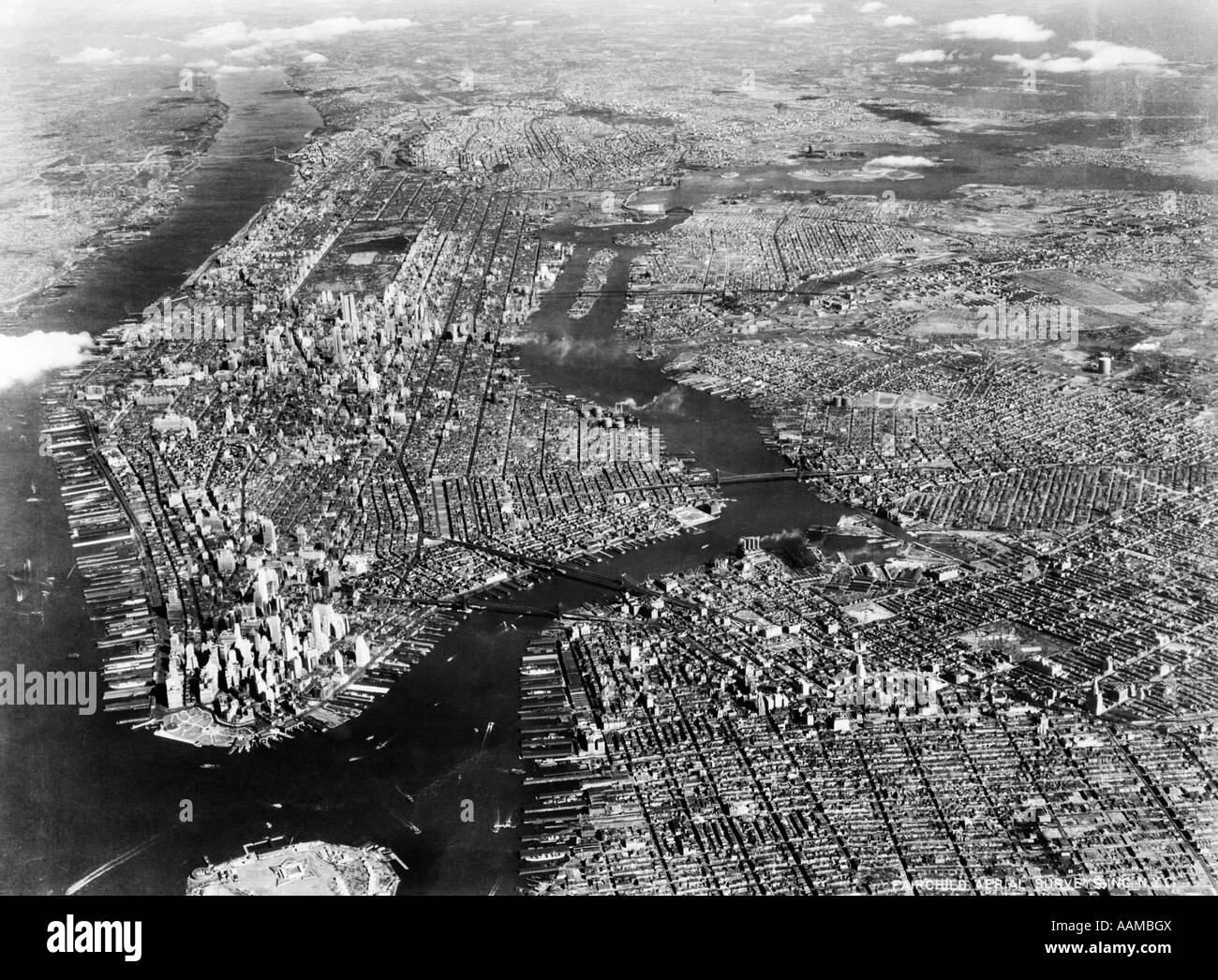 1930s 1940s AERIAL NEW YORK CITY Stock Photohttps://www.alamy.com/image-license-details/?v=1https://www.alamy.com/stock-photo-1930s-1940s-aerial-new-york-city-12660793.html
RMAAMBGX–1930s 1940s AERIAL NEW YORK CITY
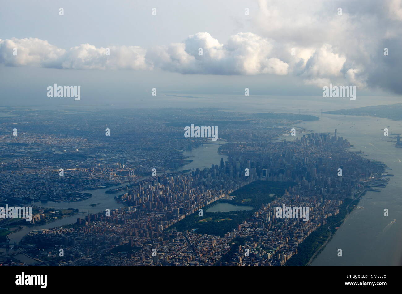 aerial view of Manhattan, New York City Stock Photohttps://www.alamy.com/image-license-details/?v=1https://www.alamy.com/aerial-view-of-manhattan-new-york-city-image246935897.html
RFT9MW75–aerial view of Manhattan, New York City
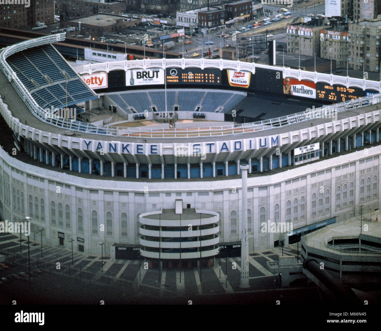 1980s YANKEE STADIUM DEMOLISHED IN 2009 BRONX NEW YORK CITY USA - kr40280 PHT001 HARS MLB OLD FASHIONED THE CATHEDRAL OF BASEBALL THE HOUSE THAT RUTH BUILT YANKEE STADIUM Stock Photohttps://www.alamy.com/image-license-details/?v=1https://www.alamy.com/stock-photo-1980s-yankee-stadium-demolished-in-2009-bronx-new-york-city-usa-kr40280-175939909.html
RMM66N45–1980s YANKEE STADIUM DEMOLISHED IN 2009 BRONX NEW YORK CITY USA - kr40280 PHT001 HARS MLB OLD FASHIONED THE CATHEDRAL OF BASEBALL THE HOUSE THAT RUTH BUILT YANKEE STADIUM
 New York City, New York State, United States Stock Photohttps://www.alamy.com/image-license-details/?v=1https://www.alamy.com/new-york-city-new-york-state-united-states-image185801820.html
RMMP8038–New York City, New York State, United States
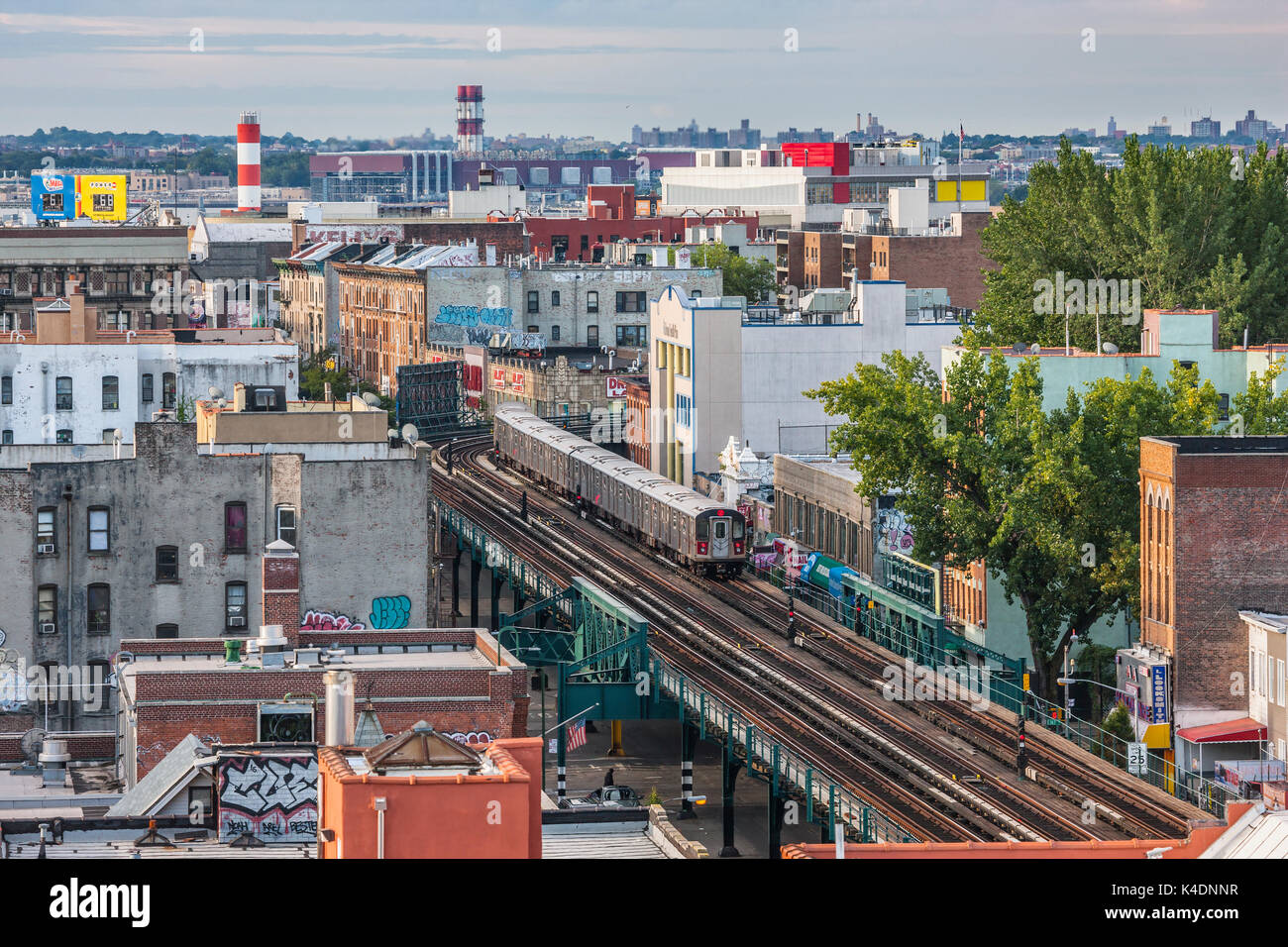 Bronx skyline, Southern Boulevard, New York City Stock Photohttps://www.alamy.com/image-license-details/?v=1https://www.alamy.com/bronx-skyline-southern-boulevard-new-york-city-image157654387.html
RMK4DNNR–Bronx skyline, Southern Boulevard, New York City
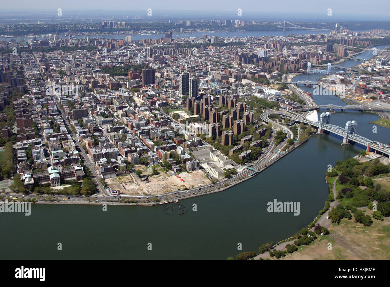 Aerial View of East River and Triborough Bridge, New York City, U.S.A. Stock Photohttps://www.alamy.com/image-license-details/?v=1https://www.alamy.com/aerial-view-of-east-river-and-triborough-bridge-new-york-city-usa-image6922893.html
RMA8JBME–Aerial View of East River and Triborough Bridge, New York City, U.S.A.
 New York - Bronx, Aerial Photograph. Stock Photohttps://www.alamy.com/image-license-details/?v=1https://www.alamy.com/new-york-bronx-aerial-photograph-image534312869.html
RM2P181ED–New York - Bronx, Aerial Photograph.
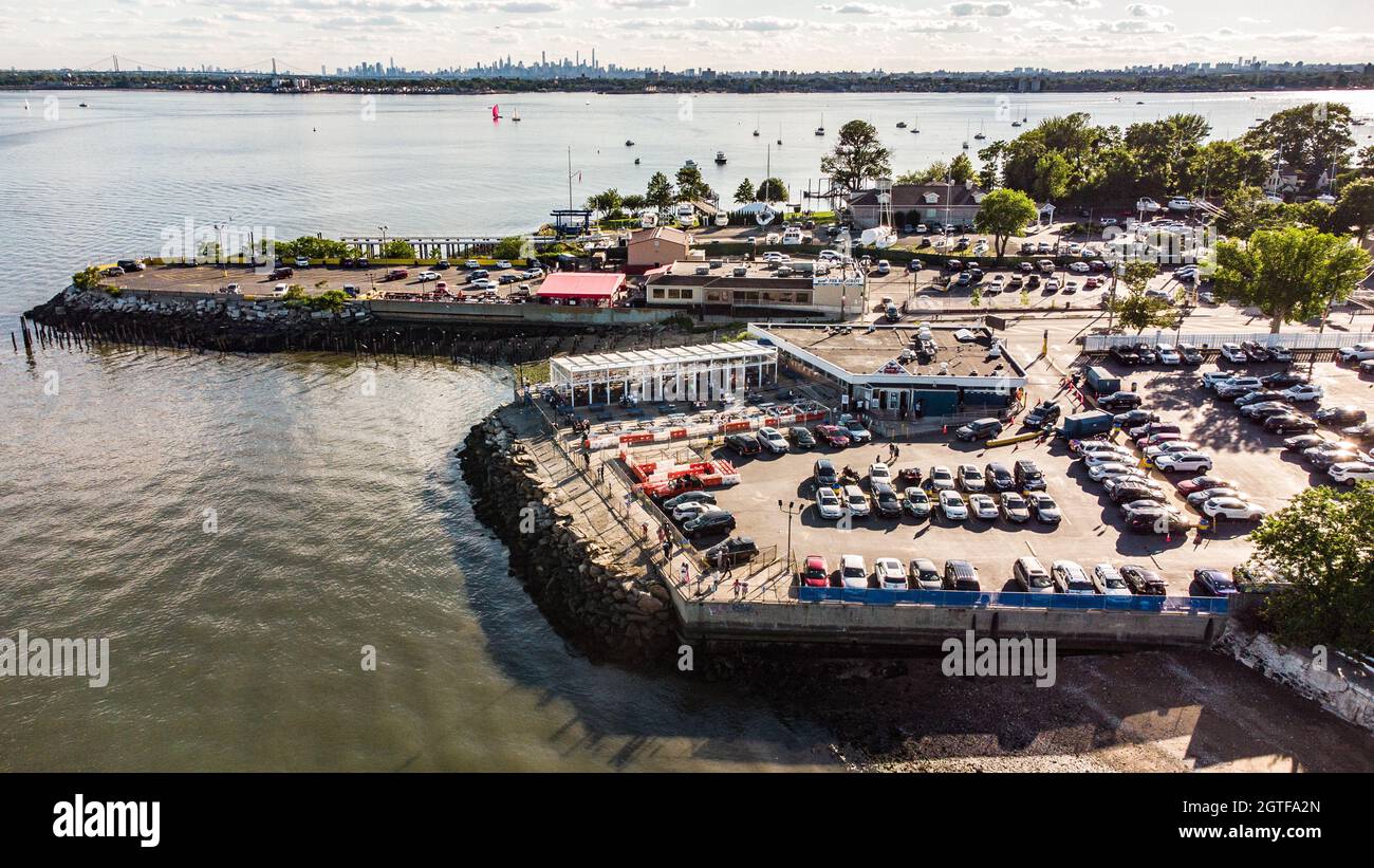 Tonys Pier, Johnny's Reef Restaurant, City Island, Bronx, New York City, NY, USA Stock Photohttps://www.alamy.com/image-license-details/?v=1https://www.alamy.com/tonys-pier-johnnys-reef-restaurant-city-island-bronx-new-york-city-ny-usa-image445348141.html
RM2GTFA2N–Tonys Pier, Johnny's Reef Restaurant, City Island, Bronx, New York City, NY, USA
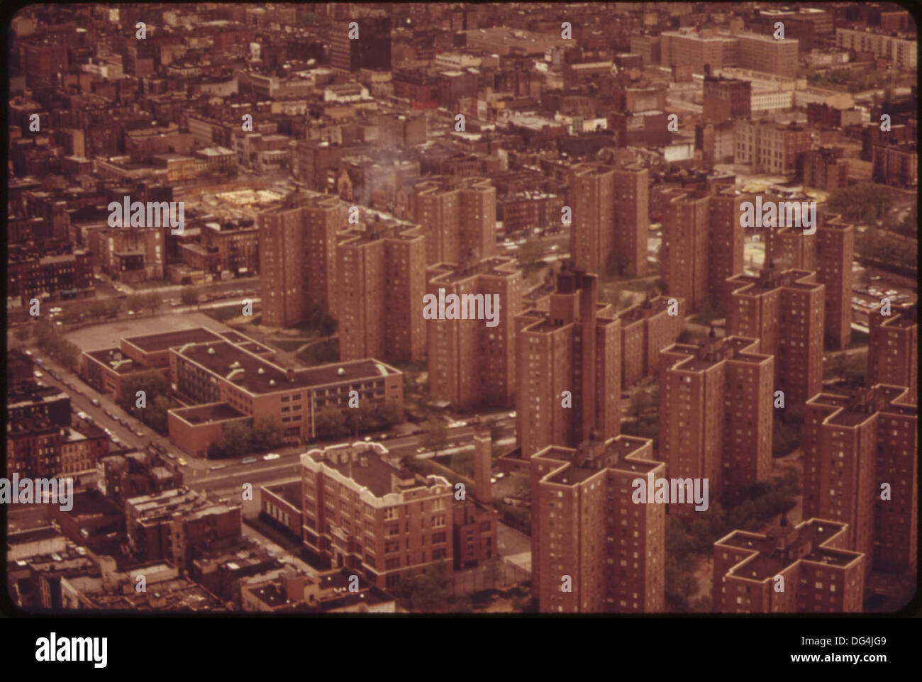 AERIAL VIEW OF LOWER BRONX 548425 Stock Photohttps://www.alamy.com/image-license-details/?v=1https://www.alamy.com/aerial-view-of-lower-bronx-548425-image61567977.html
RMDG4JG9–AERIAL VIEW OF LOWER BRONX 548425
RF2PK3MCM–An aerial view of iconic Yankee Stadium in Bronx, New York City, US
 Aerial view of lower Bronx ca. 1973 Stock Photohttps://www.alamy.com/image-license-details/?v=1https://www.alamy.com/aerial-view-of-lower-bronx-ca-1973-image384035521.html
RM2D8P969–Aerial view of lower Bronx ca. 1973
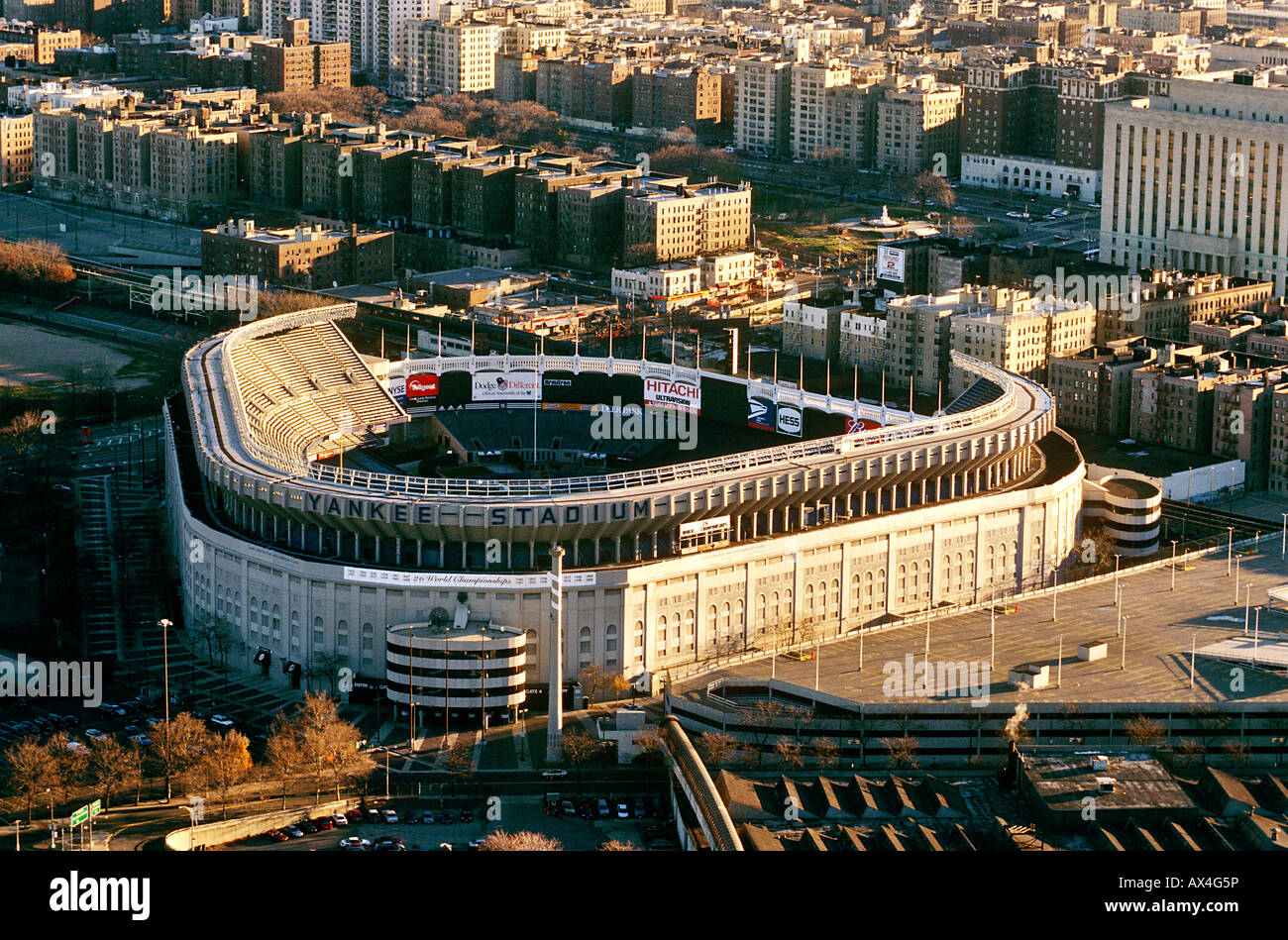 Yankee Stadium, Bronx, New York, USA Stock Photohttps://www.alamy.com/image-license-details/?v=1https://www.alamy.com/stock-photo-yankee-stadium-bronx-new-york-usa-16726593.html
RMAX4G5P–Yankee Stadium, Bronx, New York, USA
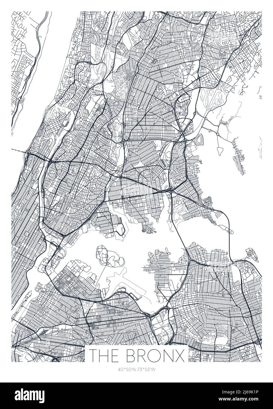 Detailed borough map of The Bronx New York city, vector poster or postcard for city road and park plan Stock Vectorhttps://www.alamy.com/image-license-details/?v=1https://www.alamy.com/detailed-borough-map-of-the-bronx-new-york-city-vector-poster-or-postcard-for-city-road-and-park-plan-image468580386.html
RF2J69K1P–Detailed borough map of The Bronx New York city, vector poster or postcard for city road and park plan
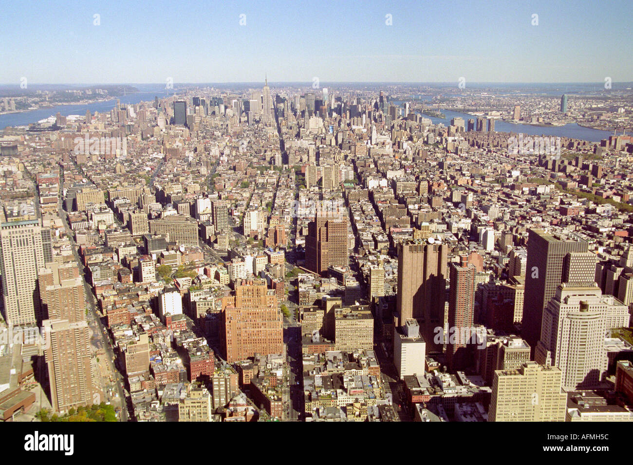 The view of Manhatten from the roof of the World Trade Center New York Stock Photohttps://www.alamy.com/image-license-details/?v=1https://www.alamy.com/the-view-of-manhatten-from-the-roof-of-the-world-trade-center-new-image4563291.html
RMAFMH5C–The view of Manhatten from the roof of the World Trade Center New York
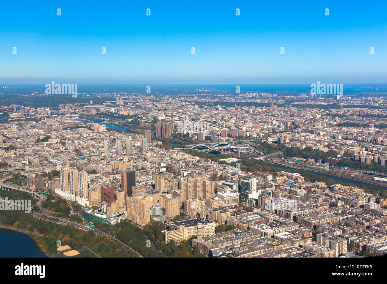 Washington heights in New York. Aerial helicopter view. Upper Manhattan. Houses between Harlem river and Hudson bay Stock Photohttps://www.alamy.com/image-license-details/?v=1https://www.alamy.com/washington-heights-in-new-york-aerial-helicopter-view-upper-manhattan-houses-between-harlem-river-and-hudson-bay-image232264457.html
RFRDTFK5–Washington heights in New York. Aerial helicopter view. Upper Manhattan. Houses between Harlem river and Hudson bay
 Aerial view of the Throgs Neck Bridge connecting the Bronx with Queens in New York City at sunset. Stock Photohttps://www.alamy.com/image-license-details/?v=1https://www.alamy.com/aerial-view-of-the-throgs-neck-bridge-connecting-the-bronx-with-queens-in-new-york-city-at-sunset-image357339681.html
RF2BNA6BD–Aerial view of the Throgs Neck Bridge connecting the Bronx with Queens in New York City at sunset.
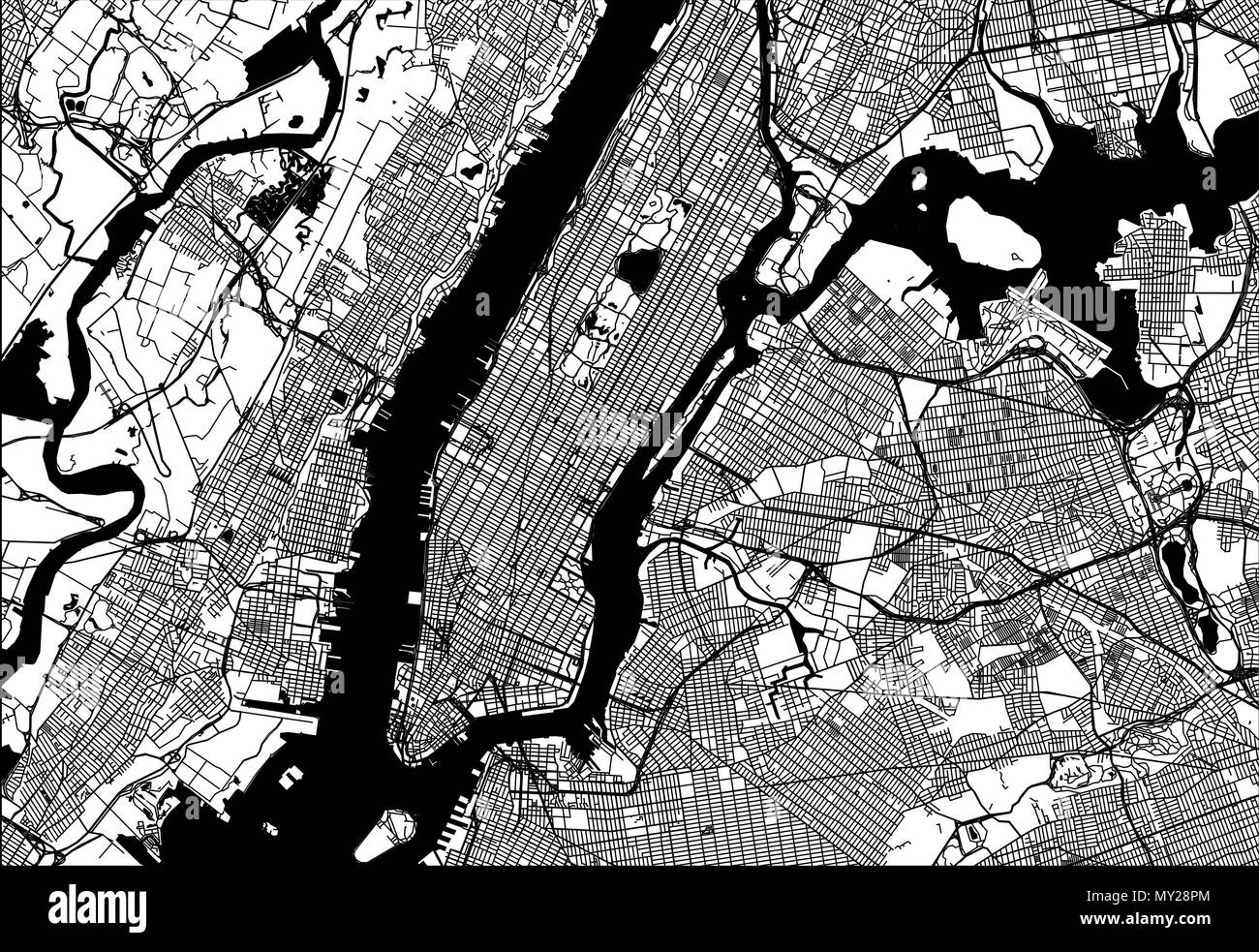 Map of Manhattan with parts of the Bronx, Queens, Brooklyn and Jersey City. Very detailled version without bridges and names. Stock Vectorhttps://www.alamy.com/image-license-details/?v=1https://www.alamy.com/map-of-manhattan-with-parts-of-the-bronx-queens-brooklyn-and-jersey-city-very-detailled-version-without-bridges-and-names-image188750204.html
RFMY28PM–Map of Manhattan with parts of the Bronx, Queens, Brooklyn and Jersey City. Very detailled version without bridges and names.
 A late 19th Century view from Brooklyn Heights of New York City (NYC) in the United States. Situated on one of the world's largest natural harbours, New York City is composed of five boroughs, each of which is a county of the State of New York. The five boroughs—Brooklyn, Queens, Manhattan, the Bronx, and Staten Island—were consolidated into a single city in 1898 Stock Photohttps://www.alamy.com/image-license-details/?v=1https://www.alamy.com/a-late-19th-century-view-from-brooklyn-heights-of-new-york-city-nyc-in-the-united-states-situated-on-one-of-the-worlds-largest-natural-harbours-new-york-city-is-composed-of-five-boroughs-each-of-which-is-a-county-of-the-state-of-new-york-the-five-boroughsbrooklyn-queens-manhattan-the-bronx-and-staten-islandwere-consolidated-into-a-single-city-in-1898-image384315394.html
RM2D9725P–A late 19th Century view from Brooklyn Heights of New York City (NYC) in the United States. Situated on one of the world's largest natural harbours, New York City is composed of five boroughs, each of which is a county of the State of New York. The five boroughs—Brooklyn, Queens, Manhattan, the Bronx, and Staten Island—were consolidated into a single city in 1898
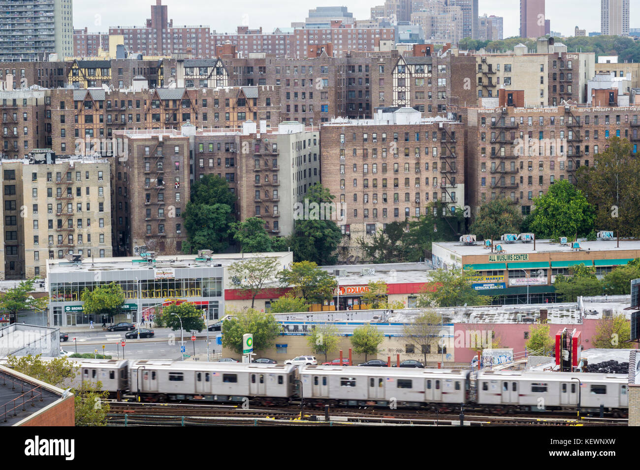 Densely packed apartment buildings and housing stock in the High Bridge and Concourse neighborhoods of the New York borough of The Bronx on Sunday, October 15, 2017. (© Richard B. Levine) Stock Photohttps://www.alamy.com/image-license-details/?v=1https://www.alamy.com/stock-image-densely-packed-apartment-buildings-and-housing-stock-in-the-high-bridge-164064513.html
RMKEWNXW–Densely packed apartment buildings and housing stock in the High Bridge and Concourse neighborhoods of the New York borough of The Bronx on Sunday, October 15, 2017. (© Richard B. Levine)
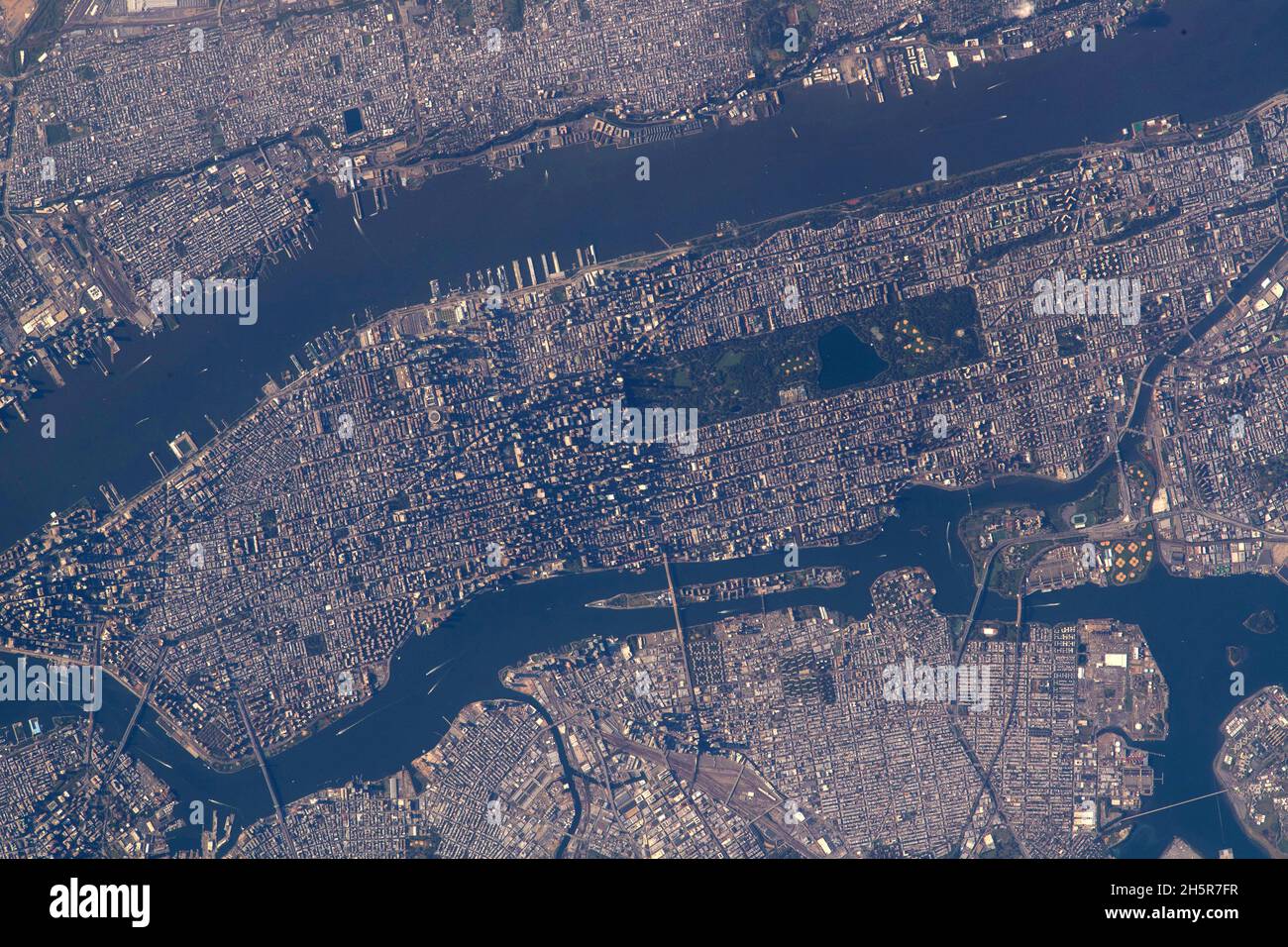 NEW YORK, USA - 15 October 2021 - Central Park figures prominently in this photograph of Manhattan Island in New York City as the International Space Stock Photohttps://www.alamy.com/image-license-details/?v=1https://www.alamy.com/new-york-usa-15-october-2021-central-park-figures-prominently-in-this-photograph-of-manhattan-island-in-new-york-city-as-the-international-space-image451053675.html
RM2H5R7FR–NEW YORK, USA - 15 October 2021 - Central Park figures prominently in this photograph of Manhattan Island in New York City as the International Space
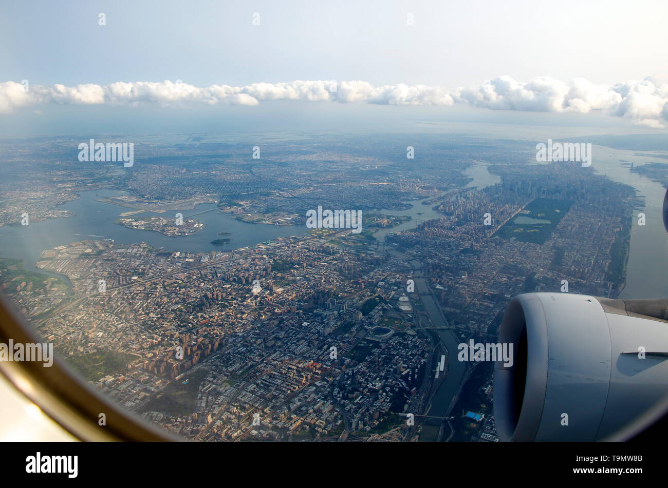 aerial view of New York City seen from airplane window Stock Photohttps://www.alamy.com/image-license-details/?v=1https://www.alamy.com/aerial-view-of-new-york-city-seen-from-airplane-window-image246935931.html
RFT9MW8B–aerial view of New York City seen from airplane window
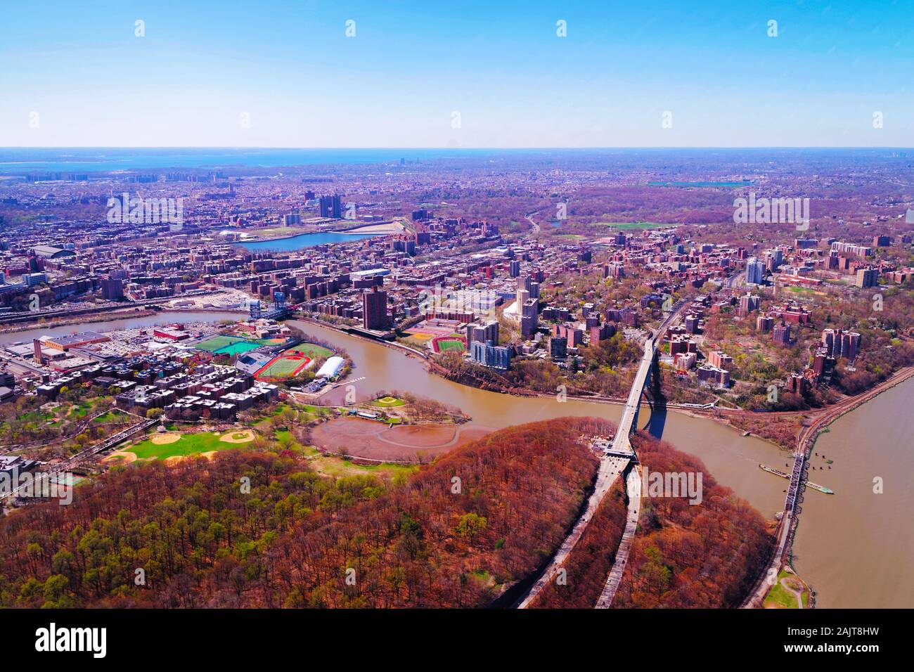 145th Street Bridge between Manhattan and Bronx NYC reflex Stock Photohttps://www.alamy.com/image-license-details/?v=1https://www.alamy.com/145th-street-bridge-between-manhattan-and-bronx-nyc-reflex-image338594421.html
RF2AJT8HW–145th Street Bridge between Manhattan and Bronx NYC reflex
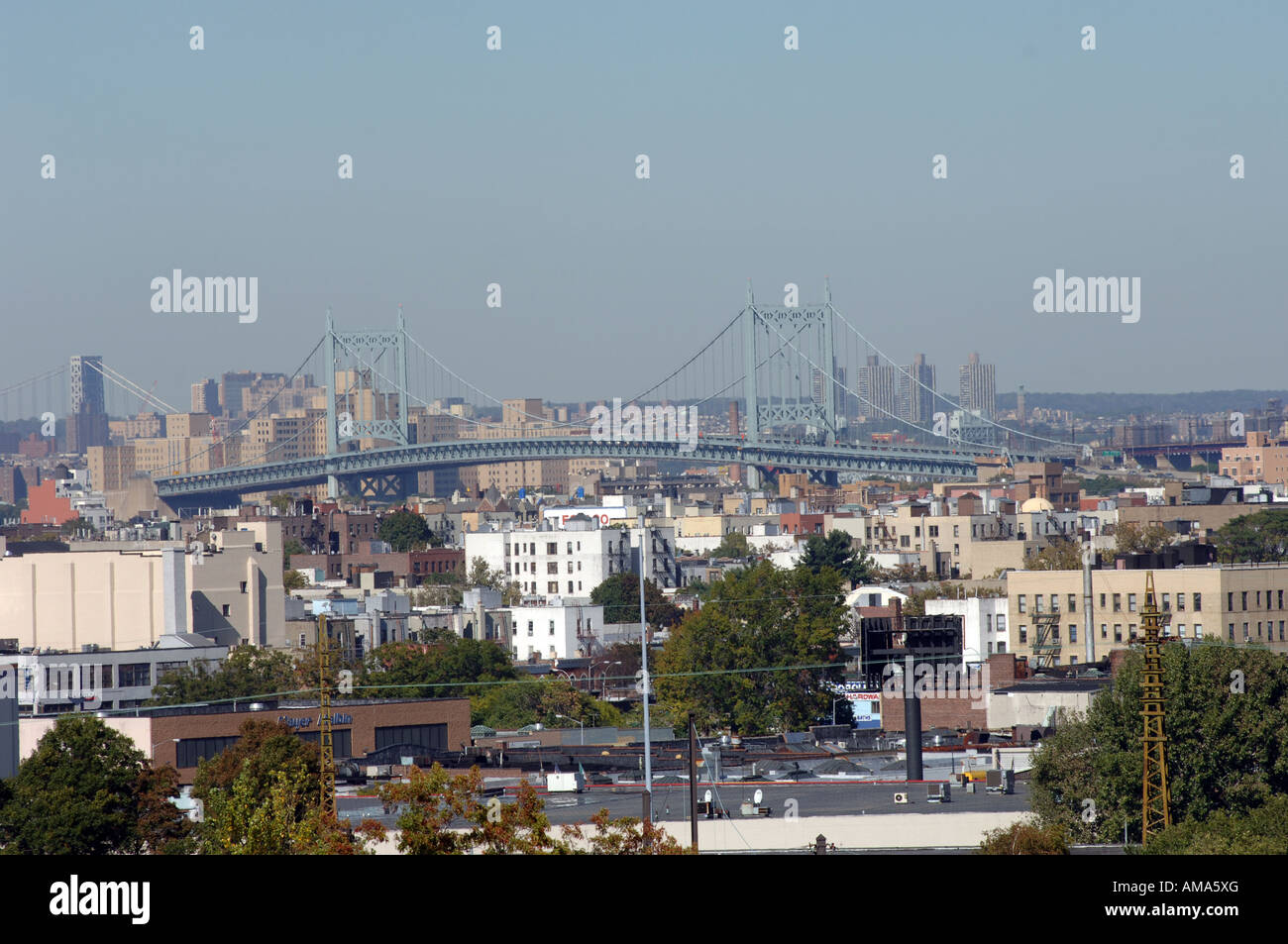 Triborough Bridge in NYC connecting the boroughs of Queens Manhattan and the Bronx seen from Sunnyside Queens Stock Photohttps://www.alamy.com/image-license-details/?v=1https://www.alamy.com/stock-photo-triborough-bridge-in-nyc-connecting-the-boroughs-of-queens-manhattan-15199047.html
RMAMA5XG–Triborough Bridge in NYC connecting the boroughs of Queens Manhattan and the Bronx seen from Sunnyside Queens
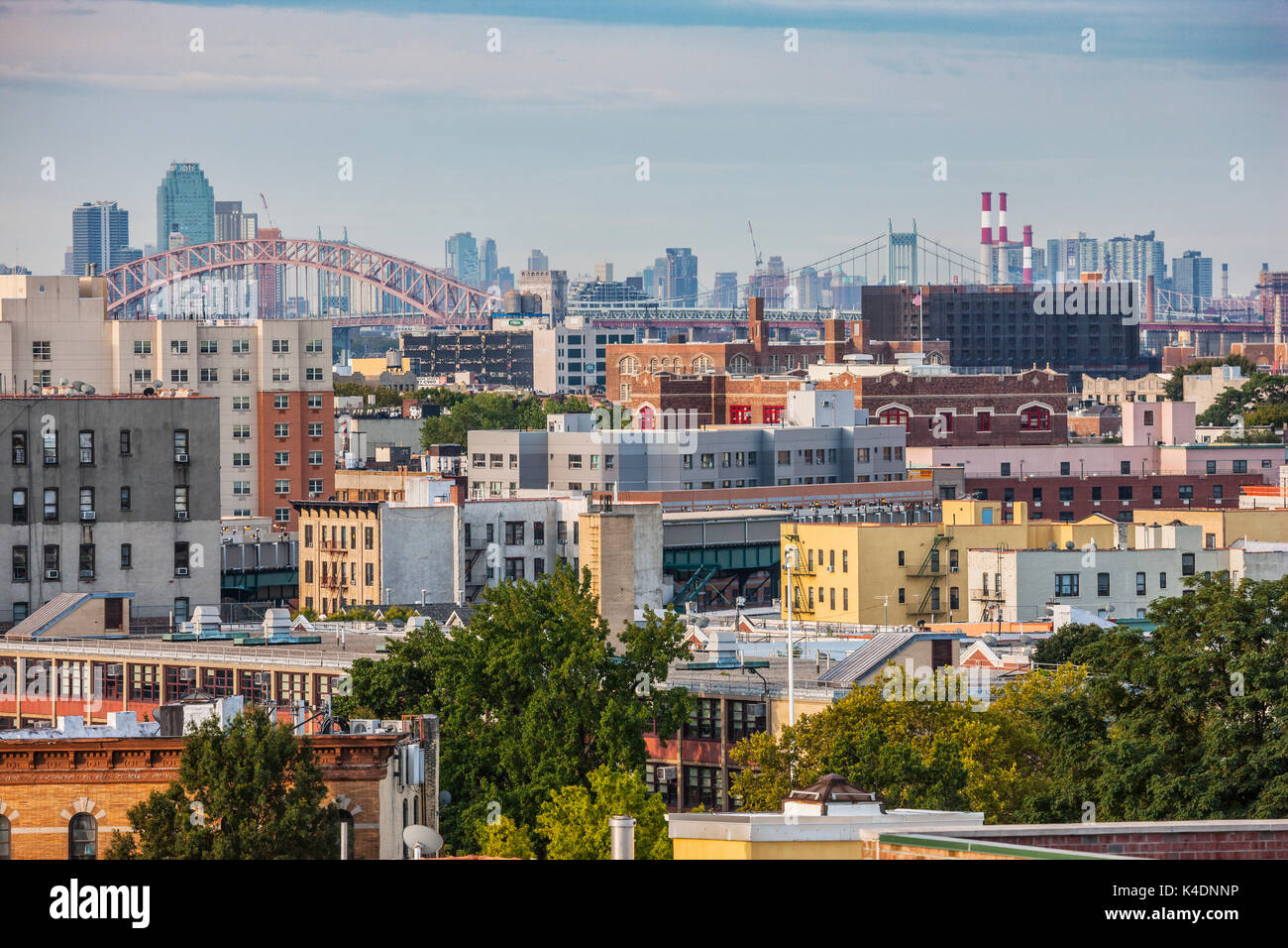 Bronx skyline, Manhattan in the background, New York City Stock Photohttps://www.alamy.com/image-license-details/?v=1https://www.alamy.com/bronx-skyline-manhattan-in-the-background-new-york-city-image157654386.html
RMK4DNNP–Bronx skyline, Manhattan in the background, New York City
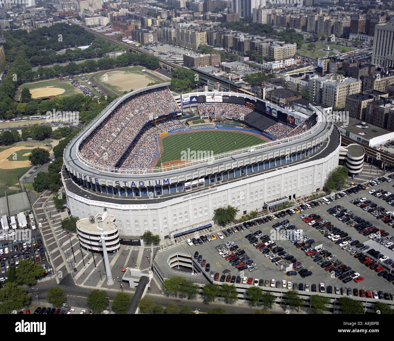 Aerial view of Yankee Stadium in Bronx, New York Stock Photohttps://www.alamy.com/image-license-details/?v=1https://www.alamy.com/aerial-view-of-yankee-stadium-in-bronx-new-york-image6922922.html
RMA8JBPB–Aerial view of Yankee Stadium in Bronx, New York
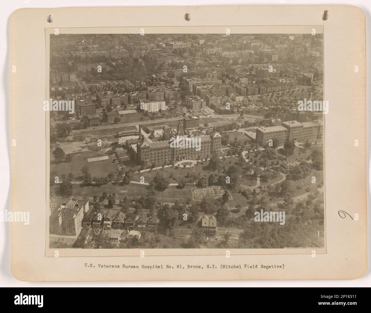 New York - Bronx, Aerial Photograph. Stock Photohttps://www.alamy.com/image-license-details/?v=1https://www.alamy.com/new-york-bronx-aerial-photograph-image534314061.html
RM2P18311–New York - Bronx, Aerial Photograph.
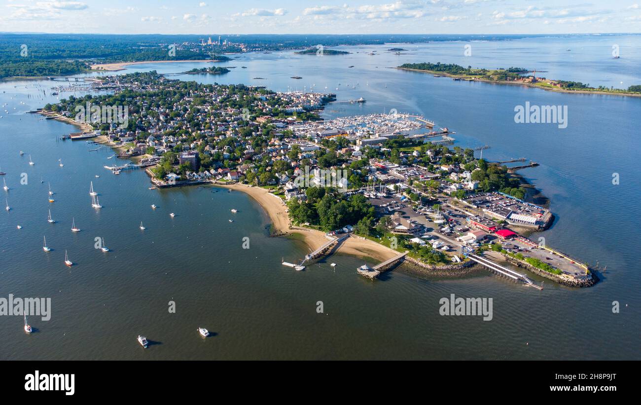 City Island, Bronx, New York City, NY, USA Stock Photohttps://www.alamy.com/image-license-details/?v=1https://www.alamy.com/city-island-bronx-new-york-city-ny-usa-image452877344.html
RM2H8P9JT–City Island, Bronx, New York City, NY, USA
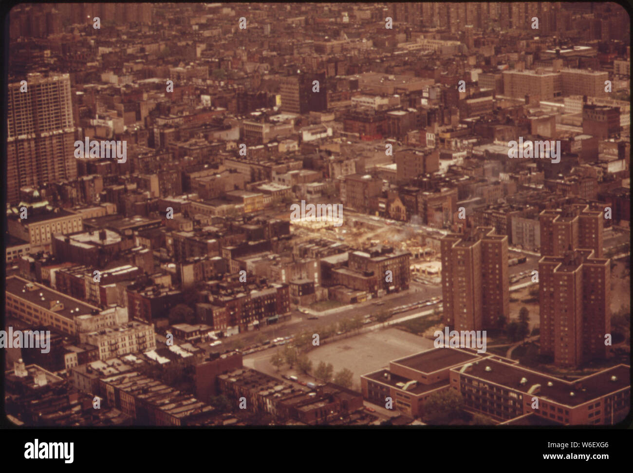 AERIAL VIEW OF LOWER BRONX Stock Photohttps://www.alamy.com/image-license-details/?v=1https://www.alamy.com/aerial-view-of-lower-bronx-image262171622.html
RMW6EXG6–AERIAL VIEW OF LOWER BRONX
 An aerial view of the Yankee stadium located in the center of Bronx with lots of buildings around it Stock Photohttps://www.alamy.com/image-license-details/?v=1https://www.alamy.com/an-aerial-view-of-the-yankee-stadium-located-in-the-center-of-bronx-with-lots-of-buildings-around-it-image544628465.html
RF2PJ1Y4H–An aerial view of the Yankee stadium located in the center of Bronx with lots of buildings around it
 Aerial view of lower Bronx ca. 1973 Stock Photohttps://www.alamy.com/image-license-details/?v=1https://www.alamy.com/aerial-view-of-lower-bronx-ca-1973-image387367486.html
RM2DE6352–Aerial view of lower Bronx ca. 1973
 Aerial view of Yankee Stadium, Bronx, New York City, New York, USA Stock Photohttps://www.alamy.com/image-license-details/?v=1https://www.alamy.com/aerial-view-of-yankee-stadium-bronx-new-york-city-new-york-usa-image609882252.html
RM2XC6F10–Aerial view of Yankee Stadium, Bronx, New York City, New York, USA
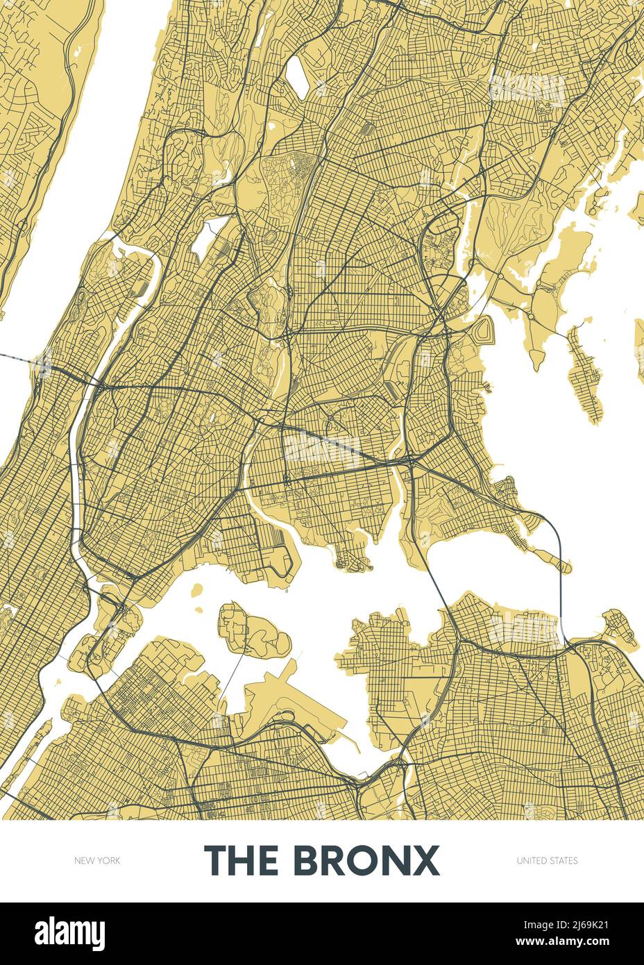 Detailed borough map of The Bronx New York city, color vector city street plan, printable travel poster or postcard Stock Vectorhttps://www.alamy.com/image-license-details/?v=1https://www.alamy.com/detailed-borough-map-of-the-bronx-new-york-city-color-vector-city-street-plan-printable-travel-poster-or-postcard-image468580393.html
RF2J69K21–Detailed borough map of The Bronx New York city, color vector city street plan, printable travel poster or postcard
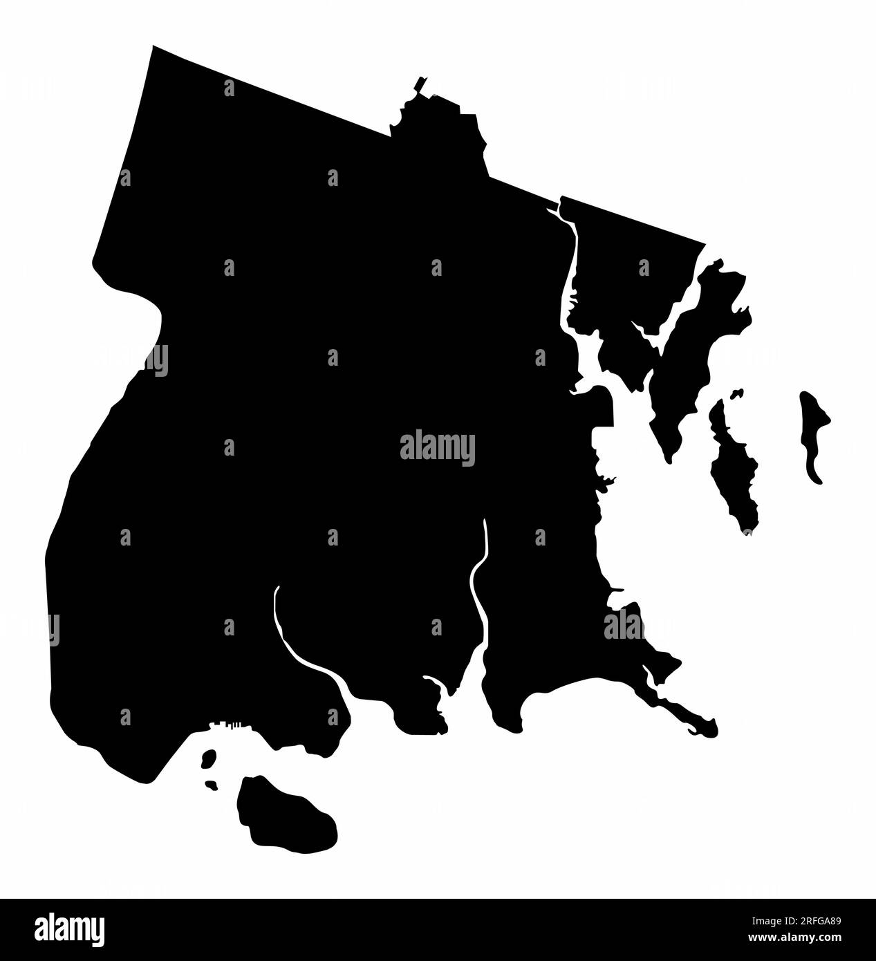 The Bronx map silhouette isolated on white background, New York City Stock Vectorhttps://www.alamy.com/image-license-details/?v=1https://www.alamy.com/the-bronx-map-silhouette-isolated-on-white-background-new-york-city-image560310921.html
RF2RFGA89–The Bronx map silhouette isolated on white background, New York City
 Aerial view of Yankee baseball Stadium in the Bronx New York City Stock Photohttps://www.alamy.com/image-license-details/?v=1https://www.alamy.com/stock-photo-aerial-view-of-yankee-baseball-stadium-in-the-bronx-new-york-city-14164536.html
RMAGC70W–Aerial view of Yankee baseball Stadium in the Bronx New York City
 Aerial view of the Throgs Neck Bridge connecting the Bronx with Queens in New York City at sunset. Stock Photohttps://www.alamy.com/image-license-details/?v=1https://www.alamy.com/aerial-view-of-the-throgs-neck-bridge-connecting-the-bronx-with-queens-in-new-york-city-at-sunset-image357339620.html
RF2BNA698–Aerial view of the Throgs Neck Bridge connecting the Bronx with Queens in New York City at sunset.
 New York City, Winter Scene in Bronx Park, Uferpartie | usage worldwide Stock Photohttps://www.alamy.com/image-license-details/?v=1https://www.alamy.com/new-york-city-winter-scene-in-bronx-park-uferpartie-usage-worldwide-image381721643.html
RM2D50WRR–New York City, Winter Scene in Bronx Park, Uferpartie | usage worldwide
 View of the Manhattan cityscape from the Empire State Building in New York, NY. Stock Photohttps://www.alamy.com/image-license-details/?v=1https://www.alamy.com/view-of-the-manhattan-cityscape-from-the-empire-state-building-in-image65940255.html
RFDR7RD3–View of the Manhattan cityscape from the Empire State Building in New York, NY.
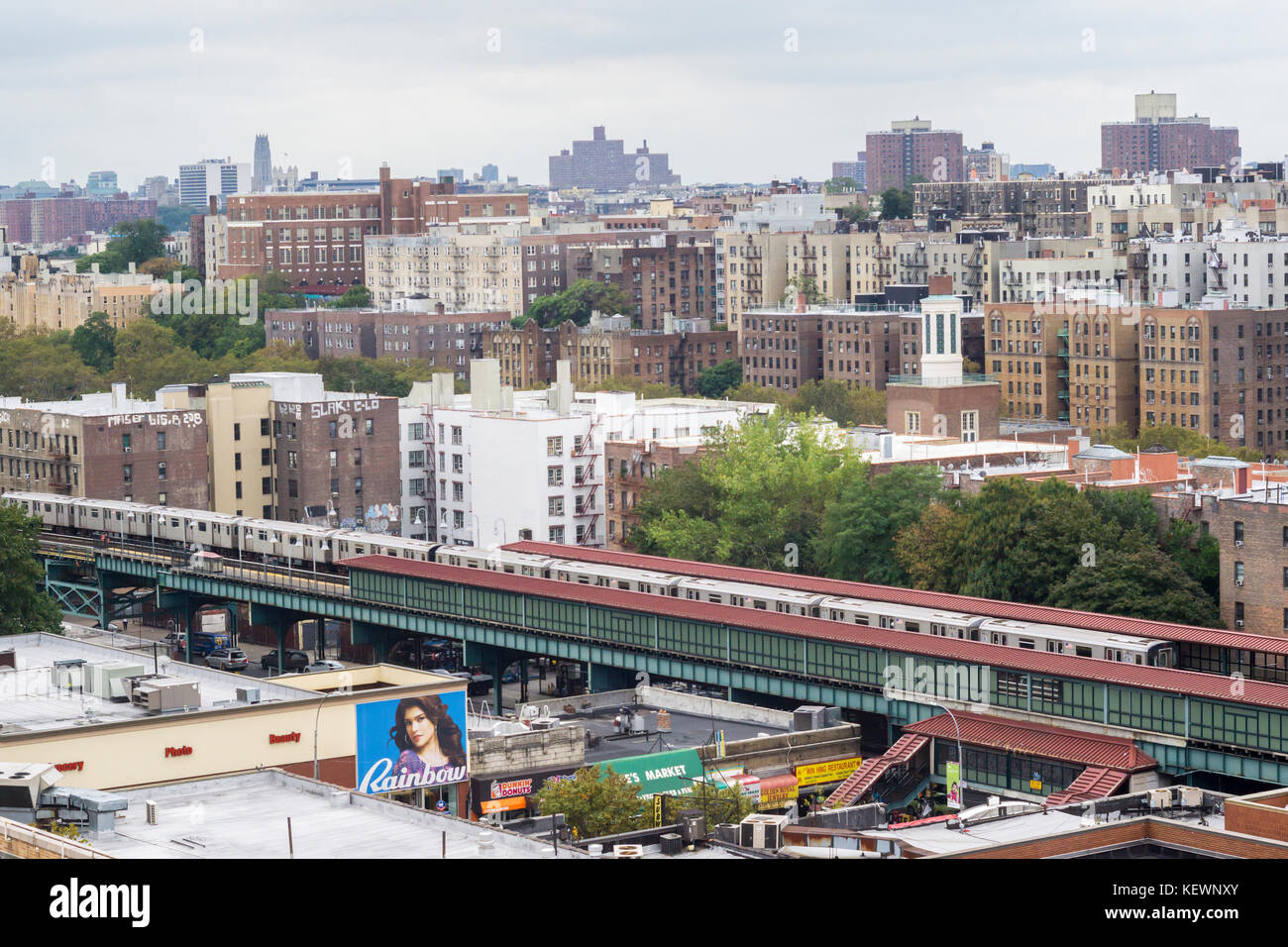 Densely packed apartment buildings and housing stock in the High Bridge and Concourse neighborhoods of the New York borough of The Bronx on Sunday, October 15, 2017. (© Richard B. Levine) Stock Photohttps://www.alamy.com/image-license-details/?v=1https://www.alamy.com/stock-image-densely-packed-apartment-buildings-and-housing-stock-in-the-high-bridge-164064515.html
RMKEWNXY–Densely packed apartment buildings and housing stock in the High Bridge and Concourse neighborhoods of the New York borough of The Bronx on Sunday, October 15, 2017. (© Richard B. Levine)
 squirrel new york usa city harlem bronx . Stock Photohttps://www.alamy.com/image-license-details/?v=1https://www.alamy.com/stock-image-squirrel-new-york-usa-city-harlem-bronx-163167304.html
RFKDCWFM–squirrel new york usa city harlem bronx .
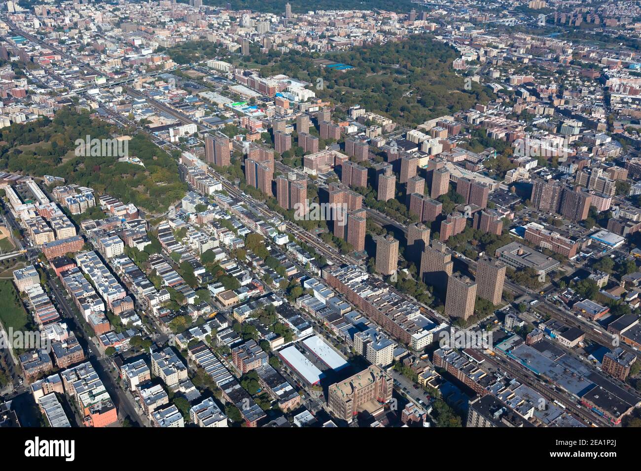 Claremont village in New York city. Borough Bronx. Helicopter view Stock Photohttps://www.alamy.com/image-license-details/?v=1https://www.alamy.com/claremont-village-in-new-york-city-borough-bronx-helicopter-view-image402024298.html
RF2EA1P2J–Claremont village in New York city. Borough Bronx. Helicopter view
