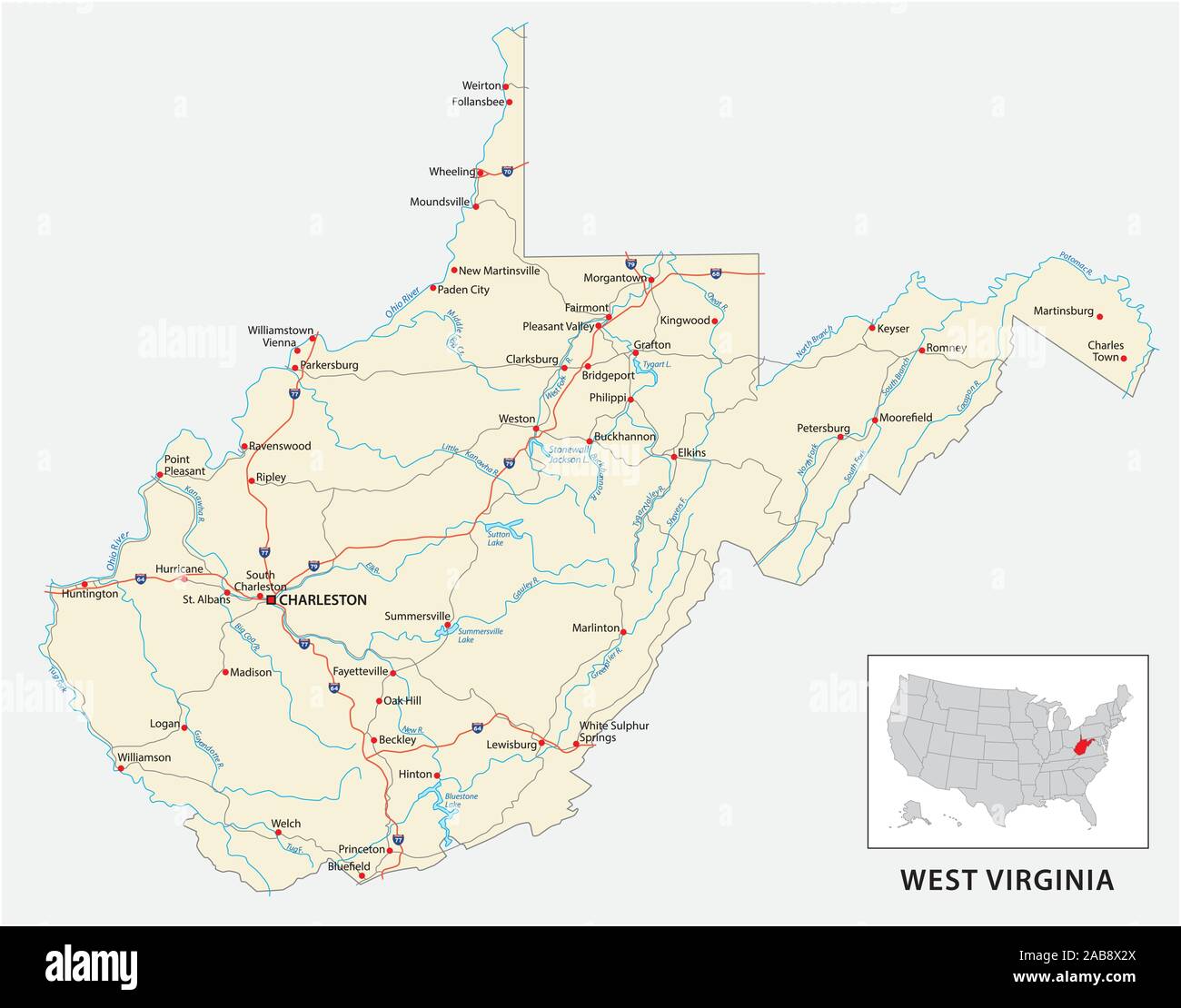
The north american atlas Stock Vectors & Vector Art
(4,126)See the north american atlas stock video clipsThe north american atlas Stock Vectors & Vector Art
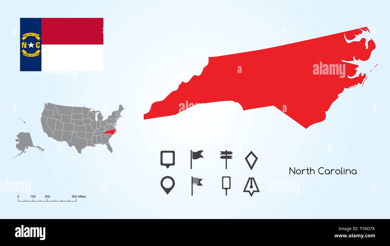 Map of The United States of America with the Selected State of North Carolina And North Carolina Flag with Locator Collection. Stock Vectorhttps://www.alamy.com/image-license-details/?v=1https://www.alamy.com/map-of-the-united-states-of-america-with-the-selected-state-of-north-carolina-and-north-carolina-flag-with-locator-collection-image257682983.html
RFTY6D7K–Map of The United States of America with the Selected State of North Carolina And North Carolina Flag with Locator Collection.
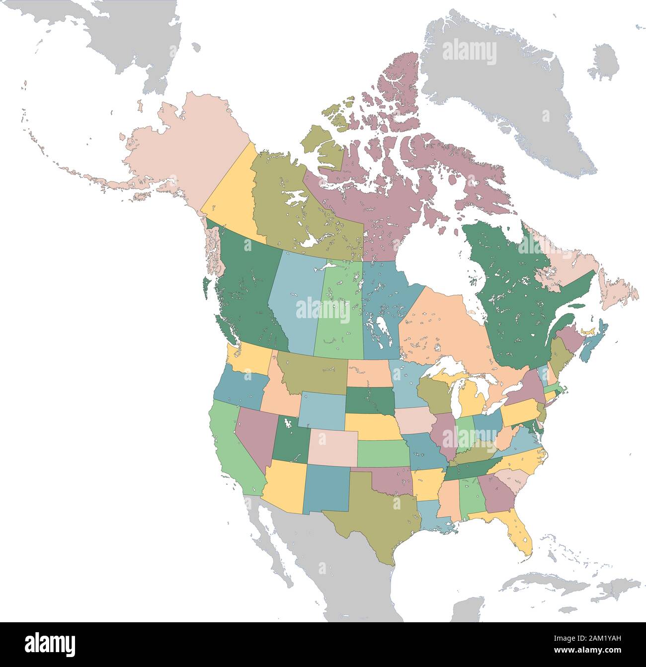 North America map with USA and Canada Stock Vectorhttps://www.alamy.com/image-license-details/?v=1https://www.alamy.com/north-america-map-with-usa-and-canada-image339333529.html
RF2AM1YAH–North America map with USA and Canada
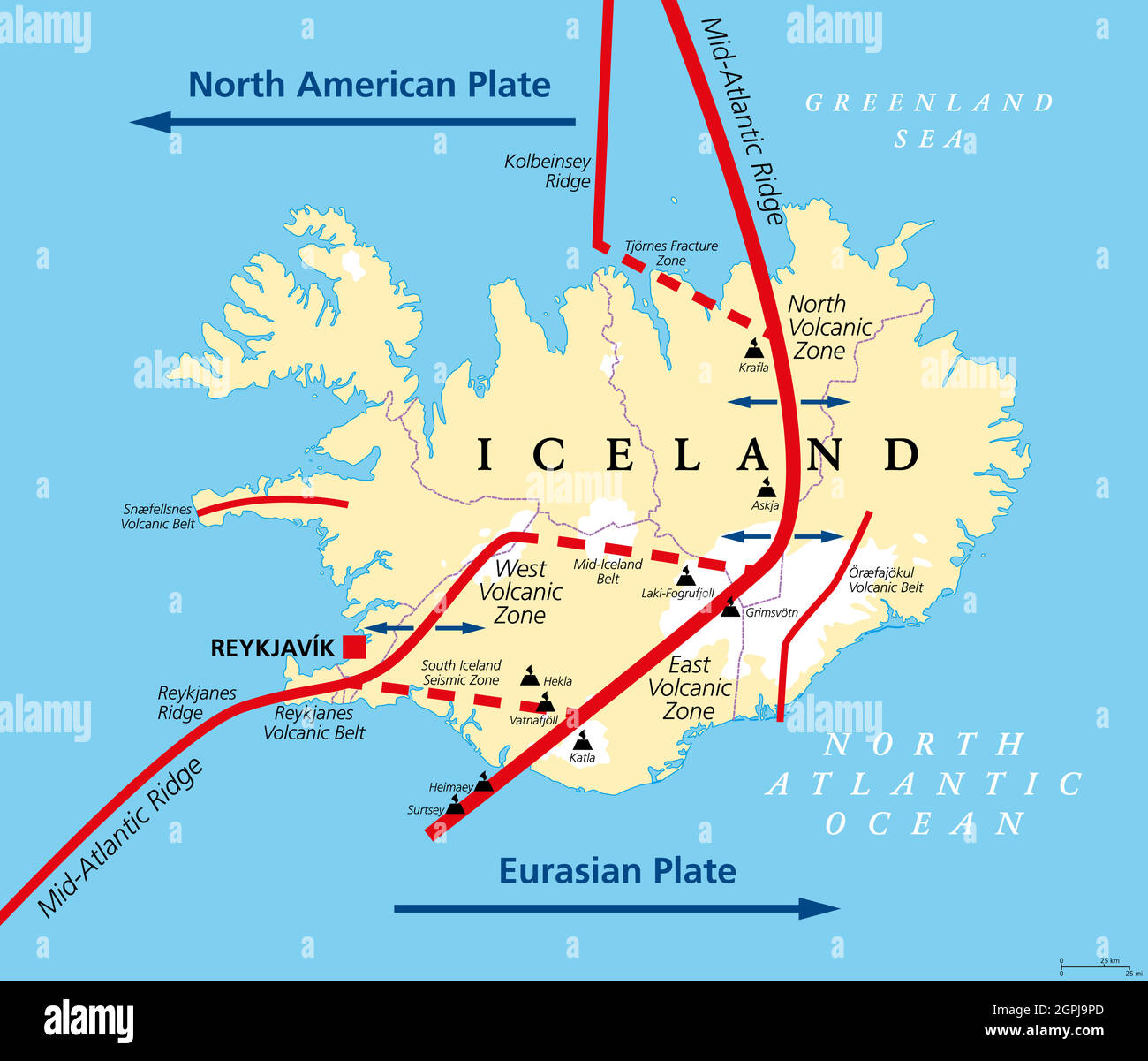 Geology of Iceland, Eurasian and North American Plate, political map Stock Vectorhttps://www.alamy.com/image-license-details/?v=1https://www.alamy.com/geology-of-iceland-eurasian-and-north-american-plate-political-map-image444184453.html
RF2GPJ9PD–Geology of Iceland, Eurasian and North American Plate, political map
RF2GCK570–North Dakota Map on American Flag. ND, USA State Map on US Flag. EPS Vector Graphic Clipart Icon
 United States Map New Year Stock Vectorhttps://www.alamy.com/image-license-details/?v=1https://www.alamy.com/stock-photo-united-states-map-new-year-116261115.html
RFGN446K–United States Map New Year
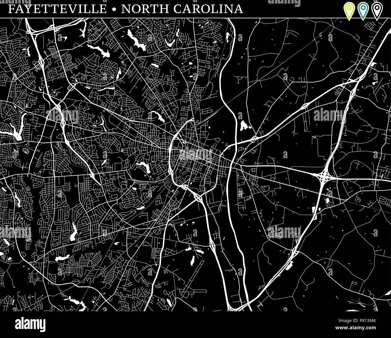 Simple map of Fayetteville, North Carolina, USA. Black and white version for backgrounds. This map of Fayetteville contains three markers who are grou Stock Vectorhttps://www.alamy.com/image-license-details/?v=1https://www.alamy.com/simple-map-of-fayetteville-north-carolina-usa-black-and-white-version-for-backgrounds-this-map-of-fayetteville-contains-three-markers-who-are-grou-image222530355.html
RFPX13MK–Simple map of Fayetteville, North Carolina, USA. Black and white version for backgrounds. This map of Fayetteville contains three markers who are grou
 Vector map of North America to study colorless with outline, black and white Stock Vectorhttps://www.alamy.com/image-license-details/?v=1https://www.alamy.com/vector-map-of-north-america-to-study-colorless-with-outline-black-and-white-image435042598.html
RF2G7NW7J–Vector map of North America to study colorless with outline, black and white
 North America hand drawn map, continent silhouette, stylized contour borders, black line. Stock Vectorhttps://www.alamy.com/image-license-details/?v=1https://www.alamy.com/north-america-hand-drawn-map-continent-silhouette-stylized-contour-borders-black-line-image611852187.html
RF2XFC7KR–North America hand drawn map, continent silhouette, stylized contour borders, black line.
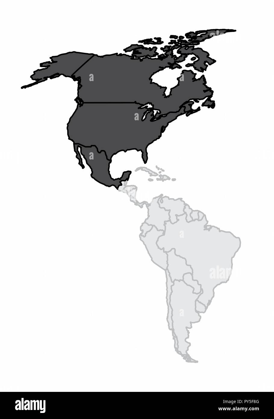 A map of the american continent with the north america highlighted Stock Vectorhttps://www.alamy.com/image-license-details/?v=1https://www.alamy.com/a-map-of-the-american-continent-with-the-north-america-highlighted-image223241888.html
RFPY5F8G–A map of the american continent with the north america highlighted
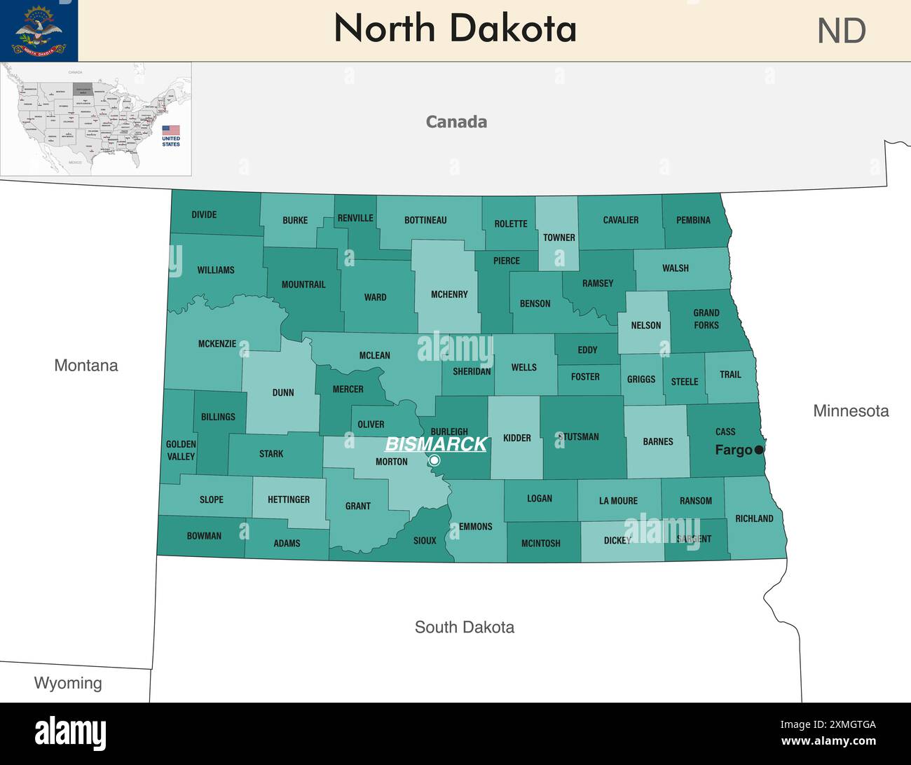 North Dakota state map with counties borders. North Dakota's at-large congressional district. Flag of North Dakota. Vector Stock Vectorhttps://www.alamy.com/image-license-details/?v=1https://www.alamy.com/north-dakota-state-map-with-counties-borders-north-dakotas-at-large-congressional-district-flag-of-north-dakota-vector-image615026506.html
RF2XMGTGA–North Dakota state map with counties borders. North Dakota's at-large congressional district. Flag of North Dakota. Vector
 United States map vector isolated on white backdrop Stock Vectorhttps://www.alamy.com/image-license-details/?v=1https://www.alamy.com/united-states-map-vector-isolated-on-white-backdrop-image570850246.html
RF2T4MD8P–United States map vector isolated on white backdrop
 USA map. Flat style - stock vector. Stock Vectorhttps://www.alamy.com/image-license-details/?v=1https://www.alamy.com/usa-map-flat-style-stock-vector-image355182061.html
RF2BHRX9H–USA map. Flat style - stock vector.
RF2FMXTT1–America map. Vector icon. USA silhouette map. All states
 American Map T Shirt design , United States Home T-Shirt design ,United States Shirt, 4th Of July Shirt, Patriotic T Shirt design ,America Map Tshirt Stock Vectorhttps://www.alamy.com/image-license-details/?v=1https://www.alamy.com/american-map-t-shirt-design-united-states-home-t-shirt-design-united-states-shirt-4th-of-july-shirt-patriotic-t-shirt-design-america-map-tshirt-image624397048.html
RF2Y7RMPG–American Map T Shirt design , United States Home T-Shirt design ,United States Shirt, 4th Of July Shirt, Patriotic T Shirt design ,America Map Tshirt
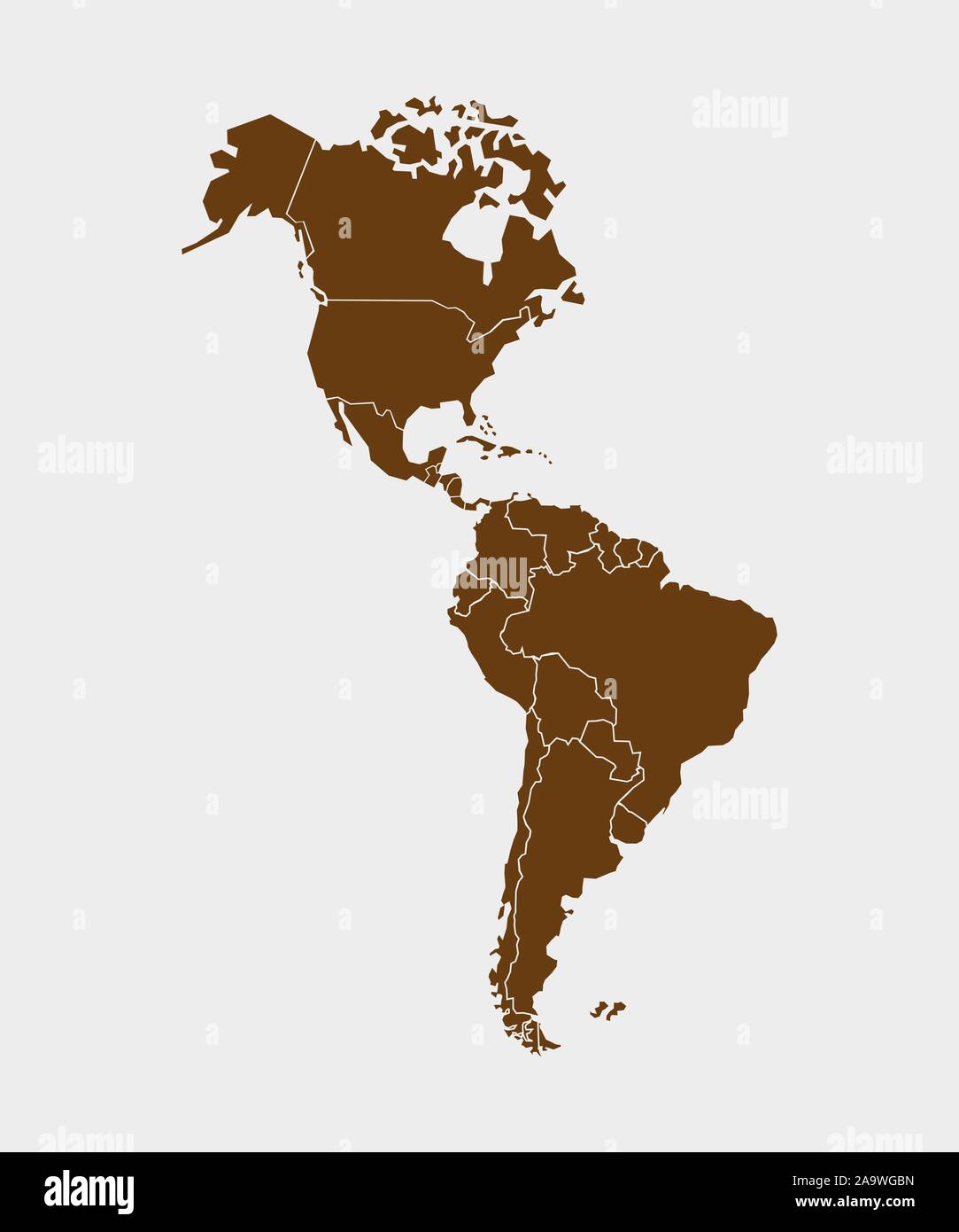 North, South America with country borders, vector illustration. Stock Vectorhttps://www.alamy.com/image-license-details/?v=1https://www.alamy.com/north-south-america-with-country-borders-vector-illustration-image333090569.html
RF2A9WGBN–North, South America with country borders, vector illustration.
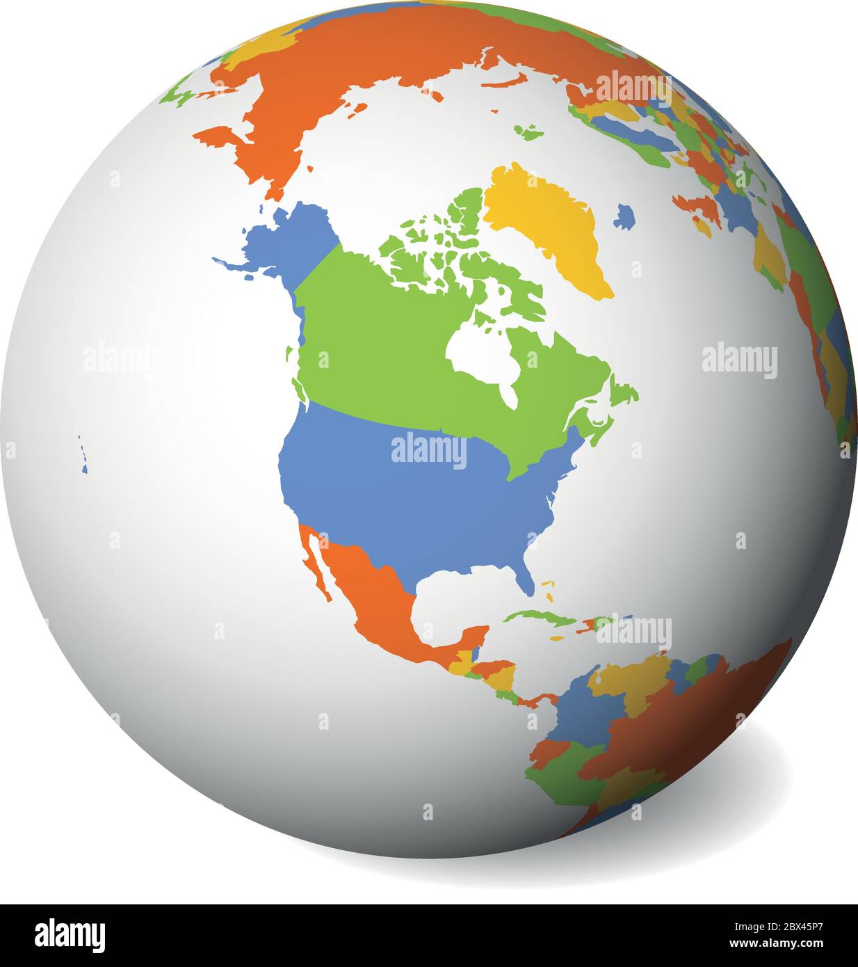 Blank political map of North America. Earth globe with colored map. Vector illustration. Stock Vectorhttps://www.alamy.com/image-license-details/?v=1https://www.alamy.com/blank-political-map-of-north-america-earth-globe-with-colored-map-vector-illustration-image360280767.html
RF2BX45P7–Blank political map of North America. Earth globe with colored map. Vector illustration.
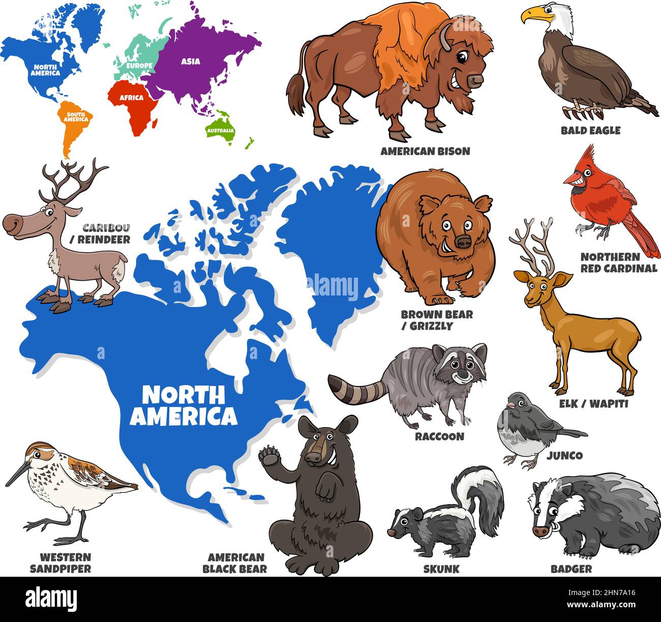 Educational cartoon illustration of North American animal characters set and world map Stock Vectorhttps://www.alamy.com/image-license-details/?v=1https://www.alamy.com/educational-cartoon-illustration-of-north-american-animal-characters-set-and-world-map-image460538882.html
RF2HN7A16–Educational cartoon illustration of North American animal characters set and world map
 North and South America map. World map with triangular shapes. Stock Vectorhttps://www.alamy.com/image-license-details/?v=1https://www.alamy.com/north-and-south-america-map-world-map-with-triangular-shapes-image465722813.html
RF2J1KE5H–North and South America map. World map with triangular shapes.
RFW6E1TJ–America continent map illustration made of colorful pixels. Abstract geometric pixel planet with empty copy space bubbles in north and south american
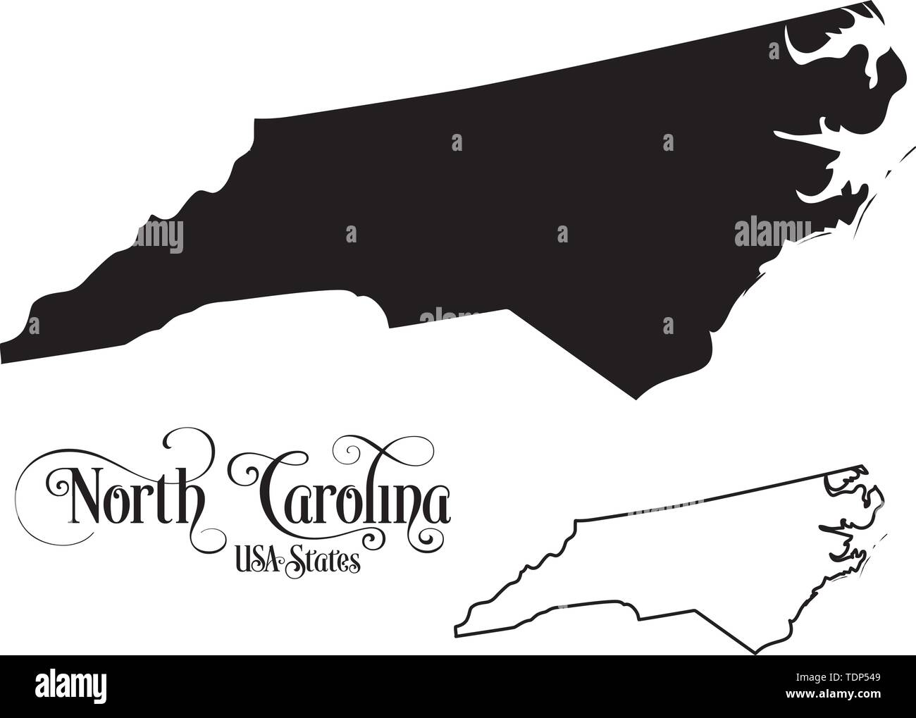 Map of The United States of America (USA) State of North Carolina - Illustration on White Background. Stock Vectorhttps://www.alamy.com/image-license-details/?v=1https://www.alamy.com/map-of-the-united-states-of-america-usa-state-of-north-carolina-illustration-on-white-background-image249422665.html
RFTDP549–Map of The United States of America (USA) State of North Carolina - Illustration on White Background.
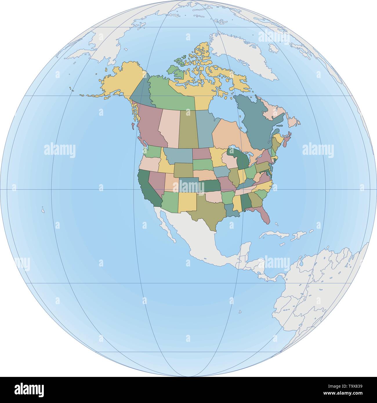 North America map with USA and Canada Stock Vectorhttps://www.alamy.com/image-license-details/?v=1https://www.alamy.com/north-america-map-with-usa-and-canada-image247054173.html
RFT9X839–North America map with USA and Canada
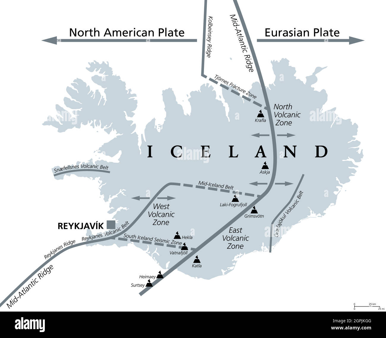 Geology of Iceland, Eurasian and North American Plate, gray political map Stock Vectorhttps://www.alamy.com/image-license-details/?v=1https://www.alamy.com/geology-of-iceland-eurasian-and-north-american-plate-gray-political-map-image444192128.html
RF2GPJKGG–Geology of Iceland, Eurasian and North American Plate, gray political map
RF2GCK4W8–North Carolina Map on American Flag. NC, USA State Map on US Flag. EPS Vector Graphic Clipart Icon
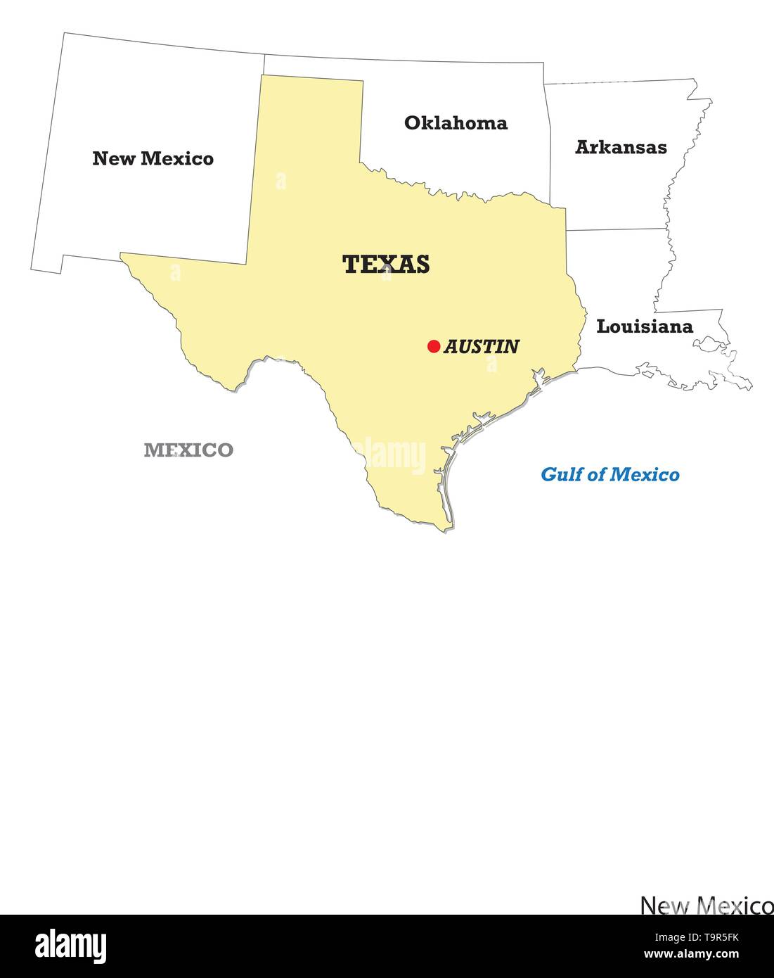 Texas state map with neighboring states Stock Vectorhttps://www.alamy.com/image-license-details/?v=1https://www.alamy.com/texas-state-map-with-neighboring-states-image246986311.html
RFT9R5FK–Texas state map with neighboring states
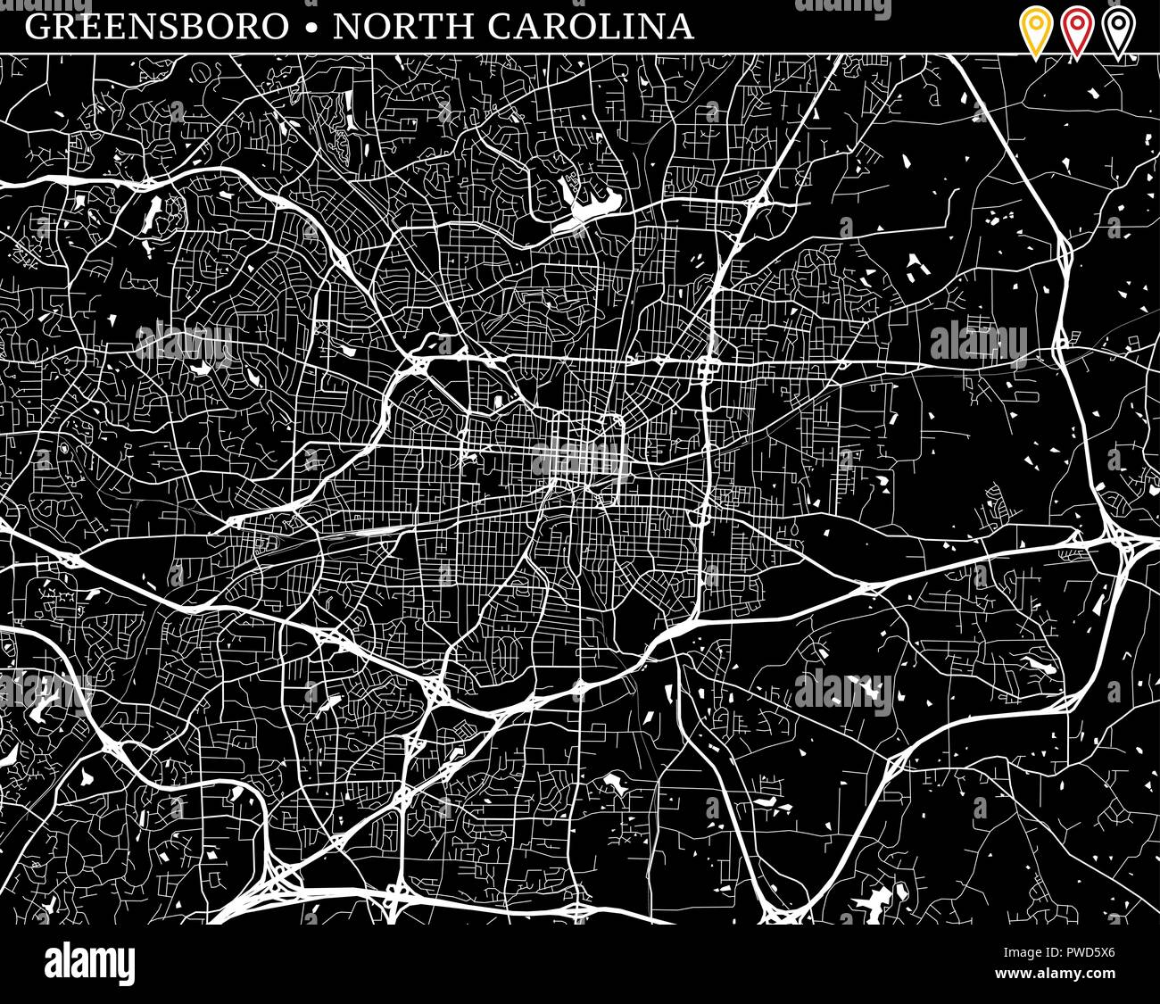 Simple map of Greensboro, North Carolina, USA. Black and white version for clean backgrounds and prints. This map of Greensboro contains three markers Stock Vectorhttps://www.alamy.com/image-license-details/?v=1https://www.alamy.com/simple-map-of-greensboro-north-carolina-usa-black-and-white-version-for-clean-backgrounds-and-prints-this-map-of-greensboro-contains-three-markers-image222180846.html
RFPWD5X6–Simple map of Greensboro, North Carolina, USA. Black and white version for clean backgrounds and prints. This map of Greensboro contains three markers
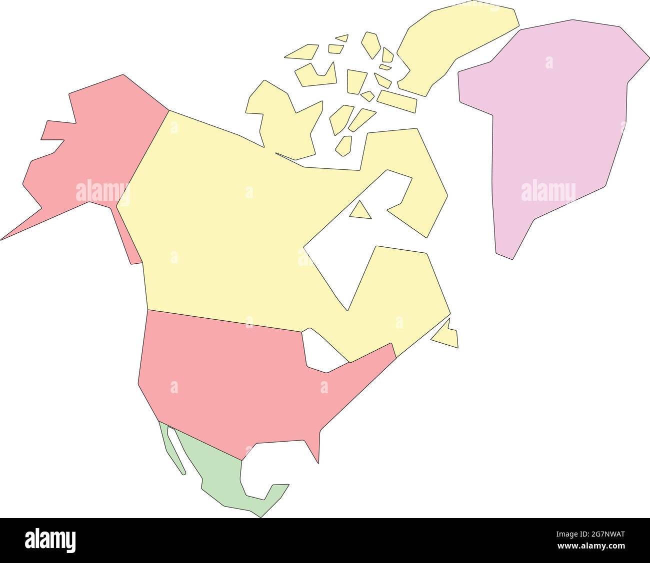 Vector map of North America to study, colorful with outline Stock Vectorhttps://www.alamy.com/image-license-details/?v=1https://www.alamy.com/vector-map-of-north-america-to-study-colorful-with-outline-image435042688.html
RF2G7NWAT–Vector map of North America to study, colorful with outline
RF2XRPGM7–Round Icons of All North America Country Flags
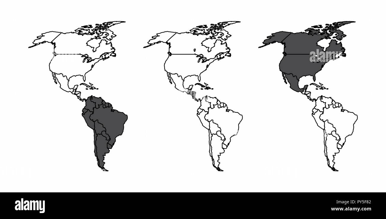 A set of maps of the american continent with the south, central and north america highlighted Stock Vectorhttps://www.alamy.com/image-license-details/?v=1https://www.alamy.com/a-set-of-maps-of-the-american-continent-with-the-south-central-and-north-america-highlighted-image223241874.html
RFPY5F82–A set of maps of the american continent with the south, central and north america highlighted
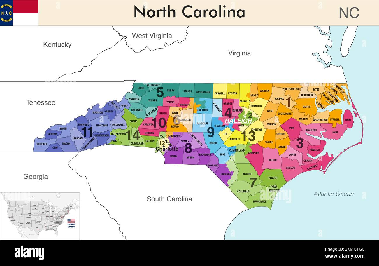 North Carolina state map with counties borders and colored congressional districts boundaries due to The 2020 United States census and which is valid Stock Vectorhttps://www.alamy.com/image-license-details/?v=1https://www.alamy.com/north-carolina-state-map-with-counties-borders-and-colored-congressional-districts-boundaries-due-to-the-2020-united-states-census-and-which-is-valid-image615026508.html
RF2XMGTGC–North Carolina state map with counties borders and colored congressional districts boundaries due to The 2020 United States census and which is valid
 United States map vector isolated on white backdrop Stock Vectorhttps://www.alamy.com/image-license-details/?v=1https://www.alamy.com/united-states-map-vector-isolated-on-white-backdrop-image570847984.html
RF2T4MAC0–United States map vector isolated on white backdrop
RFMBW6KP–Icon retro style illustration of Atlas, a Titan carrying a globe with American United States of America USA star spangled banner or stars and stripes
RF2FMXW5G–America map. Vector icon. USA silhouette map. All states
RF2CRWY66–USA map for atlas vector icon isolated on white background .
 North, South America with country borders, vector illustration. Stock Vectorhttps://www.alamy.com/image-license-details/?v=1https://www.alamy.com/north-south-america-with-country-borders-vector-illustration-image333811300.html
RF2AB2BM4–North, South America with country borders, vector illustration.
 Blank political map of North America. 3D Earth globe with orange map. Vector illustration. Stock Vectorhttps://www.alamy.com/image-license-details/?v=1https://www.alamy.com/blank-political-map-of-north-america-3d-earth-globe-with-orange-map-vector-illustration-image365257369.html
RF2C66WE1–Blank political map of North America. 3D Earth globe with orange map. Vector illustration.
 Cuba Flag in Map, Cuba Map with Flag, Country Map, Cuba Map with Flag, Nation Flag Cuba Stock Vectorhttps://www.alamy.com/image-license-details/?v=1https://www.alamy.com/cuba-flag-in-map-cuba-map-with-flag-country-map-cuba-map-with-flag-nation-flag-cuba-image619310504.html
RF2XYG0T8–Cuba Flag in Map, Cuba Map with Flag, Country Map, Cuba Map with Flag, Nation Flag Cuba
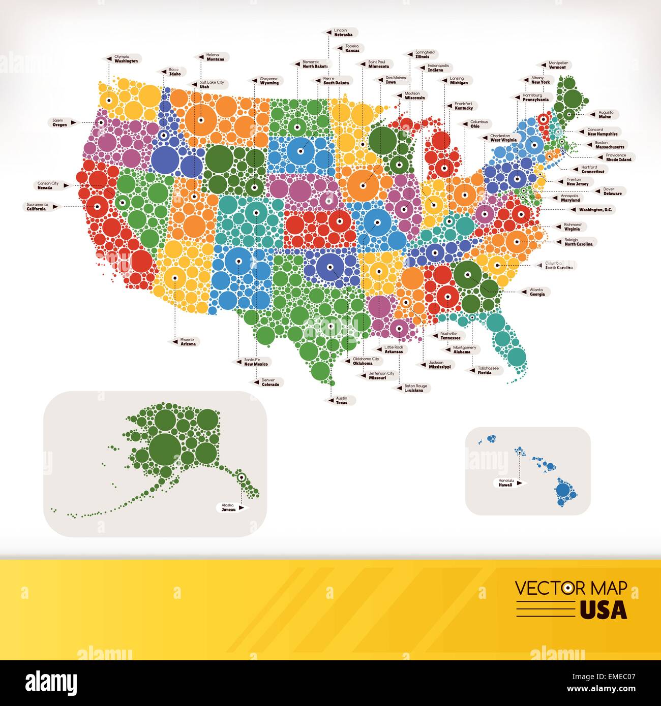 Map of USA Stock Vectorhttps://www.alamy.com/image-license-details/?v=1https://www.alamy.com/stock-photo-map-of-usa-81451335.html
RFEMEC07–Map of USA
RFW6DKWG–America continent map illustration made of green pixels. Abstract geometric pixel planet with empty copy space bubbles in north and south american cit
 Map of The United States of America (USA) State of North Dakota - Illustration on White Background. Stock Vectorhttps://www.alamy.com/image-license-details/?v=1https://www.alamy.com/map-of-the-united-states-of-america-usa-state-of-north-dakota-illustration-on-white-background-image249422683.html
RFTDP54Y–Map of The United States of America (USA) State of North Dakota - Illustration on White Background.
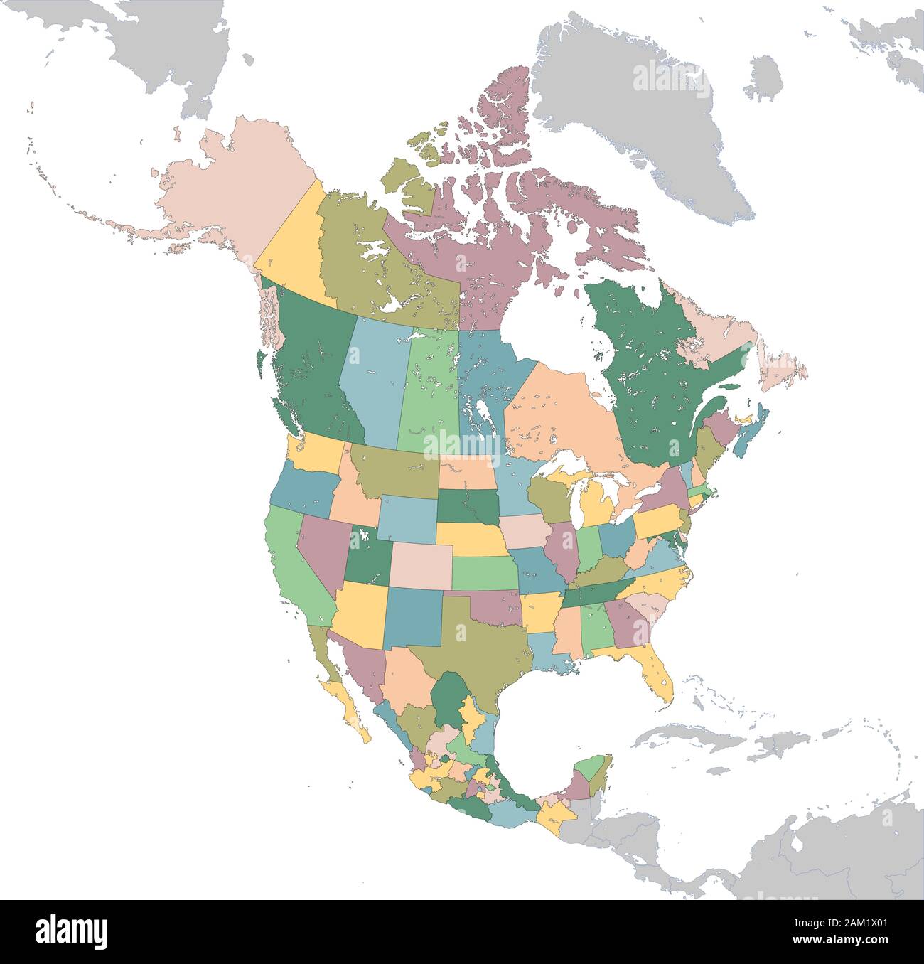 North America map with USA, Canada and Mexico Stock Vectorhttps://www.alamy.com/image-license-details/?v=1https://www.alamy.com/north-america-map-with-usa-canada-and-mexico-image339332449.html
RF2AM1X01–North America map with USA, Canada and Mexico
 Map United States covered in money, bank notes of 100 dollars. On the map there is glass reflection. Conceptual. Stock Vectorhttps://www.alamy.com/image-license-details/?v=1https://www.alamy.com/stock-photo-map-united-states-covered-in-money-bank-notes-of-100-dollars-on-the-122019539.html
RFH2ED4K–Map United States covered in money, bank notes of 100 dollars. On the map there is glass reflection. Conceptual.
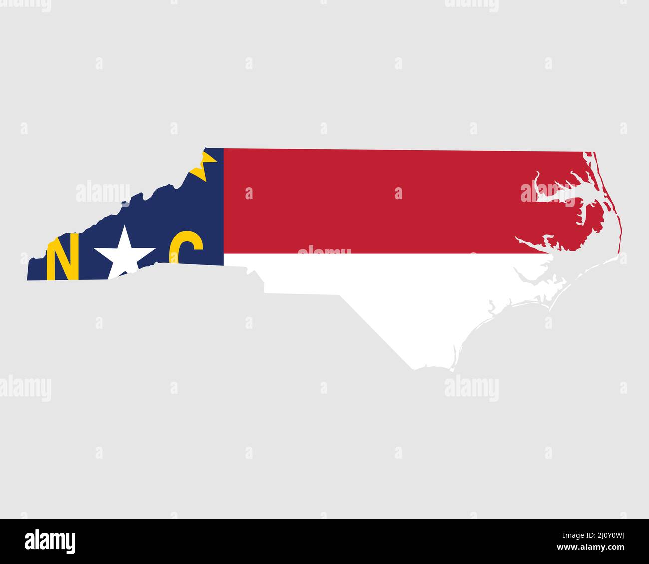 North Carolina Map Flag. Map of NC, USA with the state flag. United States, America, American, United States of America, US State Banner. Vector illus Stock Vectorhttps://www.alamy.com/image-license-details/?v=1https://www.alamy.com/north-carolina-map-flag-map-of-nc-usa-with-the-state-flag-united-states-america-american-united-states-of-america-us-state-banner-vector-illus-image465273358.html
RF2J0Y0WJ–North Carolina Map Flag. Map of NC, USA with the state flag. United States, America, American, United States of America, US State Banner. Vector illus
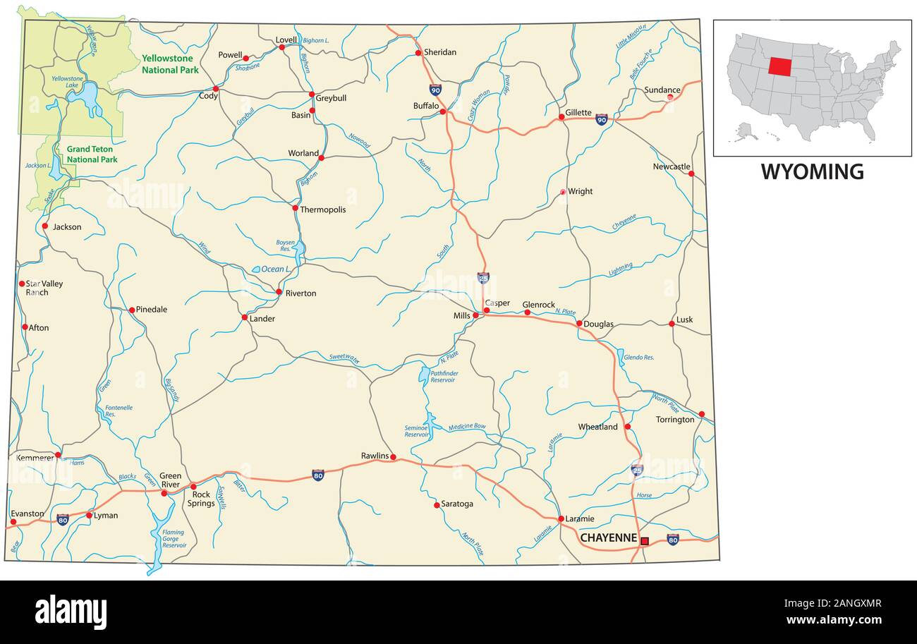 road map of the US American State of Wyoming Stock Vectorhttps://www.alamy.com/image-license-details/?v=1https://www.alamy.com/road-map-of-the-us-american-state-of-wyoming-image340276967.html
RF2ANGXMR–road map of the US American State of Wyoming
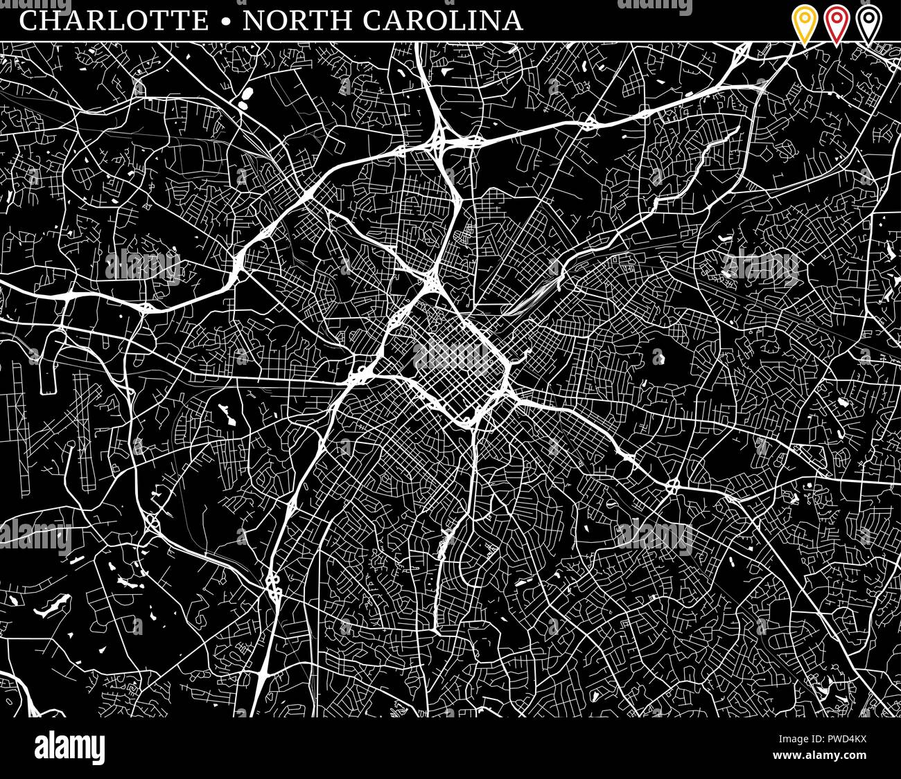 Simple map of Charlotte, North Carolina, USA. Black and white version for clean backgrounds and prints. This map of Charlotte contains three markers w Stock Vectorhttps://www.alamy.com/image-license-details/?v=1https://www.alamy.com/simple-map-of-charlotte-north-carolina-usa-black-and-white-version-for-clean-backgrounds-and-prints-this-map-of-charlotte-contains-three-markers-w-image222179886.html
RFPWD4KX–Simple map of Charlotte, North Carolina, USA. Black and white version for clean backgrounds and prints. This map of Charlotte contains three markers w
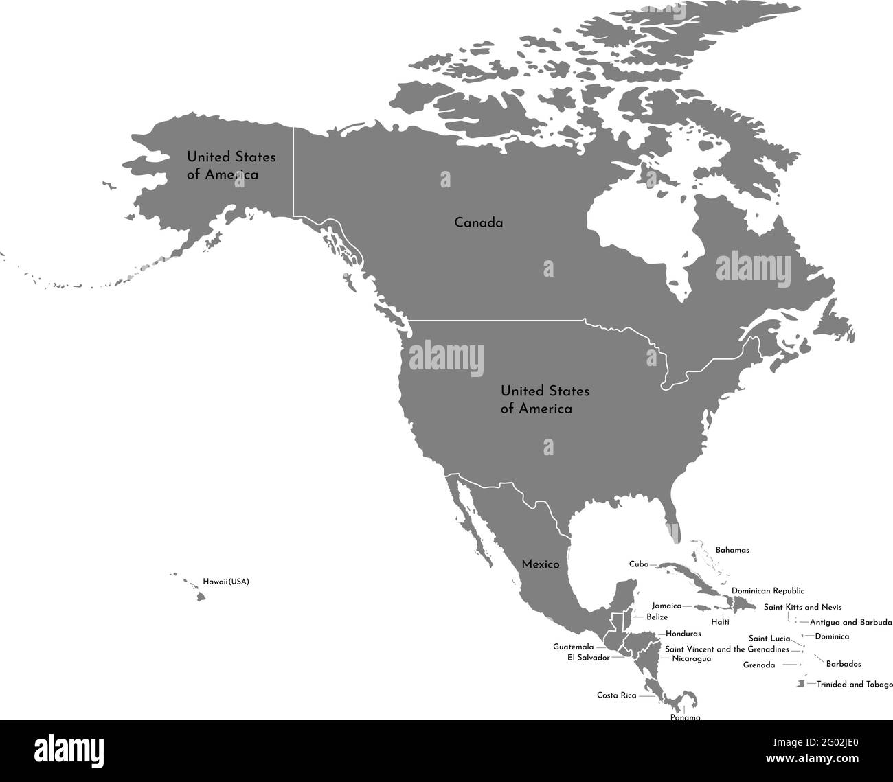 Vector illustration with simplified map of North American continent with states border (countries: USA, Mexico, Bahamas, Canada, Costa Rica, Cuba and Stock Vectorhttps://www.alamy.com/image-license-details/?v=1https://www.alamy.com/vector-illustration-with-simplified-map-of-north-american-continent-with-states-border-countries-usa-mexico-bahamas-canada-costa-rica-cuba-and-image430317608.html
RF2G02JE0–Vector illustration with simplified map of North American continent with states border (countries: USA, Mexico, Bahamas, Canada, Costa Rica, Cuba and
RF2Y99PNT–Bahamas Map Icon Illustration Element Design
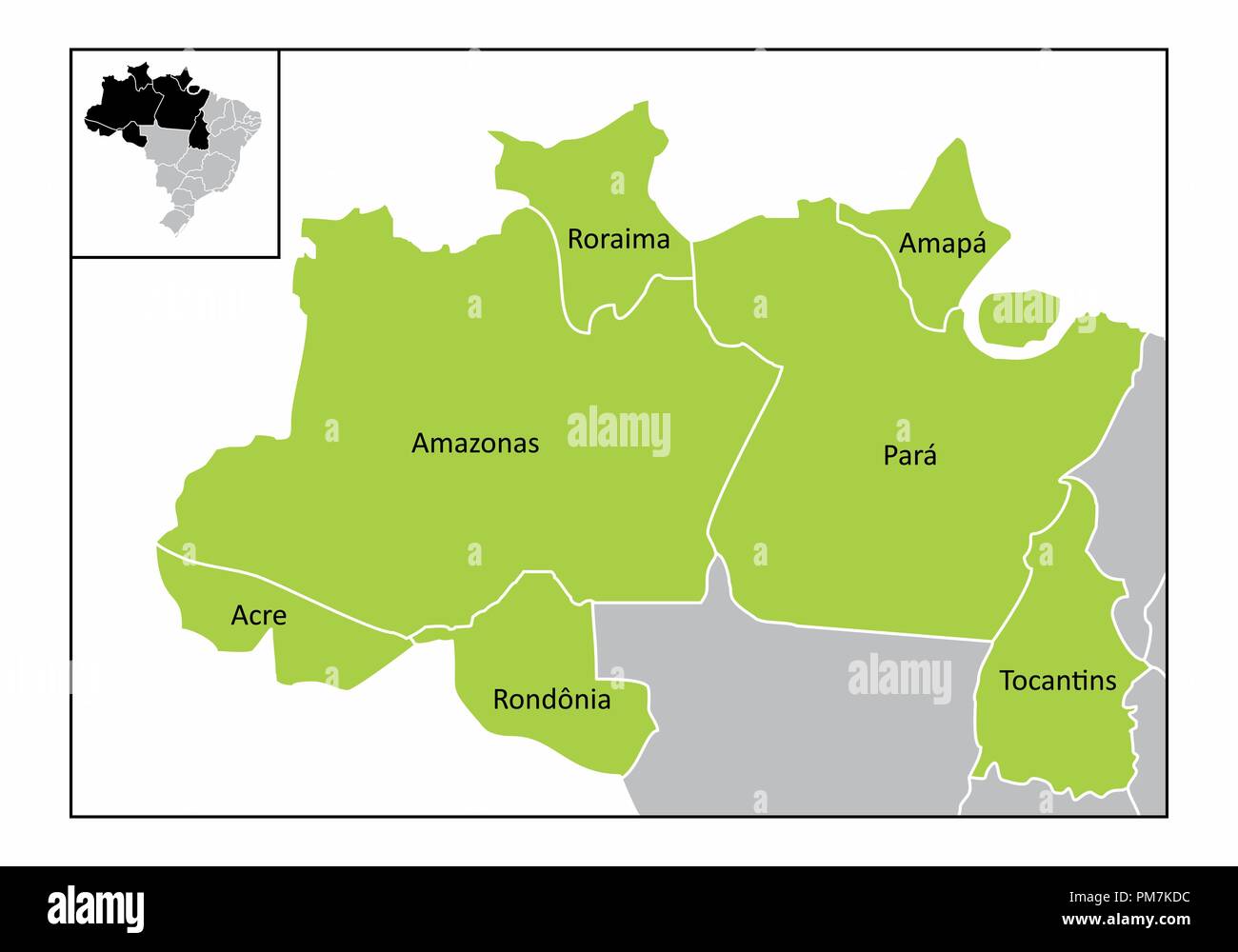 Map of the north region of Brazil with the identified states Stock Vectorhttps://www.alamy.com/image-license-details/?v=1https://www.alamy.com/map-of-the-north-region-of-brazil-with-the-identified-states-image218986472.html
RFPM7KDC–Map of the north region of Brazil with the identified states
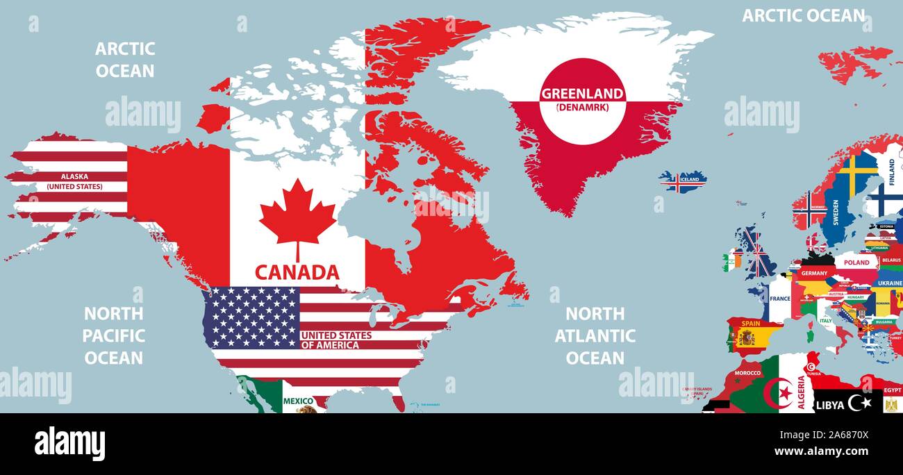 vector part of world map with region of North American and European countries mixed with their national flags Stock Vectorhttps://www.alamy.com/image-license-details/?v=1https://www.alamy.com/vector-part-of-world-map-with-region-of-north-american-and-european-countries-mixed-with-their-national-flags-image330866058.html
RF2A6870X–vector part of world map with region of North American and European countries mixed with their national flags
 United States map vector isolated on white backdrop Stock Vectorhttps://www.alamy.com/image-license-details/?v=1https://www.alamy.com/united-states-map-vector-isolated-on-white-backdrop-image570854895.html
RF2T4MK6R–United States map vector isolated on white backdrop
 Old vintage paper textured map of Greenland Country - Vector illustration Stock Vectorhttps://www.alamy.com/image-license-details/?v=1https://www.alamy.com/old-vintage-paper-textured-map-of-greenland-country-vector-illustration-image475285830.html
RF2JH73WX–Old vintage paper textured map of Greenland Country - Vector illustration
 Maps line Set Different types on white background Stock Vectorhttps://www.alamy.com/image-license-details/?v=1https://www.alamy.com/maps-line-set-different-types-on-white-background-image613302462.html
RF2XHP9FA–Maps line Set Different types on white background
RF2WMKWBX–Chile map icon vector illustration design
 North, South America, continent, dotted map on white background. Vector illustration. Stock Vectorhttps://www.alamy.com/image-license-details/?v=1https://www.alamy.com/north-south-america-continent-dotted-map-on-white-background-vector-illustration-image380732142.html
RF2D3BRME–North, South America, continent, dotted map on white background. Vector illustration.
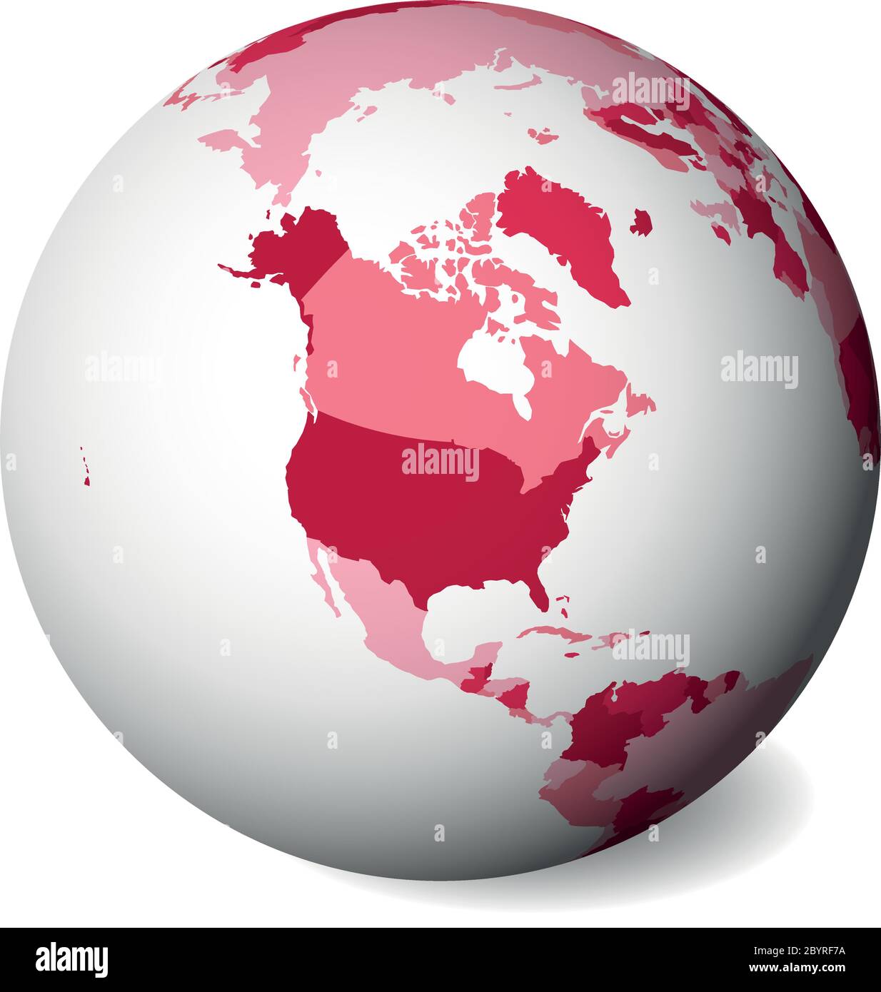 Blank political map of North America. 3D Earth globe with pink map. Vector illustration. Stock Vectorhttps://www.alamy.com/image-license-details/?v=1https://www.alamy.com/blank-political-map-of-north-america-3d-earth-globe-with-pink-map-vector-illustration-image361319934.html
RF2BYRF7A–Blank political map of North America. 3D Earth globe with pink map. Vector illustration.
 Black map of the world silhouette vector illustration. Stock Vectorhttps://www.alamy.com/image-license-details/?v=1https://www.alamy.com/black-map-of-the-world-silhouette-vector-illustration-image552029510.html
RF2R2337J–Black map of the world silhouette vector illustration.
 Tennessee vector Stock Vectorhttps://www.alamy.com/image-license-details/?v=1https://www.alamy.com/stock-photo-tennessee-vector-81317999.html
RFEM89X7–Tennessee vector
 Map of the Americas. Editable vector. Stock Vectorhttps://www.alamy.com/image-license-details/?v=1https://www.alamy.com/map-of-the-americas-editable-vector-image464986413.html
RF2J0DXWH–Map of the Americas. Editable vector.
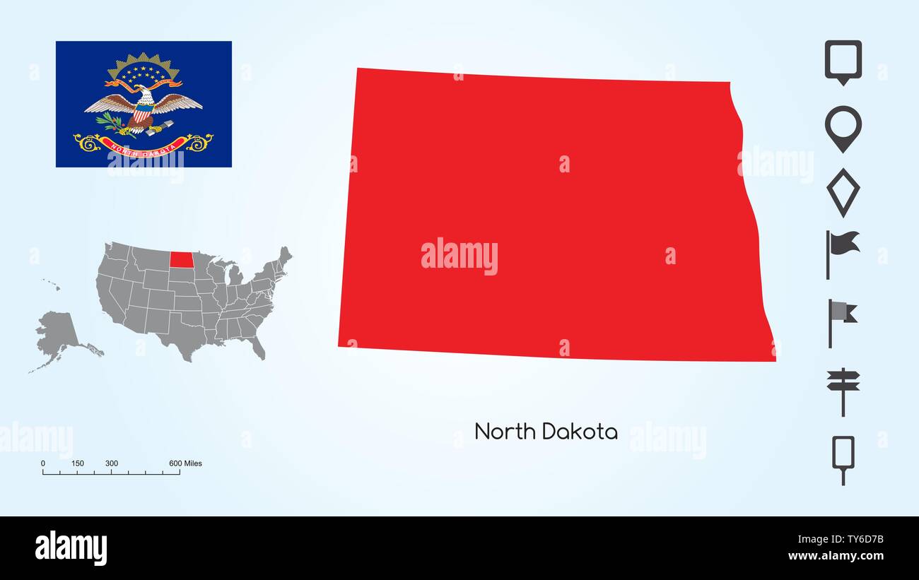 Map of The United States of America with the Selected State of North Dakota And North Dakota Flag with Locator Collection. Stock Vectorhttps://www.alamy.com/image-license-details/?v=1https://www.alamy.com/map-of-the-united-states-of-america-with-the-selected-state-of-north-dakota-and-north-dakota-flag-with-locator-collection-image257682975.html
RFTY6D7B–Map of The United States of America with the Selected State of North Dakota And North Dakota Flag with Locator Collection.
RF2TC9808–Line Map of United States of America Vector Illustration Icon USA map
 Contour map of United States with a technological electronics circuit. Stock Vectorhttps://www.alamy.com/image-license-details/?v=1https://www.alamy.com/contour-map-of-united-states-with-a-technological-electronics-circuit-image433074979.html
RF2G4G7FF–Contour map of United States with a technological electronics circuit.
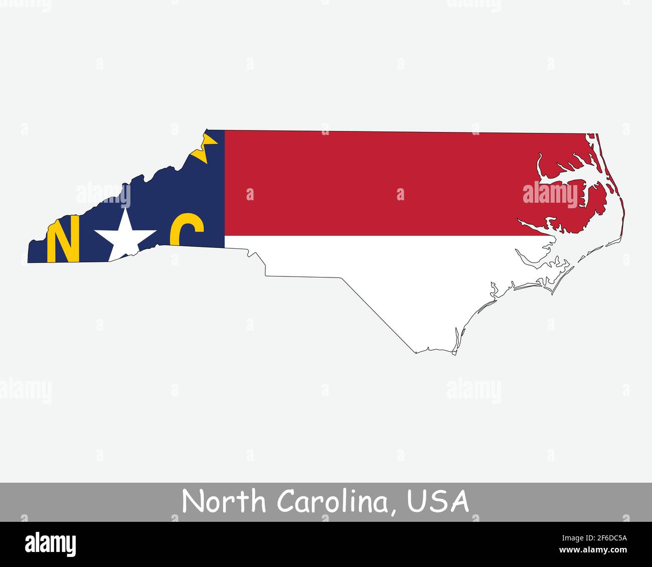 North Carolina Map Flag. Map of NC, USA with the state flag isolated on white background. United States, America, American, United States of America, Stock Vectorhttps://www.alamy.com/image-license-details/?v=1https://www.alamy.com/north-carolina-map-flag-map-of-nc-usa-with-the-state-flag-isolated-on-white-background-united-states-america-american-united-states-of-america-image417031702.html
RF2F6DC5A–North Carolina Map Flag. Map of NC, USA with the state flag isolated on white background. United States, America, American, United States of America,
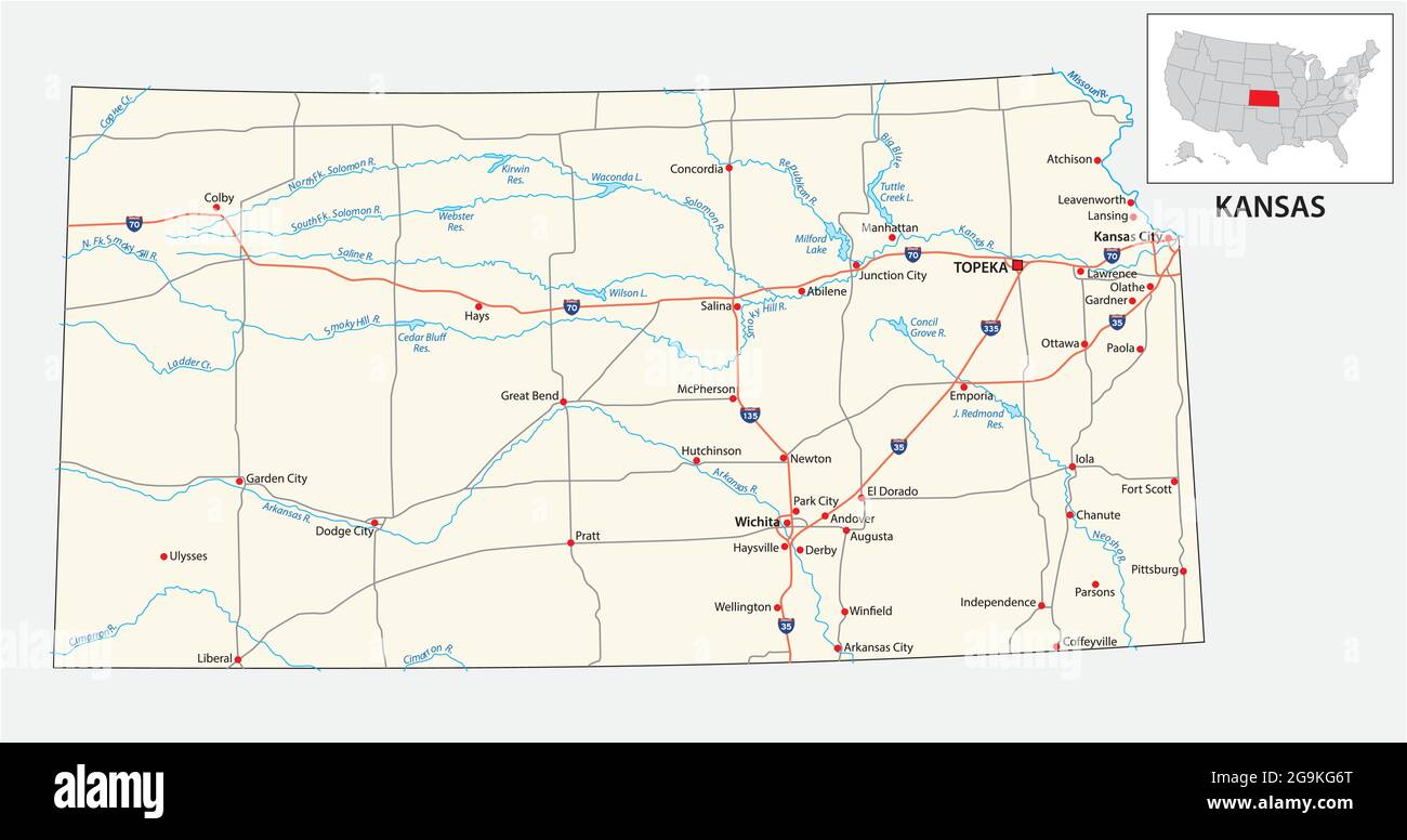 road map of the US American State of kansas Stock Vectorhttps://www.alamy.com/image-license-details/?v=1https://www.alamy.com/road-map-of-the-us-american-state-of-kansas-image436220928.html
RF2G9KG6T–road map of the US American State of kansas
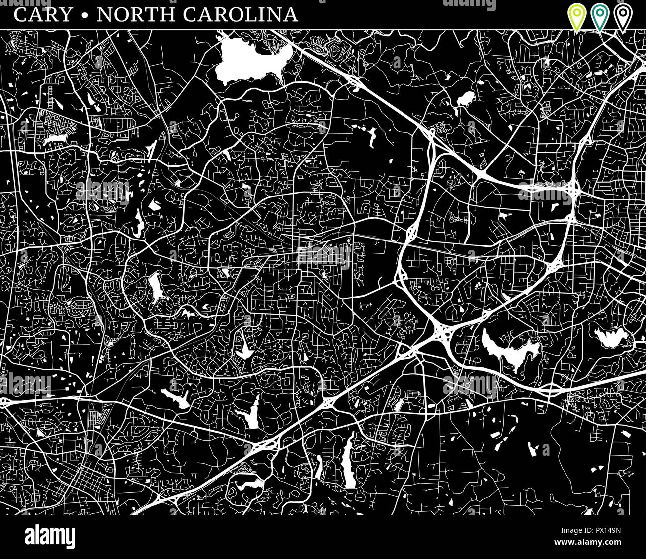 Simple map of Cary, North Carolina, USA. Black and white version for backgrounds. This map of Cary contains three markers who are grouped and can be m Stock Vectorhttps://www.alamy.com/image-license-details/?v=1https://www.alamy.com/simple-map-of-cary-north-carolina-usa-black-and-white-version-for-backgrounds-this-map-of-cary-contains-three-markers-who-are-grouped-and-can-be-m-image222530833.html
RFPX149N–Simple map of Cary, North Carolina, USA. Black and white version for backgrounds. This map of Cary contains three markers who are grouped and can be m
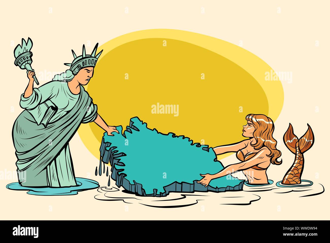 Caricature. USA and Denmark are pulling Greenland. American statue of liberty vs. Danish mermaid. comic cartoon pop art retro vector illustration draw Stock Vectorhttps://www.alamy.com/image-license-details/?v=1https://www.alamy.com/caricature-usa-and-denmark-are-pulling-greenland-american-statue-of-liberty-vs-danish-mermaid-comic-cartoon-pop-art-retro-vector-illustration-draw-image273827152.html
RFWWDW94–Caricature. USA and Denmark are pulling Greenland. American statue of liberty vs. Danish mermaid. comic cartoon pop art retro vector illustration draw
RF2Y55MMP–Cuba country map icon element design
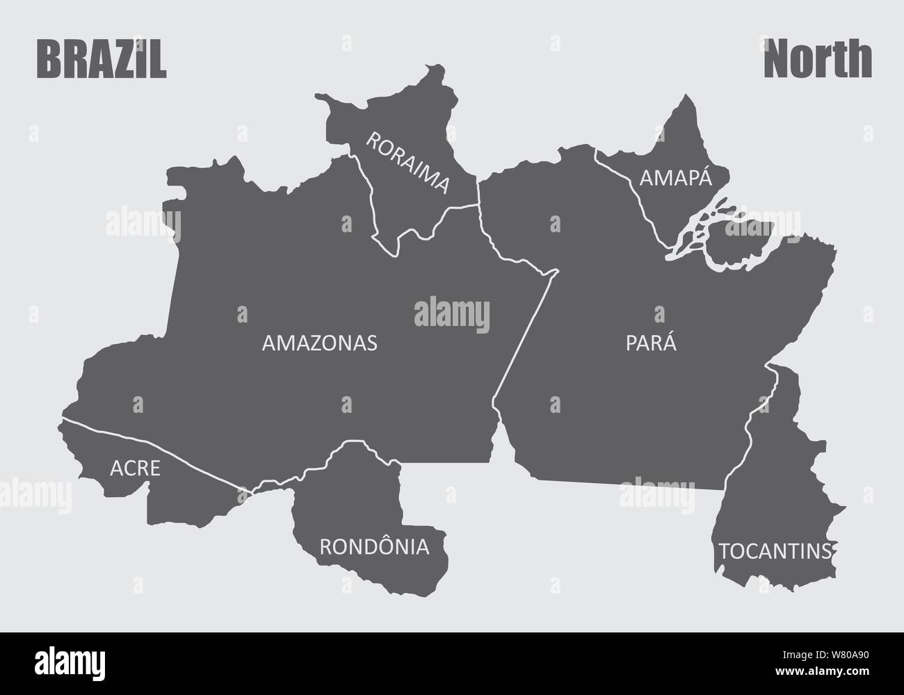 Map of the Brazil north region isolated on white background Stock Vectorhttps://www.alamy.com/image-license-details/?v=1https://www.alamy.com/map-of-the-brazil-north-region-isolated-on-white-background-image263080860.html
RFW80A90–Map of the Brazil north region isolated on white background
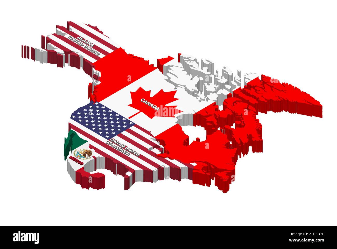 United States, Canada and Mexico vector isometric map combined with national flags Stock Vectorhttps://www.alamy.com/image-license-details/?v=1https://www.alamy.com/united-states-canada-and-mexico-vector-isometric-map-combined-with-national-flags-image575392706.html
RF2TC3B7E–United States, Canada and Mexico vector isometric map combined with national flags
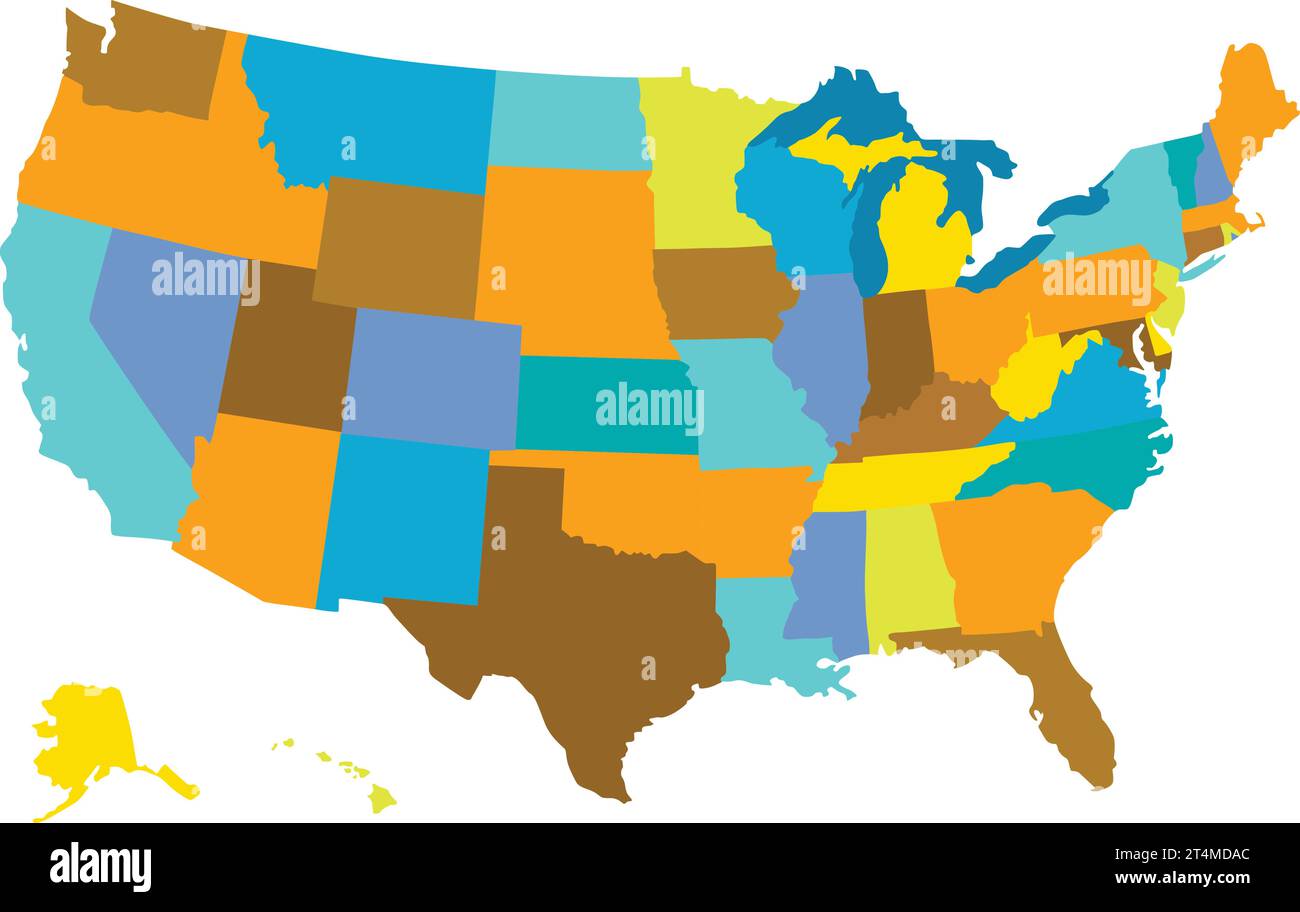 United States map vector isolated on white backdrop Stock Vectorhttps://www.alamy.com/image-license-details/?v=1https://www.alamy.com/united-states-map-vector-isolated-on-white-backdrop-image570850292.html
RF2T4MDAC–United States map vector isolated on white backdrop
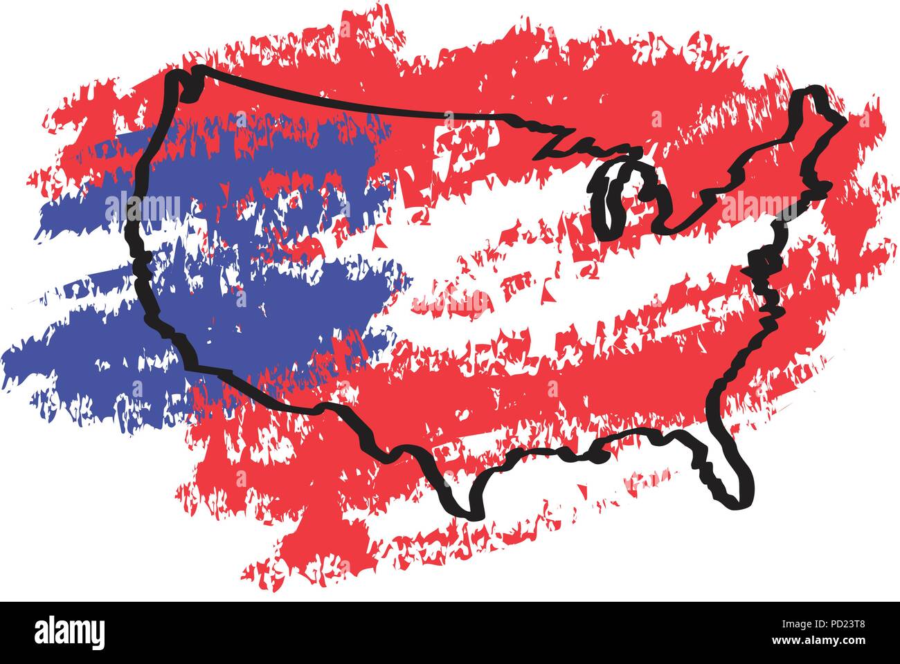 Sketch of a map of the United States Stock Vectorhttps://www.alamy.com/image-license-details/?v=1https://www.alamy.com/sketch-of-a-map-of-the-united-states-image214561880.html
RFPD23T8–Sketch of a map of the United States
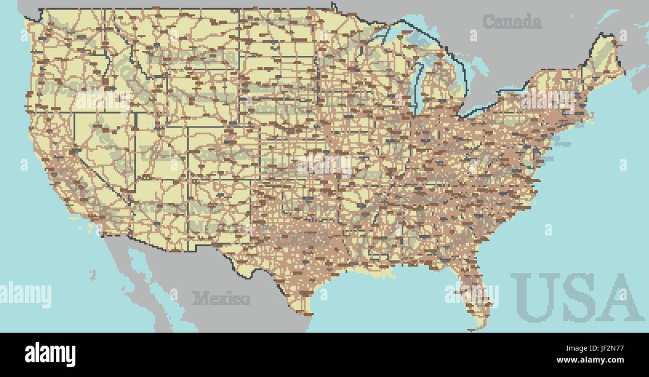 Vector High detailed accurate, exact United States of America, american road, motorway map with labeling. Geographic pastel administrative. Editable c Stock Vectorhttps://www.alamy.com/image-license-details/?v=1https://www.alamy.com/stock-photo-vector-high-detailed-accurate-exact-united-states-of-america-american-146963355.html
RFJF2N77–Vector High detailed accurate, exact United States of America, american road, motorway map with labeling. Geographic pastel administrative. Editable c
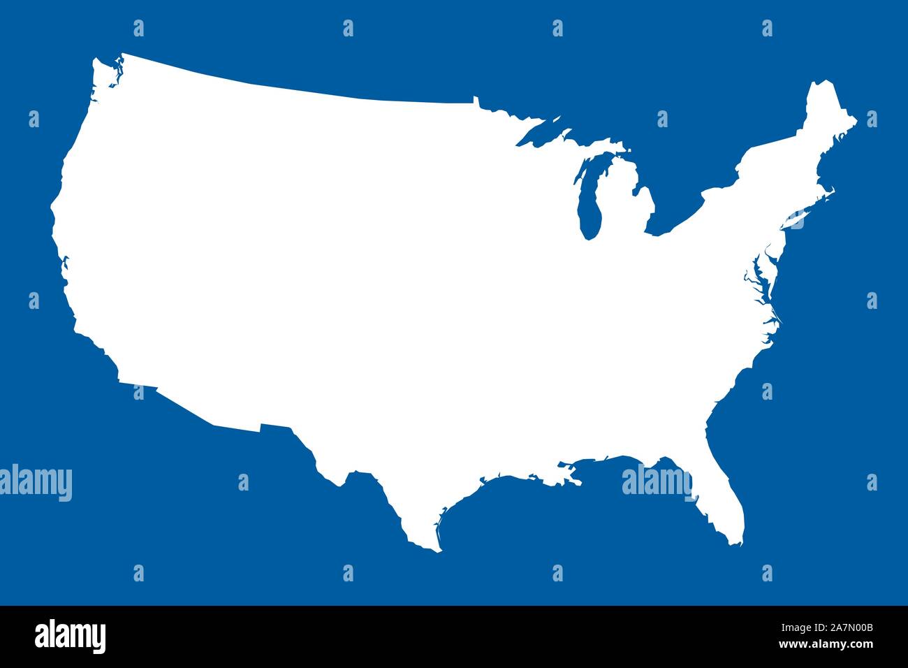 US map mainland vector illustration. Blue white. United states north american country. Stock Vectorhttps://www.alamy.com/image-license-details/?v=1https://www.alamy.com/us-map-mainland-vector-illustration-blue-white-united-states-north-american-country-image331760587.html
RF2A7N00B–US map mainland vector illustration. Blue white. United states north american country.
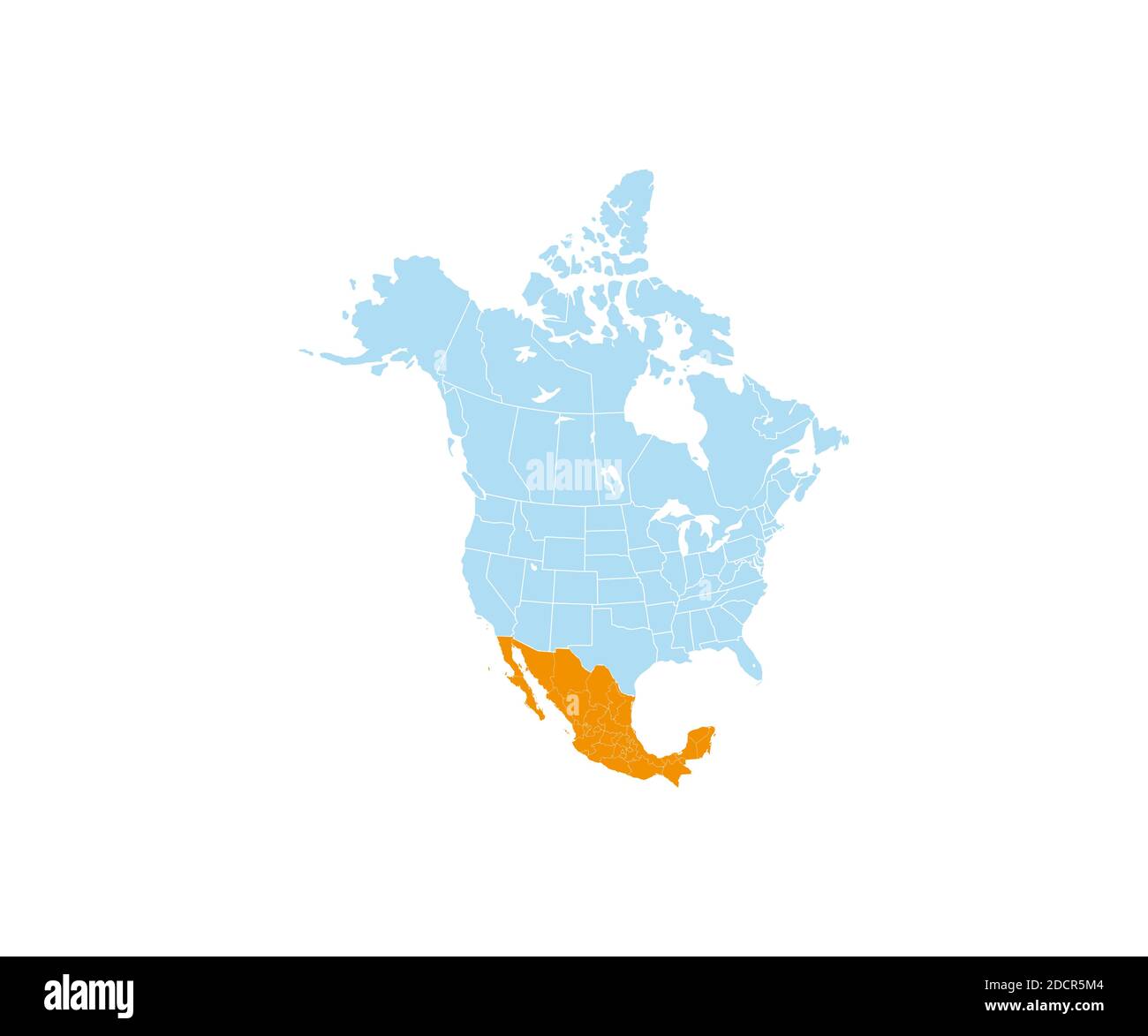 Mexico on North America map vector. Vector illustration. Stock Vectorhttps://www.alamy.com/image-license-details/?v=1https://www.alamy.com/mexico-on-north-america-map-vector-vector-illustration-image386513348.html
RF2DCR5M4–Mexico on North America map vector. Vector illustration.
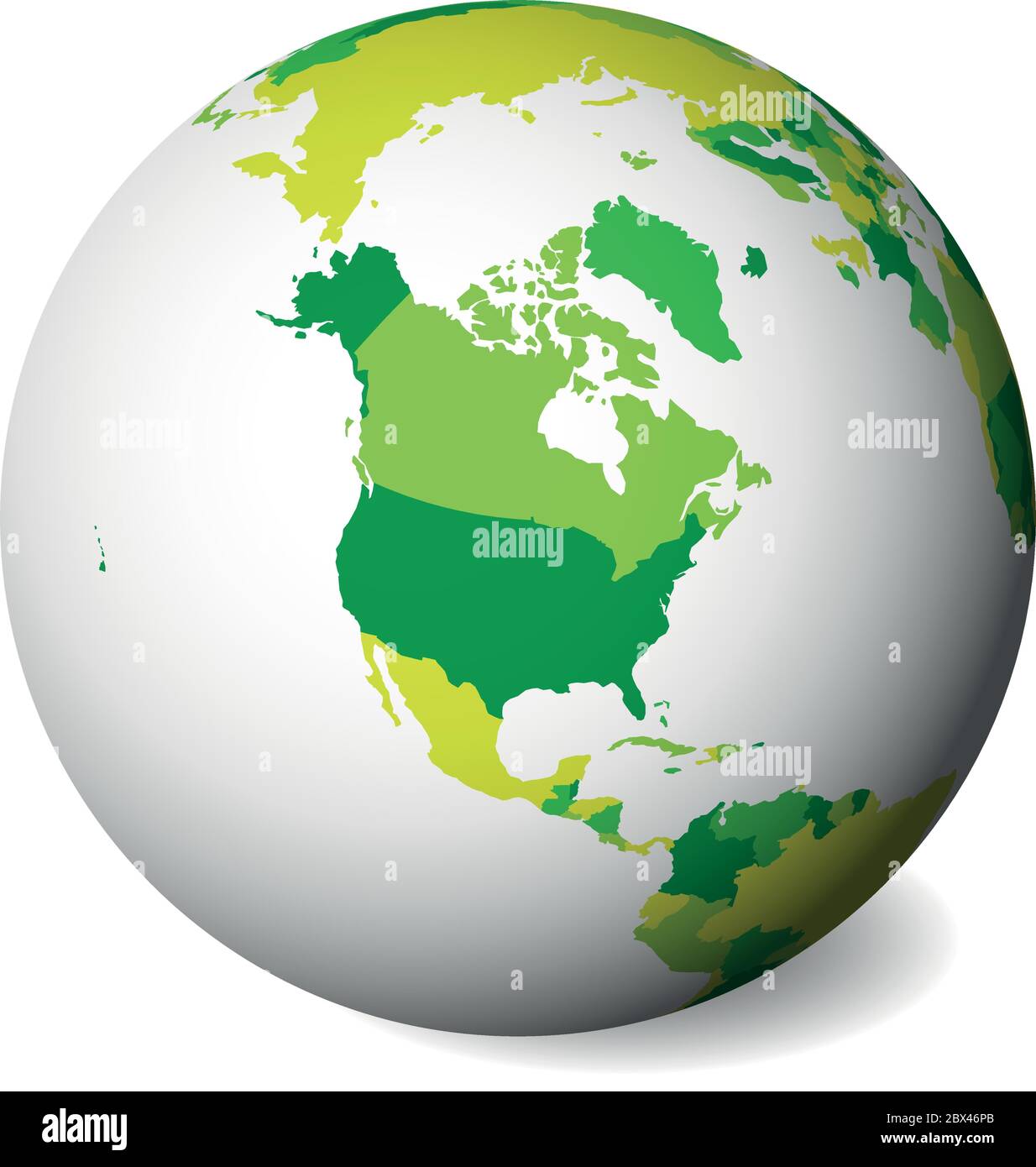 Blank political map of North America. 3D Earth globe with green map. Vector illustration. Stock Vectorhttps://www.alamy.com/image-license-details/?v=1https://www.alamy.com/blank-political-map-of-north-america-3d-earth-globe-with-green-map-vector-illustration-image360281555.html
RF2BX46PB–Blank political map of North America. 3D Earth globe with green map. Vector illustration.
 A black silhouette of a map of Croatia vector illustration Stock Vectorhttps://www.alamy.com/image-license-details/?v=1https://www.alamy.com/a-black-silhouette-of-a-map-of-croatia-vector-illustration-image552029508.html
RF2R2337G–A black silhouette of a map of Croatia vector illustration
 Shape of Delaware state map with American flag, can use for united states of America indepenence day, nationalism, and patriotism illustration, flat v Stock Vectorhttps://www.alamy.com/image-license-details/?v=1https://www.alamy.com/shape-of-delaware-state-map-with-american-flag-can-use-for-united-states-of-america-indepenence-day-nationalism-and-patriotism-illustration-flat-v-image504800446.html
RF2M97J3A–Shape of Delaware state map with American flag, can use for united states of America indepenence day, nationalism, and patriotism illustration, flat v
 A map of the United States of America in silhouette with a bright abstract background Stock Vectorhttps://www.alamy.com/image-license-details/?v=1https://www.alamy.com/stock-photo-a-map-of-the-united-states-of-america-in-silhouette-with-a-bright-93242287.html
RFFBKFDK–A map of the United States of America in silhouette with a bright abstract background
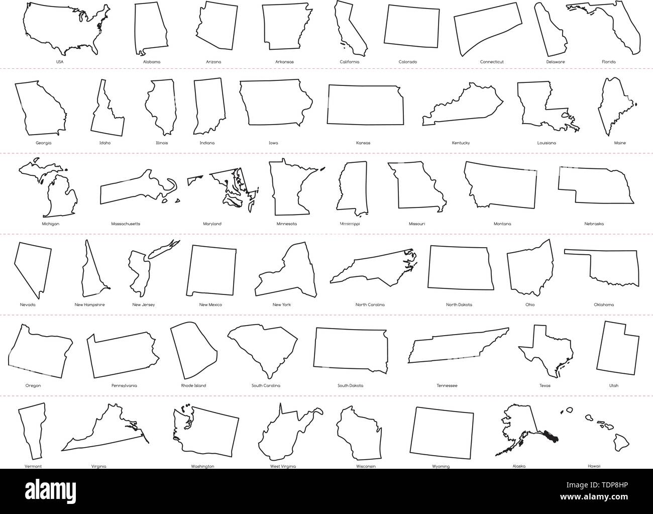 Map of The United States of America (USA) Divided States Maps Outline Illustration on White Background. Stock Vectorhttps://www.alamy.com/image-license-details/?v=1https://www.alamy.com/map-of-the-united-states-of-america-usa-divided-states-maps-outline-illustration-on-white-background-image249425394.html
RFTDP8HP–Map of The United States of America (USA) Divided States Maps Outline Illustration on White Background.
RF2TC974G–Flat Map of United States of America Vector Illustration Icon USA map
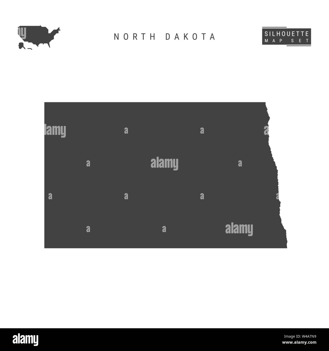 North Dakota US State Blank Vector Map Isolated on White Background. High-Detailed Black Silhouette Map of North Dakota. Stock Vectorhttps://www.alamy.com/image-license-details/?v=1https://www.alamy.com/north-dakota-us-state-blank-vector-map-isolated-on-white-background-high-detailed-black-silhouette-map-of-north-dakota-image260839749.html
RFW4A7N9–North Dakota US State Blank Vector Map Isolated on White Background. High-Detailed Black Silhouette Map of North Dakota.
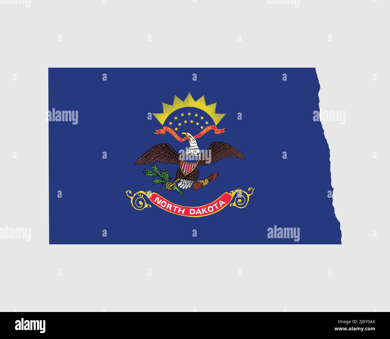 North Dakota Map Flag. Map of ND, USA with the state flag. United States, America, American, United States of America, US State Banner. Vector illustr Stock Vectorhttps://www.alamy.com/image-license-details/?v=1https://www.alamy.com/north-dakota-map-flag-map-of-nd-usa-with-the-state-flag-united-states-america-american-united-states-of-america-us-state-banner-vector-illustr-image465272946.html
RF2J0Y0AX–North Dakota Map Flag. Map of ND, USA with the state flag. United States, America, American, United States of America, US State Banner. Vector illustr
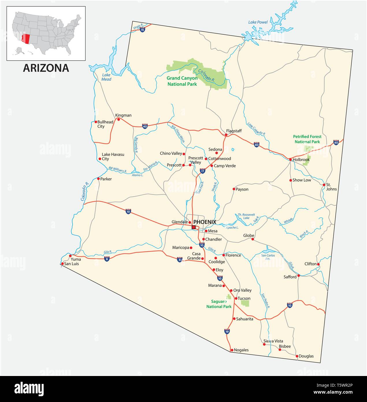 road map of the US American State of Arizona Stock Vectorhttps://www.alamy.com/image-license-details/?v=1https://www.alamy.com/road-map-of-the-us-american-state-of-arizona-image244585342.html
RFT5WR2P–road map of the US American State of Arizona
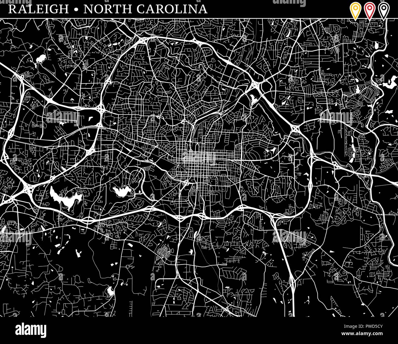 Simple map of Raleigh, North Carolina, USA. Black and white version for clean backgrounds and prints. This map of Raleigh contains three markers who a Stock Vectorhttps://www.alamy.com/image-license-details/?v=1https://www.alamy.com/simple-map-of-raleigh-north-carolina-usa-black-and-white-version-for-clean-backgrounds-and-prints-this-map-of-raleigh-contains-three-markers-who-a-image222180475.html
RFPWD5CY–Simple map of Raleigh, North Carolina, USA. Black and white version for clean backgrounds and prints. This map of Raleigh contains three markers who a
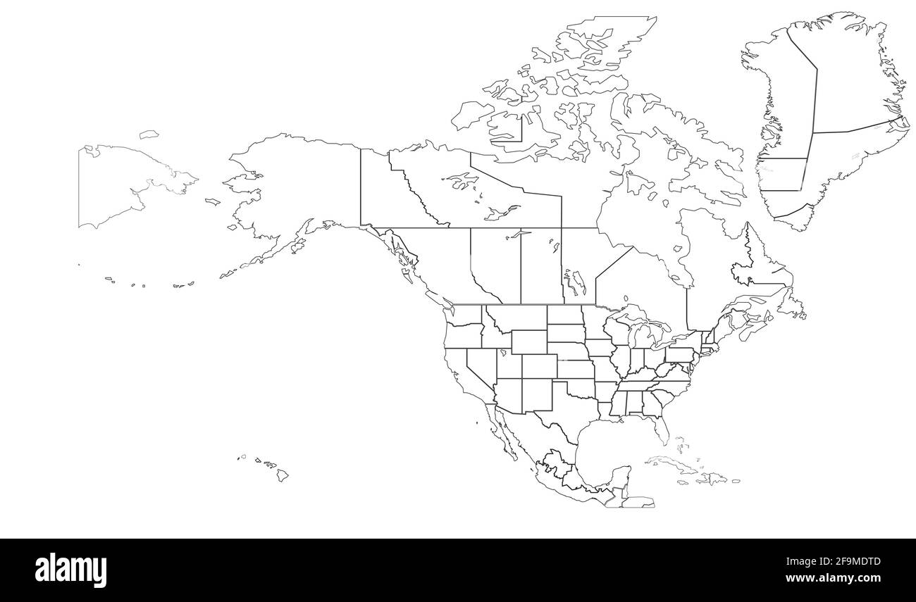 North America countries border map. vector map of U.S. and Canada, Mexico. Stock Vectorhttps://www.alamy.com/image-license-details/?v=1https://www.alamy.com/north-america-countries-border-map-vector-map-of-us-and-canada-mexico-image419030653.html
RF2F9MDTD–North America countries border map. vector map of U.S. and Canada, Mexico.
RF2Y55N1Y–Cuba country map icon element design
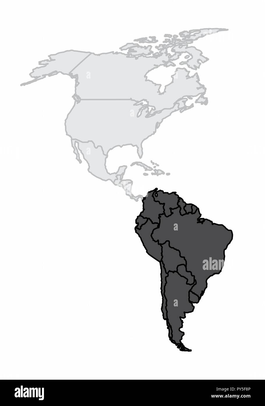 A map of the american continent with the south america highlighted Stock Vectorhttps://www.alamy.com/image-license-details/?v=1https://www.alamy.com/a-map-of-the-american-continent-with-the-south-america-highlighted-image223241894.html
RFPY5F8P–A map of the american continent with the south america highlighted
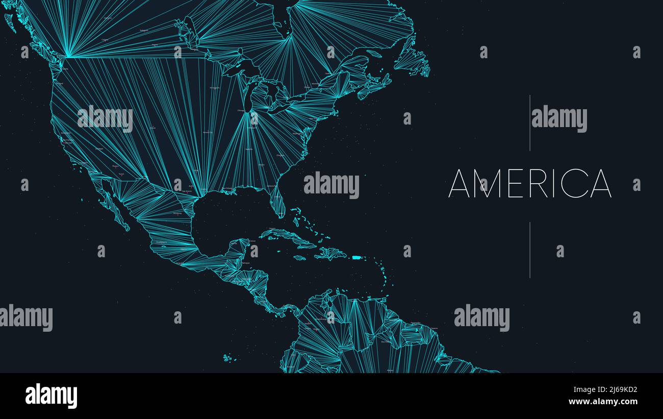 Polygonal map of the American continent with nodes linked by lines, vector global network concept poster, abstract illustration Stock Vectorhttps://www.alamy.com/image-license-details/?v=1https://www.alamy.com/polygonal-map-of-the-american-continent-with-nodes-linked-by-lines-vector-global-network-concept-poster-abstract-illustration-image468580702.html
RF2J69KD2–Polygonal map of the American continent with nodes linked by lines, vector global network concept poster, abstract illustration
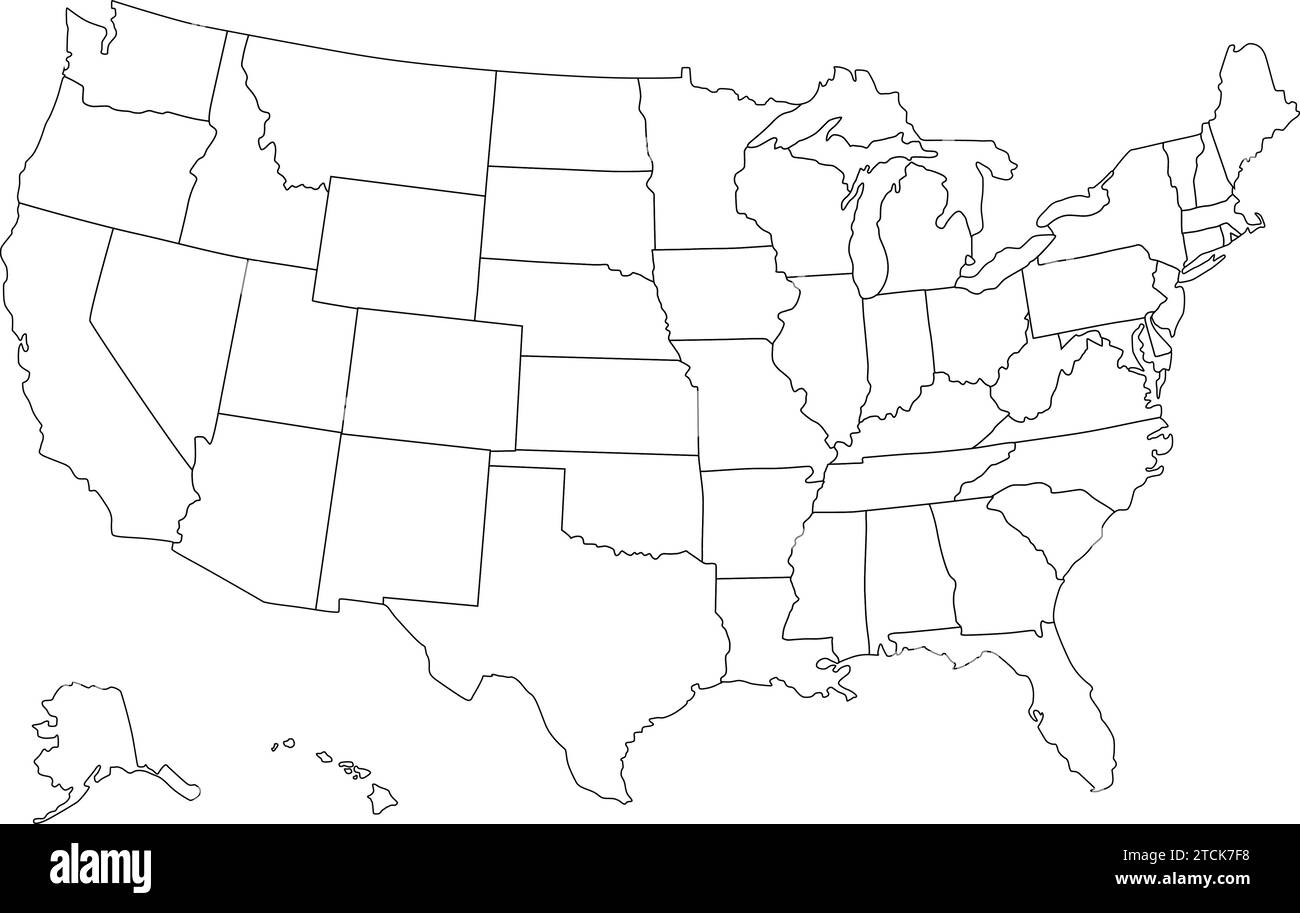 United States map vector isolated on white backdrop Stock Vectorhttps://www.alamy.com/image-license-details/?v=1https://www.alamy.com/united-states-map-vector-isolated-on-white-backdrop-image575741020.html
RF2TCK7F8–United States map vector isolated on white backdrop
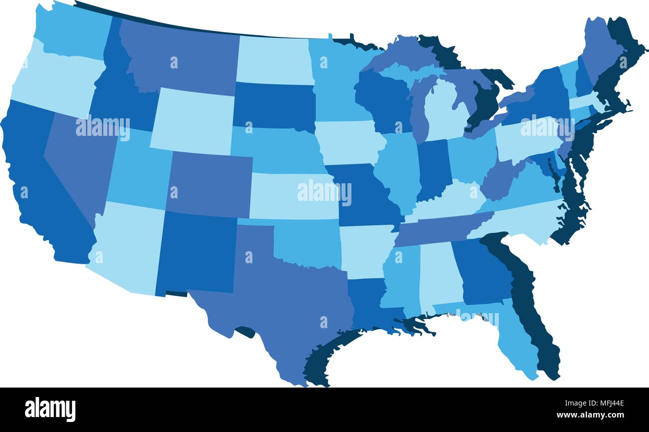 Political map of USA Stock Vectorhttps://www.alamy.com/image-license-details/?v=1https://www.alamy.com/political-map-of-usa-image181721918.html
RFMFJ44E–Political map of USA
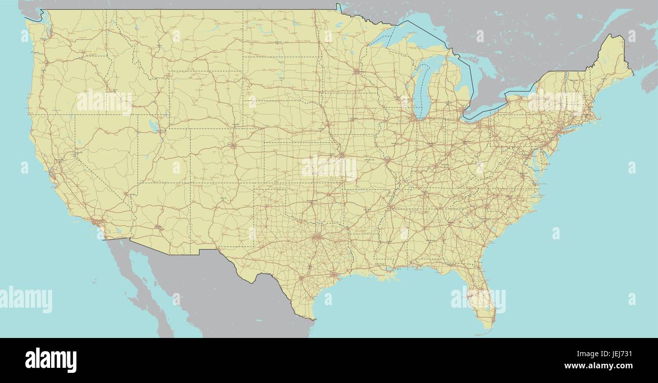 Vector High detailed accurate, exact United States of America, american road, motorway map with labeling. Geographic pastel administrative. Editable c Stock Vectorhttps://www.alamy.com/image-license-details/?v=1https://www.alamy.com/stock-photo-vector-high-detailed-accurate-exact-united-states-of-america-american-146688837.html
RFJEJ731–Vector High detailed accurate, exact United States of America, american road, motorway map with labeling. Geographic pastel administrative. Editable c
 US map outline highlighted white vector illustration. Red background. United states north american country. Stock Vectorhttps://www.alamy.com/image-license-details/?v=1https://www.alamy.com/us-map-outline-highlighted-white-vector-illustration-red-background-united-states-north-american-country-image357586431.html
RF2BNND3Y–US map outline highlighted white vector illustration. Red background. United states north american country.
RF2YE4WB7–American map and shadow icon. Editable vector.
 Blank political map of North America. 3D Earth globe with black outline map. Vector illustration. Stock Vectorhttps://www.alamy.com/image-license-details/?v=1https://www.alamy.com/blank-political-map-of-north-america-3d-earth-globe-with-black-outline-map-vector-illustration-image361318595.html
RF2BYRDFF–Blank political map of North America. 3D Earth globe with black outline map. Vector illustration.
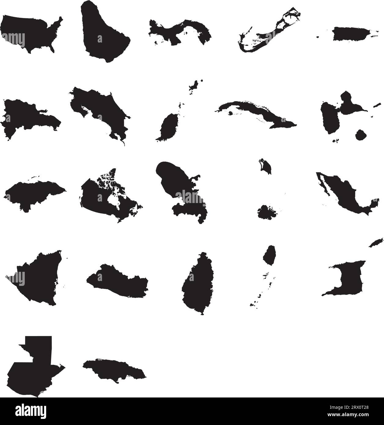 Vector illustration map of 22 North America Countries. Stock Vectorhttps://www.alamy.com/image-license-details/?v=1https://www.alamy.com/vector-illustration-map-of-22-north-america-countries-image566731712.html
RF2RX0T28–Vector illustration map of 22 North America Countries.
RF2T19CAJ–Canada map. North America country. World geography illustration. Vector isolated blue icon
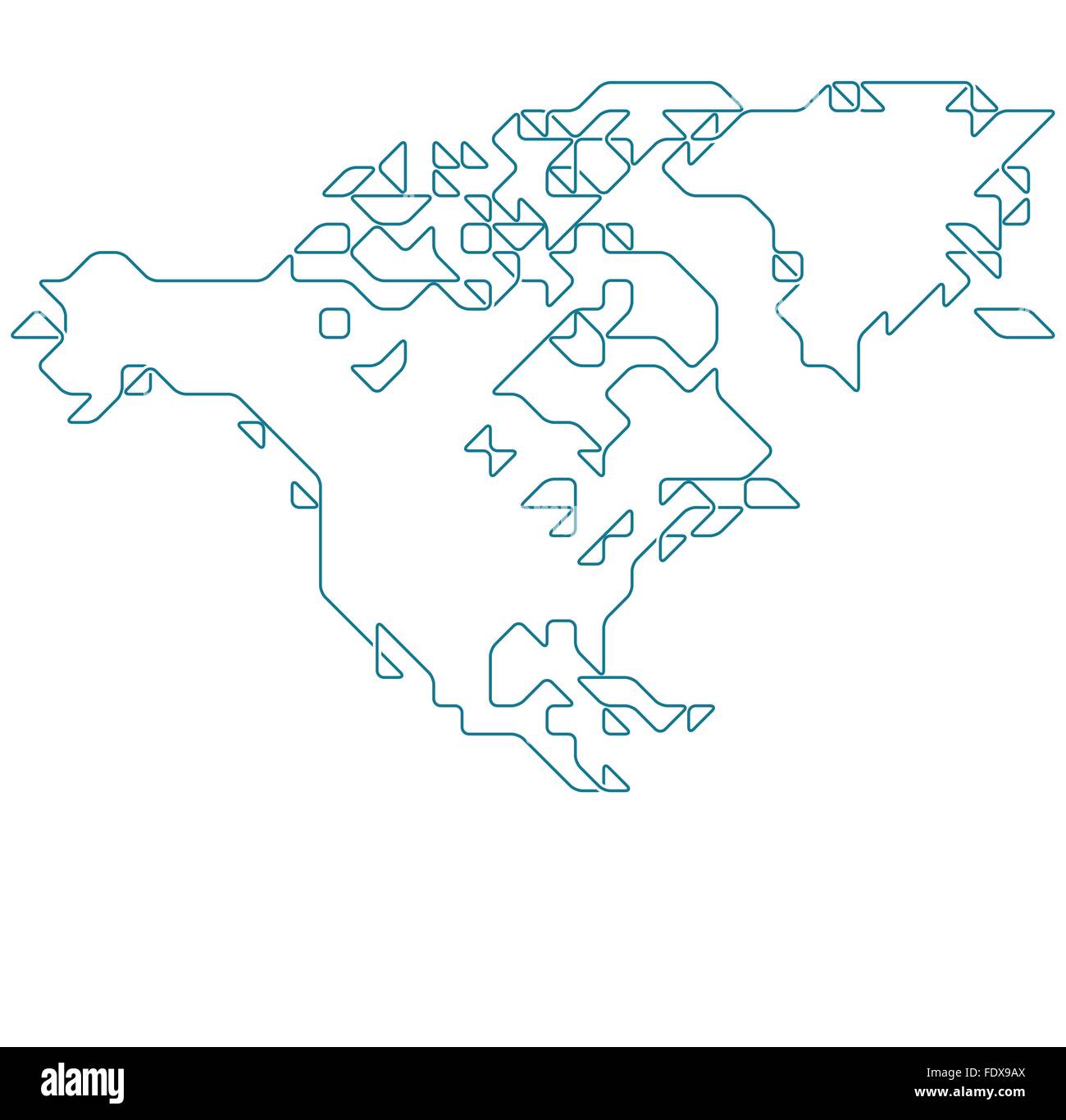 North America map drawn with thin line on a invisible grid of rounded squares and triangles Stock Vectorhttps://www.alamy.com/image-license-details/?v=1https://www.alamy.com/stock-photo-north-america-map-drawn-with-thin-line-on-a-invisible-grid-of-rounded-94620482.html
RFFDX9AX–North America map drawn with thin line on a invisible grid of rounded squares and triangles
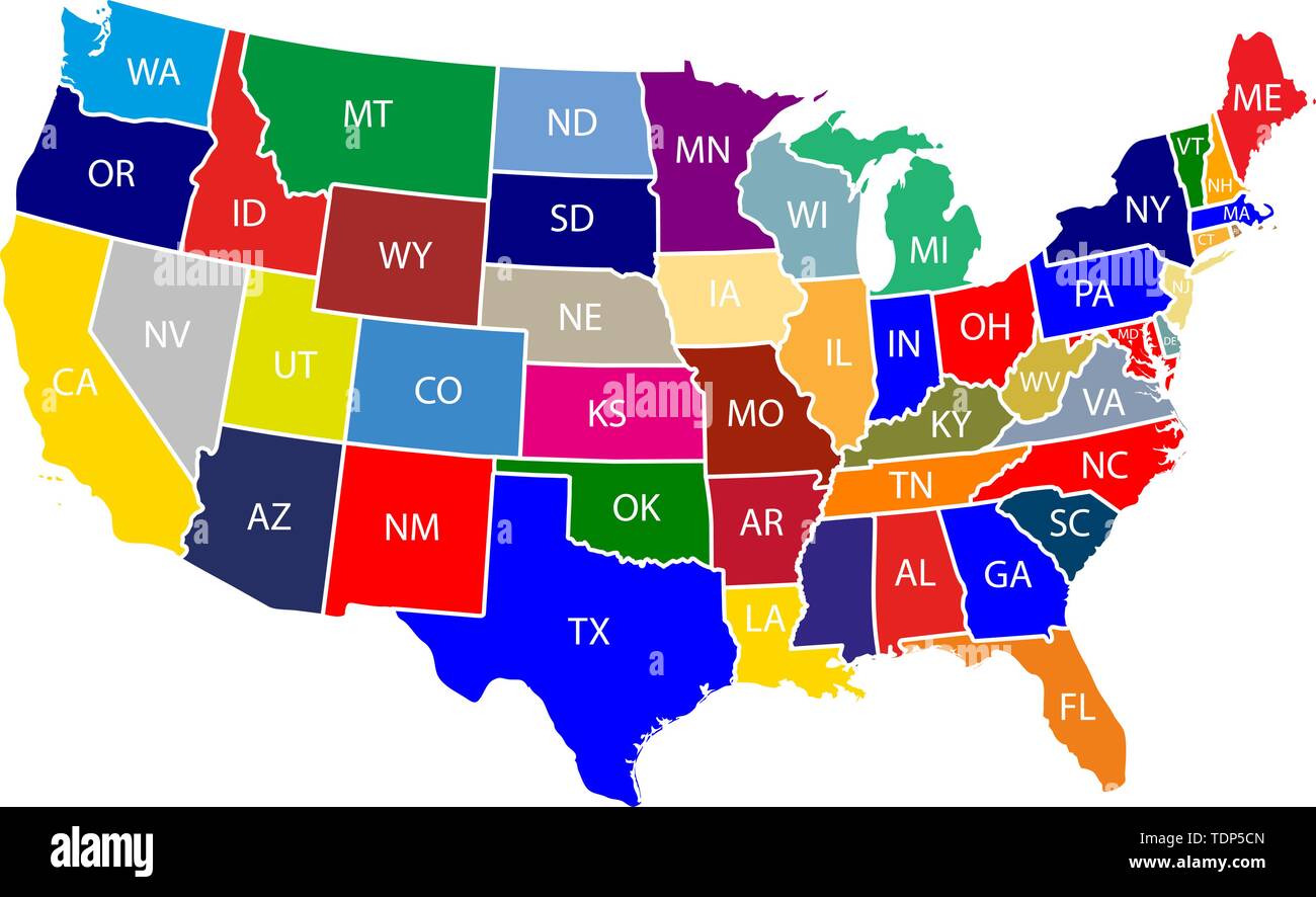 The United States of America (USA), commonly known as the United States (U.S.) or America, is a federal republic composed of 50 states, a federal dist Stock Vectorhttps://www.alamy.com/image-license-details/?v=1https://www.alamy.com/the-united-states-of-america-usa-commonly-known-as-the-united-states-us-or-america-is-a-federal-republic-composed-of-50-states-a-federal-dist-image249422901.html
RFTDP5CN–The United States of America (USA), commonly known as the United States (U.S.) or America, is a federal republic composed of 50 states, a federal dist
RF2TC9706–Detailed Map of United States of America Vector Illustration Icon USA map
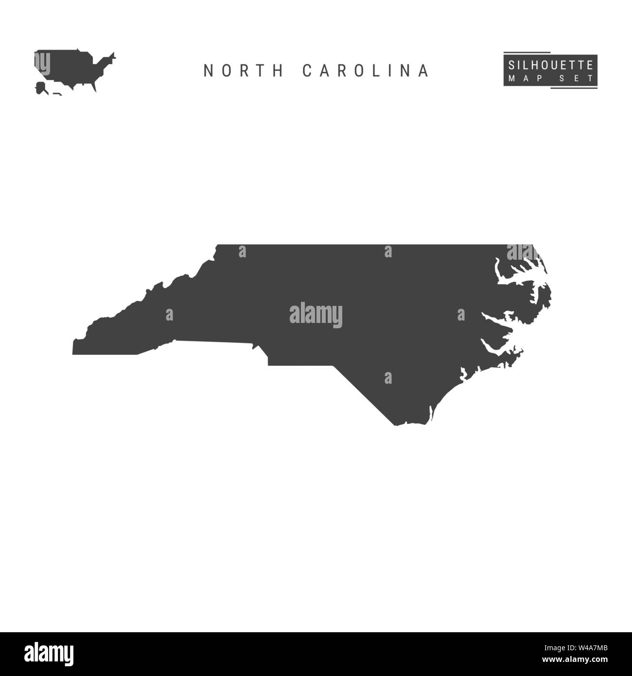 North Carolina US State Blank Vector Map Isolated on White Background. High-Detailed Black Silhouette Map of North Carolina. Stock Vectorhttps://www.alamy.com/image-license-details/?v=1https://www.alamy.com/north-carolina-us-state-blank-vector-map-isolated-on-white-background-high-detailed-black-silhouette-map-of-north-carolina-image260839723.html
RFW4A7MB–North Carolina US State Blank Vector Map Isolated on White Background. High-Detailed Black Silhouette Map of North Carolina.
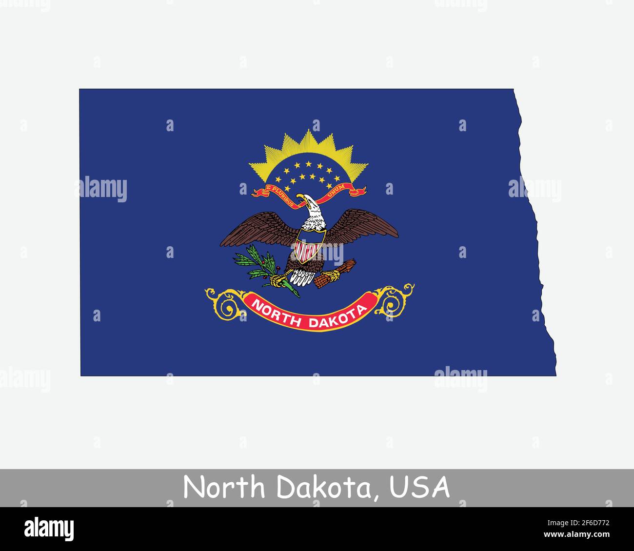 North Dakota Map Flag. Map of ND, USA with the state flag isolated on white background. United States, America, American, United States of America, US Stock Vectorhttps://www.alamy.com/image-license-details/?v=1https://www.alamy.com/north-dakota-map-flag-map-of-nd-usa-with-the-state-flag-isolated-on-white-background-united-states-america-american-united-states-of-america-us-image417027830.html
RF2F6D772–North Dakota Map Flag. Map of ND, USA with the state flag isolated on white background. United States, America, American, United States of America, US
