Thrace Cut Out Stock Images
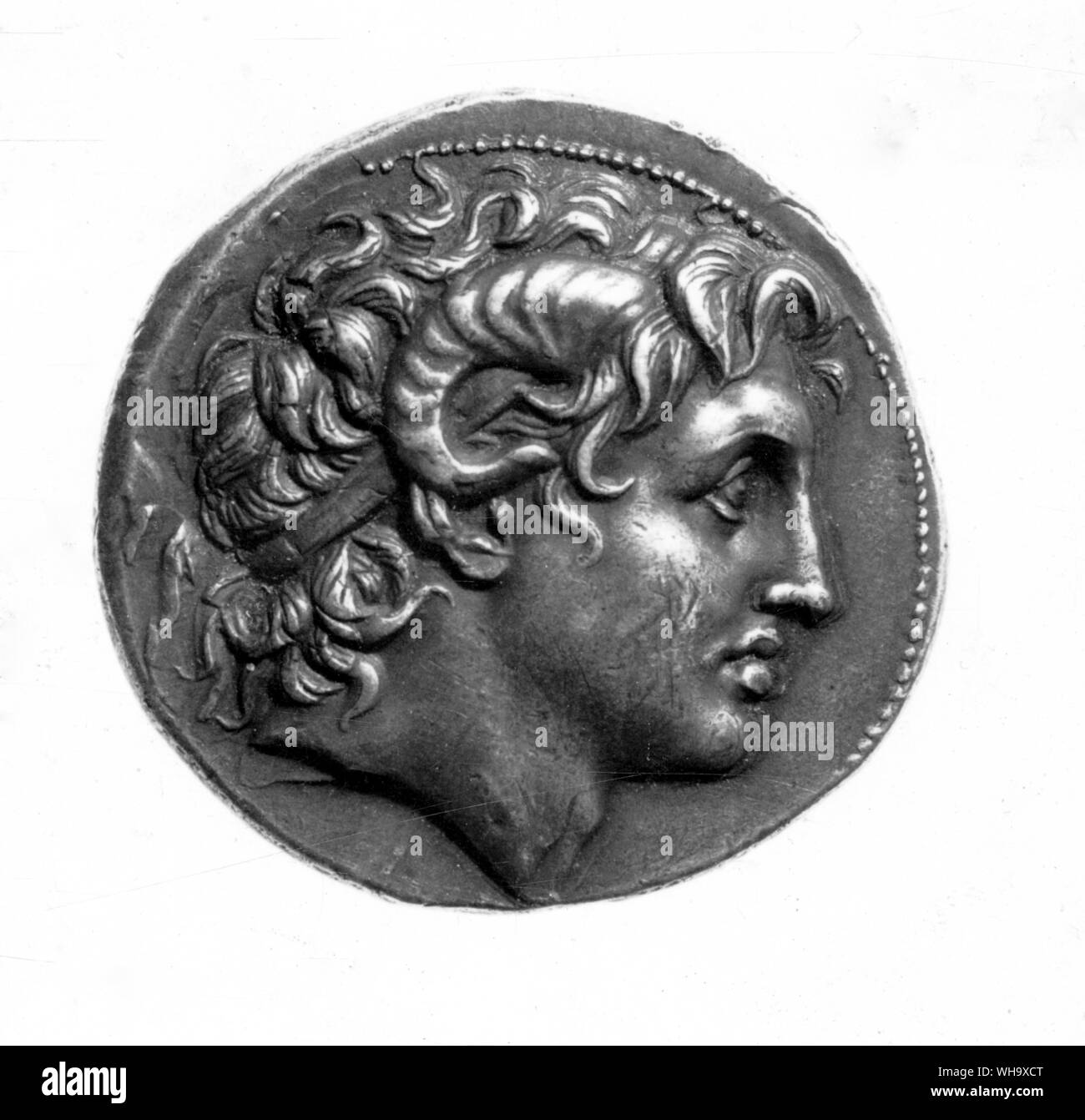 Alexander deified with the horns of Ammon; coinage of Lysimachus when King of Thrace Stock Photohttps://www.alamy.com/image-license-details/?v=1https://www.alamy.com/alexander-deified-with-the-horns-of-ammon-coinage-of-lysimachus-when-king-of-thrace-image268822984.html
RMWH9XCT–Alexander deified with the horns of Ammon; coinage of Lysimachus when King of Thrace
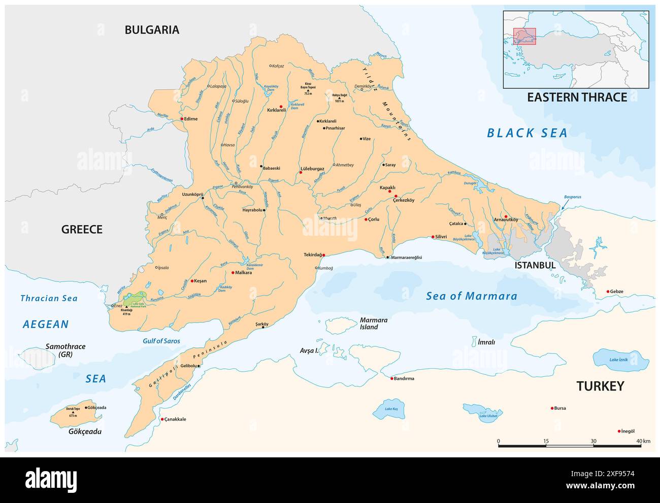 Vector map of the European part of Türkiye, Eastern Thrace Stock Photohttps://www.alamy.com/image-license-details/?v=1https://www.alamy.com/vector-map-of-the-european-part-of-trkiye-eastern-thrace-image611784408.html
RF2XF9574–Vector map of the European part of Türkiye, Eastern Thrace
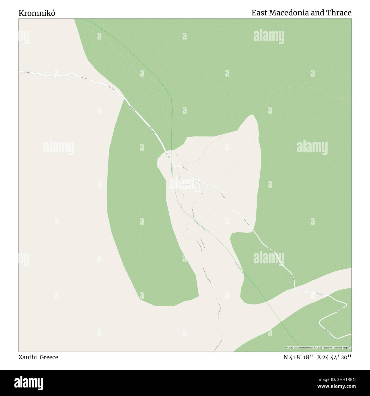 Kromnikó, Xanthi, Greece, East Macedonia and Thrace, N 41 8' 18'', E 24 44' 20'', map, Timeless Map published in 2021. Travelers, explorers and adventurers like Florence Nightingale, David Livingstone, Ernest Shackleton, Lewis and Clark and Sherlock Holmes relied on maps to plan travels to the world's most remote corners, Timeless Maps is mapping most locations on the globe, showing the achievement of great dreams Stock Photohttps://www.alamy.com/image-license-details/?v=1https://www.alamy.com/kromnik-xanthi-greece-east-macedonia-and-thrace-n-41-8-18-e-24-44-20-map-timeless-map-published-in-2021-travelers-explorers-and-adventurers-like-florence-nightingale-david-livingstone-ernest-shackleton-lewis-and-clark-and-sherlock-holmes-relied-on-maps-to-plan-travels-to-the-worlds-most-remote-corners-timeless-maps-is-mapping-most-locations-on-the-globe-showing-the-achievement-of-great-dreams-image457959033.html
RM2HH1RBN–Kromnikó, Xanthi, Greece, East Macedonia and Thrace, N 41 8' 18'', E 24 44' 20'', map, Timeless Map published in 2021. Travelers, explorers and adventurers like Florence Nightingale, David Livingstone, Ernest Shackleton, Lewis and Clark and Sherlock Holmes relied on maps to plan travels to the world's most remote corners, Timeless Maps is mapping most locations on the globe, showing the achievement of great dreams
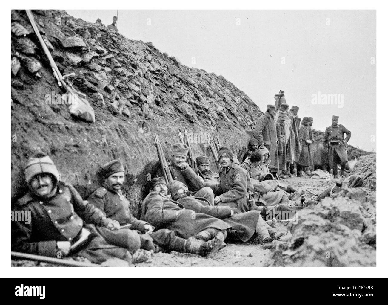 Serbian troops front line Adrianople Eastern Thrace Turkey trench trenches Army rifle tired sleeping uniform regiment Stock Photohttps://www.alamy.com/image-license-details/?v=1https://www.alamy.com/stock-photo-serbian-troops-front-line-adrianople-eastern-thrace-turkey-trench-43841543.html
RMCF949B–Serbian troops front line Adrianople Eastern Thrace Turkey trench trenches Army rifle tired sleeping uniform regiment
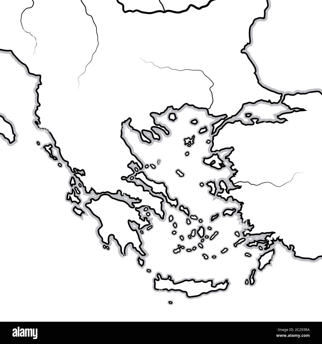 Map of The GREEK Lands: Greece, Peloponnese, Thrace, Macedonia, Balkans, Aegean Sea. Geographic chart. Stock Photohttps://www.alamy.com/image-license-details/?v=1https://www.alamy.com/map-of-the-greek-lands-greece-peloponnese-thrace-macedonia-balkans-aegean-sea-geographic-chart-image362847614.html
RM2C293RA–Map of The GREEK Lands: Greece, Peloponnese, Thrace, Macedonia, Balkans, Aegean Sea. Geographic chart.
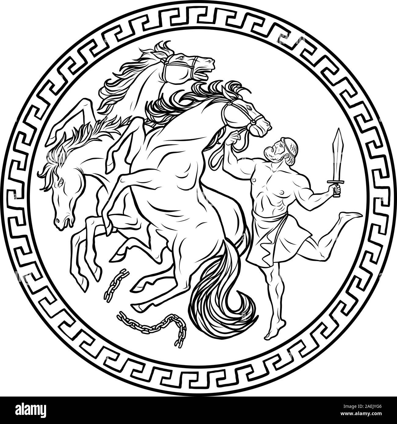 Mares of Diomedes. 12 Labours of Hercules Heracles Stock Vectorhttps://www.alamy.com/image-license-details/?v=1https://www.alamy.com/mares-of-diomedes-12-labours-of-hercules-heracles-image336018934.html
RF2AEJYG6–Mares of Diomedes. 12 Labours of Hercules Heracles
 Dolphin Coin from Olbia Stock Photohttps://www.alamy.com/image-license-details/?v=1https://www.alamy.com/stock-photo-dolphin-coin-from-olbia-129674658.html
RMHEY59P–Dolphin Coin from Olbia
 Figurine of the Stargazer type from the site of Kilia, Western Anatolia, Turkey. the Late Chalcolithic period (4360-3500 BC). Stock Photohttps://www.alamy.com/image-license-details/?v=1https://www.alamy.com/figurine-of-the-stargazer-type-from-the-site-of-kilia-western-anatolia-turkey-the-late-chalcolithic-period-4360-3500-bc-image609180982.html
RM2XB2GFJ–Figurine of the Stargazer type from the site of Kilia, Western Anatolia, Turkey. the Late Chalcolithic period (4360-3500 BC).
 A late 19th Century illustration of an unknown castle overlooking the Bosporus, also known as the Strait of Istanbul, a narrow, natural strait in northwestern Turkey. It forms part of the continental boundary between Europe and Asia, and divides Turkey by separating Anatolia from Thrace. It is the world's narrowest strait used for international navigation connecting the Black Sea with the Sea of Marmara, and, by extension via the Dardanelles, the Aegean and Mediterranean seas. Stock Photohttps://www.alamy.com/image-license-details/?v=1https://www.alamy.com/a-late-19th-century-illustration-of-an-unknown-castle-overlooking-the-bosporus-also-known-as-the-strait-of-istanbul-a-narrow-natural-strait-in-northwestern-turkey-it-forms-part-of-the-continental-boundary-between-europe-and-asia-and-divides-turkey-by-separating-anatolia-from-thrace-it-is-the-worlds-narrowest-strait-used-for-international-navigation-connecting-the-black-sea-with-the-sea-of-marmara-and-by-extension-via-the-dardanelles-the-aegean-and-mediterranean-seas-image453775783.html
RM2HA77HY–A late 19th Century illustration of an unknown castle overlooking the Bosporus, also known as the Strait of Istanbul, a narrow, natural strait in northwestern Turkey. It forms part of the continental boundary between Europe and Asia, and divides Turkey by separating Anatolia from Thrace. It is the world's narrowest strait used for international navigation connecting the Black Sea with the Sea of Marmara, and, by extension via the Dardanelles, the Aegean and Mediterranean seas.
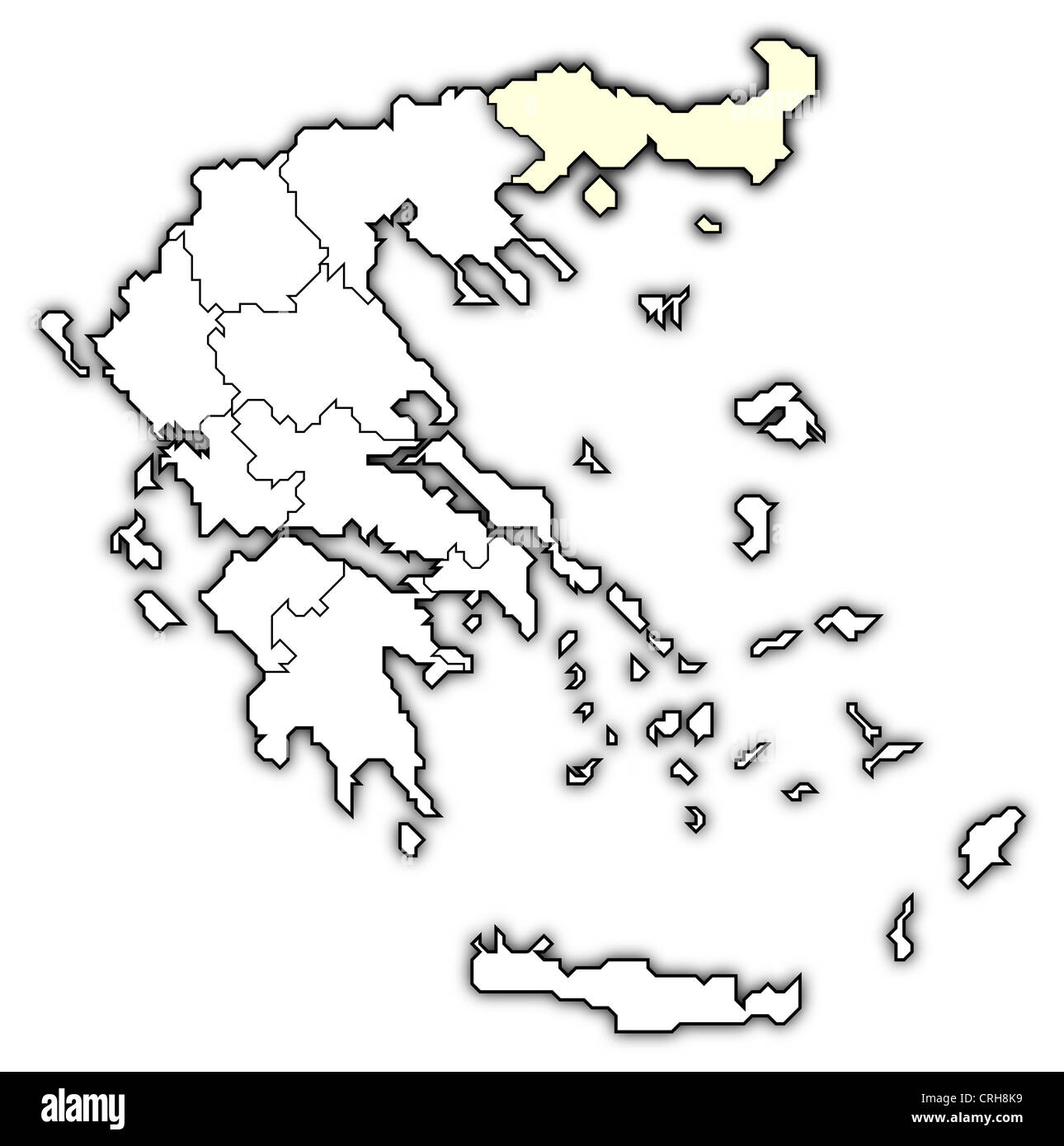 Political map of Greece with the several states where East Macedonia and Thrace is highlighted. Stock Photohttps://www.alamy.com/image-license-details/?v=1https://www.alamy.com/stock-photo-political-map-of-greece-with-the-several-states-where-east-macedonia-48937821.html
RFCRH8K9–Political map of Greece with the several states where East Macedonia and Thrace is highlighted.
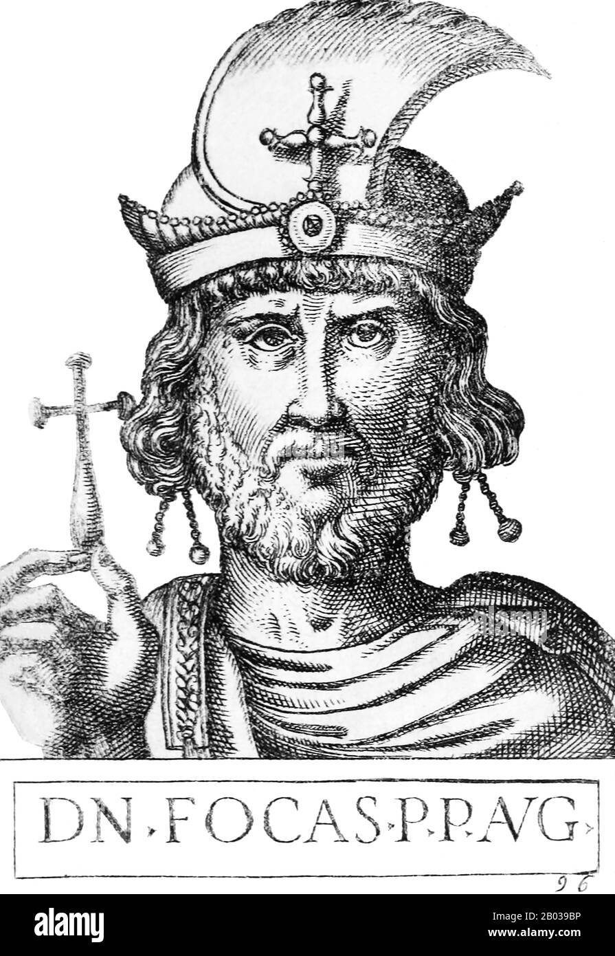 Phocas (547 - 610) was a native of Thrace, with little known about his early life apart from the name of his mother, Domentia, and the existence of at least two brothers, Comentiolus and Domentziolus. He became a subaltern officer in the Byzantine army in 600, viewed as a strong leader by his fellow soldiers. After Emperor Maurice refused to pay for the ransom of many soldiers who had been taken prisoner by Avars in 598, resulting in their execution, it caused consternation and unrest in the legions. Further bad orders by Maurice in 602 finally led to the army revolting and marching against t Stock Photohttps://www.alamy.com/image-license-details/?v=1https://www.alamy.com/phocas-547-610-was-a-native-of-thrace-with-little-known-about-his-early-life-apart-from-the-name-of-his-mother-domentia-and-the-existence-of-at-least-two-brothers-comentiolus-and-domentziolus-he-became-a-subaltern-officer-in-the-byzantine-army-in-600-viewed-as-a-strong-leader-by-his-fellow-soldiers-after-emperor-maurice-refused-to-pay-for-the-ransom-of-many-soldiers-who-had-been-taken-prisoner-by-avars-in-598-resulting-in-their-execution-it-caused-consternation-and-unrest-in-the-legions-further-bad-orders-by-maurice-in-602-finally-led-to-the-army-revolting-and-marching-against-t-image344280602.html
RM2B039BP–Phocas (547 - 610) was a native of Thrace, with little known about his early life apart from the name of his mother, Domentia, and the existence of at least two brothers, Comentiolus and Domentziolus. He became a subaltern officer in the Byzantine army in 600, viewed as a strong leader by his fellow soldiers. After Emperor Maurice refused to pay for the ransom of many soldiers who had been taken prisoner by Avars in 598, resulting in their execution, it caused consternation and unrest in the legions. Further bad orders by Maurice in 602 finally led to the army revolting and marching against t
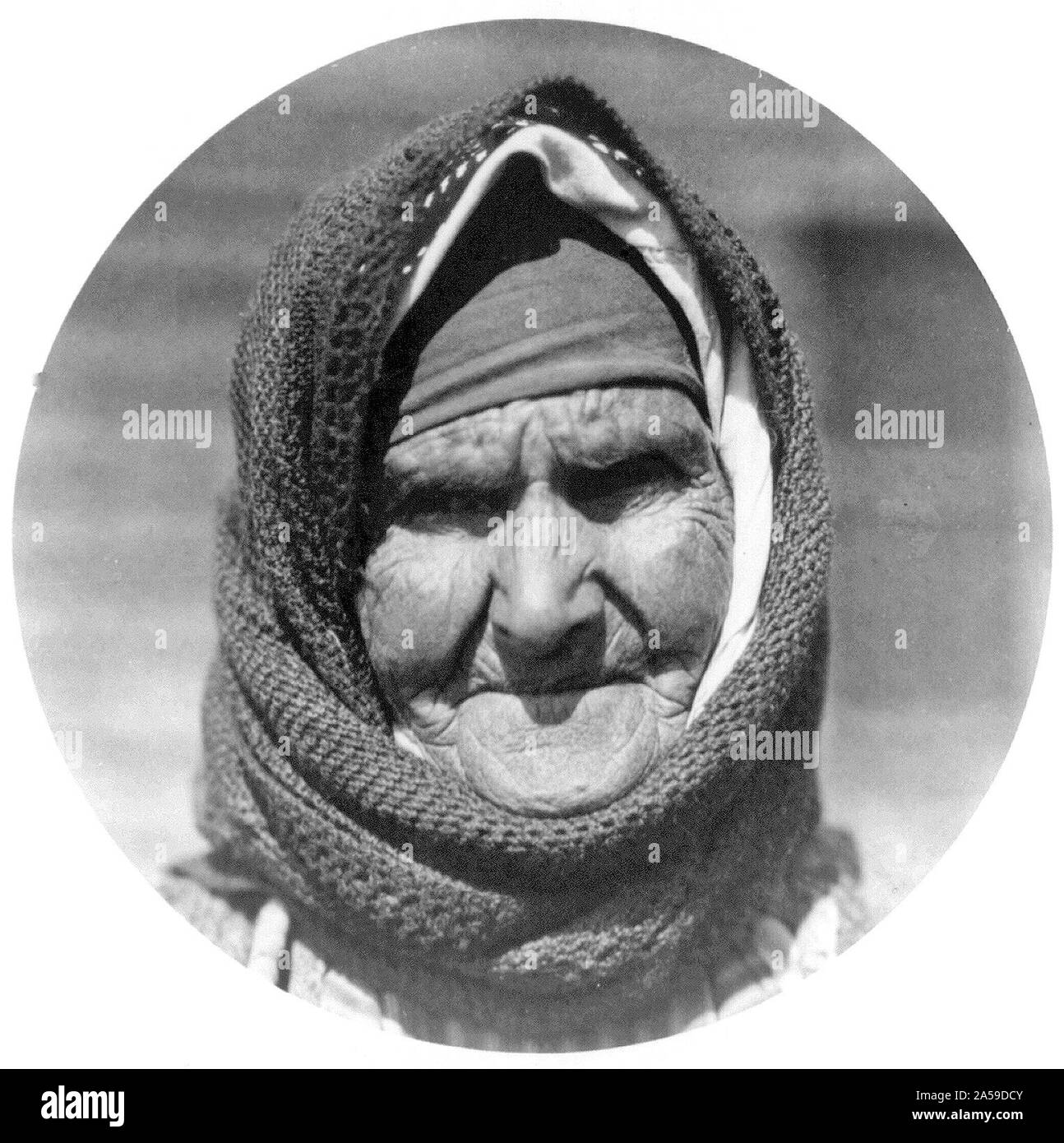 Old Greek woman in camp at Salonica waiting to be moved to Thrace Stock Photohttps://www.alamy.com/image-license-details/?v=1https://www.alamy.com/old-greek-woman-in-camp-at-salonica-waiting-to-be-moved-to-thrace-image330278395.html
RM2A59DCY–Old Greek woman in camp at Salonica waiting to be moved to Thrace
 Armenian refugees from Istanbul, assisted by Near East Relief, farming in field, Rodosto, Thrace Stock Photohttps://www.alamy.com/image-license-details/?v=1https://www.alamy.com/armenian-refugees-from-istanbul-assisted-by-near-east-relief-farming-in-field-rodosto-thrace-image264138090.html
RMW9MER6–Armenian refugees from Istanbul, assisted by Near East Relief, farming in field, Rodosto, Thrace
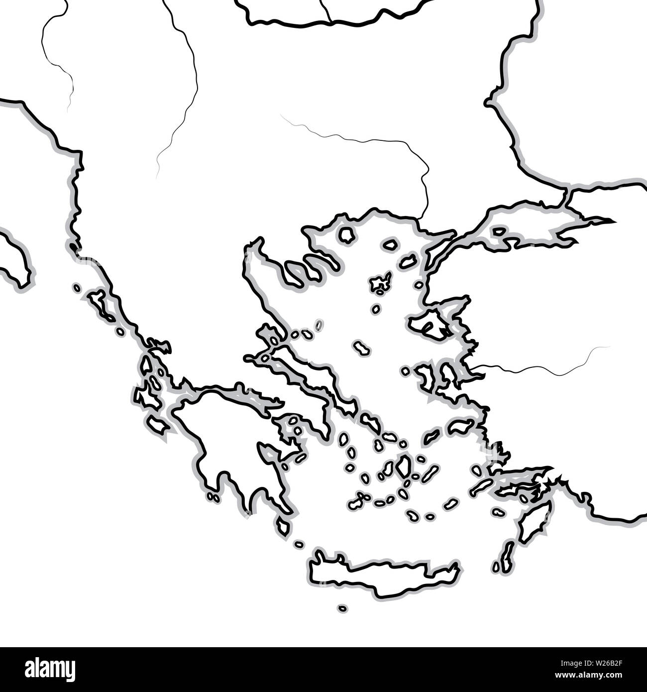 Map of The BALKAN / GREEK Lands: Greece (Hellas), Balkans, Peloponnese, Thessalia, Thracia, Macedonia, Albania, Illyria, Ionia, Anatolia, Aegean Sea. Stock Photohttps://www.alamy.com/image-license-details/?v=1https://www.alamy.com/map-of-the-balkan-greek-lands-greece-hellas-balkans-peloponnese-thessalia-thracia-macedonia-albania-illyria-ionia-anatolia-aegean-sea-image259525239.html
RFW26B2F–Map of The BALKAN / GREEK Lands: Greece (Hellas), Balkans, Peloponnese, Thessalia, Thracia, Macedonia, Albania, Illyria, Ionia, Anatolia, Aegean Sea.
 Liberation of Phineus, Bernard Picart, 1733 The blind Phineus, king of Thrace, is deprived of his meal by the harpies and defiled with their excrement Stock Photohttps://www.alamy.com/image-license-details/?v=1https://www.alamy.com/liberation-of-phineus-bernard-picart-1733-the-blind-phineus-king-of-thrace-is-deprived-of-his-meal-by-the-harpies-and-defiled-with-their-excrement-image570298113.html
RF2T3R91N–Liberation of Phineus, Bernard Picart, 1733 The blind Phineus, king of Thrace, is deprived of his meal by the harpies and defiled with their excrement
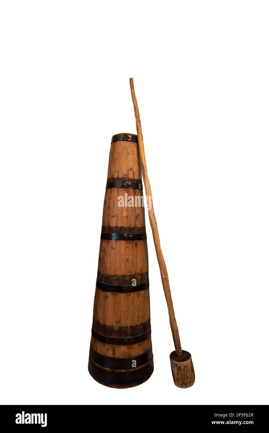 Traditional antique wooden Butter churn for hand-making butter from Thrace Northern Greece Isolated image white background Stock Photohttps://www.alamy.com/image-license-details/?v=1https://www.alamy.com/traditional-antique-wooden-butter-churn-for-hand-making-butter-from-thrace-northern-greece-isolated-image-white-background-image535699439.html
RF2P3F62R–Traditional antique wooden Butter churn for hand-making butter from Thrace Northern Greece Isolated image white background
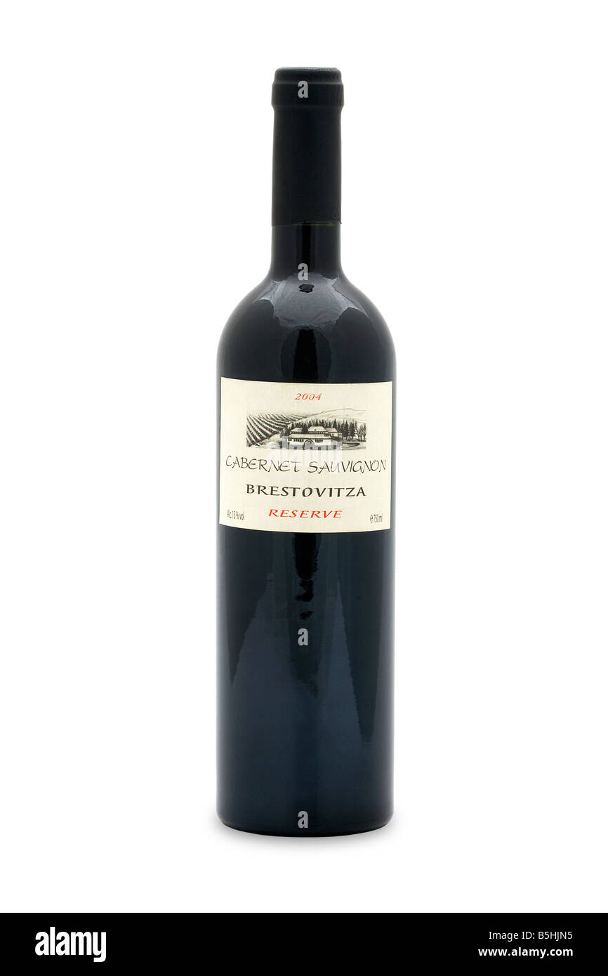 cabernet sauvignon brestovitza reserve 2004 red wine bulgaria thrace plain Stock Photohttps://www.alamy.com/image-license-details/?v=1https://www.alamy.com/stock-photo-cabernet-sauvignon-brestovitza-reserve-2004-red-wine-bulgaria-thrace-20671537.html
RMB5HJN5–cabernet sauvignon brestovitza reserve 2004 red wine bulgaria thrace plain
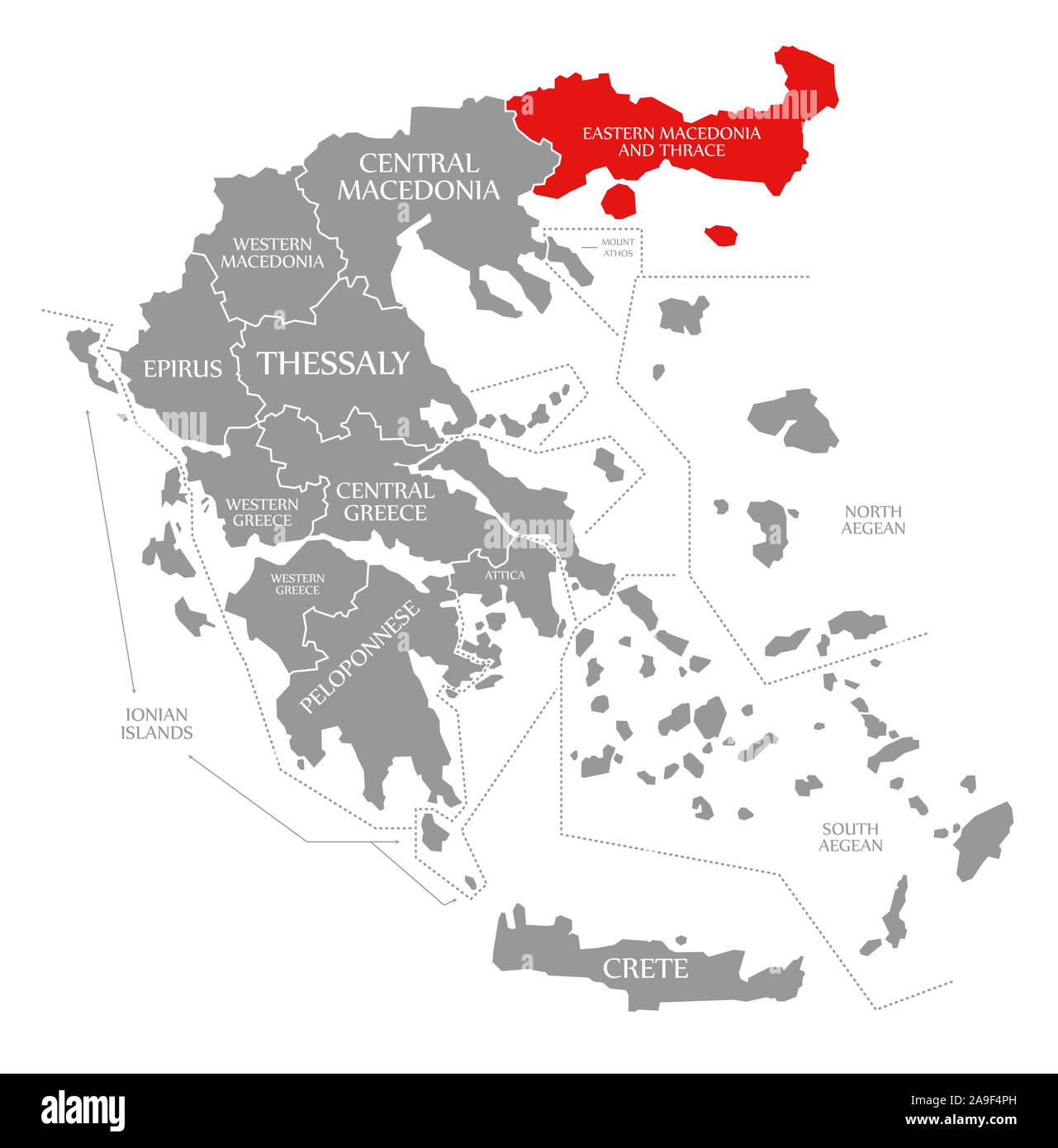 Eastern Macedonia and Thrace red highlighted in map of Greece Stock Photohttps://www.alamy.com/image-license-details/?v=1https://www.alamy.com/eastern-macedonia-and-thrace-red-highlighted-in-map-of-greece-image332861945.html
RF2A9F4PH–Eastern Macedonia and Thrace red highlighted in map of Greece
 Coat of arms of Roman Thrace. Stock Photohttps://www.alamy.com/image-license-details/?v=1https://www.alamy.com/coat-of-arms-of-roman-thrace-image634277478.html
RM2YRWRB2–Coat of arms of Roman Thrace.
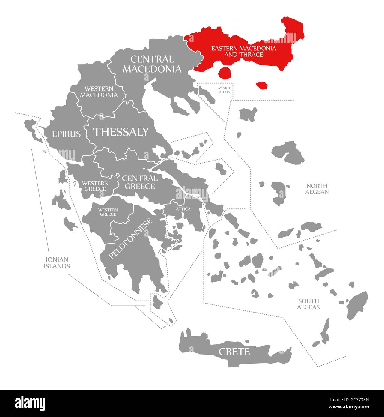 Eastern Macedonia and Thrace red highlighted in map of Greece Stock Photohttps://www.alamy.com/image-license-details/?v=1https://www.alamy.com/eastern-macedonia-and-thrace-red-highlighted-in-map-of-greece-image363417957.html
RF2C3738N–Eastern Macedonia and Thrace red highlighted in map of Greece
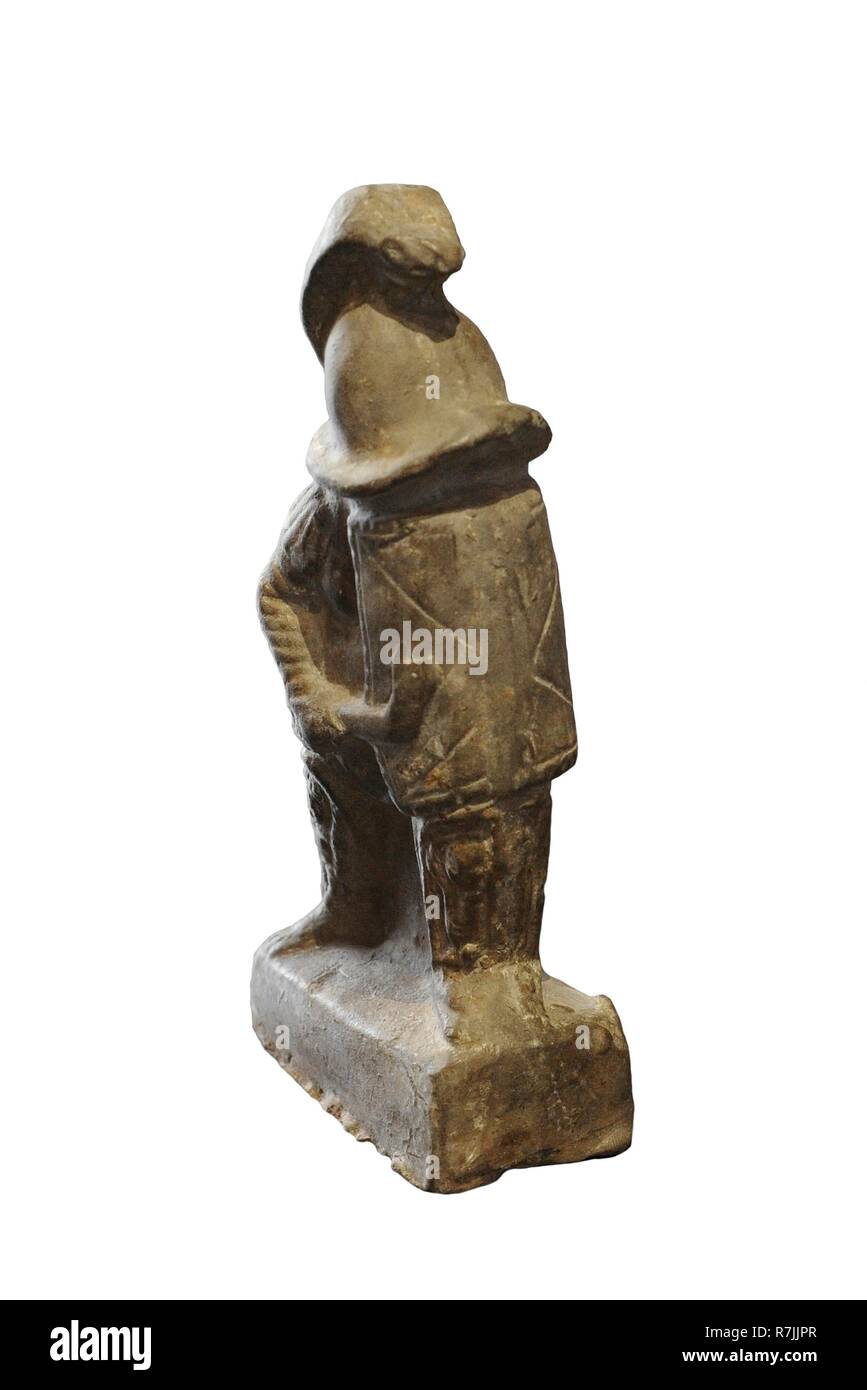 Gladiador tracio. Arcilla. Segunda mitad del siglo II. Procedente de Córdoba, Andalucía. Museo Arqueológico Nacional. Madrid. España. Stock Photohttps://www.alamy.com/image-license-details/?v=1https://www.alamy.com/gladiador-tracio-arcilla-segunda-mitad-del-siglo-ii-procedente-de-crdoba-andaluca-museo-arqueolgico-nacional-madrid-espaa-image228447263.html
RMR7JJPR–Gladiador tracio. Arcilla. Segunda mitad del siglo II. Procedente de Córdoba, Andalucía. Museo Arqueológico Nacional. Madrid. España.
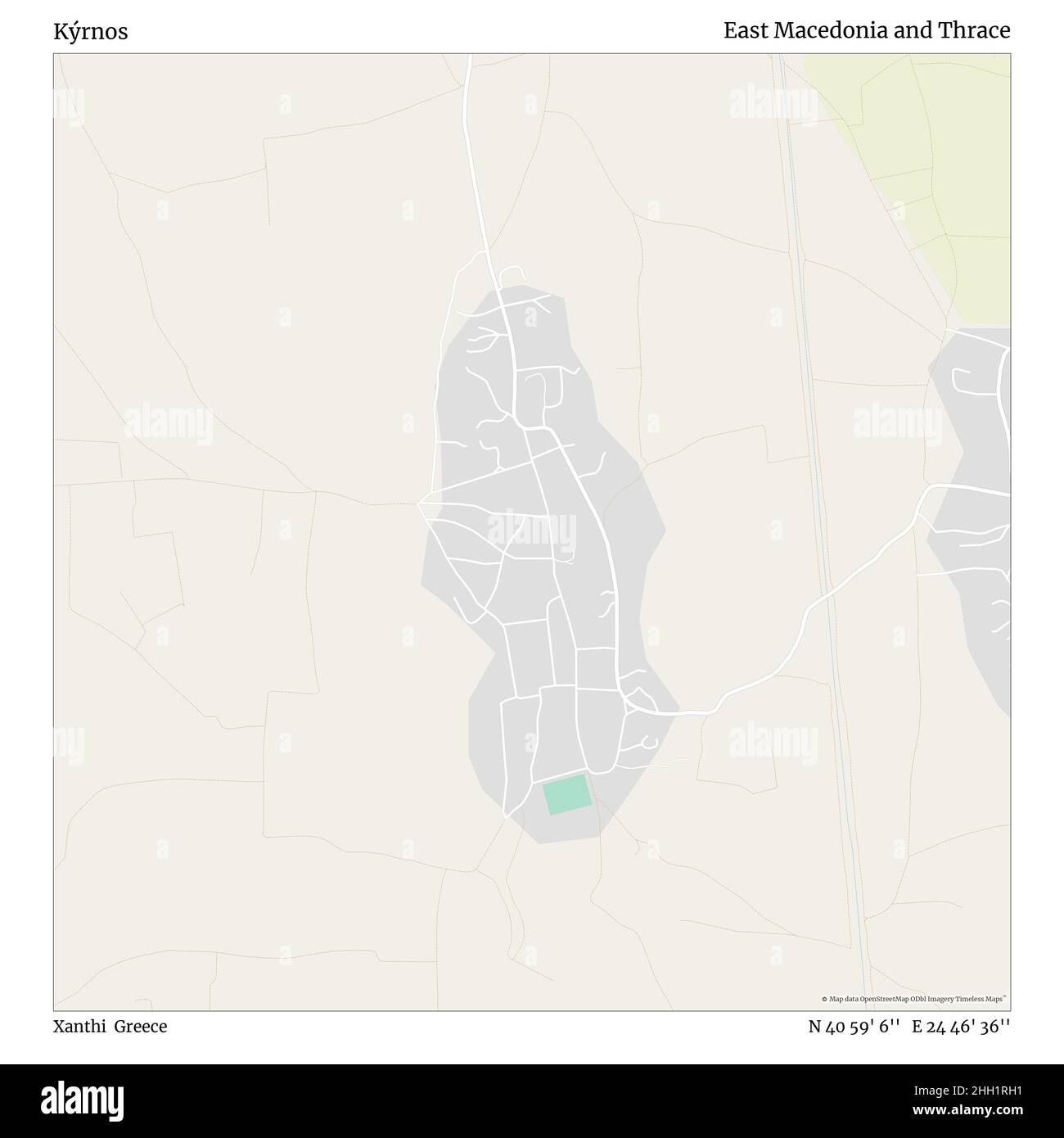 Kýrnos, Xanthi, Greece, East Macedonia and Thrace, N 40 59' 6'', E 24 46' 36'', map, Timeless Map published in 2021. Travelers, explorers and adventurers like Florence Nightingale, David Livingstone, Ernest Shackleton, Lewis and Clark and Sherlock Holmes relied on maps to plan travels to the world's most remote corners, Timeless Maps is mapping most locations on the globe, showing the achievement of great dreams Stock Photohttps://www.alamy.com/image-license-details/?v=1https://www.alamy.com/krnos-xanthi-greece-east-macedonia-and-thrace-n-40-59-6-e-24-46-36-map-timeless-map-published-in-2021-travelers-explorers-and-adventurers-like-florence-nightingale-david-livingstone-ernest-shackleton-lewis-and-clark-and-sherlock-holmes-relied-on-maps-to-plan-travels-to-the-worlds-most-remote-corners-timeless-maps-is-mapping-most-locations-on-the-globe-showing-the-achievement-of-great-dreams-image457959181.html
RM2HH1RH1–Kýrnos, Xanthi, Greece, East Macedonia and Thrace, N 40 59' 6'', E 24 46' 36'', map, Timeless Map published in 2021. Travelers, explorers and adventurers like Florence Nightingale, David Livingstone, Ernest Shackleton, Lewis and Clark and Sherlock Holmes relied on maps to plan travels to the world's most remote corners, Timeless Maps is mapping most locations on the globe, showing the achievement of great dreams
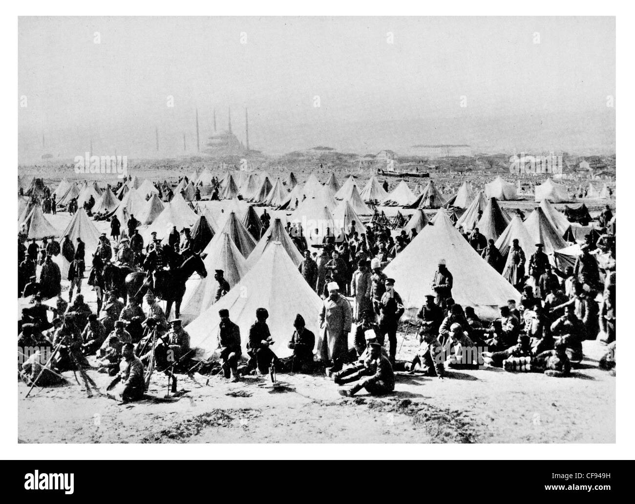 Victorious Bulgarians camped outside Adrianople Turkey camp base canvas tent Bulgarian Victory Thrace regiment Selimiye Mosque Stock Photohttps://www.alamy.com/image-license-details/?v=1https://www.alamy.com/stock-photo-victorious-bulgarians-camped-outside-adrianople-turkey-camp-base-canvas-43841549.html
RMCF949H–Victorious Bulgarians camped outside Adrianople Turkey camp base canvas tent Bulgarian Victory Thrace regiment Selimiye Mosque
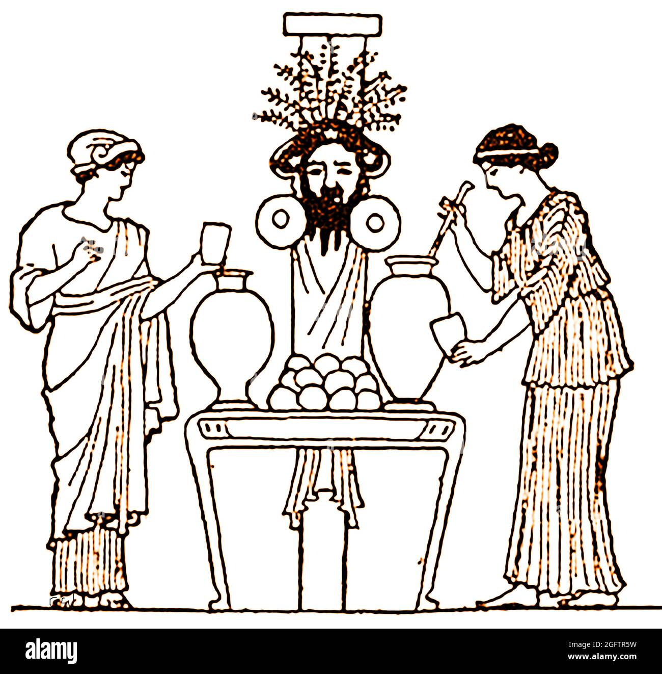 A 1914 illustration taken from an ancient Greek carving showing an ancient Greek women at a rural wooden altar dedicated to Dionysus with urns containing wine and water. He is the god of the grape-harvest, winemaking and wine, orchards fruit, vegetation and of insanity, ritual madness, religious ecstasy, festivities and theatre Stock Photohttps://www.alamy.com/image-license-details/?v=1https://www.alamy.com/a-1914-illustration-taken-from-an-ancient-greek-carving-showing-an-ancient-greek-women-at-a-rural-wooden-altar-dedicated-to-dionysus-with-urns-containing-wine-and-water-he-is-the-god-of-the-grape-harvest-winemaking-and-wine-orchards-fruit-vegetation-and-of-insanity-ritual-madness-religious-ecstasy-festivities-and-theatre-image440024085.html
RM2GFTR5W–A 1914 illustration taken from an ancient Greek carving showing an ancient Greek women at a rural wooden altar dedicated to Dionysus with urns containing wine and water. He is the god of the grape-harvest, winemaking and wine, orchards fruit, vegetation and of insanity, ritual madness, religious ecstasy, festivities and theatre
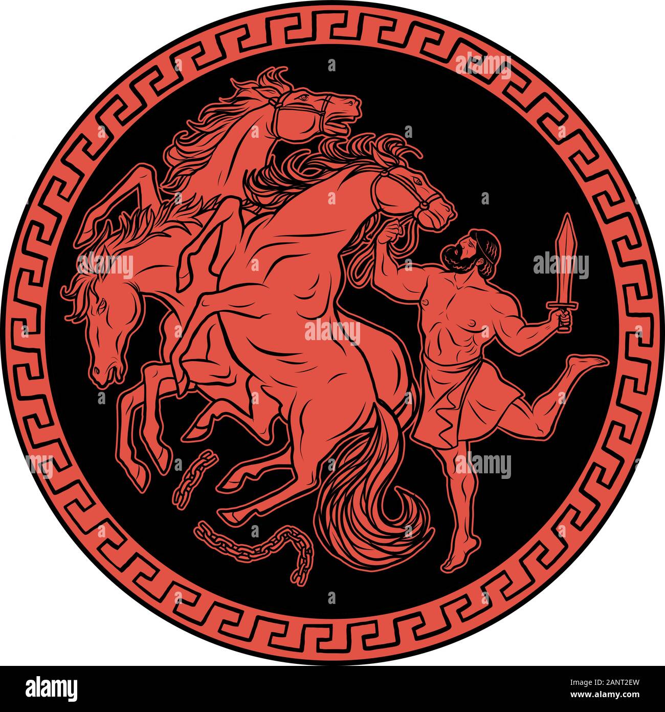 Mares of Diomedes. 12 Labours of Hercules Heracles Stock Vectorhttps://www.alamy.com/image-license-details/?v=1https://www.alamy.com/mares-of-diomedes-12-labours-of-hercules-heracles-image340433601.html
RF2ANT2EW–Mares of Diomedes. 12 Labours of Hercules Heracles
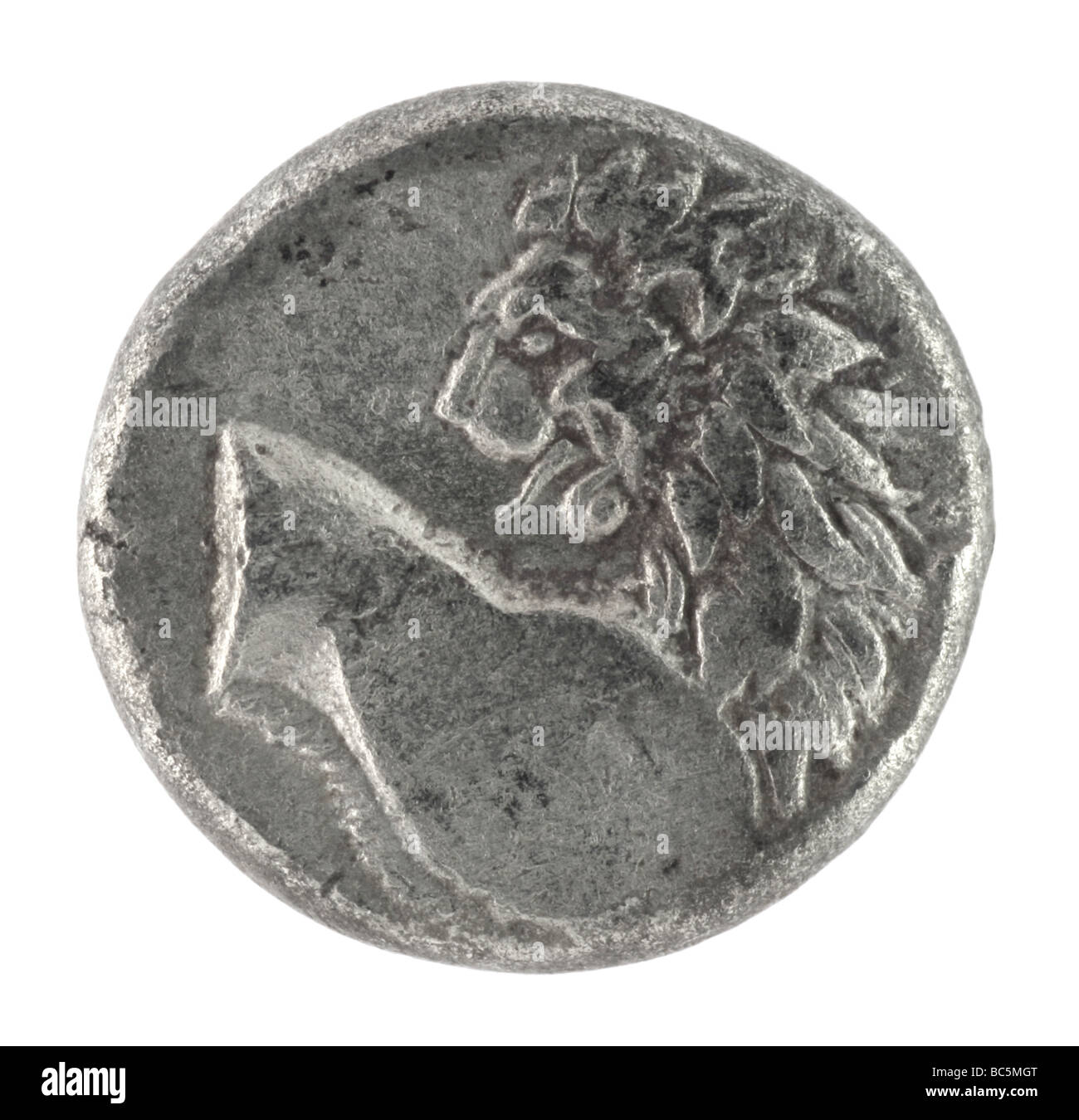 Lion on ancient Greek half drachm from 350 BC Stock Photohttps://www.alamy.com/image-license-details/?v=1https://www.alamy.com/stock-photo-lion-on-ancient-greek-half-drachm-from-350-bc-24712152.html
RFBC5MGT–Lion on ancient Greek half drachm from 350 BC
 Langobardic glass and golden beads necklace, Italy Stock Photohttps://www.alamy.com/image-license-details/?v=1https://www.alamy.com/langobardic-glass-and-golden-beads-necklace-italy-image612012270.html
RF2XFKFW2–Langobardic glass and golden beads necklace, Italy
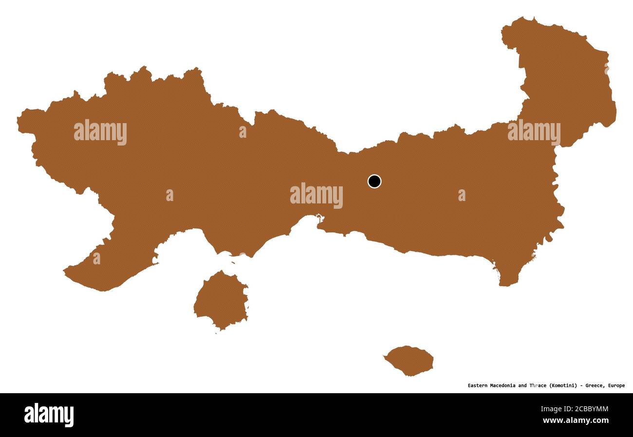 Shape of Eastern Macedonia and Thrace, decentralized administration of Greece, with its capital isolated on white background. Composition of patterned Stock Photohttps://www.alamy.com/image-license-details/?v=1https://www.alamy.com/shape-of-eastern-macedonia-and-thrace-decentralized-administration-of-greece-with-its-capital-isolated-on-white-background-composition-of-patterned-image368442164.html
RF2CBBYMM–Shape of Eastern Macedonia and Thrace, decentralized administration of Greece, with its capital isolated on white background. Composition of patterned
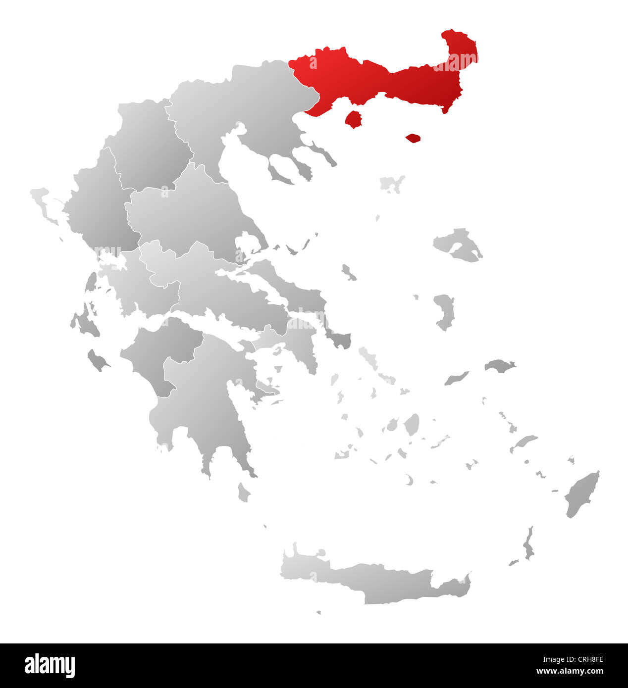 Political map of Greece with the several states where East Macedonia and Thrace is highlighted. Stock Photohttps://www.alamy.com/image-license-details/?v=1https://www.alamy.com/stock-photo-political-map-of-greece-with-the-several-states-where-east-macedonia-48937714.html
RFCRH8FE–Political map of Greece with the several states where East Macedonia and Thrace is highlighted.
 Eastern Macedonia and Thrace Region (Greece, Hellenic Republic, Hellas) map vector illustration, scribble sketch Eastern Macedonia and Thrace map Stock Vectorhttps://www.alamy.com/image-license-details/?v=1https://www.alamy.com/eastern-macedonia-and-thrace-region-greece-hellenic-republic-hellas-map-vector-illustration-scribble-sketch-eastern-macedonia-and-thrace-map-image262704200.html
RFW7B5TT–Eastern Macedonia and Thrace Region (Greece, Hellenic Republic, Hellas) map vector illustration, scribble sketch Eastern Macedonia and Thrace map
 Greek mother and child waiting in camp at Salonica for continuation of journey from the Caucasus to Thrace 1923 Stock Photohttps://www.alamy.com/image-license-details/?v=1https://www.alamy.com/greek-mother-and-child-waiting-in-camp-at-salonica-for-continuation-of-journey-from-the-caucasus-to-thrace-1923-image330278271.html
RM2A59D8F–Greek mother and child waiting in camp at Salonica for continuation of journey from the Caucasus to Thrace 1923
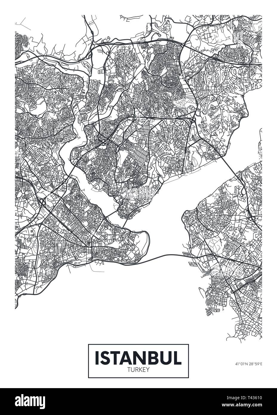 City map Istanbul, travel vector poster design detailed plan of the city, rivers and streets Stock Vectorhttps://www.alamy.com/image-license-details/?v=1https://www.alamy.com/city-map-istanbul-travel-vector-poster-design-detailed-plan-of-the-city-rivers-and-streets-image243474364.html
RFT43610–City map Istanbul, travel vector poster design detailed plan of the city, rivers and streets
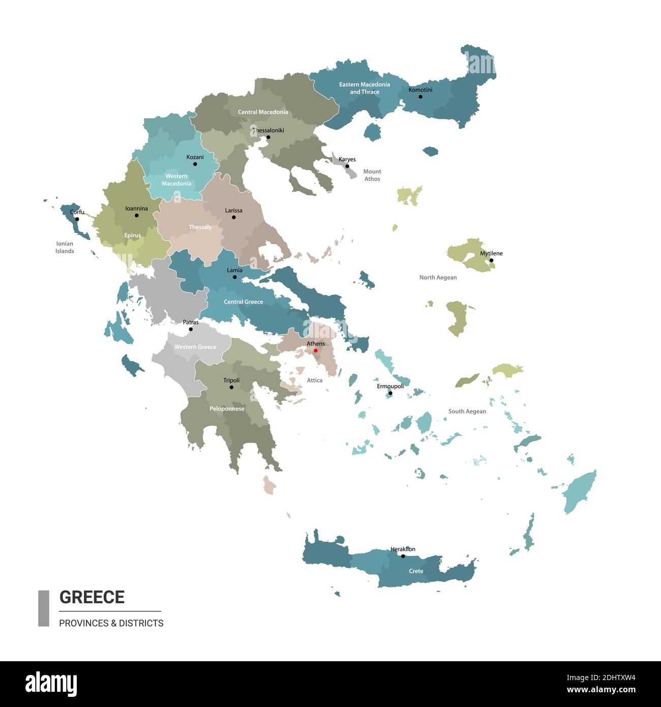 Greece higt detailed map with subdivisions. Administrative map of Greece with districts and cities name, colored by states and administrative district Stock Vectorhttps://www.alamy.com/image-license-details/?v=1https://www.alamy.com/greece-higt-detailed-map-with-subdivisions-administrative-map-of-greece-with-districts-and-cities-name-colored-by-states-and-administrative-district-image389625184.html
RF2DHTXW4–Greece higt detailed map with subdivisions. Administrative map of Greece with districts and cities name, colored by states and administrative district
 Liberation of Phineus, Arnoud van Halen, after Simon Vouet, 1683 - 1732 The blind Phineus, king of Thrace, is deprived of his meal by the harpies and Stock Photohttps://www.alamy.com/image-license-details/?v=1https://www.alamy.com/liberation-of-phineus-arnoud-van-halen-after-simon-vouet-1683-1732-the-blind-phineus-king-of-thrace-is-deprived-of-his-meal-by-the-harpies-and-image570298151.html
RF2T3R933–Liberation of Phineus, Arnoud van Halen, after Simon Vouet, 1683 - 1732 The blind Phineus, king of Thrace, is deprived of his meal by the harpies and
 Traditional antique wooden Butter churn for hand-making butter from Thrace Northern Greece Isolated image white background Stock Photohttps://www.alamy.com/image-license-details/?v=1https://www.alamy.com/traditional-antique-wooden-butter-churn-for-hand-making-butter-from-thrace-northern-greece-isolated-image-white-background-image535698894.html
RF2P3F5BA–Traditional antique wooden Butter churn for hand-making butter from Thrace Northern Greece Isolated image white background
 GREECE - 1875: An 1 drachma green and black Postage Due stamp depicting Numeral in circle frame with classical Greek geometric ornament Stock Photohttps://www.alamy.com/image-license-details/?v=1https://www.alamy.com/greece-1875-an-1-drachma-green-and-black-postage-due-stamp-depicting-numeral-in-circle-frame-with-classical-greek-geometric-ornament-image494548172.html
RF2KMGH6M–GREECE - 1875: An 1 drachma green and black Postage Due stamp depicting Numeral in circle frame with classical Greek geometric ornament
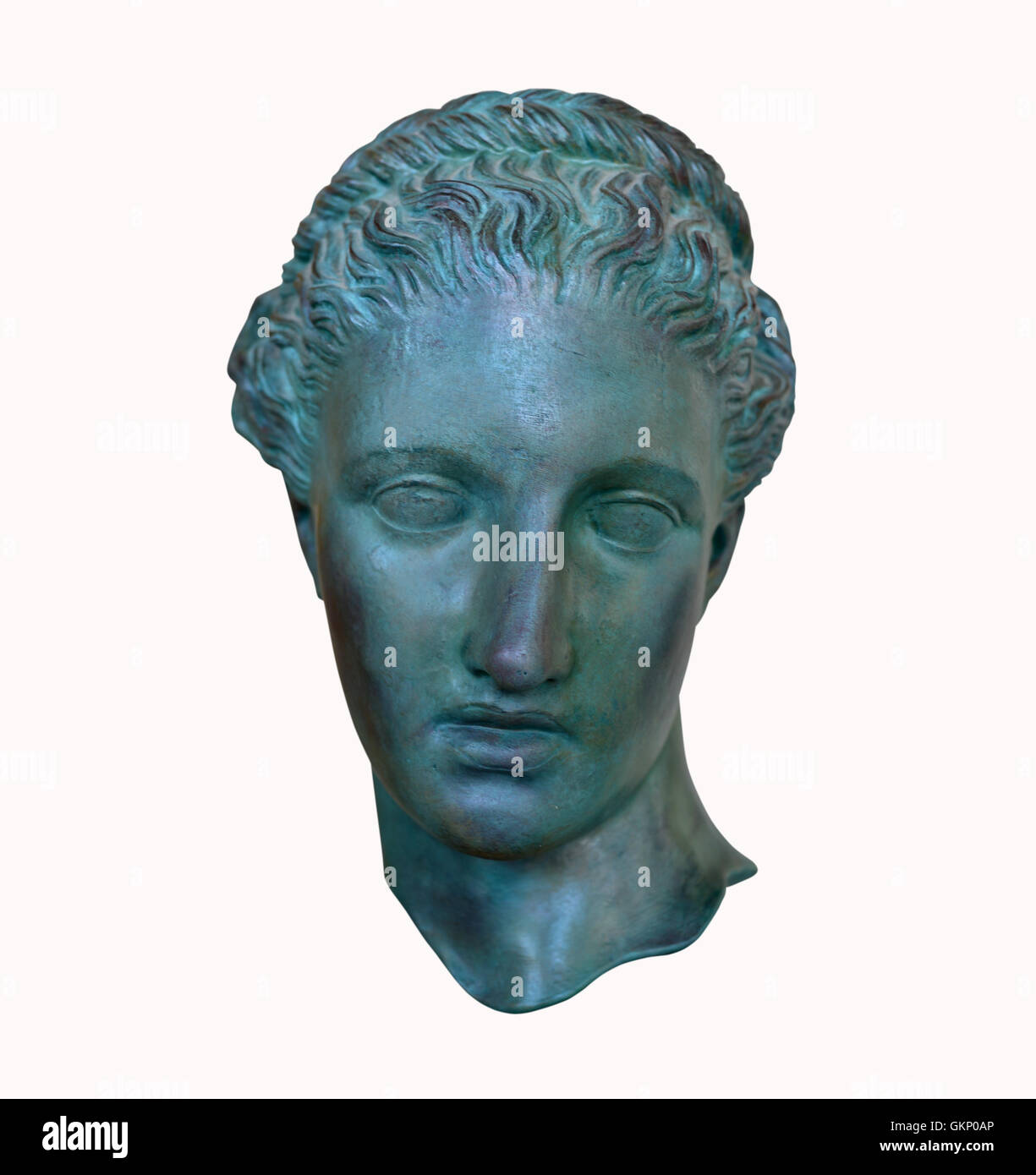 Greek poet Head of Sappho statue isolated roman replica Stock Photohttps://www.alamy.com/image-license-details/?v=1https://www.alamy.com/stock-photo-greek-poet-head-of-sappho-statue-isolated-roman-replica-115423918.html
RFGKP0AP–Greek poet Head of Sappho statue isolated roman replica
 Wenceslas Hollar - Aeneas lands in Thrace (State 3). Stock Photohttps://www.alamy.com/image-license-details/?v=1https://www.alamy.com/wenceslas-hollar-aeneas-lands-in-thrace-state-3-image575553950.html
RM2TCAMX6–Wenceslas Hollar - Aeneas lands in Thrace (State 3).
 antique greece coin greek vintage soldier helmet ancient object historical art Stock Photohttps://www.alamy.com/image-license-details/?v=1https://www.alamy.com/stock-photo-antique-greece-coin-greek-vintage-soldier-helmet-ancient-object-historical-141565911.html
RFJ68TNB–antique greece coin greek vintage soldier helmet ancient object historical art
 Gladiador tracio. Arcilla. Segunda mitad del siglo II. Procedente de Córdoba, Andalucía. Museo Arqueológico Nacional. Madrid. España. Stock Photohttps://www.alamy.com/image-license-details/?v=1https://www.alamy.com/gladiador-tracio-arcilla-segunda-mitad-del-siglo-ii-procedente-de-crdoba-andaluca-museo-arqueolgico-nacional-madrid-espaa-image228447300.html
RMR7JJT4–Gladiador tracio. Arcilla. Segunda mitad del siglo II. Procedente de Córdoba, Andalucía. Museo Arqueológico Nacional. Madrid. España.
 Arísvi, Nomós Rodópis, Greece, East Macedonia and Thrace, N 41 4' 12'', E 25 35' 25'', map, Timeless Map published in 2021. Travelers, explorers and adventurers like Florence Nightingale, David Livingstone, Ernest Shackleton, Lewis and Clark and Sherlock Holmes relied on maps to plan travels to the world's most remote corners, Timeless Maps is mapping most locations on the globe, showing the achievement of great dreams Stock Photohttps://www.alamy.com/image-license-details/?v=1https://www.alamy.com/arsvi-noms-rodpis-greece-east-macedonia-and-thrace-n-41-4-12-e-25-35-25-map-timeless-map-published-in-2021-travelers-explorers-and-adventurers-like-florence-nightingale-david-livingstone-ernest-shackleton-lewis-and-clark-and-sherlock-holmes-relied-on-maps-to-plan-travels-to-the-worlds-most-remote-corners-timeless-maps-is-mapping-most-locations-on-the-globe-showing-the-achievement-of-great-dreams-image457960211.html
RM2HH1TWR–Arísvi, Nomós Rodópis, Greece, East Macedonia and Thrace, N 41 4' 12'', E 25 35' 25'', map, Timeless Map published in 2021. Travelers, explorers and adventurers like Florence Nightingale, David Livingstone, Ernest Shackleton, Lewis and Clark and Sherlock Holmes relied on maps to plan travels to the world's most remote corners, Timeless Maps is mapping most locations on the globe, showing the achievement of great dreams
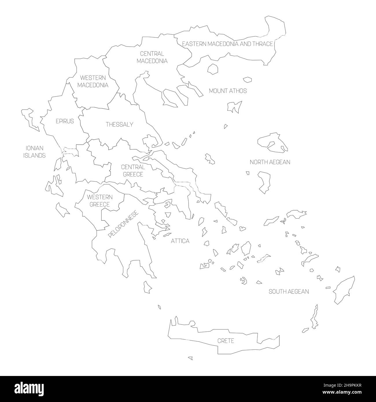 Greece - map of decentralized administrations Stock Vectorhttps://www.alamy.com/image-license-details/?v=1https://www.alamy.com/greece-map-of-decentralized-administrations-image453499867.html
RF2H9PKKR–Greece - map of decentralized administrations
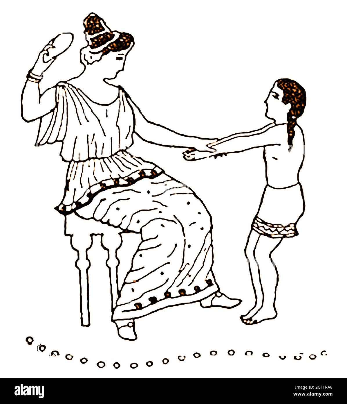 A 1914 illustration taken from an ancient Greek carving showing an ancient Greek mother punishing her child using a slipper. Stock Photohttps://www.alamy.com/image-license-details/?v=1https://www.alamy.com/a-1914-illustration-taken-from-an-ancient-greek-carving-showing-an-ancient-greek-mother-punishing-her-child-using-a-slipper-image440024208.html
RM2GFTRA8–A 1914 illustration taken from an ancient Greek carving showing an ancient Greek mother punishing her child using a slipper.
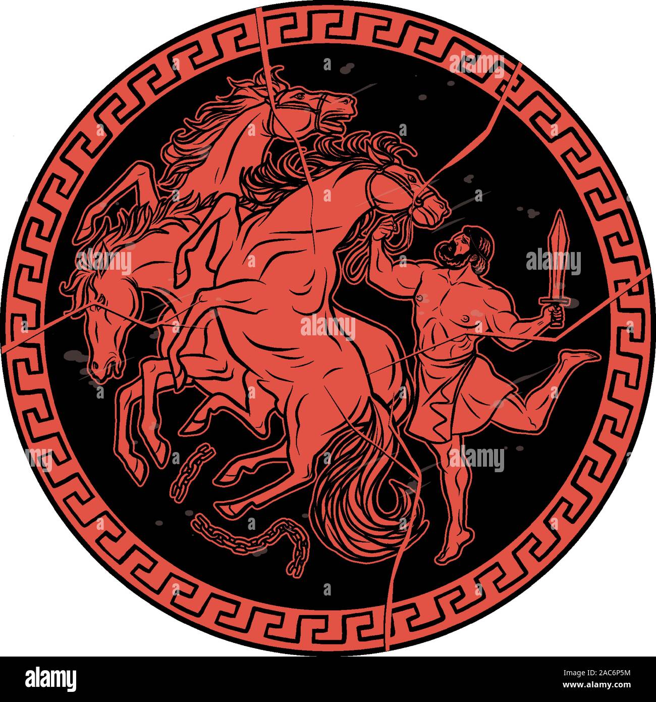 Mares of Diomedes. 12 Labours of Hercules Heracles Stock Vectorhttps://www.alamy.com/image-license-details/?v=1https://www.alamy.com/mares-of-diomedes-12-labours-of-hercules-heracles-image334521984.html
RF2AC6P5M–Mares of Diomedes. 12 Labours of Hercules Heracles
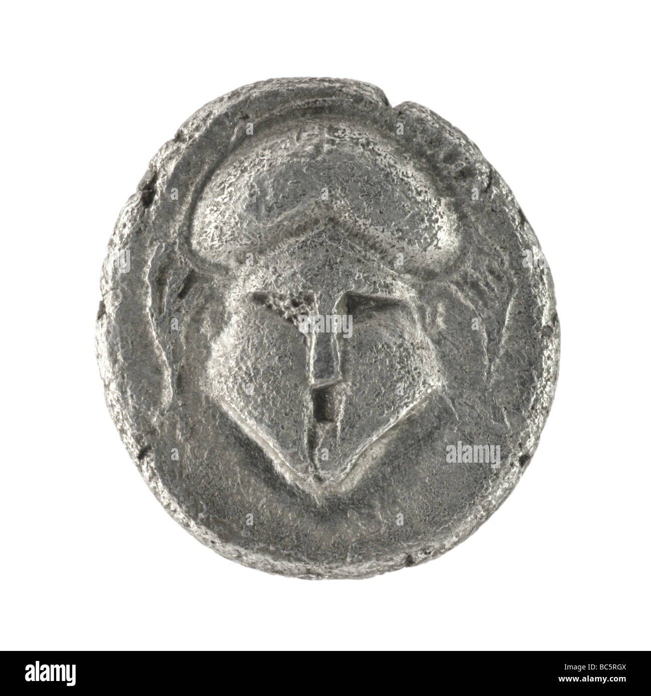 Crested helmet on ancient Greek diobol from 350 BC Stock Photohttps://www.alamy.com/image-license-details/?v=1https://www.alamy.com/stock-photo-crested-helmet-on-ancient-greek-diobol-from-350-bc-24714506.html
RFBC5RGX–Crested helmet on ancient Greek diobol from 350 BC
 Langobardic glass and golden beads necklace, Italy Stock Photohttps://www.alamy.com/image-license-details/?v=1https://www.alamy.com/langobardic-glass-and-golden-beads-necklace-italy-image612012175.html
RF2XFKFNK–Langobardic glass and golden beads necklace, Italy
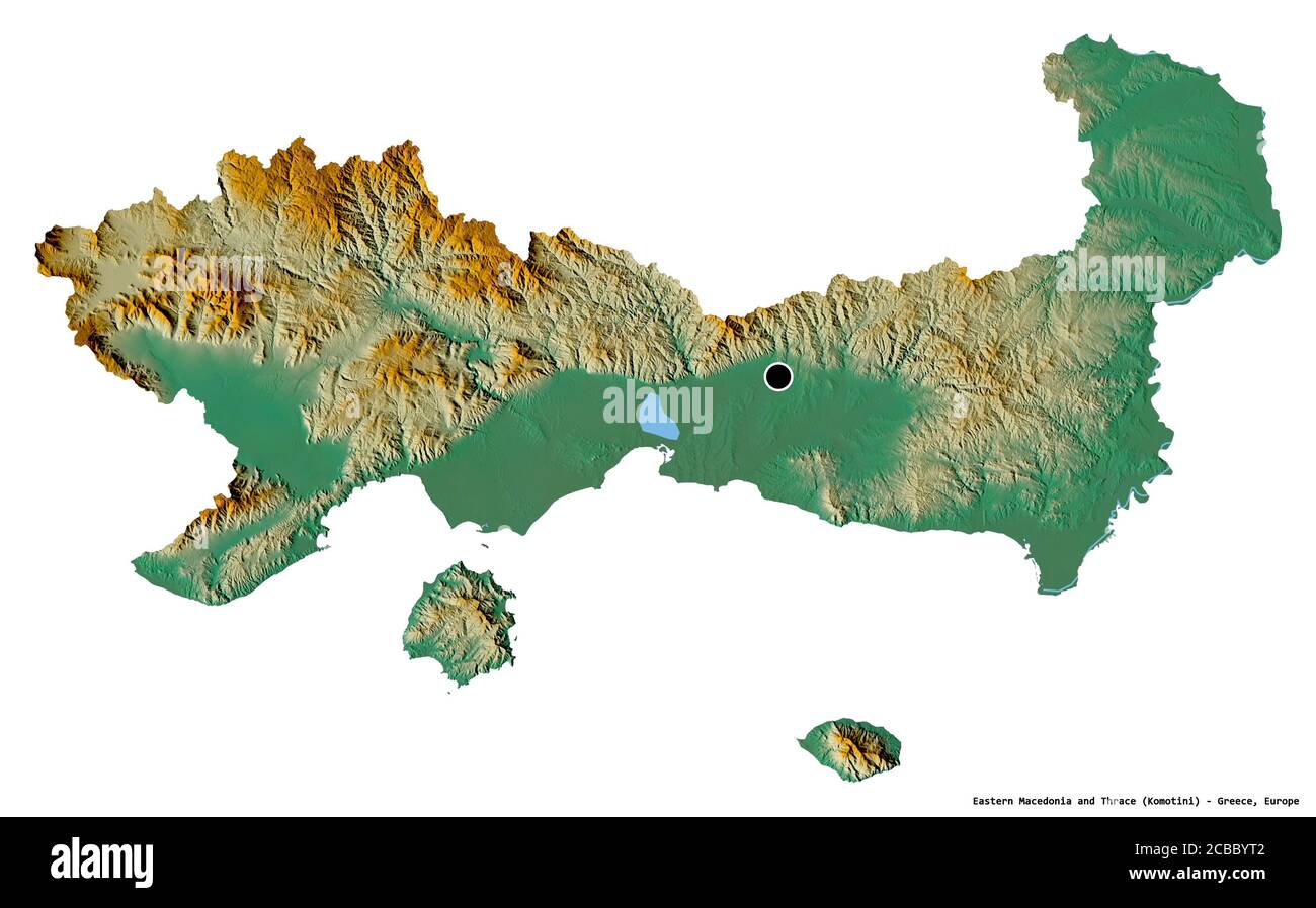 Shape of Eastern Macedonia and Thrace, decentralized administration of Greece, with its capital isolated on white background. Topographic relief map. Stock Photohttps://www.alamy.com/image-license-details/?v=1https://www.alamy.com/shape-of-eastern-macedonia-and-thrace-decentralized-administration-of-greece-with-its-capital-isolated-on-white-background-topographic-relief-map-image368442258.html
RF2CBBYT2–Shape of Eastern Macedonia and Thrace, decentralized administration of Greece, with its capital isolated on white background. Topographic relief map.
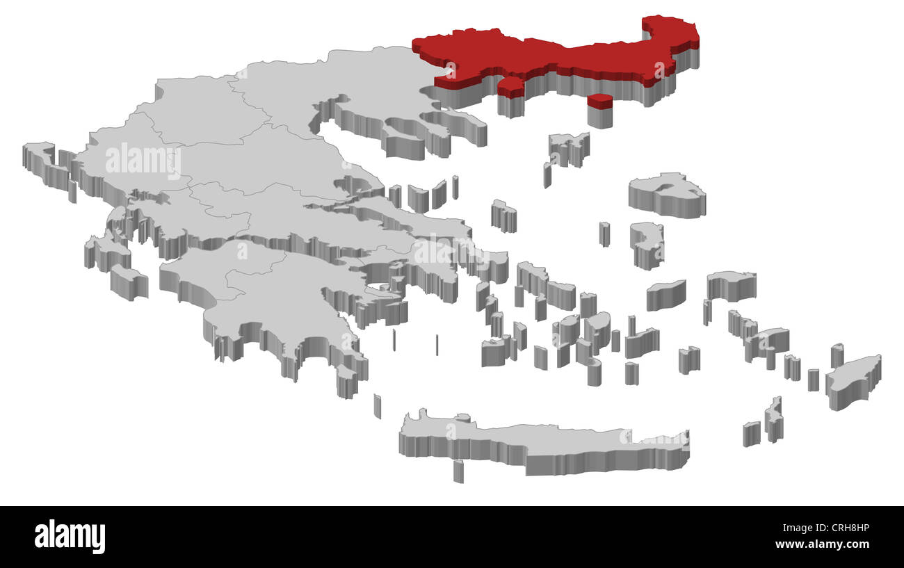 Political map of Greece with the several states where East Macedonia and Thrace is highlighted. Stock Photohttps://www.alamy.com/image-license-details/?v=1https://www.alamy.com/stock-photo-political-map-of-greece-with-the-several-states-where-east-macedonia-48937778.html
RFCRH8HP–Political map of Greece with the several states where East Macedonia and Thrace is highlighted.
 Eastern Macedonia and Thrace Region (Greece, Hellenic Republic, Hellas) map vector illustration, scribble sketch Eastern Macedonia and Thrace map Stock Vectorhttps://www.alamy.com/image-license-details/?v=1https://www.alamy.com/eastern-macedonia-and-thrace-region-greece-hellenic-republic-hellas-map-vector-illustration-scribble-sketch-eastern-macedonia-and-thrace-map-image270314306.html
RFWKNTJA–Eastern Macedonia and Thrace Region (Greece, Hellenic Republic, Hellas) map vector illustration, scribble sketch Eastern Macedonia and Thrace map
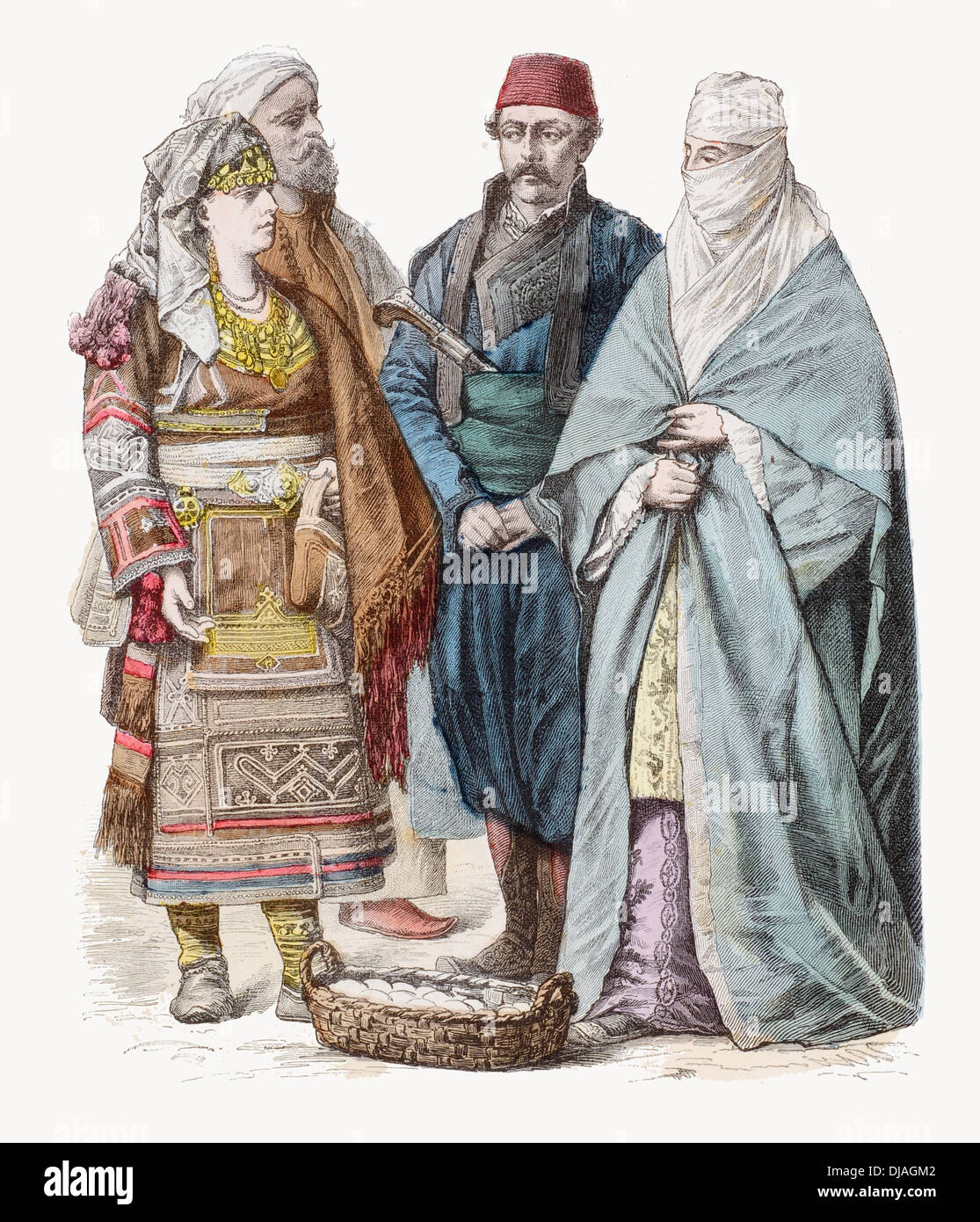 19th century XIX Turks from Skodra (left) Adrianople (center) Salonica (Right) Stock Photohttps://www.alamy.com/image-license-details/?v=1https://www.alamy.com/19th-century-xix-turks-from-skodra-left-adrianople-center-salonica-image62927538.html
RFDJAGM2–19th century XIX Turks from Skodra (left) Adrianople (center) Salonica (Right)
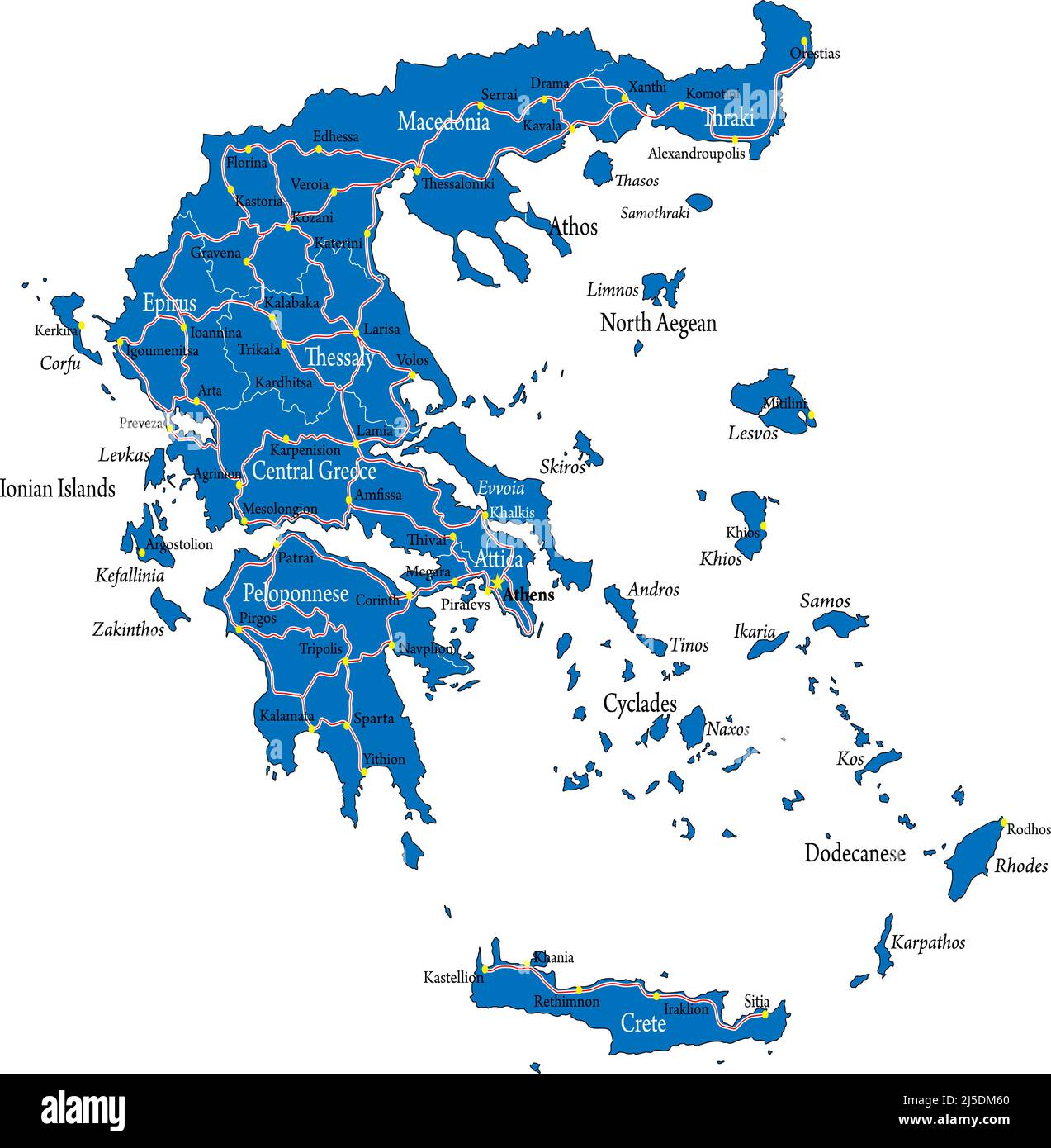 Highly detailed vector map of Greece with administrative regions, main cities and roads Stock Vectorhttps://www.alamy.com/image-license-details/?v=1https://www.alamy.com/highly-detailed-vector-map-of-greece-with-administrative-regions-main-cities-and-roads-image468054440.html
RF2J5DM60–Highly detailed vector map of Greece with administrative regions, main cities and roads
 Replica of gold Phiale (libation bowl) embossed with 72 heads isolated on white background. Panagyurishte Treasure in Bulgaria. Thracian civilization Stock Photohttps://www.alamy.com/image-license-details/?v=1https://www.alamy.com/replica-of-gold-phiale-libation-bowl-embossed-with-72-heads-isolated-on-white-background-panagyurishte-treasure-in-bulgaria-thracian-civilization-image450136489.html
RF2H49DK5–Replica of gold Phiale (libation bowl) embossed with 72 heads isolated on white background. Panagyurishte Treasure in Bulgaria. Thracian civilization
 Zephyrus blows Odysseus 'ship forward, Theodoor van Thulden, after Francesco Primaticcio, after Nicolo dell Abate, Zephyrus, god of the west wind, blo Stock Vectorhttps://www.alamy.com/image-license-details/?v=1https://www.alamy.com/zephyrus-blows-odysseus-ship-forward-theodoor-van-thulden-after-francesco-primaticcio-after-nicolo-dell-abate-zephyrus-god-of-the-west-wind-blo-image367250366.html
RF2C9DKGE–Zephyrus blows Odysseus 'ship forward, Theodoor van Thulden, after Francesco Primaticcio, after Nicolo dell Abate, Zephyrus, god of the west wind, blo
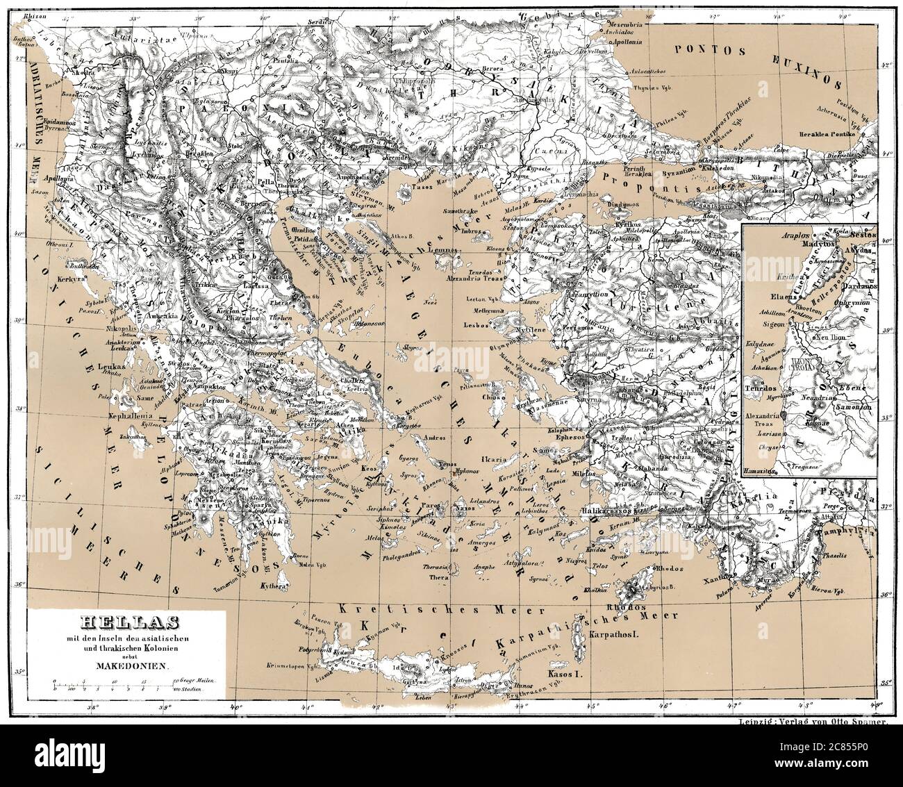 Historical map of ancient Greece with Asian and Thracian Colonies Stock Photohttps://www.alamy.com/image-license-details/?v=1https://www.alamy.com/historical-map-of-ancient-greece-with-asian-and-thracian-colonies-image366449272.html
RM2C855P0–Historical map of ancient Greece with Asian and Thracian Colonies
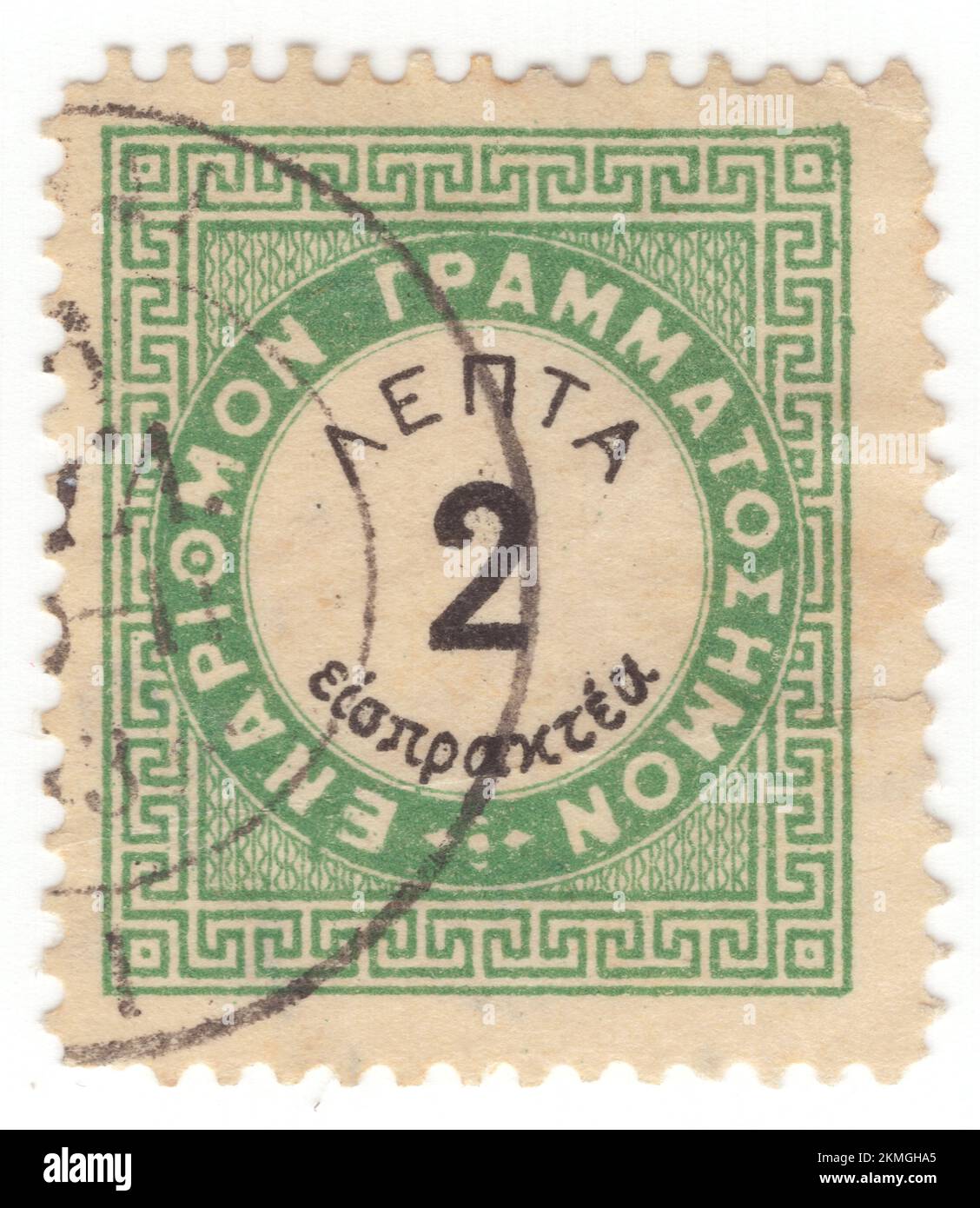 GREECE - 1876: An 2 leptas yellow-green and black Postage Due stamp depicting Numeral in circle frame with classical Greek geometric ornament Stock Photohttps://www.alamy.com/image-license-details/?v=1https://www.alamy.com/greece-1876-an-2-leptas-yellow-green-and-black-postage-due-stamp-depicting-numeral-in-circle-frame-with-classical-greek-geometric-ornament-image494548269.html
RF2KMGHA5–GREECE - 1876: An 2 leptas yellow-green and black Postage Due stamp depicting Numeral in circle frame with classical Greek geometric ornament
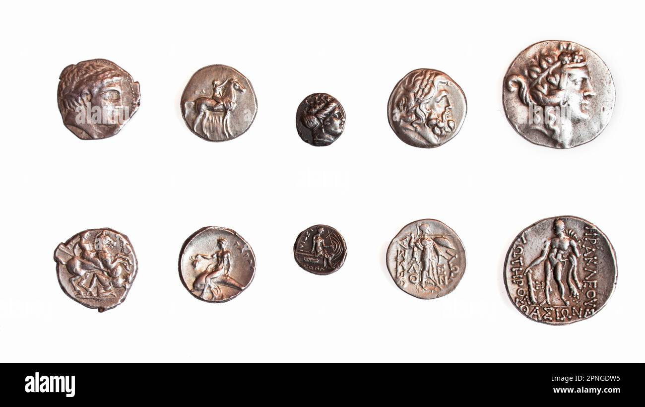 Ancient Greek coins 1st - 3rd century BCE. Left to Right 1. Patraos 340-315 BCE. 2. Calabria, Taras, 3rd Century BCE. 3. Euboia. Histiaia 3rd Century Stock Photohttps://www.alamy.com/image-license-details/?v=1https://www.alamy.com/ancient-greek-coins-1st-3rd-century-bce-left-to-right-1-patraos-340-315-bce-2-calabria-taras-3rd-century-bce-3-euboia-histiaia-3rd-century-image546791313.html
RF2PNGDW5–Ancient Greek coins 1st - 3rd century BCE. Left to Right 1. Patraos 340-315 BCE. 2. Calabria, Taras, 3rd Century BCE. 3. Euboia. Histiaia 3rd Century
 Wenceslas Hollar - Aeneas lands in Thrace (State 2). Stock Photohttps://www.alamy.com/image-license-details/?v=1https://www.alamy.com/wenceslas-hollar-aeneas-lands-in-thrace-state-2-image575553945.html
RM2TCAMX1–Wenceslas Hollar - Aeneas lands in Thrace (State 2).
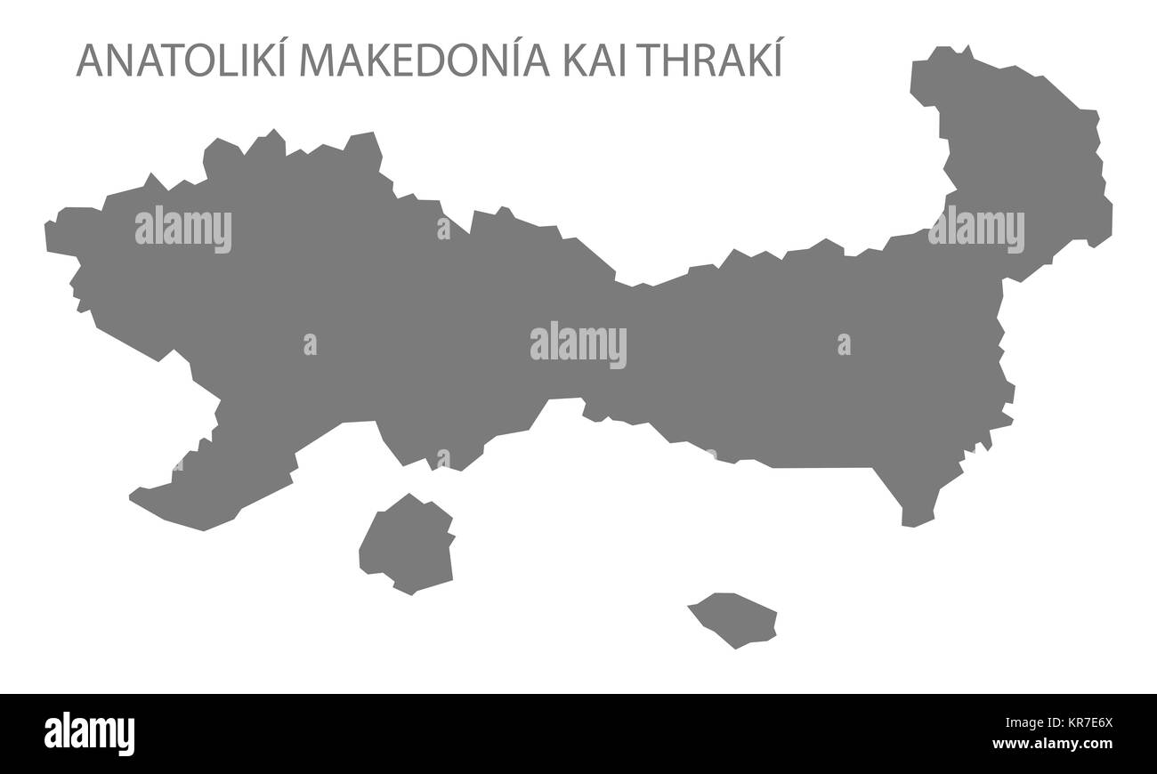 Anatoliki Makedonia kai Thraki Greece Map grey Stock Photohttps://www.alamy.com/image-license-details/?v=1https://www.alamy.com/stock-image-anatoliki-makedonia-kai-thraki-greece-map-grey-169195234.html
RFKR7E6X–Anatoliki Makedonia kai Thraki Greece Map grey
 Greek famous Nike statue. Ancient Greece symbol Stock Vectorhttps://www.alamy.com/image-license-details/?v=1https://www.alamy.com/stock-photo-greek-famous-nike-statue-ancient-greece-symbol-133506374.html
RFHN5MMP–Greek famous Nike statue. Ancient Greece symbol
 Pontolivado, Kavala, Greece, East Macedonia and Thrace, N 40 58' 18'', E 24 34' 51'', map, Timeless Map published in 2021. Travelers, explorers and adventurers like Florence Nightingale, David Livingstone, Ernest Shackleton, Lewis and Clark and Sherlock Holmes relied on maps to plan travels to the world's most remote corners, Timeless Maps is mapping most locations on the globe, showing the achievement of great dreams Stock Photohttps://www.alamy.com/image-license-details/?v=1https://www.alamy.com/pontolivado-kavala-greece-east-macedonia-and-thrace-n-40-58-18-e-24-34-51-map-timeless-map-published-in-2021-travelers-explorers-and-adventurers-like-florence-nightingale-david-livingstone-ernest-shackleton-lewis-and-clark-and-sherlock-holmes-relied-on-maps-to-plan-travels-to-the-worlds-most-remote-corners-timeless-maps-is-mapping-most-locations-on-the-globe-showing-the-achievement-of-great-dreams-image457957854.html
RM2HH1NWJ–Pontolivado, Kavala, Greece, East Macedonia and Thrace, N 40 58' 18'', E 24 34' 51'', map, Timeless Map published in 2021. Travelers, explorers and adventurers like Florence Nightingale, David Livingstone, Ernest Shackleton, Lewis and Clark and Sherlock Holmes relied on maps to plan travels to the world's most remote corners, Timeless Maps is mapping most locations on the globe, showing the achievement of great dreams
 Greece - map of decentralized administrations Stock Vectorhttps://www.alamy.com/image-license-details/?v=1https://www.alamy.com/greece-map-of-decentralized-administrations-image465494575.html
RF2J19327–Greece - map of decentralized administrations
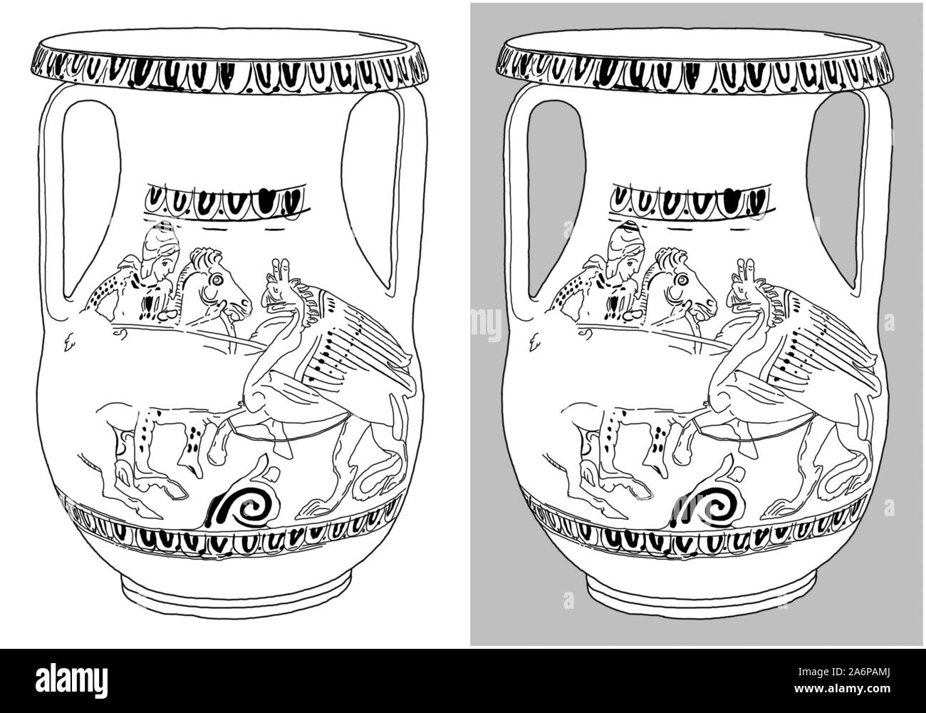 Red-figured pelike with horseman fighting gryphon, found at Apollonia Pontica's necropolis (Sozopol), Bulgaria (a Thracian piece from 4th c. BC). Draw Stock Photohttps://www.alamy.com/image-license-details/?v=1https://www.alamy.com/red-figured-pelike-with-horseman-fighting-gryphon-found-at-apollonia-ponticas-necropolis-sozopol-bulgaria-a-thracian-piece-from-4th-c-bc-draw-image331176290.html
RF2A6PAMJ–Red-figured pelike with horseman fighting gryphon, found at Apollonia Pontica's necropolis (Sozopol), Bulgaria (a Thracian piece from 4th c. BC). Draw
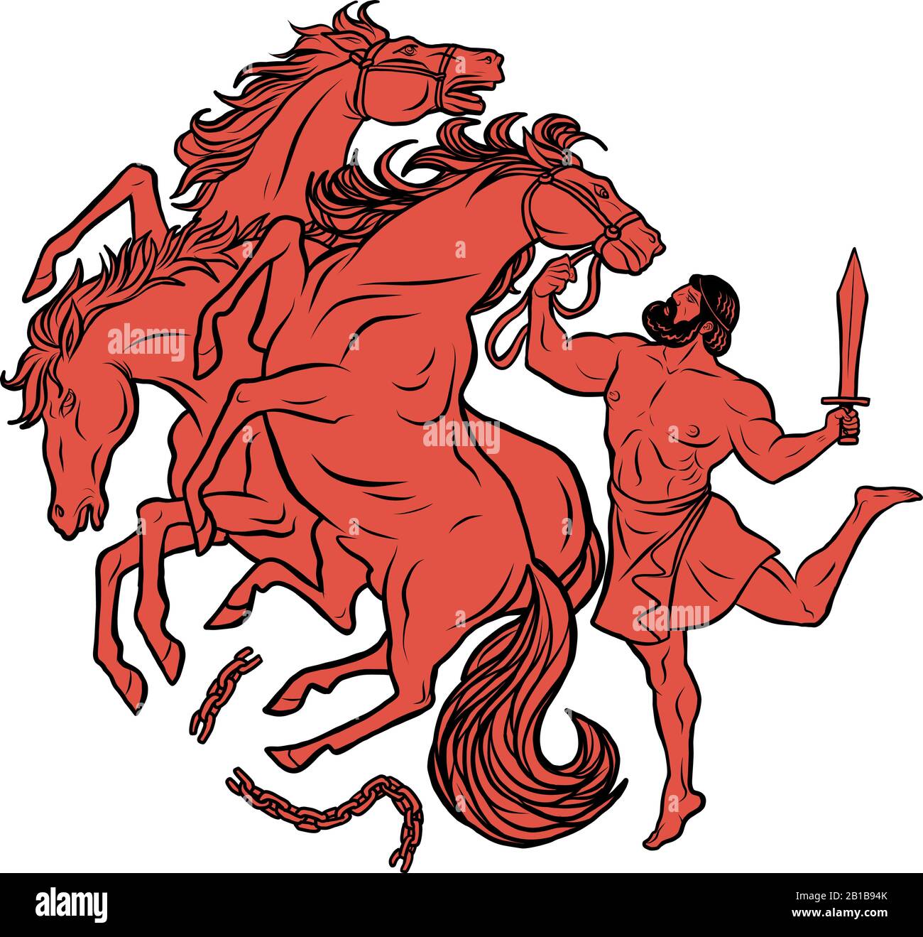 Mares of Diomedes. 12 Labours of Hercules Heracles Stock Vectorhttps://www.alamy.com/image-license-details/?v=1https://www.alamy.com/mares-of-diomedes-12-labours-of-hercules-heracles-image345070675.html
RF2B1B94K–Mares of Diomedes. 12 Labours of Hercules Heracles
 Colourfull Skyline panorama of city of Stara Zagora, Bulgaria- vector illustration Stock Vectorhttps://www.alamy.com/image-license-details/?v=1https://www.alamy.com/colourfull-skyline-panorama-of-city-of-stara-zagora-bulgaria-vector-illustration-image477244537.html
RF2JMCA7N–Colourfull Skyline panorama of city of Stara Zagora, Bulgaria- vector illustration
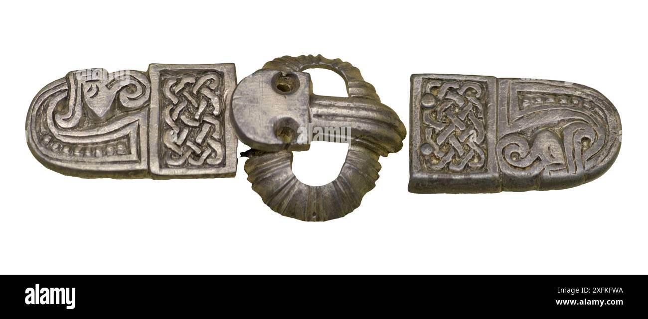 Langobardic decorative belt pads and buckle, Italy Stock Photohttps://www.alamy.com/image-license-details/?v=1https://www.alamy.com/langobardic-decorative-belt-pads-and-buckle-italy-image612012278.html
RF2XFKFWA–Langobardic decorative belt pads and buckle, Italy
 Shape of Eastern Macedonia and Thrace, decentralized administration of Greece, with its capital isolated on white background. Satellite imagery. 3D re Stock Photohttps://www.alamy.com/image-license-details/?v=1https://www.alamy.com/shape-of-eastern-macedonia-and-thrace-decentralized-administration-of-greece-with-its-capital-isolated-on-white-background-satellite-imagery-3d-re-image368442241.html
RF2CBBYRD–Shape of Eastern Macedonia and Thrace, decentralized administration of Greece, with its capital isolated on white background. Satellite imagery. 3D re
 Political map of Greece with the several states where East Macedonia and Thrace is highlighted. Stock Photohttps://www.alamy.com/image-license-details/?v=1https://www.alamy.com/stock-photo-political-map-of-greece-with-the-several-states-where-east-macedonia-48938212.html
RFCRH958–Political map of Greece with the several states where East Macedonia and Thrace is highlighted.
 Eastern Macedonia and Thrace Region (Greece, Hellenic Republic, Hellas) map vector illustration, scribble sketch Eastern Macedonia and Thrace map Stock Vectorhttps://www.alamy.com/image-license-details/?v=1https://www.alamy.com/eastern-macedonia-and-thrace-region-greece-hellenic-republic-hellas-map-vector-illustration-scribble-sketch-eastern-macedonia-and-thrace-map-image273742138.html
RFWWA0TX–Eastern Macedonia and Thrace Region (Greece, Hellenic Republic, Hellas) map vector illustration, scribble sketch Eastern Macedonia and Thrace map
 19th century XIX Turks from Monastir (left) Kurdish (center) Thessaly (Right) Stock Photohttps://www.alamy.com/image-license-details/?v=1https://www.alamy.com/19th-century-xix-turks-from-monastir-left-kurdish-center-thessaly-image62927540.html
RFDJAGM4–19th century XIX Turks from Monastir (left) Kurdish (center) Thessaly (Right)
 Republic of Turkey celebration message over a country map. All the objects are in different layers and the text types do not need any font. Stock Vectorhttps://www.alamy.com/image-license-details/?v=1https://www.alamy.com/republic-of-turkey-celebration-message-over-a-country-map-all-the-objects-are-in-different-layers-and-the-text-types-do-not-need-any-font-image221981027.html
RFPW431R–Republic of Turkey celebration message over a country map. All the objects are in different layers and the text types do not need any font.
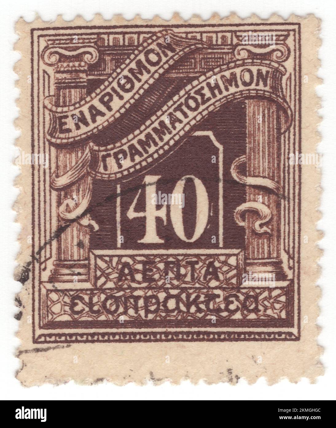 GREECE - 1902: An 40 leptas dark brown Postage Due stamp depicting Numeral in circle frame with classical Greek columns Stock Photohttps://www.alamy.com/image-license-details/?v=1https://www.alamy.com/greece-1902-an-40-leptas-dark-brown-postage-due-stamp-depicting-numeral-in-circle-frame-with-classical-greek-columns-image494548444.html
RF2KMGHGC–GREECE - 1902: An 40 leptas dark brown Postage Due stamp depicting Numeral in circle frame with classical Greek columns
 Eora, Xanthi, Greece, East Macedonia and Thrace, N 41 12' 3'', E 24 52' 15'', map, Timeless Map published in 2021. Travelers, explorers and adventurers like Florence Nightingale, David Livingstone, Ernest Shackleton, Lewis and Clark and Sherlock Holmes relied on maps to plan travels to the world's most remote corners, Timeless Maps is mapping most locations on the globe, showing the achievement of great dreams Stock Photohttps://www.alamy.com/image-license-details/?v=1https://www.alamy.com/eora-xanthi-greece-east-macedonia-and-thrace-n-41-12-3-e-24-52-15-map-timeless-map-published-in-2021-travelers-explorers-and-adventurers-like-florence-nightingale-david-livingstone-ernest-shackleton-lewis-and-clark-and-sherlock-holmes-relied-on-maps-to-plan-travels-to-the-worlds-most-remote-corners-timeless-maps-is-mapping-most-locations-on-the-globe-showing-the-achievement-of-great-dreams-image457944195.html
RM2HH14DR–Eora, Xanthi, Greece, East Macedonia and Thrace, N 41 12' 3'', E 24 52' 15'', map, Timeless Map published in 2021. Travelers, explorers and adventurers like Florence Nightingale, David Livingstone, Ernest Shackleton, Lewis and Clark and Sherlock Holmes relied on maps to plan travels to the world's most remote corners, Timeless Maps is mapping most locations on the globe, showing the achievement of great dreams
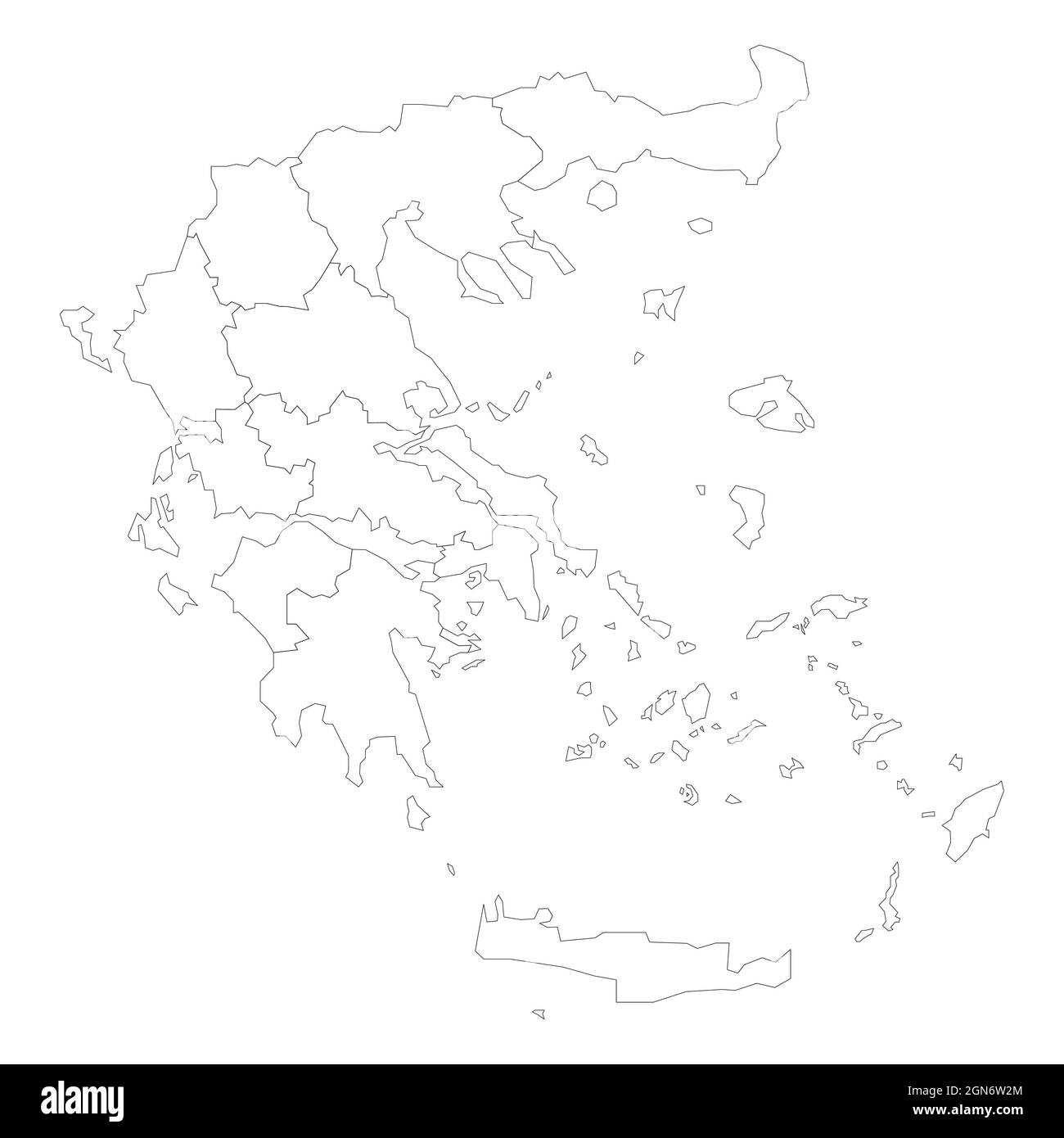 Political map of Greece. Administrative divisions - decentralized administrations. Simple flat blank black outline vector map Stock Vectorhttps://www.alamy.com/image-license-details/?v=1https://www.alamy.com/political-map-of-greece-administrative-divisions-decentralized-administrations-simple-flat-blank-black-outline-vector-map-image443318364.html
RF2GN6W2M–Political map of Greece. Administrative divisions - decentralized administrations. Simple flat blank black outline vector map
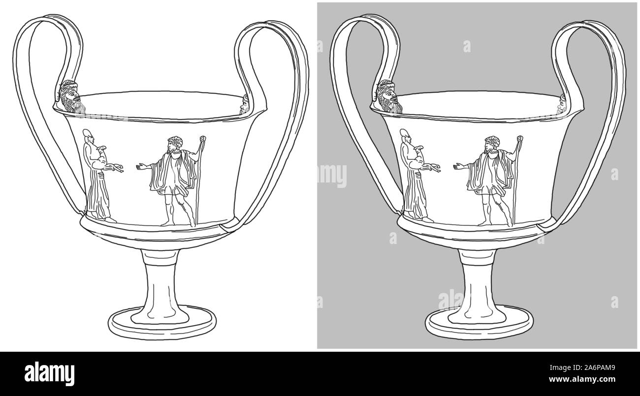 Silver-gilt kantharos with human figures, found at Duvanli, Bulgaria (a Thracian piece from 5th c. BC). Drawing isolated on white and gray background. Stock Photohttps://www.alamy.com/image-license-details/?v=1https://www.alamy.com/silver-gilt-kantharos-with-human-figures-found-at-duvanli-bulgaria-a-thracian-piece-from-5th-c-bc-drawing-isolated-on-white-and-gray-background-image331176281.html
RF2A6PAM9–Silver-gilt kantharos with human figures, found at Duvanli, Bulgaria (a Thracian piece from 5th c. BC). Drawing isolated on white and gray background.
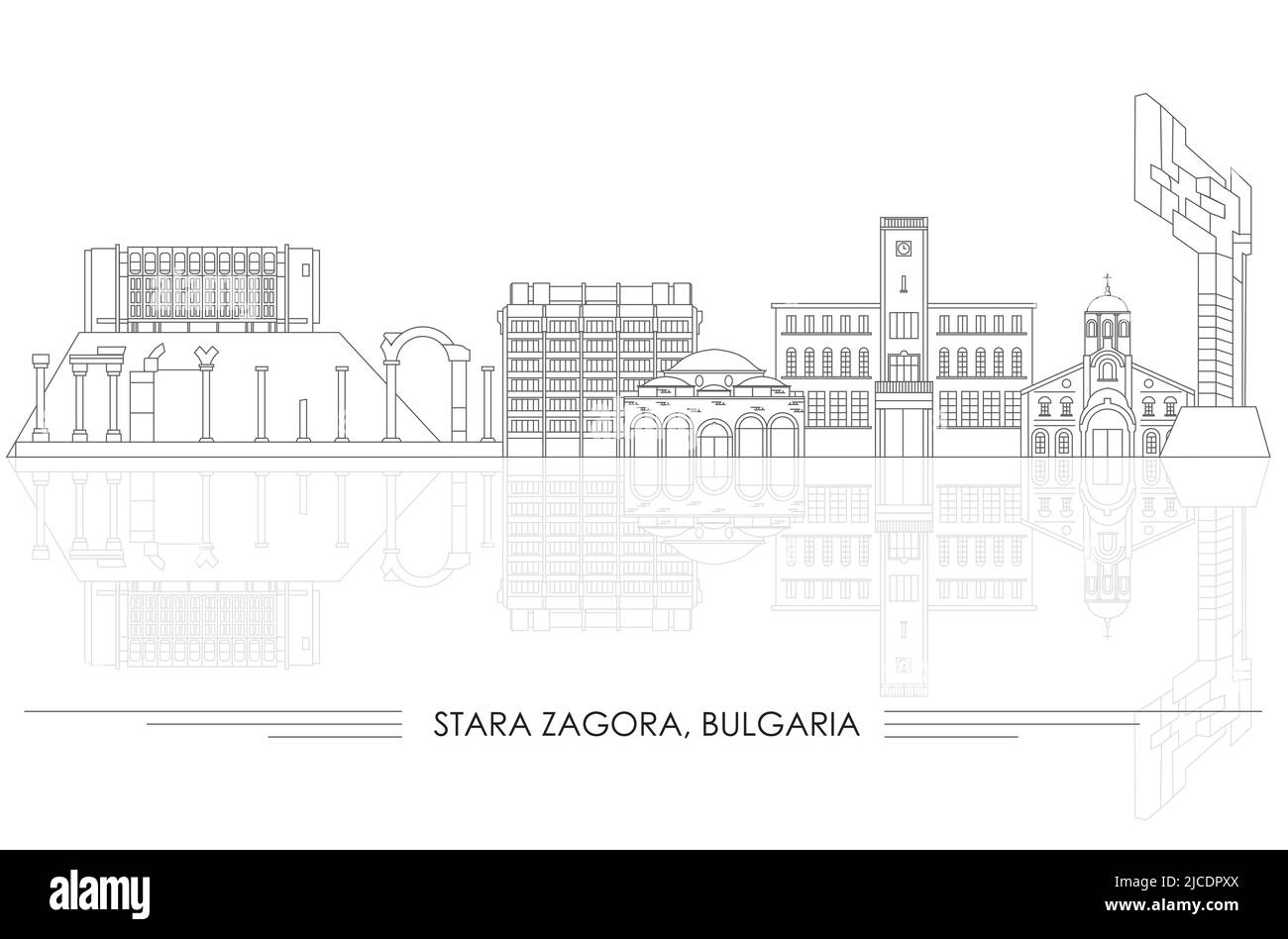 Outline Skyline panorama of city of Stara Zagora, Bulgaria- vector illustration Stock Vectorhttps://www.alamy.com/image-license-details/?v=1https://www.alamy.com/outline-skyline-panorama-of-city-of-stara-zagora-bulgaria-vector-illustration-image472359186.html
RF2JCDPXX–Outline Skyline panorama of city of Stara Zagora, Bulgaria- vector illustration
 Langobardic glass and golden beads necklace, Italy Stock Photohttps://www.alamy.com/image-license-details/?v=1https://www.alamy.com/langobardic-glass-and-golden-beads-necklace-italy-image612012178.html
RF2XFKFNP–Langobardic glass and golden beads necklace, Italy
 Shape of Eastern Macedonia and Thrace, decentralized administration of Greece, with its capital isolated on white background. Colored elevation map. 3 Stock Photohttps://www.alamy.com/image-license-details/?v=1https://www.alamy.com/shape-of-eastern-macedonia-and-thrace-decentralized-administration-of-greece-with-its-capital-isolated-on-white-background-colored-elevation-map-3-image368442159.html
RF2CBBYMF–Shape of Eastern Macedonia and Thrace, decentralized administration of Greece, with its capital isolated on white background. Colored elevation map. 3
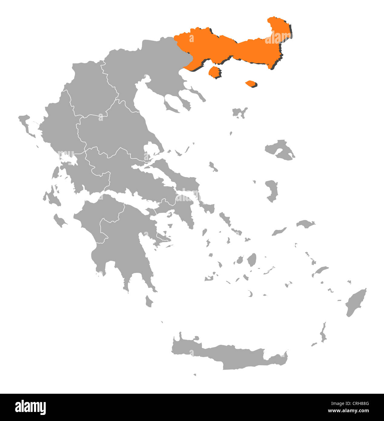 Political map of Greece with the several states where East Macedonia and Thrace is highlighted. Stock Photohttps://www.alamy.com/image-license-details/?v=1https://www.alamy.com/stock-photo-political-map-of-greece-with-the-several-states-where-east-macedonia-48937520.html
RFCRH88G–Political map of Greece with the several states where East Macedonia and Thrace is highlighted.
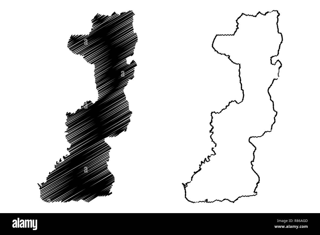 Edirne (Provinces of the Republic of Turkey) map vector illustration, scribble sketch Edirne ili map Stock Vectorhttps://www.alamy.com/image-license-details/?v=1https://www.alamy.com/edirne-provinces-of-the-republic-of-turkey-map-vector-illustration-scribble-sketch-edirne-ili-map-image228792045.html
RFR86AGD–Edirne (Provinces of the Republic of Turkey) map vector illustration, scribble sketch Edirne ili map
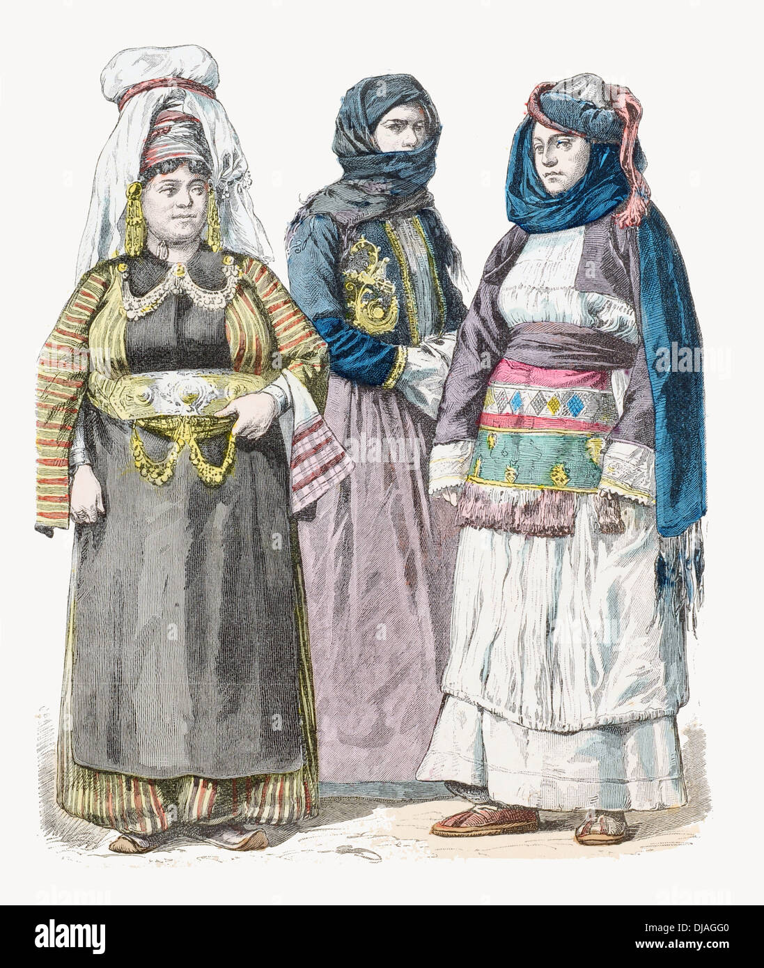 19th century XIX Kurdish woman (left) women from Preveza (cente) and Chios (Right) Stock Photohttps://www.alamy.com/image-license-details/?v=1https://www.alamy.com/19th-century-xix-kurdish-woman-left-women-from-preveza-cente-and-chios-image62927424.html
RFDJAGG0–19th century XIX Kurdish woman (left) women from Preveza (cente) and Chios (Right)
 GREECE - 1902: An 40 leptas dark brown Postage Due stamp depicting Numeral in circle frame with classical Greek columns Stock Photohttps://www.alamy.com/image-license-details/?v=1https://www.alamy.com/greece-1902-an-40-leptas-dark-brown-postage-due-stamp-depicting-numeral-in-circle-frame-with-classical-greek-columns-image494548356.html
RF2KMGHD8–GREECE - 1902: An 40 leptas dark brown Postage Due stamp depicting Numeral in circle frame with classical Greek columns
 Mitrikón, Nomós Rodópis, Greece, East Macedonia and Thrace, N 40 58' 59'', E 25 18' 0'', map, Timeless Map published in 2021. Travelers, explorers and adventurers like Florence Nightingale, David Livingstone, Ernest Shackleton, Lewis and Clark and Sherlock Holmes relied on maps to plan travels to the world's most remote corners, Timeless Maps is mapping most locations on the globe, showing the achievement of great dreams Stock Photohttps://www.alamy.com/image-license-details/?v=1https://www.alamy.com/mitrikn-noms-rodpis-greece-east-macedonia-and-thrace-n-40-58-59-e-25-18-0-map-timeless-map-published-in-2021-travelers-explorers-and-adventurers-like-florence-nightingale-david-livingstone-ernest-shackleton-lewis-and-clark-and-sherlock-holmes-relied-on-maps-to-plan-travels-to-the-worlds-most-remote-corners-timeless-maps-is-mapping-most-locations-on-the-globe-showing-the-achievement-of-great-dreams-image457958554.html
RM2HH1PPJ–Mitrikón, Nomós Rodópis, Greece, East Macedonia and Thrace, N 40 58' 59'', E 25 18' 0'', map, Timeless Map published in 2021. Travelers, explorers and adventurers like Florence Nightingale, David Livingstone, Ernest Shackleton, Lewis and Clark and Sherlock Holmes relied on maps to plan travels to the world's most remote corners, Timeless Maps is mapping most locations on the globe, showing the achievement of great dreams
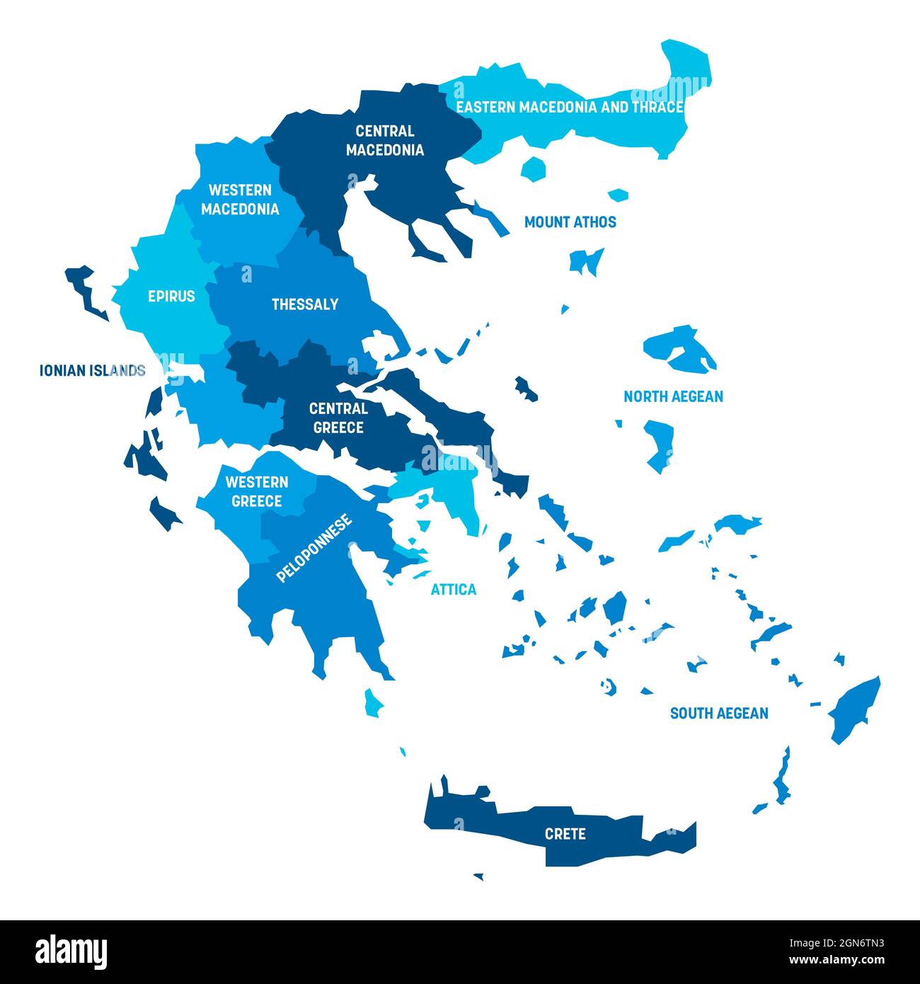 Blue political map of Greece. Administrative divisions - decentralized administrations. Simple flat vector map with labels. Stock Vectorhttps://www.alamy.com/image-license-details/?v=1https://www.alamy.com/blue-political-map-of-greece-administrative-divisions-decentralized-administrations-simple-flat-vector-map-with-labels-image443318095.html
RF2GN6TN3–Blue political map of Greece. Administrative divisions - decentralized administrations. Simple flat vector map with labels.
 Gold rhyton in the form of deer's head, found at Panagyurishte, Bulgaria (a Thracian piece from 4th c. BC). Drawing isolated on white and gray backgro Stock Photohttps://www.alamy.com/image-license-details/?v=1https://www.alamy.com/gold-rhyton-in-the-form-of-deers-head-found-at-panagyurishte-bulgaria-a-thracian-piece-from-4th-c-bc-drawing-isolated-on-white-and-gray-backgro-image331176325.html
RF2A6PANW–Gold rhyton in the form of deer's head, found at Panagyurishte, Bulgaria (a Thracian piece from 4th c. BC). Drawing isolated on white and gray backgro
 Outline Skyline panorama of city of Stara Zagora, Bulgaria- vector illustration Stock Vectorhttps://www.alamy.com/image-license-details/?v=1https://www.alamy.com/outline-skyline-panorama-of-city-of-stara-zagora-bulgaria-vector-illustration-image465847709.html
RF2J1W5E5–Outline Skyline panorama of city of Stara Zagora, Bulgaria- vector illustration
 Glass rhyton (drinking horn) Langobardic culture, Italy Stock Photohttps://www.alamy.com/image-license-details/?v=1https://www.alamy.com/glass-rhyton-drinking-horn-langobardic-culture-italy-image612012177.html
RF2XFKFNN–Glass rhyton (drinking horn) Langobardic culture, Italy
 Shape of Eastern Macedonia and Thrace, decentralized administration of Greece, with its capital isolated on white background. Bilevel elevation map. 3 Stock Photohttps://www.alamy.com/image-license-details/?v=1https://www.alamy.com/shape-of-eastern-macedonia-and-thrace-decentralized-administration-of-greece-with-its-capital-isolated-on-white-background-bilevel-elevation-map-3-image368442157.html
RF2CBBYMD–Shape of Eastern Macedonia and Thrace, decentralized administration of Greece, with its capital isolated on white background. Bilevel elevation map. 3
 Political map of Greece with the several states where East Macedonia and Thrace is highlighted. Stock Photohttps://www.alamy.com/image-license-details/?v=1https://www.alamy.com/stock-photo-political-map-of-greece-with-the-several-states-where-east-macedonia-48937806.html
RFCRH8JP–Political map of Greece with the several states where East Macedonia and Thrace is highlighted.
 Edirne (Provinces of the Republic of Turkey) map vector illustration, scribble sketch Edirne ili map Stock Vectorhttps://www.alamy.com/image-license-details/?v=1https://www.alamy.com/edirne-provinces-of-the-republic-of-turkey-map-vector-illustration-scribble-sketch-edirne-ili-map-image229495417.html
RFR9ABMW–Edirne (Provinces of the Republic of Turkey) map vector illustration, scribble sketch Edirne ili map
 19th century XIX Ethnic costumes from left to right Stodra Urnaute Prizren and Jannena Stock Photohttps://www.alamy.com/image-license-details/?v=1https://www.alamy.com/19th-century-xix-ethnic-costumes-from-left-to-right-stodra-urnaute-image62927430.html
RFDJAGG6–19th century XIX Ethnic costumes from left to right Stodra Urnaute Prizren and Jannena
 Néa Kessáni, Xanthi, Greece, East Macedonia and Thrace, N 41 2' 2'', E 25 4' 16'', map, Timeless Map published in 2021. Travelers, explorers and adventurers like Florence Nightingale, David Livingstone, Ernest Shackleton, Lewis and Clark and Sherlock Holmes relied on maps to plan travels to the world's most remote corners, Timeless Maps is mapping most locations on the globe, showing the achievement of great dreams Stock Photohttps://www.alamy.com/image-license-details/?v=1https://www.alamy.com/na-kessni-xanthi-greece-east-macedonia-and-thrace-n-41-2-2-e-25-4-16-map-timeless-map-published-in-2021-travelers-explorers-and-adventurers-like-florence-nightingale-david-livingstone-ernest-shackleton-lewis-and-clark-and-sherlock-holmes-relied-on-maps-to-plan-travels-to-the-worlds-most-remote-corners-timeless-maps-is-mapping-most-locations-on-the-globe-showing-the-achievement-of-great-dreams-image457958508.html
RM2HH1PN0–Néa Kessáni, Xanthi, Greece, East Macedonia and Thrace, N 41 2' 2'', E 25 4' 16'', map, Timeless Map published in 2021. Travelers, explorers and adventurers like Florence Nightingale, David Livingstone, Ernest Shackleton, Lewis and Clark and Sherlock Holmes relied on maps to plan travels to the world's most remote corners, Timeless Maps is mapping most locations on the globe, showing the achievement of great dreams
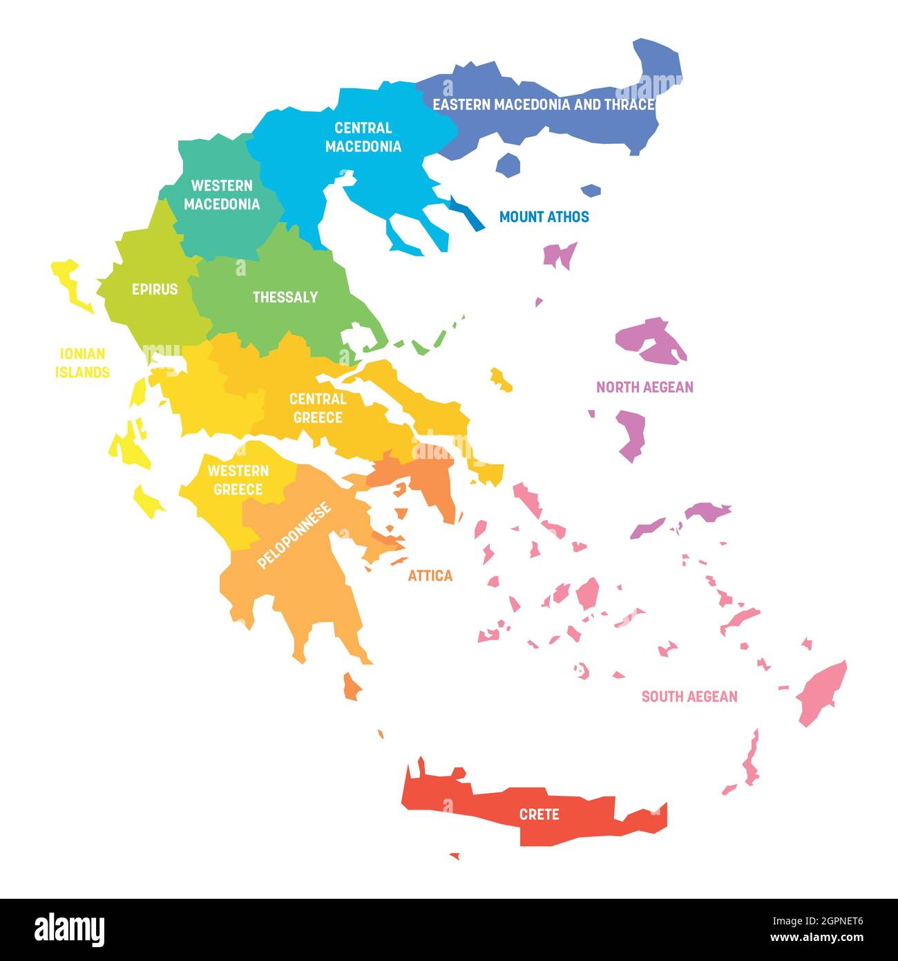 Colorful political map of Greece. Administrative divisions - decentralized administrations. Simple flat vector map with labels. Stock Vectorhttps://www.alamy.com/image-license-details/?v=1https://www.alamy.com/colorful-political-map-of-greece-administrative-divisions-decentralized-administrations-simple-flat-vector-map-with-labels-image444254278.html
RF2GPNET6–Colorful political map of Greece. Administrative divisions - decentralized administrations. Simple flat vector map with labels.
 Gold rhyton in the form of ram's head, found at Panagyurishte, Bulgaria (a Thracian piece from 4th c. BC). Drawing isolated on white and gray backgrou Stock Photohttps://www.alamy.com/image-license-details/?v=1https://www.alamy.com/gold-rhyton-in-the-form-of-rams-head-found-at-panagyurishte-bulgaria-a-thracian-piece-from-4th-c-bc-drawing-isolated-on-white-and-gray-backgrou-image331176195.html
RF2A6PAH7–Gold rhyton in the form of ram's head, found at Panagyurishte, Bulgaria (a Thracian piece from 4th c. BC). Drawing isolated on white and gray backgrou
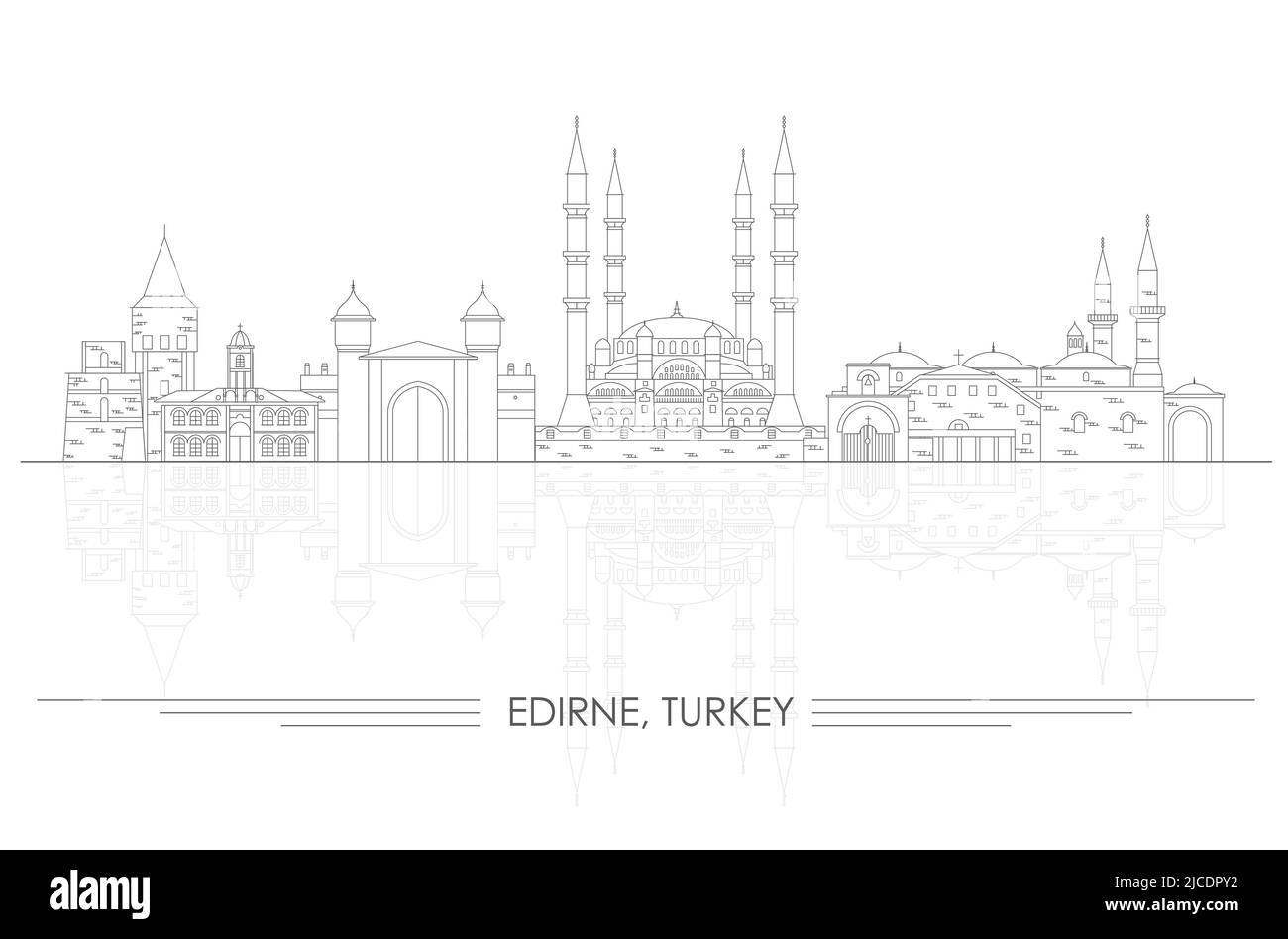 Outline Skyline panorama of city of Edirne, Turkey - vector illustration Stock Vectorhttps://www.alamy.com/image-license-details/?v=1https://www.alamy.com/outline-skyline-panorama-of-city-of-edirne-turkey-vector-illustration-image472359190.html
RF2JCDPY2–Outline Skyline panorama of city of Edirne, Turkey - vector illustration
 Glass rhyton (drinking horn) Langobardic culture, Italy Stock Photohttps://www.alamy.com/image-license-details/?v=1https://www.alamy.com/glass-rhyton-drinking-horn-langobardic-culture-italy-image612012274.html
RF2XFKFW6–Glass rhyton (drinking horn) Langobardic culture, Italy
 Political map of Greece with the several states where East Macedonia and Thrace is highlighted. Stock Photohttps://www.alamy.com/image-license-details/?v=1https://www.alamy.com/stock-photo-political-map-of-greece-with-the-several-states-where-east-macedonia-48937487.html
RFCRH87B–Political map of Greece with the several states where East Macedonia and Thrace is highlighted.
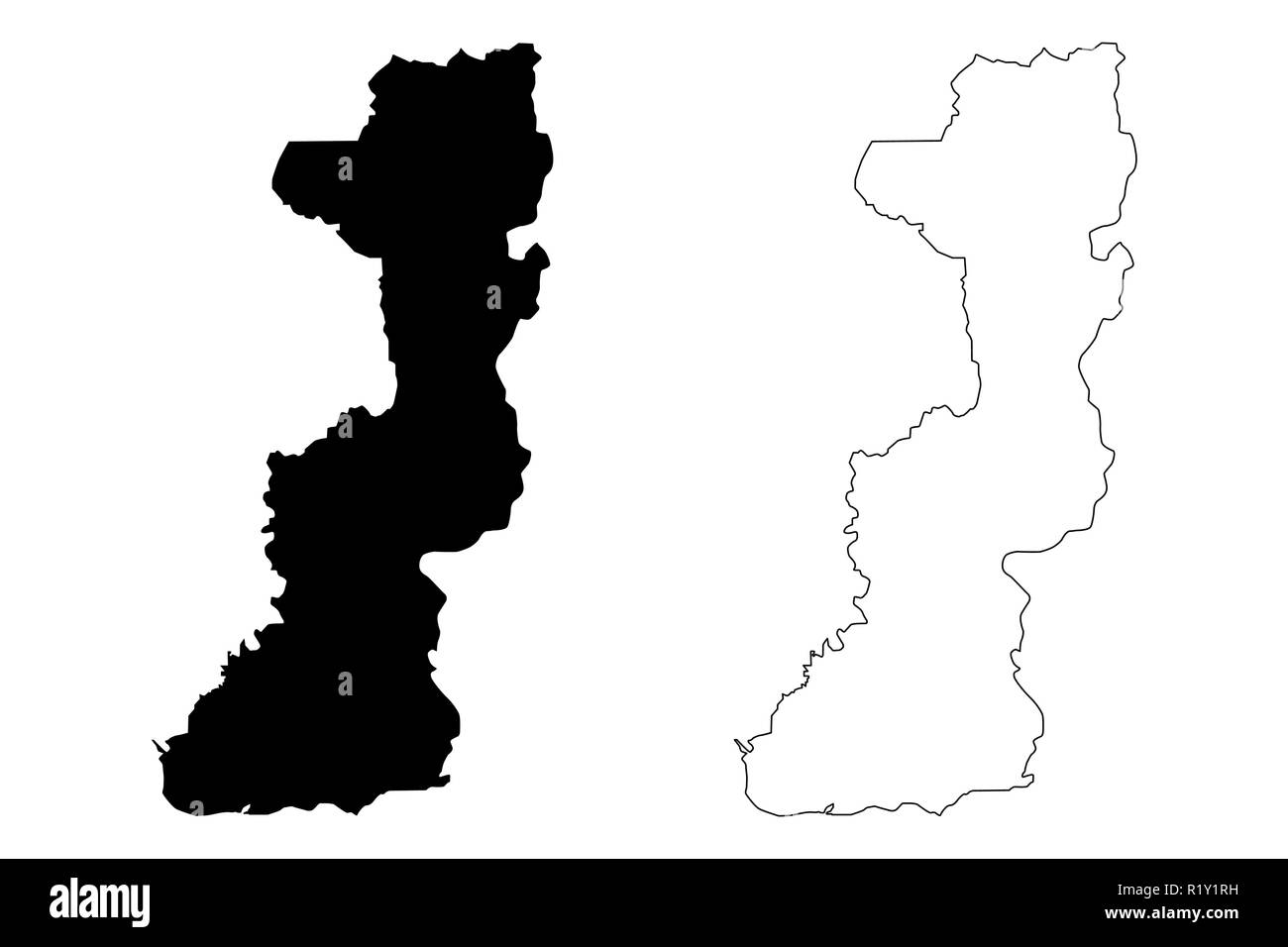 Edirne (Provinces of the Republic of Turkey) map vector illustration, scribble sketch Edirne ili map Stock Vectorhttps://www.alamy.com/image-license-details/?v=1https://www.alamy.com/edirne-provinces-of-the-republic-of-turkey-map-vector-illustration-scribble-sketch-edirne-ili-map-image224943589.html
RFR1Y1RH–Edirne (Provinces of the Republic of Turkey) map vector illustration, scribble sketch Edirne ili map
 Psili Ammos, Kavala, Greece, East Macedonia and Thrace, N 40 35' 3'', E 24 37' 50'', map, Timeless Map published in 2021. Travelers, explorers and adventurers like Florence Nightingale, David Livingstone, Ernest Shackleton, Lewis and Clark and Sherlock Holmes relied on maps to plan travels to the world's most remote corners, Timeless Maps is mapping most locations on the globe, showing the achievement of great dreams Stock Photohttps://www.alamy.com/image-license-details/?v=1https://www.alamy.com/psili-ammos-kavala-greece-east-macedonia-and-thrace-n-40-35-3-e-24-37-50-map-timeless-map-published-in-2021-travelers-explorers-and-adventurers-like-florence-nightingale-david-livingstone-ernest-shackleton-lewis-and-clark-and-sherlock-holmes-relied-on-maps-to-plan-travels-to-the-worlds-most-remote-corners-timeless-maps-is-mapping-most-locations-on-the-globe-showing-the-achievement-of-great-dreams-image457962905.html
RM2HH20A1–Psili Ammos, Kavala, Greece, East Macedonia and Thrace, N 40 35' 3'', E 24 37' 50'', map, Timeless Map published in 2021. Travelers, explorers and adventurers like Florence Nightingale, David Livingstone, Ernest Shackleton, Lewis and Clark and Sherlock Holmes relied on maps to plan travels to the world's most remote corners, Timeless Maps is mapping most locations on the globe, showing the achievement of great dreams
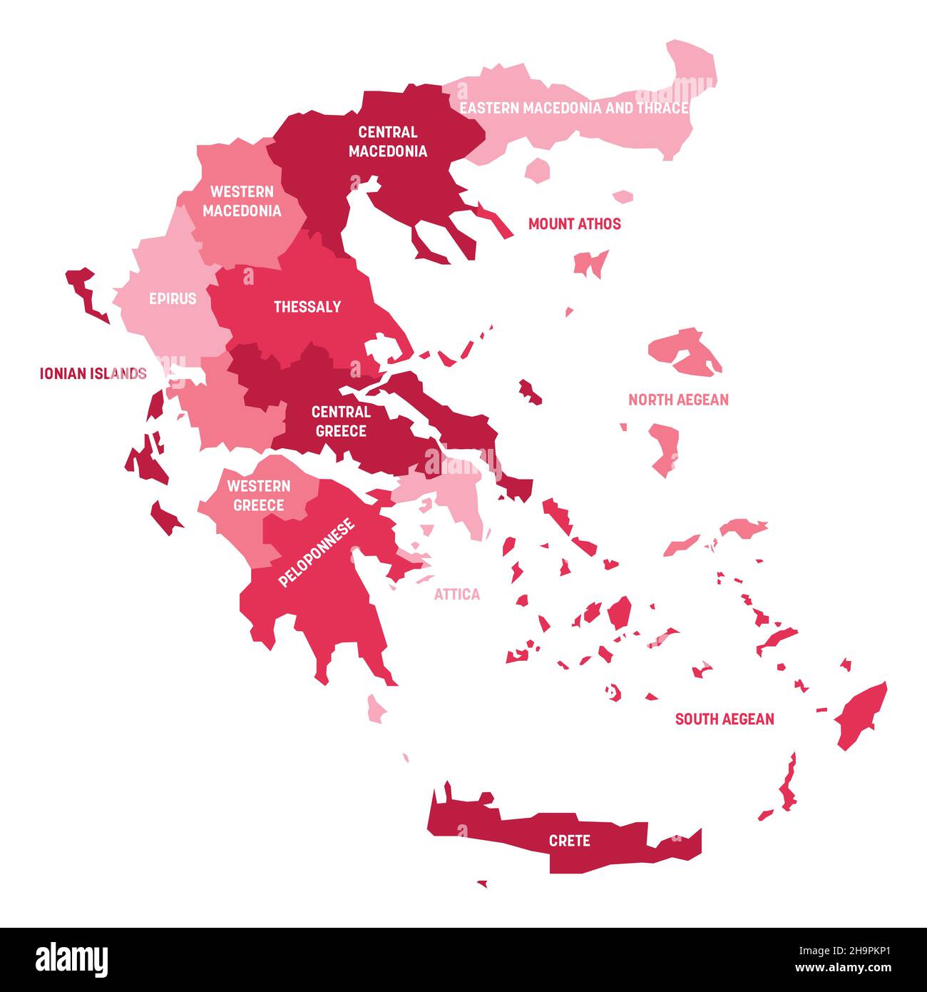 Greece - map of decentralized administrations Stock Vectorhttps://www.alamy.com/image-license-details/?v=1https://www.alamy.com/greece-map-of-decentralized-administrations-image453499929.html
RF2H9PKP1–Greece - map of decentralized administrations
 Silver-gilt rhyton with horse's protome, found at Duvanli, Bulgaria (a Thracian piece from 5th c. BC). Drawing isolated on white and gray background. Stock Photohttps://www.alamy.com/image-license-details/?v=1https://www.alamy.com/silver-gilt-rhyton-with-horses-protome-found-at-duvanli-bulgaria-a-thracian-piece-from-5th-c-bc-drawing-isolated-on-white-and-gray-background-image331176324.html
RF2A6PANT–Silver-gilt rhyton with horse's protome, found at Duvanli, Bulgaria (a Thracian piece from 5th c. BC). Drawing isolated on white and gray background.