Quick filters:
Thuringia province map Stock Photos and Images
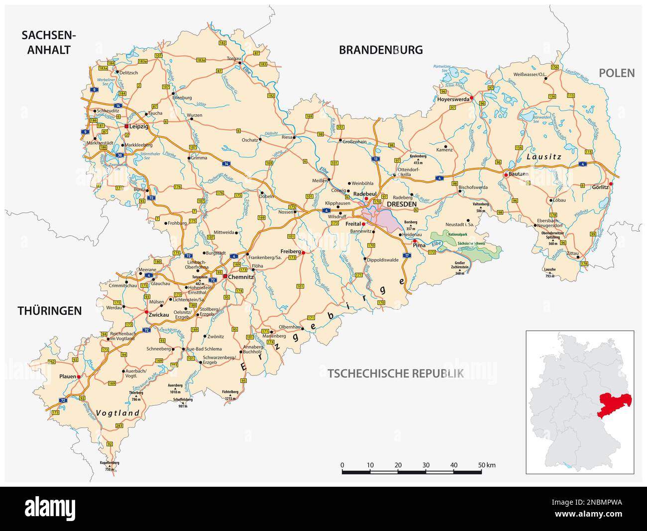 Roadmap of the German state of Saxony Stock Photohttps://www.alamy.com/image-license-details/?v=1https://www.alamy.com/roadmap-of-the-german-state-of-saxony-image523529254.html
RF2NBMPWA–Roadmap of the German state of Saxony
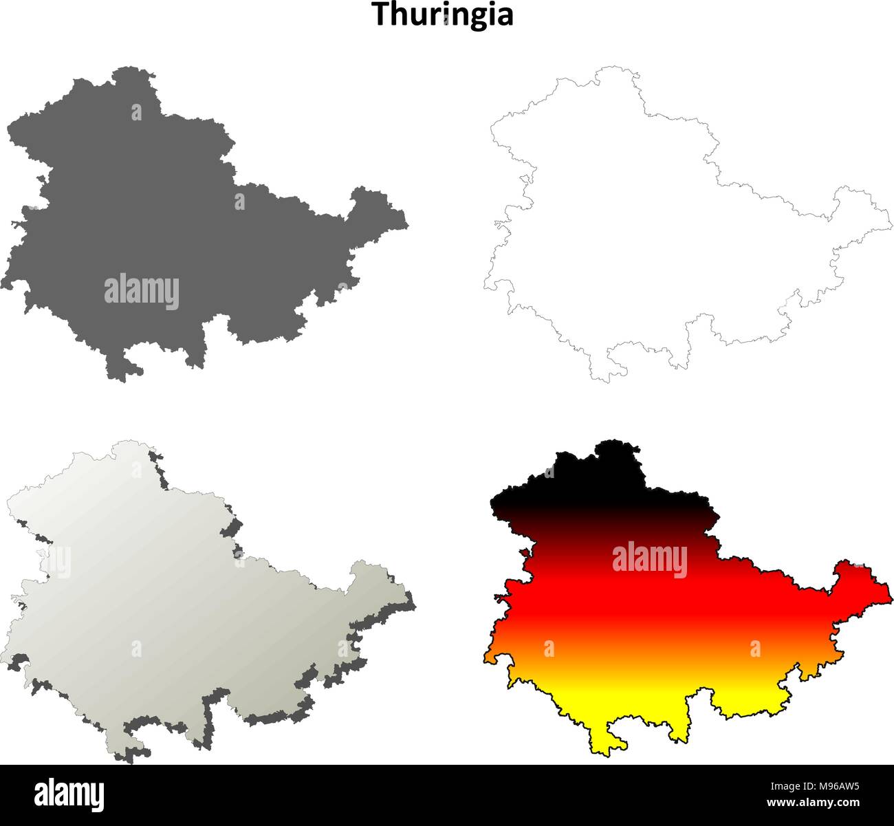 Thuringia blank outline map set Stock Vectorhttps://www.alamy.com/image-license-details/?v=1https://www.alamy.com/thuringia-blank-outline-map-set-image177775841.html
RFM96AW5–Thuringia blank outline map set
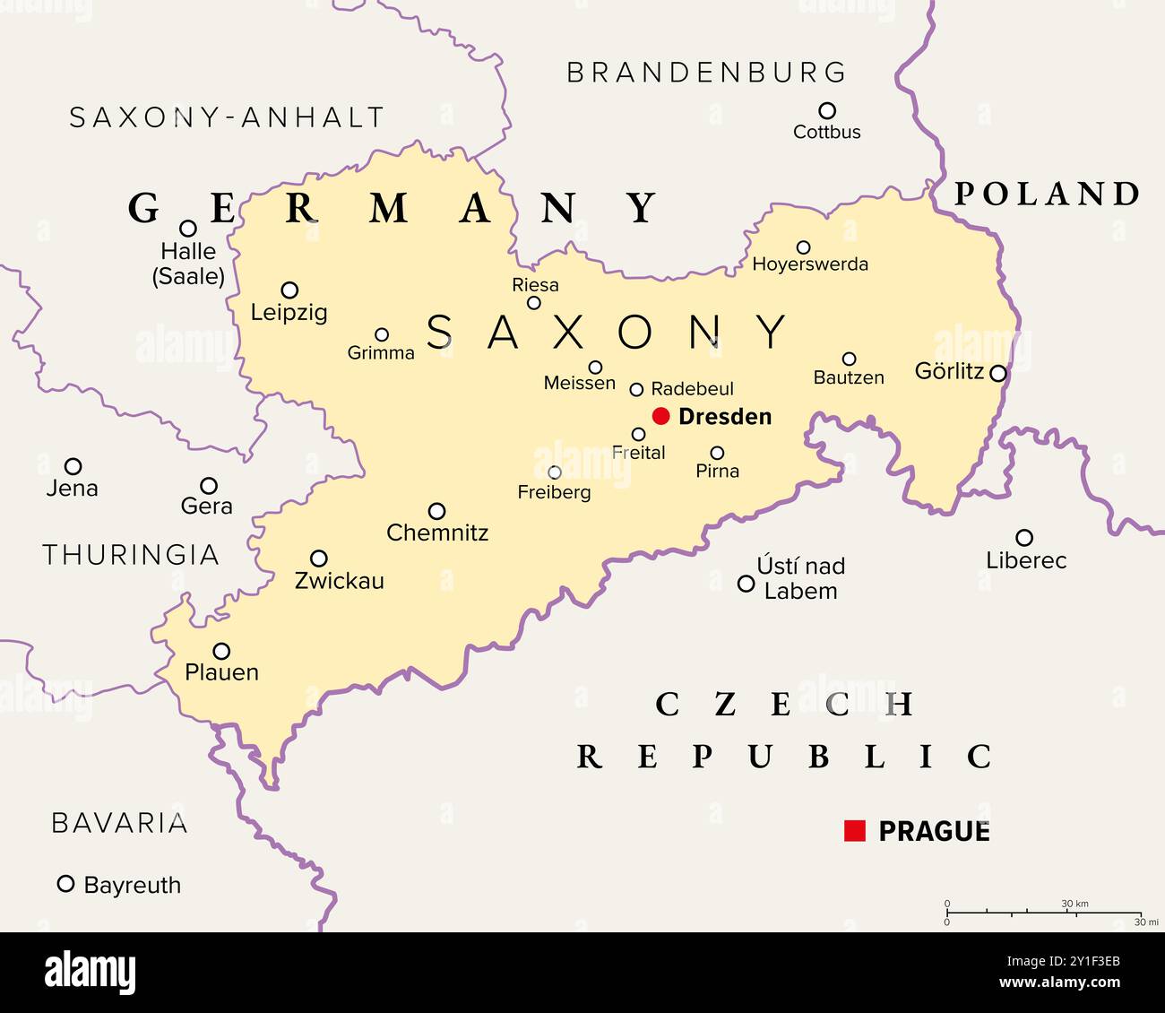 Saxony, a state in Germany, political map with capital Dresden, borders, and largest cities. Officially the Free State of Saxony. Stock Photohttps://www.alamy.com/image-license-details/?v=1https://www.alamy.com/saxony-a-state-in-germany-political-map-with-capital-dresden-borders-and-largest-cities-officially-the-free-state-of-saxony-image620519939.html
RF2Y1F3EB–Saxony, a state in Germany, political map with capital Dresden, borders, and largest cities. Officially the Free State of Saxony.
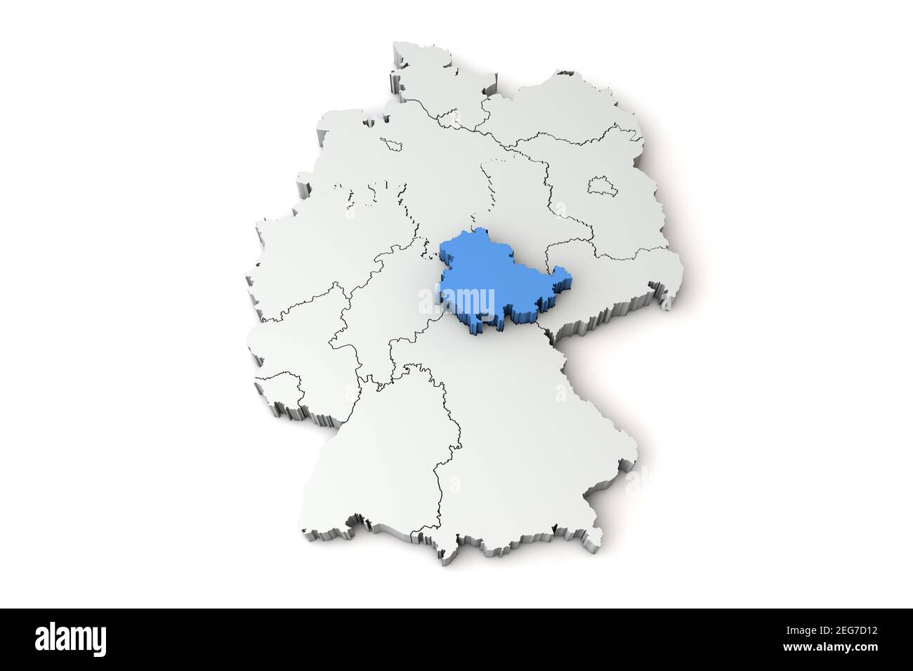 Map of Germany showing Thuringia region. 3D Rendering Stock Photohttps://www.alamy.com/image-license-details/?v=1https://www.alamy.com/map-of-germany-showing-thuringia-region-3d-rendering-image405836846.html
RF2EG7D12–Map of Germany showing Thuringia region. 3D Rendering
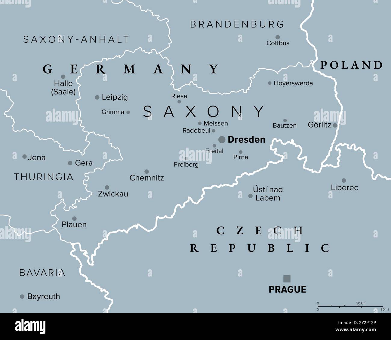 Saxony, a state in Germany, gray political map with capital Dresden, borders, and largest cities. Officially the Free State of Saxony. Stock Photohttps://www.alamy.com/image-license-details/?v=1https://www.alamy.com/saxony-a-state-in-germany-gray-political-map-with-capital-dresden-borders-and-largest-cities-officially-the-free-state-of-saxony-image621304398.html
RF2Y2PT2P–Saxony, a state in Germany, gray political map with capital Dresden, borders, and largest cities. Officially the Free State of Saxony.
 Thuringia federal state watercolor map of Germany in front of a white background Stock Photohttps://www.alamy.com/image-license-details/?v=1https://www.alamy.com/thuringia-federal-state-watercolor-map-of-germany-in-front-of-a-white-background-image217898091.html
RFPJE36K–Thuringia federal state watercolor map of Germany in front of a white background
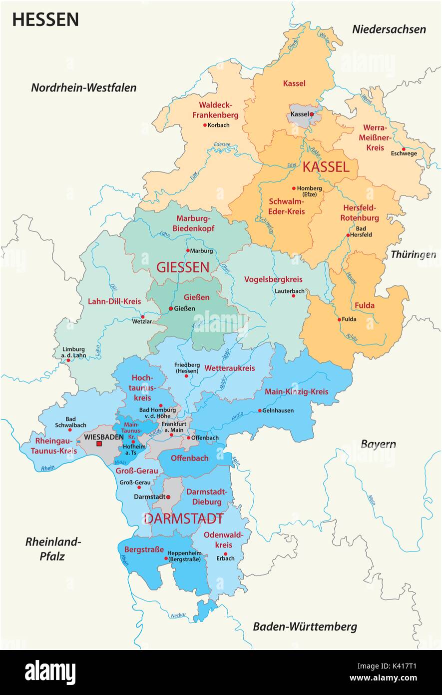 Hesse administrative and political map in german language Stock Vectorhttps://www.alamy.com/image-license-details/?v=1https://www.alamy.com/hesse-administrative-and-political-map-in-german-language-image157380049.html
RFK417T1–Hesse administrative and political map in german language
 Thuringia silhouette map Stock Vectorhttps://www.alamy.com/image-license-details/?v=1https://www.alamy.com/thuringia-silhouette-map-image399487260.html
RF2E5X624–Thuringia silhouette map
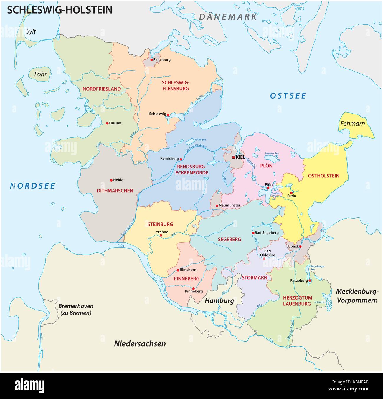 Schleswig-Holstein administrative and political map in german language Stock Vectorhttps://www.alamy.com/image-license-details/?v=1https://www.alamy.com/schleswig-holstein-administrative-and-political-map-in-german-language-image157210334.html
RFK3NFAP–Schleswig-Holstein administrative and political map in german language
 Symbol Map of the Bundesland Thüringen (Germany) showing the state/province with a pattern of black circles Stock Vectorhttps://www.alamy.com/image-license-details/?v=1https://www.alamy.com/symbol-map-of-the-bundesland-thringen-germany-showing-the-stateprovince-with-a-pattern-of-black-circles-image612051542.html
RF2XFN9YJ–Symbol Map of the Bundesland Thüringen (Germany) showing the state/province with a pattern of black circles
 Germany, a country in Central Europe with capital Berlin, political map. The Federal Republic of Germany, with its 16 constituent states. Stock Photohttps://www.alamy.com/image-license-details/?v=1https://www.alamy.com/germany-a-country-in-central-europe-with-capital-berlin-political-map-the-federal-republic-of-germany-with-its-16-constituent-states-image620913026.html
RF2Y250W6–Germany, a country in Central Europe with capital Berlin, political map. The Federal Republic of Germany, with its 16 constituent states.
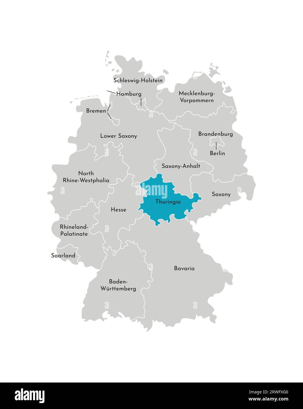 Vector isolated illustration of simplified administrative map of Germany. Blue silhouette of Thuringia (state). Grey silhouettes. White outline Stock Vectorhttps://www.alamy.com/image-license-details/?v=1https://www.alamy.com/vector-isolated-illustration-of-simplified-administrative-map-of-germany-blue-silhouette-of-thuringia-state-grey-silhouettes-white-outline-image566448288.html
RF2RWFXG0–Vector isolated illustration of simplified administrative map of Germany. Blue silhouette of Thuringia (state). Grey silhouettes. White outline
 Germany, a country in Central Europe with capital Berlin, gray political map. Federal Republic of Germany with its 16 constituent states. Stock Photohttps://www.alamy.com/image-license-details/?v=1https://www.alamy.com/germany-a-country-in-central-europe-with-capital-berlin-gray-political-map-federal-republic-of-germany-with-its-16-constituent-states-image621315901.html
RF2Y2RANH–Germany, a country in Central Europe with capital Berlin, gray political map. Federal Republic of Germany with its 16 constituent states.
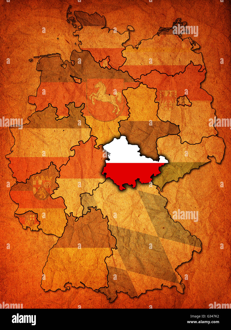 thuringia on old administration map of german provinces (states) with clipping path Stock Photohttps://www.alamy.com/image-license-details/?v=1https://www.alamy.com/stock-photo-thuringia-on-old-administration-map-of-german-provinces-states-with-105200006.html
RFG347K2–thuringia on old administration map of german provinces (states) with clipping path
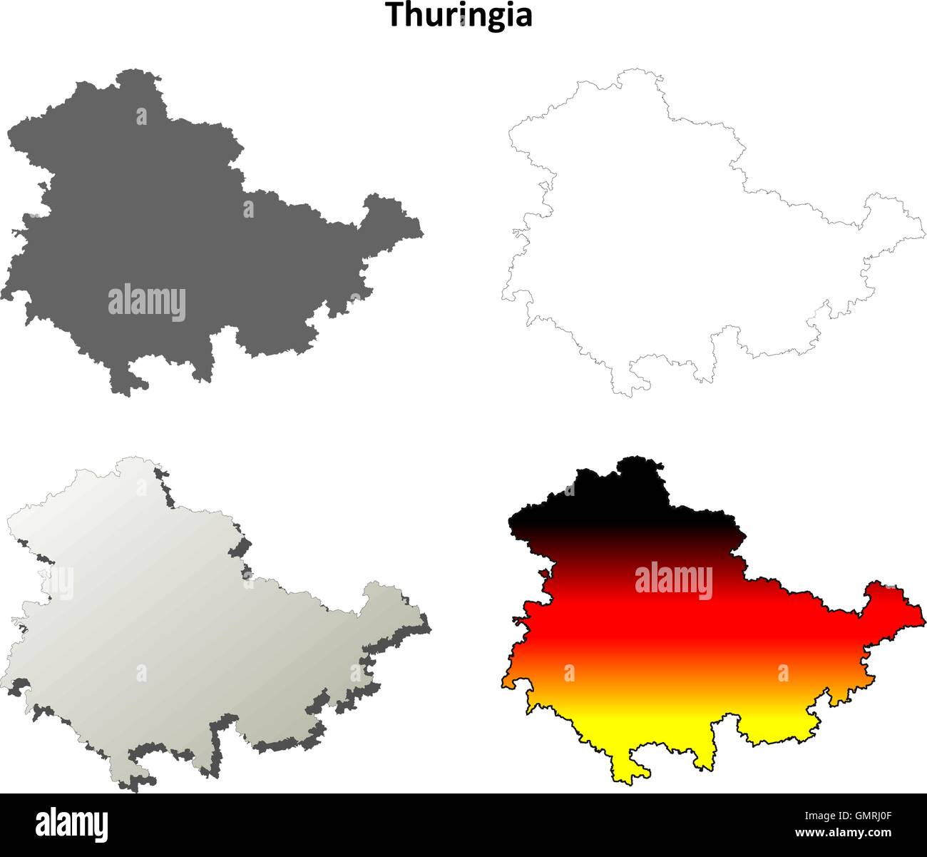 Thuringia blank outline map set Stock Vectorhttps://www.alamy.com/image-license-details/?v=1https://www.alamy.com/stock-photo-thuringia-blank-outline-map-set-116074351.html
RFGMRJ0F–Thuringia blank outline map set
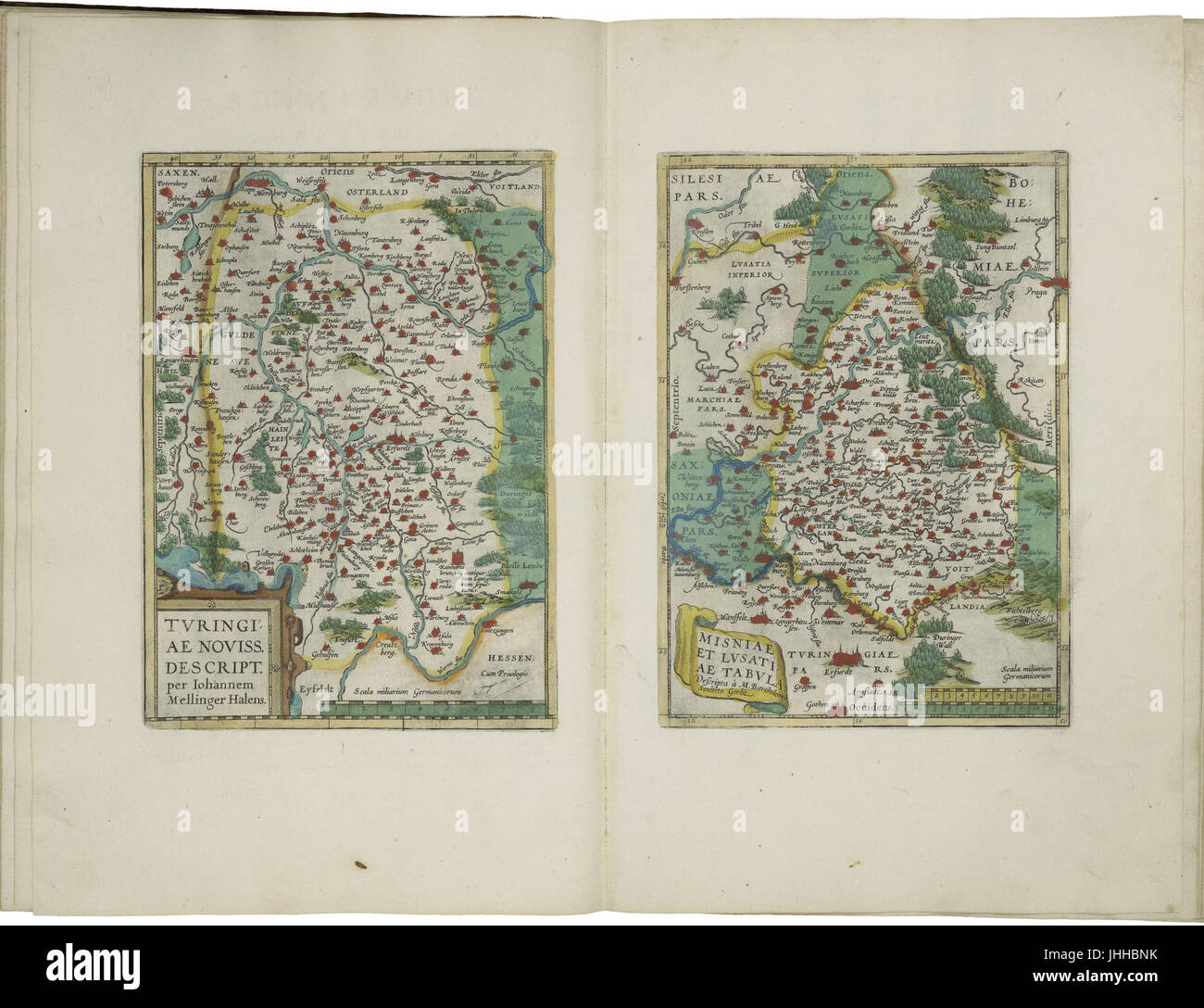 Maps of Thuringia and of the province of Meissen by Abraham Ortelius Stock Photohttps://www.alamy.com/image-license-details/?v=1https://www.alamy.com/stock-photo-maps-of-thuringia-and-of-the-province-of-meissen-by-abraham-ortelius-148514511.html
RMJHHBNK–Maps of Thuringia and of the province of Meissen by Abraham Ortelius
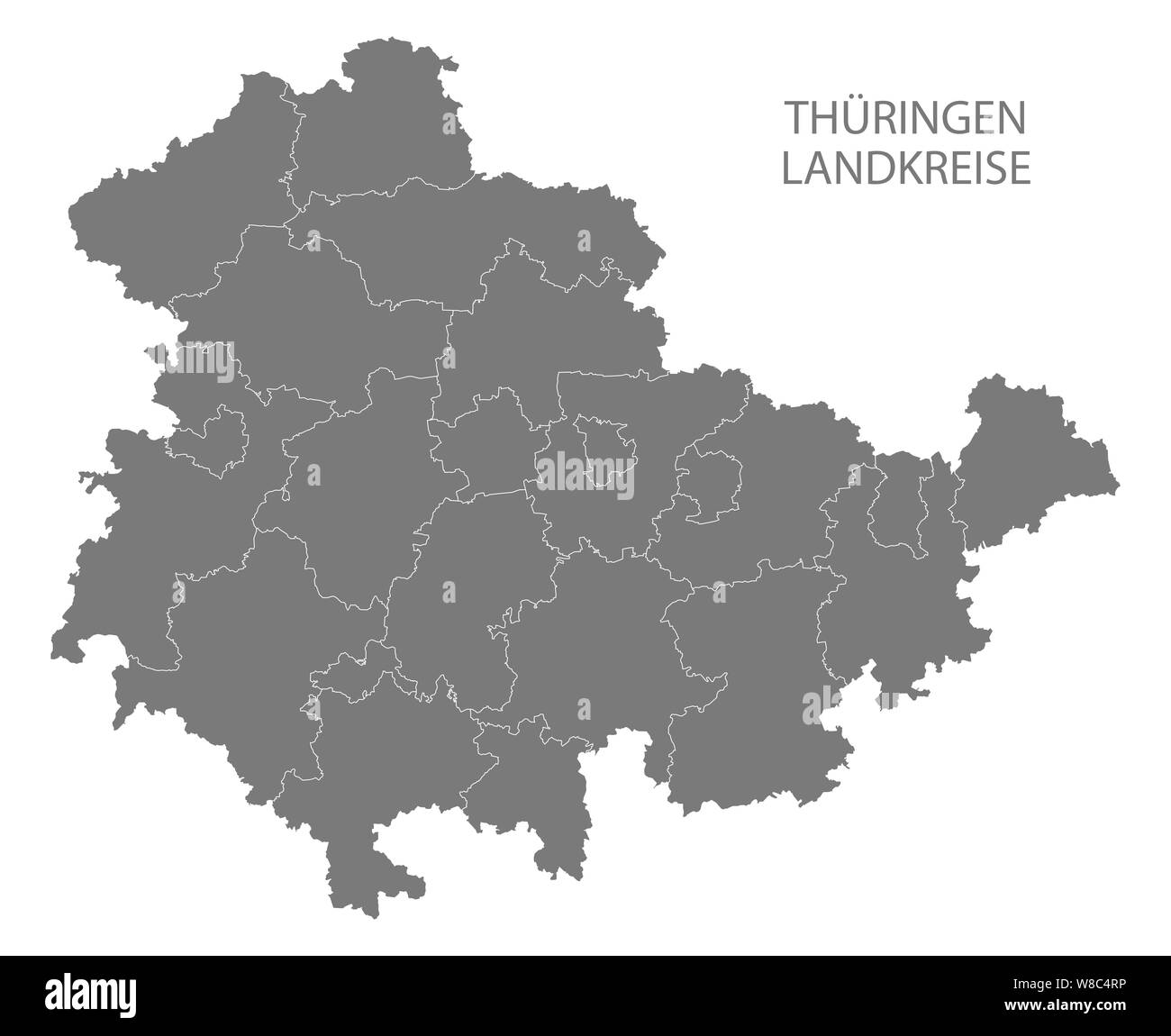 Modern Map - Thuringia map of Germany with counties gray Stock Photohttps://www.alamy.com/image-license-details/?v=1https://www.alamy.com/modern-map-thuringia-map-of-germany-with-counties-gray-image263339994.html
RFW8C4RP–Modern Map - Thuringia map of Germany with counties gray
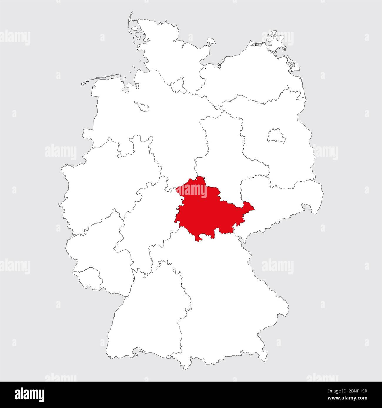 Thuringia province highlighted germany map. Gray background. German political map. Stock Vectorhttps://www.alamy.com/image-license-details/?v=1https://www.alamy.com/thuringia-province-highlighted-germany-map-gray-background-german-political-map-image357611683.html
RF2BNPH9R–Thuringia province highlighted germany map. Gray background. German political map.
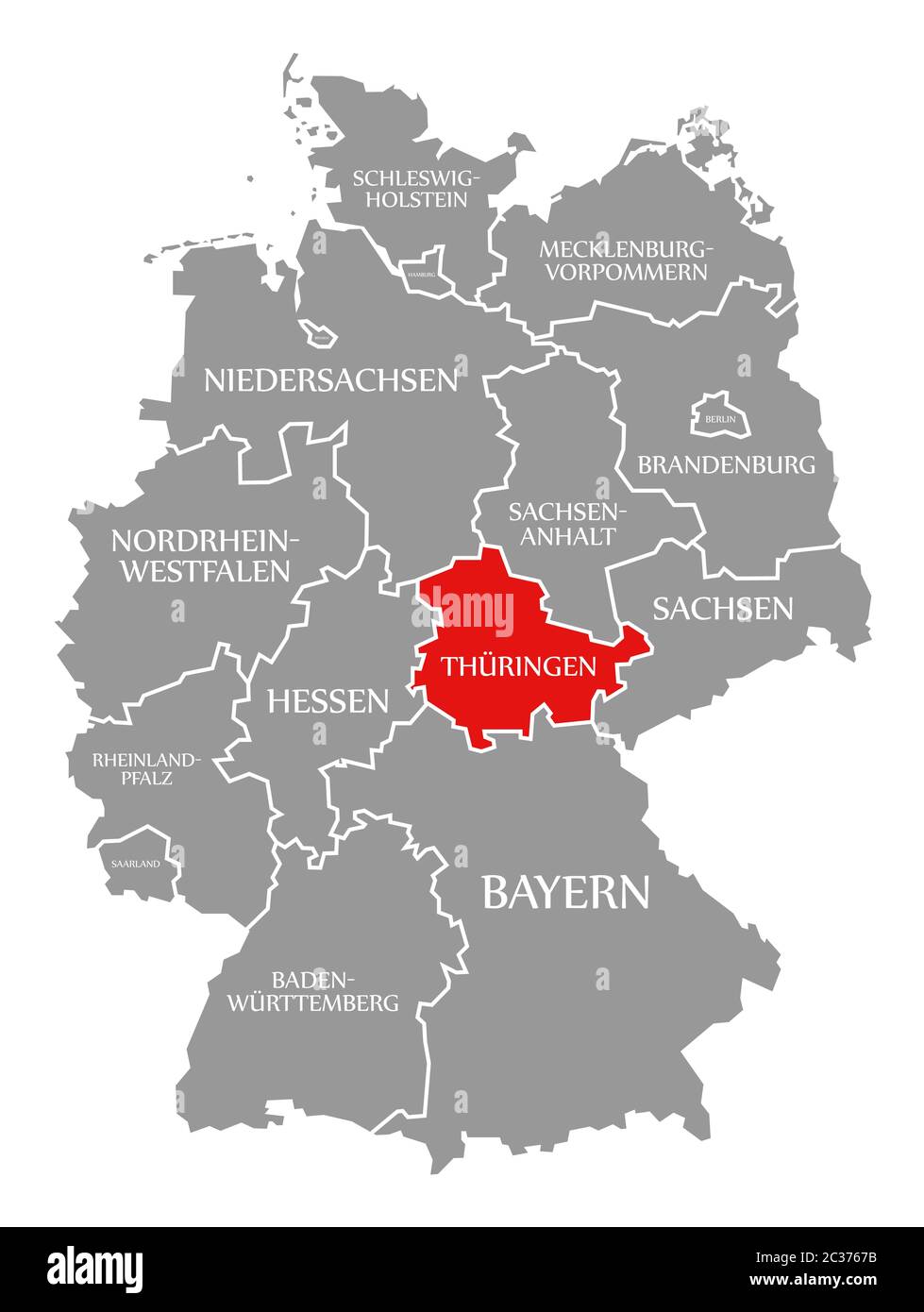 Thuringia red highlighted in map of Germany Stock Photohttps://www.alamy.com/image-license-details/?v=1https://www.alamy.com/thuringia-red-highlighted-in-map-of-germany-image363420271.html
RF2C3767B–Thuringia red highlighted in map of Germany
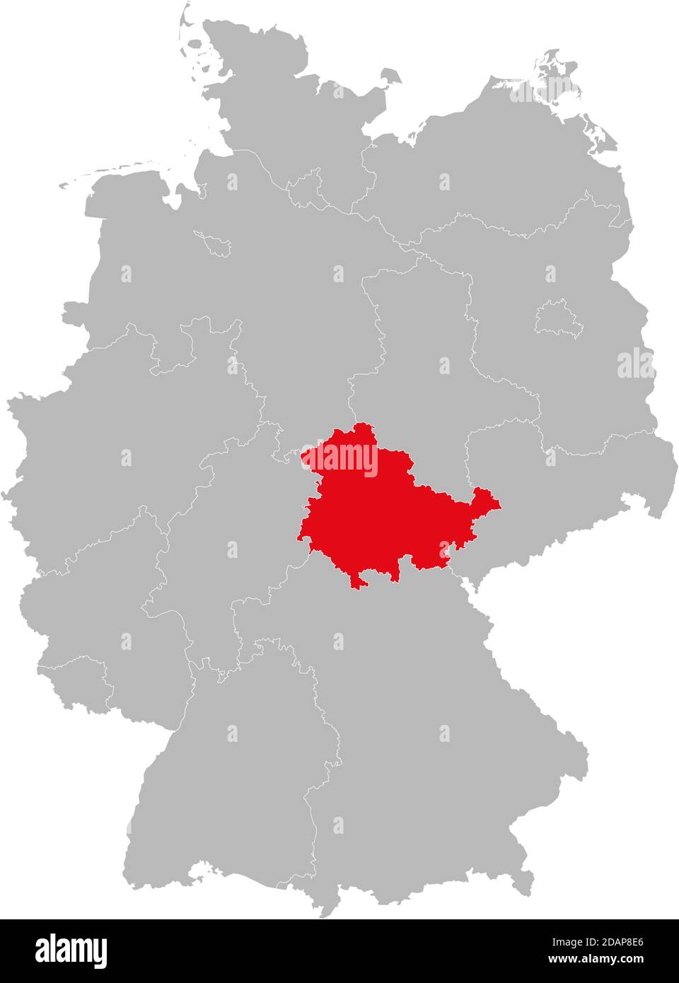 Thuringia state isolated on Germany map. Business concepts and backgrounds. Stock Vectorhttps://www.alamy.com/image-license-details/?v=1https://www.alamy.com/thuringia-state-isolated-on-germany-map-business-concepts-and-backgrounds-image385264270.html
RF2DAP8E6–Thuringia state isolated on Germany map. Business concepts and backgrounds.
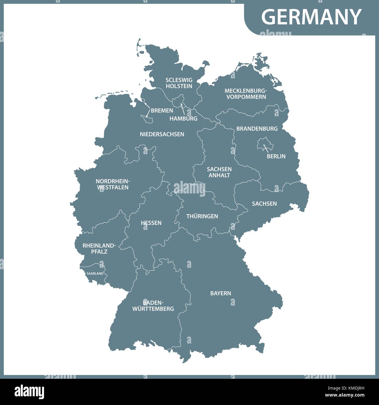 The detailed map of the Germany with regions Stock Vectorhttps://www.alamy.com/image-license-details/?v=1https://www.alamy.com/stock-image-the-detailed-map-of-the-germany-with-regions-167486581.html
RFKMDJRH–The detailed map of the Germany with regions
 Thuringia districts map Stock Vectorhttps://www.alamy.com/image-license-details/?v=1https://www.alamy.com/thuringia-districts-map-image399152511.html
RF2E5AY2R–Thuringia districts map
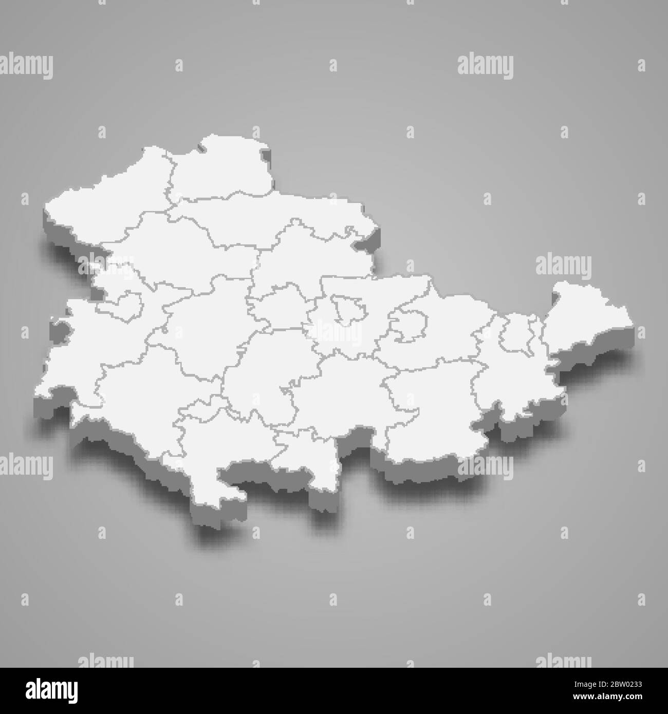 3d map of Thuringia is a state of Germany Stock Vectorhttps://www.alamy.com/image-license-details/?v=1https://www.alamy.com/3d-map-of-thuringia-is-a-state-of-germany-image359575415.html
RF2BW0233–3d map of Thuringia is a state of Germany
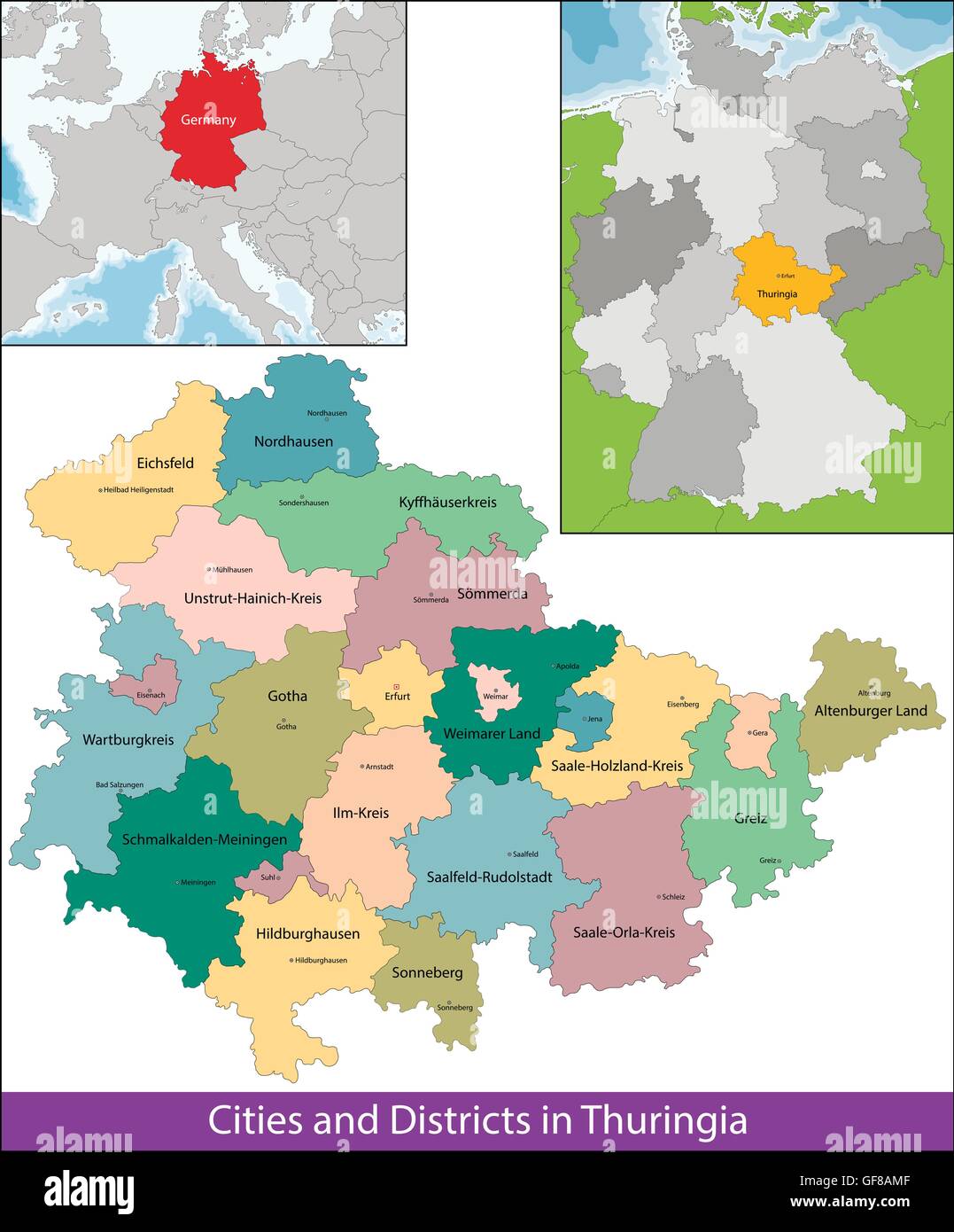 Free State of Thuringia Stock Vectorhttps://www.alamy.com/image-license-details/?v=1https://www.alamy.com/stock-photo-free-state-of-thuringia-112666079.html
RFGF8AMF–Free State of Thuringia
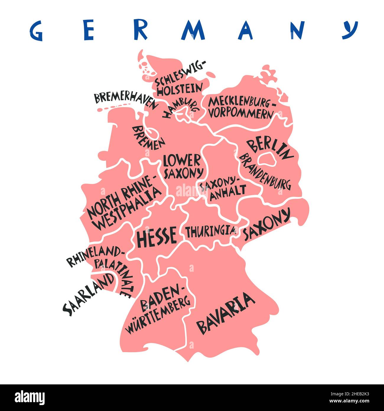 Vector hand drawn stylized map of Germany states. Travel illustration. Federal Republic of Germany geography illustration. Europe map element Stock Vectorhttps://www.alamy.com/image-license-details/?v=1https://www.alamy.com/vector-hand-drawn-stylized-map-of-germany-states-travel-illustration-federal-republic-of-germany-geography-illustration-europe-map-element-image456318327.html
RF2HEB2K3–Vector hand drawn stylized map of Germany states. Travel illustration. Federal Republic of Germany geography illustration. Europe map element
 political colour vintage germany german federal republic flag thuringia rust Stock Photohttps://www.alamy.com/image-license-details/?v=1https://www.alamy.com/stock-photo-political-colour-vintage-germany-german-federal-republic-flag-thuringia-142383568.html
RFJ7J3KC–political colour vintage germany german federal republic flag thuringia rust
RF2JMXJYR–Germany, Thuringia city skyline isolated vector illustration, icons
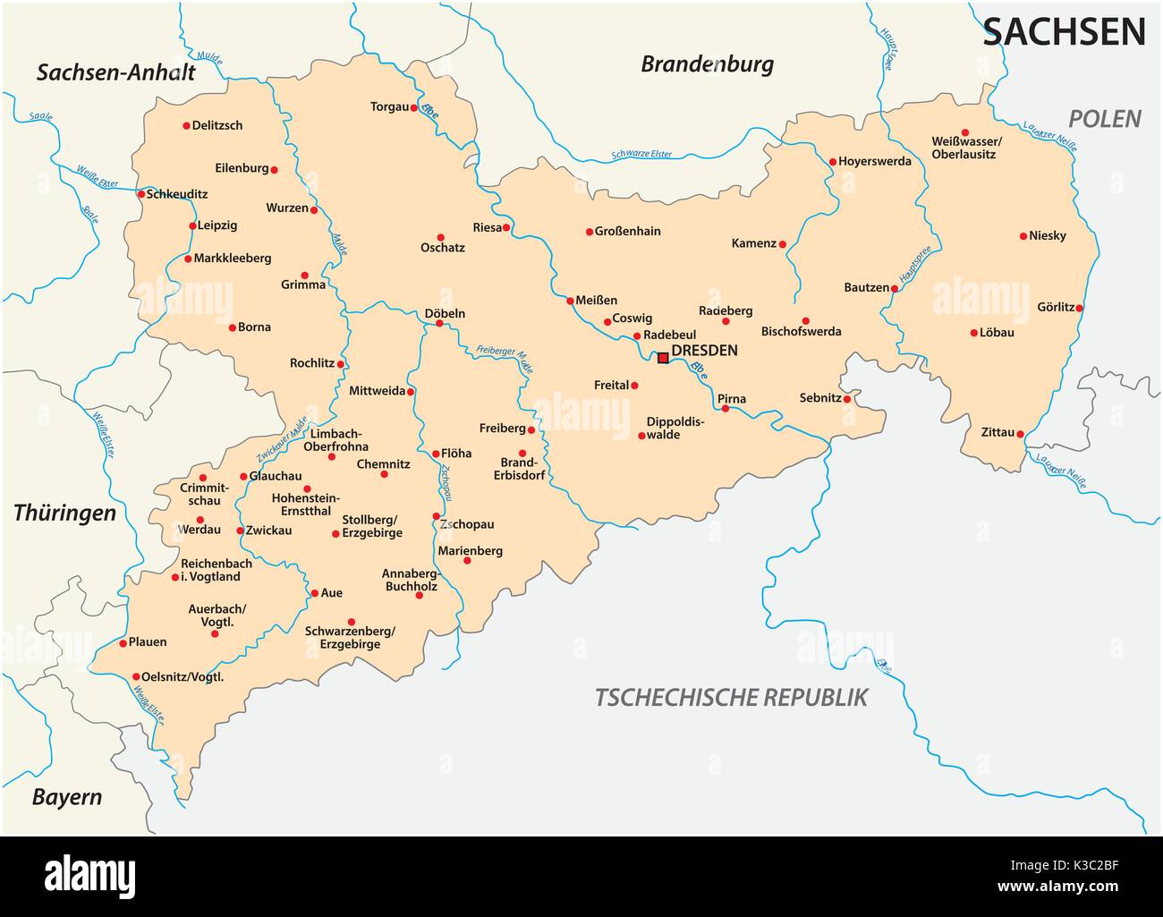 Map of the state Saxony with the most important cities Stock Vectorhttps://www.alamy.com/image-license-details/?v=1https://www.alamy.com/map-of-the-state-saxony-with-the-most-important-cities-image157002595.html
RFK3C2BF–Map of the state Saxony with the most important cities
 Symbol Map of the State Thuringen (Germany). Abstract map showing the Bundesland with a pattern of overlapping colorful squares like candies Stock Vectorhttps://www.alamy.com/image-license-details/?v=1https://www.alamy.com/symbol-map-of-the-state-thuringen-germany-abstract-map-showing-the-bundesland-with-a-pattern-of-overlapping-colorful-squares-like-candies-image611834602.html
RF2XFBD7P–Symbol Map of the State Thuringen (Germany). Abstract map showing the Bundesland with a pattern of overlapping colorful squares like candies
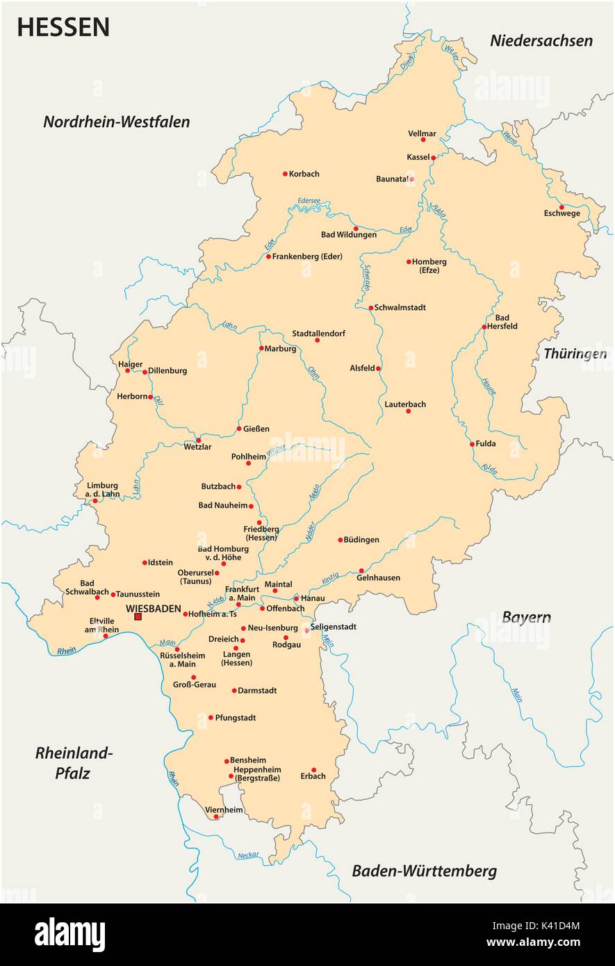 Hesse state vector map in german language Stock Vectorhttps://www.alamy.com/image-license-details/?v=1https://www.alamy.com/hesse-state-vector-map-in-german-language-image157384212.html
RFK41D4M–Hesse state vector map in german language
 Kyffhauserkreis district (Federal Republic of Germany, rural district, Free State of Thuringia) map vector illustration, scribble sketch Kyffhaeuserkr Stock Vectorhttps://www.alamy.com/image-license-details/?v=1https://www.alamy.com/kyffhauserkreis-district-federal-republic-of-germany-rural-district-free-state-of-thuringia-map-vector-illustration-scribble-sketch-kyffhaeuserkr-image431786214.html
RF2G2DFM6–Kyffhauserkreis district (Federal Republic of Germany, rural district, Free State of Thuringia) map vector illustration, scribble sketch Kyffhaeuserkr
 Germany, silhouette, a country in Central Europe with capital Berlin, gray political map. Federal Republic of Germany with 16 constituent states. Stock Photohttps://www.alamy.com/image-license-details/?v=1https://www.alamy.com/germany-silhouette-a-country-in-central-europe-with-capital-berlin-gray-political-map-federal-republic-of-germany-with-16-constituent-states-image621316308.html
RF2Y2RB84–Germany, silhouette, a country in Central Europe with capital Berlin, gray political map. Federal Republic of Germany with 16 constituent states.
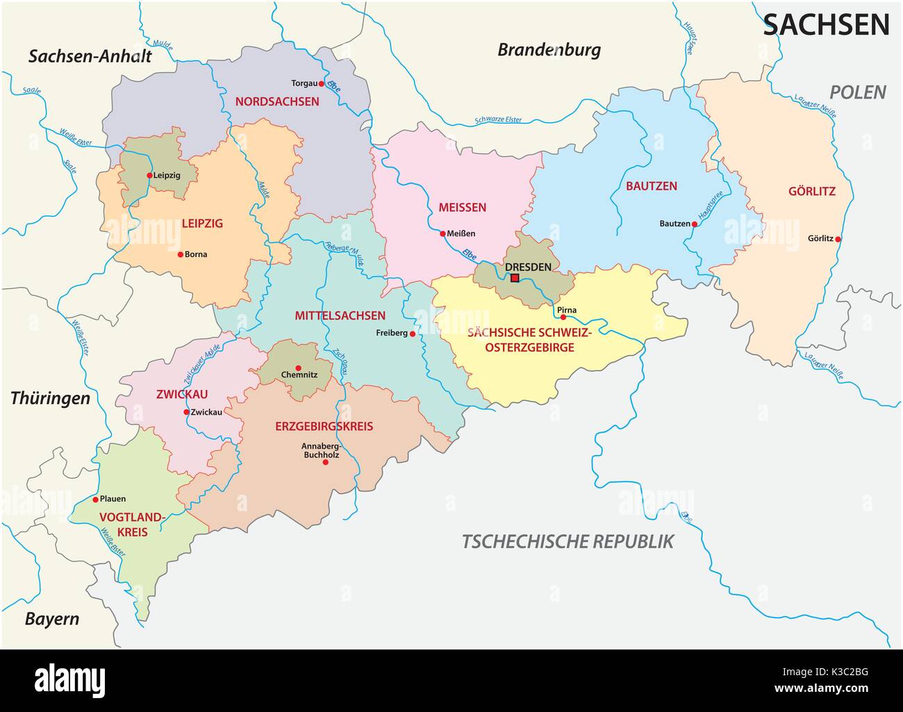 Saxony administrative and political map in german language Stock Vectorhttps://www.alamy.com/image-license-details/?v=1https://www.alamy.com/saxony-administrative-and-political-map-in-german-language-image157002596.html
RFK3C2BG–Saxony administrative and political map in german language
 Germany, officially the Federal Republic of Germany, political map. Country in Central Europe with capital Berlin. Map of the 16 constituent states. Stock Photohttps://www.alamy.com/image-license-details/?v=1https://www.alamy.com/germany-officially-the-federal-republic-of-germany-political-map-country-in-central-europe-with-capital-berlin-map-of-the-16-constituent-states-image620587881.html
RF2Y1J64W–Germany, officially the Federal Republic of Germany, political map. Country in Central Europe with capital Berlin. Map of the 16 constituent states.
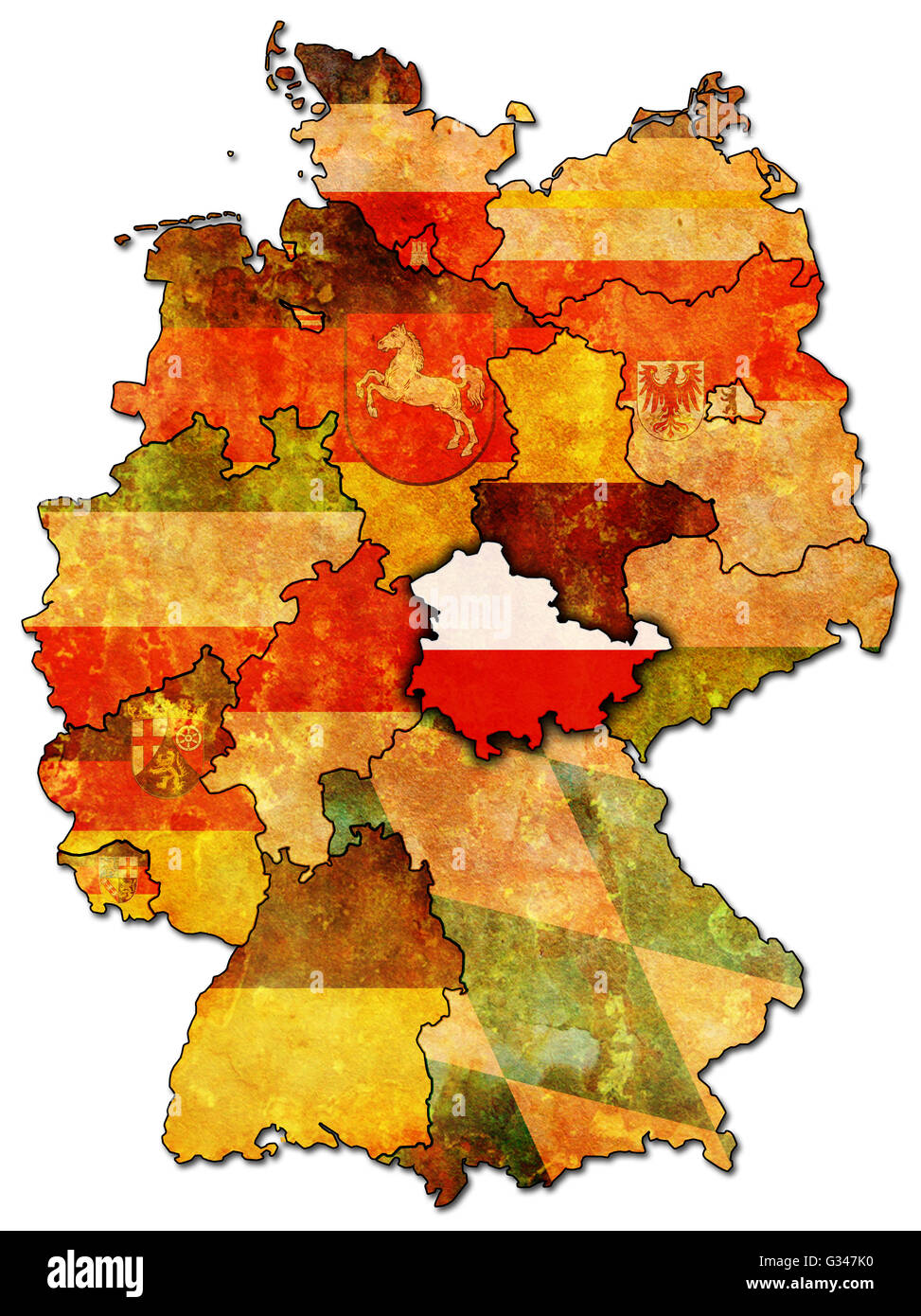 thuringia on old administration map of german provinces (states) with clipping path Stock Photohttps://www.alamy.com/image-license-details/?v=1https://www.alamy.com/stock-photo-thuringia-on-old-administration-map-of-german-provinces-states-with-105200004.html
RFG347K0–thuringia on old administration map of german provinces (states) with clipping path
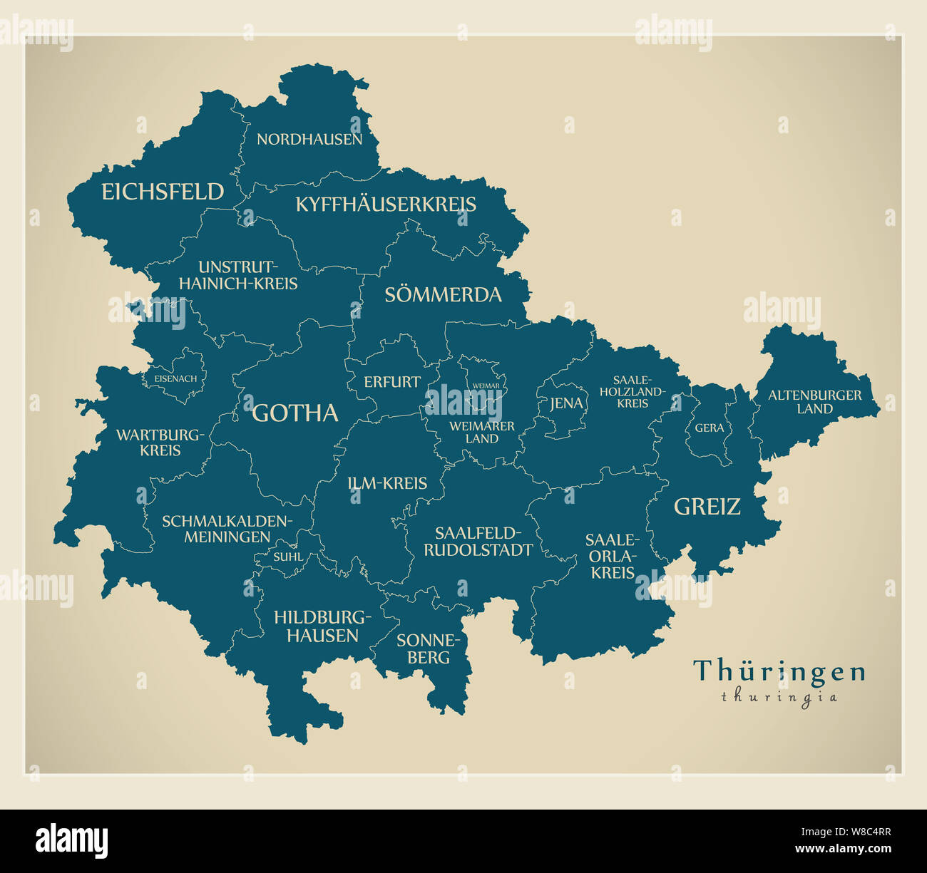 Modern Map - Thuringia map of Germany with counties and labels Stock Photohttps://www.alamy.com/image-license-details/?v=1https://www.alamy.com/modern-map-thuringia-map-of-germany-with-counties-and-labels-image263339995.html
RFW8C4RR–Modern Map - Thuringia map of Germany with counties and labels
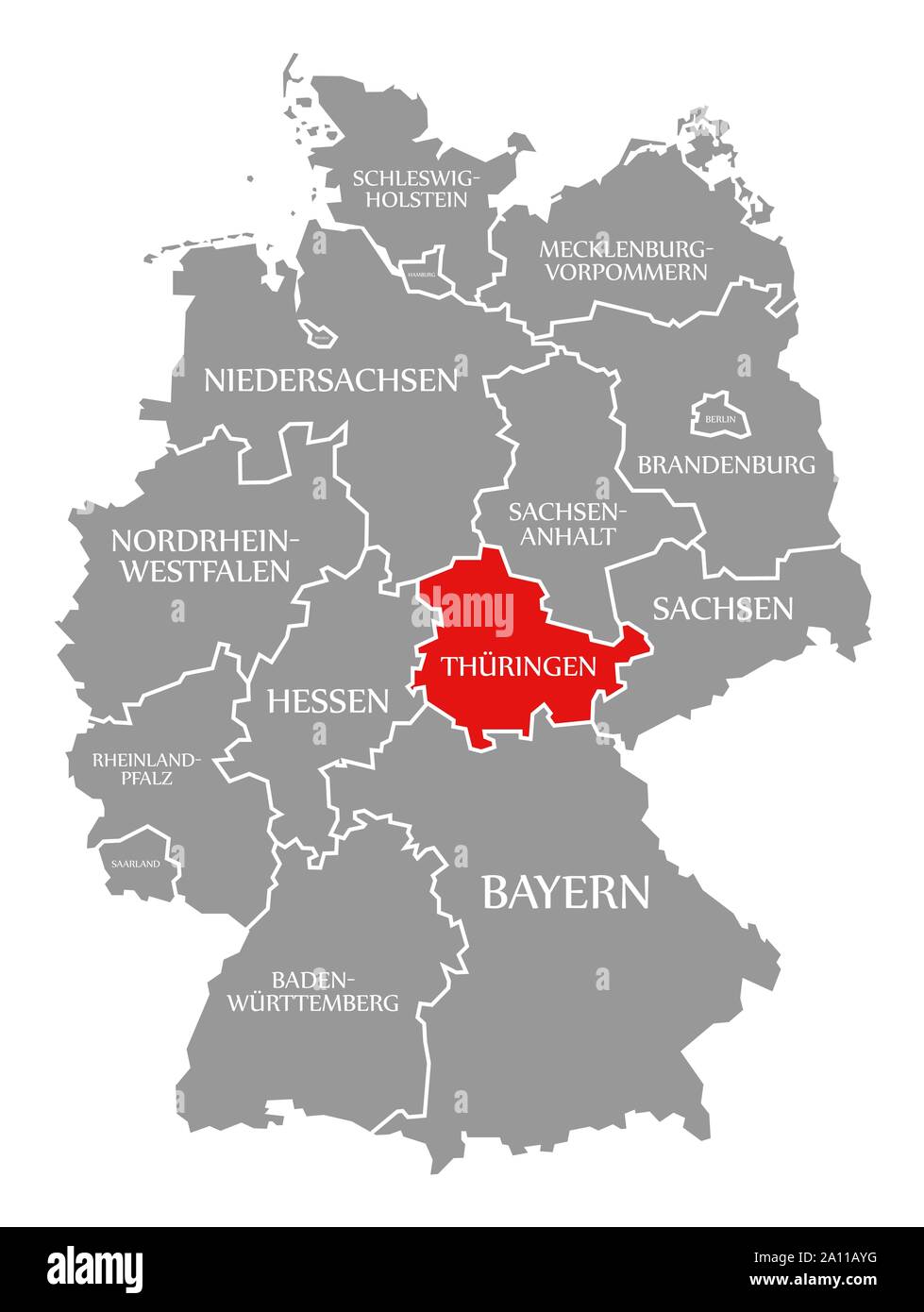 Thuringia red highlighted in map of Germany Stock Photohttps://www.alamy.com/image-license-details/?v=1https://www.alamy.com/thuringia-red-highlighted-in-map-of-germany-image327642212.html
RF2A11AYG–Thuringia red highlighted in map of Germany
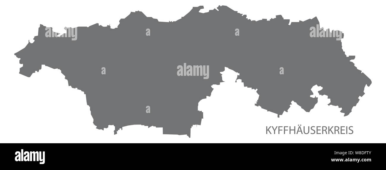 Kyffhaeuserkreis grey county map of Thuringia Germany Stock Vectorhttps://www.alamy.com/image-license-details/?v=1https://www.alamy.com/kyffhaeuserkreis-grey-county-map-of-thuringia-germany-image263370603.html
RFW8DFTY–Kyffhaeuserkreis grey county map of Thuringia Germany
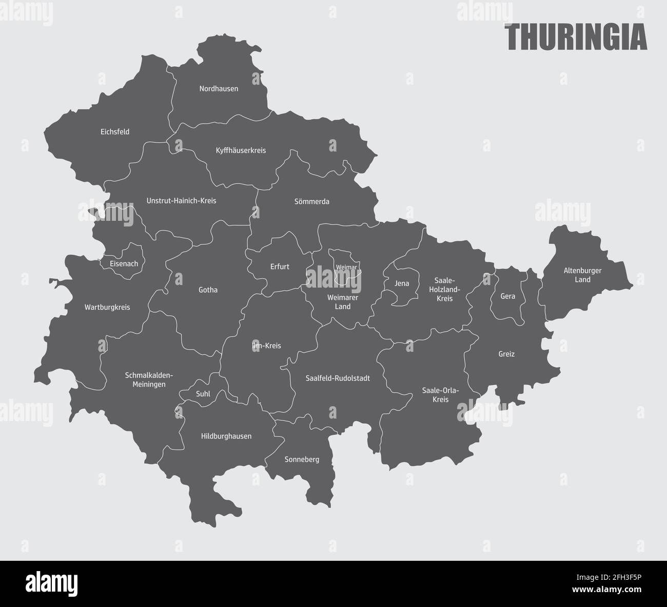 The Thuringia state, isolated map divided in districts with labels, Germany Stock Vectorhttps://www.alamy.com/image-license-details/?v=1https://www.alamy.com/the-thuringia-state-isolated-map-divided-in-districts-with-labels-germany-image423575762.html
RF2FH3F5P–The Thuringia state, isolated map divided in districts with labels, Germany
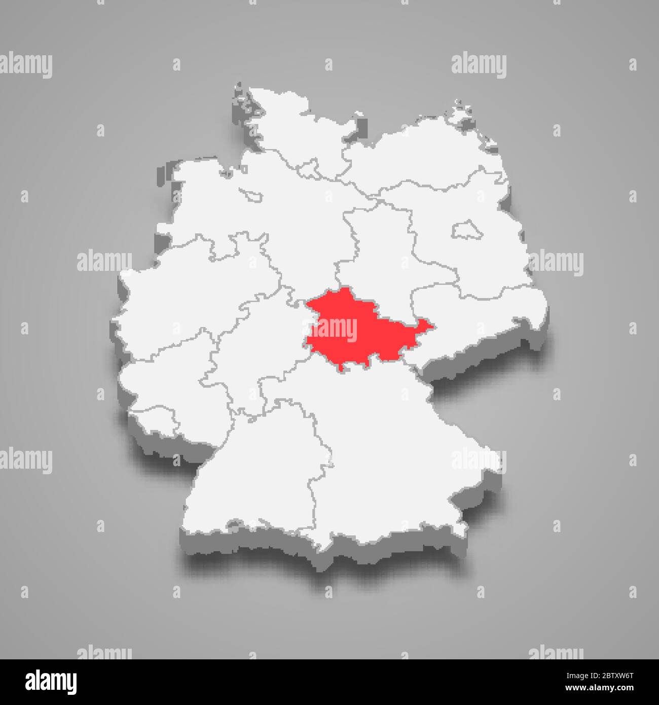 Thuringia state location within Germany 3d map Stock Vectorhttps://www.alamy.com/image-license-details/?v=1https://www.alamy.com/thuringia-state-location-within-germany-3d-map-image359549648.html
RF2BTXW6T–Thuringia state location within Germany 3d map
 political colour vintage germany german federal republic flag thuringia rust Stock Photohttps://www.alamy.com/image-license-details/?v=1https://www.alamy.com/stock-photo-political-colour-vintage-germany-german-federal-republic-flag-thuringia-142383564.html
RFJ7J3K8–political colour vintage germany german federal republic flag thuringia rust
 Kyffhauserkreis district (Federal Republic of Germany, rural district, Free State of Thuringia) map vector illustration, scribble sketch Kyffhaeuserkr Stock Vectorhttps://www.alamy.com/image-license-details/?v=1https://www.alamy.com/kyffhauserkreis-district-federal-republic-of-germany-rural-district-free-state-of-thuringia-map-vector-illustration-scribble-sketch-kyffhaeuserkr-image440057536.html
RF2GFX9TG–Kyffhauserkreis district (Federal Republic of Germany, rural district, Free State of Thuringia) map vector illustration, scribble sketch Kyffhaeuserkr
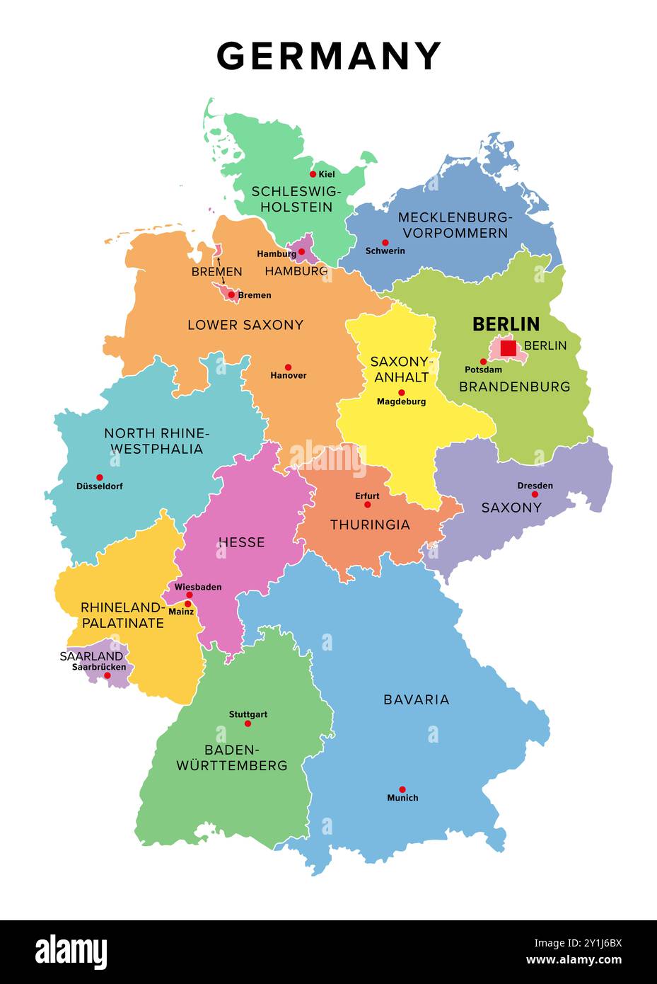 Germany, 16 constituent states with borders and capitals, multi colored political map. The Federal Republic of Germany, a country in Central Europe. Stock Photohttps://www.alamy.com/image-license-details/?v=1https://www.alamy.com/germany-16-constituent-states-with-borders-and-capitals-multi-colored-political-map-the-federal-republic-of-germany-a-country-in-central-europe-image620588078.html
RF2Y1J6BX–Germany, 16 constituent states with borders and capitals, multi colored political map. The Federal Republic of Germany, a country in Central Europe.
 thuringia on old administration map of german provinces (states) with clipping path Stock Photohttps://www.alamy.com/image-license-details/?v=1https://www.alamy.com/stock-photo-thuringia-on-old-administration-map-of-german-provinces-states-with-105200005.html
RFG347K1–thuringia on old administration map of german provinces (states) with clipping path
 Eichsfeld grey county map of Thuringia Germany Stock Vectorhttps://www.alamy.com/image-license-details/?v=1https://www.alamy.com/eichsfeld-grey-county-map-of-thuringia-germany-image263367613.html
RFW8DC25–Eichsfeld grey county map of Thuringia Germany
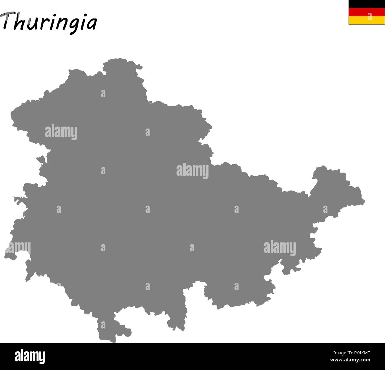 High Quality map is a state of Germany. Thuringia Stock Vectorhttps://www.alamy.com/image-license-details/?v=1https://www.alamy.com/high-quality-map-is-a-state-of-germany-thuringia-image223223416.html
RFPY4KMT–High Quality map is a state of Germany. Thuringia
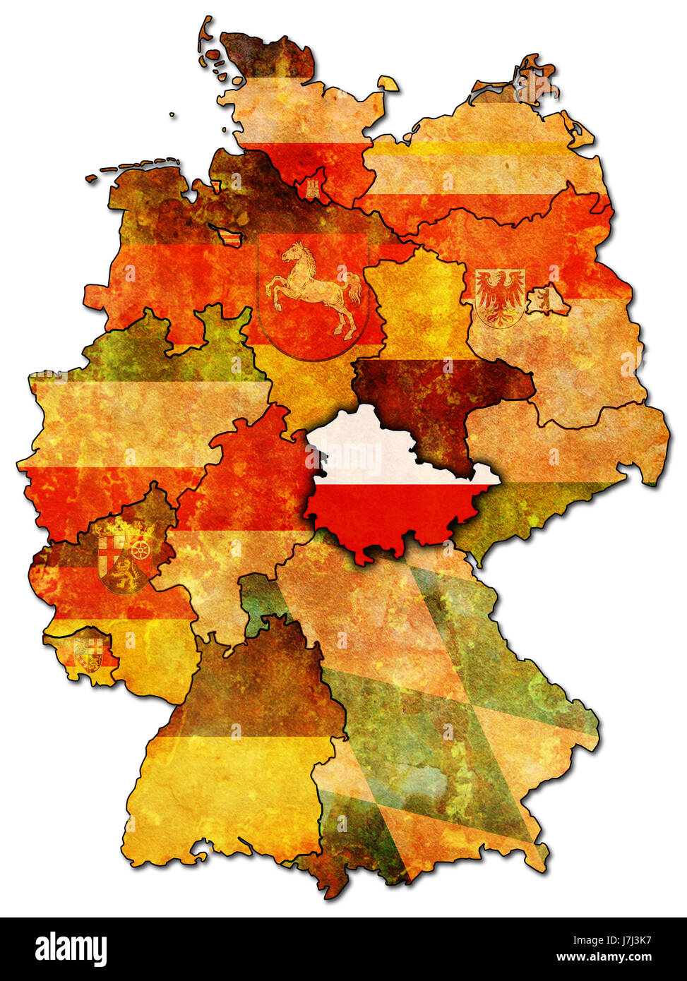 political colour vintage germany german federal republic flag thuringia rust Stock Photohttps://www.alamy.com/image-license-details/?v=1https://www.alamy.com/stock-photo-political-colour-vintage-germany-german-federal-republic-flag-thuringia-142383563.html
RFJ7J3K7–political colour vintage germany german federal republic flag thuringia rust
 Kyffhauserkreis district (Federal Republic of Germany, rural district, Free State of Thuringia) map vector illustration, scribble sketch Kyffhaeuserkr Stock Vectorhttps://www.alamy.com/image-license-details/?v=1https://www.alamy.com/kyffhauserkreis-district-federal-republic-of-germany-rural-district-free-state-of-thuringia-map-vector-illustration-scribble-sketch-kyffhaeuserkr-image434937854.html
RF2G7H3JP–Kyffhauserkreis district (Federal Republic of Germany, rural district, Free State of Thuringia) map vector illustration, scribble sketch Kyffhaeuserkr
 Germany, 16 constituent states with borders and capitals, gray political map. Officially the Federal Republic of Germany, a country in Central Europe. Stock Photohttps://www.alamy.com/image-license-details/?v=1https://www.alamy.com/germany-16-constituent-states-with-borders-and-capitals-gray-political-map-officially-the-federal-republic-of-germany-a-country-in-central-europe-image620587937.html
RF2Y1J66W–Germany, 16 constituent states with borders and capitals, gray political map. Officially the Federal Republic of Germany, a country in Central Europe.
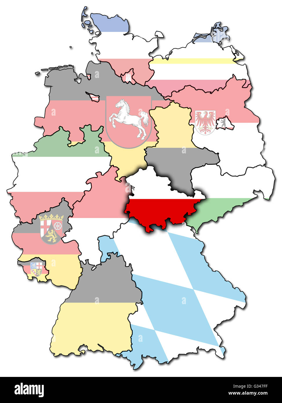 thuringia on old administration map of german provinces (states) with clipping path Stock Photohttps://www.alamy.com/image-license-details/?v=1https://www.alamy.com/stock-photo-thuringia-on-old-administration-map-of-german-provinces-states-with-105199907.html
RFG347FF–thuringia on old administration map of german provinces (states) with clipping path
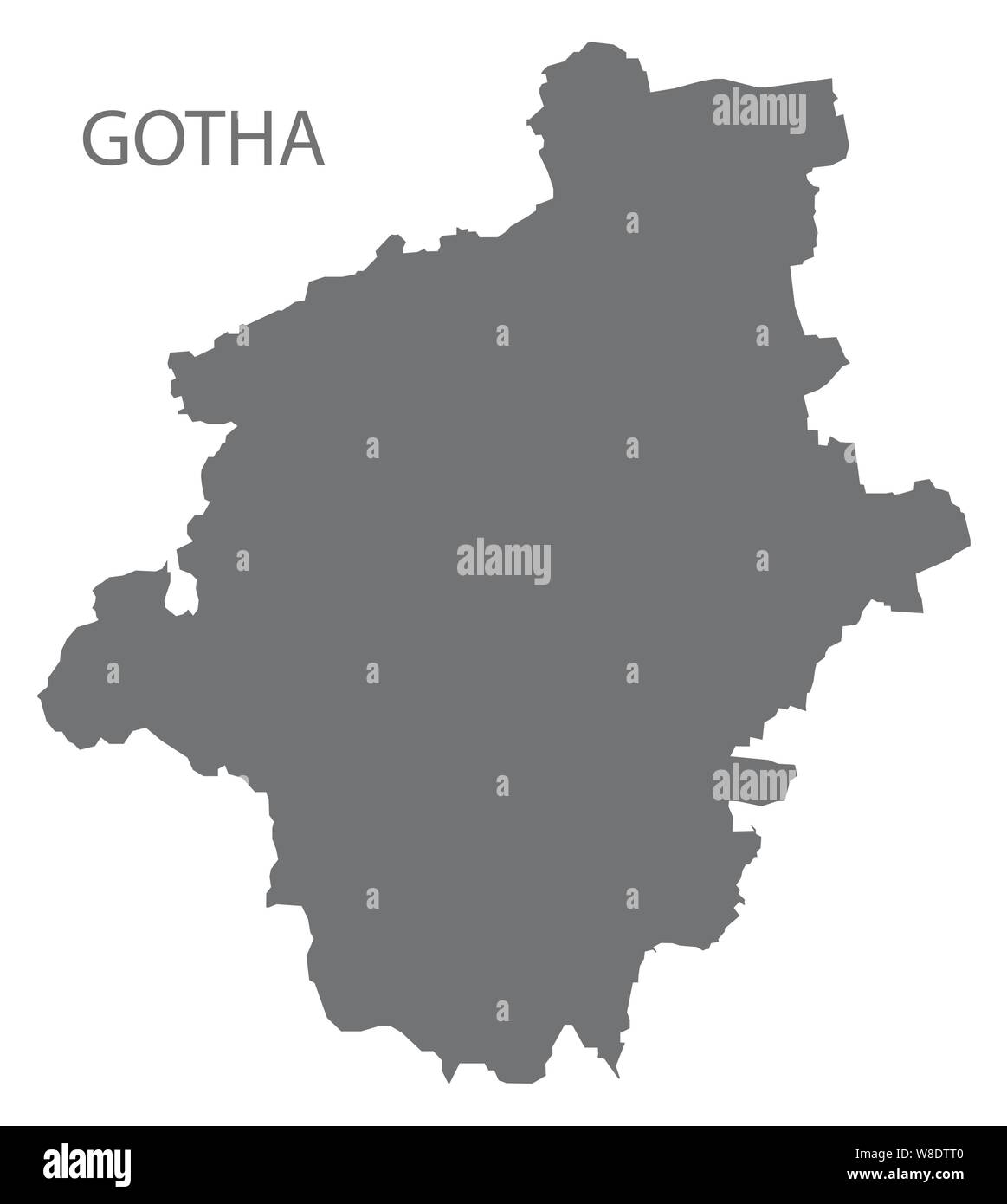 Gotha grey county map of Thuringia Germany Stock Vectorhttps://www.alamy.com/image-license-details/?v=1https://www.alamy.com/gotha-grey-county-map-of-thuringia-germany-image263377632.html
RFW8DTT0–Gotha grey county map of Thuringia Germany
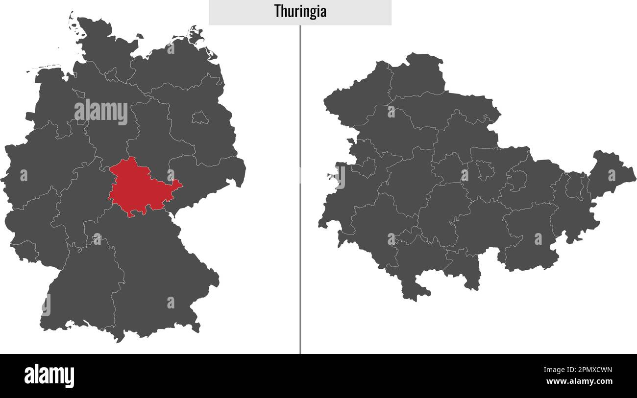 map of Thuringia state of Germany and location on German map Stock Vectorhttps://www.alamy.com/image-license-details/?v=1https://www.alamy.com/map-of-thuringia-state-of-germany-and-location-on-german-map-image546395409.html
RF2PMXCWN–map of Thuringia state of Germany and location on German map
 political colour vintage germany german federal republic flag thuringia rust Stock Photohttps://www.alamy.com/image-license-details/?v=1https://www.alamy.com/stock-photo-political-colour-vintage-germany-german-federal-republic-flag-thuringia-142383567.html
RFJ7J3KB–political colour vintage germany german federal republic flag thuringia rust
 Hildburghausen district (Federal Republic of Germany, rural district, Free State of Thuringia) map vector illustration, scribble sketch Hildburghausen Stock Vectorhttps://www.alamy.com/image-license-details/?v=1https://www.alamy.com/hildburghausen-district-federal-republic-of-germany-rural-district-free-state-of-thuringia-map-vector-illustration-scribble-sketch-hildburghausen-image439160952.html
RF2GEDE7M–Hildburghausen district (Federal Republic of Germany, rural district, Free State of Thuringia) map vector illustration, scribble sketch Hildburghausen
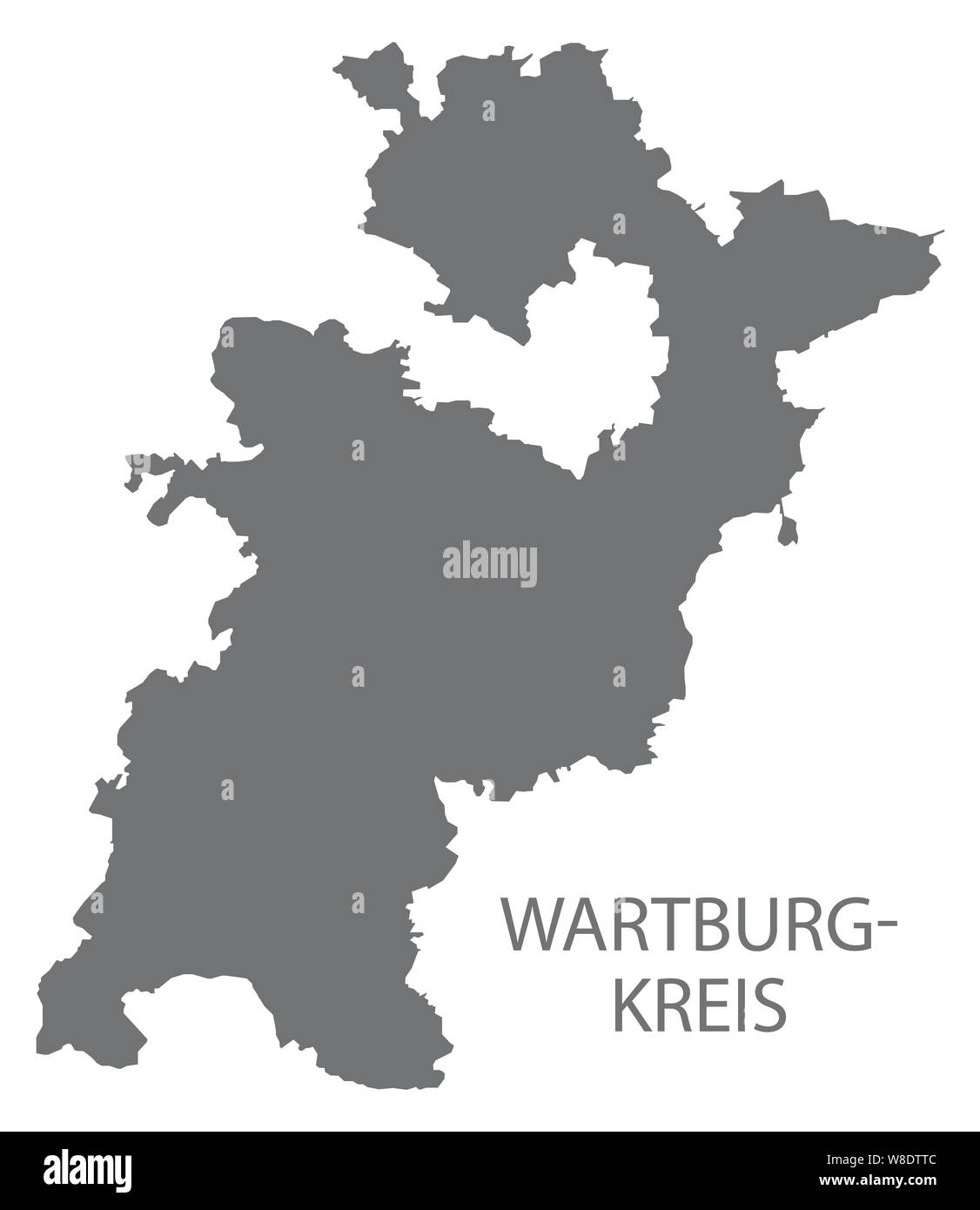 Wartburgkreis grey county map of Thuringia Germany Stock Vectorhttps://www.alamy.com/image-license-details/?v=1https://www.alamy.com/wartburgkreis-grey-county-map-of-thuringia-germany-image263377644.html
RFW8DTTC–Wartburgkreis grey county map of Thuringia Germany
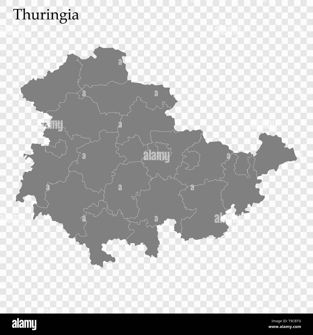 High Quality map of Thuringia is a state of Germany, with borders of the districts Stock Vectorhttps://www.alamy.com/image-license-details/?v=1https://www.alamy.com/high-quality-map-of-thuringia-is-a-state-of-germany-with-borders-of-the-districts-image246749792.html
RFT9CBTG–High Quality map of Thuringia is a state of Germany, with borders of the districts
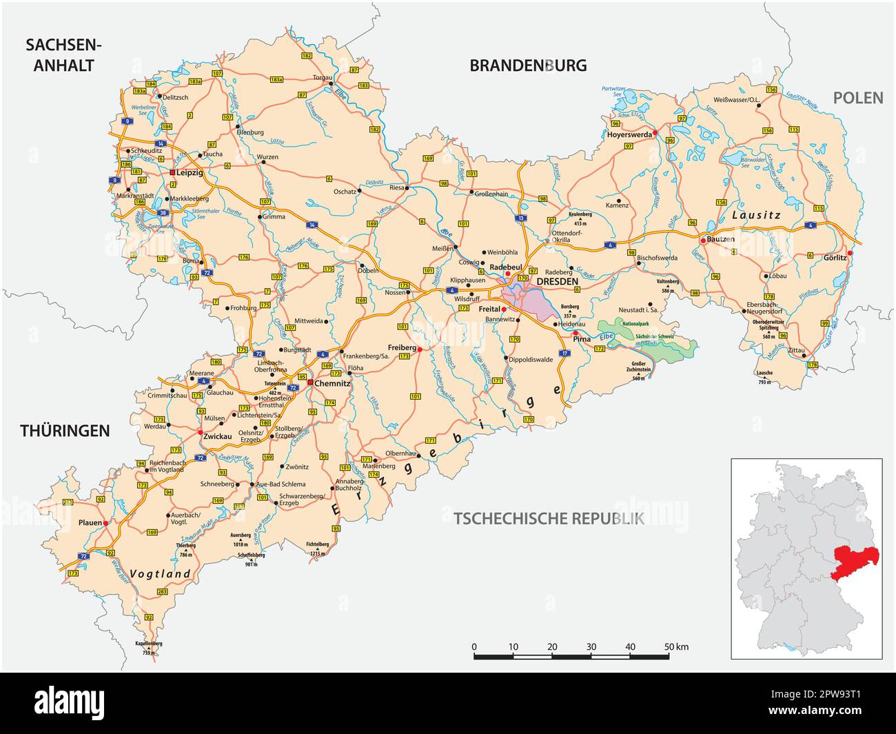 Roadmap of the German state of Saxony Stock Vectorhttps://www.alamy.com/image-license-details/?v=1https://www.alamy.com/roadmap-of-the-german-state-of-saxony-image549088401.html
RF2PW93T1–Roadmap of the German state of Saxony
 Hildburghausen district (Federal Republic of Germany, rural district, Free State of Thuringia) map vector illustration, scribble sketch Hildburghausen Stock Vectorhttps://www.alamy.com/image-license-details/?v=1https://www.alamy.com/hildburghausen-district-federal-republic-of-germany-rural-district-free-state-of-thuringia-map-vector-illustration-scribble-sketch-hildburghausen-image434857961.html
RF2G7DDND–Hildburghausen district (Federal Republic of Germany, rural district, Free State of Thuringia) map vector illustration, scribble sketch Hildburghausen
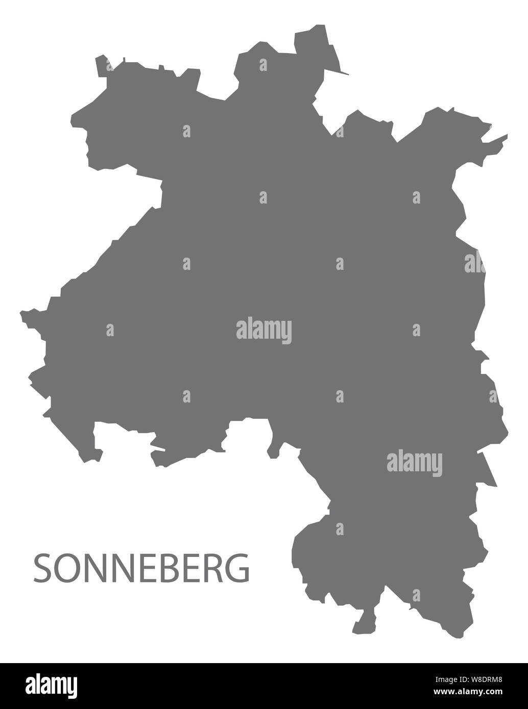 Sonneberg grey county map of Thuringia Germany Stock Vectorhttps://www.alamy.com/image-license-details/?v=1https://www.alamy.com/sonneberg-grey-county-map-of-thuringia-germany-image263376744.html
RFW8DRM8–Sonneberg grey county map of Thuringia Germany
 Simple outline map of Thuringia is a state of Germany. Stylized minimal line design Stock Vectorhttps://www.alamy.com/image-license-details/?v=1https://www.alamy.com/simple-outline-map-of-thuringia-is-a-state-of-germany-stylized-minimal-line-design-image462707650.html
RF2HTP496–Simple outline map of Thuringia is a state of Germany. Stylized minimal line design
 Hildburghausen district (Federal Republic of Germany, rural district, Free State of Thuringia) map vector illustration, scribble sketch Hildburghausen Stock Vectorhttps://www.alamy.com/image-license-details/?v=1https://www.alamy.com/hildburghausen-district-federal-republic-of-germany-rural-district-free-state-of-thuringia-map-vector-illustration-scribble-sketch-hildburghausen-image431785502.html
RF2G2DEPP–Hildburghausen district (Federal Republic of Germany, rural district, Free State of Thuringia) map vector illustration, scribble sketch Hildburghausen
 Soemmerda grey county map of Thuringia Germany Stock Vectorhttps://www.alamy.com/image-license-details/?v=1https://www.alamy.com/soemmerda-grey-county-map-of-thuringia-germany-image263361195.html
RFW8D3TY–Soemmerda grey county map of Thuringia Germany
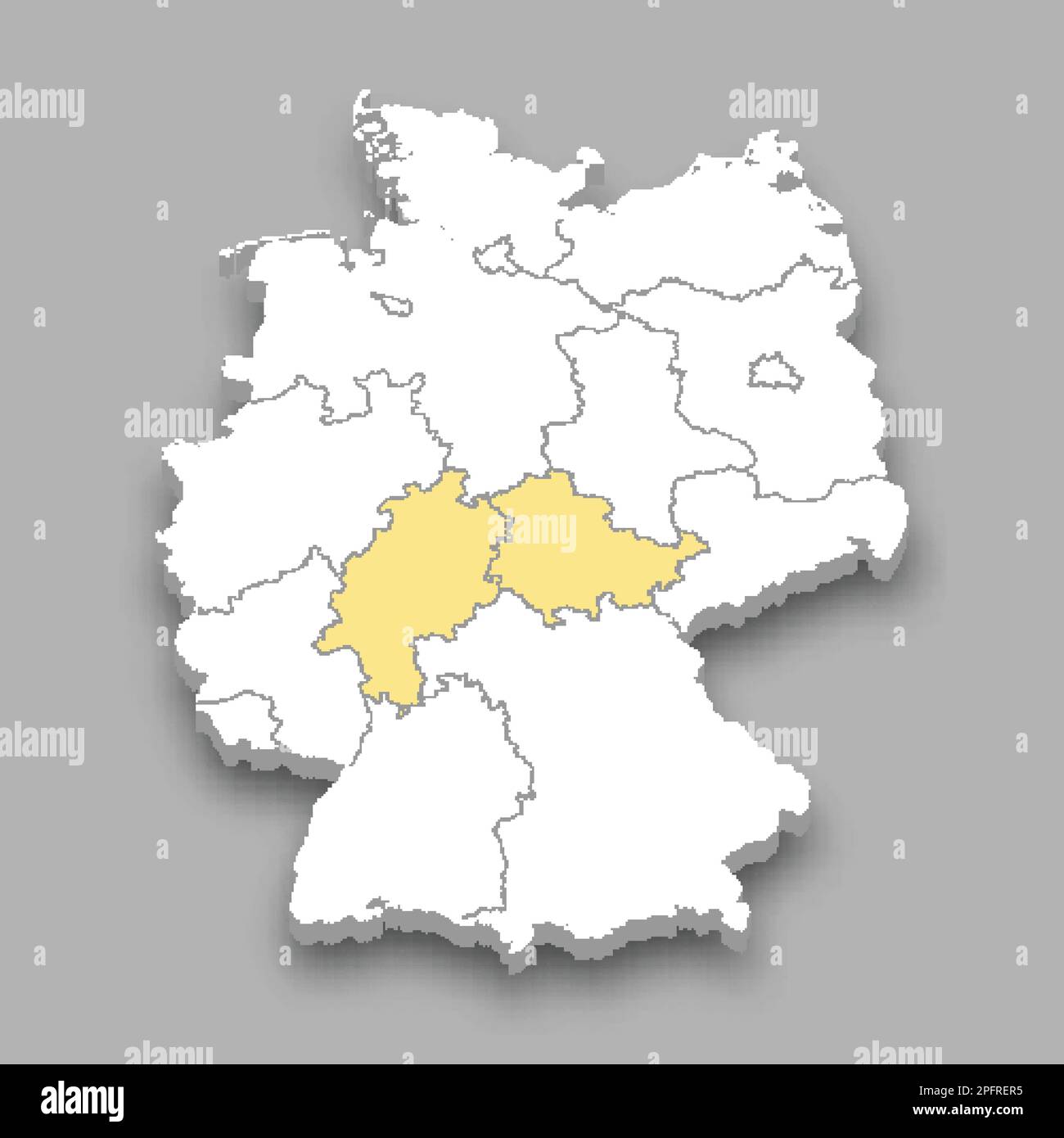 Central region location within Germany 3d isometric map Stock Vectorhttps://www.alamy.com/image-license-details/?v=1https://www.alamy.com/central-region-location-within-germany-3d-isometric-map-image543257769.html
RF2PFRER5–Central region location within Germany 3d isometric map
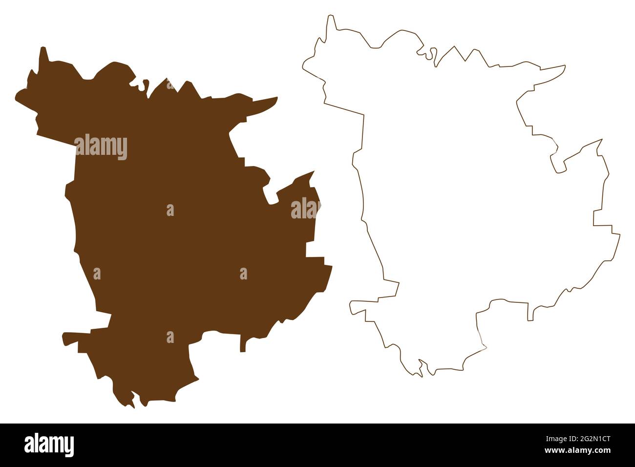 Weimar city (Federal Republic of Germany, Urban district, Free State of Thuringia) map vector illustration, scribble sketch Weimar map Stock Vectorhttps://www.alamy.com/image-license-details/?v=1https://www.alamy.com/weimar-city-federal-republic-of-germany-urban-district-free-state-of-thuringia-map-vector-illustration-scribble-sketch-weimar-map-image431950648.html
RF2G2N1CT–Weimar city (Federal Republic of Germany, Urban district, Free State of Thuringia) map vector illustration, scribble sketch Weimar map
 Hildburghausen grey county map of Thuringia Germany Stock Vectorhttps://www.alamy.com/image-license-details/?v=1https://www.alamy.com/hildburghausen-grey-county-map-of-thuringia-germany-image263362905.html
RFW8D621–Hildburghausen grey county map of Thuringia Germany
 Greiz district (Federal Republic of Germany, rural district, Free State of Thuringia) map vector illustration, scribble sketch Greiz map Stock Vectorhttps://www.alamy.com/image-license-details/?v=1https://www.alamy.com/greiz-district-federal-republic-of-germany-rural-district-free-state-of-thuringia-map-vector-illustration-scribble-sketch-greiz-map-image439160959.html
RF2GEDE7Y–Greiz district (Federal Republic of Germany, rural district, Free State of Thuringia) map vector illustration, scribble sketch Greiz map
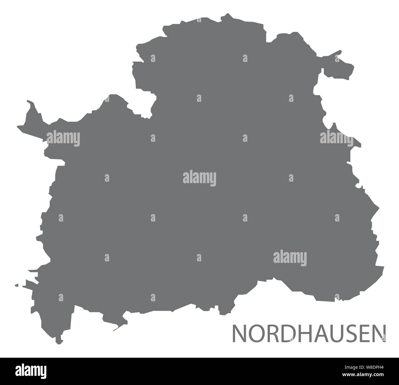 Nordhausen grey county map of Thuringia Germany Stock Vectorhttps://www.alamy.com/image-license-details/?v=1https://www.alamy.com/nordhausen-grey-county-map-of-thuringia-germany-image263375872.html
RFW8DPH4–Nordhausen grey county map of Thuringia Germany
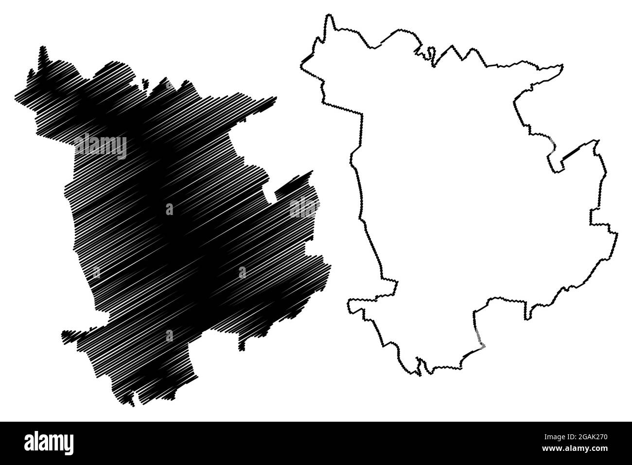 Weimar city (Federal Republic of Germany, Urban district, Free State of Thuringia) map vector illustration, scribble sketch Weimar map Stock Vectorhttps://www.alamy.com/image-license-details/?v=1https://www.alamy.com/weimar-city-federal-republic-of-germany-urban-district-free-state-of-thuringia-map-vector-illustration-scribble-sketch-weimar-map-image436824612.html
RF2GAK270–Weimar city (Federal Republic of Germany, Urban district, Free State of Thuringia) map vector illustration, scribble sketch Weimar map
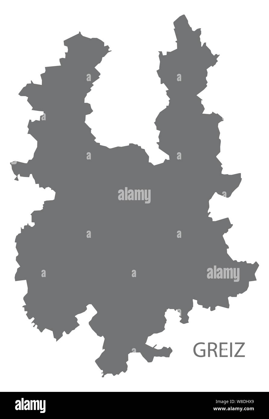 Greiz grey county map of Thuringia Germany Stock Vectorhttps://www.alamy.com/image-license-details/?v=1https://www.alamy.com/greiz-grey-county-map-of-thuringia-germany-image263372209.html
RFW8DHX9–Greiz grey county map of Thuringia Germany
 Wartburgkreis district (Federal Republic of Germany, rural district, Free State of Thuringia) map vector illustration, scribble sketch Wartburgkreis m Stock Vectorhttps://www.alamy.com/image-license-details/?v=1https://www.alamy.com/wartburgkreis-district-federal-republic-of-germany-rural-district-free-state-of-thuringia-map-vector-illustration-scribble-sketch-wartburgkreis-m-image436825369.html
RF2GAK361–Wartburgkreis district (Federal Republic of Germany, rural district, Free State of Thuringia) map vector illustration, scribble sketch Wartburgkreis m
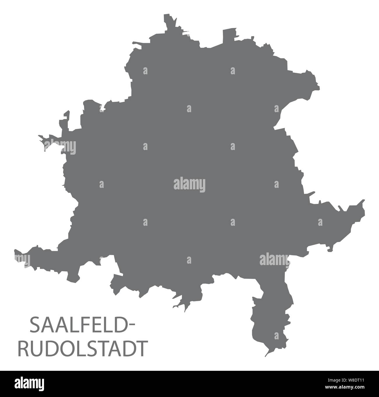 Saalfeld-Rudolstadt grey county map of Thuringia Germany Stock Vectorhttps://www.alamy.com/image-license-details/?v=1https://www.alamy.com/saalfeld-rudolstadt-grey-county-map-of-thuringia-germany-image263376989.html
RFW8DT11–Saalfeld-Rudolstadt grey county map of Thuringia Germany
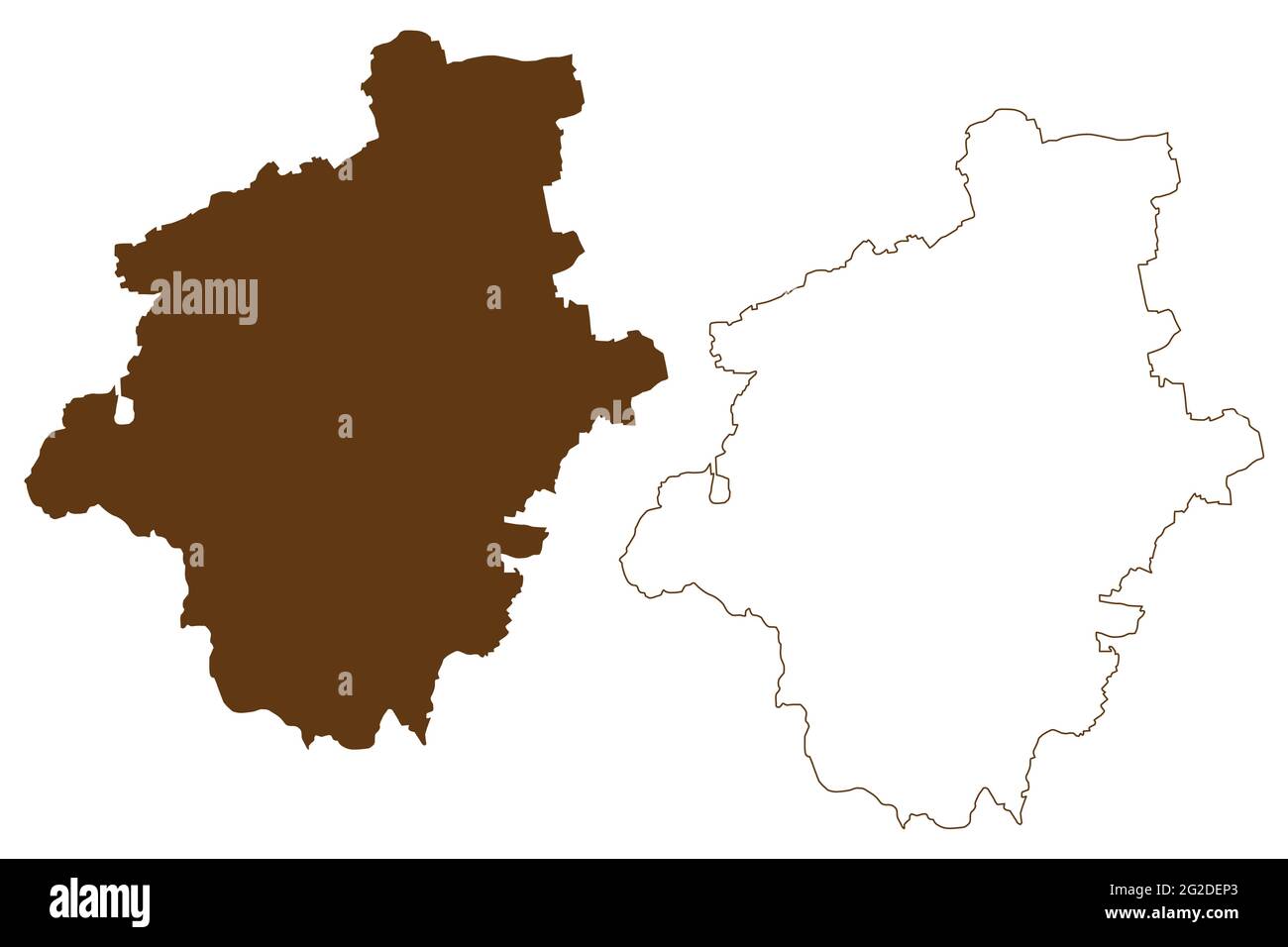 Gotha district (Federal Republic of Germany, rural district, Free State of Thuringia) map vector illustration, scribble sketch Gotha map Stock Vectorhttps://www.alamy.com/image-license-details/?v=1https://www.alamy.com/gotha-district-federal-republic-of-germany-rural-district-free-state-of-thuringia-map-vector-illustration-scribble-sketch-gotha-map-image431785483.html
RF2G2DEP3–Gotha district (Federal Republic of Germany, rural district, Free State of Thuringia) map vector illustration, scribble sketch Gotha map
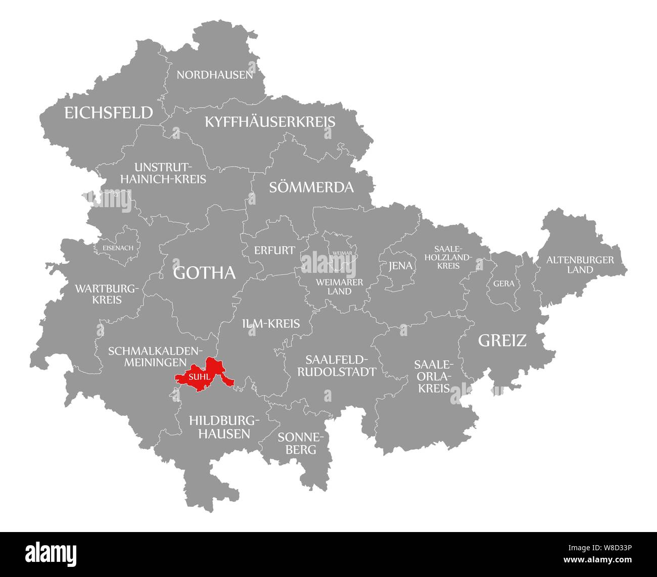 Suhl red highlighted in map of Thuringia Germany Stock Photohttps://www.alamy.com/image-license-details/?v=1https://www.alamy.com/suhl-red-highlighted-in-map-of-thuringia-germany-image263360602.html
RFW8D33P–Suhl red highlighted in map of Thuringia Germany
 Eichsfeld district (Federal Republic of Germany, rural district, Free State of Thuringia) map vector illustration, scribble sketch Eichsfeld map Stock Vectorhttps://www.alamy.com/image-license-details/?v=1https://www.alamy.com/eichsfeld-district-federal-republic-of-germany-rural-district-free-state-of-thuringia-map-vector-illustration-scribble-sketch-eichsfeld-map-image431784375.html
RF2G2DDAF–Eichsfeld district (Federal Republic of Germany, rural district, Free State of Thuringia) map vector illustration, scribble sketch Eichsfeld map
 Eichsfeld red highlighted in map of Thuringia Germany Stock Photohttps://www.alamy.com/image-license-details/?v=1https://www.alamy.com/eichsfeld-red-highlighted-in-map-of-thuringia-germany-image263360538.html
RFW8D31E–Eichsfeld red highlighted in map of Thuringia Germany
 Altenburger Land district (Federal Republic of Germany, rural district, Free State of Thuringia) map vector illustration, scribble sketch Altenburger Stock Vectorhttps://www.alamy.com/image-license-details/?v=1https://www.alamy.com/altenburger-land-district-federal-republic-of-germany-rural-district-free-state-of-thuringia-map-vector-illustration-scribble-sketch-altenburger-image431788301.html
RF2G2DJAN–Altenburger Land district (Federal Republic of Germany, rural district, Free State of Thuringia) map vector illustration, scribble sketch Altenburger
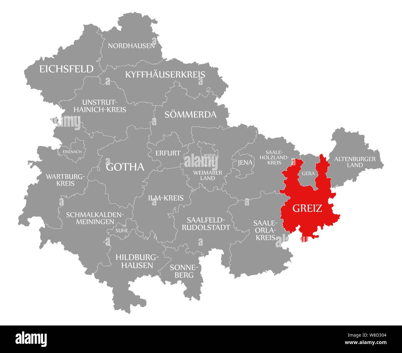 Greiz red highlighted in map of Thuringia Germany Stock Photohttps://www.alamy.com/image-license-details/?v=1https://www.alamy.com/greiz-red-highlighted-in-map-of-thuringia-germany-image263360500.html
RFW8D304–Greiz red highlighted in map of Thuringia Germany
 Greiz district (Federal Republic of Germany, rural district, Free State of Thuringia) map vector illustration, scribble sketch Greiz map Stock Vectorhttps://www.alamy.com/image-license-details/?v=1https://www.alamy.com/greiz-district-federal-republic-of-germany-rural-district-free-state-of-thuringia-map-vector-illustration-scribble-sketch-greiz-map-image431785265.html
RF2G2DEE9–Greiz district (Federal Republic of Germany, rural district, Free State of Thuringia) map vector illustration, scribble sketch Greiz map
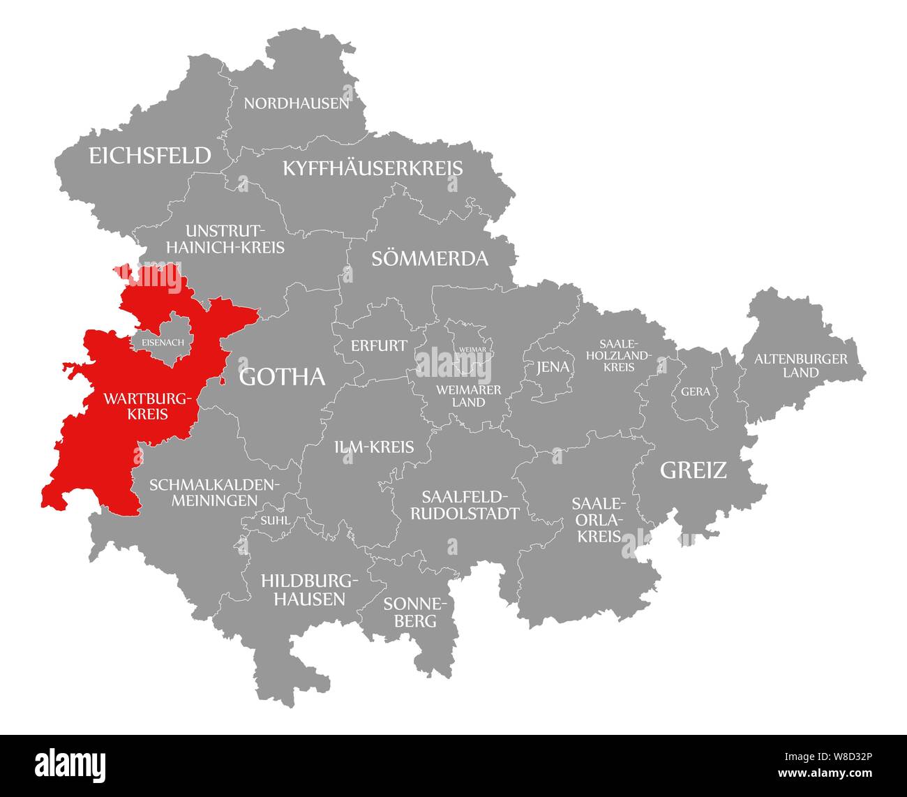 Wartburgkreis red highlighted in map of Thuringia Germany Stock Photohttps://www.alamy.com/image-license-details/?v=1https://www.alamy.com/wartburgkreis-red-highlighted-in-map-of-thuringia-germany-image263360574.html
RFW8D32P–Wartburgkreis red highlighted in map of Thuringia Germany
 Eisenach city (Federal Republic of Germany, Urban district, Free State of Thuringia) map vector illustration, scribble sketch Eisenach map Stock Vectorhttps://www.alamy.com/image-license-details/?v=1https://www.alamy.com/eisenach-city-federal-republic-of-germany-urban-district-free-state-of-thuringia-map-vector-illustration-scribble-sketch-eisenach-map-image438959373.html
RF2GE494D–Eisenach city (Federal Republic of Germany, Urban district, Free State of Thuringia) map vector illustration, scribble sketch Eisenach map
 Altenburger Land grey county map of Thuringia Germany Stock Vectorhttps://www.alamy.com/image-license-details/?v=1https://www.alamy.com/altenburger-land-grey-county-map-of-thuringia-germany-image263362266.html
RFW8D576–Altenburger Land grey county map of Thuringia Germany
 Saalfeld-Rudolstadt district (Federal Republic of Germany, rural district, Free State of Thuringia) map vector illustration, scribble sketch Saalfeld Stock Vectorhttps://www.alamy.com/image-license-details/?v=1https://www.alamy.com/saalfeld-rudolstadt-district-federal-republic-of-germany-rural-district-free-state-of-thuringia-map-vector-illustration-scribble-sketch-saalfeld-image440811327.html
RF2GH4K9K–Saalfeld-Rudolstadt district (Federal Republic of Germany, rural district, Free State of Thuringia) map vector illustration, scribble sketch Saalfeld
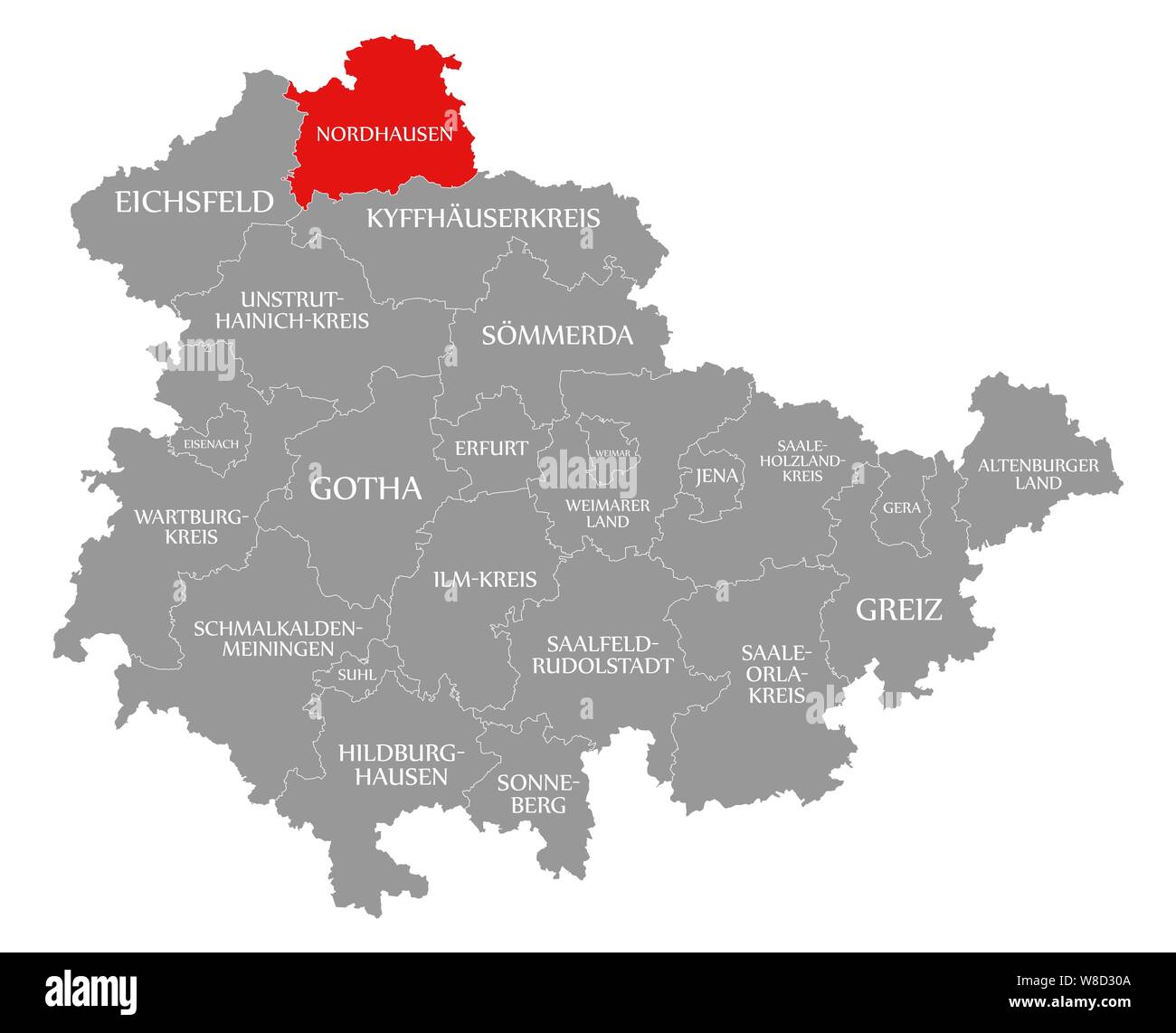 Nordhausen red highlighted in map of Thuringia Germany Stock Photohttps://www.alamy.com/image-license-details/?v=1https://www.alamy.com/nordhausen-red-highlighted-in-map-of-thuringia-germany-image263360506.html
RFW8D30A–Nordhausen red highlighted in map of Thuringia Germany
 Sonneberg district (Federal Republic of Germany, rural district, Free State of Thuringia) map vector illustration, scribble sketch Sonneberg map Stock Vectorhttps://www.alamy.com/image-license-details/?v=1https://www.alamy.com/sonneberg-district-federal-republic-of-germany-rural-district-free-state-of-thuringia-map-vector-illustration-scribble-sketch-sonneberg-map-image431841450.html
RF2G2G24X–Sonneberg district (Federal Republic of Germany, rural district, Free State of Thuringia) map vector illustration, scribble sketch Sonneberg map
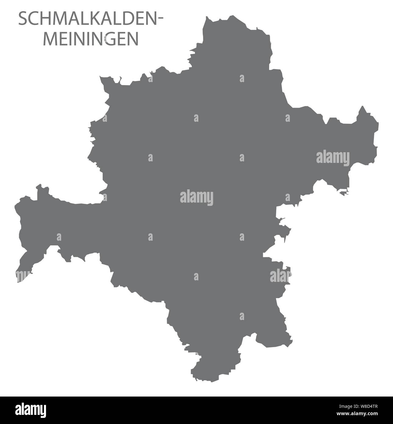 Schmalkalden-Meiningen grey county map of Thuringia Germany Stock Vectorhttps://www.alamy.com/image-license-details/?v=1https://www.alamy.com/schmalkalden-meiningen-grey-county-map-of-thuringia-germany-image263361975.html
RFW8D4TR–Schmalkalden-Meiningen grey county map of Thuringia Germany
 Wartburgkreis district (Federal Republic of Germany, rural district, Free State of Thuringia) map vector illustration, scribble sketch Wartburgkreis m Stock Vectorhttps://www.alamy.com/image-license-details/?v=1https://www.alamy.com/wartburgkreis-district-federal-republic-of-germany-rural-district-free-state-of-thuringia-map-vector-illustration-scribble-sketch-wartburgkreis-m-image431841441.html
RF2G2G24H–Wartburgkreis district (Federal Republic of Germany, rural district, Free State of Thuringia) map vector illustration, scribble sketch Wartburgkreis m
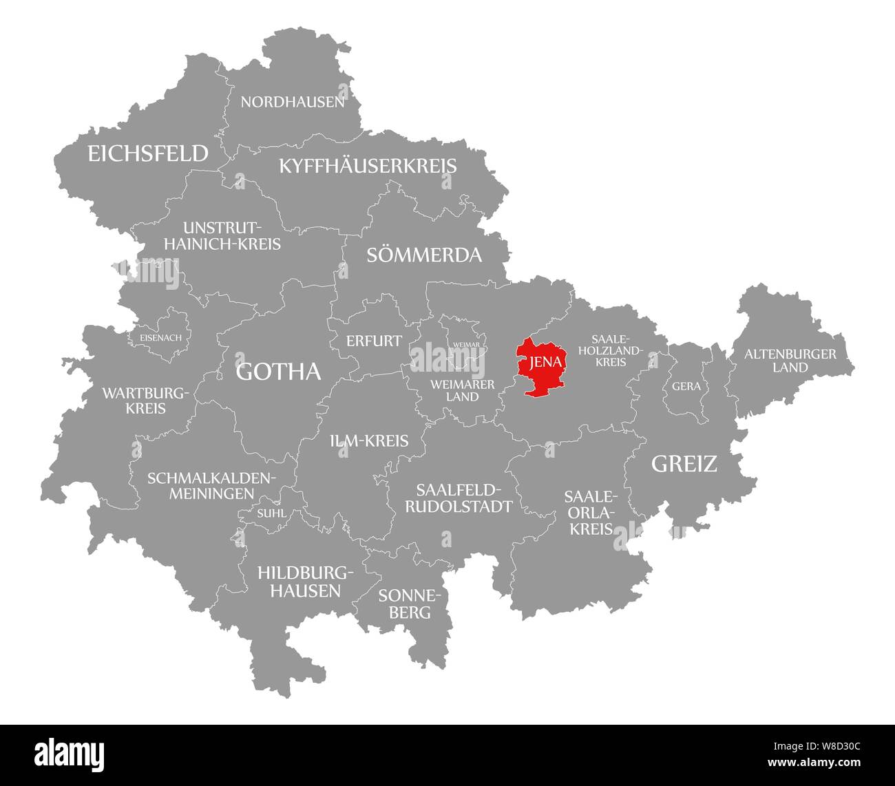 Jena red highlighted in map of Thuringia Germany Stock Photohttps://www.alamy.com/image-license-details/?v=1https://www.alamy.com/jena-red-highlighted-in-map-of-thuringia-germany-image263360508.html
RFW8D30C–Jena red highlighted in map of Thuringia Germany
 Gera city (Federal Republic of Germany, Urban district, Free State of Thuringia) map vector illustration, scribble sketch Gera map Stock Vectorhttps://www.alamy.com/image-license-details/?v=1https://www.alamy.com/gera-city-federal-republic-of-germany-urban-district-free-state-of-thuringia-map-vector-illustration-scribble-sketch-gera-map-image431951420.html
RF2G2N2CC–Gera city (Federal Republic of Germany, Urban district, Free State of Thuringia) map vector illustration, scribble sketch Gera map
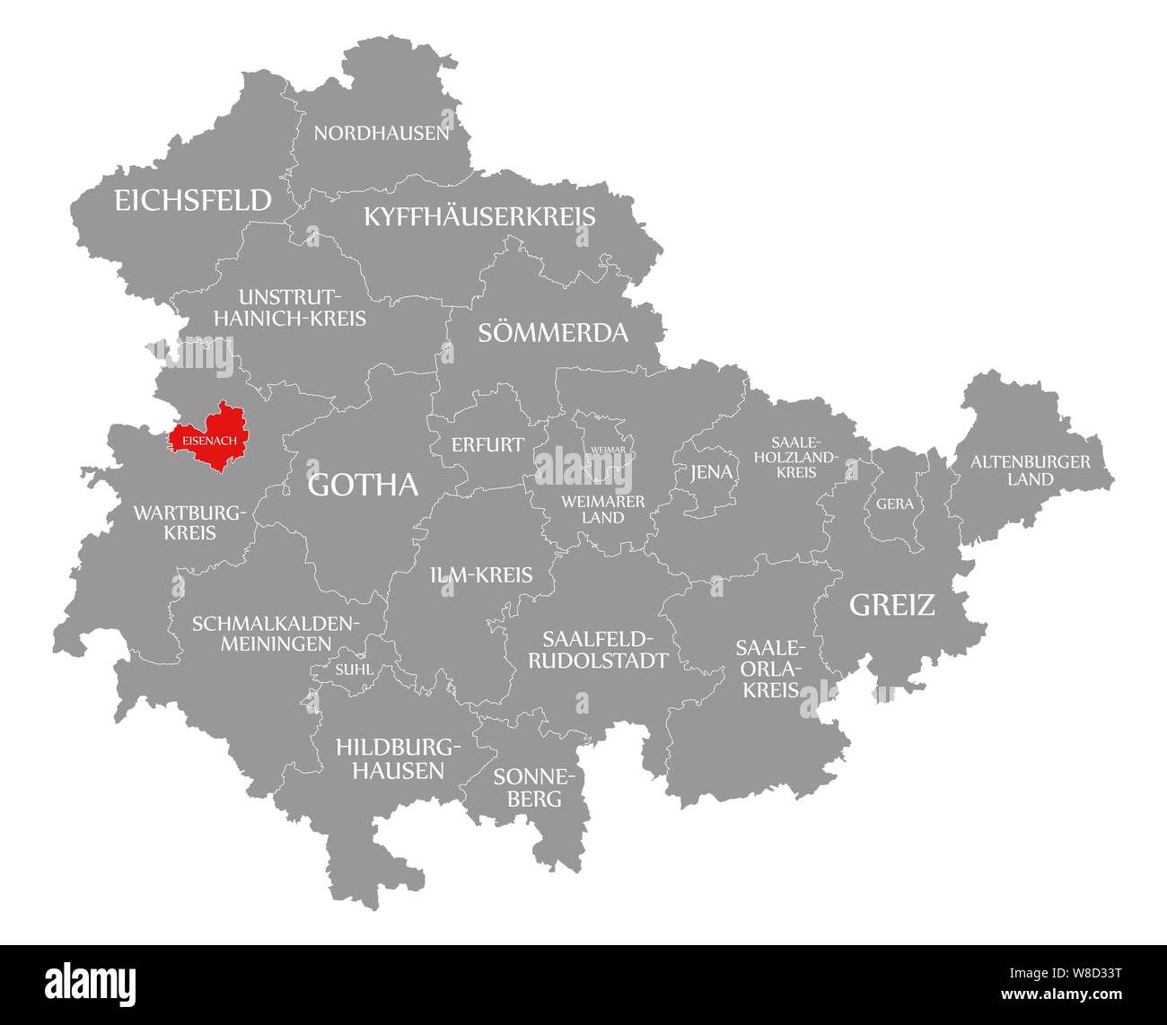 Eisenach red highlighted in map of Thuringia Germany Stock Photohttps://www.alamy.com/image-license-details/?v=1https://www.alamy.com/eisenach-red-highlighted-in-map-of-thuringia-germany-image263360604.html
RFW8D33T–Eisenach red highlighted in map of Thuringia Germany
 Schmalkalden-Meiningen district (Federal Republic of Germany, rural district, Free State of Thuringia) map vector illustration, scribble sketch Schmal Stock Vectorhttps://www.alamy.com/image-license-details/?v=1https://www.alamy.com/schmalkalden-meiningen-district-federal-republic-of-germany-rural-district-free-state-of-thuringia-map-vector-illustration-scribble-sketch-schmal-image435606795.html
RF2G8KGWF–Schmalkalden-Meiningen district (Federal Republic of Germany, rural district, Free State of Thuringia) map vector illustration, scribble sketch Schmal
 Hildburghausen red highlighted in map of Thuringia Germany Stock Photohttps://www.alamy.com/image-license-details/?v=1https://www.alamy.com/hildburghausen-red-highlighted-in-map-of-thuringia-germany-image263360471.html
RFW8D2Y3–Hildburghausen red highlighted in map of Thuringia Germany
 Eisenach city (Federal Republic of Germany, Urban district, Free State of Thuringia) map vector illustration, scribble sketch Eisenach map Stock Vectorhttps://www.alamy.com/image-license-details/?v=1https://www.alamy.com/eisenach-city-federal-republic-of-germany-urban-district-free-state-of-thuringia-map-vector-illustration-scribble-sketch-eisenach-map-image431950633.html
RF2G2N1C9–Eisenach city (Federal Republic of Germany, Urban district, Free State of Thuringia) map vector illustration, scribble sketch Eisenach map
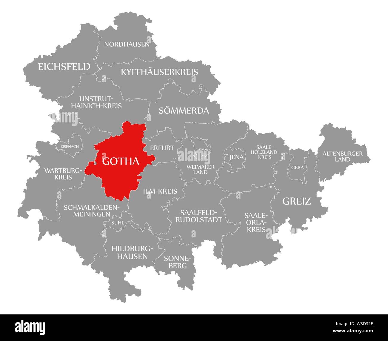 Gotha red highlighted in map of Thuringia Germany Stock Photohttps://www.alamy.com/image-license-details/?v=1https://www.alamy.com/gotha-red-highlighted-in-map-of-thuringia-germany-image263360566.html
RFW8D32E–Gotha red highlighted in map of Thuringia Germany
 Altenburger Land district (Federal Republic of Germany, rural district, Free State of Thuringia) map vector illustration, scribble sketch Altenburger Stock Vectorhttps://www.alamy.com/image-license-details/?v=1https://www.alamy.com/altenburger-land-district-federal-republic-of-germany-rural-district-free-state-of-thuringia-map-vector-illustration-scribble-sketch-altenburger-image434319126.html
RF2G6GXDA–Altenburger Land district (Federal Republic of Germany, rural district, Free State of Thuringia) map vector illustration, scribble sketch Altenburger
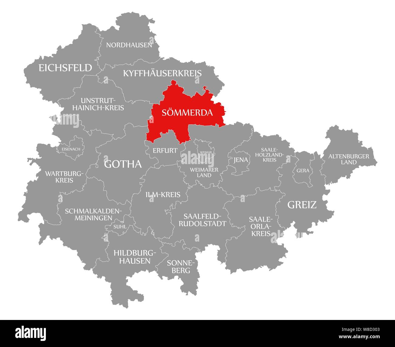 Soemmerda red highlighted in map of Thuringia Germany Stock Photohttps://www.alamy.com/image-license-details/?v=1https://www.alamy.com/soemmerda-red-highlighted-in-map-of-thuringia-germany-image263360499.html
RFW8D303–Soemmerda red highlighted in map of Thuringia Germany
 Sommerda district (Federal Republic of Germany, rural district, Free State of Thuringia) map vector illustration, scribble sketch Soemmerda map Stock Vectorhttps://www.alamy.com/image-license-details/?v=1https://www.alamy.com/sommerda-district-federal-republic-of-germany-rural-district-free-state-of-thuringia-map-vector-illustration-scribble-sketch-soemmerda-map-image431840967.html
RF2G2G1FK–Sommerda district (Federal Republic of Germany, rural district, Free State of Thuringia) map vector illustration, scribble sketch Soemmerda map
 Sonneberg red highlighted in map of Thuringia Germany Stock Photohttps://www.alamy.com/image-license-details/?v=1https://www.alamy.com/sonneberg-red-highlighted-in-map-of-thuringia-germany-image263360600.html
RFW8D33M–Sonneberg red highlighted in map of Thuringia Germany
 Weimar city (Federal Republic of Germany, Urban district, Free State of Thuringia) map vector illustration, scribble sketch Weimar map Stock Vectorhttps://www.alamy.com/image-license-details/?v=1https://www.alamy.com/weimar-city-federal-republic-of-germany-urban-district-free-state-of-thuringia-map-vector-illustration-scribble-sketch-weimar-map-image441788309.html
RF2GJN5DW–Weimar city (Federal Republic of Germany, Urban district, Free State of Thuringia) map vector illustration, scribble sketch Weimar map
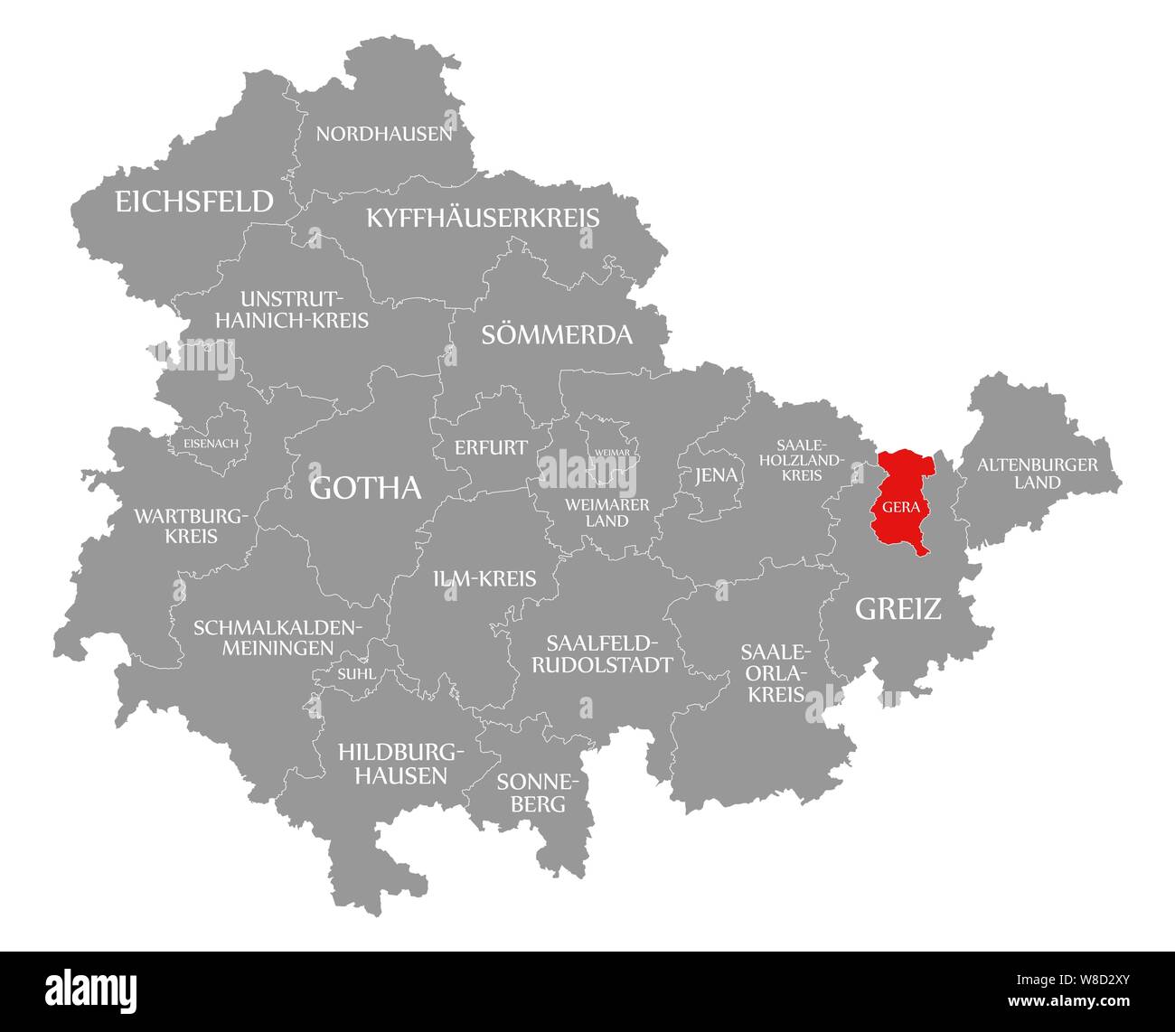 Gera red highlighted in map of Thuringia Germany Stock Photohttps://www.alamy.com/image-license-details/?v=1https://www.alamy.com/gera-red-highlighted-in-map-of-thuringia-germany-image263360467.html
RFW8D2XY–Gera red highlighted in map of Thuringia Germany
 Greiz district (Federal Republic of Germany, rural district, Free State of Thuringia) map vector illustration, scribble sketch Greiz map Stock Vectorhttps://www.alamy.com/image-license-details/?v=1https://www.alamy.com/greiz-district-federal-republic-of-germany-rural-district-free-state-of-thuringia-map-vector-illustration-scribble-sketch-greiz-map-image434769688.html
RF2G79D4T–Greiz district (Federal Republic of Germany, rural district, Free State of Thuringia) map vector illustration, scribble sketch Greiz map