Quick filters:
Tidal reaches Stock Photos and Images
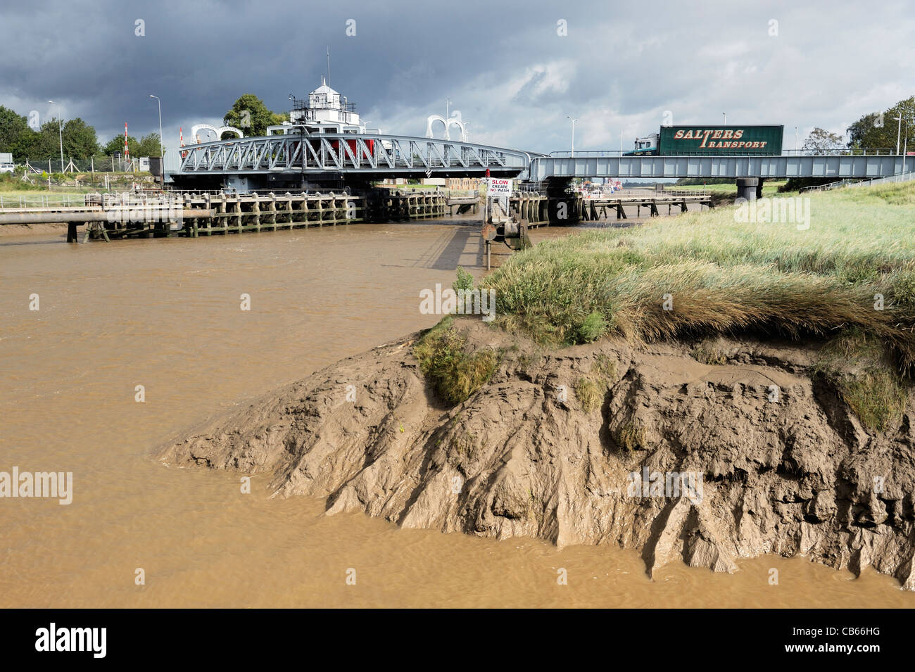 Swing bridge carries A17 road over tidal reaches of the navigable dredged River Nene at Sutton Bridge, Lincolnshire, England, UK Stock Photohttps://www.alamy.com/image-license-details/?v=1https://www.alamy.com/stock-photo-swing-bridge-carries-a17-road-over-tidal-reaches-of-the-navigable-41318860.html
RMCB66HG–Swing bridge carries A17 road over tidal reaches of the navigable dredged River Nene at Sutton Bridge, Lincolnshire, England, UK
 Tidal reaches of the River Avon as it emerges from the Avon Gorge near Bristol UK Stock Photohttps://www.alamy.com/image-license-details/?v=1https://www.alamy.com/tidal-reaches-of-the-river-avon-as-it-emerges-from-the-avon-gorge-near-bristol-uk-image463789451.html
RM2HXFC4Y–Tidal reaches of the River Avon as it emerges from the Avon Gorge near Bristol UK
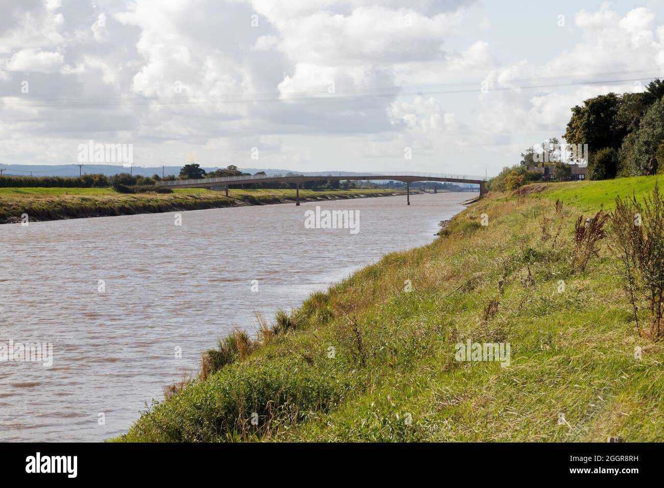 Saltney Ferry footbridge on New Cut channel on the tidal reaches of the River Dee Stock Photohttps://www.alamy.com/image-license-details/?v=1https://www.alamy.com/saltney-ferry-footbridge-on-new-cut-channel-on-the-tidal-reaches-of-the-river-dee-image440605525.html
RF2GGR8RH–Saltney Ferry footbridge on New Cut channel on the tidal reaches of the River Dee
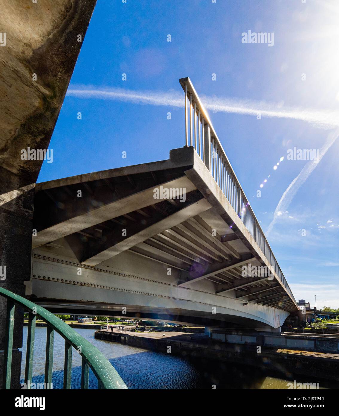 Plimsoll Bridge swinging open to allow boats to pass between the Cumberland Basin and Brunel Lock and tidal reaches of the River Avon in Bristol UK Stock Photohttps://www.alamy.com/image-license-details/?v=1https://www.alamy.com/plimsoll-bridge-swinging-open-to-allow-boats-to-pass-between-the-cumberland-basin-and-brunel-lock-and-tidal-reaches-of-the-river-avon-in-bristol-uk-image470141415.html
RM2J8TP4R–Plimsoll Bridge swinging open to allow boats to pass between the Cumberland Basin and Brunel Lock and tidal reaches of the River Avon in Bristol UK
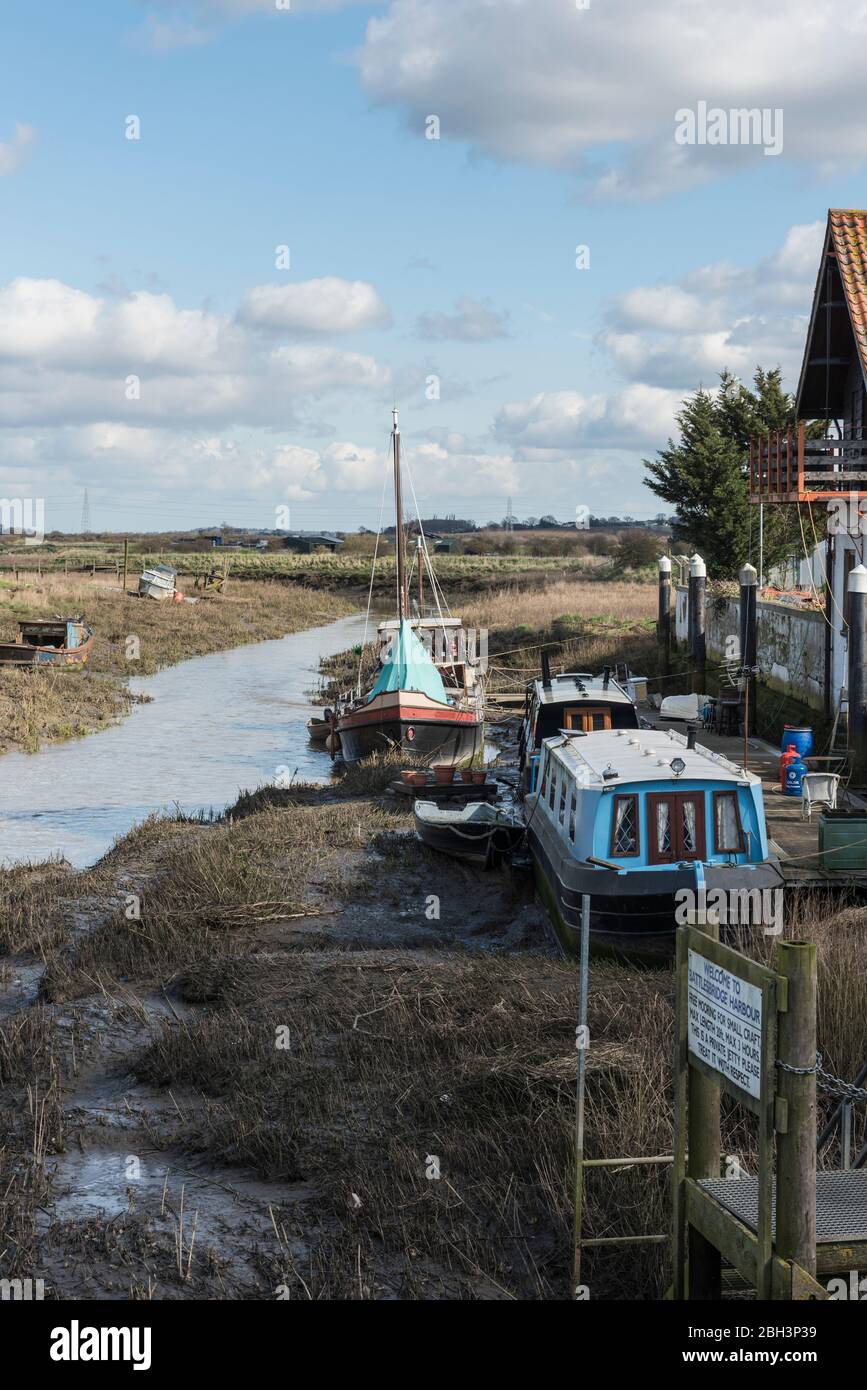 View of the tidal reaches of the River Crouch from the bridge at Battlesbridge, Essex Stock Photohttps://www.alamy.com/image-license-details/?v=1https://www.alamy.com/view-of-the-tidal-reaches-of-the-river-crouch-from-the-bridge-at-battlesbridge-essex-image354739709.html
RM2BH3P39–View of the tidal reaches of the River Crouch from the bridge at Battlesbridge, Essex
 View across the River Yar Tidal Estuary to Freshwater village, Isle of Wight, England, UK Stock Photohttps://www.alamy.com/image-license-details/?v=1https://www.alamy.com/stock-photo-view-across-the-river-yar-tidal-estuary-to-freshwater-village-isle-88985557.html
RFF4NHYH–View across the River Yar Tidal Estuary to Freshwater village, Isle of Wight, England, UK
 Sand dunes where Norfolk Coast path National Trail from Barnham Overy Staithe reaches the sea, East Anglia, England, UK. Stock Photohttps://www.alamy.com/image-license-details/?v=1https://www.alamy.com/sand-dunes-where-norfolk-coast-path-national-trail-from-barnham-overy-staithe-reaches-the-sea-east-anglia-england-uk-image241337907.html
RFT0HTXY–Sand dunes where Norfolk Coast path National Trail from Barnham Overy Staithe reaches the sea, East Anglia, England, UK.
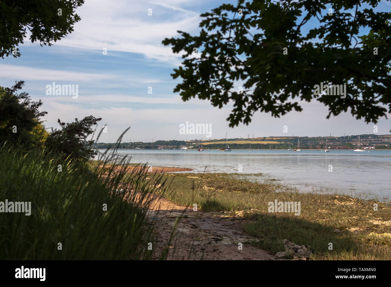 Fareham Lake in the upper reaches of Portsmouth Harbour, from Monk's Walk, Gosport, Hampshire, England, UK Stock Photohttps://www.alamy.com/image-license-details/?v=1https://www.alamy.com/fareham-lake-in-the-upper-reaches-of-portsmouth-harbour-from-monks-walk-gosport-hampshire-england-uk-image247678732.html
RFTAXMN0–Fareham Lake in the upper reaches of Portsmouth Harbour, from Monk's Walk, Gosport, Hampshire, England, UK
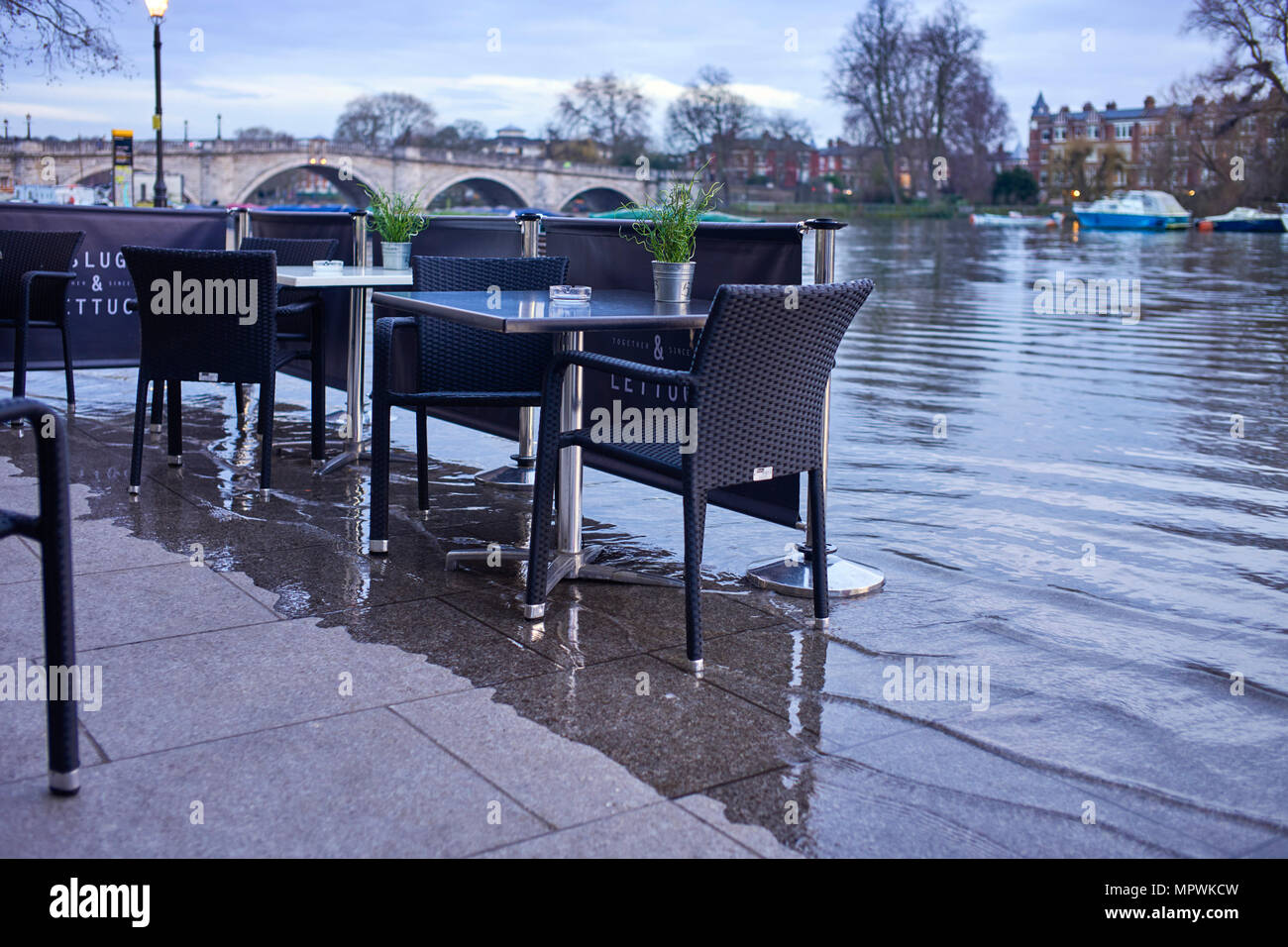 The high tide at Richmond upon Thames reaches outside tables of the Slug and Lettuce restaurant Stock Photohttps://www.alamy.com/image-license-details/?v=1https://www.alamy.com/the-high-tide-at-richmond-upon-thames-reaches-outside-tables-of-the-slug-and-lettuce-restaurant-image186190169.html
RMMPWKCW–The high tide at Richmond upon Thames reaches outside tables of the Slug and Lettuce restaurant
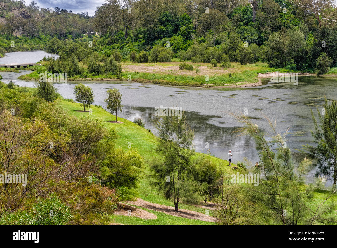 Colleges Crossing is on the upper reaches of the Brisbane river. The fishing is very good and in the tidal water sharks are plentiful Stock Photohttps://www.alamy.com/image-license-details/?v=1https://www.alamy.com/colleges-crossing-is-on-the-upper-reaches-of-the-brisbane-river-the-fishing-is-very-good-and-in-the-tidal-water-sharks-are-plentiful-image185520196.html
RFMNR4W8–Colleges Crossing is on the upper reaches of the Brisbane river. The fishing is very good and in the tidal water sharks are plentiful
 Sydney rock oysters (Saccostrea glomerata) growing naturally on the shores of the upper reaches of Sydney Harbour near East Lindfield Stock Photohttps://www.alamy.com/image-license-details/?v=1https://www.alamy.com/sydney-rock-oysters-saccostrea-glomerata-growing-naturally-on-the-shores-of-the-upper-reaches-of-sydney-harbour-near-east-lindfield-image449536557.html
RM2H3A4D1–Sydney rock oysters (Saccostrea glomerata) growing naturally on the shores of the upper reaches of Sydney Harbour near East Lindfield
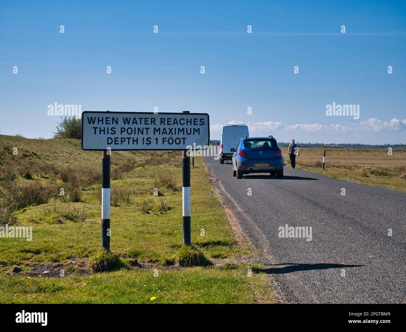 A roadside sign warns that when water reaches the sign that the depth of water on the road ahead will be a maximum of 1 foot. Stock Photohttps://www.alamy.com/image-license-details/?v=1https://www.alamy.com/a-roadside-sign-warns-that-when-water-reaches-the-sign-that-the-depth-of-water-on-the-road-ahead-will-be-a-maximum-of-1-foot-image423419369.html
RF2FGTBM9–A roadside sign warns that when water reaches the sign that the depth of water on the road ahead will be a maximum of 1 foot.
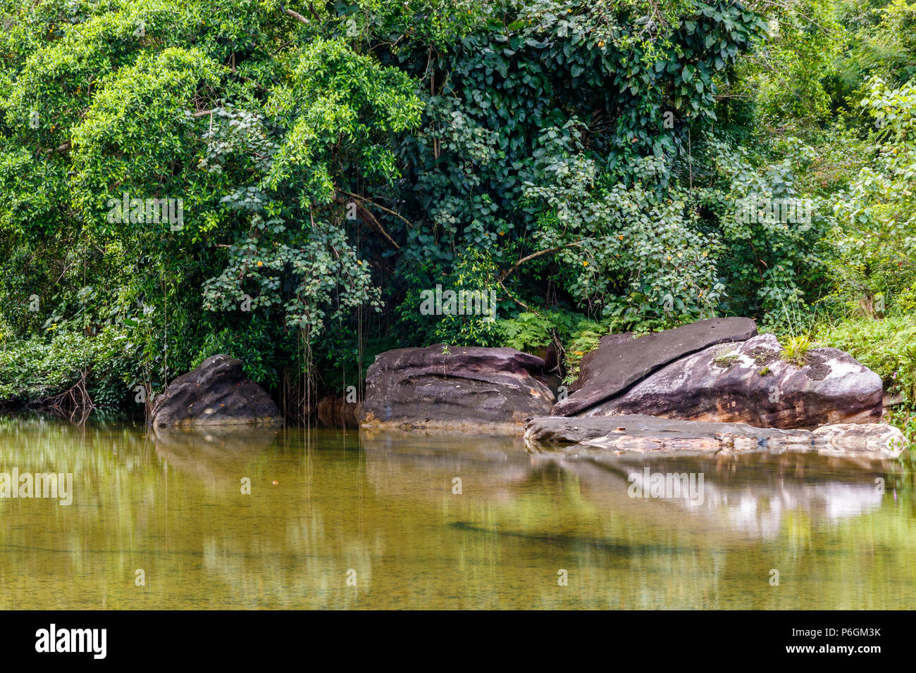 Tidal pool on the island of Koh Kood thailand, lush jungle foliage reaches the water's edge; rocks mirrored on the still surface. Stock Photohttps://www.alamy.com/image-license-details/?v=1https://www.alamy.com/tidal-pool-on-the-island-of-koh-kood-thailand-lush-jungle-foliage-reaches-the-waters-edge-rocks-mirrored-on-the-still-surface-image210579367.html
RFP6GM3K–Tidal pool on the island of Koh Kood thailand, lush jungle foliage reaches the water's edge; rocks mirrored on the still surface.
 A view of the lower reaches of the River Bure on the Norfolk Broads at Stokesby, Norfolk, England, United Kingdom, Europe. Stock Photohttps://www.alamy.com/image-license-details/?v=1https://www.alamy.com/a-view-of-the-lower-reaches-of-the-river-bure-on-the-norfolk-broads-at-stokesby-norfolk-england-united-kingdom-europe-image222096587.html
RMPW9ACY–A view of the lower reaches of the River Bure on the Norfolk Broads at Stokesby, Norfolk, England, United Kingdom, Europe.
 The Welsh water road bridge to allow access to the Ogmore sewerage plant on the opposite bank of the river Ogmore. Stock Photohttps://www.alamy.com/image-license-details/?v=1https://www.alamy.com/the-welsh-water-road-bridge-to-allow-access-to-the-ogmore-sewerage-image156295516.html
RMK27TEM–The Welsh water road bridge to allow access to the Ogmore sewerage plant on the opposite bank of the river Ogmore.
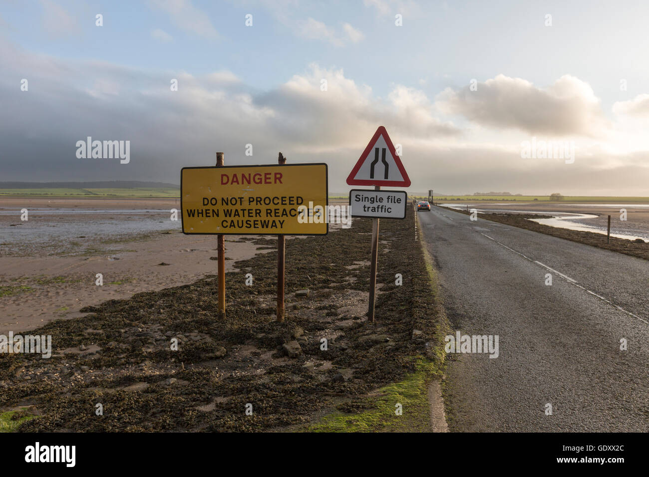 Signs of Danger in a causeway in low tide to The Holy Island of Lindisfarne, Northumberland, England, UK Stock Photohttps://www.alamy.com/image-license-details/?v=1https://www.alamy.com/stock-photo-signs-of-danger-in-a-causeway-in-low-tide-to-the-holy-island-of-lindisfarne-111843940.html
RMGDXX2C–Signs of Danger in a causeway in low tide to The Holy Island of Lindisfarne, Northumberland, England, UK
 Sign: Single File Traffic, Danger do not proceed when water reaches causeway, seen on the road between Beal and Holy Island in Northumberland, England Stock Photohttps://www.alamy.com/image-license-details/?v=1https://www.alamy.com/sign-single-file-traffic-danger-do-not-proceed-when-water-reaches-causeway-seen-on-the-road-between-beal-and-holy-island-in-northumberland-england-image619049698.html
RM2XY445P–Sign: Single File Traffic, Danger do not proceed when water reaches causeway, seen on the road between Beal and Holy Island in Northumberland, England
 Arco Dee dredger in the upper reaches of Langstone harbour in Hampshire. Operated by Hansons Europe's largest producer of dredged sand and gravel. Stock Photohttps://www.alamy.com/image-license-details/?v=1https://www.alamy.com/stock-image-arco-dee-dredger-in-the-upper-reaches-of-langstone-harbour-in-hampshire-168842800.html
RMKPKCM0–Arco Dee dredger in the upper reaches of Langstone harbour in Hampshire. Operated by Hansons Europe's largest producer of dredged sand and gravel.
 Outer Hebrides island of North Uist, Scotland, UK. North east across the tidal reaches of Traigh Bhalaigh on the northern coast Stock Photohttps://www.alamy.com/image-license-details/?v=1https://www.alamy.com/stock-photo-outer-hebrides-island-of-north-uist-scotland-uk-north-east-across-16194698.html
RMAT414Y–Outer Hebrides island of North Uist, Scotland, UK. North east across the tidal reaches of Traigh Bhalaigh on the northern coast
 Sailing boats moored in the tidal reaches of the Beaulieu River Stock Photohttps://www.alamy.com/image-license-details/?v=1https://www.alamy.com/stock-photo-sailing-boats-moored-in-the-tidal-reaches-of-the-beaulieu-river-10498852.html
RFA2EH7H–Sailing boats moored in the tidal reaches of the Beaulieu River
 Sea fog covers the upper reaches of Chichester Harbour on a spring morning Stock Photohttps://www.alamy.com/image-license-details/?v=1https://www.alamy.com/stock-photo-sea-fog-covers-the-upper-reaches-of-chichester-harbour-on-a-spring-81029981.html
RMEKR6FW–Sea fog covers the upper reaches of Chichester Harbour on a spring morning
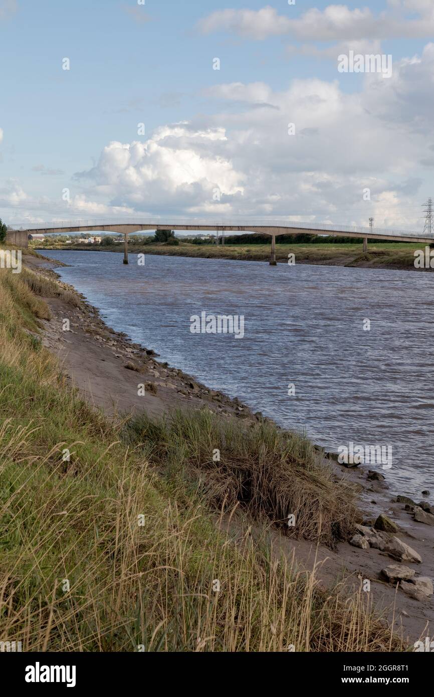 Saltney Ferry footbridge on New Cut channel on the tidal reaches of the River Dee Stock Photohttps://www.alamy.com/image-license-details/?v=1https://www.alamy.com/saltney-ferry-footbridge-on-new-cut-channel-on-the-tidal-reaches-of-the-river-dee-image440605537.html
RF2GGR8T1–Saltney Ferry footbridge on New Cut channel on the tidal reaches of the River Dee
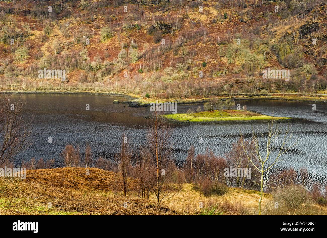 Looking down onto Loch Leven's upper reaches on a February morning in North West Scotland,. Loch Leven is a sea loch and runs into Loch Lhinnie. Stock Photohttps://www.alamy.com/image-license-details/?v=1https://www.alamy.com/looking-down-onto-loch-levens-upper-reaches-on-a-february-morning-in-north-west-scotland-loch-leven-is-a-sea-loch-and-runs-into-loch-lhinnie-image262797904.html
RMW7FDBC–Looking down onto Loch Leven's upper reaches on a February morning in North West Scotland,. Loch Leven is a sea loch and runs into Loch Lhinnie.
 The tidal reaches of the River Ellen in Maryport. The sculpture is called ‘A Fishy Tale’ by Colin Telfor and is a tribute to the fishermen of the town Stock Photohttps://www.alamy.com/image-license-details/?v=1https://www.alamy.com/the-tidal-reaches-of-the-river-ellen-in-maryport-the-sculpture-is-called-a-fishy-tale-by-colin-telfor-and-is-a-tribute-to-the-fishermen-of-the-town-image439428112.html
RF2GEWK14–The tidal reaches of the River Ellen in Maryport. The sculpture is called ‘A Fishy Tale’ by Colin Telfor and is a tribute to the fishermen of the town
 View of the tidal reaches of the River Crouch from the bridge at Battlesbridge, Essex Stock Photohttps://www.alamy.com/image-license-details/?v=1https://www.alamy.com/view-of-the-tidal-reaches-of-the-river-crouch-from-the-bridge-at-battlesbridge-essex-image354739699.html
RM2BH3P2Y–View of the tidal reaches of the River Crouch from the bridge at Battlesbridge, Essex
 View across the River Yar Tidal Estuary to Freshwater village, Isle of Wight, England, UK Stock Photohttps://www.alamy.com/image-license-details/?v=1https://www.alamy.com/stock-photo-view-across-the-river-yar-tidal-estuary-to-freshwater-village-isle-88985547.html
RFF4NHY7–View across the River Yar Tidal Estuary to Freshwater village, Isle of Wight, England, UK
 Sand dunes where Norfolk Coast path National Trail from Barnham Overy Staithe reaches the sea, East Anglia, England, UK. Stock Photohttps://www.alamy.com/image-license-details/?v=1https://www.alamy.com/sand-dunes-where-norfolk-coast-path-national-trail-from-barnham-overy-staithe-reaches-the-sea-east-anglia-england-uk-image241337915.html
RFT0HTY7–Sand dunes where Norfolk Coast path National Trail from Barnham Overy Staithe reaches the sea, East Anglia, England, UK.
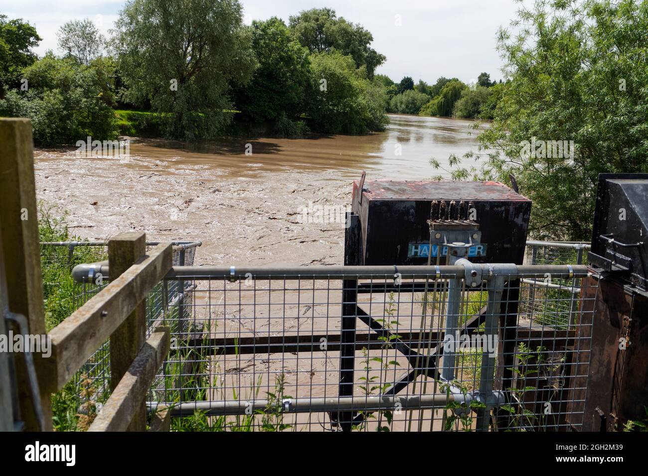 Maismore Weir overtopped by the tide on the River Severn; the normal end point for the Severn Bore if it reaches this far Stock Photohttps://www.alamy.com/image-license-details/?v=1https://www.alamy.com/maismore-weir-overtopped-by-the-tide-on-the-river-severn-the-normal-end-point-for-the-severn-bore-if-it-reaches-this-far-image440768029.html
RF2GH2M39–Maismore Weir overtopped by the tide on the River Severn; the normal end point for the Severn Bore if it reaches this far
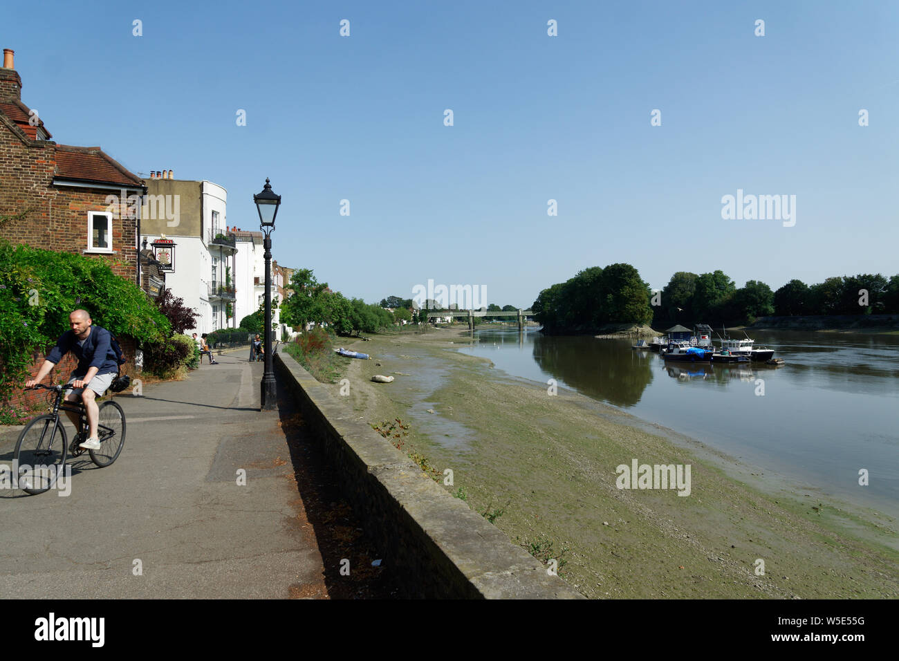 UK Weather: Strand-on-the-Green, Chiswick, in record breaking sunshine. July 2019 Stock Photohttps://www.alamy.com/image-license-details/?v=1https://www.alamy.com/uk-weather-strand-on-the-green-chiswick-in-record-breaking-sunshine-july-2019-image261540204.html
RFW5E55G–UK Weather: Strand-on-the-Green, Chiswick, in record breaking sunshine. July 2019
 A weaker reflected wave sometimes appears after the Severn Bore reaches Maisemore Weir, seen here from Maisemore Bridge Stock Photohttps://www.alamy.com/image-license-details/?v=1https://www.alamy.com/a-weaker-reflected-wave-sometimes-appears-after-the-severn-bore-reaches-maisemore-weir-seen-here-from-maisemore-bridge-image440768078.html
RF2GH2M52–A weaker reflected wave sometimes appears after the Severn Bore reaches Maisemore Weir, seen here from Maisemore Bridge
 Sydney rock oysters (Saccostrea glomerata) growing naturally on the shores of the upper reaches of Sydney Harbour near East Lindfield Stock Photohttps://www.alamy.com/image-license-details/?v=1https://www.alamy.com/sydney-rock-oysters-saccostrea-glomerata-growing-naturally-on-the-shores-of-the-upper-reaches-of-sydney-harbour-near-east-lindfield-image449536528.html
RM2H3A4C0–Sydney rock oysters (Saccostrea glomerata) growing naturally on the shores of the upper reaches of Sydney Harbour near East Lindfield
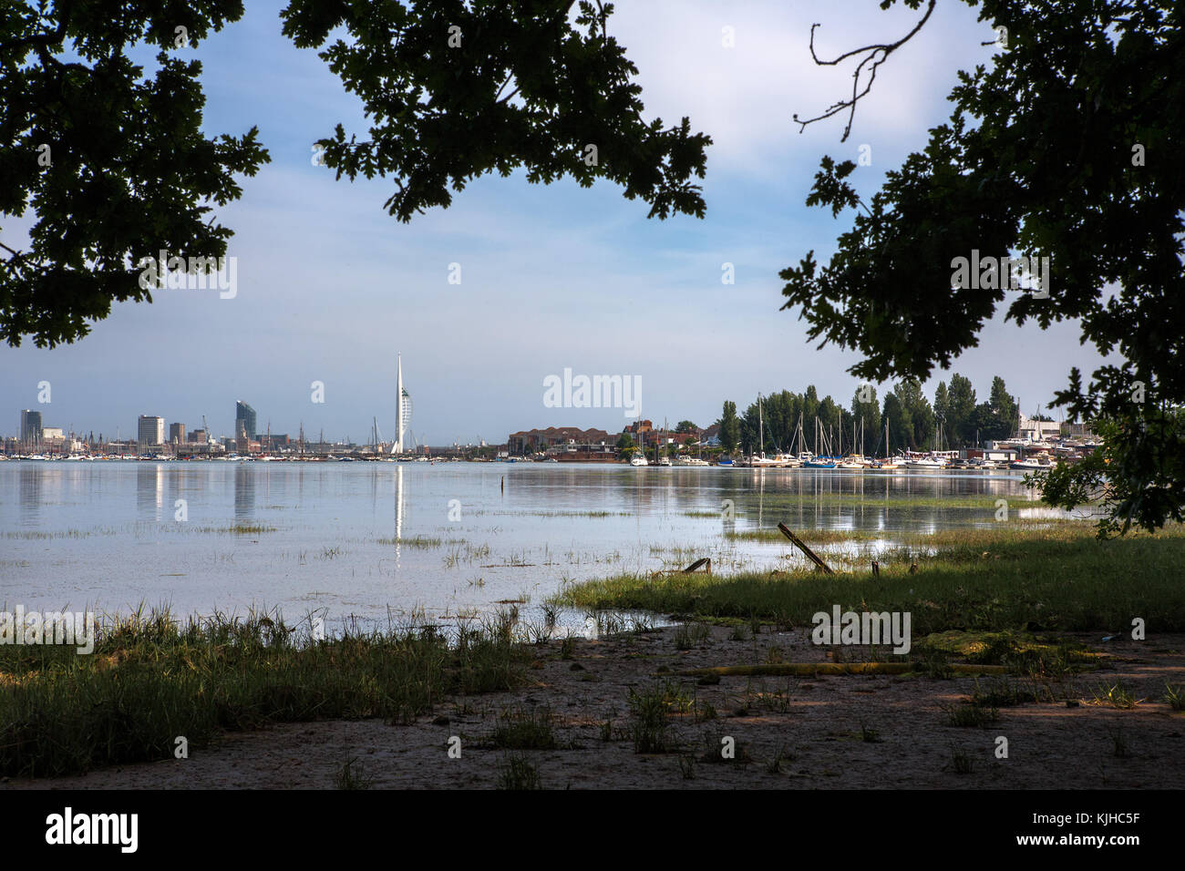 Portsmouth and the upper reaches of Portsmouth Harbour from the Gosport side at Elson, Gosport, Hampshire, England, UK Stock Photohttps://www.alamy.com/image-license-details/?v=1https://www.alamy.com/stock-image-portsmouth-and-the-upper-reaches-of-portsmouth-harbour-from-the-gosport-166339867.html
RFKJHC5F–Portsmouth and the upper reaches of Portsmouth Harbour from the Gosport side at Elson, Gosport, Hampshire, England, UK
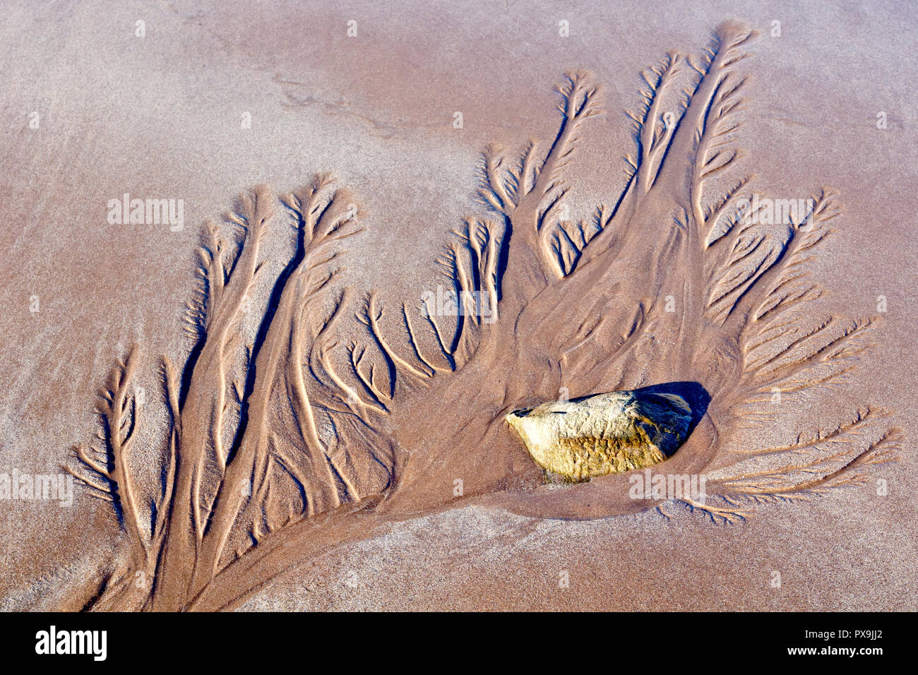 An abstract landscape created by water draining from the sand after the tide goes out. Stock Photohttps://www.alamy.com/image-license-details/?v=1https://www.alamy.com/an-abstract-landscape-created-by-water-draining-from-the-sand-after-the-tide-goes-out-image222717658.html
RFPX9JJ2–An abstract landscape created by water draining from the sand after the tide goes out.
 The Welsh water road bridge to allow access to the Ogmore sewerage plant on the opposite bank of the river Ogmore. Stock Photohttps://www.alamy.com/image-license-details/?v=1https://www.alamy.com/the-welsh-water-road-bridge-to-allow-access-to-the-ogmore-sewerage-image156295541.html
RMK27TFH–The Welsh water road bridge to allow access to the Ogmore sewerage plant on the opposite bank of the river Ogmore.
 The reaches of the sea. Stock Photohttps://www.alamy.com/image-license-details/?v=1https://www.alamy.com/stock-photo-the-reaches-of-the-sea-136366416.html
RMHWT0N4–The reaches of the sea.
 looking along the river Ogmore towards the point where the River Ewenny joins it, horses returning fron a hack on the sand dunes. Stock Photohttps://www.alamy.com/image-license-details/?v=1https://www.alamy.com/looking-along-the-river-ogmore-towards-the-point-where-the-river-ewenny-image153554887.html
RMJWR0R3–looking along the river Ogmore towards the point where the River Ewenny joins it, horses returning fron a hack on the sand dunes.
 Sign: Single File Traffic, Danger do not proceed when water reaches causeway, seen on the road between Beal and Holy Island in Northumberland, England Stock Photohttps://www.alamy.com/image-license-details/?v=1https://www.alamy.com/sign-single-file-traffic-danger-do-not-proceed-when-water-reaches-causeway-seen-on-the-road-between-beal-and-holy-island-in-northumberland-england-image619840859.html
RM2Y0C59F–Sign: Single File Traffic, Danger do not proceed when water reaches causeway, seen on the road between Beal and Holy Island in Northumberland, England
 Looking across the river Ogmore with the castle ruins standing tall in the background and horses grazing on lush grass in the fields. Stock Photohttps://www.alamy.com/image-license-details/?v=1https://www.alamy.com/looking-across-the-river-ogmore-with-the-castle-ruins-standing-tall-in-the-background-and-horses-grazing-on-lush-grass-in-the-fields-image224631769.html
RMR1CT35–Looking across the river Ogmore with the castle ruins standing tall in the background and horses grazing on lush grass in the fields.
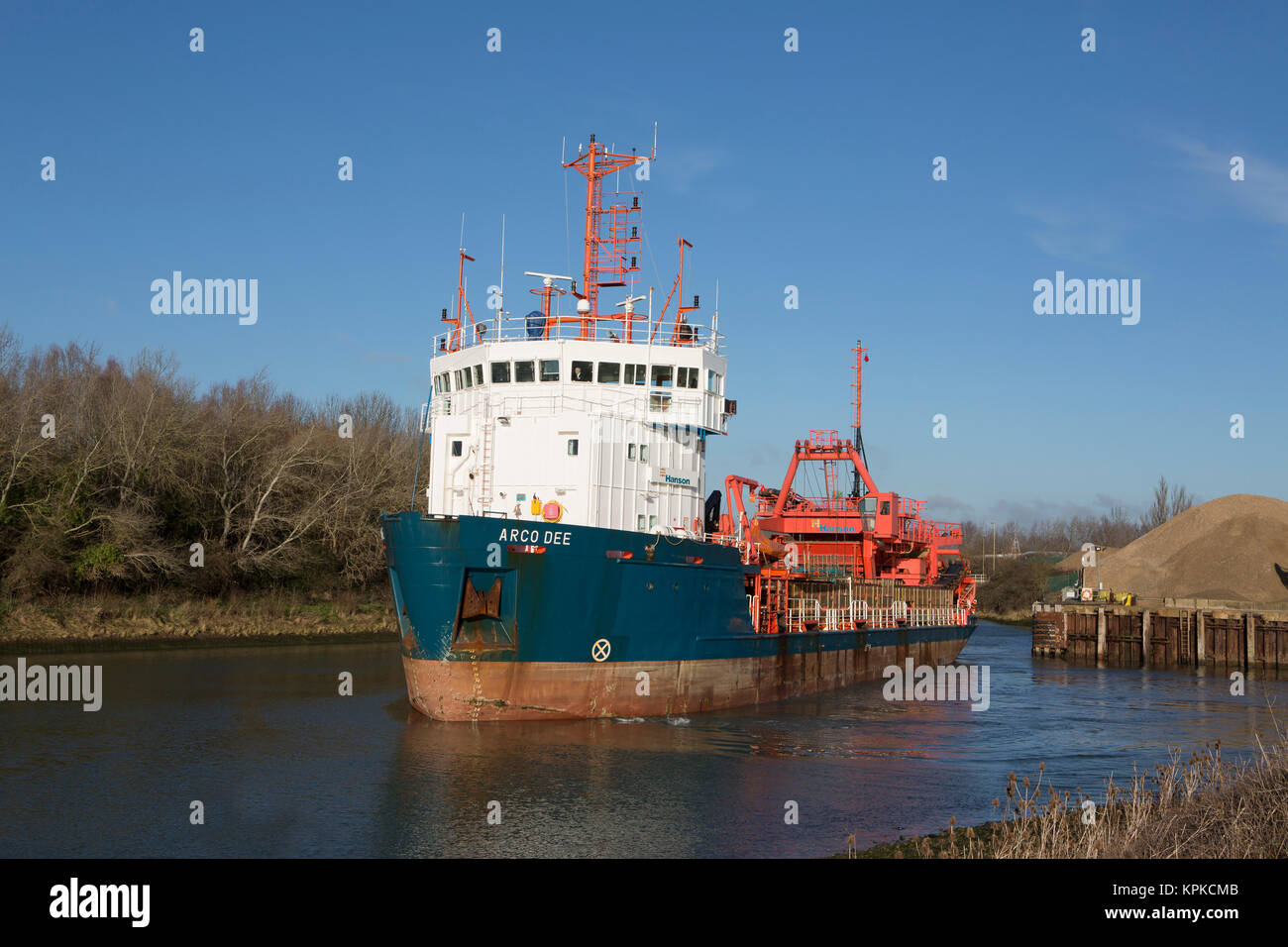 Arco Dee dredger in the upper reaches of Langstone harbour in Hampshire. Operated by Hansons Europe's largest producer of dredged sand and gravel. Stock Photohttps://www.alamy.com/image-license-details/?v=1https://www.alamy.com/stock-image-arco-dee-dredger-in-the-upper-reaches-of-langstone-harbour-in-hampshire-168842811.html
RMKPKCMB–Arco Dee dredger in the upper reaches of Langstone harbour in Hampshire. Operated by Hansons Europe's largest producer of dredged sand and gravel.
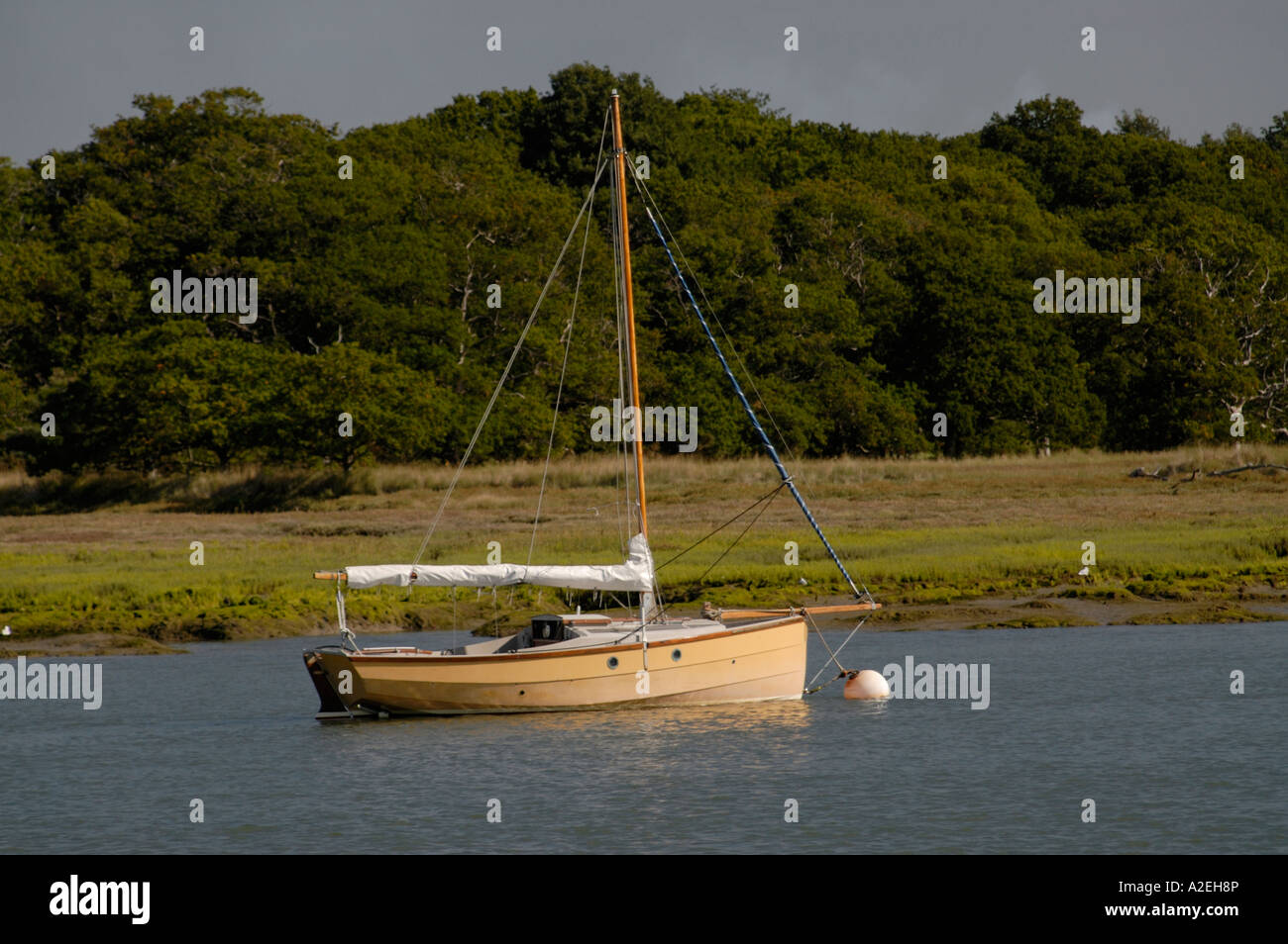 Sailing boat moored in the tidal reaches of the Beaulieu River Stock Photohttps://www.alamy.com/image-license-details/?v=1https://www.alamy.com/stock-photo-sailing-boat-moored-in-the-tidal-reaches-of-the-beaulieu-river-10498869.html
RFA2EH8P–Sailing boat moored in the tidal reaches of the Beaulieu River
 Sea fog covers the upper reaches of Chichester Harbour on a spring morning Stock Photohttps://www.alamy.com/image-license-details/?v=1https://www.alamy.com/stock-photo-sea-fog-covers-the-upper-reaches-of-chichester-harbour-on-a-spring-81030184.html
RMEKR6R4–Sea fog covers the upper reaches of Chichester Harbour on a spring morning
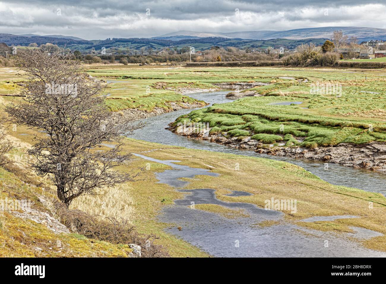 The Lower Reaches Of The River Keer (Carnforth) Stock Photohttps://www.alamy.com/image-license-details/?v=1https://www.alamy.com/the-lower-reaches-of-the-river-keer-carnforth-image354842990.html
RF2BH8DRX–The Lower Reaches Of The River Keer (Carnforth)
 Wheels, one wheel reaches into the other, Vector Stock Photohttps://www.alamy.com/image-license-details/?v=1https://www.alamy.com/wheels-one-wheel-reaches-into-the-other-vector-image329665162.html
RM2A49F7P–Wheels, one wheel reaches into the other, Vector
 View of the tidal reaches of the River Crouch from the bridge at Battlesbridge, Essex Stock Photohttps://www.alamy.com/image-license-details/?v=1https://www.alamy.com/view-of-the-tidal-reaches-of-the-river-crouch-from-the-bridge-at-battlesbridge-essex-image354739687.html
RM2BH3P2F–View of the tidal reaches of the River Crouch from the bridge at Battlesbridge, Essex
 View across the River Yar Tidal Estuary to Freshwater village, Isle of Wight, England, UK Stock Photohttps://www.alamy.com/image-license-details/?v=1https://www.alamy.com/stock-photo-view-across-the-river-yar-tidal-estuary-to-freshwater-village-isle-88985552.html
RFF4NHYC–View across the River Yar Tidal Estuary to Freshwater village, Isle of Wight, England, UK
 Sand dunes where Norfolk Coast path National Trail from Burnham Overy Staithe reaches the sea, East Anglia, England, UK. Stock Photohttps://www.alamy.com/image-license-details/?v=1https://www.alamy.com/sand-dunes-where-norfolk-coast-path-national-trail-from-burnham-overy-staithe-reaches-the-sea-east-anglia-england-uk-image242823501.html
RFT31FRW–Sand dunes where Norfolk Coast path National Trail from Burnham Overy Staithe reaches the sea, East Anglia, England, UK.
 Cold winter evening on Faversham Creek, East Kent UK Stock Photohttps://www.alamy.com/image-license-details/?v=1https://www.alamy.com/stock-photo-cold-winter-evening-on-faversham-creek-east-kent-uk-23513367.html
RMBA73F3–Cold winter evening on Faversham Creek, East Kent UK
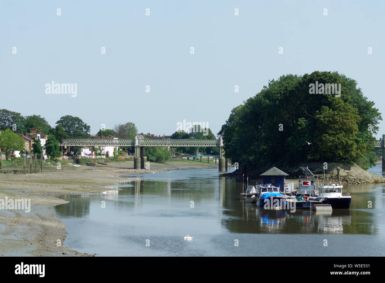 UK Weather: Strand-on-the-Green, Chiswick, in record breaking sunshine. July 2019 Stock Photohttps://www.alamy.com/image-license-details/?v=1https://www.alamy.com/uk-weather-strand-on-the-green-chiswick-in-record-breaking-sunshine-july-2019-image261540133.html
RFW5E531–UK Weather: Strand-on-the-Green, Chiswick, in record breaking sunshine. July 2019
 The old fallen apart weir at Portobello on the river Ogmore just below the Filtration plant on the tidal reach of the river mouth in this scenic area. Stock Photohttps://www.alamy.com/image-license-details/?v=1https://www.alamy.com/the-old-fallen-apart-weir-at-portobello-on-the-river-ogmore-just-below-the-filtration-plant-on-the-tidal-reach-of-the-river-mouth-in-this-scenic-area-image367143347.html
RM2C98R2B–The old fallen apart weir at Portobello on the river Ogmore just below the Filtration plant on the tidal reach of the river mouth in this scenic area.
 A man paddles a fishing kayak in the pristine water of the upper reaches of Sydney Harbour near Two Creeks Track and the Roseville Bridge in Australia Stock Photohttps://www.alamy.com/image-license-details/?v=1https://www.alamy.com/a-man-paddles-a-fishing-kayak-in-the-pristine-water-of-the-upper-reaches-of-sydney-harbour-near-two-creeks-track-and-the-roseville-bridge-in-australia-image449536502.html
RM2H3A4B2–A man paddles a fishing kayak in the pristine water of the upper reaches of Sydney Harbour near Two Creeks Track and the Roseville Bridge in Australia
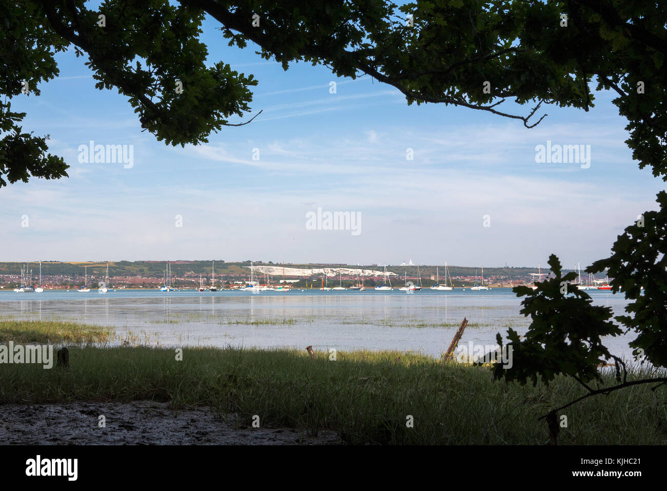 Fareham Lake in the upper reaches of Portsmouth Harbour, from Monk's Walk, Gosport, Hampshire, England, UK Stock Photohttps://www.alamy.com/image-license-details/?v=1https://www.alamy.com/stock-image-fareham-lake-in-the-upper-reaches-of-portsmouth-harbour-from-monks-166339769.html
RFKJHC21–Fareham Lake in the upper reaches of Portsmouth Harbour, from Monk's Walk, Gosport, Hampshire, England, UK
 A remote landscape of a bend in the lower reaches of the River Bure on the Norfolk Broads at Stokesby, Norfolk, England, United Kingdom, Europe. Stock Photohttps://www.alamy.com/image-license-details/?v=1https://www.alamy.com/a-remote-landscape-of-a-bend-in-the-lower-reaches-of-the-river-bure-on-the-norfolk-broads-at-stokesby-norfolk-england-united-kingdom-europe-image222096664.html
RMPW9AFM–A remote landscape of a bend in the lower reaches of the River Bure on the Norfolk Broads at Stokesby, Norfolk, England, United Kingdom, Europe.
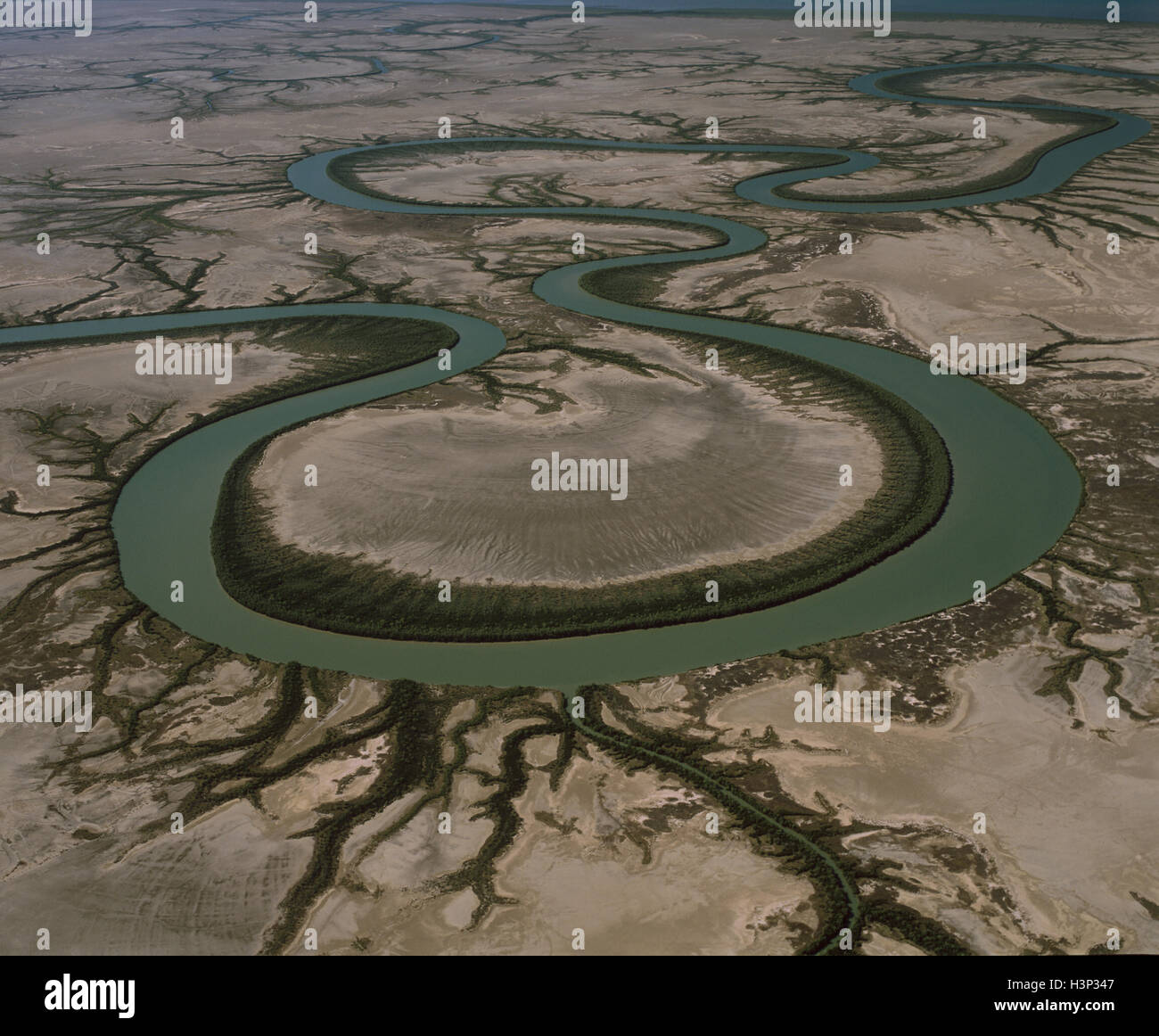 Gin Arm Creek oxbows, aerial, Stock Photohttps://www.alamy.com/image-license-details/?v=1https://www.alamy.com/stock-photo-gin-arm-creek-oxbows-aerial-122801959.html
RMH3P347–Gin Arm Creek oxbows, aerial,
 The reaches of the sea. Stock Photohttps://www.alamy.com/image-license-details/?v=1https://www.alamy.com/stock-photo-the-reaches-of-the-sea-136366408.html
RMHWT0MT–The reaches of the sea.
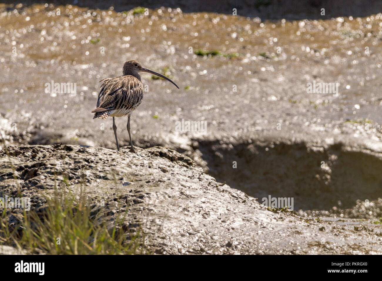 Curlew (Numenius arquata) on tidal mud banks is the commonest large wader long downcurved bill brown grey plumage with pale underparts long grey legs. Stock Photohttps://www.alamy.com/image-license-details/?v=1https://www.alamy.com/curlew-numenius-arquata-on-tidal-mud-banks-is-the-commonest-large-wader-long-downcurved-bill-brown-grey-plumage-with-pale-underparts-long-grey-legs-image218721048.html
RMPKRGX0–Curlew (Numenius arquata) on tidal mud banks is the commonest large wader long downcurved bill brown grey plumage with pale underparts long grey legs.
 Sign: Single File Traffic, Danger do not proceed when water reaches causeway, seen on the road between Beal and Holy Island in Northumberland, England Stock Photohttps://www.alamy.com/image-license-details/?v=1https://www.alamy.com/sign-single-file-traffic-danger-do-not-proceed-when-water-reaches-causeway-seen-on-the-road-between-beal-and-holy-island-in-northumberland-england-image619436550.html
RM2XYNNHX–Sign: Single File Traffic, Danger do not proceed when water reaches causeway, seen on the road between Beal and Holy Island in Northumberland, England
 Taken from inland giving a fair view of Barry island Harbour at low tide with a few pieces of wrecked boats semi submerged in the mud. Stock Photohttps://www.alamy.com/image-license-details/?v=1https://www.alamy.com/taken-from-inland-giving-a-fair-view-of-barry-island-harbour-at-low-tide-with-a-few-pieces-of-wrecked-boats-semi-submerged-in-the-mud-image471647697.html
RM2JB9BCH–Taken from inland giving a fair view of Barry island Harbour at low tide with a few pieces of wrecked boats semi submerged in the mud.
 Arco Dee dredger in the upper reaches of Langstone harbour in Hampshire. Operated by Hansons Europe's largest producer of dredged sand and gravel. Stock Photohttps://www.alamy.com/image-license-details/?v=1https://www.alamy.com/stock-image-arco-dee-dredger-in-the-upper-reaches-of-langstone-harbour-in-hampshire-168842789.html
RMKPKCKH–Arco Dee dredger in the upper reaches of Langstone harbour in Hampshire. Operated by Hansons Europe's largest producer of dredged sand and gravel.
 Sailing boat moored in the tidal reaches of the Beaulieu River Stock Photohttps://www.alamy.com/image-license-details/?v=1https://www.alamy.com/stock-photo-sailing-boat-moored-in-the-tidal-reaches-of-the-beaulieu-river-10498859.html
RFA2EH7T–Sailing boat moored in the tidal reaches of the Beaulieu River
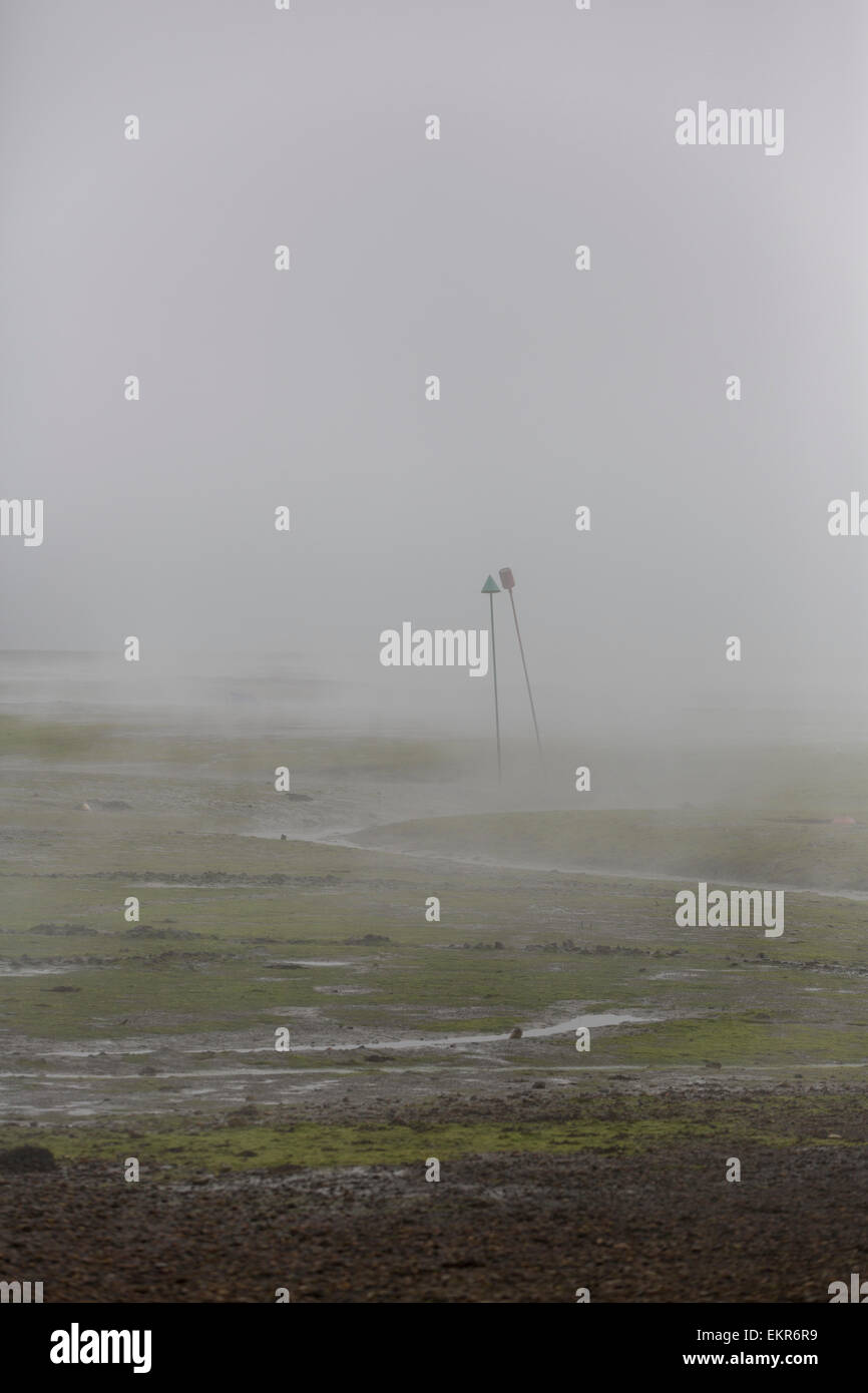 Sea fog covers the upper reaches of Chichester Harbour on a spring morning Stock Photohttps://www.alamy.com/image-license-details/?v=1https://www.alamy.com/stock-photo-sea-fog-covers-the-upper-reaches-of-chichester-harbour-on-a-spring-81030189.html
RMEKR6R9–Sea fog covers the upper reaches of Chichester Harbour on a spring morning
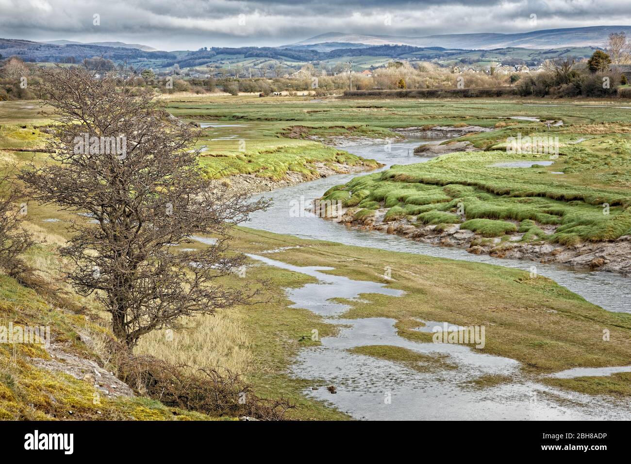 The Lower Reaches Of The River Keer (Carnforth) Stock Photohttps://www.alamy.com/image-license-details/?v=1https://www.alamy.com/the-lower-reaches-of-the-river-keer-carnforth-image354840354.html
RF2BH8ADP–The Lower Reaches Of The River Keer (Carnforth)
 Wheels, Texture Background, one wheel reaches into the other, Vector Stock Photohttps://www.alamy.com/image-license-details/?v=1https://www.alamy.com/wheels-texture-background-one-wheel-reaches-into-the-other-vector-image329665571.html
RM2A49FPB–Wheels, Texture Background, one wheel reaches into the other, Vector
 Barnhourie Burn At Sunset As It Reaches The Sea, Sandyhills Bay Stock Photohttps://www.alamy.com/image-license-details/?v=1https://www.alamy.com/barnhourie-burn-at-sunset-as-it-reaches-the-sea-sandyhills-bay-image450450960.html
RM2H4RPP8–Barnhourie Burn At Sunset As It Reaches The Sea, Sandyhills Bay
 View across the River Yar Tidal Estuary to Freshwater village, Isle of Wight, England, UK Stock Photohttps://www.alamy.com/image-license-details/?v=1https://www.alamy.com/stock-photo-view-across-the-river-yar-tidal-estuary-to-freshwater-village-isle-88985541.html
RFF4NHY1–View across the River Yar Tidal Estuary to Freshwater village, Isle of Wight, England, UK
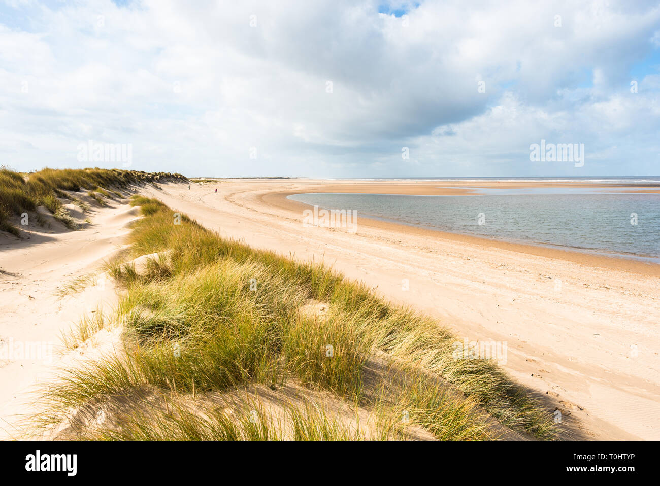 Sand dunes where Norfolk Coast path National Trail from Barnham Overy Staithe reaches the sea, East Anglia, England, UK. Stock Photohttps://www.alamy.com/image-license-details/?v=1https://www.alamy.com/sand-dunes-where-norfolk-coast-path-national-trail-from-barnham-overy-staithe-reaches-the-sea-east-anglia-england-uk-image241337930.html
RFT0HTYP–Sand dunes where Norfolk Coast path National Trail from Barnham Overy Staithe reaches the sea, East Anglia, England, UK.
 Gloucester, UK. 12th Mar, 2024. rare 5 star River Severn Bore. The Severn Bore is a tidal wave of water which works its way 25 miles up the Severn Estuary between Awre and Gloucester. The wave can reach speeds of up to 21kmph and as the width of the River Severn narrows, the wave becomes upheld and produces the world-famous Severn Bore. A natural phenomenon, 5 star bores are rare and have a tidal range of 5.4 metres and above. Picture of the bore which ultimately was more a swell than a wave. Credit: nidpor/Alamy Live News Stock Photohttps://www.alamy.com/image-license-details/?v=1https://www.alamy.com/gloucester-uk-12th-mar-2024-rare-5-star-river-severn-bore-the-severn-bore-is-a-tidal-wave-of-water-which-works-its-way-25-miles-up-the-severn-estuary-between-awre-and-gloucester-the-wave-can-reach-speeds-of-up-to-21kmph-and-as-the-width-of-the-river-severn-narrows-the-wave-becomes-upheld-and-produces-the-world-famous-severn-bore-a-natural-phenomenon-5-star-bores-are-rare-and-have-a-tidal-range-of-54-metres-and-above-picture-of-the-bore-which-ultimately-was-more-a-swell-than-a-wave-credit-nidporalamy-live-news-image599595349.html
RM2WRDWYH–Gloucester, UK. 12th Mar, 2024. rare 5 star River Severn Bore. The Severn Bore is a tidal wave of water which works its way 25 miles up the Severn Estuary between Awre and Gloucester. The wave can reach speeds of up to 21kmph and as the width of the River Severn narrows, the wave becomes upheld and produces the world-famous Severn Bore. A natural phenomenon, 5 star bores are rare and have a tidal range of 5.4 metres and above. Picture of the bore which ultimately was more a swell than a wave. Credit: nidpor/Alamy Live News
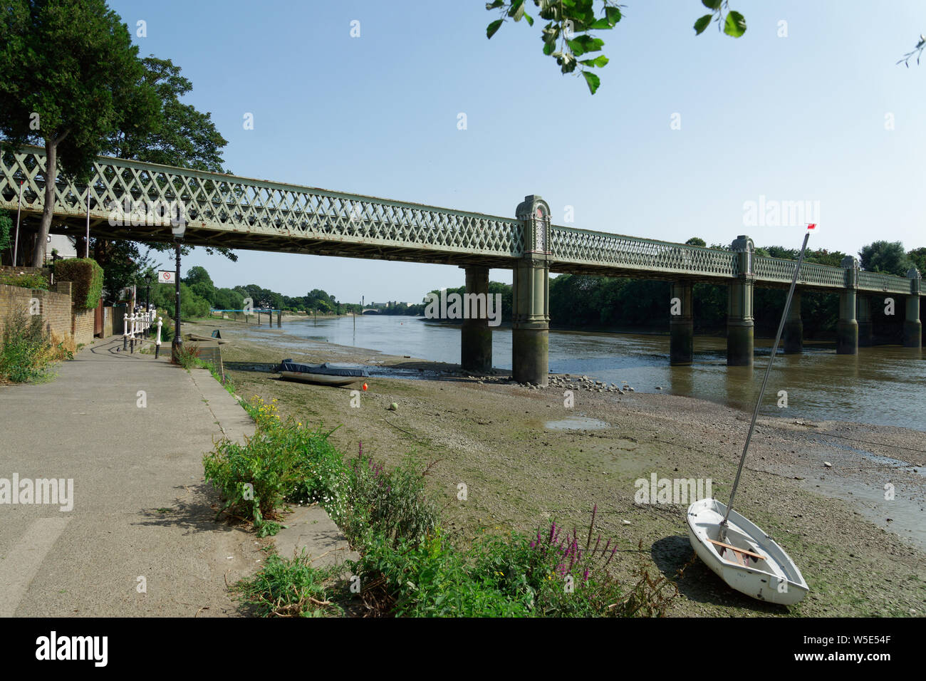 UK Weather: Strand-on-the-Green, Chiswick, in record breaking sunshine. July 2019 Stock Photohttps://www.alamy.com/image-license-details/?v=1https://www.alamy.com/uk-weather-strand-on-the-green-chiswick-in-record-breaking-sunshine-july-2019-image261540175.html
RFW5E54F–UK Weather: Strand-on-the-Green, Chiswick, in record breaking sunshine. July 2019
 The River Thames viewed here at Chiswick,looking eastwards towards Hammersmith on a sunny Sunday Morning. Stock Photohttps://www.alamy.com/image-license-details/?v=1https://www.alamy.com/stock-photo-the-river-thames-viewed-here-at-chiswicklooking-eastwards-towards-32502645.html
RMBTTHCN–The River Thames viewed here at Chiswick,looking eastwards towards Hammersmith on a sunny Sunday Morning.
 Flint, UK. June 9, 2018. Brown and scorched grass of the picnic area which lies only just above the tidal reaches of the River Dee. Flint Castle is in the background. Credit John David Photo/Alamy Live News. Stock Photohttps://www.alamy.com/image-license-details/?v=1https://www.alamy.com/flint-uk-june-9-2018-brown-and-scorched-grass-of-the-picnic-area-which-lies-only-just-above-the-tidal-reaches-of-the-river-dee-flint-castle-is-in-the-background-credit-john-david-photoalamy-live-news-image211587304.html
RMP86HNC–Flint, UK. June 9, 2018. Brown and scorched grass of the picnic area which lies only just above the tidal reaches of the River Dee. Flint Castle is in the background. Credit John David Photo/Alamy Live News.
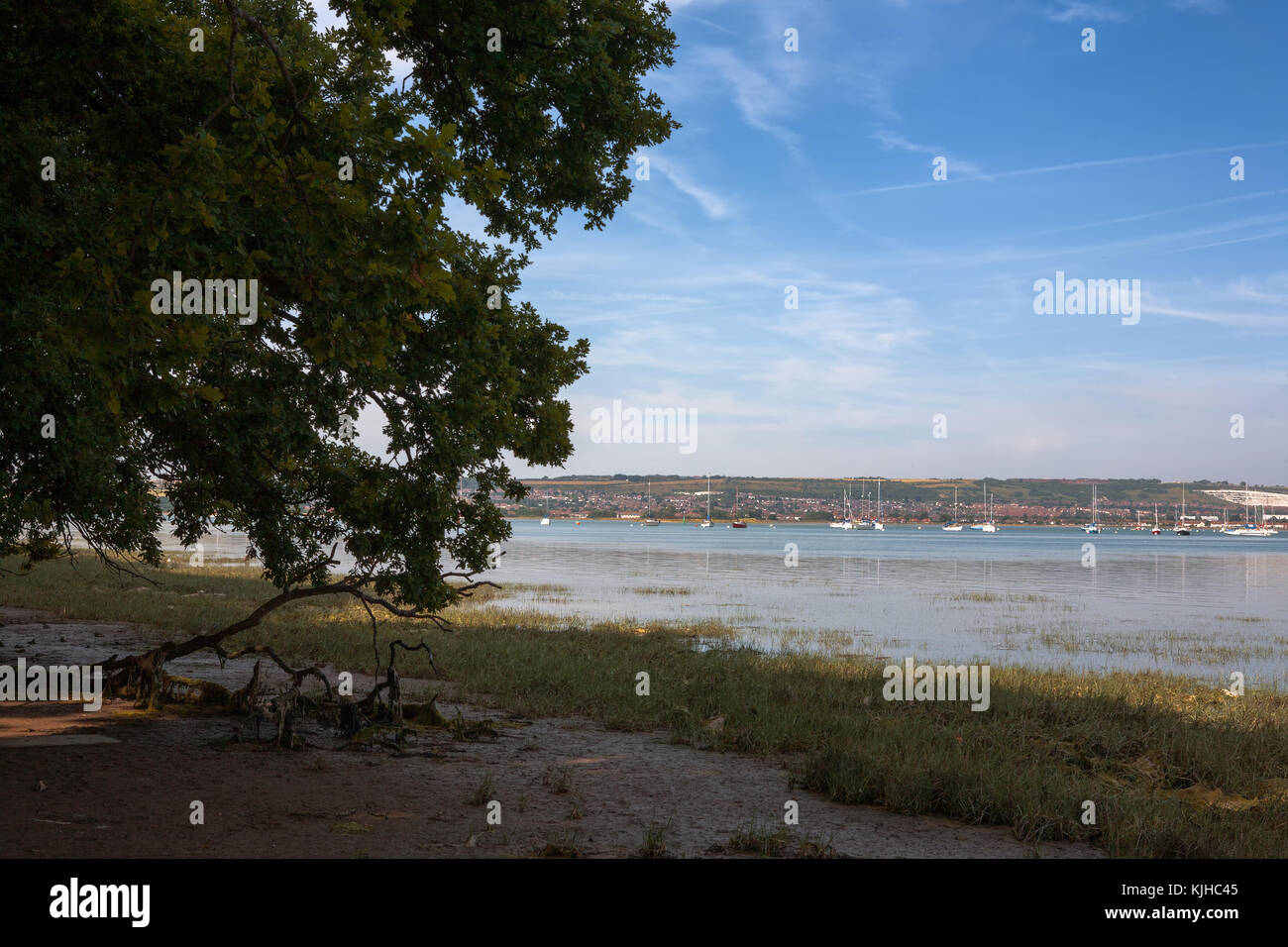 Fareham Lake in the upper reaches of Portsmouth Harbour, from Monk's Walk, Gosport, Hampshire, England, UK Stock Photohttps://www.alamy.com/image-license-details/?v=1https://www.alamy.com/stock-image-fareham-lake-in-the-upper-reaches-of-portsmouth-harbour-from-monks-166339829.html
RFKJHC45–Fareham Lake in the upper reaches of Portsmouth Harbour, from Monk's Walk, Gosport, Hampshire, England, UK
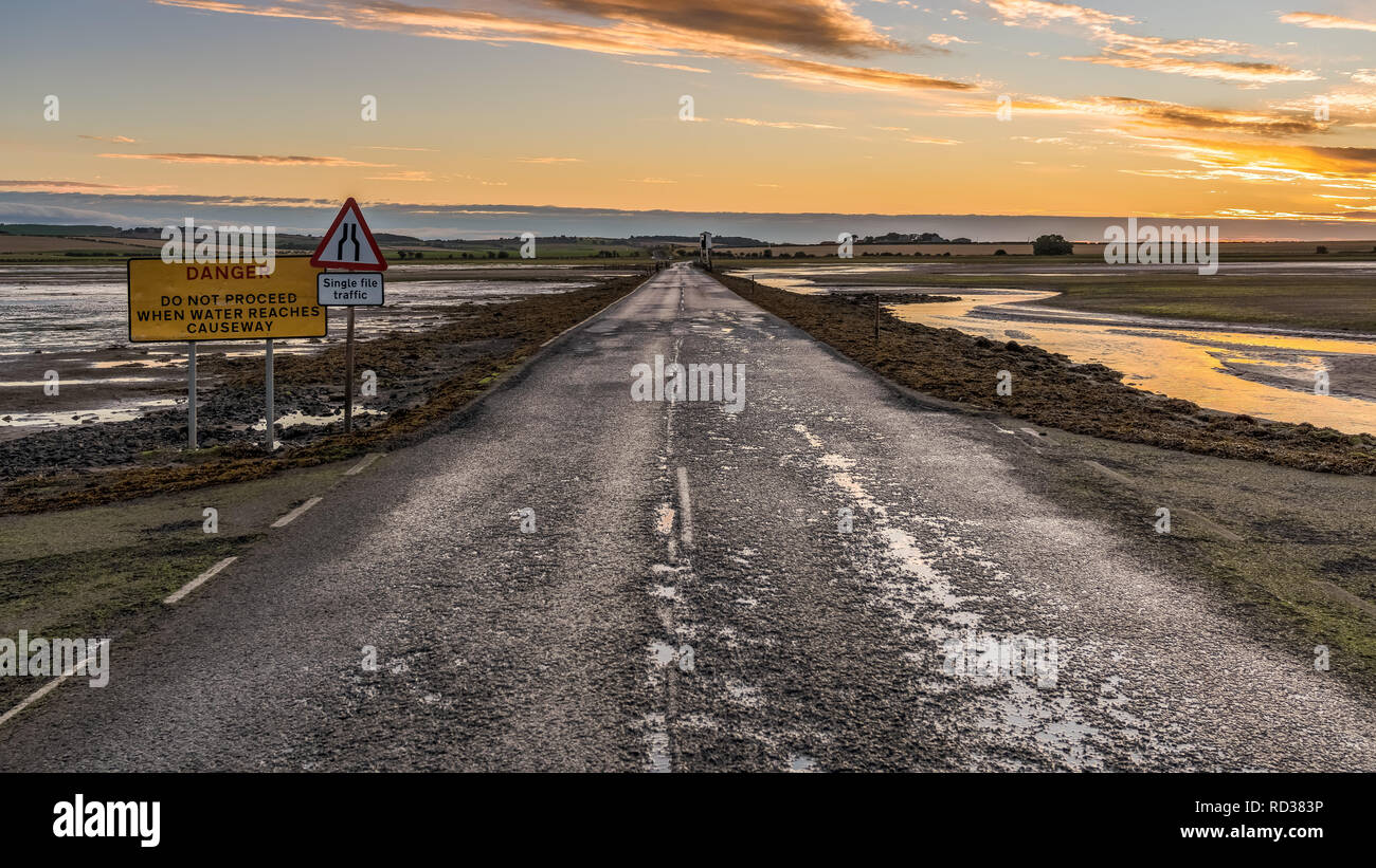 Sign: Single File Traffic, Danger do not proceed when water reaches causeway, seen on the road between Beal and Holy Island in Northumberland, England Stock Photohttps://www.alamy.com/image-license-details/?v=1https://www.alamy.com/sign-single-file-traffic-danger-do-not-proceed-when-water-reaches-causeway-seen-on-the-road-between-beal-and-holy-island-in-northumberland-england-image231797546.html
RFRD383P–Sign: Single File Traffic, Danger do not proceed when water reaches causeway, seen on the road between Beal and Holy Island in Northumberland, England
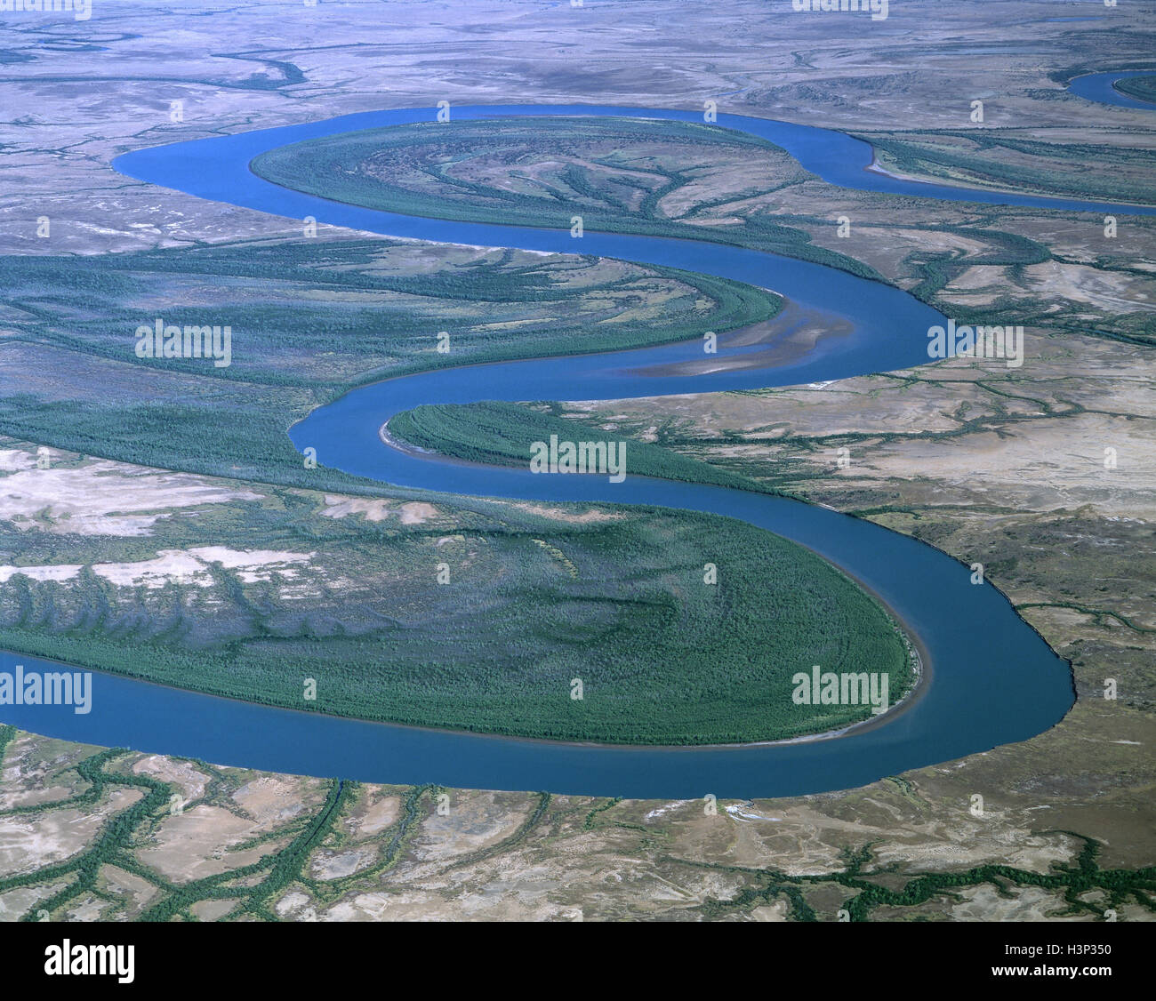 Gin Arm Creek, oxbows, Stock Photohttps://www.alamy.com/image-license-details/?v=1https://www.alamy.com/stock-photo-gin-arm-creek-oxbows-122801980.html
RMH3P350–Gin Arm Creek, oxbows,
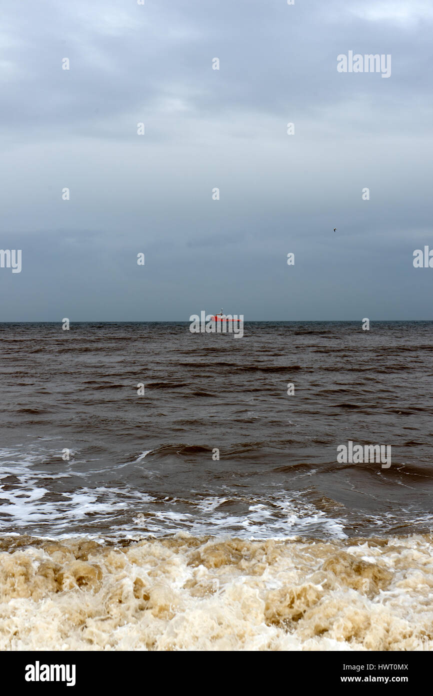 The reaches of the sea. Stock Photohttps://www.alamy.com/image-license-details/?v=1https://www.alamy.com/stock-photo-the-reaches-of-the-sea-136366410.html
RMHWT0MX–The reaches of the sea.
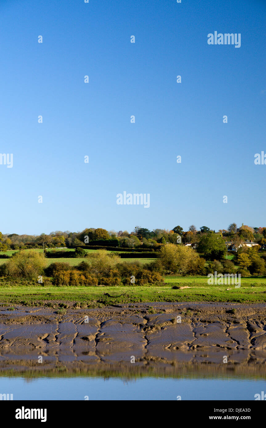 View looking across River Wye from the Wales Coastal Path to Sudbury on the English side of the River, Chepstow. Stock Photohttps://www.alamy.com/image-license-details/?v=1https://www.alamy.com/view-looking-across-river-wye-from-the-wales-coastal-path-to-sudbury-image63010177.html
RMDJEA3D–View looking across River Wye from the Wales Coastal Path to Sudbury on the English side of the River, Chepstow.
 Sign: Single File Traffic, Danger do not proceed when water reaches causeway, seen on the road between Beal and Holy Island in Northumberland, England Stock Photohttps://www.alamy.com/image-license-details/?v=1https://www.alamy.com/sign-single-file-traffic-danger-do-not-proceed-when-water-reaches-causeway-seen-on-the-road-between-beal-and-holy-island-in-northumberland-england-image619612781.html
RM2Y01PBW–Sign: Single File Traffic, Danger do not proceed when water reaches causeway, seen on the road between Beal and Holy Island in Northumberland, England
 Taken from inland giving a fair view of Barry island Harbour at low tide with a few pieces of wrecked boats semi submerged in the mud. Stock Photohttps://www.alamy.com/image-license-details/?v=1https://www.alamy.com/taken-from-inland-giving-a-fair-view-of-barry-island-harbour-at-low-tide-with-a-few-pieces-of-wrecked-boats-semi-submerged-in-the-mud-image471647631.html
RM2JB9BA7–Taken from inland giving a fair view of Barry island Harbour at low tide with a few pieces of wrecked boats semi submerged in the mud.
 Arco Dee dredger in the upper reaches of Langstone harbour in Hampshire. Operated by Hansons Europe's largest producer of dredged sand and gravel. Stock Photohttps://www.alamy.com/image-license-details/?v=1https://www.alamy.com/stock-image-arco-dee-dredger-in-the-upper-reaches-of-langstone-harbour-in-hampshire-168842814.html
RMKPKCME–Arco Dee dredger in the upper reaches of Langstone harbour in Hampshire. Operated by Hansons Europe's largest producer of dredged sand and gravel.
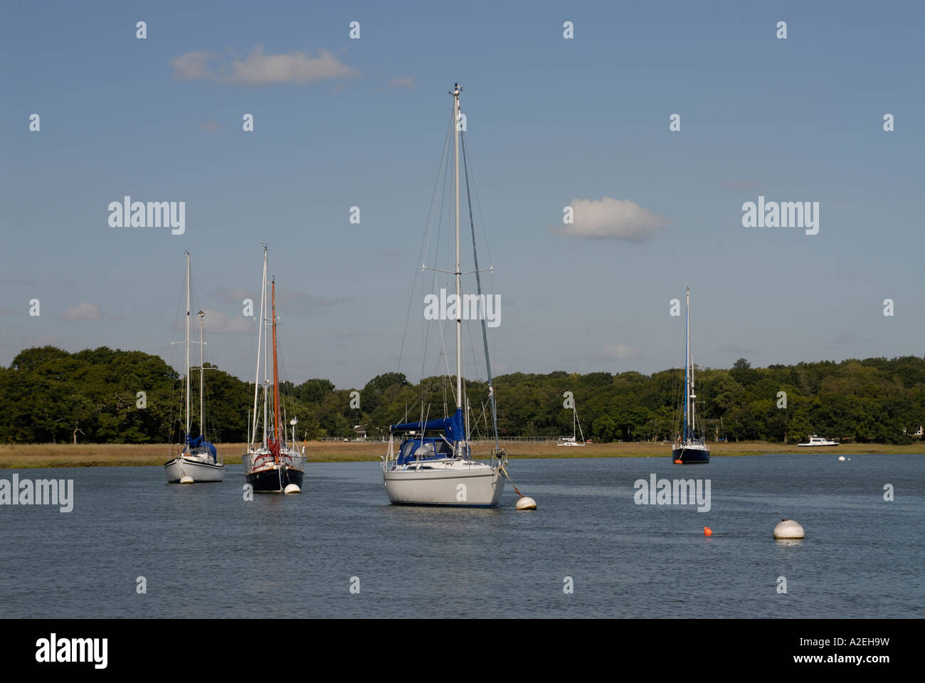 Sailing boat moored in the tidal reaches of the Beaulieu River Stock Photohttps://www.alamy.com/image-license-details/?v=1https://www.alamy.com/stock-photo-sailing-boat-moored-in-the-tidal-reaches-of-the-beaulieu-river-10498884.html
RFA2EH9W–Sailing boat moored in the tidal reaches of the Beaulieu River
 Sea fog covers the upper reaches of Chichester Harbour on a spring morning Stock Photohttps://www.alamy.com/image-license-details/?v=1https://www.alamy.com/stock-photo-sea-fog-covers-the-upper-reaches-of-chichester-harbour-on-a-spring-81029976.html
RMEKR6FM–Sea fog covers the upper reaches of Chichester Harbour on a spring morning
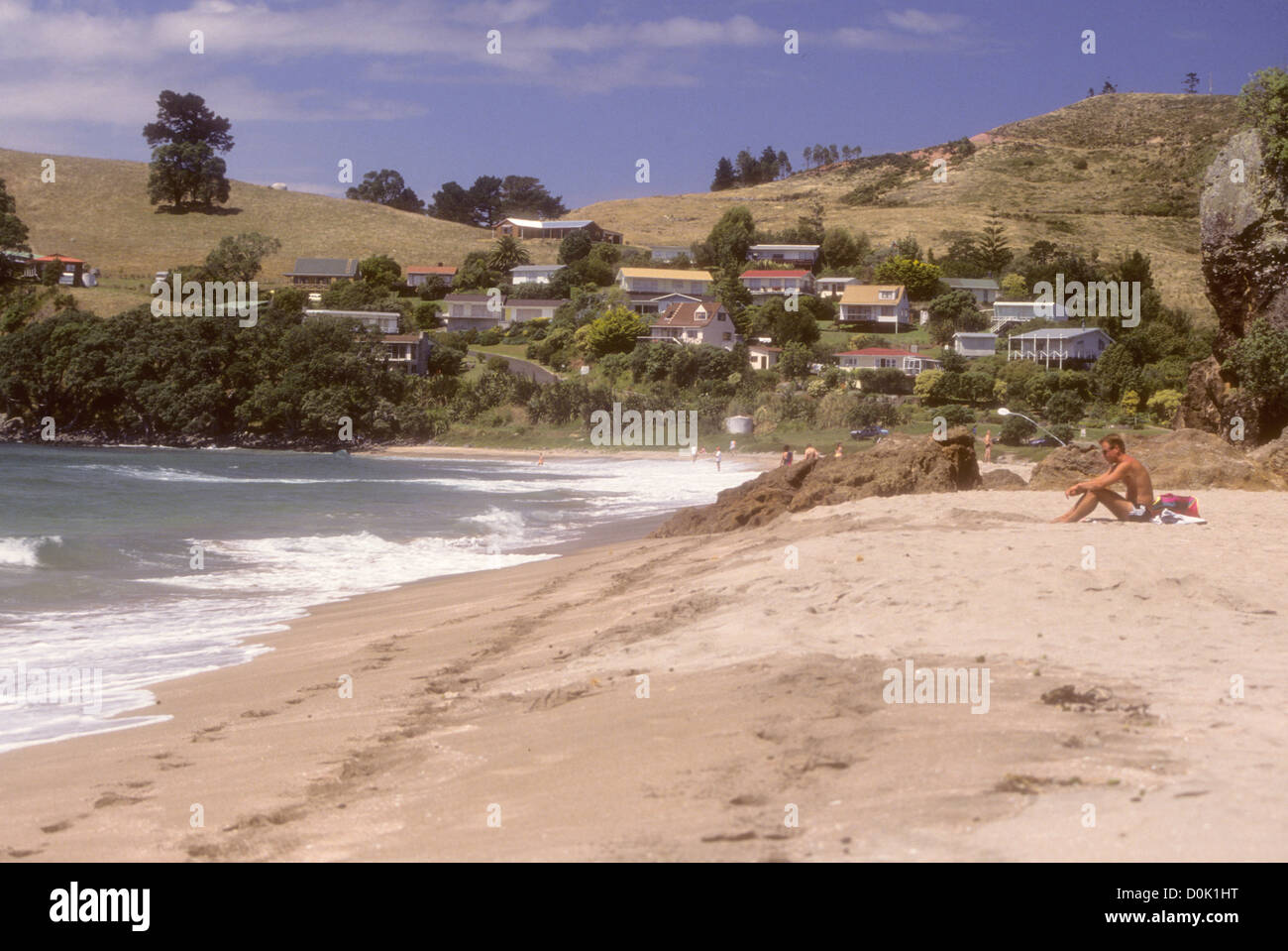 Hot Springs Beach,Hot Water Beach,The beach is a popular destination both for locals and tourists visiting. New Zealand Stock Photohttps://www.alamy.com/image-license-details/?v=1https://www.alamy.com/stock-photo-hot-springs-beachhot-water-beachthe-beach-is-a-popular-destination-52049476.html
RMD0K1HT–Hot Springs Beach,Hot Water Beach,The beach is a popular destination both for locals and tourists visiting. New Zealand
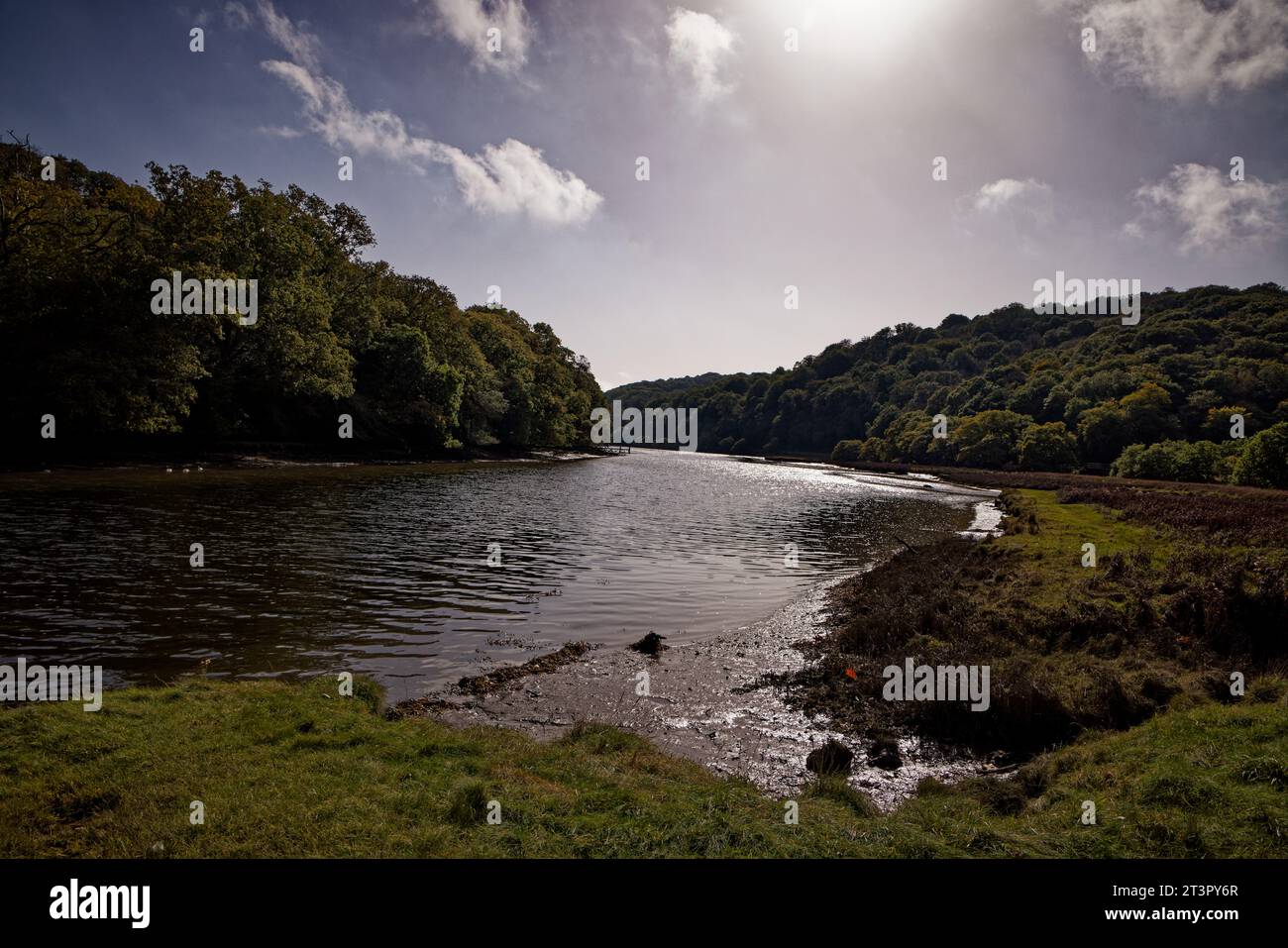 River Fowey, Cornwall Stock Photohttps://www.alamy.com/image-license-details/?v=1https://www.alamy.com/river-fowey-cornwall-image570290415.html
RF2T3PY6R–River Fowey, Cornwall
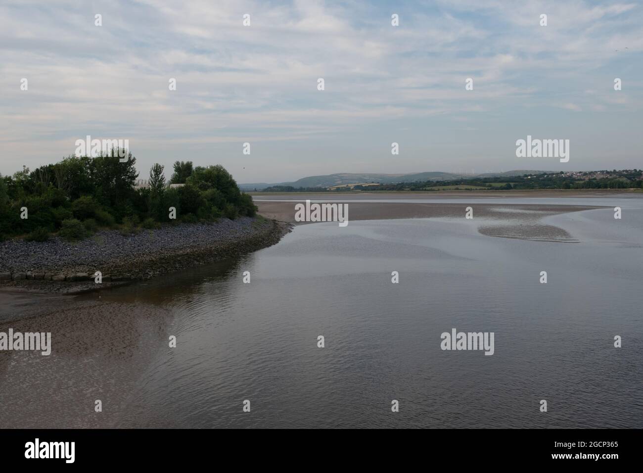 The River Loughor Estuary, Wales, UK Stock Photohttps://www.alamy.com/image-license-details/?v=1https://www.alamy.com/the-river-loughor-estuary-wales-uk-image438120541.html
RF2GCP365–The River Loughor Estuary, Wales, UK
 Hallig Langeneß in the North Sea is illuminated by the sun under stratocumulus clouds in North Friesland, Schleswig-Holstein, Germany Stock Photohttps://www.alamy.com/image-license-details/?v=1https://www.alamy.com/hallig-langene-in-the-north-sea-is-illuminated-by-the-sun-under-stratocumulus-clouds-in-north-friesland-schleswig-holstein-germany-image398511412.html
RF2E49NAC–Hallig Langeneß in the North Sea is illuminated by the sun under stratocumulus clouds in North Friesland, Schleswig-Holstein, Germany
 Sand dunes where Norfolk Coast path National Trail from Barnham Overy Staithe reaches the sea, East Anglia, England, UK. Stock Photohttps://www.alamy.com/image-license-details/?v=1https://www.alamy.com/sand-dunes-where-norfolk-coast-path-national-trail-from-barnham-overy-staithe-reaches-the-sea-east-anglia-england-uk-image241337921.html
RFT0HTYD–Sand dunes where Norfolk Coast path National Trail from Barnham Overy Staithe reaches the sea, East Anglia, England, UK.
 Gloucester, UK. 12th Mar, 2024. rare 5 star River Severn Bore. The Severn Bore is a tidal wave of water which works its way 25 miles up the Severn Estuary between Awre and Gloucester. The wave can reach speeds of up to 21kmph and as the width of the River Severn narrows, the wave becomes upheld and produces the world-famous Severn Bore. A natural phenomenon, 5 star bores are rare and have a tidal range of 5.4 metres and above. Picture of the bore which ultimately was more a swell than a wave. Credit: nidpor/Alamy Live News Stock Photohttps://www.alamy.com/image-license-details/?v=1https://www.alamy.com/gloucester-uk-12th-mar-2024-rare-5-star-river-severn-bore-the-severn-bore-is-a-tidal-wave-of-water-which-works-its-way-25-miles-up-the-severn-estuary-between-awre-and-gloucester-the-wave-can-reach-speeds-of-up-to-21kmph-and-as-the-width-of-the-river-severn-narrows-the-wave-becomes-upheld-and-produces-the-world-famous-severn-bore-a-natural-phenomenon-5-star-bores-are-rare-and-have-a-tidal-range-of-54-metres-and-above-picture-of-the-bore-which-ultimately-was-more-a-swell-than-a-wave-credit-nidporalamy-live-news-image599595049.html
RM2WRDWGW–Gloucester, UK. 12th Mar, 2024. rare 5 star River Severn Bore. The Severn Bore is a tidal wave of water which works its way 25 miles up the Severn Estuary between Awre and Gloucester. The wave can reach speeds of up to 21kmph and as the width of the River Severn narrows, the wave becomes upheld and produces the world-famous Severn Bore. A natural phenomenon, 5 star bores are rare and have a tidal range of 5.4 metres and above. Picture of the bore which ultimately was more a swell than a wave. Credit: nidpor/Alamy Live News
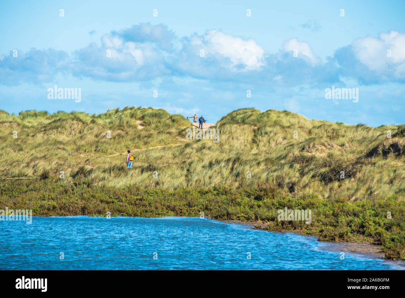 Sand dunes where Norfolk Coast path National Trail from Burnham Overy Staithe reaches the sea, East Anglia, England, UK. Stock Photohttps://www.alamy.com/image-license-details/?v=1https://www.alamy.com/sand-dunes-where-norfolk-coast-path-national-trail-from-burnham-overy-staithe-reaches-the-sea-east-anglia-england-uk-image330939384.html
RM2A6BGFM–Sand dunes where Norfolk Coast path National Trail from Burnham Overy Staithe reaches the sea, East Anglia, England, UK.
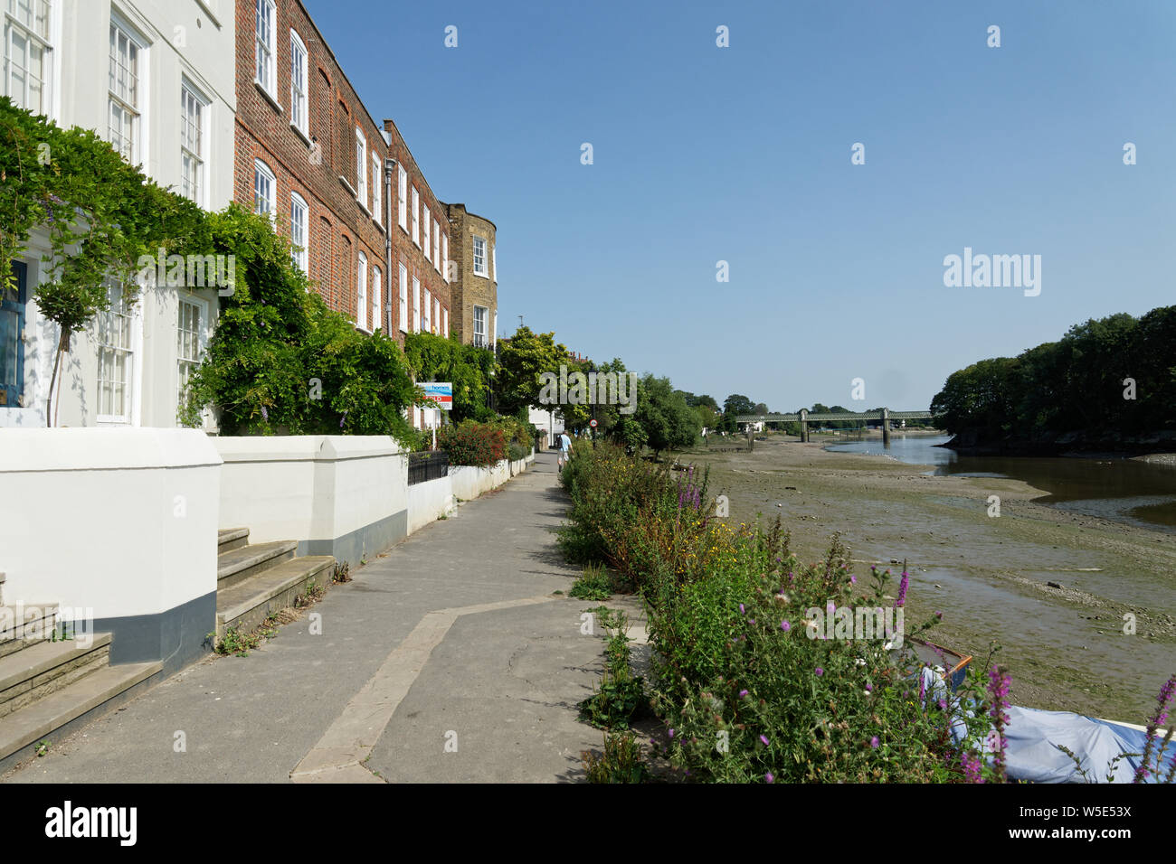 UK Weather: Strand-on-the-Green, Chiswick, in record breaking sunshine. July 2019 Stock Photohttps://www.alamy.com/image-license-details/?v=1https://www.alamy.com/uk-weather-strand-on-the-green-chiswick-in-record-breaking-sunshine-july-2019-image261540158.html
RFW5E53X–UK Weather: Strand-on-the-Green, Chiswick, in record breaking sunshine. July 2019
 Hammersmith silhouetted in the distance and reflected sunlight on the River Thames, viewed from the embankment at Chiswick. Stock Photohttps://www.alamy.com/image-license-details/?v=1https://www.alamy.com/stock-photo-hammersmith-silhouetted-in-the-distance-and-reflected-sunlight-on-32502748.html
RMBTTHGC–Hammersmith silhouetted in the distance and reflected sunlight on the River Thames, viewed from the embankment at Chiswick.
 Portsmouth and the upper reaches of Portsmouth Harbour from the Gosport side at Elson, Gosport, Hampshire, England, UK Stock Photohttps://www.alamy.com/image-license-details/?v=1https://www.alamy.com/stock-image-portsmouth-and-the-upper-reaches-of-portsmouth-harbour-from-the-gosport-166339893.html
RFKJHC6D–Portsmouth and the upper reaches of Portsmouth Harbour from the Gosport side at Elson, Gosport, Hampshire, England, UK
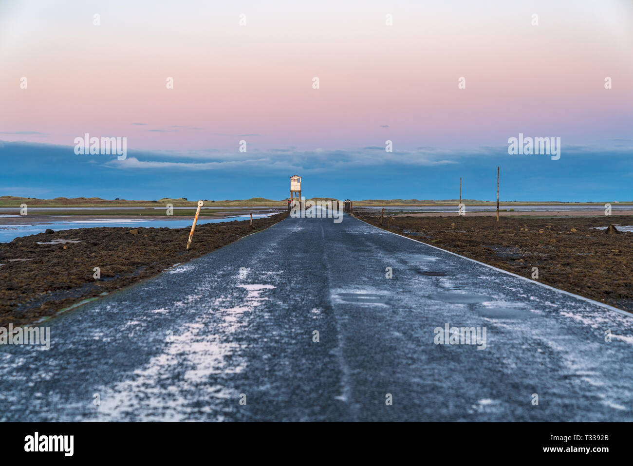 Sign: Single File Traffic, Danger do not proceed when water reaches causeway, seen on the road between Beal and Holy Island in Northumberland, England Stock Photohttps://www.alamy.com/image-license-details/?v=1https://www.alamy.com/sign-single-file-traffic-danger-do-not-proceed-when-water-reaches-causeway-seen-on-the-road-between-beal-and-holy-island-in-northumberland-england-image242862099.html
RFT3392B–Sign: Single File Traffic, Danger do not proceed when water reaches causeway, seen on the road between Beal and Holy Island in Northumberland, England
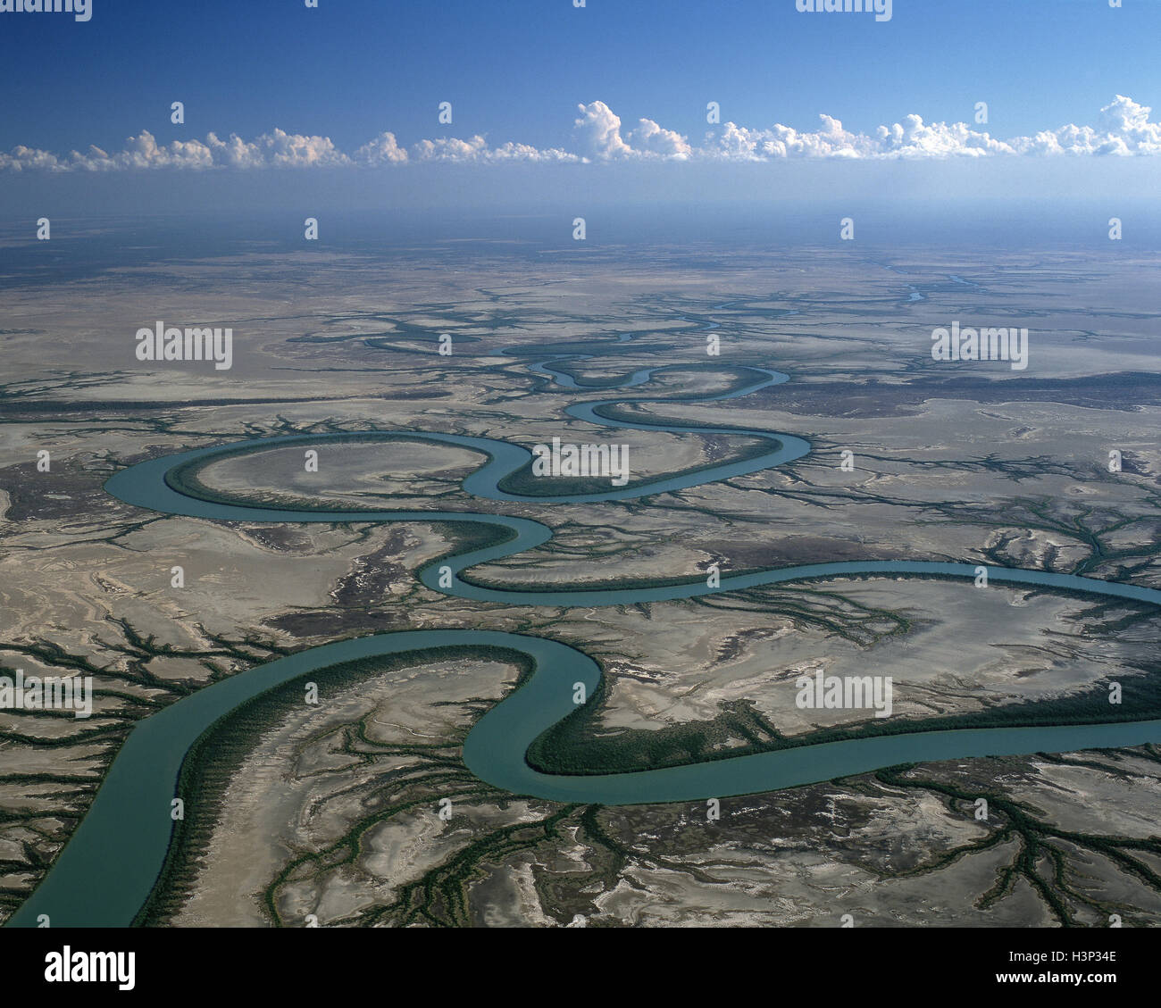 Gin Arm Creek oxbows, aerial, Stock Photohttps://www.alamy.com/image-license-details/?v=1https://www.alamy.com/stock-photo-gin-arm-creek-oxbows-aerial-122801966.html
RMH3P34E–Gin Arm Creek oxbows, aerial,
 The reaches of the sea. Stock Photohttps://www.alamy.com/image-license-details/?v=1https://www.alamy.com/stock-photo-the-reaches-of-the-sea-136366418.html
RMHWT0N6–The reaches of the sea.
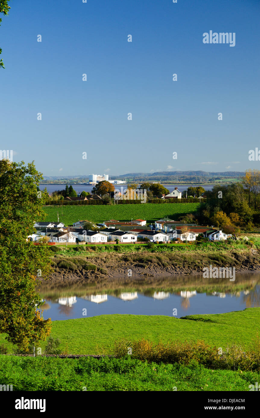 View looking across River Severn from the Wales Coastal Path, Chepstow. Stock Photohttps://www.alamy.com/image-license-details/?v=1https://www.alamy.com/view-looking-across-river-severn-from-the-wales-coastal-path-chepstow-image63010436.html
RMDJEACM–View looking across River Severn from the Wales Coastal Path, Chepstow.
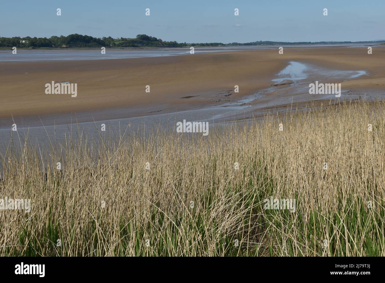 The Severn Esturary at Sharpness, Gloucestershire, England, UK Stock Photohttps://www.alamy.com/image-license-details/?v=1https://www.alamy.com/the-severn-esturary-at-sharpness-gloucestershire-england-uk-image469199014.html
RF2J79T3J–The Severn Esturary at Sharpness, Gloucestershire, England, UK
 Taken from inland giving a fair view of Barry island Harbour at low tide with a few pieces of wrecked boats semi submerged in the mud. Stock Photohttps://www.alamy.com/image-license-details/?v=1https://www.alamy.com/taken-from-inland-giving-a-fair-view-of-barry-island-harbour-at-low-tide-with-a-few-pieces-of-wrecked-boats-semi-submerged-in-the-mud-image471647571.html
RM2JB9B83–Taken from inland giving a fair view of Barry island Harbour at low tide with a few pieces of wrecked boats semi submerged in the mud.
 Half tide cross, Summerleaze beach, When the sea reaches the horizontal part of the cross the tide is half way in or out. Bude Stock Photohttps://www.alamy.com/image-license-details/?v=1https://www.alamy.com/stock-photo-half-tide-cross-summerleaze-beach-when-the-sea-reaches-the-horizontal-14587322.html
RMAJ158Y–Half tide cross, Summerleaze beach, When the sea reaches the horizontal part of the cross the tide is half way in or out. Bude
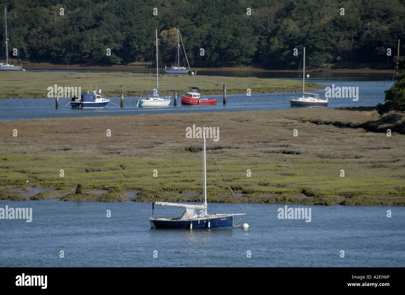 Sailing boats moored in the tidal reaches of the Beaulieu River Stock Photohttps://www.alamy.com/image-license-details/?v=1https://www.alamy.com/stock-photo-sailing-boats-moored-in-the-tidal-reaches-of-the-beaulieu-river-10498845.html
RFA2EH6P–Sailing boats moored in the tidal reaches of the Beaulieu River
 Sea fog covers the upper reaches of Chichester Harbour on a spring morning Stock Photohttps://www.alamy.com/image-license-details/?v=1https://www.alamy.com/stock-photo-sea-fog-covers-the-upper-reaches-of-chichester-harbour-on-a-spring-81029977.html
RMEKR6FN–Sea fog covers the upper reaches of Chichester Harbour on a spring morning
 Large gatherings of birds in the tidal waters of the Ogmore river with horse riders trekking along the sands of Myrthyr Mawr near Bridgend. Stock Photohttps://www.alamy.com/image-license-details/?v=1https://www.alamy.com/large-gatherings-of-birds-in-the-tidal-waters-of-the-ogmore-river-image156295700.html
RMK27TN8–Large gatherings of birds in the tidal waters of the Ogmore river with horse riders trekking along the sands of Myrthyr Mawr near Bridgend.
 Hot Springs Beach,Hot Water Beach,The beach is a popular destination both for locals and tourists visiting. New Zealand Stock Photohttps://www.alamy.com/image-license-details/?v=1https://www.alamy.com/stock-photo-hot-springs-beachhot-water-beachthe-beach-is-a-popular-destination-52048989.html
RMD0K10D–Hot Springs Beach,Hot Water Beach,The beach is a popular destination both for locals and tourists visiting. New Zealand