Quick filters:
Togdheer Stock Photos and Images
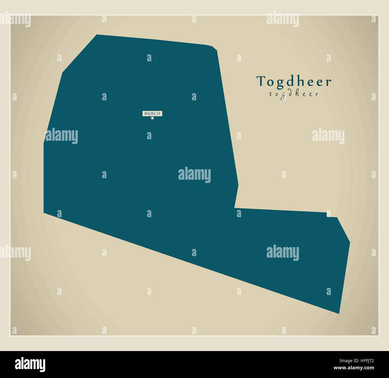 Modern Map - Togdheer SO Stock Vectorhttps://www.alamy.com/image-license-details/?v=1https://www.alamy.com/stock-photo-modern-map-togdheer-so-137412354.html
RFHYFJT2–Modern Map - Togdheer SO
 Togdheer, region of Somaliland. Solid color shape Stock Photohttps://www.alamy.com/image-license-details/?v=1https://www.alamy.com/togdheer-region-of-somaliland-solid-color-shape-image530768537.html
RF2NREGK5–Togdheer, region of Somaliland. Solid color shape
 Togdheer map of Somalia grey illustration shape Stock Vectorhttps://www.alamy.com/image-license-details/?v=1https://www.alamy.com/stock-photo-togdheer-map-of-somalia-grey-illustration-shape-176601552.html
RFM78W28–Togdheer map of Somalia grey illustration shape
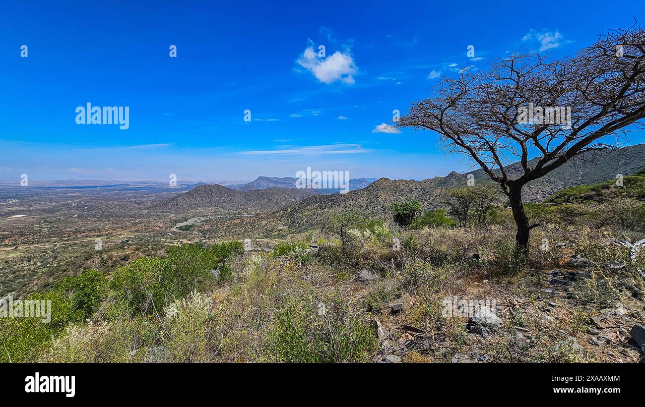 View over the Sheikh Mountains, Somaliland, Somalia, Africa Stock Photohttps://www.alamy.com/image-license-details/?v=1https://www.alamy.com/view-over-the-sheikh-mountains-somaliland-somalia-africa-image608749924.html
RF2XAAXMM–View over the Sheikh Mountains, Somaliland, Somalia, Africa
 Togdheer region watercolor map of Somalia Stock Photohttps://www.alamy.com/image-license-details/?v=1https://www.alamy.com/togdheer-region-watercolor-map-of-somalia-image342743368.html
RF2AWH8JG–Togdheer region watercolor map of Somalia
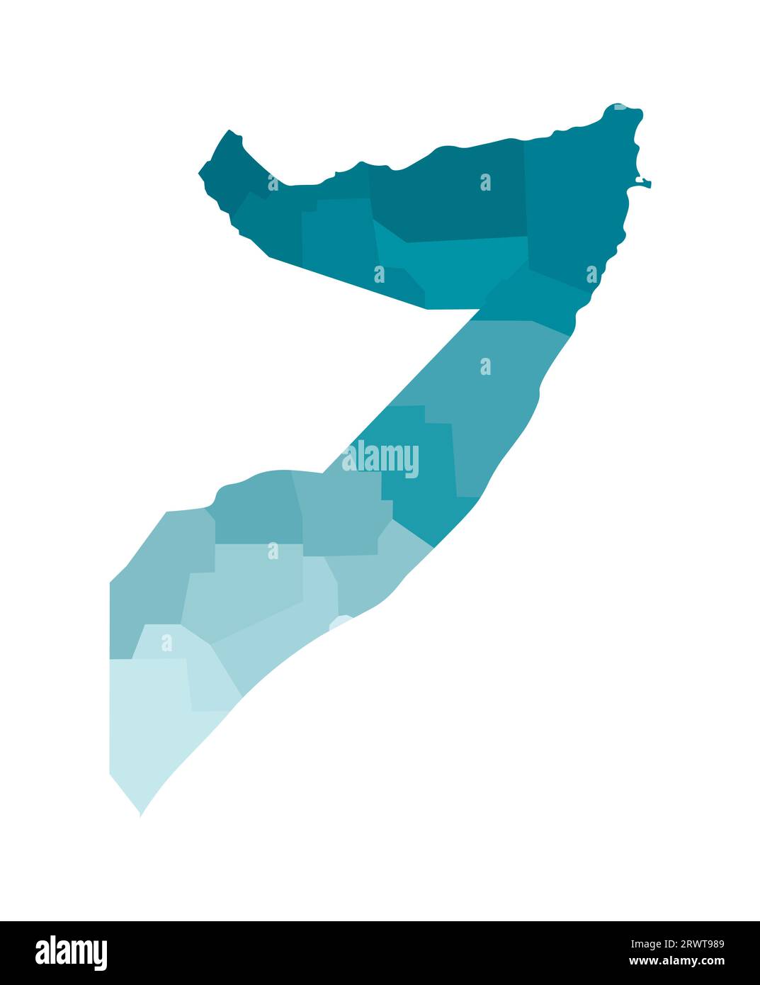 Vector isolated illustration of simplified administrative map of Somalia. Borders of the regions. Colorful blue khaki silhouettes. Stock Vectorhttps://www.alamy.com/image-license-details/?v=1https://www.alamy.com/vector-isolated-illustration-of-simplified-administrative-map-of-somalia-borders-of-the-regions-colorful-blue-khaki-silhouettes-image566632313.html
RF2RWT989–Vector isolated illustration of simplified administrative map of Somalia. Borders of the regions. Colorful blue khaki silhouettes.
 View over the Sheikh Mountains, Somaliland, Somalia, Africa Copyright: MichaelxRunkel 1184-11385 Stock Photohttps://www.alamy.com/image-license-details/?v=1https://www.alamy.com/view-over-the-sheikh-mountains-somaliland-somalia-africa-copyright-michaelxrunkel-1184-11385-image608786526.html
RM2XACHBX–View over the Sheikh Mountains, Somaliland, Somalia, Africa Copyright: MichaelxRunkel 1184-11385
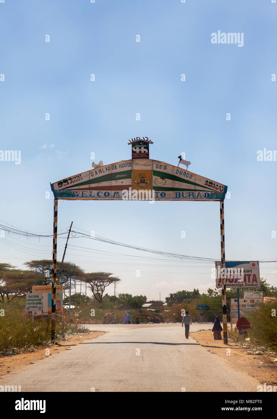 Gate to enter the town, Togdheer region, Burao, Somaliland Stock Photohttps://www.alamy.com/image-license-details/?v=1https://www.alamy.com/gate-to-enter-the-town-togdheer-region-burao-somaliland-image178921232.html
RMMB2FT0–Gate to enter the town, Togdheer region, Burao, Somaliland
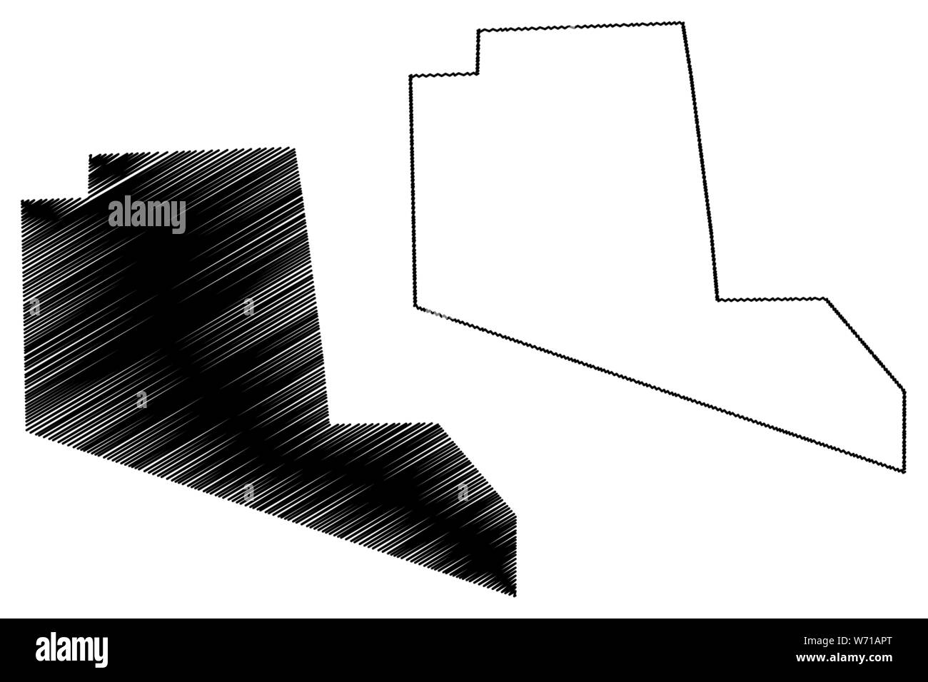 Togdheer region (Federal Republic of Somalia, Horn of Africa) map vector illustration, scribble sketch Togdheer map Stock Vectorhttps://www.alamy.com/image-license-details/?v=1https://www.alamy.com/togdheer-region-federal-republic-of-somalia-horn-of-africa-map-vector-illustration-scribble-sketch-togdheer-map-image262488544.html
RFW71APT–Togdheer region (Federal Republic of Somalia, Horn of Africa) map vector illustration, scribble sketch Togdheer map
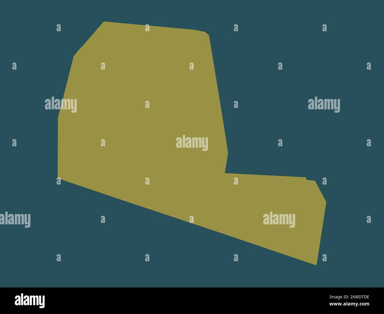 Togdheer, region of Somalia. Solid color shape Stock Photohttps://www.alamy.com/image-license-details/?v=1https://www.alamy.com/togdheer-region-of-somalia-solid-color-shape-image530752698.html
RF2NRDTDE–Togdheer, region of Somalia. Solid color shape
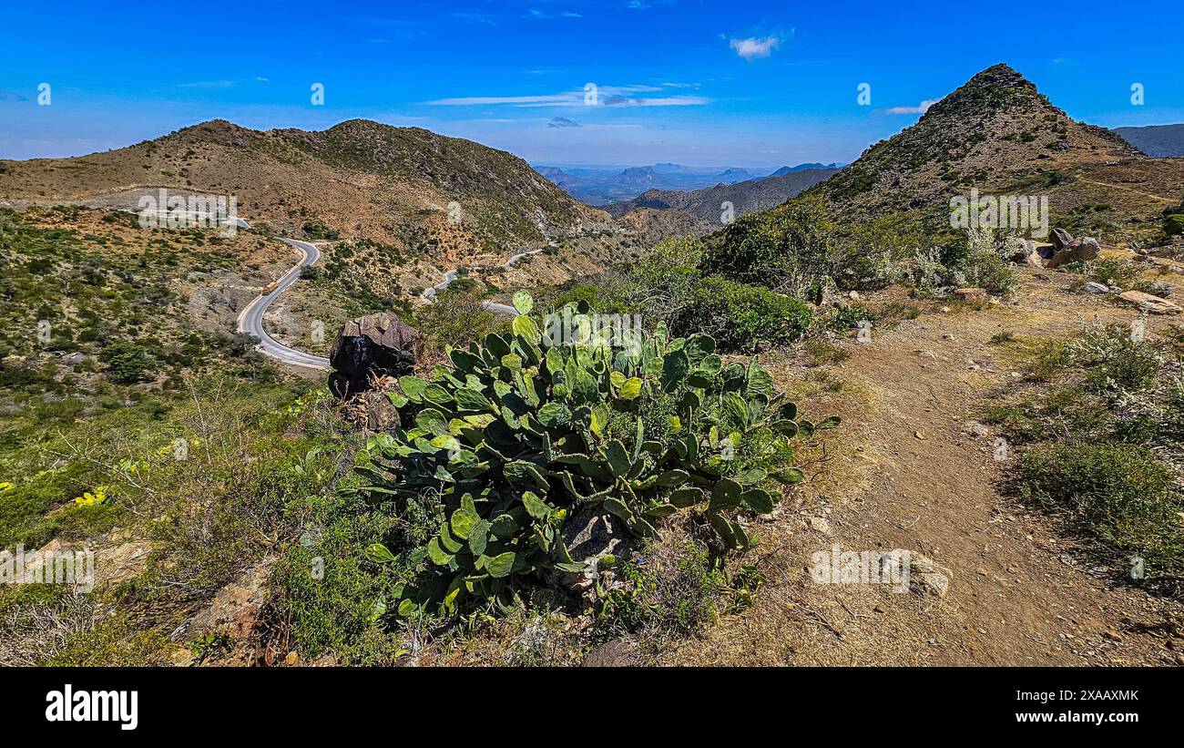 View over the Sheikh Mountains, Somaliland, Somalia, Africa Stock Photohttps://www.alamy.com/image-license-details/?v=1https://www.alamy.com/view-over-the-sheikh-mountains-somaliland-somalia-africa-image608749923.html
RF2XAAXMK–View over the Sheikh Mountains, Somaliland, Somalia, Africa
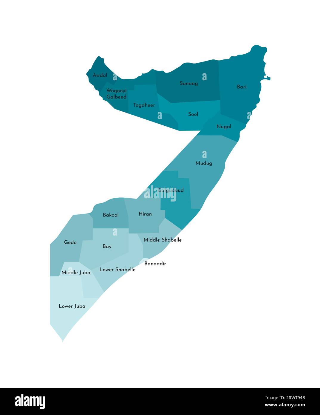 Vector isolated illustration of simplified administrative map of Somalia. Borders and names of the regions. Colorful blue khaki silhouettes Stock Vectorhttps://www.alamy.com/image-license-details/?v=1https://www.alamy.com/vector-isolated-illustration-of-simplified-administrative-map-of-somalia-borders-and-names-of-the-regions-colorful-blue-khaki-silhouettes-image566632203.html
RF2RWT94B–Vector isolated illustration of simplified administrative map of Somalia. Borders and names of the regions. Colorful blue khaki silhouettes
 View over the Sheikh Mountains, Somaliland, Somalia, Africa Copyright: MichaelxRunkel 1184-11384 Stock Photohttps://www.alamy.com/image-license-details/?v=1https://www.alamy.com/view-over-the-sheikh-mountains-somaliland-somalia-africa-copyright-michaelxrunkel-1184-11384-image608786524.html
RM2XACHBT–View over the Sheikh Mountains, Somaliland, Somalia, Africa Copyright: MichaelxRunkel 1184-11384
 Spines on acacia branch, Togdheer, Sheikh, Somaliland Stock Photohttps://www.alamy.com/image-license-details/?v=1https://www.alamy.com/spines-on-acacia-branch-togdheer-sheikh-somaliland-image178921219.html
RMMB2FRF–Spines on acacia branch, Togdheer, Sheikh, Somaliland
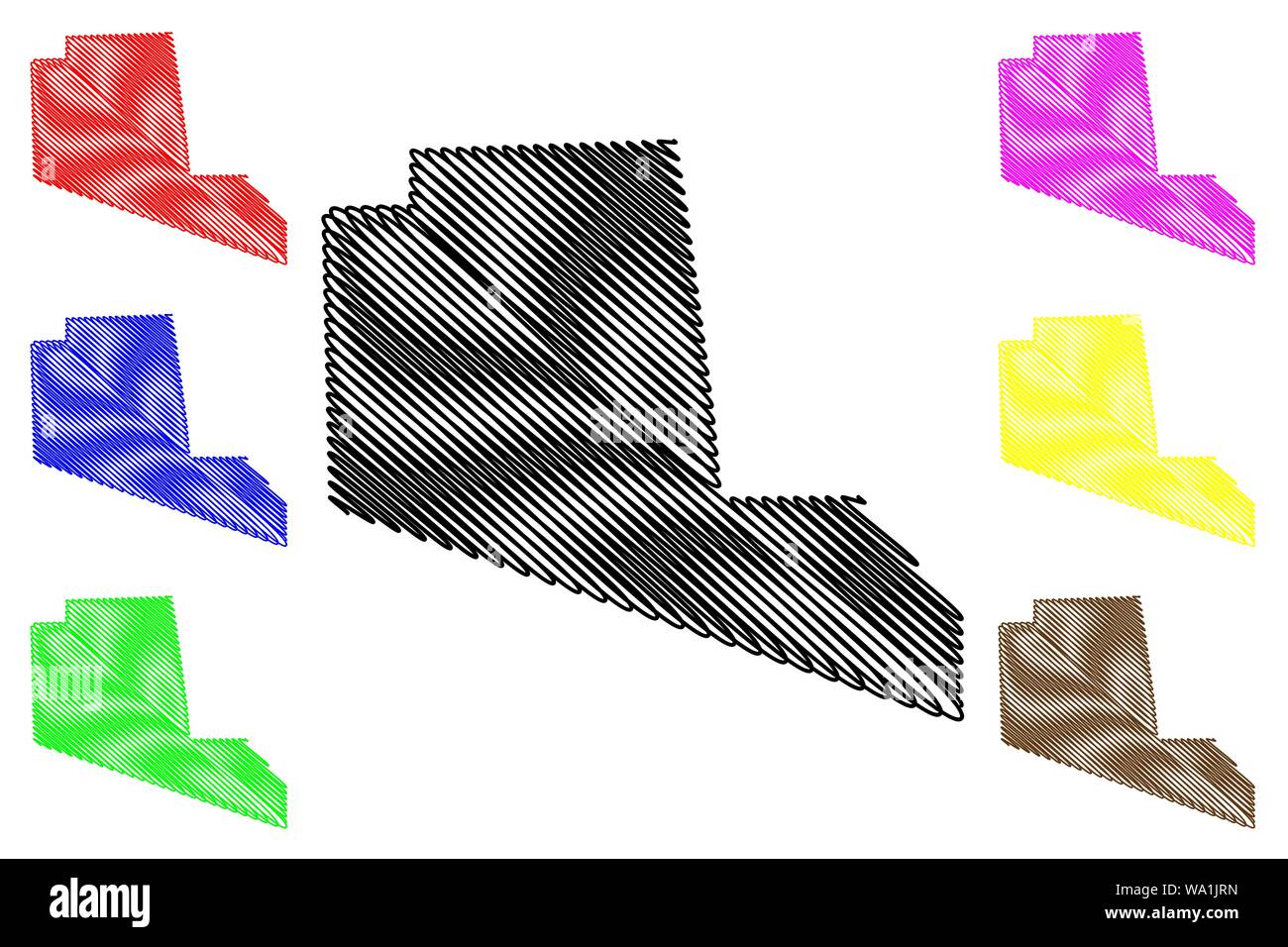 Togdheer region (Federal Republic of Somalia, Horn of Africa) map vector illustration, scribble sketch Togdheer map Stock Vectorhttps://www.alamy.com/image-license-details/?v=1https://www.alamy.com/togdheer-region-federal-republic-of-somalia-horn-of-africa-map-vector-illustration-scribble-sketch-togdheer-map-image264338809.html
RFWA1JRN–Togdheer region (Federal Republic of Somalia, Horn of Africa) map vector illustration, scribble sketch Togdheer map
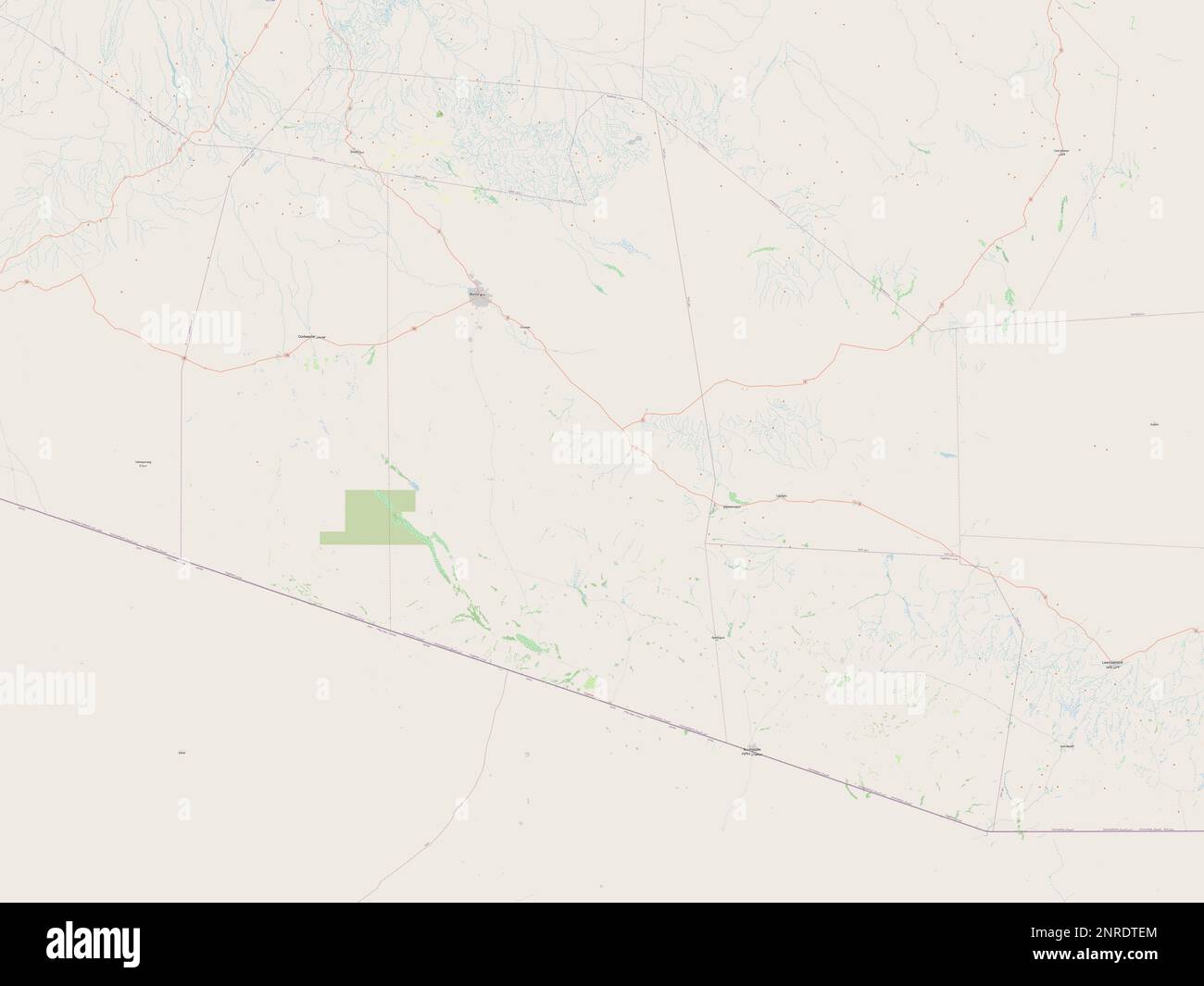 Togdheer, region of Somalia. Open Street Map Stock Photohttps://www.alamy.com/image-license-details/?v=1https://www.alamy.com/togdheer-region-of-somalia-open-street-map-image530752732.html
RF2NRDTEM–Togdheer, region of Somalia. Open Street Map
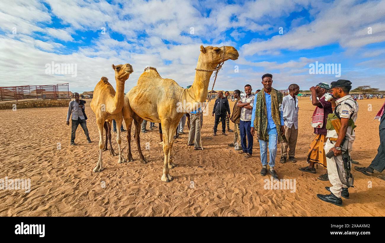 Camel market, Burao, south eastern Somaliland, Somalia, Africa Stock Photohttps://www.alamy.com/image-license-details/?v=1https://www.alamy.com/camel-market-burao-south-eastern-somaliland-somalia-africa-image608749906.html
RF2XAAXM2–Camel market, Burao, south eastern Somaliland, Somalia, Africa
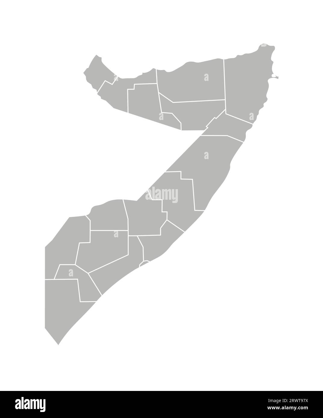 Vector isolated illustration of simplified administrative map of Somalia. Borders of the regions. Grey silhouettes. White outline. Stock Vectorhttps://www.alamy.com/image-license-details/?v=1https://www.alamy.com/vector-isolated-illustration-of-simplified-administrative-map-of-somalia-borders-of-the-regions-grey-silhouettes-white-outline-image566632302.html
RF2RWT97X–Vector isolated illustration of simplified administrative map of Somalia. Borders of the regions. Grey silhouettes. White outline.
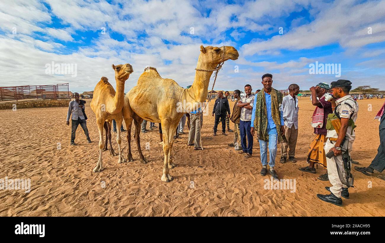 Camel market, Burao, south eastern Somaliland, Somalia, Africa Copyright: MichaelxRunkel 1184-11367 Editorial Use Only Stock Photohttps://www.alamy.com/image-license-details/?v=1https://www.alamy.com/camel-market-burao-south-eastern-somaliland-somalia-africa-copyright-michaelxrunkel-1184-11367-editorial-use-only-image608786449.html
RM2XACH95–Camel market, Burao, south eastern Somaliland, Somalia, Africa Copyright: MichaelxRunkel 1184-11367 Editorial Use Only
 Main city road, Togdheer region, Burao, Somaliland Stock Photohttps://www.alamy.com/image-license-details/?v=1https://www.alamy.com/main-city-road-togdheer-region-burao-somaliland-image178921250.html
RMMB2FTJ–Main city road, Togdheer region, Burao, Somaliland
 Togdheer region (Federal Republic of Somalia, Horn of Africa) map vector illustration, scribble sketch Togdheer map Stock Vectorhttps://www.alamy.com/image-license-details/?v=1https://www.alamy.com/togdheer-region-federal-republic-of-somalia-horn-of-africa-map-vector-illustration-scribble-sketch-togdheer-map-image259368239.html
RFW1Y6RB–Togdheer region (Federal Republic of Somalia, Horn of Africa) map vector illustration, scribble sketch Togdheer map
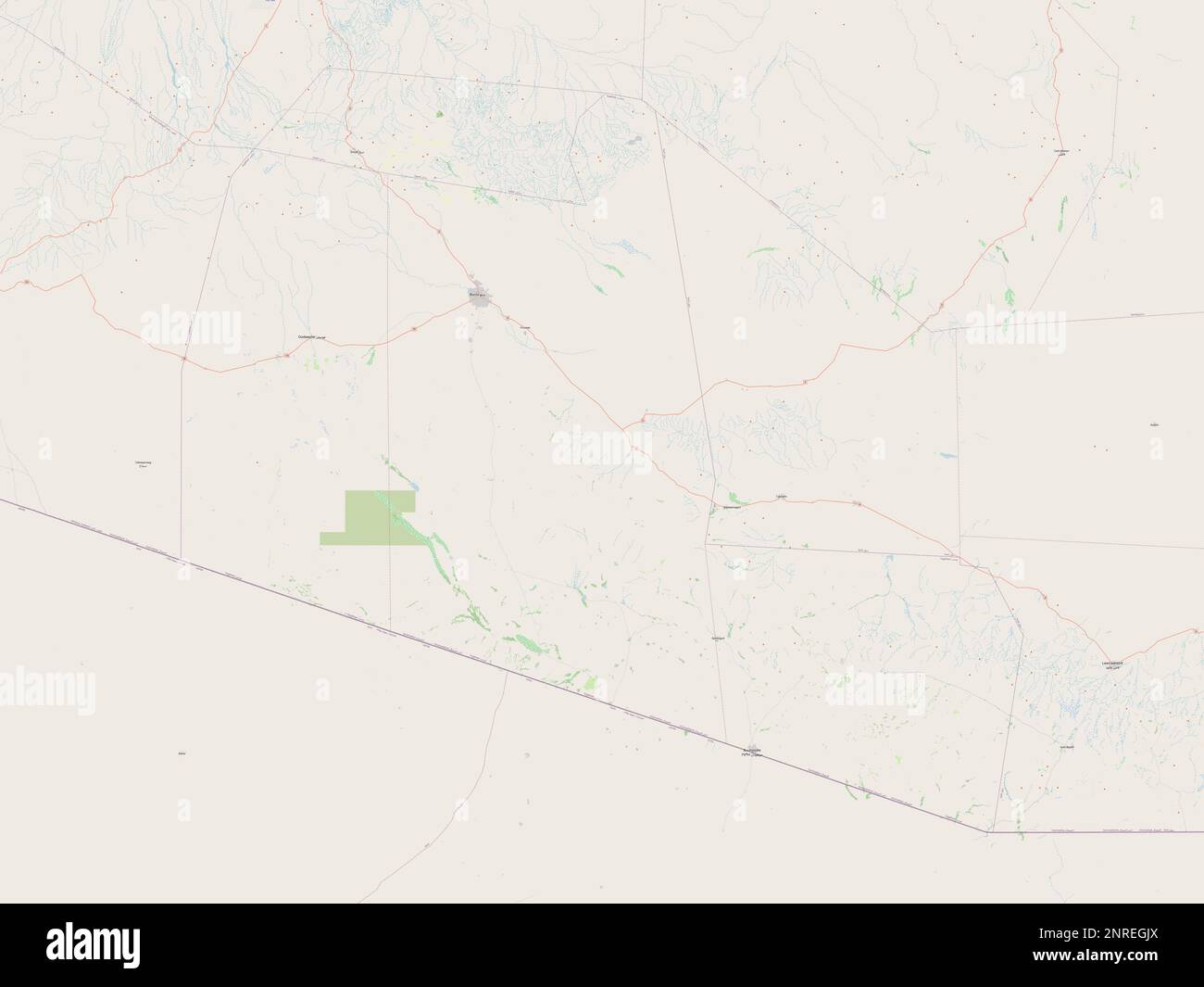 Togdheer, region of Somaliland. Open Street Map Stock Photohttps://www.alamy.com/image-license-details/?v=1https://www.alamy.com/togdheer-region-of-somaliland-open-street-map-image530768530.html
RF2NREGJX–Togdheer, region of Somaliland. Open Street Map
 Group of women and goats at Cattle market, Burao, south eastern Somaliland, Somalia, Africa Stock Photohttps://www.alamy.com/image-license-details/?v=1https://www.alamy.com/group-of-women-and-goats-at-cattle-market-burao-south-eastern-somaliland-somalia-africa-image608749907.html
RF2XAAXM3–Group of women and goats at Cattle market, Burao, south eastern Somaliland, Somalia, Africa
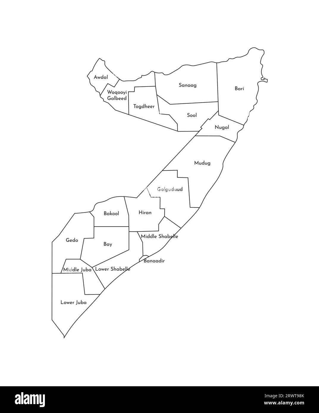 Vector isolated illustration of simplified administrative map of Somalia. Borders and names of the regions. Black line silhouettes. Stock Vectorhttps://www.alamy.com/image-license-details/?v=1https://www.alamy.com/vector-isolated-illustration-of-simplified-administrative-map-of-somalia-borders-and-names-of-the-regions-black-line-silhouettes-image566632323.html
RF2RWT98K–Vector isolated illustration of simplified administrative map of Somalia. Borders and names of the regions. Black line silhouettes.
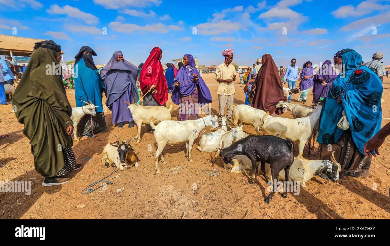 Group of women and goats at Cattle market, Burao, south eastern Somaliland, Somalia, Africa Copyright: MichaelxRunkel 1184-11368 Editorial Use Only Stock Photohttps://www.alamy.com/image-license-details/?v=1https://www.alamy.com/group-of-women-and-goats-at-cattle-market-burao-south-eastern-somaliland-somalia-africa-copyright-michaelxrunkel-1184-11368-editorial-use-only-image608786443.html
RM2XACH8Y–Group of women and goats at Cattle market, Burao, south eastern Somaliland, Somalia, Africa Copyright: MichaelxRunkel 1184-11368 Editorial Use Only
 Ruins in sheikh mountains, Togdheer, Sheikh, Somaliland Stock Photohttps://www.alamy.com/image-license-details/?v=1https://www.alamy.com/ruins-in-sheikh-mountains-togdheer-sheikh-somaliland-image178921231.html
RMMB2FRY–Ruins in sheikh mountains, Togdheer, Sheikh, Somaliland
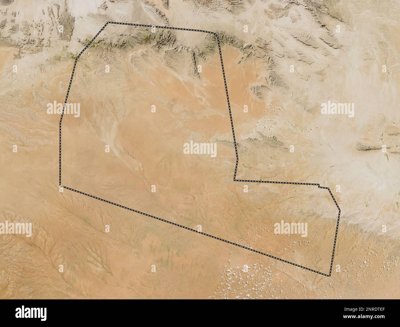 Togdheer, region of Somalia. Low resolution satellite map Stock Photohttps://www.alamy.com/image-license-details/?v=1https://www.alamy.com/togdheer-region-of-somalia-low-resolution-satellite-map-image530752727.html
RF2NRDTEF–Togdheer, region of Somalia. Low resolution satellite map
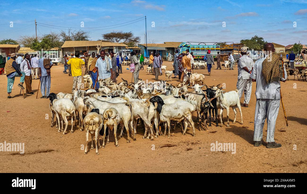 Goats at Cattle market, Burao, south eastern Somaliland, Somalia, Africa Stock Photohttps://www.alamy.com/image-license-details/?v=1https://www.alamy.com/goats-at-cattle-market-burao-south-eastern-somaliland-somalia-africa-image608749909.html
RF2XAAXM5–Goats at Cattle market, Burao, south eastern Somaliland, Somalia, Africa
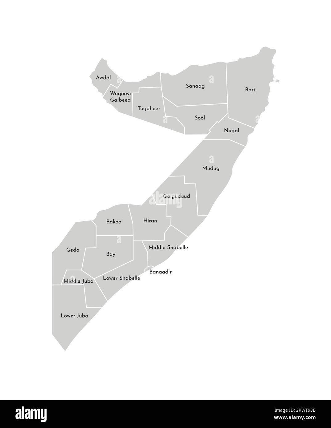 Vector isolated illustration of simplified administrative map of Somalia. Borders and names of the regions. Grey silhouettes. White outline. Stock Vectorhttps://www.alamy.com/image-license-details/?v=1https://www.alamy.com/vector-isolated-illustration-of-simplified-administrative-map-of-somalia-borders-and-names-of-the-regions-grey-silhouettes-white-outline-image566632315.html
RF2RWT98B–Vector isolated illustration of simplified administrative map of Somalia. Borders and names of the regions. Grey silhouettes. White outline.
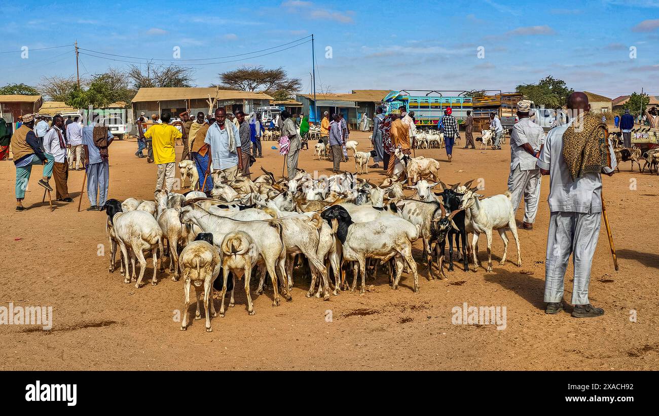 Goats at Cattle market, Burao, south eastern Somaliland, Somalia, Africa Copyright: MichaelxRunkel 1184-11369 Editorial Use Only Stock Photohttps://www.alamy.com/image-license-details/?v=1https://www.alamy.com/goats-at-cattle-market-burao-south-eastern-somaliland-somalia-africa-copyright-michaelxrunkel-1184-11369-editorial-use-only-image608786446.html
RM2XACH92–Goats at Cattle market, Burao, south eastern Somaliland, Somalia, Africa Copyright: MichaelxRunkel 1184-11369 Editorial Use Only
 Acacia in the sheikh mountains, Togdheer, Sheikh, Somaliland Stock Photohttps://www.alamy.com/image-license-details/?v=1https://www.alamy.com/acacia-in-the-sheikh-mountains-togdheer-sheikh-somaliland-image178921225.html
RMMB2FRN–Acacia in the sheikh mountains, Togdheer, Sheikh, Somaliland
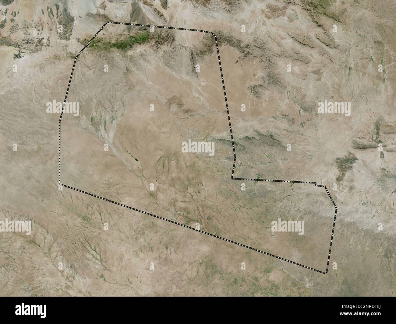 Togdheer, region of Somalia. High resolution satellite map Stock Photohttps://www.alamy.com/image-license-details/?v=1https://www.alamy.com/togdheer-region-of-somalia-high-resolution-satellite-map-image530752730.html
RF2NRDTEJ–Togdheer, region of Somalia. High resolution satellite map
 Red flowers in the desert, Togdheer, Sheikh, Somaliland Stock Photohttps://www.alamy.com/image-license-details/?v=1https://www.alamy.com/red-flowers-in-the-desert-togdheer-sheikh-somaliland-image178921220.html
RMMB2FRG–Red flowers in the desert, Togdheer, Sheikh, Somaliland
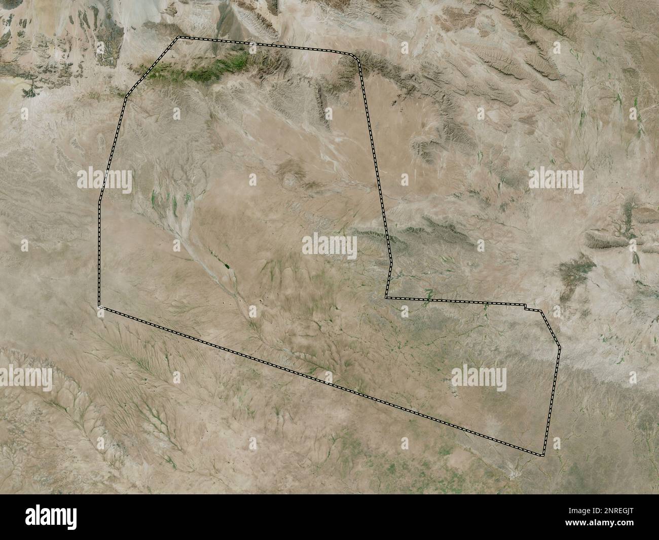 Togdheer, region of Somaliland. High resolution satellite map Stock Photohttps://www.alamy.com/image-license-details/?v=1https://www.alamy.com/togdheer-region-of-somaliland-high-resolution-satellite-map-image530768528.html
RF2NREGJT–Togdheer, region of Somaliland. High resolution satellite map
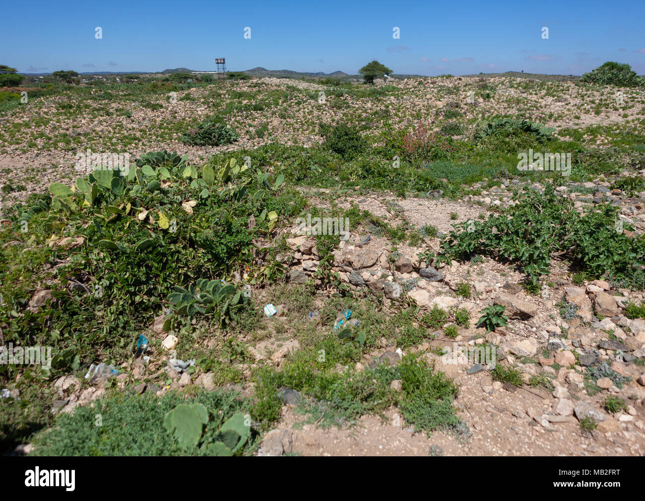 Ruins in sheikh mountains, Togdheer, Sheikh, Somaliland Stock Photohttps://www.alamy.com/image-license-details/?v=1https://www.alamy.com/ruins-in-sheikh-mountains-togdheer-sheikh-somaliland-image178921228.html
RMMB2FRT–Ruins in sheikh mountains, Togdheer, Sheikh, Somaliland
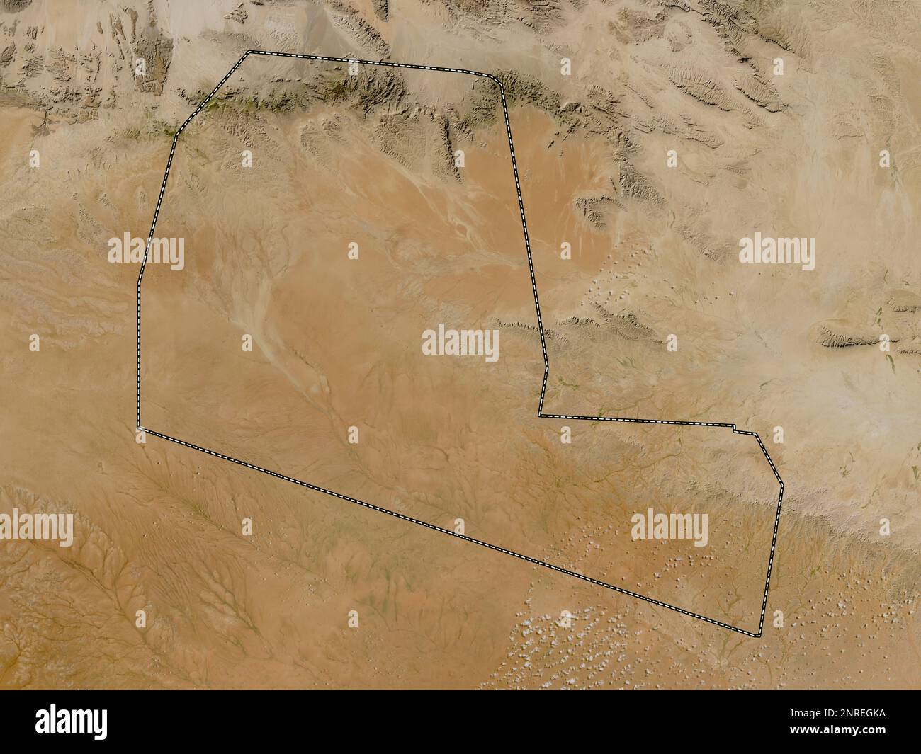 Togdheer, region of Somaliland. Low resolution satellite map Stock Photohttps://www.alamy.com/image-license-details/?v=1https://www.alamy.com/togdheer-region-of-somaliland-low-resolution-satellite-map-image530768542.html
RF2NREGKA–Togdheer, region of Somaliland. Low resolution satellite map
 Ruins in sheikh mountains, Togdheer, Sheikh, Somaliland Stock Photohttps://www.alamy.com/image-license-details/?v=1https://www.alamy.com/ruins-in-sheikh-mountains-togdheer-sheikh-somaliland-image178921230.html
RMMB2FRX–Ruins in sheikh mountains, Togdheer, Sheikh, Somaliland
 Togdheer, region of Somaliland. Bilevel elevation map with lakes and rivers Stock Photohttps://www.alamy.com/image-license-details/?v=1https://www.alamy.com/togdheer-region-of-somaliland-bilevel-elevation-map-with-lakes-and-rivers-image530768532.html
RF2NREGK0–Togdheer, region of Somaliland. Bilevel elevation map with lakes and rivers
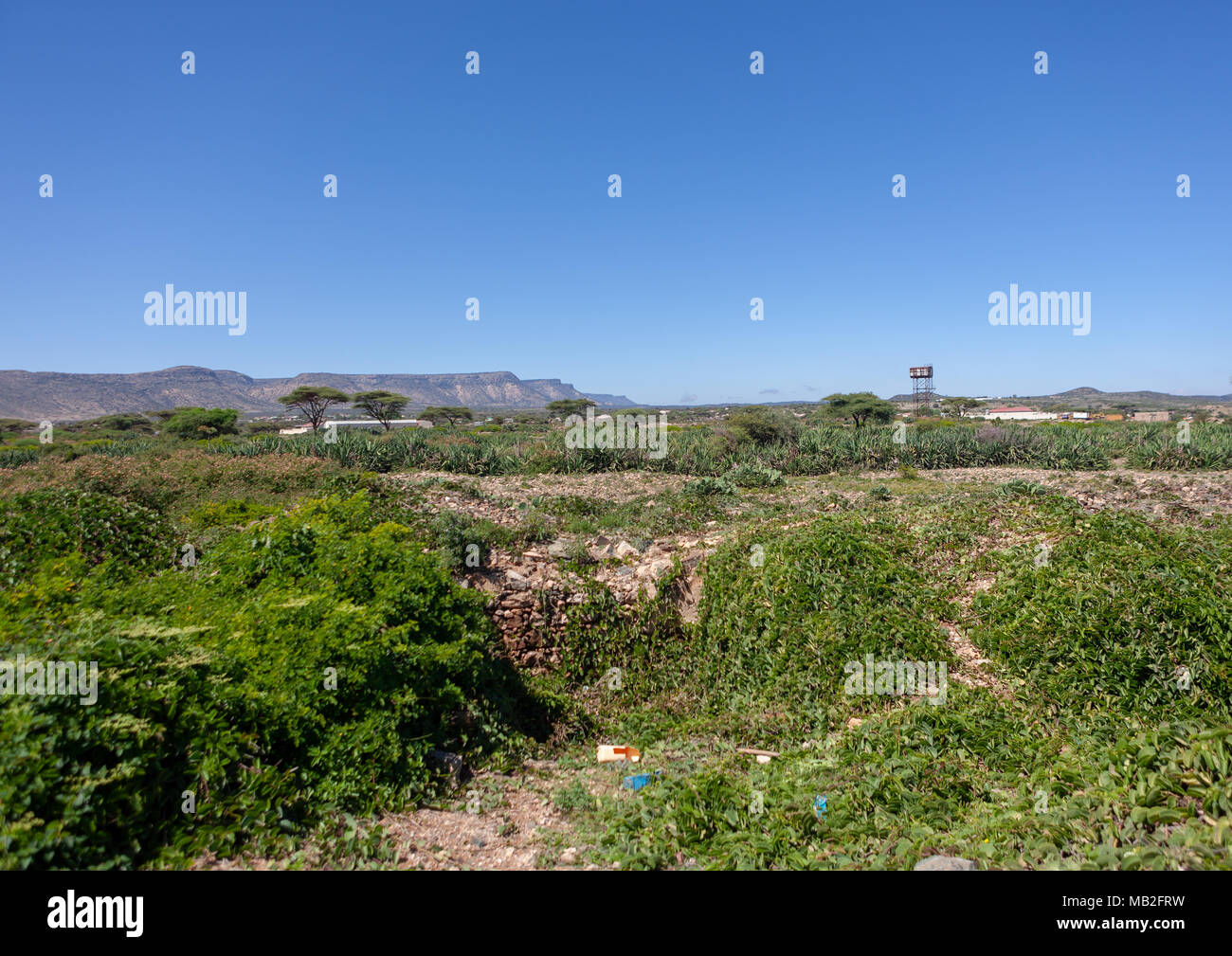 Ruins in sheikh mountains, Togdheer, Sheikh, Somaliland Stock Photohttps://www.alamy.com/image-license-details/?v=1https://www.alamy.com/ruins-in-sheikh-mountains-togdheer-sheikh-somaliland-image178921229.html
RMMB2FRW–Ruins in sheikh mountains, Togdheer, Sheikh, Somaliland
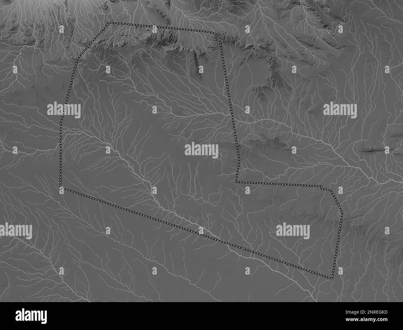 Togdheer, region of Somaliland. Grayscale elevation map with lakes and rivers Stock Photohttps://www.alamy.com/image-license-details/?v=1https://www.alamy.com/togdheer-region-of-somaliland-grayscale-elevation-map-with-lakes-and-rivers-image530768545.html
RF2NREGKD–Togdheer, region of Somaliland. Grayscale elevation map with lakes and rivers
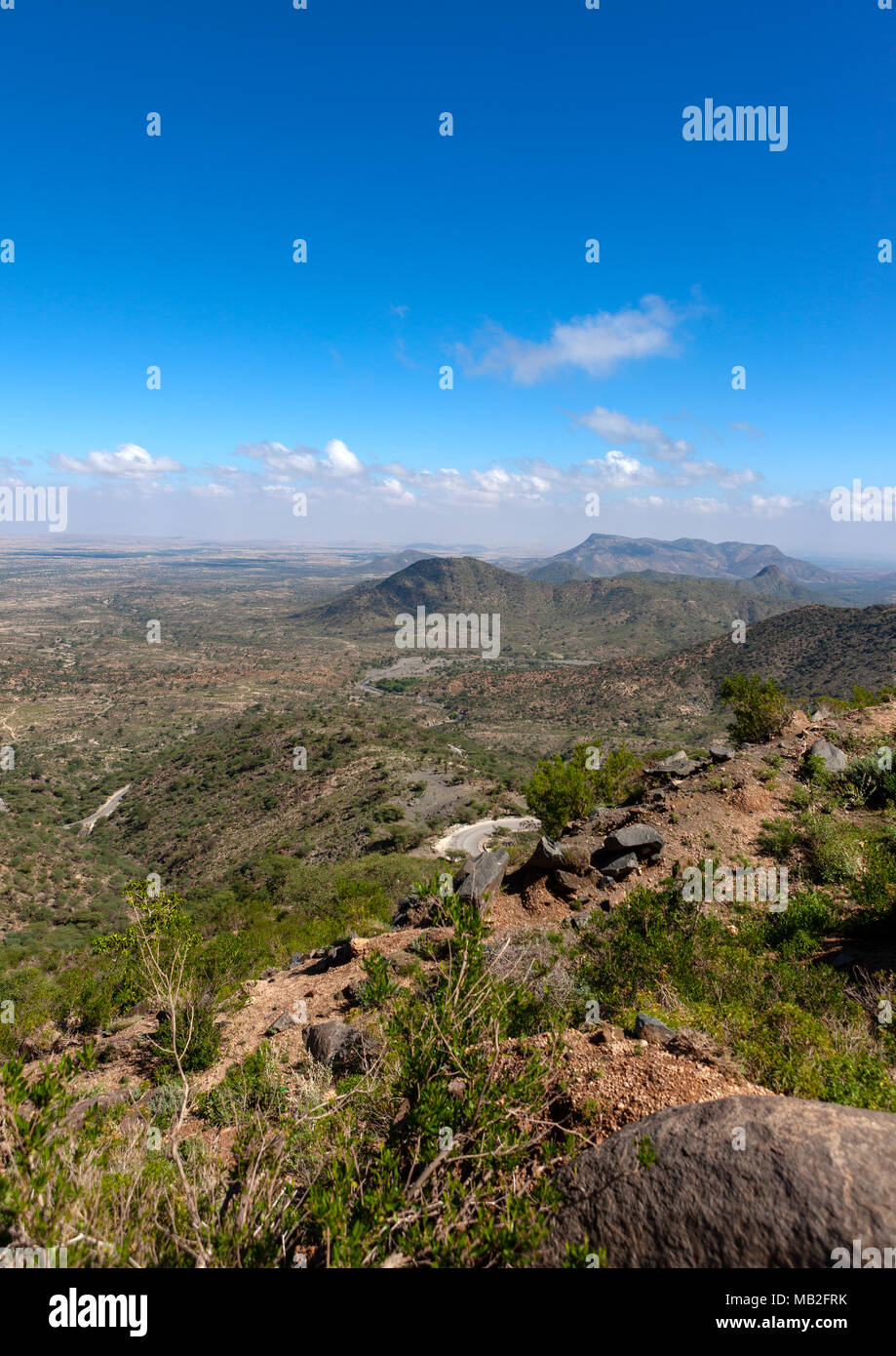 A panoramic view of the sheikh mountains, Togdheer, Sheikh, Somaliland Stock Photohttps://www.alamy.com/image-license-details/?v=1https://www.alamy.com/a-panoramic-view-of-the-sheikh-mountains-togdheer-sheikh-somaliland-image178921223.html
RMMB2FRK–A panoramic view of the sheikh mountains, Togdheer, Sheikh, Somaliland
 Togdheer, region of Somaliland. Colored elevation map with lakes and rivers Stock Photohttps://www.alamy.com/image-license-details/?v=1https://www.alamy.com/togdheer-region-of-somaliland-colored-elevation-map-with-lakes-and-rivers-image530768547.html
RF2NREGKF–Togdheer, region of Somaliland. Colored elevation map with lakes and rivers
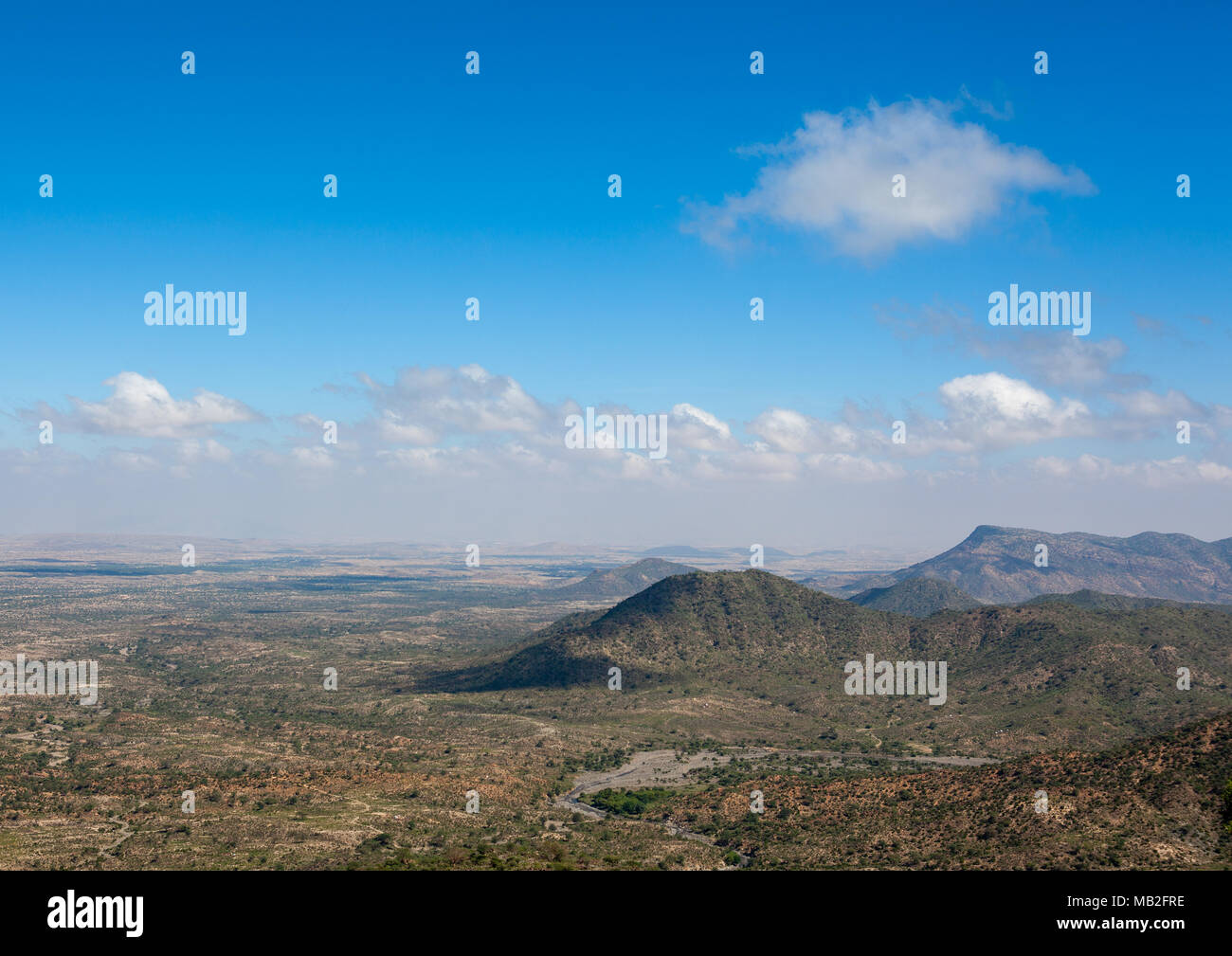 A panoramic view of the sheikh mountains, Togdheer, Sheikh, Somaliland Stock Photohttps://www.alamy.com/image-license-details/?v=1https://www.alamy.com/a-panoramic-view-of-the-sheikh-mountains-togdheer-sheikh-somaliland-image178921218.html
RMMB2FRE–A panoramic view of the sheikh mountains, Togdheer, Sheikh, Somaliland
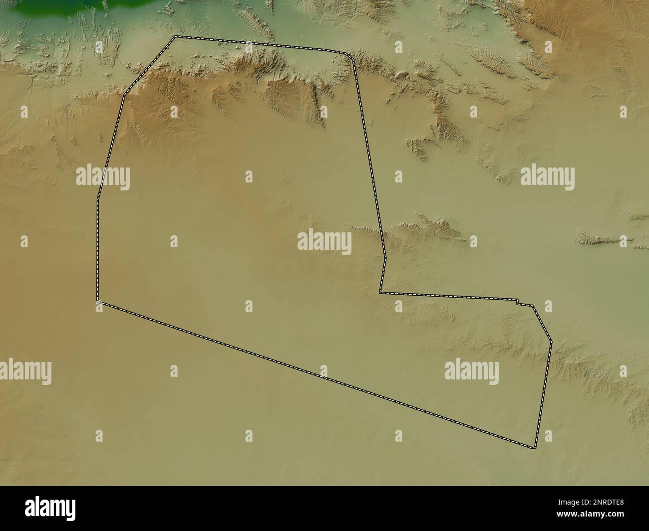 Togdheer, region of Somalia. Colored elevation map with lakes and rivers Stock Photohttps://www.alamy.com/image-license-details/?v=1https://www.alamy.com/togdheer-region-of-somalia-colored-elevation-map-with-lakes-and-rivers-image530752720.html
RF2NRDTE8–Togdheer, region of Somalia. Colored elevation map with lakes and rivers
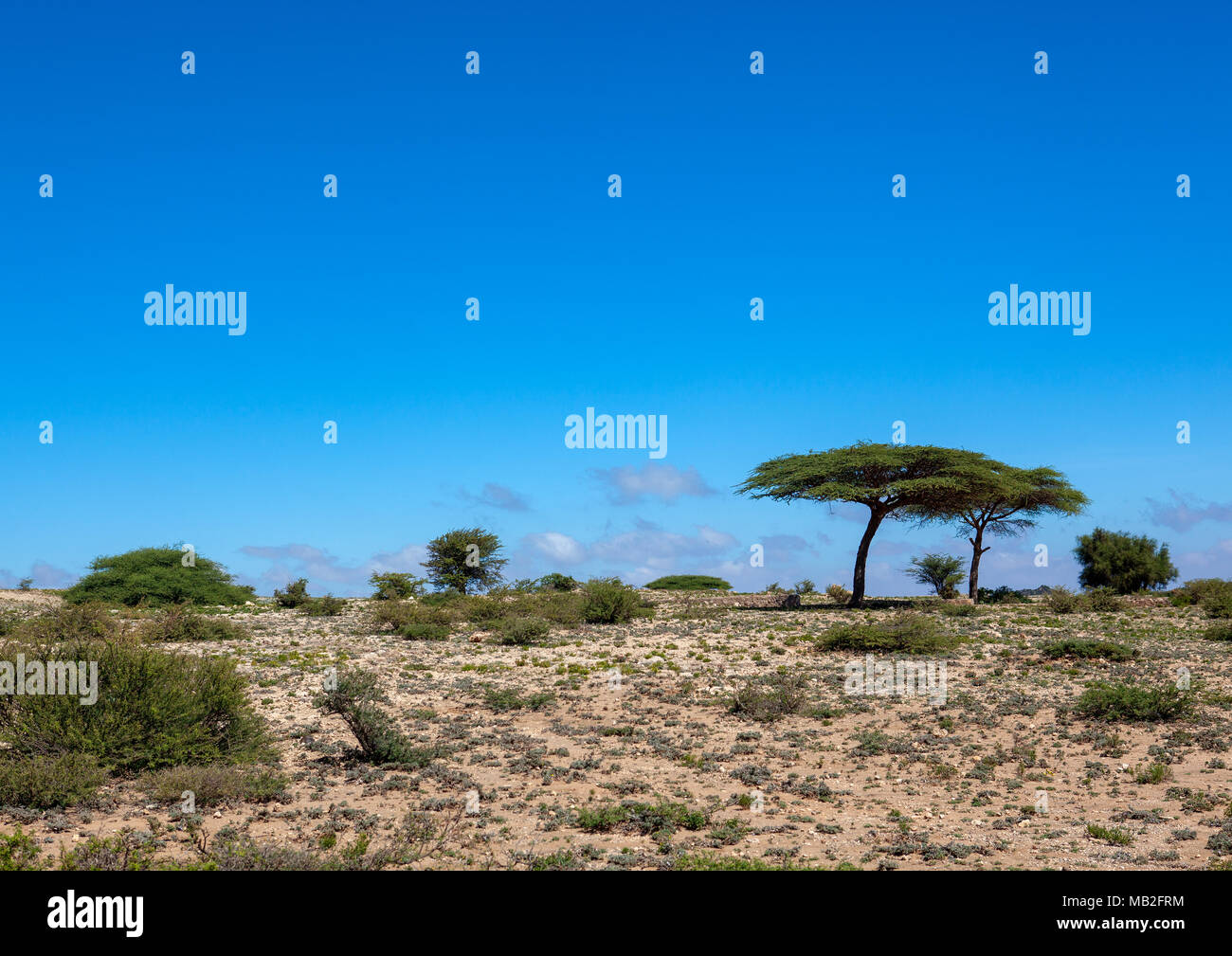 Acacias trees in the sheikh mountains, Togdheer, Sheikh, Somaliland Stock Photohttps://www.alamy.com/image-license-details/?v=1https://www.alamy.com/acacias-trees-in-the-sheikh-mountains-togdheer-sheikh-somaliland-image178921224.html
RMMB2FRM–Acacias trees in the sheikh mountains, Togdheer, Sheikh, Somaliland
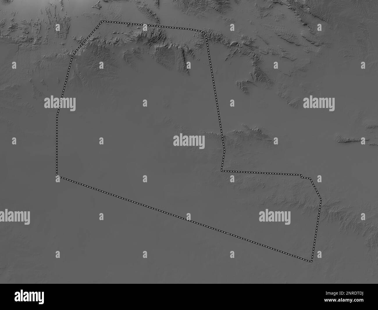 Togdheer, region of Somalia. Grayscale elevation map with lakes and rivers Stock Photohttps://www.alamy.com/image-license-details/?v=1https://www.alamy.com/togdheer-region-of-somalia-grayscale-elevation-map-with-lakes-and-rivers-image530752702.html
RF2NRDTDJ–Togdheer, region of Somalia. Grayscale elevation map with lakes and rivers
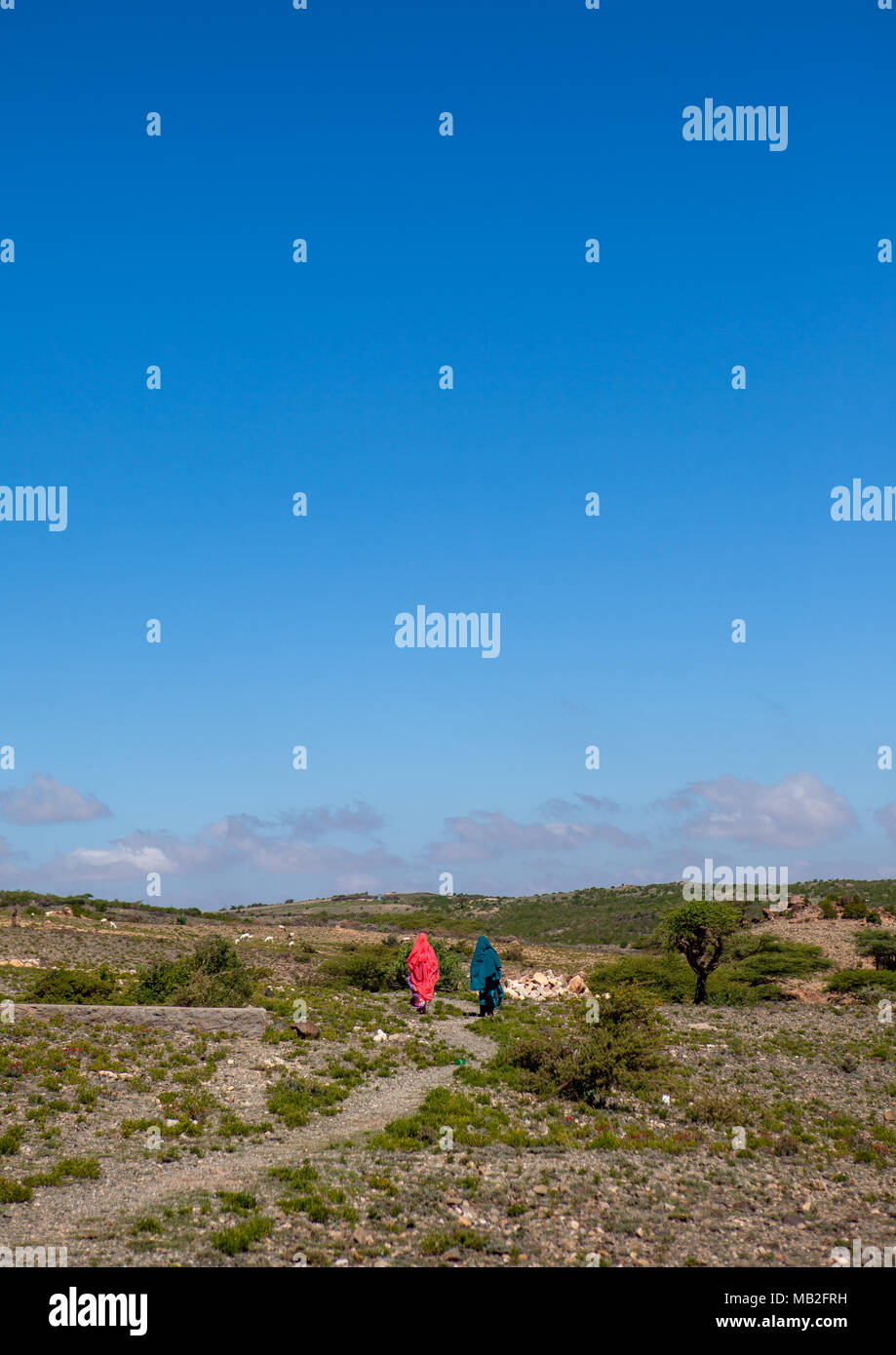 Somali women in sheikh mountains, Togdheer, Sheikh, Somaliland Stock Photohttps://www.alamy.com/image-license-details/?v=1https://www.alamy.com/somali-women-in-sheikh-mountains-togdheer-sheikh-somaliland-image178921221.html
RMMB2FRH–Somali women in sheikh mountains, Togdheer, Sheikh, Somaliland
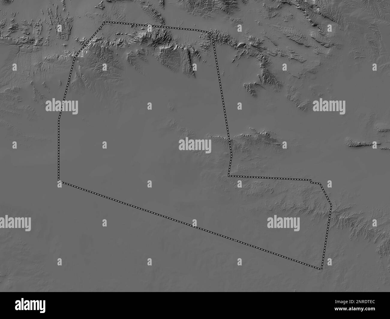 Togdheer, region of Somalia. Bilevel elevation map with lakes and rivers Stock Photohttps://www.alamy.com/image-license-details/?v=1https://www.alamy.com/togdheer-region-of-somalia-bilevel-elevation-map-with-lakes-and-rivers-image530752724.html
RF2NRDTEC–Togdheer, region of Somalia. Bilevel elevation map with lakes and rivers
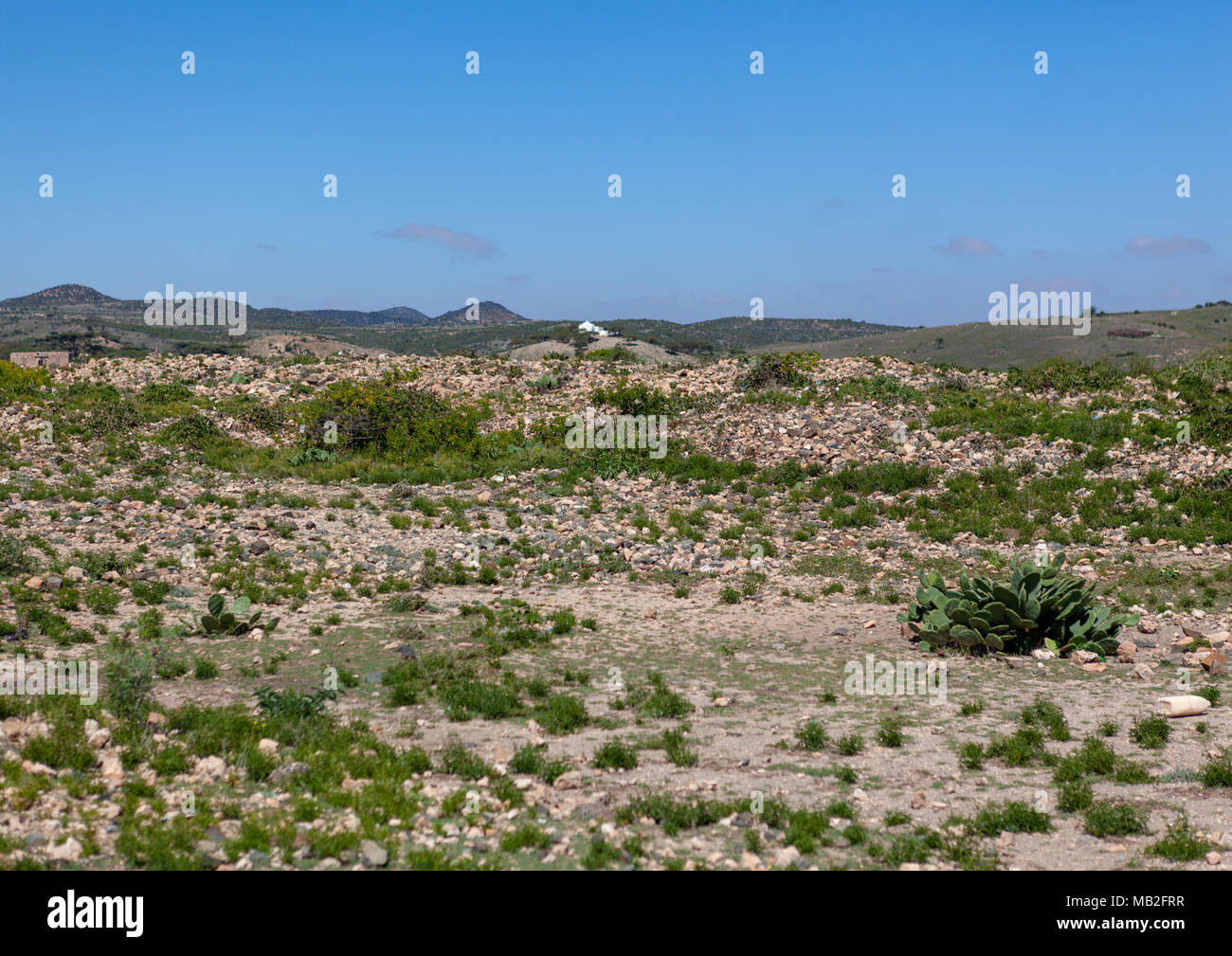 A panoramic view of the sheikh mountains, Togdheer, Sheikh, Somaliland Stock Photohttps://www.alamy.com/image-license-details/?v=1https://www.alamy.com/a-panoramic-view-of-the-sheikh-mountains-togdheer-sheikh-somaliland-image178921227.html
RMMB2FRR–A panoramic view of the sheikh mountains, Togdheer, Sheikh, Somaliland
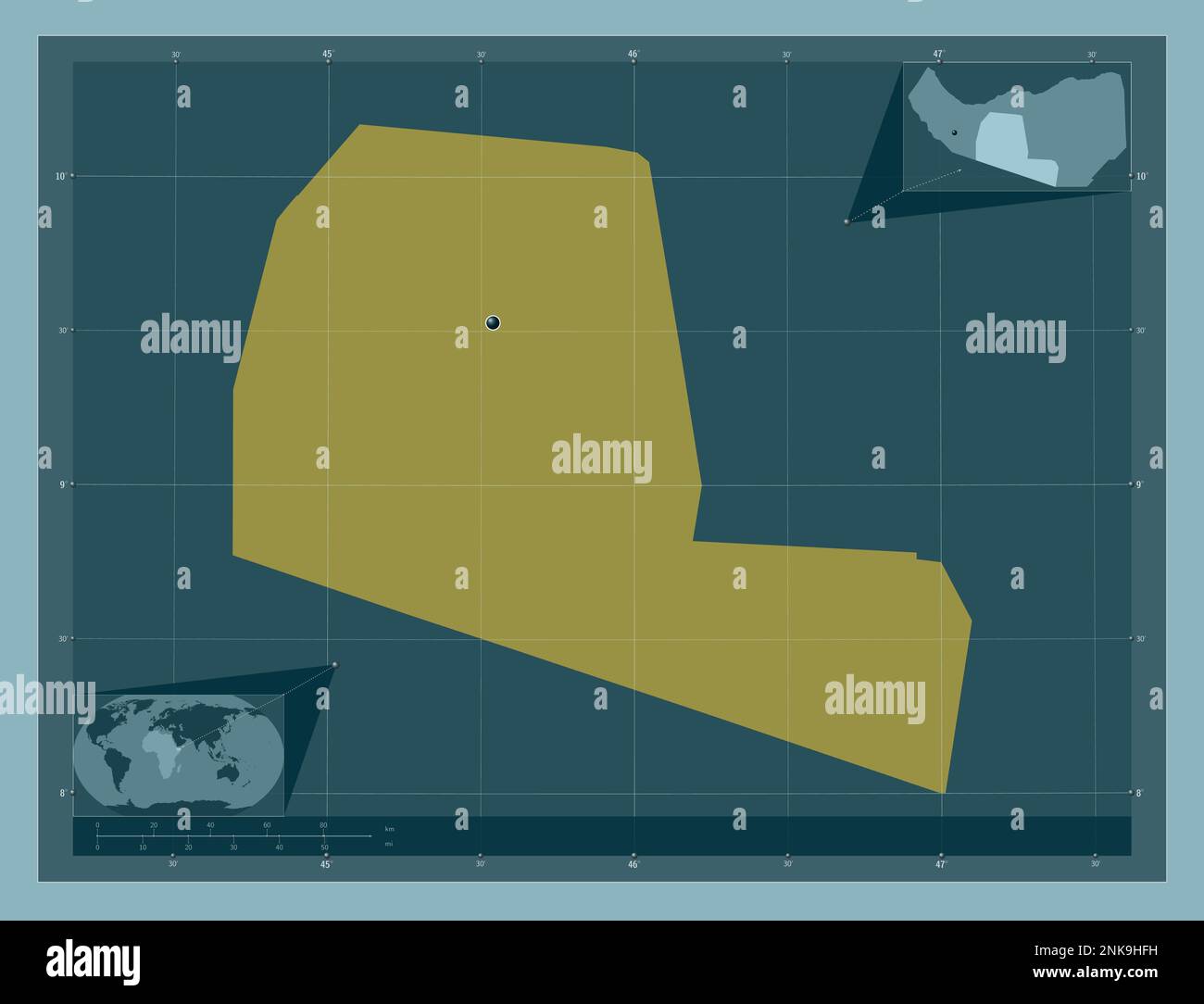 Togdheer, region of Somaliland. Solid color shape. Corner auxiliary location maps Stock Photohttps://www.alamy.com/image-license-details/?v=1https://www.alamy.com/togdheer-region-of-somaliland-solid-color-shape-corner-auxiliary-location-maps-image528200837.html
RF2NK9HFH–Togdheer, region of Somaliland. Solid color shape. Corner auxiliary location maps
 Water tank in the burao technology institute, Togdheer region, Burao, Somaliland Stock Photohttps://www.alamy.com/image-license-details/?v=1https://www.alamy.com/water-tank-in-the-burao-technology-institute-togdheer-region-burao-somaliland-image178921233.html
RMMB2FT1–Water tank in the burao technology institute, Togdheer region, Burao, Somaliland
 Togdheer, region of Somalia. Solid color shape. Corner auxiliary location maps Stock Photohttps://www.alamy.com/image-license-details/?v=1https://www.alamy.com/togdheer-region-of-somalia-solid-color-shape-corner-auxiliary-location-maps-image528169322.html
RF2NK85A2–Togdheer, region of Somalia. Solid color shape. Corner auxiliary location maps
 Water tank in the burao technology institute, Togdheer region, Burao, Somaliland Stock Photohttps://www.alamy.com/image-license-details/?v=1https://www.alamy.com/water-tank-in-the-burao-technology-institute-togdheer-region-burao-somaliland-image178921234.html
RMMB2FT2–Water tank in the burao technology institute, Togdheer region, Burao, Somaliland
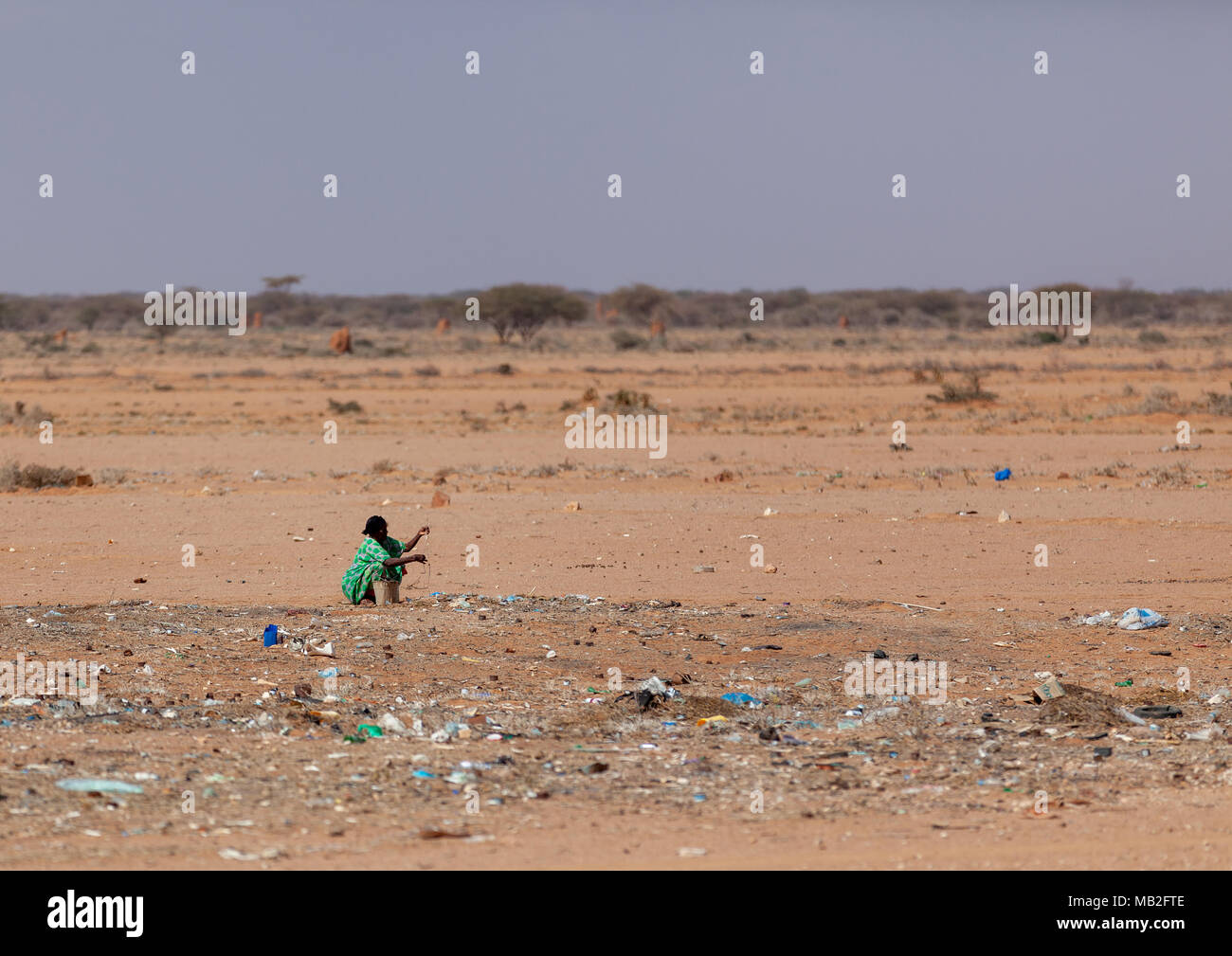 Somali woman collecting rubbishes to sell, Togdheer region, Burao, Somaliland Stock Photohttps://www.alamy.com/image-license-details/?v=1https://www.alamy.com/somali-woman-collecting-rubbishes-to-sell-togdheer-region-burao-somaliland-image178921246.html
RMMB2FTE–Somali woman collecting rubbishes to sell, Togdheer region, Burao, Somaliland
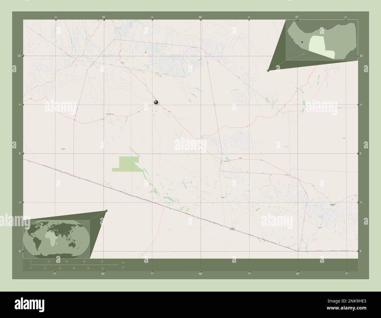 Togdheer, region of Somaliland. Open Street Map. Corner auxiliary location maps Stock Photohttps://www.alamy.com/image-license-details/?v=1https://www.alamy.com/togdheer-region-of-somaliland-open-street-map-corner-auxiliary-location-maps-image528200795.html
RF2NK9HE3–Togdheer, region of Somaliland. Open Street Map. Corner auxiliary location maps
 Somali teenage girls students in the street, Togdheer region, Burao, Somaliland Stock Photohttps://www.alamy.com/image-license-details/?v=1https://www.alamy.com/somali-teenage-girls-students-in-the-street-togdheer-region-burao-somaliland-image178921242.html
RMMB2FTA–Somali teenage girls students in the street, Togdheer region, Burao, Somaliland
 Tank water in the burao technology institute, Togdheer region, Burao, Somaliland Stock Photohttps://www.alamy.com/image-license-details/?v=1https://www.alamy.com/tank-water-in-the-burao-technology-institute-togdheer-region-burao-somaliland-image178921240.html
RMMB2FT8–Tank water in the burao technology institute, Togdheer region, Burao, Somaliland
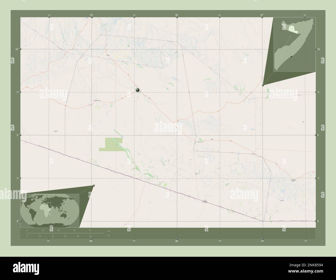 Togdheer, region of Somalia. Open Street Map. Corner auxiliary location maps Stock Photohttps://www.alamy.com/image-license-details/?v=1https://www.alamy.com/togdheer-region-of-somalia-open-street-map-corner-auxiliary-location-maps-image528169296.html
RF2NK8594–Togdheer, region of Somalia. Open Street Map. Corner auxiliary location maps
 Portrait of a teenage boy with a national flag, Togdheer region, Burao, Somaliland Stock Photohttps://www.alamy.com/image-license-details/?v=1https://www.alamy.com/portrait-of-a-teenage-boy-with-a-national-flag-togdheer-region-burao-somaliland-image178921236.html
RMMB2FT4–Portrait of a teenage boy with a national flag, Togdheer region, Burao, Somaliland
 Togdheer, region of Somaliland. High resolution satellite map. Corner auxiliary location maps Stock Photohttps://www.alamy.com/image-license-details/?v=1https://www.alamy.com/togdheer-region-of-somaliland-high-resolution-satellite-map-corner-auxiliary-location-maps-image528200809.html
RF2NK9HEH–Togdheer, region of Somaliland. High resolution satellite map. Corner auxiliary location maps
 Portrait of a teenage boy with a national flag, Togdheer region, Burao, Somaliland Stock Photohttps://www.alamy.com/image-license-details/?v=1https://www.alamy.com/portrait-of-a-teenage-boy-with-a-national-flag-togdheer-region-burao-somaliland-image178921238.html
RMMB2FT6–Portrait of a teenage boy with a national flag, Togdheer region, Burao, Somaliland
 Road sign for a school to reduce car speed, Togdheer region, Baligubadle, Somaliland Stock Photohttps://www.alamy.com/image-license-details/?v=1https://www.alamy.com/road-sign-for-a-school-to-reduce-car-speed-togdheer-region-baligubadle-somaliland-image178921248.html
RMMB2FTG–Road sign for a school to reduce car speed, Togdheer region, Baligubadle, Somaliland
 Portrait of a teenage boy with a national flag, Togdheer region, Burao, Somaliland Stock Photohttps://www.alamy.com/image-license-details/?v=1https://www.alamy.com/portrait-of-a-teenage-boy-with-a-national-flag-togdheer-region-burao-somaliland-image178921237.html
RMMB2FT5–Portrait of a teenage boy with a national flag, Togdheer region, Burao, Somaliland
 A somali hut called aqal in the desert, Togdheer region, Burao, Somaliland Stock Photohttps://www.alamy.com/image-license-details/?v=1https://www.alamy.com/a-somali-hut-called-aqal-in-the-desert-togdheer-region-burao-somaliland-image178921247.html
RMMB2FTF–A somali hut called aqal in the desert, Togdheer region, Burao, Somaliland
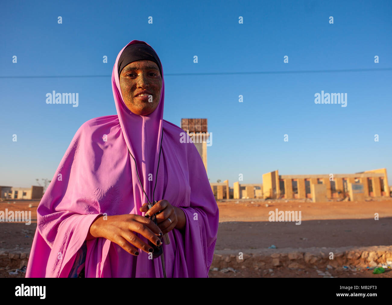 Portrait of a somal girl with qasil on her face, Togdheer region, Burao, Somaliland Stock Photohttps://www.alamy.com/image-license-details/?v=1https://www.alamy.com/portrait-of-a-somal-girl-with-qasil-on-her-face-togdheer-region-burao-somaliland-image178921235.html
RMMB2FT3–Portrait of a somal girl with qasil on her face, Togdheer region, Burao, Somaliland
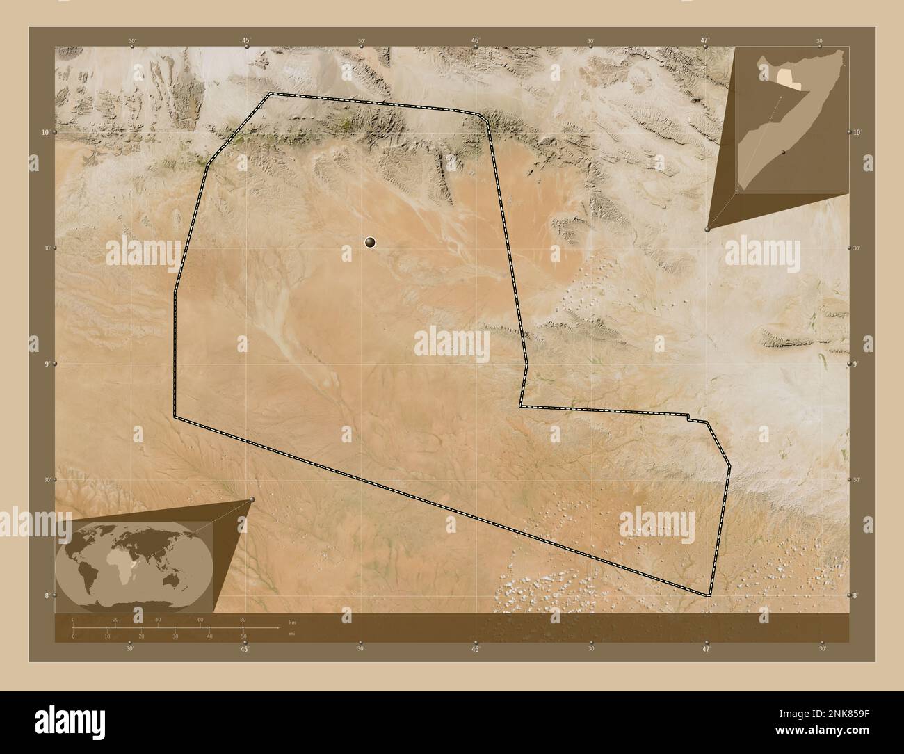 Togdheer, region of Somalia. Low resolution satellite map. Corner auxiliary location maps Stock Photohttps://www.alamy.com/image-license-details/?v=1https://www.alamy.com/togdheer-region-of-somalia-low-resolution-satellite-map-corner-auxiliary-location-maps-image528169307.html
RF2NK859F–Togdheer, region of Somalia. Low resolution satellite map. Corner auxiliary location maps
 Portrait of a somali woman wearing a niqab with her daughter, Togdheer region, Burao, Somaliland Stock Photohttps://www.alamy.com/image-license-details/?v=1https://www.alamy.com/portrait-of-a-somali-woman-wearing-a-niqab-with-her-daughter-togdheer-region-burao-somaliland-image178921244.html
RMMB2FTC–Portrait of a somali woman wearing a niqab with her daughter, Togdheer region, Burao, Somaliland
 A stone chimney from the ruins of a british colonial house, Togdheer, Sheikh, Somaliland Stock Photohttps://www.alamy.com/image-license-details/?v=1https://www.alamy.com/a-stone-chimney-from-the-ruins-of-a-british-colonial-house-togdheer-sheikh-somaliland-image178921222.html
RMMB2FRJ–A stone chimney from the ruins of a british colonial house, Togdheer, Sheikh, Somaliland
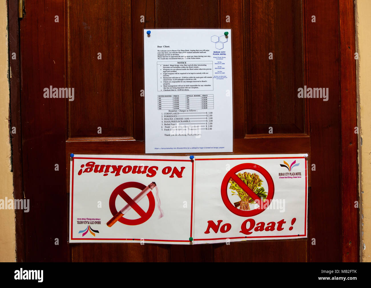 No smoking and khat prohibition signs in a room of plaza hotel, Togdheer region, Burao, Somaliland Stock Photohttps://www.alamy.com/image-license-details/?v=1https://www.alamy.com/no-smoking-and-khat-prohibition-signs-in-a-room-of-plaza-hotel-togdheer-region-burao-somaliland-image178921251.html
RMMB2FTK–No smoking and khat prohibition signs in a room of plaza hotel, Togdheer region, Burao, Somaliland
 Somali boy with a barcelona football shirt in front of a wal full of bullets holes, Togdheer region, Burao, Somaliland Stock Photohttps://www.alamy.com/image-license-details/?v=1https://www.alamy.com/somali-boy-with-a-barcelona-football-shirt-in-front-of-a-wal-full-of-bullets-holes-togdheer-region-burao-somaliland-image178921239.html
RMMB2FT7–Somali boy with a barcelona football shirt in front of a wal full of bullets holes, Togdheer region, Burao, Somaliland
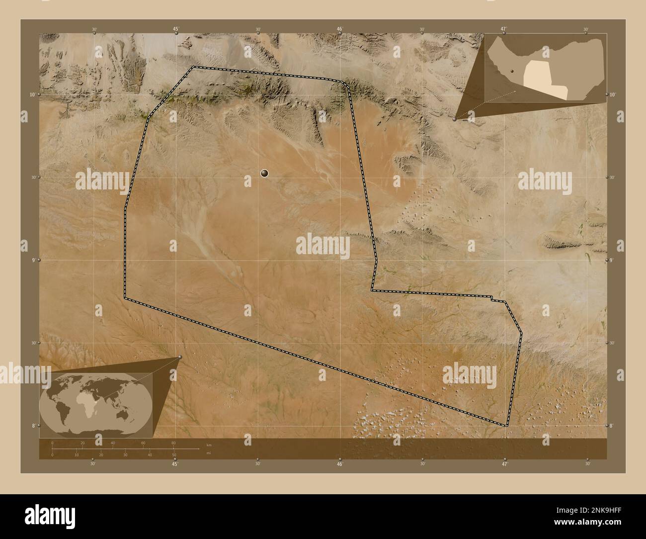 Togdheer, region of Somaliland. Low resolution satellite map. Corner auxiliary location maps Stock Photohttps://www.alamy.com/image-license-details/?v=1https://www.alamy.com/togdheer-region-of-somaliland-low-resolution-satellite-map-corner-auxiliary-location-maps-image528200835.html
RF2NK9HFF–Togdheer, region of Somaliland. Low resolution satellite map. Corner auxiliary location maps
 Togdheer, region of Somalia. High resolution satellite map. Corner auxiliary location maps Stock Photohttps://www.alamy.com/image-license-details/?v=1https://www.alamy.com/togdheer-region-of-somalia-high-resolution-satellite-map-corner-auxiliary-location-maps-image528169273.html
RF2NK8589–Togdheer, region of Somalia. High resolution satellite map. Corner auxiliary location maps
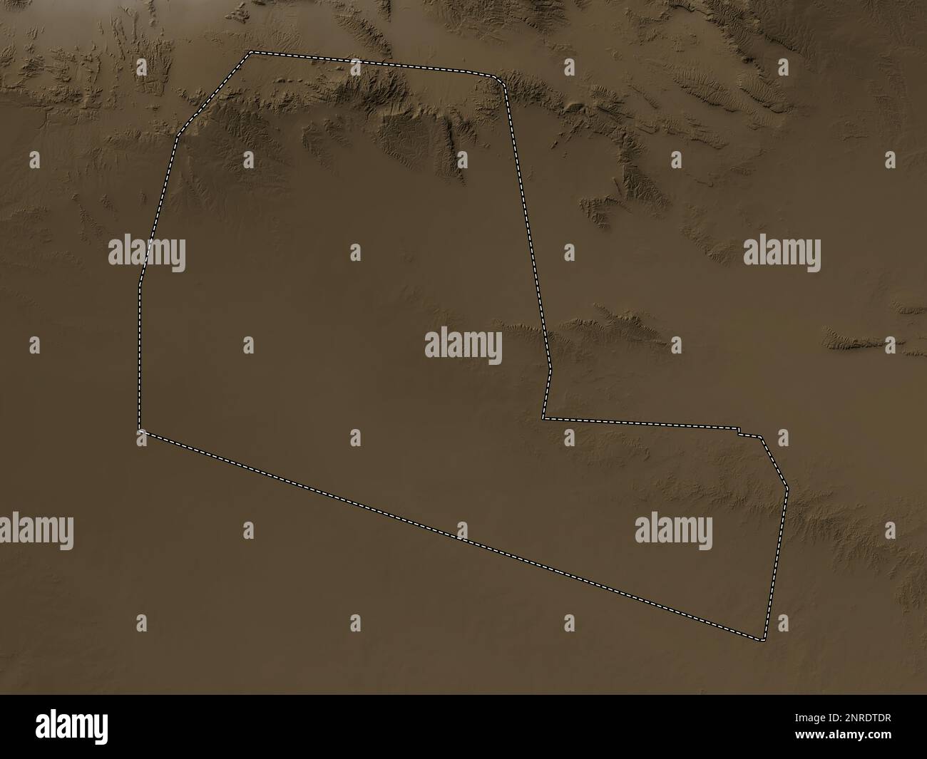 Togdheer, region of Somalia. Elevation map colored in sepia tones with lakes and rivers Stock Photohttps://www.alamy.com/image-license-details/?v=1https://www.alamy.com/togdheer-region-of-somalia-elevation-map-colored-in-sepia-tones-with-lakes-and-rivers-image530752707.html
RF2NRDTDR–Togdheer, region of Somalia. Elevation map colored in sepia tones with lakes and rivers
 Togdheer, region of Somalia. Elevation map colored in wiki style with lakes and rivers Stock Photohttps://www.alamy.com/image-license-details/?v=1https://www.alamy.com/togdheer-region-of-somalia-elevation-map-colored-in-wiki-style-with-lakes-and-rivers-image530752713.html
RF2NRDTE1–Togdheer, region of Somalia. Elevation map colored in wiki style with lakes and rivers
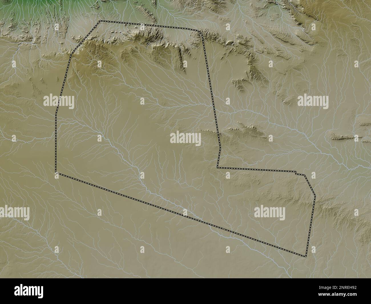 Togdheer, region of Somaliland. Elevation map colored in wiki style with lakes and rivers Stock Photohttps://www.alamy.com/image-license-details/?v=1https://www.alamy.com/togdheer-region-of-somaliland-elevation-map-colored-in-wiki-style-with-lakes-and-rivers-image530769038.html
RF2NREH92–Togdheer, region of Somaliland. Elevation map colored in wiki style with lakes and rivers
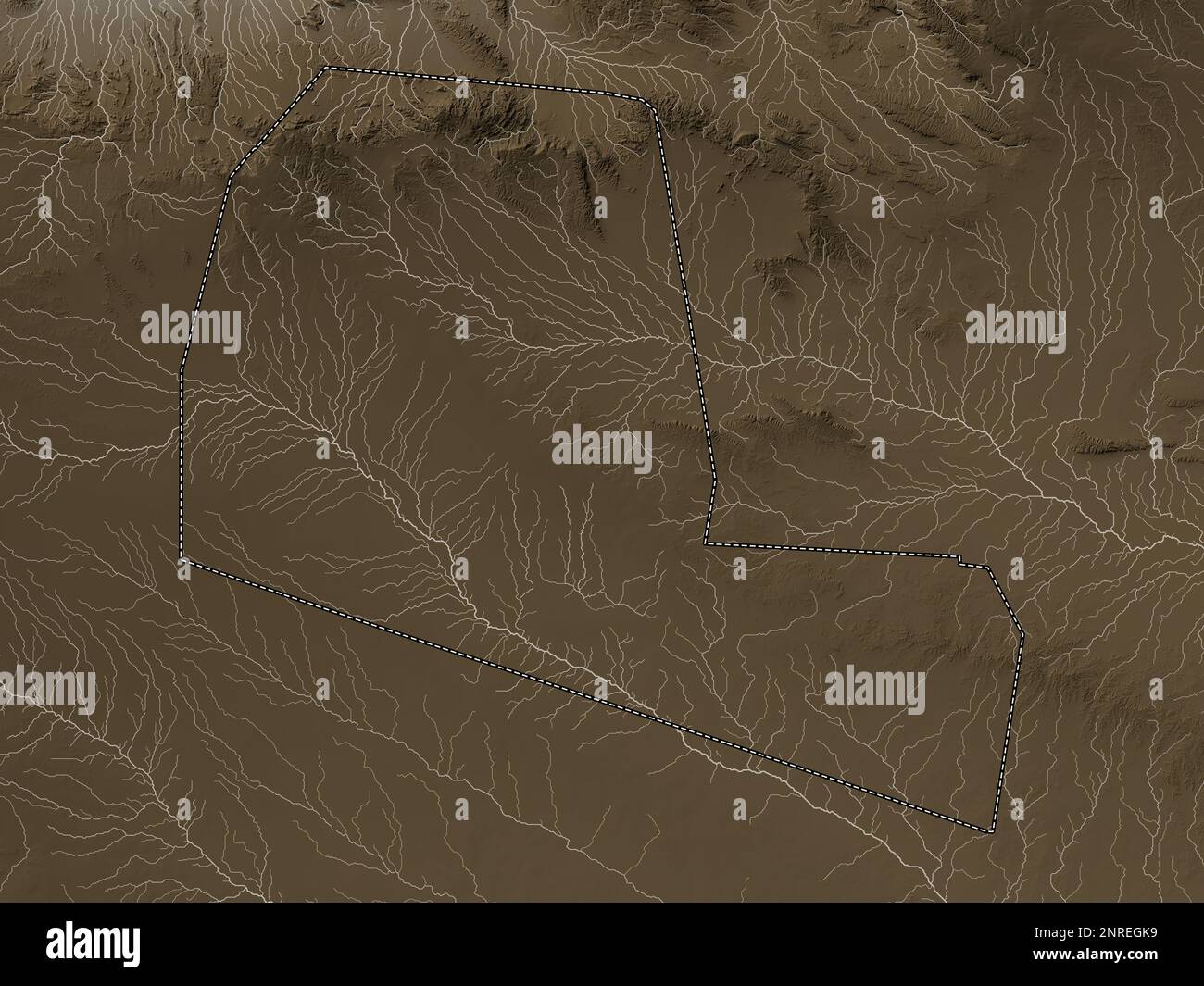 Togdheer, region of Somaliland. Elevation map colored in sepia tones with lakes and rivers Stock Photohttps://www.alamy.com/image-license-details/?v=1https://www.alamy.com/togdheer-region-of-somaliland-elevation-map-colored-in-sepia-tones-with-lakes-and-rivers-image530768541.html
RF2NREGK9–Togdheer, region of Somaliland. Elevation map colored in sepia tones with lakes and rivers
 Togdheer, region of Somalia. Colored elevation map with lakes and rivers. Corner auxiliary location maps Stock Photohttps://www.alamy.com/image-license-details/?v=1https://www.alamy.com/togdheer-region-of-somalia-colored-elevation-map-with-lakes-and-rivers-corner-auxiliary-location-maps-image528169348.html
RF2NK85B0–Togdheer, region of Somalia. Colored elevation map with lakes and rivers. Corner auxiliary location maps
 Togdheer, region of Somalia. Grayscale elevation map with lakes and rivers. Corner auxiliary location maps Stock Photohttps://www.alamy.com/image-license-details/?v=1https://www.alamy.com/togdheer-region-of-somalia-grayscale-elevation-map-with-lakes-and-rivers-corner-auxiliary-location-maps-image528168822.html
RF2NK84M6–Togdheer, region of Somalia. Grayscale elevation map with lakes and rivers. Corner auxiliary location maps
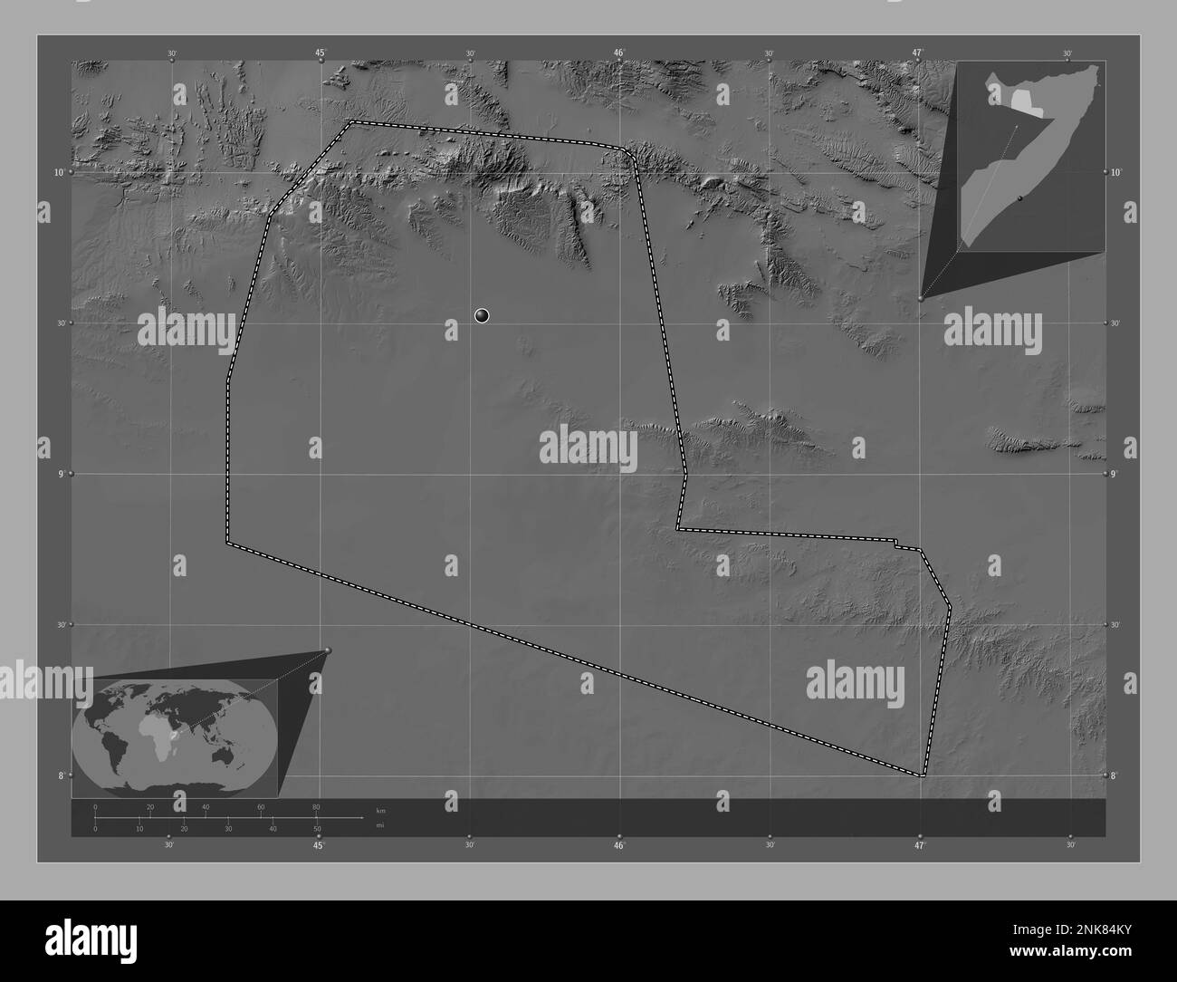 Togdheer, region of Somalia. Bilevel elevation map with lakes and rivers. Corner auxiliary location maps Stock Photohttps://www.alamy.com/image-license-details/?v=1https://www.alamy.com/togdheer-region-of-somalia-bilevel-elevation-map-with-lakes-and-rivers-corner-auxiliary-location-maps-image528168815.html
RF2NK84KY–Togdheer, region of Somalia. Bilevel elevation map with lakes and rivers. Corner auxiliary location maps
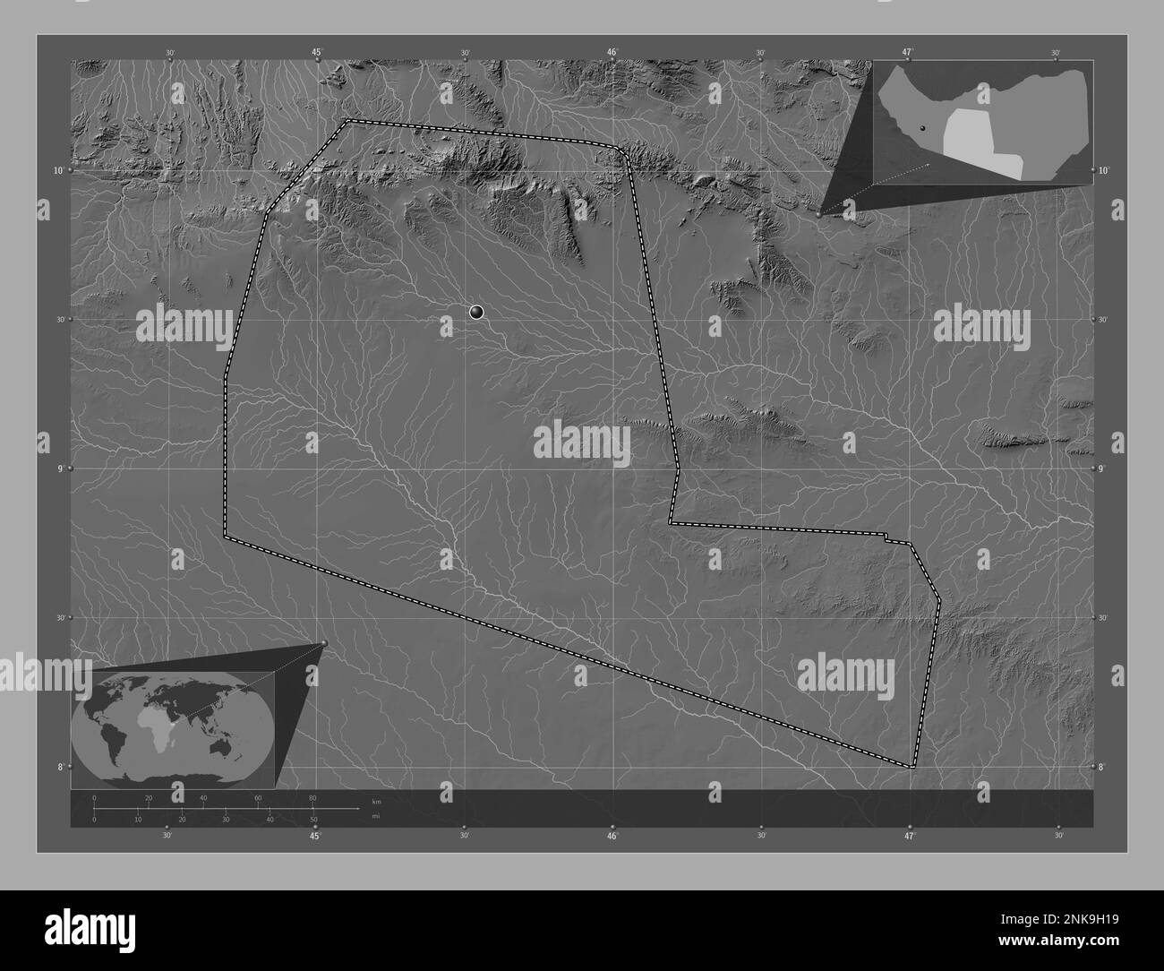 Togdheer, region of Somaliland. Bilevel elevation map with lakes and rivers. Corner auxiliary location maps Stock Photohttps://www.alamy.com/image-license-details/?v=1https://www.alamy.com/togdheer-region-of-somaliland-bilevel-elevation-map-with-lakes-and-rivers-corner-auxiliary-location-maps-image528200437.html
RF2NK9H19–Togdheer, region of Somaliland. Bilevel elevation map with lakes and rivers. Corner auxiliary location maps
 Togdheer, region of Somaliland. Colored elevation map with lakes and rivers. Corner auxiliary location maps Stock Photohttps://www.alamy.com/image-license-details/?v=1https://www.alamy.com/togdheer-region-of-somaliland-colored-elevation-map-with-lakes-and-rivers-corner-auxiliary-location-maps-image528200841.html
RF2NK9HFN–Togdheer, region of Somaliland. Colored elevation map with lakes and rivers. Corner auxiliary location maps
 Togdheer, region of Somaliland. Grayscale elevation map with lakes and rivers. Corner auxiliary location maps Stock Photohttps://www.alamy.com/image-license-details/?v=1https://www.alamy.com/togdheer-region-of-somaliland-grayscale-elevation-map-with-lakes-and-rivers-corner-auxiliary-location-maps-image528200427.html
RF2NK9H0Y–Togdheer, region of Somaliland. Grayscale elevation map with lakes and rivers. Corner auxiliary location maps
 Togdheer, region of Somalia. Solid color shape. Locations of major cities of the region. Corner auxiliary location maps Stock Photohttps://www.alamy.com/image-license-details/?v=1https://www.alamy.com/togdheer-region-of-somalia-solid-color-shape-locations-of-major-cities-of-the-region-corner-auxiliary-location-maps-image528169309.html
RF2NK859H–Togdheer, region of Somalia. Solid color shape. Locations of major cities of the region. Corner auxiliary location maps
 Togdheer, region of Somaliland. Solid color shape. Locations of major cities of the region. Corner auxiliary location maps Stock Photohttps://www.alamy.com/image-license-details/?v=1https://www.alamy.com/togdheer-region-of-somaliland-solid-color-shape-locations-of-major-cities-of-the-region-corner-auxiliary-location-maps-image528200811.html
RF2NK9HEK–Togdheer, region of Somaliland. Solid color shape. Locations of major cities of the region. Corner auxiliary location maps
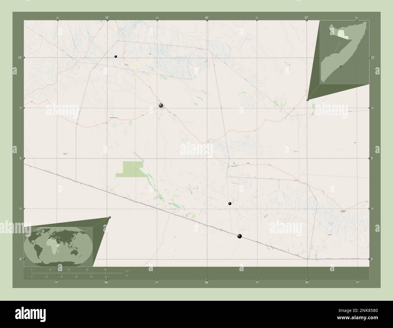 Togdheer, region of Somalia. Open Street Map. Locations of major cities of the region. Corner auxiliary location maps Stock Photohttps://www.alamy.com/image-license-details/?v=1https://www.alamy.com/togdheer-region-of-somalia-open-street-map-locations-of-major-cities-of-the-region-corner-auxiliary-location-maps-image528169264.html
RF2NK8580–Togdheer, region of Somalia. Open Street Map. Locations of major cities of the region. Corner auxiliary location maps
 Togdheer, region of Somaliland. Open Street Map. Locations of major cities of the region. Corner auxiliary location maps Stock Photohttps://www.alamy.com/image-license-details/?v=1https://www.alamy.com/togdheer-region-of-somaliland-open-street-map-locations-of-major-cities-of-the-region-corner-auxiliary-location-maps-image528200405.html
RF2NK9H05–Togdheer, region of Somaliland. Open Street Map. Locations of major cities of the region. Corner auxiliary location maps
 Togdheer, region of Somalia. Satellite imagery. Shape outlined against its country area. 3D rendering Stock Photohttps://www.alamy.com/image-license-details/?v=1https://www.alamy.com/togdheer-region-of-somalia-satellite-imagery-shape-outlined-against-its-country-area-3d-rendering-image364270184.html
RF2C4HX9C–Togdheer, region of Somalia. Satellite imagery. Shape outlined against its country area. 3D rendering
 Togdheer, region of Somaliland. Elevation map colored in wiki style with lakes and rivers. Corner auxiliary location maps Stock Photohttps://www.alamy.com/image-license-details/?v=1https://www.alamy.com/togdheer-region-of-somaliland-elevation-map-colored-in-wiki-style-with-lakes-and-rivers-corner-auxiliary-location-maps-image528200839.html
RF2NK9HFK–Togdheer, region of Somaliland. Elevation map colored in wiki style with lakes and rivers. Corner auxiliary location maps
 Togdheer, region of Somaliland. Elevation map colored in sepia tones with lakes and rivers. Corner auxiliary location maps Stock Photohttps://www.alamy.com/image-license-details/?v=1https://www.alamy.com/togdheer-region-of-somaliland-elevation-map-colored-in-sepia-tones-with-lakes-and-rivers-corner-auxiliary-location-maps-image528201287.html
RF2NK9J3K–Togdheer, region of Somaliland. Elevation map colored in sepia tones with lakes and rivers. Corner auxiliary location maps
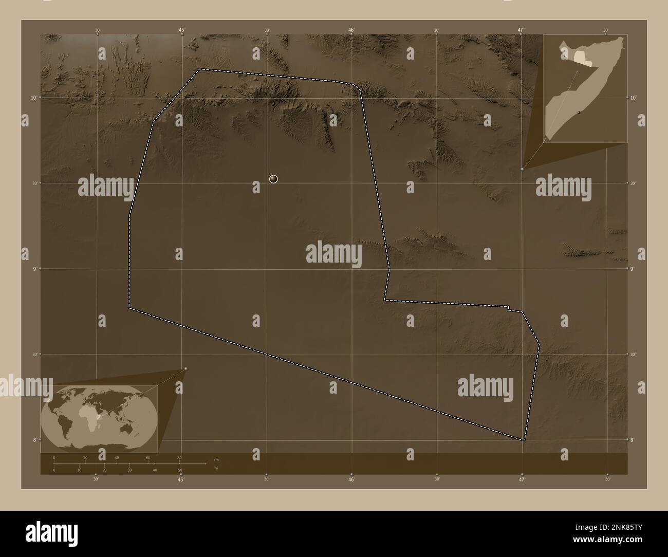 Togdheer, region of Somalia. Elevation map colored in sepia tones with lakes and rivers. Corner auxiliary location maps Stock Photohttps://www.alamy.com/image-license-details/?v=1https://www.alamy.com/togdheer-region-of-somalia-elevation-map-colored-in-sepia-tones-with-lakes-and-rivers-corner-auxiliary-location-maps-image528169739.html
RF2NK85TY–Togdheer, region of Somalia. Elevation map colored in sepia tones with lakes and rivers. Corner auxiliary location maps
 Togdheer, region of Somalia. Elevation map colored in wiki style with lakes and rivers. Corner auxiliary location maps Stock Photohttps://www.alamy.com/image-license-details/?v=1https://www.alamy.com/togdheer-region-of-somalia-elevation-map-colored-in-wiki-style-with-lakes-and-rivers-corner-auxiliary-location-maps-image528169352.html
RF2NK85B4–Togdheer, region of Somalia. Elevation map colored in wiki style with lakes and rivers. Corner auxiliary location maps
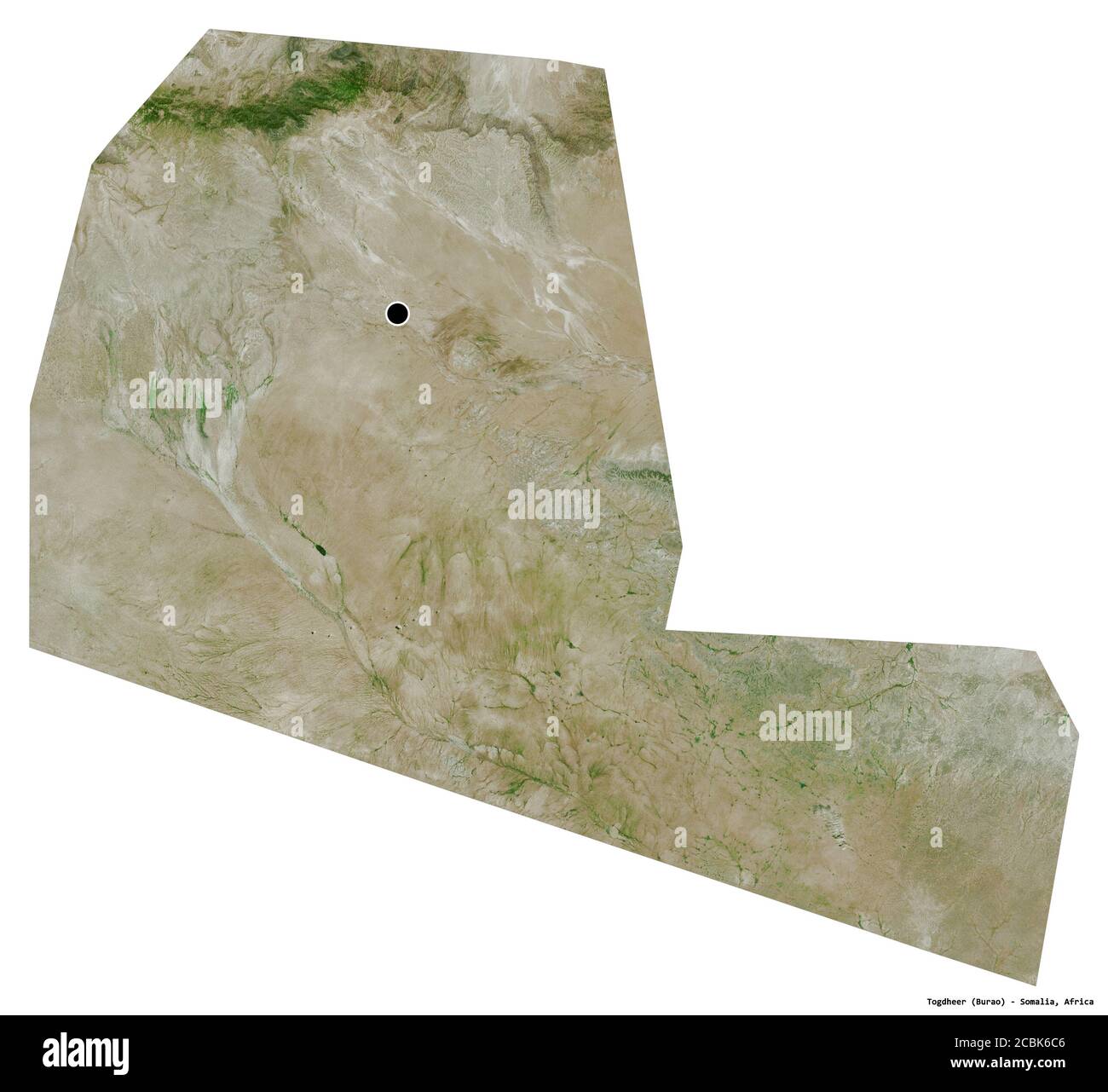 Shape of Togdheer, region of Somalia, with its capital isolated on white background. Satellite imagery. 3D rendering Stock Photohttps://www.alamy.com/image-license-details/?v=1https://www.alamy.com/shape-of-togdheer-region-of-somalia-with-its-capital-isolated-on-white-background-satellite-imagery-3d-rendering-image368601078.html
RF2CBK6C6–Shape of Togdheer, region of Somalia, with its capital isolated on white background. Satellite imagery. 3D rendering
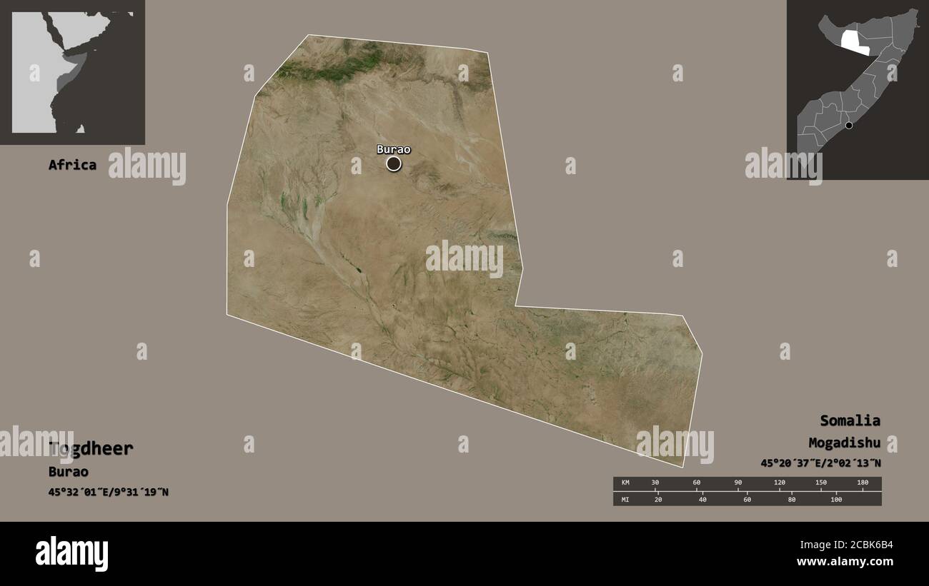 Shape of Togdheer, region of Somalia, and its capital. Distance scale, previews and labels. Satellite imagery. 3D rendering Stock Photohttps://www.alamy.com/image-license-details/?v=1https://www.alamy.com/shape-of-togdheer-region-of-somalia-and-its-capital-distance-scale-previews-and-labels-satellite-imagery-3d-rendering-image368601048.html
RF2CBK6B4–Shape of Togdheer, region of Somalia, and its capital. Distance scale, previews and labels. Satellite imagery. 3D rendering
 Togdheer, region of Somaliland. Open Street Map. Locations and names of major cities of the region. Corner auxiliary location maps Stock Photohttps://www.alamy.com/image-license-details/?v=1https://www.alamy.com/togdheer-region-of-somaliland-open-street-map-locations-and-names-of-major-cities-of-the-region-corner-auxiliary-location-maps-image528200828.html
RF2NK9HF8–Togdheer, region of Somaliland. Open Street Map. Locations and names of major cities of the region. Corner auxiliary location maps
 Togdheer, region of Somaliland. Solid color shape. Locations and names of major cities of the region. Corner auxiliary location maps Stock Photohttps://www.alamy.com/image-license-details/?v=1https://www.alamy.com/togdheer-region-of-somaliland-solid-color-shape-locations-and-names-of-major-cities-of-the-region-corner-auxiliary-location-maps-image528200813.html
RF2NK9HEN–Togdheer, region of Somaliland. Solid color shape. Locations and names of major cities of the region. Corner auxiliary location maps
 Togdheer, region of Somalia. Low resolution satellite map. Locations of major cities of the region. Corner auxiliary location maps Stock Photohttps://www.alamy.com/image-license-details/?v=1https://www.alamy.com/togdheer-region-of-somalia-low-resolution-satellite-map-locations-of-major-cities-of-the-region-corner-auxiliary-location-maps-image528169272.html
RF2NK8588–Togdheer, region of Somalia. Low resolution satellite map. Locations of major cities of the region. Corner auxiliary location maps
 Togdheer, region of Somalia. Solid color shape. Locations and names of major cities of the region. Corner auxiliary location maps Stock Photohttps://www.alamy.com/image-license-details/?v=1https://www.alamy.com/togdheer-region-of-somalia-solid-color-shape-locations-and-names-of-major-cities-of-the-region-corner-auxiliary-location-maps-image528169310.html
RF2NK859J–Togdheer, region of Somalia. Solid color shape. Locations and names of major cities of the region. Corner auxiliary location maps
 Togdheer, region of Somaliland. High resolution satellite map. Locations of major cities of the region. Corner auxiliary location maps Stock Photohttps://www.alamy.com/image-license-details/?v=1https://www.alamy.com/togdheer-region-of-somaliland-high-resolution-satellite-map-locations-of-major-cities-of-the-region-corner-auxiliary-location-maps-image528200817.html
RF2NK9HEW–Togdheer, region of Somaliland. High resolution satellite map. Locations of major cities of the region. Corner auxiliary location maps
 Togdheer, region of Somalia. Open Street Map. Locations and names of major cities of the region. Corner auxiliary location maps Stock Photohttps://www.alamy.com/image-license-details/?v=1https://www.alamy.com/togdheer-region-of-somalia-open-street-map-locations-and-names-of-major-cities-of-the-region-corner-auxiliary-location-maps-image528169317.html
RF2NK859W–Togdheer, region of Somalia. Open Street Map. Locations and names of major cities of the region. Corner auxiliary location maps
 Togdheer, region of Somaliland. Low resolution satellite map. Locations of major cities of the region. Corner auxiliary location maps Stock Photohttps://www.alamy.com/image-license-details/?v=1https://www.alamy.com/togdheer-region-of-somaliland-low-resolution-satellite-map-locations-of-major-cities-of-the-region-corner-auxiliary-location-maps-image528200807.html
RF2NK9HEF–Togdheer, region of Somaliland. Low resolution satellite map. Locations of major cities of the region. Corner auxiliary location maps