Quick filters:
Toledo spain map Stock Photos and Images
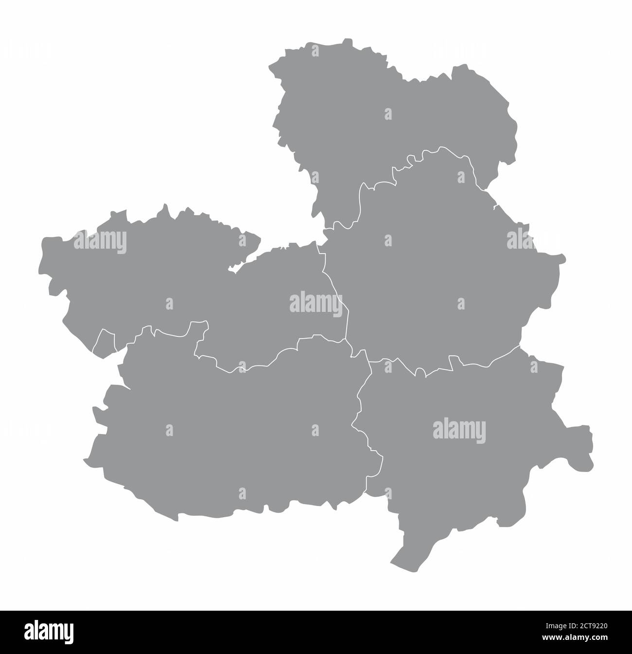
 Toledo Spain map Stock Photohttps://www.alamy.com/image-license-details/?v=1https://www.alamy.com/stock-photo-toledo-spain-map-125745909.html
RFH8G659–Toledo Spain map
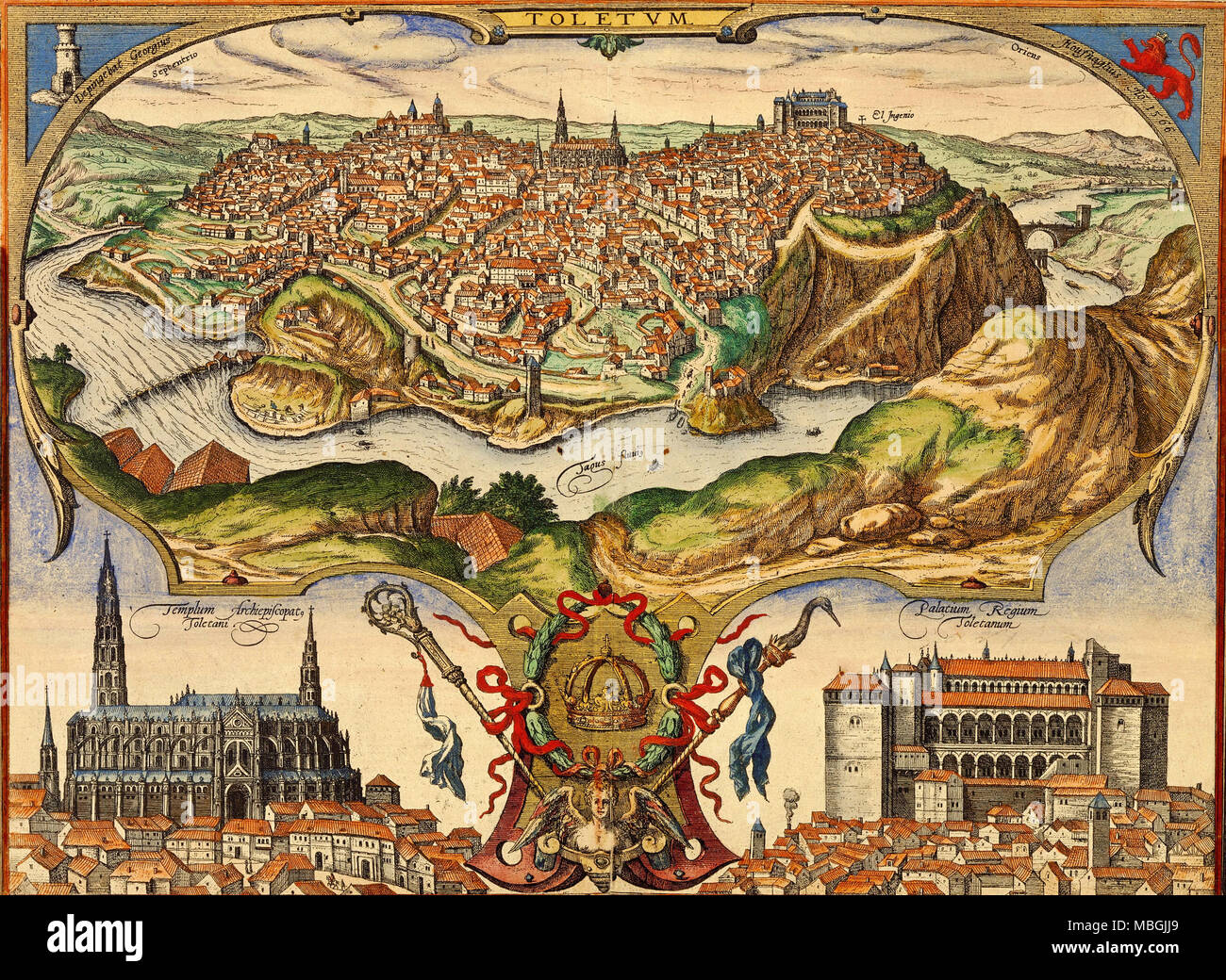 Toledo, Spain Stock Photohttps://www.alamy.com/image-license-details/?v=1https://www.alamy.com/toledo-spain-image179230753.html
RMMBGJJ9–Toledo, Spain
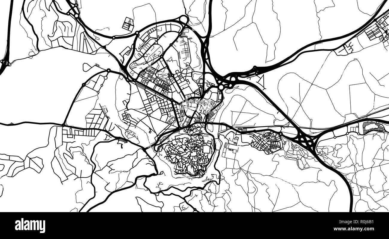 Urban vector city map of Toledo, Spain Stock Vectorhttps://www.alamy.com/image-license-details/?v=1https://www.alamy.com/urban-vector-city-map-of-toledo-spain-image224134933.html
RFR0J6B1–Urban vector city map of Toledo, Spain
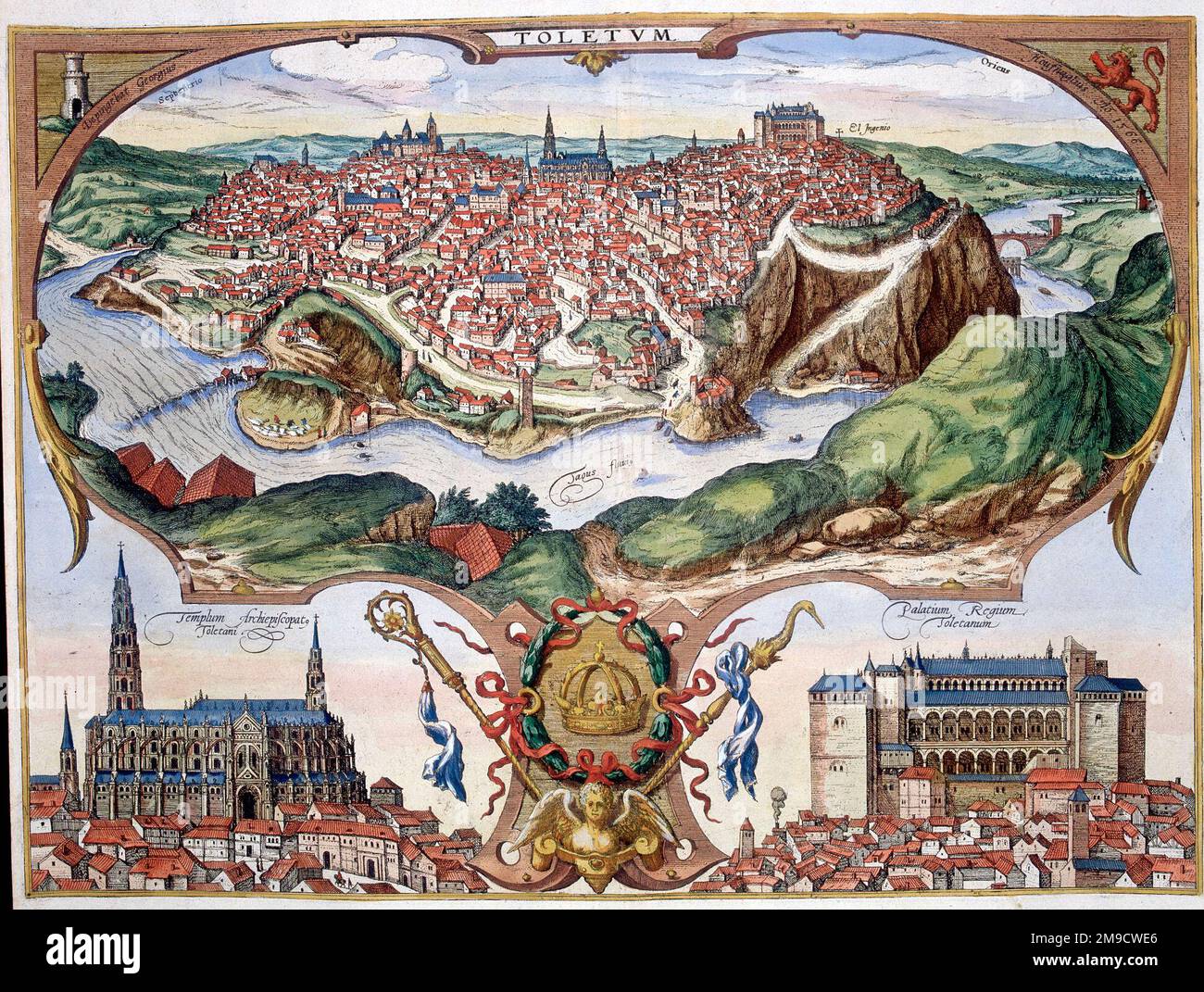 16th century Map of Toledo (Toletum), Spain Stock Photohttps://www.alamy.com/image-license-details/?v=1https://www.alamy.com/16th-century-map-of-toledo-toletum-spain-image504915998.html
RM2M9CWE6–16th century Map of Toledo (Toletum), Spain
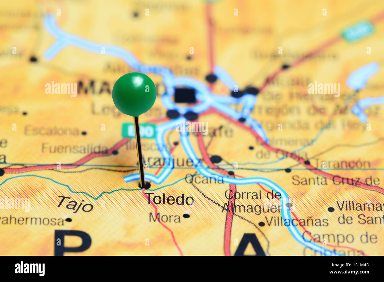 Toledo pinned on a map of Spain Stock Photohttps://www.alamy.com/image-license-details/?v=1https://www.alamy.com/stock-photo-toledo-pinned-on-a-map-of-spain-125427581.html
RFH81M4D–Toledo pinned on a map of Spain
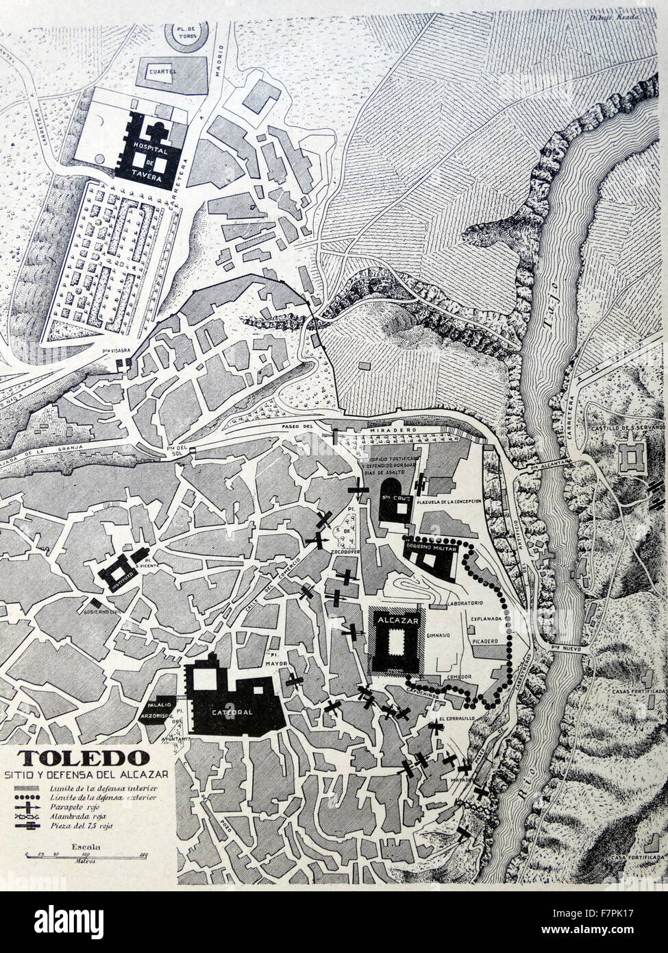 illustrated map of Toledo, Spain. Dated 1937 Stock Photohttps://www.alamy.com/image-license-details/?v=1https://www.alamy.com/stock-photo-illustrated-map-of-toledo-spain-dated-1937-90852307.html
RMF7PK17–illustrated map of Toledo, Spain. Dated 1937
 illustrated map of Toledo, Spain. Dated 1937 Stock Photohttps://www.alamy.com/image-license-details/?v=1https://www.alamy.com/illustrated-map-of-toledo-spain-dated-1937-image330684885.html
RM2A5YYXD–illustrated map of Toledo, Spain. Dated 1937
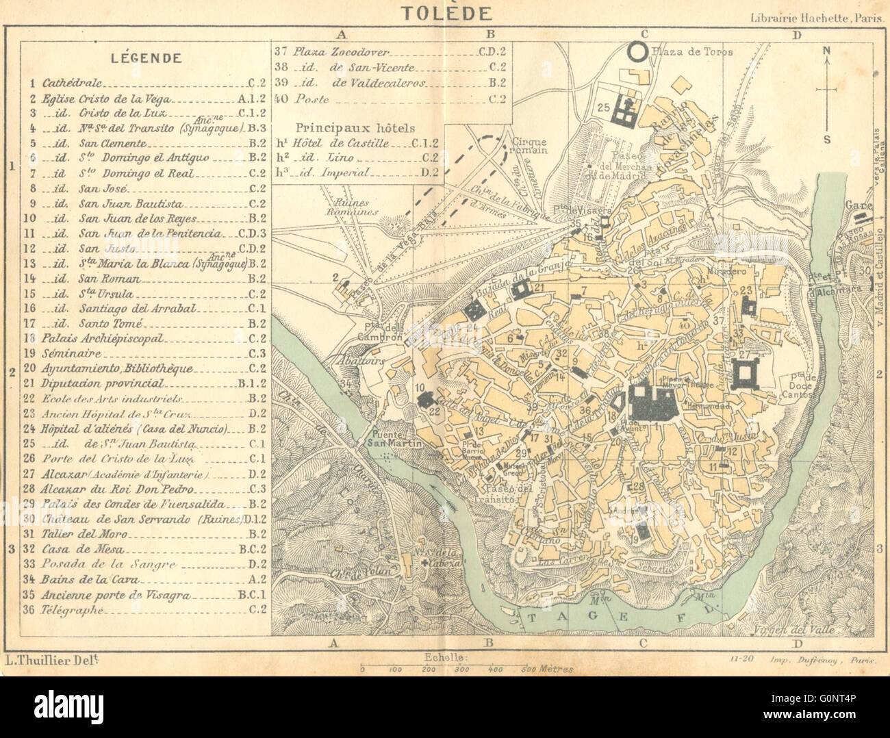 SPAIN: Toledo(Tolede), 1921 vintage map Stock Photohttps://www.alamy.com/image-license-details/?v=1https://www.alamy.com/stock-photo-spain-toledotolede-1921-vintage-map-103742150.html
RFG0NT4P–SPAIN: Toledo(Tolede), 1921 vintage map
 Map of the Province of Toledo, Spain. Cronica General de España, Historia Ilustrada y Descriptiva de sus Provincias. Castilla-La Nueva, 1869. Stock Photohttps://www.alamy.com/image-license-details/?v=1https://www.alamy.com/map-of-the-province-of-toledo-spain-cronica-general-de-espaa-historia-ilustrada-y-descriptiva-de-sus-provincias-castilla-la-nueva-1869-image340937318.html
RM2APK10P–Map of the Province of Toledo, Spain. Cronica General de España, Historia Ilustrada y Descriptiva de sus Provincias. Castilla-La Nueva, 1869.
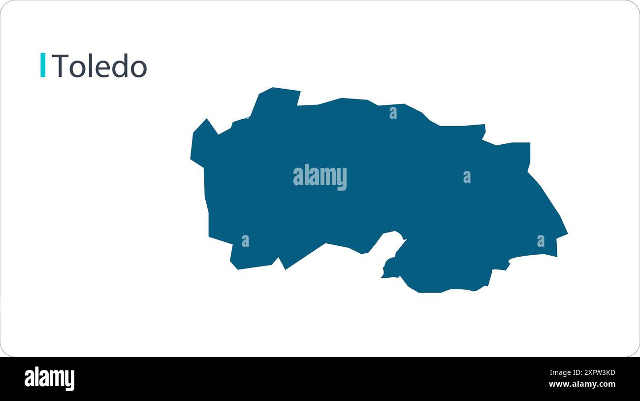 Map of Toledo, Spain map, region of Spain, showing its states and cities, with name, World map, vector, EPS, Government, politics Stock Vectorhttps://www.alamy.com/image-license-details/?v=1https://www.alamy.com/map-of-toledo-spain-map-region-of-spain-showing-its-states-and-cities-with-name-world-map-vector-eps-government-politics-image612134417.html
RF2XFW3KD–Map of Toledo, Spain map, region of Spain, showing its states and cities, with name, World map, vector, EPS, Government, politics
 Spain/Al-Andalus/Germany: View and plan of Toledo by Georg Braun (1541-1622) and Frans Hogenberg (1535-1590), Germany, c. 16th century. Populated since the Bronze Age, Toledo (Toletum in Latin) grew in importance during Roman times, being a main commercial and administrative centre in the Roman province of Tarraconensis. After the fall of the Roman Empire, Toledo served as the capital city of Visigothic Spain, beginning with Liuvigild (Leovigild), and was the capital of Spain until the Muslims conquered Iberia in the 8th century. Under the Caliphate of Cordoba, Toledo enjoyed a golden age. Stock Photohttps://www.alamy.com/image-license-details/?v=1https://www.alamy.com/spainal-andalusgermany-view-and-plan-of-toledo-by-georg-braun-1541-1622-and-frans-hogenberg-1535-1590-germany-c-16th-century-populated-since-the-bronze-age-toledo-toletum-in-latin-grew-in-importance-during-roman-times-being-a-main-commercial-and-administrative-centre-in-the-roman-province-of-tarraconensis-after-the-fall-of-the-roman-empire-toledo-served-as-the-capital-city-of-visigothic-spain-beginning-with-liuvigild-leovigild-and-was-the-capital-of-spain-until-the-muslims-conquered-iberia-in-the-8th-century-under-the-caliphate-of-cordoba-toledo-enjoyed-a-golden-age-image344242292.html
RM2B01GFG–Spain/Al-Andalus/Germany: View and plan of Toledo by Georg Braun (1541-1622) and Frans Hogenberg (1535-1590), Germany, c. 16th century. Populated since the Bronze Age, Toledo (Toletum in Latin) grew in importance during Roman times, being a main commercial and administrative centre in the Roman province of Tarraconensis. After the fall of the Roman Empire, Toledo served as the capital city of Visigothic Spain, beginning with Liuvigild (Leovigild), and was the capital of Spain until the Muslims conquered Iberia in the 8th century. Under the Caliphate of Cordoba, Toledo enjoyed a golden age.
 Erustes, Toledo, Spain, Castille-La Mancha, N 39 57' 24'', W 4 29' 47'', map, Timeless Map published in 2021. Travelers, explorers and adventurers like Florence Nightingale, David Livingstone, Ernest Shackleton, Lewis and Clark and Sherlock Holmes relied on maps to plan travels to the world's most remote corners, Timeless Maps is mapping most locations on the globe, showing the achievement of great dreams Stock Photohttps://www.alamy.com/image-license-details/?v=1https://www.alamy.com/erustes-toledo-spain-castille-la-mancha-n-39-57-24-w-4-29-47-map-timeless-map-published-in-2021-travelers-explorers-and-adventurers-like-florence-nightingale-david-livingstone-ernest-shackleton-lewis-and-clark-and-sherlock-holmes-relied-on-maps-to-plan-travels-to-the-worlds-most-remote-corners-timeless-maps-is-mapping-most-locations-on-the-globe-showing-the-achievement-of-great-dreams-image457904130.html
RM2HGY9AX–Erustes, Toledo, Spain, Castille-La Mancha, N 39 57' 24'', W 4 29' 47'', map, Timeless Map published in 2021. Travelers, explorers and adventurers like Florence Nightingale, David Livingstone, Ernest Shackleton, Lewis and Clark and Sherlock Holmes relied on maps to plan travels to the world's most remote corners, Timeless Maps is mapping most locations on the globe, showing the achievement of great dreams
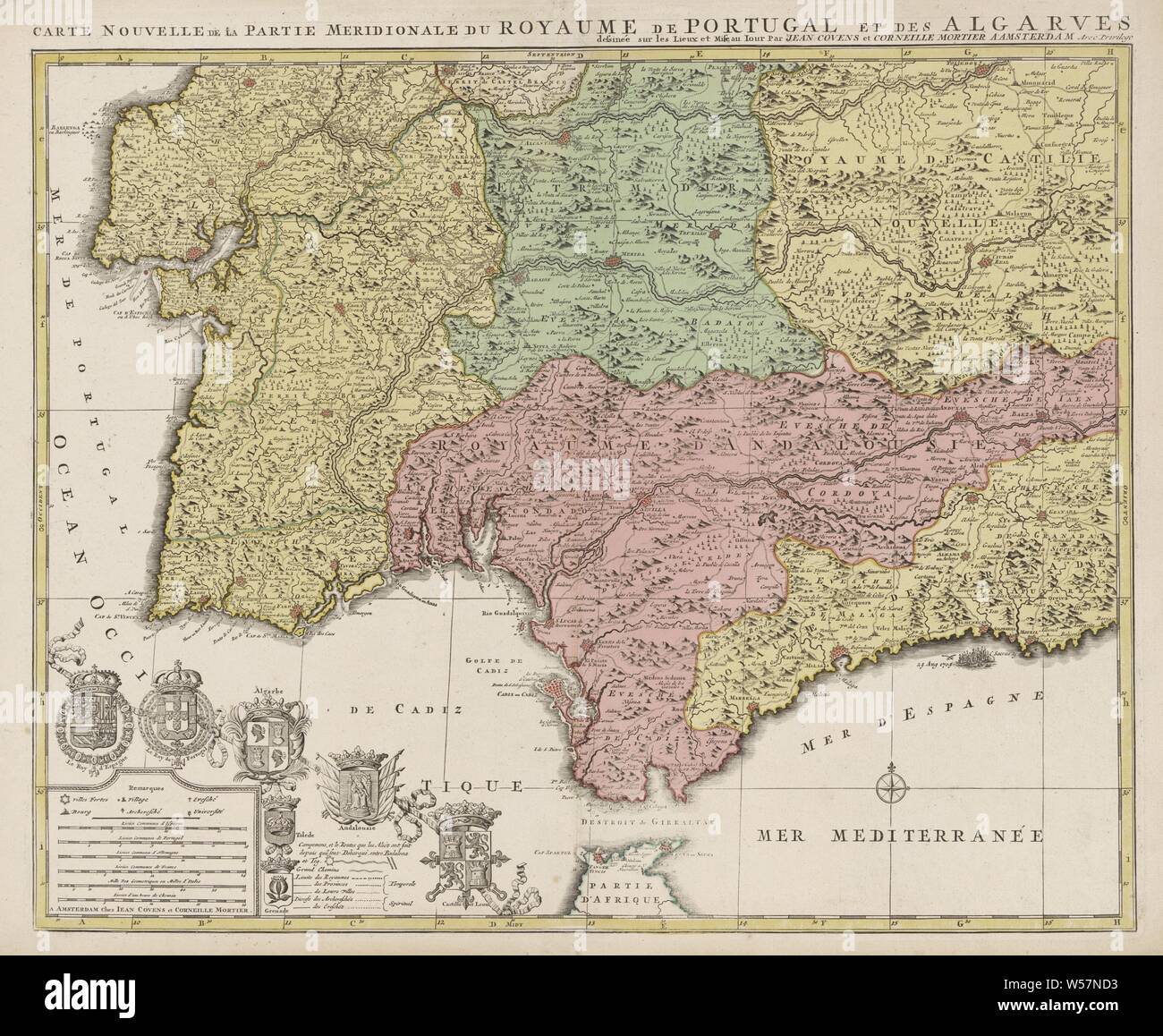 Map of the south of Spain and Portugal, Map with a part of Portugal and the Spanish south coast. Part (bottom left) of a large map of Spain and Portugal in four sheets, ca. 1703. Bottom left the legend and the arms of Spain and Portugal, connected with the arms of the Algarve (including the city arms of Toledo and Grenada), Andalusia and Castile and León, maps of separate countries or regions, flag, colors (as symbol of the state, etc.), Spain, Portugal, Jan Luyken (possibly), Amsterdam, 1720 - 1772, paper, etching, h 503 mm × w 600 mm Stock Photohttps://www.alamy.com/image-license-details/?v=1https://www.alamy.com/map-of-the-south-of-spain-and-portugal-map-with-a-part-of-portugal-and-the-spanish-south-coast-part-bottom-left-of-a-large-map-of-spain-and-portugal-in-four-sheets-ca-1703-bottom-left-the-legend-and-the-arms-of-spain-and-portugal-connected-with-the-arms-of-the-algarve-including-the-city-arms-of-toledo-and-grenada-andalusia-and-castile-and-len-maps-of-separate-countries-or-regions-flag-colors-as-symbol-of-the-state-etc-spain-portugal-jan-luyken-possibly-amsterdam-1720-1772-paper-etching-h-503-mm-w-600-mm-image261399295.html
RMW57ND3–Map of the south of Spain and Portugal, Map with a part of Portugal and the Spanish south coast. Part (bottom left) of a large map of Spain and Portugal in four sheets, ca. 1703. Bottom left the legend and the arms of Spain and Portugal, connected with the arms of the Algarve (including the city arms of Toledo and Grenada), Andalusia and Castile and León, maps of separate countries or regions, flag, colors (as symbol of the state, etc.), Spain, Portugal, Jan Luyken (possibly), Amsterdam, 1720 - 1772, paper, etching, h 503 mm × w 600 mm
 Toledo, Spain - August 28, 2016: Tourist with map at old town, Toledo city, Spain Stock Photohttps://www.alamy.com/image-license-details/?v=1https://www.alamy.com/stock-photo-toledo-spain-august-28-2016-tourist-with-map-at-old-town-toledo-city-117342557.html
RMGPWBHH–Toledo, Spain - August 28, 2016: Tourist with map at old town, Toledo city, Spain
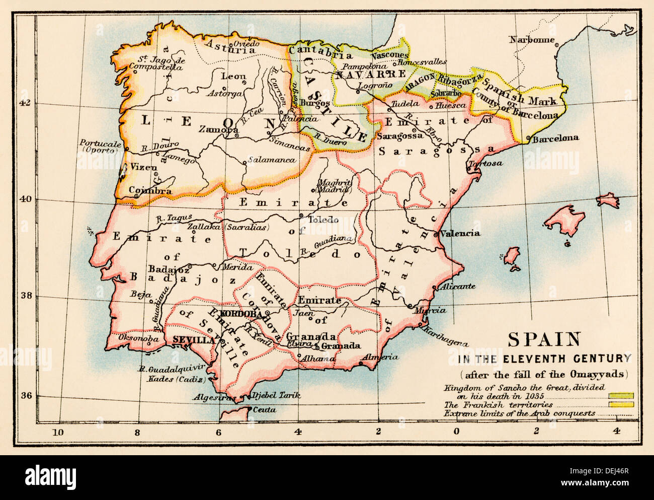 Map of the Iberian Peninsula under the Moors, 11th century. Color lithograph Stock Photohttps://www.alamy.com/image-license-details/?v=1https://www.alamy.com/map-of-the-iberian-peninsula-under-the-moors-11th-century-color-lithograph-image60634751.html
RMDEJ46R–Map of the Iberian Peninsula under the Moors, 11th century. Color lithograph
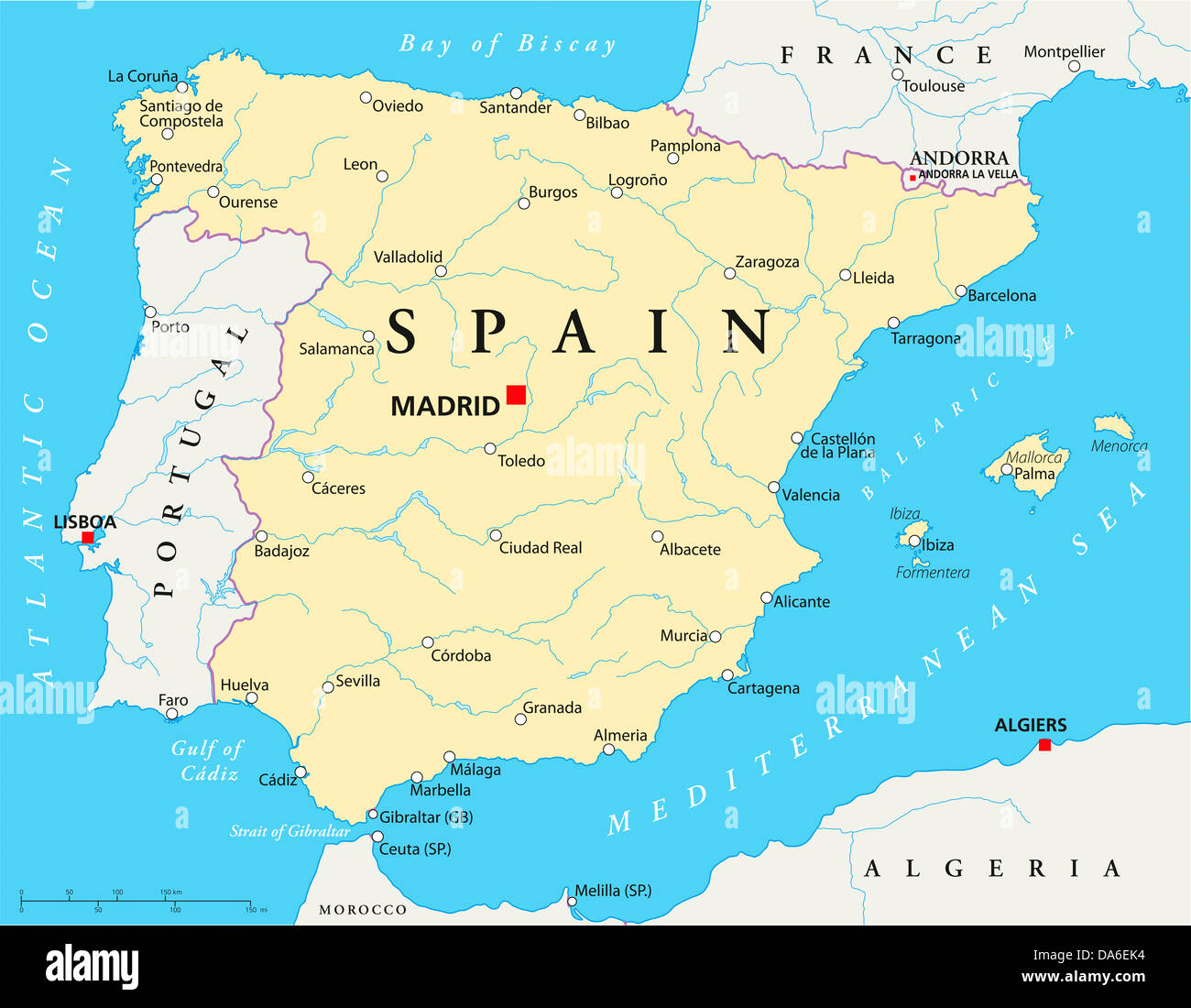 Spain Political Map Stock Photohttps://www.alamy.com/image-license-details/?v=1https://www.alamy.com/stock-photo-spain-political-map-57920888.html
RFDA6EK4–Spain Political Map
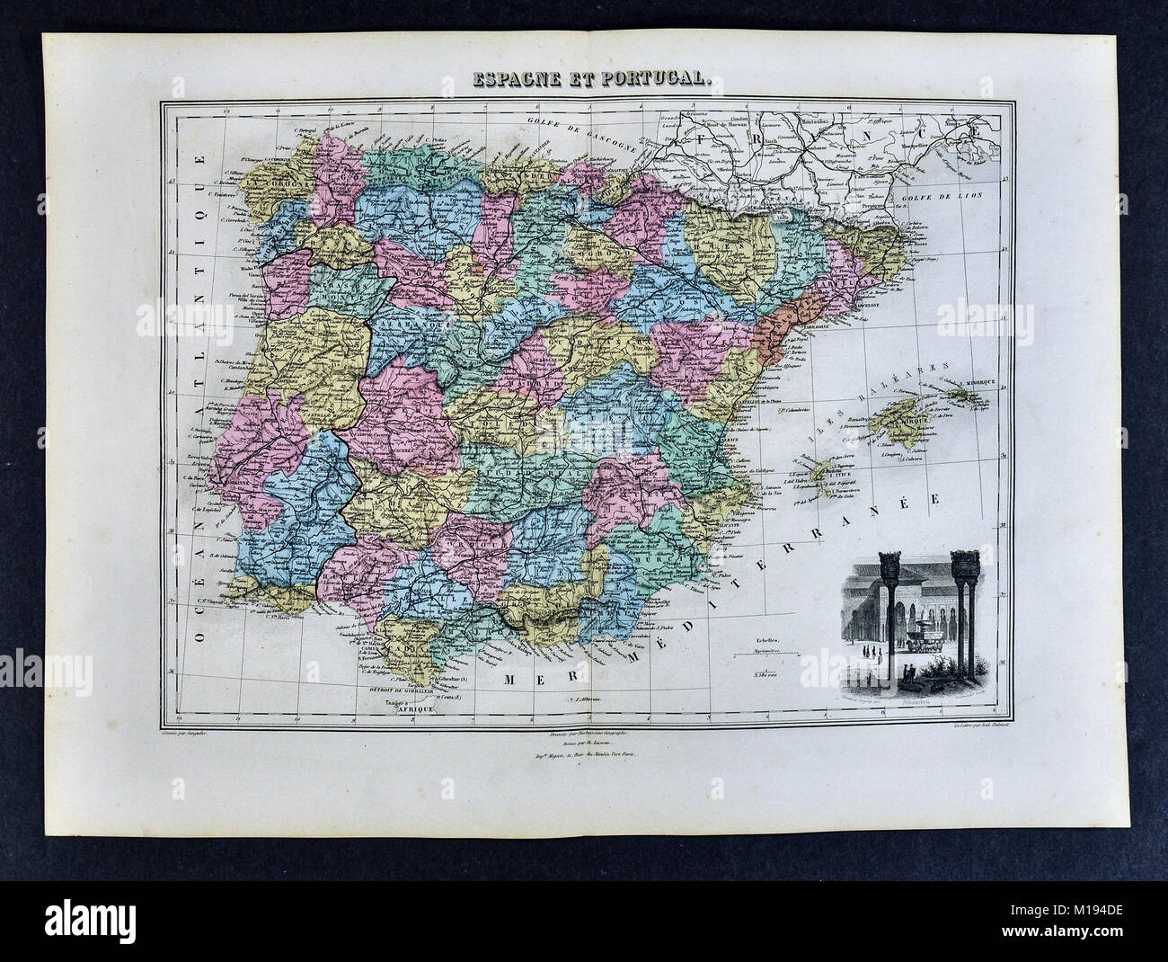 1877 Migeon Map - Spain & Portugal - Madrid Lisbon Toledo Porto Braga Gibraltar Stock Photohttps://www.alamy.com/image-license-details/?v=1https://www.alamy.com/stock-photo-1877-migeon-map-spain-portugal-madrid-lisbon-toledo-porto-braga-gibraltar-172919418.html
RFM194DE–1877 Migeon Map - Spain & Portugal - Madrid Lisbon Toledo Porto Braga Gibraltar
 Alcove with bench and tiles representing Toledo Province - Seville, Andalusia, Spain Stock Photohttps://www.alamy.com/image-license-details/?v=1https://www.alamy.com/alcove-with-bench-and-tiles-representing-toledo-province-seville-andalusia-spain-image553294368.html
RF2R44MH4–Alcove with bench and tiles representing Toledo Province - Seville, Andalusia, Spain
 Vector road map of the city of Toledo in Spain on a white background. Stock Photohttps://www.alamy.com/image-license-details/?v=1https://www.alamy.com/vector-road-map-of-the-city-of-toledo-in-spain-on-a-white-background-image554321220.html
RF2R5REAC–Vector road map of the city of Toledo in Spain on a white background.
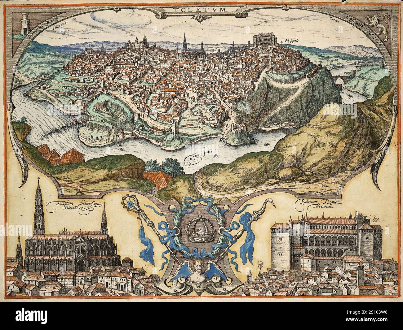 Pictorial Illustrated Map of Toledo , Spain. by Georg Braun, 1566. Vintage Archive Map. Stock Photohttps://www.alamy.com/image-license-details/?v=1https://www.alamy.com/pictorial-illustrated-map-of-toledo-spain-by-georg-braun-1566-vintage-archive-map-image637401332.html
RM2S103W8–Pictorial Illustrated Map of Toledo , Spain. by Georg Braun, 1566. Vintage Archive Map.
 Castile La Mancha, Spain, Relief Map Stock Photohttps://www.alamy.com/image-license-details/?v=1https://www.alamy.com/stock-photo-castile-la-mancha-spain-relief-map-71603592.html
RME4DR34–Castile La Mancha, Spain, Relief Map
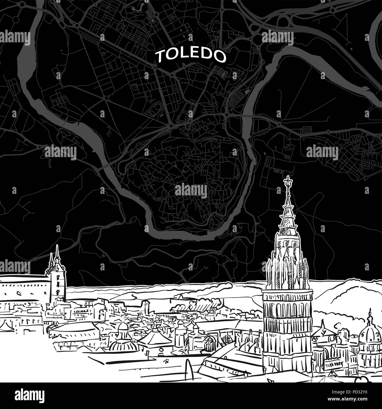 Hand drawn sketch of Toledo food. Vector drawing of skyline with map, Spain. Black and white illustration concept. Stock Vectorhttps://www.alamy.com/image-license-details/?v=1https://www.alamy.com/hand-drawn-sketch-of-toledo-food-vector-drawing-of-skyline-with-map-spain-black-and-white-illustration-concept-image214583150.html
RFPD32YX–Hand drawn sketch of Toledo food. Vector drawing of skyline with map, Spain. Black and white illustration concept.
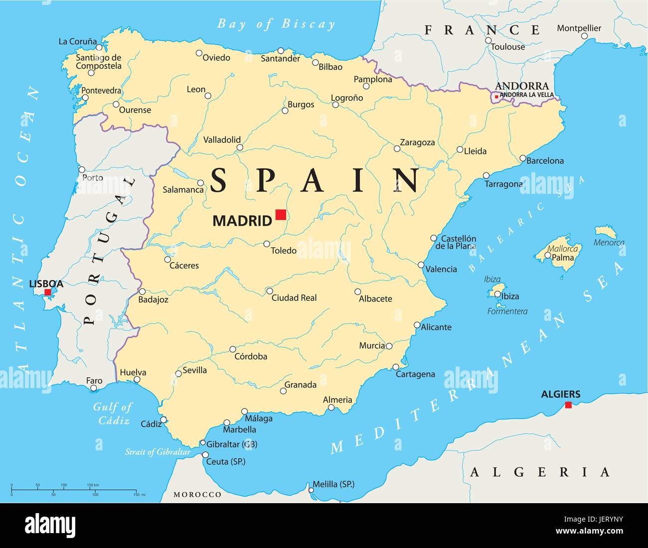 mallorca, spain, lisbon, madrid, map, atlas, map of the world, barcelona, Stock Vectorhttps://www.alamy.com/image-license-details/?v=1https://www.alamy.com/stock-photo-mallorca-spain-lisbon-madrid-map-atlas-map-of-the-world-barcelona-146814807.html
RFJERYNY–mallorca, spain, lisbon, madrid, map, atlas, map of the world, barcelona,
 Photo of the first general staff officer of the Condor Legion, major Fridtjof Pasquay (left), together with a corporal (right), studying a staff map. The photo was taken during the last battles of the Spanish Civil War in Toledo. Stock Photohttps://www.alamy.com/image-license-details/?v=1https://www.alamy.com/photo-of-the-first-general-staff-officer-of-the-condor-legion-major-fridtjof-pasquay-left-together-with-a-corporal-right-studying-a-staff-map-the-photo-was-taken-during-the-last-battles-of-the-spanish-civil-war-in-toledo-image247150941.html
RMTA2KF9–Photo of the first general staff officer of the Condor Legion, major Fridtjof Pasquay (left), together with a corporal (right), studying a staff map. The photo was taken during the last battles of the Spanish Civil War in Toledo.
 Map showing the Spanish provinces of Leon and Castille at the time of King Alfonso VI. Alfonso VI (before June 1040 – 29 June/1 July 1109), nicknamed the Brave (El Bravo) or the Valiant, was King of León from 1065, King of Castile and de facto King of Galicia from 1072. After the conquest of Toledo in 1085 he was also the self-proclaimed victoriosissimo rege in Toleto, et in Hispania et Gallecia (most victorious king of Toledo, and of Spain and Galicia).[ Stock Photohttps://www.alamy.com/image-license-details/?v=1https://www.alamy.com/stock-photo-map-showing-the-spanish-provinces-of-leon-and-castille-at-the-time-104158949.html
RMG1CRPD–Map showing the Spanish provinces of Leon and Castille at the time of King Alfonso VI. Alfonso VI (before June 1040 – 29 June/1 July 1109), nicknamed the Brave (El Bravo) or the Valiant, was King of León from 1065, King of Castile and de facto King of Galicia from 1072. After the conquest of Toledo in 1085 he was also the self-proclaimed victoriosissimo rege in Toleto, et in Hispania et Gallecia (most victorious king of Toledo, and of Spain and Galicia).[
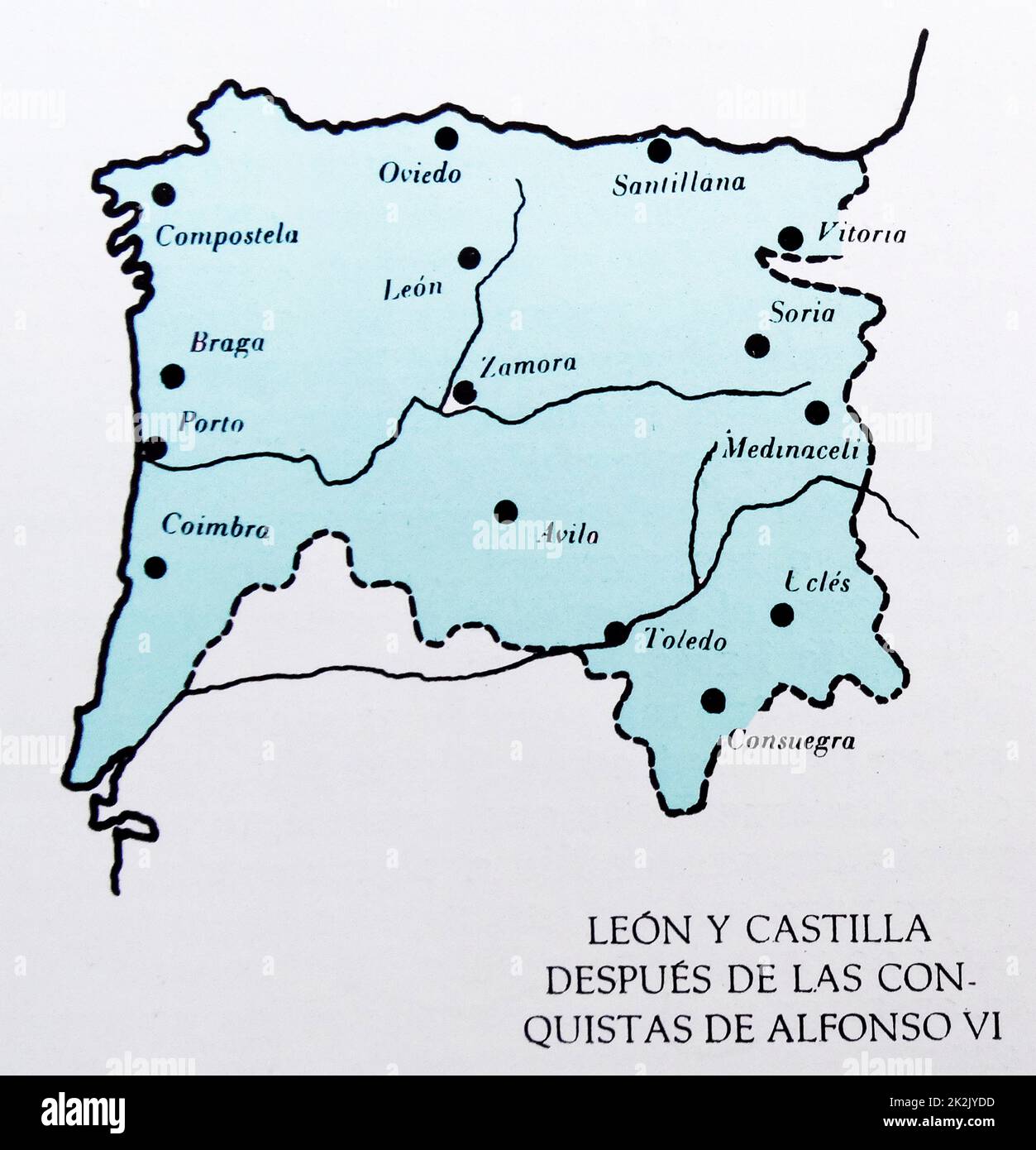 Map showing the Spanish provinces of Leon and Castille at the time of King Alfonso VI. Alfonso VI (before June 1040 – 29 June/1 July 1109), nicknamed the Brave (El Bravo) or the Valiant, was King of León from 1065, King of Castile and de facto King of Galicia from 1072. After the conquest of Toledo in 1085 he was also the self-proclaimed victoriosissimo rege in Toleto, et in Hispania et Gallecia (most victorious king of Toledo, and of Spain and Galicia).[ Stock Photohttps://www.alamy.com/image-license-details/?v=1https://www.alamy.com/map-showing-the-spanish-provinces-of-leon-and-castille-at-the-time-of-king-alfonso-vi-alfonso-vi-before-june-1040-29-june1-july-1109-nicknamed-the-brave-el-bravo-or-the-valiant-was-king-of-len-from-1065-king-of-castile-and-de-facto-king-of-galicia-from-1072-after-the-conquest-of-toledo-in-1085-he-was-also-the-self-proclaimed-victoriosissimo-rege-in-toleto-et-in-hispania-et-gallecia-most-victorious-king-of-toledo-and-of-spain-and-galicia-image483536297.html
RM2K2JYDD–Map showing the Spanish provinces of Leon and Castille at the time of King Alfonso VI. Alfonso VI (before June 1040 – 29 June/1 July 1109), nicknamed the Brave (El Bravo) or the Valiant, was King of León from 1065, King of Castile and de facto King of Galicia from 1072. After the conquest of Toledo in 1085 he was also the self-proclaimed victoriosissimo rege in Toleto, et in Hispania et Gallecia (most victorious king of Toledo, and of Spain and Galicia).[
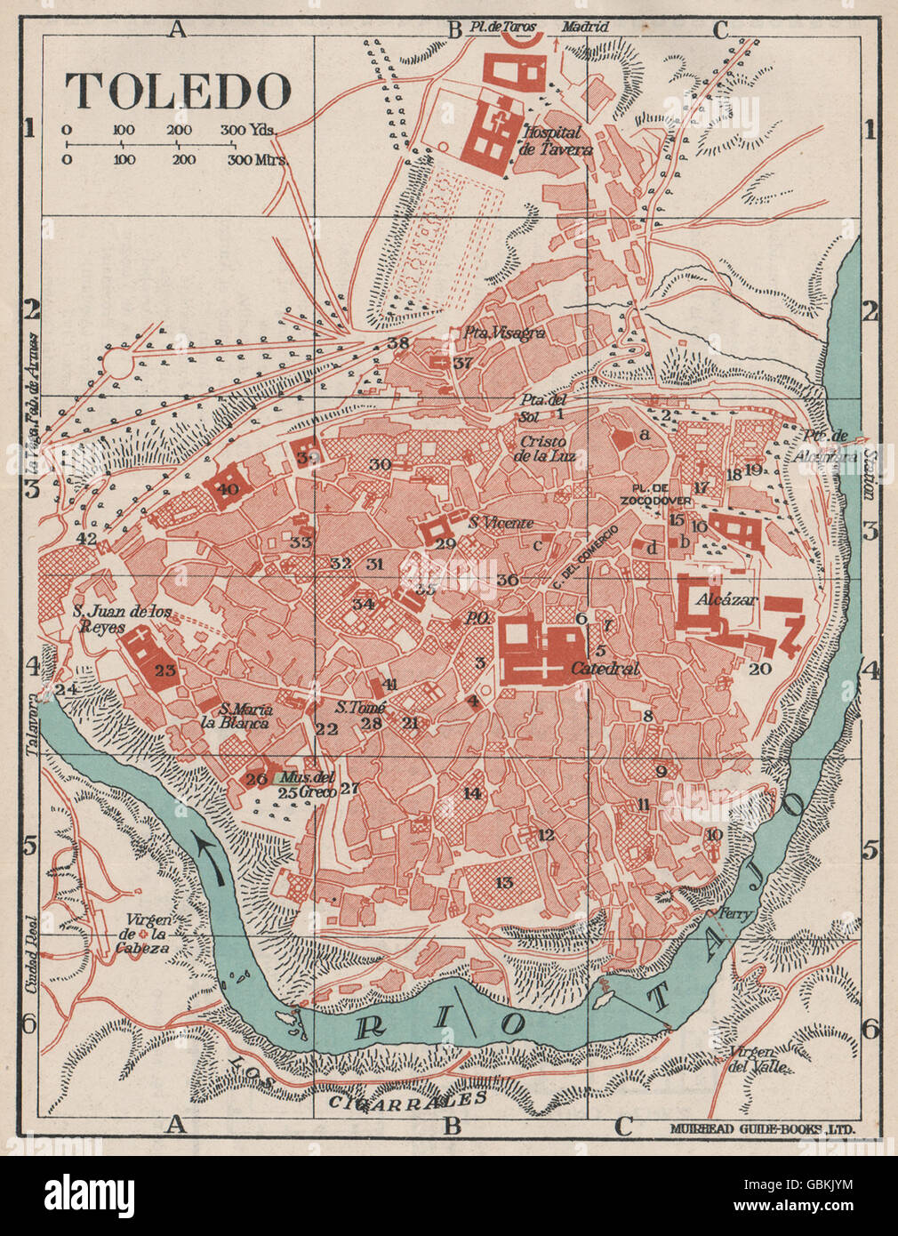 TOLEDO. Vintage town city map plan. Spain, 1930 Stock Photohttps://www.alamy.com/image-license-details/?v=1https://www.alamy.com/stock-photo-toledo-vintage-town-city-map-plan-spain-1930-110455400.html
RFGBKJYM–TOLEDO. Vintage town city map plan. Spain, 1930
 Toledo. Liber Chronicorum Vel of Temporibus. Stock Photohttps://www.alamy.com/image-license-details/?v=1https://www.alamy.com/stock-photo-toledo-liber-chronicorum-vel-of-temporibus-30480311.html
RMBNGDXF–Toledo. Liber Chronicorum Vel of Temporibus.
 Tourist at table with mobile phone and city map, Toledo, Asturias, Spain Stock Photohttps://www.alamy.com/image-license-details/?v=1https://www.alamy.com/tourist-at-table-with-mobile-phone-and-city-map-toledo-asturias-spain-image514736981.html
RF2MWC87H–Tourist at table with mobile phone and city map, Toledo, Asturias, Spain
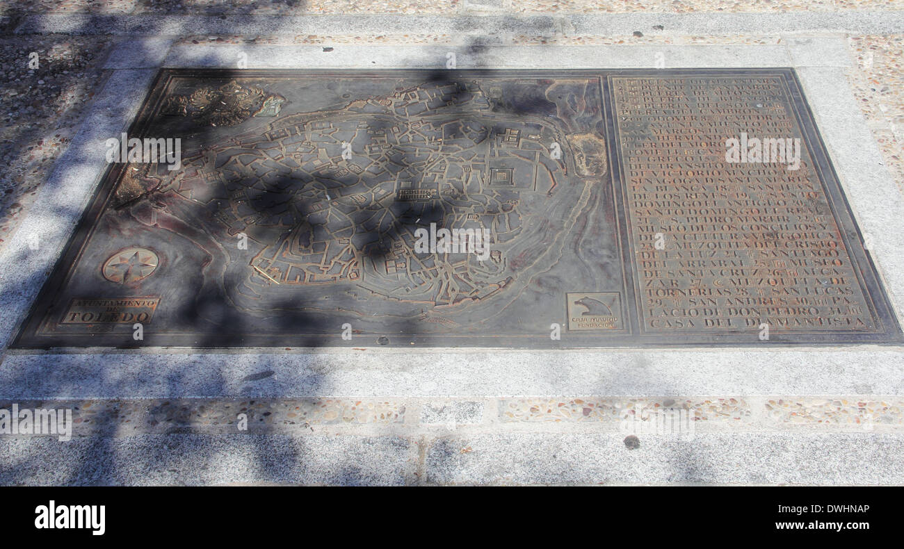 Old map of Toledo made of iron on stone Stock Photohttps://www.alamy.com/image-license-details/?v=1https://www.alamy.com/old-map-of-toledo-made-of-iron-on-stone-image67387454.html
RFDWHNAP–Old map of Toledo made of iron on stone
 Navaltoril, Toledo, Spain, Castille-La Mancha, N 39 34' 19'', W 4 48' 16'', map, Timeless Map published in 2021. Travelers, explorers and adventurers like Florence Nightingale, David Livingstone, Ernest Shackleton, Lewis and Clark and Sherlock Holmes relied on maps to plan travels to the world's most remote corners, Timeless Maps is mapping most locations on the globe, showing the achievement of great dreams Stock Photohttps://www.alamy.com/image-license-details/?v=1https://www.alamy.com/navaltoril-toledo-spain-castille-la-mancha-n-39-34-19-w-4-48-16-map-timeless-map-published-in-2021-travelers-explorers-and-adventurers-like-florence-nightingale-david-livingstone-ernest-shackleton-lewis-and-clark-and-sherlock-holmes-relied-on-maps-to-plan-travels-to-the-worlds-most-remote-corners-timeless-maps-is-mapping-most-locations-on-the-globe-showing-the-achievement-of-great-dreams-image457900282.html
RM2HGY4DE–Navaltoril, Toledo, Spain, Castille-La Mancha, N 39 34' 19'', W 4 48' 16'', map, Timeless Map published in 2021. Travelers, explorers and adventurers like Florence Nightingale, David Livingstone, Ernest Shackleton, Lewis and Clark and Sherlock Holmes relied on maps to plan travels to the world's most remote corners, Timeless Maps is mapping most locations on the globe, showing the achievement of great dreams
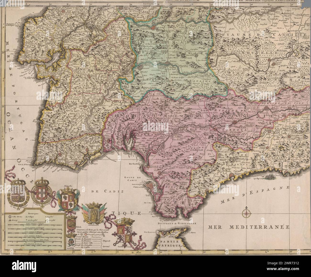 Map of the south of Spain and Portugal, Map showing part of Portugal and the Spanish south coast. Part (bottom left sheet) of a large map of Spain and Portugal in four sheets, ca. 1703. Bottom left the legend and the coats of arms of Spain and Portugal, connected to the coats of arms of the Algarve (under which the city coats of Toledo and Grenada hang), Andalusia and Castile and León., print maker: Jan Luyken, print maker: Caspar Luyken, publisher: Pieter Mortier (I), Amsterdam, 1704 - 1710, paper, etching, engraving, height 512 mm × width 605 mm Stock Photohttps://www.alamy.com/image-license-details/?v=1https://www.alamy.com/map-of-the-south-of-spain-and-portugal-map-showing-part-of-portugal-and-the-spanish-south-coast-part-bottom-left-sheet-of-a-large-map-of-spain-and-portugal-in-four-sheets-ca-1703-bottom-left-the-legend-and-the-coats-of-arms-of-spain-and-portugal-connected-to-the-coats-of-arms-of-the-algarve-under-which-the-city-coats-of-toledo-and-grenada-hang-andalusia-and-castile-and-len-print-maker-jan-luyken-print-maker-caspar-luyken-publisher-pieter-mortier-i-amsterdam-1704-1710-paper-etching-engraving-height-512-mm-width-605-mm-image599445646.html
RM2WR7312–Map of the south of Spain and Portugal, Map showing part of Portugal and the Spanish south coast. Part (bottom left sheet) of a large map of Spain and Portugal in four sheets, ca. 1703. Bottom left the legend and the coats of arms of Spain and Portugal, connected to the coats of arms of the Algarve (under which the city coats of Toledo and Grenada hang), Andalusia and Castile and León., print maker: Jan Luyken, print maker: Caspar Luyken, publisher: Pieter Mortier (I), Amsterdam, 1704 - 1710, paper, etching, engraving, height 512 mm × width 605 mm
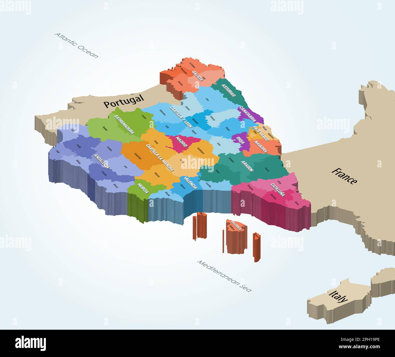 Spain autonomous communities and provinces isometric map Stock Vectorhttps://www.alamy.com/image-license-details/?v=1https://www.alamy.com/spain-autonomous-communities-and-provinces-isometric-map-image544000198.html
RF2PH19PE–Spain autonomous communities and provinces isometric map
 Small tile with the symbol of the Network of Spanish Jewish Quarters, with a map of the Iberian Peninsula, embedded in a cobbled street, Toledo, Spain. Stock Photohttps://www.alamy.com/image-license-details/?v=1https://www.alamy.com/small-tile-with-the-symbol-of-the-network-of-spanish-jewish-quarters-with-a-map-of-the-iberian-peninsula-embedded-in-a-cobbled-street-toledo-spain-image572482405.html
RF2T7AR45–Small tile with the symbol of the Network of Spanish Jewish Quarters, with a map of the Iberian Peninsula, embedded in a cobbled street, Toledo, Spain.
 Young female tourist studying a map in Toledo, Spain Stock Photohttps://www.alamy.com/image-license-details/?v=1https://www.alamy.com/young-female-tourist-studying-a-map-in-toledo-spain-image66491716.html
RFDT4XT4–Young female tourist studying a map in Toledo, Spain
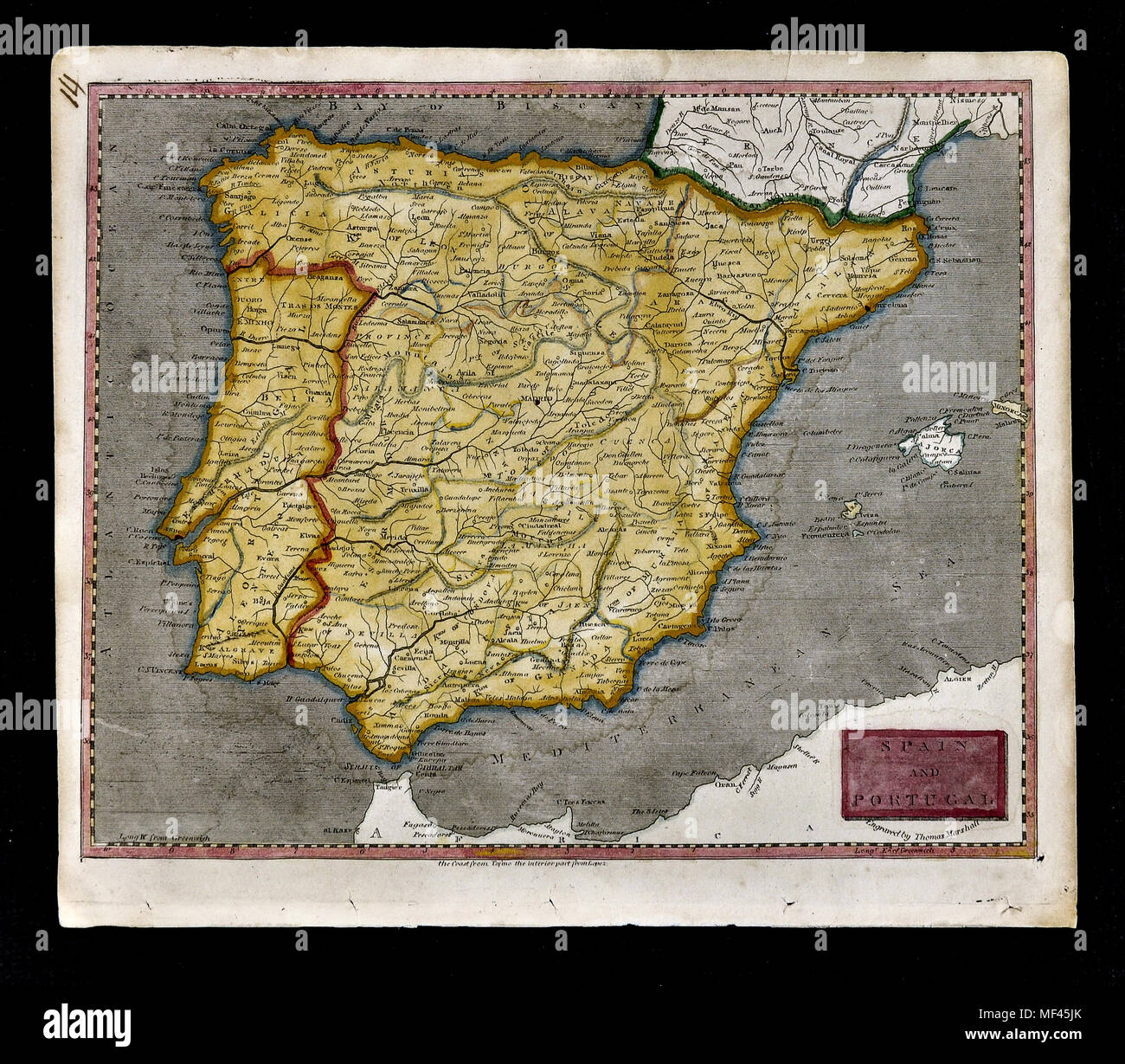 1804 Arrowsmith Map - Spain & Portugal - Lisbon Lisboa Braga Porto Oporto Algarve Madrid Barcelona Cadiz Toledo Europe Stock Photohttps://www.alamy.com/image-license-details/?v=1https://www.alamy.com/1804-arrowsmith-map-spain-portugal-lisbon-lisboa-braga-porto-oporto-algarve-madrid-barcelona-cadiz-toledo-europe-image181415771.html
RFMF45JK–1804 Arrowsmith Map - Spain & Portugal - Lisbon Lisboa Braga Porto Oporto Algarve Madrid Barcelona Cadiz Toledo Europe
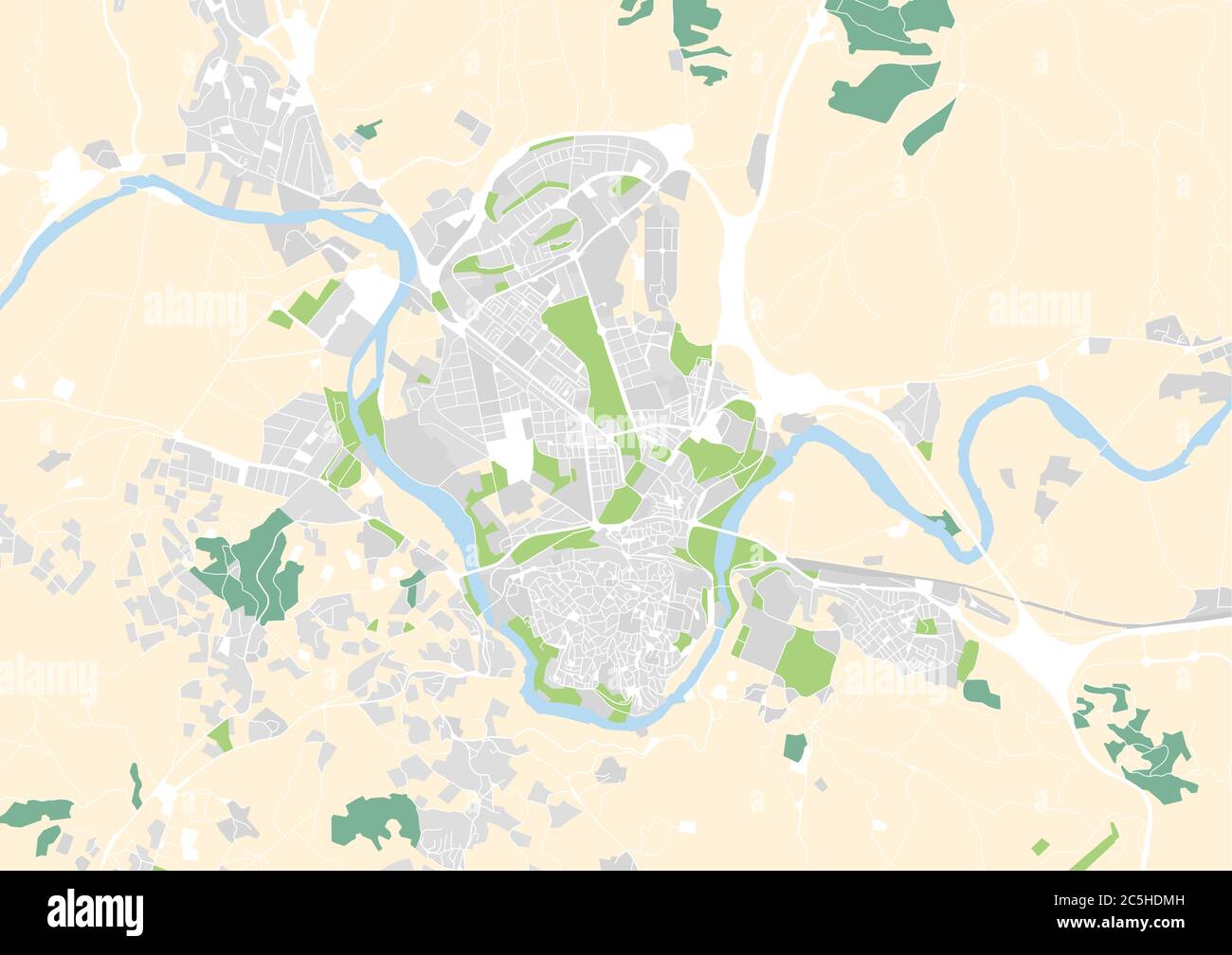 vector city map of Toledo, Spain Stock Vectorhttps://www.alamy.com/image-license-details/?v=1https://www.alamy.com/vector-city-map-of-toledo-spain-image364874961.html
RF2C5HDMH–vector city map of Toledo, Spain
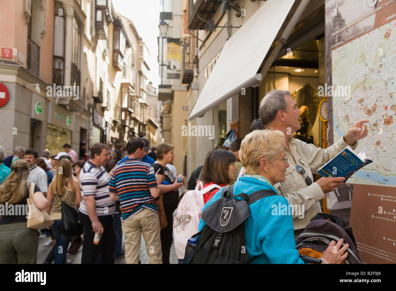 SPAIN Toledo Traveling couple consult Toledo street map and Rick Steves guide book carry backpacks and luggage Stock Photohttps://www.alamy.com/image-license-details/?v=1https://www.alamy.com/stock-photo-spain-toledo-traveling-couple-consult-toledo-street-map-and-rick-steves-18776528.html
RMB2F9J8–SPAIN Toledo Traveling couple consult Toledo street map and Rick Steves guide book carry backpacks and luggage
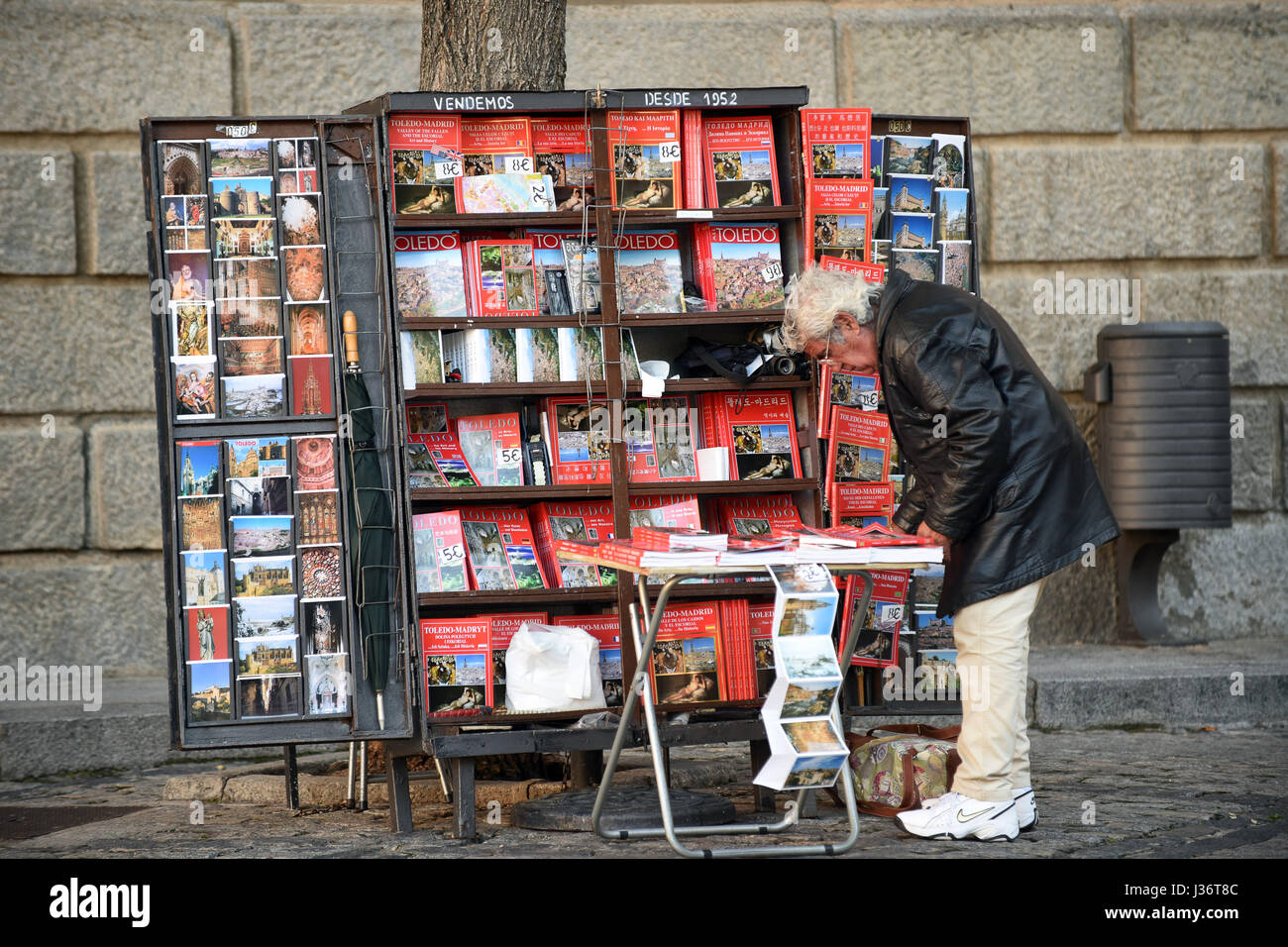 Souvenir book seller Toledo Spain Stock Photohttps://www.alamy.com/image-license-details/?v=1https://www.alamy.com/stock-photo-souvenir-book-seller-toledo-spain-139677676.html
RMJ36T8C–Souvenir book seller Toledo Spain
 Castile La Mancha, Spain, Relief Map Stock Photohttps://www.alamy.com/image-license-details/?v=1https://www.alamy.com/stock-photo-castile-la-mancha-spain-relief-map-71603593.html
RME4DR35–Castile La Mancha, Spain, Relief Map
 Toledo,Spain. Stock Photohttps://www.alamy.com/image-license-details/?v=1https://www.alamy.com/stock-photo-toledospain-100239530.html
RMFR28F6–Toledo,Spain.
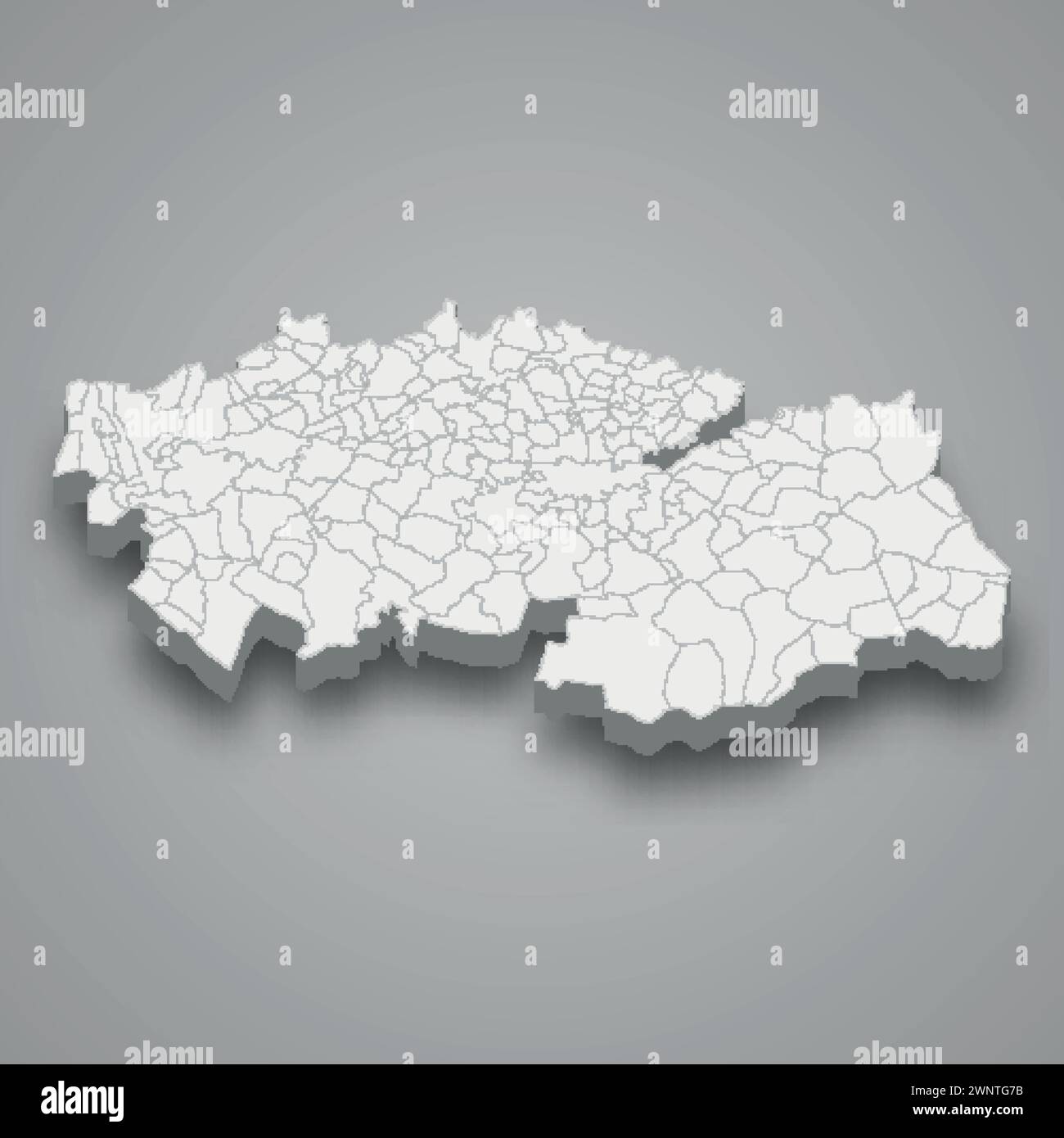 3d isometric map of Toledo is a province of Spain with borders municipalities Stock Vectorhttps://www.alamy.com/image-license-details/?v=1https://www.alamy.com/3d-isometric-map-of-toledo-is-a-province-of-spain-with-borders-municipalities-image598599887.html
RF2WNTG7B–3d isometric map of Toledo is a province of Spain with borders municipalities
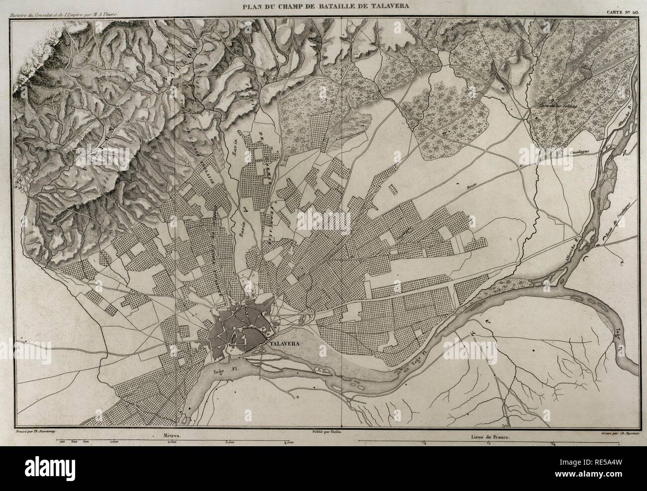 Napoleonic map. Battlefield of Talavera (Talavera de la Reina, province of Toledo, Castile-La Mancha, Spain). The Peninsular War. The Battle of Talavera, 27th-28th July 1809. It tooks place outside the town between the French army against allied forces (United Kingdom and Spain). Atlas de l'Histoire du Consulat et de l'Empire. History of the Consulate and the Empire of France under Napoleon by Marie Joseph Louis Adolphe Thiers (1797-1877). Drawings by Dufour, engravings by Dyonnet. Edited in Paris, 1864. Stock Photohttps://www.alamy.com/image-license-details/?v=1https://www.alamy.com/napoleonic-map-battlefield-of-talavera-talavera-de-la-reina-province-of-toledo-castile-la-mancha-spain-the-peninsular-war-the-battle-of-talavera-27th-28th-july-1809-it-tooks-place-outside-the-town-between-the-french-army-against-allied-forces-united-kingdom-and-spain-atlas-de-lhistoire-du-consulat-et-de-lempire-history-of-the-consulate-and-the-empire-of-france-under-napoleon-by-marie-joseph-louis-adolphe-thiers-1797-1877-drawings-by-dufour-engravings-by-dyonnet-edited-in-paris-1864-image232457705.html
RMRE5A4W–Napoleonic map. Battlefield of Talavera (Talavera de la Reina, province of Toledo, Castile-La Mancha, Spain). The Peninsular War. The Battle of Talavera, 27th-28th July 1809. It tooks place outside the town between the French army against allied forces (United Kingdom and Spain). Atlas de l'Histoire du Consulat et de l'Empire. History of the Consulate and the Empire of France under Napoleon by Marie Joseph Louis Adolphe Thiers (1797-1877). Drawings by Dufour, engravings by Dyonnet. Edited in Paris, 1864.
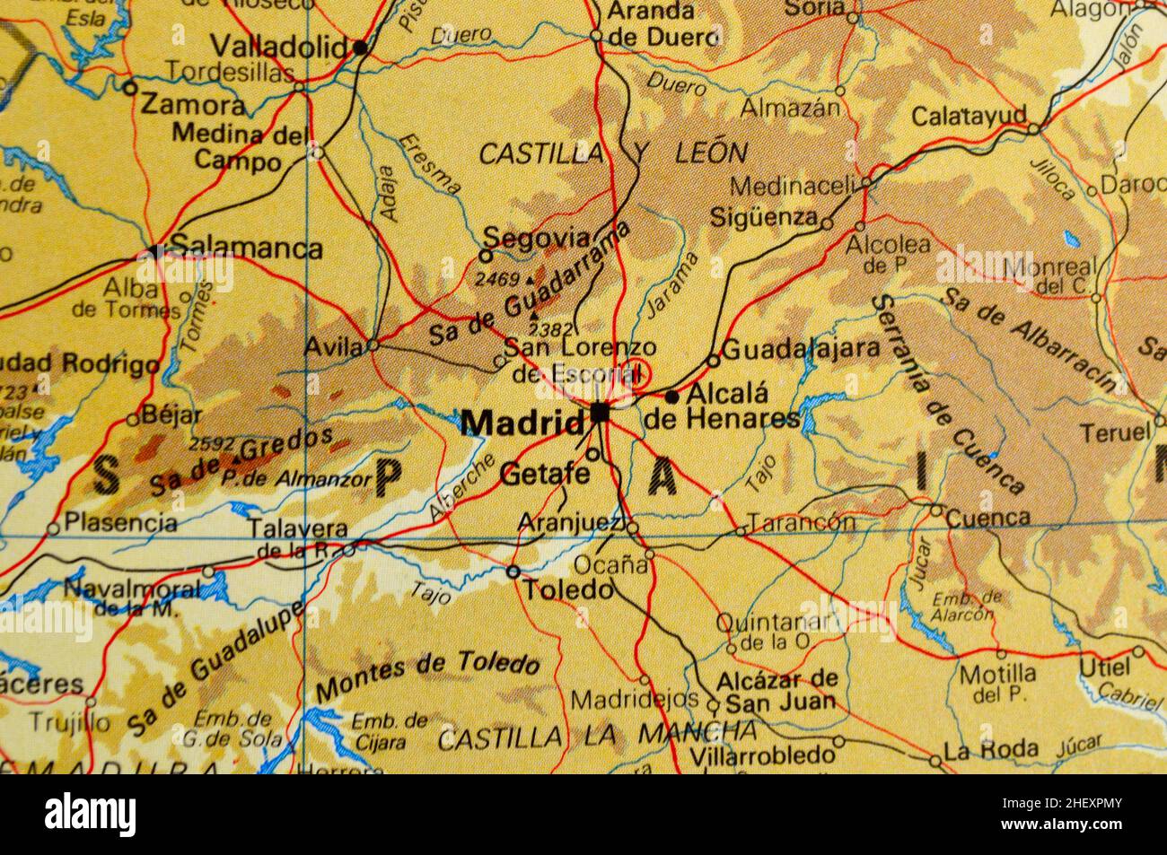 A map of central Spain featuring Madrid Stock Photohttps://www.alamy.com/image-license-details/?v=1https://www.alamy.com/a-map-of-central-spain-featuring-madrid-image456663339.html
RF2HEXPMY–A map of central Spain featuring Madrid
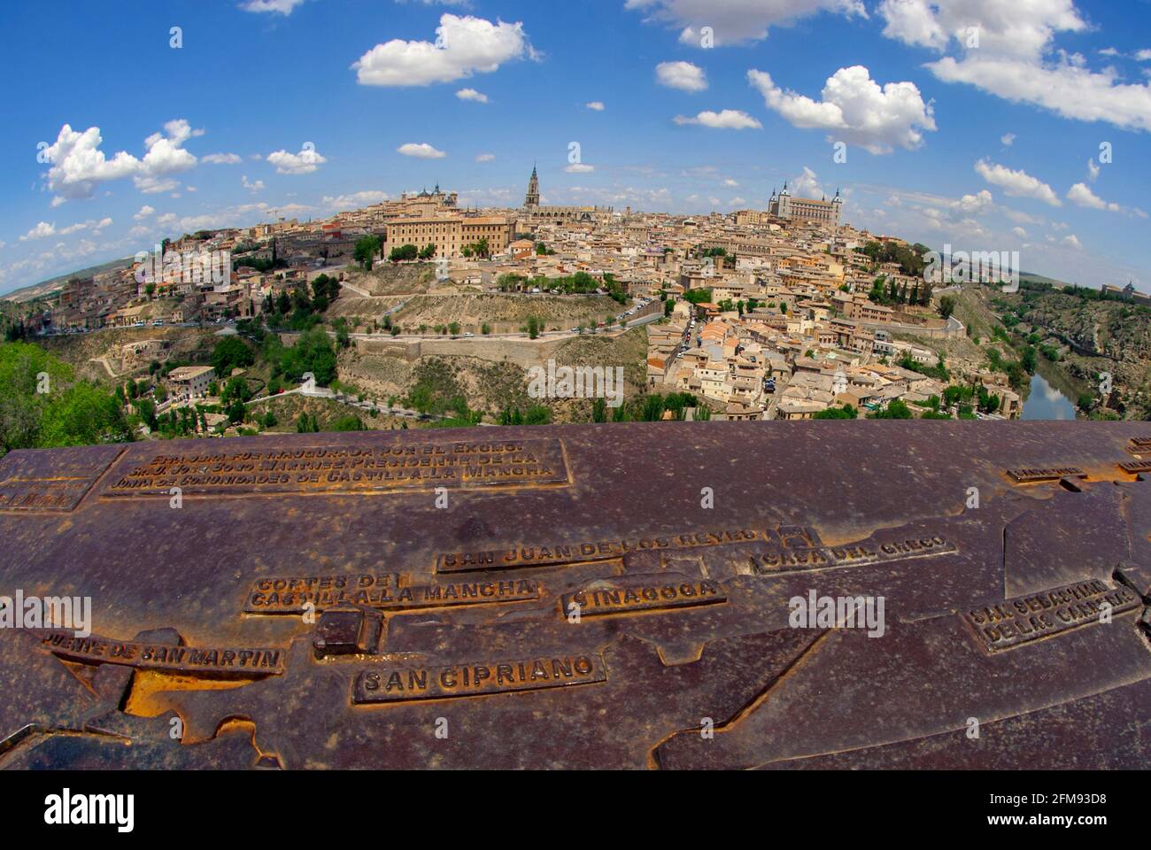 Plaque showing city landmarks, Toledo, Spain, Europe Stock Photohttps://www.alamy.com/image-license-details/?v=1https://www.alamy.com/plaque-showing-city-landmarks-toledo-spain-europe-image425542244.html
RM2FM93D8–Plaque showing city landmarks, Toledo, Spain, Europe
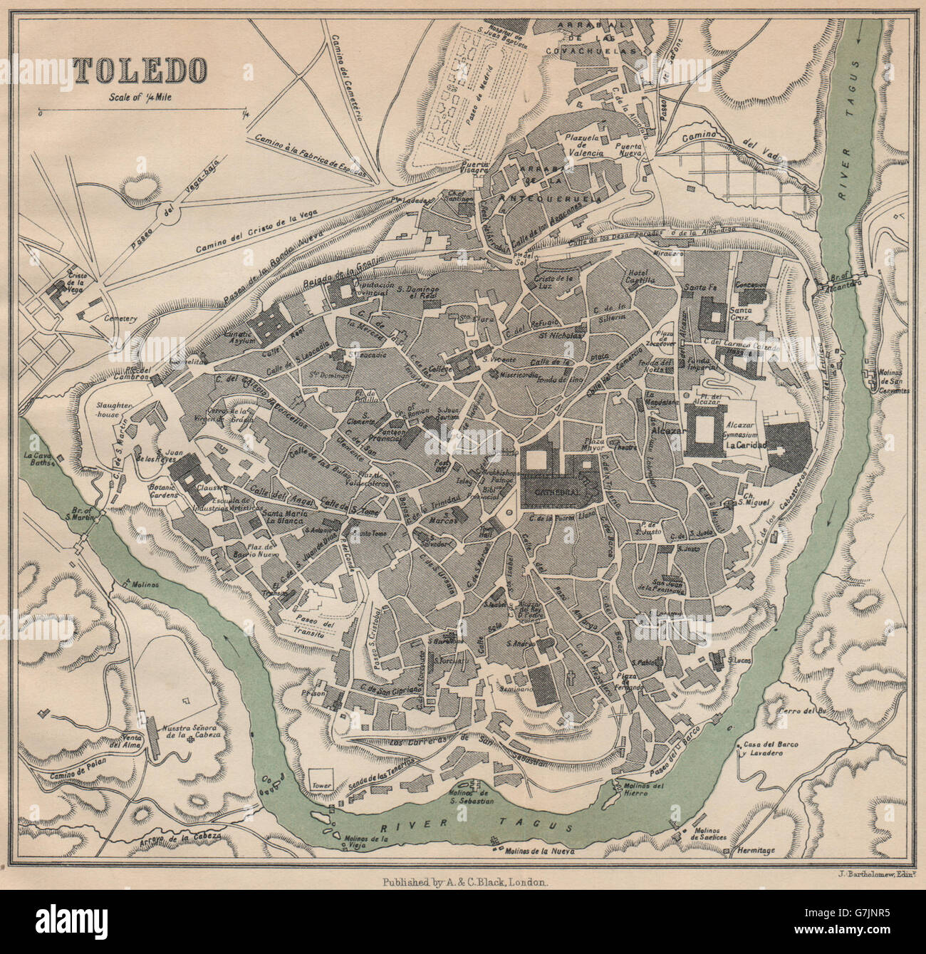 TOLEDO. Vintage town city map plan. Spain, 1899 Stock Photohttps://www.alamy.com/image-license-details/?v=1https://www.alamy.com/stock-photo-toledo-vintage-town-city-map-plan-spain-1899-107977049.html
RFG7JNR5–TOLEDO. Vintage town city map plan. Spain, 1899
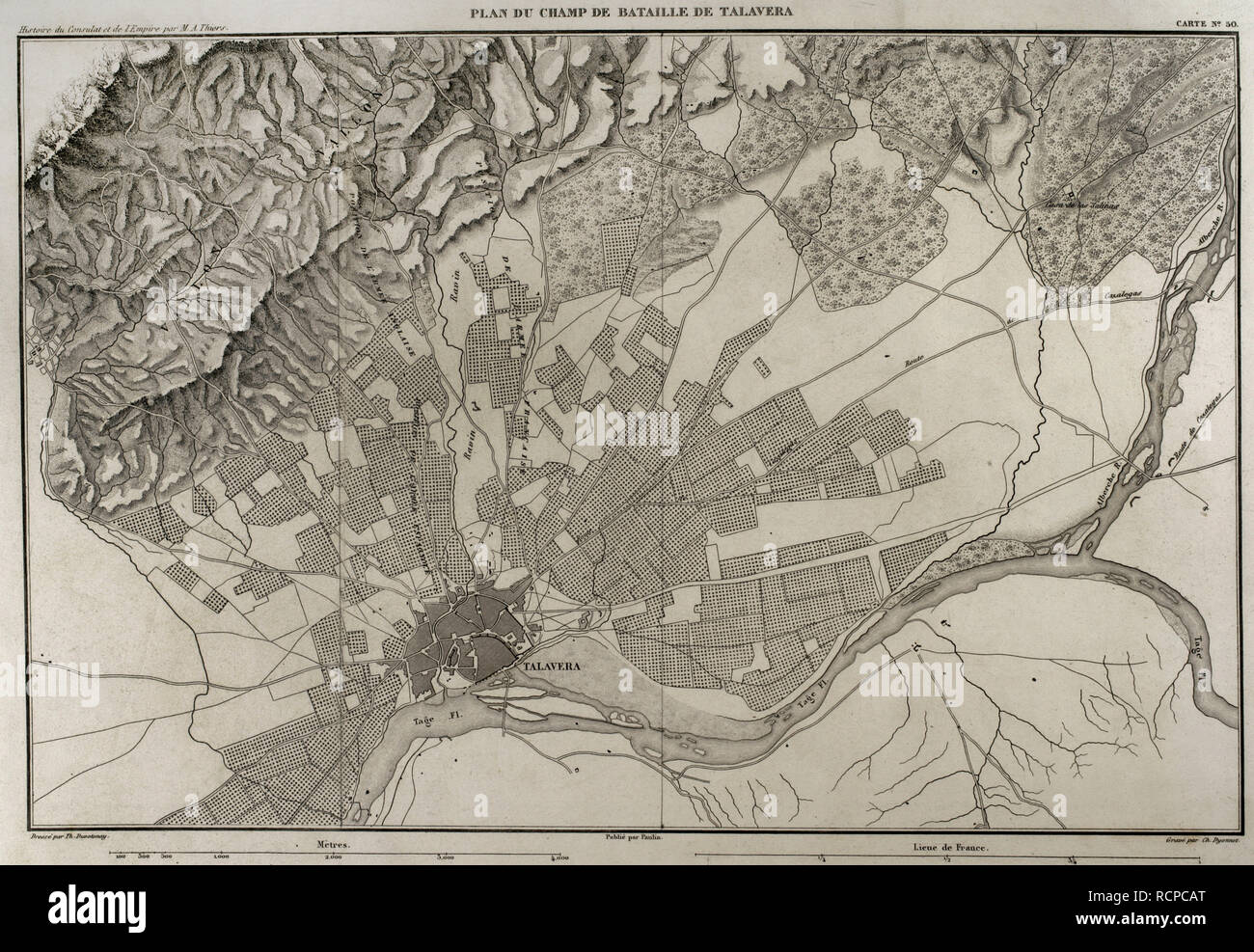 Napoleonic map. Battlefield of Talavera (Talavera de la Reina, province of Toledo, Castile-La Mancha, Spain). The Peninsular War. The Battle of Talavera, 27th-28th July 1809. It tooks place outside the town between the French army against allied forces (United Kingdom and Spain). Atlas de l'Histoire du Consulat et de l'Empire. History of the Consulate and the Empire of France under Napoleon by Marie Joseph Louis Adolphe Thiers (1797-1877). Drawings by Dufour, engravings by Dyonnet. Edited in Paris, 1864. Stock Photohttps://www.alamy.com/image-license-details/?v=1https://www.alamy.com/napoleonic-map-battlefield-of-talavera-talavera-de-la-reina-province-of-toledo-castile-la-mancha-spain-the-peninsular-war-the-battle-of-talavera-27th-28th-july-1809-it-tooks-place-outside-the-town-between-the-french-army-against-allied-forces-united-kingdom-and-spain-atlas-de-lhistoire-du-consulat-et-de-lempire-history-of-the-consulate-and-the-empire-of-france-under-napoleon-by-marie-joseph-louis-adolphe-thiers-1797-1877-drawings-by-dufour-engravings-by-dyonnet-edited-in-paris-1864-image231603312.html
RMRCPCAT–Napoleonic map. Battlefield of Talavera (Talavera de la Reina, province of Toledo, Castile-La Mancha, Spain). The Peninsular War. The Battle of Talavera, 27th-28th July 1809. It tooks place outside the town between the French army against allied forces (United Kingdom and Spain). Atlas de l'Histoire du Consulat et de l'Empire. History of the Consulate and the Empire of France under Napoleon by Marie Joseph Louis Adolphe Thiers (1797-1877). Drawings by Dufour, engravings by Dyonnet. Edited in Paris, 1864.
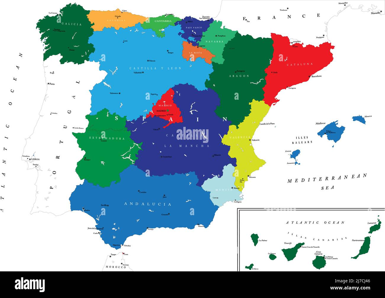 Highly detailed map of Spain with all regions separate and the main cities. Stock Vectorhttps://www.alamy.com/image-license-details/?v=1https://www.alamy.com/highly-detailed-map-of-spain-with-all-regions-separate-and-the-main-cities-image469260182.html
RF2J7CJ46–Highly detailed map of Spain with all regions separate and the main cities.
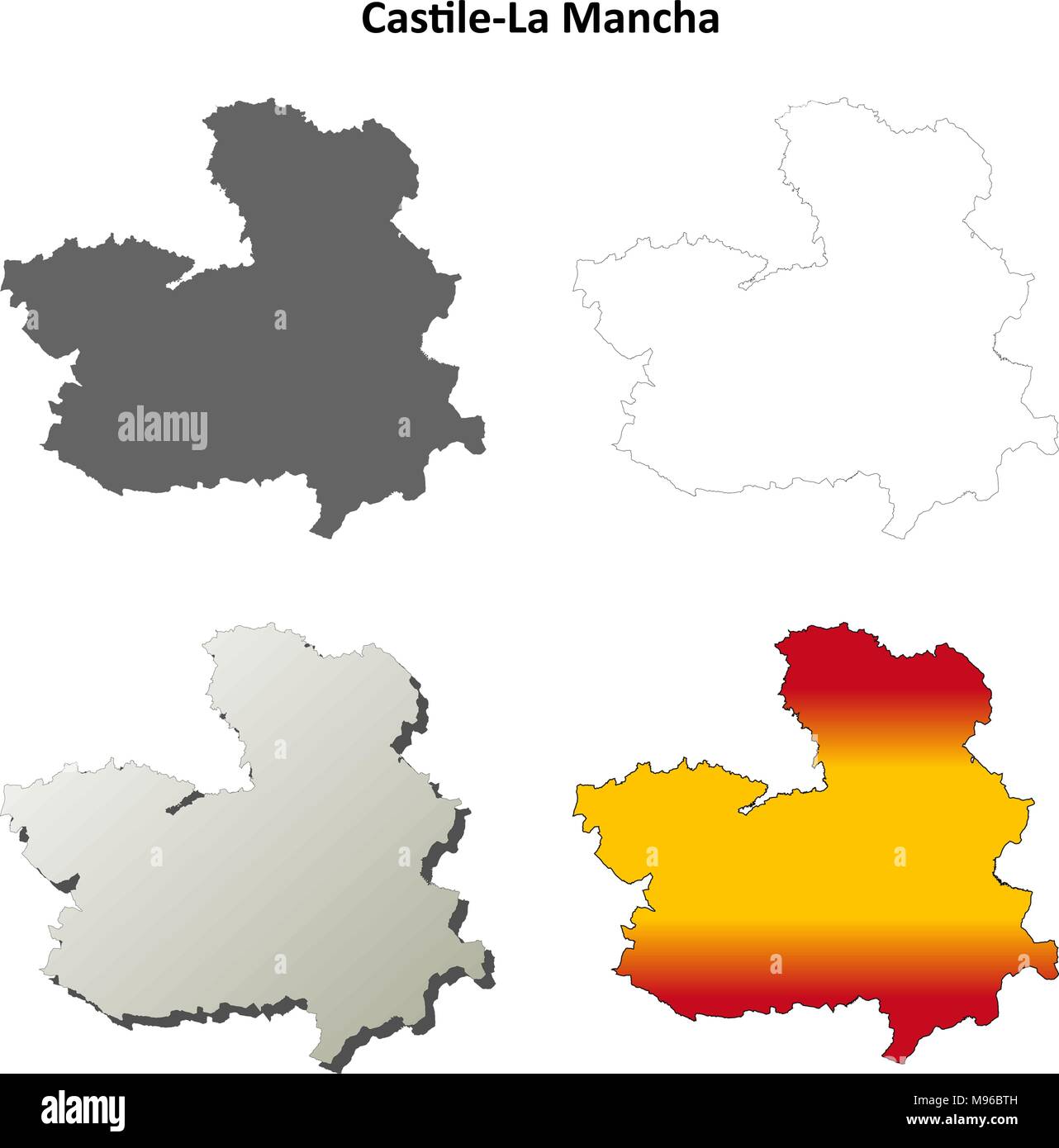 Castile-La Mancha blank outline map set Stock Vectorhttps://www.alamy.com/image-license-details/?v=1https://www.alamy.com/castile-la-mancha-blank-outline-map-set-image177776609.html
RFM96BTH–Castile-La Mancha blank outline map set
 La Estación, Toledo, Spain, Castille-La Mancha, N 39 57' 0'', W 4 39' 0'', map, Timeless Map published in 2021. Travelers, explorers and adventurers like Florence Nightingale, David Livingstone, Ernest Shackleton, Lewis and Clark and Sherlock Holmes relied on maps to plan travels to the world's most remote corners, Timeless Maps is mapping most locations on the globe, showing the achievement of great dreams Stock Photohttps://www.alamy.com/image-license-details/?v=1https://www.alamy.com/la-estacin-toledo-spain-castille-la-mancha-n-39-57-0-w-4-39-0-map-timeless-map-published-in-2021-travelers-explorers-and-adventurers-like-florence-nightingale-david-livingstone-ernest-shackleton-lewis-and-clark-and-sherlock-holmes-relied-on-maps-to-plan-travels-to-the-worlds-most-remote-corners-timeless-maps-is-mapping-most-locations-on-the-globe-showing-the-achievement-of-great-dreams-image457902644.html
RM2HGY7DT–La Estación, Toledo, Spain, Castille-La Mancha, N 39 57' 0'', W 4 39' 0'', map, Timeless Map published in 2021. Travelers, explorers and adventurers like Florence Nightingale, David Livingstone, Ernest Shackleton, Lewis and Clark and Sherlock Holmes relied on maps to plan travels to the world's most remote corners, Timeless Maps is mapping most locations on the globe, showing the achievement of great dreams
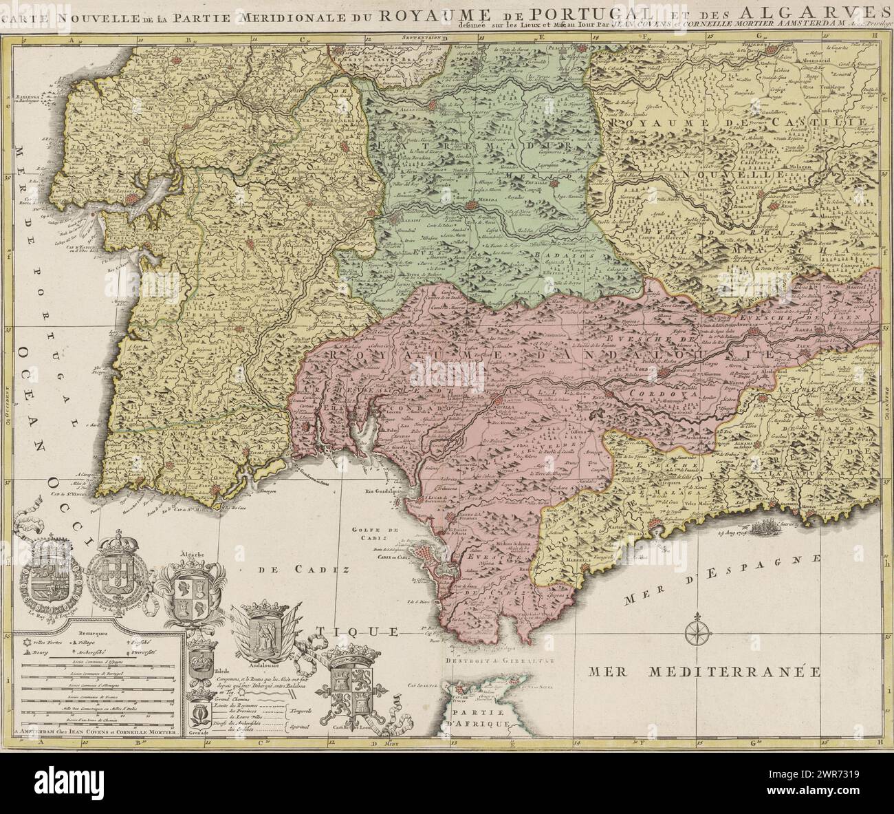 Map of the south of Spain and Portugal, Map showing part of Portugal and the Spanish south coast. Part (bottom left sheet) of a large map of Spain and Portugal in four sheets, ca. 1703. Bottom left the legend and the coats of arms of Spain and Portugal, connected to the coats of arms of the Algarve (under which the city coats of Toledo and Grenada hang), Andalusia and Castile and León., print maker: Jan Luyken, (possibly), print maker: Caspar Luyken, (possibly), publisher: Covens & Mortier, Amsterdam, 1720 - 1772, paper, engraving, etching, height 503 mm × width 600 mm Stock Photohttps://www.alamy.com/image-license-details/?v=1https://www.alamy.com/map-of-the-south-of-spain-and-portugal-map-showing-part-of-portugal-and-the-spanish-south-coast-part-bottom-left-sheet-of-a-large-map-of-spain-and-portugal-in-four-sheets-ca-1703-bottom-left-the-legend-and-the-coats-of-arms-of-spain-and-portugal-connected-to-the-coats-of-arms-of-the-algarve-under-which-the-city-coats-of-toledo-and-grenada-hang-andalusia-and-castile-and-len-print-maker-jan-luyken-possibly-print-maker-caspar-luyken-possibly-publisher-covens-mortier-amsterdam-1720-1772-paper-engraving-etching-height-503-mm-width-600-mm-image599445653.html
RM2WR7319–Map of the south of Spain and Portugal, Map showing part of Portugal and the Spanish south coast. Part (bottom left sheet) of a large map of Spain and Portugal in four sheets, ca. 1703. Bottom left the legend and the coats of arms of Spain and Portugal, connected to the coats of arms of the Algarve (under which the city coats of Toledo and Grenada hang), Andalusia and Castile and León., print maker: Jan Luyken, (possibly), print maker: Caspar Luyken, (possibly), publisher: Covens & Mortier, Amsterdam, 1720 - 1772, paper, engraving, etching, height 503 mm × width 600 mm
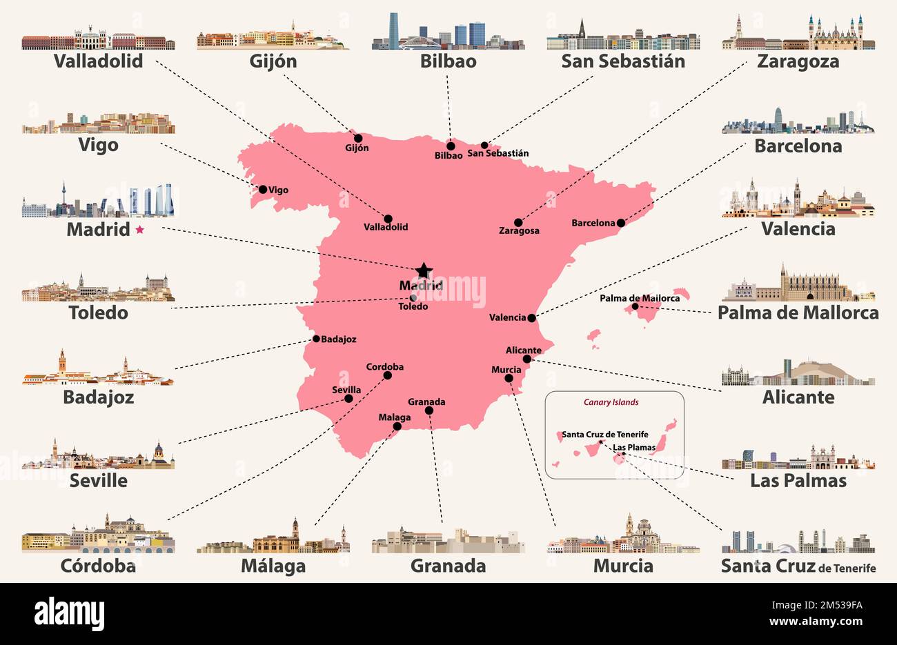 Spain map with main cities skylines. Vector illustration Stock Vectorhttps://www.alamy.com/image-license-details/?v=1https://www.alamy.com/spain-map-with-main-cities-skylines-vector-illustration-image502247294.html
RF2M539FA–Spain map with main cities skylines. Vector illustration
 Symbol Map of the Provincia Toledo (Spain) showing the state/province with a pattern of black circles Stock Vectorhttps://www.alamy.com/image-license-details/?v=1https://www.alamy.com/symbol-map-of-the-provincia-toledo-spain-showing-the-stateprovince-with-a-pattern-of-black-circles-image612956855.html
RF2XH6GM7–Symbol Map of the Provincia Toledo (Spain) showing the state/province with a pattern of black circles
 Young female tourist studying a map in Toledo, Spain Stock Photohttps://www.alamy.com/image-license-details/?v=1https://www.alamy.com/young-female-tourist-studying-a-map-in-toledo-spain-image66491566.html
RFDT4XJP–Young female tourist studying a map in Toledo, Spain
 1830 Nathan Hale Map - Spain Portugal - Madrid Lisbon Barcelona Stock Photohttps://www.alamy.com/image-license-details/?v=1https://www.alamy.com/stock-image-1830-nathan-hale-map-spain-portugal-madrid-lisbon-barcelona-169529983.html
RFKRPN67–1830 Nathan Hale Map - Spain Portugal - Madrid Lisbon Barcelona
 Symbol of Toledo. Coat of arms, map and decorative panels on Plaza de Espana (Spain Square) in Seville, Andalusia, Spain. Stock Photohttps://www.alamy.com/image-license-details/?v=1https://www.alamy.com/symbol-of-toledo-coat-of-arms-map-and-decorative-panels-on-plaza-de-espana-spain-square-in-seville-andalusia-spain-image212210392.html
RFP970EG–Symbol of Toledo. Coat of arms, map and decorative panels on Plaza de Espana (Spain Square) in Seville, Andalusia, Spain.
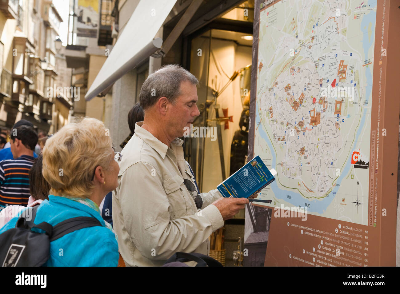 SPAIN Toledo Traveling couple consult Toledo street map and Rick Steves guide book carry backpacks and luggage Stock Photohttps://www.alamy.com/image-license-details/?v=1https://www.alamy.com/stock-photo-spain-toledo-traveling-couple-consult-toledo-street-map-and-rick-steves-18781611.html
RMB2FG3R–SPAIN Toledo Traveling couple consult Toledo street map and Rick Steves guide book carry backpacks and luggage
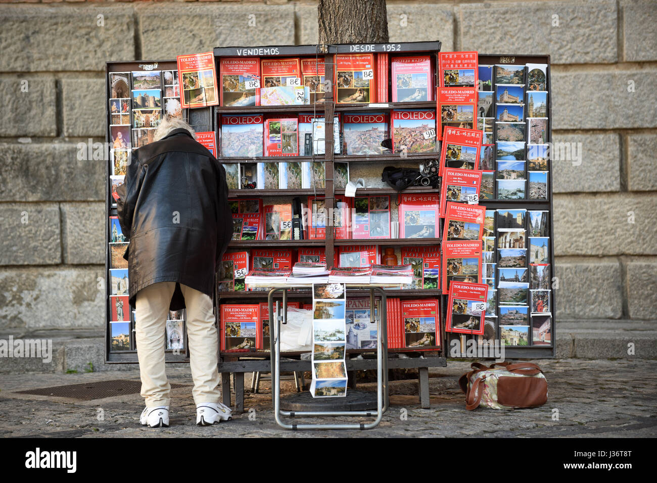 Souvenir book seller Toledo Spain Stock Photohttps://www.alamy.com/image-license-details/?v=1https://www.alamy.com/stock-photo-souvenir-book-seller-toledo-spain-139677688.html
RMJ36T8T–Souvenir book seller Toledo Spain
 Spain and the Region of Castile La Mancha, Relief Map Stock Photohttps://www.alamy.com/image-license-details/?v=1https://www.alamy.com/stock-photo-spain-and-the-region-of-castile-la-mancha-relief-map-71608639.html
RME4E1FB–Spain and the Region of Castile La Mancha, Relief Map
 Seville, Spain - January 20, 2023: Tile decorative map showing Toledo, Madrid, Segovia, and Guadalajara. The famous place and landmark is known in Spa Stock Photohttps://www.alamy.com/image-license-details/?v=1https://www.alamy.com/seville-spain-january-20-2023-tile-decorative-map-showing-toledo-madrid-segovia-and-guadalajara-the-famous-place-and-landmark-is-known-in-spa-image556370465.html
RM2R94T5N–Seville, Spain - January 20, 2023: Tile decorative map showing Toledo, Madrid, Segovia, and Guadalajara. The famous place and landmark is known in Spa
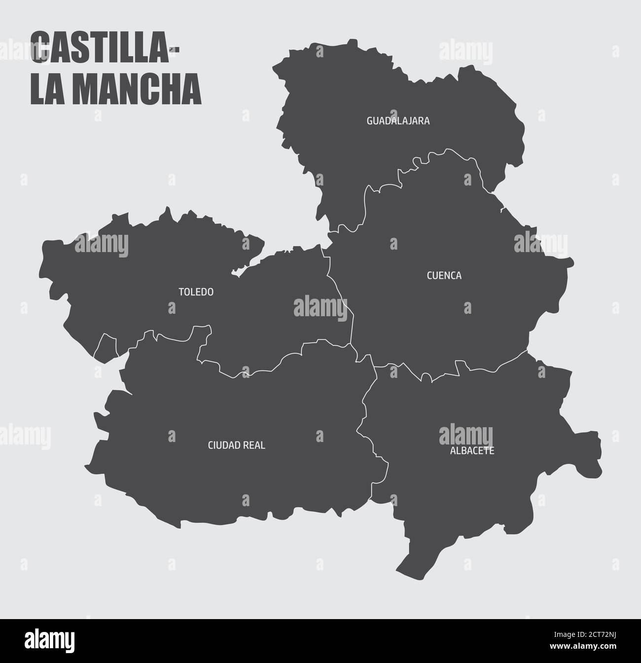 Castilla-La Mancha region map Stock Vectorhttps://www.alamy.com/image-license-details/?v=1https://www.alamy.com/castilla-la-mancha-region-map-image376325310.html
RF2CT72NJ–Castilla-La Mancha region map
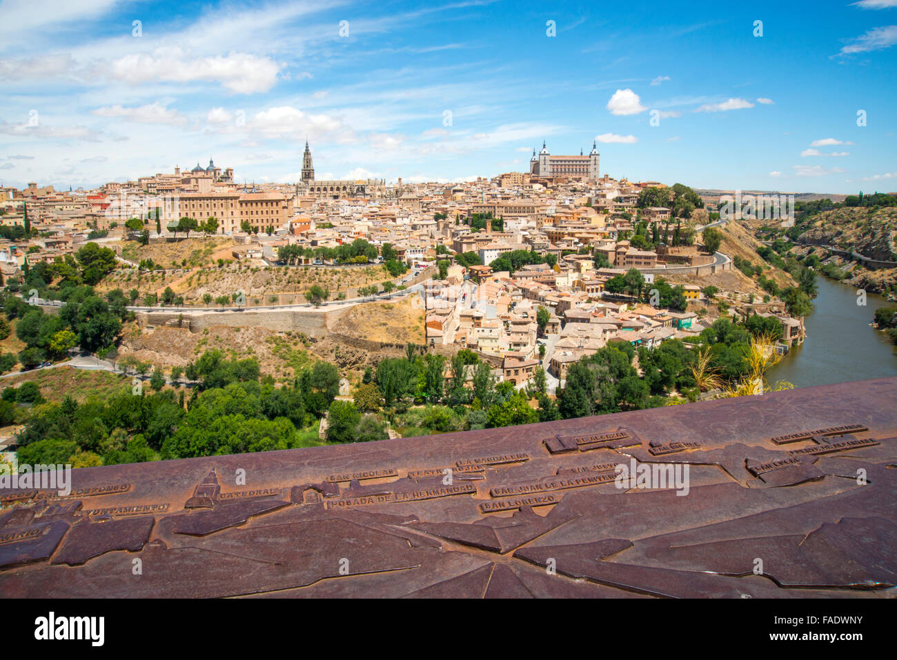 Overview from the viewpoint and map of the town. Toledo, Spain. Stock Photohttps://www.alamy.com/image-license-details/?v=1https://www.alamy.com/stock-photo-overview-from-the-viewpoint-and-map-of-the-town-toledo-spain-92503991.html
RMFADWNY–Overview from the viewpoint and map of the town. Toledo, Spain.
 MAPA DEL ARZOBISPADO DE TOLEDO - SIGLO XVIII. Location: CATEDRAL-BIBLIOTECA, SPAIN. Stock Photohttps://www.alamy.com/image-license-details/?v=1https://www.alamy.com/mapa-del-arzobispado-de-toledo-siglo-xviii-location-catedral-biblioteca-spain-image209185082.html
RMP495KP–MAPA DEL ARZOBISPADO DE TOLEDO - SIGLO XVIII. Location: CATEDRAL-BIBLIOTECA, SPAIN.
 Sign of key landmarks and ramparts with Palacio Toledo-Moctezuma in background, Bujaco Tower, Plaza Mayor, Cáceres, Extremadura, Spain, Europe Stock Photohttps://www.alamy.com/image-license-details/?v=1https://www.alamy.com/sign-of-key-landmarks-and-ramparts-with-palacio-toledo-moctezuma-in-background-bujaco-tower-plaza-mayor-cceres-extremadura-spain-europe-image352326805.html
RM2BD5TC5–Sign of key landmarks and ramparts with Palacio Toledo-Moctezuma in background, Bujaco Tower, Plaza Mayor, Cáceres, Extremadura, Spain, Europe
 SPAIN SOUTH.Sevilla Granada Cordoba Jaen Murcia Valencia Toledo.SDUK 1844 map Stock Photohttps://www.alamy.com/image-license-details/?v=1https://www.alamy.com/spain-southsevilla-granada-cordoba-jaen-murcia-valencia-toledosduk-1844-map-image568882277.html
RF2T1ER45–SPAIN SOUTH.Sevilla Granada Cordoba Jaen Murcia Valencia Toledo.SDUK 1844 map
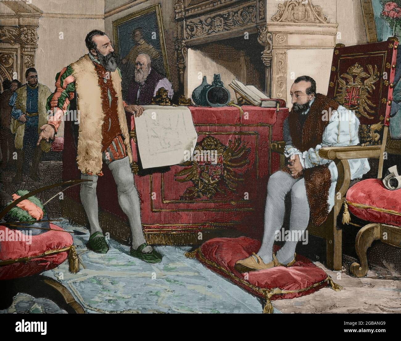 Emperor Charles V (1500-1558) meeting with Francisco Pizarro (1487-1541) in Toledo (1529), after returning from his first expedition to Peru. Engraving by Vela after a painting by Angel Lizcano. Later colouration. La Ilustración Española y Americana, 1881. Stock Photohttps://www.alamy.com/image-license-details/?v=1https://www.alamy.com/emperor-charles-v-1500-1558-meeting-with-francisco-pizarro-1487-1541-in-toledo-1529-after-returning-from-his-first-expedition-to-peru-engraving-by-vela-after-a-painting-by-angel-lizcano-later-colouration-la-ilustracin-espaola-y-americana-1881-image437256857.html
RM2GBANG9–Emperor Charles V (1500-1558) meeting with Francisco Pizarro (1487-1541) in Toledo (1529), after returning from his first expedition to Peru. Engraving by Vela after a painting by Angel Lizcano. Later colouration. La Ilustración Española y Americana, 1881.
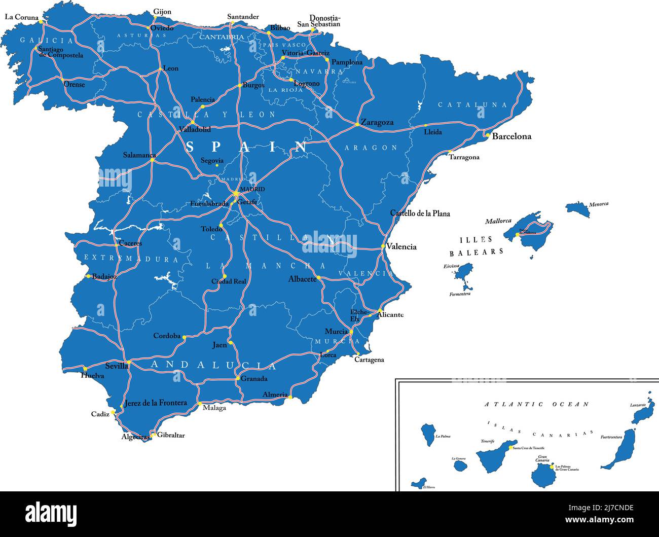 Highly detailed vector map of Spain with administrative regions, main cities and roads. Stock Vectorhttps://www.alamy.com/image-license-details/?v=1https://www.alamy.com/highly-detailed-vector-map-of-spain-with-administrative-regions-main-cities-and-roads-image469262794.html
RF2J7CNDE–Highly detailed vector map of Spain with administrative regions, main cities and roads.
 Aerial view of the old city of Toledo Stock Photohttps://www.alamy.com/image-license-details/?v=1https://www.alamy.com/aerial-view-of-the-old-city-of-toledo-image343442706.html
RF2AXN4JX–Aerial view of the old city of Toledo
 Santa Olalla, Toledo, Spain, Castille-La Mancha, N 40 1' 24'', W 4 25' 48'', map, Timeless Map published in 2021. Travelers, explorers and adventurers like Florence Nightingale, David Livingstone, Ernest Shackleton, Lewis and Clark and Sherlock Holmes relied on maps to plan travels to the world's most remote corners, Timeless Maps is mapping most locations on the globe, showing the achievement of great dreams Stock Photohttps://www.alamy.com/image-license-details/?v=1https://www.alamy.com/santa-olalla-toledo-spain-castille-la-mancha-n-40-1-24-w-4-25-48-map-timeless-map-published-in-2021-travelers-explorers-and-adventurers-like-florence-nightingale-david-livingstone-ernest-shackleton-lewis-and-clark-and-sherlock-holmes-relied-on-maps-to-plan-travels-to-the-worlds-most-remote-corners-timeless-maps-is-mapping-most-locations-on-the-globe-showing-the-achievement-of-great-dreams-image457916012.html
RM2HGYTF8–Santa Olalla, Toledo, Spain, Castille-La Mancha, N 40 1' 24'', W 4 25' 48'', map, Timeless Map published in 2021. Travelers, explorers and adventurers like Florence Nightingale, David Livingstone, Ernest Shackleton, Lewis and Clark and Sherlock Holmes relied on maps to plan travels to the world's most remote corners, Timeless Maps is mapping most locations on the globe, showing the achievement of great dreams
 Map of the south of Spain and Portugal, Johannes Covens and Cornelis Mortier, unknown, 1720 - 1772 Stock Photohttps://www.alamy.com/image-license-details/?v=1https://www.alamy.com/map-of-the-south-of-spain-and-portugal-johannes-covens-and-cornelis-mortier-unknown-1720-1772-image240591577.html
RMRYBW09–Map of the south of Spain and Portugal, Johannes Covens and Cornelis Mortier, unknown, 1720 - 1772
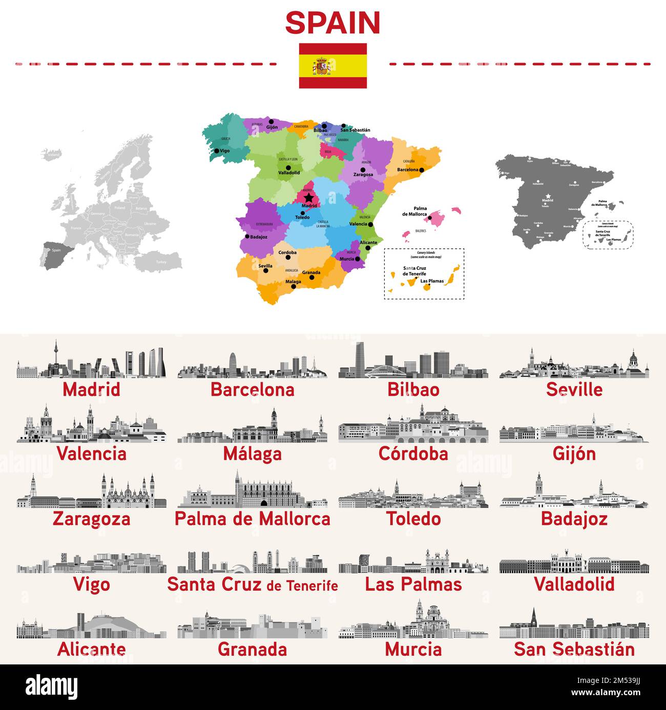 Spain map with main cities on it. Spanish cities skylines illustrations in black and white color palette. Vector set Stock Vectorhttps://www.alamy.com/image-license-details/?v=1https://www.alamy.com/spain-map-with-main-cities-on-it-spanish-cities-skylines-illustrations-in-black-and-white-color-palette-vector-set-image502247386.html
RF2M539JJ–Spain map with main cities on it. Spanish cities skylines illustrations in black and white color palette. Vector set
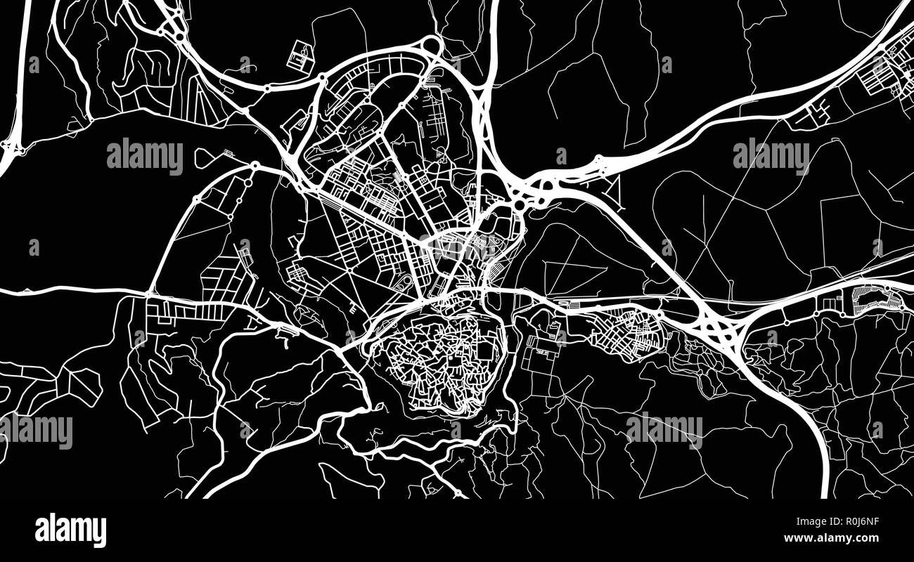 Urban vector city map of Toledo, Spain Stock Vectorhttps://www.alamy.com/image-license-details/?v=1https://www.alamy.com/urban-vector-city-map-of-toledo-spain-image224135227.html
RFR0J6NF–Urban vector city map of Toledo, Spain
 Young female tourist studying a map in Toledo, Spain Stock Photohttps://www.alamy.com/image-license-details/?v=1https://www.alamy.com/young-female-tourist-studying-a-map-in-toledo-spain-image66491685.html
RFDT4XR1–Young female tourist studying a map in Toledo, Spain
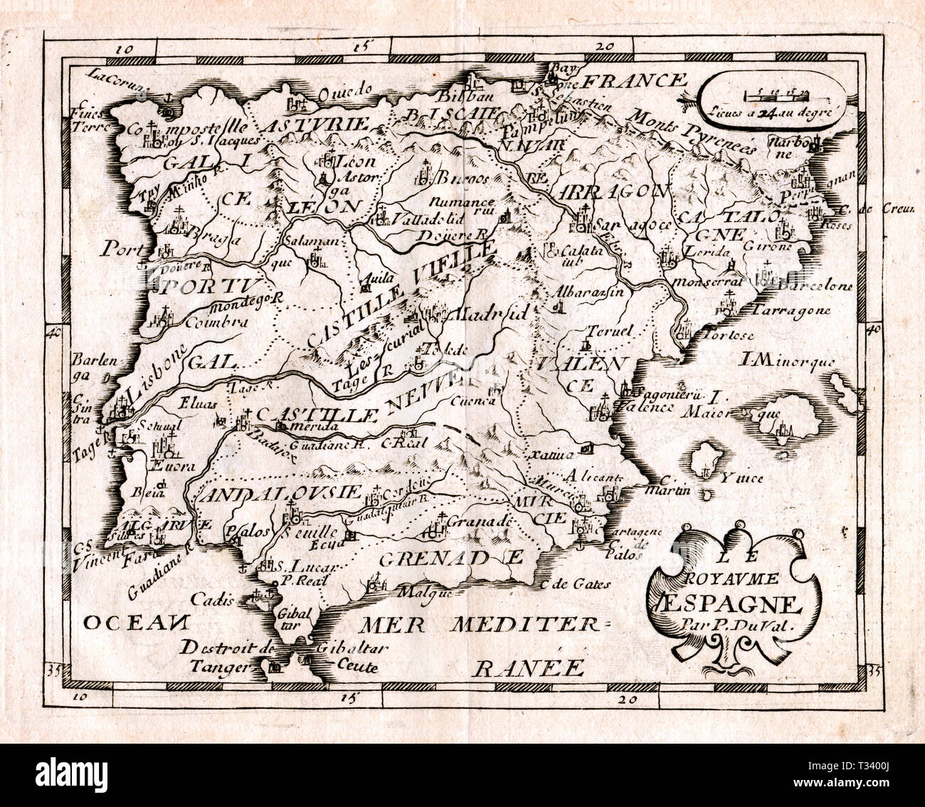 Antique Map of Spain and Portugal by Pierre Duval, published in Paris, 1682 Stock Photohttps://www.alamy.com/image-license-details/?v=1https://www.alamy.com/antique-map-of-spain-and-portugal-by-pierre-duval-published-in-paris-1682-image242876946.html
RFT3400J–Antique Map of Spain and Portugal by Pierre Duval, published in Paris, 1682
 Female single travel, view in summer of a young woman reading a map while standing in a narrow street in the historic Old Town area of Toledo, Spain Stock Photohttps://www.alamy.com/image-license-details/?v=1https://www.alamy.com/female-single-travel-view-in-summer-of-a-young-woman-reading-a-map-while-standing-in-a-narrow-street-in-the-historic-old-town-area-of-toledo-spain-image556930191.html
RM2RA2A3Y–Female single travel, view in summer of a young woman reading a map while standing in a narrow street in the historic Old Town area of Toledo, Spain
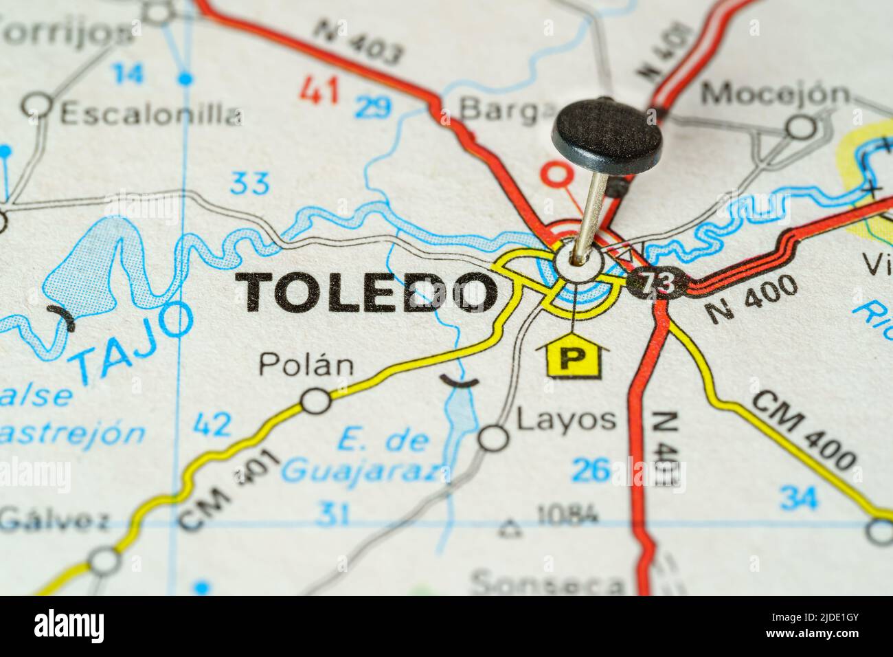 Tourist destination of Toledo with a pin on a map, macro photo. Stock Photohttps://www.alamy.com/image-license-details/?v=1https://www.alamy.com/tourist-destination-of-toledo-with-a-pin-on-a-map-macro-photo-image472979051.html
RF2JDE1GY–Tourist destination of Toledo with a pin on a map, macro photo.
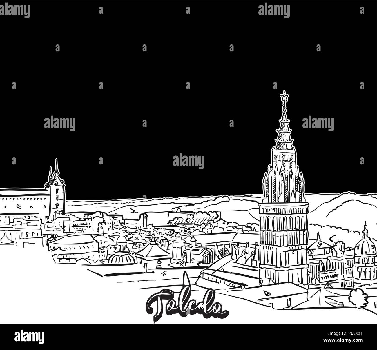 Toledo skyline, outline. Vector drawing of skyline, outline, Spain. Black and white illustration concept. Stock Vectorhttps://www.alamy.com/image-license-details/?v=1https://www.alamy.com/toledo-skyline-outline-vector-drawing-of-skyline-outline-spain-black-and-white-illustration-concept-image215347576.html
RFPE9X0T–Toledo skyline, outline. Vector drawing of skyline, outline, Spain. Black and white illustration concept.
 Castile La Mancha, Spain, True Colour Satellite Image Stock Photohttps://www.alamy.com/image-license-details/?v=1https://www.alamy.com/stock-photo-castile-la-mancha-spain-true-colour-satellite-image-71603594.html
RME4DR36–Castile La Mancha, Spain, True Colour Satellite Image
 isolated, emblem, spain, vintage, illustration, flag, rusty, national, country, Stock Photohttps://www.alamy.com/image-license-details/?v=1https://www.alamy.com/stock-photo-isolated-emblem-spain-vintage-illustration-flag-rusty-national-country-131594747.html
RFHJ2JCB–isolated, emblem, spain, vintage, illustration, flag, rusty, national, country,
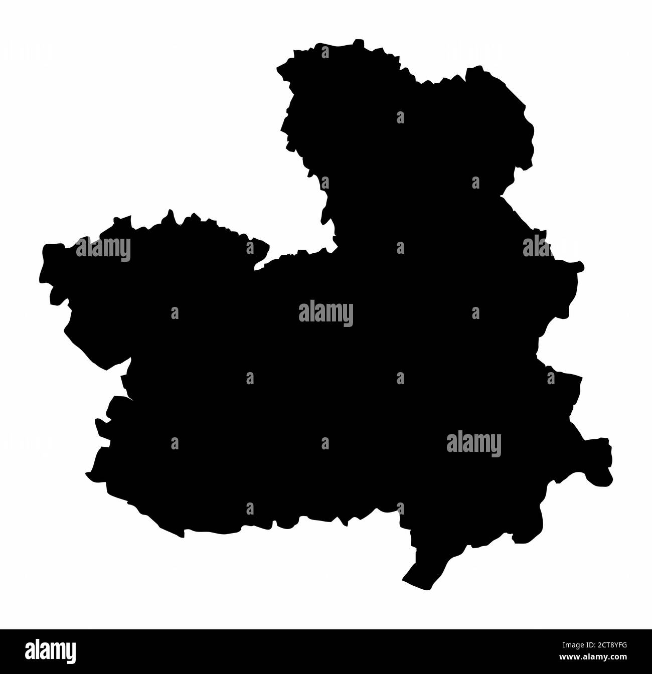 Castilla-La Mancha region map Stock Vectorhttps://www.alamy.com/image-license-details/?v=1https://www.alamy.com/castilla-la-mancha-region-map-image376366692.html
RF2CT8YFG–Castilla-La Mancha region map
![A map of Portugal and Spain. In bold: Algarve; Alentejo; Estremadura; Extremadura; Toledo; Cordoba; Laman; Granada and, Sevilla. A new map of Spain and Portugal ... compiled by Jasper Nantiat. London : Published by W. Faden ... Charing Cross, Jan. 1st. 1810. 1 map on 4 sheets : hand col ; 110x154cm., on sheets 53x84cm.; Scale [ca. 1:860 000]. British miles, 80 [=146mm]. Source: Maps C.12.f.4. Sheet 3. Stock Photo A map of Portugal and Spain. In bold: Algarve; Alentejo; Estremadura; Extremadura; Toledo; Cordoba; Laman; Granada and, Sevilla. A new map of Spain and Portugal ... compiled by Jasper Nantiat. London : Published by W. Faden ... Charing Cross, Jan. 1st. 1810. 1 map on 4 sheets : hand col ; 110x154cm., on sheets 53x84cm.; Scale [ca. 1:860 000]. British miles, 80 [=146mm]. Source: Maps C.12.f.4. Sheet 3. Stock Photo](https://c8.alamy.com/comp/R5G9XE/a-map-of-portugal-and-spain-in-bold-algarve-alentejo-estremadura-extremadura-toledo-cordoba-laman-granada-and-sevilla-a-new-map-of-spain-and-portugal-compiled-by-jasper-nantiat-london-published-by-w-faden-charing-cross-jan-1st-1810-1-map-on-4-sheets-hand-col-110x154cm-on-sheets-53x84cm-scale-ca-1860-000-british-miles-80-=146mm-source-maps-c12f4-sheet-3-R5G9XE.jpg) A map of Portugal and Spain. In bold: Algarve; Alentejo; Estremadura; Extremadura; Toledo; Cordoba; Laman; Granada and, Sevilla. A new map of Spain and Portugal ... compiled by Jasper Nantiat. London : Published by W. Faden ... Charing Cross, Jan. 1st. 1810. 1 map on 4 sheets : hand col ; 110x154cm., on sheets 53x84cm.; Scale [ca. 1:860 000]. British miles, 80 [=146mm]. Source: Maps C.12.f.4. Sheet 3. Stock Photohttps://www.alamy.com/image-license-details/?v=1https://www.alamy.com/a-map-of-portugal-and-spain-in-bold-algarve-alentejo-estremadura-extremadura-toledo-cordoba-laman-granada-and-sevilla-a-new-map-of-spain-and-portugal-compiled-by-jasper-nantiat-london-published-by-w-faden-charing-cross-jan-1st-1810-1-map-on-4-sheets-hand-col-110x154cm-on-sheets-53x84cm-scale-ca-1860-000-british-miles-80-=146mm-source-maps-c12f4-sheet-3-image227167094.html
A map of Portugal and Spain. In bold: Algarve; Alentejo; Estremadura; Extremadura; Toledo; Cordoba; Laman; Granada and, Sevilla. A new map of Spain and Portugal ... compiled by Jasper Nantiat. London : Published by W. Faden ... Charing Cross, Jan. 1st. 1810. 1 map on 4 sheets : hand col ; 110x154cm., on sheets 53x84cm.; Scale [ca. 1:860 000]. British miles, 80 [=146mm]. Source: Maps C.12.f.4. Sheet 3. Stock Photohttps://www.alamy.com/image-license-details/?v=1https://www.alamy.com/a-map-of-portugal-and-spain-in-bold-algarve-alentejo-estremadura-extremadura-toledo-cordoba-laman-granada-and-sevilla-a-new-map-of-spain-and-portugal-compiled-by-jasper-nantiat-london-published-by-w-faden-charing-cross-jan-1st-1810-1-map-on-4-sheets-hand-col-110x154cm-on-sheets-53x84cm-scale-ca-1860-000-british-miles-80-=146mm-source-maps-c12f4-sheet-3-image227167094.htmlRMR5G9XE–A map of Portugal and Spain. In bold: Algarve; Alentejo; Estremadura; Extremadura; Toledo; Cordoba; Laman; Granada and, Sevilla. A new map of Spain and Portugal ... compiled by Jasper Nantiat. London : Published by W. Faden ... Charing Cross, Jan. 1st. 1810. 1 map on 4 sheets : hand col ; 110x154cm., on sheets 53x84cm.; Scale [ca. 1:860 000]. British miles, 80 [=146mm]. Source: Maps C.12.f.4. Sheet 3.
 MAPA DEL NUEVO REINO DE TOLEDO-AMERICA-S XVII. Location: SERVICIO GEOGRAFICO DEL EJERCITO, MADRID, SPAIN. Stock Photohttps://www.alamy.com/image-license-details/?v=1https://www.alamy.com/mapa-del-nuevo-reino-de-toledo-america-s-xvii-location-servicio-geografico-del-ejercito-madrid-spain-image209236956.html
RMP4BFTC–MAPA DEL NUEVO REINO DE TOLEDO-AMERICA-S XVII. Location: SERVICIO GEOGRAFICO DEL EJERCITO, MADRID, SPAIN.
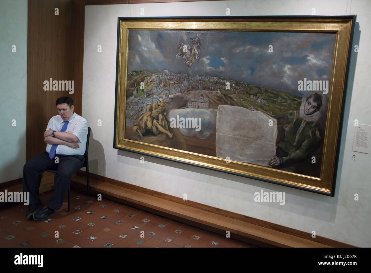 Custodian guards the painting 'View and Plan of Toledo' (1608) by Spanish mannerist painter El Greco displayed in the El Greco Museum in Toledo, Spain. Stock Photohttps://www.alamy.com/image-license-details/?v=1https://www.alamy.com/stock-photo-custodian-guards-the-painting-view-and-plan-of-toledo-1608-by-spanish-139201767.html
RMJ2D57K–Custodian guards the painting 'View and Plan of Toledo' (1608) by Spanish mannerist painter El Greco displayed in the El Greco Museum in Toledo, Spain.
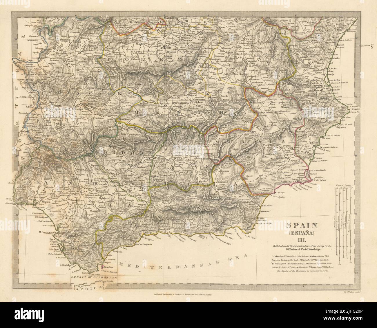 SPAIN SOUTH.Sevilla Granada Cordoba Jaen Murcia Valencia Toledo.SDUK 1848 map Stock Photohttps://www.alamy.com/image-license-details/?v=1https://www.alamy.com/spain-southsevilla-granada-cordoba-jaen-murcia-valencia-toledosduk-1848-map-image475481910.html
RF2JHG20P–SPAIN SOUTH.Sevilla Granada Cordoba Jaen Murcia Valencia Toledo.SDUK 1848 map
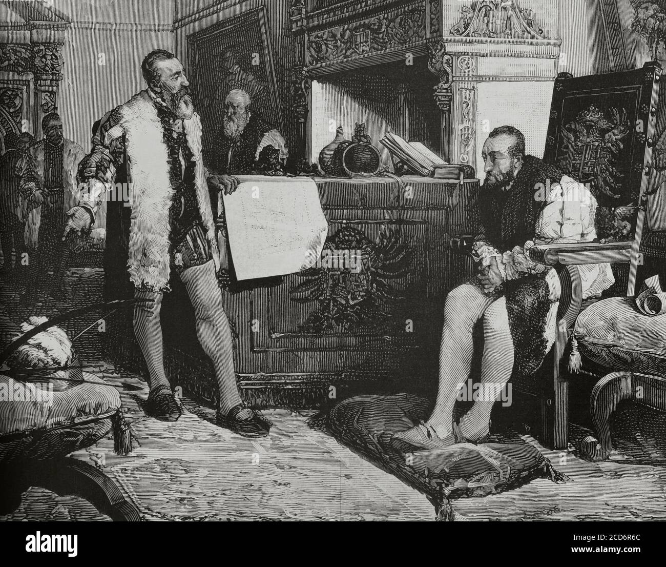 Emperor Charles V (1500-1558) meeting with Francisco Pizarro (1487-1541) in Toledo (1529), after returning from his first expedition to Peru. Engraving by Vela after a painting by Angel Lizcano. La Ilustracion Española y Americana, 1881. Stock Photohttps://www.alamy.com/image-license-details/?v=1https://www.alamy.com/emperor-charles-v-1500-1558-meeting-with-francisco-pizarro-1487-1541-in-toledo-1529-after-returning-from-his-first-expedition-to-peru-engraving-by-vela-after-a-painting-by-angel-lizcano-la-ilustracion-espaola-y-americana-1881-image369558180.html
RM2CD6R6C–Emperor Charles V (1500-1558) meeting with Francisco Pizarro (1487-1541) in Toledo (1529), after returning from his first expedition to Peru. Engraving by Vela after a painting by Angel Lizcano. La Ilustracion Española y Americana, 1881.
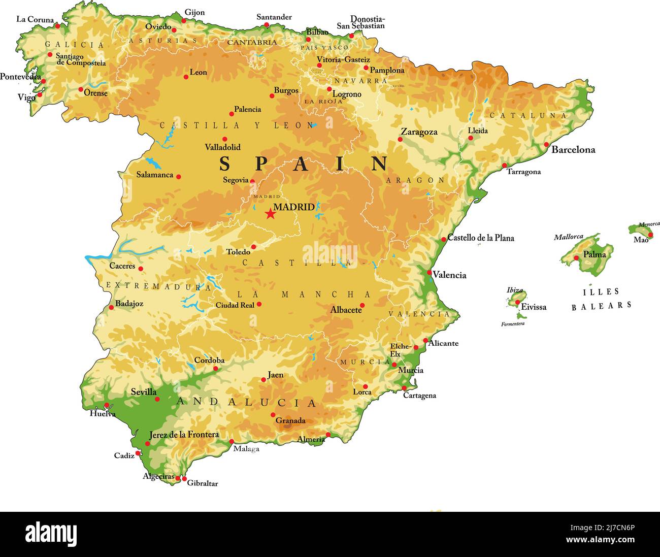 Highly detailed physical map of Spain,in vector format,with all the relief forms,regions and big cities. Stock Vectorhttps://www.alamy.com/image-license-details/?v=1https://www.alamy.com/highly-detailed-physical-map-of-spainin-vector-formatwith-all-the-relief-formsregions-and-big-cities-image469262606.html
RF2J7CN6P–Highly detailed physical map of Spain,in vector format,with all the relief forms,regions and big cities.
 Aerial view of the north of Toledo with spire of the 'Hospital de Tavera' in background Stock Photohttps://www.alamy.com/image-license-details/?v=1https://www.alamy.com/aerial-view-of-the-north-of-toledo-with-spire-of-the-hospital-de-tavera-in-background-image343442384.html
RF2AXN47C–Aerial view of the north of Toledo with spire of the 'Hospital de Tavera' in background
 La Mata, Toledo, Spain, Castille-La Mancha, N 39 56' 28'', W 4 26' 17'', map, Timeless Map published in 2021. Travelers, explorers and adventurers like Florence Nightingale, David Livingstone, Ernest Shackleton, Lewis and Clark and Sherlock Holmes relied on maps to plan travels to the world's most remote corners, Timeless Maps is mapping most locations on the globe, showing the achievement of great dreams Stock Photohttps://www.alamy.com/image-license-details/?v=1https://www.alamy.com/la-mata-toledo-spain-castille-la-mancha-n-39-56-28-w-4-26-17-map-timeless-map-published-in-2021-travelers-explorers-and-adventurers-like-florence-nightingale-david-livingstone-ernest-shackleton-lewis-and-clark-and-sherlock-holmes-relied-on-maps-to-plan-travels-to-the-worlds-most-remote-corners-timeless-maps-is-mapping-most-locations-on-the-globe-showing-the-achievement-of-great-dreams-image457902475.html
RM2HGY77R–La Mata, Toledo, Spain, Castille-La Mancha, N 39 56' 28'', W 4 26' 17'', map, Timeless Map published in 2021. Travelers, explorers and adventurers like Florence Nightingale, David Livingstone, Ernest Shackleton, Lewis and Clark and Sherlock Holmes relied on maps to plan travels to the world's most remote corners, Timeless Maps is mapping most locations on the globe, showing the achievement of great dreams
 Map of the south of Spain and Portugal, Johannes Covens and Cornelis Mortier, unknown, 1720 - 1772 Stock Photohttps://www.alamy.com/image-license-details/?v=1https://www.alamy.com/stock-photo-map-of-the-south-of-spain-and-portugal-johannes-covens-and-cornelis-104863498.html
RMG2GXCX–Map of the south of Spain and Portugal, Johannes Covens and Cornelis Mortier, unknown, 1720 - 1772
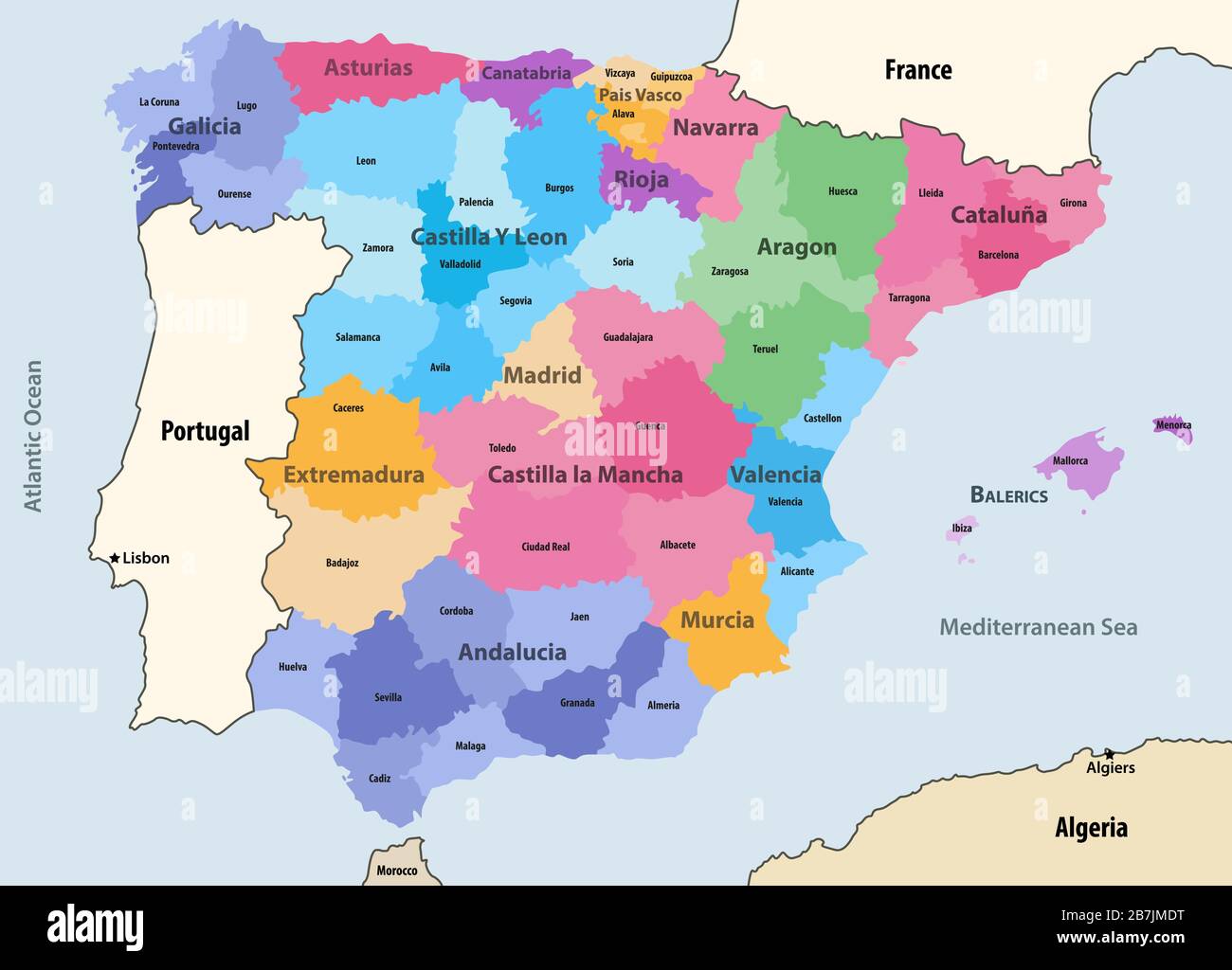 Spain autonomous communities and provinces vector map with neighbouring countries and territories Stock Vectorhttps://www.alamy.com/image-license-details/?v=1https://www.alamy.com/spain-autonomous-communities-and-provinces-vector-map-with-neighbouring-countries-and-territories-image348921156.html
RF2B7JMDT–Spain autonomous communities and provinces vector map with neighbouring countries and territories
 Urban vector city map of Toledo, Spain Stock Vectorhttps://www.alamy.com/image-license-details/?v=1https://www.alamy.com/urban-vector-city-map-of-toledo-spain-image224134957.html
RFR0J6BW–Urban vector city map of Toledo, Spain
 Young female tourist studying a map in Toledo, Spain Stock Photohttps://www.alamy.com/image-license-details/?v=1https://www.alamy.com/young-female-tourist-studying-a-map-in-toledo-spain-image66491690.html
RFDT4XR6–Young female tourist studying a map in Toledo, Spain
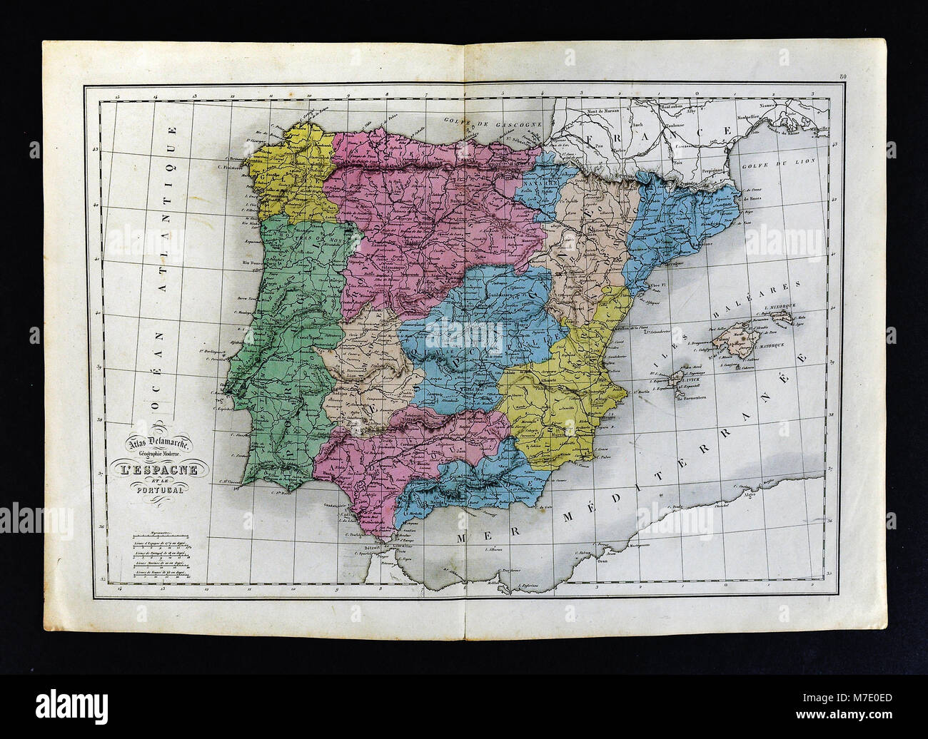 1858 Delamarche Map of Spain & Portugal Stock Photohttps://www.alamy.com/image-license-details/?v=1https://www.alamy.com/stock-photo-1858-delamarche-map-of-spain-portugal-176714005.html
RFM7E0ED–1858 Delamarche Map of Spain & Portugal
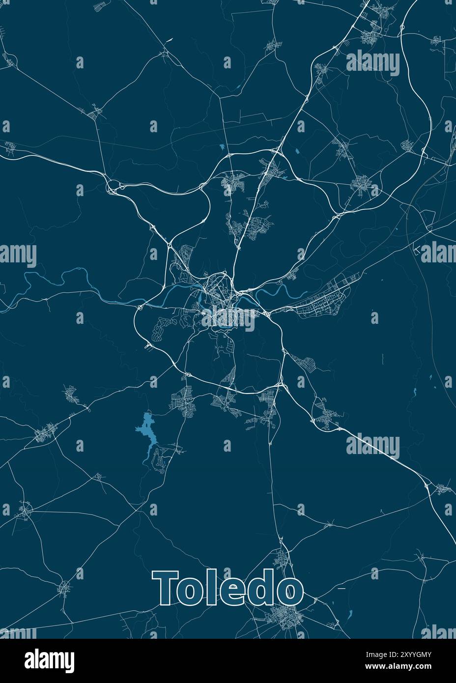 Toledo, Spain artistic blueprint map poster Stock Vectorhttps://www.alamy.com/image-license-details/?v=1https://www.alamy.com/toledo-spain-artistic-blueprint-map-poster-image619564427.html
RF2XYYGMY–Toledo, Spain artistic blueprint map poster
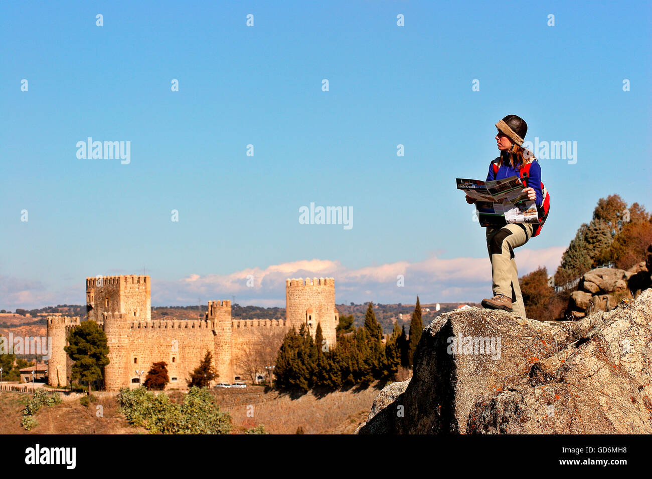 Panoramic view of the city of Toledo and the Tagus River. Castilla La Mancha. Spain. Woman doing the route of Don Quijote Stock Photohttps://www.alamy.com/image-license-details/?v=1https://www.alamy.com/stock-photo-panoramic-view-of-the-city-of-toledo-and-the-tagus-river-castilla-111400612.html
RFGD6MH8–Panoramic view of the city of Toledo and the Tagus River. Castilla La Mancha. Spain. Woman doing the route of Don Quijote
 Macro photo of a yellow pin needle into Toledo city of Spain political map Stock Photohttps://www.alamy.com/image-license-details/?v=1https://www.alamy.com/macro-photo-of-a-yellow-pin-needle-into-toledo-city-of-spain-political-map-image638949272.html
RF2S3EJ8T–Macro photo of a yellow pin needle into Toledo city of Spain political map
 Spain and the Region of Castile La Mancha, True Colour Satellite Image Stock Photohttps://www.alamy.com/image-license-details/?v=1https://www.alamy.com/stock-photo-spain-and-the-region-of-castile-la-mancha-true-colour-satellite-image-71608641.html
RME4E1FD–Spain and the Region of Castile La Mancha, True Colour Satellite Image
 isolated, emblem, spain, vintage, illustration, flag, rusty, national, country, Stock Photohttps://www.alamy.com/image-license-details/?v=1https://www.alamy.com/stock-photo-isolated-emblem-spain-vintage-illustration-flag-rusty-national-country-131594750.html
RFHJ2JCE–isolated, emblem, spain, vintage, illustration, flag, rusty, national, country,
