Toms place Cut Out Stock Images
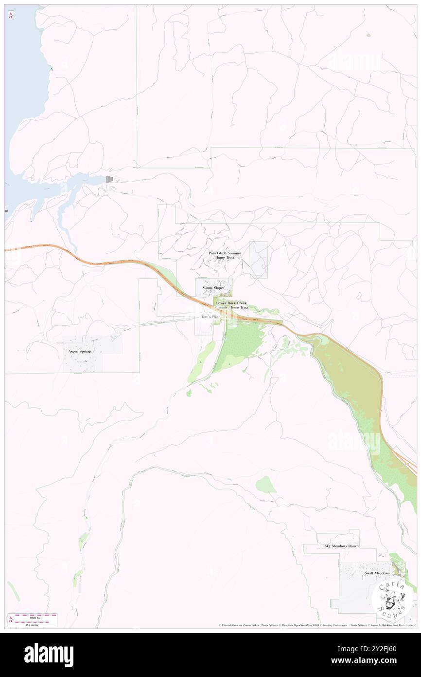 Toms Place, Mono County, US, United States, California, N 37 33' 40'', S 118 40' 52'', map, Cartascapes Map published in 2024. Explore Cartascapes, a map revealing Earth's diverse landscapes, cultures, and ecosystems. Journey through time and space, discovering the interconnectedness of our planet's past, present, and future. Stock Photohttps://www.alamy.com/image-license-details/?v=1https://www.alamy.com/toms-place-mono-county-us-united-states-california-n-37-33-40-s-118-40-52-map-cartascapes-map-published-in-2024-explore-cartascapes-a-map-revealing-earths-diverse-landscapes-cultures-and-ecosystems-journey-through-time-and-space-discovering-the-interconnectedness-of-our-planets-past-present-and-future-image621146120.html
RM2Y2FJ60–Toms Place, Mono County, US, United States, California, N 37 33' 40'', S 118 40' 52'', map, Cartascapes Map published in 2024. Explore Cartascapes, a map revealing Earth's diverse landscapes, cultures, and ecosystems. Journey through time and space, discovering the interconnectedness of our planet's past, present, and future.
 USGS TOPO Map California CA Toms Place 20120327 TM Restoration Stock Photohttps://www.alamy.com/image-license-details/?v=1https://www.alamy.com/usgs-topo-map-california-ca-toms-place-20120327-tm-restoration-image243526110.html
RMT45G12–USGS TOPO Map California CA Toms Place 20120327 TM Restoration
 Toms Place, Mid Murray, AU, Australia, South Australia, S 34 5' 40'', N 139 26' 25'', map, Cartascapes Map published in 2024. Explore Cartascapes, a map revealing Earth's diverse landscapes, cultures, and ecosystems. Journey through time and space, discovering the interconnectedness of our planet's past, present, and future. Stock Photohttps://www.alamy.com/image-license-details/?v=1https://www.alamy.com/toms-place-mid-murray-au-australia-south-australia-s-34-5-40-n-139-26-25-map-cartascapes-map-published-in-2024-explore-cartascapes-a-map-revealing-earths-diverse-landscapes-cultures-and-ecosystems-journey-through-time-and-space-discovering-the-interconnectedness-of-our-planets-past-present-and-future-image625674246.html
RM2Y9WWTP–Toms Place, Mid Murray, AU, Australia, South Australia, S 34 5' 40'', N 139 26' 25'', map, Cartascapes Map published in 2024. Explore Cartascapes, a map revealing Earth's diverse landscapes, cultures, and ecosystems. Journey through time and space, discovering the interconnectedness of our planet's past, present, and future.
 Toms, Ljusdals Kommun, Sweden, Gävleborg, N 61 36' 0'', E 15 1' 59'', map, Timeless Map published in 2021. Travelers, explorers and adventurers like Florence Nightingale, David Livingstone, Ernest Shackleton, Lewis and Clark and Sherlock Holmes relied on maps to plan travels to the world's most remote corners, Timeless Maps is mapping most locations on the globe, showing the achievement of great dreams. Stock Photohttps://www.alamy.com/image-license-details/?v=1https://www.alamy.com/toms-ljusdals-kommun-sweden-gvleborg-n-61-36-0-e-15-1-59-map-timeless-map-published-in-2021-travelers-explorers-and-adventurers-like-florence-nightingale-david-livingstone-ernest-shackleton-lewis-and-clark-and-sherlock-holmes-relied-on-maps-to-plan-travels-to-the-worlds-most-remote-corners-timeless-maps-is-mapping-most-locations-on-the-globe-showing-the-achievement-of-great-dreams-image458009252.html
RM2HH43D8–Toms, Ljusdals Kommun, Sweden, Gävleborg, N 61 36' 0'', E 15 1' 59'', map, Timeless Map published in 2021. Travelers, explorers and adventurers like Florence Nightingale, David Livingstone, Ernest Shackleton, Lewis and Clark and Sherlock Holmes relied on maps to plan travels to the world's most remote corners, Timeless Maps is mapping most locations on the globe, showing the achievement of great dreams.
 Toms Creek, Port Macquarie-Hastings, Australia, New South Wales, S 31 32' 19'', E 152 23' 27'', map, Timeless Map published in 2021. Travelers, explorers and adventurers like Florence Nightingale, David Livingstone, Ernest Shackleton, Lewis and Clark and Sherlock Holmes relied on maps to plan travels to the world's most remote corners, Timeless Maps is mapping most locations on the globe, showing the achievement of great dreams Stock Photohttps://www.alamy.com/image-license-details/?v=1https://www.alamy.com/toms-creek-port-macquarie-hastings-australia-new-south-wales-s-31-32-19-e-152-23-27-map-timeless-map-published-in-2021-travelers-explorers-and-adventurers-like-florence-nightingale-david-livingstone-ernest-shackleton-lewis-and-clark-and-sherlock-holmes-relied-on-maps-to-plan-travels-to-the-worlds-most-remote-corners-timeless-maps-is-mapping-most-locations-on-the-globe-showing-the-achievement-of-great-dreams-image457793661.html
RM2HGP8DH–Toms Creek, Port Macquarie-Hastings, Australia, New South Wales, S 31 32' 19'', E 152 23' 27'', map, Timeless Map published in 2021. Travelers, explorers and adventurers like Florence Nightingale, David Livingstone, Ernest Shackleton, Lewis and Clark and Sherlock Holmes relied on maps to plan travels to the world's most remote corners, Timeless Maps is mapping most locations on the globe, showing the achievement of great dreams
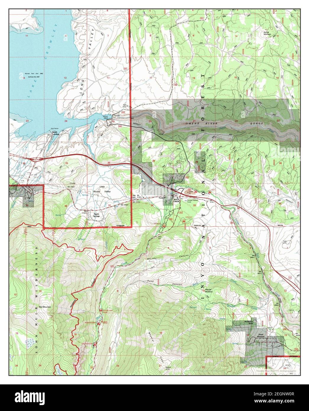 Toms Place, California, map 1994, 1:24000, United States of America by Timeless Maps, data U.S. Geological Survey Stock Photohttps://www.alamy.com/image-license-details/?v=1https://www.alamy.com/toms-place-california-map-1994-124000-united-states-of-america-by-timeless-maps-data-us-geological-survey-image406153575.html
RM2EGNW0R–Toms Place, California, map 1994, 1:24000, United States of America by Timeless Maps, data U.S. Geological Survey
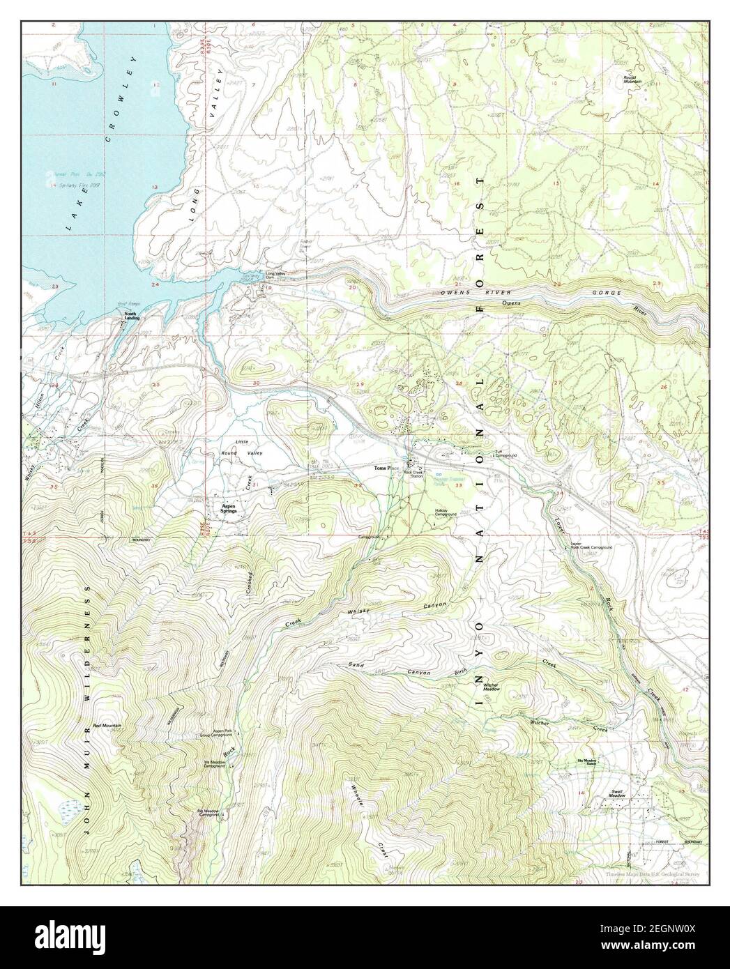 Toms Place, California, map 1990, 1:24000, United States of America by Timeless Maps, data U.S. Geological Survey Stock Photohttps://www.alamy.com/image-license-details/?v=1https://www.alamy.com/toms-place-california-map-1990-124000-united-states-of-america-by-timeless-maps-data-us-geological-survey-image406153578.html
RM2EGNW0X–Toms Place, California, map 1990, 1:24000, United States of America by Timeless Maps, data U.S. Geological Survey
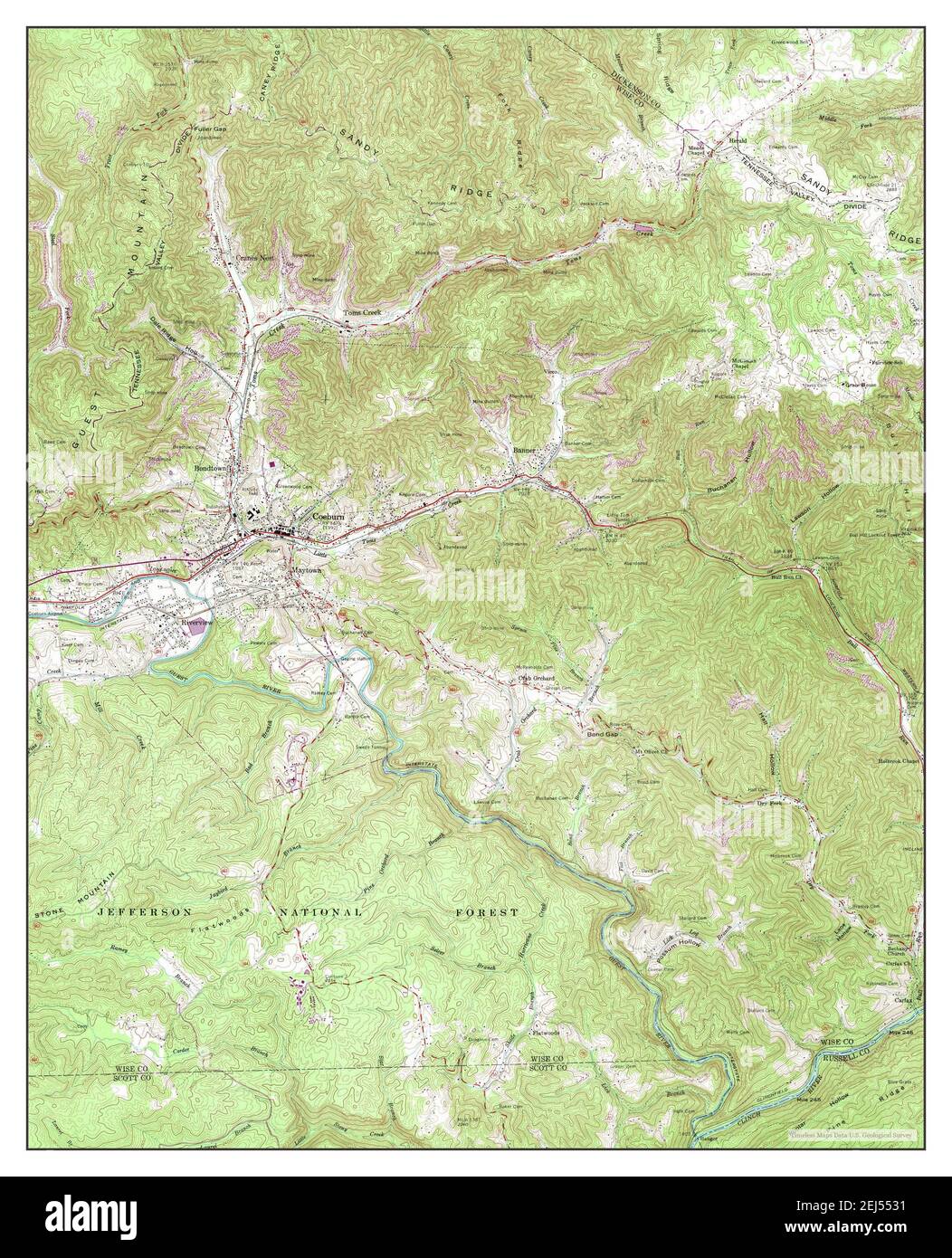 Toms Creek, Virginia, map 1957, 1:24000, United States of America by Timeless Maps, data U.S. Geological Survey Stock Photohttps://www.alamy.com/image-license-details/?v=1https://www.alamy.com/toms-creek-virginia-map-1957-124000-united-states-of-america-by-timeless-maps-data-us-geological-survey-image407016037.html
RM2EJ5531–Toms Creek, Virginia, map 1957, 1:24000, United States of America by Timeless Maps, data U.S. Geological Survey
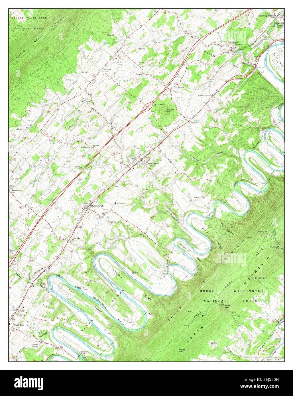 Toms Brook, Virginia, map 1966, 1:24000, United States of America by Timeless Maps, data U.S. Geological Survey Stock Photohttps://www.alamy.com/image-license-details/?v=1https://www.alamy.com/toms-brook-virginia-map-1966-124000-united-states-of-america-by-timeless-maps-data-us-geological-survey-image407015969.html
RM2EJ550H–Toms Brook, Virginia, map 1966, 1:24000, United States of America by Timeless Maps, data U.S. Geological Survey
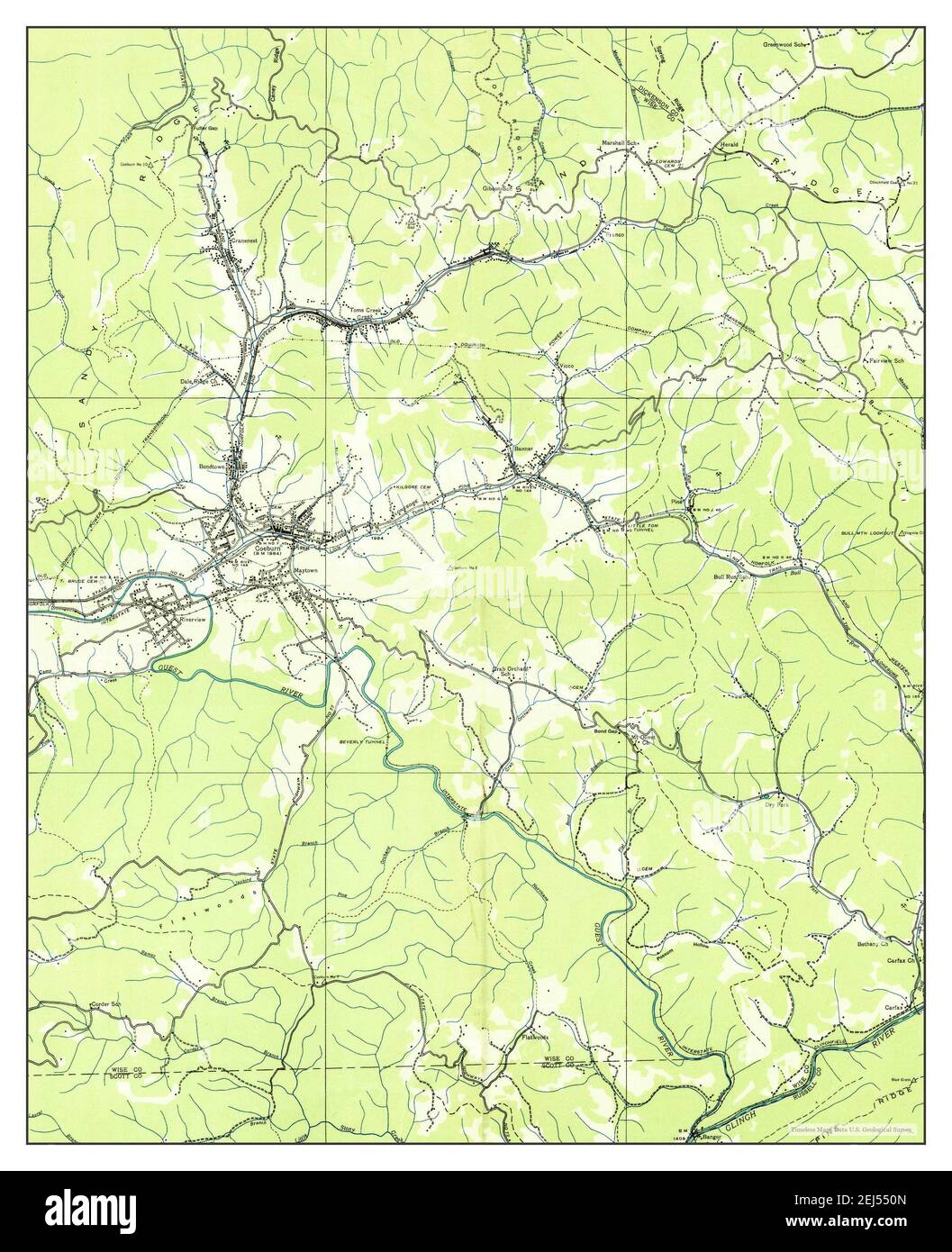 Toms Creek, Virginia, map 1935, 1:24000, United States of America by Timeless Maps, data U.S. Geological Survey Stock Photohttps://www.alamy.com/image-license-details/?v=1https://www.alamy.com/toms-creek-virginia-map-1935-124000-united-states-of-america-by-timeless-maps-data-us-geological-survey-image407015973.html
RM2EJ550N–Toms Creek, Virginia, map 1935, 1:24000, United States of America by Timeless Maps, data U.S. Geological Survey
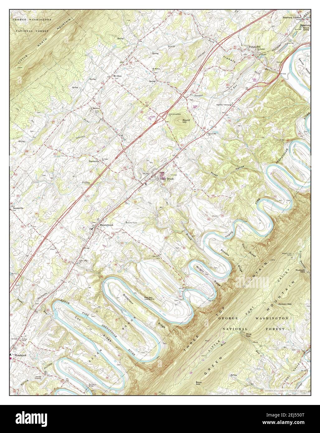 Toms Brook, Virginia, map 1966, 1:24000, United States of America by Timeless Maps, data U.S. Geological Survey Stock Photohttps://www.alamy.com/image-license-details/?v=1https://www.alamy.com/toms-brook-virginia-map-1966-124000-united-states-of-america-by-timeless-maps-data-us-geological-survey-image407015976.html
RM2EJ550T–Toms Brook, Virginia, map 1966, 1:24000, United States of America by Timeless Maps, data U.S. Geological Survey
 Toms Creek, Virginia, map 1957, 1:24000, United States of America by Timeless Maps, data U.S. Geological Survey Stock Photohttps://www.alamy.com/image-license-details/?v=1https://www.alamy.com/toms-creek-virginia-map-1957-124000-united-states-of-america-by-timeless-maps-data-us-geological-survey-image407015975.html
RM2EJ550R–Toms Creek, Virginia, map 1957, 1:24000, United States of America by Timeless Maps, data U.S. Geological Survey
 Toms Brook, Virginia, map 1994, 1:24000, United States of America by Timeless Maps, data U.S. Geological Survey Stock Photohttps://www.alamy.com/image-license-details/?v=1https://www.alamy.com/toms-brook-virginia-map-1994-124000-united-states-of-america-by-timeless-maps-data-us-geological-survey-image407015972.html
RM2EJ550M–Toms Brook, Virginia, map 1994, 1:24000, United States of America by Timeless Maps, data U.S. Geological Survey
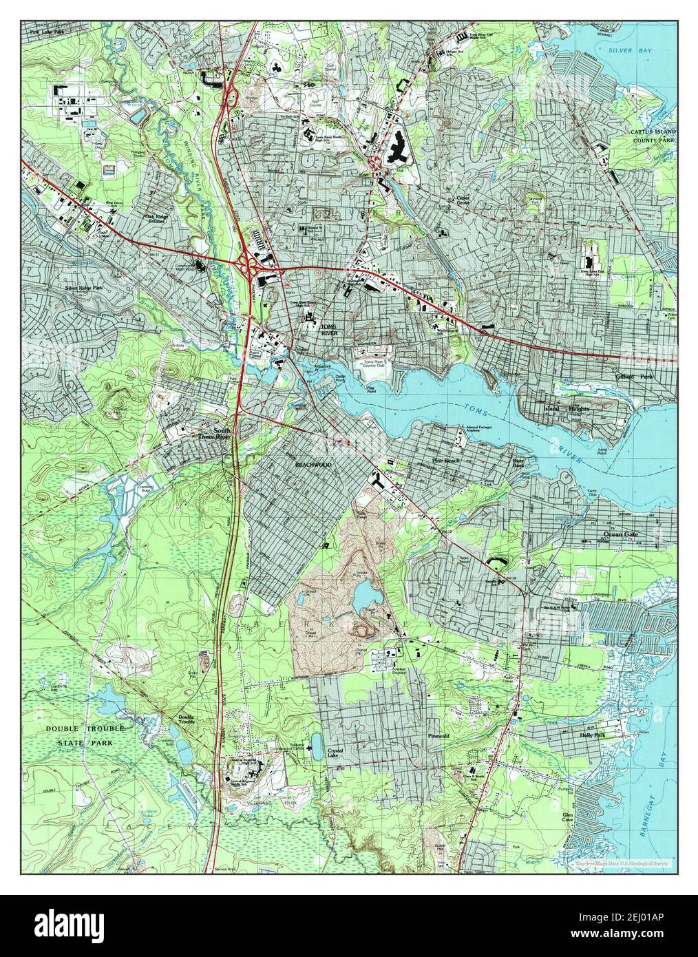 Toms River, New Jersey, map 1995, 1:24000, United States of America by Timeless Maps, data U.S. Geological Survey Stock Photohttps://www.alamy.com/image-license-details/?v=1https://www.alamy.com/toms-river-new-jersey-map-1995-124000-united-states-of-america-by-timeless-maps-data-us-geological-survey-image406903358.html
RM2EJ01AP–Toms River, New Jersey, map 1995, 1:24000, United States of America by Timeless Maps, data U.S. Geological Survey
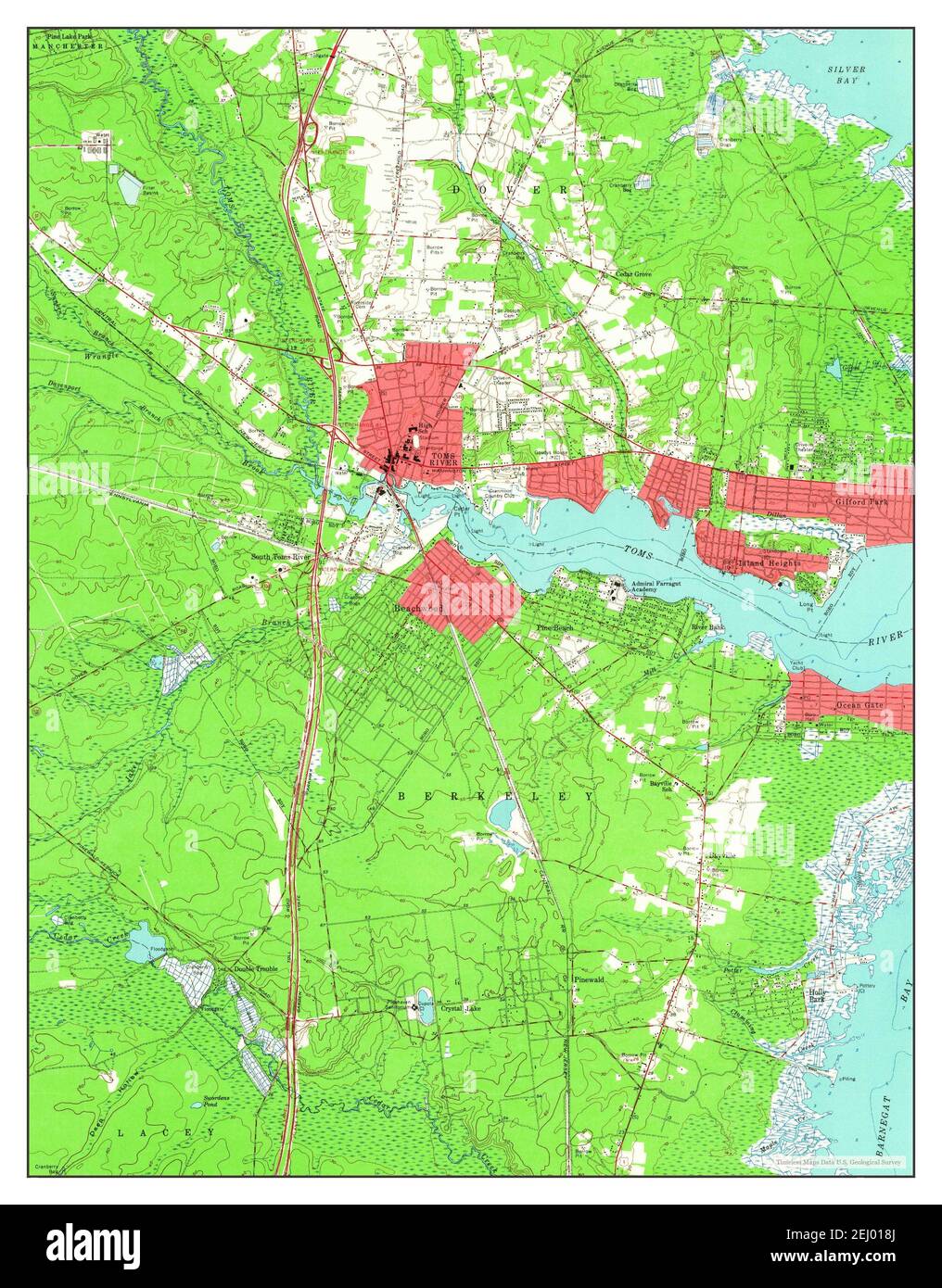 Toms River, New Jersey, map 1953, 1:24000, United States of America by Timeless Maps, data U.S. Geological Survey Stock Photohttps://www.alamy.com/image-license-details/?v=1https://www.alamy.com/toms-river-new-jersey-map-1953-124000-united-states-of-america-by-timeless-maps-data-us-geological-survey-image406903298.html
RM2EJ018J–Toms River, New Jersey, map 1953, 1:24000, United States of America by Timeless Maps, data U.S. Geological Survey
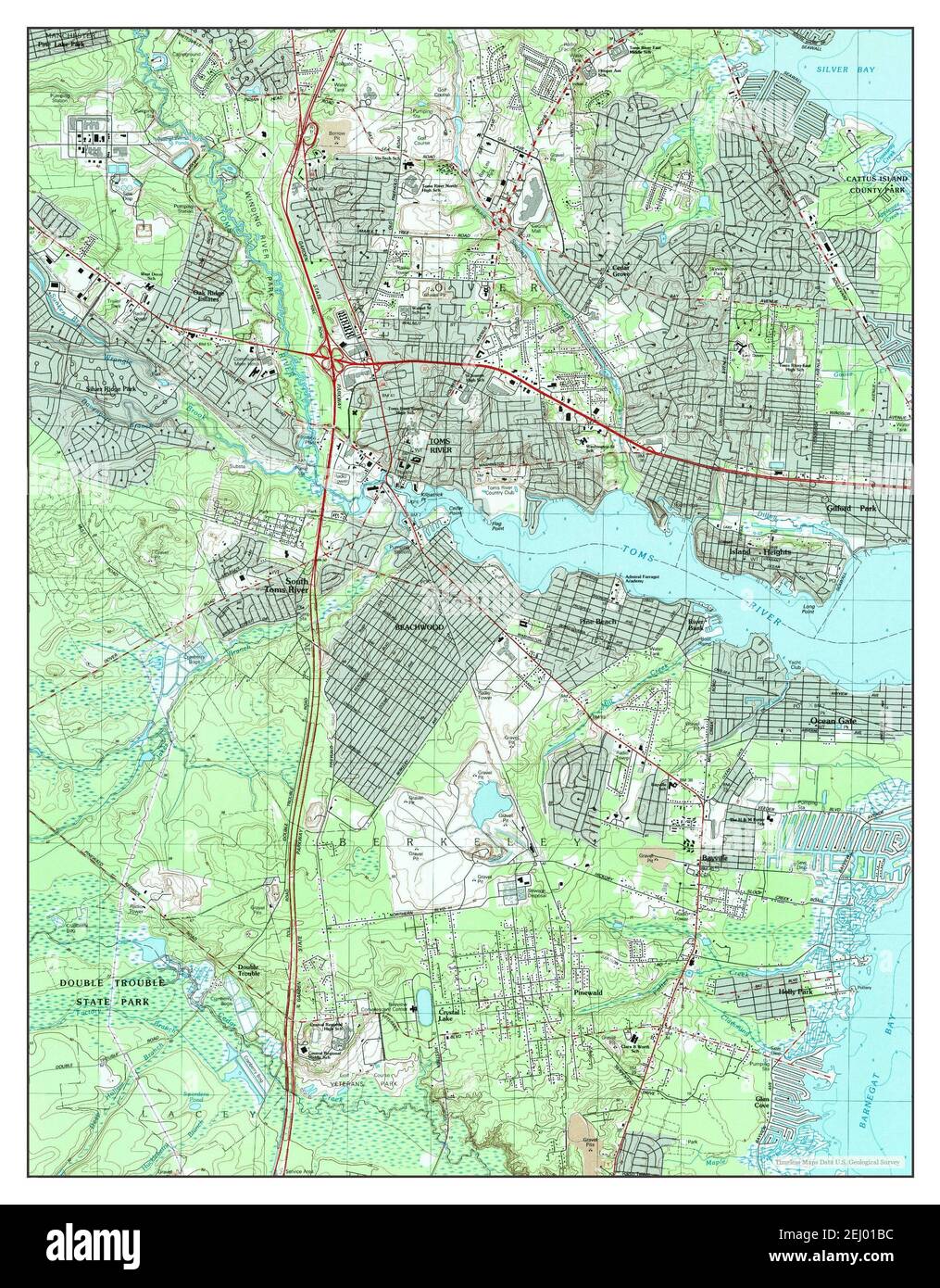 Toms River, New Jersey, map 1989, 1:24000, United States of America by Timeless Maps, data U.S. Geological Survey Stock Photohttps://www.alamy.com/image-license-details/?v=1https://www.alamy.com/toms-river-new-jersey-map-1989-124000-united-states-of-america-by-timeless-maps-data-us-geological-survey-image406903376.html
RM2EJ01BC–Toms River, New Jersey, map 1989, 1:24000, United States of America by Timeless Maps, data U.S. Geological Survey
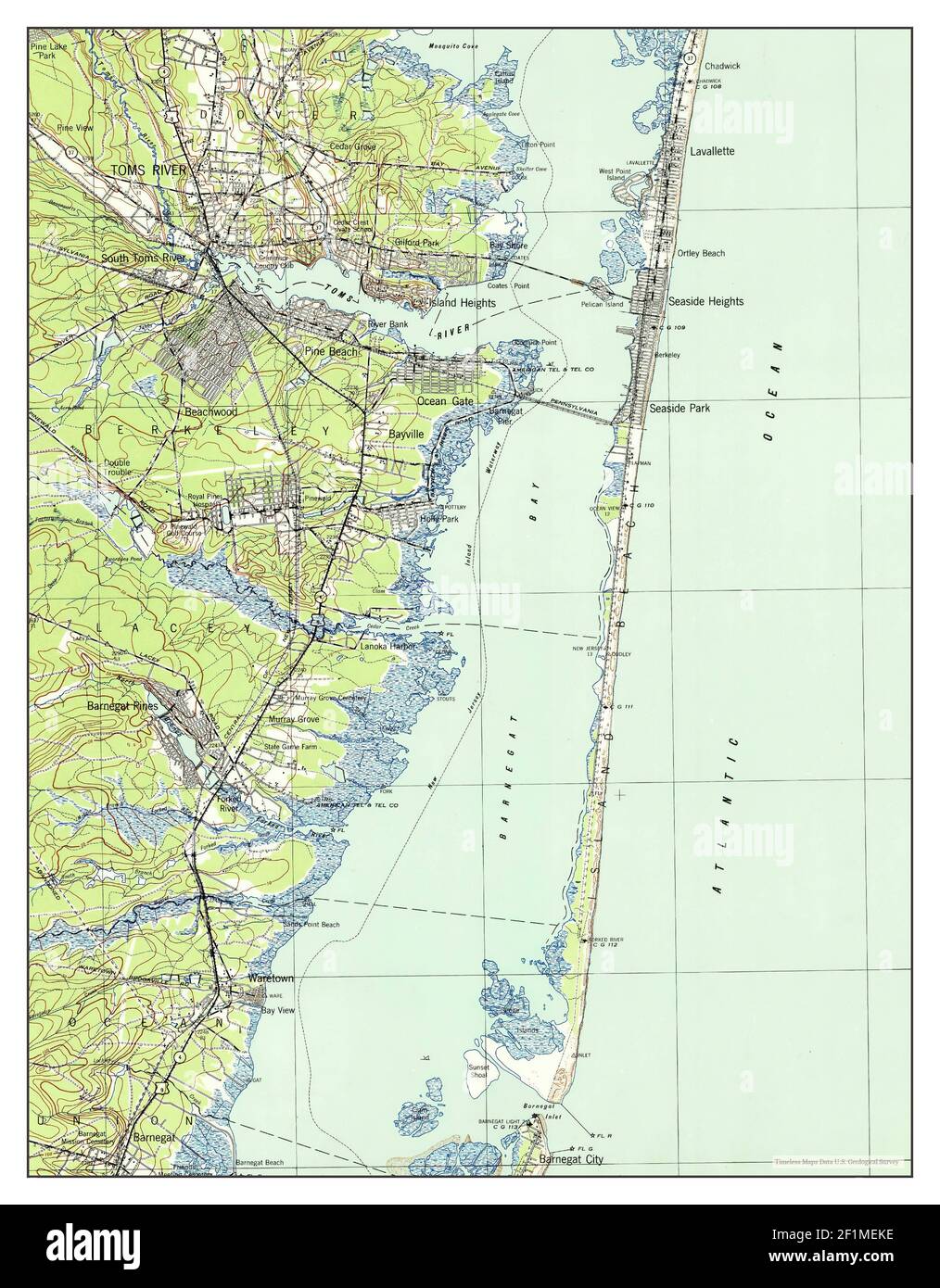 Toms River, New Jersey, map 1941, 1:62500, United States of America by Timeless Maps, data U.S. Geological Survey Stock Photohttps://www.alamy.com/image-license-details/?v=1https://www.alamy.com/toms-river-new-jersey-map-1941-162500-united-states-of-america-by-timeless-maps-data-us-geological-survey-image414114050.html
RM2F1MEKE–Toms River, New Jersey, map 1941, 1:62500, United States of America by Timeless Maps, data U.S. Geological Survey
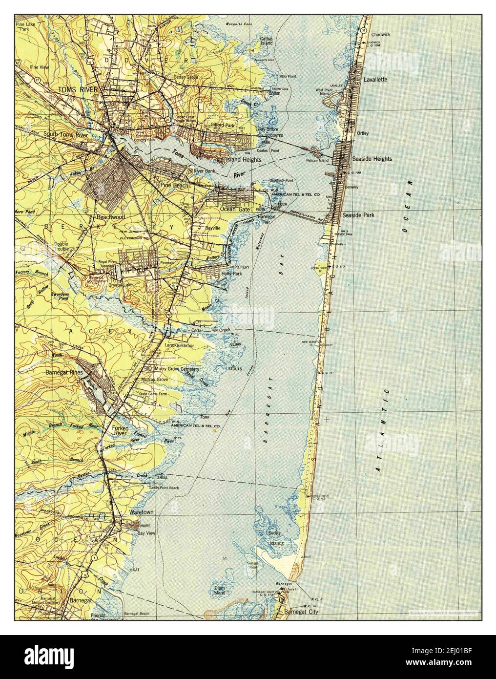 Toms River, New Jersey, map 1941, 1:62500, United States of America by Timeless Maps, data U.S. Geological Survey Stock Photohttps://www.alamy.com/image-license-details/?v=1https://www.alamy.com/toms-river-new-jersey-map-1941-162500-united-states-of-america-by-timeless-maps-data-us-geological-survey-image406903379.html
RM2EJ01BF–Toms River, New Jersey, map 1941, 1:62500, United States of America by Timeless Maps, data U.S. Geological Survey
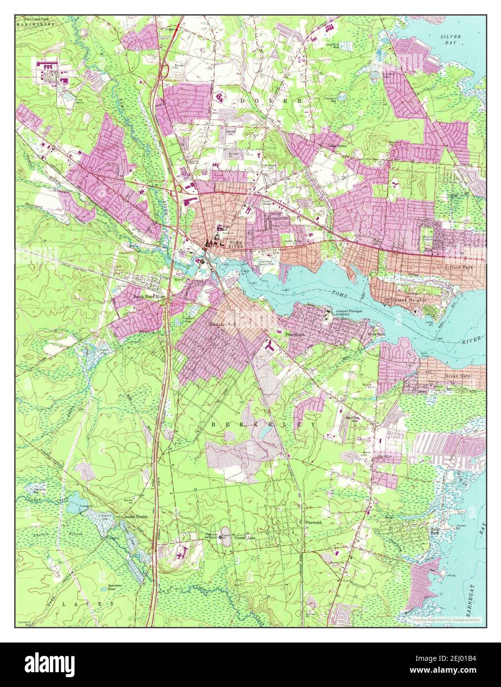 Toms River, New Jersey, map 1953, 1:24000, United States of America by Timeless Maps, data U.S. Geological Survey Stock Photohttps://www.alamy.com/image-license-details/?v=1https://www.alamy.com/toms-river-new-jersey-map-1953-124000-united-states-of-america-by-timeless-maps-data-us-geological-survey-image406903368.html
RM2EJ01B4–Toms River, New Jersey, map 1953, 1:24000, United States of America by Timeless Maps, data U.S. Geological Survey
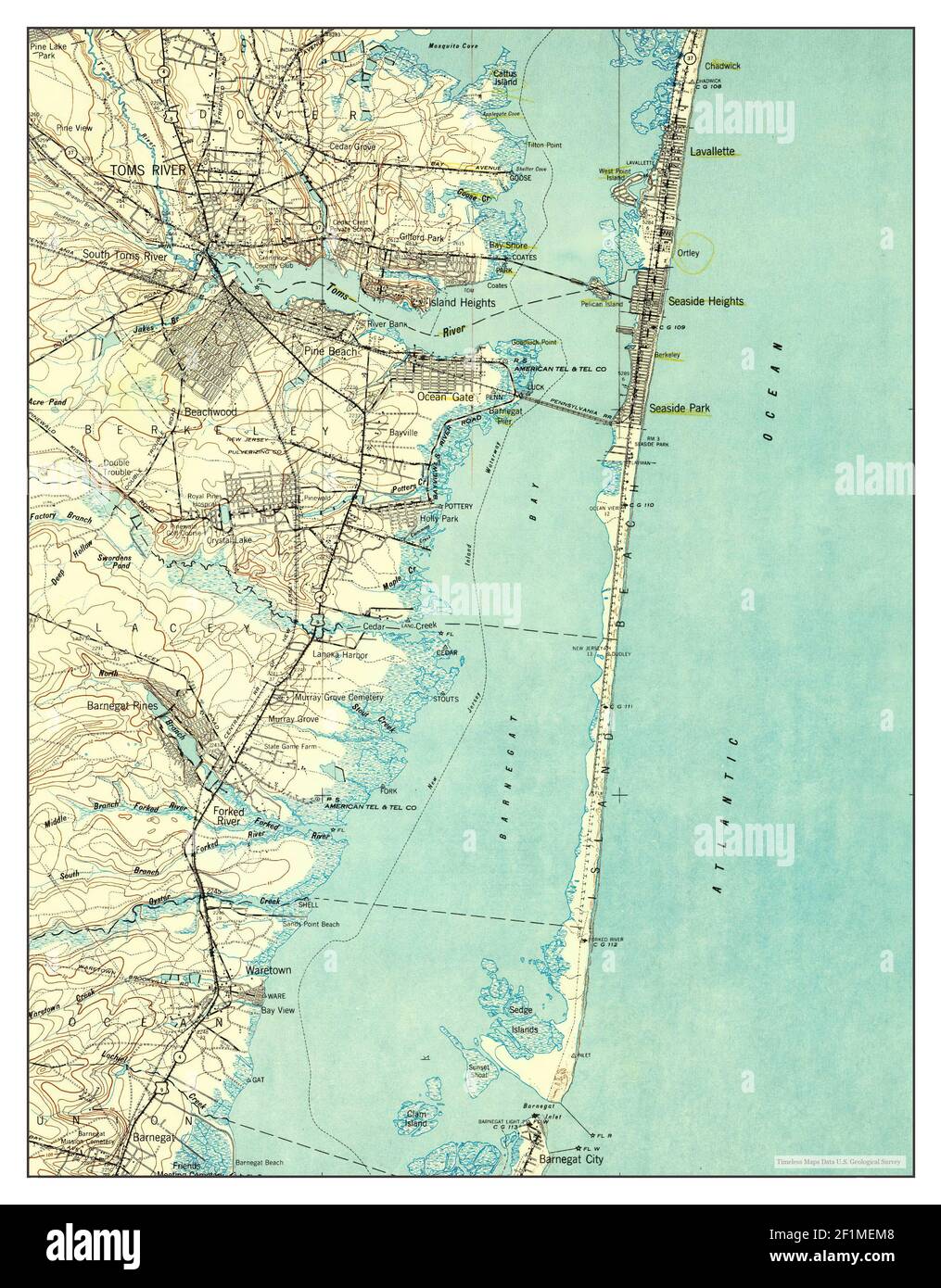 Toms River, New Jersey, map 1948, 1:62500, United States of America by Timeless Maps, data U.S. Geological Survey Stock Photohttps://www.alamy.com/image-license-details/?v=1https://www.alamy.com/toms-river-new-jersey-map-1948-162500-united-states-of-america-by-timeless-maps-data-us-geological-survey-image414114072.html
RM2F1MEM8–Toms River, New Jersey, map 1948, 1:62500, United States of America by Timeless Maps, data U.S. Geological Survey
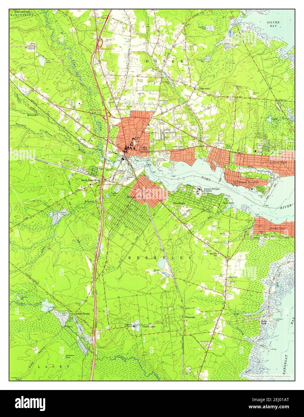 Toms River, New Jersey, map 1953, 1:24000, United States of America by Timeless Maps, data U.S. Geological Survey Stock Photohttps://www.alamy.com/image-license-details/?v=1https://www.alamy.com/toms-river-new-jersey-map-1953-124000-united-states-of-america-by-timeless-maps-data-us-geological-survey-image406903360.html
RM2EJ01AT–Toms River, New Jersey, map 1953, 1:24000, United States of America by Timeless Maps, data U.S. Geological Survey