Quick filters:
Trenches aerial Stock Photos and Images
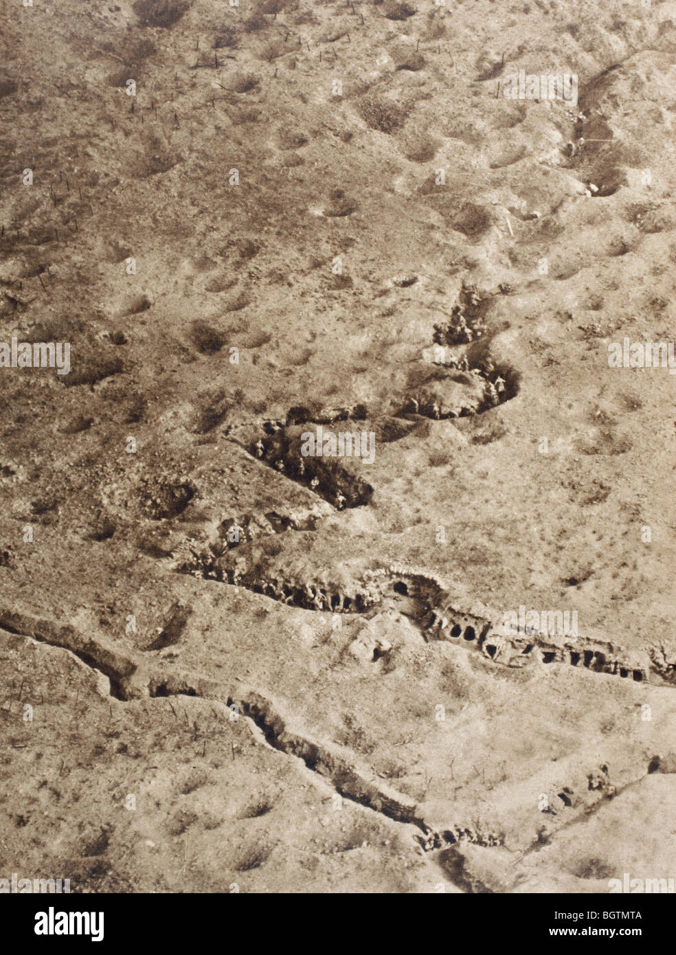 Aerial view of trenches on the Somme battlefield during the First World War. Stock Photohttps://www.alamy.com/image-license-details/?v=1https://www.alamy.com/stock-photo-aerial-view-of-trenches-on-the-somme-battlefield-during-the-first-27588074.html
RMBGTMTA–Aerial view of trenches on the Somme battlefield during the First World War.
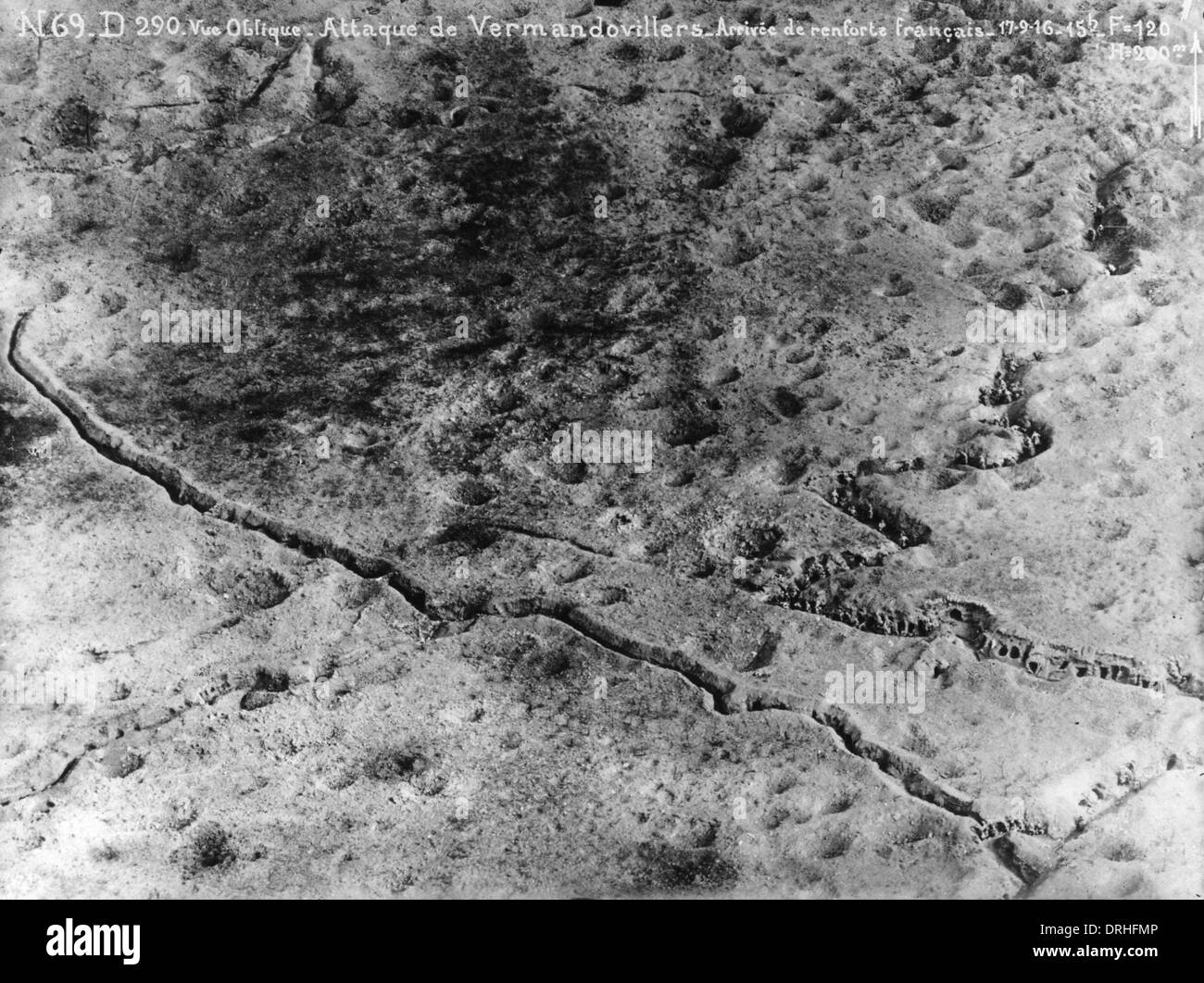 Aerial photograph of Vermandovillers, France, WW1 Stock Photohttps://www.alamy.com/image-license-details/?v=1https://www.alamy.com/aerial-photograph-of-vermandovillers-france-ww1-image66153718.html
RMDRHFMP–Aerial photograph of Vermandovillers, France, WW1
 Photographing the Enemy's trenches - Aerial photography in World War I, circa 1916 Stock Photohttps://www.alamy.com/image-license-details/?v=1https://www.alamy.com/stock-photo-photographing-the-enemys-trenches-aerial-photography-in-world-war-80301387.html
RMEJJ16K–Photographing the Enemy's trenches - Aerial photography in World War I, circa 1916
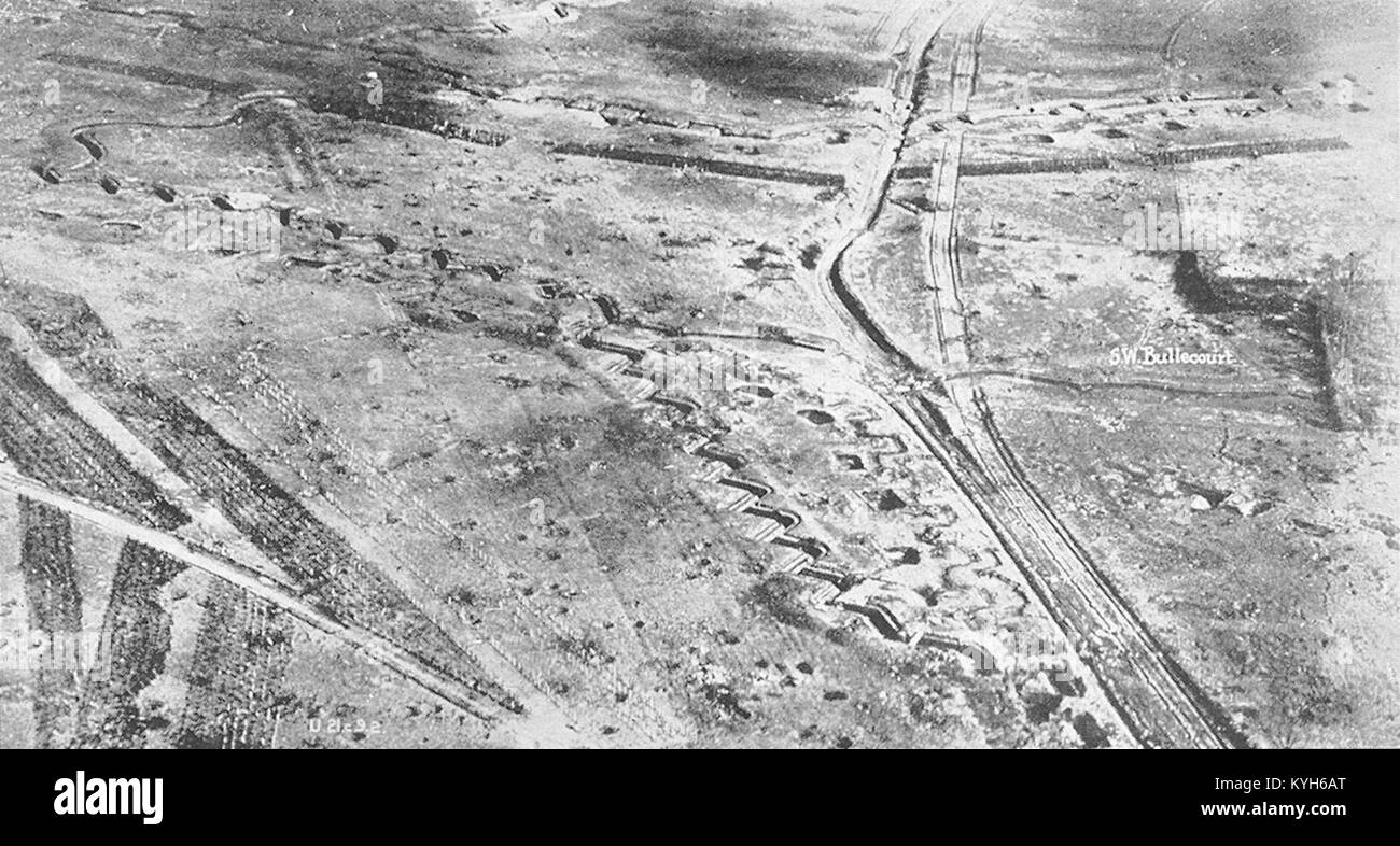 The Hindenberg line at Bullecourt at end of the War, Hindenburg Line, German defensive position of World War I Stock Photohttps://www.alamy.com/image-license-details/?v=1https://www.alamy.com/stock-photo-the-hindenberg-line-at-bullecourt-at-end-of-the-war-hindenburg-line-171867216.html
RMKYH6AT–The Hindenberg line at Bullecourt at end of the War, Hindenburg Line, German defensive position of World War I
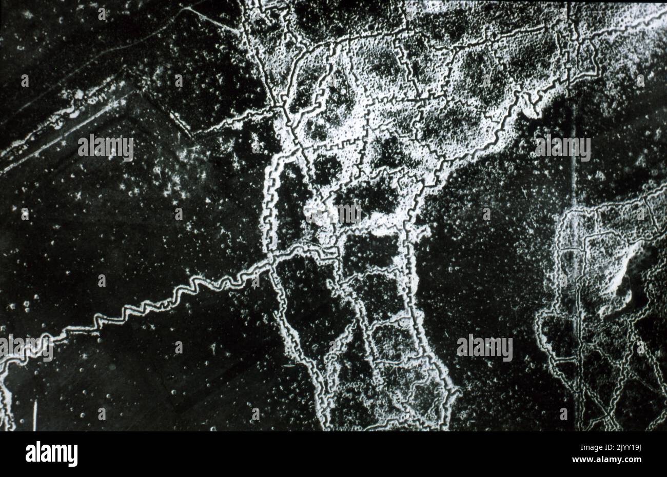 Aerial reconnaissance photograph of the opposing trenches and no-man's land between Loos and Hulluch in Artois, France, taken at 7.15 pm, 22 July 1917. German trenches are at the right and bottom, British trenches are at the top left. The vertical line to the left of centre indicates the course of a pre-war road or track. The location is Hill 70, attacked and taken between 15 and 25 August 1917 by the Canadian Corps. World War One 1919 Stock Photohttps://www.alamy.com/image-license-details/?v=1https://www.alamy.com/aerial-reconnaissance-photograph-of-the-opposing-trenches-and-no-mans-land-between-loos-and-hulluch-in-artois-france-taken-at-715-pm-22-july-1917-german-trenches-are-at-the-right-and-bottom-british-trenches-are-at-the-top-left-the-vertical-line-to-the-left-of-centre-indicates-the-course-of-a-pre-war-road-or-track-the-location-is-hill-70-attacked-and-taken-between-15-and-25-august-1917-by-the-canadian-corps-world-war-one-1919-image481869406.html
RM2JYY19J–Aerial reconnaissance photograph of the opposing trenches and no-man's land between Loos and Hulluch in Artois, France, taken at 7.15 pm, 22 July 1917. German trenches are at the right and bottom, British trenches are at the top left. The vertical line to the left of centre indicates the course of a pre-war road or track. The location is Hill 70, attacked and taken between 15 and 25 August 1917 by the Canadian Corps. World War One 1919
 BATTLE OF THE SOMME Aerial photo of German trenches north of Thiepval on 10 May 1916. Taken by No 4 Squadron RFC. it shows the Schwaben Redoubt complex at upper right with four trenches leading to the forward lines at lower left. The zig-zag lines in the trenches indicate short detours designed to block explosions and reduce casualties. Stock Photohttps://www.alamy.com/image-license-details/?v=1https://www.alamy.com/battle-of-the-somme-aerial-photo-of-german-trenches-north-of-thiepval-on-10-may-1916-taken-by-no-4-squadron-rfc-it-shows-the-schwaben-redoubt-complex-at-upper-right-with-four-trenches-leading-to-the-forward-lines-at-lower-left-the-zig-zag-lines-in-the-trenches-indicate-short-detours-designed-to-block-explosions-and-reduce-casualties-image622321551.html
RM2Y4D5DK–BATTLE OF THE SOMME Aerial photo of German trenches north of Thiepval on 10 May 1916. Taken by No 4 Squadron RFC. it shows the Schwaben Redoubt complex at upper right with four trenches leading to the forward lines at lower left. The zig-zag lines in the trenches indicate short detours designed to block explosions and reduce casualties.
 Star shape town of Palmanova defense walls and trenches aerial panoramic view, UNESCO world heritage site in Friuli Venezia Giulia region of northern Stock Photohttps://www.alamy.com/image-license-details/?v=1https://www.alamy.com/star-shape-town-of-palmanova-defense-walls-and-trenches-aerial-panoramic-view-unesco-world-heritage-site-in-friuli-venezia-giulia-region-of-northern-image484472089.html
RM2K45H2H–Star shape town of Palmanova defense walls and trenches aerial panoramic view, UNESCO world heritage site in Friuli Venezia Giulia region of northern
 Star shape town of Palmanova defense walls and trenches aerial panoramic view, UNESCO world heritage site in Friuli Venezia Giulia region of northern Stock Photohttps://www.alamy.com/image-license-details/?v=1https://www.alamy.com/star-shape-town-of-palmanova-defense-walls-and-trenches-aerial-panoramic-view-unesco-world-heritage-site-in-friuli-venezia-giulia-region-of-northern-image548199629.html
RF2PRTJ65–Star shape town of Palmanova defense walls and trenches aerial panoramic view, UNESCO world heritage site in Friuli Venezia Giulia region of northern
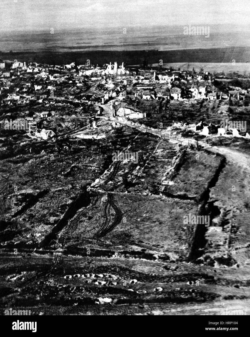 WWI, Deserted Trenches, 1918 Stock Photohttps://www.alamy.com/image-license-details/?v=1https://www.alamy.com/stock-photo-wwi-deserted-trenches-1918-135093396.html
RMHRP104–WWI, Deserted Trenches, 1918
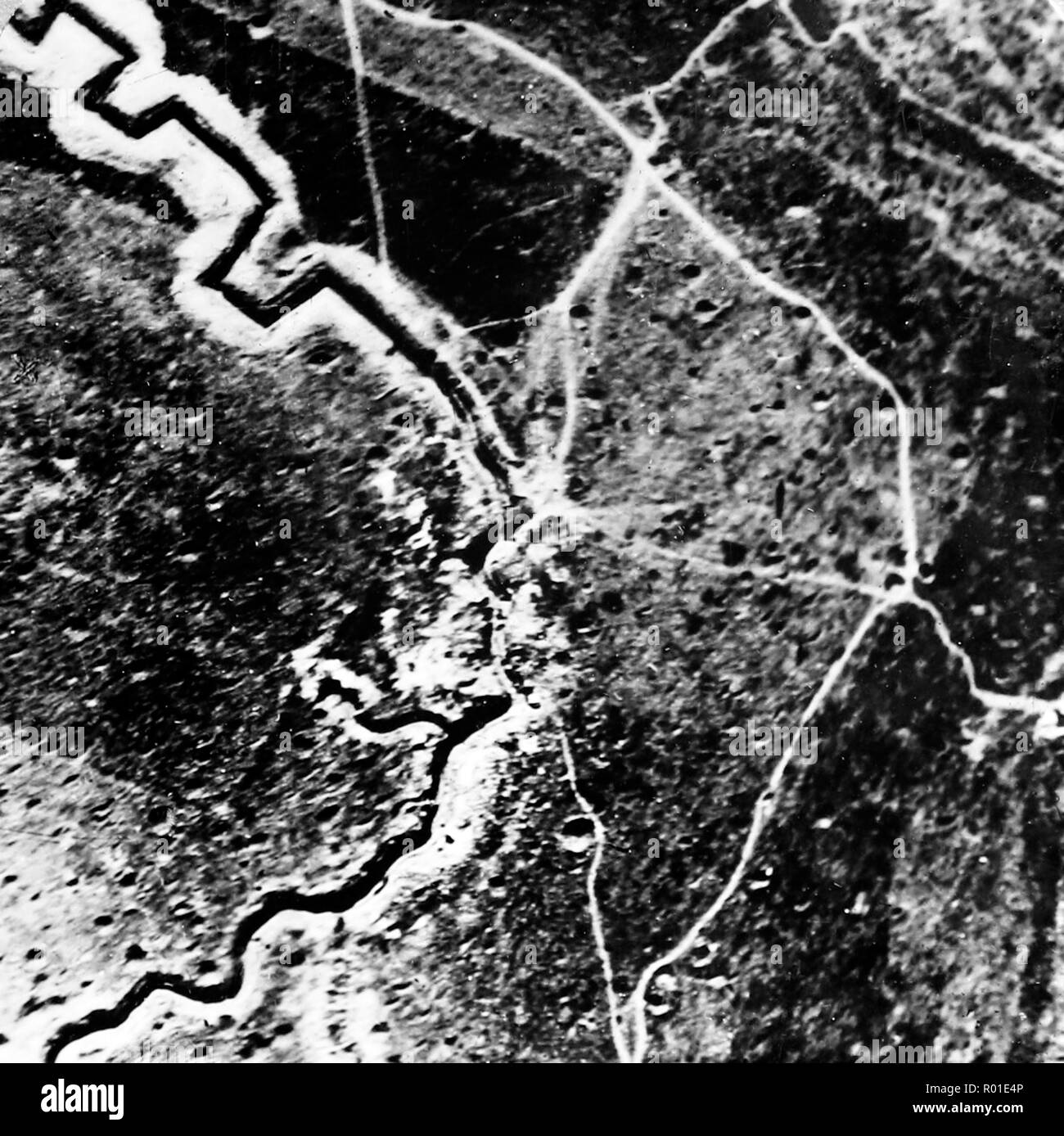 The Hindenburg line taken from 8,000 feet during the First World War Stock Photohttps://www.alamy.com/image-license-details/?v=1https://www.alamy.com/the-hindenburg-line-taken-from-8000-feet-during-the-first-world-war-image223767846.html
RFR01E4P–The Hindenburg line taken from 8,000 feet during the First World War
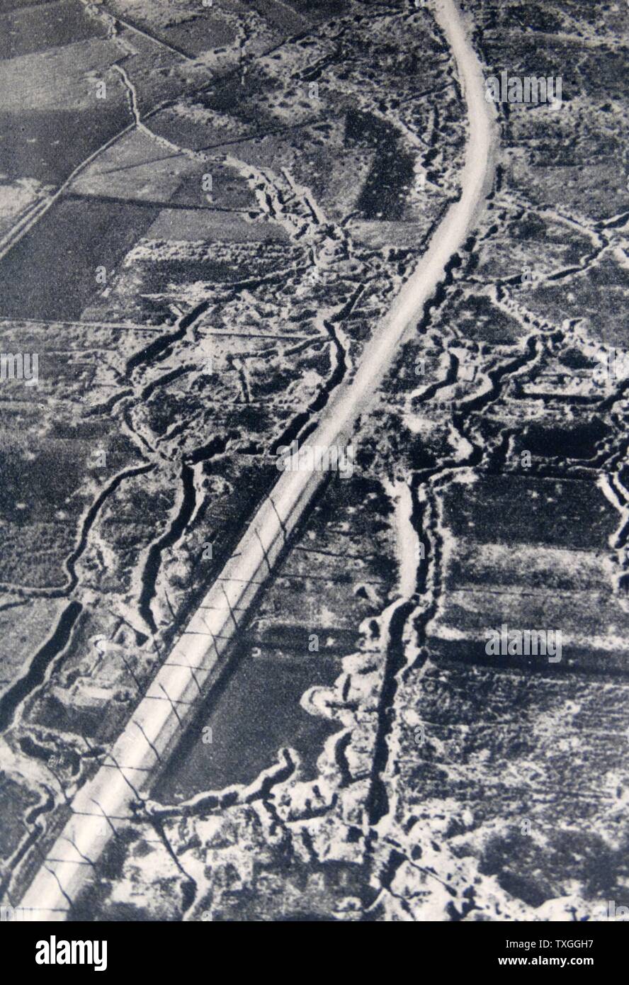 Aerial view of battle trenches at Ypres, Belgium World war one 1917 Stock Photohttps://www.alamy.com/image-license-details/?v=1https://www.alamy.com/aerial-view-of-battle-trenches-at-ypres-belgium-world-war-one-1917-image257290467.html
RMTXGGH7–Aerial view of battle trenches at Ypres, Belgium World war one 1917
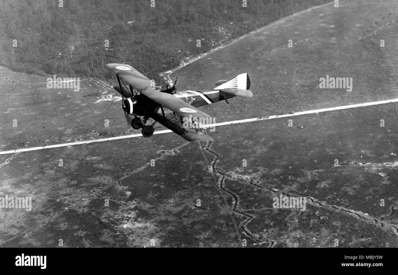 Flying French over Zig zag Trenches Stock Photohttps://www.alamy.com/image-license-details/?v=1https://www.alamy.com/flying-french-over-zig-zag-trenches-image179281365.html
RMMBJY5W–Flying French over Zig zag Trenches
 Town of Palmanova defense walls and trenches aerial view, UNESCO world heritage site in Friuli Venezia Giulia region of Italy Stock Photohttps://www.alamy.com/image-license-details/?v=1https://www.alamy.com/town-of-palmanova-defense-walls-and-trenches-aerial-view-unesco-world-heritage-site-in-friuli-venezia-giulia-region-of-italy-image627646594.html
RF2YD3NHP–Town of Palmanova defense walls and trenches aerial view, UNESCO world heritage site in Friuli Venezia Giulia region of Italy
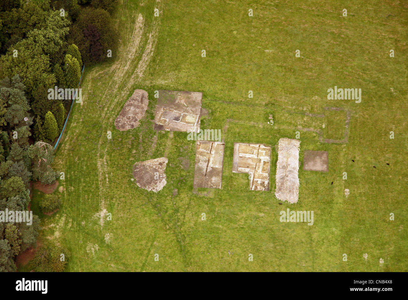 aerial view of a archeology dig Stock Photohttps://www.alamy.com/image-license-details/?v=1https://www.alamy.com/stock-photo-aerial-view-of-a-archeology-dig-47573856.html
RMCNB4X8–aerial view of a archeology dig
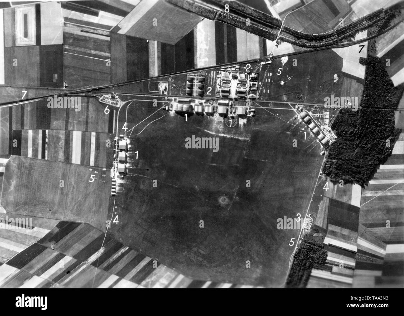 Photo of the Reims- Champagne Air Base, taken by long-range reconnaissance aircrafts of the Luftwaffe. The numbered dots indicate military targets of the Luftwaffe. (1) marks modern hangars, to which a Luftpark (support base) (2) is affiliated. Below on the right at the maneuvering area, a large ammunition depot. Number (4) indicates various antiaircraft guns. Number (5) stands for so-called cover trenches against bomb splinter. In addition, a reloading point was set up for bombs and ammunition (6) along the Reims-Laon access road (7). In the upper edge of the photo, the area around the Stock Photohttps://www.alamy.com/image-license-details/?v=1https://www.alamy.com/photo-of-the-reims-champagne-air-base-taken-by-long-range-reconnaissance-aircrafts-of-the-luftwaffe-the-numbered-dots-indicate-military-targets-of-the-luftwaffe-1-marks-modern-hangars-to-which-a-luftpark-support-base-2-is-affiliated-below-on-the-right-at-the-maneuvering-area-a-large-ammunition-depot-number-4-indicates-various-antiaircraft-guns-number-5-stands-for-so-called-cover-trenches-against-bomb-splinter-in-addition-a-reloading-point-was-set-up-for-bombs-and-ammunition-6-along-the-reims-laon-access-road-7-in-the-upper-edge-of-the-photo-the-area-around-the-image247182463.html
RMTA43N3–Photo of the Reims- Champagne Air Base, taken by long-range reconnaissance aircrafts of the Luftwaffe. The numbered dots indicate military targets of the Luftwaffe. (1) marks modern hangars, to which a Luftpark (support base) (2) is affiliated. Below on the right at the maneuvering area, a large ammunition depot. Number (4) indicates various antiaircraft guns. Number (5) stands for so-called cover trenches against bomb splinter. In addition, a reloading point was set up for bombs and ammunition (6) along the Reims-Laon access road (7). In the upper edge of the photo, the area around the
RMHT260Y–World War I practice trenches, Beacon Hill, near Bulford, Salisbury Plain, Wiltshire, 2007. Artist: Historic England Staff Photographer.
 events, First World War / WWI, Western Front, Warneton, Belgium, aerial view of the trenches, 3.9.1917, Stock Photohttps://www.alamy.com/image-license-details/?v=1https://www.alamy.com/stock-photo-events-first-world-war-wwi-western-front-warneton-belgium-aerial-view-19853255.html
RMB48B0R–events, First World War / WWI, Western Front, Warneton, Belgium, aerial view of the trenches, 3.9.1917,
 Aerial photograph of trenches in France ca. 1916-1918 Stock Photohttps://www.alamy.com/image-license-details/?v=1https://www.alamy.com/aerial-photograph-of-trenches-in-france-ca-1916-1918-image259731675.html
RMW2FPB7–Aerial photograph of trenches in France ca. 1916-1918
 American soldiers taking cover in trenches during World War One. The trenches are reinforced with barbed wire and contain machine gun emplacements and concrete dugouts. The soldiers retreat to deep dugouts when bombardments become too intense. Aerial photographs show the lines of trenches, with piles of earth forming the parapets. Traverses and notches provide additional protection and firing positions for soldiers. Stock Photohttps://www.alamy.com/image-license-details/?v=1https://www.alamy.com/american-soldiers-taking-cover-in-trenches-during-world-war-one-the-trenches-are-reinforced-with-barbed-wire-and-contain-machine-gun-emplacements-and-concrete-dugouts-the-soldiers-retreat-to-deep-dugouts-when-bombardments-become-too-intense-aerial-photographs-show-the-lines-of-trenches-with-piles-of-earth-forming-the-parapets-traverses-and-notches-provide-additional-protection-and-firing-positions-for-soldiers-image558247264.html
RM2RC6A28–American soldiers taking cover in trenches during World War One. The trenches are reinforced with barbed wire and contain machine gun emplacements and concrete dugouts. The soldiers retreat to deep dugouts when bombardments become too intense. Aerial photographs show the lines of trenches, with piles of earth forming the parapets. Traverses and notches provide additional protection and firing positions for soldiers.
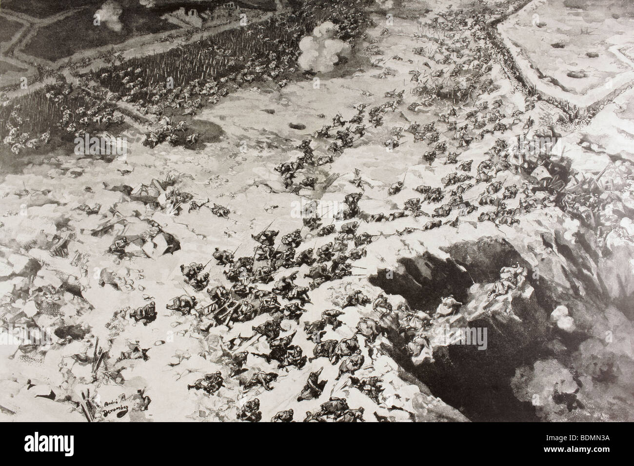 Aerial view of waves of French troops assault German trenches in First World War. Stock Photohttps://www.alamy.com/image-license-details/?v=1https://www.alamy.com/stock-photo-aerial-view-of-waves-of-french-troops-assault-german-trenches-in-first-25656494.html
RMBDMN3A–Aerial view of waves of French troops assault German trenches in First World War.
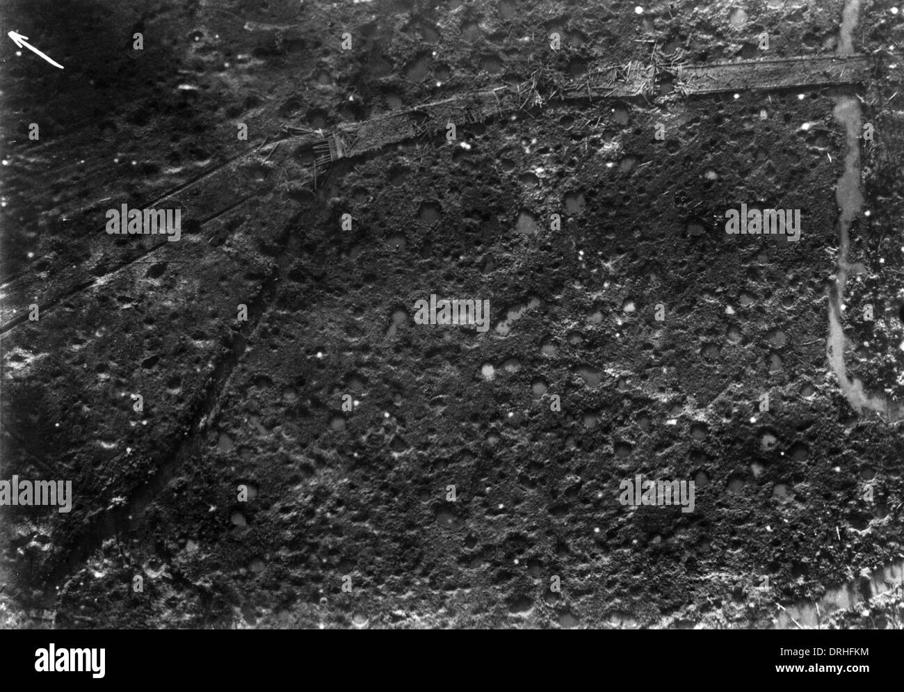 Aerial photograph of battle area near Verdun, France, WW1 Stock Photohttps://www.alamy.com/image-license-details/?v=1https://www.alamy.com/aerial-photograph-of-battle-area-near-verdun-france-ww1-image66153688.html
RMDRHFKM–Aerial photograph of battle area near Verdun, France, WW1
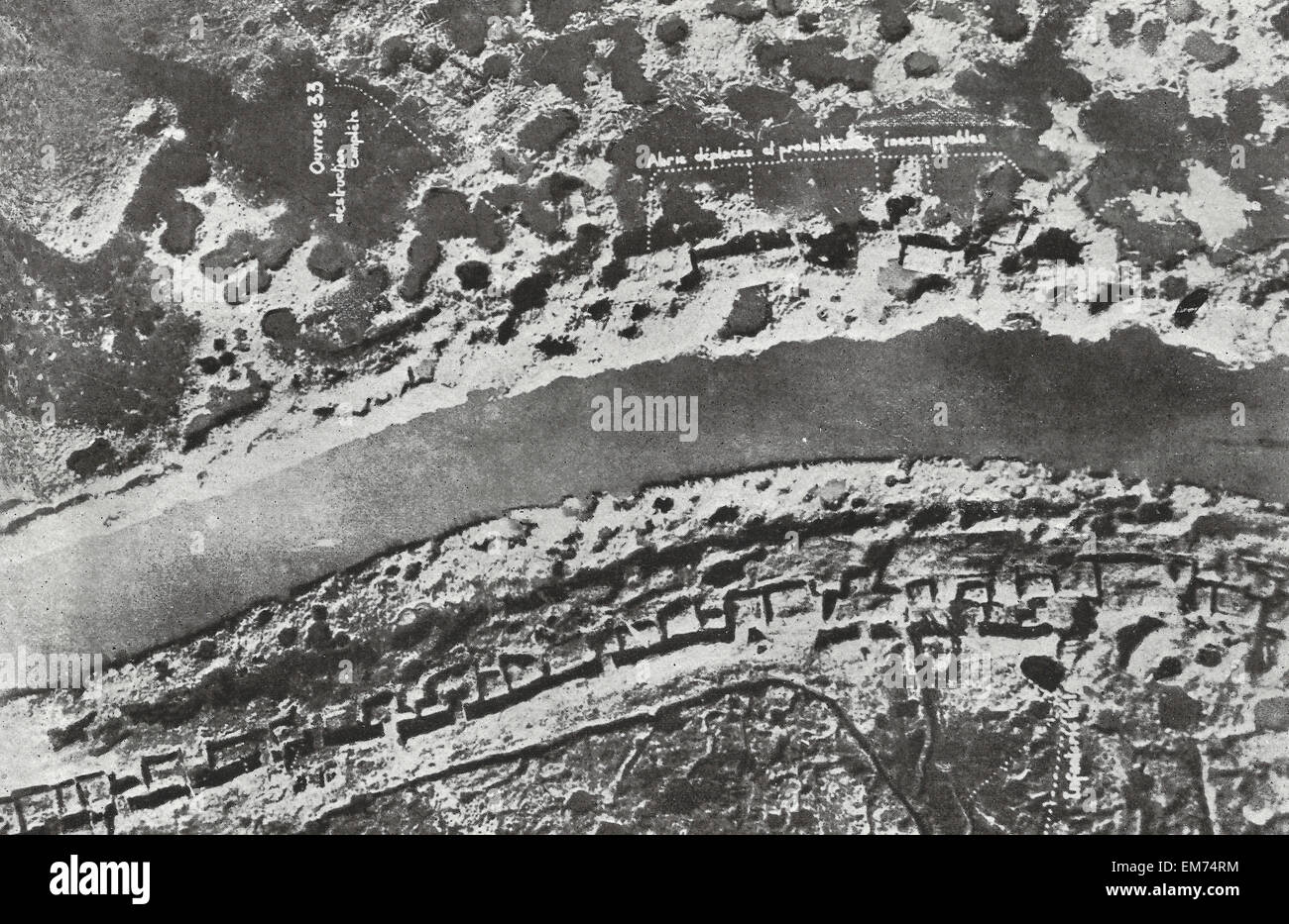 Airplane view of Bombarded German trenches during World War I Stock Photohttps://www.alamy.com/image-license-details/?v=1https://www.alamy.com/stock-photo-airplane-view-of-bombarded-german-trenches-during-world-war-i-81292056.html
RMEM74RM–Airplane view of Bombarded German trenches during World War I
 pata mountain in el puig with remains of castle and trenches of the spanish civil war Stock Photohttps://www.alamy.com/image-license-details/?v=1https://www.alamy.com/pata-mountain-in-el-puig-with-remains-of-castle-and-trenches-of-the-spanish-civil-war-image440289686.html
RF2GG8WYJ–pata mountain in el puig with remains of castle and trenches of the spanish civil war
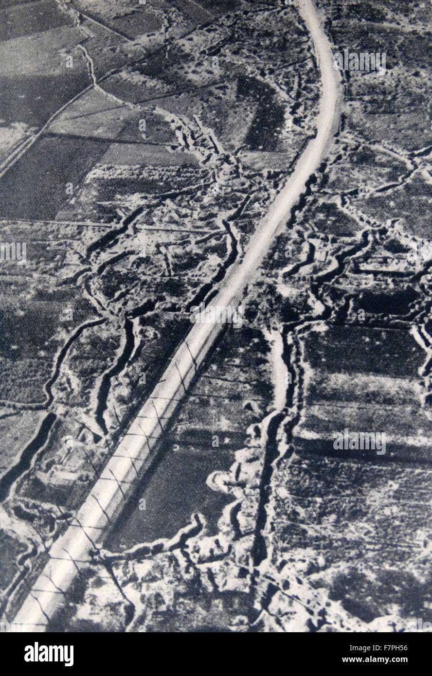 Aerial view of battle trenches at Ypres, Belgium World war one 1917 Stock Photohttps://www.alamy.com/image-license-details/?v=1https://www.alamy.com/stock-photo-aerial-view-of-battle-trenches-at-ypres-belgium-world-war-one-1917-90850850.html
RMF7PH56–Aerial view of battle trenches at Ypres, Belgium World war one 1917
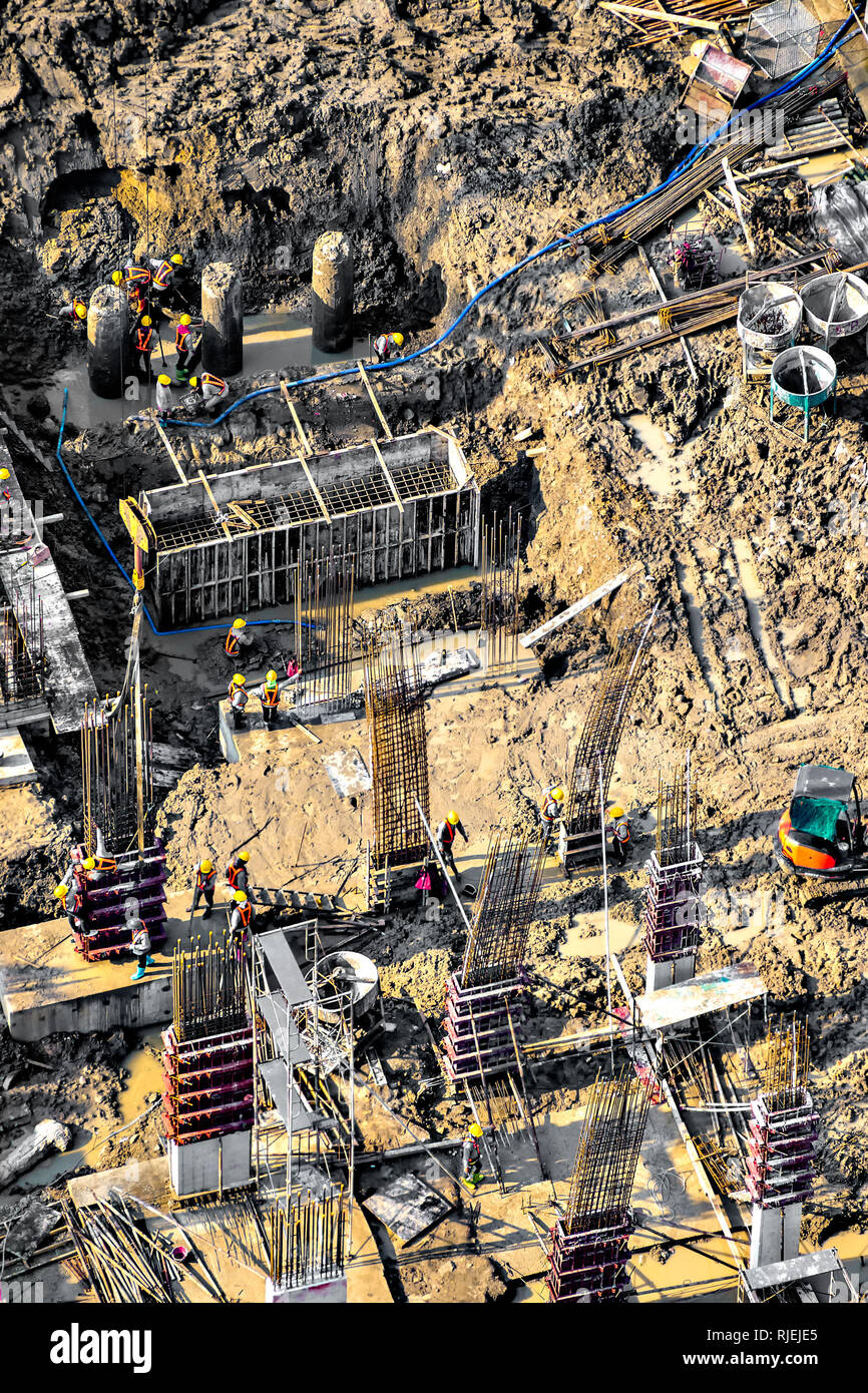 Aerial view of foundation work on a construction site. Stock Photohttps://www.alamy.com/image-license-details/?v=1https://www.alamy.com/aerial-view-of-foundation-work-on-a-construction-site-image235120429.html
RFRJEJE5–Aerial view of foundation work on a construction site.
 Town of Palmanova defense walls and trenches aerial panoramic view, UNESCO world heritage site in Friuli Venezia Giulia region of Italy Stock Photohttps://www.alamy.com/image-license-details/?v=1https://www.alamy.com/town-of-palmanova-defense-walls-and-trenches-aerial-panoramic-view-unesco-world-heritage-site-in-friuli-venezia-giulia-region-of-italy-image499565905.html
RF2M0N5BD–Town of Palmanova defense walls and trenches aerial panoramic view, UNESCO world heritage site in Friuli Venezia Giulia region of Italy
 Star shape town of Palmanova defense walls and trenches aerial panoramic view, UNESCO world heritage site in Friuli Venezia Giulia region of northern Stock Photohttps://www.alamy.com/image-license-details/?v=1https://www.alamy.com/star-shape-town-of-palmanova-defense-walls-and-trenches-aerial-panoramic-view-unesco-world-heritage-site-in-friuli-venezia-giulia-region-of-northern-image548646069.html
RF2PTGYJD–Star shape town of Palmanova defense walls and trenches aerial panoramic view, UNESCO world heritage site in Friuli Venezia Giulia region of northern
 Members of Queen Mary's Army Auxiliary Corps wear steel helmets while in trenches constructed for shelter in the event of an aerial attack at Rouen, France, on 18 June 1918. Stock Photohttps://www.alamy.com/image-license-details/?v=1https://www.alamy.com/members-of-queen-marys-army-auxiliary-corps-wear-steel-helmets-while-in-trenches-constructed-for-shelter-in-the-event-of-an-aerial-attack-at-rouen-france-on-18-june-1918-image463758771.html
RM2HXE117–Members of Queen Mary's Army Auxiliary Corps wear steel helmets while in trenches constructed for shelter in the event of an aerial attack at Rouen, France, on 18 June 1918.
 1873 WW1 Aerial photograph - German trenches east of Arras Stock Photohttps://www.alamy.com/image-license-details/?v=1https://www.alamy.com/1873-ww1-aerial-photograph-german-trenches-east-of-arras-image213690131.html
RMPBJBXB–1873 WW1 Aerial photograph - German trenches east of Arras
 Aerial shot of lighthouse on german island Sylt Stock Photohttps://www.alamy.com/image-license-details/?v=1https://www.alamy.com/stock-photo-aerial-shot-of-lighthouse-on-german-island-sylt-116321850.html
RFGN6WKP–Aerial shot of lighthouse on german island Sylt
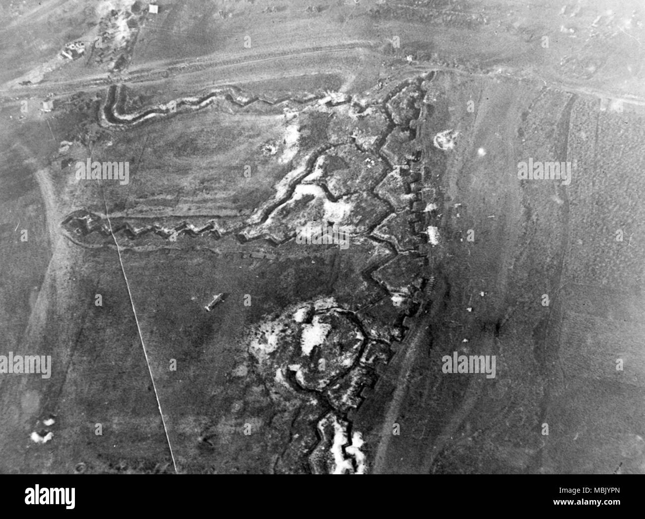 Somme River Trenching Zig Zags Across Battlefield Stock Photohttps://www.alamy.com/image-license-details/?v=1https://www.alamy.com/somme-river-trenching-zig-zags-across-battlefield-image179281837.html
RMMBJYPN–Somme River Trenching Zig Zags Across Battlefield
 Town of Palmanova defense walls and trenches aerial view, UNESCO world heritage site in Friuli Venezia Giulia region of Italy Stock Photohttps://www.alamy.com/image-license-details/?v=1https://www.alamy.com/town-of-palmanova-defense-walls-and-trenches-aerial-view-unesco-world-heritage-site-in-friuli-venezia-giulia-region-of-italy-image627646450.html
RF2YD3NCJ–Town of Palmanova defense walls and trenches aerial view, UNESCO world heritage site in Friuli Venezia Giulia region of Italy
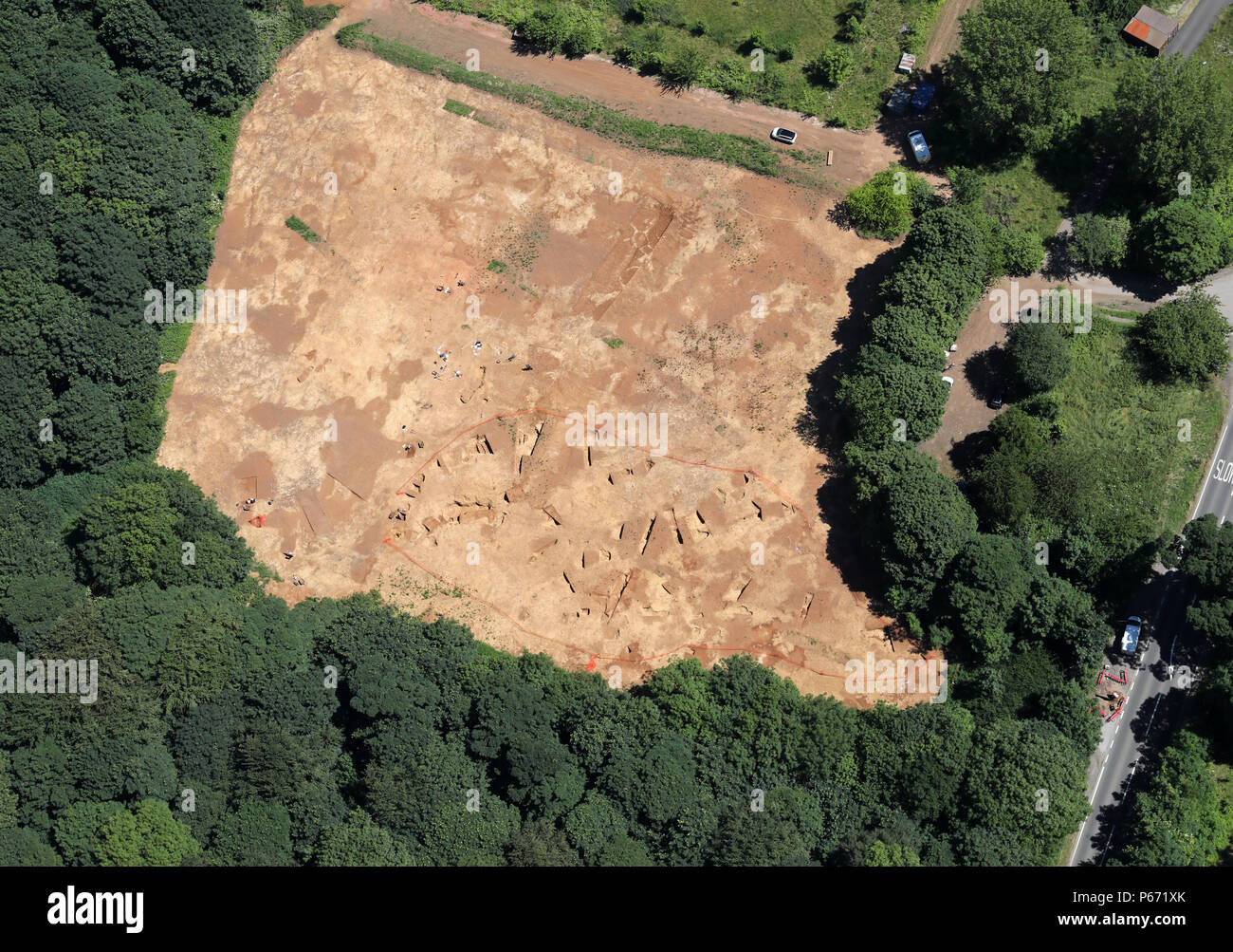 aerial view of an archaeological dig Stock Photohttps://www.alamy.com/image-license-details/?v=1https://www.alamy.com/aerial-view-of-an-archaeological-dig-image210367547.html
RMP671XK–aerial view of an archaeological dig
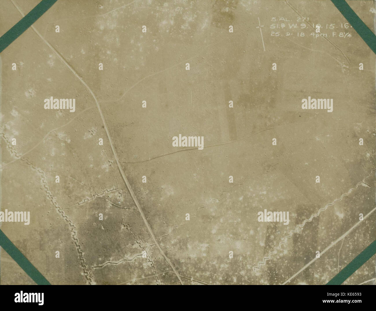 WW1 Aerial photograph German trenches east of Arras Stock Photohttps://www.alamy.com/image-license-details/?v=1https://www.alamy.com/stock-image-ww1-aerial-photograph-german-trenches-east-of-arras-163634383.html
RMKE6593–WW1 Aerial photograph German trenches east of Arras
 Aerial view of rows of drainage trenches stretching across green wetland Stock Photohttps://www.alamy.com/image-license-details/?v=1https://www.alamy.com/aerial-view-of-rows-of-drainage-trenches-stretching-across-green-wetland-image443364450.html
RF2GN8YTJ–Aerial view of rows of drainage trenches stretching across green wetland
 An aerial of a mineralized clear-cut area in Hossa, Northern Finland Stock Photohttps://www.alamy.com/image-license-details/?v=1https://www.alamy.com/an-aerial-of-a-mineralized-clear-cut-area-in-hossa-northern-finland-image499591029.html
RF2M0P9CN–An aerial of a mineralized clear-cut area in Hossa, Northern Finland
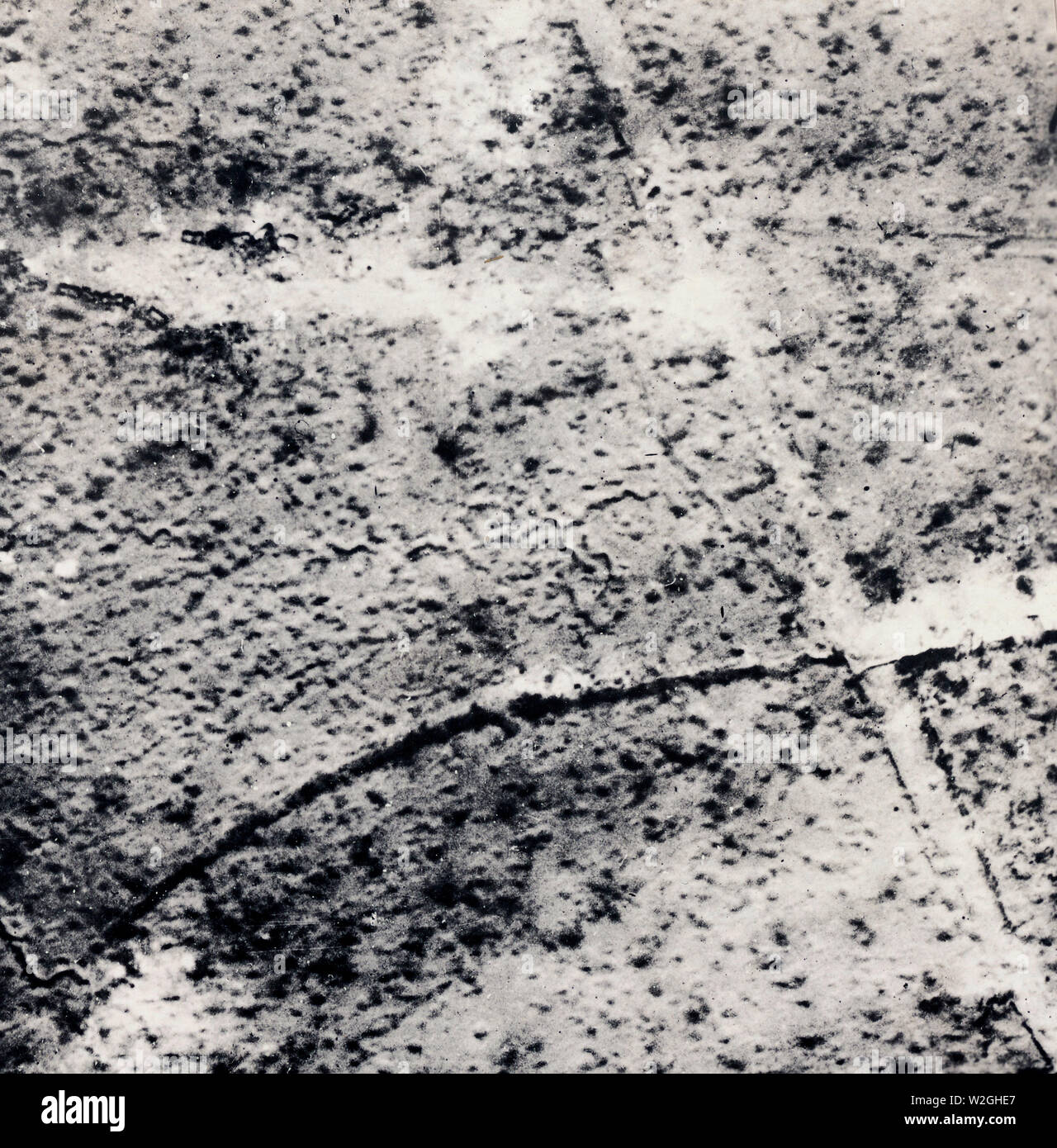 Aerial map of trenches in France ca. 1916-1918 Stock Photohttps://www.alamy.com/image-license-details/?v=1https://www.alamy.com/aerial-map-of-trenches-in-france-ca-1916-1918-image259749791.html
RMW2GHE7–Aerial map of trenches in France ca. 1916-1918
 Aerial photograph showing trenches in France during World War One. The trenches form a strategic map of the area. The photograph was issued by the Signal Corps and is part of a series of photographs documenting American military activities during the war. The German symbol 'H' and the code '@8532' are included in the notes. Stock Photohttps://www.alamy.com/image-license-details/?v=1https://www.alamy.com/aerial-photograph-showing-trenches-in-france-during-world-war-one-the-trenches-form-a-strategic-map-of-the-area-the-photograph-was-issued-by-the-signal-corps-and-is-part-of-a-series-of-photographs-documenting-american-military-activities-during-the-war-the-german-symbol-h-and-the-code-@8532-are-included-in-the-notes-image558073106.html
RM2RBXBXA–Aerial photograph showing trenches in France during World War One. The trenches form a strategic map of the area. The photograph was issued by the Signal Corps and is part of a series of photographs documenting American military activities during the war. The German symbol 'H' and the code '@8532' are included in the notes.
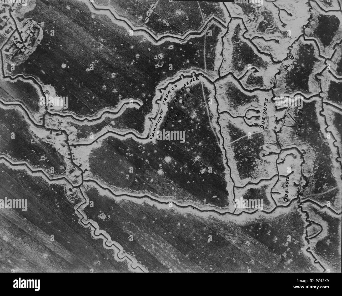 Aerial photograph of WW1 trenches 01. Stock Photohttps://www.alamy.com/image-license-details/?v=1https://www.alamy.com/aerial-photograph-of-ww1-trenches-01-image213990205.html
RMPC42K9–Aerial photograph of WW1 trenches 01.
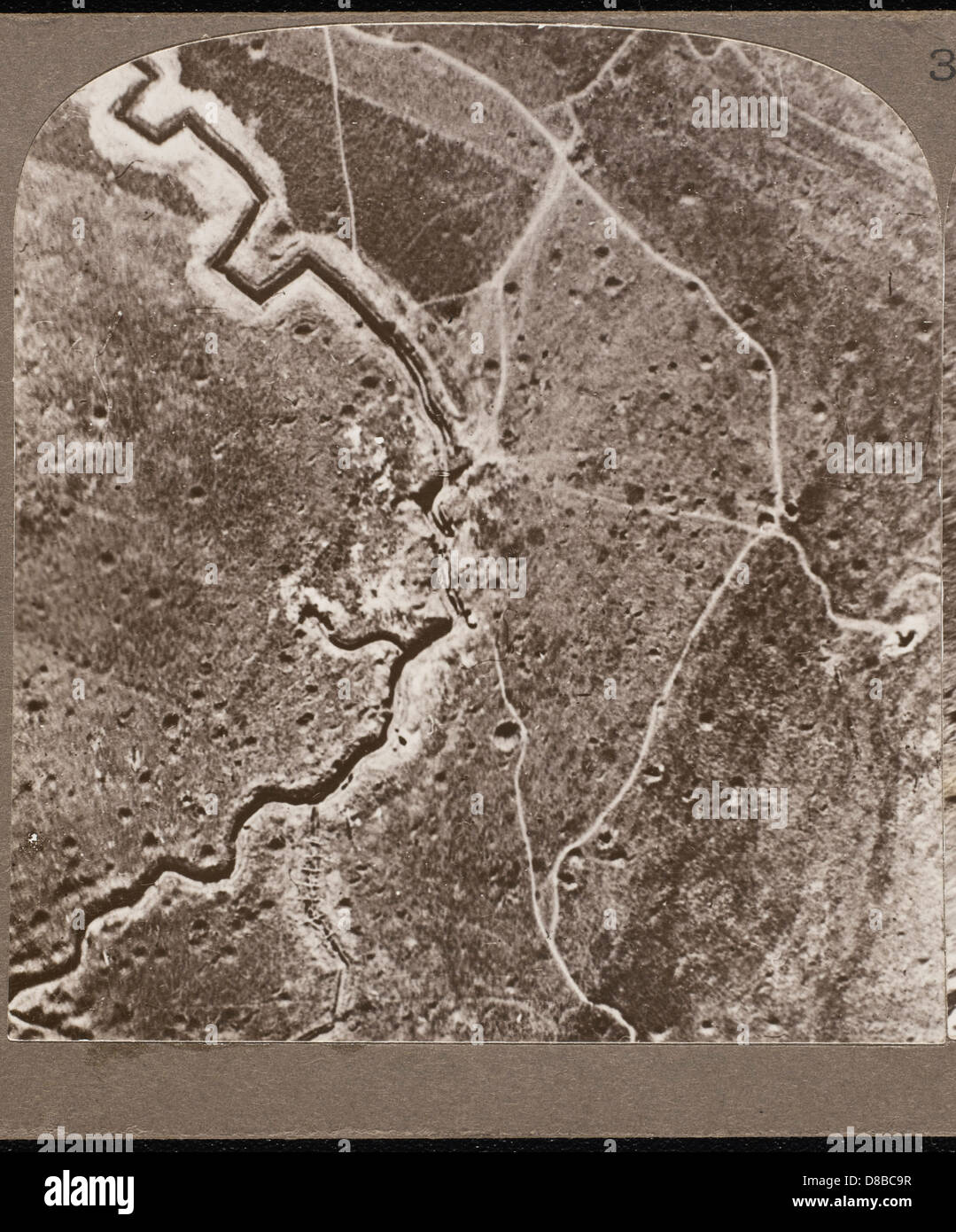 AERIAL VIEW OF TRENCHES Stock Photohttps://www.alamy.com/image-license-details/?v=1https://www.alamy.com/stock-photo-aerial-view-of-trenches-56799507.html
RMD8BC9R–AERIAL VIEW OF TRENCHES
 06/30/1915. The fight between the trenches. French soldiers firing an aerial torpedo from their trench. Credit: Album / Archivo ABC / M. Rol Stock Photohttps://www.alamy.com/image-license-details/?v=1https://www.alamy.com/06301915-the-fight-between-the-trenches-french-soldiers-firing-an-aerial-torpedo-from-their-trench-credit-album-archivo-abc-m-rol-image575805373.html
RM2TCP5HH–06/30/1915. The fight between the trenches. French soldiers firing an aerial torpedo from their trench. Credit: Album / Archivo ABC / M. Rol
 Town of Palmanova defense walls and trenches aerial panoramic view, UNESCO world heritage site in Friuli Venezia Giulia region of Italy Stock Photohttps://www.alamy.com/image-license-details/?v=1https://www.alamy.com/town-of-palmanova-defense-walls-and-trenches-aerial-panoramic-view-unesco-world-heritage-site-in-friuli-venezia-giulia-region-of-italy-image548941491.html
RF2PW2CD7–Town of Palmanova defense walls and trenches aerial panoramic view, UNESCO world heritage site in Friuli Venezia Giulia region of Italy
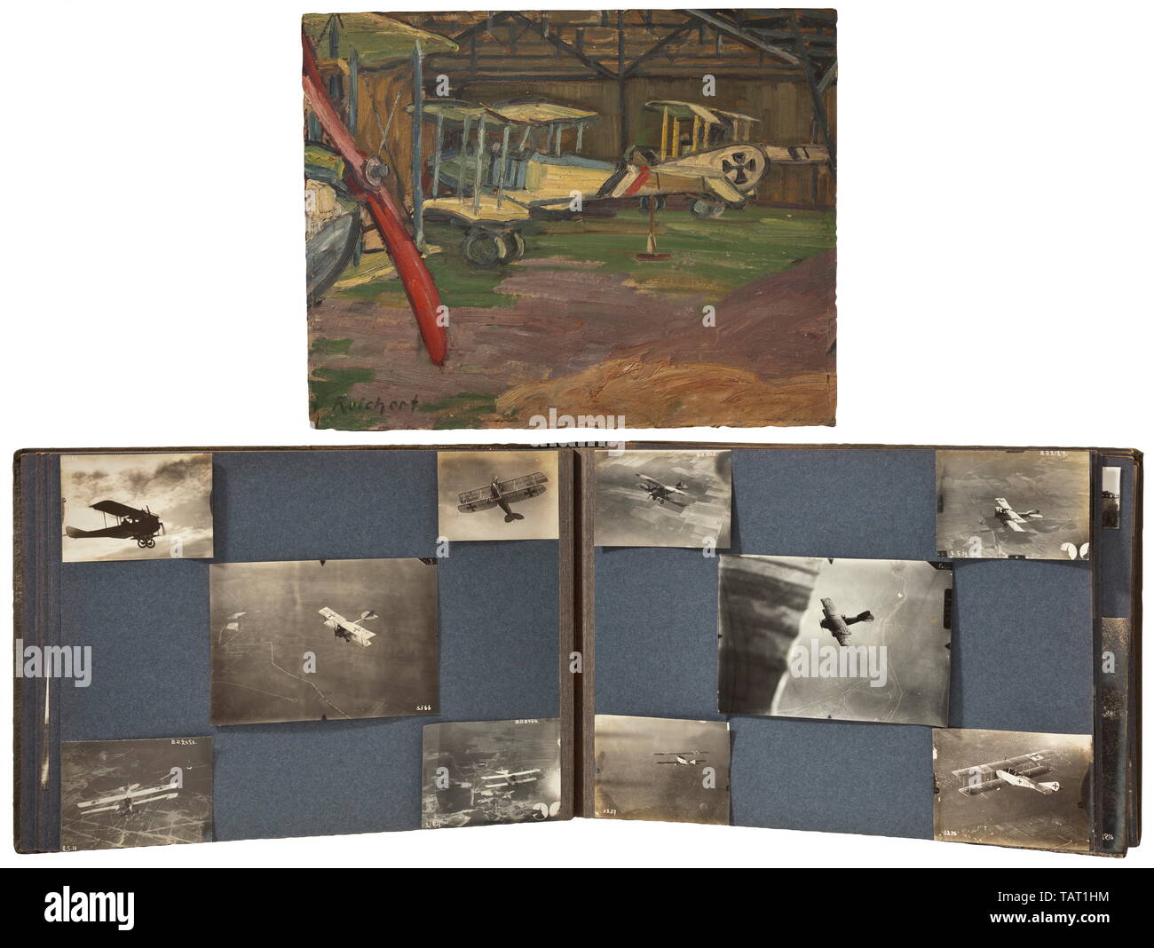 A photograph album of the Air Replacement Unit 10 (Böblingen), A large photograph album with a total of circa 195 photos. Pictures of biplanes, most with identification and/or national emblems. Numerous aerial photographs showing positions, trenches and cities (Lake Constance area). Excellent technical photographs of aircraft, some with machine guns, pilots in front of their planes or in the officers' mess, spectacular crash landings. Several portraits with medals and decorations. Numerous aerial photographs of zeppelins and airships in flight. Photos measuring from circa 6, Editorial-Use-Only Stock Photohttps://www.alamy.com/image-license-details/?v=1https://www.alamy.com/a-photograph-album-of-the-air-replacement-unit-10-bblingen-a-large-photograph-album-with-a-total-of-circa-195-photos-pictures-of-biplanes-most-with-identification-andor-national-emblems-numerous-aerial-photographs-showing-positions-trenches-and-cities-lake-constance-area-excellent-technical-photographs-of-aircraft-some-with-machine-guns-pilots-in-front-of-their-planes-or-in-the-officers-mess-spectacular-crash-landings-several-portraits-with-medals-and-decorations-numerous-aerial-photographs-of-zeppelins-and-airships-in-flight-photos-measuring-from-circa-6-editorial-use-only-image247619840.html
RMTAT1HM–A photograph album of the Air Replacement Unit 10 (Böblingen), A large photograph album with a total of circa 195 photos. Pictures of biplanes, most with identification and/or national emblems. Numerous aerial photographs showing positions, trenches and cities (Lake Constance area). Excellent technical photographs of aircraft, some with machine guns, pilots in front of their planes or in the officers' mess, spectacular crash landings. Several portraits with medals and decorations. Numerous aerial photographs of zeppelins and airships in flight. Photos measuring from circa 6, Editorial-Use-Only
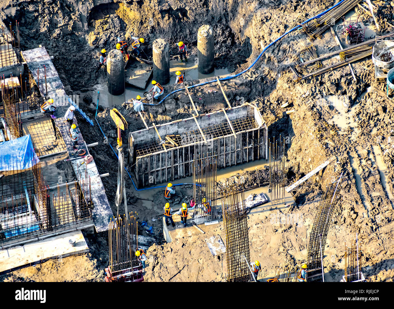 Aerial view of foundation work on a construction site. Stock Photohttps://www.alamy.com/image-license-details/?v=1https://www.alamy.com/aerial-view-of-foundation-work-on-a-construction-site-image235120390.html
RFRJEJCP–Aerial view of foundation work on a construction site.
 Town of Palmanova defense walls and trenches aerial panoramic view, UNESCO world heritage site in Friuli Venezia Giulia region of Italy Stock Photohttps://www.alamy.com/image-license-details/?v=1https://www.alamy.com/town-of-palmanova-defense-walls-and-trenches-aerial-panoramic-view-unesco-world-heritage-site-in-friuli-venezia-giulia-region-of-italy-image499565966.html
RM2M0N5DJ–Town of Palmanova defense walls and trenches aerial panoramic view, UNESCO world heritage site in Friuli Venezia Giulia region of Italy
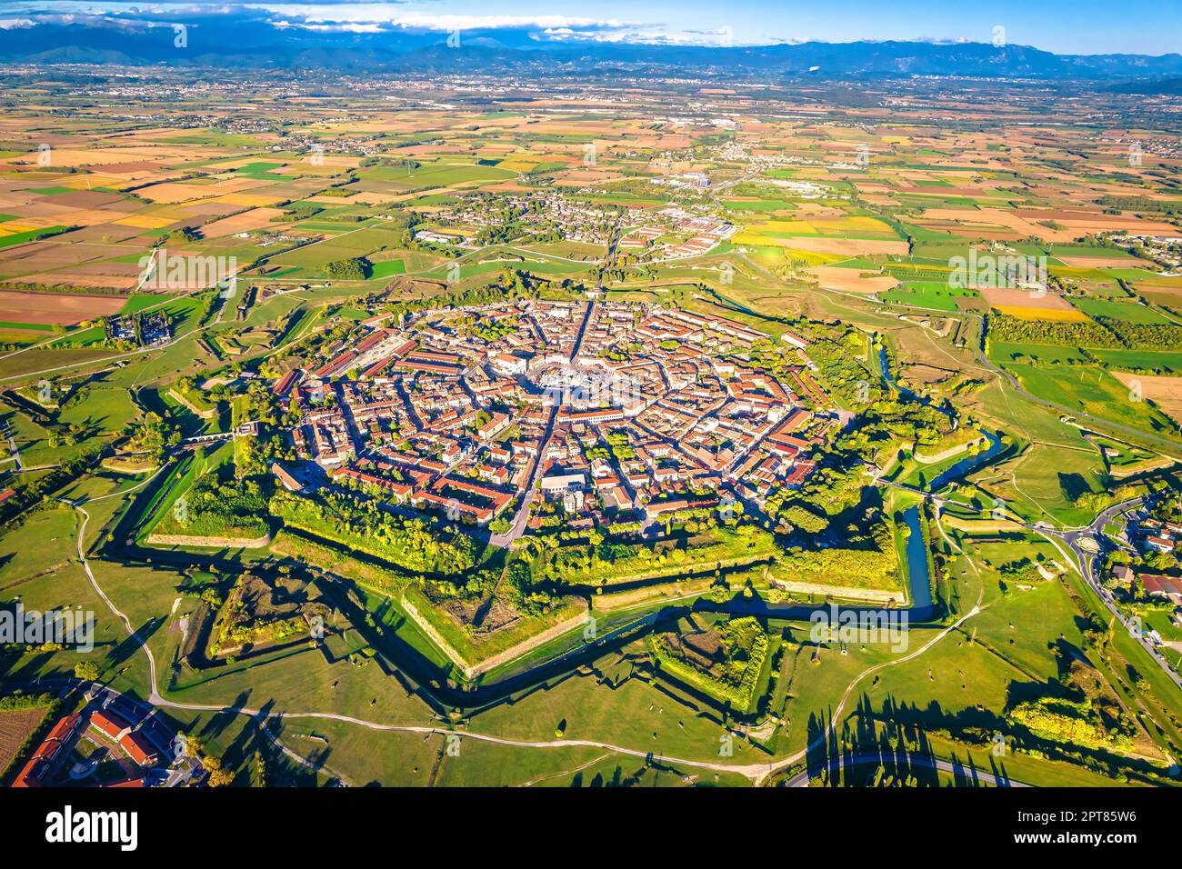 Star shape town of Palmanova defense walls and trenches aerial panoramic view, UNESCO world heritage site in Friuli Venezia Giulia region of northern Stock Photohttps://www.alamy.com/image-license-details/?v=1https://www.alamy.com/star-shape-town-of-palmanova-defense-walls-and-trenches-aerial-panoramic-view-unesco-world-heritage-site-in-friuli-venezia-giulia-region-of-northern-image548453394.html
RF2PT85W6–Star shape town of Palmanova defense walls and trenches aerial panoramic view, UNESCO world heritage site in Friuli Venezia Giulia region of northern
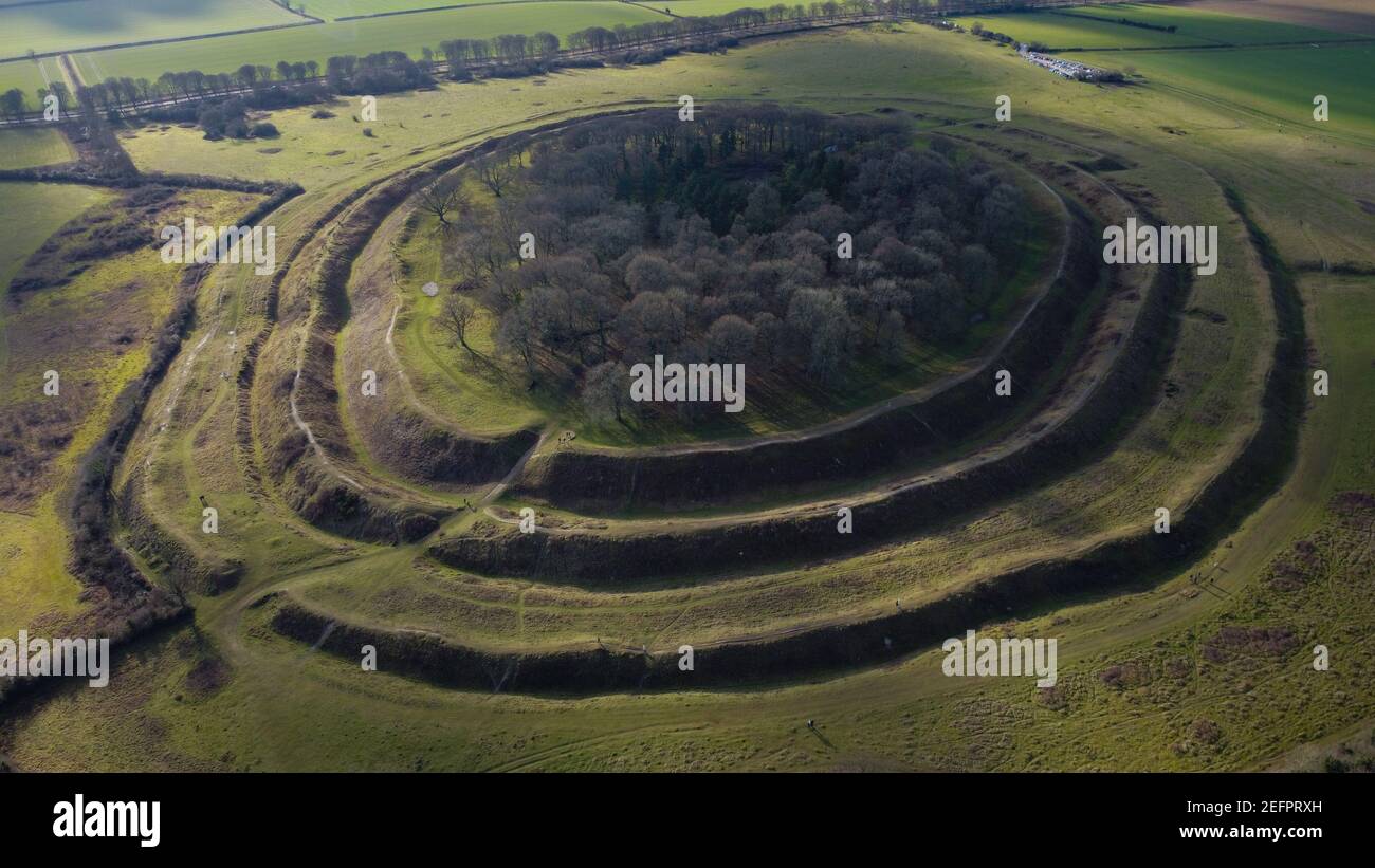 Aerial shot of Badbury Rings in Dorset, England Stock Photohttps://www.alamy.com/image-license-details/?v=1https://www.alamy.com/aerial-shot-of-badbury-rings-in-dorset-england-image405560025.html
RF2EFPRXH–Aerial shot of Badbury Rings in Dorset, England
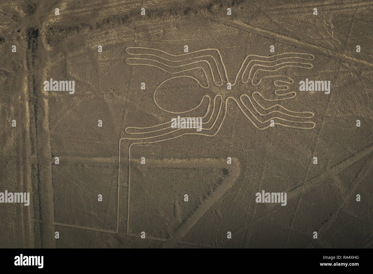 Nazca lines image of big spider made of trenches on the ground, viewed from above in full frame. Peru Stock Photohttps://www.alamy.com/image-license-details/?v=1https://www.alamy.com/nazca-lines-image-of-big-spider-made-of-trenches-on-the-ground-viewed-from-above-in-full-frame-peru-image229990028.html
RFRA4XHG–Nazca lines image of big spider made of trenches on the ground, viewed from above in full frame. Peru
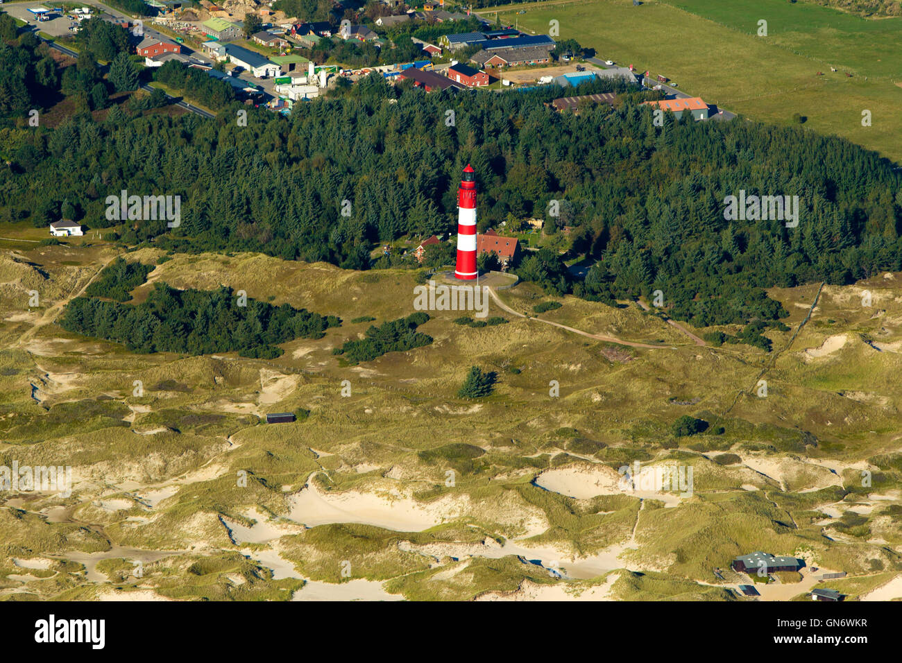 Aerial shot of lighthouse on german island Sylt Stock Photohttps://www.alamy.com/image-license-details/?v=1https://www.alamy.com/stock-photo-aerial-shot-of-lighthouse-on-german-island-sylt-116321851.html
RFGN6WKR–Aerial shot of lighthouse on german island Sylt
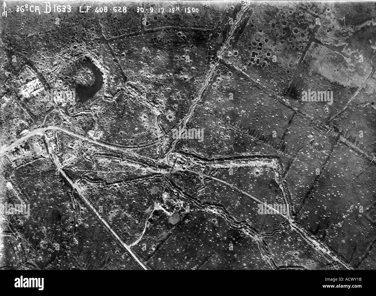 WWI Aerial view of area near Ypres on 30 September 1917 showing trenches roads ruined buildings and shell holes Stock Photohttps://www.alamy.com/image-license-details/?v=1https://www.alamy.com/wwi-aerial-view-of-area-near-ypres-on-30-september-1917-showing-trenches-image4323098.html
RMACWY1B–WWI Aerial view of area near Ypres on 30 September 1917 showing trenches roads ruined buildings and shell holes
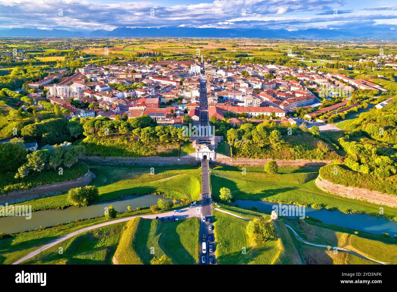 Town of Palmanova defense walls and trenches aerial view, UNESCO world heritage site in Friuli Venezia Giulia region of Italy Stock Photohttps://www.alamy.com/image-license-details/?v=1https://www.alamy.com/town-of-palmanova-defense-walls-and-trenches-aerial-view-unesco-world-heritage-site-in-friuli-venezia-giulia-region-of-italy-image627646535.html
RF2YD3NFK–Town of Palmanova defense walls and trenches aerial view, UNESCO world heritage site in Friuli Venezia Giulia region of Italy
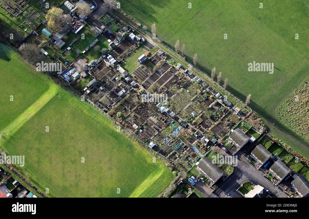 aerial, almost vertical view, of gardeners' allotments in England, UK Stock Photohttps://www.alamy.com/image-license-details/?v=1https://www.alamy.com/aerial-almost-vertical-view-of-gardeners-allotments-in-england-uk-image387820222.html
RM2DEXMJ6–aerial, almost vertical view, of gardeners' allotments in England, UK
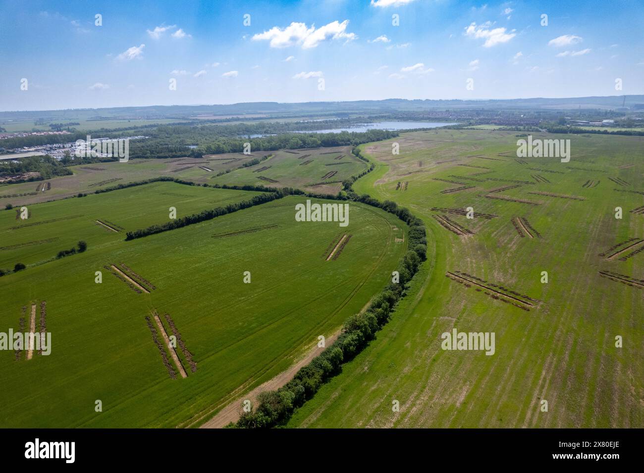 Farmland at Kempston Hardwick with archelogicial survey tranches owned by comcast universal NBC for a potential Universal Studios theme park resort Stock Photohttps://www.alamy.com/image-license-details/?v=1https://www.alamy.com/farmland-at-kempston-hardwick-with-archelogicial-survey-tranches-owned-by-comcast-universal-nbc-for-a-potential-universal-studios-theme-park-resort-image607291622.html
RF2X80EJE–Farmland at Kempston Hardwick with archelogicial survey tranches owned by comcast universal NBC for a potential Universal Studios theme park resort
 1918 ILN Kite balloon observers over Western Front Stock Photohttps://www.alamy.com/image-license-details/?v=1https://www.alamy.com/1918-iln-kite-balloon-observers-over-western-front-image399304370.html
RM2E5HTPA–1918 ILN Kite balloon observers over Western Front
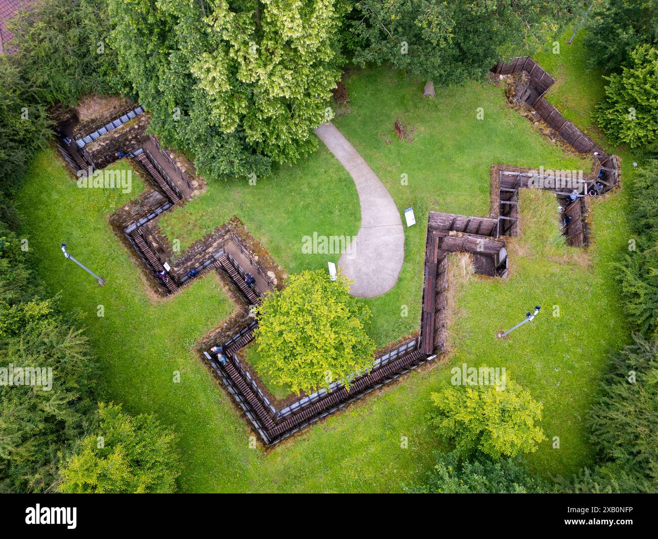 Memorial Museum Passchendaele 1917, Zonnebeke, Belgium Stock Photohttps://www.alamy.com/image-license-details/?v=1https://www.alamy.com/memorial-museum-passchendaele-1917-zonnebeke-belgium-image609141002.html
RM2XB0NFP–Memorial Museum Passchendaele 1917, Zonnebeke, Belgium
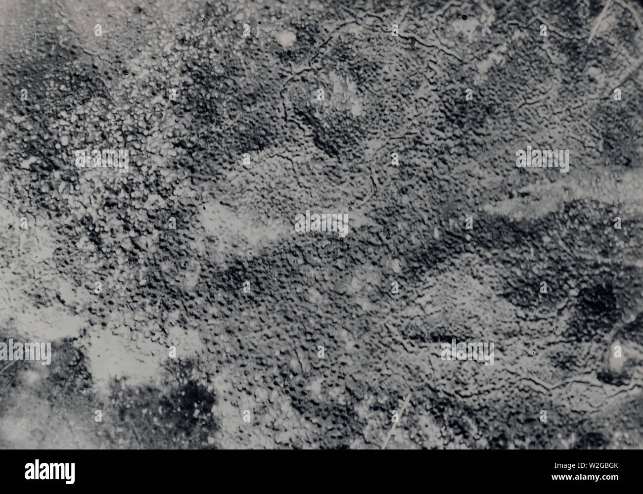 Aerial map of trenches in France ca. 1916-1918 Stock Photohttps://www.alamy.com/image-license-details/?v=1https://www.alamy.com/aerial-map-of-trenches-in-france-ca-1916-1918-image259745155.html
RMW2GBGK–Aerial map of trenches in France ca. 1916-1918
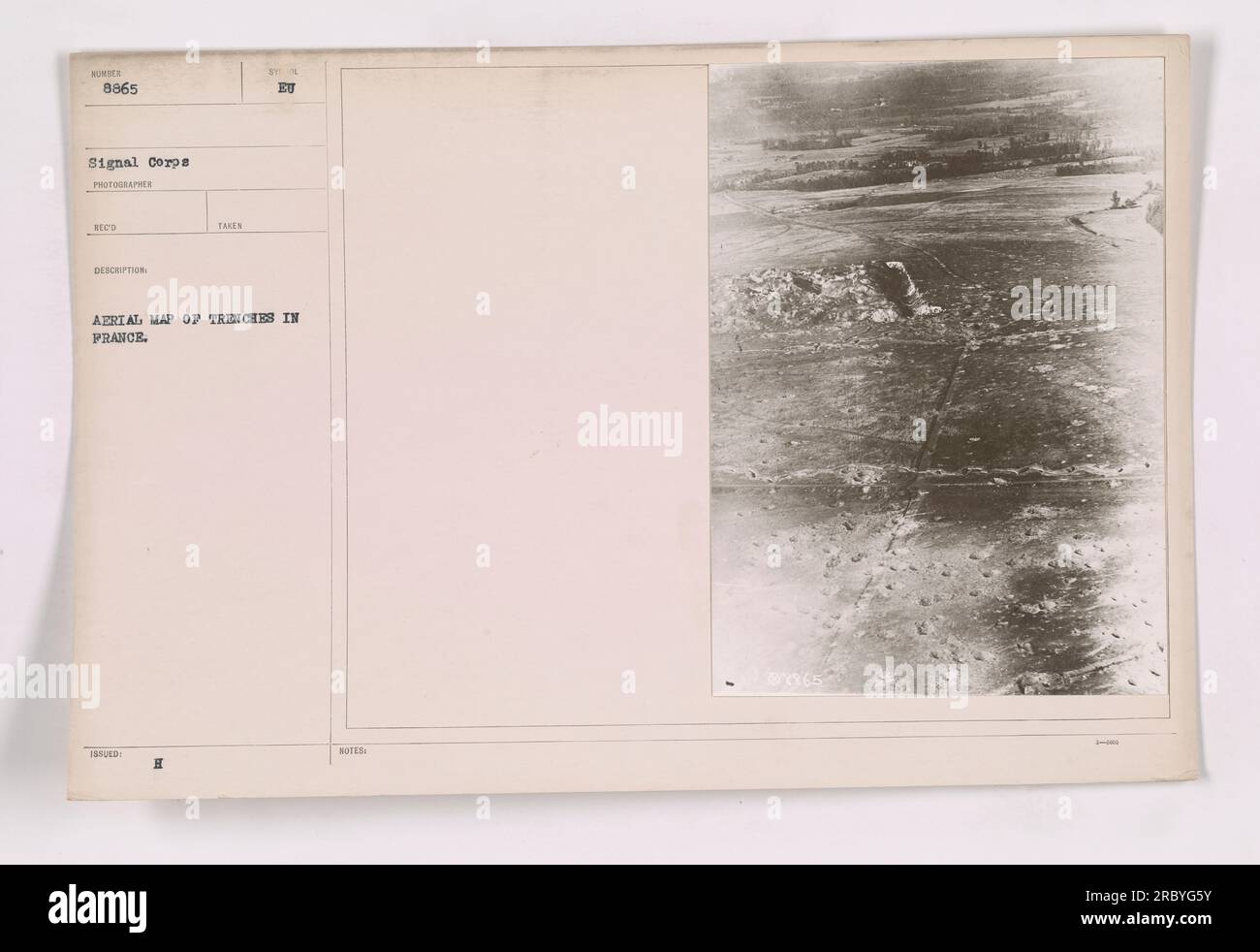 Aerial photograph showing a detailed map of trenches in France during World War One. The photograph, numbered 8865, was taken by a photographer from the Signal Corps. This informative image provides crucial information about the layout and positioning of military activities in the region. Stock Photohttps://www.alamy.com/image-license-details/?v=1https://www.alamy.com/aerial-photograph-showing-a-detailed-map-of-trenches-in-france-during-world-war-one-the-photograph-numbered-8865-was-taken-by-a-photographer-from-the-signal-corps-this-informative-image-provides-crucial-information-about-the-layout-and-positioning-of-military-activities-in-the-region-image558098407.html
RM2RBYG5Y–Aerial photograph showing a detailed map of trenches in France during World War One. The photograph, numbered 8865, was taken by a photographer from the Signal Corps. This informative image provides crucial information about the layout and positioning of military activities in the region.
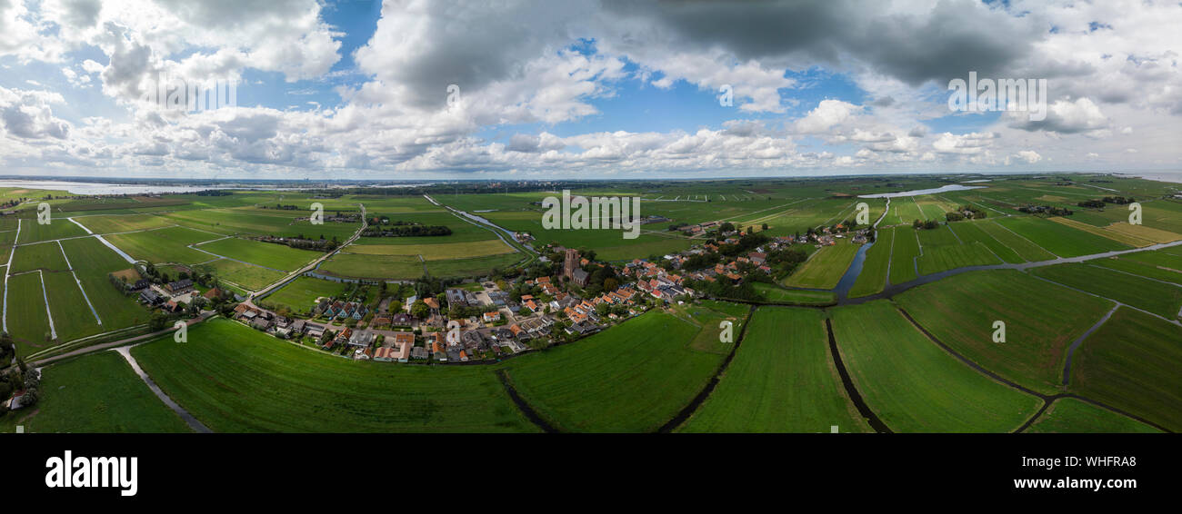 Dramatic aerial panoramic view of the agrarian green pasture fields with its irrigation infrastructure of ditches and trenches surrounding Stock Photohttps://www.alamy.com/image-license-details/?v=1https://www.alamy.com/dramatic-aerial-panoramic-view-of-the-agrarian-green-pasture-fields-with-its-irrigation-infrastructure-of-ditches-and-trenches-surrounding-image268952272.html
RFWHFRA8–Dramatic aerial panoramic view of the agrarian green pasture fields with its irrigation infrastructure of ditches and trenches surrounding
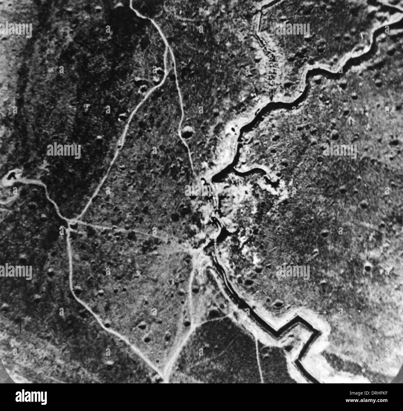 Aerial photograph of trenches and mine craters, WW1 Stock Photohttps://www.alamy.com/image-license-details/?v=1https://www.alamy.com/aerial-photograph-of-trenches-and-mine-craters-ww1-image66153683.html
RMDRHFKF–Aerial photograph of trenches and mine craters, WW1
 06/30/1915. In the French Trenches. Supply of Aerial Torpedoes by Artificer Soldiers. Each of these Projectiles weighs 50 Kilos. Credit: Album / Archivo ABC / M. Branger Stock Photohttps://www.alamy.com/image-license-details/?v=1https://www.alamy.com/06301915-in-the-french-trenches-supply-of-aerial-torpedoes-by-artificer-soldiers-each-of-these-projectiles-weighs-50-kilos-credit-album-archivo-abc-m-branger-image575805054.html
RM2TCP566–06/30/1915. In the French Trenches. Supply of Aerial Torpedoes by Artificer Soldiers. Each of these Projectiles weighs 50 Kilos. Credit: Album / Archivo ABC / M. Branger
 Town of Palmanova defense walls and trenches aerial panoramic view, UNESCO world heritage site in Friuli Venezia Giulia region of Italy Stock Photohttps://www.alamy.com/image-license-details/?v=1https://www.alamy.com/town-of-palmanova-defense-walls-and-trenches-aerial-panoramic-view-unesco-world-heritage-site-in-friuli-venezia-giulia-region-of-italy-image548797866.html
RF2PTRW7P–Town of Palmanova defense walls and trenches aerial panoramic view, UNESCO world heritage site in Friuli Venezia Giulia region of Italy
 A photograph album of the Air Replacement Unit 10 (Böblingen), A large photograph album with a total of circa 195 photos. Pictures of biplanes, most with identification and/or national emblems. Numerous aerial photographs showing positions, trenches and cities (Lake Constance area). Excellent technical photographs of aircraft, some with machine guns, pilots in front of their planes or in the officers' mess, spectacular crash landings. Several portraits with medals and decorations. Numerous aerial photographs of zeppelins and airships in flight. Photos measuring from circa 6, Editorial-Use-Only Stock Photohttps://www.alamy.com/image-license-details/?v=1https://www.alamy.com/a-photograph-album-of-the-air-replacement-unit-10-bblingen-a-large-photograph-album-with-a-total-of-circa-195-photos-pictures-of-biplanes-most-with-identification-andor-national-emblems-numerous-aerial-photographs-showing-positions-trenches-and-cities-lake-constance-area-excellent-technical-photographs-of-aircraft-some-with-machine-guns-pilots-in-front-of-their-planes-or-in-the-officers-mess-spectacular-crash-landings-several-portraits-with-medals-and-decorations-numerous-aerial-photographs-of-zeppelins-and-airships-in-flight-photos-measuring-from-circa-6-editorial-use-only-image247619847.html
RMTAT1HY–A photograph album of the Air Replacement Unit 10 (Böblingen), A large photograph album with a total of circa 195 photos. Pictures of biplanes, most with identification and/or national emblems. Numerous aerial photographs showing positions, trenches and cities (Lake Constance area). Excellent technical photographs of aircraft, some with machine guns, pilots in front of their planes or in the officers' mess, spectacular crash landings. Several portraits with medals and decorations. Numerous aerial photographs of zeppelins and airships in flight. Photos measuring from circa 6, Editorial-Use-Only
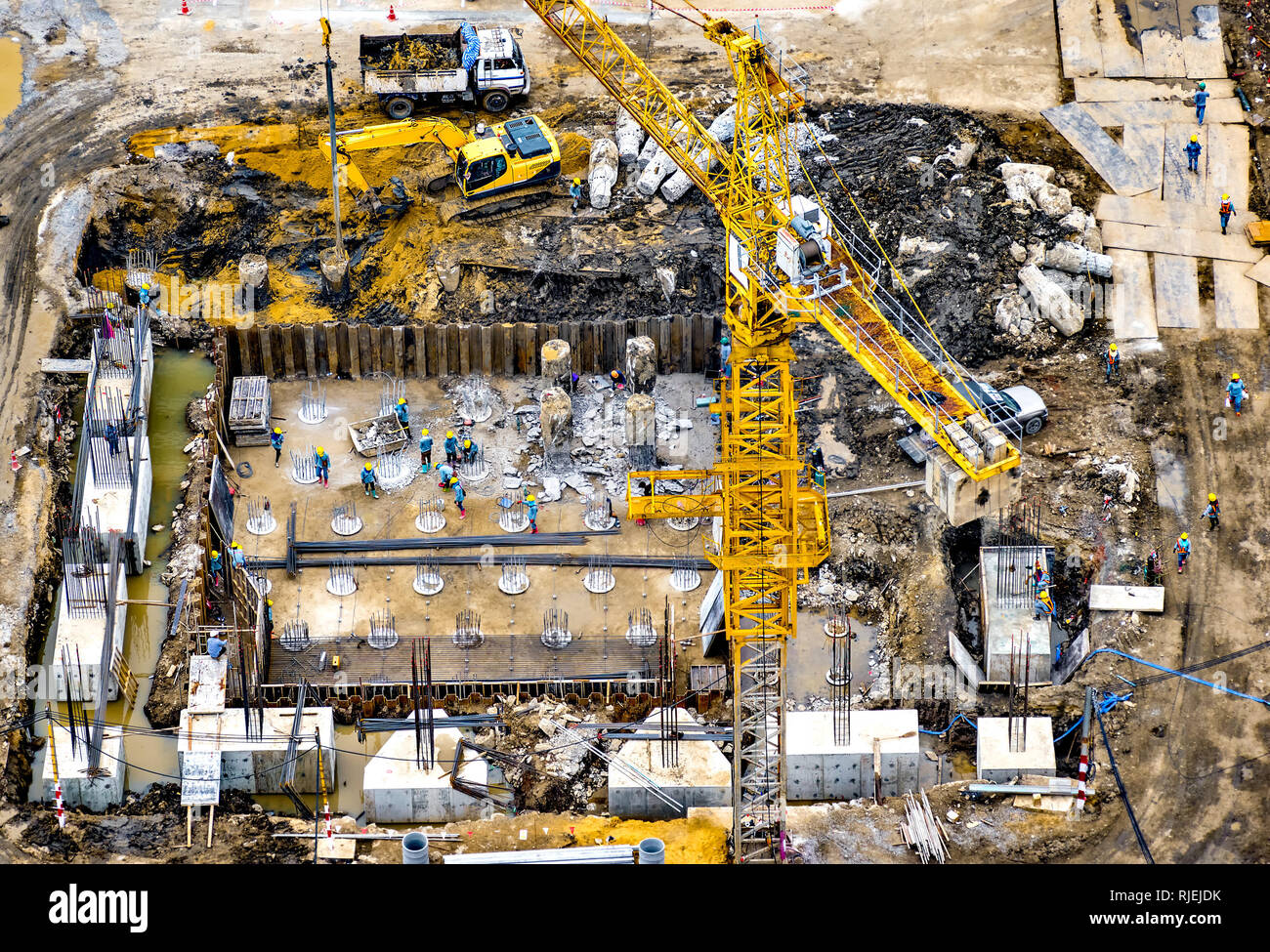 Aerial view of foundation work on a construction site. Stock Photohttps://www.alamy.com/image-license-details/?v=1https://www.alamy.com/aerial-view-of-foundation-work-on-a-construction-site-image235120415.html
RFRJEJDK–Aerial view of foundation work on a construction site.
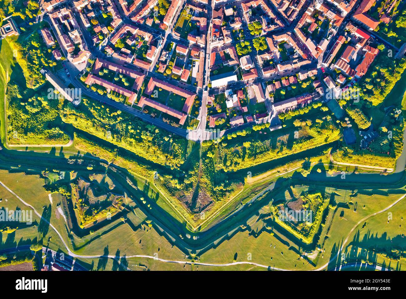 Town of Palmanova defense walls and trenches aerial view, UNESCO world heritage site in Friuli Venezia Giulia region of Italy Stock Photohttps://www.alamy.com/image-license-details/?v=1https://www.alamy.com/town-of-palmanova-defense-walls-and-trenches-aerial-view-unesco-world-heritage-site-in-friuli-venezia-giulia-region-of-italy-image446967906.html
RM2GY543E–Town of Palmanova defense walls and trenches aerial view, UNESCO world heritage site in Friuli Venezia Giulia region of Italy
 Town of Koprivnica landmarks and trenches aerial view Stock Photohttps://www.alamy.com/image-license-details/?v=1https://www.alamy.com/town-of-koprivnica-landmarks-and-trenches-aerial-view-image228136781.html
RFR74EP5–Town of Koprivnica landmarks and trenches aerial view
 France Pas de Calais Neuville Saint Vaast Vimy Memorial man walking in the reconstructed trenches on the Canadian side (aerial Stock Photohttps://www.alamy.com/image-license-details/?v=1https://www.alamy.com/stock-photo-france-pas-de-calais-neuville-saint-vaast-vimy-memorial-man-walking-70396571.html
RME2ERF7–France Pas de Calais Neuville Saint Vaast Vimy Memorial man walking in the reconstructed trenches on the Canadian side (aerial
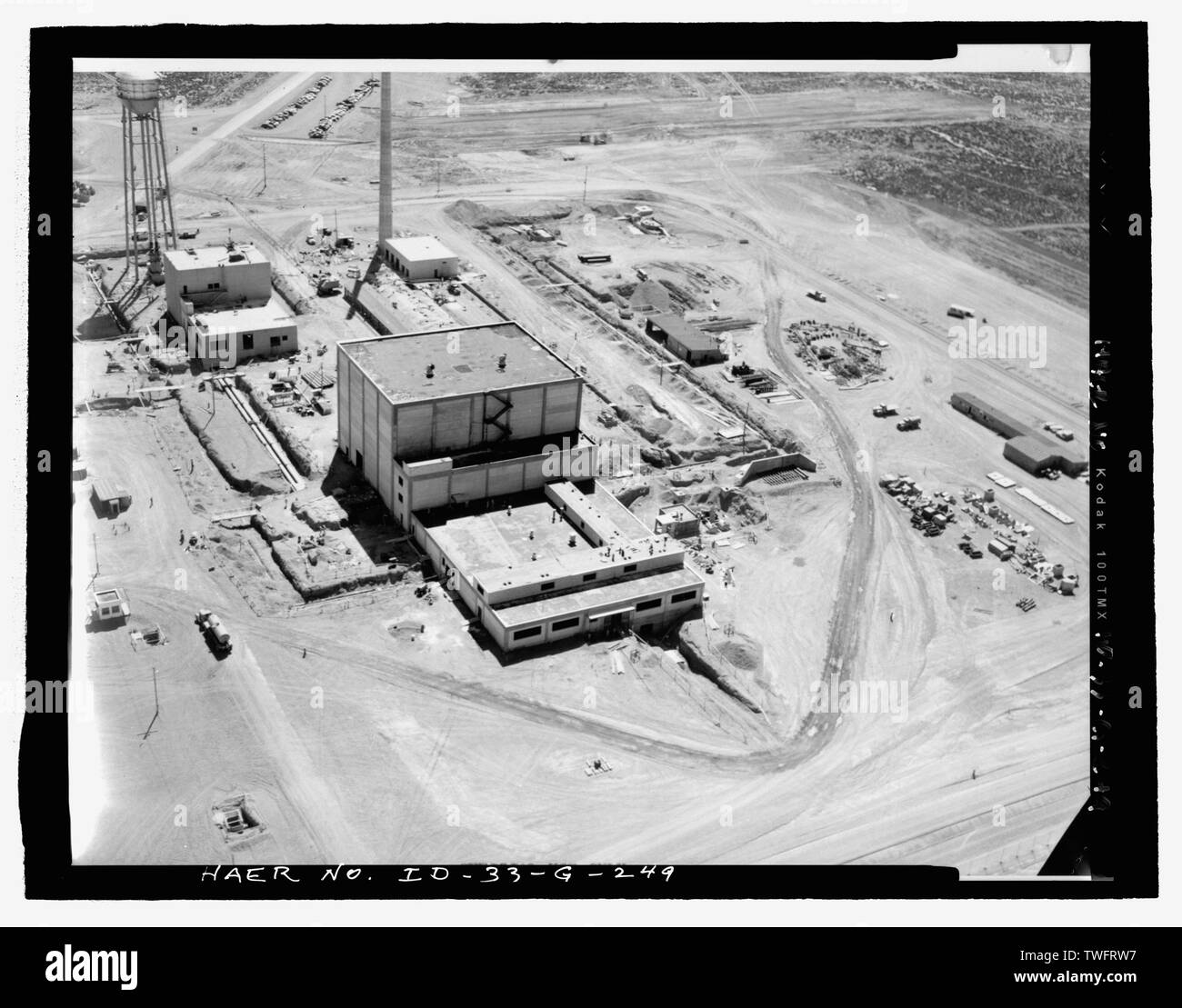 PROCESS WATER BUILDING, TRA-605. AERIAL TAKEN WHILE SEVERAL PIPE TRENCHES REMAINED OPEN. CAMERA FACES EASTERLY. NOTE DUAL PIPES BETWEEN REACTOR BUILDING AND NORTH SIDE OF PROCESS WATER BUILDING. PIPING NEAR WORKING RESERVOIR HEADS FOR RETENTION RESERVOIR. PIPE FROM DEMINERALIZER ENTERS MTR FROM NORTH. SEE ALSO TRENCH FOR COOLANT AIR DUCT AT SOUTH SIDE OF MTR AND LEADING TO FAN HOUSE AND STACK. INL NEGATIVE NO. 2966-A.; Unknown Photographer, 7-31-1951 - Idaho National Engineering Laboratory, Test Reactor Area, Materials and Engineering Test Reactors, Scoville, Butte County, ID Stock Photohttps://www.alamy.com/image-license-details/?v=1https://www.alamy.com/process-water-building-tra-605-aerial-taken-while-several-pipe-trenches-remained-open-camera-faces-easterly-note-dual-pipes-between-reactor-building-and-north-side-of-process-water-building-piping-near-working-reservoir-heads-for-retention-reservoir-pipe-from-demineralizer-enters-mtr-from-north-see-also-trench-for-coolant-air-duct-at-south-side-of-mtr-and-leading-to-fan-house-and-stack-inl-negative-no-2966-a-unknown-photographer-7-31-1951-idaho-national-engineering-laboratory-test-reactor-area-materials-and-engineering-test-reactors-scoville-butte-county-id-image256659571.html
RMTWFRW7–PROCESS WATER BUILDING, TRA-605. AERIAL TAKEN WHILE SEVERAL PIPE TRENCHES REMAINED OPEN. CAMERA FACES EASTERLY. NOTE DUAL PIPES BETWEEN REACTOR BUILDING AND NORTH SIDE OF PROCESS WATER BUILDING. PIPING NEAR WORKING RESERVOIR HEADS FOR RETENTION RESERVOIR. PIPE FROM DEMINERALIZER ENTERS MTR FROM NORTH. SEE ALSO TRENCH FOR COOLANT AIR DUCT AT SOUTH SIDE OF MTR AND LEADING TO FAN HOUSE AND STACK. INL NEGATIVE NO. 2966-A.; Unknown Photographer, 7-31-1951 - Idaho National Engineering Laboratory, Test Reactor Area, Materials and Engineering Test Reactors, Scoville, Butte County, ID
 Aerial shot of german island Sylt during the Windsurf World-Cup Stock Photohttps://www.alamy.com/image-license-details/?v=1https://www.alamy.com/stock-photo-aerial-shot-of-german-island-sylt-during-the-windsurf-world-cup-116321831.html
RFGN6WK3–Aerial shot of german island Sylt during the Windsurf World-Cup
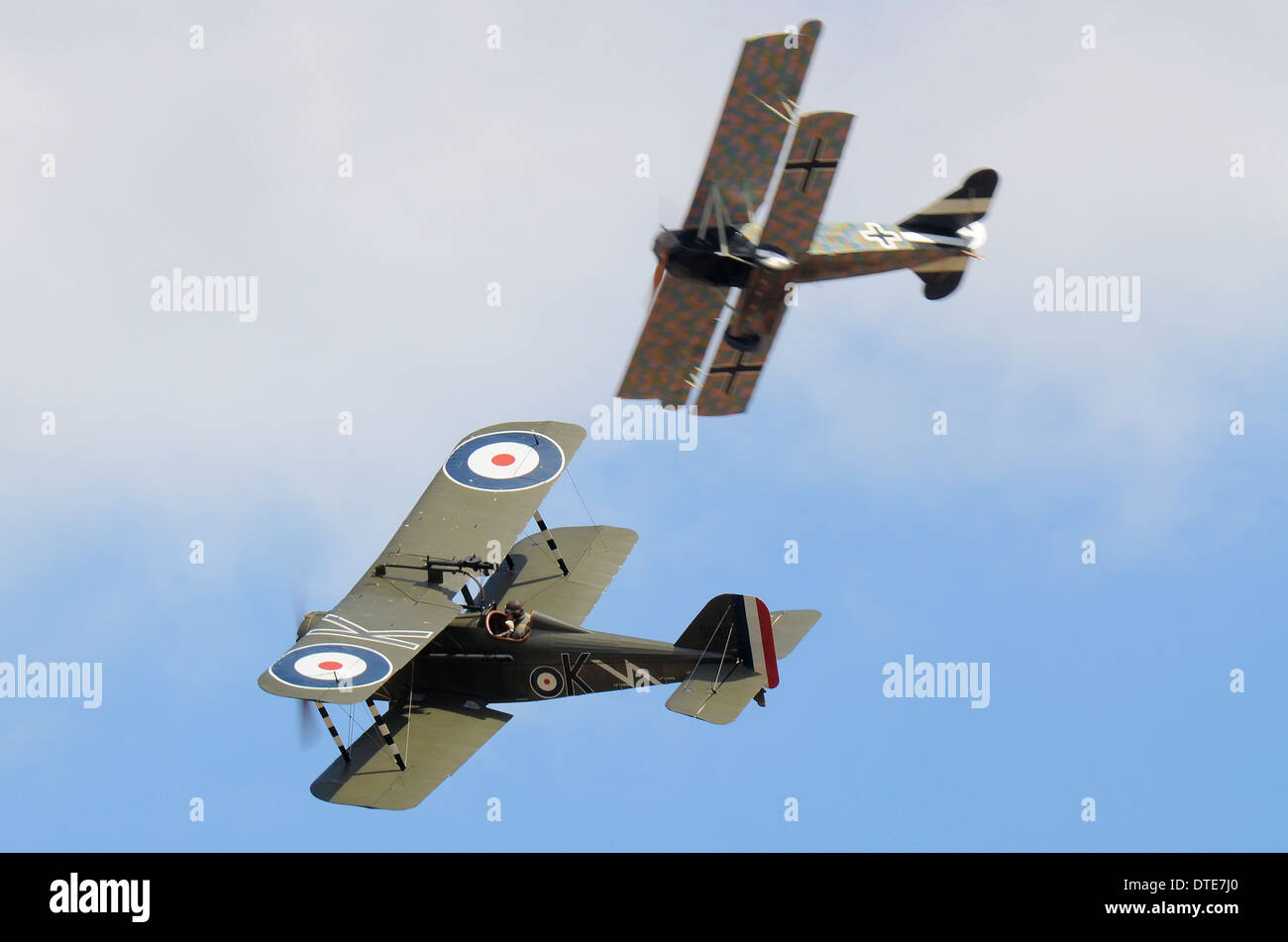 Two replica aircraft dogfight as if over the trenches of World War I - the Great War. One German, one British Royal Flying Corps Stock Photohttps://www.alamy.com/image-license-details/?v=1https://www.alamy.com/two-replica-aircraft-dogfight-as-if-over-the-trenches-of-world-war-image66696168.html
RMDTE7J0–Two replica aircraft dogfight as if over the trenches of World War I - the Great War. One German, one British Royal Flying Corps
 Town of Palmanova defense walls and trenches aerial view, UNESCO world heritage site in Friuli Venezia Giulia region of Italy Stock Photohttps://www.alamy.com/image-license-details/?v=1https://www.alamy.com/town-of-palmanova-defense-walls-and-trenches-aerial-view-unesco-world-heritage-site-in-friuli-venezia-giulia-region-of-italy-image627646551.html
RF2YD3NG7–Town of Palmanova defense walls and trenches aerial view, UNESCO world heritage site in Friuli Venezia Giulia region of Italy
 An aerial of some seed trees in the middle of mineralized clear-cut area near Kuusamo, Northern Finland Stock Photohttps://www.alamy.com/image-license-details/?v=1https://www.alamy.com/an-aerial-of-some-seed-trees-in-the-middle-of-mineralized-clear-cut-area-near-kuusamo-northern-finland-image499590851.html
RF2M0P96B–An aerial of some seed trees in the middle of mineralized clear-cut area near Kuusamo, Northern Finland
 Klessin, Brandenburg. 01st Oct, 2018. Members of the Association for the Recovery of Fallen in Eastern Europe e.V. (VBGO) have uncovered trenches from the Second World War on a field (aerial photograph with a drone). Only about 40 meters separate a Soviet trench (l) and a German trench (r) from each other. The search for the remains of war dead on the edge of the Oderbruch continues. To this day, the whereabouts of many war dead from the Second World War in East Brandenburg remain unclear. Credit: dpa picture alliance/Alamy Live News Stock Photohttps://www.alamy.com/image-license-details/?v=1https://www.alamy.com/klessin-brandenburg-01st-oct-2018-members-of-the-association-for-the-recovery-of-fallen-in-eastern-europe-ev-vbgo-have-uncovered-trenches-from-the-second-world-war-on-a-field-aerial-photograph-with-a-drone-only-about-40-meters-separate-a-soviet-trench-l-and-a-german-trench-r-from-each-other-the-search-for-the-remains-of-war-dead-on-the-edge-of-the-oderbruch-continues-to-this-day-the-whereabouts-of-many-war-dead-from-the-second-world-war-in-east-brandenburg-remain-unclear-credit-dpa-picture-alliancealamy-live-news-image220972647.html
RMPRE4T7–Klessin, Brandenburg. 01st Oct, 2018. Members of the Association for the Recovery of Fallen in Eastern Europe e.V. (VBGO) have uncovered trenches from the Second World War on a field (aerial photograph with a drone). Only about 40 meters separate a Soviet trench (l) and a German trench (r) from each other. The search for the remains of war dead on the edge of the Oderbruch continues. To this day, the whereabouts of many war dead from the Second World War in East Brandenburg remain unclear. Credit: dpa picture alliance/Alamy Live News
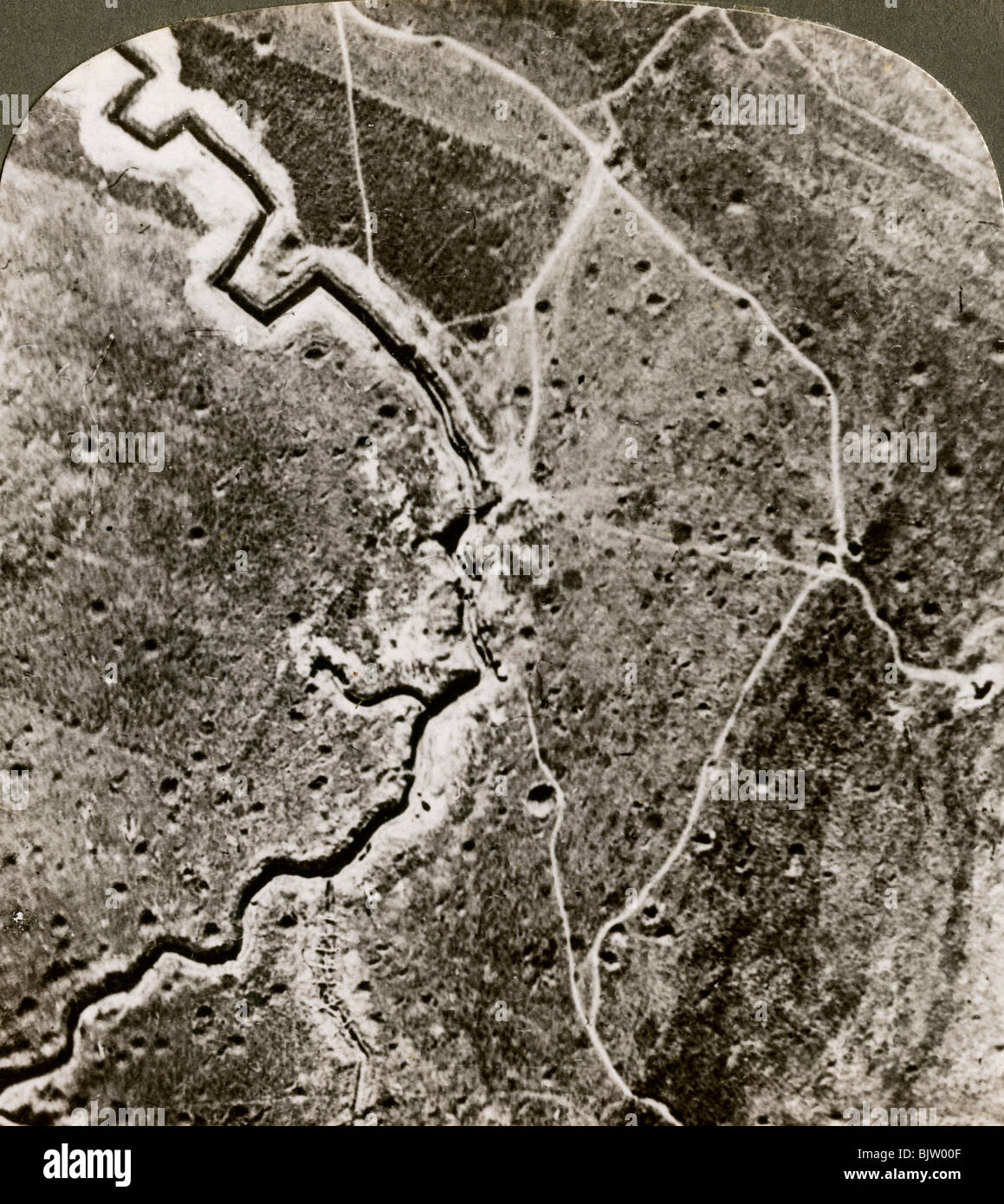 Aerial photograph of the German lines, World War I, 1914-1918.Artist: Realistic Travels Publishers Stock Photohttps://www.alamy.com/image-license-details/?v=1https://www.alamy.com/stock-photo-aerial-photograph-of-the-german-lines-world-war-i-1914-1918artist-28822991.html
RMBJW00F–Aerial photograph of the German lines, World War I, 1914-1918.Artist: Realistic Travels Publishers
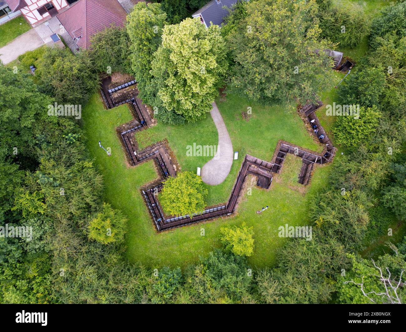 Memorial Museum Passchendaele 1917, Zonnebeke, Belgium Stock Photohttps://www.alamy.com/image-license-details/?v=1https://www.alamy.com/memorial-museum-passchendaele-1917-zonnebeke-belgium-image609141034.html
RM2XB0NGX–Memorial Museum Passchendaele 1917, Zonnebeke, Belgium
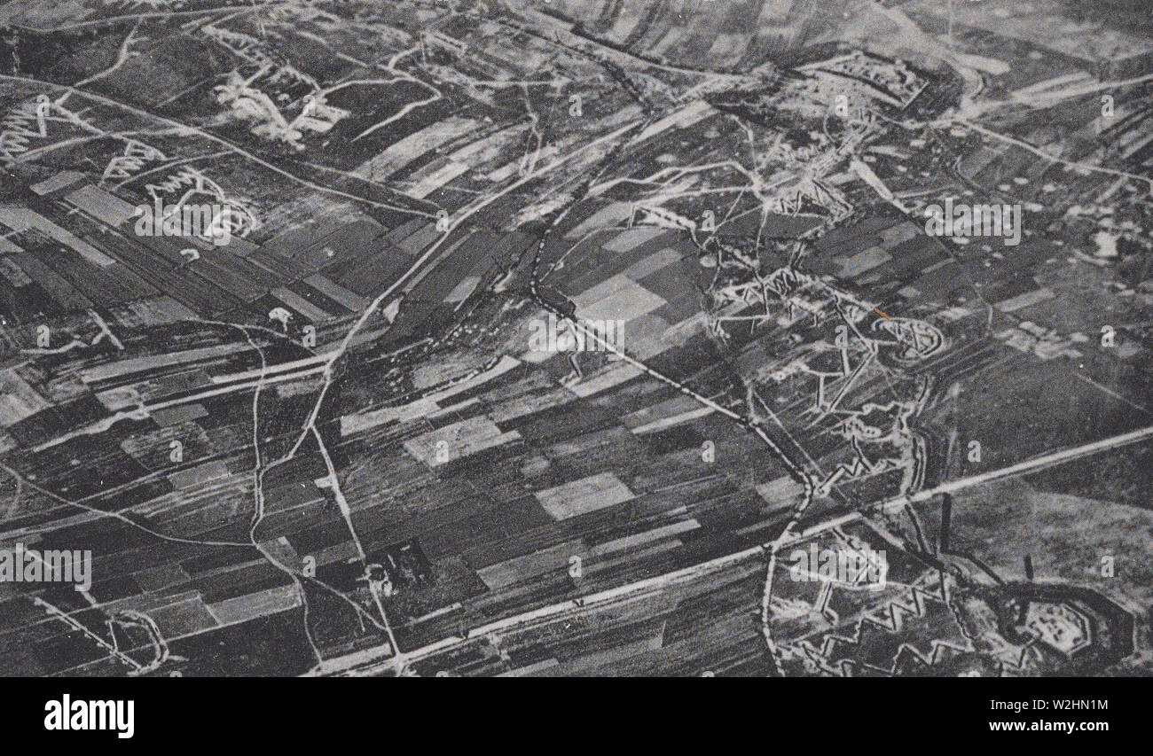 Aerial view of French and German trenches during World War I (WW I trenches) ca. 1916-1918 Stock Photohttps://www.alamy.com/image-license-details/?v=1https://www.alamy.com/aerial-view-of-french-and-german-trenches-during-world-war-i-ww-i-trenches-ca-1916-1918-image259774528.html
RMW2HN1M–Aerial view of French and German trenches during World War I (WW I trenches) ca. 1916-1918
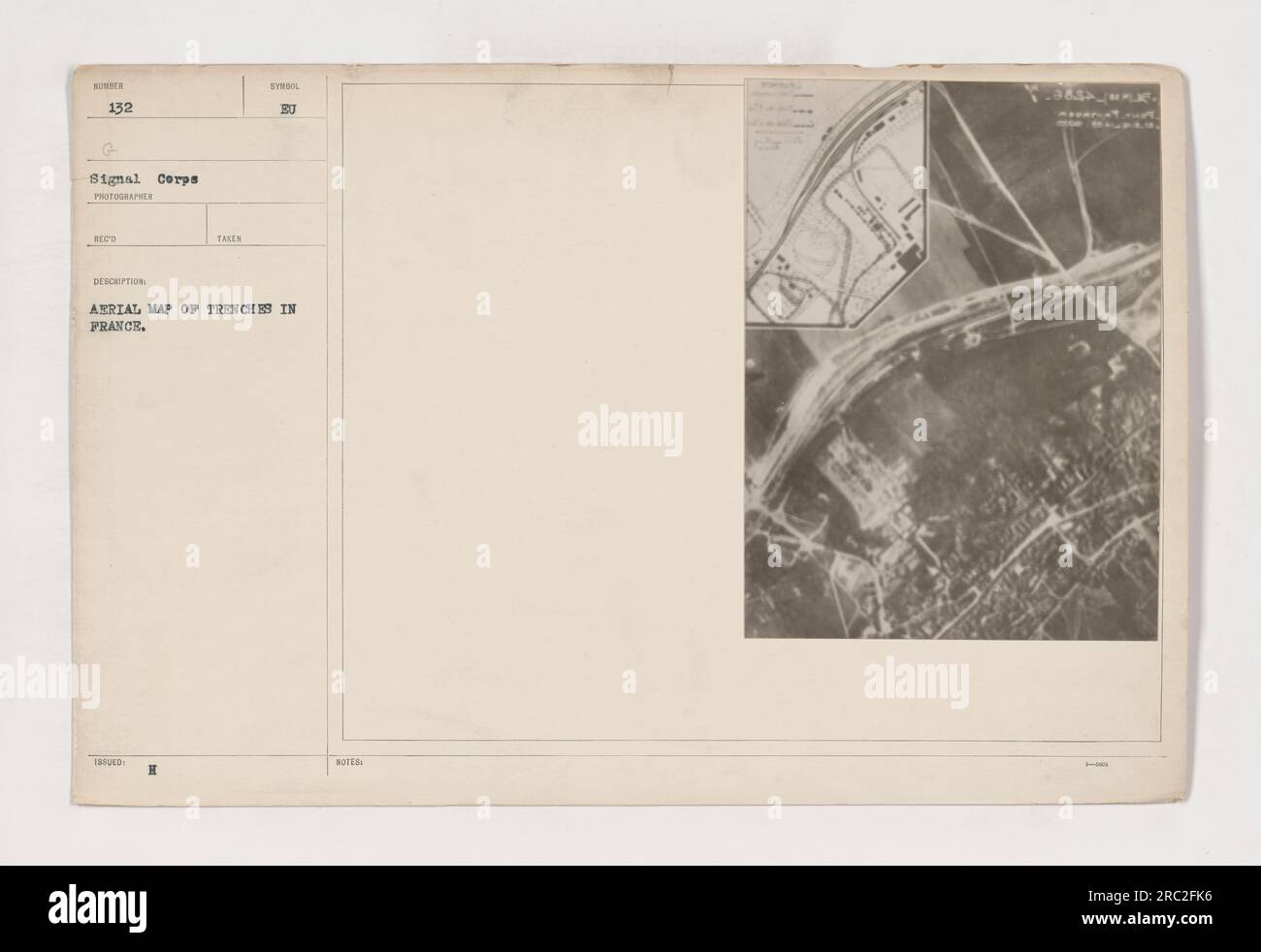 This photograph, labeled as 111-SC-132, shows an aerial map of trenches in France, specifically in Pont Faverger. It is a part of the Signal Corps collection and was taken by a photographer. The description mentions that it was taken during World War I and is an issued photograph. The symbol 'BU' is not further clarified. Stock Photohttps://www.alamy.com/image-license-details/?v=1https://www.alamy.com/this-photograph-labeled-as-111-sc-132-shows-an-aerial-map-of-trenches-in-france-specifically-in-pont-faverger-it-is-a-part-of-the-signal-corps-collection-and-was-taken-by-a-photographer-the-description-mentions-that-it-was-taken-during-world-war-i-and-is-an-issued-photograph-the-symbol-bu-is-not-further-clarified-image558163850.html
RM2RC2FK6–This photograph, labeled as 111-SC-132, shows an aerial map of trenches in France, specifically in Pont Faverger. It is a part of the Signal Corps collection and was taken by a photographer. The description mentions that it was taken during World War I and is an issued photograph. The symbol 'BU' is not further clarified.
 360 degrees aerial panorama of the agrarian green pasture fields with its irrigation infrastructure of ditches and trenches surrounding Stock Photohttps://www.alamy.com/image-license-details/?v=1https://www.alamy.com/360-degrees-aerial-panorama-of-the-agrarian-green-pasture-fields-with-its-irrigation-infrastructure-of-ditches-and-trenches-surrounding-image268953196.html
RFWHFTF8–360 degrees aerial panorama of the agrarian green pasture fields with its irrigation infrastructure of ditches and trenches surrounding
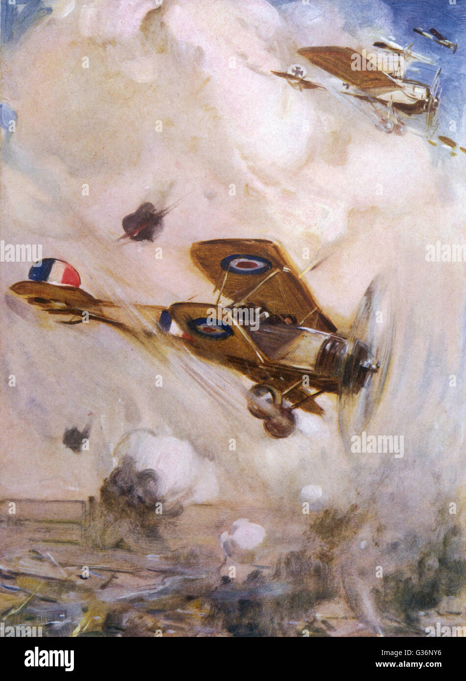 Aerial combat over trenches during First World War Stock Photohttps://www.alamy.com/image-license-details/?v=1https://www.alamy.com/stock-photo-aerial-combat-over-trenches-during-first-world-war-105255114.html
RMG36NY6–Aerial combat over trenches during First World War
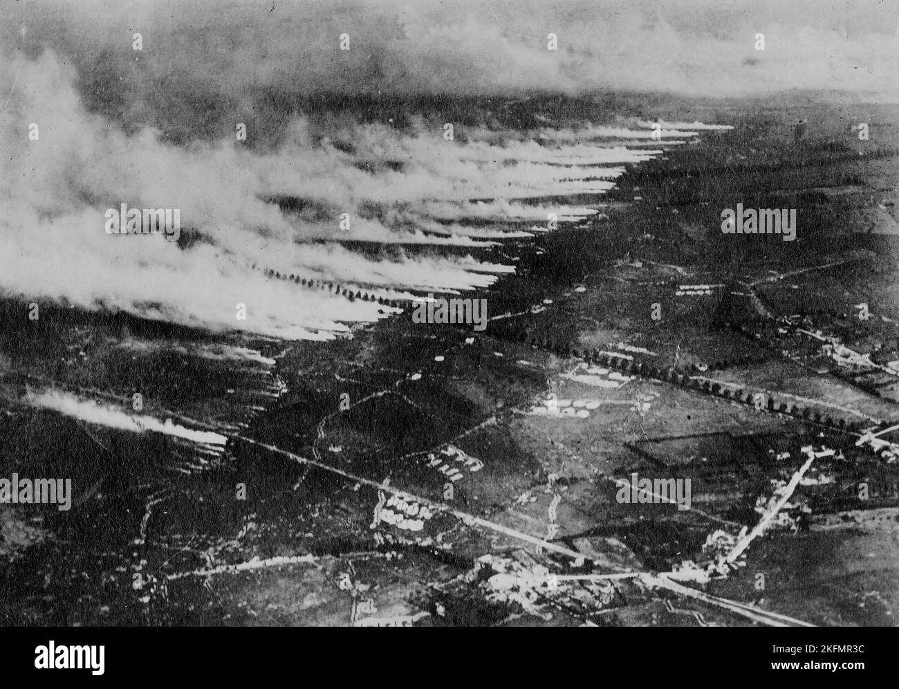 WESTERN FRONT, FRANCE - circa 1915 - Aerial photograph of a gas attack on the Somme battlefield using metal canisters of liquid gas. When the canister Stock Photohttps://www.alamy.com/image-license-details/?v=1https://www.alamy.com/western-front-france-circa-1915-aerial-photograph-of-a-gas-attack-on-the-somme-battlefield-using-metal-canisters-of-liquid-gas-when-the-canister-image491567312.html
RM2KFMR3C–WESTERN FRONT, FRANCE - circa 1915 - Aerial photograph of a gas attack on the Somme battlefield using metal canisters of liquid gas. When the canister
 Town of Palmanova defense walls and trenches aerial panoramic view, UNESCO world heritage site in Friuli Venezia Giulia region of Italy Stock Photohttps://www.alamy.com/image-license-details/?v=1https://www.alamy.com/town-of-palmanova-defense-walls-and-trenches-aerial-panoramic-view-unesco-world-heritage-site-in-friuli-venezia-giulia-region-of-italy-image549042356.html
RF2PW713G–Town of Palmanova defense walls and trenches aerial panoramic view, UNESCO world heritage site in Friuli Venezia Giulia region of Italy
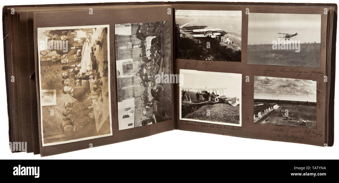 A photograph album of Jagdstaffel 17, Captioned, many pictures of various aircraft types, among them 'Spad, Albatros' and others. The aircraft with markings and universal paintwork, good technical images of engines and weapons, crash landings, aerial photographs, positions and communication trenches, zeppelin, aircraft hangars. Heavy fighter of 'Kagohl II.' with painted death's head emblem. Pilots, some with awards, in front of their planes, portrait of aviator belonging to Aviation Unit 276, visit of Turkish princes to the unit, towns in France and Belgium (Brieg, Frescaty, Editorial-Use-Only Stock Photohttps://www.alamy.com/image-license-details/?v=1https://www.alamy.com/a-photograph-album-of-jagdstaffel-17-captioned-many-pictures-of-various-aircraft-types-among-them-spad-albatros-and-others-the-aircraft-with-markings-and-universal-paintwork-good-technical-images-of-engines-and-weapons-crash-landings-aerial-photographs-positions-and-communication-trenches-zeppelin-aircraft-hangars-heavy-fighter-of-kagohl-ii-with-painted-deaths-head-emblem-pilots-some-with-awards-in-front-of-their-planes-portrait-of-aviator-belonging-to-aviation-unit-276-visit-of-turkish-princes-to-the-unit-towns-in-france-and-belgium-brieg-frescaty-editorial-use-only-image247640326.html
RMTATYNA–A photograph album of Jagdstaffel 17, Captioned, many pictures of various aircraft types, among them 'Spad, Albatros' and others. The aircraft with markings and universal paintwork, good technical images of engines and weapons, crash landings, aerial photographs, positions and communication trenches, zeppelin, aircraft hangars. Heavy fighter of 'Kagohl II.' with painted death's head emblem. Pilots, some with awards, in front of their planes, portrait of aviator belonging to Aviation Unit 276, visit of Turkish princes to the unit, towns in France and Belgium (Brieg, Frescaty, Editorial-Use-Only
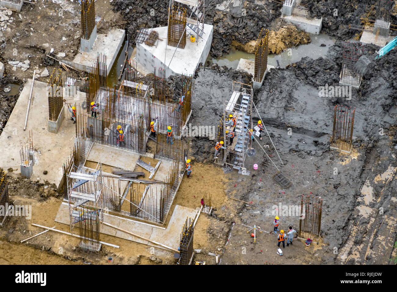 Aerial view of foundation work on a construction site. Stock Photohttps://www.alamy.com/image-license-details/?v=1https://www.alamy.com/aerial-view-of-foundation-work-on-a-construction-site-image235120421.html
RFRJEJDW–Aerial view of foundation work on a construction site.
 Town of Palmanova defense walls and trenches aerial view, UNESCO world heritage site in Friuli Venezia Giulia region of Italy Stock Photohttps://www.alamy.com/image-license-details/?v=1https://www.alamy.com/town-of-palmanova-defense-walls-and-trenches-aerial-view-unesco-world-heritage-site-in-friuli-venezia-giulia-region-of-italy-image446967915.html
RF2GY543R–Town of Palmanova defense walls and trenches aerial view, UNESCO world heritage site in Friuli Venezia Giulia region of Italy
 A beautiful abstract depiction of the Atlantic Ocean floor from a small airplane over the Bahama islands. Stock Photohttps://www.alamy.com/image-license-details/?v=1https://www.alamy.com/a-beautiful-abstract-depiction-of-the-atlantic-ocean-floor-from-a-small-airplane-over-the-bahama-islands-image186409415.html
RFMR7K33–A beautiful abstract depiction of the Atlantic Ocean floor from a small airplane over the Bahama islands.
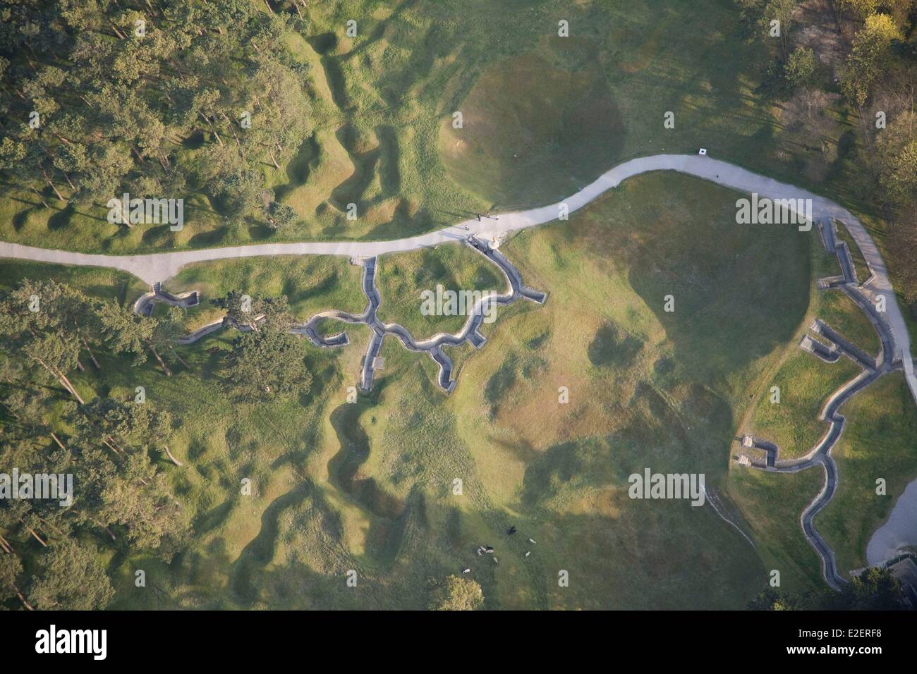 France Pas de Calais Neuville Saint Vaast Vimy Memorial man walking in the reconstructed trenches on the Canadian side (aerial Stock Photohttps://www.alamy.com/image-license-details/?v=1https://www.alamy.com/stock-photo-france-pas-de-calais-neuville-saint-vaast-vimy-memorial-man-walking-70396572.html
RME2ERF8–France Pas de Calais Neuville Saint Vaast Vimy Memorial man walking in the reconstructed trenches on the Canadian side (aerial
 Citizens of Leningrad erecting trenches and shelters against German bombardment. The Soviet (Russia) city was under siege from Stock Photohttps://www.alamy.com/image-license-details/?v=1https://www.alamy.com/stock-photo-citizens-of-leningrad-erecting-trenches-and-shelters-against-german-78824091.html
RMEG6MX3–Citizens of Leningrad erecting trenches and shelters against German bombardment. The Soviet (Russia) city was under siege from
 Aerial shot of german island Sylt during the Windsurf World-Cup Stock Photohttps://www.alamy.com/image-license-details/?v=1https://www.alamy.com/stock-photo-aerial-shot-of-german-island-sylt-during-the-windsurf-world-cup-116321832.html
RFGN6WK4–Aerial shot of german island Sylt during the Windsurf World-Cup
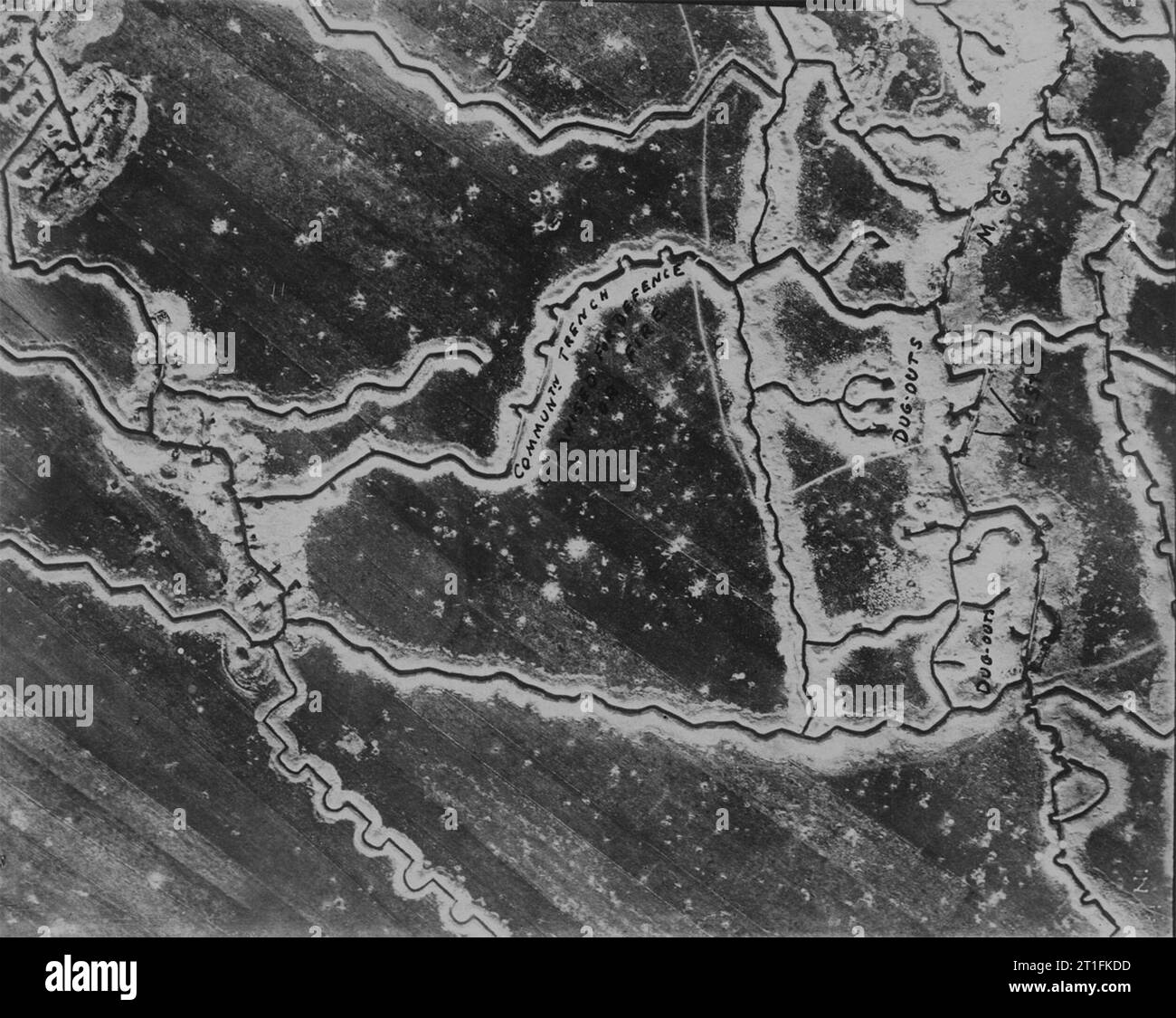 Aerial photograph of WW1 trenches Stock Photohttps://www.alamy.com/image-license-details/?v=1https://www.alamy.com/aerial-photograph-of-ww1-trenches-image568901353.html
RM2T1FKDD–Aerial photograph of WW1 trenches
 Town of Koprivnica landmarks and trenches aerial view, Podravina region of Croatia Stock Photohttps://www.alamy.com/image-license-details/?v=1https://www.alamy.com/town-of-koprivnica-landmarks-and-trenches-aerial-view-podravina-region-of-croatia-image627556720.html
RF2YCYK00–Town of Koprivnica landmarks and trenches aerial view, Podravina region of Croatia
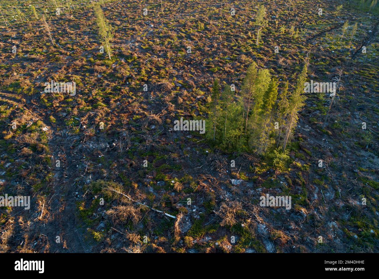 An aerial of a mineralized clear-cut area with some standing trees in summery Northern Finland Stock Photohttps://www.alamy.com/image-license-details/?v=1https://www.alamy.com/an-aerial-of-a-mineralized-clear-cut-area-with-some-standing-trees-in-summery-northern-finland-image501858490.html
RF2M4DHHE–An aerial of a mineralized clear-cut area with some standing trees in summery Northern Finland
 Klessin, Brandenburg. 01st Oct, 2018. Members of the Association for the Recovery of Fallen in Eastern Europe e.V. (VBGO) have uncovered trenches from the Second World War on a field (aerial photograph with a drone). Only about 40 meters separate here a German trench (in front) and a Soviet trench (behind) from each other. The search for the remains of war dead on the edge of the Oderbruch continues. To this day, the whereabouts of many war dead from the Second World War in East Brandenburg remain unclear. Credit: dpa picture alliance/Alamy Live News Stock Photohttps://www.alamy.com/image-license-details/?v=1https://www.alamy.com/klessin-brandenburg-01st-oct-2018-members-of-the-association-for-the-recovery-of-fallen-in-eastern-europe-ev-vbgo-have-uncovered-trenches-from-the-second-world-war-on-a-field-aerial-photograph-with-a-drone-only-about-40-meters-separate-here-a-german-trench-in-front-and-a-soviet-trench-behind-from-each-other-the-search-for-the-remains-of-war-dead-on-the-edge-of-the-oderbruch-continues-to-this-day-the-whereabouts-of-many-war-dead-from-the-second-world-war-in-east-brandenburg-remain-unclear-credit-dpa-picture-alliancealamy-live-news-image220972659.html
RMPRE4TK–Klessin, Brandenburg. 01st Oct, 2018. Members of the Association for the Recovery of Fallen in Eastern Europe e.V. (VBGO) have uncovered trenches from the Second World War on a field (aerial photograph with a drone). Only about 40 meters separate here a German trench (in front) and a Soviet trench (behind) from each other. The search for the remains of war dead on the edge of the Oderbruch continues. To this day, the whereabouts of many war dead from the Second World War in East Brandenburg remain unclear. Credit: dpa picture alliance/Alamy Live News
![Russian trenches in the area of the Stalin Line. Photo: Jütte. [automated translation] Stock Photo Russian trenches in the area of the Stalin Line. Photo: Jütte. [automated translation] Stock Photo](https://c8.alamy.com/comp/2PYX809/russian-trenches-in-the-area-of-the-stalin-line-photo-jtte-automated-translation-2PYX809.jpg) Russian trenches in the area of the Stalin Line. Photo: Jütte. [automated translation] Stock Photohttps://www.alamy.com/image-license-details/?v=1https://www.alamy.com/russian-trenches-in-the-area-of-the-stalin-line-photo-jtte-automated-translation-image550694153.html
Russian trenches in the area of the Stalin Line. Photo: Jütte. [automated translation] Stock Photohttps://www.alamy.com/image-license-details/?v=1https://www.alamy.com/russian-trenches-in-the-area-of-the-stalin-line-photo-jtte-automated-translation-image550694153.htmlRM2PYX809–Russian trenches in the area of the Stalin Line. Photo: Jütte. [automated translation]
 Memorial Museum Passchendaele 1917, Zonnebeke, Belgium Stock Photohttps://www.alamy.com/image-license-details/?v=1https://www.alamy.com/memorial-museum-passchendaele-1917-zonnebeke-belgium-image609141031.html
RM2XB0NGR–Memorial Museum Passchendaele 1917, Zonnebeke, Belgium
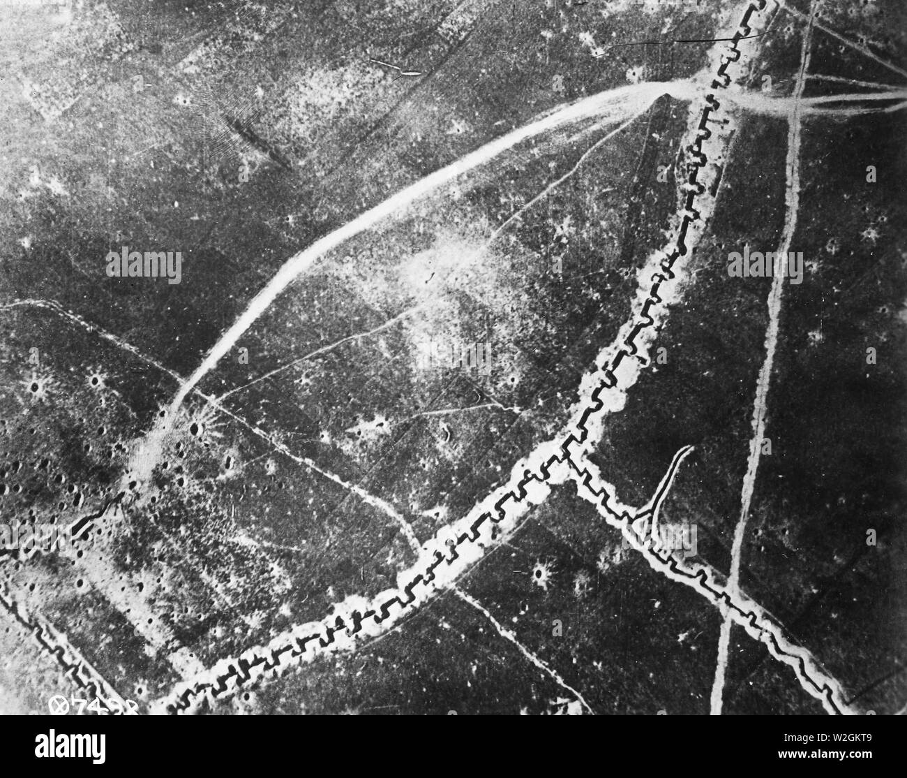 Aerial photograph of an unidentified trench system during WW I ca. 1918 Stock Photohttps://www.alamy.com/image-license-details/?v=1https://www.alamy.com/aerial-photograph-of-an-unidentified-trench-system-during-ww-i-ca-1918-image259751641.html
RMW2GKT9–Aerial photograph of an unidentified trench system during WW I ca. 1918
 Aerial photograph taken at an unknown location in France during World War One. The photo depicts a series of trenches, identified as 'Tranchee Guillaume,' running obliquely across the landscape. The image is number 111-SC-976 and was taken by photographer NEOD. It is part of a collection of aerial photographs documenting American military activities during the war. Stock Photohttps://www.alamy.com/image-license-details/?v=1https://www.alamy.com/aerial-photograph-taken-at-an-unknown-location-in-france-during-world-war-one-the-photo-depicts-a-series-of-trenches-identified-as-tranchee-guillaume-running-obliquely-across-the-landscape-the-image-is-number-111-sc-976-and-was-taken-by-photographer-neod-it-is-part-of-a-collection-of-aerial-photographs-documenting-american-military-activities-during-the-war-image558349862.html
RM2RCB0XE–Aerial photograph taken at an unknown location in France during World War One. The photo depicts a series of trenches, identified as 'Tranchee Guillaume,' running obliquely across the landscape. The image is number 111-SC-976 and was taken by photographer NEOD. It is part of a collection of aerial photographs documenting American military activities during the war.
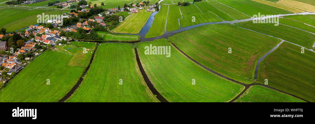 Top down aerial panorama of the patterned agrarian green pasture fields with its irrigation infrastructure of ditches and trenches surrounding Stock Photohttps://www.alamy.com/image-license-details/?v=1https://www.alamy.com/top-down-aerial-panorama-of-the-patterned-agrarian-green-pasture-fields-with-its-irrigation-infrastructure-of-ditches-and-trenches-surrounding-image268953038.html
RFWHFT9J–Top down aerial panorama of the patterned agrarian green pasture fields with its irrigation infrastructure of ditches and trenches surrounding
 Ww1 1915 Air Aerial Comb Stock Photohttps://www.alamy.com/image-license-details/?v=1https://www.alamy.com/ww1-1915-air-aerial-comb-image5072102.html
RMANHTE7–Ww1 1915 Air Aerial Comb
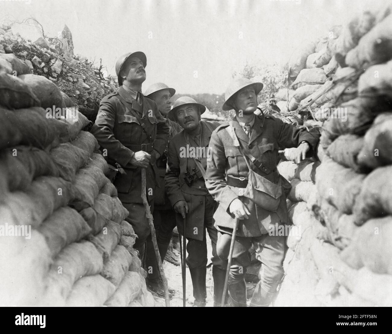 World War One, WWI, Western Front - War correspondents watching aerial combat, France Stock Photohttps://www.alamy.com/image-license-details/?v=1https://www.alamy.com/world-war-one-wwi-western-front-war-correspondents-watching-aerial-combat-france-image428134021.html
RM2FTF58N–World War One, WWI, Western Front - War correspondents watching aerial combat, France
 Town of Palmanova defense walls and trenches aerial panoramic view, UNESCO world heritage site in Friuli Venezia Giulia region of Italy Stock Photohttps://www.alamy.com/image-license-details/?v=1https://www.alamy.com/town-of-palmanova-defense-walls-and-trenches-aerial-panoramic-view-unesco-world-heritage-site-in-friuli-venezia-giulia-region-of-italy-image549053515.html
RF2PW7FA3–Town of Palmanova defense walls and trenches aerial panoramic view, UNESCO world heritage site in Friuli Venezia Giulia region of Italy
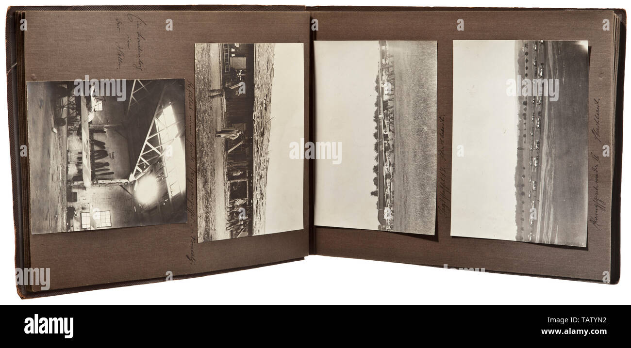 A photograph album of Jagdstaffel 17, Captioned, many pictures of various aircraft types, among them 'Spad, Albatros' and others. The aircraft with markings and universal paintwork, good technical images of engines and weapons, crash landings, aerial photographs, positions and communication trenches, zeppelin, aircraft hangars. Heavy fighter of 'Kagohl II.' with painted death's head emblem. Pilots, some with awards, in front of their planes, portrait of aviator belonging to Aviation Unit 276, visit of Turkish princes to the unit, towns in France and Belgium (Brieg, Frescaty, Editorial-Use-Only Stock Photohttps://www.alamy.com/image-license-details/?v=1https://www.alamy.com/a-photograph-album-of-jagdstaffel-17-captioned-many-pictures-of-various-aircraft-types-among-them-spad-albatros-and-others-the-aircraft-with-markings-and-universal-paintwork-good-technical-images-of-engines-and-weapons-crash-landings-aerial-photographs-positions-and-communication-trenches-zeppelin-aircraft-hangars-heavy-fighter-of-kagohl-ii-with-painted-deaths-head-emblem-pilots-some-with-awards-in-front-of-their-planes-portrait-of-aviator-belonging-to-aviation-unit-276-visit-of-turkish-princes-to-the-unit-towns-in-france-and-belgium-brieg-frescaty-editorial-use-only-image247640318.html
RMTATYN2–A photograph album of Jagdstaffel 17, Captioned, many pictures of various aircraft types, among them 'Spad, Albatros' and others. The aircraft with markings and universal paintwork, good technical images of engines and weapons, crash landings, aerial photographs, positions and communication trenches, zeppelin, aircraft hangars. Heavy fighter of 'Kagohl II.' with painted death's head emblem. Pilots, some with awards, in front of their planes, portrait of aviator belonging to Aviation Unit 276, visit of Turkish princes to the unit, towns in France and Belgium (Brieg, Frescaty, Editorial-Use-Only