Quick filters:
Triangulation Stock Photos and Images
 Conceptual diagram of satellite triangulation. Stock Photohttps://www.alamy.com/image-license-details/?v=1https://www.alamy.com/stock-photo-conceptual-diagram-of-satellite-triangulation-104149863.html
RMG1CC5Y–Conceptual diagram of satellite triangulation.
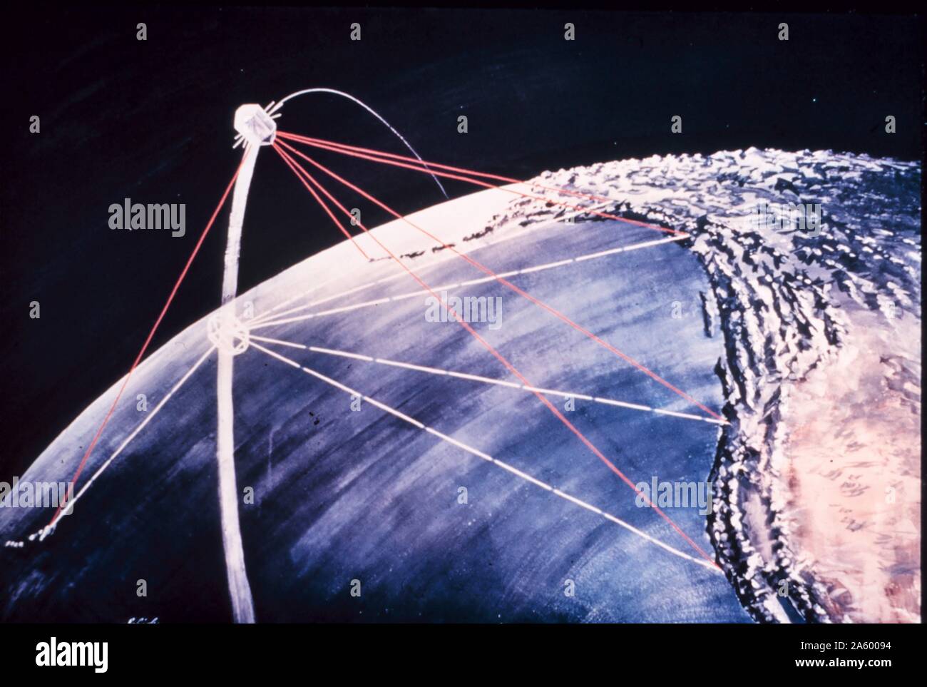 Conceptual diagram of satellite triangulation. Stock Photohttps://www.alamy.com/image-license-details/?v=1https://www.alamy.com/conceptual-diagram-of-satellite-triangulation-image330685184.html
RM2A60094–Conceptual diagram of satellite triangulation.
 THE COMING TRANSIT OF VENUS, THE TRIANGULATION OF THE ISLAND OF RODRIGUEZ Stock Photohttps://www.alamy.com/image-license-details/?v=1https://www.alamy.com/stock-photo-the-coming-transit-of-venus-the-triangulation-of-the-island-of-rodriguez-53492053.html
RMD30NJD–THE COMING TRANSIT OF VENUS, THE TRIANGULATION OF THE ISLAND OF RODRIGUEZ
 Triangulation, summit of Sultan Mountain. Silverton Quadrangle. San Juan County, Colorado. 517583 Stock Photohttps://www.alamy.com/image-license-details/?v=1https://www.alamy.com/triangulation-summit-of-sultan-mountain-silverton-quadrangle-san-juan-image62354743.html
RMDHCE33–Triangulation, summit of Sultan Mountain. Silverton Quadrangle. San Juan County, Colorado. 517583
 De Re Metallica, Triangulation Stock Photohttps://www.alamy.com/image-license-details/?v=1https://www.alamy.com/stock-photo-de-re-metallica-triangulation-135097660.html
RMHRP6CC–De Re Metallica, Triangulation
 Moleson summit group hiker Triangulation pyramid measurement point sunrise sundown mountains Freiburg Alps Stock Photohttps://www.alamy.com/image-license-details/?v=1https://www.alamy.com/stock-photo-moleson-summit-group-hiker-triangulation-pyramid-measurement-point-32986098.html
RMBWJJ2X–Moleson summit group hiker Triangulation pyramid measurement point sunrise sundown mountains Freiburg Alps
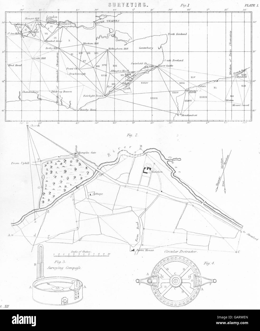 KENT: Surveying. Triangulation, 1880 antique map Stock Photohttps://www.alamy.com/image-license-details/?v=1https://www.alamy.com/stock-photo-kent-surveying-triangulation-1880-antique-map-109933677.html
RFGARWEN–KENT: Surveying. Triangulation, 1880 antique map
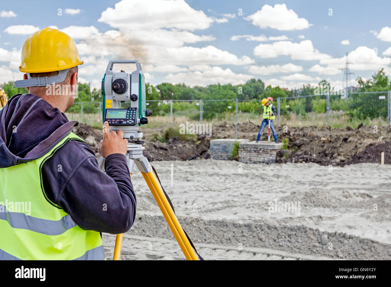 Surveyor engineer is measuring level on construction site. Surveyors ensure precise measurements before undertaking large constr Stock Photohttps://www.alamy.com/image-license-details/?v=1https://www.alamy.com/stock-photo-surveyor-engineer-is-measuring-level-on-construction-site-surveyors-116322947.html
RFGN6Y2Y–Surveyor engineer is measuring level on construction site. Surveyors ensure precise measurements before undertaking large constr
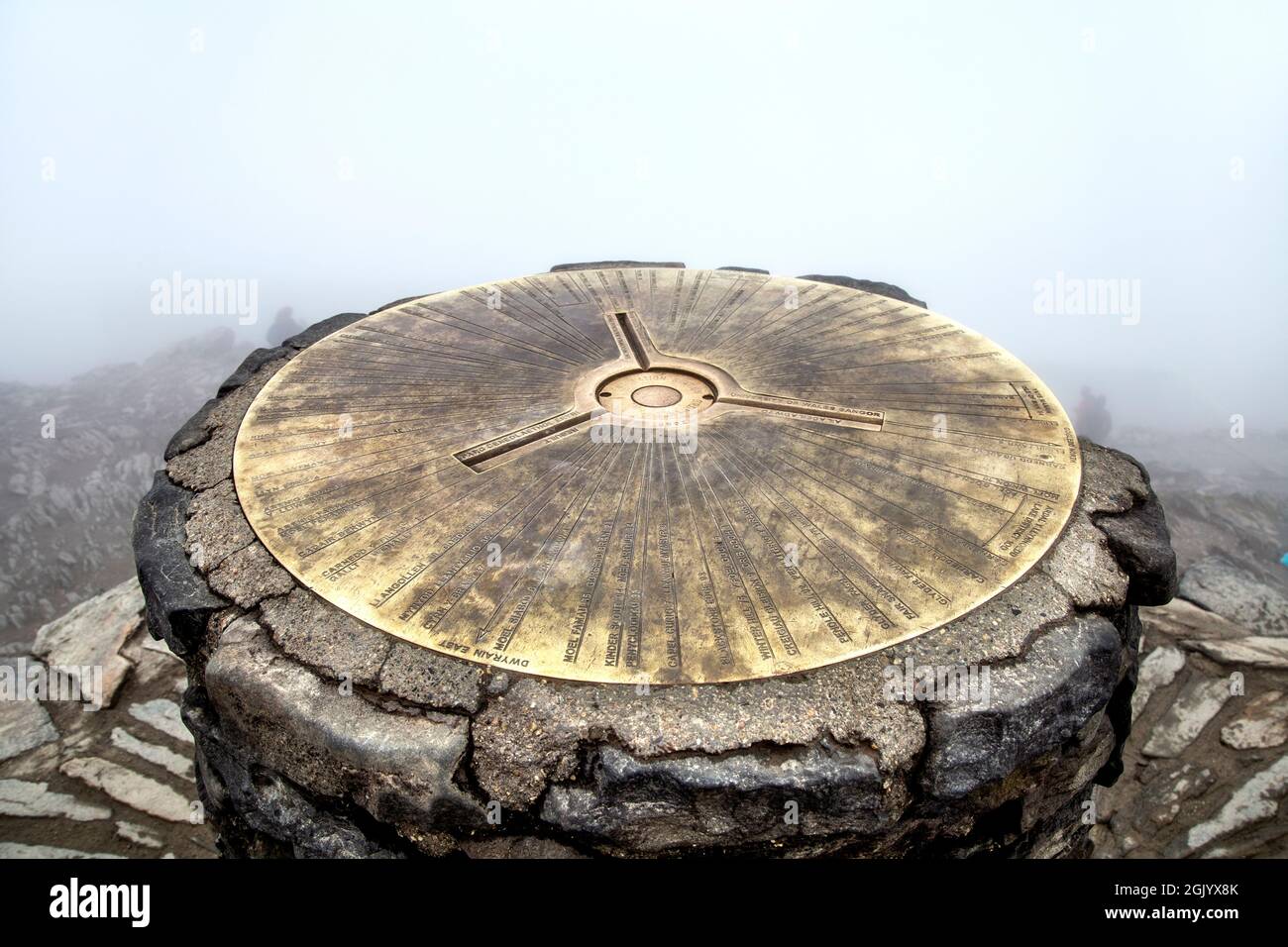 Triangulation point at the summit of Snowdon, Snowdonia National Park, Wales, UK Stock Photohttps://www.alamy.com/image-license-details/?v=1https://www.alamy.com/triangulation-point-at-the-summit-of-snowdon-snowdonia-national-park-wales-uk-image441936339.html
RM2GJYX8K–Triangulation point at the summit of Snowdon, Snowdonia National Park, Wales, UK
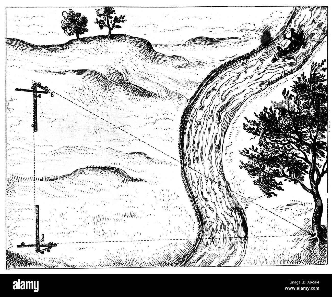 Measuring the distance of an inaccessible object by triangulation using a hinged staff, 1617-1619. Artist: Unknown Stock Photohttps://www.alamy.com/image-license-details/?v=1https://www.alamy.com/measuring-the-distance-of-an-inaccessible-object-by-triangulation-image8384035.html
RMAJA5P4–Measuring the distance of an inaccessible object by triangulation using a hinged staff, 1617-1619. Artist: Unknown
 Hydrographic Triangulation Station Marker on the Felixstowe shore. Marked Hydrographic Department Admiralty London SW1 Stock Photohttps://www.alamy.com/image-license-details/?v=1https://www.alamy.com/hydrographic-triangulation-station-marker-on-the-felixstowe-shore-marked-hydrographic-department-admiralty-london-sw1-image263605468.html
RFW8T7D0–Hydrographic Triangulation Station Marker on the Felixstowe shore. Marked Hydrographic Department Admiralty London SW1
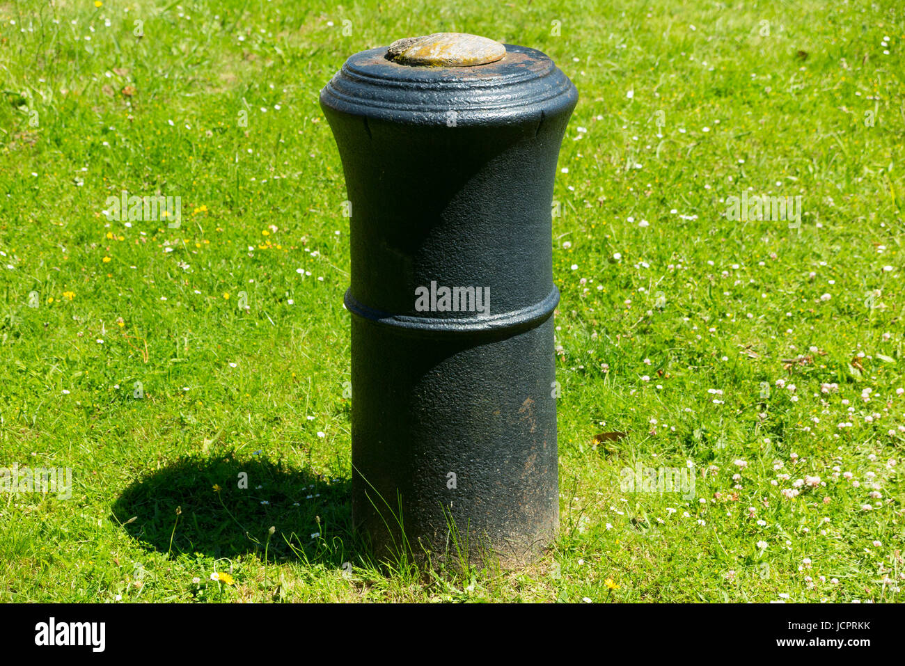 The barrel of a cannon, buried upright & projecting into the air in Roy Grove, Hampton. Major Gen. Roy used the line for Ordnance Survey triangulation Stock Photohttps://www.alamy.com/image-license-details/?v=1https://www.alamy.com/stock-photo-the-barrel-of-a-cannon-buried-upright-projecting-into-the-air-in-roy-145560343.html
RMJCPRKK–The barrel of a cannon, buried upright & projecting into the air in Roy Grove, Hampton. Major Gen. Roy used the line for Ordnance Survey triangulation
 Triangulation Station Marker Isle of Skye Scotland Stock Photohttps://www.alamy.com/image-license-details/?v=1https://www.alamy.com/stock-photo-triangulation-station-marker-isle-of-skye-scotland-26161352.html
RMBEFN20–Triangulation Station Marker Isle of Skye Scotland
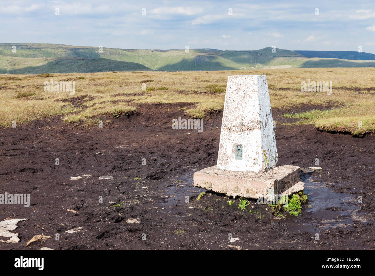 Triangulation pillar or trig point on Brown Knoll, Derbyshire, Peak District National Park, England, UK Stock Photohttps://www.alamy.com/image-license-details/?v=1https://www.alamy.com/stock-photo-triangulation-pillar-or-trig-point-on-brown-knoll-derbyshire-peak-93124536.html
RMFBE588–Triangulation pillar or trig point on Brown Knoll, Derbyshire, Peak District National Park, England, UK
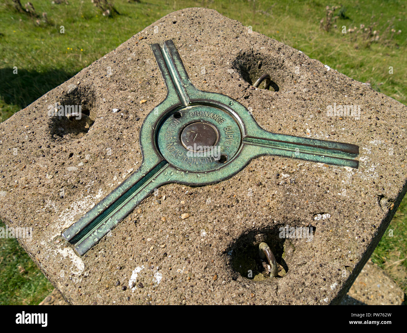 Three point kinematic mount (spider) for a surveying theodolite on top of Ordnance Survey trig point triangulation station, Leicestershire, England, Stock Photohttps://www.alamy.com/image-license-details/?v=1https://www.alamy.com/three-point-kinematic-mount-spider-for-a-surveying-theodolite-on-top-of-ordnance-survey-trig-point-triangulation-station-leicestershire-england-image222049265.html
RMPW762W–Three point kinematic mount (spider) for a surveying theodolite on top of Ordnance Survey trig point triangulation station, Leicestershire, England,
RMB47W3B–Triangulation pillar beside Selworthy Beacon in Exmoor National Park Somerset England
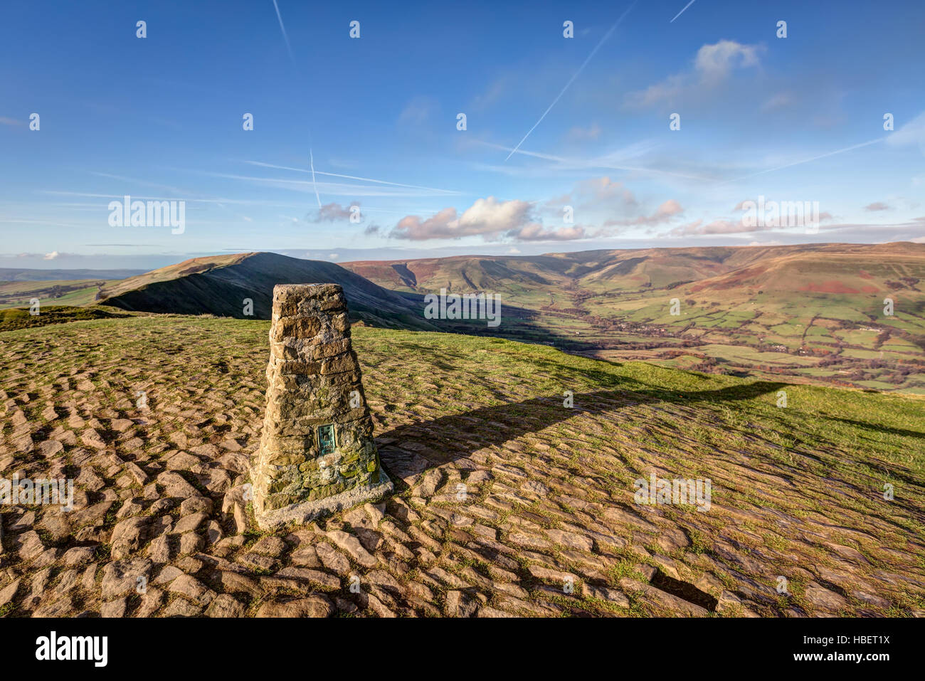 A Triangulation station, or Trig Point at the top of Mam Tor in the Peak District, Derbyshire, UK Stock Photohttps://www.alamy.com/image-license-details/?v=1https://www.alamy.com/stock-photo-a-triangulation-station-or-trig-point-at-the-top-of-mam-tor-in-the-127559990.html
RFHBET1X–A Triangulation station, or Trig Point at the top of Mam Tor in the Peak District, Derbyshire, UK
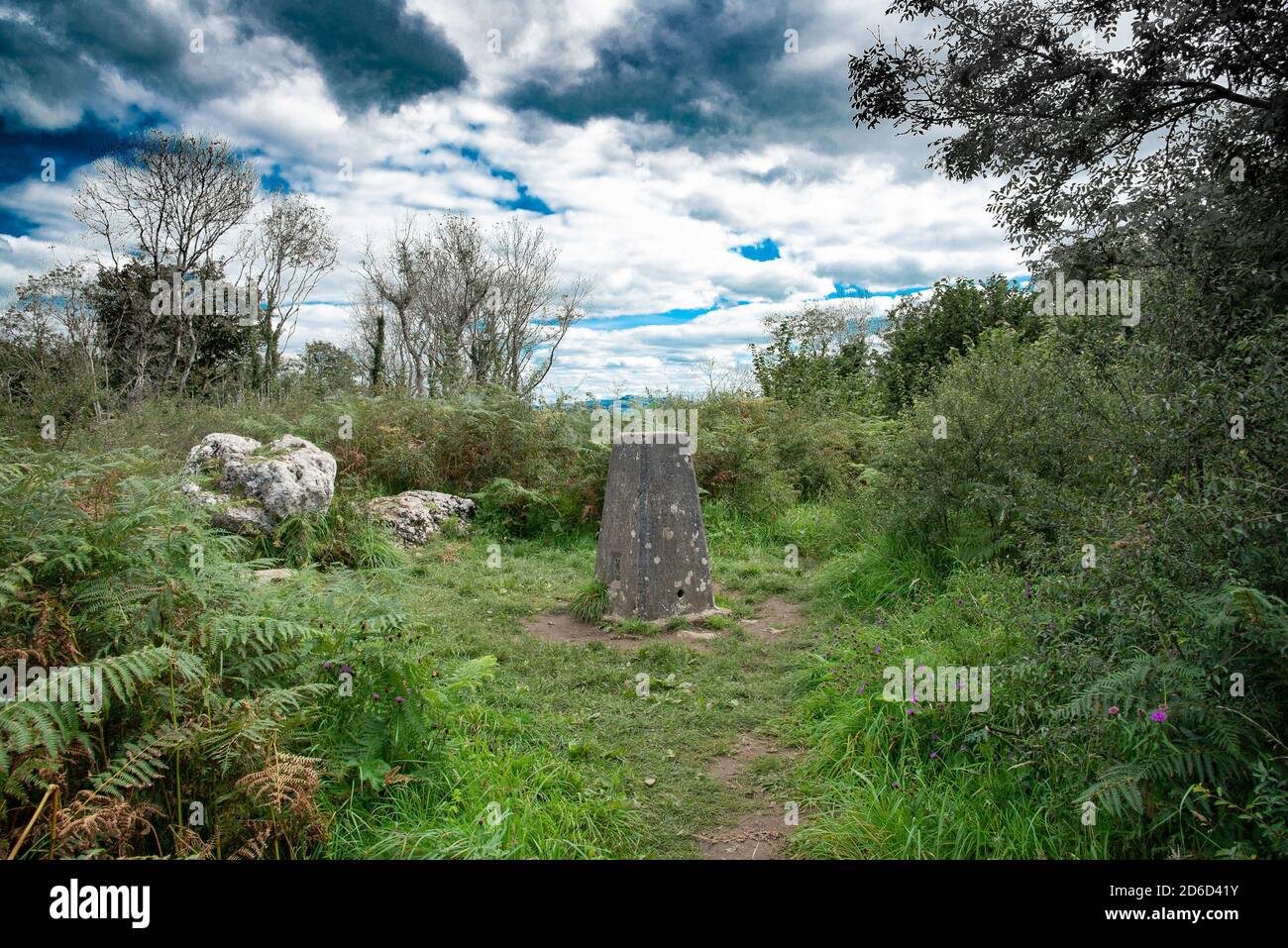 The triangulation pillar on top of Warton Crag, Carnforth, Lancashire, UK. Stock Photohttps://www.alamy.com/image-license-details/?v=1https://www.alamy.com/the-triangulation-pillar-on-top-of-warton-crag-carnforth-lancashire-uk-image382604599.html
RM2D6D41Y–The triangulation pillar on top of Warton Crag, Carnforth, Lancashire, UK.
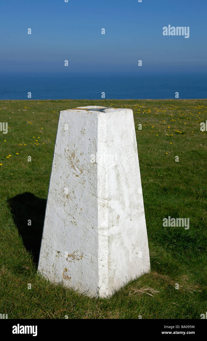 the triangulation station ordnance point at Trevose head near Padstow in Cornwall, UK Stock Photohttps://www.alamy.com/image-license-details/?v=1https://www.alamy.com/stock-photo-the-triangulation-station-ordnance-point-at-trevose-head-near-padstow-23364144.html
RFBA095M–the triangulation station ordnance point at Trevose head near Padstow in Cornwall, UK
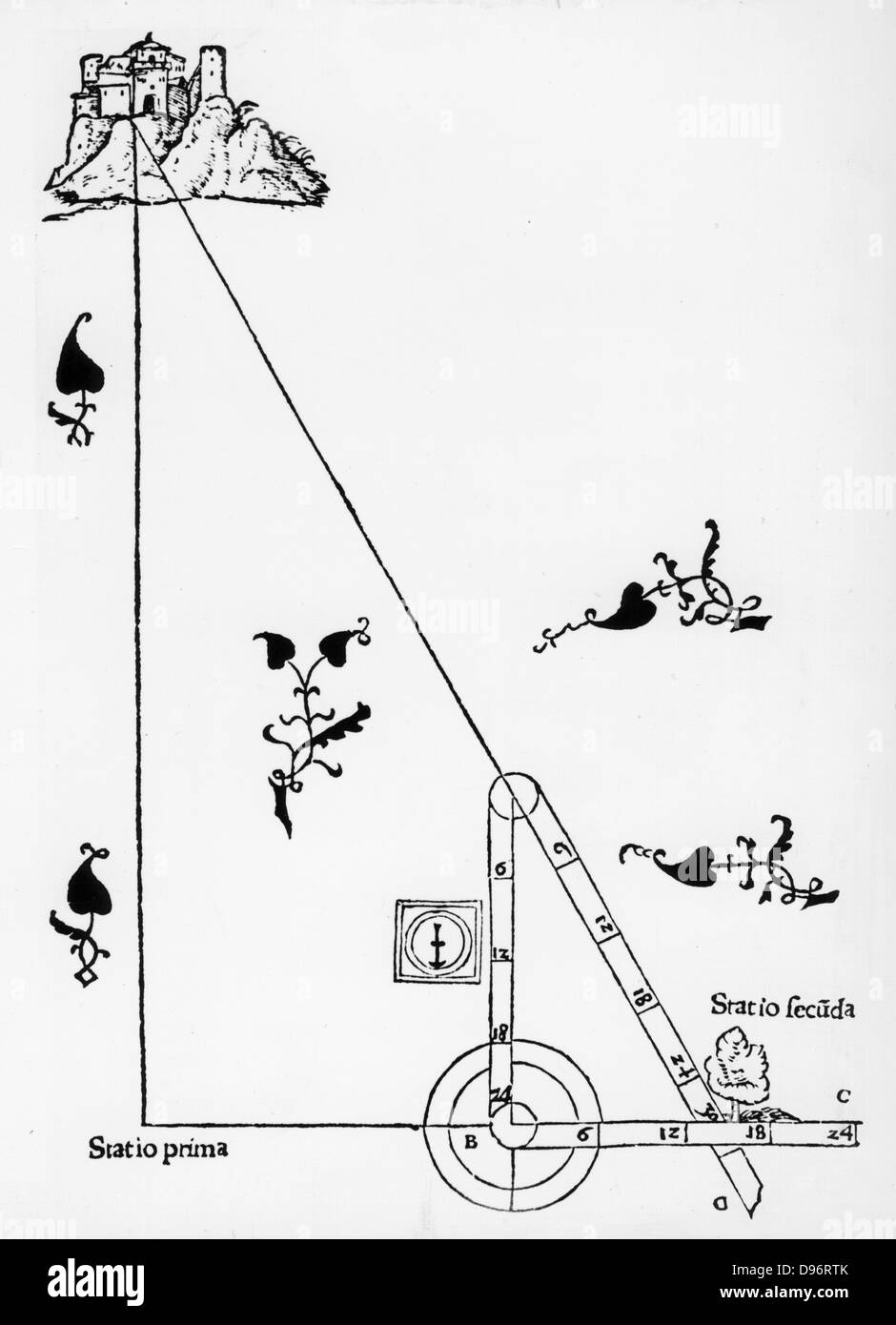 Triangulation with a hinged staff. From Sebastian Munster 'Rudimenta Mathematica', Basle 1551. Woodcut. Stock Photohttps://www.alamy.com/image-license-details/?v=1https://www.alamy.com/stock-photo-triangulation-with-a-hinged-staff-from-sebastian-munster-rudimenta-57313443.html
RMD96RTK–Triangulation with a hinged staff. From Sebastian Munster 'Rudimenta Mathematica', Basle 1551. Woodcut.
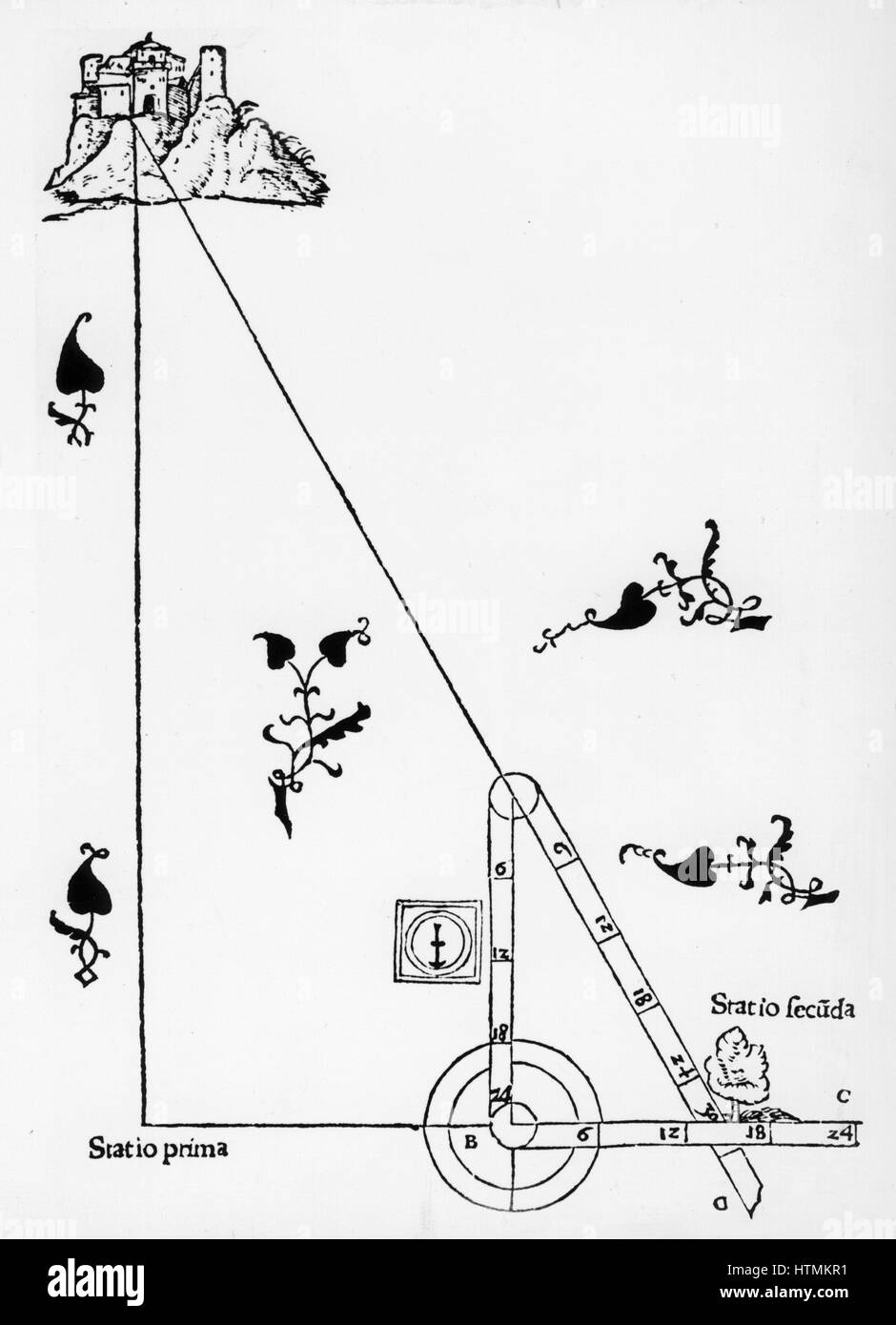 Triangulation with a hinged staff. From Sebastian Munster 'Rudimenta Mathematica', Basle 1551. Woodcut Stock Photohttps://www.alamy.com/image-license-details/?v=1https://www.alamy.com/stock-photo-triangulation-with-a-hinged-staff-from-sebastian-munster-rudimenta-135678901.html
RMHTMKR1–Triangulation with a hinged staff. From Sebastian Munster 'Rudimenta Mathematica', Basle 1551. Woodcut
 The Coming Transit of Venus, the Triangulation of the Island of Rodriguez Stock Photohttps://www.alamy.com/image-license-details/?v=1https://www.alamy.com/the-coming-transit-of-venus-the-triangulation-of-the-island-of-rodriguez-image240541892.html
RMRY9HHT–The Coming Transit of Venus, the Triangulation of the Island of Rodriguez
 1859 U.S. Coast Survey Triangulation Map of the Florida Keys Stock Photohttps://www.alamy.com/image-license-details/?v=1https://www.alamy.com/stock-photo-1859-us-coast-survey-triangulation-map-of-the-florida-keys-49967238.html
RMCW85M6–1859 U.S. Coast Survey Triangulation Map of the Florida Keys
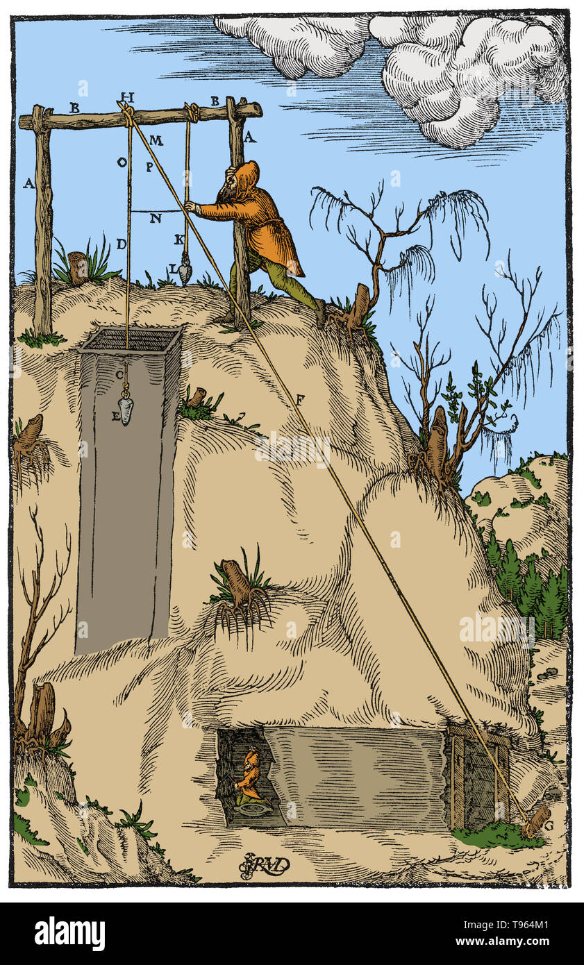 Woodcut from De Re Metallica. Triangulation applied to a tunnel being driven to meet a shaft. HDE is a cord suspended over the shaft, HFG is a second cord connecting to the mouth of the tunnel, and KL is a third cord to help establish the triangle. This provides a ratio for determining the tunnel's length. Georgius Agricola (March 24, 1494 - November 21, 1555) was a German scholar known as 'the father of mineralogy'. Stock Photohttps://www.alamy.com/image-license-details/?v=1https://www.alamy.com/woodcut-from-de-re-metallica-triangulation-applied-to-a-tunnel-being-driven-to-meet-a-shaft-hde-is-a-cord-suspended-over-the-shaft-hfg-is-a-second-cord-connecting-to-the-mouth-of-the-tunnel-and-kl-is-a-third-cord-to-help-establish-the-triangle-this-provides-a-ratio-for-determining-the-tunnels-length-georgius-agricola-march-24-1494-november-21-1555-was-a-german-scholar-known-as-the-father-of-mineralogy-image246612465.html
RMT964M1–Woodcut from De Re Metallica. Triangulation applied to a tunnel being driven to meet a shaft. HDE is a cord suspended over the shaft, HFG is a second cord connecting to the mouth of the tunnel, and KL is a third cord to help establish the triangle. This provides a ratio for determining the tunnel's length. Georgius Agricola (March 24, 1494 - November 21, 1555) was a German scholar known as 'the father of mineralogy'.
 Moleson summit group hiker Triangulation pyramid measurement point sunrise sundown mountains Freiburg Alps Stock Photohttps://www.alamy.com/image-license-details/?v=1https://www.alamy.com/stock-photo-moleson-summit-group-hiker-triangulation-pyramid-measurement-point-32986095.html
RMBWJJ2R–Moleson summit group hiker Triangulation pyramid measurement point sunrise sundown mountains Freiburg Alps
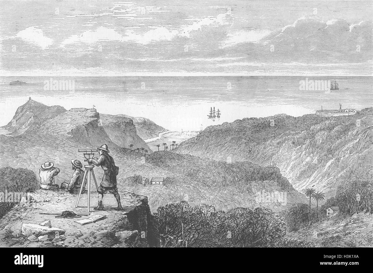 RODRIGUEZ ISLAND Triangulation, transit of Venus 1874. The Graphic Stock Photohttps://www.alamy.com/image-license-details/?v=1https://www.alamy.com/stock-photo-rodriguez-island-triangulation-transit-of-venus-1874-the-graphic-122735154.html
RFH3K1XA–RODRIGUEZ ISLAND Triangulation, transit of Venus 1874. The Graphic
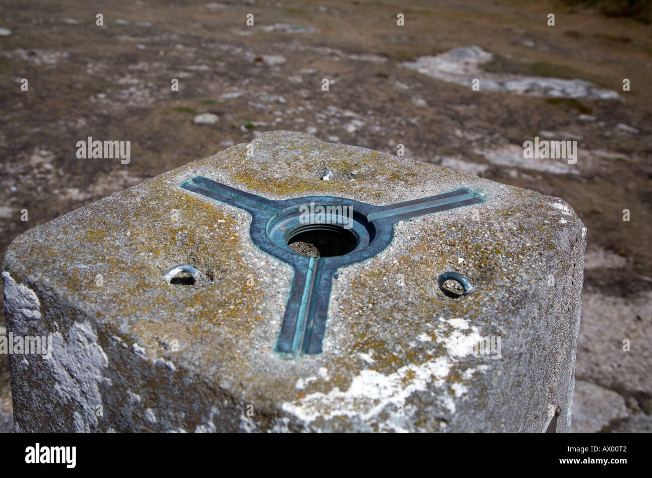 Ordnance Survey triangulation point Stock Photohttps://www.alamy.com/image-license-details/?v=1https://www.alamy.com/ordnance-survey-triangulation-point-image9533569.html
RMAX00T2–Ordnance Survey triangulation point
 Gummers How Trig point 'Triangulation Point' Stock Photohttps://www.alamy.com/image-license-details/?v=1https://www.alamy.com/stock-photo-gummers-how-trig-point-triangulation-point-53967086.html
RMD3PBFX–Gummers How Trig point 'Triangulation Point'
 landscape with triangulation point,hill and farmland.danebury rings,stockbridge Stock Photohttps://www.alamy.com/image-license-details/?v=1https://www.alamy.com/stock-photo-landscape-with-triangulation-pointhill-and-farmlanddanebury-ringsstockbridge-23368043.html
RFBA0E4Y–landscape with triangulation point,hill and farmland.danebury rings,stockbridge
RMEPBK54–Triangulation pillar at the summit of Malvern Beacon, Worcestershire, England, UK
 Ordnance survey triangulation station at 'Flask Edge' in Derbyshire Stock Photohttps://www.alamy.com/image-license-details/?v=1https://www.alamy.com/stock-photo-ordnance-survey-triangulation-station-at-flask-edge-in-derbyshire-27789990.html
RMBH5XBJ–Ordnance survey triangulation station at 'Flask Edge' in Derbyshire
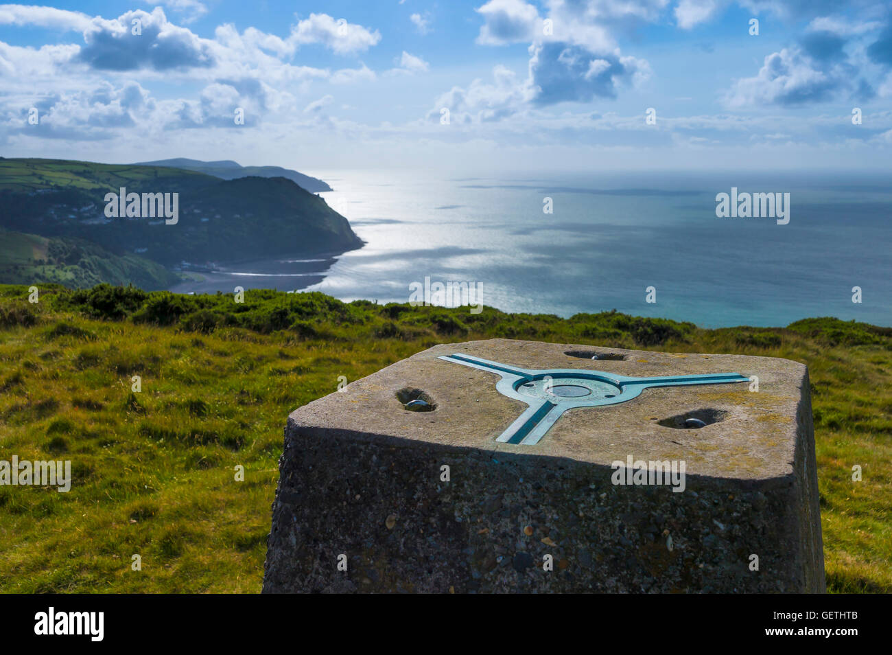 Ordnance Survey triangulation station at Foreland Point in Devon. Stock Photohttps://www.alamy.com/image-license-details/?v=1https://www.alamy.com/stock-photo-ordnance-survey-triangulation-station-at-foreland-point-in-devon-112408251.html
RMGETHTB–Ordnance Survey triangulation station at Foreland Point in Devon.
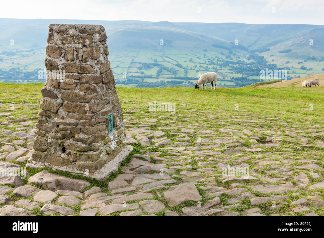 The trig point or triangulation pillar on the summit of Mam Tor with Kinder Scout in the distance, Derbyshire, England, UK Stock Photohttps://www.alamy.com/image-license-details/?v=1https://www.alamy.com/stock-photo-the-trig-point-or-triangulation-pillar-on-the-summit-of-mam-tor-with-103768942.html
RMG0R29J–The trig point or triangulation pillar on the summit of Mam Tor with Kinder Scout in the distance, Derbyshire, England, UK
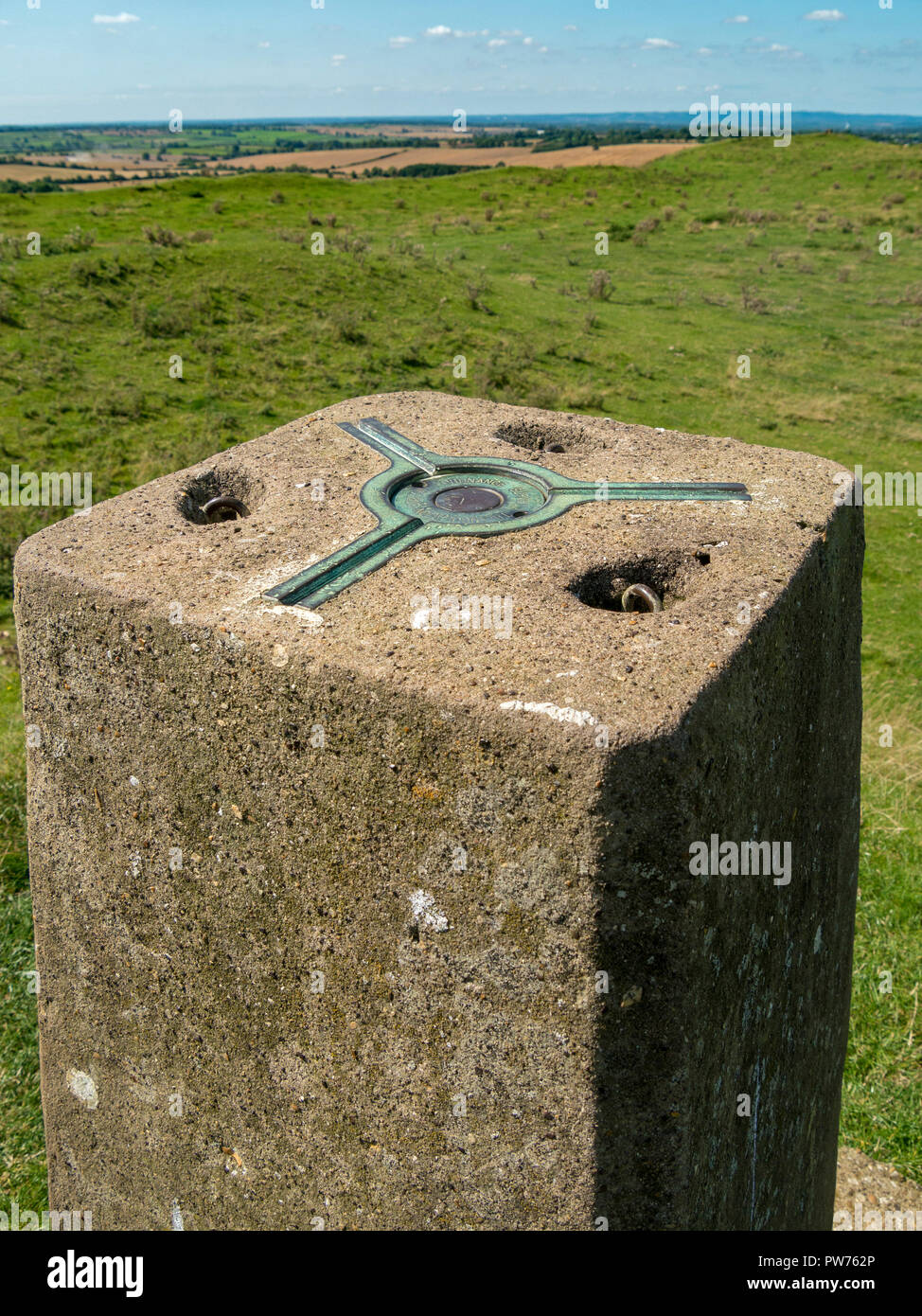 Three point kinematic mount (spider) for a surveying theodolite on top of Ordnance Survey trig point triangulation station, Leicestershire, England, Stock Photohttps://www.alamy.com/image-license-details/?v=1https://www.alamy.com/three-point-kinematic-mount-spider-for-a-surveying-theodolite-on-top-of-ordnance-survey-trig-point-triangulation-station-leicestershire-england-image222049262.html
RMPW762P–Three point kinematic mount (spider) for a surveying theodolite on top of Ordnance Survey trig point triangulation station, Leicestershire, England,
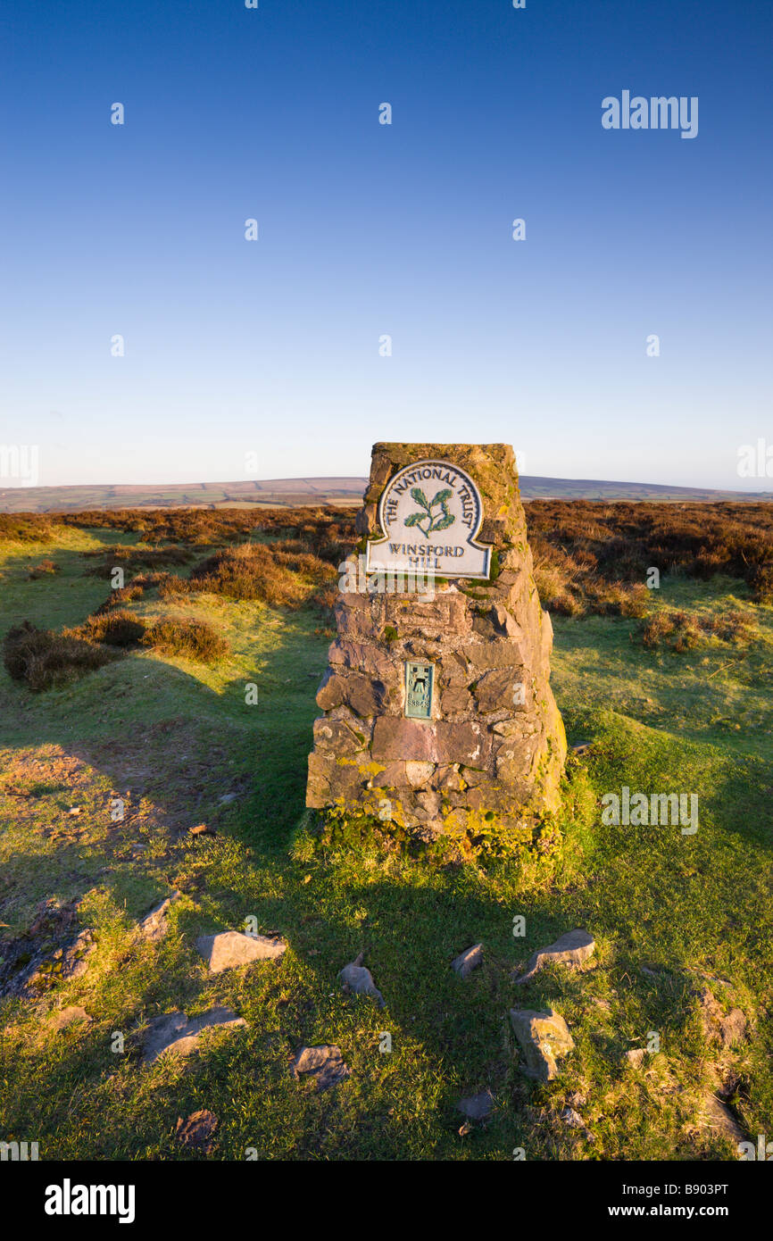 Triangulation Pillar Trig Point on Winsford Hill in Exmoor National Park Somerset England Stock Photohttps://www.alamy.com/image-license-details/?v=1https://www.alamy.com/stock-photo-triangulation-pillar-trig-point-on-winsford-hill-in-exmoor-national-22745264.html
RMB903PT–Triangulation Pillar Trig Point on Winsford Hill in Exmoor National Park Somerset England
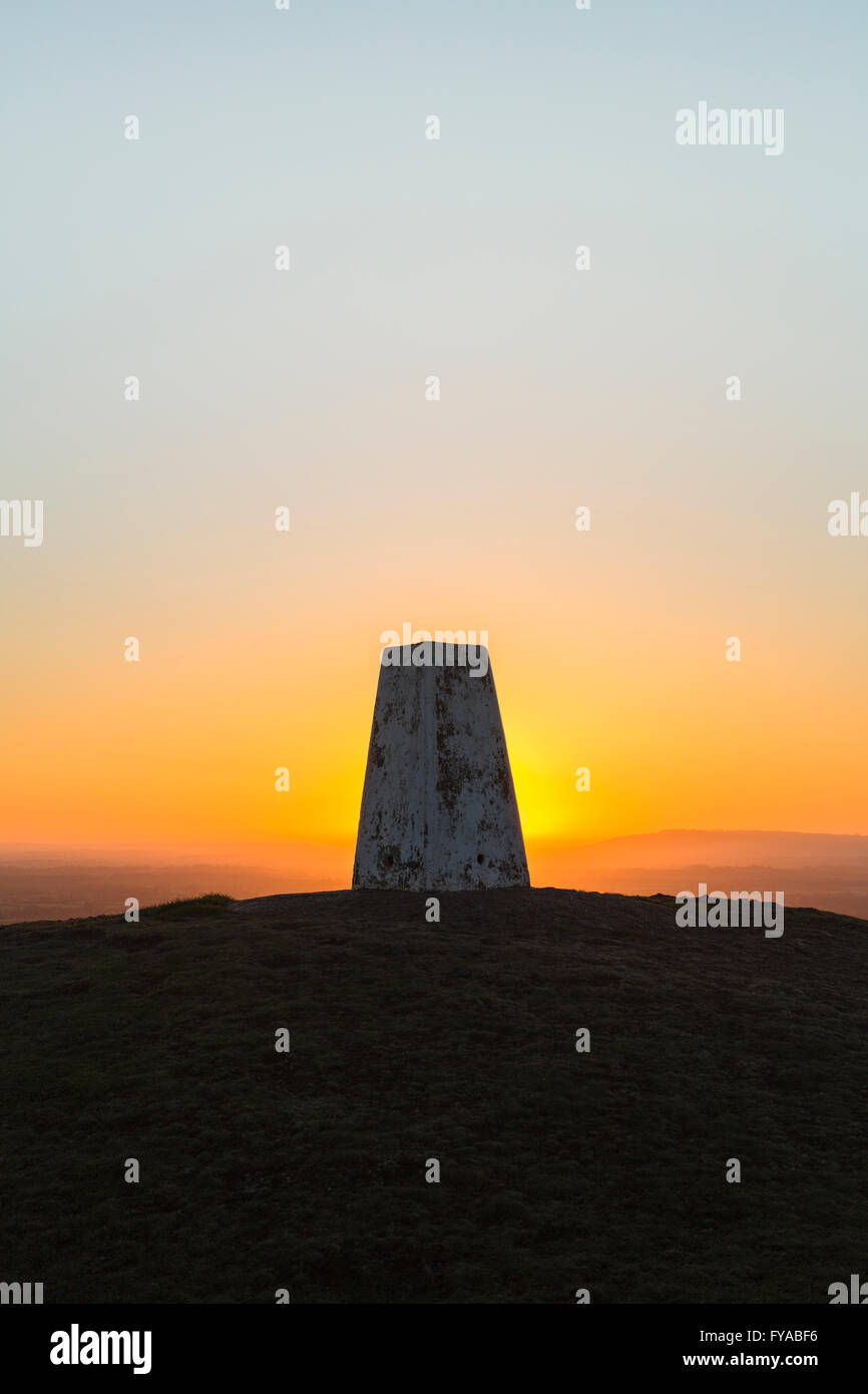 The sun rises behind a Triangulation Station or Trig Point on a clear morning. Stock Photohttps://www.alamy.com/image-license-details/?v=1https://www.alamy.com/stock-photo-the-sun-rises-behind-a-triangulation-station-or-trig-point-on-a-clear-102876122.html
RMFYABF6–The sun rises behind a Triangulation Station or Trig Point on a clear morning.
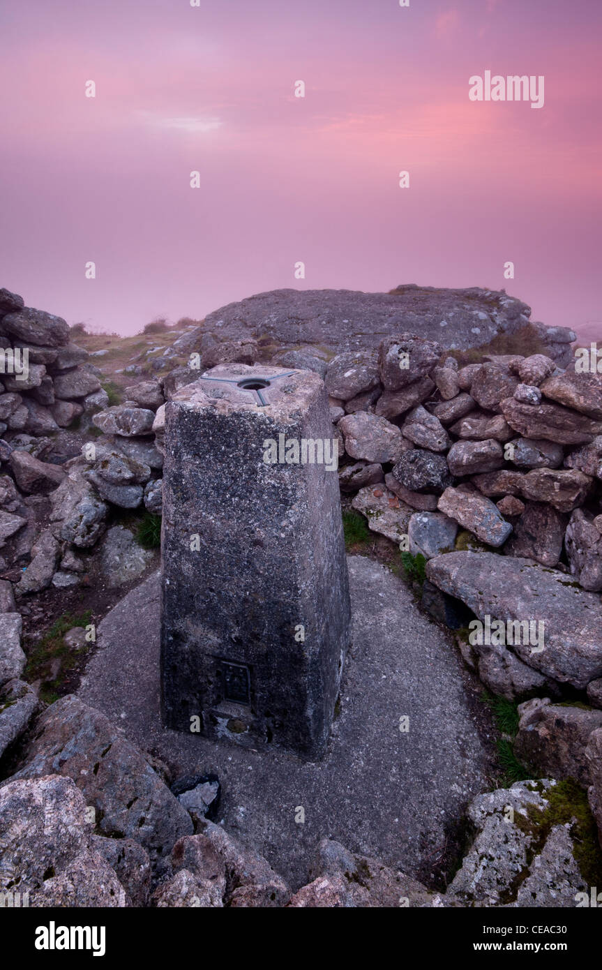 Dawn light at Rippon Tor triangulation point, Dartmoor, Devon, august 2011. Stock Photohttps://www.alamy.com/image-license-details/?v=1https://www.alamy.com/stock-photo-dawn-light-at-rippon-tor-triangulation-point-dartmoor-devon-august-43254932.html
RMCEAC30–Dawn light at Rippon Tor triangulation point, Dartmoor, Devon, august 2011.
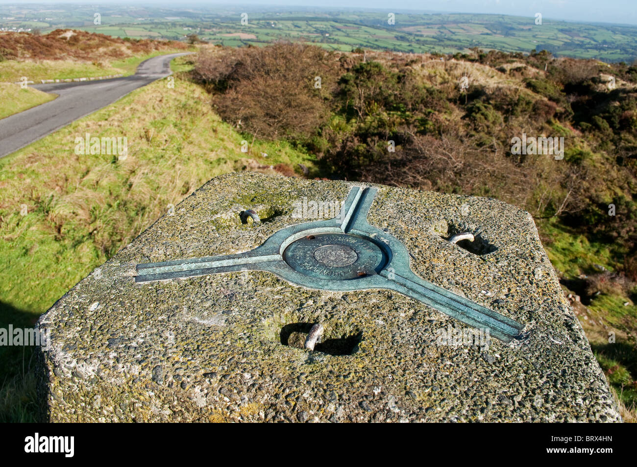 the ordnance survey triangulation station on the summit of kit hill near callington in cornwall, uk Stock Photohttps://www.alamy.com/image-license-details/?v=1https://www.alamy.com/stock-photo-the-ordnance-survey-triangulation-station-on-the-summit-of-kit-hill-31921841.html
RMBRX4HN–the ordnance survey triangulation station on the summit of kit hill near callington in cornwall, uk
 Modified BC-4 satellite triangulation camera, used in the world-wide triangulation program. Dated 1965 Stock Photohttps://www.alamy.com/image-license-details/?v=1https://www.alamy.com/stock-photo-modified-bc-4-satellite-triangulation-camera-used-in-the-world-wide-104161077.html
RMG1CXED–Modified BC-4 satellite triangulation camera, used in the world-wide triangulation program. Dated 1965
 Snieznik (Kralicky Sneznik) hill summit on polish - czech borders with old triangulation pillar, mountain meadow, few stones around and hills on the b Stock Photohttps://www.alamy.com/image-license-details/?v=1https://www.alamy.com/stock-image-snieznik-kralicky-sneznik-hill-summit-on-polish-czech-borders-with-164957798.html
RMKGAD9X–Snieznik (Kralicky Sneznik) hill summit on polish - czech borders with old triangulation pillar, mountain meadow, few stones around and hills on the b
 Primary triangulation in the state of New York, cartographic, Maps, 1887 Stock Photohttps://www.alamy.com/image-license-details/?v=1https://www.alamy.com/primary-triangulation-in-the-state-of-new-york-cartographic-maps-1887-image376515549.html
RM2CTFNBW–Primary triangulation in the state of New York, cartographic, Maps, 1887
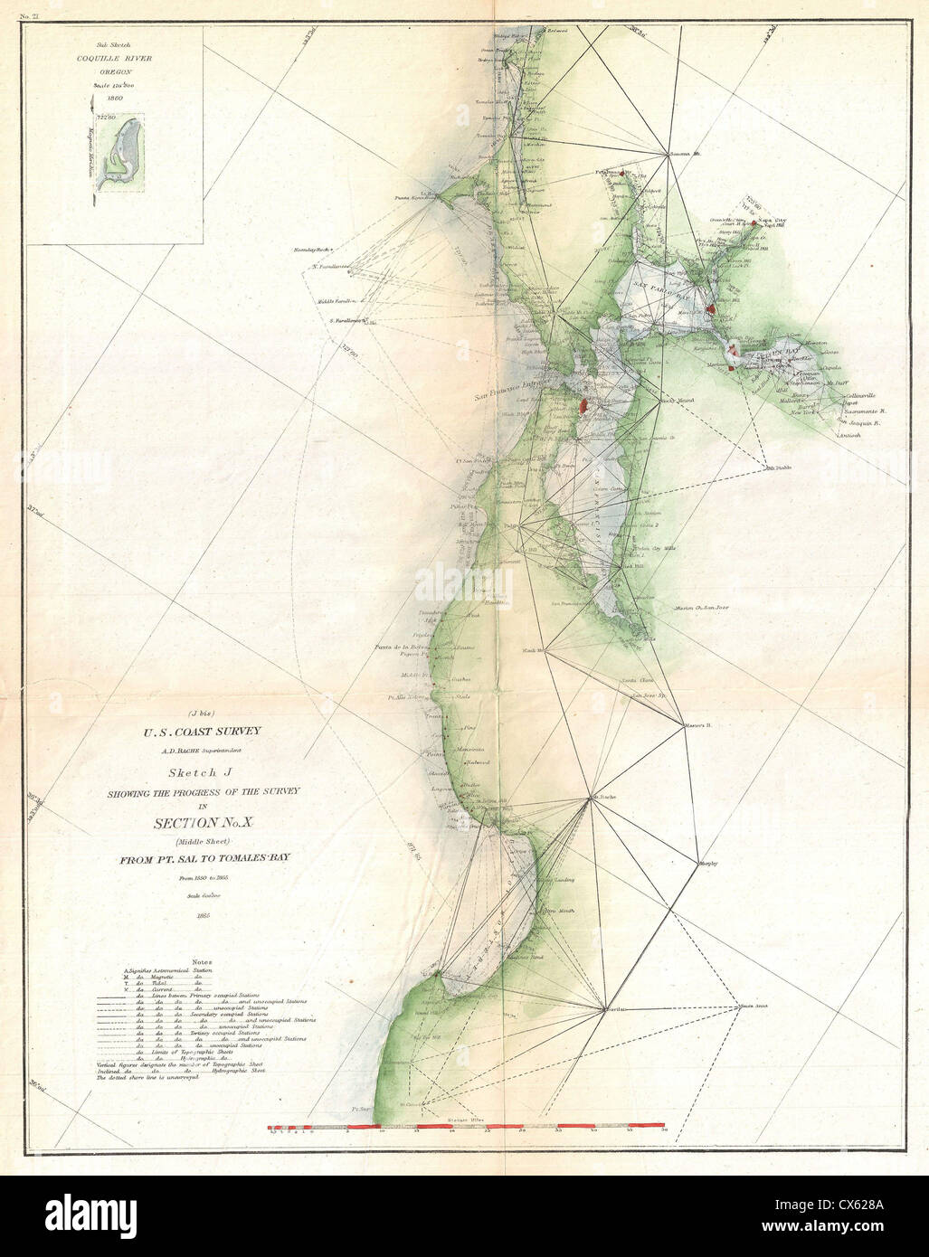 1865 U.S. Coast Survey Triangulation Map of San Francisco Bay Stock Photohttps://www.alamy.com/image-license-details/?v=1https://www.alamy.com/stock-photo-1865-us-coast-survey-triangulation-map-of-san-francisco-bay-50535306.html
RMCX628A–1865 U.S. Coast Survey Triangulation Map of San Francisco Bay
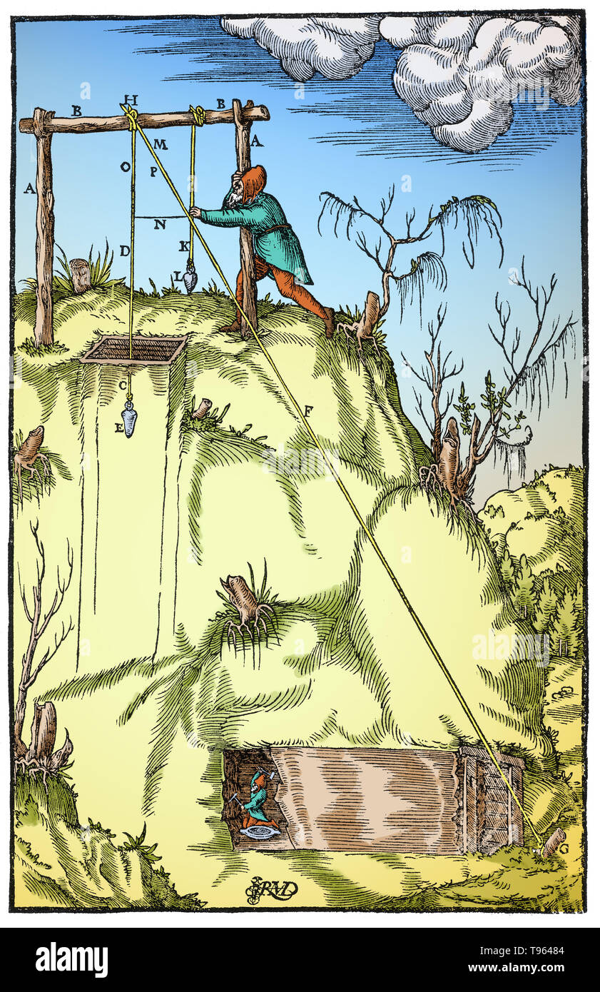 Woodcut from Agricola's, De Re Metallica. Triangulation applied to a tunnel being driven to meet a shaft. HDE is a cord suspended over the shaft, HFG is a second cord connecting to the mouth of the tunnel, and KL is a third cord to help establish the triangle. This provides a ratio for determining the tunnel's length. Georgius Agricola (March 24, 1494 - November 21, 1555) was a German scholar known as 'the father of mineralogy'. Stock Photohttps://www.alamy.com/image-license-details/?v=1https://www.alamy.com/woodcut-from-agricolas-de-re-metallica-triangulation-applied-to-a-tunnel-being-driven-to-meet-a-shaft-hde-is-a-cord-suspended-over-the-shaft-hfg-is-a-second-cord-connecting-to-the-mouth-of-the-tunnel-and-kl-is-a-third-cord-to-help-establish-the-triangle-this-provides-a-ratio-for-determining-the-tunnels-length-georgius-agricola-march-24-1494-november-21-1555-was-a-german-scholar-known-as-the-father-of-mineralogy-image246612132.html
RMT96484–Woodcut from Agricola's, De Re Metallica. Triangulation applied to a tunnel being driven to meet a shaft. HDE is a cord suspended over the shaft, HFG is a second cord connecting to the mouth of the tunnel, and KL is a third cord to help establish the triangle. This provides a ratio for determining the tunnel's length. Georgius Agricola (March 24, 1494 - November 21, 1555) was a German scholar known as 'the father of mineralogy'.
 Traprain Law, East Lothian, Scotland, United Kingdom. 3rd Feb, 2020. UK Weather: A very windy day on the volcanic hill with sunshine lighting up the surrounding agricultural rural landscape. An Ordnance survey triangulation point or pillar on top of the hill Stock Photohttps://www.alamy.com/image-license-details/?v=1https://www.alamy.com/traprain-law-east-lothian-scotland-united-kingdom-3rd-feb-2020-uk-weather-a-very-windy-day-on-the-volcanic-hill-with-sunshine-lighting-up-the-surrounding-agricultural-rural-landscape-an-ordnance-survey-triangulation-point-or-pillar-on-top-of-the-hill-image342146123.html
RM2ATJ2TB–Traprain Law, East Lothian, Scotland, United Kingdom. 3rd Feb, 2020. UK Weather: A very windy day on the volcanic hill with sunshine lighting up the surrounding agricultural rural landscape. An Ordnance survey triangulation point or pillar on top of the hill
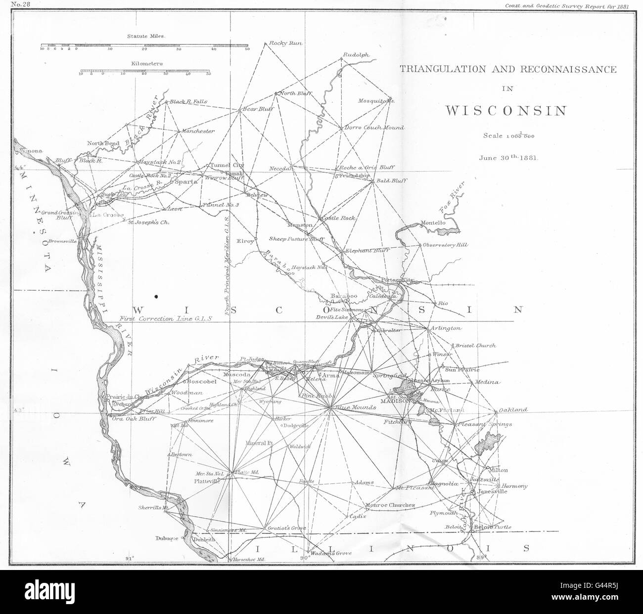 WISCONSIN: USCGS Triangulation and Reconnaissance. Madison, 1881 antique map Stock Photohttps://www.alamy.com/image-license-details/?v=1https://www.alamy.com/stock-photo-wisconsin-uscgs-triangulation-and-reconnaissance-madison-1881-antique-105826830.html
RFG44R5J–WISCONSIN: USCGS Triangulation and Reconnaissance. Madison, 1881 antique map
 Ordnance Survey triangulation point Stock Photohttps://www.alamy.com/image-license-details/?v=1https://www.alamy.com/ordnance-survey-triangulation-point-image9533570.html
RMAX00T3–Ordnance Survey triangulation point
 Triangulation Point Gummers How at sunset, Lake District, Cumbria, UK Stock Photohttps://www.alamy.com/image-license-details/?v=1https://www.alamy.com/stock-photo-triangulation-point-gummers-how-at-sunset-lake-district-cumbria-uk-84967770.html
RMEX6H76–Triangulation Point Gummers How at sunset, Lake District, Cumbria, UK
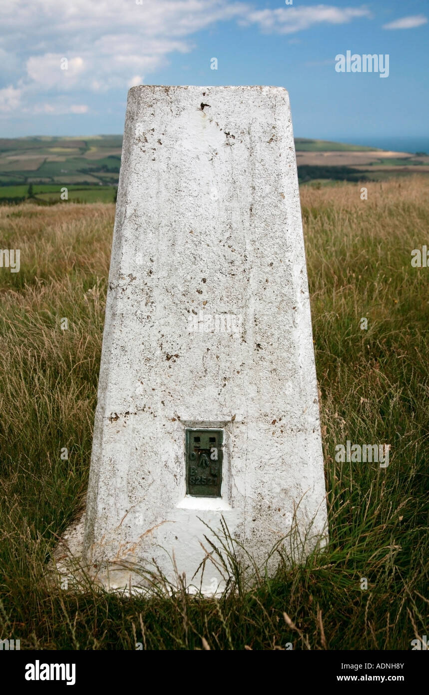 Triangulation point on top of St Catherine's Down, Isle of Wight, UK Stock Photohttps://www.alamy.com/image-license-details/?v=1https://www.alamy.com/stock-photo-triangulation-point-on-top-of-st-catherines-down-isle-of-wight-uk-13462394.html
RMADNH8Y–Triangulation point on top of St Catherine's Down, Isle of Wight, UK
RMEPBK55–Triangulation pillar at the summit of Malvern Beacon, Worcestershire, England, UK
 Ordnance survey triangulation station at 'Flask Edge' in Derbyshire Stock Photohttps://www.alamy.com/image-license-details/?v=1https://www.alamy.com/stock-photo-ordnance-survey-triangulation-station-at-flask-edge-in-derbyshire-27807773.html
RMBH6N2N–Ordnance survey triangulation station at 'Flask Edge' in Derbyshire
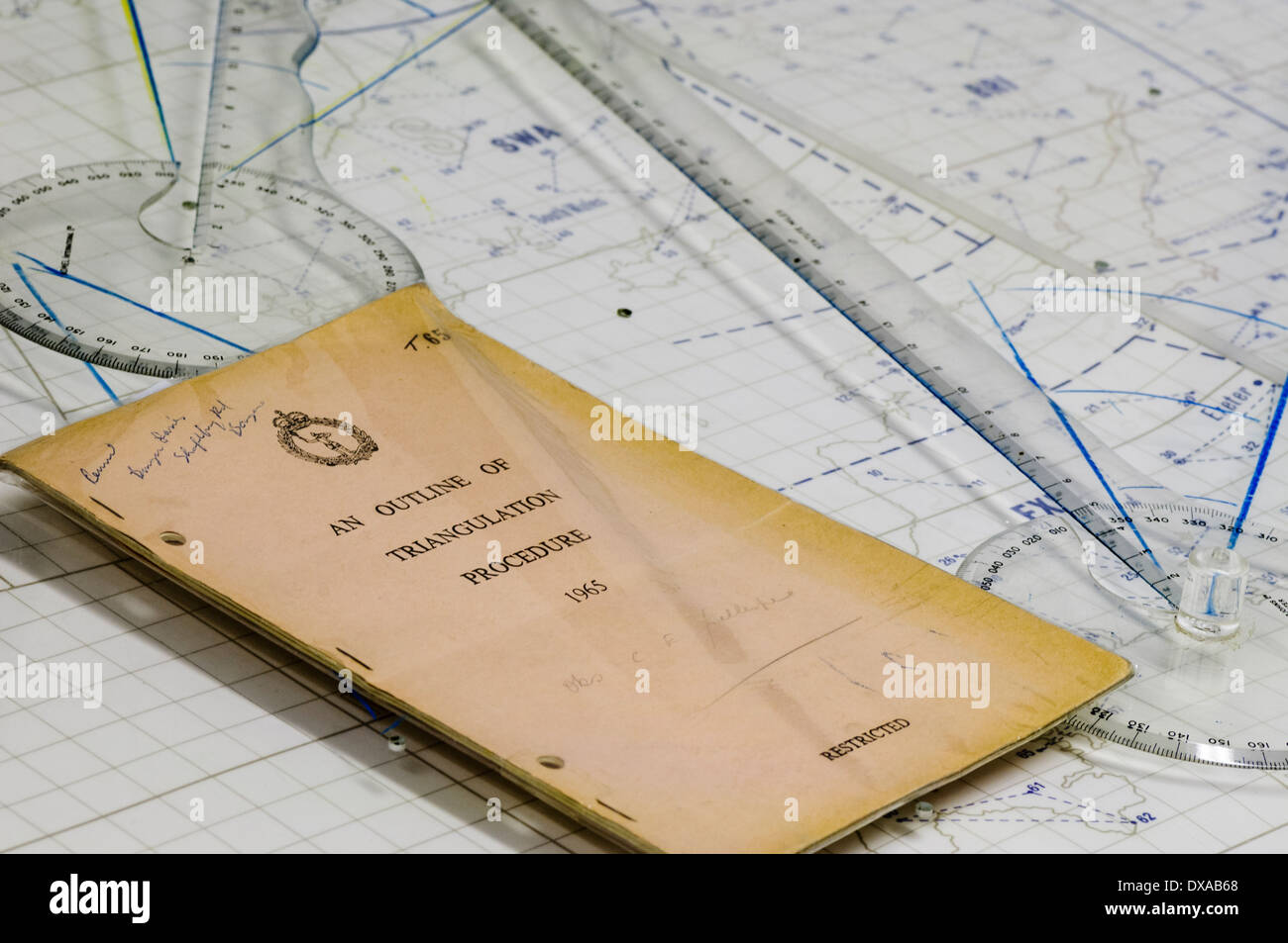 Outline of triangulation procedure booklet, published by the Ministry of Defence in 1965 on a map Stock Photohttps://www.alamy.com/image-license-details/?v=1https://www.alamy.com/outline-of-triangulation-procedure-booklet-published-by-the-ministry-image67840480.html
RMDXAB68–Outline of triangulation procedure booklet, published by the Ministry of Defence in 1965 on a map
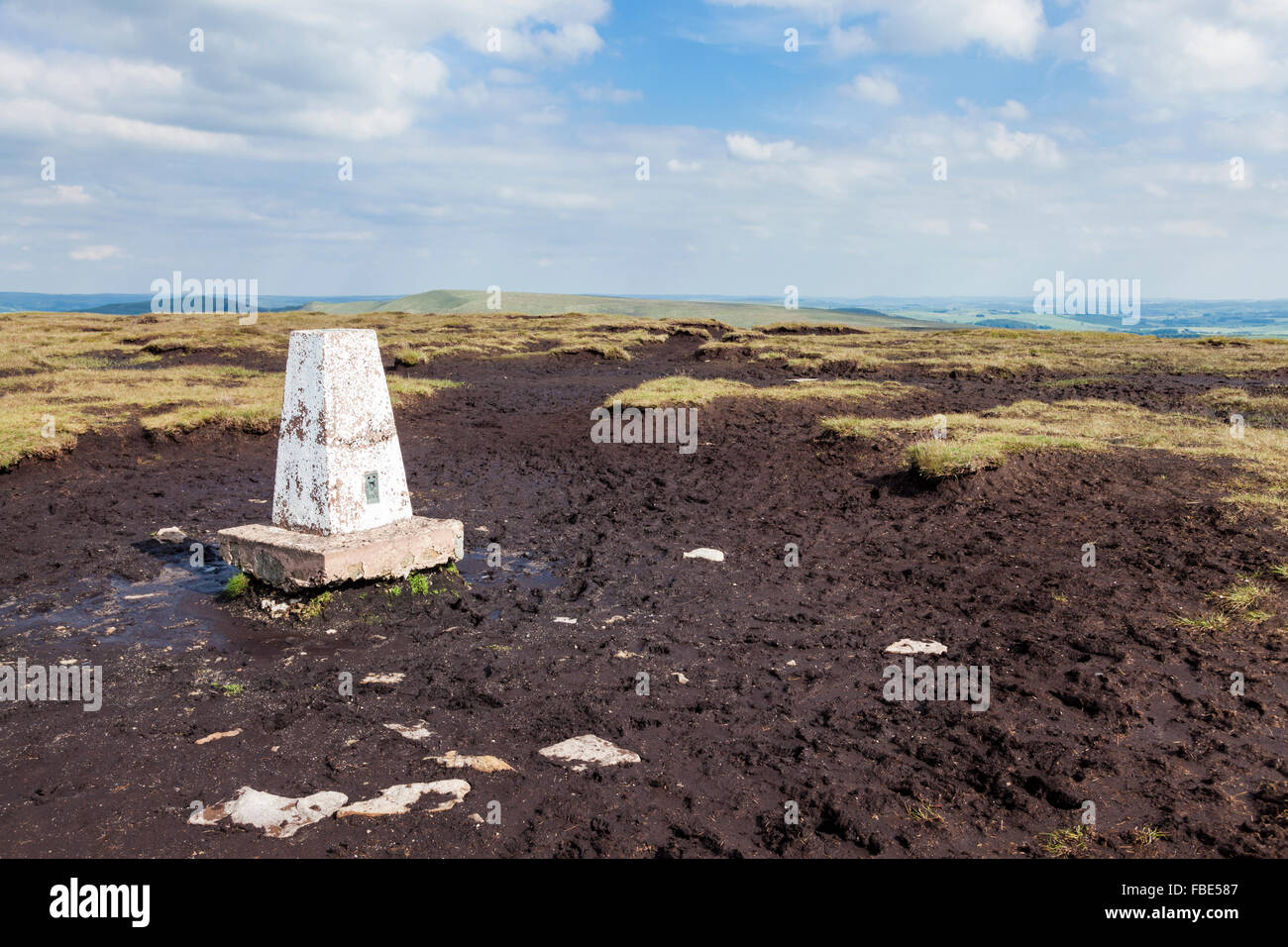 Triangulation station or trig point on moorland at Brown Knoll, Derbyshire, Peak District National Park, England, UK Stock Photohttps://www.alamy.com/image-license-details/?v=1https://www.alamy.com/stock-photo-triangulation-station-or-trig-point-on-moorland-at-brown-knoll-derbyshire-93124535.html
RMFBE587–Triangulation station or trig point on moorland at Brown Knoll, Derbyshire, Peak District National Park, England, UK
 Triangulation point on the summit of High Wheeldon and view towards Earl Sterndale, Peak District National Park, Derbyshire Stock Photohttps://www.alamy.com/image-license-details/?v=1https://www.alamy.com/stock-photo-triangulation-point-on-the-summit-of-high-wheeldon-and-view-towards-15613409.html
RMANX74J–Triangulation point on the summit of High Wheeldon and view towards Earl Sterndale, Peak District National Park, Derbyshire
 Ordnance Survey Triangulation Plate on the Summit of Lank Rigg, Lake District, Cumbria, UK Stock Photohttps://www.alamy.com/image-license-details/?v=1https://www.alamy.com/ordnance-survey-triangulation-plate-on-the-summit-of-lank-rigg-lake-district-cumbria-uk-image360132099.html
RM2BWWC4K–Ordnance Survey Triangulation Plate on the Summit of Lank Rigg, Lake District, Cumbria, UK
 The sun rises behind a Triangulation Station or Trig Point on a clear morning. Stock Photohttps://www.alamy.com/image-license-details/?v=1https://www.alamy.com/stock-photo-the-sun-rises-behind-a-triangulation-station-or-trig-point-on-a-clear-102876121.html
RMFYABF5–The sun rises behind a Triangulation Station or Trig Point on a clear morning.
 Soft dawn light at Rippon Tor Triangulation point, Dartmoor, August 2011 Stock Photohttps://www.alamy.com/image-license-details/?v=1https://www.alamy.com/stock-photo-soft-dawn-light-at-rippon-tor-triangulation-point-dartmoor-august-43267378.html
RMCEAYYE–Soft dawn light at Rippon Tor Triangulation point, Dartmoor, August 2011
 triangulation station on sland Staffa north of Iona in Inner Hebrides Scotland UK Stock Photohttps://www.alamy.com/image-license-details/?v=1https://www.alamy.com/triangulation-station-on-sland-staffa-north-of-iona-in-inner-hebrides-scotland-uk-image234509212.html
RMRHEPW0–triangulation station on sland Staffa north of Iona in Inner Hebrides Scotland UK
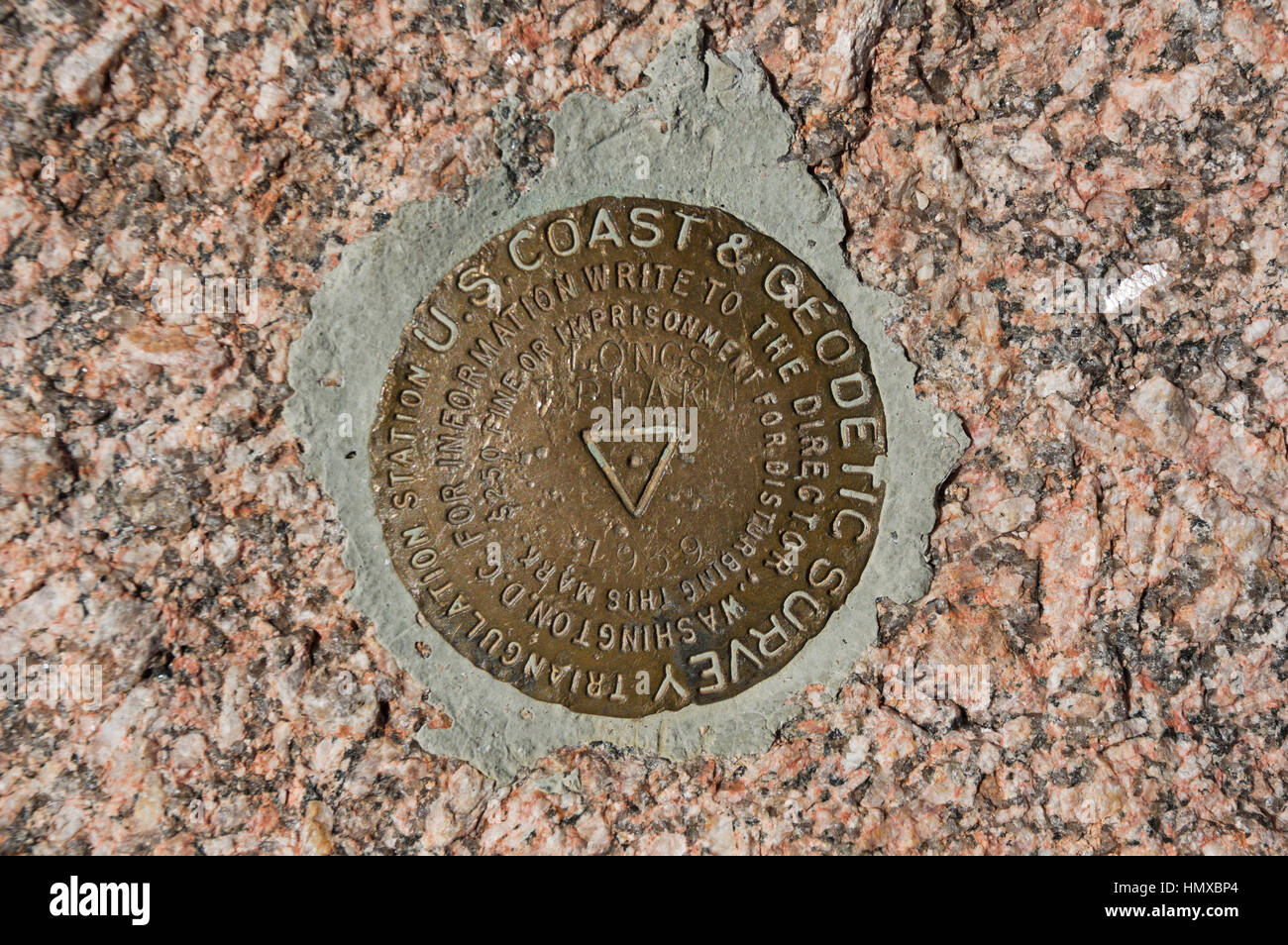 the triangulation point survey marker on the summit of Longs Peak in Rocky Mountain National Park Stock Photohttps://www.alamy.com/image-license-details/?v=1https://www.alamy.com/stock-photo-the-triangulation-point-survey-marker-on-the-summit-of-longs-peak-133345692.html
RFHMXBP4–the triangulation point survey marker on the summit of Longs Peak in Rocky Mountain National Park
 Batheaston, Somerset, UK weather. 3rd November 2022. A woman walks her dogs past the triangulation pillar atop Little Solsbury Hill after a night of heavy rainfall. Credit: Richard Wayman/Alamy Live News Stock Photohttps://www.alamy.com/image-license-details/?v=1https://www.alamy.com/batheaston-somerset-uk-weather-3rd-november-2022-a-woman-walks-her-dogs-past-the-triangulation-pillar-atop-little-solsbury-hill-after-a-night-of-heavy-rainfall-credit-richard-waymanalamy-live-news-image488425366.html
RM2KAHKF2–Batheaston, Somerset, UK weather. 3rd November 2022. A woman walks her dogs past the triangulation pillar atop Little Solsbury Hill after a night of heavy rainfall. Credit: Richard Wayman/Alamy Live News
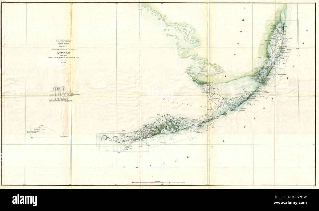 1859, U.S. Coast Survey Triangulation Map of the Florida Keys Stock Photohttps://www.alamy.com/image-license-details/?v=1https://www.alamy.com/stock-image-1859-us-coast-survey-triangulation-map-of-the-florida-keys-162576229.html
RMKCDYHW–1859, U.S. Coast Survey Triangulation Map of the Florida Keys
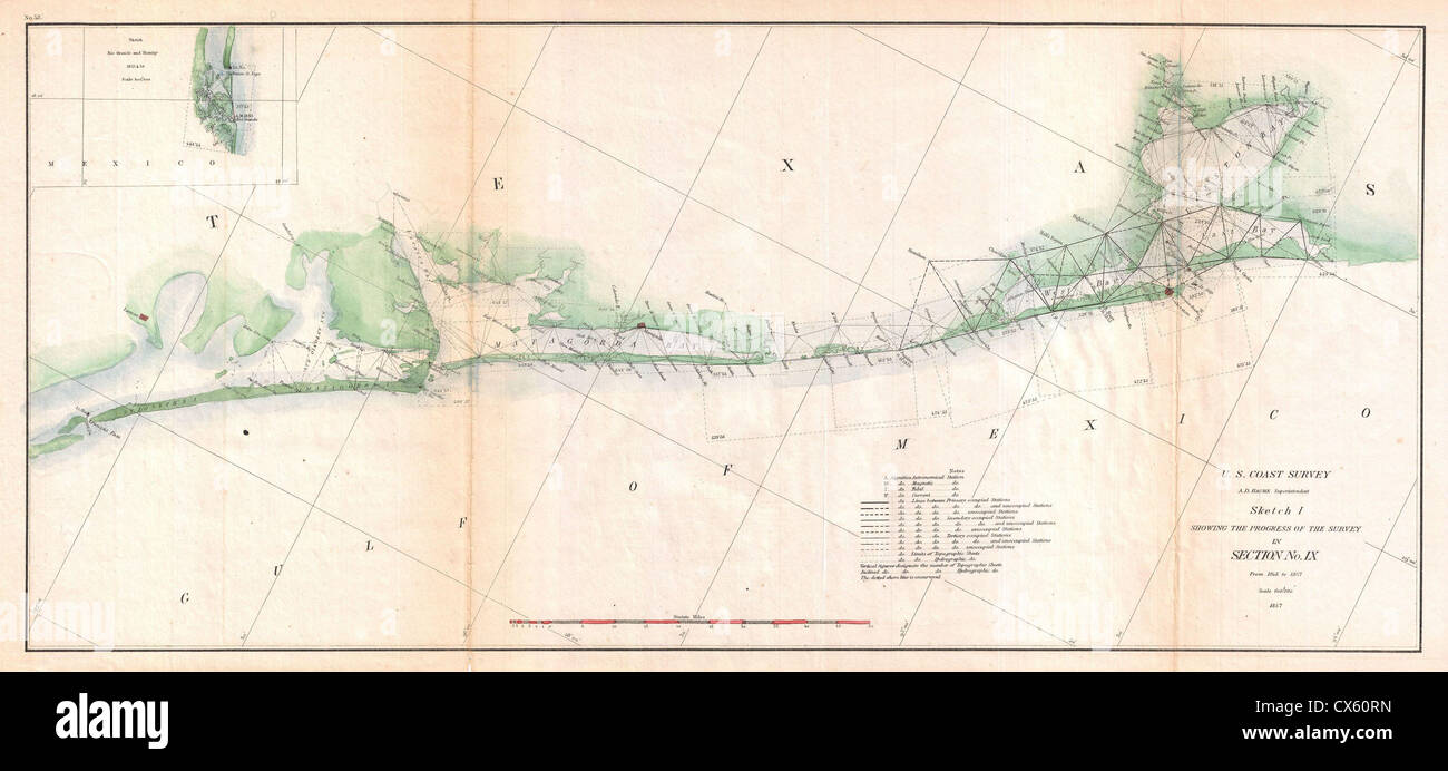 1857 U.S. Coast Survey Triangulation Map of Matagorda Bay to Galveston Bay, Texas Stock Photohttps://www.alamy.com/image-license-details/?v=1https://www.alamy.com/stock-photo-1857-us-coast-survey-triangulation-map-of-matagorda-bay-to-galveston-50534169.html
RMCX60RN–1857 U.S. Coast Survey Triangulation Map of Matagorda Bay to Galveston Bay, Texas
 Triangulation Point, Mount Victoria, Devonport, Auckland, New Zealand. Stock Photohttps://www.alamy.com/image-license-details/?v=1https://www.alamy.com/stock-photo-triangulation-point-mount-victoria-devonport-auckland-new-zealand-26980365.html
RMBFW1MD–Triangulation Point, Mount Victoria, Devonport, Auckland, New Zealand.
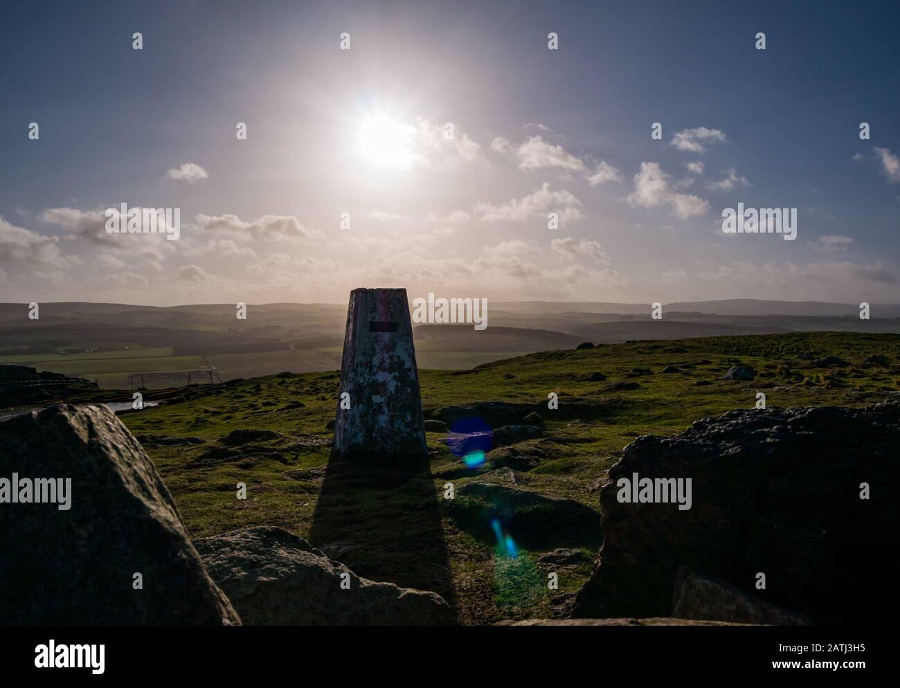 Traprain Law, East Lothian, Scotland, United Kingdom. 3rd Feb, 2020. UK Weather: A very windy day on the volcanic hill with sunshine lighting up the surrounding agricultural rural landscape. An Ordnance survey triangulation point or pillar on top of the hill Stock Photohttps://www.alamy.com/image-license-details/?v=1https://www.alamy.com/traprain-law-east-lothian-scotland-united-kingdom-3rd-feb-2020-uk-weather-a-very-windy-day-on-the-volcanic-hill-with-sunshine-lighting-up-the-surrounding-agricultural-rural-landscape-an-ordnance-survey-triangulation-point-or-pillar-on-top-of-the-hill-image342146705.html
RM2ATJ3H5–Traprain Law, East Lothian, Scotland, United Kingdom. 3rd Feb, 2020. UK Weather: A very windy day on the volcanic hill with sunshine lighting up the surrounding agricultural rural landscape. An Ordnance survey triangulation point or pillar on top of the hill
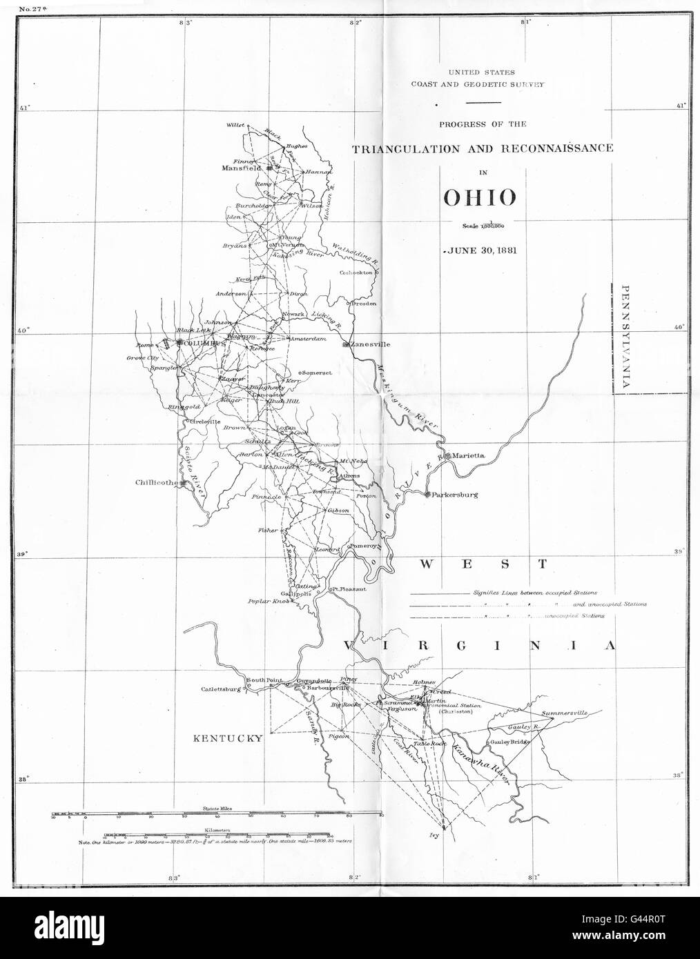 OHIO: USCGS Triangulation and Reconnaissance.Columbus, 1881 antique map Stock Photohttps://www.alamy.com/image-license-details/?v=1https://www.alamy.com/stock-photo-ohio-uscgs-triangulation-and-reconnaissancecolumbus-1881-antique-map-105826696.html
RFG44R0T–OHIO: USCGS Triangulation and Reconnaissance.Columbus, 1881 antique map
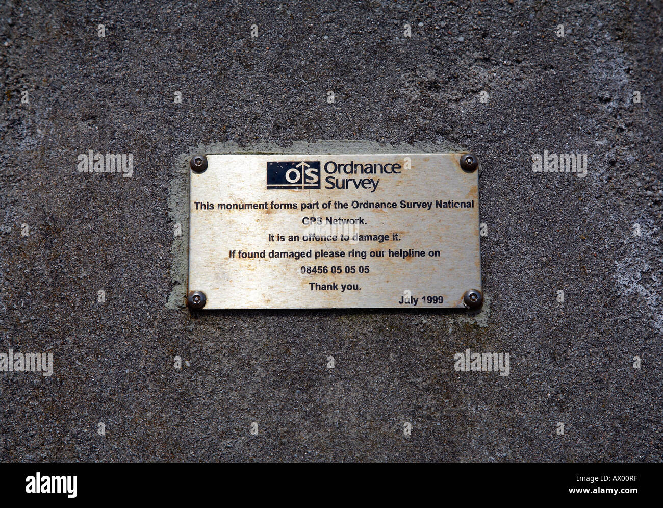 Plaque on Ordnance Survey triangulation point Stock Photohttps://www.alamy.com/image-license-details/?v=1https://www.alamy.com/plaque-on-ordnance-survey-triangulation-point-image9533566.html
RMAX00RF–Plaque on Ordnance Survey triangulation point
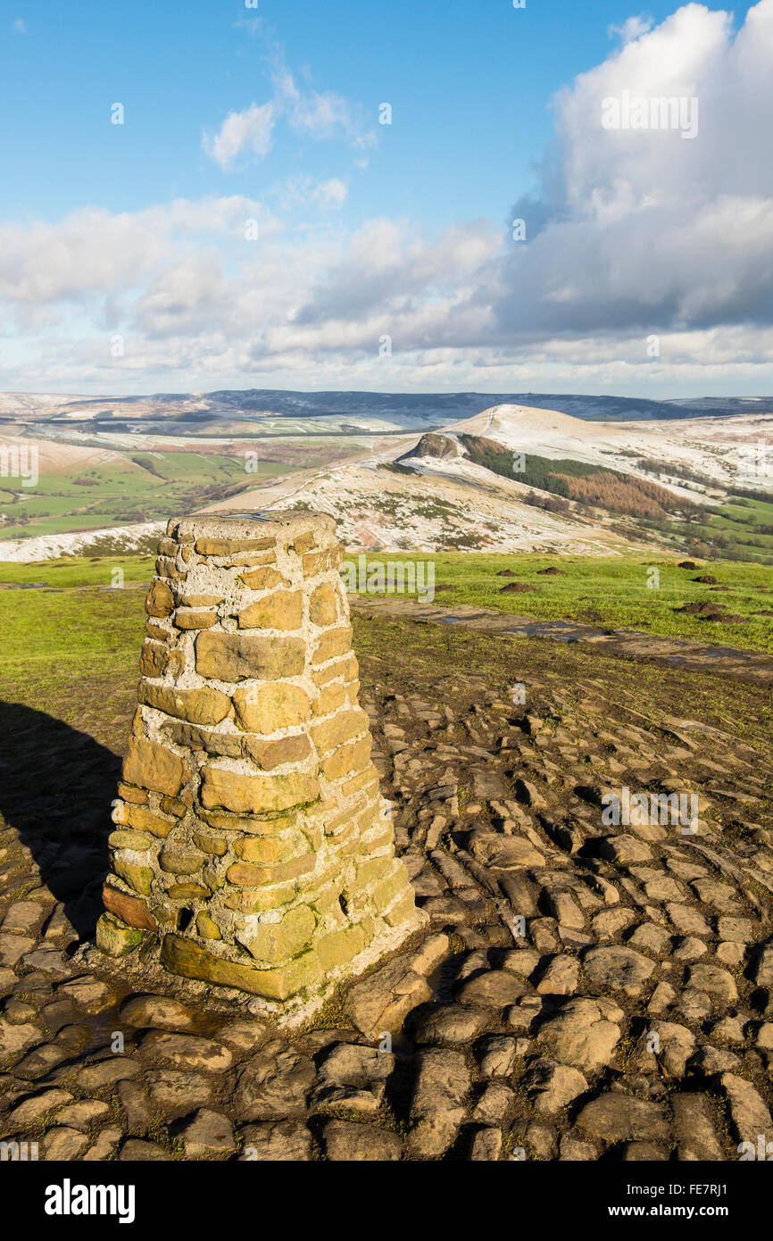 The Triangulation station or trig point at the top of Mam Tor in Derbyshire. Stock Photohttps://www.alamy.com/image-license-details/?v=1https://www.alamy.com/stock-photo-the-triangulation-station-or-trig-point-at-the-top-of-mam-tor-in-derbyshire-94829225.html
RMFE7RJ1–The Triangulation station or trig point at the top of Mam Tor in Derbyshire.
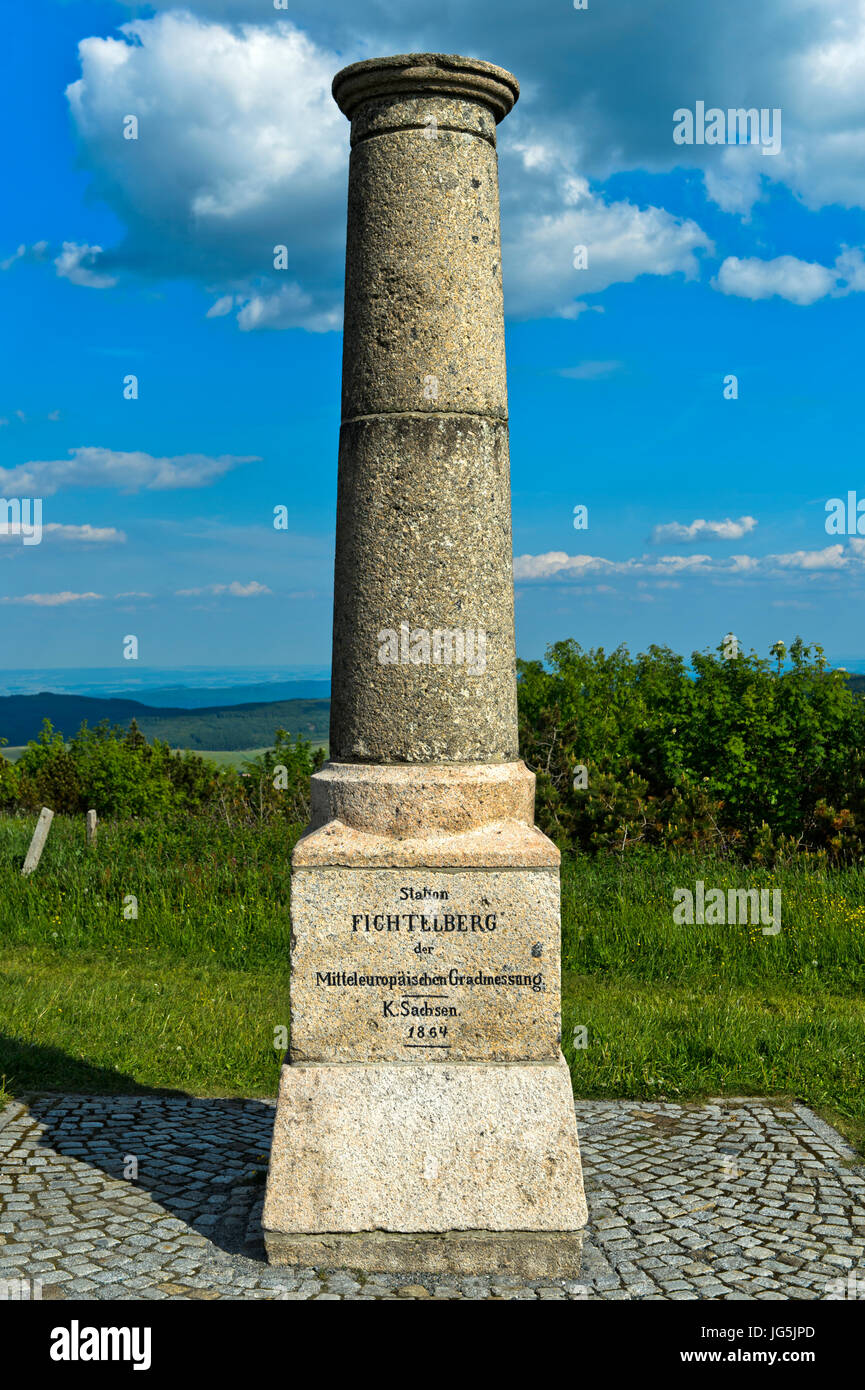 Historic Royal Saxon Triangulation Pillar, national survey, Fichtelberg, Oberwiesenthal, Erzgebirge, Saxony, Germany Stock Photohttps://www.alamy.com/image-license-details/?v=1https://www.alamy.com/stock-photo-historic-royal-saxon-triangulation-pillar-national-survey-fichtelberg-147641941.html
RMJG5JPD–Historic Royal Saxon Triangulation Pillar, national survey, Fichtelberg, Oberwiesenthal, Erzgebirge, Saxony, Germany
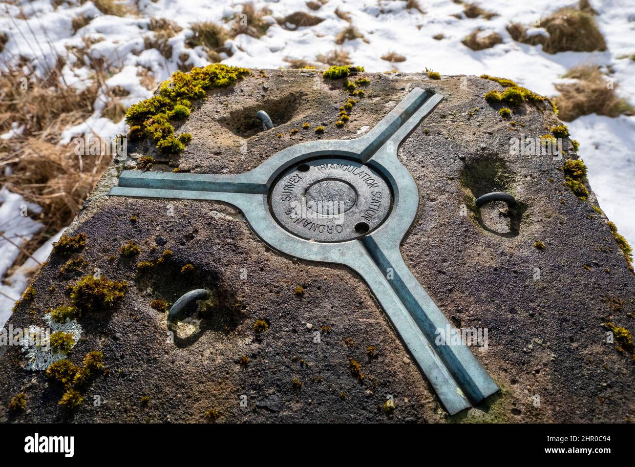 Triangulation Pillar on the summit of Camilty Hill,(290m) West Lothian, Scotland. Stock Photohttps://www.alamy.com/image-license-details/?v=1https://www.alamy.com/triangulation-pillar-on-the-summit-of-camilty-hill290m-west-lothian-scotland-image461616320.html
RM2HR0C94–Triangulation Pillar on the summit of Camilty Hill,(290m) West Lothian, Scotland.
 ordinance survey triangulation pillar waypoint TP0725 station number T1SO9479 on walton hill worcestershire england uk Stock Photohttps://www.alamy.com/image-license-details/?v=1https://www.alamy.com/stock-photo-ordinance-survey-triangulation-pillar-waypoint-tp0725-station-number-19255946.html
RMB3954A–ordinance survey triangulation pillar waypoint TP0725 station number T1SO9479 on walton hill worcestershire england uk
 Triangulation pillar Stock Photohttps://www.alamy.com/image-license-details/?v=1https://www.alamy.com/stock-photo-triangulation-pillar-41281975.html
RMCB4FG7–Triangulation pillar
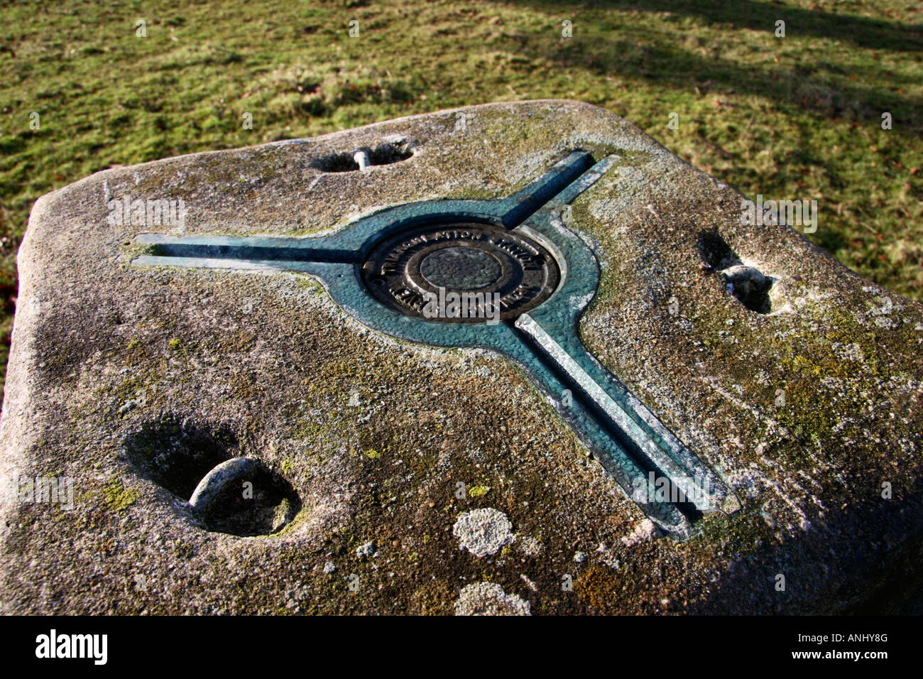 The top of a Triangulation Point pillar. Stock Photohttps://www.alamy.com/image-license-details/?v=1https://www.alamy.com/stock-photo-the-top-of-a-triangulation-point-pillar-15535503.html
RMANHY8G–The top of a Triangulation Point pillar.
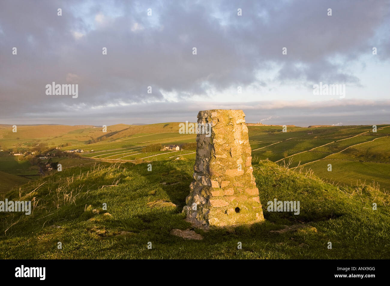 Triangulation point on the summit of High Wheeldon and view towards Earl Sterndale, Peak District National Park, Derbyshire Stock Photohttps://www.alamy.com/image-license-details/?v=1https://www.alamy.com/stock-photo-triangulation-point-on-the-summit-of-high-wheeldon-and-view-towards-15614223.html
RMANX9GG–Triangulation point on the summit of High Wheeldon and view towards Earl Sterndale, Peak District National Park, Derbyshire
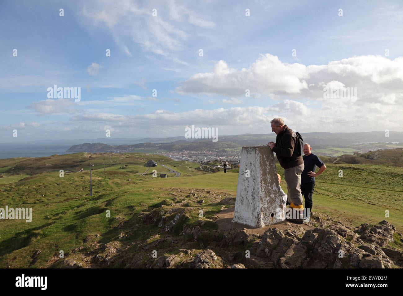 Triangulation pillar top of Great Orme Llandudno North Wales Stock Photohttps://www.alamy.com/image-license-details/?v=1https://www.alamy.com/stock-photo-triangulation-pillar-top-of-great-orme-llandudno-north-wales-33179740.html
RMBWYD2M–Triangulation pillar top of Great Orme Llandudno North Wales
 Ice covered triangulation point seat on summit of High Pike. Cumbria England UK Stock Photohttps://www.alamy.com/image-license-details/?v=1https://www.alamy.com/stock-photo-ice-covered-triangulation-point-seat-on-summit-of-high-pike-cumbria-79103806.html
RMEGKDKX–Ice covered triangulation point seat on summit of High Pike. Cumbria England UK
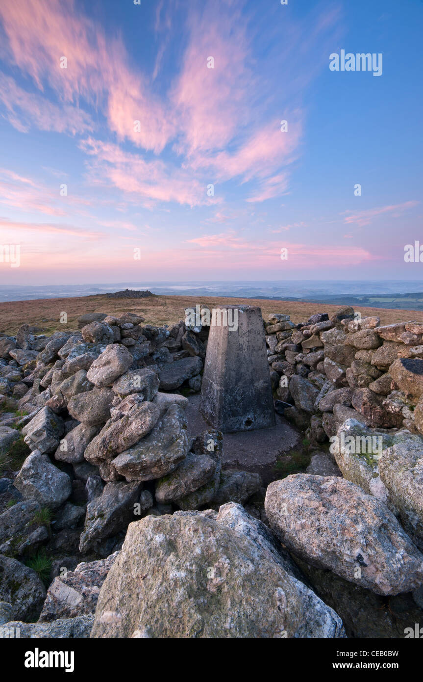 Soft dawn light at Rippon Tor Triangulation point, Dartmoor, August 2011 Stock Photohttps://www.alamy.com/image-license-details/?v=1https://www.alamy.com/stock-photo-soft-dawn-light-at-rippon-tor-triangulation-point-dartmoor-august-43267725.html
RMCEB0BW–Soft dawn light at Rippon Tor Triangulation point, Dartmoor, August 2011
 Young boy child standing on top of a hill hilltop triangulation point marker in Spring sunshine in Somerset England Stock Photohttps://www.alamy.com/image-license-details/?v=1https://www.alamy.com/stock-photo-young-boy-child-standing-on-top-of-a-hill-hilltop-triangulation-point-22601044.html
RMB8NFT4–Young boy child standing on top of a hill hilltop triangulation point marker in Spring sunshine in Somerset England
 Triangulation Point Stock Photohttps://www.alamy.com/image-license-details/?v=1https://www.alamy.com/stock-photo-triangulation-point-86720940.html
RMF12DCC–Triangulation Point
 Batheaston, Somerset, UK weather. 3rd November 2022. A woman walks her dogs past the triangulation pillar atop Little Solsbury Hill after a night of heavy rainfall. Credit: Richard Wayman/Alamy Live News Stock Photohttps://www.alamy.com/image-license-details/?v=1https://www.alamy.com/batheaston-somerset-uk-weather-3rd-november-2022-a-woman-walks-her-dogs-past-the-triangulation-pillar-atop-little-solsbury-hill-after-a-night-of-heavy-rainfall-credit-richard-waymanalamy-live-news-image488425377.html
RM2KAHKFD–Batheaston, Somerset, UK weather. 3rd November 2022. A woman walks her dogs past the triangulation pillar atop Little Solsbury Hill after a night of heavy rainfall. Credit: Richard Wayman/Alamy Live News
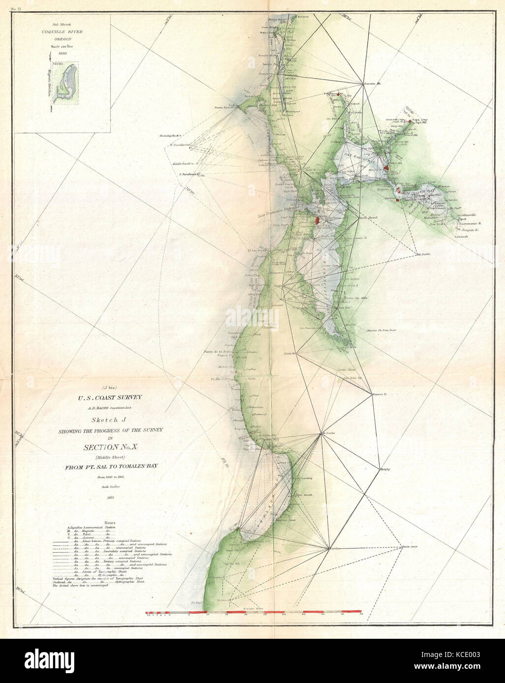 1865, U.S. Coast Survey Triangulation Map of San Francisco Bay Stock Photohttps://www.alamy.com/image-license-details/?v=1https://www.alamy.com/stock-image-1865-us-coast-survey-triangulation-map-of-san-francisco-bay-162576515.html
RMKCE003–1865, U.S. Coast Survey Triangulation Map of San Francisco Bay
 Concrete Triangulation point Stock Photohttps://www.alamy.com/image-license-details/?v=1https://www.alamy.com/stock-photo-concrete-triangulation-point-18135220.html
RMB1E3JC–Concrete Triangulation point
 Mandarin, polygons Vector illustration of. Triangulation Stock Vectorhttps://www.alamy.com/image-license-details/?v=1https://www.alamy.com/mandarin-polygons-vector-illustration-of-triangulation-image211770465.html
RFP8EYAW–Mandarin, polygons Vector illustration of. Triangulation
RMKA19TX–The Triangulation Point at Haresfield Beacon, Gloucestershire, England
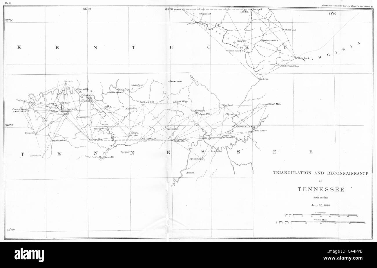 TENNESSEE: USCGS Triangulation and Reconnaissance. Nashville, 1881 antique map Stock Photohttps://www.alamy.com/image-license-details/?v=1https://www.alamy.com/stock-photo-tennessee-uscgs-triangulation-and-reconnaissance-nashville-1881-antique-105826515.html
RFG44PPB–TENNESSEE: USCGS Triangulation and Reconnaissance. Nashville, 1881 antique map
 The Day Mark St Martins Isles of Scilly with triangulation point in foreground Stock Photohttps://www.alamy.com/image-license-details/?v=1https://www.alamy.com/the-day-mark-st-martins-isles-of-scilly-with-triangulation-point-in-image9533563.html
RMAX00RC–The Day Mark St Martins Isles of Scilly with triangulation point in foreground
 Triangulation Point, Cefn Bryn, Gower, Wales Stock Photohttps://www.alamy.com/image-license-details/?v=1https://www.alamy.com/stock-photo-triangulation-point-cefn-bryn-gower-wales-36075360.html
RMC2KADM–Triangulation Point, Cefn Bryn, Gower, Wales
 Ordinance Survey Triangulation Point Danebury Hampshire England Stock Photohttps://www.alamy.com/image-license-details/?v=1https://www.alamy.com/stock-photo-ordinance-survey-triangulation-point-danebury-hampshire-england-17588497.html
RMB0H68H–Ordinance Survey Triangulation Point Danebury Hampshire England
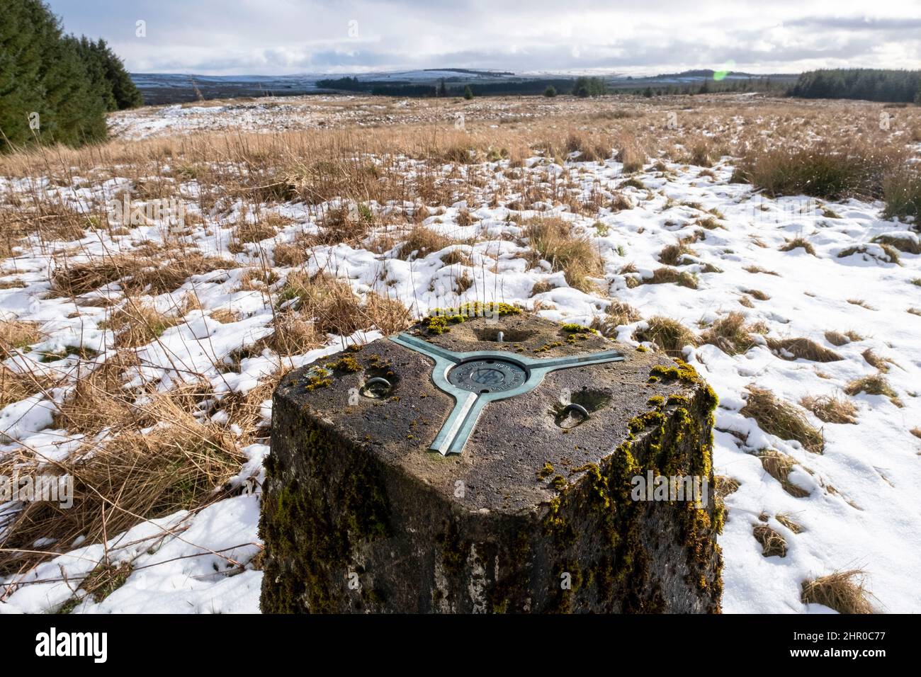 Triangulation Pillar on the summit of Camilty Hill,(290m) West Lothian, Scotland. Stock Photohttps://www.alamy.com/image-license-details/?v=1https://www.alamy.com/triangulation-pillar-on-the-summit-of-camilty-hill290m-west-lothian-scotland-image461616267.html
RM2HR0C77–Triangulation Pillar on the summit of Camilty Hill,(290m) West Lothian, Scotland.
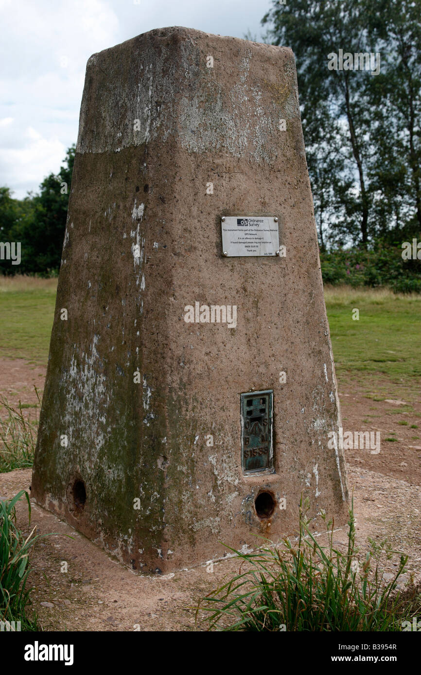 ordinance survey triangulation pillar waypoint TP0725 station number T1SO9479 on walton hill worcestershire england uk Stock Photohttps://www.alamy.com/image-license-details/?v=1https://www.alamy.com/stock-photo-ordinance-survey-triangulation-pillar-waypoint-tp0725-station-number-19255959.html
RMB3954R–ordinance survey triangulation pillar waypoint TP0725 station number T1SO9479 on walton hill worcestershire england uk
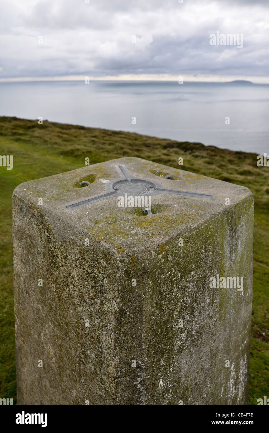 Triangulation pillar Stock Photohttps://www.alamy.com/image-license-details/?v=1https://www.alamy.com/stock-photo-triangulation-pillar-41281727.html
RMCB4F7B–Triangulation pillar
 Triangulation Point at Wandlebury countrypark near Cambridge, England. Stock Photohttps://www.alamy.com/image-license-details/?v=1https://www.alamy.com/stock-photo-triangulation-point-at-wandlebury-countrypark-near-cambridge-england-15535497.html
RMANHY7P–Triangulation Point at Wandlebury countrypark near Cambridge, England.
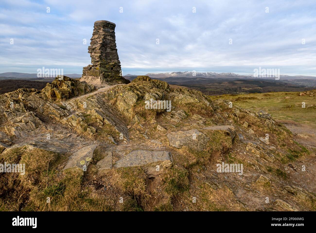 The triangulation point at the summit of Gummers How with views towards the central fells Stock Photohttps://www.alamy.com/image-license-details/?v=1https://www.alamy.com/the-triangulation-point-at-the-summit-of-gummers-how-with-views-towards-the-central-fells-image413185824.html
RF2F066MG–The triangulation point at the summit of Gummers How with views towards the central fells
 Triangulation pillar top of Great Orme Llandudno North Wales Stock Photohttps://www.alamy.com/image-license-details/?v=1https://www.alamy.com/stock-photo-triangulation-pillar-top-of-great-orme-llandudno-north-wales-33410034.html
RMBX9XRE–Triangulation pillar top of Great Orme Llandudno North Wales
 Triangulation pillar located on a hilltop in Southern Dorset. Stock Photohttps://www.alamy.com/image-license-details/?v=1https://www.alamy.com/triangulation-pillar-located-on-a-hilltop-in-southern-dorset-image69042760.html
RME094MT–Triangulation pillar located on a hilltop in Southern Dorset.
 Soft dawn light at Rippon Tor Triangulation point, Dartmoor, August 2011 Stock Photohttps://www.alamy.com/image-license-details/?v=1https://www.alamy.com/stock-photo-soft-dawn-light-at-rippon-tor-triangulation-point-dartmoor-august-43267682.html
RMCEB0AA–Soft dawn light at Rippon Tor Triangulation point, Dartmoor, August 2011
 The summit of Arthur's Seat, Edinburgh, with the Ordnance Survey triangulation pillar in the foreground Stock Photohttps://www.alamy.com/image-license-details/?v=1https://www.alamy.com/the-summit-of-arthurs-seat-edinburgh-with-the-ordnance-survey-triangulation-pillar-in-the-foreground-image604724215.html
RM2X3RFWB–The summit of Arthur's Seat, Edinburgh, with the Ordnance Survey triangulation pillar in the foreground
 Low poly 3d design of king chess piece. Vector triangulation with reflection. Stock Vectorhttps://www.alamy.com/image-license-details/?v=1https://www.alamy.com/stock-photo-low-poly-3d-design-of-king-chess-piece-vector-triangulation-with-reflection-142377105.html
RFJ7HRCH–Low poly 3d design of king chess piece. Vector triangulation with reflection.
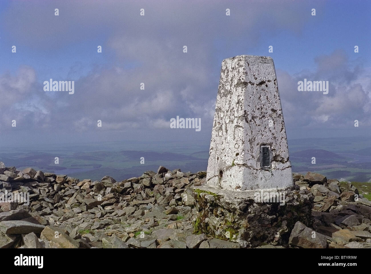 Triangulation Point at the Summit of The Merrick, Galloway Forest Park, Dumfries & Galloway, Scotland Stock Photohttps://www.alamy.com/image-license-details/?v=1https://www.alamy.com/stock-photo-triangulation-point-at-the-summit-of-the-merrick-galloway-forest-park-32573125.html
RMBTYR9W–Triangulation Point at the Summit of The Merrick, Galloway Forest Park, Dumfries & Galloway, Scotland
 Triangulation Pillar at Shining Tor, Depending on your frame of reference this summit is the highest point in the White Peak, UK Stock Photohttps://www.alamy.com/image-license-details/?v=1https://www.alamy.com/stock-photo-triangulation-pillar-at-shining-tor-depending-on-your-frame-of-reference-77358884.html
RMEDT018–Triangulation Pillar at Shining Tor, Depending on your frame of reference this summit is the highest point in the White Peak, UK
 Triangulation point on 'Flask Edge' in Derbyshire 'Great Britain' Stock Photohttps://www.alamy.com/image-license-details/?v=1https://www.alamy.com/stock-photo-triangulation-point-on-flask-edge-in-derbyshire-great-britain-16640325.html
RMAWRBCP–Triangulation point on 'Flask Edge' in Derbyshire 'Great Britain'
