Quick filters:
Turkish map in black Stock Photos and Images
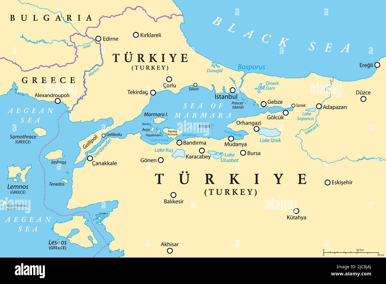 Bosporus and Dardanelles, political map. The Turkish Straits, internationally significant and narrow waterways and passages in Turkey. Stock Photohttps://www.alamy.com/image-license-details/?v=1https://www.alamy.com/bosporus-and-dardanelles-political-map-the-turkish-straits-internationally-significant-and-narrow-waterways-and-passages-in-turkey-image472245834.html
RF2JC8JAJ–Bosporus and Dardanelles, political map. The Turkish Straits, internationally significant and narrow waterways and passages in Turkey.
 Turkish national flags fillings in map of Turkey on black Stock Photohttps://www.alamy.com/image-license-details/?v=1https://www.alamy.com/turkish-national-flags-fillings-in-map-of-turkey-on-black-image432578814.html
RF2G3NJKA–Turkish national flags fillings in map of Turkey on black
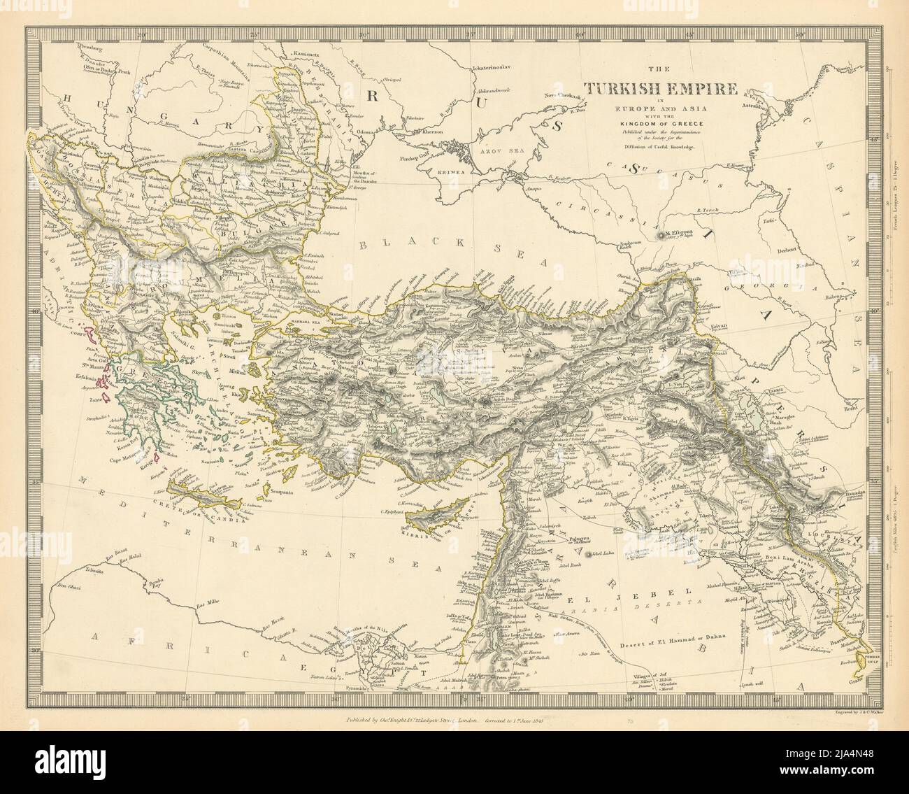 OTTOMAN EMPIRE. in Europe and Asia with the Kingdom of Greece. SDUK 1845 map Stock Photohttps://www.alamy.com/image-license-details/?v=1https://www.alamy.com/ottoman-empire-in-europe-and-asia-with-the-kingdom-of-greece-sduk-1845-map-image470930888.html
RF2JA4N48–OTTOMAN EMPIRE. in Europe and Asia with the Kingdom of Greece. SDUK 1845 map
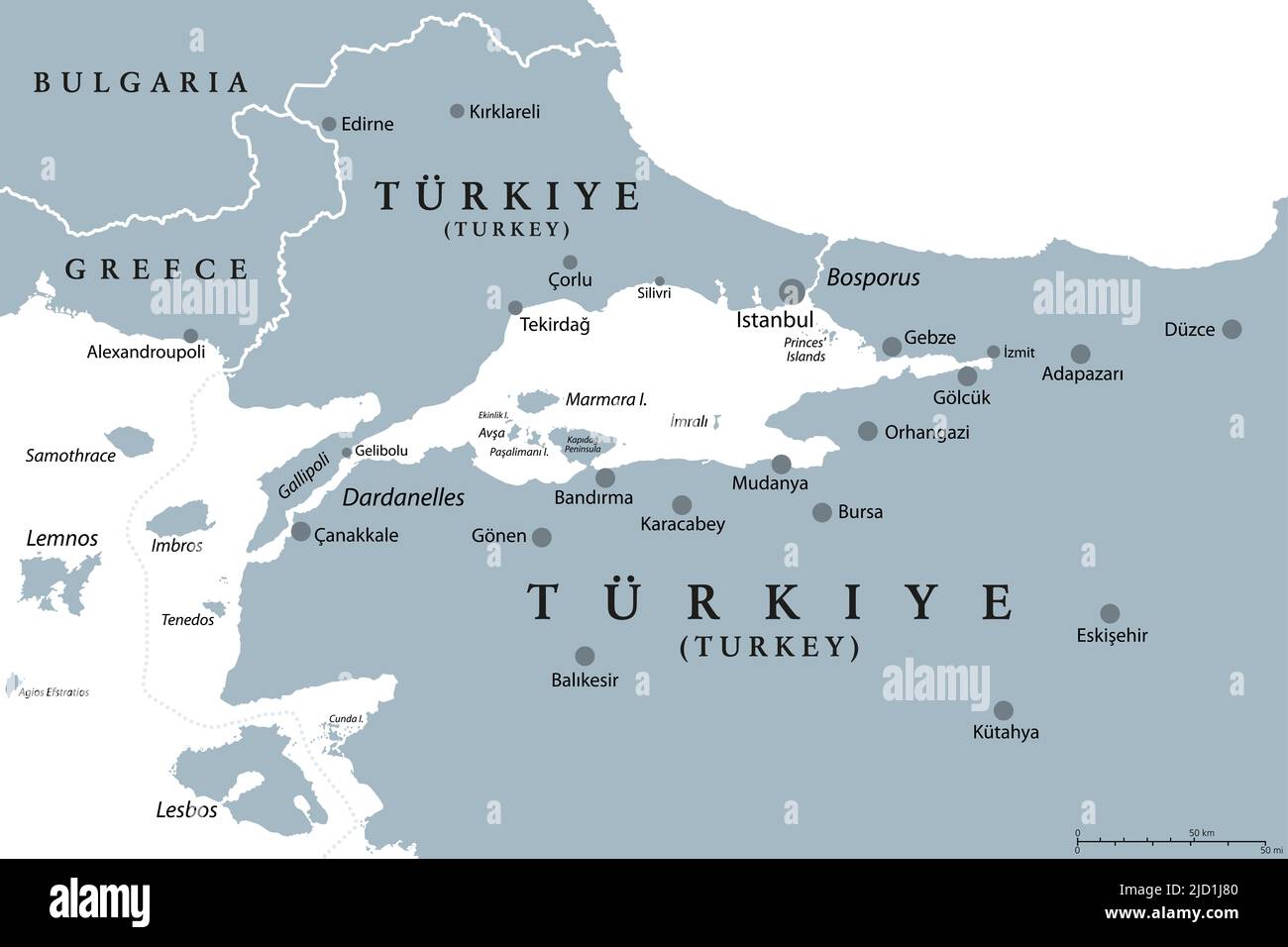 Bosphorus and Dardanelles, gray political map. The Turkish Straits, internationally significant, narrow waterways in Turkey. Stock Photohttps://www.alamy.com/image-license-details/?v=1https://www.alamy.com/bosphorus-and-dardanelles-gray-political-map-the-turkish-straits-internationally-significant-narrow-waterways-in-turkey-image472706752.html
RF2JD1J80–Bosphorus and Dardanelles, gray political map. The Turkish Straits, internationally significant, narrow waterways in Turkey.
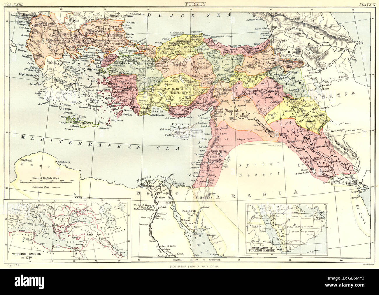 TURKEY: Inset Turkish Ottoman empire in 1750. Britannica 9th edition, 1898 map Stock Photohttps://www.alamy.com/image-license-details/?v=1https://www.alamy.com/stock-photo-turkey-inset-turkish-ottoman-empire-in-1750-britannica-9th-edition-110171575.html
RFGB6MY3–TURKEY: Inset Turkish Ottoman empire in 1750. Britannica 9th edition, 1898 map
 Turkish history - The Ottoman Empire at its greatest extent in 1683 - overview map of its territory expansion and military acquisition. Stock Photohttps://www.alamy.com/image-license-details/?v=1https://www.alamy.com/stock-photo-turkish-history-the-ottoman-empire-at-its-greatest-extent-in-1683-138439193.html
RFJ16CGW–Turkish history - The Ottoman Empire at its greatest extent in 1683 - overview map of its territory expansion and military acquisition.
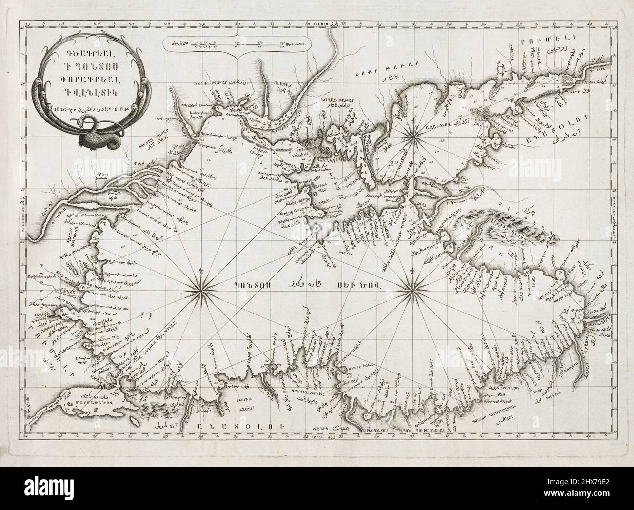 Vintage Map of Black Sea and environs. Created in Venic 1820. Armenian and Ottoman Turkish. Shows ports, cities, and other geographical features. Stock Photohttps://www.alamy.com/image-license-details/?v=1https://www.alamy.com/vintage-map-of-black-sea-and-environs-created-in-venic-1820-armenian-and-ottoman-turkish-shows-ports-cities-and-other-geographical-features-image463611738.html
RM2HX79E2–Vintage Map of Black Sea and environs. Created in Venic 1820. Armenian and Ottoman Turkish. Shows ports, cities, and other geographical features.
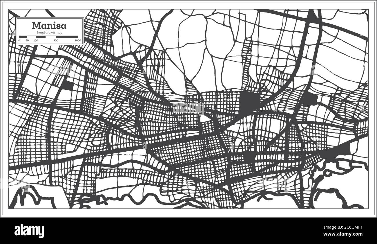 Manisa Turkey City Map in Black and White Color in Retro Style. Outline Map. Vector Illustration. Stock Vectorhttps://www.alamy.com/image-license-details/?v=1https://www.alamy.com/manisa-turkey-city-map-in-black-and-white-color-in-retro-style-outline-map-vector-illustration-image365473020.html
RF2C6GMFT–Manisa Turkey City Map in Black and White Color in Retro Style. Outline Map. Vector Illustration.
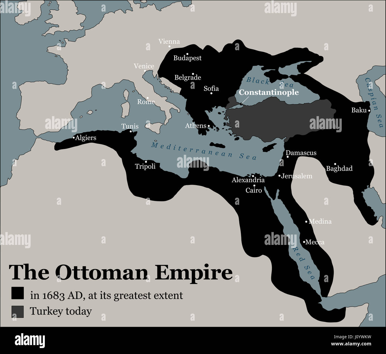 Turkey today and the Ottoman Empire at its greatest extent in 1683 - history map of its territory expansion and military acquisition. Stock Photohttps://www.alamy.com/image-license-details/?v=1https://www.alamy.com/stock-photo-turkey-today-and-the-ottoman-empire-at-its-greatest-extent-in-1683-138295805.html
RFJ0YWKW–Turkey today and the Ottoman Empire at its greatest extent in 1683 - history map of its territory expansion and military acquisition.
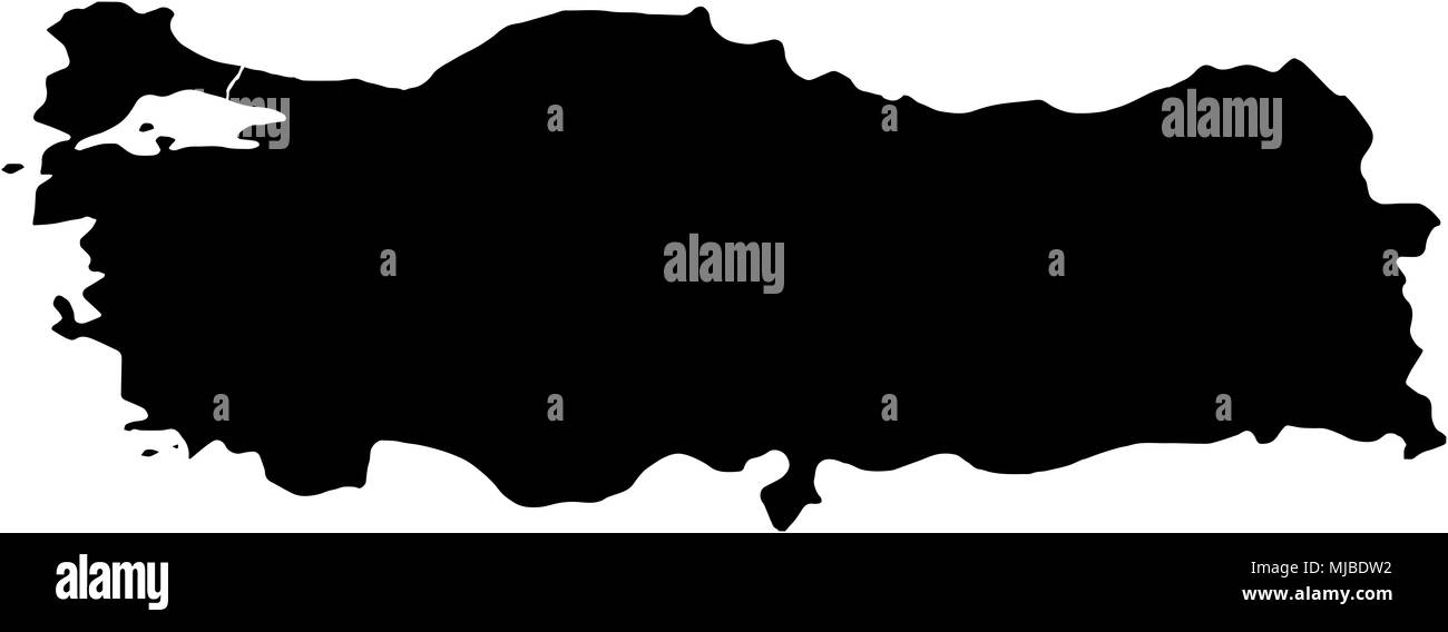 Turkey Turkiye country Map illustration black Stock Photohttps://www.alamy.com/image-license-details/?v=1https://www.alamy.com/turkey-turkiye-country-map-illustration-black-image183419854.html
RFMJBDW2–Turkey Turkiye country Map illustration black
 Italy: An early 16th-century illustration of Venice by Ottoman admiral and cartographer Piri Reis (1470-1554), published in his navigational ‘Kitab-i-Bahriye’ (Book of Sea Lore). For centuries Venice was Europe’s prime trading partner with the Middle East and the Byzantine Empire in particular. Venetian naval and commercial power was unrivalled in Europe until it lost a series of wars to the Ottoman armies in the 15th century. The city lost some 50,000 people to the Black Death in 1575-77, but remained a major manufacturing center and port well into the 18th century. Stock Photohttps://www.alamy.com/image-license-details/?v=1https://www.alamy.com/italy-an-early-16th-century-illustration-of-venice-by-ottoman-admiral-and-cartographer-piri-reis-1470-1554-published-in-his-navigational-kitab-i-bahriye-book-of-sea-lore-for-centuries-venice-was-europes-prime-trading-partner-with-the-middle-east-and-the-byzantine-empire-in-particular-venetian-naval-and-commercial-power-was-unrivalled-in-europe-until-it-lost-a-series-of-wars-to-the-ottoman-armies-in-the-15th-century-the-city-lost-some-50000-people-to-the-black-death-in-1575-77-but-remained-a-major-manufacturing-center-and-port-well-into-the-18th-century-image344226976.html
RM2B00W0G–Italy: An early 16th-century illustration of Venice by Ottoman admiral and cartographer Piri Reis (1470-1554), published in his navigational ‘Kitab-i-Bahriye’ (Book of Sea Lore). For centuries Venice was Europe’s prime trading partner with the Middle East and the Byzantine Empire in particular. Venetian naval and commercial power was unrivalled in Europe until it lost a series of wars to the Ottoman armies in the 15th century. The city lost some 50,000 people to the Black Death in 1575-77, but remained a major manufacturing center and port well into the 18th century.
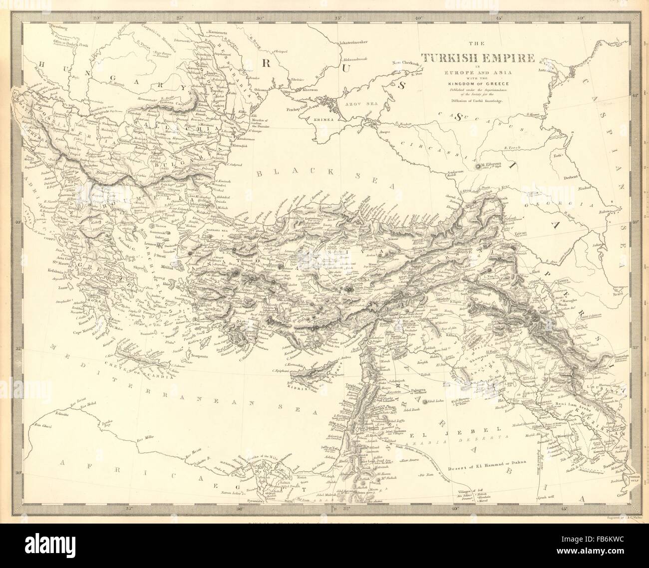 OTTOMAN EMPIRE: in Europe and Asia with the Kingdom of Greece. SDUK, 1848 map Stock Photohttps://www.alamy.com/image-license-details/?v=1https://www.alamy.com/stock-photo-ottoman-empire-in-europe-and-asia-with-the-kingdom-of-greece-sduk-92960376.html
RFFB6KWC–OTTOMAN EMPIRE: in Europe and Asia with the Kingdom of Greece. SDUK, 1848 map
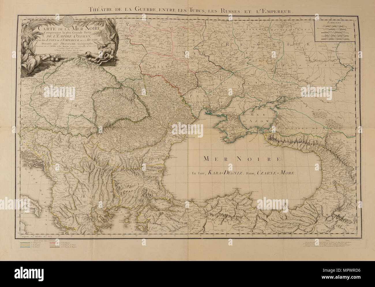 Map of the Black Sea, depicting the theater of the Russo-Turkish War, begun in 1787, 1788. Stock Photohttps://www.alamy.com/image-license-details/?v=1https://www.alamy.com/map-of-the-black-sea-depicting-the-theater-of-the-russo-turkish-war-begun-in-1787-1788-image186193314.html
RMMPWRD6–Map of the Black Sea, depicting the theater of the Russo-Turkish War, begun in 1787, 1788.
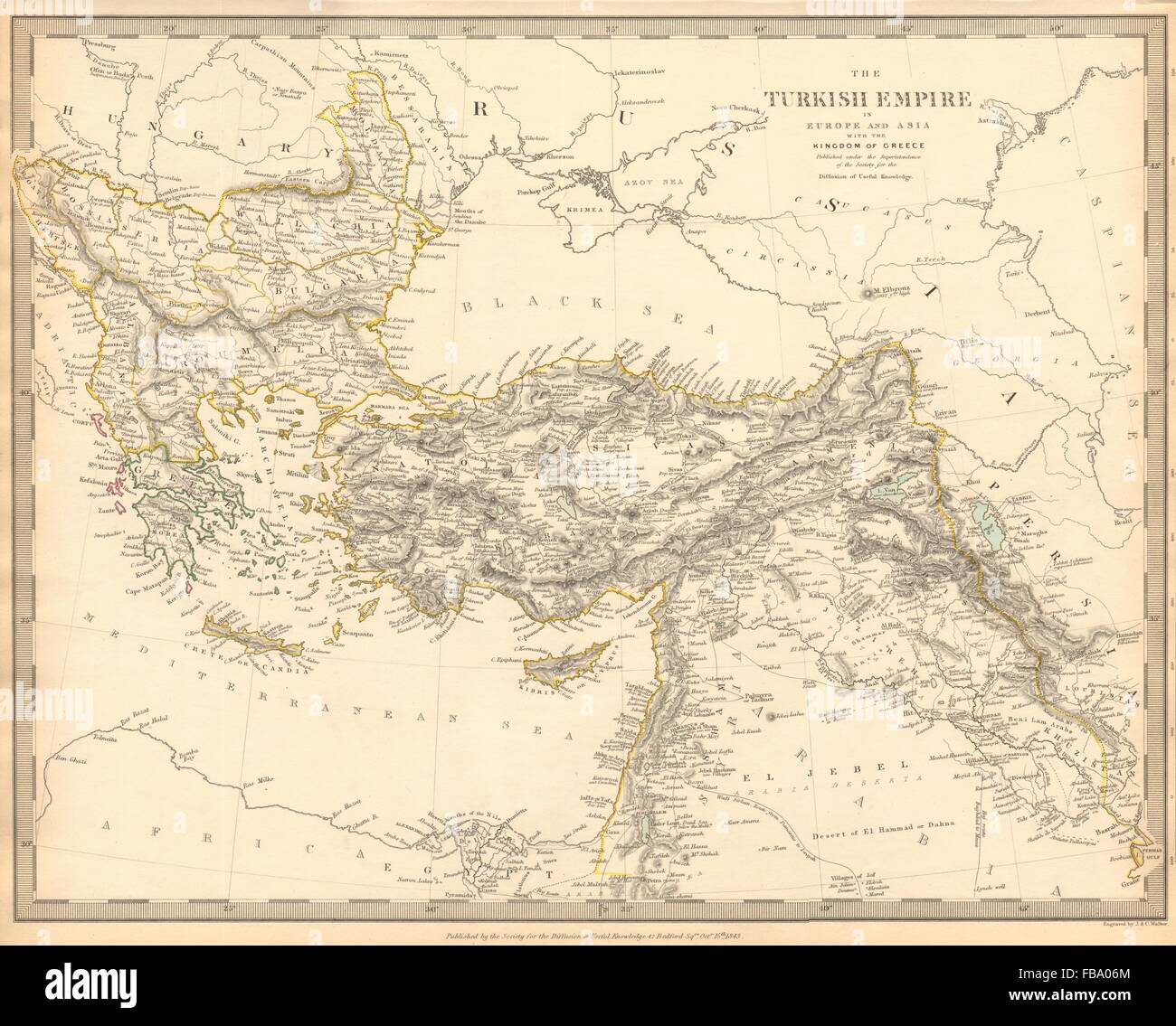 OTTOMAN EMPIRE in Europe & Asia. Greece. British Ionian Islands. SDUK, 1844 map Stock Photohttps://www.alamy.com/image-license-details/?v=1https://www.alamy.com/stock-photo-ottoman-empire-in-europe-asia-greece-british-ionian-islands-sduk-1844-93032764.html
RFFBA06M–OTTOMAN EMPIRE in Europe & Asia. Greece. British Ionian Islands. SDUK, 1844 map
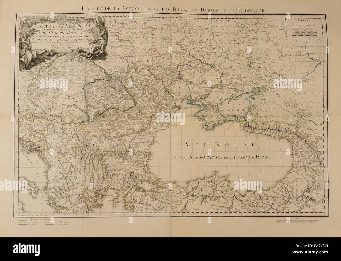 Map of the Black Sea, depicting the theater of the Russo-Turkish War, begun in 1787. Museum: PRIVATE COLLECTION. Stock Photohttps://www.alamy.com/image-license-details/?v=1https://www.alamy.com/map-of-the-black-sea-depicting-the-theater-of-the-russo-turkish-war-begun-in-1787-museum-private-collection-image212846189.html
RMPA7YDH–Map of the Black Sea, depicting the theater of the Russo-Turkish War, begun in 1787. Museum: PRIVATE COLLECTION.
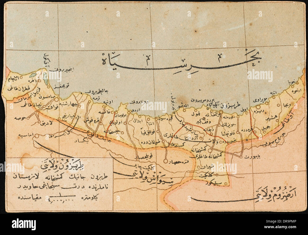 Map of the Trabzon Province Stock Photohttps://www.alamy.com/image-license-details/?v=1https://www.alamy.com/map-of-the-trabzon-province-image65983590.html
RMDR9PMP–Map of the Trabzon Province
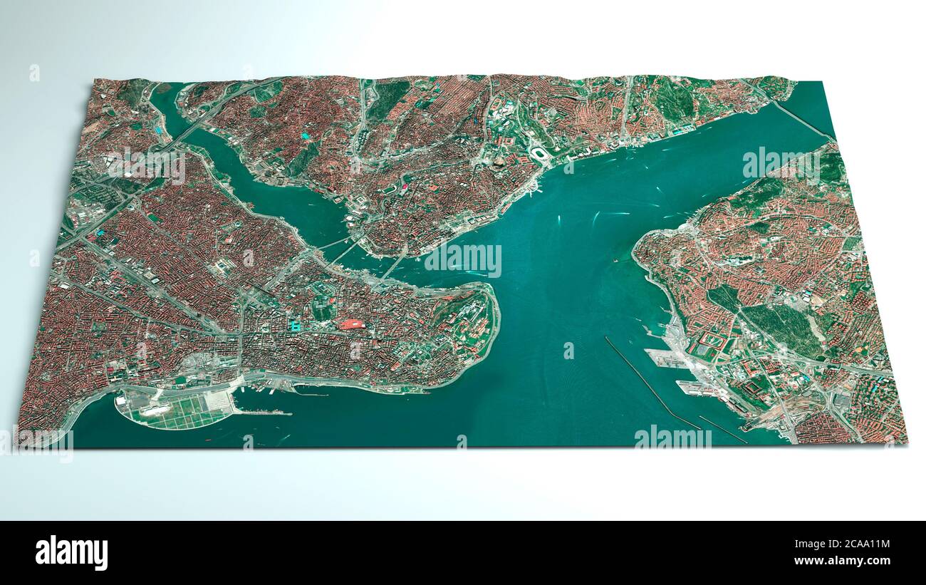 Satellite map of Istanbul, Turkey, is the most populous city in Turkey and the country's economic, cultural and historic center. Streets map and city Stock Photohttps://www.alamy.com/image-license-details/?v=1https://www.alamy.com/satellite-map-of-istanbul-turkey-is-the-most-populous-city-in-turkey-and-the-countrys-economic-cultural-and-historic-center-streets-map-and-city-image367784640.html
RF2CAA11M–Satellite map of Istanbul, Turkey, is the most populous city in Turkey and the country's economic, cultural and historic center. Streets map and city
RF2N441DR–Turkey - national flag in a shape of country map silhouette with thin black outline. Simple flat vector icon.
![THE TURKISH EMPIRE in EUROPE, ASIA and AFRICA. Author Moll, Herman 113.8. Place of publication: [London] Publisher: Printed for H. Moll over against Devereux court in ye Strand and John Bowles at the Black Horse in Cornhill and T. Bowles Print , Mapseller next to the Chapter House in St Paul's Church Yard and by John King at the Globe in the Poultry, Date of publication: [between 1730 and 1745.] Item type: 1 map on 2 sheets Medium: joined and laid on linen, copperplate engraving, hand colour in outline Dimensions: 59 x 100 cm Former owner: George III, Stock Photo THE TURKISH EMPIRE in EUROPE, ASIA and AFRICA. Author Moll, Herman 113.8. Place of publication: [London] Publisher: Printed for H. Moll over against Devereux court in ye Strand and John Bowles at the Black Horse in Cornhill and T. Bowles Print , Mapseller next to the Chapter House in St Paul's Church Yard and by John King at the Globe in the Poultry, Date of publication: [between 1730 and 1745.] Item type: 1 map on 2 sheets Medium: joined and laid on linen, copperplate engraving, hand colour in outline Dimensions: 59 x 100 cm Former owner: George III, Stock Photo](https://c8.alamy.com/comp/2E9G7E9/the-turkish-empire-in-europe-asia-and-africa-author-moll-herman-1138-place-of-publication-london-publisher-printed-for-h-moll-over-against-devereux-court-in-ye-strand-and-john-bowles-at-the-black-horse-in-cornhill-and-t-bowles-print-mapseller-next-to-the-chapter-house-in-st-pauls-church-yard-and-by-john-king-at-the-globe-in-the-poultry-date-of-publication-between-1730-and-1745-item-type-1-map-on-2-sheets-medium-joined-and-laid-on-linen-copperplate-engraving-hand-colour-in-outline-dimensions-59-x-100-cm-former-owner-george-iii-2E9G7E9.jpg) THE TURKISH EMPIRE in EUROPE, ASIA and AFRICA. Author Moll, Herman 113.8. Place of publication: [London] Publisher: Printed for H. Moll over against Devereux court in ye Strand and John Bowles at the Black Horse in Cornhill and T. Bowles Print , Mapseller next to the Chapter House in St Paul's Church Yard and by John King at the Globe in the Poultry, Date of publication: [between 1730 and 1745.] Item type: 1 map on 2 sheets Medium: joined and laid on linen, copperplate engraving, hand colour in outline Dimensions: 59 x 100 cm Former owner: George III, Stock Photohttps://www.alamy.com/image-license-details/?v=1https://www.alamy.com/the-turkish-empire-in-europe-asia-and-africa-author-moll-herman-1138-place-of-publication-london-publisher-printed-for-h-moll-over-against-devereux-court-in-ye-strand-and-john-bowles-at-the-black-horse-in-cornhill-and-t-bowles-print-mapseller-next-to-the-chapter-house-in-st-pauls-church-yard-and-by-john-king-at-the-globe-in-the-poultry-date-of-publication-between-1730-and-1745-item-type-1-map-on-2-sheets-medium-joined-and-laid-on-linen-copperplate-engraving-hand-colour-in-outline-dimensions-59-x-100-cm-former-owner-george-iii-image401727489.html
THE TURKISH EMPIRE in EUROPE, ASIA and AFRICA. Author Moll, Herman 113.8. Place of publication: [London] Publisher: Printed for H. Moll over against Devereux court in ye Strand and John Bowles at the Black Horse in Cornhill and T. Bowles Print , Mapseller next to the Chapter House in St Paul's Church Yard and by John King at the Globe in the Poultry, Date of publication: [between 1730 and 1745.] Item type: 1 map on 2 sheets Medium: joined and laid on linen, copperplate engraving, hand colour in outline Dimensions: 59 x 100 cm Former owner: George III, Stock Photohttps://www.alamy.com/image-license-details/?v=1https://www.alamy.com/the-turkish-empire-in-europe-asia-and-africa-author-moll-herman-1138-place-of-publication-london-publisher-printed-for-h-moll-over-against-devereux-court-in-ye-strand-and-john-bowles-at-the-black-horse-in-cornhill-and-t-bowles-print-mapseller-next-to-the-chapter-house-in-st-pauls-church-yard-and-by-john-king-at-the-globe-in-the-poultry-date-of-publication-between-1730-and-1745-item-type-1-map-on-2-sheets-medium-joined-and-laid-on-linen-copperplate-engraving-hand-colour-in-outline-dimensions-59-x-100-cm-former-owner-george-iii-image401727489.htmlRM2E9G7E9–THE TURKISH EMPIRE in EUROPE, ASIA and AFRICA. Author Moll, Herman 113.8. Place of publication: [London] Publisher: Printed for H. Moll over against Devereux court in ye Strand and John Bowles at the Black Horse in Cornhill and T. Bowles Print , Mapseller next to the Chapter House in St Paul's Church Yard and by John King at the Globe in the Poultry, Date of publication: [between 1730 and 1745.] Item type: 1 map on 2 sheets Medium: joined and laid on linen, copperplate engraving, hand colour in outline Dimensions: 59 x 100 cm Former owner: George III,
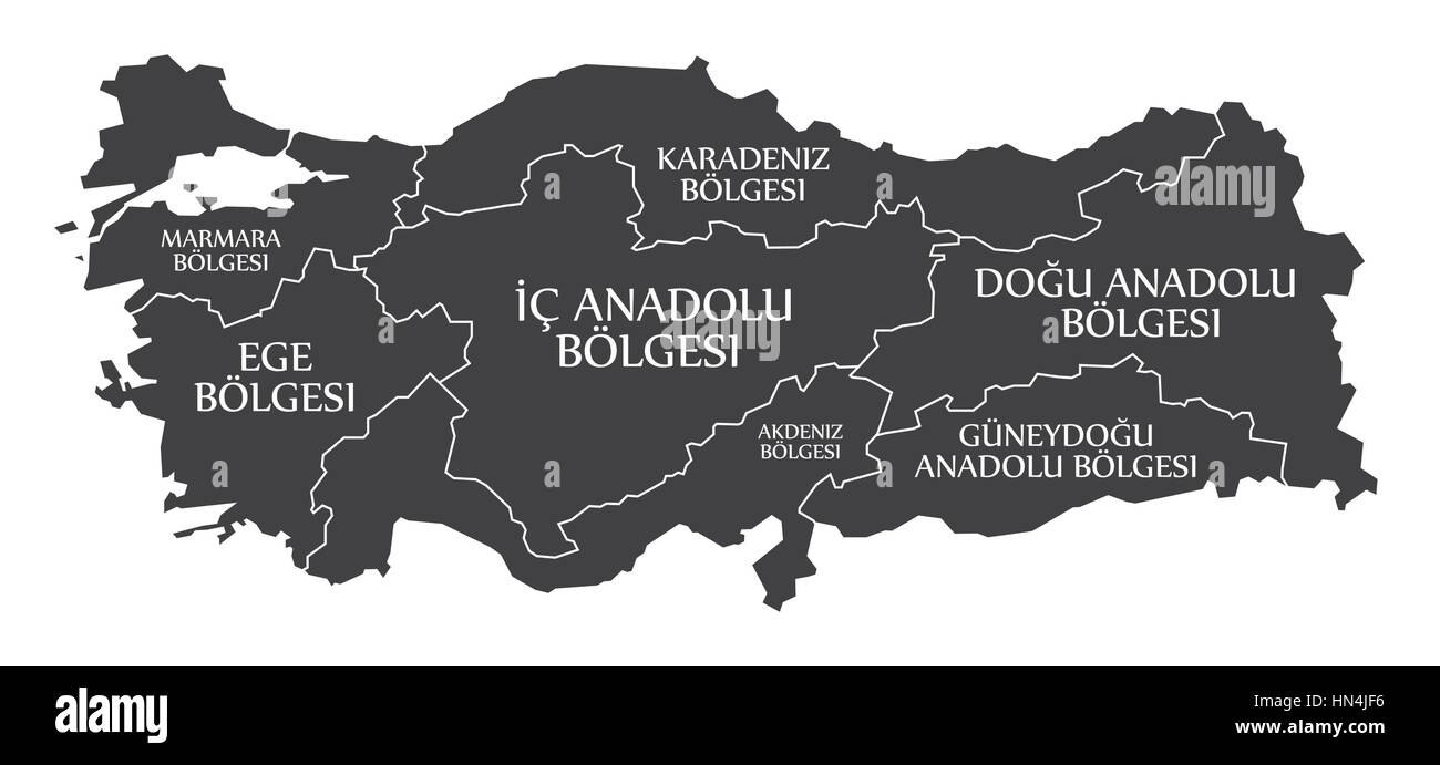 Turkey Map labelled black illustration in turkish language Stock Vectorhttps://www.alamy.com/image-license-details/?v=1https://www.alamy.com/stock-photo-turkey-map-labelled-black-illustration-in-turkish-language-133482698.html
RFHN4JF6–Turkey Map labelled black illustration in turkish language
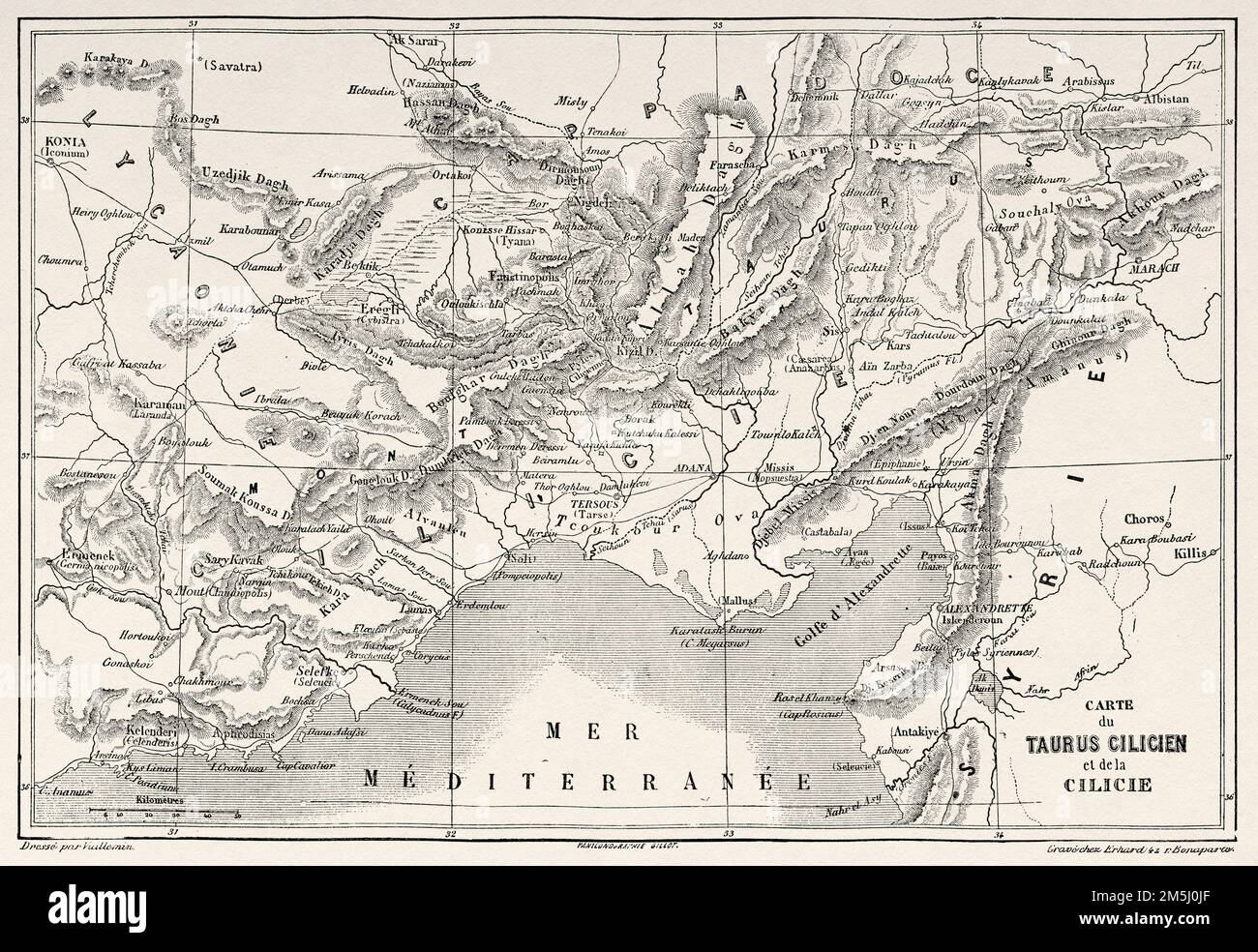 Old map of Cilician Taurus and Cilicia, southern Anatolia, Turkey. Voyage in Cilicia and Taurus Mountains in 1852-1853 by Victor Langlois Stock Photohttps://www.alamy.com/image-license-details/?v=1https://www.alamy.com/old-map-of-cilician-taurus-and-cilicia-southern-anatolia-turkey-voyage-in-cilicia-and-taurus-mountains-in-1852-1853-by-victor-langlois-image502569607.html
RM2M5J0JF–Old map of Cilician Taurus and Cilicia, southern Anatolia, Turkey. Voyage in Cilicia and Taurus Mountains in 1852-1853 by Victor Langlois
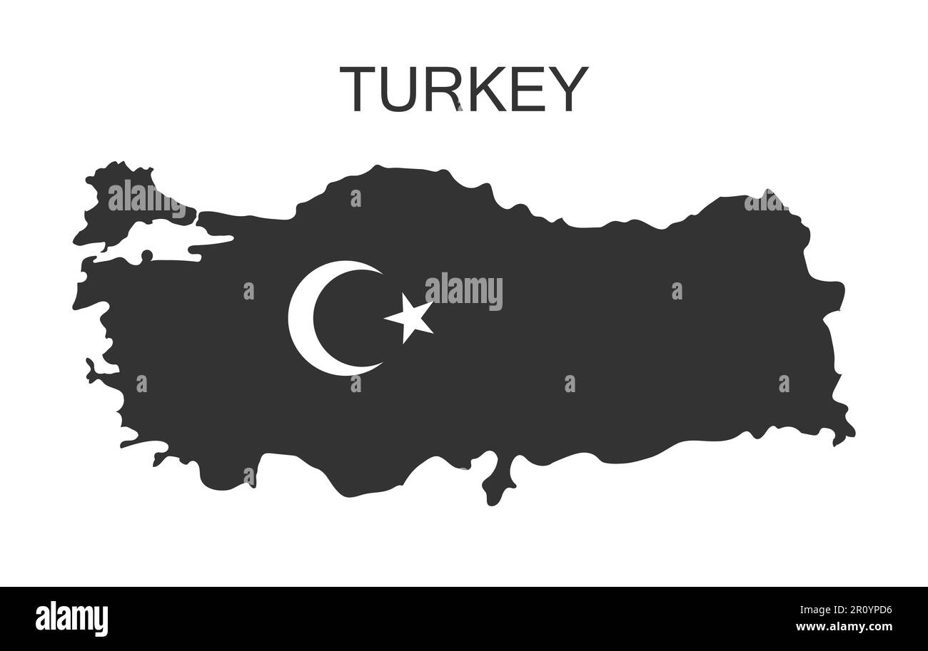 The outline of Turkey painted in the black color. Turkey map in black with crescent and star Stock Vectorhttps://www.alamy.com/image-license-details/?v=1https://www.alamy.com/the-outline-of-turkey-painted-in-the-black-color-turkey-map-in-black-with-crescent-and-star-image551342098.html
RF2R0YPD6–The outline of Turkey painted in the black color. Turkey map in black with crescent and star
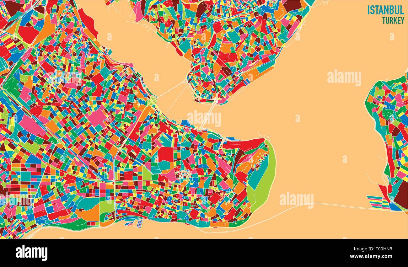 Satellite map of Istanbul, Turkey, is the most populous city in Turkey and the country's economic, cultural and historic center. Streets map and city Stock Vectorhttps://www.alamy.com/image-license-details/?v=1https://www.alamy.com/satellite-map-of-istanbul-turkey-is-the-most-populous-city-in-turkey-and-the-countrys-economic-cultural-and-historic-center-streets-map-and-city-image240959073.html
RFT00HN5–Satellite map of Istanbul, Turkey, is the most populous city in Turkey and the country's economic, cultural and historic center. Streets map and city
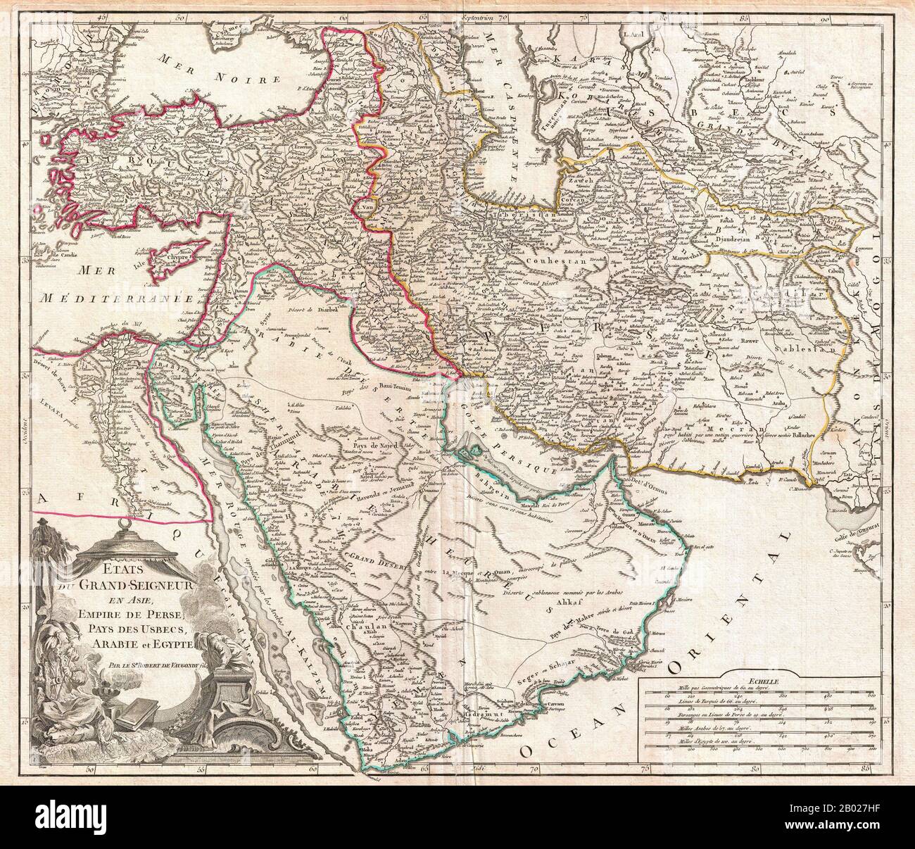 In this 1753 map of the Ottoman Empire. Vaugondy maps the empire at its height, with territory spanning from the Black Sea to the southernmost extension of Arabia and west, inclusive of Persia, as far as the Mongol Empire of India. This includes the modern day nations of Turkey, Egypt, Saudi Arabia, Oman, Yemen, the United Arab Emirates, Iran, Iraq, Kuwait, Israel, Palestine, Jordan, Syria, Lebanon, Armenia, Azerbaijan, Georgia, and parts of Afghanistan, Pakistan, India, Uzbekistan, and Greece. Vaugondy employs all of the latest geographical information of the time incorporating both French a Stock Photohttps://www.alamy.com/image-license-details/?v=1https://www.alamy.com/in-this-1753-map-of-the-ottoman-empire-vaugondy-maps-the-empire-at-its-height-with-territory-spanning-from-the-black-sea-to-the-southernmost-extension-of-arabia-and-west-inclusive-of-persia-as-far-as-the-mongol-empire-of-india-this-includes-the-modern-day-nations-of-turkey-egypt-saudi-arabia-oman-yemen-the-united-arab-emirates-iran-iraq-kuwait-israel-palestine-jordan-syria-lebanon-armenia-azerbaijan-georgia-and-parts-of-afghanistan-pakistan-india-uzbekistan-and-greece-vaugondy-employs-all-of-the-latest-geographical-information-of-the-time-incorporating-both-french-a-image344257243.html
RM2B027HF–In this 1753 map of the Ottoman Empire. Vaugondy maps the empire at its height, with territory spanning from the Black Sea to the southernmost extension of Arabia and west, inclusive of Persia, as far as the Mongol Empire of India. This includes the modern day nations of Turkey, Egypt, Saudi Arabia, Oman, Yemen, the United Arab Emirates, Iran, Iraq, Kuwait, Israel, Palestine, Jordan, Syria, Lebanon, Armenia, Azerbaijan, Georgia, and parts of Afghanistan, Pakistan, India, Uzbekistan, and Greece. Vaugondy employs all of the latest geographical information of the time incorporating both French a
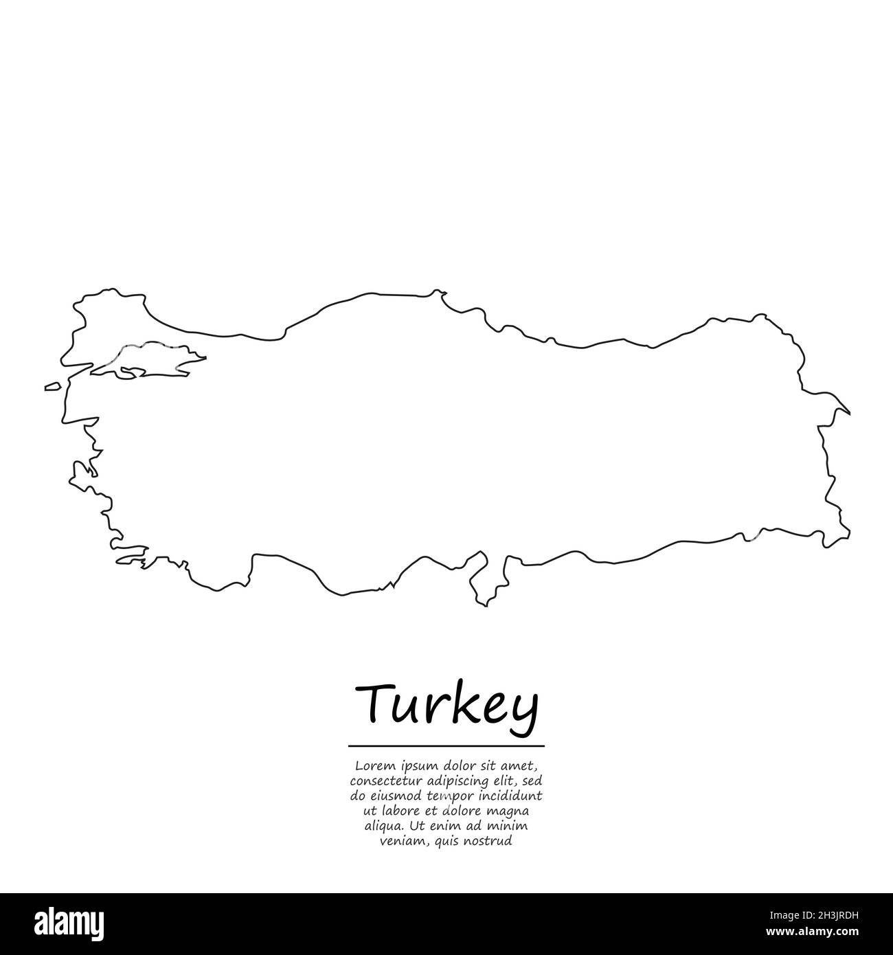 Simple outline map of Turkey, vector silhouette in sketch line style Stock Vectorhttps://www.alamy.com/image-license-details/?v=1https://www.alamy.com/simple-outline-map-of-turkey-vector-silhouette-in-sketch-line-style-image449727085.html
RF2H3JRDH–Simple outline map of Turkey, vector silhouette in sketch line style
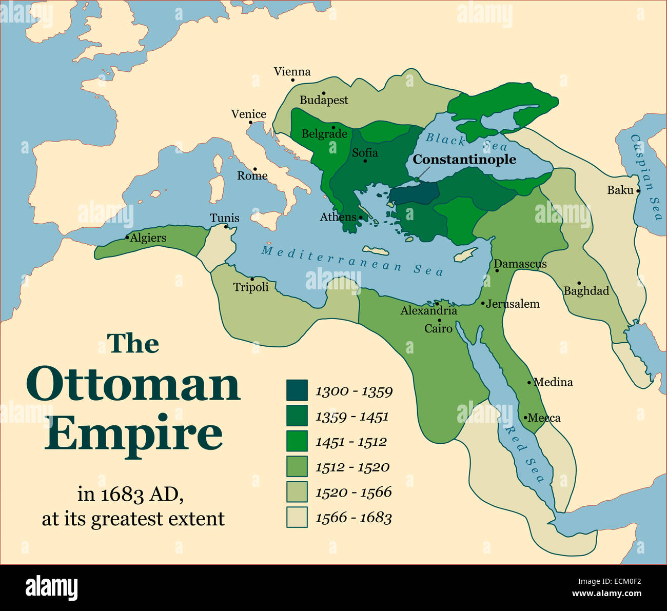 The Ottoman Empire at its greatest extent in 1683. Stock Photohttps://www.alamy.com/image-license-details/?v=1https://www.alamy.com/stock-photo-the-ottoman-empire-at-its-greatest-extent-in-1683-76656806.html
RFECM0F2–The Ottoman Empire at its greatest extent in 1683.
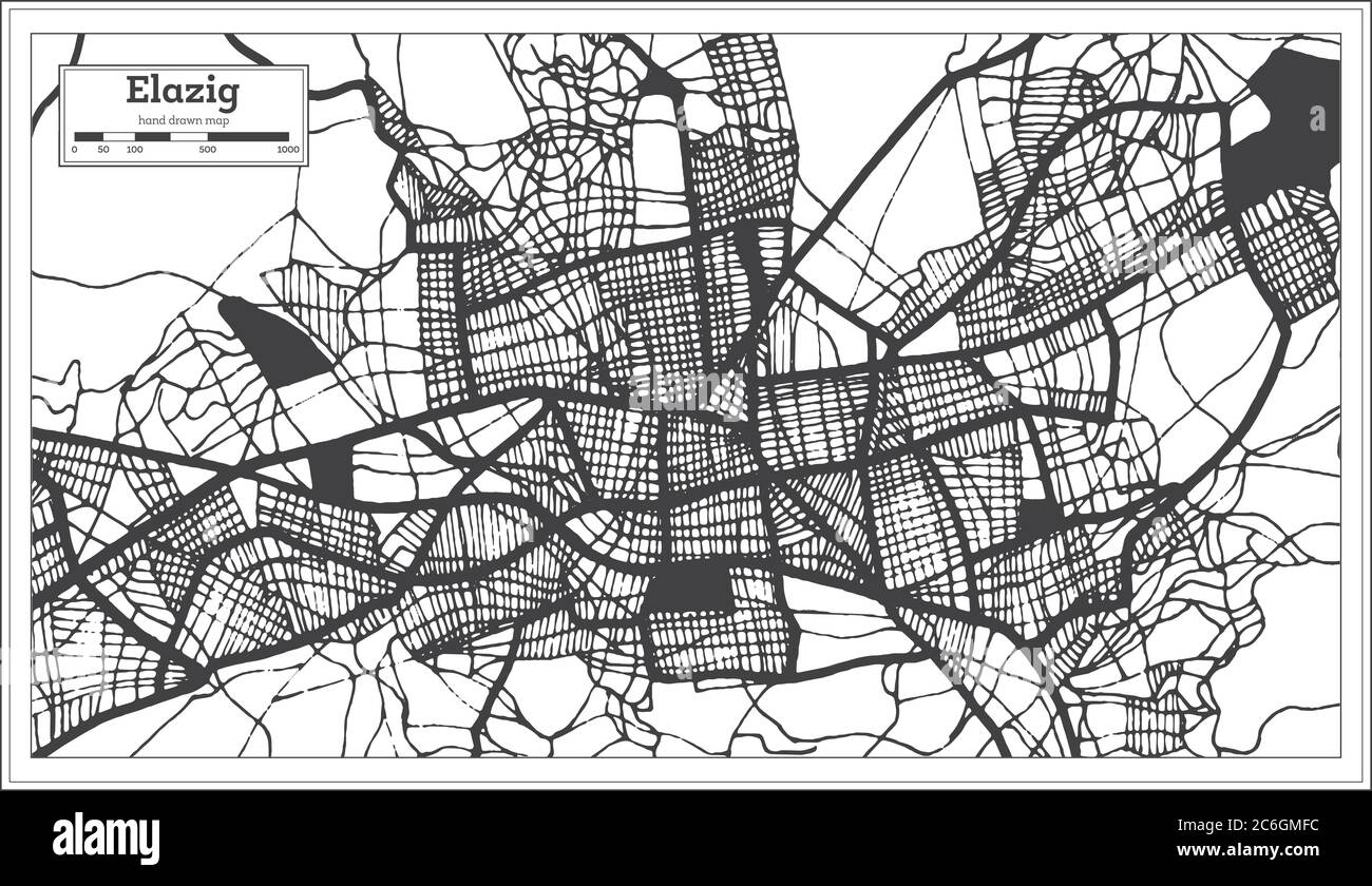 Elazig Turkey City Map in Black and White Color in Retro Style. Outline Map. Vector Illustration. Stock Vectorhttps://www.alamy.com/image-license-details/?v=1https://www.alamy.com/elazig-turkey-city-map-in-black-and-white-color-in-retro-style-outline-map-vector-illustration-image365473008.html
RF2C6GMFC–Elazig Turkey City Map in Black and White Color in Retro Style. Outline Map. Vector Illustration.
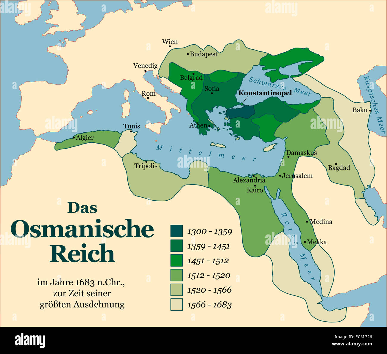 The Ottoman Empire at its greatest extent in 1683. German labeling! Stock Photohttps://www.alamy.com/image-license-details/?v=1https://www.alamy.com/stock-photo-the-ottoman-empire-at-its-greatest-extent-in-1683-german-labeling!-76668990.html
RFECMG26–The Ottoman Empire at its greatest extent in 1683. German labeling!
 Earthquake in Turkey. Burning candle with a hand. Picture in the form of a map of Turkey against the background of the national flag of Turkey Stock Photohttps://www.alamy.com/image-license-details/?v=1https://www.alamy.com/earthquake-in-turkey-burning-candle-with-a-hand-picture-in-the-form-of-a-map-of-turkey-against-the-background-of-the-national-flag-of-turkey-image519923258.html
RF2N5TFBP–Earthquake in Turkey. Burning candle with a hand. Picture in the form of a map of Turkey against the background of the national flag of Turkey
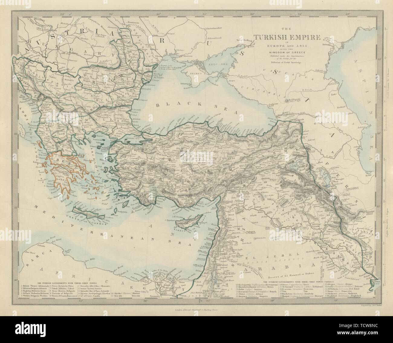 TURKISIH/OTTOMAN EMPIRE in Europe & Asia. Kingdom of Greece. SDUK 1874 old map Stock Photohttps://www.alamy.com/image-license-details/?v=1https://www.alamy.com/turkisihottoman-empire-in-europe-asia-kingdom-of-greece-sduk-1874-old-map-image248876696.html
RFTCW8NC–TURKISIH/OTTOMAN EMPIRE in Europe & Asia. Kingdom of Greece. SDUK 1874 old map
 Person holding smartphone with logo of natural gas pipeline TurkStream on screen in front of website. Focus on phone display. Stock Photohttps://www.alamy.com/image-license-details/?v=1https://www.alamy.com/person-holding-smartphone-with-logo-of-natural-gas-pipeline-turkstream-on-screen-in-front-of-website-focus-on-phone-display-image555830906.html
RF2R887YP–Person holding smartphone with logo of natural gas pipeline TurkStream on screen in front of website. Focus on phone display.
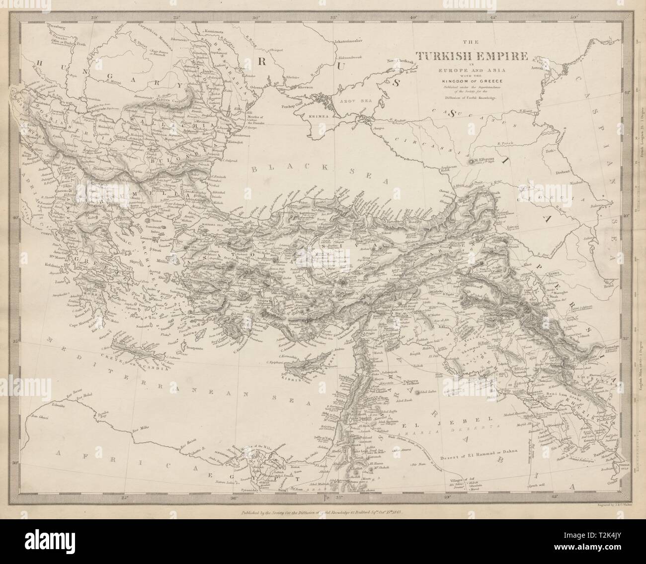 OTTOMAN EMPIRE in Europe & Asia. Greece & British Ionian Islands. SDUK 1844 map Stock Photohttps://www.alamy.com/image-license-details/?v=1https://www.alamy.com/ottoman-empire-in-europe-asia-greece-british-ionian-islands-sduk-1844-map-image242595219.html
RFT2K4JY–OTTOMAN EMPIRE in Europe & Asia. Greece & British Ionian Islands. SDUK 1844 map
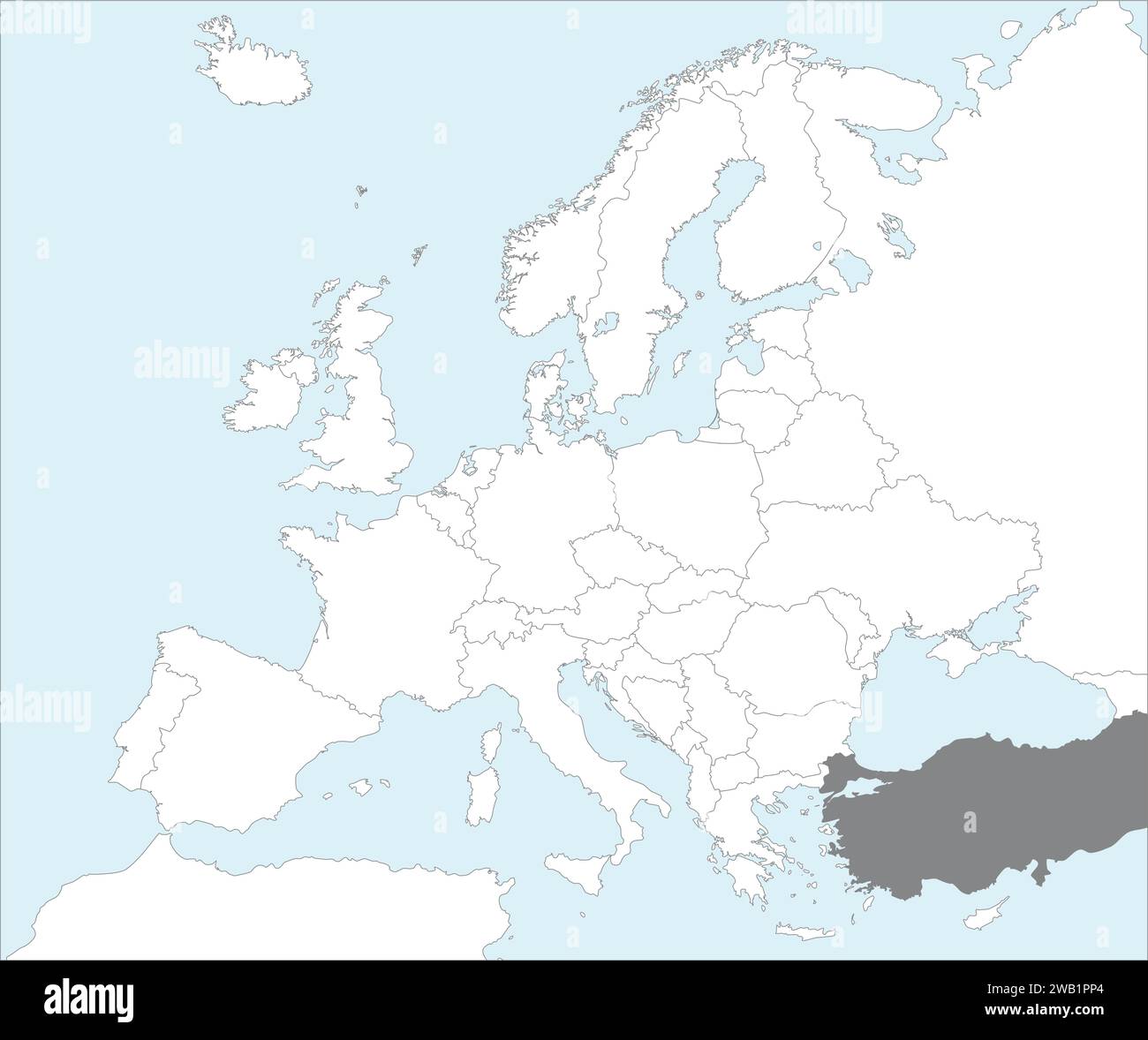 Location map of the REPUBLIC OF TURKEY/TURKIYE, EUROPE Stock Vectorhttps://www.alamy.com/image-license-details/?v=1https://www.alamy.com/location-map-of-the-republic-of-turkeyturkiye-europe-image591953548.html
RF2WB1PP4–Location map of the REPUBLIC OF TURKEY/TURKIYE, EUROPE
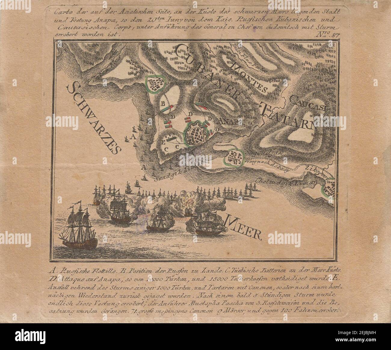 Map of the capture of the sea fortress Anapa by Russian troops on the Black Sea in June 1791. Museum: PRIVATE COLLECTION. Author: ANONYMOUS. Stock Photohttps://www.alamy.com/image-license-details/?v=1https://www.alamy.com/map-of-the-capture-of-the-sea-fortress-anapa-by-russian-troops-on-the-black-sea-in-june-1791-museum-private-collection-author-anonymous-image407158433.html
RM2EJBJMH–Map of the capture of the sea fortress Anapa by Russian troops on the Black Sea in June 1791. Museum: PRIVATE COLLECTION. Author: ANONYMOUS.
RF2XXW6EX–Cyprus map icon Flat set in black and white color outline vector
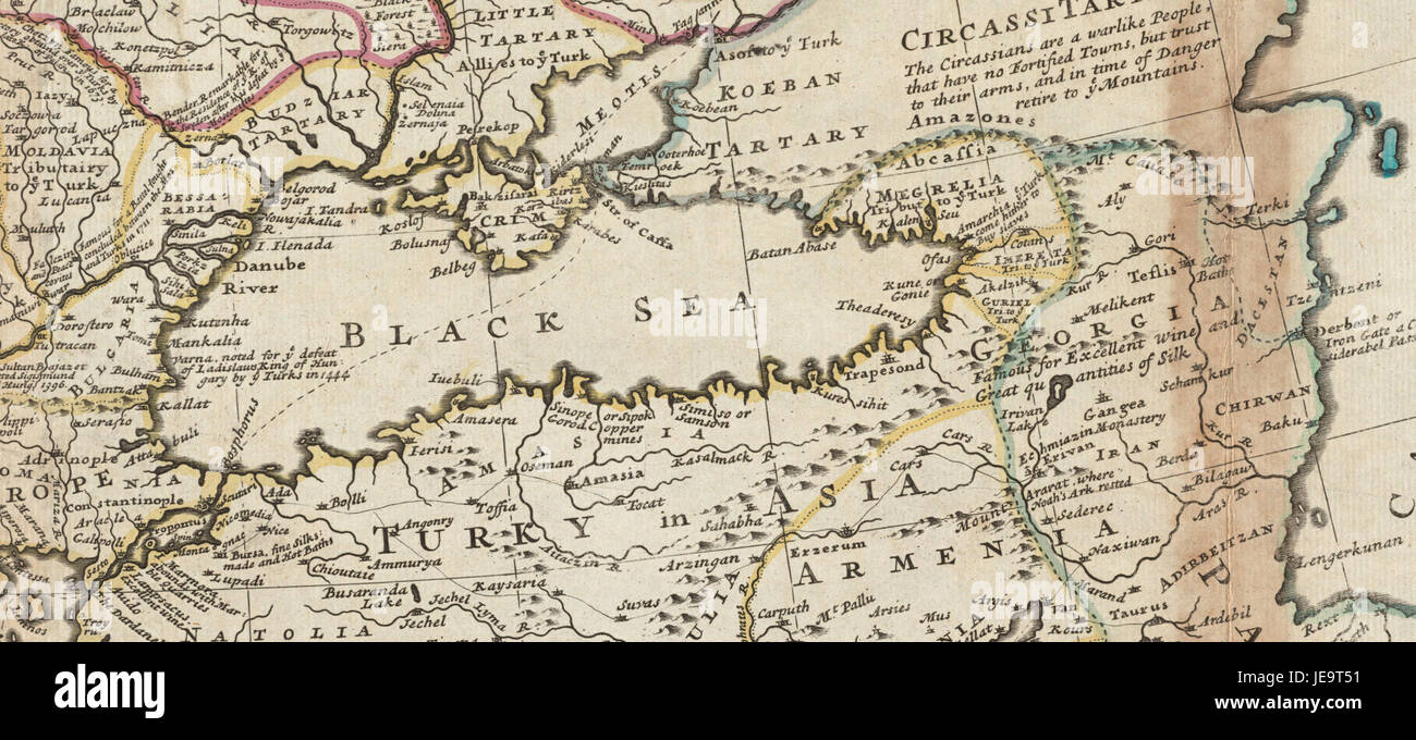 Black Sea. Herman Moll. The Turkish Empire in Europe, Asia and Africa. 1752 (cropped) Stock Photohttps://www.alamy.com/image-license-details/?v=1https://www.alamy.com/stock-photo-black-sea-herman-moll-the-turkish-empire-in-europe-asia-and-africa-146504653.html
RMJE9T51–Black Sea. Herman Moll. The Turkish Empire in Europe, Asia and Africa. 1752 (cropped)
RF2WMAW5C–Turkey country black outline and colored country silhouettes in three different levels of smoothness. Simplified maps. Vector icons isolated on white background.
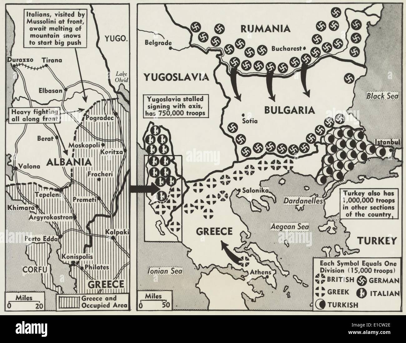 World War 2 map of Greece and the Balkans in 1941. Symbols show the positions of British, German, Greek, Italian, and Turkish Stock Photohttps://www.alamy.com/image-license-details/?v=1https://www.alamy.com/world-war-2-map-of-greece-and-the-balkans-in-1941-symbols-show-the-image69739222.html
RME1CW2E–World War 2 map of Greece and the Balkans in 1941. Symbols show the positions of British, German, Greek, Italian, and Turkish
 Blackboard with a the map of Turkey drawn in the middle. Stock Photohttps://www.alamy.com/image-license-details/?v=1https://www.alamy.com/blackboard-with-a-the-map-of-turkey-drawn-in-the-middle-image609955928.html
RF2XC9W08–Blackboard with a the map of Turkey drawn in the middle.
![Map of the border between Russia and Turkey, First World War, (c1920). 'Map illustrating Turkey's disastrous Advance in the Caucasus and her Invasion of Persia - December, 1914 - January, 1915'. From "The Great World War - A History" Volume II, edited by Frank A Mumby. [The Gresham Publishing Company Ltd, London, c1920] Stock Photo Map of the border between Russia and Turkey, First World War, (c1920). 'Map illustrating Turkey's disastrous Advance in the Caucasus and her Invasion of Persia - December, 1914 - January, 1915'. From "The Great World War - A History" Volume II, edited by Frank A Mumby. [The Gresham Publishing Company Ltd, London, c1920] Stock Photo](https://c8.alamy.com/comp/W6P860/map-of-the-border-between-russia-and-turkey-first-world-war-c1920-map-illustrating-turkeys-disastrous-advance-in-the-caucasus-and-her-invasion-of-persia-december-1914-january-1915-from-quotthe-great-world-war-a-historyquot-volume-ii-edited-by-frank-a-mumby-the-gresham-publishing-company-ltd-london-c1920-W6P860.jpg) Map of the border between Russia and Turkey, First World War, (c1920). 'Map illustrating Turkey's disastrous Advance in the Caucasus and her Invasion of Persia - December, 1914 - January, 1915'. From "The Great World War - A History" Volume II, edited by Frank A Mumby. [The Gresham Publishing Company Ltd, London, c1920] Stock Photohttps://www.alamy.com/image-license-details/?v=1https://www.alamy.com/map-of-the-border-between-russia-and-turkey-first-world-war-c1920-map-illustrating-turkeys-disastrous-advance-in-the-caucasus-and-her-invasion-of-persia-december-1914-january-1915-from-quotthe-great-world-war-a-historyquot-volume-ii-edited-by-frank-a-mumby-the-gresham-publishing-company-ltd-london-c1920-image262332840.html
Map of the border between Russia and Turkey, First World War, (c1920). 'Map illustrating Turkey's disastrous Advance in the Caucasus and her Invasion of Persia - December, 1914 - January, 1915'. From "The Great World War - A History" Volume II, edited by Frank A Mumby. [The Gresham Publishing Company Ltd, London, c1920] Stock Photohttps://www.alamy.com/image-license-details/?v=1https://www.alamy.com/map-of-the-border-between-russia-and-turkey-first-world-war-c1920-map-illustrating-turkeys-disastrous-advance-in-the-caucasus-and-her-invasion-of-persia-december-1914-january-1915-from-quotthe-great-world-war-a-historyquot-volume-ii-edited-by-frank-a-mumby-the-gresham-publishing-company-ltd-london-c1920-image262332840.htmlRMW6P860–Map of the border between Russia and Turkey, First World War, (c1920). 'Map illustrating Turkey's disastrous Advance in the Caucasus and her Invasion of Persia - December, 1914 - January, 1915'. From "The Great World War - A History" Volume II, edited by Frank A Mumby. [The Gresham Publishing Company Ltd, London, c1920]
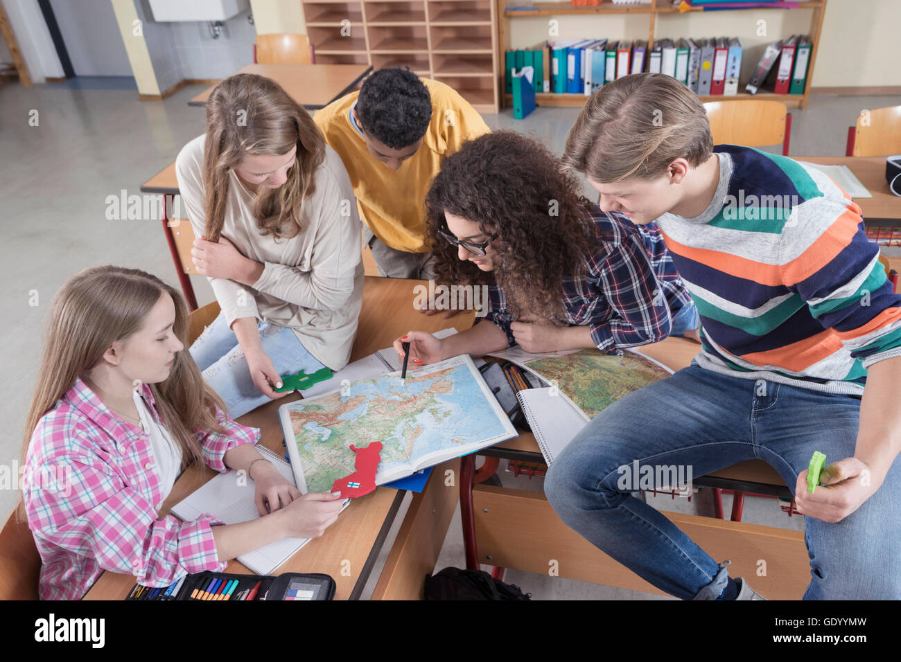 University students searching in map in classroom, Bavaria, Germany Stock Photohttps://www.alamy.com/image-license-details/?v=1https://www.alamy.com/stock-photo-university-students-searching-in-map-in-classroom-bavaria-germany-111867193.html
RFGDYYMW–University students searching in map in classroom, Bavaria, Germany
 Map of Britain and Ireland, 10th century AH/AD 16th century. Page from an early Ottoman illuminated and illustrated maritime atlas, referred to as the Walters Deniz atlasi. The work contains 8 double-page charts executed on parchment. The various geographical names are written in black Nasta'liq script. A distinguishing feature of this atlas is the detailed approach to representing such features as city vignettes. Stock Photohttps://www.alamy.com/image-license-details/?v=1https://www.alamy.com/map-of-britain-and-ireland-10th-century-ahad-16th-century-page-from-an-early-ottoman-illuminated-and-illustrated-maritime-atlas-referred-to-as-the-walters-deniz-atlasi-the-work-contains-8-double-page-charts-executed-on-parchment-the-various-geographical-names-are-written-in-black-nastaliq-script-a-distinguishing-feature-of-this-atlas-is-the-detailed-approach-to-representing-such-features-as-city-vignettes-image571914562.html
RM2T6CXT2–Map of Britain and Ireland, 10th century AH/AD 16th century. Page from an early Ottoman illuminated and illustrated maritime atlas, referred to as the Walters Deniz atlasi. The work contains 8 double-page charts executed on parchment. The various geographical names are written in black Nasta'liq script. A distinguishing feature of this atlas is the detailed approach to representing such features as city vignettes.
 Old map of Cilician Taurus and Cilicia, southern Anatolia, Turkey. Voyage in Cilicia and Taurus Mountains in 1852-1853 by Victor Langlois Stock Photohttps://www.alamy.com/image-license-details/?v=1https://www.alamy.com/old-map-of-cilician-taurus-and-cilicia-southern-anatolia-turkey-voyage-in-cilicia-and-taurus-mountains-in-1852-1853-by-victor-langlois-image497895071.html
RM2KX126R–Old map of Cilician Taurus and Cilicia, southern Anatolia, Turkey. Voyage in Cilicia and Taurus Mountains in 1852-1853 by Victor Langlois
 Simple outline map of Turkey, vector silhouette in sketch line style Stock Vectorhttps://www.alamy.com/image-license-details/?v=1https://www.alamy.com/simple-outline-map-of-turkey-vector-silhouette-in-sketch-line-style-image449725941.html
RF2H3JP0N–Simple outline map of Turkey, vector silhouette in sketch line style
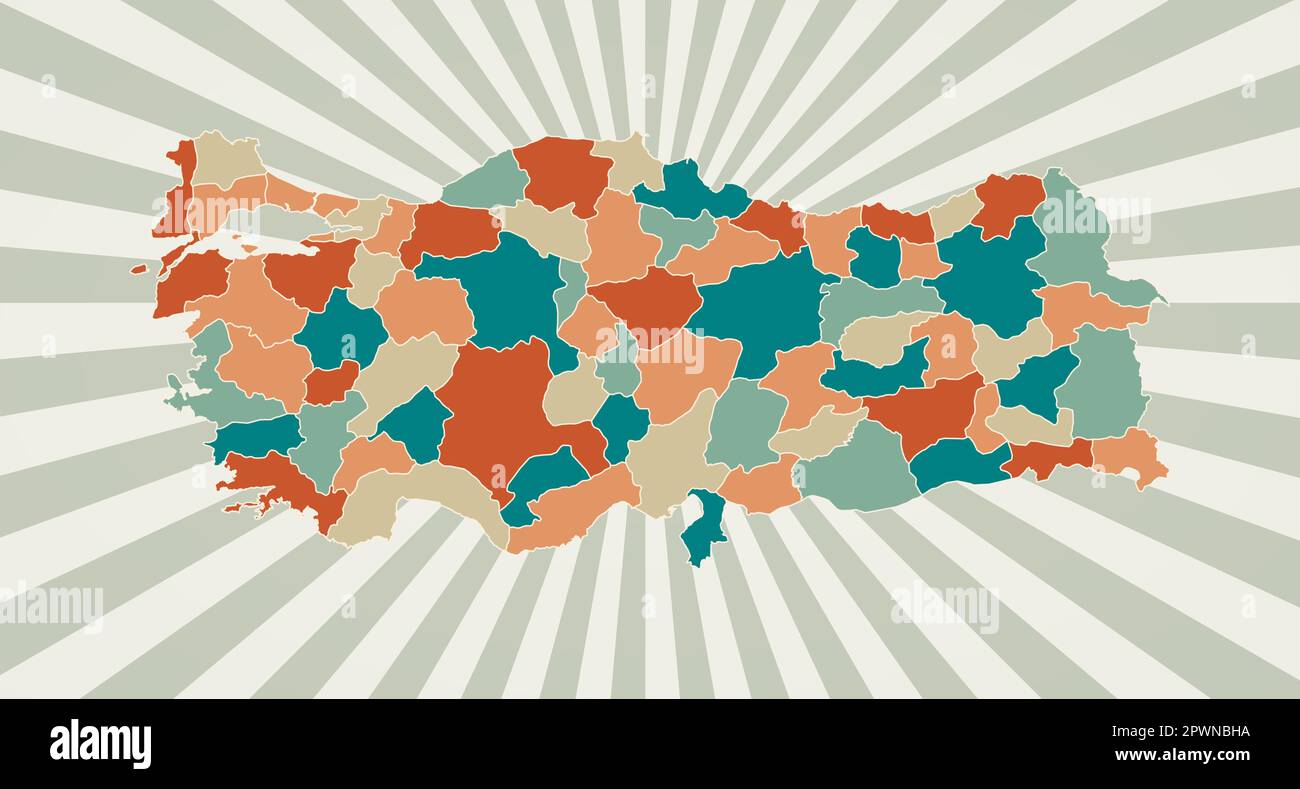 Turkey map. Poster with map of the country in retro color palette. Shape of Turkey with sunburst rays background. Vector illustration. Stock Vectorhttps://www.alamy.com/image-license-details/?v=1https://www.alamy.com/turkey-map-poster-with-map-of-the-country-in-retro-color-palette-shape-of-turkey-with-sunburst-rays-background-vector-illustration-image549357910.html
RF2PWNBHA–Turkey map. Poster with map of the country in retro color palette. Shape of Turkey with sunburst rays background. Vector illustration.
 Izmit Turkey City Map in Black and White Color in Retro Style. Outline Map. Vector Illustration. Stock Vectorhttps://www.alamy.com/image-license-details/?v=1https://www.alamy.com/izmit-turkey-city-map-in-black-and-white-color-in-retro-style-outline-map-vector-illustration-image365473018.html
RF2C6GMFP–Izmit Turkey City Map in Black and White Color in Retro Style. Outline Map. Vector Illustration.
 Turkey flag map, chaotic particles pattern in the colors of the Turkish flag. illustration isolated on black background. Stock Photohttps://www.alamy.com/image-license-details/?v=1https://www.alamy.com/turkey-flag-map-chaotic-particles-pattern-in-the-colors-of-the-turkish-flag-illustration-isolated-on-black-background-image432780891.html
RM2G42TCB–Turkey flag map, chaotic particles pattern in the colors of the Turkish flag. illustration isolated on black background.
 Coffee beans in a tray, cinnamon sticks and cooper turkish coffee pot. Watercolor vector Stock Vectorhttps://www.alamy.com/image-license-details/?v=1https://www.alamy.com/coffee-beans-in-a-tray-cinnamon-sticks-and-cooper-turkish-coffee-pot-watercolor-vector-image342958375.html
RF2AWY2WB–Coffee beans in a tray, cinnamon sticks and cooper turkish coffee pot. Watercolor vector
 Turkey flag map, chaotic particles pattern in the colors of the Turkish flag. Vector illustration isolated on black background. Stock Vectorhttps://www.alamy.com/image-license-details/?v=1https://www.alamy.com/turkey-flag-map-chaotic-particles-pattern-in-the-colors-of-the-turkish-flag-vector-illustration-isolated-on-black-background-image431807255.html
RF2G2EEFK–Turkey flag map, chaotic particles pattern in the colors of the Turkish flag. Vector illustration isolated on black background.
 Person holding smartphone with website of natural gas pipeline TurkStream on screen in front of logo. Focus on center of phone display. Stock Photohttps://www.alamy.com/image-license-details/?v=1https://www.alamy.com/person-holding-smartphone-with-website-of-natural-gas-pipeline-turkstream-on-screen-in-front-of-logo-focus-on-center-of-phone-display-image555831048.html
RF2R8884T–Person holding smartphone with website of natural gas pipeline TurkStream on screen in front of logo. Focus on center of phone display.
 Information about the earthquake in turkey. Turkey map with flag, the epicenter of the earthquake and information on the dead and injured people Stock Vectorhttps://www.alamy.com/image-license-details/?v=1https://www.alamy.com/information-about-the-earthquake-in-turkey-turkey-map-with-flag-the-epicenter-of-the-earthquake-and-information-on-the-dead-and-injured-people-image383972220.html
RF2D8KCDG–Information about the earthquake in turkey. Turkey map with flag, the epicenter of the earthquake and information on the dead and injured people
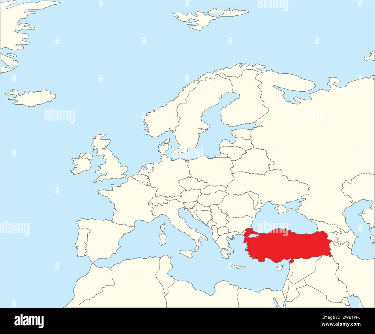 Location map of the REPUBLIC OF TURKEY/TURKIYE, EUROPE Stock Vectorhttps://www.alamy.com/image-license-details/?v=1https://www.alamy.com/location-map-of-the-republic-of-turkeyturkiye-europe-image591953550.html
RF2WB1PP6–Location map of the REPUBLIC OF TURKEY/TURKIYE, EUROPE
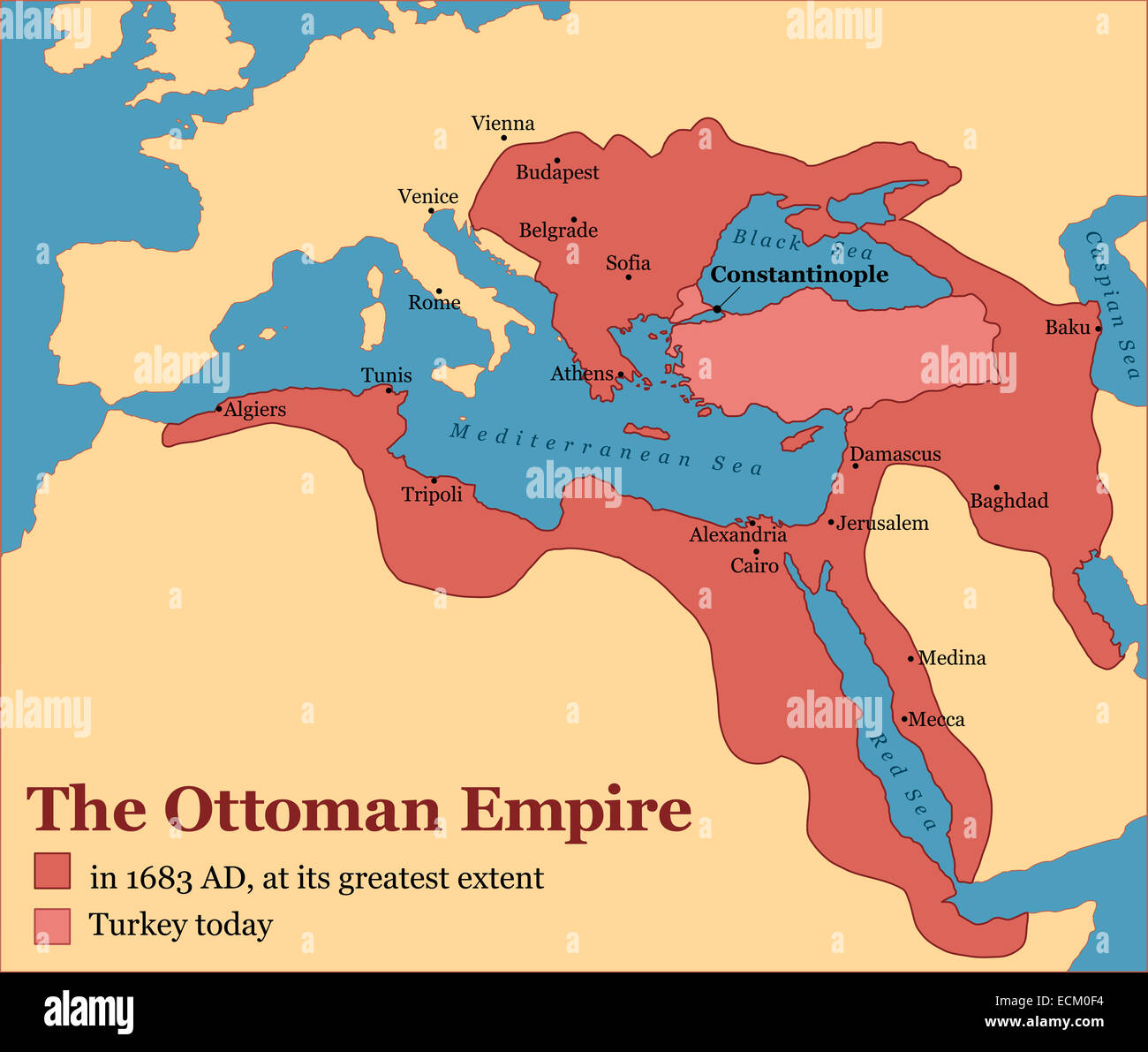 The Ottoman Empire at its greatest extent in 1683, and Turkey today. Stock Photohttps://www.alamy.com/image-license-details/?v=1https://www.alamy.com/stock-photo-the-ottoman-empire-at-its-greatest-extent-in-1683-and-turkey-today-76656808.html
RFECM0F4–The Ottoman Empire at its greatest extent in 1683, and Turkey today.
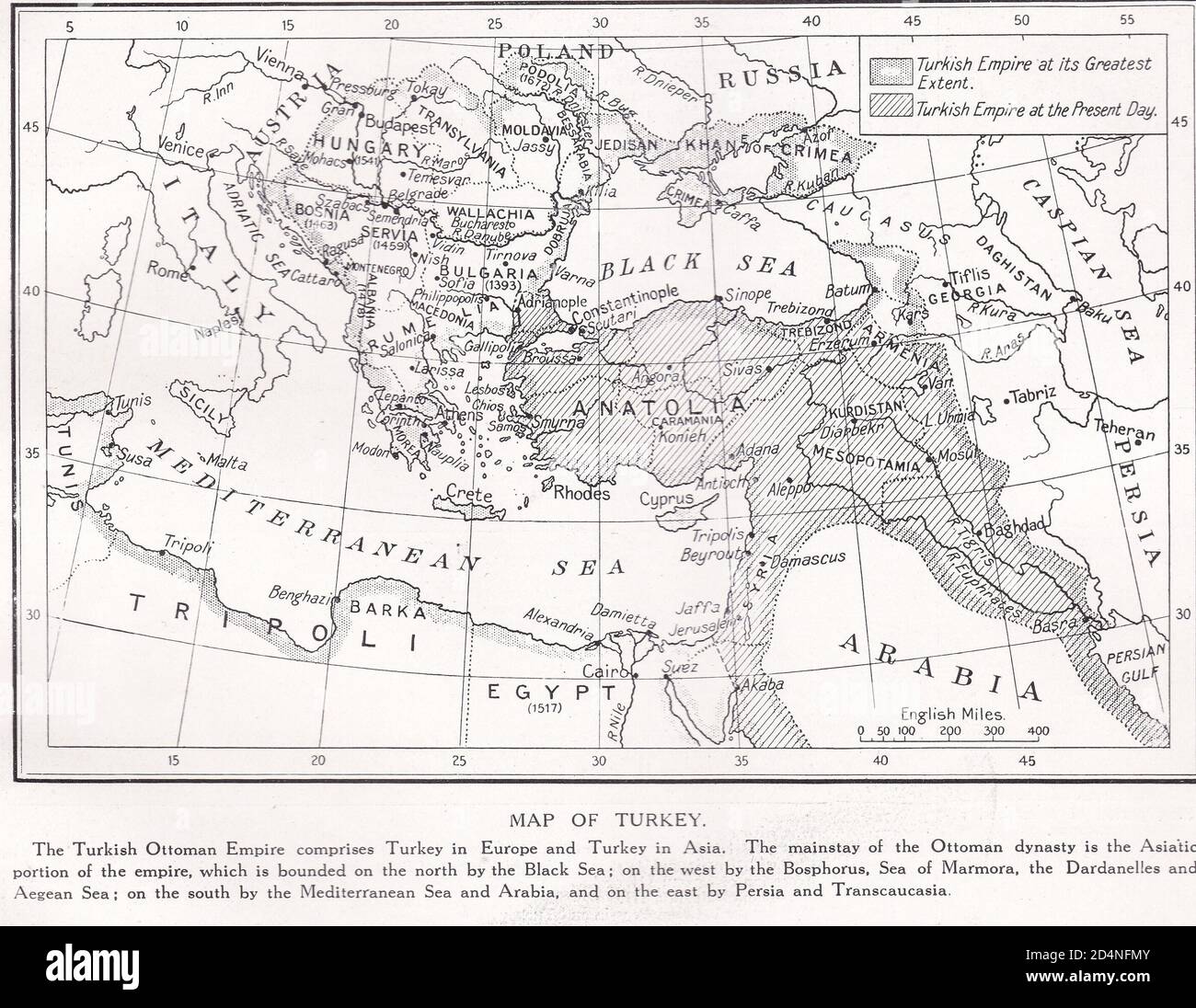 Vintage Map of Turkey 19th Century Stock Photohttps://www.alamy.com/image-license-details/?v=1https://www.alamy.com/vintage-map-of-turkey-19th-century-image381560059.html
RF2D4NFMY–Vintage Map of Turkey 19th Century
 Sea of Marmara in planet earth, aerial view from outer space Stock Photohttps://www.alamy.com/image-license-details/?v=1https://www.alamy.com/sea-of-marmara-in-planet-earth-aerial-view-from-outer-space-image431693090.html
RF2G298XA–Sea of Marmara in planet earth, aerial view from outer space
RF2WRY0JN–Turkey country black outline and colored country silhouettes in three different levels of smoothness. Simplified maps. Vector icons isolated on white background.
 STRASBOURG, FRANCE - MAR 5, 2018: Future Turkish embassy in Strasbourg construction site on Quai Jacoutot Ill River with two mallard ducks flying black and white Stock Photohttps://www.alamy.com/image-license-details/?v=1https://www.alamy.com/strasbourg-france-mar-5-2018-future-turkish-embassy-in-strasbourg-construction-site-on-quai-jacoutot-ill-river-with-two-mallard-ducks-flying-black-and-white-image231634987.html
RFRCRTP3–STRASBOURG, FRANCE - MAR 5, 2018: Future Turkish embassy in Strasbourg construction site on Quai Jacoutot Ill River with two mallard ducks flying black and white
RF2C84GFD–Map icon of Cyprus. Blue map of Europe with highlighted Cyprus in red color. Vector Illustration.
 Made in Turkey - rubber stamp - vector, Turkey map pattern - black, blue and red Stock Vectorhttps://www.alamy.com/image-license-details/?v=1https://www.alamy.com/stock-photo-made-in-turkey-rubber-stamp-vector-turkey-map-pattern-black-blue-and-176896498.html
RFM7P982–Made in Turkey - rubber stamp - vector, Turkey map pattern - black, blue and red
 University students searching in map in classroom, Bavaria, Germany Stock Photohttps://www.alamy.com/image-license-details/?v=1https://www.alamy.com/stock-photo-university-students-searching-in-map-in-classroom-bavaria-germany-111867155.html
RFGDYYKF–University students searching in map in classroom, Bavaria, Germany
![Oursikoff!..trouvez-vous cela ressemblant?, 19th century. Satire on the Crimean War. [Russian emperor]: Oursikoff! do you think this is a good likeness? [Oursikoff]: No, sire! [Emperor]: just as well...I would have sent you to Siberia if you'd recognised me...all these terrible Charivari accusations won't stop me being the most handsome man in my empire! [Oursikoff]: Yes, sire! Stock Photo Oursikoff!..trouvez-vous cela ressemblant?, 19th century. Satire on the Crimean War. [Russian emperor]: Oursikoff! do you think this is a good likeness? [Oursikoff]: No, sire! [Emperor]: just as well...I would have sent you to Siberia if you'd recognised me...all these terrible Charivari accusations won't stop me being the most handsome man in my empire! [Oursikoff]: Yes, sire! Stock Photo](https://c8.alamy.com/comp/2P1C0GH/oursikoff!trouvez-vous-cela-ressemblant-19th-century-satire-on-the-crimean-war-russian-emperor-oursikoff!-do-you-think-this-is-a-good-likeness-oursikoff-no-sire!-emperor-just-as-welli-would-have-sent-you-to-siberia-if-youd-recognised-meall-these-terrible-charivari-accusations-wont-stop-me-being-the-most-handsome-man-in-my-empire!-oursikoff-yes-sire!-2P1C0GH.jpg) Oursikoff!..trouvez-vous cela ressemblant?, 19th century. Satire on the Crimean War. [Russian emperor]: Oursikoff! do you think this is a good likeness? [Oursikoff]: No, sire! [Emperor]: just as well...I would have sent you to Siberia if you'd recognised me...all these terrible Charivari accusations won't stop me being the most handsome man in my empire! [Oursikoff]: Yes, sire! Stock Photohttps://www.alamy.com/image-license-details/?v=1https://www.alamy.com/oursikoff!trouvez-vous-cela-ressemblant-19th-century-satire-on-the-crimean-war-russian-emperor-oursikoff!-do-you-think-this-is-a-good-likeness-oursikoff-no-sire!-emperor-just-as-welli-would-have-sent-you-to-siberia-if-youd-recognised-meall-these-terrible-charivari-accusations-wont-stop-me-being-the-most-handsome-man-in-my-empire!-oursikoff-yes-sire!-image534399953.html
Oursikoff!..trouvez-vous cela ressemblant?, 19th century. Satire on the Crimean War. [Russian emperor]: Oursikoff! do you think this is a good likeness? [Oursikoff]: No, sire! [Emperor]: just as well...I would have sent you to Siberia if you'd recognised me...all these terrible Charivari accusations won't stop me being the most handsome man in my empire! [Oursikoff]: Yes, sire! Stock Photohttps://www.alamy.com/image-license-details/?v=1https://www.alamy.com/oursikoff!trouvez-vous-cela-ressemblant-19th-century-satire-on-the-crimean-war-russian-emperor-oursikoff!-do-you-think-this-is-a-good-likeness-oursikoff-no-sire!-emperor-just-as-welli-would-have-sent-you-to-siberia-if-youd-recognised-meall-these-terrible-charivari-accusations-wont-stop-me-being-the-most-handsome-man-in-my-empire!-oursikoff-yes-sire!-image534399953.htmlRM2P1C0GH–Oursikoff!..trouvez-vous cela ressemblant?, 19th century. Satire on the Crimean War. [Russian emperor]: Oursikoff! do you think this is a good likeness? [Oursikoff]: No, sire! [Emperor]: just as well...I would have sent you to Siberia if you'd recognised me...all these terrible Charivari accusations won't stop me being the most handsome man in my empire! [Oursikoff]: Yes, sire!
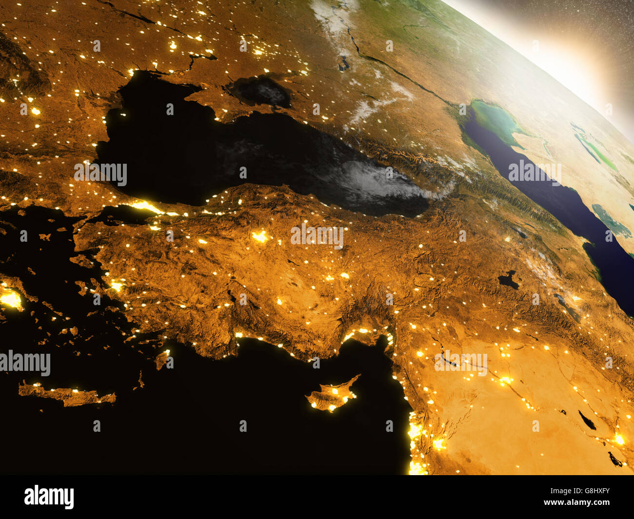 Turkey with surrounding region during sunrise as seen from Earth's orbit in space. 3D illustration with highly detailed realisti Stock Photohttps://www.alamy.com/image-license-details/?v=1https://www.alamy.com/stock-photo-turkey-with-surrounding-region-during-sunrise-as-seen-from-earths-108573471.html
RFG8HXFY–Turkey with surrounding region during sunrise as seen from Earth's orbit in space. 3D illustration with highly detailed realisti
 . Bonner zoologische Monographien. Zoology. 60. Fig. 25: Distribution map for the two subspecies of Vipera raddei. Known localities for r. raddei (open circles) and r. kurdistanica ssp. n. (black dots) with approximate range indicated by hatched areas. Distribution (Fig. 25): This taxon occurs in the mountains west of Lake Urmia, along the Iranian border towards Turkey. Specimens in RSI are from Khoy, Gotar, and Razi in west Azarbaidjan in the north, and from Rezaeyeh in the south. The village Razi is situated on the Iran-Turkish border, and the taxon certainly also occurs on the Turkish side Stock Photohttps://www.alamy.com/image-license-details/?v=1https://www.alamy.com/bonner-zoologische-monographien-zoology-60-fig-25-distribution-map-for-the-two-subspecies-of-vipera-raddei-known-localities-for-r-raddei-open-circles-and-r-kurdistanica-ssp-n-black-dots-with-approximate-range-indicated-by-hatched-areas-distribution-fig-25-this-taxon-occurs-in-the-mountains-west-of-lake-urmia-along-the-iranian-border-towards-turkey-specimens-in-rsi-are-from-khoy-gotar-and-razi-in-west-azarbaidjan-in-the-north-and-from-rezaeyeh-in-the-south-the-village-razi-is-situated-on-the-iran-turkish-border-and-the-taxon-certainly-also-occurs-on-the-turkish-side-image234492432.html
RMRHE1DM–. Bonner zoologische Monographien. Zoology. 60. Fig. 25: Distribution map for the two subspecies of Vipera raddei. Known localities for r. raddei (open circles) and r. kurdistanica ssp. n. (black dots) with approximate range indicated by hatched areas. Distribution (Fig. 25): This taxon occurs in the mountains west of Lake Urmia, along the Iranian border towards Turkey. Specimens in RSI are from Khoy, Gotar, and Razi in west Azarbaidjan in the north, and from Rezaeyeh in the south. The village Razi is situated on the Iran-Turkish border, and the taxon certainly also occurs on the Turkish side
 Turkey map design. Map of the country with regions in emerald-amethyst color palette. Rounded travel to Turkey poster with country name and airplanes Stock Vectorhttps://www.alamy.com/image-license-details/?v=1https://www.alamy.com/turkey-map-design-map-of-the-country-with-regions-in-emerald-amethyst-color-palette-rounded-travel-to-turkey-poster-with-country-name-and-airplanes-image549235552.html
RF2PWFRFC–Turkey map design. Map of the country with regions in emerald-amethyst color palette. Rounded travel to Turkey poster with country name and airplanes
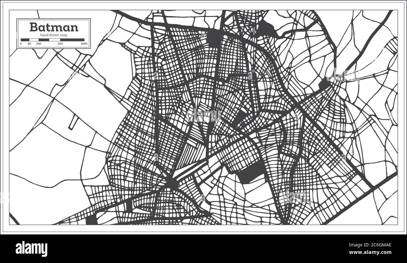 Batman Turkey City Map in Black and White Color in Retro Style. Outline Map. Vector Illustration. Stock Vectorhttps://www.alamy.com/image-license-details/?v=1https://www.alamy.com/batman-turkey-city-map-in-black-and-white-color-in-retro-style-outline-map-vector-illustration-image365472870.html
RF2C6GMAE–Batman Turkey City Map in Black and White Color in Retro Style. Outline Map. Vector Illustration.
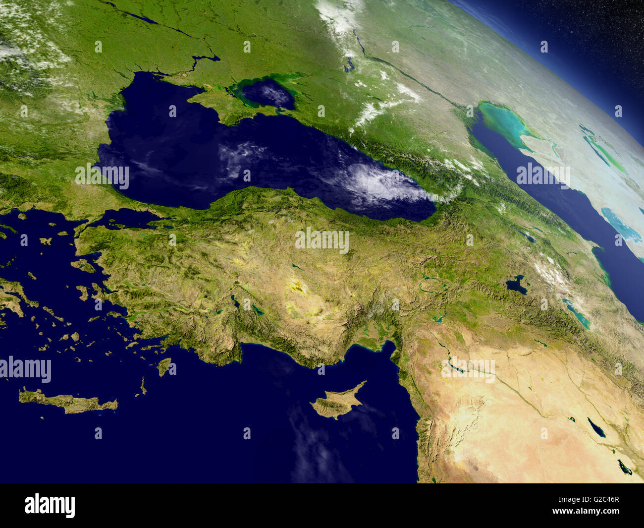 Turkey with surrounding region as seen from Earth's orbit in space. 3D illustration with highly detailed realistic planet surfac Stock Photohttps://www.alamy.com/image-license-details/?v=1https://www.alamy.com/stock-photo-turkey-with-surrounding-region-as-seen-from-earths-orbit-in-space-104758271.html
RFG2C46R–Turkey with surrounding region as seen from Earth's orbit in space. 3D illustration with highly detailed realistic planet surfac
 A simulated view through a microscope on bacterias in the shape of Turkey.(series) Stock Photohttps://www.alamy.com/image-license-details/?v=1https://www.alamy.com/stock-photo-a-simulated-view-through-a-microscope-on-bacterias-in-the-shape-of-134367931.html
RFHPGYJK–A simulated view through a microscope on bacterias in the shape of Turkey.(series)
RFPEA71G–Turkish tea, amulet, ruins of antiquity, map of the territory. Turkey set collection icons in black,monochrom style vector symbol stock illustration .
 A powder drug like cocaine in the shape of Turkey with a rolled money bill.(series) Stock Photohttps://www.alamy.com/image-license-details/?v=1https://www.alamy.com/stock-photo-a-powder-drug-like-cocaine-in-the-shape-of-turkey-with-a-rolled-money-134404561.html
RFHPJJAW–A powder drug like cocaine in the shape of Turkey with a rolled money bill.(series)
RFM6C3AN–Republic Of Turkey All in One Icons Black & White Color Flat Design Freehand Set
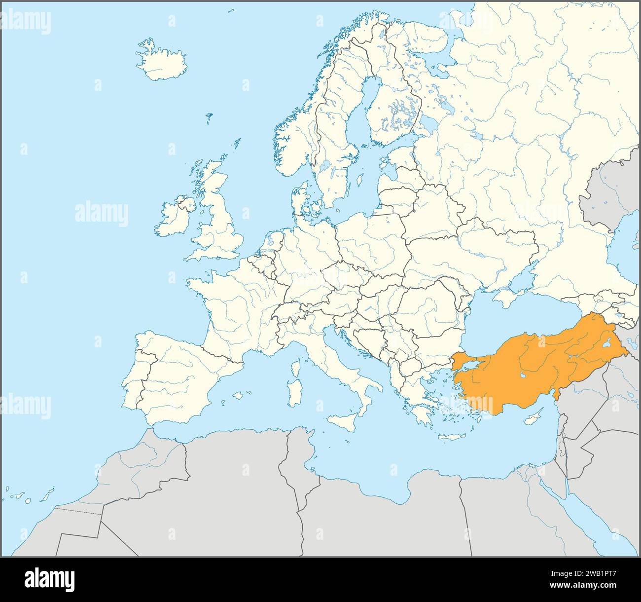 Location map of the REPUBLIC OF TURKEY/TURKIYE, EUROPE Stock Vectorhttps://www.alamy.com/image-license-details/?v=1https://www.alamy.com/location-map-of-the-republic-of-turkeyturkiye-europe-image591953607.html
RF2WB1PT7–Location map of the REPUBLIC OF TURKEY/TURKIYE, EUROPE
 A dark night sky with a sparkling red firecracker in the shape of Turkey composed into.(series) Stock Photohttps://www.alamy.com/image-license-details/?v=1https://www.alamy.com/stock-photo-a-dark-night-sky-with-a-sparkling-red-firecracker-in-the-shape-of-134267622.html
RFHPCBM6–A dark night sky with a sparkling red firecracker in the shape of Turkey composed into.(series)
RFKYB1H4–Turkey travel icons set in white squares on black background simple style vector illustration
RF2WMK2T8–Turkey country black outline and colored country silhouettes in three different levels of smoothness. Simplified maps. Vector icons isolated on white background.
 Made in Turkey - rubber stamp - vector, Turkey map pattern - black, green and red Stock Vectorhttps://www.alamy.com/image-license-details/?v=1https://www.alamy.com/made-in-turkey-rubber-stamp-vector-turkey-map-pattern-black-green-and-red-image178871237.html
RFMB082D–Made in Turkey - rubber stamp - vector, Turkey map pattern - black, green and red
 University students pointing in map in classroom, Bavaria, Germany Stock Photohttps://www.alamy.com/image-license-details/?v=1https://www.alamy.com/stock-photo-university-students-pointing-in-map-in-classroom-bavaria-germany-111867196.html
RFGDYYN0–University students pointing in map in classroom, Bavaria, Germany
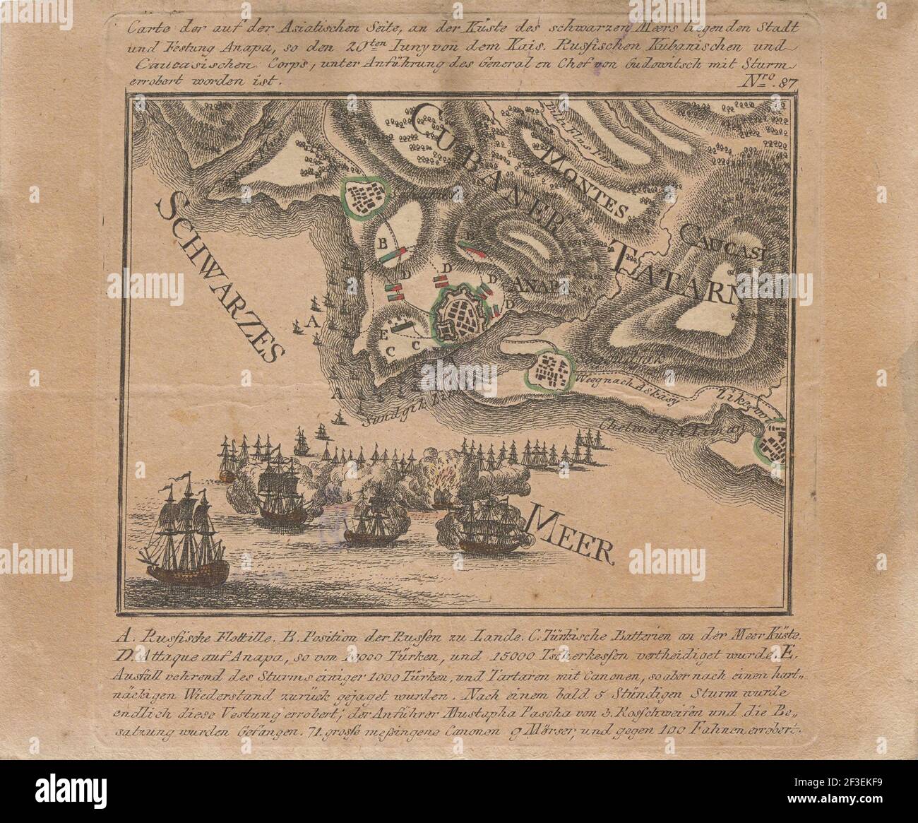 Map of the capture of the sea fortress Anapa by Russian troops on the Black Sea in June 1791, 1791. Private Collection. Stock Photohttps://www.alamy.com/image-license-details/?v=1https://www.alamy.com/map-of-the-capture-of-the-sea-fortress-anapa-by-russian-troops-on-the-black-sea-in-june-1791-1791-private-collection-image415215453.html
RM2F3EKF9–Map of the capture of the sea fortress Anapa by Russian troops on the Black Sea in June 1791, 1791. Private Collection.
 School children reading a book in classroom, Munich, Bavaria, Germany Stock Photohttps://www.alamy.com/image-license-details/?v=1https://www.alamy.com/stock-photo-school-children-reading-a-book-in-classroom-munich-bavaria-germany-87437626.html
RMF273GA–School children reading a book in classroom, Munich, Bavaria, Germany
 Made in Turkey - rubber stamp - vector, Turkey map pattern - black, blue, green, yellow, purple and red Stock Vectorhttps://www.alamy.com/image-license-details/?v=1https://www.alamy.com/made-in-turkey-rubber-stamp-vector-turkey-map-pattern-black-blue-green-yellow-purple-and-red-image224207099.html
RFR0NECB–Made in Turkey - rubber stamp - vector, Turkey map pattern - black, blue, green, yellow, purple and red
 Turkey poster in retro style. Map of the country with regions in autumn color palette. Shape of Turkey with country name. Vibrant vector illustration. Stock Vectorhttps://www.alamy.com/image-license-details/?v=1https://www.alamy.com/turkey-poster-in-retro-style-map-of-the-country-with-regions-in-autumn-color-palette-shape-of-turkey-with-country-name-vibrant-vector-illustration-image514851405.html
RF2MWHE65–Turkey poster in retro style. Map of the country with regions in autumn color palette. Shape of Turkey with country name. Vibrant vector illustration.
 Van Turkey City Map in Black and White Color in Retro Style. Outline Map. Vector Illustration. Stock Vectorhttps://www.alamy.com/image-license-details/?v=1https://www.alamy.com/van-turkey-city-map-in-black-and-white-color-in-retro-style-outline-map-vector-illustration-image365473285.html
RF2C6GMW9–Van Turkey City Map in Black and White Color in Retro Style. Outline Map. Vector Illustration.
RFPDBDA3–Turkish tea, amulet, ruins of antiquity, map of the territory. Turkey set collection icons in black, flat style vector symbol stock illustration .
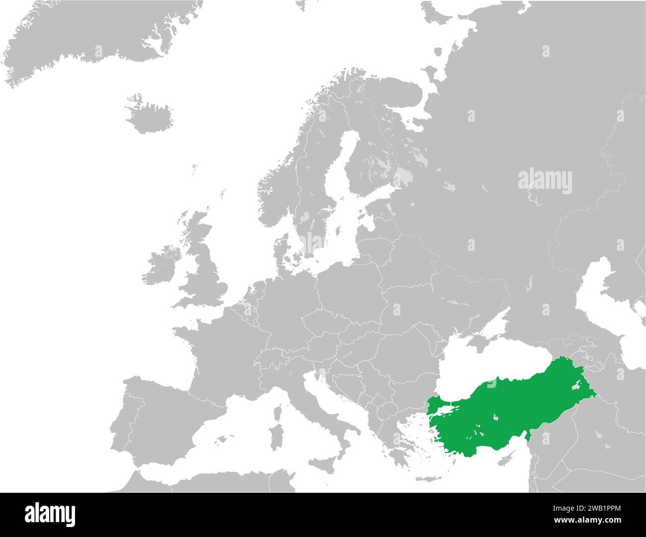 Location map of the REPUBLIC OF TURKEY/TURKIYE, EUROPE Stock Vectorhttps://www.alamy.com/image-license-details/?v=1https://www.alamy.com/location-map-of-the-republic-of-turkeyturkiye-europe-image591953564.html
RF2WB1PPM–Location map of the REPUBLIC OF TURKEY/TURKIYE, EUROPE
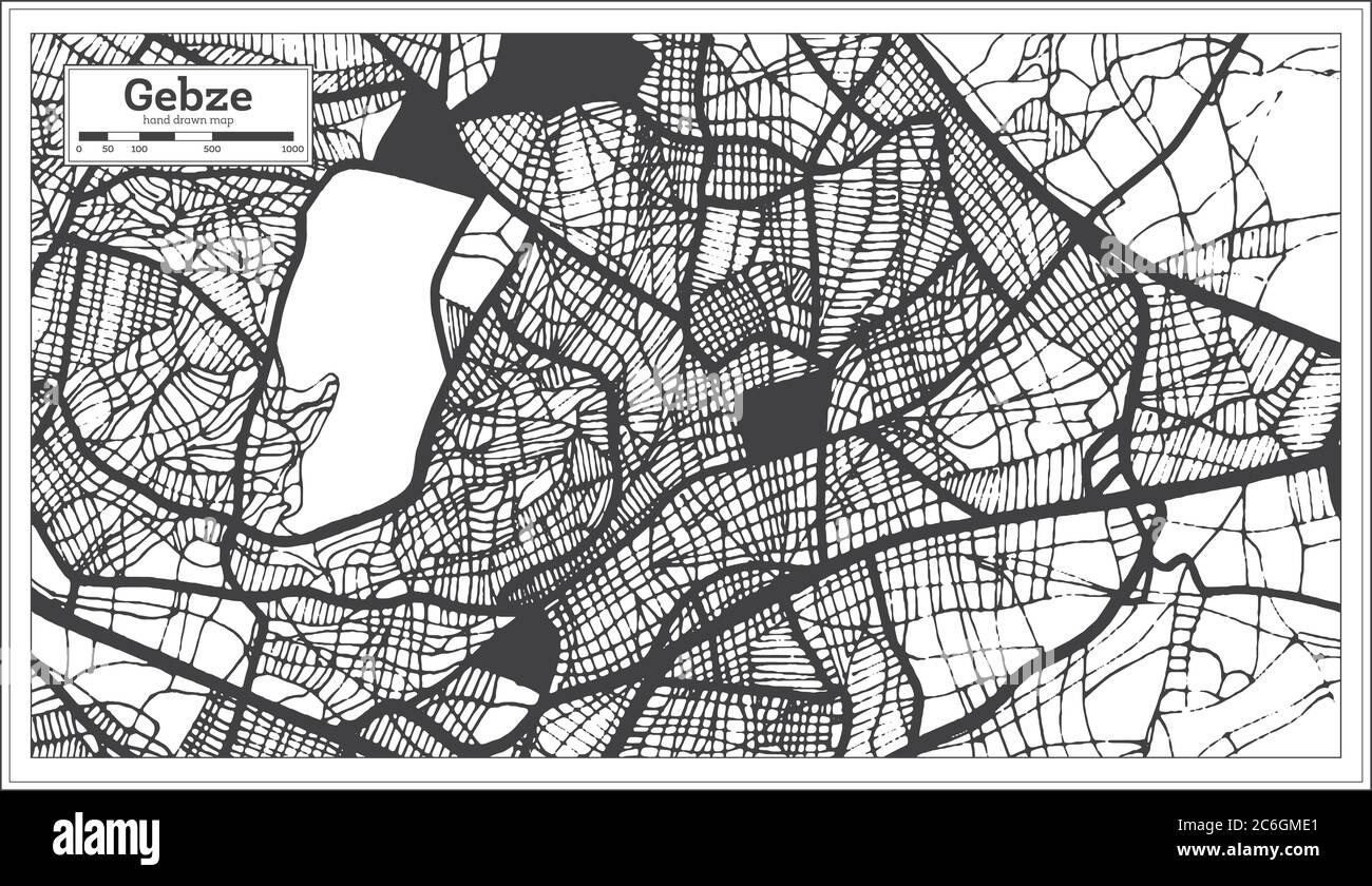 Gebze Turkey City Map in Black and White Color in Retro Style. Outline Map. Vector Illustration. Stock Vectorhttps://www.alamy.com/image-license-details/?v=1https://www.alamy.com/gebze-turkey-city-map-in-black-and-white-color-in-retro-style-outline-map-vector-illustration-image365472969.html
RF2C6GME1–Gebze Turkey City Map in Black and White Color in Retro Style. Outline Map. Vector Illustration.
RFP8B2MK–Turkish tea, amulet, ruins of antiquity, map of the territory. Turkey set collection icons in cartoon,black style vector symbol stock illustration .
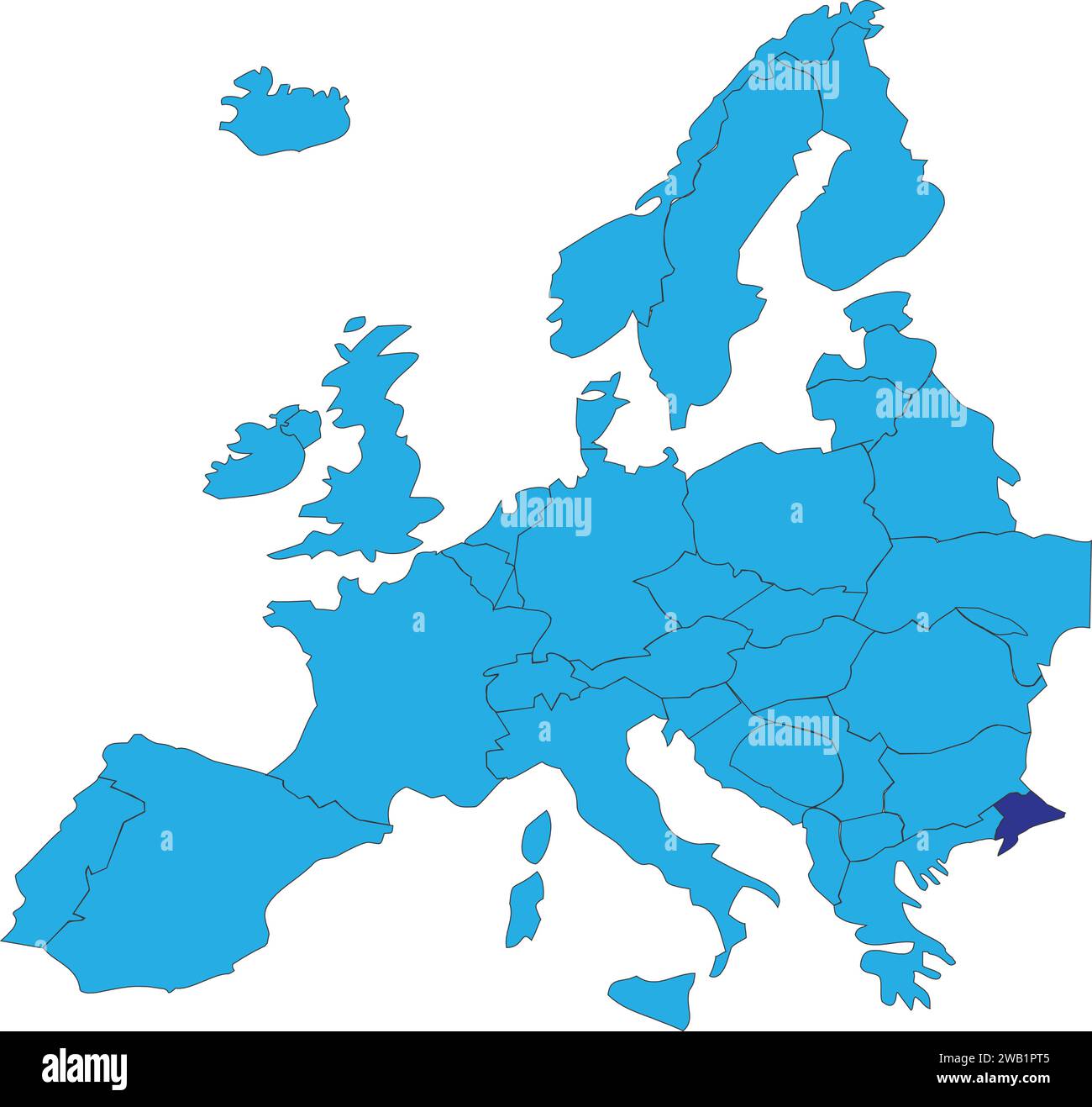 Location map of the REPUBLIC OF TURKEY/TURKIYE, EUROPE Stock Vectorhttps://www.alamy.com/image-license-details/?v=1https://www.alamy.com/location-map-of-the-republic-of-turkeyturkiye-europe-image591953605.html
RF2WB1PT5–Location map of the REPUBLIC OF TURKEY/TURKIYE, EUROPE
 Balikesir Turkey City Map in Black and White Color in Retro Style. Outline Map. Vector Illustration. Stock Vectorhttps://www.alamy.com/image-license-details/?v=1https://www.alamy.com/balikesir-turkey-city-map-in-black-and-white-color-in-retro-style-outline-map-vector-illustration-image365472868.html
RF2C6GMAC–Balikesir Turkey City Map in Black and White Color in Retro Style. Outline Map. Vector Illustration.
RFPARX2E–Turkish tea, amulet, ruins of antiquity, map of the territory. Turkey set collection icons in cartoon,black,flat style vector symbol stock illustratio
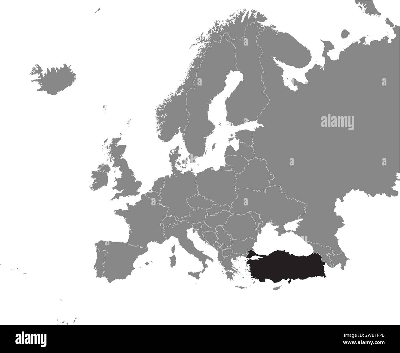 Location map of the REPUBLIC OF TURKEY/TURKIYE, EUROPE Stock Vectorhttps://www.alamy.com/image-license-details/?v=1https://www.alamy.com/location-map-of-the-republic-of-turkeyturkiye-europe-image591953555.html
RF2WB1PPB–Location map of the REPUBLIC OF TURKEY/TURKIYE, EUROPE
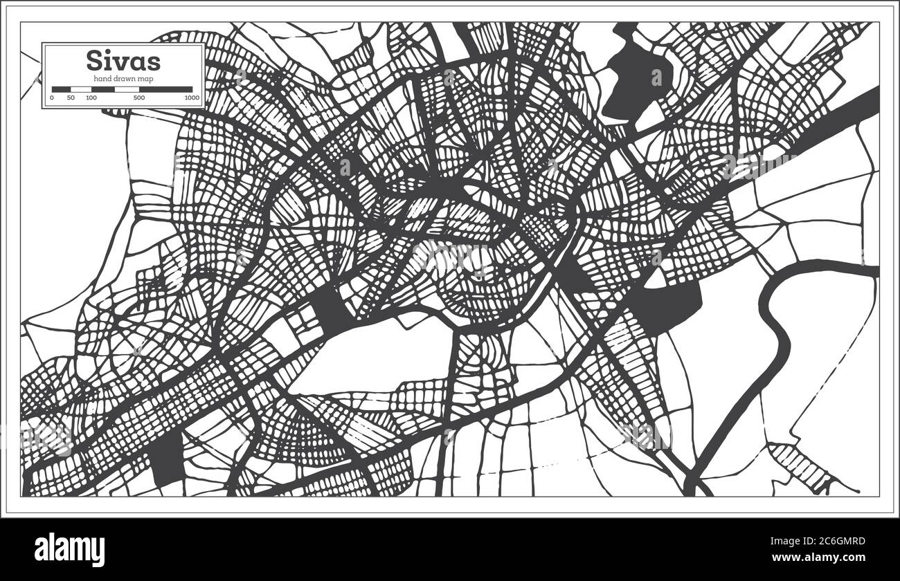 Sivas Turkey City Map in Black and White Color in Retro Style. Outline Map. Vector Illustration. Stock Vectorhttps://www.alamy.com/image-license-details/?v=1https://www.alamy.com/sivas-turkey-city-map-in-black-and-white-color-in-retro-style-outline-map-vector-illustration-image365473233.html
RF2C6GMRD–Sivas Turkey City Map in Black and White Color in Retro Style. Outline Map. Vector Illustration.
 Gaziantep Turkey City Map in Black and White Color in Retro Style. Outline Map. Vector Illustration. Stock Vectorhttps://www.alamy.com/image-license-details/?v=1https://www.alamy.com/gaziantep-turkey-city-map-in-black-and-white-color-in-retro-style-outline-map-vector-illustration-image364512358.html
RF2C50Y6E–Gaziantep Turkey City Map in Black and White Color in Retro Style. Outline Map. Vector Illustration.
RFPFT3F9–Turkish tea, amulet, ruins of antiquity, map of the territory. Turkey set collection icons in cartoon,black,outline style vector symbol stock illustra
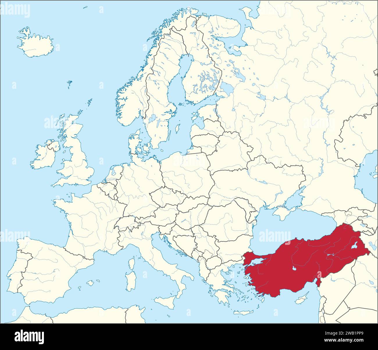 Location map of the REPUBLIC OF TURKEY/TURKIYE, EUROPE Stock Vectorhttps://www.alamy.com/image-license-details/?v=1https://www.alamy.com/location-map-of-the-republic-of-turkeyturkiye-europe-image591953553.html
RF2WB1PP9–Location map of the REPUBLIC OF TURKEY/TURKIYE, EUROPE
 Mersin Turkey City Map in Black and White Color in Retro Style. Outline Map. Vector Illustration. Stock Vectorhttps://www.alamy.com/image-license-details/?v=1https://www.alamy.com/mersin-turkey-city-map-in-black-and-white-color-in-retro-style-outline-map-vector-illustration-image364512371.html
RF2C50Y6Y–Mersin Turkey City Map in Black and White Color in Retro Style. Outline Map. Vector Illustration.
RFP9RW75–Turkish tea, amulet, ruins of antiquity, map of the territory. Turkey set collection icons in cartoon,black,outline,flat style vector symbol stock ill
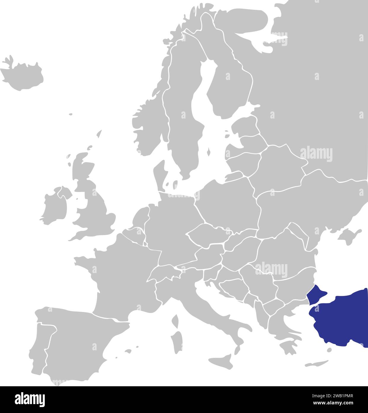 Location map of the REPUBLIC OF TURKEY/TURKIYE, EUROPE Stock Vectorhttps://www.alamy.com/image-license-details/?v=1https://www.alamy.com/location-map-of-the-republic-of-turkeyturkiye-europe-image591953511.html
RF2WB1PMR–Location map of the REPUBLIC OF TURKEY/TURKIYE, EUROPE
 Diyarbakir Turkey City Map in Black and White Color in Retro Style. Outline Map. Vector Illustration. Stock Vectorhttps://www.alamy.com/image-license-details/?v=1https://www.alamy.com/diyarbakir-turkey-city-map-in-black-and-white-color-in-retro-style-outline-map-vector-illustration-image364512330.html
RF2C50Y5E–Diyarbakir Turkey City Map in Black and White Color in Retro Style. Outline Map. Vector Illustration.
RFPD0PE9–Turkish tea, amulet, ruins of antiquity, map of the territory. Turkey set collection icons in cartoon,flat style vector symbol stock illustration .
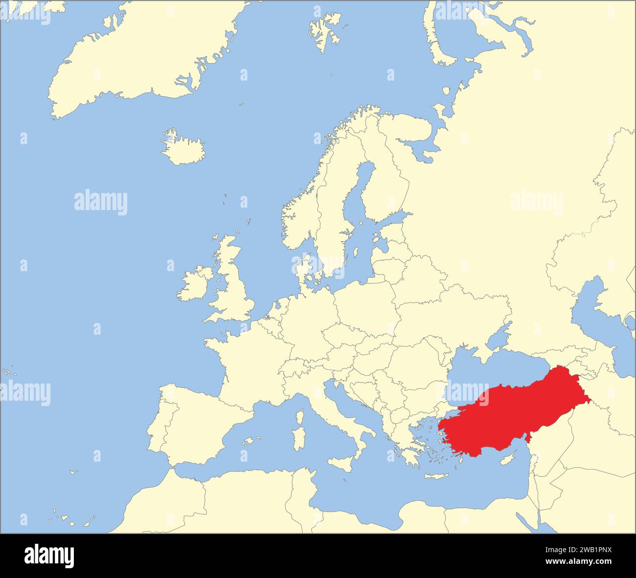 Location map of the REPUBLIC OF TURKEY/TURKIYE, EUROPE Stock Vectorhttps://www.alamy.com/image-license-details/?v=1https://www.alamy.com/location-map-of-the-republic-of-turkeyturkiye-europe-image591953542.html
RF2WB1PNX–Location map of the REPUBLIC OF TURKEY/TURKIYE, EUROPE
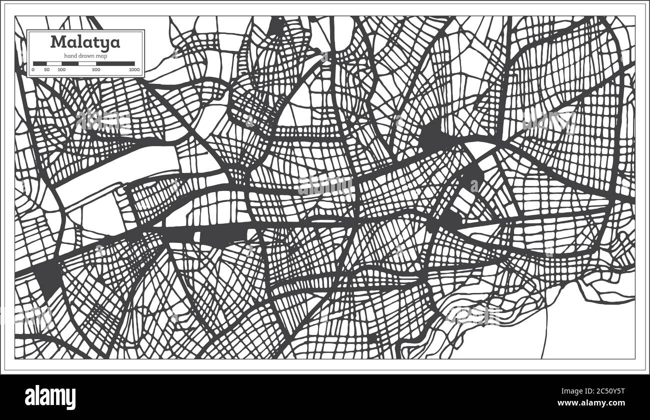 Malatya Turkey City Map in Black and White Color in Retro Style. Outline Map. Vector Illustration. Stock Vectorhttps://www.alamy.com/image-license-details/?v=1https://www.alamy.com/malatya-turkey-city-map-in-black-and-white-color-in-retro-style-outline-map-vector-illustration-image364512340.html
RF2C50Y5T–Malatya Turkey City Map in Black and White Color in Retro Style. Outline Map. Vector Illustration.