Quick filters:
Tuscaloosa map Stock Photos and Images
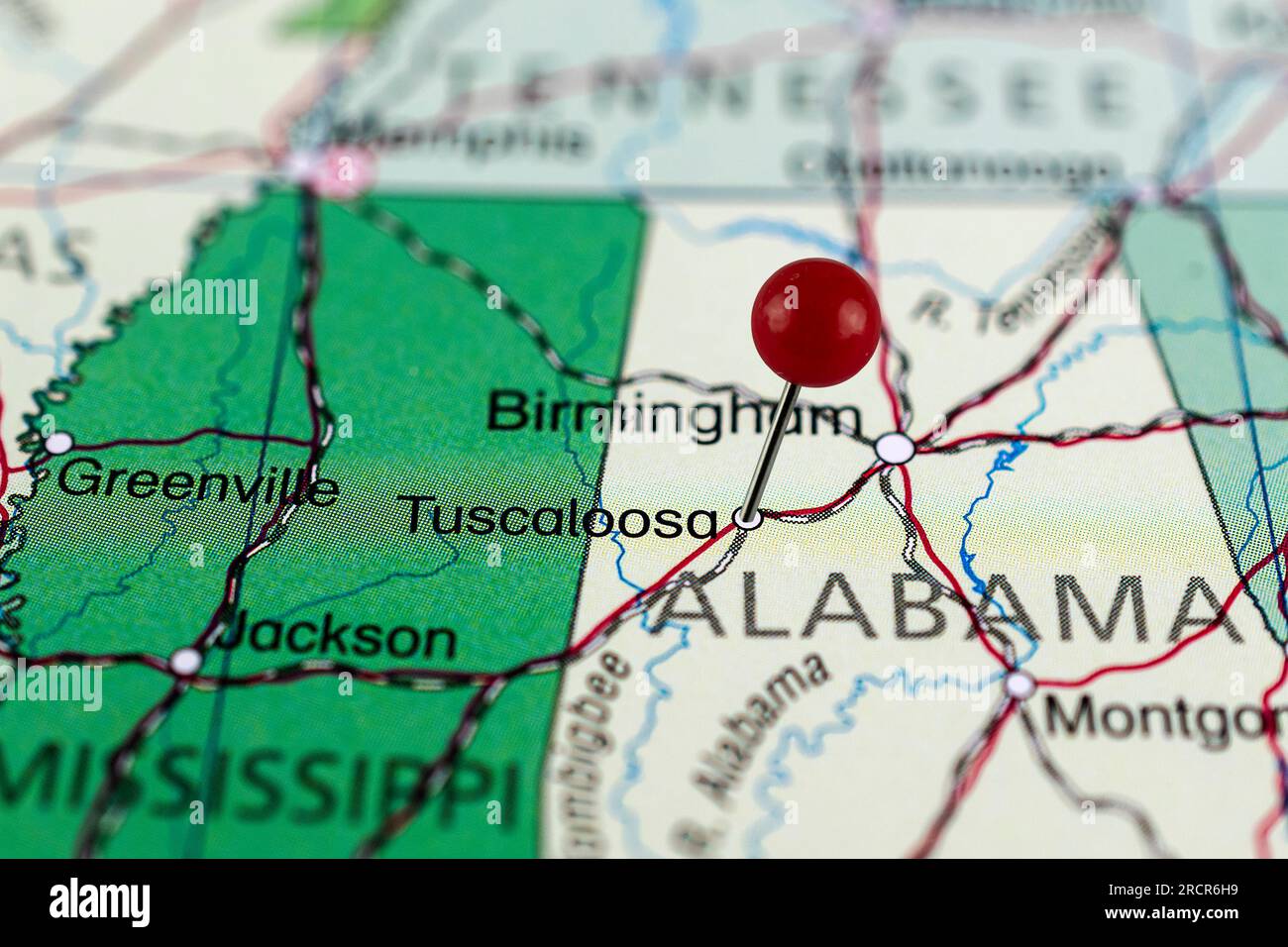 Tuscaloosa map. Tuscaloosa pin map. Close up of Tuscaloosa map with red pin. Map with red pin point of Tuscaloosa in USA. Alabama. Stock Photohttps://www.alamy.com/image-license-details/?v=1https://www.alamy.com/tuscaloosa-map-tuscaloosa-pin-map-close-up-of-tuscaloosa-map-with-red-pin-map-with-red-pin-point-of-tuscaloosa-in-usa-alabama-image558617733.html
RF2RCR6H9–Tuscaloosa map. Tuscaloosa pin map. Close up of Tuscaloosa map with red pin. Map with red pin point of Tuscaloosa in USA. Alabama.
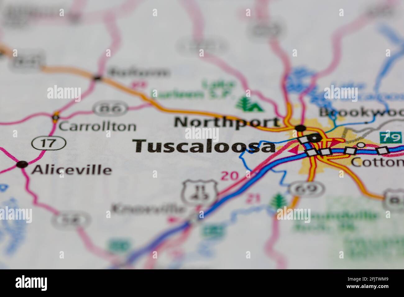 Tuscaloosa Alabama USA shown on a road map or geography map Stock Photohttps://www.alamy.com/image-license-details/?v=1https://www.alamy.com/tuscaloosa-alabama-usa-shown-on-a-road-map-or-geography-map-image424659657.html
RM2FJTWM9–Tuscaloosa Alabama USA shown on a road map or geography map
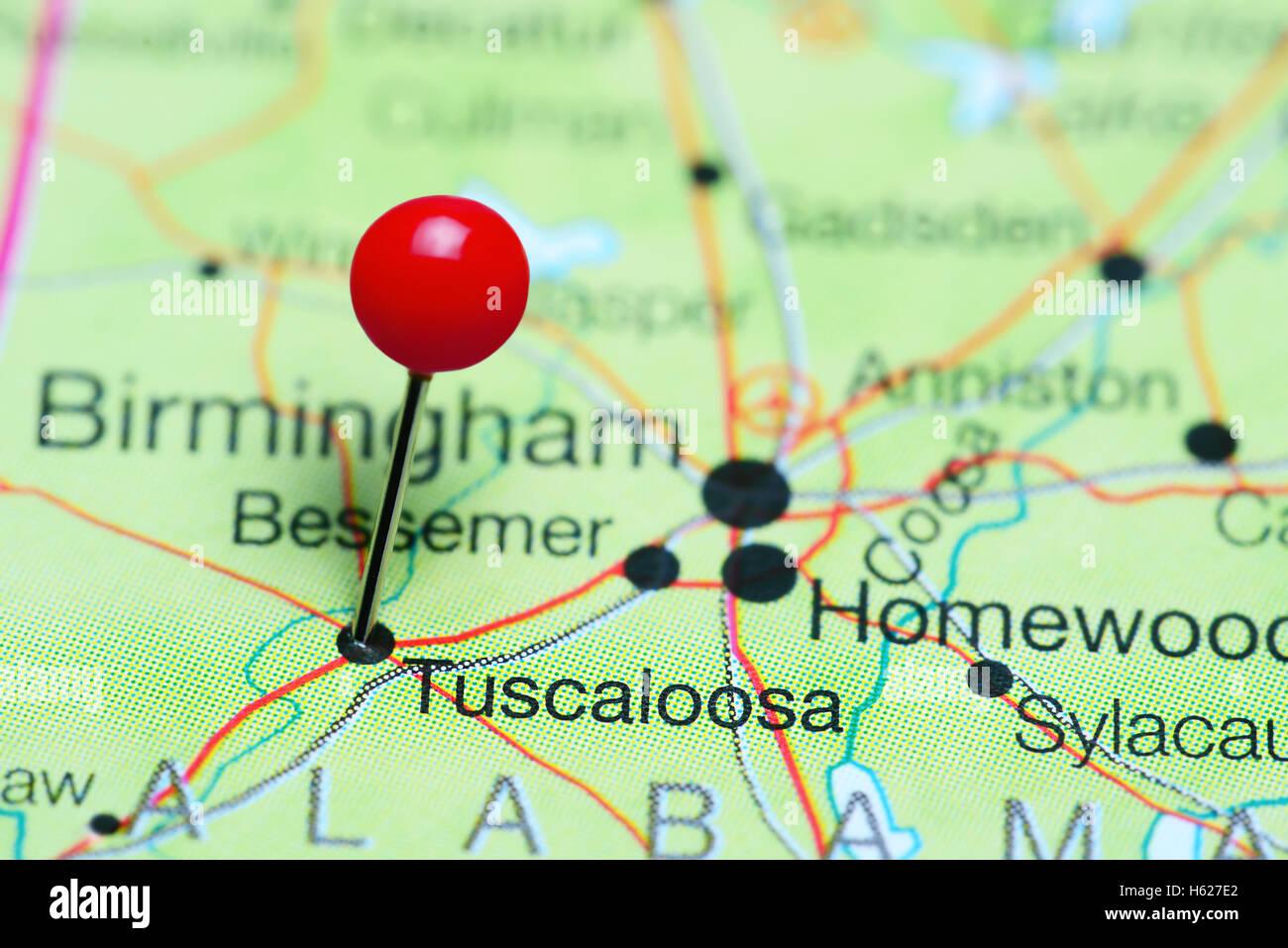 Tuscaloosa pinned on a map of Alabama, USA Stock Photohttps://www.alamy.com/image-license-details/?v=1https://www.alamy.com/stock-photo-tuscaloosa-pinned-on-a-map-of-alabama-usa-124210298.html
RFH627E2–Tuscaloosa pinned on a map of Alabama, USA
 Map of the city of Tuscaloosa, AL Stock Photohttps://www.alamy.com/image-license-details/?v=1https://www.alamy.com/map-of-the-city-of-tuscaloosa-al-image448287135.html
RF2H196PR–Map of the city of Tuscaloosa, AL
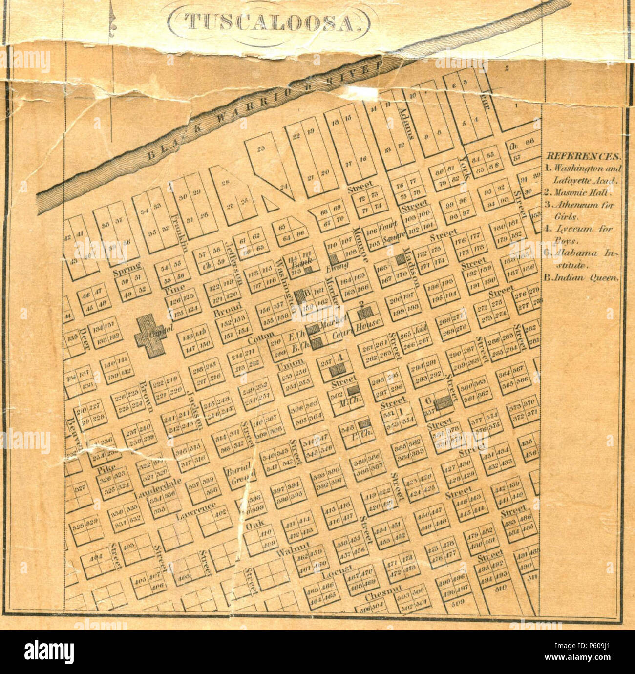 N/A. Excerpt of 'An Accurate Map of the State of Alabama and West Florida', showing the city of Tuscaloosa . 1837. John LaTourrette; Publisher: Colton & Co., New York 28 1840 LaTourrette Tuscaloosa Stock Photohttps://www.alamy.com/image-license-details/?v=1https://www.alamy.com/na-excerpt-of-an-accurate-map-of-the-state-of-alabama-and-west-florida-showing-the-city-of-tuscaloosa-1837-john-latourrette-publisher-colton-co-new-york-28-1840-latourrette-tuscaloosa-image210219913.html
RMP609J1–N/A. Excerpt of 'An Accurate Map of the State of Alabama and West Florida', showing the city of Tuscaloosa . 1837. John LaTourrette; Publisher: Colton & Co., New York 28 1840 LaTourrette Tuscaloosa
 Tuscaloosa, Alabama pin on map. Stock Photohttps://www.alamy.com/image-license-details/?v=1https://www.alamy.com/tuscaloosa-alabama-pin-on-map-image621174612.html
RF2Y2GXFG–Tuscaloosa, Alabama pin on map.
 1840 LaTourrette Tuscaloosa Stock Photohttps://www.alamy.com/image-license-details/?v=1https://www.alamy.com/stock-photo-1840-latourrette-tuscaloosa-142491963.html
RMJ7R1XK–1840 LaTourrette Tuscaloosa
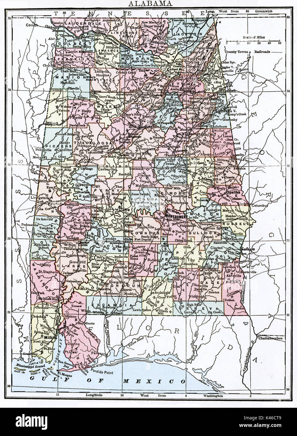 Antique map, circa 1875, of Alabama Stock Photohttps://www.alamy.com/image-license-details/?v=1https://www.alamy.com/antique-map-circa-1875-of-alabama-image157493737.html
RMK46CT9–Antique map, circa 1875, of Alabama
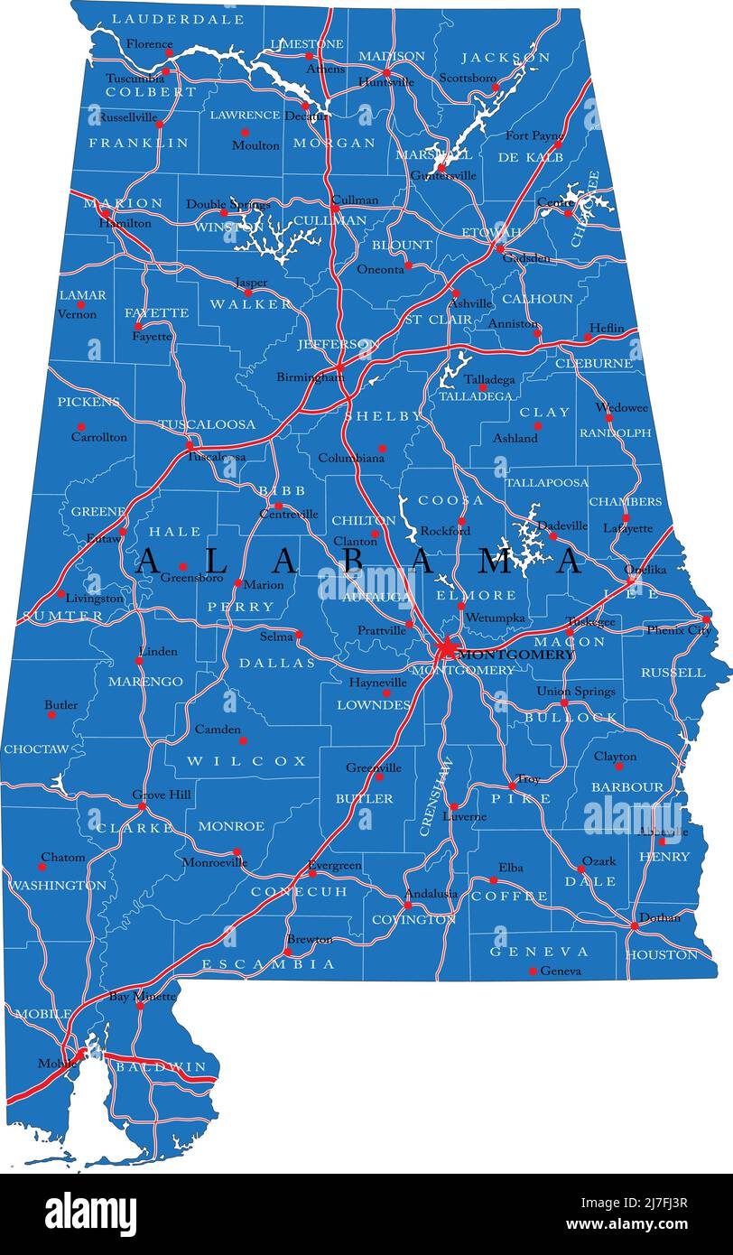 Detailed map of Alabama state,in vector format,with county borders,roads and major cities. Stock Vectorhttps://www.alamy.com/image-license-details/?v=1https://www.alamy.com/detailed-map-of-alabama-statein-vector-formatwith-county-bordersroads-and-major-cities-image469326027.html
RF2J7FJ3R–Detailed map of Alabama state,in vector format,with county borders,roads and major cities.
 Man studies map of neighborhood after tornado destroyed his home, Alabama, May 2011 Stock Photohttps://www.alamy.com/image-license-details/?v=1https://www.alamy.com/stock-photo-man-studies-map-of-neighborhood-after-tornado-destroyed-his-home-alabama-36713064.html
RFC3MBTT–Man studies map of neighborhood after tornado destroyed his home, Alabama, May 2011
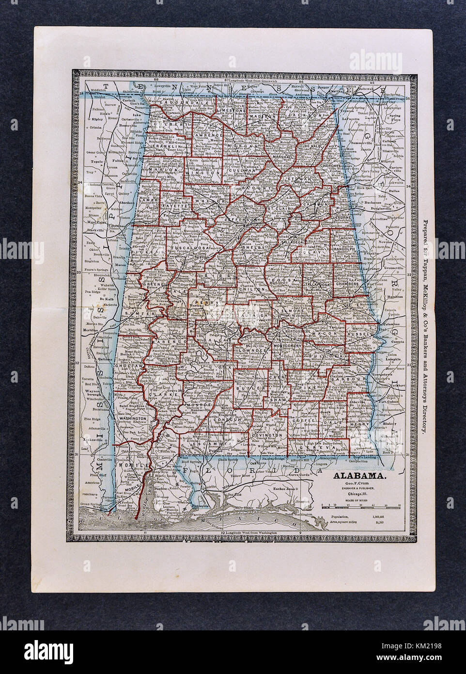 George Cram Antique Map from 1866 Atlas for Attorneys and Bankers: United States - Alabama - Birmingham Montgomery Auburn Tuscaloosa Gulf Shores Stock Photohttps://www.alamy.com/image-license-details/?v=1https://www.alamy.com/stock-image-george-cram-antique-map-from-1866-atlas-for-attorneys-and-bankers-167231380.html
RFKM2198–George Cram Antique Map from 1866 Atlas for Attorneys and Bankers: United States - Alabama - Birmingham Montgomery Auburn Tuscaloosa Gulf Shores
 Asbury, Tuscaloosa County, US, United States, Alabama, N 33 12' 49'', S 87 29' 52'', map, Cartascapes Map published in 2024. Explore Cartascapes, a map revealing Earth's diverse landscapes, cultures, and ecosystems. Journey through time and space, discovering the interconnectedness of our planet's past, present, and future. Stock Photohttps://www.alamy.com/image-license-details/?v=1https://www.alamy.com/asbury-tuscaloosa-county-us-united-states-alabama-n-33-12-49-s-87-29-52-map-cartascapes-map-published-in-2024-explore-cartascapes-a-map-revealing-earths-diverse-landscapes-cultures-and-ecosystems-journey-through-time-and-space-discovering-the-interconnectedness-of-our-planets-past-present-and-future-image621292777.html
RM2Y2P97N–Asbury, Tuscaloosa County, US, United States, Alabama, N 33 12' 49'', S 87 29' 52'', map, Cartascapes Map published in 2024. Explore Cartascapes, a map revealing Earth's diverse landscapes, cultures, and ecosystems. Journey through time and space, discovering the interconnectedness of our planet's past, present, and future.
 Rich detailed vector area map of Tuscaloosa, Alabama, USA. Map template for home decor. Stock Vectorhttps://www.alamy.com/image-license-details/?v=1https://www.alamy.com/rich-detailed-vector-area-map-of-tuscaloosa-alabama-usa-map-template-for-home-decor-image328003264.html
RF2A1HRE8–Rich detailed vector area map of Tuscaloosa, Alabama, USA. Map template for home decor.
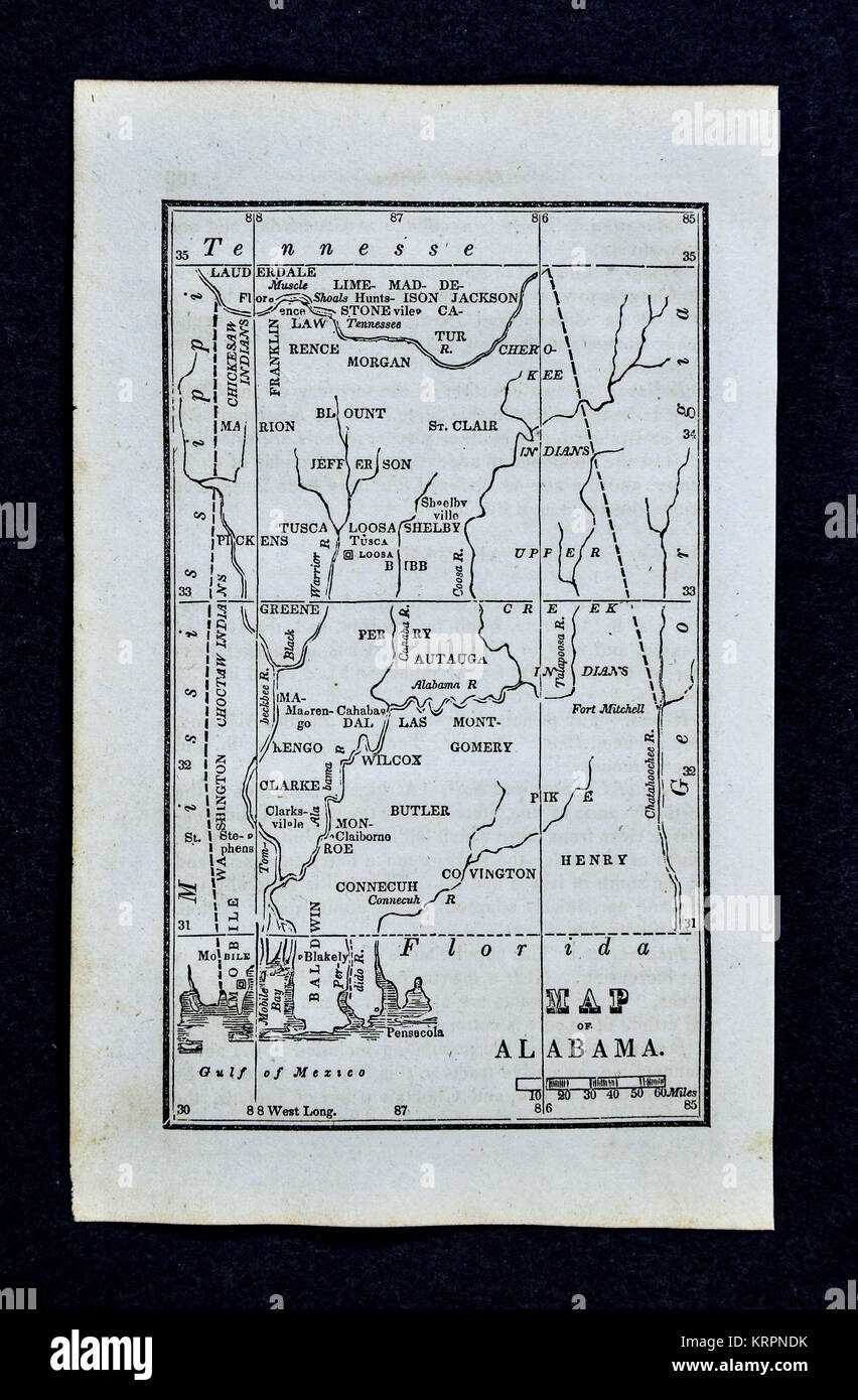 1830 Nathan Hale Map - Alabama - United States Montgomery Birmingham Mobile Stock Photohttps://www.alamy.com/image-license-details/?v=1https://www.alamy.com/stock-image-1830-nathan-hale-map-alabama-united-states-montgomery-birmingham-mobile-169530191.html
RFKRPNDK–1830 Nathan Hale Map - Alabama - United States Montgomery Birmingham Mobile
 Colorful vector map of Tuscaloosa, Alabama, USA. Art Map template for selfprinting wall art in landscape format. Stock Vectorhttps://www.alamy.com/image-license-details/?v=1https://www.alamy.com/colorful-vector-map-of-tuscaloosa-alabama-usa-art-map-template-for-selfprinting-wall-art-in-landscape-format-image355540126.html
RF2BJC71J–Colorful vector map of Tuscaloosa, Alabama, USA. Art Map template for selfprinting wall art in landscape format.
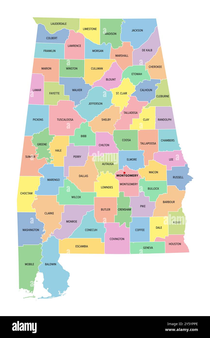 Alabama, U.S. state, subdivided into 67 counties, multi colored political map with capital Montgomery, borders and county names. Stock Photohttps://www.alamy.com/image-license-details/?v=1https://www.alamy.com/alabama-us-state-subdivided-into-67-counties-multi-colored-political-map-with-capital-montgomery-borders-and-county-names-image623257110.html
RF2Y5YPPE–Alabama, U.S. state, subdivided into 67 counties, multi colored political map with capital Montgomery, borders and county names.
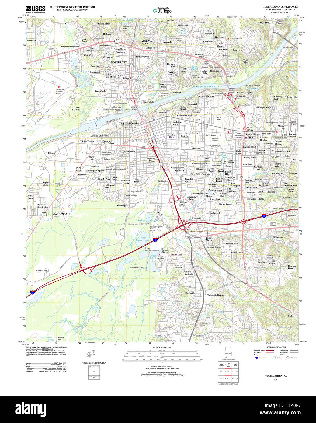 USGS TOPO Map Alabama AL Tuscaloosa 20111018 TM Stock Photohttps://www.alamy.com/image-license-details/?v=1https://www.alamy.com/usgs-topo-map-alabama-al-tuscaloosa-20111018-tm-image241779951.html
RMT1A0P7–USGS TOPO Map Alabama AL Tuscaloosa 20111018 TM
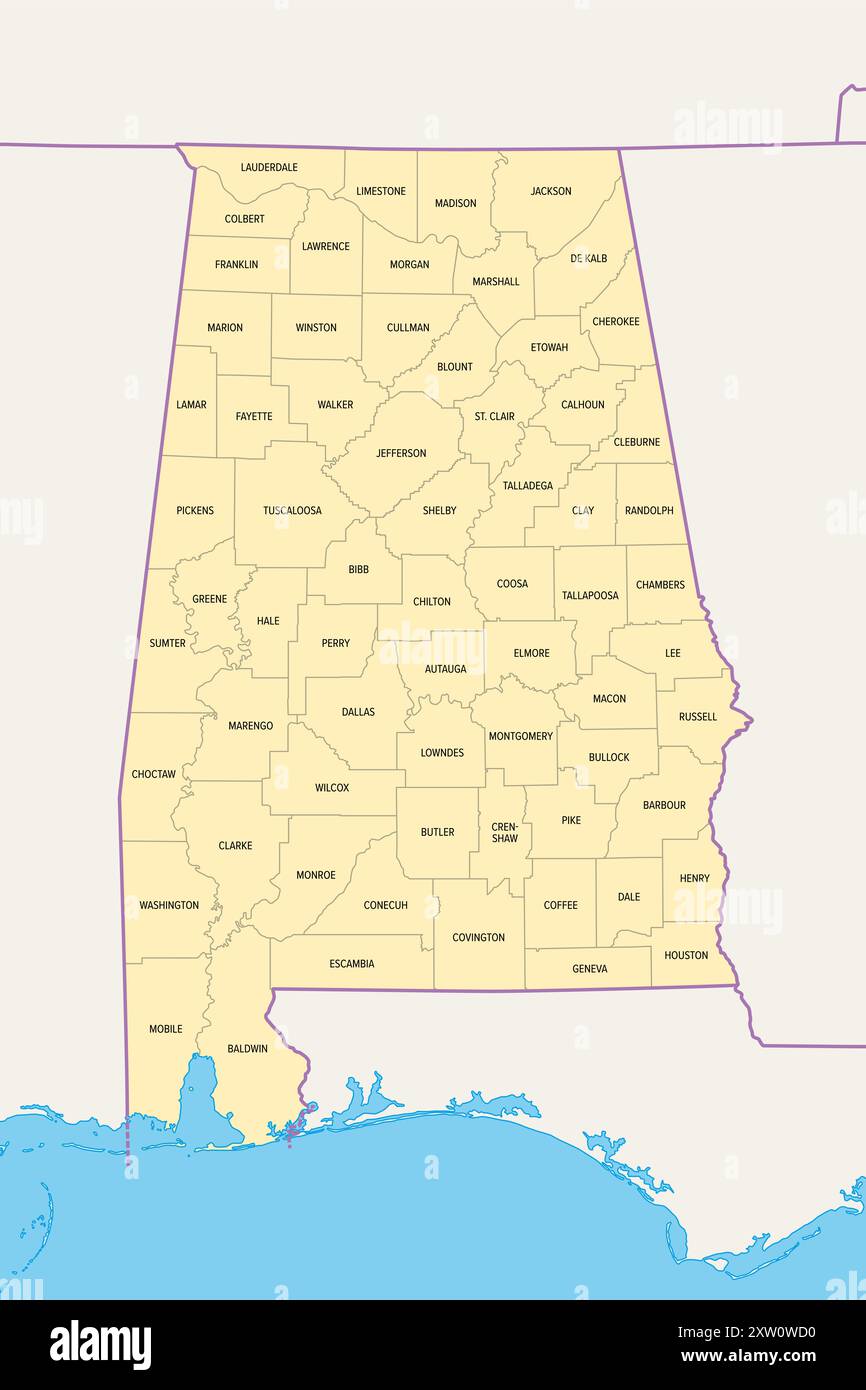 Alabama, U.S. state, political map with borders and county names. State in the Southeastern region of United States, subdivided into 67 counties. Stock Photohttps://www.alamy.com/image-license-details/?v=1https://www.alamy.com/alabama-us-state-political-map-with-borders-and-county-names-state-in-the-southeastern-region-of-united-states-subdivided-into-67-counties-image617749244.html
RF2XW0WD0–Alabama, U.S. state, political map with borders and county names. State in the Southeastern region of United States, subdivided into 67 counties.
 USGS TOPO Map Alabama AL Tuscaloosa 305717 1926 62500 Stock Photohttps://www.alamy.com/image-license-details/?v=1https://www.alamy.com/usgs-topo-map-alabama-al-tuscaloosa-305717-1926-62500-image241779997.html
RMT1A0RW–USGS TOPO Map Alabama AL Tuscaloosa 305717 1926 62500
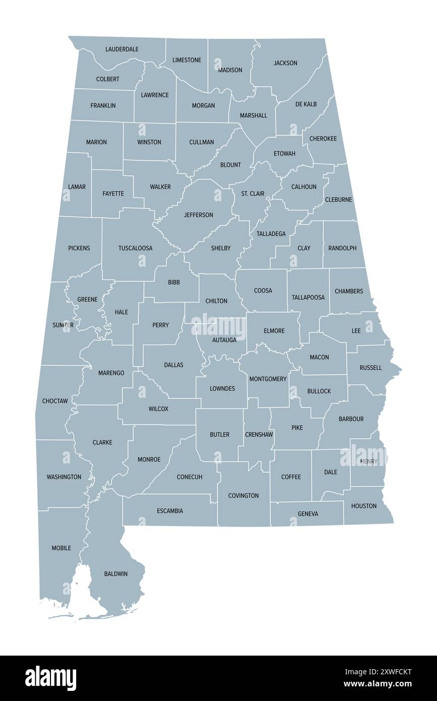 Alabama, U.S. state, gray political map with borders and county names. State in the Southeastern region of United States, subdivided into 67 counties. Stock Photohttps://www.alamy.com/image-license-details/?v=1https://www.alamy.com/alabama-us-state-gray-political-map-with-borders-and-county-names-state-in-the-southeastern-region-of-united-states-subdivided-into-67-counties-image618068524.html
RF2XWFCKT–Alabama, U.S. state, gray political map with borders and county names. State in the Southeastern region of United States, subdivided into 67 counties.
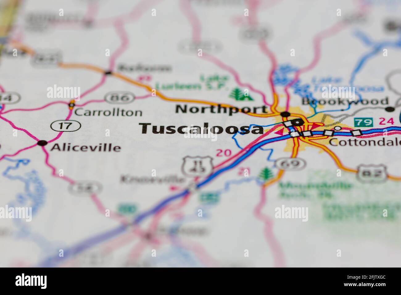 Tuscaloosa Alabama USA shown on a road map or geography map Stock Photohttps://www.alamy.com/image-license-details/?v=1https://www.alamy.com/tuscaloosa-alabama-usa-shown-on-a-road-map-or-geography-map-image424660332.html
RM2FJTXGC–Tuscaloosa Alabama USA shown on a road map or geography map
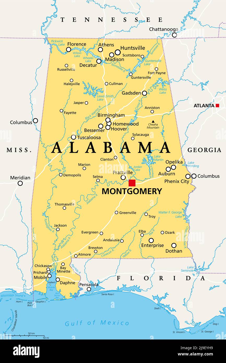 Alabama, AL, political map with the capital Montgomery, cities, rivers and lakes. State in the Southeastern region of the United States. Stock Photohttps://www.alamy.com/image-license-details/?v=1https://www.alamy.com/alabama-al-political-map-with-the-capital-montgomery-cities-rivers-and-lakes-state-in-the-southeastern-region-of-the-united-states-image470540821.html
RF2J9EYH9–Alabama, AL, political map with the capital Montgomery, cities, rivers and lakes. State in the Southeastern region of the United States.
 USGS TOPO Map Alabama AL Tuscaloosa 305714 1924 62500 Stock Photohttps://www.alamy.com/image-license-details/?v=1https://www.alamy.com/usgs-topo-map-alabama-al-tuscaloosa-305714-1924-62500-image241779985.html
RMT1A0RD–USGS TOPO Map Alabama AL Tuscaloosa 305714 1924 62500
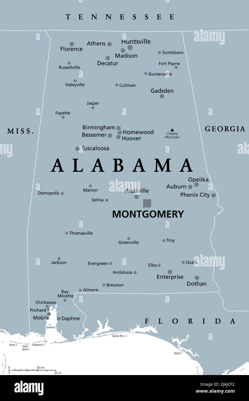 Alabama, AL, gray political map, with capital Montgomery, large and important cities. State in the Southeastern region of United States. Stock Photohttps://www.alamy.com/image-license-details/?v=1https://www.alamy.com/alabama-al-gray-political-map-with-capital-montgomery-large-and-important-cities-state-in-the-southeastern-region-of-united-states-image471231462.html
RF2JAJCF2–Alabama, AL, gray political map, with capital Montgomery, large and important cities. State in the Southeastern region of United States.
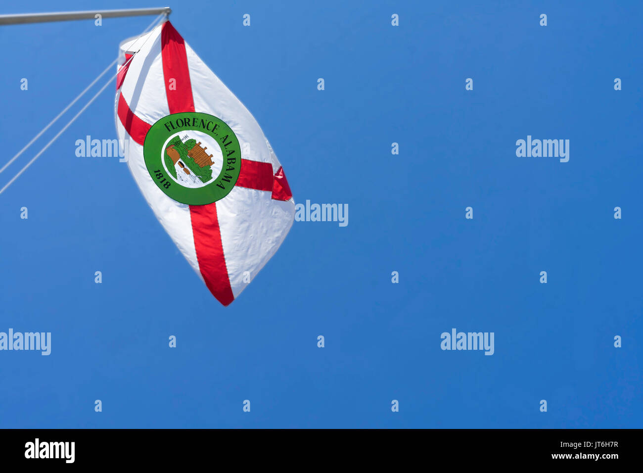 The flag of Florence, Alabama flutters in the breeze above the Tennessee River. Stock Photohttps://www.alamy.com/image-license-details/?v=1https://www.alamy.com/the-flag-of-florence-alabama-flutters-in-the-breeze-above-the-tennessee-image152579947.html
RFJT6H7R–The flag of Florence, Alabama flutters in the breeze above the Tennessee River.
 . English: A beautiful example of A. J. Johnson’s 1862 map of Georgia and Alabama. Offers a fascinating snapshot of these southern states shortly following the outbreak of the American Civil War. Map shows both states in full with color coding according to county. Engraved decorative views of “Tuscaloosa Observatory” and a “Rice-Mill on Savannah River” decorate the upper left and right hand quadrants, respectively. Features the strapwork style border common to Johnson’s atlas work from 1860 to 1863. Published by A. J. Johnson and Ward as plate numbers 38 and 39 in the 1862 edition of Johnson’ Stock Photohttps://www.alamy.com/image-license-details/?v=1https://www.alamy.com/english-a-beautiful-example-of-a-j-johnsons-1862-map-of-georgia-and-alabama-offers-a-fascinating-snapshot-of-these-southern-states-shortly-following-the-outbreak-of-the-american-civil-war-map-shows-both-states-in-full-with-color-coding-according-to-county-engraved-decorative-views-of-tuscaloosa-observatory-and-a-rice-mill-on-savannah-river-decorate-the-upper-left-and-right-hand-quadrants-respectively-features-the-strapwork-style-border-common-to-johnsons-atlas-work-from-1860-to-1863-published-by-a-j-johnson-and-ward-as-plate-numbers-38-and-39-in-the-1862-edition-of-johnson-image184964168.html
RMMMWRK4–. English: A beautiful example of A. J. Johnson’s 1862 map of Georgia and Alabama. Offers a fascinating snapshot of these southern states shortly following the outbreak of the American Civil War. Map shows both states in full with color coding according to county. Engraved decorative views of “Tuscaloosa Observatory” and a “Rice-Mill on Savannah River” decorate the upper left and right hand quadrants, respectively. Features the strapwork style border common to Johnson’s atlas work from 1860 to 1863. Published by A. J. Johnson and Ward as plate numbers 38 and 39 in the 1862 edition of Johnson’
 Modern Map - Tuscaloosa Alabama county USA illustration Stock Vectorhttps://www.alamy.com/image-license-details/?v=1https://www.alamy.com/modern-map-tuscaloosa-alabama-county-usa-illustration-image152895716.html
RFJTN018–Modern Map - Tuscaloosa Alabama county USA illustration
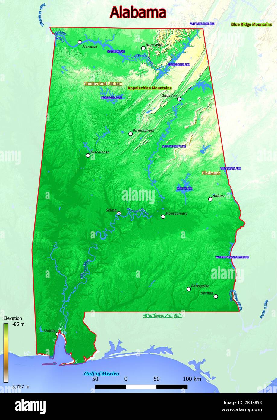 The physical map of Alabama depicts a diverse landscape featuring rolling hills, fertile plains, and picturesque river valleys. Its southern coastline Stock Photohttps://www.alamy.com/image-license-details/?v=1https://www.alamy.com/the-physical-map-of-alabama-depicts-a-diverse-landscape-featuring-rolling-hills-fertile-plains-and-picturesque-river-valleys-its-southern-coastline-image553767684.html
RF2R4X898–The physical map of Alabama depicts a diverse landscape featuring rolling hills, fertile plains, and picturesque river valleys. Its southern coastline
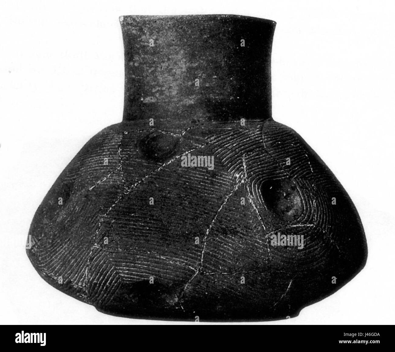 Moore1905Fig.37(ves.13,M.C.)Tuscaloosa Stock Photohttps://www.alamy.com/image-license-details/?v=1https://www.alamy.com/stock-photo-moore1905fig37ves13mctuscaloosa-140286198.html
RMJ46GDA–Moore1905Fig.37(ves.13,M.C.)Tuscaloosa
 Sanborn Fire Insurance Map from Tuscaloosa, Tuscaloosa County, Alabama. Stock Photohttps://www.alamy.com/image-license-details/?v=1https://www.alamy.com/sanborn-fire-insurance-map-from-tuscaloosa-tuscaloosa-county-alabama-image456503047.html
RM2HEKE87–Sanborn Fire Insurance Map from Tuscaloosa, Tuscaloosa County, Alabama.
 Samantha, Tuscaloosa County, US, United States, Alabama, N 33 25' 20'', S 87 36' 19'', map, Cartascapes Map published in 2024. Explore Cartascapes, a map revealing Earth's diverse landscapes, cultures, and ecosystems. Journey through time and space, discovering the interconnectedness of our planet's past, present, and future. Stock Photohttps://www.alamy.com/image-license-details/?v=1https://www.alamy.com/samantha-tuscaloosa-county-us-united-states-alabama-n-33-25-20-s-87-36-19-map-cartascapes-map-published-in-2024-explore-cartascapes-a-map-revealing-earths-diverse-landscapes-cultures-and-ecosystems-journey-through-time-and-space-discovering-the-interconnectedness-of-our-planets-past-present-and-future-image621290094.html
RM2Y2P5RX–Samantha, Tuscaloosa County, US, United States, Alabama, N 33 25' 20'', S 87 36' 19'', map, Cartascapes Map published in 2024. Explore Cartascapes, a map revealing Earth's diverse landscapes, cultures, and ecosystems. Journey through time and space, discovering the interconnectedness of our planet's past, present, and future.
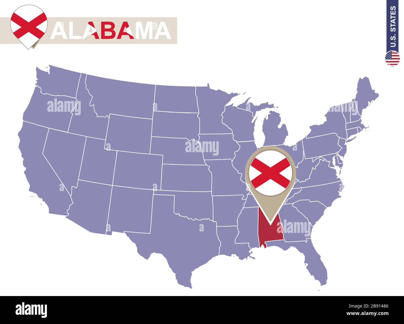 Alabama State on USA Map. Alabama flag and map. US States. Stock Vectorhttps://www.alamy.com/image-license-details/?v=1https://www.alamy.com/alabama-state-on-usa-map-alabama-flag-and-map-us-states-image349764582.html
RF2B91486–Alabama State on USA Map. Alabama flag and map. US States.
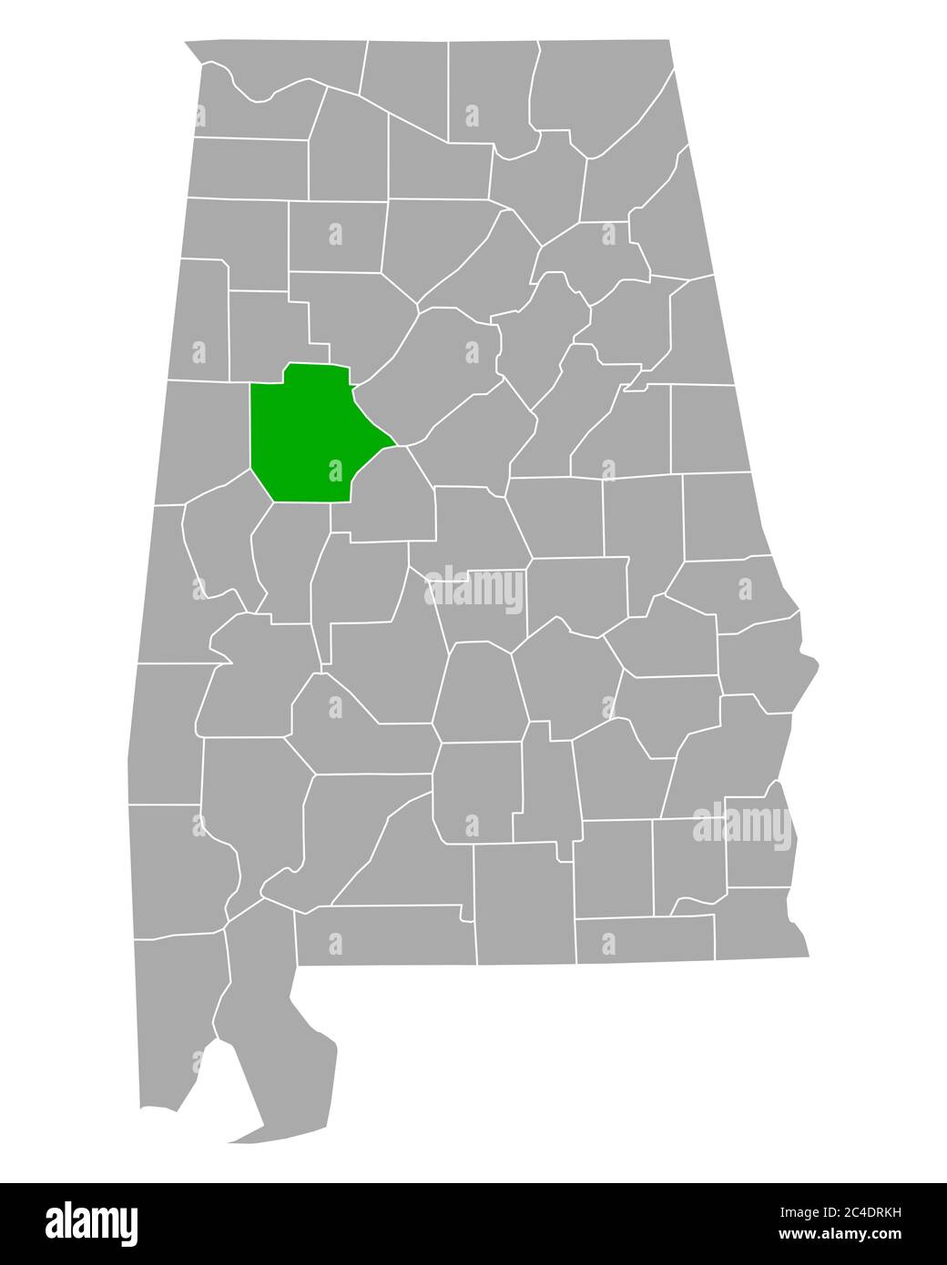 Map of Tuscaloosa in Alabama Stock Photohttps://www.alamy.com/image-license-details/?v=1https://www.alamy.com/map-of-tuscaloosa-in-alabama-image364180309.html
RF2C4DRKH–Map of Tuscaloosa in Alabama
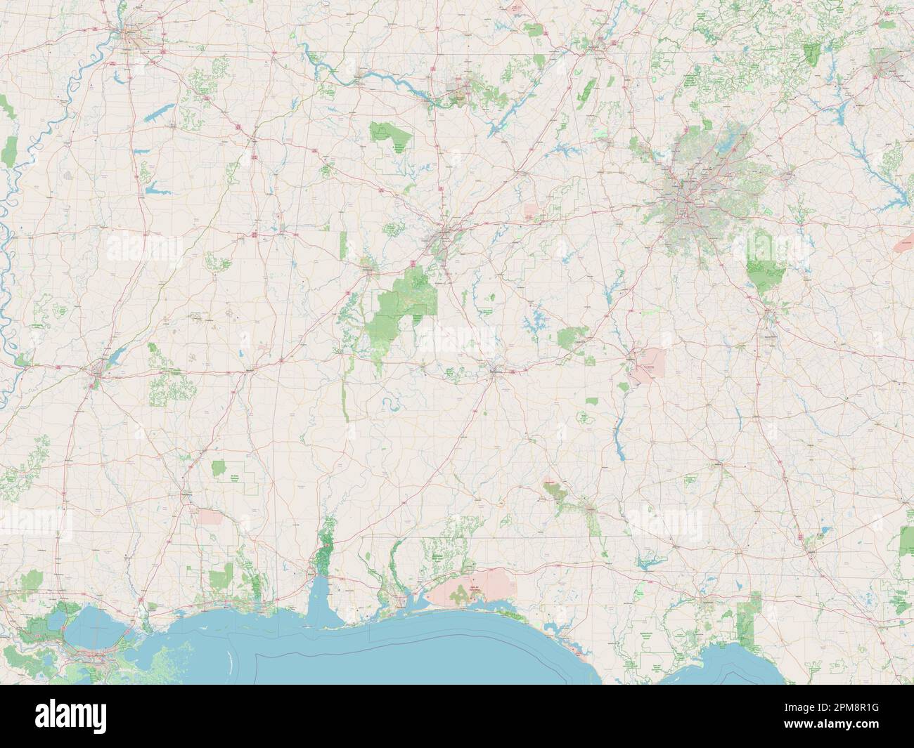 Alabama, state of United States of America. Open Street Map Stock Photohttps://www.alamy.com/image-license-details/?v=1https://www.alamy.com/alabama-state-of-united-states-of-america-open-street-map-image546008220.html
RF2PM8R1G–Alabama, state of United States of America. Open Street Map
![. Annual Reports of the Department of the Interior 1905. MAP or UlSITED STATES, SHOWIIS^G I.0CATI0:N^ OF PRI IP TWENTY-SIXTH ANNUAL REPORT PL. XXV. IPAL BIYER STATIO]S^S MAI]S^TAI:N^ED DXJBIJSTG 1904-05 WORK OF THE YEAR HYDROGRAPHIC BRANCH. 167 LOCATION OF RIVER STATIONS. The locations of the principal river stations maintainedduring the j&scal year 1904-5, as enumerated in the fol-lowing list, are shown on PI. XXV: Gaging stations^ hy States^ maintained during fiscal year 190^-5. River. Station. River. station. ALABAMA. Alabama Selma.Cordova.Tuscaloosa. # Palos. Centerville. Jenifer. Geneva, Stock Photo . Annual Reports of the Department of the Interior 1905. MAP or UlSITED STATES, SHOWIIS^G I.0CATI0:N^ OF PRI IP TWENTY-SIXTH ANNUAL REPORT PL. XXV. IPAL BIYER STATIO]S^S MAI]S^TAI:N^ED DXJBIJSTG 1904-05 WORK OF THE YEAR HYDROGRAPHIC BRANCH. 167 LOCATION OF RIVER STATIONS. The locations of the principal river stations maintainedduring the j&scal year 1904-5, as enumerated in the fol-lowing list, are shown on PI. XXV: Gaging stations^ hy States^ maintained during fiscal year 190^-5. River. Station. River. station. ALABAMA. Alabama Selma.Cordova.Tuscaloosa. # Palos. Centerville. Jenifer. Geneva, Stock Photo](https://c8.alamy.com/comp/2AFW45T/annual-reports-of-the-department-of-the-interior-1905-map-or-ulsited-states-showiisg-i0cati0n-of-pri-ip-twenty-sixth-annual-report-pl-xxv-ipal-biyer-statio-ss-mai-stained-dxjbijstg-1904-05-work-of-the-year-hydrographic-branch-167-location-of-river-stations-the-locations-of-the-principal-river-stations-maintainedduring-the-jscal-year-1904-5-as-enumerated-in-the-fol-lowing-list-are-shown-on-pi-xxv-gaging-stations-hy-states-maintained-during-fiscal-year-190-5-river-station-river-station-alabama-alabama-selmacordovatuscaloosa-palos-centerville-jenifer-geneva-2AFW45T.jpg) . Annual Reports of the Department of the Interior 1905. MAP or UlSITED STATES, SHOWIIS^G I.0CATI0:N^ OF PRI IP TWENTY-SIXTH ANNUAL REPORT PL. XXV. IPAL BIYER STATIO]S^S MAI]S^TAI:N^ED DXJBIJSTG 1904-05 WORK OF THE YEAR HYDROGRAPHIC BRANCH. 167 LOCATION OF RIVER STATIONS. The locations of the principal river stations maintainedduring the j&scal year 1904-5, as enumerated in the fol-lowing list, are shown on PI. XXV: Gaging stations^ hy States^ maintained during fiscal year 190^-5. River. Station. River. station. ALABAMA. Alabama Selma.Cordova.Tuscaloosa. # Palos. Centerville. Jenifer. Geneva, Stock Photohttps://www.alamy.com/image-license-details/?v=1https://www.alamy.com/annual-reports-of-the-department-of-the-interior-1905-map-or-ulsited-states-showiisg-i0cati0n-of-pri-ip-twenty-sixth-annual-report-pl-xxv-ipal-biyer-statio-ss-mai-stained-dxjbijstg-1904-05-work-of-the-year-hydrographic-branch-167-location-of-river-stations-the-locations-of-the-principal-river-stations-maintainedduring-the-jscal-year-1904-5-as-enumerated-in-the-fol-lowing-list-are-shown-on-pi-xxv-gaging-stations-hy-states-maintained-during-fiscal-year-190-5-river-station-river-station-alabama-alabama-selmacordovatuscaloosa-palos-centerville-jenifer-geneva-image336768932.html
. Annual Reports of the Department of the Interior 1905. MAP or UlSITED STATES, SHOWIIS^G I.0CATI0:N^ OF PRI IP TWENTY-SIXTH ANNUAL REPORT PL. XXV. IPAL BIYER STATIO]S^S MAI]S^TAI:N^ED DXJBIJSTG 1904-05 WORK OF THE YEAR HYDROGRAPHIC BRANCH. 167 LOCATION OF RIVER STATIONS. The locations of the principal river stations maintainedduring the j&scal year 1904-5, as enumerated in the fol-lowing list, are shown on PI. XXV: Gaging stations^ hy States^ maintained during fiscal year 190^-5. River. Station. River. station. ALABAMA. Alabama Selma.Cordova.Tuscaloosa. # Palos. Centerville. Jenifer. Geneva, Stock Photohttps://www.alamy.com/image-license-details/?v=1https://www.alamy.com/annual-reports-of-the-department-of-the-interior-1905-map-or-ulsited-states-showiisg-i0cati0n-of-pri-ip-twenty-sixth-annual-report-pl-xxv-ipal-biyer-statio-ss-mai-stained-dxjbijstg-1904-05-work-of-the-year-hydrographic-branch-167-location-of-river-stations-the-locations-of-the-principal-river-stations-maintainedduring-the-jscal-year-1904-5-as-enumerated-in-the-fol-lowing-list-are-shown-on-pi-xxv-gaging-stations-hy-states-maintained-during-fiscal-year-190-5-river-station-river-station-alabama-alabama-selmacordovatuscaloosa-palos-centerville-jenifer-geneva-image336768932.htmlRM2AFW45T–. Annual Reports of the Department of the Interior 1905. MAP or UlSITED STATES, SHOWIIS^G I.0CATI0:N^ OF PRI IP TWENTY-SIXTH ANNUAL REPORT PL. XXV. IPAL BIYER STATIO]S^S MAI]S^TAI:N^ED DXJBIJSTG 1904-05 WORK OF THE YEAR HYDROGRAPHIC BRANCH. 167 LOCATION OF RIVER STATIONS. The locations of the principal river stations maintainedduring the j&scal year 1904-5, as enumerated in the fol-lowing list, are shown on PI. XXV: Gaging stations^ hy States^ maintained during fiscal year 190^-5. River. Station. River. station. ALABAMA. Alabama Selma.Cordova.Tuscaloosa. # Palos. Centerville. Jenifer. Geneva,
 Alabama state cities Stock Vectorhttps://www.alamy.com/image-license-details/?v=1https://www.alamy.com/alabama-state-cities-image232130270.html
RFRDJCEP–Alabama state cities
 Tuscaloosa County (Alabama) outline map set Stock Vectorhttps://www.alamy.com/image-license-details/?v=1https://www.alamy.com/tuscaloosa-county-alabama-outline-map-set-image620804941.html
RF2Y20311–Tuscaloosa County (Alabama) outline map set
 alabama state cities list Stock Vectorhttps://www.alamy.com/image-license-details/?v=1https://www.alamy.com/alabama-state-cities-list-image222758322.html
RFPXBEEA–alabama state cities list
 Tuscaloosa County, Alabama (Counties in Alabama, United States of America,USA, U.S., US) map vector illustration, scribble sketch Tuscaloosa map Stock Vectorhttps://www.alamy.com/image-license-details/?v=1https://www.alamy.com/tuscaloosa-county-alabama-counties-in-alabama-united-states-of-americausa-us-us-map-vector-illustration-scribble-sketch-tuscaloosa-map-image329080563.html
RF2A3AWH7–Tuscaloosa County, Alabama (Counties in Alabama, United States of America,USA, U.S., US) map vector illustration, scribble sketch Tuscaloosa map
 Map of Tuscaloosa in Alabama Stock Photohttps://www.alamy.com/image-license-details/?v=1https://www.alamy.com/map-of-tuscaloosa-in-alabama-image443868708.html
RF2GP3Y1T–Map of Tuscaloosa in Alabama
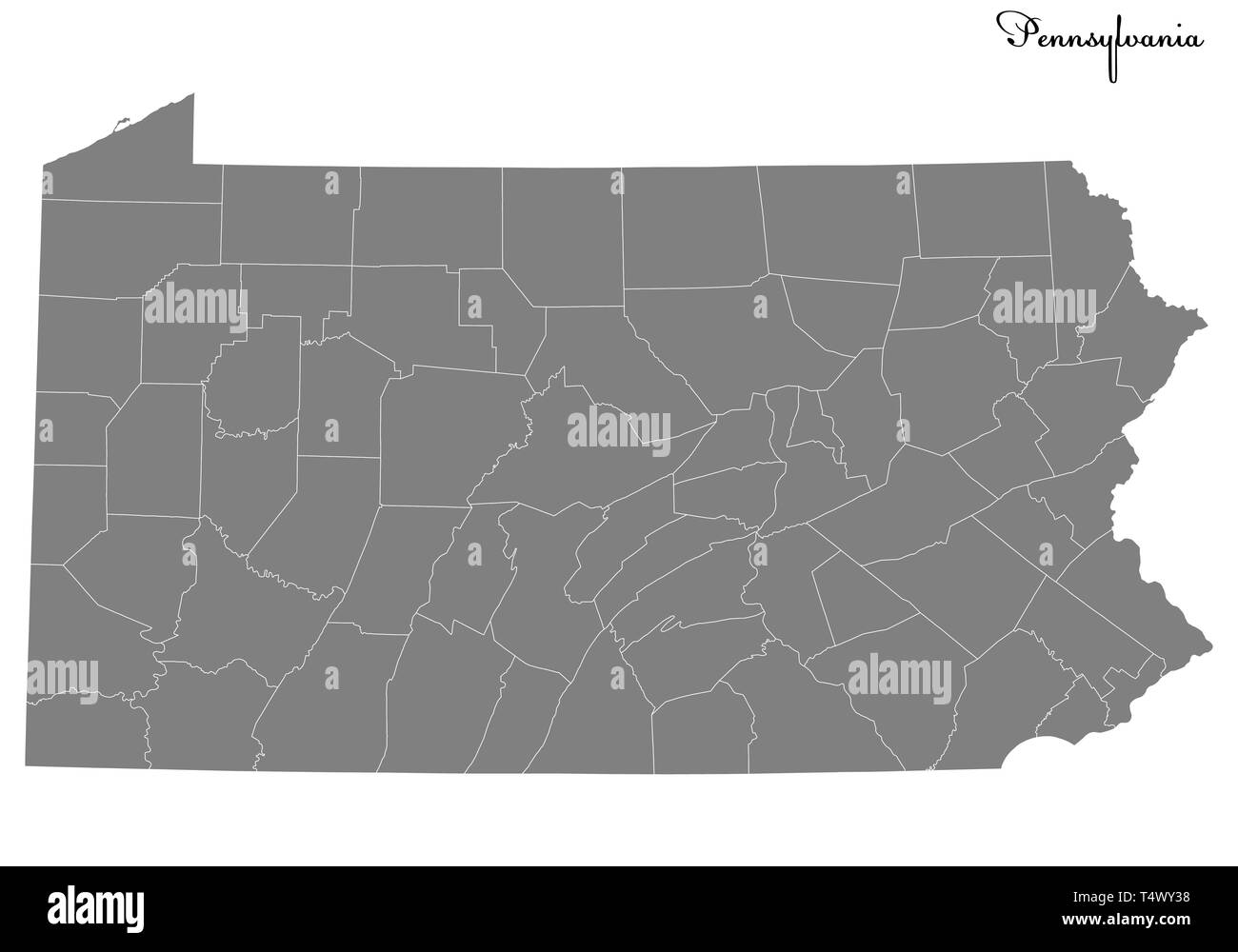 High Quality map of Pennsylvania is a state of United States with borders of the counties Stock Vectorhttps://www.alamy.com/image-license-details/?v=1https://www.alamy.com/high-quality-map-of-pennsylvania-is-a-state-of-united-states-with-borders-of-the-counties-image243973836.html
RFT4WY38–High Quality map of Pennsylvania is a state of United States with borders of the counties
 USGS TOPO Map Alabama AL Tuscaloosa 305716 1926 62500 Stock Photohttps://www.alamy.com/image-license-details/?v=1https://www.alamy.com/usgs-topo-map-alabama-al-tuscaloosa-305716-1926-62500-image241779993.html
RMT1A0RN–USGS TOPO Map Alabama AL Tuscaloosa 305716 1926 62500
 Alabama state cities Stock Vectorhttps://www.alamy.com/image-license-details/?v=1https://www.alamy.com/alabama-state-cities-image234963865.html
RFRJ7EPH–Alabama state cities
RF2JN0BTH–United States, Montgomery city skyline isolated vector illustration, icons
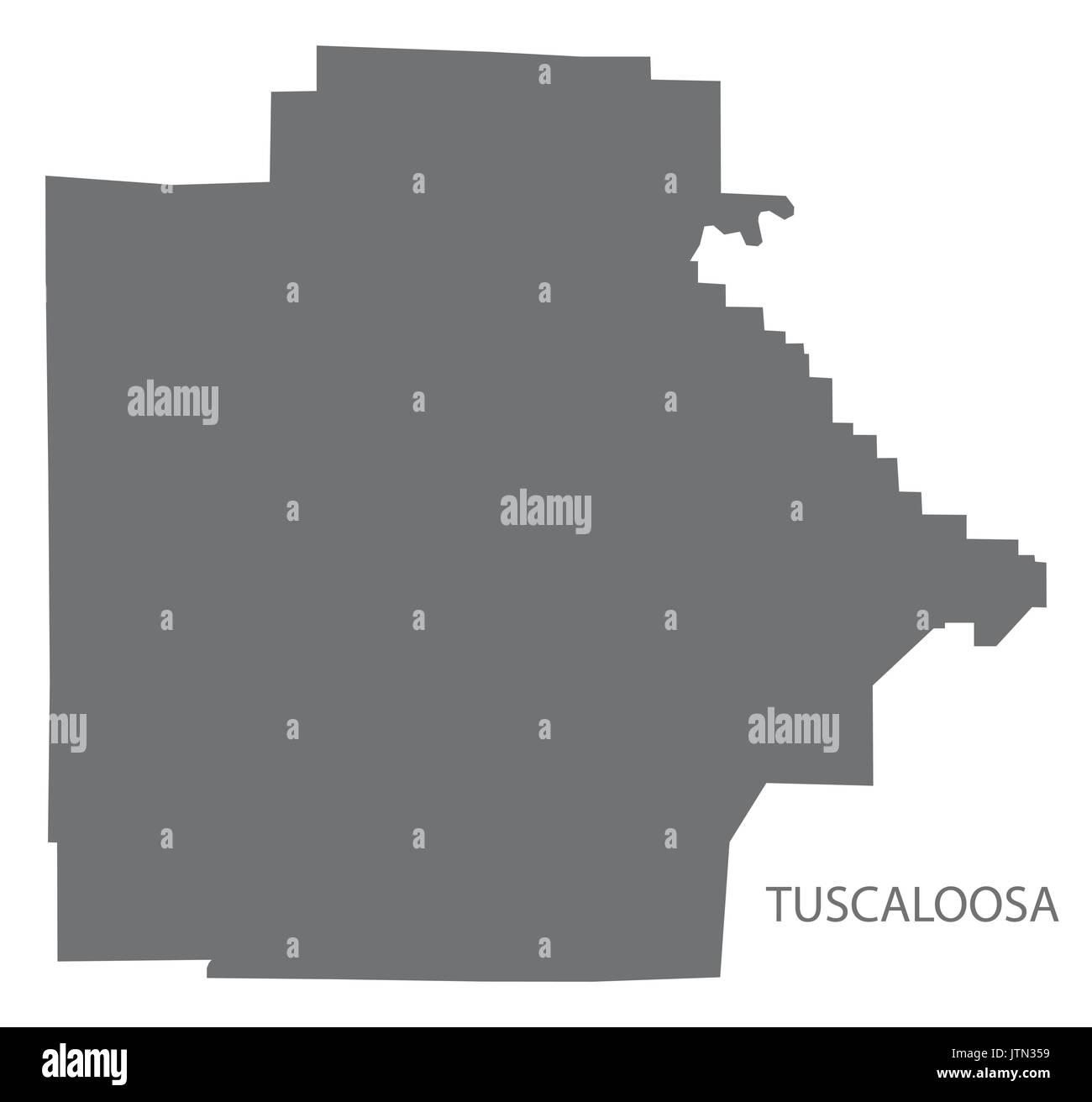 Tuscaloosa county map of Alabama USA grey illustration silhouette Stock Vectorhttps://www.alamy.com/image-license-details/?v=1https://www.alamy.com/tuscaloosa-county-map-of-alabama-usa-grey-illustration-silhouette-image152898181.html
RFJTN359–Tuscaloosa county map of Alabama USA grey illustration silhouette
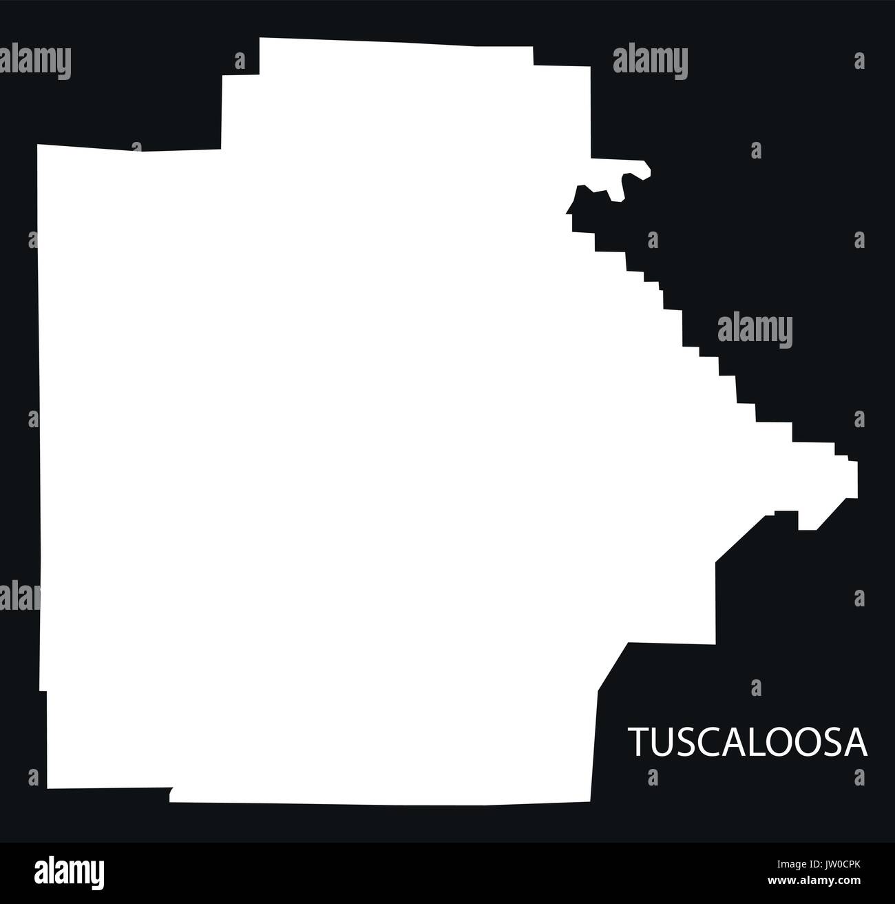 Tuscaloosa county map of Alabama USA black inverted illustration Stock Vectorhttps://www.alamy.com/image-license-details/?v=1https://www.alamy.com/tuscaloosa-county-map-of-alabama-usa-black-inverted-illustration-image153059387.html
RFJW0CPK–Tuscaloosa county map of Alabama USA black inverted illustration
 Sanborn Fire Insurance Map from Tuscaloosa, Tuscaloosa County, Alabama. Stock Photohttps://www.alamy.com/image-license-details/?v=1https://www.alamy.com/sanborn-fire-insurance-map-from-tuscaloosa-tuscaloosa-county-alabama-image456503087.html
RM2HEKE9K–Sanborn Fire Insurance Map from Tuscaloosa, Tuscaloosa County, Alabama.
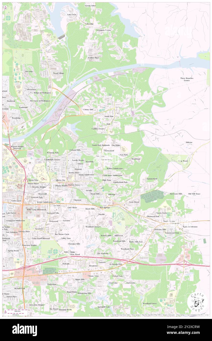 Keenewood, Tuscaloosa County, US, United States, Alabama, N 33 12' 55'', S 87 29' 7'', map, Cartascapes Map published in 2024. Explore Cartascapes, a map revealing Earth's diverse landscapes, cultures, and ecosystems. Journey through time and space, discovering the interconnectedness of our planet's past, present, and future. Stock Photohttps://www.alamy.com/image-license-details/?v=1https://www.alamy.com/keenewood-tuscaloosa-county-us-united-states-alabama-n-33-12-55-s-87-29-7-map-cartascapes-map-published-in-2024-explore-cartascapes-a-map-revealing-earths-diverse-landscapes-cultures-and-ecosystems-journey-through-time-and-space-discovering-the-interconnectedness-of-our-planets-past-present-and-future-image621383389.html
RM2Y2XCRW–Keenewood, Tuscaloosa County, US, United States, Alabama, N 33 12' 55'', S 87 29' 7'', map, Cartascapes Map published in 2024. Explore Cartascapes, a map revealing Earth's diverse landscapes, cultures, and ecosystems. Journey through time and space, discovering the interconnectedness of our planet's past, present, and future.
 Map of Tuscaloosa in Alabama Stock Photohttps://www.alamy.com/image-license-details/?v=1https://www.alamy.com/map-of-tuscaloosa-in-alabama-image365483943.html
RF2C6H6DY–Map of Tuscaloosa in Alabama
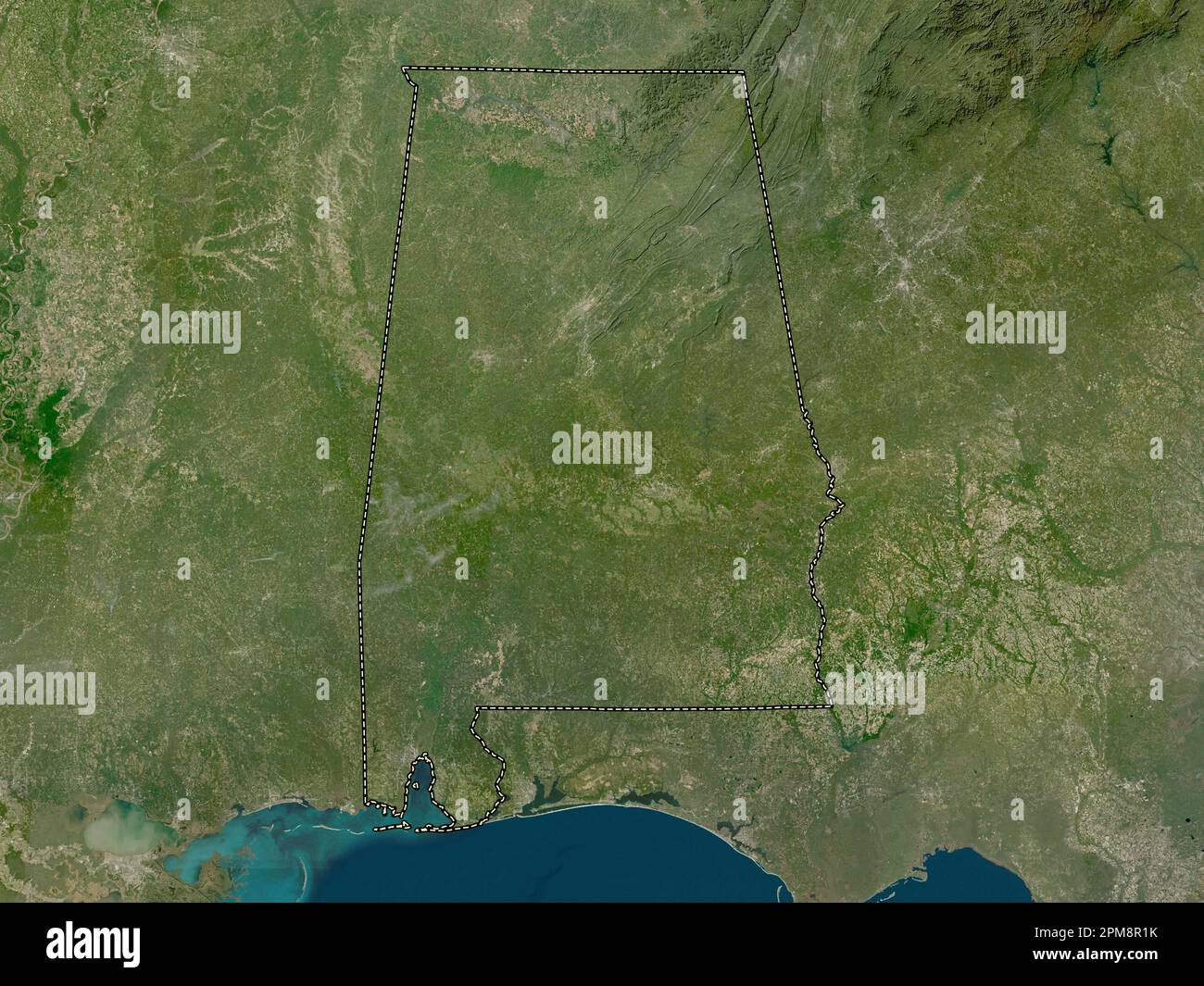 Alabama, state of United States of America. Low resolution satellite map Stock Photohttps://www.alamy.com/image-license-details/?v=1https://www.alamy.com/alabama-state-of-united-states-of-america-low-resolution-satellite-map-image546008223.html
RF2PM8R1K–Alabama, state of United States of America. Low resolution satellite map
 Tuscaloosa County, Alabama (Counties in Alabama, United States of America,USA, U.S., US) map vector illustration, scribble sketch Tuscaloosa map Stock Vectorhttps://www.alamy.com/image-license-details/?v=1https://www.alamy.com/tuscaloosa-county-alabama-counties-in-alabama-united-states-of-americausa-us-us-map-vector-illustration-scribble-sketch-tuscaloosa-map-image274741949.html
RFWXYG4D–Tuscaloosa County, Alabama (Counties in Alabama, United States of America,USA, U.S., US) map vector illustration, scribble sketch Tuscaloosa map
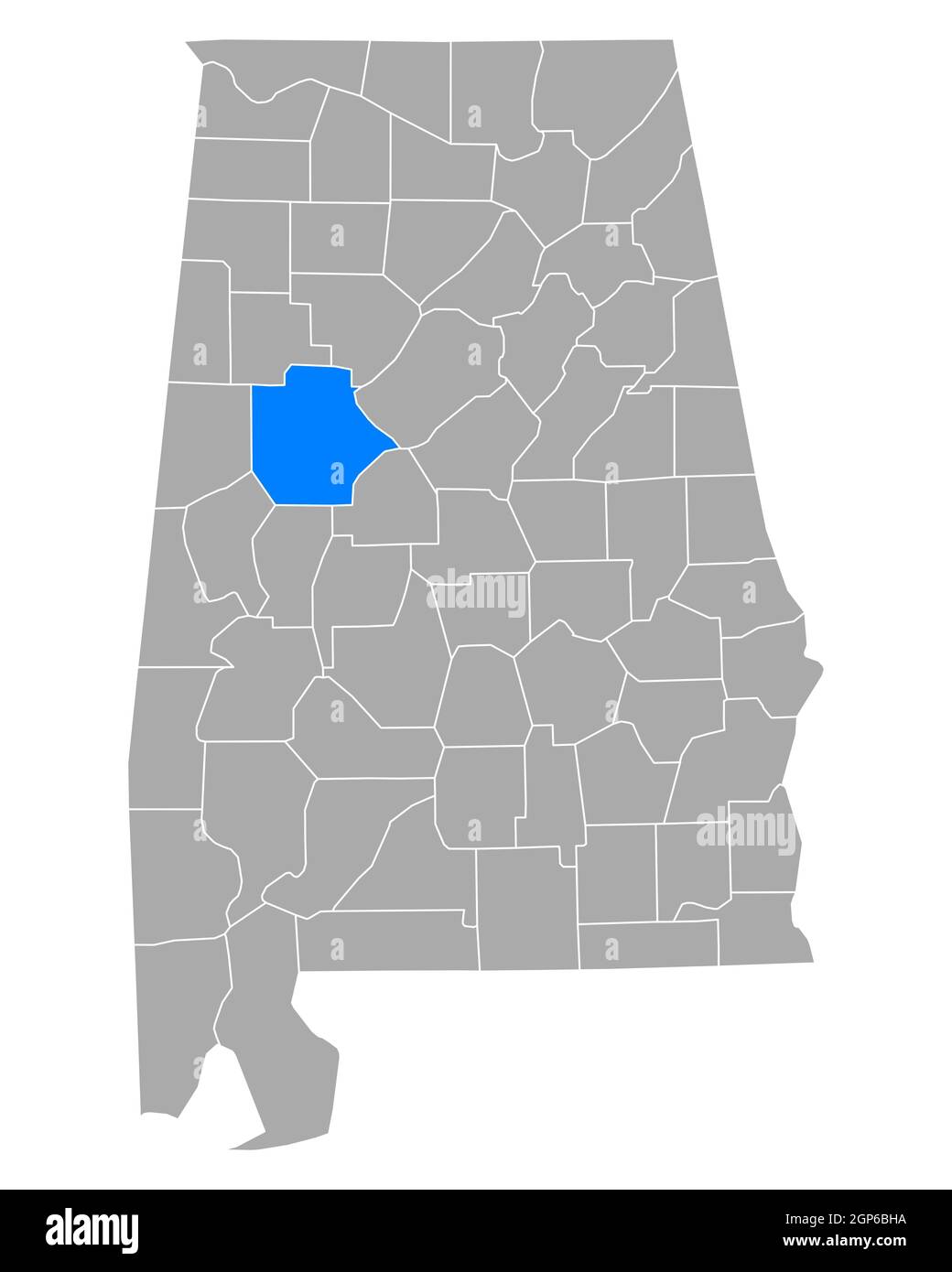 Map of Tuscaloosa in Alabama Stock Photohttps://www.alamy.com/image-license-details/?v=1https://www.alamy.com/map-of-tuscaloosa-in-alabama-image443922454.html
RF2GP6BHA–Map of Tuscaloosa in Alabama
 High Quality map of Arkansas is a state of United States with borders of the counties Stock Vectorhttps://www.alamy.com/image-license-details/?v=1https://www.alamy.com/high-quality-map-of-arkansas-is-a-state-of-united-states-with-borders-of-the-counties-image243973771.html
RFT4WY0Y–High Quality map of Arkansas is a state of United States with borders of the counties
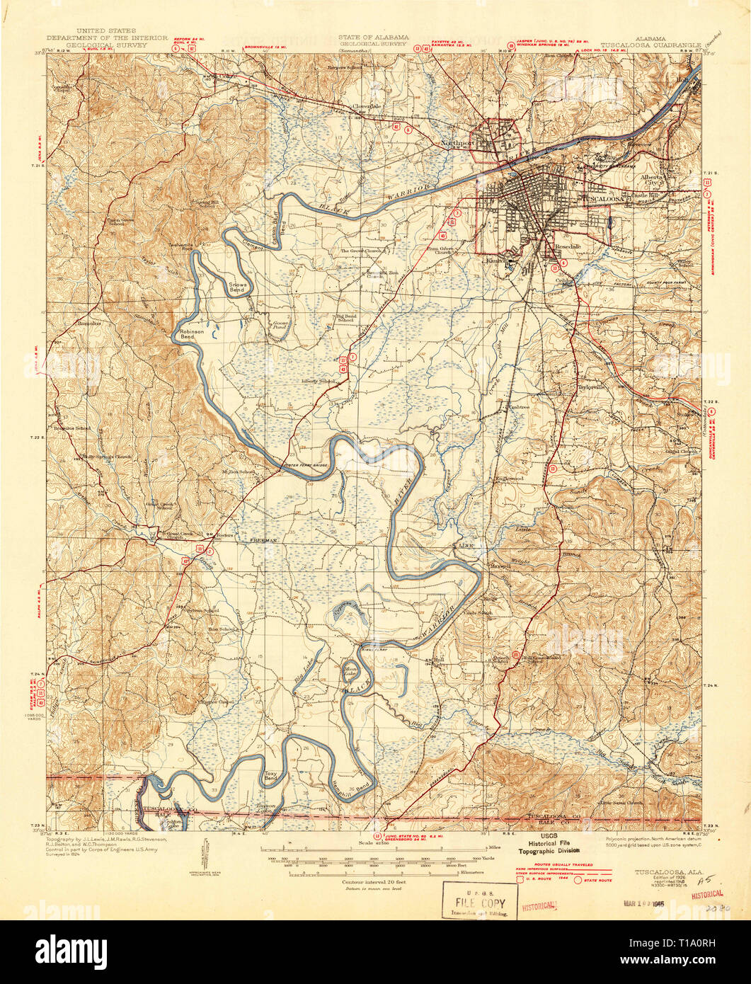 USGS TOPO Map Alabama AL Tuscaloosa 305715 1926 62500 Stock Photohttps://www.alamy.com/image-license-details/?v=1https://www.alamy.com/usgs-topo-map-alabama-al-tuscaloosa-305715-1926-62500-image241779989.html
RMT1A0RH–USGS TOPO Map Alabama AL Tuscaloosa 305715 1926 62500
 Alabama state cities Stock Photohttps://www.alamy.com/image-license-details/?v=1https://www.alamy.com/alabama-state-cities-image228514066.html
RFR7NM0J–Alabama state cities
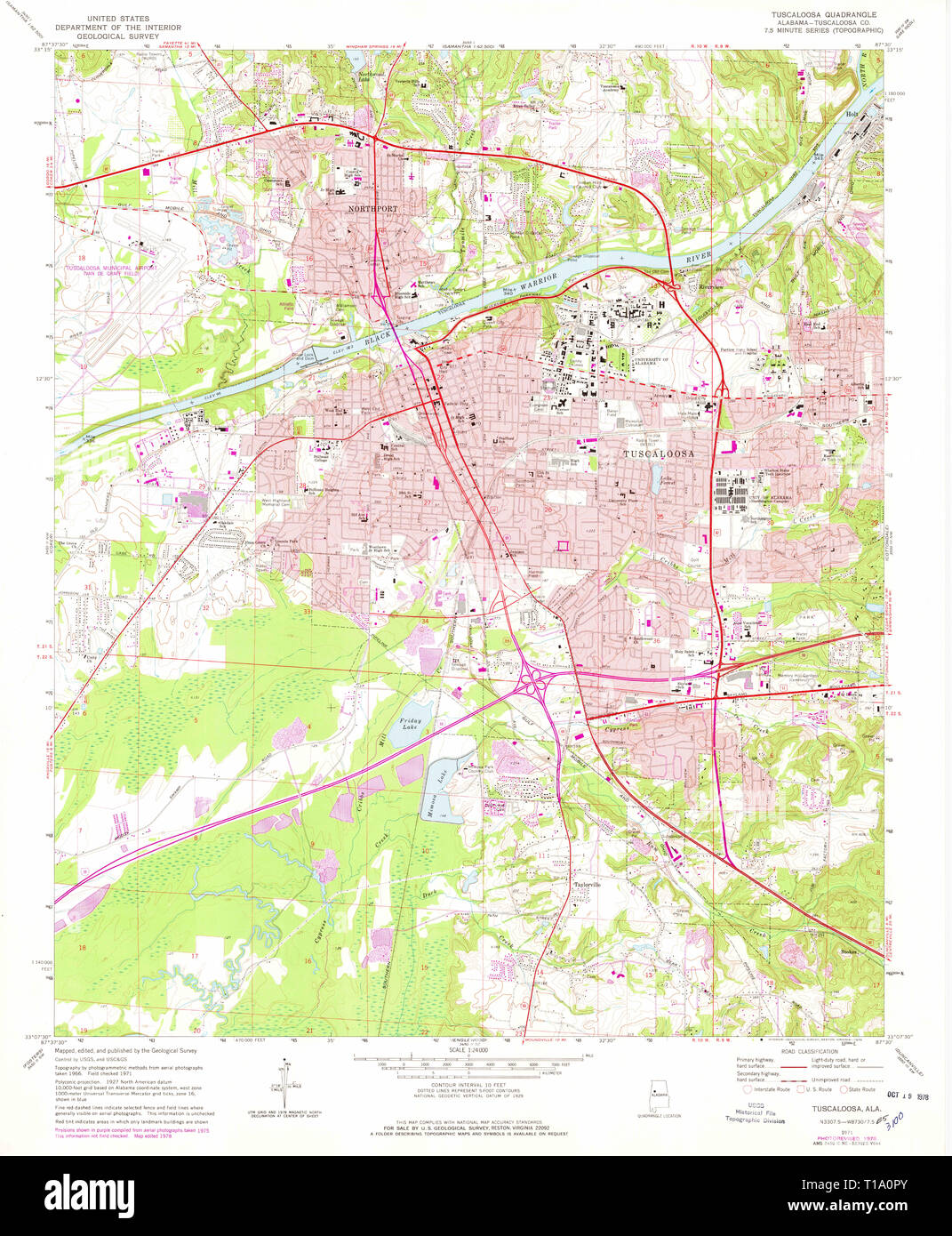 USGS TOPO Map Alabama AL Tuscaloosa 305250 1971 24000 Stock Photohttps://www.alamy.com/image-license-details/?v=1https://www.alamy.com/usgs-topo-map-alabama-al-tuscaloosa-305250-1971-24000-image241779971.html
RMT1A0PY–USGS TOPO Map Alabama AL Tuscaloosa 305250 1971 24000
 Tuscaloosa county map of Alabama USA with American national flag illustration Stock Vectorhttps://www.alamy.com/image-license-details/?v=1https://www.alamy.com/tuscaloosa-county-map-of-alabama-usa-with-american-national-flag-illustration-image153046275.html
RFJTYT2B–Tuscaloosa county map of Alabama USA with American national flag illustration
 Sanborn Fire Insurance Map from Tuscaloosa, Tuscaloosa County, Alabama. Stock Photohttps://www.alamy.com/image-license-details/?v=1https://www.alamy.com/sanborn-fire-insurance-map-from-tuscaloosa-tuscaloosa-county-alabama-image456503069.html
RM2HEKE91–Sanborn Fire Insurance Map from Tuscaloosa, Tuscaloosa County, Alabama.
 The Vineyards, Tuscaloosa County, US, United States, Alabama, N 33 14' 36'', S 87 32' 30'', map, Cartascapes Map published in 2024. Explore Cartascapes, a map revealing Earth's diverse landscapes, cultures, and ecosystems. Journey through time and space, discovering the interconnectedness of our planet's past, present, and future. Stock Photohttps://www.alamy.com/image-license-details/?v=1https://www.alamy.com/the-vineyards-tuscaloosa-county-us-united-states-alabama-n-33-14-36-s-87-32-30-map-cartascapes-map-published-in-2024-explore-cartascapes-a-map-revealing-earths-diverse-landscapes-cultures-and-ecosystems-journey-through-time-and-space-discovering-the-interconnectedness-of-our-planets-past-present-and-future-image621325906.html
RM2Y2RREX–The Vineyards, Tuscaloosa County, US, United States, Alabama, N 33 14' 36'', S 87 32' 30'', map, Cartascapes Map published in 2024. Explore Cartascapes, a map revealing Earth's diverse landscapes, cultures, and ecosystems. Journey through time and space, discovering the interconnectedness of our planet's past, present, and future.
 Map of Tuscaloosa in Alabama Stock Photohttps://www.alamy.com/image-license-details/?v=1https://www.alamy.com/map-of-tuscaloosa-in-alabama-image364661605.html
RF2C57NGN–Map of Tuscaloosa in Alabama
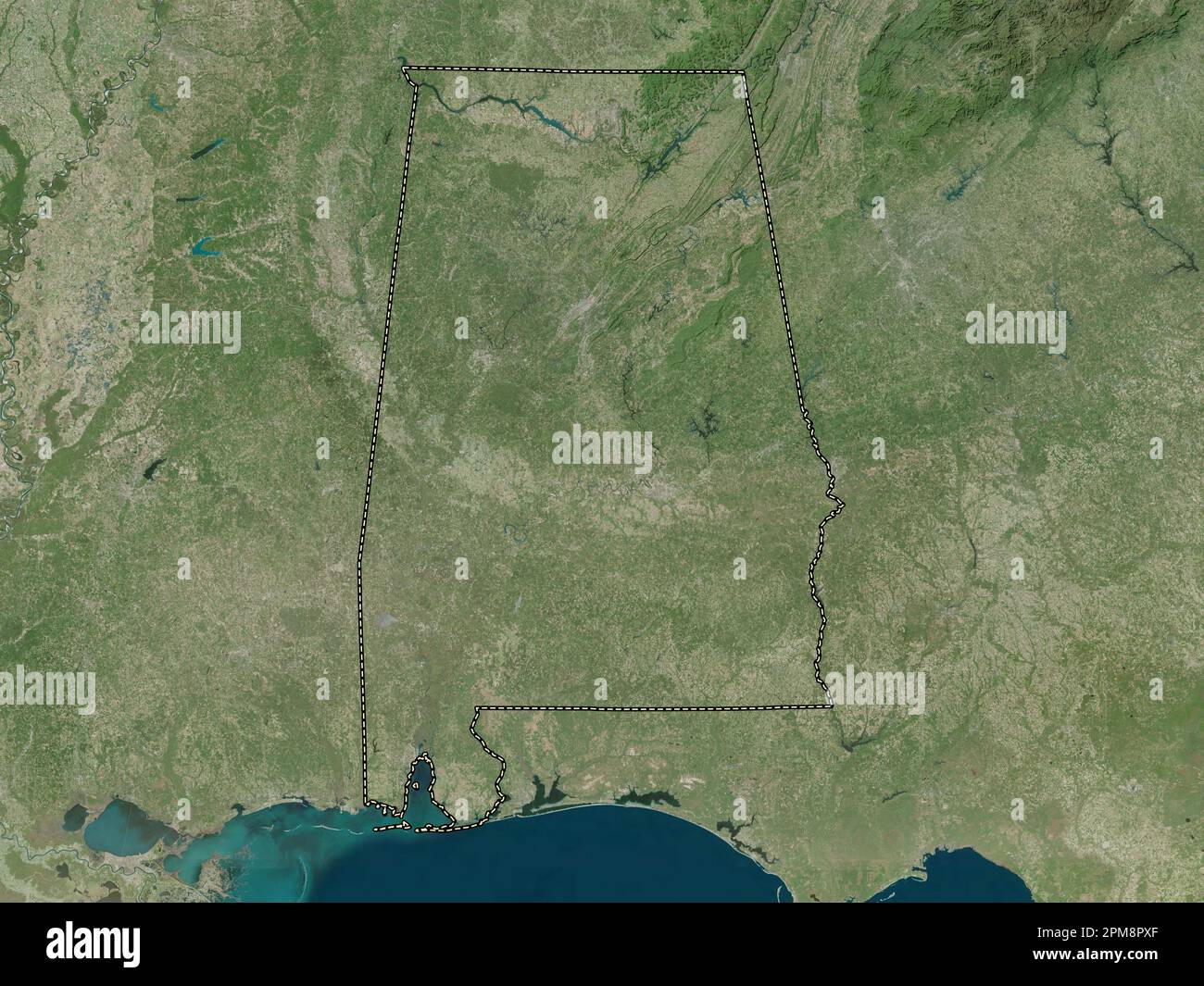 Alabama, state of United States of America. High resolution satellite map Stock Photohttps://www.alamy.com/image-license-details/?v=1https://www.alamy.com/alabama-state-of-united-states-of-america-high-resolution-satellite-map-image546008135.html
RF2PM8PXF–Alabama, state of United States of America. High resolution satellite map
 Tuscaloosa County, Alabama (Counties in Alabama, United States of America,USA, U.S., US) map vector illustration, scribble sketch Tuscaloosa map Stock Vectorhttps://www.alamy.com/image-license-details/?v=1https://www.alamy.com/tuscaloosa-county-alabama-counties-in-alabama-united-states-of-americausa-us-us-map-vector-illustration-scribble-sketch-tuscaloosa-map-image330584512.html
RF2A5RBWM–Tuscaloosa County, Alabama (Counties in Alabama, United States of America,USA, U.S., US) map vector illustration, scribble sketch Tuscaloosa map
 Map of Tuscaloosa in Alabama Stock Photohttps://www.alamy.com/image-license-details/?v=1https://www.alamy.com/map-of-tuscaloosa-in-alabama-image443791693.html
RF2GP0CR9–Map of Tuscaloosa in Alabama
 High Quality map of Utah is a state of United States with borders of the counties Stock Vectorhttps://www.alamy.com/image-license-details/?v=1https://www.alamy.com/high-quality-map-of-utah-is-a-state-of-united-states-with-borders-of-the-counties-image243973853.html
RFT4WY3W–High Quality map of Utah is a state of United States with borders of the counties
 alaska state cities list Stock Vectorhttps://www.alamy.com/image-license-details/?v=1https://www.alamy.com/alaska-state-cities-list-image342232711.html
RF2ATP18R–alaska state cities list
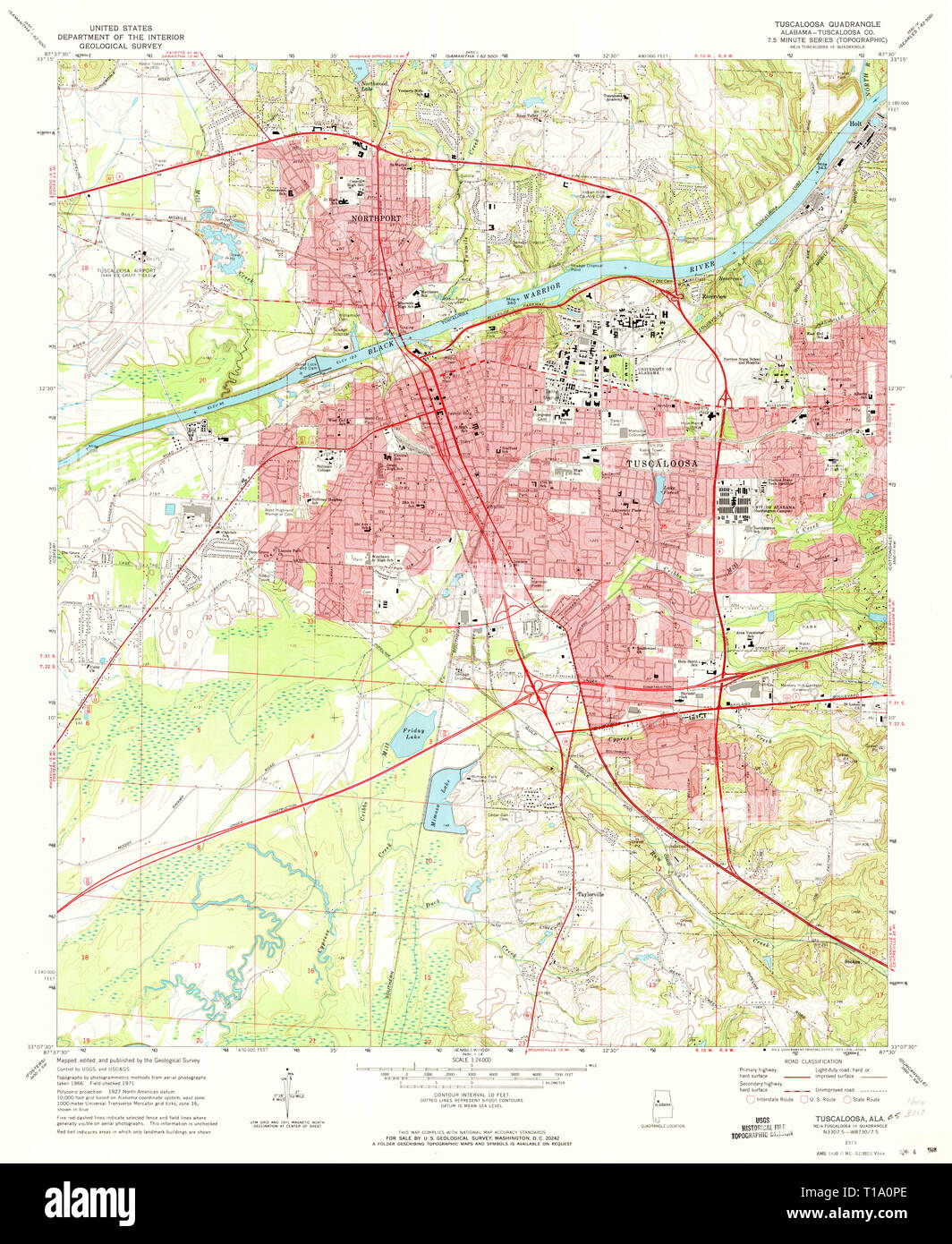 USGS TOPO Map Alabama AL Tuscaloosa 305248 1971 24000 Stock Photohttps://www.alamy.com/image-license-details/?v=1https://www.alamy.com/usgs-topo-map-alabama-al-tuscaloosa-305248-1971-24000-image241779958.html
RMT1A0PE–USGS TOPO Map Alabama AL Tuscaloosa 305248 1971 24000
 Sanborn Fire Insurance Map from Tuscaloosa, Tuscaloosa County, Alabama. Stock Photohttps://www.alamy.com/image-license-details/?v=1https://www.alamy.com/sanborn-fire-insurance-map-from-tuscaloosa-tuscaloosa-county-alabama-image456503091.html
RM2HEKE9R–Sanborn Fire Insurance Map from Tuscaloosa, Tuscaloosa County, Alabama.
 Deerfield, Tuscaloosa County, US, United States, Alabama, N 33 14' 10'', S 87 37' 36'', map, Cartascapes Map published in 2024. Explore Cartascapes, a map revealing Earth's diverse landscapes, cultures, and ecosystems. Journey through time and space, discovering the interconnectedness of our planet's past, present, and future. Stock Photohttps://www.alamy.com/image-license-details/?v=1https://www.alamy.com/deerfield-tuscaloosa-county-us-united-states-alabama-n-33-14-10-s-87-37-36-map-cartascapes-map-published-in-2024-explore-cartascapes-a-map-revealing-earths-diverse-landscapes-cultures-and-ecosystems-journey-through-time-and-space-discovering-the-interconnectedness-of-our-planets-past-present-and-future-image621298566.html
RM2Y2PGJE–Deerfield, Tuscaloosa County, US, United States, Alabama, N 33 14' 10'', S 87 37' 36'', map, Cartascapes Map published in 2024. Explore Cartascapes, a map revealing Earth's diverse landscapes, cultures, and ecosystems. Journey through time and space, discovering the interconnectedness of our planet's past, present, and future.
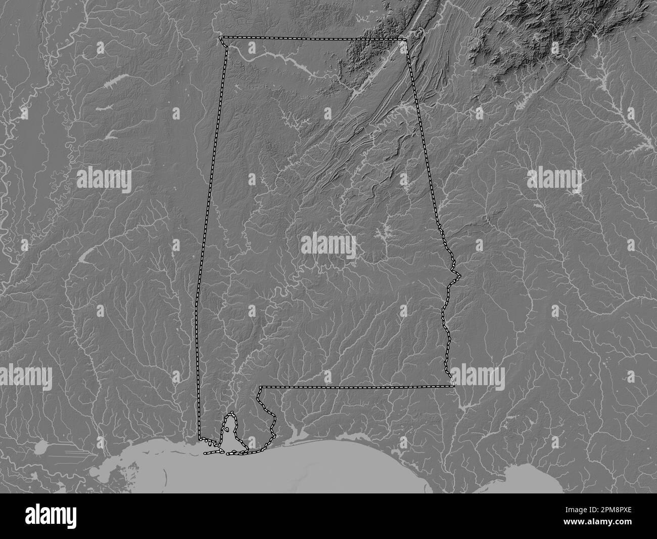 Alabama, state of United States of America. Bilevel elevation map with lakes and rivers Stock Photohttps://www.alamy.com/image-license-details/?v=1https://www.alamy.com/alabama-state-of-united-states-of-america-bilevel-elevation-map-with-lakes-and-rivers-image546008134.html
RF2PM8PXE–Alabama, state of United States of America. Bilevel elevation map with lakes and rivers
 Tuscaloosa City, Alabama (United States cities, United States of America, us, usa city) map vector illustration, scribble sketch City of Tuscaloosa ma Stock Vectorhttps://www.alamy.com/image-license-details/?v=1https://www.alamy.com/tuscaloosa-city-alabama-united-states-cities-united-states-of-america-us-usa-city-map-vector-illustration-scribble-sketch-city-of-tuscaloosa-ma-image572017487.html
RF2T6HJ3Y–Tuscaloosa City, Alabama (United States cities, United States of America, us, usa city) map vector illustration, scribble sketch City of Tuscaloosa ma
 High Quality map of Guam is a state of United States with borders of the counties Stock Vectorhttps://www.alamy.com/image-license-details/?v=1https://www.alamy.com/high-quality-map-of-guam-is-a-state-of-united-states-with-borders-of-the-counties-image243974234.html
RFT4WYHE–High Quality map of Guam is a state of United States with borders of the counties
 Alabama state cities list Stock Photohttps://www.alamy.com/image-license-details/?v=1https://www.alamy.com/alabama-state-cities-list-image245847596.html
RFT7Y938–Alabama state cities list
 USGS TOPO Map Alabama AL Tuscaloosa 305249 1971 24000 Stock Photohttps://www.alamy.com/image-license-details/?v=1https://www.alamy.com/usgs-topo-map-alabama-al-tuscaloosa-305249-1971-24000-image241779966.html
RMT1A0PP–USGS TOPO Map Alabama AL Tuscaloosa 305249 1971 24000
 Sanborn Fire Insurance Map from Tuscaloosa, Tuscaloosa County, Alabama. Stock Photohttps://www.alamy.com/image-license-details/?v=1https://www.alamy.com/sanborn-fire-insurance-map-from-tuscaloosa-tuscaloosa-county-alabama-image456503120.html
RM2HEKEAT–Sanborn Fire Insurance Map from Tuscaloosa, Tuscaloosa County, Alabama.
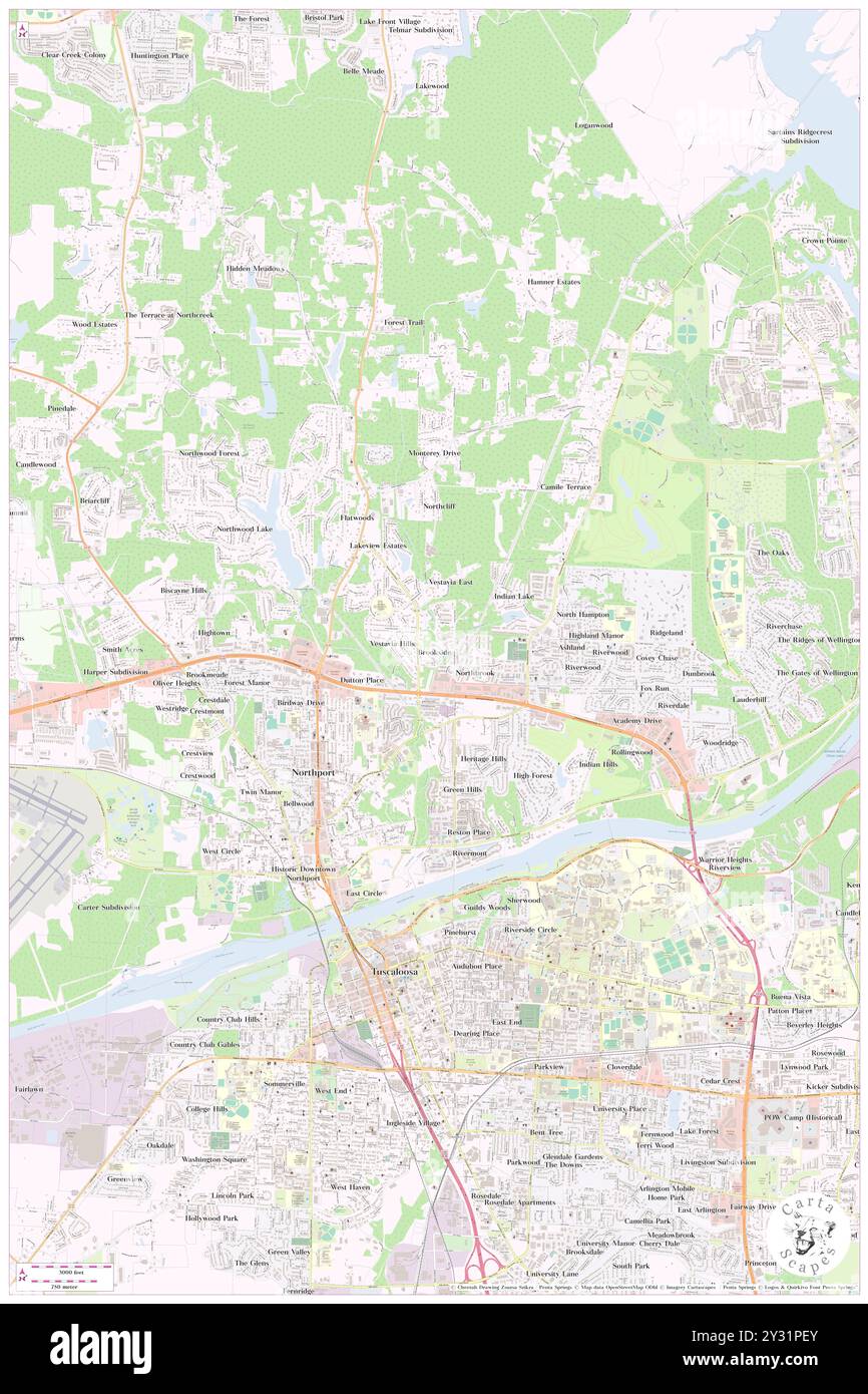 Brookside, Tuscaloosa County, US, United States, Alabama, N 33 14' 28'', S 87 33' 46'', map, Cartascapes Map published in 2024. Explore Cartascapes, a map revealing Earth's diverse landscapes, cultures, and ecosystems. Journey through time and space, discovering the interconnectedness of our planet's past, present, and future. Stock Photohttps://www.alamy.com/image-license-details/?v=1https://www.alamy.com/brookside-tuscaloosa-county-us-united-states-alabama-n-33-14-28-s-87-33-46-map-cartascapes-map-published-in-2024-explore-cartascapes-a-map-revealing-earths-diverse-landscapes-cultures-and-ecosystems-journey-through-time-and-space-discovering-the-interconnectedness-of-our-planets-past-present-and-future-image621456835.html
RM2Y31PEY–Brookside, Tuscaloosa County, US, United States, Alabama, N 33 14' 28'', S 87 33' 46'', map, Cartascapes Map published in 2024. Explore Cartascapes, a map revealing Earth's diverse landscapes, cultures, and ecosystems. Journey through time and space, discovering the interconnectedness of our planet's past, present, and future.
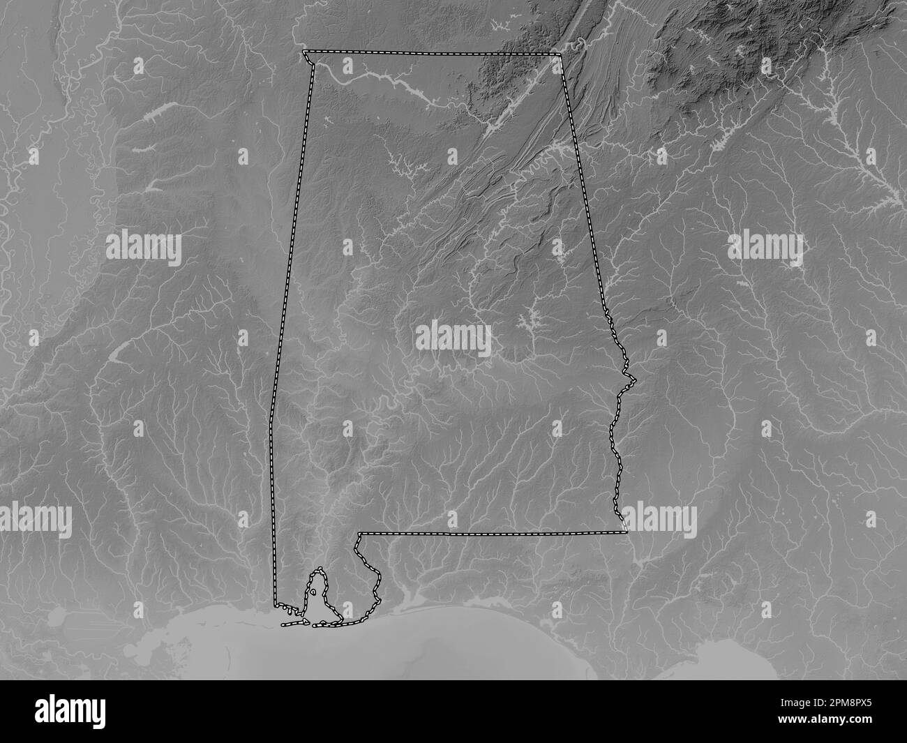 Alabama, state of United States of America. Grayscale elevation map with lakes and rivers Stock Photohttps://www.alamy.com/image-license-details/?v=1https://www.alamy.com/alabama-state-of-united-states-of-america-grayscale-elevation-map-with-lakes-and-rivers-image546008125.html
RF2PM8PX5–Alabama, state of United States of America. Grayscale elevation map with lakes and rivers
 Tuscaloosa City, Alabama (United States cities, United States of America, us, usa city) map vector illustration, scribble sketch City of Tuscaloosa ma Stock Vectorhttps://www.alamy.com/image-license-details/?v=1https://www.alamy.com/tuscaloosa-city-alabama-united-states-cities-united-states-of-america-us-usa-city-map-vector-illustration-scribble-sketch-city-of-tuscaloosa-ma-image610723316.html
RF2XDGRR0–Tuscaloosa City, Alabama (United States cities, United States of America, us, usa city) map vector illustration, scribble sketch City of Tuscaloosa ma
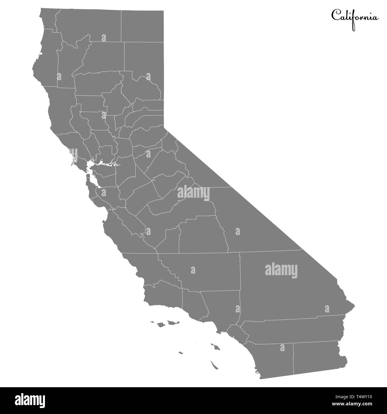 High Quality map of California is a state of United States with borders of the counties Stock Vectorhttps://www.alamy.com/image-license-details/?v=1https://www.alamy.com/high-quality-map-of-california-is-a-state-of-united-states-with-borders-of-the-counties-image243973772.html
RFT4WY10–High Quality map of California is a state of United States with borders of the counties
 USGS TOPO Map Alabama AL Tuscaloosa 305251 1971 24000 Stock Photohttps://www.alamy.com/image-license-details/?v=1https://www.alamy.com/usgs-topo-map-alabama-al-tuscaloosa-305251-1971-24000-image241779976.html
RMT1A0R4–USGS TOPO Map Alabama AL Tuscaloosa 305251 1971 24000
 Sanborn Fire Insurance Map from Tuscaloosa, Tuscaloosa County, Alabama. Stock Photohttps://www.alamy.com/image-license-details/?v=1https://www.alamy.com/sanborn-fire-insurance-map-from-tuscaloosa-tuscaloosa-county-alabama-image456503101.html
RM2HEKEA5–Sanborn Fire Insurance Map from Tuscaloosa, Tuscaloosa County, Alabama.
 Brookmeade, Tuscaloosa County, US, United States, Alabama, N 33 14' 20'', S 87 35' 23'', map, Cartascapes Map published in 2024. Explore Cartascapes, a map revealing Earth's diverse landscapes, cultures, and ecosystems. Journey through time and space, discovering the interconnectedness of our planet's past, present, and future. Stock Photohttps://www.alamy.com/image-license-details/?v=1https://www.alamy.com/brookmeade-tuscaloosa-county-us-united-states-alabama-n-33-14-20-s-87-35-23-map-cartascapes-map-published-in-2024-explore-cartascapes-a-map-revealing-earths-diverse-landscapes-cultures-and-ecosystems-journey-through-time-and-space-discovering-the-interconnectedness-of-our-planets-past-present-and-future-image621428186.html
RM2Y30DYP–Brookmeade, Tuscaloosa County, US, United States, Alabama, N 33 14' 20'', S 87 35' 23'', map, Cartascapes Map published in 2024. Explore Cartascapes, a map revealing Earth's diverse landscapes, cultures, and ecosystems. Journey through time and space, discovering the interconnectedness of our planet's past, present, and future.
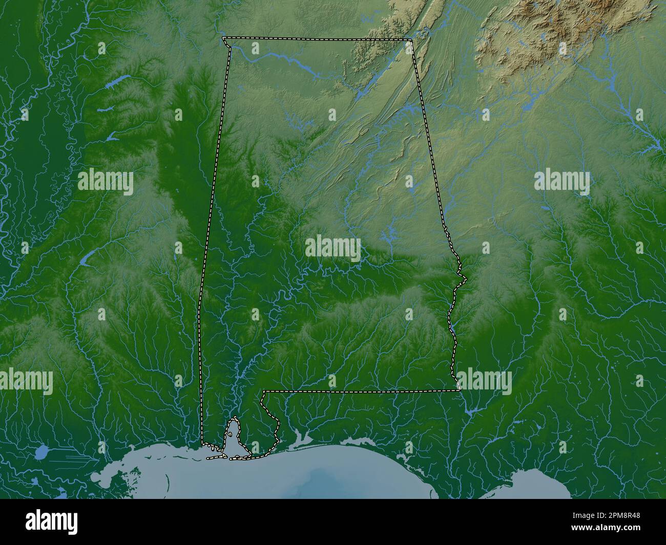 Alabama, state of United States of America. Colored elevation map with lakes and rivers Stock Photohttps://www.alamy.com/image-license-details/?v=1https://www.alamy.com/alabama-state-of-united-states-of-america-colored-elevation-map-with-lakes-and-rivers-image546008296.html
RF2PM8R48–Alabama, state of United States of America. Colored elevation map with lakes and rivers
 Tuscaloosa City, Alabama (United States cities, United States of America, us, usa city) map vector illustration, scribble sketch City of Tuscaloosa ma Stock Vectorhttps://www.alamy.com/image-license-details/?v=1https://www.alamy.com/tuscaloosa-city-alabama-united-states-cities-united-states-of-america-us-usa-city-map-vector-illustration-scribble-sketch-city-of-tuscaloosa-ma-image601673947.html
RF2WXTH77–Tuscaloosa City, Alabama (United States cities, United States of America, us, usa city) map vector illustration, scribble sketch City of Tuscaloosa ma
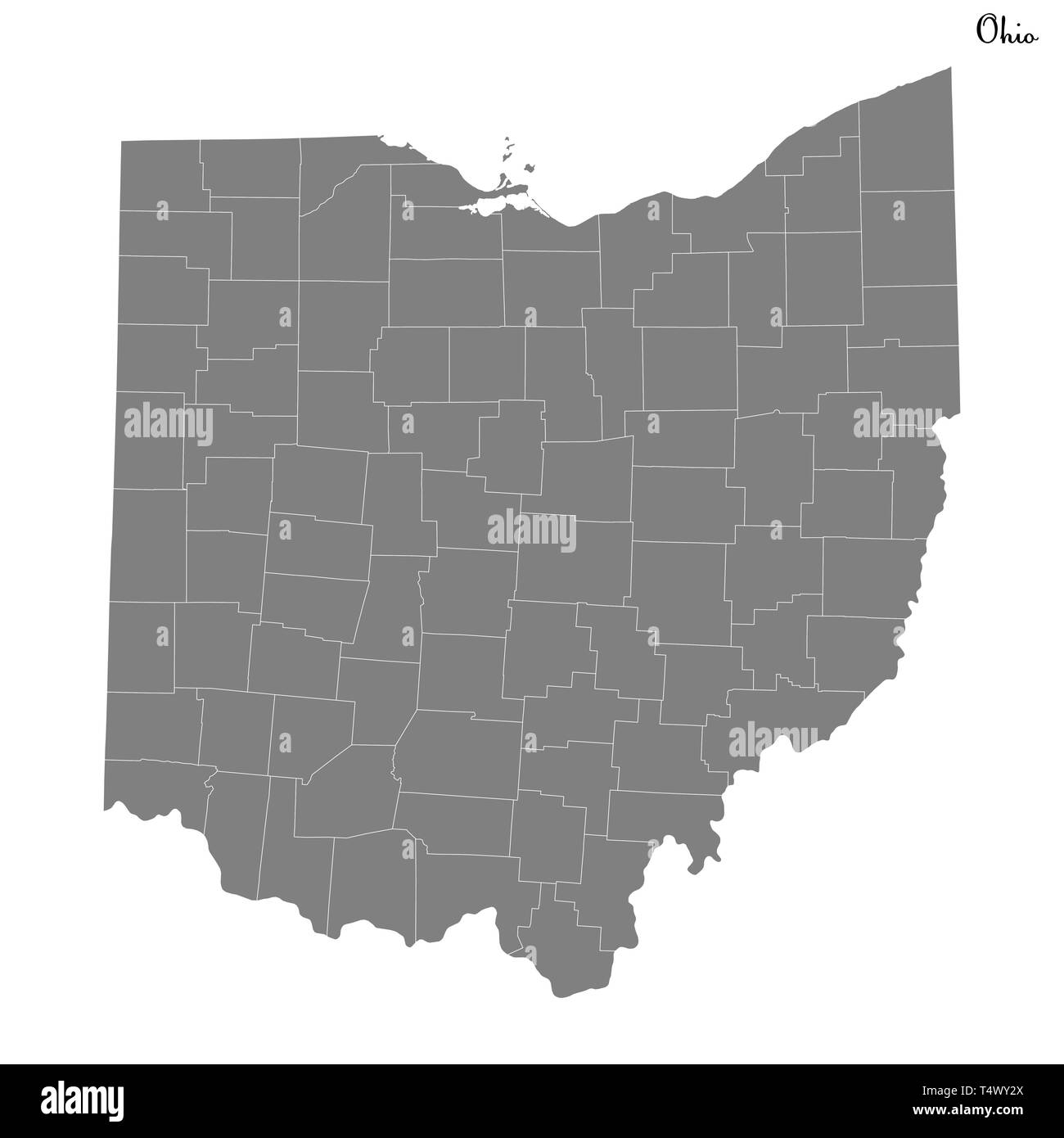 High Quality map of Ohio is a state of United States with borders of the counties Stock Vectorhttps://www.alamy.com/image-license-details/?v=1https://www.alamy.com/high-quality-map-of-ohio-is-a-state-of-united-states-with-borders-of-the-counties-image243973826.html
RFT4WY2X–High Quality map of Ohio is a state of United States with borders of the counties
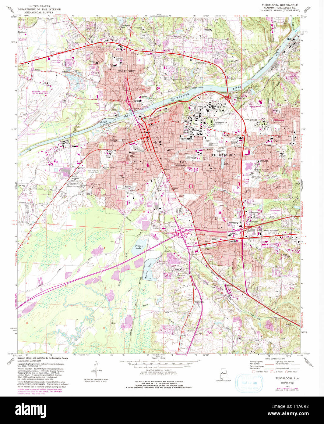 USGS TOPO Map Alabama AL Tuscaloosa 305252 1971 24000 Stock Photohttps://www.alamy.com/image-license-details/?v=1https://www.alamy.com/usgs-topo-map-alabama-al-tuscaloosa-305252-1971-24000-image241779980.html
RMT1A0R8–USGS TOPO Map Alabama AL Tuscaloosa 305252 1971 24000
 USGS TOPO Map Alabama AL Tuscaloosa 305782 1984 100000 Stock Photohttps://www.alamy.com/image-license-details/?v=1https://www.alamy.com/usgs-topo-map-alabama-al-tuscaloosa-305782-1984-100000-image241780013.html
RMT1A0TD–USGS TOPO Map Alabama AL Tuscaloosa 305782 1984 100000
 Sanborn Fire Insurance Map from Tuscaloosa, Tuscaloosa County, Alabama. Stock Photohttps://www.alamy.com/image-license-details/?v=1https://www.alamy.com/sanborn-fire-insurance-map-from-tuscaloosa-tuscaloosa-county-alabama-image456503059.html
RM2HEKE8K–Sanborn Fire Insurance Map from Tuscaloosa, Tuscaloosa County, Alabama.
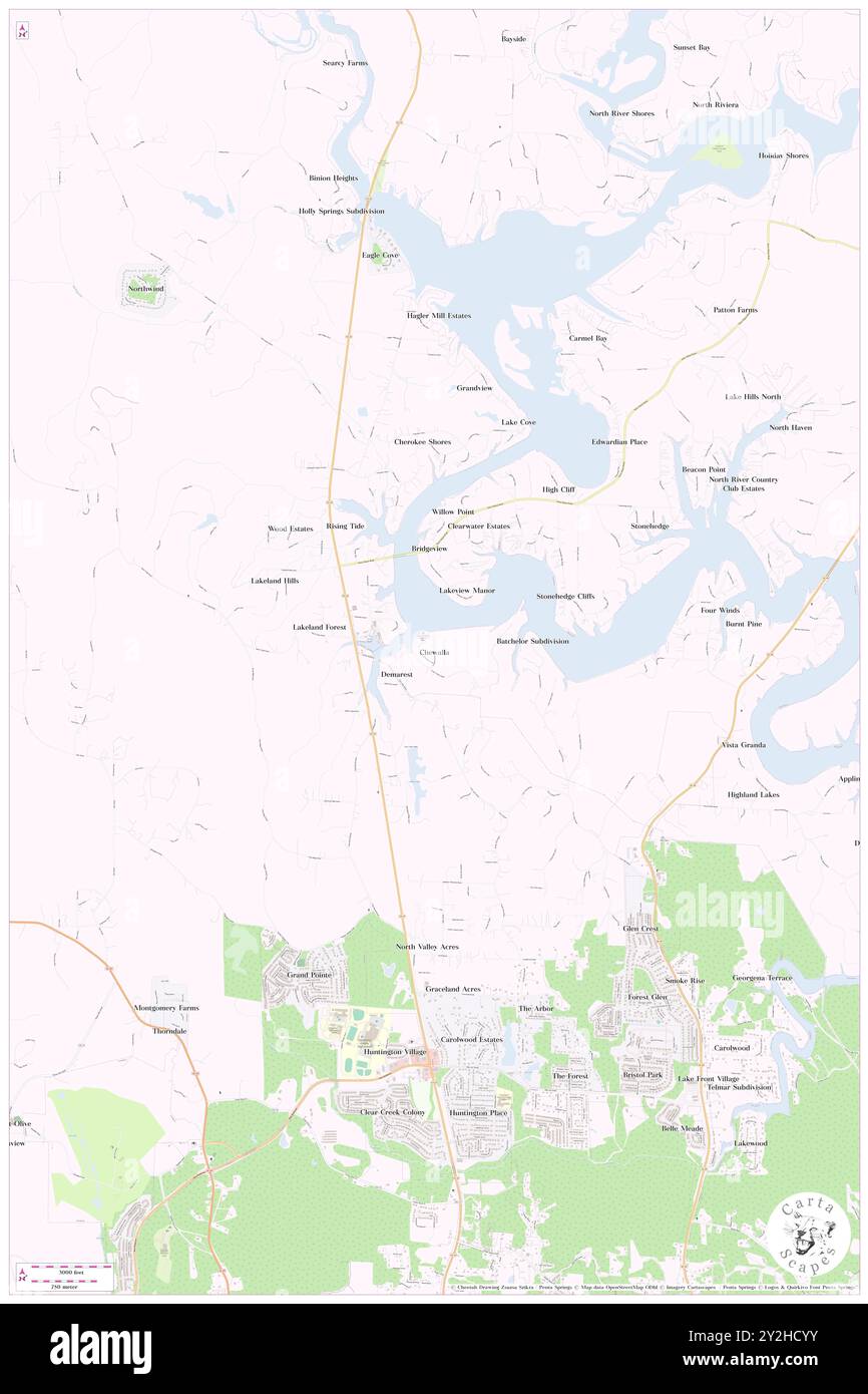 Chewalla, Tuscaloosa County, US, United States, Alabama, N 33 20' 45'', S 87 36' 2'', map, Cartascapes Map published in 2024. Explore Cartascapes, a map revealing Earth's diverse landscapes, cultures, and ecosystems. Journey through time and space, discovering the interconnectedness of our planet's past, present, and future. Stock Photohttps://www.alamy.com/image-license-details/?v=1https://www.alamy.com/chewalla-tuscaloosa-county-us-united-states-alabama-n-33-20-45-s-87-36-2-map-cartascapes-map-published-in-2024-explore-cartascapes-a-map-revealing-earths-diverse-landscapes-cultures-and-ecosystems-journey-through-time-and-space-discovering-the-interconnectedness-of-our-planets-past-present-and-future-image621185935.html
RM2Y2HCYY–Chewalla, Tuscaloosa County, US, United States, Alabama, N 33 20' 45'', S 87 36' 2'', map, Cartascapes Map published in 2024. Explore Cartascapes, a map revealing Earth's diverse landscapes, cultures, and ecosystems. Journey through time and space, discovering the interconnectedness of our planet's past, present, and future.
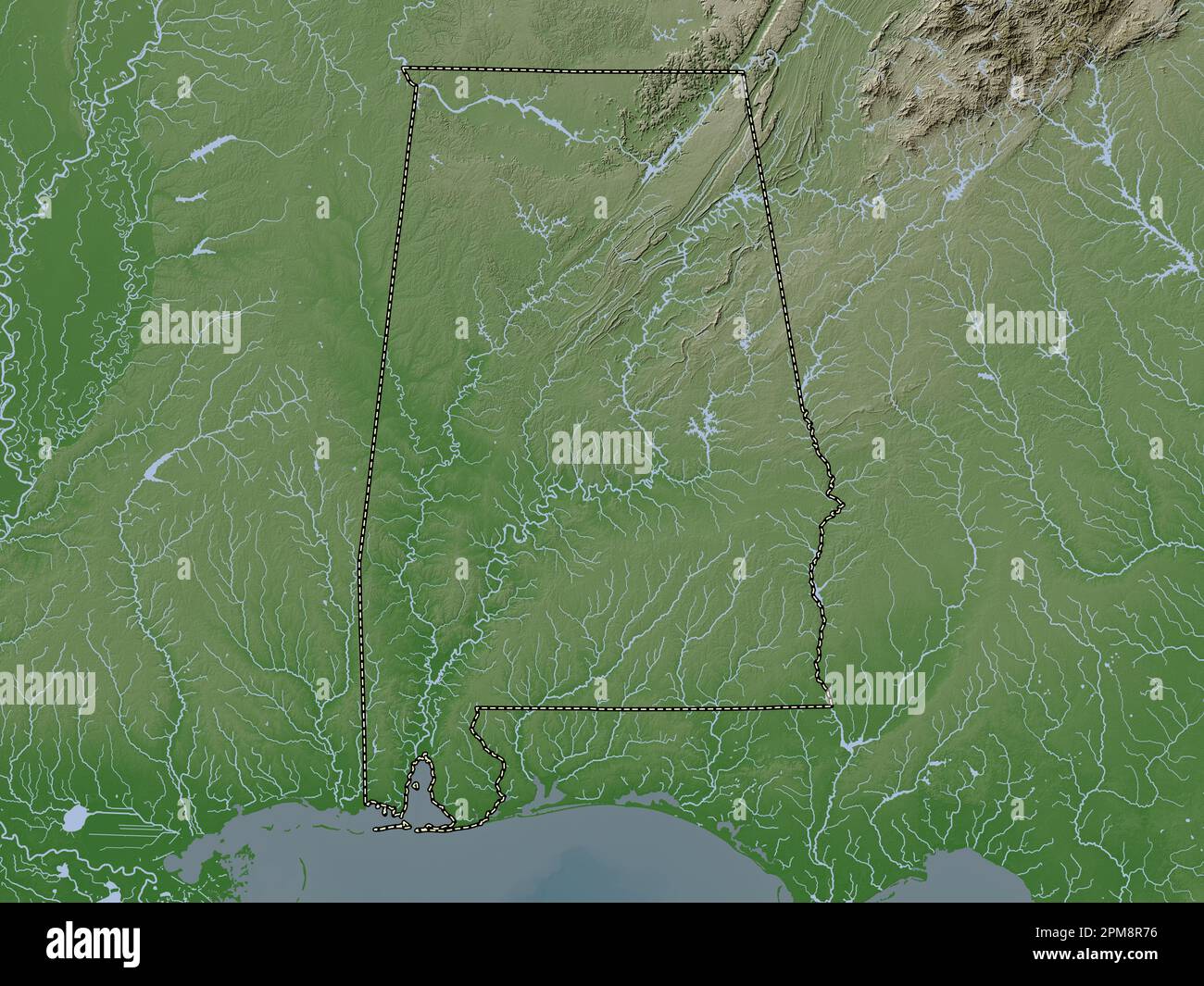 Alabama, state of United States of America. Elevation map colored in wiki style with lakes and rivers Stock Photohttps://www.alamy.com/image-license-details/?v=1https://www.alamy.com/alabama-state-of-united-states-of-america-elevation-map-colored-in-wiki-style-with-lakes-and-rivers-image546008378.html
RF2PM8R76–Alabama, state of United States of America. Elevation map colored in wiki style with lakes and rivers
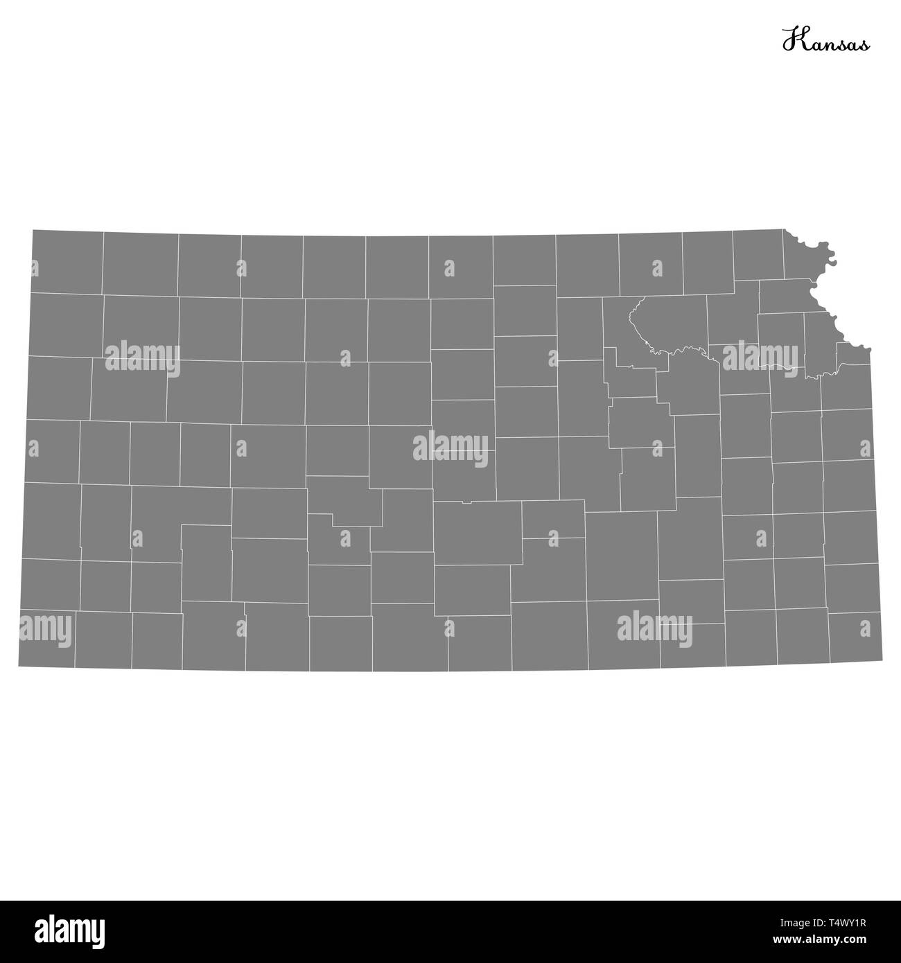 High Quality map of Kansas is a state of United States with borders of the counties Stock Vectorhttps://www.alamy.com/image-license-details/?v=1https://www.alamy.com/high-quality-map-of-kansas-is-a-state-of-united-states-with-borders-of-the-counties-image243973795.html
RFT4WY1R–High Quality map of Kansas is a state of United States with borders of the counties
 USGS TOPO Map Alabama AL Tuscaloosa 305781 1984 100000 Stock Photohttps://www.alamy.com/image-license-details/?v=1https://www.alamy.com/usgs-topo-map-alabama-al-tuscaloosa-305781-1984-100000-image241780000.html
RMT1A0T0–USGS TOPO Map Alabama AL Tuscaloosa 305781 1984 100000
 USGS TOPO Map Alabama AL Tuscaloosa 20111018 TM Inverted Stock Photohttps://www.alamy.com/image-license-details/?v=1https://www.alamy.com/usgs-topo-map-alabama-al-tuscaloosa-20111018-tm-inverted-image241779944.html
RMT1A0P0–USGS TOPO Map Alabama AL Tuscaloosa 20111018 TM Inverted
 Sanborn Fire Insurance Map from Tuscaloosa, Tuscaloosa County, Alabama. Stock Photohttps://www.alamy.com/image-license-details/?v=1https://www.alamy.com/sanborn-fire-insurance-map-from-tuscaloosa-tuscaloosa-county-alabama-image456503099.html
RM2HEKEA3–Sanborn Fire Insurance Map from Tuscaloosa, Tuscaloosa County, Alabama.
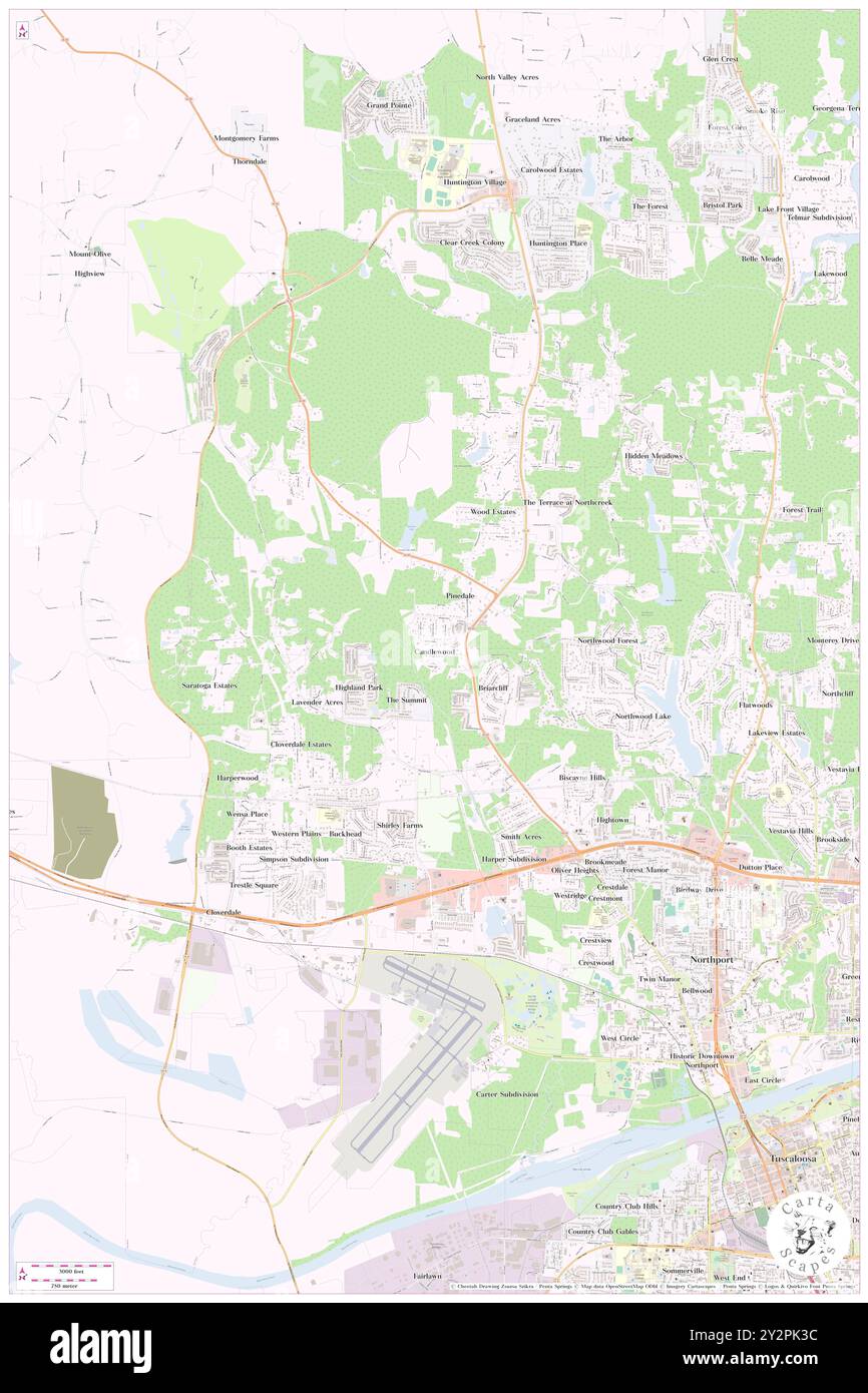 Candlewood, Tuscaloosa County, US, United States, Alabama, N 33 15' 35'', S 87 36' 36'', map, Cartascapes Map published in 2024. Explore Cartascapes, a map revealing Earth's diverse landscapes, cultures, and ecosystems. Journey through time and space, discovering the interconnectedness of our planet's past, present, and future. Stock Photohttps://www.alamy.com/image-license-details/?v=1https://www.alamy.com/candlewood-tuscaloosa-county-us-united-states-alabama-n-33-15-35-s-87-36-36-map-cartascapes-map-published-in-2024-explore-cartascapes-a-map-revealing-earths-diverse-landscapes-cultures-and-ecosystems-journey-through-time-and-space-discovering-the-interconnectedness-of-our-planets-past-present-and-future-image621300496.html
RM2Y2PK3C–Candlewood, Tuscaloosa County, US, United States, Alabama, N 33 15' 35'', S 87 36' 36'', map, Cartascapes Map published in 2024. Explore Cartascapes, a map revealing Earth's diverse landscapes, cultures, and ecosystems. Journey through time and space, discovering the interconnectedness of our planet's past, present, and future.
 USGS TOPO Map Alabama AL Tuscaloosa 305717 1926 62500 Inverted Stock Photohttps://www.alamy.com/image-license-details/?v=1https://www.alamy.com/usgs-topo-map-alabama-al-tuscaloosa-305717-1926-62500-inverted-image241779994.html
RMT1A0RP–USGS TOPO Map Alabama AL Tuscaloosa 305717 1926 62500 Inverted
 USGS TOPO Map Alabama AL Tuscaloosa 305714 1924 62500 Inverted Stock Photohttps://www.alamy.com/image-license-details/?v=1https://www.alamy.com/usgs-topo-map-alabama-al-tuscaloosa-305714-1924-62500-inverted-image241779981.html
RMT1A0R9–USGS TOPO Map Alabama AL Tuscaloosa 305714 1924 62500 Inverted
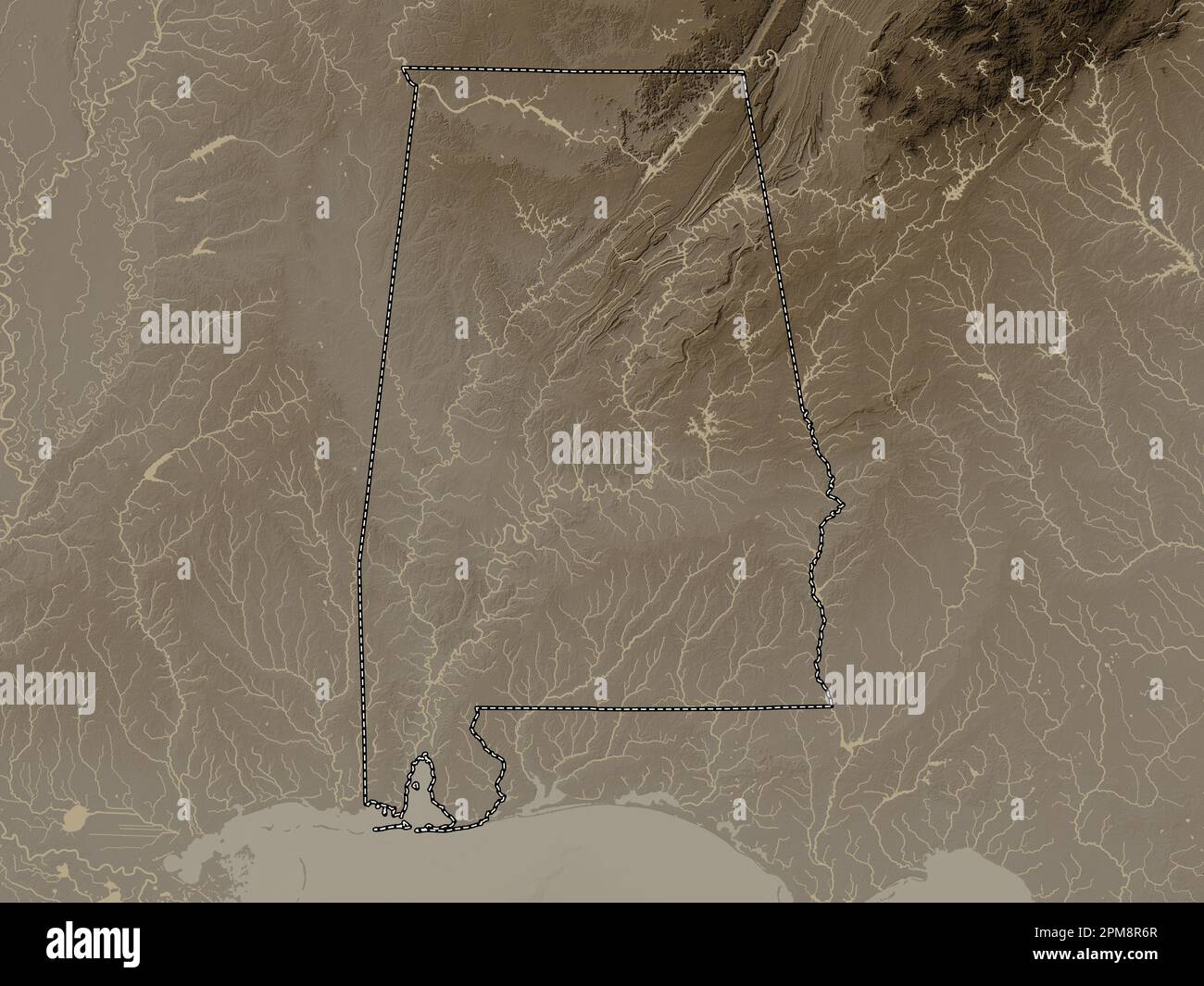 Alabama, state of United States of America. Elevation map colored in sepia tones with lakes and rivers Stock Photohttps://www.alamy.com/image-license-details/?v=1https://www.alamy.com/alabama-state-of-united-states-of-america-elevation-map-colored-in-sepia-tones-with-lakes-and-rivers-image546008367.html
RF2PM8R6R–Alabama, state of United States of America. Elevation map colored in sepia tones with lakes and rivers
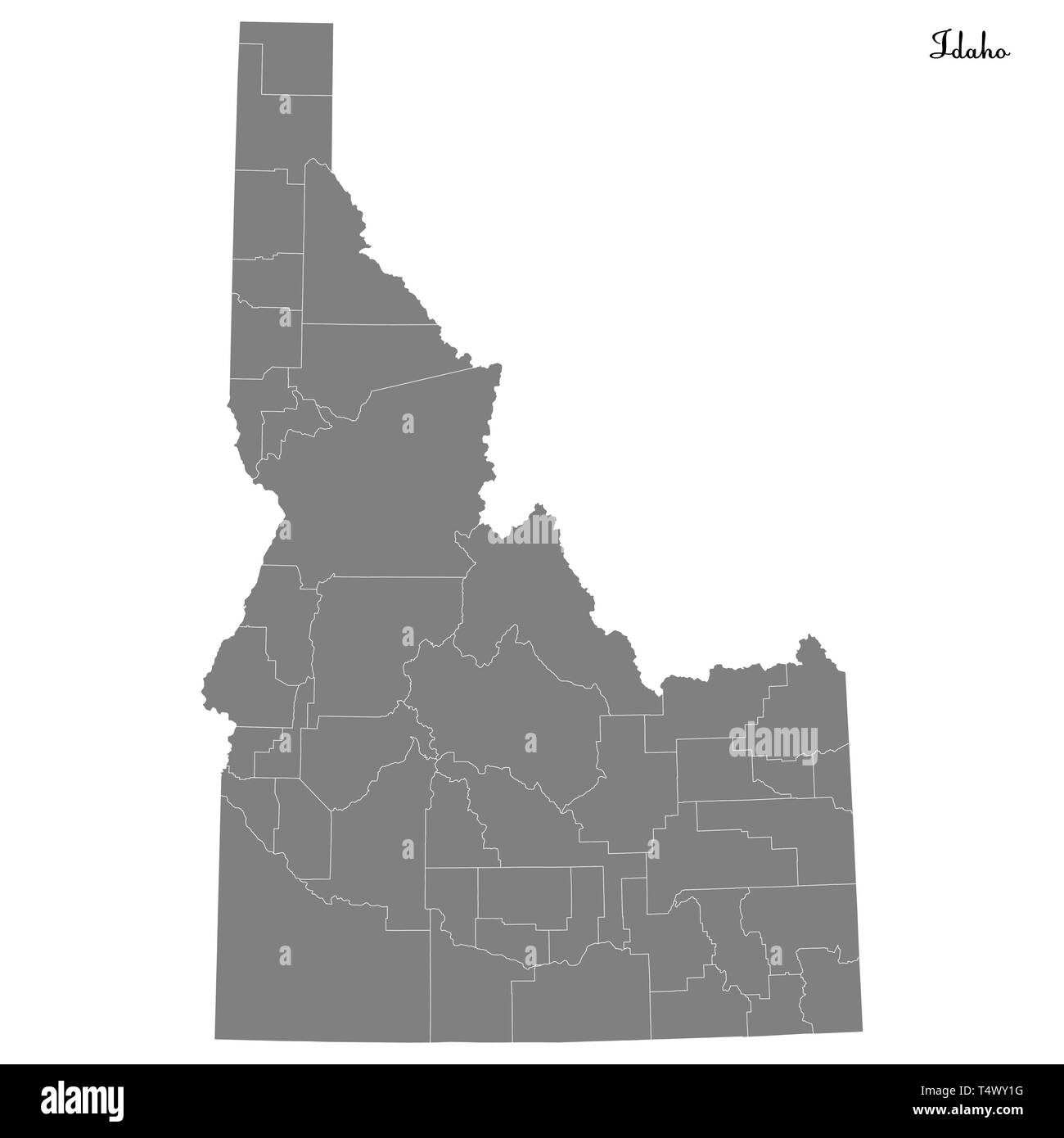 High Quality map of Idaho is a state of United States with borders of the counties Stock Vectorhttps://www.alamy.com/image-license-details/?v=1https://www.alamy.com/high-quality-map-of-idaho-is-a-state-of-united-states-with-borders-of-the-counties-image243973788.html
RFT4WY1G–High Quality map of Idaho is a state of United States with borders of the counties
 Sanborn Fire Insurance Map from Tuscaloosa, Tuscaloosa County, Alabama. Stock Photohttps://www.alamy.com/image-license-details/?v=1https://www.alamy.com/sanborn-fire-insurance-map-from-tuscaloosa-tuscaloosa-county-alabama-image456503062.html
RM2HEKE8P–Sanborn Fire Insurance Map from Tuscaloosa, Tuscaloosa County, Alabama.
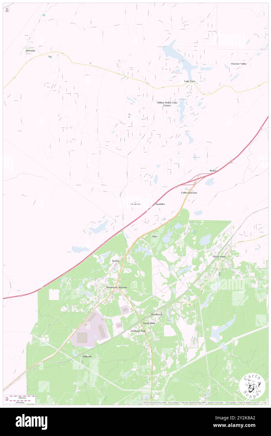 Chambers, Tuscaloosa County, US, United States, Alabama, N 33 14' 30'', S 87 9' 28'', map, Cartascapes Map published in 2024. Explore Cartascapes, a map revealing Earth's diverse landscapes, cultures, and ecosystems. Journey through time and space, discovering the interconnectedness of our planet's past, present, and future. Stock Photohttps://www.alamy.com/image-license-details/?v=1https://www.alamy.com/chambers-tuscaloosa-county-us-united-states-alabama-n-33-14-30-s-87-9-28-map-cartascapes-map-published-in-2024-explore-cartascapes-a-map-revealing-earths-diverse-landscapes-cultures-and-ecosystems-journey-through-time-and-space-discovering-the-interconnectedness-of-our-planets-past-present-and-future-image621226202.html
RM2Y2K8A2–Chambers, Tuscaloosa County, US, United States, Alabama, N 33 14' 30'', S 87 9' 28'', map, Cartascapes Map published in 2024. Explore Cartascapes, a map revealing Earth's diverse landscapes, cultures, and ecosystems. Journey through time and space, discovering the interconnectedness of our planet's past, present, and future.