Tyrone border Black & White Stock Photos
 Prime Minister Margaret Thatcher talks to a member of the Royal Irish Rangers, outside the border check point at Derryad in Co Tyrone during her visit to Northern Ireland Stock Photohttps://www.alamy.com/image-license-details/?v=1https://www.alamy.com/stock-photo-prime-minister-margaret-thatcher-talks-to-a-member-of-the-royal-irish-109412160.html
RMGA0494–Prime Minister Margaret Thatcher talks to a member of the Royal Irish Rangers, outside the border check point at Derryad in Co Tyrone during her visit to Northern Ireland
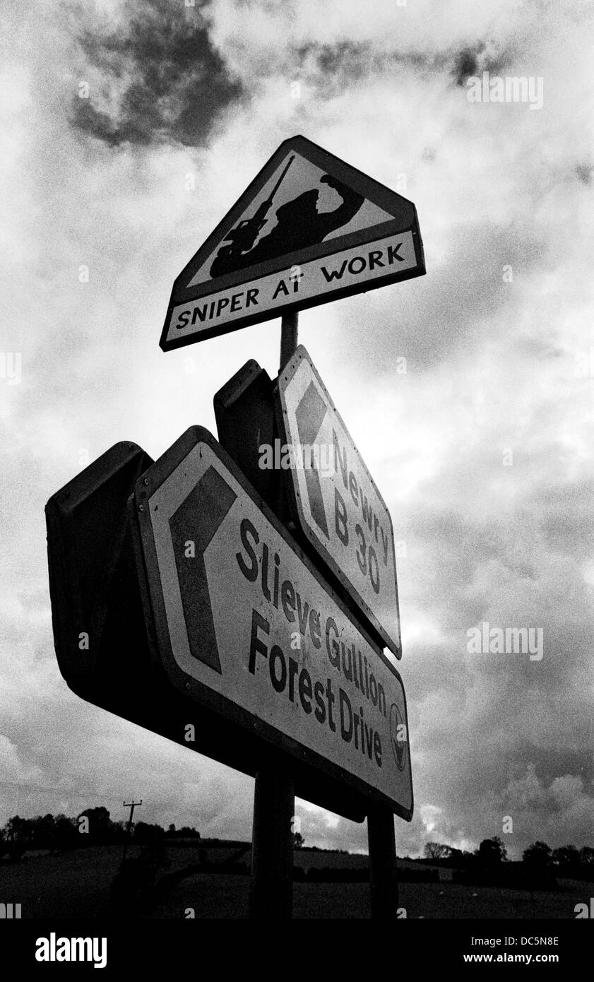 Sniper At Work fake sign by IRA in County Armagh during attacks by a sniper on British soldiers in 1993. Northern Ireland. Stock Photohttps://www.alamy.com/image-license-details/?v=1https://www.alamy.com/stock-photo-sniper-at-work-fake-sign-by-ira-in-county-armagh-during-attacks-by-59133438.html
RMDC5N8E–Sniper At Work fake sign by IRA in County Armagh during attacks by a sniper on British soldiers in 1993. Northern Ireland.
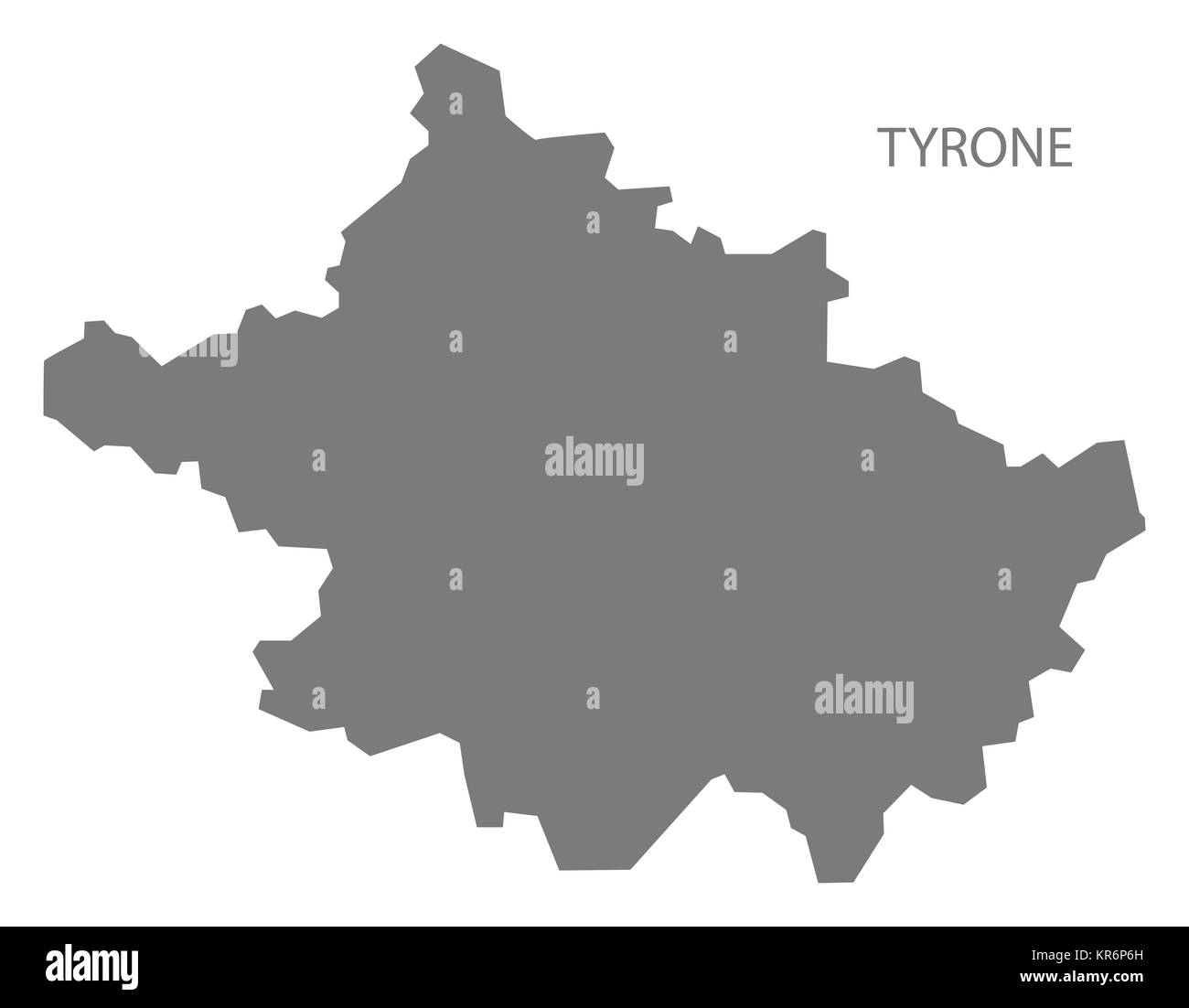 Tyrone Northern Ireland Map grey Stock Photohttps://www.alamy.com/image-license-details/?v=1https://www.alamy.com/stock-image-tyrone-northern-ireland-map-grey-169179545.html
RFKR6P6H–Tyrone Northern Ireland Map grey
 Duke of Kent at Frontier Post Stock Photohttps://www.alamy.com/image-license-details/?v=1https://www.alamy.com/stock-photo-duke-of-kent-at-frontier-post-106839668.html
RMG5PY2C–Duke of Kent at Frontier Post
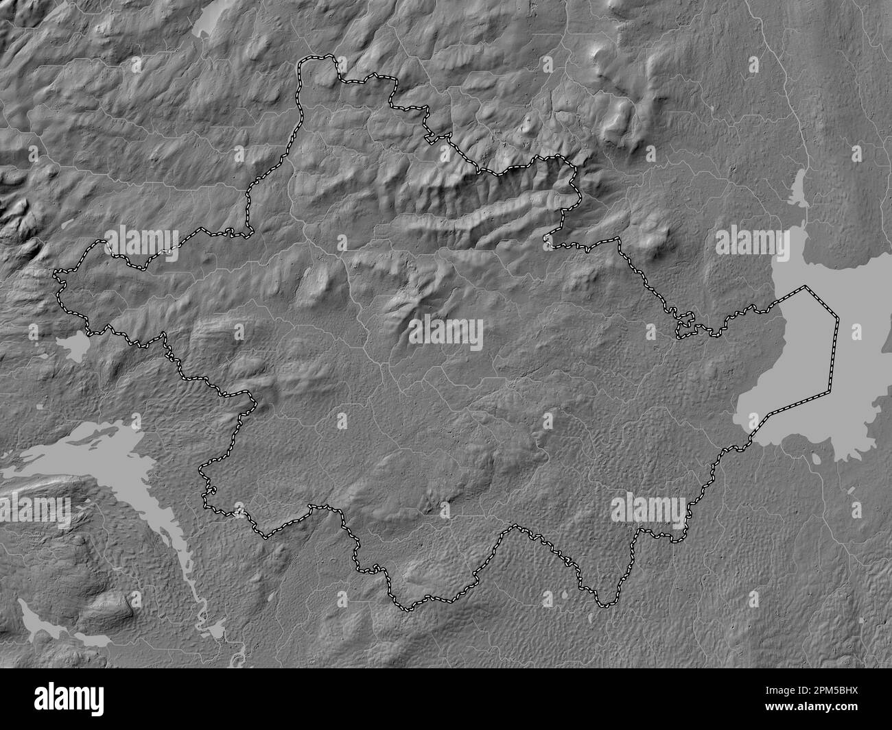 Tyrone, region of Northern Ireland. Bilevel elevation map with lakes and rivers Stock Photohttps://www.alamy.com/image-license-details/?v=1https://www.alamy.com/tyrone-region-of-northern-ireland-bilevel-elevation-map-with-lakes-and-rivers-image545933414.html
RF2PM5BHX–Tyrone, region of Northern Ireland. Bilevel elevation map with lakes and rivers
 County Tyrone (United Kingdom, Northern Ireland, Counties of Northern Ireland) map vector illustration, scribble sketch Tyrone map Stock Vectorhttps://www.alamy.com/image-license-details/?v=1https://www.alamy.com/county-tyrone-united-kingdom-northern-ireland-counties-of-northern-ireland-map-vector-illustration-scribble-sketch-tyrone-map-image239494131.html
RFRWHW5R–County Tyrone (United Kingdom, Northern Ireland, Counties of Northern Ireland) map vector illustration, scribble sketch Tyrone map
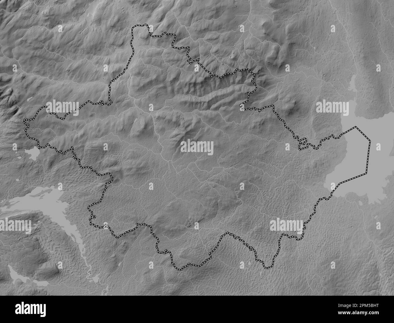 Tyrone, region of Northern Ireland. Grayscale elevation map with lakes and rivers Stock Photohttps://www.alamy.com/image-license-details/?v=1https://www.alamy.com/tyrone-region-of-northern-ireland-grayscale-elevation-map-with-lakes-and-rivers-image545933412.html
RF2PM5BHT–Tyrone, region of Northern Ireland. Grayscale elevation map with lakes and rivers
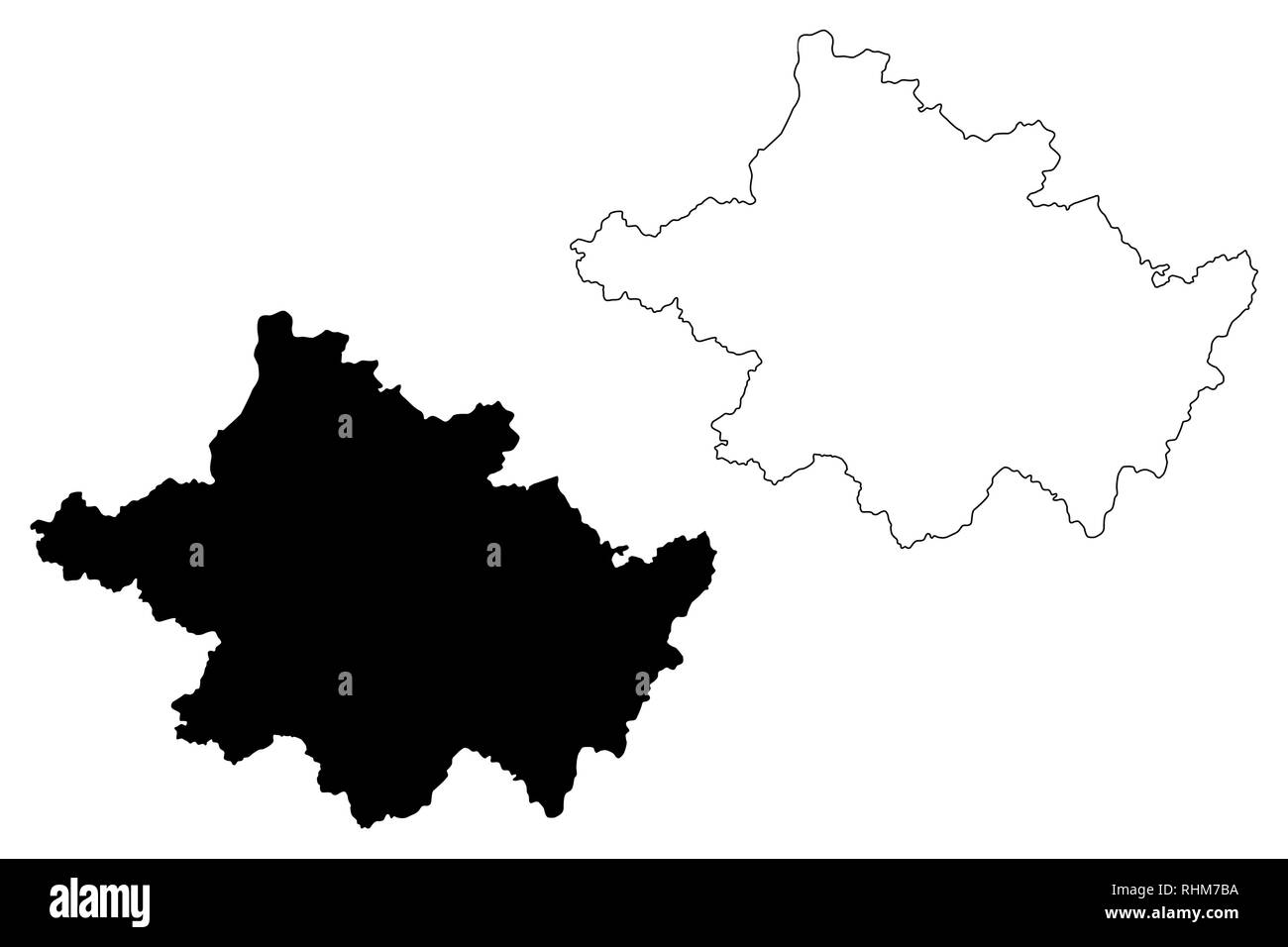 County Tyrone (United Kingdom, Northern Ireland, Counties of Northern Ireland) map vector illustration, scribble sketch Tyrone map Stock Vectorhttps://www.alamy.com/image-license-details/?v=1https://www.alamy.com/county-tyrone-united-kingdom-northern-ireland-counties-of-northern-ireland-map-vector-illustration-scribble-sketch-tyrone-map-image234628782.html
RFRHM7BA–County Tyrone (United Kingdom, Northern Ireland, Counties of Northern Ireland) map vector illustration, scribble sketch Tyrone map
 Tyrone, region of Northern Ireland. Bilevel elevation map with lakes and rivers. Corner auxiliary location maps Stock Photohttps://www.alamy.com/image-license-details/?v=1https://www.alamy.com/tyrone-region-of-northern-ireland-bilevel-elevation-map-with-lakes-and-rivers-corner-auxiliary-location-maps-image545933430.html
RF2PM5BJE–Tyrone, region of Northern Ireland. Bilevel elevation map with lakes and rivers. Corner auxiliary location maps
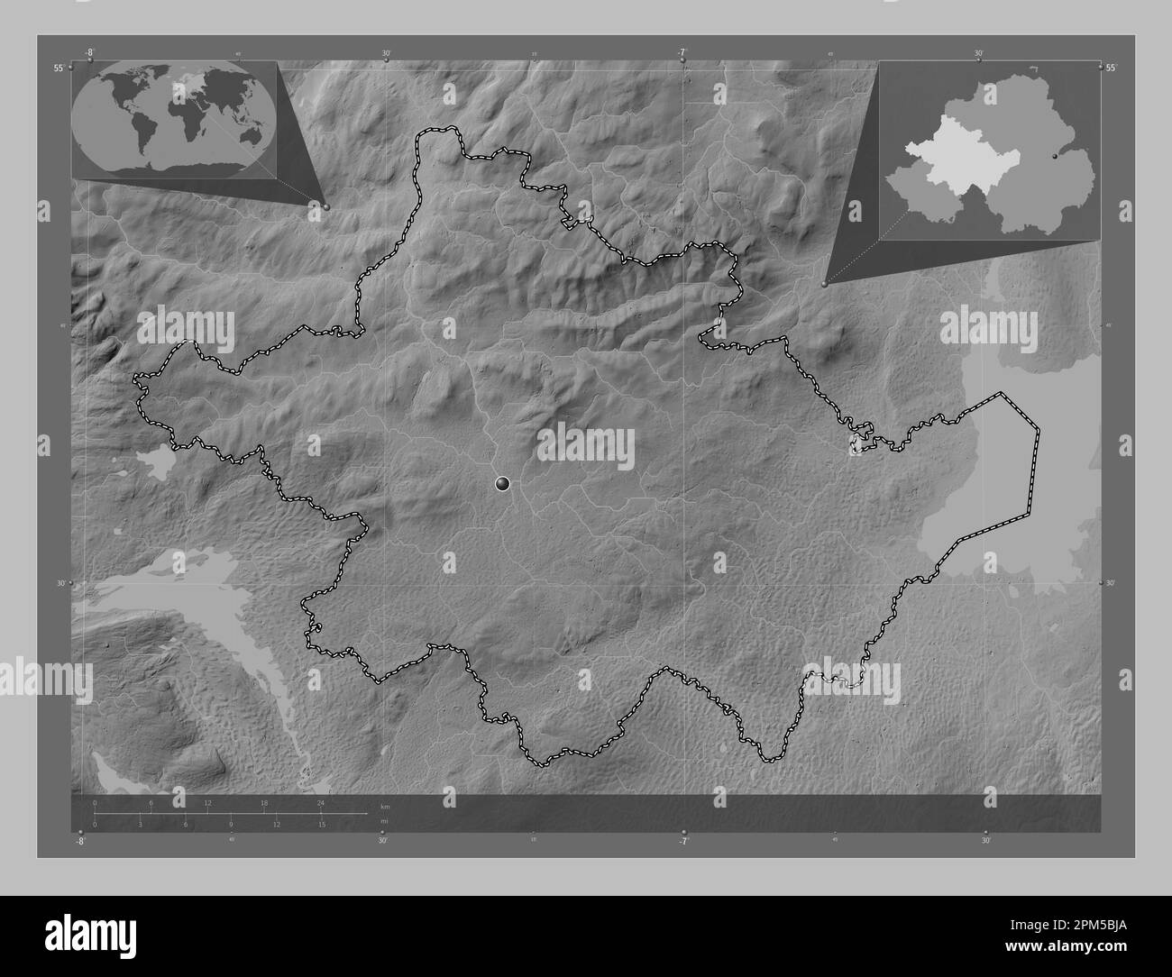 Tyrone, region of Northern Ireland. Grayscale elevation map with lakes and rivers. Corner auxiliary location maps Stock Photohttps://www.alamy.com/image-license-details/?v=1https://www.alamy.com/tyrone-region-of-northern-ireland-grayscale-elevation-map-with-lakes-and-rivers-corner-auxiliary-location-maps-image545933426.html
RF2PM5BJA–Tyrone, region of Northern Ireland. Grayscale elevation map with lakes and rivers. Corner auxiliary location maps
 Tyrone, region of Northern Ireland. Grayscale elevation map with lakes and rivers. Locations of major cities of the region. Corner auxiliary location Stock Photohttps://www.alamy.com/image-license-details/?v=1https://www.alamy.com/tyrone-region-of-northern-ireland-grayscale-elevation-map-with-lakes-and-rivers-locations-of-major-cities-of-the-region-corner-auxiliary-location-image545933459.html
RF2PM5BKF–Tyrone, region of Northern Ireland. Grayscale elevation map with lakes and rivers. Locations of major cities of the region. Corner auxiliary location
 Tyrone, region of Northern Ireland. Grayscale elevation map with lakes and rivers. Locations and names of major cities of the region. Corner auxiliary Stock Photohttps://www.alamy.com/image-license-details/?v=1https://www.alamy.com/tyrone-region-of-northern-ireland-grayscale-elevation-map-with-lakes-and-rivers-locations-and-names-of-major-cities-of-the-region-corner-auxiliary-image545933469.html
RF2PM5BKW–Tyrone, region of Northern Ireland. Grayscale elevation map with lakes and rivers. Locations and names of major cities of the region. Corner auxiliary
 Tyrone, region of Northern Ireland. Bilevel elevation map with lakes and rivers. Locations and names of major cities of the region. Corner auxiliary l Stock Photohttps://www.alamy.com/image-license-details/?v=1https://www.alamy.com/tyrone-region-of-northern-ireland-bilevel-elevation-map-with-lakes-and-rivers-locations-and-names-of-major-cities-of-the-region-corner-auxiliary-l-image545933418.html
RF2PM5BJ2–Tyrone, region of Northern Ireland. Bilevel elevation map with lakes and rivers. Locations and names of major cities of the region. Corner auxiliary l
 Tyrone, region of Northern Ireland. Bilevel elevation map with lakes and rivers. Locations of major cities of the region. Corner auxiliary location ma Stock Photohttps://www.alamy.com/image-license-details/?v=1https://www.alamy.com/tyrone-region-of-northern-ireland-bilevel-elevation-map-with-lakes-and-rivers-locations-of-major-cities-of-the-region-corner-auxiliary-location-ma-image545933579.html
RF2PM5BRR–Tyrone, region of Northern Ireland. Bilevel elevation map with lakes and rivers. Locations of major cities of the region. Corner auxiliary location ma