Quick filters:
Tyrone pennsylvania map Stock Photos and Images
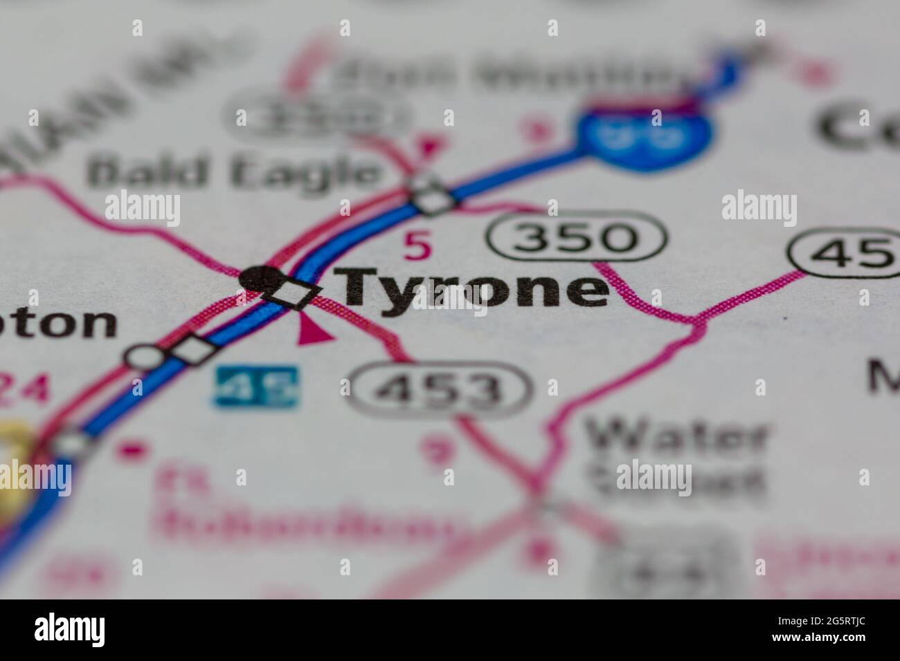 Tyrone Pennsylvania USA shown on a Geography map or Road map Stock Photohttps://www.alamy.com/image-license-details/?v=1https://www.alamy.com/tyrone-pennsylvania-usa-shown-on-a-geography-map-or-road-map-image433856708.html
RM2G5RTJC–Tyrone Pennsylvania USA shown on a Geography map or Road map
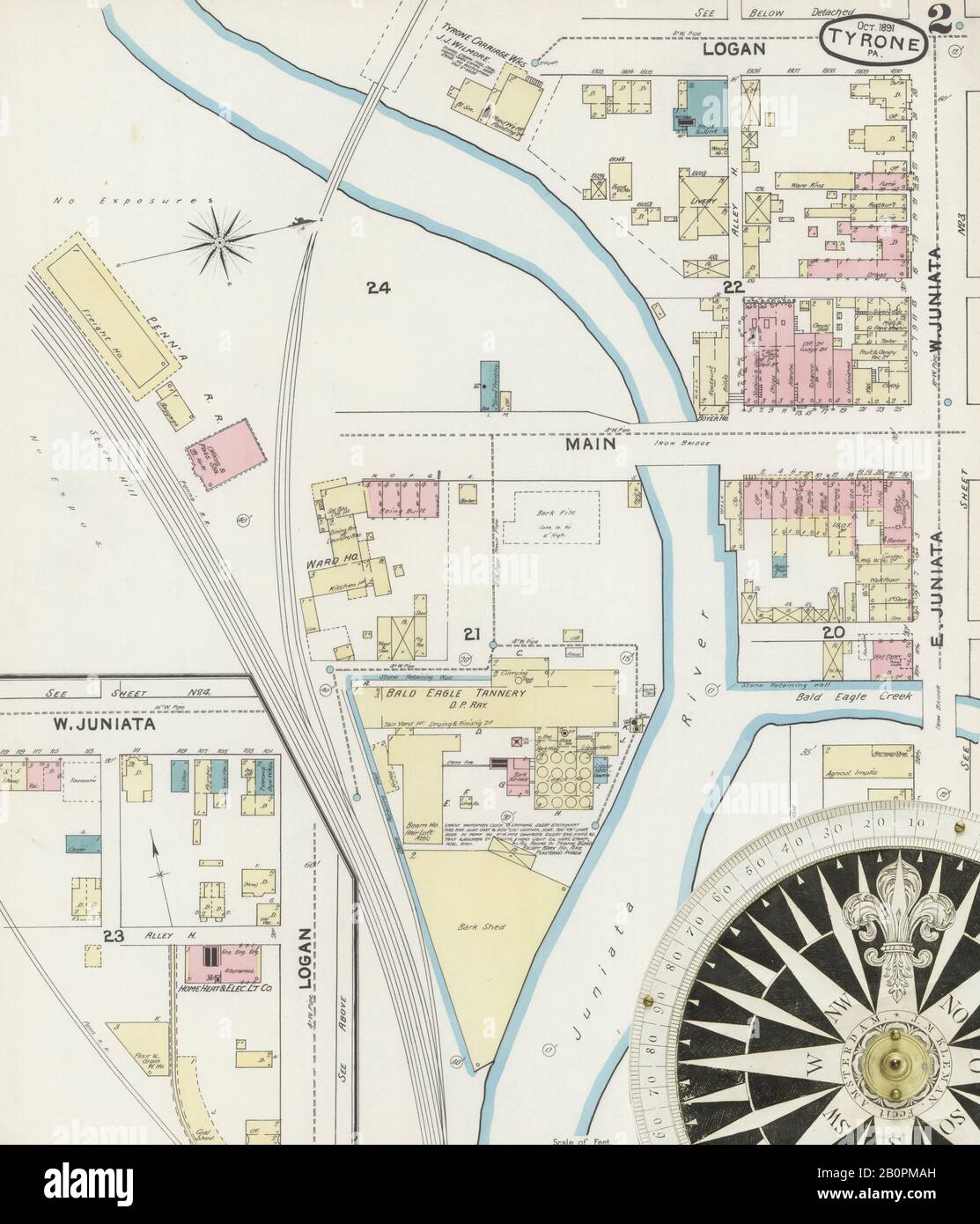 Image 2 of Sanborn Fire Insurance Map from Tyrone, Blair County, Pennsylvania. Oct 1891. 6 Sheet(s), America, street map with a Nineteenth Century compass Stock Photohttps://www.alamy.com/image-license-details/?v=1https://www.alamy.com/image-2-of-sanborn-fire-insurance-map-from-tyrone-blair-county-pennsylvania-oct-1891-6-sheets-america-street-map-with-a-nineteenth-century-compass-image344706281.html
RM2B0PMAH–Image 2 of Sanborn Fire Insurance Map from Tyrone, Blair County, Pennsylvania. Oct 1891. 6 Sheet(s), America, street map with a Nineteenth Century compass
 Tyrone Forge, Blair County, US, United States, Pennsylvania, N 40 39' 38'', S 78 13' 4'', map, Cartascapes Map published in 2024. Explore Cartascapes, a map revealing Earth's diverse landscapes, cultures, and ecosystems. Journey through time and space, discovering the interconnectedness of our planet's past, present, and future. Stock Photohttps://www.alamy.com/image-license-details/?v=1https://www.alamy.com/tyrone-forge-blair-county-us-united-states-pennsylvania-n-40-39-38-s-78-13-4-map-cartascapes-map-published-in-2024-explore-cartascapes-a-map-revealing-earths-diverse-landscapes-cultures-and-ecosystems-journey-through-time-and-space-discovering-the-interconnectedness-of-our-planets-past-present-and-future-image621315554.html
RM2Y2RA96–Tyrone Forge, Blair County, US, United States, Pennsylvania, N 40 39' 38'', S 78 13' 4'', map, Cartascapes Map published in 2024. Explore Cartascapes, a map revealing Earth's diverse landscapes, cultures, and ecosystems. Journey through time and space, discovering the interconnectedness of our planet's past, present, and future.
 Sanborn Fire Insurance Map from Tyrone, Blair County, Pennsylvania. Stock Photohttps://www.alamy.com/image-license-details/?v=1https://www.alamy.com/sanborn-fire-insurance-map-from-tyrone-blair-county-pennsylvania-image456504143.html
RM2HEKFKB–Sanborn Fire Insurance Map from Tyrone, Blair County, Pennsylvania.
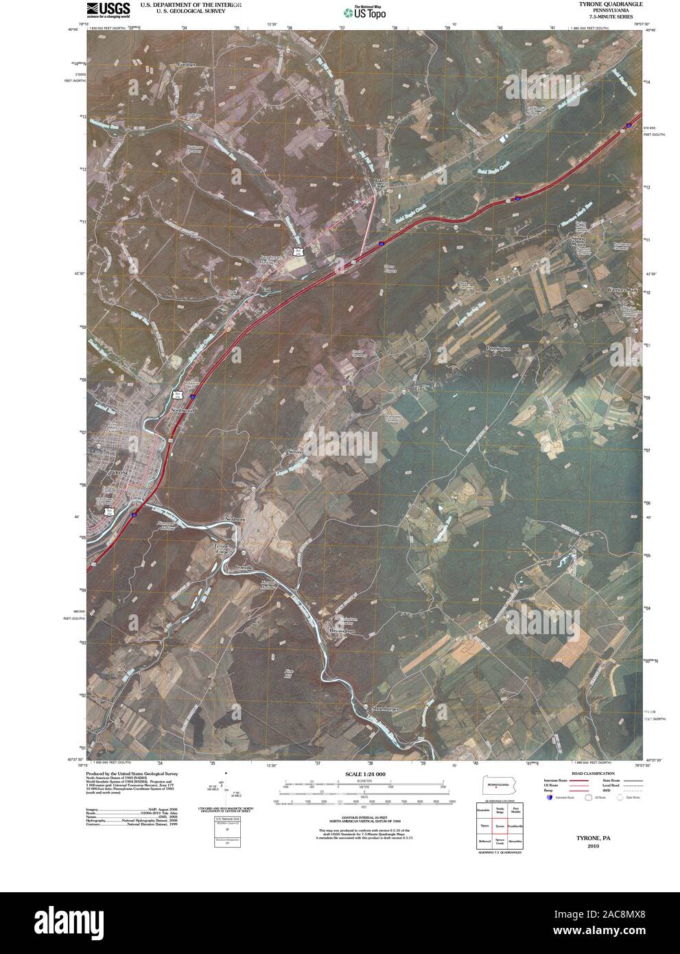 USGS TOPO Map Pennsylvania PA Tyrone 20100602 TM Restoration Stock Photohttps://www.alamy.com/image-license-details/?v=1https://www.alamy.com/usgs-topo-map-pennsylvania-pa-tyrone-20100602-tm-restoration-image334564896.html
RM2AC8MX8–USGS TOPO Map Pennsylvania PA Tyrone 20100602 TM Restoration
 Image 6 of Sanborn Fire Insurance Map from Tyrone, Blair County, Pennsylvania. Aug 1896. 7 Sheet(s), America, street map with a Nineteenth Century compass Stock Photohttps://www.alamy.com/image-license-details/?v=1https://www.alamy.com/image-6-of-sanborn-fire-insurance-map-from-tyrone-blair-county-pennsylvania-aug-1896-7-sheets-america-street-map-with-a-nineteenth-century-compass-image344706320.html
RM2B0PMC0–Image 6 of Sanborn Fire Insurance Map from Tyrone, Blair County, Pennsylvania. Aug 1896. 7 Sheet(s), America, street map with a Nineteenth Century compass
 Tyrone, Blair County, US, United States, Pennsylvania, N 40 40' 14'', S 78 14' 19'', map, Cartascapes Map published in 2024. Explore Cartascapes, a map revealing Earth's diverse landscapes, cultures, and ecosystems. Journey through time and space, discovering the interconnectedness of our planet's past, present, and future. Stock Photohttps://www.alamy.com/image-license-details/?v=1https://www.alamy.com/tyrone-blair-county-us-united-states-pennsylvania-n-40-40-14-s-78-14-19-map-cartascapes-map-published-in-2024-explore-cartascapes-a-map-revealing-earths-diverse-landscapes-cultures-and-ecosystems-journey-through-time-and-space-discovering-the-interconnectedness-of-our-planets-past-present-and-future-image620768542.html
RM2Y1XCH2–Tyrone, Blair County, US, United States, Pennsylvania, N 40 40' 14'', S 78 14' 19'', map, Cartascapes Map published in 2024. Explore Cartascapes, a map revealing Earth's diverse landscapes, cultures, and ecosystems. Journey through time and space, discovering the interconnectedness of our planet's past, present, and future.
 Sanborn Fire Insurance Map from Tyrone, Blair County, Pennsylvania. Stock Photohttps://www.alamy.com/image-license-details/?v=1https://www.alamy.com/sanborn-fire-insurance-map-from-tyrone-blair-county-pennsylvania-image456504235.html
RM2HEKFPK–Sanborn Fire Insurance Map from Tyrone, Blair County, Pennsylvania.
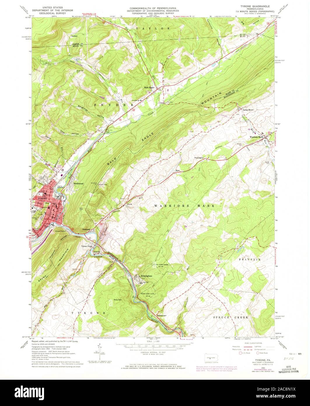 USGS TOPO Map Pennsylvania PA Tyrone 222286 1963 24000 Restoration Stock Photohttps://www.alamy.com/image-license-details/?v=1https://www.alamy.com/usgs-topo-map-pennsylvania-pa-tyrone-222286-1963-24000-restoration-image334564998.html
RM2AC8N1X–USGS TOPO Map Pennsylvania PA Tyrone 222286 1963 24000 Restoration
 Image 4 of Sanborn Fire Insurance Map from Tyrone, Blair County, Pennsylvania. Aug 1896. 7 Sheet(s), America, street map with a Nineteenth Century compass Stock Photohttps://www.alamy.com/image-license-details/?v=1https://www.alamy.com/image-4-of-sanborn-fire-insurance-map-from-tyrone-blair-county-pennsylvania-aug-1896-7-sheets-america-street-map-with-a-nineteenth-century-compass-image344706315.html
RM2B0PMBR–Image 4 of Sanborn Fire Insurance Map from Tyrone, Blair County, Pennsylvania. Aug 1896. 7 Sheet(s), America, street map with a Nineteenth Century compass
 Tyrone, Blair County, US, United States, Pennsylvania, N 40 40' 14'', S 78 14' 19'', map, Cartascapes Map published in 2024. Explore Cartascapes, a map revealing Earth's diverse landscapes, cultures, and ecosystems. Journey through time and space, discovering the interconnectedness of our planet's past, present, and future. Stock Photohttps://www.alamy.com/image-license-details/?v=1https://www.alamy.com/tyrone-blair-county-us-united-states-pennsylvania-n-40-40-14-s-78-14-19-map-cartascapes-map-published-in-2024-explore-cartascapes-a-map-revealing-earths-diverse-landscapes-cultures-and-ecosystems-journey-through-time-and-space-discovering-the-interconnectedness-of-our-planets-past-present-and-future-image620798445.html
RM2Y1YPN1–Tyrone, Blair County, US, United States, Pennsylvania, N 40 40' 14'', S 78 14' 19'', map, Cartascapes Map published in 2024. Explore Cartascapes, a map revealing Earth's diverse landscapes, cultures, and ecosystems. Journey through time and space, discovering the interconnectedness of our planet's past, present, and future.
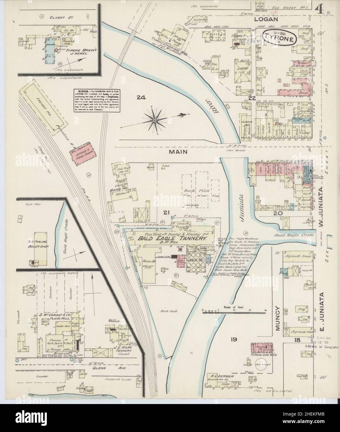 Sanborn Fire Insurance Map from Tyrone, Blair County, Pennsylvania. Stock Photohttps://www.alamy.com/image-license-details/?v=1https://www.alamy.com/sanborn-fire-insurance-map-from-tyrone-blair-county-pennsylvania-image456504171.html
RM2HEKFMB–Sanborn Fire Insurance Map from Tyrone, Blair County, Pennsylvania.
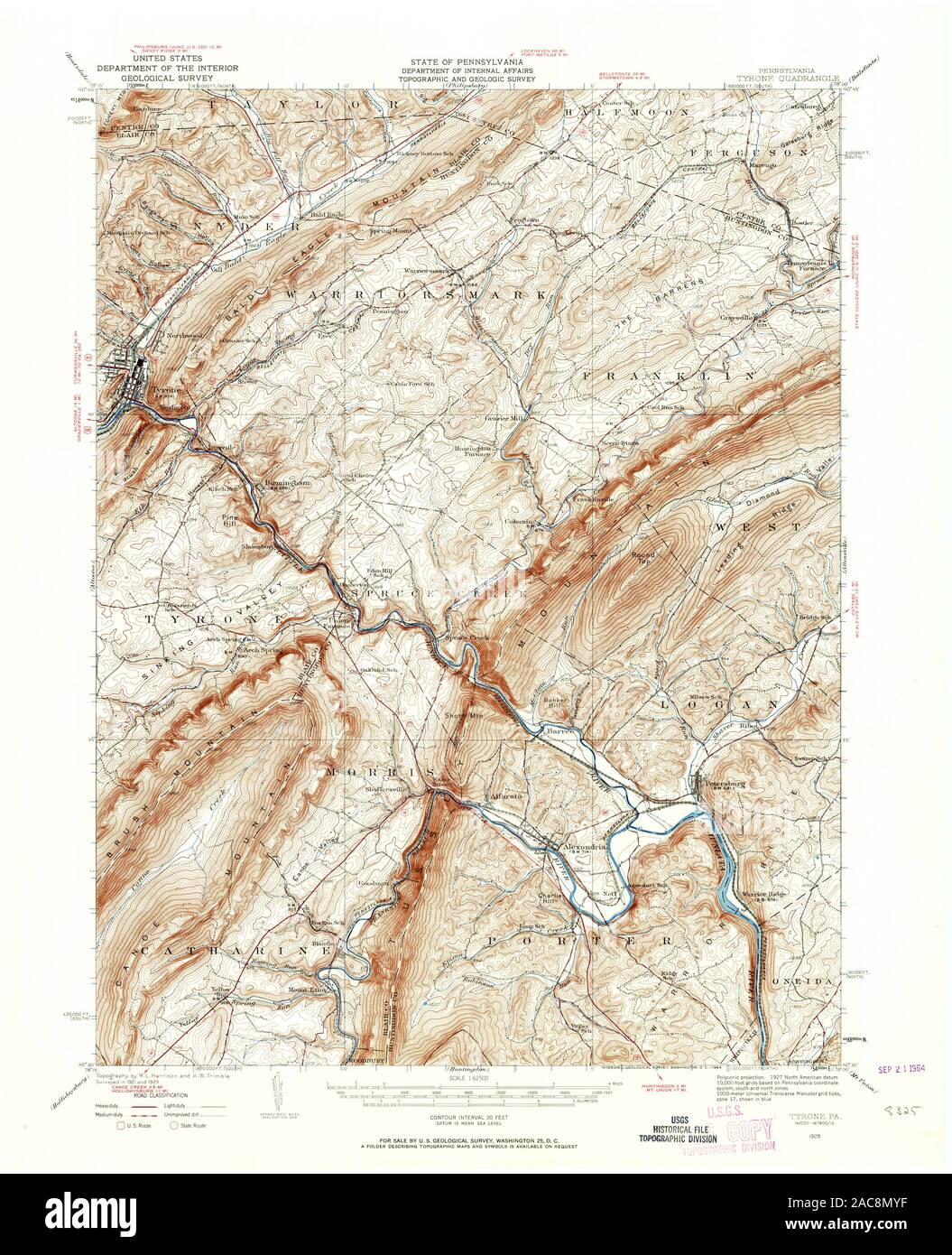 USGS TOPO Map Pennsylvania PA Tyrone 222277 1929 62500 Restoration Stock Photohttps://www.alamy.com/image-license-details/?v=1https://www.alamy.com/usgs-topo-map-pennsylvania-pa-tyrone-222277-1929-62500-restoration-image334564931.html
RM2AC8MYF–USGS TOPO Map Pennsylvania PA Tyrone 222277 1929 62500 Restoration
 Image 7 of Sanborn Fire Insurance Map from Tyrone, Blair County, Pennsylvania. Aug 1896. 7 Sheet(s), America, street map with a Nineteenth Century compass Stock Photohttps://www.alamy.com/image-license-details/?v=1https://www.alamy.com/image-7-of-sanborn-fire-insurance-map-from-tyrone-blair-county-pennsylvania-aug-1896-7-sheets-america-street-map-with-a-nineteenth-century-compass-image344706322.html
RM2B0PMC2–Image 7 of Sanborn Fire Insurance Map from Tyrone, Blair County, Pennsylvania. Aug 1896. 7 Sheet(s), America, street map with a Nineteenth Century compass
 Township of Tyrone, Adams County, US, United States, Pennsylvania, N 39 57' 15'', S 77 9' 17'', map, Cartascapes Map published in 2024. Explore Cartascapes, a map revealing Earth's diverse landscapes, cultures, and ecosystems. Journey through time and space, discovering the interconnectedness of our planet's past, present, and future. Stock Photohttps://www.alamy.com/image-license-details/?v=1https://www.alamy.com/township-of-tyrone-adams-county-us-united-states-pennsylvania-n-39-57-15-s-77-9-17-map-cartascapes-map-published-in-2024-explore-cartascapes-a-map-revealing-earths-diverse-landscapes-cultures-and-ecosystems-journey-through-time-and-space-discovering-the-interconnectedness-of-our-planets-past-present-and-future-image633847865.html
RM2YR67BN–Township of Tyrone, Adams County, US, United States, Pennsylvania, N 39 57' 15'', S 77 9' 17'', map, Cartascapes Map published in 2024. Explore Cartascapes, a map revealing Earth's diverse landscapes, cultures, and ecosystems. Journey through time and space, discovering the interconnectedness of our planet's past, present, and future.
 Sanborn Fire Insurance Map from Tyrone, Blair County, Pennsylvania. Stock Photohttps://www.alamy.com/image-license-details/?v=1https://www.alamy.com/sanborn-fire-insurance-map-from-tyrone-blair-county-pennsylvania-image456504160.html
RM2HEKFM0–Sanborn Fire Insurance Map from Tyrone, Blair County, Pennsylvania.
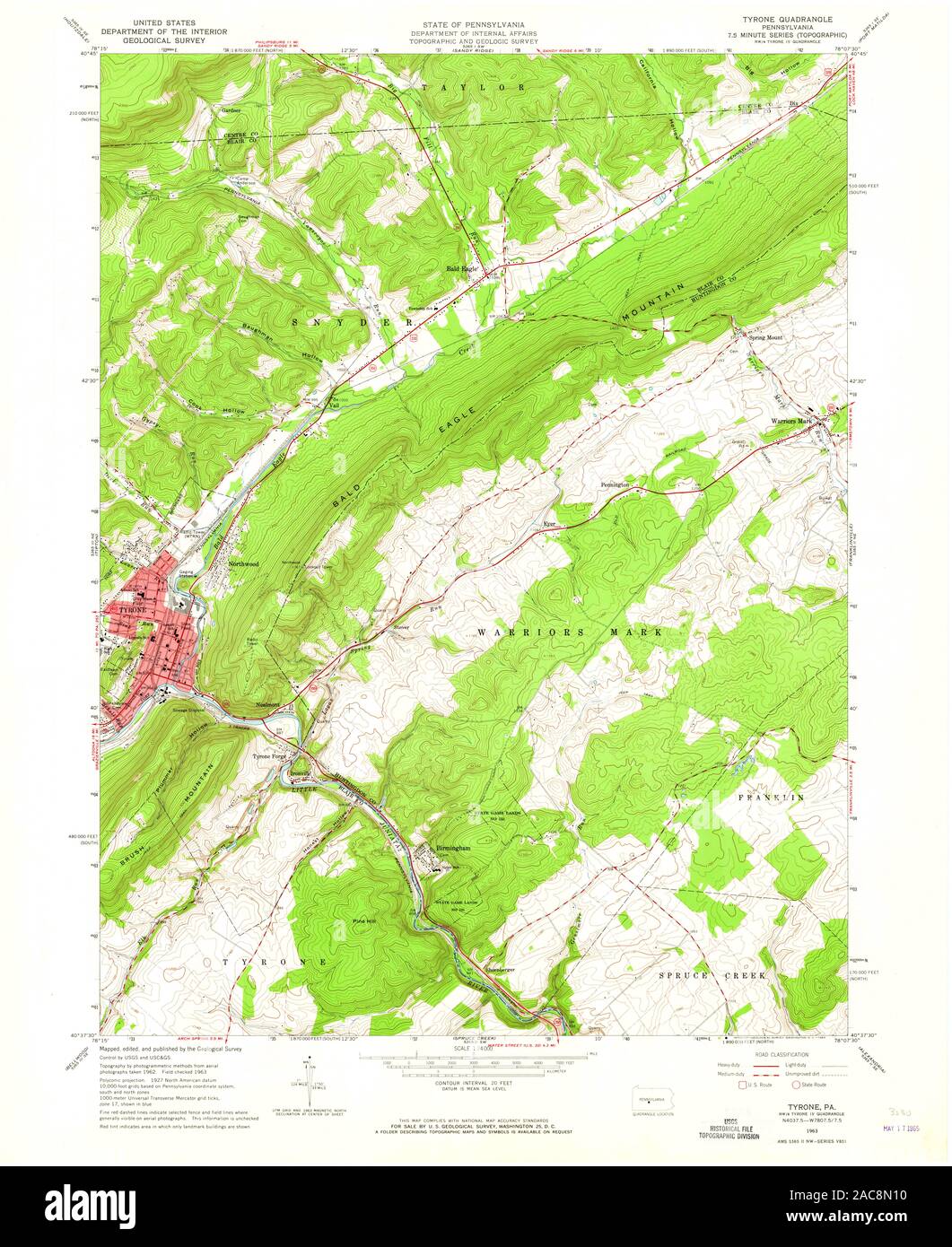 USGS TOPO Map Pennsylvania PA Tyrone 222285 1963 24000 Restoration Stock Photohttps://www.alamy.com/image-license-details/?v=1https://www.alamy.com/usgs-topo-map-pennsylvania-pa-tyrone-222285-1963-24000-restoration-image334564972.html
RM2AC8N10–USGS TOPO Map Pennsylvania PA Tyrone 222285 1963 24000 Restoration
 Image 3 of Sanborn Fire Insurance Map from Tyrone, Blair County, Pennsylvania. Aug 1896. 7 Sheet(s), America, street map with a Nineteenth Century compass Stock Photohttps://www.alamy.com/image-license-details/?v=1https://www.alamy.com/image-3-of-sanborn-fire-insurance-map-from-tyrone-blair-county-pennsylvania-aug-1896-7-sheets-america-street-map-with-a-nineteenth-century-compass-image344706312.html
RM2B0PMBM–Image 3 of Sanborn Fire Insurance Map from Tyrone, Blair County, Pennsylvania. Aug 1896. 7 Sheet(s), America, street map with a Nineteenth Century compass
 Township of Upper Tyrone, Fayette County, US, United States, Pennsylvania, N 40 4' 45'', S 79 35' 39'', map, Cartascapes Map published in 2024. Explore Cartascapes, a map revealing Earth's diverse landscapes, cultures, and ecosystems. Journey through time and space, discovering the interconnectedness of our planet's past, present, and future. Stock Photohttps://www.alamy.com/image-license-details/?v=1https://www.alamy.com/township-of-upper-tyrone-fayette-county-us-united-states-pennsylvania-n-40-4-45-s-79-35-39-map-cartascapes-map-published-in-2024-explore-cartascapes-a-map-revealing-earths-diverse-landscapes-cultures-and-ecosystems-journey-through-time-and-space-discovering-the-interconnectedness-of-our-planets-past-present-and-future-image633800273.html
RM2YR42M1–Township of Upper Tyrone, Fayette County, US, United States, Pennsylvania, N 40 4' 45'', S 79 35' 39'', map, Cartascapes Map published in 2024. Explore Cartascapes, a map revealing Earth's diverse landscapes, cultures, and ecosystems. Journey through time and space, discovering the interconnectedness of our planet's past, present, and future.
 Sanborn Fire Insurance Map from Tyrone, Blair County, Pennsylvania. Stock Photohttps://www.alamy.com/image-license-details/?v=1https://www.alamy.com/sanborn-fire-insurance-map-from-tyrone-blair-county-pennsylvania-image456504233.html
RM2HEKFPH–Sanborn Fire Insurance Map from Tyrone, Blair County, Pennsylvania.
 USGS TOPO Map Pennsylvania PA Tyrone 170058 1923 62500 Restoration Stock Photohttps://www.alamy.com/image-license-details/?v=1https://www.alamy.com/usgs-topo-map-pennsylvania-pa-tyrone-170058-1923-62500-restoration-image334564846.html
RM2AC8MTE–USGS TOPO Map Pennsylvania PA Tyrone 170058 1923 62500 Restoration
 Image 1 of Sanborn Fire Insurance Map from Tyrone, Blair County, Pennsylvania. Oct 1891. 6 Sheet(s), America, street map with a Nineteenth Century compass Stock Photohttps://www.alamy.com/image-license-details/?v=1https://www.alamy.com/image-1-of-sanborn-fire-insurance-map-from-tyrone-blair-county-pennsylvania-oct-1891-6-sheets-america-street-map-with-a-nineteenth-century-compass-image344706280.html
RM2B0PMAG–Image 1 of Sanborn Fire Insurance Map from Tyrone, Blair County, Pennsylvania. Oct 1891. 6 Sheet(s), America, street map with a Nineteenth Century compass
 Township of Tyrone, Blair County, US, United States, Pennsylvania, N 40 34' 52'', S 78 15' 28'', map, Cartascapes Map published in 2024. Explore Cartascapes, a map revealing Earth's diverse landscapes, cultures, and ecosystems. Journey through time and space, discovering the interconnectedness of our planet's past, present, and future. Stock Photohttps://www.alamy.com/image-license-details/?v=1https://www.alamy.com/township-of-tyrone-blair-county-us-united-states-pennsylvania-n-40-34-52-s-78-15-28-map-cartascapes-map-published-in-2024-explore-cartascapes-a-map-revealing-earths-diverse-landscapes-cultures-and-ecosystems-journey-through-time-and-space-discovering-the-interconnectedness-of-our-planets-past-present-and-future-image633789753.html
RM2YR3H89–Township of Tyrone, Blair County, US, United States, Pennsylvania, N 40 34' 52'', S 78 15' 28'', map, Cartascapes Map published in 2024. Explore Cartascapes, a map revealing Earth's diverse landscapes, cultures, and ecosystems. Journey through time and space, discovering the interconnectedness of our planet's past, present, and future.
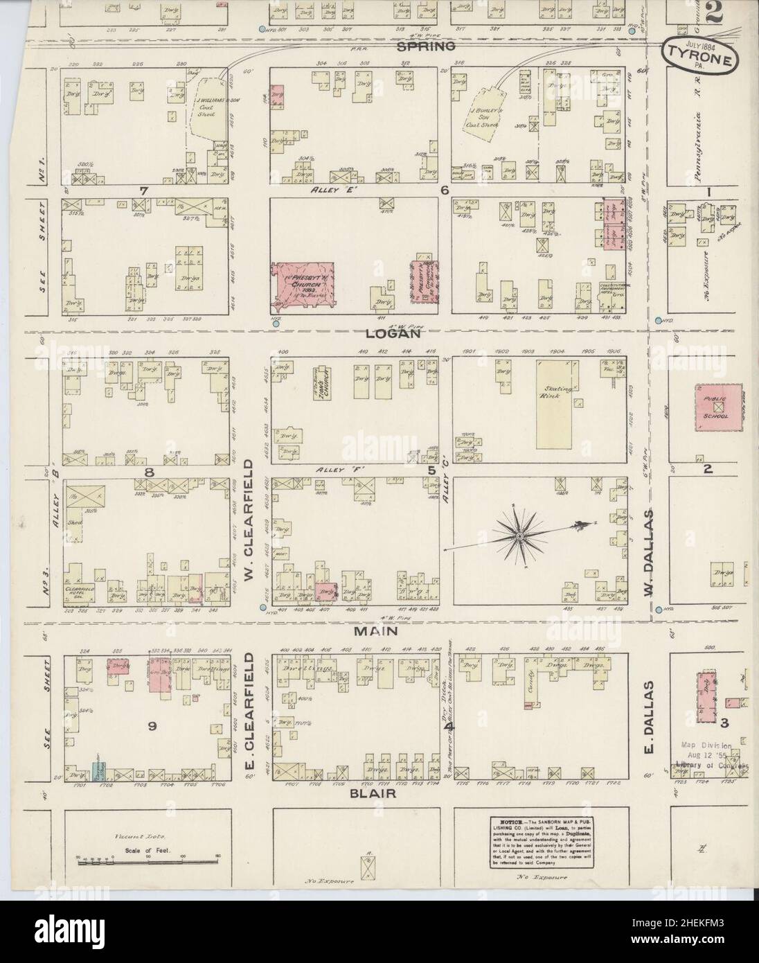 Sanborn Fire Insurance Map from Tyrone, Blair County, Pennsylvania. Stock Photohttps://www.alamy.com/image-license-details/?v=1https://www.alamy.com/sanborn-fire-insurance-map-from-tyrone-blair-county-pennsylvania-image456504163.html
RM2HEKFM3–Sanborn Fire Insurance Map from Tyrone, Blair County, Pennsylvania.
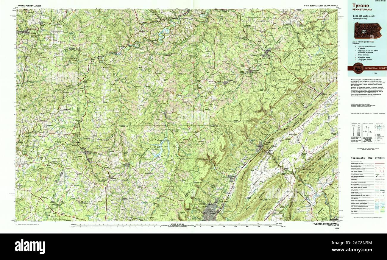 USGS TOPO Map Pennsylvania PA Tyrone 223578 1984 100000 Restoration Stock Photohttps://www.alamy.com/image-license-details/?v=1https://www.alamy.com/usgs-topo-map-pennsylvania-pa-tyrone-223578-1984-100000-restoration-image334565048.html
RM2AC8N3M–USGS TOPO Map Pennsylvania PA Tyrone 223578 1984 100000 Restoration
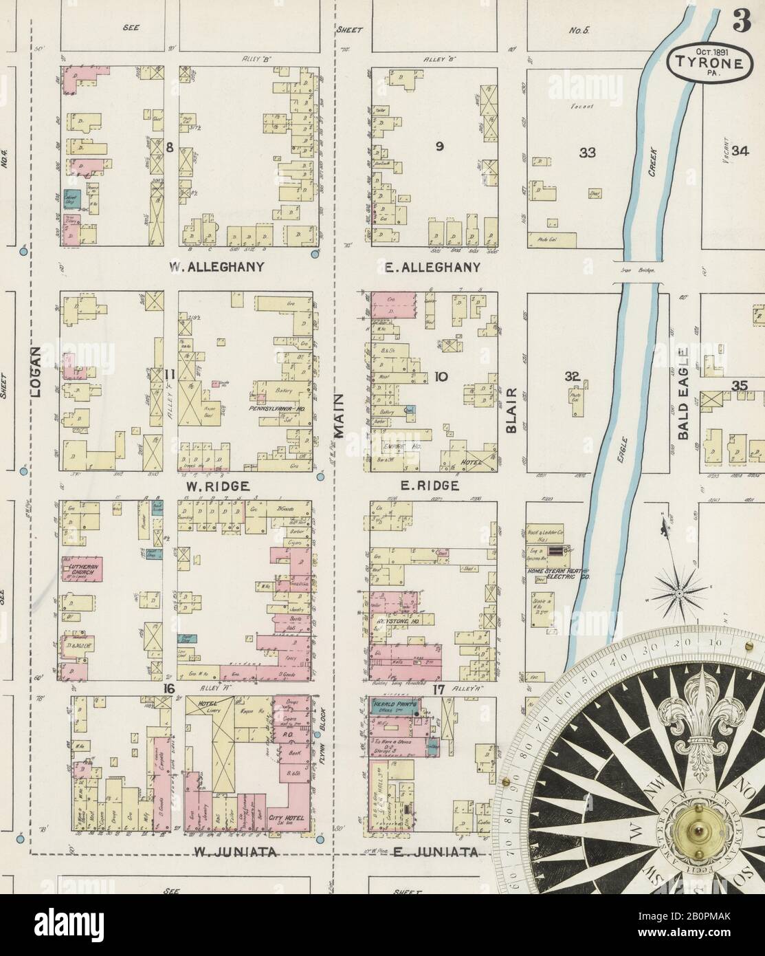 Image 3 of Sanborn Fire Insurance Map from Tyrone, Blair County, Pennsylvania. Oct 1891. 6 Sheet(s), America, street map with a Nineteenth Century compass Stock Photohttps://www.alamy.com/image-license-details/?v=1https://www.alamy.com/image-3-of-sanborn-fire-insurance-map-from-tyrone-blair-county-pennsylvania-oct-1891-6-sheets-america-street-map-with-a-nineteenth-century-compass-image344706283.html
RM2B0PMAK–Image 3 of Sanborn Fire Insurance Map from Tyrone, Blair County, Pennsylvania. Oct 1891. 6 Sheet(s), America, street map with a Nineteenth Century compass
 Township of Lower Tyrone, Fayette County, US, United States, Pennsylvania, N 40 4' 26'', S 79 40' 8'', map, Cartascapes Map published in 2024. Explore Cartascapes, a map revealing Earth's diverse landscapes, cultures, and ecosystems. Journey through time and space, discovering the interconnectedness of our planet's past, present, and future. Stock Photohttps://www.alamy.com/image-license-details/?v=1https://www.alamy.com/township-of-lower-tyrone-fayette-county-us-united-states-pennsylvania-n-40-4-26-s-79-40-8-map-cartascapes-map-published-in-2024-explore-cartascapes-a-map-revealing-earths-diverse-landscapes-cultures-and-ecosystems-journey-through-time-and-space-discovering-the-interconnectedness-of-our-planets-past-present-and-future-image633818350.html
RM2YR4WNJ–Township of Lower Tyrone, Fayette County, US, United States, Pennsylvania, N 40 4' 26'', S 79 40' 8'', map, Cartascapes Map published in 2024. Explore Cartascapes, a map revealing Earth's diverse landscapes, cultures, and ecosystems. Journey through time and space, discovering the interconnectedness of our planet's past, present, and future.
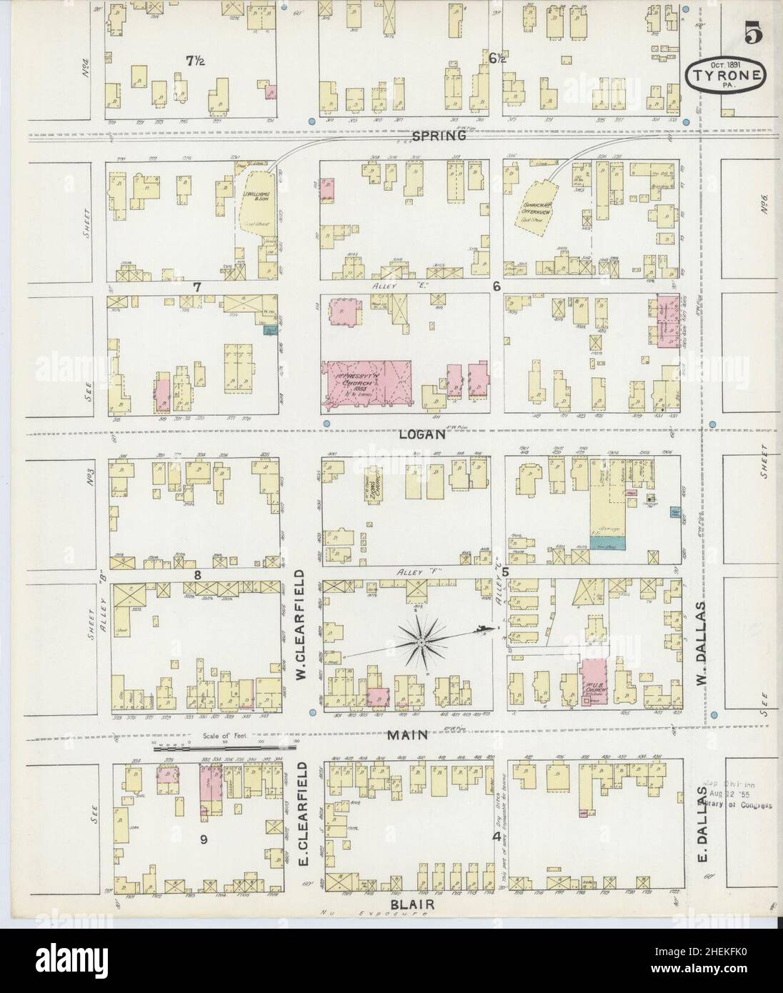 Sanborn Fire Insurance Map from Tyrone, Blair County, Pennsylvania. Stock Photohttps://www.alamy.com/image-license-details/?v=1https://www.alamy.com/sanborn-fire-insurance-map-from-tyrone-blair-county-pennsylvania-image456504132.html
RM2HEKFK0–Sanborn Fire Insurance Map from Tyrone, Blair County, Pennsylvania.
 USGS TOPO Map Pennsylvania PA Tyrone 170055 1923 62500 Restoration Stock Photohttps://www.alamy.com/image-license-details/?v=1https://www.alamy.com/usgs-topo-map-pennsylvania-pa-tyrone-170055-1923-62500-restoration-image334564807.html
RM2AC8MR3–USGS TOPO Map Pennsylvania PA Tyrone 170055 1923 62500 Restoration
 Image 4 of Sanborn Fire Insurance Map from Tyrone, Blair County, Pennsylvania. Jul 1884. 4 Sheet(s), America, street map with a Nineteenth Century compass Stock Photohttps://www.alamy.com/image-license-details/?v=1https://www.alamy.com/image-4-of-sanborn-fire-insurance-map-from-tyrone-blair-county-pennsylvania-jul-1884-4-sheets-america-street-map-with-a-nineteenth-century-compass-image344706277.html
RM2B0PMAD–Image 4 of Sanborn Fire Insurance Map from Tyrone, Blair County, Pennsylvania. Jul 1884. 4 Sheet(s), America, street map with a Nineteenth Century compass
 Borough of Tyrone, Blair County, US, United States, Pennsylvania, N 40 40' 35'', S 78 14' 45'', map, Cartascapes Map published in 2024. Explore Cartascapes, a map revealing Earth's diverse landscapes, cultures, and ecosystems. Journey through time and space, discovering the interconnectedness of our planet's past, present, and future. Stock Photohttps://www.alamy.com/image-license-details/?v=1https://www.alamy.com/borough-of-tyrone-blair-county-us-united-states-pennsylvania-n-40-40-35-s-78-14-45-map-cartascapes-map-published-in-2024-explore-cartascapes-a-map-revealing-earths-diverse-landscapes-cultures-and-ecosystems-journey-through-time-and-space-discovering-the-interconnectedness-of-our-planets-past-present-and-future-image633789902.html
RM2YR3HDJ–Borough of Tyrone, Blair County, US, United States, Pennsylvania, N 40 40' 35'', S 78 14' 45'', map, Cartascapes Map published in 2024. Explore Cartascapes, a map revealing Earth's diverse landscapes, cultures, and ecosystems. Journey through time and space, discovering the interconnectedness of our planet's past, present, and future.
 Sanborn Fire Insurance Map from Tyrone, Blair County, Pennsylvania. Stock Photohttps://www.alamy.com/image-license-details/?v=1https://www.alamy.com/sanborn-fire-insurance-map-from-tyrone-blair-county-pennsylvania-image456504129.html
RM2HEKFJW–Sanborn Fire Insurance Map from Tyrone, Blair County, Pennsylvania.
 USGS TOPO Map Pennsylvania PA Tyrone 170062 1933 62500 Restoration Stock Photohttps://www.alamy.com/image-license-details/?v=1https://www.alamy.com/usgs-topo-map-pennsylvania-pa-tyrone-170062-1933-62500-restoration-image334564868.html
RM2AC8MW8–USGS TOPO Map Pennsylvania PA Tyrone 170062 1933 62500 Restoration
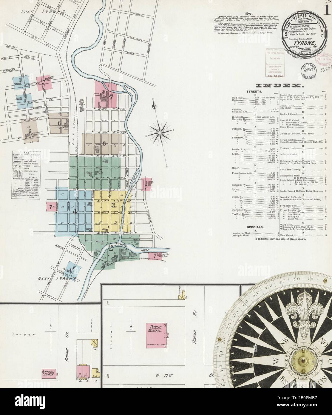 Image 1 of Sanborn Fire Insurance Map from Tyrone, Blair County, Pennsylvania. Aug 1896. 7 Sheet(s), America, street map with a Nineteenth Century compass Stock Photohttps://www.alamy.com/image-license-details/?v=1https://www.alamy.com/image-1-of-sanborn-fire-insurance-map-from-tyrone-blair-county-pennsylvania-aug-1896-7-sheets-america-street-map-with-a-nineteenth-century-compass-image344706299.html
RM2B0PMB7–Image 1 of Sanborn Fire Insurance Map from Tyrone, Blair County, Pennsylvania. Aug 1896. 7 Sheet(s), America, street map with a Nineteenth Century compass
 Township of Tyrone, Perry County, US, United States, Pennsylvania, N 40 19' 19'', S 77 20' 12'', map, Cartascapes Map published in 2024. Explore Cartascapes, a map revealing Earth's diverse landscapes, cultures, and ecosystems. Journey through time and space, discovering the interconnectedness of our planet's past, present, and future. Stock Photohttps://www.alamy.com/image-license-details/?v=1https://www.alamy.com/township-of-tyrone-perry-county-us-united-states-pennsylvania-n-40-19-19-s-77-20-12-map-cartascapes-map-published-in-2024-explore-cartascapes-a-map-revealing-earths-diverse-landscapes-cultures-and-ecosystems-journey-through-time-and-space-discovering-the-interconnectedness-of-our-planets-past-present-and-future-image633819195.html
RM2YR4XRR–Township of Tyrone, Perry County, US, United States, Pennsylvania, N 40 19' 19'', S 77 20' 12'', map, Cartascapes Map published in 2024. Explore Cartascapes, a map revealing Earth's diverse landscapes, cultures, and ecosystems. Journey through time and space, discovering the interconnectedness of our planet's past, present, and future.
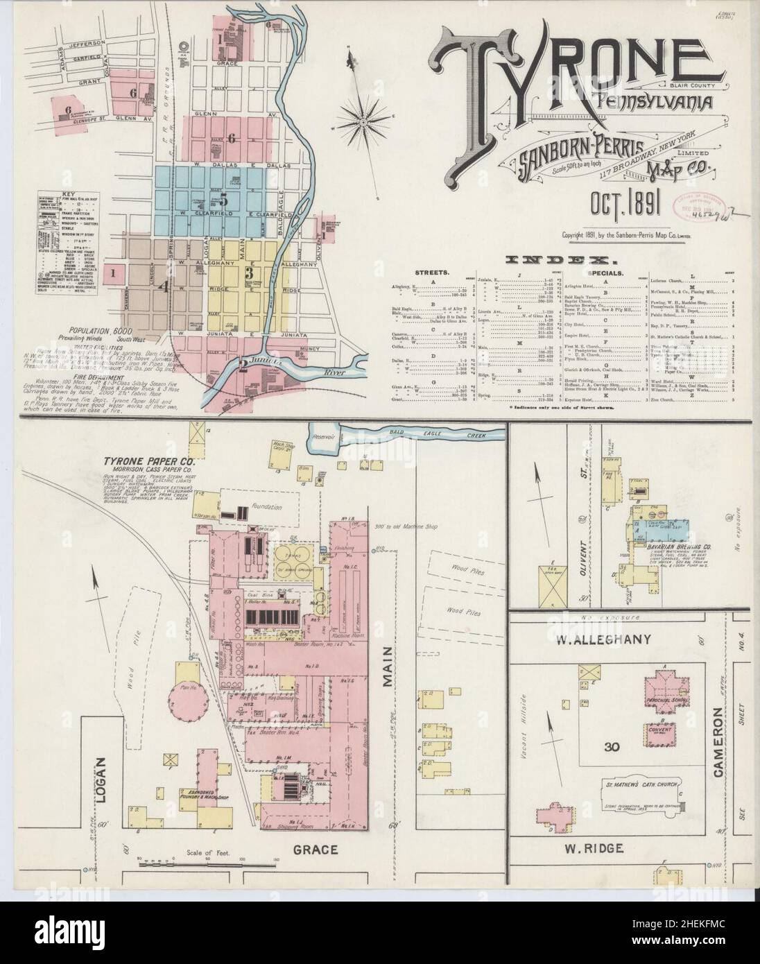 Sanborn Fire Insurance Map from Tyrone, Blair County, Pennsylvania. Stock Photohttps://www.alamy.com/image-license-details/?v=1https://www.alamy.com/sanborn-fire-insurance-map-from-tyrone-blair-county-pennsylvania-image456504172.html
RM2HEKFMC–Sanborn Fire Insurance Map from Tyrone, Blair County, Pennsylvania.
 USGS TOPO Map Pennsylvania PA Tyrone 222287 1963 24000 Restoration Stock Photohttps://www.alamy.com/image-license-details/?v=1https://www.alamy.com/usgs-topo-map-pennsylvania-pa-tyrone-222287-1963-24000-restoration-image334564995.html
RM2AC8N1R–USGS TOPO Map Pennsylvania PA Tyrone 222287 1963 24000 Restoration
 Image 5 of Sanborn Fire Insurance Map from Tyrone, Blair County, Pennsylvania. Aug 1896. 7 Sheet(s), America, street map with a Nineteenth Century compass Stock Photohttps://www.alamy.com/image-license-details/?v=1https://www.alamy.com/image-5-of-sanborn-fire-insurance-map-from-tyrone-blair-county-pennsylvania-aug-1896-7-sheets-america-street-map-with-a-nineteenth-century-compass-image344706319.html
RM2B0PMBY–Image 5 of Sanborn Fire Insurance Map from Tyrone, Blair County, Pennsylvania. Aug 1896. 7 Sheet(s), America, street map with a Nineteenth Century compass
 Tyrone, Pennsylvania, map 1946, 1:62500, United States of America by Timeless Maps, data U.S. Geological Survey Stock Photohttps://www.alamy.com/image-license-details/?v=1https://www.alamy.com/tyrone-pennsylvania-map-1946-162500-united-states-of-america-by-timeless-maps-data-us-geological-survey-image414216773.html
RM2F1W5M5–Tyrone, Pennsylvania, map 1946, 1:62500, United States of America by Timeless Maps, data U.S. Geological Survey
 Sanborn Fire Insurance Map from Tyrone, Blair County, Pennsylvania. Stock Photohttps://www.alamy.com/image-license-details/?v=1https://www.alamy.com/sanborn-fire-insurance-map-from-tyrone-blair-county-pennsylvania-image456504133.html
RM2HEKFK1–Sanborn Fire Insurance Map from Tyrone, Blair County, Pennsylvania.
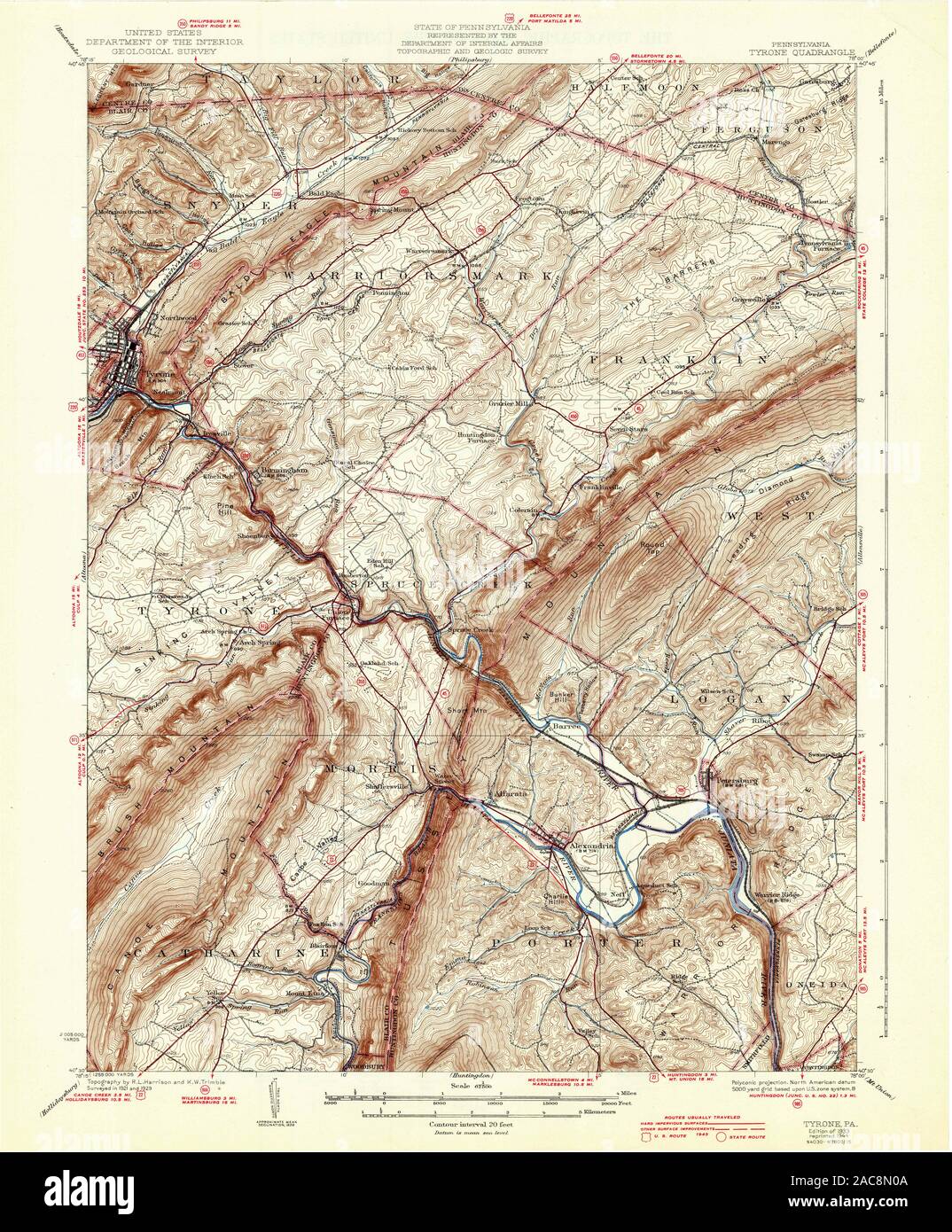 USGS TOPO Map Pennsylvania PA Tyrone 222283 1933 62500 Restoration Stock Photohttps://www.alamy.com/image-license-details/?v=1https://www.alamy.com/usgs-topo-map-pennsylvania-pa-tyrone-222283-1933-62500-restoration-image334564954.html
RM2AC8N0A–USGS TOPO Map Pennsylvania PA Tyrone 222283 1933 62500 Restoration
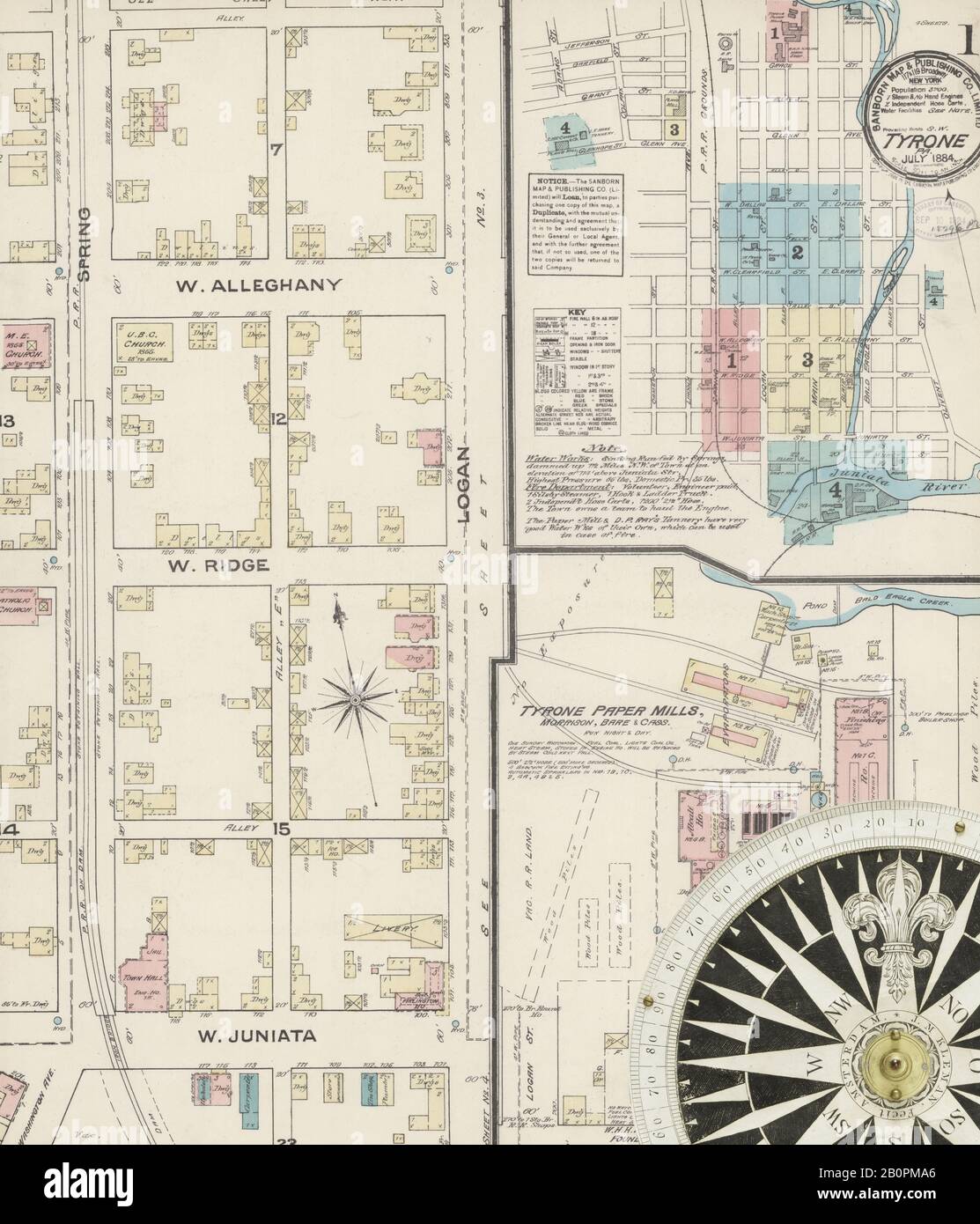 Image 1 of Sanborn Fire Insurance Map from Tyrone, Blair County, Pennsylvania. Jul 1884. 4 Sheet(s), America, street map with a Nineteenth Century compass Stock Photohttps://www.alamy.com/image-license-details/?v=1https://www.alamy.com/image-1-of-sanborn-fire-insurance-map-from-tyrone-blair-county-pennsylvania-jul-1884-4-sheets-america-street-map-with-a-nineteenth-century-compass-image344706270.html
RM2B0PMA6–Image 1 of Sanborn Fire Insurance Map from Tyrone, Blair County, Pennsylvania. Jul 1884. 4 Sheet(s), America, street map with a Nineteenth Century compass
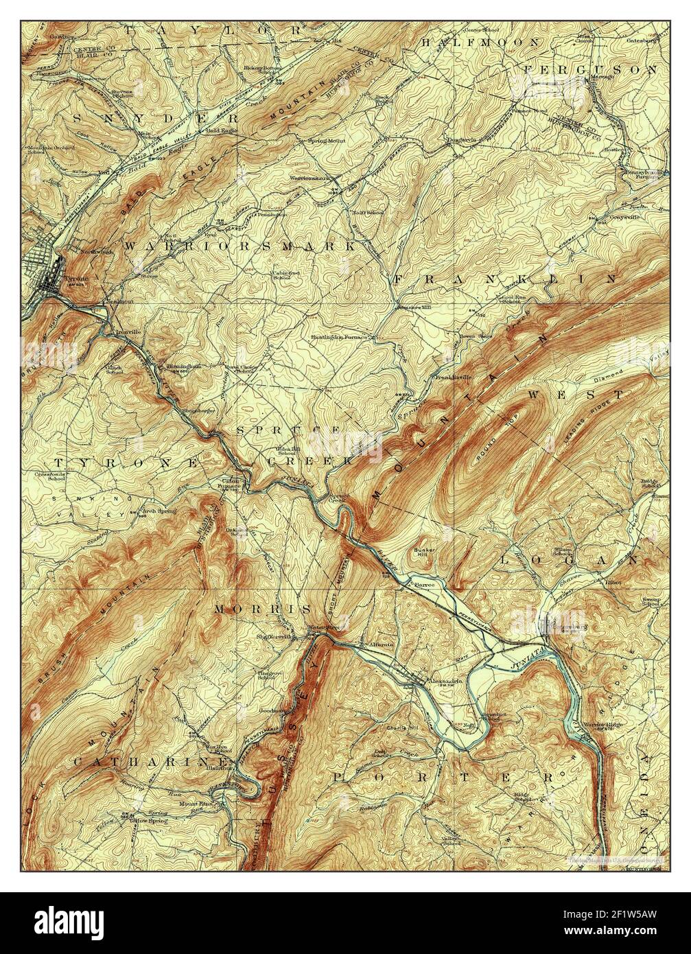 Tyrone, Pennsylvania, map 1923, 1:62500, United States of America by Timeless Maps, data U.S. Geological Survey Stock Photohttps://www.alamy.com/image-license-details/?v=1https://www.alamy.com/tyrone-pennsylvania-map-1923-162500-united-states-of-america-by-timeless-maps-data-us-geological-survey-image414216513.html
RM2F1W5AW–Tyrone, Pennsylvania, map 1923, 1:62500, United States of America by Timeless Maps, data U.S. Geological Survey
 Sanborn Fire Insurance Map from Tyrone, Blair County, Pennsylvania. Stock Photohttps://www.alamy.com/image-license-details/?v=1https://www.alamy.com/sanborn-fire-insurance-map-from-tyrone-blair-county-pennsylvania-image456504119.html
RM2HEKFJF–Sanborn Fire Insurance Map from Tyrone, Blair County, Pennsylvania.
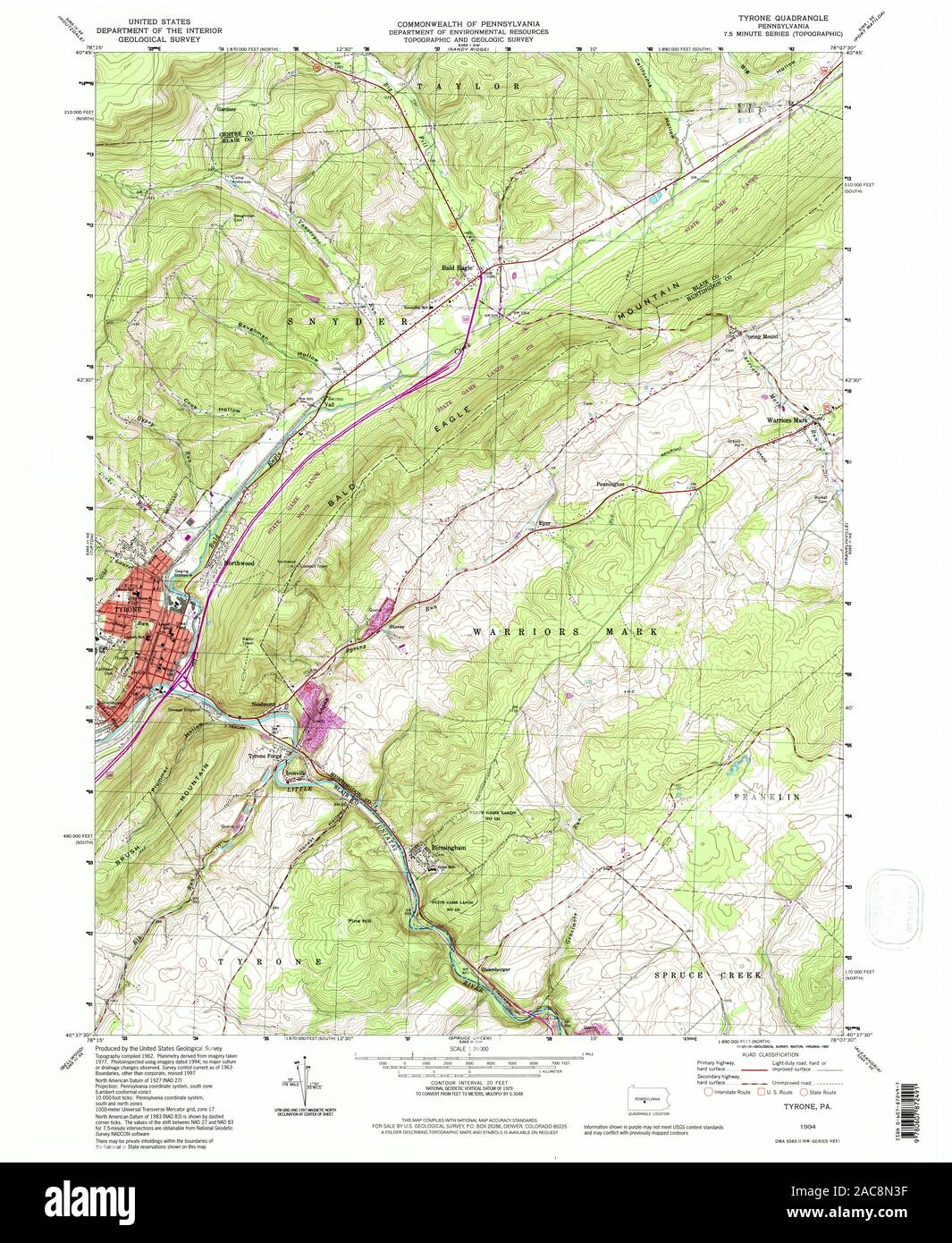 USGS TOPO Map Pennsylvania PA Tyrone 223580 1994 24000 Restoration Stock Photohttps://www.alamy.com/image-license-details/?v=1https://www.alamy.com/usgs-topo-map-pennsylvania-pa-tyrone-223580-1994-24000-restoration-image334565043.html
RM2AC8N3F–USGS TOPO Map Pennsylvania PA Tyrone 223580 1994 24000 Restoration
 Image 6 of Sanborn Fire Insurance Map from Tyrone, Blair County, Pennsylvania. Oct 1891. 6 Sheet(s), America, street map with a Nineteenth Century compass Stock Photohttps://www.alamy.com/image-license-details/?v=1https://www.alamy.com/image-6-of-sanborn-fire-insurance-map-from-tyrone-blair-county-pennsylvania-oct-1891-6-sheets-america-street-map-with-a-nineteenth-century-compass-image344706290.html
RM2B0PMAX–Image 6 of Sanborn Fire Insurance Map from Tyrone, Blair County, Pennsylvania. Oct 1891. 6 Sheet(s), America, street map with a Nineteenth Century compass
 Tyrone, Pennsylvania, map 1994, 1:24000, United States of America by Timeless Maps, data U.S. Geological Survey Stock Photohttps://www.alamy.com/image-license-details/?v=1https://www.alamy.com/tyrone-pennsylvania-map-1994-124000-united-states-of-america-by-timeless-maps-data-us-geological-survey-image406954775.html
RM2EJ2AY3–Tyrone, Pennsylvania, map 1994, 1:24000, United States of America by Timeless Maps, data U.S. Geological Survey
 Sanborn Fire Insurance Map from Tyrone, Blair County, Pennsylvania. Stock Photohttps://www.alamy.com/image-license-details/?v=1https://www.alamy.com/sanborn-fire-insurance-map-from-tyrone-blair-county-pennsylvania-image456504118.html
RM2HEKFJE–Sanborn Fire Insurance Map from Tyrone, Blair County, Pennsylvania.
 USGS TOPO Map Pennsylvania PA Tyrone 461945 1946 62500 Restoration Stock Photohttps://www.alamy.com/image-license-details/?v=1https://www.alamy.com/usgs-topo-map-pennsylvania-pa-tyrone-461945-1946-62500-restoration-image334565046.html
RM2AC8N3J–USGS TOPO Map Pennsylvania PA Tyrone 461945 1946 62500 Restoration
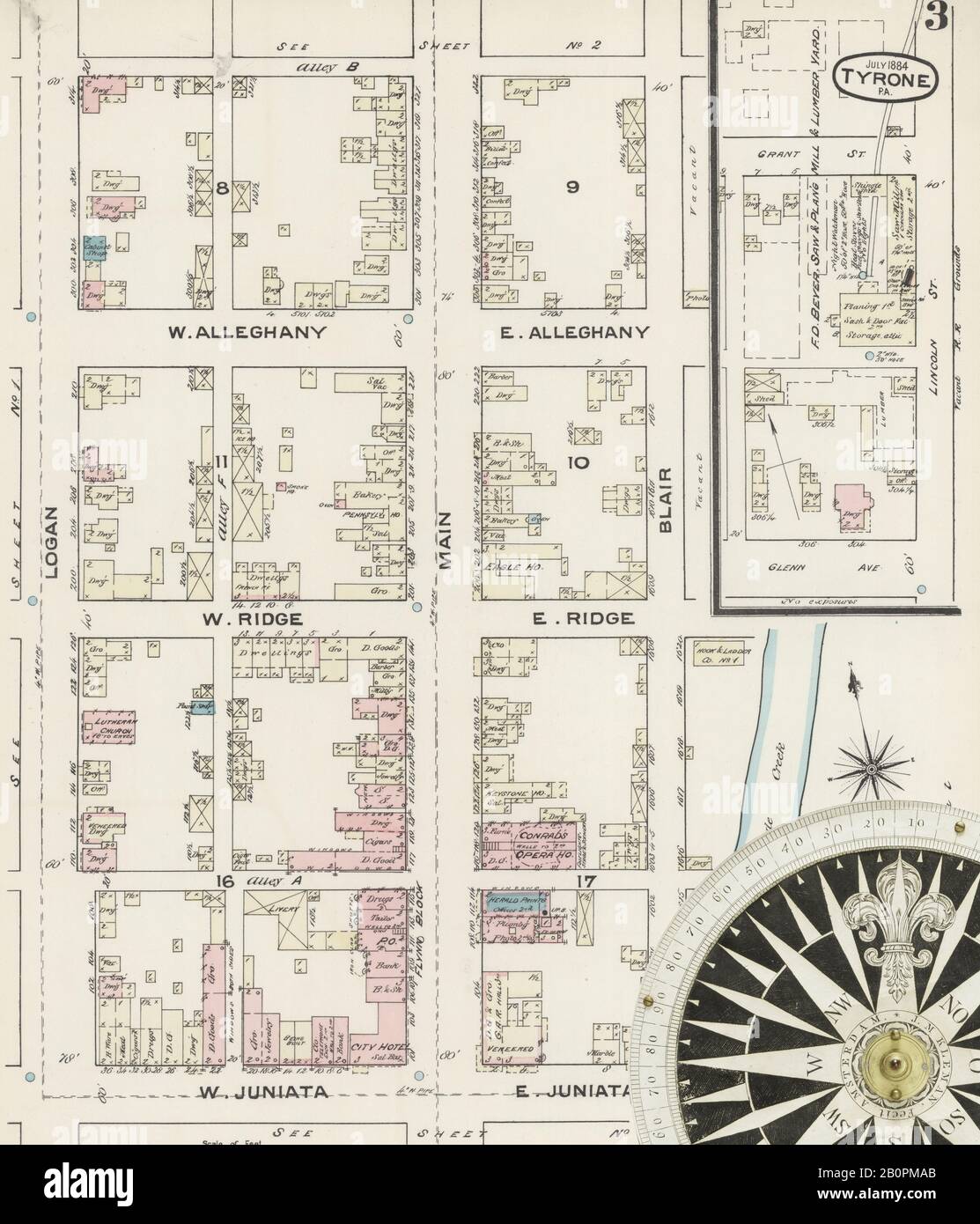 Image 3 of Sanborn Fire Insurance Map from Tyrone, Blair County, Pennsylvania. Jul 1884. 4 Sheet(s), America, street map with a Nineteenth Century compass Stock Photohttps://www.alamy.com/image-license-details/?v=1https://www.alamy.com/image-3-of-sanborn-fire-insurance-map-from-tyrone-blair-county-pennsylvania-jul-1884-4-sheets-america-street-map-with-a-nineteenth-century-compass-image344706275.html
RM2B0PMAB–Image 3 of Sanborn Fire Insurance Map from Tyrone, Blair County, Pennsylvania. Jul 1884. 4 Sheet(s), America, street map with a Nineteenth Century compass
 Tyrone, Pennsylvania, map 1929, 1:62500, United States of America by Timeless Maps, data U.S. Geological Survey Stock Photohttps://www.alamy.com/image-license-details/?v=1https://www.alamy.com/tyrone-pennsylvania-map-1929-162500-united-states-of-america-by-timeless-maps-data-us-geological-survey-image414216512.html
RM2F1W5AT–Tyrone, Pennsylvania, map 1929, 1:62500, United States of America by Timeless Maps, data U.S. Geological Survey
 Sanborn Fire Insurance Map from Tyrone, Blair County, Pennsylvania. Stock Photohttps://www.alamy.com/image-license-details/?v=1https://www.alamy.com/sanborn-fire-insurance-map-from-tyrone-blair-county-pennsylvania-image456504137.html
RM2HEKFK5–Sanborn Fire Insurance Map from Tyrone, Blair County, Pennsylvania.
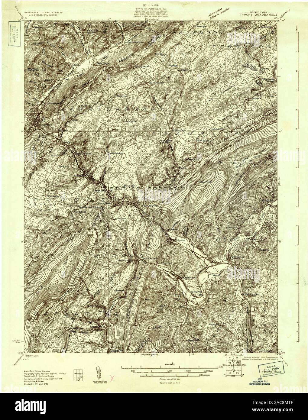 USGS TOPO Map Pennsylvania PA Tyrone 170060 1929 48000 Restoration Stock Photohttps://www.alamy.com/image-license-details/?v=1https://www.alamy.com/usgs-topo-map-pennsylvania-pa-tyrone-170060-1929-48000-restoration-image334564847.html
RM2AC8MTF–USGS TOPO Map Pennsylvania PA Tyrone 170060 1929 48000 Restoration
 Image 5 of Sanborn Fire Insurance Map from Tyrone, Blair County, Pennsylvania. Oct 1891. 6 Sheet(s), America, street map with a Nineteenth Century compass Stock Photohttps://www.alamy.com/image-license-details/?v=1https://www.alamy.com/image-5-of-sanborn-fire-insurance-map-from-tyrone-blair-county-pennsylvania-oct-1891-6-sheets-america-street-map-with-a-nineteenth-century-compass-image344706287.html
RM2B0PMAR–Image 5 of Sanborn Fire Insurance Map from Tyrone, Blair County, Pennsylvania. Oct 1891. 6 Sheet(s), America, street map with a Nineteenth Century compass
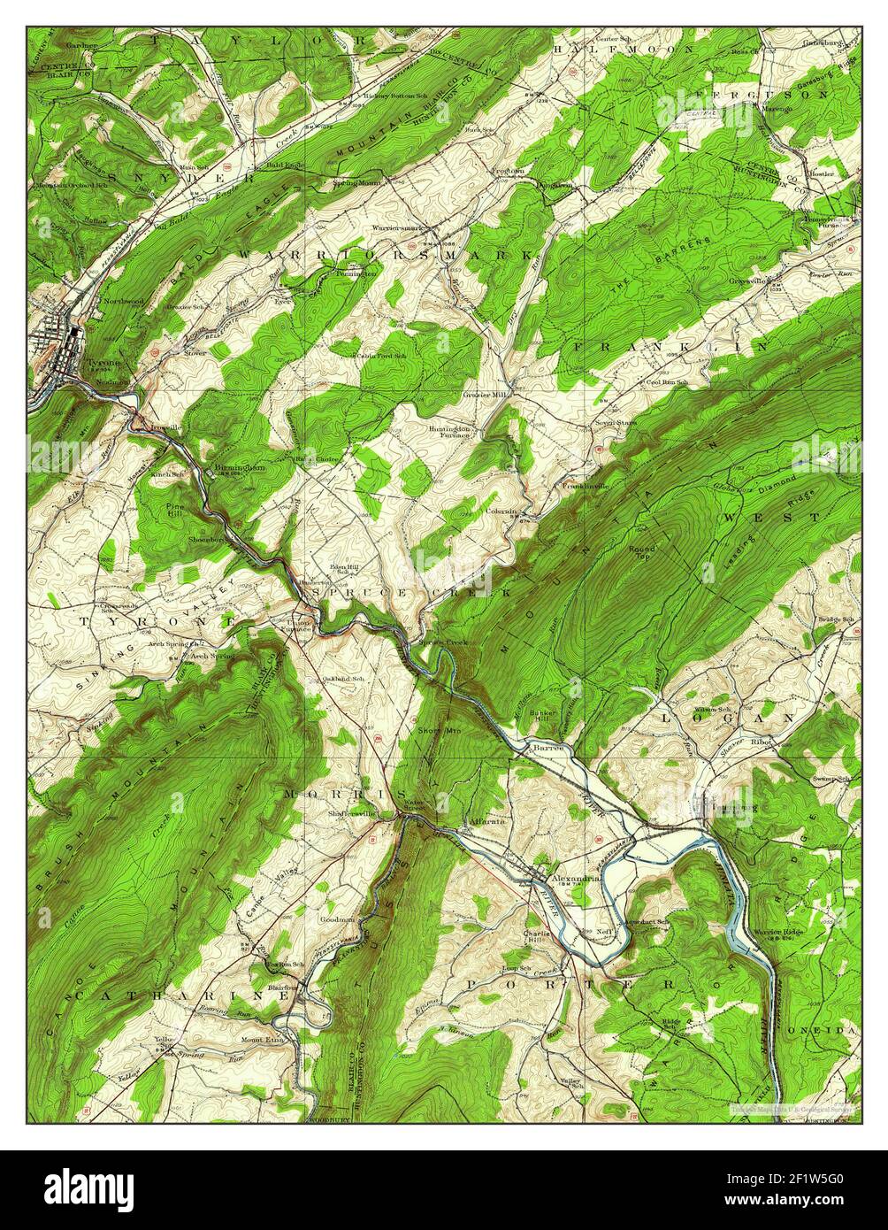 Tyrone, Pennsylvania, map 1929, 1:62500, United States of America by Timeless Maps, data U.S. Geological Survey Stock Photohttps://www.alamy.com/image-license-details/?v=1https://www.alamy.com/tyrone-pennsylvania-map-1929-162500-united-states-of-america-by-timeless-maps-data-us-geological-survey-image414216656.html
RM2F1W5G0–Tyrone, Pennsylvania, map 1929, 1:62500, United States of America by Timeless Maps, data U.S. Geological Survey
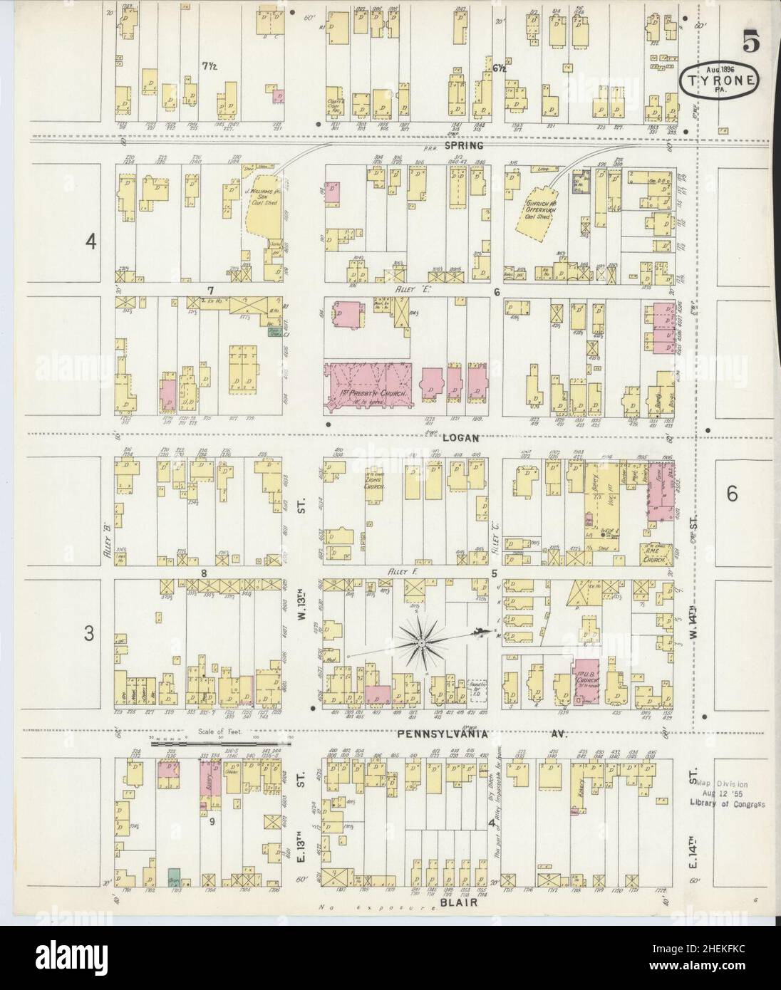 Sanborn Fire Insurance Map from Tyrone, Blair County, Pennsylvania. Stock Photohttps://www.alamy.com/image-license-details/?v=1https://www.alamy.com/sanborn-fire-insurance-map-from-tyrone-blair-county-pennsylvania-image456504144.html
RM2HEKFKC–Sanborn Fire Insurance Map from Tyrone, Blair County, Pennsylvania.
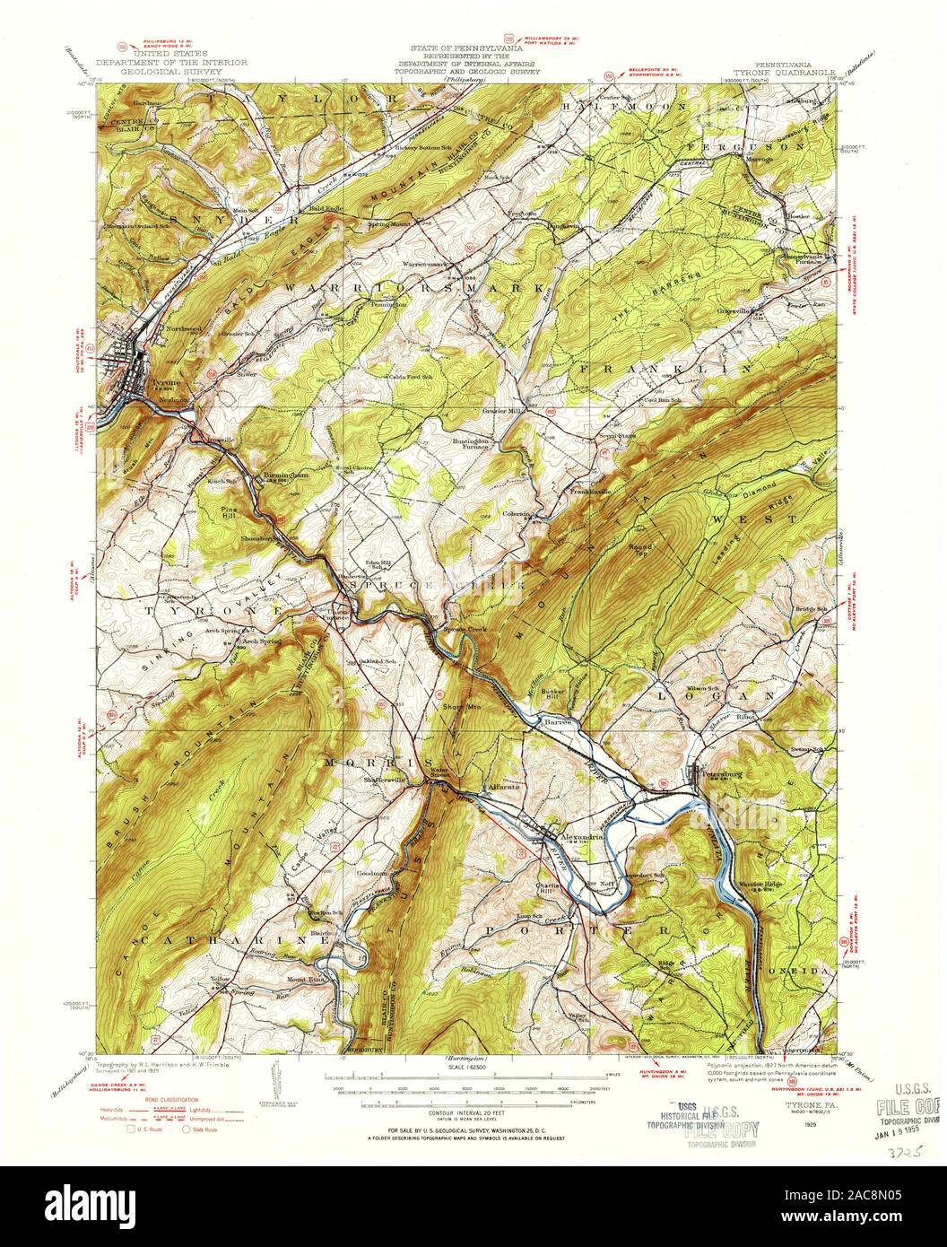 USGS TOPO Map Pennsylvania PA Tyrone 222280 1929 62500 Restoration Stock Photohttps://www.alamy.com/image-license-details/?v=1https://www.alamy.com/usgs-topo-map-pennsylvania-pa-tyrone-222280-1929-62500-restoration-image334564949.html
RM2AC8N05–USGS TOPO Map Pennsylvania PA Tyrone 222280 1929 62500 Restoration
 Image 4 of Sanborn Fire Insurance Map from Tyrone, Blair County, Pennsylvania. Oct 1891. 6 Sheet(s), America, street map with a Nineteenth Century compass Stock Photohttps://www.alamy.com/image-license-details/?v=1https://www.alamy.com/image-4-of-sanborn-fire-insurance-map-from-tyrone-blair-county-pennsylvania-oct-1891-6-sheets-america-street-map-with-a-nineteenth-century-compass-image344706285.html
RM2B0PMAN–Image 4 of Sanborn Fire Insurance Map from Tyrone, Blair County, Pennsylvania. Oct 1891. 6 Sheet(s), America, street map with a Nineteenth Century compass
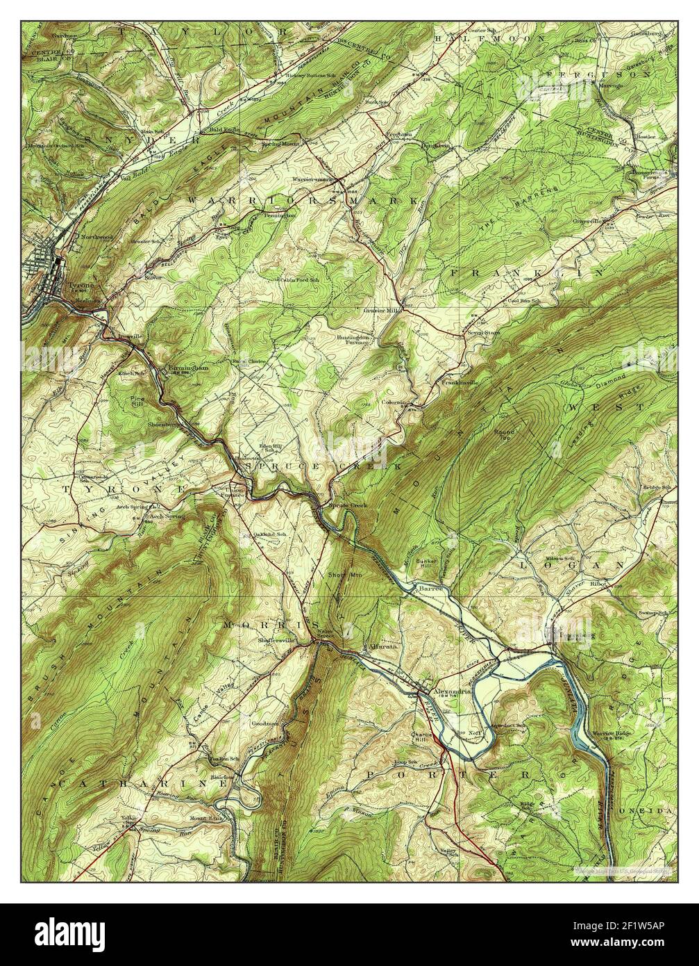 Tyrone, Pennsylvania, map 1933, 1:62500, United States of America by Timeless Maps, data U.S. Geological Survey Stock Photohttps://www.alamy.com/image-license-details/?v=1https://www.alamy.com/tyrone-pennsylvania-map-1933-162500-united-states-of-america-by-timeless-maps-data-us-geological-survey-image414216510.html
RM2F1W5AP–Tyrone, Pennsylvania, map 1933, 1:62500, United States of America by Timeless Maps, data U.S. Geological Survey
 Sanborn Fire Insurance Map from Tyrone, Blair County, Pennsylvania. Stock Photohttps://www.alamy.com/image-license-details/?v=1https://www.alamy.com/sanborn-fire-insurance-map-from-tyrone-blair-county-pennsylvania-image456504136.html
RM2HEKFK4–Sanborn Fire Insurance Map from Tyrone, Blair County, Pennsylvania.
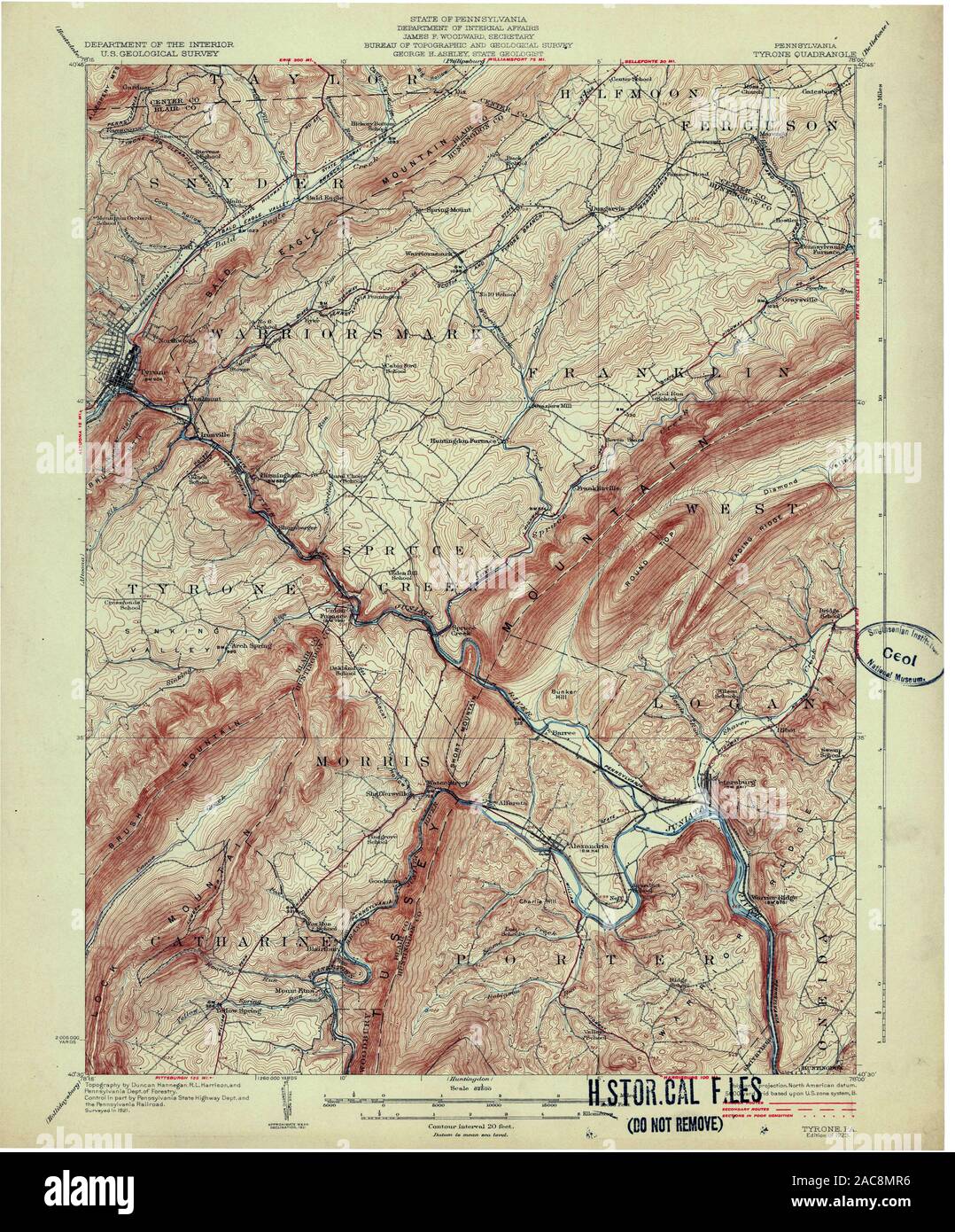 USGS TOPO Map Pennsylvania PA Tyrone 170057 1923 62500 Restoration Stock Photohttps://www.alamy.com/image-license-details/?v=1https://www.alamy.com/usgs-topo-map-pennsylvania-pa-tyrone-170057-1923-62500-restoration-image334564810.html
RM2AC8MR6–USGS TOPO Map Pennsylvania PA Tyrone 170057 1923 62500 Restoration
 Image 2 of Sanborn Fire Insurance Map from Tyrone, Blair County, Pennsylvania. Jul 1884. 4 Sheet(s), America, street map with a Nineteenth Century compass Stock Photohttps://www.alamy.com/image-license-details/?v=1https://www.alamy.com/image-2-of-sanborn-fire-insurance-map-from-tyrone-blair-county-pennsylvania-jul-1884-4-sheets-america-street-map-with-a-nineteenth-century-compass-image344706273.html
RM2B0PMA9–Image 2 of Sanborn Fire Insurance Map from Tyrone, Blair County, Pennsylvania. Jul 1884. 4 Sheet(s), America, street map with a Nineteenth Century compass
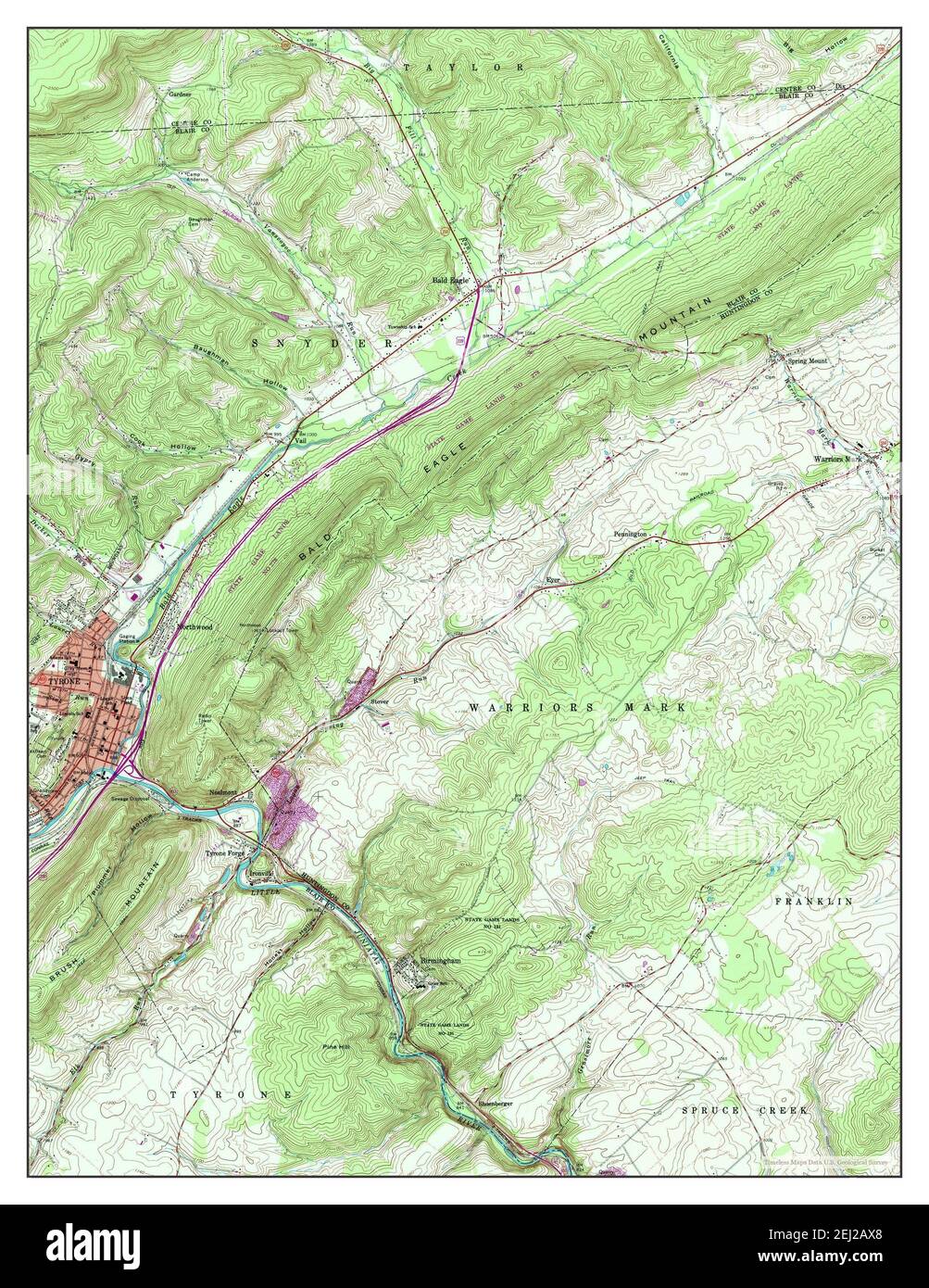 Tyrone, Pennsylvania, map 1963, 1:24000, United States of America by Timeless Maps, data U.S. Geological Survey Stock Photohttps://www.alamy.com/image-license-details/?v=1https://www.alamy.com/tyrone-pennsylvania-map-1963-124000-united-states-of-america-by-timeless-maps-data-us-geological-survey-image406954752.html
RM2EJ2AX8–Tyrone, Pennsylvania, map 1963, 1:24000, United States of America by Timeless Maps, data U.S. Geological Survey
 Sanborn Fire Insurance Map from Tyrone, Blair County, Pennsylvania. Stock Photohttps://www.alamy.com/image-license-details/?v=1https://www.alamy.com/sanborn-fire-insurance-map-from-tyrone-blair-county-pennsylvania-image456504151.html
RM2HEKFKK–Sanborn Fire Insurance Map from Tyrone, Blair County, Pennsylvania.
 USGS TOPO Map Pennsylvania PA Tyrone 170061 1923 62500 Restoration Stock Photohttps://www.alamy.com/image-license-details/?v=1https://www.alamy.com/usgs-topo-map-pennsylvania-pa-tyrone-170061-1923-62500-restoration-image334564870.html
RM2AC8MWA–USGS TOPO Map Pennsylvania PA Tyrone 170061 1923 62500 Restoration
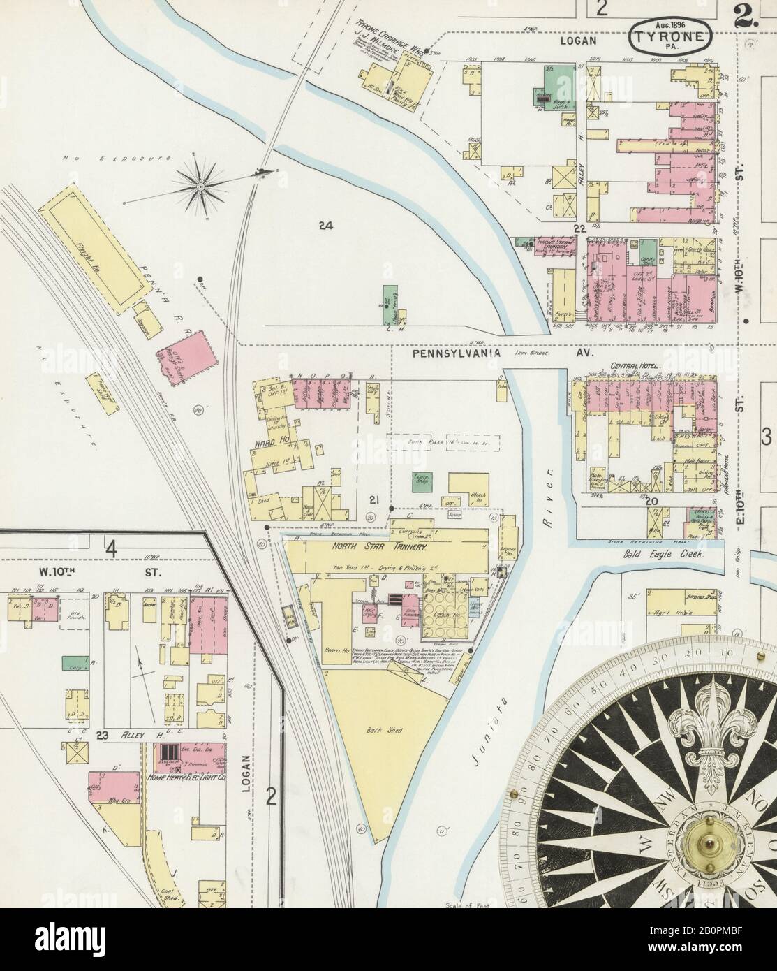 Image 2 of Sanborn Fire Insurance Map from Tyrone, Blair County, Pennsylvania. Aug 1896. 7 Sheet(s), America, street map with a Nineteenth Century compass Stock Photohttps://www.alamy.com/image-license-details/?v=1https://www.alamy.com/image-2-of-sanborn-fire-insurance-map-from-tyrone-blair-county-pennsylvania-aug-1896-7-sheets-america-street-map-with-a-nineteenth-century-compass-image344706307.html
RM2B0PMBF–Image 2 of Sanborn Fire Insurance Map from Tyrone, Blair County, Pennsylvania. Aug 1896. 7 Sheet(s), America, street map with a Nineteenth Century compass
 Tyrone, Pennsylvania, map 1963, 1:24000, United States of America by Timeless Maps, data U.S. Geological Survey Stock Photohttps://www.alamy.com/image-license-details/?v=1https://www.alamy.com/tyrone-pennsylvania-map-1963-124000-united-states-of-america-by-timeless-maps-data-us-geological-survey-image406954750.html
RM2EJ2AX6–Tyrone, Pennsylvania, map 1963, 1:24000, United States of America by Timeless Maps, data U.S. Geological Survey
 Sanborn Fire Insurance Map from Tyrone, Blair County, Pennsylvania. Stock Photohttps://www.alamy.com/image-license-details/?v=1https://www.alamy.com/sanborn-fire-insurance-map-from-tyrone-blair-county-pennsylvania-image456504124.html
RM2HEKFJM–Sanborn Fire Insurance Map from Tyrone, Blair County, Pennsylvania.
 USGS TOPO Map Pennsylvania PA Tyrone 462098 1929 62500 Restoration Stock Photohttps://www.alamy.com/image-license-details/?v=1https://www.alamy.com/usgs-topo-map-pennsylvania-pa-tyrone-462098-1929-62500-restoration-image334565072.html
RM2AC8N4G–USGS TOPO Map Pennsylvania PA Tyrone 462098 1929 62500 Restoration
 Tyrone, Pennsylvania, map 1933, 1:62500, United States of America by Timeless Maps, data U.S. Geological Survey Stock Photohttps://www.alamy.com/image-license-details/?v=1https://www.alamy.com/tyrone-pennsylvania-map-1933-162500-united-states-of-america-by-timeless-maps-data-us-geological-survey-image414216652.html
RM2F1W5FT–Tyrone, Pennsylvania, map 1933, 1:62500, United States of America by Timeless Maps, data U.S. Geological Survey
 USGS TOPO Map Pennsylvania PA Tyrone 20100602 TM Inverted Restoration Stock Photohttps://www.alamy.com/image-license-details/?v=1https://www.alamy.com/usgs-topo-map-pennsylvania-pa-tyrone-20100602-tm-inverted-restoration-image334564897.html
RM2AC8MX9–USGS TOPO Map Pennsylvania PA Tyrone 20100602 TM Inverted Restoration
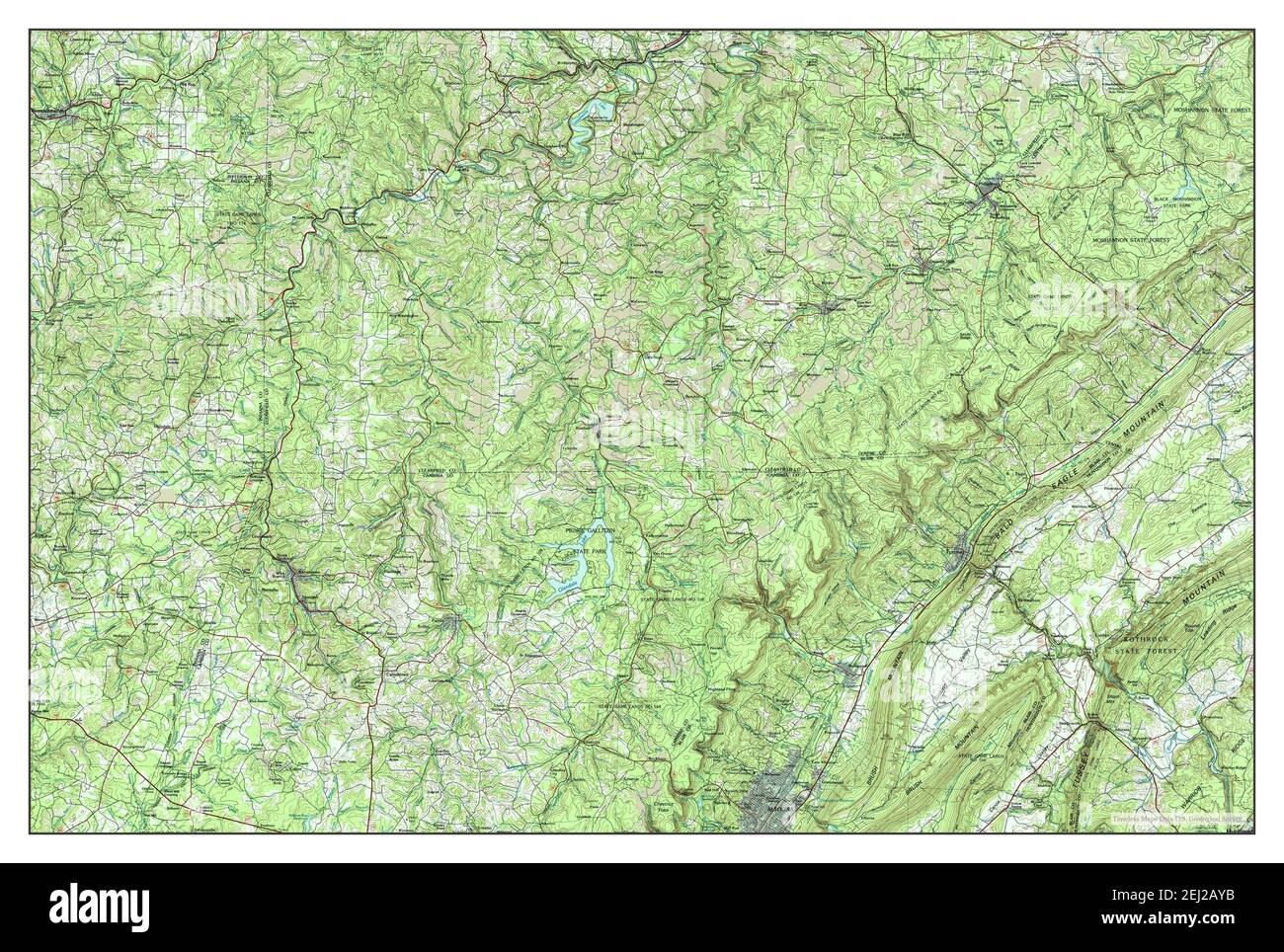 Tyrone, Pennsylvania, map 1984, 1:100000, United States of America by Timeless Maps, data U.S. Geological Survey Stock Photohttps://www.alamy.com/image-license-details/?v=1https://www.alamy.com/tyrone-pennsylvania-map-1984-1100000-united-states-of-america-by-timeless-maps-data-us-geological-survey-image406954783.html
RM2EJ2AYB–Tyrone, Pennsylvania, map 1984, 1:100000, United States of America by Timeless Maps, data U.S. Geological Survey
 USGS TOPO Map Pennsylvania PA Tyrone 462032 1933 62500 Restoration Stock Photohttps://www.alamy.com/image-license-details/?v=1https://www.alamy.com/usgs-topo-map-pennsylvania-pa-tyrone-462032-1933-62500-restoration-image334565075.html
RM2AC8N4K–USGS TOPO Map Pennsylvania PA Tyrone 462032 1933 62500 Restoration
 Tyrone, Pennsylvania, map 1923, 1:62500, United States of America by Timeless Maps, data U.S. Geological Survey Stock Photohttps://www.alamy.com/image-license-details/?v=1https://www.alamy.com/tyrone-pennsylvania-map-1923-162500-united-states-of-america-by-timeless-maps-data-us-geological-survey-image414216511.html
RM2F1W5AR–Tyrone, Pennsylvania, map 1923, 1:62500, United States of America by Timeless Maps, data U.S. Geological Survey
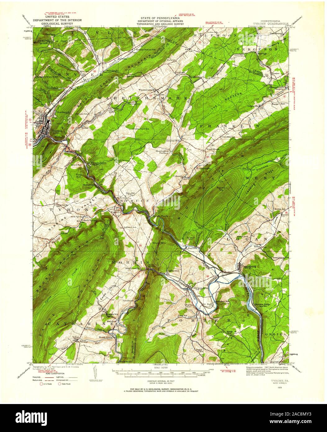 USGS TOPO Map Pennsylvania PA Tyrone 222278 1929 62500 Restoration Stock Photohttps://www.alamy.com/image-license-details/?v=1https://www.alamy.com/usgs-topo-map-pennsylvania-pa-tyrone-222278-1929-62500-restoration-image334564919.html
RM2AC8MY3–USGS TOPO Map Pennsylvania PA Tyrone 222278 1929 62500 Restoration
 Tyrone, Pennsylvania, map 1929, 1:62500, United States of America by Timeless Maps, data U.S. Geological Survey Stock Photohttps://www.alamy.com/image-license-details/?v=1https://www.alamy.com/tyrone-pennsylvania-map-1929-162500-united-states-of-america-by-timeless-maps-data-us-geological-survey-image414216504.html
RM2F1W5AG–Tyrone, Pennsylvania, map 1929, 1:62500, United States of America by Timeless Maps, data U.S. Geological Survey
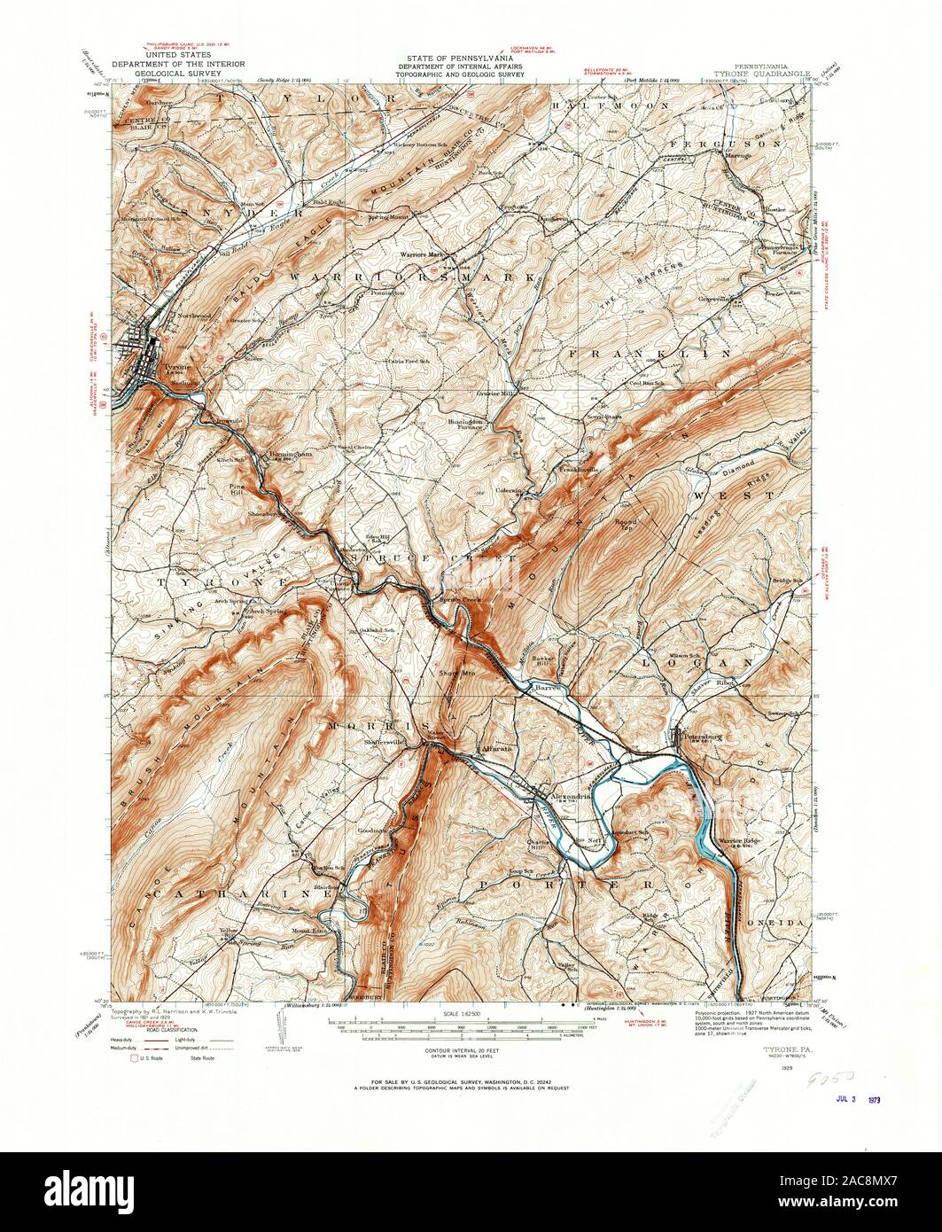 USGS TOPO Map Pennsylvania PA Tyrone 222276 1929 62500 Restoration Stock Photohttps://www.alamy.com/image-license-details/?v=1https://www.alamy.com/usgs-topo-map-pennsylvania-pa-tyrone-222276-1929-62500-restoration-image334564895.html
RM2AC8MX7–USGS TOPO Map Pennsylvania PA Tyrone 222276 1929 62500 Restoration
 Tyrone, Pennsylvania, map 1923, 1:62500, United States of America by Timeless Maps, data U.S. Geological Survey Stock Photohttps://www.alamy.com/image-license-details/?v=1https://www.alamy.com/tyrone-pennsylvania-map-1923-162500-united-states-of-america-by-timeless-maps-data-us-geological-survey-image414216470.html
RM2F1W59A–Tyrone, Pennsylvania, map 1923, 1:62500, United States of America by Timeless Maps, data U.S. Geological Survey
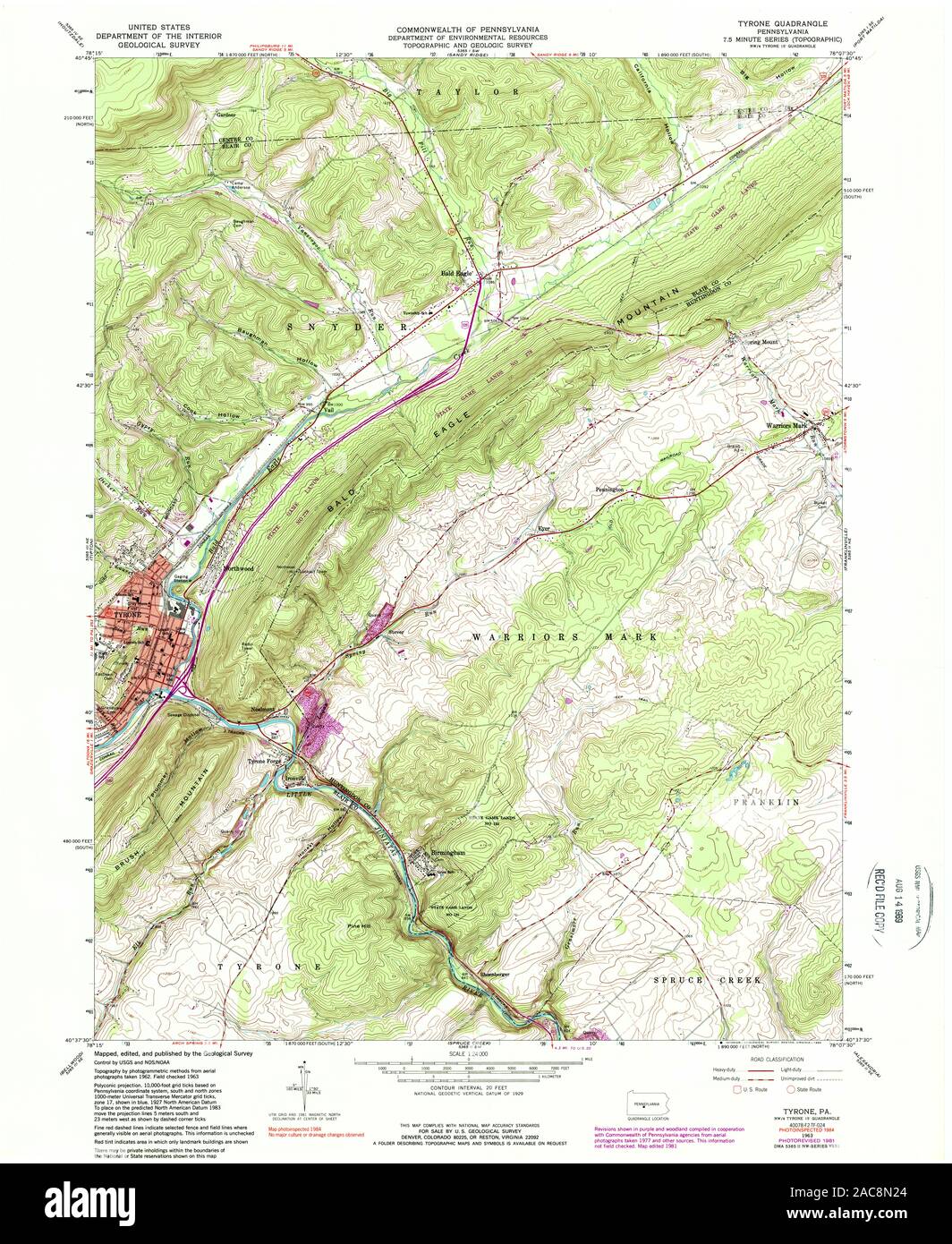 USGS TOPO Map Pennsylvania PA Tyrone 223579 1963 24000 Restoration Stock Photohttps://www.alamy.com/image-license-details/?v=1https://www.alamy.com/usgs-topo-map-pennsylvania-pa-tyrone-223579-1963-24000-restoration-image334565004.html
RM2AC8N24–USGS TOPO Map Pennsylvania PA Tyrone 223579 1963 24000 Restoration
 Tyrone, Pennsylvania, map 1923, 1:62500, United States of America by Timeless Maps, data U.S. Geological Survey Stock Photohttps://www.alamy.com/image-license-details/?v=1https://www.alamy.com/tyrone-pennsylvania-map-1923-162500-united-states-of-america-by-timeless-maps-data-us-geological-survey-image414216505.html
RM2F1W5AH–Tyrone, Pennsylvania, map 1923, 1:62500, United States of America by Timeless Maps, data U.S. Geological Survey
 USGS TOPO Map Pennsylvania PA Tyrone 222276 1929 62500 Inverted Restoration Stock Photohttps://www.alamy.com/image-license-details/?v=1https://www.alamy.com/usgs-topo-map-pennsylvania-pa-tyrone-222276-1929-62500-inverted-restoration-image334564889.html
RM2AC8MX1–USGS TOPO Map Pennsylvania PA Tyrone 222276 1929 62500 Inverted Restoration
 Tyrone, Pennsylvania, map 1929, 1:62500, United States of America by Timeless Maps, data U.S. Geological Survey Stock Photohttps://www.alamy.com/image-license-details/?v=1https://www.alamy.com/tyrone-pennsylvania-map-1929-162500-united-states-of-america-by-timeless-maps-data-us-geological-survey-image414216657.html
RM2F1W5G1–Tyrone, Pennsylvania, map 1929, 1:62500, United States of America by Timeless Maps, data U.S. Geological Survey
 USGS TOPO Map Pennsylvania PA Tyrone 222278 1929 62500 Inverted Restoration Stock Photohttps://www.alamy.com/image-license-details/?v=1https://www.alamy.com/usgs-topo-map-pennsylvania-pa-tyrone-222278-1929-62500-inverted-restoration-image334564925.html
RM2AC8MY9–USGS TOPO Map Pennsylvania PA Tyrone 222278 1929 62500 Inverted Restoration
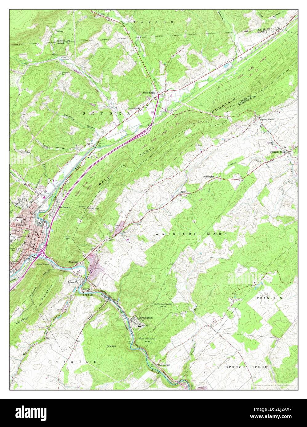 Tyrone, Pennsylvania, map 1963, 1:24000, United States of America by Timeless Maps, data U.S. Geological Survey Stock Photohttps://www.alamy.com/image-license-details/?v=1https://www.alamy.com/tyrone-pennsylvania-map-1963-124000-united-states-of-america-by-timeless-maps-data-us-geological-survey-image406954751.html
RM2EJ2AX7–Tyrone, Pennsylvania, map 1963, 1:24000, United States of America by Timeless Maps, data U.S. Geological Survey
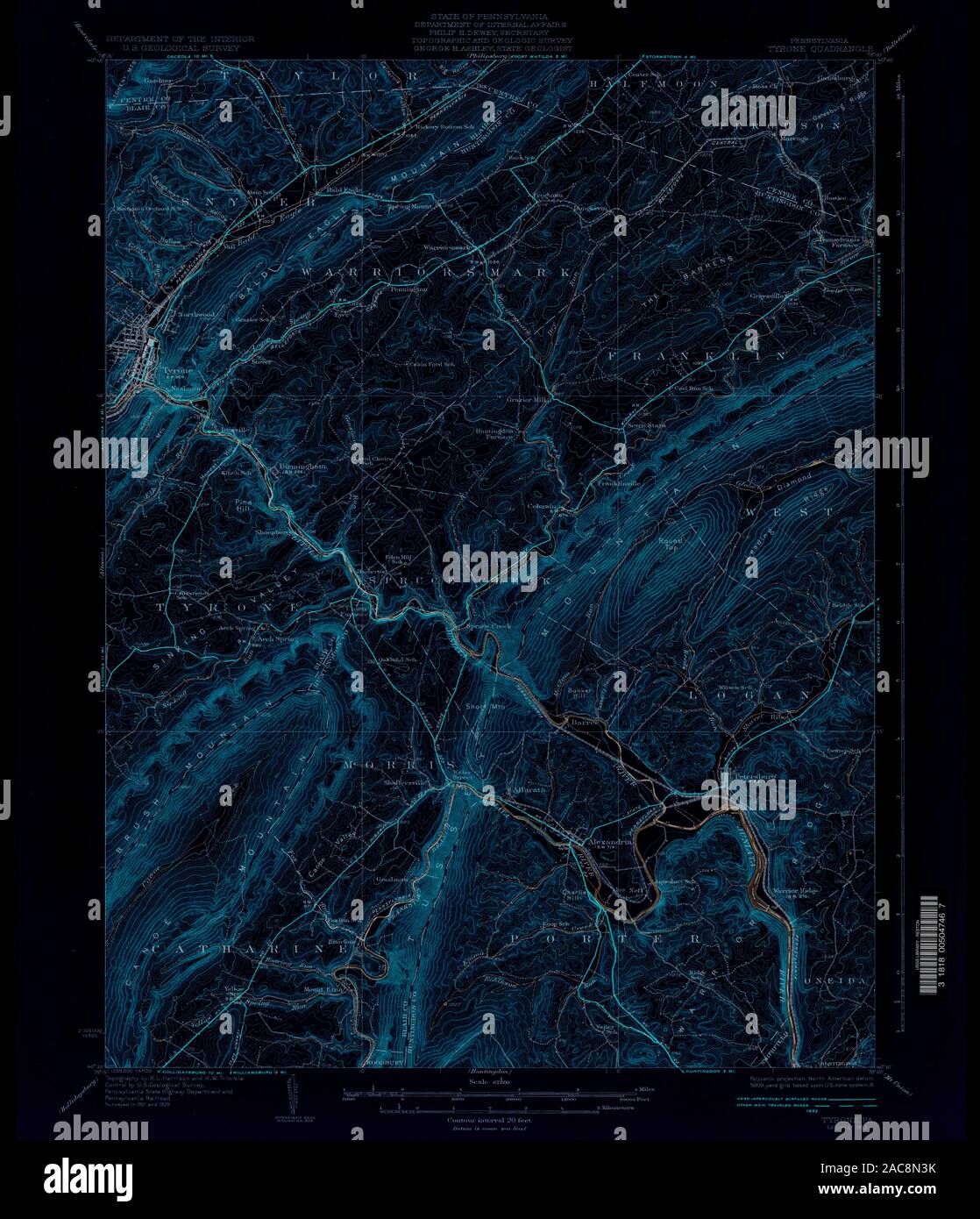 USGS TOPO Map Pennsylvania PA Tyrone 462032 1933 62500 Inverted Restoration Stock Photohttps://www.alamy.com/image-license-details/?v=1https://www.alamy.com/usgs-topo-map-pennsylvania-pa-tyrone-462032-1933-62500-inverted-restoration-image334565047.html
RM2AC8N3K–USGS TOPO Map Pennsylvania PA Tyrone 462032 1933 62500 Inverted Restoration
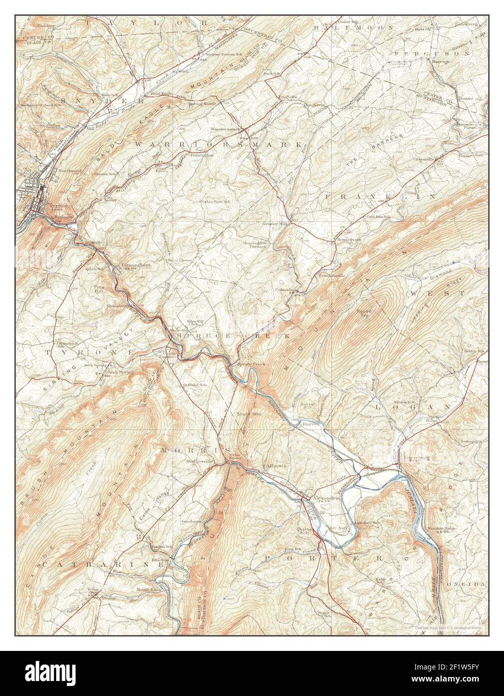 Tyrone, Pennsylvania, map 1933, 1:62500, United States of America by Timeless Maps, data U.S. Geological Survey Stock Photohttps://www.alamy.com/image-license-details/?v=1https://www.alamy.com/tyrone-pennsylvania-map-1933-162500-united-states-of-america-by-timeless-maps-data-us-geological-survey-image414216655.html
RM2F1W5FY–Tyrone, Pennsylvania, map 1933, 1:62500, United States of America by Timeless Maps, data U.S. Geological Survey
 USGS TOPO Map Pennsylvania PA Tyrone 170055 1923 62500 Inverted Restoration Stock Photohttps://www.alamy.com/image-license-details/?v=1https://www.alamy.com/usgs-topo-map-pennsylvania-pa-tyrone-170055-1923-62500-inverted-restoration-image334564791.html
RM2AC8MPF–USGS TOPO Map Pennsylvania PA Tyrone 170055 1923 62500 Inverted Restoration
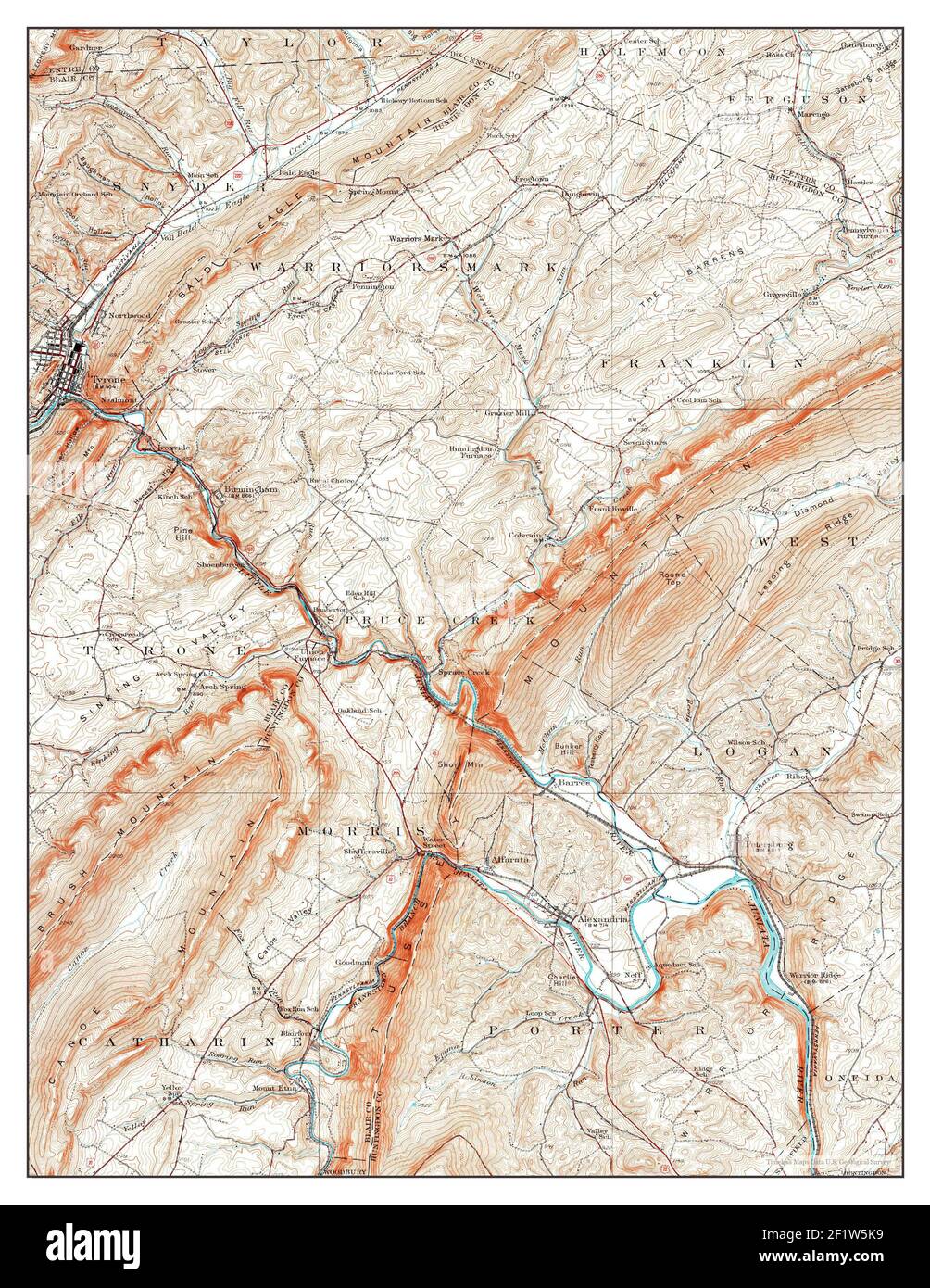 Tyrone, Pennsylvania, map 1929, 1:62500, United States of America by Timeless Maps, data U.S. Geological Survey Stock Photohttps://www.alamy.com/image-license-details/?v=1https://www.alamy.com/tyrone-pennsylvania-map-1929-162500-united-states-of-america-by-timeless-maps-data-us-geological-survey-image414216749.html
RM2F1W5K9–Tyrone, Pennsylvania, map 1929, 1:62500, United States of America by Timeless Maps, data U.S. Geological Survey
 USGS TOPO Map Pennsylvania PA Tyrone 222283 1933 62500 Inverted Restoration Stock Photohttps://www.alamy.com/image-license-details/?v=1https://www.alamy.com/usgs-topo-map-pennsylvania-pa-tyrone-222283-1933-62500-inverted-restoration-image334564952.html
RM2AC8N08–USGS TOPO Map Pennsylvania PA Tyrone 222283 1933 62500 Inverted Restoration
 Tyrone, Pennsylvania, map 1929, 1:48000, United States of America by Timeless Maps, data U.S. Geological Survey Stock Photohttps://www.alamy.com/image-license-details/?v=1https://www.alamy.com/tyrone-pennsylvania-map-1929-148000-united-states-of-america-by-timeless-maps-data-us-geological-survey-image406954756.html
RM2EJ2AXC–Tyrone, Pennsylvania, map 1929, 1:48000, United States of America by Timeless Maps, data U.S. Geological Survey
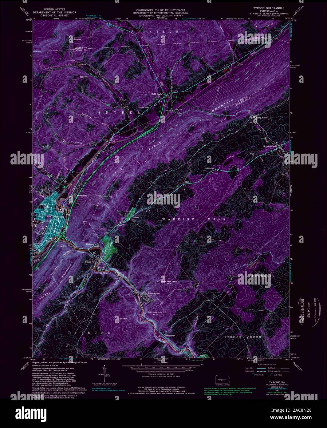 USGS TOPO Map Pennsylvania PA Tyrone 223579 1963 24000 Inverted Restoration Stock Photohttps://www.alamy.com/image-license-details/?v=1https://www.alamy.com/usgs-topo-map-pennsylvania-pa-tyrone-223579-1963-24000-inverted-restoration-image334565008.html
RM2AC8N28–USGS TOPO Map Pennsylvania PA Tyrone 223579 1963 24000 Inverted Restoration
 Tyrone, Pennsylvania, map 1963, 1:24000, United States of America by Timeless Maps, data U.S. Geological Survey Stock Photohttps://www.alamy.com/image-license-details/?v=1https://www.alamy.com/tyrone-pennsylvania-map-1963-124000-united-states-of-america-by-timeless-maps-data-us-geological-survey-image406954754.html
RM2EJ2AXA–Tyrone, Pennsylvania, map 1963, 1:24000, United States of America by Timeless Maps, data U.S. Geological Survey
 USGS TOPO Map Pennsylvania PA Tyrone 462098 1929 62500 Inverted Restoration Stock Photohttps://www.alamy.com/image-license-details/?v=1https://www.alamy.com/usgs-topo-map-pennsylvania-pa-tyrone-462098-1929-62500-inverted-restoration-image334565079.html
RM2AC8N4R–USGS TOPO Map Pennsylvania PA Tyrone 462098 1929 62500 Inverted Restoration
 USGS TOPO Map Pennsylvania PA Tyrone 170061 1923 62500 Inverted Restoration Stock Photohttps://www.alamy.com/image-license-details/?v=1https://www.alamy.com/usgs-topo-map-pennsylvania-pa-tyrone-170061-1923-62500-inverted-restoration-image334564845.html
RM2AC8MTD–USGS TOPO Map Pennsylvania PA Tyrone 170061 1923 62500 Inverted Restoration
 USGS TOPO Map Pennsylvania PA Tyrone 170058 1923 62500 Inverted Restoration Stock Photohttps://www.alamy.com/image-license-details/?v=1https://www.alamy.com/usgs-topo-map-pennsylvania-pa-tyrone-170058-1923-62500-inverted-restoration-image334564808.html
RM2AC8MR4–USGS TOPO Map Pennsylvania PA Tyrone 170058 1923 62500 Inverted Restoration
 USGS TOPO Map Pennsylvania PA Tyrone 222286 1963 24000 Inverted Restoration Stock Photohttps://www.alamy.com/image-license-details/?v=1https://www.alamy.com/usgs-topo-map-pennsylvania-pa-tyrone-222286-1963-24000-inverted-restoration-image334564955.html
RM2AC8N0B–USGS TOPO Map Pennsylvania PA Tyrone 222286 1963 24000 Inverted Restoration
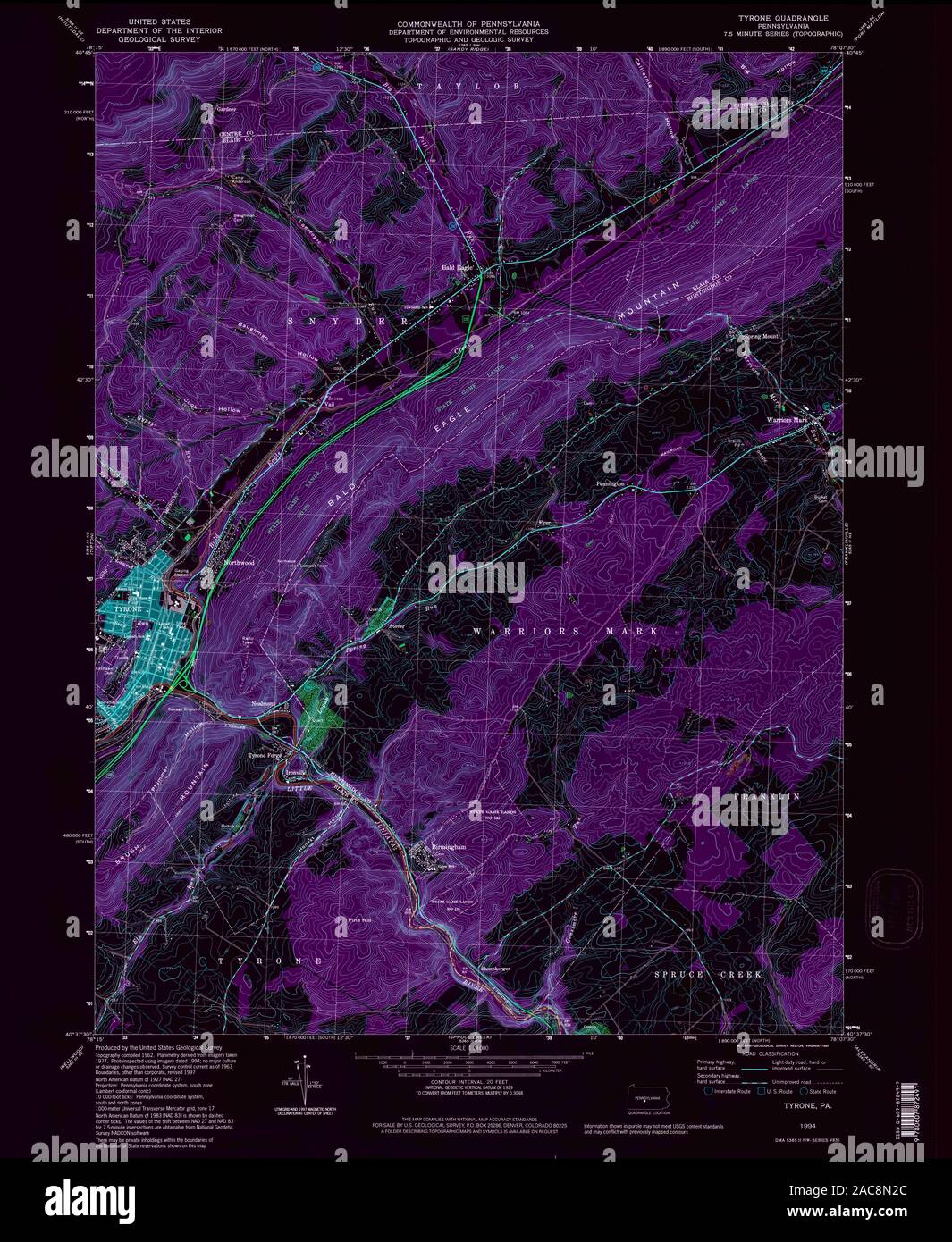 USGS TOPO Map Pennsylvania PA Tyrone 223580 1994 24000 Inverted Restoration Stock Photohttps://www.alamy.com/image-license-details/?v=1https://www.alamy.com/usgs-topo-map-pennsylvania-pa-tyrone-223580-1994-24000-inverted-restoration-image334565012.html
RM2AC8N2C–USGS TOPO Map Pennsylvania PA Tyrone 223580 1994 24000 Inverted Restoration
 USGS TOPO Map Pennsylvania PA Tyrone 222285 1963 24000 Inverted Restoration Stock Photohttps://www.alamy.com/image-license-details/?v=1https://www.alamy.com/usgs-topo-map-pennsylvania-pa-tyrone-222285-1963-24000-inverted-restoration-image334564971.html
RM2AC8N0Y–USGS TOPO Map Pennsylvania PA Tyrone 222285 1963 24000 Inverted Restoration
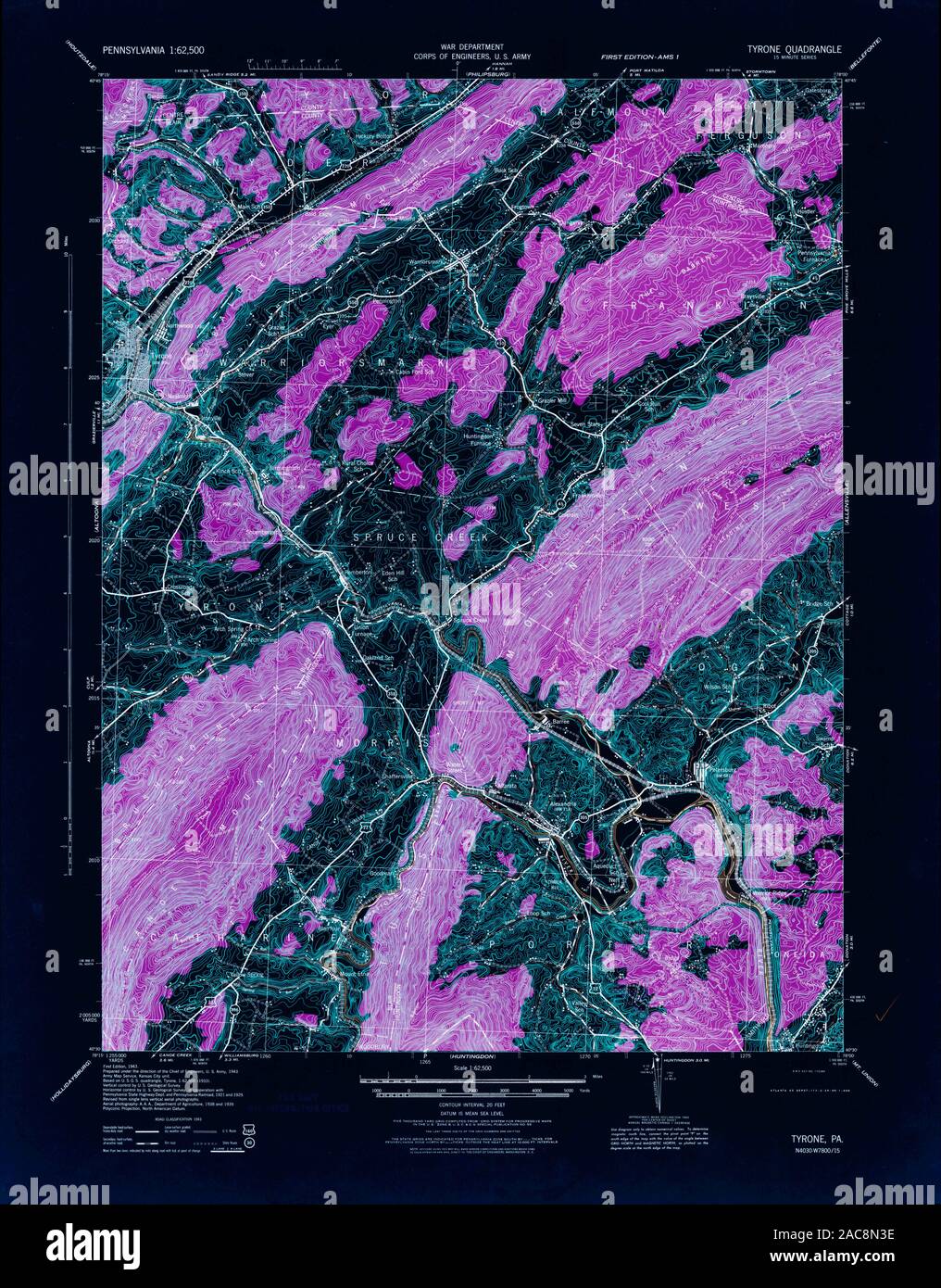 USGS TOPO Map Pennsylvania PA Tyrone 461945 1946 62500 Inverted Restoration Stock Photohttps://www.alamy.com/image-license-details/?v=1https://www.alamy.com/usgs-topo-map-pennsylvania-pa-tyrone-461945-1946-62500-inverted-restoration-image334565042.html
RM2AC8N3E–USGS TOPO Map Pennsylvania PA Tyrone 461945 1946 62500 Inverted Restoration
 USGS TOPO Map Pennsylvania PA Tyrone 170057 1923 62500 Inverted Restoration Stock Photohttps://www.alamy.com/image-license-details/?v=1https://www.alamy.com/usgs-topo-map-pennsylvania-pa-tyrone-170057-1923-62500-inverted-restoration-image334564814.html
RM2AC8MRA–USGS TOPO Map Pennsylvania PA Tyrone 170057 1923 62500 Inverted Restoration