Quick filters:
Uebersyren Stock Photos and Images
 Uebersyren, Schuttrange, Luxembourg, Luxembourg, N 49 37' 54'', E 6 16' 37'', map, Timeless Map published in 2021. Travelers, explorers and adventurers like Florence Nightingale, David Livingstone, Ernest Shackleton, Lewis and Clark and Sherlock Holmes relied on maps to plan travels to the world's most remote corners, Timeless Maps is mapping most locations on the globe, showing the achievement of great dreams Stock Photohttps://www.alamy.com/image-license-details/?v=1https://www.alamy.com/uebersyren-schuttrange-luxembourg-luxembourg-n-49-37-54-e-6-16-37-map-timeless-map-published-in-2021-travelers-explorers-and-adventurers-like-florence-nightingale-david-livingstone-ernest-shackleton-lewis-and-clark-and-sherlock-holmes-relied-on-maps-to-plan-travels-to-the-worlds-most-remote-corners-timeless-maps-is-mapping-most-locations-on-the-globe-showing-the-achievement-of-great-dreams-image445757825.html
RM2GW60J9–Uebersyren, Schuttrange, Luxembourg, Luxembourg, N 49 37' 54'', E 6 16' 37'', map, Timeless Map published in 2021. Travelers, explorers and adventurers like Florence Nightingale, David Livingstone, Ernest Shackleton, Lewis and Clark and Sherlock Holmes relied on maps to plan travels to the world's most remote corners, Timeless Maps is mapping most locations on the globe, showing the achievement of great dreams
 Luxembourg, district of Luxembourg. Elevation map colored in sepia tones with lakes and rivers. Locations and names of major cities of the region. Cor Stock Photohttps://www.alamy.com/image-license-details/?v=1https://www.alamy.com/luxembourg-district-of-luxembourg-elevation-map-colored-in-sepia-tones-with-lakes-and-rivers-locations-and-names-of-major-cities-of-the-region-cor-image487303625.html
RF2K8PGMW–Luxembourg, district of Luxembourg. Elevation map colored in sepia tones with lakes and rivers. Locations and names of major cities of the region. Cor
 Luxembourg, district of Luxembourg. Open Street Map Stock Photohttps://www.alamy.com/image-license-details/?v=1https://www.alamy.com/luxembourg-district-of-luxembourg-open-street-map-image487303605.html
RF2K8PGM5–Luxembourg, district of Luxembourg. Open Street Map
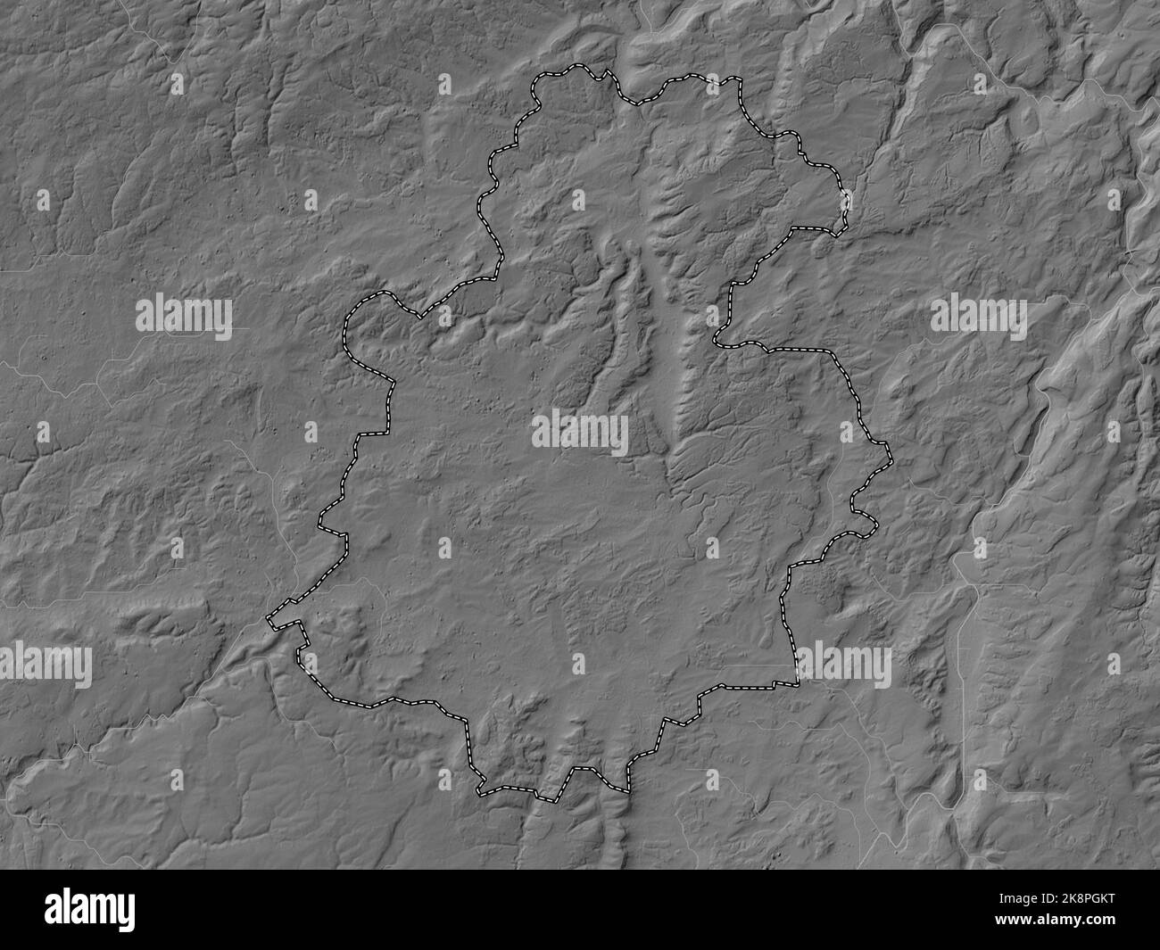 Luxembourg, district of Luxembourg. Grayscale elevation map with lakes and rivers Stock Photohttps://www.alamy.com/image-license-details/?v=1https://www.alamy.com/luxembourg-district-of-luxembourg-grayscale-elevation-map-with-lakes-and-rivers-image487303596.html
RF2K8PGKT–Luxembourg, district of Luxembourg. Grayscale elevation map with lakes and rivers
 Luxembourg, district of Luxembourg. High resolution satellite map. Locations of major cities of the region. Corner auxiliary location maps Stock Photohttps://www.alamy.com/image-license-details/?v=1https://www.alamy.com/luxembourg-district-of-luxembourg-high-resolution-satellite-map-locations-of-major-cities-of-the-region-corner-auxiliary-location-maps-image487303575.html
RF2K8PGK3–Luxembourg, district of Luxembourg. High resolution satellite map. Locations of major cities of the region. Corner auxiliary location maps
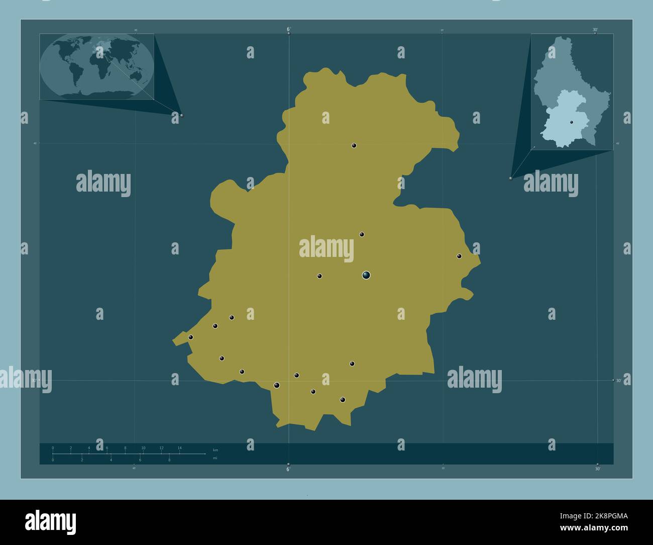 Luxembourg, district of Luxembourg. Solid color shape. Locations of major cities of the region. Corner auxiliary location maps Stock Photohttps://www.alamy.com/image-license-details/?v=1https://www.alamy.com/luxembourg-district-of-luxembourg-solid-color-shape-locations-of-major-cities-of-the-region-corner-auxiliary-location-maps-image487303610.html
RF2K8PGMA–Luxembourg, district of Luxembourg. Solid color shape. Locations of major cities of the region. Corner auxiliary location maps
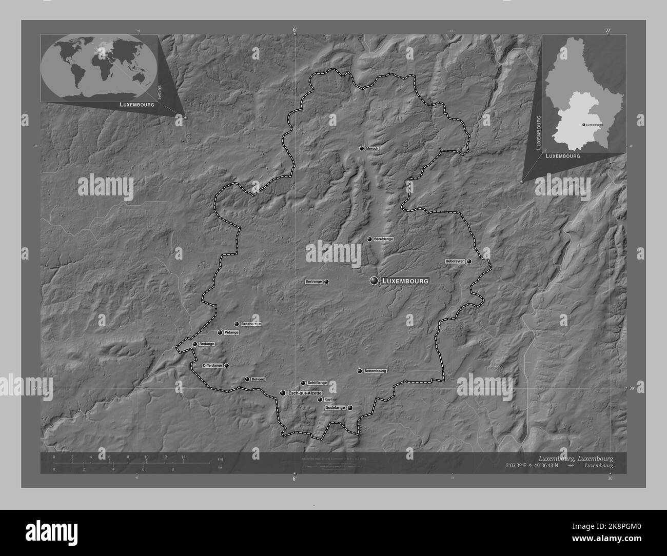 Luxembourg, district of Luxembourg. Grayscale elevation map with lakes and rivers. Locations and names of major cities of the region. Corner auxiliary Stock Photohttps://www.alamy.com/image-license-details/?v=1https://www.alamy.com/luxembourg-district-of-luxembourg-grayscale-elevation-map-with-lakes-and-rivers-locations-and-names-of-major-cities-of-the-region-corner-auxiliary-image487303600.html
RF2K8PGM0–Luxembourg, district of Luxembourg. Grayscale elevation map with lakes and rivers. Locations and names of major cities of the region. Corner auxiliary
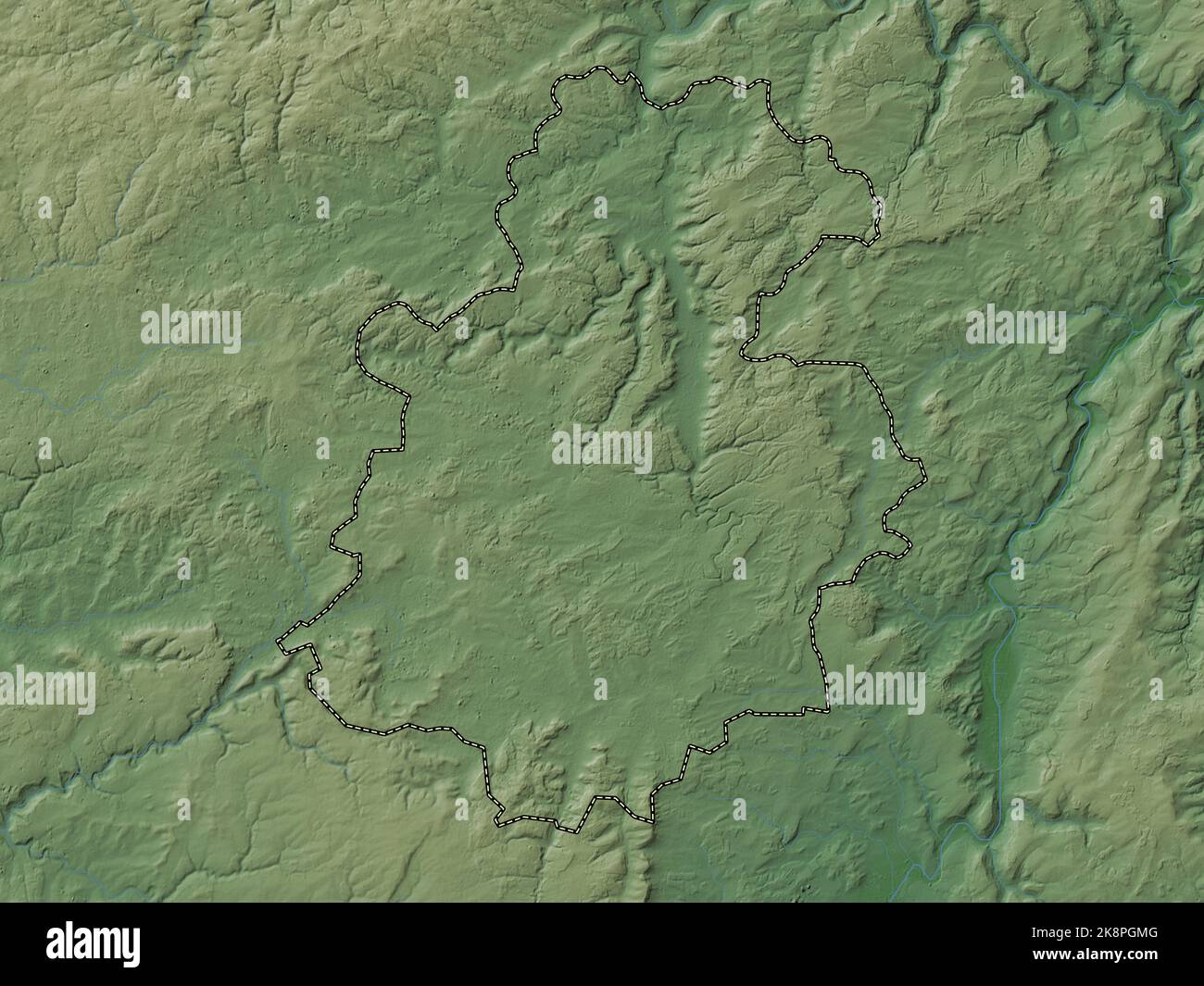 Luxembourg, district of Luxembourg. Colored elevation map with lakes and rivers Stock Photohttps://www.alamy.com/image-license-details/?v=1https://www.alamy.com/luxembourg-district-of-luxembourg-colored-elevation-map-with-lakes-and-rivers-image487303616.html
RF2K8PGMG–Luxembourg, district of Luxembourg. Colored elevation map with lakes and rivers
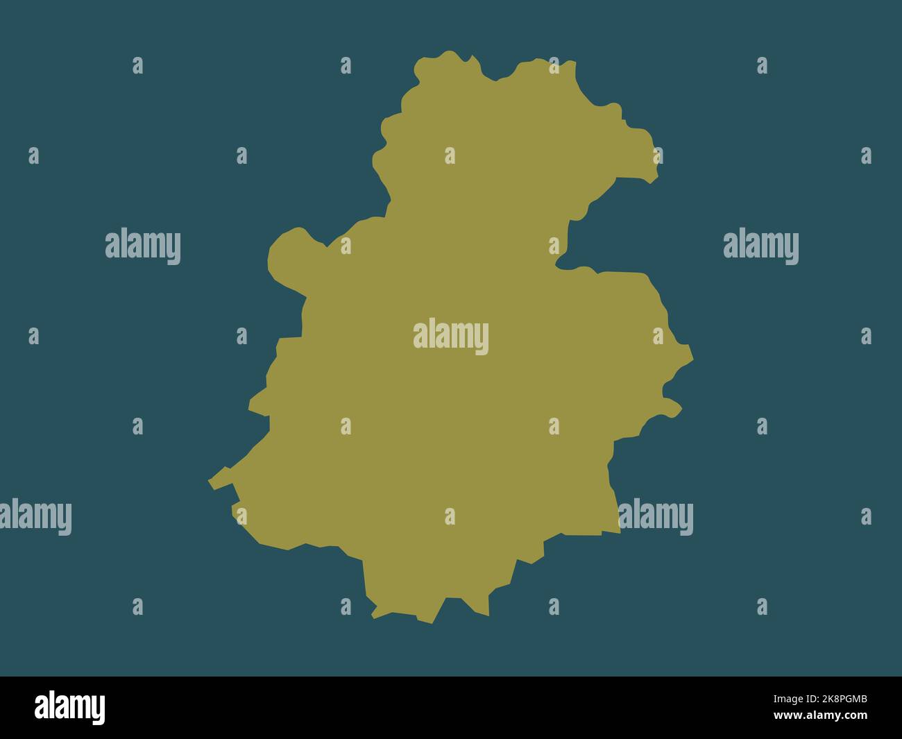 Luxembourg, district of Luxembourg. Solid color shape Stock Photohttps://www.alamy.com/image-license-details/?v=1https://www.alamy.com/luxembourg-district-of-luxembourg-solid-color-shape-image487303611.html
RF2K8PGMB–Luxembourg, district of Luxembourg. Solid color shape
 Luxembourg, district of Luxembourg. Bilevel elevation map with lakes and rivers Stock Photohttps://www.alamy.com/image-license-details/?v=1https://www.alamy.com/luxembourg-district-of-luxembourg-bilevel-elevation-map-with-lakes-and-rivers-image487303598.html
RF2K8PGKX–Luxembourg, district of Luxembourg. Bilevel elevation map with lakes and rivers
 Luxembourg, district of Luxembourg. Bilevel elevation map with lakes and rivers. Locations of major cities of the region. Corner auxiliary location ma Stock Photohttps://www.alamy.com/image-license-details/?v=1https://www.alamy.com/luxembourg-district-of-luxembourg-bilevel-elevation-map-with-lakes-and-rivers-locations-of-major-cities-of-the-region-corner-auxiliary-location-ma-image487303374.html
RF2K8PGBX–Luxembourg, district of Luxembourg. Bilevel elevation map with lakes and rivers. Locations of major cities of the region. Corner auxiliary location ma
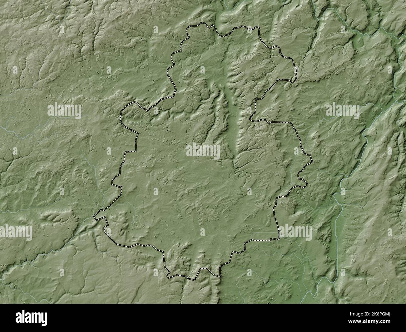 Luxembourg, district of Luxembourg. Elevation map colored in wiki style with lakes and rivers Stock Photohttps://www.alamy.com/image-license-details/?v=1https://www.alamy.com/luxembourg-district-of-luxembourg-elevation-map-colored-in-wiki-style-with-lakes-and-rivers-image487303618.html
RF2K8PGMJ–Luxembourg, district of Luxembourg. Elevation map colored in wiki style with lakes and rivers
 Luxembourg, district of Luxembourg. Colored elevation map with lakes and rivers. Locations of major cities of the region. Corner auxiliary location ma Stock Photohttps://www.alamy.com/image-license-details/?v=1https://www.alamy.com/luxembourg-district-of-luxembourg-colored-elevation-map-with-lakes-and-rivers-locations-of-major-cities-of-the-region-corner-auxiliary-location-ma-image487303619.html
RF2K8PGMK–Luxembourg, district of Luxembourg. Colored elevation map with lakes and rivers. Locations of major cities of the region. Corner auxiliary location ma
 Luxembourg, district of Luxembourg. Elevation map colored in wiki style with lakes and rivers. Locations and names of major cities of the region. Corn Stock Photohttps://www.alamy.com/image-license-details/?v=1https://www.alamy.com/luxembourg-district-of-luxembourg-elevation-map-colored-in-wiki-style-with-lakes-and-rivers-locations-and-names-of-major-cities-of-the-region-corn-image487303627.html
RF2K8PGMY–Luxembourg, district of Luxembourg. Elevation map colored in wiki style with lakes and rivers. Locations and names of major cities of the region. Corn
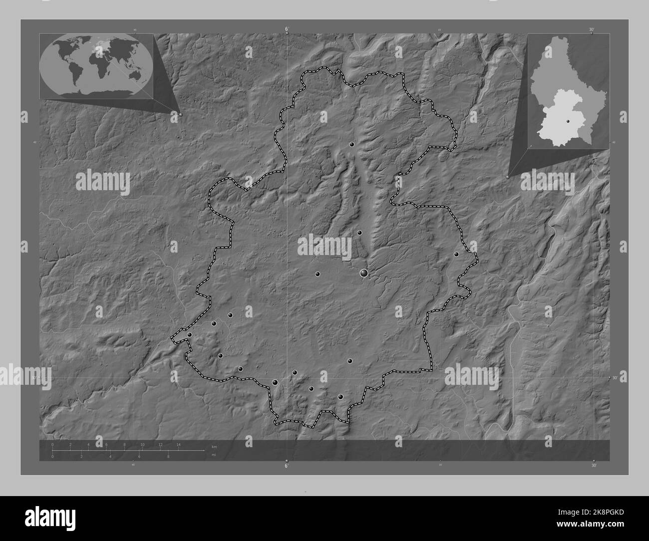 Luxembourg, district of Luxembourg. Grayscale elevation map with lakes and rivers. Locations of major cities of the region. Corner auxiliary location Stock Photohttps://www.alamy.com/image-license-details/?v=1https://www.alamy.com/luxembourg-district-of-luxembourg-grayscale-elevation-map-with-lakes-and-rivers-locations-of-major-cities-of-the-region-corner-auxiliary-location-image487303585.html
RF2K8PGKD–Luxembourg, district of Luxembourg. Grayscale elevation map with lakes and rivers. Locations of major cities of the region. Corner auxiliary location
 Luxembourg, district of Luxembourg. Open Street Map. Locations and names of major cities of the region. Corner auxiliary location maps Stock Photohttps://www.alamy.com/image-license-details/?v=1https://www.alamy.com/luxembourg-district-of-luxembourg-open-street-map-locations-and-names-of-major-cities-of-the-region-corner-auxiliary-location-maps-image487303602.html
RF2K8PGM2–Luxembourg, district of Luxembourg. Open Street Map. Locations and names of major cities of the region. Corner auxiliary location maps
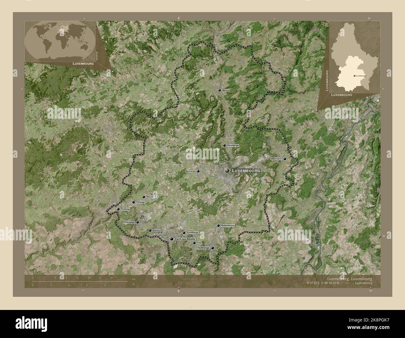 Luxembourg, district of Luxembourg. High resolution satellite map. Locations and names of major cities of the region. Corner auxiliary location maps Stock Photohttps://www.alamy.com/image-license-details/?v=1https://www.alamy.com/luxembourg-district-of-luxembourg-high-resolution-satellite-map-locations-and-names-of-major-cities-of-the-region-corner-auxiliary-location-maps-image487303579.html
RF2K8PGK7–Luxembourg, district of Luxembourg. High resolution satellite map. Locations and names of major cities of the region. Corner auxiliary location maps
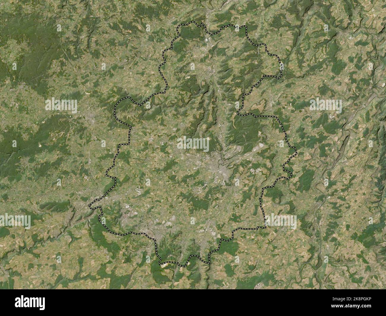 Luxembourg, district of Luxembourg. Low resolution satellite map Stock Photohttps://www.alamy.com/image-license-details/?v=1https://www.alamy.com/luxembourg-district-of-luxembourg-low-resolution-satellite-map-image487303594.html
RF2K8PGKP–Luxembourg, district of Luxembourg. Low resolution satellite map
 Luxembourg, district of Luxembourg. Open Street Map. Locations of major cities of the region. Corner auxiliary location maps Stock Photohttps://www.alamy.com/image-license-details/?v=1https://www.alamy.com/luxembourg-district-of-luxembourg-open-street-map-locations-of-major-cities-of-the-region-corner-auxiliary-location-maps-image487303612.html
RF2K8PGMC–Luxembourg, district of Luxembourg. Open Street Map. Locations of major cities of the region. Corner auxiliary location maps
 Luxembourg, district of Luxembourg. Low resolution satellite map. Locations and names of major cities of the region. Corner auxiliary location maps Stock Photohttps://www.alamy.com/image-license-details/?v=1https://www.alamy.com/luxembourg-district-of-luxembourg-low-resolution-satellite-map-locations-and-names-of-major-cities-of-the-region-corner-auxiliary-location-maps-image487303595.html
RF2K8PGKR–Luxembourg, district of Luxembourg. Low resolution satellite map. Locations and names of major cities of the region. Corner auxiliary location maps
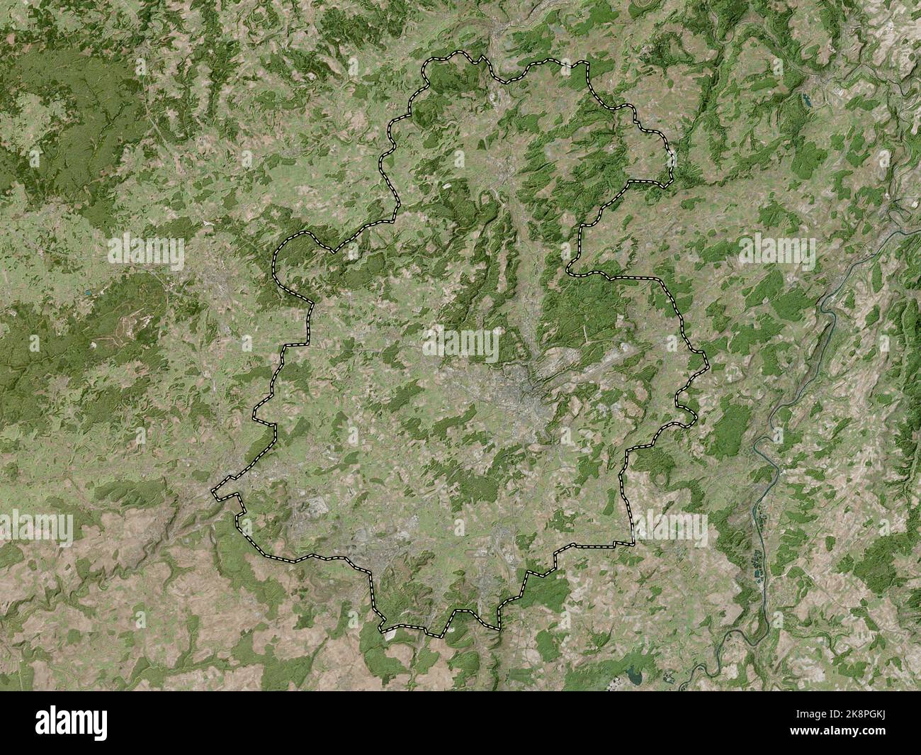 Luxembourg, district of Luxembourg. High resolution satellite map Stock Photohttps://www.alamy.com/image-license-details/?v=1https://www.alamy.com/luxembourg-district-of-luxembourg-high-resolution-satellite-map-image487303590.html
RF2K8PGKJ–Luxembourg, district of Luxembourg. High resolution satellite map
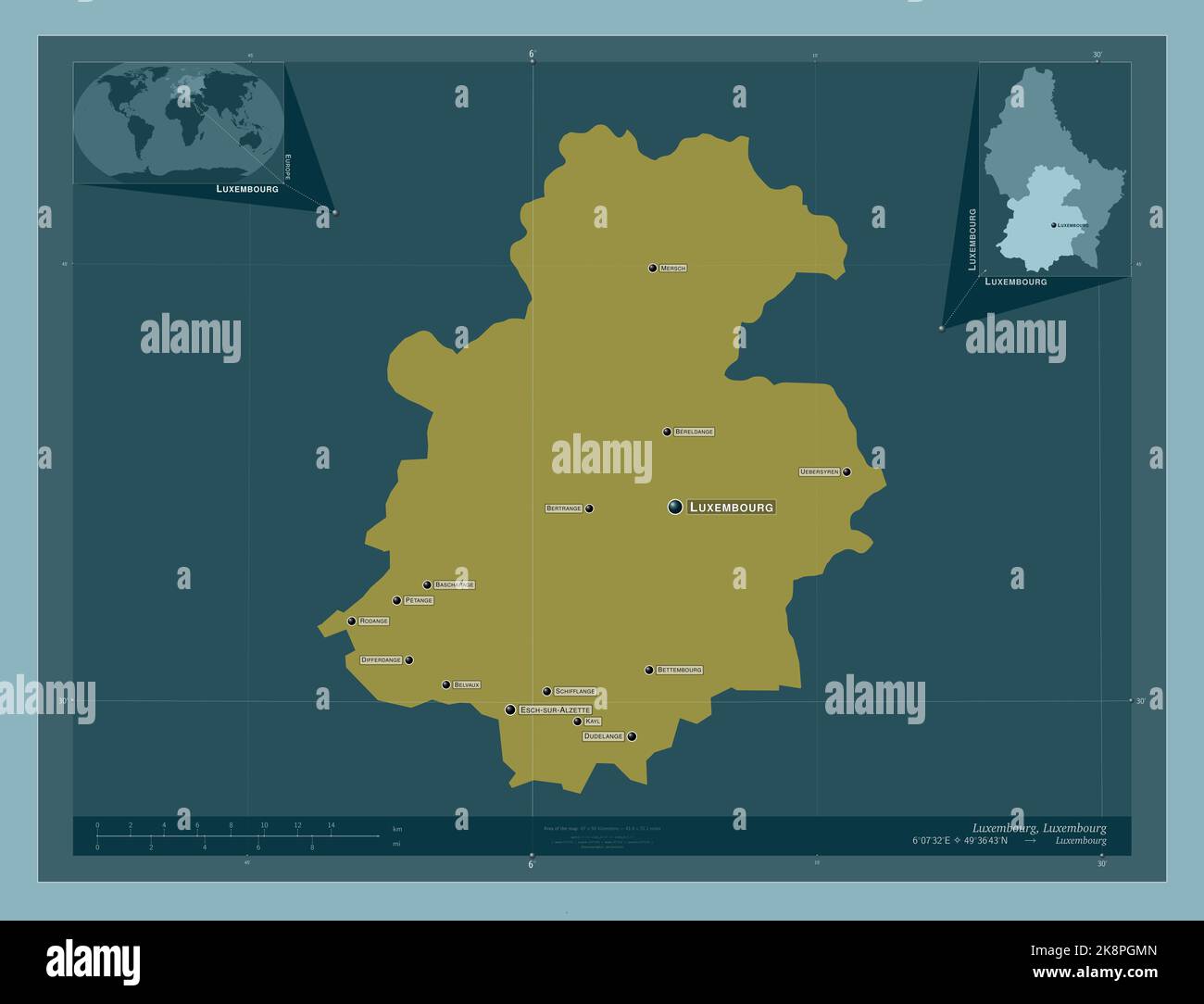 Luxembourg, district of Luxembourg. Solid color shape. Locations and names of major cities of the region. Corner auxiliary location maps Stock Photohttps://www.alamy.com/image-license-details/?v=1https://www.alamy.com/luxembourg-district-of-luxembourg-solid-color-shape-locations-and-names-of-major-cities-of-the-region-corner-auxiliary-location-maps-image487303621.html
RF2K8PGMN–Luxembourg, district of Luxembourg. Solid color shape. Locations and names of major cities of the region. Corner auxiliary location maps
 Luxembourg, district of Luxembourg. Elevation map colored in wiki style with lakes and rivers. Locations of major cities of the region. Corner auxilia Stock Photohttps://www.alamy.com/image-license-details/?v=1https://www.alamy.com/luxembourg-district-of-luxembourg-elevation-map-colored-in-wiki-style-with-lakes-and-rivers-locations-of-major-cities-of-the-region-corner-auxilia-image487303622.html
RF2K8PGMP–Luxembourg, district of Luxembourg. Elevation map colored in wiki style with lakes and rivers. Locations of major cities of the region. Corner auxilia
 Luxembourg, district of Luxembourg. Elevation map colored in sepia tones with lakes and rivers Stock Photohttps://www.alamy.com/image-license-details/?v=1https://www.alamy.com/luxembourg-district-of-luxembourg-elevation-map-colored-in-sepia-tones-with-lakes-and-rivers-image487303615.html
RF2K8PGMF–Luxembourg, district of Luxembourg. Elevation map colored in sepia tones with lakes and rivers
 Luxembourg, district of Luxembourg. Bilevel elevation map with lakes and rivers. Locations and names of major cities of the region. Corner auxiliary l Stock Photohttps://www.alamy.com/image-license-details/?v=1https://www.alamy.com/luxembourg-district-of-luxembourg-bilevel-elevation-map-with-lakes-and-rivers-locations-and-names-of-major-cities-of-the-region-corner-auxiliary-l-image487303592.html
RF2K8PGKM–Luxembourg, district of Luxembourg. Bilevel elevation map with lakes and rivers. Locations and names of major cities of the region. Corner auxiliary l
 Luxembourg, district of Luxembourg. Elevation map colored in sepia tones with lakes and rivers. Locations of major cities of the region. Corner auxili Stock Photohttps://www.alamy.com/image-license-details/?v=1https://www.alamy.com/luxembourg-district-of-luxembourg-elevation-map-colored-in-sepia-tones-with-lakes-and-rivers-locations-of-major-cities-of-the-region-corner-auxili-image487303617.html
RF2K8PGMH–Luxembourg, district of Luxembourg. Elevation map colored in sepia tones with lakes and rivers. Locations of major cities of the region. Corner auxili
 Luxembourg, district of Luxembourg. Colored elevation map with lakes and rivers. Locations and names of major cities of the region. Corner auxiliary l Stock Photohttps://www.alamy.com/image-license-details/?v=1https://www.alamy.com/luxembourg-district-of-luxembourg-colored-elevation-map-with-lakes-and-rivers-locations-and-names-of-major-cities-of-the-region-corner-auxiliary-l-image487303620.html
RF2K8PGMM–Luxembourg, district of Luxembourg. Colored elevation map with lakes and rivers. Locations and names of major cities of the region. Corner auxiliary l
 Luxembourg, district of Luxembourg. Low resolution satellite map. Locations of major cities of the region. Corner auxiliary location maps Stock Photohttps://www.alamy.com/image-license-details/?v=1https://www.alamy.com/luxembourg-district-of-luxembourg-low-resolution-satellite-map-locations-of-major-cities-of-the-region-corner-auxiliary-location-maps-image487303603.html
RF2K8PGM3–Luxembourg, district of Luxembourg. Low resolution satellite map. Locations of major cities of the region. Corner auxiliary location maps
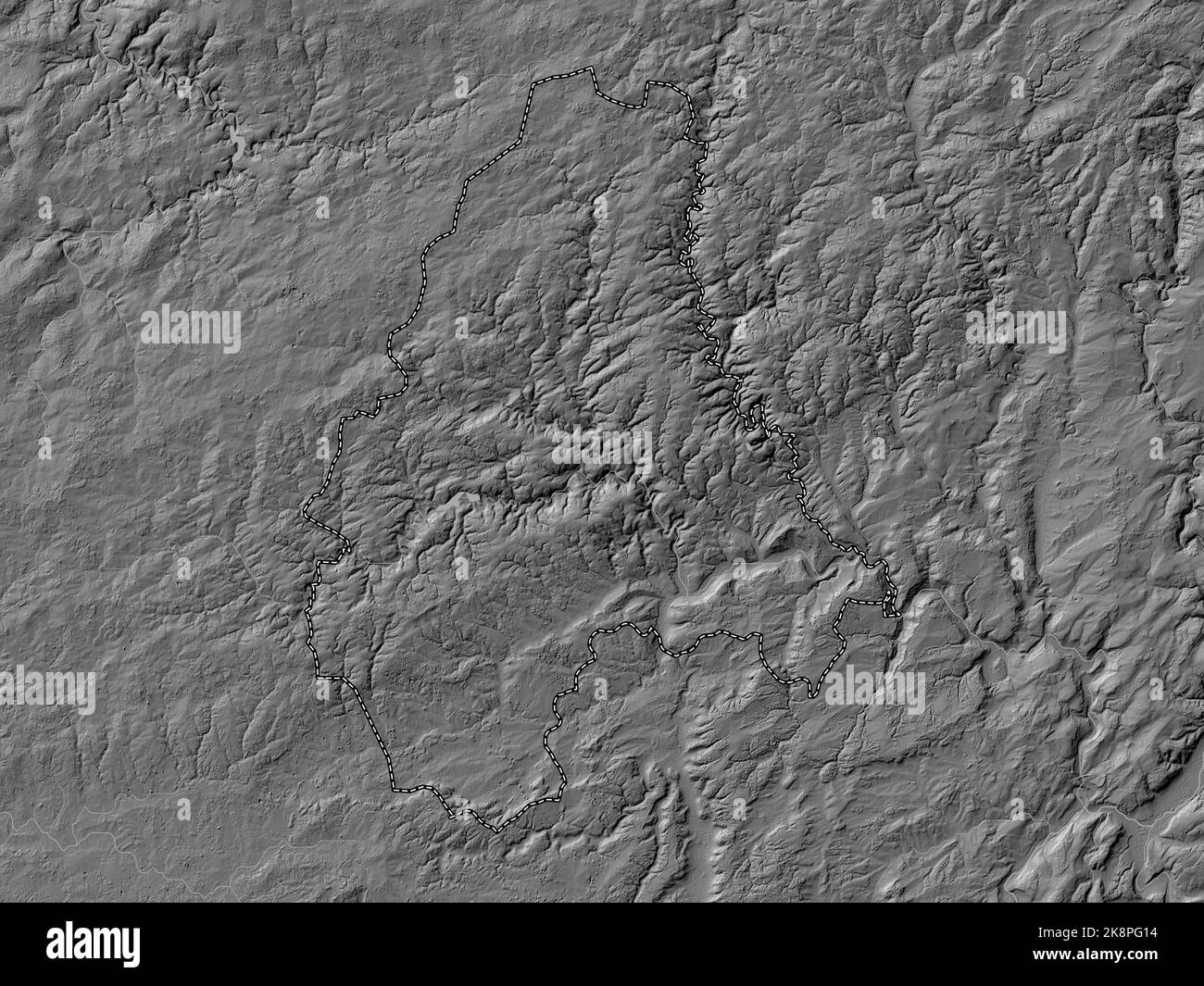 Diekirch, district of Luxembourg. Bilevel elevation map with lakes and rivers Stock Photohttps://www.alamy.com/image-license-details/?v=1https://www.alamy.com/diekirch-district-of-luxembourg-bilevel-elevation-map-with-lakes-and-rivers-image487303072.html
RF2K8PG14–Diekirch, district of Luxembourg. Bilevel elevation map with lakes and rivers
 Diekirch, district of Luxembourg. Elevation map colored in sepia tones with lakes and rivers. Locations of major cities of the region. Corner auxiliar Stock Photohttps://www.alamy.com/image-license-details/?v=1https://www.alamy.com/diekirch-district-of-luxembourg-elevation-map-colored-in-sepia-tones-with-lakes-and-rivers-locations-of-major-cities-of-the-region-corner-auxiliar-image487303180.html
RF2K8PG50–Diekirch, district of Luxembourg. Elevation map colored in sepia tones with lakes and rivers. Locations of major cities of the region. Corner auxiliar
 Diekirch, district of Luxembourg. Elevation map colored in sepia tones with lakes and rivers Stock Photohttps://www.alamy.com/image-license-details/?v=1https://www.alamy.com/diekirch-district-of-luxembourg-elevation-map-colored-in-sepia-tones-with-lakes-and-rivers-image487303346.html
RF2K8PGAX–Diekirch, district of Luxembourg. Elevation map colored in sepia tones with lakes and rivers
 Diekirch, district of Luxembourg. Colored elevation map with lakes and rivers. Locations and names of major cities of the region. Corner auxiliary loc Stock Photohttps://www.alamy.com/image-license-details/?v=1https://www.alamy.com/diekirch-district-of-luxembourg-colored-elevation-map-with-lakes-and-rivers-locations-and-names-of-major-cities-of-the-region-corner-auxiliary-loc-image487303184.html
RF2K8PG54–Diekirch, district of Luxembourg. Colored elevation map with lakes and rivers. Locations and names of major cities of the region. Corner auxiliary loc
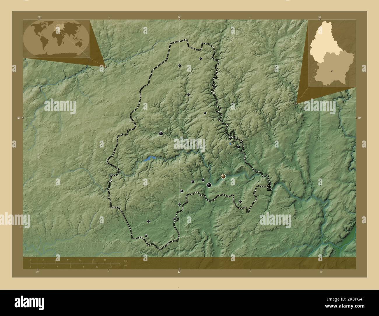 Diekirch, district of Luxembourg. Colored elevation map with lakes and rivers. Locations of major cities of the region. Corner auxiliary location maps Stock Photohttps://www.alamy.com/image-license-details/?v=1https://www.alamy.com/diekirch-district-of-luxembourg-colored-elevation-map-with-lakes-and-rivers-locations-of-major-cities-of-the-region-corner-auxiliary-location-maps-image487303167.html
RF2K8PG4F–Diekirch, district of Luxembourg. Colored elevation map with lakes and rivers. Locations of major cities of the region. Corner auxiliary location maps
 Diekirch, district of Luxembourg. Solid color shape. Locations and names of major cities of the region. Corner auxiliary location maps Stock Photohttps://www.alamy.com/image-license-details/?v=1https://www.alamy.com/diekirch-district-of-luxembourg-solid-color-shape-locations-and-names-of-major-cities-of-the-region-corner-auxiliary-location-maps-image487303144.html
RF2K8PG3M–Diekirch, district of Luxembourg. Solid color shape. Locations and names of major cities of the region. Corner auxiliary location maps
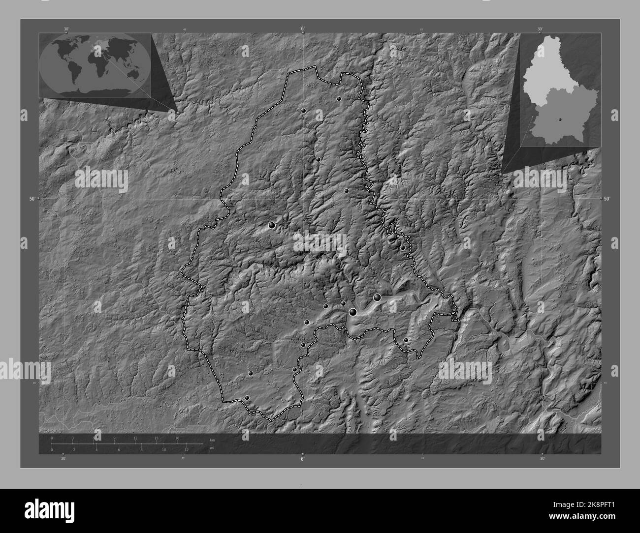 Diekirch, district of Luxembourg. Bilevel elevation map with lakes and rivers. Locations of major cities of the region. Corner auxiliary location maps Stock Photohttps://www.alamy.com/image-license-details/?v=1https://www.alamy.com/diekirch-district-of-luxembourg-bilevel-elevation-map-with-lakes-and-rivers-locations-of-major-cities-of-the-region-corner-auxiliary-location-maps-image487302929.html
RF2K8PFT1–Diekirch, district of Luxembourg. Bilevel elevation map with lakes and rivers. Locations of major cities of the region. Corner auxiliary location maps
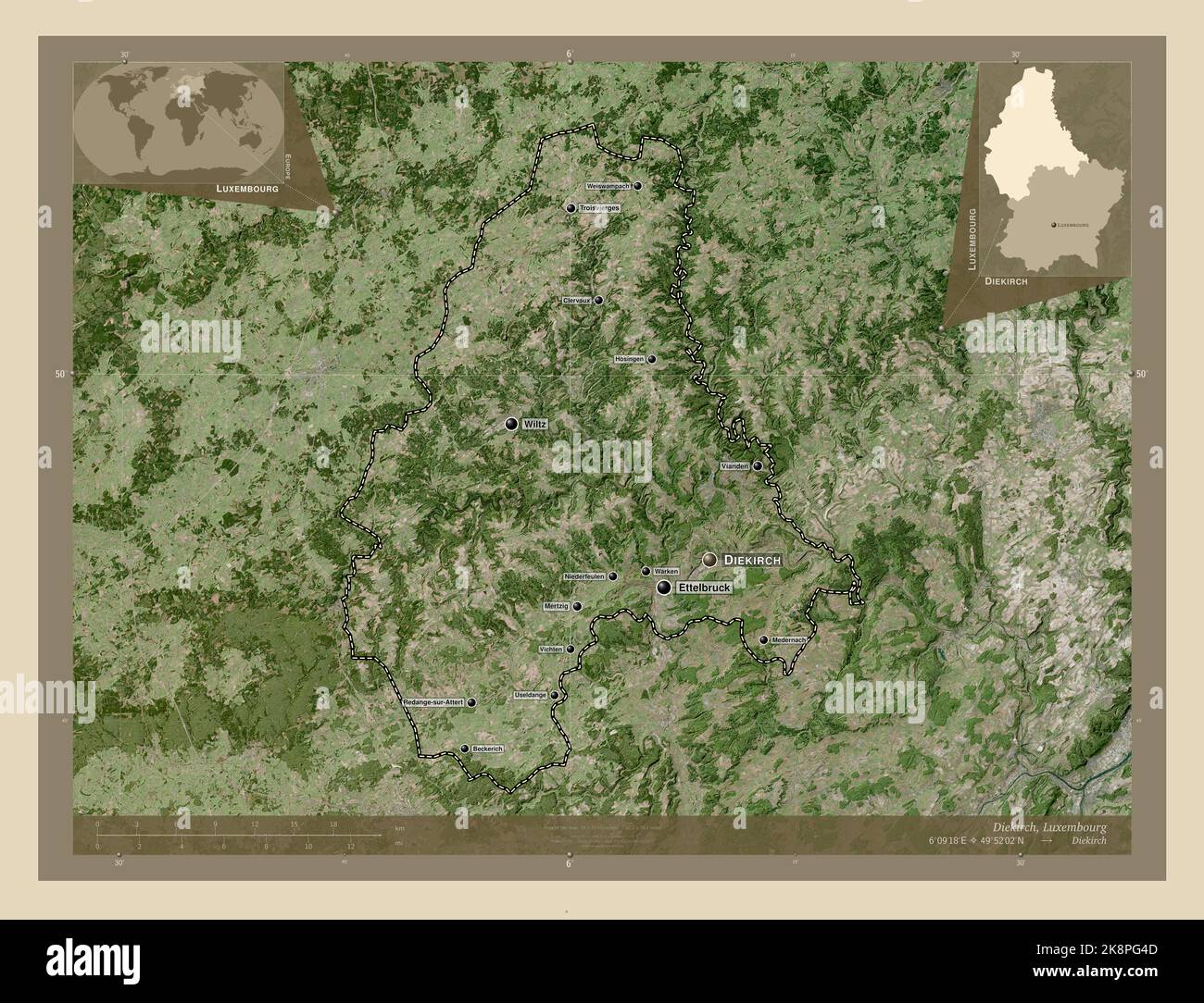 Diekirch, district of Luxembourg. High resolution satellite map. Locations and names of major cities of the region. Corner auxiliary location maps Stock Photohttps://www.alamy.com/image-license-details/?v=1https://www.alamy.com/diekirch-district-of-luxembourg-high-resolution-satellite-map-locations-and-names-of-major-cities-of-the-region-corner-auxiliary-location-maps-image487303165.html
RF2K8PG4D–Diekirch, district of Luxembourg. High resolution satellite map. Locations and names of major cities of the region. Corner auxiliary location maps
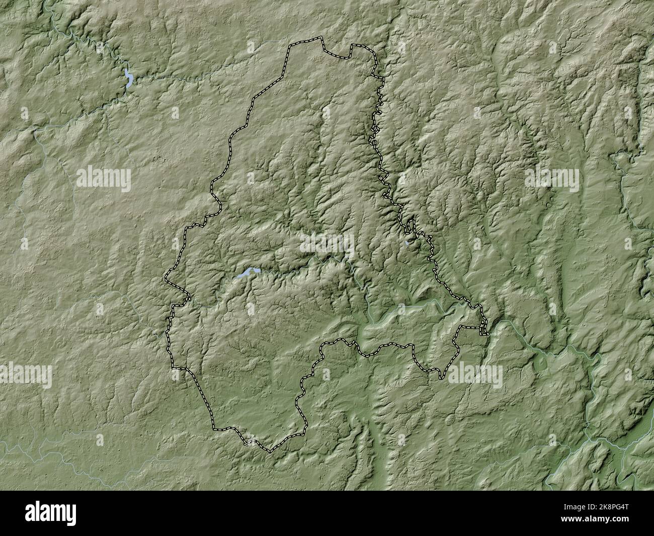 Diekirch, district of Luxembourg. Elevation map colored in wiki style with lakes and rivers Stock Photohttps://www.alamy.com/image-license-details/?v=1https://www.alamy.com/diekirch-district-of-luxembourg-elevation-map-colored-in-wiki-style-with-lakes-and-rivers-image487303176.html
RF2K8PG4T–Diekirch, district of Luxembourg. Elevation map colored in wiki style with lakes and rivers
 Diekirch, district of Luxembourg. Low resolution satellite map. Locations of major cities of the region. Corner auxiliary location maps Stock Photohttps://www.alamy.com/image-license-details/?v=1https://www.alamy.com/diekirch-district-of-luxembourg-low-resolution-satellite-map-locations-of-major-cities-of-the-region-corner-auxiliary-location-maps-image487303168.html
RF2K8PG4G–Diekirch, district of Luxembourg. Low resolution satellite map. Locations of major cities of the region. Corner auxiliary location maps
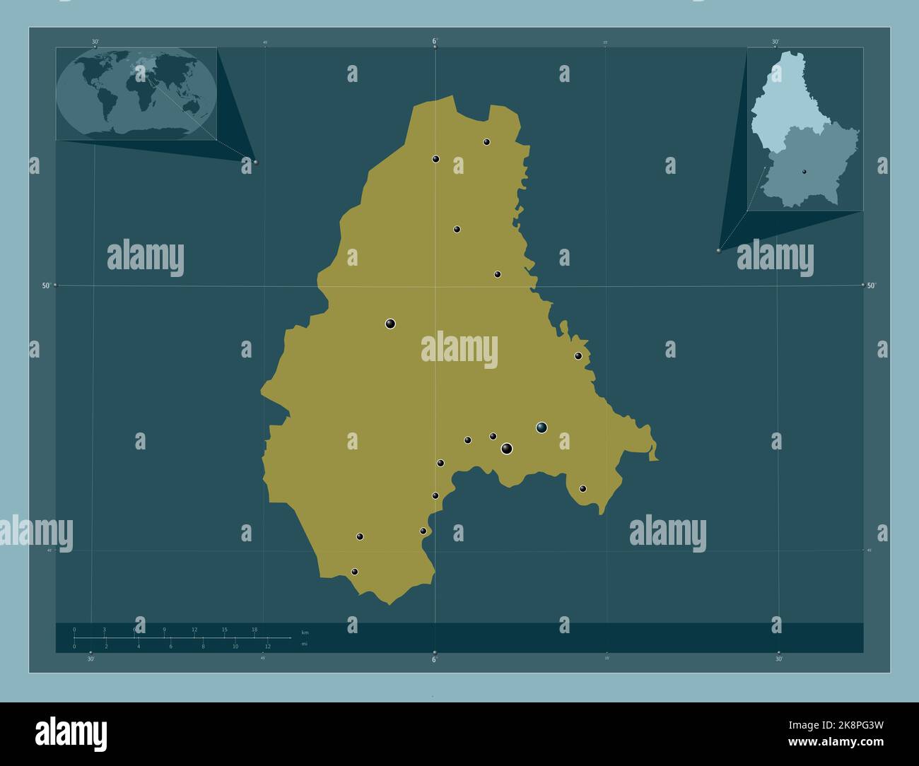 Diekirch, district of Luxembourg. Solid color shape. Locations of major cities of the region. Corner auxiliary location maps Stock Photohttps://www.alamy.com/image-license-details/?v=1https://www.alamy.com/diekirch-district-of-luxembourg-solid-color-shape-locations-of-major-cities-of-the-region-corner-auxiliary-location-maps-image487303149.html
RF2K8PG3W–Diekirch, district of Luxembourg. Solid color shape. Locations of major cities of the region. Corner auxiliary location maps
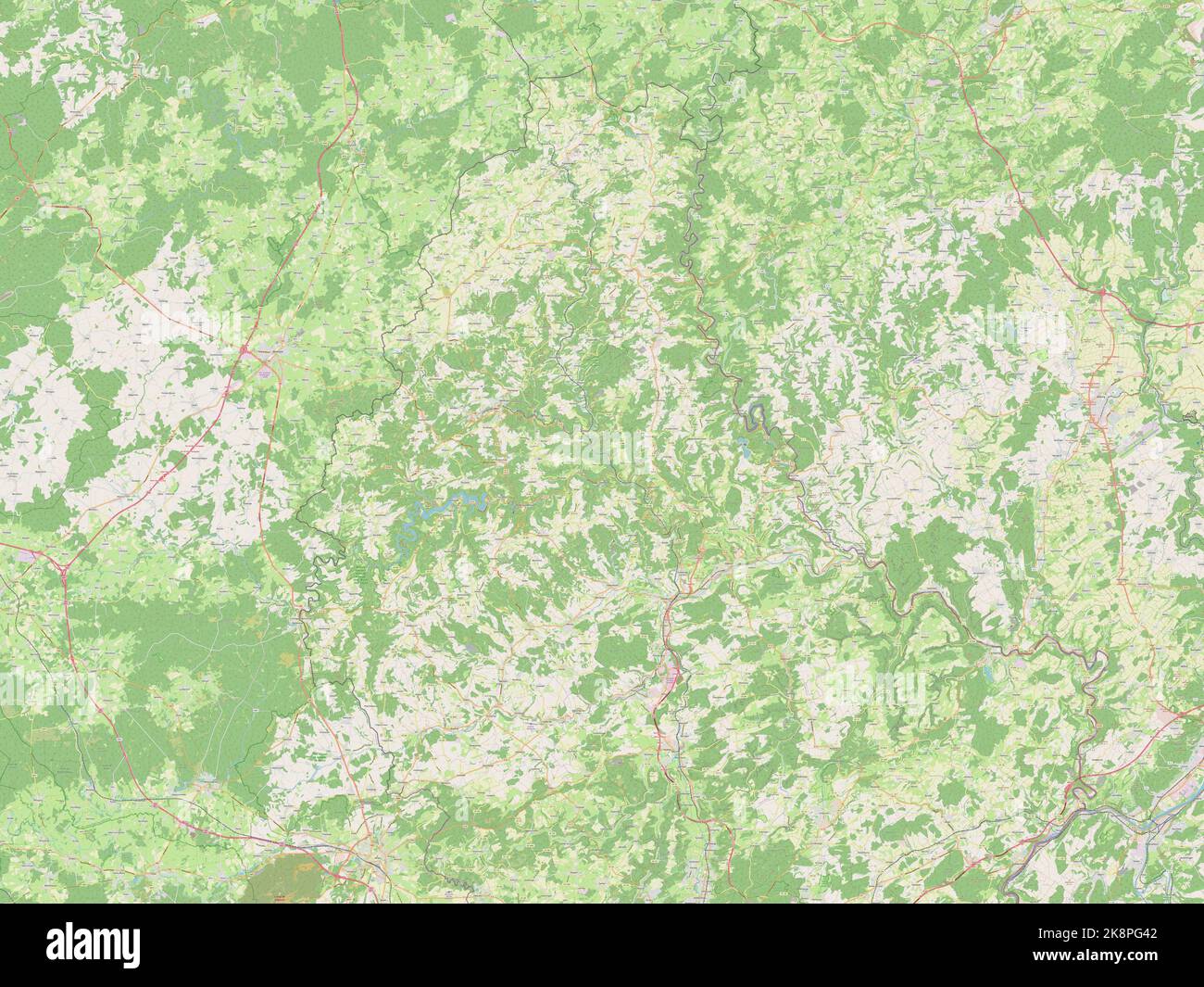 Diekirch, district of Luxembourg. Open Street Map Stock Photohttps://www.alamy.com/image-license-details/?v=1https://www.alamy.com/diekirch-district-of-luxembourg-open-street-map-image487303154.html
RF2K8PG42–Diekirch, district of Luxembourg. Open Street Map
 Diekirch, district of Luxembourg. Solid color shape Stock Photohttps://www.alamy.com/image-license-details/?v=1https://www.alamy.com/diekirch-district-of-luxembourg-solid-color-shape-image487303152.html
RF2K8PG40–Diekirch, district of Luxembourg. Solid color shape
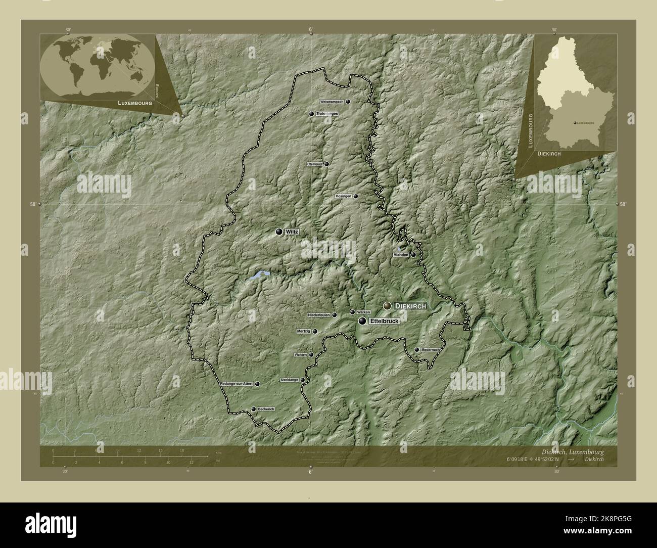 Diekirch, district of Luxembourg. Elevation map colored in wiki style with lakes and rivers. Locations and names of major cities of the region. Corner Stock Photohttps://www.alamy.com/image-license-details/?v=1https://www.alamy.com/diekirch-district-of-luxembourg-elevation-map-colored-in-wiki-style-with-lakes-and-rivers-locations-and-names-of-major-cities-of-the-region-corner-image487303196.html
RF2K8PG5G–Diekirch, district of Luxembourg. Elevation map colored in wiki style with lakes and rivers. Locations and names of major cities of the region. Corner
 Diekirch, district of Luxembourg. Open Street Map. Locations and names of major cities of the region. Corner auxiliary location maps Stock Photohttps://www.alamy.com/image-license-details/?v=1https://www.alamy.com/diekirch-district-of-luxembourg-open-street-map-locations-and-names-of-major-cities-of-the-region-corner-auxiliary-location-maps-image487303322.html
RF2K8PGA2–Diekirch, district of Luxembourg. Open Street Map. Locations and names of major cities of the region. Corner auxiliary location maps
 Diekirch, district of Luxembourg. Grayscale elevation map with lakes and rivers. Locations and names of major cities of the region. Corner auxiliary l Stock Photohttps://www.alamy.com/image-license-details/?v=1https://www.alamy.com/diekirch-district-of-luxembourg-grayscale-elevation-map-with-lakes-and-rivers-locations-and-names-of-major-cities-of-the-region-corner-auxiliary-l-image487303157.html
RF2K8PG45–Diekirch, district of Luxembourg. Grayscale elevation map with lakes and rivers. Locations and names of major cities of the region. Corner auxiliary l
 Diekirch, district of Luxembourg. Bilevel elevation map with lakes and rivers. Locations and names of major cities of the region. Corner auxiliary loc Stock Photohttps://www.alamy.com/image-license-details/?v=1https://www.alamy.com/diekirch-district-of-luxembourg-bilevel-elevation-map-with-lakes-and-rivers-locations-and-names-of-major-cities-of-the-region-corner-auxiliary-loc-image487303086.html
RF2K8PG1J–Diekirch, district of Luxembourg. Bilevel elevation map with lakes and rivers. Locations and names of major cities of the region. Corner auxiliary loc
 Diekirch, district of Luxembourg. Elevation map colored in sepia tones with lakes and rivers. Locations and names of major cities of the region. Corne Stock Photohttps://www.alamy.com/image-license-details/?v=1https://www.alamy.com/diekirch-district-of-luxembourg-elevation-map-colored-in-sepia-tones-with-lakes-and-rivers-locations-and-names-of-major-cities-of-the-region-corne-image487303337.html
RF2K8PGAH–Diekirch, district of Luxembourg. Elevation map colored in sepia tones with lakes and rivers. Locations and names of major cities of the region. Corne
 Diekirch, district of Luxembourg. High resolution satellite map. Locations of major cities of the region. Corner auxiliary location maps Stock Photohttps://www.alamy.com/image-license-details/?v=1https://www.alamy.com/diekirch-district-of-luxembourg-high-resolution-satellite-map-locations-of-major-cities-of-the-region-corner-auxiliary-location-maps-image487303151.html
RF2K8PG3Y–Diekirch, district of Luxembourg. High resolution satellite map. Locations of major cities of the region. Corner auxiliary location maps
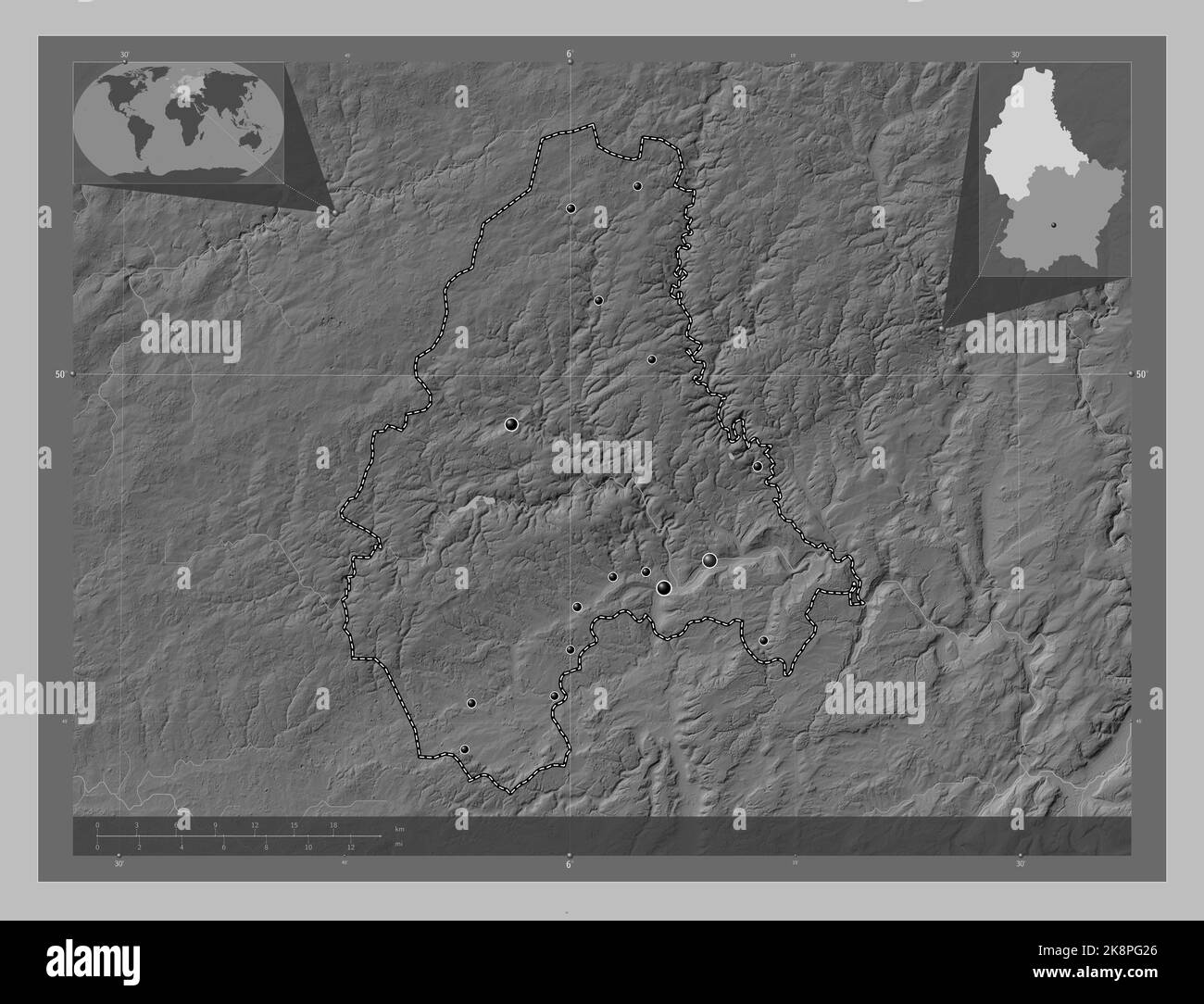 Diekirch, district of Luxembourg. Grayscale elevation map with lakes and rivers. Locations of major cities of the region. Corner auxiliary location ma Stock Photohttps://www.alamy.com/image-license-details/?v=1https://www.alamy.com/diekirch-district-of-luxembourg-grayscale-elevation-map-with-lakes-and-rivers-locations-of-major-cities-of-the-region-corner-auxiliary-location-ma-image487303102.html
RF2K8PG26–Diekirch, district of Luxembourg. Grayscale elevation map with lakes and rivers. Locations of major cities of the region. Corner auxiliary location ma
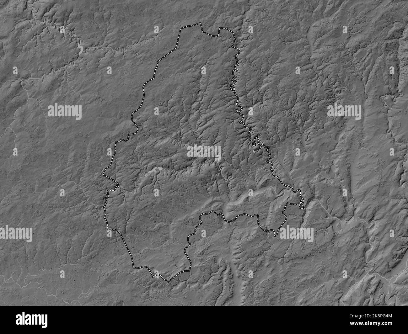 Diekirch, district of Luxembourg. Grayscale elevation map with lakes and rivers Stock Photohttps://www.alamy.com/image-license-details/?v=1https://www.alamy.com/diekirch-district-of-luxembourg-grayscale-elevation-map-with-lakes-and-rivers-image487303172.html
RF2K8PG4M–Diekirch, district of Luxembourg. Grayscale elevation map with lakes and rivers
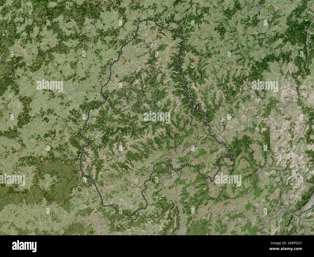 Diekirch, district of Luxembourg. High resolution satellite map Stock Photohttps://www.alamy.com/image-license-details/?v=1https://www.alamy.com/diekirch-district-of-luxembourg-high-resolution-satellite-map-image487303123.html
RF2K8PG2Y–Diekirch, district of Luxembourg. High resolution satellite map
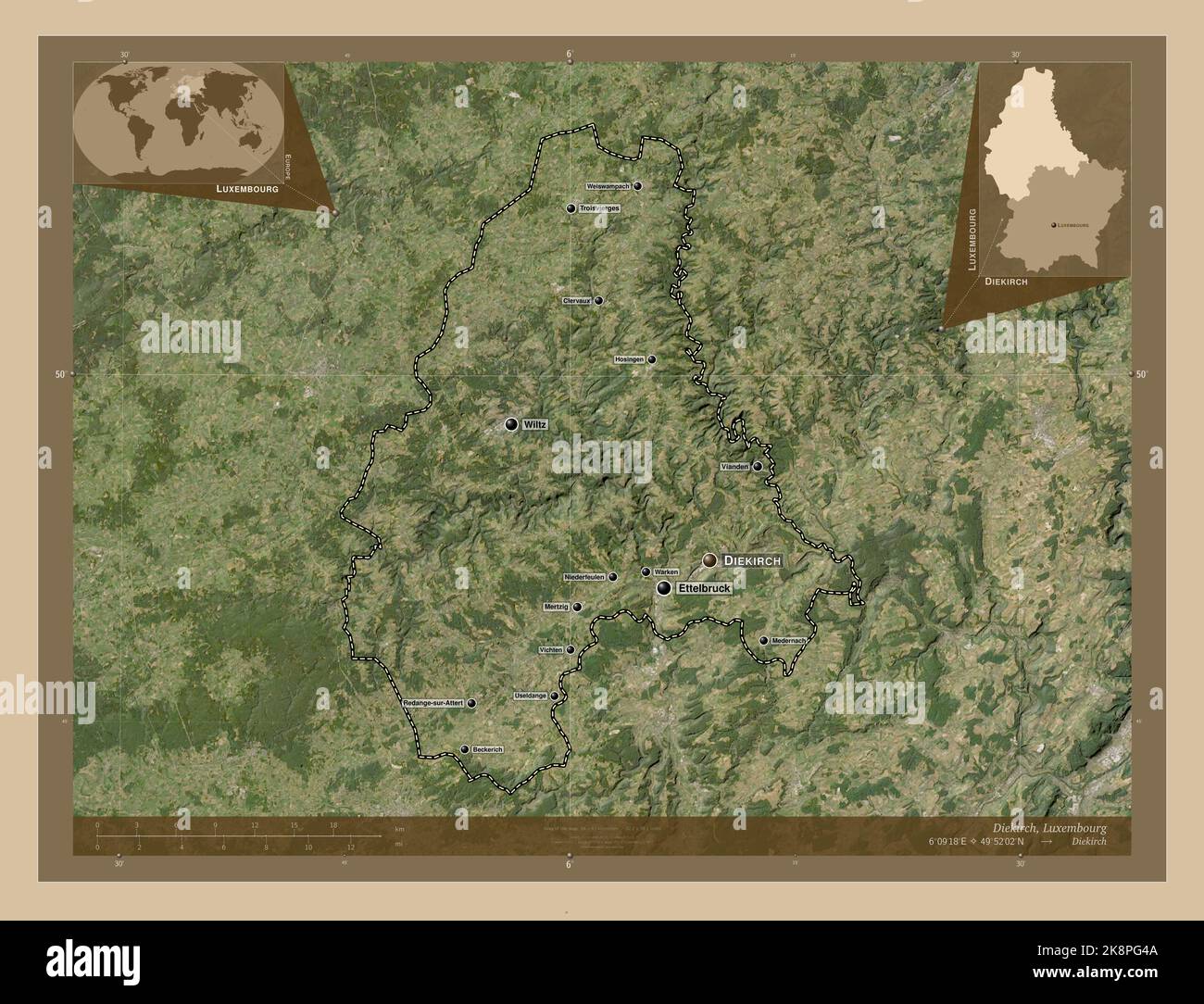 Diekirch, district of Luxembourg. Low resolution satellite map. Locations and names of major cities of the region. Corner auxiliary location maps Stock Photohttps://www.alamy.com/image-license-details/?v=1https://www.alamy.com/diekirch-district-of-luxembourg-low-resolution-satellite-map-locations-and-names-of-major-cities-of-the-region-corner-auxiliary-location-maps-image487303162.html
RF2K8PG4A–Diekirch, district of Luxembourg. Low resolution satellite map. Locations and names of major cities of the region. Corner auxiliary location maps
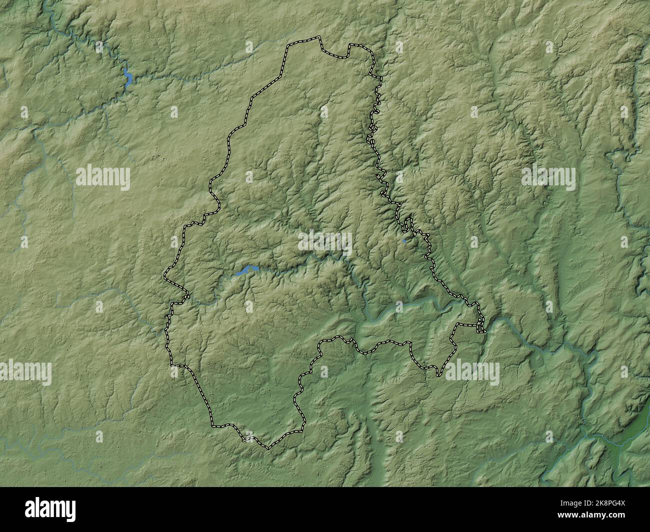 Diekirch, district of Luxembourg. Colored elevation map with lakes and rivers Stock Photohttps://www.alamy.com/image-license-details/?v=1https://www.alamy.com/diekirch-district-of-luxembourg-colored-elevation-map-with-lakes-and-rivers-image487303178.html
RF2K8PG4X–Diekirch, district of Luxembourg. Colored elevation map with lakes and rivers
 Diekirch, district of Luxembourg. Open Street Map. Locations of major cities of the region. Corner auxiliary location maps Stock Photohttps://www.alamy.com/image-license-details/?v=1https://www.alamy.com/diekirch-district-of-luxembourg-open-street-map-locations-of-major-cities-of-the-region-corner-auxiliary-location-maps-image487303181.html
RF2K8PG51–Diekirch, district of Luxembourg. Open Street Map. Locations of major cities of the region. Corner auxiliary location maps
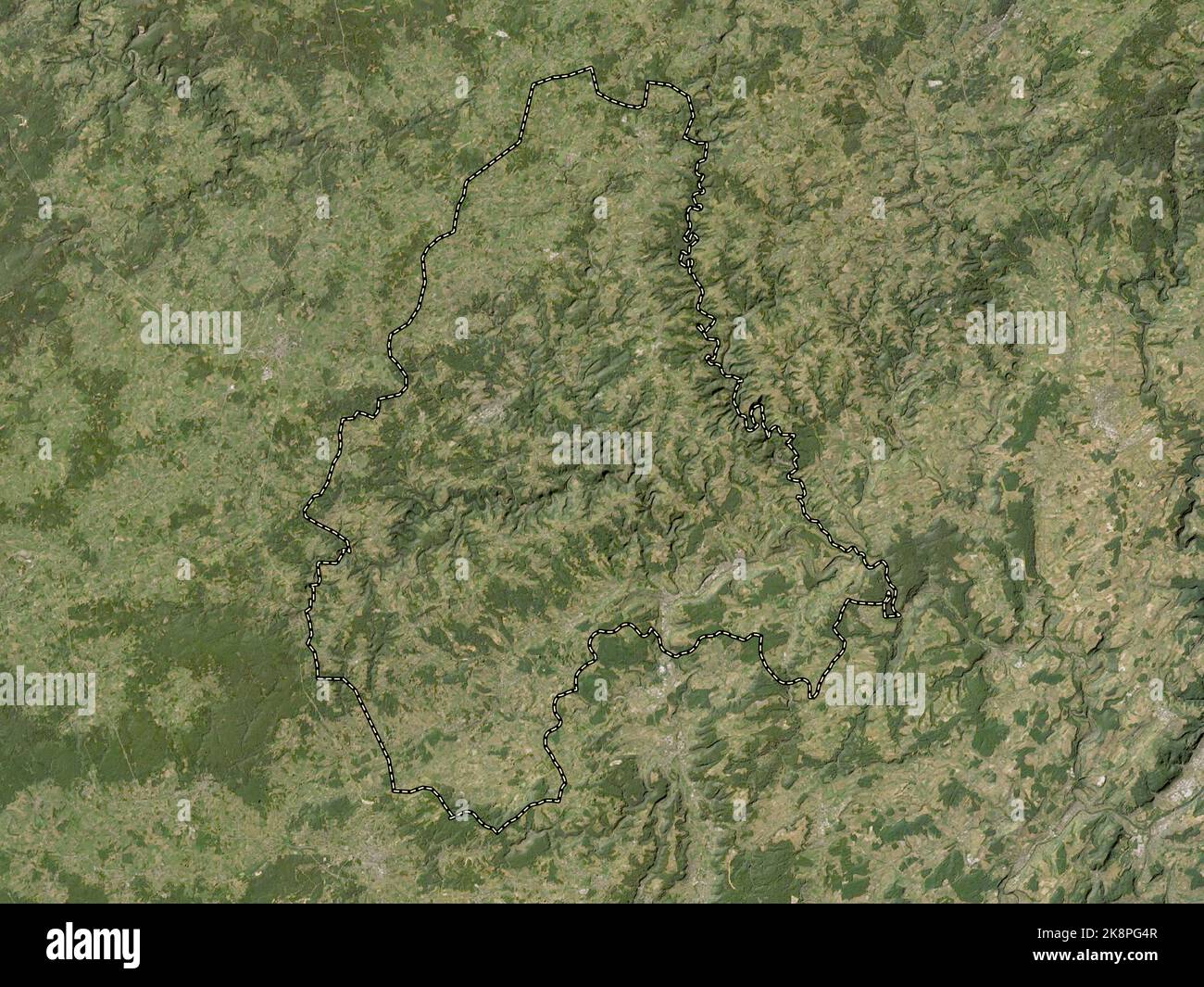 Diekirch, district of Luxembourg. Low resolution satellite map Stock Photohttps://www.alamy.com/image-license-details/?v=1https://www.alamy.com/diekirch-district-of-luxembourg-low-resolution-satellite-map-image487303175.html
RF2K8PG4R–Diekirch, district of Luxembourg. Low resolution satellite map
 Diekirch, district of Luxembourg. Elevation map colored in wiki style with lakes and rivers. Locations of major cities of the region. Corner auxiliary Stock Photohttps://www.alamy.com/image-license-details/?v=1https://www.alamy.com/diekirch-district-of-luxembourg-elevation-map-colored-in-wiki-style-with-lakes-and-rivers-locations-of-major-cities-of-the-region-corner-auxiliary-image487303191.html
RF2K8PG5B–Diekirch, district of Luxembourg. Elevation map colored in wiki style with lakes and rivers. Locations of major cities of the region. Corner auxiliary
 Grevenmacher, district of Luxembourg. Bilevel elevation map with lakes and rivers Stock Photohttps://www.alamy.com/image-license-details/?v=1https://www.alamy.com/grevenmacher-district-of-luxembourg-bilevel-elevation-map-with-lakes-and-rivers-image487303186.html
RF2K8PG56–Grevenmacher, district of Luxembourg. Bilevel elevation map with lakes and rivers
 Grevenmacher, district of Luxembourg. Solid color shape Stock Photohttps://www.alamy.com/image-license-details/?v=1https://www.alamy.com/grevenmacher-district-of-luxembourg-solid-color-shape-image487303355.html
RF2K8PGB7–Grevenmacher, district of Luxembourg. Solid color shape
 Grevenmacher, district of Luxembourg. Grayscale elevation map with lakes and rivers. Locations of major cities of the region. Corner auxiliary locatio Stock Photohttps://www.alamy.com/image-license-details/?v=1https://www.alamy.com/grevenmacher-district-of-luxembourg-grayscale-elevation-map-with-lakes-and-rivers-locations-of-major-cities-of-the-region-corner-auxiliary-locatio-image487303317.html
RF2K8PG9W–Grevenmacher, district of Luxembourg. Grayscale elevation map with lakes and rivers. Locations of major cities of the region. Corner auxiliary locatio
 Grevenmacher, district of Luxembourg. Grayscale elevation map with lakes and rivers Stock Photohttps://www.alamy.com/image-license-details/?v=1https://www.alamy.com/grevenmacher-district-of-luxembourg-grayscale-elevation-map-with-lakes-and-rivers-image487303339.html
RF2K8PGAK–Grevenmacher, district of Luxembourg. Grayscale elevation map with lakes and rivers
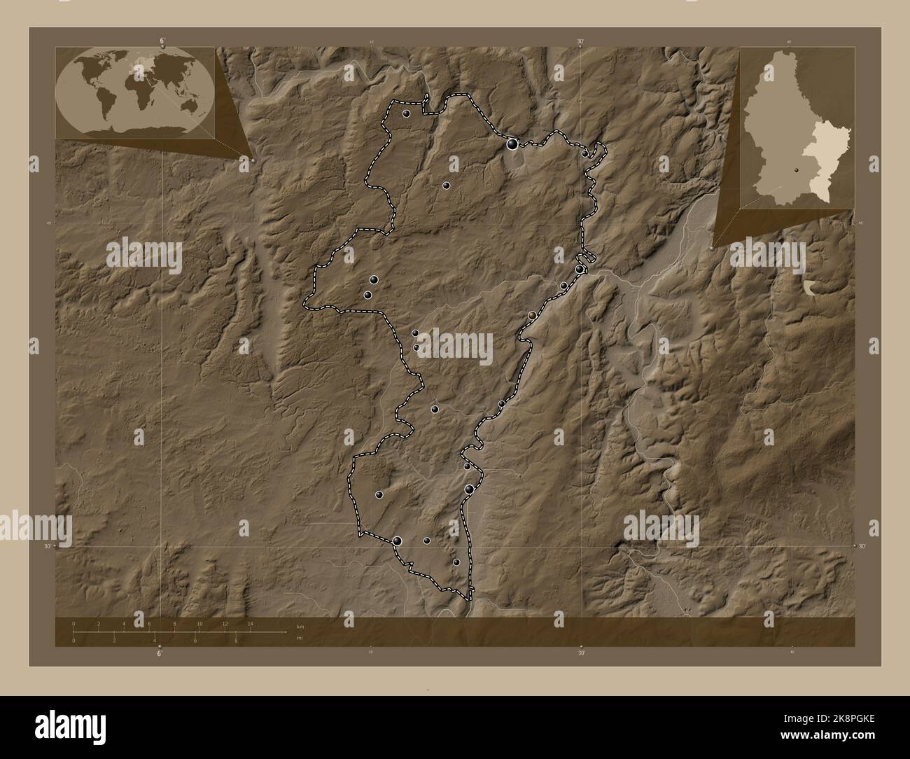 Grevenmacher, district of Luxembourg. Elevation map colored in sepia tones with lakes and rivers. Locations of major cities of the region. Corner auxi Stock Photohttps://www.alamy.com/image-license-details/?v=1https://www.alamy.com/grevenmacher-district-of-luxembourg-elevation-map-colored-in-sepia-tones-with-lakes-and-rivers-locations-of-major-cities-of-the-region-corner-auxi-image487303586.html
RF2K8PGKE–Grevenmacher, district of Luxembourg. Elevation map colored in sepia tones with lakes and rivers. Locations of major cities of the region. Corner auxi
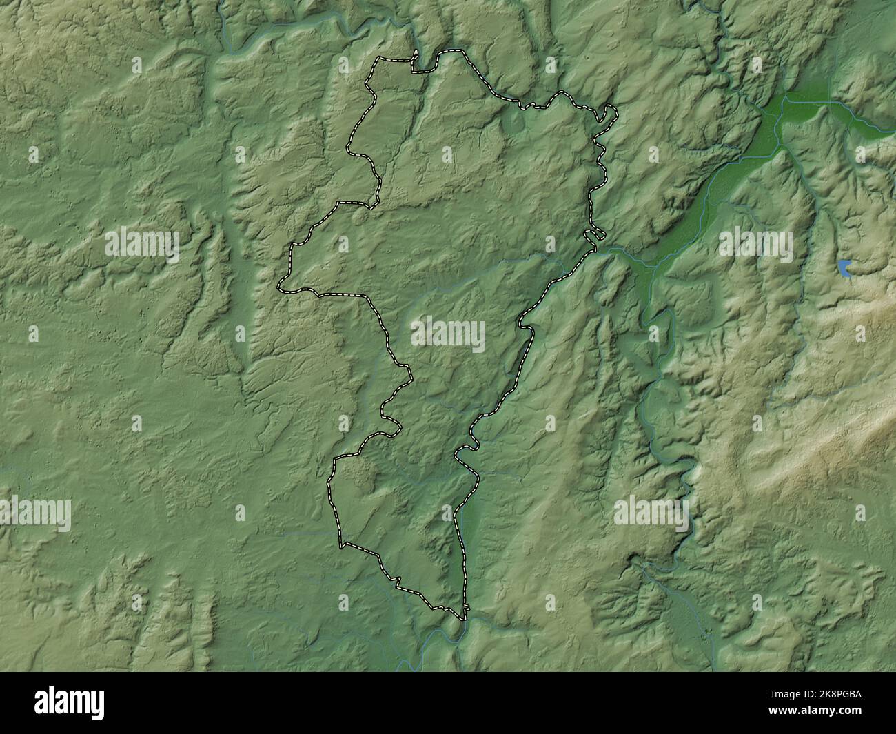 Grevenmacher, district of Luxembourg. Colored elevation map with lakes and rivers Stock Photohttps://www.alamy.com/image-license-details/?v=1https://www.alamy.com/grevenmacher-district-of-luxembourg-colored-elevation-map-with-lakes-and-rivers-image487303358.html
RF2K8PGBA–Grevenmacher, district of Luxembourg. Colored elevation map with lakes and rivers
 Grevenmacher, district of Luxembourg. Elevation map colored in sepia tones with lakes and rivers. Locations and names of major cities of the region. C Stock Photohttps://www.alamy.com/image-license-details/?v=1https://www.alamy.com/grevenmacher-district-of-luxembourg-elevation-map-colored-in-sepia-tones-with-lakes-and-rivers-locations-and-names-of-major-cities-of-the-region-c-image487303366.html
RF2K8PGBJ–Grevenmacher, district of Luxembourg. Elevation map colored in sepia tones with lakes and rivers. Locations and names of major cities of the region. C
 Grevenmacher, district of Luxembourg. Low resolution satellite map Stock Photohttps://www.alamy.com/image-license-details/?v=1https://www.alamy.com/grevenmacher-district-of-luxembourg-low-resolution-satellite-map-image487303340.html
RF2K8PGAM–Grevenmacher, district of Luxembourg. Low resolution satellite map
 Grevenmacher, district of Luxembourg. Elevation map colored in wiki style with lakes and rivers. Locations of major cities of the region. Corner auxil Stock Photohttps://www.alamy.com/image-license-details/?v=1https://www.alamy.com/grevenmacher-district-of-luxembourg-elevation-map-colored-in-wiki-style-with-lakes-and-rivers-locations-of-major-cities-of-the-region-corner-auxil-image487303588.html
RF2K8PGKG–Grevenmacher, district of Luxembourg. Elevation map colored in wiki style with lakes and rivers. Locations of major cities of the region. Corner auxil
 Grevenmacher, district of Luxembourg. Low resolution satellite map. Locations of major cities of the region. Corner auxiliary location maps Stock Photohttps://www.alamy.com/image-license-details/?v=1https://www.alamy.com/grevenmacher-district-of-luxembourg-low-resolution-satellite-map-locations-of-major-cities-of-the-region-corner-auxiliary-location-maps-image487303351.html
RF2K8PGB3–Grevenmacher, district of Luxembourg. Low resolution satellite map. Locations of major cities of the region. Corner auxiliary location maps
 Grevenmacher, district of Luxembourg. Colored elevation map with lakes and rivers. Locations and names of major cities of the region. Corner auxiliary Stock Photohttps://www.alamy.com/image-license-details/?v=1https://www.alamy.com/grevenmacher-district-of-luxembourg-colored-elevation-map-with-lakes-and-rivers-locations-and-names-of-major-cities-of-the-region-corner-auxiliary-image487303380.html
RF2K8PGC4–Grevenmacher, district of Luxembourg. Colored elevation map with lakes and rivers. Locations and names of major cities of the region. Corner auxiliary
 Grevenmacher, district of Luxembourg. High resolution satellite map Stock Photohttps://www.alamy.com/image-license-details/?v=1https://www.alamy.com/grevenmacher-district-of-luxembourg-high-resolution-satellite-map-image487303341.html
RF2K8PGAN–Grevenmacher, district of Luxembourg. High resolution satellite map
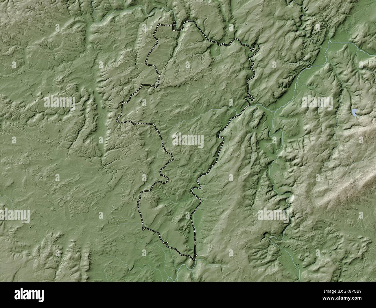 Grevenmacher, district of Luxembourg. Elevation map colored in wiki style with lakes and rivers Stock Photohttps://www.alamy.com/image-license-details/?v=1https://www.alamy.com/grevenmacher-district-of-luxembourg-elevation-map-colored-in-wiki-style-with-lakes-and-rivers-image487303375.html
RF2K8PGBY–Grevenmacher, district of Luxembourg. Elevation map colored in wiki style with lakes and rivers
 Grevenmacher, district of Luxembourg. Open Street Map. Locations of major cities of the region. Corner auxiliary location maps Stock Photohttps://www.alamy.com/image-license-details/?v=1https://www.alamy.com/grevenmacher-district-of-luxembourg-open-street-map-locations-of-major-cities-of-the-region-corner-auxiliary-location-maps-image487303373.html
RF2K8PGBW–Grevenmacher, district of Luxembourg. Open Street Map. Locations of major cities of the region. Corner auxiliary location maps
 Grevenmacher, district of Luxembourg. Open Street Map. Locations and names of major cities of the region. Corner auxiliary location maps Stock Photohttps://www.alamy.com/image-license-details/?v=1https://www.alamy.com/grevenmacher-district-of-luxembourg-open-street-map-locations-and-names-of-major-cities-of-the-region-corner-auxiliary-location-maps-image487303378.html
RF2K8PGC2–Grevenmacher, district of Luxembourg. Open Street Map. Locations and names of major cities of the region. Corner auxiliary location maps
 Grevenmacher, district of Luxembourg. Elevation map colored in wiki style with lakes and rivers. Locations and names of major cities of the region. Co Stock Photohttps://www.alamy.com/image-license-details/?v=1https://www.alamy.com/grevenmacher-district-of-luxembourg-elevation-map-colored-in-wiki-style-with-lakes-and-rivers-locations-and-names-of-major-cities-of-the-region-co-image487303582.html
RF2K8PGKA–Grevenmacher, district of Luxembourg. Elevation map colored in wiki style with lakes and rivers. Locations and names of major cities of the region. Co
 Grevenmacher, district of Luxembourg. High resolution satellite map. Locations and names of major cities of the region. Corner auxiliary location maps Stock Photohttps://www.alamy.com/image-license-details/?v=1https://www.alamy.com/grevenmacher-district-of-luxembourg-high-resolution-satellite-map-locations-and-names-of-major-cities-of-the-region-corner-auxiliary-location-maps-image487303319.html
RF2K8PG9Y–Grevenmacher, district of Luxembourg. High resolution satellite map. Locations and names of major cities of the region. Corner auxiliary location maps
 Grevenmacher, district of Luxembourg. High resolution satellite map. Locations of major cities of the region. Corner auxiliary location maps Stock Photohttps://www.alamy.com/image-license-details/?v=1https://www.alamy.com/grevenmacher-district-of-luxembourg-high-resolution-satellite-map-locations-of-major-cities-of-the-region-corner-auxiliary-location-maps-image487303350.html
RF2K8PGB2–Grevenmacher, district of Luxembourg. High resolution satellite map. Locations of major cities of the region. Corner auxiliary location maps
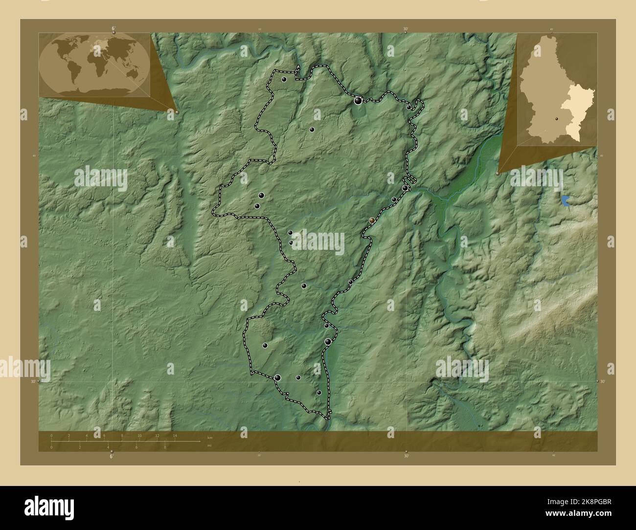 Grevenmacher, district of Luxembourg. Colored elevation map with lakes and rivers. Locations of major cities of the region. Corner auxiliary location Stock Photohttps://www.alamy.com/image-license-details/?v=1https://www.alamy.com/grevenmacher-district-of-luxembourg-colored-elevation-map-with-lakes-and-rivers-locations-of-major-cities-of-the-region-corner-auxiliary-location-image487303371.html
RF2K8PGBR–Grevenmacher, district of Luxembourg. Colored elevation map with lakes and rivers. Locations of major cities of the region. Corner auxiliary location
 Grevenmacher, district of Luxembourg. Low resolution satellite map. Locations and names of major cities of the region. Corner auxiliary location maps Stock Photohttps://www.alamy.com/image-license-details/?v=1https://www.alamy.com/grevenmacher-district-of-luxembourg-low-resolution-satellite-map-locations-and-names-of-major-cities-of-the-region-corner-auxiliary-location-maps-image487303360.html
RF2K8PGBC–Grevenmacher, district of Luxembourg. Low resolution satellite map. Locations and names of major cities of the region. Corner auxiliary location maps
 Grevenmacher, district of Luxembourg. Bilevel elevation map with lakes and rivers. Locations of major cities of the region. Corner auxiliary location Stock Photohttps://www.alamy.com/image-license-details/?v=1https://www.alamy.com/grevenmacher-district-of-luxembourg-bilevel-elevation-map-with-lakes-and-rivers-locations-of-major-cities-of-the-region-corner-auxiliary-location-image487303193.html
RF2K8PG5D–Grevenmacher, district of Luxembourg. Bilevel elevation map with lakes and rivers. Locations of major cities of the region. Corner auxiliary location
 Grevenmacher, district of Luxembourg. Solid color shape. Locations and names of major cities of the region. Corner auxiliary location maps Stock Photohttps://www.alamy.com/image-license-details/?v=1https://www.alamy.com/grevenmacher-district-of-luxembourg-solid-color-shape-locations-and-names-of-major-cities-of-the-region-corner-auxiliary-location-maps-image487303349.html
RF2K8PGB1–Grevenmacher, district of Luxembourg. Solid color shape. Locations and names of major cities of the region. Corner auxiliary location maps
 Grevenmacher, district of Luxembourg. Grayscale elevation map with lakes and rivers. Locations and names of major cities of the region. Corner auxilia Stock Photohttps://www.alamy.com/image-license-details/?v=1https://www.alamy.com/grevenmacher-district-of-luxembourg-grayscale-elevation-map-with-lakes-and-rivers-locations-and-names-of-major-cities-of-the-region-corner-auxilia-image487303342.html
RF2K8PGAP–Grevenmacher, district of Luxembourg. Grayscale elevation map with lakes and rivers. Locations and names of major cities of the region. Corner auxilia
 Grevenmacher, district of Luxembourg. Open Street Map Stock Photohttps://www.alamy.com/image-license-details/?v=1https://www.alamy.com/grevenmacher-district-of-luxembourg-open-street-map-image487303365.html
RF2K8PGBH–Grevenmacher, district of Luxembourg. Open Street Map
 Grevenmacher, district of Luxembourg. Elevation map colored in sepia tones with lakes and rivers Stock Photohttps://www.alamy.com/image-license-details/?v=1https://www.alamy.com/grevenmacher-district-of-luxembourg-elevation-map-colored-in-sepia-tones-with-lakes-and-rivers-image487303369.html
RF2K8PGBN–Grevenmacher, district of Luxembourg. Elevation map colored in sepia tones with lakes and rivers
 Grevenmacher, district of Luxembourg. Bilevel elevation map with lakes and rivers. Locations and names of major cities of the region. Corner auxiliary Stock Photohttps://www.alamy.com/image-license-details/?v=1https://www.alamy.com/grevenmacher-district-of-luxembourg-bilevel-elevation-map-with-lakes-and-rivers-locations-and-names-of-major-cities-of-the-region-corner-auxiliary-image487303307.html
RF2K8PG9F–Grevenmacher, district of Luxembourg. Bilevel elevation map with lakes and rivers. Locations and names of major cities of the region. Corner auxiliary
 Grevenmacher, district of Luxembourg. Solid color shape. Locations of major cities of the region. Corner auxiliary location maps Stock Photohttps://www.alamy.com/image-license-details/?v=1https://www.alamy.com/grevenmacher-district-of-luxembourg-solid-color-shape-locations-of-major-cities-of-the-region-corner-auxiliary-location-maps-image487303372.html
RF2K8PGBT–Grevenmacher, district of Luxembourg. Solid color shape. Locations of major cities of the region. Corner auxiliary location maps