Uganda map Black & White Stock Photos
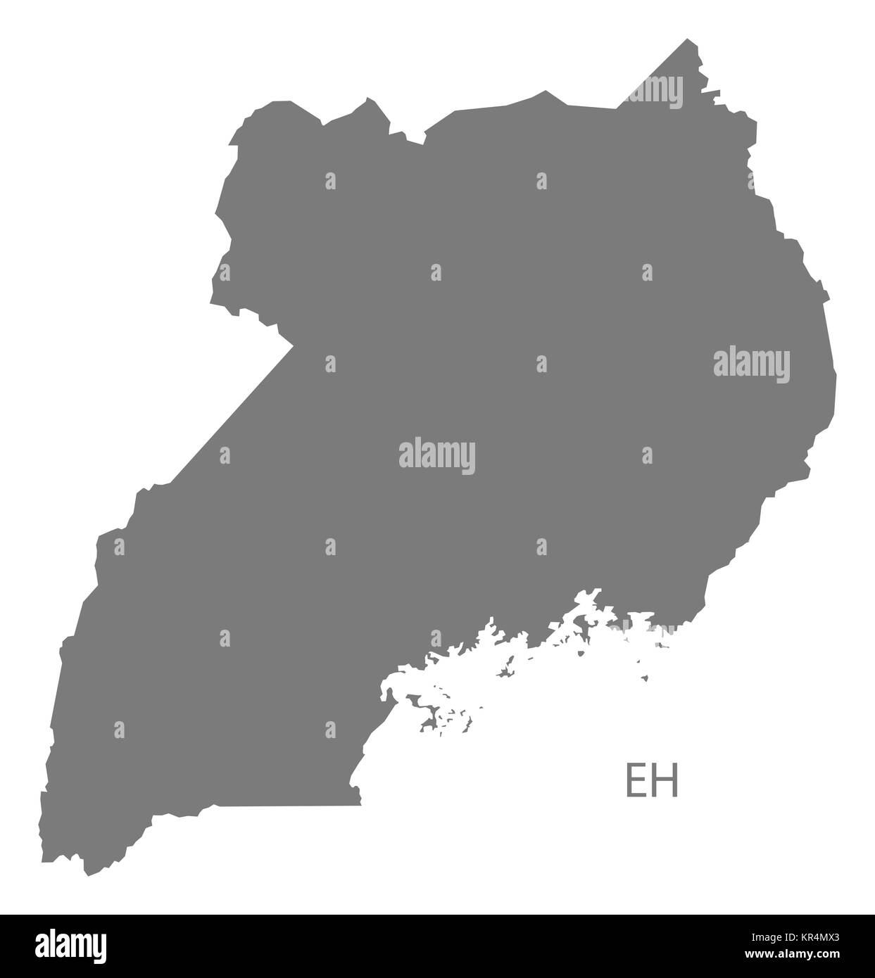 Uganda Map grey Stock Photohttps://www.alamy.com/image-license-details/?v=1https://www.alamy.com/stock-image-uganda-map-grey-169134619.html
RFKR4MX3–Uganda Map grey
 map of Uganda - outline. Silhouette of Uganda map vector illustration Stock Vectorhttps://www.alamy.com/image-license-details/?v=1https://www.alamy.com/map-of-uganda-outline-silhouette-of-uganda-map-vector-illustration-image229842910.html
RFR9X6YA–map of Uganda - outline. Silhouette of Uganda map vector illustration
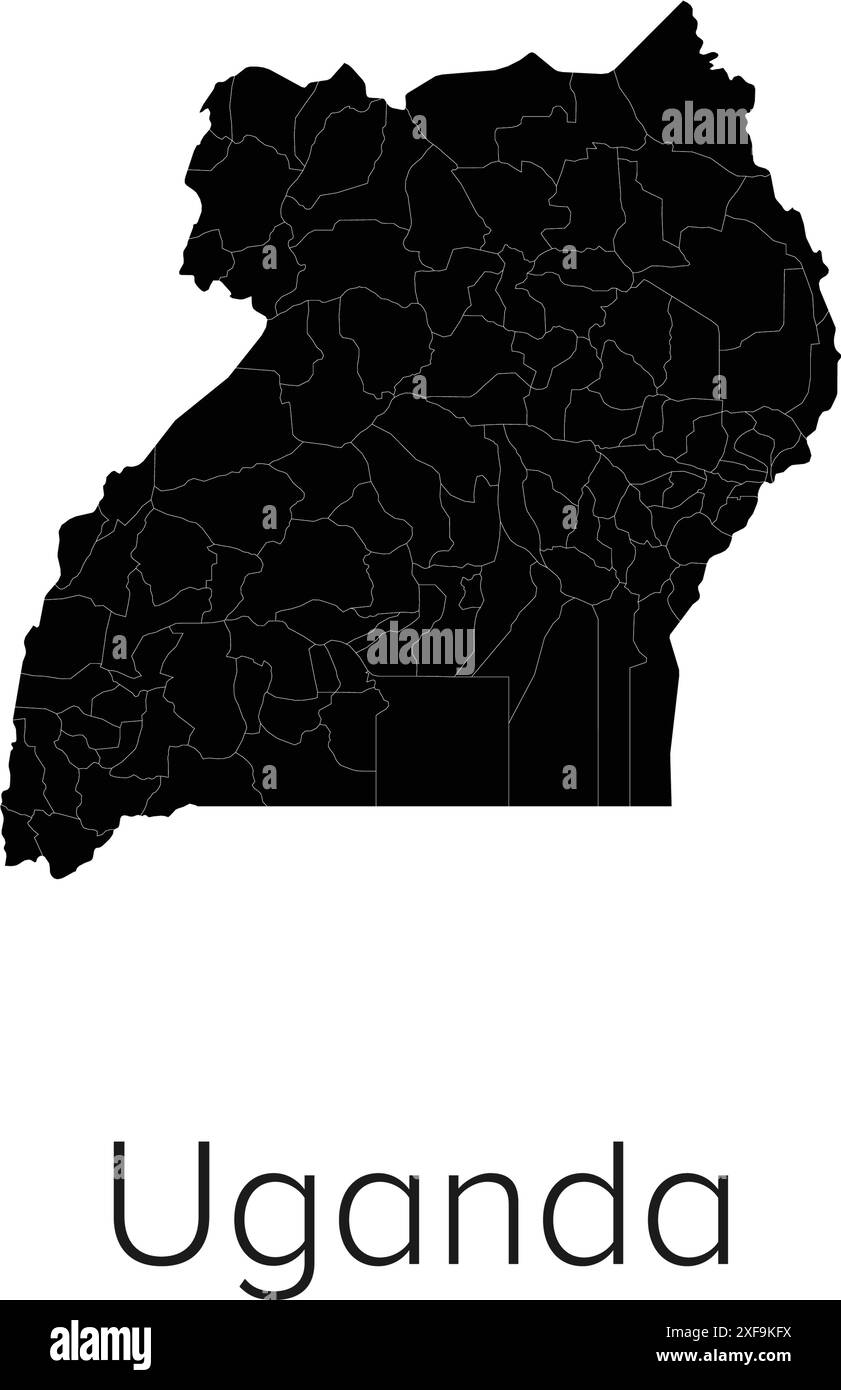 Uganda Map Vector Illustration - Silhouette, Outline, Uganda Travel and Tourism Map Stock Vectorhttps://www.alamy.com/image-license-details/?v=1https://www.alamy.com/uganda-map-vector-illustration-silhouette-outline-uganda-travel-and-tourism-map-image611795630.html
RF2XF9KFX–Uganda Map Vector Illustration - Silhouette, Outline, Uganda Travel and Tourism Map
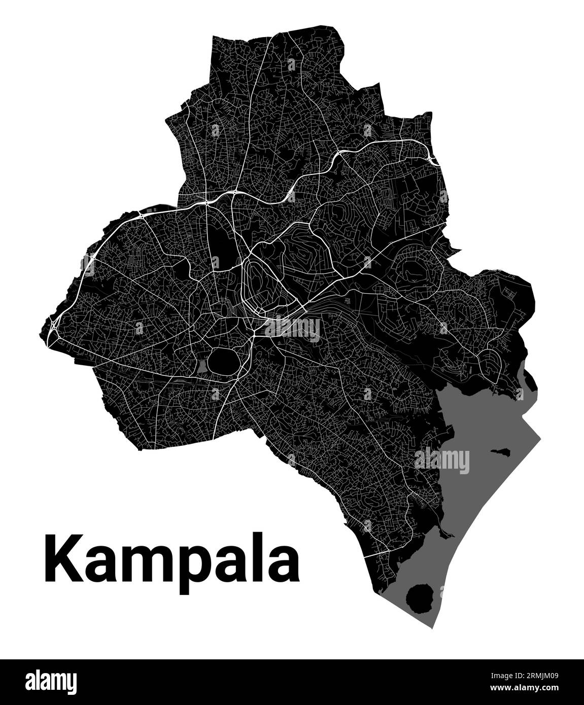 Kampala, Uganda map. Detailed black map of Kampala city administrative area. Cityscape poster metropolitan aria view. Black land with white roads and Stock Vectorhttps://www.alamy.com/image-license-details/?v=1https://www.alamy.com/kampala-uganda-map-detailed-black-map-of-kampala-city-administrative-area-cityscape-poster-metropolitan-aria-view-black-land-with-white-roads-and-image563435721.html
RF2RMJM09–Kampala, Uganda map. Detailed black map of Kampala city administrative area. Cityscape poster metropolitan aria view. Black land with white roads and
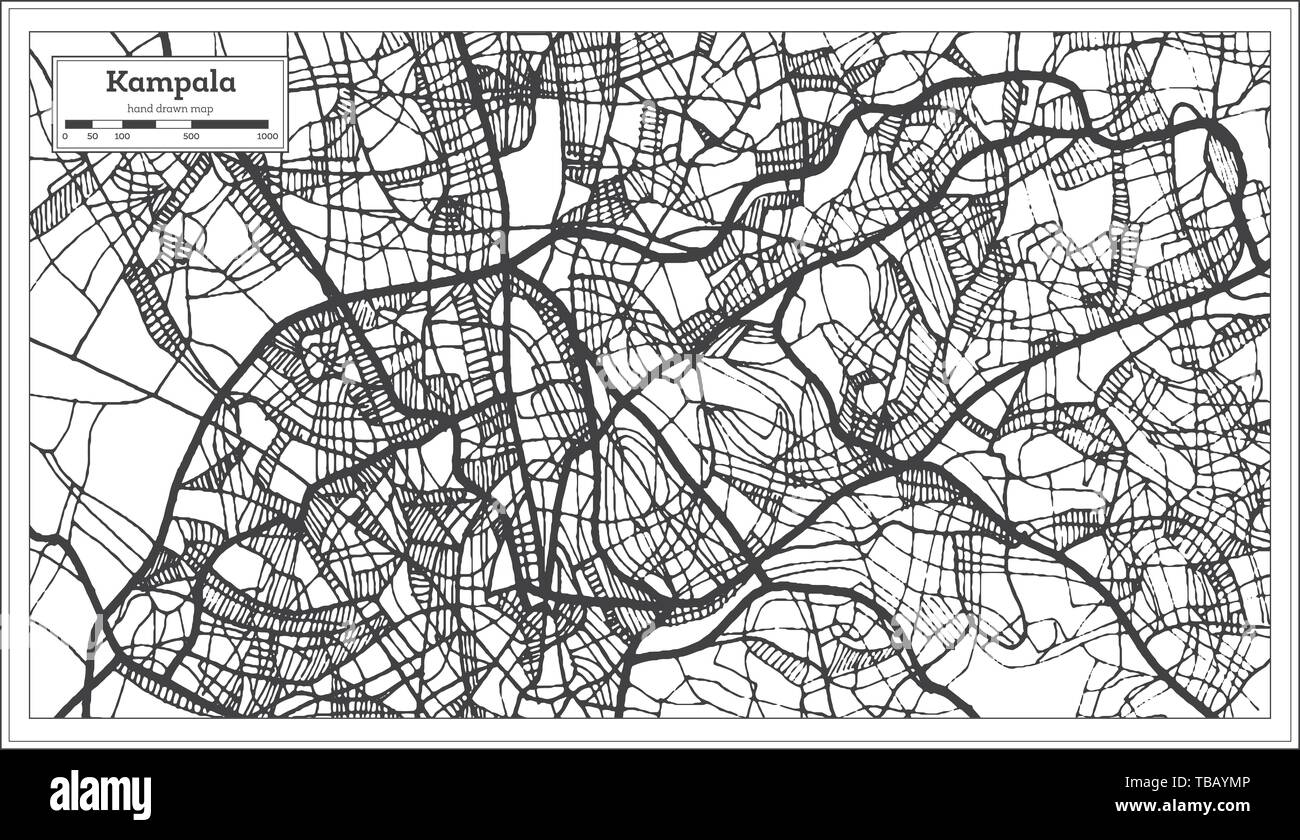 Kampala Uganda Map in Black and White Color. Vector Illustration. Outline Map. Stock Vectorhttps://www.alamy.com/image-license-details/?v=1https://www.alamy.com/kampala-uganda-map-in-black-and-white-color-vector-illustration-outline-map-image247947638.html
RFTBAYMP–Kampala Uganda Map in Black and White Color. Vector Illustration. Outline Map.
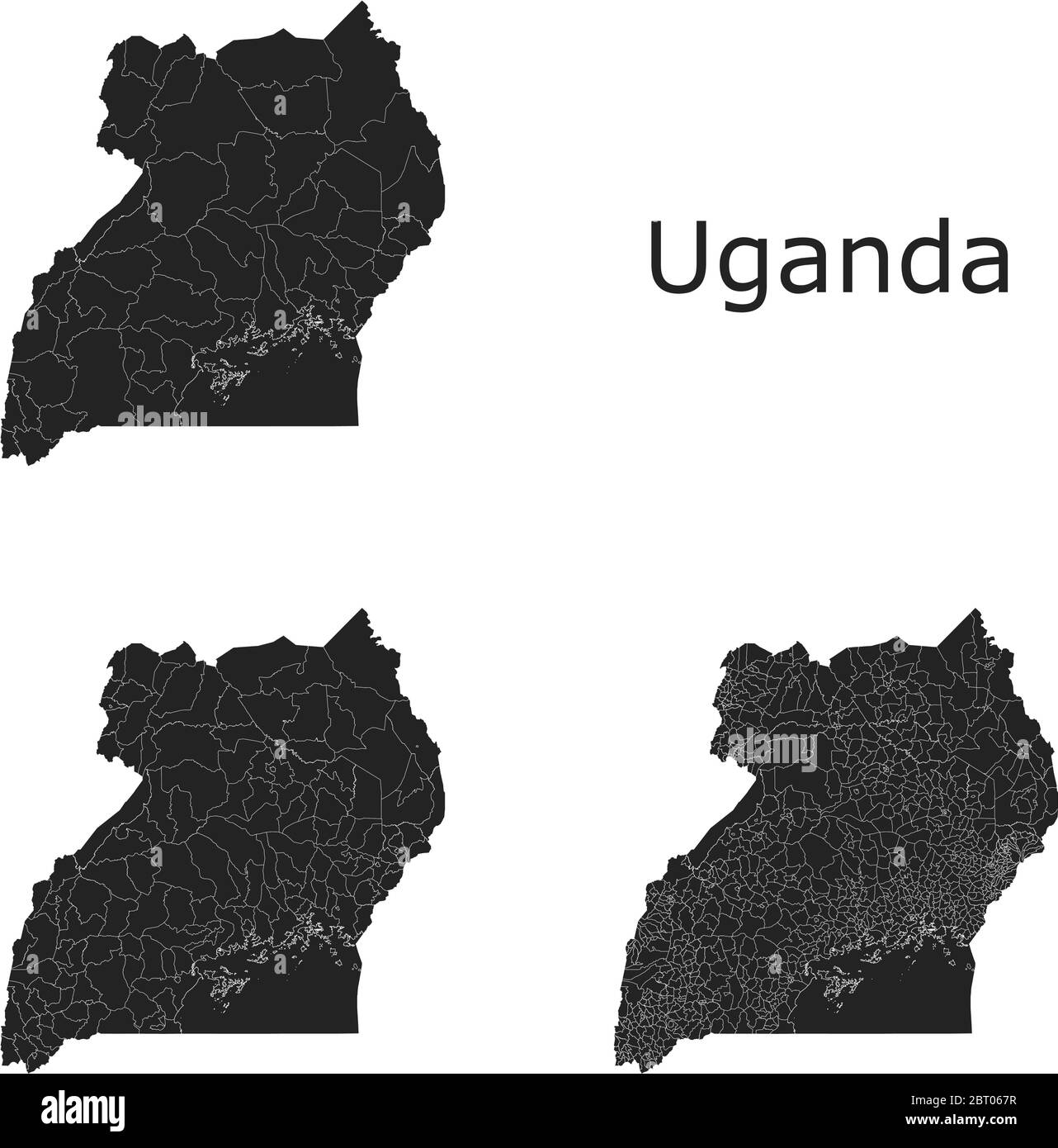 Uganda vector maps with administrative regions, municipalities, departments, borders Stock Vectorhttps://www.alamy.com/image-license-details/?v=1https://www.alamy.com/uganda-vector-maps-with-administrative-regions-municipalities-departments-borders-image358964027.html
RF2BT067R–Uganda vector maps with administrative regions, municipalities, departments, borders
 Uganda Map. Ugandan Country Map. Black and White National Nation Geography Outline Border Boundary Territory Shape Vector Illustration EPS Clipart Stock Vectorhttps://www.alamy.com/image-license-details/?v=1https://www.alamy.com/uganda-map-ugandan-country-map-black-and-white-national-nation-geography-outline-border-boundary-territory-shape-vector-illustration-eps-clipart-image477281777.html
RF2JME1NN–Uganda Map. Ugandan Country Map. Black and White National Nation Geography Outline Border Boundary Territory Shape Vector Illustration EPS Clipart
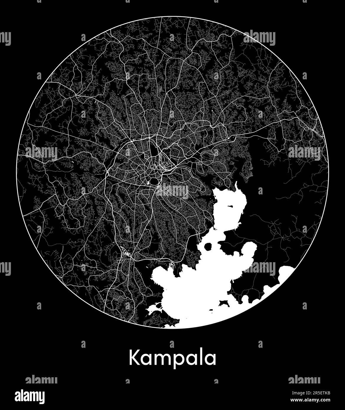 City Map Kampala Uganda Africa vector illustration Stock Vectorhttps://www.alamy.com/image-license-details/?v=1https://www.alamy.com/city-map-kampala-uganda-africa-vector-illustration-image554131743.html
RF2R5ETKB–City Map Kampala Uganda Africa vector illustration
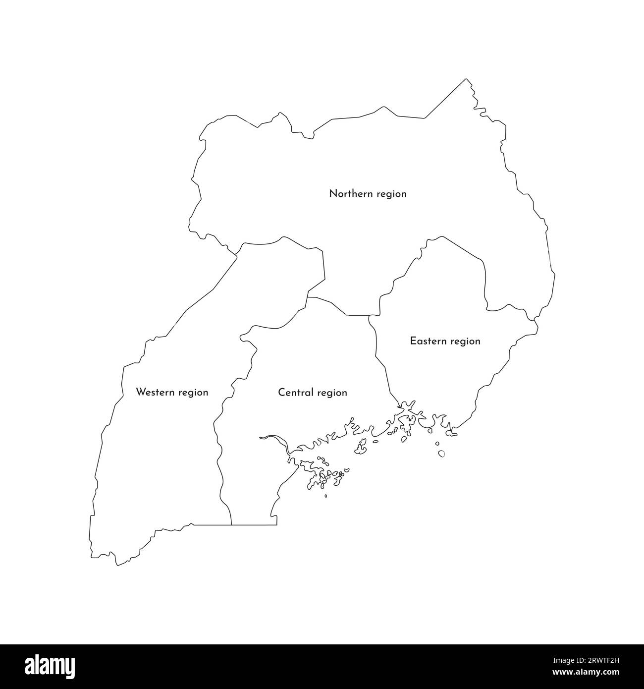 Vector isolated illustration of simplified administrative map of Uganda. Borders and names of the regions. Black line silhouettes. Stock Vectorhttps://www.alamy.com/image-license-details/?v=1https://www.alamy.com/vector-isolated-illustration-of-simplified-administrative-map-of-uganda-borders-and-names-of-the-regions-black-line-silhouettes-image566636857.html
RF2RWTF2H–Vector isolated illustration of simplified administrative map of Uganda. Borders and names of the regions. Black line silhouettes.
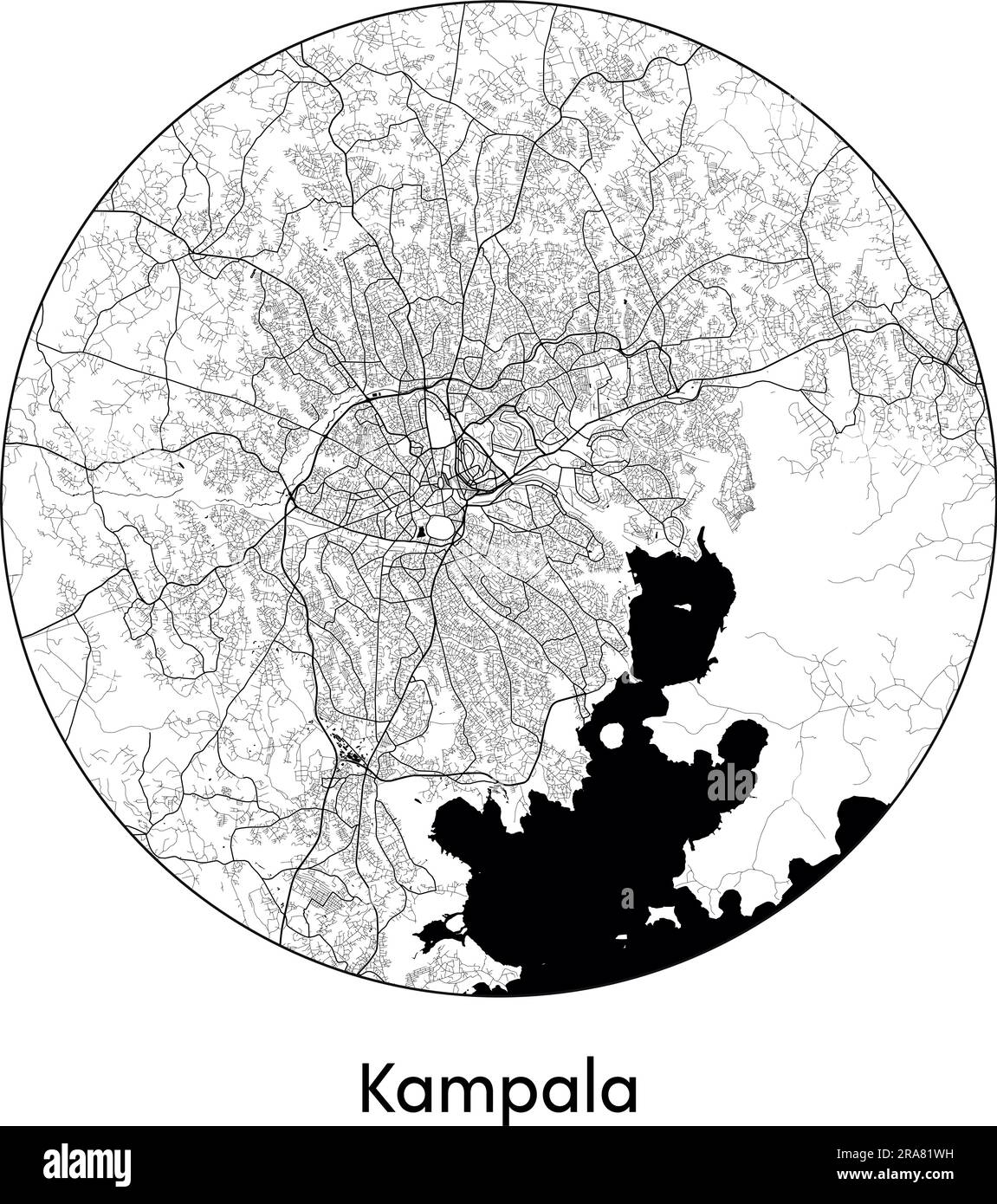 City Map Kampala Uganda Africa vector illustration black white Stock Vectorhttps://www.alamy.com/image-license-details/?v=1https://www.alamy.com/city-map-kampala-uganda-africa-vector-illustration-black-white-image557055453.html
RF2RA81WH–City Map Kampala Uganda Africa vector illustration black white
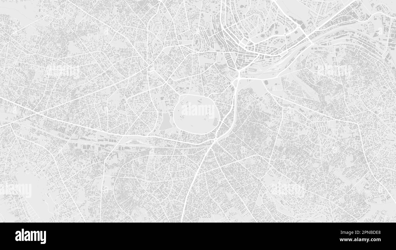 White and light grey Kampala city area, Uganda, vector background map, roads and water cartography illustration. Widescreen proportion, digital flat d Stock Vectorhttps://www.alamy.com/image-license-details/?v=1https://www.alamy.com/white-and-light-grey-kampala-city-area-uganda-vector-background-map-roads-and-water-cartography-illustration-widescreen-proportion-digital-flat-d-image546681248.html
RF2PNBDE8–White and light grey Kampala city area, Uganda, vector background map, roads and water cartography illustration. Widescreen proportion, digital flat d
 Uganda map outline vector illustration Stock Vectorhttps://www.alamy.com/image-license-details/?v=1https://www.alamy.com/uganda-map-outline-vector-illustration-image366719518.html
RF2C8HEDJ–Uganda map outline vector illustration
 Uganda map. Blank vector map of the Country. Borders of Uganda for your infographic. Vector illustration. Stock Vectorhttps://www.alamy.com/image-license-details/?v=1https://www.alamy.com/uganda-map-blank-vector-map-of-the-country-borders-of-uganda-for-your-infographic-vector-illustration-image573889696.html
RF2T9JX4G–Uganda map. Blank vector map of the Country. Borders of Uganda for your infographic. Vector illustration.
 Map of Uganda with shadows Stock Photohttps://www.alamy.com/image-license-details/?v=1https://www.alamy.com/map-of-uganda-with-shadows-image634542638.html
RF2YT9WH2–Map of Uganda with shadows
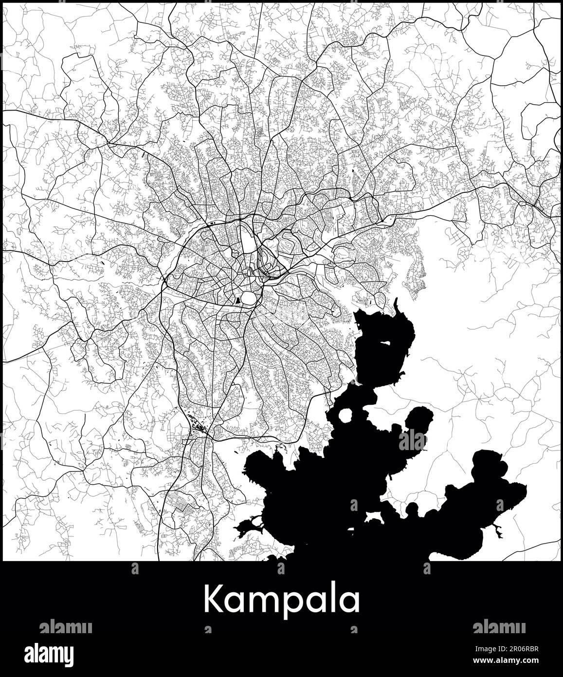 City Map Africa Uganda Kampala vector illustration Stock Vectorhttps://www.alamy.com/image-license-details/?v=1https://www.alamy.com/city-map-africa-uganda-kampala-vector-illustration-image550881851.html
RF2R06RBR–City Map Africa Uganda Kampala vector illustration
 A contour map of Uganda. Vector graphic illustration on a transparent background with black country's borders Stock Vectorhttps://www.alamy.com/image-license-details/?v=1https://www.alamy.com/a-contour-map-of-uganda-vector-graphic-illustration-on-a-transparent-background-with-black-countrys-borders-image631455222.html
RF2YK97G6–A contour map of Uganda. Vector graphic illustration on a transparent background with black country's borders
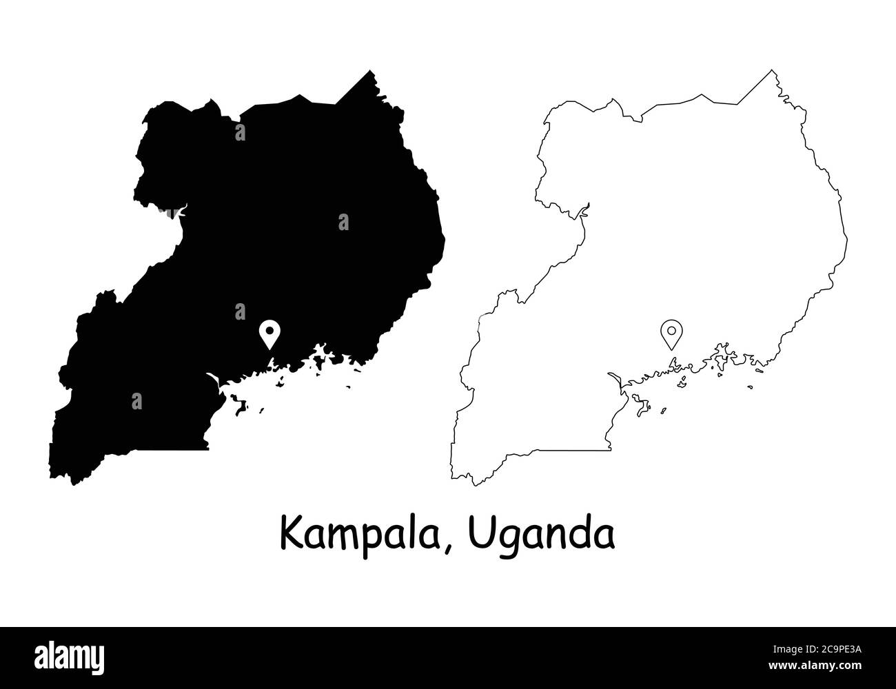 Kampala, Uganda. Detailed Country Map with Location Pin on Capital City. Black silhouette and outline maps isolated on white background. EPS Vector Stock Vectorhttps://www.alamy.com/image-license-details/?v=1https://www.alamy.com/kampala-uganda-detailed-country-map-with-location-pin-on-capital-city-black-silhouette-and-outline-maps-isolated-on-white-background-eps-vector-image367443646.html
RF2C9PE3A–Kampala, Uganda. Detailed Country Map with Location Pin on Capital City. Black silhouette and outline maps isolated on white background. EPS Vector
 Uganda vector country map silhouette Stock Vectorhttps://www.alamy.com/image-license-details/?v=1https://www.alamy.com/uganda-vector-country-map-silhouette-image467241944.html
RF2J44KT8–Uganda vector country map silhouette
 Silhouette of a Uganda Country land Map Stock Vectorhttps://www.alamy.com/image-license-details/?v=1https://www.alamy.com/silhouette-of-a-uganda-country-land-map-image620899264.html
RF2Y24B9M–Silhouette of a Uganda Country land Map
 Uganda regions Map grey Stock Photohttps://www.alamy.com/image-license-details/?v=1https://www.alamy.com/stock-image-uganda-regions-map-grey-169134623.html
RFKR4MX7–Uganda regions Map grey
 map of Uganda - outline. Silhouette of Uganda map illustration Stock Photohttps://www.alamy.com/image-license-details/?v=1https://www.alamy.com/map-of-uganda-outline-silhouette-of-uganda-map-illustration-image230124747.html
RFRAB2CY–map of Uganda - outline. Silhouette of Uganda map illustration
 Uganda highlighted on a Bilevel elevation map with lakes and rivers Stock Photohttps://www.alamy.com/image-license-details/?v=1https://www.alamy.com/uganda-highlighted-on-a-bilevel-elevation-map-with-lakes-and-rivers-image591736044.html
RF2WAKWA4–Uganda highlighted on a Bilevel elevation map with lakes and rivers
 Line map of Uganda vector stock illustration design template. Editable stroke. Vector eps 10. Stock Vectorhttps://www.alamy.com/image-license-details/?v=1https://www.alamy.com/line-map-of-uganda-vector-stock-illustration-design-template-editable-stroke-vector-eps-10-image442895894.html
RF2GMFJ6E–Line map of Uganda vector stock illustration design template. Editable stroke. Vector eps 10.
 Abstract dotted black and white halftone effect vector map of Uganda. Country map digital dotted design vector illustration. Stock Vectorhttps://www.alamy.com/image-license-details/?v=1https://www.alamy.com/abstract-dotted-black-and-white-halftone-effect-vector-map-of-uganda-country-map-digital-dotted-design-vector-illustration-image452222518.html
RF2H7MEC6–Abstract dotted black and white halftone effect vector map of Uganda. Country map digital dotted design vector illustration.
RF2M6F6K4–Uganda Map Silhouette Pixelated generative pattern illustration
 Simple white Uganda map on gray background, vector, illustration, eps 10 file Stock Vectorhttps://www.alamy.com/image-license-details/?v=1https://www.alamy.com/simple-white-uganda-map-on-gray-background-vector-illustration-eps-10-file-image572702765.html
RF2T7MT65–Simple white Uganda map on gray background, vector, illustration, eps 10 file
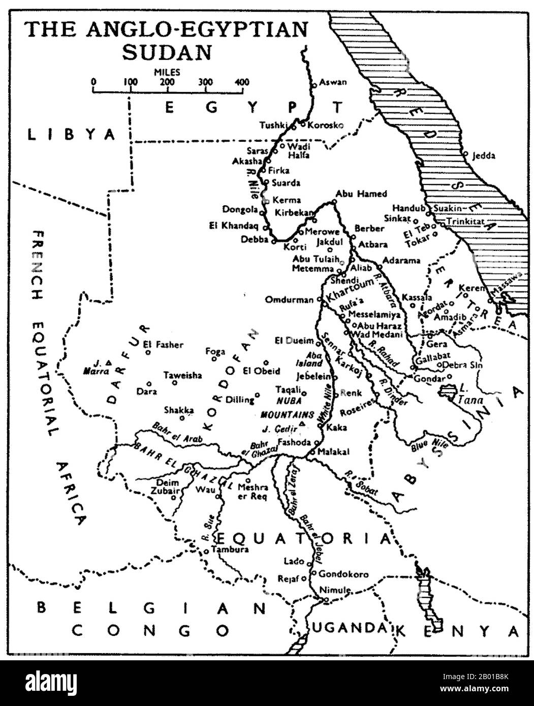 Sudan: Map of the Anglo-Egyptian Sudan showing Equatoria Province - now roughly coterminous with South Sudan, late 19th century. The term Anglo-Egyptian Sudan refers to the period between 1891 and 1956 when Sudan was administered as a condominium of Egypt and the United Kingdom. Sudan (comprising modern-day Sudan and South Sudan) was de jure shared legally between Egypt and the British Empire, but was de facto controlled by the latter, with Egypt only enjoying limited local power in reality as Egypt itself fell under increasing British influence. Stock Photohttps://www.alamy.com/image-license-details/?v=1https://www.alamy.com/sudan-map-of-the-anglo-egyptian-sudan-showing-equatoria-province-now-roughly-coterminous-with-south-sudan-late-19th-century-the-term-anglo-egyptian-sudan-refers-to-the-period-between-1891-and-1956-when-sudan-was-administered-as-a-condominium-of-egypt-and-the-united-kingdom-sudan-comprising-modern-day-sudan-and-south-sudan-was-de-jure-shared-legally-between-egypt-and-the-british-empire-but-was-de-facto-controlled-by-the-latter-with-egypt-only-enjoying-limited-local-power-in-reality-as-egypt-itself-fell-under-increasing-british-influence-image344238179.html
RM2B01B8K–Sudan: Map of the Anglo-Egyptian Sudan showing Equatoria Province - now roughly coterminous with South Sudan, late 19th century. The term Anglo-Egyptian Sudan refers to the period between 1891 and 1956 when Sudan was administered as a condominium of Egypt and the United Kingdom. Sudan (comprising modern-day Sudan and South Sudan) was de jure shared legally between Egypt and the British Empire, but was de facto controlled by the latter, with Egypt only enjoying limited local power in reality as Egypt itself fell under increasing British influence.
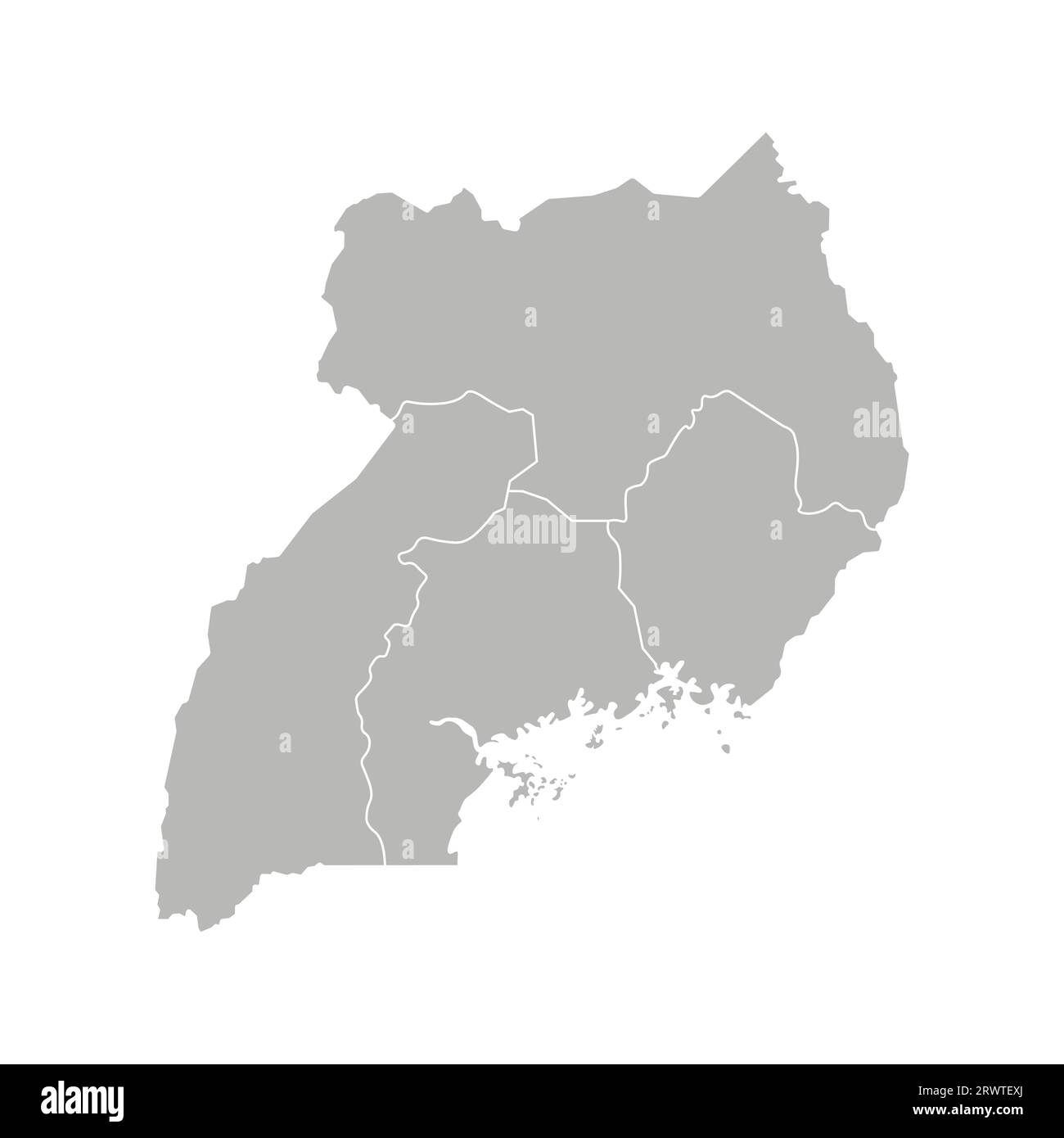 Vector isolated illustration of simplified administrative map of Uganda. Borders of the regions. Grey silhouettes. White outline. Stock Vectorhttps://www.alamy.com/image-license-details/?v=1https://www.alamy.com/vector-isolated-illustration-of-simplified-administrative-map-of-uganda-borders-of-the-regions-grey-silhouettes-white-outline-image566636746.html
RF2RWTEXJ–Vector isolated illustration of simplified administrative map of Uganda. Borders of the regions. Grey silhouettes. White outline.
 Tunisia-Zimbabwe 3D White Maps Stock Photohttps://www.alamy.com/image-license-details/?v=1https://www.alamy.com/stock-photo-tunisia-zimbabwe-3d-white-maps-26650860.html
RFBFA1CC–Tunisia-Zimbabwe 3D White Maps
 Uganda Map Silhouette Black, Vector illustration eps 10 Stock Vectorhttps://www.alamy.com/image-license-details/?v=1https://www.alamy.com/uganda-map-silhouette-black-vector-illustration-eps-10-image339096547.html
RF2AKK52Y–Uganda Map Silhouette Black, Vector illustration eps 10
 Uganda map outline vector illustration Stock Vectorhttps://www.alamy.com/image-license-details/?v=1https://www.alamy.com/uganda-map-outline-vector-illustration-image366718403.html
RF2C8HD1R–Uganda map outline vector illustration
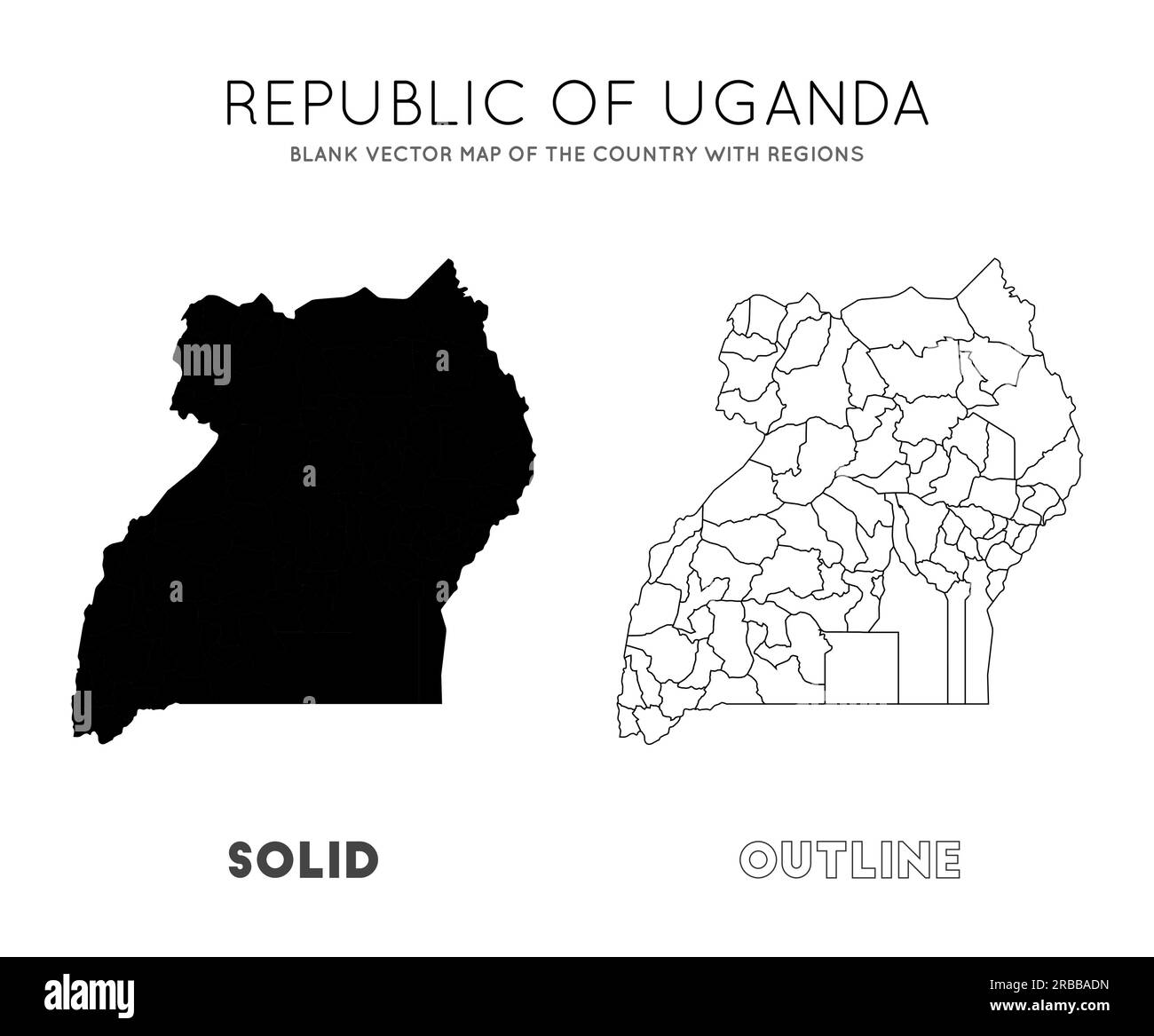 Uganda map. Blank vector map of the Country with regions. Borders of Uganda for your infographic. Vector illustration. Stock Vectorhttps://www.alamy.com/image-license-details/?v=1https://www.alamy.com/uganda-map-blank-vector-map-of-the-country-with-regions-borders-of-uganda-for-your-infographic-vector-illustration-image557742689.html
RF2RBBADN–Uganda map. Blank vector map of the Country with regions. Borders of Uganda for your infographic. Vector illustration.
 Map of Uganda with shadows Stock Photohttps://www.alamy.com/image-license-details/?v=1https://www.alamy.com/map-of-uganda-with-shadows-image634544669.html
RF2YTA05H–Map of Uganda with shadows
 EAST CENTRAL AFRICA:Dioceses Mission Zanzibar,Malawi & Rhodesia Uganda, 1922 map Stock Photohttps://www.alamy.com/image-license-details/?v=1https://www.alamy.com/stock-photo-east-central-africadioceses-mission-zanzibarmalawi-rhodesia-uganda-110078926.html
RFGB2EP6–EAST CENTRAL AFRICA:Dioceses Mission Zanzibar,Malawi & Rhodesia Uganda, 1922 map
 Uganda Silhouette Map Stock Vectorhttps://www.alamy.com/image-license-details/?v=1https://www.alamy.com/uganda-silhouette-map-image549116105.html
RF2PWAB5D–Uganda Silhouette Map
 High detailed isolated map - Uganda Stock Vectorhttps://www.alamy.com/image-license-details/?v=1https://www.alamy.com/high-detailed-isolated-map-uganda-image546413849.html
RF2PMY8C9–High detailed isolated map - Uganda
 Uganda vector country map outline Stock Vectorhttps://www.alamy.com/image-license-details/?v=1https://www.alamy.com/uganda-vector-country-map-outline-image477286269.html
RF2JME7E5–Uganda vector country map outline
 Kampala City Name (Uganda, Africa) with black white city map illustration vector Stock Vectorhttps://www.alamy.com/image-license-details/?v=1https://www.alamy.com/kampala-city-name-uganda-africa-with-black-white-city-map-illustration-vector-image569796082.html
RF2T30CM2–Kampala City Name (Uganda, Africa) with black white city map illustration vector
 Uganda silhouette outline map over a white background Stock Photohttps://www.alamy.com/image-license-details/?v=1https://www.alamy.com/uganda-silhouette-outline-map-over-a-white-background-image503564437.html
RF2M779G5–Uganda silhouette outline map over a white background
 Abstract map of Uganda showing the area of the country with a pattern of black circles Stock Vectorhttps://www.alamy.com/image-license-details/?v=1https://www.alamy.com/abstract-map-of-uganda-showing-the-area-of-the-country-with-a-pattern-of-black-circles-image613300241.html
RF2XHP6M1–Abstract map of Uganda showing the area of the country with a pattern of black circles
 Uganda highlighted on a Grayscale elevation map with lakes and rivers Stock Photohttps://www.alamy.com/image-license-details/?v=1https://www.alamy.com/uganda-highlighted-on-a-grayscale-elevation-map-with-lakes-and-rivers-image591736046.html
RF2WAKWA6–Uganda highlighted on a Grayscale elevation map with lakes and rivers
 Map of Kenya, Uganda, Rwanda and Burundi on grey model of Earth. 3D illustration Stock Photohttps://www.alamy.com/image-license-details/?v=1https://www.alamy.com/stock-photo-map-of-kenya-uganda-rwanda-and-burundi-on-grey-model-of-earth-3d-illustration-106740402.html
RFG5JCD6–Map of Kenya, Uganda, Rwanda and Burundi on grey model of Earth. 3D illustration
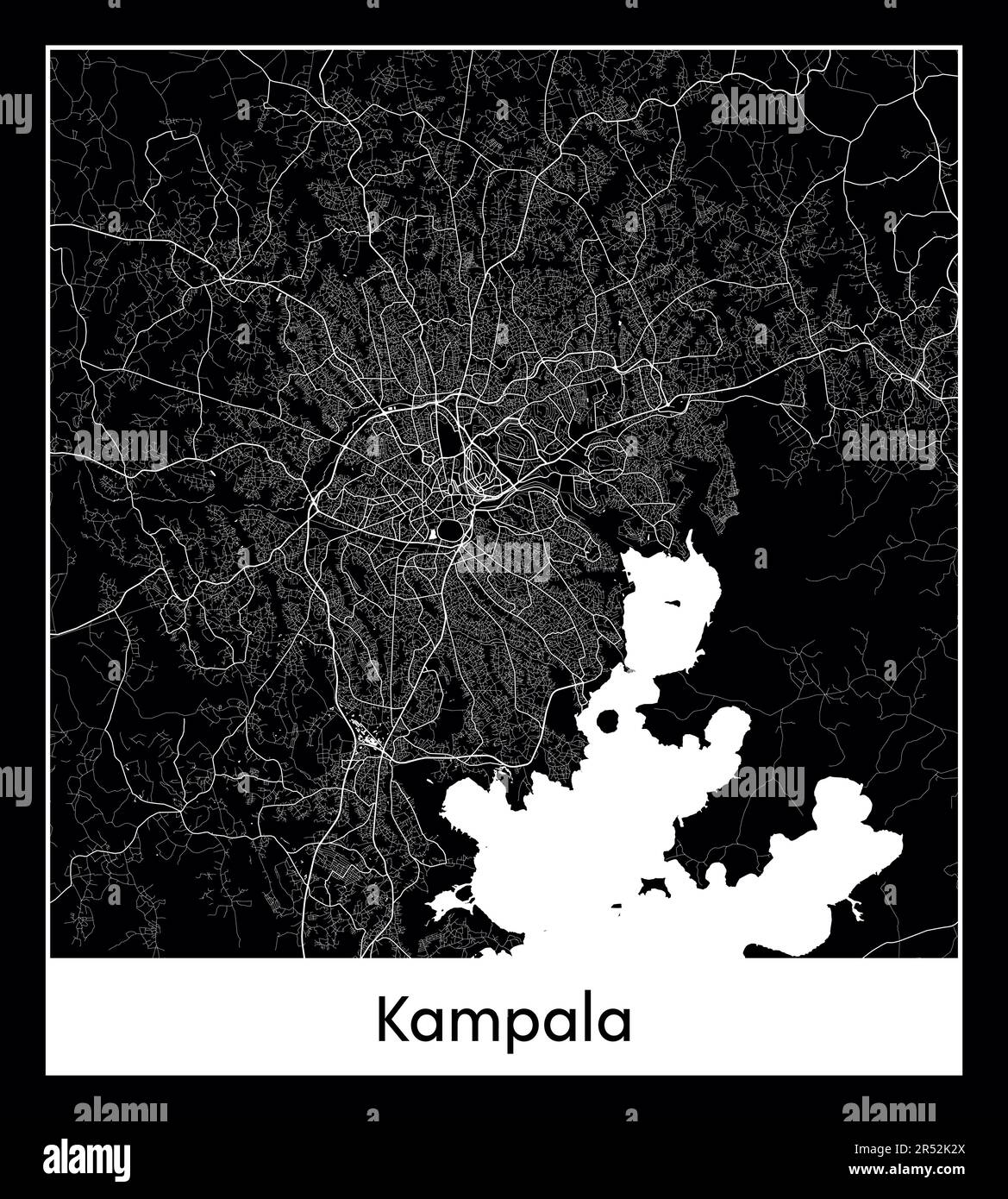 Minimal city map of Kampala (Uganda Africa) Stock Vectorhttps://www.alamy.com/image-license-details/?v=1https://www.alamy.com/minimal-city-map-of-kampala-uganda-africa-image553863938.html
RF2R52K2X–Minimal city map of Kampala (Uganda Africa)
RF2M6F4Y1–Uganda Map Silhouette Pixelated generative pattern illustration
 Vector map Uganda and Kampala. Country and capital. Isolated vector Illustration. Outline. EPS 10 Illustration. Stock Vectorhttps://www.alamy.com/image-license-details/?v=1https://www.alamy.com/vector-map-uganda-and-kampala-country-and-capital-isolated-vector-illustration-outline-eps-10-illustration-image359696381.html
RF2BW5GB9–Vector map Uganda and Kampala. Country and capital. Isolated vector Illustration. Outline. EPS 10 Illustration.
 Uganda outline silhouette map over a white background Stock Photohttps://www.alamy.com/image-license-details/?v=1https://www.alamy.com/uganda-outline-silhouette-map-over-a-white-background-image598251261.html
RF2WN8KGD–Uganda outline silhouette map over a white background
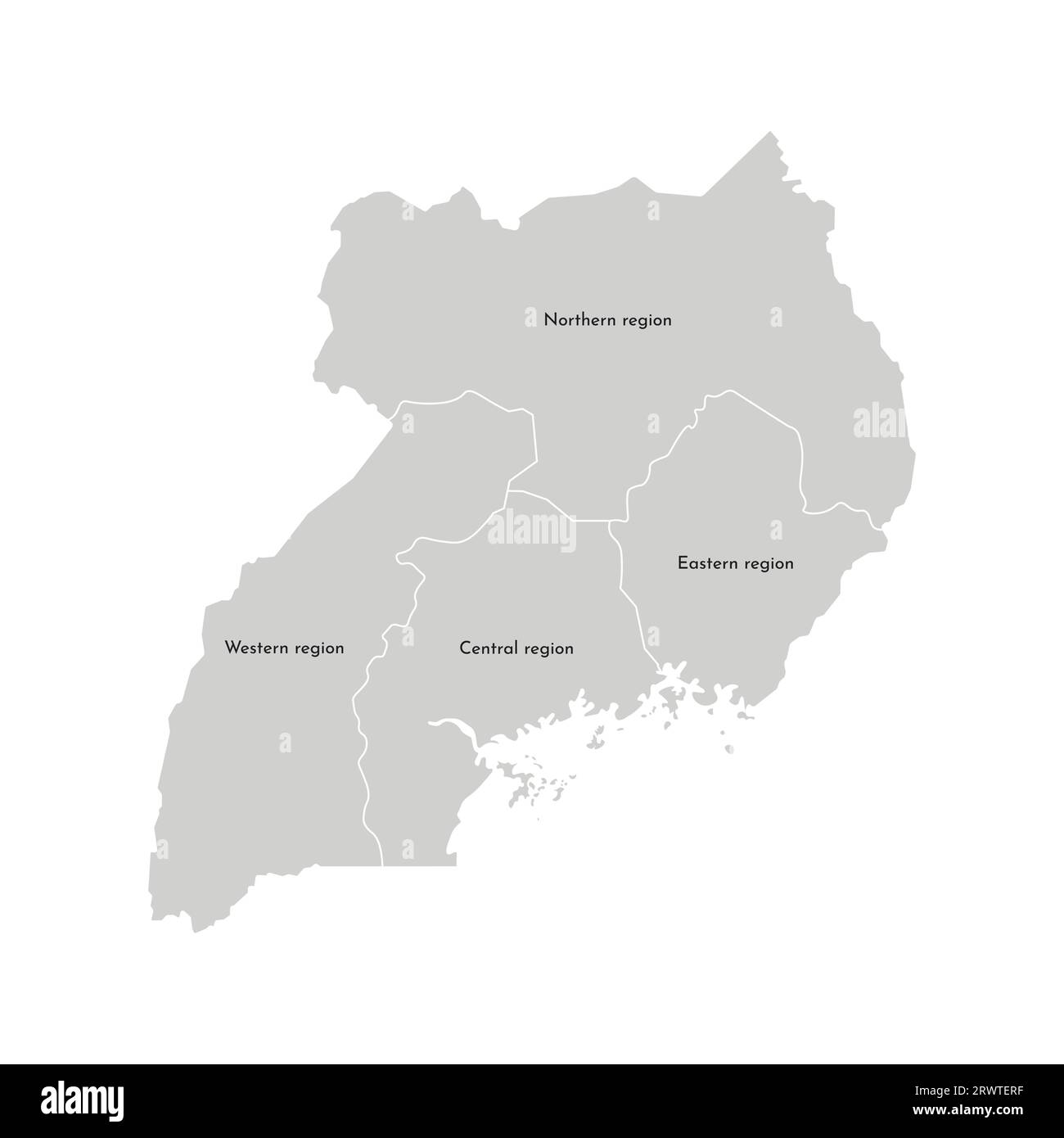 Vector isolated illustration of simplified administrative map of Uganda. Borders and names of the regions. Grey silhouettes. White outline Stock Vectorhttps://www.alamy.com/image-license-details/?v=1https://www.alamy.com/vector-isolated-illustration-of-simplified-administrative-map-of-uganda-borders-and-names-of-the-regions-grey-silhouettes-white-outline-image566636659.html
RF2RWTERF–Vector isolated illustration of simplified administrative map of Uganda. Borders and names of the regions. Grey silhouettes. White outline
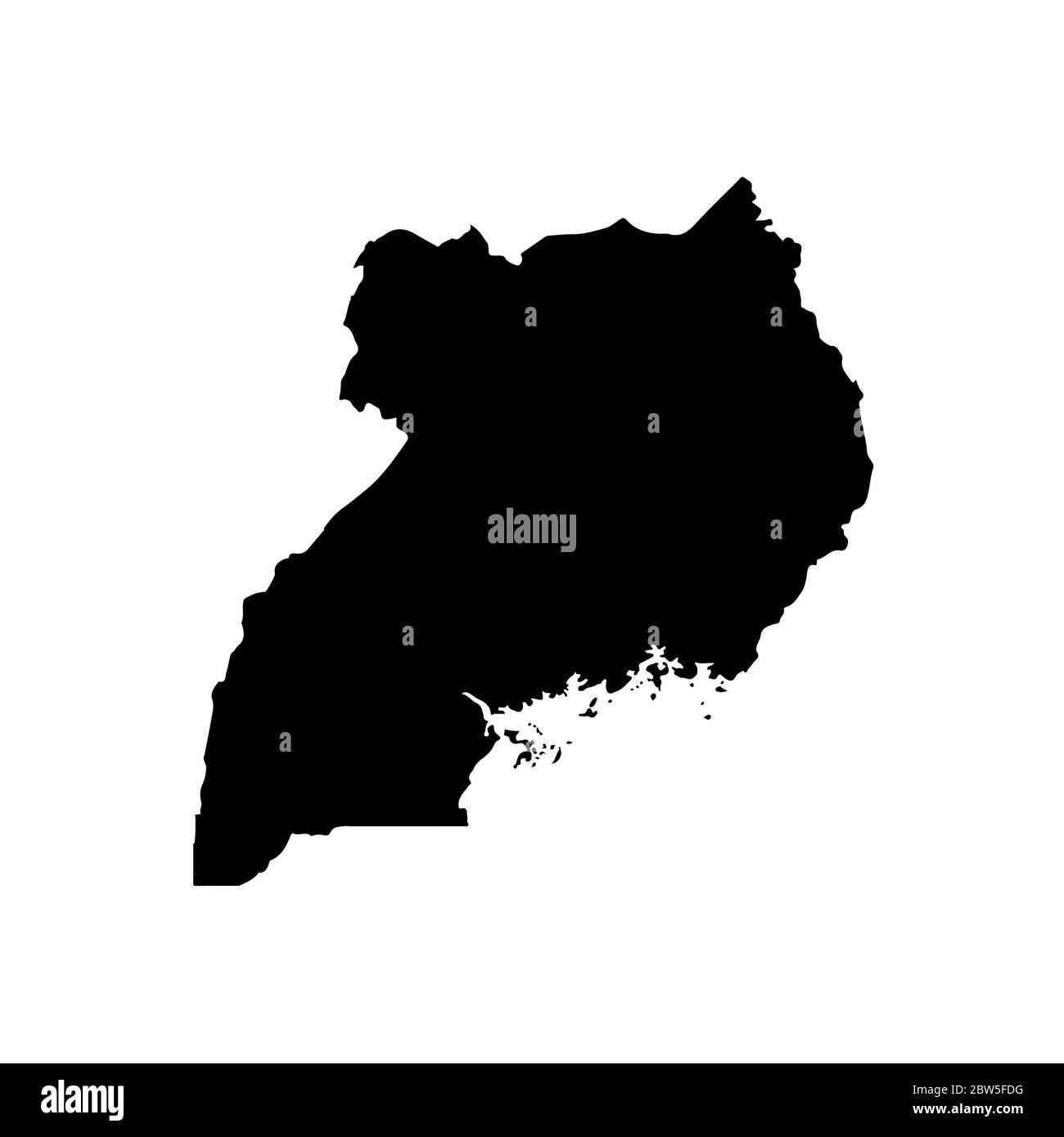 Vector map Uganda. Isolated vector Illustration. Black on White background. EPS 10 Illustration. Stock Vectorhttps://www.alamy.com/image-license-details/?v=1https://www.alamy.com/vector-map-uganda-isolated-vector-illustration-black-on-white-background-eps-10-illustration-image359695660.html
RF2BW5FDG–Vector map Uganda. Isolated vector Illustration. Black on White background. EPS 10 Illustration.
RF2WPC3Y9–tanzania map icon vector illustration design
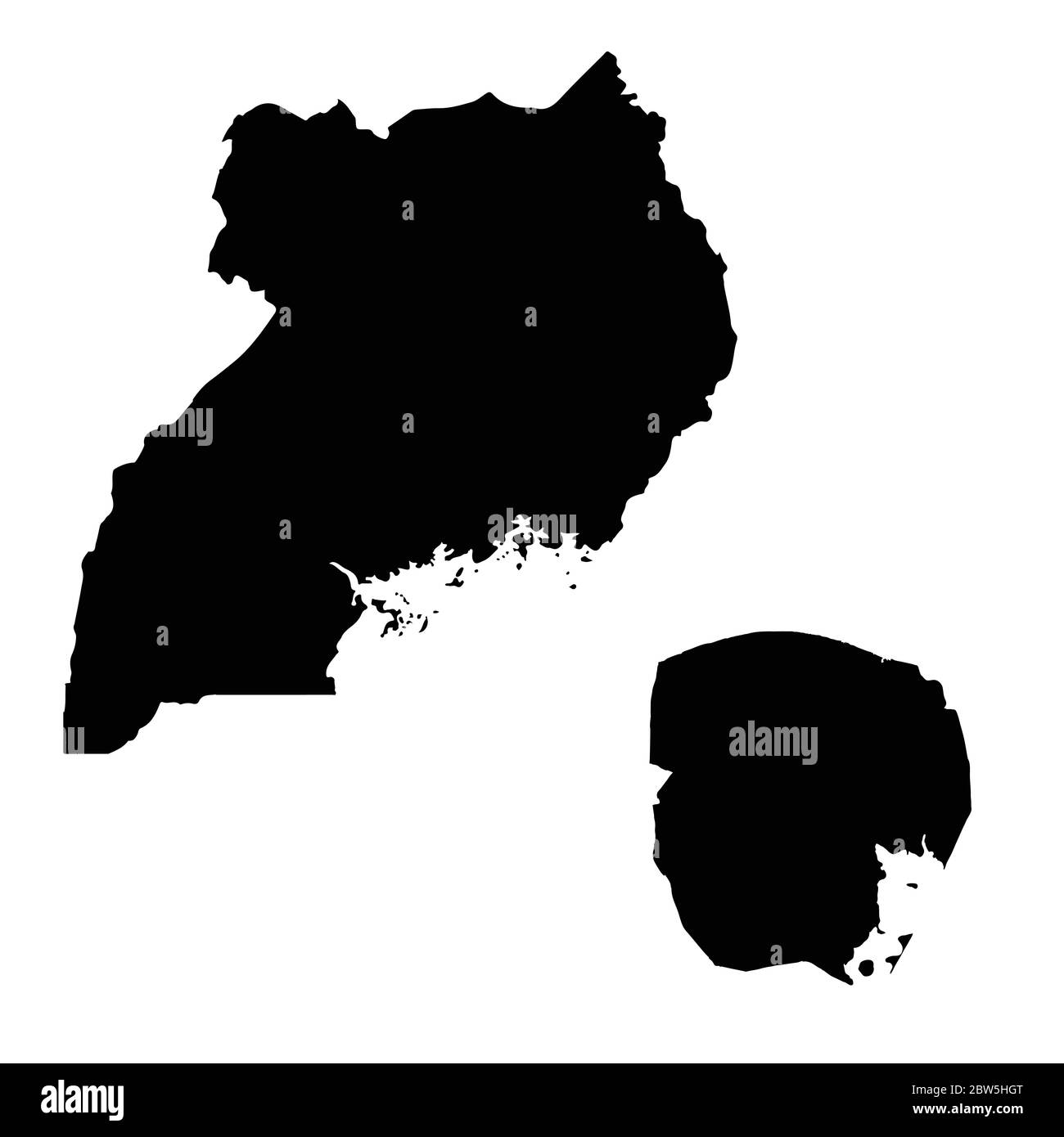 Vector map Uganda and Kampala. Country and capital. Isolated vector Illustration. Black on White background. EPS 10 Illustration. Stock Vectorhttps://www.alamy.com/image-license-details/?v=1https://www.alamy.com/vector-map-uganda-and-kampala-country-and-capital-isolated-vector-illustration-black-on-white-background-eps-10-illustration-image359697320.html
RF2BW5HGT–Vector map Uganda and Kampala. Country and capital. Isolated vector Illustration. Black on White background. EPS 10 Illustration.
 Uganda map. Map of Uganda in dotted style. Borders of the country filled with rectangles for your design. Vector illustration. Stock Vectorhttps://www.alamy.com/image-license-details/?v=1https://www.alamy.com/uganda-map-map-of-uganda-in-dotted-style-borders-of-the-country-filled-with-rectangles-for-your-design-vector-illustration-image526613669.html
RF2NGN931–Uganda map. Map of Uganda in dotted style. Borders of the country filled with rectangles for your design. Vector illustration.
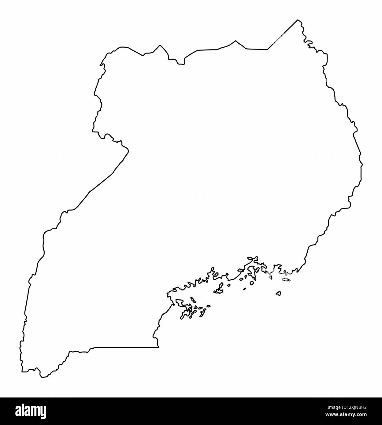 Uganda outline map isolated on white background Stock Vectorhttps://www.alamy.com/image-license-details/?v=1https://www.alamy.com/uganda-outline-map-isolated-on-white-background-image613896782.html
RF2XJNBH2–Uganda outline map isolated on white background
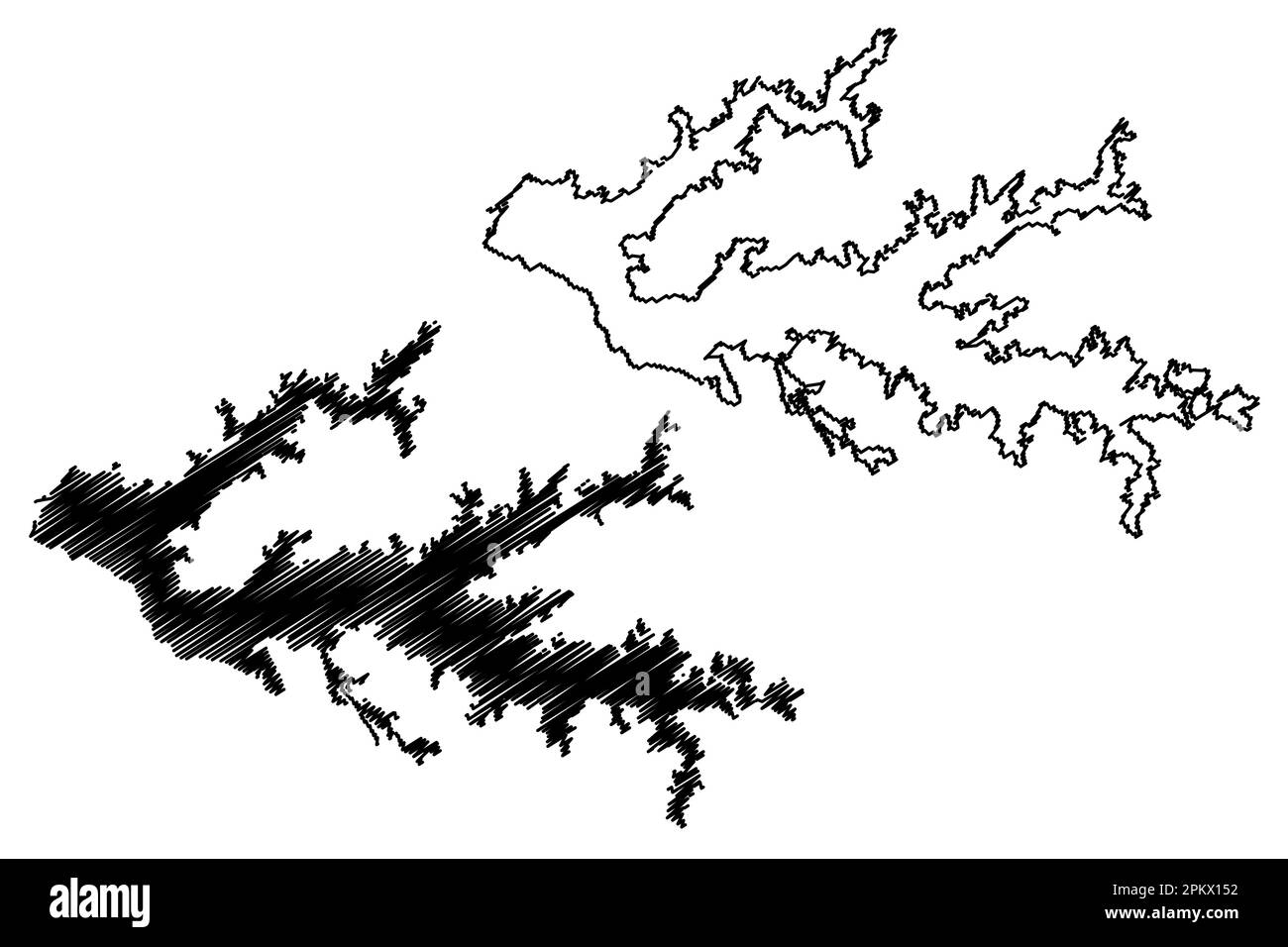 Lake Kyoga (Africa, Republic of Uganda) map vector illustration, scribble sketch Kojweri, Kwania and Nakuwa map Stock Vectorhttps://www.alamy.com/image-license-details/?v=1https://www.alamy.com/lake-kyoga-africa-republic-of-uganda-map-vector-illustration-scribble-sketch-kojweri-kwania-and-nakuwa-map-image545771550.html
RF2PKX152–Lake Kyoga (Africa, Republic of Uganda) map vector illustration, scribble sketch Kojweri, Kwania and Nakuwa map
 Uganda silhouette map isolated on white background Stock Vectorhttps://www.alamy.com/image-license-details/?v=1https://www.alamy.com/uganda-silhouette-map-isolated-on-white-background-image449488869.html
RF2H37YHW–Uganda silhouette map isolated on white background
 High detailed isolated map - Uganda Stock Vectorhttps://www.alamy.com/image-license-details/?v=1https://www.alamy.com/high-detailed-isolated-map-uganda-image546412661.html
RF2PMY6WW–High detailed isolated map - Uganda
RF2WW07FF–Uganda country simplified map. Thick black outline contour. Simple vector icon
 Uganda country map, vector illustration design background Stock Vectorhttps://www.alamy.com/image-license-details/?v=1https://www.alamy.com/uganda-country-map-vector-illustration-design-background-image603130117.html
RF2X16XH9–Uganda country map, vector illustration design background
 Uganda map vector illustration, scribble sketch Republic of Uganda Stock Vectorhttps://www.alamy.com/image-license-details/?v=1https://www.alamy.com/stock-image-uganda-map-vector-illustration-scribble-sketch-republic-of-uganda-166677919.html
RFKK4RAR–Uganda map vector illustration, scribble sketch Republic of Uganda
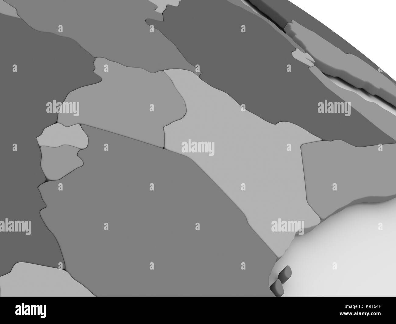 Kenya, Uganda, Rwanda and Burundi on grey 3D map Stock Photohttps://www.alamy.com/image-license-details/?v=1https://www.alamy.com/stock-image-kenya-uganda-rwanda-and-burundi-on-grey-3d-map-169057183.html
RFKR164F–Kenya, Uganda, Rwanda and Burundi on grey 3D map
 Uganda outlined on a Bilevel elevation map with lakes and rivers Stock Photohttps://www.alamy.com/image-license-details/?v=1https://www.alamy.com/uganda-outlined-on-a-bilevel-elevation-map-with-lakes-and-rivers-image591736179.html
RF2WAKWEY–Uganda outlined on a Bilevel elevation map with lakes and rivers
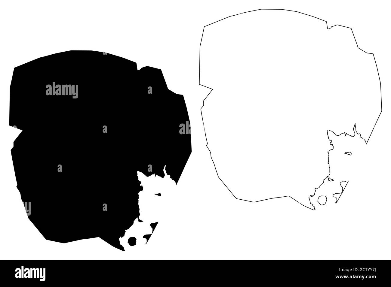 Kampala City (Republic of Uganda) map vector illustration, scribble sketch City of Kampala map Stock Vectorhttps://www.alamy.com/image-license-details/?v=1https://www.alamy.com/kampala-city-republic-of-uganda-map-vector-illustration-scribble-sketch-city-of-kampala-map-image376783558.html
RF2CTYY7J–Kampala City (Republic of Uganda) map vector illustration, scribble sketch City of Kampala map
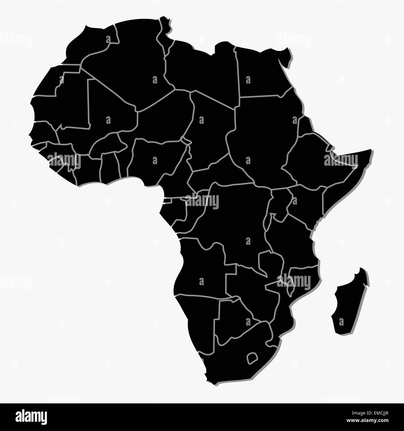 Africa Stock Vectorhttps://www.alamy.com/image-license-details/?v=1https://www.alamy.com/stock-photo-africa-81412655.html
RFEMCJJR–Africa
RF2M6F58G–Uganda Map Silhouette Pixelated generative pattern illustration
 Abstract map of Uganda showing the country with a pattern of black and white squares like a chessboard Stock Vectorhttps://www.alamy.com/image-license-details/?v=1https://www.alamy.com/abstract-map-of-uganda-showing-the-country-with-a-pattern-of-black-and-white-squares-like-a-chessboard-image610870047.html
RF2XDREYB–Abstract map of Uganda showing the country with a pattern of black and white squares like a chessboard
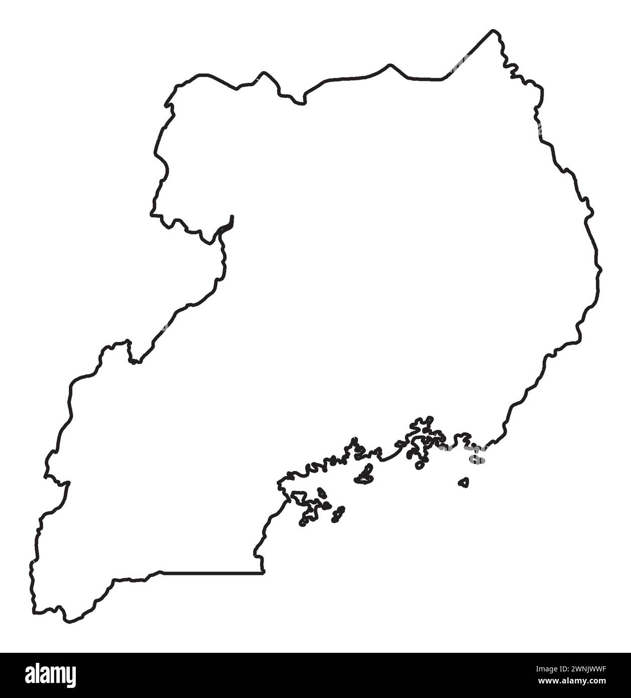 Uganda outline silhouette map over a white background Stock Vectorhttps://www.alamy.com/image-license-details/?v=1https://www.alamy.com/uganda-outline-silhouette-map-over-a-white-background-image598475739.html
RF2WNJWWF–Uganda outline silhouette map over a white background
 Old map of central Africa. Created by Vullemin, Erhard and Bonaparte, published on Le Tour du Monde, Paris, 1861. Stock Photohttps://www.alamy.com/image-license-details/?v=1https://www.alamy.com/old-map-of-central-africa-created-by-vullemin-erhard-and-bonaparte-image150196845.html
RFJMA1H1–Old map of central Africa. Created by Vullemin, Erhard and Bonaparte, published on Le Tour du Monde, Paris, 1861.
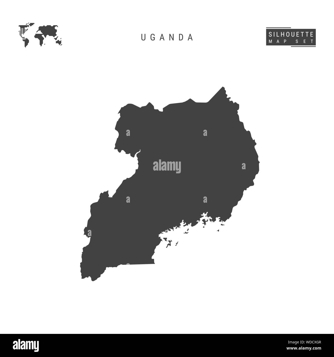 Uganda Blank Vector Map Isolated on White Background. High-Detailed Black Silhouette Map of Uganda. Stock Vectorhttps://www.alamy.com/image-license-details/?v=1https://www.alamy.com/uganda-blank-vector-map-isolated-on-white-background-high-detailed-black-silhouette-map-of-uganda-image266430327.html
RFWDCXGR–Uganda Blank Vector Map Isolated on White Background. High-Detailed Black Silhouette Map of Uganda.
RF2WPC3YA–tanzania map icon vector illustration design
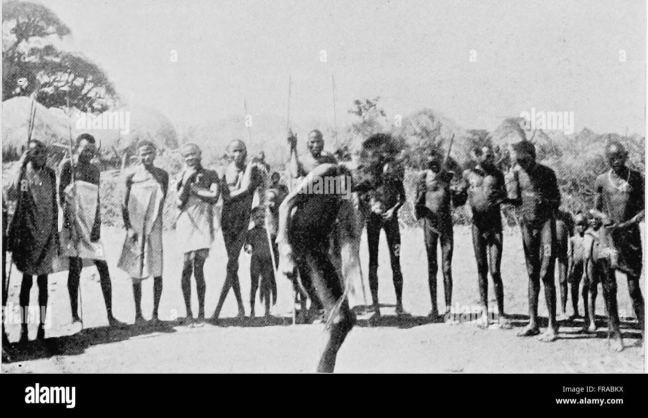 The Uganda protectorate; an attempt to give some description of the physical geography, botany, zoology, anthropology, languages and history of the territories under British protection in East Central Stock Photohttps://www.alamy.com/image-license-details/?v=1https://www.alamy.com/stock-photo-the-uganda-protectorate-an-attempt-to-give-some-description-of-the-100417630.html
RMFRABKX–The Uganda protectorate; an attempt to give some description of the physical geography, botany, zoology, anthropology, languages and history of the territories under British protection in East Central
RF2PECBGY–Uganda icon. Country map on dark background. Stylish Uganda map with country name. Vector illustration.
 Train on Uganda Railway bridge c1910 Stock Photohttps://www.alamy.com/image-license-details/?v=1https://www.alamy.com/train-on-uganda-railway-bridge-c1910-image153119157.html
RMJW3519–Train on Uganda Railway bridge c1910
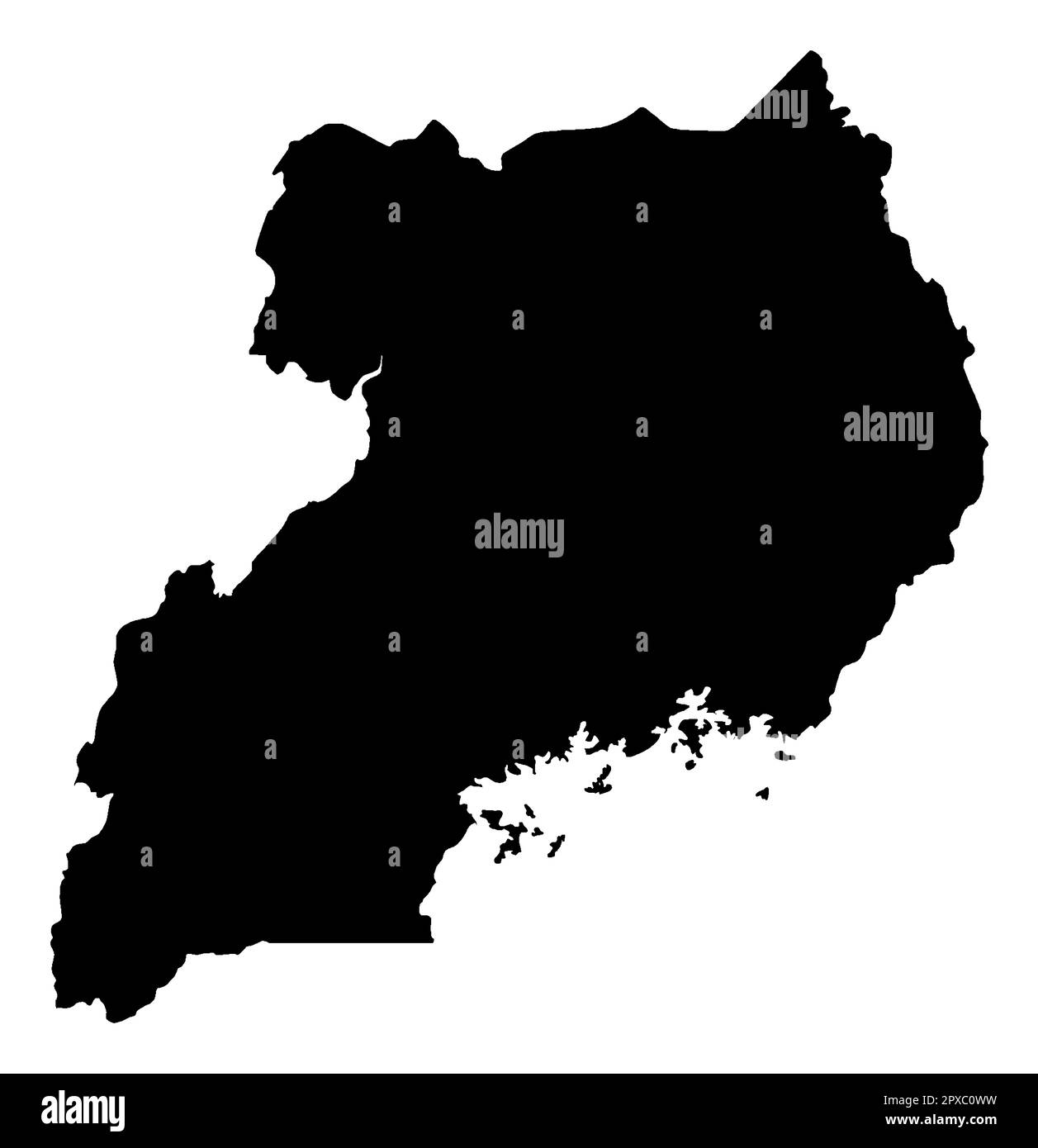 Uganda silhouette outline map over a white background Stock Photohttps://www.alamy.com/image-license-details/?v=1https://www.alamy.com/uganda-silhouette-outline-map-over-a-white-background-image549766613.html
RF2PXC0WW–Uganda silhouette outline map over a white background
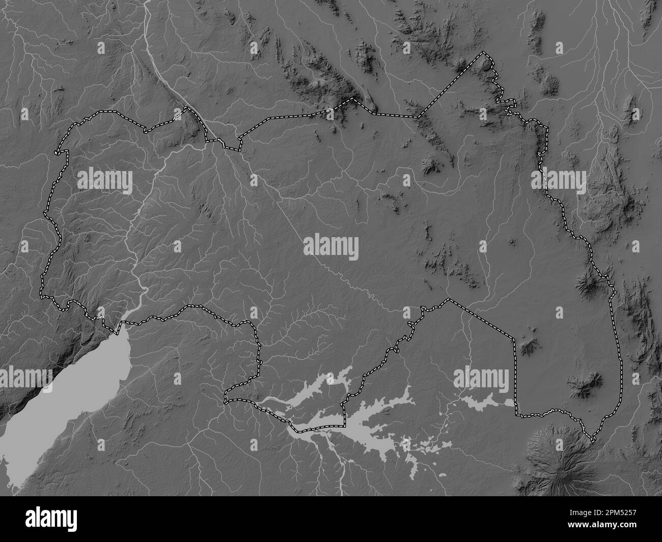 Northern, region of Uganda. Grayscale elevation map with lakes and rivers Stock Photohttps://www.alamy.com/image-license-details/?v=1https://www.alamy.com/northern-region-of-uganda-grayscale-elevation-map-with-lakes-and-rivers-image545926003.html
RF2PM5257–Northern, region of Uganda. Grayscale elevation map with lakes and rivers
 Map with dot - Uganda . Template for your design Stock Vectorhttps://www.alamy.com/image-license-details/?v=1https://www.alamy.com/map-with-dot-uganda-template-for-your-design-image246456689.html
RFT8Y20H–Map with dot - Uganda . Template for your design
RF2WP8YNY–Uganda country simplified map. Thin black outline contour. Simple vector icon
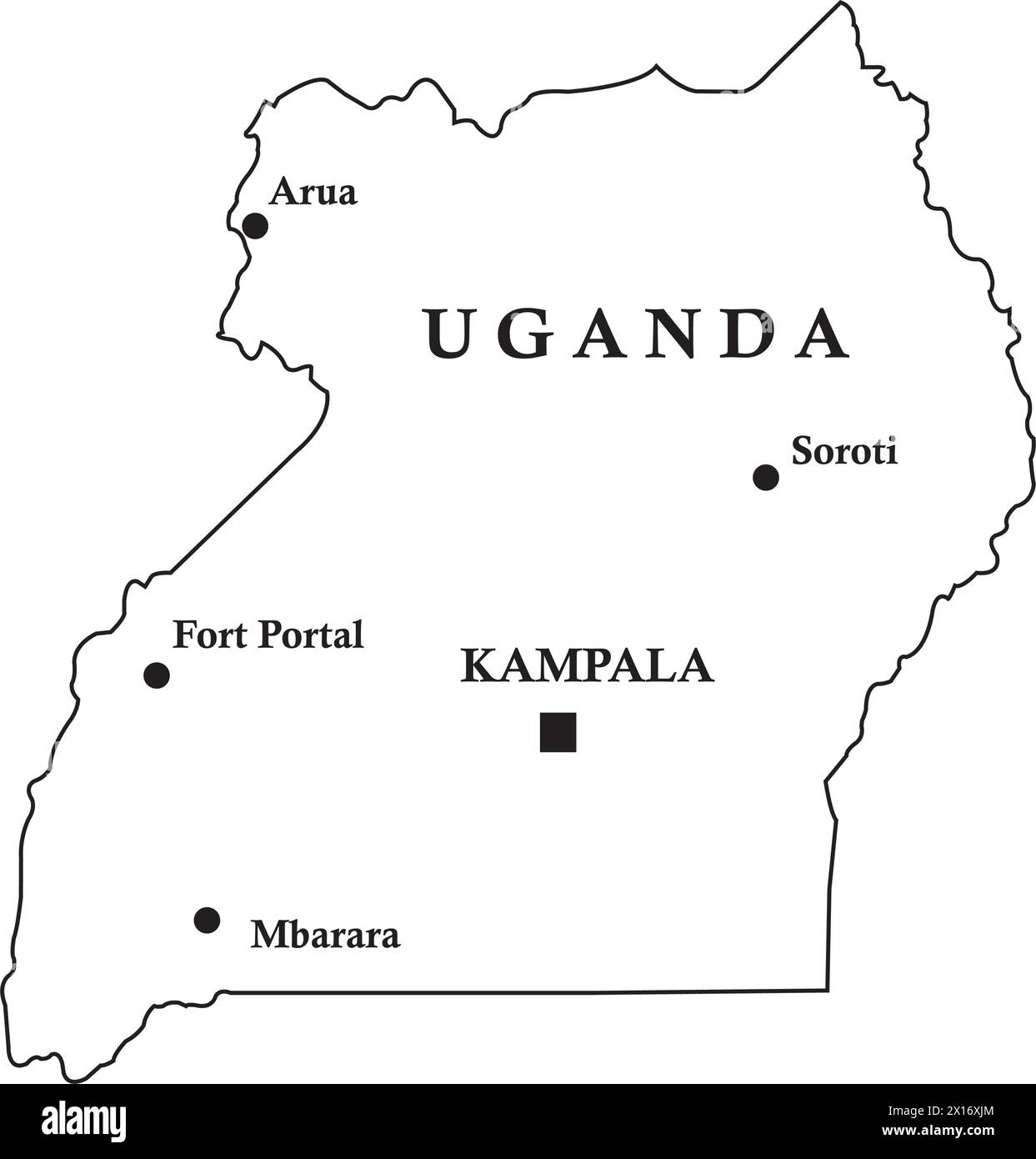 Uganda country map, vector illustration design background Stock Vectorhttps://www.alamy.com/image-license-details/?v=1https://www.alamy.com/uganda-country-map-vector-illustration-design-background-image603130156.html
RF2X16XJM–Uganda country map, vector illustration design background
 South Sudan map outline vector illustration Stock Vectorhttps://www.alamy.com/image-license-details/?v=1https://www.alamy.com/south-sudan-map-outline-vector-illustration-image366718848.html
RF2C8HDHM–South Sudan map outline vector illustration
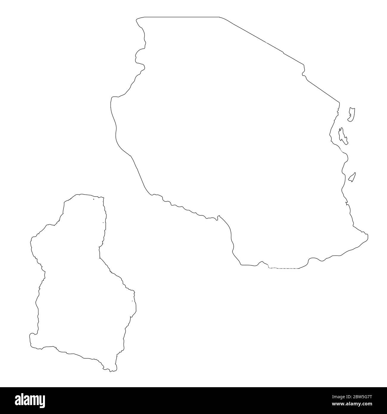 Vector map Tanzania and Dodoma. Country and capital. Isolated vector Illustration. Outline. EPS 10 Illustration. Stock Vectorhttps://www.alamy.com/image-license-details/?v=1https://www.alamy.com/vector-map-tanzania-and-dodoma-country-and-capital-isolated-vector-illustration-outline-eps-10-illustration-image359696284.html
RF2BW5G7T–Vector map Tanzania and Dodoma. Country and capital. Isolated vector Illustration. Outline. EPS 10 Illustration.
 Uganda outlined on a Grayscale elevation map with lakes and rivers Stock Photohttps://www.alamy.com/image-license-details/?v=1https://www.alamy.com/uganda-outlined-on-a-grayscale-elevation-map-with-lakes-and-rivers-image591736183.html
RF2WAKWF3–Uganda outlined on a Grayscale elevation map with lakes and rivers
 Vector map Tanzania. Isolated vector Illustration. Black on White background. EPS 10 Illustration. Stock Vectorhttps://www.alamy.com/image-license-details/?v=1https://www.alamy.com/vector-map-tanzania-isolated-vector-illustration-black-on-white-background-eps-10-illustration-image359695622.html
RF2BW5FC6–Vector map Tanzania. Isolated vector Illustration. Black on White background. EPS 10 Illustration.
 Central Region (Regions of Uganda, Republic of Uganda, Administrative divisions) map vector illustration, scribble sketch Central map Stock Vectorhttps://www.alamy.com/image-license-details/?v=1https://www.alamy.com/central-region-regions-of-uganda-republic-of-uganda-administrative-divisions-map-vector-illustration-scribble-sketch-central-map-image239347322.html
RFRWB5XJ–Central Region (Regions of Uganda, Republic of Uganda, Administrative divisions) map vector illustration, scribble sketch Central map
RF2M6F5HK–Uganda Map Silhouette Pixelated generative pattern illustration
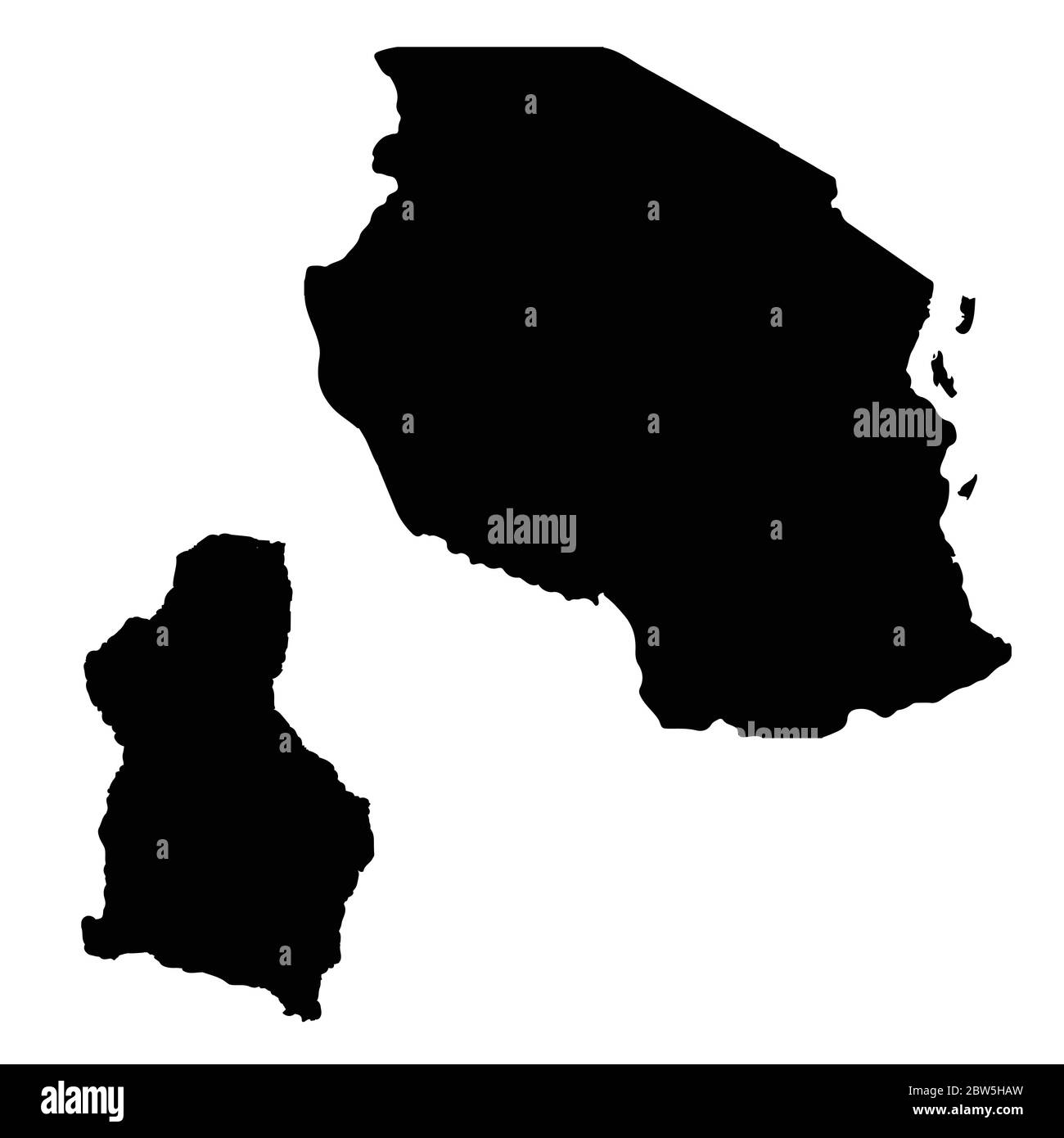 Vector map Tanzania and Dodoma. Country and capital. Isolated vector Illustration. Black on White background. EPS 10 Illustration. Stock Vectorhttps://www.alamy.com/image-license-details/?v=1https://www.alamy.com/vector-map-tanzania-and-dodoma-country-and-capital-isolated-vector-illustration-black-on-white-background-eps-10-illustration-image359697153.html
RF2BW5HAW–Vector map Tanzania and Dodoma. Country and capital. Isolated vector Illustration. Black on White background. EPS 10 Illustration.
 Uganda 3D outline silhouette map over a black background Stock Photohttps://www.alamy.com/image-license-details/?v=1https://www.alamy.com/uganda-3d-outline-silhouette-map-over-a-black-background-image598251255.html
RF2WN8KG7–Uganda 3D outline silhouette map over a black background
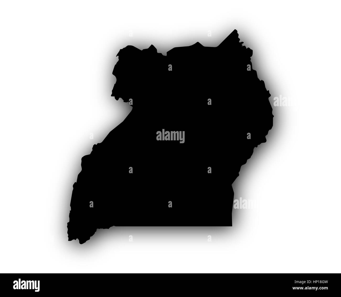 Map of Uganda with shadow Stock Photohttps://www.alamy.com/image-license-details/?v=1https://www.alamy.com/stock-photo-map-of-uganda-with-shadow-134023705.html
RFHP18GW–Map of Uganda with shadow
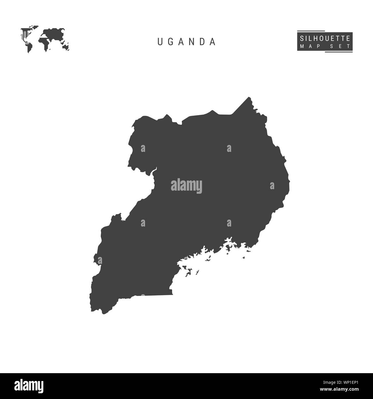 Uganda Blank Map Isolated on White Background. High-Detailed Black Silhouette Map of Uganda. Stock Photohttps://www.alamy.com/image-license-details/?v=1https://www.alamy.com/uganda-blank-map-isolated-on-white-background-high-detailed-black-silhouette-map-of-uganda-image271711497.html
RMWP1EP1–Uganda Blank Map Isolated on White Background. High-Detailed Black Silhouette Map of Uganda.
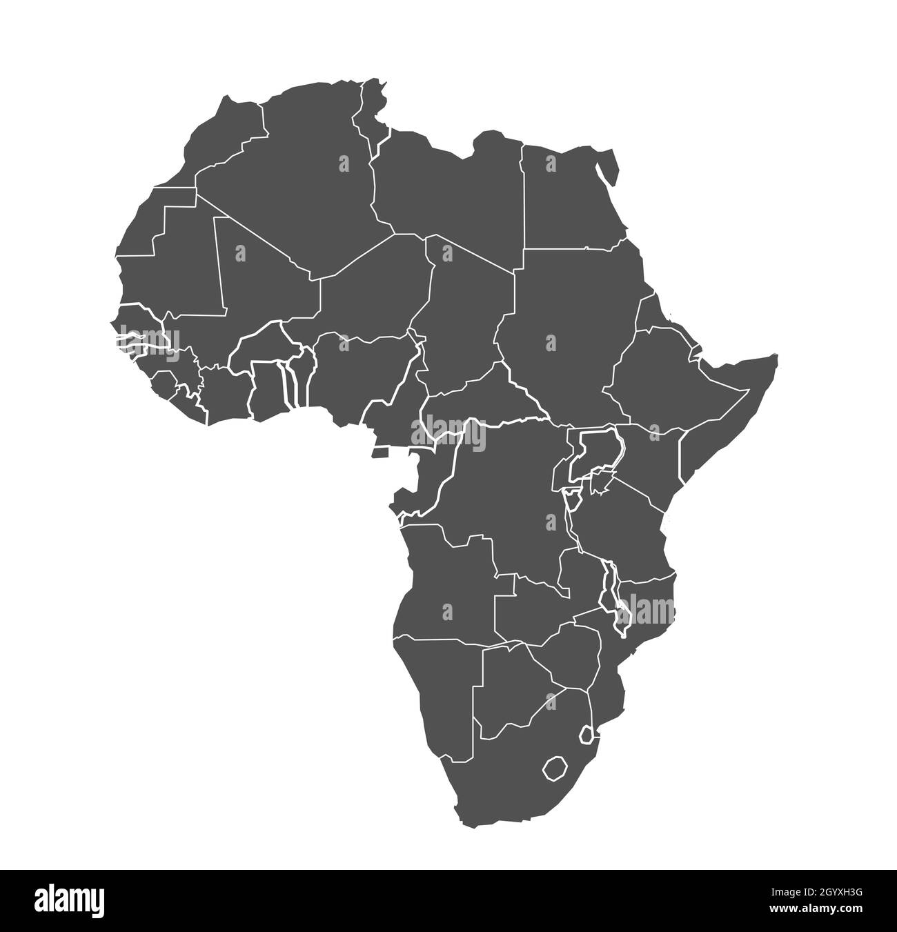 Africa map vector illustration art Stock Vectorhttps://www.alamy.com/image-license-details/?v=1https://www.alamy.com/africa-map-vector-illustration-art-image447439092.html
RF2GYXH3G–Africa map vector illustration art
 Uganda outline map with the handwritten country name. Continuous line drawing of patriotic home sign. A love for a small homeland. T-shirt print idea. Stock Photohttps://www.alamy.com/image-license-details/?v=1https://www.alamy.com/uganda-outline-map-with-the-handwritten-country-name-continuous-line-drawing-of-patriotic-home-sign-a-love-for-a-small-homeland-t-shirt-print-idea-image487189015.html
RM2K8HAFK–Uganda outline map with the handwritten country name. Continuous line drawing of patriotic home sign. A love for a small homeland. T-shirt print idea.
 Uganda - communication network map of country. Uganda trendy geometric design on dark background. Technology, internet, network, telecommunication con Stock Vectorhttps://www.alamy.com/image-license-details/?v=1https://www.alamy.com/uganda-communication-network-map-of-country-uganda-trendy-geometric-design-on-dark-background-technology-internet-network-telecommunication-con-image514894147.html
RF2MWKCMK–Uganda - communication network map of country. Uganda trendy geometric design on dark background. Technology, internet, network, telecommunication con
 Train on Uganda Railway bridge c1910 Stock Photohttps://www.alamy.com/image-license-details/?v=1https://www.alamy.com/train-on-uganda-railway-bridge-c1910-image153836757.html
RMJX7T9W–Train on Uganda Railway bridge c1910
 Uganda silhouette outline map over a white background Stock Photohttps://www.alamy.com/image-license-details/?v=1https://www.alamy.com/uganda-silhouette-outline-map-over-a-white-background-image550048190.html
RF2PXTT26–Uganda silhouette outline map over a white background
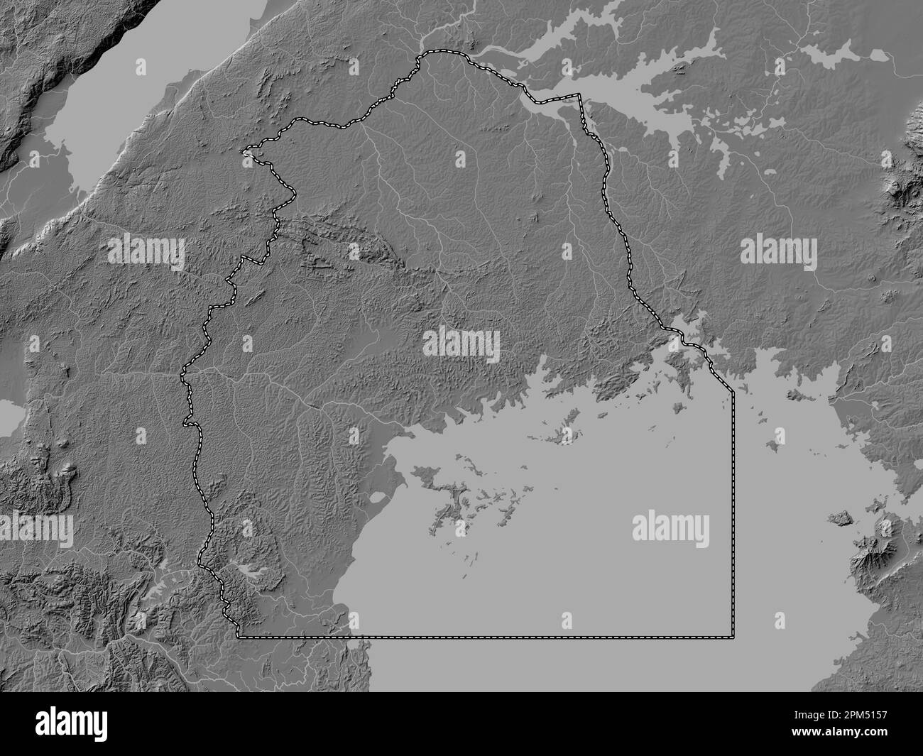 Central, region of Uganda. Bilevel elevation map with lakes and rivers Stock Photohttps://www.alamy.com/image-license-details/?v=1https://www.alamy.com/central-region-of-uganda-bilevel-elevation-map-with-lakes-and-rivers-image545925219.html
RF2PM5157–Central, region of Uganda. Bilevel elevation map with lakes and rivers
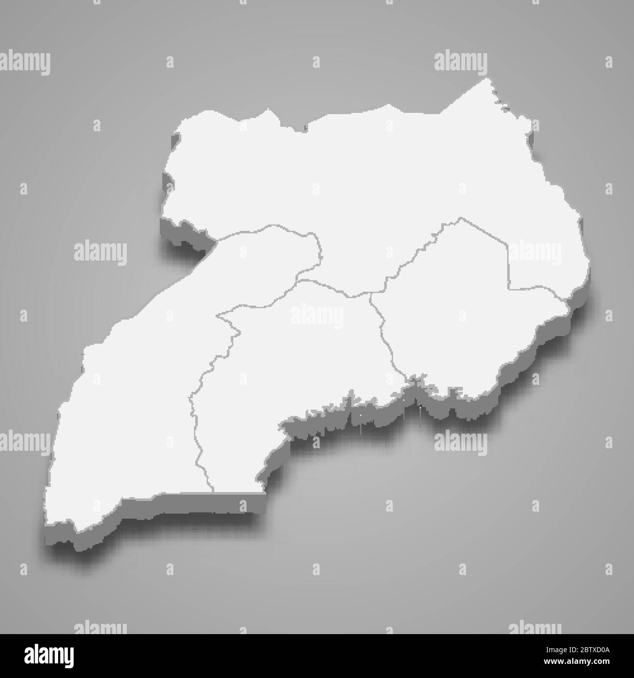 3d map of Uganda with borders of regions Stock Vectorhttps://www.alamy.com/image-license-details/?v=1https://www.alamy.com/3d-map-of-uganda-with-borders-of-regions-image359540058.html
RF2BTXD0A–3d map of Uganda with borders of regions
RF2WNX6XH–Uganda country simplified map. Black dotted outline contour. Simple vector icon.
 Uganda country map, vector illustration design background Stock Vectorhttps://www.alamy.com/image-license-details/?v=1https://www.alamy.com/uganda-country-map-vector-illustration-design-background-image603130132.html
RF2X16XHT–Uganda country map, vector illustration design background
 South Sudan map outline vector illustration Stock Vectorhttps://www.alamy.com/image-license-details/?v=1https://www.alamy.com/south-sudan-map-outline-vector-illustration-image366718331.html
RF2C8HCY7–South Sudan map outline vector illustration
 Uganda outline map with the handwritten country name. Continuous line drawing of patriotic home sign. A love for a small homeland. T-shirt print idea. Stock Vectorhttps://www.alamy.com/image-license-details/?v=1https://www.alamy.com/uganda-outline-map-with-the-handwritten-country-name-continuous-line-drawing-of-patriotic-home-sign-a-love-for-a-small-homeland-t-shirt-print-idea-image465594668.html
RF2J1DJN0–Uganda outline map with the handwritten country name. Continuous line drawing of patriotic home sign. A love for a small homeland. T-shirt print idea.
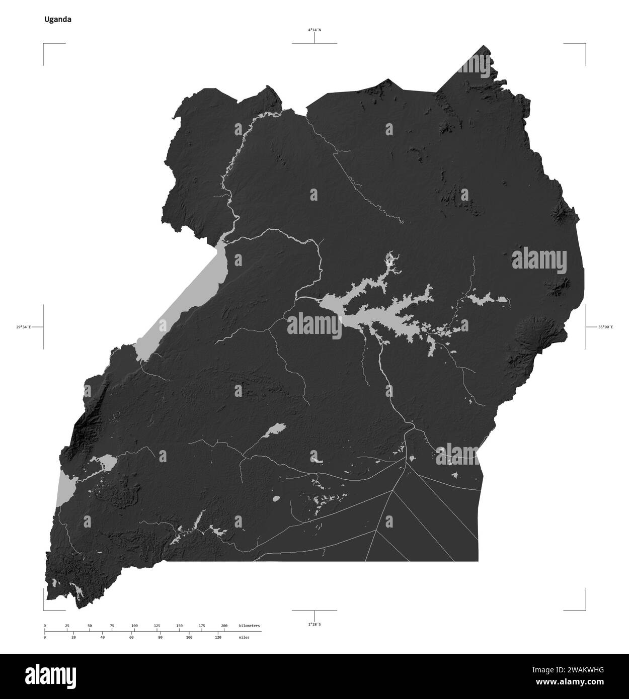 Shape of a Grayscale elevation map with lakes and rivers of the Uganda, with distance scale and map border coordinates, isolated on white Stock Photohttps://www.alamy.com/image-license-details/?v=1https://www.alamy.com/shape-of-a-grayscale-elevation-map-with-lakes-and-rivers-of-the-uganda-with-distance-scale-and-map-border-coordinates-isolated-on-white-image591736252.html
RF2WAKWHG–Shape of a Grayscale elevation map with lakes and rivers of the Uganda, with distance scale and map border coordinates, isolated on white
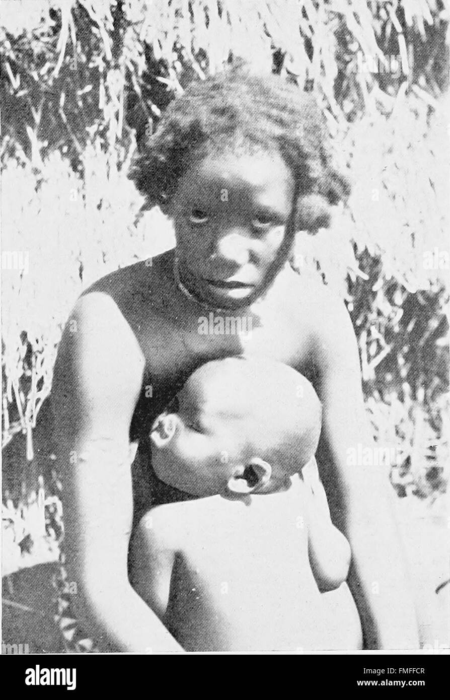 The Uganda protectorate; an attempt to give some description of the physical geography, botany, zoology, anthropology, languages and history of the territories under British protection in East Central Stock Photohttps://www.alamy.com/image-license-details/?v=1https://www.alamy.com/stock-photo-the-uganda-protectorate-an-attempt-to-give-some-description-of-the-98686359.html
RMFMFFCR–The Uganda protectorate; an attempt to give some description of the physical geography, botany, zoology, anthropology, languages and history of the territories under British protection in East Central
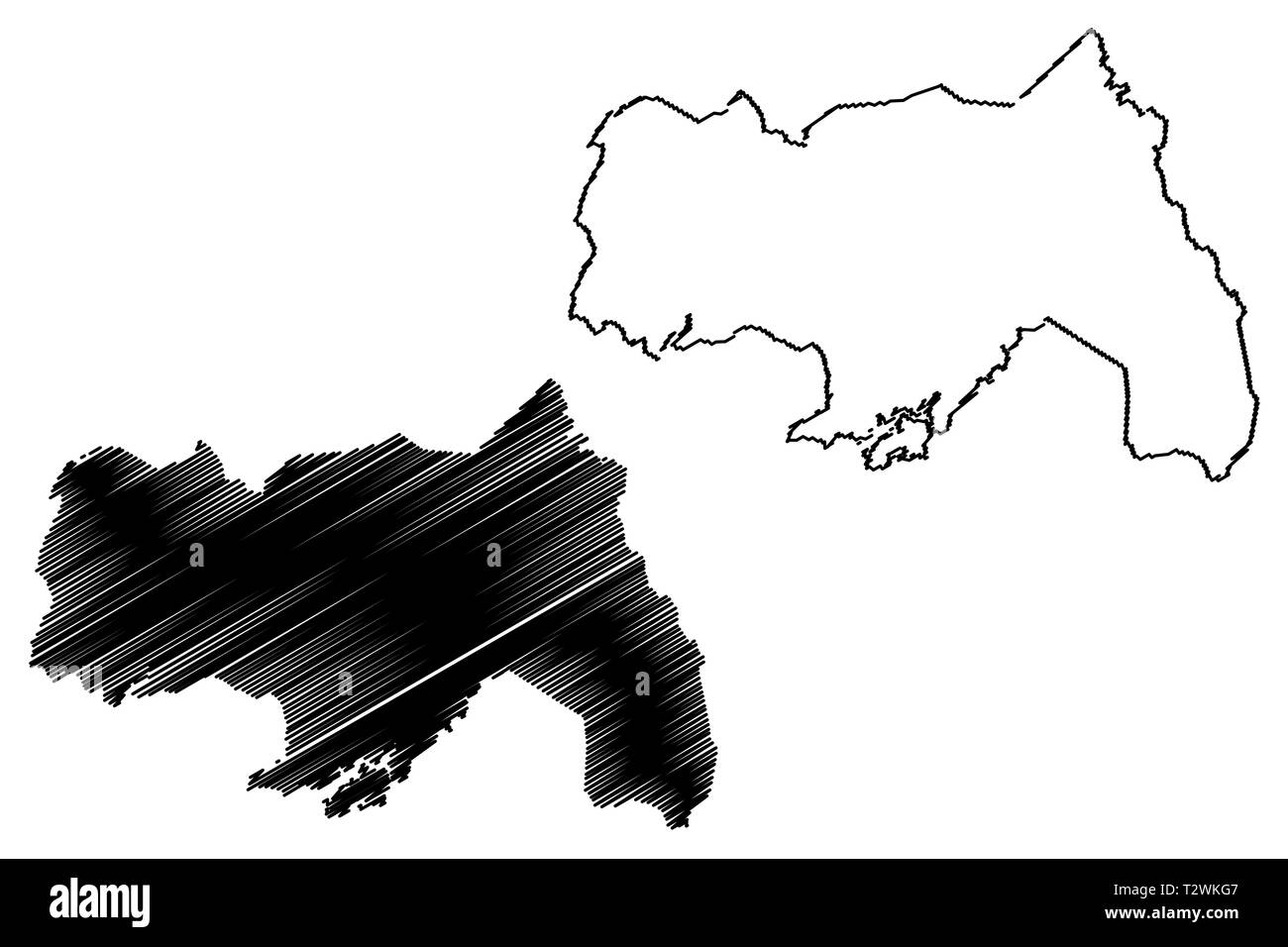 Northern Region (Regions of Uganda, Republic of Uganda, Administrative divisions) map vector illustration, scribble sketch Northern map Stock Vectorhttps://www.alamy.com/image-license-details/?v=1https://www.alamy.com/northern-region-regions-of-uganda-republic-of-uganda-administrative-divisions-map-vector-illustration-scribble-sketch-northern-map-image242738615.html
RFT2WKG7–Northern Region (Regions of Uganda, Republic of Uganda, Administrative divisions) map vector illustration, scribble sketch Northern map