Uk map outline vector Stock Vectors & Vector Art
 United Kingdom UK Blue Stylised Vector Map Stock Vectorhttps://www.alamy.com/image-license-details/?v=1https://www.alamy.com/united-kingdom-uk-blue-stylised-vector-map-image462830085.html
RF2HTYMDW–United Kingdom UK Blue Stylised Vector Map
 Blue colored United Kingdom outline map. Political uk map. Vector illustration map. Stock Vectorhttps://www.alamy.com/image-license-details/?v=1https://www.alamy.com/blue-colored-united-kingdom-outline-map-political-uk-map-vector-illustration-map-image435378779.html
RF2G89623–Blue colored United Kingdom outline map. Political uk map. Vector illustration map.
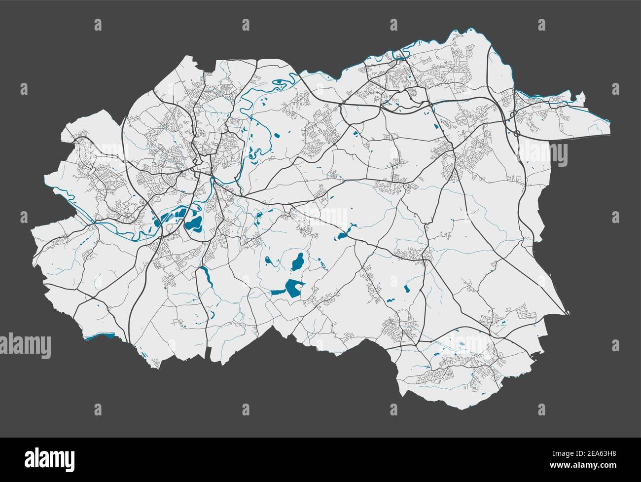 Wakefield map. Detailed map of Wakefield city administrative area. Cityscape panorama. Royalty free vector illustration. Outline map with highways, st Stock Vectorhttps://www.alamy.com/image-license-details/?v=1https://www.alamy.com/wakefield-map-detailed-map-of-wakefield-city-administrative-area-cityscape-panorama-royalty-free-vector-illustration-outline-map-with-highways-st-image402119572.html
RF2EA63H8–Wakefield map. Detailed map of Wakefield city administrative area. Cityscape panorama. Royalty free vector illustration. Outline map with highways, st
 Brexit map of United Kingdom. Vector illustration template for wall art and marketing in square format. Stock Vectorhttps://www.alamy.com/image-license-details/?v=1https://www.alamy.com/brexit-map-of-united-kingdom-vector-illustration-template-for-wall-art-and-marketing-in-square-format-image224975397.html
RFR20EBH–Brexit map of United Kingdom. Vector illustration template for wall art and marketing in square format.
 cyprus administrative and political vector map Stock Vectorhttps://www.alamy.com/image-license-details/?v=1https://www.alamy.com/stock-image-cyprus-administrative-and-political-vector-map-164412584.html
RFKFDHX0–cyprus administrative and political vector map
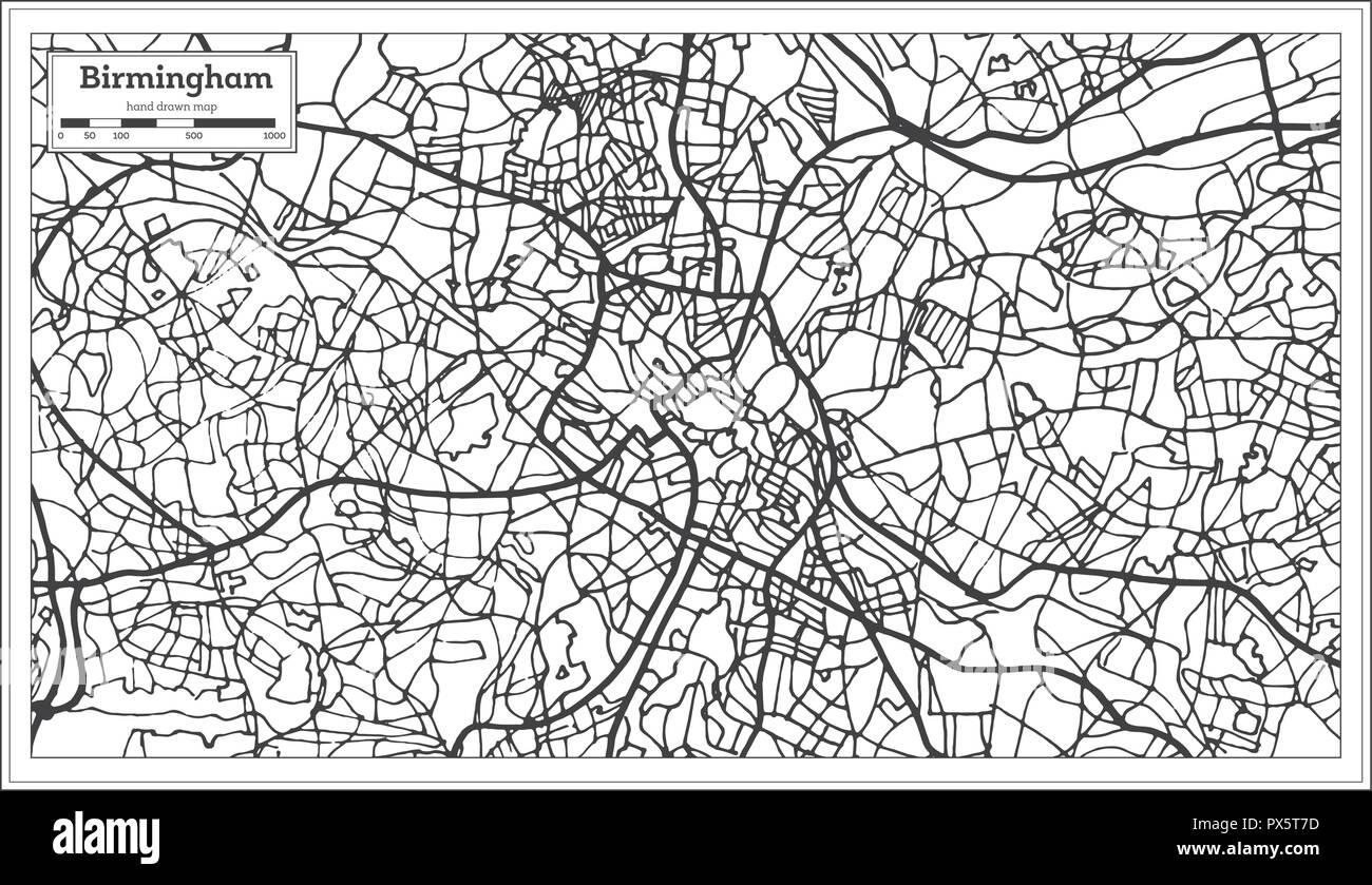 Birmingham UK City Map in Retro Style. Outline Map. Vector Illustration. Stock Vectorhttps://www.alamy.com/image-license-details/?v=1https://www.alamy.com/birmingham-uk-city-map-in-retro-style-outline-map-vector-illustration-image222634257.html
RFPX5T7D–Birmingham UK City Map in Retro Style. Outline Map. Vector Illustration.
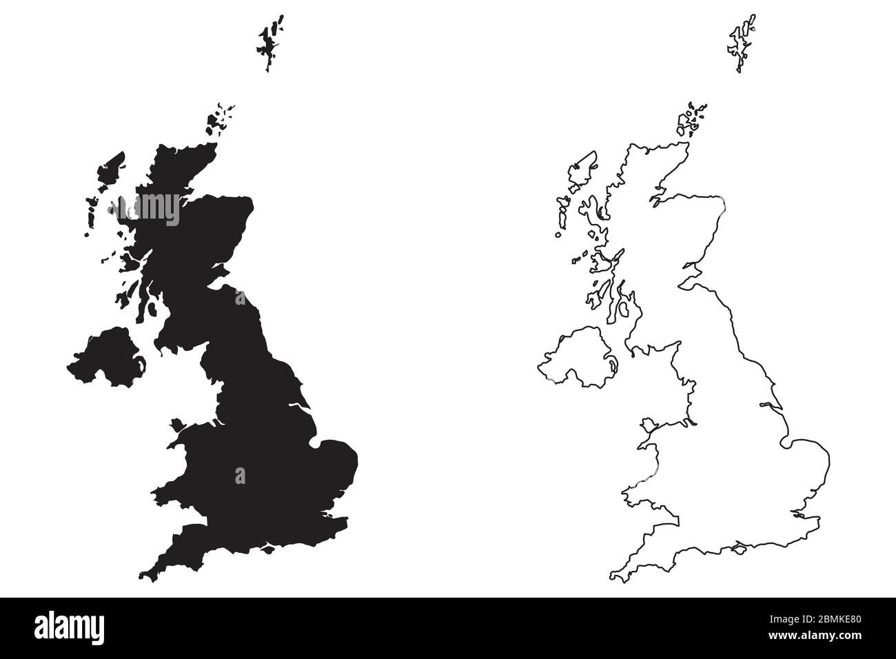 United Kingdom Great Britain Country Map. Black silhouette and outline isolated on white background. EPS Vector Stock Vectorhttps://www.alamy.com/image-license-details/?v=1https://www.alamy.com/united-kingdom-great-britain-country-map-black-silhouette-and-outline-isolated-on-white-background-eps-vector-image356928768.html
RF2BMKE80–United Kingdom Great Britain Country Map. Black silhouette and outline isolated on white background. EPS Vector
 United Kingdom map on white background. Vector illustration. Outline. Stock Vectorhttps://www.alamy.com/image-license-details/?v=1https://www.alamy.com/united-kingdom-map-on-white-background-vector-illustration-outline-image335232381.html
RF2ADB491–United Kingdom map on white background. Vector illustration. Outline.
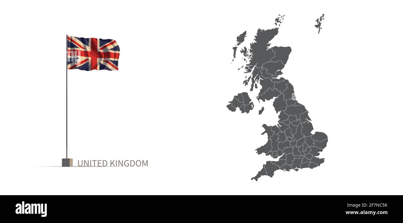 UK map. gray country map and flag 3d illustration vector. Stock Vectorhttps://www.alamy.com/image-license-details/?v=1https://www.alamy.com/uk-map-gray-country-map-and-flag-3d-illustration-vector-image417821983.html
RF2F7NC5K–UK map. gray country map and flag 3d illustration vector.
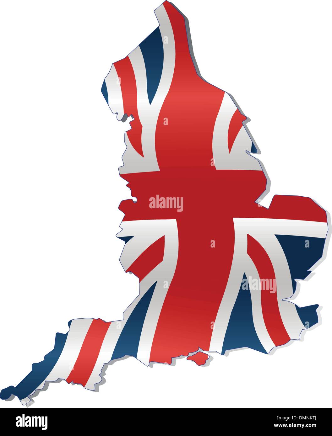 UK Map with British Flag Stock Vectorhttps://www.alamy.com/image-license-details/?v=1https://www.alamy.com/uk-map-with-british-flag-image64400802.html
RFDMNKTJ–UK Map with British Flag
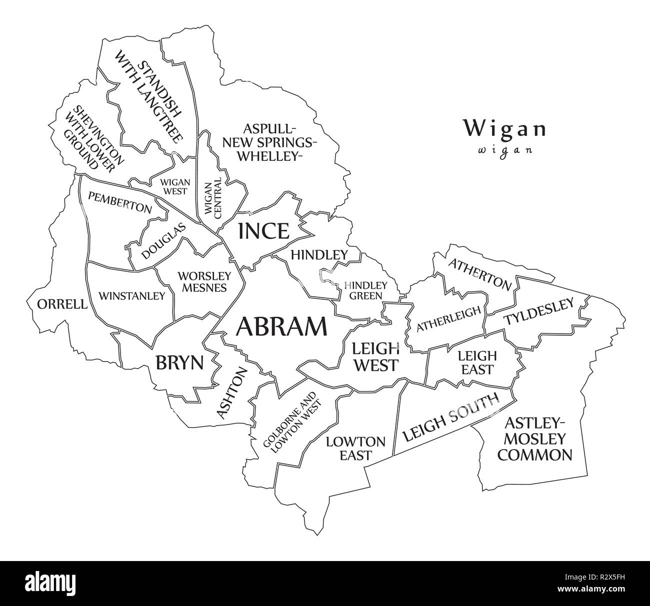 Modern City Map - Wigan city of England with wards and titles UK outline map Stock Vectorhttps://www.alamy.com/image-license-details/?v=1https://www.alamy.com/modern-city-map-wigan-city-of-england-with-wards-and-titles-uk-outline-map-image225539205.html
RFR2X5FH–Modern City Map - Wigan city of England with wards and titles UK outline map
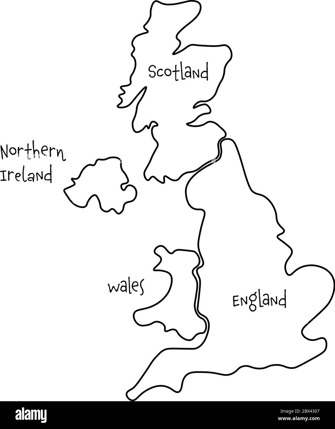 United Kingdom, aka UK, of Great Britain and Northern Ireland hand-drawn blank map. Divided to four countries - England, Wales, Scotland and NI. Simple flat vector illustration. Stock Vectorhttps://www.alamy.com/image-license-details/?v=1https://www.alamy.com/united-kingdom-aka-uk-of-great-britain-and-northern-ireland-hand-drawn-blank-map-divided-to-four-countries-england-wales-scotland-and-ni-simple-flat-vector-illustration-image360278583.html
RF2BX4307–United Kingdom, aka UK, of Great Britain and Northern Ireland hand-drawn blank map. Divided to four countries - England, Wales, Scotland and NI. Simple flat vector illustration.
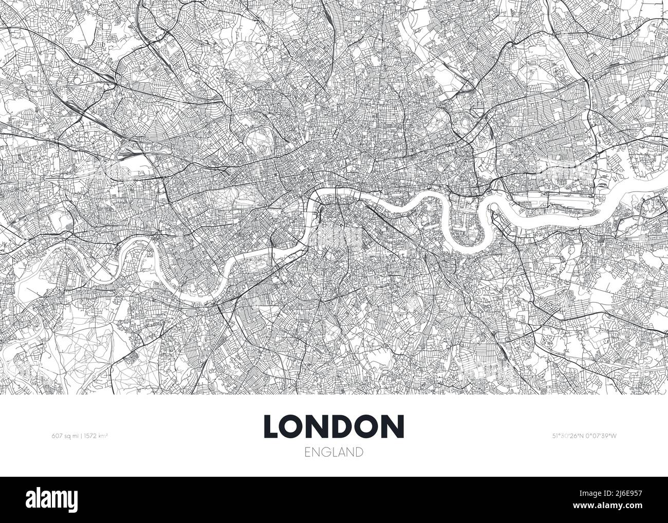 City map London England, travel poster detailed urban street plan, vector illustration Stock Vectorhttps://www.alamy.com/image-license-details/?v=1https://www.alamy.com/city-map-london-england-travel-poster-detailed-urban-street-plan-vector-illustration-image468682403.html
RF2J6E957–City map London England, travel poster detailed urban street plan, vector illustration
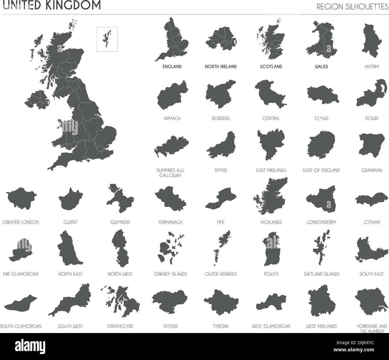 UK region silhouettes set and blank map of the country isolated on white background. Vector illustration design Stock Vectorhttps://www.alamy.com/image-license-details/?v=1https://www.alamy.com/uk-region-silhouettes-set-and-blank-map-of-the-country-isolated-on-white-background-vector-illustration-design-image613859440.html
RF2XJKKYC–UK region silhouettes set and blank map of the country isolated on white background. Vector illustration design
 Outline of Great Britain and Ireland with heavy grunge Stock Vectorhttps://www.alamy.com/image-license-details/?v=1https://www.alamy.com/stock-photo-outline-of-great-britain-and-ireland-with-heavy-grunge-72820582.html
RFE6D7B2–Outline of Great Britain and Ireland with heavy grunge
RF2RWTGN2–Vector isolated illustration icon with simplified blue silhouette of United Kingdom of Great Britain and Northern Ireland (UK) map. Polygonal geometri
 Map of UK pattern, simple style Stock Vectorhttps://www.alamy.com/image-license-details/?v=1https://www.alamy.com/map-of-uk-pattern-simple-style-image444993702.html
RF2GRY606–Map of UK pattern, simple style
 Line map of United Kingdom vector stock illustration design template. Editable stroke. Vector eps 10. Stock Vectorhttps://www.alamy.com/image-license-details/?v=1https://www.alamy.com/line-map-of-united-kingdom-vector-stock-illustration-design-template-editable-stroke-vector-eps-10-image442896300.html
RF2GMFJN0–Line map of United Kingdom vector stock illustration design template. Editable stroke. Vector eps 10.
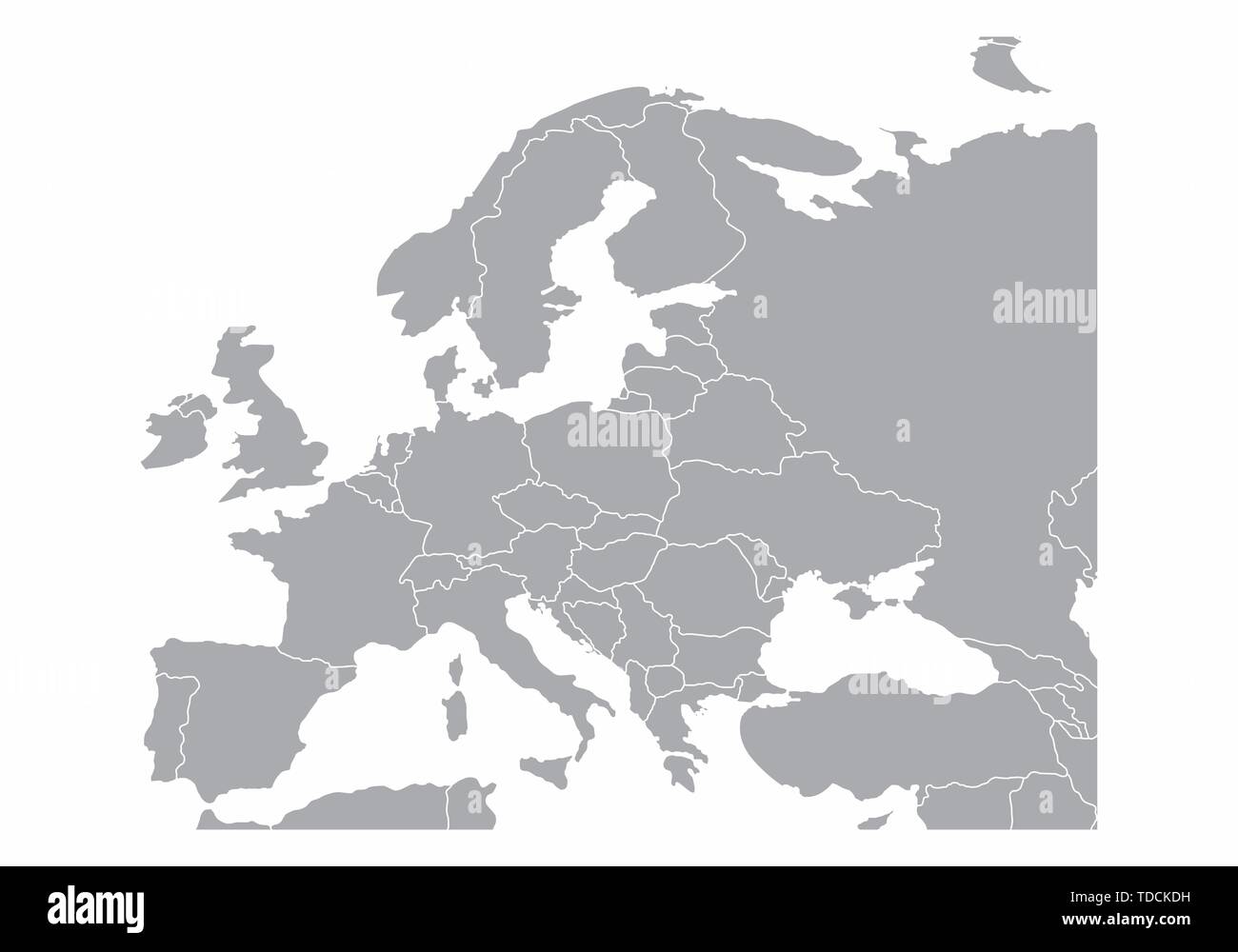 Europe gray map isolated on white background Stock Vectorhttps://www.alamy.com/image-license-details/?v=1https://www.alamy.com/europe-gray-map-isolated-on-white-background-image249214381.html
RFTDCKDH–Europe gray map isolated on white background
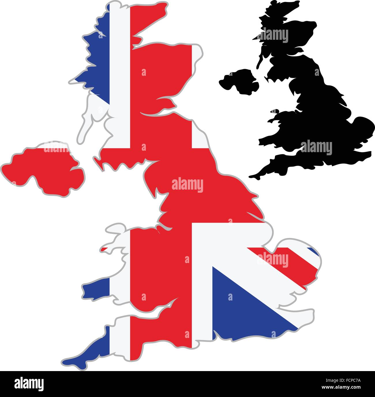 UK map flag on a white background. Vector illustrator. Stock Vectorhttps://www.alamy.com/image-license-details/?v=1https://www.alamy.com/stock-photo-uk-map-flag-on-a-white-background-vector-illustrator-93920270.html
RFFCPC7A–UK map flag on a white background. Vector illustrator.
RF2JPDGHK–uk brexit line icon, outline symbol, vector illustration, concept sign
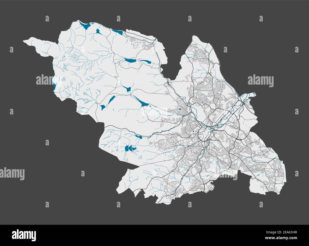 Sheffield map. Detailed map of Sheffield city administrative area. Cityscape panorama. Royalty free vector illustration. Outline map with highways, st Stock Vectorhttps://www.alamy.com/image-license-details/?v=1https://www.alamy.com/sheffield-map-detailed-map-of-sheffield-city-administrative-area-cityscape-panorama-royalty-free-vector-illustration-outline-map-with-highways-st-image402119587.html
RF2EA63HR–Sheffield map. Detailed map of Sheffield city administrative area. Cityscape panorama. Royalty free vector illustration. Outline map with highways, st
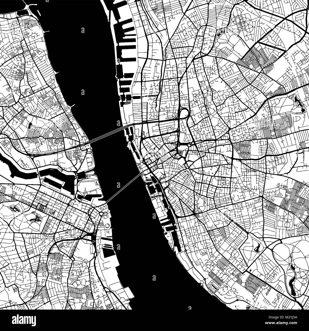 Liverpool Downtown Vector Map Monochrome Artprint, Outline Version for Infographic Background, Black Streets and Waterways Stock Vectorhttps://www.alamy.com/image-license-details/?v=1https://www.alamy.com/stock-photo-liverpool-downtown-vector-map-monochrome-artprint-outline-version-173939958.html
RFM2YJ5A–Liverpool Downtown Vector Map Monochrome Artprint, Outline Version for Infographic Background, Black Streets and Waterways
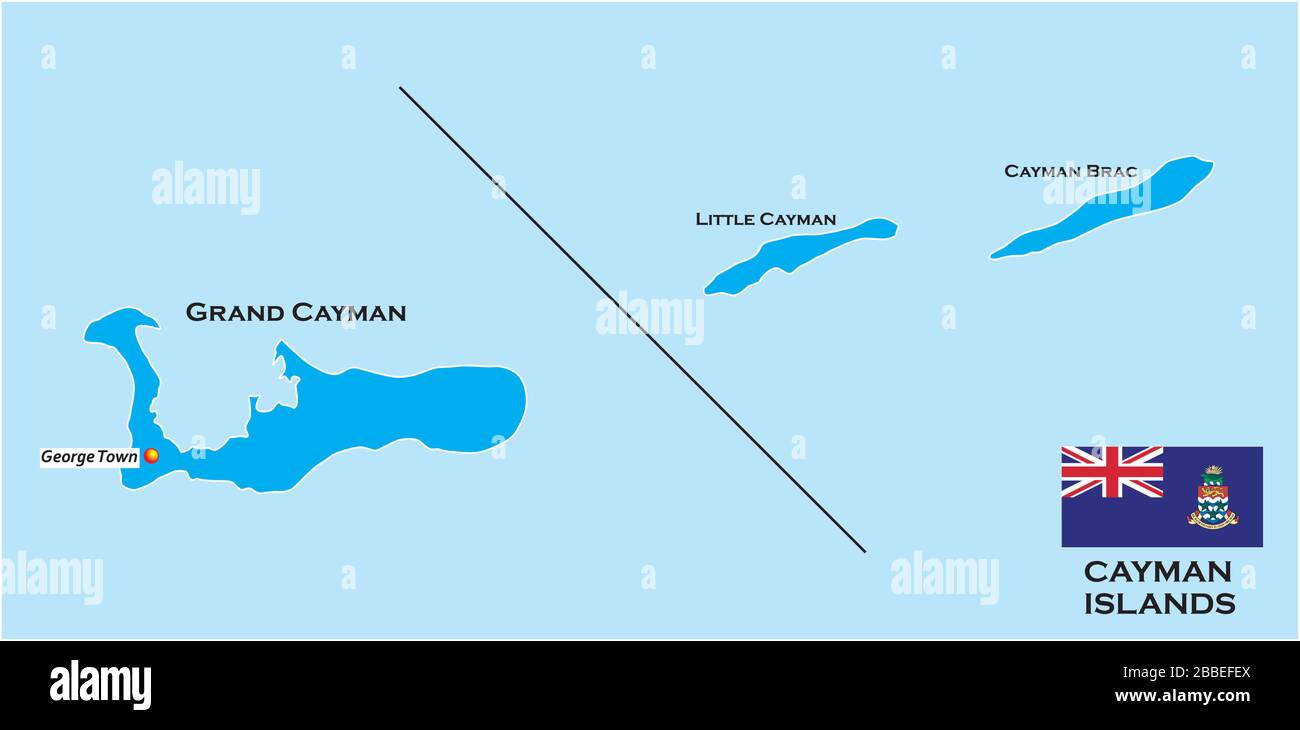 Outline map of the Cayman Islands with flag, United Kingdom Stock Vectorhttps://www.alamy.com/image-license-details/?v=1https://www.alamy.com/outline-map-of-the-cayman-islands-with-flag-united-kingdom-image351288082.html
RF2BBEFEX–Outline map of the Cayman Islands with flag, United Kingdom
 Birmingham UK City Map in Retro Style in Golden Color. Outline Map. Vector Illustration. Stock Vectorhttps://www.alamy.com/image-license-details/?v=1https://www.alamy.com/birmingham-uk-city-map-in-retro-style-in-golden-color-outline-map-vector-illustration-image377080049.html
RF2CWDDCH–Birmingham UK City Map in Retro Style in Golden Color. Outline Map. Vector Illustration.
 Map of Greater London. Black and outline maps. EPS Vector File. Stock Vectorhttps://www.alamy.com/image-license-details/?v=1https://www.alamy.com/map-of-greater-london-black-and-outline-maps-eps-vector-file-image360646419.html
RF2BXMT57–Map of Greater London. Black and outline maps. EPS Vector File.
 USA VS UK flags. The United States of America VS United Kingdom Great Britain flags, isolated on grey world map background. Vector illustration. Stock Vectorhttps://www.alamy.com/image-license-details/?v=1https://www.alamy.com/usa-vs-uk-flags-the-united-states-of-america-vs-united-kingdom-great-britain-flags-isolated-on-grey-world-map-background-vector-illustration-image485207344.html
RF2K5B2WM–USA VS UK flags. The United States of America VS United Kingdom Great Britain flags, isolated on grey world map background. Vector illustration.
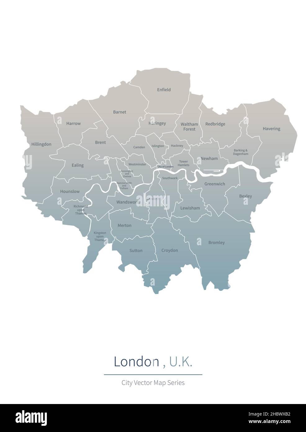 London Map. vector map of city in the UK. Stock Vectorhttps://www.alamy.com/image-license-details/?v=1https://www.alamy.com/london-map-vector-map-of-city-in-the-uk-image454800278.html
RF2HBWXB2–London Map. vector map of city in the UK.
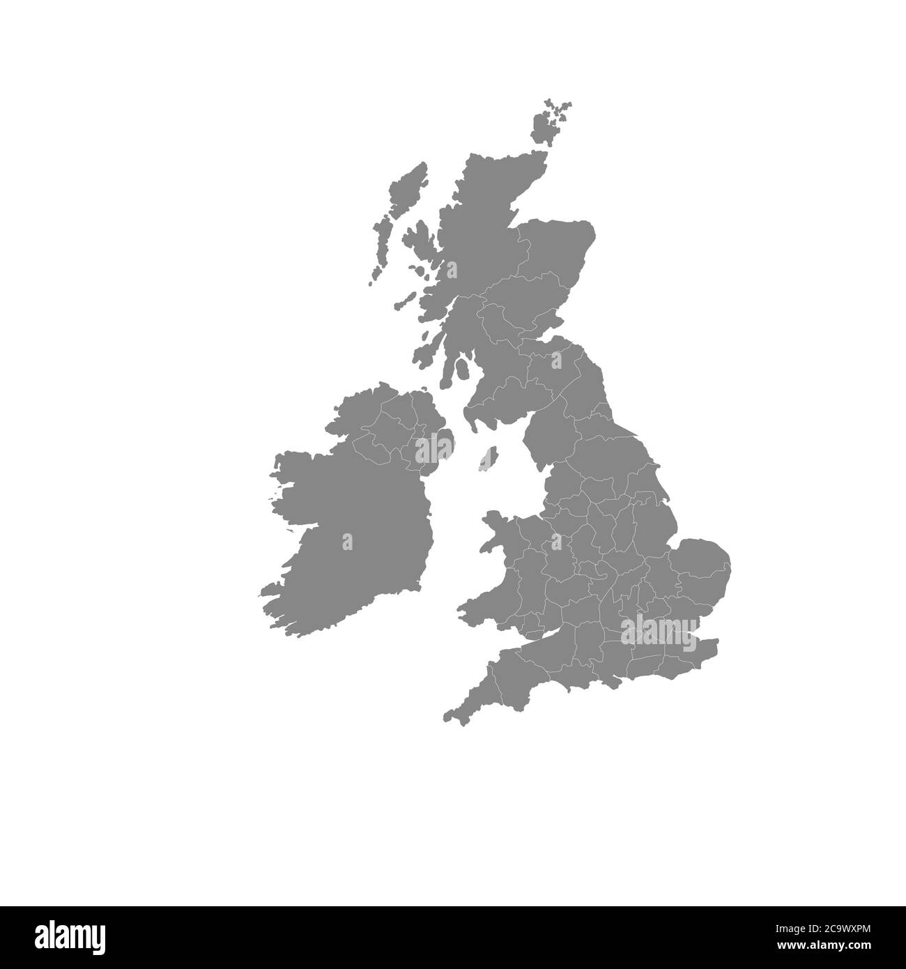 The Great Britain map in gray on a white background Stock Vectorhttps://www.alamy.com/image-license-details/?v=1https://www.alamy.com/the-great-britain-map-in-gray-on-a-white-background-image367519452.html
RF2C9WXPM–The Great Britain map in gray on a white background
 Modern City Map - Dudley city of England with wards and titles UK outline map Stock Vectorhttps://www.alamy.com/image-license-details/?v=1https://www.alamy.com/modern-city-map-dudley-city-of-england-with-wards-and-titles-uk-outline-map-image224878588.html
RFR1T2X4–Modern City Map - Dudley city of England with wards and titles UK outline map
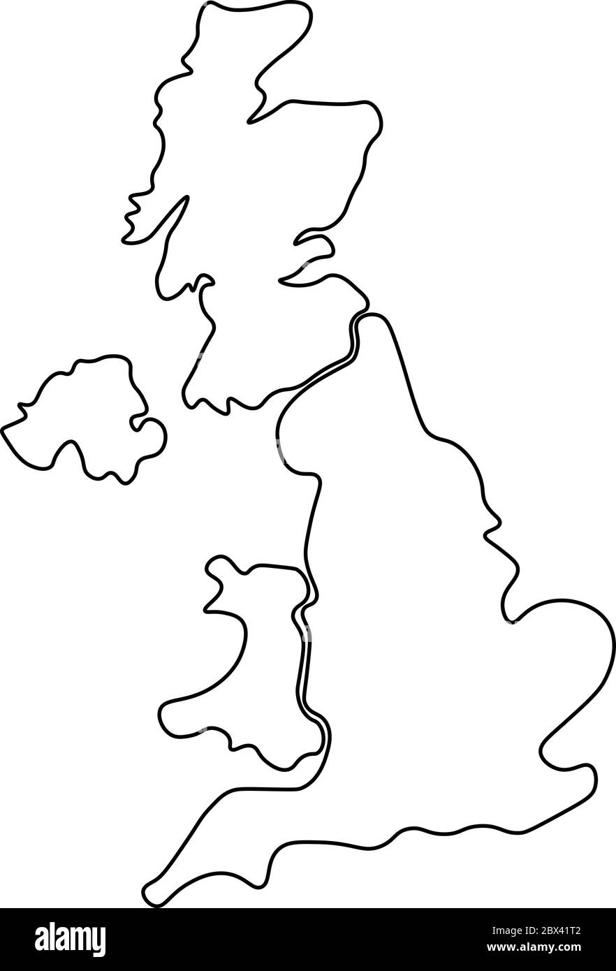 United Kingdom, aka UK, of Great Britain and Northern Ireland hand-drawn blank map. Divided to four countries - England, Wales, Scotland and NI. Simple flat vector illustration. Stock Vectorhttps://www.alamy.com/image-license-details/?v=1https://www.alamy.com/united-kingdom-aka-uk-of-great-britain-and-northern-ireland-hand-drawn-blank-map-divided-to-four-countries-england-wales-scotland-and-ni-simple-flat-vector-illustration-image360277682.html
RF2BX41T2–United Kingdom, aka UK, of Great Britain and Northern Ireland hand-drawn blank map. Divided to four countries - England, Wales, Scotland and NI. Simple flat vector illustration.
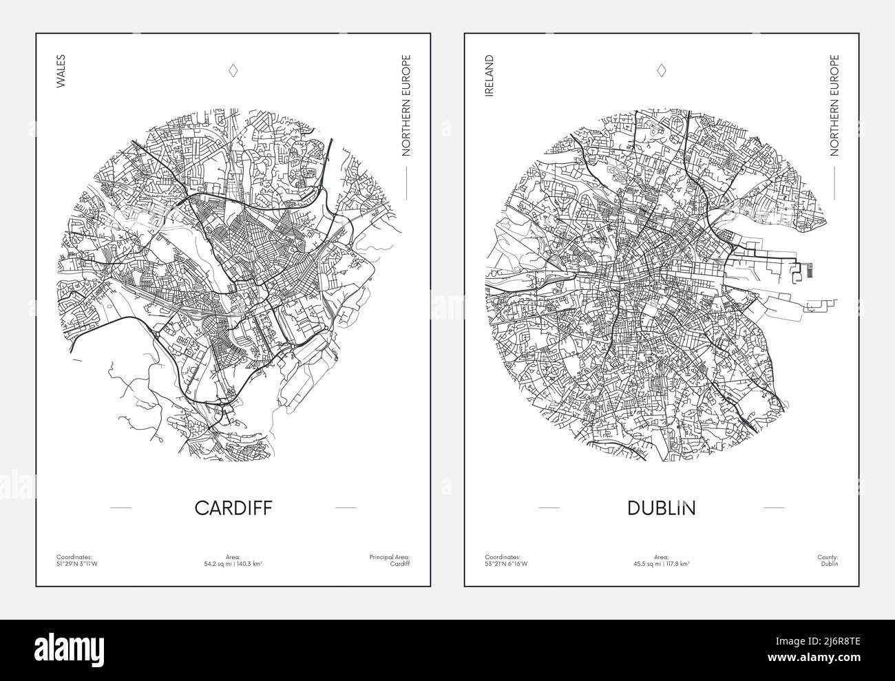 Travel poster, urban street plan city map Cardiff and Dublin, vector illustration Stock Vectorhttps://www.alamy.com/image-license-details/?v=1https://www.alamy.com/travel-poster-urban-street-plan-city-map-cardiff-and-dublin-vector-illustration-image468879726.html
RF2J6R8TE–Travel poster, urban street plan city map Cardiff and Dublin, vector illustration
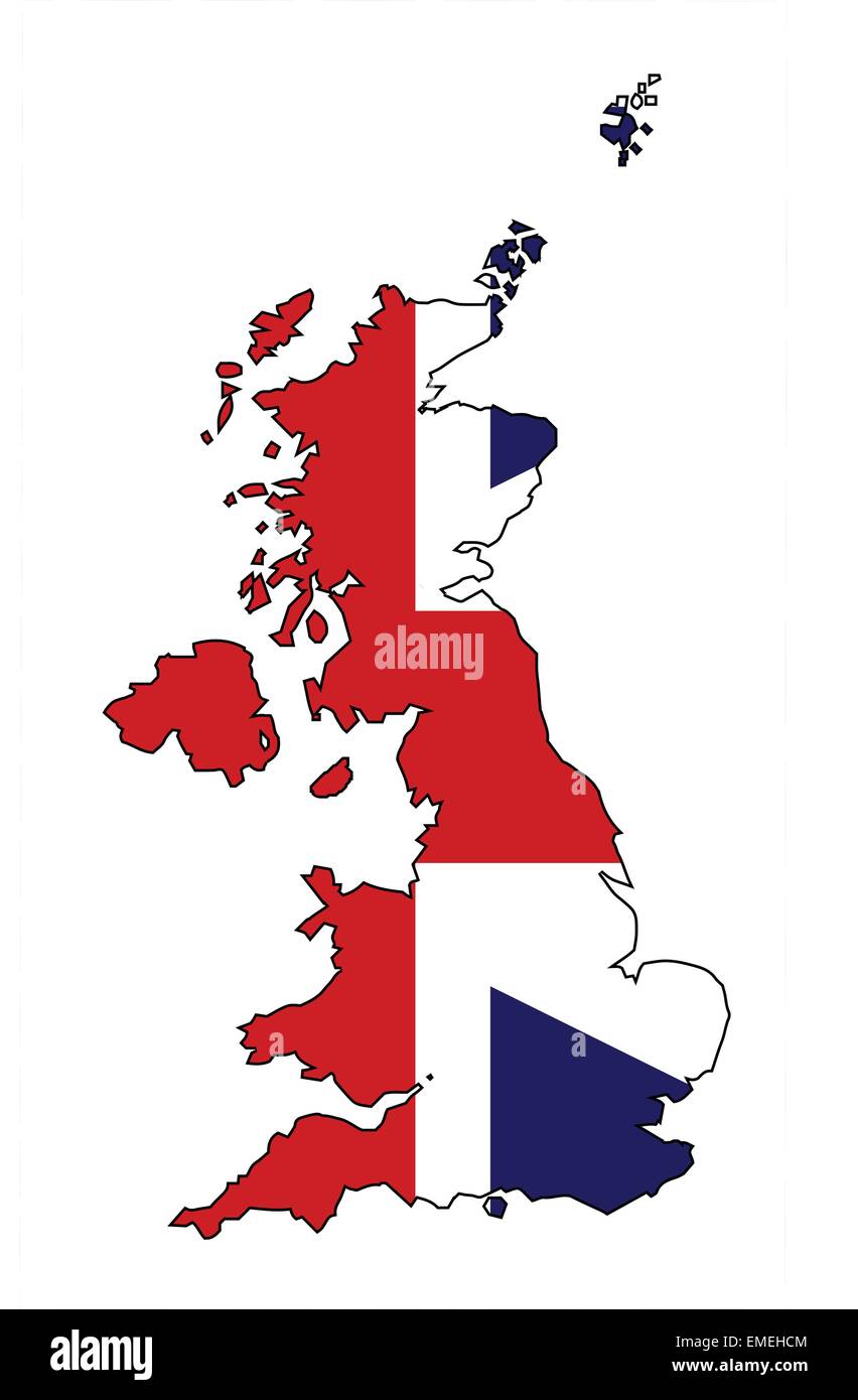 United Kingdom Map and Flag Stock Vectorhttps://www.alamy.com/image-license-details/?v=1https://www.alamy.com/stock-photo-united-kingdom-map-and-flag-81455604.html
RFEMEHCM–United Kingdom Map and Flag
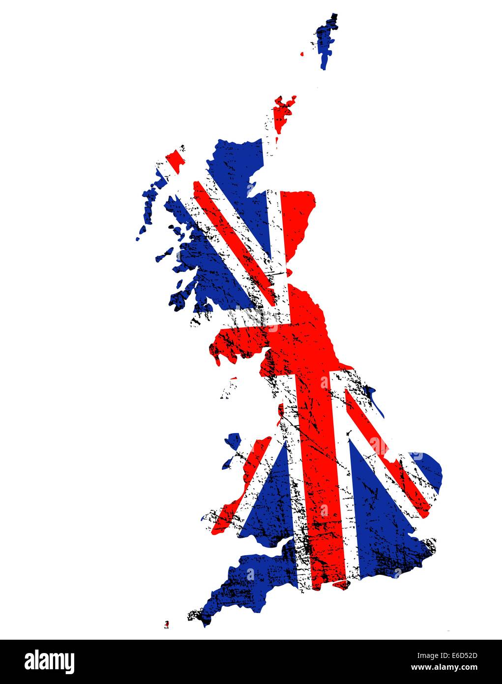 Outline of Great Britain with grunged Union Jack flag Stock Vectorhttps://www.alamy.com/image-license-details/?v=1https://www.alamy.com/stock-photo-outline-of-great-britain-with-grunged-union-jack-flag-72818773.html
RFE6D52D–Outline of Great Britain with grunged Union Jack flag
 Vector illustration with european land with borders of states and marked country United Kingdom. UK political map in brown colors with western, south Stock Vectorhttps://www.alamy.com/image-license-details/?v=1https://www.alamy.com/vector-illustration-with-european-land-with-borders-of-states-and-marked-country-united-kingdom-uk-political-map-in-brown-colors-with-western-south-image601739754.html
RF2WXYH5E–Vector illustration with european land with borders of states and marked country United Kingdom. UK political map in brown colors with western, south
RF2GR5879–White map of United Kingdom icon, flat style
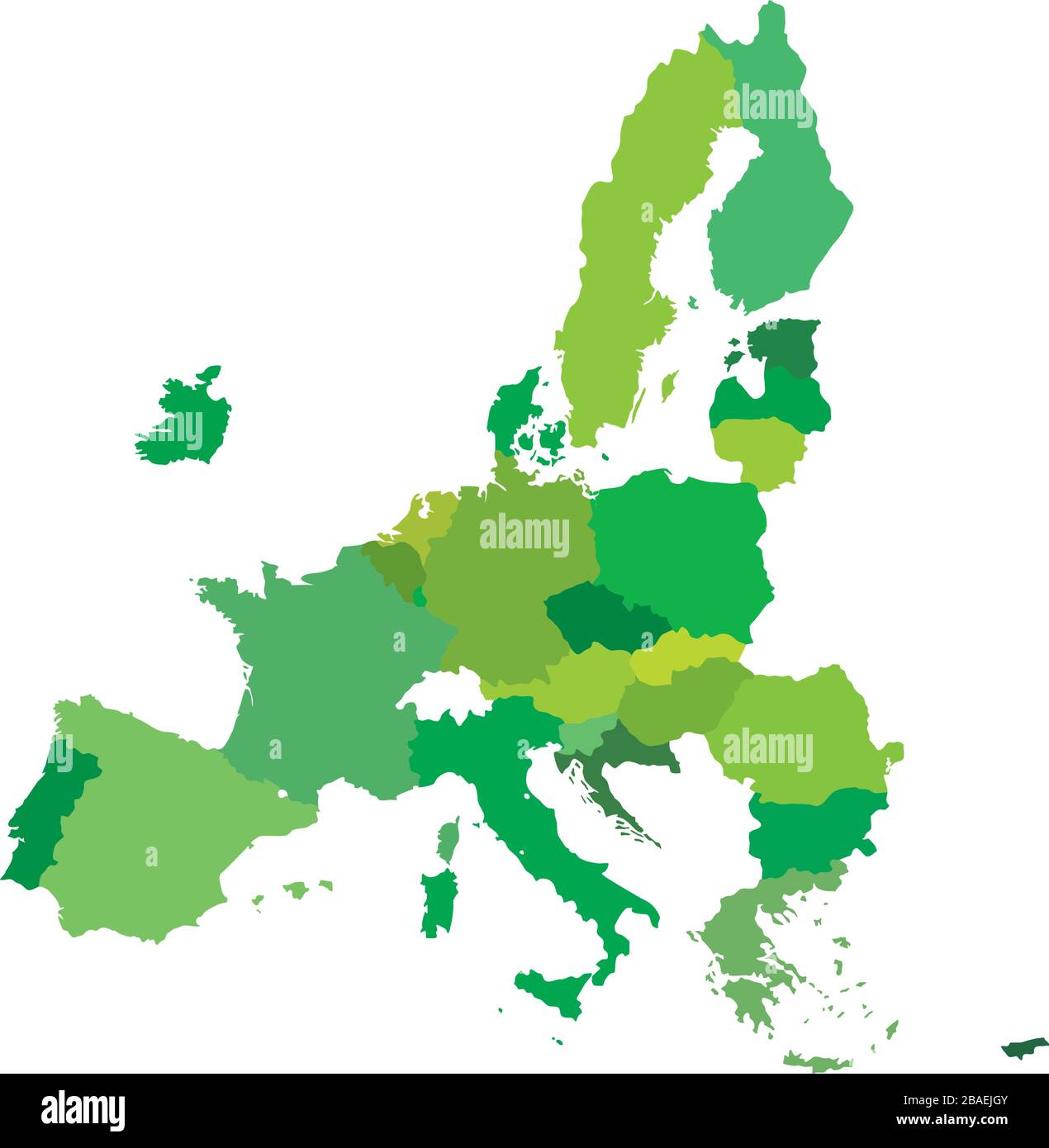 Green Map of Europe and UK. Vector Illustration. Shape and graphic illustration. Stock Vectorhttps://www.alamy.com/image-license-details/?v=1https://www.alamy.com/green-map-of-europe-and-uk-vector-illustration-shape-and-graphic-illustration-image350675835.html
RF2BAEJGY–Green Map of Europe and UK. Vector Illustration. Shape and graphic illustration.
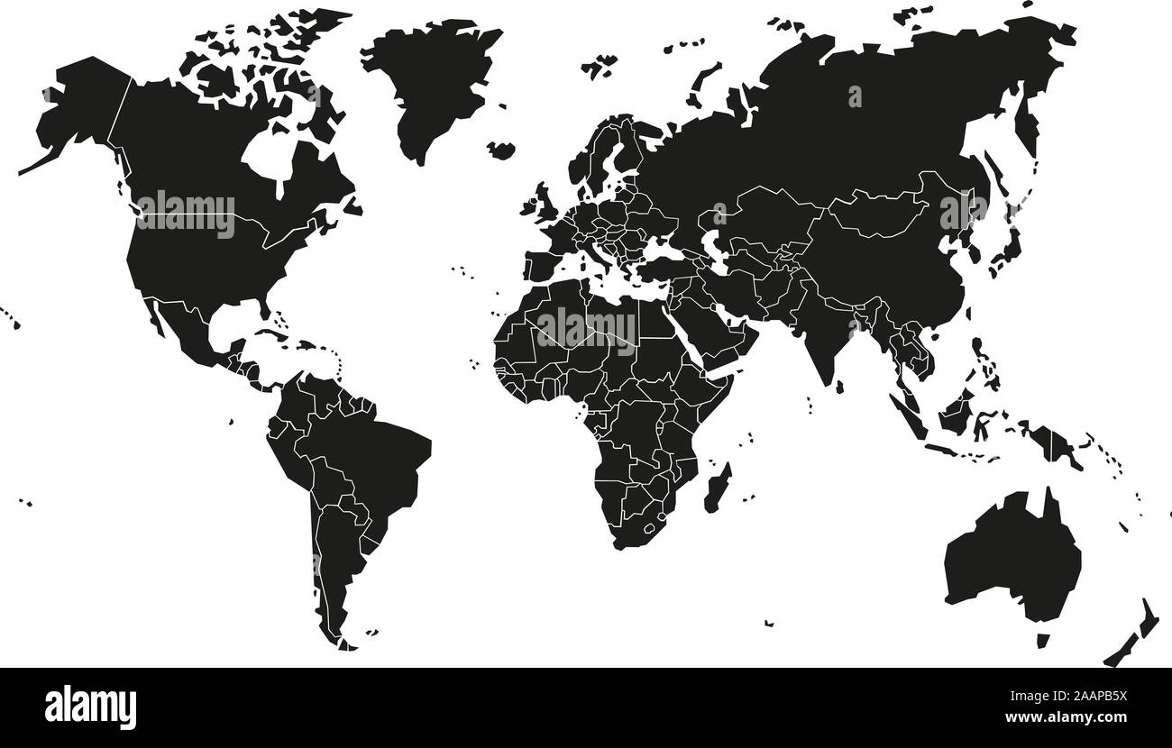 World map vector illustration on white background. Stock Vectorhttps://www.alamy.com/image-license-details/?v=1https://www.alamy.com/world-map-vector-illustration-on-white-background-image333635286.html
RF2AAPB5X–World map vector illustration on white background.
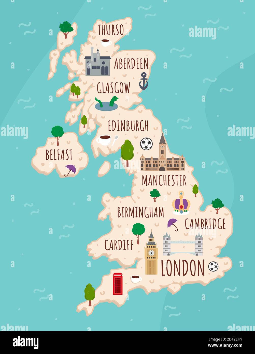 Cartoon map of United Kingdom. Travel illustration with british landmarks, buildings, food and plants. Funny tourist infographics. National symbols Stock Vectorhttps://www.alamy.com/image-license-details/?v=1https://www.alamy.com/cartoon-map-of-united-kingdom-travel-illustration-with-british-landmarks-buildings-food-and-plants-funny-tourist-infographics-national-symbols-image379298135.html
RF2D12EHY–Cartoon map of United Kingdom. Travel illustration with british landmarks, buildings, food and plants. Funny tourist infographics. National symbols
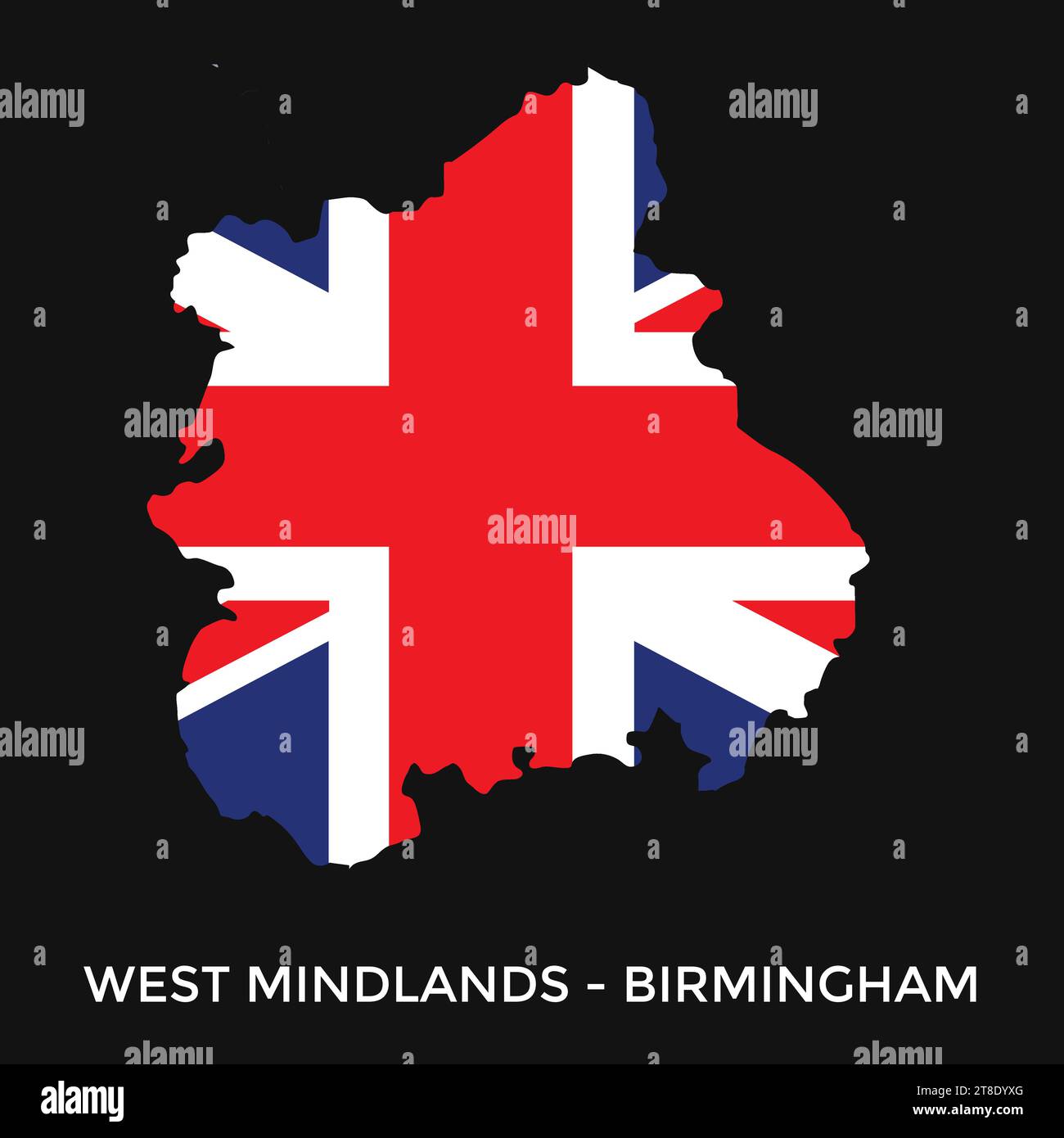 West midlands England, UK region map. Vector illustration. Stock Vectorhttps://www.alamy.com/image-license-details/?v=1https://www.alamy.com/west-midlands-england-uk-region-map-vector-illustration-image573166680.html
RF2T8DYXG–West midlands England, UK region map. Vector illustration.
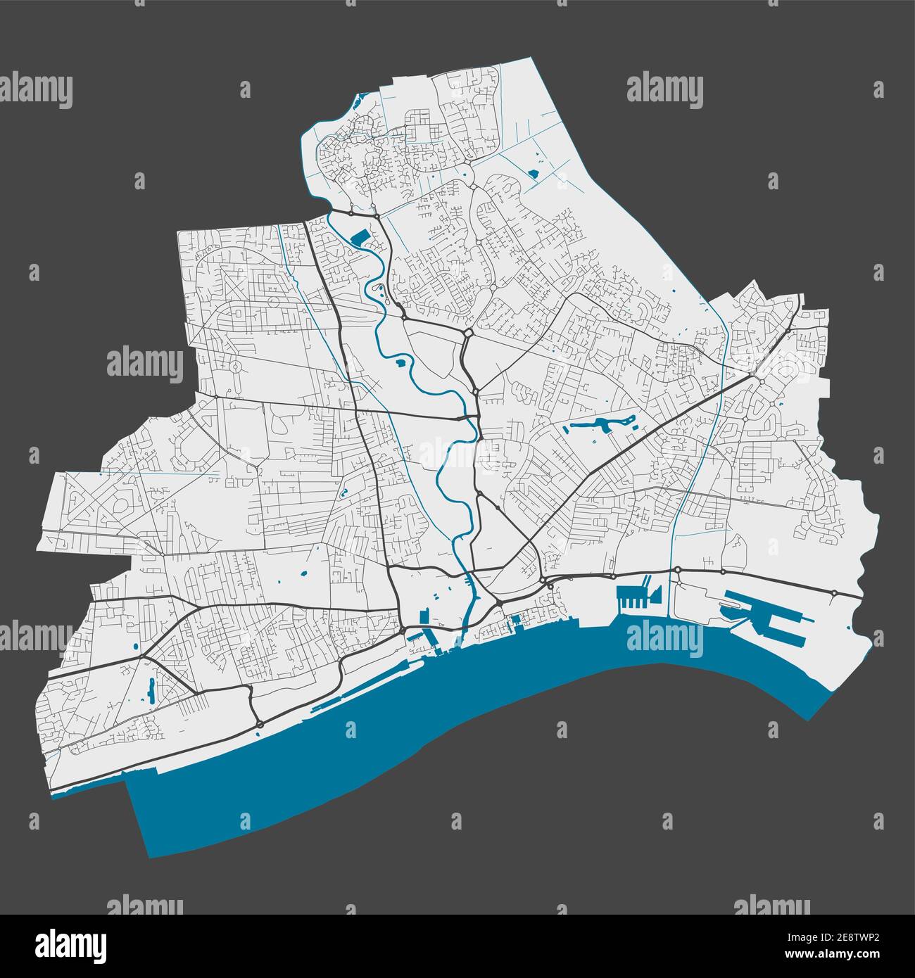 Kingston upon Hull map. Detailed map of Kingston upon Hull city administrative area. Cityscape panorama. Royalty free vector illustration. Outline map Stock Vectorhttps://www.alamy.com/image-license-details/?v=1https://www.alamy.com/kingston-upon-hull-map-detailed-map-of-kingston-upon-hull-city-administrative-area-cityscape-panorama-royalty-free-vector-illustration-outline-map-image401302778.html
RF2E8TWP2–Kingston upon Hull map. Detailed map of Kingston upon Hull city administrative area. Cityscape panorama. Royalty free vector illustration. Outline map
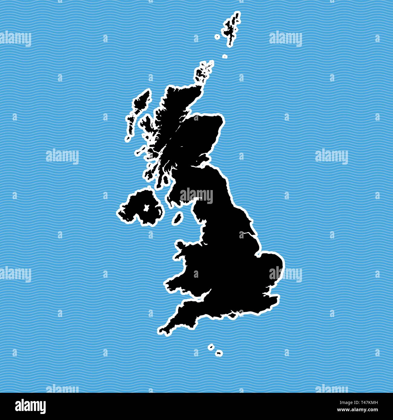 United Kingdom map as island. Map separated on blue wave water background. Stock Vectorhttps://www.alamy.com/image-license-details/?v=1https://www.alamy.com/united-kingdom-map-as-island-map-separated-on-blue-wave-water-background-image243572913.html
RFT47KMH–United Kingdom map as island. Map separated on blue wave water background.
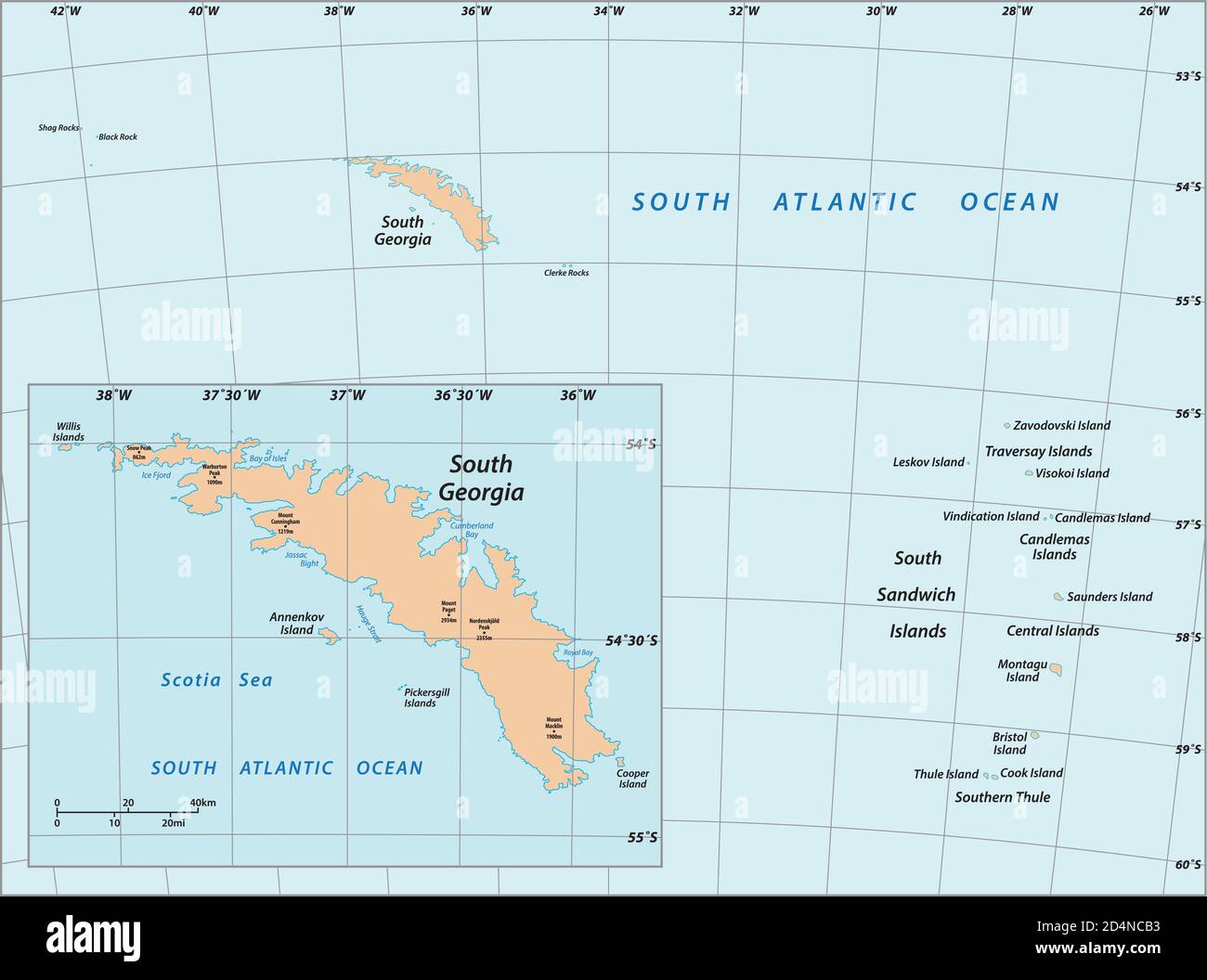 vector map of South Georgia and the South Sandwich Islands, United Kingdom Stock Vectorhttps://www.alamy.com/image-license-details/?v=1https://www.alamy.com/vector-map-of-south-georgia-and-the-south-sandwich-islands-united-kingdom-image381557431.html
RF2D4NCB3–vector map of South Georgia and the South Sandwich Islands, United Kingdom
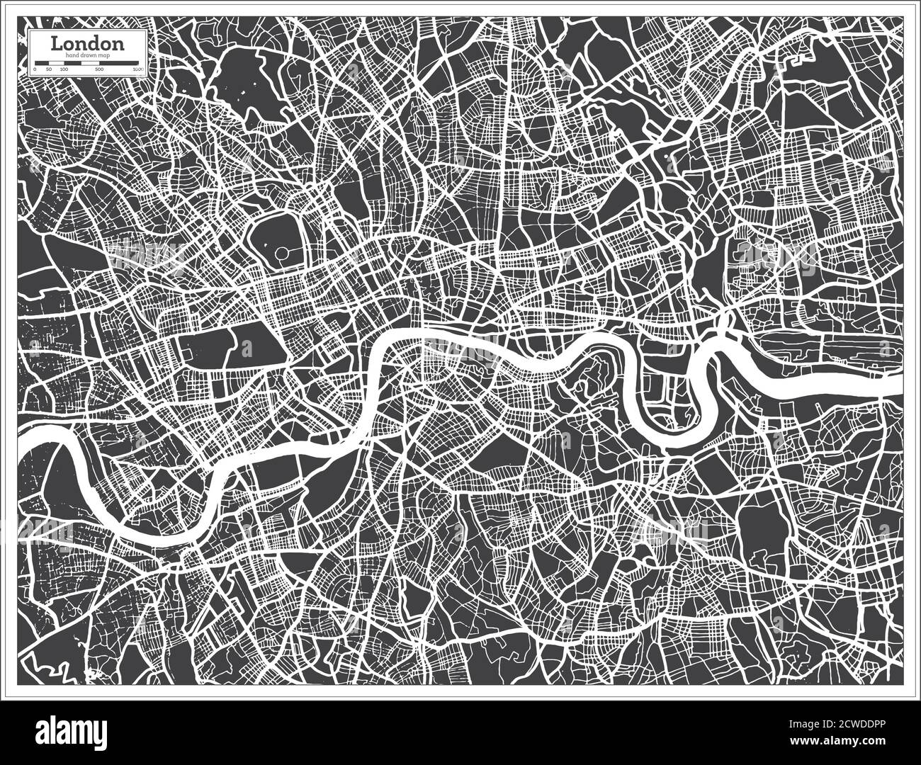 London UK City Map in Black and White Color in Retro Style. Outline Map. Vector Illustration. Stock Vectorhttps://www.alamy.com/image-license-details/?v=1https://www.alamy.com/london-uk-city-map-in-black-and-white-color-in-retro-style-outline-map-vector-illustration-image377080334.html
RF2CWDDPP–London UK City Map in Black and White Color in Retro Style. Outline Map. Vector Illustration.
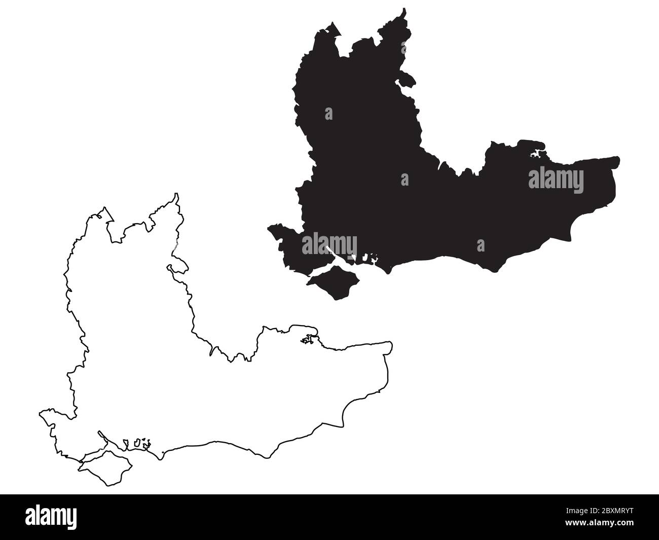 Map of South East England. Black and outline maps. EPS Vector File. Stock Vectorhttps://www.alamy.com/image-license-details/?v=1https://www.alamy.com/map-of-south-east-england-black-and-outline-maps-eps-vector-file-image360646268.html
RF2BXMRYT–Map of South East England. Black and outline maps. EPS Vector File.
 Flag of UK in Heart Shape and Outline Hearts. Creative isolated flag of United Kingdom Stock Vectorhttps://www.alamy.com/image-license-details/?v=1https://www.alamy.com/flag-of-uk-in-heart-shape-and-outline-hearts-creative-isolated-flag-of-united-kingdom-image545184909.html
RF2PJY8WH–Flag of UK in Heart Shape and Outline Hearts. Creative isolated flag of United Kingdom
RF2RX0TBX–Layered editable vector illustration country map of Wales,which contains colorful country flag version,black silhouette version and defferent pixel ve
 The Great Britain map in gray on a white background Stock Vectorhttps://www.alamy.com/image-license-details/?v=1https://www.alamy.com/the-great-britain-map-in-gray-on-a-white-background-image367518966.html
RF2C9WX5A–The Great Britain map in gray on a white background
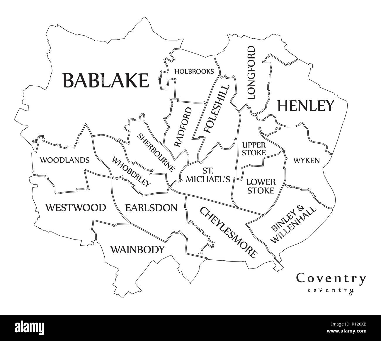 Modern City Map - Coventry city of England with wards and titles UK outline map Stock Vectorhttps://www.alamy.com/image-license-details/?v=1https://www.alamy.com/modern-city-map-coventry-city-of-england-with-wards-and-titles-uk-outline-map-image224394083.html
RFR120XB–Modern City Map - Coventry city of England with wards and titles UK outline map
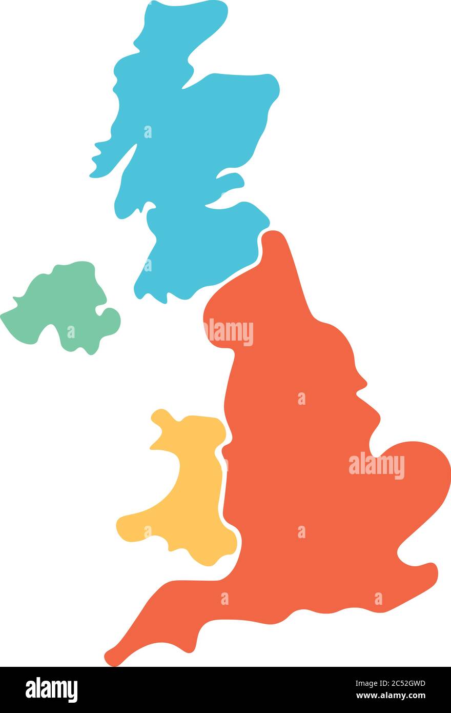 United Kingdom, aka UK, of Great Britain and Northern Ireland hand-drawn blank map. Divided to four countries in different colors - England, Wales, Scotland and NI. Simple flat vector illustration. Stock Vectorhttps://www.alamy.com/image-license-details/?v=1https://www.alamy.com/united-kingdom-aka-uk-of-great-britain-and-northern-ireland-hand-drawn-blank-map-divided-to-four-countries-in-different-colors-england-wales-scotland-and-ni-simple-flat-vector-illustration-image364548169.html
RF2C52GWD–United Kingdom, aka UK, of Great Britain and Northern Ireland hand-drawn blank map. Divided to four countries in different colors - England, Wales, Scotland and NI. Simple flat vector illustration.
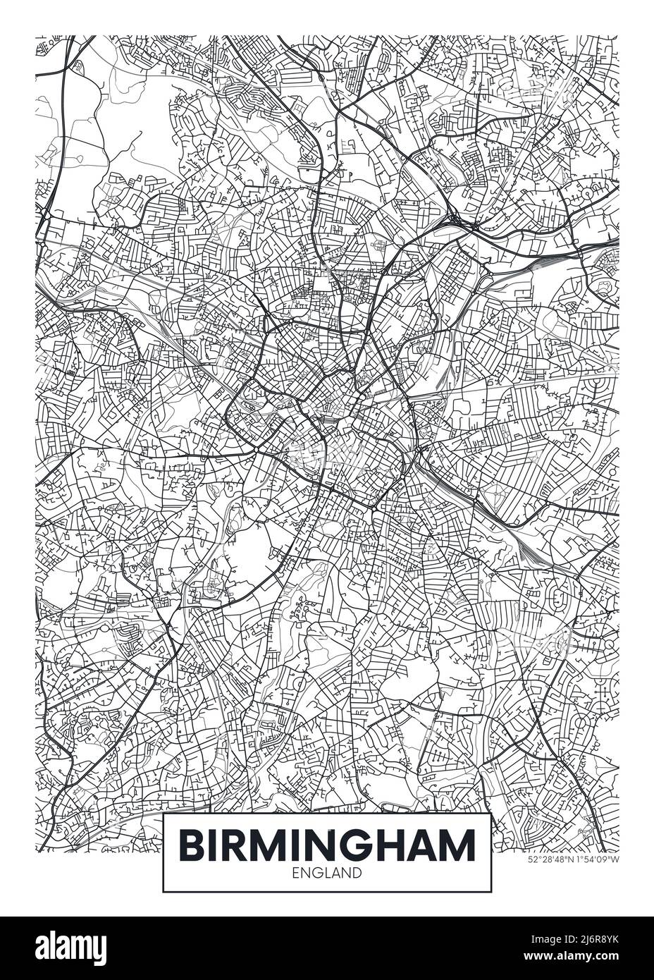 City map Birmingham, travel vector poster design Stock Vectorhttps://www.alamy.com/image-license-details/?v=1https://www.alamy.com/city-map-birmingham-travel-vector-poster-design-image468879815.html
RF2J6R8YK–City map Birmingham, travel vector poster design
 Silhouette Map Of Wales Stock Vectorhttps://www.alamy.com/image-license-details/?v=1https://www.alamy.com/stock-photo-silhouette-map-of-wales-116202557.html
RFGN1DF9–Silhouette Map Of Wales
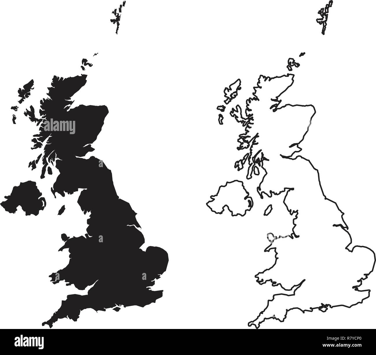 Simple (only sharp corners) map of - United Kingdom of Great Britain and Northern Ireland vector drawing. Mercator projection. Filled and outline vers Stock Vectorhttps://www.alamy.com/image-license-details/?v=1https://www.alamy.com/simple-only-sharp-corners-map-of-united-kingdom-of-great-britain-and-northern-ireland-vector-drawing-mercator-projection-filled-and-outline-vers-image228640104.html
RFR7YCP0–Simple (only sharp corners) map of - United Kingdom of Great Britain and Northern Ireland vector drawing. Mercator projection. Filled and outline vers
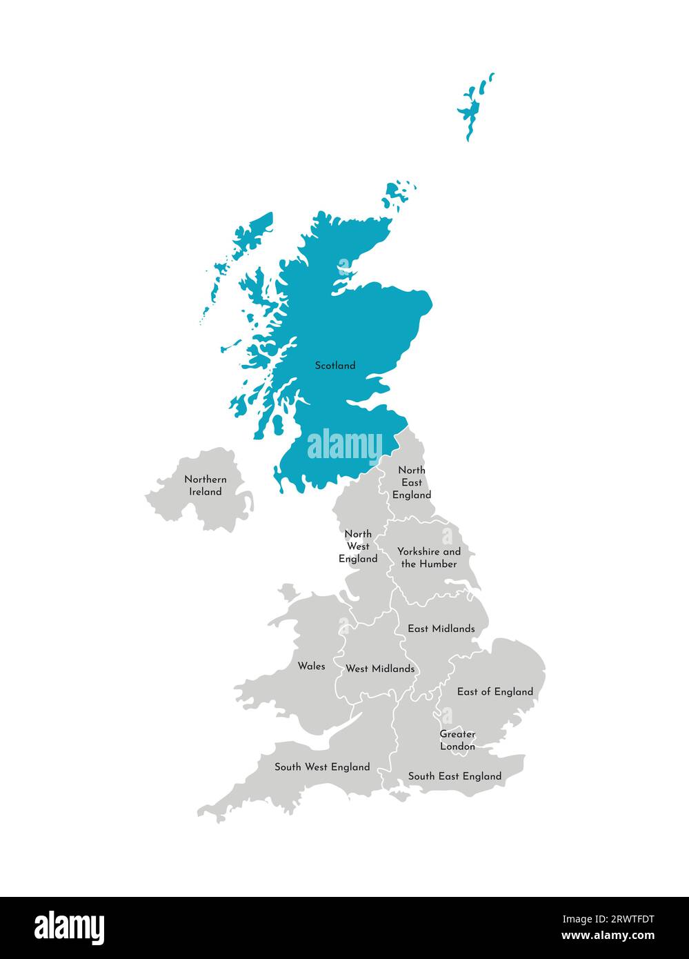 Vector isolated illustration of simplified administrative map of the United Kingdom (UK). Blue shape of Scotland. Borders and names of the regions. Gr Stock Vectorhttps://www.alamy.com/image-license-details/?v=1https://www.alamy.com/vector-isolated-illustration-of-simplified-administrative-map-of-the-united-kingdom-uk-blue-shape-of-scotland-borders-and-names-of-the-regions-gr-image566637172.html
RF2RWTFDT–Vector isolated illustration of simplified administrative map of the United Kingdom (UK). Blue shape of Scotland. Borders and names of the regions. Gr
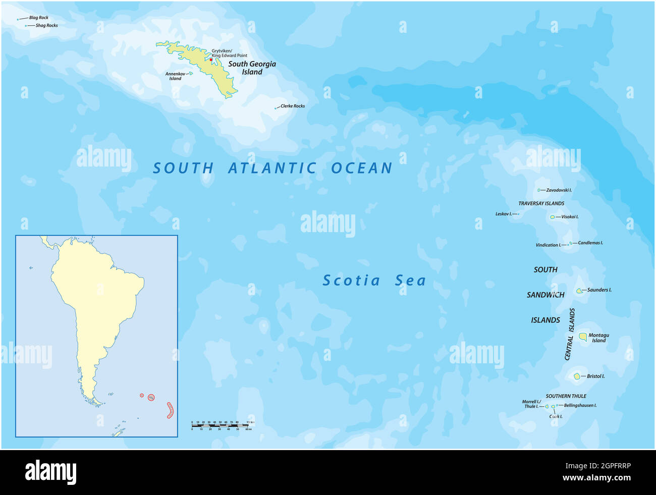 South Georgia and the South Sandwich Islands vector map, UK Stock Vectorhttps://www.alamy.com/image-license-details/?v=1https://www.alamy.com/south-georgia-and-the-south-sandwich-islands-vector-map-uk-image444129610.html
RF2GPFRRP–South Georgia and the South Sandwich Islands vector map, UK
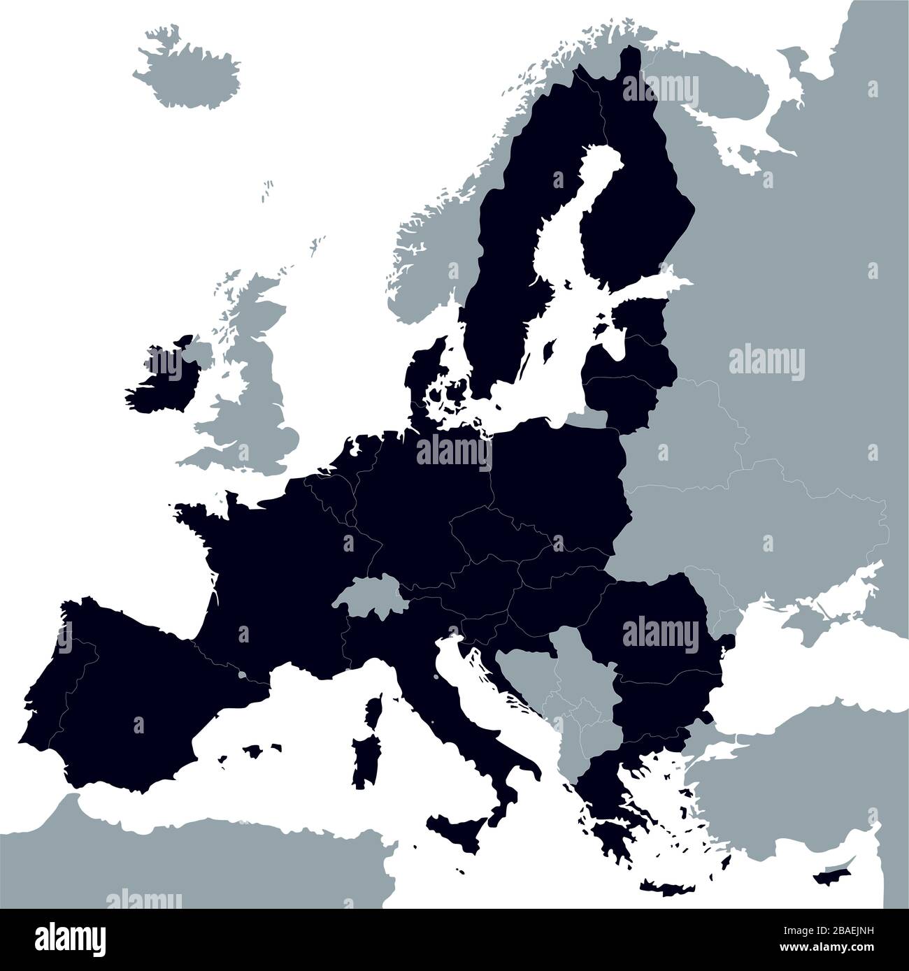 Map of European Union without UK. Vector Illustration. Shape and graphic illustration. Stock Vectorhttps://www.alamy.com/image-license-details/?v=1https://www.alamy.com/map-of-european-union-without-uk-vector-illustration-shape-and-graphic-illustration-image350675965.html
RF2BAEJNH–Map of European Union without UK. Vector Illustration. Shape and graphic illustration.
 United Kingdom map on white background. Vector illustration. Stock Vectorhttps://www.alamy.com/image-license-details/?v=1https://www.alamy.com/united-kingdom-map-on-white-background-vector-illustration-image343400331.html
RF2AXK6HF–United Kingdom map on white background. Vector illustration.
 United Kingdom of Great Britain and Northern Ireland map and official flag icons. vector British political maps icon. Europe geo Stock Vectorhttps://www.alamy.com/image-license-details/?v=1https://www.alamy.com/stock-photo-united-kingdom-of-great-britain-and-northern-ireland-map-and-official-121902035.html
RFH29383–United Kingdom of Great Britain and Northern Ireland map and official flag icons. vector British political maps icon. Europe geo
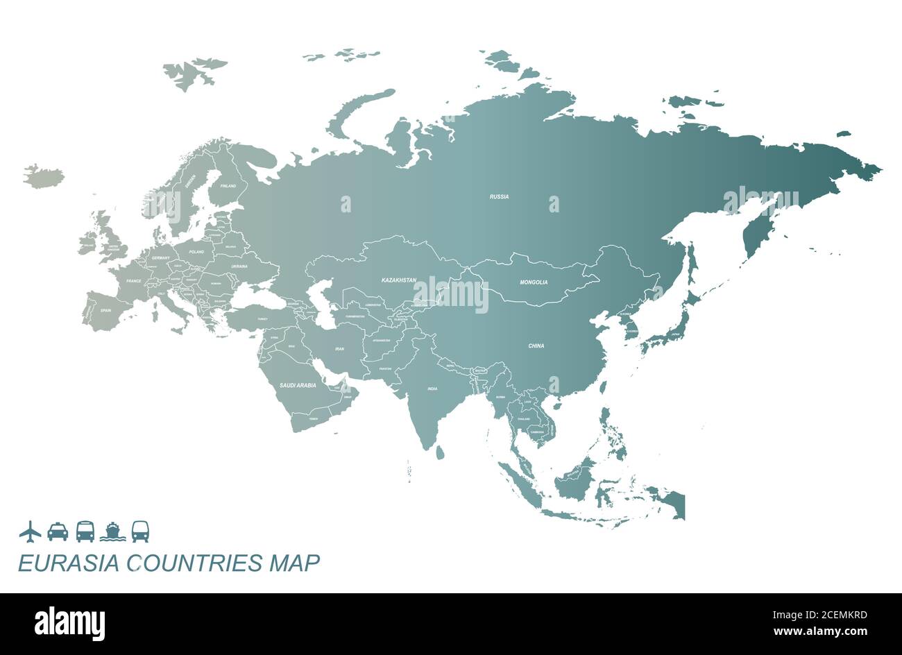 Eurasia Countries Map. Detail Map Vector with National Capital Plots Stock Vectorhttps://www.alamy.com/image-license-details/?v=1https://www.alamy.com/eurasia-countries-map-detail-map-vector-with-national-capital-plots-image370477505.html
RF2CEMKRD–Eurasia Countries Map. Detail Map Vector with National Capital Plots
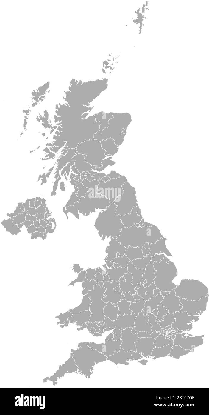 Detailed vector maps of the United Kingdom regions and administrative areas in grey color Stock Vectorhttps://www.alamy.com/image-license-details/?v=1https://www.alamy.com/detailed-vector-maps-of-the-united-kingdom-regions-and-administrative-areas-in-grey-color-image358965055.html
RF2BT07GF–Detailed vector maps of the United Kingdom regions and administrative areas in grey color
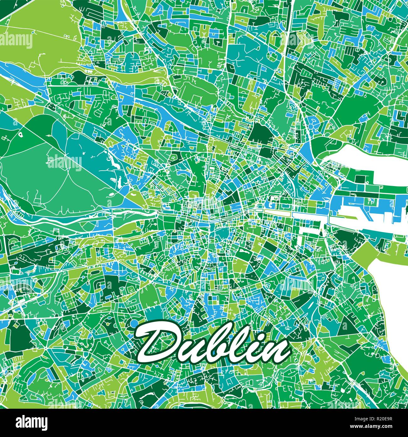 Colorful Dublin Map. Vector illustration template for wall art and marketing in square format. Stock Vectorhttps://www.alamy.com/image-license-details/?v=1https://www.alamy.com/colorful-dublin-map-vector-illustration-template-for-wall-art-and-marketing-in-square-format-image224975347.html
RFR20E9R–Colorful Dublin Map. Vector illustration template for wall art and marketing in square format.
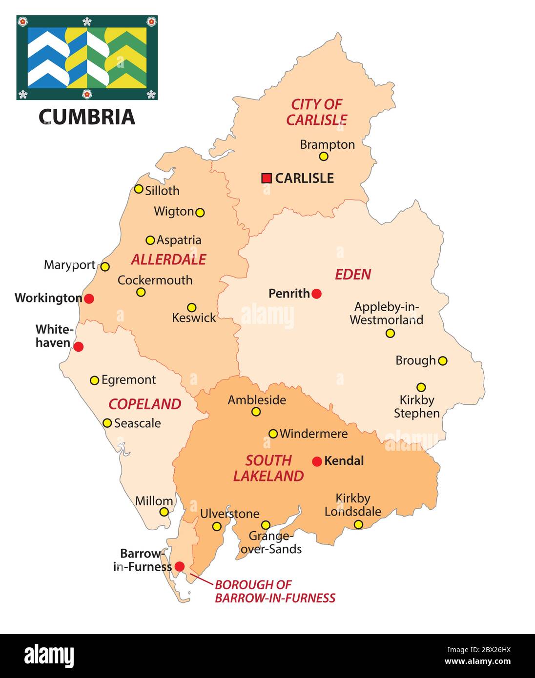 administrative vector map of the english county kent with flag Stock Vectorhttps://www.alamy.com/image-license-details/?v=1https://www.alamy.com/administrative-vector-map-of-the-english-county-kent-with-flag-image360237526.html
RF2BX26HX–administrative vector map of the english county kent with flag
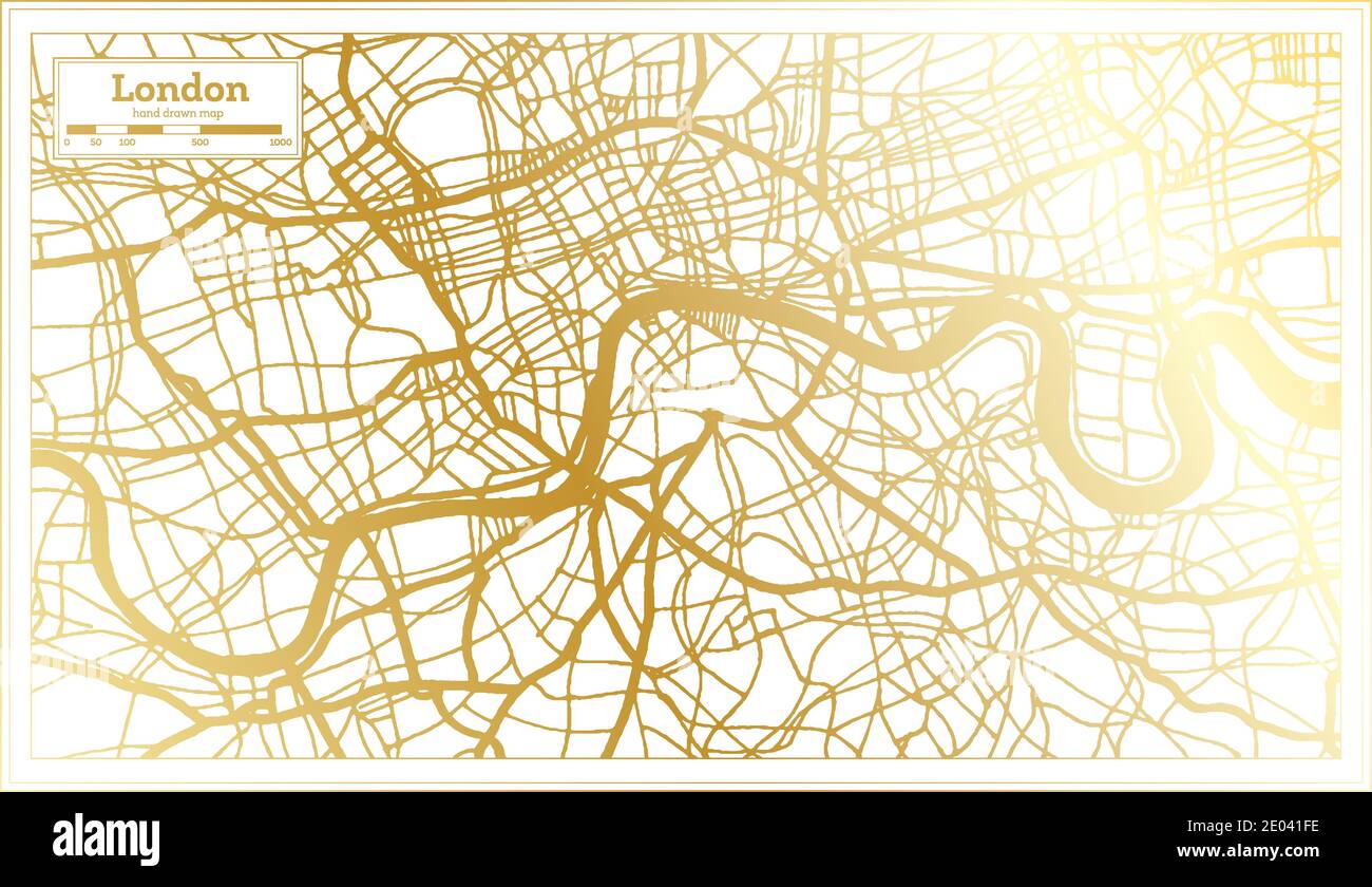 London England UK City Map in Retro Style in Golden Color. Outline Map. Vector Illustration. Stock Vectorhttps://www.alamy.com/image-license-details/?v=1https://www.alamy.com/london-england-uk-city-map-in-retro-style-in-golden-color-outline-map-vector-illustration-image395927490.html
RF2E041FE–London England UK City Map in Retro Style in Golden Color. Outline Map. Vector Illustration.
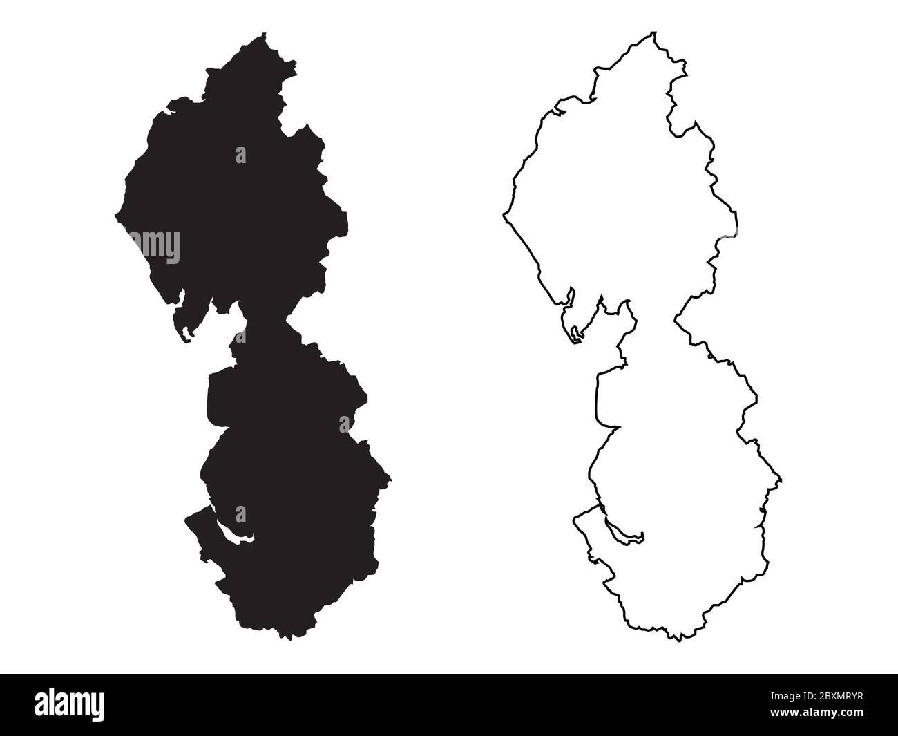 Map of North West England. Black and outline maps. EPS Vector File. Stock Vectorhttps://www.alamy.com/image-license-details/?v=1https://www.alamy.com/map-of-north-west-england-black-and-outline-maps-eps-vector-file-image360646267.html
RF2BXMRYR–Map of North West England. Black and outline maps. EPS Vector File.
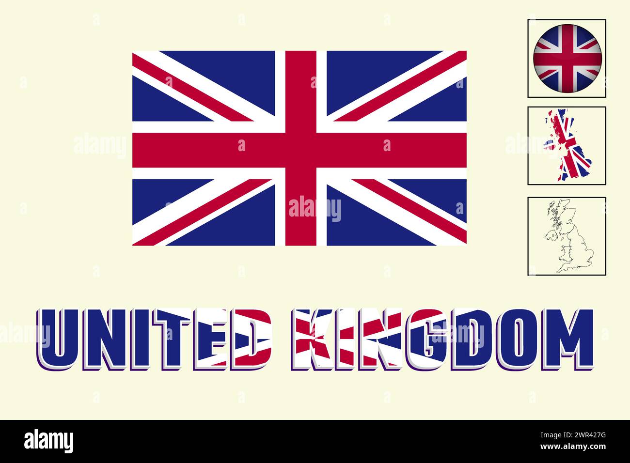 United kingdom flag and map in vector illustration Stock Vectorhttps://www.alamy.com/image-license-details/?v=1https://www.alamy.com/united-kingdom-flag-and-map-in-vector-illustration-image599379188.html
RF2WR427G–United kingdom flag and map in vector illustration
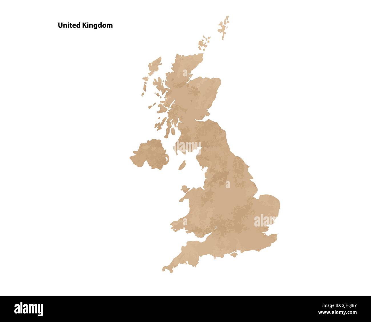 Old vintage paper textured map of United Kingdom Country - Vector illustration Stock Vectorhttps://www.alamy.com/image-license-details/?v=1https://www.alamy.com/old-vintage-paper-textured-map-of-united-kingdom-country-vector-illustration-image475143535.html
RF2JH0JBY–Old vintage paper textured map of United Kingdom Country - Vector illustration
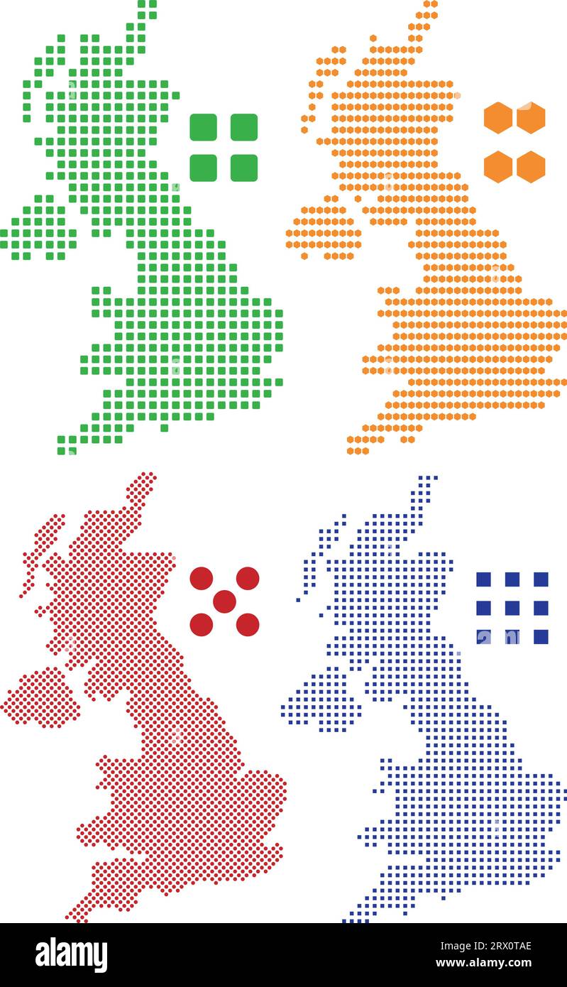 Layered editable vector illustration country map of The United Kingdom,which contains colorful country flag version,black silhouette version and deffe Stock Vectorhttps://www.alamy.com/image-license-details/?v=1https://www.alamy.com/layered-editable-vector-illustration-country-map-of-the-united-kingdomwhich-contains-colorful-country-flag-versionblack-silhouette-version-and-deffe-image566731942.html
RF2RX0TAE–Layered editable vector illustration country map of The United Kingdom,which contains colorful country flag version,black silhouette version and deffe
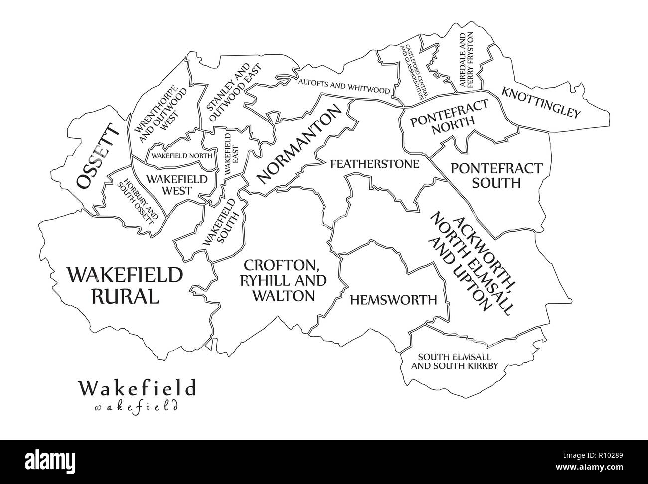 Modern City Map - Wakefield city of England with wards and titles UK outline map Stock Vectorhttps://www.alamy.com/image-license-details/?v=1https://www.alamy.com/modern-city-map-wakefield-city-of-england-with-wards-and-titles-uk-outline-map-image224351241.html
RFR10289–Modern City Map - Wakefield city of England with wards and titles UK outline map
 United Kingdom, aka UK, of Great Britain and Northern Ireland hand-drawn blank map. Divided to four countries - England, Wales, Scotland and NI Stock Vectorhttps://www.alamy.com/image-license-details/?v=1https://www.alamy.com/united-kingdom-aka-uk-of-great-britain-and-northern-ireland-hand-drawn-blank-map-divided-to-four-countries-england-wales-scotland-and-ni-image417778627.html
RF2F7KCW7–United Kingdom, aka UK, of Great Britain and Northern Ireland hand-drawn blank map. Divided to four countries - England, Wales, Scotland and NI
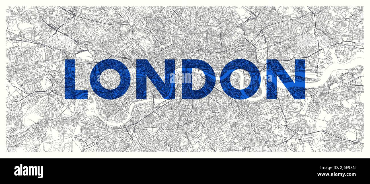 City map London, detailed road plan widescreen vector poster Stock Vectorhttps://www.alamy.com/image-license-details/?v=1https://www.alamy.com/city-map-london-detailed-road-plan-widescreen-vector-poster-image468682501.html
RF2J6E98N–City map London, detailed road plan widescreen vector poster
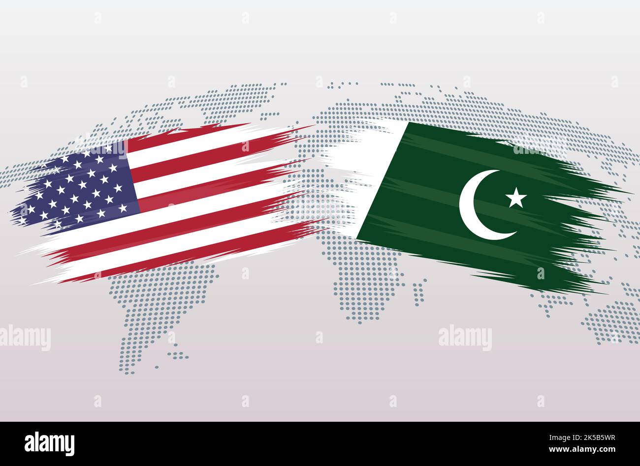 USA VS Pakistan flags. The United States of America VS Pakistani flags, isolated on grey world map background. Vector illustration. Stock Vectorhttps://www.alamy.com/image-license-details/?v=1https://www.alamy.com/usa-vs-pakistan-flags-the-united-states-of-america-vs-pakistani-flags-isolated-on-grey-world-map-background-vector-illustration-image485209699.html
RF2K5B5WR–USA VS Pakistan flags. The United States of America VS Pakistani flags, isolated on grey world map background. Vector illustration.
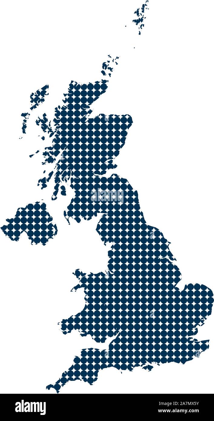 UK map dotted vector illustration. Blue, white color. Stock Vectorhttps://www.alamy.com/image-license-details/?v=1https://www.alamy.com/uk-map-dotted-vector-illustration-blue-white-color-image331759175.html
RF2A7MX5Y–UK map dotted vector illustration. Blue, white color.
RF2Y331WJ–Vector isolated illustration icon with simplified blue silhouette of Cayman Islands, including Grand Cayman map. Polygonal geometric style. White back
RF2GR5Y5B–Map of Great Britain icon, outline style
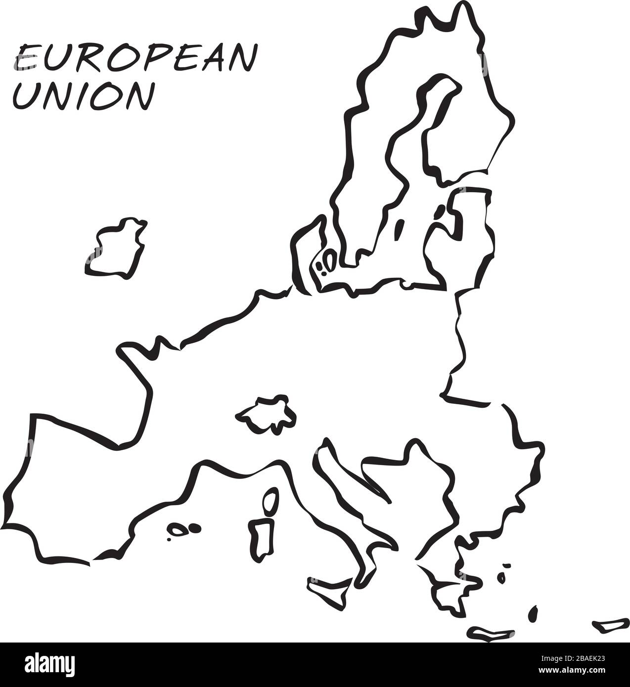 Map of European Union without UK. Vector Illustration. Shape and graphic illustration. Stock Vectorhttps://www.alamy.com/image-license-details/?v=1https://www.alamy.com/map-of-european-union-without-uk-vector-illustration-shape-and-graphic-illustration-image350676203.html
RF2BAEK23–Map of European Union without UK. Vector Illustration. Shape and graphic illustration.
 United Kingdom map on transparent background. Vector illustration. Stock Vectorhttps://www.alamy.com/image-license-details/?v=1https://www.alamy.com/united-kingdom-map-on-transparent-background-vector-illustration-image333090266.html
RF2A9WG0X–United Kingdom map on transparent background. Vector illustration.
 United Kingdom Stock Vectorhttps://www.alamy.com/image-license-details/?v=1https://www.alamy.com/stock-photo-united-kingdom-81455603.html
RFEMEHCK–United Kingdom
 European Countries Map. Detail Map Vector with National Capital Plots Stock Vectorhttps://www.alamy.com/image-license-details/?v=1https://www.alamy.com/european-countries-map-detail-map-vector-with-national-capital-plots-image370477778.html
RF2CEMM56–European Countries Map. Detail Map Vector with National Capital Plots
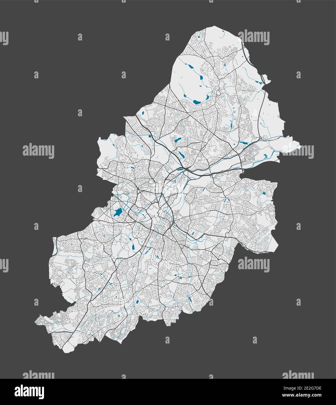 Birmingham map. Detailed map of Birmingham city administrative area. Cityscape panorama. Royalty free vector illustration. Outline map with highways, Stock Vectorhttps://www.alamy.com/image-license-details/?v=1https://www.alamy.com/birmingham-map-detailed-map-of-birmingham-city-administrative-area-cityscape-panorama-royalty-free-vector-illustration-outline-map-with-highways-image397424874.html
RF2E2G7DE–Birmingham map. Detailed map of Birmingham city administrative area. Cityscape panorama. Royalty free vector illustration. Outline map with highways,
 United Kingdom Vector Map. Two-toned Silhouette Version. Rich details for borders, neighbours and islands. Usable for travel marketing, real estate an Stock Vectorhttps://www.alamy.com/image-license-details/?v=1https://www.alamy.com/stock-photo-united-kingdom-vector-map-two-toned-silhouette-version-rich-details-177576959.html
RFM8W967–United Kingdom Vector Map. Two-toned Silhouette Version. Rich details for borders, neighbours and islands. Usable for travel marketing, real estate an
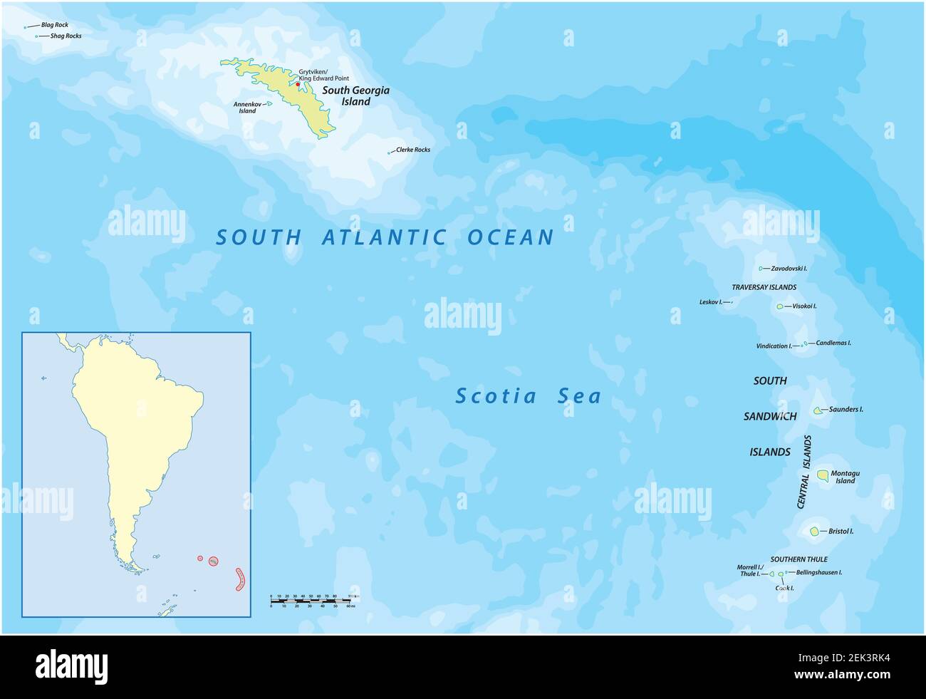 South Georgia and the South Sandwich Islands vector map, UK Stock Vectorhttps://www.alamy.com/image-license-details/?v=1https://www.alamy.com/south-georgia-and-the-south-sandwich-islands-vector-map-uk-image407601352.html
RF2EK3RK4–South Georgia and the South Sandwich Islands vector map, UK
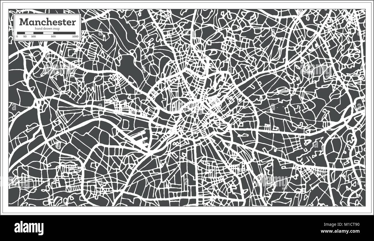 Manchester England City Map in Retro Style. Outline Map. Vector Illustration. Stock Vectorhttps://www.alamy.com/image-license-details/?v=1https://www.alamy.com/stock-photo-manchester-england-city-map-in-retro-style-outline-map-vector-illustration-173000828.html
RFM1CT90–Manchester England City Map in Retro Style. Outline Map. Vector Illustration.
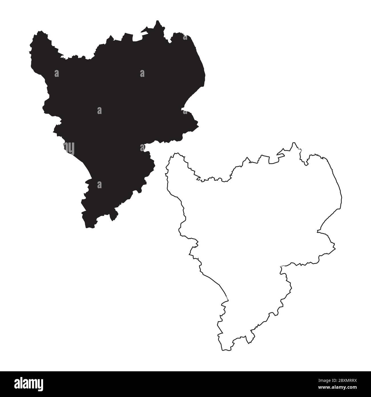 Map of The East Midlands England. Black and outline maps. EPS Vector File. Stock Vectorhttps://www.alamy.com/image-license-details/?v=1https://www.alamy.com/map-of-the-east-midlands-england-black-and-outline-maps-eps-vector-file-image360646158.html
RF2BXMRRX–Map of The East Midlands England. Black and outline maps. EPS Vector File.
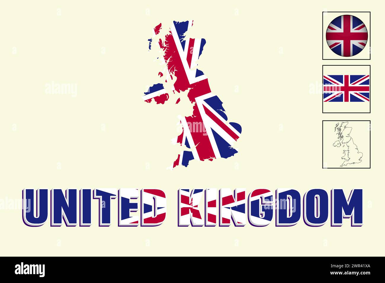 United kingdom flag and map in vector illustration Stock Vectorhttps://www.alamy.com/image-license-details/?v=1https://www.alamy.com/united-kingdom-flag-and-map-in-vector-illustration-image599378930.html
RF2WR41XA–United kingdom flag and map in vector illustration
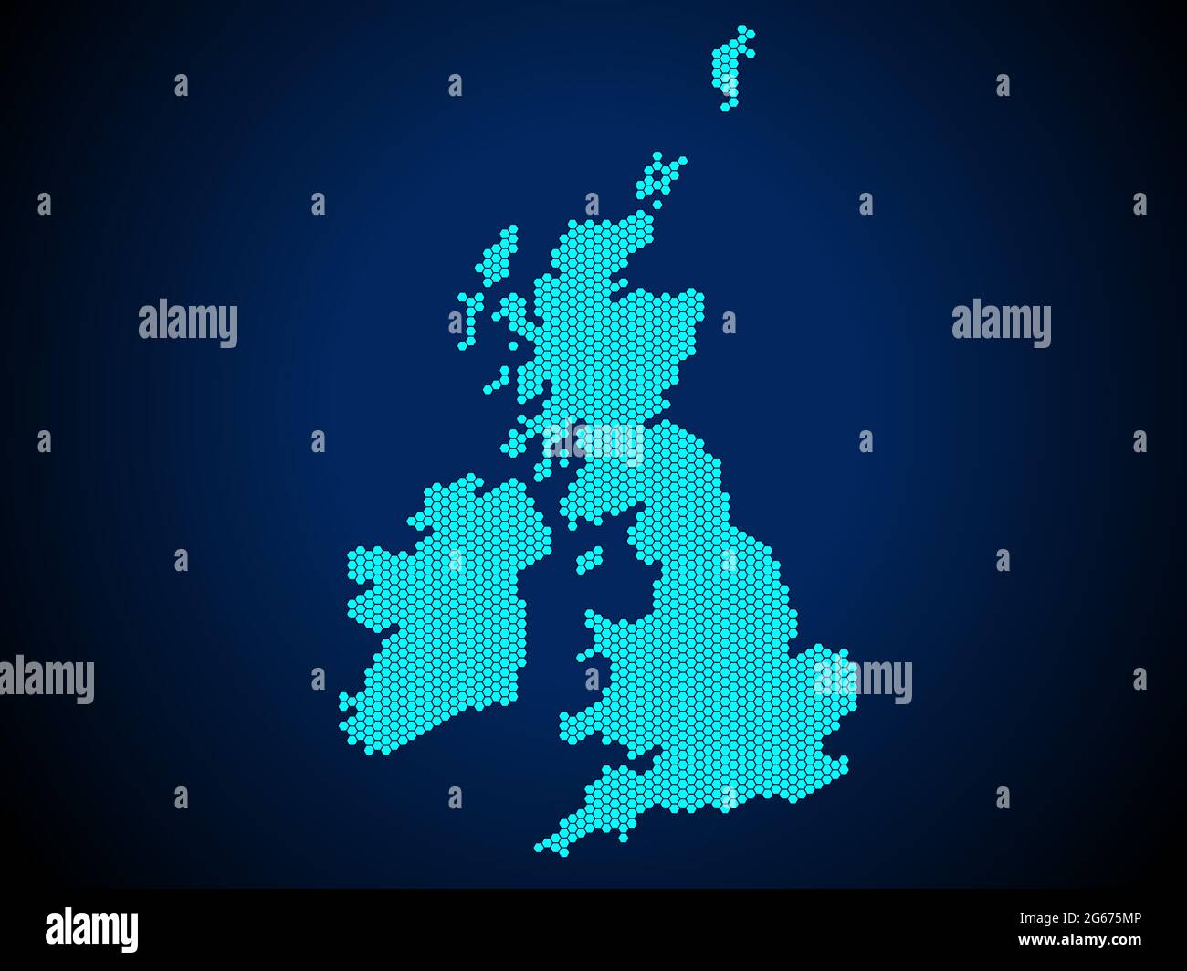 Honey Comb or Hexagon textured map of United Kingdom Country isolated on dark blue background - vector illustration Stock Vectorhttps://www.alamy.com/image-license-details/?v=1https://www.alamy.com/honey-comb-or-hexagon-textured-map-of-united-kingdom-country-isolated-on-dark-blue-background-vector-illustration-image434105302.html
RF2G675MP–Honey Comb or Hexagon textured map of United Kingdom Country isolated on dark blue background - vector illustration
 Turks and Caicos is an archipelago of 40 low-lying coral islands in the Atlantic Ocean, a British Overseas Territory southeast of the Bahamas Vector i Stock Vectorhttps://www.alamy.com/image-license-details/?v=1https://www.alamy.com/turks-and-caicos-is-an-archipelago-of-40-low-lying-coral-islands-in-the-atlantic-ocean-a-british-overseas-territory-southeast-of-the-bahamas-vector-i-image553786389.html
RF2R4Y459–Turks and Caicos is an archipelago of 40 low-lying coral islands in the Atlantic Ocean, a British Overseas Territory southeast of the Bahamas Vector i
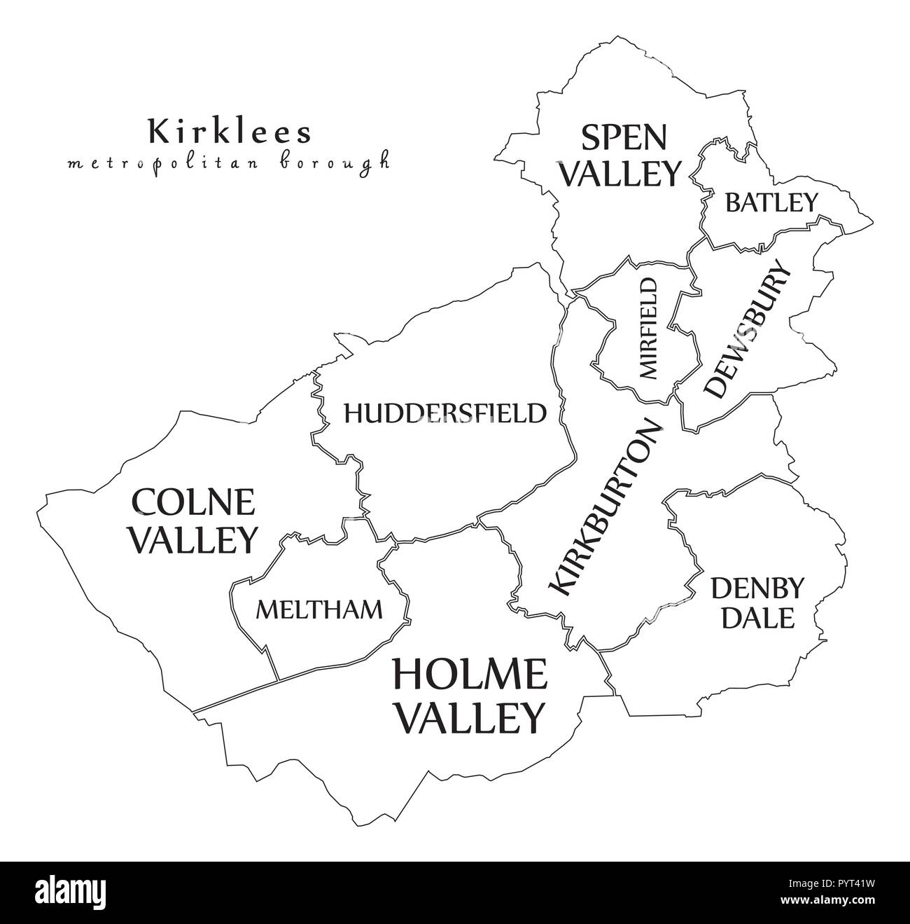 Modern City Map - Kirklees metropolitan borough of England with areas and titles UK outline map Stock Vectorhttps://www.alamy.com/image-license-details/?v=1https://www.alamy.com/modern-city-map-kirklees-metropolitan-borough-of-england-with-areas-and-titles-uk-outline-map-image223650165.html
RFPYT41W–Modern City Map - Kirklees metropolitan borough of England with areas and titles UK outline map
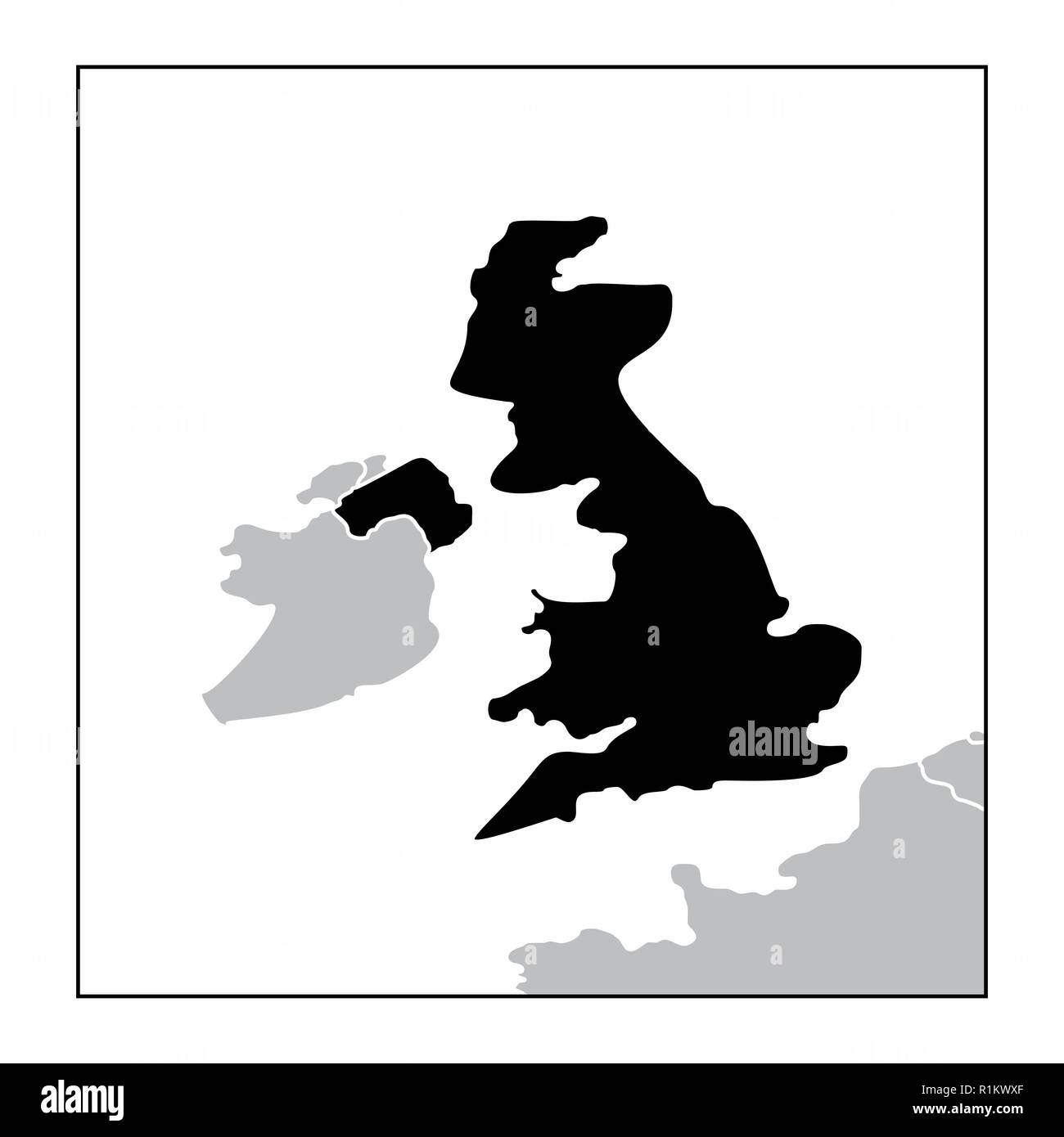 The dark silhouette of United Kingdom map in the european continent Stock Vectorhttps://www.alamy.com/image-license-details/?v=1https://www.alamy.com/the-dark-silhouette-of-united-kingdom-map-in-the-european-continent-image224786871.html
RFR1KWXF–The dark silhouette of United Kingdom map in the european continent
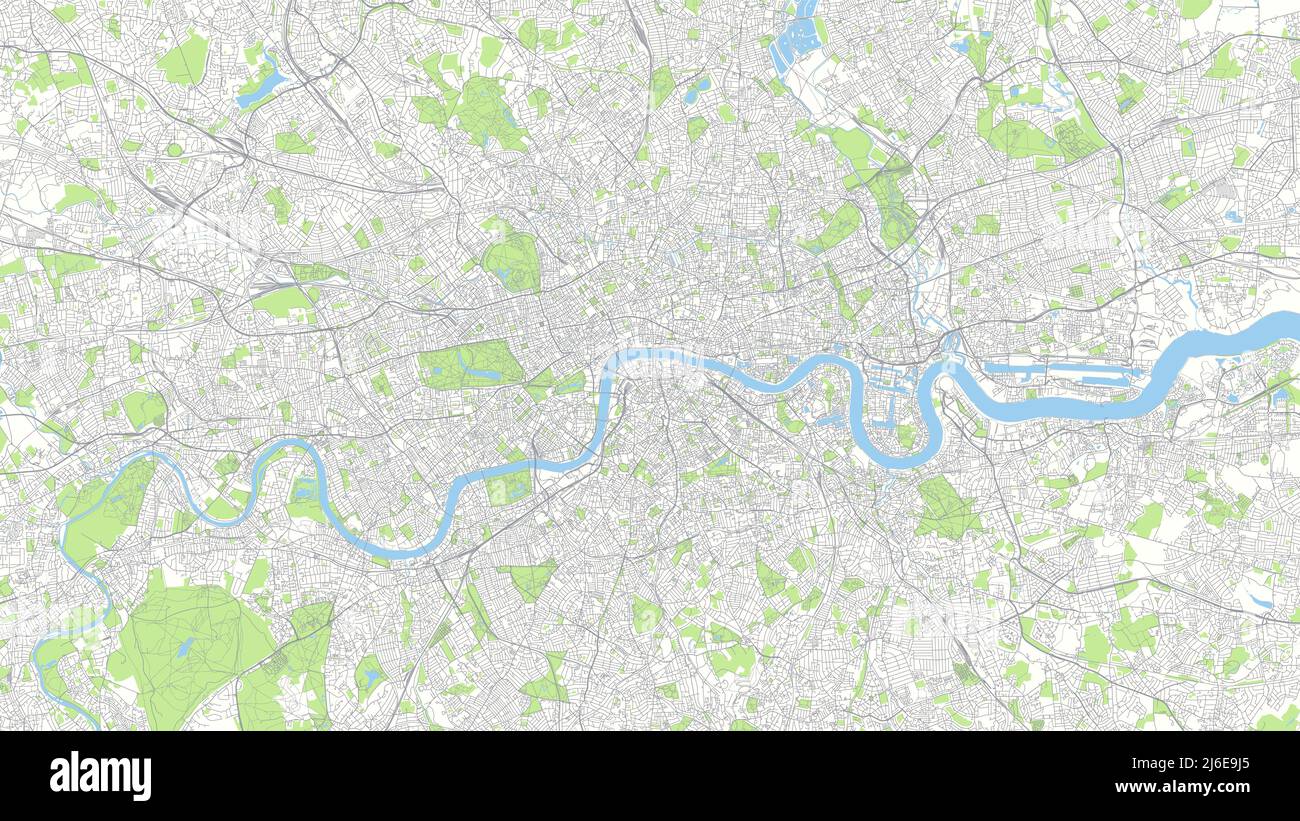 Сity map London, color detailed urban road plan, vector illustration Stock Vectorhttps://www.alamy.com/image-license-details/?v=1https://www.alamy.com/ity-map-london-color-detailed-urban-road-plan-vector-illustration-image468682765.html
RF2J6E9J5–Сity map London, color detailed urban road plan, vector illustration
 United Kingdom of Great Britain and Northern Ireland outline map over paper texture. vector British map icon on white background Stock Vectorhttps://www.alamy.com/image-license-details/?v=1https://www.alamy.com/stock-photo-united-kingdom-of-great-britain-and-northern-ireland-outline-map-over-105733557.html
RFG40G6D–United Kingdom of Great Britain and Northern Ireland outline map over paper texture. vector British map icon on white background
 United kingdom map with boundaries vector illustration.Dutch white mid night green color. Stock Vectorhttps://www.alamy.com/image-license-details/?v=1https://www.alamy.com/united-kingdom-map-with-boundaries-vector-illustrationdutch-white-mid-night-green-color-image331758990.html
RF2A7MWYA–United kingdom map with boundaries vector illustration.Dutch white mid night green color.
RF2RWTFXX–Vector isolated simplified illustration icon with black silhouette of Denmark map. White background
RF2HP64CJ–Neon map of united kingdom icon black color in circle red color vector illustration flat style image
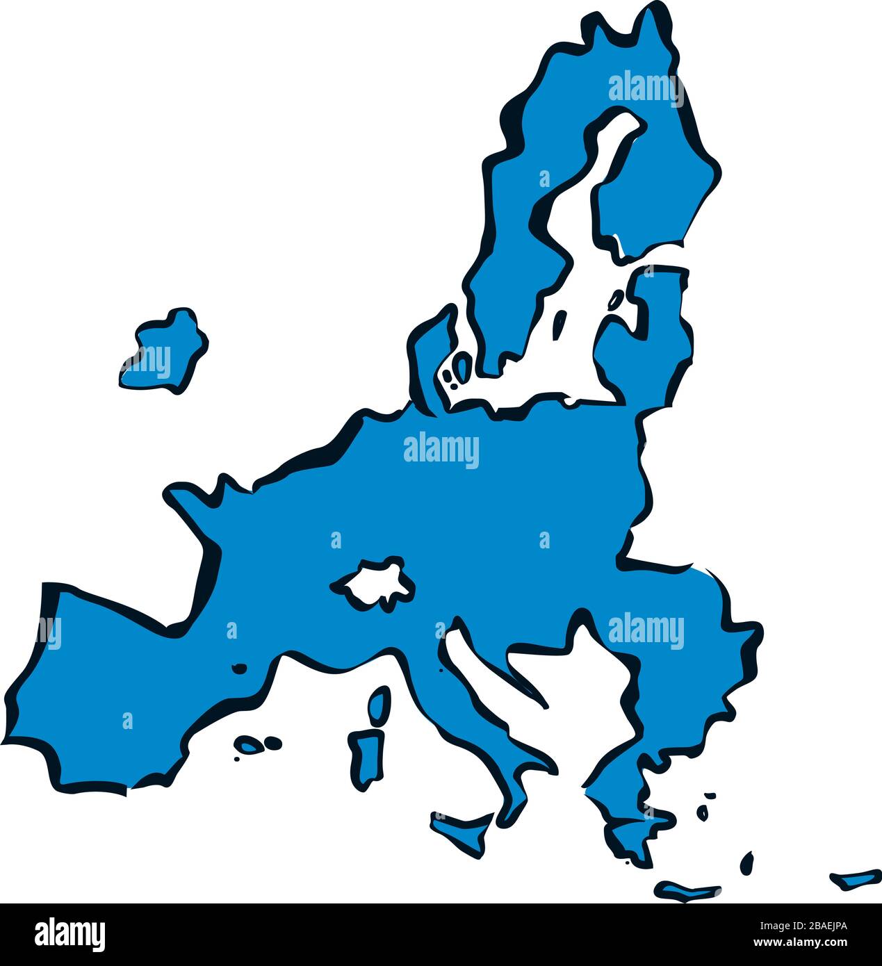 New Map of European Union and Brussels. Blue Vector Illustration. Stock Vectorhttps://www.alamy.com/image-license-details/?v=1https://www.alamy.com/new-map-of-european-union-and-brussels-blue-vector-illustration-image350675986.html
RF2BAEJPA–New Map of European Union and Brussels. Blue Vector Illustration.
 United Kingdom map on transparent background. Vector illustration. Stock Vectorhttps://www.alamy.com/image-license-details/?v=1https://www.alamy.com/united-kingdom-map-on-transparent-background-vector-illustration-image334275035.html
RF2ABRF63–United Kingdom map on transparent background. Vector illustration.
 UK Map Brand Stock Vectorhttps://www.alamy.com/image-license-details/?v=1https://www.alamy.com/stock-photo-uk-map-brand-115640874.html
RFGM3W36–UK Map Brand
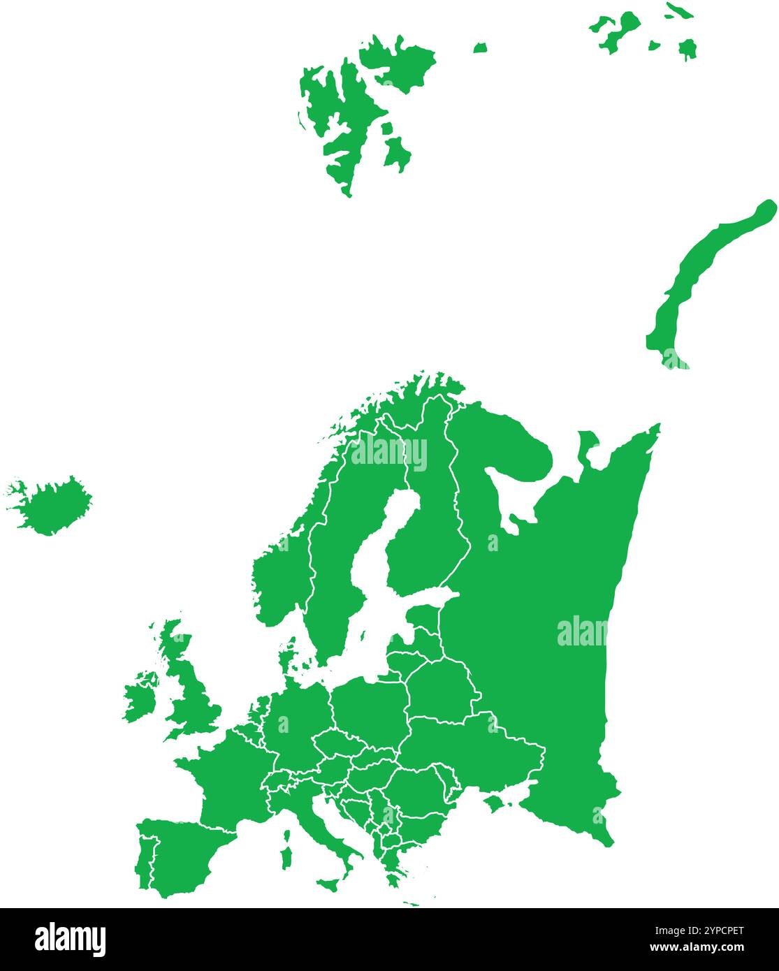 Europe Map Green, Europe countries, Europe countries Map, Border line of European, Geographic Map Stock Vectorhttps://www.alamy.com/image-license-details/?v=1https://www.alamy.com/europe-map-green-europe-countries-europe-countries-map-border-line-of-european-geographic-map-image633376768.html
RF2YPCPET–Europe Map Green, Europe countries, Europe countries Map, Border line of European, Geographic Map
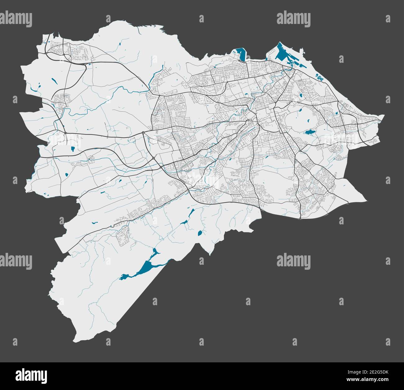 Edinburgh map. Detailed map of Edinburgh city administrative area. Cityscape panorama. Royalty free vector illustration. Outline map with highways, st Stock Vectorhttps://www.alamy.com/image-license-details/?v=1https://www.alamy.com/edinburgh-map-detailed-map-of-edinburgh-city-administrative-area-cityscape-panorama-royalty-free-vector-illustration-outline-map-with-highways-st-image397423311.html
RF2E2G5DK–Edinburgh map. Detailed map of Edinburgh city administrative area. Cityscape panorama. Royalty free vector illustration. Outline map with highways, st
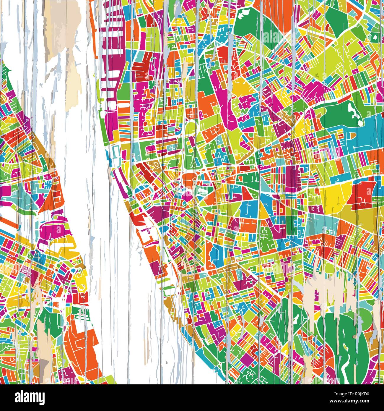 Colorful Liverpool map. Vintage map series. Stock Vectorhttps://www.alamy.com/image-license-details/?v=1https://www.alamy.com/colorful-liverpool-map-vintage-map-series-image224145180.html
RFR0JKD0–Colorful Liverpool map. Vintage map series.
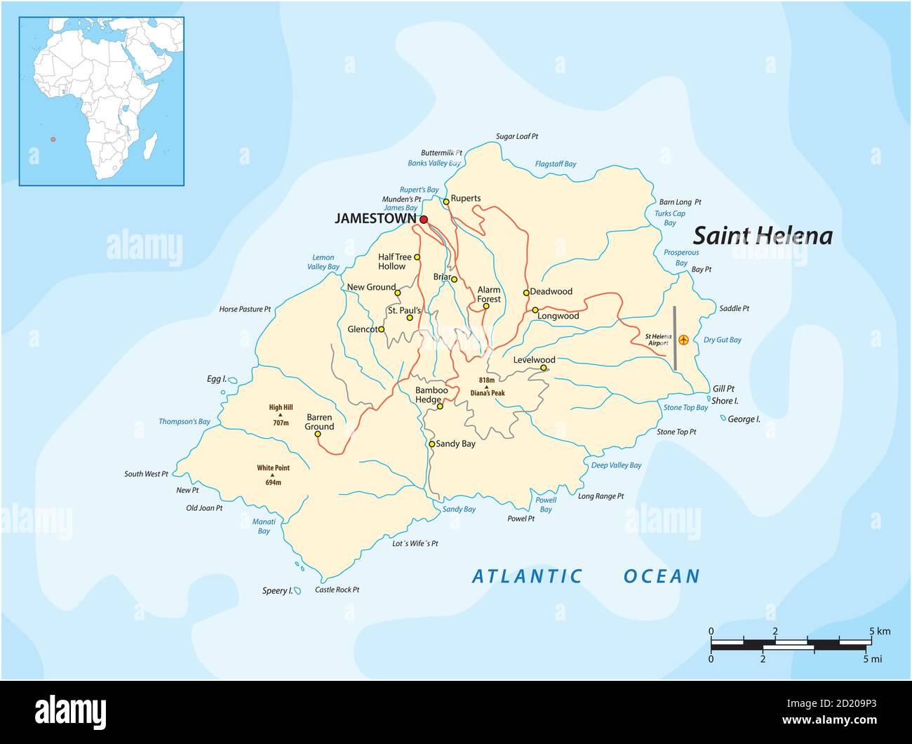 Vector map of the British island of St. Helena in the Atlantic Ocean, UK Stock Vectorhttps://www.alamy.com/image-license-details/?v=1https://www.alamy.com/vector-map-of-the-british-island-of-st-helena-in-the-atlantic-ocean-uk-image379865083.html
RF2D209P3–Vector map of the British island of St. Helena in the Atlantic Ocean, UK