Quick filters:
Unimak island Stock Photos and Images
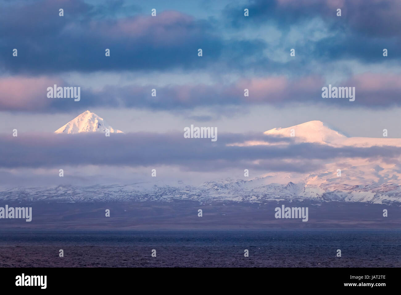 Mount Shishaldin volcano on Unimak Island in the Aleutian Islands near Unimak Passage, Alaska, USA. Stock Photohttps://www.alamy.com/image-license-details/?v=1https://www.alamy.com/stock-photo-mount-shishaldin-volcano-on-unimak-island-in-the-aleutian-islands-144358606.html
RFJAT2TE–Mount Shishaldin volcano on Unimak Island in the Aleutian Islands near Unimak Passage, Alaska, USA.
 Bright Pink Wildflowers Covering A Hillside And Views Of The East End Of Unimak Island On The Edge Of Isanotski Strait Stock Photohttps://www.alamy.com/image-license-details/?v=1https://www.alamy.com/stock-photo-bright-pink-wildflowers-covering-a-hillside-and-views-of-the-east-140336502.html
RFJ48THX–Bright Pink Wildflowers Covering A Hillside And Views Of The East End Of Unimak Island On The Edge Of Isanotski Strait
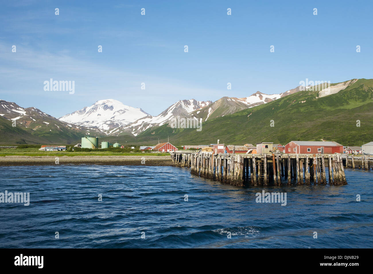 The Town Of False Pass On Unimak Island, The First Of The Aleutian Island Chain, Southwest Alaska, Summer. Stock Photohttps://www.alamy.com/image-license-details/?v=1https://www.alamy.com/the-town-of-false-pass-on-unimak-island-the-first-of-the-aleutian-image63164593.html
RMDJNB29–The Town Of False Pass On Unimak Island, The First Of The Aleutian Island Chain, Southwest Alaska, Summer.
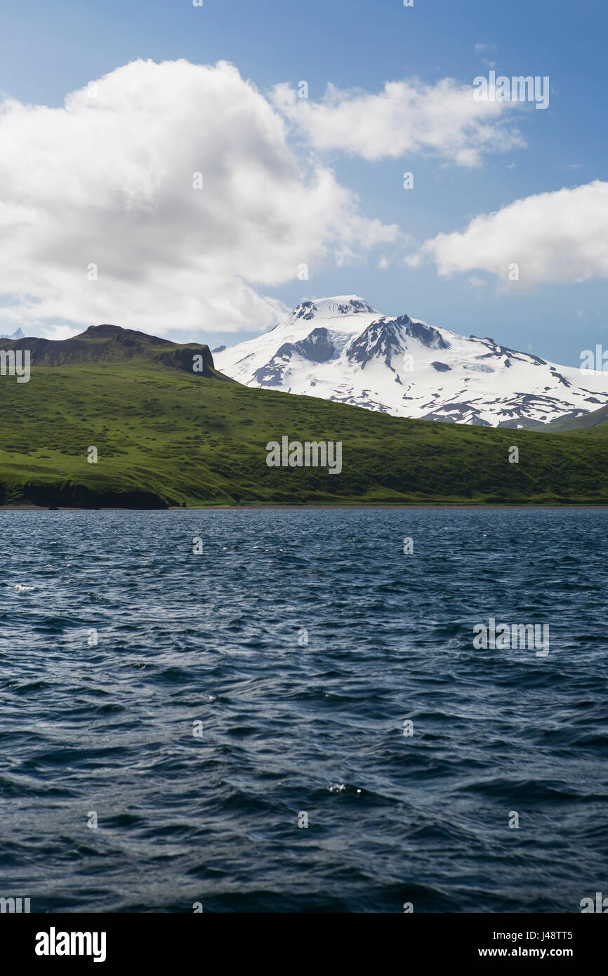 Green Shores And Snow Covered Roundtop Mountain On Unimak Island, The Easternmost Island Of The Aleutian Chain, From Ikatan Bay Stock Photohttps://www.alamy.com/image-license-details/?v=1https://www.alamy.com/stock-photo-green-shores-and-snow-covered-roundtop-mountain-on-unimak-island-the-140336677.html
RFJ48TT5–Green Shores And Snow Covered Roundtop Mountain On Unimak Island, The Easternmost Island Of The Aleutian Chain, From Ikatan Bay
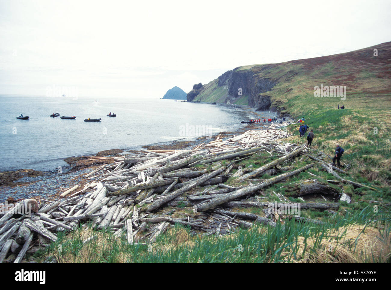 Coast of Unimak Island Aleutian Islands Stock Photohttps://www.alamy.com/image-license-details/?v=1https://www.alamy.com/coast-of-unimak-island-aleutian-islands-image6864829.html
RMA87GYE–Coast of Unimak Island Aleutian Islands
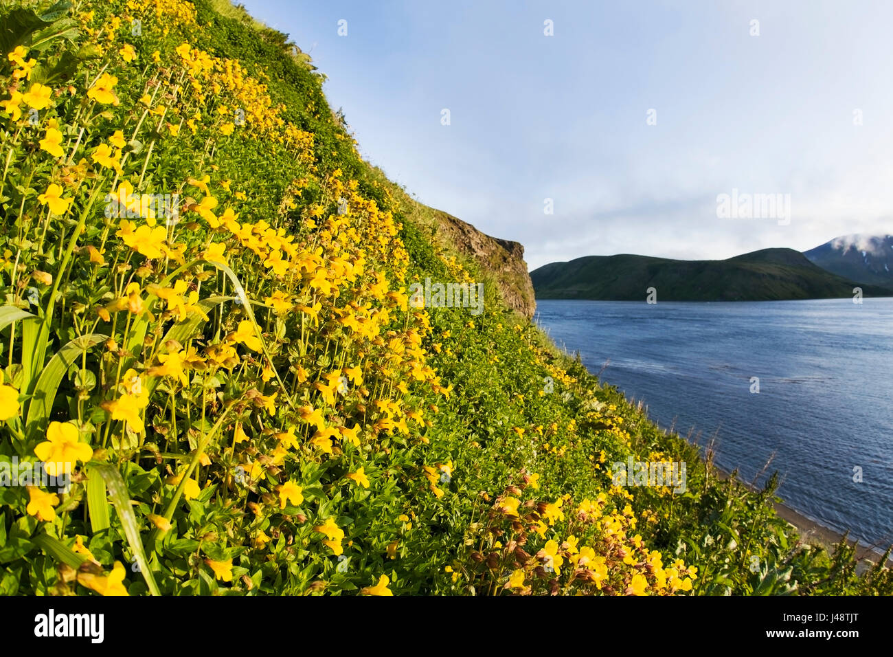 A Hillside Covered By A Variety Of Monkey-Flowers (Mimulus) And Views Of The East End Of Unimak Island On The Edge Of Isanotski Strait, False Pass,... Stock Photohttps://www.alamy.com/image-license-details/?v=1https://www.alamy.com/stock-photo-a-hillside-covered-by-a-variety-of-monkey-flowers-mimulus-and-views-140336528.html
RFJ48TJT–A Hillside Covered By A Variety Of Monkey-Flowers (Mimulus) And Views Of The East End Of Unimak Island On The Edge Of Isanotski Strait, False Pass,...
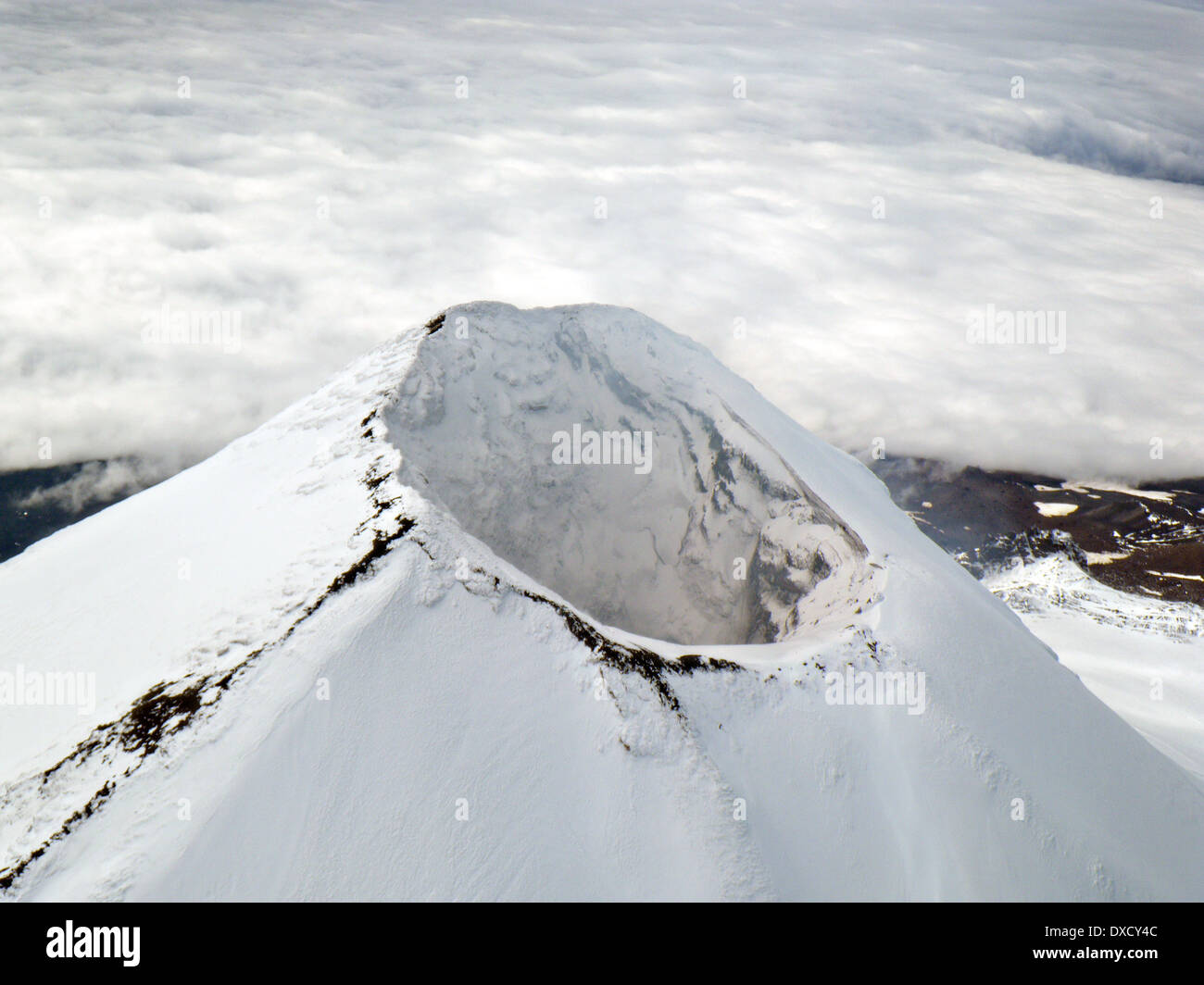 Cone of the Shishaldin Volcano on Unimak Island in the Alaska Maritime National Wildlife Refuge September 5, 2009 in the Aleutian Islands, Alaska. Stock Photohttps://www.alamy.com/image-license-details/?v=1https://www.alamy.com/cone-of-the-shishaldin-volcano-on-unimak-island-in-the-alaska-maritime-image67896876.html
RMDXCY4C–Cone of the Shishaldin Volcano on Unimak Island in the Alaska Maritime National Wildlife Refuge September 5, 2009 in the Aleutian Islands, Alaska.
 Lupine Flowers And A Bald Eagle Nest Found On The Westernmost End Of The Alaska Peninsula On The Edge Of Isanotski Strait Stock Photohttps://www.alamy.com/image-license-details/?v=1https://www.alamy.com/stock-photo-lupine-flowers-and-a-bald-eagle-nest-found-on-the-westernmost-end-140336505.html
RFJ48TJ1–Lupine Flowers And A Bald Eagle Nest Found On The Westernmost End Of The Alaska Peninsula On The Edge Of Isanotski Strait
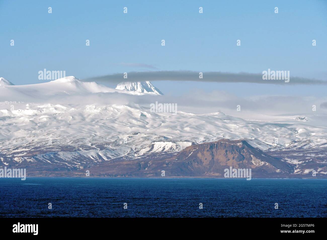 Mountains covered with snow in Aleutian Islands as a part of island chain in Alaska. Stock Photohttps://www.alamy.com/image-license-details/?v=1https://www.alamy.com/mountains-covered-with-snow-in-aleutian-islands-as-a-part-of-island-chain-in-alaska-image433875630.html
RF2G5TMP6–Mountains covered with snow in Aleutian Islands as a part of island chain in Alaska.
 Clouds cover mountains over Unimak Island, Aleutian Islands, Alaska, USA; Unimak Island, Aleutian Islands, Alaska, United States of America Stock Photohttps://www.alamy.com/image-license-details/?v=1https://www.alamy.com/clouds-cover-mountains-over-unimak-island-aleutian-islands-alaska-usa-unimak-island-aleutian-islands-alaska-united-states-of-america-image565807217.html
RF2RTEMTH–Clouds cover mountains over Unimak Island, Aleutian Islands, Alaska, USA; Unimak Island, Aleutian Islands, Alaska, United States of America
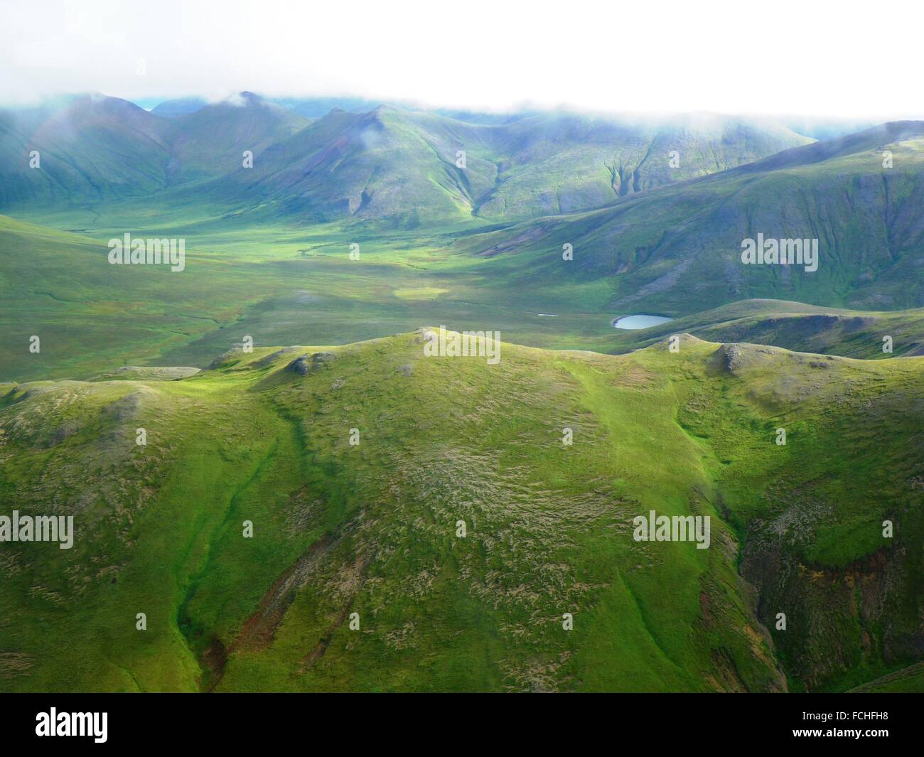 Aerial view of the green mountains in the southeast of Unimak Island in the Alaska Maritime National Wildlife Refuge, Alaska. Stock Photohttps://www.alamy.com/image-license-details/?v=1https://www.alamy.com/stock-photo-aerial-view-of-the-green-mountains-in-the-southeast-of-unimak-island-93813140.html
RMFCHFH8–Aerial view of the green mountains in the southeast of Unimak Island in the Alaska Maritime National Wildlife Refuge, Alaska.
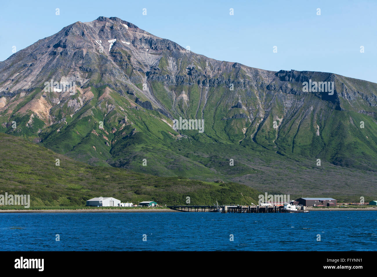 Scenic,Mountain,False Pass,Unimak Island Stock Photohttps://www.alamy.com/image-license-details/?v=1https://www.alamy.com/stock-photo-scenicmountainfalse-passunimak-island-87276253.html
RFF1YNN1–Scenic,Mountain,False Pass,Unimak Island
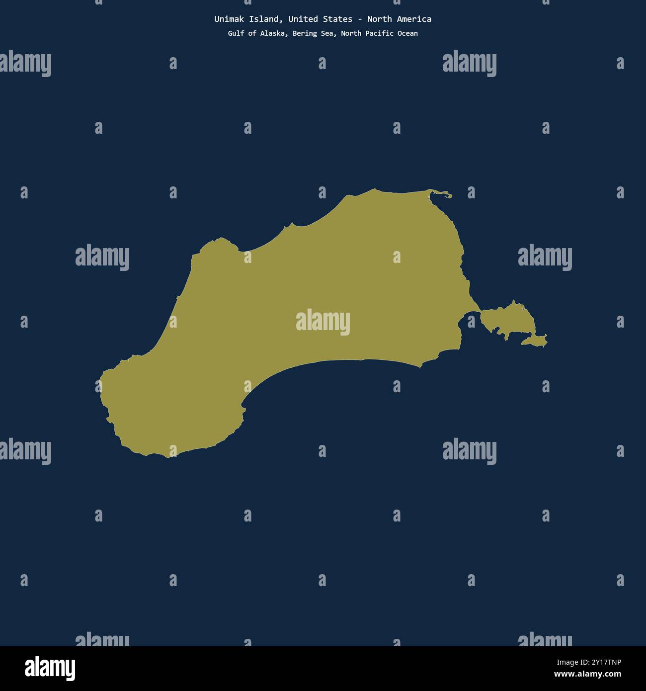 Shape of Unimak Island in the Bering Sea, belonging to United States Stock Photohttps://www.alamy.com/image-license-details/?v=1https://www.alamy.com/shape-of-unimak-island-in-the-bering-sea-belonging-to-united-states-image620360994.html
RF2Y17TNP–Shape of Unimak Island in the Bering Sea, belonging to United States
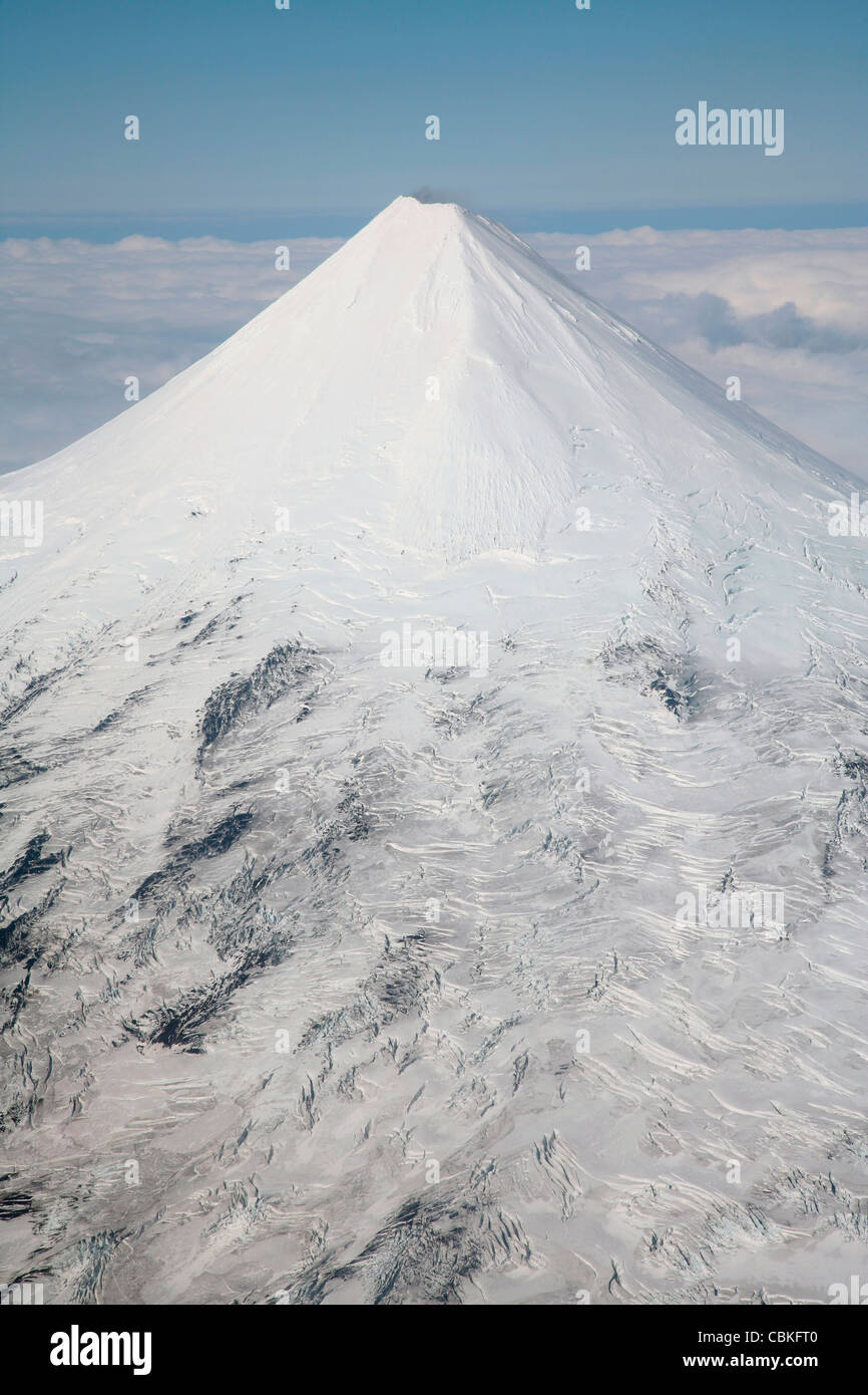 September 2007 - Aerial view of glaciated Shishaldin Volcano, Unimak Island, Alaska, USA. Stock Photohttps://www.alamy.com/image-license-details/?v=1https://www.alamy.com/stock-photo-september-2007-aerial-view-of-glaciated-shishaldin-volcano-unimak-41611472.html
RFCBKFT0–September 2007 - Aerial view of glaciated Shishaldin Volcano, Unimak Island, Alaska, USA.
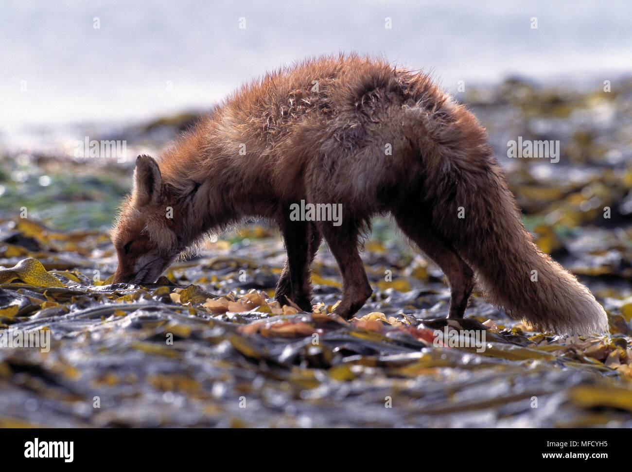 NORTH AMERICAN RED FOX Vulpes fulva looking for Chitons to eat, on shore of Unimak Island, Aleutian Islands, off Alaskan Peninsula, USA Stock Photohttps://www.alamy.com/image-license-details/?v=1https://www.alamy.com/north-american-red-fox-vulpes-fulva-looking-for-chitons-to-eat-on-shore-of-unimak-island-aleutian-islands-off-alaskan-peninsula-usa-image181608593.html
RMMFCYH5–NORTH AMERICAN RED FOX Vulpes fulva looking for Chitons to eat, on shore of Unimak Island, Aleutian Islands, off Alaskan Peninsula, USA
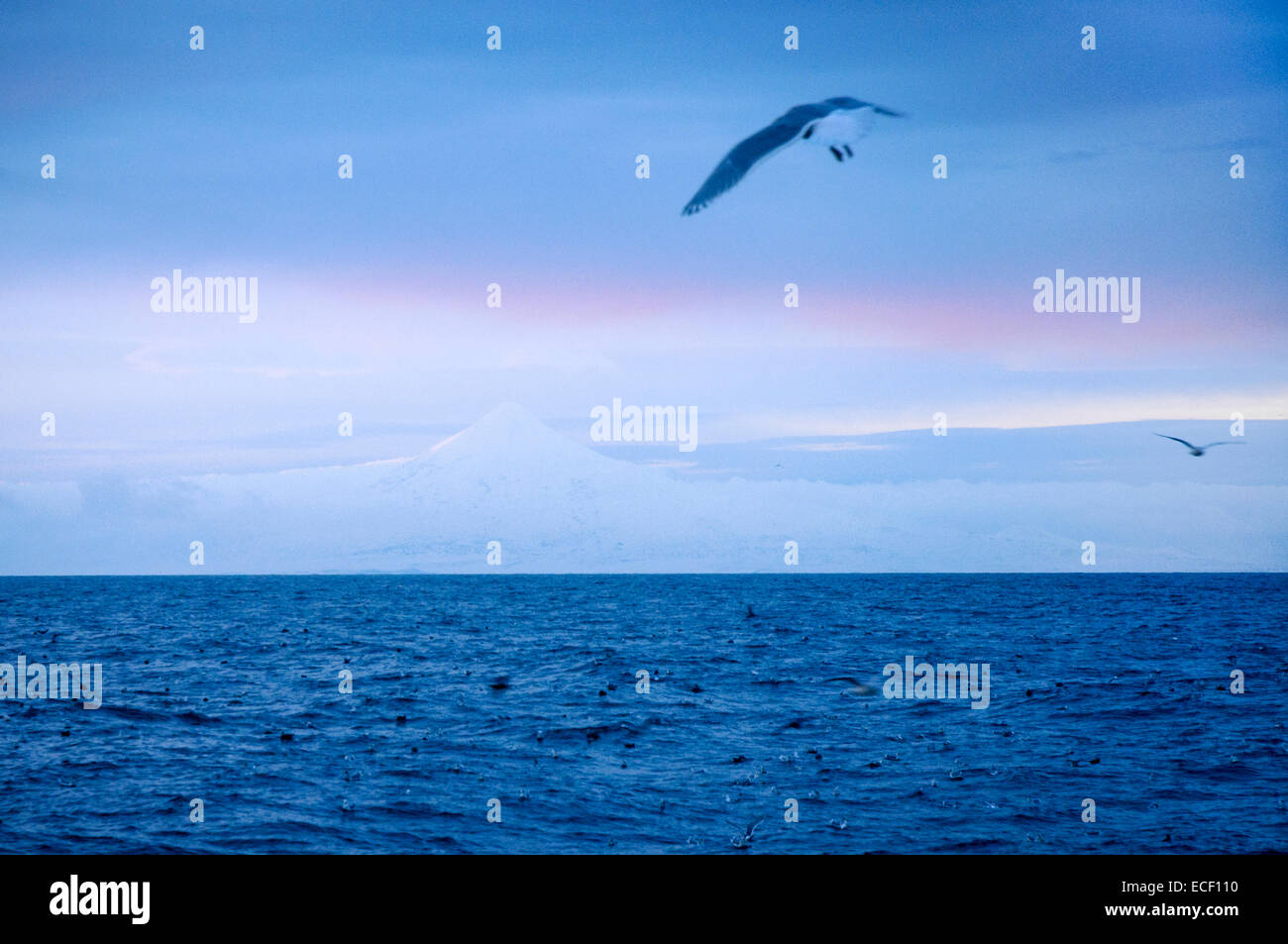 View of Mount Shishaldin from Bering Sea Stock Photohttps://www.alamy.com/image-license-details/?v=1https://www.alamy.com/stock-photo-view-of-mount-shishaldin-from-bering-sea-76547436.html
RMECF110–View of Mount Shishaldin from Bering Sea
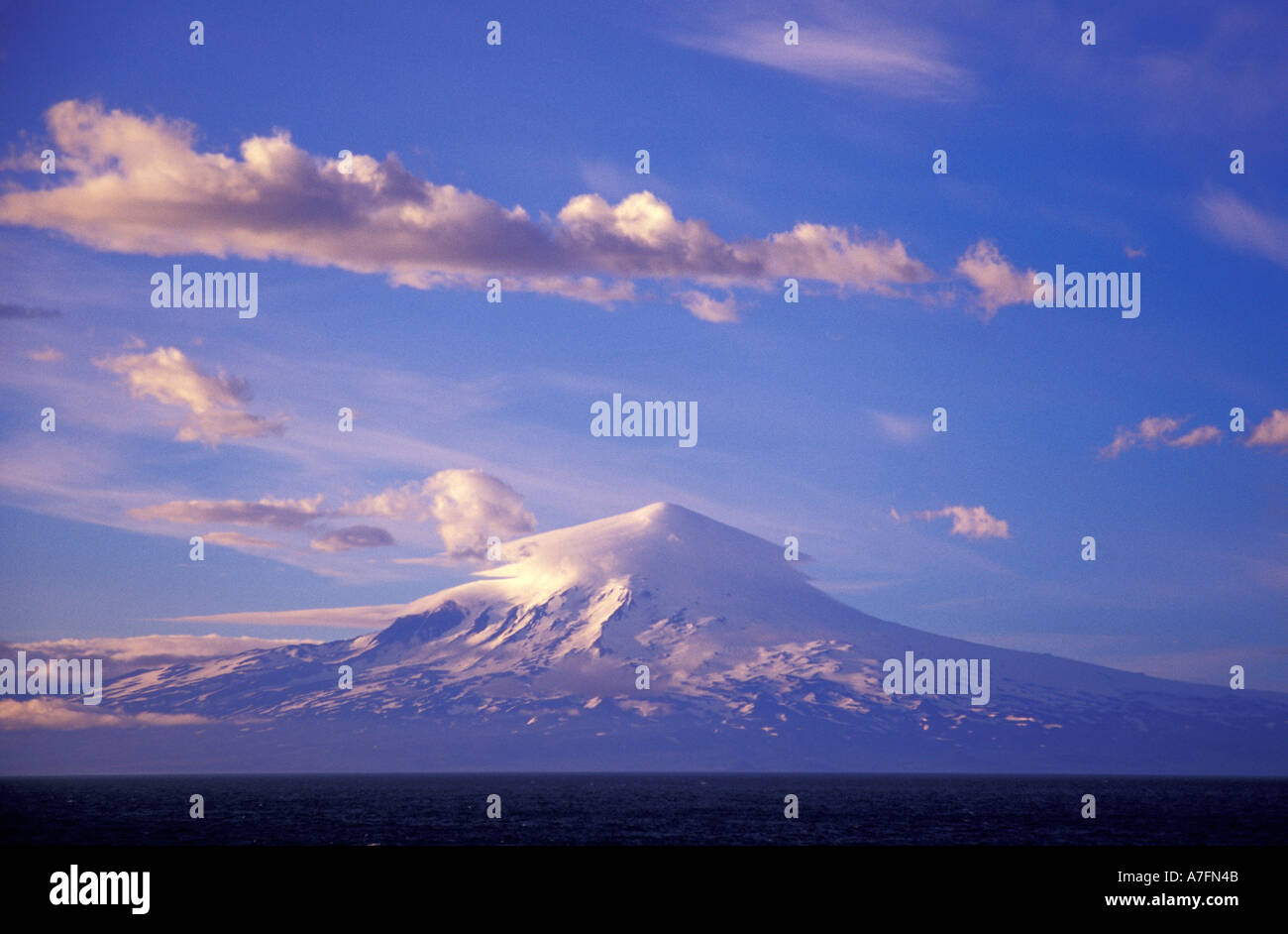 NA, USA, Alaska, Evening light on Unimak Island and Shishalden Volcano Stock Photohttps://www.alamy.com/image-license-details/?v=1https://www.alamy.com/na-usa-alaska-evening-light-on-unimak-island-and-shishalden-volcano-image3860810.html
RMA7FN4B–NA, USA, Alaska, Evening light on Unimak Island and Shishalden Volcano
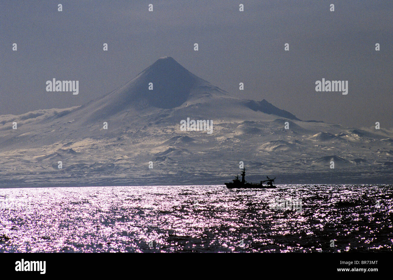 A fishing vessel travels past Mt. Shishaldin on Unimak Island in the Gulf of Alaska. Stock Photohttps://www.alamy.com/image-license-details/?v=1https://www.alamy.com/stock-photo-a-fishing-vessel-travels-past-mt-shishaldin-on-unimak-island-in-the-31504056.html
RFBR73MT–A fishing vessel travels past Mt. Shishaldin on Unimak Island in the Gulf of Alaska.
 Mt Shishaldin, Alaska Stock Photohttps://www.alamy.com/image-license-details/?v=1https://www.alamy.com/stock-photo-mt-shishaldin-alaska-20210783.html
RFB4TK1K–Mt Shishaldin, Alaska
 Mount Shishaldin volcano on Unimak Island in the Aleutian Islands near Unimak Passage, Alaska, USA. Stock Photohttps://www.alamy.com/image-license-details/?v=1https://www.alamy.com/stock-photo-mount-shishaldin-volcano-on-unimak-island-in-the-aleutian-islands-144358673.html
RFJAT2XW–Mount Shishaldin volcano on Unimak Island in the Aleutian Islands near Unimak Passage, Alaska, USA.
 Sunset with steam from the Shishaldin Volcano on Unimak Island in the Alaska Maritime National Wildlife Refuge January 1, 2009 in the Aleutian Islands, Alaska. Stock Photohttps://www.alamy.com/image-license-details/?v=1https://www.alamy.com/sunset-with-steam-from-the-shishaldin-volcano-on-unimak-island-in-image67933305.html
RMDXEHHD–Sunset with steam from the Shishaldin Volcano on Unimak Island in the Alaska Maritime National Wildlife Refuge January 1, 2009 in the Aleutian Islands, Alaska.
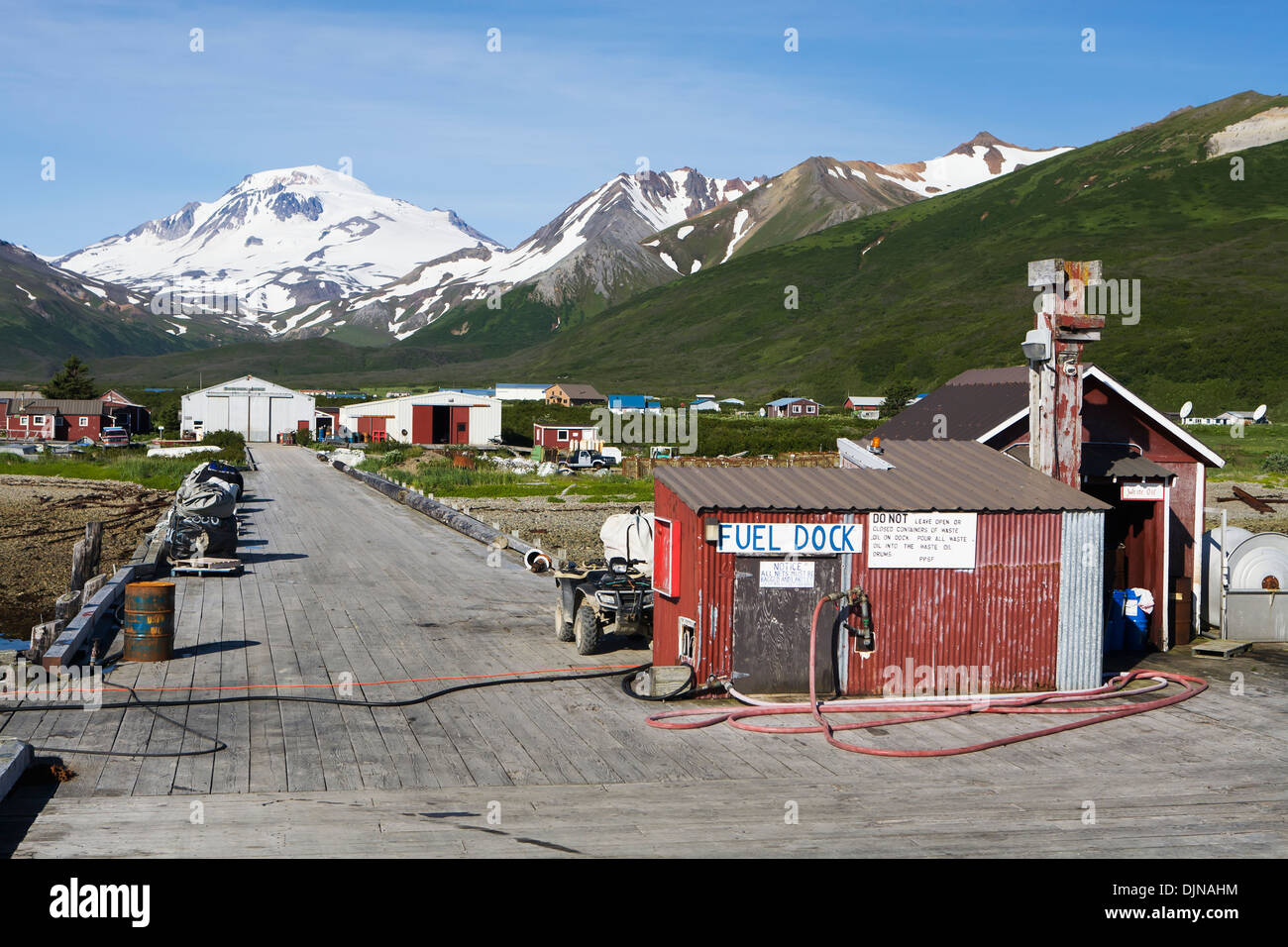 The Town Of False Pass On Unimak Island, The First Of The Aleutian Island Chain, Southwest Alaska, Summer. Stock Photohttps://www.alamy.com/image-license-details/?v=1https://www.alamy.com/the-town-of-false-pass-on-unimak-island-the-first-of-the-aleutian-image63164240.html
RMDJNAHM–The Town Of False Pass On Unimak Island, The First Of The Aleutian Island Chain, Southwest Alaska, Summer.
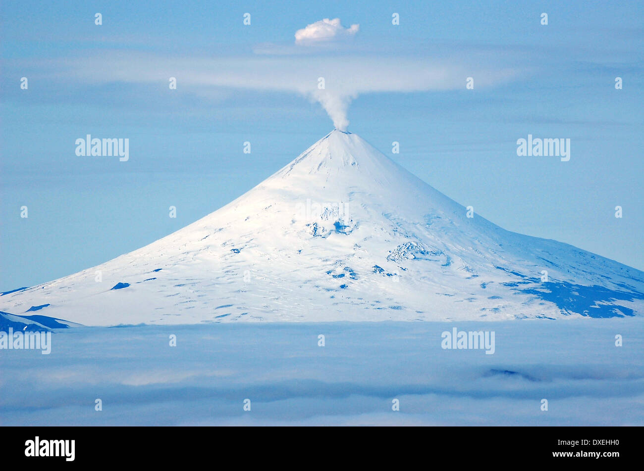 Cone of the Shishaldin Volcano with steam escaping on Unimak Island in the Alaska Maritime National Wildlife Refuge September 5, 2009 in the Aleutian Islands, Alaska. Stock Photohttps://www.alamy.com/image-license-details/?v=1https://www.alamy.com/cone-of-the-shishaldin-volcano-with-steam-escaping-on-unimak-island-image67933292.html
RMDXEHH0–Cone of the Shishaldin Volcano with steam escaping on Unimak Island in the Alaska Maritime National Wildlife Refuge September 5, 2009 in the Aleutian Islands, Alaska.
 spring wild flowers on Unimak Island Stock Photohttps://www.alamy.com/image-license-details/?v=1https://www.alamy.com/spring-wild-flowers-on-unimak-island-image6864891.html
RMA87HKC–spring wild flowers on Unimak Island
 Unimak Island, United States. 14th July, 2023. A large ash plume erupts from the Shishaldin Volcano on a remote Aleutian Island, July 14, 2023 in Unimak Island, Alaska. Shishaldin is the highest mountain peak in the Aleutian Islands and has erupted 26 times since Credit: Lee Cooper/Canadian Coast Guard/Alamy Live News Stock Photohttps://www.alamy.com/image-license-details/?v=1https://www.alamy.com/unimak-island-united-states-14th-july-2023-a-large-ash-plume-erupts-from-the-shishaldin-volcano-on-a-remote-aleutian-island-july-14-2023-in-unimak-island-alaska-shishaldin-is-the-highest-mountain-peak-in-the-aleutian-islands-and-has-erupted-26-times-since-credit-lee-coopercanadian-coast-guardalamy-live-news-image558831665.html
RM2RD4YDN–Unimak Island, United States. 14th July, 2023. A large ash plume erupts from the Shishaldin Volcano on a remote Aleutian Island, July 14, 2023 in Unimak Island, Alaska. Shishaldin is the highest mountain peak in the Aleutian Islands and has erupted 26 times since Credit: Lee Cooper/Canadian Coast Guard/Alamy Live News
 WASHINGTON (April 11, 2018) — Damage to the wheelhouse of the fishing vessel Progress is detailed in this U.S. Coast Guard photo taken Jan. 29, 2018, in Dutch Harbor, Alaska, after the Progress encountered a large wave while was hove-to in gale-force conditions, Jan. 26, 2018, while underway in the Bering Sea, about 39 nautical miles north of Unimak Island, Alaska. The NTSB issued Marine Accident Brief 19/04 Thursday, April 11, 2019, detailing the probable cause for the accident. (U.S. Coast Guard photo) WASHINGTON (April 11, 2018) — Damage to the wheelhouse of the fishing vessel Progress is d Stock Photohttps://www.alamy.com/image-license-details/?v=1https://www.alamy.com/washington-april-11-2018-damage-to-the-wheelhouse-of-the-fishing-vessel-progress-is-detailed-in-this-us-coast-guard-photo-taken-jan-29-2018-in-dutch-harbor-alaska-after-the-progress-encountered-a-large-wave-while-was-hove-to-in-gale-force-conditions-jan-26-2018-while-underway-in-the-bering-sea-about-39-nautical-miles-north-of-unimak-island-alaska-the-ntsb-issued-marine-accident-brief-1904-thursday-april-11-2019-detailing-the-probable-cause-for-the-accident-us-coast-guard-photo-washington-april-11-2018-damage-to-the-wheelhouse-of-the-fishing-vessel-progress-is-d-image611247484.html
RM2XECMB8–WASHINGTON (April 11, 2018) — Damage to the wheelhouse of the fishing vessel Progress is detailed in this U.S. Coast Guard photo taken Jan. 29, 2018, in Dutch Harbor, Alaska, after the Progress encountered a large wave while was hove-to in gale-force conditions, Jan. 26, 2018, while underway in the Bering Sea, about 39 nautical miles north of Unimak Island, Alaska. The NTSB issued Marine Accident Brief 19/04 Thursday, April 11, 2019, detailing the probable cause for the accident. (U.S. Coast Guard photo) WASHINGTON (April 11, 2018) — Damage to the wheelhouse of the fishing vessel Progress is d
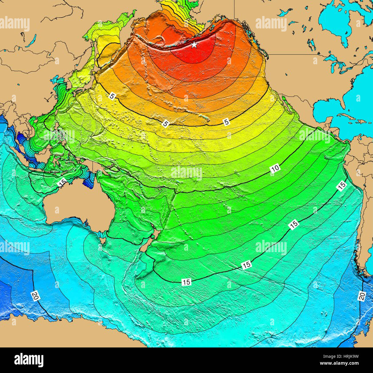 Tsunami Map, Unimak Island Earthquake, 1946 Stock Photohttps://www.alamy.com/image-license-details/?v=1https://www.alamy.com/stock-photo-tsunami-map-unimak-island-earthquake-1946-135019973.html
RMHRJK9W–Tsunami Map, Unimak Island Earthquake, 1946
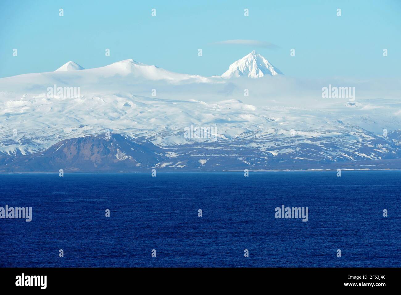 Mountains covered with snow in Aleutian Islands as a part of island chain in Alaska observed form container vessel sailing over Pacific ocean. Stock Photohttps://www.alamy.com/image-license-details/?v=1https://www.alamy.com/mountains-covered-with-snow-in-aleutian-islands-as-a-part-of-island-chain-in-alaska-observed-form-container-vessel-sailing-over-pacific-ocean-image416816848.html
RF2F63J40–Mountains covered with snow in Aleutian Islands as a part of island chain in Alaska observed form container vessel sailing over Pacific ocean.
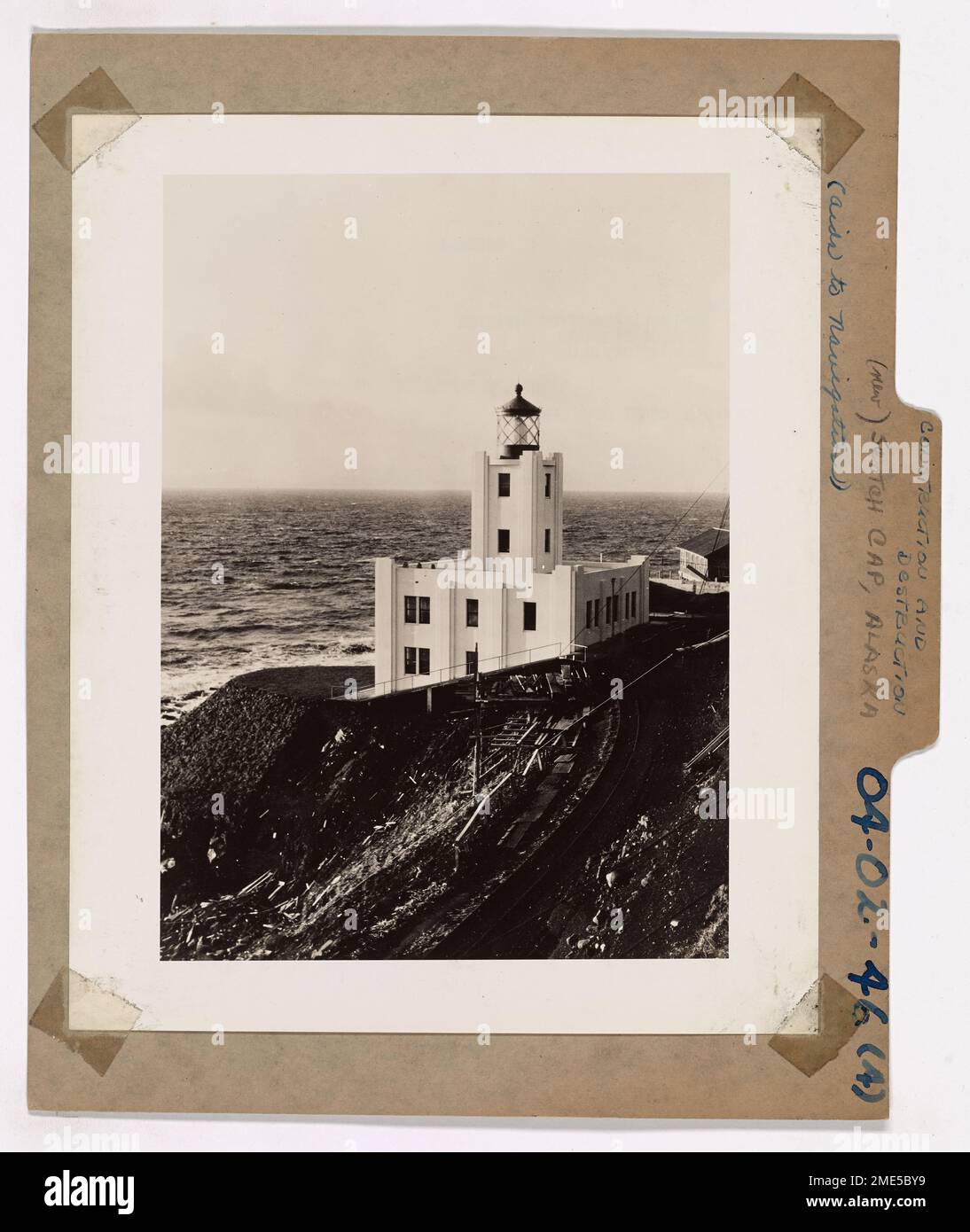 Construction and Destruction. This is Scotch Cap Light Station, on Unimak, in the Aleutians, shown during the period of its construction. The recent tidal wave, starting near this barren island, threw mountainous tons of frigid north-Pacific water up over this Coast Guard Light Station, and claimed the lives of its crew of Coast Guardsmen. Stock Photohttps://www.alamy.com/image-license-details/?v=1https://www.alamy.com/construction-and-destruction-this-is-scotch-cap-light-station-on-unimak-in-the-aleutians-shown-during-the-period-of-its-construction-the-recent-tidal-wave-starting-near-this-barren-island-threw-mountainous-tons-of-frigid-north-pacific-water-up-over-this-coast-guard-light-station-and-claimed-the-lives-of-its-crew-of-coast-guardsmen-image507825005.html
RM2ME5BY9–Construction and Destruction. This is Scotch Cap Light Station, on Unimak, in the Aleutians, shown during the period of its construction. The recent tidal wave, starting near this barren island, threw mountainous tons of frigid north-Pacific water up over this Coast Guard Light Station, and claimed the lives of its crew of Coast Guardsmen.
 . Mount Shishaldin at sunset, Unimak Island, Alaska, USA. 31 May 2005 (according to Exif data). Unknown 35 Mount Shishaldin at sunset Stock Photohttps://www.alamy.com/image-license-details/?v=1https://www.alamy.com/mount-shishaldin-at-sunset-unimak-island-alaska-usa-31-may-2005according-to-exif-data-unknown-35-mount-shishaldin-at-sunset-image208046514.html
RMP2D9CJ–. Mount Shishaldin at sunset, Unimak Island, Alaska, USA. 31 May 2005 (according to Exif data). Unknown 35 Mount Shishaldin at sunset
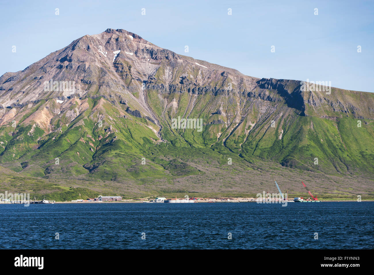 Scenic,Mountain,False Pass,Unimak Island Stock Photohttps://www.alamy.com/image-license-details/?v=1https://www.alamy.com/stock-photo-scenicmountainfalse-passunimak-island-87276255.html
RFF1YNN3–Scenic,Mountain,False Pass,Unimak Island
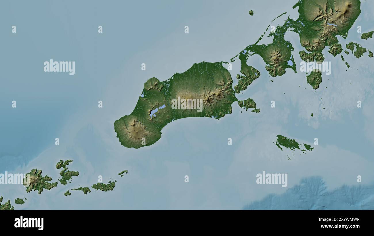 Unimak Island in the Bering Sea on a colored elevation map Stock Photohttps://www.alamy.com/image-license-details/?v=1https://www.alamy.com/unimak-island-in-the-bering-sea-on-a-colored-elevation-map-image619523795.html
RF2XYWMWR–Unimak Island in the Bering Sea on a colored elevation map
 Unimak Island,Roundtop Volcano,Ikatan,Scenic Stock Photohttps://www.alamy.com/image-license-details/?v=1https://www.alamy.com/stock-photo-unimak-islandroundtop-volcanoikatanscenic-87276218.html
RFF1YNKP–Unimak Island,Roundtop Volcano,Ikatan,Scenic
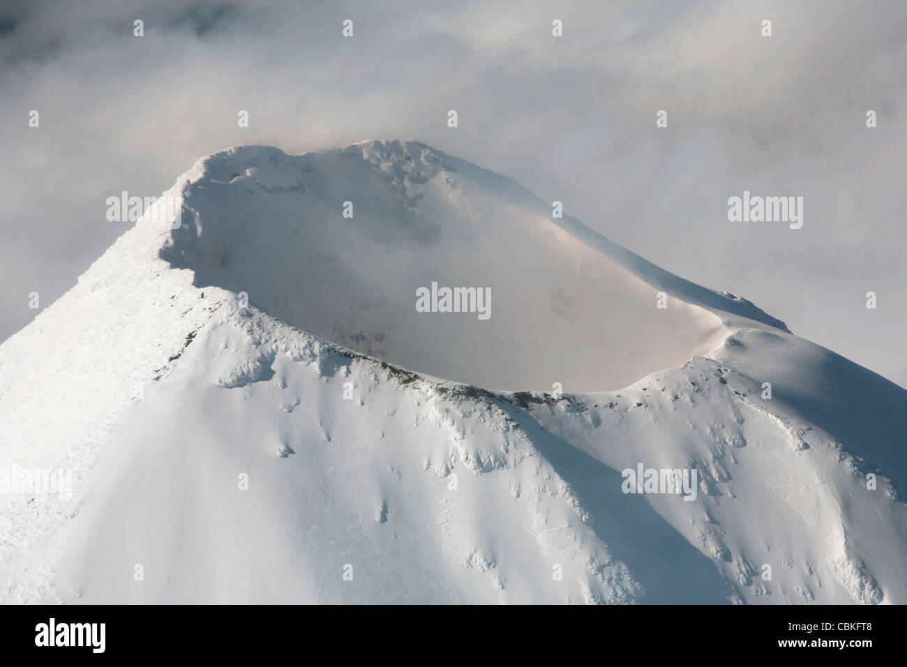 September 2007 - Aerial view of summit of Shishaldin Volcano, Unimak Island, Alaska, USA. Stock Photohttps://www.alamy.com/image-license-details/?v=1https://www.alamy.com/stock-photo-september-2007-aerial-view-of-summit-of-shishaldin-volcano-unimak-41611480.html
RFCBKFT8–September 2007 - Aerial view of summit of Shishaldin Volcano, Unimak Island, Alaska, USA.
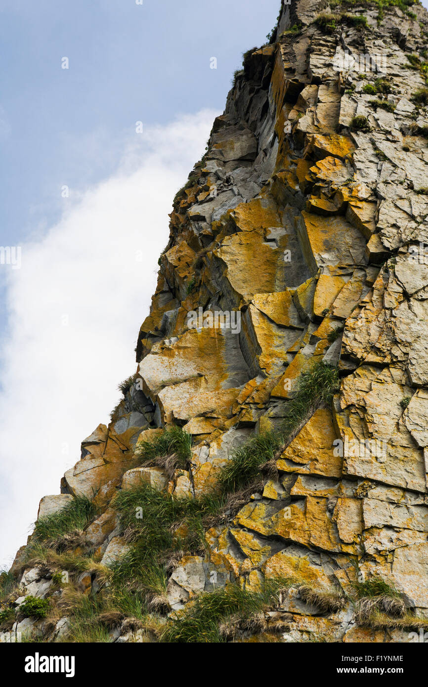 Unimak Island,Rock,Cliff,Detail Stock Photohttps://www.alamy.com/image-license-details/?v=1https://www.alamy.com/stock-photo-unimak-islandrockcliffdetail-87276238.html
RFF1YNME–Unimak Island,Rock,Cliff,Detail
 Unimak island peaks roundtop Isanotski Shishaldin volcano Stock Photohttps://www.alamy.com/image-license-details/?v=1https://www.alamy.com/stock-image-unimak-island-peaks-roundtop-isanotski-shishaldin-volcano-166032033.html
RMKJ3BFD–Unimak island peaks roundtop Isanotski Shishaldin volcano
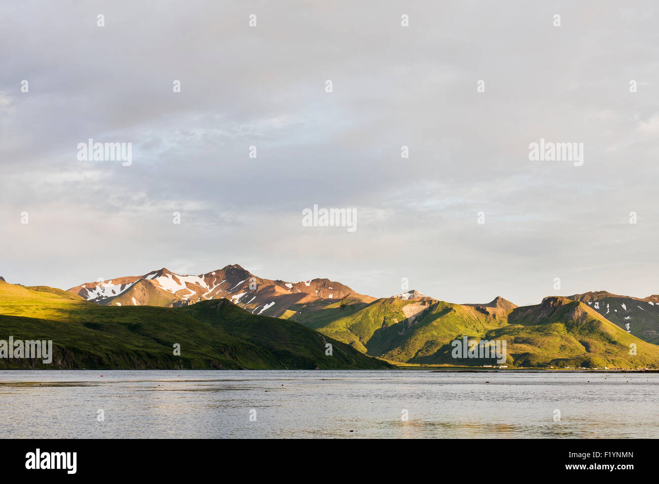 Alaska,Scenic,Mountain,Unimak Island Stock Photohttps://www.alamy.com/image-license-details/?v=1https://www.alamy.com/stock-photo-alaskascenicmountainunimak-island-87276245.html
RFF1YNMN–Alaska,Scenic,Mountain,Unimak Island
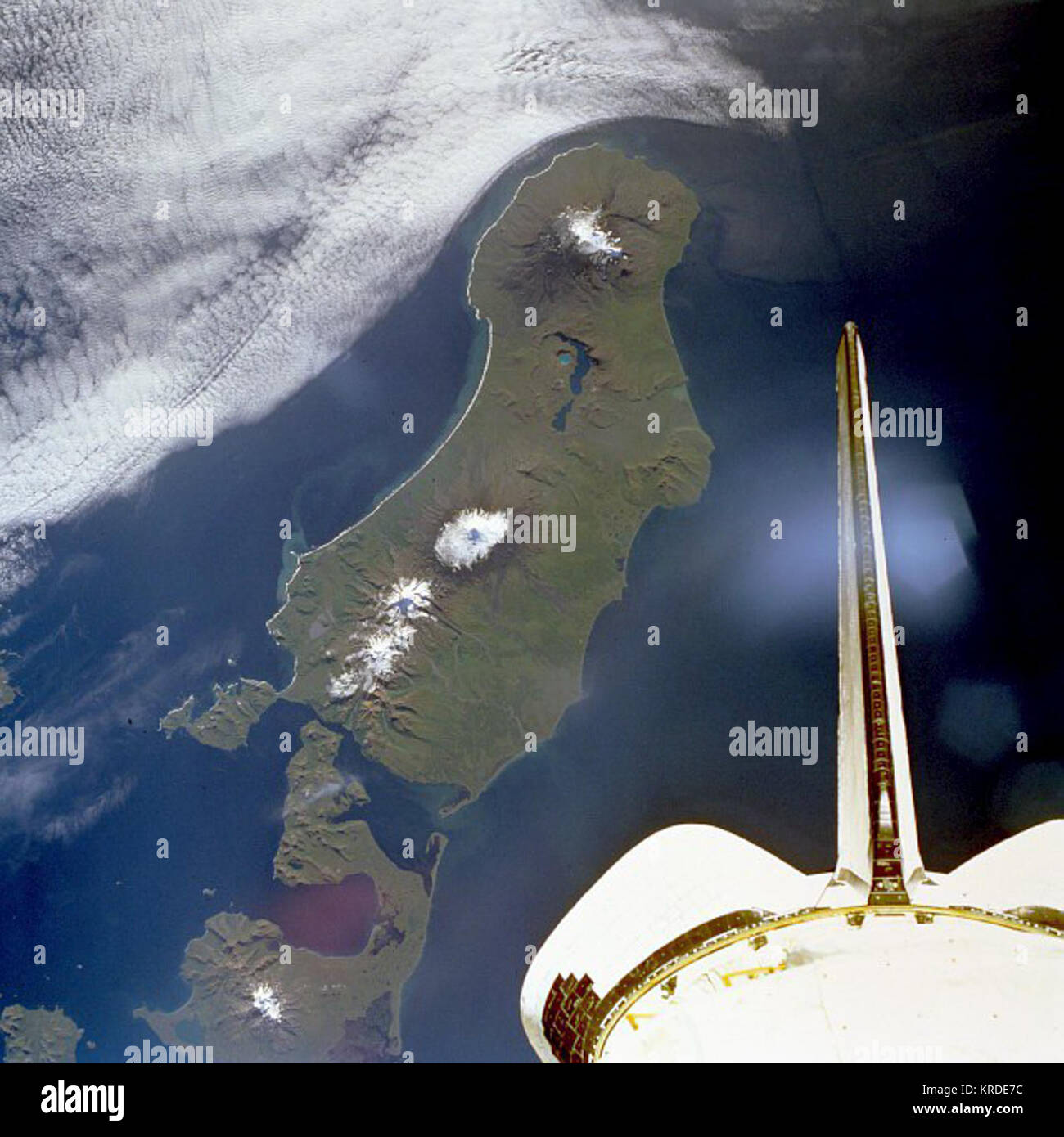 Unimak island Stock Photohttps://www.alamy.com/image-license-details/?v=1https://www.alamy.com/stock-image-unimak-island-169326960.html
RMKRDE7C–Unimak island
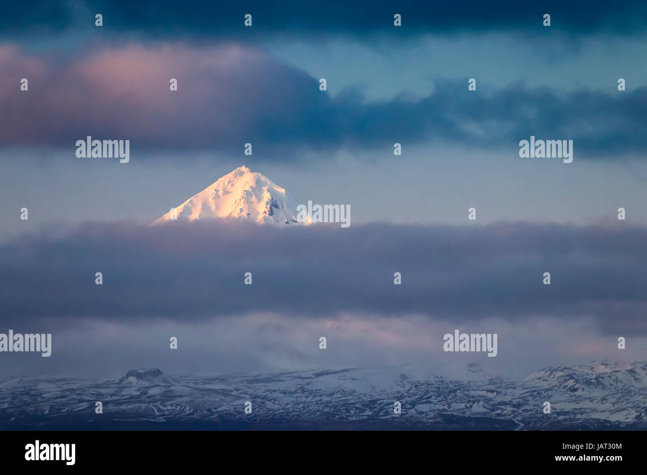 The snowy peak of Mount Shishaldin volcano on Unimak Island in the Aleutian Islands near Unimak Passage, Alaska, USA. Stock Photohttps://www.alamy.com/image-license-details/?v=1https://www.alamy.com/stock-photo-the-snowy-peak-of-mount-shishaldin-volcano-on-unimak-island-in-the-144358724.html
RFJAT30M–The snowy peak of Mount Shishaldin volcano on Unimak Island in the Aleutian Islands near Unimak Passage, Alaska, USA.
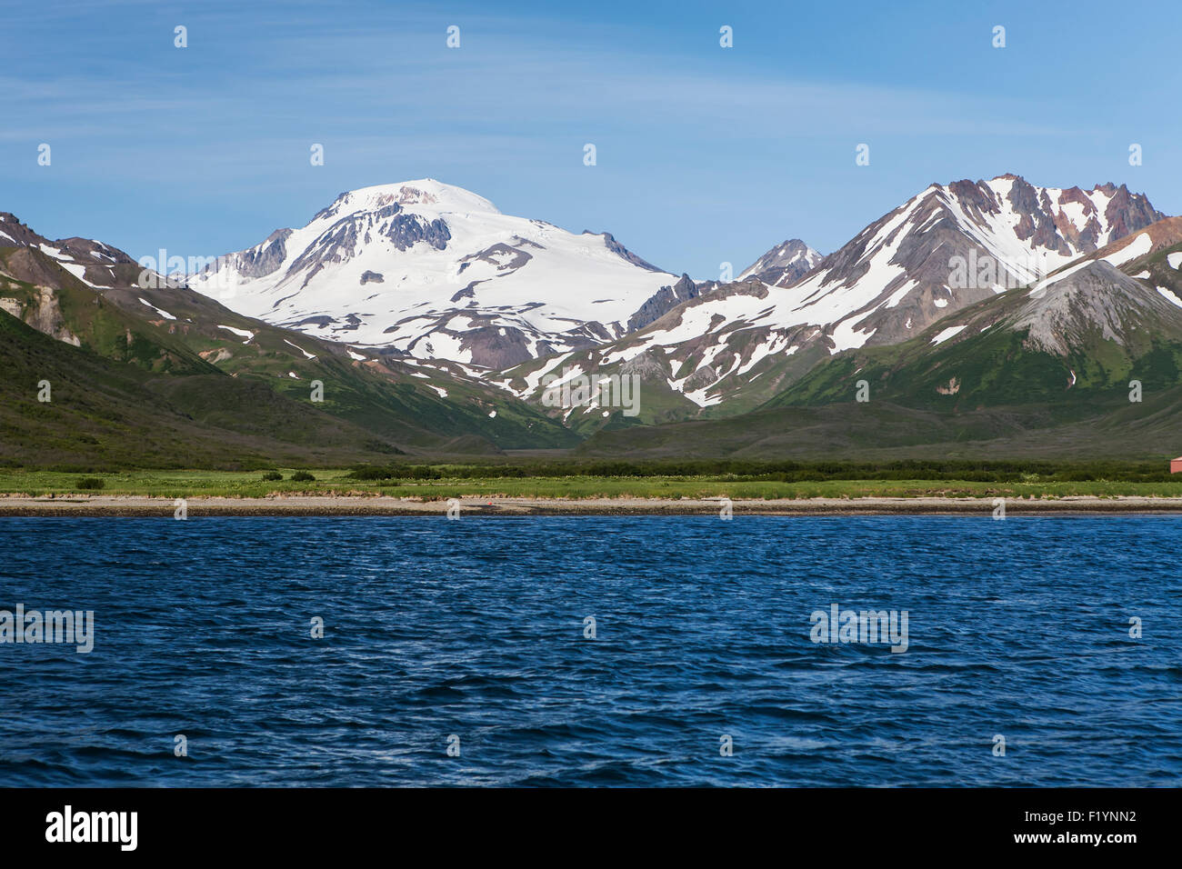 Scenic,Mountain,False Pass,Unimak Island Stock Photohttps://www.alamy.com/image-license-details/?v=1https://www.alamy.com/stock-photo-scenicmountainfalse-passunimak-island-87276254.html
RFF1YNN2–Scenic,Mountain,False Pass,Unimak Island
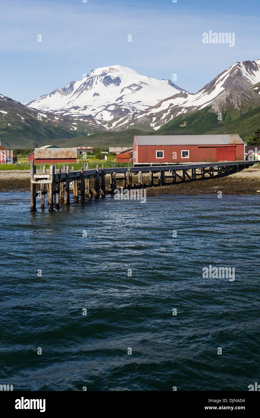 The Town Of False Pass On Unimak Island, The First Of The Aleutian Island Chain, Southwest Alaska, Summer. Stock Photohttps://www.alamy.com/image-license-details/?v=1https://www.alamy.com/the-town-of-false-pass-on-unimak-island-the-first-of-the-aleutian-image63164112.html
RMDJNAD4–The Town Of False Pass On Unimak Island, The First Of The Aleutian Island Chain, Southwest Alaska, Summer.
 Pogromni Volcano, Unimak Island, ca 1912 Stock Photohttps://www.alamy.com/image-license-details/?v=1https://www.alamy.com/pogromni-volcano-unimak-island-ca-1912-image413347318.html
RM2F0DGM6–Pogromni Volcano, Unimak Island, ca 1912
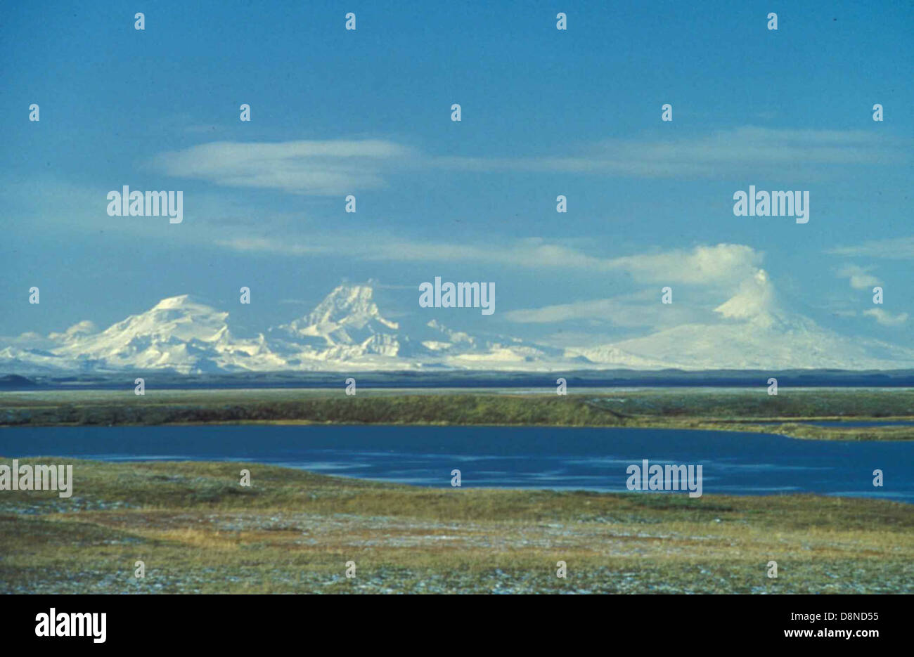 Unimak island peaks roundtop Isanotski Shishaldin volcano. Stock Photohttps://www.alamy.com/image-license-details/?v=1https://www.alamy.com/stock-photo-unimak-island-peaks-roundtop-isanotski-shishaldin-volcano-57019681.html
RMD8ND55–Unimak island peaks roundtop Isanotski Shishaldin volcano.
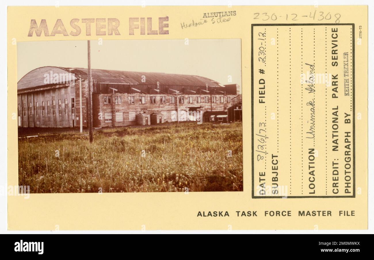 Unimak Island. Alaska Task Force Photographs Stock Photohttps://www.alamy.com/image-license-details/?v=1https://www.alamy.com/unimak-island-alaska-task-force-photographs-image499559870.html
RM2M0MWKX–Unimak Island. Alaska Task Force Photographs
 Unimak island (United States of America, North America, Alaska, US, USA, Aleutian Islands) map vector illustration, scribble sketch Unimax map Stock Vectorhttps://www.alamy.com/image-license-details/?v=1https://www.alamy.com/unimak-island-united-states-of-america-north-america-alaska-us-usa-aleutian-islands-map-vector-illustration-scribble-sketch-unimax-map-image477355365.html
RF2JMHBHW–Unimak island (United States of America, North America, Alaska, US, USA, Aleutian Islands) map vector illustration, scribble sketch Unimax map
 Harriman Alaska series . Off Pribilof Islands, 20 fathoms, station 3438.Off Rat Islands, Aleutians, 55 fathoms, station 3599.Iliuliuk Harbor, Unalaska, 93 fathoms, station 3335.Off North Head, Akutan Island, 72 fathoms, station 2842.Off south entrance to Akutan Pass, 45 fathoms, station 2843.Unimak Pass, 34 and 50 fathoms, stations 3220, 3222.Northwest of Unimak Island, 43 fathoms, station 3262.South of Unimak Island, 42 fathoms, station 3217.15 miles south of Sannak Islands, 44 fathoms, station 2846.Shumagins, 21-58 fathoms, stations 2850 (type locality), 2851, 2852.Drake Bay, California, 35 Stock Photohttps://www.alamy.com/image-license-details/?v=1https://www.alamy.com/harriman-alaska-series-off-pribilof-islands-20-fathoms-station-3438off-rat-islands-aleutians-55-fathoms-station-3599iliuliuk-harbor-unalaska-93-fathoms-station-3335off-north-head-akutan-island-72-fathoms-station-2842off-south-entrance-to-akutan-pass-45-fathoms-station-2843unimak-pass-34-and-50-fathoms-stations-3220-3222northwest-of-unimak-island-43-fathoms-station-3262south-of-unimak-island-42-fathoms-station-321715-miles-south-of-sannak-islands-44-fathoms-station-2846shumagins-21-58-fathoms-stations-2850-type-locality-2851-2852drake-bay-california-35-image342682817.html
RM2AWEFC1–Harriman Alaska series . Off Pribilof Islands, 20 fathoms, station 3438.Off Rat Islands, Aleutians, 55 fathoms, station 3599.Iliuliuk Harbor, Unalaska, 93 fathoms, station 3335.Off North Head, Akutan Island, 72 fathoms, station 2842.Off south entrance to Akutan Pass, 45 fathoms, station 2843.Unimak Pass, 34 and 50 fathoms, stations 3220, 3222.Northwest of Unimak Island, 43 fathoms, station 3262.South of Unimak Island, 42 fathoms, station 3217.15 miles south of Sannak Islands, 44 fathoms, station 2846.Shumagins, 21-58 fathoms, stations 2850 (type locality), 2851, 2852.Drake Bay, California, 35
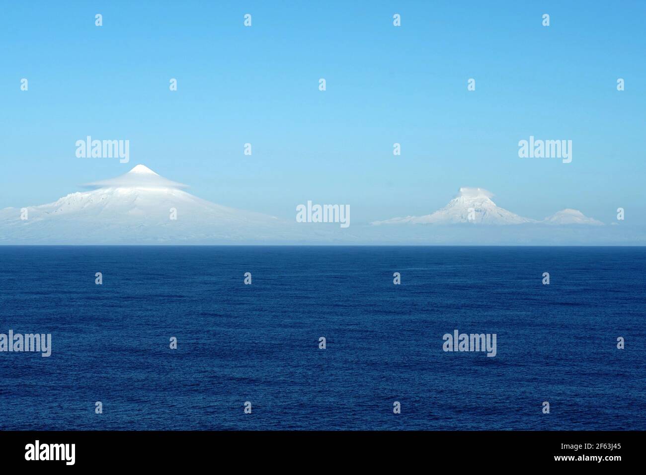 Mountains covered with snow in clouds in Aleutian Islands as a part of island chain in Alaska observed form vessel sailing over Pacific ocean. Stock Photohttps://www.alamy.com/image-license-details/?v=1https://www.alamy.com/mountains-covered-with-snow-in-clouds-in-aleutian-islands-as-a-part-of-island-chain-in-alaska-observed-form-vessel-sailing-over-pacific-ocean-image416816853.html
RF2F63J45–Mountains covered with snow in clouds in Aleutian Islands as a part of island chain in Alaska observed form vessel sailing over Pacific ocean.
 . English: Mt. Isanotski, ca. 1912 . English: Caption on image: Mt. Isanotsky, Alaska PH Coll 247.257 Isanotski is a stratovolcano, also known as 'Ragged Jack' for its rugged and jagged features, that is located on Unimak Island in the Aleutian island chain. It has not erupted since the 1840s. Subjects (LCTGM): Isanotski Volcano (Alaska); Volcanoes--Alaska; Mountains--Alaska; Unimak Island (Alaska) . circa 1912 64 Mt Isanotski, ca 1912 (THWAITES 198) Stock Photohttps://www.alamy.com/image-license-details/?v=1https://www.alamy.com/english-mt-isanotski-ca-1912-english-caption-on-image-mt-isanotsky-alaska-ph-coll-247257-isanotski-is-a-stratovolcano-also-known-as-ragged-jack-for-its-rugged-and-jagged-features-that-is-located-on-unimak-island-in-the-aleutian-island-chain-it-has-not-erupted-since-the-1840s-subjects-lctgm-isanotski-volcano-alaska-volcanoes-alaska-mountains-alaska-unimak-island-alaska-circa-1912-64-mt-isanotski-ca-1912-thwaites-198-image210513549.html
RMP6DM51–. English: Mt. Isanotski, ca. 1912 . English: Caption on image: Mt. Isanotsky, Alaska PH Coll 247.257 Isanotski is a stratovolcano, also known as 'Ragged Jack' for its rugged and jagged features, that is located on Unimak Island in the Aleutian island chain. It has not erupted since the 1840s. Subjects (LCTGM): Isanotski Volcano (Alaska); Volcanoes--Alaska; Mountains--Alaska; Unimak Island (Alaska) . circa 1912 64 Mt Isanotski, ca 1912 (THWAITES 198)
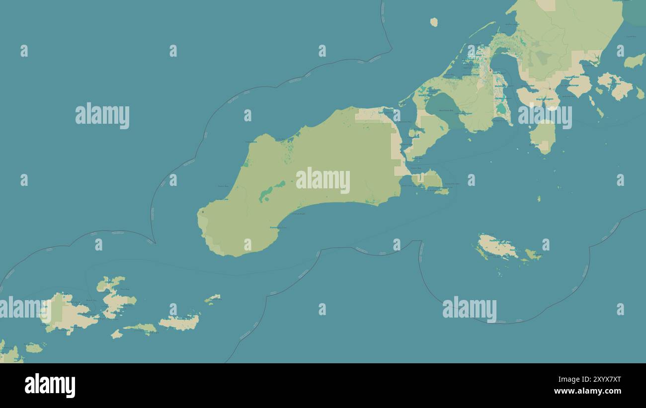 Unimak Island in the Bering Sea on a topographic, OSM Humanitarian style map Stock Photohttps://www.alamy.com/image-license-details/?v=1https://www.alamy.com/unimak-island-in-the-bering-sea-on-a-topographic-osm-humanitarian-style-map-image619535584.html
RF2XYX7XT–Unimak Island in the Bering Sea on a topographic, OSM Humanitarian style map
 Aerial view of conical snow-covered Shishaldin Volcano, with Isanotski in foreground, Unimak Island, Alaska, USA. Stock Photohttps://www.alamy.com/image-license-details/?v=1https://www.alamy.com/stock-photo-aerial-view-of-conical-snow-covered-shishaldin-volcano-with-isanotski-41611448.html
RFCBKFR4–Aerial view of conical snow-covered Shishaldin Volcano, with Isanotski in foreground, Unimak Island, Alaska, USA.
 Shishaldin Volcano, Unimak Island, ca 1912 (THWAITES 217) Stock Photohttps://www.alamy.com/image-license-details/?v=1https://www.alamy.com/stock-photo-shishaldin-volcano-unimak-island-ca-1912-thwaites-217-171886390.html
RMKYJ2RJ–Shishaldin Volcano, Unimak Island, ca 1912 (THWAITES 217)
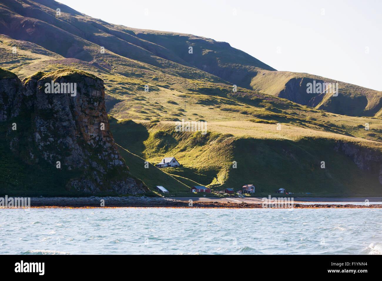 Remote,Scenic,Mountain,Unimak Island Stock Photohttps://www.alamy.com/image-license-details/?v=1https://www.alamy.com/stock-photo-remotescenicmountainunimak-island-87276256.html
RFF1YNN4–Remote,Scenic,Mountain,Unimak Island
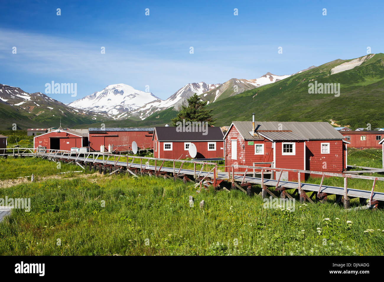 The Town Of False Pass On Unimak Island, The First Of The Aleutian Island Chain, Southwest Alaska, Summer. Stock Photohttps://www.alamy.com/image-license-details/?v=1https://www.alamy.com/the-town-of-false-pass-on-unimak-island-the-first-of-the-aleutian-image63164124.html
RMDJNADG–The Town Of False Pass On Unimak Island, The First Of The Aleutian Island Chain, Southwest Alaska, Summer.
 Growth,Flower,Cow Parsnip,Unimak Island Stock Photohttps://www.alamy.com/image-license-details/?v=1https://www.alamy.com/stock-photo-growthflowercow-parsnipunimak-island-87276204.html
RFF1YNK8–Growth,Flower,Cow Parsnip,Unimak Island
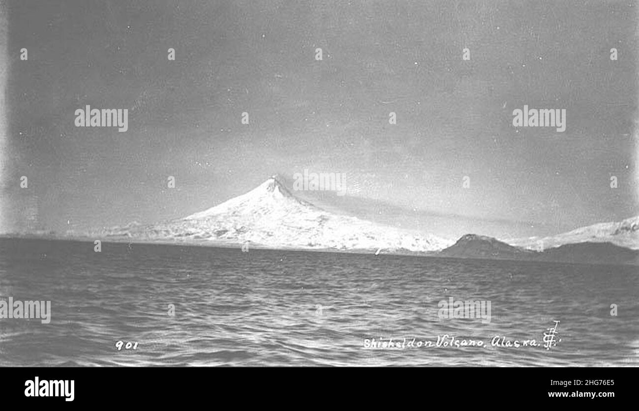 Shishaldin Volcano, Unimak Island, ca 1912 Stock Photohttps://www.alamy.com/image-license-details/?v=1https://www.alamy.com/shishaldin-volcano-unimak-island-ca-1912-image457462829.html
RM2HG76E5–Shishaldin Volcano, Unimak Island, ca 1912
 Aleutian Islands,Unimak Island,Roundtop Mountain Stock Photohttps://www.alamy.com/image-license-details/?v=1https://www.alamy.com/stock-photo-aleutian-islandsunimak-islandroundtop-mountain-87276246.html
RFF1YNMP–Aleutian Islands,Unimak Island,Roundtop Mountain
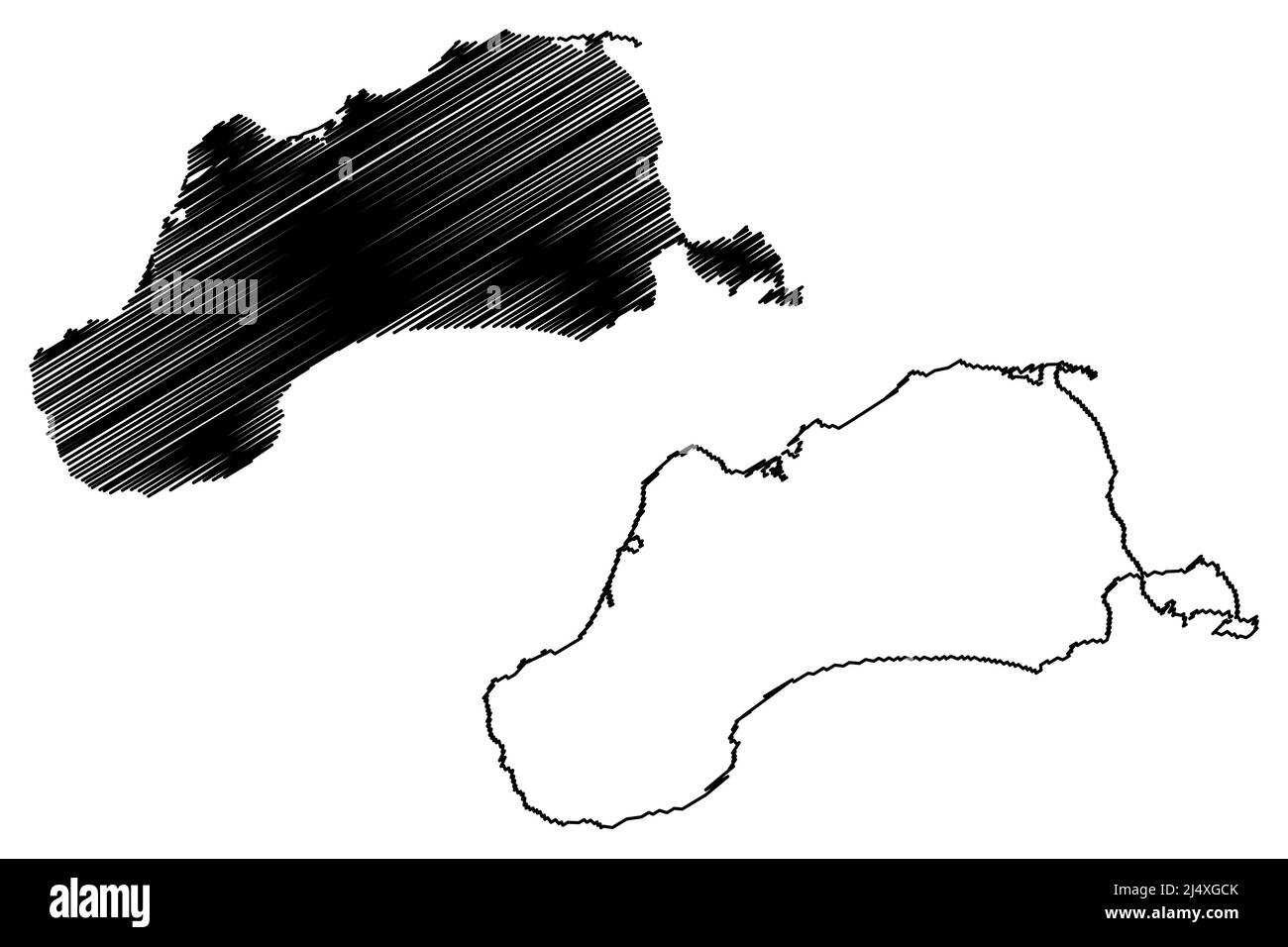 Unimak island (United States of America, North America, Alaska, US, USA, Aleutian Islands) map vector illustration, scribble sketch Unimax map Stock Vectorhttps://www.alamy.com/image-license-details/?v=1https://www.alamy.com/unimak-island-united-states-of-america-north-america-alaska-us-usa-aleutian-islands-map-vector-illustration-scribble-sketch-unimax-map-image467722211.html
RF2J4XGCK–Unimak island (United States of America, North America, Alaska, US, USA, Aleutian Islands) map vector illustration, scribble sketch Unimax map
 . Alaska, its history and resources, gold fields, routes and scenery . lcanoes in Alaska, six oreight of which are in an active state of eruption. Shi-shaldin, which is 9000 feet high, is burning, and its smokemay always be seen in clear weather. It is situatedon Unimak Island, near the pass of the same nameusually followed by vessels in entering Bering Sea.Pavlof, about one hundred miles to the eastward, isanother smoking mountain ; the glow from its crater maybe seen reflected against the heavens. Mt. Makushin, atthe eastern extremity of Unalaska Island, is about 5500feet in height, and give Stock Photohttps://www.alamy.com/image-license-details/?v=1https://www.alamy.com/alaska-its-history-and-resources-gold-fields-routes-and-scenery-lcanoes-in-alaska-six-oreight-of-which-are-in-an-active-state-of-eruption-shi-shaldin-which-is-9000-feet-high-is-burning-and-its-smokemay-always-be-seen-in-clear-weather-it-is-situatedon-unimak-island-near-the-pass-of-the-same-nameusually-followed-by-vessels-in-entering-bering-seapavlof-about-one-hundred-miles-to-the-eastward-isanother-smoking-mountain-the-glow-from-its-crater-maybe-seen-reflected-against-the-heavens-mt-makushin-atthe-eastern-extremity-of-unalaska-island-is-about-5500feet-in-height-and-give-image372579983.html
RM2CJ4DFY–. Alaska, its history and resources, gold fields, routes and scenery . lcanoes in Alaska, six oreight of which are in an active state of eruption. Shi-shaldin, which is 9000 feet high, is burning, and its smokemay always be seen in clear weather. It is situatedon Unimak Island, near the pass of the same nameusually followed by vessels in entering Bering Sea.Pavlof, about one hundred miles to the eastward, isanother smoking mountain ; the glow from its crater maybe seen reflected against the heavens. Mt. Makushin, atthe eastern extremity of Unalaska Island, is about 5500feet in height, and give
 . Decapod crustaceans of the northwest coast of North America ... Crustacea -- North America. DECAPODS 9i Off Bristol Bay, 33 fathoms, stations 3303, 3306. North of Alaska Peninsula, 26-47 ^^.thoms, stations 3278, 3285, 3292, 3297- Off Unimak Island, 24-43 fathoms, stations 3259, 3262, 3265, 3266. Off Akutan Island, 72 fathoms, station 2842. Unalaska, 19-165 fathoms, stations 3310, 33^, 33^9, 33^2, 3333-^336. Shumagins, 21-69 fathoms, stations 2847, 2849-2851. Davidson Bank, 43 fathoms, station 3215. Off Sitkalidak Island, 60 fathoms, station 2854. Off Grays Harbor, Washington, 50 fathoms, sta Stock Photohttps://www.alamy.com/image-license-details/?v=1https://www.alamy.com/decapod-crustaceans-of-the-northwest-coast-of-north-america-crustacea-north-america-decapods-9i-off-bristol-bay-33-fathoms-stations-3303-3306-north-of-alaska-peninsula-26-47-thoms-stations-3278-3285-3292-3297-off-unimak-island-24-43-fathoms-stations-3259-3262-3265-3266-off-akutan-island-72-fathoms-station-2842-unalaska-19-165-fathoms-stations-3310-33-339-332-3333-336-shumagins-21-69-fathoms-stations-2847-2849-2851-davidson-bank-43-fathoms-station-3215-off-sitkalidak-island-60-fathoms-station-2854-off-grays-harbor-washington-50-fathoms-sta-image216083809.html
RMPFFD2W–. Decapod crustaceans of the northwest coast of North America ... Crustacea -- North America. DECAPODS 9i Off Bristol Bay, 33 fathoms, stations 3303, 3306. North of Alaska Peninsula, 26-47 ^^.thoms, stations 3278, 3285, 3292, 3297- Off Unimak Island, 24-43 fathoms, stations 3259, 3262, 3265, 3266. Off Akutan Island, 72 fathoms, station 2842. Unalaska, 19-165 fathoms, stations 3310, 33^, 33^9, 33^2, 3333-^336. Shumagins, 21-69 fathoms, stations 2847, 2849-2851. Davidson Bank, 43 fathoms, station 3215. Off Sitkalidak Island, 60 fathoms, station 2854. Off Grays Harbor, Washington, 50 fathoms, sta
 . Sketch of the Aleutian Islands to Illustrate Appendix No. 11. English: This unusual map is the U.S. Coast Survey’s first significant mapping of the Aleutian Islands following the 1867 acquisition of the Alaska territory from Russia. The map covers the Aleutian Archipelago from Atta Island to Unimak Island and extends far enough north to include the Pribiloff Islands. Identifies each major island in the archipelago as well as important island groups, such as the “Islands of Four Mountains” and notable naval passes, such as the Amukhta Pass. There are numerous but hardly exhaustive soundings Stock Photohttps://www.alamy.com/image-license-details/?v=1https://www.alamy.com/sketch-of-the-aleutian-islands-to-illustrate-appendix-no-11-english-this-unusual-map-is-the-us-coast-surveys-first-significant-mapping-of-the-aleutian-islands-following-the-1867-acquisition-of-the-alaska-territory-from-russia-the-map-covers-the-aleutian-archipelago-from-atta-island-to-unimak-island-and-extends-far-enough-north-to-include-the-pribiloff-islands-identifies-each-major-island-in-the-archipelago-as-well-as-important-island-groups-such-as-the-islands-of-four-mountains-and-notable-naval-passes-such-as-the-amukhta-pass-there-are-numerous-but-hardly-exhaustive-soundings-image187622512.html
RMMW6XC0–. Sketch of the Aleutian Islands to Illustrate Appendix No. 11. English: This unusual map is the U.S. Coast Survey’s first significant mapping of the Aleutian Islands following the 1867 acquisition of the Alaska territory from Russia. The map covers the Aleutian Archipelago from Atta Island to Unimak Island and extends far enough north to include the Pribiloff Islands. Identifies each major island in the archipelago as well as important island groups, such as the “Islands of Four Mountains” and notable naval passes, such as the Amukhta Pass. There are numerous but hardly exhaustive soundings
 Unimak Island in the Bering Sea on a satellite image taken in October 27, 2018 Stock Photohttps://www.alamy.com/image-license-details/?v=1https://www.alamy.com/unimak-island-in-the-bering-sea-on-a-satellite-image-taken-in-october-27-2018-image619400137.html
RF2XYM35D–Unimak Island in the Bering Sea on a satellite image taken in October 27, 2018
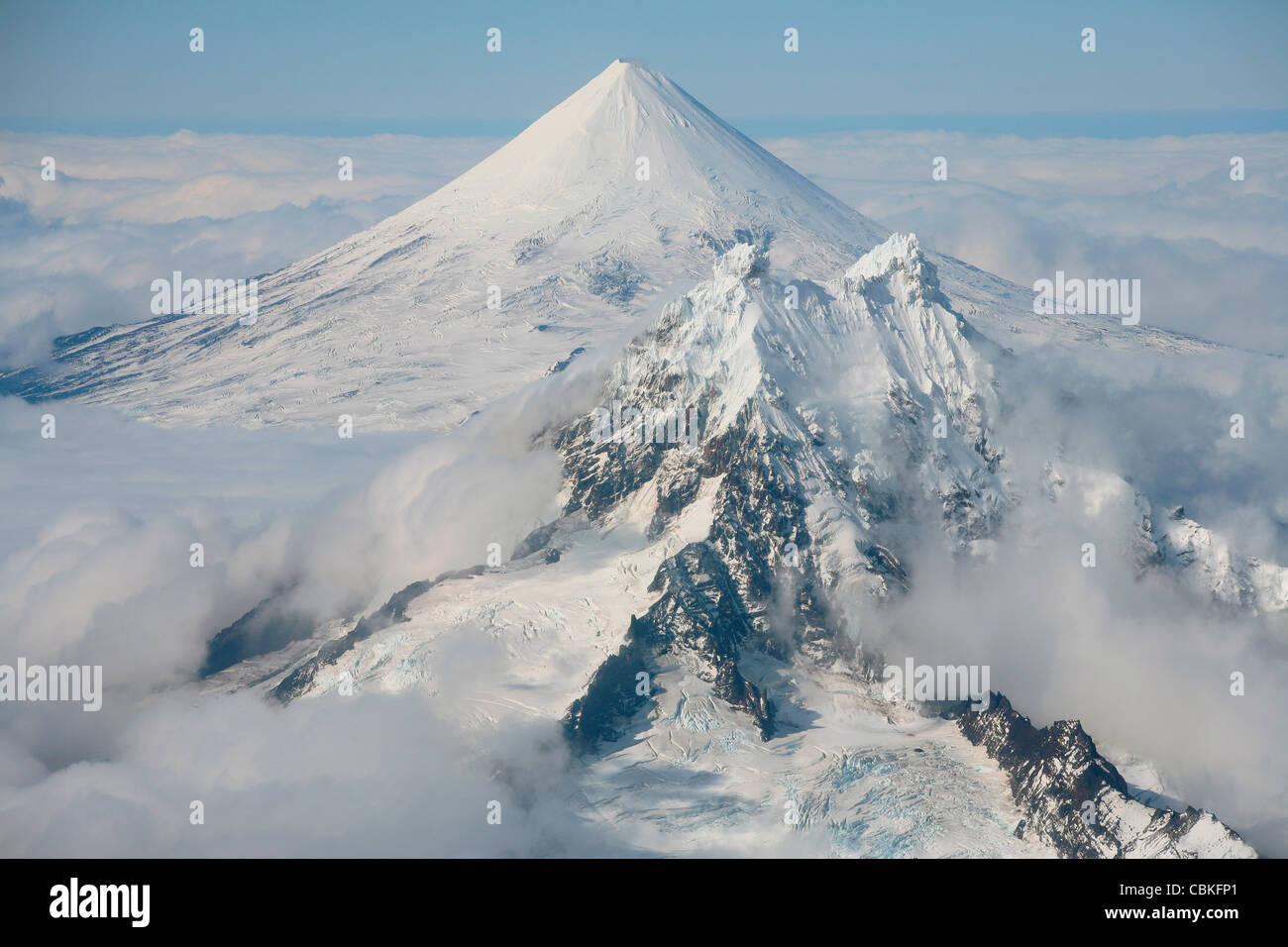 September 2007 - Aerial view of snow-covered Shishaldin Volcano, with Isanotski in foreground, Unimak Island, Alaska, USA. Stock Photohttps://www.alamy.com/image-license-details/?v=1https://www.alamy.com/stock-photo-september-2007-aerial-view-of-snow-covered-shishaldin-volcano-with-41611417.html
RFCBKFP1–September 2007 - Aerial view of snow-covered Shishaldin Volcano, with Isanotski in foreground, Unimak Island, Alaska, USA.
 Pogromni Volcano, Unimak Island, ca 1912 (THWAITES 181) Stock Photohttps://www.alamy.com/image-license-details/?v=1https://www.alamy.com/stock-photo-pogromni-volcano-unimak-island-ca-1912-thwaites-181-171840210.html
RMKYFYXA–Pogromni Volcano, Unimak Island, ca 1912 (THWAITES 181)
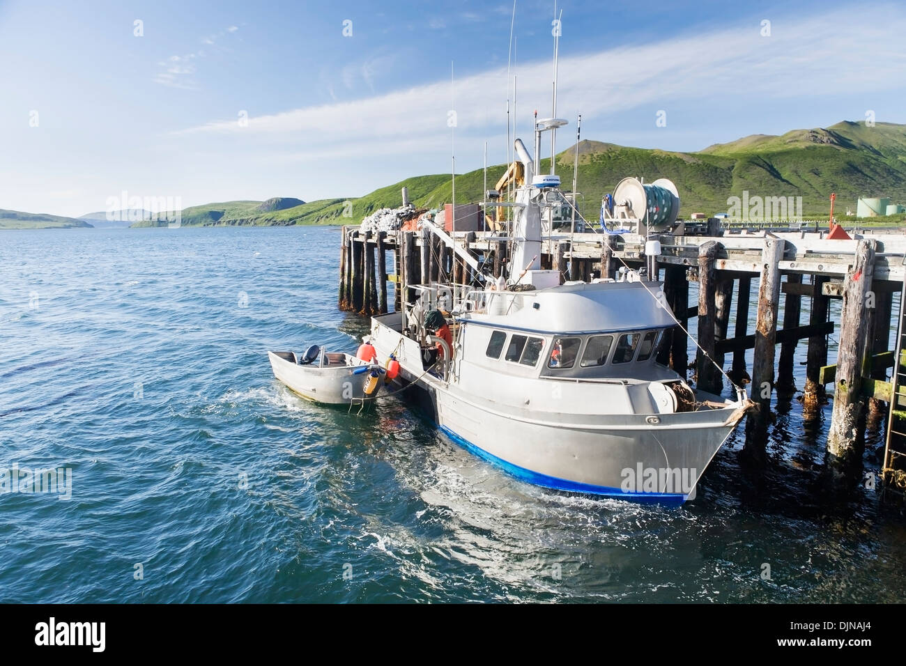 The F/V Lucky Dove Tied To The Dock In False Pass On Unimak Island, The Aleutians, Southwest Alaska, Summer. Stock Photohttps://www.alamy.com/image-license-details/?v=1https://www.alamy.com/the-fv-lucky-dove-tied-to-the-dock-in-false-pass-on-unimak-island-image63164252.html
RMDJNAJ4–The F/V Lucky Dove Tied To The Dock In False Pass On Unimak Island, The Aleutians, Southwest Alaska, Summer.
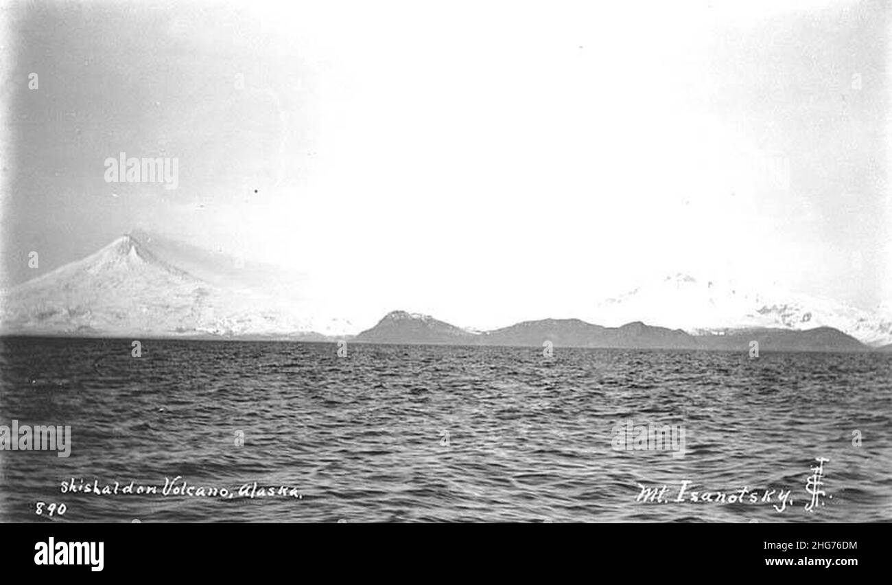 Shishaldin Volcano (left) and Mt Isanotski, Unimak Island, ca 1912 Stock Photohttps://www.alamy.com/image-license-details/?v=1https://www.alamy.com/shishaldin-volcano-left-and-mt-isanotski-unimak-island-ca-1912-image457462816.html
RM2HG76DM–Shishaldin Volcano (left) and Mt Isanotski, Unimak Island, ca 1912
 Aleutian Islands,Starfish,Unimak Island,Wild Stock Photohttps://www.alamy.com/image-license-details/?v=1https://www.alamy.com/stock-photo-aleutian-islandsstarfishunimak-islandwild-87276243.html
RFF1YNMK–Aleutian Islands,Starfish,Unimak Island,Wild
 Unimak island (United States of America, North America, Alaska, US, USA, Aleutian Islands) map vector illustration, scribble sketch Unimax map Stock Vectorhttps://www.alamy.com/image-license-details/?v=1https://www.alamy.com/unimak-island-united-states-of-america-north-america-alaska-us-usa-aleutian-islands-map-vector-illustration-scribble-sketch-unimax-map-image448250752.html
RF2H17GBC–Unimak island (United States of America, North America, Alaska, US, USA, Aleutian Islands) map vector illustration, scribble sketch Unimax map
 Dog,Hiking,Scenic,Woman,Unimak Island Stock Photohttps://www.alamy.com/image-license-details/?v=1https://www.alamy.com/stock-photo-doghikingscenicwomanunimak-island-87276234.html
RFF1YNMA–Dog,Hiking,Scenic,Woman,Unimak Island
 . Atlas and zoogeography of common fishes in the Bering Sea and Northeastern Pacific / M. James Allen, Gary B. Smith. Fishes Bering Sea Geographical distribution.. ENGLISH SOLE, Pleuronectes vetulus (Girard 1854) Pleuronectidae: Righteye Flounders Taxonomic comment The English sole is Parophrys vetulus in Robins (1980), but Sakamoto (1984), the most recent revision of the family Pleuronectidae, placed the species in the genus Pleuronectes. Literature Reported from Unimak Island in the Bering Sea, to San Cristobal Bay, Baja California Sur (Miller and Lea 1972; Hart 1973), at depths of 0 to 550 Stock Photohttps://www.alamy.com/image-license-details/?v=1https://www.alamy.com/atlas-and-zoogeography-of-common-fishes-in-the-bering-sea-and-northeastern-pacific-m-james-allen-gary-b-smith-fishes-bering-sea-geographical-distribution-english-sole-pleuronectes-vetulus-girard-1854-pleuronectidae-righteye-flounders-taxonomic-comment-the-english-sole-is-parophrys-vetulus-in-robins-1980-but-sakamoto-1984-the-most-recent-revision-of-the-family-pleuronectidae-placed-the-species-in-the-genus-pleuronectes-literature-reported-from-unimak-island-in-the-bering-sea-to-san-cristobal-bay-baja-california-sur-miller-and-lea-1972-hart-1973-at-depths-of-0-to-550-image235389694.html
RMRJXWXP–. Atlas and zoogeography of common fishes in the Bering Sea and Northeastern Pacific / M. James Allen, Gary B. Smith. Fishes Bering Sea Geographical distribution.. ENGLISH SOLE, Pleuronectes vetulus (Girard 1854) Pleuronectidae: Righteye Flounders Taxonomic comment The English sole is Parophrys vetulus in Robins (1980), but Sakamoto (1984), the most recent revision of the family Pleuronectidae, placed the species in the genus Pleuronectes. Literature Reported from Unimak Island in the Bering Sea, to San Cristobal Bay, Baja California Sur (Miller and Lea 1972; Hart 1973), at depths of 0 to 550
 . English: This unusual map is the U.S. Coast Survey’s first significant mapping of the Aleutian Islands following the 1867 acquisition of the Alaska territory from Russia. The map covers the Aleutian Archipelago from Atta Island to Unimak Island and extends far enough north to include the Pribiloff Islands. Identifies each major island in the archipelago as well as important island groups, such as the “Islands of Four Mountains” and notable naval passes, such as the Amukhta Pass. There are numerous but hardly exhaustive soundings illustrative of the embryonic state of the survey in this regi Stock Photohttps://www.alamy.com/image-license-details/?v=1https://www.alamy.com/english-this-unusual-map-is-the-us-coast-surveys-first-significant-mapping-of-the-aleutian-islands-following-the-1867-acquisition-of-the-alaska-territory-from-russia-the-map-covers-the-aleutian-archipelago-from-atta-island-to-unimak-island-and-extends-far-enough-north-to-include-the-pribiloff-islands-identifies-each-major-island-in-the-archipelago-as-well-as-important-island-groups-such-as-the-islands-of-four-mountains-and-notable-naval-passes-such-as-the-amukhta-pass-there-are-numerous-but-hardly-exhaustive-soundings-illustrative-of-the-embryonic-state-of-the-survey-in-this-regi-image184877867.html
RMMMNWGY–. English: This unusual map is the U.S. Coast Survey’s first significant mapping of the Aleutian Islands following the 1867 acquisition of the Alaska territory from Russia. The map covers the Aleutian Archipelago from Atta Island to Unimak Island and extends far enough north to include the Pribiloff Islands. Identifies each major island in the archipelago as well as important island groups, such as the “Islands of Four Mountains” and notable naval passes, such as the Amukhta Pass. There are numerous but hardly exhaustive soundings illustrative of the embryonic state of the survey in this regi
 Unimak Island in the Bering Sea, belonging to United States, cropped to square on a colored elevation map Stock Photohttps://www.alamy.com/image-license-details/?v=1https://www.alamy.com/unimak-island-in-the-bering-sea-belonging-to-united-states-cropped-to-square-on-a-colored-elevation-map-image620224513.html
RF2Y11JKD–Unimak Island in the Bering Sea, belonging to United States, cropped to square on a colored elevation map
 September 2007 - Aerial view of snow-covered Shishaldin Volcano, with Isanotski in foreground, Unimak Island, Alaska, USA. Stock Photohttps://www.alamy.com/image-license-details/?v=1https://www.alamy.com/stock-photo-september-2007-aerial-view-of-snow-covered-shishaldin-volcano-with-41611457.html
RFCBKFRD–September 2007 - Aerial view of snow-covered Shishaldin Volcano, with Isanotski in foreground, Unimak Island, Alaska, USA.
 Shishaldin Volcano (left) and Mt Isanotski, Unimak Island, ca 1912 (THWAITES 216) Stock Photohttps://www.alamy.com/image-license-details/?v=1https://www.alamy.com/stock-photo-shishaldin-volcano-left-and-mt-isanotski-unimak-island-ca-1912-thwaites-171886391.html
RMKYJ2RK–Shishaldin Volcano (left) and Mt Isanotski, Unimak Island, ca 1912 (THWAITES 216)
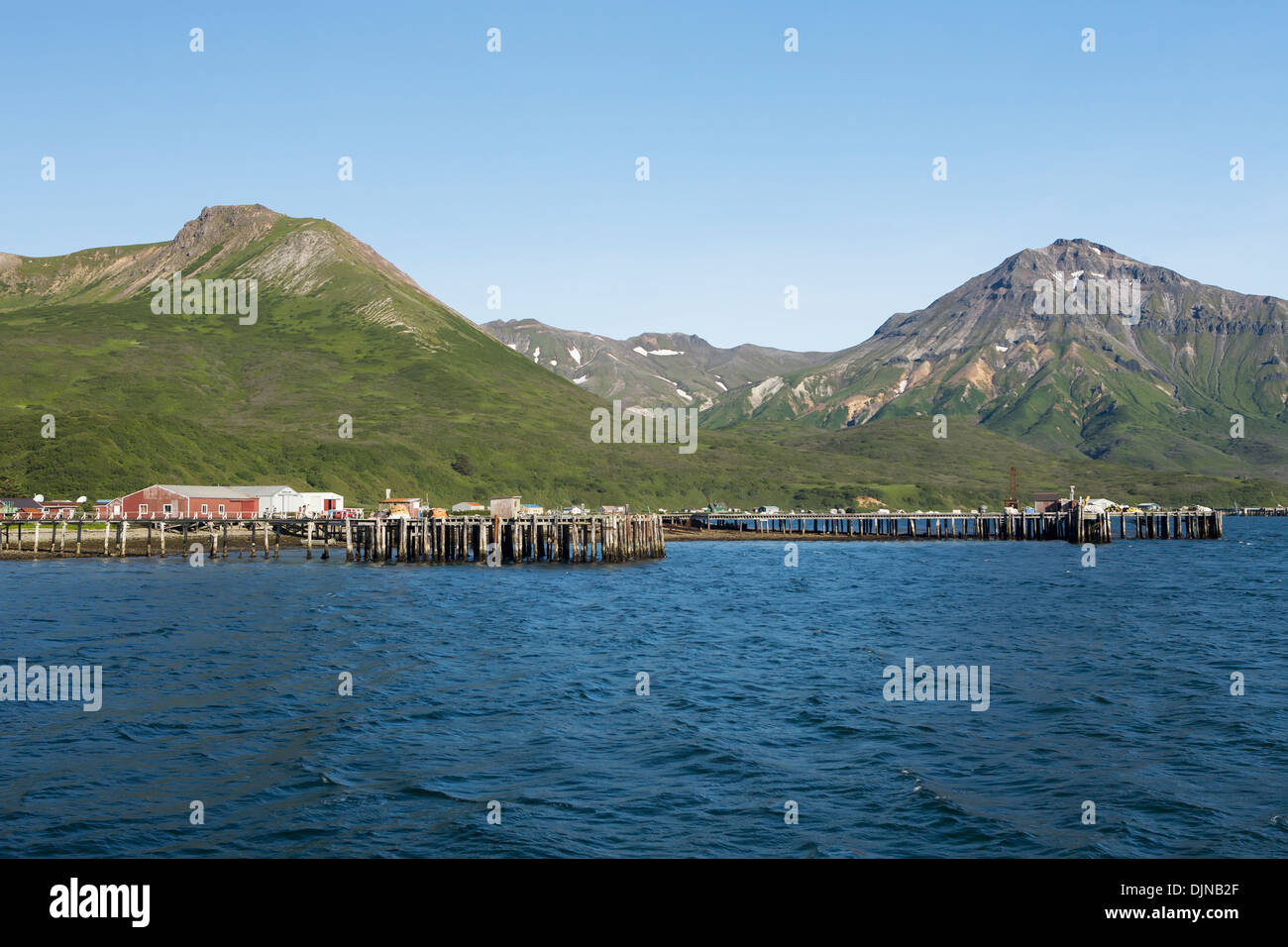 The Town Of False Pass On Unimak Island, The First Of The Aleutian Island Chain, Southwest Alaska, Summer. Stock Photohttps://www.alamy.com/image-license-details/?v=1https://www.alamy.com/the-town-of-false-pass-on-unimak-island-the-first-of-the-aleutian-image63164599.html
RMDJNB2F–The Town Of False Pass On Unimak Island, The First Of The Aleutian Island Chain, Southwest Alaska, Summer.
 Shishaldin Volcano on Unimak Island, Alaska, July 1899 (HARRIMAN 165). Stock Photohttps://www.alamy.com/image-license-details/?v=1https://www.alamy.com/shishaldin-volcano-on-unimak-island-alaska-july-1899-harriman-165-image457462801.html
RM2HG76D5–Shishaldin Volcano on Unimak Island, Alaska, July 1899 (HARRIMAN 165).
 Dog,Hiking,Scenic,Woman,Unimak Island Stock Photohttps://www.alamy.com/image-license-details/?v=1https://www.alamy.com/stock-photo-doghikingscenicwomanunimak-island-87276235.html
RFF1YNMB–Dog,Hiking,Scenic,Woman,Unimak Island
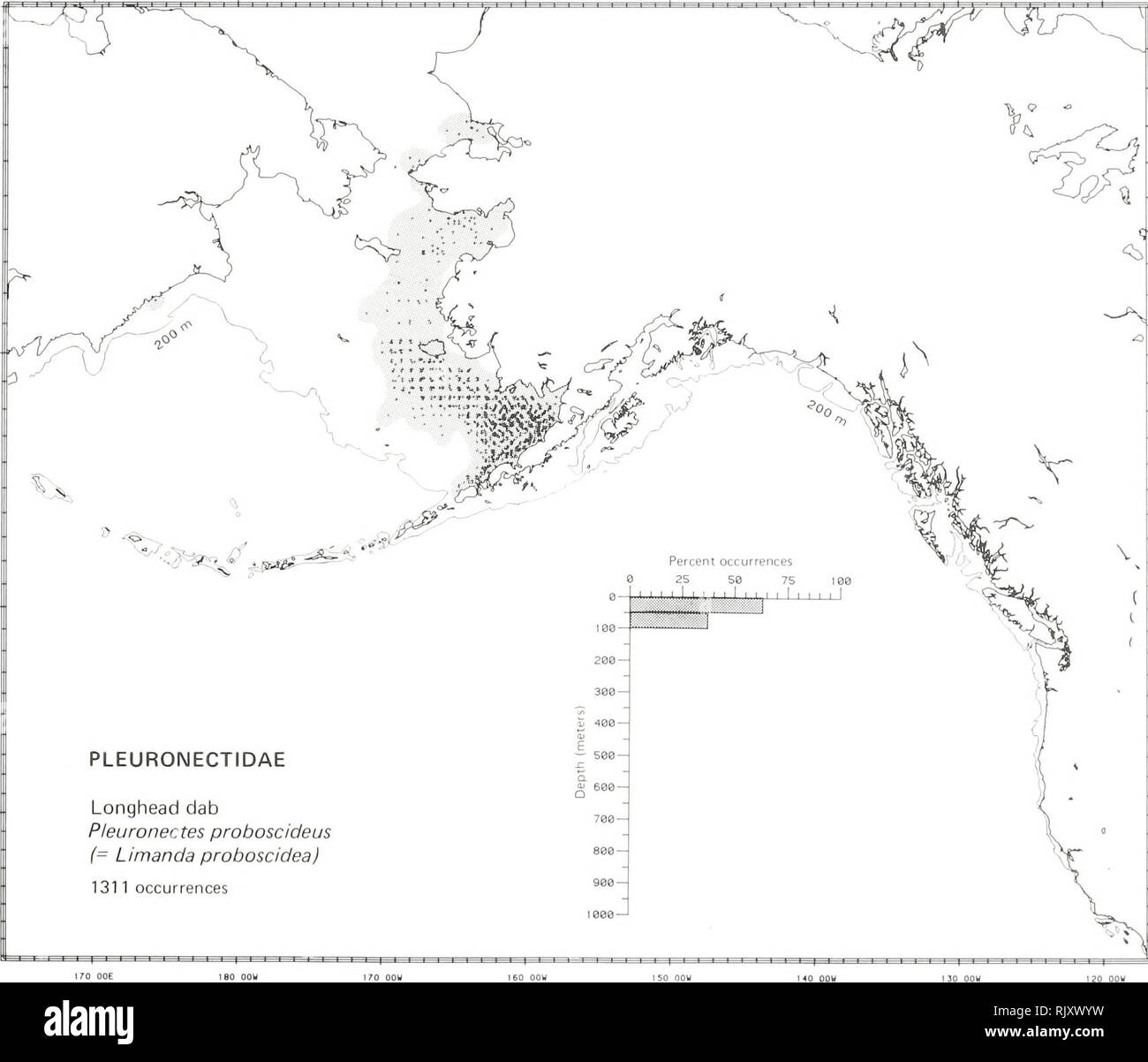 . Atlas and zoogeography of common fishes in the Bering Sea and Northeastern Pacific / M. James Allen, Gary B. Smith. Fishes Bering Sea Geographical distribution.. LONGHEAD DAB, Pleuronectes proboscideus (Gilbert 1895) Pleuronectidae: Righteye Flounders Taxonomic comment The longhead dab is Limanda proboscidea in Robins (1980), but Sakamoto (1984), the most recent revision of the family Pleuronectidae, placed the species in the genus Pleuronectes. Literature Reported from southeast of Sakhalin in the Sea of Okhotsk, north to Kotzebue Sound in the Chukchi Sea, south to Unimak Island (Shmidt 195 Stock Photohttps://www.alamy.com/image-license-details/?v=1https://www.alamy.com/atlas-and-zoogeography-of-common-fishes-in-the-bering-sea-and-northeastern-pacific-m-james-allen-gary-b-smith-fishes-bering-sea-geographical-distribution-longhead-dab-pleuronectes-proboscideus-gilbert-1895-pleuronectidae-righteye-flounders-taxonomic-comment-the-longhead-dab-is-limanda-proboscidea-in-robins-1980-but-sakamoto-1984-the-most-recent-revision-of-the-family-pleuronectidae-placed-the-species-in-the-genus-pleuronectes-literature-reported-from-southeast-of-sakhalin-in-the-sea-of-okhotsk-north-to-kotzebue-sound-in-the-chukchi-sea-south-to-unimak-island-shmidt-195-image235389725.html
RMRJXWYW–. Atlas and zoogeography of common fishes in the Bering Sea and Northeastern Pacific / M. James Allen, Gary B. Smith. Fishes Bering Sea Geographical distribution.. LONGHEAD DAB, Pleuronectes proboscideus (Gilbert 1895) Pleuronectidae: Righteye Flounders Taxonomic comment The longhead dab is Limanda proboscidea in Robins (1980), but Sakamoto (1984), the most recent revision of the family Pleuronectidae, placed the species in the genus Pleuronectes. Literature Reported from southeast of Sakhalin in the Sea of Okhotsk, north to Kotzebue Sound in the Chukchi Sea, south to Unimak Island (Shmidt 195
 . Sketch of the Aleutian Islands to Illustrate Appendix No. 11. English: This unusual map is the U.S. Coast Survey’s first significant mapping of the Aleutian Islands following the 1867 acquisition of the Alaska territory from Russia. The map covers the Aleutian Archipelago from Atta Island to Unimak Island and extends far enough north to include the Pribiloff Islands. Identifies each major island in the archipelago as well as important island groups, such as the “Islands of Four Mountains” and notable naval passes, such as the Amukhta Pass. There are numerous but hardly exhaustive soundings Stock Photohttps://www.alamy.com/image-license-details/?v=1https://www.alamy.com/sketch-of-the-aleutian-islands-to-illustrate-appendix-no-11-english-this-unusual-map-is-the-us-coast-surveys-first-significant-mapping-of-the-aleutian-islands-following-the-1867-acquisition-of-the-alaska-territory-from-russia-the-map-covers-the-aleutian-archipelago-from-atta-island-to-unimak-island-and-extends-far-enough-north-to-include-the-pribiloff-islands-identifies-each-major-island-in-the-archipelago-as-well-as-important-island-groups-such-as-the-islands-of-four-mountains-and-notable-naval-passes-such-as-the-amukhta-pass-there-are-numerous-but-hardly-exhaustive-soundings-image188898484.html
RMMY91XC–. Sketch of the Aleutian Islands to Illustrate Appendix No. 11. English: This unusual map is the U.S. Coast Survey’s first significant mapping of the Aleutian Islands following the 1867 acquisition of the Alaska territory from Russia. The map covers the Aleutian Archipelago from Atta Island to Unimak Island and extends far enough north to include the Pribiloff Islands. Identifies each major island in the archipelago as well as important island groups, such as the “Islands of Four Mountains” and notable naval passes, such as the Amukhta Pass. There are numerous but hardly exhaustive soundings
 Unimak Island in the Bering Sea, belonging to United States, cropped to square on a bilevel elevation map Stock Photohttps://www.alamy.com/image-license-details/?v=1https://www.alamy.com/unimak-island-in-the-bering-sea-belonging-to-united-states-cropped-to-square-on-a-bilevel-elevation-map-image620371560.html
RF2Y18A74–Unimak Island in the Bering Sea, belonging to United States, cropped to square on a bilevel elevation map
 Aerial view of Isanotski Peaks on Unimak Island. Subjects: Scenics; Landscapes; Mountains; Wilderness; Volcanoes; Wildlife refuges; Alaska Maritime National Wildlife Refuge; Aleutians; Alaska. . 1998 - 2011. Stock Photohttps://www.alamy.com/image-license-details/?v=1https://www.alamy.com/aerial-view-of-isanotski-peaks-on-unimak-island-subjects-scenics-landscapes-mountains-wilderness-volcanoes-wildlife-refuges-alaska-maritime-national-wildlife-refuge-aleutians-alaska-1998-2011-image569210236.html
RM2T21ND0–Aerial view of Isanotski Peaks on Unimak Island. Subjects: Scenics; Landscapes; Mountains; Wilderness; Volcanoes; Wildlife refuges; Alaska Maritime National Wildlife Refuge; Aleutians; Alaska. . 1998 - 2011.
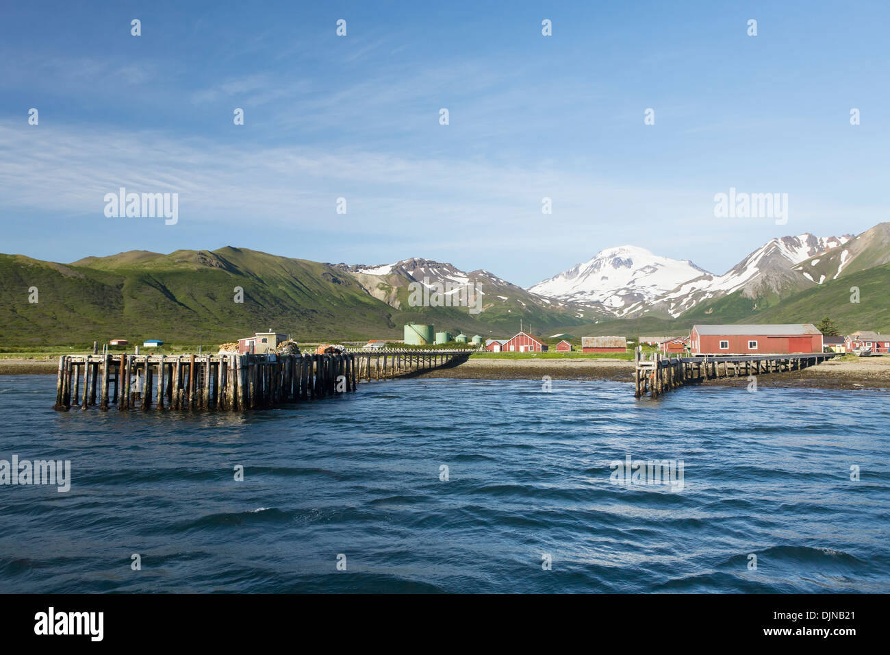 The Town Of False Pass On Unimak Island, The First Of The Aleutian Island Chain, Southwest Alaska, Summer. Stock Photohttps://www.alamy.com/image-license-details/?v=1https://www.alamy.com/the-town-of-false-pass-on-unimak-island-the-first-of-the-aleutian-image63164585.html
RMDJNB21–The Town Of False Pass On Unimak Island, The First Of The Aleutian Island Chain, Southwest Alaska, Summer.
 Archive image from page 100 of Decapod crustaceans of the northwest. Decapod crustaceans of the northwest coast of North America .. decapodcrustacea00rath Year: 1904 DECAPODS 9i Off Bristol Bay, 33 fathoms, stations 3303, 3306. North of Alaska Peninsula, 26-47 .thoms, stations 3278, 3285, 3292, 3297- Off Unimak Island, 24-43 fathoms, stations 3259, 3262, 3265, 3266. Off Akutan Island, 72 fathoms, station 2842. Unalaska, 19-165 fathoms, stations 3310, 33, 339, 332, 3333-336. Shumagins, 21-69 fathoms, stations 2847, 2849-2851. Davidson Bank, 43 fathoms, station 3215. Off Sitkalidak Island, 60 Stock Photohttps://www.alamy.com/image-license-details/?v=1https://www.alamy.com/archive-image-from-page-100-of-decapod-crustaceans-of-the-northwest-decapod-crustaceans-of-the-northwest-coast-of-north-america-decapodcrustacea00rath-year-1904-decapods-9i-off-bristol-bay-33-fathoms-stations-3303-3306-north-of-alaska-peninsula-26-47-thoms-stations-3278-3285-3292-3297-off-unimak-island-24-43-fathoms-stations-3259-3262-3265-3266-off-akutan-island-72-fathoms-station-2842-unalaska-19-165-fathoms-stations-3310-33-339-332-3333-336-shumagins-21-69-fathoms-stations-2847-2849-2851-davidson-bank-43-fathoms-station-3215-off-sitkalidak-island-60-image259444982.html
RMW22MM6–Archive image from page 100 of Decapod crustaceans of the northwest. Decapod crustaceans of the northwest coast of North America .. decapodcrustacea00rath Year: 1904 DECAPODS 9i Off Bristol Bay, 33 fathoms, stations 3303, 3306. North of Alaska Peninsula, 26-47 .thoms, stations 3278, 3285, 3292, 3297- Off Unimak Island, 24-43 fathoms, stations 3259, 3262, 3265, 3266. Off Akutan Island, 72 fathoms, station 2842. Unalaska, 19-165 fathoms, stations 3310, 33, 339, 332, 3333-336. Shumagins, 21-69 fathoms, stations 2847, 2849-2851. Davidson Bank, 43 fathoms, station 3215. Off Sitkalidak Island, 60
 Kayak,Dog,Unimak Island,subsistence fishing Stock Photohttps://www.alamy.com/image-license-details/?v=1https://www.alamy.com/stock-photo-kayakdogunimak-islandsubsistence-fishing-87276231.html
RFF1YNM7–Kayak,Dog,Unimak Island,subsistence fishing
 . Bulletin of the Bureau of Fisheries. Fisheries; Fish culture. THE FISHES OF ALASKA. 120. Elanura forficata Gilbert. 303 Oritrinally dpscribed 1)y Gilbert. (1895) from slatidiis 3213, 3214, and 3222, smith of Saniiak and north of Unimak Island.. Fig. 59.—Elanura forficata Gilbert. 121. Melletes papUio Bean. Originally described by Bean (ISSUj Iroui St. Paul Islaml. Pribilof Group. It has not since been taken.. Please note that these images are extracted from scanned page images that may have been digitally enhanced for readability - coloration and appearance of these illustrations may not per Stock Photohttps://www.alamy.com/image-license-details/?v=1https://www.alamy.com/bulletin-of-the-bureau-of-fisheries-fisheries-fish-culture-the-fishes-of-alaska-120-elanura-forficata-gilbert-303-oritrinally-dpscribed-1y-gilbert-1895-from-slatidiis-3213-3214-and-3222-smith-of-saniiak-and-north-of-unimak-island-fig-59elanura-forficata-gilbert-121-melletes-papuio-bean-originally-described-by-bean-issuj-iroui-st-paul-islaml-pribilof-group-it-has-not-since-been-taken-please-note-that-these-images-are-extracted-from-scanned-page-images-that-may-have-been-digitally-enhanced-for-readability-coloration-and-appearance-of-these-illustrations-may-not-per-image233945815.html
RMRGH47K–. Bulletin of the Bureau of Fisheries. Fisheries; Fish culture. THE FISHES OF ALASKA. 120. Elanura forficata Gilbert. 303 Oritrinally dpscribed 1)y Gilbert. (1895) from slatidiis 3213, 3214, and 3222, smith of Saniiak and north of Unimak Island.. Fig. 59.—Elanura forficata Gilbert. 121. Melletes papUio Bean. Originally described by Bean (ISSUj Iroui St. Paul Islaml. Pribilof Group. It has not since been taken.. Please note that these images are extracted from scanned page images that may have been digitally enhanced for readability - coloration and appearance of these illustrations may not per
 . Sketch of the Aleutian Islands to Illustrate Appendix No. 11. English: This unusual map is the U.S. Coast Survey’s first significant mapping of the Aleutian Islands following the 1867 acquisition of the Alaska territory from Russia. The map covers the Aleutian Archipelago from Atta Island to Unimak Island and extends far enough north to include the Pribiloff Islands. Identifies each major island in the archipelago as well as important island groups, such as the “Islands of Four Mountains” and notable naval passes, such as the Amukhta Pass. There are numerous but hardly exhaustive soundings Stock Photohttps://www.alamy.com/image-license-details/?v=1https://www.alamy.com/sketch-of-the-aleutian-islands-to-illustrate-appendix-no-11-english-this-unusual-map-is-the-us-coast-surveys-first-significant-mapping-of-the-aleutian-islands-following-the-1867-acquisition-of-the-alaska-territory-from-russia-the-map-covers-the-aleutian-archipelago-from-atta-island-to-unimak-island-and-extends-far-enough-north-to-include-the-pribiloff-islands-identifies-each-major-island-in-the-archipelago-as-well-as-important-island-groups-such-as-the-islands-of-four-mountains-and-notable-naval-passes-such-as-the-amukhta-pass-there-are-numerous-but-hardly-exhaustive-soundings-image188135062.html
RMMX285A–. Sketch of the Aleutian Islands to Illustrate Appendix No. 11. English: This unusual map is the U.S. Coast Survey’s first significant mapping of the Aleutian Islands following the 1867 acquisition of the Alaska territory from Russia. The map covers the Aleutian Archipelago from Atta Island to Unimak Island and extends far enough north to include the Pribiloff Islands. Identifies each major island in the archipelago as well as important island groups, such as the “Islands of Four Mountains” and notable naval passes, such as the Amukhta Pass. There are numerous but hardly exhaustive soundings
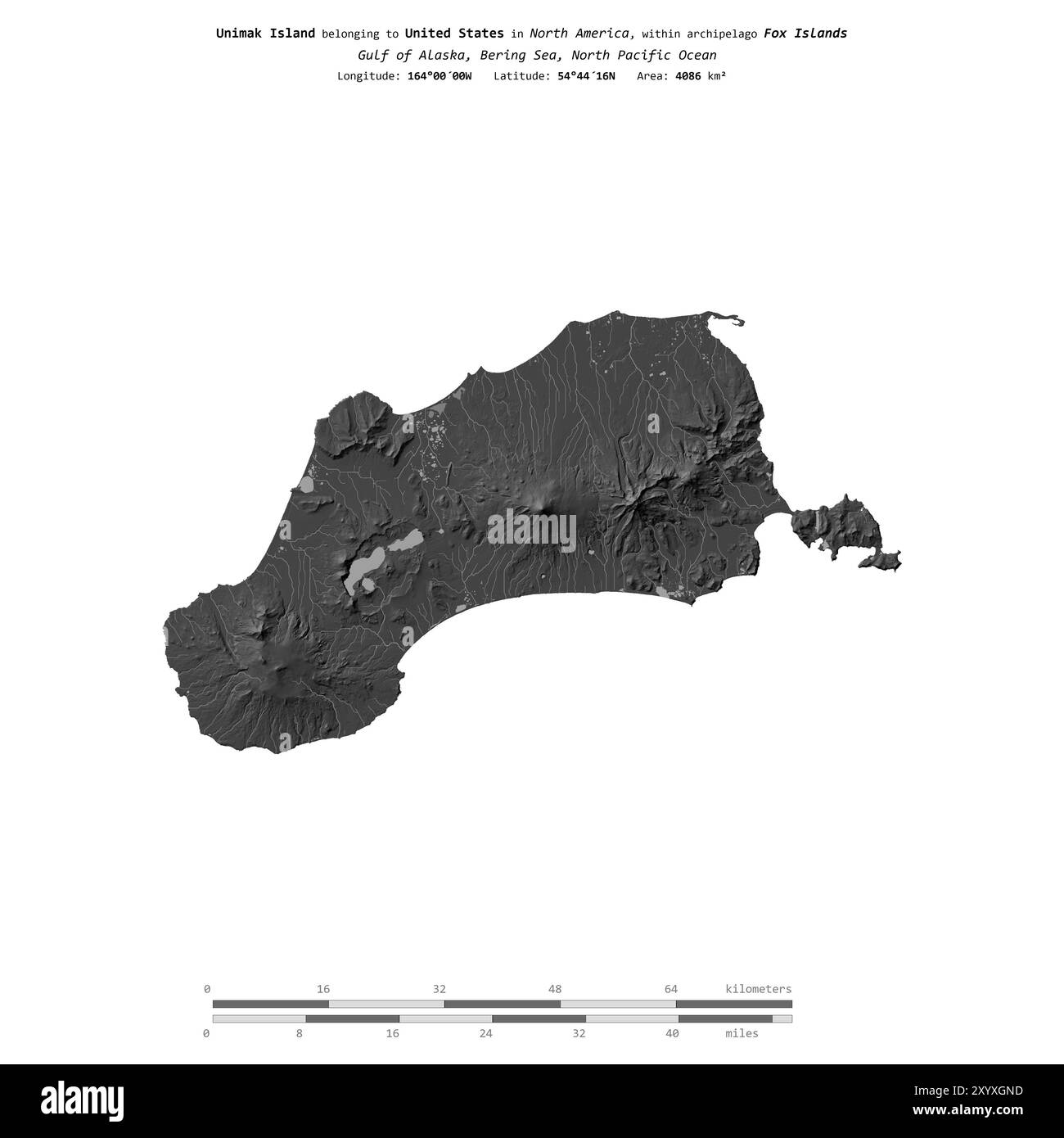 Unimak Island in the Bering Sea, belonging to United States, isolated on a bilevel elevation map, with distance scale Stock Photohttps://www.alamy.com/image-license-details/?v=1https://www.alamy.com/unimak-island-in-the-bering-sea-belonging-to-united-states-isolated-on-a-bilevel-elevation-map-with-distance-scale-image619542489.html
RF2XYXGND–Unimak Island in the Bering Sea, belonging to United States, isolated on a bilevel elevation map, with distance scale
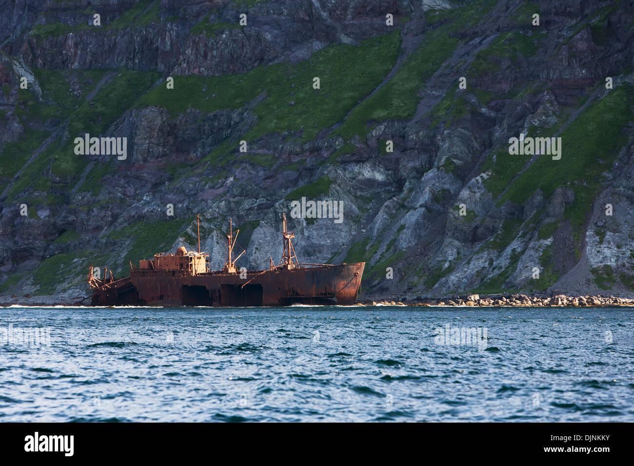 A Steamship Oduna That Wrecked On Unimak Island In 1965 Near Cape Pankof. Stock Photohttps://www.alamy.com/image-license-details/?v=1https://www.alamy.com/a-steamship-oduna-that-wrecked-on-unimak-island-in-1965-near-cape-image63171359.html
RMDJNKKY–A Steamship Oduna That Wrecked On Unimak Island In 1965 Near Cape Pankof.
 The Eastern Bering Sea Shelf : oceanography and resources / edited by Donald W. Hood and John A. Calder . easternberingsea00hood Year: 1981 Figure 51-2. Sea otter distribution north of Alaska Peninsula and Unimak Island (a) in 1957, and (b) in 1965. 841 Stock Photohttps://www.alamy.com/image-license-details/?v=1https://www.alamy.com/the-eastern-bering-sea-shelf-oceanography-and-resources-edited-by-donald-w-hood-and-john-a-calder-easternberingsea00hood-year-1981-figure-51-2-sea-otter-distribution-north-of-alaska-peninsula-and-unimak-island-a-in-1957-and-b-in-1965-841-image241024248.html
RMT03GTT–The Eastern Bering Sea Shelf : oceanography and resources / edited by Donald W. Hood and John A. Calder . easternberingsea00hood Year: 1981 Figure 51-2. Sea otter distribution north of Alaska Peninsula and Unimak Island (a) in 1957, and (b) in 1965. 841
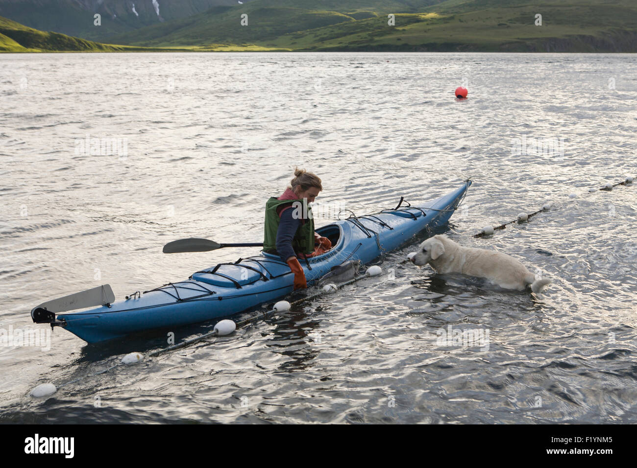 Kayak,Dog,Unimak Island,subsistence fishing Stock Photohttps://www.alamy.com/image-license-details/?v=1https://www.alamy.com/stock-photo-kayakdogunimak-islandsubsistence-fishing-87276229.html
RFF1YNM5–Kayak,Dog,Unimak Island,subsistence fishing
 . The Eastern Bering Sea Shelf : oceanography and resources / edited by Donald W. Hood and John A. Calder. Oceanography Bering Sea.. Ichthyoplankton 487 I rangle 56V2°N, 164°W. During the summer, larvae appear to be concentrated in an area just north of the tip of the Alaska Peninsula and Unimak Island, where several catches amounted to more than 400 sand lance larvae per tow. Most of the larvae were caught in surface tows, but during the spring oblique tows seemed to catch more larvae although the catches were still not large. Sand lance are demersal spawners and no eggs were reported. Pleu Stock Photohttps://www.alamy.com/image-license-details/?v=1https://www.alamy.com/the-eastern-bering-sea-shelf-oceanography-and-resources-edited-by-donald-w-hood-and-john-a-calder-oceanography-bering-sea-ichthyoplankton-487-i-rangle-56v2n-164w-during-the-summer-larvae-appear-to-be-concentrated-in-an-area-just-north-of-the-tip-of-the-alaska-peninsula-and-unimak-island-where-several-catches-amounted-to-more-than-400-sand-lance-larvae-per-tow-most-of-the-larvae-were-caught-in-surface-tows-but-during-the-spring-oblique-tows-seemed-to-catch-more-larvae-although-the-catches-were-still-not-large-sand-lance-are-demersal-spawners-and-no-eggs-were-reported-pleu-image232458054.html
RMRE5AHA–. The Eastern Bering Sea Shelf : oceanography and resources / edited by Donald W. Hood and John A. Calder. Oceanography Bering Sea.. Ichthyoplankton 487 I rangle 56V2°N, 164°W. During the summer, larvae appear to be concentrated in an area just north of the tip of the Alaska Peninsula and Unimak Island, where several catches amounted to more than 400 sand lance larvae per tow. Most of the larvae were caught in surface tows, but during the spring oblique tows seemed to catch more larvae although the catches were still not large. Sand lance are demersal spawners and no eggs were reported. Pleu
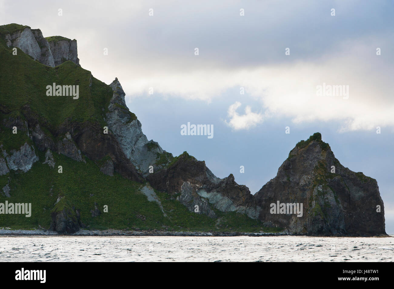 Cape Pankof On Unimak Island In The Pacific Ocean Near The Entrance To False Pass, Also Known As Isanotski Strait; Alaska, USA Stock Photohttps://www.alamy.com/image-license-details/?v=1https://www.alamy.com/stock-photo-cape-pankof-on-unimak-island-in-the-pacific-ocean-near-the-entrance-140336701.html
RFJ48TW1–Cape Pankof On Unimak Island In The Pacific Ocean Near The Entrance To False Pass, Also Known As Isanotski Strait; Alaska, USA
 . English: Shishaldin Volcano, Unimak Island, ca. 1912 . English: Caption on image: Shishaldon Volcano, Alaska PH Coll 247.269 The Shishaldin Volcano is one of the most active volcanoes in the Aleutian arc. It has erupted at least 29 times since 1775. The cone has a base diameter of approximately 10 miles (16 km). The most recent eruptive period occurred in April-May 1999. Subjects (LCTGM): Shishaldin Volcano (Alaska); Volcanoes--Alaska; Unimak Island (Alaska) . circa 1912 74 Shishaldin Volcano, Unimak Island, ca 1912 (THWAITES 217) Stock Photohttps://www.alamy.com/image-license-details/?v=1https://www.alamy.com/english-shishaldin-volcano-unimak-island-ca-1912-english-caption-on-image-shishaldon-volcano-alaska-ph-coll-247269-the-shishaldin-volcano-is-one-of-the-most-active-volcanoes-in-the-aleutian-arc-it-has-erupted-at-least-29-times-since-1775-the-cone-has-a-base-diameter-of-approximately-10-miles-16-km-the-most-recent-eruptive-period-occurred-in-april-may-1999-subjects-lctgm-shishaldin-volcano-alaska-volcanoes-alaska-unimak-island-alaska-circa-1912-74-shishaldin-volcano-unimak-island-ca-1912-thwaites-217-image210526138.html
RMP6E86J–. English: Shishaldin Volcano, Unimak Island, ca. 1912 . English: Caption on image: Shishaldon Volcano, Alaska PH Coll 247.269 The Shishaldin Volcano is one of the most active volcanoes in the Aleutian arc. It has erupted at least 29 times since 1775. The cone has a base diameter of approximately 10 miles (16 km). The most recent eruptive period occurred in April-May 1999. Subjects (LCTGM): Shishaldin Volcano (Alaska); Volcanoes--Alaska; Unimak Island (Alaska) . circa 1912 74 Shishaldin Volcano, Unimak Island, ca 1912 (THWAITES 217)
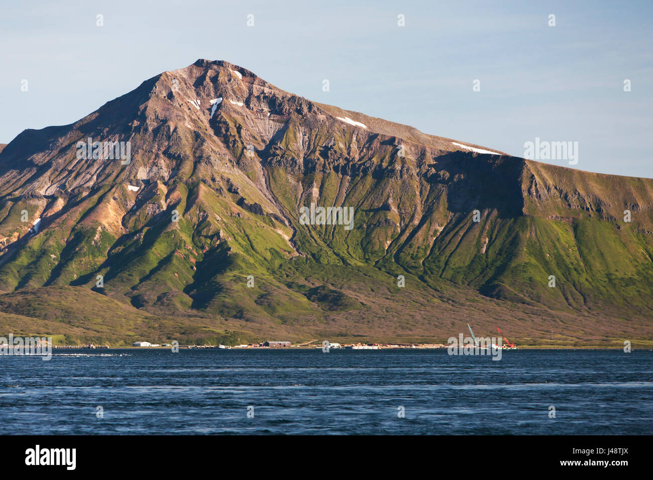 The Town Of False Pass On Unimak Island; Southwest Alaska, United States Of America Stock Photohttps://www.alamy.com/image-license-details/?v=1https://www.alamy.com/stock-photo-the-town-of-false-pass-on-unimak-island-southwest-alaska-united-states-140336530.html
RFJ48TJX–The Town Of False Pass On Unimak Island; Southwest Alaska, United States Of America
 Unimak Island in the Bering Sea, belonging to United States, cropped to square on a topographic, OSM Humanitarian style map Stock Photohttps://www.alamy.com/image-license-details/?v=1https://www.alamy.com/unimak-island-in-the-bering-sea-belonging-to-united-states-cropped-to-square-on-a-topographic-osm-humanitarian-style-map-image620395977.html
RF2Y19DB5–Unimak Island in the Bering Sea, belonging to United States, cropped to square on a topographic, OSM Humanitarian style map
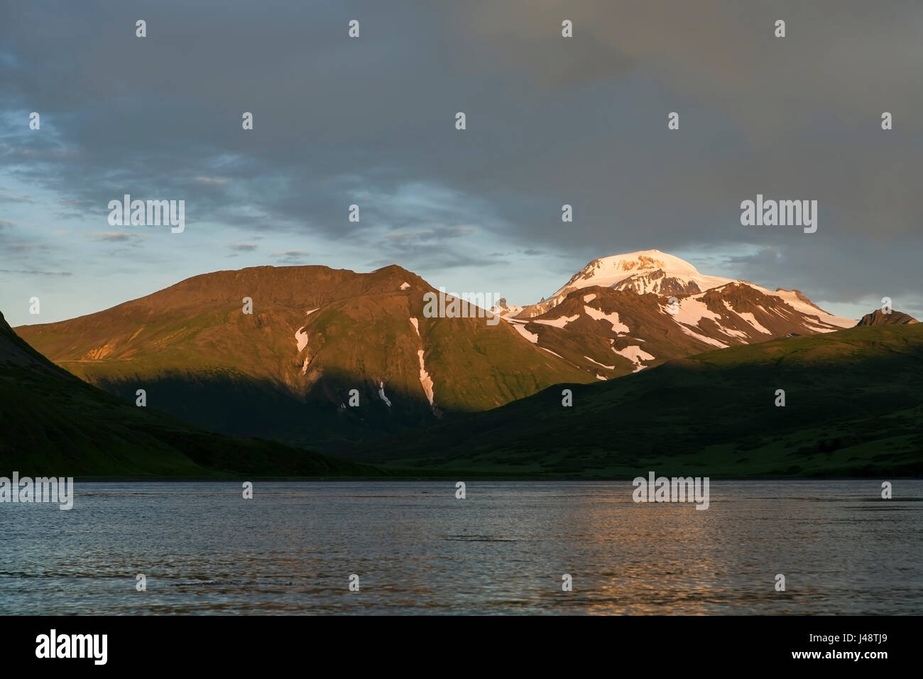 Roundtop Mountain On Unimak Island, Near False Pass; Alaska, United States Of America Stock Photohttps://www.alamy.com/image-license-details/?v=1https://www.alamy.com/stock-photo-roundtop-mountain-on-unimak-island-near-false-pass-alaska-united-states-140336513.html
RFJ48TJ9–Roundtop Mountain On Unimak Island, Near False Pass; Alaska, United States Of America
 Salmon Fishing In Front Of Cape Pankoff On Unimak Island; Alaska, United States Of America Stock Photohttps://www.alamy.com/image-license-details/?v=1https://www.alamy.com/stock-photo-salmon-fishing-in-front-of-cape-pankoff-on-unimak-island-alaska-united-140336684.html
RFJ48TTC–Salmon Fishing In Front Of Cape Pankoff On Unimak Island; Alaska, United States Of America
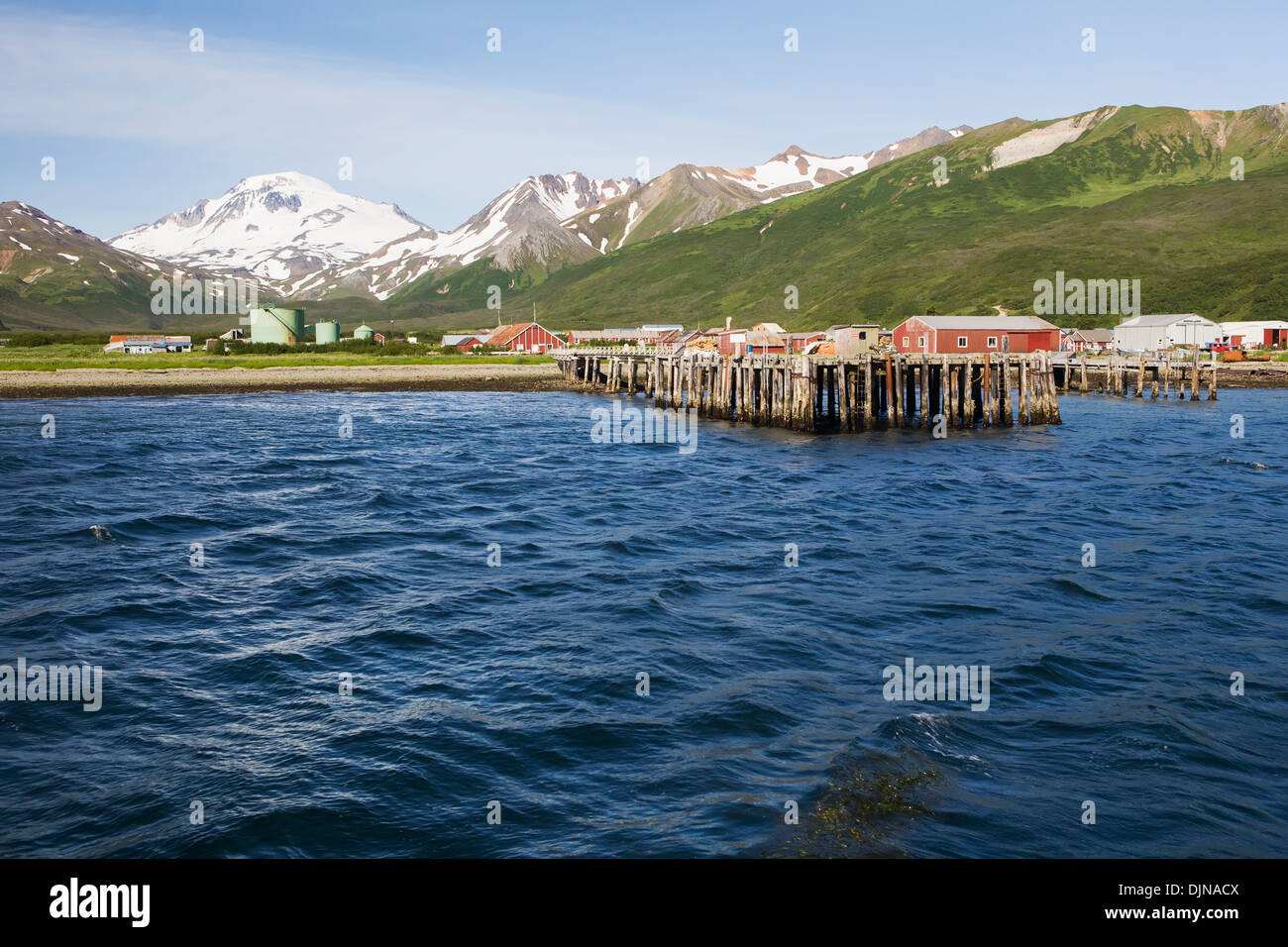 The Town Of False Pass On Unimak Island, The First Of The Aleutian Island Chain, Southwest Alaska, Summer. Stock Photohttps://www.alamy.com/image-license-details/?v=1https://www.alamy.com/the-town-of-false-pass-on-unimak-island-the-first-of-the-aleutian-image63164106.html
RMDJNACX–The Town Of False Pass On Unimak Island, The First Of The Aleutian Island Chain, Southwest Alaska, Summer.
 The Eastern Bering Sea Shelf : oceanography and resources / edited by Donald W. Hood and John A. Calder . easternberingsea00hood Year: 1981 . r^^^ 170° 166' 160 156° 166 164' 156' Figure 51-3. Distribution of sea otters north of the Alaska Peninsula and Unimak Island (a) in 1970, and (b) in 1976. 842 Stock Photohttps://www.alamy.com/image-license-details/?v=1https://www.alamy.com/the-eastern-bering-sea-shelf-oceanography-and-resources-edited-by-donald-w-hood-and-john-a-calder-easternberingsea00hood-year-1981-r-170-166-160-156-166-164-156-figure-51-3-distribution-of-sea-otters-north-of-the-alaska-peninsula-and-unimak-island-a-in-1970-and-b-in-1976-842-image241015848.html
RMT0364T–The Eastern Bering Sea Shelf : oceanography and resources / edited by Donald W. Hood and John A. Calder . easternberingsea00hood Year: 1981 . r^^^ 170° 166' 160 156° 166 164' 156' Figure 51-3. Distribution of sea otters north of the Alaska Peninsula and Unimak Island (a) in 1970, and (b) in 1976. 842
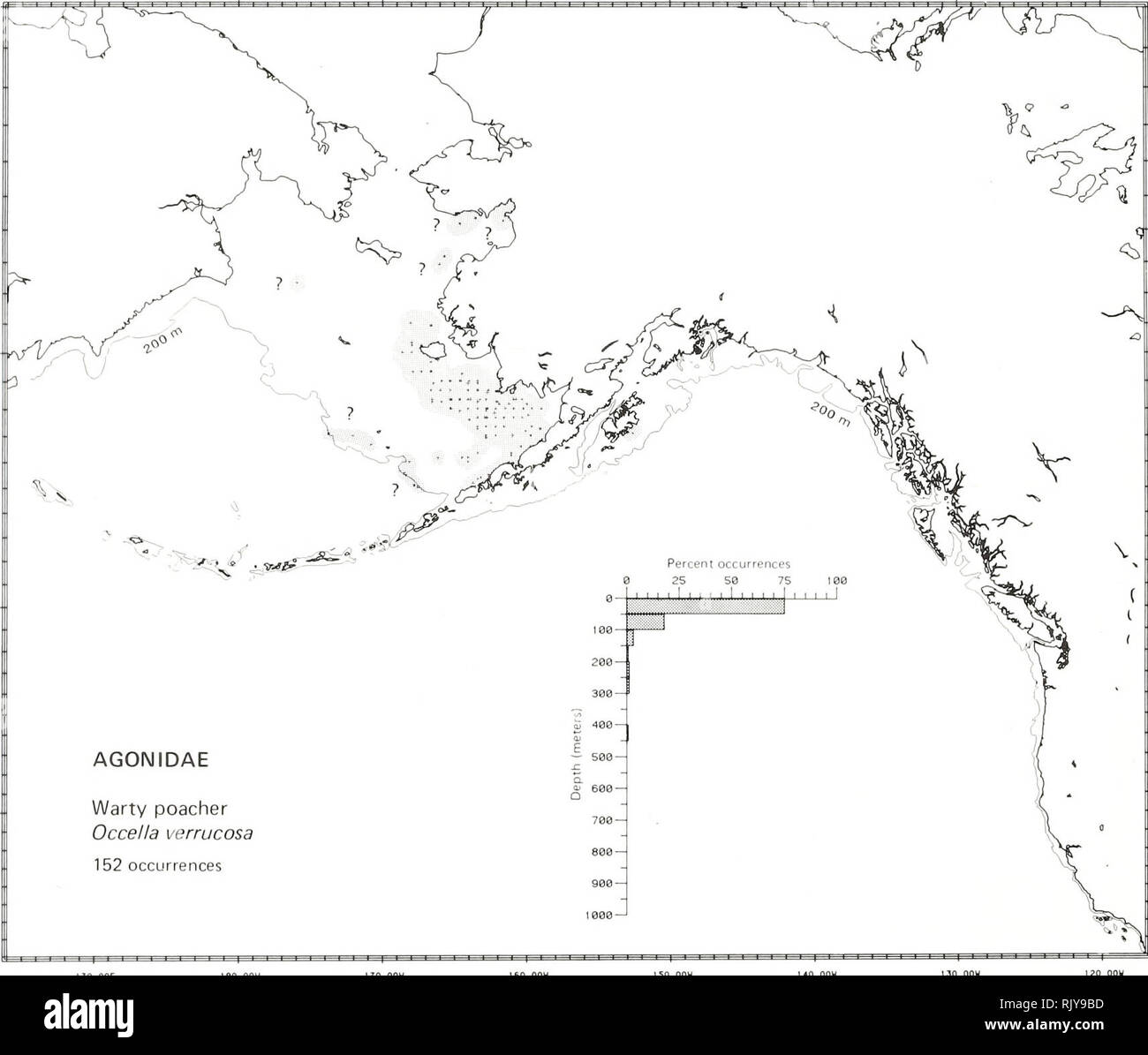 . Atlas and zoogeography of common fishes in the Bering Sea and Northeastern Pacific / M. James Allen, Gary B. Smith. Fishes Bering Sea Geographical distribution.. WARTY POACHER, Occella verrucosa (Lockington 1880) Agonidae: Poachers Literature Reported from Bristol Bay in the southeastern Bering Sea to Point Montara, California (Hart 1973; Eschmeyer and Herald 1983), at depths of 18 to 275 m (Howe 1981; Eschmeyer and Herald 1983). Survey data Found from northern Norton Sound and the northwest eastern Bering Sea, southeast to the Alaska Peninsula and Unimak Island, and east to Kodiak Island, A Stock Photohttps://www.alamy.com/image-license-details/?v=1https://www.alamy.com/atlas-and-zoogeography-of-common-fishes-in-the-bering-sea-and-northeastern-pacific-m-james-allen-gary-b-smith-fishes-bering-sea-geographical-distribution-warty-poacher-occella-verrucosa-lockington-1880-agonidae-poachers-literature-reported-from-bristol-bay-in-the-southeastern-bering-sea-to-point-montara-california-hart-1973-eschmeyer-and-herald-1983-at-depths-of-18-to-275-m-howe-1981-eschmeyer-and-herald-1983-survey-data-found-from-northern-norton-sound-and-the-northwest-eastern-bering-sea-southeast-to-the-alaska-peninsula-and-unimak-island-and-east-to-kodiak-island-a-image235398673.html
RMRJY9BD–. Atlas and zoogeography of common fishes in the Bering Sea and Northeastern Pacific / M. James Allen, Gary B. Smith. Fishes Bering Sea Geographical distribution.. WARTY POACHER, Occella verrucosa (Lockington 1880) Agonidae: Poachers Literature Reported from Bristol Bay in the southeastern Bering Sea to Point Montara, California (Hart 1973; Eschmeyer and Herald 1983), at depths of 18 to 275 m (Howe 1981; Eschmeyer and Herald 1983). Survey data Found from northern Norton Sound and the northwest eastern Bering Sea, southeast to the Alaska Peninsula and Unimak Island, and east to Kodiak Island, A
 . English: Pogromni Volcano, Unimak Island, ca. 1912 . English: Caption on image: Pogrumno Volcano, Bering Sea PH Coll 247.252 Pogromni Volcano is located in the Aleutian Islands. Though four eruptions in the late eighteenth century and early nineteenth century were attributed to Pogromni Volcano, recent observations from aircraft indicate that Pogromni does not appear to have been active in historical time. Subjects (LCTGM): Pogromni Volcano (Alaska); Volcanoes--Alaska; Bering Sea . circa 1912 70 Pogromni Volcano, Unimak Island, ca 1912 (THWAITES 181) Stock Photohttps://www.alamy.com/image-license-details/?v=1https://www.alamy.com/english-pogromni-volcano-unimak-island-ca-1912-english-caption-on-image-pogrumno-volcano-bering-sea-ph-coll-247252-pogromni-volcano-is-located-in-the-aleutian-islands-though-four-eruptions-in-the-late-eighteenth-century-and-early-nineteenth-century-were-attributed-to-pogromni-volcano-recent-observations-from-aircraft-indicate-that-pogromni-does-not-appear-to-have-been-active-in-historical-time-subjects-lctgm-pogromni-volcano-alaska-volcanoes-alaska-bering-sea-circa-1912-70-pogromni-volcano-unimak-island-ca-1912-thwaites-181-image210503042.html
RMP6D6NP–. English: Pogromni Volcano, Unimak Island, ca. 1912 . English: Caption on image: Pogrumno Volcano, Bering Sea PH Coll 247.252 Pogromni Volcano is located in the Aleutian Islands. Though four eruptions in the late eighteenth century and early nineteenth century were attributed to Pogromni Volcano, recent observations from aircraft indicate that Pogromni does not appear to have been active in historical time. Subjects (LCTGM): Pogromni Volcano (Alaska); Volcanoes--Alaska; Bering Sea . circa 1912 70 Pogromni Volcano, Unimak Island, ca 1912 (THWAITES 181)