Quick filters:
United sky miles Stock Photos and Images
 TSA Pre application on the United Airlines Sky Miles Frequent Flyer program phone application; United Safety Card on an airplane tray table. Stock Photohttps://www.alamy.com/image-license-details/?v=1https://www.alamy.com/tsa-pre-application-on-the-united-airlines-sky-miles-frequent-flyer-program-phone-application-united-safety-card-on-an-airplane-tray-table-image334538133.html
RF2AC7EPD–TSA Pre application on the United Airlines Sky Miles Frequent Flyer program phone application; United Safety Card on an airplane tray table.
 17 Miles Drive, Carmel, California, United States of America, North America Stock Photohttps://www.alamy.com/image-license-details/?v=1https://www.alamy.com/17-miles-drive-carmel-california-united-states-of-america-north-america-image68361836.html
RFDY6464–17 Miles Drive, Carmel, California, United States of America, North America
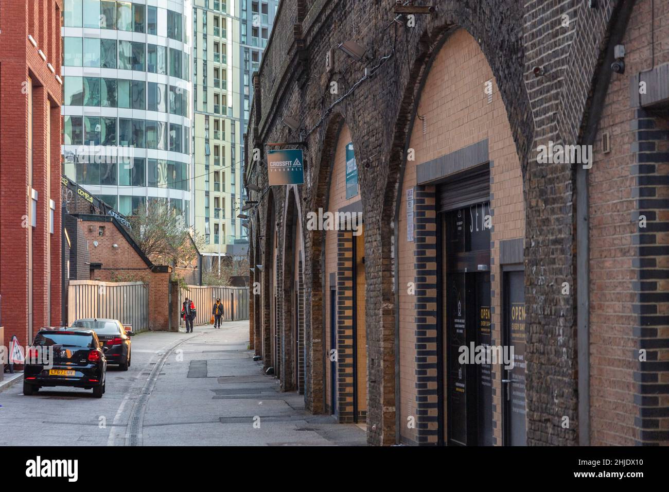 Old railway arches, commercial units & Sky Gardens residential & retail tower, architect: Carey Jones Chapman Tolcher (CJCT), Miles St, Lambeth, SW8 Stock Photohttps://www.alamy.com/image-license-details/?v=1https://www.alamy.com/old-railway-arches-commercial-units-sky-gardens-residential-retail-tower-architect-carey-jones-chapman-tolcher-cjct-miles-st-lambeth-sw8-image458839164.html
RM2HJDX10–Old railway arches, commercial units & Sky Gardens residential & retail tower, architect: Carey Jones Chapman Tolcher (CJCT), Miles St, Lambeth, SW8
 Exterior view of the famous Trails Inn bar in downtown Miles City, Montana, with neon signs illuminated. Stock Photohttps://www.alamy.com/image-license-details/?v=1https://www.alamy.com/stock-photo-exterior-view-of-the-famous-trails-inn-bar-in-downtown-miles-city-175912055.html
RMM65DHB–Exterior view of the famous Trails Inn bar in downtown Miles City, Montana, with neon signs illuminated.
 An old fashioned metal road traffic sign post in Masham, North Yorkshire, England, United Kingdom Stock Photohttps://www.alamy.com/image-license-details/?v=1https://www.alamy.com/an-old-fashioned-metal-road-traffic-sign-post-in-masham-north-yorkshire-england-united-kingdom-image312370610.html
RMS45KW6–An old fashioned metal road traffic sign post in Masham, North Yorkshire, England, United Kingdom
 tourists who are shopping in the picturesque market street in Edinburgh Stock Photohttps://www.alamy.com/image-license-details/?v=1https://www.alamy.com/stock-photo-tourists-who-are-shopping-in-the-picturesque-market-street-in-edinburgh-51288287.html
RMCYCAMF–tourists who are shopping in the picturesque market street in Edinburgh
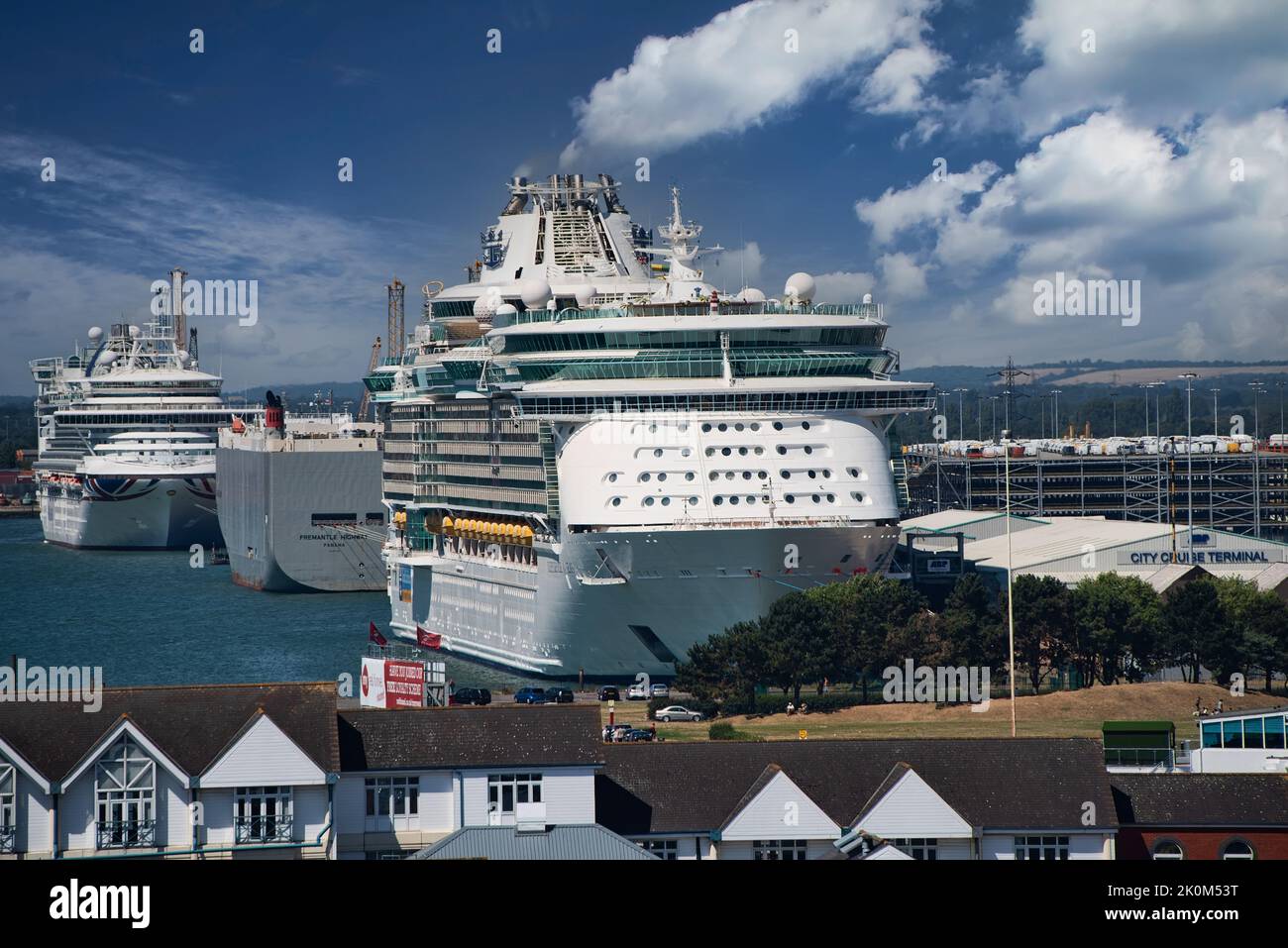 Southampton, United Kingdom - August 5, 2018: Southampton Cruise Ship Terminal, approximately 80 miles from London, are all run by the port authority Stock Photohttps://www.alamy.com/image-license-details/?v=1https://www.alamy.com/southampton-united-kingdom-august-5-2018-southampton-cruise-ship-terminal-approximately-80-miles-from-london-are-all-run-by-the-port-authority-image482333372.html
RF2K0M53T–Southampton, United Kingdom - August 5, 2018: Southampton Cruise Ship Terminal, approximately 80 miles from London, are all run by the port authority
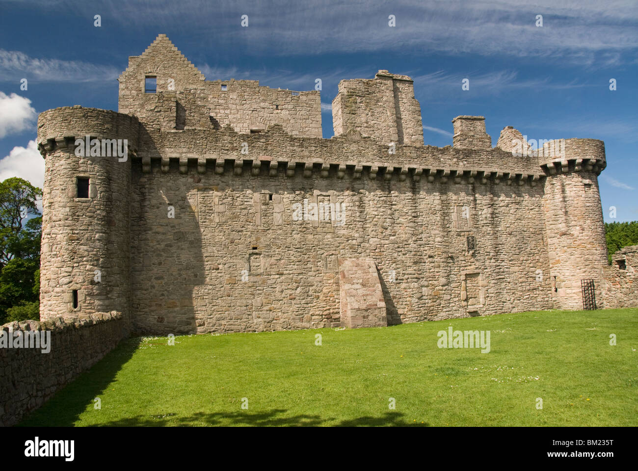 Craigmiller Castle (3 miles southeast of Edinburgh), Scotland, United Kingdom, Europe Stock Photohttps://www.alamy.com/image-license-details/?v=1https://www.alamy.com/stock-photo-craigmiller-castle-3-miles-southeast-of-edinburgh-scotland-united-29549908.html
RMBM235T–Craigmiller Castle (3 miles southeast of Edinburgh), Scotland, United Kingdom, Europe
 WASHINGTON, DC, United States — The United States Capitol Building stands prominently on Capitol Hill, its iconic dome rising between the Senate and House of Representatives wings. This neoclassical masterpiece, home to the U.S. Congress, dominates the Washington, DC skyline and serves as a symbol of American democracy and governance. The building's distinctive silhouette is recognizable from miles around, embodying the legislative heart of the nation. Stock Photohttps://www.alamy.com/image-license-details/?v=1https://www.alamy.com/stock-photo-washington-dc-united-states-the-united-states-capitol-building-stands-24190346.html
RMBB9Y0X–WASHINGTON, DC, United States — The United States Capitol Building stands prominently on Capitol Hill, its iconic dome rising between the Senate and House of Representatives wings. This neoclassical masterpiece, home to the U.S. Congress, dominates the Washington, DC skyline and serves as a symbol of American democracy and governance. The building's distinctive silhouette is recognizable from miles around, embodying the legislative heart of the nation.
 The ship link sculpture by the sculptor Daniel Sodhi-MilesBude beside Bude Canal at Bude in North Cornwall, England. Stock Photohttps://www.alamy.com/image-license-details/?v=1https://www.alamy.com/stock-photo-the-ship-link-sculpture-by-the-sculptor-daniel-sodhi-milesbude-beside-32800942.html
RMBWA5X6–The ship link sculpture by the sculptor Daniel Sodhi-MilesBude beside Bude Canal at Bude in North Cornwall, England.
 MIAMI BEACH, FLORIDA USA - Atlantic Ocean, about 3 miles off of Haulover Cut, north Miami Beach. Stock Photohttps://www.alamy.com/image-license-details/?v=1https://www.alamy.com/stock-photo-miami-beach-florida-usa-atlantic-ocean-about-3-miles-off-of-haulover-22024678.html
RMB7R8KJ–MIAMI BEACH, FLORIDA USA - Atlantic Ocean, about 3 miles off of Haulover Cut, north Miami Beach.
 Miles M.2L Hawk Speed Six 'G-ADGP', Old Warden Airfield, Biggleswade, Bedfordshire, England, UK Stock Photohttps://www.alamy.com/image-license-details/?v=1https://www.alamy.com/miles-m2l-hawk-speed-six-g-adgp-old-warden-airfield-biggleswade-bedfordshire-england-uk-image626105783.html
RM2YAHG8R–Miles M.2L Hawk Speed Six 'G-ADGP', Old Warden Airfield, Biggleswade, Bedfordshire, England, UK
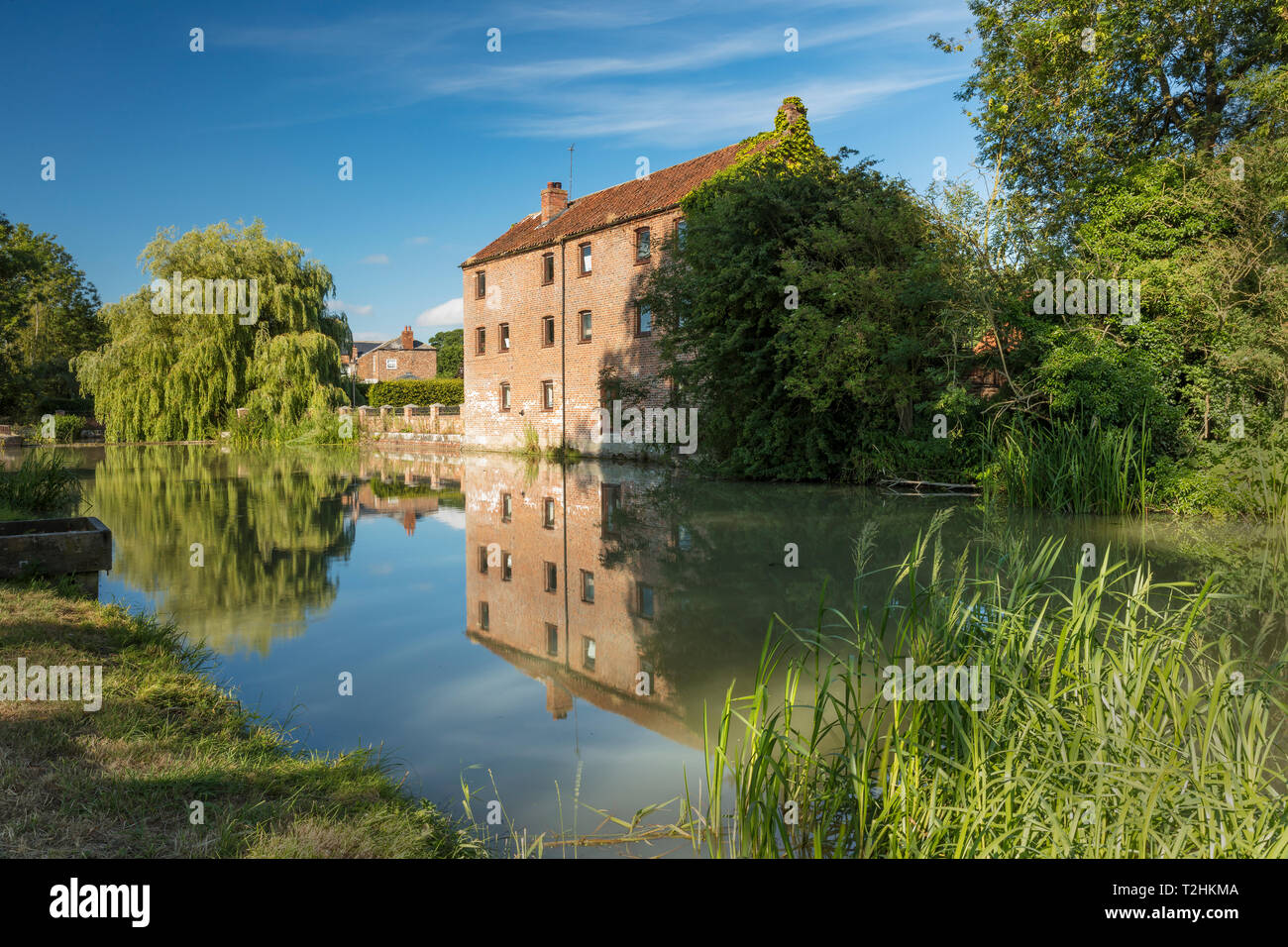 The Pocklington Canal runs for 9.5 miles (15.3 km) in the East Riding of Yorkshire, England, United Kingdom, Europe Stock Photohttps://www.alamy.com/image-license-details/?v=1https://www.alamy.com/the-pocklington-canal-runs-for-95-miles-153-km-in-the-east-riding-of-yorkshire-england-united-kingdom-europe-image242563114.html
RMT2HKMA–The Pocklington Canal runs for 9.5 miles (15.3 km) in the East Riding of Yorkshire, England, United Kingdom, Europe
 A milestone in Hadleigh in suffolk saying X miles to Bury XX miles to Lavenham Stock Photohttps://www.alamy.com/image-license-details/?v=1https://www.alamy.com/stock-photo-a-milestone-in-hadleigh-in-suffolk-saying-x-miles-to-bury-xx-miles-20791001.html
RMB5R33N–A milestone in Hadleigh in suffolk saying X miles to Bury XX miles to Lavenham
 aircraft contrail Stock Photohttps://www.alamy.com/image-license-details/?v=1https://www.alamy.com/aircraft-contrail-image546189930.html
RM2PMH2R6–aircraft contrail
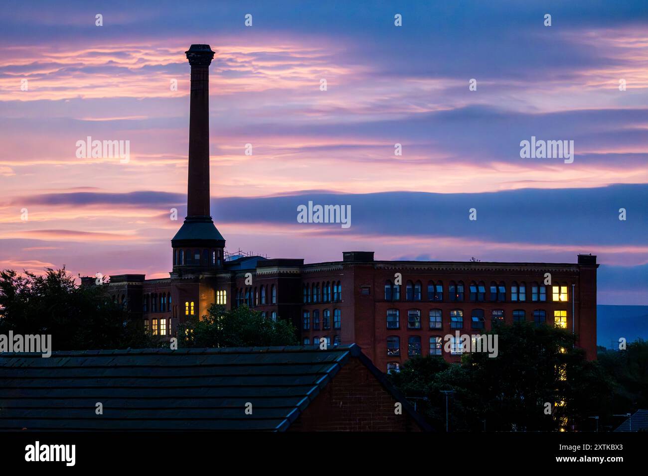 Sunrise over Victoria Mills in Miles Platting - Manchester. Stock Photohttps://www.alamy.com/image-license-details/?v=1https://www.alamy.com/sunrise-over-victoria-mills-in-miles-platting-manchester-image617541067.html
RF2XTKBX3–Sunrise over Victoria Mills in Miles Platting - Manchester.
 The London Eye, London, United Kingdom Stock Photohttps://www.alamy.com/image-license-details/?v=1https://www.alamy.com/the-london-eye-london-united-kingdom-image454128793.html
RF2HAR9WD–The London Eye, London, United Kingdom
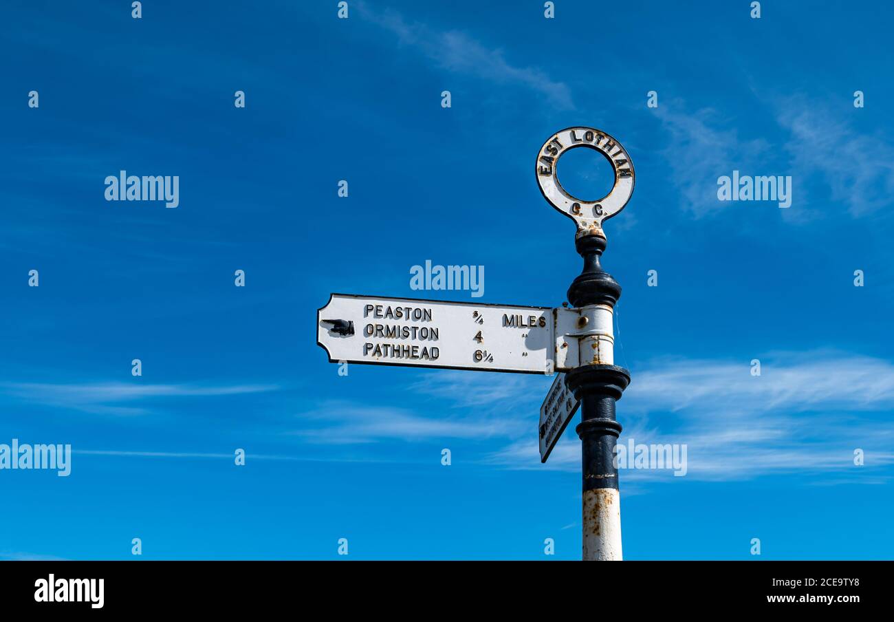 Old fashioned signpost with hand pointing to villages with distances in miles, East Lothian, Scotland, UK Stock Photohttps://www.alamy.com/image-license-details/?v=1https://www.alamy.com/old-fashioned-signpost-with-hand-pointing-to-villages-with-distances-in-miles-east-lothian-scotland-uk-image370240060.html
RM2CE9TY8–Old fashioned signpost with hand pointing to villages with distances in miles, East Lothian, Scotland, UK
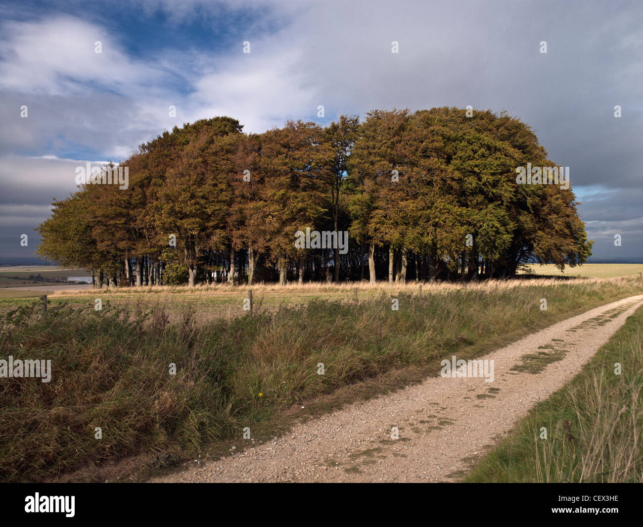 The Ridgeway National Trail covers 87 miles from Avebury in Wiltshire to Ininghoe Beacon in Buckinghamshire. Stock Photohttps://www.alamy.com/image-license-details/?v=1https://www.alamy.com/stock-photo-the-ridgeway-national-trail-covers-87-miles-from-avebury-in-wiltshire-43599514.html
RMCEX3HE–The Ridgeway National Trail covers 87 miles from Avebury in Wiltshire to Ininghoe Beacon in Buckinghamshire.
 TSA Pre application on the United Airlines Sky Miles Frequent Flyer program phone application; United Safety Card on an airplane tray table. Stock Photohttps://www.alamy.com/image-license-details/?v=1https://www.alamy.com/tsa-pre-application-on-the-united-airlines-sky-miles-frequent-flyer-program-phone-application-united-safety-card-on-an-airplane-tray-table-image334538242.html
RF2AC7EXA–TSA Pre application on the United Airlines Sky Miles Frequent Flyer program phone application; United Safety Card on an airplane tray table.
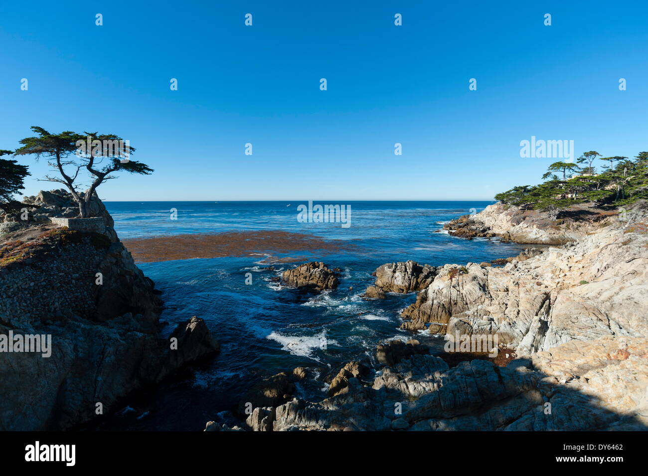 Pebble beach, 17 Miles Drive, Carmel, California, United States of America, North America Stock Photohttps://www.alamy.com/image-license-details/?v=1https://www.alamy.com/pebble-beach-17-miles-drive-carmel-california-united-states-of-america-image68361834.html
RFDY6462–Pebble beach, 17 Miles Drive, Carmel, California, United States of America, North America
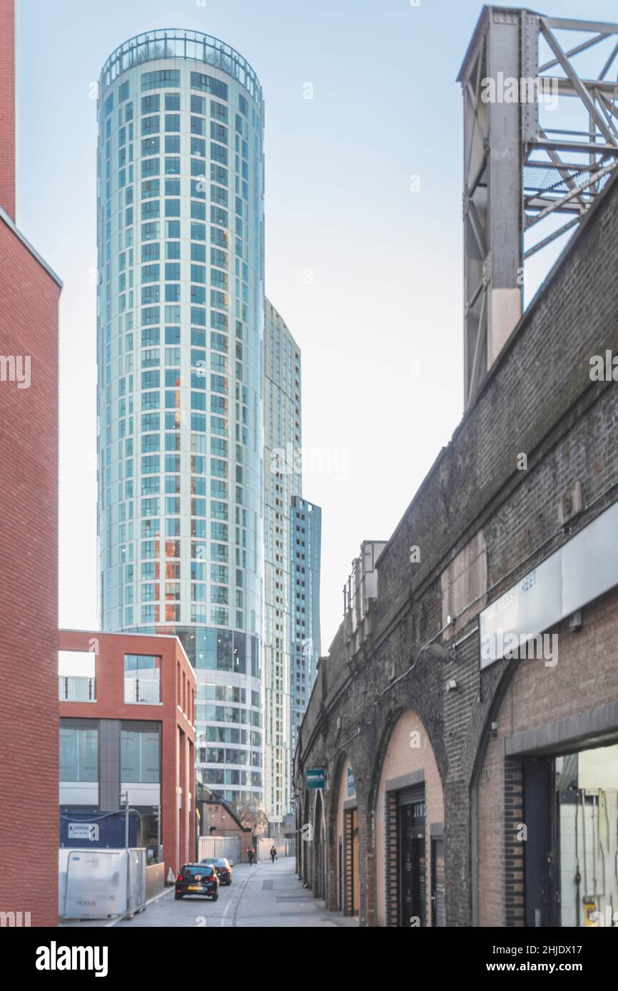 Old railway arches, commercial units & Sky Gardens, residential & retail tower, architect: Carey Jones Chapman Tolcher (CJCT), Miles St, Lambeth, SW8 Stock Photohttps://www.alamy.com/image-license-details/?v=1https://www.alamy.com/old-railway-arches-commercial-units-sky-gardens-residential-retail-tower-architect-carey-jones-chapman-tolcher-cjct-miles-st-lambeth-sw8-image458839171.html
RM2HJDX17–Old railway arches, commercial units & Sky Gardens, residential & retail tower, architect: Carey Jones Chapman Tolcher (CJCT), Miles St, Lambeth, SW8
 Clouds at sunrise on Eider oilfield, 60 miles northeast of the Shetlands, Scotland, UK. February 2013. Stock Photohttps://www.alamy.com/image-license-details/?v=1https://www.alamy.com/clouds-at-sunrise-on-eider-oilfield-60-miles-northeast-of-the-shetlands-image156381549.html
RMK2BP79–Clouds at sunrise on Eider oilfield, 60 miles northeast of the Shetlands, Scotland, UK. February 2013.
 Silhouette of a Hiker on a Cliff Stock Photohttps://www.alamy.com/image-license-details/?v=1https://www.alamy.com/silhouette-of-a-hiker-on-a-cliff-image619385585.html
RF2XYKCHN–Silhouette of a Hiker on a Cliff
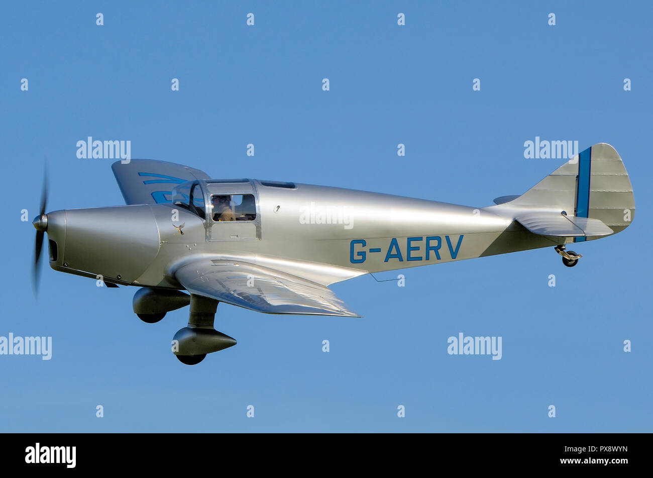 Miles M11A Whitney Straight plane G-AERV flying at an airshow. 1930s low wing monoplane touring airplane in blue sky Stock Photohttps://www.alamy.com/image-license-details/?v=1https://www.alamy.com/miles-m11a-whitney-straight-plane-g-aerv-flying-at-an-airshow-1930s-low-wing-monoplane-touring-airplane-in-blue-sky-image222701465.html
RMPX8WYN–Miles M11A Whitney Straight plane G-AERV flying at an airshow. 1930s low wing monoplane touring airplane in blue sky
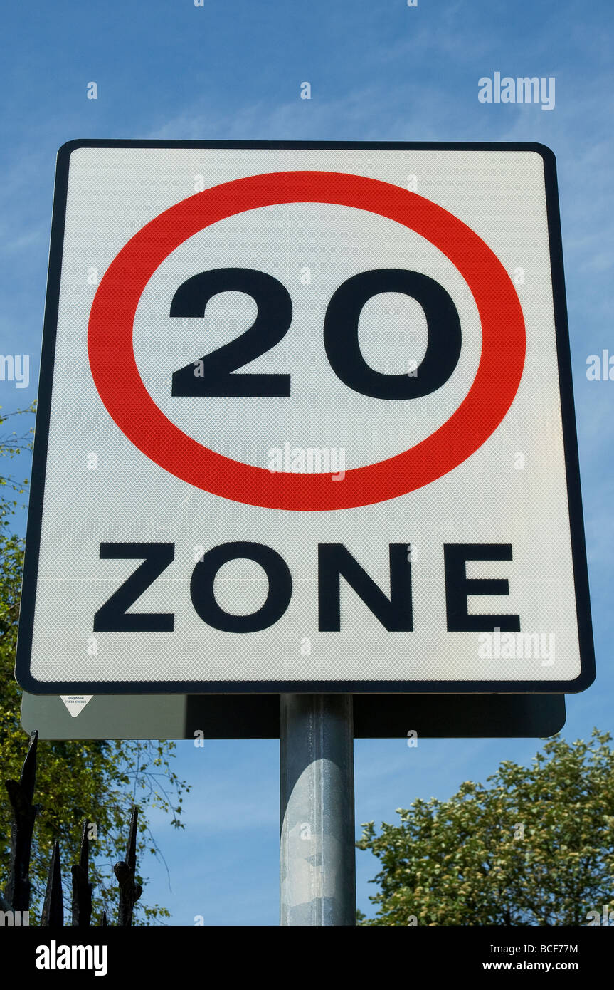 20 miles per hour mph speed limit restriction road sign close up East Yorkshire England UK United Kingdom GB Great Britain Stock Photohttps://www.alamy.com/image-license-details/?v=1https://www.alamy.com/stock-photo-20-miles-per-hour-mph-speed-limit-restriction-road-sign-close-up-east-24921224.html
RMBCF77M–20 miles per hour mph speed limit restriction road sign close up East Yorkshire England UK United Kingdom GB Great Britain
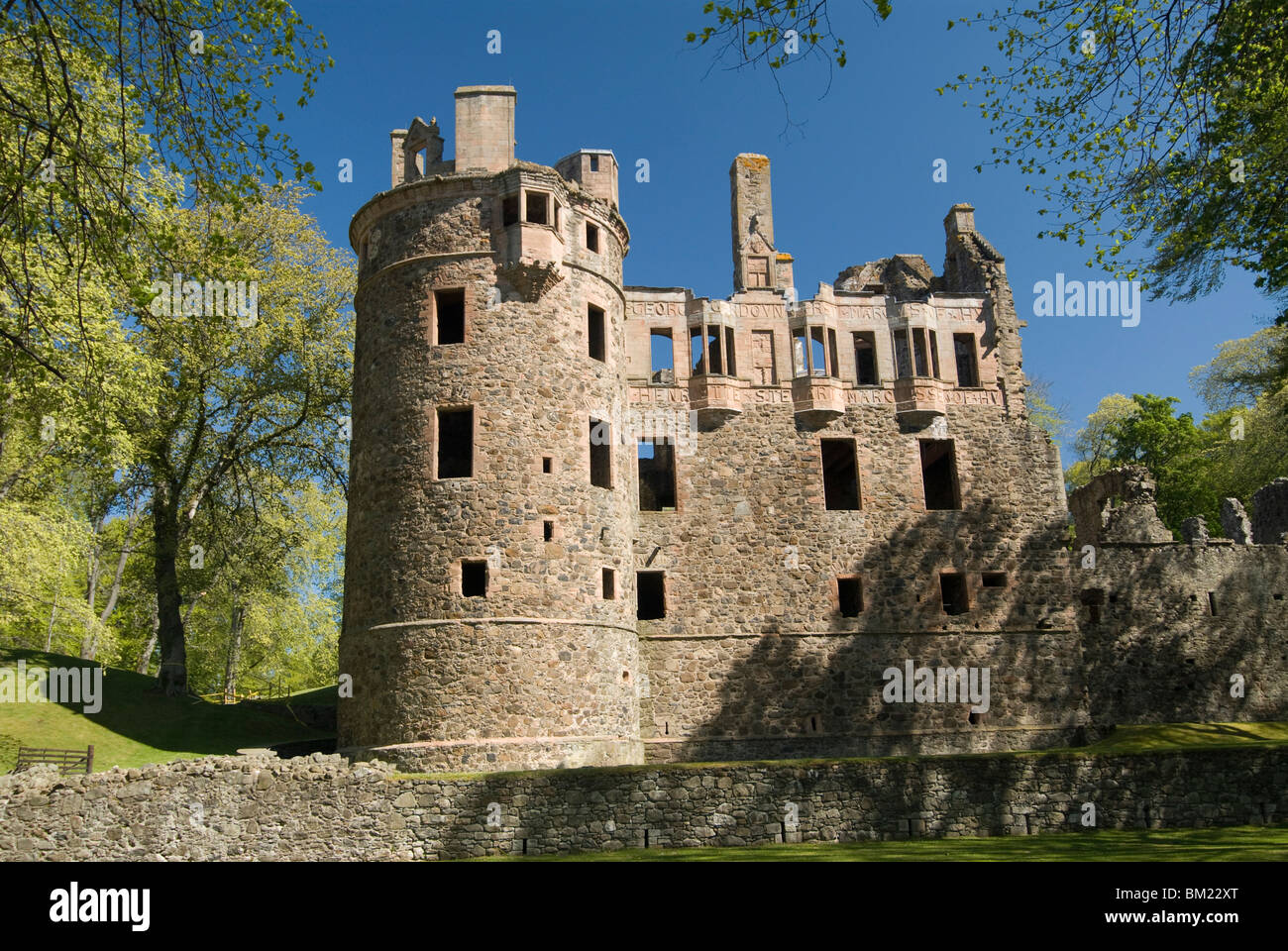 Huntly Castle, Huntly, 10 miles east of Dufftown, Highlands, Scotland, United Kingdom, Europe Stock Photohttps://www.alamy.com/image-license-details/?v=1https://www.alamy.com/stock-photo-huntly-castle-huntly-10-miles-east-of-dufftown-highlands-scotland-29549712.html
RMBM22XT–Huntly Castle, Huntly, 10 miles east of Dufftown, Highlands, Scotland, United Kingdom, Europe
 WASHINGTON, DC, United States — The United States Capitol Building stands prominently on Capitol Hill, its iconic dome rising between the Senate and House of Representatives wings. This neoclassical masterpiece, home to the U.S. Congress, dominates the Washington, DC skyline and serves as a symbol of American democracy and governance. The building's distinctive silhouette is recognizable from miles around, embodying the legislative heart of the nation. Stock Photohttps://www.alamy.com/image-license-details/?v=1https://www.alamy.com/stock-photo-washington-dc-united-states-the-united-states-capitol-building-stands-24190347.html
RMBB9Y0Y–WASHINGTON, DC, United States — The United States Capitol Building stands prominently on Capitol Hill, its iconic dome rising between the Senate and House of Representatives wings. This neoclassical masterpiece, home to the U.S. Congress, dominates the Washington, DC skyline and serves as a symbol of American democracy and governance. The building's distinctive silhouette is recognizable from miles around, embodying the legislative heart of the nation.
 The ship link sculpture by the sculptor Daniel Sodhi-MilesBude beside Bude Canal at Bude in North Cornwall, England. Stock Photohttps://www.alamy.com/image-license-details/?v=1https://www.alamy.com/stock-photo-the-ship-link-sculpture-by-the-sculptor-daniel-sodhi-milesbude-beside-32801082.html
RMBWA636–The ship link sculpture by the sculptor Daniel Sodhi-MilesBude beside Bude Canal at Bude in North Cornwall, England.
 MIAMI BEACH, FLORIDA USA - Atlantic Ocean, about 3 miles off of Haulover Cut, north Miami Beach. Stock Photohttps://www.alamy.com/image-license-details/?v=1https://www.alamy.com/stock-photo-miami-beach-florida-usa-atlantic-ocean-about-3-miles-off-of-haulover-22025188.html
RMB7R99T–MIAMI BEACH, FLORIDA USA - Atlantic Ocean, about 3 miles off of Haulover Cut, north Miami Beach.
 Miles M65 Gemini 1A G-AKHP, Old Warden Airfield, Biggleswade, Bedfordshire, UK Stock Photohttps://www.alamy.com/image-license-details/?v=1https://www.alamy.com/miles-m65-gemini-1a-g-akhp-old-warden-airfield-biggleswade-bedfordshire-uk-image504330480.html
RM2M8E6JT–Miles M65 Gemini 1A G-AKHP, Old Warden Airfield, Biggleswade, Bedfordshire, UK
 London, UK - February 13, 2023: United Airlines Boeing 737 takes off from London Heathrow Airport The plane has a range of 6,340 miles with 177 seats Stock Photohttps://www.alamy.com/image-license-details/?v=1https://www.alamy.com/london-uk-february-13-2023-united-airlines-boeing-737-takes-off-from-london-heathrow-airport-the-plane-has-a-range-of-6340-miles-with-177-seats-image533146848.html
RF2NYAX6T–London, UK - February 13, 2023: United Airlines Boeing 737 takes off from London Heathrow Airport The plane has a range of 6,340 miles with 177 seats
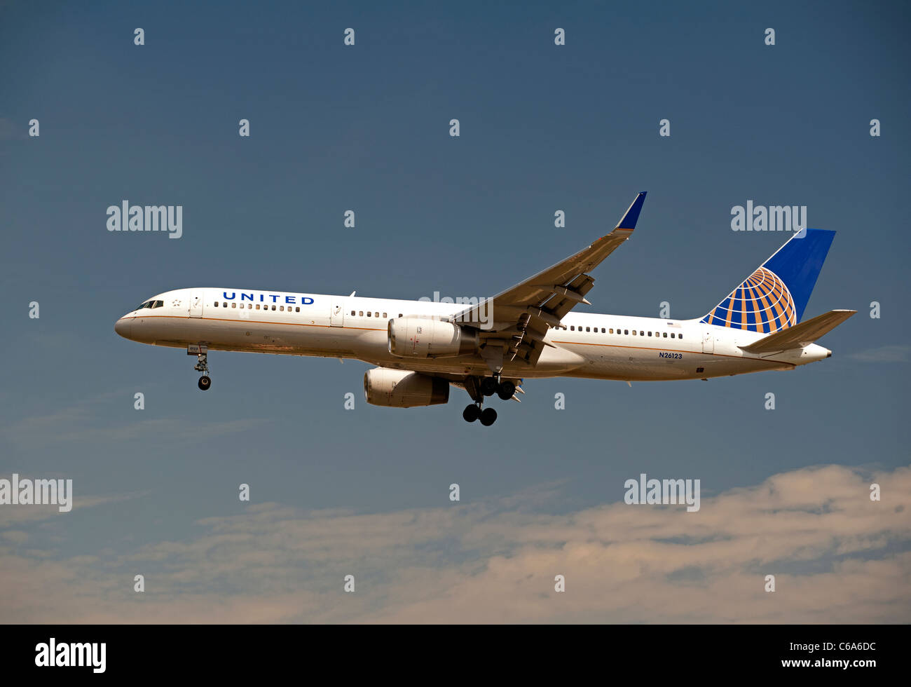 United Airlines (Continental Airlines) Boeing 757-224 approaching London Heathrow airport LHR. SCO 7565 Stock Photohttps://www.alamy.com/image-license-details/?v=1https://www.alamy.com/stock-photo-united-airlines-continental-airlines-boeing-757-224-approaching-london-38333272.html
RMC6A6DC–United Airlines (Continental Airlines) Boeing 757-224 approaching London Heathrow airport LHR. SCO 7565
 clouds Stock Photohttps://www.alamy.com/image-license-details/?v=1https://www.alamy.com/clouds-image546190006.html
RM2PMH2WX–clouds
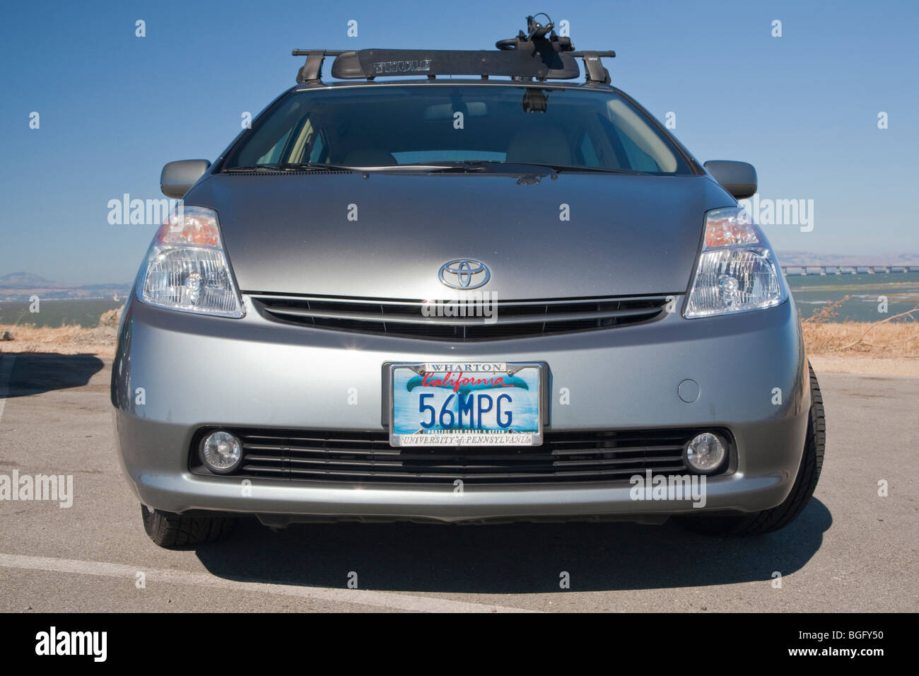 Kendrick Li's 2004 Toyota Prius has a '56 MPG' (56 miles per gallon) custom license plate. Stock Photohttps://www.alamy.com/image-license-details/?v=1https://www.alamy.com/stock-photo-kendrick-lis-2004-toyota-prius-has-a-56-mpg-56-miles-per-gallon-custom-27395452.html
RMBGFY50–Kendrick Li's 2004 Toyota Prius has a '56 MPG' (56 miles per gallon) custom license plate.
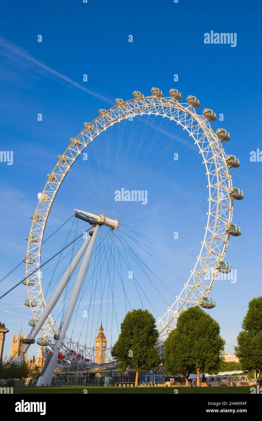 The London Eye, London, United Kingdom Stock Photohttps://www.alamy.com/image-license-details/?v=1https://www.alamy.com/the-london-eye-london-united-kingdom-image454128823.html
RF2HAR9XF–The London Eye, London, United Kingdom
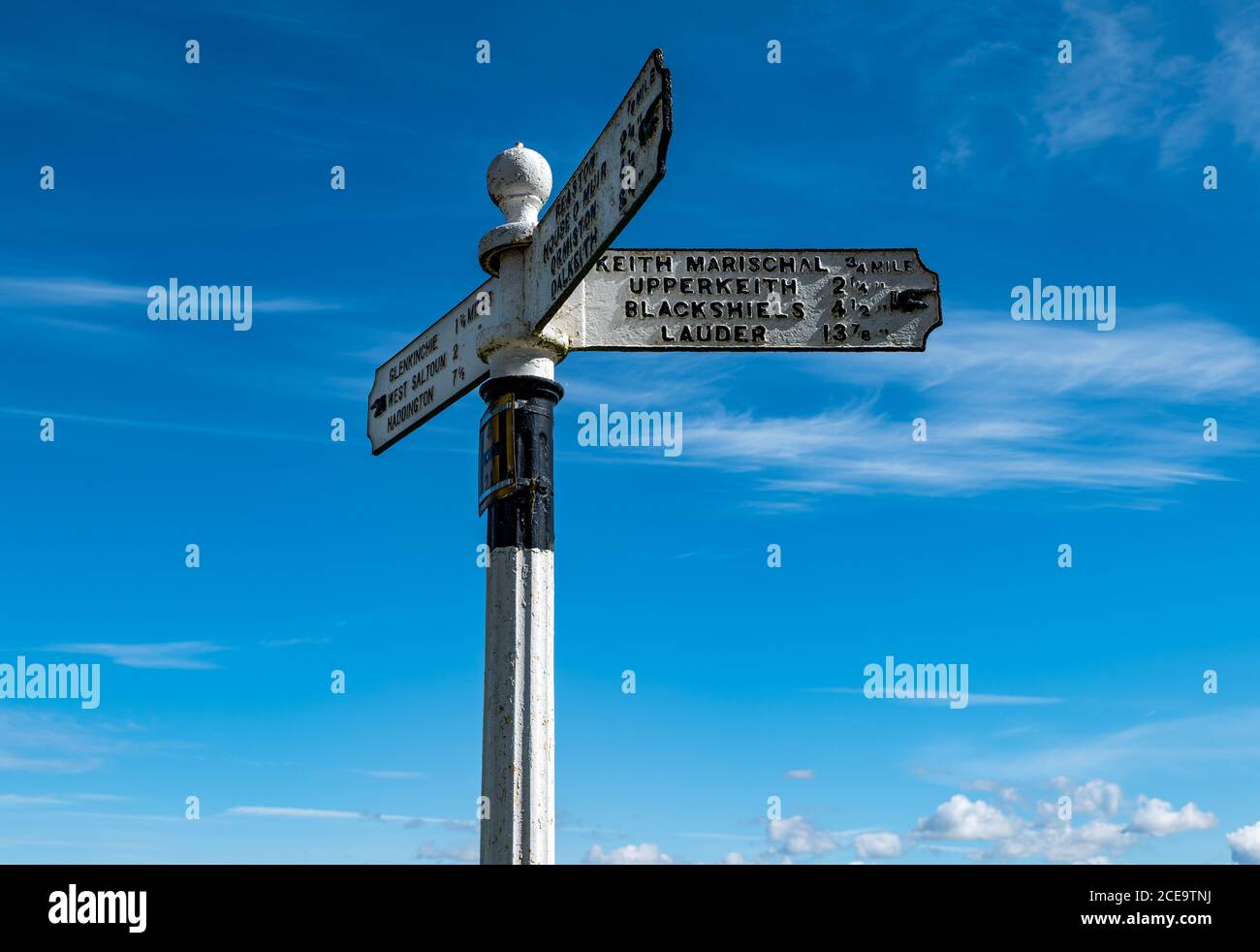 Old fashioned signpost with hand pointing to villages with distances in miles, East Lothian, Scotland, UK Stock Photohttps://www.alamy.com/image-license-details/?v=1https://www.alamy.com/old-fashioned-signpost-with-hand-pointing-to-villages-with-distances-in-miles-east-lothian-scotland-uk-image370239902.html
RM2CE9TNJ–Old fashioned signpost with hand pointing to villages with distances in miles, East Lothian, Scotland, UK
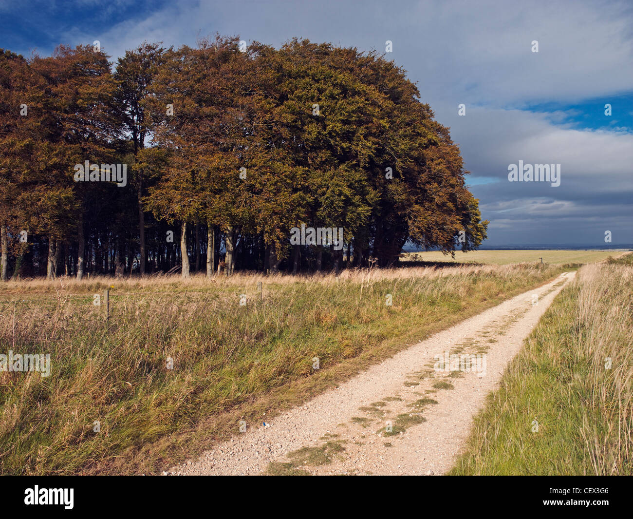 The Ridgeway National Trail covers 87 miles from Avebury in Wiltshire to Ininghoe Beacon in Buckinghamshire. Stock Photohttps://www.alamy.com/image-license-details/?v=1https://www.alamy.com/stock-photo-the-ridgeway-national-trail-covers-87-miles-from-avebury-in-wiltshire-43599478.html
RMCEX3G6–The Ridgeway National Trail covers 87 miles from Avebury in Wiltshire to Ininghoe Beacon in Buckinghamshire.
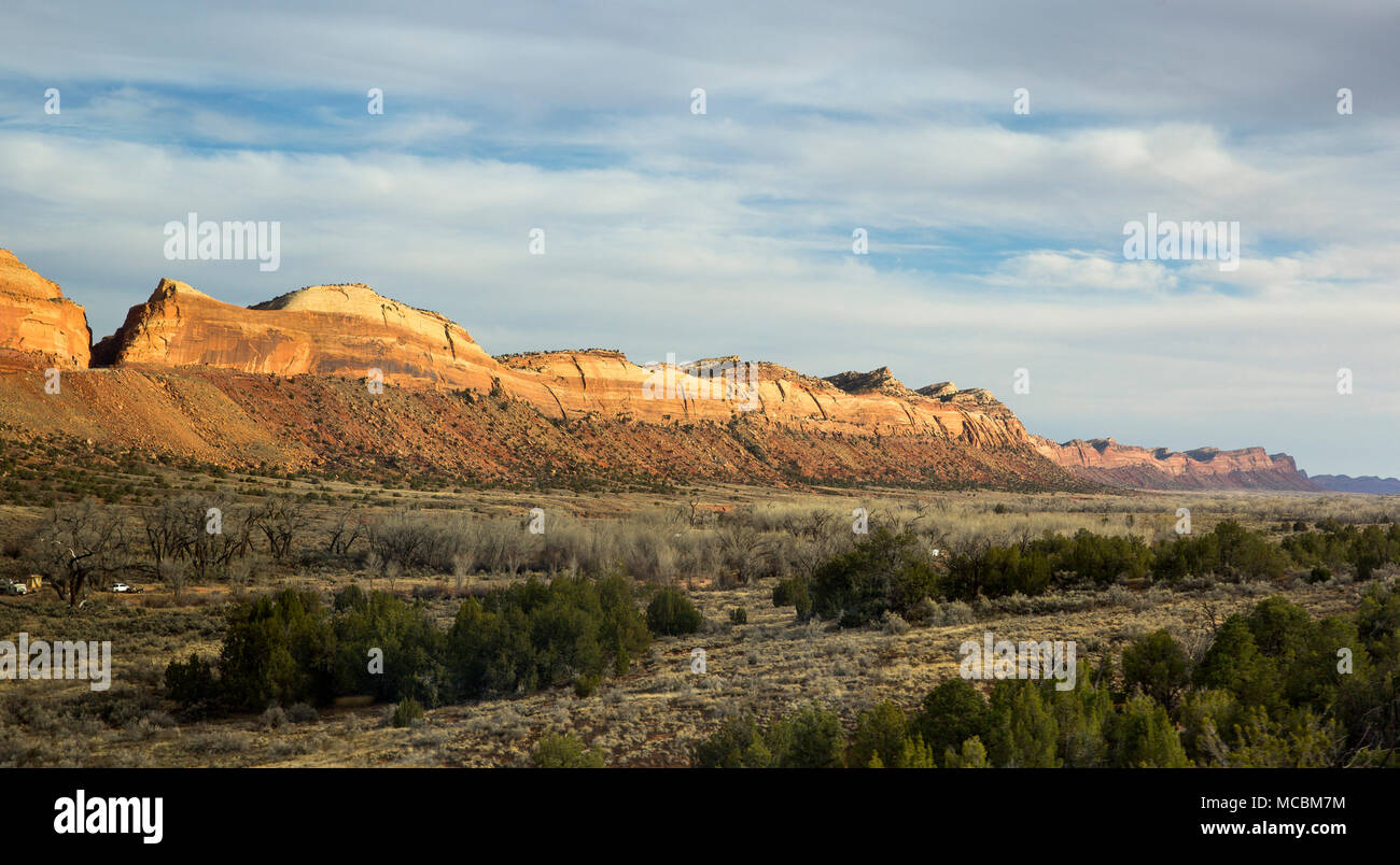 Comb Ridge is a linear north to south trending monocline nearly 80 miles long in southeast Utah, United States Stock Photohttps://www.alamy.com/image-license-details/?v=1https://www.alamy.com/comb-ridge-is-a-linear-north-to-south-trending-monocline-nearly-80-miles-long-in-southeast-utah-united-states-image179736920.html
RFMCBM7M–Comb Ridge is a linear north to south trending monocline nearly 80 miles long in southeast Utah, United States
 Pebble beach, 17 Miles Drive, Carmel, California, United States of America, North America Stock Photohttps://www.alamy.com/image-license-details/?v=1https://www.alamy.com/pebble-beach-17-miles-drive-carmel-california-united-states-of-america-image68361835.html
RFDY6463–Pebble beach, 17 Miles Drive, Carmel, California, United States of America, North America
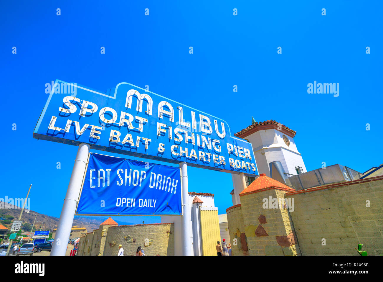 Malibu, California, United States - August 7, 2018: historic Malibu Pier Sign, one of the longest piers in California, on Pacific Coast Highway, 11 miles west of Santa Monica. Sunny day, blue sky. Stock Photohttps://www.alamy.com/image-license-details/?v=1https://www.alamy.com/malibu-california-united-states-august-7-2018-historic-malibu-pier-sign-one-of-the-longest-piers-in-california-on-pacific-coast-highway-11-miles-west-of-santa-monica-sunny-day-blue-sky-image224927438.html
RFR1X96P–Malibu, California, United States - August 7, 2018: historic Malibu Pier Sign, one of the longest piers in California, on Pacific Coast Highway, 11 miles west of Santa Monica. Sunny day, blue sky.
 Route 66, historic highway that runs from Chicago, Illinois, covering over 2,400 miles, to Los Angeles, California Stock Photohttps://www.alamy.com/image-license-details/?v=1https://www.alamy.com/route-66-historic-highway-that-runs-from-chicago-illinois-covering-over-2400-miles-to-los-angeles-california-image431871725.html
RM2G2HCP5–Route 66, historic highway that runs from Chicago, Illinois, covering over 2,400 miles, to Los Angeles, California
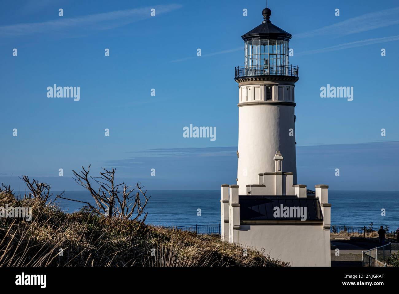 WA23025-00...WASHINGTON - North Head Lighthouse located 2 miles north of the Columbia River entrance in Cape Disappointment State Park. Stock Photohttps://www.alamy.com/image-license-details/?v=1https://www.alamy.com/wa23025-00washington-north-head-lighthouse-located-2-miles-north-of-the-columbia-river-entrance-in-cape-disappointment-state-park-image527744407.html
RM2NJGRAF–WA23025-00...WASHINGTON - North Head Lighthouse located 2 miles north of the Columbia River entrance in Cape Disappointment State Park.
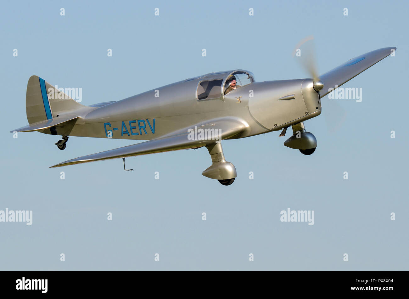 Miles M11A Whitney Straight plane G-AERV flying at an airshow. 1930s low wing monoplane touring airplane in blue sky Stock Photohttps://www.alamy.com/image-license-details/?v=1https://www.alamy.com/miles-m11a-whitney-straight-plane-g-aerv-flying-at-an-airshow-1930s-low-wing-monoplane-touring-airplane-in-blue-sky-image222701476.html
RMPX8X04–Miles M11A Whitney Straight plane G-AERV flying at an airshow. 1930s low wing monoplane touring airplane in blue sky
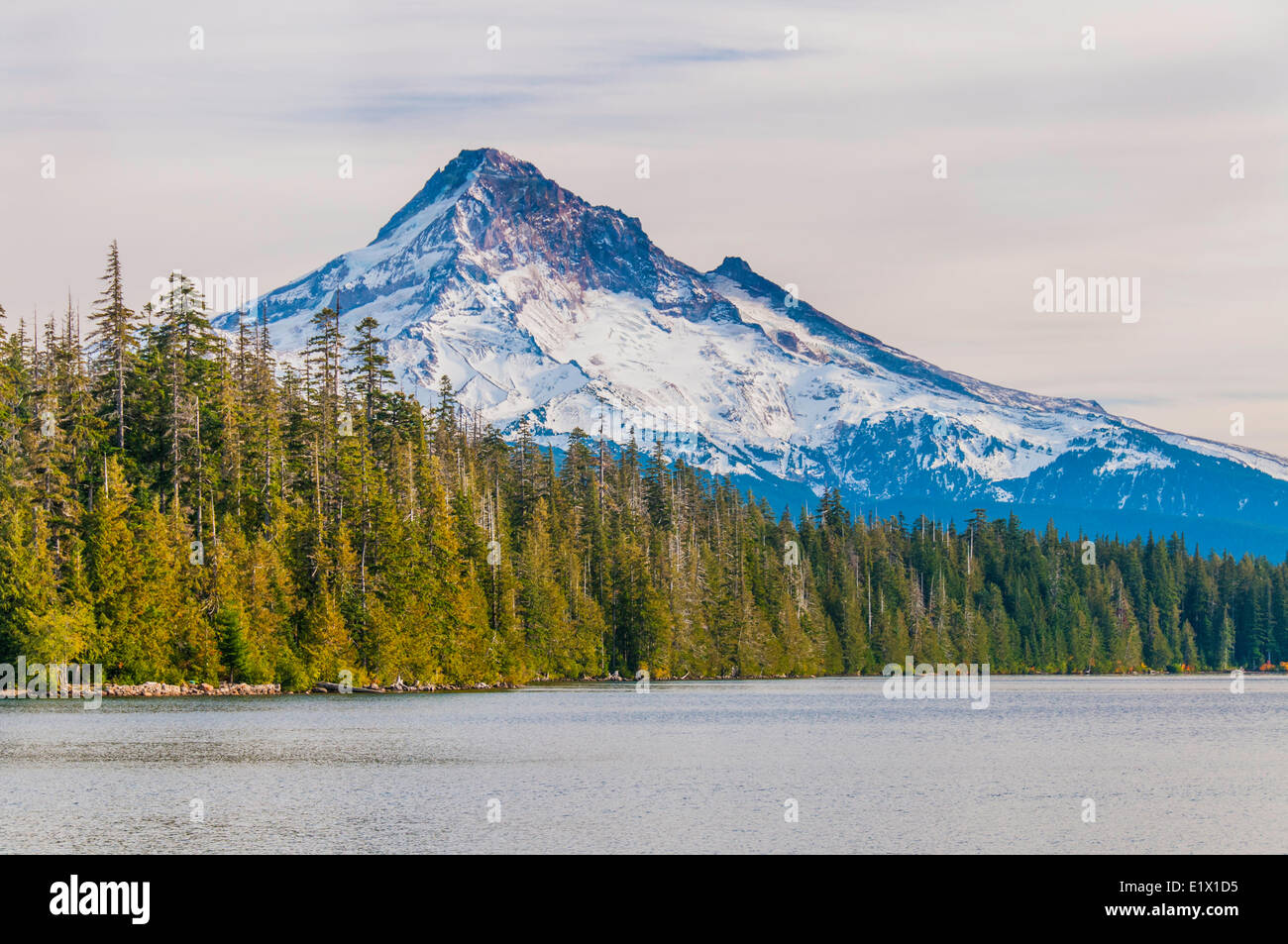 Trillium Lake is a lake situated 7.5 miles (12.1 km) south-southwest Mount Hood in the U.S. state Oregon.View Mount Hood in Stock Photohttps://www.alamy.com/image-license-details/?v=1https://www.alamy.com/stock-photo-trillium-lake-is-a-lake-situated-75-miles-121-km-south-southwest-mount-70028033.html
RME1X1D5–Trillium Lake is a lake situated 7.5 miles (12.1 km) south-southwest Mount Hood in the U.S. state Oregon.View Mount Hood in
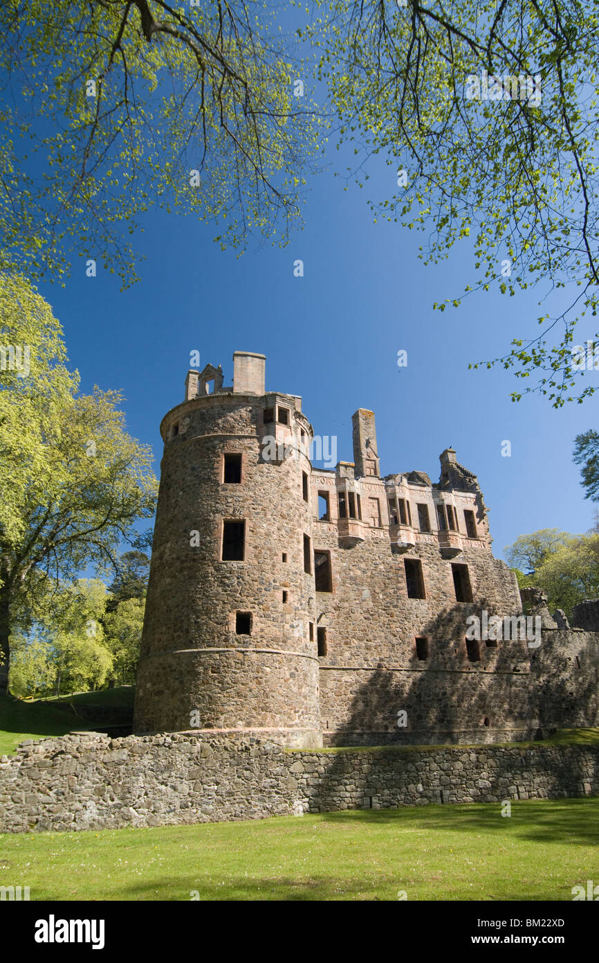 Huntly Castle, Huntly, 10 miles east of Dufftown, Highlands, Scotland, United Kingdom, Europe Stock Photohttps://www.alamy.com/image-license-details/?v=1https://www.alamy.com/stock-photo-huntly-castle-huntly-10-miles-east-of-dufftown-highlands-scotland-29549701.html
RMBM22XD–Huntly Castle, Huntly, 10 miles east of Dufftown, Highlands, Scotland, United Kingdom, Europe
 WASHINGTON, DC, United States — The United States Capitol Building stands prominently on Capitol Hill, its iconic dome rising between the Senate and House of Representatives wings. This neoclassical masterpiece, home to the U.S. Congress, dominates the Washington, DC skyline and serves as a symbol of American democracy and governance. The building's distinctive silhouette is recognizable from miles around, embodying the legislative heart of the nation. Stock Photohttps://www.alamy.com/image-license-details/?v=1https://www.alamy.com/stock-photo-washington-dc-united-states-the-united-states-capitol-building-stands-24190349.html
RMBB9Y11–WASHINGTON, DC, United States — The United States Capitol Building stands prominently on Capitol Hill, its iconic dome rising between the Senate and House of Representatives wings. This neoclassical masterpiece, home to the U.S. Congress, dominates the Washington, DC skyline and serves as a symbol of American democracy and governance. The building's distinctive silhouette is recognizable from miles around, embodying the legislative heart of the nation.
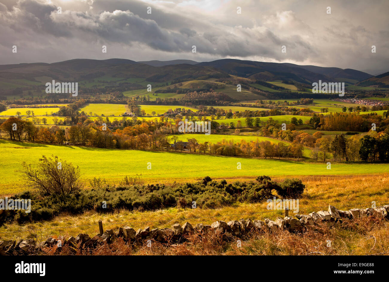 Tweed Valley viewed from Glentress, autumn scenic few miles east of Peebles, Scottish Borders, Scotland, UK Stock Photohttps://www.alamy.com/image-license-details/?v=1https://www.alamy.com/stock-photo-tweed-valley-viewed-from-glentress-autumn-scenic-few-miles-east-of-74735816.html
RME9GE88–Tweed Valley viewed from Glentress, autumn scenic few miles east of Peebles, Scottish Borders, Scotland, UK
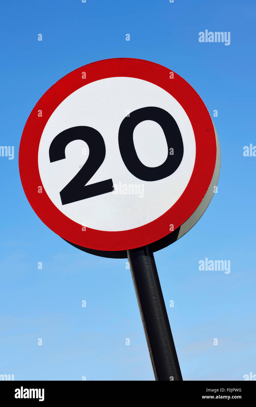 20mph speed limit road sign against blue sky Stock Photohttps://www.alamy.com/image-license-details/?v=1https://www.alamy.com/stock-photo-20mph-speed-limit-road-sign-against-blue-sky-86464940.html
RMF0JPWG–20mph speed limit road sign against blue sky
 Miles M65 Gemini 1A G-AKHP, Old Warden Airfield, Biggleswade, Bedfordshire, UK Stock Photohttps://www.alamy.com/image-license-details/?v=1https://www.alamy.com/miles-m65-gemini-1a-g-akhp-old-warden-airfield-biggleswade-bedfordshire-uk-image504330481.html
RM2M8E6JW–Miles M65 Gemini 1A G-AKHP, Old Warden Airfield, Biggleswade, Bedfordshire, UK
 London, UK - February 13, 2023: United Airlines Boeing 737 takes off from London Heathrow Airport The plane has a range of 6,340 miles with 177 seats Stock Photohttps://www.alamy.com/image-license-details/?v=1https://www.alamy.com/london-uk-february-13-2023-united-airlines-boeing-737-takes-off-from-london-heathrow-airport-the-plane-has-a-range-of-6340-miles-with-177-seats-image533146708.html
RF2NYAX1T–London, UK - February 13, 2023: United Airlines Boeing 737 takes off from London Heathrow Airport The plane has a range of 6,340 miles with 177 seats
 Yellow street sign saying 25 Miles Per House Stock Photohttps://www.alamy.com/image-license-details/?v=1https://www.alamy.com/stock-photo-yellow-street-sign-saying-25-miles-per-house-80022862.html
RFEJ59YA–Yellow street sign saying 25 Miles Per House
 clouds Stock Photohttps://www.alamy.com/image-license-details/?v=1https://www.alamy.com/clouds-image546190025.html
RM2PMH2XH–clouds
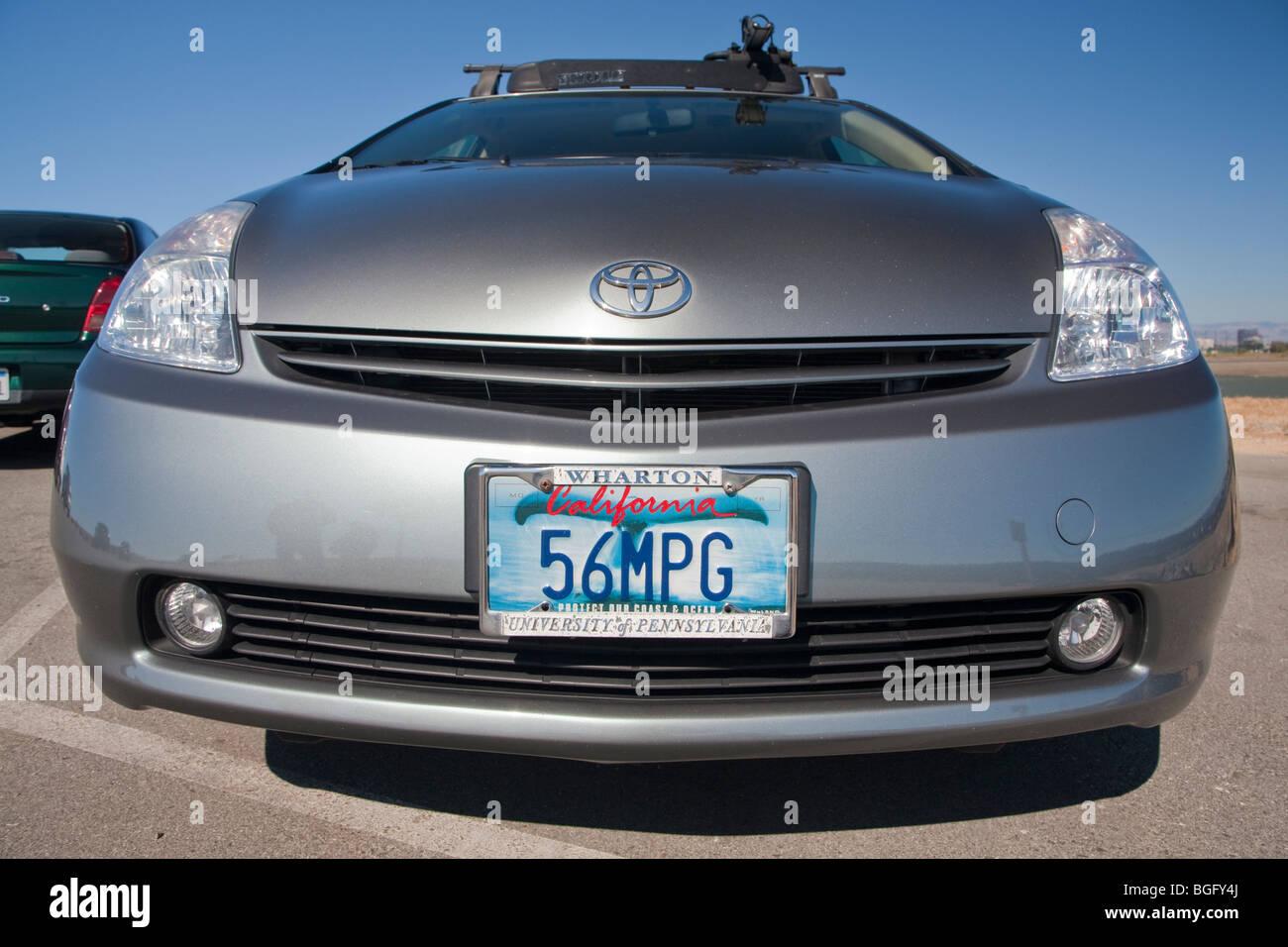 Front view of Kendrick Li's 2004 Toyota Prius has a '56 MPG' (56 miles per gallon) custom license plate. Stock Photohttps://www.alamy.com/image-license-details/?v=1https://www.alamy.com/stock-photo-front-view-of-kendrick-lis-2004-toyota-prius-has-a-56-mpg-56-miles-27395442.html
RMBGFY4J–Front view of Kendrick Li's 2004 Toyota Prius has a '56 MPG' (56 miles per gallon) custom license plate.
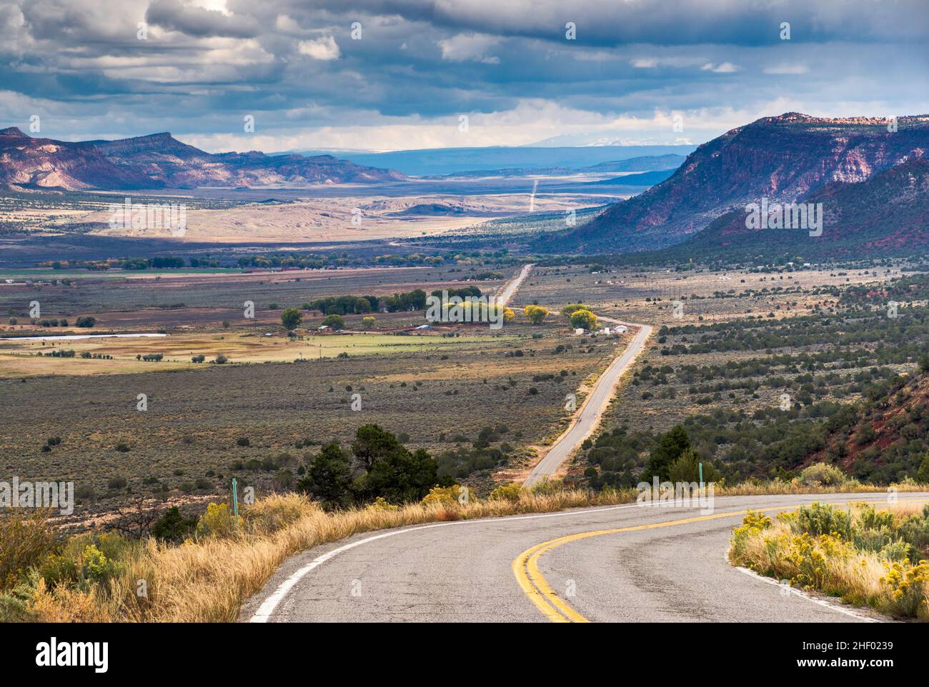 Paradox Creek Valley, San Juan Mountains in far distance, 75 miles or 120 km SE, view from Highway 90, near town of Bedrock, Colorado, USA Stock Photohttps://www.alamy.com/image-license-details/?v=1https://www.alamy.com/paradox-creek-valley-san-juan-mountains-in-far-distance-75-miles-or-120-km-se-view-from-highway-90-near-town-of-bedrock-colorado-usa-image456691069.html
RF2HF0239–Paradox Creek Valley, San Juan Mountains in far distance, 75 miles or 120 km SE, view from Highway 90, near town of Bedrock, Colorado, USA
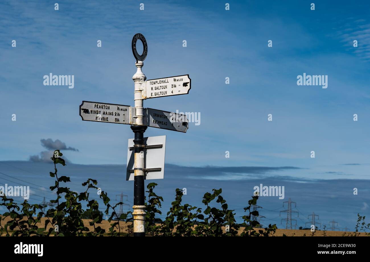 Old fashioned signpost with hand pointing io villages with distances in miles, East Lothian, Scotland, UK Stock Photohttps://www.alamy.com/image-license-details/?v=1https://www.alamy.com/old-fashioned-signpost-with-hand-pointing-io-villages-with-distances-in-miles-east-lothian-scotland-uk-image370240164.html
RM2CE9W30–Old fashioned signpost with hand pointing io villages with distances in miles, East Lothian, Scotland, UK
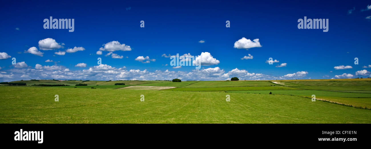 Panoramic summer view of the Ridgeway path which stretches for 85 miles over four counties. The Ridgeway is the oldest footpath Stock Photohttps://www.alamy.com/image-license-details/?v=1https://www.alamy.com/stock-photo-panoramic-summer-view-of-the-ridgeway-path-which-stretches-for-85-43673553.html
RMCF1E1N–Panoramic summer view of the Ridgeway path which stretches for 85 miles over four counties. The Ridgeway is the oldest footpath
 Comb Ridge is a linear north to south trending monocline nearly 80 miles long in southeast Utah, United States Stock Photohttps://www.alamy.com/image-license-details/?v=1https://www.alamy.com/comb-ridge-is-a-linear-north-to-south-trending-monocline-nearly-80-miles-long-in-southeast-utah-united-states-image179736910.html
RFMCBM7A–Comb Ridge is a linear north to south trending monocline nearly 80 miles long in southeast Utah, United States
 Miles M14, Magister P6382 G-AJRS, at Old Warden, Biggleswade, Bedfordshire, England Stock Photohttps://www.alamy.com/image-license-details/?v=1https://www.alamy.com/miles-m14-magister-p6382-g-ajrs-at-old-warden-biggleswade-bedfordshire-england-image383407644.html
RM2D7NMA4–Miles M14, Magister P6382 G-AJRS, at Old Warden, Biggleswade, Bedfordshire, England
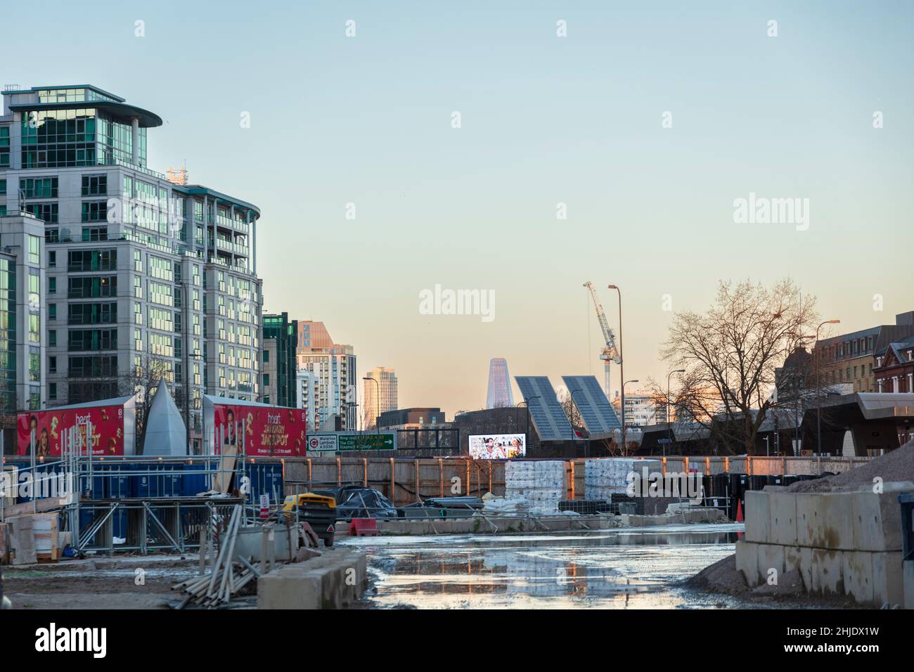 Miles Yard building site, office development owned by Downing Property, Vauxhall, London Stock Photohttps://www.alamy.com/image-license-details/?v=1https://www.alamy.com/miles-yard-building-site-office-development-owned-by-downing-property-vauxhall-london-image458839189.html
RM2HJDX1W–Miles Yard building site, office development owned by Downing Property, Vauxhall, London
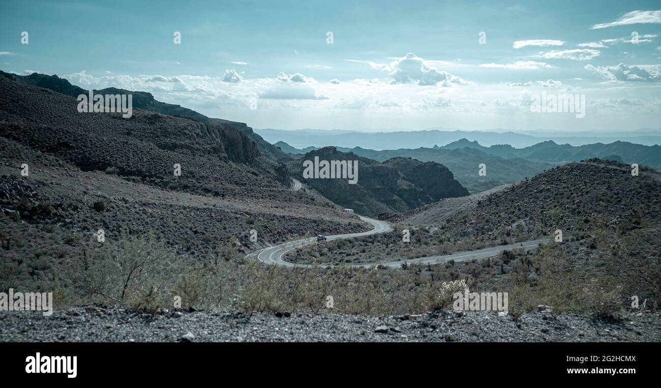 Route 66, historic highway that runs from Chicago, Illinois, covering over 2,400 miles, to Los Angeles, California Stock Photohttps://www.alamy.com/image-license-details/?v=1https://www.alamy.com/route-66-historic-highway-that-runs-from-chicago-illinois-covering-over-2400-miles-to-los-angeles-california-image431871690.html
RM2G2HCMX–Route 66, historic highway that runs from Chicago, Illinois, covering over 2,400 miles, to Los Angeles, California
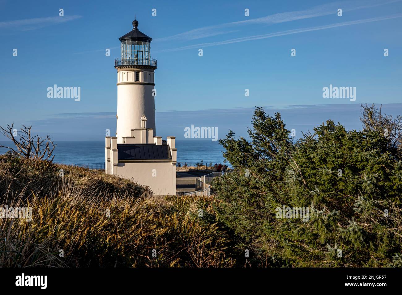 WA23023-00...WASHINGTON - North Head Lighthouse located 2 miles north of the Columbia River entrance in Cape Disappointment State Park. Stock Photohttps://www.alamy.com/image-license-details/?v=1https://www.alamy.com/wa23023-00washington-north-head-lighthouse-located-2-miles-north-of-the-columbia-river-entrance-in-cape-disappointment-state-park-image527744259.html
RM2NJGR57–WA23023-00...WASHINGTON - North Head Lighthouse located 2 miles north of the Columbia River entrance in Cape Disappointment State Park.
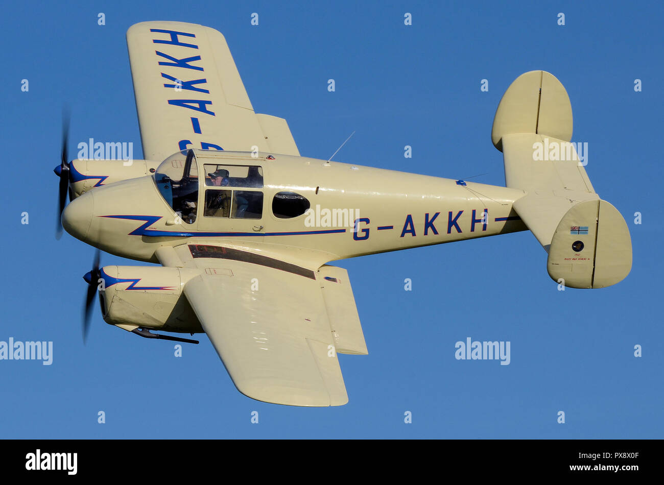 Miles M65 Gemini 1A G-AKKH plane flying at an airshow in blue sky. Miles Aircraft touring airplane. Twin engine. 1940s Stock Photohttps://www.alamy.com/image-license-details/?v=1https://www.alamy.com/miles-m65-gemini-1a-g-akkh-plane-flying-at-an-airshow-in-blue-sky-miles-aircraft-touring-airplane-twin-engine-1940s-image222701487.html
RMPX8X0F–Miles M65 Gemini 1A G-AKKH plane flying at an airshow in blue sky. Miles Aircraft touring airplane. Twin engine. 1940s
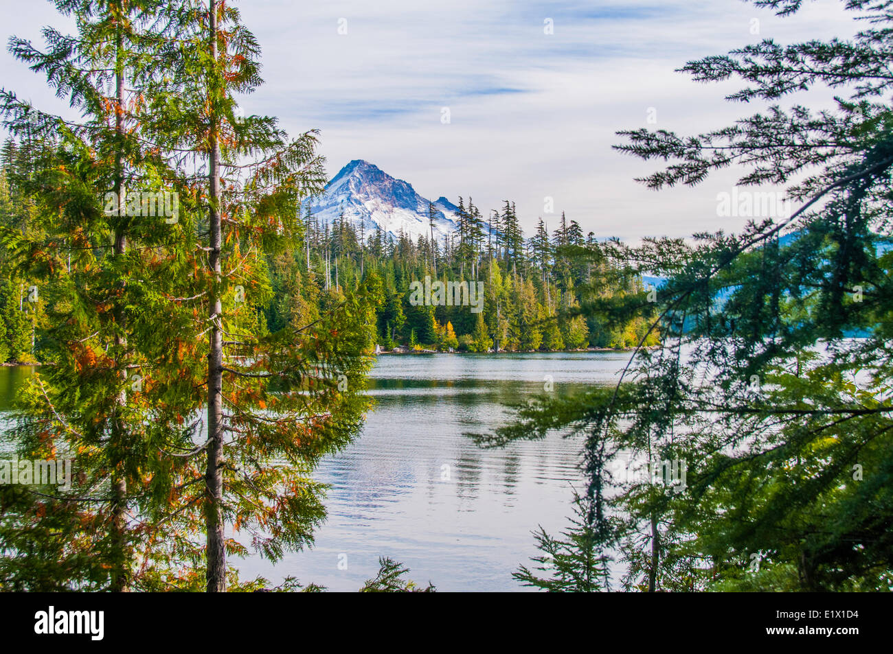 Trillium Lake is a lake situated 7.5 miles (12.1 km) south-southwest Mount Hood in the U.S. state Oregon.View Mount Hood in Stock Photohttps://www.alamy.com/image-license-details/?v=1https://www.alamy.com/stock-photo-trillium-lake-is-a-lake-situated-75-miles-121-km-south-southwest-mount-70028032.html
RME1X1D4–Trillium Lake is a lake situated 7.5 miles (12.1 km) south-southwest Mount Hood in the U.S. state Oregon.View Mount Hood in
 A close-up view of the lamp house of the Happisburgh Lighthouse on the Norfolk coast at Happisburgh, Norfolk, England, United Kingdom, Europe. Stock Photohttps://www.alamy.com/image-license-details/?v=1https://www.alamy.com/a-close-up-view-of-the-lamp-house-of-the-happisburgh-lighthouse-on-the-norfolk-coast-at-happisburgh-norfolk-england-united-kingdom-europe-image188628862.html
RMMXTP12–A close-up view of the lamp house of the Happisburgh Lighthouse on the Norfolk coast at Happisburgh, Norfolk, England, United Kingdom, Europe.
 WASHINGTON, DC, United States — The United States Capitol Building stands prominently on Capitol Hill, its iconic dome rising between the Senate and House of Representatives wings. This neoclassical masterpiece, home to the U.S. Congress, dominates the Washington, DC skyline and serves as a symbol of American democracy and governance. The building's distinctive silhouette is recognizable from miles around, embodying the legislative heart of the nation. Stock Photohttps://www.alamy.com/image-license-details/?v=1https://www.alamy.com/stock-photo-washington-dc-united-states-the-united-states-capitol-building-stands-24190345.html
RMBB9Y0W–WASHINGTON, DC, United States — The United States Capitol Building stands prominently on Capitol Hill, its iconic dome rising between the Senate and House of Representatives wings. This neoclassical masterpiece, home to the U.S. Congress, dominates the Washington, DC skyline and serves as a symbol of American democracy and governance. The building's distinctive silhouette is recognizable from miles around, embodying the legislative heart of the nation.
 Curves ahead road sign next 4 miles at Rainbow Vista, Valley of Fire Road, Valley of Fire State Park, Nevada, United States of America Stock Photohttps://www.alamy.com/image-license-details/?v=1https://www.alamy.com/stock-photo-curves-ahead-road-sign-next-4-miles-at-rainbow-vista-valley-of-fire-57573780.html
RMD9JKXC–Curves ahead road sign next 4 miles at Rainbow Vista, Valley of Fire Road, Valley of Fire State Park, Nevada, United States of America
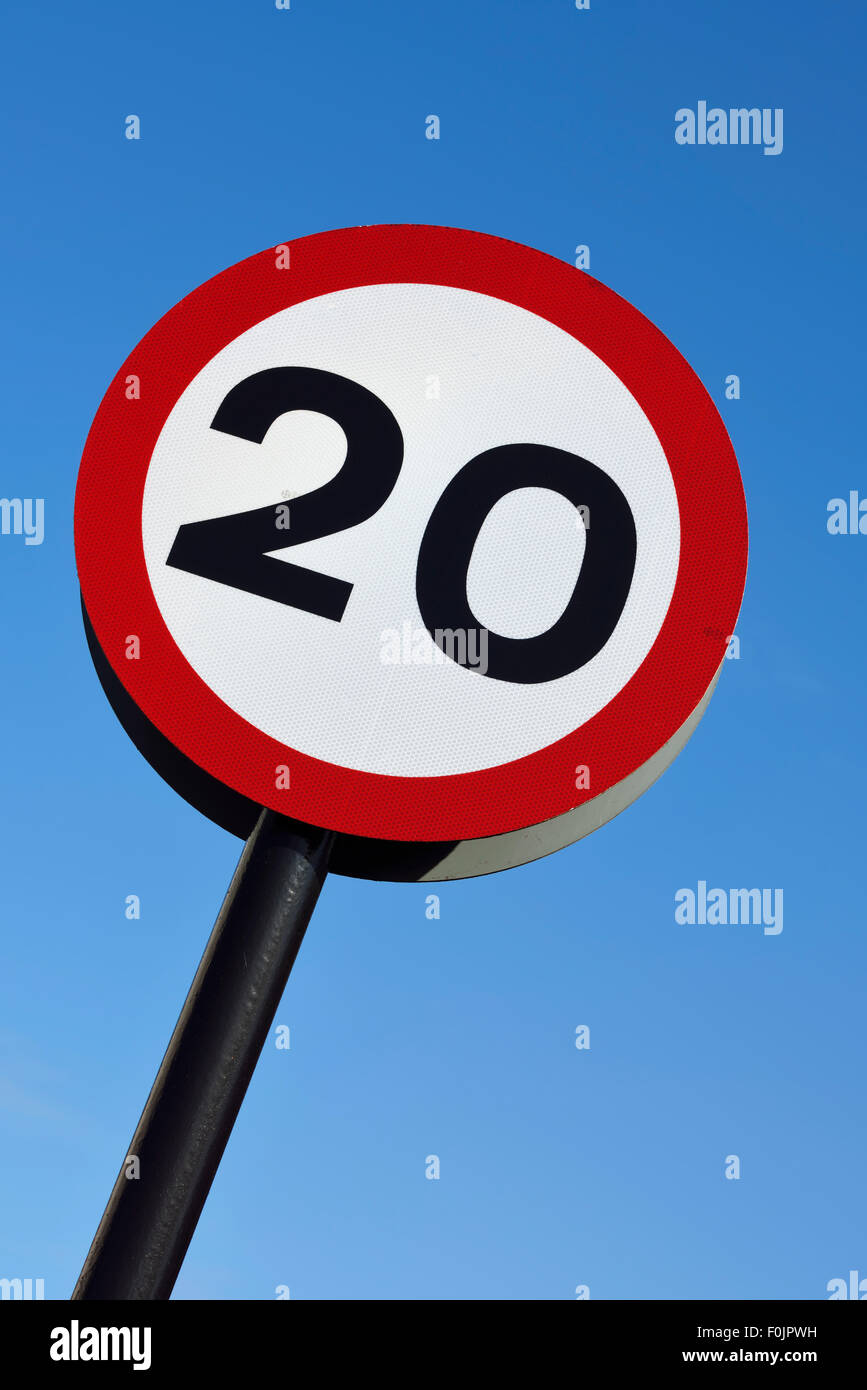 20mph speed limit road sign against blue sky Stock Photohttps://www.alamy.com/image-license-details/?v=1https://www.alamy.com/stock-photo-20mph-speed-limit-road-sign-against-blue-sky-86464941.html
RMF0JPWH–20mph speed limit road sign against blue sky
 Miles M38 Messenger 2A G-AKIN, Old Warden Airfield, Biggleswade, Bedfordshire, UK Stock Photohttps://www.alamy.com/image-license-details/?v=1https://www.alamy.com/miles-m38-messenger-2a-g-akin-old-warden-airfield-biggleswade-bedfordshire-uk-image504330479.html
RM2M8E6JR–Miles M38 Messenger 2A G-AKIN, Old Warden Airfield, Biggleswade, Bedfordshire, UK
 London, UK - February 13, 2023: United Airlines Boeing 737 takes off from London Heathrow Airport The plane has a range of 6,340 miles with 177 seats Stock Photohttps://www.alamy.com/image-license-details/?v=1https://www.alamy.com/london-uk-february-13-2023-united-airlines-boeing-737-takes-off-from-london-heathrow-airport-the-plane-has-a-range-of-6340-miles-with-177-seats-image533146637.html
RF2NYAWY9–London, UK - February 13, 2023: United Airlines Boeing 737 takes off from London Heathrow Airport The plane has a range of 6,340 miles with 177 seats
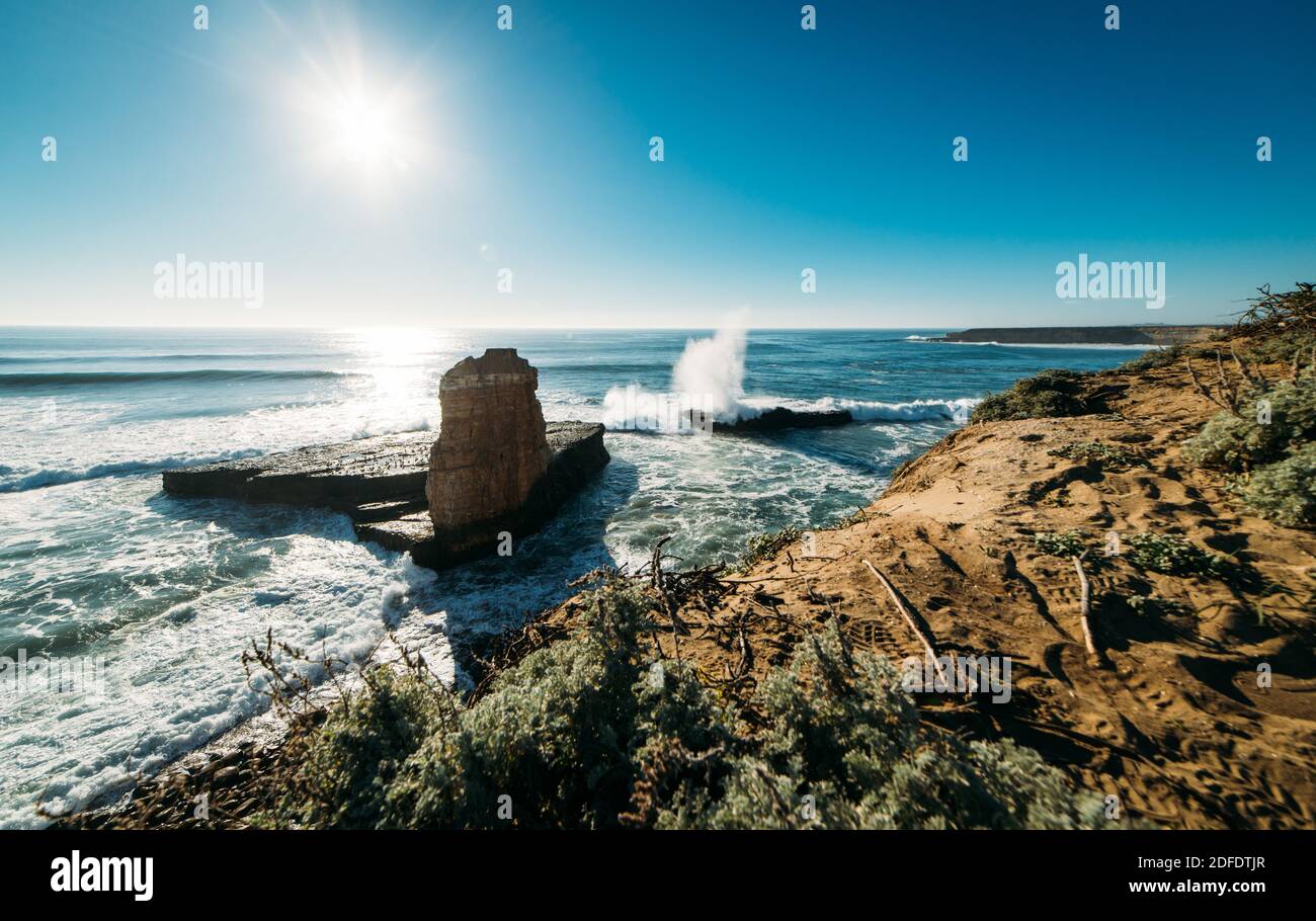 Four Miles Beach viewing point in Santa Cruz, California Stock Photohttps://www.alamy.com/image-license-details/?v=1https://www.alamy.com/four-miles-beach-viewing-point-in-santa-cruz-california-image388152655.html
RF2DFDTJR–Four Miles Beach viewing point in Santa Cruz, California
 aircraft contrail Stock Photohttps://www.alamy.com/image-license-details/?v=1https://www.alamy.com/aircraft-contrail-image546189934.html
RM2PMH2RA–aircraft contrail
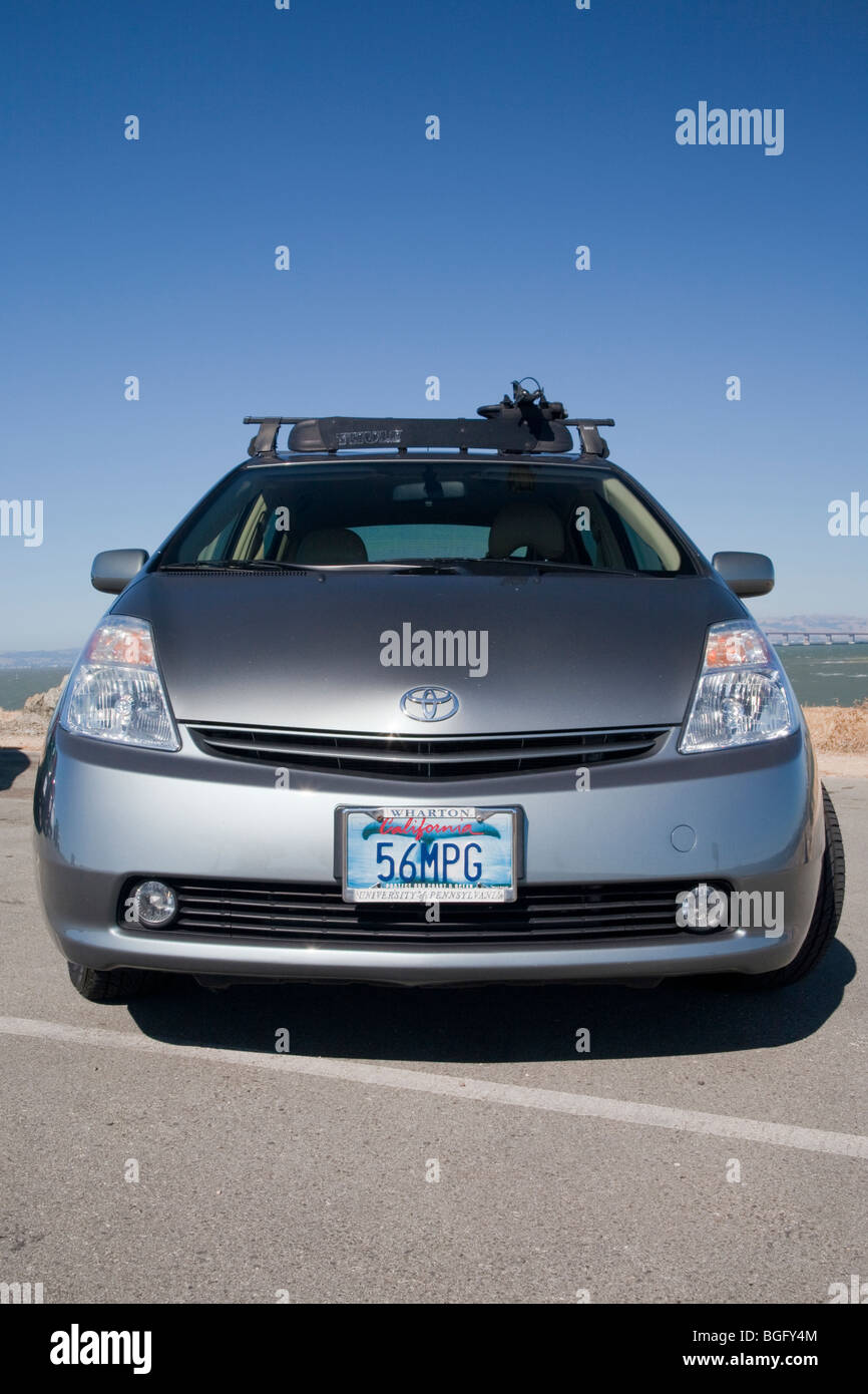 Front view of Kendrick Li's 2004 Toyota Prius has a '56 MPG' (56 miles per gallon) custom license plate. Stock Photohttps://www.alamy.com/image-license-details/?v=1https://www.alamy.com/stock-photo-front-view-of-kendrick-lis-2004-toyota-prius-has-a-56-mpg-56-miles-27395444.html
RMBGFY4M–Front view of Kendrick Li's 2004 Toyota Prius has a '56 MPG' (56 miles per gallon) custom license plate.
 Paradox Creek Valley, San Juan Mountains in far distance, 75 miles or 120 km SE, view from Highway 90, near town of Bedrock, Colorado, USA Stock Photohttps://www.alamy.com/image-license-details/?v=1https://www.alamy.com/paradox-creek-valley-san-juan-mountains-in-far-distance-75-miles-or-120-km-se-view-from-highway-90-near-town-of-bedrock-colorado-usa-image456691191.html
RF2HF027K–Paradox Creek Valley, San Juan Mountains in far distance, 75 miles or 120 km SE, view from Highway 90, near town of Bedrock, Colorado, USA
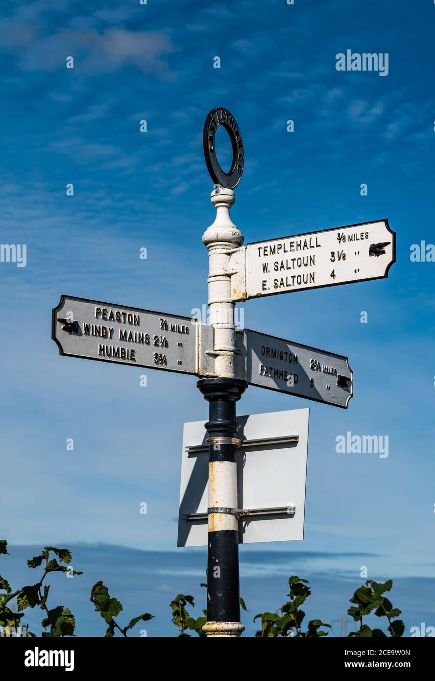 Old fashioned signpost with hand pointing io villages with distances in miles, East Lothian, Scotland, UK Stock Photohttps://www.alamy.com/image-license-details/?v=1https://www.alamy.com/old-fashioned-signpost-with-hand-pointing-io-villages-with-distances-in-miles-east-lothian-scotland-uk-image370240101.html
RM2CE9W0N–Old fashioned signpost with hand pointing io villages with distances in miles, East Lothian, Scotland, UK
 Comet Neowise, passing 64 million miles away from Earth viewed from North Yorkshire, England. Stock Photohttps://www.alamy.com/image-license-details/?v=1https://www.alamy.com/comet-neowise-passing-64-million-miles-away-from-earth-viewed-from-north-yorkshire-england-image365769368.html
RM2C726FM–Comet Neowise, passing 64 million miles away from Earth viewed from North Yorkshire, England.
![Popular direction and distance [in Miles] signs at the equally popular Sunset Pier Bar on Key West, Florida, USA. Stock Photo Popular direction and distance [in Miles] signs at the equally popular Sunset Pier Bar on Key West, Florida, USA. Stock Photo](https://c8.alamy.com/comp/2CWACHM/popular-direction-and-distance-in-miles-signs-at-the-equally-popular-sunset-pier-bar-on-key-west-florida-usa-2CWACHM.jpg) Popular direction and distance [in Miles] signs at the equally popular Sunset Pier Bar on Key West, Florida, USA. Stock Photohttps://www.alamy.com/image-license-details/?v=1https://www.alamy.com/popular-direction-and-distance-in-miles-signs-at-the-equally-popular-sunset-pier-bar-on-key-west-florida-usa-image377013552.html
Popular direction and distance [in Miles] signs at the equally popular Sunset Pier Bar on Key West, Florida, USA. Stock Photohttps://www.alamy.com/image-license-details/?v=1https://www.alamy.com/popular-direction-and-distance-in-miles-signs-at-the-equally-popular-sunset-pier-bar-on-key-west-florida-usa-image377013552.htmlRF2CWACHM–Popular direction and distance [in Miles] signs at the equally popular Sunset Pier Bar on Key West, Florida, USA.
 Miles M14, Magister P6382 G-AJRS, at Old Warden, Biggleswade, Bedfordshire, England Stock Photohttps://www.alamy.com/image-license-details/?v=1https://www.alamy.com/miles-m14-magister-p6382-g-ajrs-at-old-warden-biggleswade-bedfordshire-england-image383407655.html
RM2D7NMAF–Miles M14, Magister P6382 G-AJRS, at Old Warden, Biggleswade, Bedfordshire, England
 Grand Canyon, Navajo Point, Grand Canyon National Park, UNESCO World Heritage Site, Arizona, United States of America, North America Stock Photohttps://www.alamy.com/image-license-details/?v=1https://www.alamy.com/grand-canyon-navajo-point-grand-canyon-national-park-unesco-world-heritage-site-arizona-united-states-of-america-north-america-image633155464.html
RF2YP2M74–Grand Canyon, Navajo Point, Grand Canyon National Park, UNESCO World Heritage Site, Arizona, United States of America, North America
 Route 66, historic highway that runs from Chicago, Illinois, covering over 2,400 miles, to Los Angeles, California Stock Photohttps://www.alamy.com/image-license-details/?v=1https://www.alamy.com/route-66-historic-highway-that-runs-from-chicago-illinois-covering-over-2400-miles-to-los-angeles-california-image431871733.html
RM2G2HCPD–Route 66, historic highway that runs from Chicago, Illinois, covering over 2,400 miles, to Los Angeles, California
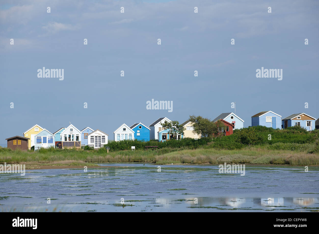 Beach huts on the seafront at Mudeford, two miles from Christchurch. Stock Photohttps://www.alamy.com/image-license-details/?v=1https://www.alamy.com/stock-photo-beach-huts-on-the-seafront-at-mudeford-two-miles-from-christchurch-43530740.html
RMCEPYW8–Beach huts on the seafront at Mudeford, two miles from Christchurch.
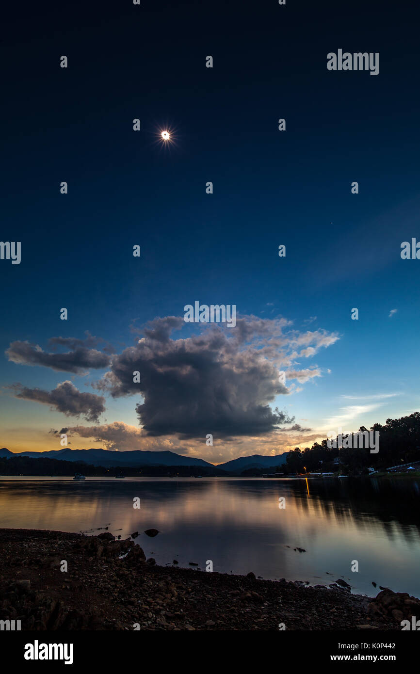 This image is one frame, not a composite image. The 15mm lens allowed capturing the foreground and lake as well as the sun in the sky. The angle to the sun at this point was about 66.5 degrees above the horizon. The 100 degree field of view was needed to get everything in the frame. The solar eclipse of 2017 passed across the entire United States from the northwest to the southeast. The path of totality was approximately 70 miles wide and totality lasted a maximum of approximately 2' 30' depending on location. Lake Chatuge is a 7500 acre lake created in 1942 when the Tennessee Valley A Stock Photohttps://www.alamy.com/image-license-details/?v=1https://www.alamy.com/this-image-is-one-frame-not-a-composite-image-the-15mm-lens-allowed-image155379506.html
RMK0P442–This image is one frame, not a composite image. The 15mm lens allowed capturing the foreground and lake as well as the sun in the sky. The angle to the sun at this point was about 66.5 degrees above the horizon. The 100 degree field of view was needed to get everything in the frame. The solar eclipse of 2017 passed across the entire United States from the northwest to the southeast. The path of totality was approximately 70 miles wide and totality lasted a maximum of approximately 2' 30' depending on location. Lake Chatuge is a 7500 acre lake created in 1942 when the Tennessee Valley A
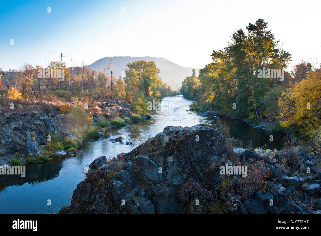 The Rogue River in southwestern Oregon in the United States flows about 215 miles (346 km) in a generally westward direction. Stock Photohttps://www.alamy.com/image-license-details/?v=1https://www.alamy.com/stock-photo-the-rogue-river-in-southwestern-oregon-in-the-united-states-flows-39268792.html
RMC7TRMT–The Rogue River in southwestern Oregon in the United States flows about 215 miles (346 km) in a generally westward direction.
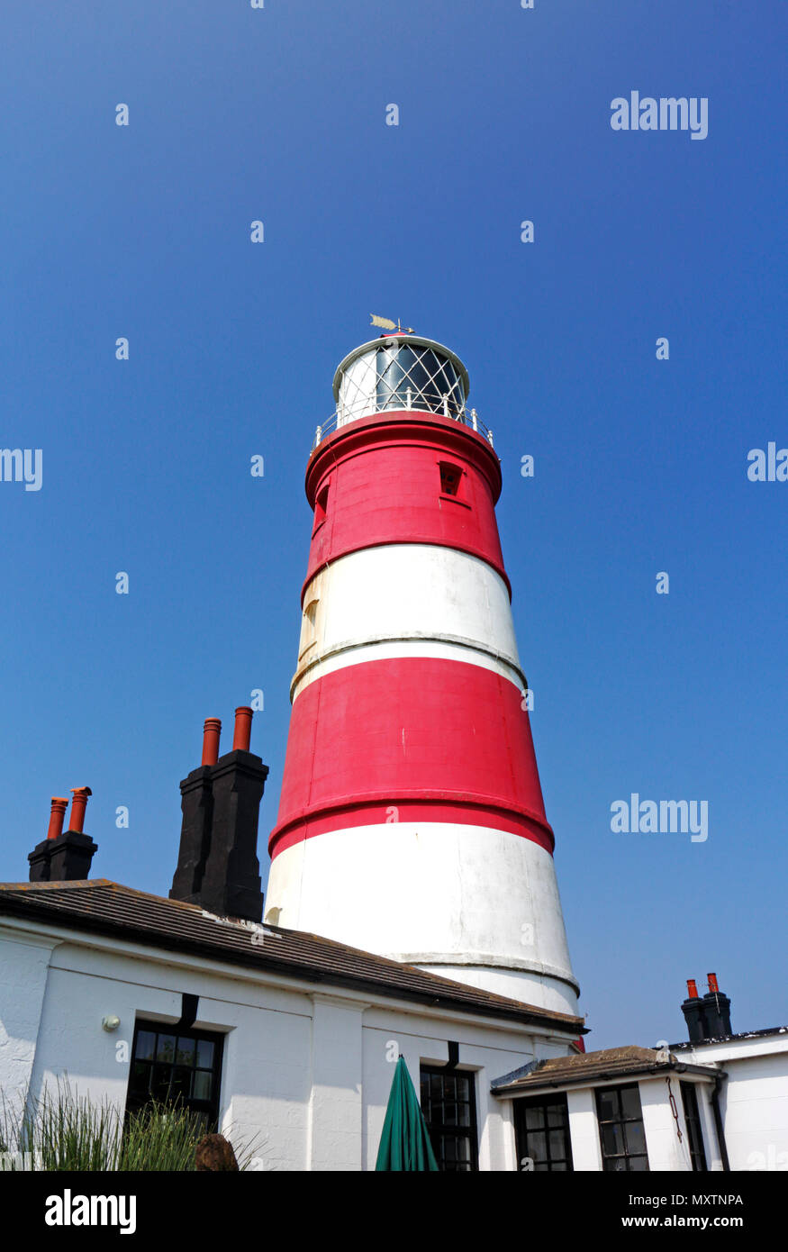 A close-up view of the independently operated Happisburgh Lighthouse on the Norfolk coast at Happisburgh, Norfolk, England, United Kingdom, Europe. Stock Photohttps://www.alamy.com/image-license-details/?v=1https://www.alamy.com/a-close-up-view-of-the-independently-operated-happisburgh-lighthouse-on-the-norfolk-coast-at-happisburgh-norfolk-england-united-kingdom-europe-image188628674.html
RMMXTNPA–A close-up view of the independently operated Happisburgh Lighthouse on the Norfolk coast at Happisburgh, Norfolk, England, United Kingdom, Europe.
 WASHINGTON, DC, United States — The United States Capitol Building stands prominently on Capitol Hill, its iconic dome rising between the Senate and House of Representatives wings. This neoclassical masterpiece, home to the U.S. Congress, dominates the Washington, DC skyline and serves as a symbol of American democracy and governance. The building's distinctive silhouette is recognizable from miles around, embodying the legislative heart of the nation. Stock Photohttps://www.alamy.com/image-license-details/?v=1https://www.alamy.com/stock-photo-washington-dc-united-states-the-united-states-capitol-building-stands-24190348.html
RMBB9Y10–WASHINGTON, DC, United States — The United States Capitol Building stands prominently on Capitol Hill, its iconic dome rising between the Senate and House of Representatives wings. This neoclassical masterpiece, home to the U.S. Congress, dominates the Washington, DC skyline and serves as a symbol of American democracy and governance. The building's distinctive silhouette is recognizable from miles around, embodying the legislative heart of the nation.
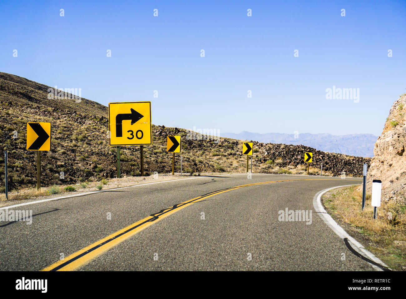 Steep right turn on a winding road; posted sign showing a 30 mph recommended speed; California Stock Photohttps://www.alamy.com/image-license-details/?v=1https://www.alamy.com/steep-right-turn-on-a-winding-road-posted-sign-showing-a-30-mph-recommended-speed-california-image232884888.html
RFRETR1C–Steep right turn on a winding road; posted sign showing a 30 mph recommended speed; California
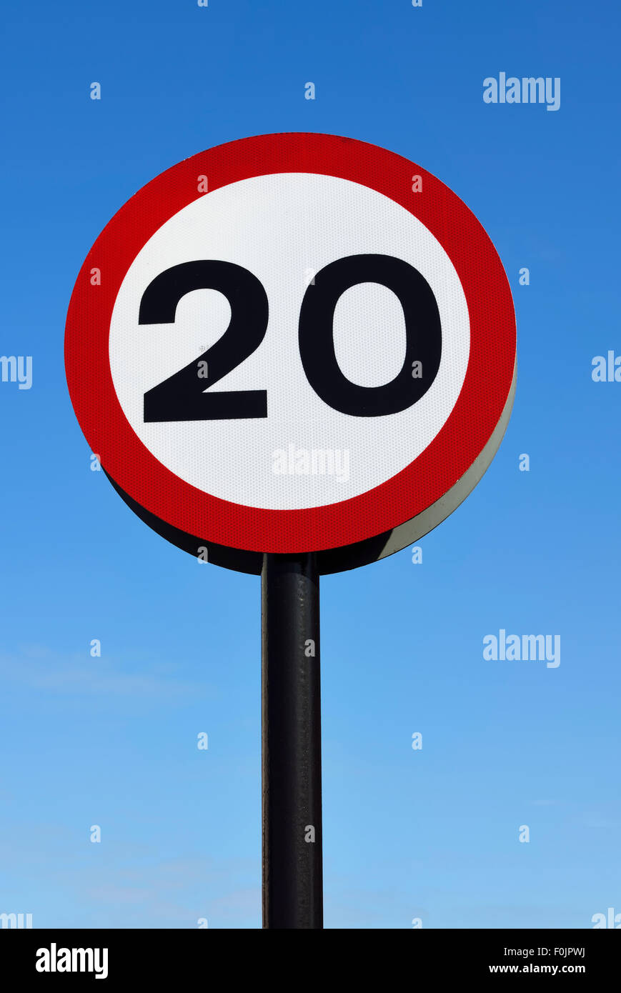 20mph speed limit road sign against blue sky Stock Photohttps://www.alamy.com/image-license-details/?v=1https://www.alamy.com/stock-photo-20mph-speed-limit-road-sign-against-blue-sky-86464942.html
RMF0JPWJ–20mph speed limit road sign against blue sky
 Miles Magister G-AKPF 'N3788', Old Warden Airfield, Biggleswade, Bedfordshire, England, UK Stock Photohttps://www.alamy.com/image-license-details/?v=1https://www.alamy.com/miles-magister-g-akpf-n3788-old-warden-airfield-biggleswade-bedfordshire-england-uk-image632442541.html
RM2YMX6WH–Miles Magister G-AKPF 'N3788', Old Warden Airfield, Biggleswade, Bedfordshire, England, UK
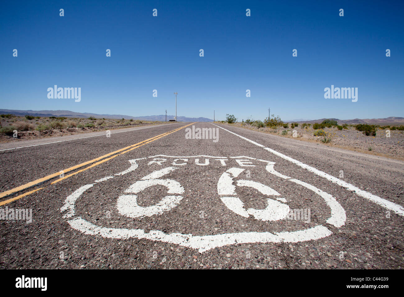 Route 66, historic highway that runs from Chicago, Illinois, covering over 2,400 miles, to Los Angeles, California. Stock Photohttps://www.alamy.com/image-license-details/?v=1https://www.alamy.com/stock-photo-route-66-historic-highway-that-runs-from-chicago-illinois-covering-36979805.html
RFC44G39–Route 66, historic highway that runs from Chicago, Illinois, covering over 2,400 miles, to Los Angeles, California.
 Views For Miles from the Quiraing Stock Photohttps://www.alamy.com/image-license-details/?v=1https://www.alamy.com/views-for-miles-from-the-quiraing-image619385767.html
RF2XYKCT7–Views For Miles from the Quiraing
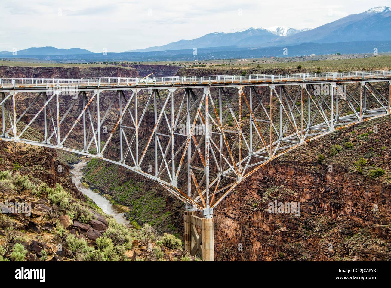 The Rio Grande Gorge Bridge-a steel deck arch bridge across the Rio Grande Gorge 10 miles) northwest of Taos NM United States.- the tenth highest brid Stock Photohttps://www.alamy.com/image-license-details/?v=1https://www.alamy.com/theriogrande-gorge-bridge-a-steel-deck-archbridge-across-theriogrande-gorge10-miles-northwest-oftaos-nm-united-states-thetenthhighest-brid-image472293358.html
RF2JCAPYX–The Rio Grande Gorge Bridge-a steel deck arch bridge across the Rio Grande Gorge 10 miles) northwest of Taos NM United States.- the tenth highest brid
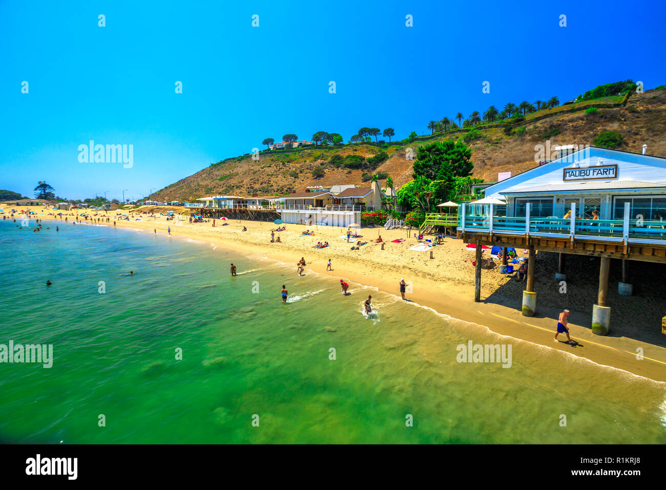 Malibu, California, United States - August 7, 2018: scenic coastal landscape with Santa Monica Mountains, Malibu Farm Restaurant and turquoise sea of Surfrider Beach. Malibu 27 miles of scenic beauty. Stock Photohttps://www.alamy.com/image-license-details/?v=1https://www.alamy.com/malibu-california-united-states-august-7-2018-scenic-coastal-landscape-with-santa-monica-mountains-malibu-farm-restaurant-and-turquoise-sea-of-surfrider-beach-malibu-27-miles-of-scenic-beauty-image224785072.html
RFR1KRJ8–Malibu, California, United States - August 7, 2018: scenic coastal landscape with Santa Monica Mountains, Malibu Farm Restaurant and turquoise sea of Surfrider Beach. Malibu 27 miles of scenic beauty.
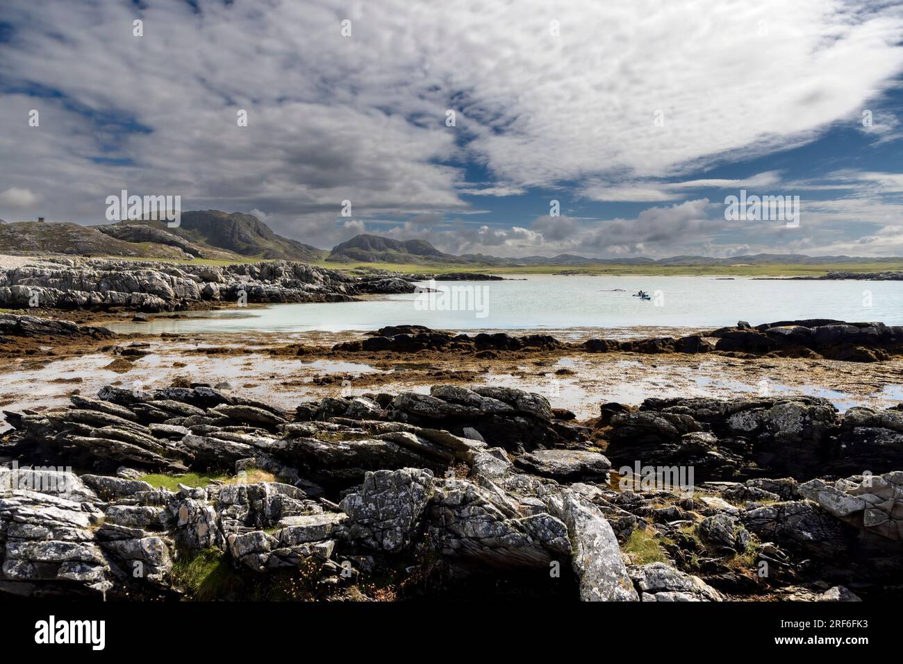 South Western Colonsay beaches on Colonsay, an island in the Inner Hebrides of Scotland. It is about 15 miles south of the Isle of Mull. Stock Photohttps://www.alamy.com/image-license-details/?v=1https://www.alamy.com/south-western-colonsay-beaches-on-colonsay-an-island-in-the-inner-hebrides-of-scotland-it-is-about-15-miles-south-of-the-isle-of-mull-image560095623.html
RF2RF6FK3–South Western Colonsay beaches on Colonsay, an island in the Inner Hebrides of Scotland. It is about 15 miles south of the Isle of Mull.
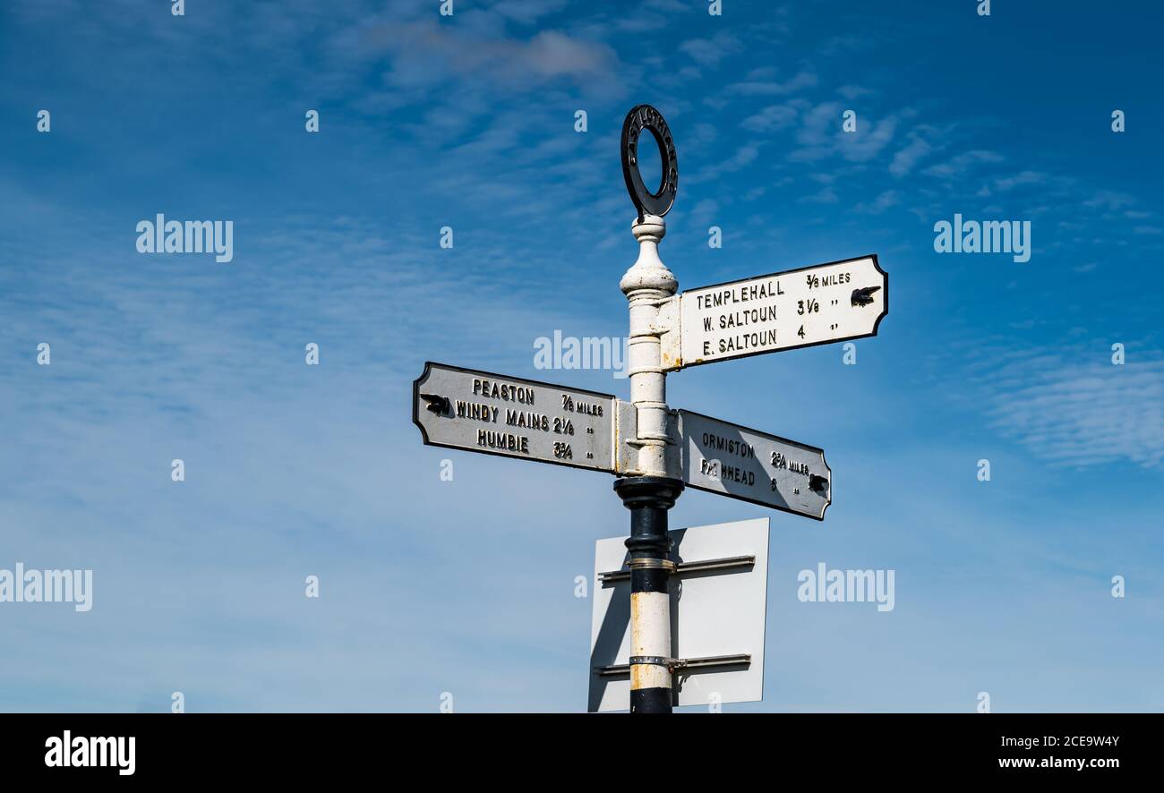 Old fashioned signpost with hand pointing io villages with distances in miles, East Lothian, Scotland, UK Stock Photohttps://www.alamy.com/image-license-details/?v=1https://www.alamy.com/old-fashioned-signpost-with-hand-pointing-io-villages-with-distances-in-miles-east-lothian-scotland-uk-image370240219.html
RM2CE9W4Y–Old fashioned signpost with hand pointing io villages with distances in miles, East Lothian, Scotland, UK
 Comet Neowise, passing 64 million miles away from Earth viewed from North Yorkshire, England. Stock Photohttps://www.alamy.com/image-license-details/?v=1https://www.alamy.com/comet-neowise-passing-64-million-miles-away-from-earth-viewed-from-north-yorkshire-england-image365770955.html
RM2C728GB–Comet Neowise, passing 64 million miles away from Earth viewed from North Yorkshire, England.
![Popular direction and distance [in Miles] signs at the equally popular Sunset Pier Bar on Key West, Florida, USA. Stock Photo Popular direction and distance [in Miles] signs at the equally popular Sunset Pier Bar on Key West, Florida, USA. Stock Photo](https://c8.alamy.com/comp/2CWACGR/popular-direction-and-distance-in-miles-signs-at-the-equally-popular-sunset-pier-bar-on-key-west-florida-usa-2CWACGR.jpg) Popular direction and distance [in Miles] signs at the equally popular Sunset Pier Bar on Key West, Florida, USA. Stock Photohttps://www.alamy.com/image-license-details/?v=1https://www.alamy.com/popular-direction-and-distance-in-miles-signs-at-the-equally-popular-sunset-pier-bar-on-key-west-florida-usa-image377013527.html
Popular direction and distance [in Miles] signs at the equally popular Sunset Pier Bar on Key West, Florida, USA. Stock Photohttps://www.alamy.com/image-license-details/?v=1https://www.alamy.com/popular-direction-and-distance-in-miles-signs-at-the-equally-popular-sunset-pier-bar-on-key-west-florida-usa-image377013527.htmlRF2CWACGR–Popular direction and distance [in Miles] signs at the equally popular Sunset Pier Bar on Key West, Florida, USA.
 Miles M.2L Hawk Speed Six G-ADGP, at Shuttleworth Flying Display, Old Warden, Biggleswade, Bedfordshire. Stock Photohttps://www.alamy.com/image-license-details/?v=1https://www.alamy.com/miles-m2l-hawk-speed-six-g-adgp-at-shuttleworth-flying-display-old-warden-biggleswade-bedfordshire-image554763347.html
RM2R6FJ8K–Miles M.2L Hawk Speed Six G-ADGP, at Shuttleworth Flying Display, Old Warden, Biggleswade, Bedfordshire.
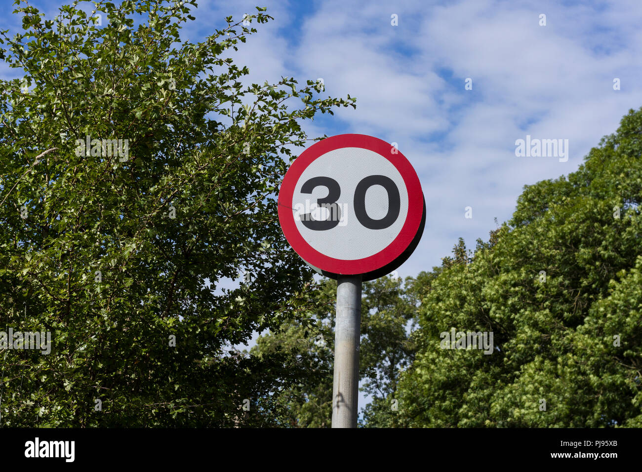 30 mph, round, red & white British road traffic sign against trees & blue sky with clouds background, England, UK Stock Photohttps://www.alamy.com/image-license-details/?v=1https://www.alamy.com/30-mph-round-red-white-british-road-traffic-sign-against-trees-blue-sky-with-clouds-background-england-uk-image217790451.html
RFPJ95XB–30 mph, round, red & white British road traffic sign against trees & blue sky with clouds background, England, UK
 Route 66, historic highway that runs from Chicago, Illinois, covering over 2,400 miles, to Los Angeles, California Stock Photohttps://www.alamy.com/image-license-details/?v=1https://www.alamy.com/route-66-historic-highway-that-runs-from-chicago-illinois-covering-over-2400-miles-to-los-angeles-california-image431871695.html
RM2G2HCN3–Route 66, historic highway that runs from Chicago, Illinois, covering over 2,400 miles, to Los Angeles, California
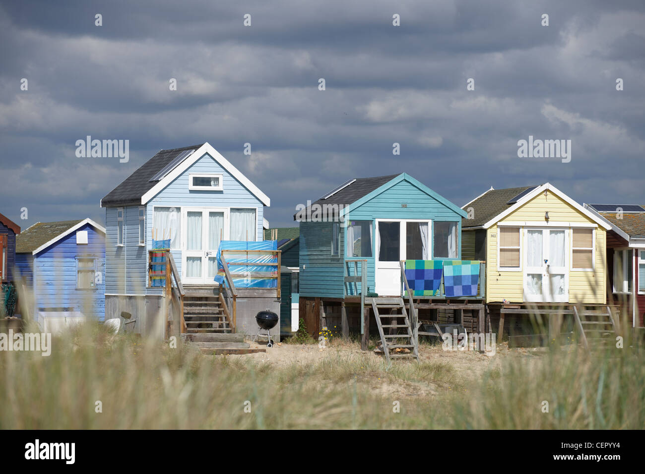 A view through long grass towards beach huts on the seafront at Mudeford, two miles from Christchurch. Stock Photohttps://www.alamy.com/image-license-details/?v=1https://www.alamy.com/stock-photo-a-view-through-long-grass-towards-beach-huts-on-the-seafront-at-mudeford-43530792.html
RMCEPYY4–A view through long grass towards beach huts on the seafront at Mudeford, two miles from Christchurch.