Quick filters:
Upper sandusky ohio map Stock Photos and Images
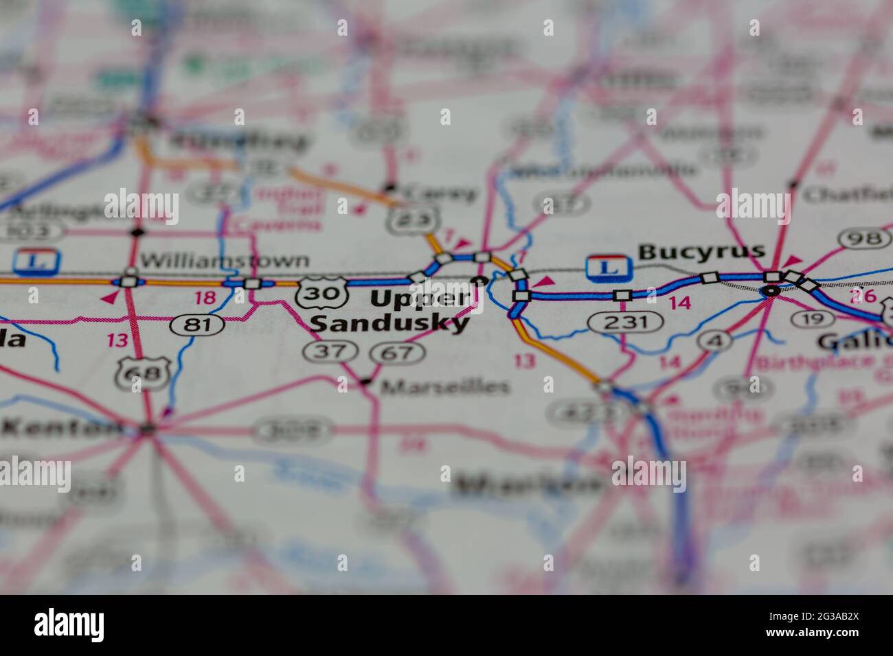 Upper Sandusky Ohio USA shown on a Geography map or Road map Stock Photohttps://www.alamy.com/image-license-details/?v=1https://www.alamy.com/upper-sandusky-ohio-usa-shown-on-a-geography-map-or-road-map-image432331394.html
RM2G3AB2X–Upper Sandusky Ohio USA shown on a Geography map or Road map
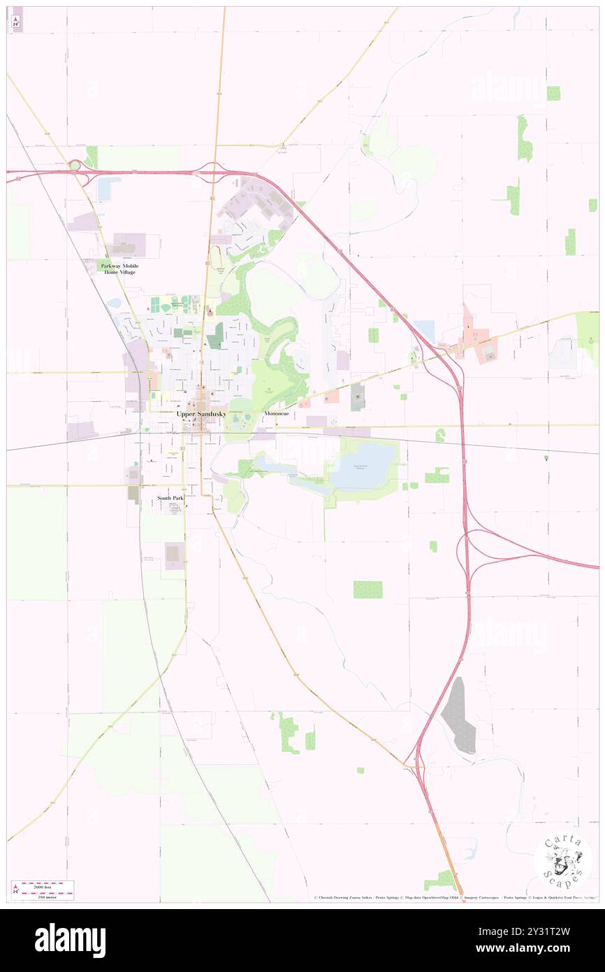 Upper Sandusky, Wyandot County, US, United States, Ohio, N 40 49' 38'', S 83 16' 52'', map, Cartascapes Map published in 2024. Explore Cartascapes, a map revealing Earth's diverse landscapes, cultures, and ecosystems. Journey through time and space, discovering the interconnectedness of our planet's past, present, and future. Stock Photohttps://www.alamy.com/image-license-details/?v=1https://www.alamy.com/upper-sandusky-wyandot-county-us-united-states-ohio-n-40-49-38-s-83-16-52-map-cartascapes-map-published-in-2024-explore-cartascapes-a-map-revealing-earths-diverse-landscapes-cultures-and-ecosystems-journey-through-time-and-space-discovering-the-interconnectedness-of-our-planets-past-present-and-future-image621458065.html
RM2Y31T2W–Upper Sandusky, Wyandot County, US, United States, Ohio, N 40 49' 38'', S 83 16' 52'', map, Cartascapes Map published in 2024. Explore Cartascapes, a map revealing Earth's diverse landscapes, cultures, and ecosystems. Journey through time and space, discovering the interconnectedness of our planet's past, present, and future.
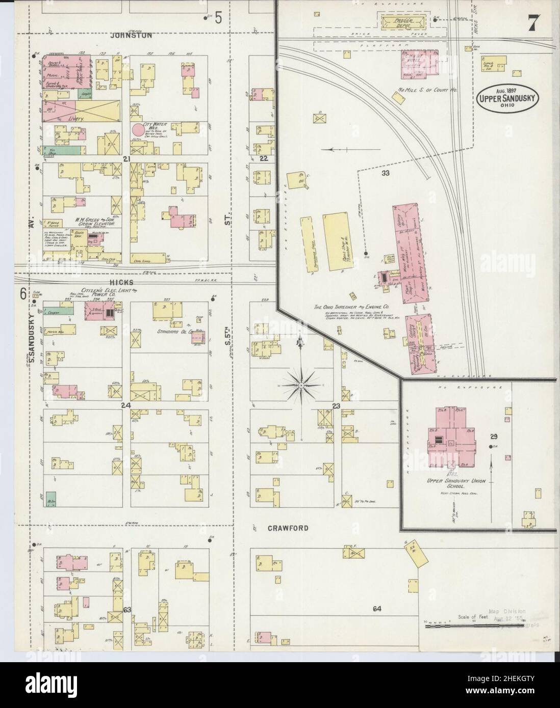 Sanborn Fire Insurance Map from Upper Sandusky, Wyandot County, Ohio. Stock Photohttps://www.alamy.com/image-license-details/?v=1https://www.alamy.com/sanborn-fire-insurance-map-from-upper-sandusky-wyandot-county-ohio-image456505083.html
RM2HEKGTY–Sanborn Fire Insurance Map from Upper Sandusky, Wyandot County, Ohio.
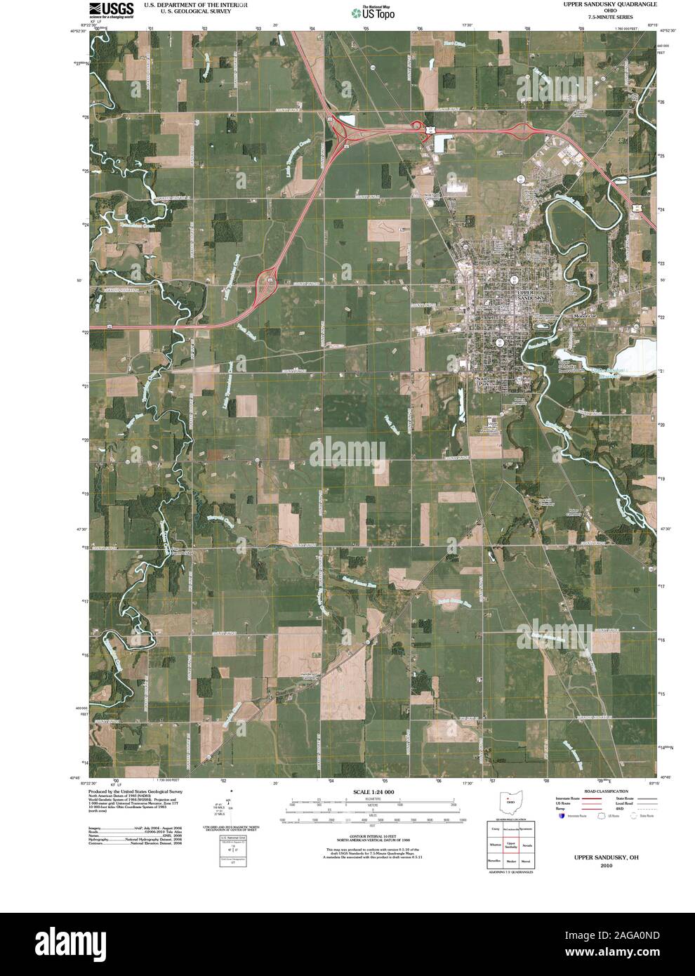 USGS TOPO Map Ohio OH Upper Sandusky 20100809 TM Restoration Stock Photohttps://www.alamy.com/image-license-details/?v=1https://www.alamy.com/usgs-topo-map-ohio-oh-upper-sandusky-20100809-tm-restoration-image337051609.html
RM2AGA0ND–USGS TOPO Map Ohio OH Upper Sandusky 20100809 TM Restoration
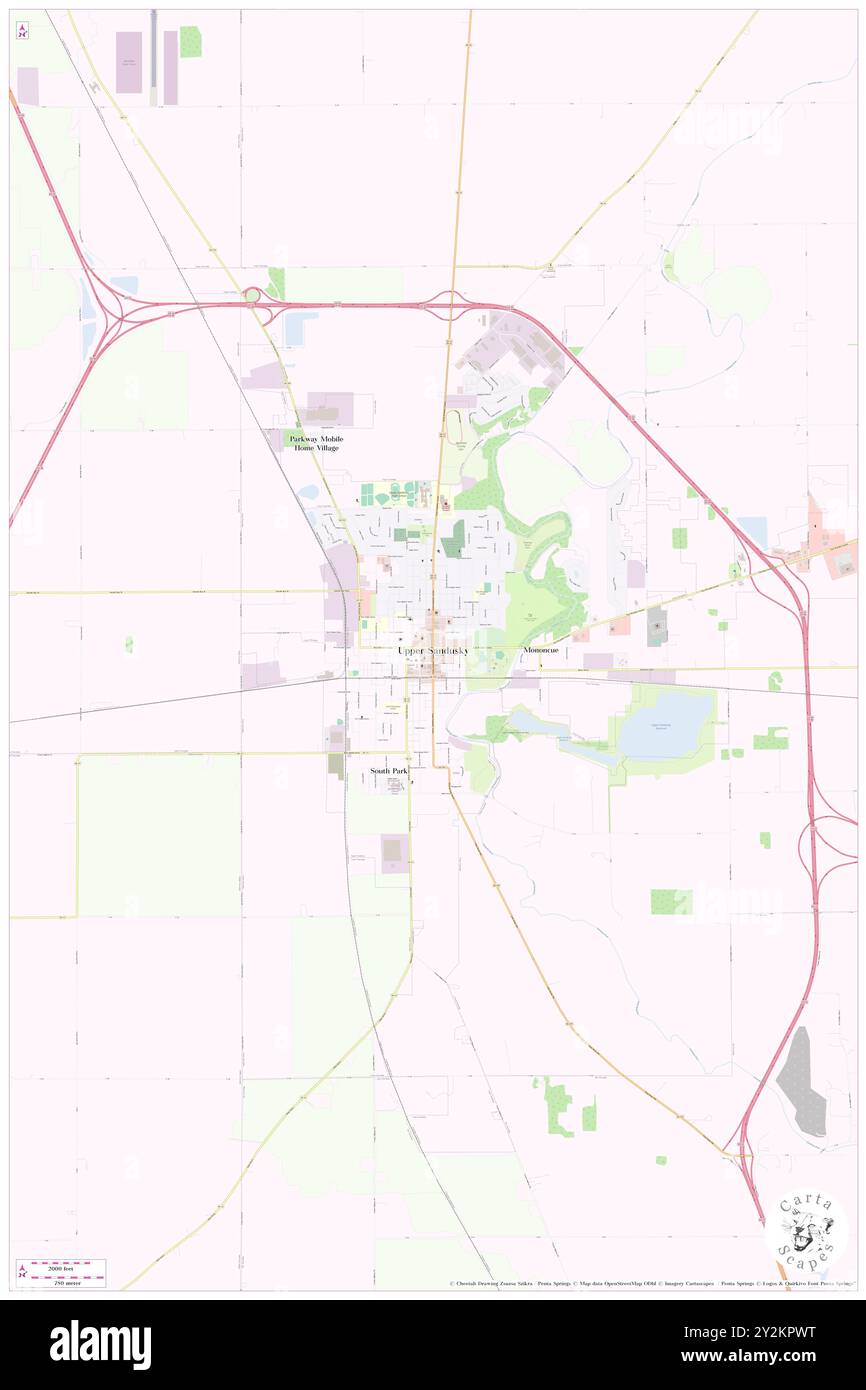 Upper Sandusky, Wyandot County, US, United States, Ohio, N 40 49' 38'', S 83 16' 52'', map, Cartascapes Map published in 2024. Explore Cartascapes, a map revealing Earth's diverse landscapes, cultures, and ecosystems. Journey through time and space, discovering the interconnectedness of our planet's past, present, and future. Stock Photohttps://www.alamy.com/image-license-details/?v=1https://www.alamy.com/upper-sandusky-wyandot-county-us-united-states-ohio-n-40-49-38-s-83-16-52-map-cartascapes-map-published-in-2024-explore-cartascapes-a-map-revealing-earths-diverse-landscapes-cultures-and-ecosystems-journey-through-time-and-space-discovering-the-interconnectedness-of-our-planets-past-present-and-future-image621237620.html
RM2Y2KPWT–Upper Sandusky, Wyandot County, US, United States, Ohio, N 40 49' 38'', S 83 16' 52'', map, Cartascapes Map published in 2024. Explore Cartascapes, a map revealing Earth's diverse landscapes, cultures, and ecosystems. Journey through time and space, discovering the interconnectedness of our planet's past, present, and future.
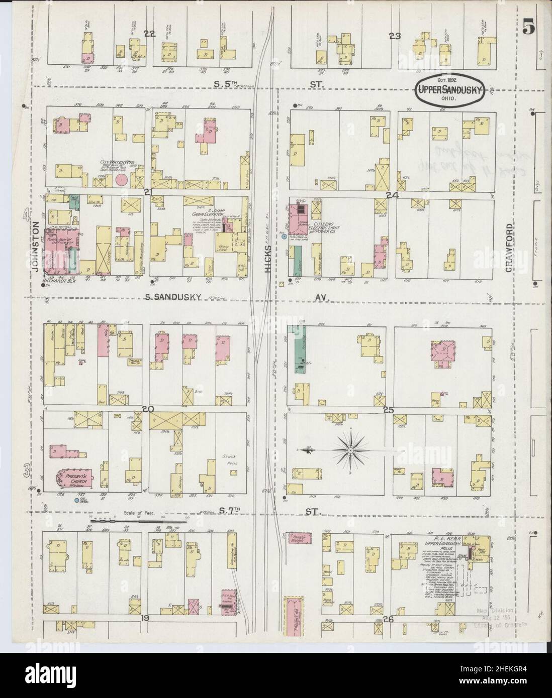 Sanborn Fire Insurance Map from Upper Sandusky, Wyandot County, Ohio. Stock Photohttps://www.alamy.com/image-license-details/?v=1https://www.alamy.com/sanborn-fire-insurance-map-from-upper-sandusky-wyandot-county-ohio-image456505032.html
RM2HEKGR4–Sanborn Fire Insurance Map from Upper Sandusky, Wyandot County, Ohio.
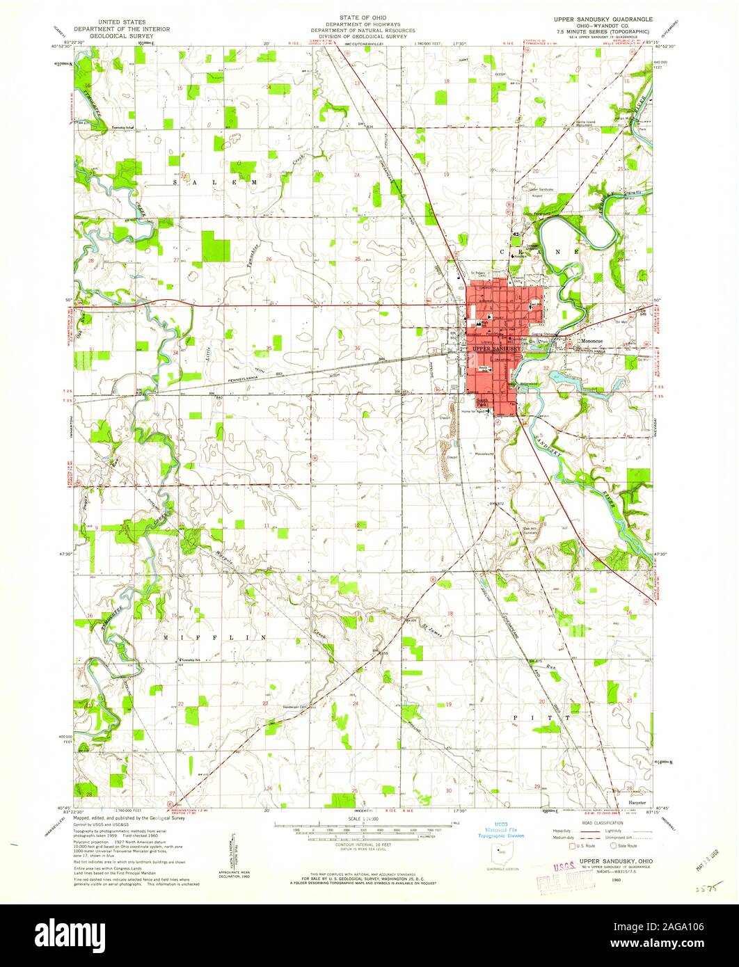 USGS TOPO Map Ohio OH Upper Sandusky 226855 1960 24000 Restoration Stock Photohttps://www.alamy.com/image-license-details/?v=1https://www.alamy.com/usgs-topo-map-ohio-oh-upper-sandusky-226855-1960-24000-restoration-image337051798.html
RM2AGA106–USGS TOPO Map Ohio OH Upper Sandusky 226855 1960 24000 Restoration
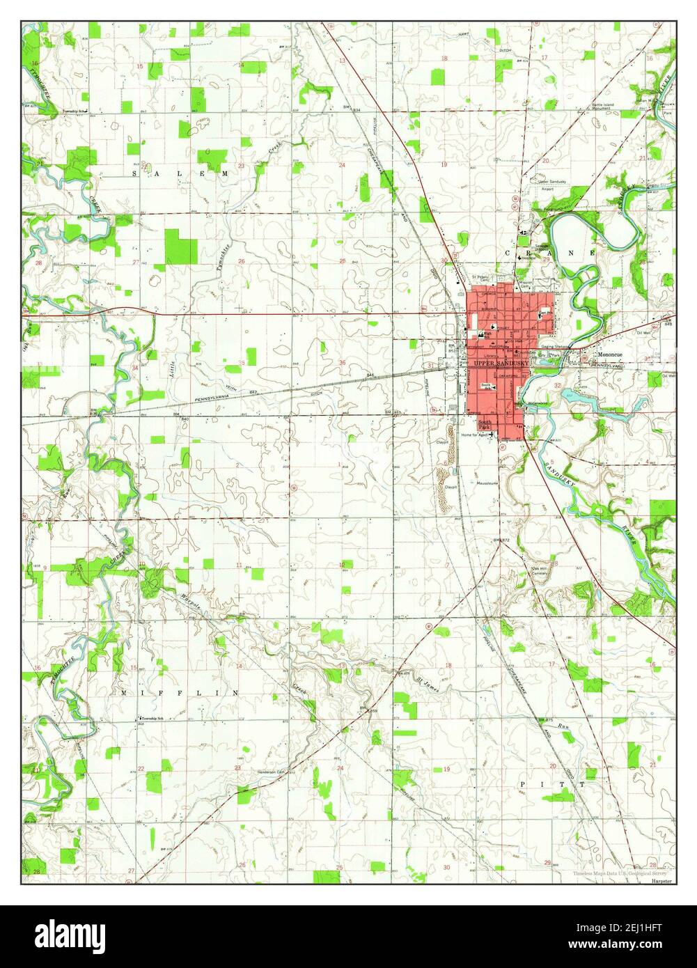 Upper Sandusky, Ohio, map 1960, 1:24000, United States of America by Timeless Maps, data U.S. Geological Survey Stock Photohttps://www.alamy.com/image-license-details/?v=1https://www.alamy.com/upper-sandusky-ohio-map-1960-124000-united-states-of-america-by-timeless-maps-data-us-geological-survey-image406937996.html
RM2EJ1HFT–Upper Sandusky, Ohio, map 1960, 1:24000, United States of America by Timeless Maps, data U.S. Geological Survey
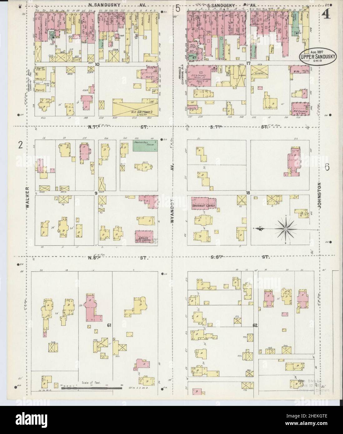 Sanborn Fire Insurance Map from Upper Sandusky, Wyandot County, Ohio. Stock Photohttps://www.alamy.com/image-license-details/?v=1https://www.alamy.com/sanborn-fire-insurance-map-from-upper-sandusky-wyandot-county-ohio-image456505070.html
RM2HEKGTE–Sanborn Fire Insurance Map from Upper Sandusky, Wyandot County, Ohio.
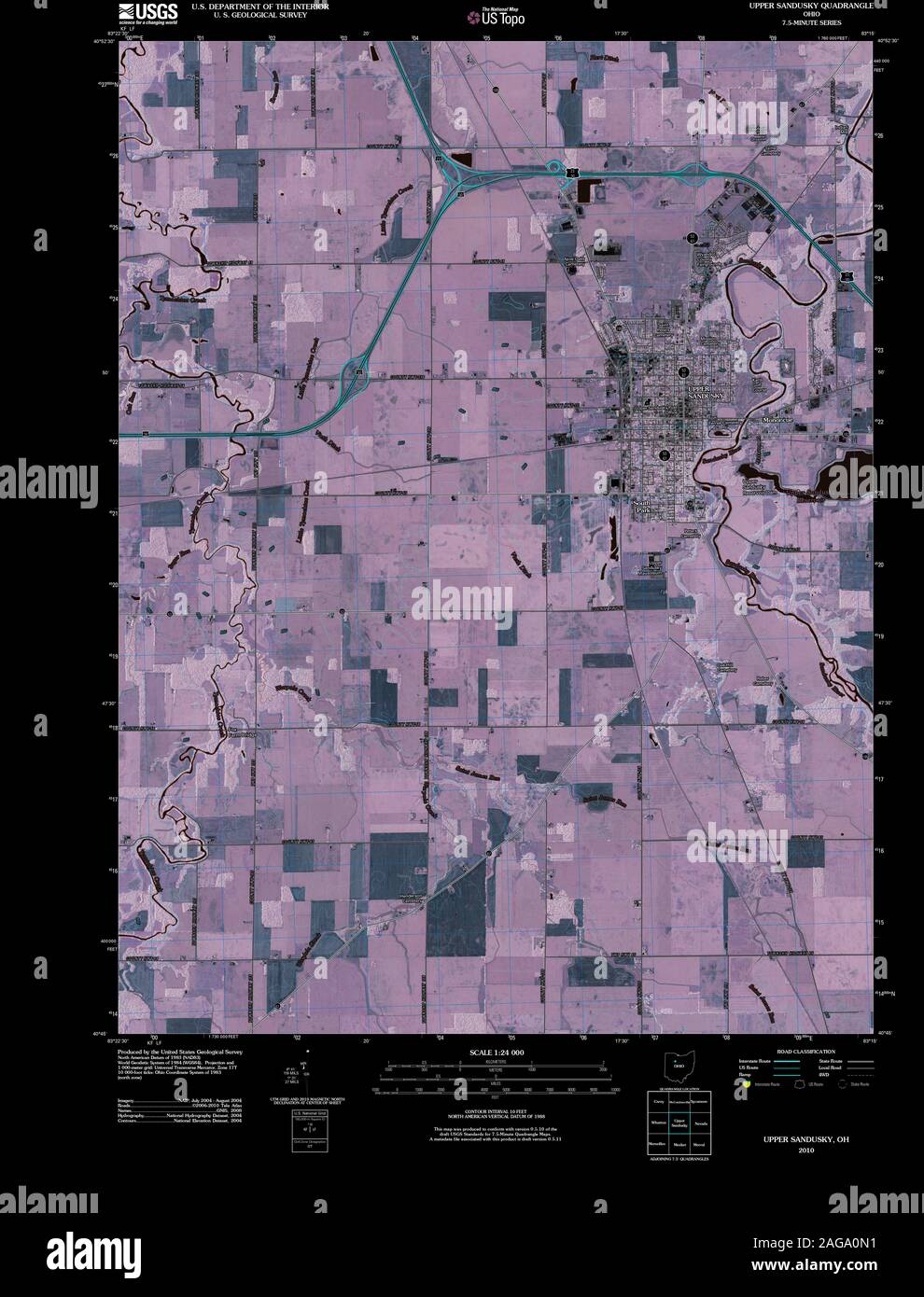 USGS TOPO Map Ohio OH Upper Sandusky 20100809 TM Inverted Restoration Stock Photohttps://www.alamy.com/image-license-details/?v=1https://www.alamy.com/usgs-topo-map-ohio-oh-upper-sandusky-20100809-tm-inverted-restoration-image337051597.html
RM2AGA0N1–USGS TOPO Map Ohio OH Upper Sandusky 20100809 TM Inverted Restoration
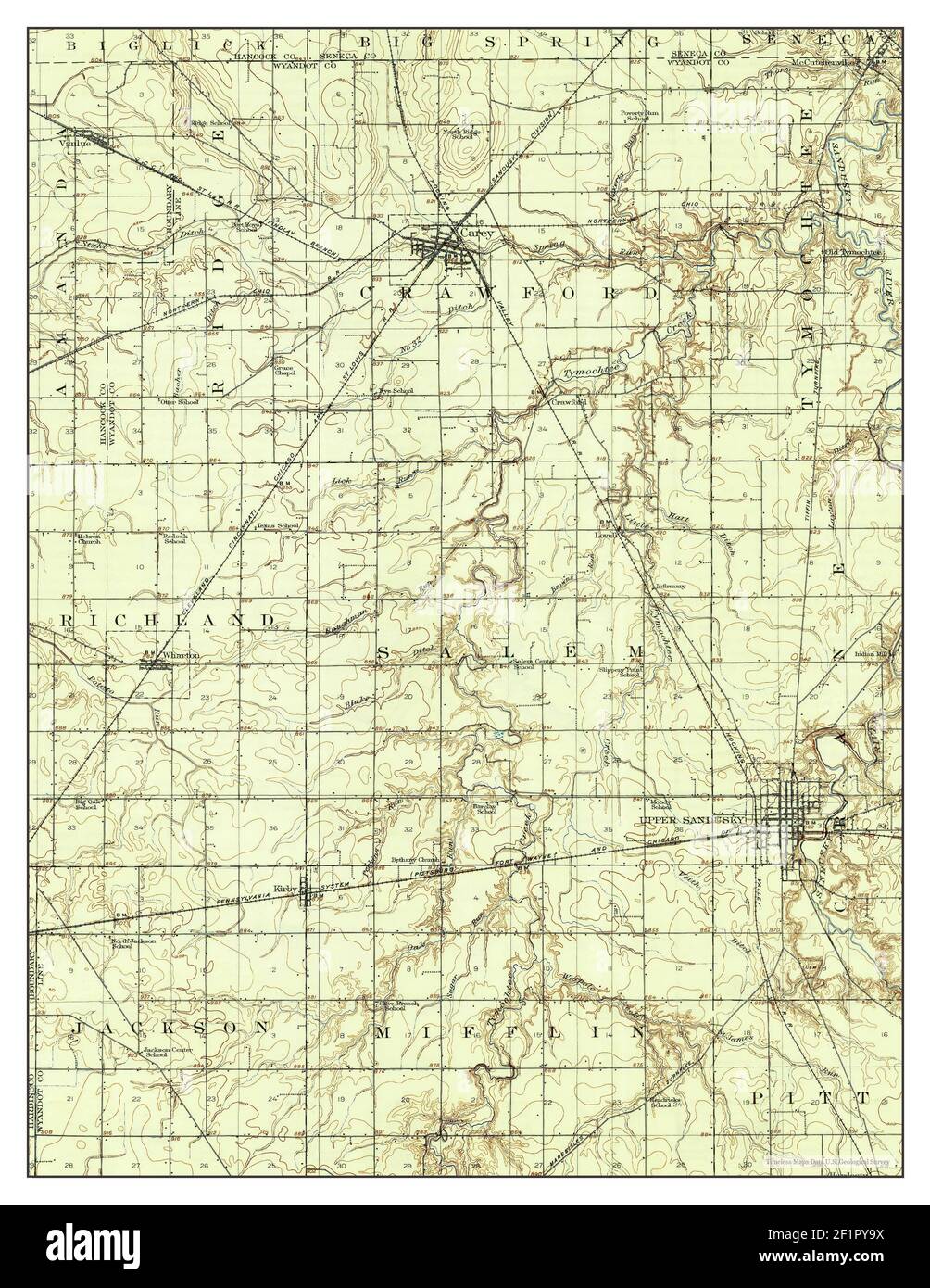 Upper Sandusky, Ohio, map 1907, 1:62500, United States of America by Timeless Maps, data U.S. Geological Survey Stock Photohttps://www.alamy.com/image-license-details/?v=1https://www.alamy.com/upper-sandusky-ohio-map-1907-162500-united-states-of-america-by-timeless-maps-data-us-geological-survey-image414167878.html
RM2F1PY9X–Upper Sandusky, Ohio, map 1907, 1:62500, United States of America by Timeless Maps, data U.S. Geological Survey
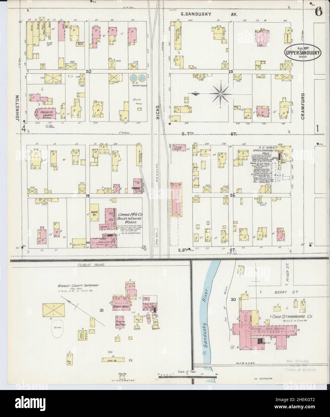 Sanborn Fire Insurance Map from Upper Sandusky, Wyandot County, Ohio. Stock Photohttps://www.alamy.com/image-license-details/?v=1https://www.alamy.com/sanborn-fire-insurance-map-from-upper-sandusky-wyandot-county-ohio-image456505058.html
RM2HEKGT2–Sanborn Fire Insurance Map from Upper Sandusky, Wyandot County, Ohio.
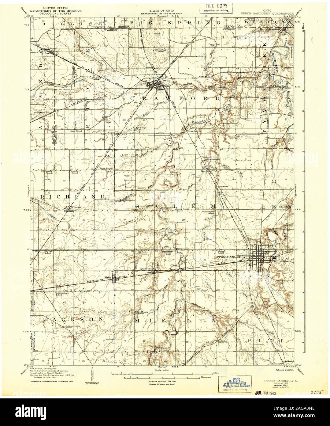 USGS TOPO Map Ohio OH Upper Sandusky 226853 1907 62500 Restoration Stock Photohttps://www.alamy.com/image-license-details/?v=1https://www.alamy.com/usgs-topo-map-ohio-oh-upper-sandusky-226853-1907-62500-restoration-image337051610.html
RM2AGA0NE–USGS TOPO Map Ohio OH Upper Sandusky 226853 1907 62500 Restoration
 Upper Sandusky, Ohio, map 1960, 1:24000, United States of America by Timeless Maps, data U.S. Geological Survey Stock Photohttps://www.alamy.com/image-license-details/?v=1https://www.alamy.com/upper-sandusky-ohio-map-1960-124000-united-states-of-america-by-timeless-maps-data-us-geological-survey-image406938001.html
RM2EJ1HG1–Upper Sandusky, Ohio, map 1960, 1:24000, United States of America by Timeless Maps, data U.S. Geological Survey
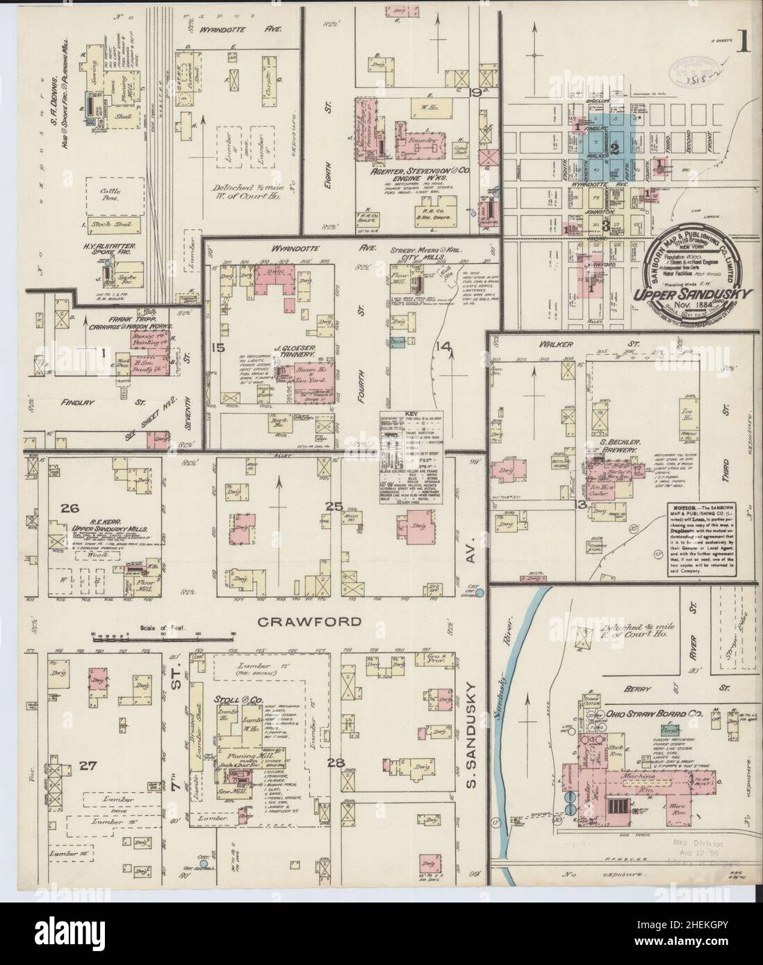 Sanborn Fire Insurance Map from Upper Sandusky, Wyandot County, Ohio. Stock Photohttps://www.alamy.com/image-license-details/?v=1https://www.alamy.com/sanborn-fire-insurance-map-from-upper-sandusky-wyandot-county-ohio-image456505027.html
RM2HEKGPY–Sanborn Fire Insurance Map from Upper Sandusky, Wyandot County, Ohio.
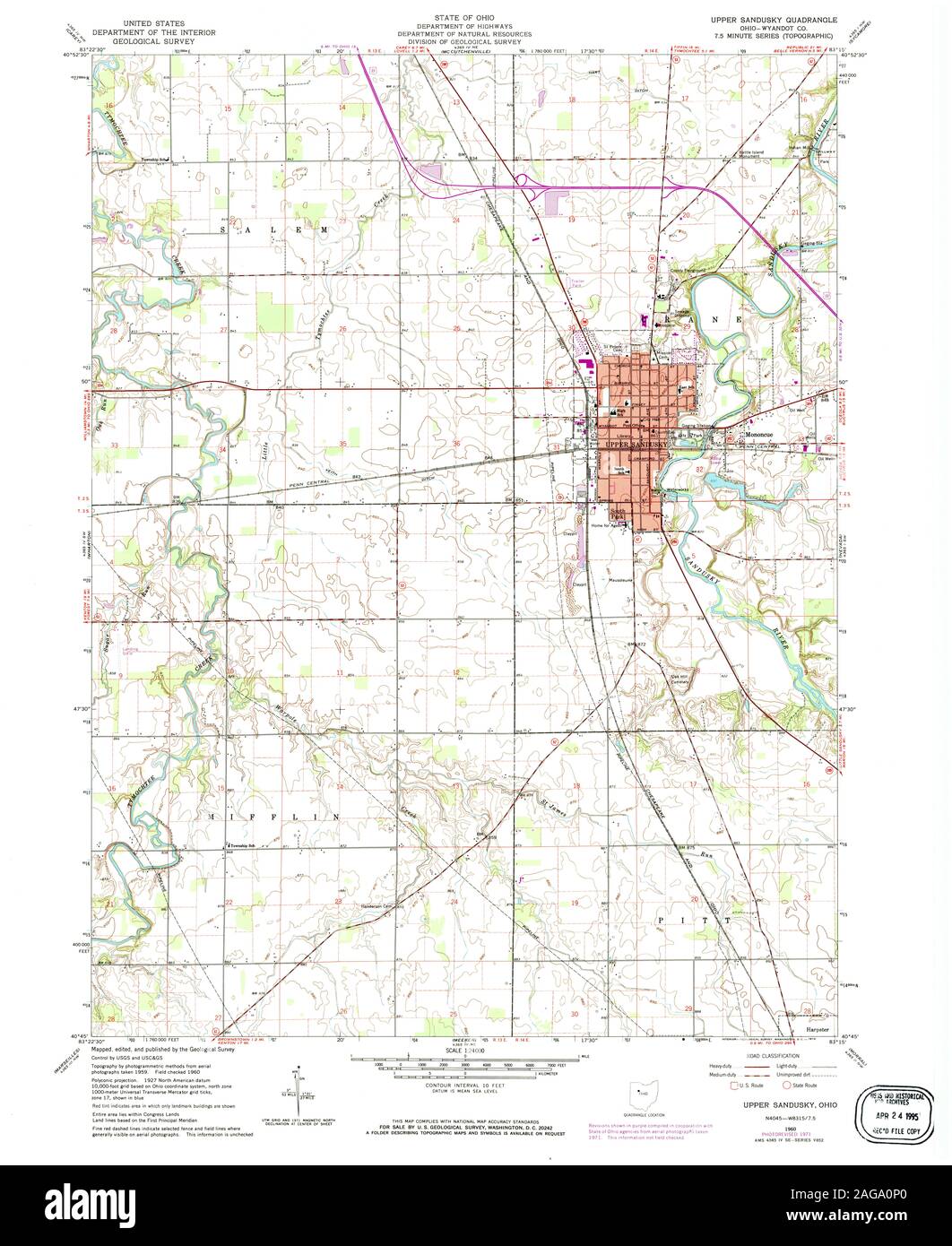 USGS TOPO Map Ohio OH Upper Sandusky 226857 1960 24000 Restoration Stock Photohttps://www.alamy.com/image-license-details/?v=1https://www.alamy.com/usgs-topo-map-ohio-oh-upper-sandusky-226857-1960-24000-restoration-image337051624.html
RM2AGA0P0–USGS TOPO Map Ohio OH Upper Sandusky 226857 1960 24000 Restoration
 Sanborn Fire Insurance Map from Upper Sandusky, Wyandot County, Ohio. Stock Photohttps://www.alamy.com/image-license-details/?v=1https://www.alamy.com/sanborn-fire-insurance-map-from-upper-sandusky-wyandot-county-ohio-image456505041.html
RM2HEKGRD–Sanborn Fire Insurance Map from Upper Sandusky, Wyandot County, Ohio.
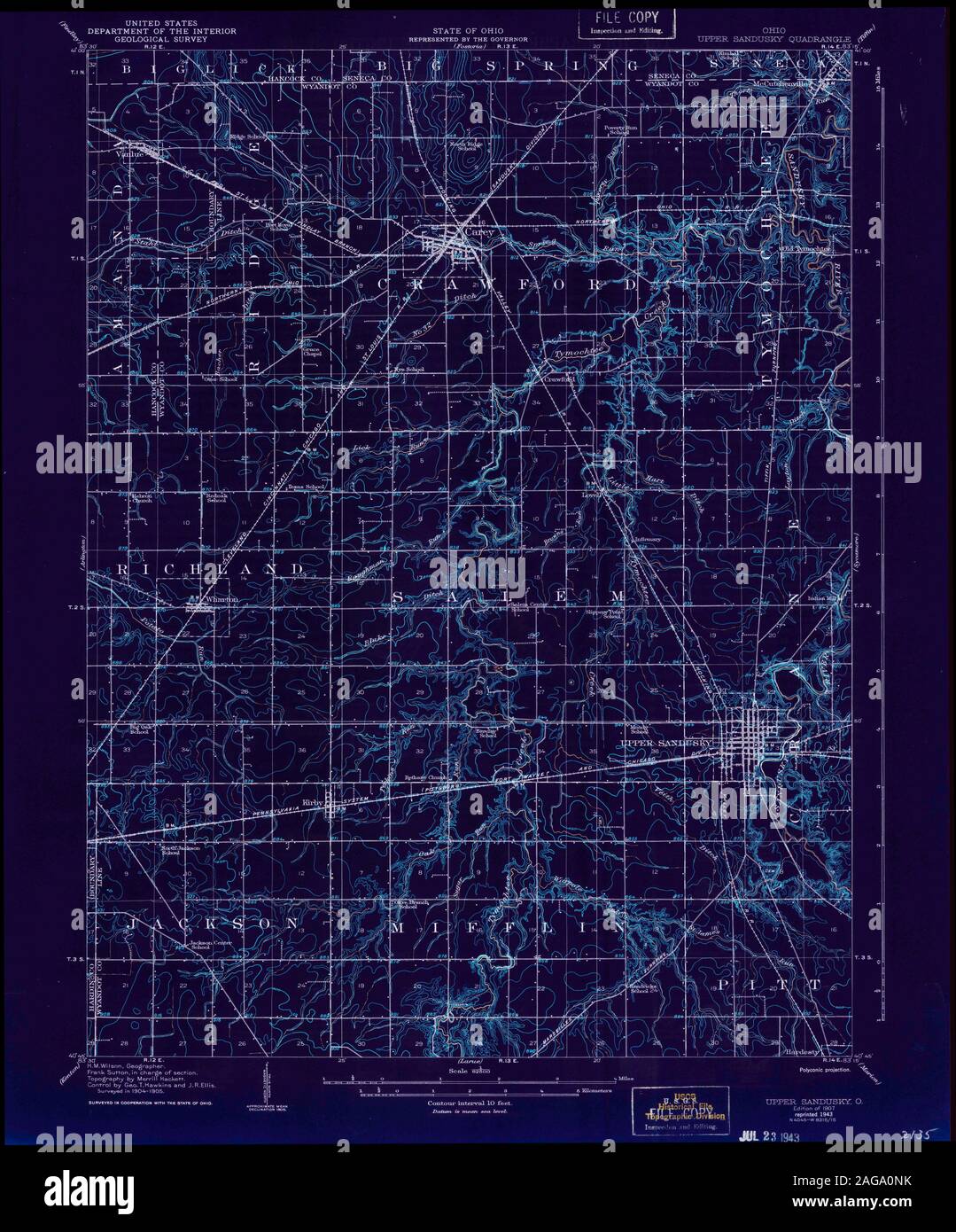 USGS TOPO Map Ohio OH Upper Sandusky 226853 1907 62500 Inverted Restoration Stock Photohttps://www.alamy.com/image-license-details/?v=1https://www.alamy.com/usgs-topo-map-ohio-oh-upper-sandusky-226853-1907-62500-inverted-restoration-image337051615.html
RM2AGA0NK–USGS TOPO Map Ohio OH Upper Sandusky 226853 1907 62500 Inverted Restoration
 Sanborn Fire Insurance Map from Upper Sandusky, Wyandot County, Ohio. Stock Photohttps://www.alamy.com/image-license-details/?v=1https://www.alamy.com/sanborn-fire-insurance-map-from-upper-sandusky-wyandot-county-ohio-image456505030.html
RM2HEKGR2–Sanborn Fire Insurance Map from Upper Sandusky, Wyandot County, Ohio.
 USGS TOPO Map Ohio OH Upper Sandusky 226855 1960 24000 Inverted Restoration Stock Photohttps://www.alamy.com/image-license-details/?v=1https://www.alamy.com/usgs-topo-map-ohio-oh-upper-sandusky-226855-1960-24000-inverted-restoration-image337051600.html
RM2AGA0N4–USGS TOPO Map Ohio OH Upper Sandusky 226855 1960 24000 Inverted Restoration
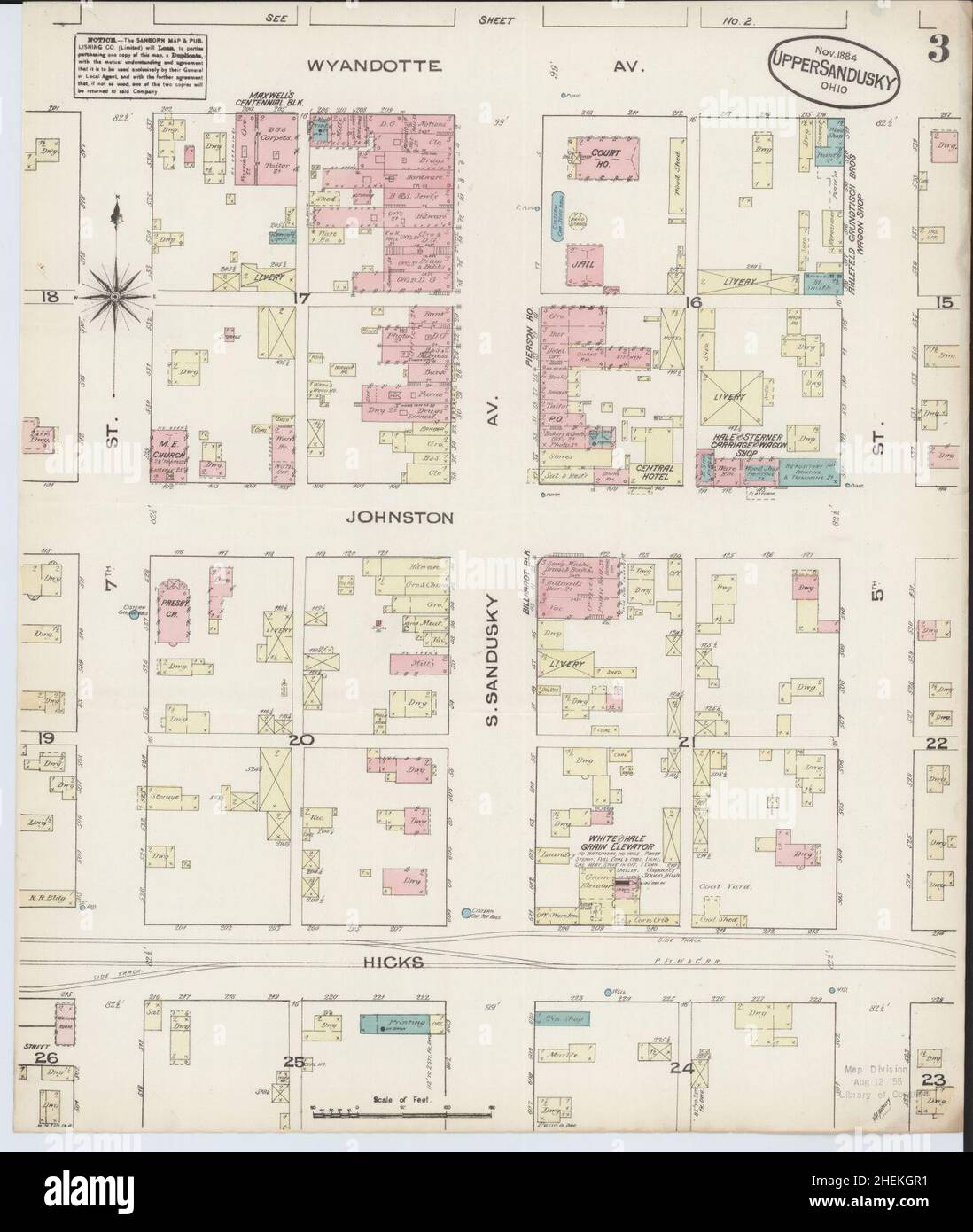 Sanborn Fire Insurance Map from Upper Sandusky, Wyandot County, Ohio. Stock Photohttps://www.alamy.com/image-license-details/?v=1https://www.alamy.com/sanborn-fire-insurance-map-from-upper-sandusky-wyandot-county-ohio-image456505029.html
RM2HEKGR1–Sanborn Fire Insurance Map from Upper Sandusky, Wyandot County, Ohio.
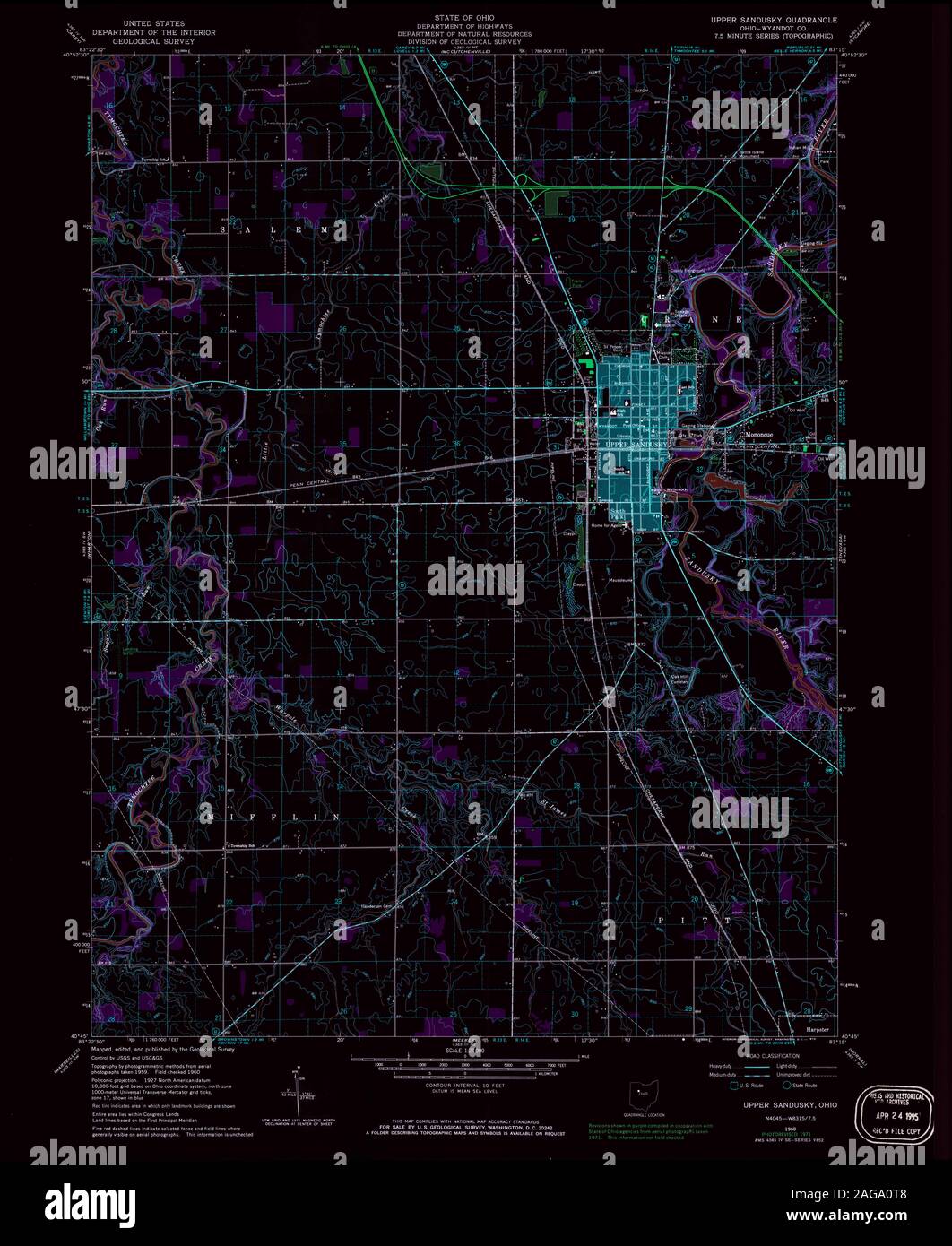 USGS TOPO Map Ohio OH Upper Sandusky 226857 1960 24000 Inverted Restoration Stock Photohttps://www.alamy.com/image-license-details/?v=1https://www.alamy.com/usgs-topo-map-ohio-oh-upper-sandusky-226857-1960-24000-inverted-restoration-image337051688.html
RM2AGA0T8–USGS TOPO Map Ohio OH Upper Sandusky 226857 1960 24000 Inverted Restoration
 Sanborn Fire Insurance Map from Upper Sandusky, Wyandot County, Ohio. Stock Photohttps://www.alamy.com/image-license-details/?v=1https://www.alamy.com/sanborn-fire-insurance-map-from-upper-sandusky-wyandot-county-ohio-image456505050.html
RM2HEKGRP–Sanborn Fire Insurance Map from Upper Sandusky, Wyandot County, Ohio.
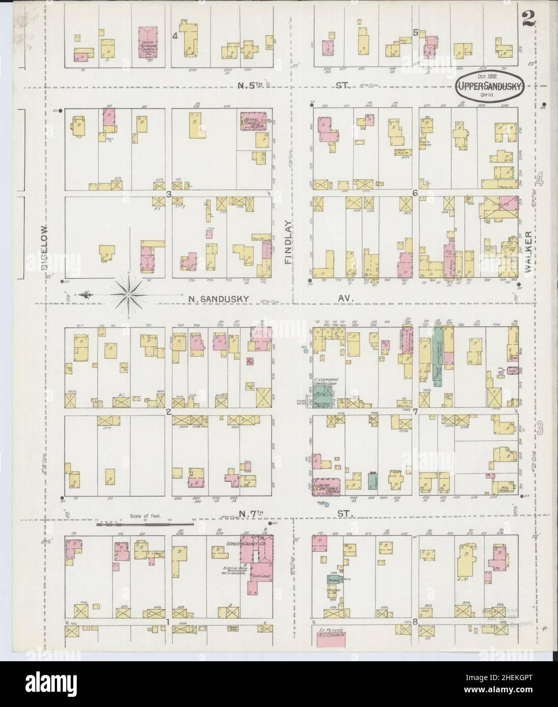 Sanborn Fire Insurance Map from Upper Sandusky, Wyandot County, Ohio. Stock Photohttps://www.alamy.com/image-license-details/?v=1https://www.alamy.com/sanborn-fire-insurance-map-from-upper-sandusky-wyandot-county-ohio-image456505024.html
RM2HEKGPT–Sanborn Fire Insurance Map from Upper Sandusky, Wyandot County, Ohio.
 Sanborn Fire Insurance Map from Upper Sandusky, Wyandot County, Ohio. Stock Photohttps://www.alamy.com/image-license-details/?v=1https://www.alamy.com/sanborn-fire-insurance-map-from-upper-sandusky-wyandot-county-ohio-image456505066.html
RM2HEKGTA–Sanborn Fire Insurance Map from Upper Sandusky, Wyandot County, Ohio.
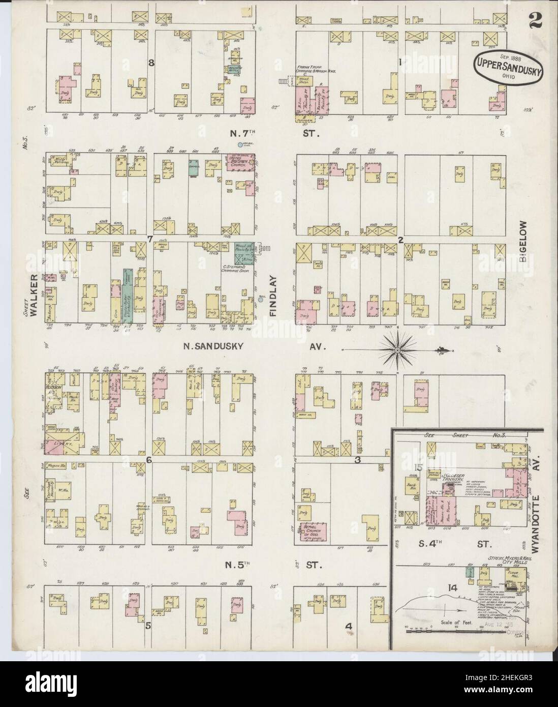 Sanborn Fire Insurance Map from Upper Sandusky, Wyandot County, Ohio. Stock Photohttps://www.alamy.com/image-license-details/?v=1https://www.alamy.com/sanborn-fire-insurance-map-from-upper-sandusky-wyandot-county-ohio-image456505031.html
RM2HEKGR3–Sanborn Fire Insurance Map from Upper Sandusky, Wyandot County, Ohio.
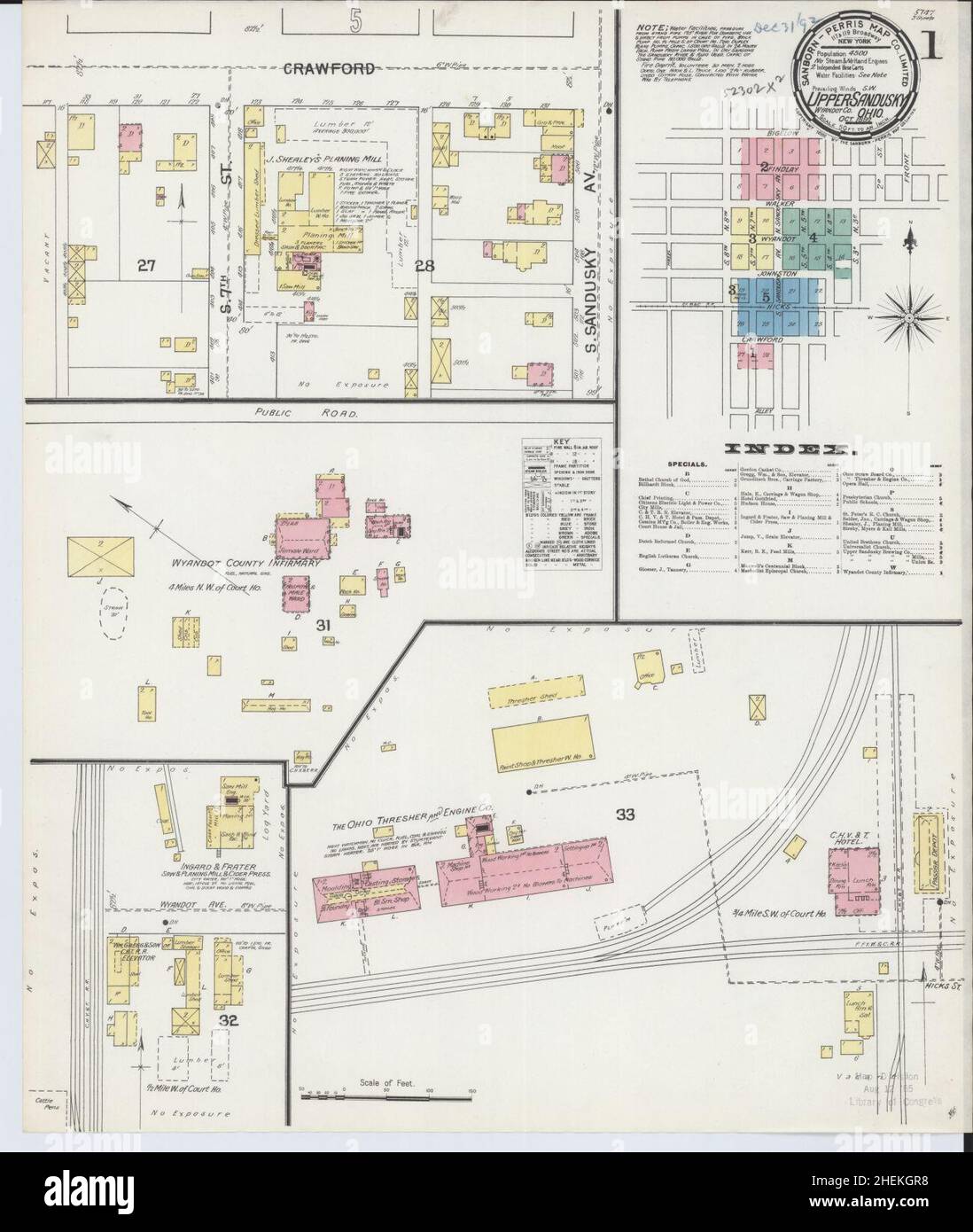 Sanborn Fire Insurance Map from Upper Sandusky, Wyandot County, Ohio. Stock Photohttps://www.alamy.com/image-license-details/?v=1https://www.alamy.com/sanborn-fire-insurance-map-from-upper-sandusky-wyandot-county-ohio-image456505036.html
RM2HEKGR8–Sanborn Fire Insurance Map from Upper Sandusky, Wyandot County, Ohio.
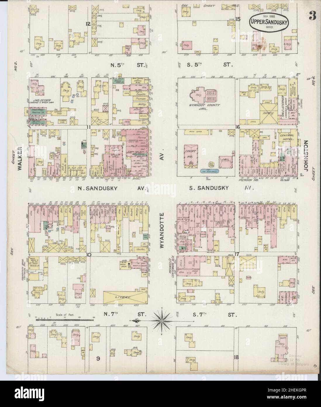 Sanborn Fire Insurance Map from Upper Sandusky, Wyandot County, Ohio. Stock Photohttps://www.alamy.com/image-license-details/?v=1https://www.alamy.com/sanborn-fire-insurance-map-from-upper-sandusky-wyandot-county-ohio-image456505023.html
RM2HEKGPR–Sanborn Fire Insurance Map from Upper Sandusky, Wyandot County, Ohio.
 Sanborn Fire Insurance Map from Upper Sandusky, Wyandot County, Ohio. Stock Photohttps://www.alamy.com/image-license-details/?v=1https://www.alamy.com/sanborn-fire-insurance-map-from-upper-sandusky-wyandot-county-ohio-image456505055.html
RM2HEKGRY–Sanborn Fire Insurance Map from Upper Sandusky, Wyandot County, Ohio.
 Sanborn Fire Insurance Map from Upper Sandusky, Wyandot County, Ohio. Stock Photohttps://www.alamy.com/image-license-details/?v=1https://www.alamy.com/sanborn-fire-insurance-map-from-upper-sandusky-wyandot-county-ohio-image456505047.html
RM2HEKGRK–Sanborn Fire Insurance Map from Upper Sandusky, Wyandot County, Ohio.
 Sanborn Fire Insurance Map from Upper Sandusky, Wyandot County, Ohio. Stock Photohttps://www.alamy.com/image-license-details/?v=1https://www.alamy.com/sanborn-fire-insurance-map-from-upper-sandusky-wyandot-county-ohio-image456505028.html
RM2HEKGR0–Sanborn Fire Insurance Map from Upper Sandusky, Wyandot County, Ohio.
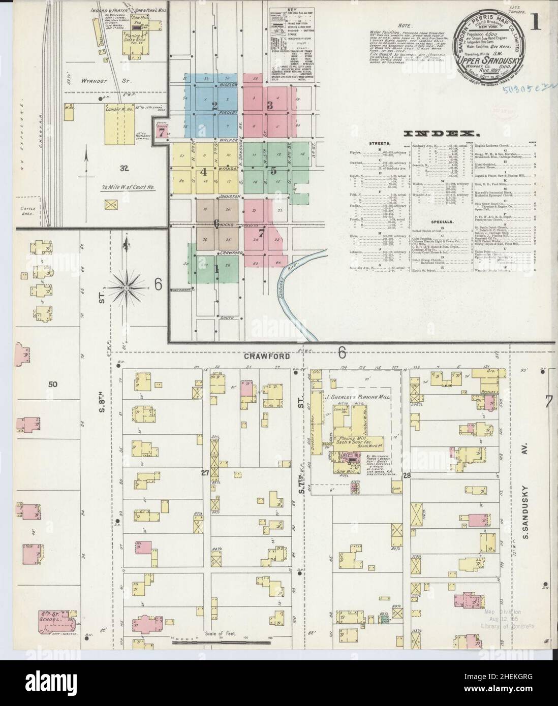 Sanborn Fire Insurance Map from Upper Sandusky, Wyandot County, Ohio. Stock Photohttps://www.alamy.com/image-license-details/?v=1https://www.alamy.com/sanborn-fire-insurance-map-from-upper-sandusky-wyandot-county-ohio-image456505044.html
RM2HEKGRG–Sanborn Fire Insurance Map from Upper Sandusky, Wyandot County, Ohio.