Us coast and geodetic survey marker Stock Photos and Images
(19)See us coast and geodetic survey marker stock video clipsUs coast and geodetic survey marker Stock Photos and Images
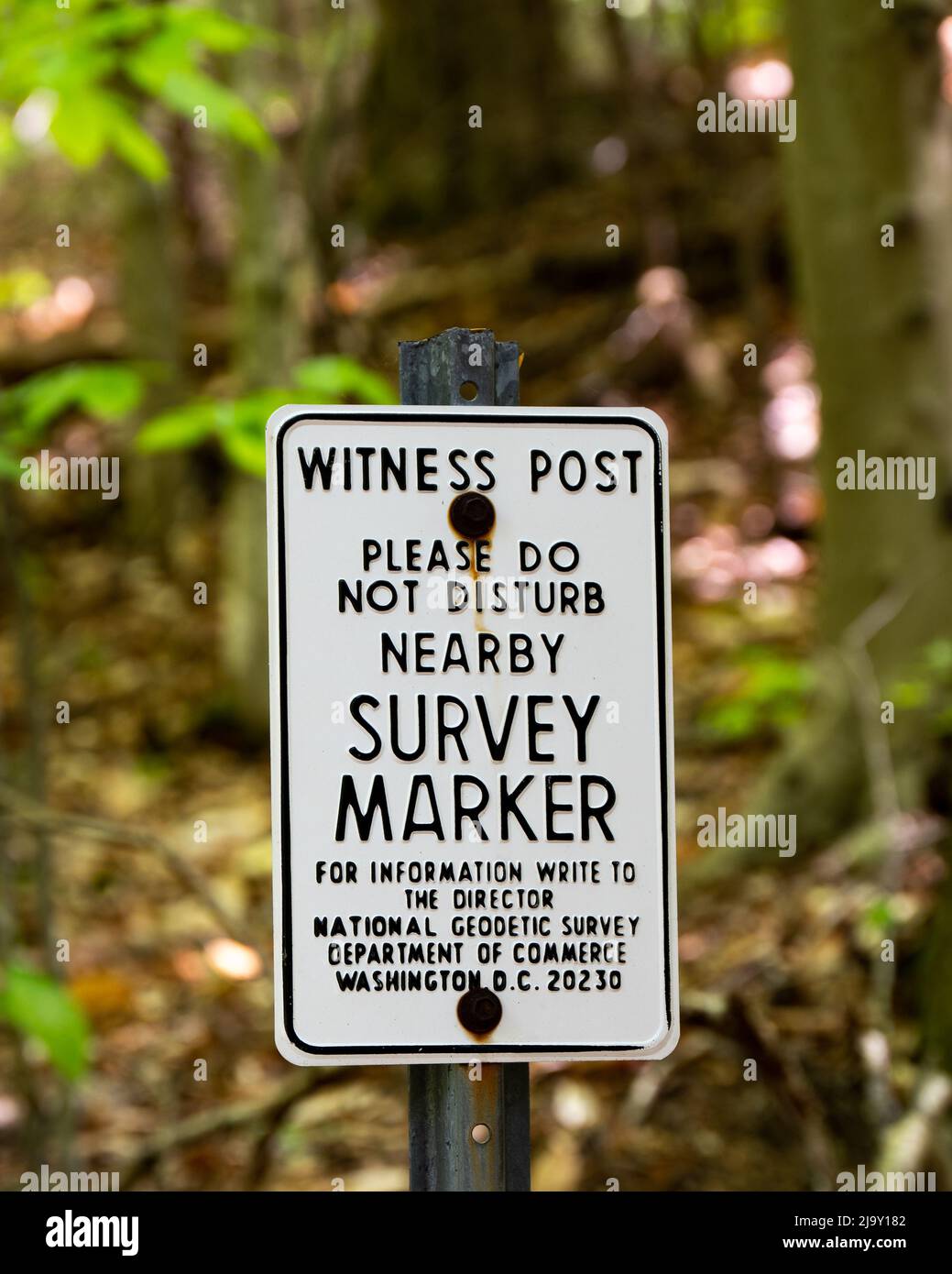 A witness post for a nearby US Coast and Geodetic Survey Marker located in the Adirondack Mountains wilderness Stock Photohttps://www.alamy.com/image-license-details/?v=1https://www.alamy.com/a-witness-post-for-a-nearby-us-coast-and-geodetic-survey-marker-located-in-the-adirondack-mountains-wilderness-image470805554.html
RF2J9Y182–A witness post for a nearby US Coast and Geodetic Survey Marker located in the Adirondack Mountains wilderness
 US Coast and Geodetic Survey Triangulation Station Mountaintop Benchmark, Hurricane Mountain in the Adirondacks, Placed in 1942 Stock Photohttps://www.alamy.com/image-license-details/?v=1https://www.alamy.com/stock-photo-us-coast-and-geodetic-survey-triangulation-station-mountaintop-benchmark-38061998.html
RMC5WTD2–US Coast and Geodetic Survey Triangulation Station Mountaintop Benchmark, Hurricane Mountain in the Adirondacks, Placed in 1942
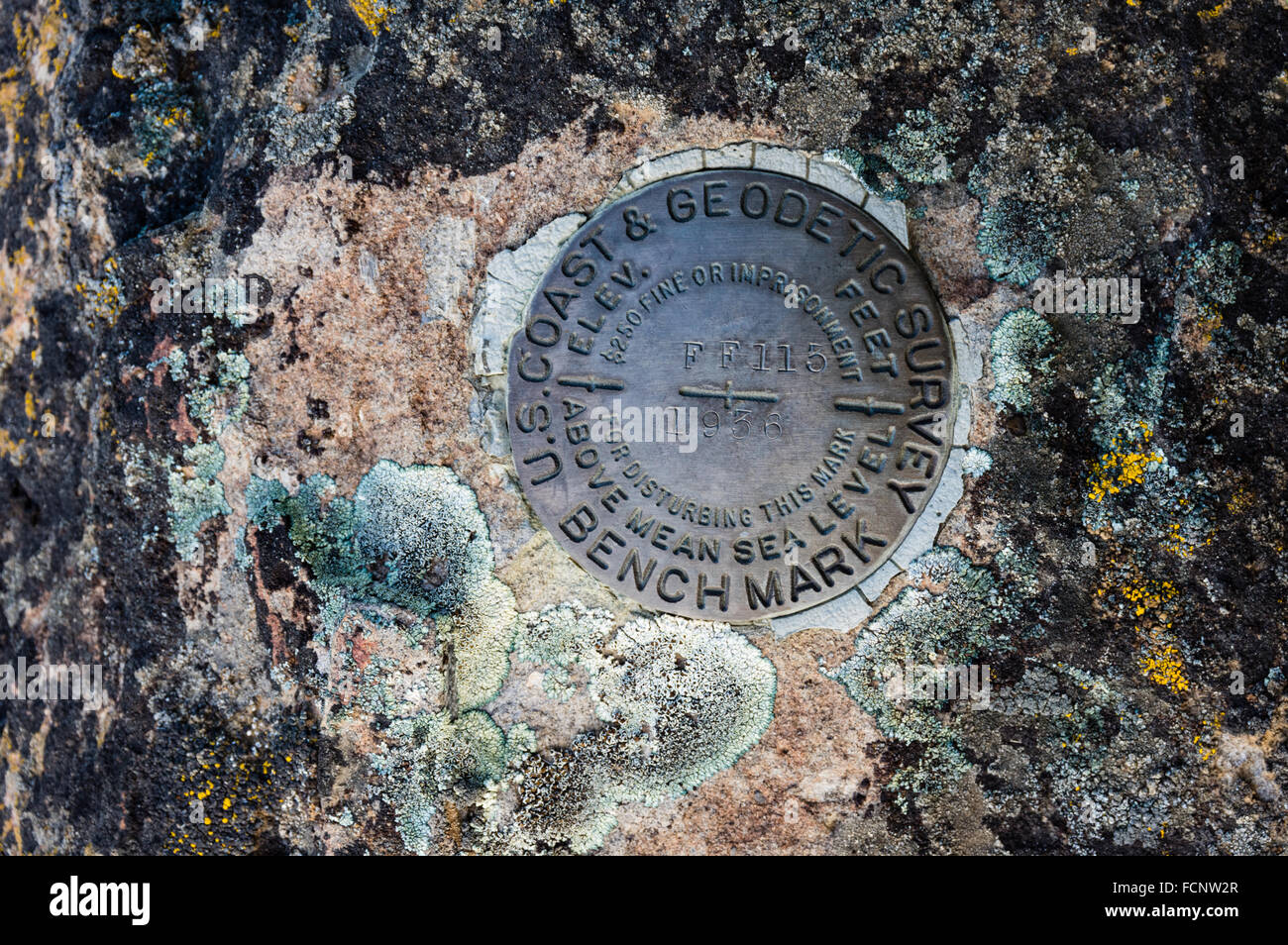 Benchmark plate of the US coast and geodetic survey, placed to mark elevation of a location. Antelope, Oregon, USA Stock Photohttps://www.alamy.com/image-license-details/?v=1https://www.alamy.com/stock-photo-benchmark-plate-of-the-us-coast-and-geodetic-survey-placed-to-mark-93908383.html
RMFCNW2R–Benchmark plate of the US coast and geodetic survey, placed to mark elevation of a location. Antelope, Oregon, USA
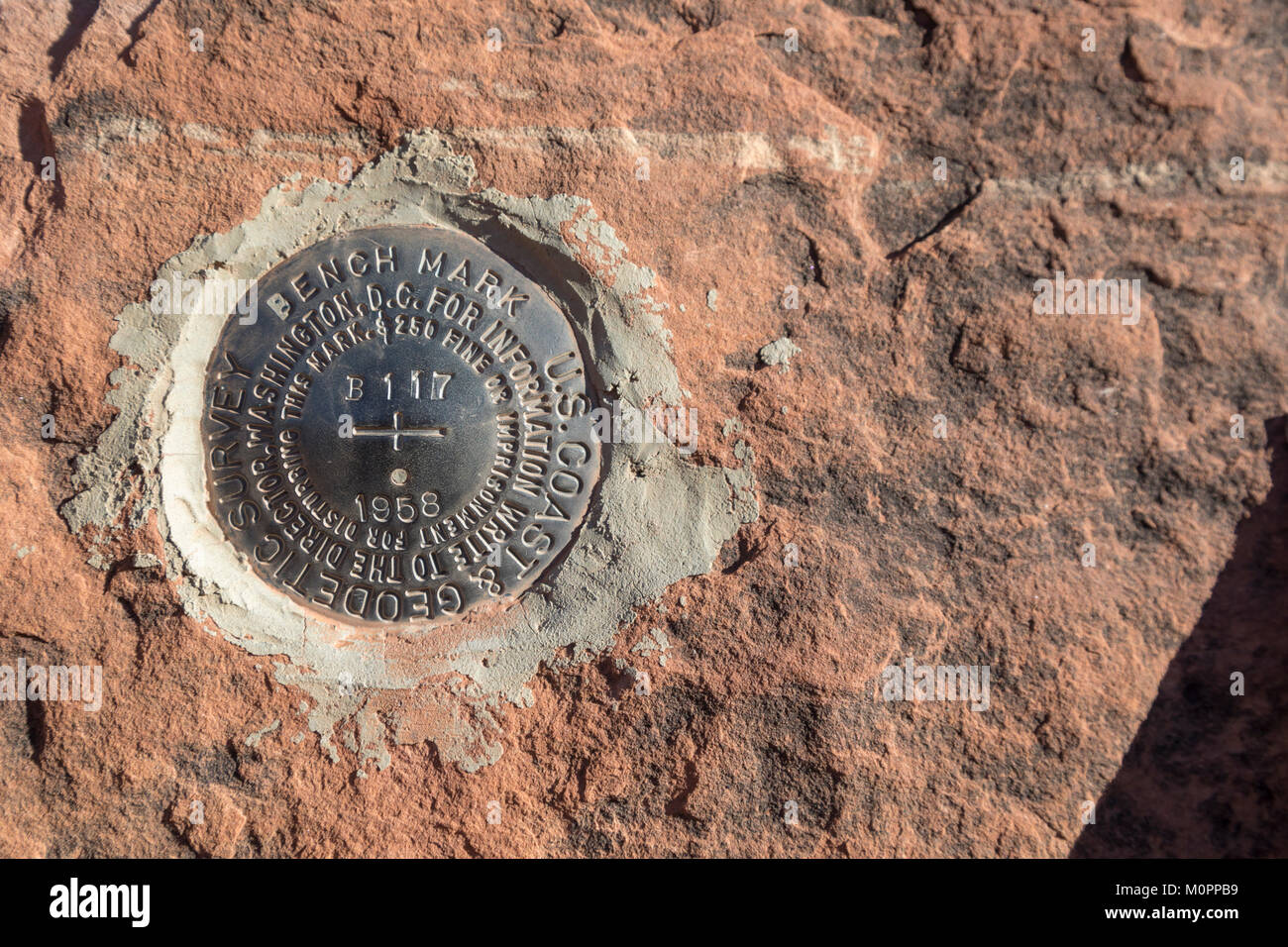 Blanding, Utah - A bench mark places by the U.S. National Geodetic Survey in Mule Canyon in Bears Ears National Monument Stock Photohttps://www.alamy.com/image-license-details/?v=1https://www.alamy.com/stock-photo-blanding-utah-a-bench-mark-places-by-the-us-national-geodetic-survey-172604189.html
RMM0PPB9–Blanding, Utah - A bench mark places by the U.S. National Geodetic Survey in Mule Canyon in Bears Ears National Monument
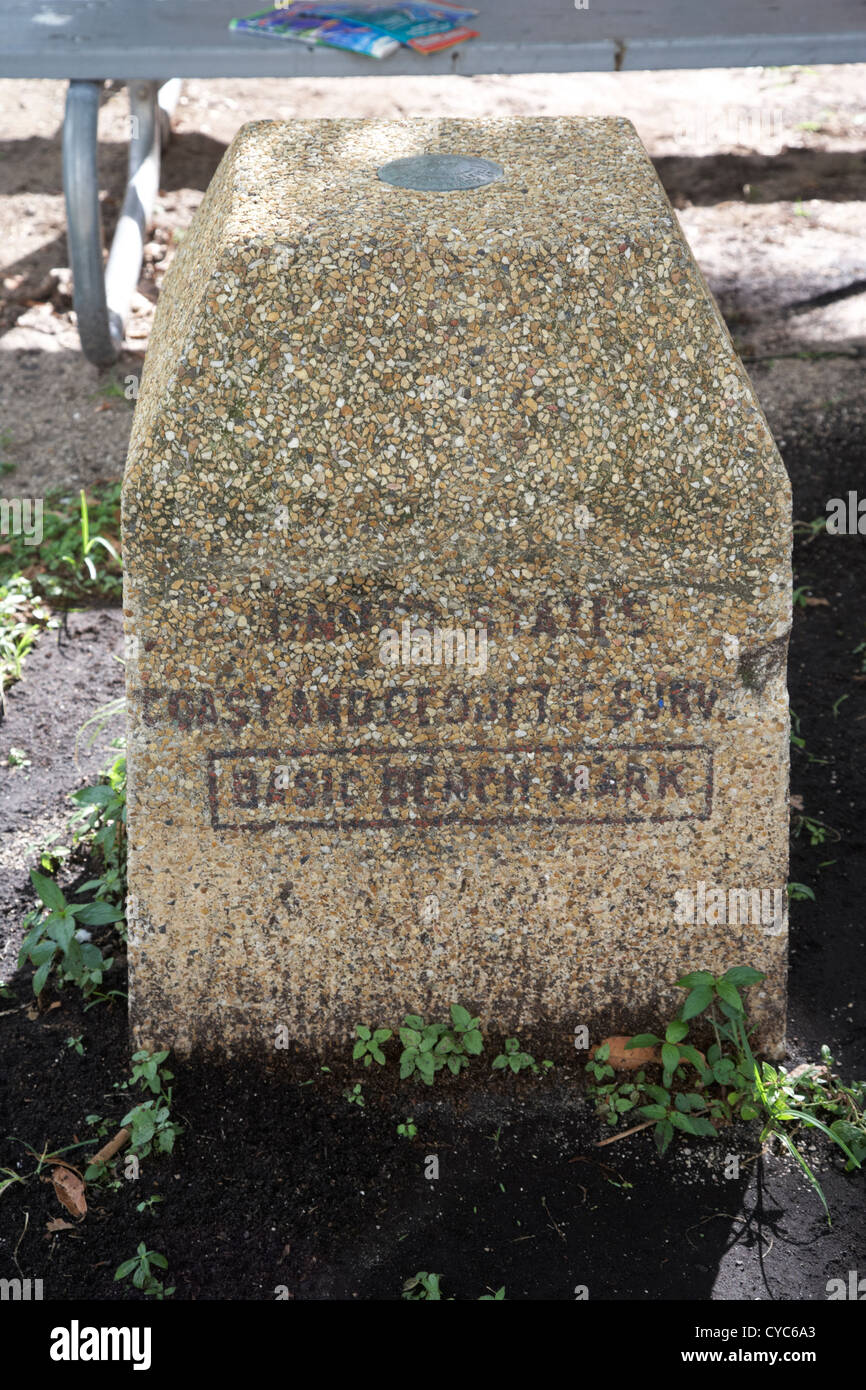 united states coast and geodetic survey basic bench mark key west florida usa Stock Photohttps://www.alamy.com/image-license-details/?v=1https://www.alamy.com/stock-photo-united-states-coast-and-geodetic-survey-basic-bench-mark-key-west-51284859.html
RMCYC6A3–united states coast and geodetic survey basic bench mark key west florida usa
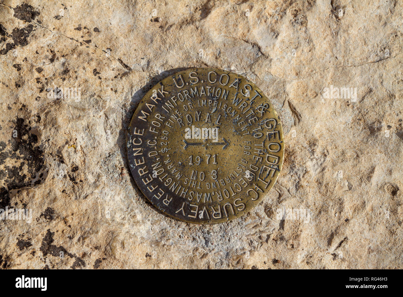 A US Coast & Geodetic Survey reference mark on a rock at Cape Royal viewpoint, Grand Canyon North Rim, Arizona, United States. Stock Photohttps://www.alamy.com/image-license-details/?v=1https://www.alamy.com/a-us-coast-geodetic-survey-reference-mark-on-a-rock-at-cape-royal-viewpoint-grand-canyon-north-rim-arizona-united-states-image233662271.html
RMRG46H3–A US Coast & Geodetic Survey reference mark on a rock at Cape Royal viewpoint, Grand Canyon North Rim, Arizona, United States.
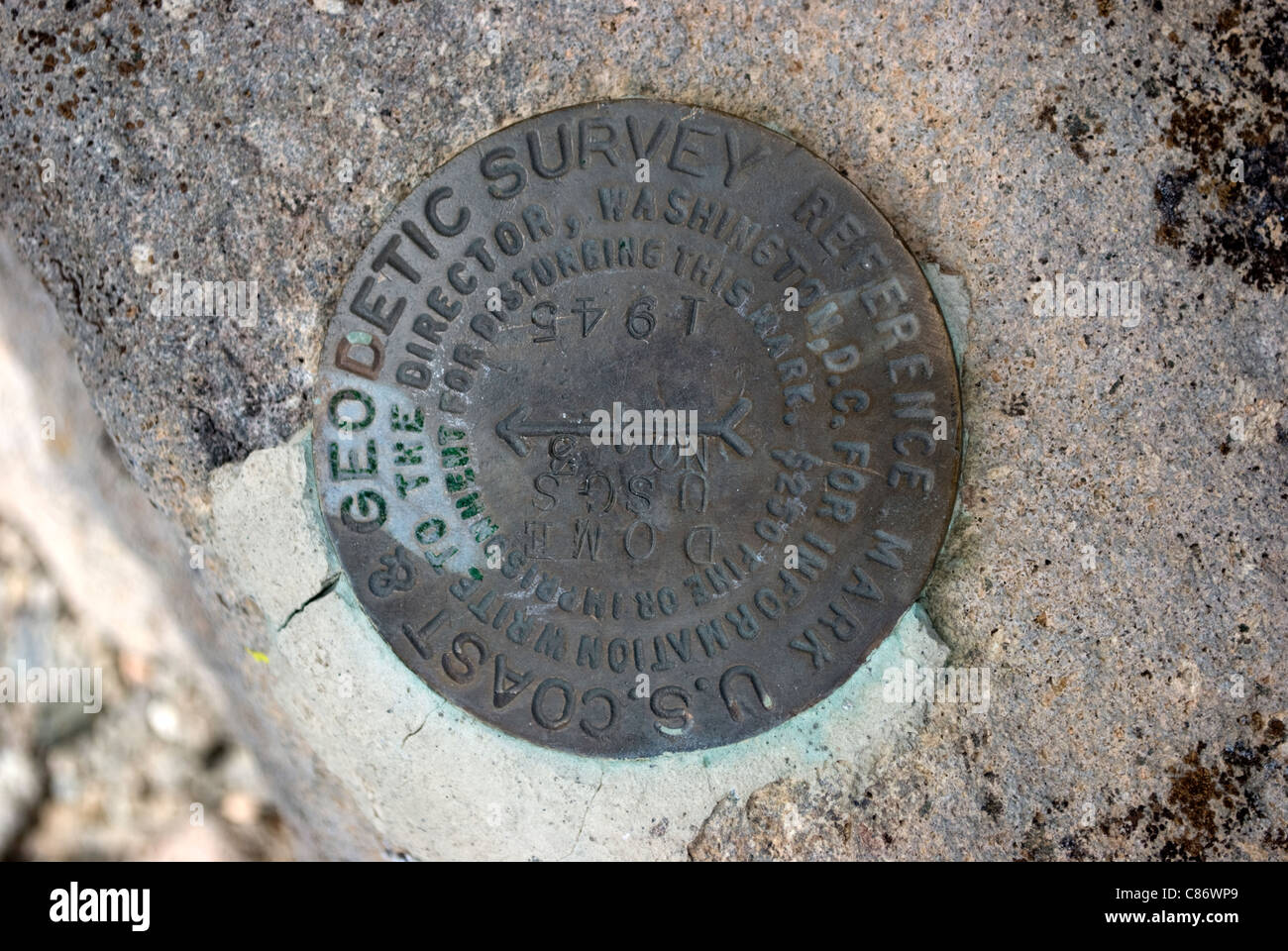 A reference marker found in the Santa Fe National Forest denoting the date and location of a geological survey marker. Stock Photohttps://www.alamy.com/image-license-details/?v=1https://www.alamy.com/stock-photo-a-reference-marker-found-in-the-santa-fe-national-forest-denoting-39489921.html
RMC86WP9–A reference marker found in the Santa Fe National Forest denoting the date and location of a geological survey marker.
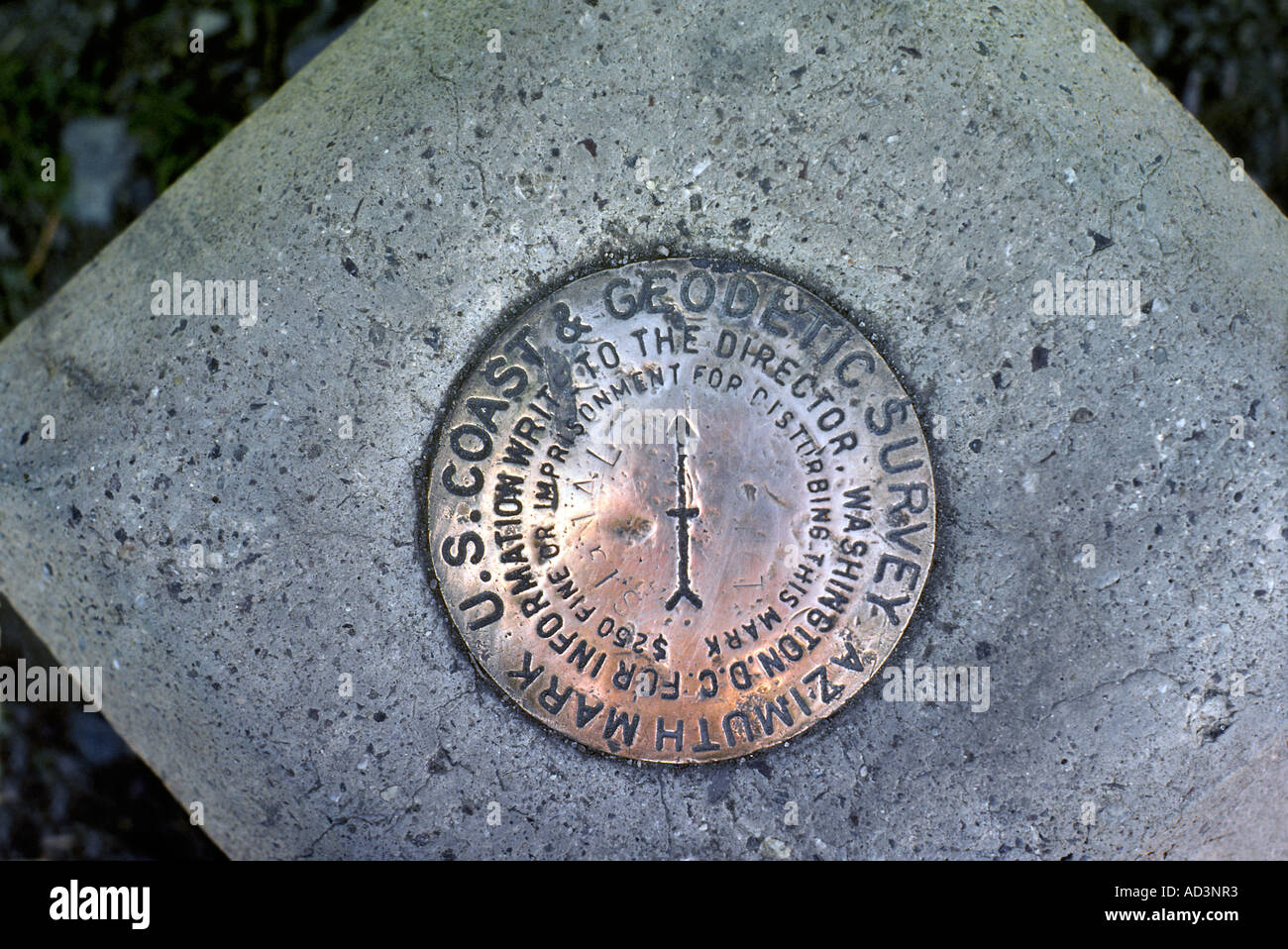 US Coast Geodetic Survey Azimuth Marker Stock Photohttps://www.alamy.com/image-license-details/?v=1https://www.alamy.com/us-coast-geodetic-survey-azimuth-marker-image7596850.html
RMAD3NR3–US Coast Geodetic Survey Azimuth Marker
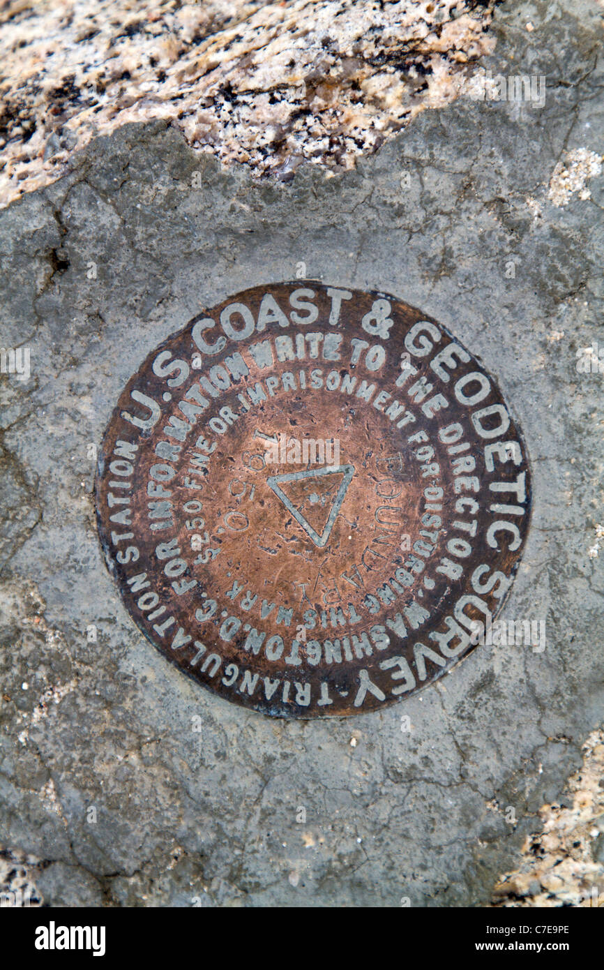 High point hiking in Nevada, Boundary Peak Stock Photohttps://www.alamy.com/image-license-details/?v=1https://www.alamy.com/stock-photo-high-point-hiking-in-nevada-boundary-peak-39038342.html
RFC7E9PE–High point hiking in Nevada, Boundary Peak
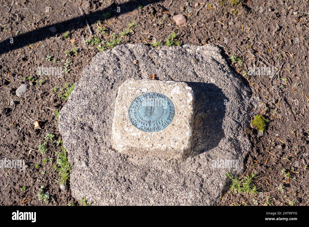 Phoenix, Michigan - October 18, 2021: US Coast and Geodetic Survey Marker showing elevation Stock Photohttps://www.alamy.com/image-license-details/?v=1https://www.alamy.com/phoenix-michigan-october-18-2021-us-coast-and-geodetic-survey-marker-showing-elevation-image462738740.html
RF2HTRFYG–Phoenix, Michigan - October 18, 2021: US Coast and Geodetic Survey Marker showing elevation
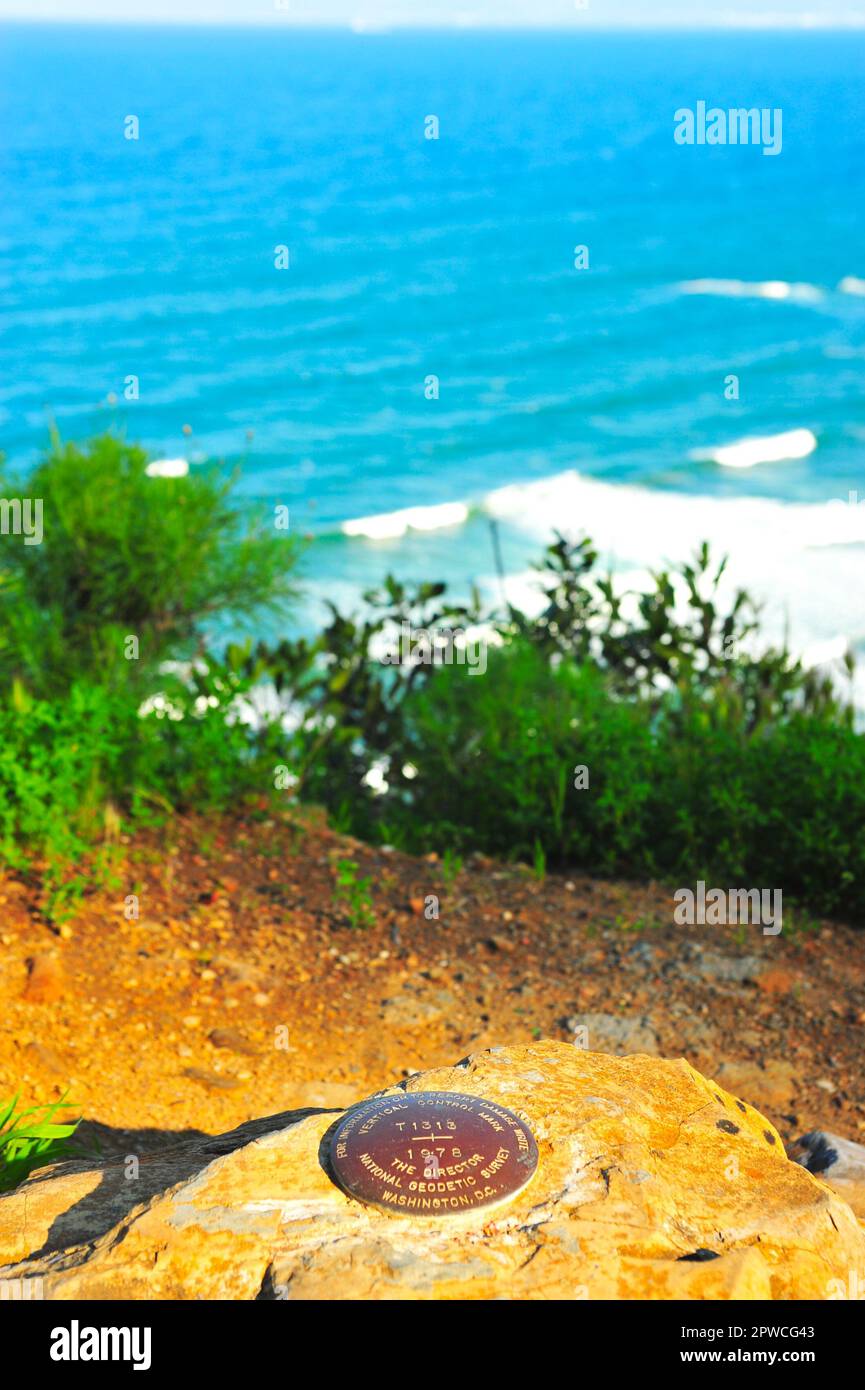 A US American National Geodetic Survey, Vertical Control Marker is embedded in a boulder along a scenic California coastline. High quality photo Stock Photohttps://www.alamy.com/image-license-details/?v=1https://www.alamy.com/a-us-american-national-geodetic-survey-vertical-control-marker-is-embedded-in-a-boulder-along-a-scenic-california-coastline-high-quality-photo-image549163891.html
RF2PWCG43–A US American National Geodetic Survey, Vertical Control Marker is embedded in a boulder along a scenic California coastline. High quality photo
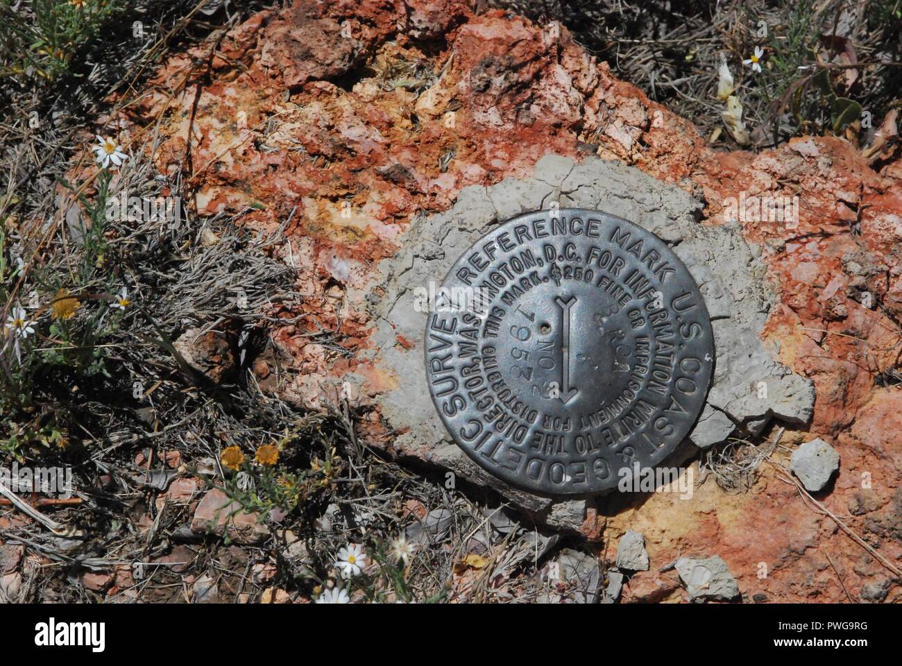 Brow Monument US Coast and Geodetic Survey Marker. Stock Photohttps://www.alamy.com/image-license-details/?v=1https://www.alamy.com/brow-monument-us-coast-and-geodetic-survey-marker-image222249764.html
RMPWG9RG–Brow Monument US Coast and Geodetic Survey Marker.
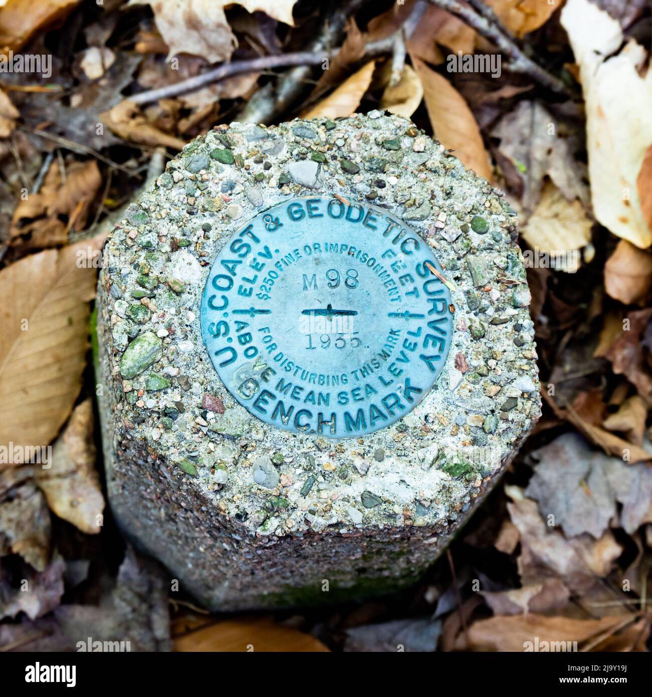 A US Coast and Geodetic Survey Marker Benchmark indicating elevation above mean sea level located in the Adirondack Mountains, New York wilderness Stock Photohttps://www.alamy.com/image-license-details/?v=1https://www.alamy.com/a-us-coast-and-geodetic-survey-marker-benchmark-indicating-elevation-above-mean-sea-level-located-in-the-adirondack-mountains-new-york-wilderness-image470805598.html
RF2J9Y19J–A US Coast and Geodetic Survey Marker Benchmark indicating elevation above mean sea level located in the Adirondack Mountains, New York wilderness
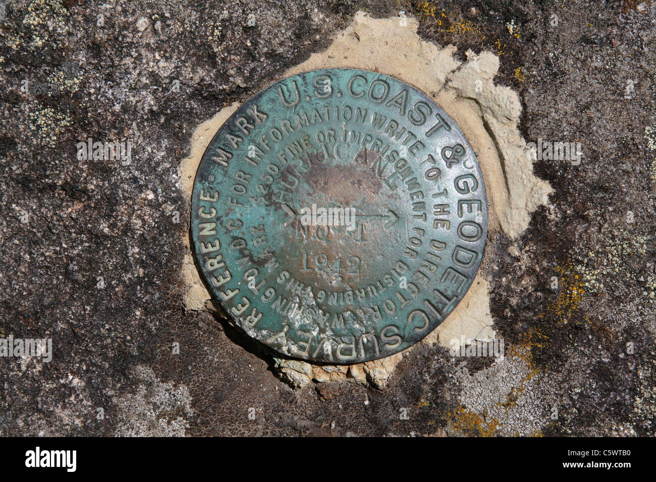 US Coast and Geodetic Survey Triangulation Station Mountaintop Benchmark, Hurricane Mountain in the Adirondacks, Placed in 1942 Stock Photohttps://www.alamy.com/image-license-details/?v=1https://www.alamy.com/stock-photo-us-coast-and-geodetic-survey-triangulation-station-mountaintop-benchmark-38061940.html
RMC5WTB0–US Coast and Geodetic Survey Triangulation Station Mountaintop Benchmark, Hurricane Mountain in the Adirondacks, Placed in 1942
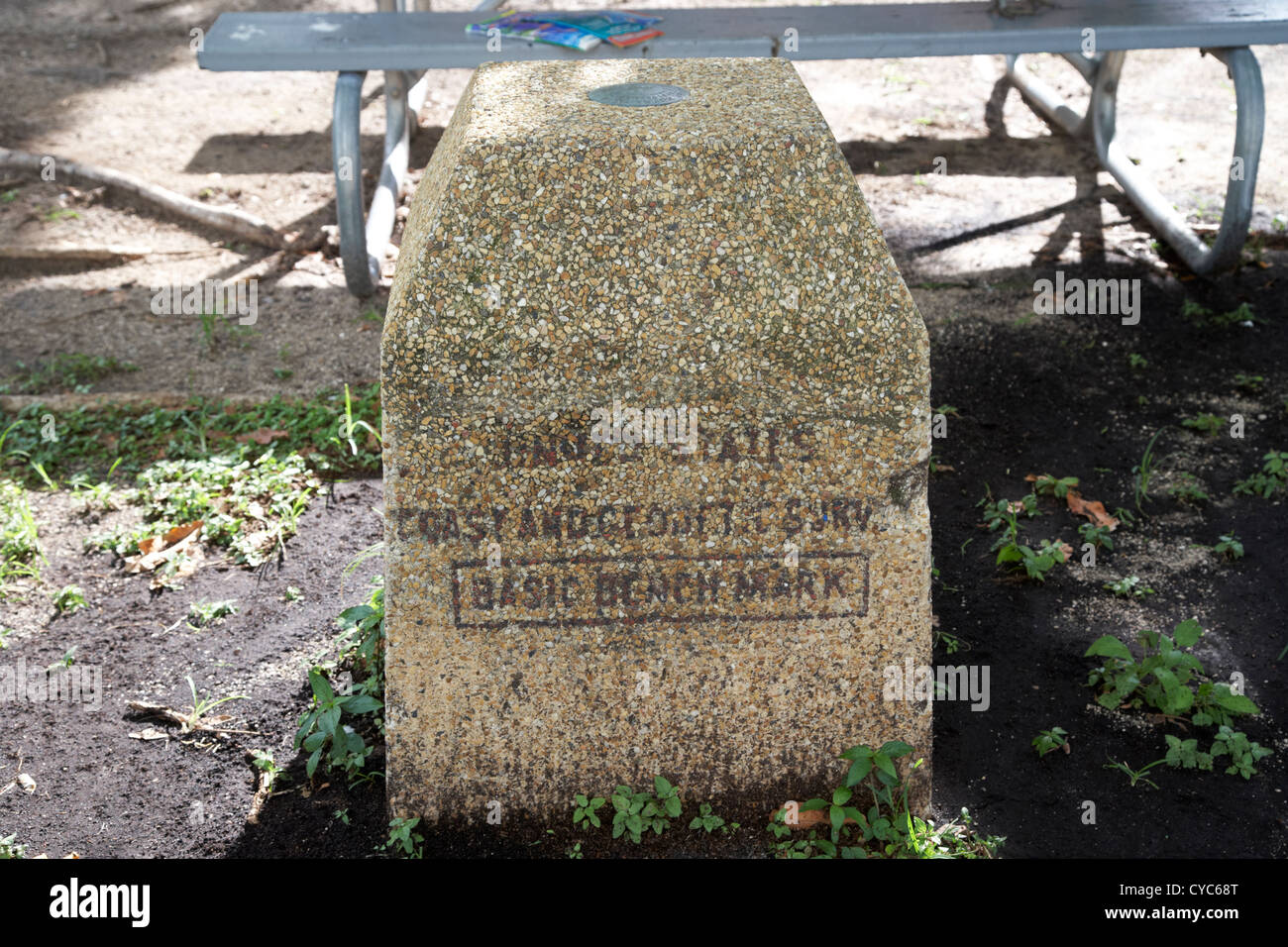 united states coast and geodetic survey basic bench mark key west florida usa Stock Photohttps://www.alamy.com/image-license-details/?v=1https://www.alamy.com/stock-photo-united-states-coast-and-geodetic-survey-basic-bench-mark-key-west-51284824.html
RMCYC68T–united states coast and geodetic survey basic bench mark key west florida usa
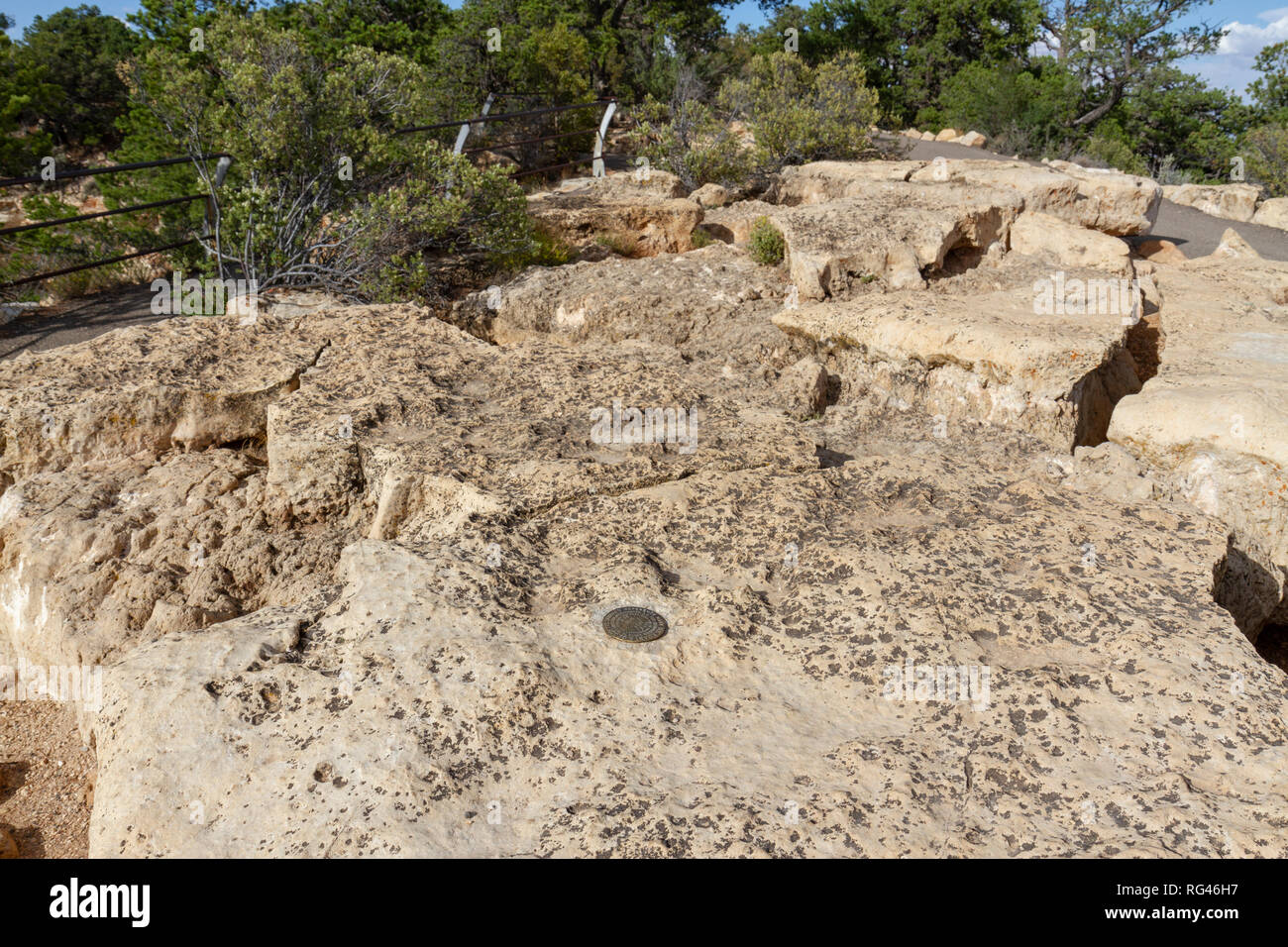 A US Coast & Geodetic Survey reference mark on a rock at Cape Royal viewpoint, Grand Canyon North Rim, Arizona, United States. Stock Photohttps://www.alamy.com/image-license-details/?v=1https://www.alamy.com/a-us-coast-geodetic-survey-reference-mark-on-a-rock-at-cape-royal-viewpoint-grand-canyon-north-rim-arizona-united-states-image233662275.html
RMRG46H7–A US Coast & Geodetic Survey reference mark on a rock at Cape Royal viewpoint, Grand Canyon North Rim, Arizona, United States.
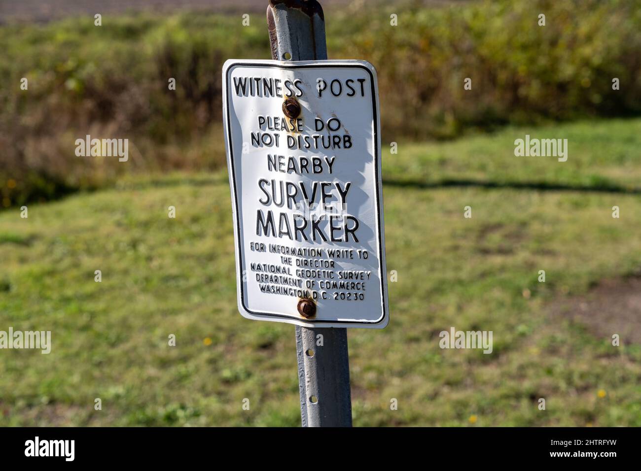 Phoenix, Michigan - October 18, 2021: US Coast and Geodetic Survey Marker showing elevation - sign asking not to disturb Stock Photohttps://www.alamy.com/image-license-details/?v=1https://www.alamy.com/phoenix-michigan-october-18-2021-us-coast-and-geodetic-survey-marker-showing-elevation-sign-asking-not-to-disturb-image462738749.html
RF2HTRFYW–Phoenix, Michigan - October 18, 2021: US Coast and Geodetic Survey Marker showing elevation - sign asking not to disturb
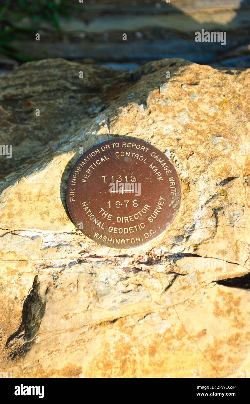 A US American National Geodetic Survey, Vertical Control Marker is embedded in a boulder along a scenic California coastline. High quality photo Stock Photohttps://www.alamy.com/image-license-details/?v=1https://www.alamy.com/a-us-american-national-geodetic-survey-vertical-control-marker-is-embedded-in-a-boulder-along-a-scenic-california-coastline-high-quality-photo-image549163938.html
RF2PWCG5P–A US American National Geodetic Survey, Vertical Control Marker is embedded in a boulder along a scenic California coastline. High quality photo
 A US American National Geodetic Survey, Vertical Control Marker is embedded in a boulder along a scenic California coastline. High quality photo Stock Photohttps://www.alamy.com/image-license-details/?v=1https://www.alamy.com/a-us-american-national-geodetic-survey-vertical-control-marker-is-embedded-in-a-boulder-along-a-scenic-california-coastline-high-quality-photo-image549163944.html
RF2PWCG60–A US American National Geodetic Survey, Vertical Control Marker is embedded in a boulder along a scenic California coastline. High quality photo