Quick filters:
Usa counties Stock Photos and Images
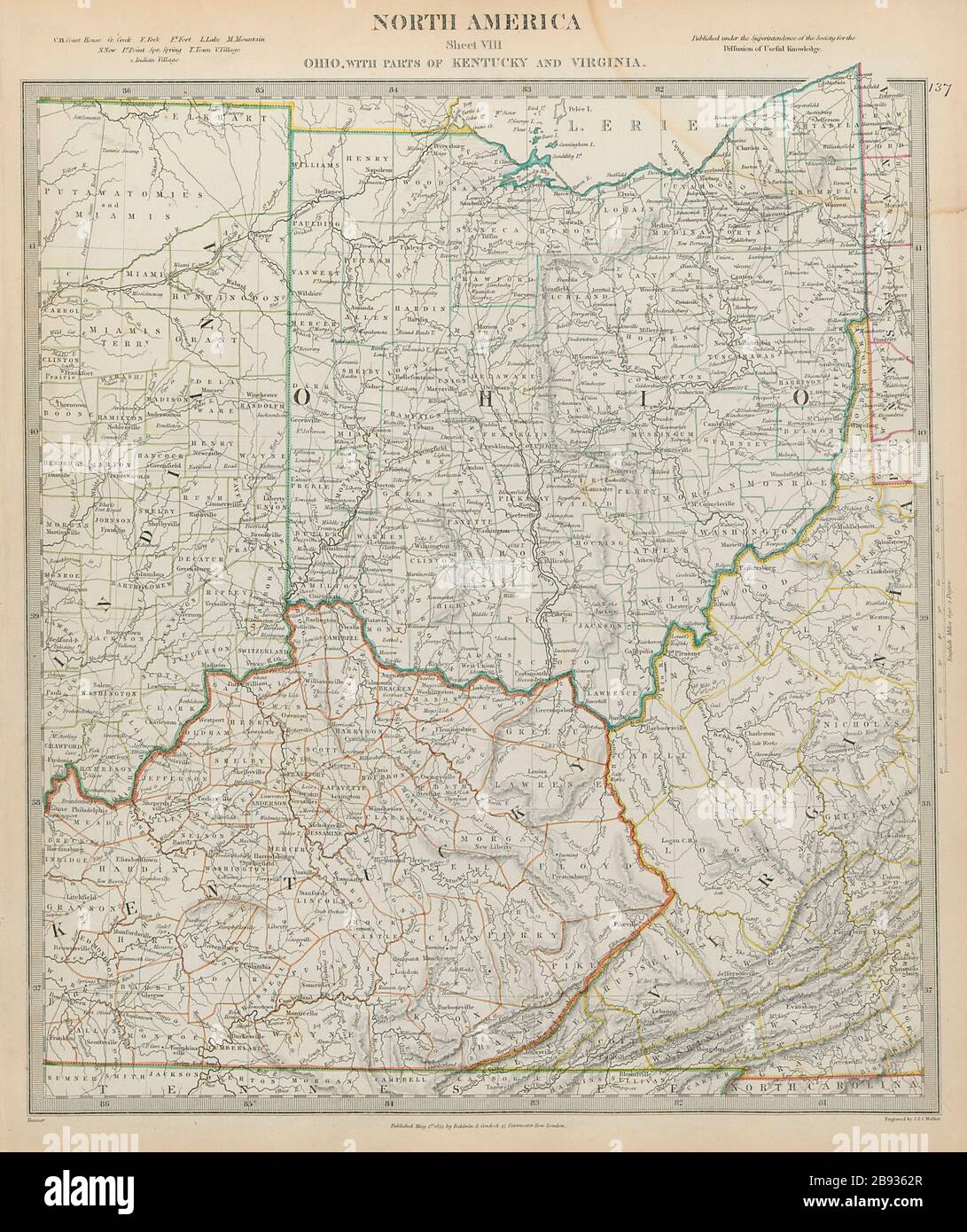 Ohio with parts of Kentucky, Virginia & Indiana. USA. Counties SDUK 1844 map Stock Photohttps://www.alamy.com/image-license-details/?v=1https://www.alamy.com/ohio-with-parts-of-kentucky-virginia-indiana-usa-counties-sduk-1844-map-image349809903.html
RF2B9362R–Ohio with parts of Kentucky, Virginia & Indiana. USA. Counties SDUK 1844 map
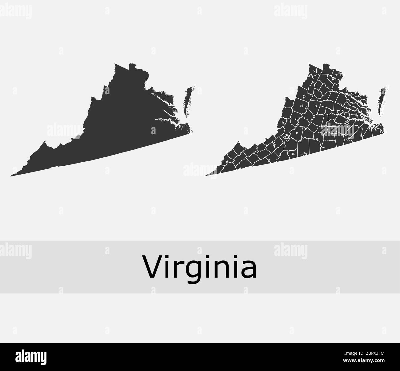 Virginia maps vector outline counties, townships, regions, municipalities, departments, borders Stock Vectorhttps://www.alamy.com/image-license-details/?v=1https://www.alamy.com/virginia-maps-vector-outline-counties-townships-regions-municipalities-departments-borders-image358303336.html
RF2BPX3FM–Virginia maps vector outline counties, townships, regions, municipalities, departments, borders
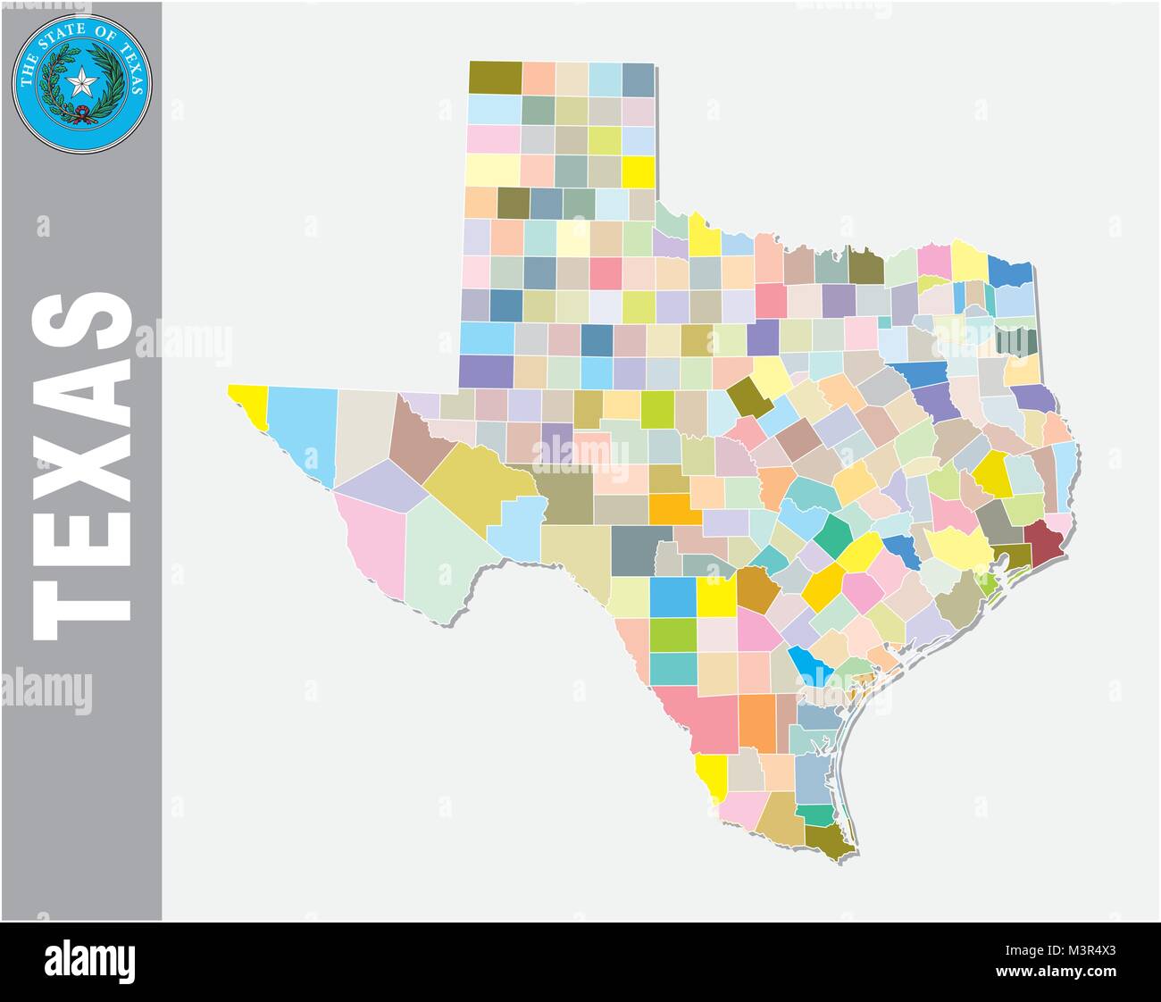 colored administrative and political vector map of us federal state texas with seal Stock Vectorhttps://www.alamy.com/image-license-details/?v=1https://www.alamy.com/stock-photo-colored-administrative-and-political-vector-map-of-us-federal-state-174456411.html
RFM3R4X3–colored administrative and political vector map of us federal state texas with seal
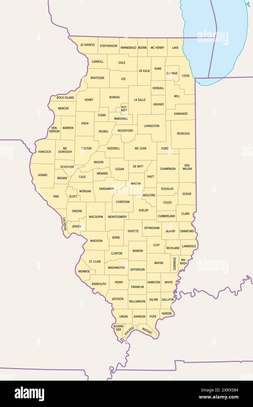 Illinois, U.S. state subdivided into 102 counties, political map with borders and county names. State in the Midwestern region of the USA. Stock Photohttps://www.alamy.com/image-license-details/?v=1https://www.alamy.com/illinois-us-state-subdivided-into-102-counties-political-map-with-borders-and-county-names-state-in-the-midwestern-region-of-the-usa-image616701684.html
RF2XR9584–Illinois, U.S. state subdivided into 102 counties, political map with borders and county names. State in the Midwestern region of the USA.
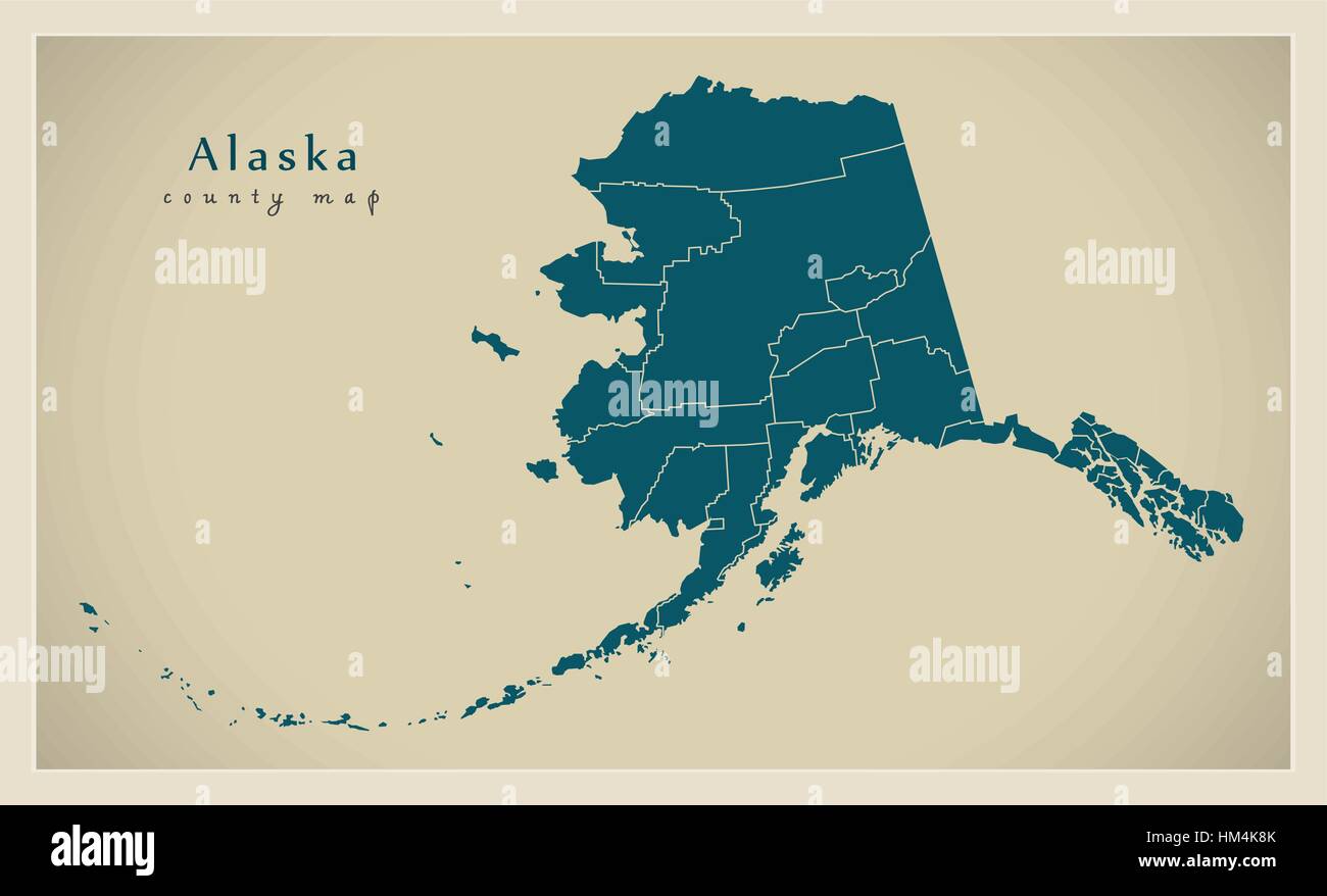 Modern Map - XXXXX county map USA silhouette illustration Stock Vectorhttps://www.alamy.com/image-license-details/?v=1https://www.alamy.com/stock-photo-modern-map-xxxxx-county-map-usa-silhouette-illustration-132868643.html
RFHM4K8K–Modern Map - XXXXX county map USA silhouette illustration
 15 of 50 states of the United States, divided into counties with territory nicknames, Detailed vector Kentucky Map with name Stock Vectorhttps://www.alamy.com/image-license-details/?v=1https://www.alamy.com/15-of-50-states-of-the-united-states-divided-into-counties-with-territory-nicknames-detailed-vector-kentucky-map-with-name-image469088746.html
RF2J74RDE–15 of 50 states of the United States, divided into counties with territory nicknames, Detailed vector Kentucky Map with name
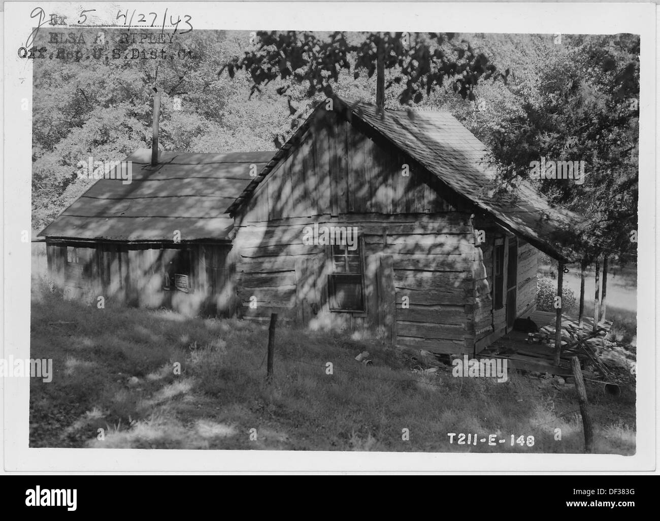 Abandoned log house. Border of Newton and McDonald counties 283768 Stock Photohttps://www.alamy.com/image-license-details/?v=1https://www.alamy.com/abandoned-log-house-border-of-newton-and-mcdonald-counties-283768-image60923172.html
RMDF383G–Abandoned log house. Border of Newton and McDonald counties 283768
 Parade of the Ku Klux Klan, in regalia and carrying the US flag, through counties of Virginia Stock Photohttps://www.alamy.com/image-license-details/?v=1https://www.alamy.com/parade-of-the-ku-klux-klan-in-regalia-and-carrying-the-us-flag-through-counties-of-virginia-image257281595.html
RMTXG58B–Parade of the Ku Klux Klan, in regalia and carrying the US flag, through counties of Virginia
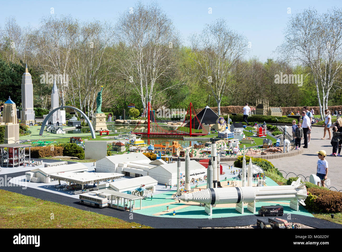 Miniland USA at Legoland Windsor Resort, Windsor, Berkshire, England, United Kingdom Stock Photohttps://www.alamy.com/image-license-details/?v=1https://www.alamy.com/miniland-usa-at-legoland-windsor-resort-windsor-berkshire-england-united-kingdom-image181940135.html
RMMG02DY–Miniland USA at Legoland Windsor Resort, Windsor, Berkshire, England, United Kingdom
 Chattanooga, Tennessee, USA in 1915 - Army post, Fort Oglethorpe (Catoosa and Walker County ) Stock Photohttps://www.alamy.com/image-license-details/?v=1https://www.alamy.com/stock-photo-chattanooga-tennessee-usa-in-1915-army-post-fort-oglethorpe-catoosa-175893861.html
RMM64JBH–Chattanooga, Tennessee, USA in 1915 - Army post, Fort Oglethorpe (Catoosa and Walker County )
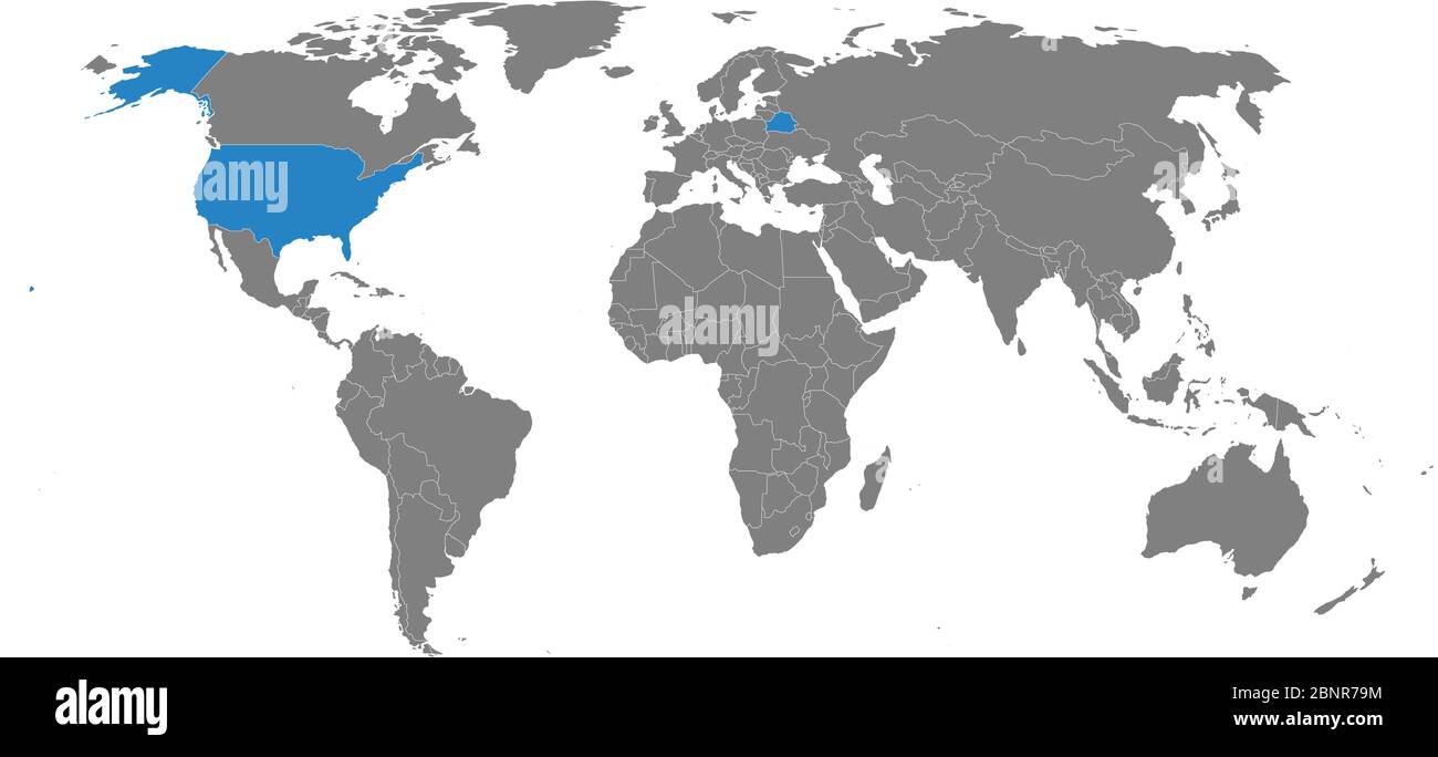 Belarus, USA counties map highlighted on world map. Gray background. Business concepts trade, economic foreign relations. Stock Vectorhttps://www.alamy.com/image-license-details/?v=1https://www.alamy.com/belarus-usa-counties-map-highlighted-on-world-map-gray-background-business-concepts-trade-economic-foreign-relations-image357625792.html
RF2BNR79M–Belarus, USA counties map highlighted on world map. Gray background. Business concepts trade, economic foreign relations.
 USA, Washington State, Palouse, Whitman County. No Water No Life Snake River Expedition, Little Goose Lock and Dam, USACE hydro and run-of-the-river dam on the Snake River between Whitman and Columbia Counties (Large format sizes available) Stock Photohttps://www.alamy.com/image-license-details/?v=1https://www.alamy.com/stock-photo-usa-washington-state-palouse-whitman-county-no-water-no-life-snake-139316985.html
RMJ2JC6H–USA, Washington State, Palouse, Whitman County. No Water No Life Snake River Expedition, Little Goose Lock and Dam, USACE hydro and run-of-the-river dam on the Snake River between Whitman and Columbia Counties (Large format sizes available)
 Malvern Autumn Show, England - Harris Hawk Stock Photohttps://www.alamy.com/image-license-details/?v=1https://www.alamy.com/stock-photo-malvern-autumn-show-england-harris-hawk-39226100.html
RMC7PW84–Malvern Autumn Show, England - Harris Hawk
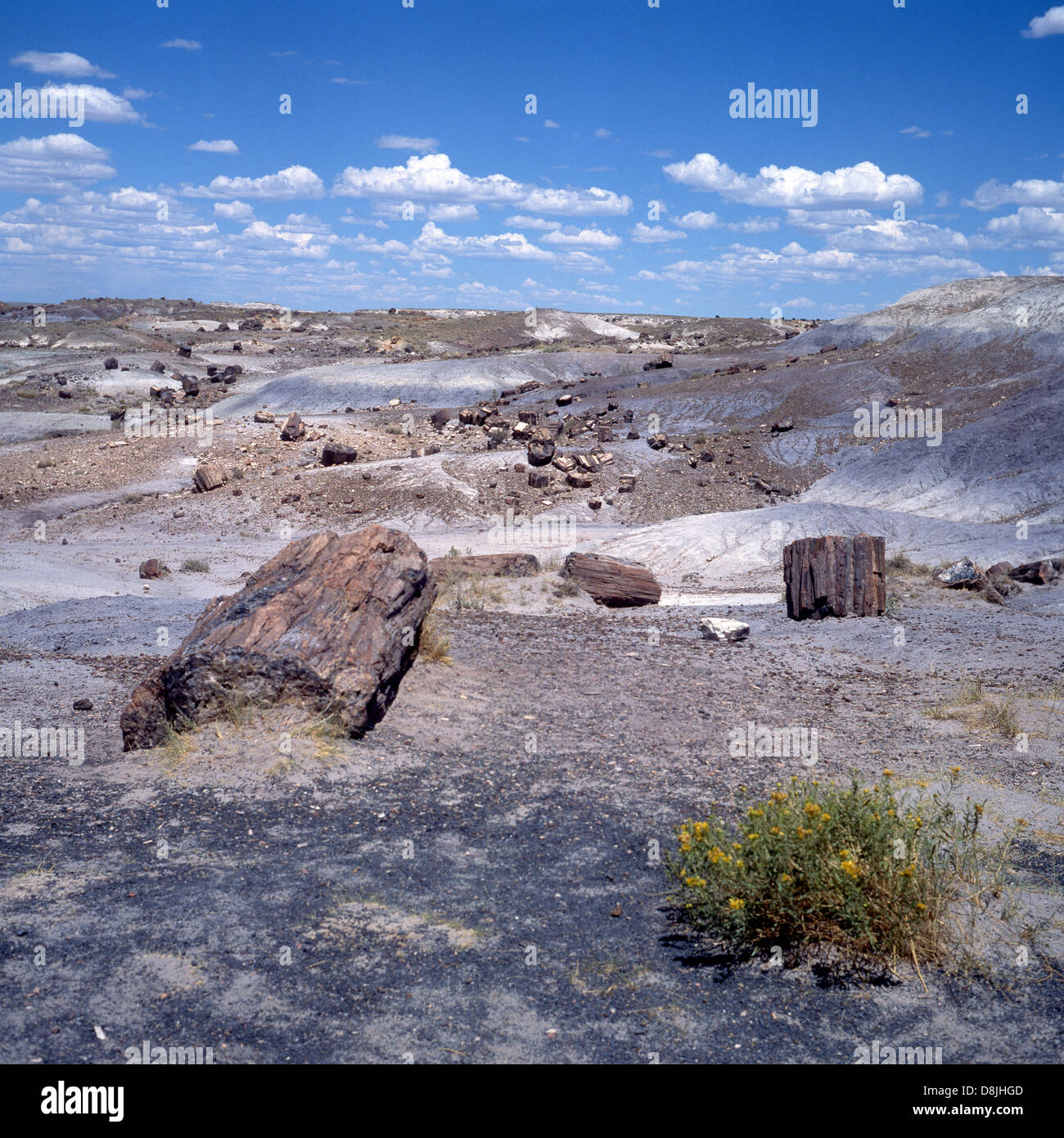 View of the rugged landscape, Petrified Forest National park (Apache & Navajo counties), Arizona, USA. Stock Photohttps://www.alamy.com/image-license-details/?v=1https://www.alamy.com/stock-photo-view-of-the-rugged-landscape-petrified-forest-national-park-apache-56957277.html
RMD8JHGD–View of the rugged landscape, Petrified Forest National park (Apache & Navajo counties), Arizona, USA.
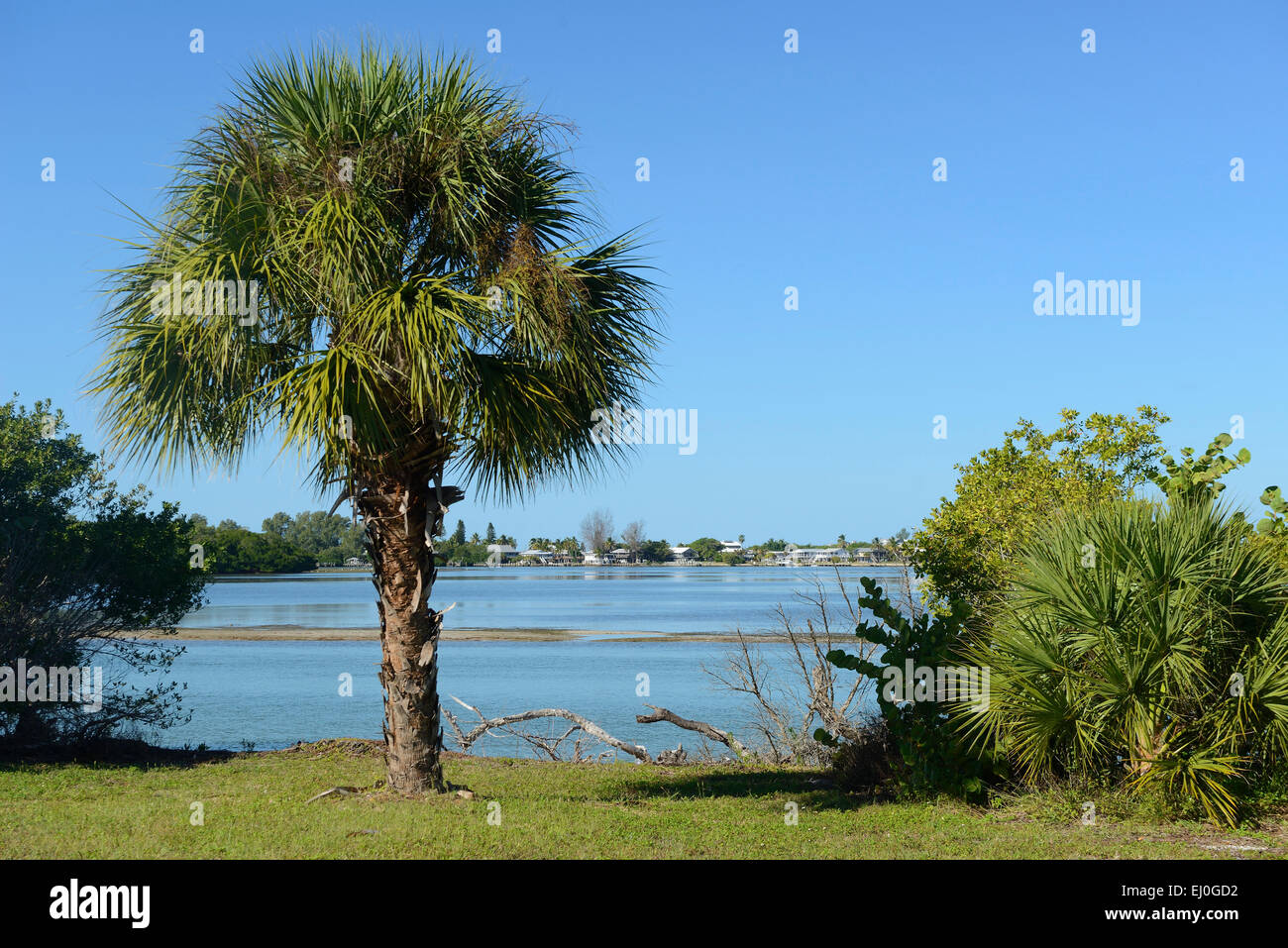 USA, Florida, Charlotte and Lee County, Gasparilla island Stock Photohttps://www.alamy.com/image-license-details/?v=1https://www.alamy.com/stock-photo-usa-florida-charlotte-and-lee-county-gasparilla-island-79918190.html
RMEJ0GD2–USA, Florida, Charlotte and Lee County, Gasparilla island
 Image 5 of Sanborn Fire Insurance Map from Milford, Kent And Sussex Counties, Delaware. Nov 1919. 15 Sheet(s), America, street map with a Nineteenth Century compass Stock Photohttps://www.alamy.com/image-license-details/?v=1https://www.alamy.com/image-5-of-sanborn-fire-insurance-map-from-milford-kent-and-sussex-counties-delaware-nov-1919-15-sheets-america-street-map-with-a-nineteenth-century-compass-image344680917.html
RM2B0NG0N–Image 5 of Sanborn Fire Insurance Map from Milford, Kent And Sussex Counties, Delaware. Nov 1919. 15 Sheet(s), America, street map with a Nineteenth Century compass
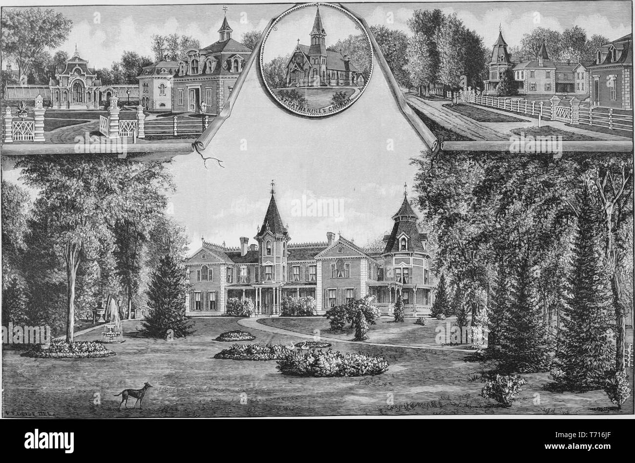 Engraving of Woodside, the residence of Sherman Paris in Charlestown, New Hampshire, from the book 'History of Cheshire and Sullivan counties, New Hampshire' by Duane Hamilton Hurd, 1886. Courtesy Internet Archive. () Stock Photohttps://www.alamy.com/image-license-details/?v=1https://www.alamy.com/engraving-of-woodside-the-residence-of-sherman-paris-in-charlestown-new-hampshire-from-the-book-history-of-cheshire-and-sullivan-counties-new-hampshire-by-duane-hamilton-hurd-1886-courtesy-internet-archive-image245274919.html
RMT716JF–Engraving of Woodside, the residence of Sherman Paris in Charlestown, New Hampshire, from the book 'History of Cheshire and Sullivan counties, New Hampshire' by Duane Hamilton Hurd, 1886. Courtesy Internet Archive. ()
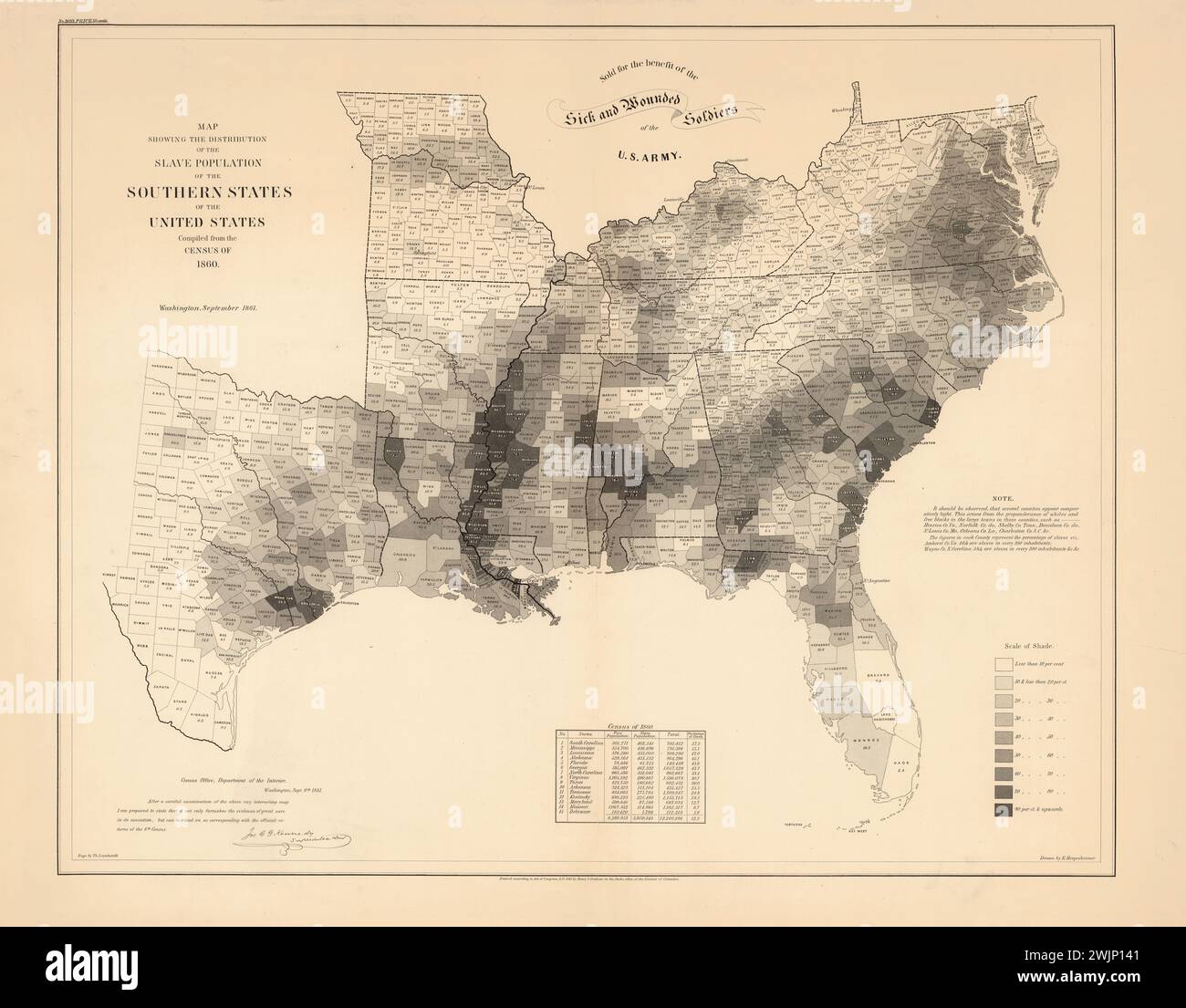 Vintage American map, Showing the distribution of the Slave Population of Southern States of the USA based on 1860 census. Map shows proportion of habitant by counties, and uses scale of grey to present to Percentage. Legend provided. By the Census Office, Department of the Interior, Sept 1861. Stock Photohttps://www.alamy.com/image-license-details/?v=1https://www.alamy.com/vintage-american-map-showing-the-distribution-of-the-slave-population-of-southern-states-of-the-usa-based-on-1860-census-map-shows-proportion-of-habitant-by-counties-and-uses-scale-of-grey-to-present-to-percentage-legend-provided-by-the-census-office-department-of-the-interior-sept-1861-image596700161.html
RM2WJP141–Vintage American map, Showing the distribution of the Slave Population of Southern States of the USA based on 1860 census. Map shows proportion of habitant by counties, and uses scale of grey to present to Percentage. Legend provided. By the Census Office, Department of the Interior, Sept 1861.
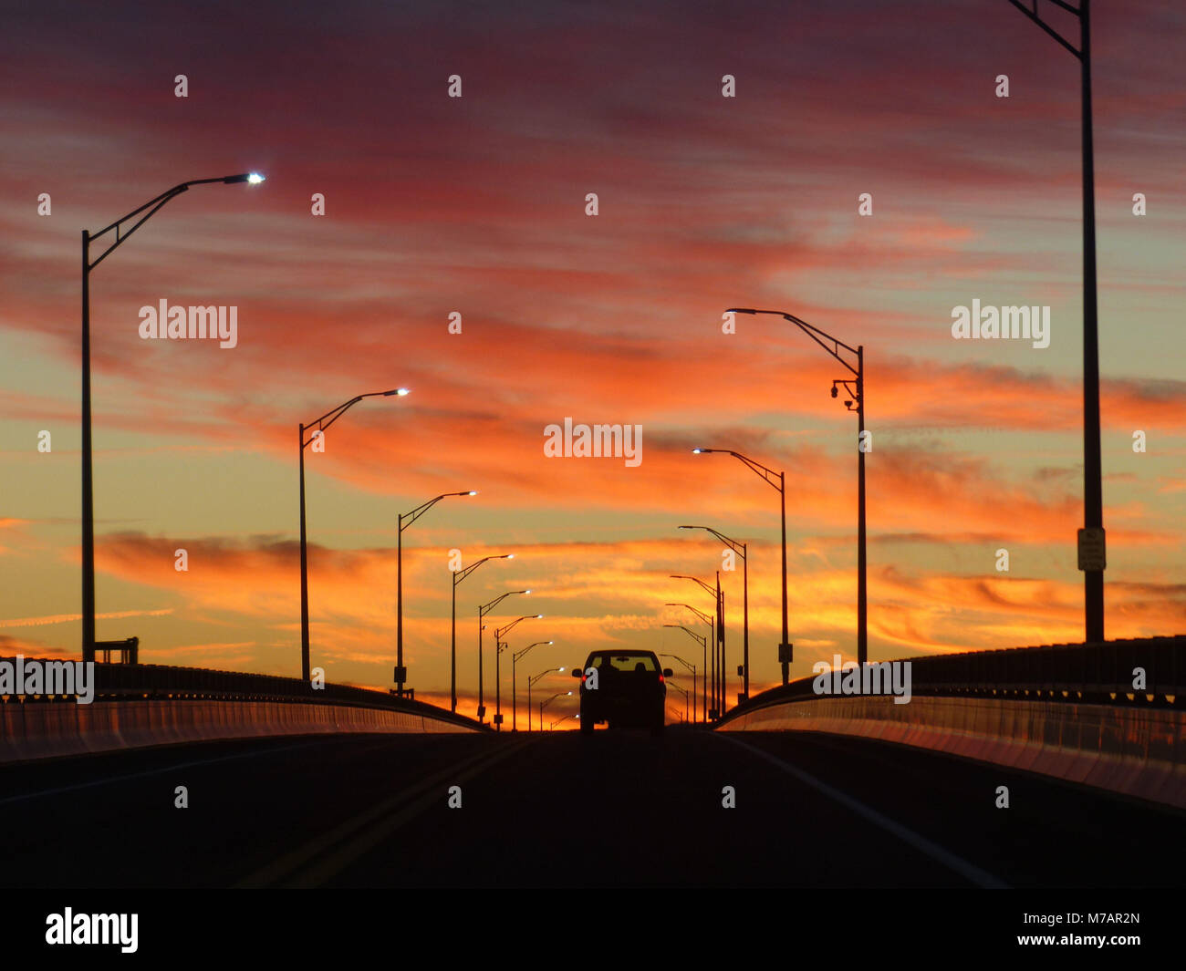 Rhinecliff Bridge connecting Ulster and Dutchess counties during sunrise. Hudson River crossing Stock Photohttps://www.alamy.com/image-license-details/?v=1https://www.alamy.com/stock-photo-rhinecliff-bridge-connecting-ulster-and-dutchess-counties-during-sunrise-176643901.html
RMM7AR2N–Rhinecliff Bridge connecting Ulster and Dutchess counties during sunrise. Hudson River crossing
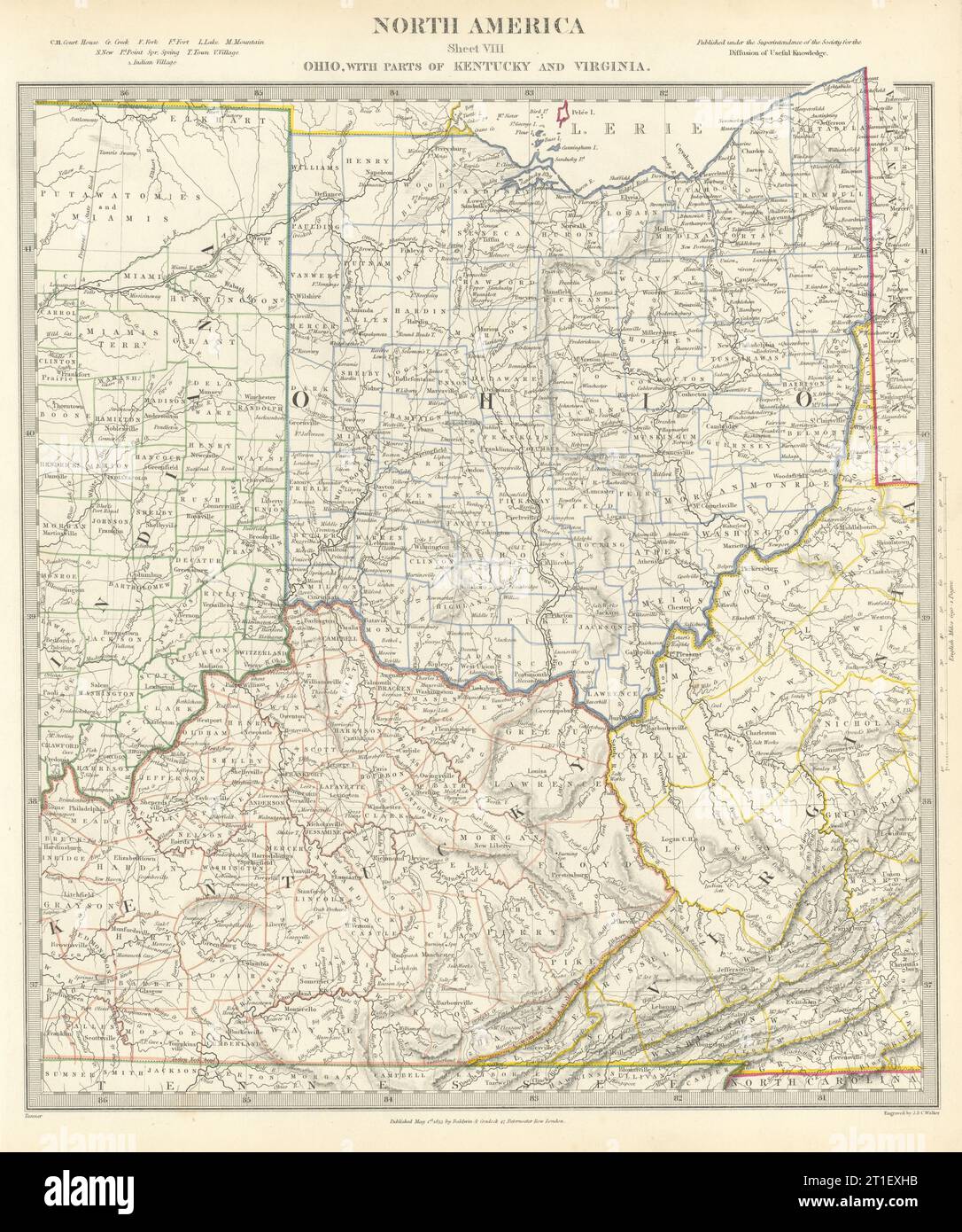 USA. Ohio with parts of Kentucky, Virginia & Indiana. Counties. SDUK 1844 map Stock Photohttps://www.alamy.com/image-license-details/?v=1https://www.alamy.com/usa-ohio-with-parts-of-kentucky-virginia-indiana-counties-sduk-1844-map-image568884999.html
RF2T1EXHB–USA. Ohio with parts of Kentucky, Virginia & Indiana. Counties. SDUK 1844 map
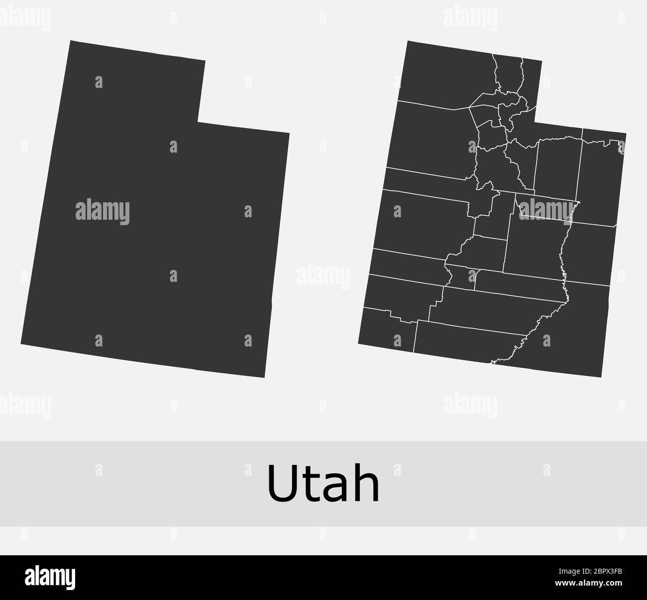 Utah maps vector outline counties, townships, regions, municipalities, departments, borders Stock Vectorhttps://www.alamy.com/image-license-details/?v=1https://www.alamy.com/utah-maps-vector-outline-counties-townships-regions-municipalities-departments-borders-image358303327.html
RF2BPX3FB–Utah maps vector outline counties, townships, regions, municipalities, departments, borders
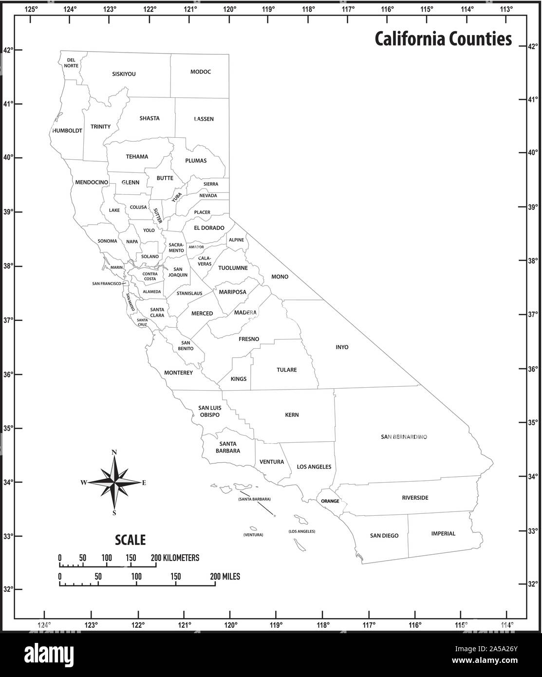 california state outline administrative and political map in black and white Stock Vectorhttps://www.alamy.com/image-license-details/?v=1https://www.alamy.com/california-state-outline-administrative-and-political-map-in-black-and-white-image330291555.html
RF2A5A26Y–california state outline administrative and political map in black and white
 Oklahoma, U.S. state, political map with borders and county names. State in the South Central region of the USA, subdivided into 77 counties. Stock Photohttps://www.alamy.com/image-license-details/?v=1https://www.alamy.com/oklahoma-us-state-political-map-with-borders-and-county-names-state-in-the-south-central-region-of-the-usa-subdivided-into-77-counties-image617747634.html
RF2XW0RBE–Oklahoma, U.S. state, political map with borders and county names. State in the South Central region of the USA, subdivided into 77 counties.
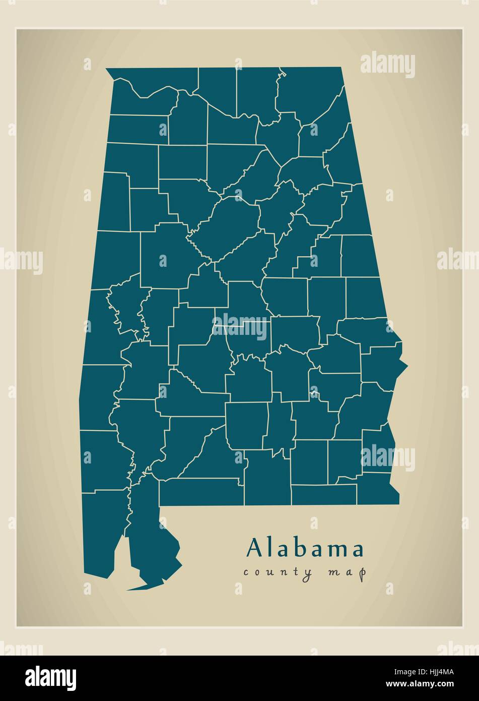 Modern Map - Alabama county map USA silhouette illustration Stock Vectorhttps://www.alamy.com/image-license-details/?v=1https://www.alamy.com/stock-photo-modern-map-alabama-county-map-usa-silhouette-illustration-131935226.html
RFHJJ4MA–Modern Map - Alabama county map USA silhouette illustration
 48 of 50 states of the United States, divided into counties with territory nicknames, Detailed vector Arizona Map with name and date admitted to the U Stock Vectorhttps://www.alamy.com/image-license-details/?v=1https://www.alamy.com/48-of-50-states-of-the-united-states-divided-into-counties-with-territory-nicknames-detailed-vector-arizona-map-with-name-and-date-admitted-to-the-u-image469089130.html
RF2J74RY6–48 of 50 states of the United States, divided into counties with territory nicknames, Detailed vector Arizona Map with name and date admitted to the U
 Abandoned log house. Border of Newton and McDonald counties 283767 Stock Photohttps://www.alamy.com/image-license-details/?v=1https://www.alamy.com/abandoned-log-house-border-of-newton-and-mcdonald-counties-283767-image60923167.html
RMDF383B–Abandoned log house. Border of Newton and McDonald counties 283767
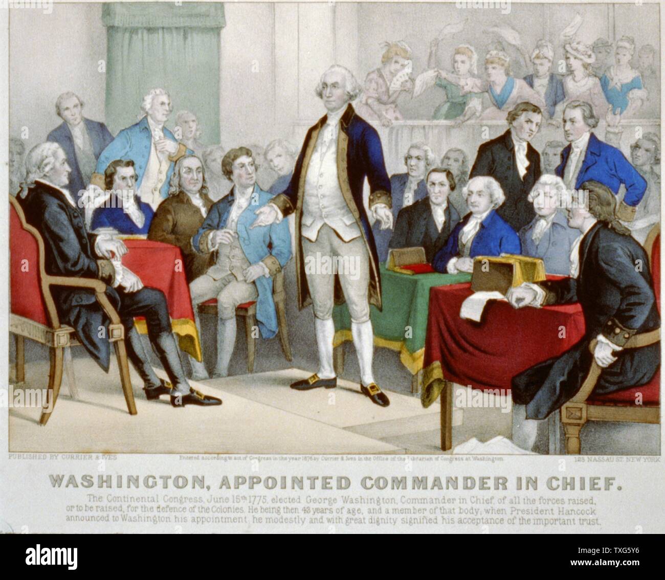 American Revolutionary War (American War of Independence) 1775-1783 : Washington appointed commander-in-chief by the Continental Congress, delegates from the Thirteen Counties that became the government of the United States. June 1775. Lithograph Stock Photohttps://www.alamy.com/image-license-details/?v=1https://www.alamy.com/american-revolutionary-war-american-war-of-independence-1775-1783-washington-appointed-commander-in-chief-by-the-continental-congress-delegates-from-the-thirteen-counties-that-became-the-government-of-the-united-states-june-1775-lithograph-image257282122.html
RMTXG5Y6–American Revolutionary War (American War of Independence) 1775-1783 : Washington appointed commander-in-chief by the Continental Congress, delegates from the Thirteen Counties that became the government of the United States. June 1775. Lithograph
 Miniland USA at Legoland Windsor Resort, Windsor, Berkshire, England, United Kingdom Stock Photohttps://www.alamy.com/image-license-details/?v=1https://www.alamy.com/miniland-usa-at-legoland-windsor-resort-windsor-berkshire-england-united-kingdom-image181940134.html
RMMG02DX–Miniland USA at Legoland Windsor Resort, Windsor, Berkshire, England, United Kingdom
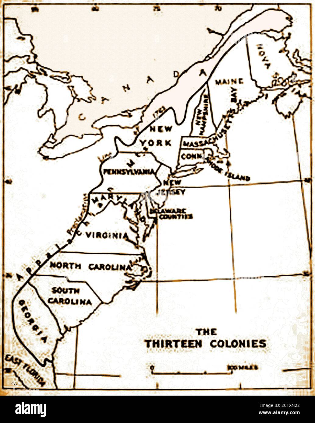 An historical map of the original 13 colonies of the USA. Spain claimed all the land from the Mississippi River to the Pacific Ocean, plus the Gulf of Mexico.The Treaty of Paris created a new nation in 1783 and doubled the size of the original 13 colonies, extending itsboundaries to the Mississippi River. Delaware (a slave state) was the 1st state to ratify the U.S. Constitution in 1787, Pennsylvania was the 2nd in December 12th 1787, declaring itself a 'Free State'. Days later Ndew Jersey followed suit. Stock Photohttps://www.alamy.com/image-license-details/?v=1https://www.alamy.com/an-historical-map-of-the-original-13-colonies-of-the-usa-spain-claimed-all-the-land-from-the-mississippi-river-to-the-pacific-ocean-plus-the-gulf-of-mexicothe-treaty-of-paris-created-a-new-nation-in-1783-and-doubled-the-size-of-the-original-13-colonies-extending-itsboundaries-to-the-mississippi-river-delaware-a-slave-state-was-the-1st-state-to-ratify-the-us-constitution-in-1787-pennsylvania-was-the-2nd-in-december-12th-1787-declaring-itself-a-free-state-days-later-ndew-jersey-followed-suit-image376756746.html
RM2CTXN22–An historical map of the original 13 colonies of the USA. Spain claimed all the land from the Mississippi River to the Pacific Ocean, plus the Gulf of Mexico.The Treaty of Paris created a new nation in 1783 and doubled the size of the original 13 colonies, extending itsboundaries to the Mississippi River. Delaware (a slave state) was the 1st state to ratify the U.S. Constitution in 1787, Pennsylvania was the 2nd in December 12th 1787, declaring itself a 'Free State'. Days later Ndew Jersey followed suit.
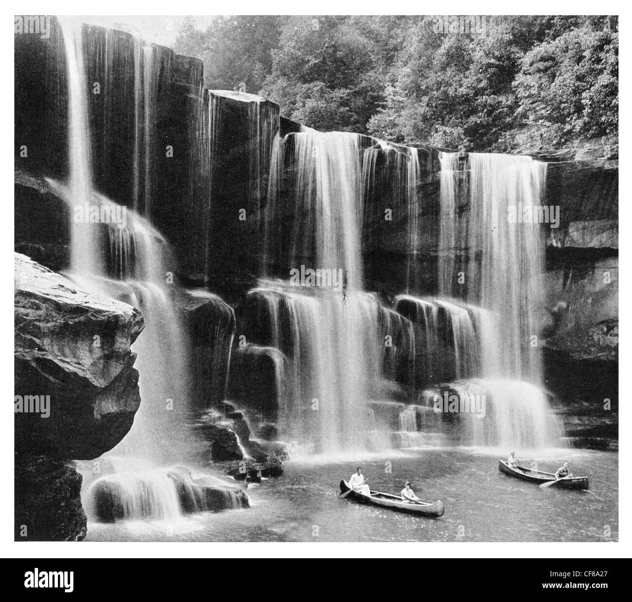 1926 Cumberland Falls Kentucky, USA Cumberland River Stock Photohttps://www.alamy.com/image-license-details/?v=1https://www.alamy.com/stock-photo-1926-cumberland-falls-kentucky-usa-cumberland-river-43824095.html
RMCF8A27–1926 Cumberland Falls Kentucky, USA Cumberland River
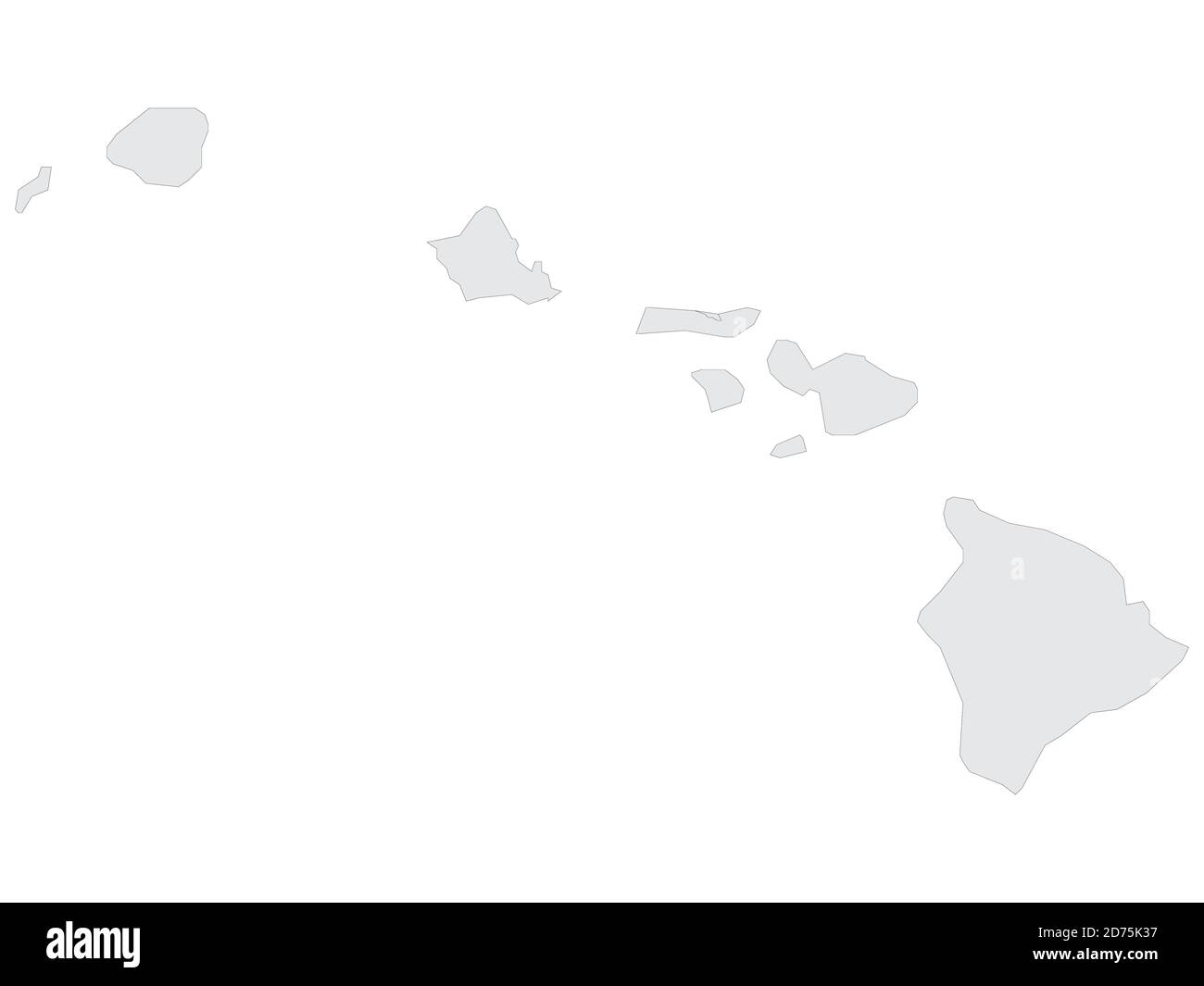 Grey Flat Election Counties Map of the USA Federal State of Hawaii Stock Vectorhttps://www.alamy.com/image-license-details/?v=1https://www.alamy.com/grey-flat-election-counties-map-of-the-usa-federal-state-of-hawaii-image383055435.html
RF2D75K37–Grey Flat Election Counties Map of the USA Federal State of Hawaii
 Malvern Autumn Show, England - Harris Hawk 2 Stock Photohttps://www.alamy.com/image-license-details/?v=1https://www.alamy.com/stock-photo-malvern-autumn-show-england-harris-hawk-2-39226056.html
RMC7PW6G–Malvern Autumn Show, England - Harris Hawk 2
 Sandhill Cranes (Grus canadensis) on migration flight by moon. Jasper and Pulaski Counties, Indiana, USA, December. Stock Photohttps://www.alamy.com/image-license-details/?v=1https://www.alamy.com/sandhill-cranes-grus-canadensis-on-migration-flight-by-moon-jasper-and-pulaski-counties-indiana-usa-december-image262921623.html
RMW7N35Y–Sandhill Cranes (Grus canadensis) on migration flight by moon. Jasper and Pulaski Counties, Indiana, USA, December.
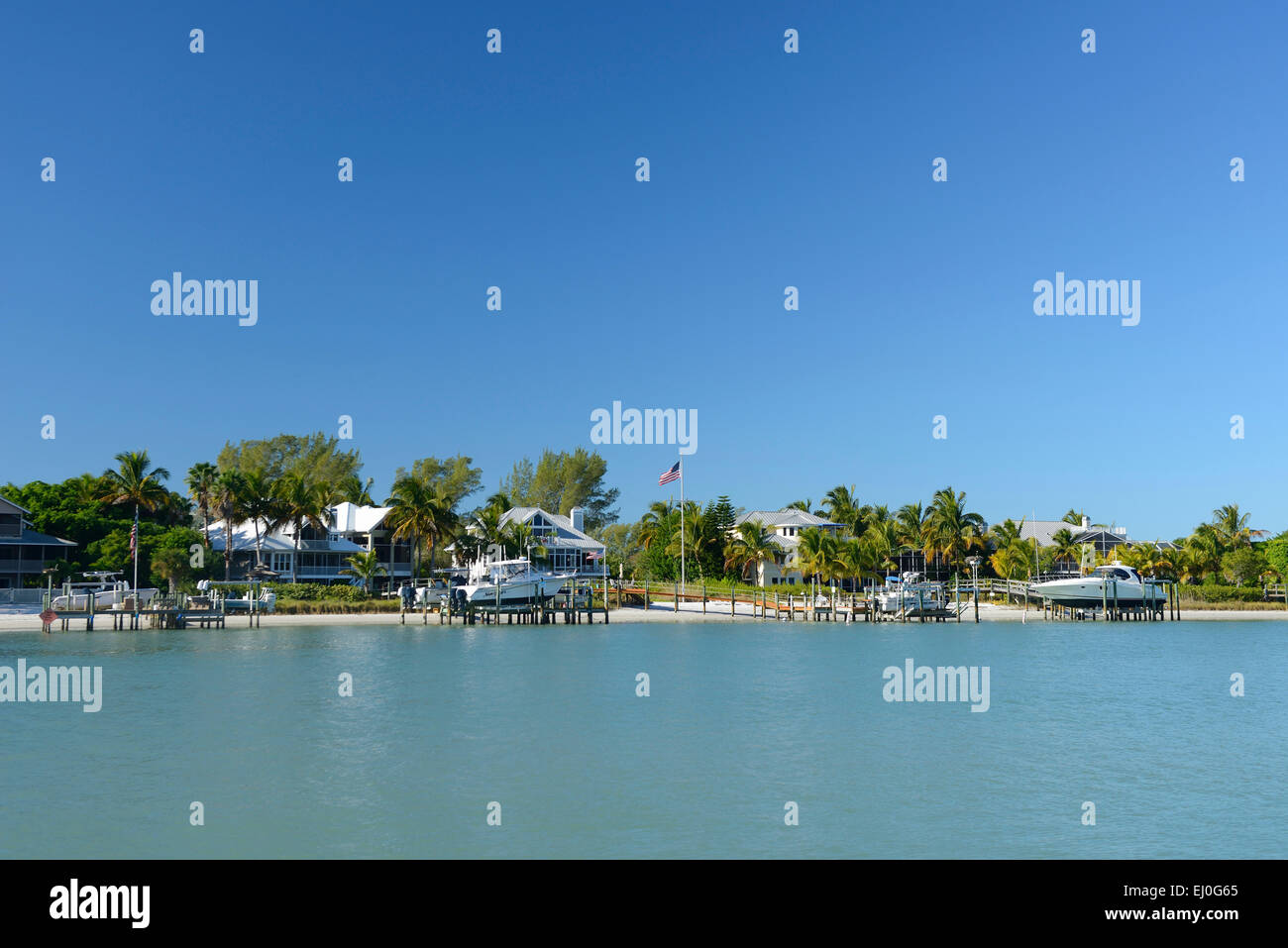 USA, Florida, Charlotte and Lee County, Gasparilla island Stock Photohttps://www.alamy.com/image-license-details/?v=1https://www.alamy.com/stock-photo-usa-florida-charlotte-and-lee-county-gasparilla-island-79917997.html
RMEJ0G65–USA, Florida, Charlotte and Lee County, Gasparilla island
 Image 3 of Sanborn Fire Insurance Map from Milford, Kent And Sussex Counties, Delaware. May 1885. 4 Sheet(s), America, street map with a Nineteenth Century compass Stock Photohttps://www.alamy.com/image-license-details/?v=1https://www.alamy.com/image-3-of-sanborn-fire-insurance-map-from-milford-kent-and-sussex-counties-delaware-may-1885-4-sheets-america-street-map-with-a-nineteenth-century-compass-image344680836.html
RM2B0NFWT–Image 3 of Sanborn Fire Insurance Map from Milford, Kent And Sussex Counties, Delaware. May 1885. 4 Sheet(s), America, street map with a Nineteenth Century compass
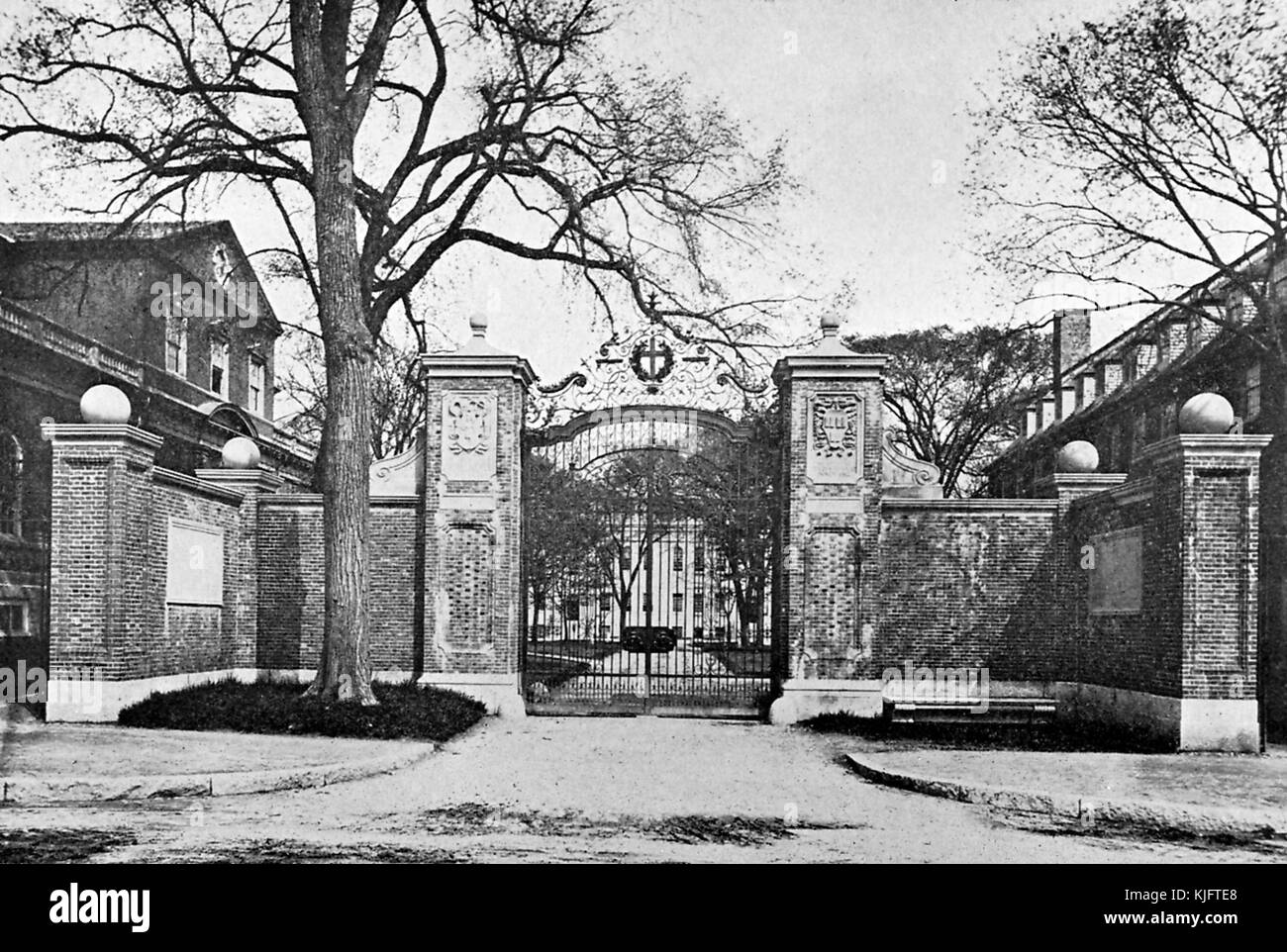 A photograph of the Harvard Gate, it is now called the Johnson Gate, the gate is one of several entrances to Harvard Yard, the gate consists of a brickwork, an iron gate, and several stone engravings, the historic buildings of the yard can be seen just beyond the gate, on commencement day it has become tradition for the Middlesex and Suffolk Counties sheriffs to ride through the gate on horseback prior to calling the graduates to order, Cambridge, Massachusetts, Boston, Massachusetts, 1913. Stock Photohttps://www.alamy.com/image-license-details/?v=1https://www.alamy.com/stock-image-a-photograph-of-the-harvard-gate-it-is-now-called-the-johnson-gate-166305616.html
RMKJFTE8–A photograph of the Harvard Gate, it is now called the Johnson Gate, the gate is one of several entrances to Harvard Yard, the gate consists of a brickwork, an iron gate, and several stone engravings, the historic buildings of the yard can be seen just beyond the gate, on commencement day it has become tradition for the Middlesex and Suffolk Counties sheriffs to ride through the gate on horseback prior to calling the graduates to order, Cambridge, Massachusetts, Boston, Massachusetts, 1913.
 Sunset on the beautiful country of Palouse Falls State Park, Franklin and Whitman Counties, Washington, USA Stock Photohttps://www.alamy.com/image-license-details/?v=1https://www.alamy.com/stock-photo-sunset-on-the-beautiful-country-of-palouse-falls-state-park-franklin-50818419.html
RFCXJYBF–Sunset on the beautiful country of Palouse Falls State Park, Franklin and Whitman Counties, Washington, USA
 An illustrated map of the State of Texas with separated railroads and counties Stock Photohttps://www.alamy.com/image-license-details/?v=1https://www.alamy.com/an-illustrated-map-of-the-state-of-texas-with-separated-railroads-and-counties-image455558092.html
RF2HD4CYT–An illustrated map of the State of Texas with separated railroads and counties
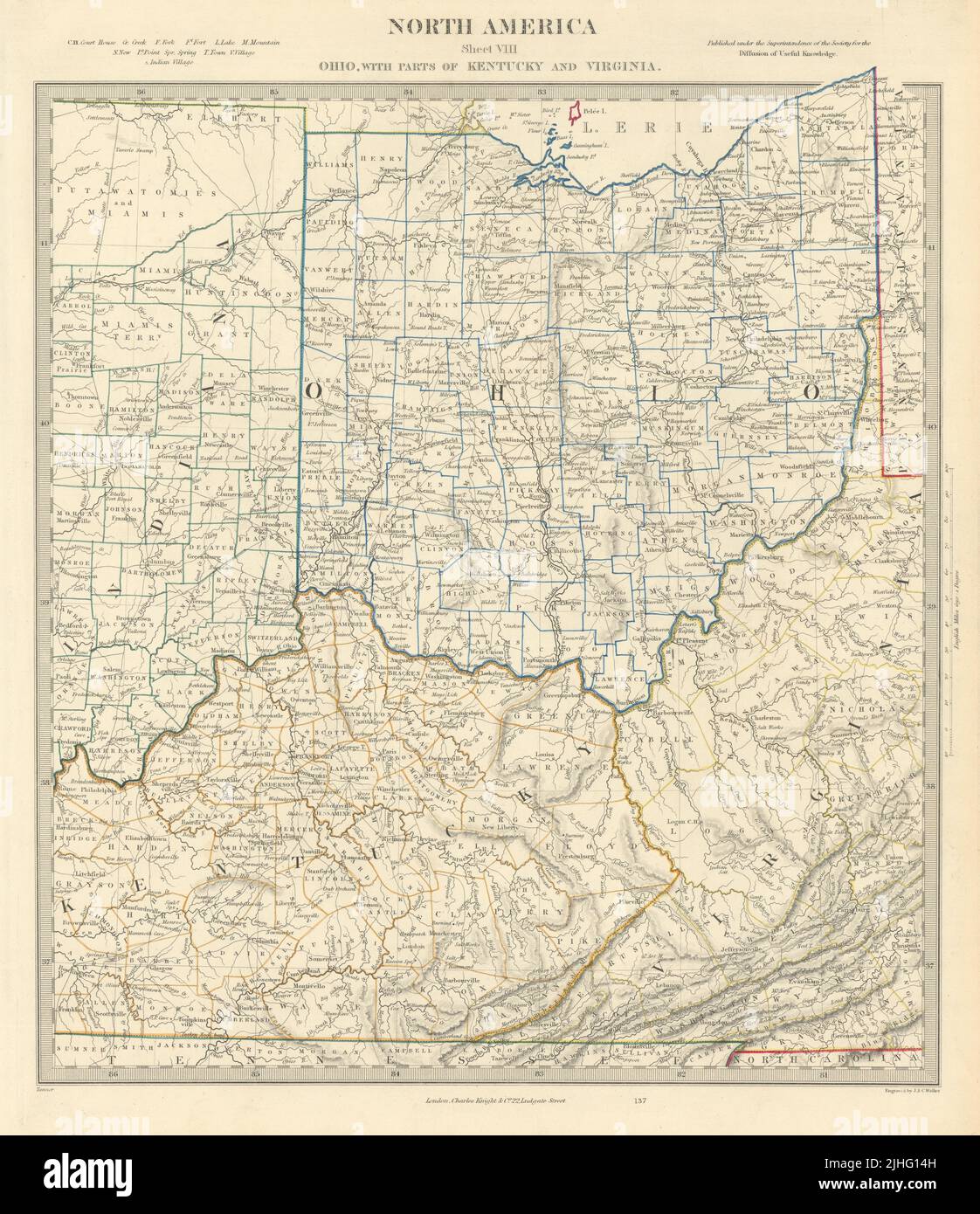 USA. Ohio with parts of Kentucky, Virginia & Indiana. Counties. SDUK 1851 map Stock Photohttps://www.alamy.com/image-license-details/?v=1https://www.alamy.com/usa-ohio-with-parts-of-kentucky-virginia-indiana-counties-sduk-1851-map-image475481233.html
RF2JHG14H–USA. Ohio with parts of Kentucky, Virginia & Indiana. Counties. SDUK 1851 map
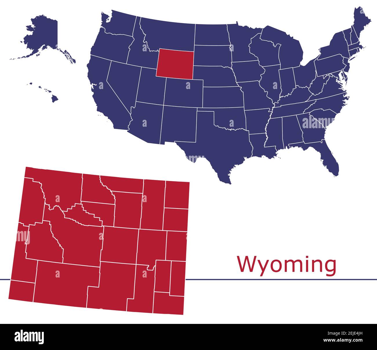 Wyoming counties vector map outline with USA map colors national flag Stock Vectorhttps://www.alamy.com/image-license-details/?v=1https://www.alamy.com/wyoming-counties-vector-map-outline-with-usa-map-colors-national-flag-image407213257.html
RF2EJE4JH–Wyoming counties vector map outline with USA map colors national flag
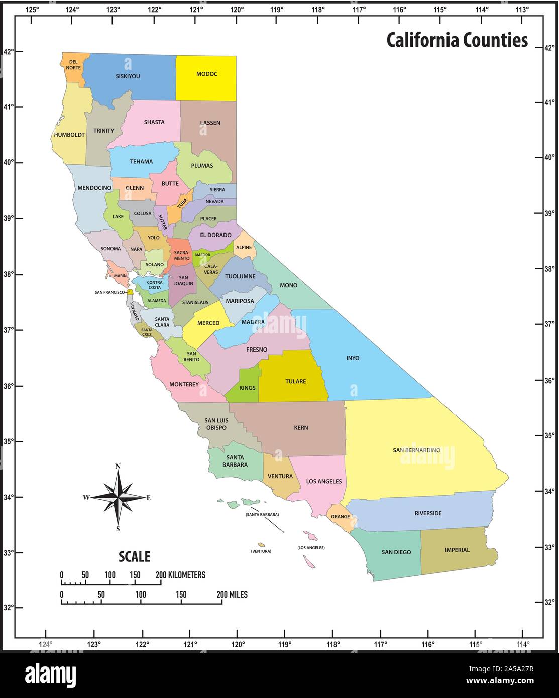 california state outline administrative and political map in color Stock Vectorhttps://www.alamy.com/image-license-details/?v=1https://www.alamy.com/california-state-outline-administrative-and-political-map-in-color-image330291579.html
RF2A5A27R–california state outline administrative and political map in color
 Illinois, U.S. state subdivided into 102 counties, gray political map with borders and county names. State in the Midwestern region of USA. Stock Photohttps://www.alamy.com/image-license-details/?v=1https://www.alamy.com/illinois-us-state-subdivided-into-102-counties-gray-political-map-with-borders-and-county-names-state-in-the-midwestern-region-of-usa-image617407021.html
RF2XTD8XN–Illinois, U.S. state subdivided into 102 counties, gray political map with borders and county names. State in the Midwestern region of USA.
 Modern Map - Alaska map USA illustration silhouette refreshed design Stock Vectorhttps://www.alamy.com/image-license-details/?v=1https://www.alamy.com/stock-photo-modern-map-alaska-map-usa-illustration-silhouette-refreshed-design-132868625.html
RFHM4K81–Modern Map - Alaska map USA illustration silhouette refreshed design
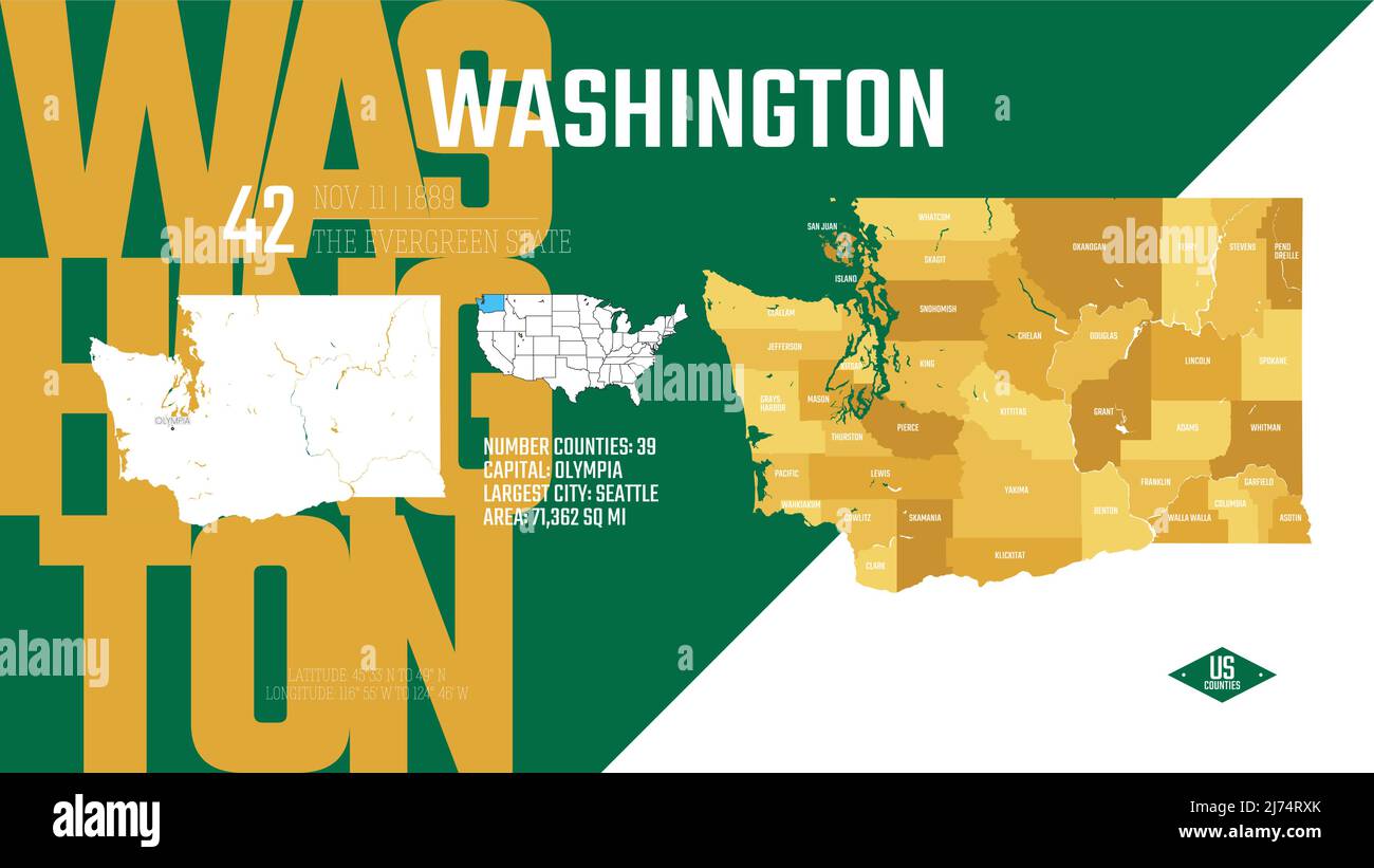 42 of 50 states of the United States, divided into counties with territory nicknames, Detailed vector Washington Map with name and date admitted to th Stock Vectorhttps://www.alamy.com/image-license-details/?v=1https://www.alamy.com/42-of-50-states-of-the-united-states-divided-into-counties-with-territory-nicknames-detailed-vector-washington-map-with-name-and-date-admitted-to-th-image469089115.html
RF2J74RXK–42 of 50 states of the United States, divided into counties with territory nicknames, Detailed vector Washington Map with name and date admitted to th
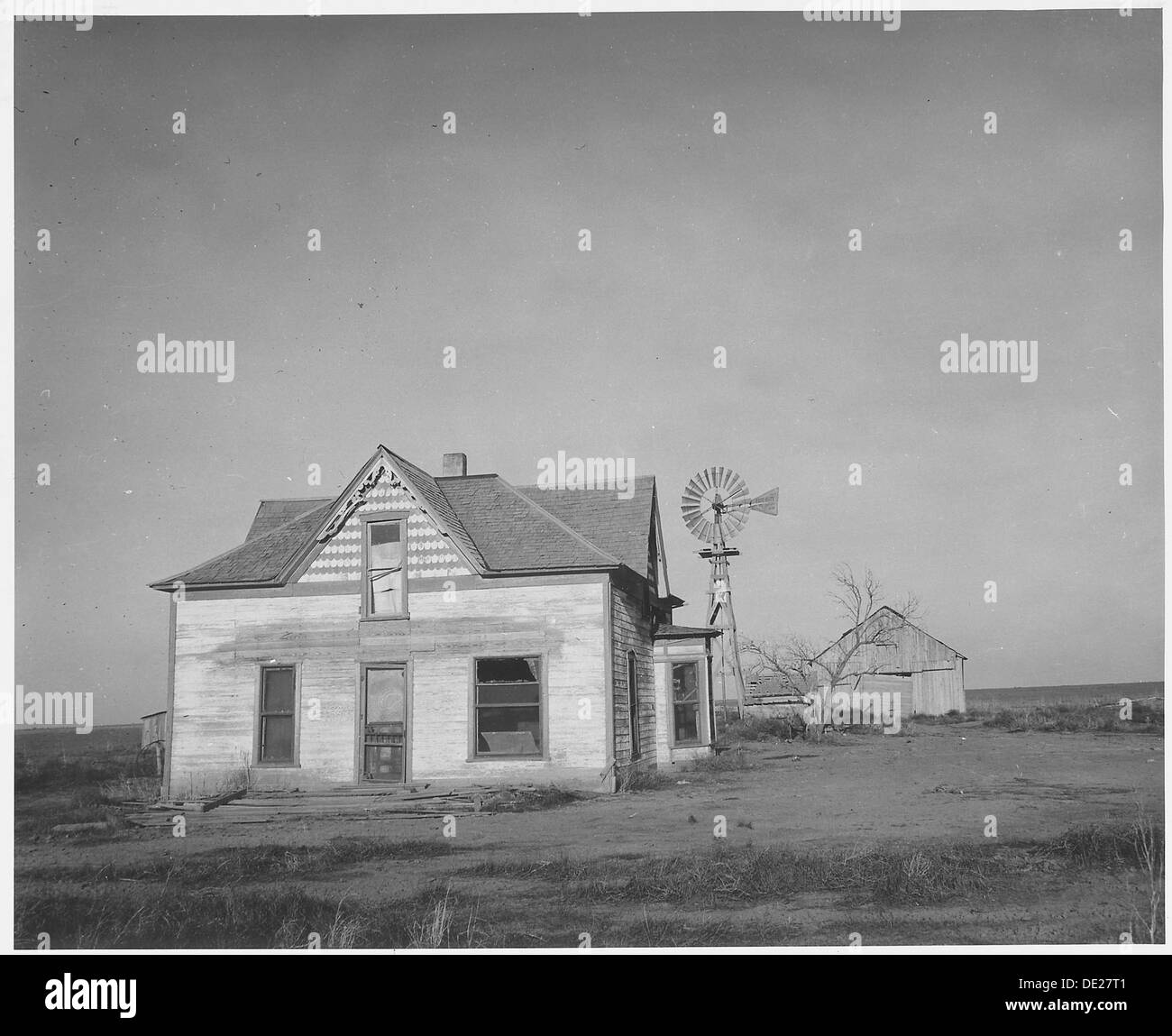 Haskell County, Kansas. There are abandoned houses all over this and neighboring counties. 522094 Stock Photohttps://www.alamy.com/image-license-details/?v=1https://www.alamy.com/haskell-county-kansas-there-are-abandoned-houses-all-over-this-and-image60286353.html
RMDE27T1–Haskell County, Kansas. There are abandoned houses all over this and neighboring counties. 522094
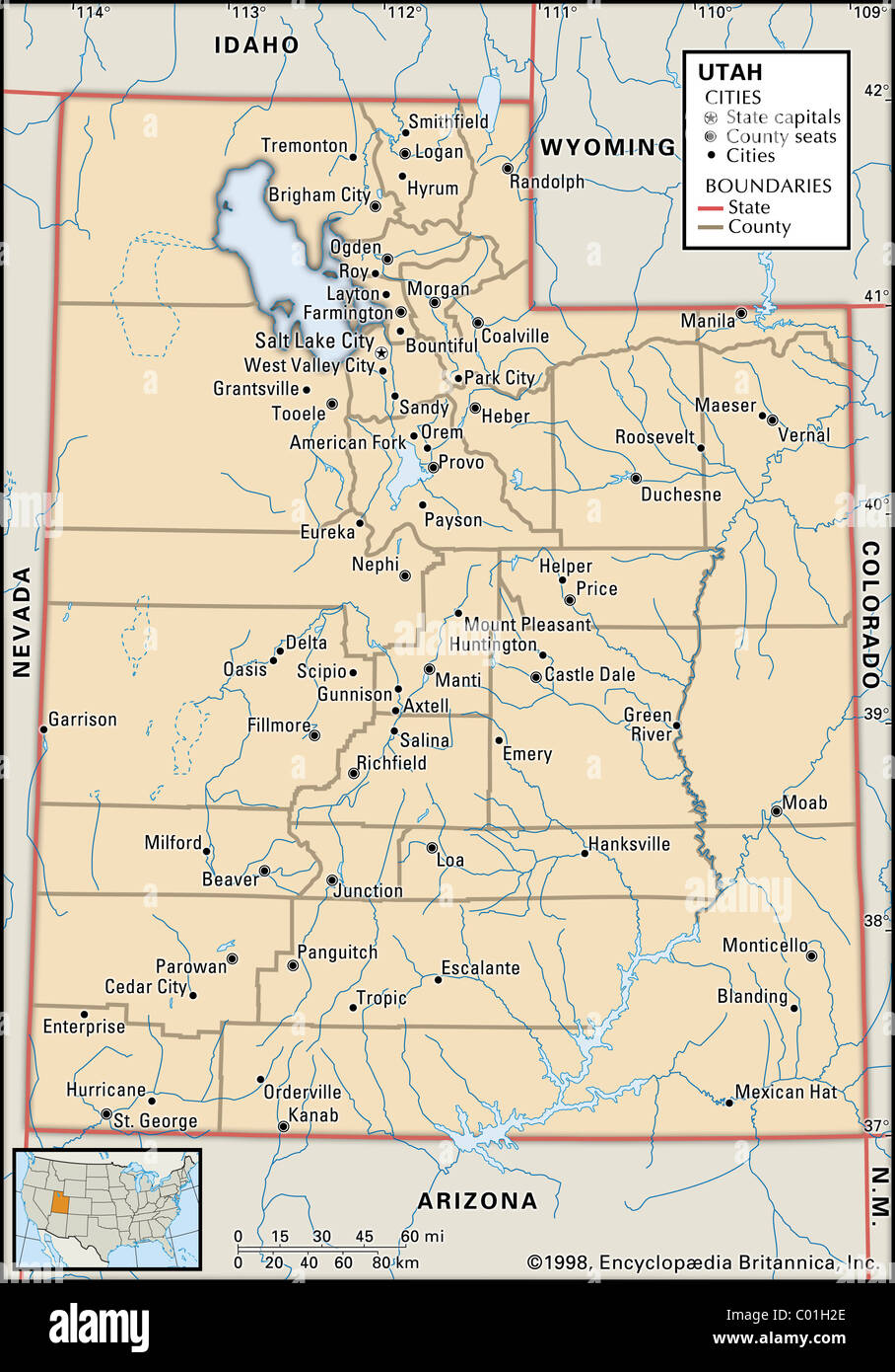 Political map of Utah Stock Photohttps://www.alamy.com/image-license-details/?v=1https://www.alamy.com/stock-photo-political-map-of-utah-34456086.html
RMC01H2E–Political map of Utah
 Miniland USA at Legoland Windsor Resort, Windsor, Berkshire, England, United Kingdom Stock Photohttps://www.alamy.com/image-license-details/?v=1https://www.alamy.com/miniland-usa-at-legoland-windsor-resort-windsor-berkshire-england-united-kingdom-image181940216.html
RMMG02GT–Miniland USA at Legoland Windsor Resort, Windsor, Berkshire, England, United Kingdom
 Petrified Forest, Arizona, USA. May 25, 2019. The National Park is located in Navajo and Apache counties with petrified woods. It is a perfect area fo Stock Photohttps://www.alamy.com/image-license-details/?v=1https://www.alamy.com/petrified-forest-arizona-usa-may-25-2019-the-national-park-is-located-in-navajo-and-apache-counties-with-petrified-woods-it-is-a-perfect-area-fo-image340515290.html
RF2ANYPMA–Petrified Forest, Arizona, USA. May 25, 2019. The National Park is located in Navajo and Apache counties with petrified woods. It is a perfect area fo
 An adhesive sticker featuring a symbol of the United States flag and stating 'I VOTED' is sent as a 'Thank You for Voting by Mail' to everyone who did so in elections run by Sarasota County in Florida, USA. Traditionally, each of the nation’s 3,069 counties administers federal, state, county and other local elections. Election officials work to make sure voting is accurate, safe, secure and accessible for everyone whether they vote at the ballot box or by mail. Stock Photohttps://www.alamy.com/image-license-details/?v=1https://www.alamy.com/an-adhesive-sticker-featuring-a-symbol-of-the-united-states-flag-and-stating-i-voted-is-sent-as-a-thank-you-for-voting-by-mail-to-everyone-who-did-so-in-elections-run-by-sarasota-county-in-florida-usa-traditionally-each-of-the-nations-3069-counties-administers-federal-state-county-and-other-local-elections-election-officials-work-to-make-sure-voting-is-accurate-safe-secure-and-accessible-for-everyone-whether-they-vote-at-the-ballot-box-or-by-mail-image379349745.html
RM2D14TD5–An adhesive sticker featuring a symbol of the United States flag and stating 'I VOTED' is sent as a 'Thank You for Voting by Mail' to everyone who did so in elections run by Sarasota County in Florida, USA. Traditionally, each of the nation’s 3,069 counties administers federal, state, county and other local elections. Election officials work to make sure voting is accurate, safe, secure and accessible for everyone whether they vote at the ballot box or by mail.
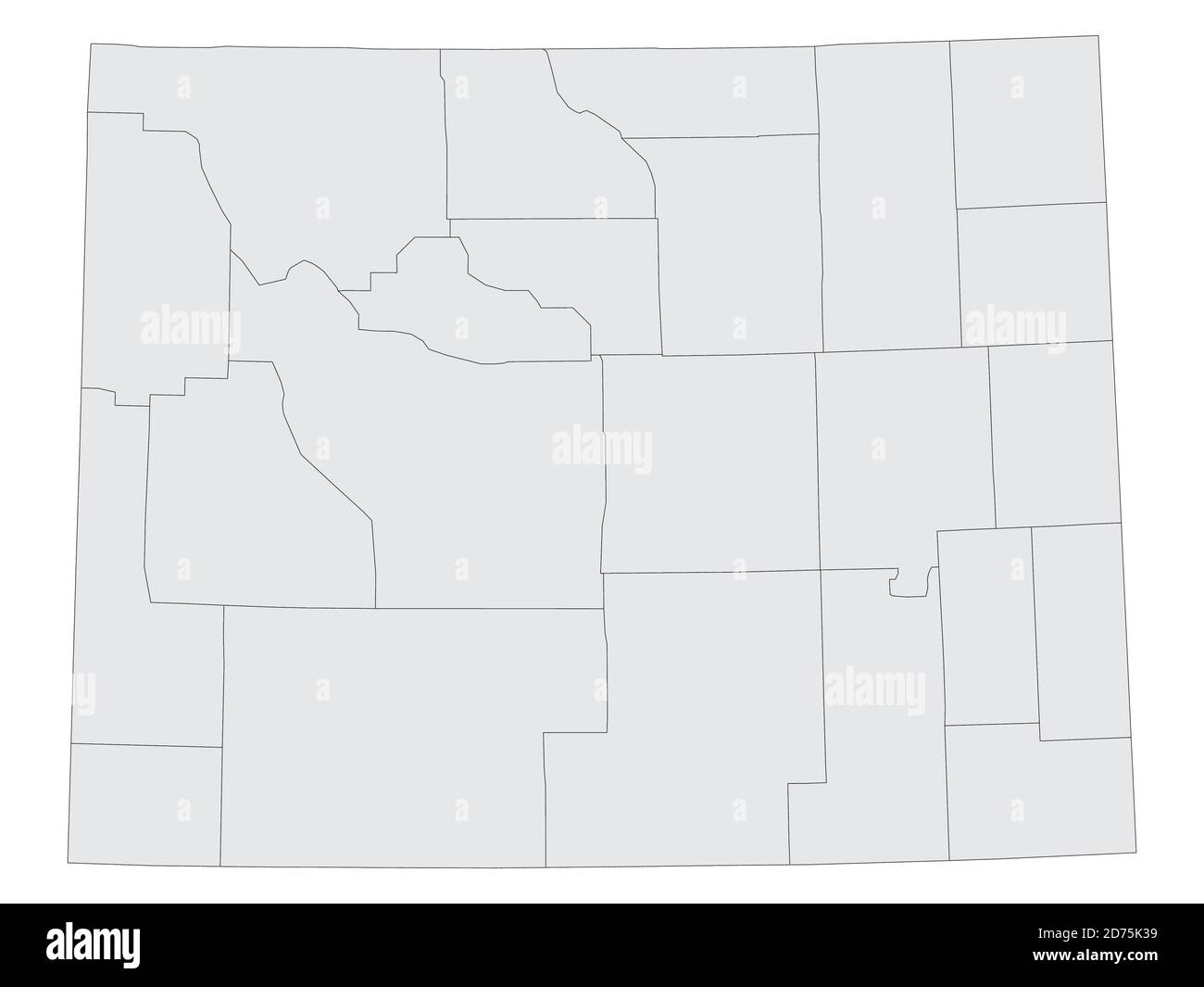 Grey Flat Election Counties Map of the USA Federal State of Colorado Stock Vectorhttps://www.alamy.com/image-license-details/?v=1https://www.alamy.com/grey-flat-election-counties-map-of-the-usa-federal-state-of-colorado-image383055437.html
RF2D75K39–Grey Flat Election Counties Map of the USA Federal State of Colorado
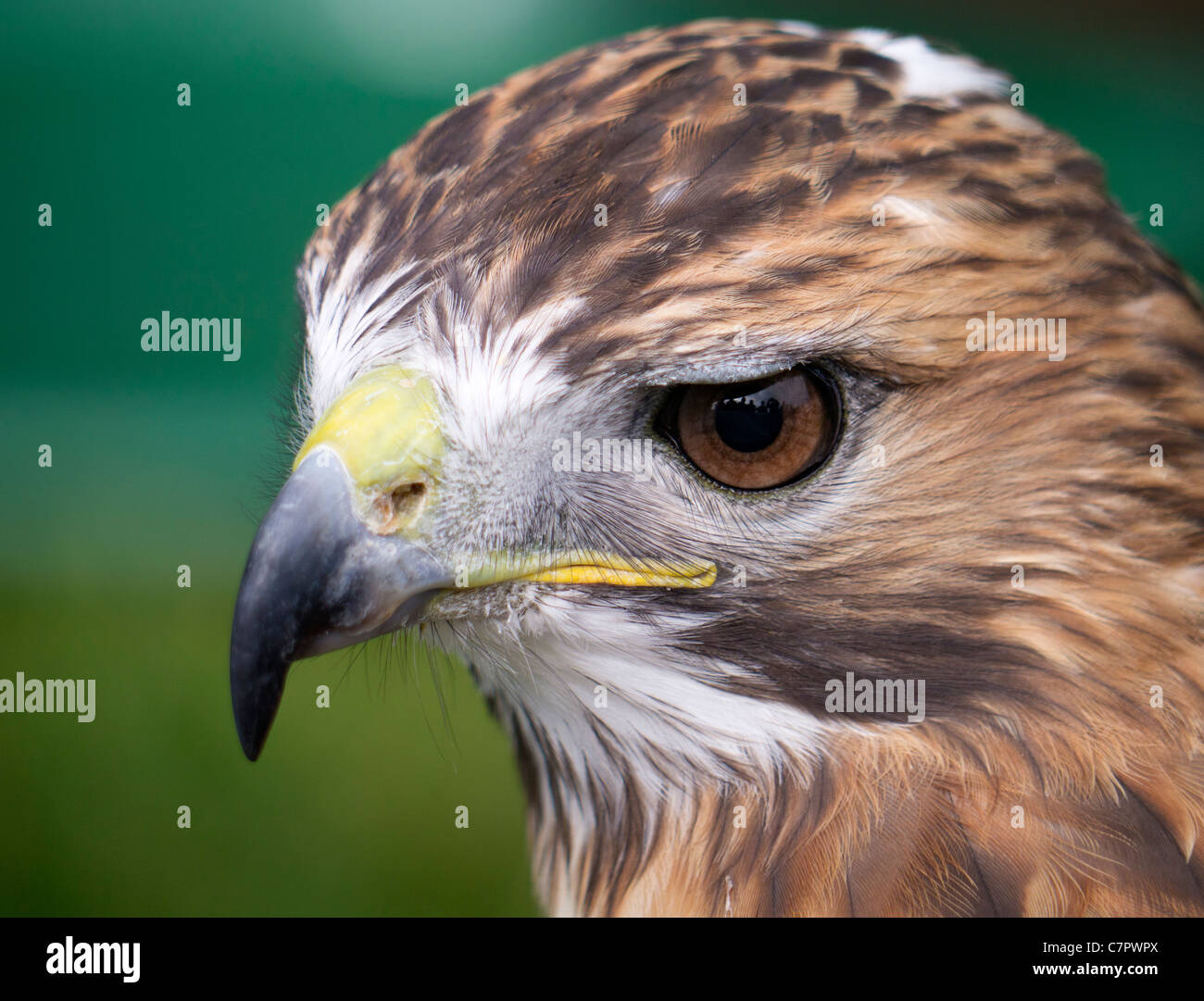 Malvern Autumn Show, England - red-tailed hawk 6 Stock Photohttps://www.alamy.com/image-license-details/?v=1https://www.alamy.com/stock-photo-malvern-autumn-show-england-red-tailed-hawk-6-39226514.html
RMC7PWPX–Malvern Autumn Show, England - red-tailed hawk 6
 Sandhill Cranes (Grus canadensis) flying on migration in front of moon. Jasper and Pulaski Counties, Indiana, USA, December. Stock Photohttps://www.alamy.com/image-license-details/?v=1https://www.alamy.com/sandhill-cranes-grus-canadensis-flying-on-migration-in-front-of-moon-jasper-and-pulaski-counties-indiana-usa-december-image262921645.html
RMW7N36N–Sandhill Cranes (Grus canadensis) flying on migration in front of moon. Jasper and Pulaski Counties, Indiana, USA, December.
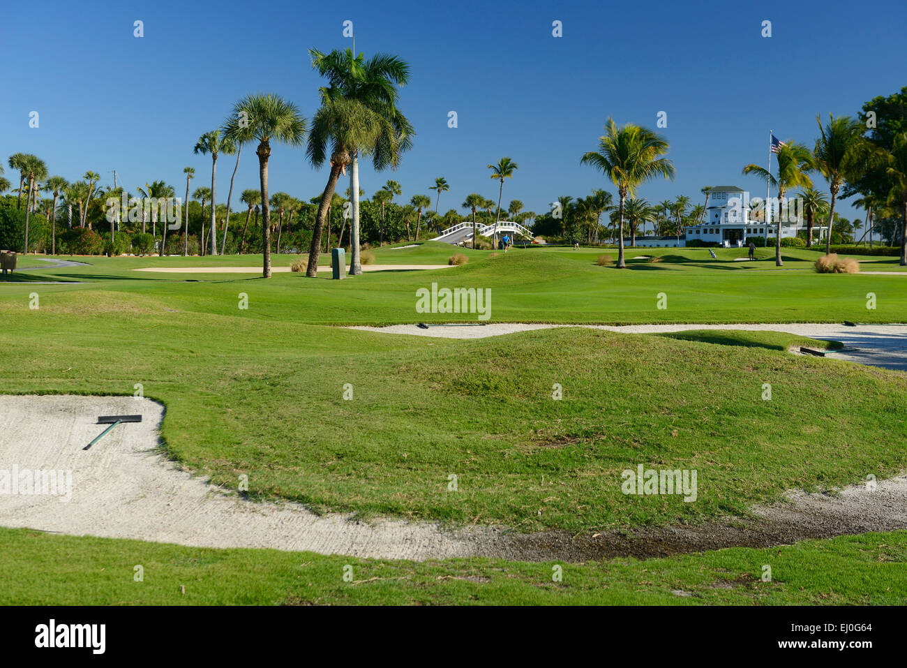 USA, Florida, Charlotte and Lee County, Gasparilla island, Boca Grande, Stock Photohttps://www.alamy.com/image-license-details/?v=1https://www.alamy.com/stock-photo-usa-florida-charlotte-and-lee-county-gasparilla-island-boca-grande-79917996.html
RMEJ0G64–USA, Florida, Charlotte and Lee County, Gasparilla island, Boca Grande,
 Image 1 of Sanborn Fire Insurance Map from Milford, Kent And Sussex Counties, Delaware. Jul 1897. 7 Sheet(s), America, street map with a Nineteenth Century compass Stock Photohttps://www.alamy.com/image-license-details/?v=1https://www.alamy.com/image-1-of-sanborn-fire-insurance-map-from-milford-kent-and-sussex-counties-delaware-jul-1897-7-sheets-america-street-map-with-a-nineteenth-century-compass-image344680855.html
RM2B0NFXF–Image 1 of Sanborn Fire Insurance Map from Milford, Kent And Sussex Counties, Delaware. Jul 1897. 7 Sheet(s), America, street map with a Nineteenth Century compass
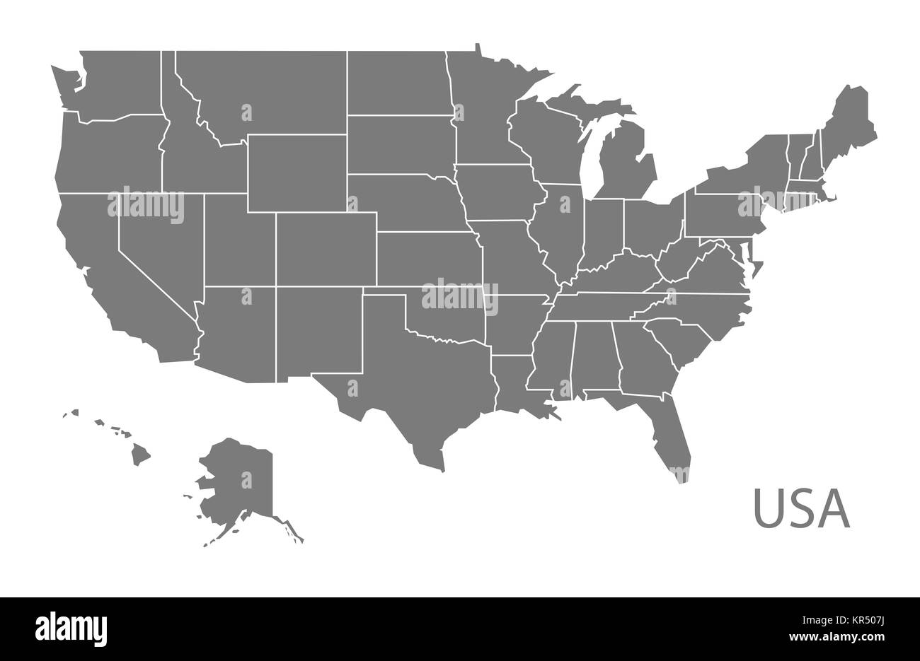 USA Map grey Stock Photohttps://www.alamy.com/image-license-details/?v=1https://www.alamy.com/stock-image-usa-map-grey-169140374.html
RFKR507J–USA Map grey
 Sunset on the beautiful country of Palouse Falls State Park, Franklin and Whitman Counties, Washington, USA Stock Photohttps://www.alamy.com/image-license-details/?v=1https://www.alamy.com/stock-photo-sunset-on-the-beautiful-country-of-palouse-falls-state-park-franklin-89934460.html
RFF68T90–Sunset on the beautiful country of Palouse Falls State Park, Franklin and Whitman Counties, Washington, USA
 Petrified Forest National Park in Navajo and Apache counties Arizona USA WPA Black and White Art Stock Photohttps://www.alamy.com/image-license-details/?v=1https://www.alamy.com/petrified-forest-national-park-in-navajo-and-apache-counties-arizona-usa-wpa-black-and-white-art-image442448820.html
RF2GKR7YG–Petrified Forest National Park in Navajo and Apache counties Arizona USA WPA Black and White Art
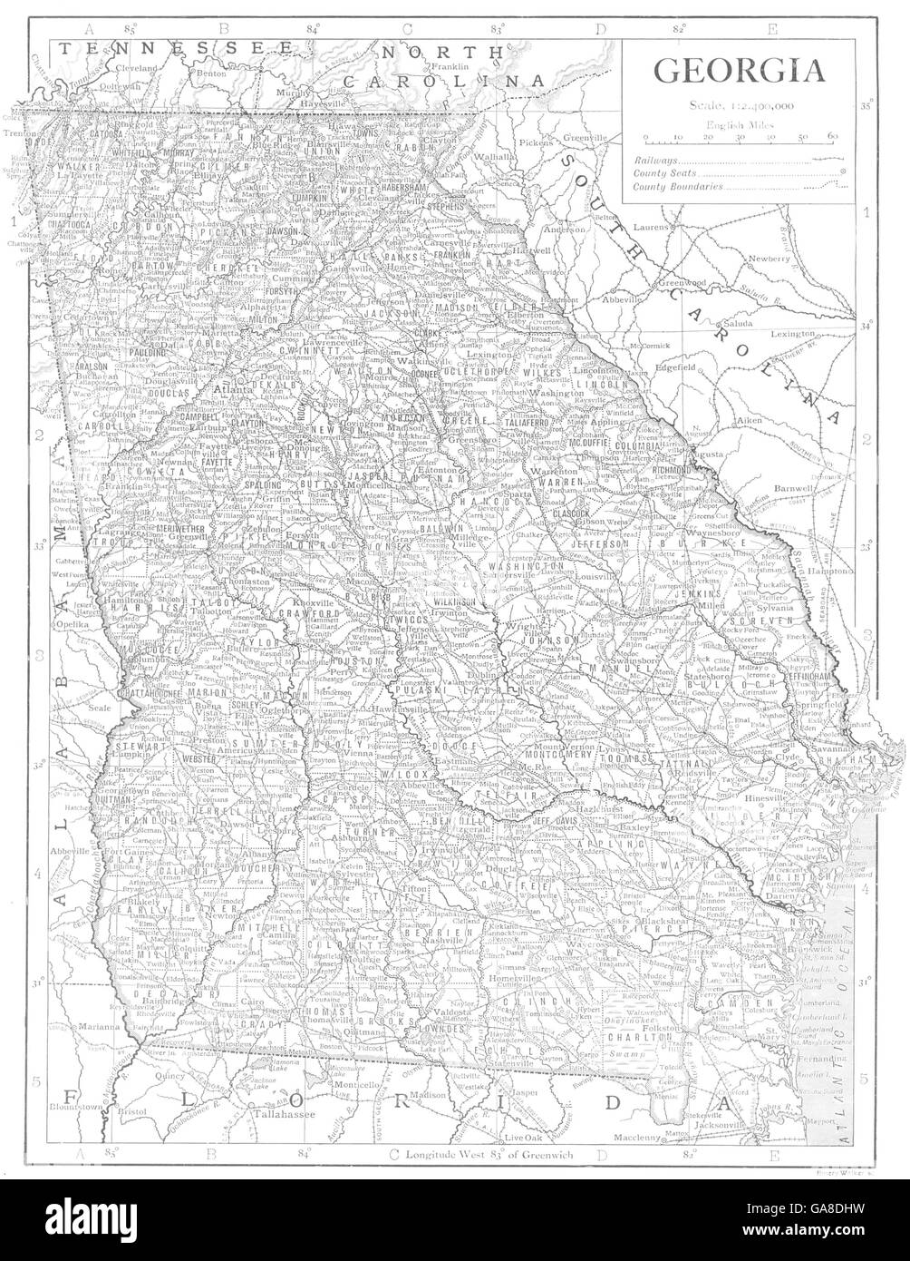 GEORGIA USA: State map showing counties, 1910 Stock Photohttps://www.alamy.com/image-license-details/?v=1https://www.alamy.com/stock-photo-georgia-usa-state-map-showing-counties-1910-109595077.html
RFGA8DHW–GEORGIA USA: State map showing counties, 1910
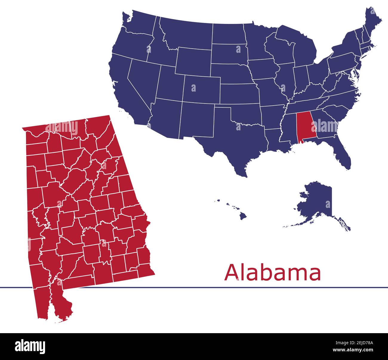 Alabama counties vector map outline with USA map colors national flag Stock Vectorhttps://www.alamy.com/image-license-details/?v=1https://www.alamy.com/alabama-counties-vector-map-outline-with-usa-map-colors-national-flag-image407193370.html
RF2EJD78A–Alabama counties vector map outline with USA map colors national flag
 Colorado state outline administrative and political vector map in black and white Stock Vectorhttps://www.alamy.com/image-license-details/?v=1https://www.alamy.com/colorado-state-outline-administrative-and-political-vector-map-in-black-and-white-image353795154.html
RF2BFGN96–Colorado state outline administrative and political vector map in black and white
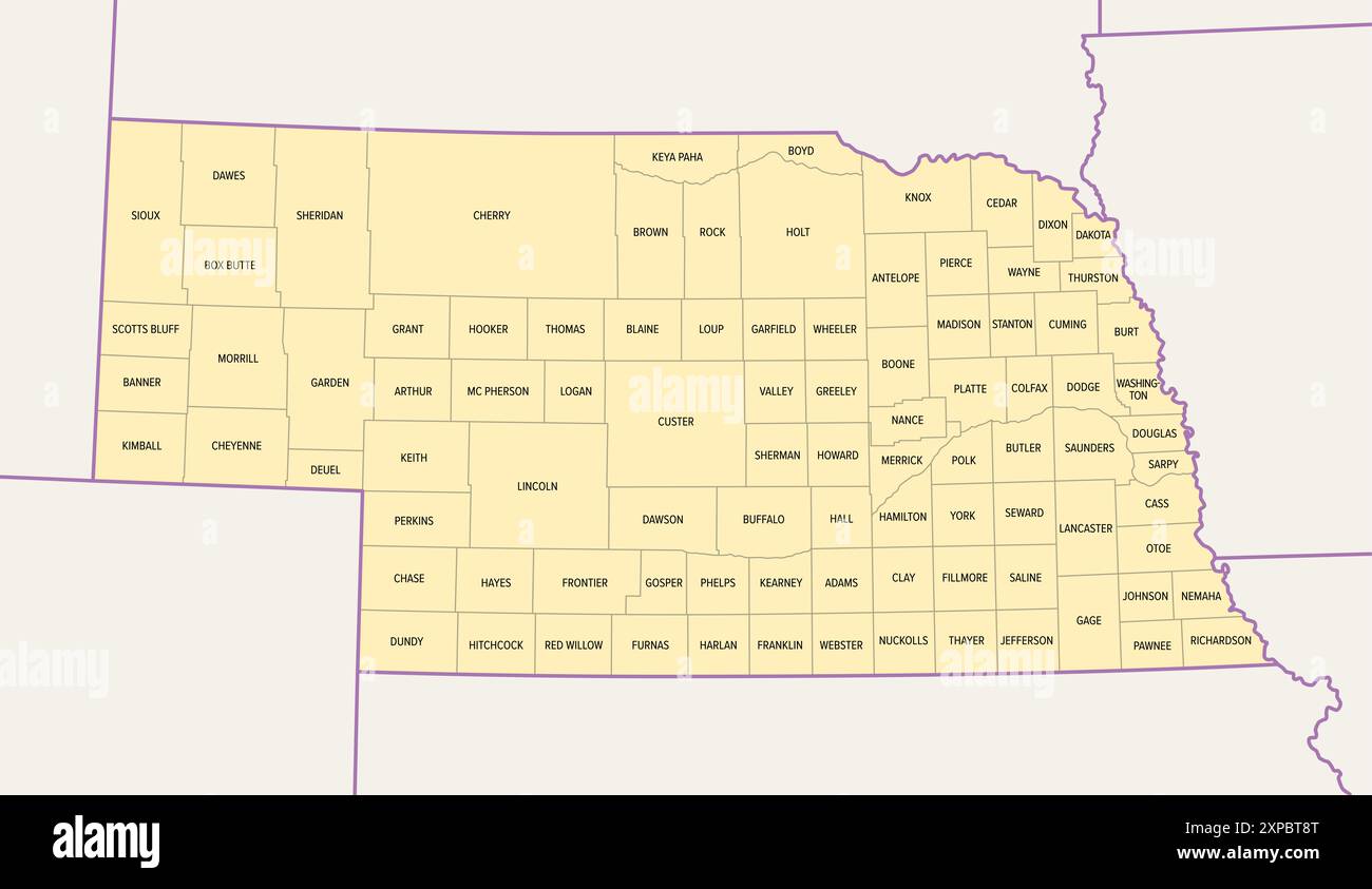 Nebraska, U.S. state, subdivided into 93 counties, political map with borders and county names. Landlocked state in the Midwestern region of USA. Stock Photohttps://www.alamy.com/image-license-details/?v=1https://www.alamy.com/nebraska-us-state-subdivided-into-93-counties-political-map-with-borders-and-county-names-landlocked-state-in-the-midwestern-region-of-usa-image616145848.html
RF2XPBT8T–Nebraska, U.S. state, subdivided into 93 counties, political map with borders and county names. Landlocked state in the Midwestern region of USA.
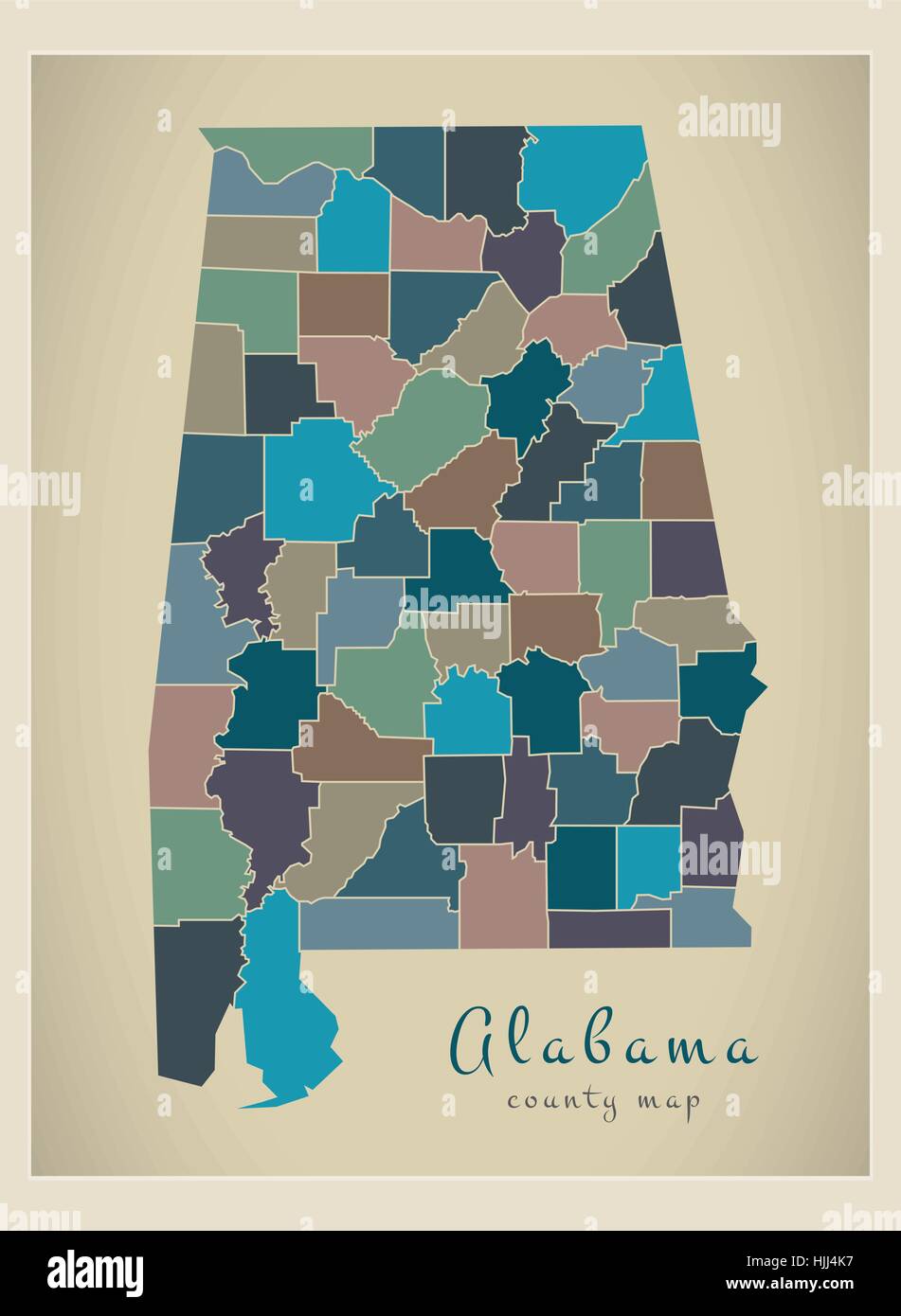 Modern Map - Alabama coloured county map USA silhouette illustration Stock Vectorhttps://www.alamy.com/image-license-details/?v=1https://www.alamy.com/stock-photo-modern-map-alabama-coloured-county-map-usa-silhouette-illustration-131935195.html
RFHJJ4K7–Modern Map - Alabama coloured county map USA silhouette illustration
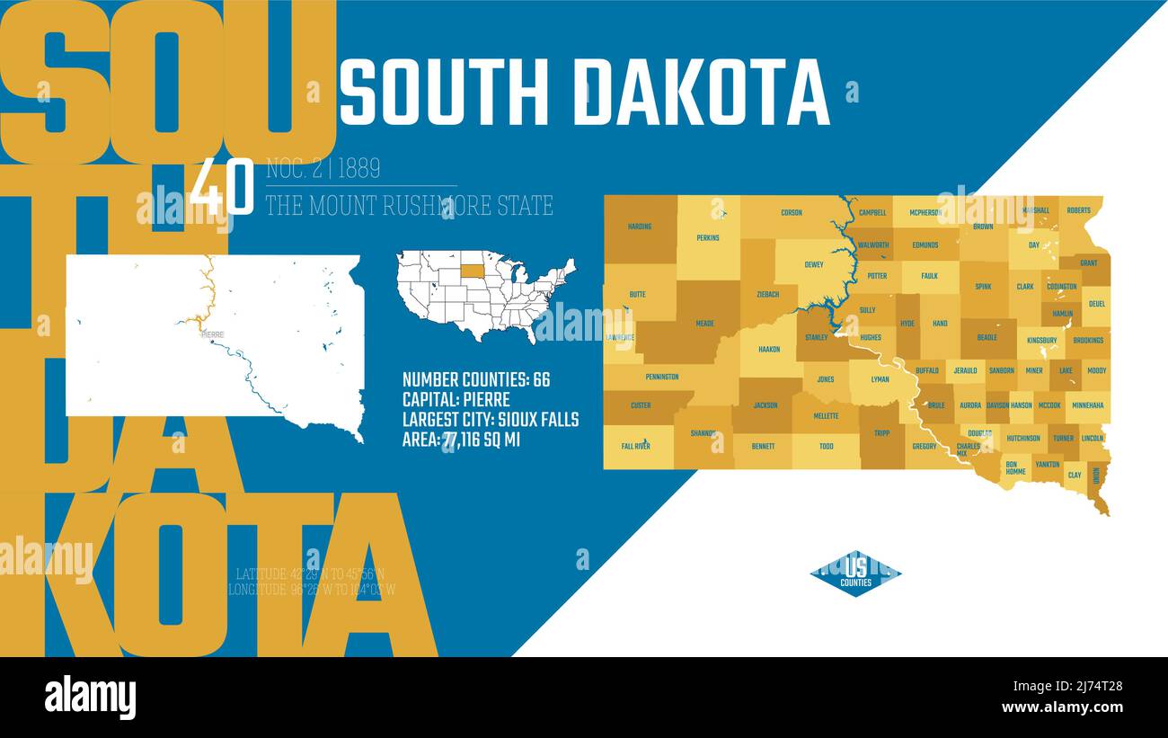 40 of 50 states of the United States, divided into counties with territory nicknames, Detailed vector South Dakota Map with name and date admitted to Stock Vectorhttps://www.alamy.com/image-license-details/?v=1https://www.alamy.com/40-of-50-states-of-the-united-states-divided-into-counties-with-territory-nicknames-detailed-vector-south-dakota-map-with-name-and-date-admitted-to-image469089216.html
RF2J74T28–40 of 50 states of the United States, divided into counties with territory nicknames, Detailed vector South Dakota Map with name and date admitted to
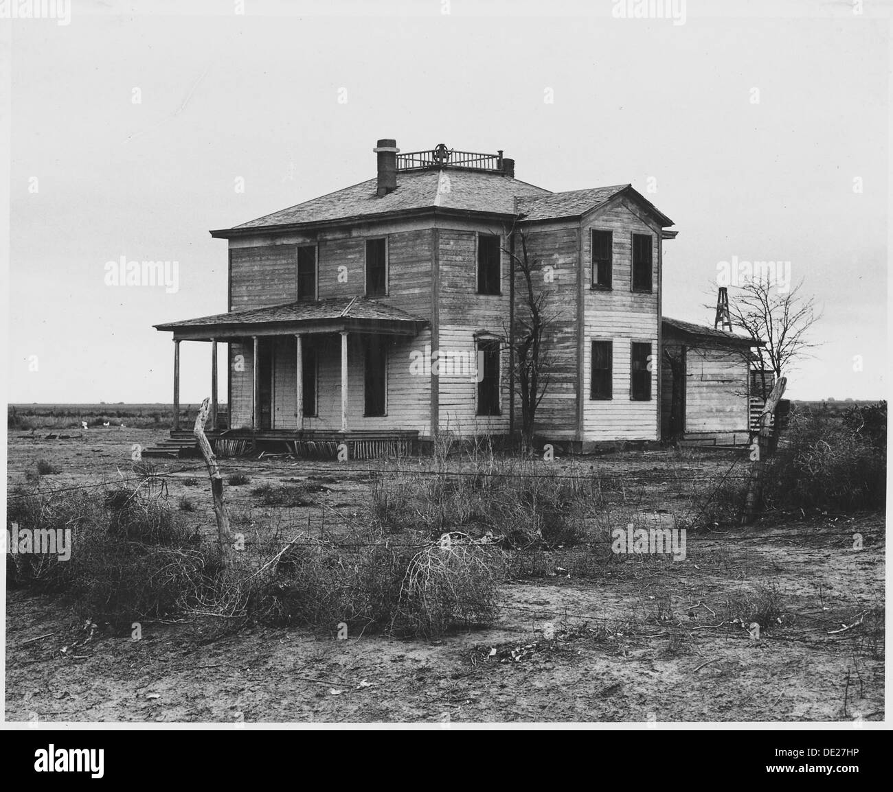 Haskell County, Kansas. There are abandoned houses all over this and neighboring counties. 522091 Stock Photohttps://www.alamy.com/image-license-details/?v=1https://www.alamy.com/haskell-county-kansas-there-are-abandoned-houses-all-over-this-and-image60286178.html
RMDE27HP–Haskell County, Kansas. There are abandoned houses all over this and neighboring counties. 522091
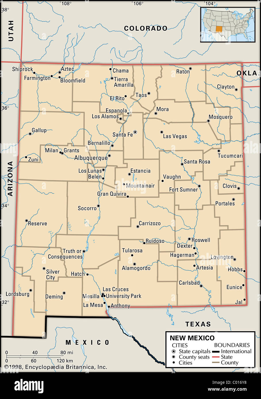 Political map of New Mexico Stock Photohttps://www.alamy.com/image-license-details/?v=1https://www.alamy.com/stock-photo-political-map-of-new-mexico-34448156.html
RMC016Y8–Political map of New Mexico
 Miniland USA at Legoland Windsor Resort, Windsor, Berkshire, England, United Kingdom Stock Photohttps://www.alamy.com/image-license-details/?v=1https://www.alamy.com/miniland-usa-at-legoland-windsor-resort-windsor-berkshire-england-united-kingdom-image181940215.html
RMMG02GR–Miniland USA at Legoland Windsor Resort, Windsor, Berkshire, England, United Kingdom
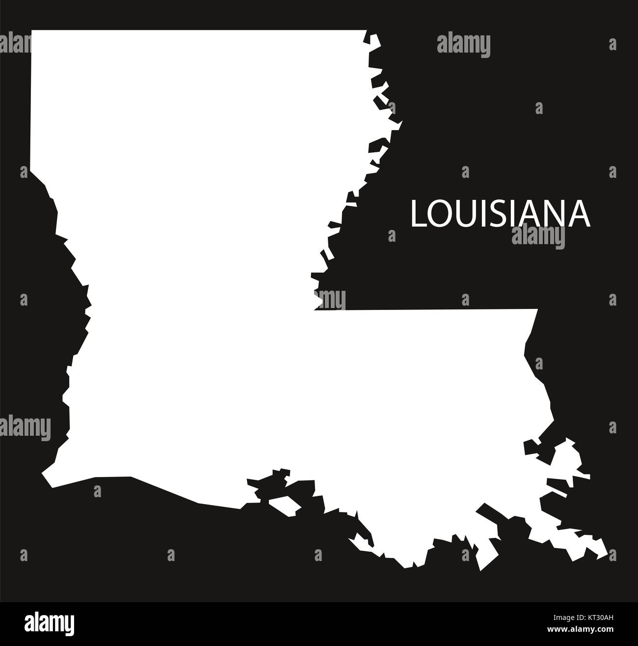 Louisiana USA Map black inverted silhouette Stock Photohttps://www.alamy.com/image-license-details/?v=1https://www.alamy.com/stock-image-louisiana-usa-map-black-inverted-silhouette-169711209.html
RFKT30AH–Louisiana USA Map black inverted silhouette
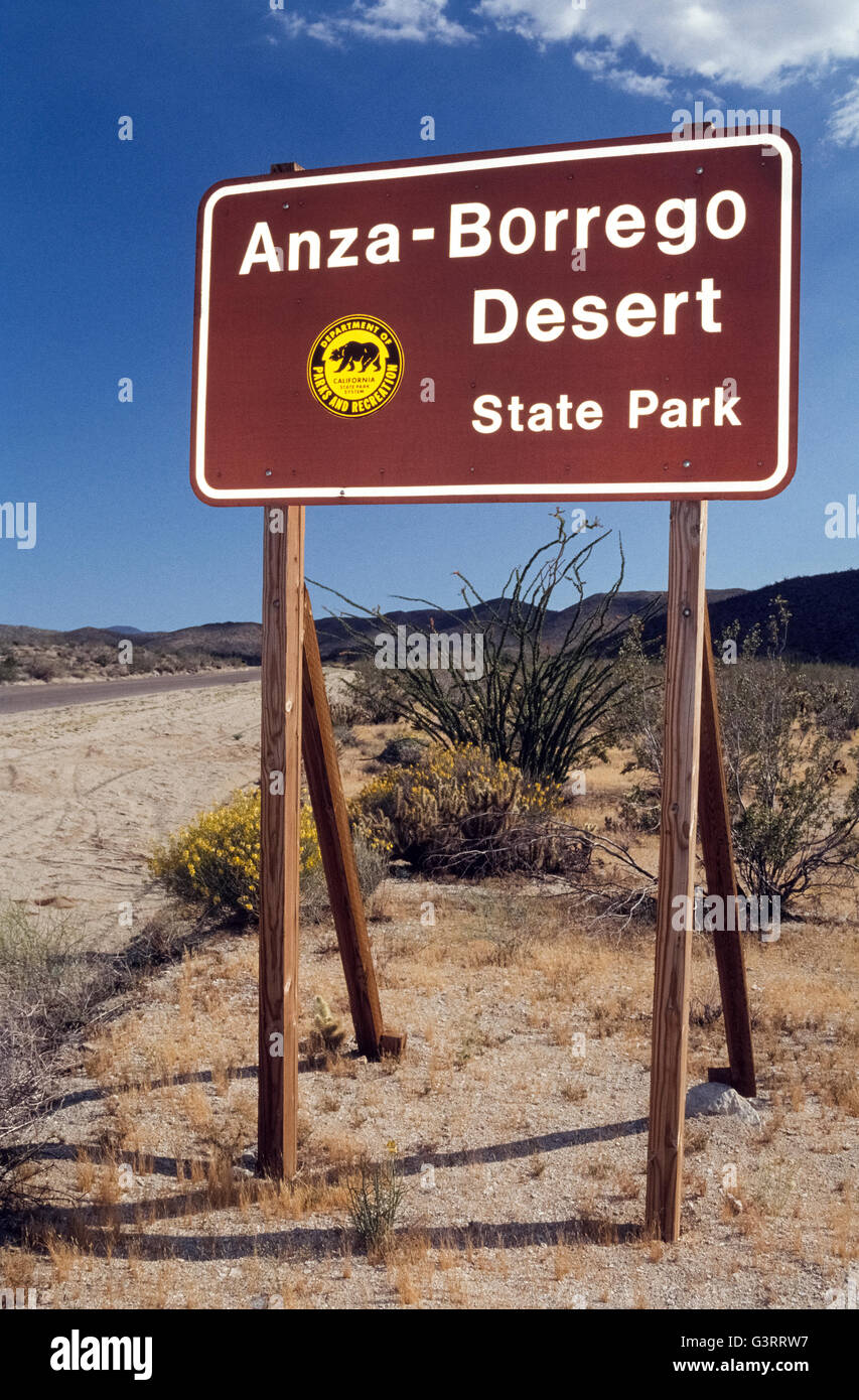 A sign welcomes visitors to Anza-Borrego Desert State Park spreads over one-fifth of San Diego County and is the largest state park in California, USA. It covers 600,000 acres (240,000 hectares) of the Colorado Desert and also reaches into Imperial and Riverside counties. The vast park is home to a host of birds, reptiles and other animals, including desert bighorn sheep. Roads and hiking trails lead visitors through spectacular displays of desert plants that are highlighted with wildflowers in springtime. Stock Photohttps://www.alamy.com/image-license-details/?v=1https://www.alamy.com/stock-photo-a-sign-welcomes-visitors-to-anza-borrego-desert-state-park-spreads-105629811.html
RMG3RRW7–A sign welcomes visitors to Anza-Borrego Desert State Park spreads over one-fifth of San Diego County and is the largest state park in California, USA. It covers 600,000 acres (240,000 hectares) of the Colorado Desert and also reaches into Imperial and Riverside counties. The vast park is home to a host of birds, reptiles and other animals, including desert bighorn sheep. Roads and hiking trails lead visitors through spectacular displays of desert plants that are highlighted with wildflowers in springtime.
 Grey Flat Election Counties Map of the USA Federal State of Nevada Stock Vectorhttps://www.alamy.com/image-license-details/?v=1https://www.alamy.com/grey-flat-election-counties-map-of-the-usa-federal-state-of-nevada-image383055396.html
RF2D75K1T–Grey Flat Election Counties Map of the USA Federal State of Nevada
 Malvern Autumn Show, England - red-tailed hawk 5 Stock Photohttps://www.alamy.com/image-license-details/?v=1https://www.alamy.com/stock-photo-malvern-autumn-show-england-red-tailed-hawk-5-39226466.html
RMC7PWN6–Malvern Autumn Show, England - red-tailed hawk 5
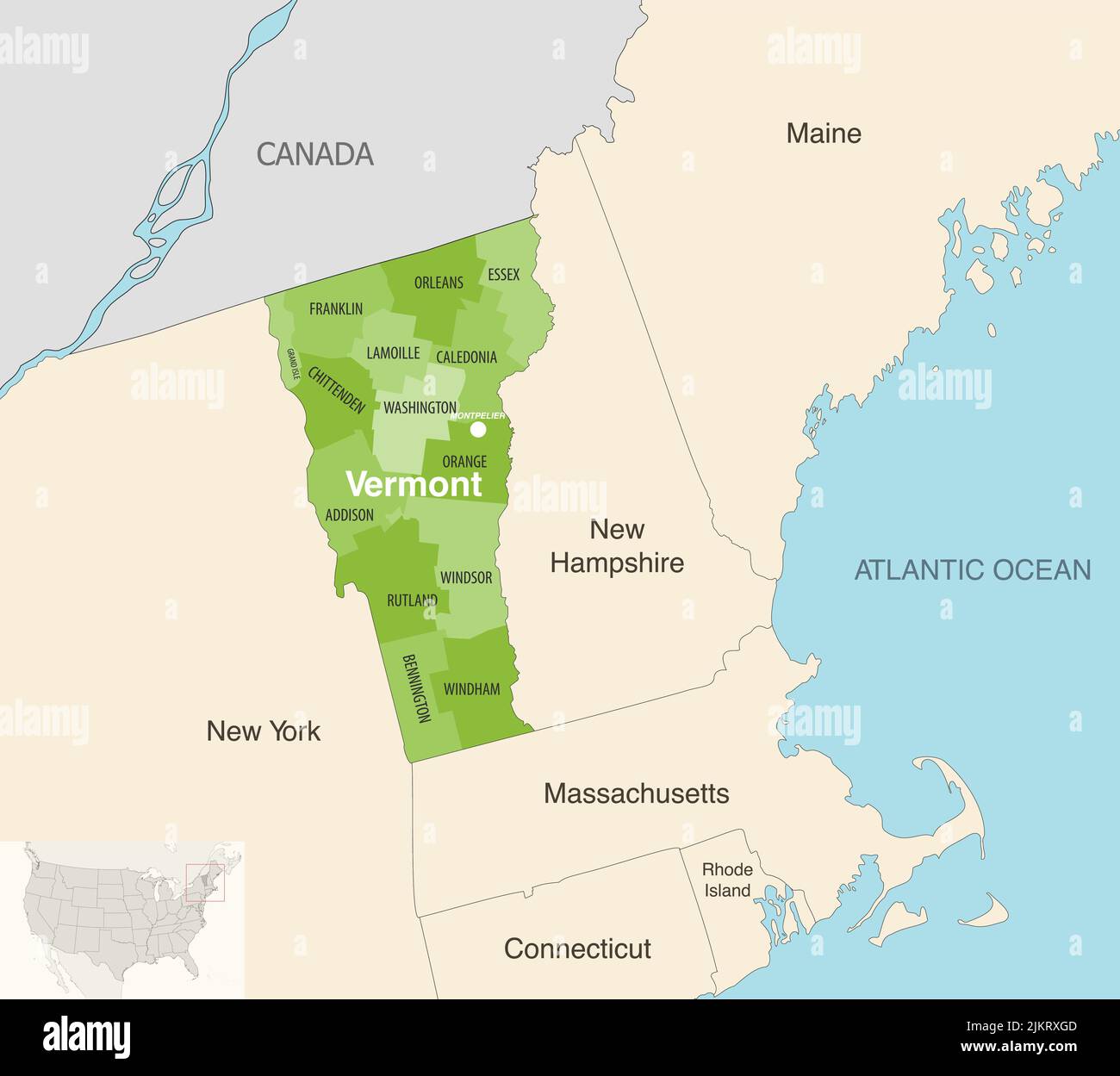 Vermont state counties vector map with neighbouring states and terrotories Stock Vectorhttps://www.alamy.com/image-license-details/?v=1https://www.alamy.com/vermont-state-counties-vector-map-with-neighbouring-states-and-terrotories-image476884141.html
RF2JKRXGD–Vermont state counties vector map with neighbouring states and terrotories
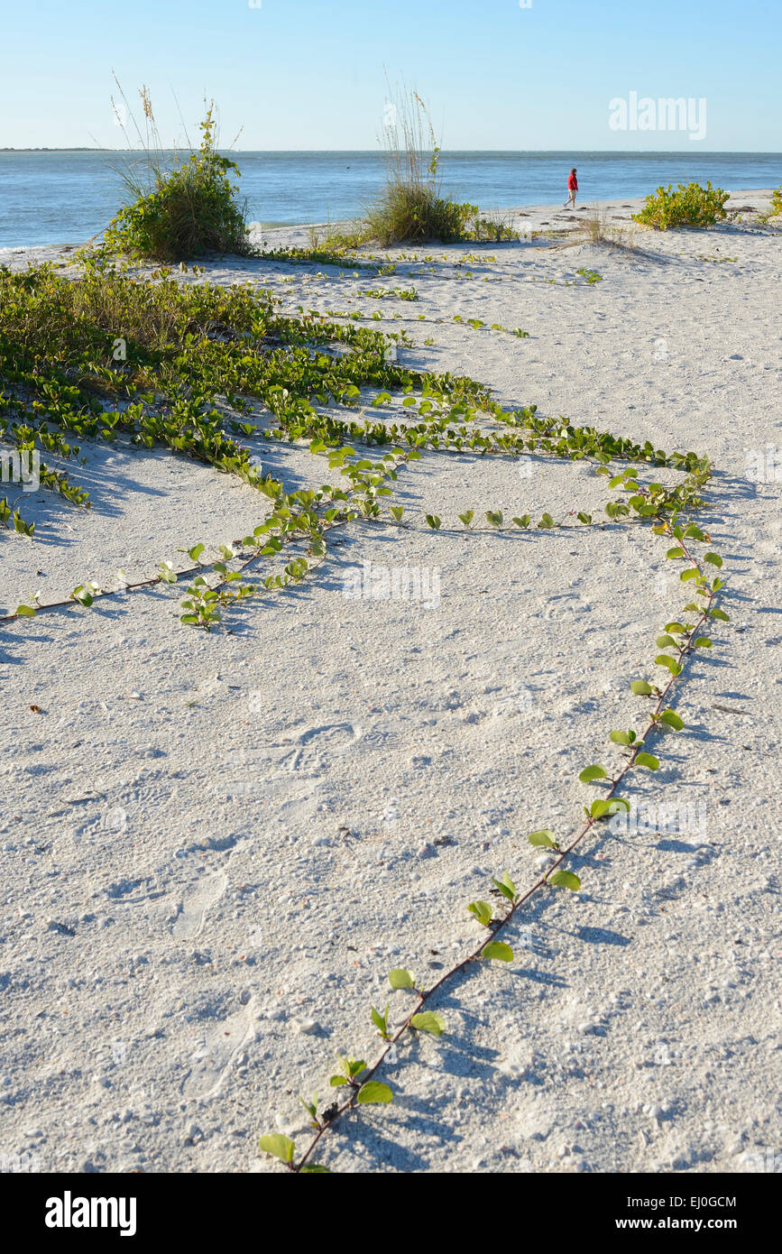 USA, Florida, Charlotte and Lee County, Gasparilla island, woman walking on beach Stock Photohttps://www.alamy.com/image-license-details/?v=1https://www.alamy.com/stock-photo-usa-florida-charlotte-and-lee-county-gasparilla-island-woman-walking-79918180.html
RMEJ0GCM–USA, Florida, Charlotte and Lee County, Gasparilla island, woman walking on beach
 Image 2 of Sanborn Fire Insurance Map from Shippensburg, Cumberland And Franklin Counties, Pennsylvania. Nov 1887. 2 Sheet(s), America, street map with a Nineteenth Century compass Stock Photohttps://www.alamy.com/image-license-details/?v=1https://www.alamy.com/image-2-of-sanborn-fire-insurance-map-from-shippensburg-cumberland-and-franklin-counties-pennsylvania-nov-1887-2-sheets-america-street-map-with-a-nineteenth-century-compass-image344705686.html
RM2B0PKHA–Image 2 of Sanborn Fire Insurance Map from Shippensburg, Cumberland And Franklin Counties, Pennsylvania. Nov 1887. 2 Sheet(s), America, street map with a Nineteenth Century compass
 USA Map grey Stock Photohttps://www.alamy.com/image-license-details/?v=1https://www.alamy.com/stock-image-usa-map-grey-169140373.html
RFKR507H–USA Map grey
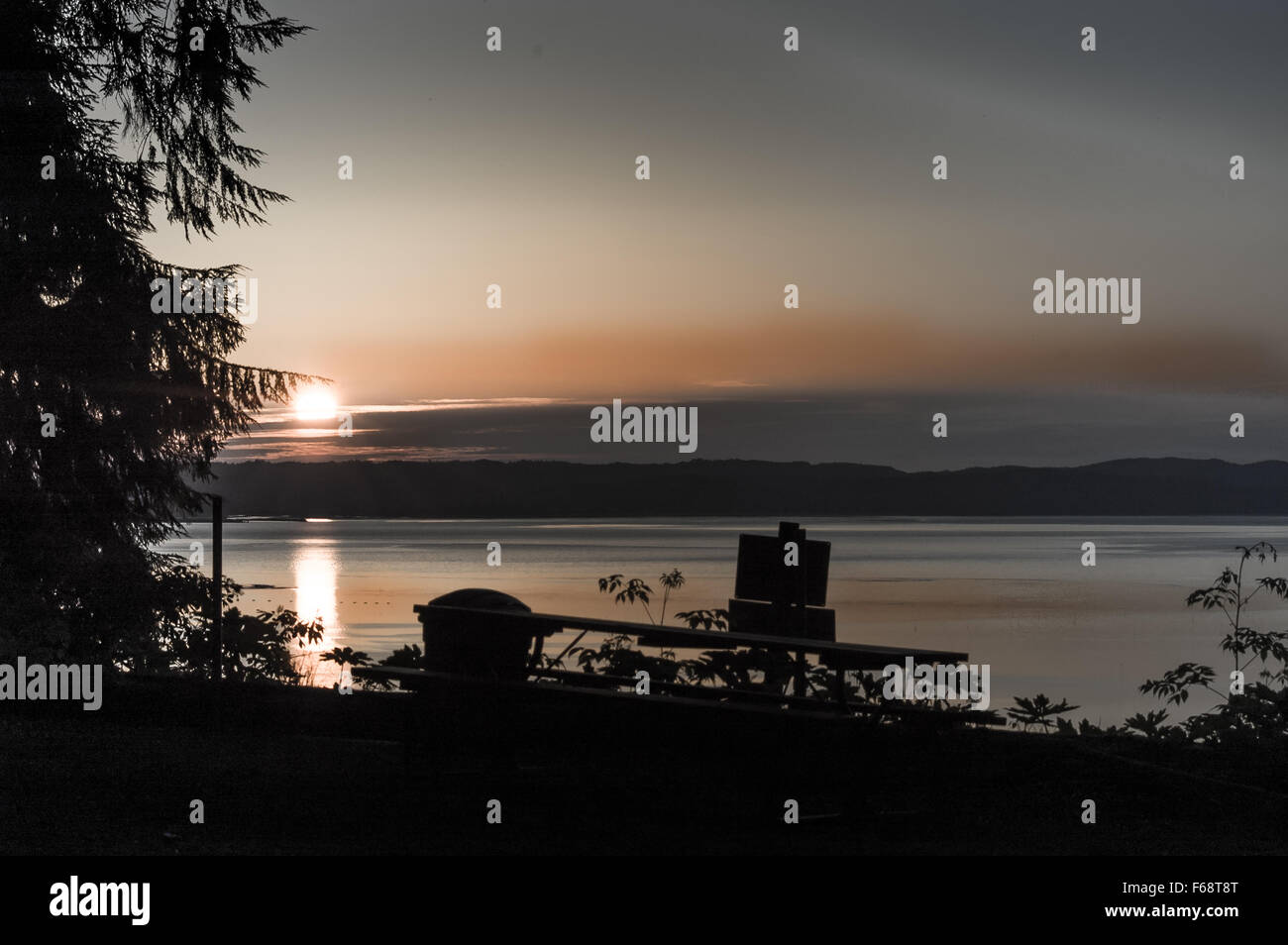 Twilight on the beautiful country of Palouse Falls State Park, Franklin and Whitman Counties, Washington, USA Stock Photohttps://www.alamy.com/image-license-details/?v=1https://www.alamy.com/stock-photo-twilight-on-the-beautiful-country-of-palouse-falls-state-park-franklin-89934456.html
RFF68T8T–Twilight on the beautiful country of Palouse Falls State Park, Franklin and Whitman Counties, Washington, USA
 Church Street in downtown Calais, Maine, USA Stock Photohttps://www.alamy.com/image-license-details/?v=1https://www.alamy.com/church-street-in-downtown-calais-maine-usa-image611600567.html
RF2XF0PNB–Church Street in downtown Calais, Maine, USA
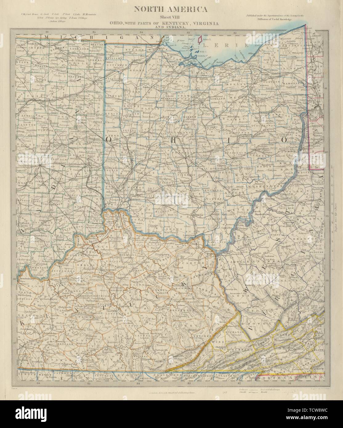 USA. Ohio with parts of Kentucky, Virginia & Indiana. Counties. SDUK 1874 map Stock Photohttps://www.alamy.com/image-license-details/?v=1https://www.alamy.com/usa-ohio-with-parts-of-kentucky-virginia-indiana-counties-sduk-1874-map-image248876808.html
RFTCW8WC–USA. Ohio with parts of Kentucky, Virginia & Indiana. Counties. SDUK 1874 map
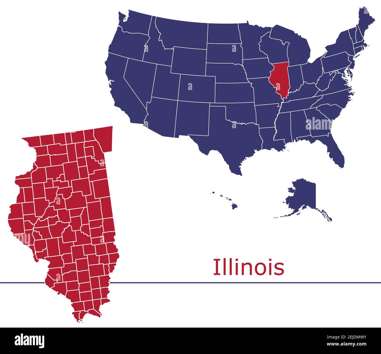 Illinois counties vector map outline with USA map colors national flag Stock Vectorhttps://www.alamy.com/image-license-details/?v=1https://www.alamy.com/illinois-counties-vector-map-outline-with-usa-map-colors-national-flag-image407204055.html
RF2EJDMWY–Illinois counties vector map outline with USA map colors national flag
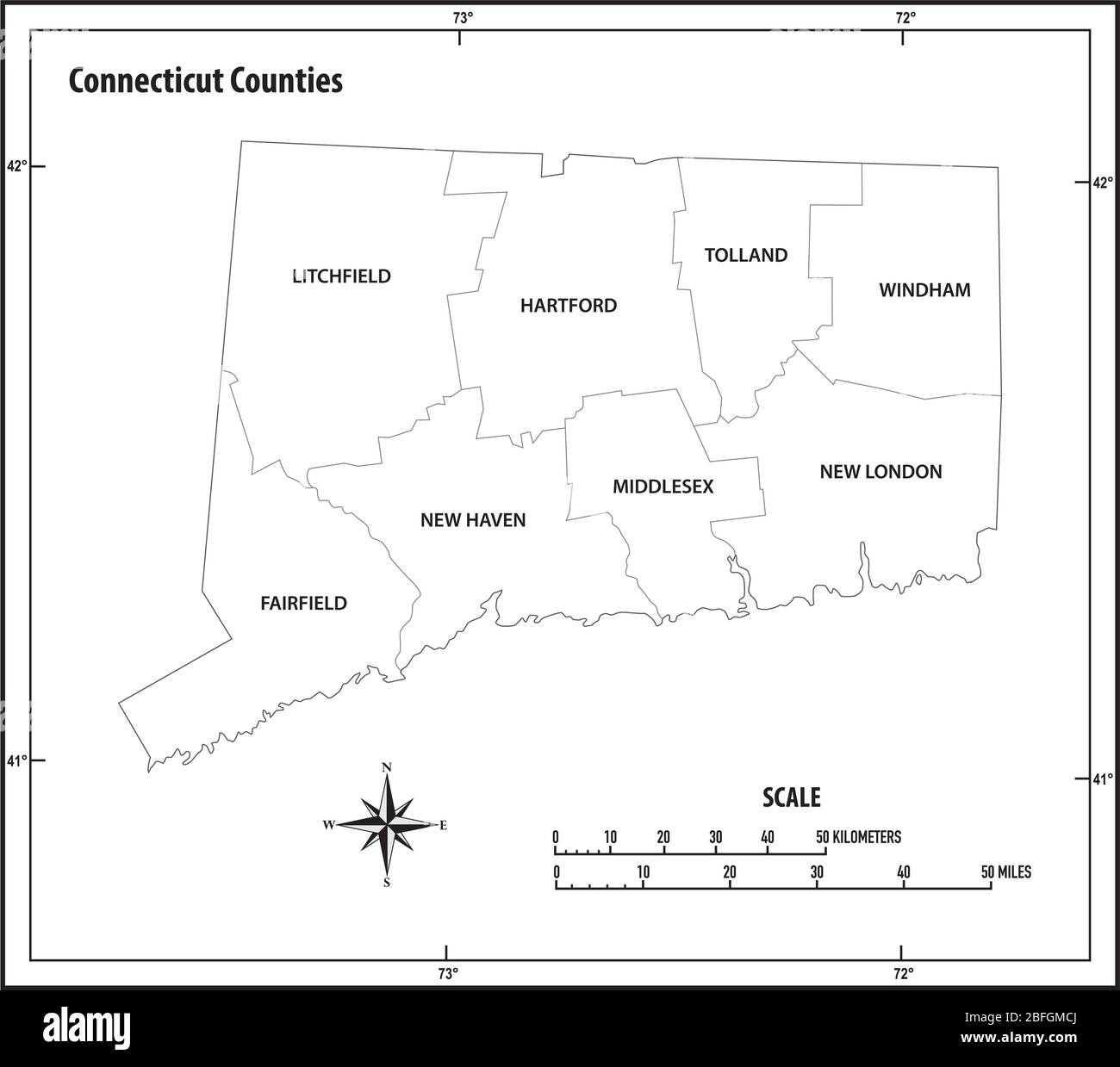 connecticut state outline administrative and political vector map in black and white Stock Vectorhttps://www.alamy.com/image-license-details/?v=1https://www.alamy.com/connecticut-state-outline-administrative-and-political-vector-map-in-black-and-white-image353794466.html
RF2BFGMCJ–connecticut state outline administrative and political vector map in black and white
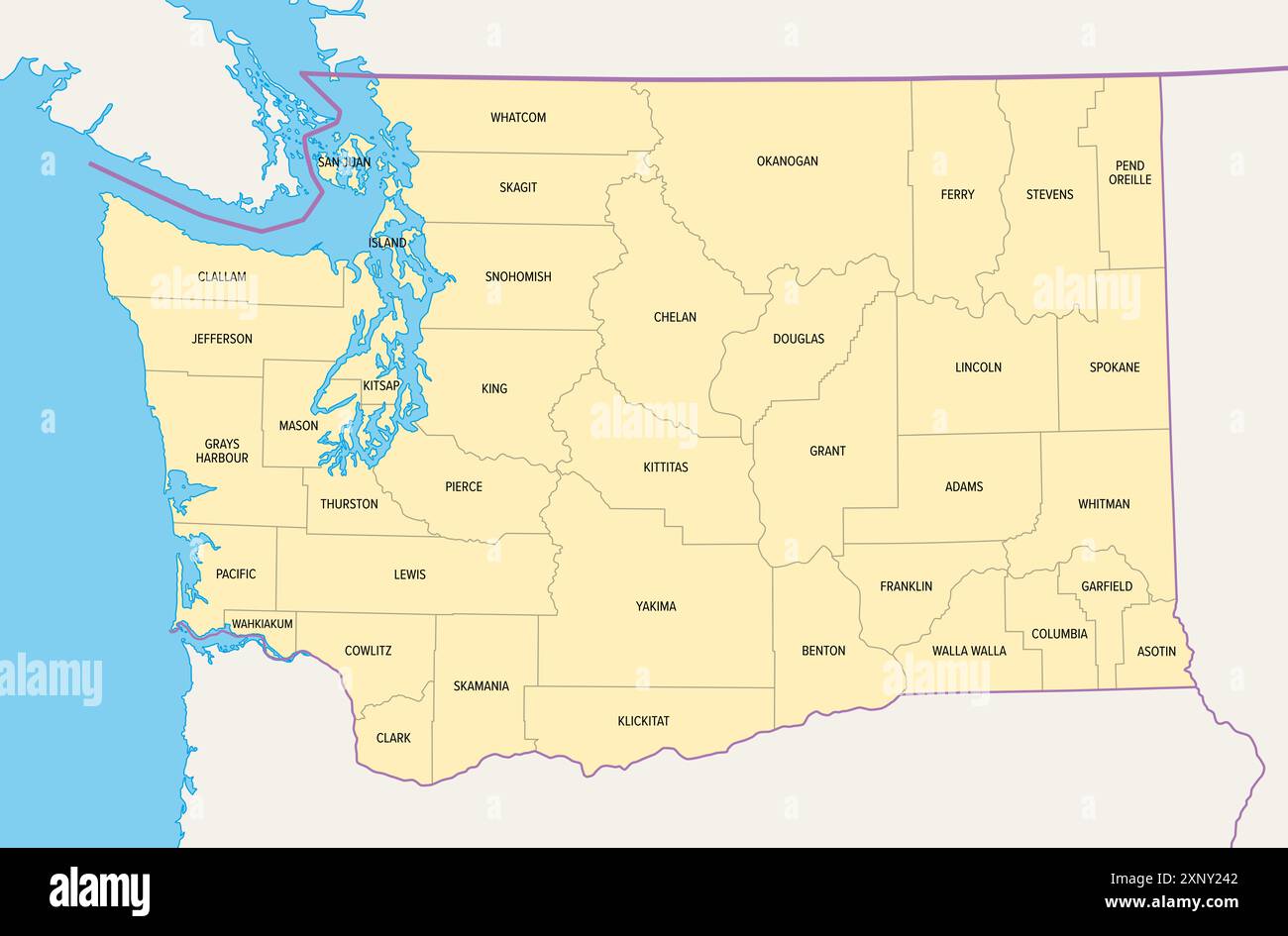 Washington, U.S. state, subdivided into 39 counties, political map with borders and county names. Westernmost state in the Pacific Northwest of USA. Stock Photohttps://www.alamy.com/image-license-details/?v=1https://www.alamy.com/washington-us-state-subdivided-into-39-counties-political-map-with-borders-and-county-names-westernmost-state-in-the-pacific-northwest-of-usa-image615865042.html
RF2XNY242–Washington, U.S. state, subdivided into 39 counties, political map with borders and county names. Westernmost state in the Pacific Northwest of USA.
 USA Map black white Stock Vectorhttps://www.alamy.com/image-license-details/?v=1https://www.alamy.com/stock-photo-usa-map-black-white-125135889.html
RFH7GC2W–USA Map black white
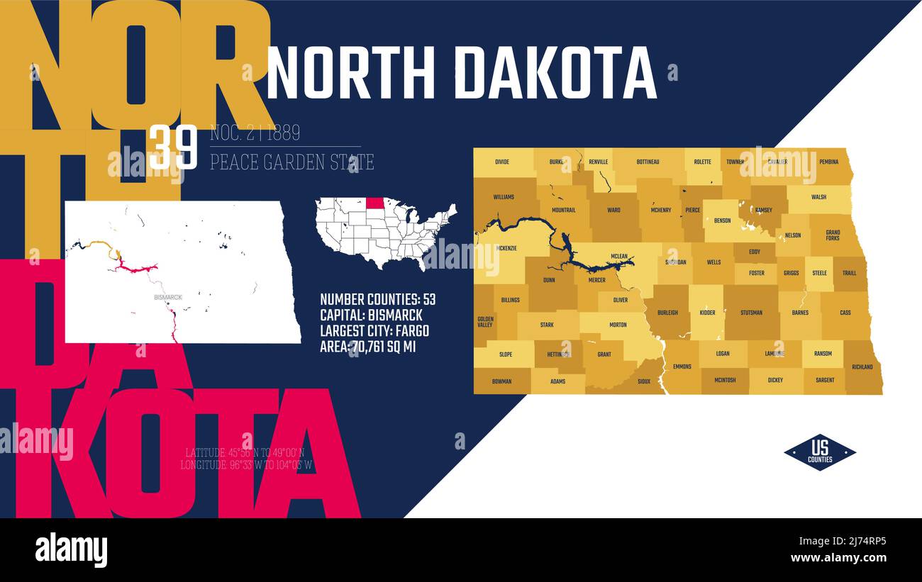 39 of 50 states of the United States, divided into counties with territory nicknames, Detailed vector North Dakota Map with name and date admitted to Stock Vectorhttps://www.alamy.com/image-license-details/?v=1https://www.alamy.com/39-of-50-states-of-the-united-states-divided-into-counties-with-territory-nicknames-detailed-vector-north-dakota-map-with-name-and-date-admitted-to-image469088989.html
RF2J74RP5–39 of 50 states of the United States, divided into counties with territory nicknames, Detailed vector North Dakota Map with name and date admitted to
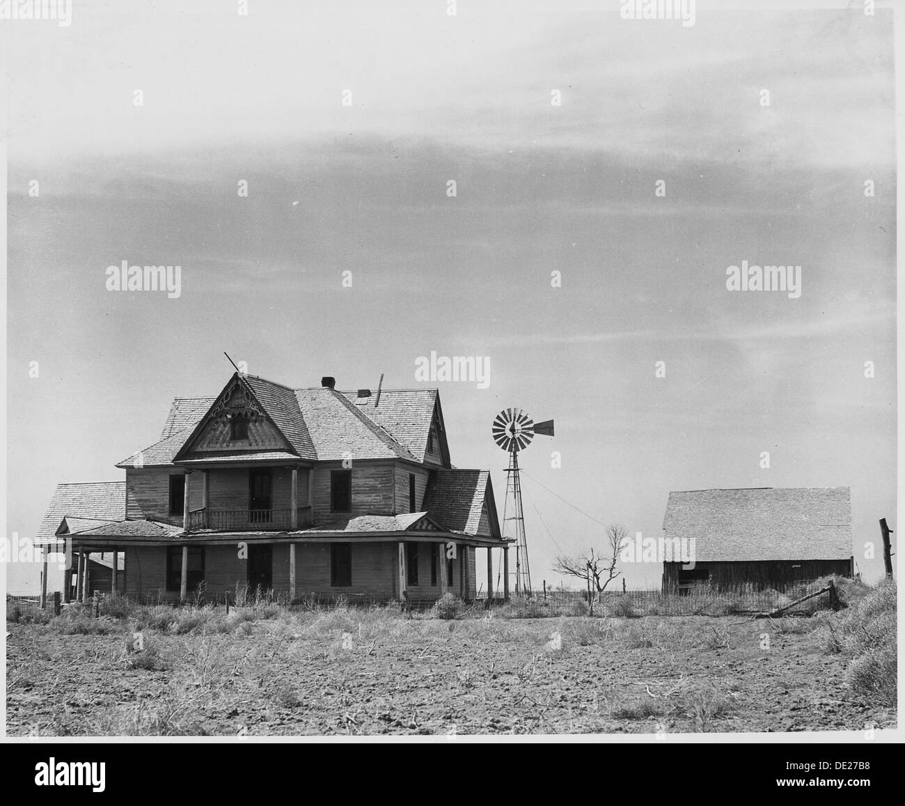 Haskell County, Kansas. There are abandoned houses all over this and neighboring counties....The hou . . . 522092 Stock Photohttps://www.alamy.com/image-license-details/?v=1https://www.alamy.com/haskell-county-kansas-there-are-abandoned-houses-all-over-this-and-image60285996.html
RMDE27B8–Haskell County, Kansas. There are abandoned houses all over this and neighboring counties....The hou . . . 522092
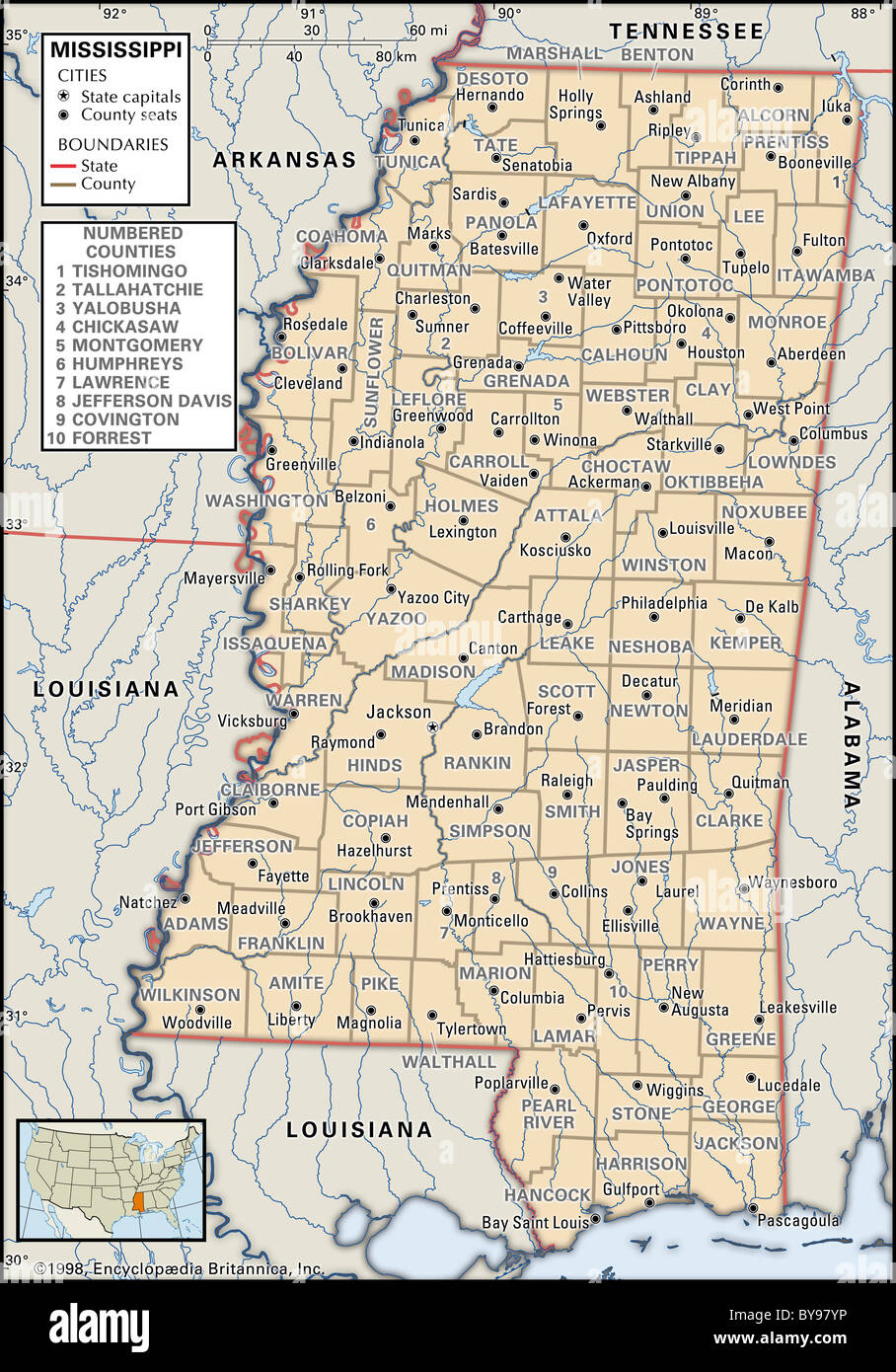 Political map of Mississippi Stock Photohttps://www.alamy.com/image-license-details/?v=1https://www.alamy.com/stock-photo-political-map-of-mississippi-34009914.html
RMBY97YP–Political map of Mississippi
 Miniland USA at Legoland Windsor Resort, Windsor, Berkshire, England, United Kingdom Stock Photohttps://www.alamy.com/image-license-details/?v=1https://www.alamy.com/miniland-usa-at-legoland-windsor-resort-windsor-berkshire-england-united-kingdom-image181940270.html
RMMG02JP–Miniland USA at Legoland Windsor Resort, Windsor, Berkshire, England, United Kingdom
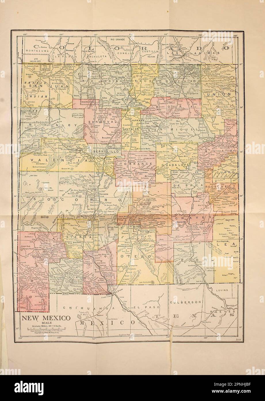 County Map of New Mexico 1920 from the book ' New Mexico, the land of the delight makers ' by George Wharton James, The History of its Ancient Cliff Dwellings and Pueblos, Conquest by the Spaniards, Franciscan Missions; Personal Accounts of the Ceremonies, Games, Social Life and Industries of its Indians; A Description of its Climate, Geology, Flora and Birds, its Rivers and Forests ; A Review of its Rapid Development, Land- Reclamation Projects and Educational System ; with full and accurate accounts of its Progressive Counties, Cities and Towns. Published in 1920 Boston, The Page company as Stock Photohttps://www.alamy.com/image-license-details/?v=1https://www.alamy.com/county-map-of-new-mexico-1920-from-the-book-new-mexico-the-land-of-the-delight-makers-by-george-wharton-james-the-history-of-its-ancient-cliff-dwellings-and-pueblos-conquest-by-the-spaniards-franciscan-missions-personal-accounts-of-the-ceremonies-games-social-life-and-industries-of-its-indians-a-description-of-its-climate-geology-flora-and-birds-its-rivers-and-forests-a-review-of-its-rapid-development-land-reclamation-projects-and-educational-system-with-full-and-accurate-accounts-of-its-progressive-counties-cities-and-towns-published-in-1920-boston-the-page-company-as-image546816803.html
RF2PNHJBF–County Map of New Mexico 1920 from the book ' New Mexico, the land of the delight makers ' by George Wharton James, The History of its Ancient Cliff Dwellings and Pueblos, Conquest by the Spaniards, Franciscan Missions; Personal Accounts of the Ceremonies, Games, Social Life and Industries of its Indians; A Description of its Climate, Geology, Flora and Birds, its Rivers and Forests ; A Review of its Rapid Development, Land- Reclamation Projects and Educational System ; with full and accurate accounts of its Progressive Counties, Cities and Towns. Published in 1920 Boston, The Page company as
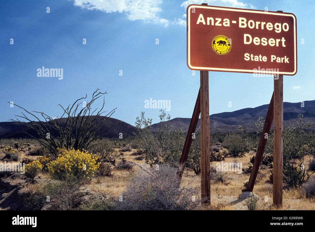 A sign welcomes visitors to Anza-Borrego Desert State Park spreads over one-fifth of San Diego County and is the largest state park in California, USA. It covers 600,000 acres (240,000 hectares) of the Colorado Desert and also reaches into Imperial and Riverside counties. The vast park is home to a host of birds, reptiles and other animals, including desert bighorn sheep. Roads and hiking trails lead visitors through spectacular displays of desert plants that are highlighted with wildflowers in springtime. Stock Photohttps://www.alamy.com/image-license-details/?v=1https://www.alamy.com/stock-photo-a-sign-welcomes-visitors-to-anza-borrego-desert-state-park-spreads-105629812.html
RMG3RRW8–A sign welcomes visitors to Anza-Borrego Desert State Park spreads over one-fifth of San Diego County and is the largest state park in California, USA. It covers 600,000 acres (240,000 hectares) of the Colorado Desert and also reaches into Imperial and Riverside counties. The vast park is home to a host of birds, reptiles and other animals, including desert bighorn sheep. Roads and hiking trails lead visitors through spectacular displays of desert plants that are highlighted with wildflowers in springtime.
 Grey Flat Election Counties Map of the USA Federal State of Montana Stock Vectorhttps://www.alamy.com/image-license-details/?v=1https://www.alamy.com/grey-flat-election-counties-map-of-the-usa-federal-state-of-montana-image383055428.html
RF2D75K30–Grey Flat Election Counties Map of the USA Federal State of Montana
 Malvern Autumn Show, England - red-tailed hawk 3 Stock Photohttps://www.alamy.com/image-license-details/?v=1https://www.alamy.com/stock-photo-malvern-autumn-show-england-red-tailed-hawk-3-39226347.html
RMC7PWGY–Malvern Autumn Show, England - red-tailed hawk 3
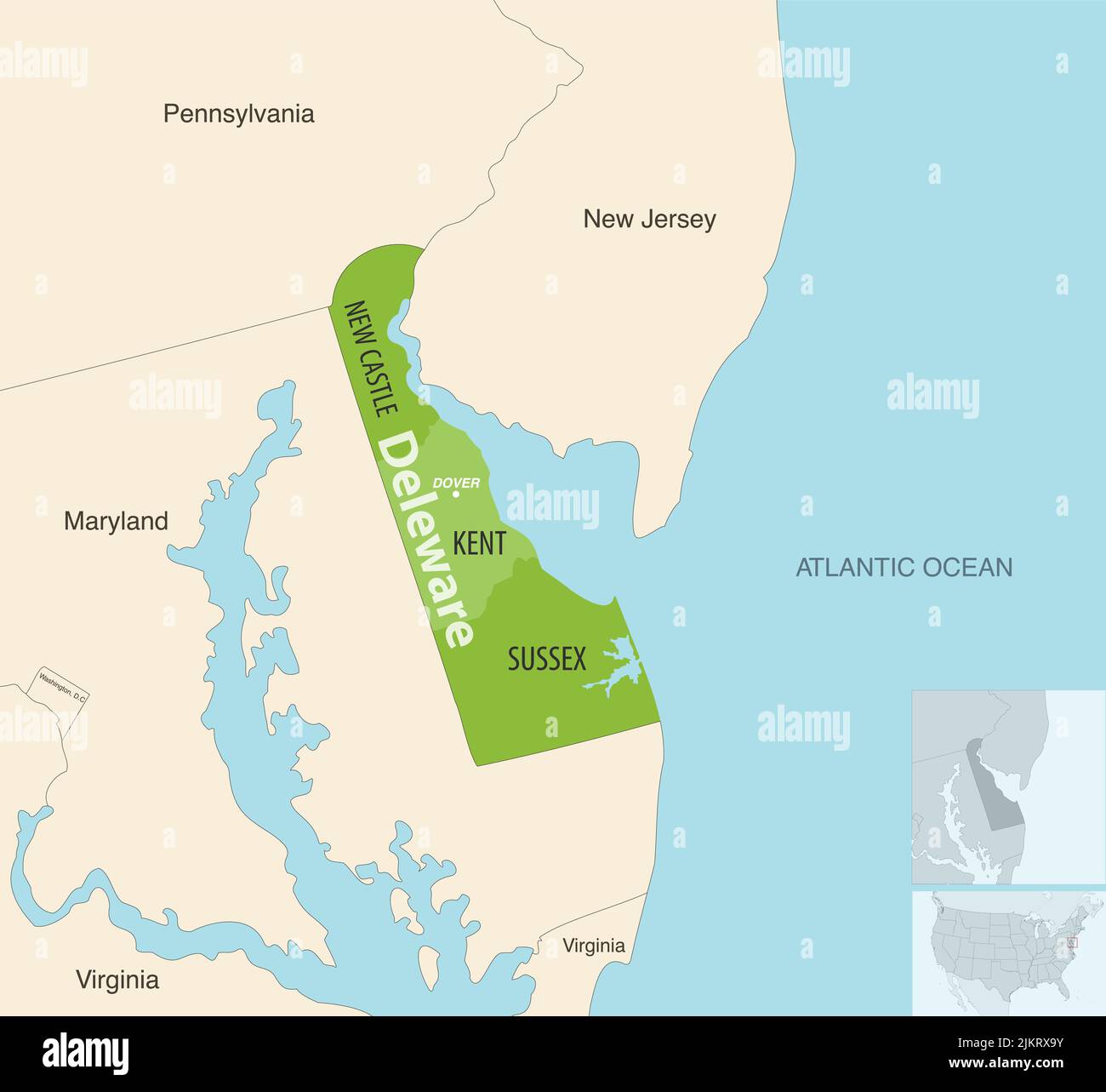 Delaware state counties vector map with neighbouring states and terrotories Stock Vectorhttps://www.alamy.com/image-license-details/?v=1https://www.alamy.com/delaware-state-counties-vector-map-with-neighbouring-states-and-terrotories-image476883959.html
RF2JKRX9Y–Delaware state counties vector map with neighbouring states and terrotories
 USA, Florida, Charlotte and Lee County, Gasparilla island, lone woman walking on empty beach Stock Photohttps://www.alamy.com/image-license-details/?v=1https://www.alamy.com/stock-photo-usa-florida-charlotte-and-lee-county-gasparilla-island-lone-woman-79918181.html
RMEJ0GCN–USA, Florida, Charlotte and Lee County, Gasparilla island, lone woman walking on empty beach
 Image 7 of Sanborn Fire Insurance Map from Milford, Kent And Sussex Counties, Delaware. Nov 1919. 15 Sheet(s), America, street map with a Nineteenth Century compass Stock Photohttps://www.alamy.com/image-license-details/?v=1https://www.alamy.com/image-7-of-sanborn-fire-insurance-map-from-milford-kent-and-sussex-counties-delaware-nov-1919-15-sheets-america-street-map-with-a-nineteenth-century-compass-image344680922.html
RM2B0NG0X–Image 7 of Sanborn Fire Insurance Map from Milford, Kent And Sussex Counties, Delaware. Nov 1919. 15 Sheet(s), America, street map with a Nineteenth Century compass
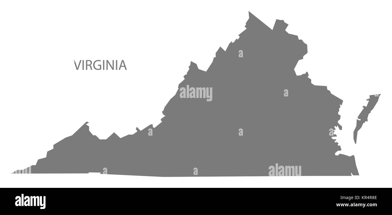 Virginia USA Map grey Stock Photohttps://www.alamy.com/image-license-details/?v=1https://www.alamy.com/stock-image-virginia-usa-map-grey-169136478.html
RFKR4R8E–Virginia USA Map grey
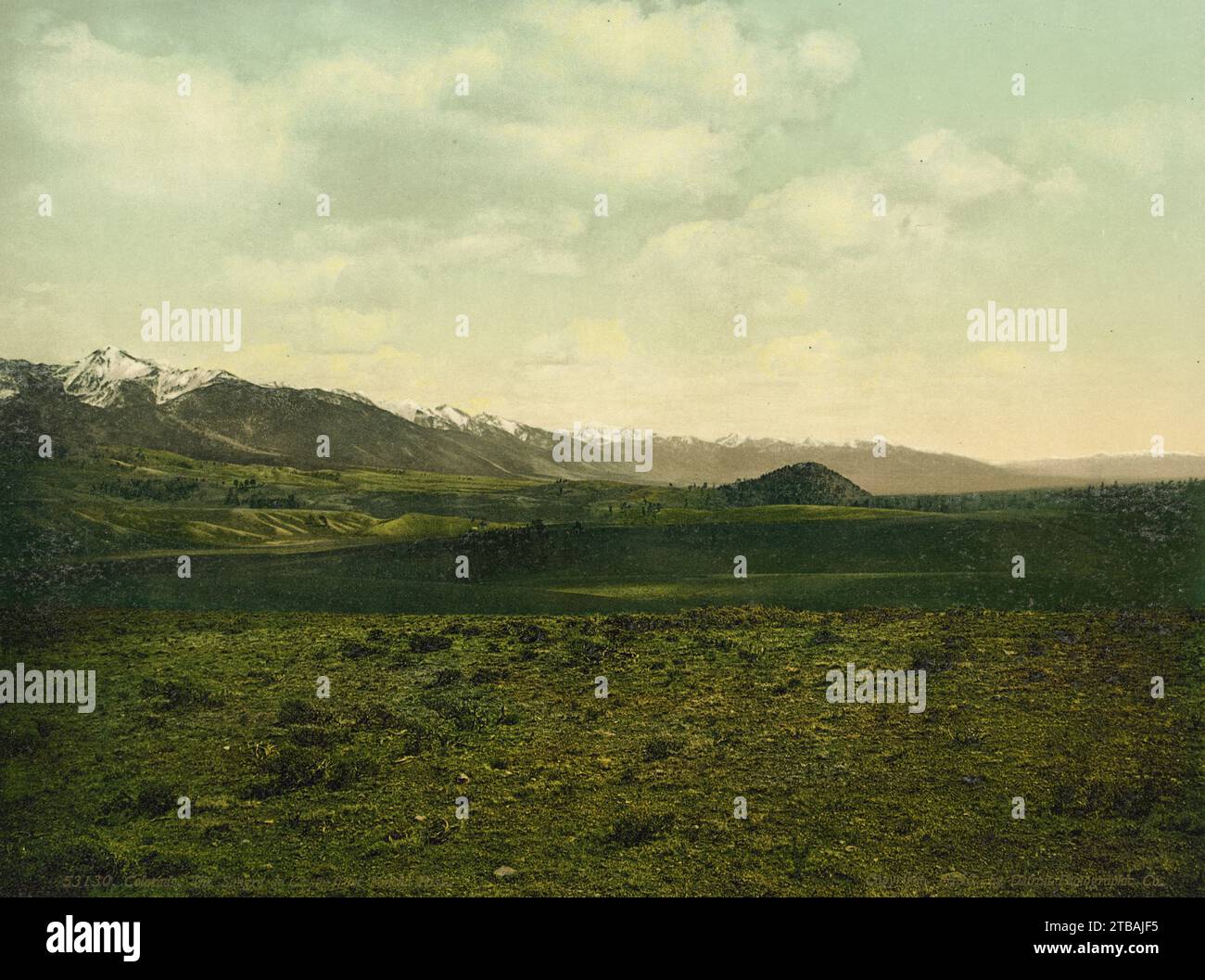 Sangre de Cristo Range from Poncha Pass, Chaffee and Saguache Counties, Colorado 1898. Stock Photohttps://www.alamy.com/image-license-details/?v=1https://www.alamy.com/sangre-de-cristo-range-from-poncha-pass-chaffee-and-saguache-counties-colorado-1898-image574937417.html
RF2TBAJF5–Sangre de Cristo Range from Poncha Pass, Chaffee and Saguache Counties, Colorado 1898.
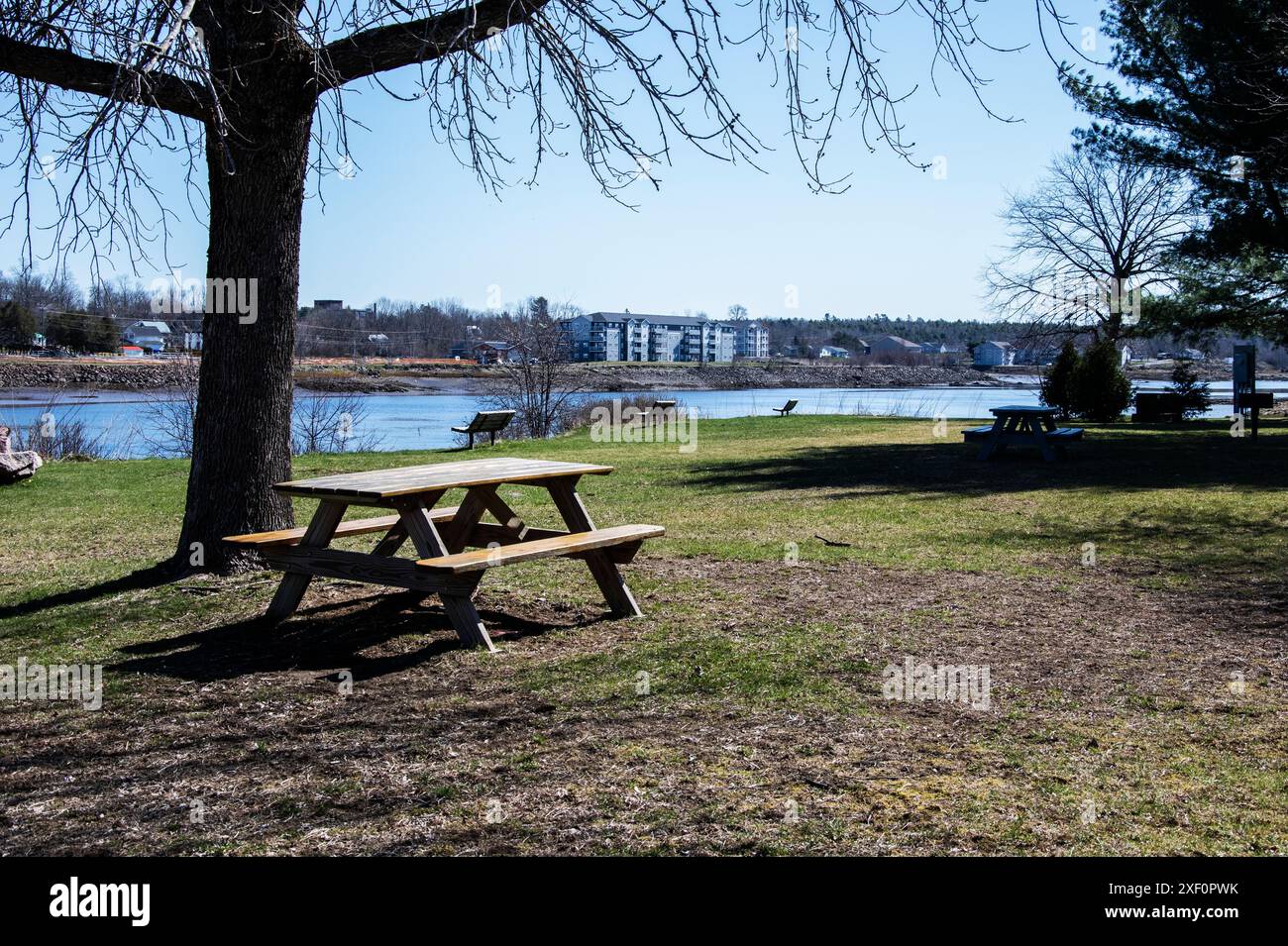 Waterfront walkway in downtown Calais, Maine, USA Stock Photohttps://www.alamy.com/image-license-details/?v=1https://www.alamy.com/waterfront-walkway-in-downtown-calais-maine-usa-image611600687.html
RF2XF0PWK–Waterfront walkway in downtown Calais, Maine, USA
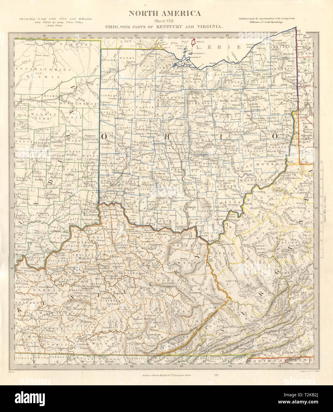 USA. Ohio with parts of Kentucky, Virginia & Indiana. Counties. SDUK 1846 map Stock Photohttps://www.alamy.com/image-license-details/?v=1https://www.alamy.com/usa-ohio-with-parts-of-kentucky-virginia-indiana-counties-sduk-1846-map-image242600250.html
RFT2KB2J–USA. Ohio with parts of Kentucky, Virginia & Indiana. Counties. SDUK 1846 map
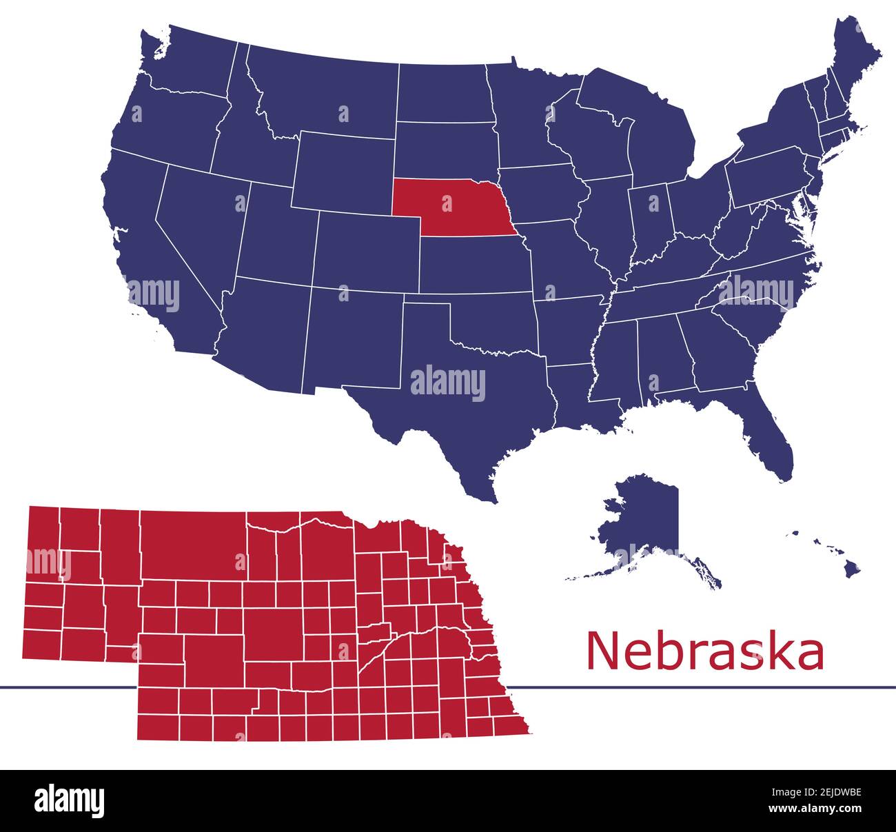 Nebraska counties vector map outline with USA map colors national flag Stock Vectorhttps://www.alamy.com/image-license-details/?v=1https://www.alamy.com/nebraska-counties-vector-map-outline-with-usa-map-colors-national-flag-image407207570.html
RF2EJDWBE–Nebraska counties vector map outline with USA map colors national flag
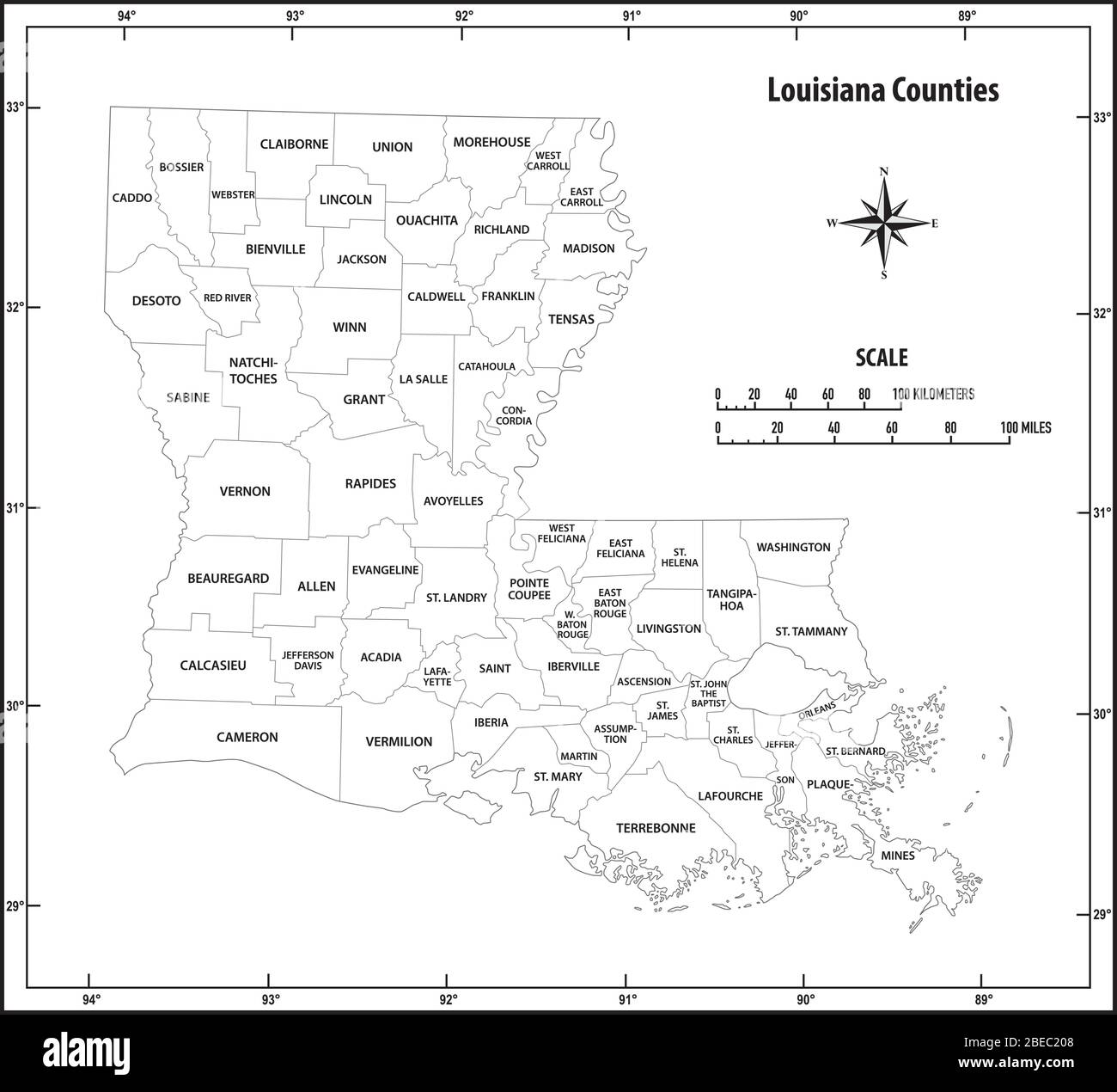 Louisiana state outline map in black and white Stock Vectorhttps://www.alamy.com/image-license-details/?v=1https://www.alamy.com/louisiana-state-outline-map-in-black-and-white-image353077544.html
RF2BEC208–Louisiana state outline map in black and white
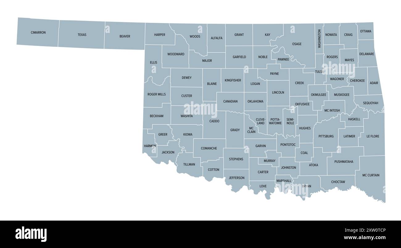 Oklahoma, U.S. state, gray political map with borders and county names. State in the South Central region of USA, subdivided into 77 counties. Stock Photohttps://www.alamy.com/image-license-details/?v=1https://www.alamy.com/oklahoma-us-state-gray-political-map-with-borders-and-county-names-state-in-the-south-central-region-of-usa-subdivided-into-77-counties-image617748454.html
RF2XW0TCP–Oklahoma, U.S. state, gray political map with borders and county names. State in the South Central region of USA, subdivided into 77 counties.
