Quick filters:
Uttarakhand map vector Stock Photos and Images
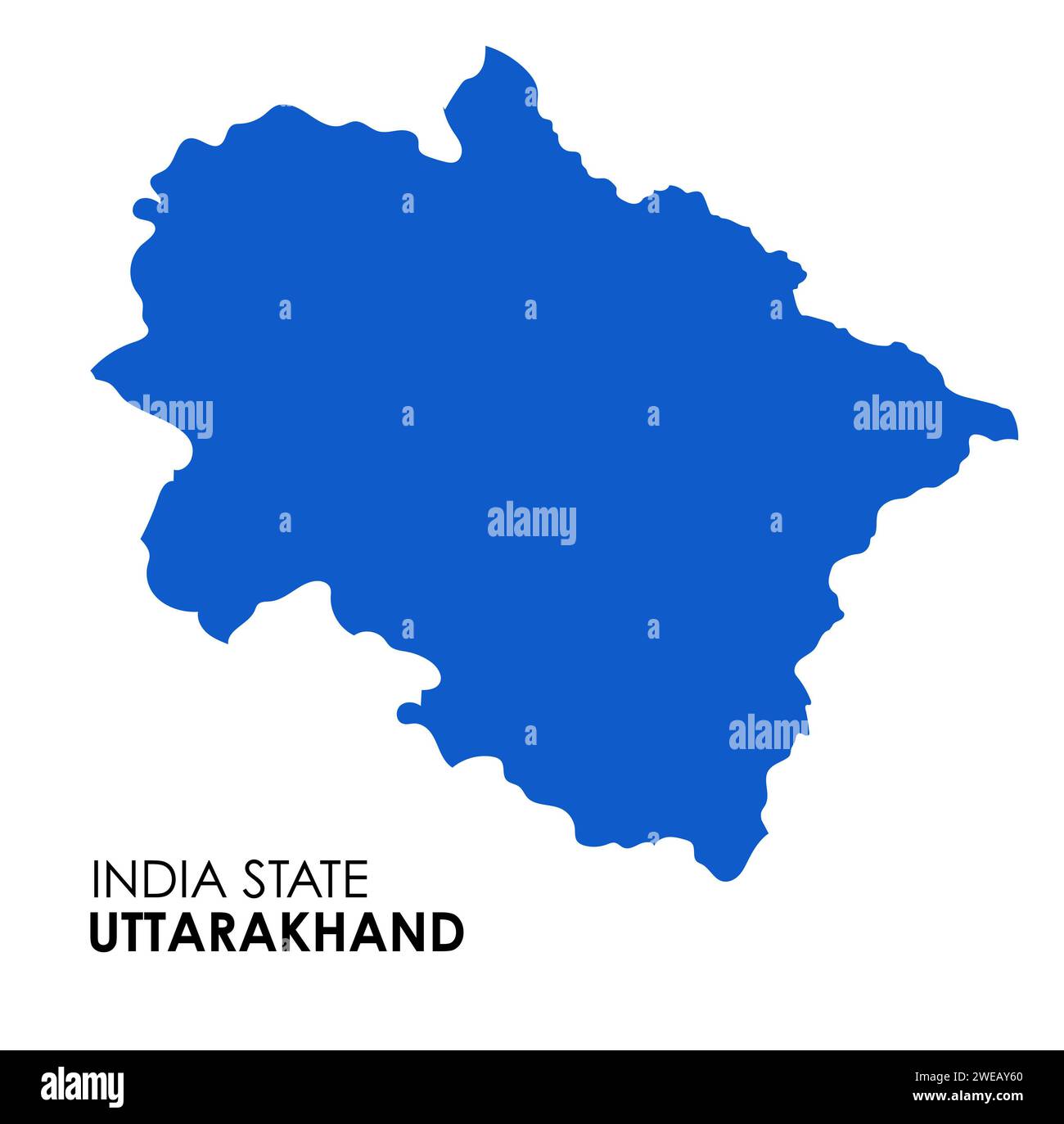 Uttarakhand map of Indian state. Uttarakhand map vector illustration. White background. Stock Photohttps://www.alamy.com/image-license-details/?v=1https://www.alamy.com/uttarakhand-map-of-indian-state-uttarakhand-map-vector-illustration-white-background-image593998552.html
RF2WEAY60–Uttarakhand map of Indian state. Uttarakhand map vector illustration. White background.
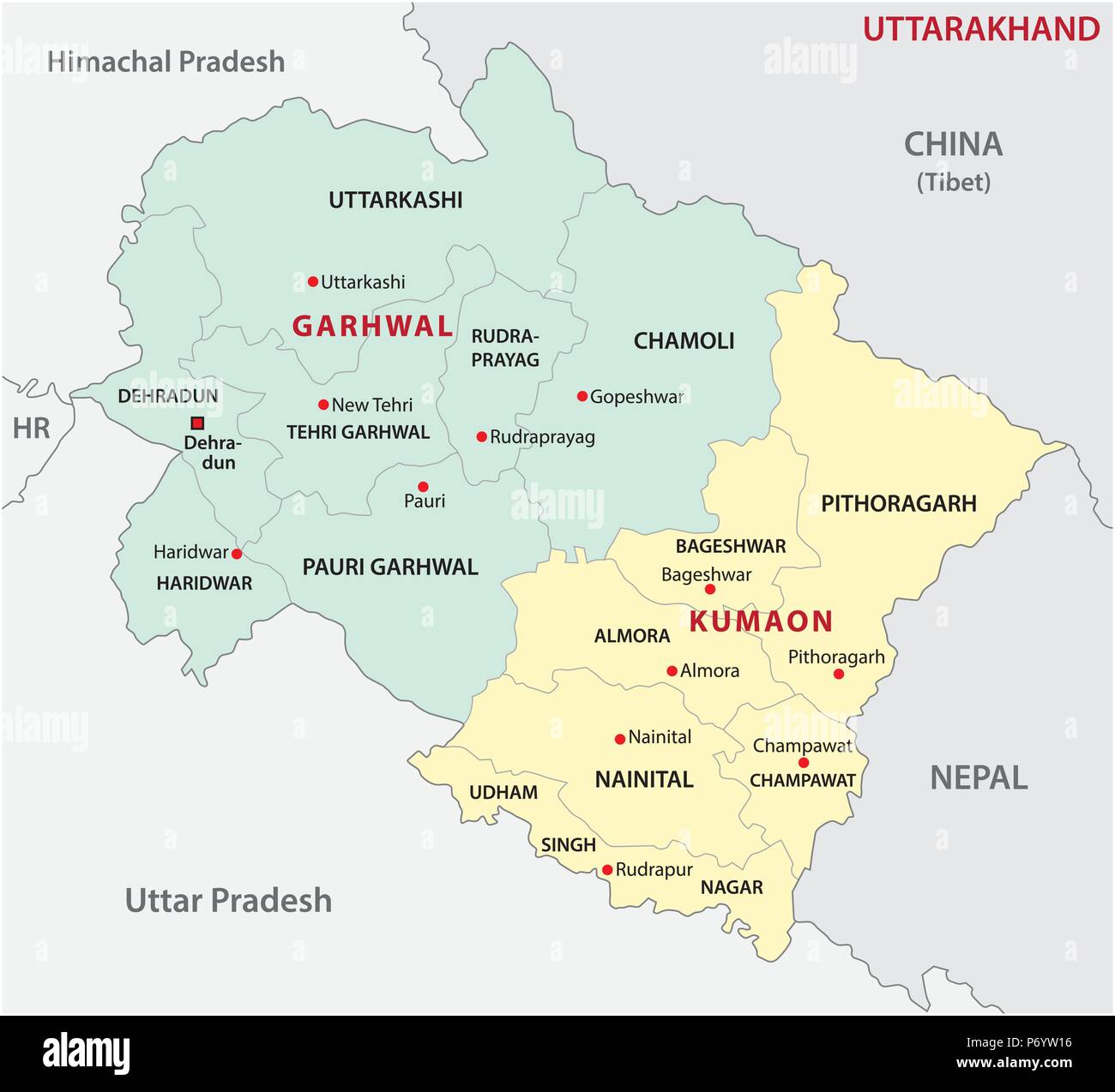 uttarakhand administrative and political division vector map Stock Vectorhttps://www.alamy.com/image-license-details/?v=1https://www.alamy.com/uttarakhand-administrative-and-political-division-vector-map-image210824690.html
RFP6YW16–uttarakhand administrative and political division vector map
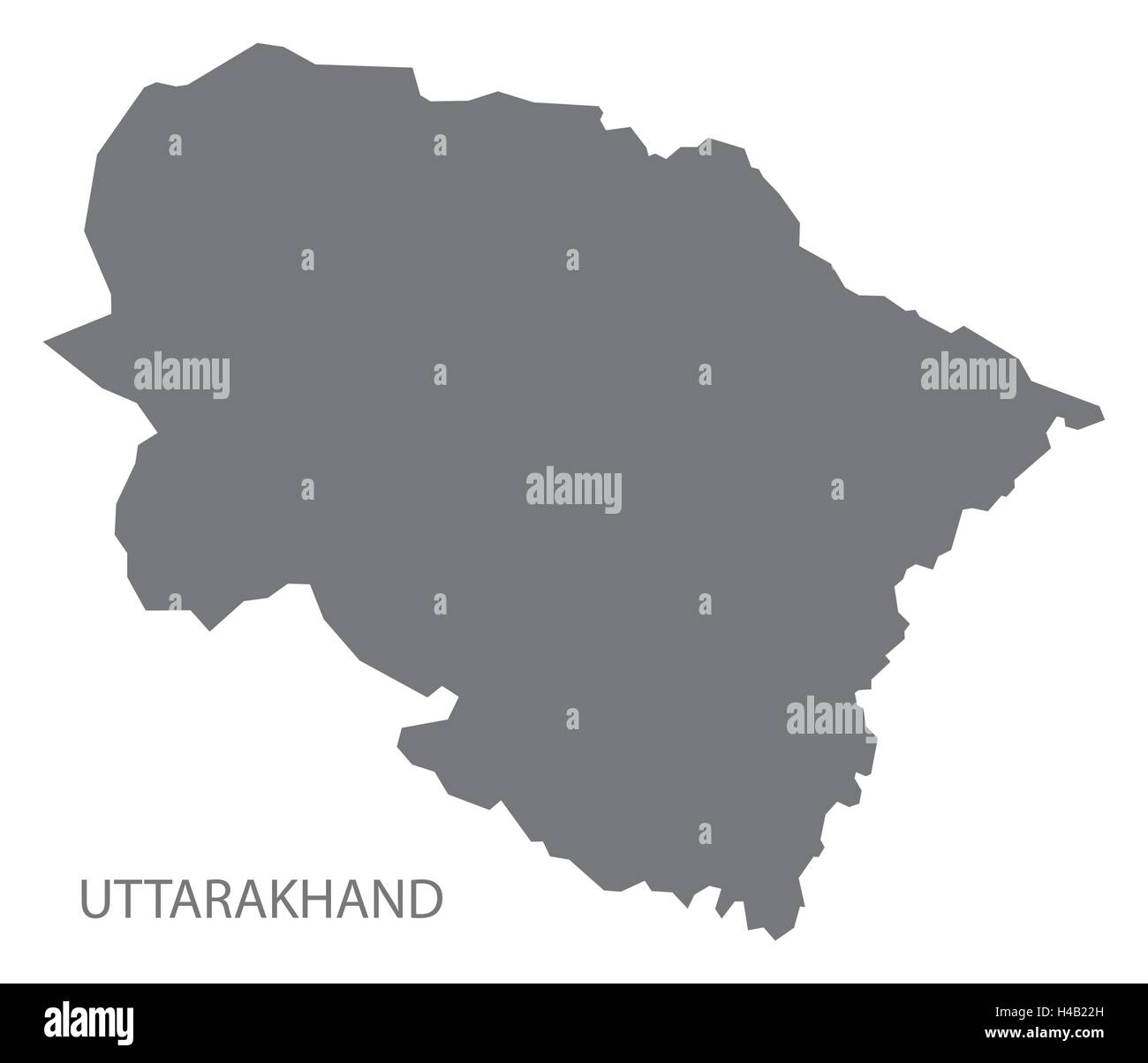 Uttarakhand india grey map illustration Stock Vectorhttps://www.alamy.com/image-license-details/?v=1https://www.alamy.com/stock-photo-uttarakhand-india-grey-map-illustration-123174313.html
RFH4B22H–Uttarakhand india grey map illustration
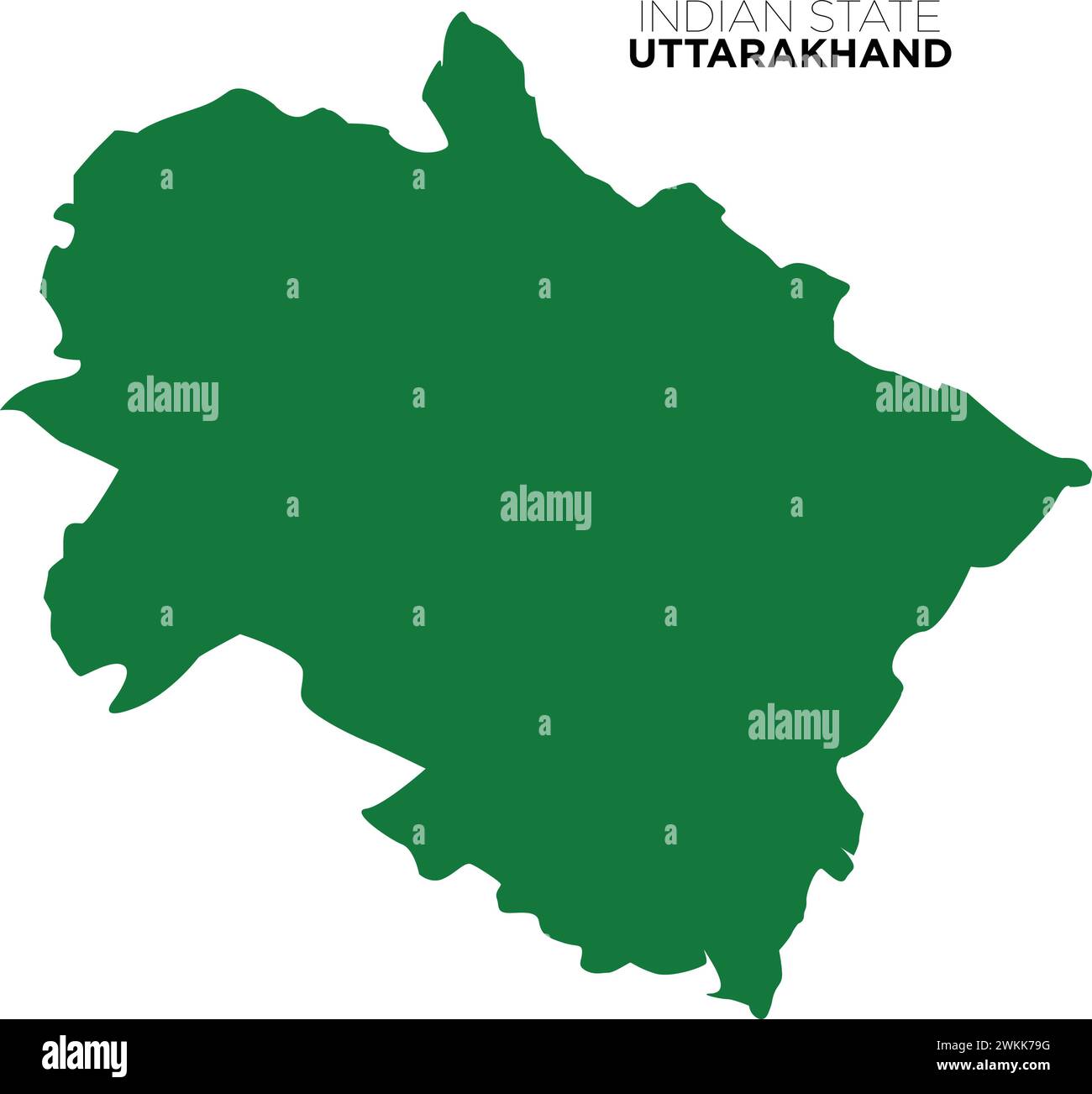 indian state uttarakhand map, dev bhoomi uttarakhand map, indian state map, vector Stock Vectorhttps://www.alamy.com/image-license-details/?v=1https://www.alamy.com/indian-state-uttarakhand-map-dev-bhoomi-uttarakhand-map-indian-state-map-vector-image597253820.html
RF2WKK79G–indian state uttarakhand map, dev bhoomi uttarakhand map, indian state map, vector
RF2XGTWJJ–Uttarakhand State Map Vector Icon. India Uttarakhand Province State icon. Uttarakhand Map
 Uttarakhand vector map1, State of India, Republic of India, government, Political map, modern map, Indian flag, vector illustration Stock Vectorhttps://www.alamy.com/image-license-details/?v=1https://www.alamy.com/uttarakhand-vector-map1-state-of-india-republic-of-india-government-political-map-modern-map-indian-flag-vector-illustration-image611850784.html
RF2XFC5WM–Uttarakhand vector map1, State of India, Republic of India, government, Political map, modern map, Indian flag, vector illustration
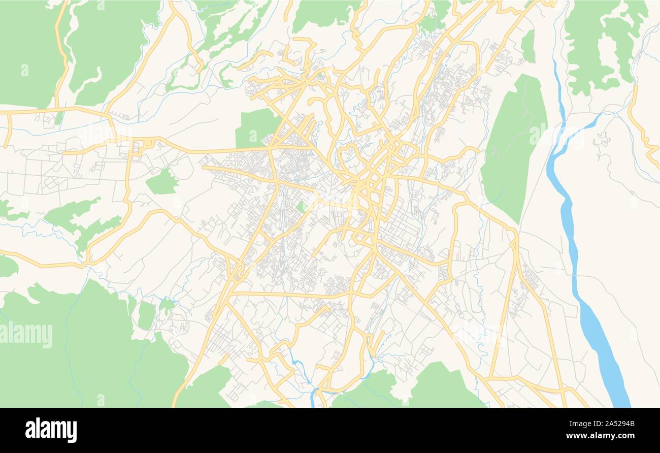 Printable street map of Dehradun, State Uttarakhand, India. Map template for business use. Stock Vectorhttps://www.alamy.com/image-license-details/?v=1https://www.alamy.com/printable-street-map-of-dehradun-state-uttarakhand-india-map-template-for-business-use-image330121355.html
RF2A5294B–Printable street map of Dehradun, State Uttarakhand, India. Map template for business use.
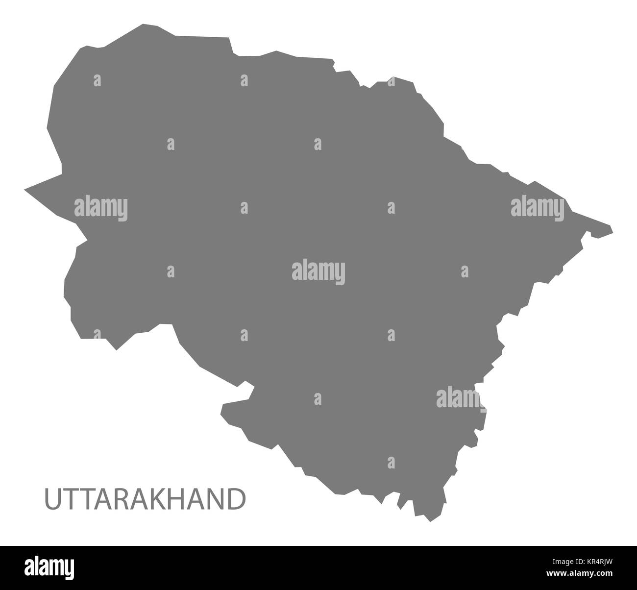 Uttarakhand India Map grey Stock Photohttps://www.alamy.com/image-license-details/?v=1https://www.alamy.com/stock-image-uttarakhand-india-map-grey-169136769.html
RFKR4RJW–Uttarakhand India Map grey
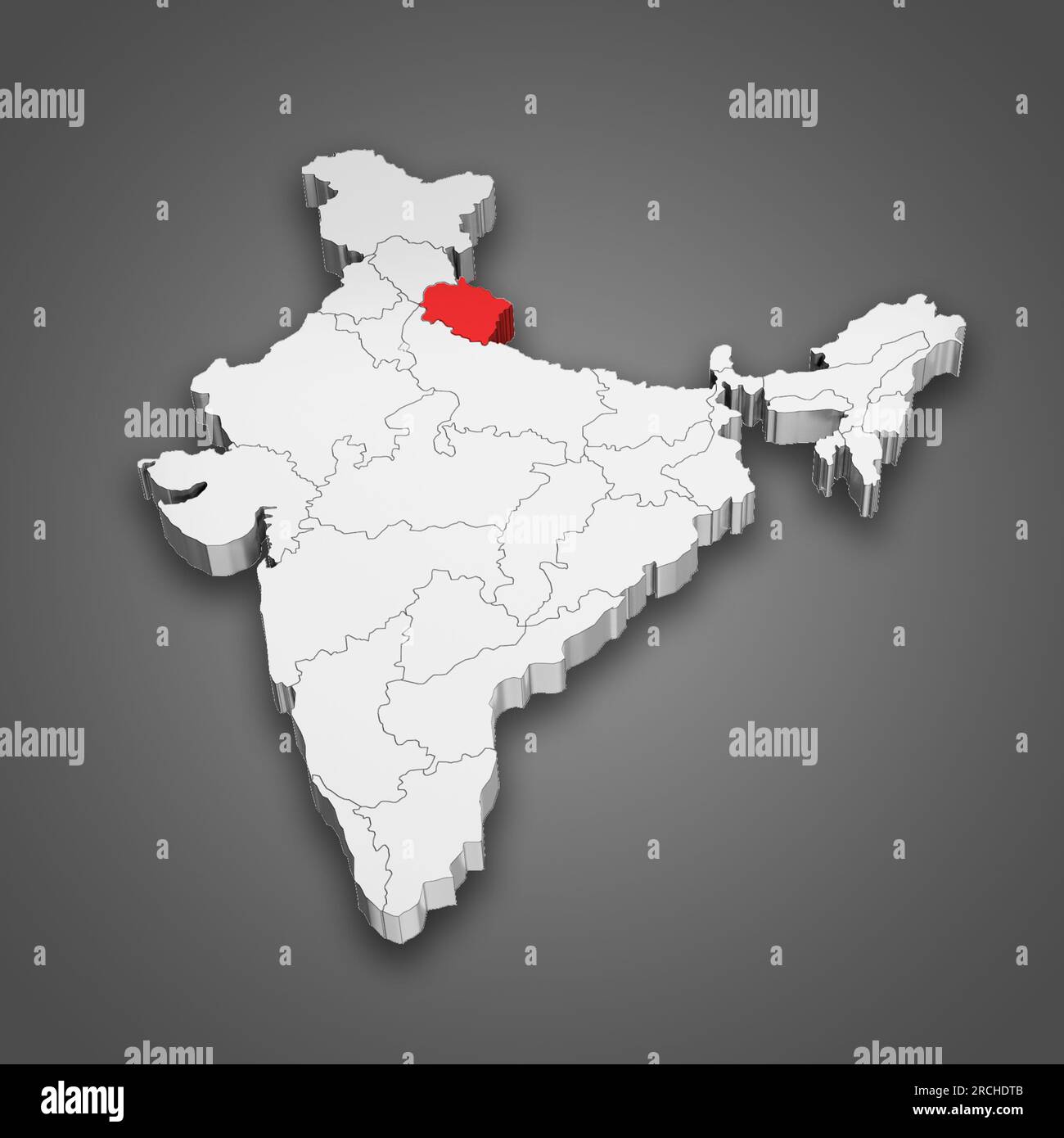 Uttarakhand state location within India map. 3D Illustration Stock Photohttps://www.alamy.com/image-license-details/?v=1https://www.alamy.com/uttarakhand-state-location-within-india-map-3d-illustration-image558491707.html
RF2RCHDTB–Uttarakhand state location within India map. 3D Illustration
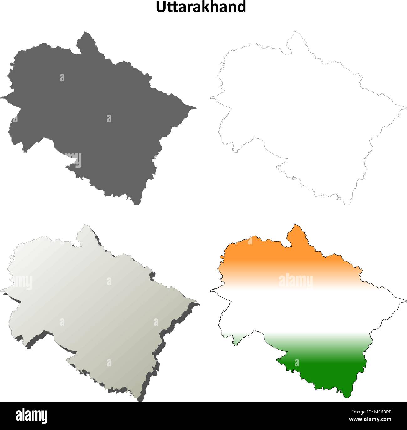 Uttarakhand blank detailed outline map set Stock Vectorhttps://www.alamy.com/image-license-details/?v=1https://www.alamy.com/uttarakhand-blank-detailed-outline-map-set-image177776586.html
RFM96BRP–Uttarakhand blank detailed outline map set
 India states - map of Uttarakhand. Hand made. Rivers and lakes are shown. Please look at my other images of cartographic series - they are all very de Stock Vectorhttps://www.alamy.com/image-license-details/?v=1https://www.alamy.com/india-states-map-of-uttarakhand-hand-made-rivers-and-lakes-are-shown-please-look-at-my-other-images-of-cartographic-series-they-are-all-very-de-image375415653.html
RF2CPNJDW–India states - map of Uttarakhand. Hand made. Rivers and lakes are shown. Please look at my other images of cartographic series - they are all very de
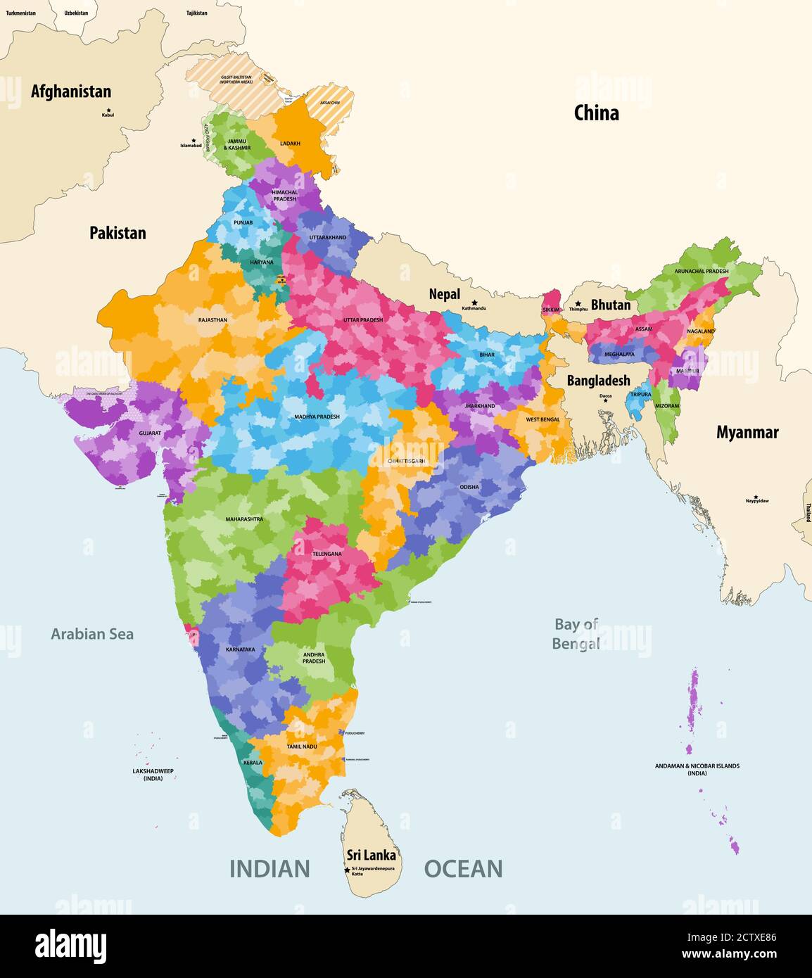 Map of India with neighbouring countries and territories. Indian map colored by states and showing districts boundaries inside each state. Vector Stock Vectorhttps://www.alamy.com/image-license-details/?v=1https://www.alamy.com/map-of-india-with-neighbouring-countries-and-territories-indian-map-colored-by-states-and-showing-districts-boundaries-inside-each-state-vector-image376751430.html
RF2CTXE86–Map of India with neighbouring countries and territories. Indian map colored by states and showing districts boundaries inside each state. Vector
 Symbol Map of the State Uttarakhand (India). Abstract map showing the state/province with a pattern of overlapping colorful squares like candies Stock Vectorhttps://www.alamy.com/image-license-details/?v=1https://www.alamy.com/symbol-map-of-the-state-uttarakhand-india-abstract-map-showing-the-stateprovince-with-a-pattern-of-overlapping-colorful-squares-like-candies-image611839407.html
RF2XFBKBB–Symbol Map of the State Uttarakhand (India). Abstract map showing the state/province with a pattern of overlapping colorful squares like candies
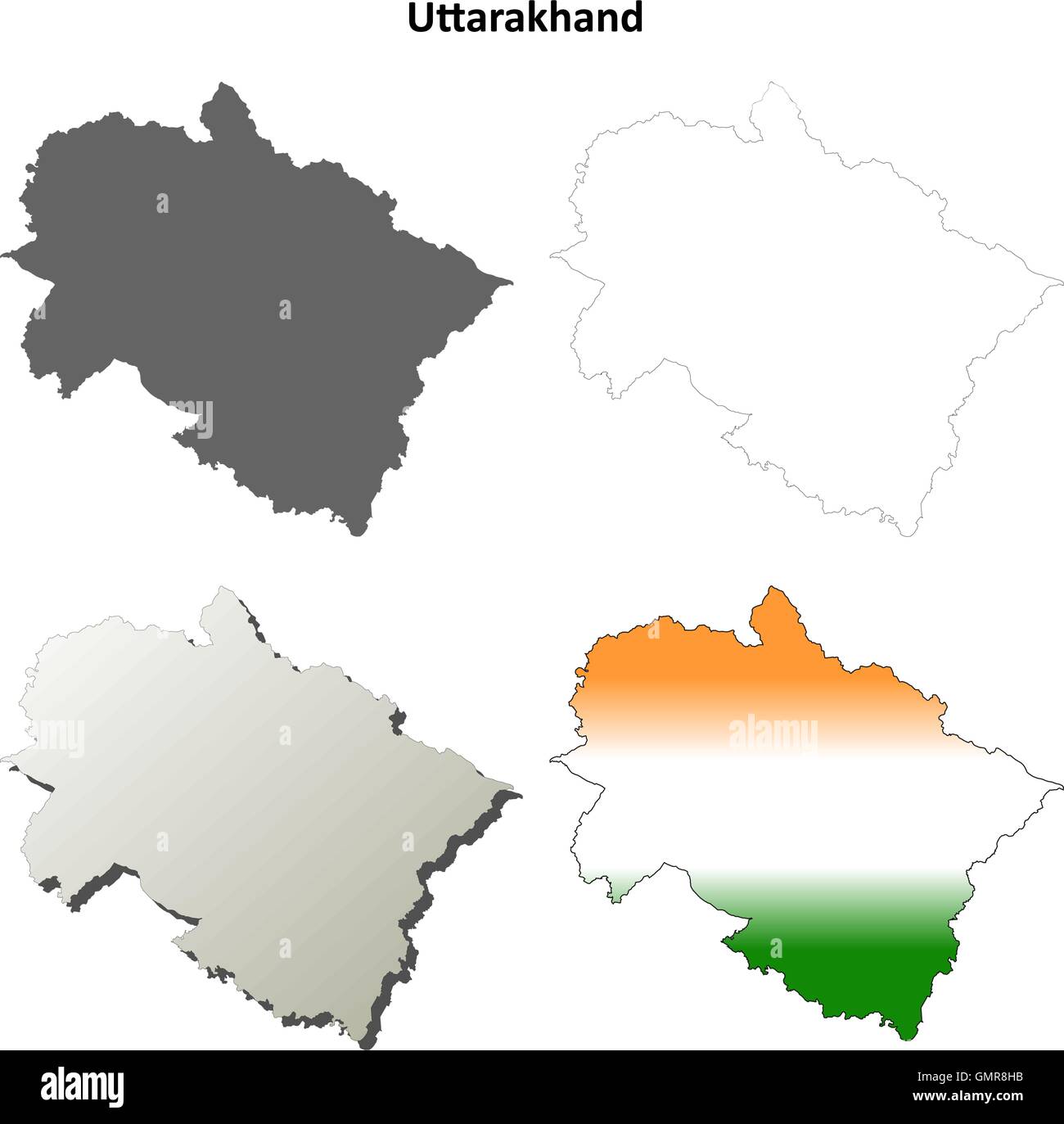 Uttarakhand blank detailed outline map set Stock Vectorhttps://www.alamy.com/image-license-details/?v=1https://www.alamy.com/stock-photo-uttarakhand-blank-detailed-outline-map-set-116066983.html
RFGMR8HB–Uttarakhand blank detailed outline map set
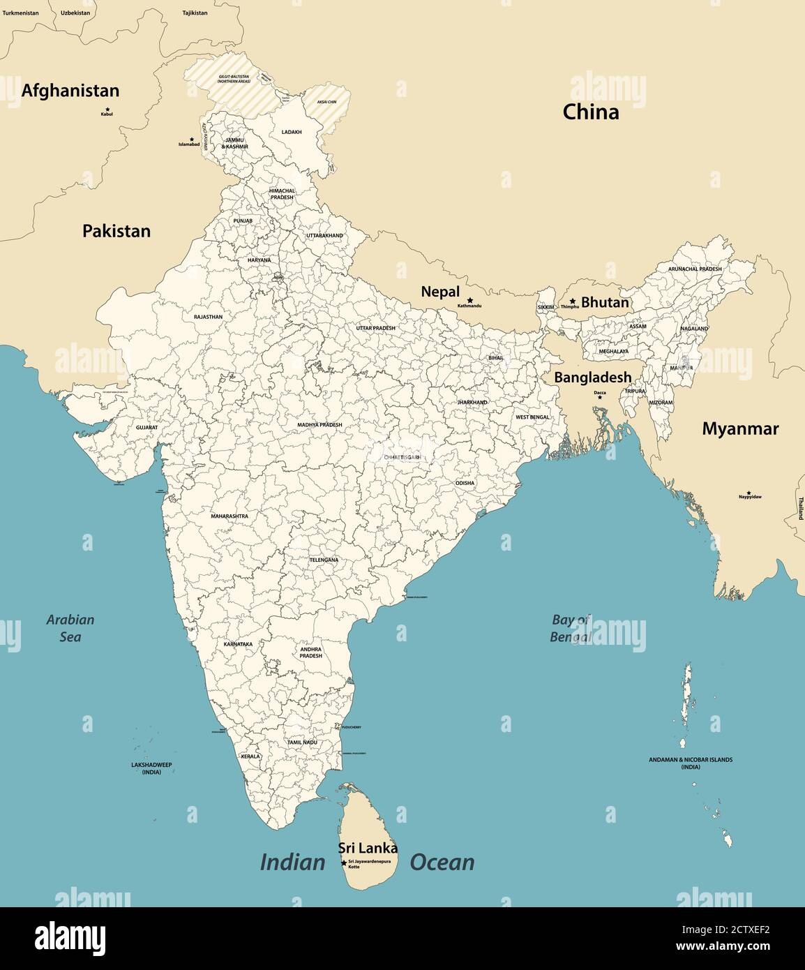 India administrative divisions vector map with neighbouring coutries Stock Vectorhttps://www.alamy.com/image-license-details/?v=1https://www.alamy.com/india-administrative-divisions-vector-map-with-neighbouring-coutries-image376751622.html
RF2CTXEF2–India administrative divisions vector map with neighbouring coutries
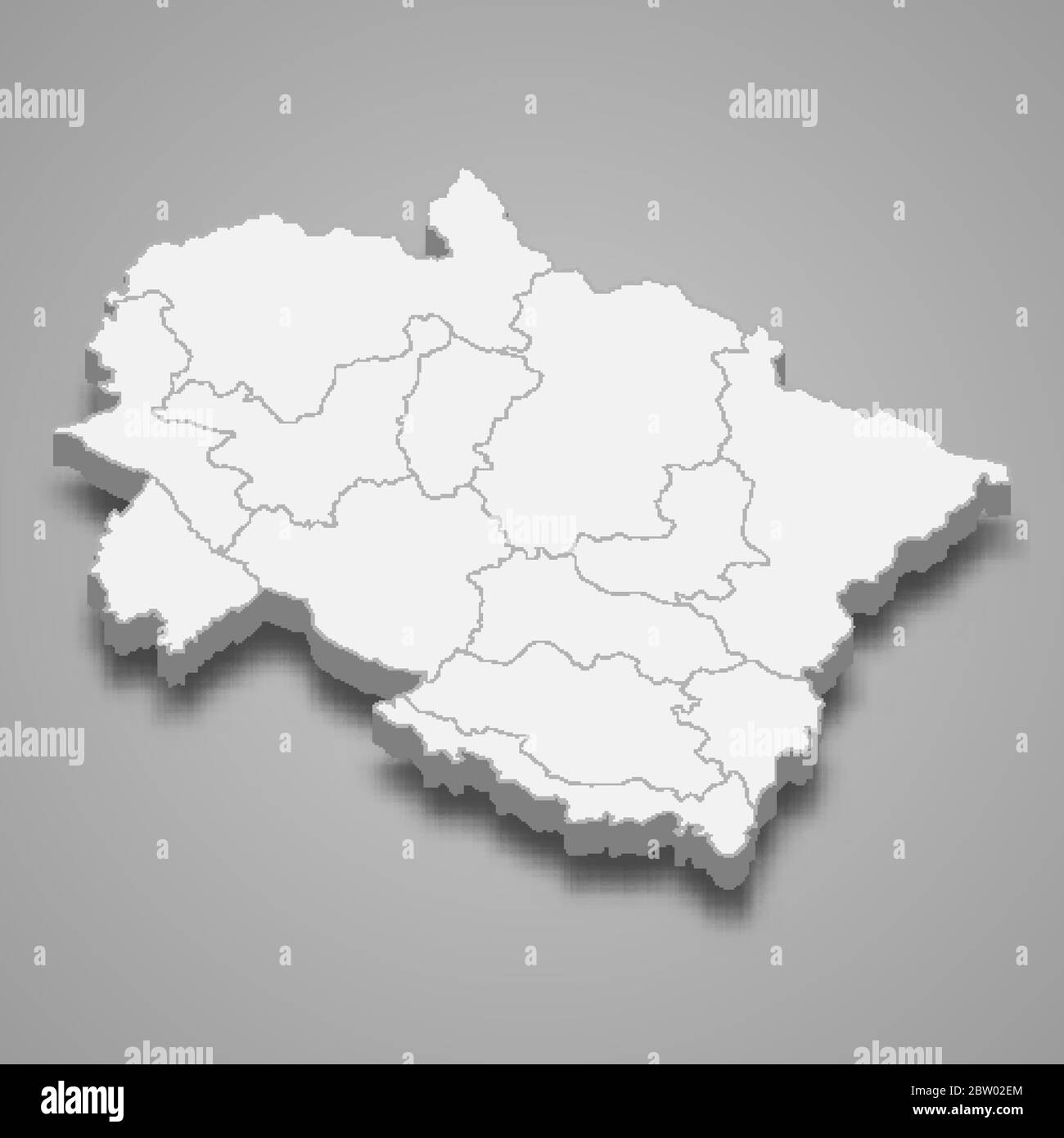 3d map of Uttarakhand is a state of India Stock Vectorhttps://www.alamy.com/image-license-details/?v=1https://www.alamy.com/3d-map-of-uttarakhand-is-a-state-of-india-image359575740.html
RF2BW02EM–3d map of Uttarakhand is a state of India
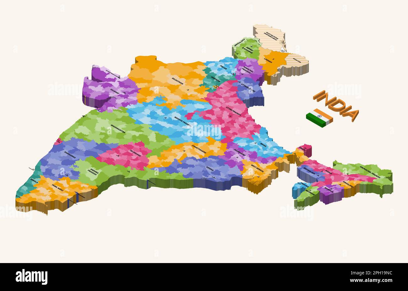 States of India 3d (isometric) colorful vector map with capital cities and flag of India Stock Vectorhttps://www.alamy.com/image-license-details/?v=1https://www.alamy.com/states-of-india-3d-isometric-colorful-vector-map-with-capital-cities-and-flag-of-india-image544000168.html
RF2PH19NC–States of India 3d (isometric) colorful vector map with capital cities and flag of India
 Modern Map - Uttarakhand IN Stock Vectorhttps://www.alamy.com/image-license-details/?v=1https://www.alamy.com/stock-photo-modern-map-uttarakhand-in-136348305.html
RFHWR5J9–Modern Map - Uttarakhand IN
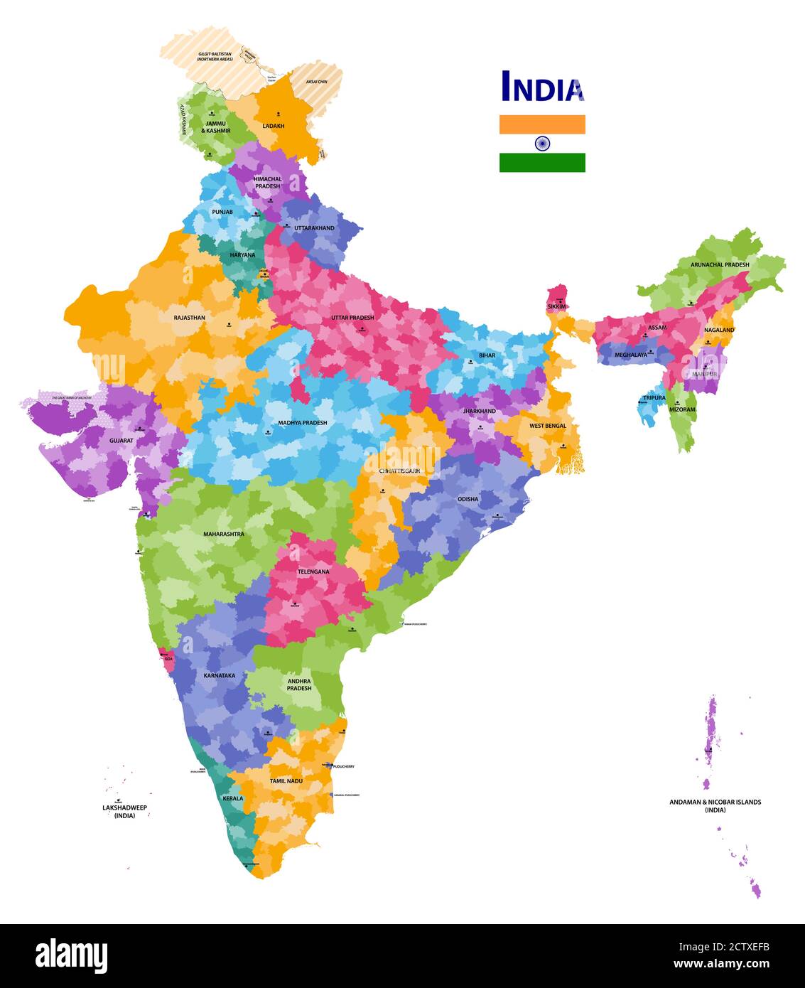 India high detailed vector map showing states and districts boundaries with states' names and capitals. Flag of India Stock Vectorhttps://www.alamy.com/image-license-details/?v=1https://www.alamy.com/india-high-detailed-vector-map-showing-states-and-districts-boundaries-with-states-names-and-capitals-flag-of-india-image376751631.html
RF2CTXEFB–India high detailed vector map showing states and districts boundaries with states' names and capitals. Flag of India
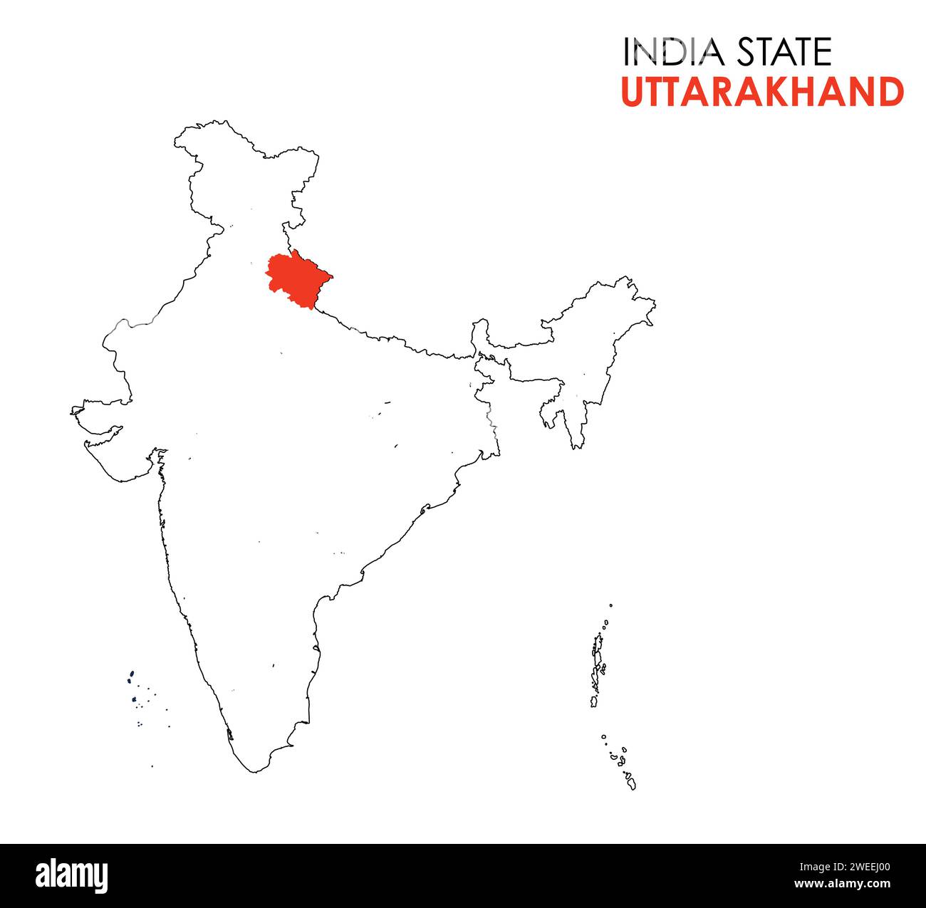 Uttarakhand map of Indian state. Uttarakhand map vector illustration. White background. Stock Vectorhttps://www.alamy.com/image-license-details/?v=1https://www.alamy.com/uttarakhand-map-of-indian-state-uttarakhand-map-vector-illustration-white-background-image594079136.html
RF2WEEJ00–Uttarakhand map of Indian state. Uttarakhand map vector illustration. White background.
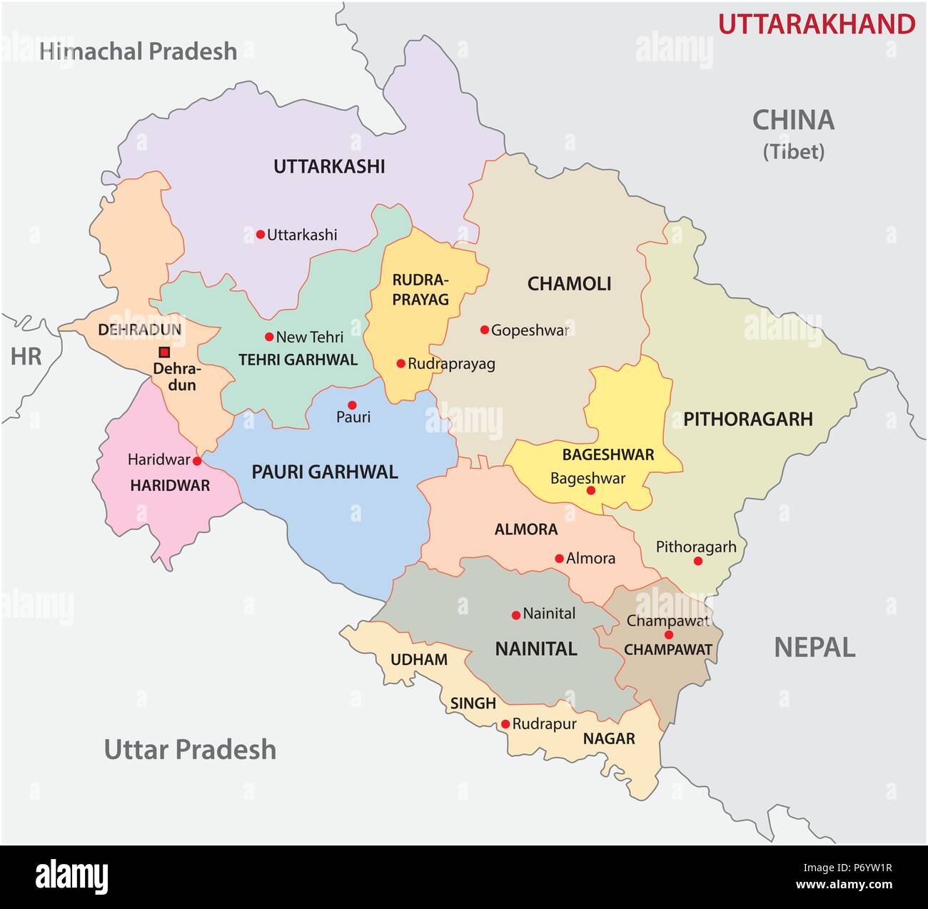 uttarakhand administrative and political district vector map, india Stock Vectorhttps://www.alamy.com/image-license-details/?v=1https://www.alamy.com/uttarakhand-administrative-and-political-district-vector-map-india-image210824707.html
RFP6YW1R–uttarakhand administrative and political district vector map, india
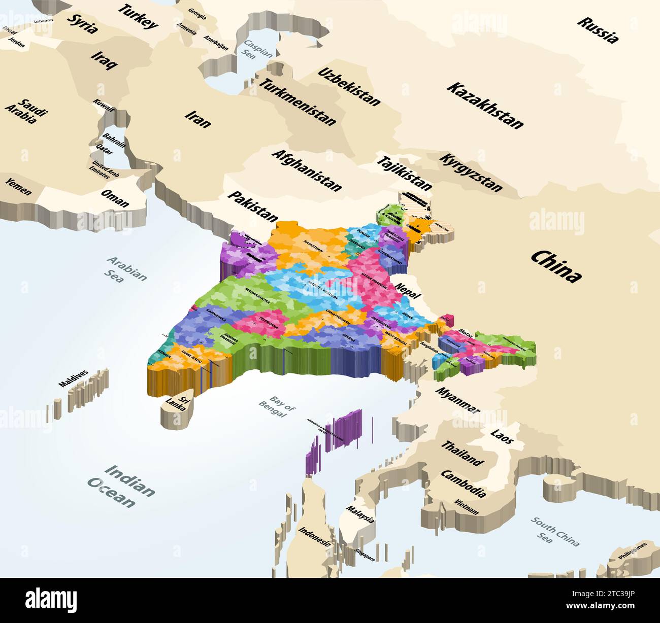 India municipalities map with neighbouring countries and territories vector map Stock Vectorhttps://www.alamy.com/image-license-details/?v=1https://www.alamy.com/india-municipalities-map-with-neighbouring-countries-and-territories-vector-map-image575391454.html
RF2TC39JP–India municipalities map with neighbouring countries and territories vector map
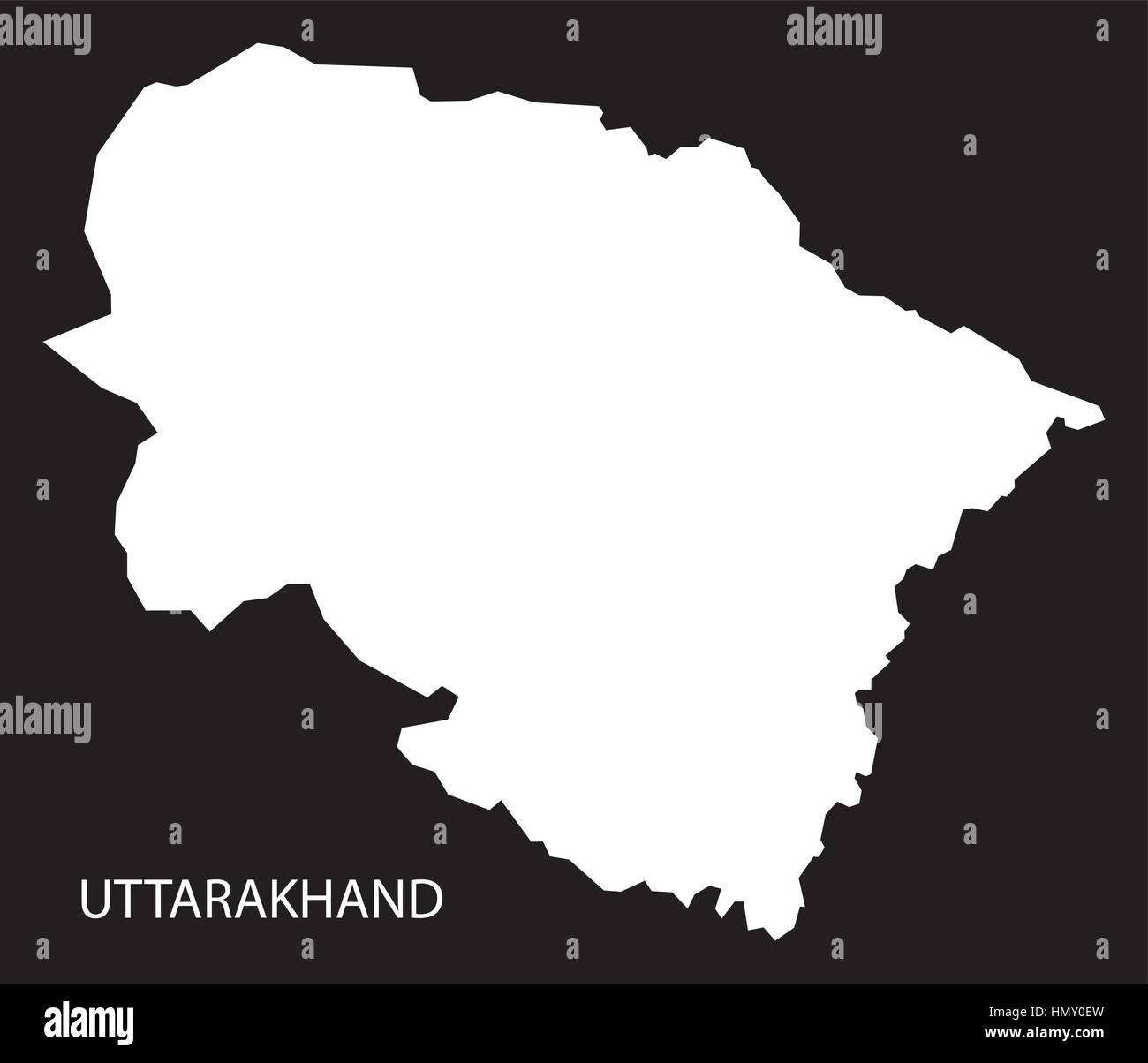 Uttarakhand India Map black inverted silhouette Stock Vectorhttps://www.alamy.com/image-license-details/?v=1https://www.alamy.com/stock-photo-uttarakhand-india-map-black-inverted-silhouette-133358817.html
RFHMY0EW–Uttarakhand India Map black inverted silhouette
 Uttarakhand Handwritten stock lettering typography. States of India. Stock Vectorhttps://www.alamy.com/image-license-details/?v=1https://www.alamy.com/uttarakhand-handwritten-stock-lettering-typography-states-of-india-image382719138.html
RF2D6JA4J–Uttarakhand Handwritten stock lettering typography. States of India.
 Uttarakhand Map1, State of India, Republic of India, government, Political map, modern map, Indian flag, vector illustration Stock Vectorhttps://www.alamy.com/image-license-details/?v=1https://www.alamy.com/uttarakhand-map1-state-of-india-republic-of-india-government-political-map-modern-map-indian-flag-vector-illustration-image611851091.html
RF2XFC68K–Uttarakhand Map1, State of India, Republic of India, government, Political map, modern map, Indian flag, vector illustration
 Uttarakhand map with Indian national flag illustration Stock Vectorhttps://www.alamy.com/image-license-details/?v=1https://www.alamy.com/stock-photo-uttarakhand-map-with-indian-national-flag-illustration-142614966.html
RFJ80JRJ–Uttarakhand map with Indian national flag illustration
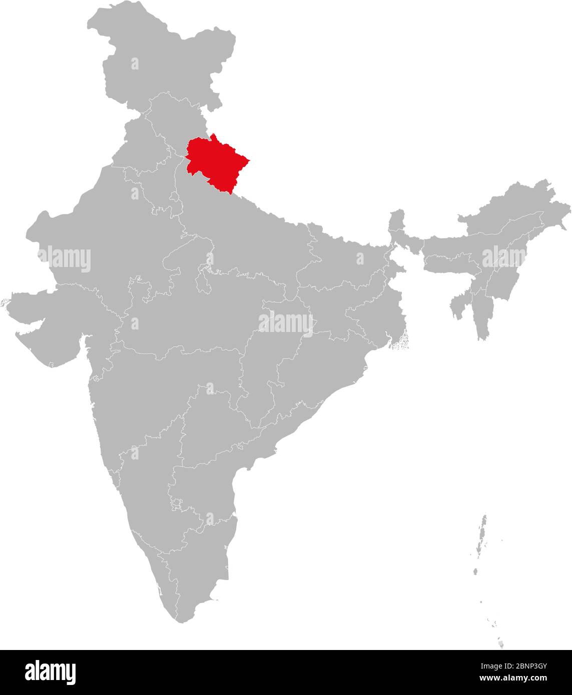 Uttarakhand state highlighted red on indian map vector. Light gray background. Perfect for business concepts, backdrop, backgrounds, label, sticker, c Stock Vectorhttps://www.alamy.com/image-license-details/?v=1https://www.alamy.com/uttarakhand-state-highlighted-red-on-indian-map-vector-light-gray-background-perfect-for-business-concepts-backdrop-backgrounds-label-sticker-c-image357600907.html
RF2BNP3GY–Uttarakhand state highlighted red on indian map vector. Light gray background. Perfect for business concepts, backdrop, backgrounds, label, sticker, c
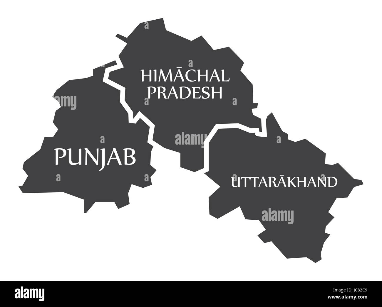 Punjab - Himachal Pradesh - Uttarakhand Map Illustration of Indian states Stock Vectorhttps://www.alamy.com/image-license-details/?v=1https://www.alamy.com/stock-photo-punjab-himachal-pradesh-uttarakhand-map-illustration-of-indian-states-145236345.html
RFJC82C9–Punjab - Himachal Pradesh - Uttarakhand Map Illustration of Indian states
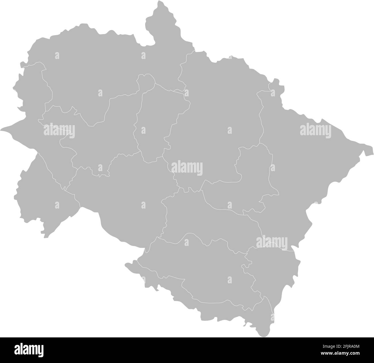 Uttarakhand districts map. Indian State. Gray background. Business concept and backgrounds. Stock Vectorhttps://www.alamy.com/image-license-details/?v=1https://www.alamy.com/uttarakhand-districts-map-indian-state-gray-background-business-concept-and-backgrounds-image424625396.html
RF2FJRA0M–Uttarakhand districts map. Indian State. Gray background. Business concept and backgrounds.
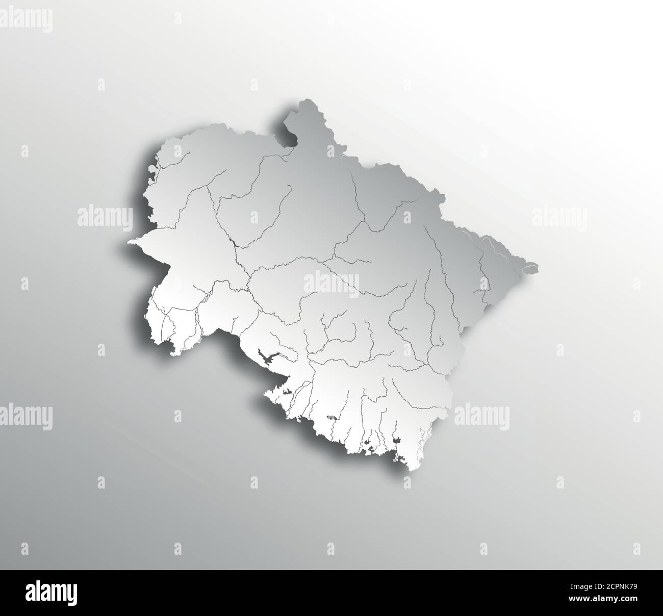 India states - map of Uttarakhand with paper cut effect. Rivers and lakes are shown. Please look at my other images of cartographic series - they are Stock Vectorhttps://www.alamy.com/image-license-details/?v=1https://www.alamy.com/india-states-map-of-uttarakhand-with-paper-cut-effect-rivers-and-lakes-are-shown-please-look-at-my-other-images-of-cartographic-series-they-are-image375416253.html
RF2CPNK79–India states - map of Uttarakhand with paper cut effect. Rivers and lakes are shown. Please look at my other images of cartographic series - they are
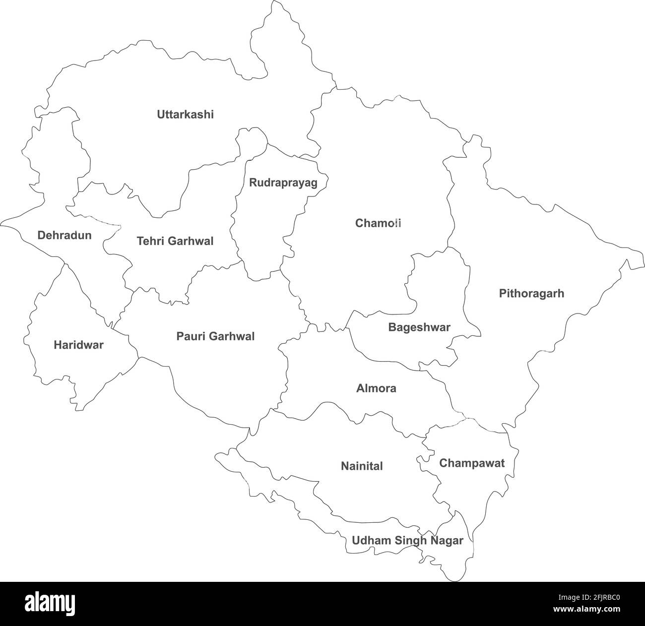 Uttarakhand districts map with name labels. Indian State maps. White background. Stock Vectorhttps://www.alamy.com/image-license-details/?v=1https://www.alamy.com/uttarakhand-districts-map-with-name-labels-indian-state-maps-white-background-image424626496.html
RF2FJRBC0–Uttarakhand districts map with name labels. Indian State maps. White background.
 Symbol Map of the State Uttarakhand (India) showing the state/province with a pattern of black circles Stock Vectorhttps://www.alamy.com/image-license-details/?v=1https://www.alamy.com/symbol-map-of-the-state-uttarakhand-india-showing-the-stateprovince-with-a-pattern-of-black-circles-image612956029.html
RF2XH6FJN–Symbol Map of the State Uttarakhand (India) showing the state/province with a pattern of black circles
RF2K5KPE2–India map graphic, travel geography icon, indian region UTTARAKHAND, vector illustration .
 Uttarakhand (States and union territories of India, Federated states, Republic of India) map vector illustration, scribble sketch State of Uttarakhand Stock Vectorhttps://www.alamy.com/image-license-details/?v=1https://www.alamy.com/uttarakhand-states-and-union-territories-of-india-federated-states-republic-of-india-map-vector-illustration-scribble-sketch-state-of-uttarakhand-image224306693.html
RFR0X1D9–Uttarakhand (States and union territories of India, Federated states, Republic of India) map vector illustration, scribble sketch State of Uttarakhand
 map of Uttarakhand is a state of India with borders districts Stock Vectorhttps://www.alamy.com/image-license-details/?v=1https://www.alamy.com/map-of-uttarakhand-is-a-state-of-india-with-borders-districts-image598543889.html
RF2WNP0RD–map of Uttarakhand is a state of India with borders districts
 Uttarakhand, state of India. Diagram showing the location of the region on larger-scale maps. Composition of vector frames and PNG shapes on a solid b Stock Photohttps://www.alamy.com/image-license-details/?v=1https://www.alamy.com/uttarakhand-state-of-india-diagram-showing-the-location-of-the-region-on-larger-scale-maps-composition-of-vector-frames-and-png-shapes-on-a-solid-b-image485437890.html
RF2K5NGYE–Uttarakhand, state of India. Diagram showing the location of the region on larger-scale maps. Composition of vector frames and PNG shapes on a solid b
 Temples badrinath . Stock Vectorhttps://www.alamy.com/image-license-details/?v=1https://www.alamy.com/temples-badrinath-image475434901.html
RF2JHDX1W–Temples badrinath .
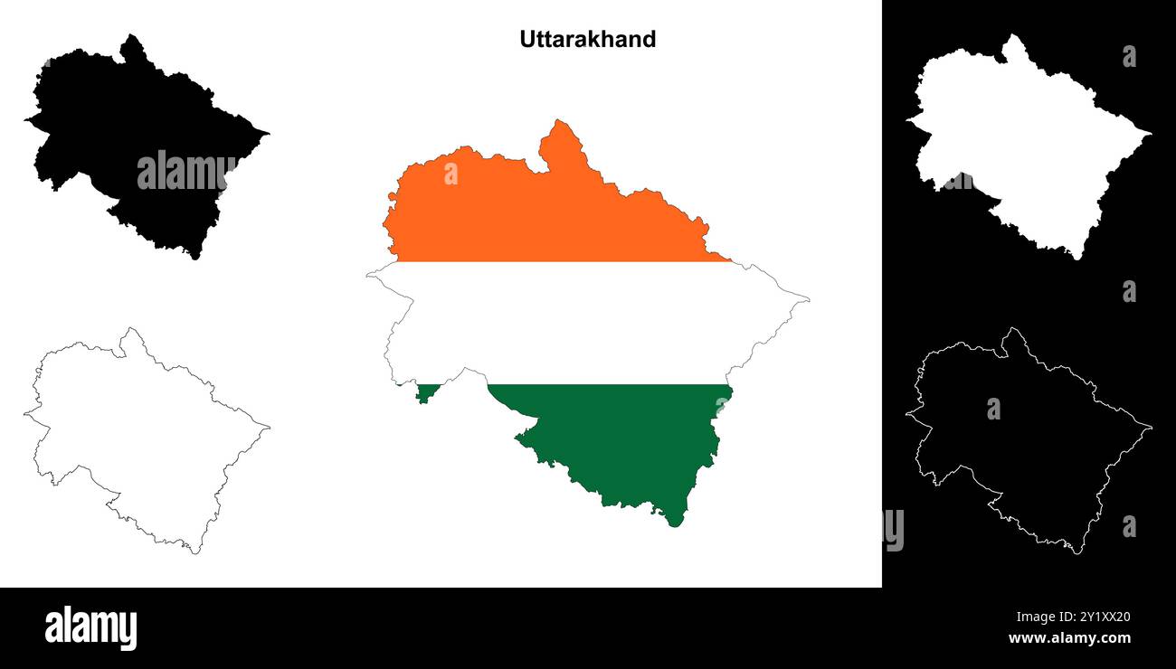 Uttarakhand state outline map set Stock Vectorhttps://www.alamy.com/image-license-details/?v=1https://www.alamy.com/uttarakhand-state-outline-map-set-image620779096.html
RF2Y1XX20–Uttarakhand state outline map set
 Uttarakhand map of Indian state. Uttarakhand map vector illustration. White background. Stock Vectorhttps://www.alamy.com/image-license-details/?v=1https://www.alamy.com/uttarakhand-map-of-indian-state-uttarakhand-map-vector-illustration-white-background-image594078738.html
RF2WEEHDP–Uttarakhand map of Indian state. Uttarakhand map vector illustration. White background.
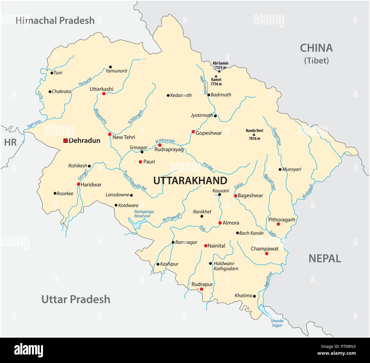 Vector map of the north Indian state of Uttarakhand, India Stock Vectorhttps://www.alamy.com/image-license-details/?v=1https://www.alamy.com/vector-map-of-the-north-indian-state-of-uttarakhand-india-image210845631.html
RFP70RN3–Vector map of the north Indian state of Uttarakhand, India
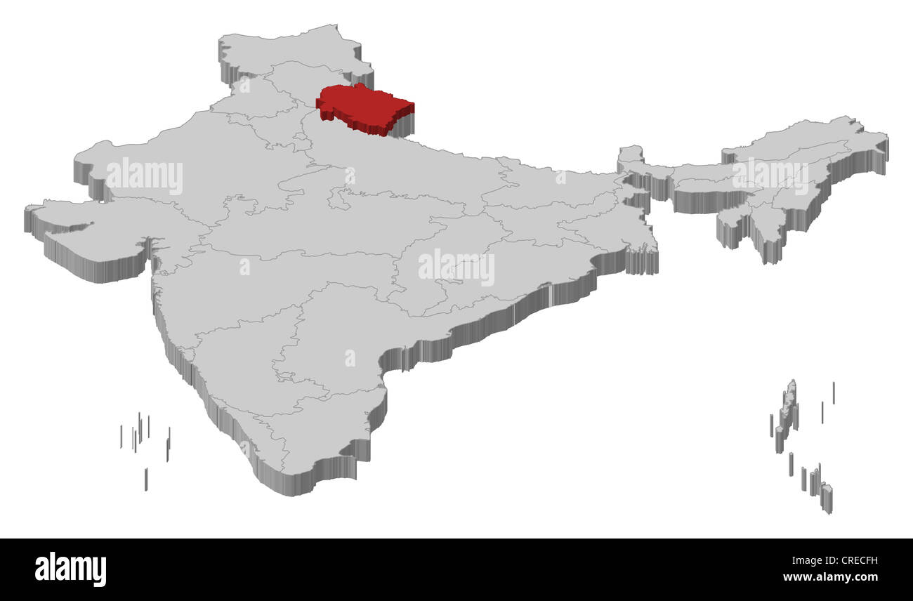 Political map of India with the several states where Uttarakhand is highlighted. Stock Photohttps://www.alamy.com/image-license-details/?v=1https://www.alamy.com/stock-photo-political-map-of-india-with-the-several-states-where-uttarakhand-is-48874997.html
RFCRECFH–Political map of India with the several states where Uttarakhand is highlighted.
RF2JMJH18–India map graphic, travel geography icon, indian region UTTARAKHAND, vector illustration .
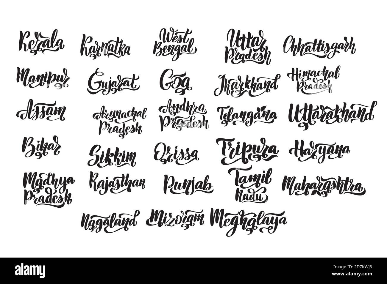 States of India. Handwritten stock lettering set ink typography. Stock Vectorhttps://www.alamy.com/image-license-details/?v=1https://www.alamy.com/states-of-india-handwritten-stock-lettering-set-ink-typography-image383367883.html
RF2D7KWJ3–States of India. Handwritten stock lettering set ink typography.
 Uttarakhand Map design1, State of India, Republic of India, government, Political map, modern map, Indian flag, vector illustration Stock Vectorhttps://www.alamy.com/image-license-details/?v=1https://www.alamy.com/uttarakhand-map-design1-state-of-india-republic-of-india-government-political-map-modern-map-indian-flag-vector-illustration-image611851174.html
RF2XFC6BJ–Uttarakhand Map design1, State of India, Republic of India, government, Political map, modern map, Indian flag, vector illustration
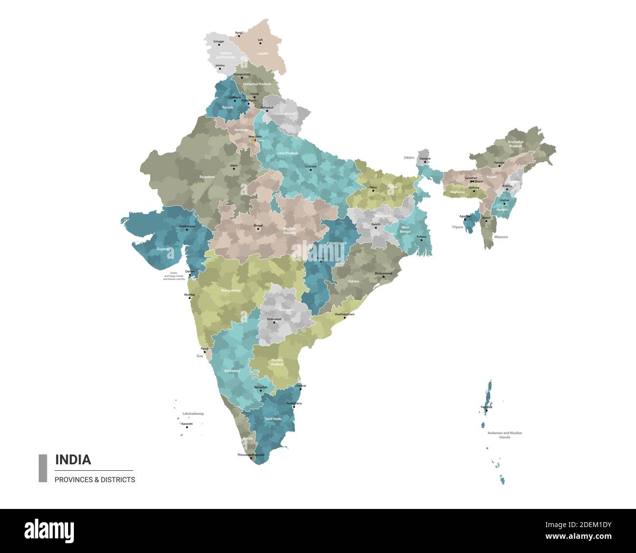 India higt detailed map with subdivisions. Administrative map of India with districts and cities name, colored by states and administrative districts. Stock Vectorhttps://www.alamy.com/image-license-details/?v=1https://www.alamy.com/india-higt-detailed-map-with-subdivisions-administrative-map-of-india-with-districts-and-cities-name-colored-by-states-and-administrative-districts-image387673495.html
RF2DEM1DY–India higt detailed map with subdivisions. Administrative map of India with districts and cities name, colored by states and administrative districts.
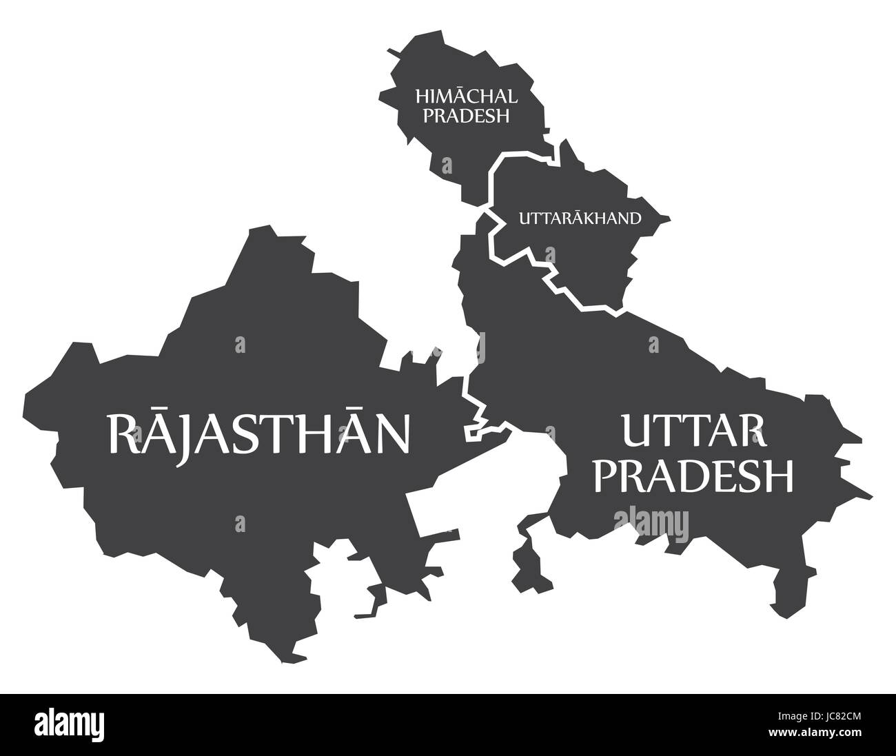 Rajasthan - Himachal Pradesh - Uttarakhand - Uttar Pradesh Map Illustration of Indian states Stock Vectorhttps://www.alamy.com/image-license-details/?v=1https://www.alamy.com/stock-photo-rajasthan-himachal-pradesh-uttarakhand-uttar-pradesh-map-illustration-145236356.html
RFJC82CM–Rajasthan - Himachal Pradesh - Uttarakhand - Uttar Pradesh Map Illustration of Indian states
 Uttarakhand map with Social Distancing stayathome tag Stock Vectorhttps://www.alamy.com/image-license-details/?v=1https://www.alamy.com/uttarakhand-map-with-social-distancing-stayathome-tag-image353223054.html
RF2BEJKH2–Uttarakhand map with Social Distancing stayathome tag
 Uttarakhand (States and union territories of India, Federated states, Republic of India) map vector illustration, scribble sketch State of Uttarakhand Stock Vectorhttps://www.alamy.com/image-license-details/?v=1https://www.alamy.com/uttarakhand-states-and-union-territories-of-india-federated-states-republic-of-india-map-vector-illustration-scribble-sketch-state-of-uttarakhand-image223986948.html
RFR0BDHT–Uttarakhand (States and union territories of India, Federated states, Republic of India) map vector illustration, scribble sketch State of Uttarakhand
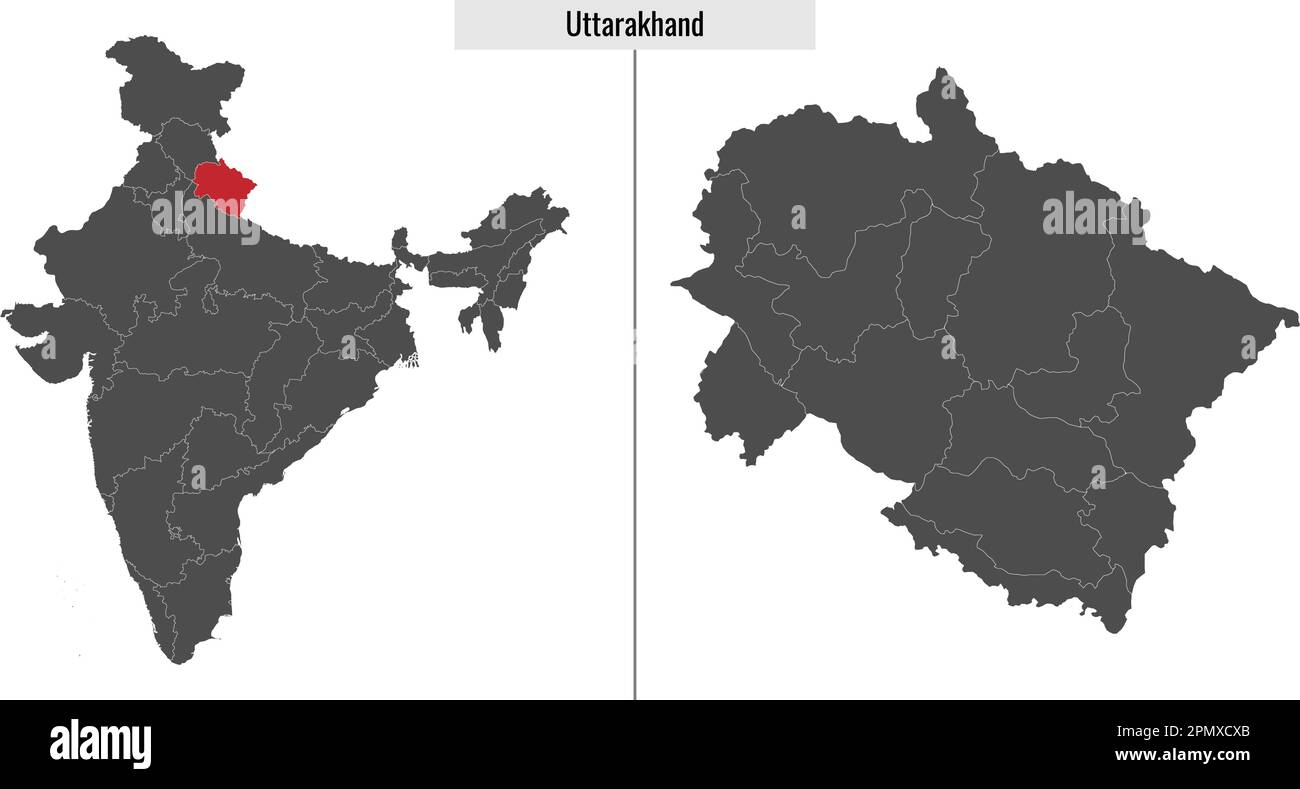 map of Uttarakhand state of India and location on Indian map Stock Vectorhttps://www.alamy.com/image-license-details/?v=1https://www.alamy.com/map-of-uttarakhand-state-of-india-and-location-on-indian-map-image546395427.html
RF2PMXCXB–map of Uttarakhand state of India and location on Indian map
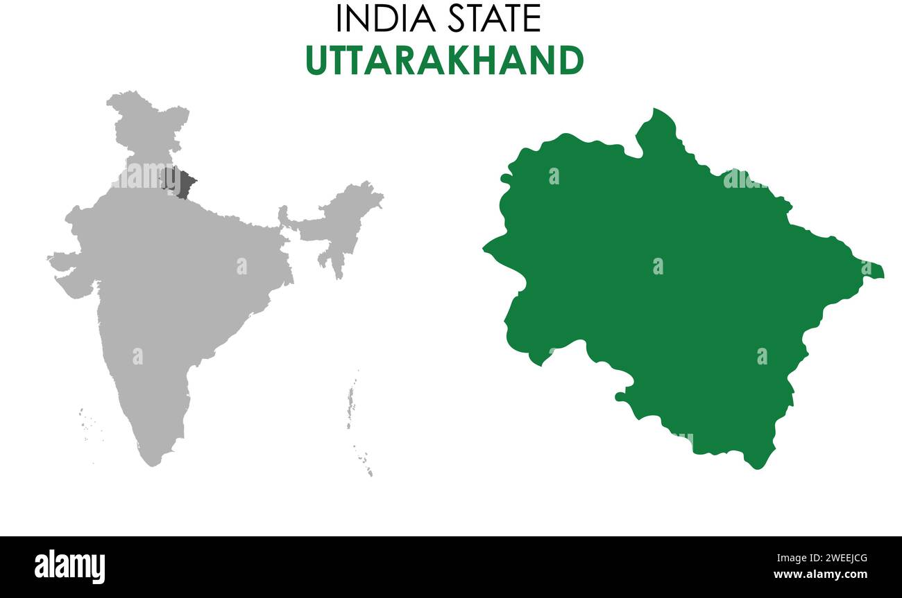 Uttarakhand map of Indian state. Uttarakhand map vector illustration. White background. Stock Vectorhttps://www.alamy.com/image-license-details/?v=1https://www.alamy.com/uttarakhand-map-of-indian-state-uttarakhand-map-vector-illustration-white-background-image594079488.html
RF2WEEJCG–Uttarakhand map of Indian state. Uttarakhand map vector illustration. White background.
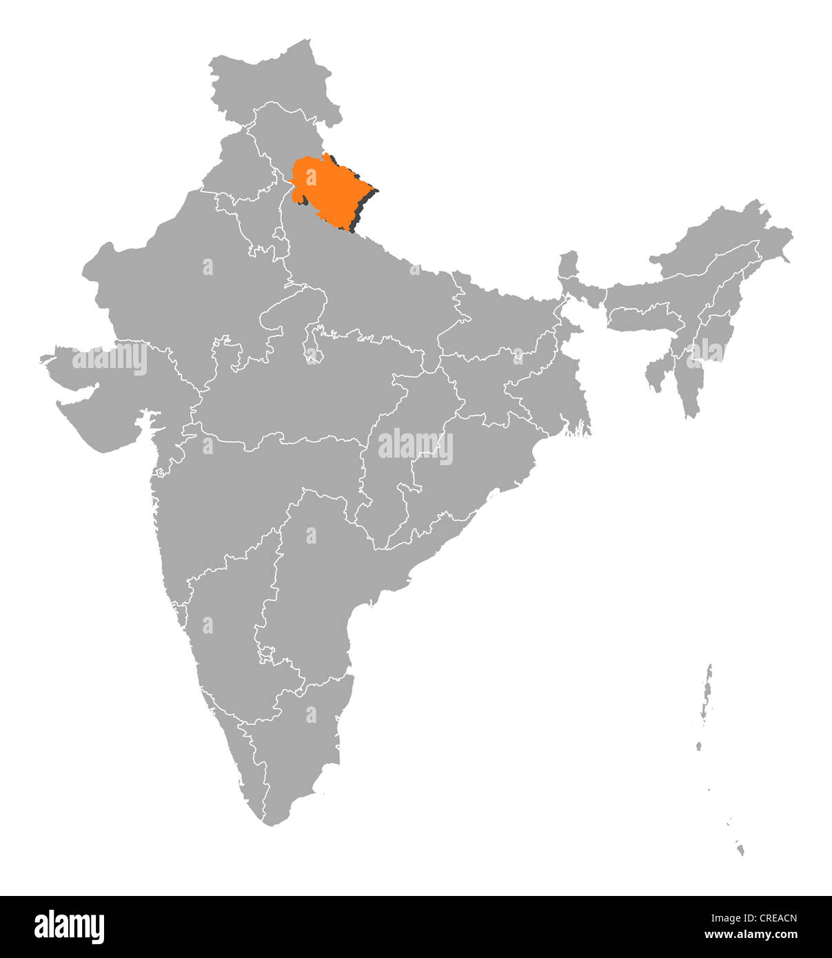 Political map of India with the several states where Uttarakhand is highlighted. Stock Photohttps://www.alamy.com/image-license-details/?v=1https://www.alamy.com/stock-photo-political-map-of-india-with-the-several-states-where-uttarakhand-is-48873349.html
RFCREACN–Political map of India with the several states where Uttarakhand is highlighted.
 Uttarakhand political map1, State of India, Republic of India, government, Political map, modern map, Indian flag, vector illustration Stock Vectorhttps://www.alamy.com/image-license-details/?v=1https://www.alamy.com/uttarakhand-political-map1-state-of-india-republic-of-india-government-political-map-modern-map-indian-flag-vector-illustration-image611850977.html
RF2XFC64H–Uttarakhand political map1, State of India, Republic of India, government, Political map, modern map, Indian flag, vector illustration
 Uttarakhand (States and union territories of India, Federated states, Republic of India) map vector illustration, scribble sketch State of Uttarakhand Stock Vectorhttps://www.alamy.com/image-license-details/?v=1https://www.alamy.com/uttarakhand-states-and-union-territories-of-india-federated-states-republic-of-india-map-vector-illustration-scribble-sketch-state-of-uttarakhand-image223260110.html
RFPY6AFA–Uttarakhand (States and union territories of India, Federated states, Republic of India) map vector illustration, scribble sketch State of Uttarakhand
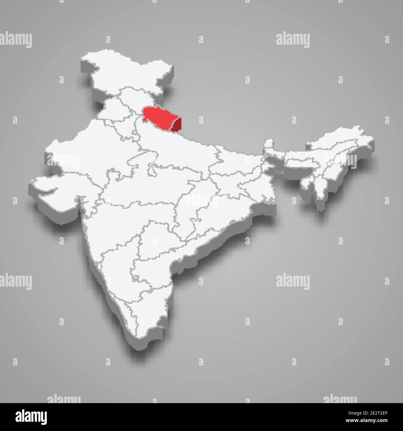 Uttarakhand state location within India 3d isometric map Stock Vectorhttps://www.alamy.com/image-license-details/?v=1https://www.alamy.com/uttarakhand-state-location-within-india-3d-isometric-map-image397596606.html
RF2E2T2EP–Uttarakhand state location within India 3d isometric map
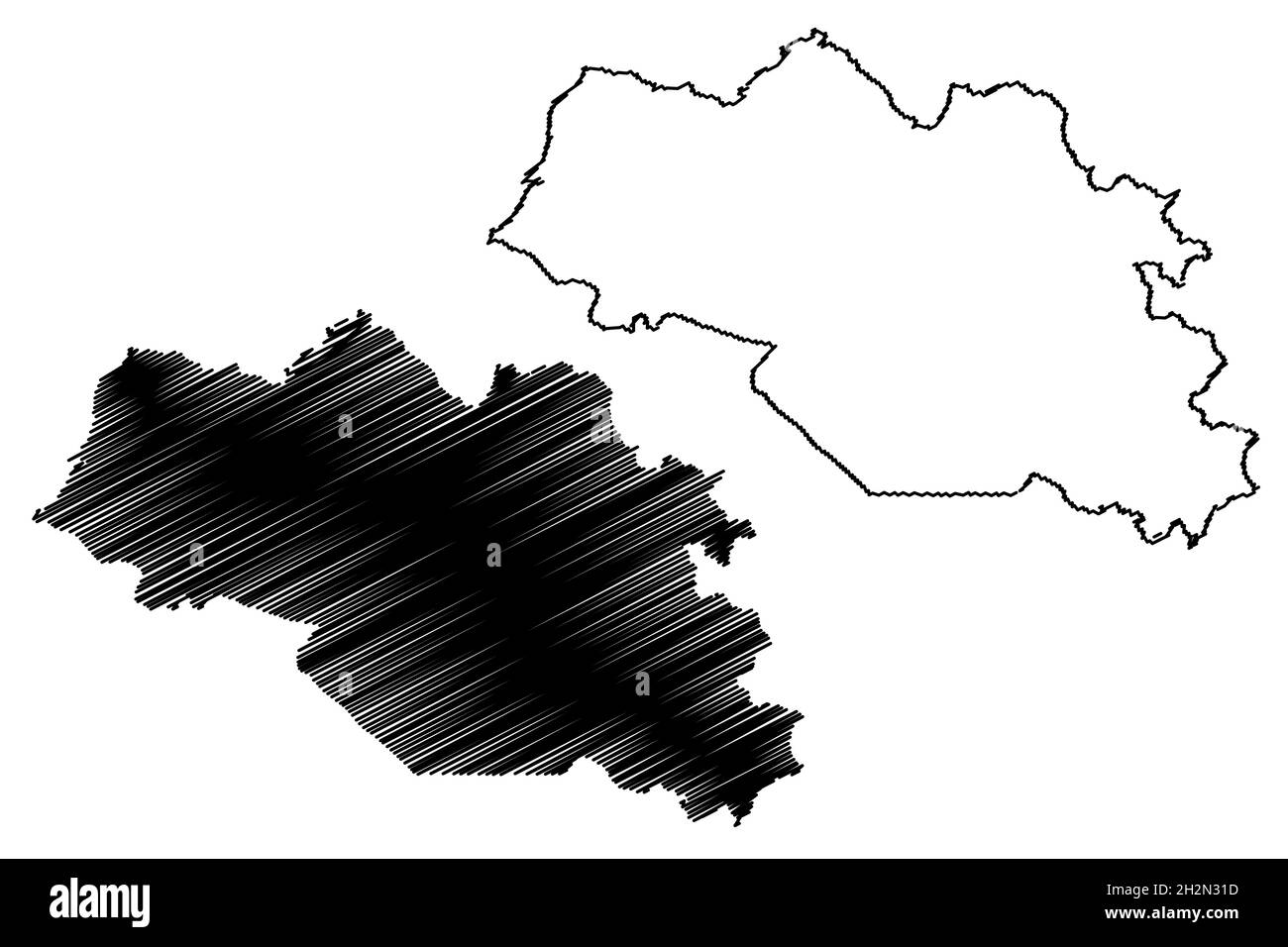 Nainital district (Uttarakhand or Uttaranchal State, Republic of India) map vector illustration, scribble sketch Nainital map Stock Vectorhttps://www.alamy.com/image-license-details/?v=1https://www.alamy.com/nainital-district-uttarakhand-or-uttaranchal-state-republic-of-india-map-vector-illustration-scribble-sketch-nainital-map-image449162265.html
RF2H2N31D–Nainital district (Uttarakhand or Uttaranchal State, Republic of India) map vector illustration, scribble sketch Nainital map
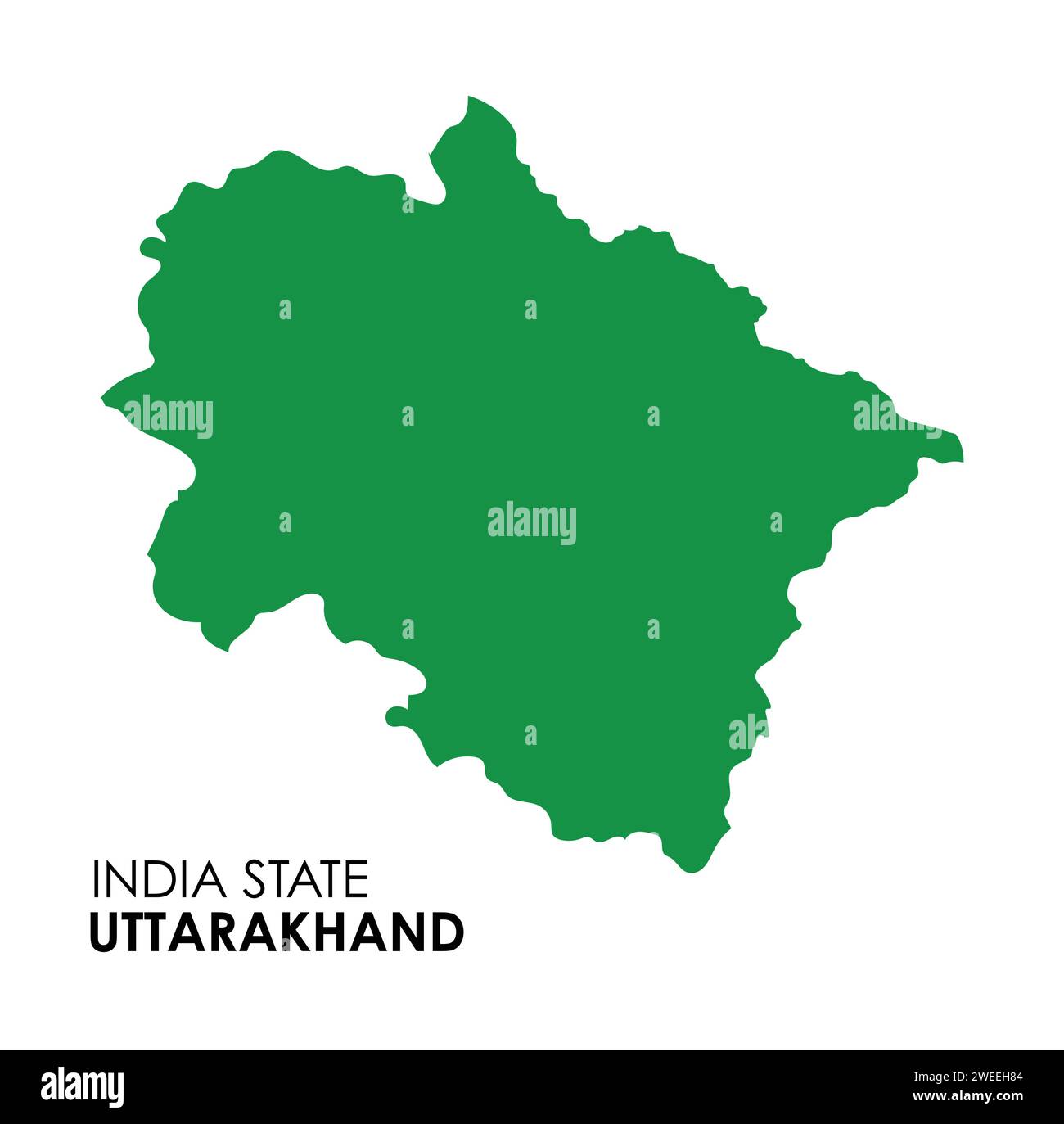 Uttarakhand map of Indian state. Uttarakhand map vector illustration. White background. Stock Vectorhttps://www.alamy.com/image-license-details/?v=1https://www.alamy.com/uttarakhand-map-of-indian-state-uttarakhand-map-vector-illustration-white-background-image594078580.html
RF2WEEH84–Uttarakhand map of Indian state. Uttarakhand map vector illustration. White background.
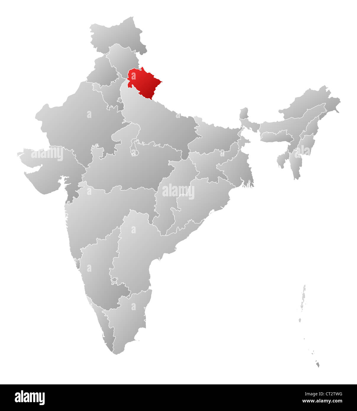 Political map of India with the several states where Uttarakhand is highlighted. Stock Photohttps://www.alamy.com/image-license-details/?v=1https://www.alamy.com/stock-photo-political-map-of-india-with-the-several-states-where-uttarakhand-is-49235916.html
RFCT2TWG–Political map of India with the several states where Uttarakhand is highlighted.
 Uttarakhand Map template1, State of India, Republic of India, government, Political map, modern map, Indian flag, vector illustration Stock Vectorhttps://www.alamy.com/image-license-details/?v=1https://www.alamy.com/uttarakhand-map-template1-state-of-india-republic-of-india-government-political-map-modern-map-indian-flag-vector-illustration-image611851084.html
RF2XFC68C–Uttarakhand Map template1, State of India, Republic of India, government, Political map, modern map, Indian flag, vector illustration
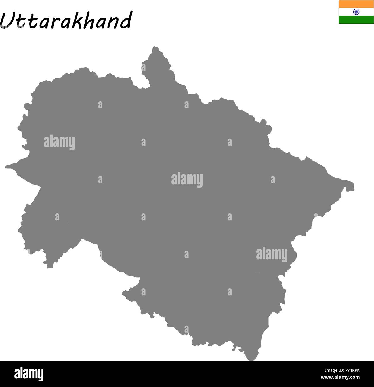 High Quality map of Uttarakhand is a state of India Stock Vectorhttps://www.alamy.com/image-license-details/?v=1https://www.alamy.com/high-quality-map-of-uttarakhand-is-a-state-of-india-image223223467.html
RFPY4KPK–High Quality map of Uttarakhand is a state of India
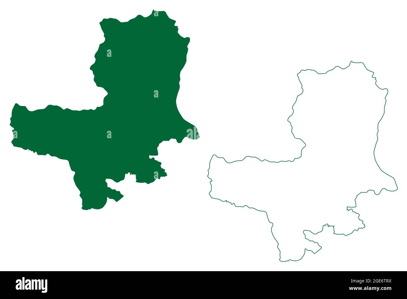 Bageshwar district (Uttarakhand or Uttaranchal State, Republic of India) map vector illustration, scribble sketch Bageshwar map Stock Vectorhttps://www.alamy.com/image-license-details/?v=1https://www.alamy.com/bageshwar-district-uttarakhand-or-uttaranchal-state-republic-of-india-map-vector-illustration-scribble-sketch-bageshwar-map-image439015582.html
RF2GE6TRX–Bageshwar district (Uttarakhand or Uttaranchal State, Republic of India) map vector illustration, scribble sketch Bageshwar map
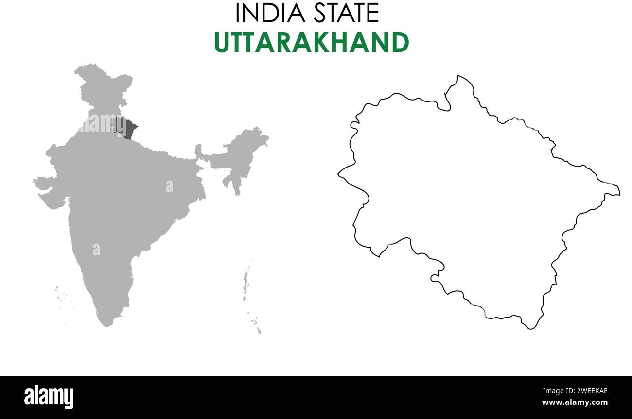 Uttarakhand map of Indian state. Uttarakhand map vector illustration. White background. Stock Vectorhttps://www.alamy.com/image-license-details/?v=1https://www.alamy.com/uttarakhand-map-of-indian-state-uttarakhand-map-vector-illustration-white-background-image594080214.html
RF2WEEKAE–Uttarakhand map of Indian state. Uttarakhand map vector illustration. White background.
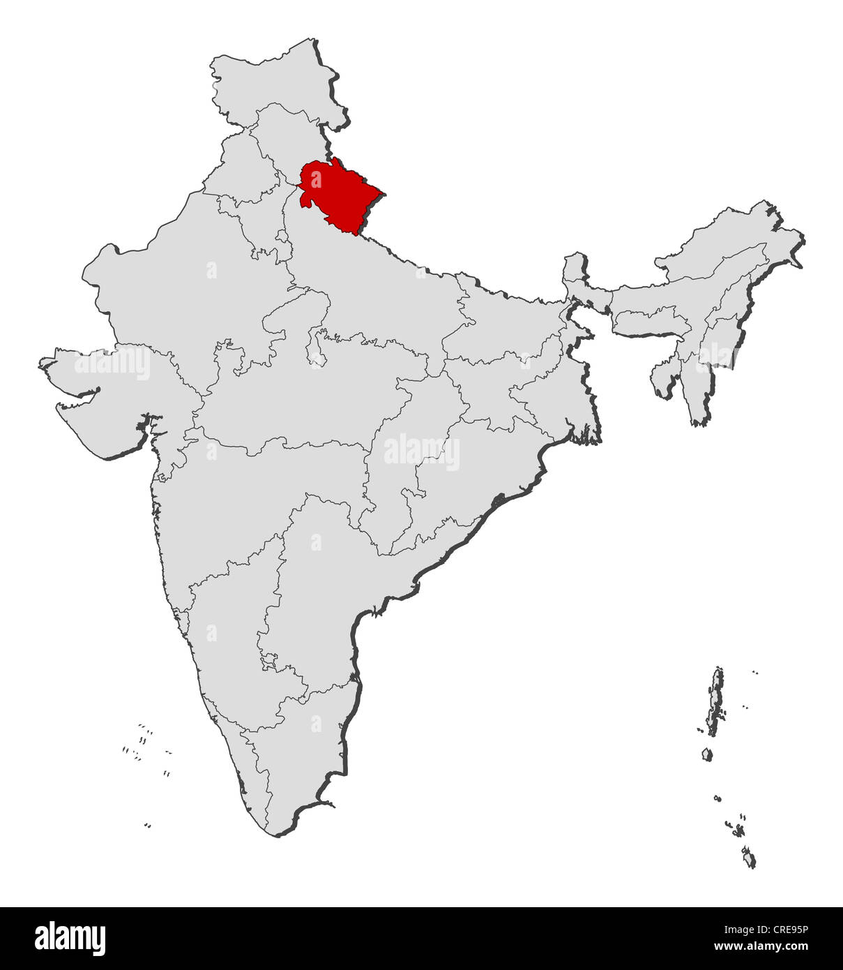 Political map of India with the several states where Uttarakhand is highlighted. Stock Photohttps://www.alamy.com/image-license-details/?v=1https://www.alamy.com/stock-photo-political-map-of-india-with-the-several-states-where-uttarakhand-is-48872370.html
RFCRE95P–Political map of India with the several states where Uttarakhand is highlighted.
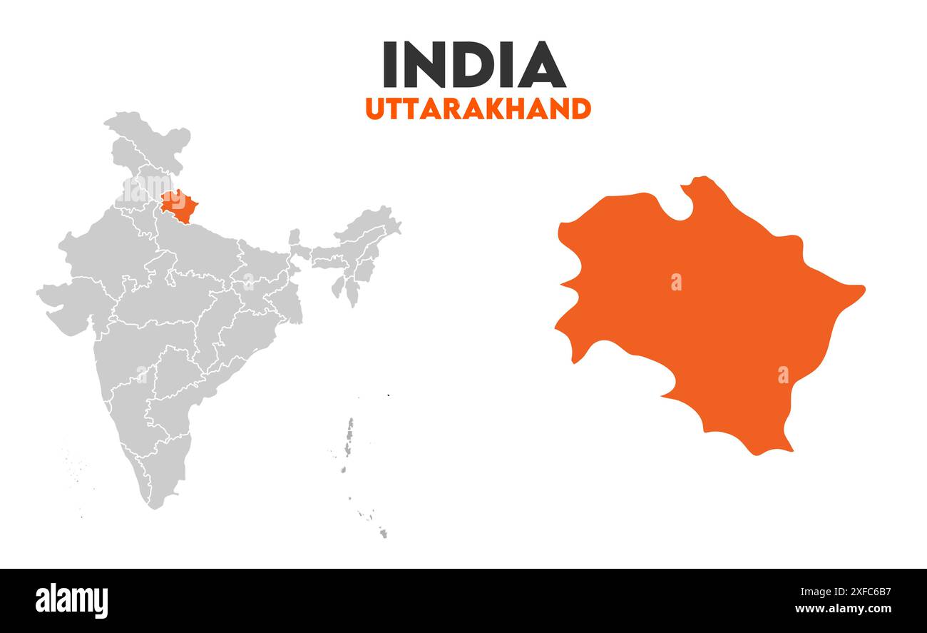 Uttarakhand Map graphic1, State of India, Republic of India, government, Political map, modern map, Indian flag, vector illustration Stock Vectorhttps://www.alamy.com/image-license-details/?v=1https://www.alamy.com/uttarakhand-map-graphic1-state-of-india-republic-of-india-government-political-map-modern-map-indian-flag-vector-illustration-image611851163.html
RF2XFC6B7–Uttarakhand Map graphic1, State of India, Republic of India, government, Political map, modern map, Indian flag, vector illustration
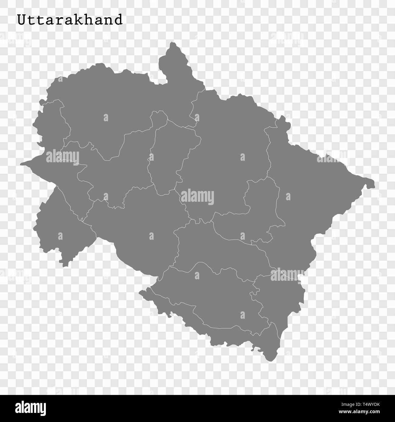 High Quality map of Uttarakhand is a state of India, with borders of the districts Stock Vectorhttps://www.alamy.com/image-license-details/?v=1https://www.alamy.com/high-quality-map-of-uttarakhand-is-a-state-of-india-with-borders-of-the-districts-image243974127.html
RFT4WYDK–High Quality map of Uttarakhand is a state of India, with borders of the districts
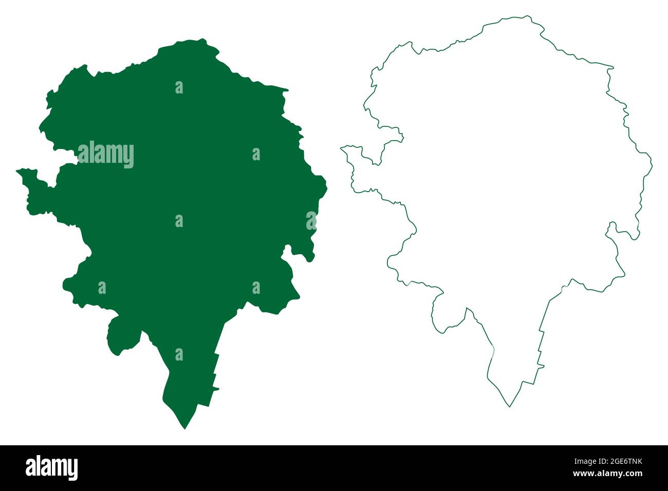 Champawat district (Uttarakhand or Uttaranchal State, Republic of India) map vector illustration, scribble sketch Champawat map Stock Vectorhttps://www.alamy.com/image-license-details/?v=1https://www.alamy.com/champawat-district-uttarakhand-or-uttaranchal-state-republic-of-india-map-vector-illustration-scribble-sketch-champawat-map-image439015519.html
RF2GE6TNK–Champawat district (Uttarakhand or Uttaranchal State, Republic of India) map vector illustration, scribble sketch Champawat map
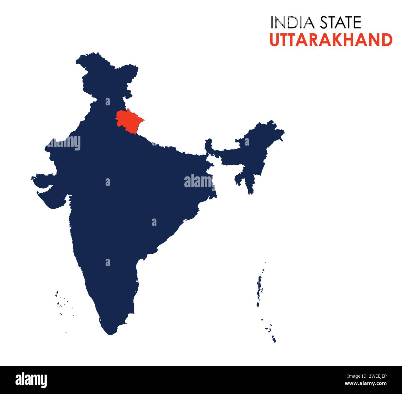 Uttarakhand map of Indian state. Uttarakhand map vector illustration. White background. Stock Vectorhttps://www.alamy.com/image-license-details/?v=1https://www.alamy.com/uttarakhand-map-of-indian-state-uttarakhand-map-vector-illustration-white-background-image594079550.html
RF2WEEJEP–Uttarakhand map of Indian state. Uttarakhand map vector illustration. White background.
 Uttarakhand map illustration1, State of India, Republic of India, government, Political map, modern map, Indian flag, vector illustration Stock Vectorhttps://www.alamy.com/image-license-details/?v=1https://www.alamy.com/uttarakhand-map-illustration1-state-of-india-republic-of-india-government-political-map-modern-map-indian-flag-vector-illustration-image611851086.html
RF2XFC68E–Uttarakhand map illustration1, State of India, Republic of India, government, Political map, modern map, Indian flag, vector illustration
 Location map of Uttarakhand is a state of India with neighbour state and country Stock Vectorhttps://www.alamy.com/image-license-details/?v=1https://www.alamy.com/location-map-of-uttarakhand-is-a-state-of-india-with-neighbour-state-and-country-image604546489.html
RF2X3FD61–Location map of Uttarakhand is a state of India with neighbour state and country
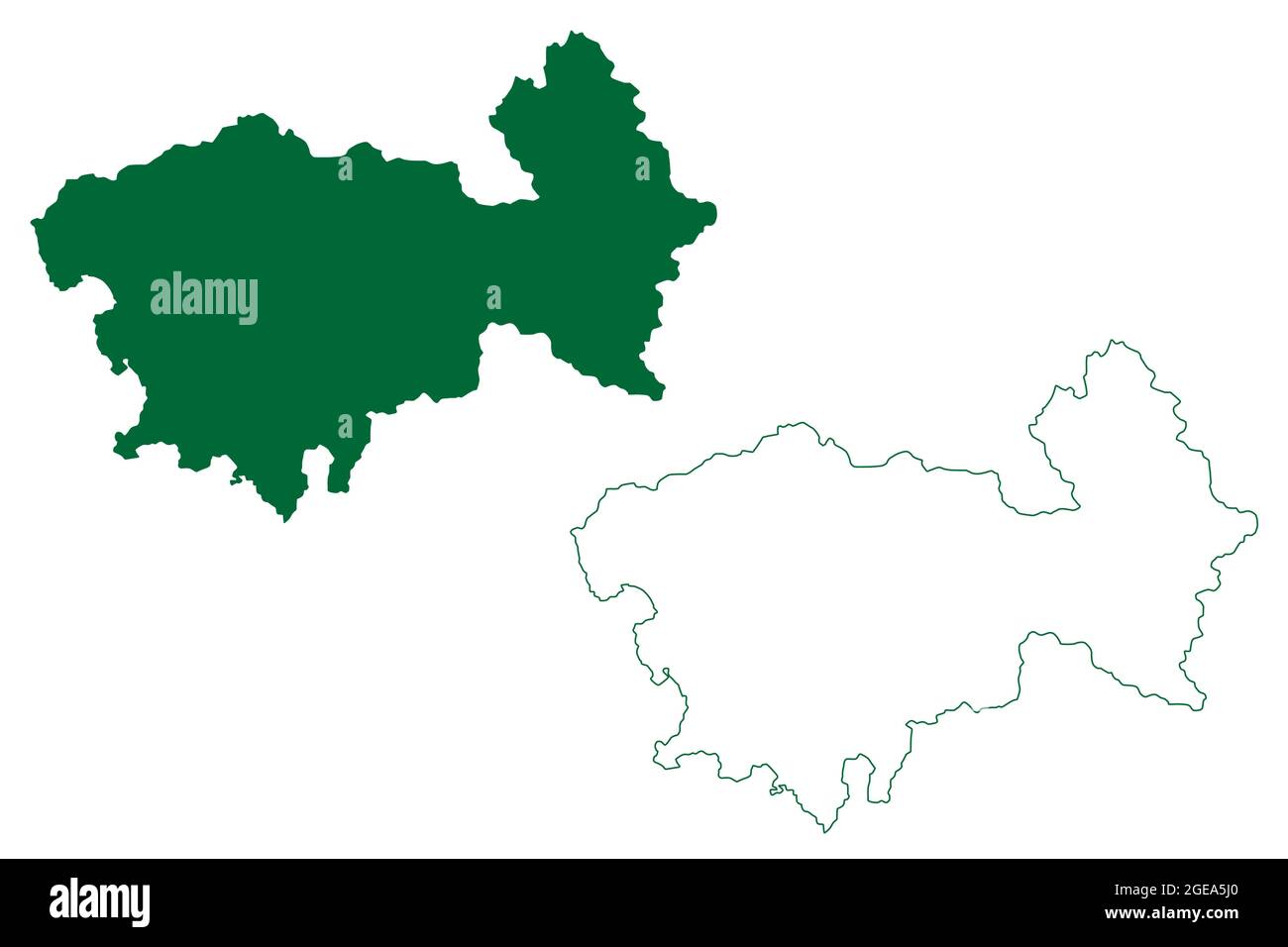 Uttarkashi district (Uttarakhand or Uttaranchal State, Republic of India) map vector illustration, scribble sketch Uttarkashi map Stock Vectorhttps://www.alamy.com/image-license-details/?v=1https://www.alamy.com/uttarkashi-district-uttarakhand-or-uttaranchal-state-republic-of-india-map-vector-illustration-scribble-sketch-uttarkashi-map-image439088328.html
RF2GEA5J0–Uttarkashi district (Uttarakhand or Uttaranchal State, Republic of India) map vector illustration, scribble sketch Uttarkashi map
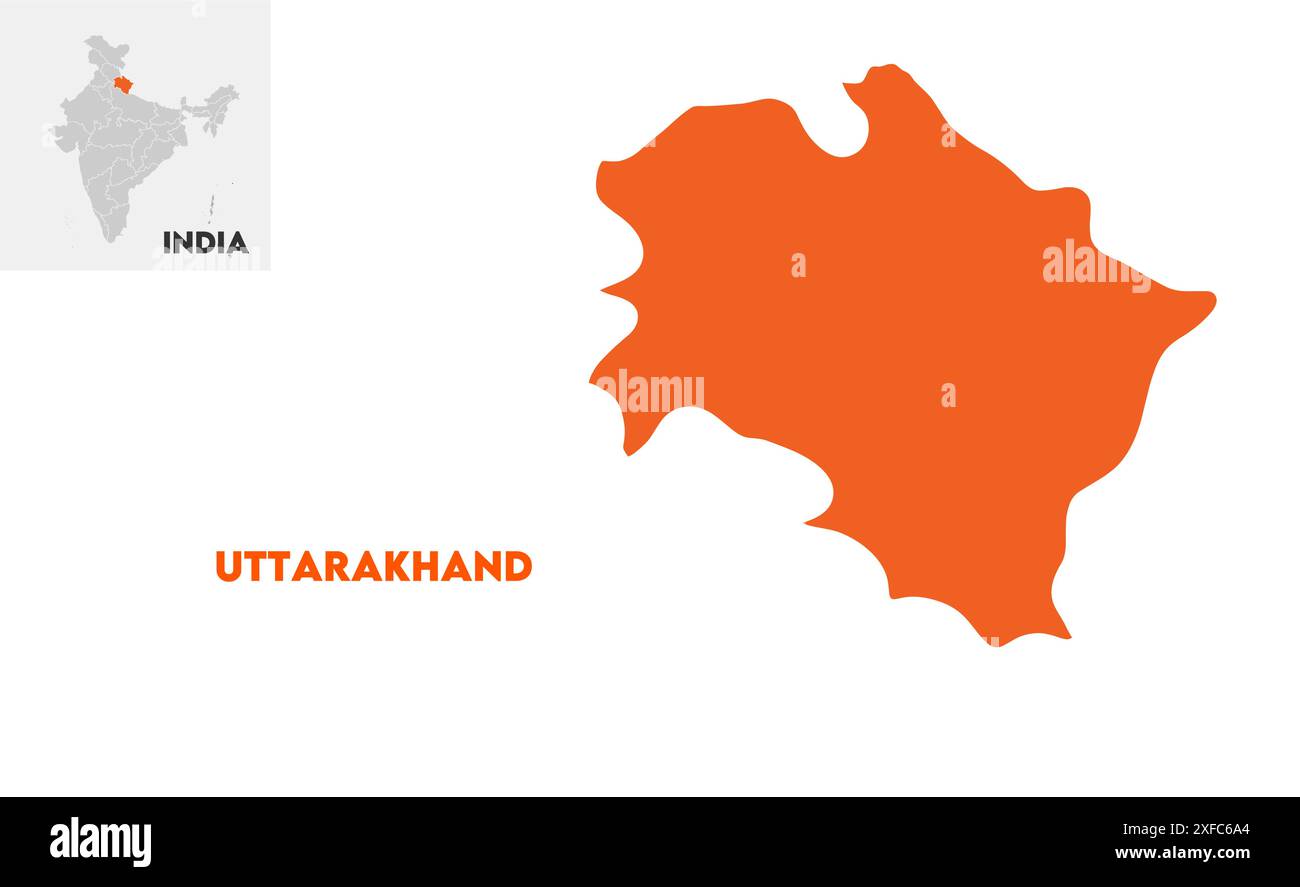 Uttarakhand administrative map1, State of India, Republic of India, government, Political map, modern map, Indian flag, vector illustration Stock Vectorhttps://www.alamy.com/image-license-details/?v=1https://www.alamy.com/uttarakhand-administrative-map1-state-of-india-republic-of-india-government-political-map-modern-map-indian-flag-vector-illustration-image611851132.html
RF2XFC6A4–Uttarakhand administrative map1, State of India, Republic of India, government, Political map, modern map, Indian flag, vector illustration
 Simple outline map of Uttarakhand is a state of India. Stylized minimal line design Stock Vectorhttps://www.alamy.com/image-license-details/?v=1https://www.alamy.com/simple-outline-map-of-uttarakhand-is-a-state-of-india-stylized-minimal-line-design-image465451278.html
RF2J173RX–Simple outline map of Uttarakhand is a state of India. Stylized minimal line design
 Pithoragarh district (Uttarakhand or Uttaranchal State, Republic of India) map vector illustration, scribble sketch Pithoragarh map Stock Vectorhttps://www.alamy.com/image-license-details/?v=1https://www.alamy.com/pithoragarh-district-uttarakhand-or-uttaranchal-state-republic-of-india-map-vector-illustration-scribble-sketch-pithoragarh-map-image455041812.html
RF2HC8XD8–Pithoragarh district (Uttarakhand or Uttaranchal State, Republic of India) map vector illustration, scribble sketch Pithoragarh map
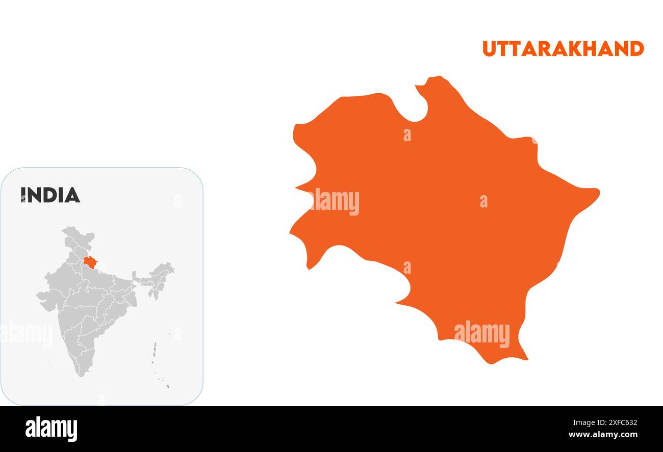 Uttarakhand State Map1, State of India, Republic of India, government, Political map, modern map, Indian flag, vector illustration Stock Vectorhttps://www.alamy.com/image-license-details/?v=1https://www.alamy.com/uttarakhand-state-map1-state-of-india-republic-of-india-government-political-map-modern-map-indian-flag-vector-illustration-image611850934.html
RF2XFC632–Uttarakhand State Map1, State of India, Republic of India, government, Political map, modern map, Indian flag, vector illustration
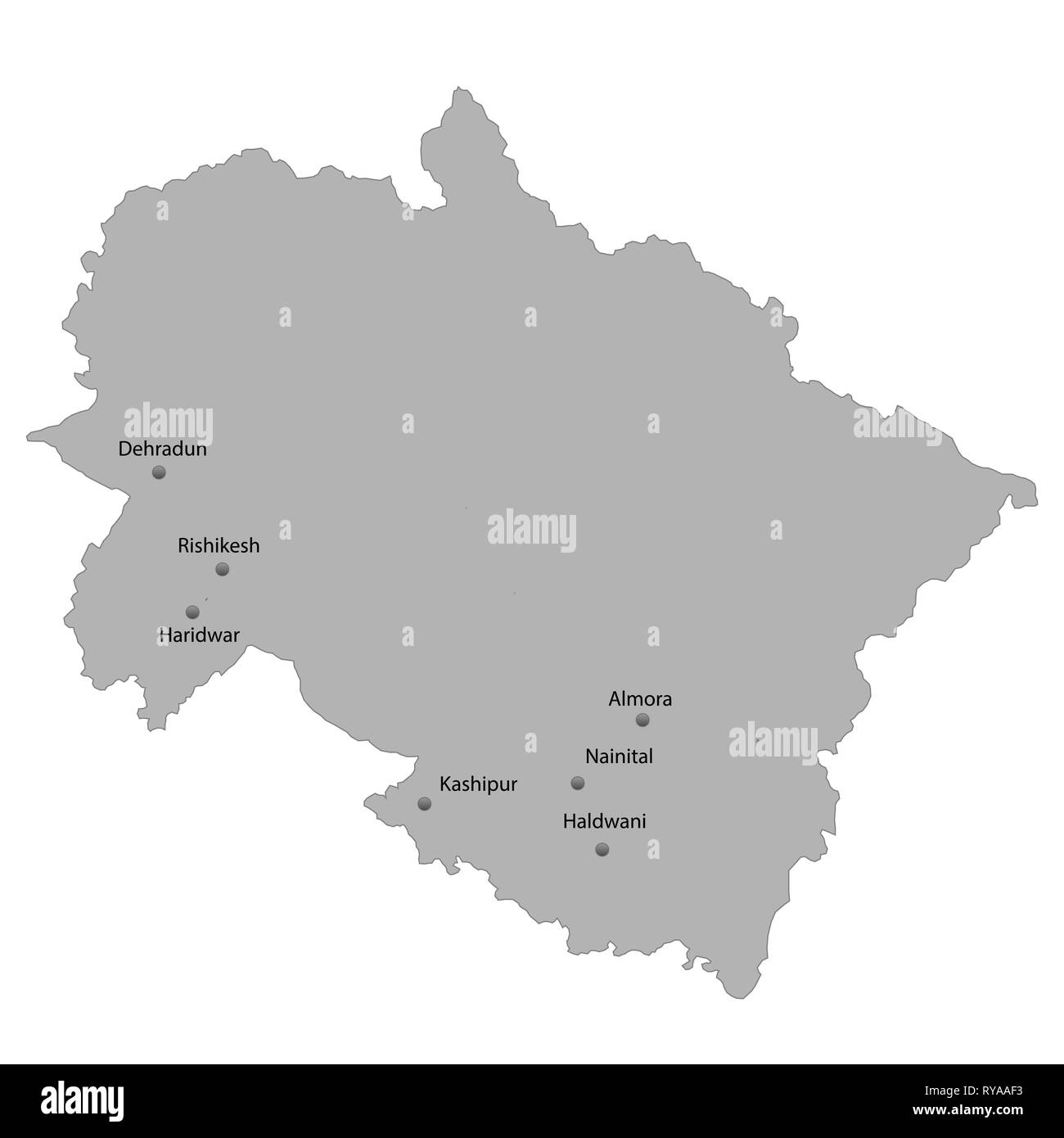 High Quality map of Uttarakhand is a state of India. With main cities location Stock Vectorhttps://www.alamy.com/image-license-details/?v=1https://www.alamy.com/high-quality-map-of-uttarakhand-is-a-state-of-india-with-main-cities-location-image240558279.html
RFRYAAF3–High Quality map of Uttarakhand is a state of India. With main cities location
 Uttarkashi district (Uttarakhand or Uttaranchal State, Republic of India) map vector illustration, scribble sketch Uttarkashi map Stock Vectorhttps://www.alamy.com/image-license-details/?v=1https://www.alamy.com/uttarkashi-district-uttarakhand-or-uttaranchal-state-republic-of-india-map-vector-illustration-scribble-sketch-uttarkashi-map-image456342342.html
RF2HEC58P–Uttarkashi district (Uttarakhand or Uttaranchal State, Republic of India) map vector illustration, scribble sketch Uttarkashi map
 Uttarakhand Map outline1, State of India, Republic of India, government, Political map, modern map, Indian flag, vector illustration Stock Vectorhttps://www.alamy.com/image-license-details/?v=1https://www.alamy.com/uttarakhand-map-outline1-state-of-india-republic-of-india-government-political-map-modern-map-indian-flag-vector-illustration-image611851093.html
RF2XFC68N–Uttarakhand Map outline1, State of India, Republic of India, government, Political map, modern map, Indian flag, vector illustration
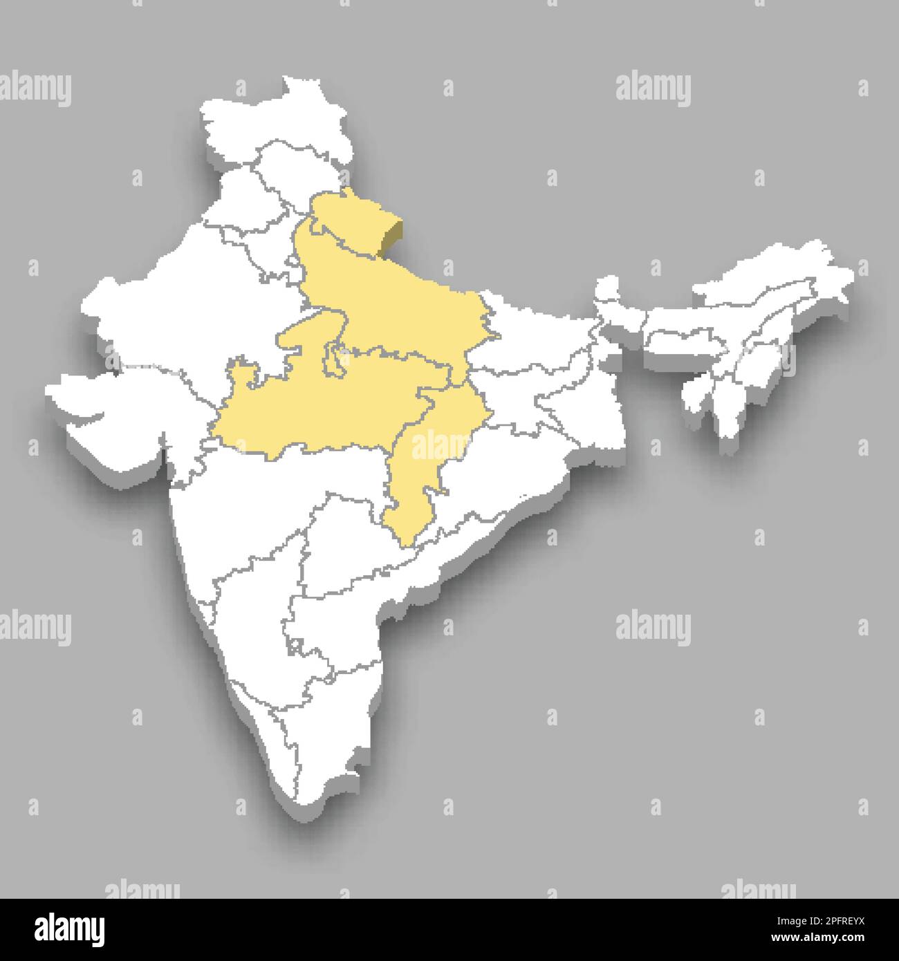 Central Zone location within India 3d isometric map Stock Vectorhttps://www.alamy.com/image-license-details/?v=1https://www.alamy.com/central-zone-location-within-india-3d-isometric-map-image543257902.html
RF2PFREYX–Central Zone location within India 3d isometric map
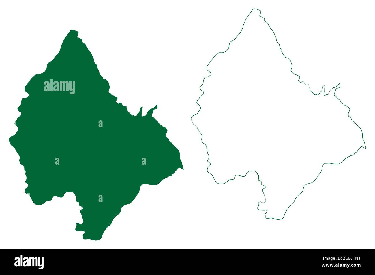 Haridwar district (Uttarakhand or Uttaranchal State, Republic of India) map vector illustration, scribble sketch Haridwar map Stock Vectorhttps://www.alamy.com/image-license-details/?v=1https://www.alamy.com/haridwar-district-uttarakhand-or-uttaranchal-state-republic-of-india-map-vector-illustration-scribble-sketch-haridwar-map-image439015501.html
RF2GE6TN1–Haridwar district (Uttarakhand or Uttaranchal State, Republic of India) map vector illustration, scribble sketch Haridwar map
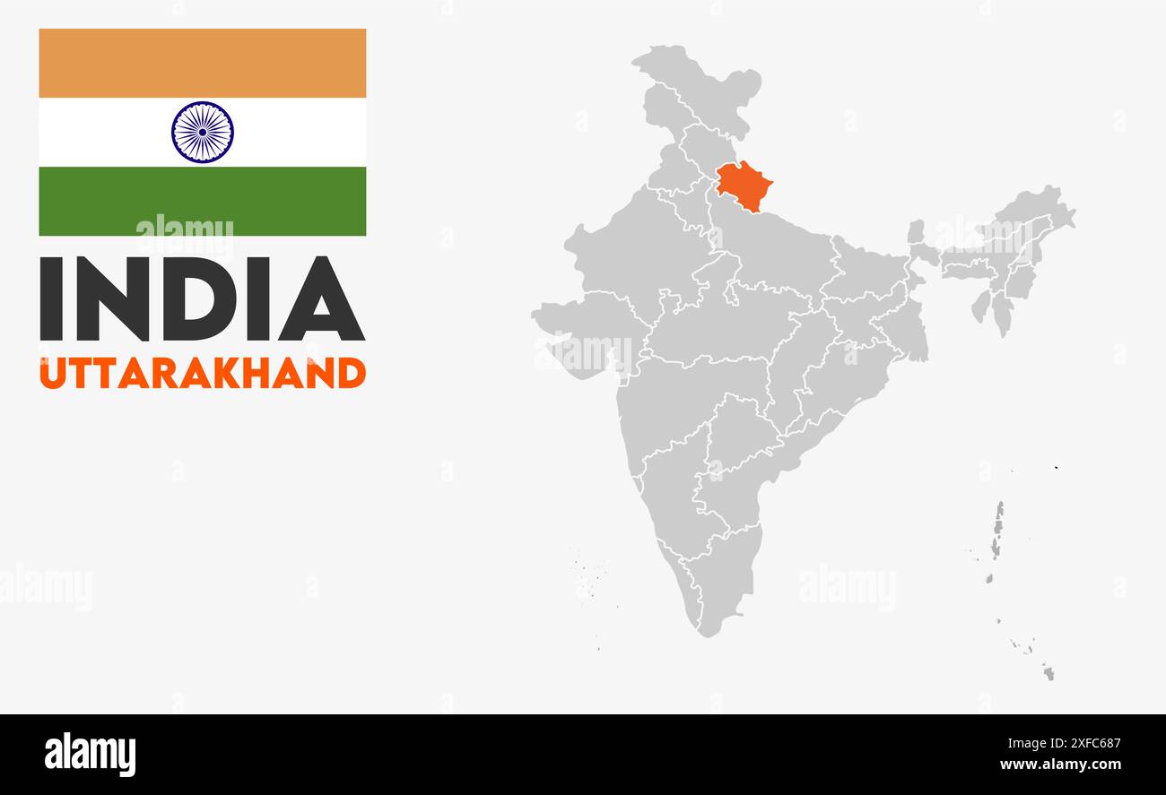 Uttarakhand Map image1, State of India, Republic of India, government, Political map, modern map, Indian flag, vector illustration Stock Vectorhttps://www.alamy.com/image-license-details/?v=1https://www.alamy.com/uttarakhand-map-image1-state-of-india-republic-of-india-government-political-map-modern-map-indian-flag-vector-illustration-image611851079.html
RF2XFC687–Uttarakhand Map image1, State of India, Republic of India, government, Political map, modern map, Indian flag, vector illustration
 Pithoragarh district (Uttarakhand or Uttaranchal State, Republic of India) map vector illustration, scribble sketch Pithoragarh map Stock Vectorhttps://www.alamy.com/image-license-details/?v=1https://www.alamy.com/pithoragarh-district-uttarakhand-or-uttaranchal-state-republic-of-india-map-vector-illustration-scribble-sketch-pithoragarh-map-image449638948.html
RF2H3ER1T–Pithoragarh district (Uttarakhand or Uttaranchal State, Republic of India) map vector illustration, scribble sketch Pithoragarh map
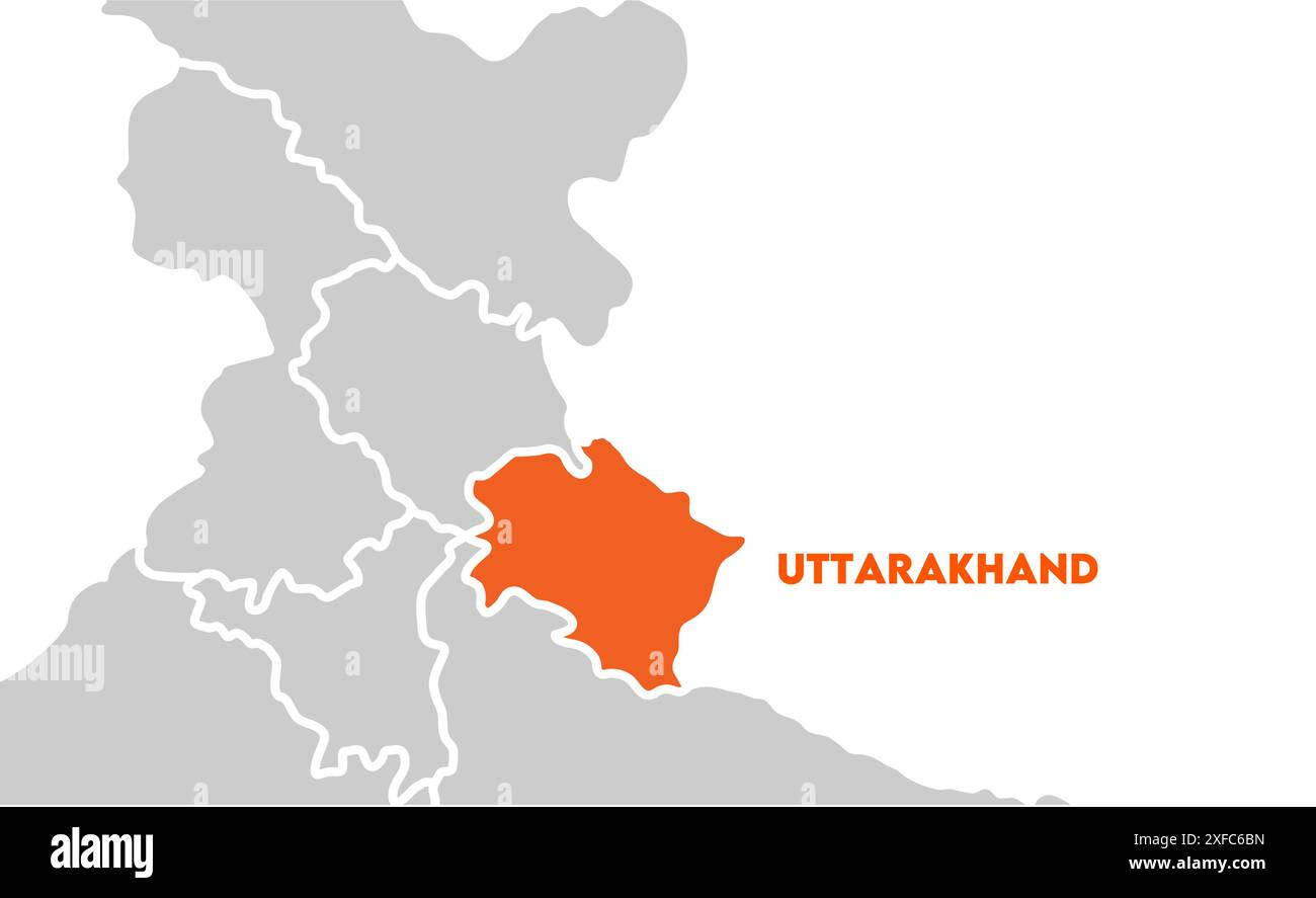 Uttarakhand Map highlighted1, State of India, Republic of India, government, Political map, modern map, Indian flag, vector illustration Stock Vectorhttps://www.alamy.com/image-license-details/?v=1https://www.alamy.com/uttarakhand-map-highlighted1-state-of-india-republic-of-india-government-political-map-modern-map-indian-flag-vector-illustration-image611851177.html
RF2XFC6BN–Uttarakhand Map highlighted1, State of India, Republic of India, government, Political map, modern map, Indian flag, vector illustration
 Almora district (Uttarakhand or Uttaranchal State, Republic of India) map vector illustration, scribble sketch Almora map Stock Vectorhttps://www.alamy.com/image-license-details/?v=1https://www.alamy.com/almora-district-uttarakhand-or-uttaranchal-state-republic-of-india-map-vector-illustration-scribble-sketch-almora-map-image442056062.html
RF2GK5B0E–Almora district (Uttarakhand or Uttaranchal State, Republic of India) map vector illustration, scribble sketch Almora map
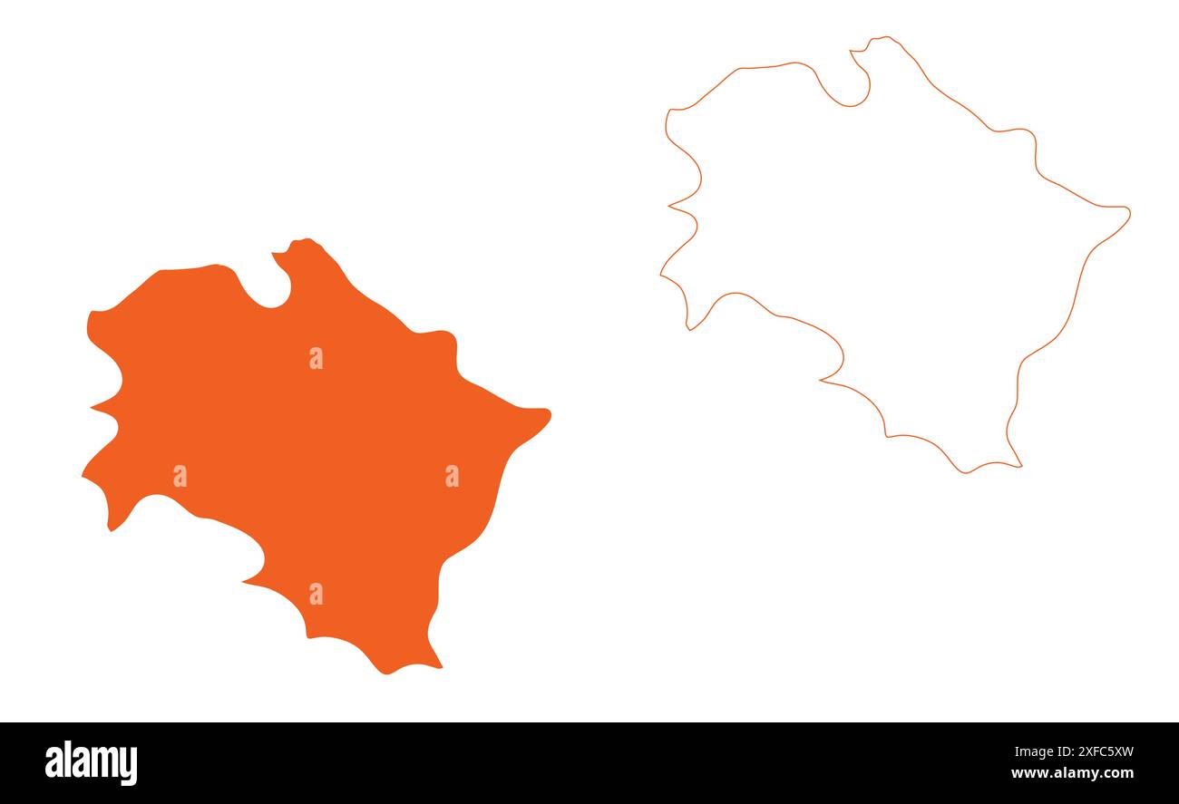 Uttarakhand State Map vector1, State of India, Republic of India, government, Political map, modern map, Indian flag, vector illustration Stock Vectorhttps://www.alamy.com/image-license-details/?v=1https://www.alamy.com/uttarakhand-state-map-vector1-state-of-india-republic-of-india-government-political-map-modern-map-indian-flag-vector-illustration-image611850817.html
RF2XFC5XW–Uttarakhand State Map vector1, State of India, Republic of India, government, Political map, modern map, Indian flag, vector illustration
 Nainital district (Uttarakhand or Uttaranchal State, Republic of India) map vector illustration, scribble sketch Nainital map Stock Vectorhttps://www.alamy.com/image-license-details/?v=1https://www.alamy.com/nainital-district-uttarakhand-or-uttaranchal-state-republic-of-india-map-vector-illustration-scribble-sketch-nainital-map-image454828057.html
RF2HBY5R5–Nainital district (Uttarakhand or Uttaranchal State, Republic of India) map vector illustration, scribble sketch Nainital map
 Uttarakhand Map on focus1, State of India, Republic of India, government, Political map, modern map, Indian flag, vector illustration Stock Vectorhttps://www.alamy.com/image-license-details/?v=1https://www.alamy.com/uttarakhand-map-on-focus1-state-of-india-republic-of-india-government-political-map-modern-map-indian-flag-vector-illustration-image611851056.html
RF2XFC67C–Uttarakhand Map on focus1, State of India, Republic of India, government, Political map, modern map, Indian flag, vector illustration
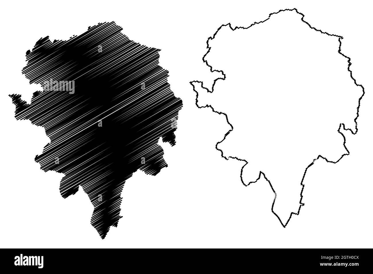 Champawat district (Uttarakhand or Uttaranchal State, Republic of India) map vector illustration, scribble sketch Champawat map Stock Vectorhttps://www.alamy.com/image-license-details/?v=1https://www.alamy.com/champawat-district-uttarakhand-or-uttaranchal-state-republic-of-india-map-vector-illustration-scribble-sketch-champawat-map-image445384490.html
RF2GTH0CX–Champawat district (Uttarakhand or Uttaranchal State, Republic of India) map vector illustration, scribble sketch Champawat map
 Uttarakhand Map with Indian flag1, State of India, Republic of India, government, Political map, modern map, Indian flag, vector illustration Stock Vectorhttps://www.alamy.com/image-license-details/?v=1https://www.alamy.com/uttarakhand-map-with-indian-flag1-state-of-india-republic-of-india-government-political-map-modern-map-indian-flag-vector-illustration-image611851081.html
RF2XFC689–Uttarakhand Map with Indian flag1, State of India, Republic of India, government, Political map, modern map, Indian flag, vector illustration
 Rudraprayag district (Uttarakhand or Uttaranchal State, Republic of India) map vector illustration, scribble sketch Rudraprayag map Stock Vectorhttps://www.alamy.com/image-license-details/?v=1https://www.alamy.com/rudraprayag-district-uttarakhand-or-uttaranchal-state-republic-of-india-map-vector-illustration-scribble-sketch-rudraprayag-map-image439088473.html
RF2GEA5R5–Rudraprayag district (Uttarakhand or Uttaranchal State, Republic of India) map vector illustration, scribble sketch Rudraprayag map
 Rudraprayag district (Uttarakhand or Uttaranchal State, Republic of India) map vector illustration, scribble sketch Rudraprayag map Stock Vectorhttps://www.alamy.com/image-license-details/?v=1https://www.alamy.com/rudraprayag-district-uttarakhand-or-uttaranchal-state-republic-of-india-map-vector-illustration-scribble-sketch-rudraprayag-map-image450131191.html
RF2H496WY–Rudraprayag district (Uttarakhand or Uttaranchal State, Republic of India) map vector illustration, scribble sketch Rudraprayag map
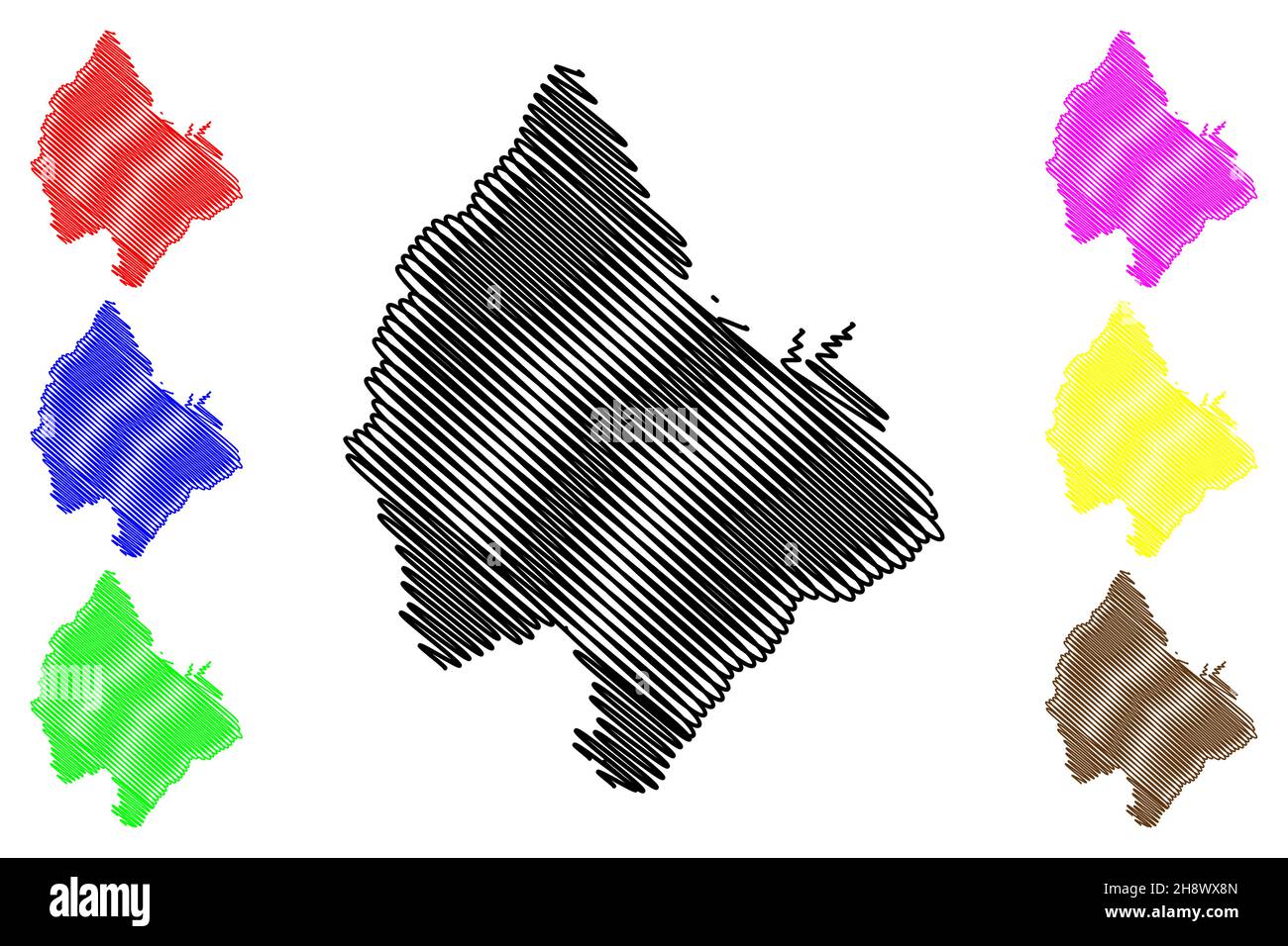 Haridwar district (Uttarakhand or Uttaranchal State, Republic of India) map vector illustration, scribble sketch Haridwar map Stock Vectorhttps://www.alamy.com/image-license-details/?v=1https://www.alamy.com/haridwar-district-uttarakhand-or-uttaranchal-state-republic-of-india-map-vector-illustration-scribble-sketch-haridwar-map-image452956245.html
RF2H8WX8N–Haridwar district (Uttarakhand or Uttaranchal State, Republic of India) map vector illustration, scribble sketch Haridwar map
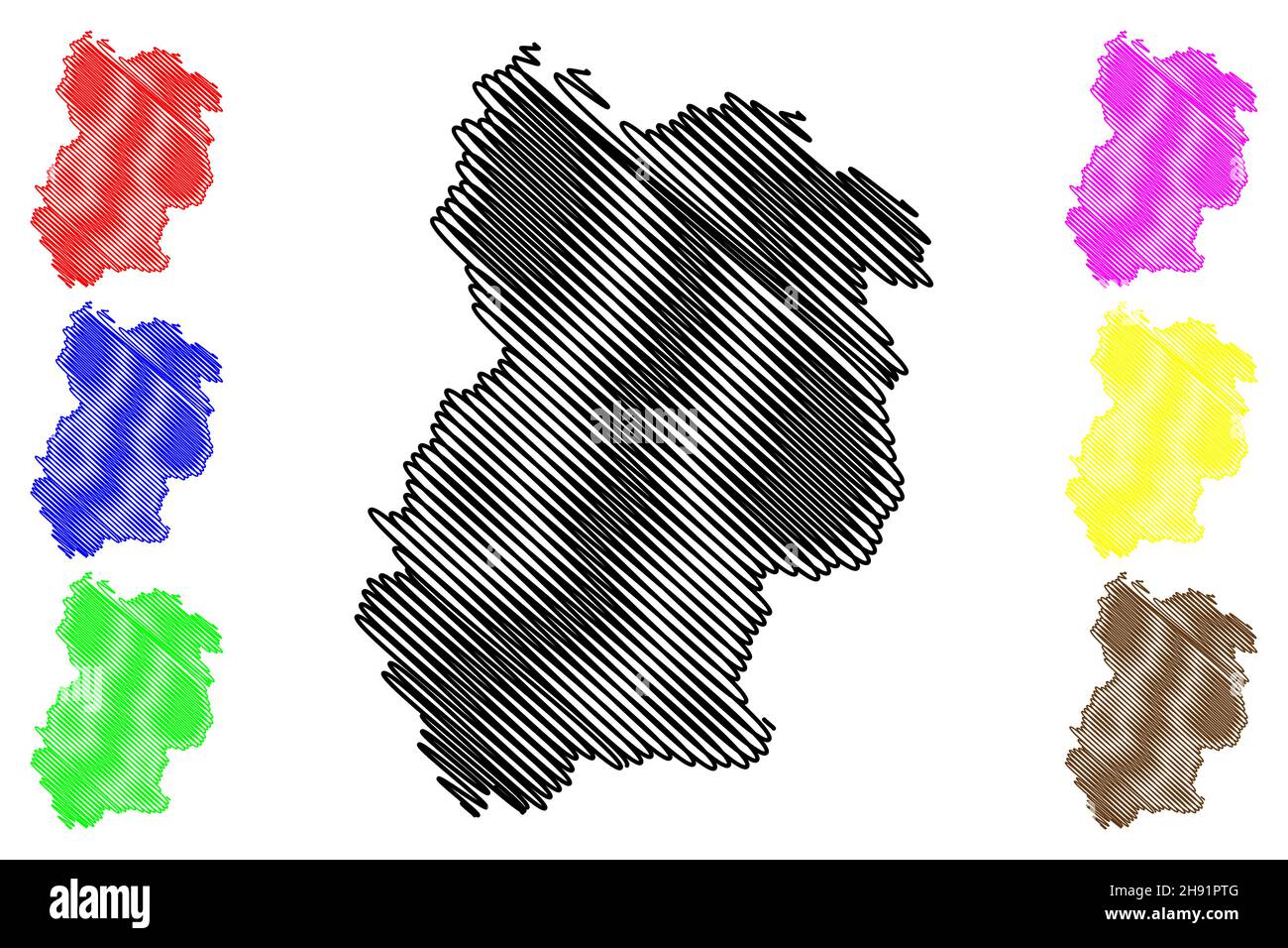 Chamoli district (Uttarakhand or Uttaranchal State, Republic of India) map vector illustration, scribble sketch Chamoli map Stock Vectorhttps://www.alamy.com/image-license-details/?v=1https://www.alamy.com/chamoli-district-uttarakhand-or-uttaranchal-state-republic-of-india-map-vector-illustration-scribble-sketch-chamoli-map-image453041360.html
RF2H91PTG–Chamoli district (Uttarakhand or Uttaranchal State, Republic of India) map vector illustration, scribble sketch Chamoli map
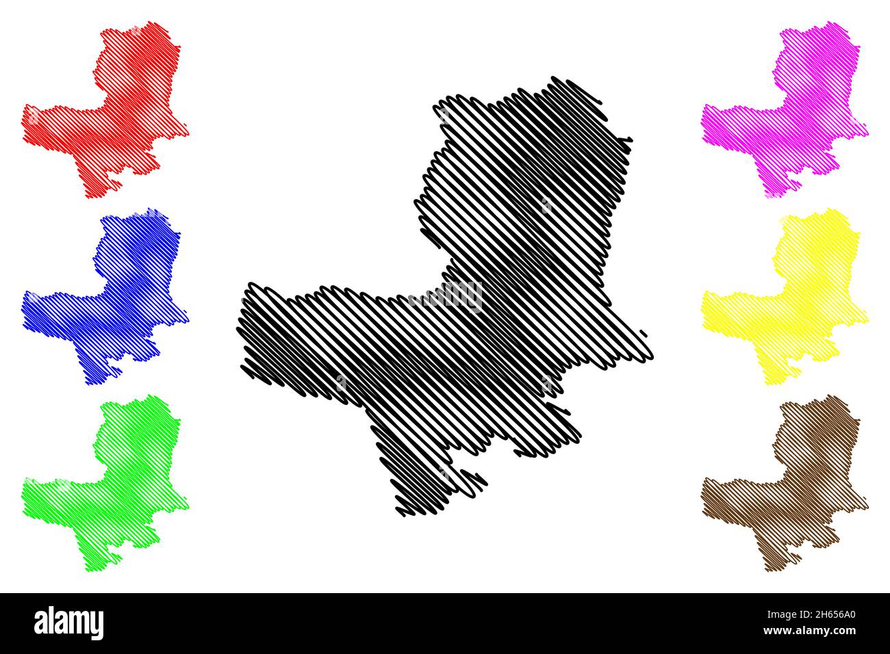 Bageshwar district (Uttarakhand or Uttaranchal State, Republic of India) map vector illustration, scribble sketch Bageshwar map Stock Vectorhttps://www.alamy.com/image-license-details/?v=1https://www.alamy.com/bageshwar-district-uttarakhand-or-uttaranchal-state-republic-of-india-map-vector-illustration-scribble-sketch-bageshwar-map-image451272248.html
RF2H656A0–Bageshwar district (Uttarakhand or Uttaranchal State, Republic of India) map vector illustration, scribble sketch Bageshwar map
 Uttarkashi district (Uttarakhand or Uttaranchal State, Republic of India) map vector illustration, scribble sketch Uttarkashi map Stock Vectorhttps://www.alamy.com/image-license-details/?v=1https://www.alamy.com/uttarkashi-district-uttarakhand-or-uttaranchal-state-republic-of-india-map-vector-illustration-scribble-sketch-uttarkashi-map-image451817101.html
RF2H72191–Uttarkashi district (Uttarakhand or Uttaranchal State, Republic of India) map vector illustration, scribble sketch Uttarkashi map
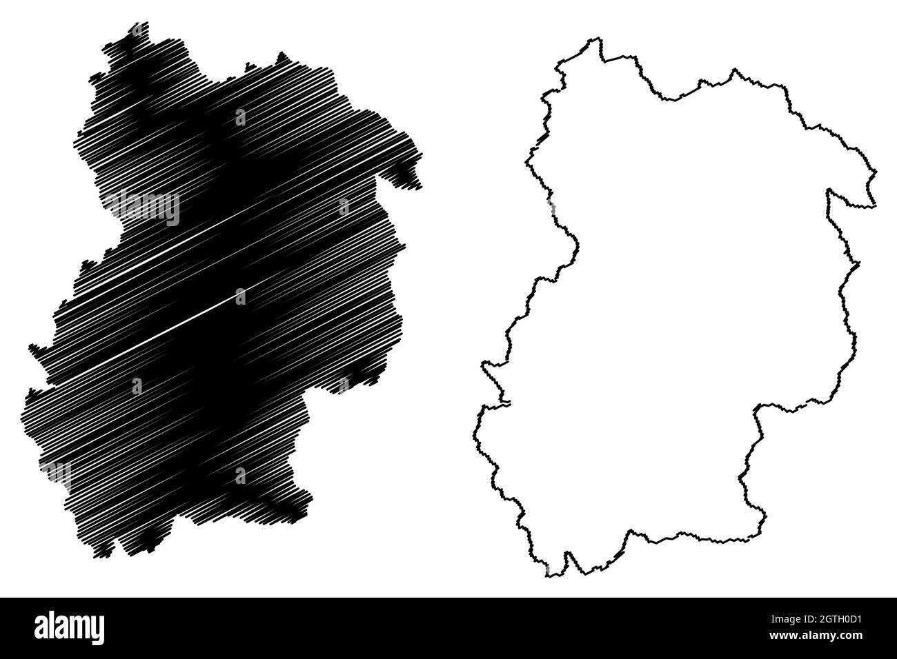 Chamoli district (Uttarakhand or Uttaranchal State, Republic of India) map vector illustration, scribble sketch Chamoli map Stock Vectorhttps://www.alamy.com/image-license-details/?v=1https://www.alamy.com/chamoli-district-uttarakhand-or-uttaranchal-state-republic-of-india-map-vector-illustration-scribble-sketch-chamoli-map-image445384493.html
RF2GTH0D1–Chamoli district (Uttarakhand or Uttaranchal State, Republic of India) map vector illustration, scribble sketch Chamoli map
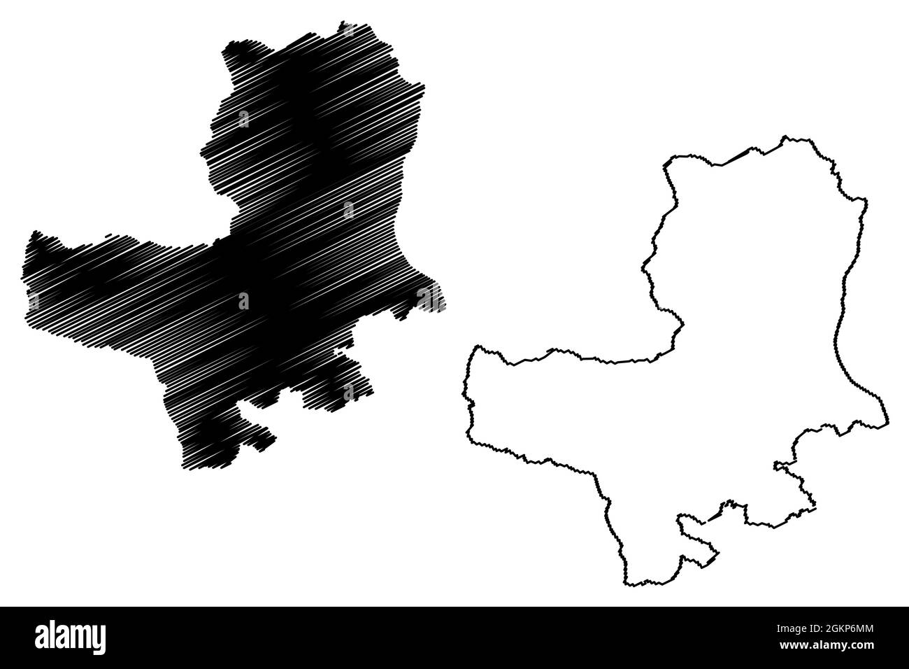 Bageshwar district (Uttarakhand or Uttaranchal State, Republic of India) map vector illustration, scribble sketch Bageshwar map Stock Vectorhttps://www.alamy.com/image-license-details/?v=1https://www.alamy.com/bageshwar-district-uttarakhand-or-uttaranchal-state-republic-of-india-map-vector-illustration-scribble-sketch-bageshwar-map-image442425892.html
RF2GKP6MM–Bageshwar district (Uttarakhand or Uttaranchal State, Republic of India) map vector illustration, scribble sketch Bageshwar map
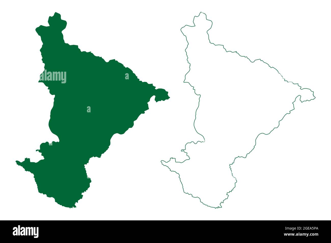 Pithoragarh district (Uttarakhand or Uttaranchal State, Republic of India) map vector illustration, scribble sketch Pithoragarh map Stock Vectorhttps://www.alamy.com/image-license-details/?v=1https://www.alamy.com/pithoragarh-district-uttarakhand-or-uttaranchal-state-republic-of-india-map-vector-illustration-scribble-sketch-pithoragarh-map-image439088450.html
RF2GEA5PA–Pithoragarh district (Uttarakhand or Uttaranchal State, Republic of India) map vector illustration, scribble sketch Pithoragarh map
 Nainital district (Uttarakhand or Uttaranchal State, Republic of India) map vector illustration, scribble sketch Nainital map Stock Vectorhttps://www.alamy.com/image-license-details/?v=1https://www.alamy.com/nainital-district-uttarakhand-or-uttaranchal-state-republic-of-india-map-vector-illustration-scribble-sketch-nainital-map-image439015499.html
RF2GE6TMY–Nainital district (Uttarakhand or Uttaranchal State, Republic of India) map vector illustration, scribble sketch Nainital map
 Almora district (Uttarakhand or Uttaranchal State, Republic of India) map vector illustration, scribble sketch Almora map Stock Vectorhttps://www.alamy.com/image-license-details/?v=1https://www.alamy.com/almora-district-uttarakhand-or-uttaranchal-state-republic-of-india-map-vector-illustration-scribble-sketch-almora-map-image450446276.html
RF2H4RGR0–Almora district (Uttarakhand or Uttaranchal State, Republic of India) map vector illustration, scribble sketch Almora map
 Rudraprayag district (Uttarakhand or Uttaranchal State, Republic of India) map vector illustration, scribble sketch Rudraprayag map Stock Vectorhttps://www.alamy.com/image-license-details/?v=1https://www.alamy.com/rudraprayag-district-uttarakhand-or-uttaranchal-state-republic-of-india-map-vector-illustration-scribble-sketch-rudraprayag-map-image455310110.html
RF2HCN4KA–Rudraprayag district (Uttarakhand or Uttaranchal State, Republic of India) map vector illustration, scribble sketch Rudraprayag map
 Chamoli district (Uttarakhand or Uttaranchal State, Republic of India) map vector illustration, scribble sketch Chamoli map Stock Vectorhttps://www.alamy.com/image-license-details/?v=1https://www.alamy.com/chamoli-district-uttarakhand-or-uttaranchal-state-republic-of-india-map-vector-illustration-scribble-sketch-chamoli-map-image439015572.html
RF2GE6TRG–Chamoli district (Uttarakhand or Uttaranchal State, Republic of India) map vector illustration, scribble sketch Chamoli map