Valverde Stock Vectors & Vector Art
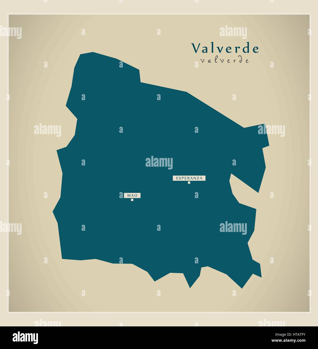 Modern Map - Valverde DO illustration silhouette Stock Vectorhttps://www.alamy.com/image-license-details/?v=1https://www.alamy.com/stock-photo-modern-map-valverde-do-illustration-silhouette-135463103.html
RFHTATFY–Modern Map - Valverde DO illustration silhouette
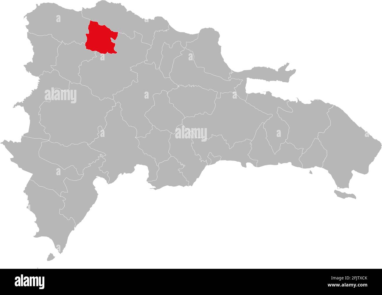 Valverde province isolated dominican republic map. Gray background. Business concepts and backgrounds. Stock Vectorhttps://www.alamy.com/image-license-details/?v=1https://www.alamy.com/valverde-province-isolated-dominican-republic-map-gray-background-business-concepts-and-backgrounds-image424660227.html
RF2FJTXCK–Valverde province isolated dominican republic map. Gray background. Business concepts and backgrounds.
 Valverde Dominican Republic Map in grey Stock Vectorhttps://www.alamy.com/image-license-details/?v=1https://www.alamy.com/stock-photo-valverde-dominican-republic-map-in-grey-131062106.html
RFHH6B1E–Valverde Dominican Republic Map in grey
 El Hierro map silhouette Stock Vectorhttps://www.alamy.com/image-license-details/?v=1https://www.alamy.com/stock-photo-el-hierro-map-silhouette-130635346.html
RFHGEXM2–El Hierro map silhouette
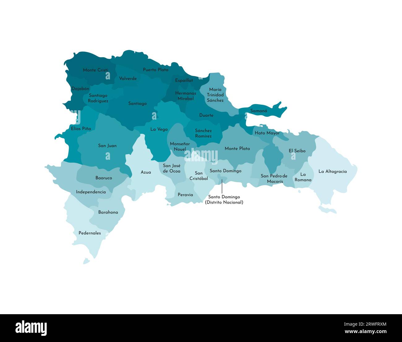 Vector isolated illustration of simplified administrative map of Dominican Republic. Borders and names of the provinces. Colorful blue khaki silhouett Stock Vectorhttps://www.alamy.com/image-license-details/?v=1https://www.alamy.com/vector-isolated-illustration-of-simplified-administrative-map-of-dominican-republic-borders-and-names-of-the-provinces-colorful-blue-khaki-silhouett-image566446236.html
RF2RWFRXM–Vector isolated illustration of simplified administrative map of Dominican Republic. Borders and names of the provinces. Colorful blue khaki silhouett
 Valverde Province (Dominican Republic, Hispaniola, Provinces of the Dominican Republic) map vector illustration, scribble sketch Valverde map Stock Vectorhttps://www.alamy.com/image-license-details/?v=1https://www.alamy.com/valverde-province-dominican-republic-hispaniola-provinces-of-the-dominican-republic-map-vector-illustration-scribble-sketch-valverde-map-image328687088.html
RF2A2MYMG–Valverde Province (Dominican Republic, Hispaniola, Provinces of the Dominican Republic) map vector illustration, scribble sketch Valverde map
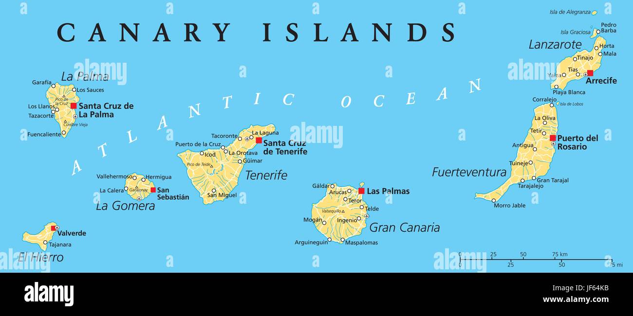 canary islands, map, atlas, map of the world, canaries, spain, atlantic ocean, Stock Vectorhttps://www.alamy.com/image-license-details/?v=1https://www.alamy.com/stock-photo-canary-islands-map-atlas-map-of-the-world-canaries-spain-atlantic-147038175.html
RFJF64KB–canary islands, map, atlas, map of the world, canaries, spain, atlantic ocean,
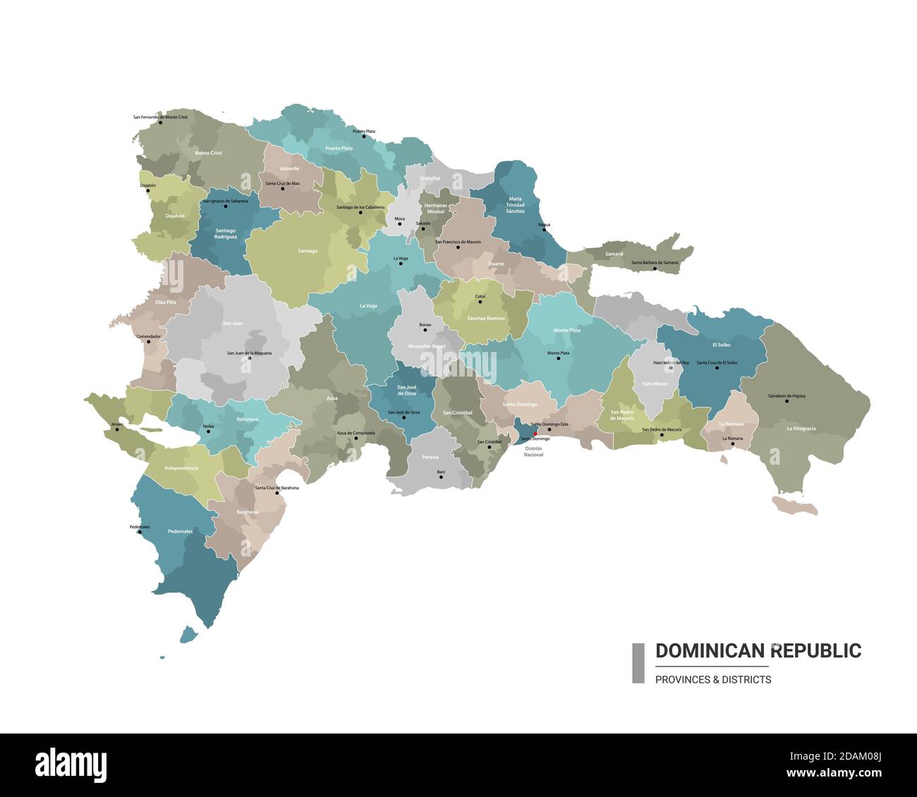 Dominican Republic higt detailed map with subdivisions. Administrative map of Dominican Republic with districts and cities name, colored by states and Stock Vectorhttps://www.alamy.com/image-license-details/?v=1https://www.alamy.com/dominican-republic-higt-detailed-map-with-subdivisions-administrative-map-of-dominican-republic-with-districts-and-cities-name-colored-by-states-and-image385213938.html
RF2DAM08J–Dominican Republic higt detailed map with subdivisions. Administrative map of Dominican Republic with districts and cities name, colored by states and
 Dominican Republic tourism landmarks, vector city travel illustration Stock Vectorhttps://www.alamy.com/image-license-details/?v=1https://www.alamy.com/dominican-republic-tourism-landmarks-vector-city-travel-illustration-image542310124.html
RF2PE8A2M–Dominican Republic tourism landmarks, vector city travel illustration
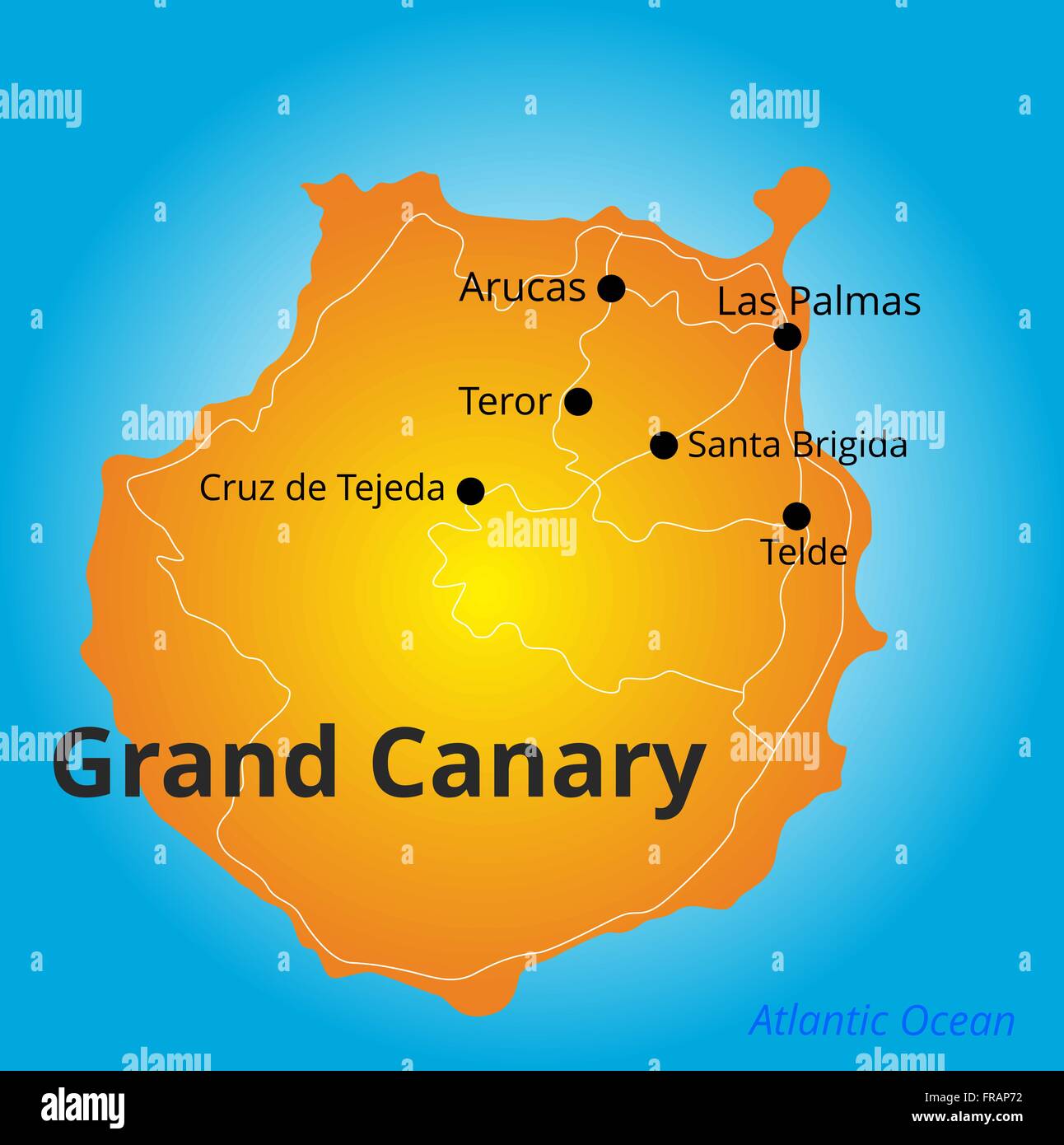 color map of Grand Canary Stock Vectorhttps://www.alamy.com/image-license-details/?v=1https://www.alamy.com/stock-photo-color-map-of-grand-canary-100425894.html
RFFRAP72–color map of Grand Canary
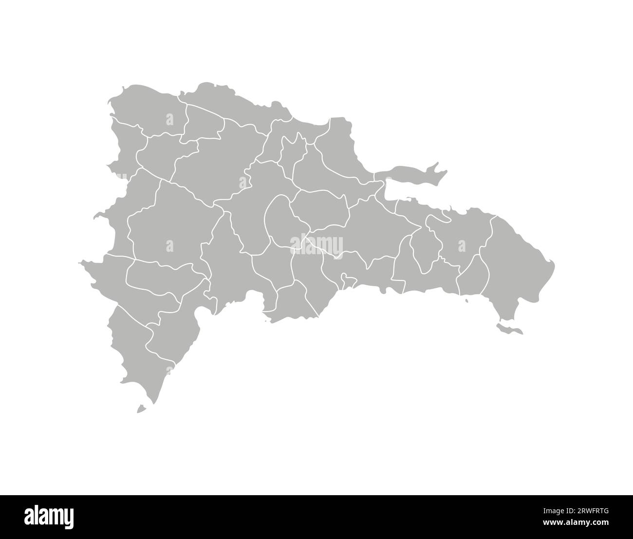 Vector isolated illustration of simplified administrative map of Dominican Republic. Borders of the provinces. Grey silhouettes. White outline. Stock Vectorhttps://www.alamy.com/image-license-details/?v=1https://www.alamy.com/vector-isolated-illustration-of-simplified-administrative-map-of-dominican-republic-borders-of-the-provinces-grey-silhouettes-white-outline-image566446176.html
RF2RWFRTG–Vector isolated illustration of simplified administrative map of Dominican Republic. Borders of the provinces. Grey silhouettes. White outline.
 Valverde Province (Dominican Republic, Hispaniola, Provinces of the Dominican Republic) map vector illustration, scribble sketch Valverde map Stock Vectorhttps://www.alamy.com/image-license-details/?v=1https://www.alamy.com/valverde-province-dominican-republic-hispaniola-provinces-of-the-dominican-republic-map-vector-illustration-scribble-sketch-valverde-map-image327665162.html
RF2A12C76–Valverde Province (Dominican Republic, Hispaniola, Provinces of the Dominican Republic) map vector illustration, scribble sketch Valverde map
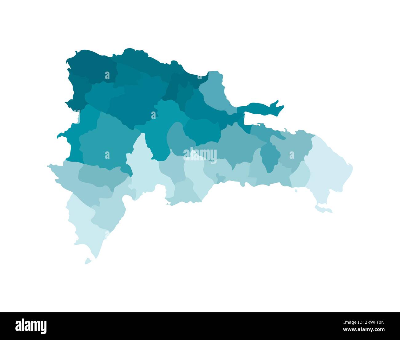 Vector isolated illustration of simplified administrative map of Dominican Republic. Borders of the provinces. Colorful blue khaki silhouettes. Stock Vectorhttps://www.alamy.com/image-license-details/?v=1https://www.alamy.com/vector-isolated-illustration-of-simplified-administrative-map-of-dominican-republic-borders-of-the-provinces-colorful-blue-khaki-silhouettes-image566446293.html
RF2RWFT0N–Vector isolated illustration of simplified administrative map of Dominican Republic. Borders of the provinces. Colorful blue khaki silhouettes.
 Valverde Province (Dominican Republic, Hispaniola, Provinces of the Dominican Republic) map vector illustration, scribble sketch Valverde map Stock Vectorhttps://www.alamy.com/image-license-details/?v=1https://www.alamy.com/valverde-province-dominican-republic-hispaniola-provinces-of-the-dominican-republic-map-vector-illustration-scribble-sketch-valverde-map-image271807836.html
RFWP5WJM–Valverde Province (Dominican Republic, Hispaniola, Provinces of the Dominican Republic) map vector illustration, scribble sketch Valverde map
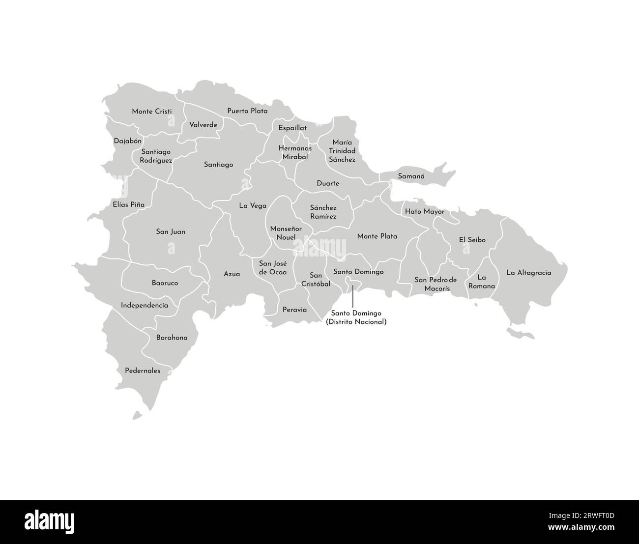 Vector isolated illustration of simplified administrative map of Dominican Republic. Borders and names of the provinces. Grey silhouettes. White outli Stock Vectorhttps://www.alamy.com/image-license-details/?v=1https://www.alamy.com/vector-isolated-illustration-of-simplified-administrative-map-of-dominican-republic-borders-and-names-of-the-provinces-grey-silhouettes-white-outli-image566446285.html
RF2RWFT0D–Vector isolated illustration of simplified administrative map of Dominican Republic. Borders and names of the provinces. Grey silhouettes. White outli