Vermont new hampshire map Stock Photos and Images
(487)See vermont new hampshire map stock video clipsQuick filters:
Vermont new hampshire map Stock Photos and Images
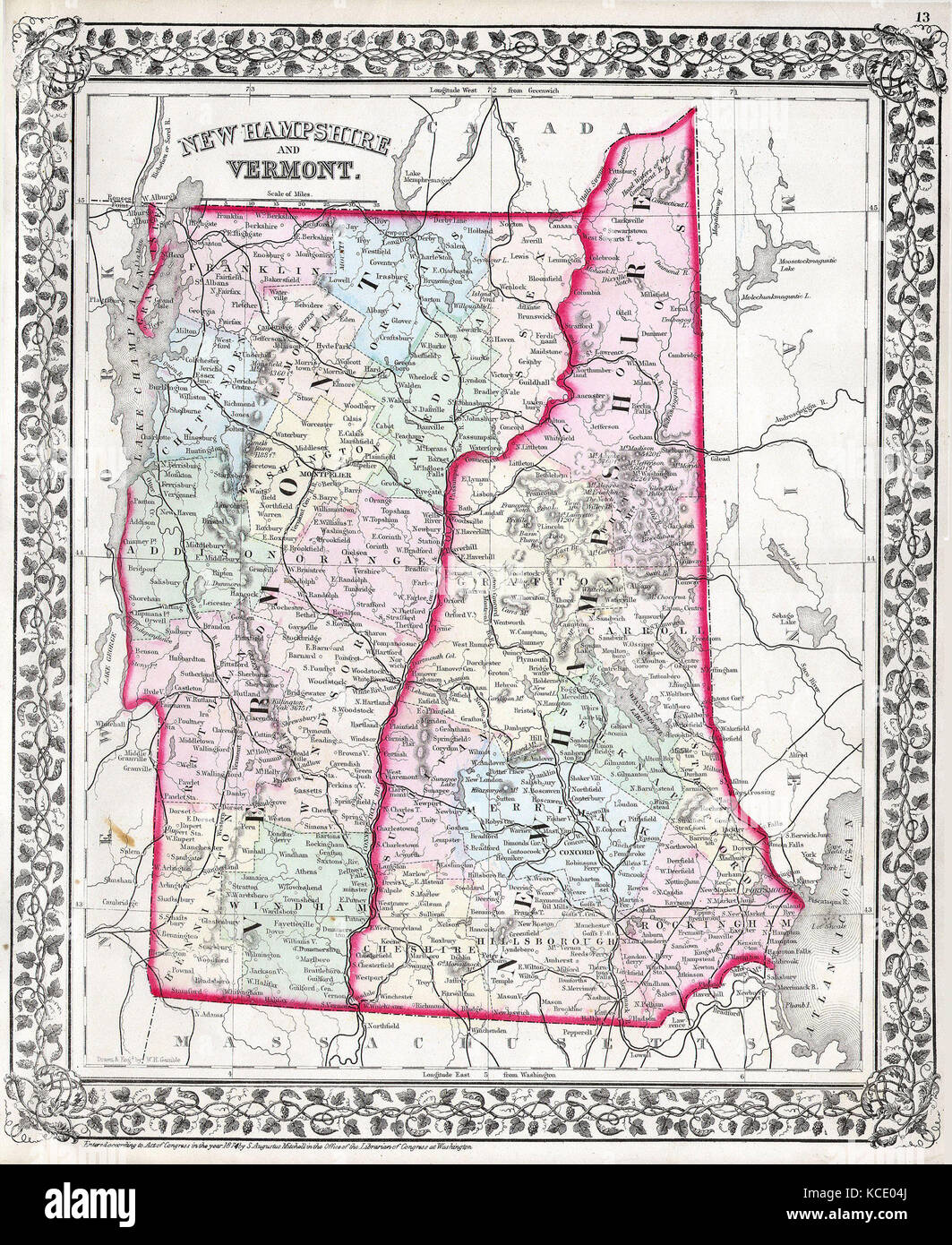 1874, Mitchell Map of Vermont and New Hampshire Stock Photohttps://www.alamy.com/image-license-details/?v=1https://www.alamy.com/stock-image-1874-mitchell-map-of-vermont-and-new-hampshire-162576642.html
RMKCE04J–1874, Mitchell Map of Vermont and New Hampshire
 US-MAPS(1891) p508 - MAP OF VERMONT AND NEW HAMPSHIRE Stock Photohttps://www.alamy.com/image-license-details/?v=1https://www.alamy.com/stock-photo-us-maps1891-p508-map-of-vermont-and-new-hampshire-75595699.html
RMEAYK2B–US-MAPS(1891) p508 - MAP OF VERMONT AND NEW HAMPSHIRE
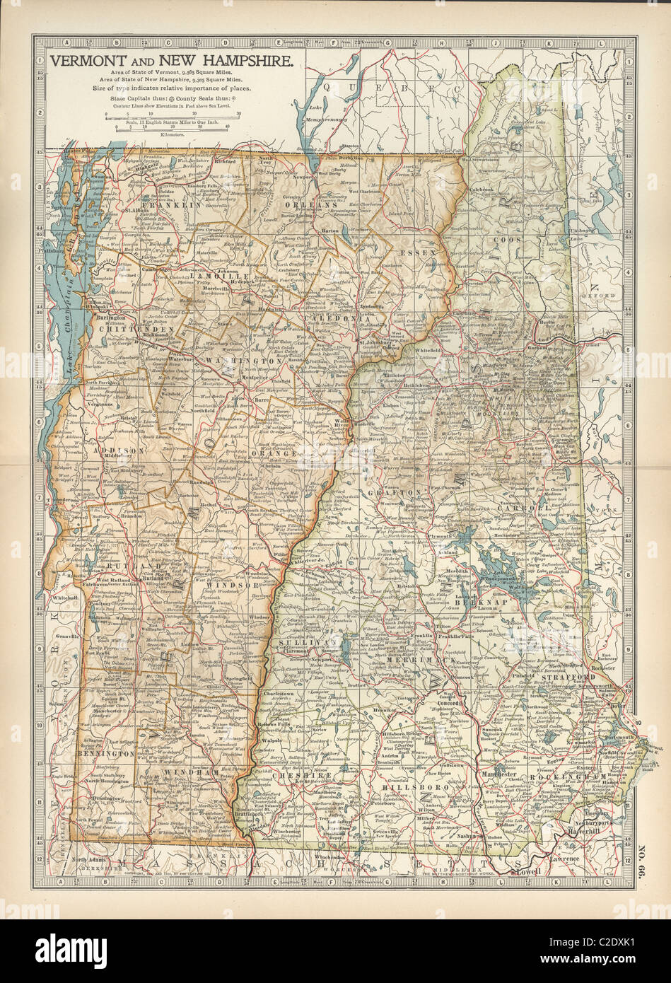 Map of Vermont and New Hampshire Stock Photohttps://www.alamy.com/image-license-details/?v=1https://www.alamy.com/stock-photo-map-of-vermont-and-new-hampshire-35956341.html
RMC2DXK1–Map of Vermont and New Hampshire
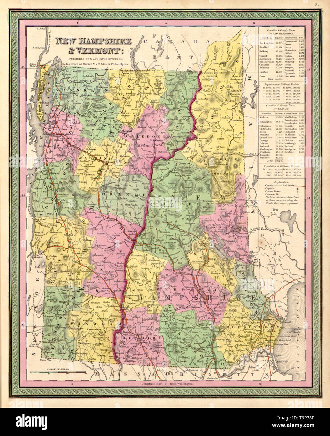 Map of New Hampshire and Vermont, circa 1844 Stock Photohttps://www.alamy.com/image-license-details/?v=1https://www.alamy.com/map-of-new-hampshire-and-vermont-circa-1844-image246965734.html
RMT9P78P–Map of New Hampshire and Vermont, circa 1844
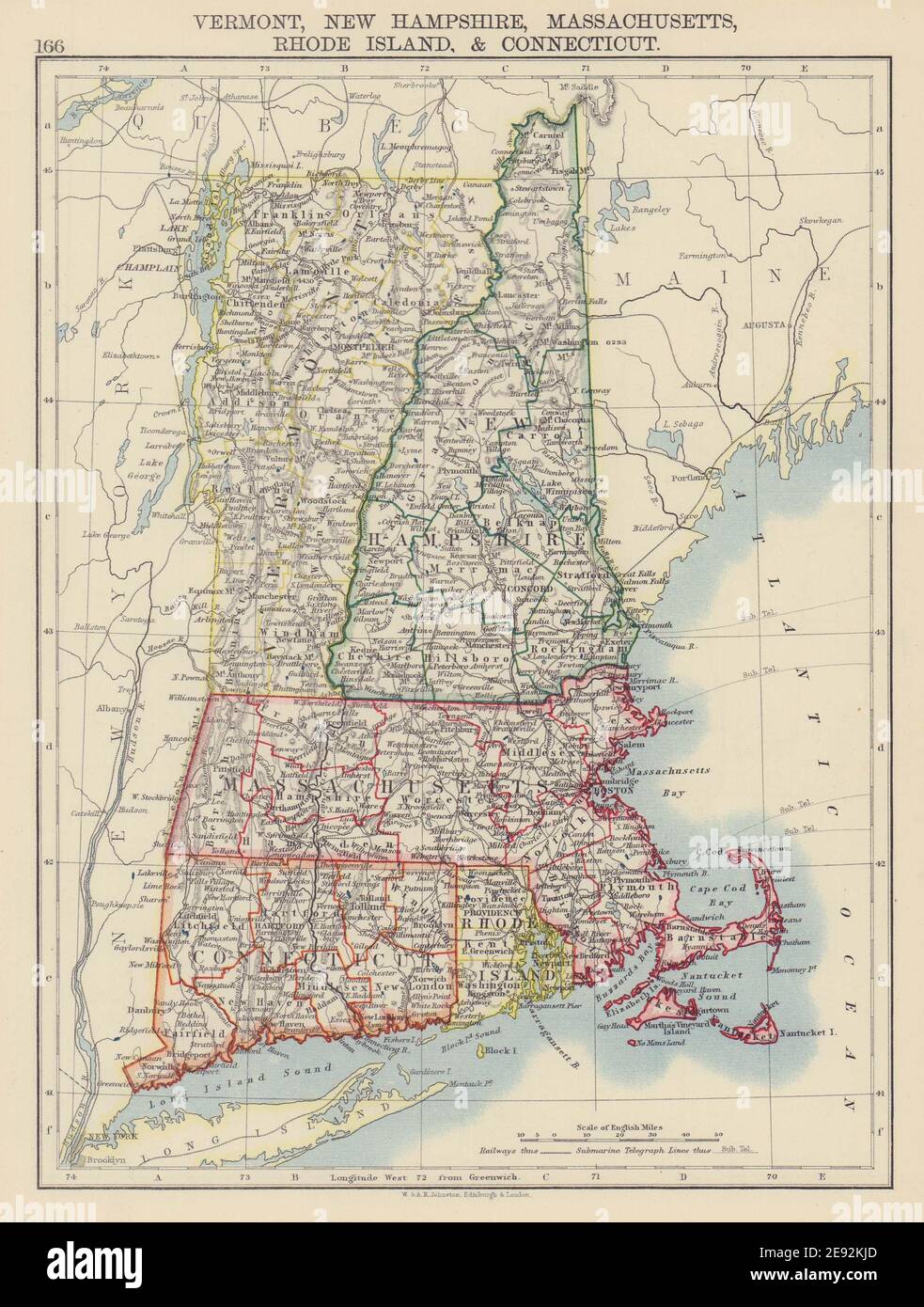 NEW ENGLAND. Vermont New Hampshire Massachusetts RI Connecticut 1901 old map Stock Photohttps://www.alamy.com/image-license-details/?v=1https://www.alamy.com/new-england-vermont-new-hampshire-massachusetts-ri-connecticut-1901-old-map-image401429685.html
RF2E92KJD–NEW ENGLAND. Vermont New Hampshire Massachusetts RI Connecticut 1901 old map
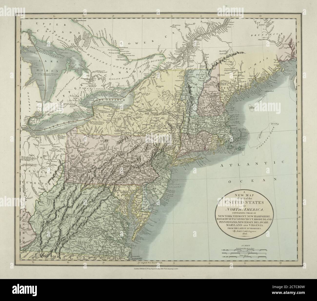 A new map of part of the United States of North America : containing those of New York, Vermont, New Hampshire, Massachusets, Connecticut, Rhode Island, Pennsylvania, New Jersey, Delaware, Maryland and Virginia from the latest authorities, cartographic, Maps, 1806, Cary, John (ca. 1754-1835 Stock Photohttps://www.alamy.com/image-license-details/?v=1https://www.alamy.com/a-new-map-of-part-of-the-united-states-of-north-america-containing-those-of-new-york-vermont-new-hampshire-massachusets-connecticut-rhode-island-pennsylvania-new-jersey-delaware-maryland-and-virginia-from-the-latest-authorities-cartographic-maps-1806-cary-john-ca-1754-1835-image376439193.html
RM2CTC80W–A new map of part of the United States of North America : containing those of New York, Vermont, New Hampshire, Massachusets, Connecticut, Rhode Island, Pennsylvania, New Jersey, Delaware, Maryland and Virginia from the latest authorities, cartographic, Maps, 1806, Cary, John (ca. 1754-1835
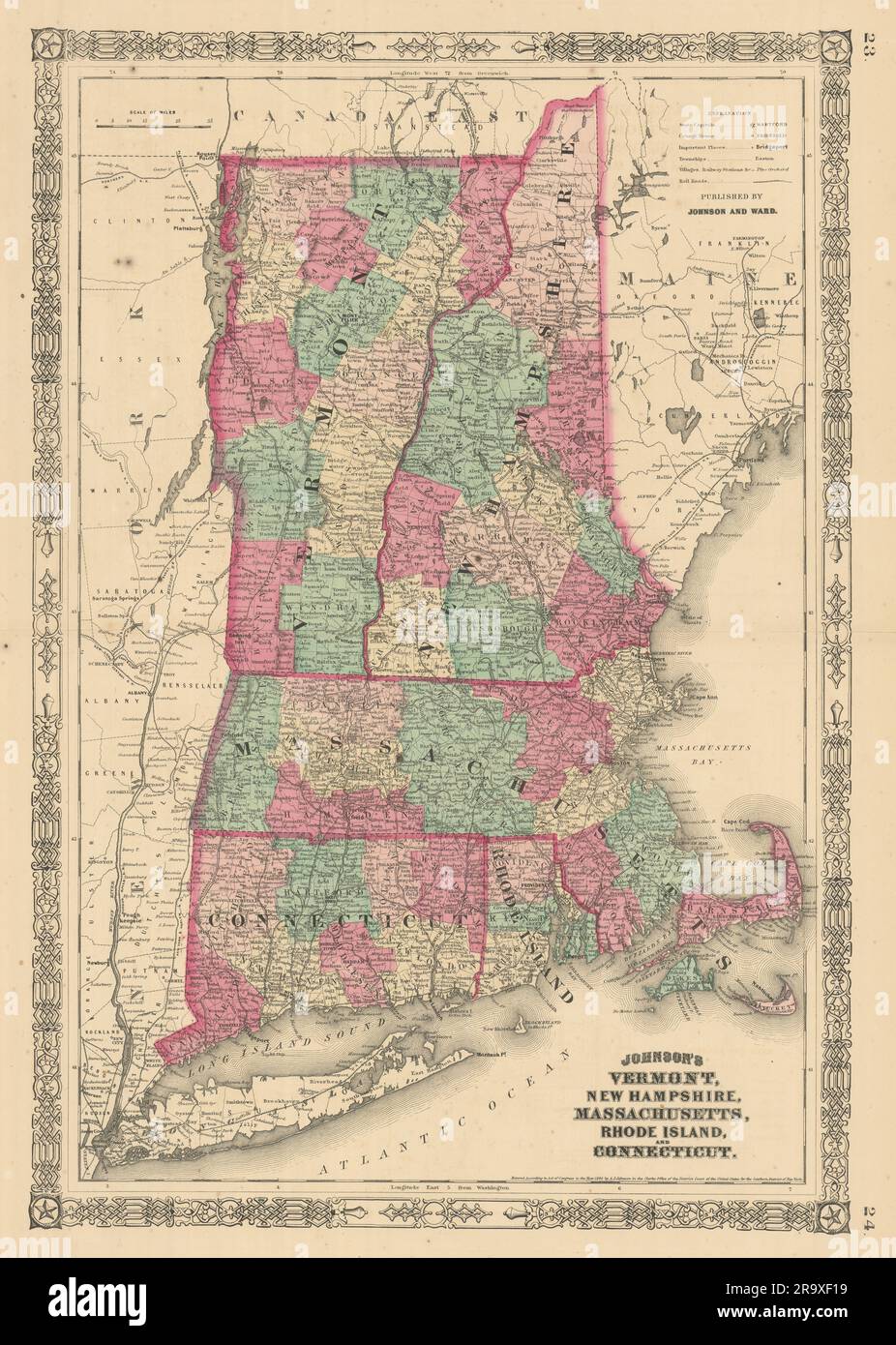 Johnson's Vermont New Hampshire Massachusetts Rhode Island Connecticut 1866 map Stock Photohttps://www.alamy.com/image-license-details/?v=1https://www.alamy.com/johnsons-vermont-new-hampshire-massachusetts-rhode-island-connecticut-1866-map-image556846229.html
RF2R9XF19–Johnson's Vermont New Hampshire Massachusetts Rhode Island Connecticut 1866 map
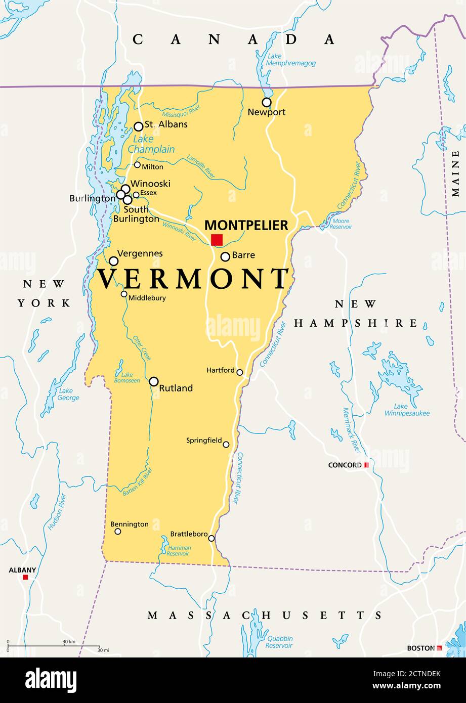 Vermont, VT, political map with capital Montpelier, borders, cities, rivers and lakes. Northeastern state in the New England region of the USA. Stock Photohttps://www.alamy.com/image-license-details/?v=1https://www.alamy.com/vermont-vt-political-map-with-capital-montpelier-borders-cities-rivers-and-lakes-northeastern-state-in-the-new-england-region-of-the-usa-image376641067.html
RF2CTNDEK–Vermont, VT, political map with capital Montpelier, borders, cities, rivers and lakes. Northeastern state in the New England region of the USA.
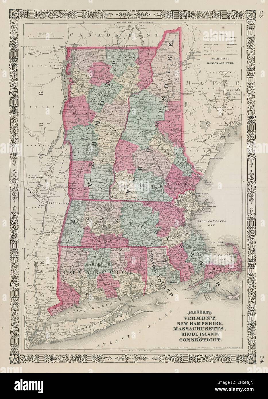 Johnson's Vermont New Hampshire Massachusetts Rhode Island Connecticut 1865 map Stock Photohttps://www.alamy.com/image-license-details/?v=1https://www.alamy.com/johnsons-vermont-new-hampshire-massachusetts-rhode-island-connecticut-1865-map-image451493581.html
RF2H6F8JN–Johnson's Vermont New Hampshire Massachusetts Rhode Island Connecticut 1865 map
 1862, Johnson Map of Vermont and New Hampshire Stock Photohttps://www.alamy.com/image-license-details/?v=1https://www.alamy.com/stock-image-1862-johnson-map-of-vermont-and-new-hampshire-162576330.html
RMKCDYNE–1862, Johnson Map of Vermont and New Hampshire
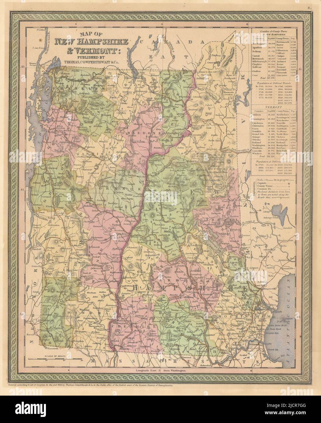 Map of New Hampshire & Vermont. State map with counties. COWPERTHWAIT 1852 Stock Photohttps://www.alamy.com/image-license-details/?v=1https://www.alamy.com/map-of-new-hampshire-vermont-state-map-with-counties-cowperthwait-1852-image472566656.html
RF2JCR7GG–Map of New Hampshire & Vermont. State map with counties. COWPERTHWAIT 1852
 1877, Mitchell Map of Vermont and New Hampshire Stock Photohttps://www.alamy.com/image-license-details/?v=1https://www.alamy.com/stock-image-1877-mitchell-map-of-vermont-and-new-hampshire-162576653.html
RMKCE051–1877, Mitchell Map of Vermont and New Hampshire
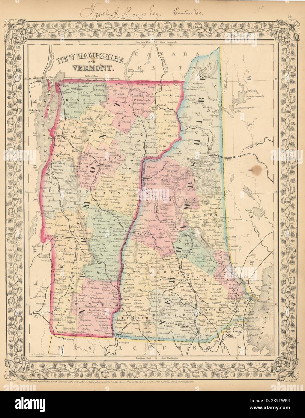 New Hampshire and Vermont State map in counties by S. Augustus Mitchell 1869 Stock Photohttps://www.alamy.com/image-license-details/?v=1https://www.alamy.com/new-hampshire-and-vermont-state-map-in-counties-by-s-augustus-mitchell-1869-image487969295.html
RF2K9TWPR–New Hampshire and Vermont State map in counties by S. Augustus Mitchell 1869
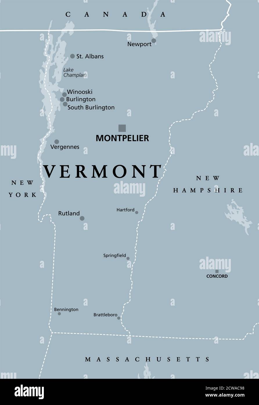 Vermont, VT, gray political map with the capital Montpelier. Northeastern state in the New England region of the United States of America. Stock Photohttps://www.alamy.com/image-license-details/?v=1https://www.alamy.com/vermont-vt-gray-political-map-with-the-capital-montpelier-northeastern-state-in-the-new-england-region-of-the-united-states-of-america-image377013316.html
RF2CWAC98–Vermont, VT, gray political map with the capital Montpelier. Northeastern state in the New England region of the United States of America.
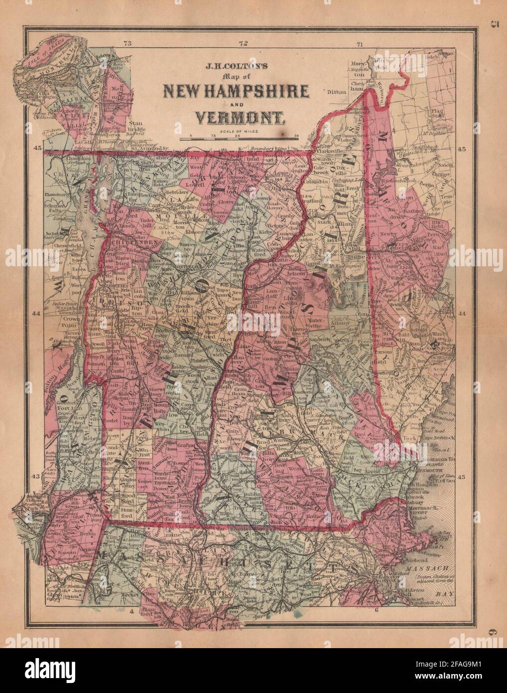 J. H. Colton's map of New Hampshire and Vermont 1864 old antique chart Stock Photohttps://www.alamy.com/image-license-details/?v=1https://www.alamy.com/j-h-coltons-map-of-new-hampshire-and-vermont-1864-old-antique-chart-image419554241.html
RF2FAG9M1–J. H. Colton's map of New Hampshire and Vermont 1864 old antique chart
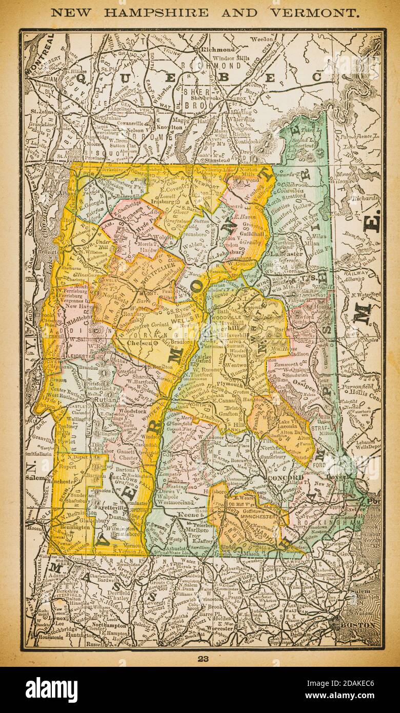 19th century map of New Hampshire and Vermont. Published in New Dollar Atlas of the United States and Dominion of Canada. (Rand McNally & Co's, Chicag Stock Photohttps://www.alamy.com/image-license-details/?v=1https://www.alamy.com/19th-century-map-of-new-hampshire-and-vermont-published-in-new-dollar-atlas-of-the-united-states-and-dominion-of-canada-rand-mcnally-cos-chicag-image385203062.html
RF2DAKEC6–19th century map of New Hampshire and Vermont. Published in New Dollar Atlas of the United States and Dominion of Canada. (Rand McNally & Co's, Chicag
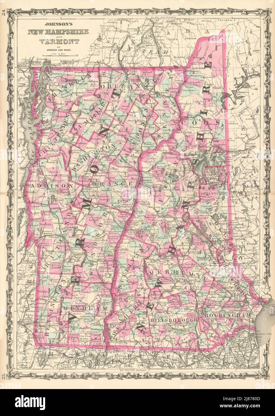 Johnson's New Hampshire & Vermont. US State map showing counties 1863 old Stock Photohttps://www.alamy.com/image-license-details/?v=1https://www.alamy.com/johnsons-new-hampshire-vermont-us-state-map-showing-counties-1863-old-image469757133.html
RF2J8780D–Johnson's New Hampshire & Vermont. US State map showing counties 1863 old
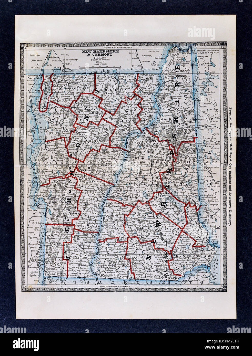 George Cram Antique Map from 1866 Atlas for Attorneys and Bankers: United States - Vermont & New Hampshire Concord Montpelier Stock Photohttps://www.alamy.com/image-license-details/?v=1https://www.alamy.com/stock-image-george-cram-antique-map-from-1866-atlas-for-attorneys-and-bankers-167231025.html
RFKM20TH–George Cram Antique Map from 1866 Atlas for Attorneys and Bankers: United States - Vermont & New Hampshire Concord Montpelier
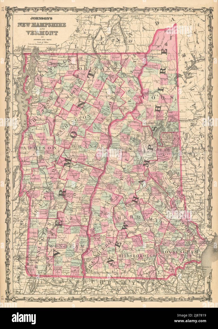 Johnson's New Hampshire & Vermont. US State map showing counties 1862 old Stock Photohttps://www.alamy.com/image-license-details/?v=1https://www.alamy.com/johnsons-new-hampshire-vermont-us-state-map-showing-counties-1862-old-image469757157.html
RF2J87819–Johnson's New Hampshire & Vermont. US State map showing counties 1862 old
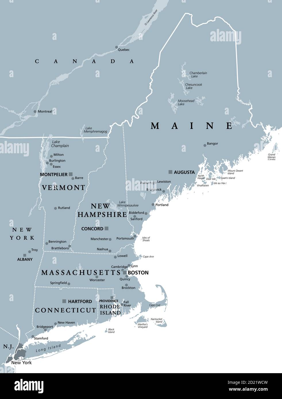 New England region of the United States of America, gray political map. Maine, Vermont, New Hampshire, Massachusetts, Rhode Island and Connecticut. Stock Photohttps://www.alamy.com/image-license-details/?v=1https://www.alamy.com/new-england-region-of-the-united-states-of-america-gray-political-map-maine-vermont-new-hampshire-massachusetts-rhode-island-and-connecticut-image379899321.html
RF2D21WCW–New England region of the United States of America, gray political map. Maine, Vermont, New Hampshire, Massachusetts, Rhode Island and Connecticut.
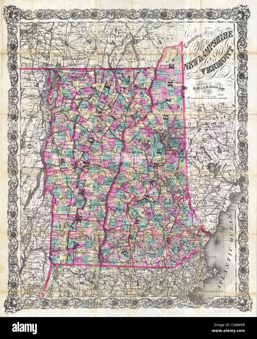 1892 Colton Pocket Map of Vermont and New Hampshire Stock Photohttps://www.alamy.com/image-license-details/?v=1https://www.alamy.com/stock-photo-1892-colton-pocket-map-of-vermont-and-new-hampshire-49968111.html
RMCW86RB–1892 Colton Pocket Map of Vermont and New Hampshire
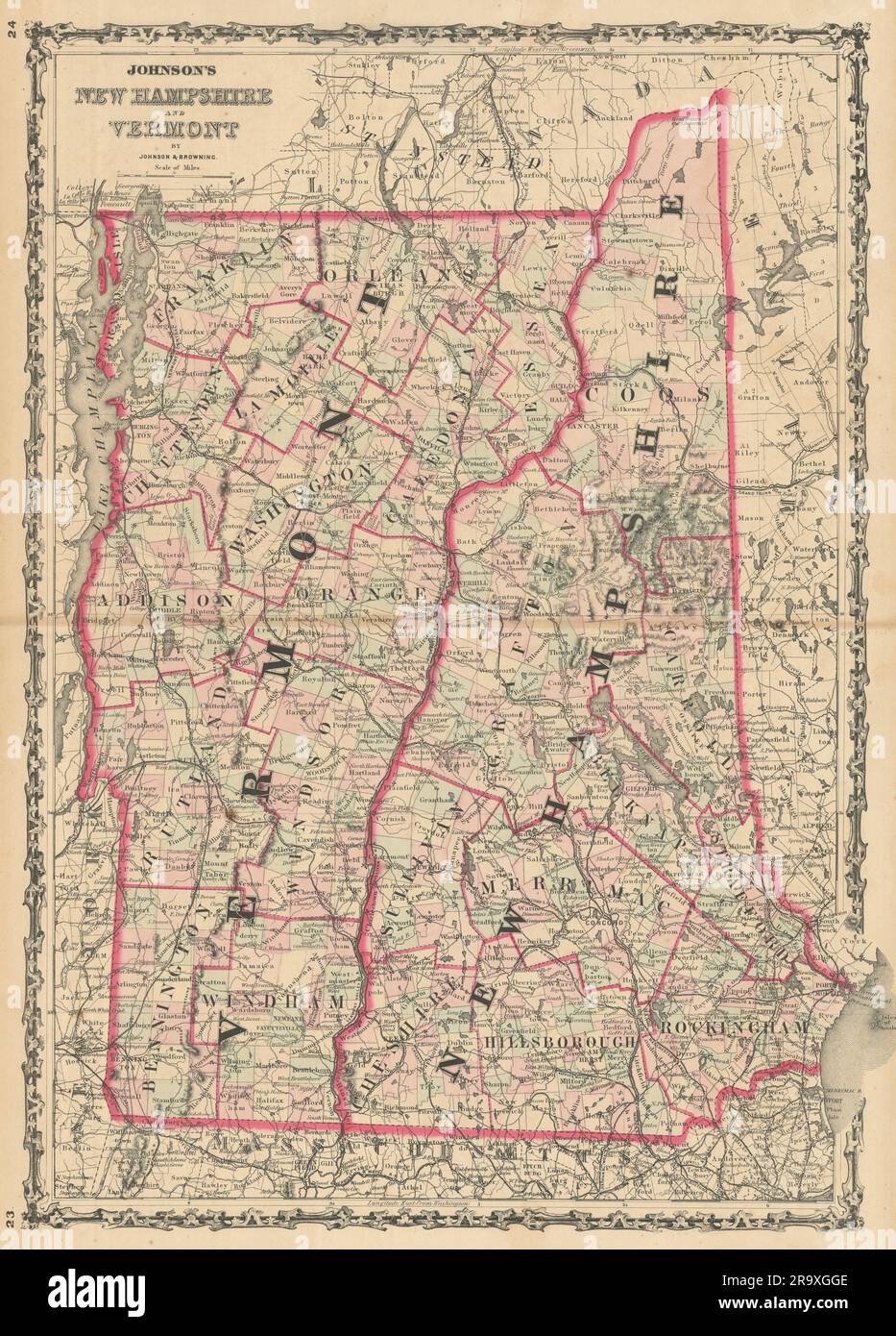 Johnson's New Hampshire & Vermont. US State map showing counties 1861 old Stock Photohttps://www.alamy.com/image-license-details/?v=1https://www.alamy.com/johnsons-new-hampshire-vermont-us-state-map-showing-counties-1861-old-image556847438.html
RF2R9XGGE–Johnson's New Hampshire & Vermont. US State map showing counties 1861 old
 New England region of the United States of America, political map. Maine, Vermont, New Hampshire, Massachusetts, Rhode Island and Connecticut. Stock Photohttps://www.alamy.com/image-license-details/?v=1https://www.alamy.com/new-england-region-of-the-united-states-of-america-political-map-maine-vermont-new-hampshire-massachusetts-rhode-island-and-connecticut-image378656647.html
RF2D018BK–New England region of the United States of America, political map. Maine, Vermont, New Hampshire, Massachusetts, Rhode Island and Connecticut.
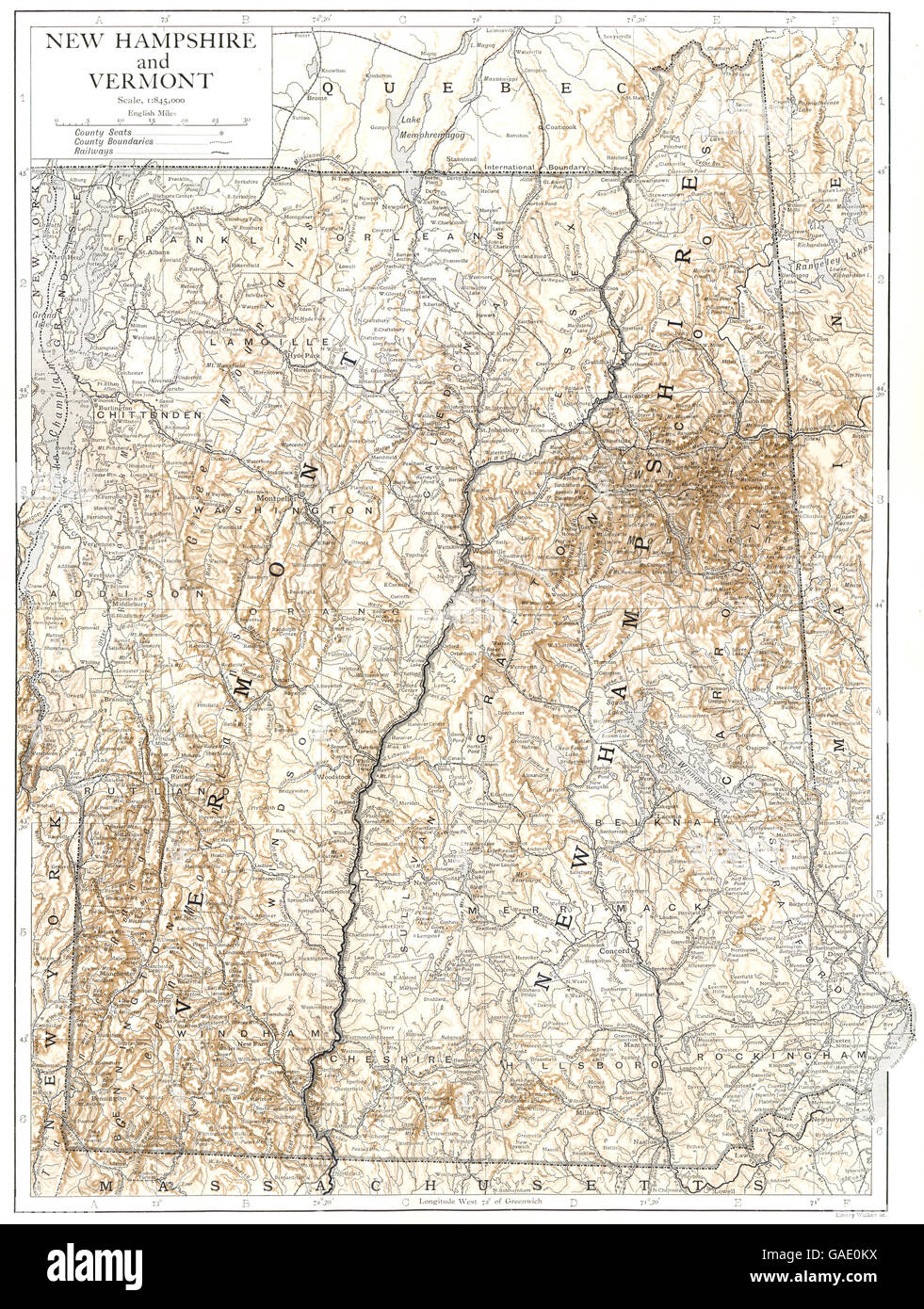 New Hampshire and Vermont: state map showing counties, 1910 Stock Photohttps://www.alamy.com/image-license-details/?v=1https://www.alamy.com/stock-photo-new-hampshire-and-vermont-state-map-showing-counties-1910-109716654.html
RFGAE0KX–New Hampshire and Vermont: state map showing counties, 1910
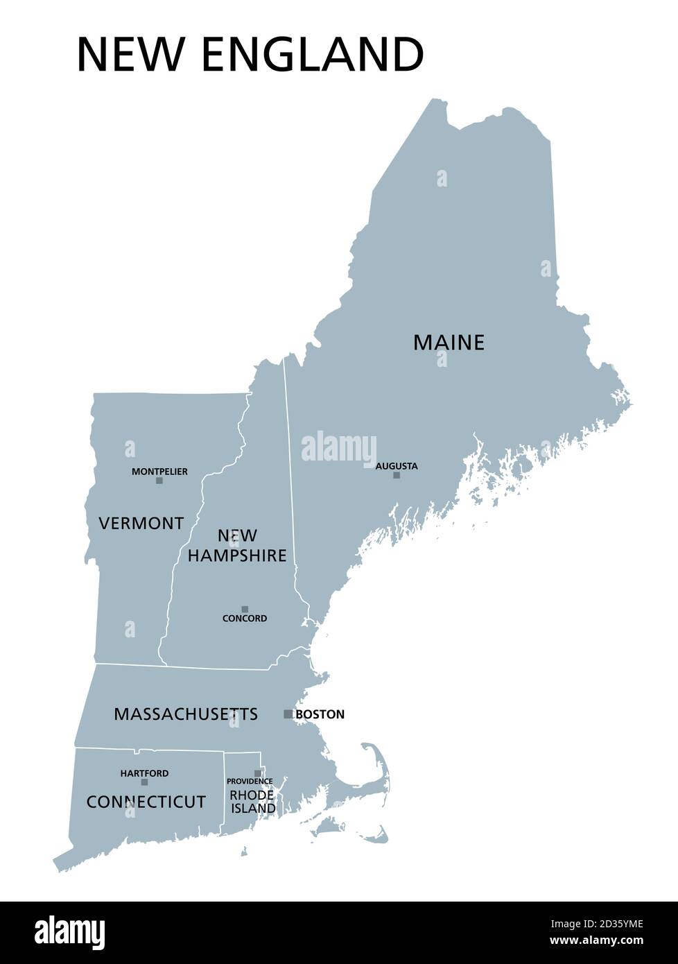 New England region of the United States, gray political map. The six states Maine, Vermont, New Hampshire, Massachusetts, Rhode Island and Connecticut Stock Photohttps://www.alamy.com/image-license-details/?v=1https://www.alamy.com/new-england-region-of-the-united-states-gray-political-map-the-six-states-maine-vermont-new-hampshire-massachusetts-rhode-island-and-connecticut-image380603566.html
RF2D35YME–New England region of the United States, gray political map. The six states Maine, Vermont, New Hampshire, Massachusetts, Rhode Island and Connecticut
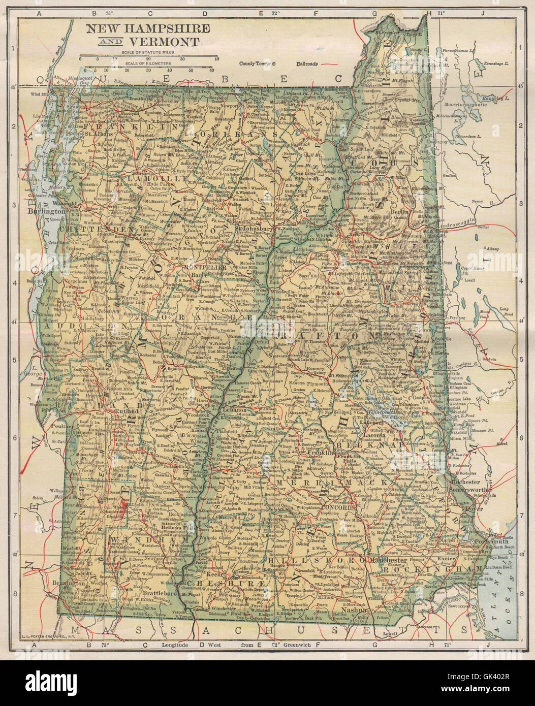 New Hampshire and Vermont state map showing railroads. POATES, 1925 Stock Photohttps://www.alamy.com/image-license-details/?v=1https://www.alamy.com/stock-photo-new-hampshire-and-vermont-state-map-showing-railroads-poates-1925-115028559.html
RFGK402R–New Hampshire and Vermont state map showing railroads. POATES, 1925
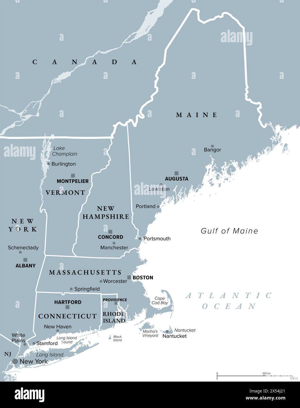 New England, a region of the United States, gray political map. Maine, Vermont, New Hampshire, Massachusetts, Rhode Island and Connecticut. Stock Photohttps://www.alamy.com/image-license-details/?v=1https://www.alamy.com/new-england-a-region-of-the-united-states-gray-political-map-maine-vermont-new-hampshire-massachusetts-rhode-island-and-connecticut-image605538137.html
RF2X54J21–New England, a region of the United States, gray political map. Maine, Vermont, New Hampshire, Massachusetts, Rhode Island and Connecticut.
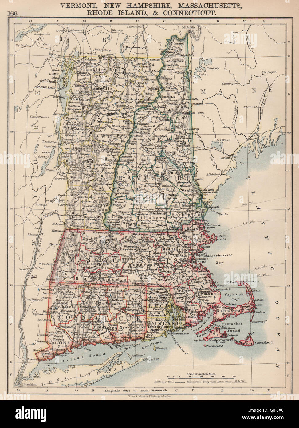 NEW ENGLAND. Vermont New Hampshire Massachusetts RI Connecticut, 1906 old map Stock Photohttps://www.alamy.com/image-license-details/?v=1https://www.alamy.com/stock-photo-new-england-vermont-new-hampshire-massachusetts-ri-connecticut-1906-114662296.html
RFGJF8X0–NEW ENGLAND. Vermont New Hampshire Massachusetts RI Connecticut, 1906 old map
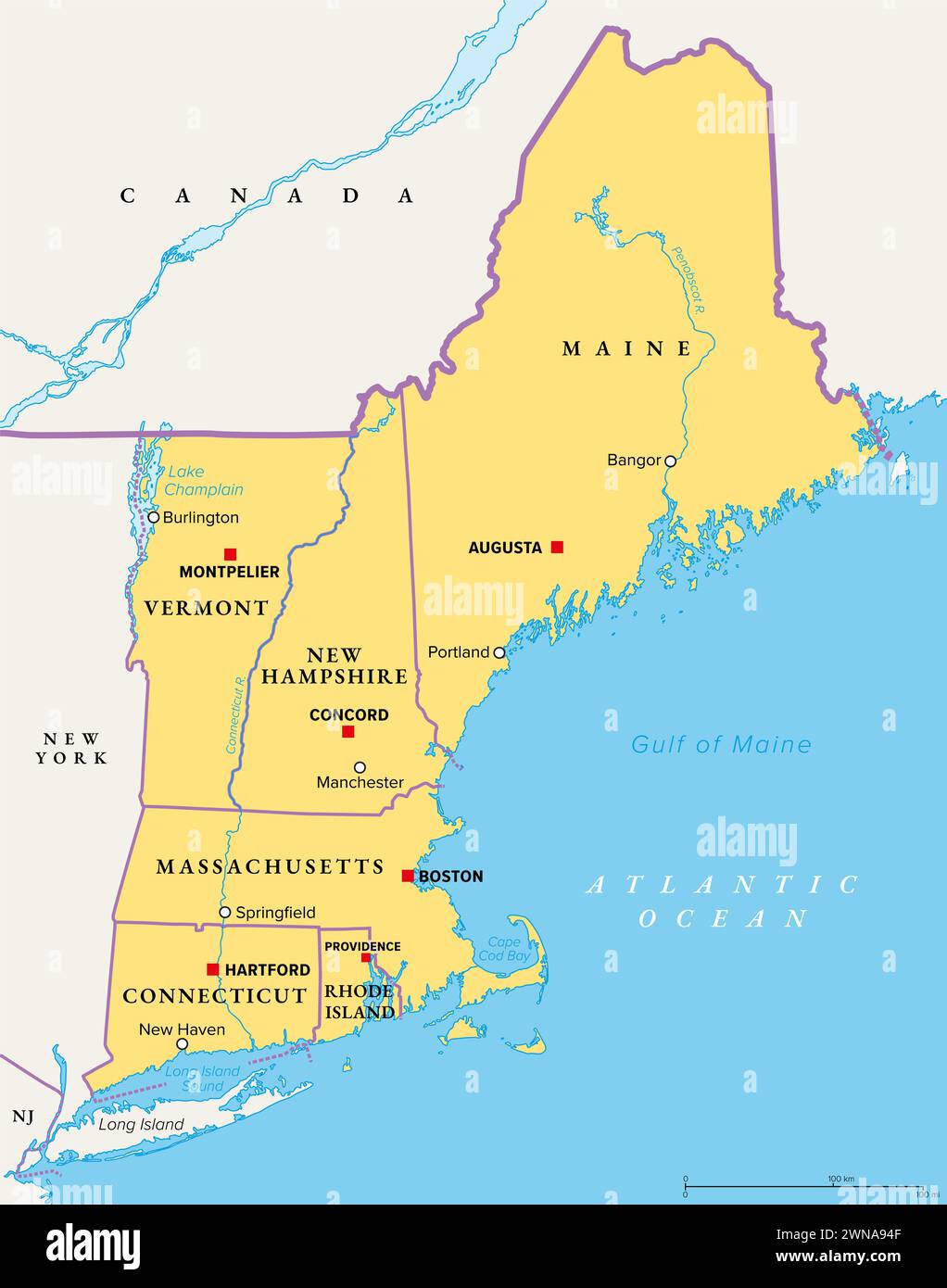 New England, a region of the United States, political map. Maine, Vermont, New Hampshire, Massachusetts, Rhode Island and Connecticut with Capitals. Stock Photohttps://www.alamy.com/image-license-details/?v=1https://www.alamy.com/new-england-a-region-of-the-united-states-political-map-maine-vermont-new-hampshire-massachusetts-rhode-island-and-connecticut-with-capitals-image598286991.html
RF2WNA94F–New England, a region of the United States, political map. Maine, Vermont, New Hampshire, Massachusetts, Rhode Island and Connecticut with Capitals.
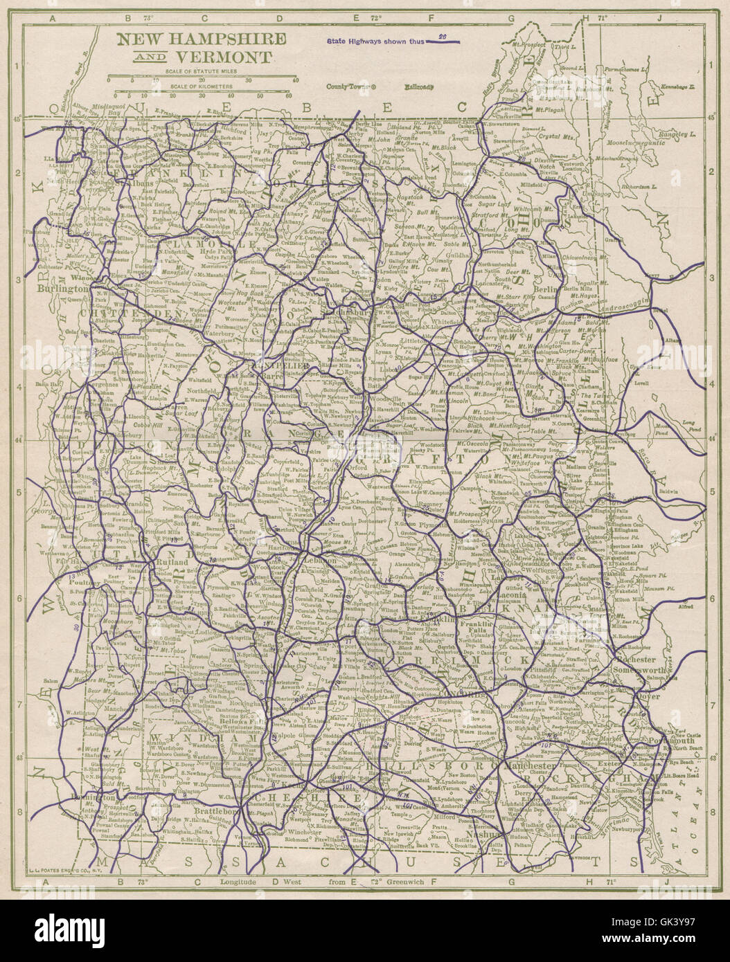 New Hampshire and Vermont State Highways. POATES, 1925 vintage map Stock Photohttps://www.alamy.com/image-license-details/?v=1https://www.alamy.com/stock-photo-new-hampshire-and-vermont-state-highways-poates-1925-vintage-map-115027955.html
RFGK3Y97–New Hampshire and Vermont State Highways. POATES, 1925 vintage map
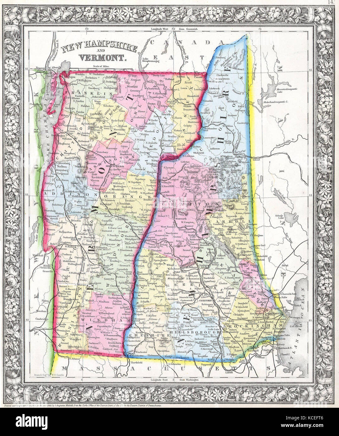 1862, Mitchell's Map of Vermont and New Hampshire Stock Photohttps://www.alamy.com/image-license-details/?v=1https://www.alamy.com/stock-image-1862-mitchells-map-of-vermont-and-new-hampshire-162588950.html
RMKCEFT6–1862, Mitchell's Map of Vermont and New Hampshire
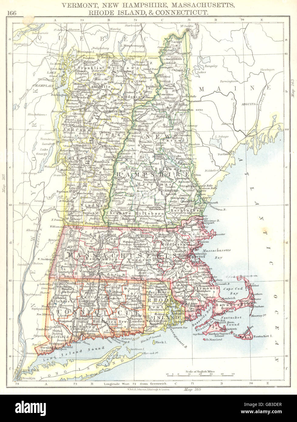 US NEW ENGLAND:Vermont Connecticut Rhode Is.New Hampshire Massachusetts 1897 map Stock Photohttps://www.alamy.com/image-license-details/?v=1https://www.alamy.com/stock-photo-us-new-englandvermont-connecticut-rhode-isnew-hampshire-massachusetts-110099887.html
RFGB3DER–US NEW ENGLAND:Vermont Connecticut Rhode Is.New Hampshire Massachusetts 1897 map
 1861, Johnson Map of Vermont and New Hampshire Stock Photohttps://www.alamy.com/image-license-details/?v=1https://www.alamy.com/stock-image-1861-johnson-map-of-vermont-and-new-hampshire-162576259.html
RMKCDYJY–1861, Johnson Map of Vermont and New Hampshire
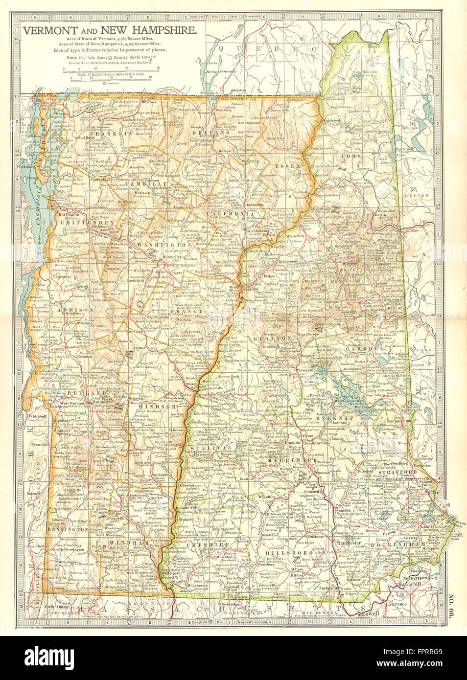 VERMONT NEW HAMPSHIRE: Shows Revolutionary war battles/dates 1775-77, 1903 map Stock Photohttps://www.alamy.com/image-license-details/?v=1https://www.alamy.com/stock-photo-vermont-new-hampshire-shows-revolutionary-war-battlesdates-1775-77-100097657.html
RFFPRRG9–VERMONT NEW HAMPSHIRE: Shows Revolutionary war battles/dates 1775-77, 1903 map
 Image 6 of Sanborn Fire Insurance Map from Bellows Falls, Windham County, Vermont. Jun 1912. 14 Sheet(s). Includes North Walpole, Cheshire Co., New Hampshire, America, street map with a Nineteenth Century compass Stock Photohttps://www.alamy.com/image-license-details/?v=1https://www.alamy.com/image-6-of-sanborn-fire-insurance-map-from-bellows-falls-windham-county-vermont-jun-1912-14-sheets-includes-north-walpole-cheshire-co-new-hampshire-america-street-map-with-a-nineteenth-century-compass-image344708145.html
RM2B0PPN5–Image 6 of Sanborn Fire Insurance Map from Bellows Falls, Windham County, Vermont. Jun 1912. 14 Sheet(s). Includes North Walpole, Cheshire Co., New Hampshire, America, street map with a Nineteenth Century compass
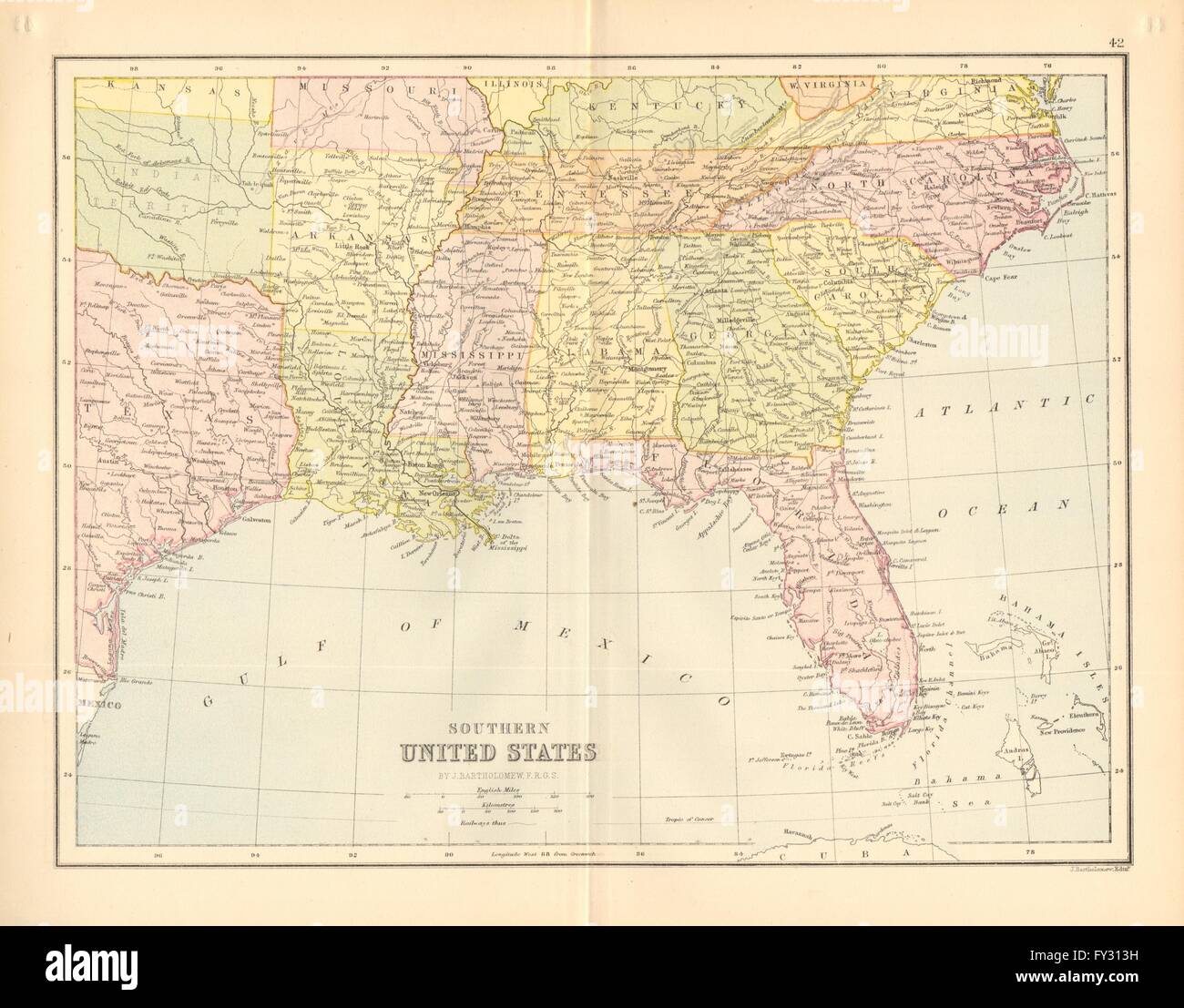 NEW ENGLAND USA. Maine NH Vermont Massachusetts RI Connecticut, 1876 old map Stock Photohttps://www.alamy.com/image-license-details/?v=1https://www.alamy.com/stock-photo-new-england-usa-maine-nh-vermont-massachusetts-ri-connecticut-1876-102714293.html
RFFY313H–NEW ENGLAND USA. Maine NH Vermont Massachusetts RI Connecticut, 1876 old map
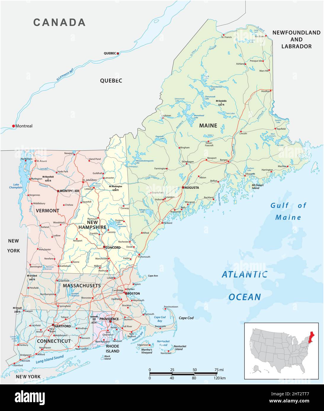 vector road map of the six new england states, united states Stock Vectorhttps://www.alamy.com/image-license-details/?v=1https://www.alamy.com/vector-road-map-of-the-six-new-england-states-united-states-image462284711.html
RF2HT2TT7–vector road map of the six new england states, united states
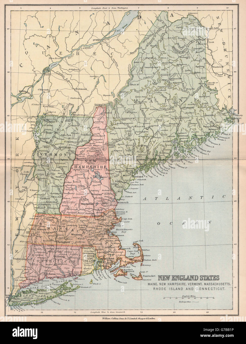 NEW ENGLAND USA. Maine NH Vermont Massachusetts RI Connecticut, 1878 old map Stock Photohttps://www.alamy.com/image-license-details/?v=1https://www.alamy.com/stock-photo-new-england-usa-maine-nh-vermont-massachusetts-ri-connecticut-1878-107814946.html
RFG7BB1P–NEW ENGLAND USA. Maine NH Vermont Massachusetts RI Connecticut, 1878 old map
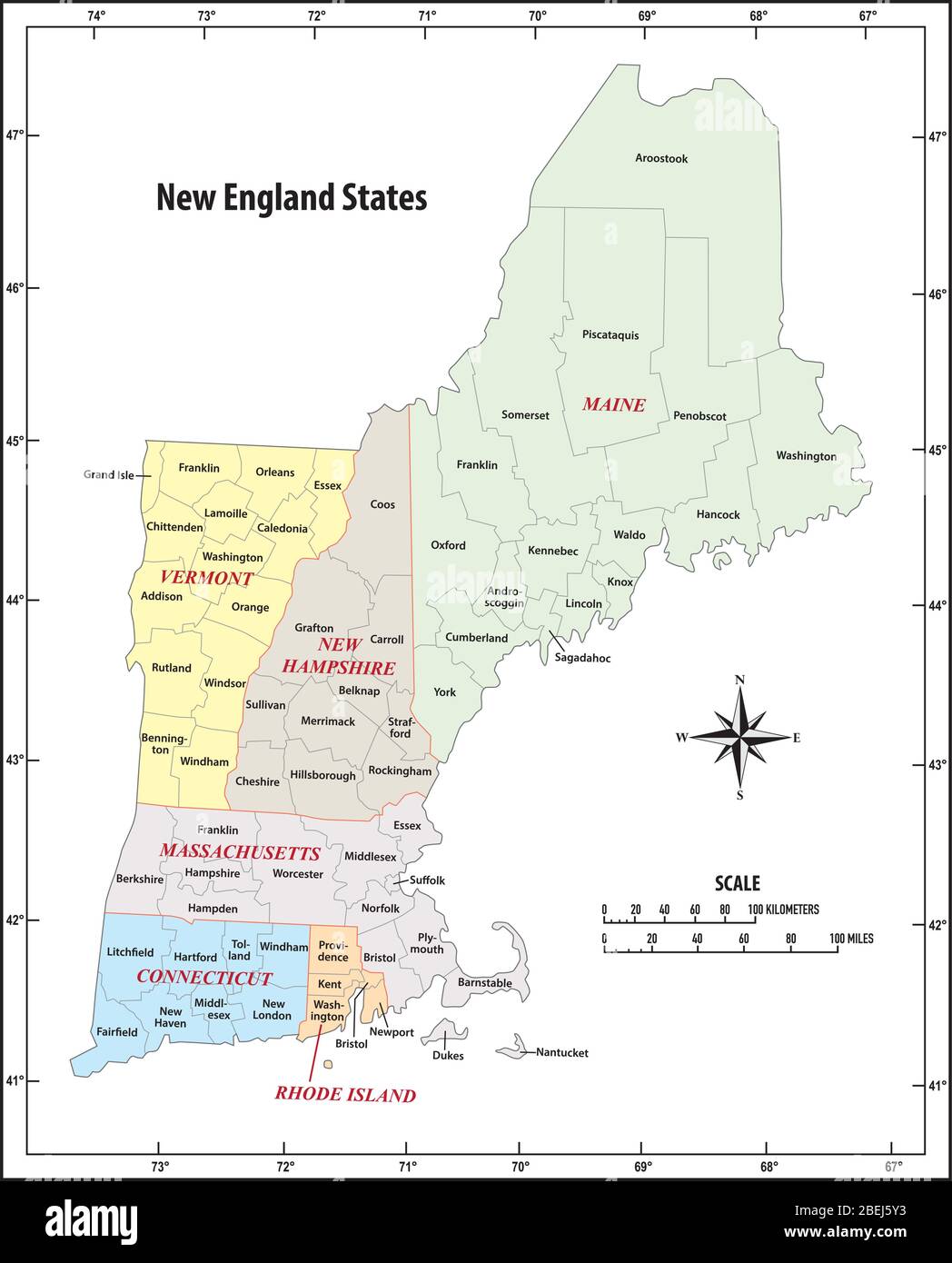 administrative vector map of the five New England states, United States Stock Vectorhttps://www.alamy.com/image-license-details/?v=1https://www.alamy.com/administrative-vector-map-of-the-five-new-england-states-united-states-image353212359.html
RF2BEJ5Y3–administrative vector map of the five New England states, United States
 1862 Johnson Map of Vermont and New Hampshire Stock Photohttps://www.alamy.com/image-license-details/?v=1https://www.alamy.com/stock-photo-1862-johnson-map-of-vermont-and-new-hampshire-50538933.html
RMCX66WW–1862 Johnson Map of Vermont and New Hampshire
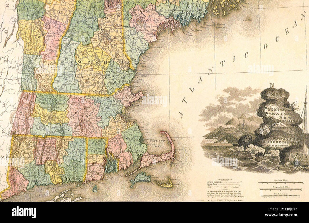 East Coast Map 1823 Stock Photohttps://www.alamy.com/image-license-details/?v=1https://www.alamy.com/east-coast-map-1823-image184185939.html
RMMKJB17–East Coast Map 1823
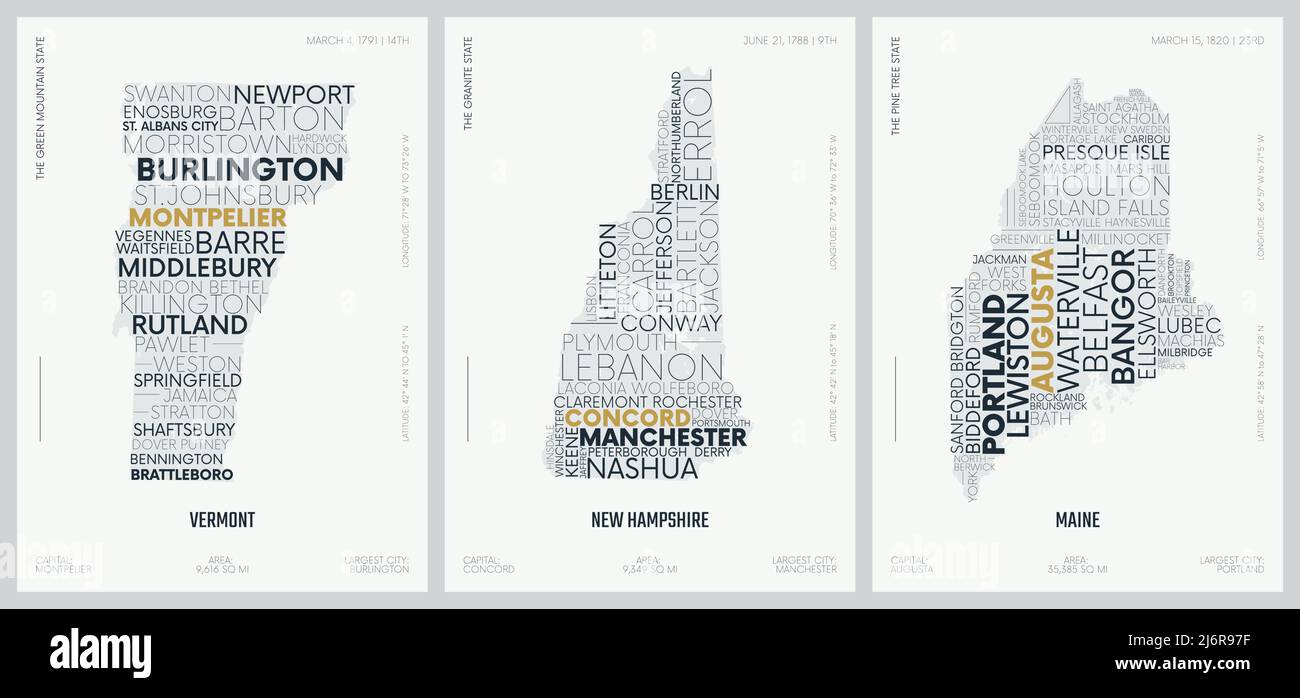 Typography composition of city names, silhouettes maps of the states of America, vector detailed posters, New England - Vermont, New Hampshire, Maine Stock Vectorhttps://www.alamy.com/image-license-details/?v=1https://www.alamy.com/typography-composition-of-city-names-silhouettes-maps-of-the-states-of-america-vector-detailed-posters-new-england-vermont-new-hampshire-maine-image468880035.html
RF2J6R97F–Typography composition of city names, silhouettes maps of the states of America, vector detailed posters, New England - Vermont, New Hampshire, Maine
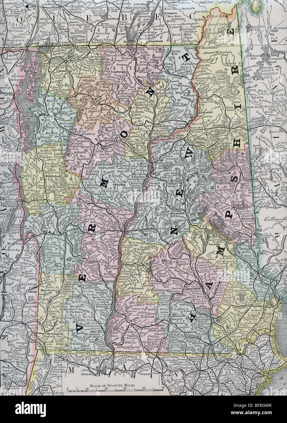 Original old map of New Hampshire and Vermont from 1884 geography textbook Stock Photohttps://www.alamy.com/image-license-details/?v=1https://www.alamy.com/stock-photo-original-old-map-of-new-hampshire-and-vermont-from-1884-geography-26619087.html
RMBF8GWK–Original old map of New Hampshire and Vermont from 1884 geography textbook
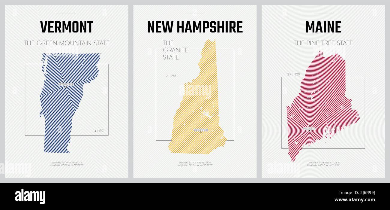 Vector posters detailed silhouettes maps of the states of America with abstract linear pattern, Division New England - Vermont, New Hampshire, Maine - Stock Vectorhttps://www.alamy.com/image-license-details/?v=1https://www.alamy.com/vector-posters-detailed-silhouettes-maps-of-the-states-of-america-with-abstract-linear-pattern-division-new-england-vermont-new-hampshire-maine-image468880094.html
RF2J6R99J–Vector posters detailed silhouettes maps of the states of America with abstract linear pattern, Division New England - Vermont, New Hampshire, Maine -
 1839 Mitchell Map - New England - Massachusetts Rhode Island Vermont Connecticut New Hampshire Maine - United States Stock Photohttps://www.alamy.com/image-license-details/?v=1https://www.alamy.com/stock-photo-1839-mitchell-map-new-england-massachusetts-rhode-island-vermont-connecticut-174591179.html
RFM418R7–1839 Mitchell Map - New England - Massachusetts Rhode Island Vermont Connecticut New Hampshire Maine - United States
 Vector posters states of the United States with a name, nickname, date admitted to the Union, Division New England - Vermont, New Hampshire, Maine Stock Vectorhttps://www.alamy.com/image-license-details/?v=1https://www.alamy.com/vector-posters-states-of-the-united-states-with-a-name-nickname-date-admitted-to-the-union-division-new-england-vermont-new-hampshire-maine-image468880096.html
RF2J6R99M–Vector posters states of the United States with a name, nickname, date admitted to the Union, Division New England - Vermont, New Hampshire, Maine
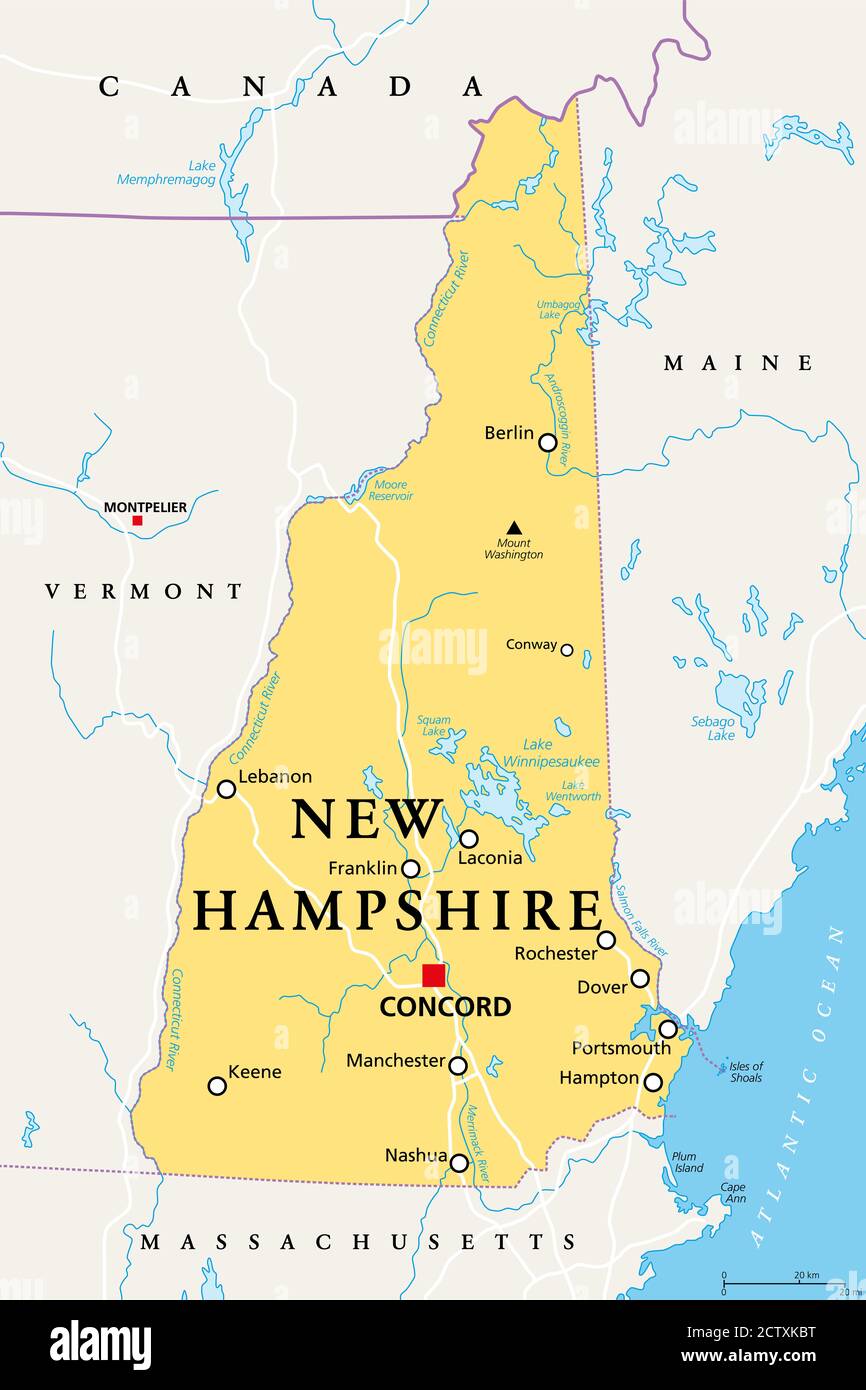 New Hampshire, NH, political map, with capital Concord. State in the New England region of the United States of America. The Granite State. Stock Photohttps://www.alamy.com/image-license-details/?v=1https://www.alamy.com/new-hampshire-nh-political-map-with-capital-concord-state-in-the-new-england-region-of-the-united-states-of-america-the-granite-state-image376755452.html
RF2CTXKBT–New Hampshire, NH, political map, with capital Concord. State in the New England region of the United States of America. The Granite State.
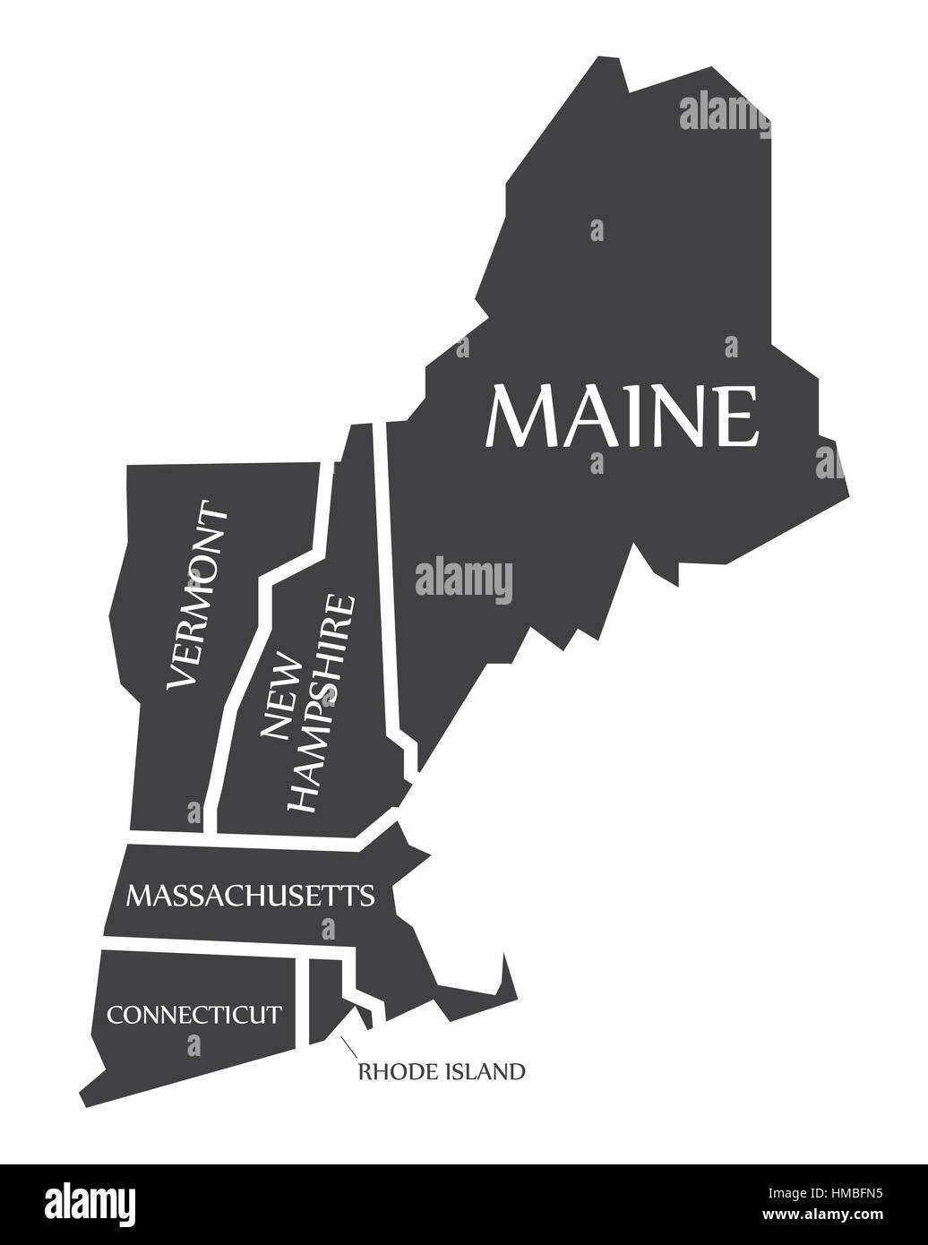 Maine - New Hampshire - Vermont - Massachusetts Map labelled black illustration Stock Vectorhttps://www.alamy.com/image-license-details/?v=1https://www.alamy.com/stock-photo-maine-new-hampshire-vermont-massachusetts-map-labelled-black-illustration-133019521.html
RFHMBFN5–Maine - New Hampshire - Vermont - Massachusetts Map labelled black illustration
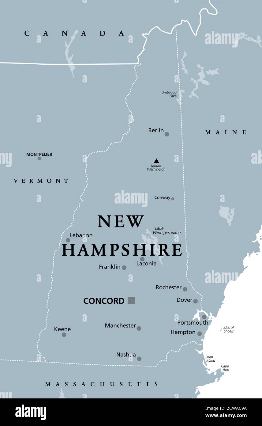 New Hampshire, NH, gray political map, with capital Concord. State in the New England region of United States of America. The Granite State. Stock Photohttps://www.alamy.com/image-license-details/?v=1https://www.alamy.com/new-hampshire-nh-gray-political-map-with-capital-concord-state-in-the-new-england-region-of-united-states-of-america-the-granite-state-image377013318.html
RF2CWAC9A–New Hampshire, NH, gray political map, with capital Concord. State in the New England region of United States of America. The Granite State.
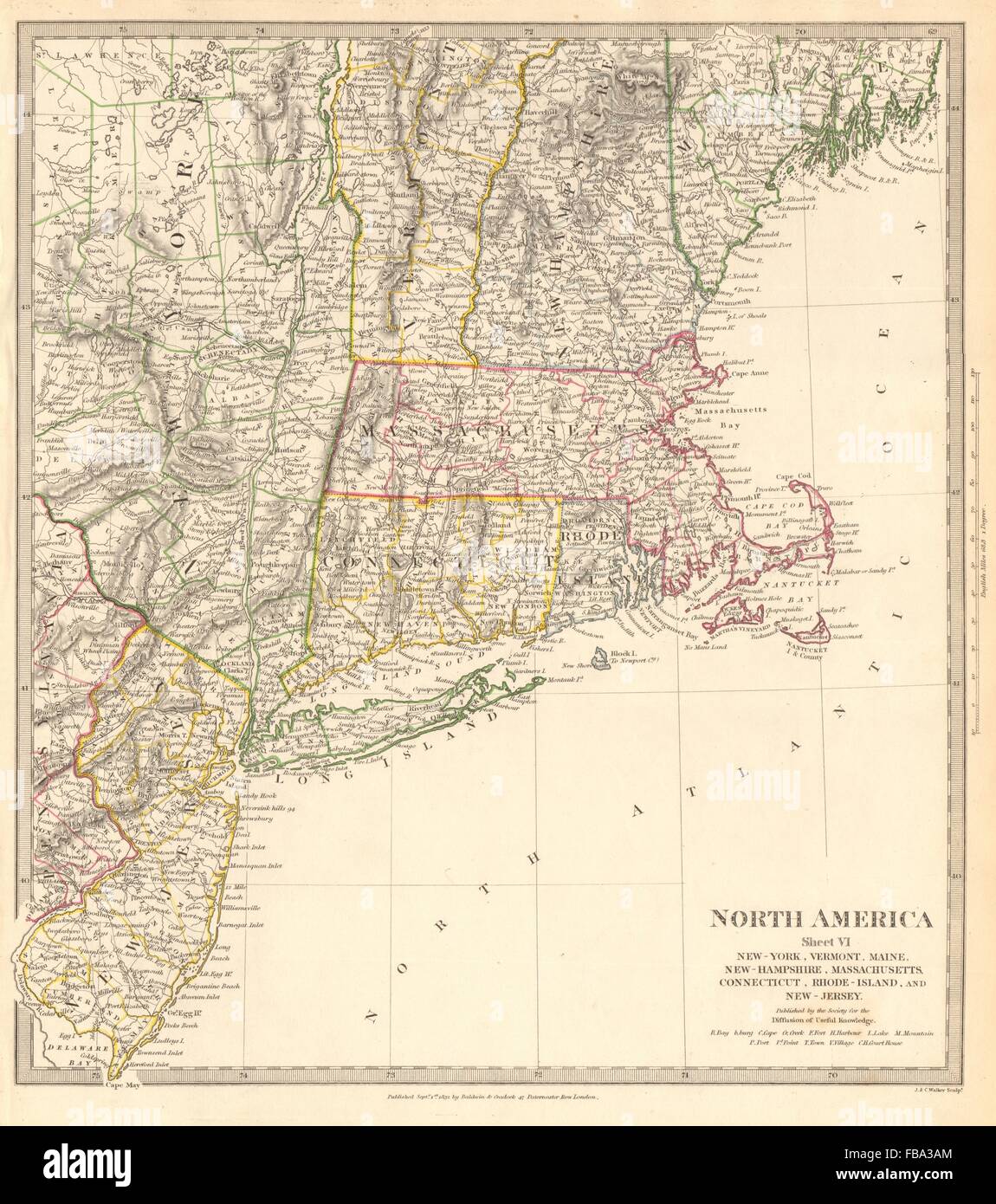 USA.New York Maine Massachusetts Connecticut New Jersey NH RI VT.SDUK, 1844 map Stock Photohttps://www.alamy.com/image-license-details/?v=1https://www.alamy.com/stock-photo-usanew-york-maine-massachusetts-connecticut-new-jersey-nh-ri-vtsduk-93035228.html
RFFBA3AM–USA.New York Maine Massachusetts Connecticut New Jersey NH RI VT.SDUK, 1844 map
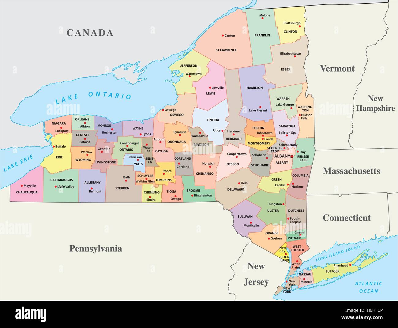 new york administrative and political map Stock Vectorhttps://www.alamy.com/image-license-details/?v=1https://www.alamy.com/stock-photo-new-york-administrative-and-political-map-124545814.html
RFH6HFCP–new york administrative and political map
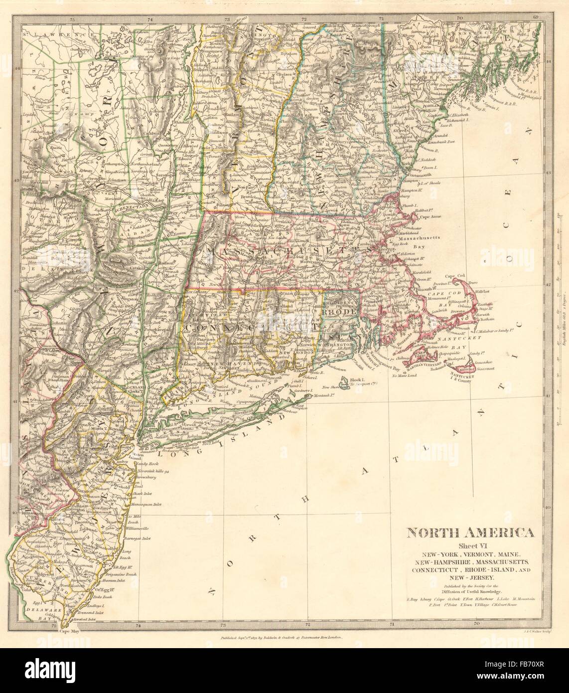 USA:New York Maine Massachusetts Connecticut New Jersey NH RI VT.SDUK, 1848 map Stock Photohttps://www.alamy.com/image-license-details/?v=1https://www.alamy.com/stock-photo-usanew-york-maine-massachusetts-connecticut-new-jersey-nh-ri-vtsduk-92967471.html
RFFB70XR–USA:New York Maine Massachusetts Connecticut New Jersey NH RI VT.SDUK, 1848 map
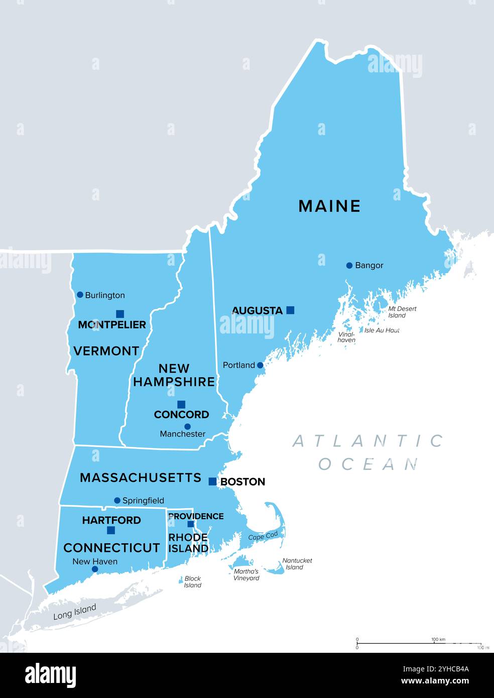 New England region of United States, political map with borders, capitals and most important cities. Stock Photohttps://www.alamy.com/image-license-details/?v=1https://www.alamy.com/new-england-region-of-united-states-political-map-with-borders-capitals-and-most-important-cities-image630294570.html
RF2YHCB4A–New England region of United States, political map with borders, capitals and most important cities.
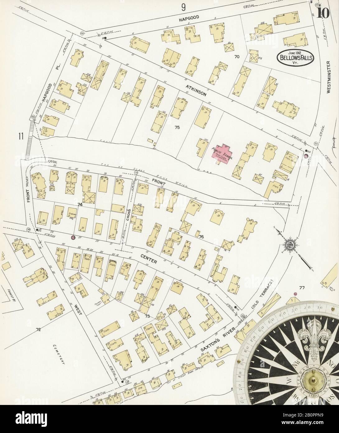 Image 10 of Sanborn Fire Insurance Map from Bellows Falls, Windham County, Vermont. Jun 1912. 14 Sheet(s). Includes North Walpole, Cheshire Co., New Hampshire, America, street map with a Nineteenth Century compass Stock Photohttps://www.alamy.com/image-license-details/?v=1https://www.alamy.com/image-10-of-sanborn-fire-insurance-map-from-bellows-falls-windham-county-vermont-jun-1912-14-sheets-includes-north-walpole-cheshire-co-new-hampshire-america-street-map-with-a-nineteenth-century-compass-image344708149.html
RM2B0PPN9–Image 10 of Sanborn Fire Insurance Map from Bellows Falls, Windham County, Vermont. Jun 1912. 14 Sheet(s). Includes North Walpole, Cheshire Co., New Hampshire, America, street map with a Nineteenth Century compass
 New England region, colored map. A region in the United States of America, consisting of six states. Stock Photohttps://www.alamy.com/image-license-details/?v=1https://www.alamy.com/new-england-region-colored-map-a-region-in-the-united-states-of-america-consisting-of-six-states-image380603522.html
RF2D35YJX–New England region, colored map. A region in the United States of America, consisting of six states.
 Northeastern United States, Relief Map Stock Photohttps://www.alamy.com/image-license-details/?v=1https://www.alamy.com/stock-photo-northeastern-united-states-relief-map-71609312.html
RME4E2BC–Northeastern United States, Relief Map
 A new map of part of the United States of North America : containing those of New York, Vermont, New Hampshire, Massachusets, Connecticut, Rhode Island, Pennsylvania, New Jersey, Delaware, Maryland and Virginia from the latest authorities 1806 by Cary, John, approximately 1754-1835 Stock Photohttps://www.alamy.com/image-license-details/?v=1https://www.alamy.com/a-new-map-of-part-of-the-united-states-of-north-america-containing-those-of-new-york-vermont-new-hampshire-massachusets-connecticut-rhode-island-pennsylvania-new-jersey-delaware-maryland-and-virginia-from-the-latest-authorities-1806-by-cary-john-approximately-1754-1835-image633086920.html
RM2YNYGR4–A new map of part of the United States of North America : containing those of New York, Vermont, New Hampshire, Massachusets, Connecticut, Rhode Island, Pennsylvania, New Jersey, Delaware, Maryland and Virginia from the latest authorities 1806 by Cary, John, approximately 1754-1835
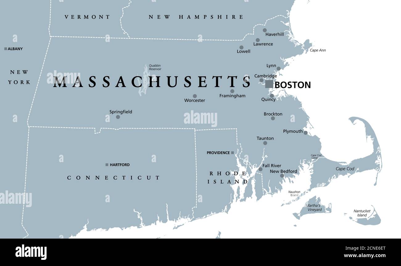 Massachusetts, gray political map, with capital Boston. Commonwealth of Massachusetts, MA. Most populous state in the New England region of USA. Stock Photohttps://www.alamy.com/image-license-details/?v=1https://www.alamy.com/massachusetts-gray-political-map-with-capital-boston-commonwealth-of-massachusetts-ma-most-populous-state-in-the-new-england-region-of-usa-image374637952.html
RF2CNE6ET–Massachusetts, gray political map, with capital Boston. Commonwealth of Massachusetts, MA. Most populous state in the New England region of USA.
 Connecticut, Massachusetts, New Hampshire ^ Vermont - Geographicus - NYNewEngland-mitchell-1864, Rhode Island, 1864 Mitchell Map of New York Stock Photohttps://www.alamy.com/image-license-details/?v=1https://www.alamy.com/stock-photo-connecticut-massachusetts-new-hampshire-vermont-geographicus-nynewengland-133518337.html
RMHN6801–Connecticut, Massachusetts, New Hampshire ^ Vermont - Geographicus - NYNewEngland-mitchell-1864, Rhode Island, 1864 Mitchell Map of New York
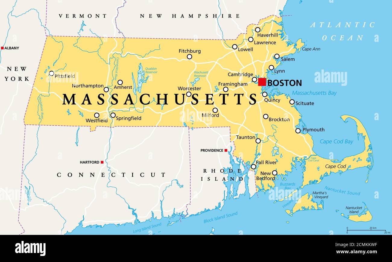 Massachusetts, political map with capital Boston. Commonwealth of Massachusetts, MA. Most populous state in the New England region of United States. Stock Photohttps://www.alamy.com/image-license-details/?v=1https://www.alamy.com/massachusetts-political-map-with-capital-boston-commonwealth-of-massachusetts-ma-most-populous-state-in-the-new-england-region-of-united-states-image374143547.html
RF2CMKKWF–Massachusetts, political map with capital Boston. Commonwealth of Massachusetts, MA. Most populous state in the New England region of United States.
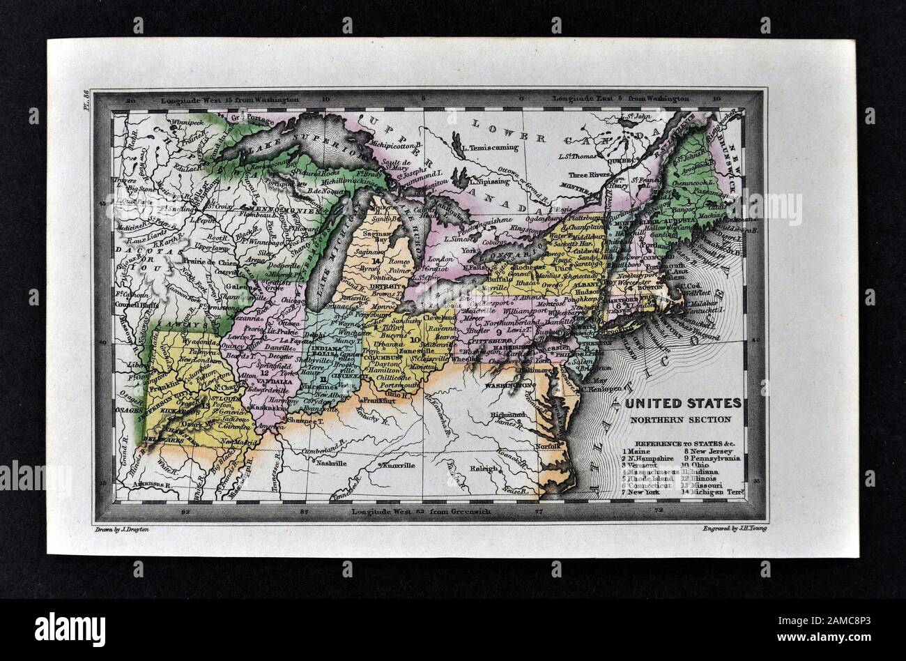 1834 Carey Map United States of America Northeastern and Midwestern States including Maine Massachusetts Connecticut Pennsylvania Ohio Indiana Illinois Missouri Michigan New York Stock Photohttps://www.alamy.com/image-license-details/?v=1https://www.alamy.com/1834-carey-map-united-states-of-america-northeastern-and-midwestern-states-including-maine-massachusetts-connecticut-pennsylvania-ohio-indiana-illinois-missouri-michigan-new-york-image339560427.html
RF2AMC8P3–1834 Carey Map United States of America Northeastern and Midwestern States including Maine Massachusetts Connecticut Pennsylvania Ohio Indiana Illinois Missouri Michigan New York
 Original old map of New Hampshire and Vermont from 1884 geography textbook Stock Photohttps://www.alamy.com/image-license-details/?v=1https://www.alamy.com/stock-photo-original-old-map-of-new-hampshire-and-vermont-from-1884-geography-26763592.html
RMBFF56G–Original old map of New Hampshire and Vermont from 1884 geography textbook
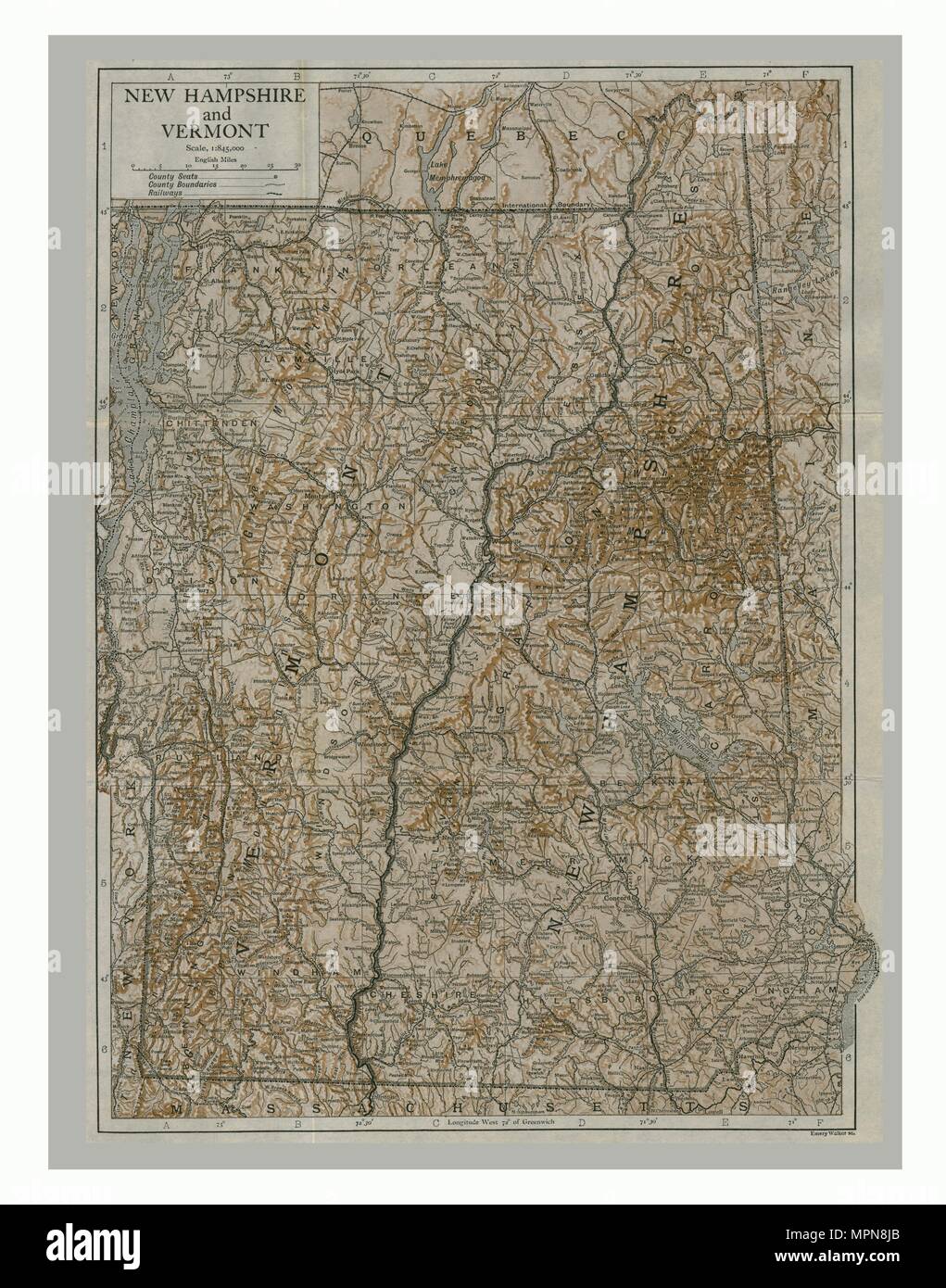 Map of New Hampshire and Vermont, USA, c1900s. Creator: Emery Walker Ltd. Stock Photohttps://www.alamy.com/image-license-details/?v=1https://www.alamy.com/map-of-new-hampshire-and-vermont-usa-c1900s-creator-emery-walker-ltd-image186093891.html
RMMPN8JB–Map of New Hampshire and Vermont, USA, c1900s. Creator: Emery Walker Ltd.
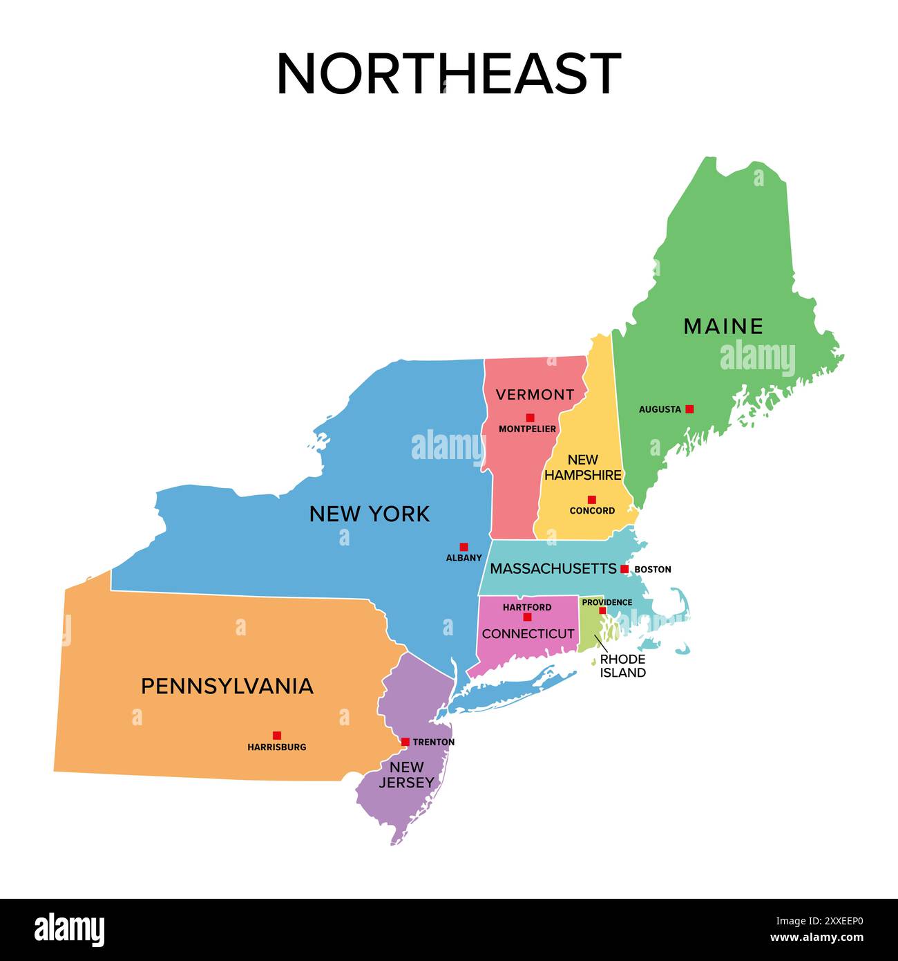 Northeast, U.S. census region, multi colored political map. Census region 1 of the United States, consisting of 9 single states. Colored silhouettes. Stock Photohttps://www.alamy.com/image-license-details/?v=1https://www.alamy.com/northeast-us-census-region-multi-colored-political-map-census-region-1-of-the-united-states-consisting-of-9-single-states-colored-silhouettes-image618662856.html
RF2XXEEP0–Northeast, U.S. census region, multi colored political map. Census region 1 of the United States, consisting of 9 single states. Colored silhouettes.
 A new map of part of the United States of North America - containing those of New York, Vermont, New Hampshire, Massachusets, Connecticut, Rhode Island, Pennsylvania, New Jersey, Delaware, (NYPL b13505517-1222653) Stock Photohttps://www.alamy.com/image-license-details/?v=1https://www.alamy.com/stock-photo-a-new-map-of-part-of-the-united-states-of-north-america-containing-148528968.html
RMJHJ260–A new map of part of the United States of North America - containing those of New York, Vermont, New Hampshire, Massachusets, Connecticut, Rhode Island, Pennsylvania, New Jersey, Delaware, (NYPL b13505517-1222653)
 . English: This hand colored antique map of Vermont & New Hampshire is a lithographic engraving dating to 1862 by the legendary American map publisher Samuel Augustus Mitchell Jr. Detailed to the county level with attention to trains, roadways and cities. Features the floral border typical of Mitchell maps from the 1860-65 period. Prepared by W. H. Gamble for inclusion as plate 14 in the 1864 issue of Mitchell’s New General Atlas . Dated and copyrighted, “Entered according to Act of Congress in the Year 1862 by S. Augustus Mitchell Jr. in the Clerk’s Office of the District Court of the U.S. f Stock Photohttps://www.alamy.com/image-license-details/?v=1https://www.alamy.com/english-this-hand-colored-antique-map-of-vermont-new-hampshire-is-a-lithographic-engraving-dating-to-1862-by-the-legendary-american-map-publisher-samuel-augustus-mitchell-jr-detailed-to-the-county-level-with-attention-to-trains-roadways-and-cities-features-the-floral-border-typical-of-mitchell-maps-from-the-1860-65-period-prepared-by-w-h-gamble-for-inclusion-as-plate-14-in-the-1864-issue-of-mitchells-new-general-atlas-dated-and-copyrighted-entered-according-to-act-of-congress-in-the-year-1862-by-s-augustus-mitchell-jr-in-the-clerks-office-of-the-district-court-of-the-us-f-image184964677.html
RMMMWT99–. English: This hand colored antique map of Vermont & New Hampshire is a lithographic engraving dating to 1862 by the legendary American map publisher Samuel Augustus Mitchell Jr. Detailed to the county level with attention to trains, roadways and cities. Features the floral border typical of Mitchell maps from the 1860-65 period. Prepared by W. H. Gamble for inclusion as plate 14 in the 1864 issue of Mitchell’s New General Atlas . Dated and copyrighted, “Entered according to Act of Congress in the Year 1862 by S. Augustus Mitchell Jr. in the Clerk’s Office of the District Court of the U.S. f
 USA east coast with New York City on a vintage 1920s map, selective focus (printed in 1926 - copyrights expired) Stock Photohttps://www.alamy.com/image-license-details/?v=1https://www.alamy.com/stock-photo-usa-east-coast-with-new-york-city-on-a-vintage-1920s-map-selective-74773777.html
RFE9J6M1–USA east coast with New York City on a vintage 1920s map, selective focus (printed in 1926 - copyrights expired)
 blue, american, graphic, new, usa, america, illustration, square, shape, Stock Photohttps://www.alamy.com/image-license-details/?v=1https://www.alamy.com/stock-photo-blue-american-graphic-new-usa-america-illustration-square-shape-143022411.html
RFJ8K6F7–blue, american, graphic, new, usa, america, illustration, square, shape,
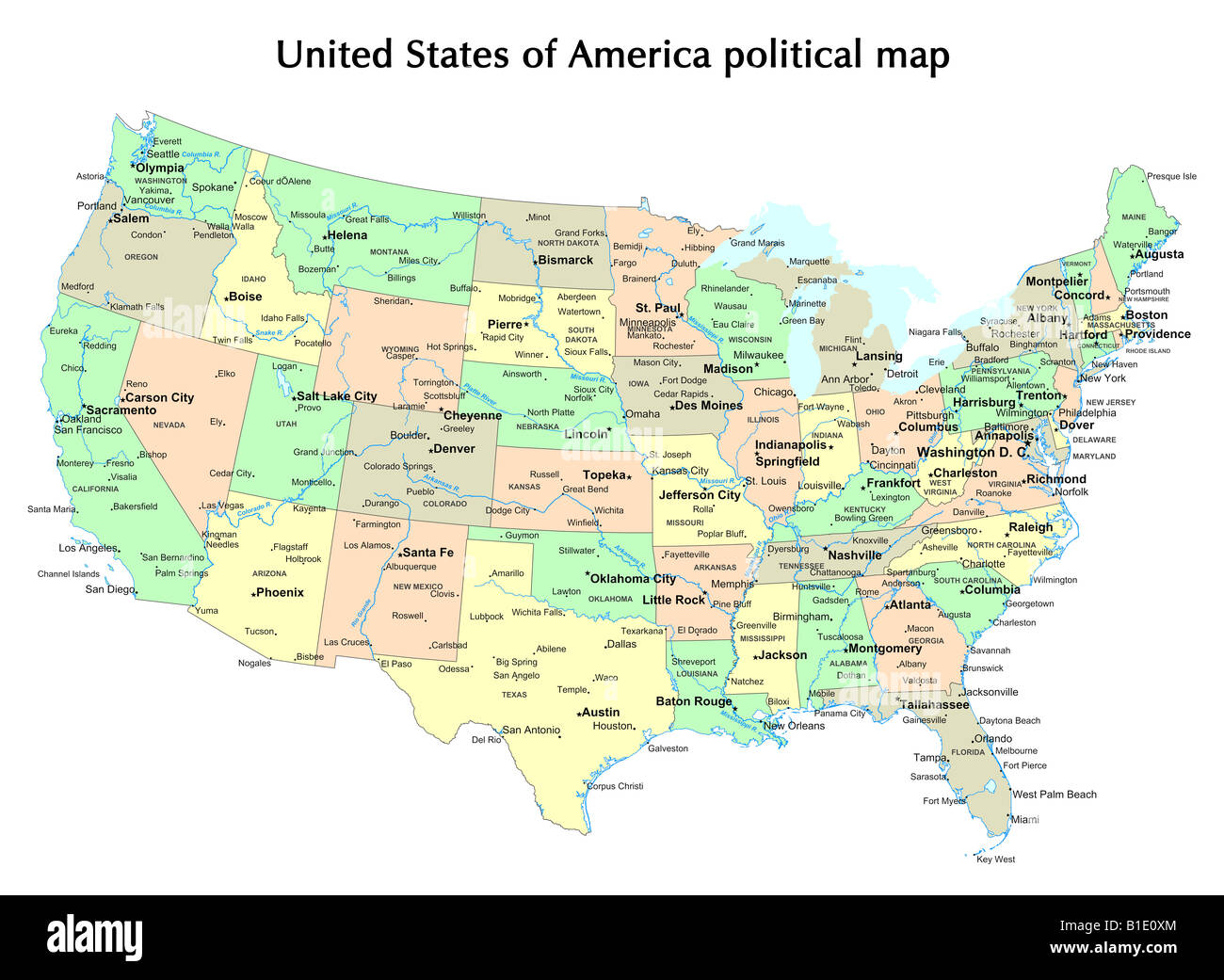 United States of America political map with states and capital city Stock Photohttps://www.alamy.com/image-license-details/?v=1https://www.alamy.com/stock-photo-united-states-of-america-political-map-with-states-and-capital-city-18133100.html
RFB1E0XM–United States of America political map with states and capital city
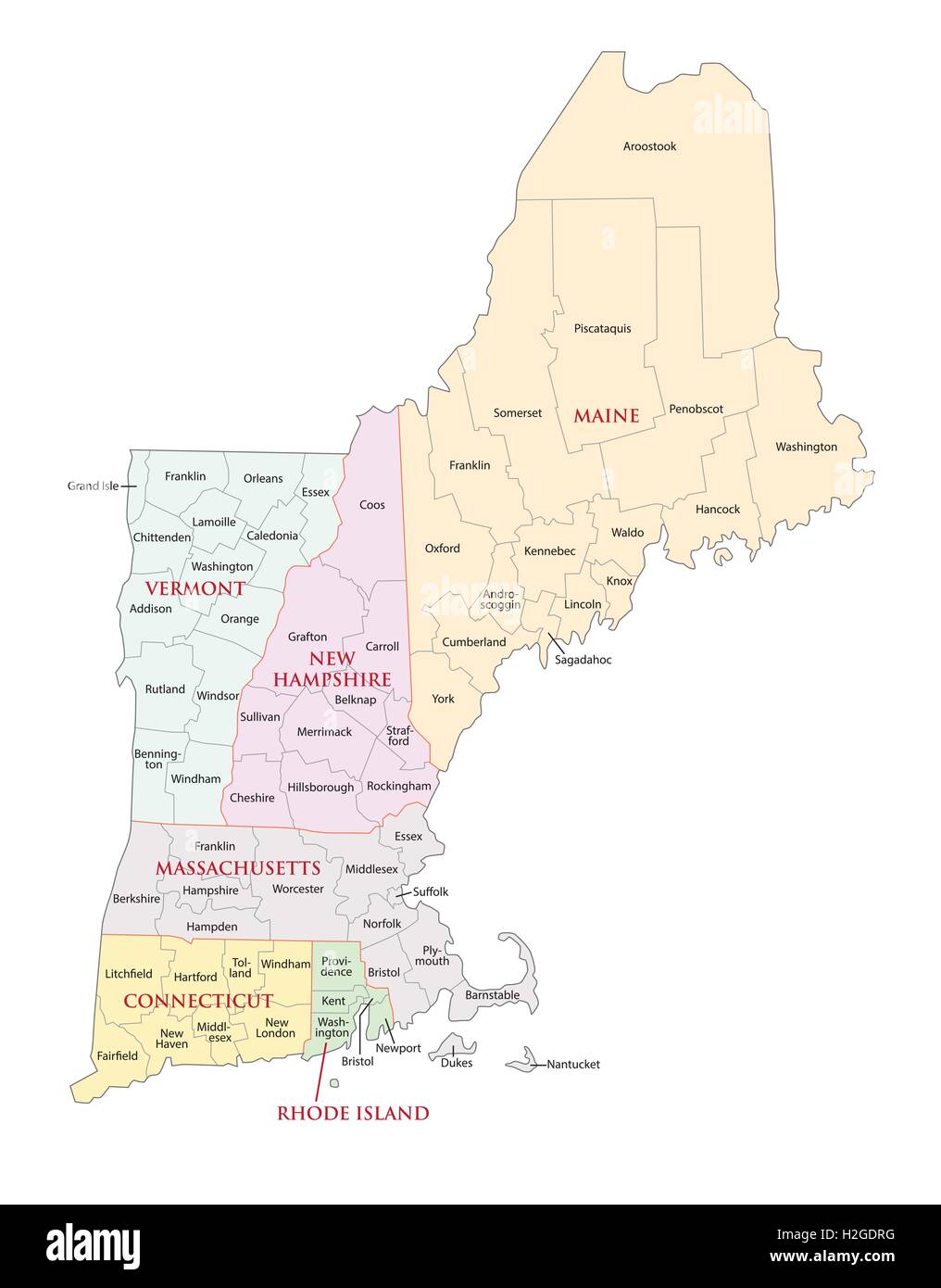 new england states administrative map Stock Vectorhttps://www.alamy.com/image-license-details/?v=1https://www.alamy.com/stock-photo-new-england-states-administrative-map-122063972.html
RFH2GDRG–new england states administrative map
 A new map of part of the United States of North America - containing those of New York, Vermont, New Hampshire, Massachusets, Connecticut, Rhode Island, Pennsylvania, New Jersey, Delaware, Stock Photohttps://www.alamy.com/image-license-details/?v=1https://www.alamy.com/a-new-map-of-part-of-the-united-states-of-north-america-containing-those-of-new-york-vermont-new-hampshire-massachusets-connecticut-rhode-island-pennsylvania-new-jersey-delaware-image212898309.html
RMPAA9Y1–A new map of part of the United States of North America - containing those of New York, Vermont, New Hampshire, Massachusets, Connecticut, Rhode Island, Pennsylvania, New Jersey, Delaware,
 Vintage copper engraved map of Vermont from 19th century. All maps are beautifully colored and illustrated showing the world at the time. Stock Photohttps://www.alamy.com/image-license-details/?v=1https://www.alamy.com/vintage-copper-engraved-map-of-vermont-from-19th-century-all-maps-are-beautifully-colored-and-illustrated-showing-the-world-at-the-time-image425457083.html
RF2FM56RR–Vintage copper engraved map of Vermont from 19th century. All maps are beautifully colored and illustrated showing the world at the time.
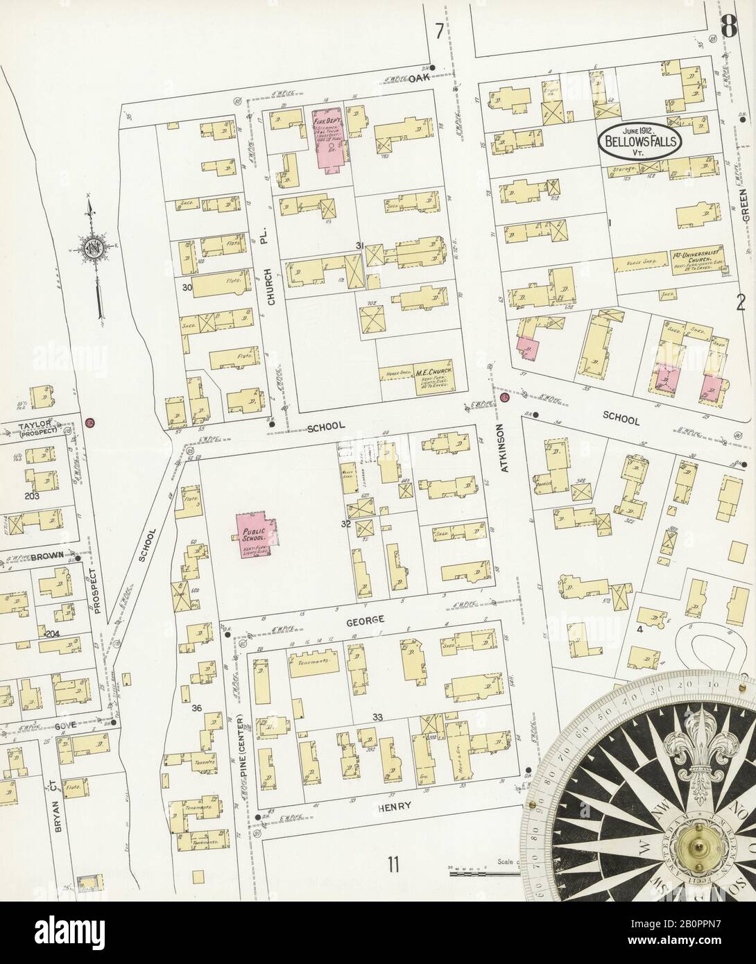 Image 8 of Sanborn Fire Insurance Map from Bellows Falls, Windham County, Vermont. Jun 1912. 14 Sheet(s). Includes North Walpole, Cheshire Co., New Hampshire, America, street map with a Nineteenth Century compass Stock Photohttps://www.alamy.com/image-license-details/?v=1https://www.alamy.com/image-8-of-sanborn-fire-insurance-map-from-bellows-falls-windham-county-vermont-jun-1912-14-sheets-includes-north-walpole-cheshire-co-new-hampshire-america-street-map-with-a-nineteenth-century-compass-image344708147.html
RM2B0PPN7–Image 8 of Sanborn Fire Insurance Map from Bellows Falls, Windham County, Vermont. Jun 1912. 14 Sheet(s). Includes North Walpole, Cheshire Co., New Hampshire, America, street map with a Nineteenth Century compass
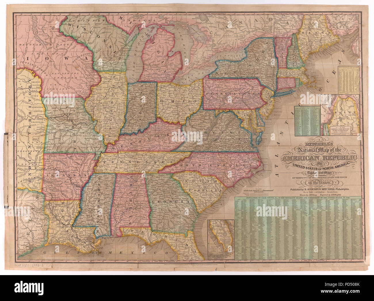 National Map of the American Republic, 1843 Stock Photohttps://www.alamy.com/image-license-details/?v=1https://www.alamy.com/national-map-of-the-american-republic-1843-image214624947.html
RMPD508K–National Map of the American Republic, 1843
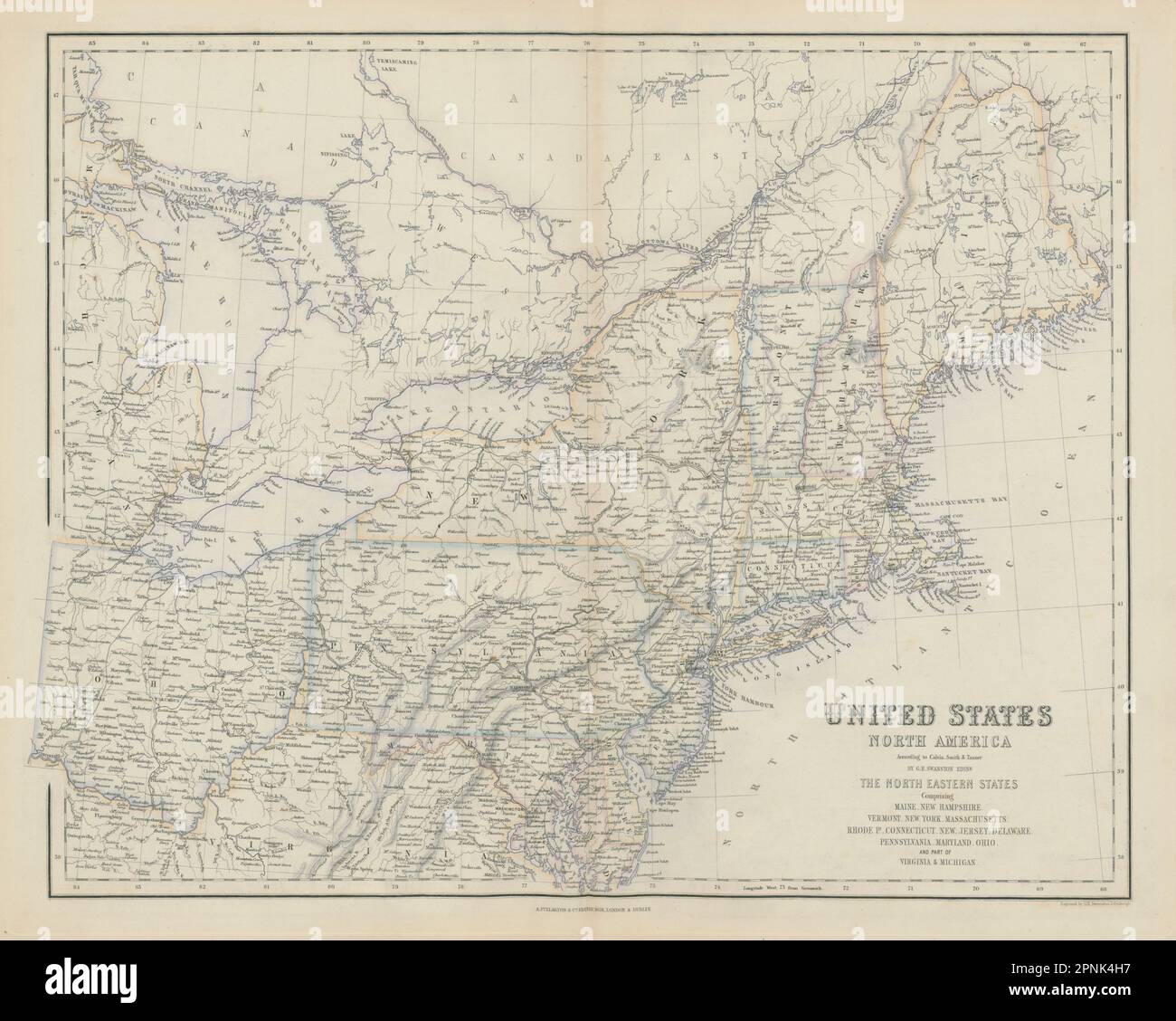 United States North East. Mid-Atlantic & New England states. SWANSTON 1860 map Stock Photohttps://www.alamy.com/image-license-details/?v=1https://www.alamy.com/united-states-north-east-mid-atlantic-new-england-states-swanston-1860-map-image546849891.html
RF2PNK4H7–United States North East. Mid-Atlantic & New England states. SWANSTON 1860 map
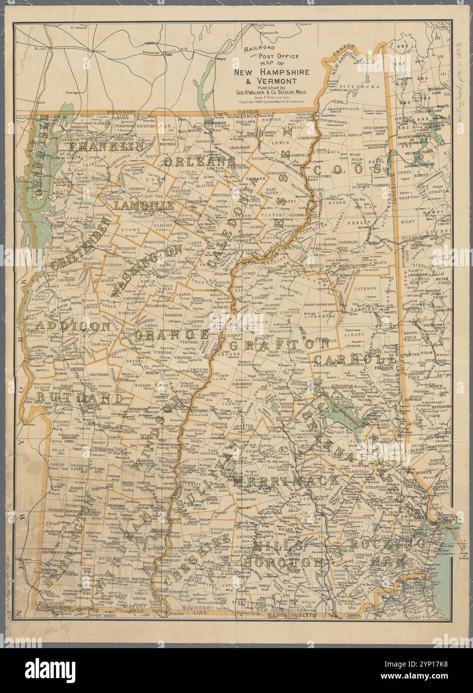 Railroad and post office map of New Hampshire & Vermont 1895 Stock Photohttps://www.alamy.com/image-license-details/?v=1https://www.alamy.com/railroad-and-post-office-map-of-new-hampshire-vermont-1895-image633123660.html
RM2YP17K8–Railroad and post office map of New Hampshire & Vermont 1895
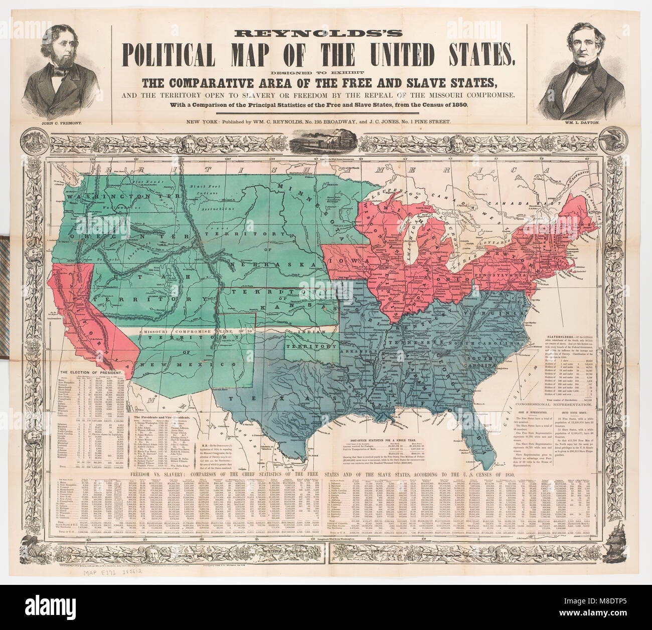 Political Map of the United States, 1856 Stock Photohttps://www.alamy.com/image-license-details/?v=1https://www.alamy.com/stock-photo-political-map-of-the-united-states-1856-177325741.html
RMM8DTP5–Political Map of the United States, 1856
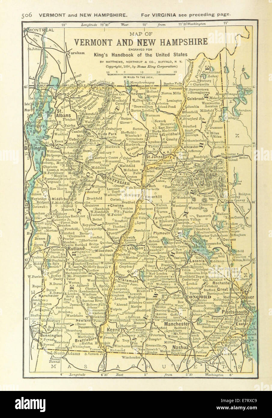 US-MAPS(1891) p508 - MAP OF VERMONT AND NEW HAMPSHIRE Stock Photohttps://www.alamy.com/image-license-details/?v=1https://www.alamy.com/stock-photo-us-maps1891-p508-map-of-vermont-and-new-hampshire-73669689.html
RME7RXC9–US-MAPS(1891) p508 - MAP OF VERMONT AND NEW HAMPSHIRE
 USA.New York Maine Massachusetts Connecticut New Jersey NH RI VT.SDUK 1844 map Stock Photohttps://www.alamy.com/image-license-details/?v=1https://www.alamy.com/usanew-york-maine-massachusetts-connecticut-new-jersey-nh-ri-vtsduk-1844-map-image568884916.html
RF2T1EXEC–USA.New York Maine Massachusetts Connecticut New Jersey NH RI VT.SDUK 1844 map
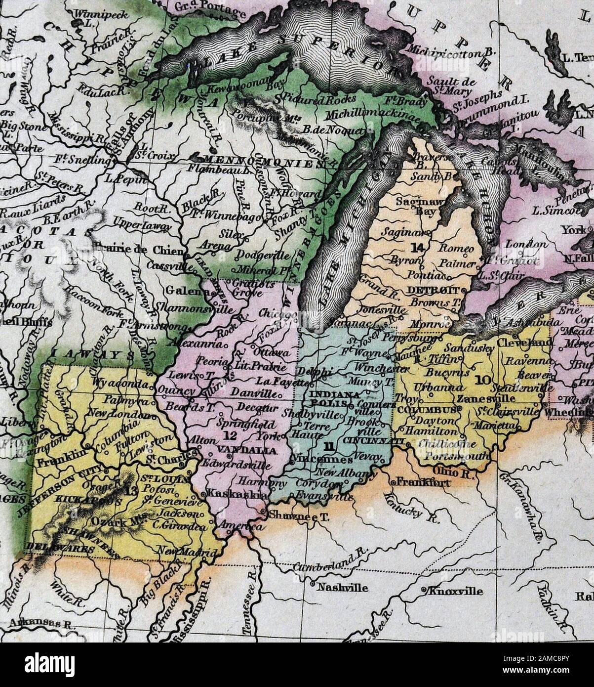 1834 Carey Map United States of America Northeastern and Midwestern States including Maine Massachusetts Connecticut Pennsylvania Ohio Indiana Illinois Missouri Michigan New York Stock Photohttps://www.alamy.com/image-license-details/?v=1https://www.alamy.com/1834-carey-map-united-states-of-america-northeastern-and-midwestern-states-including-maine-massachusetts-connecticut-pennsylvania-ohio-indiana-illinois-missouri-michigan-new-york-image339560451.html
RF2AMC8PY–1834 Carey Map United States of America Northeastern and Midwestern States including Maine Massachusetts Connecticut Pennsylvania Ohio Indiana Illinois Missouri Michigan New York
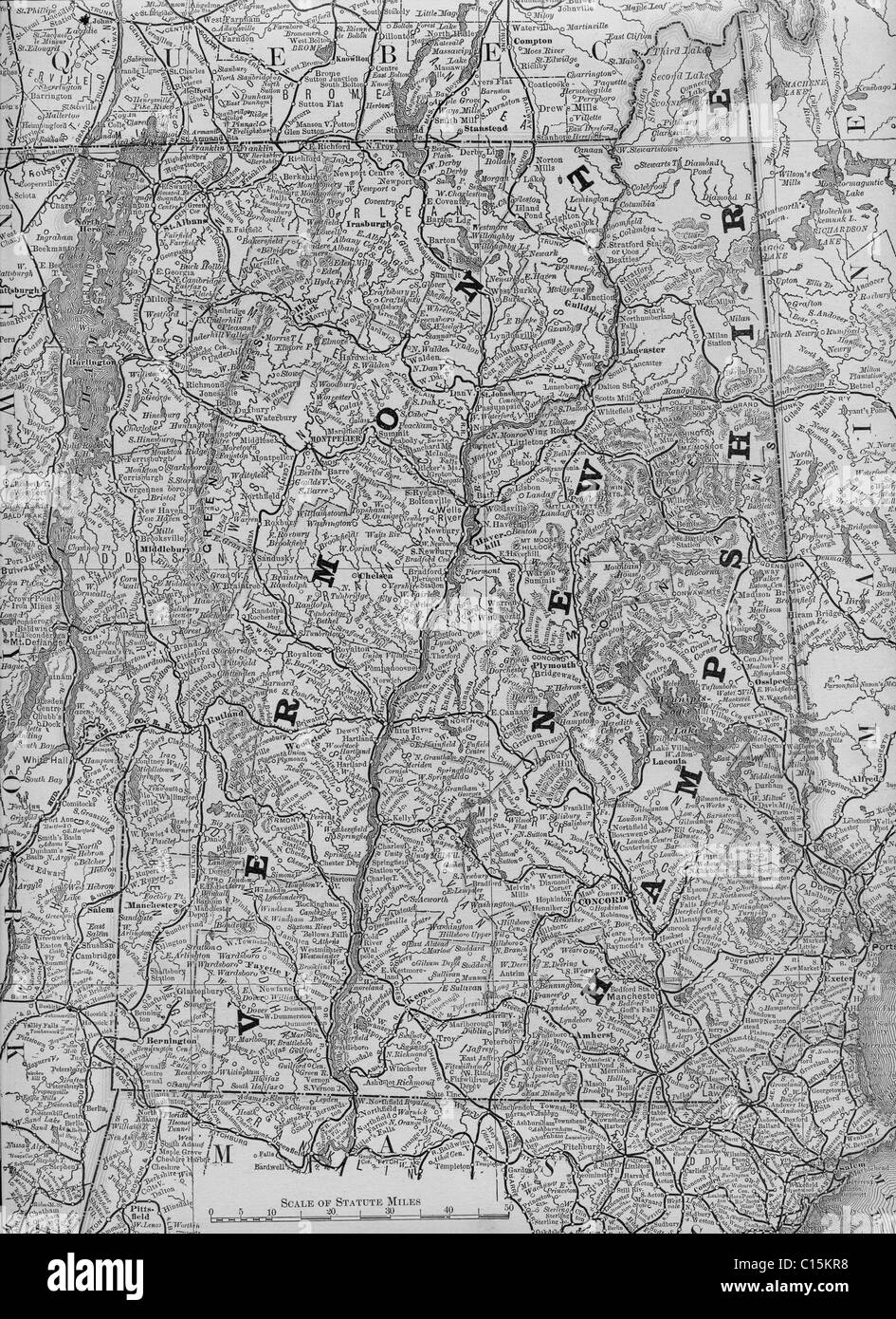 Old map of Vermont and New Hampshire from original geography textbook, 1884 Stock Photohttps://www.alamy.com/image-license-details/?v=1https://www.alamy.com/stock-photo-old-map-of-vermont-and-new-hampshire-from-original-geography-textbook-35160700.html
RMC15KR8–Old map of Vermont and New Hampshire from original geography textbook, 1884
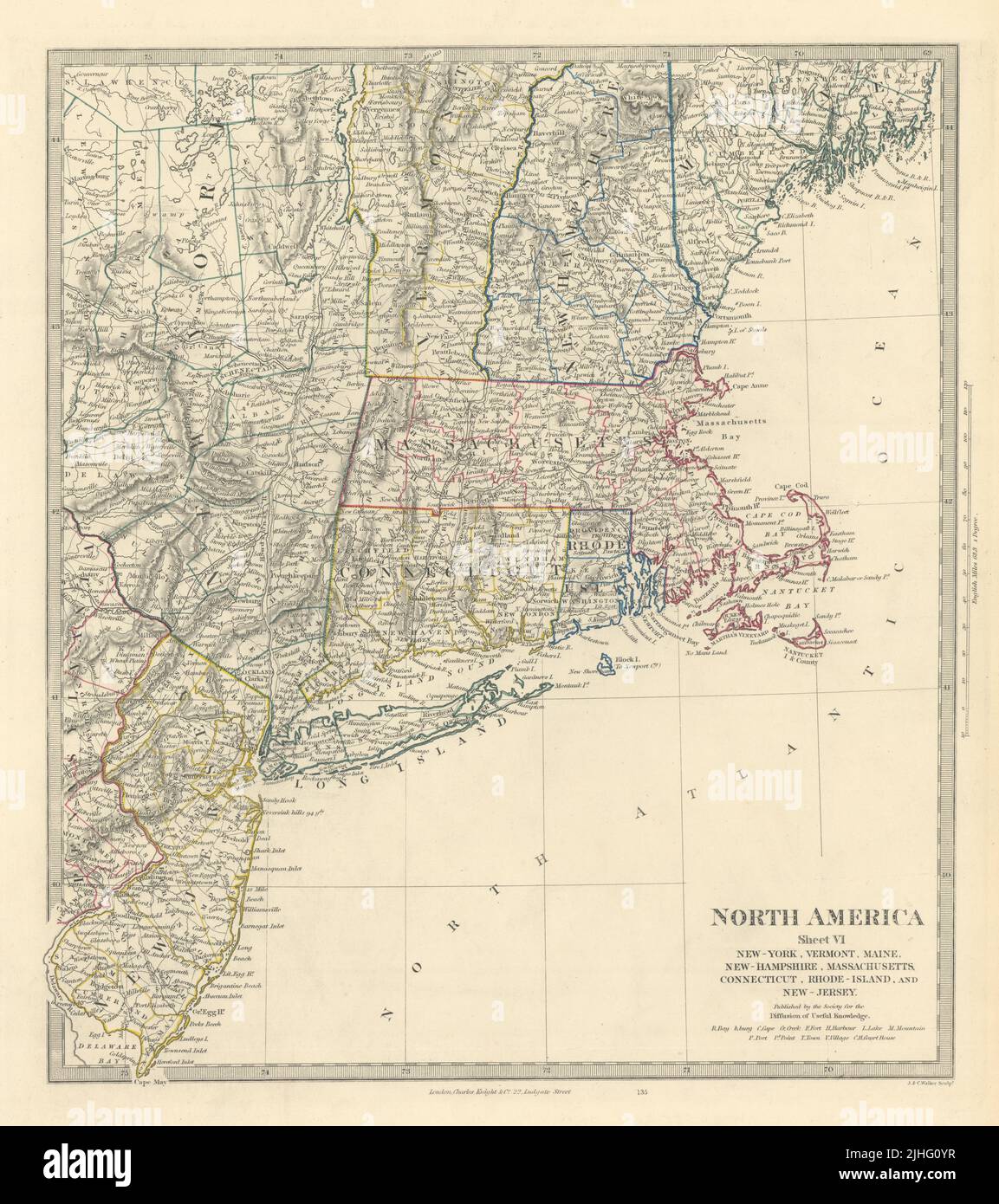 USA. New York Maine Massachusetts Connecticut New Jersey NH RI VT. SDUK 1851 map Stock Photohttps://www.alamy.com/image-license-details/?v=1https://www.alamy.com/usa-new-york-maine-massachusetts-connecticut-new-jersey-nh-ri-vt-sduk-1851-map-image475481099.html
RF2JHG0YR–USA. New York Maine Massachusetts Connecticut New Jersey NH RI VT. SDUK 1851 map
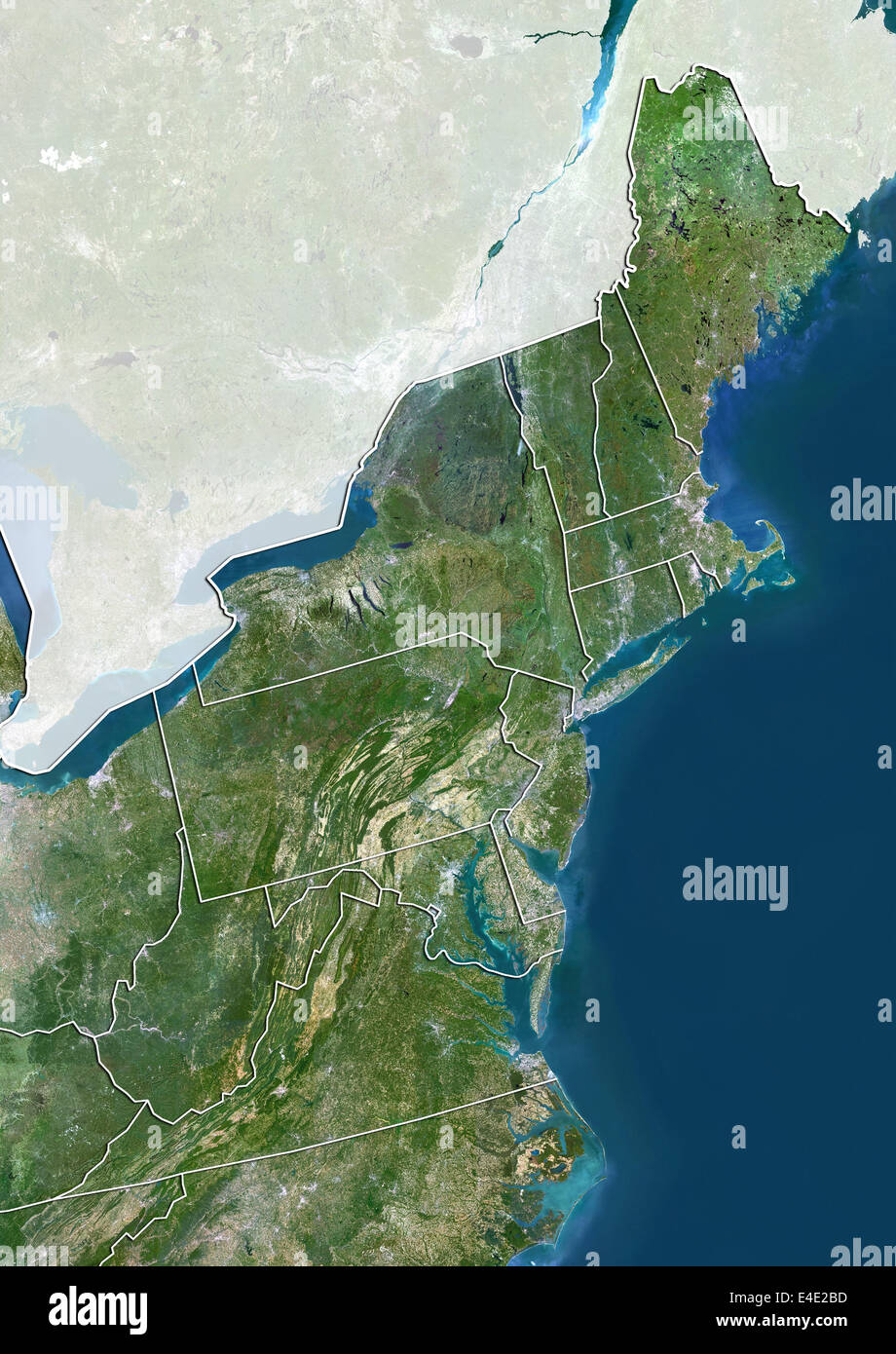 Northeastern United States, True Colour Satellite Image Stock Photohttps://www.alamy.com/image-license-details/?v=1https://www.alamy.com/stock-photo-northeastern-united-states-true-colour-satellite-image-71609313.html
RME4E2BD–Northeastern United States, True Colour Satellite Image
 A new map of part of the United States of North America - containing those of New York, Vermont, New Hampshire, Massachusets, Connecticut, Rhode Island, Pennsylvania, New Jersey, Delaware, Maryland (NYPL b13505517-434141) Stock Photohttps://www.alamy.com/image-license-details/?v=1https://www.alamy.com/stock-photo-a-new-map-of-part-of-the-united-states-of-north-america-containing-148516807.html
RMJHHEKK–A new map of part of the United States of North America - containing those of New York, Vermont, New Hampshire, Massachusets, Connecticut, Rhode Island, Pennsylvania, New Jersey, Delaware, Maryland (NYPL b13505517-434141)
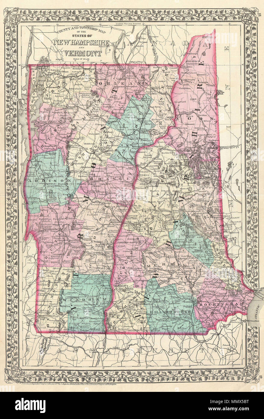 . English: A beautiful example of S. A. Mitchell Jr.’s 1877 map of Vermont and New Hampshire. Denotes both political and geographical details. Divided according to counties and highlighted with Mitchell’s typical pastels. One of the most attractive American atlas maps of this region to appear in the mid 19th century. Features the vine motif border typical of Mitchell maps from the 1866 - 1882 period. Prepared by S.A. Mitchell for inclusion as plate nos. 18 and 19 in the 1878 issue of Mitchell’s New General Atlas . Dated and copyrighted, “Entered according to Act of Congress in the Year 1877 b Stock Photohttps://www.alamy.com/image-license-details/?v=1https://www.alamy.com/english-a-beautiful-example-of-s-a-mitchell-jrs-1877-map-of-vermont-and-new-hampshire-denotes-both-political-and-geographical-details-divided-according-to-counties-and-highlighted-with-mitchells-typical-pastels-one-of-the-most-attractive-american-atlas-maps-of-this-region-to-appear-in-the-mid-19th-century-features-the-vine-motif-border-typical-of-mitchell-maps-from-the-1866-1882-period-prepared-by-sa-mitchell-for-inclusion-as-plate-nos-18-and-19-in-the-1878-issue-of-mitchells-new-general-atlas-dated-and-copyrighted-entered-according-to-act-of-congress-in-the-year-1877-b-image184971804.html
RMMMX5BT–. English: A beautiful example of S. A. Mitchell Jr.’s 1877 map of Vermont and New Hampshire. Denotes both political and geographical details. Divided according to counties and highlighted with Mitchell’s typical pastels. One of the most attractive American atlas maps of this region to appear in the mid 19th century. Features the vine motif border typical of Mitchell maps from the 1866 - 1882 period. Prepared by S.A. Mitchell for inclusion as plate nos. 18 and 19 in the 1878 issue of Mitchell’s New General Atlas . Dated and copyrighted, “Entered according to Act of Congress in the Year 1877 b
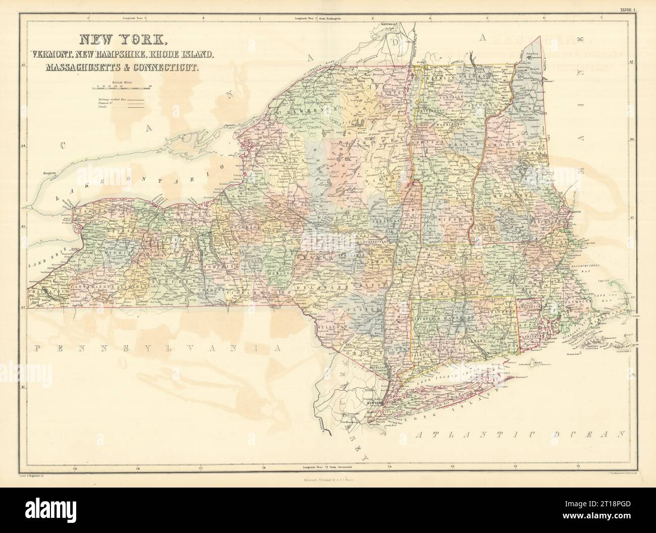 New York & New England. VT CT RI MA NH. NYC Manhattan plan. SIDNEY HALL 1854 map Stock Photohttps://www.alamy.com/image-license-details/?v=1https://www.alamy.com/new-york-new-england-vt-ct-ri-ma-nh-nyc-manhattan-plan-sidney-hall-1854-map-image568750125.html
RF2T18PGD–New York & New England. VT CT RI MA NH. NYC Manhattan plan. SIDNEY HALL 1854 map
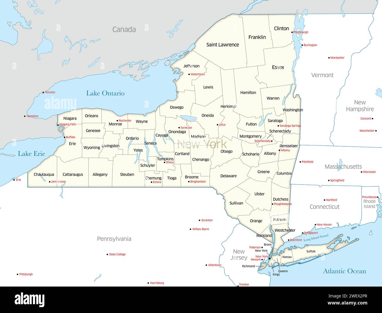 Map displaying the many counties that make up the state of New York in the United States. Stock Photohttps://www.alamy.com/image-license-details/?v=1https://www.alamy.com/map-displaying-the-many-counties-that-make-up-the-state-of-new-york-in-the-united-states-image594330655.html
RF2WEX2PR–Map displaying the many counties that make up the state of New York in the United States.
 New York/Jersey/England. Maine Massachusetts Connecticut NH RI VT SDUK 1844 map Stock Photohttps://www.alamy.com/image-license-details/?v=1https://www.alamy.com/new-yorkjerseyengland-maine-massachusetts-connecticut-nh-ri-vt-sduk-1844-map-image349809930.html
RF2B9363P–New York/Jersey/England. Maine Massachusetts Connecticut NH RI VT SDUK 1844 map
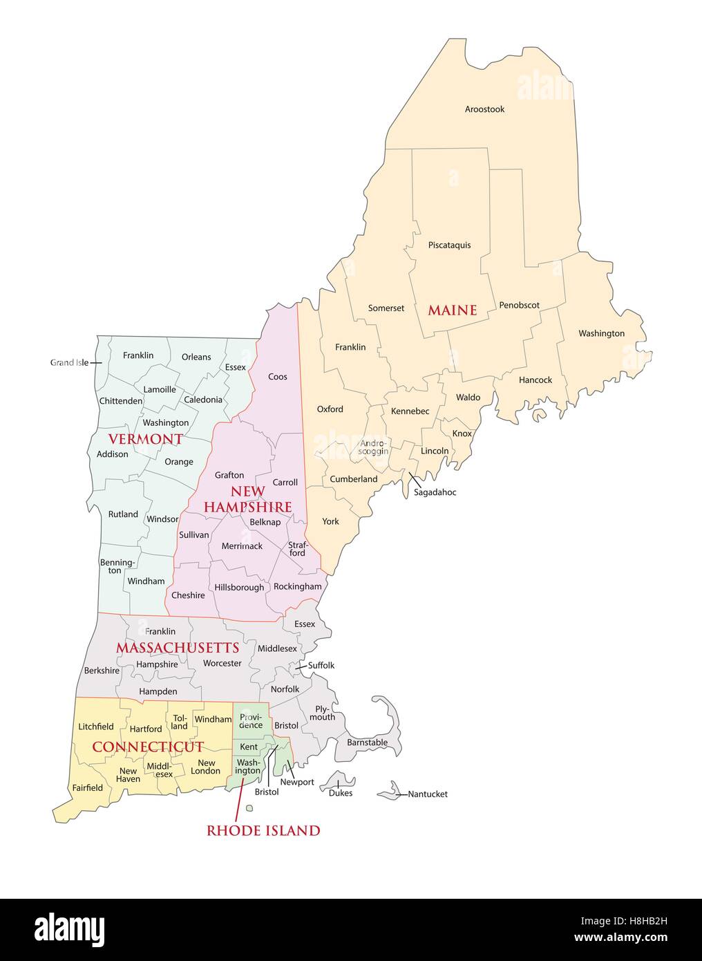 new england states administrative map Stock Vectorhttps://www.alamy.com/image-license-details/?v=1https://www.alamy.com/stock-photo-new-england-states-administrative-map-125771705.html
RFH8HB2H–new england states administrative map
 A new map of part of the United States of North America - containing those of New York, Vermont, New Hampshire, Massachusets, Connecticut, Rhode Island, Pennsylvania, New Jersey, Delaware, Maryland Stock Photohttps://www.alamy.com/image-license-details/?v=1https://www.alamy.com/a-new-map-of-part-of-the-united-states-of-north-america-containing-those-of-new-york-vermont-new-hampshire-massachusets-connecticut-rhode-island-pennsylvania-new-jersey-delaware-maryland-image212898435.html
RMPAAA3F–A new map of part of the United States of North America - containing those of New York, Vermont, New Hampshire, Massachusets, Connecticut, Rhode Island, Pennsylvania, New Jersey, Delaware, Maryland
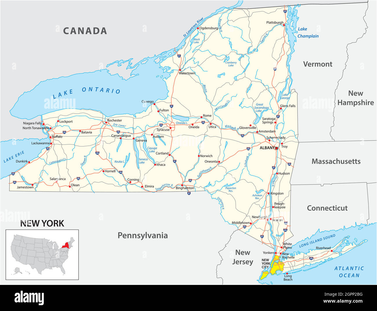 road map of the US American State of New York Stock Vectorhttps://www.alamy.com/image-license-details/?v=1https://www.alamy.com/road-map-of-the-us-american-state-of-new-york-image444266468.html
RF2GPP2BG–road map of the US American State of New York
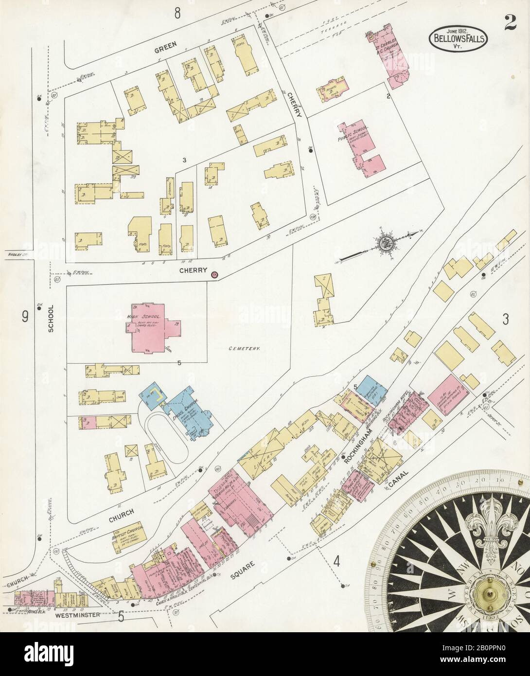 Image 2 of Sanborn Fire Insurance Map from Bellows Falls, Windham County, Vermont. Jun 1912. 14 Sheet(s). Includes North Walpole, Cheshire Co., New Hampshire, America, street map with a Nineteenth Century compass Stock Photohttps://www.alamy.com/image-license-details/?v=1https://www.alamy.com/image-2-of-sanborn-fire-insurance-map-from-bellows-falls-windham-county-vermont-jun-1912-14-sheets-includes-north-walpole-cheshire-co-new-hampshire-america-street-map-with-a-nineteenth-century-compass-image344708140.html
RM2B0PPN0–Image 2 of Sanborn Fire Insurance Map from Bellows Falls, Windham County, Vermont. Jun 1912. 14 Sheet(s). Includes North Walpole, Cheshire Co., New Hampshire, America, street map with a Nineteenth Century compass
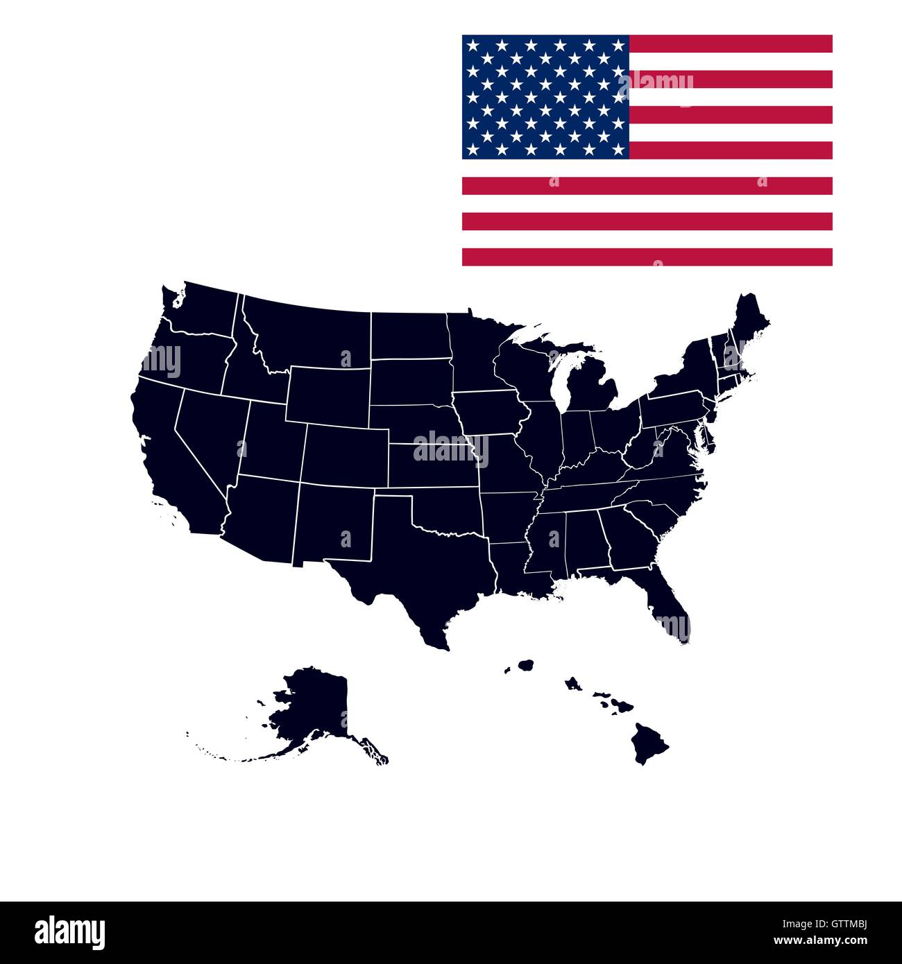 US states in the map of America Stock Vectorhttps://www.alamy.com/image-license-details/?v=1https://www.alamy.com/stock-photo-us-states-in-the-map-of-america-118556806.html
RFGTTMBJ–US states in the map of America
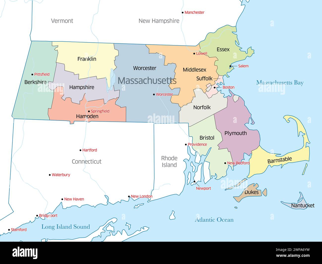 Political map of the counties making up the state of Massachusetts Stock Photohttps://www.alamy.com/image-license-details/?v=1https://www.alamy.com/political-map-of-the-counties-making-up-the-state-of-massachusetts-image594597357.html
RF2WFA6YW–Political map of the counties making up the state of Massachusetts
 Map of Massachusetts, Vermont, New Hampshire, with parts of Connecticut, Rhode Island and Maine, showing adjacent parts of New York and Canada 1867 Stock Photohttps://www.alamy.com/image-license-details/?v=1https://www.alamy.com/map-of-massachusetts-vermont-new-hampshire-with-parts-of-connecticut-rhode-island-and-maine-showing-adjacent-parts-of-new-york-and-canada-1867-image633123508.html
RM2YP17DT–Map of Massachusetts, Vermont, New Hampshire, with parts of Connecticut, Rhode Island and Maine, showing adjacent parts of New York and Canada 1867
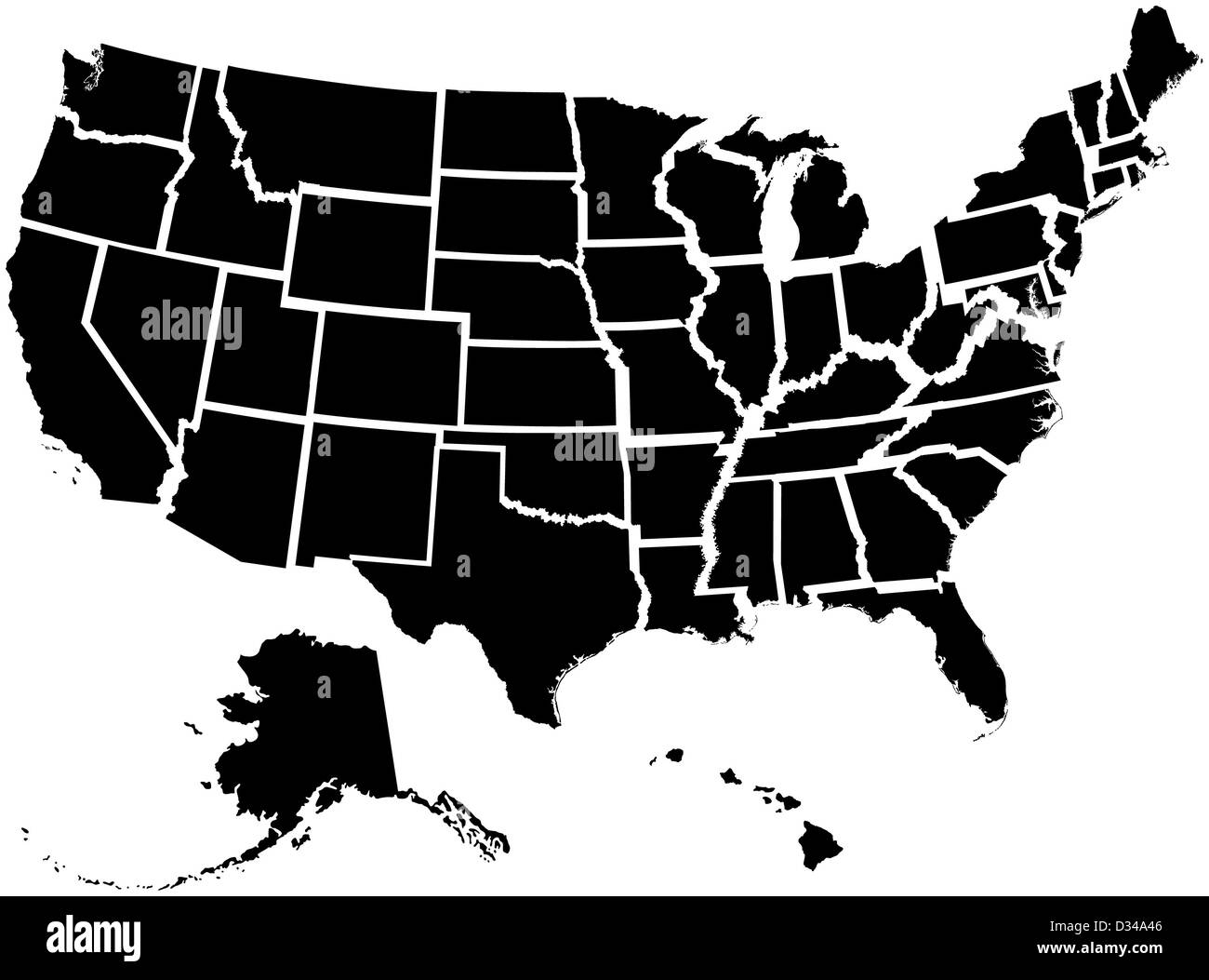 Very detailed map of all fifty states Stock Photohttps://www.alamy.com/image-license-details/?v=1https://www.alamy.com/stock-photo-very-detailed-map-of-all-fifty-states-53570838.html
RFD34A46–Very detailed map of all fifty states
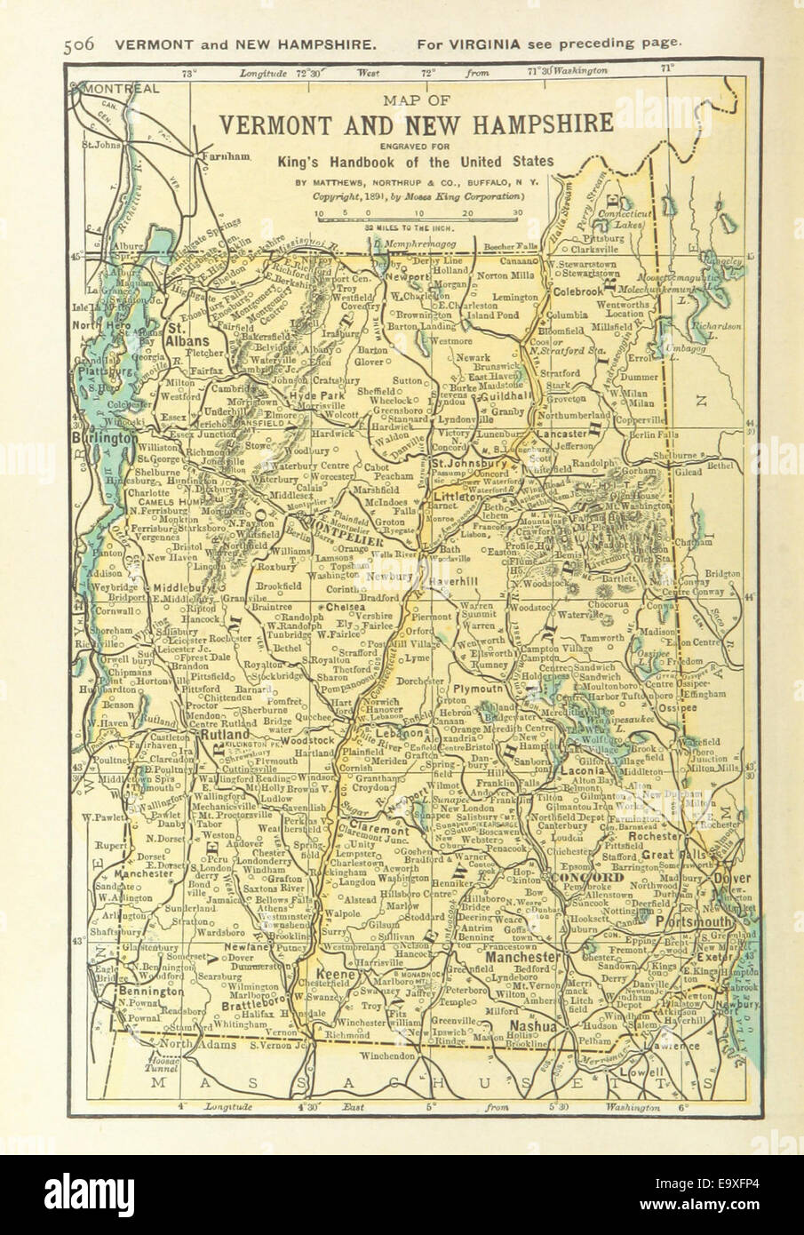 US-MAPS(1891) p508 - MAP OF VERMONT AND NEW HAMPSHIRE Stock Photohttps://www.alamy.com/image-license-details/?v=1https://www.alamy.com/stock-photo-us-maps1891-p508-map-of-vermont-and-new-hampshire-74956508.html
RME9XFP4–US-MAPS(1891) p508 - MAP OF VERMONT AND NEW HAMPSHIRE
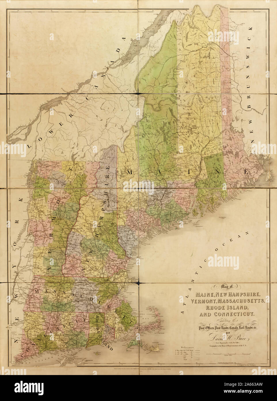 Map of Maine, New Hampshire, Vermont, Massachusetts, Rhode Island, and Connecticut Stock Photohttps://www.alamy.com/image-license-details/?v=1https://www.alamy.com/map-of-maine-new-hampshire-vermont-massachusetts-rhode-island-and-connecticut-image330819297.html
RM2A663AW–Map of Maine, New Hampshire, Vermont, Massachusetts, Rhode Island, and Connecticut
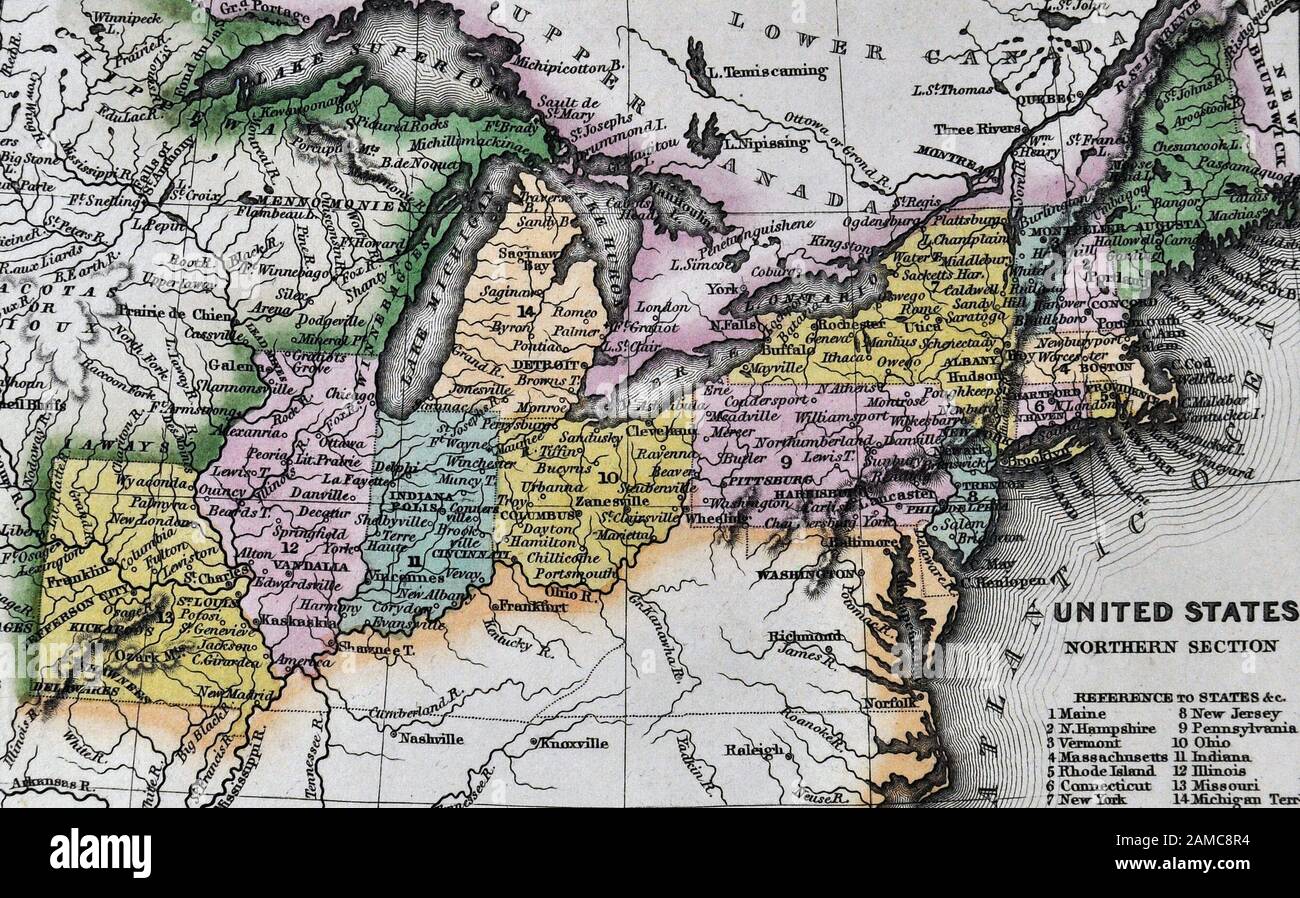 1834 Carey Map United States of America Northeastern and Midwestern States including Maine Massachusetts Connecticut Pennsylvania Ohio Indiana Illinois Missouri Michigan New York Stock Photohttps://www.alamy.com/image-license-details/?v=1https://www.alamy.com/1834-carey-map-united-states-of-america-northeastern-and-midwestern-states-including-maine-massachusetts-connecticut-pennsylvania-ohio-indiana-illinois-missouri-michigan-new-york-image339560456.html
RF2AMC8R4–1834 Carey Map United States of America Northeastern and Midwestern States including Maine Massachusetts Connecticut Pennsylvania Ohio Indiana Illinois Missouri Michigan New York
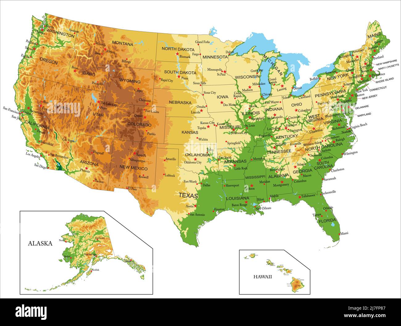 Highly detailed physical map of United States of America,in vector format,with all the relief forms,states and big cities. Stock Vectorhttps://www.alamy.com/image-license-details/?v=1https://www.alamy.com/highly-detailed-physical-map-of-united-states-of-americain-vector-formatwith-all-the-relief-formsstates-and-big-cities-image469329287.html
RF2J7FP87–Highly detailed physical map of United States of America,in vector format,with all the relief forms,states and big cities.