Quick filters:
Vietnam satellite image Stock Photos and Images
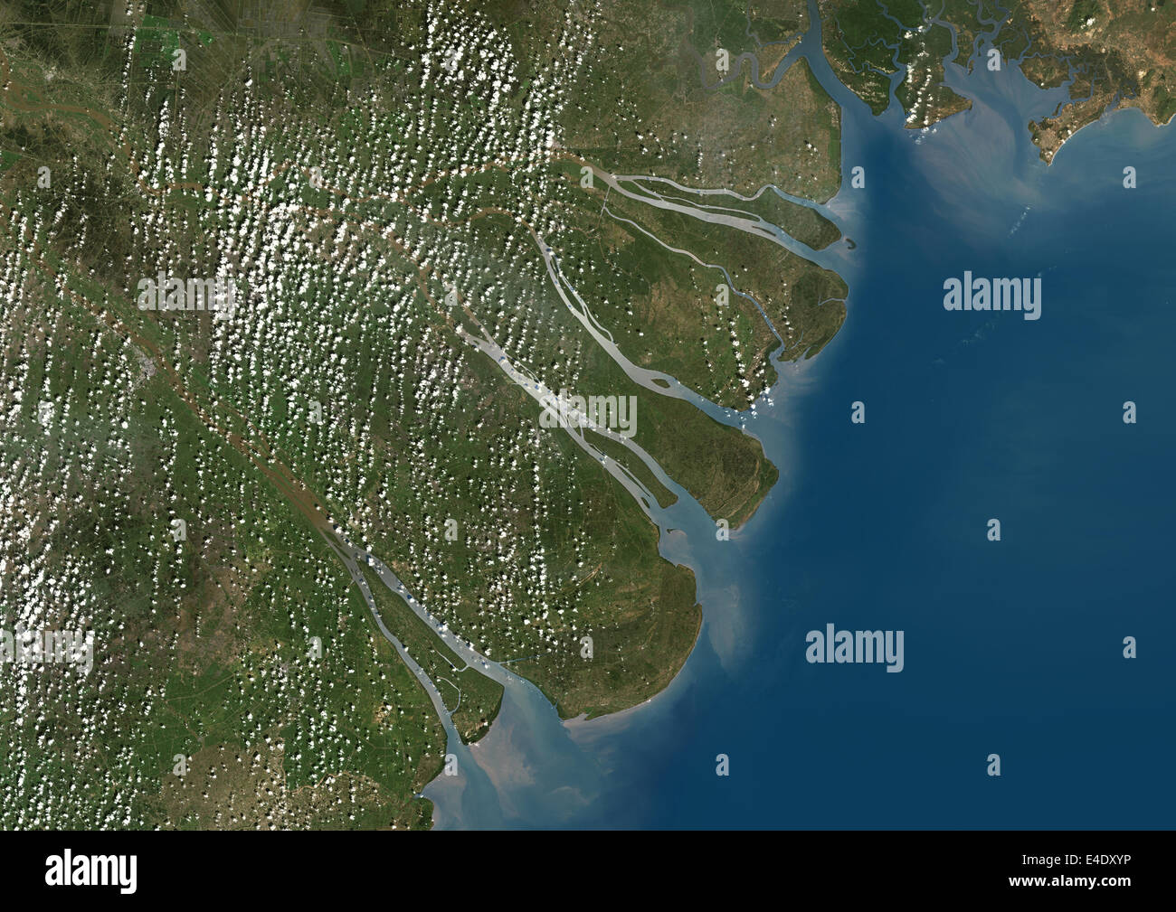 Mekong Delta, Vietnam, True Colour Satellite Image. True colour satellite image of the Mekong Delta in Vietnam. The Mekong delta Stock Photohttps://www.alamy.com/image-license-details/?v=1https://www.alamy.com/stock-photo-mekong-delta-vietnam-true-colour-satellite-image-true-colour-satellite-71606634.html
RME4DXYP–Mekong Delta, Vietnam, True Colour Satellite Image. True colour satellite image of the Mekong Delta in Vietnam. The Mekong delta
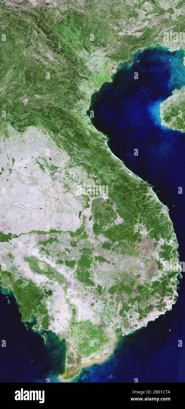 Vietnam: Composite satellite image of Vietnam, together with all of Cambodia, eastern and southern Laos, Northeast Thailand and part of southern China, March 2004. Vietnam, (sometimes spelled Viet Nam), officially the Socialist Republic of Vietnam (Vietnamese: Cộng hòa xã hội chủ nghĩa Việt Nam), is the easternmost country on the Indochina Peninsula in Southeast Asia. It is bordered by People's Republic of China (PRC) to the north, Laos to the northwest, Cambodia to the southwest, and the South China Sea, referred to as East Sea (Vietnamese: Biển Đông), to the east. Stock Photohttps://www.alamy.com/image-license-details/?v=1https://www.alamy.com/vietnam-composite-satellite-image-of-vietnam-together-with-all-of-cambodia-eastern-and-southern-laos-northeast-thailand-and-part-of-southern-china-march-2004-vietnam-sometimes-spelled-viet-nam-officially-the-socialist-republic-of-vietnam-vietnamese-cng-ha-x-hi-ch-ngha-vit-nam-is-the-easternmost-country-on-the-indochina-peninsula-in-southeast-asia-it-is-bordered-by-peoples-republic-of-china-prc-to-the-north-laos-to-the-northwest-cambodia-to-the-southwest-and-the-south-china-sea-referred-to-as-east-sea-vietnamese-bin-ng-to-the-east-image344239402.html
RM2B01CTA–Vietnam: Composite satellite image of Vietnam, together with all of Cambodia, eastern and southern Laos, Northeast Thailand and part of southern China, March 2004. Vietnam, (sometimes spelled Viet Nam), officially the Socialist Republic of Vietnam (Vietnamese: Cộng hòa xã hội chủ nghĩa Việt Nam), is the easternmost country on the Indochina Peninsula in Southeast Asia. It is bordered by People's Republic of China (PRC) to the north, Laos to the northwest, Cambodia to the southwest, and the South China Sea, referred to as East Sea (Vietnamese: Biển Đông), to the east.
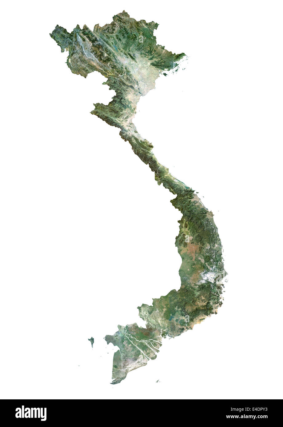 Vietnam, Satellite Image Stock Photohttps://www.alamy.com/image-license-details/?v=1https://www.alamy.com/stock-photo-vietnam-satellite-image-71603479.html
RME4DPY3–Vietnam, Satellite Image
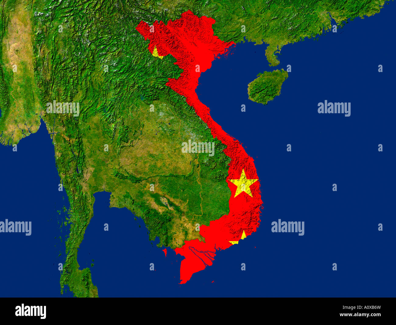 Satellite Image of Vietnam covered by that Country's Flag Stock Photohttps://www.alamy.com/image-license-details/?v=1https://www.alamy.com/stock-photo-satellite-image-of-vietnam-covered-by-that-countrys-flag-10082880.html
RFA0XB6W–Satellite Image of Vietnam covered by that Country's Flag
 Color satellite image of Vietnam, with mask. Stock Photohttps://www.alamy.com/image-license-details/?v=1https://www.alamy.com/color-satellite-image-of-vietnam-with-mask-image597467152.html
RM2WM0YCG–Color satellite image of Vietnam, with mask.
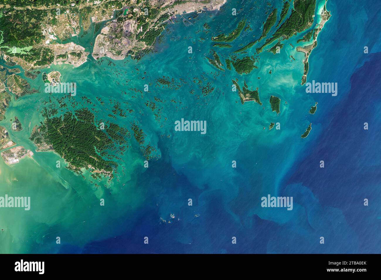 Satellite view of Ha Long Bay and Bai Tu Long Bay along the northeast coast of Vietnam. Stock Photohttps://www.alamy.com/image-license-details/?v=1https://www.alamy.com/satellite-view-of-ha-long-bay-and-bai-tu-long-bay-along-the-northeast-coast-of-vietnam-image574923291.html
RF2TBA0EK–Satellite view of Ha Long Bay and Bai Tu Long Bay along the northeast coast of Vietnam.
 Highlighted Satellite Image Of Vietnam With Capital Ha Noi Shown Stock Photohttps://www.alamy.com/image-license-details/?v=1https://www.alamy.com/stock-photo-highlighted-satellite-image-of-vietnam-with-capital-ha-noi-shown-10507654.html
RFA2FFCR–Highlighted Satellite Image Of Vietnam With Capital Ha Noi Shown
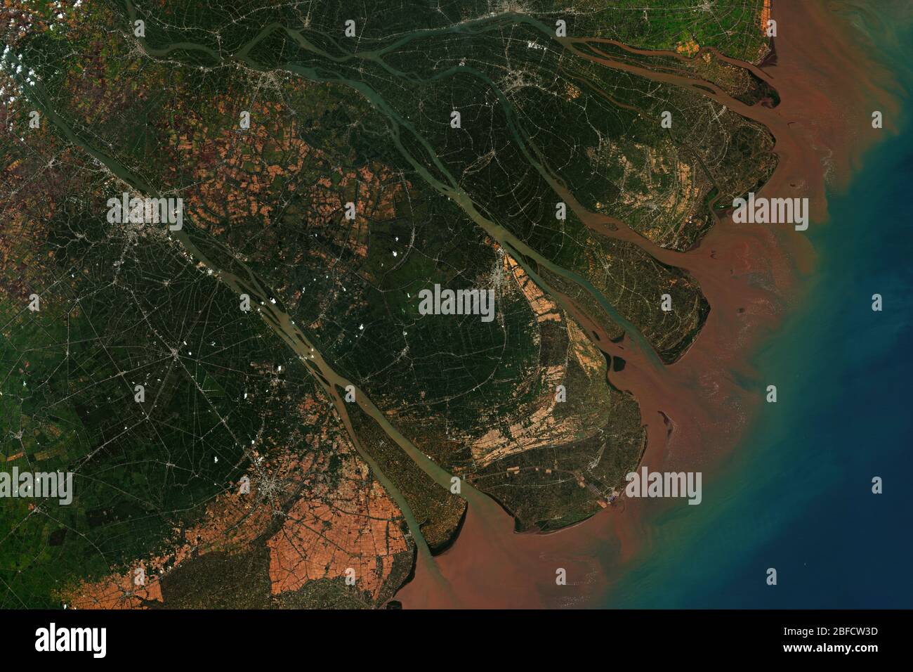 Mekong River Delta in Vietnam, where the Mekong River approaches and empties into the South China Sea, seen from space - contains modified Copernicus Stock Photohttps://www.alamy.com/image-license-details/?v=1https://www.alamy.com/mekong-river-delta-in-vietnam-where-the-mekong-river-approaches-and-empties-into-the-south-china-sea-seen-from-space-contains-modified-copernicus-image353710321.html
RF2BFCW3D–Mekong River Delta in Vietnam, where the Mekong River approaches and empties into the South China Sea, seen from space - contains modified Copernicus
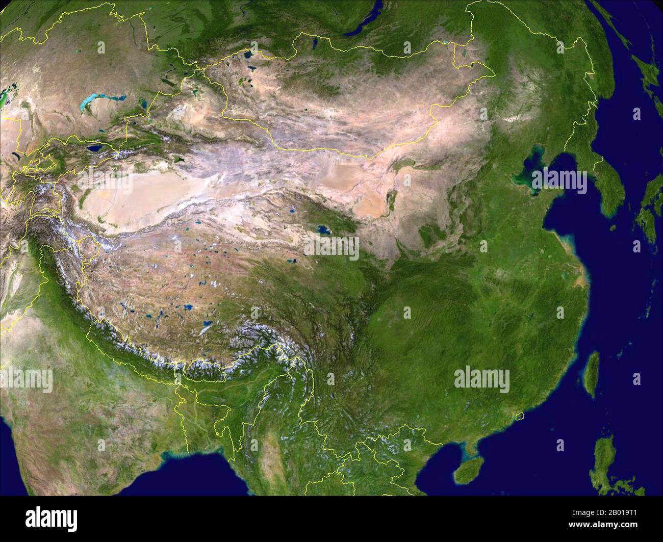 China: Composite Satellite image of China created by NASA and with contemporary frontiers superimposed in yellow, 30 March 2009. China ranges from mostly plateaus and mountains in the west to lower lands in the east. Principal rivers flow from west to east, including the Yangtze (central), the Yellow River (Huang He, north-central), and the Amur (northeast), and sometimes toward the south (including the Pearl River, Mekong (river), and Brahmaputra), with most Chinese rivers emptying into the Pacific Ocean. Stock Photohttps://www.alamy.com/image-license-details/?v=1https://www.alamy.com/china-composite-satellite-image-of-china-created-by-nasa-and-with-contemporary-frontiers-superimposed-in-yellow-30-march-2009-china-ranges-from-mostly-plateaus-and-mountains-in-the-west-to-lower-lands-in-the-east-principal-rivers-flow-from-west-to-east-including-the-yangtze-central-the-yellow-river-huang-he-north-central-and-the-amur-northeast-and-sometimes-toward-the-south-including-the-pearl-river-mekong-river-and-brahmaputra-with-most-chinese-rivers-emptying-into-the-pacific-ocean-image344237041.html
RM2B019T1–China: Composite Satellite image of China created by NASA and with contemporary frontiers superimposed in yellow, 30 March 2009. China ranges from mostly plateaus and mountains in the west to lower lands in the east. Principal rivers flow from west to east, including the Yangtze (central), the Yellow River (Huang He, north-central), and the Amur (northeast), and sometimes toward the south (including the Pearl River, Mekong (river), and Brahmaputra), with most Chinese rivers emptying into the Pacific Ocean.
 Satellite Image Of Vietnam Highlighted Stock Photohttps://www.alamy.com/image-license-details/?v=1https://www.alamy.com/satellite-image-of-vietnam-highlighted-image3561663.html
RFA42GC0–Satellite Image Of Vietnam Highlighted
 Tropical Storm Haiyan, Vietnam, 2013 Stock Photohttps://www.alamy.com/image-license-details/?v=1https://www.alamy.com/stock-photo-tropical-storm-haiyan-vietnam-2013-135015655.html
RMHRJDRK–Tropical Storm Haiyan, Vietnam, 2013
 satellite image of vietnam with surrounding countries darkened Stock Photohttps://www.alamy.com/image-license-details/?v=1https://www.alamy.com/stock-photo-satellite-image-of-vietnam-with-surrounding-countries-darkened-24663812.html
RMBC3EXC–satellite image of vietnam with surrounding countries darkened
 Phu Quoc Island in the Gulf of Thailand, belonging to Vietnam, cropped to square on a satellite image taken in December 21, 2023 Stock Photohttps://www.alamy.com/image-license-details/?v=1https://www.alamy.com/phu-quoc-island-in-the-gulf-of-thailand-belonging-to-vietnam-cropped-to-square-on-a-satellite-image-taken-in-december-21-2023-image620232620.html
RF2Y12110–Phu Quoc Island in the Gulf of Thailand, belonging to Vietnam, cropped to square on a satellite image taken in December 21, 2023
 NASA infra-red satellite image of south-east Vietnam in 1973. The Cyan stripes show diseased vegetation due to Agent Orange Stock Photohttps://www.alamy.com/image-license-details/?v=1https://www.alamy.com/nasa-infra-red-satellite-image-of-south-east-vietnam-in-1973-the-cyan-image3464946.html
RMA2XPF3–NASA infra-red satellite image of south-east Vietnam in 1973. The Cyan stripes show diseased vegetation due to Agent Orange
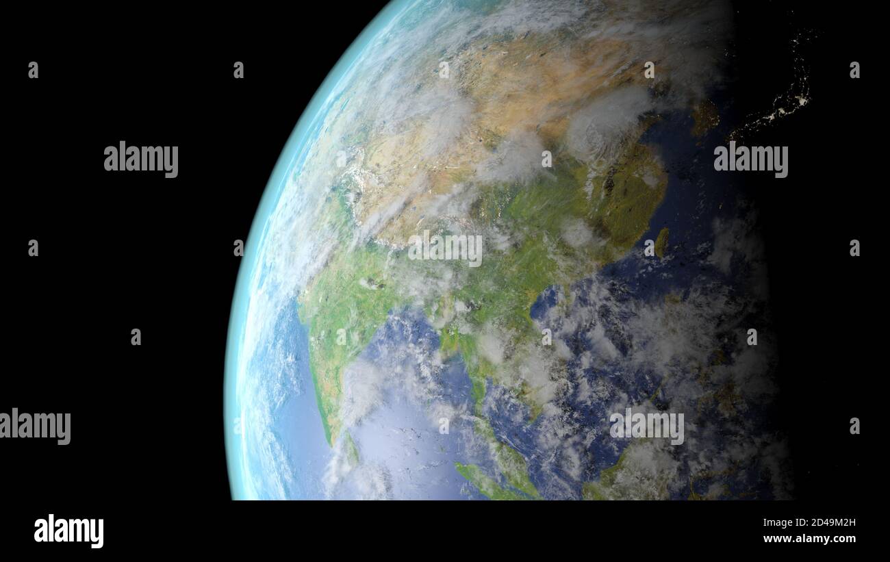 China seen from space 3D rendering Stock Photohttps://www.alamy.com/image-license-details/?v=1https://www.alamy.com/china-seen-from-space-3d-rendering-image381300041.html
RF2D49M2H–China seen from space 3D rendering
 Sunrise over North Vietnam with a satellite dish on a roof in the foreground; Fangchenggang Shi, Guangxi Zhuangzuzizhiqu, China Stock Photohttps://www.alamy.com/image-license-details/?v=1https://www.alamy.com/sunrise-over-north-vietnam-with-a-satellite-dish-on-a-roof-in-the-foreground-fangchenggang-shi-guangxi-zhuangzuzizhiqu-china-image180476501.html
RFMDHBH9–Sunrise over North Vietnam with a satellite dish on a roof in the foreground; Fangchenggang Shi, Guangxi Zhuangzuzizhiqu, China
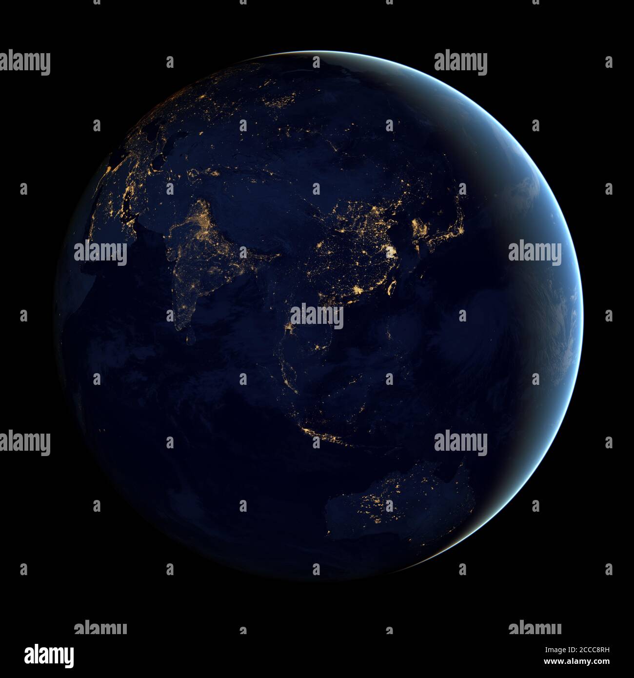 This composite image - made from NASA satellite data - shows the Far Eastern Hemisphere of the Earth at night - Photo: Geopix/NASA/Alamy Stock Photo Stock Photohttps://www.alamy.com/image-license-details/?v=1https://www.alamy.com/this-composite-image-made-from-nasa-satellite-data-shows-the-far-eastern-hemisphere-of-the-earth-at-night-photo-geopixnasaalamy-stock-photo-image369063957.html
RM2CCC8RH–This composite image - made from NASA satellite data - shows the Far Eastern Hemisphere of the Earth at night - Photo: Geopix/NASA/Alamy Stock Photo
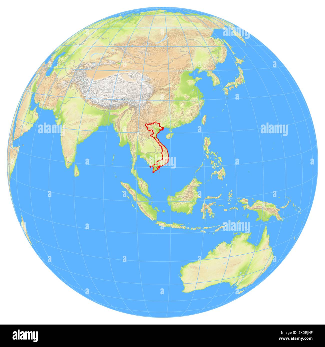 View of the Earth from space showing the location of the country Vietnam in Asia. The country is highlighted with a red polygon. Small countries are a Stock Photohttps://www.alamy.com/image-license-details/?v=1https://www.alamy.com/view-of-the-earth-from-space-showing-the-location-of-the-country-vietnam-in-asia-the-country-is-highlighted-with-a-red-polygon-small-countries-are-a-image610872907.html
RF2XDRJHF–View of the Earth from space showing the location of the country Vietnam in Asia. The country is highlighted with a red polygon. Small countries are a
 Vietnam from space in red. 3D illustration with highly detailed realistic planet surface. Elements of this image furnished by NA Stock Photohttps://www.alamy.com/image-license-details/?v=1https://www.alamy.com/stock-photo-vietnam-from-space-in-red-3d-illustration-with-highly-detailed-realistic-122653350.html
RFH3F9GP–Vietnam from space in red. 3D illustration with highly detailed realistic planet surface. Elements of this image furnished by NA
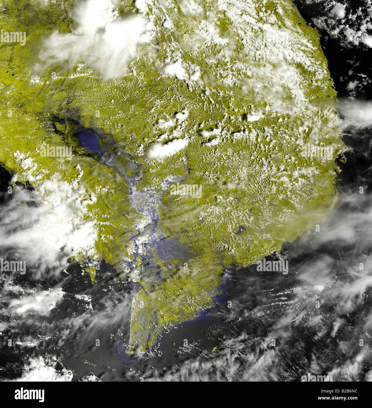 Heavy rains in Indochina. Stock Photohttps://www.alamy.com/image-license-details/?v=1https://www.alamy.com/stock-photo-heavy-rains-in-indochina-18686456.html
RFB2B6NC–Heavy rains in Indochina.
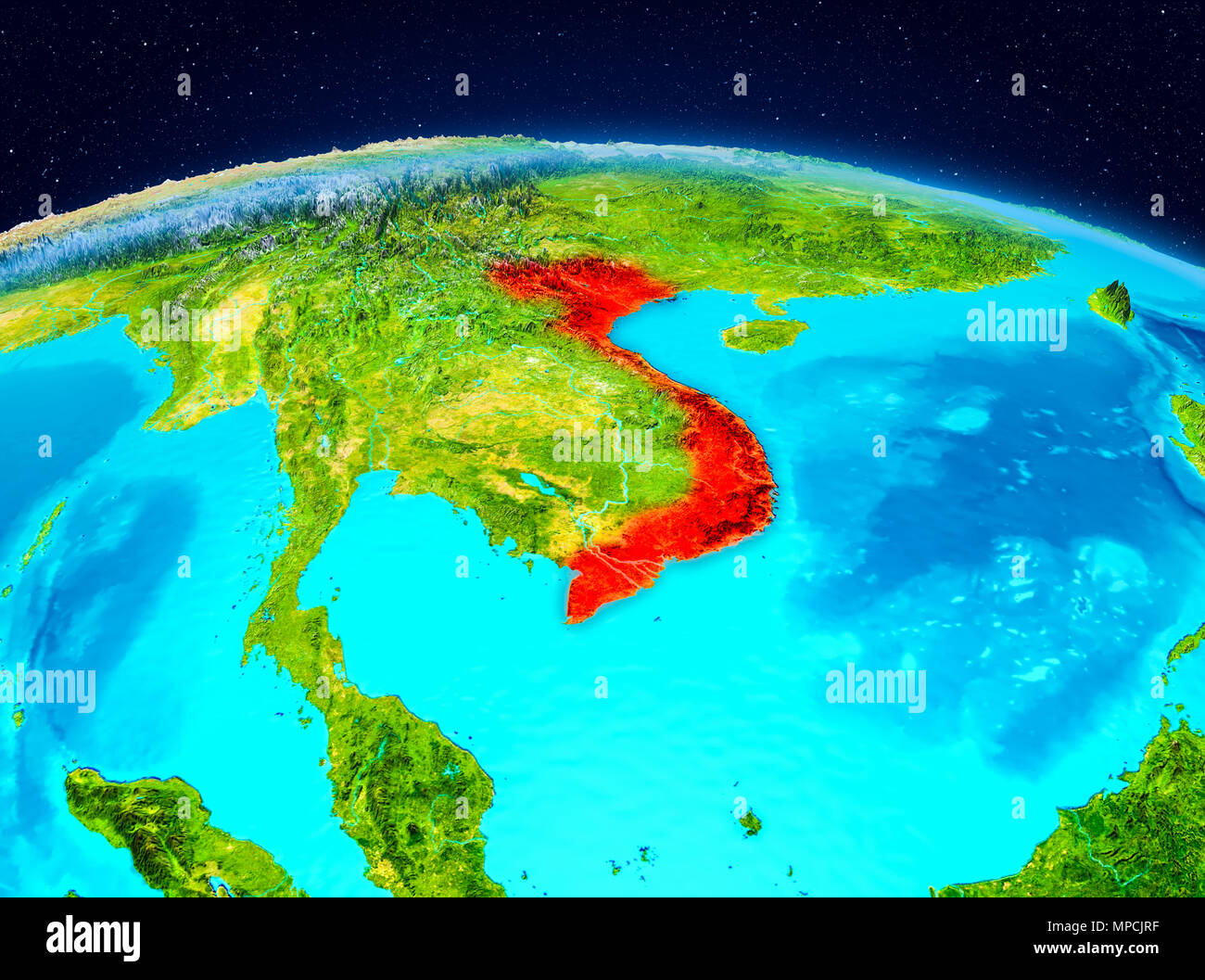 Satellite view of Vietnam highlighted in red on planet Earth. 3D illustration. Elements of this image furnished by NASA. Stock Photohttps://www.alamy.com/image-license-details/?v=1https://www.alamy.com/satellite-view-of-vietnam-highlighted-in-red-on-planet-earth-3d-illustration-elements-of-this-image-furnished-by-nasa-image185904307.html
RFMPCJRF–Satellite view of Vietnam highlighted in red on planet Earth. 3D illustration. Elements of this image furnished by NASA.
 Philippines. 17th Dec, 2021. This image, acquired in the late morning on December 17 by the Moderate Resolution Imaging Spectroradiometer (MODIS) on NASA's Terra satellite, shows the storm on the western side of the Philippines as it started to track northwest. Sustained winds were still whipping at 180 kilometers (110 miles) per hour. Forecasters from the U.S. Joint Typhoon Warning Center predicted that the storm would head toward Vietnam and southern China in the coming days. Rai (Odette) is the 15th typhoon to pass through or close to the Philippines this year. The archipelago typicall Stock Photohttps://www.alamy.com/image-license-details/?v=1https://www.alamy.com/philippines-17th-dec-2021-this-image-acquired-in-the-late-morning-on-december-17-by-the-moderate-resolution-imaging-spectroradiometer-modis-on-nasas-terra-satellite-shows-the-storm-on-the-western-side-of-the-philippines-as-it-started-to-track-northwest-sustained-winds-were-still-whipping-at-180-kilometers-110-miles-per-hour-forecasters-from-the-us-joint-typhoon-warning-center-predicted-that-the-storm-would-head-toward-vietnam-and-southern-china-in-the-coming-days-rai-odette-is-the-15th-typhoon-to-pass-through-or-close-to-the-philippines-this-year-the-archipelago-typicall-image454444873.html
RM2HB9N21–Philippines. 17th Dec, 2021. This image, acquired in the late morning on December 17 by the Moderate Resolution Imaging Spectroradiometer (MODIS) on NASA's Terra satellite, shows the storm on the western side of the Philippines as it started to track northwest. Sustained winds were still whipping at 180 kilometers (110 miles) per hour. Forecasters from the U.S. Joint Typhoon Warning Center predicted that the storm would head toward Vietnam and southern China in the coming days. Rai (Odette) is the 15th typhoon to pass through or close to the Philippines this year. The archipelago typicall
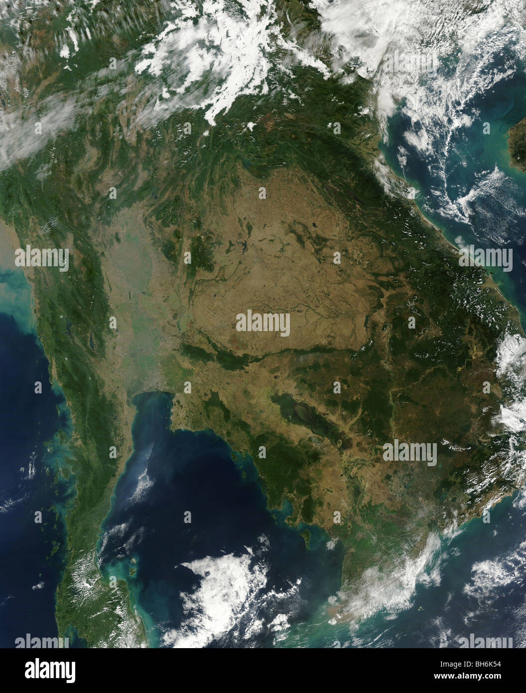 December 24, 2009 - Satellite view of Indochina. Stock Photohttps://www.alamy.com/image-license-details/?v=1https://www.alamy.com/stock-photo-december-24-2009-satellite-view-of-indochina-27806272.html
RFBH6K54–December 24, 2009 - Satellite view of Indochina.
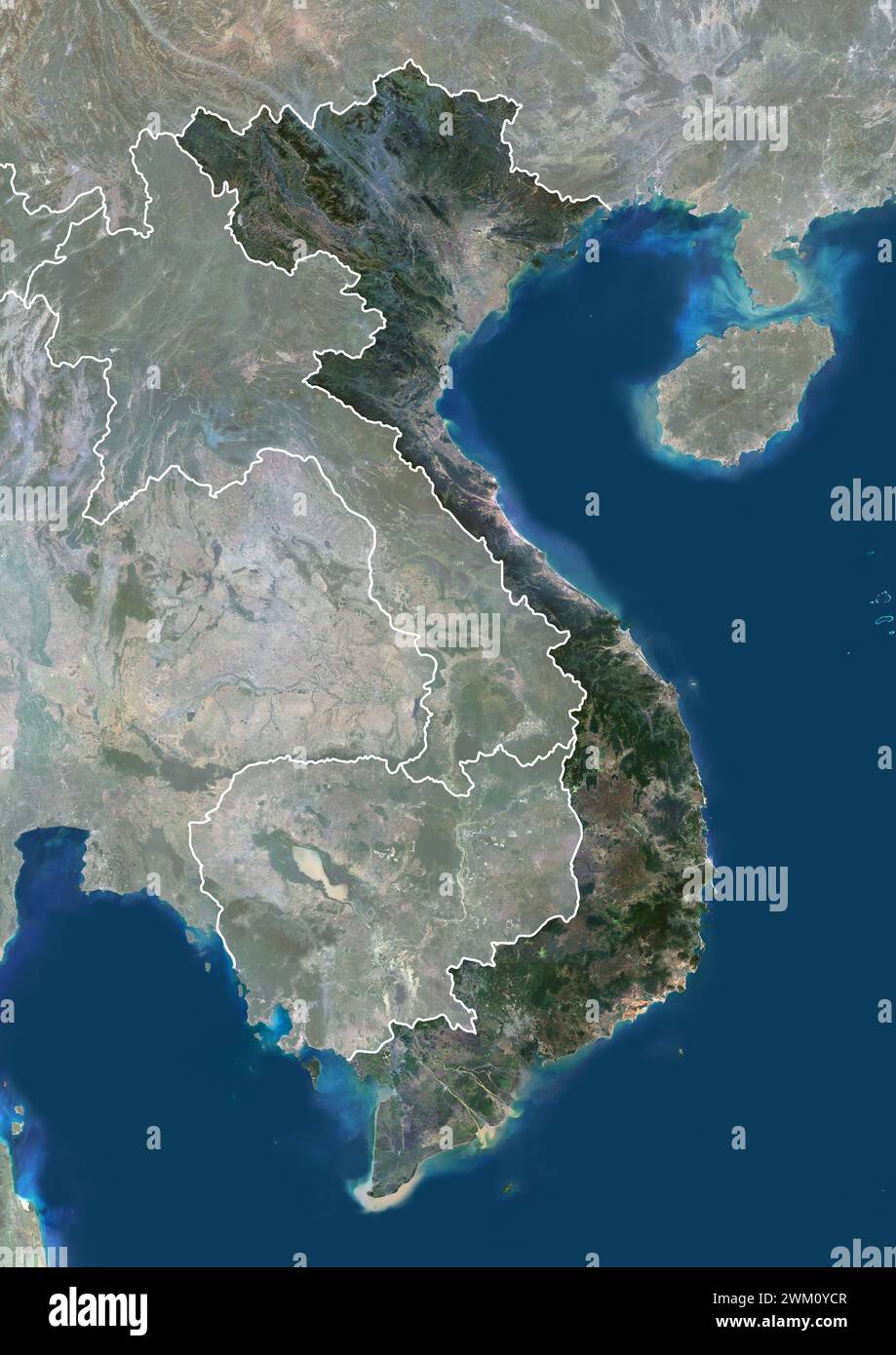 Color satellite image of Vietnam, with borders and mask. Stock Photohttps://www.alamy.com/image-license-details/?v=1https://www.alamy.com/color-satellite-image-of-vietnam-with-borders-and-mask-image597467159.html
RM2WM0YCR–Color satellite image of Vietnam, with borders and mask.
 October 11, 2009 - Tropical Storm Parma approaching China and Vietnam. Stock Photohttps://www.alamy.com/image-license-details/?v=1https://www.alamy.com/stock-photo-october-11-2009-tropical-storm-parma-approaching-china-and-vietnam-26949578.html
RFBFRJCX–October 11, 2009 - Tropical Storm Parma approaching China and Vietnam.
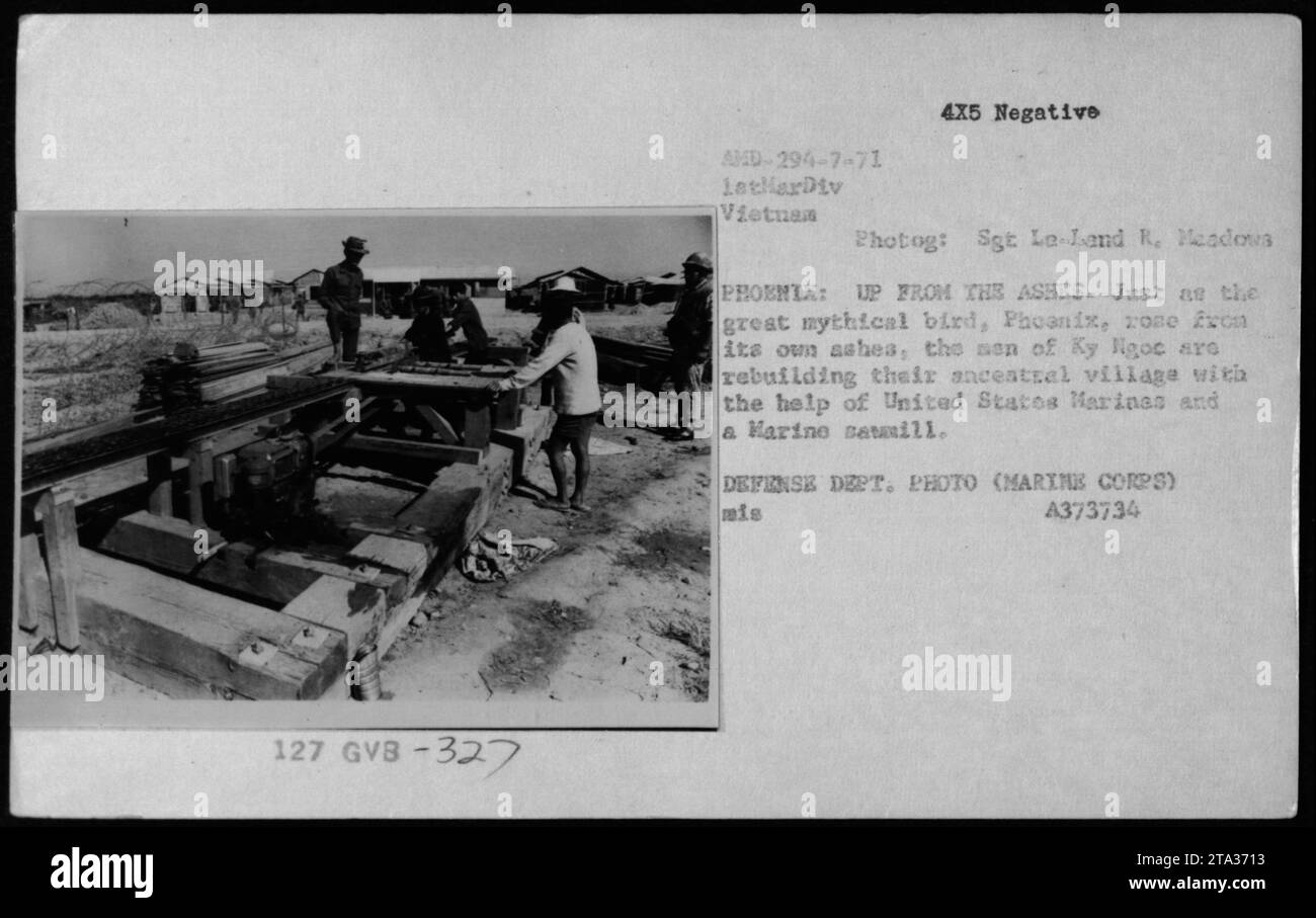 United States Marines and Vietnamese locals are working together to rebuild their ancestral village. The image shows structures including USMC and Vietnamese buildings and bunkers. It is captured in a 4x5 negative photograph taken by Set La-Land R. Meadows during American military activities in Vietnam. Stock Photohttps://www.alamy.com/image-license-details/?v=1https://www.alamy.com/united-states-marines-and-vietnamese-locals-are-working-together-to-rebuild-their-ancestral-village-the-image-shows-structures-including-usmc-and-vietnamese-buildings-and-bunkers-it-is-captured-in-a-4x5-negative-photograph-taken-by-set-la-land-r-meadows-during-american-military-activities-in-vietnam-image574160079.html
RM2TA3713–United States Marines and Vietnamese locals are working together to rebuild their ancestral village. The image shows structures including USMC and Vietnamese buildings and bunkers. It is captured in a 4x5 negative photograph taken by Set La-Land R. Meadows during American military activities in Vietnam.
 Saint Petersburg, Russia - November 12, 2020: Stamp printed in the Vietnam with the image of the Major Titov and rocket, circa 1961 Stock Photohttps://www.alamy.com/image-license-details/?v=1https://www.alamy.com/saint-petersburg-russia-november-12-2020-stamp-printed-in-the-vietnam-with-the-image-of-the-major-titov-and-rocket-circa-1961-image396731916.html
RF2E1CKH0–Saint Petersburg, Russia - November 12, 2020: Stamp printed in the Vietnam with the image of the Major Titov and rocket, circa 1961
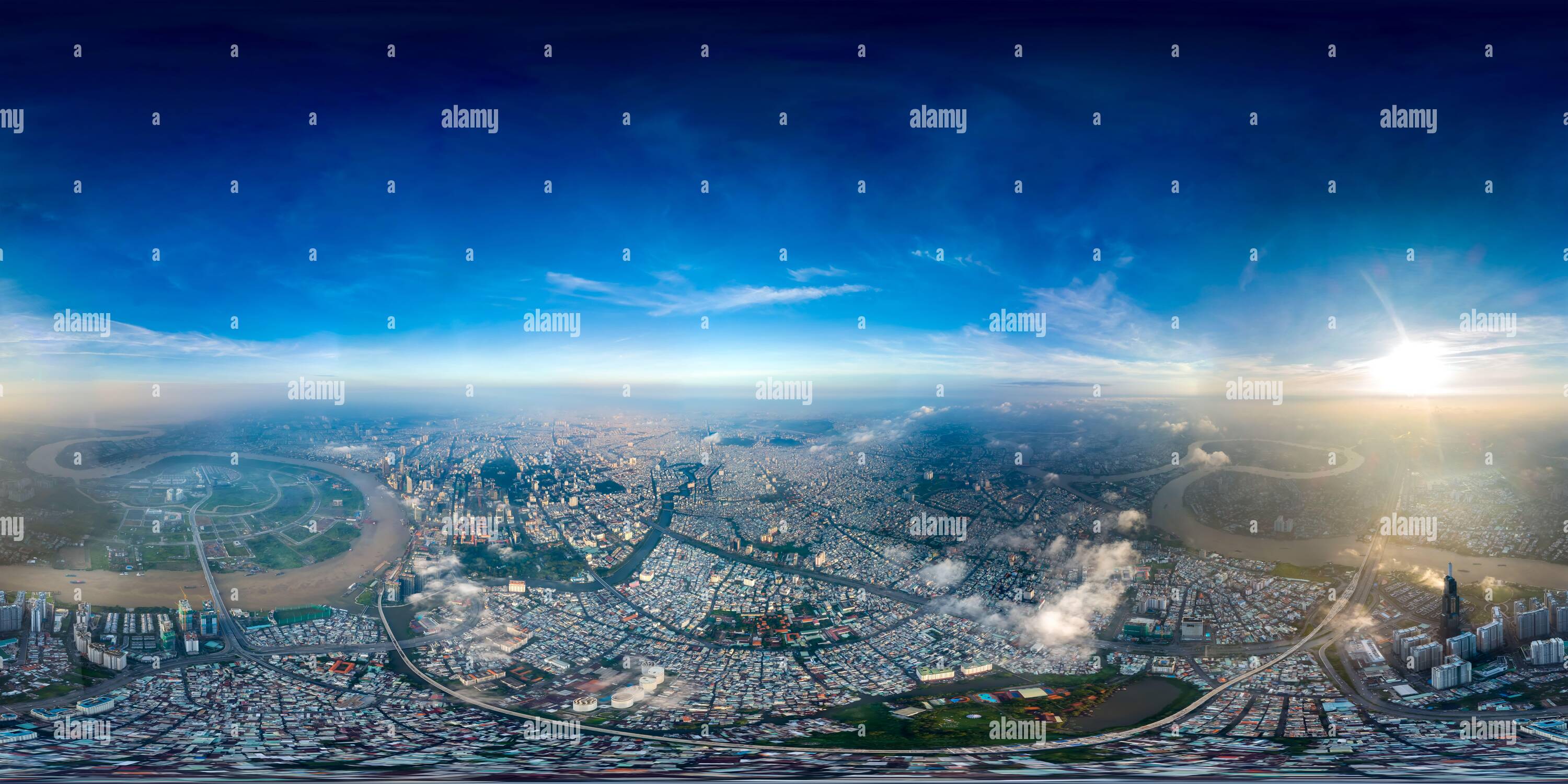 360 degree panoramic view of High Altitude 360 VR Cityscape at Sunrise with Visibility over 10Km.https://www.alamy.com/image-license-details/?v=1https://www.alamy.com/360-degree-panoramic-view-of-high-altitude-360-vr-cityscape-at-sunrise-with-visibility-over-10km-image397277523.html
RF360°2E29FEY–High Altitude 360 VR Cityscape at Sunrise with Visibility over 10Km.
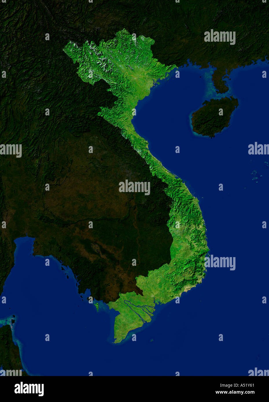 Highlighted Satellite Image Of Vietnam Stock Photohttps://www.alamy.com/image-license-details/?v=1https://www.alamy.com/highlighted-satellite-image-of-vietnam-image3647328.html
RFA51Y61–Highlighted Satellite Image Of Vietnam
 Rex Hotel, Ho Chi Minh City (formerly Saigon) Vietnam Stock Photohttps://www.alamy.com/image-license-details/?v=1https://www.alamy.com/rex-hotel-ho-chi-minh-city-formerly-saigon-vietnam-image405350857.html
RF2EFD949–Rex Hotel, Ho Chi Minh City (formerly Saigon) Vietnam
 Dark Asia in citylights from space and motherboard pattern with copy space for your text. Information technology concept. Elements of this image furni Stock Photohttps://www.alamy.com/image-license-details/?v=1https://www.alamy.com/dark-asia-in-citylights-from-space-and-motherboard-pattern-with-copy-space-for-your-text-information-technology-concept-elements-of-this-image-furni-image426266822.html
RF2FNE3K2–Dark Asia in citylights from space and motherboard pattern with copy space for your text. Information technology concept. Elements of this image furni
 Hon Lon Island in the South China Sea, belonging to Vietnam, cropped to square on a satellite image taken in January 28, 2019 Stock Photohttps://www.alamy.com/image-license-details/?v=1https://www.alamy.com/hon-lon-island-in-the-south-china-sea-belonging-to-vietnam-cropped-to-square-on-a-satellite-image-taken-in-january-28-2019-image620229342.html
RF2Y11TRX–Hon Lon Island in the South China Sea, belonging to Vietnam, cropped to square on a satellite image taken in January 28, 2019
 Black night sky and full moon glowing white; Binh Lap, Vietnam Stock Photohttps://www.alamy.com/image-license-details/?v=1https://www.alamy.com/black-night-sky-and-full-moon-glowing-white-binh-lap-vietnam-image352907195.html
RF2BE48MB–Black night sky and full moon glowing white; Binh Lap, Vietnam
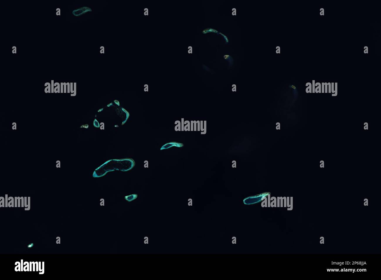 Paracel Islands in the South China Sea seen from space - contains modified Copernicus Sentinel Data (2023) Stock Photohttps://www.alamy.com/image-license-details/?v=1https://www.alamy.com/paracel-islands-in-the-south-china-sea-seen-from-space-contains-modified-copernicus-sentinel-data-2023-image537399586.html
RF2P68JJA–Paracel Islands in the South China Sea seen from space - contains modified Copernicus Sentinel Data (2023)
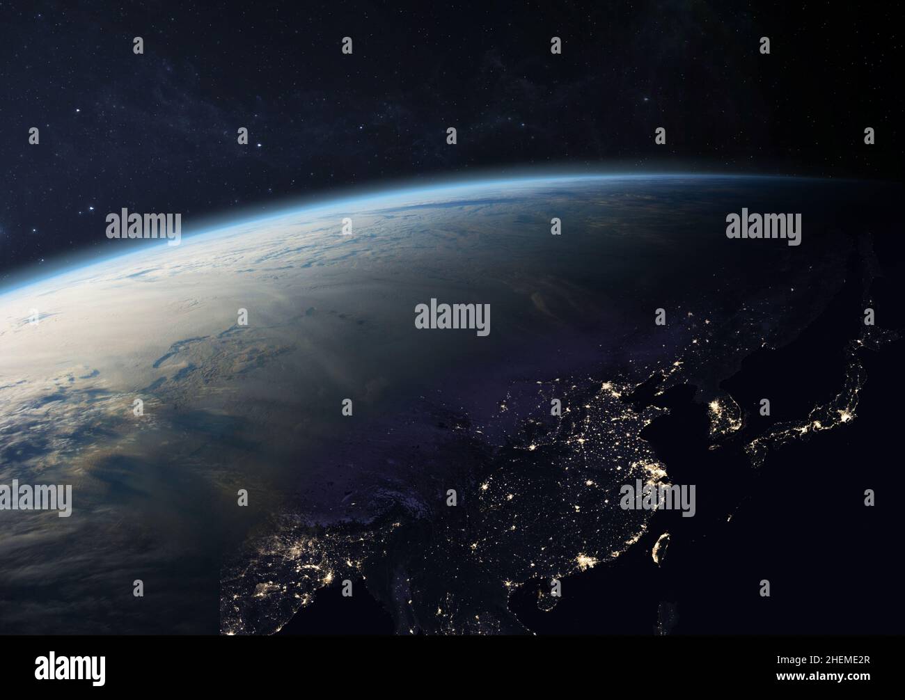 Planet Earth from the space at night. Asia at night: China, Taiwan, India, Japan, Laos and other countries. Elements of this image furnished by NASA. Stock Photohttps://www.alamy.com/image-license-details/?v=1https://www.alamy.com/planet-earth-from-the-space-at-night-asia-at-night-china-taiwan-india-japan-laos-and-other-countries-elements-of-this-image-furnished-by-nasa-image456524847.html
RF2HEME2R–Planet Earth from the space at night. Asia at night: China, Taiwan, India, Japan, Laos and other countries. Elements of this image furnished by NASA.
 . A comparison of satellite images capable of detecting ocean surface features.. Oceanography. (a). (b) Figure 5. ERTS Standard Archived Products, 20 July 19 73. (a) 1362-02481, Band 4. (b) 1362-02481, Band 5. Both images were taken at the same time as were those in Figure 6, which shows Bands 6 and 7. This image shows the sediment in the surface waters off Vietnam in the Gulf of Tonkin, and is only visible in Bands 4 and 5. Received from EROS Data Center, Sioux Falls, South Dakota. 58. Please note that these images are extracted from scanned page images that may have been digitally enhanced f Stock Photohttps://www.alamy.com/image-license-details/?v=1https://www.alamy.com/a-comparison-of-satellite-images-capable-of-detecting-ocean-surface-features-oceanography-a-b-figure-5-erts-standard-archived-products-20-july-19-73-a-1362-02481-band-4-b-1362-02481-band-5-both-images-were-taken-at-the-same-time-as-were-those-in-figure-6-which-shows-bands-6-and-7-this-image-shows-the-sediment-in-the-surface-waters-off-vietnam-in-the-gulf-of-tonkin-and-is-only-visible-in-bands-4-and-5-received-from-eros-data-center-sioux-falls-south-dakota-58-please-note-that-these-images-are-extracted-from-scanned-page-images-that-may-have-been-digitally-enhanced-f-image232674980.html
RMREF78M–. A comparison of satellite images capable of detecting ocean surface features.. Oceanography. (a). (b) Figure 5. ERTS Standard Archived Products, 20 July 19 73. (a) 1362-02481, Band 4. (b) 1362-02481, Band 5. Both images were taken at the same time as were those in Figure 6, which shows Bands 6 and 7. This image shows the sediment in the surface waters off Vietnam in the Gulf of Tonkin, and is only visible in Bands 4 and 5. Received from EROS Data Center, Sioux Falls, South Dakota. 58. Please note that these images are extracted from scanned page images that may have been digitally enhanced f
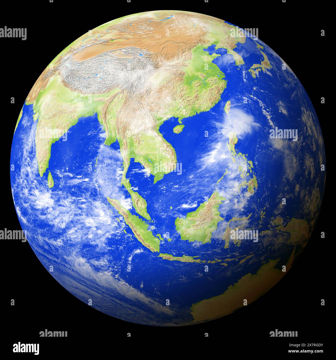 View of the earth from space showing Vietnam in the center of the image. Stock Photohttps://www.alamy.com/image-license-details/?v=1https://www.alamy.com/view-of-the-earth-from-space-showing-vietnam-in-the-center-of-the-image-image607183303.html
RF2X7RGDY–View of the earth from space showing Vietnam in the center of the image.
 MOSCOW, RUSSIA - OCTOBER 24, 2021: Postage stamp printed in Vietnam shows Satellite sputnik 1, Konstantin Ziolkovsky (1857-1935), 25 Years of Human Sp Stock Photohttps://www.alamy.com/image-license-details/?v=1https://www.alamy.com/moscow-russia-october-24-2021-postage-stamp-printed-in-vietnam-shows-satellite-sputnik-1-konstantin-ziolkovsky-1857-1935-25-years-of-human-sp-image453118139.html
RF2H958PK–MOSCOW, RUSSIA - OCTOBER 24, 2021: Postage stamp printed in Vietnam shows Satellite sputnik 1, Konstantin Ziolkovsky (1857-1935), 25 Years of Human Sp
 Satellite view of Vietnam highlighted in red on planet Earth with clouds. 3D illustration. Elements of this image furnished by NASA. Stock Photohttps://www.alamy.com/image-license-details/?v=1https://www.alamy.com/stock-photo-satellite-view-of-vietnam-highlighted-in-red-on-planet-earth-with-175360548.html
RFM58A4M–Satellite view of Vietnam highlighted in red on planet Earth with clouds. 3D illustration. Elements of this image furnished by NASA.
 MOSCOW, RUSSIA - APRIL 2, 2017: A post stamp printed in Vietnam shows psatellite antenna, 40th telecomunication anniversary, circa 1985 Stock Photohttps://www.alamy.com/image-license-details/?v=1https://www.alamy.com/moscow-russia-april-2-2017-a-post-stamp-printed-in-vietnam-shows-psatellite-antenna-40th-telecomunication-anniversary-circa-1985-image383160716.html
RF2D7ADB8–MOSCOW, RUSSIA - APRIL 2, 2017: A post stamp printed in Vietnam shows psatellite antenna, 40th telecomunication anniversary, circa 1985
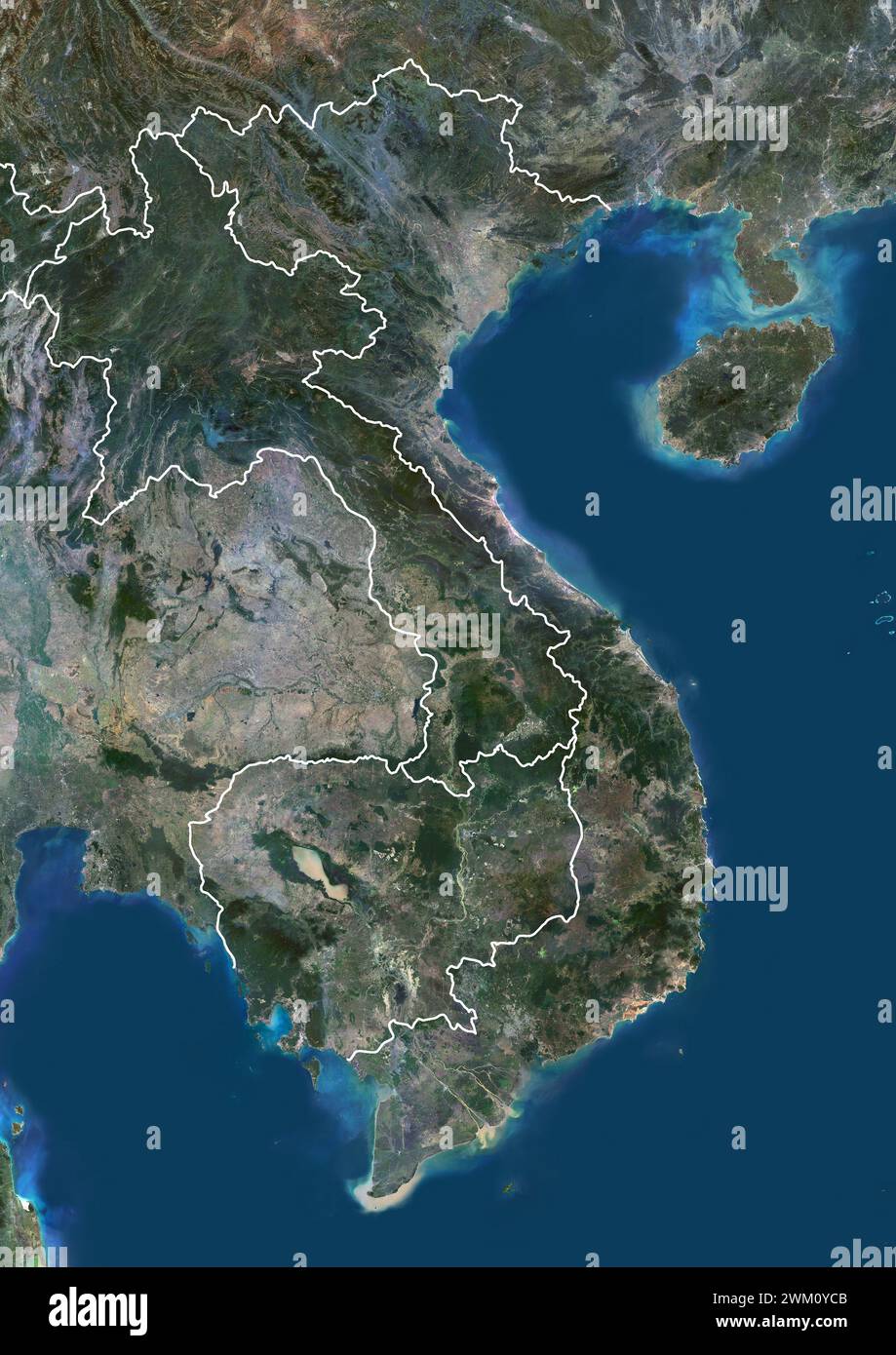 Color satellite image of Vietnam, Laos and Cambodia, with borders. Stock Photohttps://www.alamy.com/image-license-details/?v=1https://www.alamy.com/color-satellite-image-of-vietnam-laos-and-cambodia-with-borders-image597467147.html
RM2WM0YCB–Color satellite image of Vietnam, Laos and Cambodia, with borders.
 MOSCOW, RUSSIA - OCTOBER 17, 2020: Postage stamp printed in Vietnam shows Satellites Kosmos-186 and Kosmos-188 Docking, 20 Years of Space Exploration Stock Photohttps://www.alamy.com/image-license-details/?v=1https://www.alamy.com/moscow-russia-october-17-2020-postage-stamp-printed-in-vietnam-shows-satellites-kosmos-186-and-kosmos-188-docking-20-years-of-space-exploration-image387505675.html
RF2DECBCB–MOSCOW, RUSSIA - OCTOBER 17, 2020: Postage stamp printed in Vietnam shows Satellites Kosmos-186 and Kosmos-188 Docking, 20 Years of Space Exploration
 Marine Sergeant inspects pilings of the III Marine Amphibious Force Bridge (I Corps Bridge) in Vietnam during 1968. The image shows him using a power boat for the inspection. Photographed by Cpl P. G. Oliver for the Defense Department. Stock Photohttps://www.alamy.com/image-license-details/?v=1https://www.alamy.com/marine-sergeant-inspects-pilings-of-the-iii-marine-amphibious-force-bridge-i-corps-bridge-in-vietnam-during-1968-the-image-shows-him-using-a-power-boat-for-the-inspection-photographed-by-cpl-p-g-oliver-for-the-defense-department-image574170495.html
RM2TA3M93–Marine Sergeant inspects pilings of the III Marine Amphibious Force Bridge (I Corps Bridge) in Vietnam during 1968. The image shows him using a power boat for the inspection. Photographed by Cpl P. G. Oliver for the Defense Department.
 Saint Petersburg, Russia - November 12, 2020: Stamp printed in the Vietnam with the image of the Luna 9 landing on the moon, circa 1966 Stock Photohttps://www.alamy.com/image-license-details/?v=1https://www.alamy.com/saint-petersburg-russia-november-12-2020-stamp-printed-in-the-vietnam-with-the-image-of-the-luna-9-landing-on-the-moon-circa-1966-image396731926.html
RF2E1CKHA–Saint Petersburg, Russia - November 12, 2020: Stamp printed in the Vietnam with the image of the Luna 9 landing on the moon, circa 1966
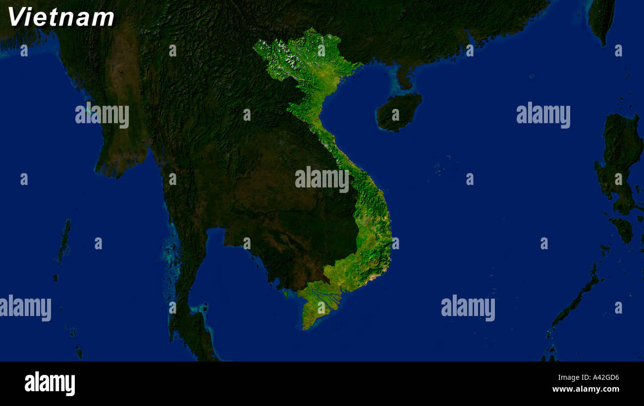 Satellite Image Of Vietnam Highlighted With Text Stock Photohttps://www.alamy.com/image-license-details/?v=1https://www.alamy.com/satellite-image-of-vietnam-highlighted-with-text-image3561685.html
RFA42GD6–Satellite Image Of Vietnam Highlighted With Text
 Hon Tre Island in the South China Sea, belonging to Vietnam, cropped to square on a satellite image taken in March 13, 2021 Stock Photohttps://www.alamy.com/image-license-details/?v=1https://www.alamy.com/hon-tre-island-in-the-south-china-sea-belonging-to-vietnam-cropped-to-square-on-a-satellite-image-taken-in-march-13-2021-image620229311.html
RF2Y11TPR–Hon Tre Island in the South China Sea, belonging to Vietnam, cropped to square on a satellite image taken in March 13, 2021
 Satellite view of Vietnam highlighted in red on planet Earth with borderlines. 3D illustration. Elements of this image furnished by NASA. Stock Photohttps://www.alamy.com/image-license-details/?v=1https://www.alamy.com/stock-image-satellite-view-of-vietnam-highlighted-in-red-on-planet-earth-with-168604646.html
RFKP8GXE–Satellite view of Vietnam highlighted in red on planet Earth with borderlines. 3D illustration. Elements of this image furnished by NASA.
 Color satellite image of Vietnam, Laos, Cambodia and neighbouring countries. Stock Photohttps://www.alamy.com/image-license-details/?v=1https://www.alamy.com/color-satellite-image-of-vietnam-laos-cambodia-and-neighbouring-countries-image597467140.html
RM2WM0YC4–Color satellite image of Vietnam, Laos, Cambodia and neighbouring countries.
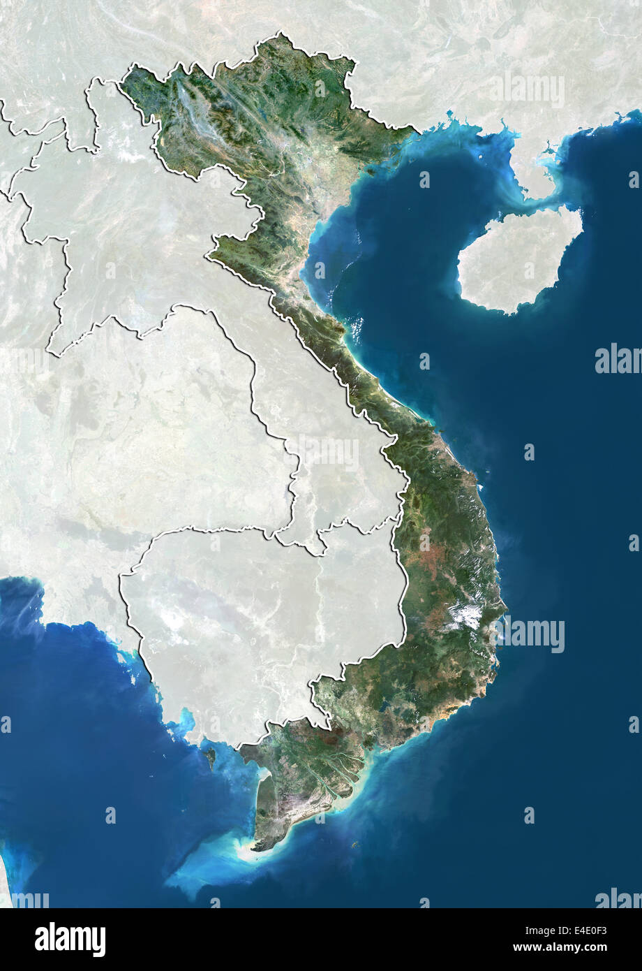 Vietnam, True Colour Satellite Image With Border and Mask Stock Photohttps://www.alamy.com/image-license-details/?v=1https://www.alamy.com/stock-photo-vietnam-true-colour-satellite-image-with-border-and-mask-71607847.html
RME4E0F3–Vietnam, True Colour Satellite Image With Border and Mask
 Saint Petersburg, Russia - November 12, 2020: Stamp printed in the Vietnam with the image of the Luna 9 on its flight path to the moon, circa 1966 Stock Photohttps://www.alamy.com/image-license-details/?v=1https://www.alamy.com/saint-petersburg-russia-november-12-2020-stamp-printed-in-the-vietnam-with-the-image-of-the-luna-9-on-its-flight-path-to-the-moon-circa-1966-image396731915.html
RF2E1CKGY–Saint Petersburg, Russia - November 12, 2020: Stamp printed in the Vietnam with the image of the Luna 9 on its flight path to the moon, circa 1966
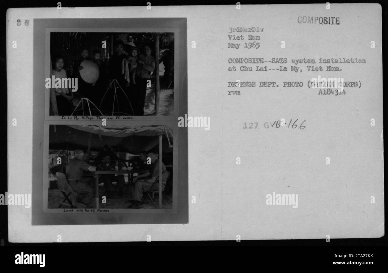 Marines from the 3rdMarDiv enjoy lunch with VC women in Le My Village during May 1965. The image showcases the COMPOSITE COMPOSITE-SATS system installation at Chu Lai, Viet Nam. This photograph was taken by the Defense Department and is labeled as A184314 Xuma 127 GVB-166. Stock Photohttps://www.alamy.com/image-license-details/?v=1https://www.alamy.com/marines-from-the-3rdmardiv-enjoy-lunch-with-vc-women-in-le-my-village-during-may-1965-the-image-showcases-the-composite-composite-sats-system-installation-at-chu-lai-viet-nam-this-photograph-was-taken-by-the-defense-department-and-is-labeled-as-a184314-xuma-127-gvb-166-image574138647.html
RM2TA27KK–Marines from the 3rdMarDiv enjoy lunch with VC women in Le My Village during May 1965. The image showcases the COMPOSITE COMPOSITE-SATS system installation at Chu Lai, Viet Nam. This photograph was taken by the Defense Department and is labeled as A184314 Xuma 127 GVB-166.
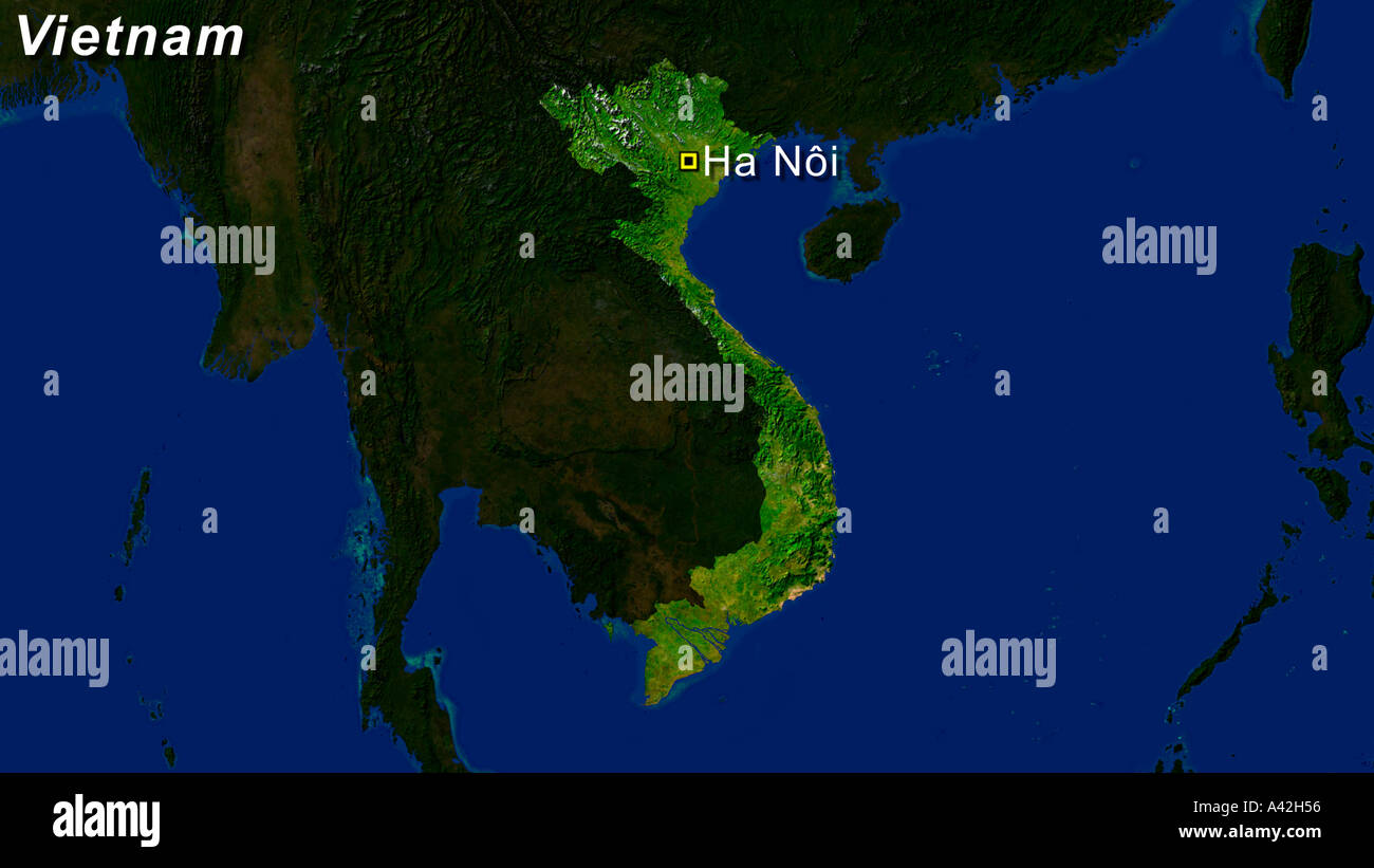 Satellite Image Of Vietnam With Hanoi Highlighted Stock Photohttps://www.alamy.com/image-license-details/?v=1https://www.alamy.com/satellite-image-of-vietnam-with-hanoi-highlighted-image3561813.html
RFA42H56–Satellite Image Of Vietnam With Hanoi Highlighted
 Hon Lon Island in the South China Sea on a satellite image taken in July 1, 2021 Stock Photohttps://www.alamy.com/image-license-details/?v=1https://www.alamy.com/hon-lon-island-in-the-south-china-sea-on-a-satellite-image-taken-in-july-1-2021-image619376346.html
RF2XYK0RP–Hon Lon Island in the South China Sea on a satellite image taken in July 1, 2021
 Cai Bau Island in the South China Sea on a satellite image taken in January 30, 2023 Stock Photohttps://www.alamy.com/image-license-details/?v=1https://www.alamy.com/cai-bau-island-in-the-south-china-sea-on-a-satellite-image-taken-in-january-30-2023-image619372374.html
RF2XYJRNX–Cai Bau Island in the South China Sea on a satellite image taken in January 30, 2023
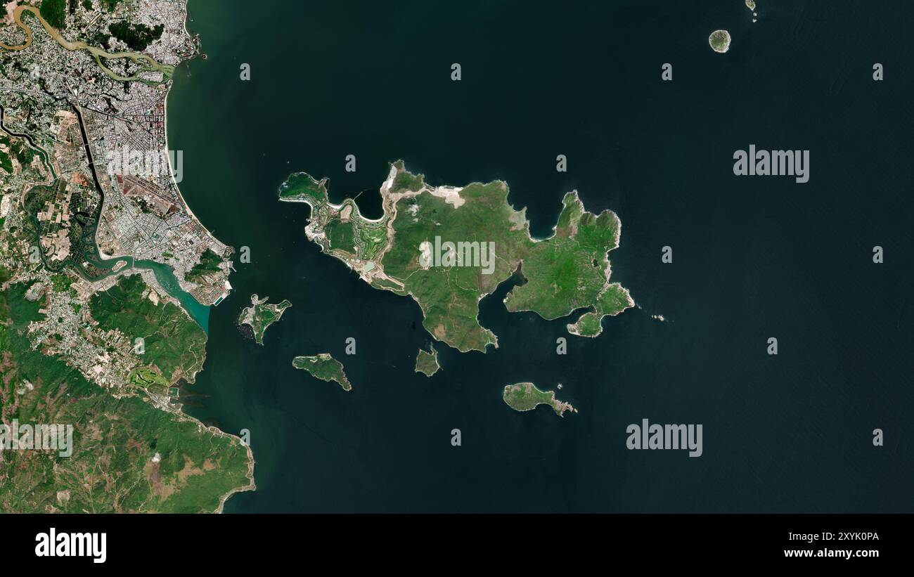 Hon Tre Island in the South China Sea on a satellite image taken in January 22, 2022 Stock Photohttps://www.alamy.com/image-license-details/?v=1https://www.alamy.com/hon-tre-island-in-the-south-china-sea-on-a-satellite-image-taken-in-january-22-2022-image619376306.html
RF2XYK0PA–Hon Tre Island in the South China Sea on a satellite image taken in January 22, 2022
 Dao Vinh Thuc Island in the South China Sea on a satellite image taken in September 7, 2023 Stock Photohttps://www.alamy.com/image-license-details/?v=1https://www.alamy.com/dao-vinh-thuc-island-in-the-south-china-sea-on-a-satellite-image-taken-in-september-7-2023-image619373054.html
RF2XYJTJ6–Dao Vinh Thuc Island in the South China Sea on a satellite image taken in September 7, 2023
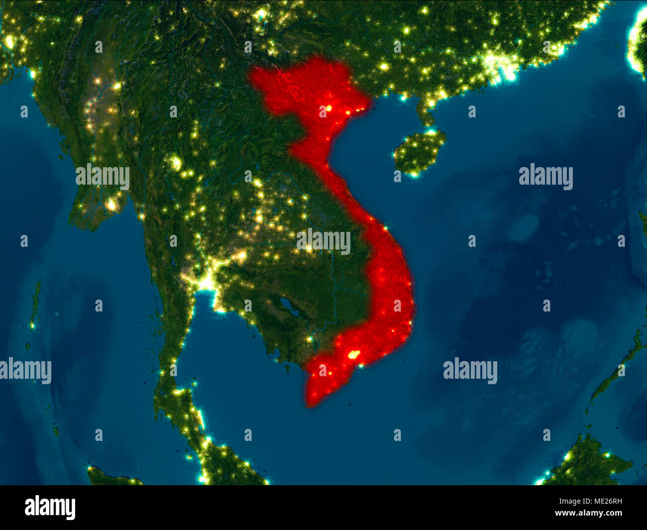 Satellite night view of Vietnam highlighted in red on planet Earth. 3D illustration. Elements of this image furnished by NASA. Stock Photohttps://www.alamy.com/image-license-details/?v=1https://www.alamy.com/satellite-night-view-of-vietnam-highlighted-in-red-on-planet-earth-3d-illustration-elements-of-this-image-furnished-by-nasa-image180758133.html
RFME26RH–Satellite night view of Vietnam highlighted in red on planet Earth. 3D illustration. Elements of this image furnished by NASA.
 Vietnam, Cambodia and Laos, True Colour Satellite Image With Border Stock Photohttps://www.alamy.com/image-license-details/?v=1https://www.alamy.com/stock-photo-vietnam-cambodia-and-laos-true-colour-satellite-image-with-border-71607848.html
RME4E0F4–Vietnam, Cambodia and Laos, True Colour Satellite Image With Border
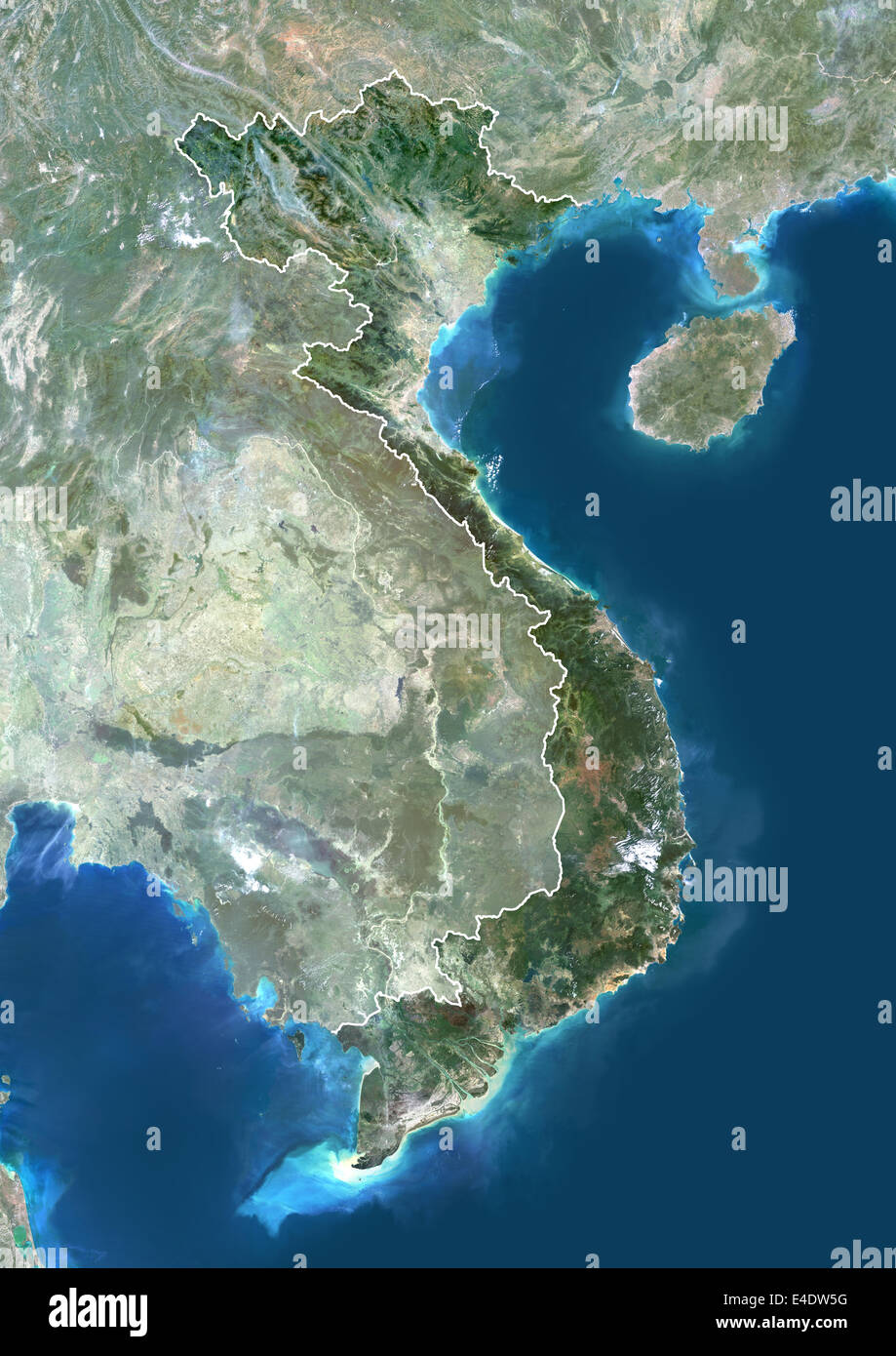 Vietnam, Asia, True Colour Satellite Image With Border And Mask. Satellite view of Vietnam (with border and mask). This image wa Stock Photohttps://www.alamy.com/image-license-details/?v=1https://www.alamy.com/stock-photo-vietnam-asia-true-colour-satellite-image-with-border-and-mask-satellite-71605228.html
RME4DW5G–Vietnam, Asia, True Colour Satellite Image With Border And Mask. Satellite view of Vietnam (with border and mask). This image wa
 Satellite Image Of Vietnam Highlighted Red Stock Photohttps://www.alamy.com/image-license-details/?v=1https://www.alamy.com/satellite-image-of-vietnam-highlighted-red-image3506868.html
RFA3CJB5–Satellite Image Of Vietnam Highlighted Red
 Dao Tra Ban Island in the South China Sea on a satellite image taken in November 26, 2023 Stock Photohttps://www.alamy.com/image-license-details/?v=1https://www.alamy.com/dao-tra-ban-island-in-the-south-china-sea-on-a-satellite-image-taken-in-november-26-2023-image619373059.html
RF2XYJTJB–Dao Tra Ban Island in the South China Sea on a satellite image taken in November 26, 2023
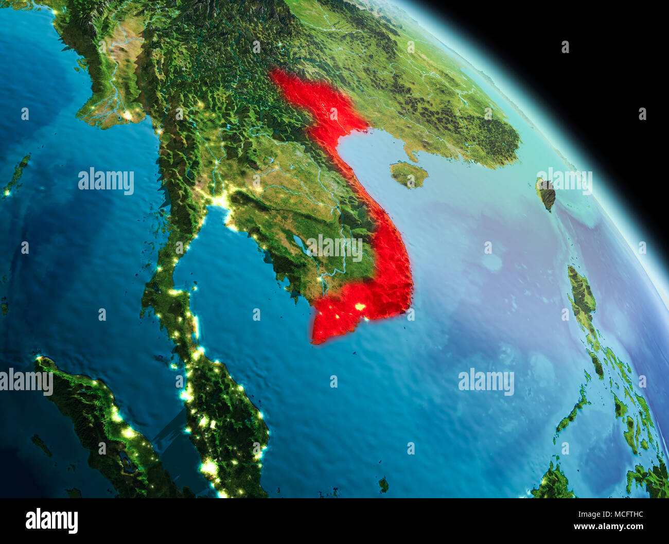 Satellite morning view of Vietnam highlighted in red on planet Earth. 3D illustration. Elements of this image furnished by NASA. Stock Photohttps://www.alamy.com/image-license-details/?v=1https://www.alamy.com/satellite-morning-view-of-vietnam-highlighted-in-red-on-planet-earth-3d-illustration-elements-of-this-image-furnished-by-nasa-image179828136.html
RFMCFTHC–Satellite morning view of Vietnam highlighted in red on planet Earth. 3D illustration. Elements of this image furnished by NASA.
 Vietnam, Asia, True Colour Satellite Image With Border. Satellite view of Vietnam (with border). This image was compiled from da Stock Photohttps://www.alamy.com/image-license-details/?v=1https://www.alamy.com/stock-photo-vietnam-asia-true-colour-satellite-image-with-border-satellite-view-71605227.html
RME4DW5F–Vietnam, Asia, True Colour Satellite Image With Border. Satellite view of Vietnam (with border). This image was compiled from da
 Highlighted Satellite Image Of Vietnam, With Text Stock Photohttps://www.alamy.com/image-license-details/?v=1https://www.alamy.com/highlighted-satellite-image-of-vietnam-with-text-image3647315.html
RFA51Y54–Highlighted Satellite Image Of Vietnam, With Text
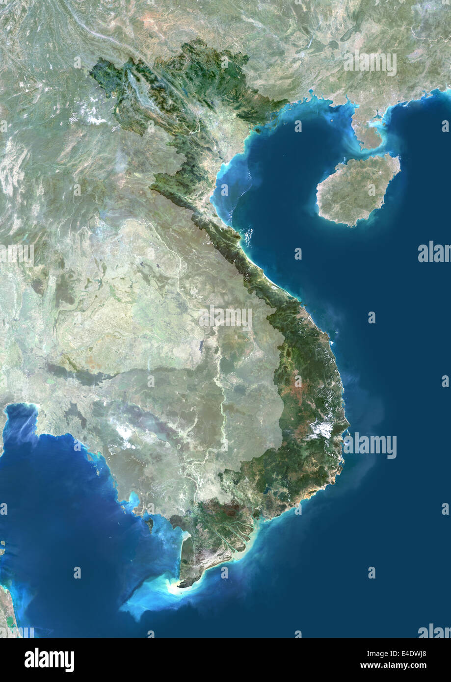 Vietnam, Asia, True Colour Satellite Image With Mask. Satellite view of Vietnam (with mask). This image was compiled from data a Stock Photohttps://www.alamy.com/image-license-details/?v=1https://www.alamy.com/stock-photo-vietnam-asia-true-colour-satellite-image-with-mask-satellite-view-71605584.html
RME4DWJ8–Vietnam, Asia, True Colour Satellite Image With Mask. Satellite view of Vietnam (with mask). This image was compiled from data a
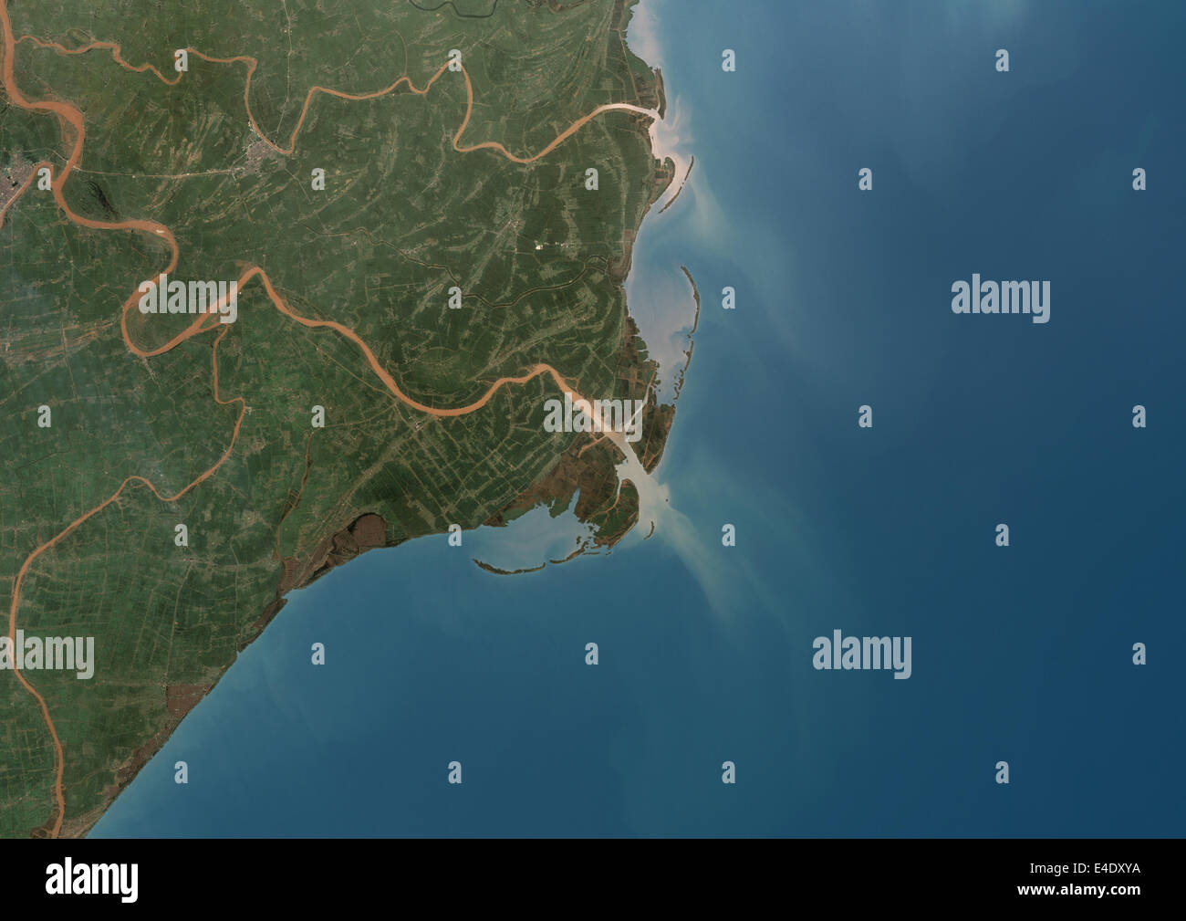 Red River Delta, Vietnam, True Colour Satellite Image. True colour satellite image of the Red River Delta in Vietnam. The Red Ri Stock Photohttps://www.alamy.com/image-license-details/?v=1https://www.alamy.com/stock-photo-red-river-delta-vietnam-true-colour-satellite-image-true-colour-satellite-71606622.html
RME4DXYA–Red River Delta, Vietnam, True Colour Satellite Image. True colour satellite image of the Red River Delta in Vietnam. The Red Ri
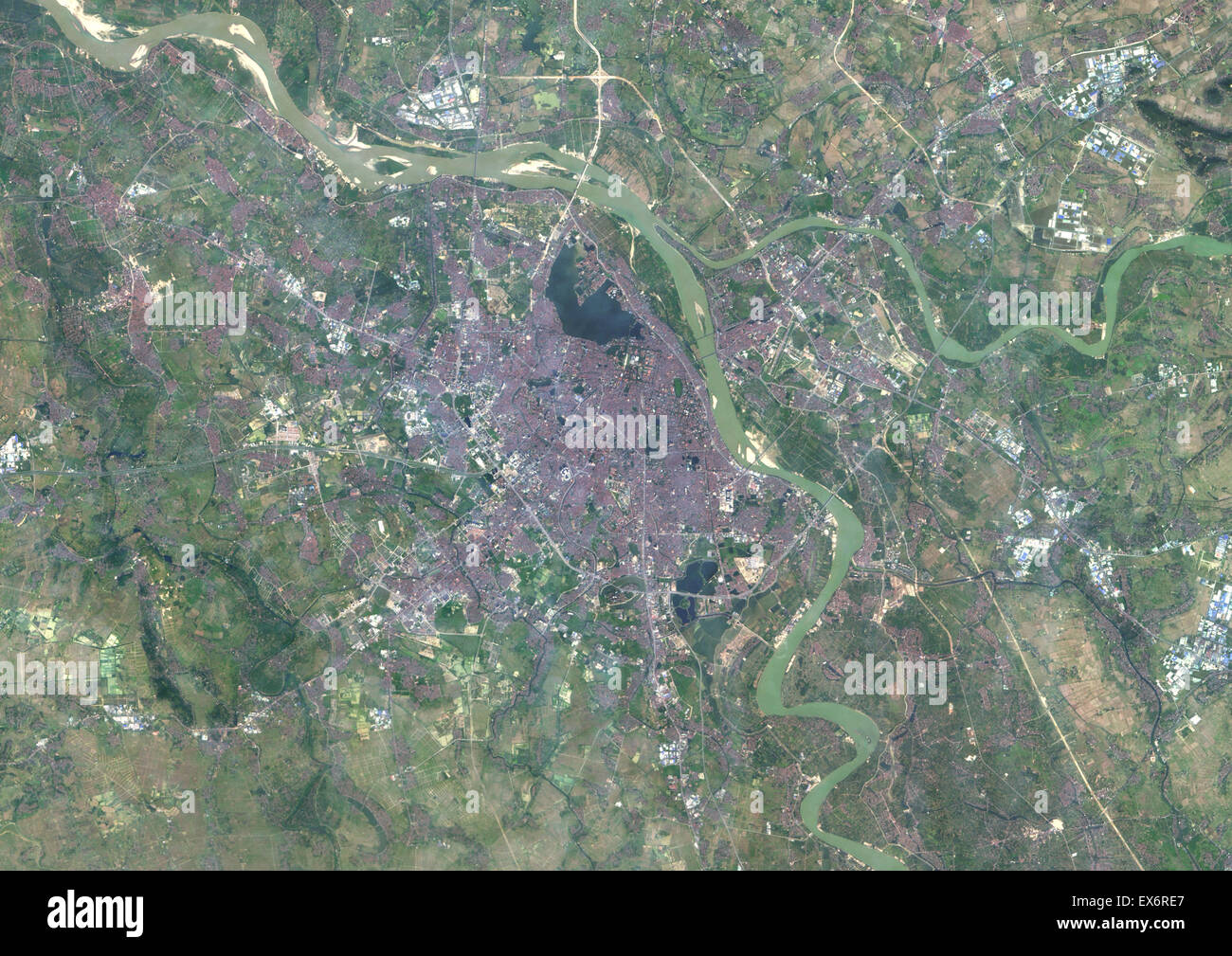 Colour satellite image of Hanoi, Vietnam. Image taken on December 2, 2013 with Landsat 8 data. Stock Photohttps://www.alamy.com/image-license-details/?v=1https://www.alamy.com/stock-photo-colour-satellite-image-of-hanoi-vietnam-image-taken-on-december-2-84972671.html
RMEX6RE7–Colour satellite image of Hanoi, Vietnam. Image taken on December 2, 2013 with Landsat 8 data.
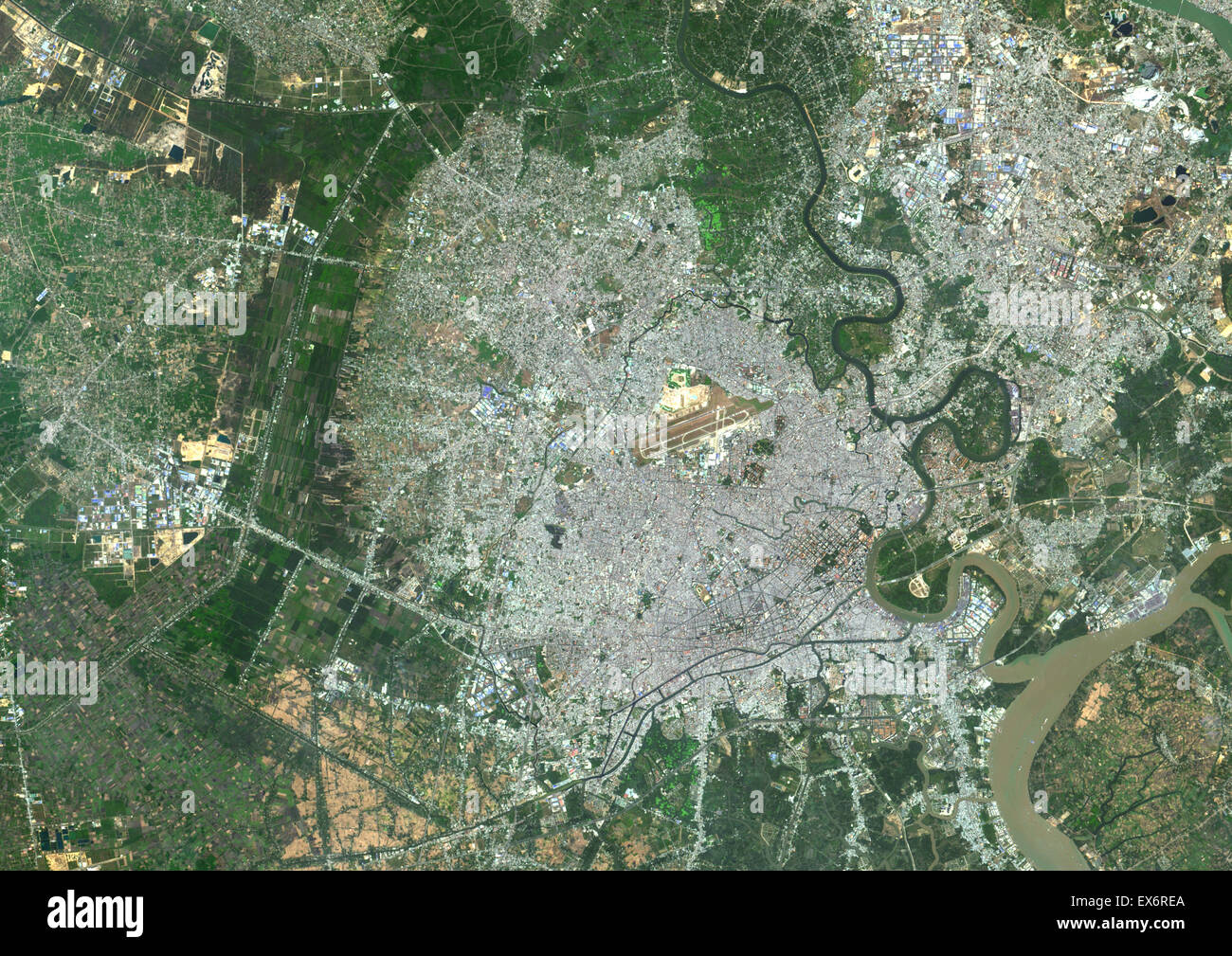 Colour satellite image of Ho-Chi-Minh City, Vietnam. Image taken on January 21, 2014 with Landsat 8 data. Stock Photohttps://www.alamy.com/image-license-details/?v=1https://www.alamy.com/stock-photo-colour-satellite-image-of-ho-chi-minh-city-vietnam-image-taken-on-84972674.html
RMEX6REA–Colour satellite image of Ho-Chi-Minh City, Vietnam. Image taken on January 21, 2014 with Landsat 8 data.
 Satellite view of Southern Vietnam (with country boundaries). This image was compiled from data acquired by Landsat satellites. Stock Photohttps://www.alamy.com/image-license-details/?v=1https://www.alamy.com/stock-photo-satellite-view-of-southern-vietnam-with-country-boundaries-this-image-112373376.html
RMGER1AT–Satellite view of Southern Vietnam (with country boundaries). This image was compiled from data acquired by Landsat satellites.
 Cu Lao Hoa Minh Island in the South China Sea on a satellite image taken in January 6, 2019 Stock Photohttps://www.alamy.com/image-license-details/?v=1https://www.alamy.com/cu-lao-hoa-minh-island-in-the-south-china-sea-on-a-satellite-image-taken-in-january-6-2019-image619372996.html
RF2XYJTG4–Cu Lao Hoa Minh Island in the South China Sea on a satellite image taken in January 6, 2019
 Satellite night view of Vietnam highlighted in red on planet Earth with clouds. 3D illustration. Elements of this image furnished by NASA. Stock Photohttps://www.alamy.com/image-license-details/?v=1https://www.alamy.com/stock-image-satellite-night-view-of-vietnam-highlighted-in-red-on-planet-earth-168620979.html
RFKP99NR–Satellite night view of Vietnam highlighted in red on planet Earth with clouds. 3D illustration. Elements of this image furnished by NASA.
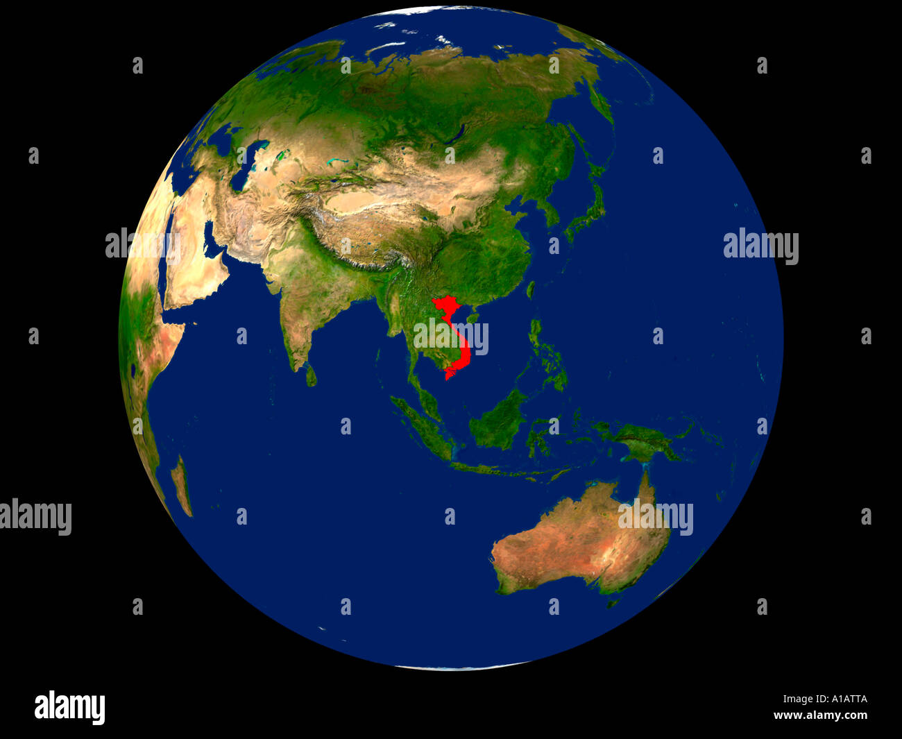 Satellite Image of Earth Showing Vietnam Highlighted Red Stock Photohttps://www.alamy.com/image-license-details/?v=1https://www.alamy.com/satellite-image-of-earth-showing-vietnam-highlighted-red-image5828745.html
RFA1ATTA–Satellite Image of Earth Showing Vietnam Highlighted Red
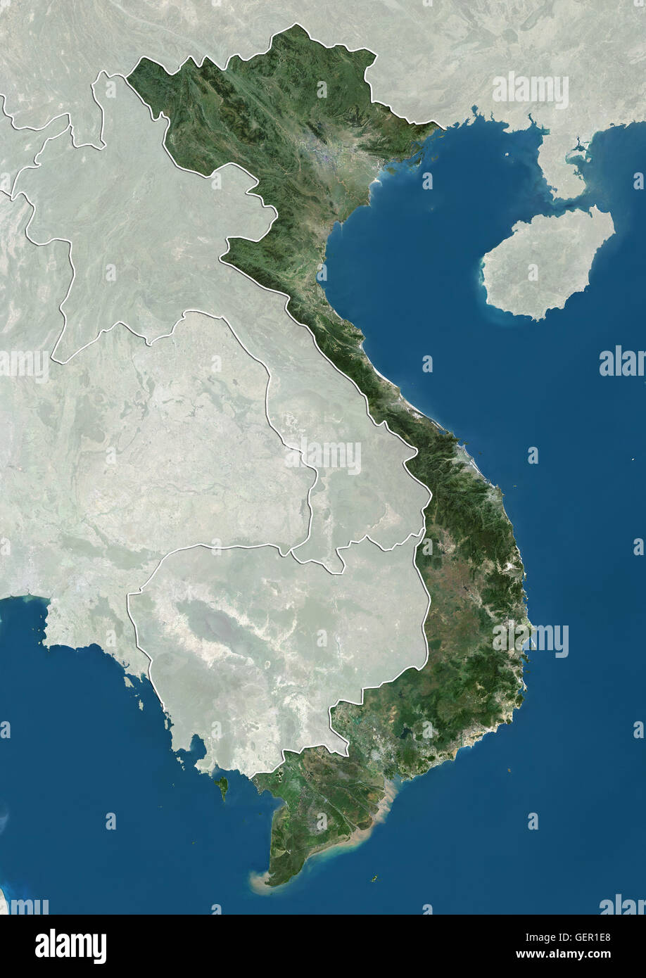 Satellite view of Vietnam (with country boundaries and mask). This image was compiled from data acquired by Landsat satellites. Stock Photohttps://www.alamy.com/image-license-details/?v=1https://www.alamy.com/stock-photo-satellite-view-of-vietnam-with-country-boundaries-and-mask-this-image-112373472.html
RMGER1E8–Satellite view of Vietnam (with country boundaries and mask). This image was compiled from data acquired by Landsat satellites.
 Con ao National Park Island in the South China Sea on a satellite image taken in March 4, 2019 Stock Photohttps://www.alamy.com/image-license-details/?v=1https://www.alamy.com/con-ao-national-park-island-in-the-south-china-sea-on-a-satellite-image-taken-in-march-4-2019-image619372848.html
RF2XYJTAT–Con ao National Park Island in the South China Sea on a satellite image taken in March 4, 2019
 Satellite view of Vietnam highlighted in red on planet Earth at night with borderlines and city lights. 3D illustration. Elements of this image furnis Stock Photohttps://www.alamy.com/image-license-details/?v=1https://www.alamy.com/stock-photo-satellite-view-of-vietnam-highlighted-in-red-on-planet-earth-at-night-175252216.html
RFM53BYM–Satellite view of Vietnam highlighted in red on planet Earth at night with borderlines and city lights. 3D illustration. Elements of this image furnis
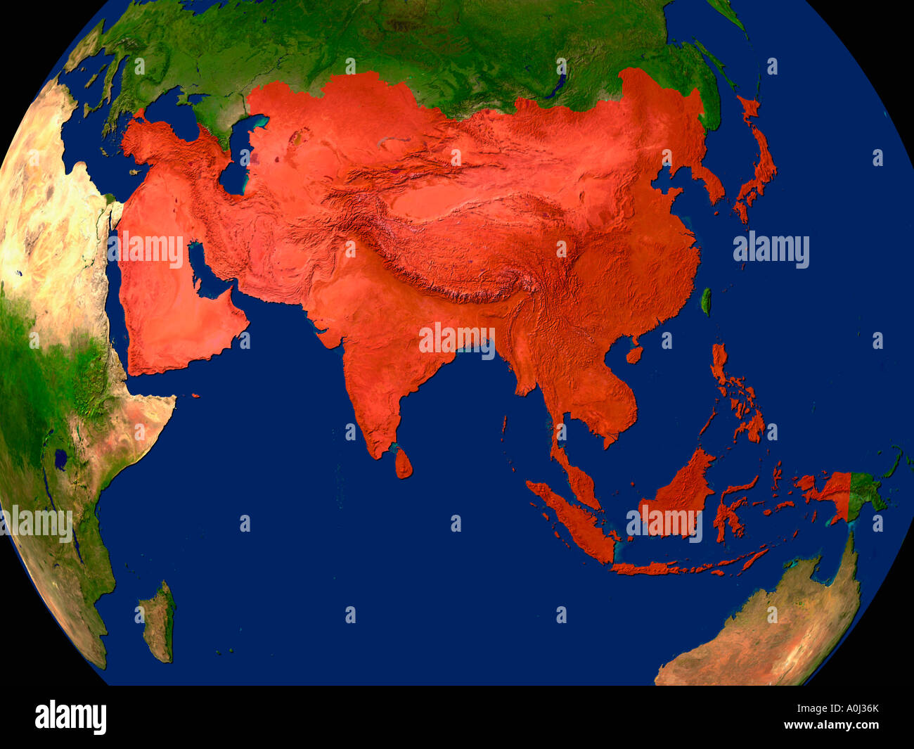 Highlighted Satellite Image Of Asia Stock Photohttps://www.alamy.com/image-license-details/?v=1https://www.alamy.com/stock-photo-highlighted-satellite-image-of-asia-10004922.html
RFA0J36K–Highlighted Satellite Image Of Asia
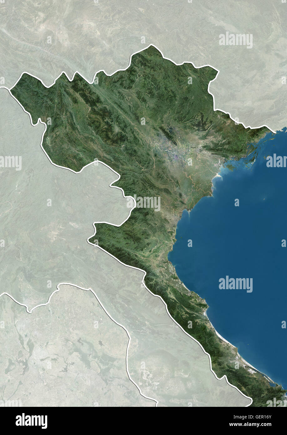 Satellite view of Northern Vietnam (with country boundaries and mask). This image was compiled from data acquired by Landsat satellites. Stock Photohttps://www.alamy.com/image-license-details/?v=1https://www.alamy.com/stock-photo-satellite-view-of-northern-vietnam-with-country-boundaries-and-mask-112373267.html
RMGER16Y–Satellite view of Northern Vietnam (with country boundaries and mask). This image was compiled from data acquired by Landsat satellites.
 Vinh Thuc Island in the South China Sea, belonging to Vietnam, cropped to square on a satellite image taken in January 30, 2023 Stock Photohttps://www.alamy.com/image-license-details/?v=1https://www.alamy.com/vinh-thuc-island-in-the-south-china-sea-belonging-to-vietnam-cropped-to-square-on-a-satellite-image-taken-in-january-30-2023-image620235404.html
RF2Y124GC–Vinh Thuc Island in the South China Sea, belonging to Vietnam, cropped to square on a satellite image taken in January 30, 2023
 Satellite view of Vietnam highlighted in red on planet Earth at night with borderlines and city lights. 3D illustration. Elements of this image furnis Stock Photohttps://www.alamy.com/image-license-details/?v=1https://www.alamy.com/satellite-view-of-vietnam-highlighted-in-red-on-planet-earth-at-night-with-borderlines-and-city-lights-3d-illustration-elements-of-this-image-furnis-image178828816.html
RFMAX9YC–Satellite view of Vietnam highlighted in red on planet Earth at night with borderlines and city lights. 3D illustration. Elements of this image furnis
 Highlighted Satellite Image Of Asia Stock Photohttps://www.alamy.com/image-license-details/?v=1https://www.alamy.com/stock-photo-highlighted-satellite-image-of-asia-10004929.html
RFA0J36X–Highlighted Satellite Image Of Asia
 Satellite view of Northern Vietnam (with country boundaries and mask). This image was compiled from data acquired by Landsat satellites. Stock Photohttps://www.alamy.com/image-license-details/?v=1https://www.alamy.com/stock-photo-satellite-view-of-northern-vietnam-with-country-boundaries-and-mask-112373268.html
RMGER170–Satellite view of Northern Vietnam (with country boundaries and mask). This image was compiled from data acquired by Landsat satellites.
 Cai Bau Island in the South China Sea, belonging to Vietnam, cropped to square on a satellite image taken in December 17, 2018 Stock Photohttps://www.alamy.com/image-license-details/?v=1https://www.alamy.com/cai-bau-island-in-the-south-china-sea-belonging-to-vietnam-cropped-to-square-on-a-satellite-image-taken-in-december-17-2018-image620227794.html
RF2Y11PTJ–Cai Bau Island in the South China Sea, belonging to Vietnam, cropped to square on a satellite image taken in December 17, 2018
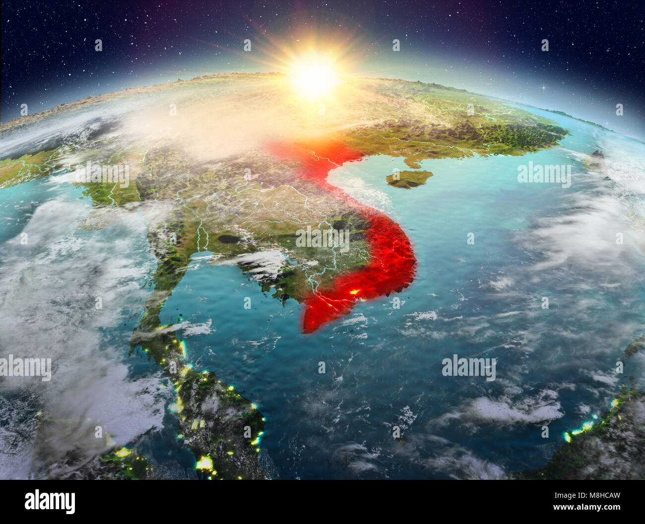 Satellite view of Vietnam highlighted in red on planet Earth with clouds during sunrise. 3D illustration. Elements of this image furnished by NASA. Stock Photohttps://www.alamy.com/image-license-details/?v=1https://www.alamy.com/stock-photo-satellite-view-of-vietnam-highlighted-in-red-on-planet-earth-with-177403825.html
RFM8HCAW–Satellite view of Vietnam highlighted in red on planet Earth with clouds during sunrise. 3D illustration. Elements of this image furnished by NASA.
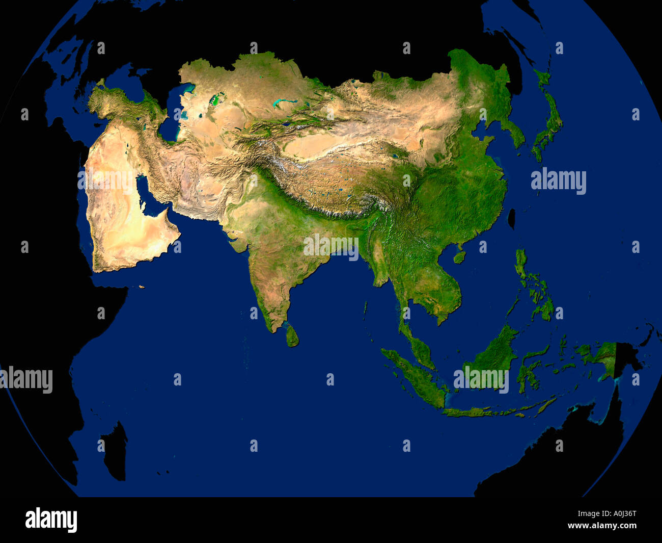 Highlighted Satellite Image Of Asia Stock Photohttps://www.alamy.com/image-license-details/?v=1https://www.alamy.com/stock-photo-highlighted-satellite-image-of-asia-10004927.html
RFA0J36T–Highlighted Satellite Image Of Asia
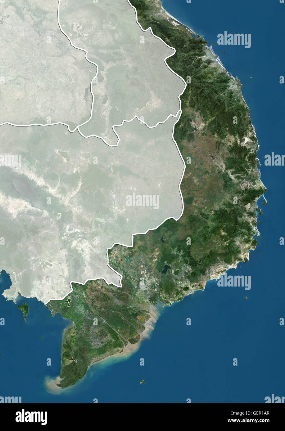 Satellite view of Southern Vietnam (with country boundaries and mask). This image was compiled from data acquired by Landsat satellites. Stock Photohttps://www.alamy.com/image-license-details/?v=1https://www.alamy.com/stock-photo-satellite-view-of-southern-vietnam-with-country-boundaries-and-mask-112373375.html
RMGER1AR–Satellite view of Southern Vietnam (with country boundaries and mask). This image was compiled from data acquired by Landsat satellites.
 Tra Ban Island in the South China Sea, belonging to Vietnam, cropped to square on a satellite image taken in January 30, 2023 Stock Photohttps://www.alamy.com/image-license-details/?v=1https://www.alamy.com/tra-ban-island-in-the-south-china-sea-belonging-to-vietnam-cropped-to-square-on-a-satellite-image-taken-in-january-30-2023-image620234929.html
RF2Y123YD–Tra Ban Island in the South China Sea, belonging to Vietnam, cropped to square on a satellite image taken in January 30, 2023
 Hanoi, Vietnam Stock Photohttps://www.alamy.com/image-license-details/?v=1https://www.alamy.com/hanoi-vietnam-image185801372.html
RMMP7YF8–Hanoi, Vietnam
 Phu Quoc Island in the Gulf of Thailand, belonging to Vietnam, isolated on a satellite image taken in December 21, 2023, with distance scale Stock Photohttps://www.alamy.com/image-license-details/?v=1https://www.alamy.com/phu-quoc-island-in-the-gulf-of-thailand-belonging-to-vietnam-isolated-on-a-satellite-image-taken-in-december-21-2023-with-distance-scale-image619550648.html
RF2XYXY4T–Phu Quoc Island in the Gulf of Thailand, belonging to Vietnam, isolated on a satellite image taken in December 21, 2023, with distance scale
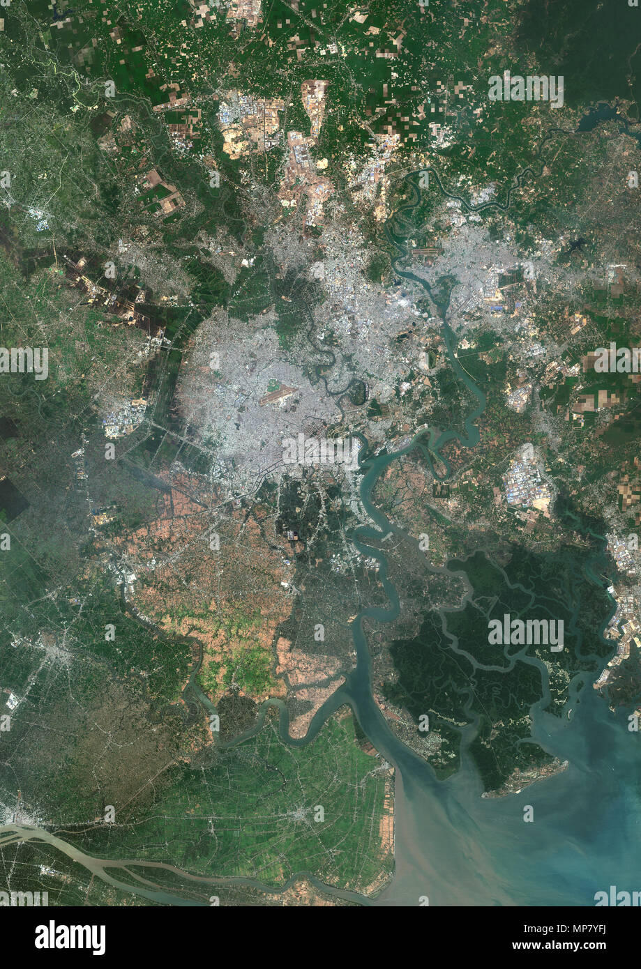 Ho Chi Minh City, Vietnam Stock Photohttps://www.alamy.com/image-license-details/?v=1https://www.alamy.com/ho-chi-minh-city-vietnam-image185801382.html
RMMP7YFJ–Ho Chi Minh City, Vietnam
 Satellite view of Vietnam highlighted in red on planet Earth with visible country borders during sunset. 3D illustration. Elements of this image furni Stock Photohttps://www.alamy.com/image-license-details/?v=1https://www.alamy.com/stock-photo-satellite-view-of-vietnam-highlighted-in-red-on-planet-earth-with-177014611.html
RFM7YKXB–Satellite view of Vietnam highlighted in red on planet Earth with visible country borders during sunset. 3D illustration. Elements of this image furni
 Country of Vietnam on model of Earth. 3D illustration. Elements of this image furnished by NASA. Stock Photohttps://www.alamy.com/image-license-details/?v=1https://www.alamy.com/stock-photo-country-of-vietnam-on-model-of-earth-3d-illustration-elements-of-this-139712301.html
RFJ38CD1–Country of Vietnam on model of Earth. 3D illustration. Elements of this image furnished by NASA.
 Vietnam from orbit of planet Earth. 3D illustration. Elements of this image furnished by NASA. Stock Photohttps://www.alamy.com/image-license-details/?v=1https://www.alamy.com/vietnam-from-orbit-of-planet-earth-3d-illustration-elements-of-this-image-furnished-by-nasa-image177980997.html
RFM9FMG5–Vietnam from orbit of planet Earth. 3D illustration. Elements of this image furnished by NASA.
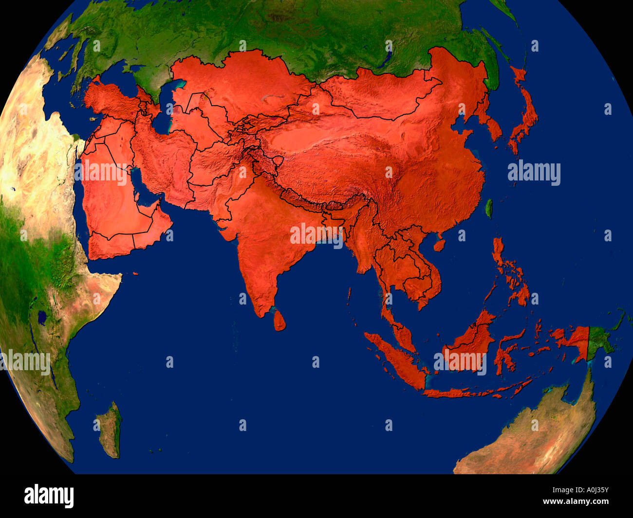 Highlighted Satellite Image Of Asia Stock Photohttps://www.alamy.com/image-license-details/?v=1https://www.alamy.com/stock-photo-highlighted-satellite-image-of-asia-10004918.html
RFA0J35Y–Highlighted Satellite Image Of Asia
 Hon Lon Island in the South China Sea, belonging to Vietnam, isolated on a satellite image taken in January 28, 2019, with distance scale Stock Photohttps://www.alamy.com/image-license-details/?v=1https://www.alamy.com/hon-lon-island-in-the-south-china-sea-belonging-to-vietnam-isolated-on-a-satellite-image-taken-in-january-28-2019-with-distance-scale-image619546737.html
RF2XYXP55–Hon Lon Island in the South China Sea, belonging to Vietnam, isolated on a satellite image taken in January 28, 2019, with distance scale
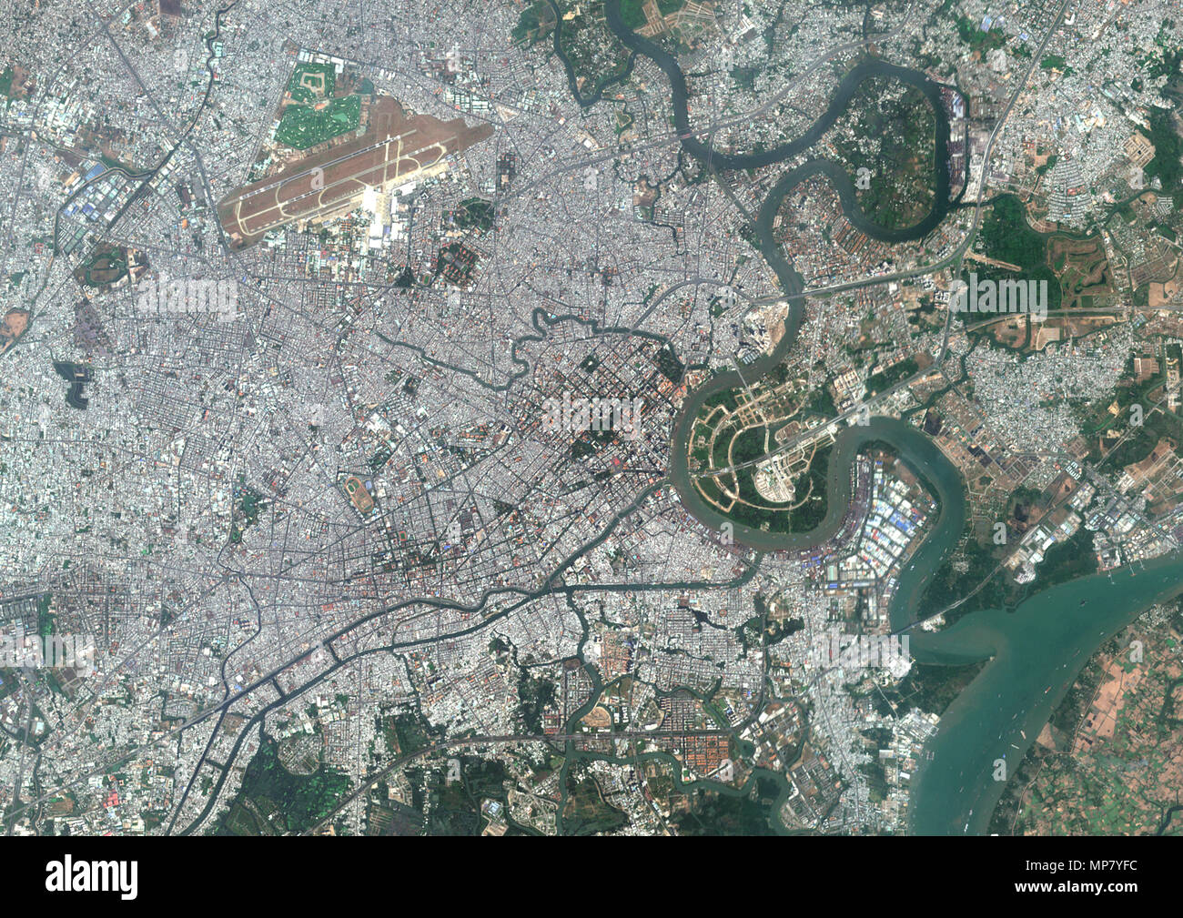 Ho Chi Minh City, Vietnam Stock Photohttps://www.alamy.com/image-license-details/?v=1https://www.alamy.com/ho-chi-minh-city-vietnam-image185801376.html
RMMP7YFC–Ho Chi Minh City, Vietnam
 Cai Bau Island in the South China Sea, belonging to Vietnam, isolated on a satellite image taken in December 17, 2018, with distance scale Stock Photohttps://www.alamy.com/image-license-details/?v=1https://www.alamy.com/cai-bau-island-in-the-south-china-sea-belonging-to-vietnam-isolated-on-a-satellite-image-taken-in-december-17-2018-with-distance-scale-image619544848.html
RF2XYXKNM–Cai Bau Island in the South China Sea, belonging to Vietnam, isolated on a satellite image taken in December 17, 2018, with distance scale
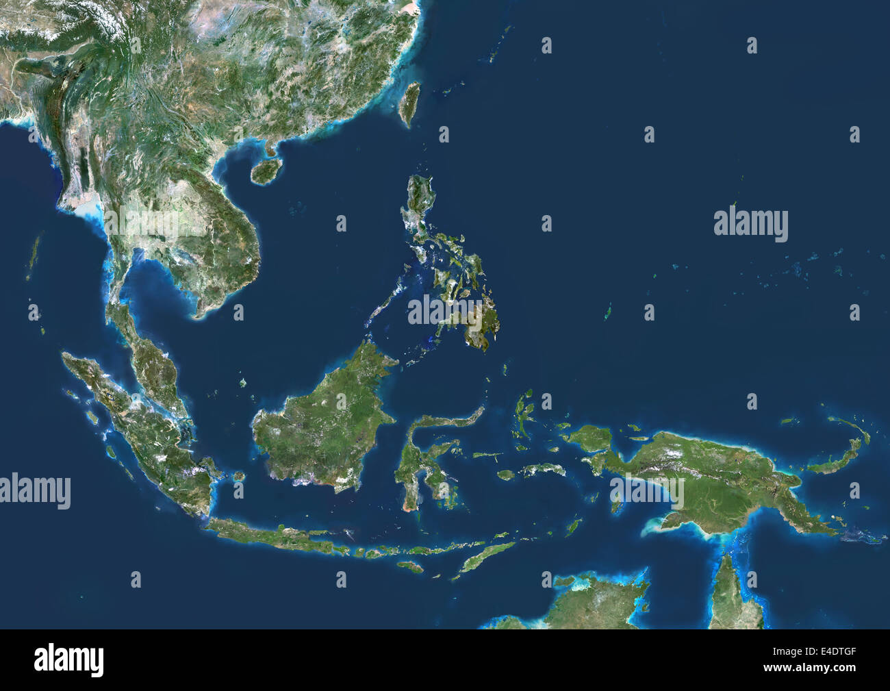 Southeast Asia, True Colour Satellite Image. Southeast Asia true colour satellite image. This image was compiled from data acqui Stock Photohttps://www.alamy.com/image-license-details/?v=1https://www.alamy.com/stock-photo-southeast-asia-true-colour-satellite-image-southeast-asia-true-colour-71604751.html
RME4DTGF–Southeast Asia, True Colour Satellite Image. Southeast Asia true colour satellite image. This image was compiled from data acqui
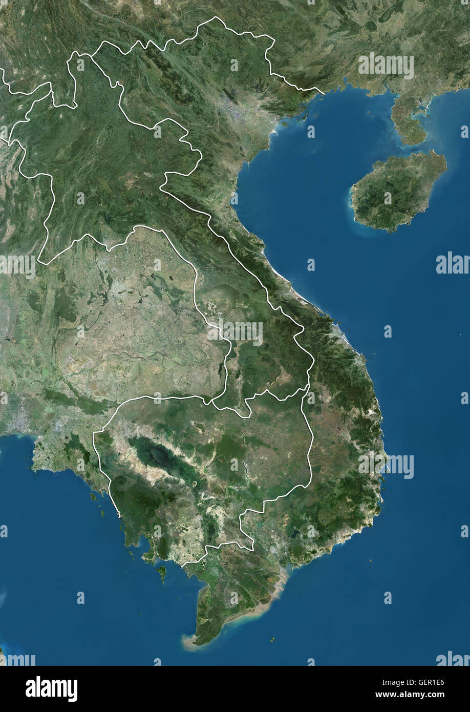 Satellite view of Vietnam, Cambodia and Laos (with country boundaries). This image was compiled from data acquired by Landsat satellites. Stock Photohttps://www.alamy.com/image-license-details/?v=1https://www.alamy.com/stock-photo-satellite-view-of-vietnam-cambodia-and-laos-with-country-boundaries-112373470.html
RMGER1E6–Satellite view of Vietnam, Cambodia and Laos (with country boundaries). This image was compiled from data acquired by Landsat satellites.
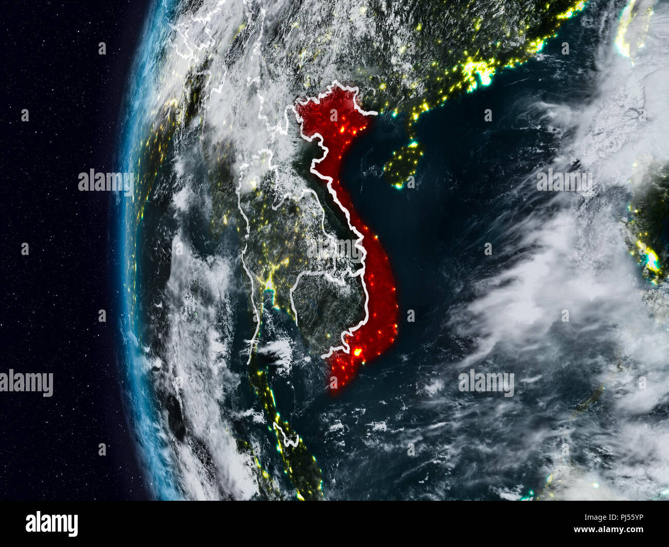 Vietnam at night with visible country borders. 3D illustration. Elements of this image furnished by NASA. Stock Photohttps://www.alamy.com/image-license-details/?v=1https://www.alamy.com/vietnam-at-night-with-visible-country-borders-3d-illustration-elements-of-this-image-furnished-by-nasa-image217702682.html
RFPJ55YP–Vietnam at night with visible country borders. 3D illustration. Elements of this image furnished by NASA.
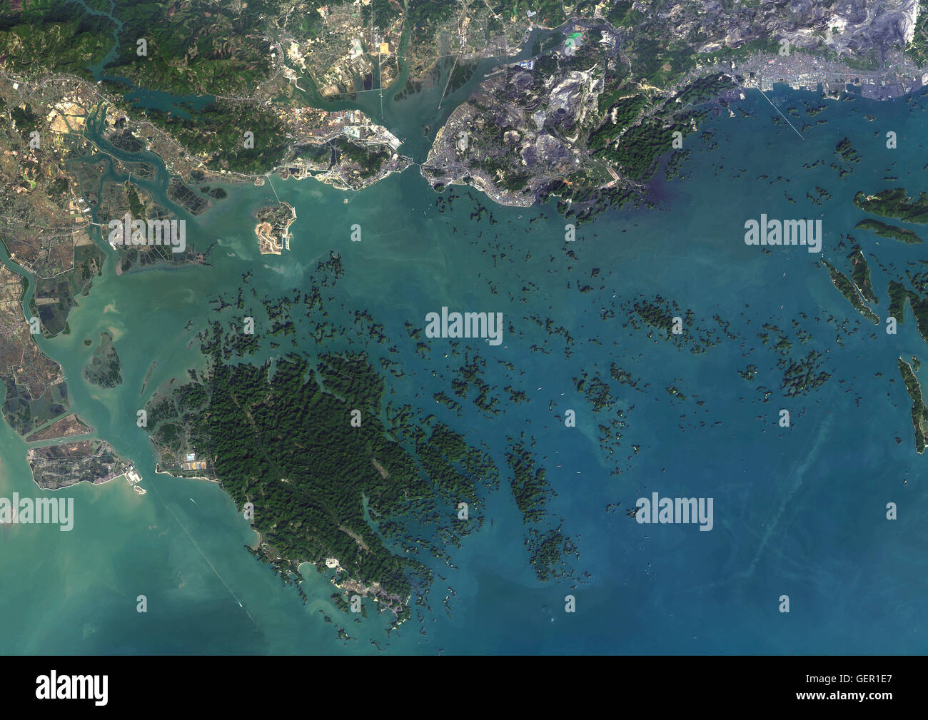 Satellite view of Ha Long Bay, Vietnam. Ha Long Bay is at center of a large area which includes Ha Long City to the north and Cat Ba Island to the southwest. This image was compiled from data acquired in 2014 by Landsat 8 satellite. Stock Photohttps://www.alamy.com/image-license-details/?v=1https://www.alamy.com/stock-photo-satellite-view-of-ha-long-bay-vietnam-ha-long-bay-is-at-center-of-112373471.html
RMGER1E7–Satellite view of Ha Long Bay, Vietnam. Ha Long Bay is at center of a large area which includes Ha Long City to the north and Cat Ba Island to the southwest. This image was compiled from data acquired in 2014 by Landsat 8 satellite.