Quick filters:
Vineland new jersey map Stock Photos and Images
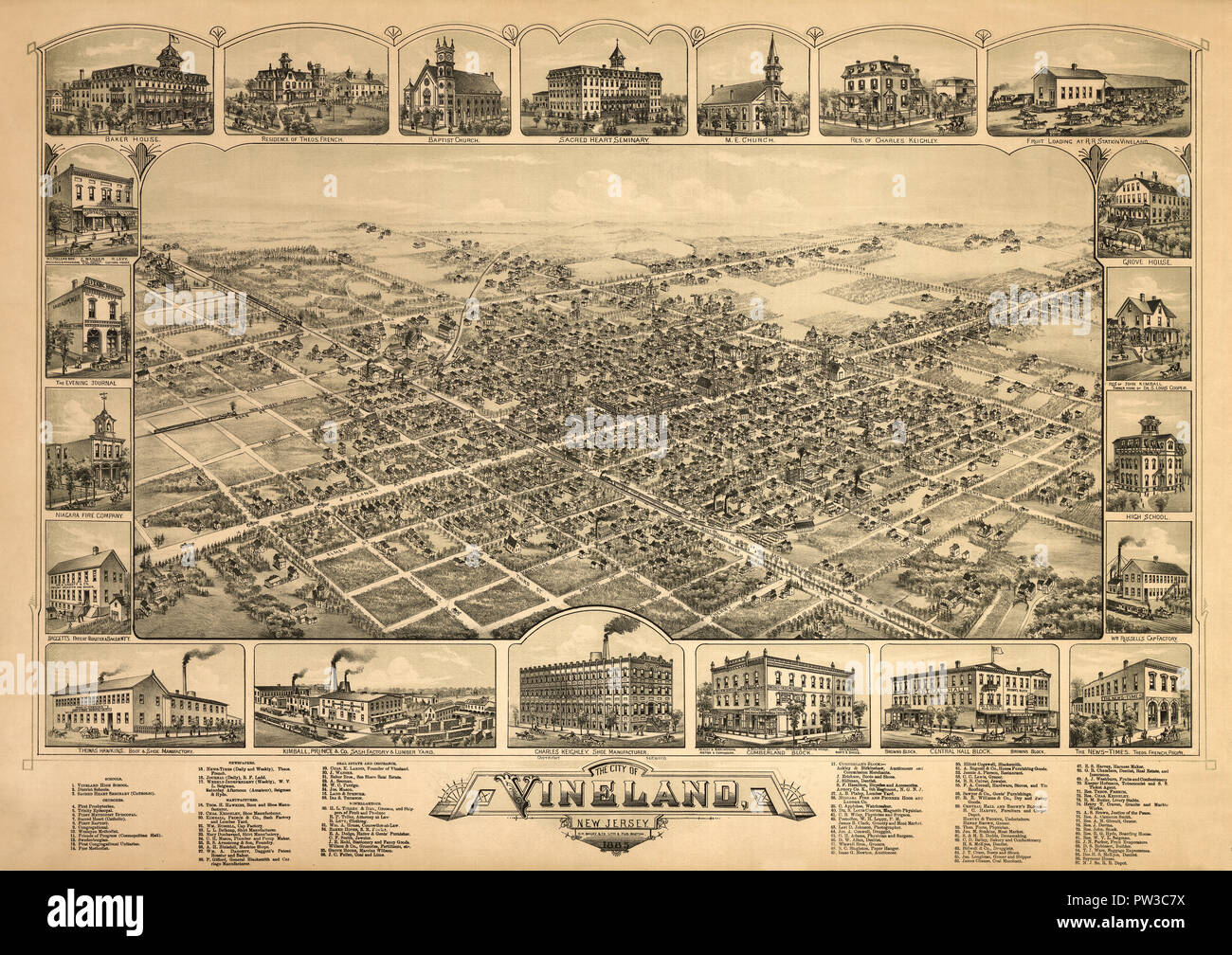 Map Of Vineland 1885 Stock Photohttps://www.alamy.com/image-license-details/?v=1https://www.alamy.com/map-of-vineland-1885-image221966302.html
RFPW3C7X–Map Of Vineland 1885
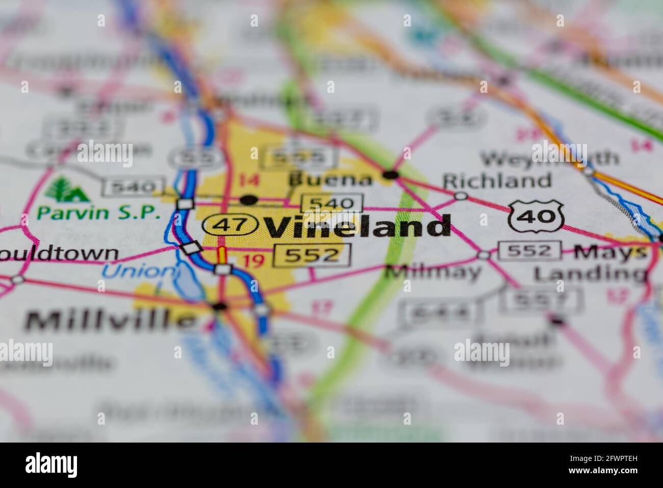 Vineland New Jersey USA shown on a Geography map or road map Stock Photohttps://www.alamy.com/image-license-details/?v=1https://www.alamy.com/vineland-new-jersey-usa-shown-on-a-geography-map-or-road-map-image428917401.html
RM2FWPTEH–Vineland New Jersey USA shown on a Geography map or road map
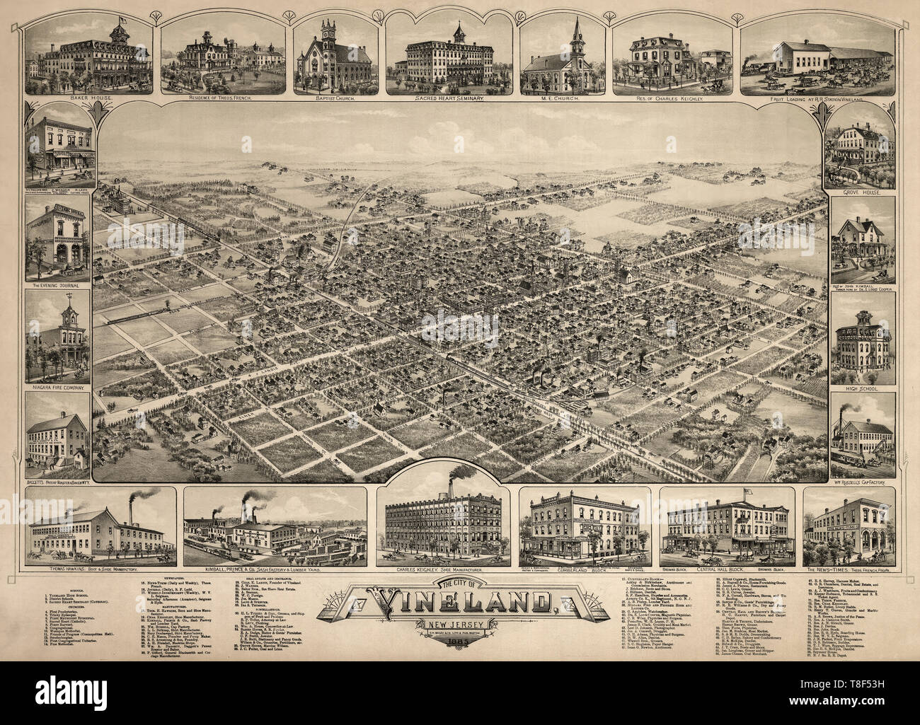 Birds eye view of The city of Vineland, New Jersey, 1885 Stock Photohttps://www.alamy.com/image-license-details/?v=1https://www.alamy.com/birds-eye-view-of-the-city-of-vineland-new-jersey-1885-image246195701.html
RMT8F53H–Birds eye view of The city of Vineland, New Jersey, 1885
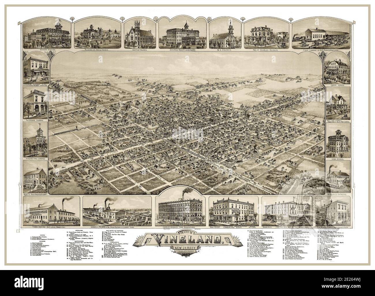 VINELAND MAP 1880’s Vintage historic Lithograph The City of Vineland New Jersey USA 1885 Bird's Eye View with city attractions featured around. New Jersey USA Stock Photohttps://www.alamy.com/image-license-details/?v=1https://www.alamy.com/vineland-map-1880s-vintage-historic-lithograph-the-city-of-vineland-new-jersey-usa-1885-birds-eye-view-with-city-attractions-featured-around-new-jersey-usa-image397203342.html
RM2E264WJ–VINELAND MAP 1880’s Vintage historic Lithograph The City of Vineland New Jersey USA 1885 Bird's Eye View with city attractions featured around. New Jersey USA
 Image 6 of Sanborn Fire Insurance Map from Vineland, Cumberland County, New Jersey. Jul 1895. 8 Sheet(s), America, street map with a Nineteenth Century compass Stock Photohttps://www.alamy.com/image-license-details/?v=1https://www.alamy.com/image-6-of-sanborn-fire-insurance-map-from-vineland-cumberland-county-new-jersey-jul-1895-8-sheets-america-street-map-with-a-nineteenth-century-compass-image344690036.html
RM2B0NYJC–Image 6 of Sanborn Fire Insurance Map from Vineland, Cumberland County, New Jersey. Jul 1895. 8 Sheet(s), America, street map with a Nineteenth Century compass
 Vineland, Cumberland County, US, United States, New Jersey, N 39 29' 10'', S 75 1' 32'', map, Cartascapes Map published in 2024. Explore Cartascapes, a map revealing Earth's diverse landscapes, cultures, and ecosystems. Journey through time and space, discovering the interconnectedness of our planet's past, present, and future. Stock Photohttps://www.alamy.com/image-license-details/?v=1https://www.alamy.com/vineland-cumberland-county-us-united-states-new-jersey-n-39-29-10-s-75-1-32-map-cartascapes-map-published-in-2024-explore-cartascapes-a-map-revealing-earths-diverse-landscapes-cultures-and-ecosystems-journey-through-time-and-space-discovering-the-interconnectedness-of-our-planets-past-present-and-future-image621456249.html
RM2Y31NP1–Vineland, Cumberland County, US, United States, New Jersey, N 39 29' 10'', S 75 1' 32'', map, Cartascapes Map published in 2024. Explore Cartascapes, a map revealing Earth's diverse landscapes, cultures, and ecosystems. Journey through time and space, discovering the interconnectedness of our planet's past, present, and future.
 Vineland pinned on a map of New Jersey, USA Stock Photohttps://www.alamy.com/image-license-details/?v=1https://www.alamy.com/stock-photo-vineland-pinned-on-a-map-of-new-jersey-usa-124706605.html
RFH6TTF9–Vineland pinned on a map of New Jersey, USA
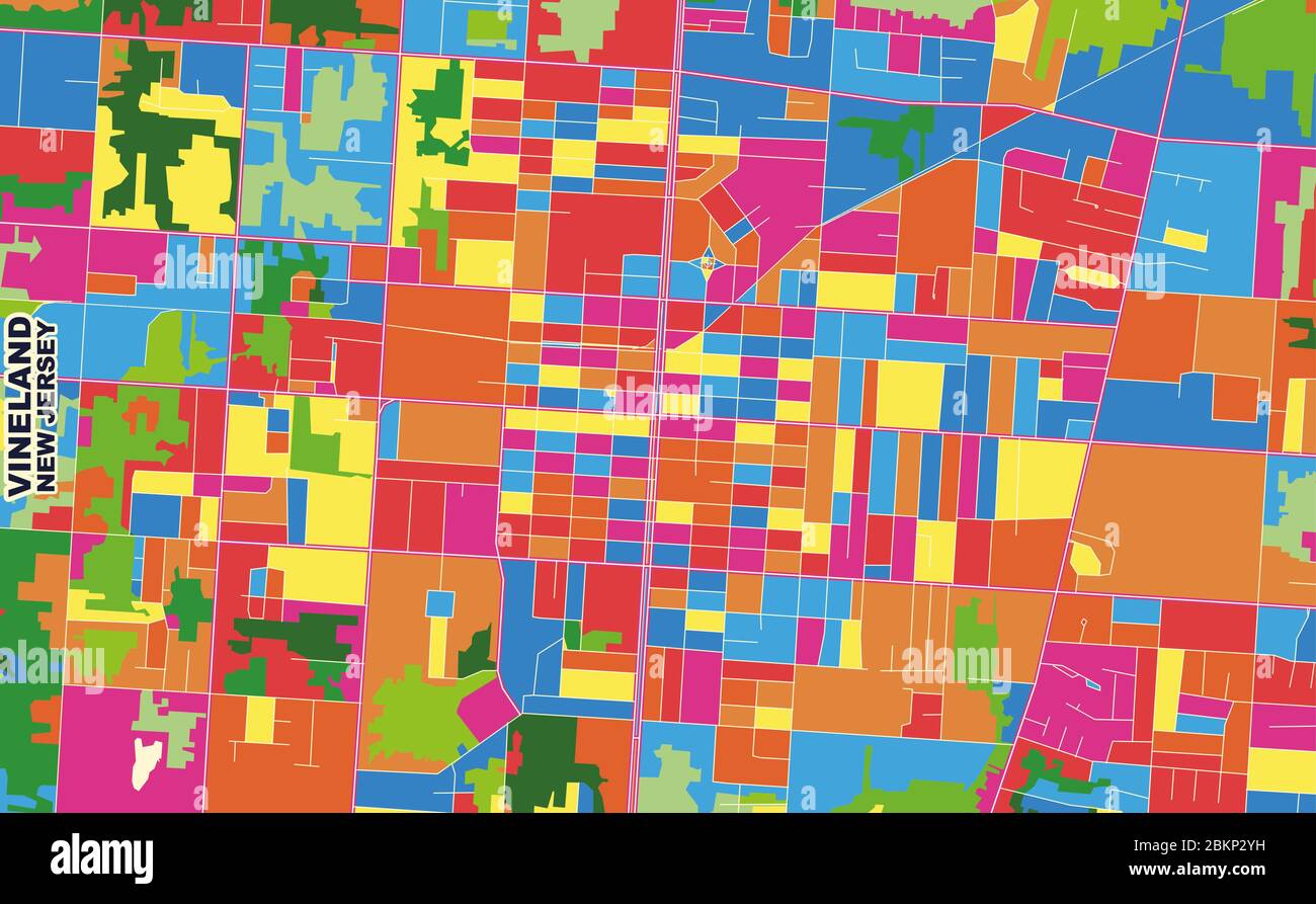 Colorful vector map of Vineland, New Jersey, USA. Art Map template for selfprinting wall art in landscape format. Stock Vectorhttps://www.alamy.com/image-license-details/?v=1https://www.alamy.com/colorful-vector-map-of-vineland-new-jersey-usa-art-map-template-for-selfprinting-wall-art-in-landscape-format-image356371109.html
RF2BKP2YH–Colorful vector map of Vineland, New Jersey, USA. Art Map template for selfprinting wall art in landscape format.
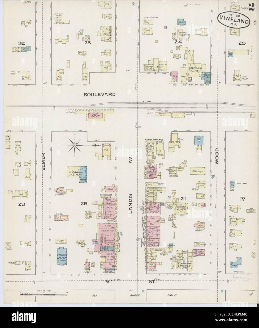 Sanborn Fire Insurance Map from Vineland, Cumberland County, New Jersey. Stock Photohttps://www.alamy.com/image-license-details/?v=1https://www.alamy.com/sanborn-fire-insurance-map-from-vineland-cumberland-county-new-jersey-image456507644.html
RM2HEKM4C–Sanborn Fire Insurance Map from Vineland, Cumberland County, New Jersey.
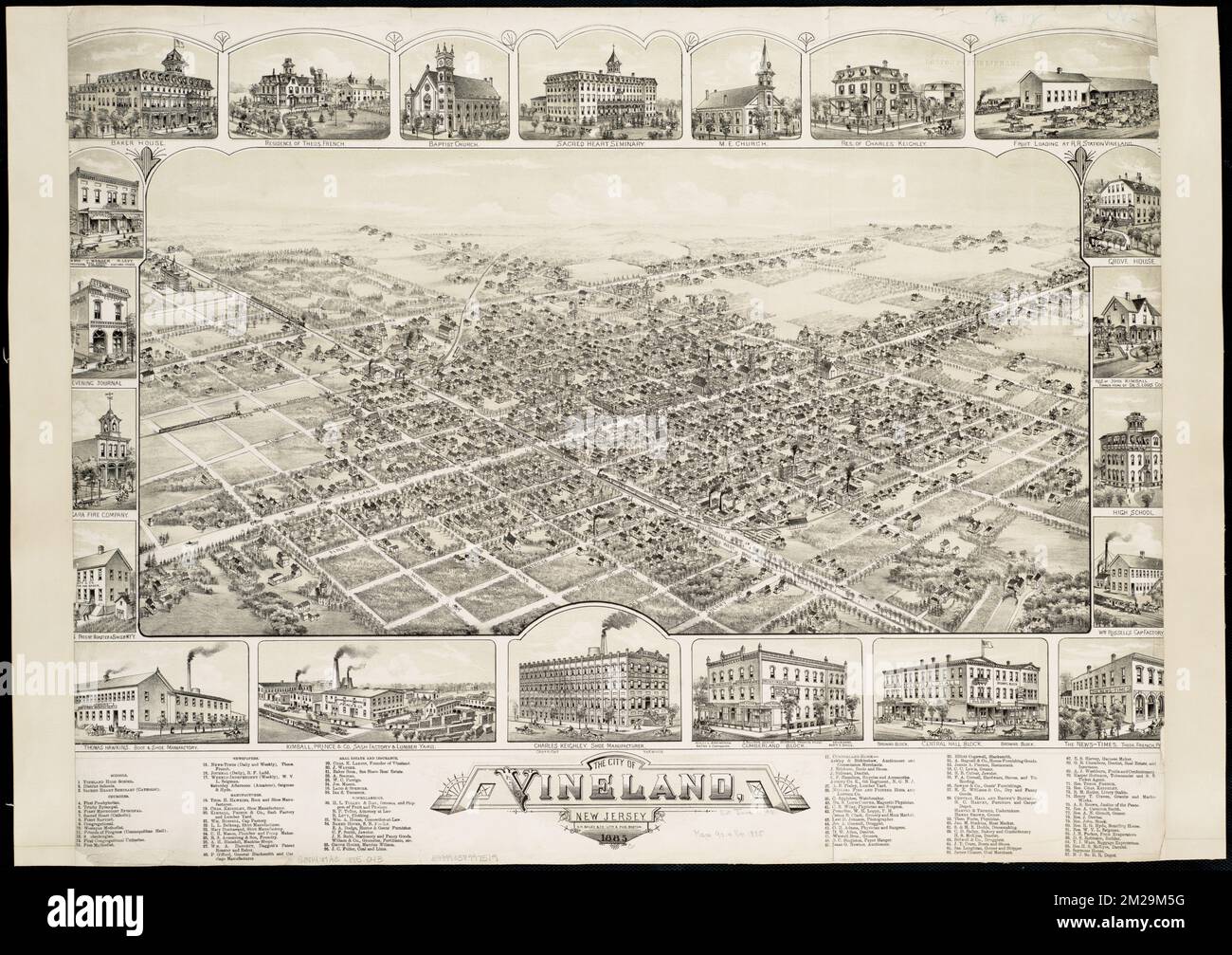 The city of Vineland, New Jersey : 1885 , Vineland N.J., Aerial views Norman B. Leventhal Map Center Collection Stock Photohttps://www.alamy.com/image-license-details/?v=1https://www.alamy.com/the-city-of-vineland-new-jersey-1885-vineland-nj-aerial-views-norman-b-leventhal-map-center-collection-image500543388.html
RM2M29M5G–The city of Vineland, New Jersey : 1885 , Vineland N.J., Aerial views Norman B. Leventhal Map Center Collection
 Cumberland county, New Jersey. Set of generic stamps and signs Stock Vectorhttps://www.alamy.com/image-license-details/?v=1https://www.alamy.com/cumberland-county-new-jersey-set-of-generic-stamps-and-signs-image159366753.html
RFK77NWN–Cumberland county, New Jersey. Set of generic stamps and signs
 New Jersey, state of United States of America. Open Street Map Stock Photohttps://www.alamy.com/image-license-details/?v=1https://www.alamy.com/new-jersey-state-of-united-states-of-america-open-street-map-image546016936.html
RF2PM964T–New Jersey, state of United States of America. Open Street Map
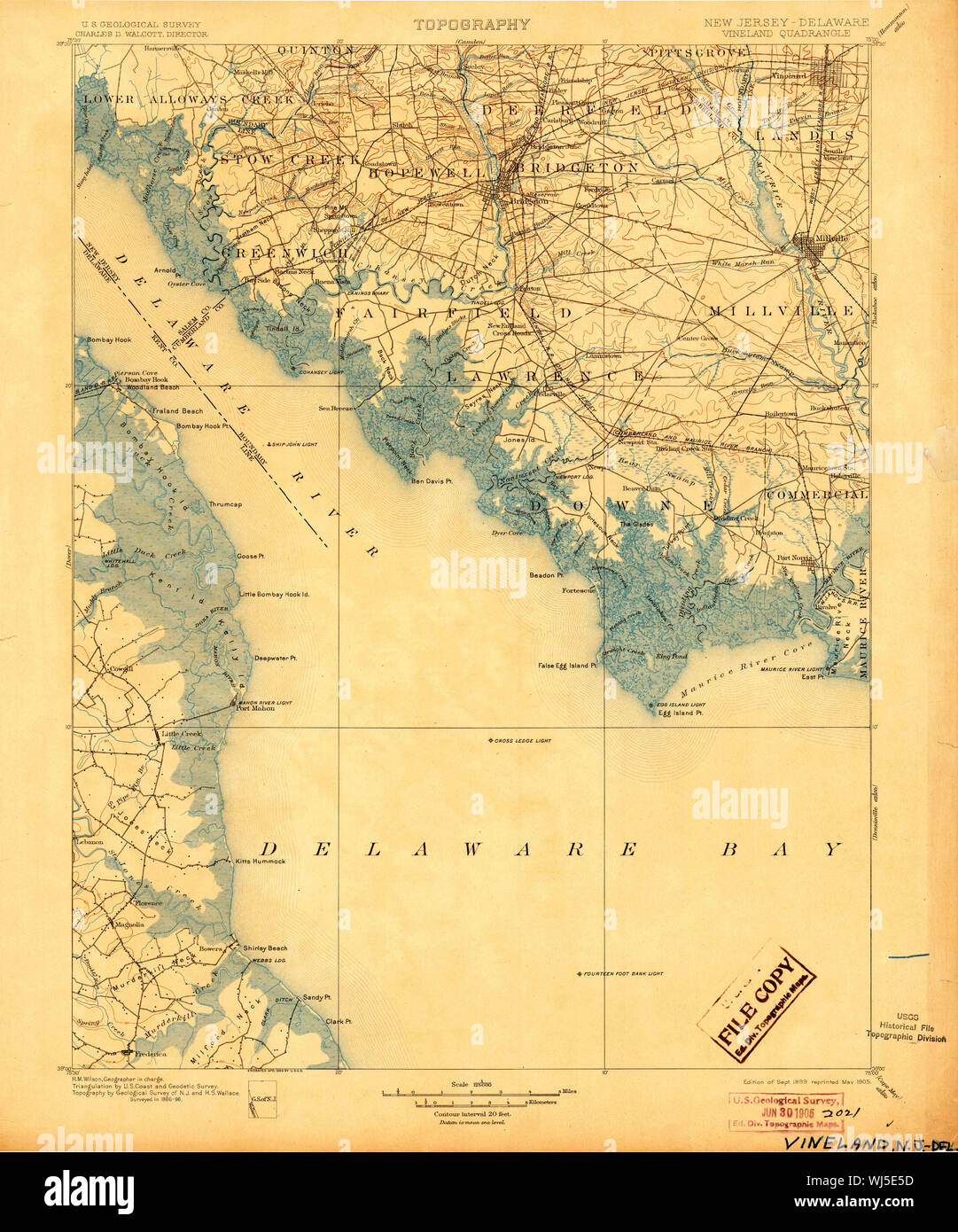 USGS TOPO Map New Jersey NJ Vineland 255454 1899 125000 Restoration Stock Photohttps://www.alamy.com/image-license-details/?v=1https://www.alamy.com/usgs-topo-map-new-jersey-nj-vineland-255454-1899-125000-restoration-image269340217.html
RMWJ5E5D–USGS TOPO Map New Jersey NJ Vineland 255454 1899 125000 Restoration
 Image 5 of Sanborn Fire Insurance Map from Vineland, Cumberland County, New Jersey. Jul 1895. 8 Sheet(s), America, street map with a Nineteenth Century compass Stock Photohttps://www.alamy.com/image-license-details/?v=1https://www.alamy.com/image-5-of-sanborn-fire-insurance-map-from-vineland-cumberland-county-new-jersey-jul-1895-8-sheets-america-street-map-with-a-nineteenth-century-compass-image344690033.html
RM2B0NYJ9–Image 5 of Sanborn Fire Insurance Map from Vineland, Cumberland County, New Jersey. Jul 1895. 8 Sheet(s), America, street map with a Nineteenth Century compass
 Vineland, Cumberland County, US, United States, New Jersey, N 39 29' 10'', S 75 1' 32'', map, Cartascapes Map published in 2024. Explore Cartascapes, a map revealing Earth's diverse landscapes, cultures, and ecosystems. Journey through time and space, discovering the interconnectedness of our planet's past, present, and future. Stock Photohttps://www.alamy.com/image-license-details/?v=1https://www.alamy.com/vineland-cumberland-county-us-united-states-new-jersey-n-39-29-10-s-75-1-32-map-cartascapes-map-published-in-2024-explore-cartascapes-a-map-revealing-earths-diverse-landscapes-cultures-and-ecosystems-journey-through-time-and-space-discovering-the-interconnectedness-of-our-planets-past-present-and-future-image621415081.html
RM2Y2YW7N–Vineland, Cumberland County, US, United States, New Jersey, N 39 29' 10'', S 75 1' 32'', map, Cartascapes Map published in 2024. Explore Cartascapes, a map revealing Earth's diverse landscapes, cultures, and ecosystems. Journey through time and space, discovering the interconnectedness of our planet's past, present, and future.
 Sanborn Fire Insurance Map from Vineland, Cumberland County, New Jersey. Stock Photohttps://www.alamy.com/image-license-details/?v=1https://www.alamy.com/sanborn-fire-insurance-map-from-vineland-cumberland-county-new-jersey-image456507607.html
RM2HEKM33–Sanborn Fire Insurance Map from Vineland, Cumberland County, New Jersey.
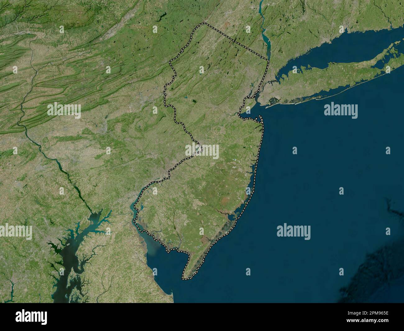 New Jersey, state of United States of America. High resolution satellite map Stock Photohttps://www.alamy.com/image-license-details/?v=1https://www.alamy.com/new-jersey-state-of-united-states-of-america-high-resolution-satellite-map-image546016954.html
RF2PM965E–New Jersey, state of United States of America. High resolution satellite map
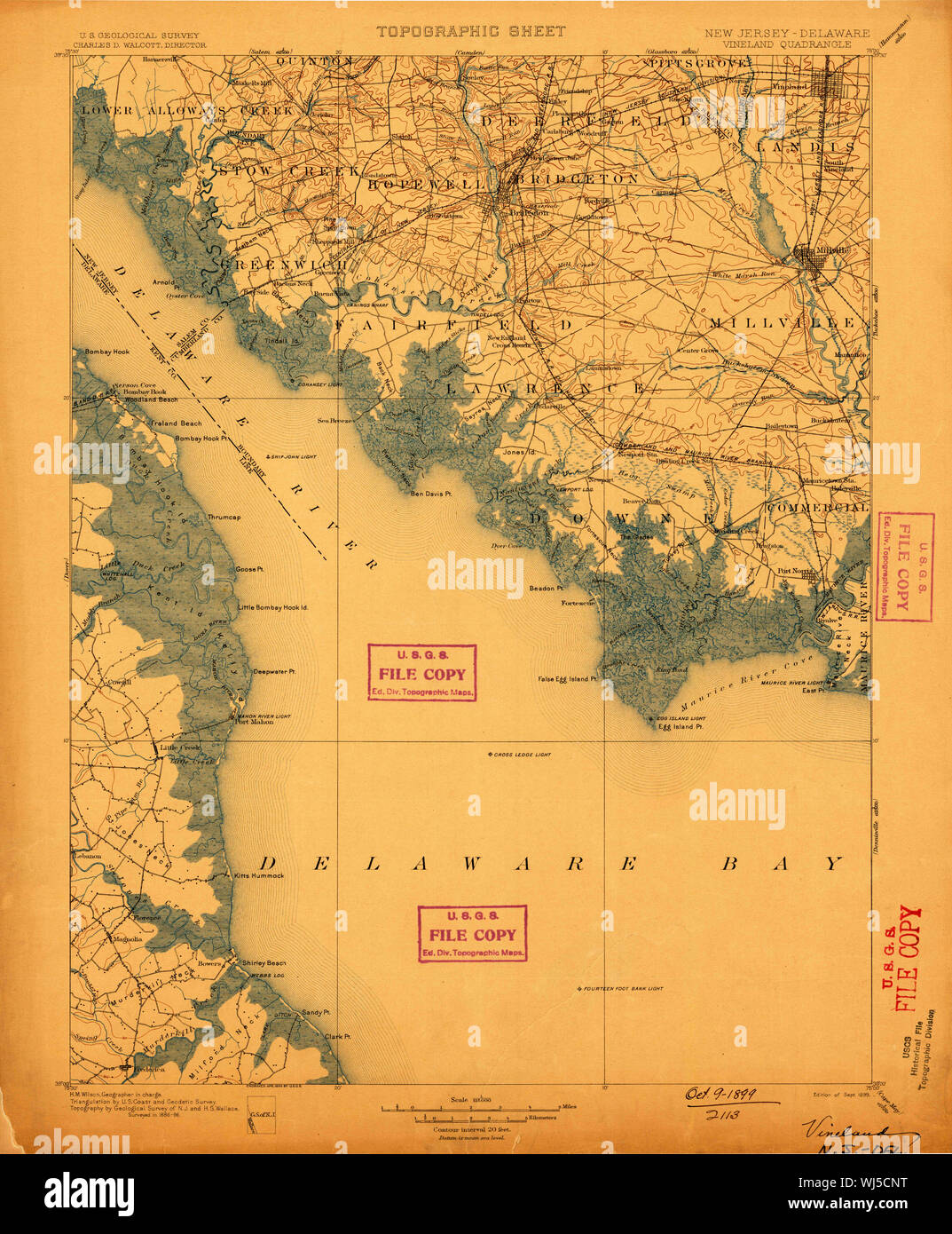 USGS TOPO Map New Jersey NJ Vineland 255453 1899 125000 Restoration Stock Photohttps://www.alamy.com/image-license-details/?v=1https://www.alamy.com/usgs-topo-map-new-jersey-nj-vineland-255453-1899-125000-restoration-image269339108.html
RMWJ5CNT–USGS TOPO Map New Jersey NJ Vineland 255453 1899 125000 Restoration
 Image 5 of Sanborn Fire Insurance Map from Vineland, Cumberland County, New Jersey. Aug 1891. 6 Sheet(s), America, street map with a Nineteenth Century compass Stock Photohttps://www.alamy.com/image-license-details/?v=1https://www.alamy.com/image-5-of-sanborn-fire-insurance-map-from-vineland-cumberland-county-new-jersey-aug-1891-6-sheets-america-street-map-with-a-nineteenth-century-compass-image344690019.html
RM2B0NYHR–Image 5 of Sanborn Fire Insurance Map from Vineland, Cumberland County, New Jersey. Aug 1891. 6 Sheet(s), America, street map with a Nineteenth Century compass
 North Vineland, Cumberland County, US, United States, New Jersey, N 39 31' 34'', S 75 1' 20'', map, Cartascapes Map published in 2024. Explore Cartascapes, a map revealing Earth's diverse landscapes, cultures, and ecosystems. Journey through time and space, discovering the interconnectedness of our planet's past, present, and future. Stock Photohttps://www.alamy.com/image-license-details/?v=1https://www.alamy.com/north-vineland-cumberland-county-us-united-states-new-jersey-n-39-31-34-s-75-1-20-map-cartascapes-map-published-in-2024-explore-cartascapes-a-map-revealing-earths-diverse-landscapes-cultures-and-ecosystems-journey-through-time-and-space-discovering-the-interconnectedness-of-our-planets-past-present-and-future-image621218199.html
RM2Y2JX47–North Vineland, Cumberland County, US, United States, New Jersey, N 39 31' 34'', S 75 1' 20'', map, Cartascapes Map published in 2024. Explore Cartascapes, a map revealing Earth's diverse landscapes, cultures, and ecosystems. Journey through time and space, discovering the interconnectedness of our planet's past, present, and future.
 Sanborn Fire Insurance Map from Vineland, Cumberland County, New Jersey. Stock Photohttps://www.alamy.com/image-license-details/?v=1https://www.alamy.com/sanborn-fire-insurance-map-from-vineland-cumberland-county-new-jersey-image456507633.html
RM2HEKM41–Sanborn Fire Insurance Map from Vineland, Cumberland County, New Jersey.
 New Jersey, state of United States of America. Low resolution satellite map Stock Photohttps://www.alamy.com/image-license-details/?v=1https://www.alamy.com/new-jersey-state-of-united-states-of-america-low-resolution-satellite-map-image546016894.html
RF2PM963A–New Jersey, state of United States of America. Low resolution satellite map
 USGS TOPO Map New Jersey NJ Vineland 255455 1899 125000 Restoration Stock Photohttps://www.alamy.com/image-license-details/?v=1https://www.alamy.com/usgs-topo-map-new-jersey-nj-vineland-255455-1899-125000-restoration-image269340857.html
RMWJ5F09–USGS TOPO Map New Jersey NJ Vineland 255455 1899 125000 Restoration
 Image 1 of Sanborn Fire Insurance Map from Vineland, Cumberland County, New Jersey. Jul 1886. 4 Sheet(s), America, street map with a Nineteenth Century compass Stock Photohttps://www.alamy.com/image-license-details/?v=1https://www.alamy.com/image-1-of-sanborn-fire-insurance-map-from-vineland-cumberland-county-new-jersey-jul-1886-4-sheets-america-street-map-with-a-nineteenth-century-compass-image344690001.html
RM2B0NYH5–Image 1 of Sanborn Fire Insurance Map from Vineland, Cumberland County, New Jersey. Jul 1886. 4 Sheet(s), America, street map with a Nineteenth Century compass
 East Vineland, Atlantic County, US, United States, New Jersey, N 39 28' 51'', S 74 55' 9'', map, Cartascapes Map published in 2024. Explore Cartascapes, a map revealing Earth's diverse landscapes, cultures, and ecosystems. Journey through time and space, discovering the interconnectedness of our planet's past, present, and future. Stock Photohttps://www.alamy.com/image-license-details/?v=1https://www.alamy.com/east-vineland-atlantic-county-us-united-states-new-jersey-n-39-28-51-s-74-55-9-map-cartascapes-map-published-in-2024-explore-cartascapes-a-map-revealing-earths-diverse-landscapes-cultures-and-ecosystems-journey-through-time-and-space-discovering-the-interconnectedness-of-our-planets-past-present-and-future-image621225552.html
RM2Y2K7ET–East Vineland, Atlantic County, US, United States, New Jersey, N 39 28' 51'', S 74 55' 9'', map, Cartascapes Map published in 2024. Explore Cartascapes, a map revealing Earth's diverse landscapes, cultures, and ecosystems. Journey through time and space, discovering the interconnectedness of our planet's past, present, and future.
 Sanborn Fire Insurance Map from Vineland, Cumberland County, New Jersey. Stock Photohttps://www.alamy.com/image-license-details/?v=1https://www.alamy.com/sanborn-fire-insurance-map-from-vineland-cumberland-county-new-jersey-image456507610.html
RM2HEKM36–Sanborn Fire Insurance Map from Vineland, Cumberland County, New Jersey.
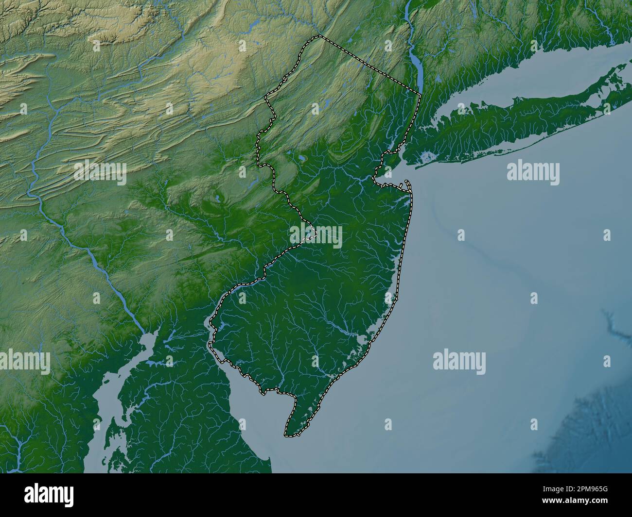 New Jersey, state of United States of America. Colored elevation map with lakes and rivers Stock Photohttps://www.alamy.com/image-license-details/?v=1https://www.alamy.com/new-jersey-state-of-united-states-of-america-colored-elevation-map-with-lakes-and-rivers-image546016956.html
RF2PM965G–New Jersey, state of United States of America. Colored elevation map with lakes and rivers
 USGS TOPO Map New Jersey NJ Vineland 255453 1899 125000 Inverted Restoration Stock Photohttps://www.alamy.com/image-license-details/?v=1https://www.alamy.com/usgs-topo-map-new-jersey-nj-vineland-255453-1899-125000-inverted-restoration-image269338501.html
RMWJ5C05–USGS TOPO Map New Jersey NJ Vineland 255453 1899 125000 Inverted Restoration
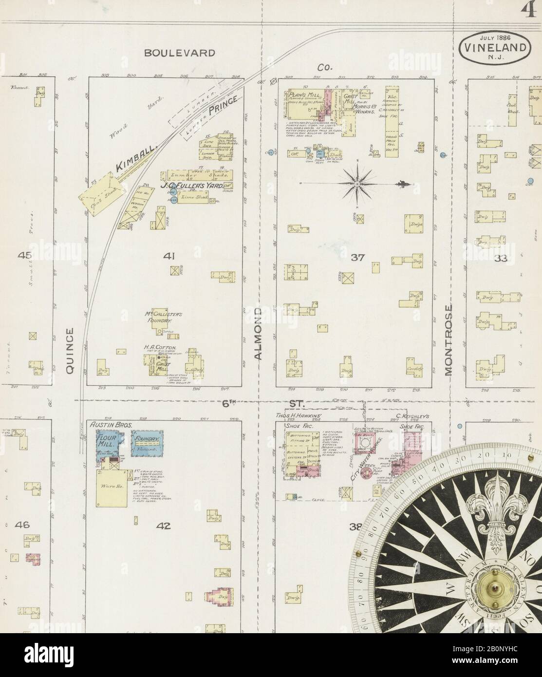 Image 4 of Sanborn Fire Insurance Map from Vineland, Cumberland County, New Jersey. Jul 1886. 4 Sheet(s), America, street map with a Nineteenth Century compass Stock Photohttps://www.alamy.com/image-license-details/?v=1https://www.alamy.com/image-4-of-sanborn-fire-insurance-map-from-vineland-cumberland-county-new-jersey-jul-1886-4-sheets-america-street-map-with-a-nineteenth-century-compass-image344690008.html
RM2B0NYHC–Image 4 of Sanborn Fire Insurance Map from Vineland, Cumberland County, New Jersey. Jul 1886. 4 Sheet(s), America, street map with a Nineteenth Century compass
 South Vineland, Cumberland County, US, United States, New Jersey, N 39 26' 45'', S 75 1' 43'', map, Cartascapes Map published in 2024. Explore Cartascapes, a map revealing Earth's diverse landscapes, cultures, and ecosystems. Journey through time and space, discovering the interconnectedness of our planet's past, present, and future. Stock Photohttps://www.alamy.com/image-license-details/?v=1https://www.alamy.com/south-vineland-cumberland-county-us-united-states-new-jersey-n-39-26-45-s-75-1-43-map-cartascapes-map-published-in-2024-explore-cartascapes-a-map-revealing-earths-diverse-landscapes-cultures-and-ecosystems-journey-through-time-and-space-discovering-the-interconnectedness-of-our-planets-past-present-and-future-image621389609.html
RM2Y2XMP1–South Vineland, Cumberland County, US, United States, New Jersey, N 39 26' 45'', S 75 1' 43'', map, Cartascapes Map published in 2024. Explore Cartascapes, a map revealing Earth's diverse landscapes, cultures, and ecosystems. Journey through time and space, discovering the interconnectedness of our planet's past, present, and future.
 Sanborn Fire Insurance Map from Vineland, Cumberland County, New Jersey. Stock Photohttps://www.alamy.com/image-license-details/?v=1https://www.alamy.com/sanborn-fire-insurance-map-from-vineland-cumberland-county-new-jersey-image456507653.html
RM2HEKM4N–Sanborn Fire Insurance Map from Vineland, Cumberland County, New Jersey.
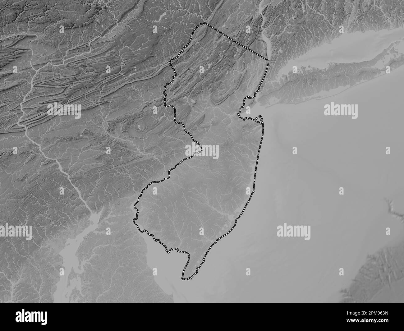 New Jersey, state of United States of America. Grayscale elevation map with lakes and rivers Stock Photohttps://www.alamy.com/image-license-details/?v=1https://www.alamy.com/new-jersey-state-of-united-states-of-america-grayscale-elevation-map-with-lakes-and-rivers-image546016905.html
RF2PM963N–New Jersey, state of United States of America. Grayscale elevation map with lakes and rivers
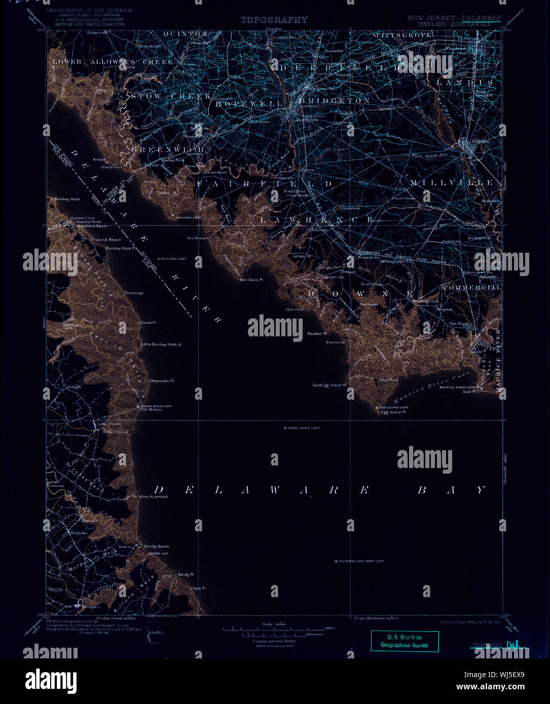 USGS TOPO Map New Jersey NJ Vineland 255455 1899 125000 Inverted Restoration Stock Photohttps://www.alamy.com/image-license-details/?v=1https://www.alamy.com/usgs-topo-map-new-jersey-nj-vineland-255455-1899-125000-inverted-restoration-image269340801.html
RMWJ5EX9–USGS TOPO Map New Jersey NJ Vineland 255455 1899 125000 Inverted Restoration
 Image 8 of Sanborn Fire Insurance Map from Vineland, Cumberland County, New Jersey. Jul 1895. 8 Sheet(s), America, street map with a Nineteenth Century compass Stock Photohttps://www.alamy.com/image-license-details/?v=1https://www.alamy.com/image-8-of-sanborn-fire-insurance-map-from-vineland-cumberland-county-new-jersey-jul-1895-8-sheets-america-street-map-with-a-nineteenth-century-compass-image344690040.html
RM2B0NYJG–Image 8 of Sanborn Fire Insurance Map from Vineland, Cumberland County, New Jersey. Jul 1895. 8 Sheet(s), America, street map with a Nineteenth Century compass
 City of Vineland, Cumberland County, US, United States, New Jersey, N 39 27' 54'', S 74 59' 53'', map, Cartascapes Map published in 2024. Explore Cartascapes, a map revealing Earth's diverse landscapes, cultures, and ecosystems. Journey through time and space, discovering the interconnectedness of our planet's past, present, and future. Stock Photohttps://www.alamy.com/image-license-details/?v=1https://www.alamy.com/city-of-vineland-cumberland-county-us-united-states-new-jersey-n-39-27-54-s-74-59-53-map-cartascapes-map-published-in-2024-explore-cartascapes-a-map-revealing-earths-diverse-landscapes-cultures-and-ecosystems-journey-through-time-and-space-discovering-the-interconnectedness-of-our-planets-past-present-and-future-image633876647.html
RM2YR7G3K–City of Vineland, Cumberland County, US, United States, New Jersey, N 39 27' 54'', S 74 59' 53'', map, Cartascapes Map published in 2024. Explore Cartascapes, a map revealing Earth's diverse landscapes, cultures, and ecosystems. Journey through time and space, discovering the interconnectedness of our planet's past, present, and future.
 Sanborn Fire Insurance Map from Vineland, Cumberland County, New Jersey. Stock Photohttps://www.alamy.com/image-license-details/?v=1https://www.alamy.com/sanborn-fire-insurance-map-from-vineland-cumberland-county-new-jersey-image456507615.html
RM2HEKM3B–Sanborn Fire Insurance Map from Vineland, Cumberland County, New Jersey.
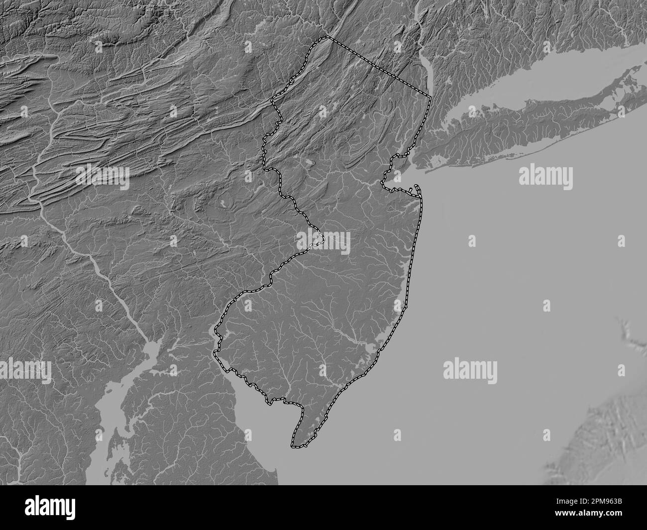 New Jersey, state of United States of America. Bilevel elevation map with lakes and rivers Stock Photohttps://www.alamy.com/image-license-details/?v=1https://www.alamy.com/new-jersey-state-of-united-states-of-america-bilevel-elevation-map-with-lakes-and-rivers-image546016895.html
RF2PM963B–New Jersey, state of United States of America. Bilevel elevation map with lakes and rivers
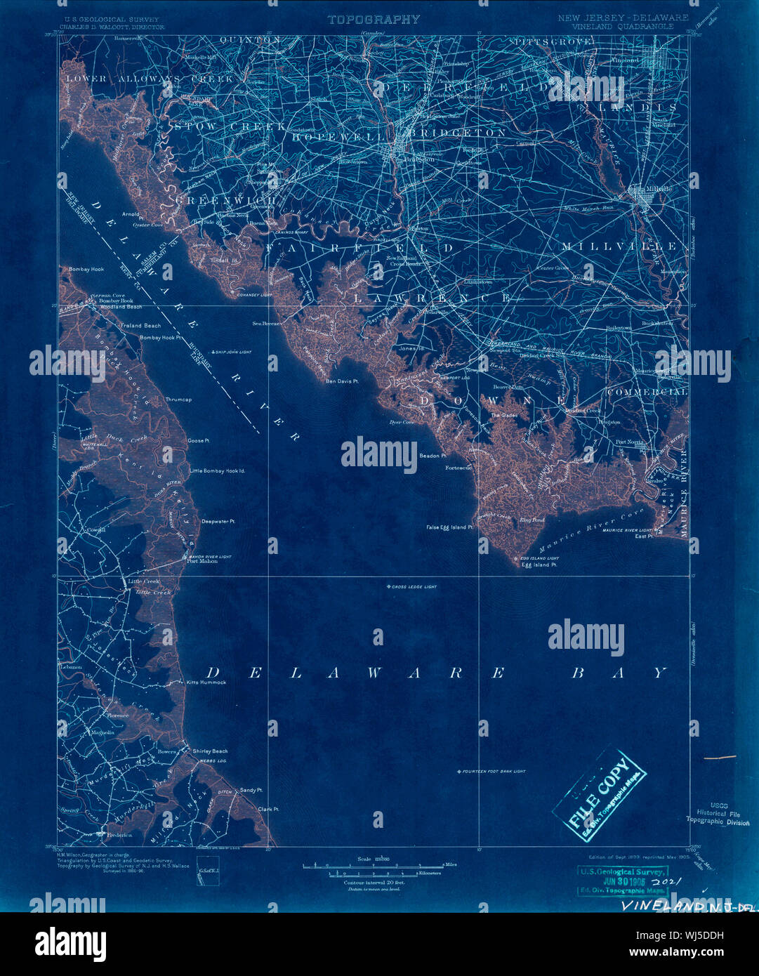 USGS TOPO Map New Jersey NJ Vineland 255454 1899 125000 Inverted Restoration Stock Photohttps://www.alamy.com/image-license-details/?v=1https://www.alamy.com/usgs-topo-map-new-jersey-nj-vineland-255454-1899-125000-inverted-restoration-image269339661.html
RMWJ5DDH–USGS TOPO Map New Jersey NJ Vineland 255454 1899 125000 Inverted Restoration
 Image 3 of Sanborn Fire Insurance Map from Vineland, Cumberland County, New Jersey. Aug 1891. 6 Sheet(s), America, street map with a Nineteenth Century compass Stock Photohttps://www.alamy.com/image-license-details/?v=1https://www.alamy.com/image-3-of-sanborn-fire-insurance-map-from-vineland-cumberland-county-new-jersey-aug-1891-6-sheets-america-street-map-with-a-nineteenth-century-compass-image344690016.html
RM2B0NYHM–Image 3 of Sanborn Fire Insurance Map from Vineland, Cumberland County, New Jersey. Aug 1891. 6 Sheet(s), America, street map with a Nineteenth Century compass
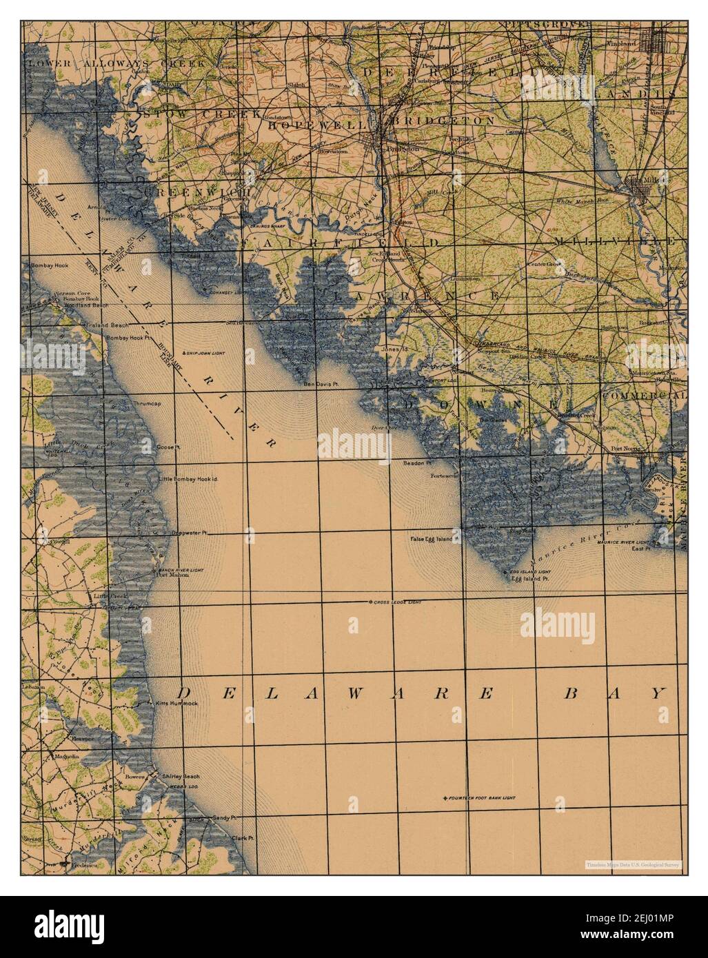 Vineland, New Jersey, map 1919, 1:125000, United States of America by Timeless Maps, data U.S. Geological Survey Stock Photohttps://www.alamy.com/image-license-details/?v=1https://www.alamy.com/vineland-new-jersey-map-1919-1125000-united-states-of-america-by-timeless-maps-data-us-geological-survey-image406903638.html
RM2EJ01MP–Vineland, New Jersey, map 1919, 1:125000, United States of America by Timeless Maps, data U.S. Geological Survey
 Sanborn Fire Insurance Map from Vineland, Cumberland County, New Jersey. Stock Photohttps://www.alamy.com/image-license-details/?v=1https://www.alamy.com/sanborn-fire-insurance-map-from-vineland-cumberland-county-new-jersey-image456507625.html
RM2HEKM3N–Sanborn Fire Insurance Map from Vineland, Cumberland County, New Jersey.
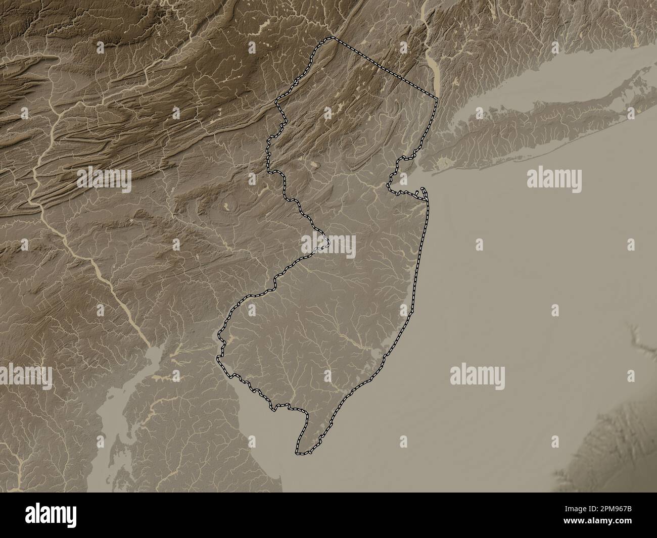 New Jersey, state of United States of America. Elevation map colored in sepia tones with lakes and rivers Stock Photohttps://www.alamy.com/image-license-details/?v=1https://www.alamy.com/new-jersey-state-of-united-states-of-america-elevation-map-colored-in-sepia-tones-with-lakes-and-rivers-image546017007.html
RF2PM967B–New Jersey, state of United States of America. Elevation map colored in sepia tones with lakes and rivers
 Image 4 of Sanborn Fire Insurance Map from Vineland, Cumberland County, New Jersey. Aug 1891. 6 Sheet(s), America, street map with a Nineteenth Century compass Stock Photohttps://www.alamy.com/image-license-details/?v=1https://www.alamy.com/image-4-of-sanborn-fire-insurance-map-from-vineland-cumberland-county-new-jersey-aug-1891-6-sheets-america-street-map-with-a-nineteenth-century-compass-image344690017.html
RM2B0NYHN–Image 4 of Sanborn Fire Insurance Map from Vineland, Cumberland County, New Jersey. Aug 1891. 6 Sheet(s), America, street map with a Nineteenth Century compass
 Vineland, New Jersey, map 1899, 1:125000, United States of America by Timeless Maps, data U.S. Geological Survey Stock Photohttps://www.alamy.com/image-license-details/?v=1https://www.alamy.com/vineland-new-jersey-map-1899-1125000-united-states-of-america-by-timeless-maps-data-us-geological-survey-image406903623.html
RM2EJ01M7–Vineland, New Jersey, map 1899, 1:125000, United States of America by Timeless Maps, data U.S. Geological Survey
 Sanborn Fire Insurance Map from Vineland, Cumberland County, New Jersey. Stock Photohttps://www.alamy.com/image-license-details/?v=1https://www.alamy.com/sanborn-fire-insurance-map-from-vineland-cumberland-county-new-jersey-image456507630.html
RM2HEKM3X–Sanborn Fire Insurance Map from Vineland, Cumberland County, New Jersey.
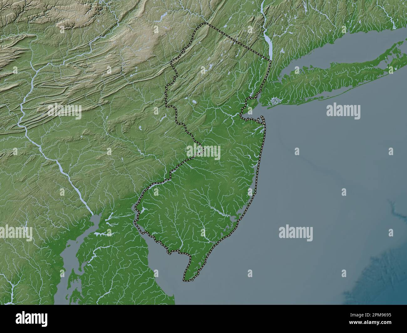 New Jersey, state of United States of America. Elevation map colored in wiki style with lakes and rivers Stock Photohttps://www.alamy.com/image-license-details/?v=1https://www.alamy.com/new-jersey-state-of-united-states-of-america-elevation-map-colored-in-wiki-style-with-lakes-and-rivers-image546017057.html
RF2PM9695–New Jersey, state of United States of America. Elevation map colored in wiki style with lakes and rivers
 Image 3 of Sanborn Fire Insurance Map from Vineland, Cumberland County, New Jersey. Jul 1895. 8 Sheet(s), America, street map with a Nineteenth Century compass Stock Photohttps://www.alamy.com/image-license-details/?v=1https://www.alamy.com/image-3-of-sanborn-fire-insurance-map-from-vineland-cumberland-county-new-jersey-jul-1895-8-sheets-america-street-map-with-a-nineteenth-century-compass-image344690030.html
RM2B0NYJ6–Image 3 of Sanborn Fire Insurance Map from Vineland, Cumberland County, New Jersey. Jul 1895. 8 Sheet(s), America, street map with a Nineteenth Century compass
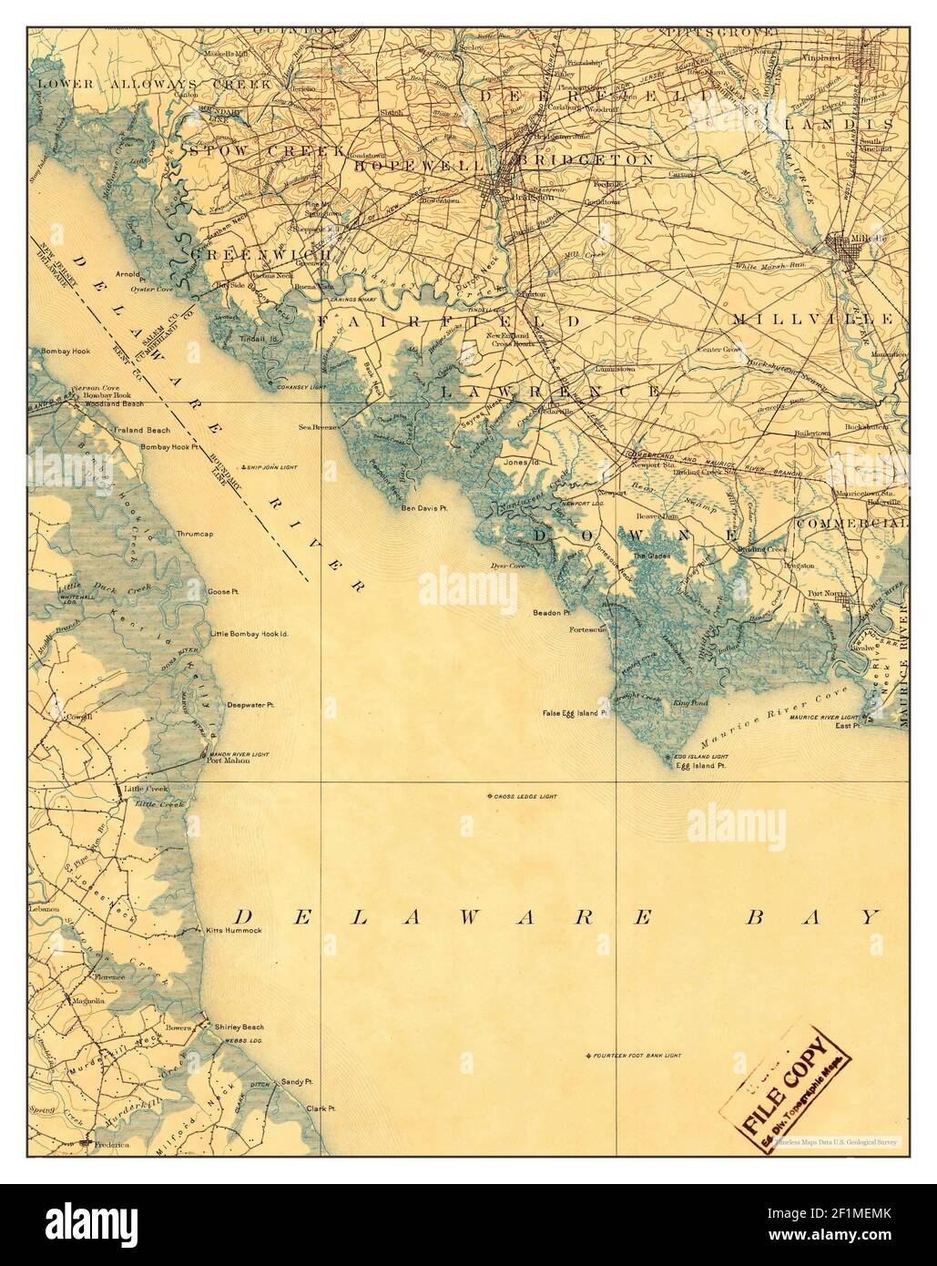 Vineland, New Jersey, map 1899, 1:125000, United States of America by Timeless Maps, data U.S. Geological Survey Stock Photohttps://www.alamy.com/image-license-details/?v=1https://www.alamy.com/vineland-new-jersey-map-1899-1125000-united-states-of-america-by-timeless-maps-data-us-geological-survey-image414114083.html
RM2F1MEMK–Vineland, New Jersey, map 1899, 1:125000, United States of America by Timeless Maps, data U.S. Geological Survey
 Sanborn Fire Insurance Map from Vineland, Cumberland County, New Jersey. Stock Photohttps://www.alamy.com/image-license-details/?v=1https://www.alamy.com/sanborn-fire-insurance-map-from-vineland-cumberland-county-new-jersey-image456507613.html
RM2HEKM39–Sanborn Fire Insurance Map from Vineland, Cumberland County, New Jersey.
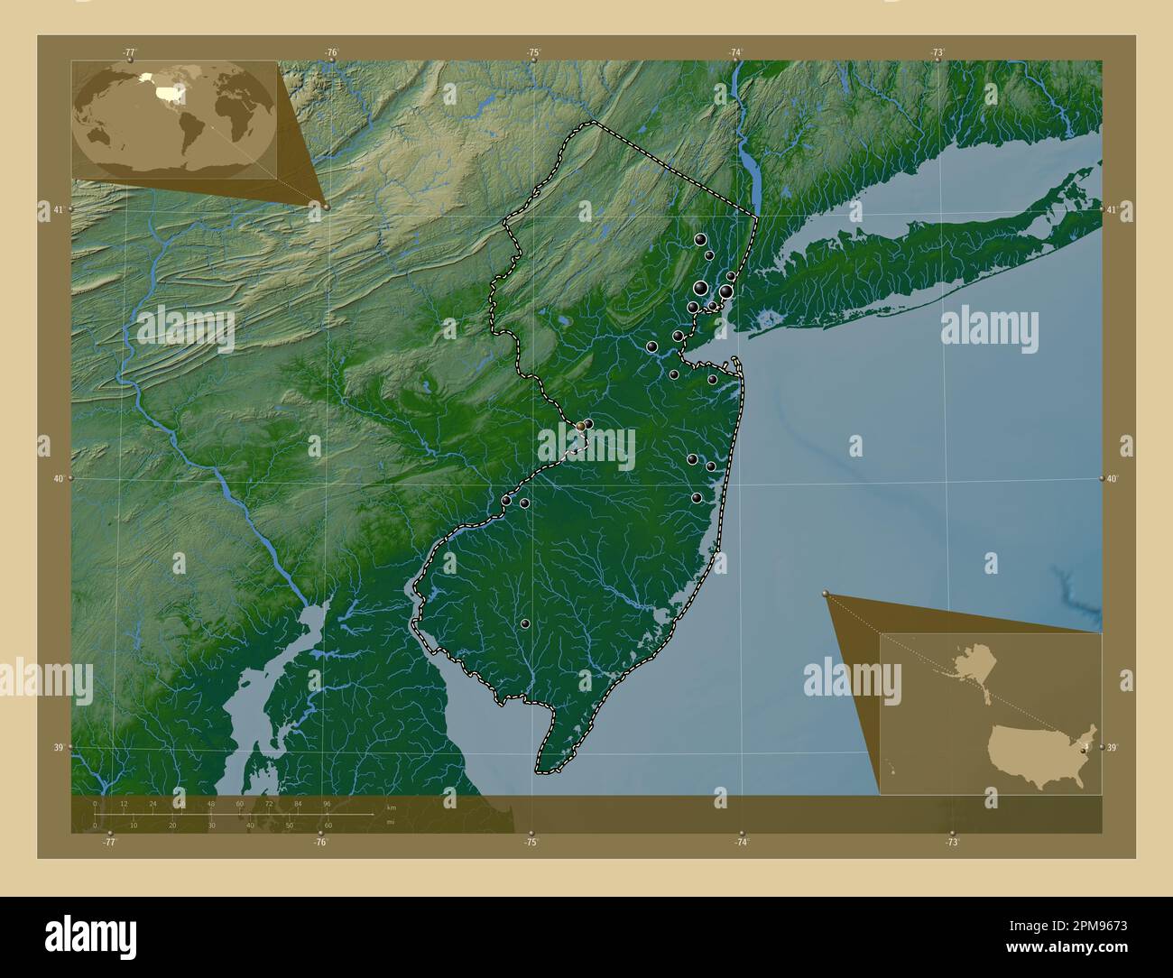 New Jersey, state of United States of America. Colored elevation map with lakes and rivers. Locations of major cities of the region. Corner auxiliary Stock Photohttps://www.alamy.com/image-license-details/?v=1https://www.alamy.com/new-jersey-state-of-united-states-of-america-colored-elevation-map-with-lakes-and-rivers-locations-of-major-cities-of-the-region-corner-auxiliary-image546016999.html
RF2PM9673–New Jersey, state of United States of America. Colored elevation map with lakes and rivers. Locations of major cities of the region. Corner auxiliary
 Image 2 of Sanborn Fire Insurance Map from Vineland, Cumberland County, New Jersey. Aug 1891. 6 Sheet(s), America, street map with a Nineteenth Century compass Stock Photohttps://www.alamy.com/image-license-details/?v=1https://www.alamy.com/image-2-of-sanborn-fire-insurance-map-from-vineland-cumberland-county-new-jersey-aug-1891-6-sheets-america-street-map-with-a-nineteenth-century-compass-image344690014.html
RM2B0NYHJ–Image 2 of Sanborn Fire Insurance Map from Vineland, Cumberland County, New Jersey. Aug 1891. 6 Sheet(s), America, street map with a Nineteenth Century compass
 Sanborn Fire Insurance Map from Vineland, Cumberland County, New Jersey. Stock Photohttps://www.alamy.com/image-license-details/?v=1https://www.alamy.com/sanborn-fire-insurance-map-from-vineland-cumberland-county-new-jersey-image456507619.html
RM2HEKM3F–Sanborn Fire Insurance Map from Vineland, Cumberland County, New Jersey.
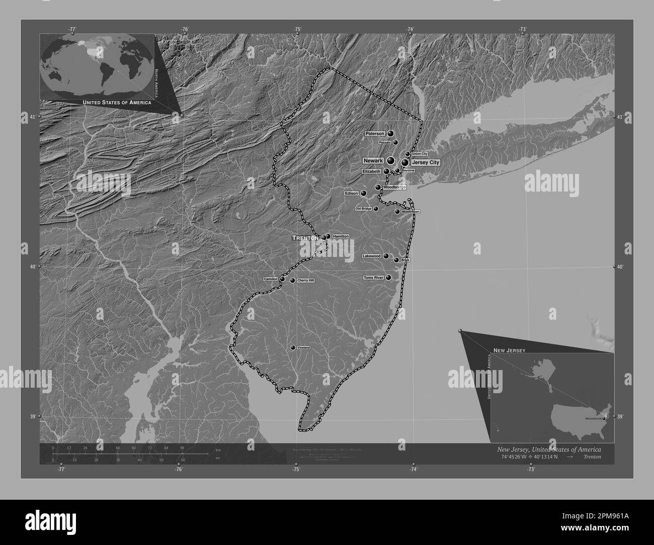 New Jersey, state of United States of America. Bilevel elevation map with lakes and rivers. Locations and names of major cities of the region. Corner Stock Photohttps://www.alamy.com/image-license-details/?v=1https://www.alamy.com/new-jersey-state-of-united-states-of-america-bilevel-elevation-map-with-lakes-and-rivers-locations-and-names-of-major-cities-of-the-region-corner-image546016838.html
RF2PM961A–New Jersey, state of United States of America. Bilevel elevation map with lakes and rivers. Locations and names of major cities of the region. Corner
 Image 7 of Sanborn Fire Insurance Map from Vineland, Cumberland County, New Jersey. Jul 1895. 8 Sheet(s), America, street map with a Nineteenth Century compass Stock Photohttps://www.alamy.com/image-license-details/?v=1https://www.alamy.com/image-7-of-sanborn-fire-insurance-map-from-vineland-cumberland-county-new-jersey-jul-1895-8-sheets-america-street-map-with-a-nineteenth-century-compass-image344690038.html
RM2B0NYJE–Image 7 of Sanborn Fire Insurance Map from Vineland, Cumberland County, New Jersey. Jul 1895. 8 Sheet(s), America, street map with a Nineteenth Century compass
 Sanborn Fire Insurance Map from Vineland, Cumberland County, New Jersey. Stock Photohttps://www.alamy.com/image-license-details/?v=1https://www.alamy.com/sanborn-fire-insurance-map-from-vineland-cumberland-county-new-jersey-image456507611.html
RM2HEKM37–Sanborn Fire Insurance Map from Vineland, Cumberland County, New Jersey.
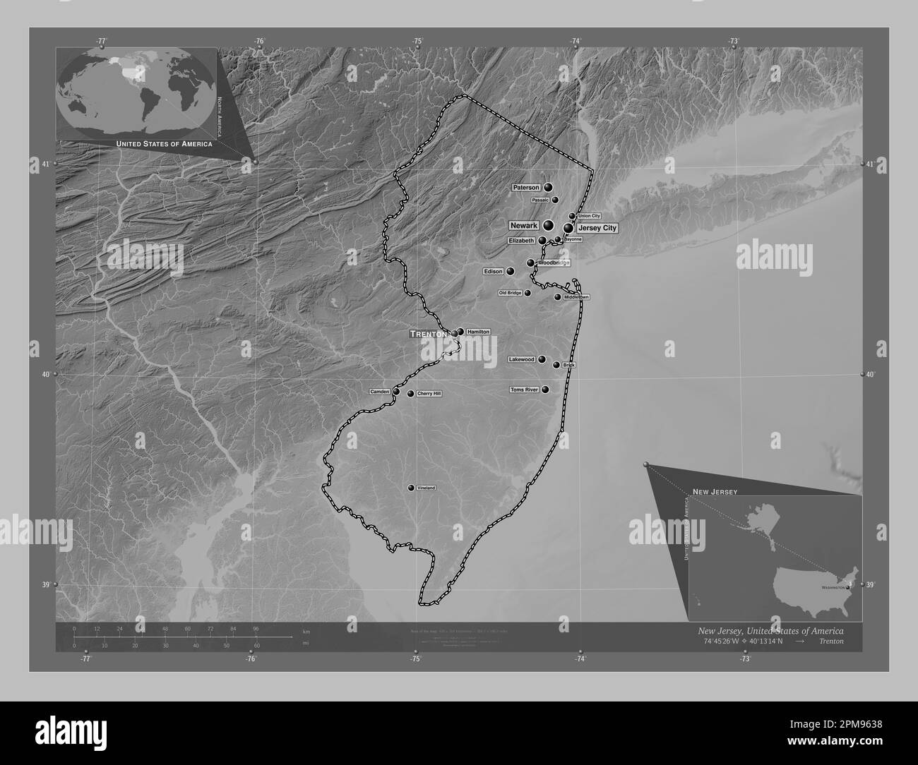 New Jersey, state of United States of America. Grayscale elevation map with lakes and rivers. Locations and names of major cities of the region. Corne Stock Photohttps://www.alamy.com/image-license-details/?v=1https://www.alamy.com/new-jersey-state-of-united-states-of-america-grayscale-elevation-map-with-lakes-and-rivers-locations-and-names-of-major-cities-of-the-region-corne-image546016892.html
RF2PM9638–New Jersey, state of United States of America. Grayscale elevation map with lakes and rivers. Locations and names of major cities of the region. Corne
 Image 6 of Sanborn Fire Insurance Map from Vineland, Cumberland County, New Jersey. Aug 1891. 6 Sheet(s), America, street map with a Nineteenth Century compass Stock Photohttps://www.alamy.com/image-license-details/?v=1https://www.alamy.com/image-6-of-sanborn-fire-insurance-map-from-vineland-cumberland-county-new-jersey-aug-1891-6-sheets-america-street-map-with-a-nineteenth-century-compass-image344690021.html
RM2B0NYHW–Image 6 of Sanborn Fire Insurance Map from Vineland, Cumberland County, New Jersey. Aug 1891. 6 Sheet(s), America, street map with a Nineteenth Century compass
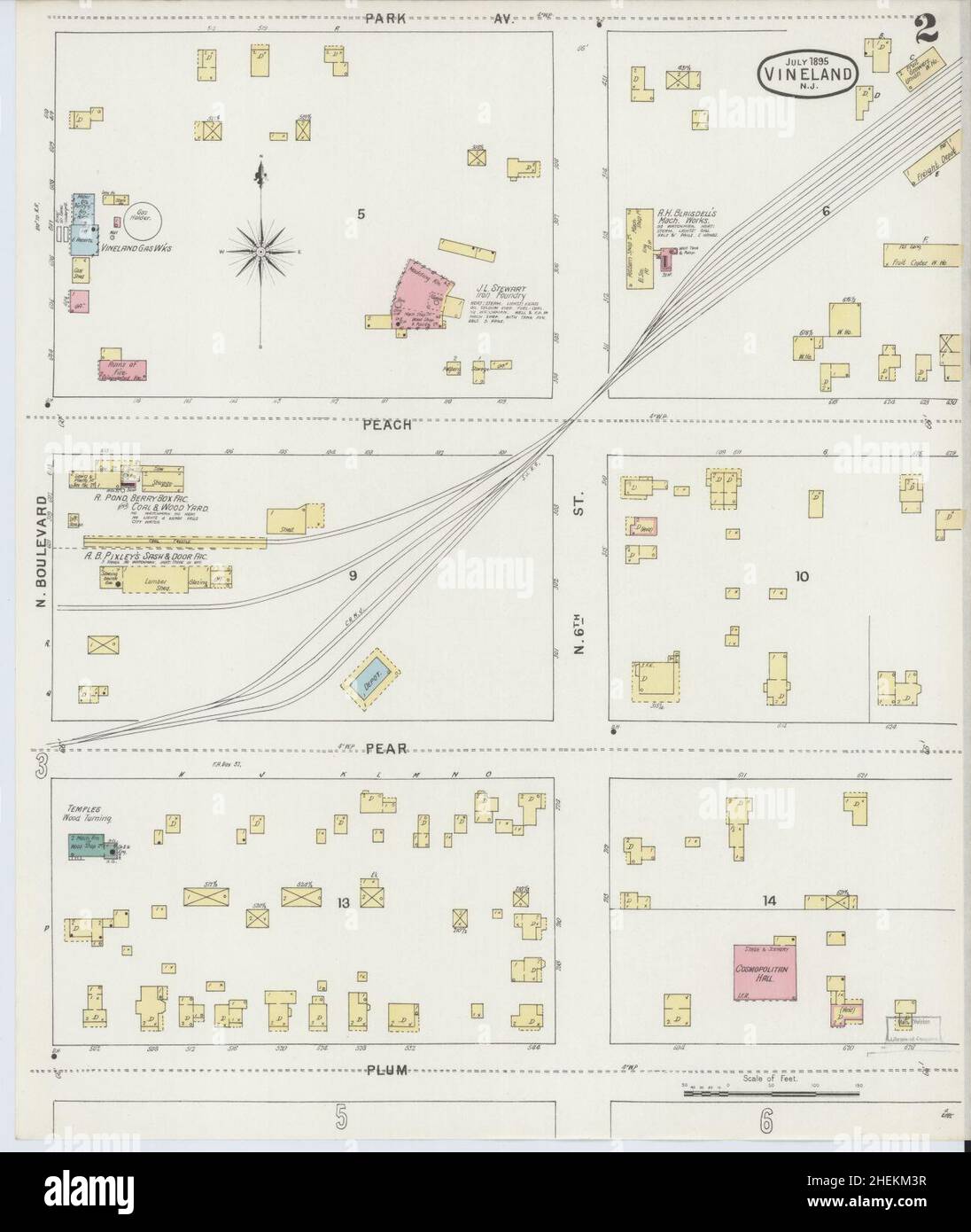 Sanborn Fire Insurance Map from Vineland, Cumberland County, New Jersey. Stock Photohttps://www.alamy.com/image-license-details/?v=1https://www.alamy.com/sanborn-fire-insurance-map-from-vineland-cumberland-county-new-jersey-image456507627.html
RM2HEKM3R–Sanborn Fire Insurance Map from Vineland, Cumberland County, New Jersey.
 New Jersey, state of United States of America. Open Street Map. Locations of major cities of the region. Corner auxiliary location maps Stock Photohttps://www.alamy.com/image-license-details/?v=1https://www.alamy.com/new-jersey-state-of-united-states-of-america-open-street-map-locations-of-major-cities-of-the-region-corner-auxiliary-location-maps-image546016948.html
RF2PM9658–New Jersey, state of United States of America. Open Street Map. Locations of major cities of the region. Corner auxiliary location maps
 Image 1 of Sanborn Fire Insurance Map from Vineland, Cumberland County, New Jersey. Aug 1891. 6 Sheet(s), America, street map with a Nineteenth Century compass Stock Photohttps://www.alamy.com/image-license-details/?v=1https://www.alamy.com/image-1-of-sanborn-fire-insurance-map-from-vineland-cumberland-county-new-jersey-aug-1891-6-sheets-america-street-map-with-a-nineteenth-century-compass-image344690011.html
RM2B0NYHF–Image 1 of Sanborn Fire Insurance Map from Vineland, Cumberland County, New Jersey. Aug 1891. 6 Sheet(s), America, street map with a Nineteenth Century compass
 Sanborn Fire Insurance Map from Vineland, Cumberland County, New Jersey. Stock Photohttps://www.alamy.com/image-license-details/?v=1https://www.alamy.com/sanborn-fire-insurance-map-from-vineland-cumberland-county-new-jersey-image456507647.html
RM2HEKM4F–Sanborn Fire Insurance Map from Vineland, Cumberland County, New Jersey.
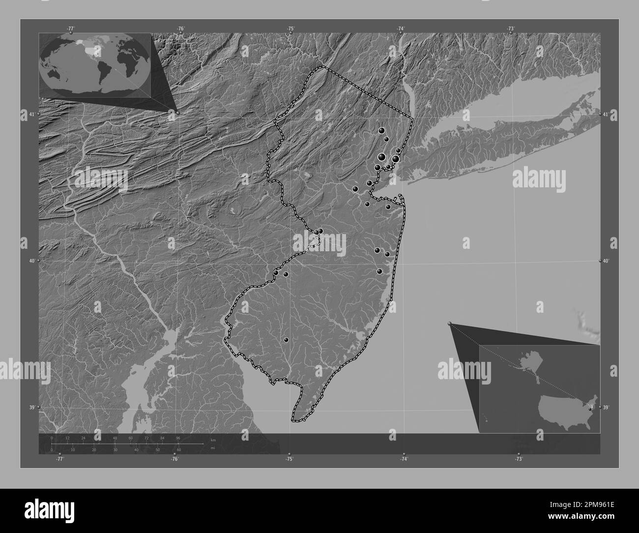 New Jersey, state of United States of America. Bilevel elevation map with lakes and rivers. Locations of major cities of the region. Corner auxiliary Stock Photohttps://www.alamy.com/image-license-details/?v=1https://www.alamy.com/new-jersey-state-of-united-states-of-america-bilevel-elevation-map-with-lakes-and-rivers-locations-of-major-cities-of-the-region-corner-auxiliary-image546016842.html
RF2PM961E–New Jersey, state of United States of America. Bilevel elevation map with lakes and rivers. Locations of major cities of the region. Corner auxiliary
 Image 2 of Sanborn Fire Insurance Map from Vineland, Cumberland County, New Jersey. Jul 1895. 8 Sheet(s), America, street map with a Nineteenth Century compass Stock Photohttps://www.alamy.com/image-license-details/?v=1https://www.alamy.com/image-2-of-sanborn-fire-insurance-map-from-vineland-cumberland-county-new-jersey-jul-1895-8-sheets-america-street-map-with-a-nineteenth-century-compass-image344690026.html
RM2B0NYJ2–Image 2 of Sanborn Fire Insurance Map from Vineland, Cumberland County, New Jersey. Jul 1895. 8 Sheet(s), America, street map with a Nineteenth Century compass
 Sanborn Fire Insurance Map from Vineland, Cumberland County, New Jersey. Stock Photohttps://www.alamy.com/image-license-details/?v=1https://www.alamy.com/sanborn-fire-insurance-map-from-vineland-cumberland-county-new-jersey-image456507645.html
RM2HEKM4D–Sanborn Fire Insurance Map from Vineland, Cumberland County, New Jersey.
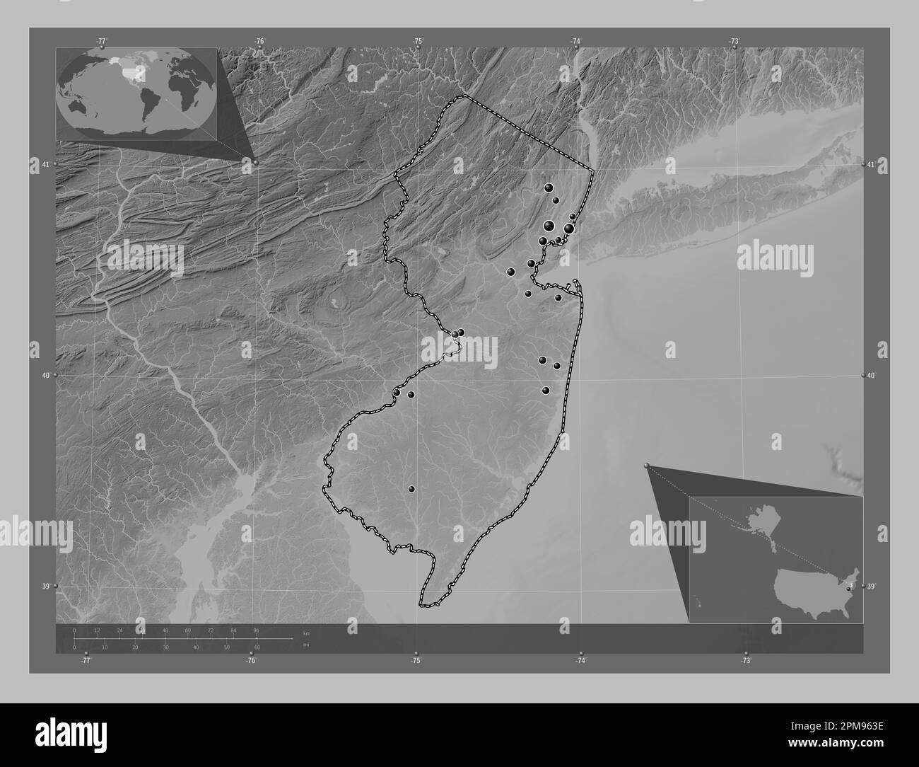 New Jersey, state of United States of America. Grayscale elevation map with lakes and rivers. Locations of major cities of the region. Corner auxiliar Stock Photohttps://www.alamy.com/image-license-details/?v=1https://www.alamy.com/new-jersey-state-of-united-states-of-america-grayscale-elevation-map-with-lakes-and-rivers-locations-of-major-cities-of-the-region-corner-auxiliar-image546016898.html
RF2PM963E–New Jersey, state of United States of America. Grayscale elevation map with lakes and rivers. Locations of major cities of the region. Corner auxiliar
 Image 4 of Sanborn Fire Insurance Map from Vineland, Cumberland County, New Jersey. Jul 1895. 8 Sheet(s), America, street map with a Nineteenth Century compass Stock Photohttps://www.alamy.com/image-license-details/?v=1https://www.alamy.com/image-4-of-sanborn-fire-insurance-map-from-vineland-cumberland-county-new-jersey-jul-1895-8-sheets-america-street-map-with-a-nineteenth-century-compass-image344690032.html
RM2B0NYJ8–Image 4 of Sanborn Fire Insurance Map from Vineland, Cumberland County, New Jersey. Jul 1895. 8 Sheet(s), America, street map with a Nineteenth Century compass
 Sanborn Fire Insurance Map from Vineland, Cumberland County, New Jersey. Stock Photohttps://www.alamy.com/image-license-details/?v=1https://www.alamy.com/sanborn-fire-insurance-map-from-vineland-cumberland-county-new-jersey-image456507642.html
RM2HEKM4A–Sanborn Fire Insurance Map from Vineland, Cumberland County, New Jersey.
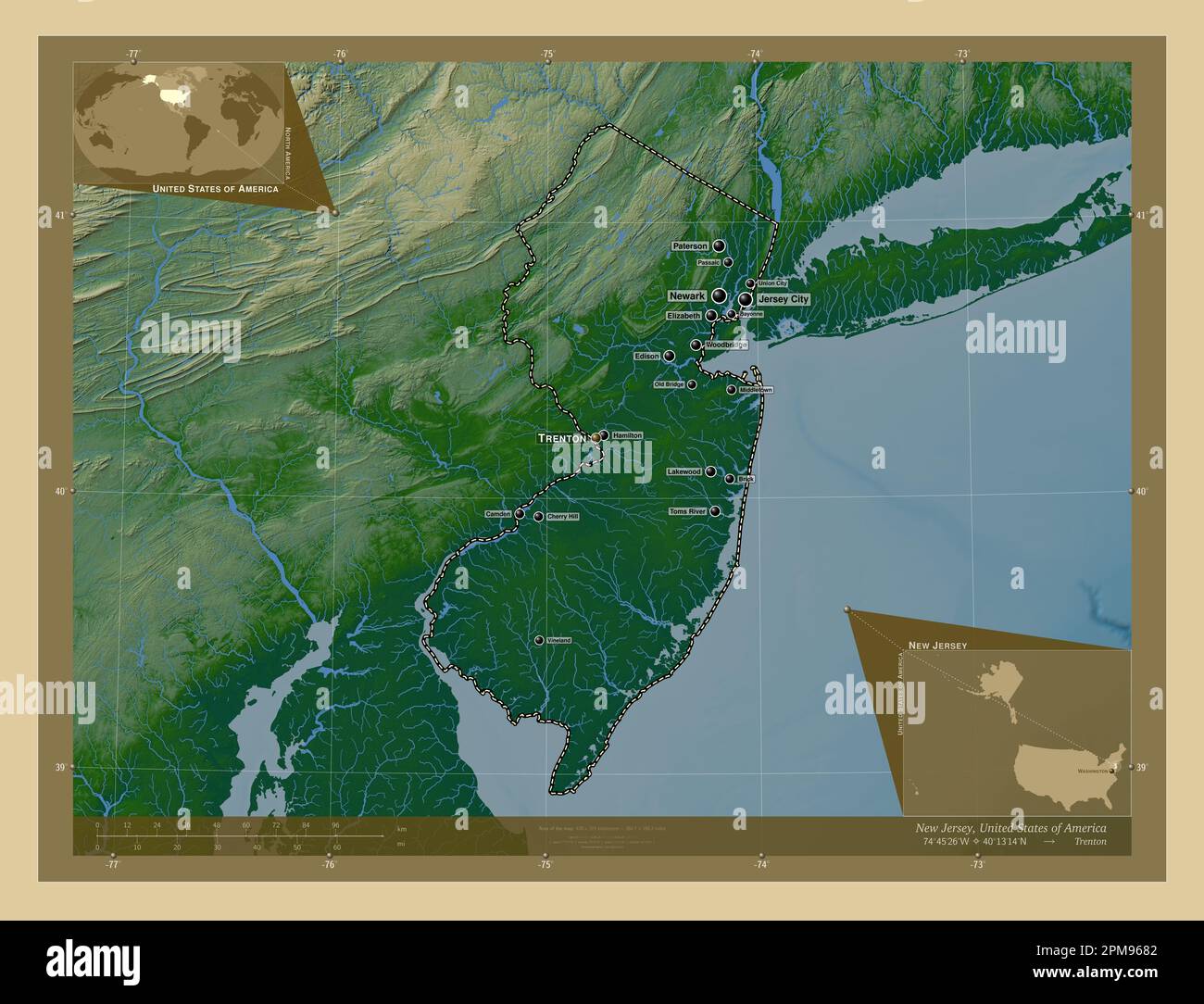 New Jersey, state of United States of America. Colored elevation map with lakes and rivers. Locations and names of major cities of the region. Corner Stock Photohttps://www.alamy.com/image-license-details/?v=1https://www.alamy.com/new-jersey-state-of-united-states-of-america-colored-elevation-map-with-lakes-and-rivers-locations-and-names-of-major-cities-of-the-region-corner-image546017026.html
RF2PM9682–New Jersey, state of United States of America. Colored elevation map with lakes and rivers. Locations and names of major cities of the region. Corner
 Image 1 of Sanborn Fire Insurance Map from Vineland, Cumberland County, New Jersey. Jul 1895. 8 Sheet(s), America, street map with a Nineteenth Century compass Stock Photohttps://www.alamy.com/image-license-details/?v=1https://www.alamy.com/image-1-of-sanborn-fire-insurance-map-from-vineland-cumberland-county-new-jersey-jul-1895-8-sheets-america-street-map-with-a-nineteenth-century-compass-image344690022.html
RM2B0NYHX–Image 1 of Sanborn Fire Insurance Map from Vineland, Cumberland County, New Jersey. Jul 1895. 8 Sheet(s), America, street map with a Nineteenth Century compass
 Sanborn Fire Insurance Map from Vineland, Cumberland County, New Jersey. Stock Photohttps://www.alamy.com/image-license-details/?v=1https://www.alamy.com/sanborn-fire-insurance-map-from-vineland-cumberland-county-new-jersey-image456507641.html
RM2HEKM49–Sanborn Fire Insurance Map from Vineland, Cumberland County, New Jersey.
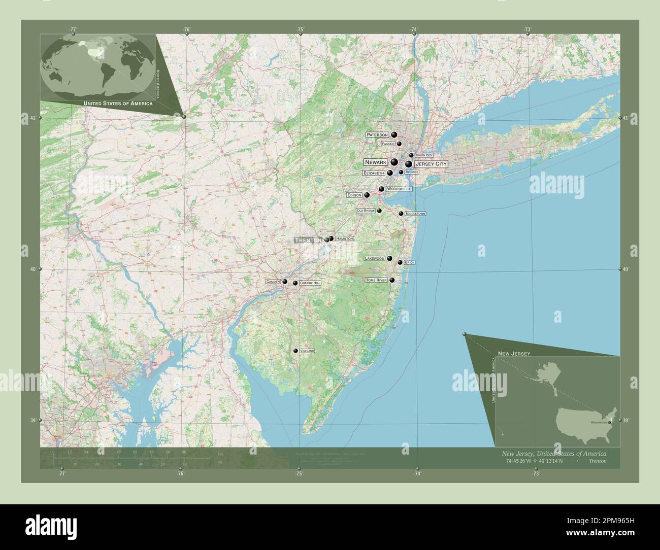 New Jersey, state of United States of America. Open Street Map. Locations and names of major cities of the region. Corner auxiliary location maps Stock Photohttps://www.alamy.com/image-license-details/?v=1https://www.alamy.com/new-jersey-state-of-united-states-of-america-open-street-map-locations-and-names-of-major-cities-of-the-region-corner-auxiliary-location-maps-image546016957.html
RF2PM965H–New Jersey, state of United States of America. Open Street Map. Locations and names of major cities of the region. Corner auxiliary location maps
 Image 3 of Sanborn Fire Insurance Map from Vineland, Cumberland County, New Jersey. Jul 1886. 4 Sheet(s), America, street map with a Nineteenth Century compass Stock Photohttps://www.alamy.com/image-license-details/?v=1https://www.alamy.com/image-3-of-sanborn-fire-insurance-map-from-vineland-cumberland-county-new-jersey-jul-1886-4-sheets-america-street-map-with-a-nineteenth-century-compass-image344690007.html
RM2B0NYHB–Image 3 of Sanborn Fire Insurance Map from Vineland, Cumberland County, New Jersey. Jul 1886. 4 Sheet(s), America, street map with a Nineteenth Century compass
 Sanborn Fire Insurance Map from Vineland, Cumberland County, New Jersey. Stock Photohttps://www.alamy.com/image-license-details/?v=1https://www.alamy.com/sanborn-fire-insurance-map-from-vineland-cumberland-county-new-jersey-image456507626.html
RM2HEKM3P–Sanborn Fire Insurance Map from Vineland, Cumberland County, New Jersey.
 New Jersey, state of United States of America. Elevation map colored in sepia tones with lakes and rivers. Locations and names of major cities of the Stock Photohttps://www.alamy.com/image-license-details/?v=1https://www.alamy.com/new-jersey-state-of-united-states-of-america-elevation-map-colored-in-sepia-tones-with-lakes-and-rivers-locations-and-names-of-major-cities-of-the-image546016992.html
RF2PM966T–New Jersey, state of United States of America. Elevation map colored in sepia tones with lakes and rivers. Locations and names of major cities of the
 Image 2 of Sanborn Fire Insurance Map from Vineland, Cumberland County, New Jersey. Jul 1886. 4 Sheet(s), America, street map with a Nineteenth Century compass Stock Photohttps://www.alamy.com/image-license-details/?v=1https://www.alamy.com/image-2-of-sanborn-fire-insurance-map-from-vineland-cumberland-county-new-jersey-jul-1886-4-sheets-america-street-map-with-a-nineteenth-century-compass-image344690004.html
RM2B0NYH8–Image 2 of Sanborn Fire Insurance Map from Vineland, Cumberland County, New Jersey. Jul 1886. 4 Sheet(s), America, street map with a Nineteenth Century compass
 Sanborn Fire Insurance Map from Vineland, Cumberland County, New Jersey. Stock Photohttps://www.alamy.com/image-license-details/?v=1https://www.alamy.com/sanborn-fire-insurance-map-from-vineland-cumberland-county-new-jersey-image456507614.html
RM2HEKM3A–Sanborn Fire Insurance Map from Vineland, Cumberland County, New Jersey.
 New Jersey, state of United States of America. Low resolution satellite map. Locations of major cities of the region. Corner auxiliary location maps Stock Photohttps://www.alamy.com/image-license-details/?v=1https://www.alamy.com/new-jersey-state-of-united-states-of-america-low-resolution-satellite-map-locations-of-major-cities-of-the-region-corner-auxiliary-location-maps-image546017002.html
RF2PM9676–New Jersey, state of United States of America. Low resolution satellite map. Locations of major cities of the region. Corner auxiliary location maps
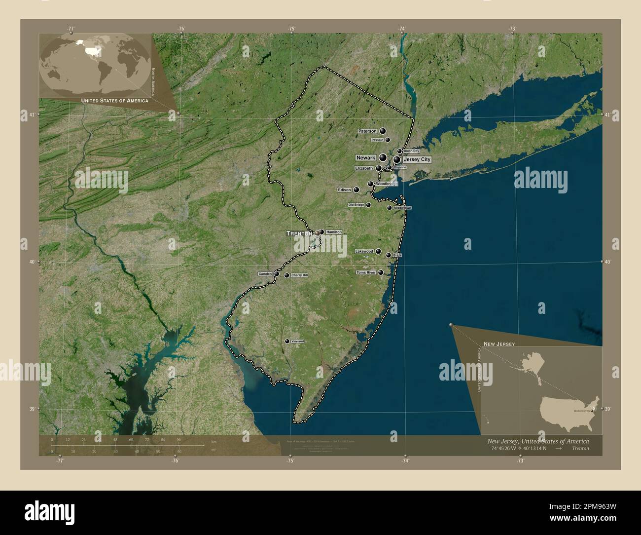 New Jersey, state of United States of America. High resolution satellite map. Locations and names of major cities of the region. Corner auxiliary loca Stock Photohttps://www.alamy.com/image-license-details/?v=1https://www.alamy.com/new-jersey-state-of-united-states-of-america-high-resolution-satellite-map-locations-and-names-of-major-cities-of-the-region-corner-auxiliary-loca-image546016909.html
RF2PM963W–New Jersey, state of United States of America. High resolution satellite map. Locations and names of major cities of the region. Corner auxiliary loca
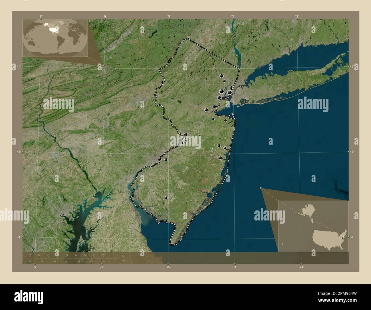 New Jersey, state of United States of America. High resolution satellite map. Locations of major cities of the region. Corner auxiliary location maps Stock Photohttps://www.alamy.com/image-license-details/?v=1https://www.alamy.com/new-jersey-state-of-united-states-of-america-high-resolution-satellite-map-locations-of-major-cities-of-the-region-corner-auxiliary-location-maps-image546016937.html
RF2PM964W–New Jersey, state of United States of America. High resolution satellite map. Locations of major cities of the region. Corner auxiliary location maps
 New Jersey, state of United States of America. Low resolution satellite map. Locations and names of major cities of the region. Corner auxiliary locat Stock Photohttps://www.alamy.com/image-license-details/?v=1https://www.alamy.com/new-jersey-state-of-united-states-of-america-low-resolution-satellite-map-locations-and-names-of-major-cities-of-the-region-corner-auxiliary-locat-image546016945.html
RF2PM9655–New Jersey, state of United States of America. Low resolution satellite map. Locations and names of major cities of the region. Corner auxiliary locat
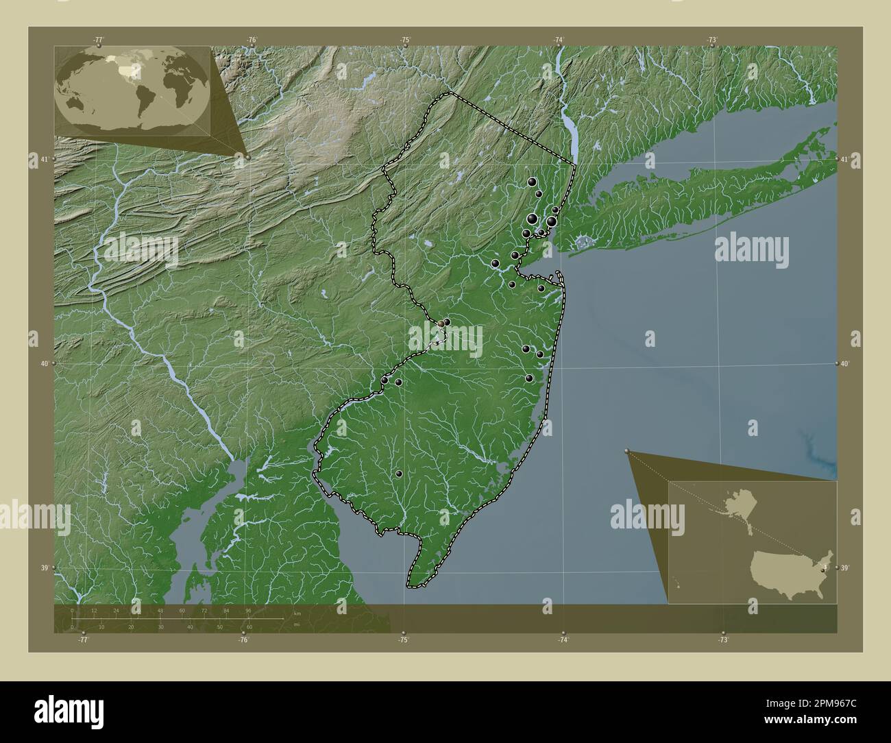 New Jersey, state of United States of America. Elevation map colored in wiki style with lakes and rivers. Locations of major cities of the region. Cor Stock Photohttps://www.alamy.com/image-license-details/?v=1https://www.alamy.com/new-jersey-state-of-united-states-of-america-elevation-map-colored-in-wiki-style-with-lakes-and-rivers-locations-of-major-cities-of-the-region-cor-image546017008.html
RF2PM967C–New Jersey, state of United States of America. Elevation map colored in wiki style with lakes and rivers. Locations of major cities of the region. Cor
 New Jersey, state of United States of America. Elevation map colored in sepia tones with lakes and rivers. Locations of major cities of the region. Co Stock Photohttps://www.alamy.com/image-license-details/?v=1https://www.alamy.com/new-jersey-state-of-united-states-of-america-elevation-map-colored-in-sepia-tones-with-lakes-and-rivers-locations-of-major-cities-of-the-region-co-image546017066.html
RF2PM969E–New Jersey, state of United States of America. Elevation map colored in sepia tones with lakes and rivers. Locations of major cities of the region. Co
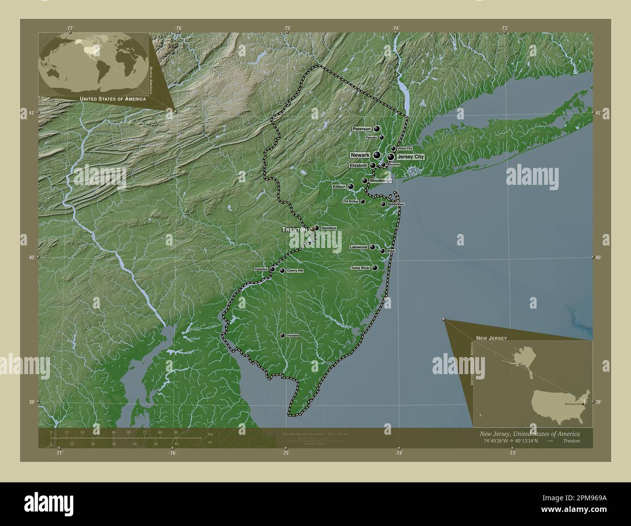 New Jersey, state of United States of America. Elevation map colored in wiki style with lakes and rivers. Locations and names of major cities of the r Stock Photohttps://www.alamy.com/image-license-details/?v=1https://www.alamy.com/new-jersey-state-of-united-states-of-america-elevation-map-colored-in-wiki-style-with-lakes-and-rivers-locations-and-names-of-major-cities-of-the-r-image546017062.html
RF2PM969A–New Jersey, state of United States of America. Elevation map colored in wiki style with lakes and rivers. Locations and names of major cities of the r
 New Jersey, state of United States of America. Solid color shape Stock Photohttps://www.alamy.com/image-license-details/?v=1https://www.alamy.com/new-jersey-state-of-united-states-of-america-solid-color-shape-image546016950.html
RF2PM965A–New Jersey, state of United States of America. Solid color shape
 New Jersey, state of United States of America. Solid color shape. Locations of major cities of the region. Corner auxiliary location maps Stock Photohttps://www.alamy.com/image-license-details/?v=1https://www.alamy.com/new-jersey-state-of-united-states-of-america-solid-color-shape-locations-of-major-cities-of-the-region-corner-auxiliary-location-maps-image546016944.html
RF2PM9654–New Jersey, state of United States of America. Solid color shape. Locations of major cities of the region. Corner auxiliary location maps
 New Jersey, state of United States of America. Solid color shape. Locations and names of major cities of the region. Corner auxiliary location maps Stock Photohttps://www.alamy.com/image-license-details/?v=1https://www.alamy.com/new-jersey-state-of-united-states-of-america-solid-color-shape-locations-and-names-of-major-cities-of-the-region-corner-auxiliary-location-maps-image546016942.html
RF2PM9652–New Jersey, state of United States of America. Solid color shape. Locations and names of major cities of the region. Corner auxiliary location maps