Quick filters:
Vintage europe map Stock Photos and Images
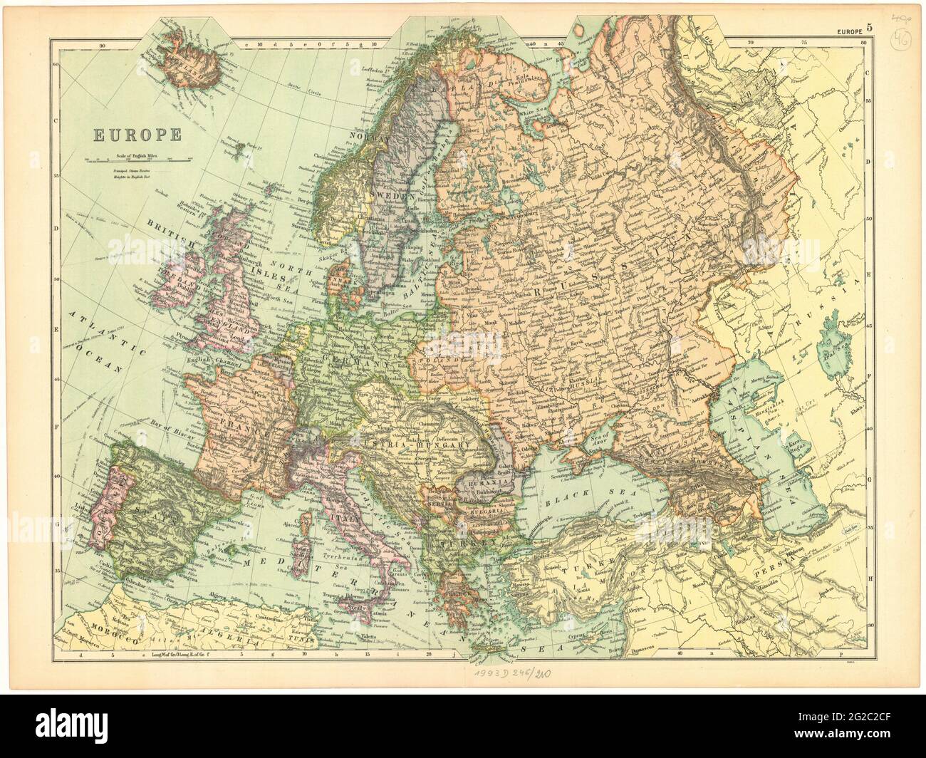 Old Europe Map, Vintage Europe Map, Retro Europe Map, Old Map of Europe, Vintage Map of Europe, Retro Map of Europe, Europe Map, Europa Map, Europe Stock Photohttps://www.alamy.com/image-license-details/?v=1https://www.alamy.com/old-europe-map-vintage-europe-map-retro-europe-map-old-map-of-europe-vintage-map-of-europe-retro-map-of-europe-europe-map-europa-map-europe-image431753855.html
RF2G2C2CF–Old Europe Map, Vintage Europe Map, Retro Europe Map, Old Map of Europe, Vintage Map of Europe, Retro Map of Europe, Europe Map, Europa Map, Europe
 vintage map of the world Stock Photohttps://www.alamy.com/image-license-details/?v=1https://www.alamy.com/stock-photo-vintage-map-of-the-world-146933605.html
RMJF1B8N–vintage map of the world
 Vintage 1907 copyrighted expired map of Europe and Asia Stock Photohttps://www.alamy.com/image-license-details/?v=1https://www.alamy.com/stock-photo-vintage-1907-copyrighted-expired-map-of-europe-and-asia-22327702.html
RFB8935X–Vintage 1907 copyrighted expired map of Europe and Asia
 Vintage Europe map parchment isolated on white. Based on image furnished from NASA. Stock Photohttps://www.alamy.com/image-license-details/?v=1https://www.alamy.com/vintage-europe-map-parchment-isolated-on-white-based-on-image-furnished-from-nasa-image247326939.html
RFTAAM0Y–Vintage Europe map parchment isolated on white. Based on image furnished from NASA.
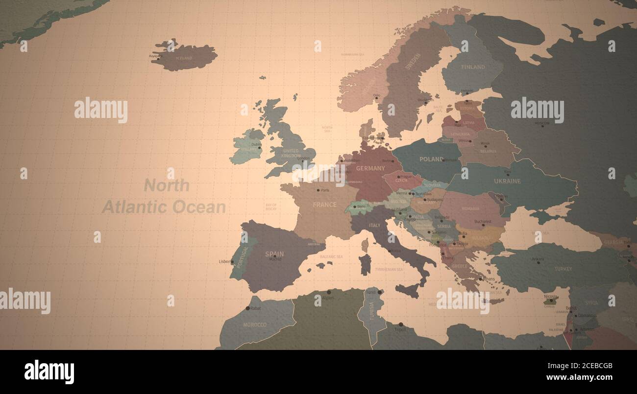 Europe Map. Detailed Continental Map of the World on Vintage Paper. Stock Photohttps://www.alamy.com/image-license-details/?v=1https://www.alamy.com/europe-map-detailed-continental-map-of-the-world-on-vintage-paper-image370274251.html
RF2CEBCGB–Europe Map. Detailed Continental Map of the World on Vintage Paper.
 Map of Europe in the 1870s. Printed color lithograph Stock Photohttps://www.alamy.com/image-license-details/?v=1https://www.alamy.com/map-of-europe-in-the-1870s-printed-color-lithograph-image181464740.html
RMMF6C3G–Map of Europe in the 1870s. Printed color lithograph
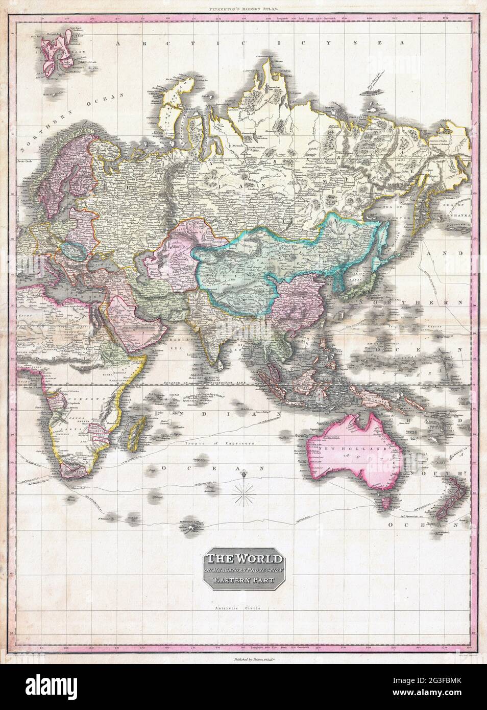 World Map 1818 Pinkerton Map of the Eastern Hemisphere (Asia, Africa, Europe, Australia) – Geographicus. Stock Photohttps://www.alamy.com/image-license-details/?v=1https://www.alamy.com/world-map-1818-pinkerton-map-of-the-eastern-hemisphere-asia-africa-europe-australia-geographicus-image432441651.html
RM2G3FBMK–World Map 1818 Pinkerton Map of the Eastern Hemisphere (Asia, Africa, Europe, Australia) – Geographicus.
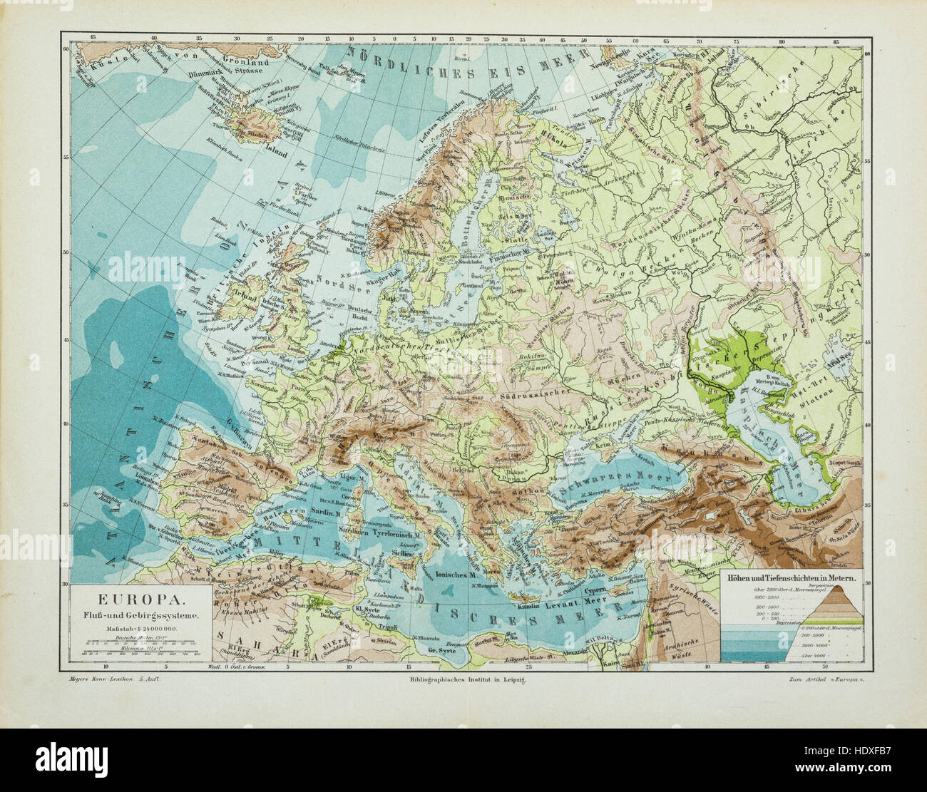 Old and vintage map of Europe Stock Photohttps://www.alamy.com/image-license-details/?v=1https://www.alamy.com/stock-photo-old-and-vintage-map-of-europe-129045931.html
RFHDXFB7–Old and vintage map of Europe
 A vintage style map of Europe Stock Photohttps://www.alamy.com/image-license-details/?v=1https://www.alamy.com/a-vintage-style-map-of-europe-image62070931.html
RFDGYG2Y–A vintage style map of Europe
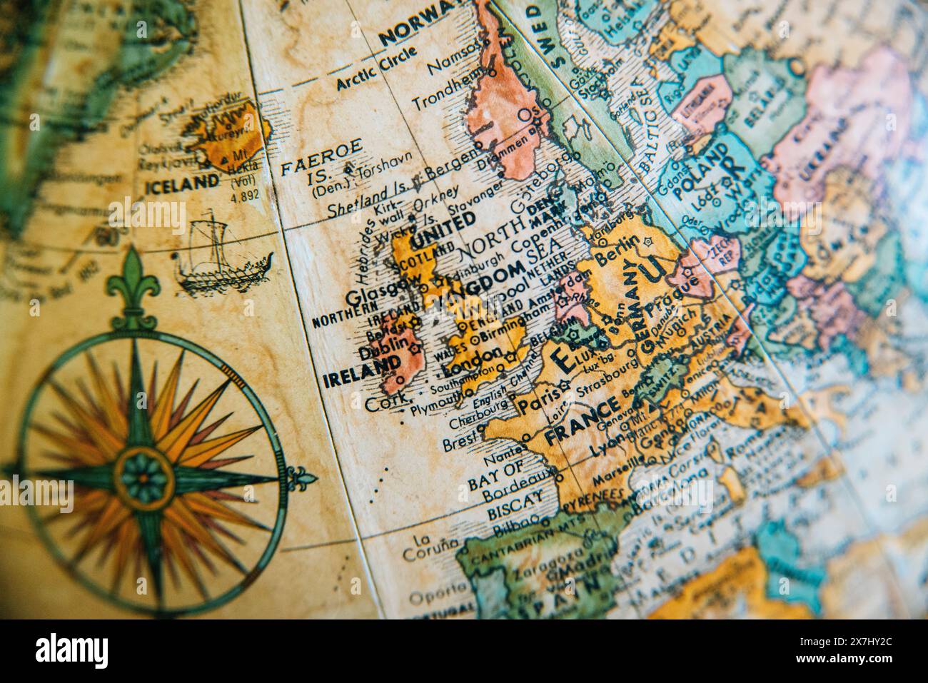 A detailed vintage globe map highlighting the geography of Europe, including the United Kingdom, France and Germany. Stock Photohttps://www.alamy.com/image-license-details/?v=1https://www.alamy.com/a-detailed-vintage-globe-map-highlighting-the-geography-of-europe-including-the-united-kingdom-france-and-germany-image607059892.html
RM2X7HY2C–A detailed vintage globe map highlighting the geography of Europe, including the United Kingdom, France and Germany.
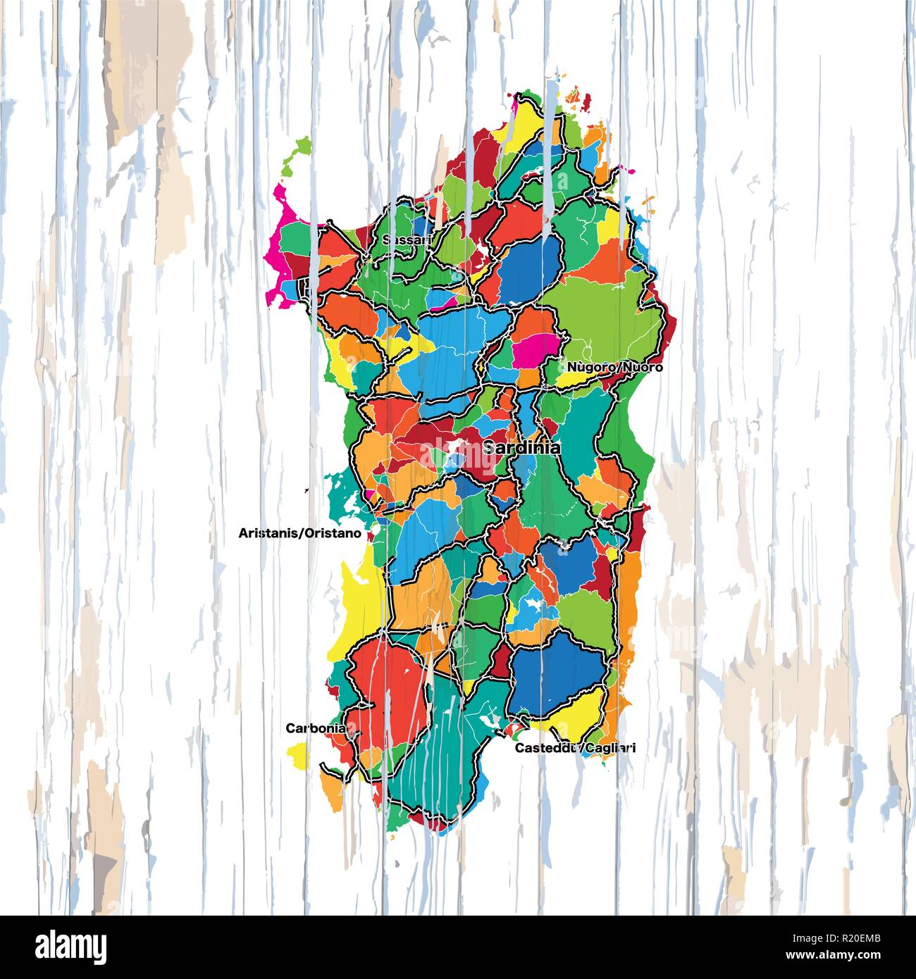 Vintage map of Sardinia. Vector illustration template for wall art and marketing in square format. Stock Vectorhttps://www.alamy.com/image-license-details/?v=1https://www.alamy.com/vintage-map-of-sardinia-vector-illustration-template-for-wall-art-and-marketing-in-square-format-image224975643.html
RFR20EMB–Vintage map of Sardinia. Vector illustration template for wall art and marketing in square format.
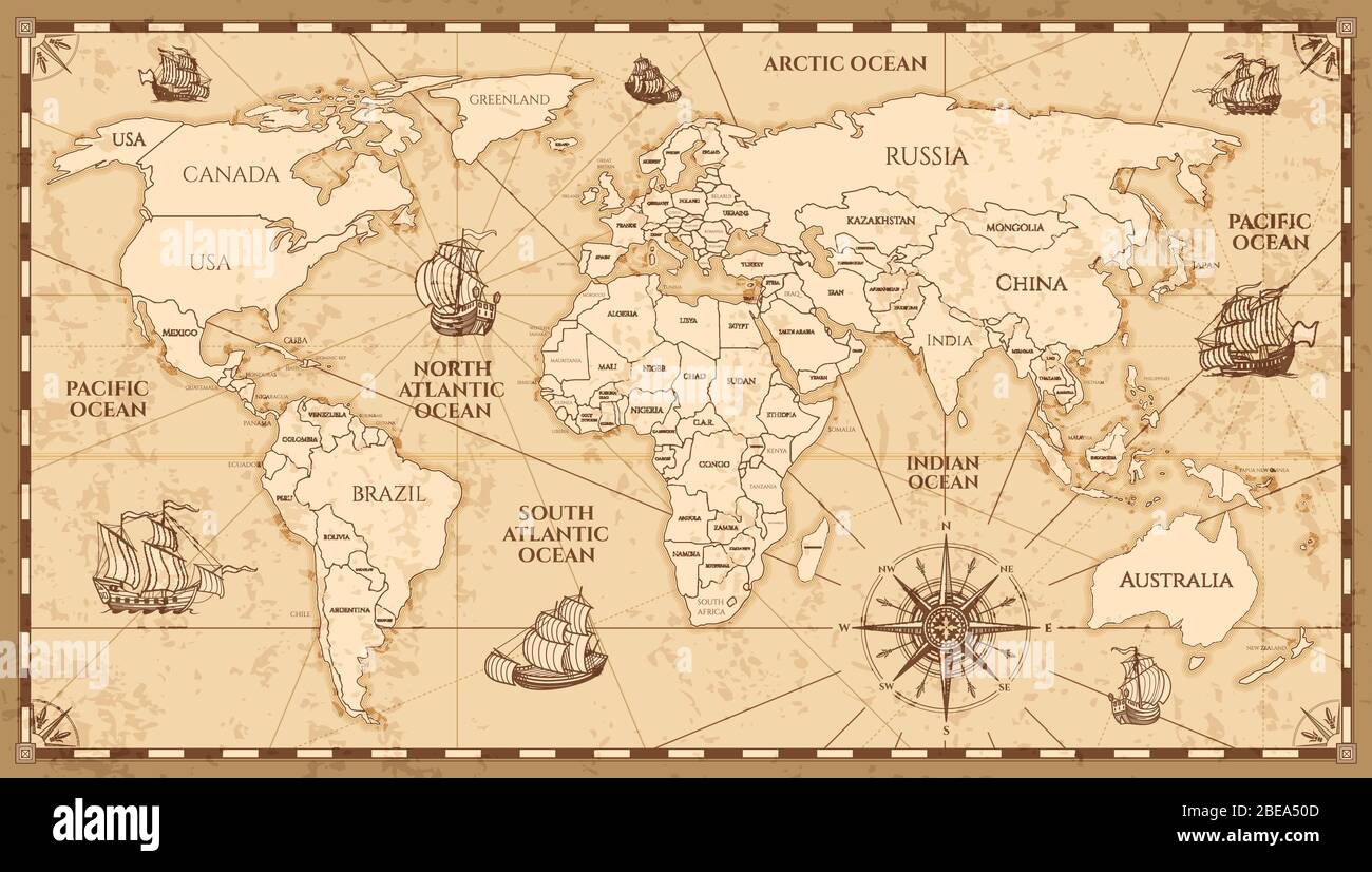 Vector antique world map with countries boundaries. Antique world vintage map, grunge america and europe illustration Stock Vectorhttps://www.alamy.com/image-license-details/?v=1https://www.alamy.com/vector-antique-world-map-with-countries-boundaries-antique-world-vintage-map-grunge-america-and-europe-illustration-image353035997.html
RF2BEA50D–Vector antique world map with countries boundaries. Antique world vintage map, grunge america and europe illustration
 Vintage Detailed Colorful Political Map of Europe Printable Download Travel Poster Stock Photohttps://www.alamy.com/image-license-details/?v=1https://www.alamy.com/vintage-detailed-colorful-political-map-of-europe-printable-download-travel-poster-image626586713.html
RF2YBBDMW–Vintage Detailed Colorful Political Map of Europe Printable Download Travel Poster
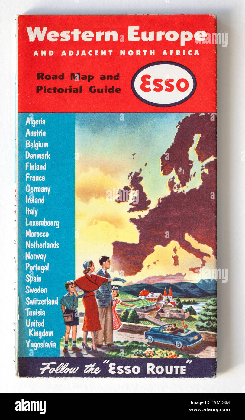 Old Vintage Road Map - Western Europe Stock Photohttps://www.alamy.com/image-license-details/?v=1https://www.alamy.com/old-vintage-road-map-western-europe-image246926532.html
RMT9MD8M–Old Vintage Road Map - Western Europe
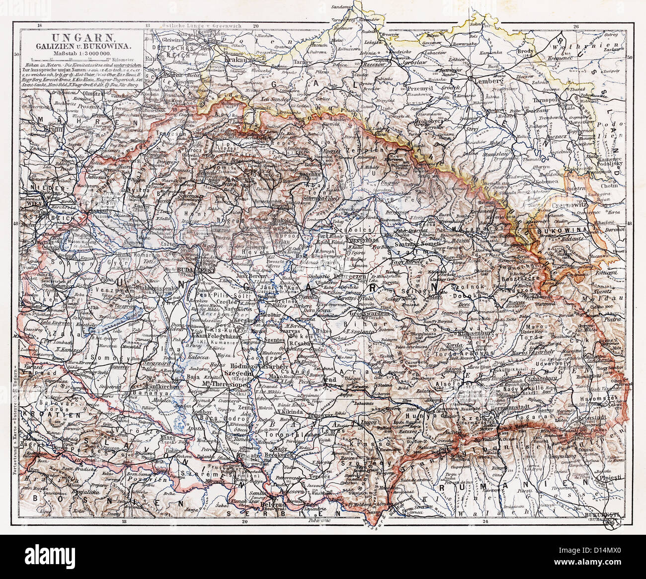 Vintage map of Hungary at the end of 19th century Stock Photohttps://www.alamy.com/image-license-details/?v=1https://www.alamy.com/stock-photo-vintage-map-of-hungary-at-the-end-of-19th-century-52349976.html
RFD14MX0–Vintage map of Hungary at the end of 19th century
 Grunge vintage scratched Europe map background. Stock Photohttps://www.alamy.com/image-license-details/?v=1https://www.alamy.com/stock-photo-grunge-vintage-scratched-europe-map-background-77327971.html
RFEDPGH7–Grunge vintage scratched Europe map background.
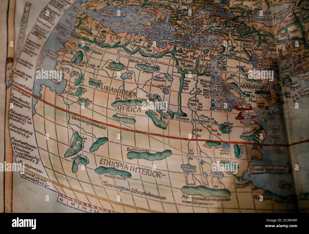 Vintage map of Africa in Galileo Museum, Florence, Italy Stock Photohttps://www.alamy.com/image-license-details/?v=1https://www.alamy.com/vintage-map-of-africa-in-galileo-museum-florence-italy-image363780187.html
RM2C3RH9F–Vintage map of Africa in Galileo Museum, Florence, Italy
 Munich, Germany pinned on vintage map of Europe Stock Photohttps://www.alamy.com/image-license-details/?v=1https://www.alamy.com/stock-photo-munich-germany-pinned-on-vintage-map-of-europe-123283394.html
RMH4G16A–Munich, Germany pinned on vintage map of Europe
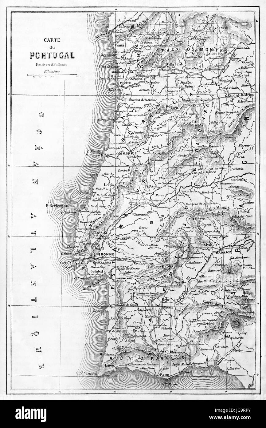 Vertical oriented old topographic map of Portugal. Ancient grey tone etching style art by Erhard and Bonaparte, published on Le Tour du Monde, Paris Stock Photohttps://www.alamy.com/image-license-details/?v=1https://www.alamy.com/stock-photo-vertical-oriented-old-topographic-map-of-portugal-ancient-grey-tone-147733683.html
RFJG9RPY–Vertical oriented old topographic map of Portugal. Ancient grey tone etching style art by Erhard and Bonaparte, published on Le Tour du Monde, Paris
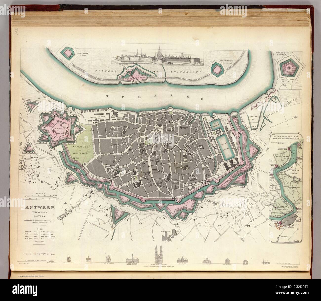 Antwerpen Map, Antwerpen Map Print Vintage, Antwerpen Map Print, Map of Antwerpen, Belgium Map, Belgium Map Poster, Vintage Europe Map, 1832 Stock Photohttps://www.alamy.com/image-license-details/?v=1https://www.alamy.com/antwerpen-map-antwerpen-map-print-vintage-antwerpen-map-print-map-of-antwerpen-belgium-map-belgium-map-poster-vintage-europe-map-1832-image431792593.html
RF2G2DRT1–Antwerpen Map, Antwerpen Map Print Vintage, Antwerpen Map Print, Map of Antwerpen, Belgium Map, Belgium Map Poster, Vintage Europe Map, 1832
 Vintage Europe map Stock Photohttps://www.alamy.com/image-license-details/?v=1https://www.alamy.com/stock-photo-vintage-europe-map-47204480.html
RFCMP9P8–Vintage Europe map
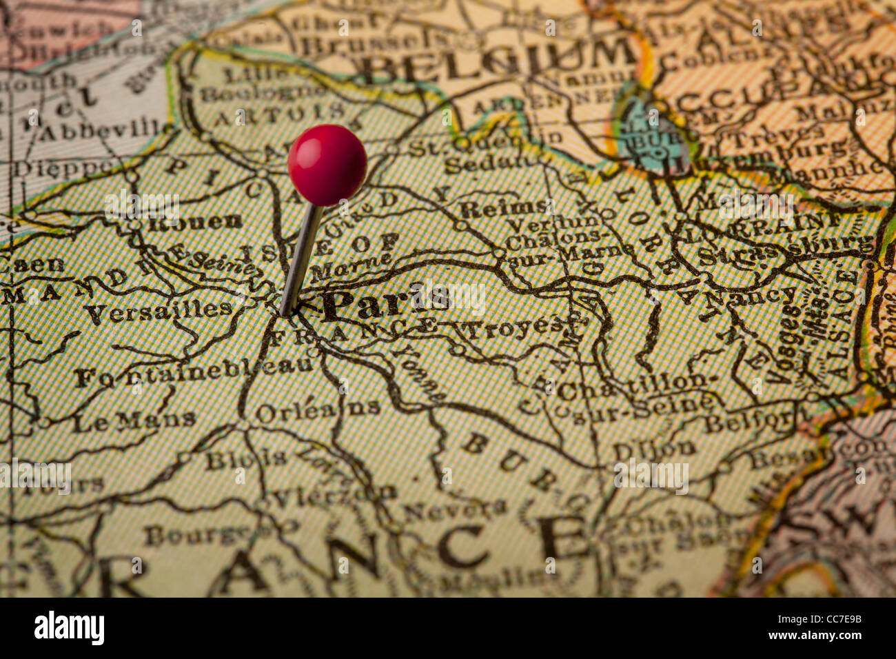 Paris on vintage 1920s map of France (printed in 1926 - copyrights expired) with a red pushpin, selective focus Stock Photohttps://www.alamy.com/image-license-details/?v=1https://www.alamy.com/stock-photo-paris-on-vintage-1920s-map-of-france-printed-in-1926-copyrights-expired-41961511.html
RFCC7E9B–Paris on vintage 1920s map of France (printed in 1926 - copyrights expired) with a red pushpin, selective focus
 old vintage Europe map background Stock Photohttps://www.alamy.com/image-license-details/?v=1https://www.alamy.com/stock-photo-old-vintage-europe-map-background-130776561.html
RFHGNARD–old vintage Europe map background
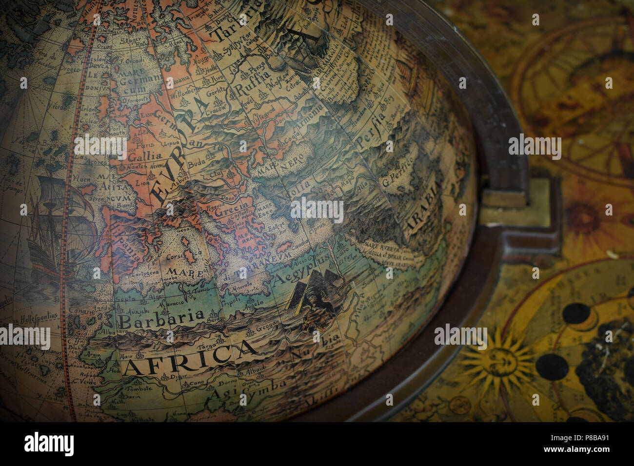 Detail of antique old world terrestrial globe with map of Europe and Africa. Stock Photohttps://www.alamy.com/image-license-details/?v=1https://www.alamy.com/detail-of-antique-old-world-terrestrial-globe-with-map-of-europe-and-africa-image211691229.html
RFP8BA91–Detail of antique old world terrestrial globe with map of Europe and Africa.
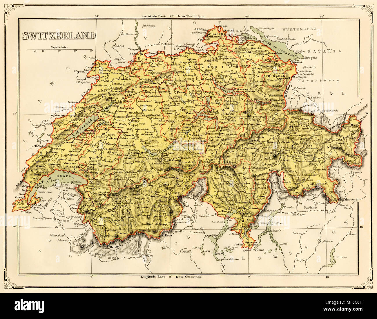 Map of Switzerland, 1870s. Printed color lithograph Stock Photohttps://www.alamy.com/image-license-details/?v=1https://www.alamy.com/map-of-switzerland-1870s-printed-color-lithograph-image181464825.html
RMMF6C6H–Map of Switzerland, 1870s. Printed color lithograph
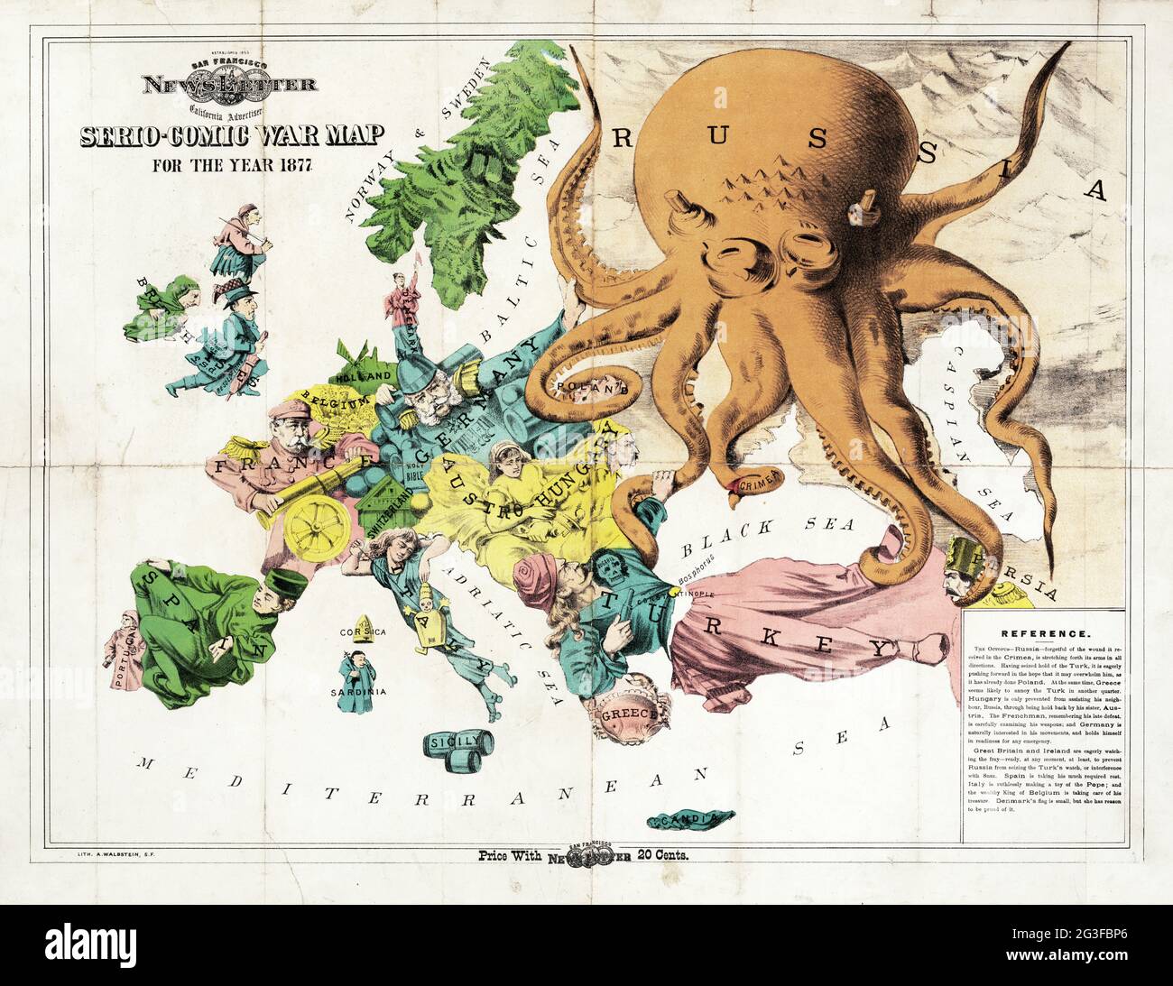 Map of Europe – Serio-Comic War Map for the year 1877. Satirical map. Stock Photohttps://www.alamy.com/image-license-details/?v=1https://www.alamy.com/map-of-europe-serio-comic-war-map-for-the-year-1877-satirical-map-image432441694.html
RM2G3FBP6–Map of Europe – Serio-Comic War Map for the year 1877. Satirical map.
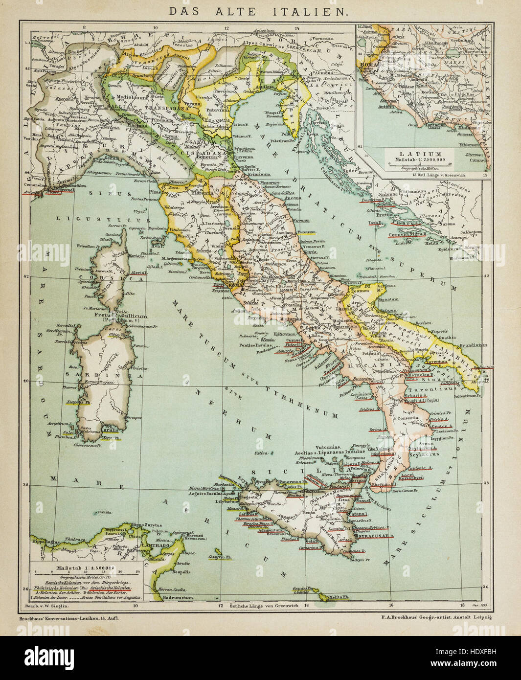 Old vintage map of Italy in the 19th century Stock Photohttps://www.alamy.com/image-license-details/?v=1https://www.alamy.com/stock-photo-old-vintage-map-of-italy-in-the-19th-century-129045941.html
RFHDXFBH–Old vintage map of Italy in the 19th century
 calculator with vintage looking map of Europe in studio Stock Photohttps://www.alamy.com/image-license-details/?v=1https://www.alamy.com/stock-photo-calculator-with-vintage-looking-map-of-europe-in-studio-43705177.html
RFCF2XB5–calculator with vintage looking map of Europe in studio
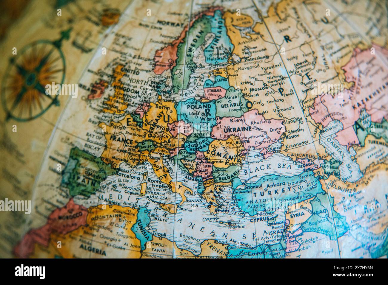 A detailed vintage globe map highlighting the geography of Europe, including Ukraine, Russia, France and Germany, Poland, and Germany. Stock Photohttps://www.alamy.com/image-license-details/?v=1https://www.alamy.com/a-detailed-vintage-globe-map-highlighting-the-geography-of-europe-including-ukraine-russia-france-and-germany-poland-and-germany-image607060013.html
RM2X7HY6N–A detailed vintage globe map highlighting the geography of Europe, including Ukraine, Russia, France and Germany, Poland, and Germany.
 Vintage World Map. Vector illustration template for wall art and marketing in square format. Stock Vectorhttps://www.alamy.com/image-license-details/?v=1https://www.alamy.com/vintage-world-map-vector-illustration-template-for-wall-art-and-marketing-in-square-format-image224975648.html
RFR20EMG–Vintage World Map. Vector illustration template for wall art and marketing in square format.
 Vintage hand drawn world map and doodle pins. World map, earth travel sketch, ancient vintage cartography, vector illustration Stock Vectorhttps://www.alamy.com/image-license-details/?v=1https://www.alamy.com/vintage-hand-drawn-world-map-and-doodle-pins-world-map-earth-travel-sketch-ancient-vintage-cartography-vector-illustration-image353150181.html
RF2BEFAJD–Vintage hand drawn world map and doodle pins. World map, earth travel sketch, ancient vintage cartography, vector illustration
 Vintage Detailed Colorful Political Map of Europe Printable Download Travel Poster Stock Photohttps://www.alamy.com/image-license-details/?v=1https://www.alamy.com/vintage-detailed-colorful-political-map-of-europe-printable-download-travel-poster-image626586723.html
RF2YBBDN7–Vintage Detailed Colorful Political Map of Europe Printable Download Travel Poster
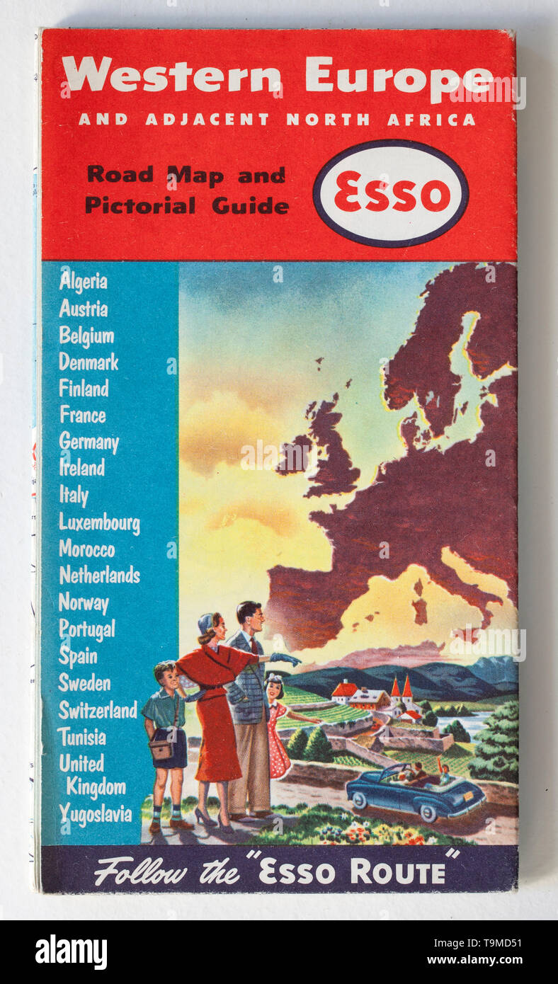 Old Vintage Road Map - Western Europe Stock Photohttps://www.alamy.com/image-license-details/?v=1https://www.alamy.com/old-vintage-road-map-western-europe-image246926429.html
RMT9MD51–Old Vintage Road Map - Western Europe
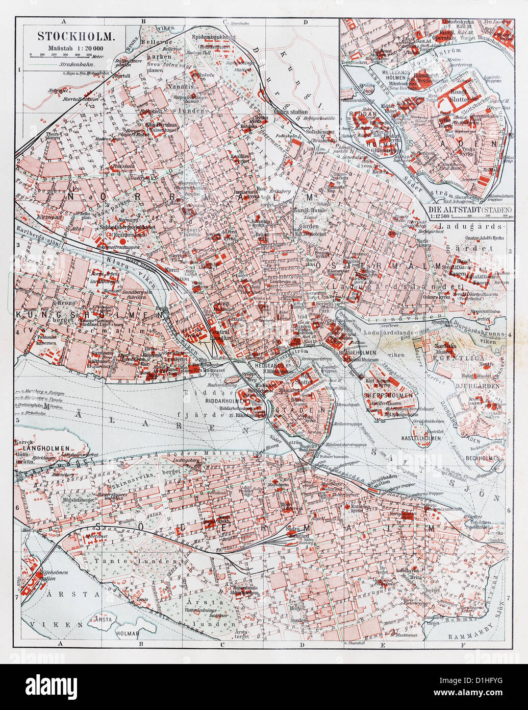 Vintage map of Stockholm at the end of 19th century Stock Photohttps://www.alamy.com/image-license-details/?v=1https://www.alamy.com/stock-photo-vintage-map-of-stockholm-at-the-end-of-19th-century-52631476.html
RFD1HFYG–Vintage map of Stockholm at the end of 19th century
 Grunge vintage wooden plank Europe map background. Stock Photohttps://www.alamy.com/image-license-details/?v=1https://www.alamy.com/stock-photo-grunge-vintage-wooden-plank-europe-map-background-77082268.html
RFEDBB64–Grunge vintage wooden plank Europe map background.
 Vinagte map shop at The Tea Rooms indoor vintage, furniture, collectables and antiques market in Brick Lane, East London, UK Stock Photohttps://www.alamy.com/image-license-details/?v=1https://www.alamy.com/vinagte-map-shop-at-the-tea-rooms-indoor-vintage-furniture-collectables-and-antiques-market-in-brick-lane-east-london-uk-image491698578.html
RM2KFXPFE–Vinagte map shop at The Tea Rooms indoor vintage, furniture, collectables and antiques market in Brick Lane, East London, UK
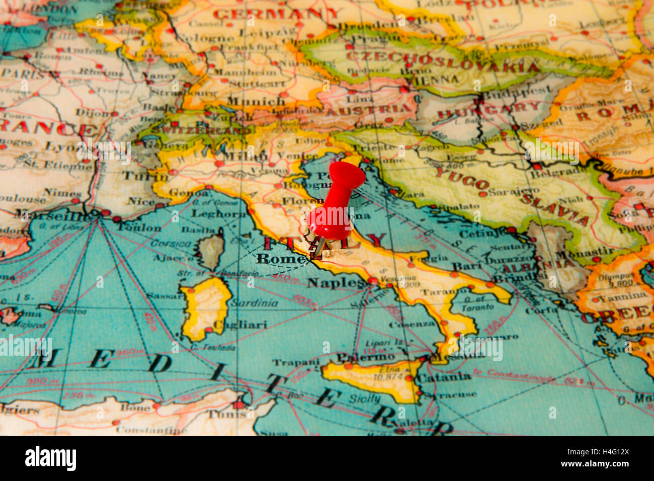 Rome, Italy pinned on vintage map of Europe Stock Photohttps://www.alamy.com/image-license-details/?v=1https://www.alamy.com/stock-photo-rome-italy-pinned-on-vintage-map-of-europe-123283298.html
RMH4G12X–Rome, Italy pinned on vintage map of Europe
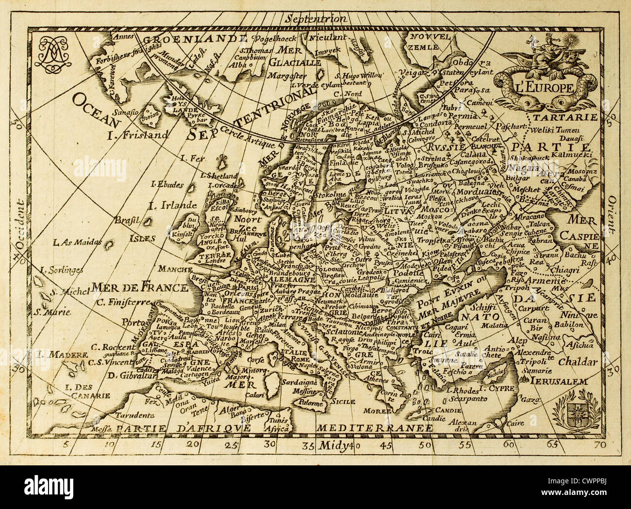 Old map of Europe Stock Photohttps://www.alamy.com/image-license-details/?v=1https://www.alamy.com/stock-photo-old-map-of-europe-50287654.html
RFCWPPBJ–Old map of Europe
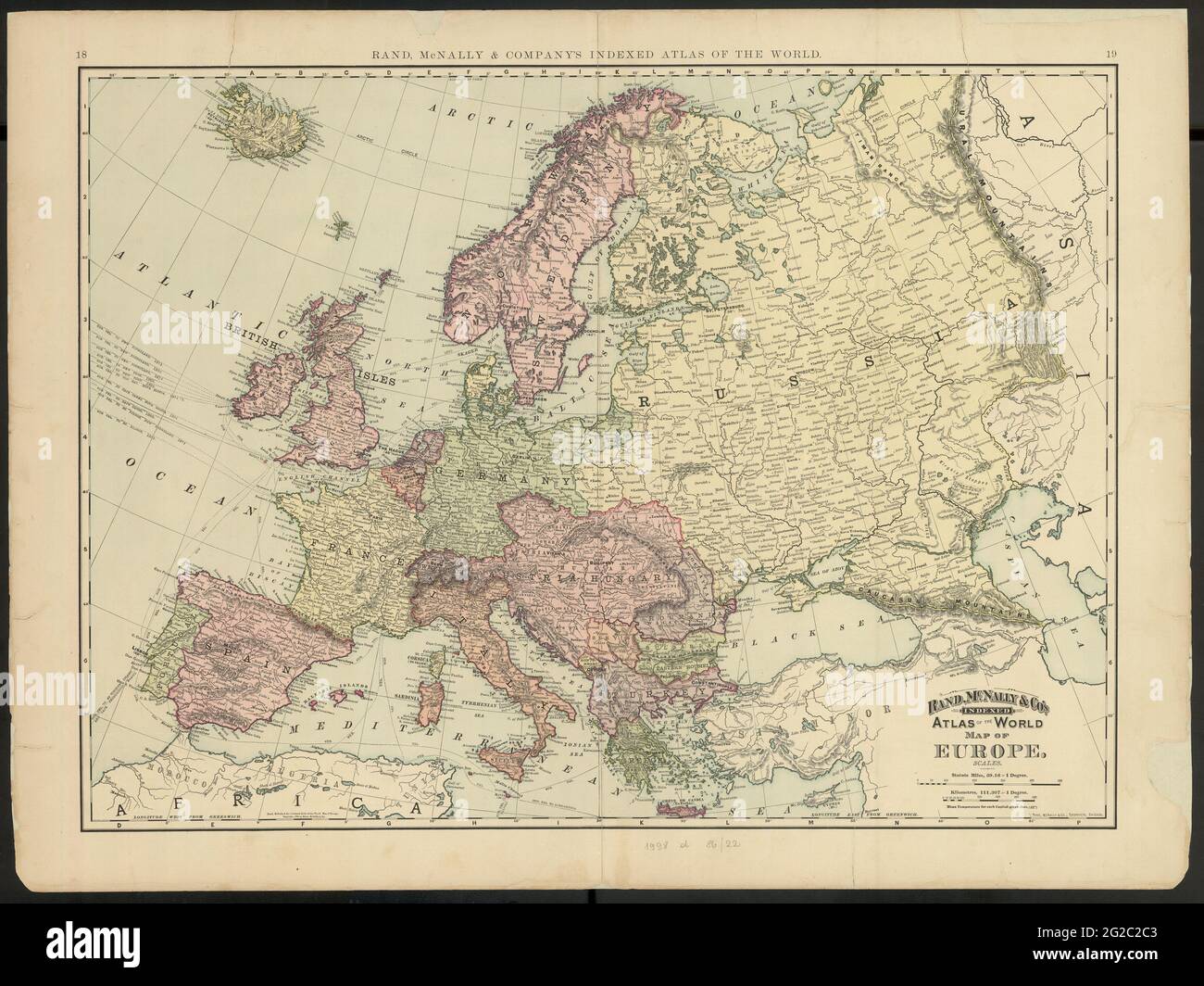 Old Europe Map, Vintage Europe Map, Retro Europe Map, Old Map of Europe, Vintage Map of Europe, Retro Map of Europe, Europe Map, Europa Map, Europe Stock Photohttps://www.alamy.com/image-license-details/?v=1https://www.alamy.com/old-europe-map-vintage-europe-map-retro-europe-map-old-map-of-europe-vintage-map-of-europe-retro-map-of-europe-europe-map-europa-map-europe-image431753843.html
RF2G2C2C3–Old Europe Map, Vintage Europe Map, Retro Europe Map, Old Map of Europe, Vintage Map of Europe, Retro Map of Europe, Europe Map, Europa Map, Europe
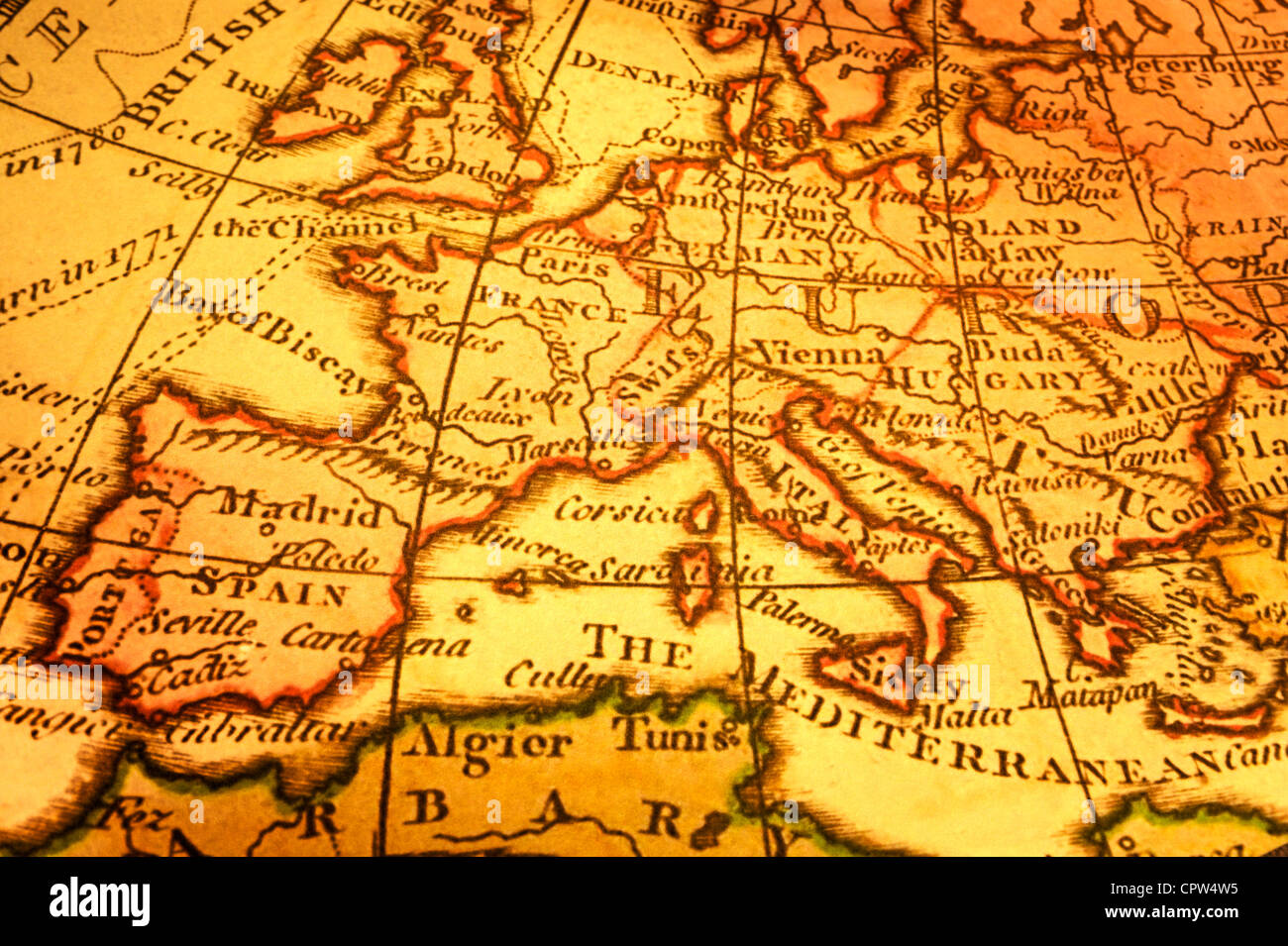 Ancient map of Europe and Mediterranean. Map is from 1786 and is out of copyright. Stock Photohttps://www.alamy.com/image-license-details/?v=1https://www.alamy.com/stock-photo-ancient-map-of-europe-and-mediterranean-map-is-from-1786-and-is-out-48495809.html
RFCPW4W5–Ancient map of Europe and Mediterranean. Map is from 1786 and is out of copyright.
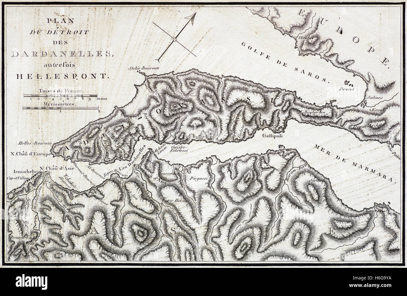 vintage French map of the Dardanelles and Hellespont from an 1802 book Stock Photohttps://www.alamy.com/image-license-details/?v=1https://www.alamy.com/stock-photo-vintage-french-map-of-the-dardanelles-and-hellespont-from-an-1802-124519566.html
RFH6G9YA–vintage French map of the Dardanelles and Hellespont from an 1802 book
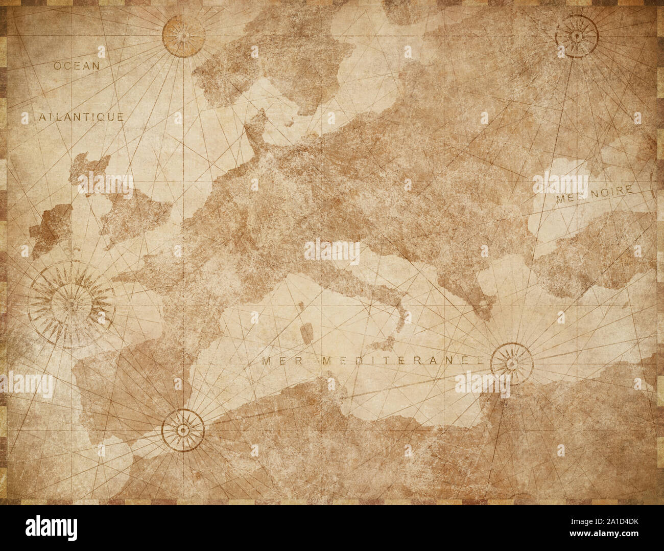 Vintage Europe map retro background Stock Photohttps://www.alamy.com/image-license-details/?v=1https://www.alamy.com/vintage-europe-map-retro-background-image327900543.html
RF2A1D4DK–Vintage Europe map retro background
 Original map of Europe. Stock Photohttps://www.alamy.com/image-license-details/?v=1https://www.alamy.com/stock-photo-original-map-of-europe-110385192.html
RFGBGDC8–Original map of Europe.
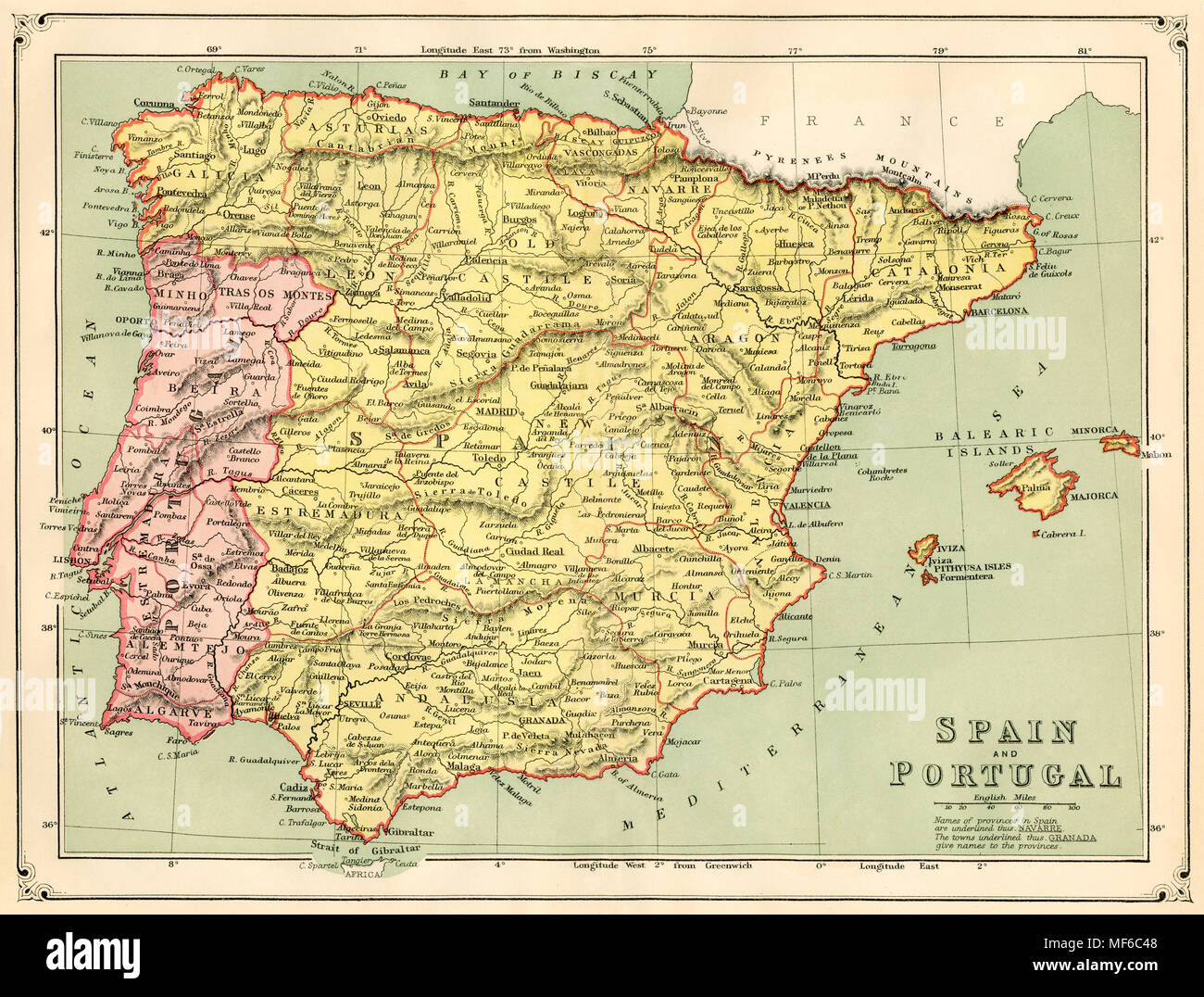 Map of the Spain and Portugal, 1870s. Printed color lithograph Stock Photohttps://www.alamy.com/image-license-details/?v=1https://www.alamy.com/map-of-the-spain-and-portugal-1870s-printed-color-lithograph-image181464760.html
RMMF6C48–Map of the Spain and Portugal, 1870s. Printed color lithograph
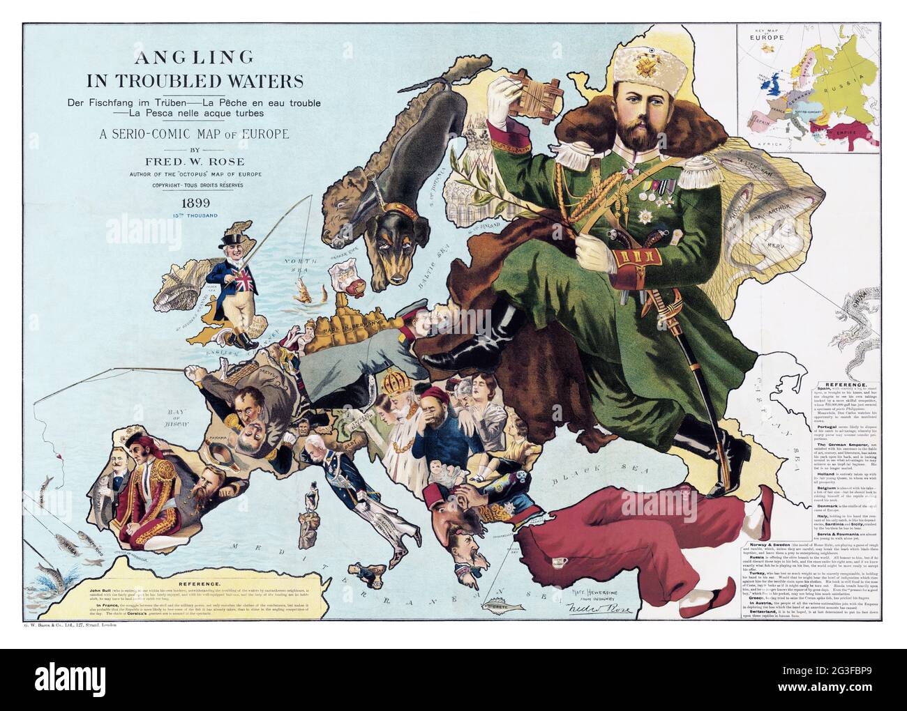 1889 Satirical map of Europe - Angling in troubled waters – by Fred W. Rose Stock Photohttps://www.alamy.com/image-license-details/?v=1https://www.alamy.com/1889-satirical-map-of-europe-angling-in-troubled-waters-by-fred-w-rose-image432441697.html
RM2G3FBP9–1889 Satirical map of Europe - Angling in troubled waters – by Fred W. Rose
 Eurasia, Europe, Asia map on vintage background - world map Stock Photohttps://www.alamy.com/image-license-details/?v=1https://www.alamy.com/stock-photo-eurasia-europe-asia-map-on-vintage-background-world-map-123252758.html
RFH4EJ46–Eurasia, Europe, Asia map on vintage background - world map
 calculator with vintage looking map of Europe in studio Stock Photohttps://www.alamy.com/image-license-details/?v=1https://www.alamy.com/stock-photo-calculator-with-vintage-looking-map-of-europe-in-studio-43705201.html
RFCF2XC1–calculator with vintage looking map of Europe in studio
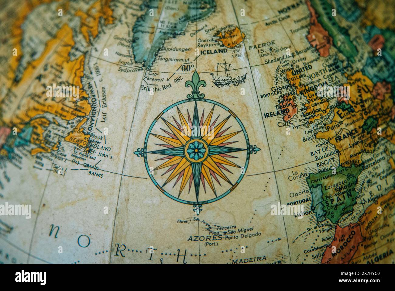 Close-up of a vintage globe showing Europe and the North Atlantic with a detailed compass rose. Stock Photohttps://www.alamy.com/image-license-details/?v=1https://www.alamy.com/close-up-of-a-vintage-globe-showing-europe-and-the-north-atlantic-with-a-detailed-compass-rose-image607060160.html
RM2X7HYC0–Close-up of a vintage globe showing Europe and the North Atlantic with a detailed compass rose.
 Vintage map of Majorca. Vector illustration template for wall art and marketing in square format. Stock Vectorhttps://www.alamy.com/image-license-details/?v=1https://www.alamy.com/vintage-map-of-majorca-vector-illustration-template-for-wall-art-and-marketing-in-square-format-image224975574.html
RFR20EHX–Vintage map of Majorca. Vector illustration template for wall art and marketing in square format.
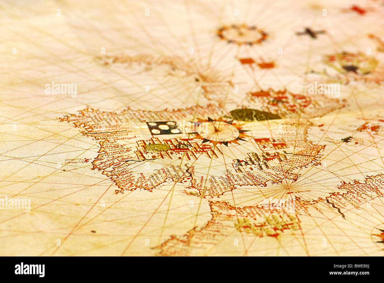 Portuguese old map at Europe. Stock Photohttps://www.alamy.com/image-license-details/?v=1https://www.alamy.com/stock-photo-portuguese-old-map-at-europe-32890554.html
RFBWE86J–Portuguese old map at Europe.
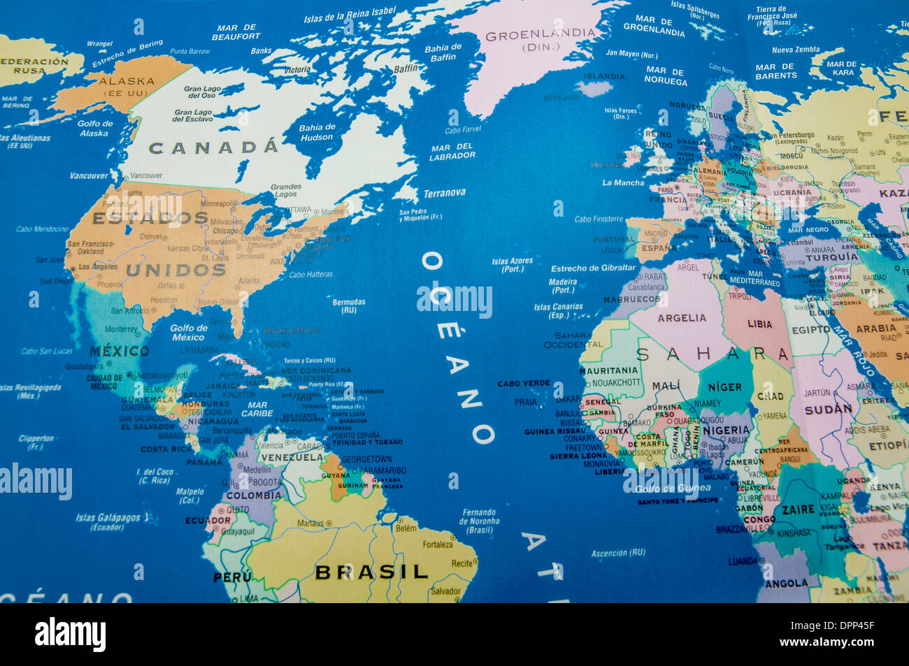 geographical map of america and europe Stock Photohttps://www.alamy.com/image-license-details/?v=1https://www.alamy.com/geographical-map-of-america-and-europe-image65639771.html
RFDPP45F–geographical map of america and europe
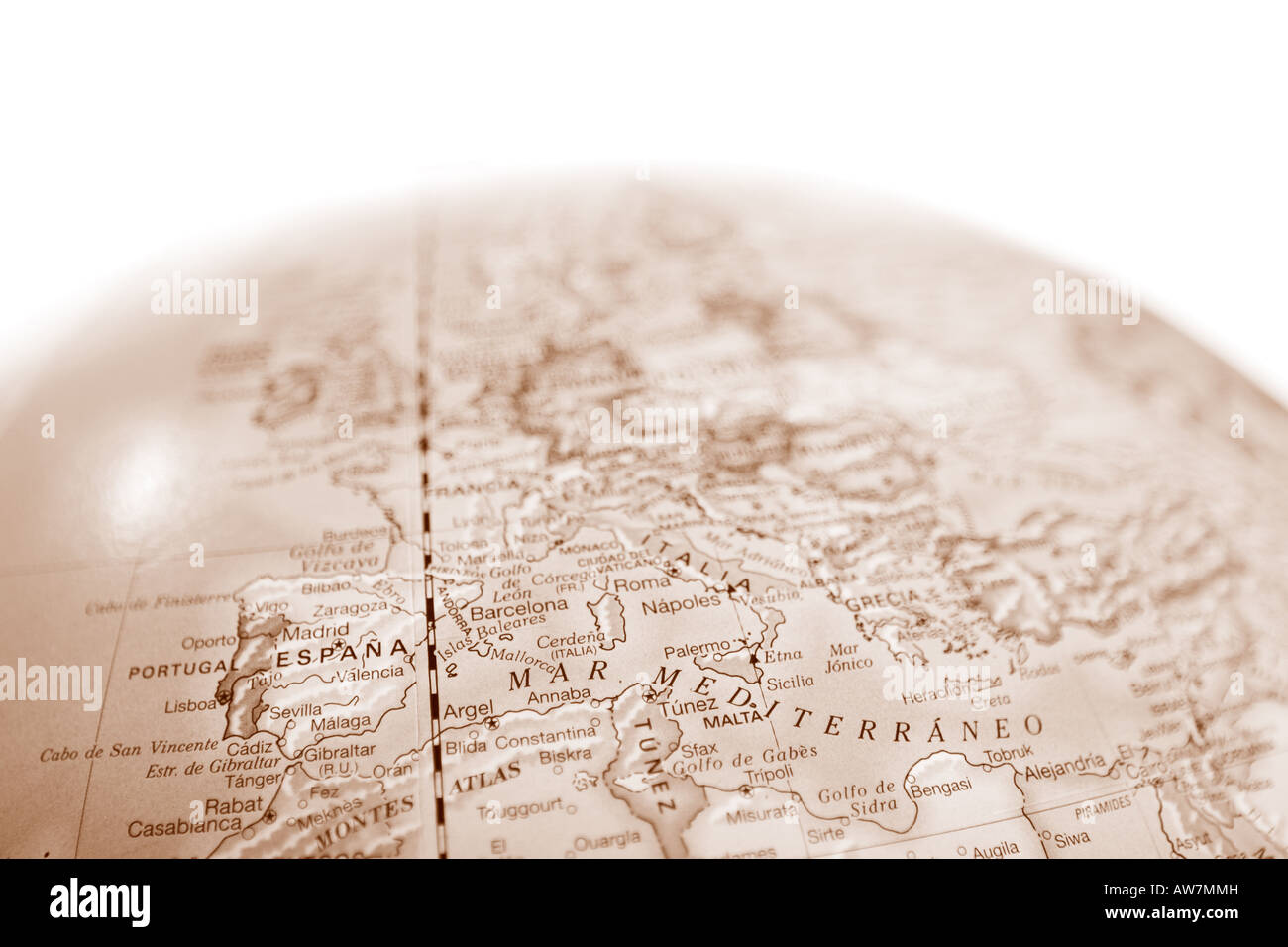 Vintage world map globe with shallow depth of field and focus on the Mediterranean Sea Stock Photohttps://www.alamy.com/image-license-details/?v=1https://www.alamy.com/stock-photo-vintage-world-map-globe-with-shallow-depth-of-field-and-focus-on-the-16492912.html
RMAW7MMH–Vintage world map globe with shallow depth of field and focus on the Mediterranean Sea
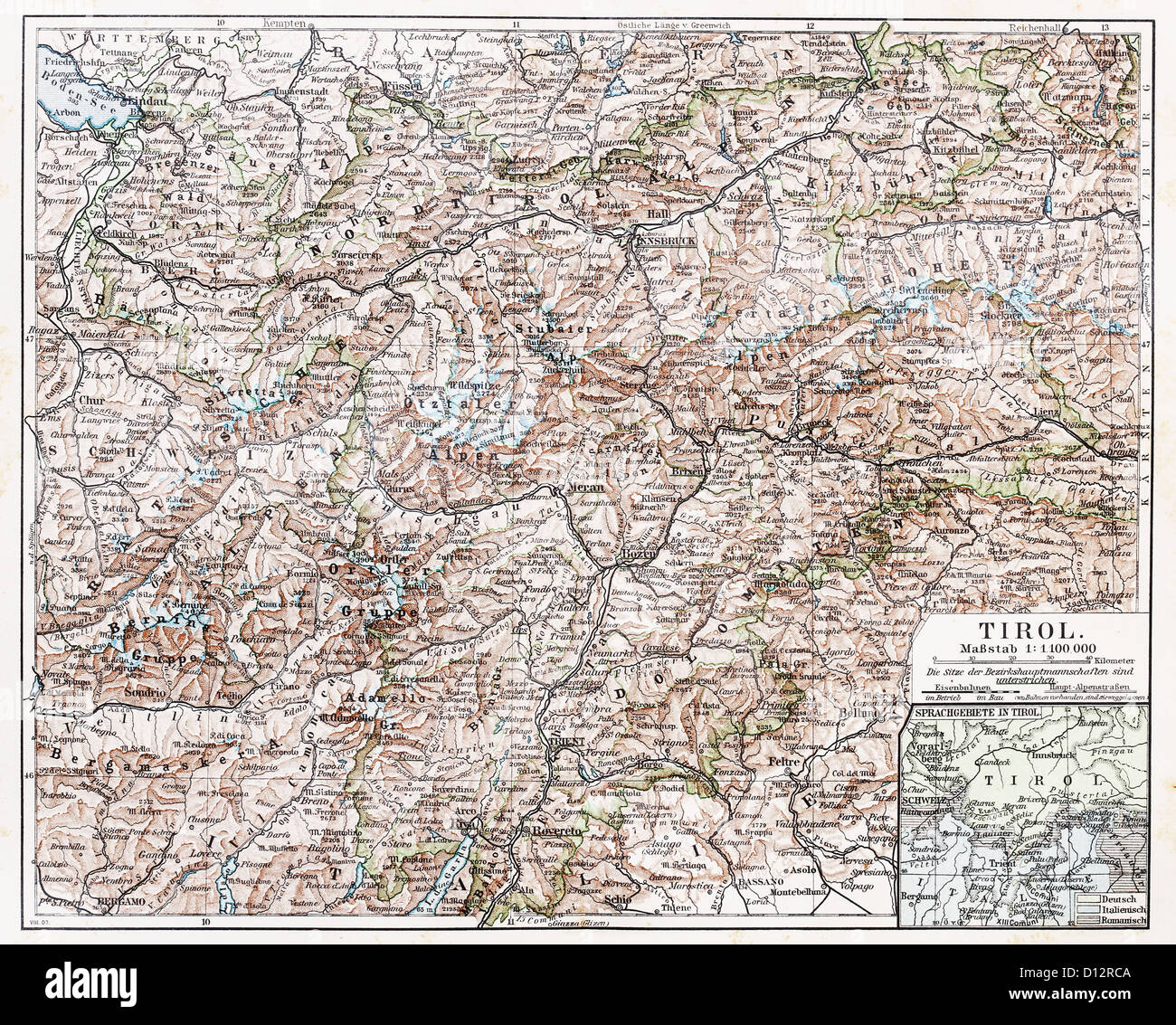 Vintage map of Tyrol state at the end of 19th century Stock Photohttps://www.alamy.com/image-license-details/?v=1https://www.alamy.com/stock-photo-vintage-map-of-tyrol-state-at-the-end-of-19th-century-52308042.html
RFD12RCA–Vintage map of Tyrol state at the end of 19th century
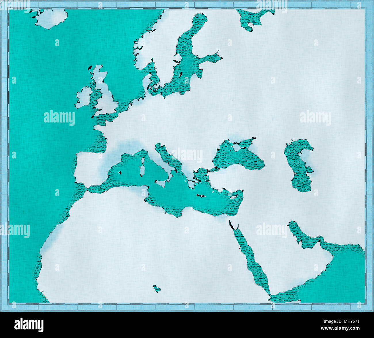 Map of the Mediterranean Sea and Europe, Africa and the Middle East. Cartography, geographical atlaswhite geographic map, physics Stock Photohttps://www.alamy.com/image-license-details/?v=1https://www.alamy.com/map-of-the-mediterranean-sea-and-europe-africa-and-the-middle-east-cartography-geographical-atlaswhite-geographic-map-physics-image183149653.html
RFMHY571–Map of the Mediterranean Sea and Europe, Africa and the Middle East. Cartography, geographical atlaswhite geographic map, physics
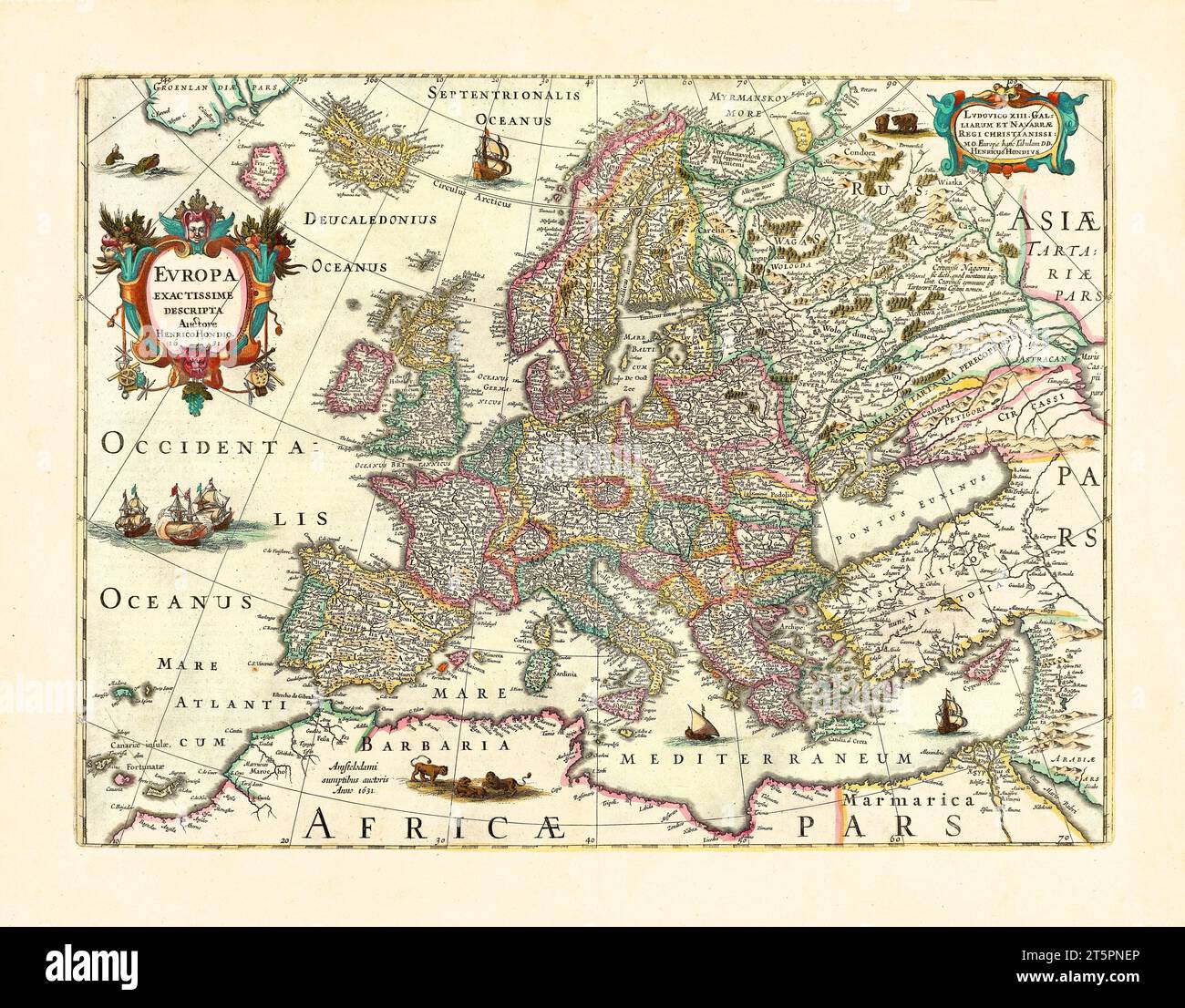 Old map of Europe. By Houndius, publ. in 1638 Stock Photohttps://www.alamy.com/image-license-details/?v=1https://www.alamy.com/old-map-of-europe-by-houndius-publ-in-1638-image571515246.html
RF2T5PNEP–Old map of Europe. By Houndius, publ. in 1638
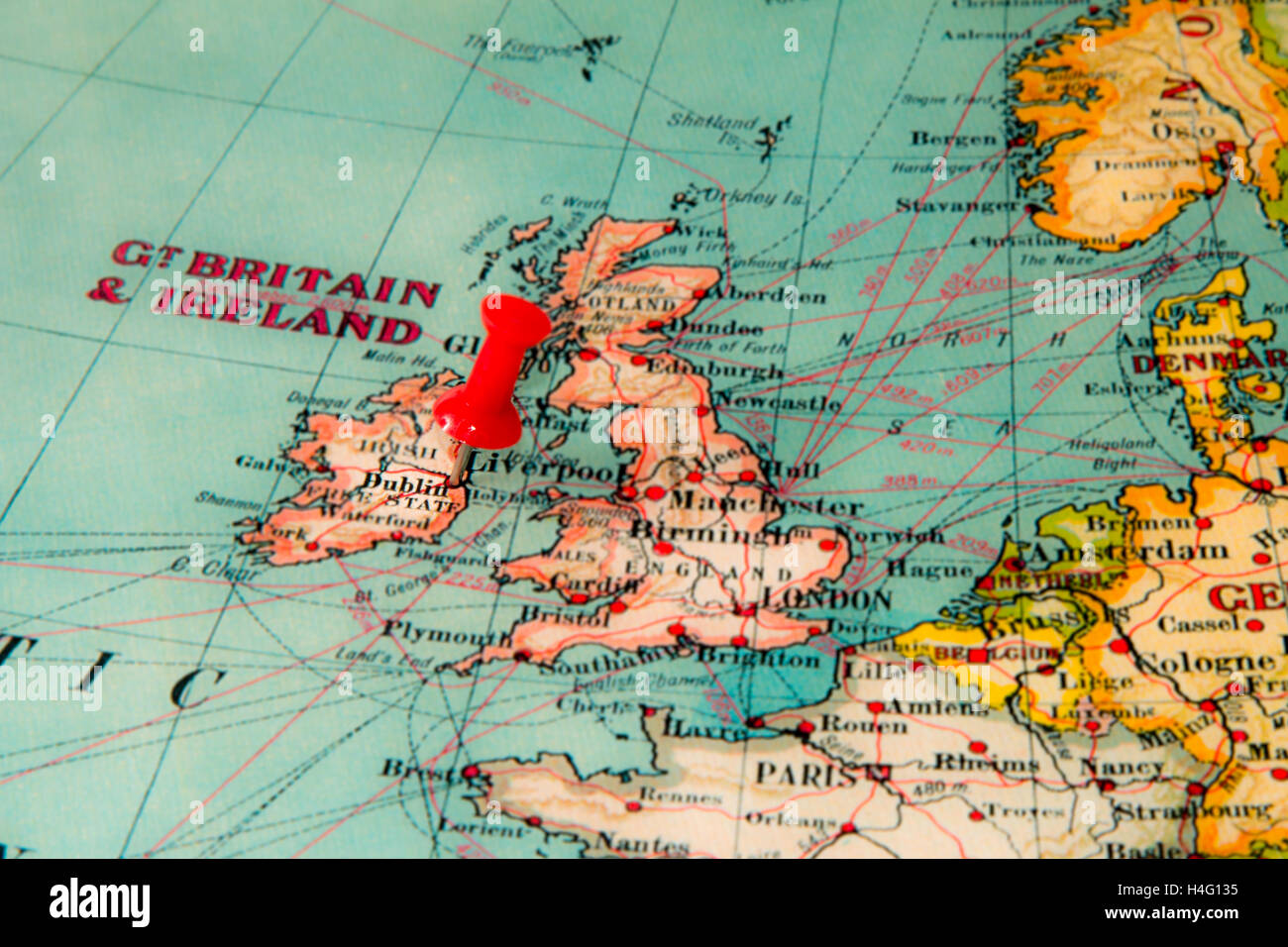 Dublin, Ireland pinned on vintage map of Europe Stock Photohttps://www.alamy.com/image-license-details/?v=1https://www.alamy.com/stock-photo-dublin-ireland-pinned-on-vintage-map-of-europe-123283305.html
RMH4G135–Dublin, Ireland pinned on vintage map of Europe
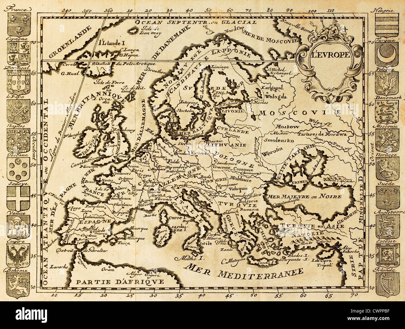 Map of Europe framed by national crests. May be datet to the beginning of XVIII sec. Stock Photohttps://www.alamy.com/image-license-details/?v=1https://www.alamy.com/stock-photo-map-of-europe-framed-by-national-crests-may-be-datet-to-the-beginning-50287651.html
RFCWPPBF–Map of Europe framed by national crests. May be datet to the beginning of XVIII sec.
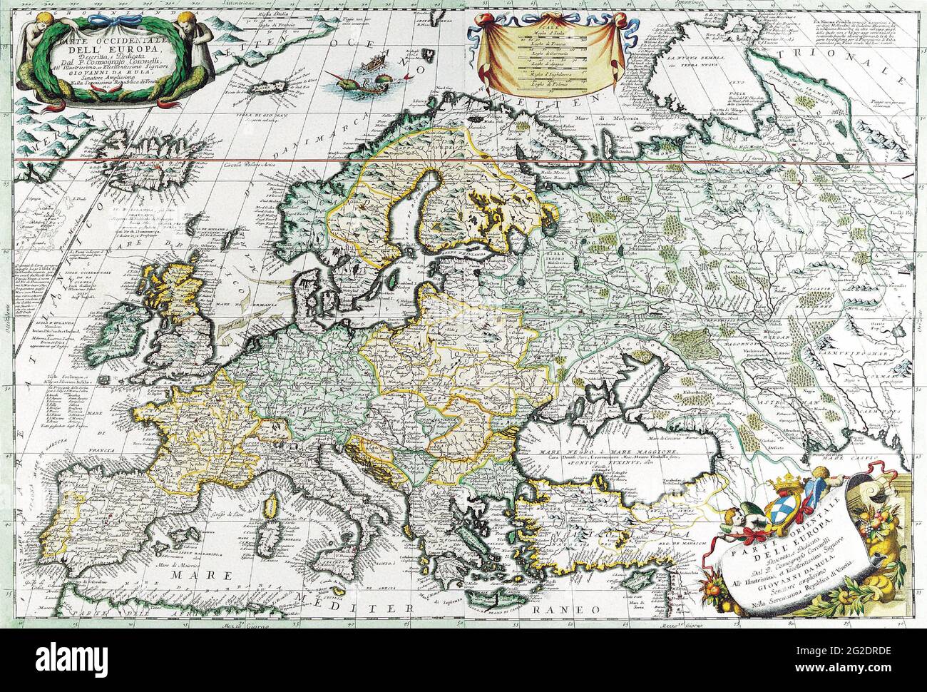 Antique Map of Europe, Map of Europe, Old Europe Map, Vintage Europe Map, Retro Europe Map, Old Map of Europe, Vincenzo Coronelli, c 1690 Stock Photohttps://www.alamy.com/image-license-details/?v=1https://www.alamy.com/antique-map-of-europe-map-of-europe-old-europe-map-vintage-europe-map-retro-europe-map-old-map-of-europe-vincenzo-coronelli-c-1690-image431792298.html
RF2G2DRDE–Antique Map of Europe, Map of Europe, Old Europe Map, Vintage Europe Map, Retro Europe Map, Old Map of Europe, Vincenzo Coronelli, c 1690
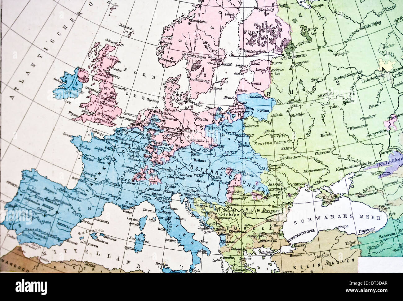 Map of Europe. Europe map. Stock Photohttps://www.alamy.com/image-license-details/?v=1https://www.alamy.com/stock-photo-map-of-europe-europe-map-32038463.html
RFBT3DAR–Map of Europe. Europe map.
 Textured map of Belarus map with brown rock or stone texture, isolated on white background with clipping path. Stock Photohttps://www.alamy.com/image-license-details/?v=1https://www.alamy.com/stock-photo-textured-map-of-belarus-map-with-brown-rock-or-stone-texture-isolated-49745245.html
RMCTX2FW–Textured map of Belarus map with brown rock or stone texture, isolated on white background with clipping path.
 old medieval nautical Europe map Stock Photohttps://www.alamy.com/image-license-details/?v=1https://www.alamy.com/old-medieval-nautical-europe-map-image225490832.html
RFR2RYT0–old medieval nautical Europe map
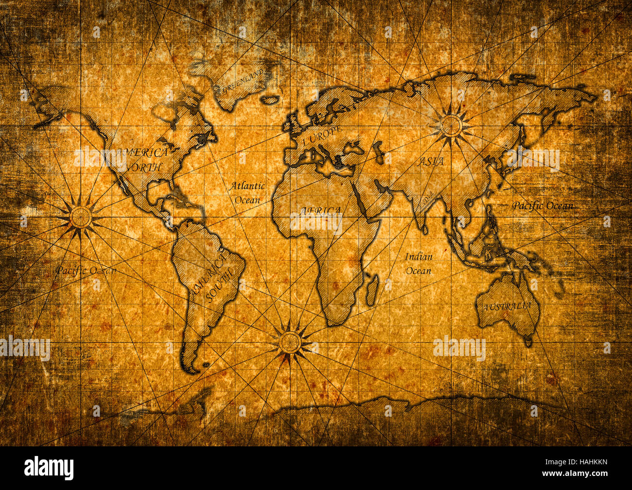 Vintage world map Stock Photohttps://www.alamy.com/image-license-details/?v=1https://www.alamy.com/stock-photo-vintage-world-map-127007769.html
RFHAHKKN–Vintage world map
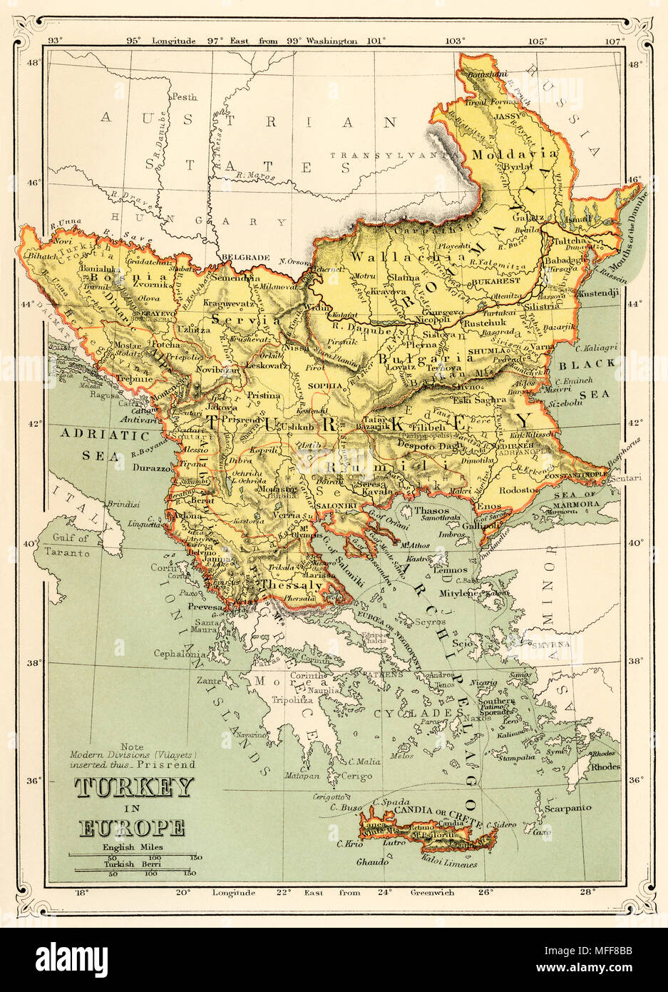 Map of Turkey in Europe, 1870s. Printed color lithograph Stock Photohttps://www.alamy.com/image-license-details/?v=1https://www.alamy.com/map-of-turkey-in-europe-1870s-printed-color-lithograph-image181659391.html
RMMFF8BB–Map of Turkey in Europe, 1870s. Printed color lithograph
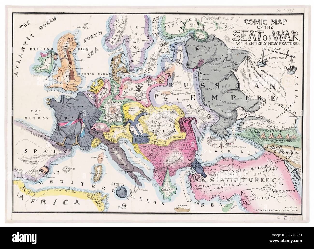 Comic map of the seat of war with entirely new features 1854 – map of Europe Stock Photohttps://www.alamy.com/image-license-details/?v=1https://www.alamy.com/comic-map-of-the-seat-of-war-with-entirely-new-features-1854-map-of-europe-image432441701.html
RM2G3FBPD–Comic map of the seat of war with entirely new features 1854 – map of Europe
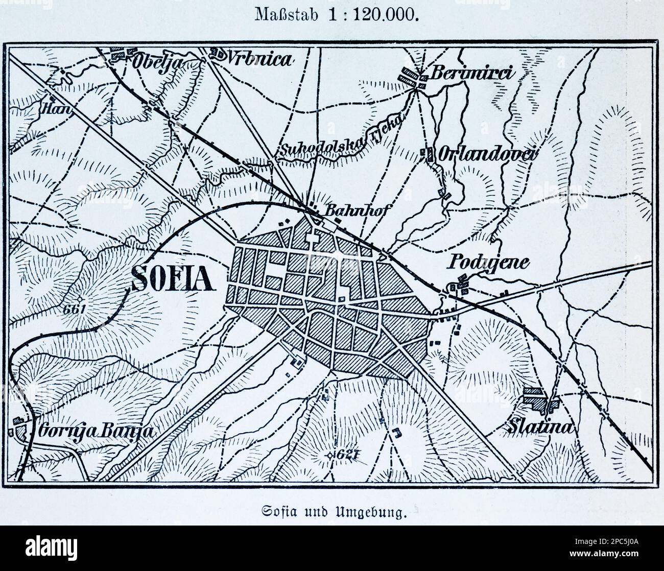 City map of Sofia, capital of Bulgaria, and its surroundings, BulgariaEastern Europe, illustration 1896 Stock Photohttps://www.alamy.com/image-license-details/?v=1https://www.alamy.com/city-map-of-sofia-capital-of-bulgaria-and-its-surroundings-bulgariaeastern-europe-illustration-1896-image541021162.html
RM2PC5J0A–City map of Sofia, capital of Bulgaria, and its surroundings, BulgariaEastern Europe, illustration 1896
 heart shape cable on vintage map of Europe in studio Stock Photohttps://www.alamy.com/image-license-details/?v=1https://www.alamy.com/stock-photo-heart-shape-cable-on-vintage-map-of-europe-in-studio-43705104.html
RFCF2X8G–heart shape cable on vintage map of Europe in studio
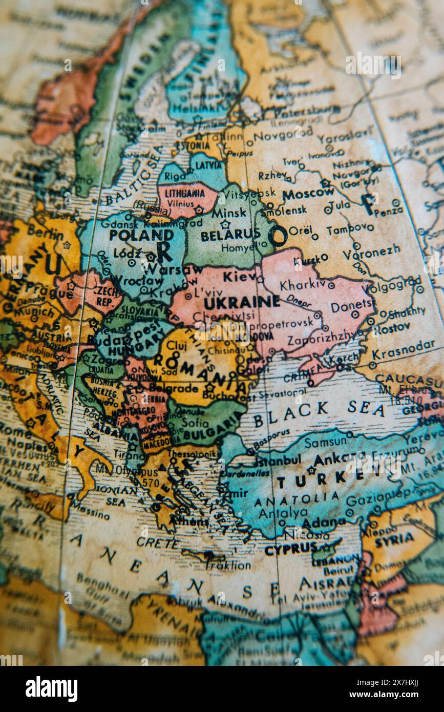 A vintage globe showing the detailed geography of Eastern Europe, highlighting countries like Ukraine, Poland, Russia, and the surrounding regions. Stock Photohttps://www.alamy.com/image-license-details/?v=1https://www.alamy.com/a-vintage-globe-showing-the-detailed-geography-of-eastern-europe-highlighting-countries-like-ukraine-poland-russia-and-the-surrounding-regions-image607059562.html
RM2X7HXJJ–A vintage globe showing the detailed geography of Eastern Europe, highlighting countries like Ukraine, Poland, Russia, and the surrounding regions.
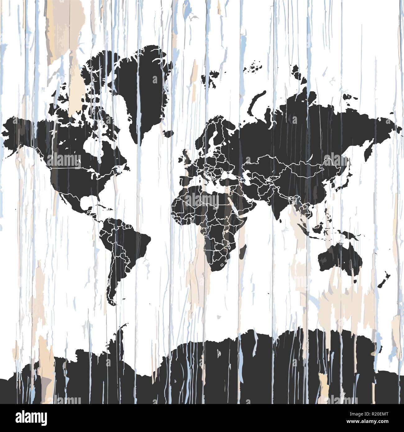 Vintage World Map on wooden background. Vector illustration template for wall art and marketing in square format. Stock Vectorhttps://www.alamy.com/image-license-details/?v=1https://www.alamy.com/vintage-world-map-on-wooden-background-vector-illustration-template-for-wall-art-and-marketing-in-square-format-image224975656.html
RFR20EMT–Vintage World Map on wooden background. Vector illustration template for wall art and marketing in square format.
 Vintage map of the world in grunge style Stock Photohttps://www.alamy.com/image-license-details/?v=1https://www.alamy.com/stock-photo-vintage-map-of-the-world-in-grunge-style-50052000.html
RFCWC1RC–Vintage map of the world in grunge style
 Antique vector drawing or engraving of vintage decorative map or Northern Africa from Roman Empire times. From book Romishe Historie, part 14, printed in Breslau, Kingdom of Prussia, 1762. Stock Vectorhttps://www.alamy.com/image-license-details/?v=1https://www.alamy.com/antique-vector-drawing-or-engraving-of-vintage-decorative-map-or-northern-africa-from-roman-empire-times-from-book-romishe-historie-part-14-printed-in-breslau-kingdom-of-prussia-1762-image243153617.html
RFT3GGWN–Antique vector drawing or engraving of vintage decorative map or Northern Africa from Roman Empire times. From book Romishe Historie, part 14, printed in Breslau, Kingdom of Prussia, 1762.
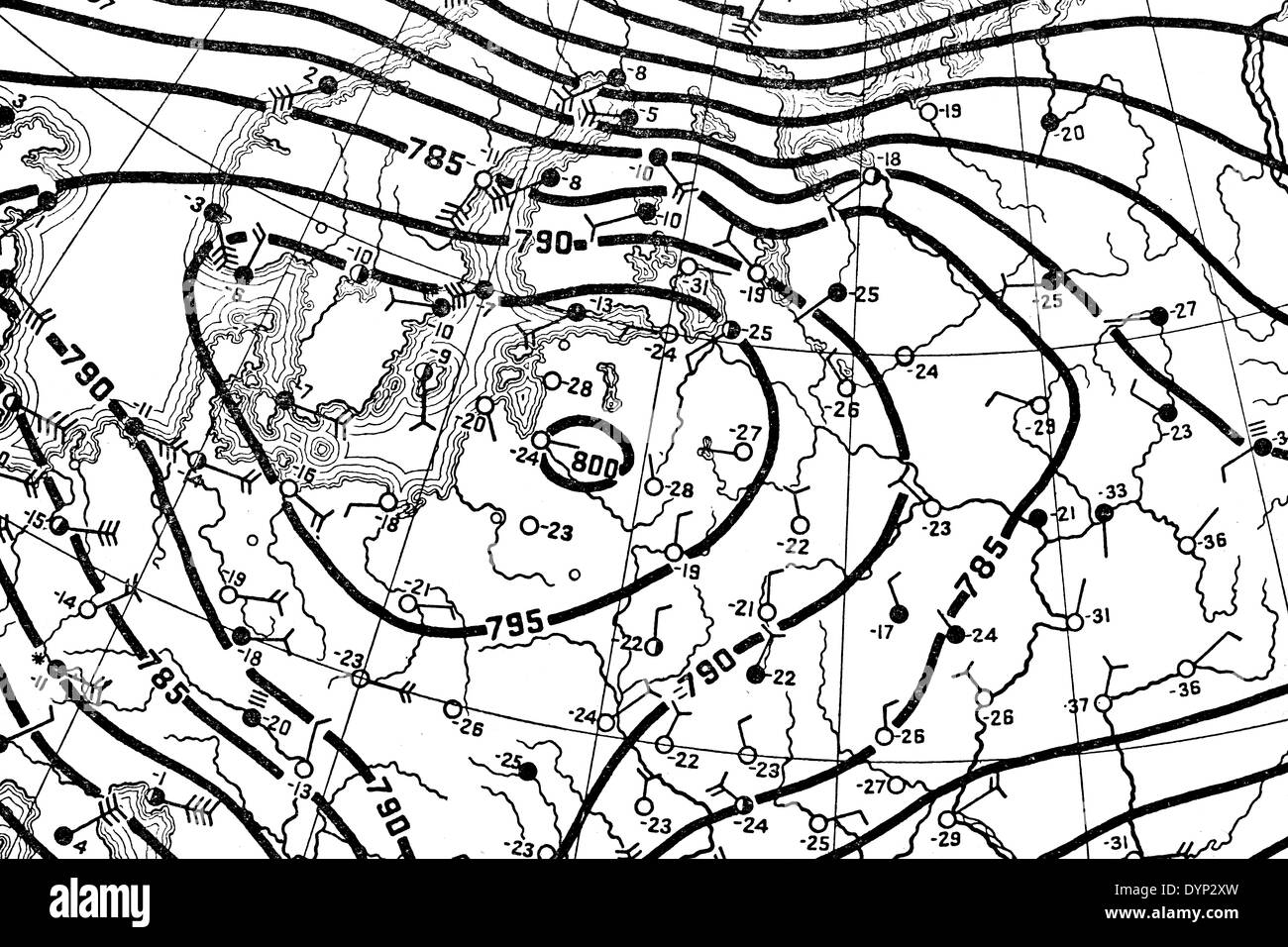 Weather map of Europe, illustration from Soviet encyclopedia, 1926 Stock Photohttps://www.alamy.com/image-license-details/?v=1https://www.alamy.com/weather-map-of-europe-illustration-from-soviet-encyclopedia-1926-image68712081.html
RMDYP2XW–Weather map of Europe, illustration from Soviet encyclopedia, 1926
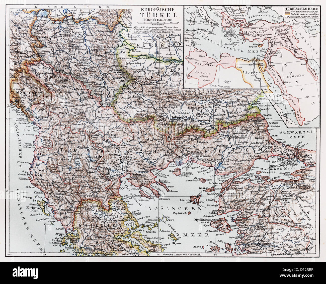 Vintage map of European part of Turkey at the end of 19th century Stock Photohttps://www.alamy.com/image-license-details/?v=1https://www.alamy.com/stock-photo-vintage-map-of-european-part-of-turkey-at-the-end-of-19th-century-52308363.html
RFD12RRR–Vintage map of European part of Turkey at the end of 19th century
 Map of the Mediterranean Sea and Europe, Africa and the Middle East. Cartography, geographical atlaswhite geographic map, physics Stock Photohttps://www.alamy.com/image-license-details/?v=1https://www.alamy.com/map-of-the-mediterranean-sea-and-europe-africa-and-the-middle-east-cartography-geographical-atlaswhite-geographic-map-physics-image183149647.html
RFMHY56R–Map of the Mediterranean Sea and Europe, Africa and the Middle East. Cartography, geographical atlaswhite geographic map, physics
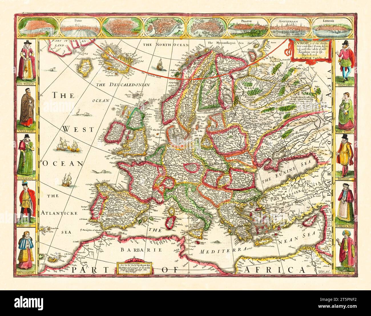 Old map of Europe. By Speed, publ. in 1662 Stock Photohttps://www.alamy.com/image-license-details/?v=1https://www.alamy.com/old-map-of-europe-by-speed-publ-in-1662-image571515254.html
RF2T5PNF2–Old map of Europe. By Speed, publ. in 1662
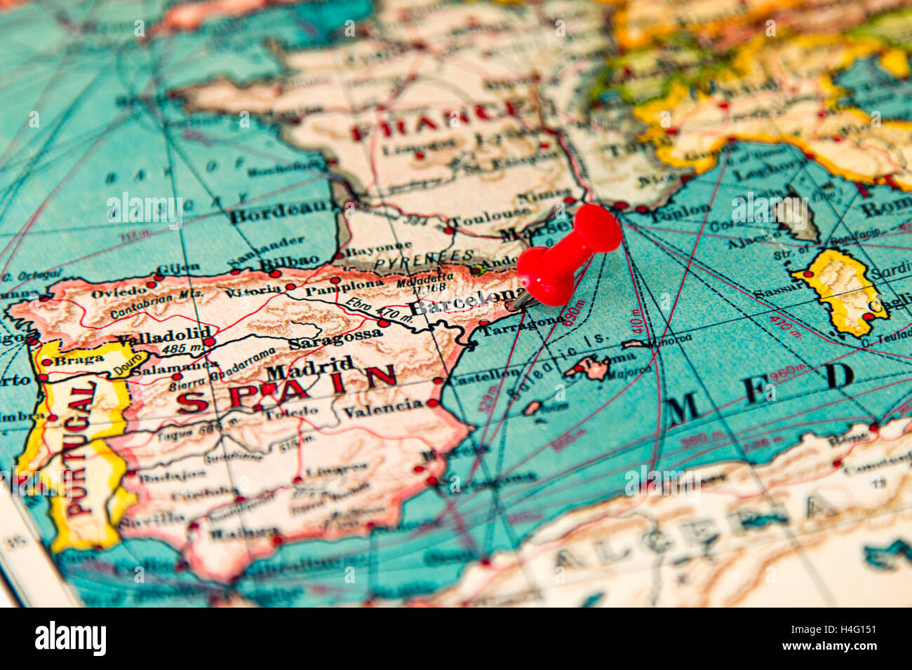 Barcelona, Spain pinned on vintage map of Europe Stock Photohttps://www.alamy.com/image-license-details/?v=1https://www.alamy.com/stock-photo-barcelona-spain-pinned-on-vintage-map-of-europe-123283357.html
RMH4G151–Barcelona, Spain pinned on vintage map of Europe
 Europe in 1270 old map Stock Photohttps://www.alamy.com/image-license-details/?v=1https://www.alamy.com/stock-photo-europe-in-1270-old-map-50290223.html
RFCWPWKB–Europe in 1270 old map
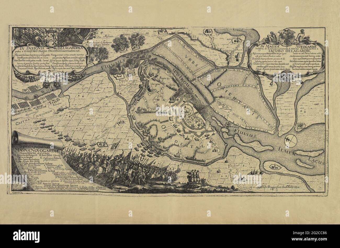 Old Europe Map, Vintage Europe Map, Retro Europe Map, Old Map of Europe, Vintage Map of Europe, Retro Map of Europe, Digital Map, Vintage Print Stock Photohttps://www.alamy.com/image-license-details/?v=1https://www.alamy.com/old-europe-map-vintage-europe-map-retro-europe-map-old-map-of-europe-vintage-map-of-europe-retro-map-of-europe-digital-map-vintage-print-image431761574.html
RF2G2CC86–Old Europe Map, Vintage Europe Map, Retro Europe Map, Old Map of Europe, Vintage Map of Europe, Retro Map of Europe, Digital Map, Vintage Print
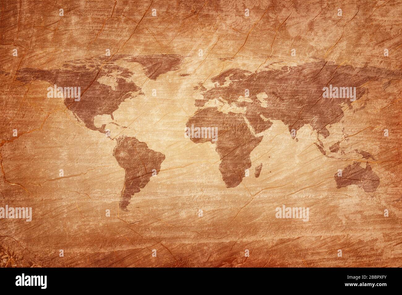 Old map of the world on a old wooden parchment background. Vintage style. Elements of this Image Furnished by NASA Stock Photohttps://www.alamy.com/image-license-details/?v=1https://www.alamy.com/old-map-of-the-world-on-a-old-wooden-parchment-background-vintage-style-elements-of-this-image-furnished-by-nasa-image351472351.html
RF2BBPXFY–Old map of the world on a old wooden parchment background. Vintage style. Elements of this Image Furnished by NASA
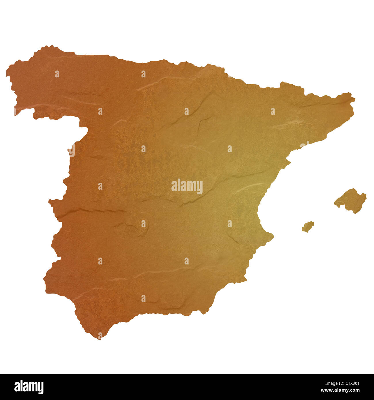 Textured map of Spain map with brown rock or stone texture, isolated on white background with clipping path. Stock Photohttps://www.alamy.com/image-license-details/?v=1https://www.alamy.com/stock-photo-textured-map-of-spain-map-with-brown-rock-or-stone-texture-isolated-49745585.html
RMCTX301–Textured map of Spain map with brown rock or stone texture, isolated on white background with clipping path.
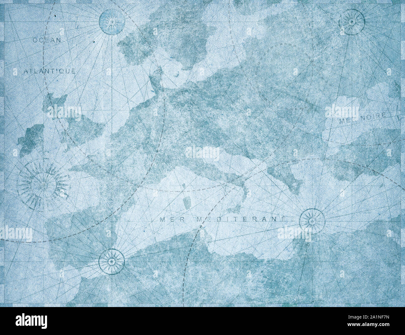 Vintage blue Europe map retro background. Based on image furnished from NASA. Stock Photohttps://www.alamy.com/image-license-details/?v=1https://www.alamy.com/vintage-blue-europe-map-retro-background-based-on-image-furnished-from-nasa-image328084617.html
RF2A1NF7N–Vintage blue Europe map retro background. Based on image furnished from NASA.
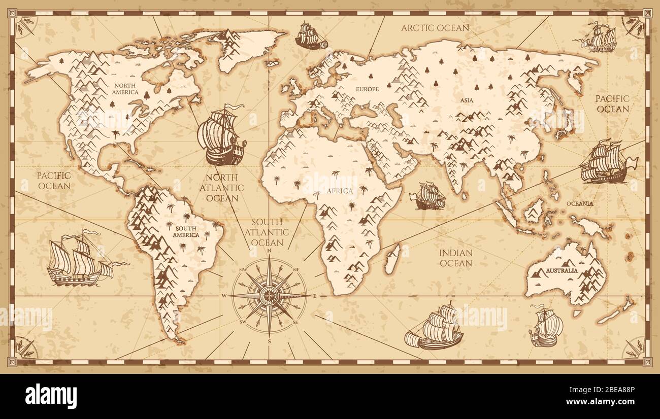 Vintage physical world map with rivers and mountains vector illustration. Retro vintage old world map with antique travel ship Stock Vectorhttps://www.alamy.com/image-license-details/?v=1https://www.alamy.com/vintage-physical-world-map-with-rivers-and-mountains-vector-illustration-retro-vintage-old-world-map-with-antique-travel-ship-image353038582.html
RF2BEA88P–Vintage physical world map with rivers and mountains vector illustration. Retro vintage old world map with antique travel ship
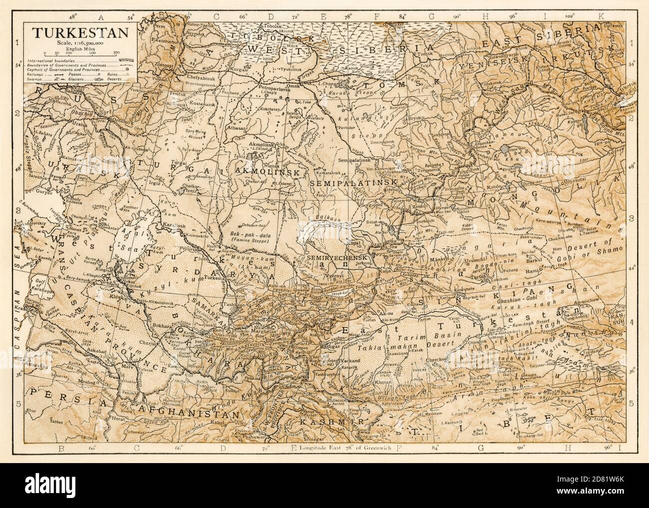 Map of Turkestan in the early 1900s. Color lithograph Stock Photohttps://www.alamy.com/image-license-details/?v=1https://www.alamy.com/map-of-turkestan-in-the-early-1900s-color-lithograph-image383587083.html
RM2D81W6K–Map of Turkestan in the early 1900s. Color lithograph
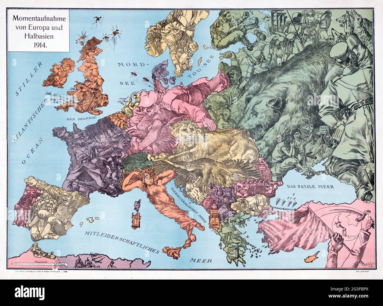 European map satirical map Momentaufnahme von Europa und Halbasien 1914 – map of Europe Stock Photohttps://www.alamy.com/image-license-details/?v=1https://www.alamy.com/european-map-satirical-map-momentaufnahme-von-europa-und-halbasien-1914-map-of-europe-image432441714.html
RM2G3FBPX–European map satirical map Momentaufnahme von Europa und Halbasien 1914 – map of Europe
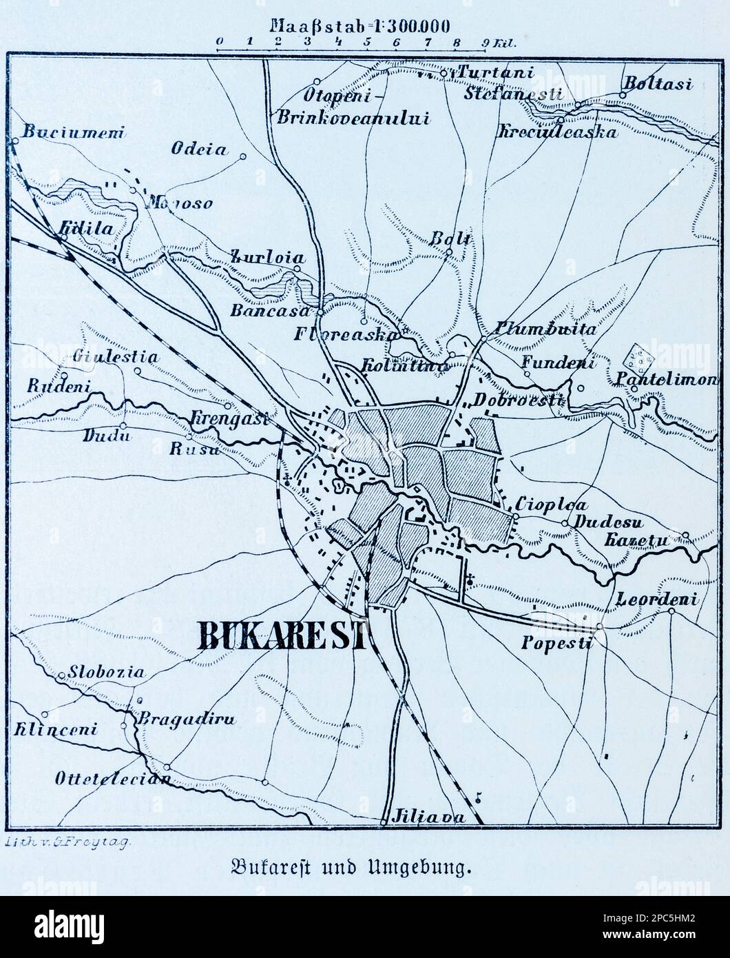 City map of Bucharest and its surroundings, Bucharest, Rumania, Eastern Europe, illustration 1896 Stock Photohttps://www.alamy.com/image-license-details/?v=1https://www.alamy.com/city-map-of-bucharest-and-its-surroundings-bucharest-rumania-eastern-europe-illustration-1896-image541020930.html
RM2PC5HM2–City map of Bucharest and its surroundings, Bucharest, Rumania, Eastern Europe, illustration 1896
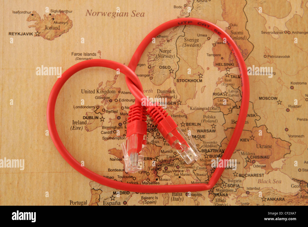 heart shape cable on vintage map of Europe in studio Stock Photohttps://www.alamy.com/image-license-details/?v=1https://www.alamy.com/stock-photo-heart-shape-cable-on-vintage-map-of-europe-in-studio-43705151.html
RFCF2XA7–heart shape cable on vintage map of Europe in studio
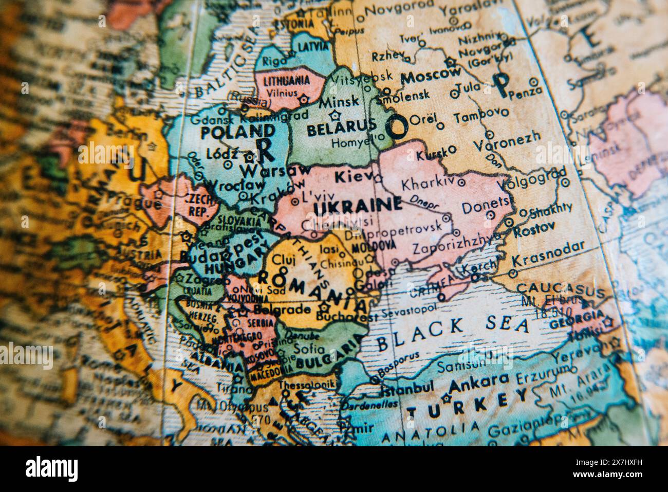 A vintage globe showing the detailed geography of Eastern Europe, highlighting countries like Ukraine, Poland, Russia, and the surrounding regions. Stock Photohttps://www.alamy.com/image-license-details/?v=1https://www.alamy.com/a-vintage-globe-showing-the-detailed-geography-of-eastern-europe-highlighting-countries-like-ukraine-poland-russia-and-the-surrounding-regions-image607059477.html
RM2X7HXFH–A vintage globe showing the detailed geography of Eastern Europe, highlighting countries like Ukraine, Poland, Russia, and the surrounding regions.
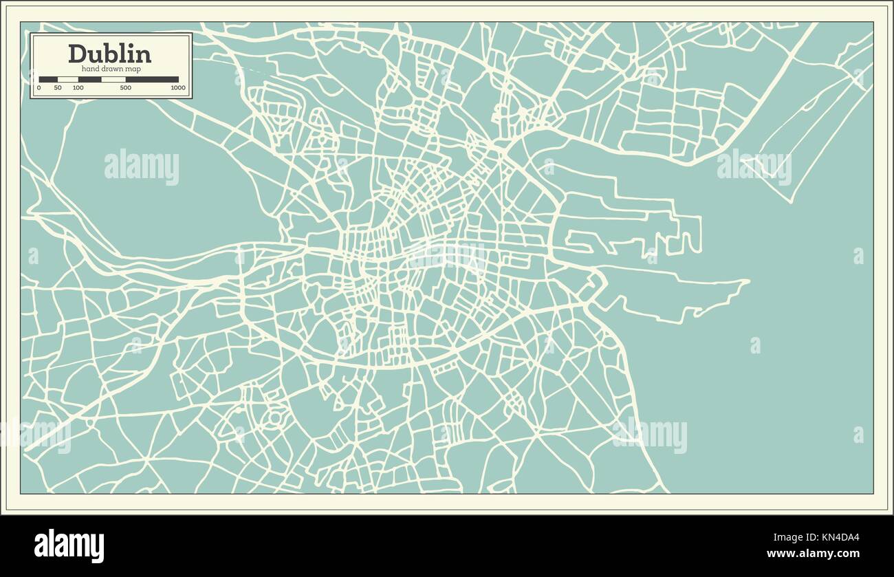 Dublin Ireland Map in Retro Style. Vector Illustration. Outline Map. Stock Vectorhttps://www.alamy.com/image-license-details/?v=1https://www.alamy.com/stock-image-dublin-ireland-map-in-retro-style-vector-illustration-outline-map-167899372.html
RFKN4DA4–Dublin Ireland Map in Retro Style. Vector Illustration. Outline Map.
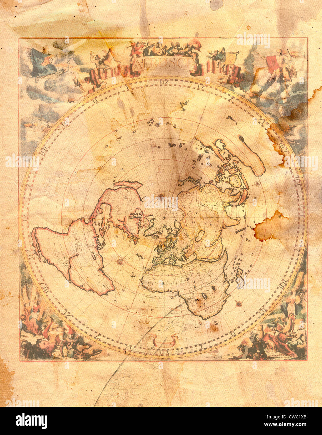 Vintage map of the world in grunge style Stock Photohttps://www.alamy.com/image-license-details/?v=1https://www.alamy.com/stock-photo-vintage-map-of-the-world-in-grunge-style-50052083.html
RFCWC1XB–Vintage map of the world in grunge style
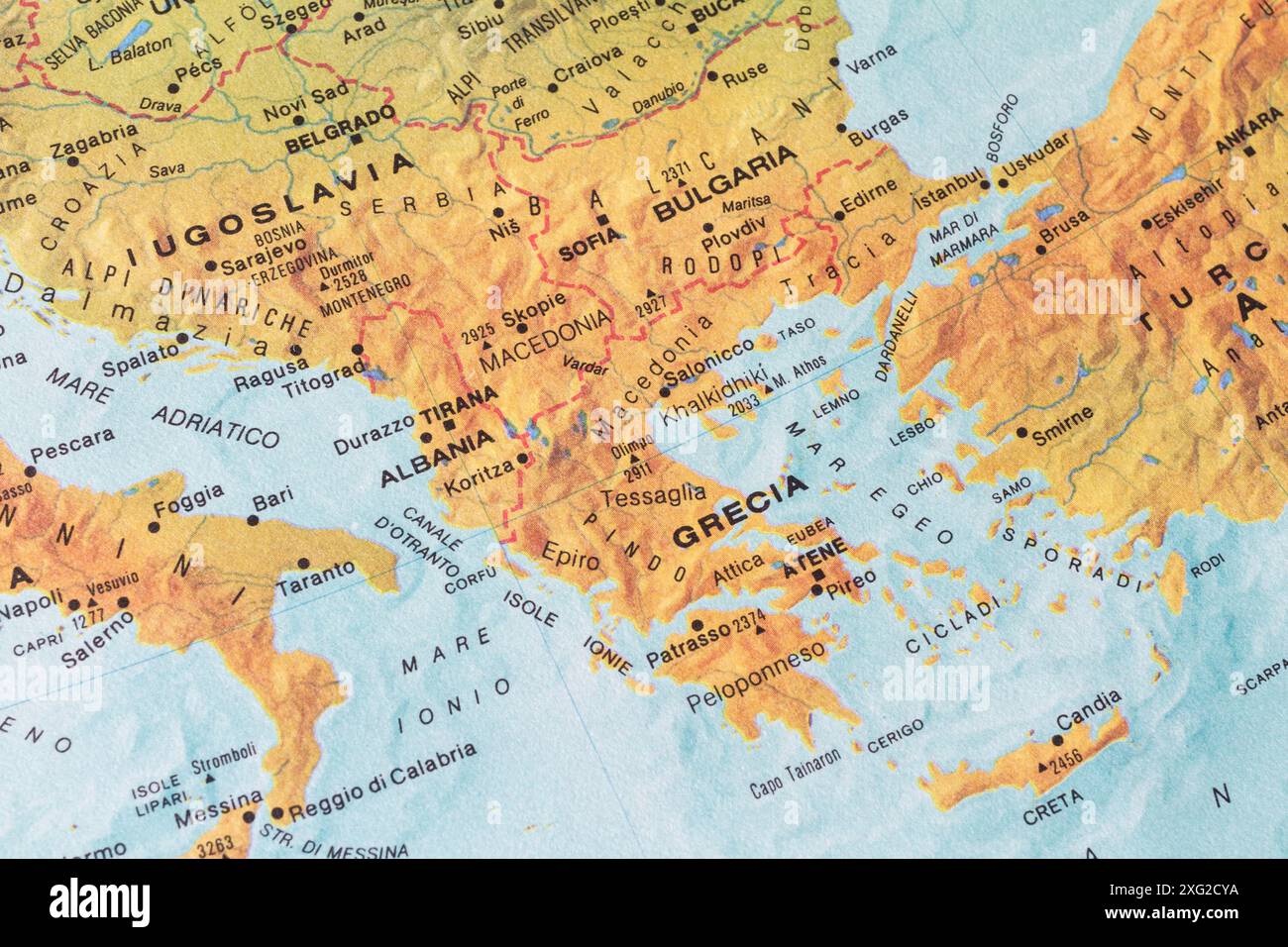 Old map of Southern Europe and Balkans with ex Jugoslavia, Albania, Greece, Bulgary and Turkey Stock Photohttps://www.alamy.com/image-license-details/?v=1https://www.alamy.com/old-map-of-southern-europe-and-balkans-with-ex-jugoslavia-albania-greece-bulgary-and-turkey-image612251454.html
RM2XG2CYA–Old map of Southern Europe and Balkans with ex Jugoslavia, Albania, Greece, Bulgary and Turkey
 old vintage maps of the world Stock Photohttps://www.alamy.com/image-license-details/?v=1https://www.alamy.com/stock-photo-old-vintage-maps-of-the-world-131328088.html
RFHHJE8T–old vintage maps of the world
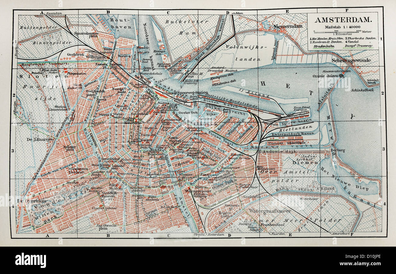 Vintage map of Amsterdam Stock Photohttps://www.alamy.com/image-license-details/?v=1https://www.alamy.com/stock-photo-vintage-map-of-amsterdam-52260502.html
RFD10JPE–Vintage map of Amsterdam
 isolated emblem europe vintage illustration france flag rusty national region geography old department cartography map atlas Stock Photohttps://www.alamy.com/image-license-details/?v=1https://www.alamy.com/stock-photo-isolated-emblem-europe-vintage-illustration-france-flag-rusty-national-124688316.html
RFH6T164–isolated emblem europe vintage illustration france flag rusty national region geography old department cartography map atlas
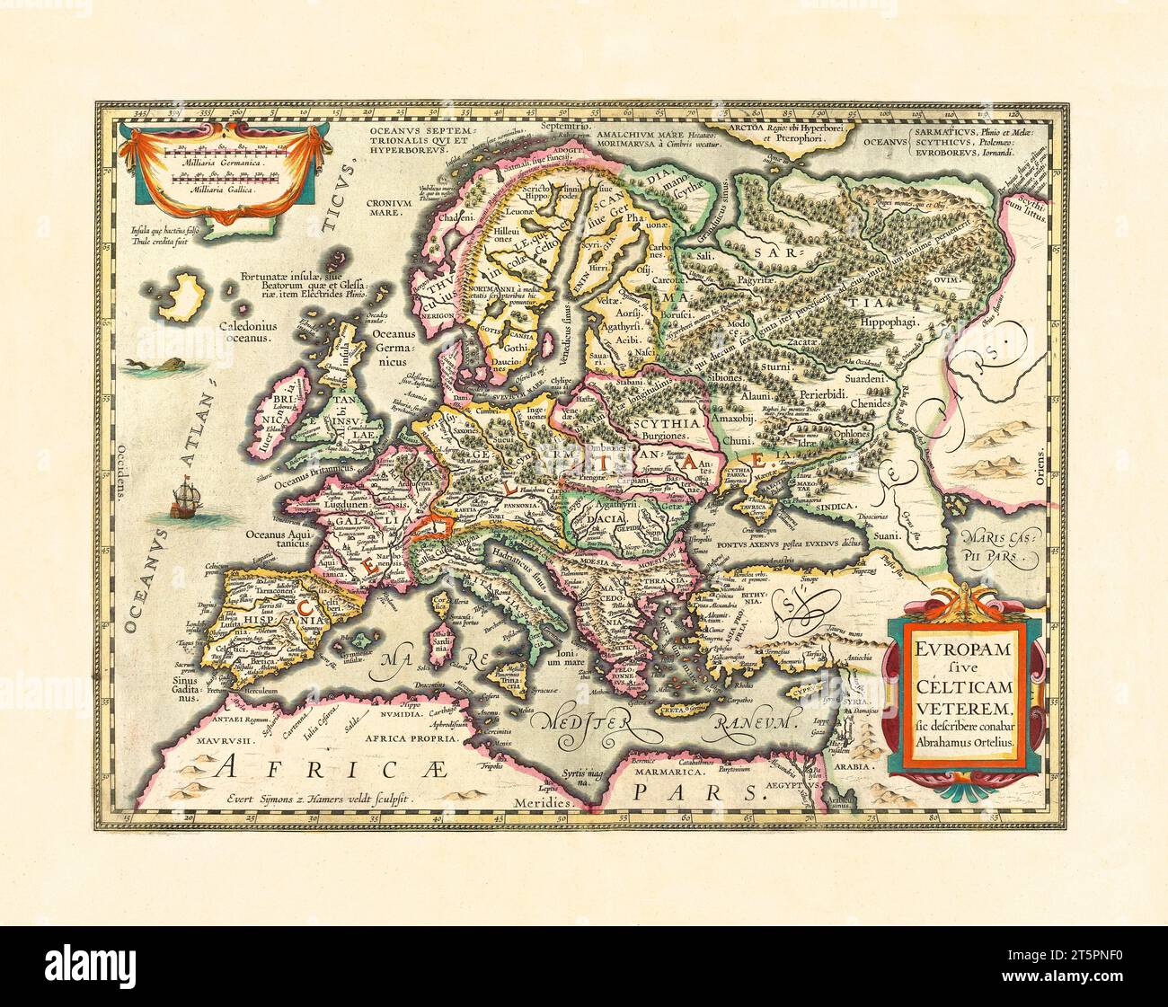 Old map of Europe. By Houndius, publ. ca. 1638 Stock Photohttps://www.alamy.com/image-license-details/?v=1https://www.alamy.com/old-map-of-europe-by-houndius-publ-ca-1638-image571515252.html
RF2T5PNF0–Old map of Europe. By Houndius, publ. ca. 1638
 Vienna, Austria pinned on vintage map of Europe Stock Photohttps://www.alamy.com/image-license-details/?v=1https://www.alamy.com/stock-photo-vienna-austria-pinned-on-vintage-map-of-europe-123283404.html
RMH4G16M–Vienna, Austria pinned on vintage map of Europe
 Old map of Europe with eastern Mediterranean insert map Stock Photohttps://www.alamy.com/image-license-details/?v=1https://www.alamy.com/stock-photo-old-map-of-europe-with-eastern-mediterranean-insert-map-50288969.html
RFCWPT2H–Old map of Europe with eastern Mediterranean insert map
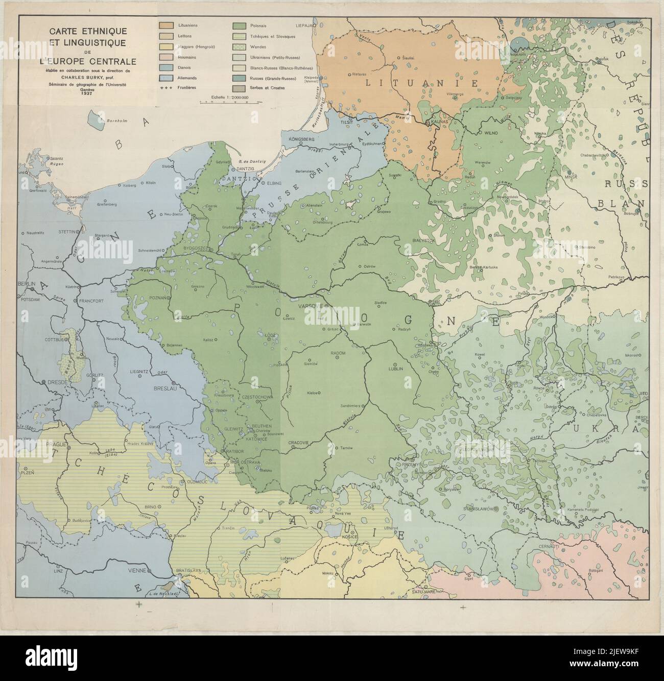 Old Europe Map, Vintage Europe Map, Retro Europe Map, Old Map of Europe, Vintage Map of Europe, Retro Map of Europe, Europe Map, Europa Map Stock Photohttps://www.alamy.com/image-license-details/?v=1https://www.alamy.com/old-europe-map-vintage-europe-map-retro-europe-map-old-map-of-europe-vintage-map-of-europe-retro-map-of-europe-europe-map-europa-map-image473841523.html
RF2JEW9KF–Old Europe Map, Vintage Europe Map, Retro Europe Map, Old Map of Europe, Vintage Map of Europe, Retro Map of Europe, Europe Map, Europa Map
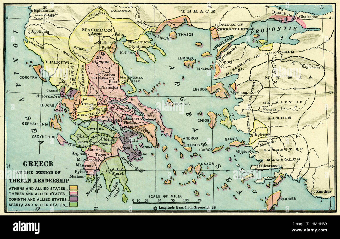 map of europe Stock Photohttps://www.alamy.com/image-license-details/?v=1https://www.alamy.com/stock-photo-map-of-europe-133152441.html
RFHMHH89–map of europe
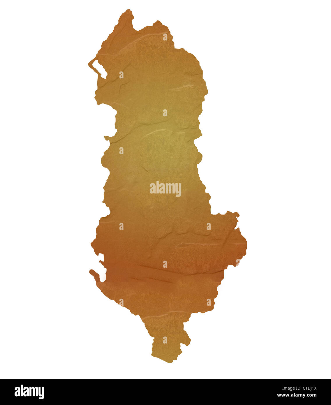 Ireland map with brown rock or stone texture, isolated on white background with clipping path. Stock Photohttps://www.alamy.com/image-license-details/?v=1https://www.alamy.com/stock-photo-ireland-map-with-brown-rock-or-stone-texture-isolated-on-white-background-49472022.html
RMCTDJ1X–Ireland map with brown rock or stone texture, isolated on white background with clipping path.
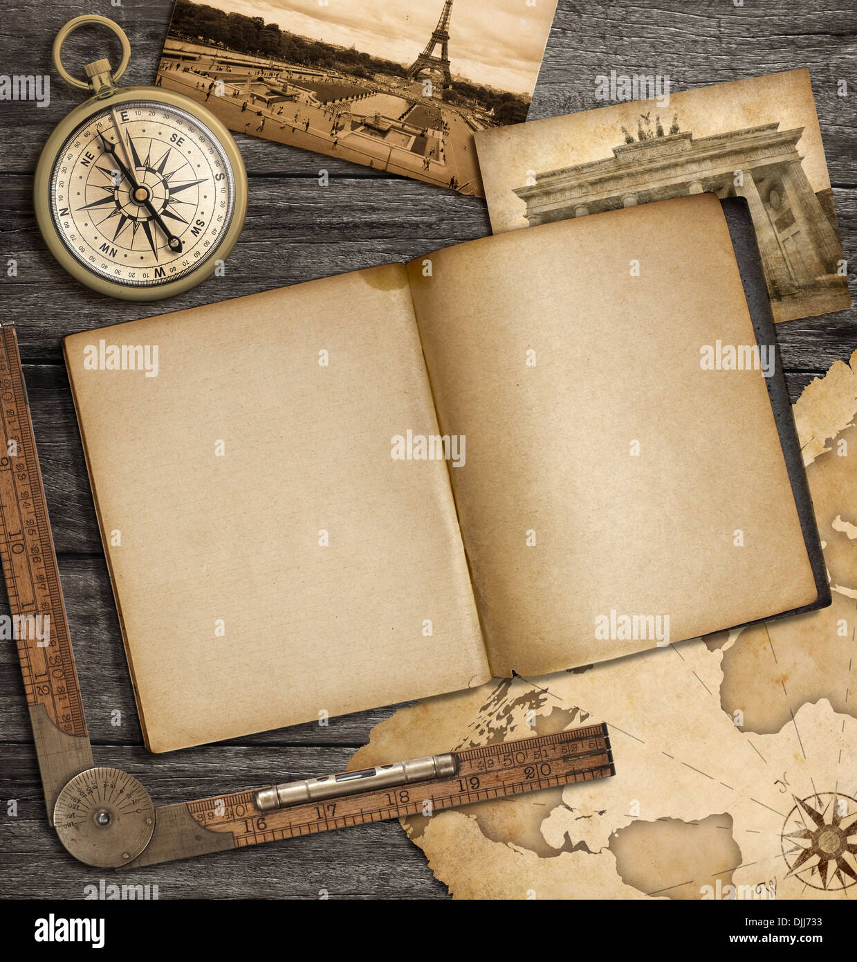 adventure nautical background with vintage map, copybook and compass Stock Photohttps://www.alamy.com/image-license-details/?v=1https://www.alamy.com/adventure-nautical-background-with-vintage-map-copybook-and-compass-image63095623.html
RFDJJ733–adventure nautical background with vintage map, copybook and compass
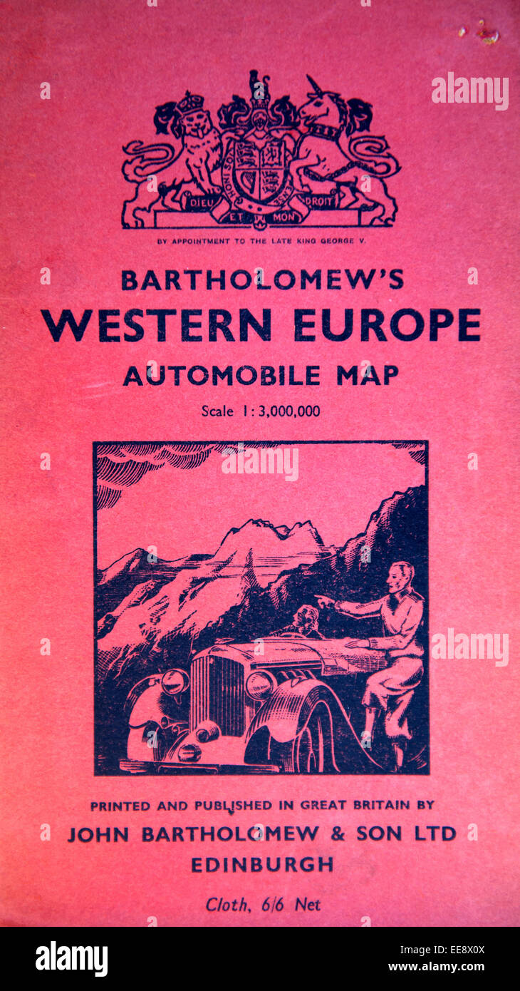 Cover of the Bartholomew's Western Europe Automobile Cloth Map Stock Photohttps://www.alamy.com/image-license-details/?v=1https://www.alamy.com/stock-photo-cover-of-the-bartholomews-western-europe-automobile-cloth-map-77642682.html
RMEE8X0X–Cover of the Bartholomew's Western Europe Automobile Cloth Map